Trails in France
15,906 hiking trails, each with its route, climb, walking time and grade.
All trails, page 4 of 332
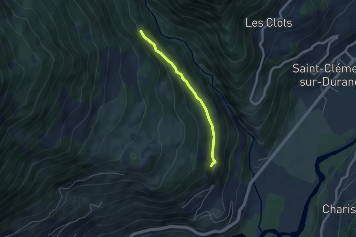
Easy · Trail
Ancien Canal - Les Blaches
3.8 km · ↑ 198 m · 1 h 19 min
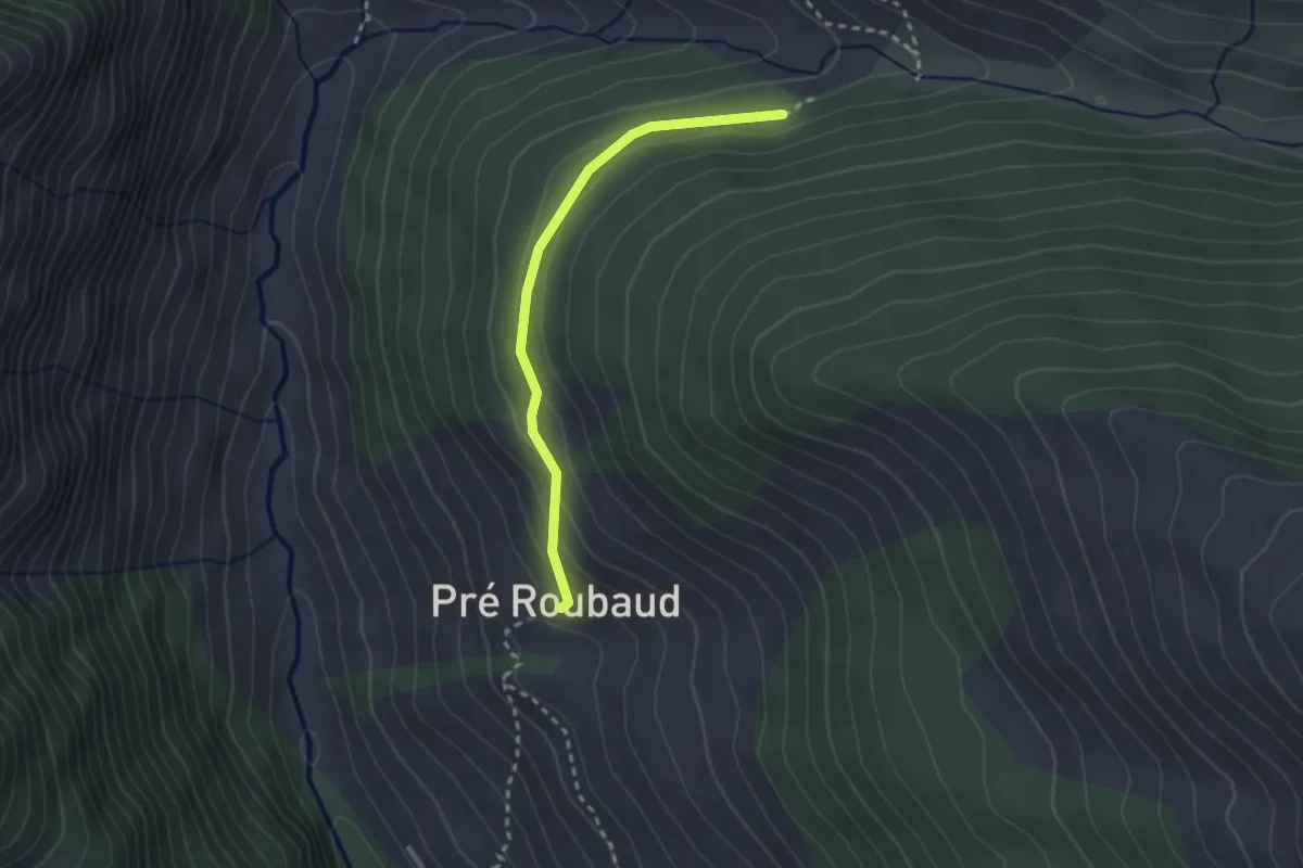
Easy · Trail
Ancien Canal - Pré Roubaud
2.5 km · ↑ 122 m · 51 min
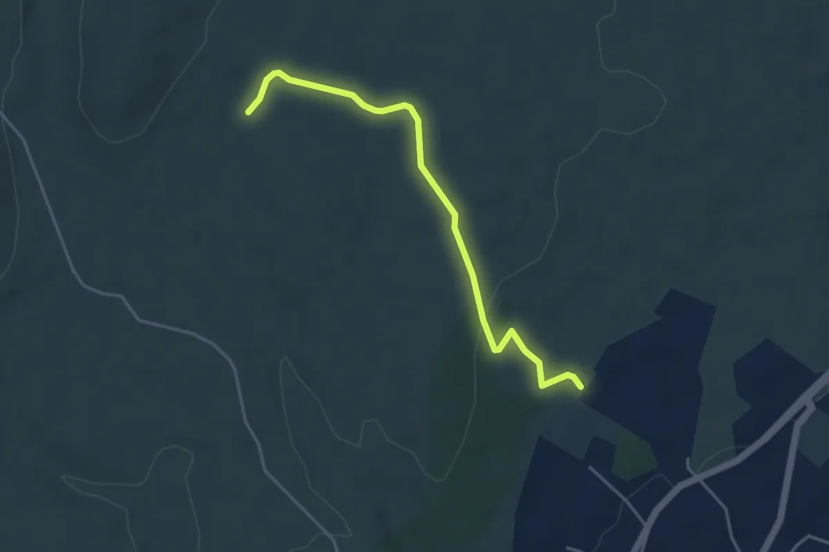
Easy · Trail
Ancien chemin de Gignac
4.0 km · ↑ 63 m · 1 h 5 min
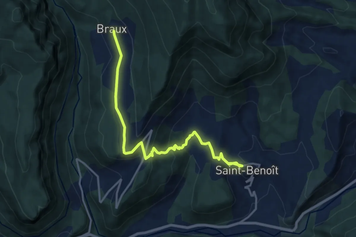
Easy · Trail
Ancien chemin de Saint-Benoît à Braux
5.2 km · ↑ 304 m · 1 h 51 min
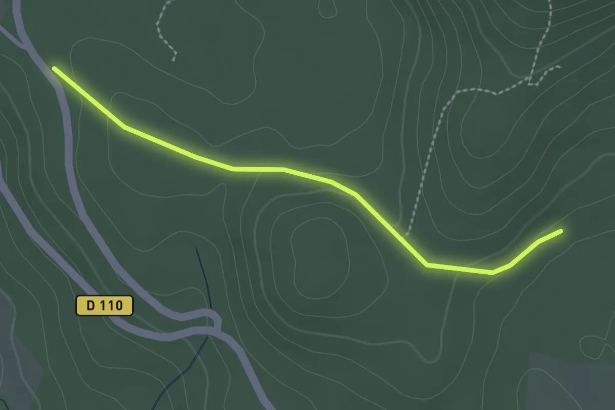
Easy · Trail
Ancien garage - Piéfaud
2.5 km · ↑ 56 m · 43 min
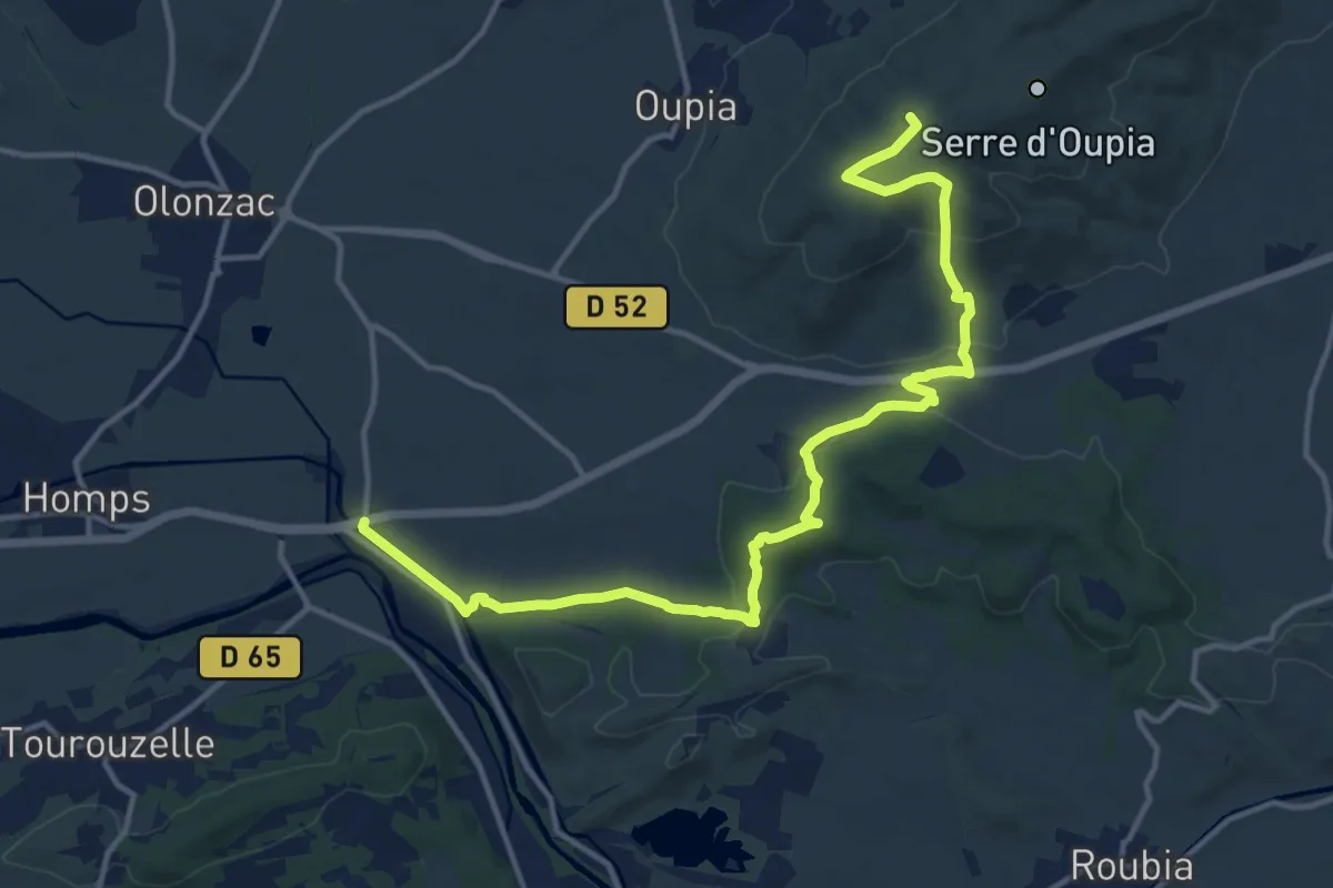
Medium · Summit
ancien GR77
16.9 km · ↑ 441 m · 4 h 57 min
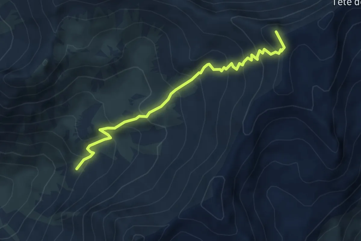
Medium · Summit
Ancienne Cabane des Douanes - Col de la Cula
5.4 km · ↑ 503 m · 2 h 21 min
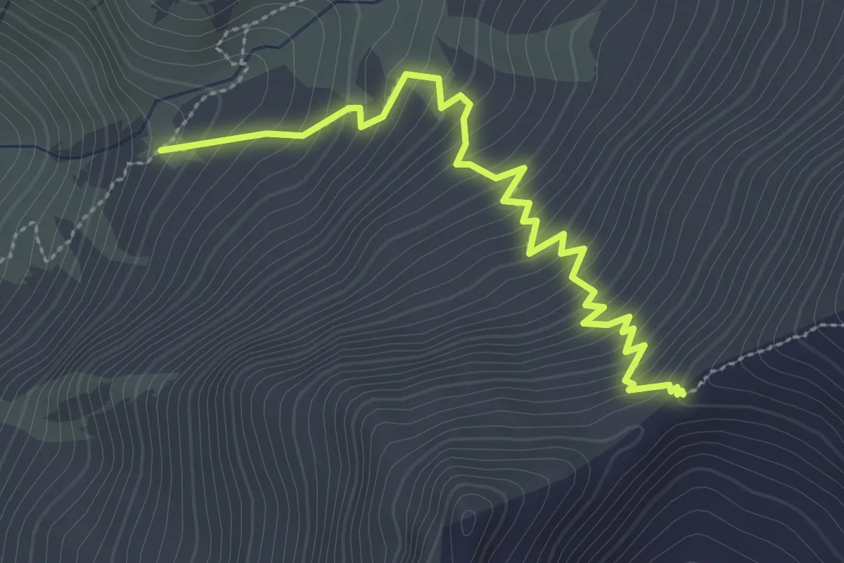
Medium · Trail
Ancienne Cabane des Douanes - Col Sud du Cristillan
3.4 km · ↑ 373 m · 1 h 36 min
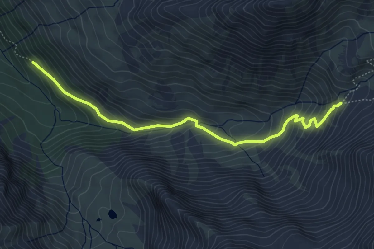
Medium · Trail
Ancienne Cabane des Douanes - Les Prises de Costes Belles
5.7 km · ↑ 413 m · 2 h 14 min
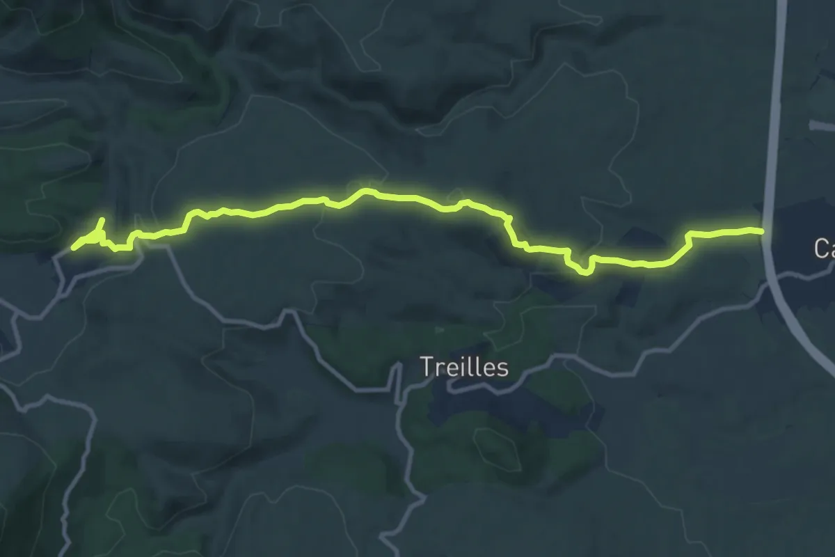
Medium · Trail
Ancienne Frontière Catalane
12.2 km · ↑ 279 m · 3 h 28 min
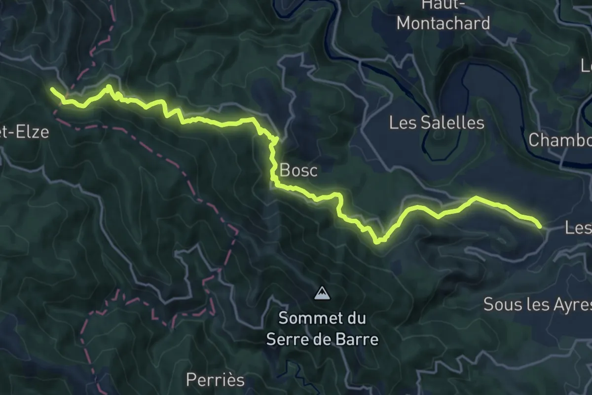
Demanding · Trail
Ancienne Route de Villefort aux Vans
20.2 km · ↑ 927 m · 6 h 46 min
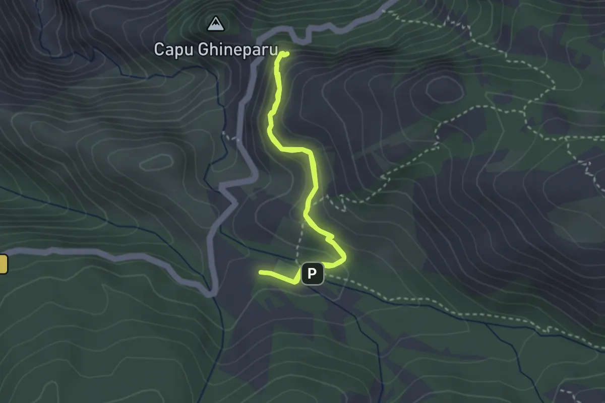
Medium · Trail
Ancien Sentier Muletier Piana-Ota
2.8 km · ↑ 134 m · 59 min
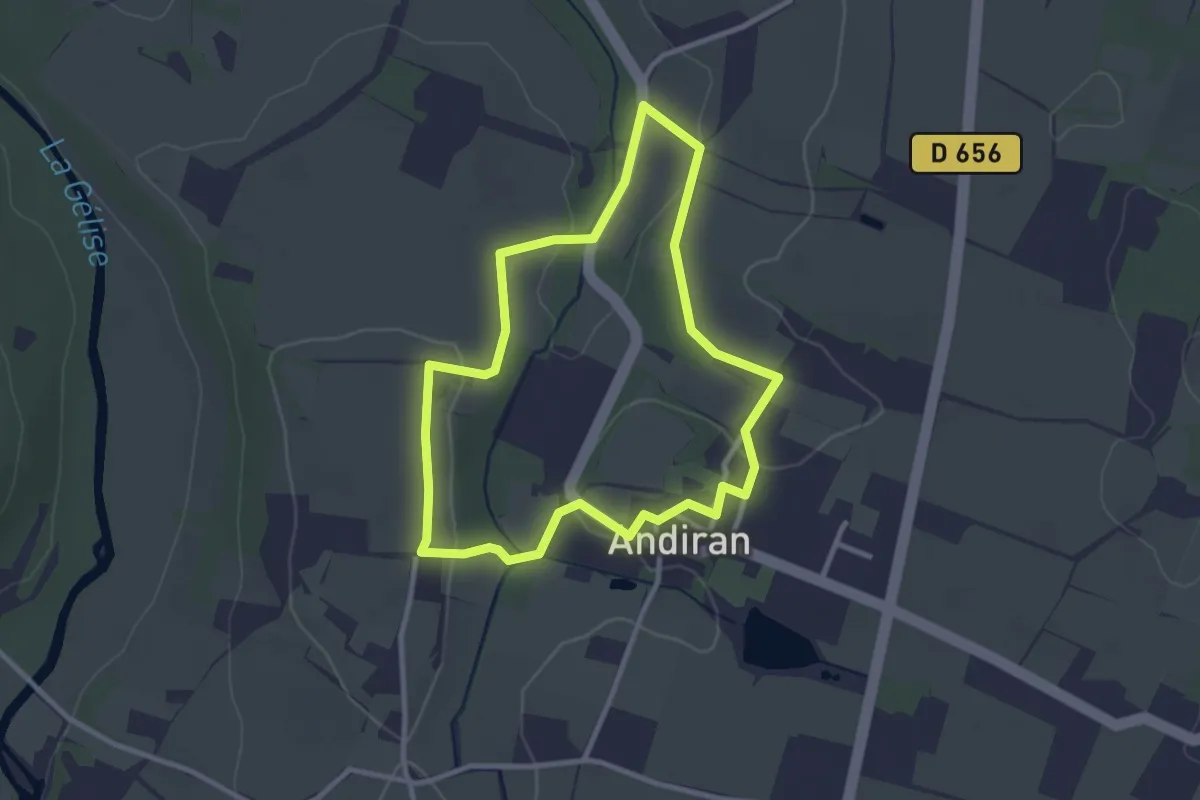
Easy · Trail
Andiran, ballade autour du village - 2.9km
2.9 km · ↑ 48 m · 49 min
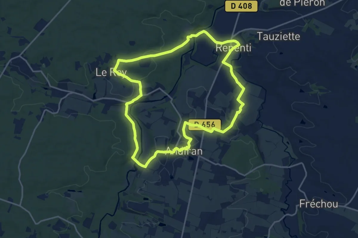
Medium · Trail
Andiran, randonnée entre l'Osse et la Gélise - 13.9km
13.7 km · ↑ 213 m · 3 h 53 min
Medium · Trail
Andreaskreuz gelb
8.2 km · ↑ 195 m · 2 h 21 min
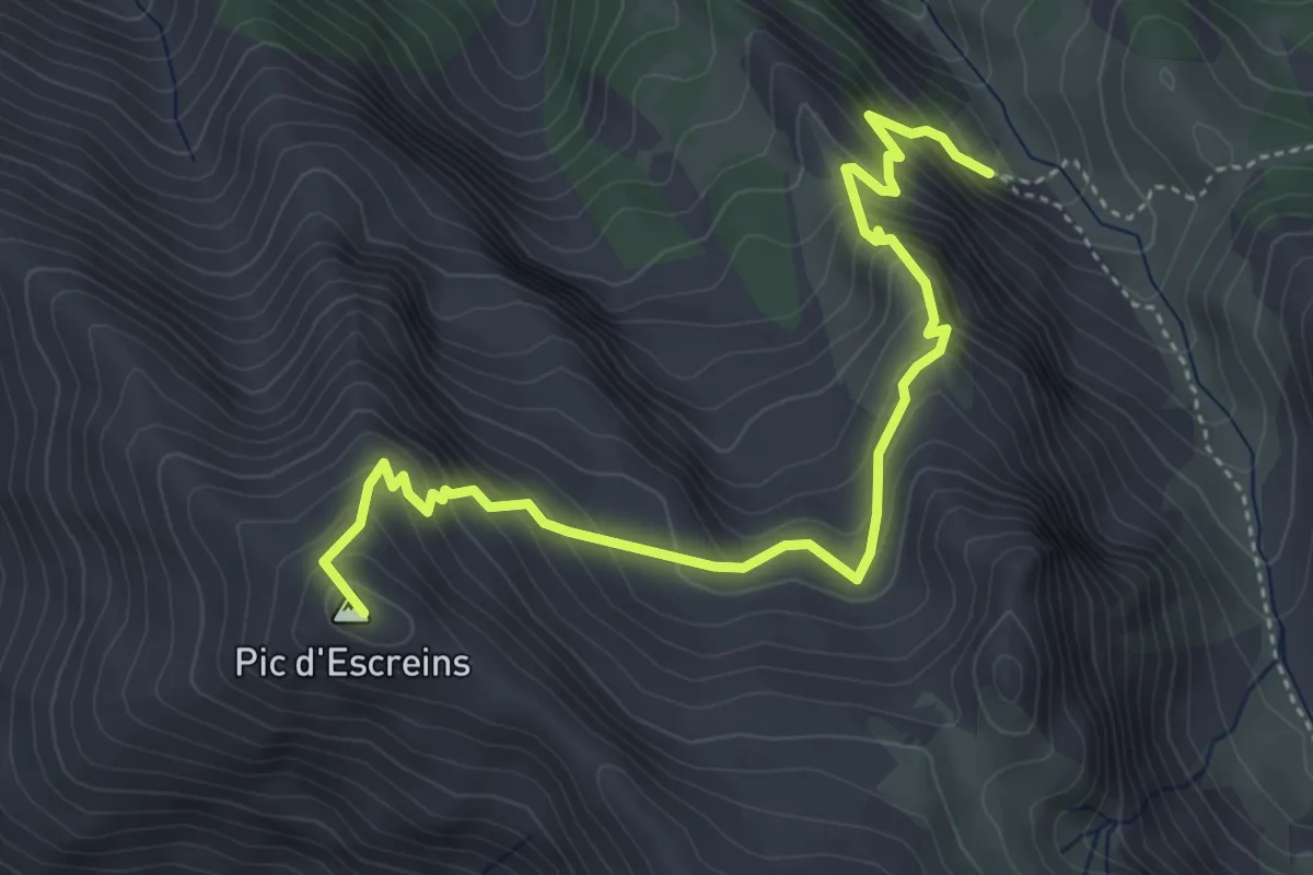
Demanding · Summit
Andrevez - Sous le Pic d'Escreins
5.2 km · ↑ 575 m · 2 h 28 min
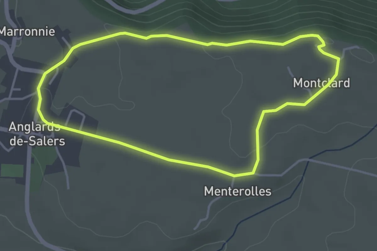
Easy · Trail
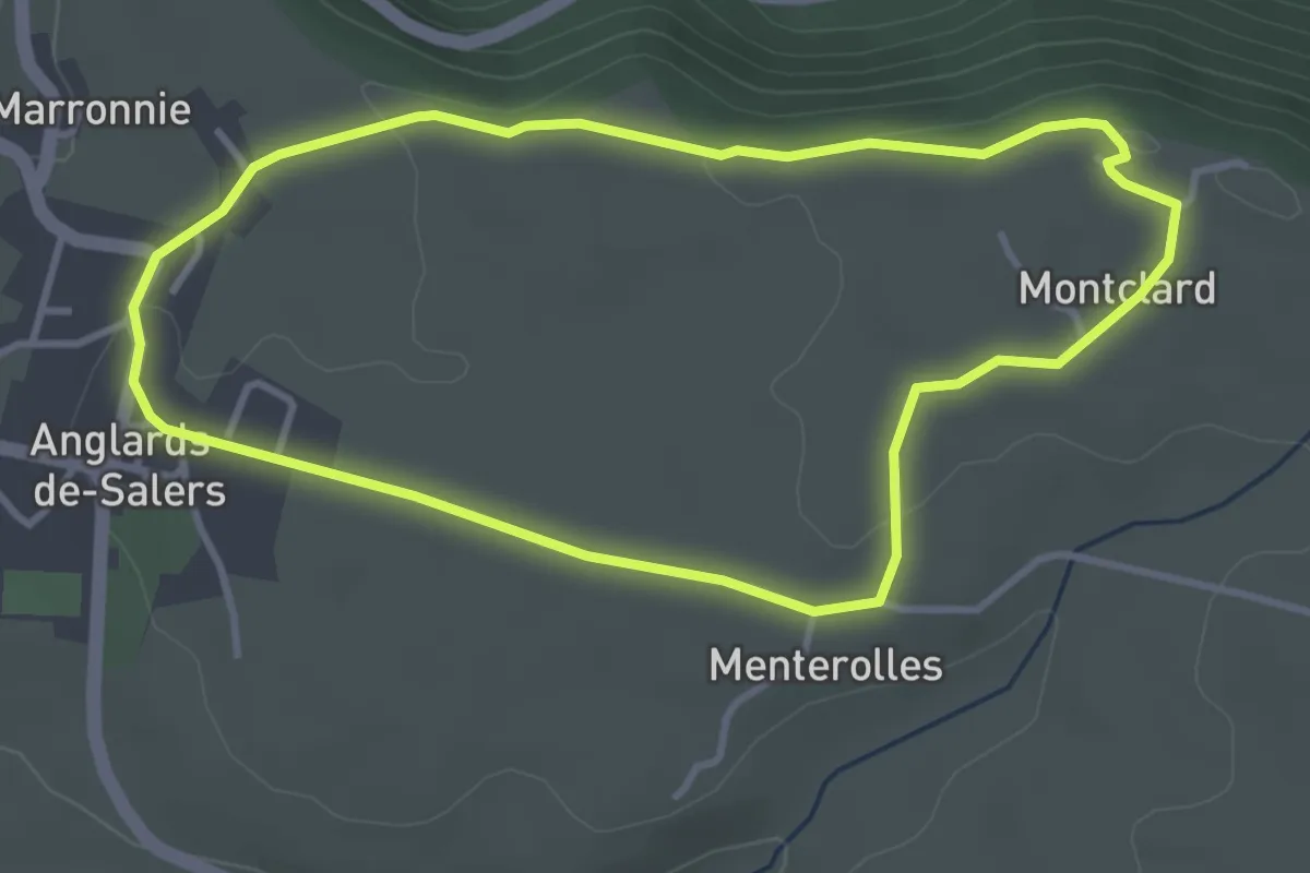
Anglards de Salers
3.6 km · ↑ 41 m · 59 min
Easy · Trail
Anglards-de-Salers
3.6 km · ↑ 41 m · 59 min
Easy · Trail
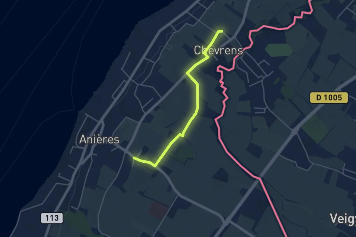
Anières - Chevrens
3.6 km · ↑ 8 m · 53 min
Easy · Trail
Anneau bleu
7.3 km · ↑ 199 m · 2 h 16 min
Easy · Summit
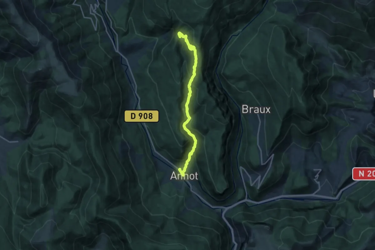
Anneau bleu
4.1 km · ↑ 132 m · 1 h 19 min
Medium · Trail
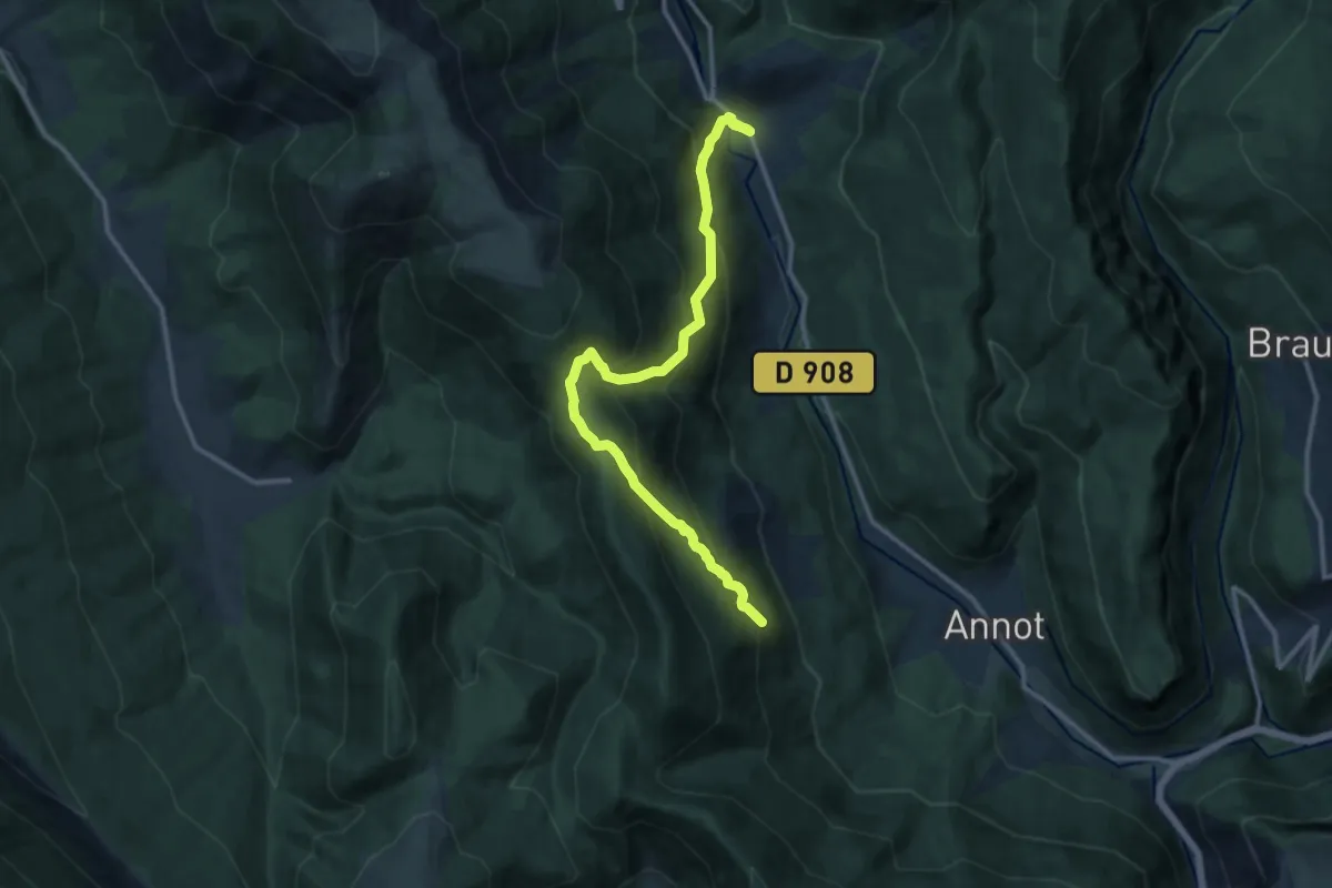
Annot - le Fugeret par la "voie romaine" d'Argenton
13.7 km · ↑ 786 m · 4 h 56 min
Demanding · Trail
Annot - le Fugeret par Roncharel
13.4 km · ↑ 1163 m · 5 h 40 min
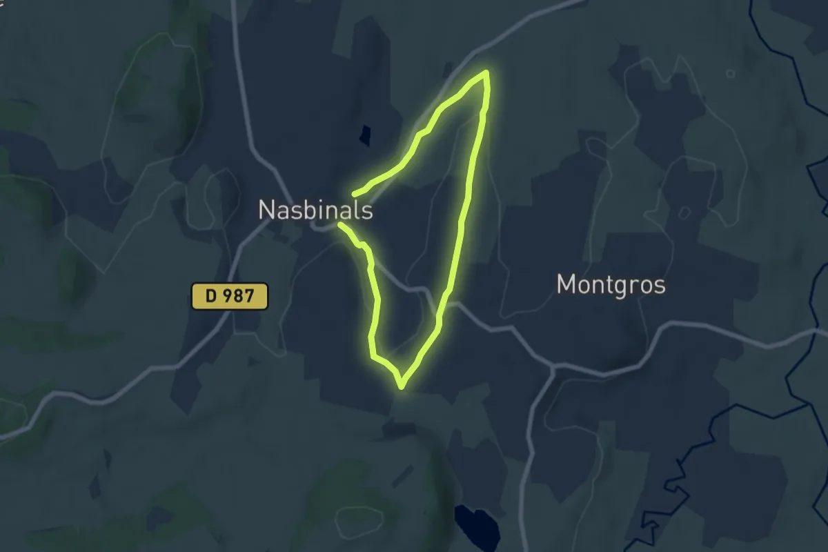
Medium · Trail
Antiole
9.7 km · ↑ 131 m · 2 h 34 min
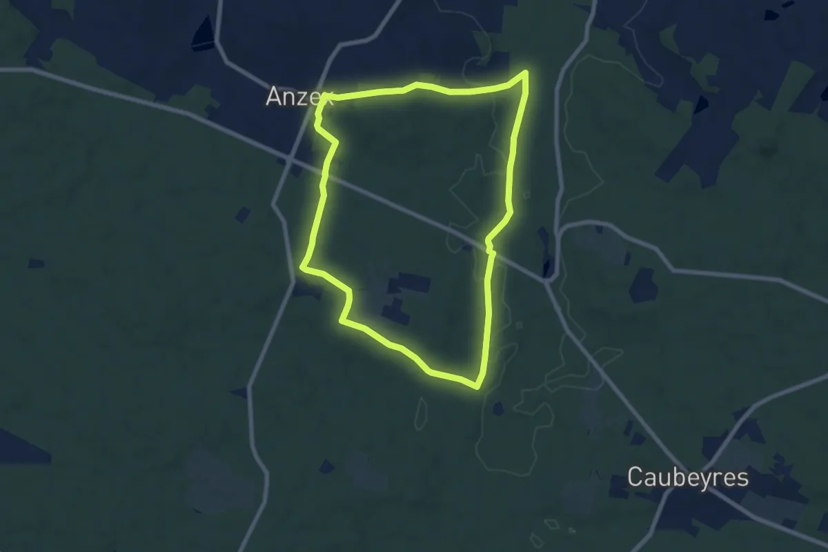
Easy · Trail
Anzex, la promenade de Pèleperdrix (7,9 km, balisage jaune)
7.0 km · ↑ 92 m · 1 h 57 min
Medium · Trail
A Partir de Fesques
11.0 km · ↑ 185 m · 3 h 9 min
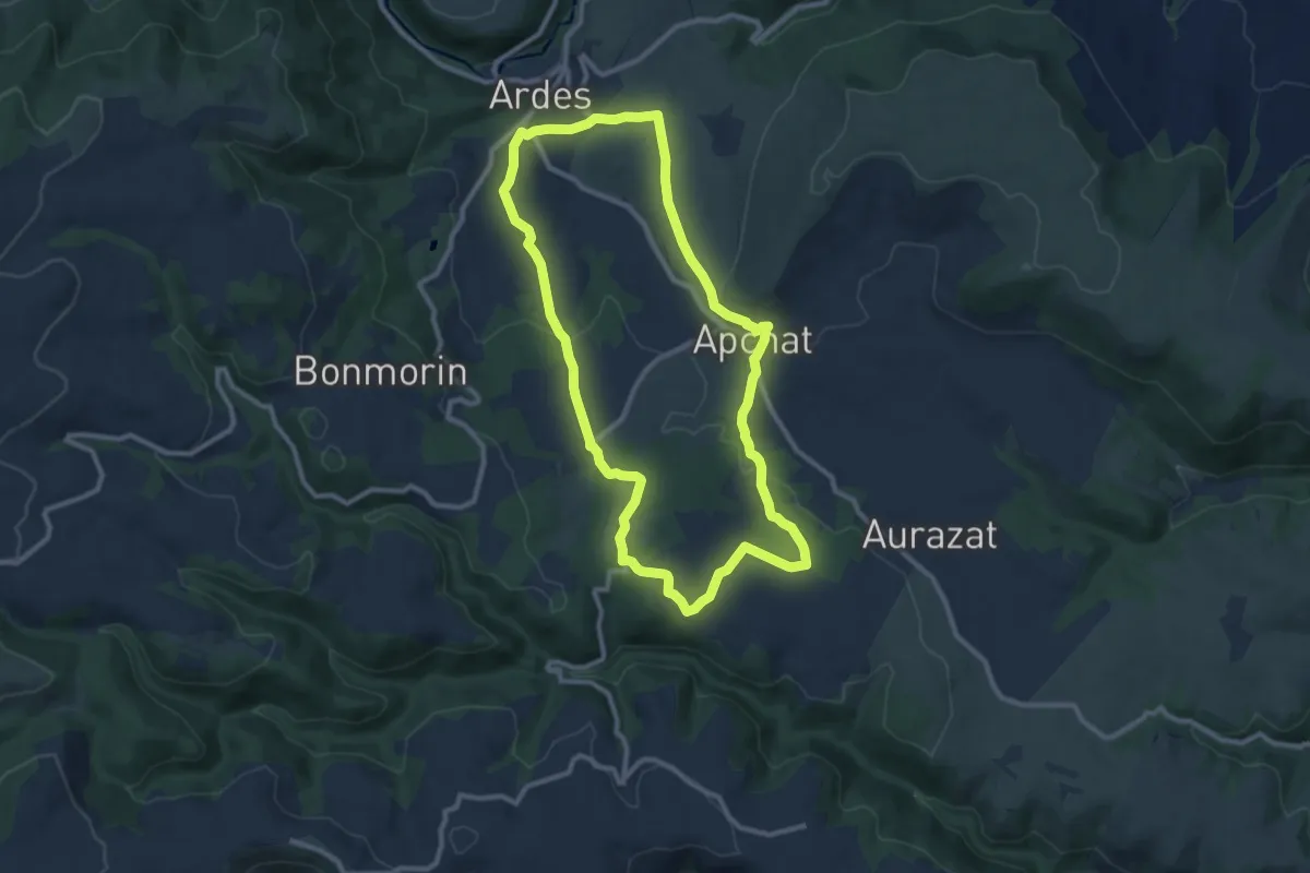
Medium · Trail
Apchat
10.0 km · ↑ 211 m · 2 h 58 min
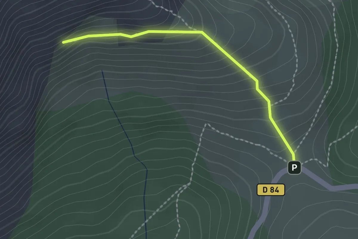
Medium · Trail
Approche Caporal Philipps
2.0 km · ↑ 158 m · 49 min
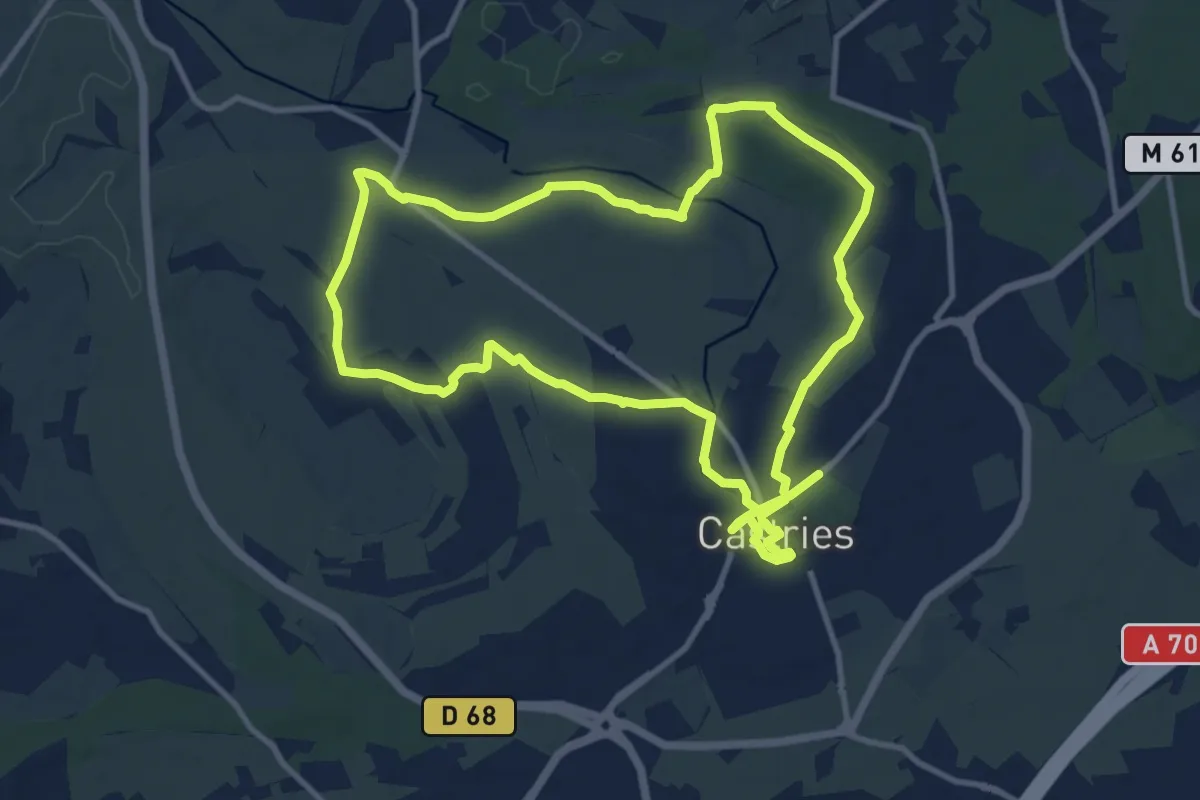
Demanding · Trail
Aqueduc de Castries
23.7 km · ↑ 136 m · 5 h 53 min
Demanding · Trail
Aqueduc de la Dhuys
20.8 km · ↑ 167 m · 5 h 34 min
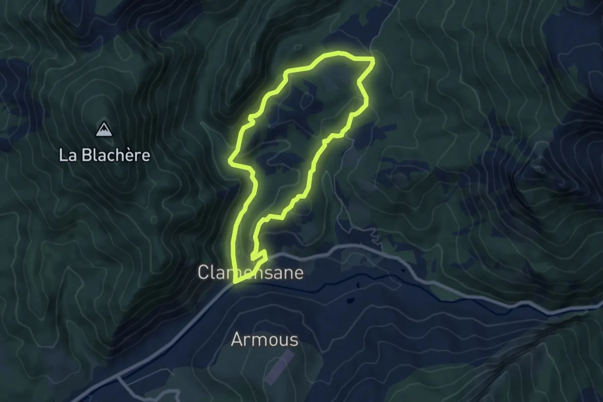
Easy · Trail
Aqueduc des Sagnières
6.0 km · ↑ 213 m · 1 h 58 min
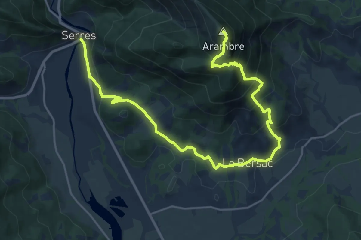
Demanding · Summit
Arambre
16.3 km · ↑ 1085 m · 6 h 12 min
Medium · Trail
Arboretum
8.6 km · ↑ 60 m · 2 h 9 min
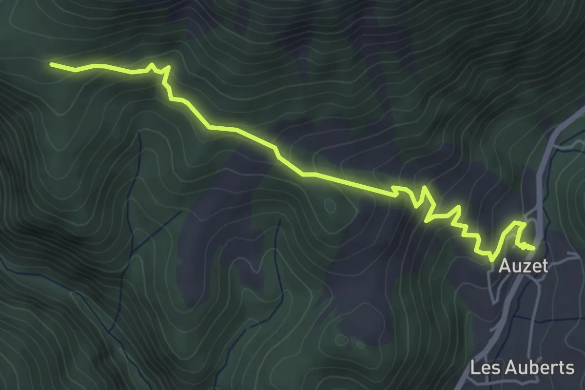
Medium · Trail
Arboretum du Cubertin par Jean Médou
2.8 km · ↑ 358 m · 1 h 18 min
Easy · Trail
Arbre de la Croix
6.0 km · ↑ 96 m · 1 h 42 min
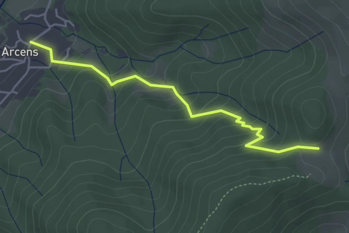
Easy · Trail
Arcens Est - Chadenac
4.1 km · ↑ 295 m · 1 h 36 min
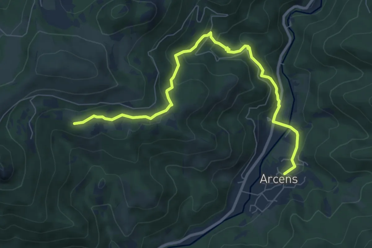
Medium · Trail
Arcens Est - Le Calvaire
8.3 km · ↑ 417 m · 2 h 51 min
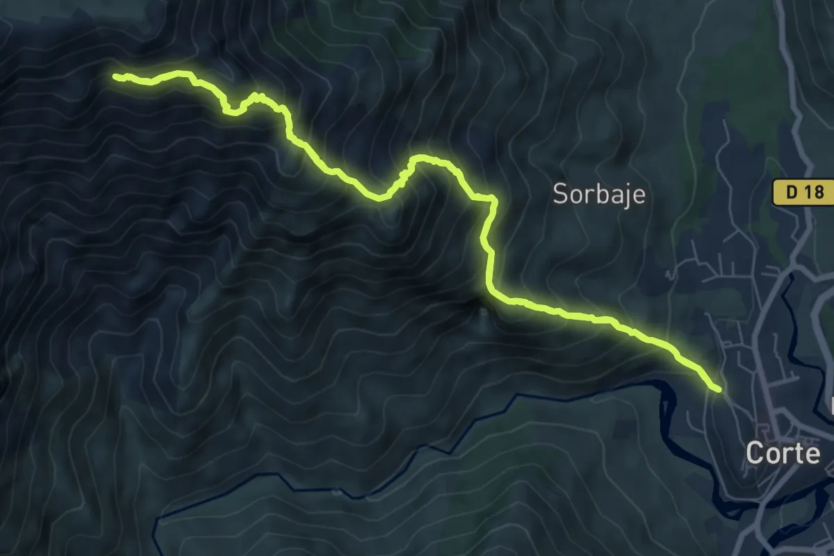
Demanding · Trail
Arche de Corte
8.7 km · ↑ 1135 m · 4 h 38 min
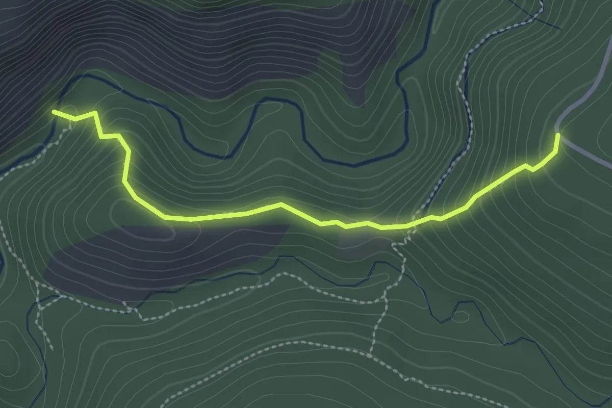
Medium · Trail
Arche du Ponadieu
1.4 km · ↑ 23 m · 29 min
Medium · Trail
Archéologie et viticulture
10.6 km · ↑ 118 m · 2 h 54 min
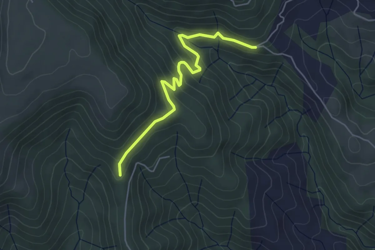
Easy · Trail
Archias - Larein
4.5 km · ↑ 178 m · 1 h 27 min
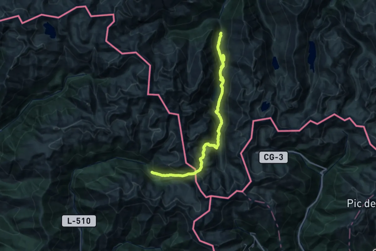
Demanding · Trail
Àrea d'esbarjo de Boet - Mounicou
17.6 km · ↑ 1589 m · 7 h 27 min
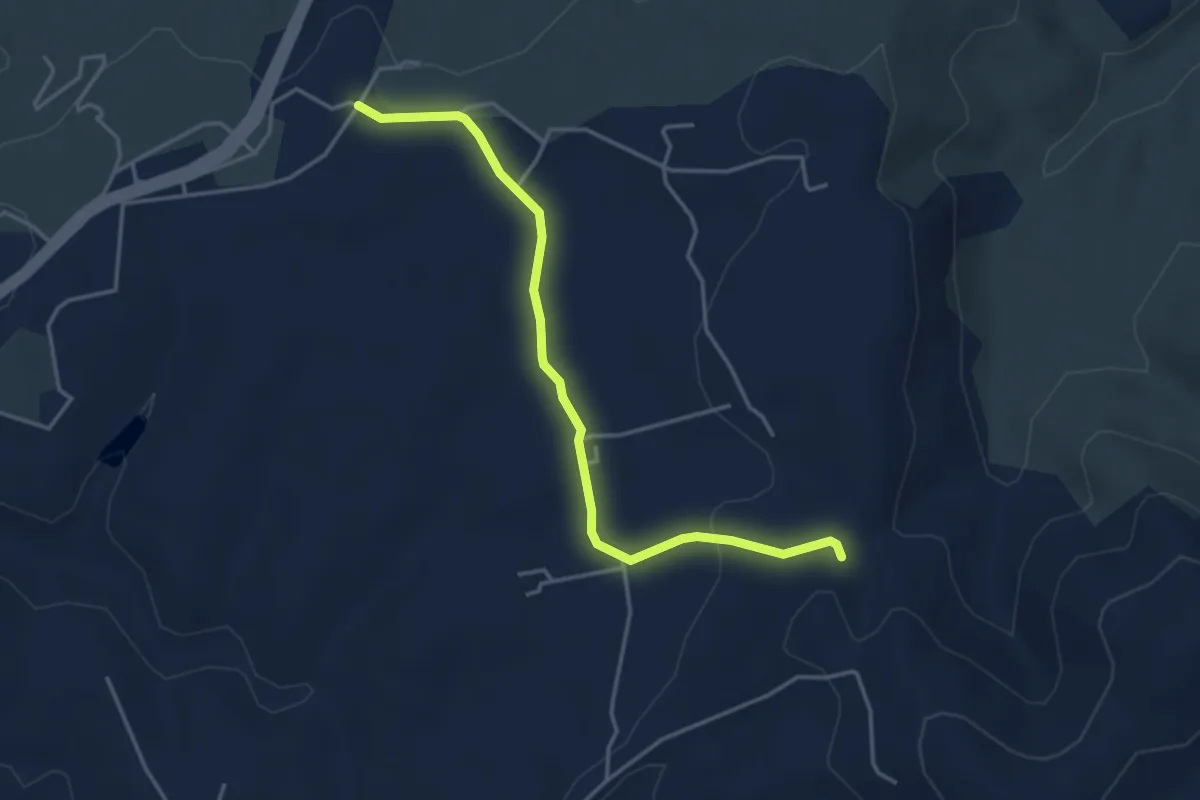
Easy · Trail
Argence - Bourboulet
4.2 km · ↑ 69 m · 1 h 9 min
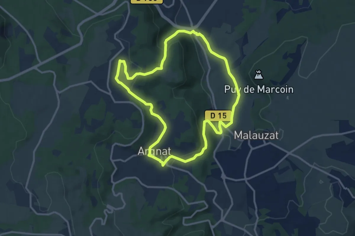
Medium · Trail
Argnat
8.7 km · ↑ 269 m · 2 h 45 min
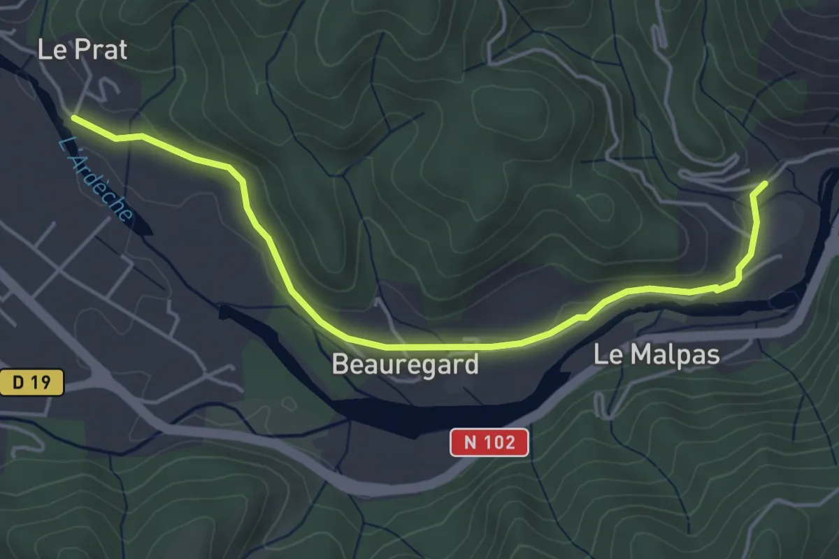
Easy · Trail
Arlix - Le Pra
4.9 km · ↑ 61 m · 1 h 18 min
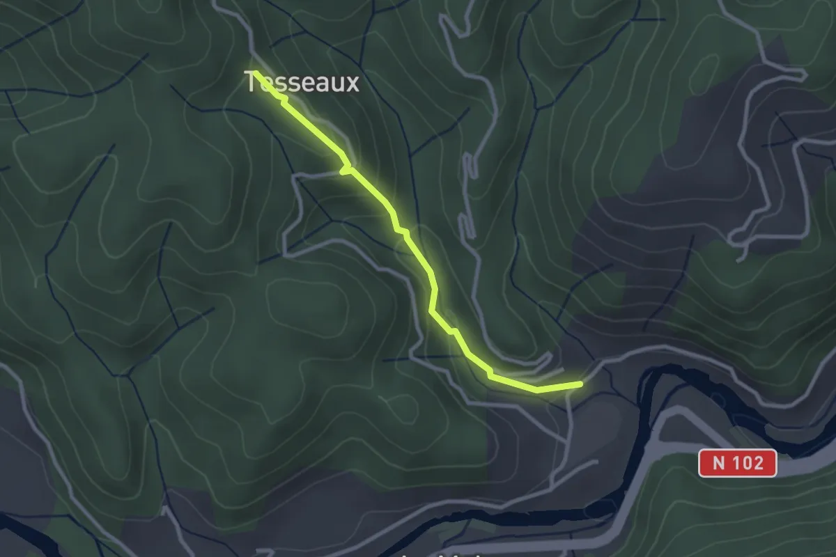
Easy · Trail
Arlix - Tesseaux
2.6 km · ↑ 146 m · 56 min
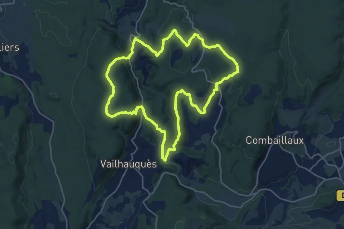
Medium · Trail
Arnède
14.6 km · ↑ 387 m · 4 h 29 min
Demanding · Trail
Arras - Bavincourt
20.0 km · ↑ 26 m · 5 h 6 min