Trails in France
15,906 hiking trails, each with its route, climb, walking time and grade.
All trails, page 5 of 332
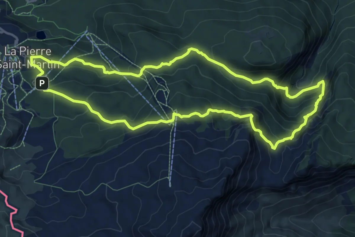
Demanding · Trail
Arres de Camplong
9.9 km · ↑ 651 m · 3 h 54 min
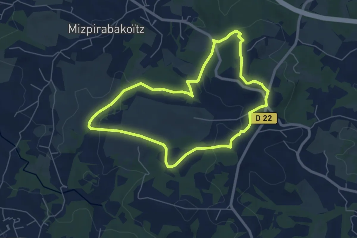
Easy · Summit
Artaga
5.4 km · ↑ 119 m · 1 h 36 min
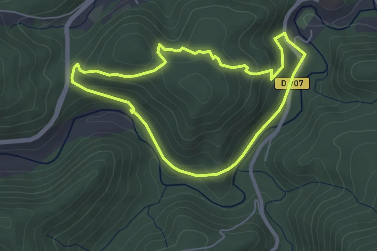
Easy · Trail
Artenac
4.2 km · ↑ 141 m · 1 h 22 min
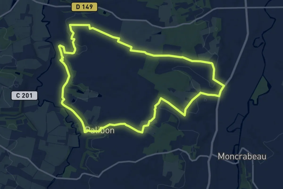
Medium · Trail
Artigues, dans les vallées d'Albret 12.1 km
12.0 km · ↑ 199 m · 3 h 26 min
Easy · Trail
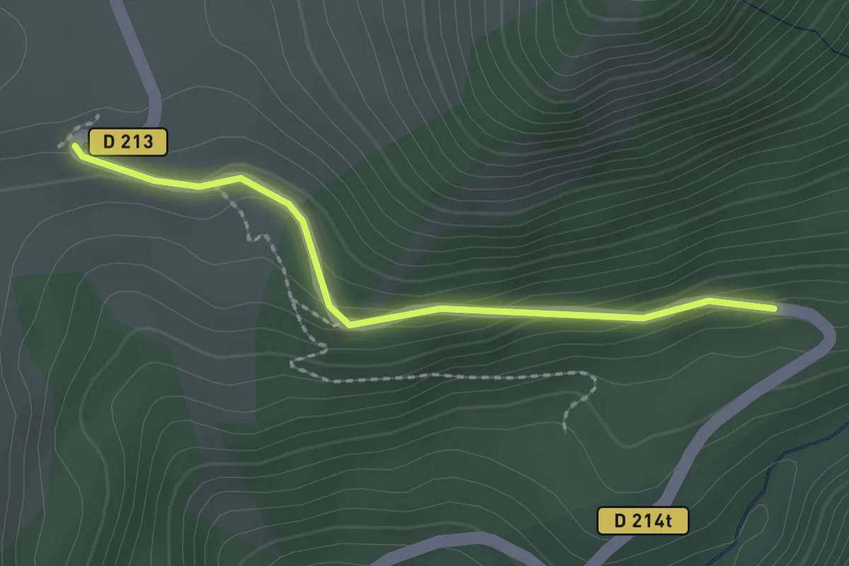
Arto - Baillenq
2.1 km · ↑ 115 m · 44 min
Easy · Trail
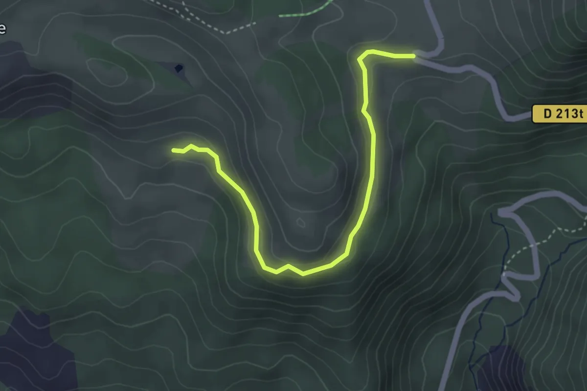
Arto - Clot Loubine
3.9 km · ↑ 123 m · 1 h 11 min
Easy · Trail
A Saint-Vaast, de la Vallée au Plateau
5.4 km · ↑ 95 m · 1 h 33 min
Demanding · Trail
A Saute-Frontière
22.8 km · ↑ 373 m · 6 h 30 min
Medium · Trail
A saute-mouton sur la Viosne
11.2 km · ↑ 143 m · 3 h 7 min
Easy · Summit
Ascension du Mont St-Frieux
2.5 km · ↑ 85 m · 48 min
Easy · Trail
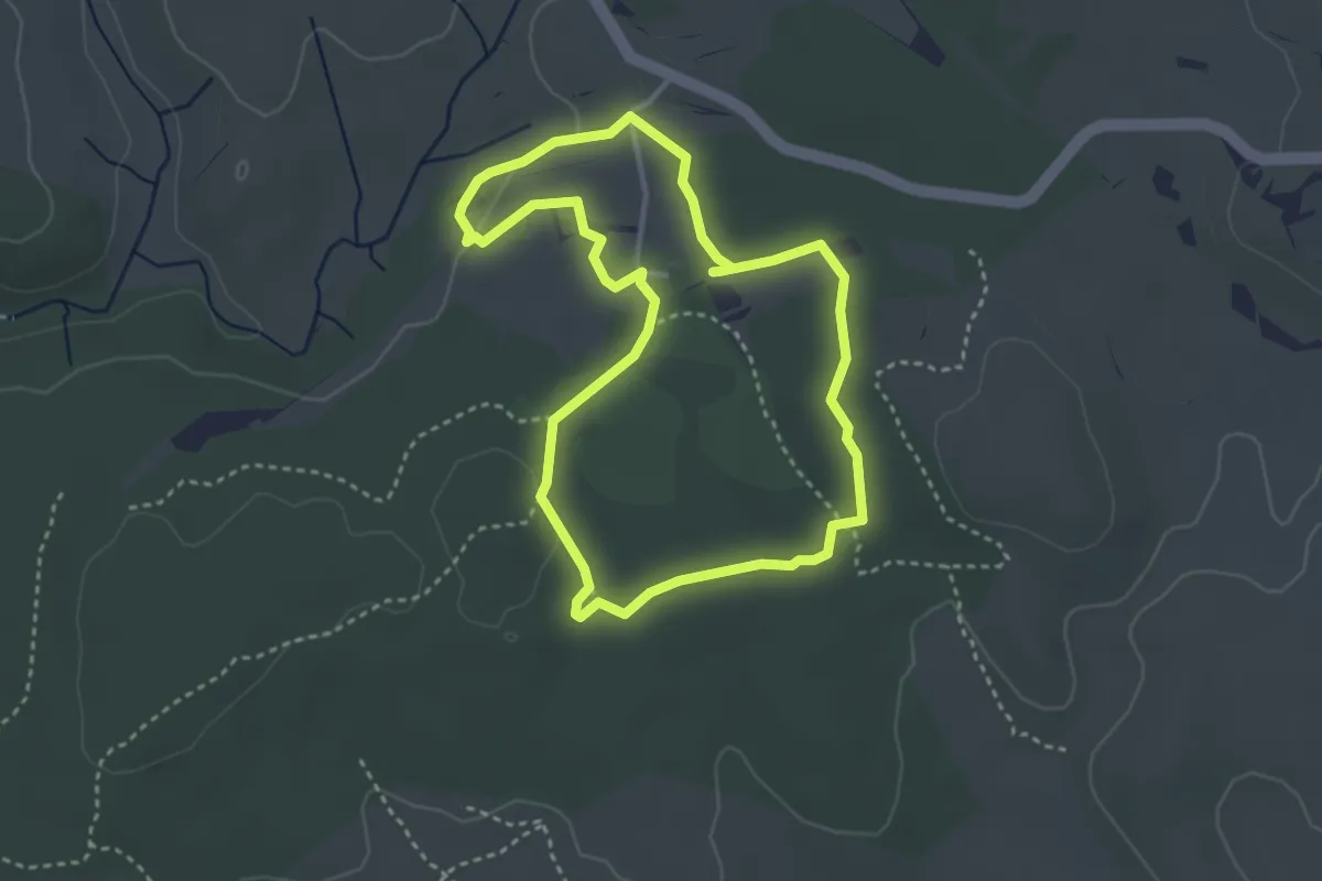
Asphodèles
3.4 km · ↑ 22 m · 55 min
Medium · Trail
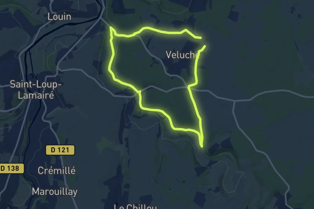
Assais-les-Jumeaux - La Vallée Du Gâteau
16.8 km · ↑ 205 m · 4 h 24 min
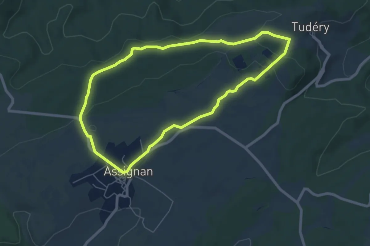
Easy · Trail
Assignan Les Barralets
5.3 km · ↑ 74 m · 1 h 29 min
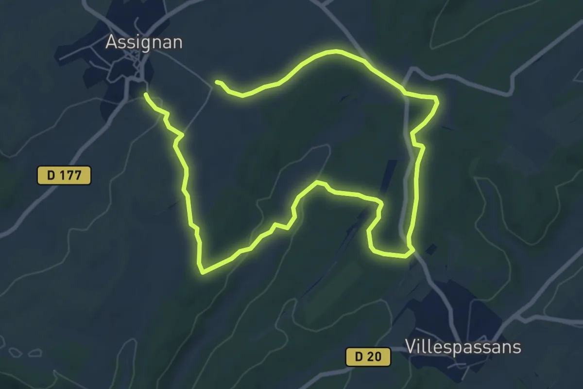
Medium · Trail
Assignan Les Bousigues
11.9 km · ↑ 145 m · 3 h 7 min
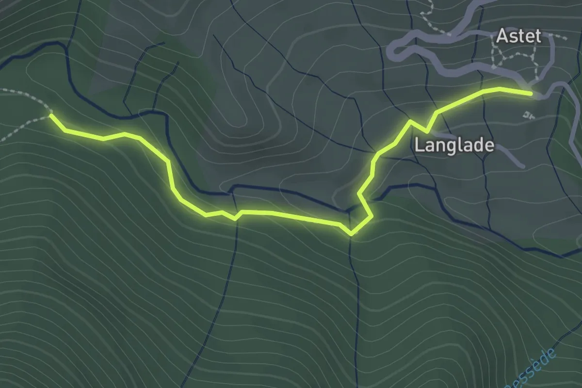
Easy · Trail
Astet - Pré du Poux
2.7 km · ↑ 69 m · 48 min
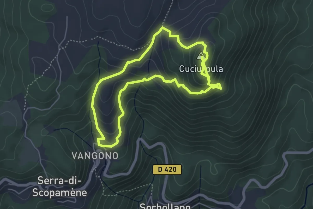
Medium · Summit
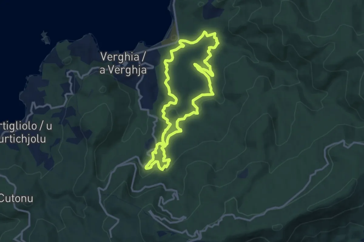
A Strada di Rinucciu - Sentier Archéologique de Cuciurpula
8.9 km · ↑ 649 m · 3 h 31 min
Medium · Trail
a Suaretta au Barrage du pénitencier
9.4 km · ↑ 267 m · 2 h 55 min
Medium · Trail
À tire d’aile de l’Oise à l’oiseau
9.9 km · ↑ 78 m · 2 h 39 min
Medium · Trail
A travers bois et campagne
8.9 km · ↑ 85 m · 2 h 25 min
Medium · Trail
À travers bois et forêt
15.1 km · ↑ 130 m · 4 h 4 min
Medium · Trail
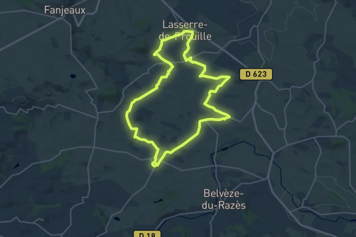
À travers Champs et Vignes
16.5 km · ↑ 200 m · 4 h 34 min
Medium · Trail
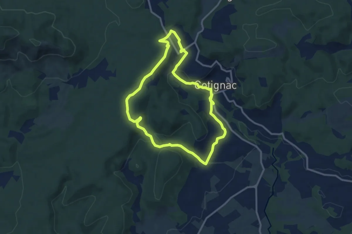
À Travers la Campagne Clémentine
8.4 km · ↑ 115 m · 2 h 21 min
Medium · Trail
A travers la forêt du Bessillon
8.2 km · ↑ 233 m · 2 h 33 min
Easy · Trail
A Travers la Vallée de l'Orange
6.4 km · ↑ 111 m · 1 h 50 min
Medium · Cabin
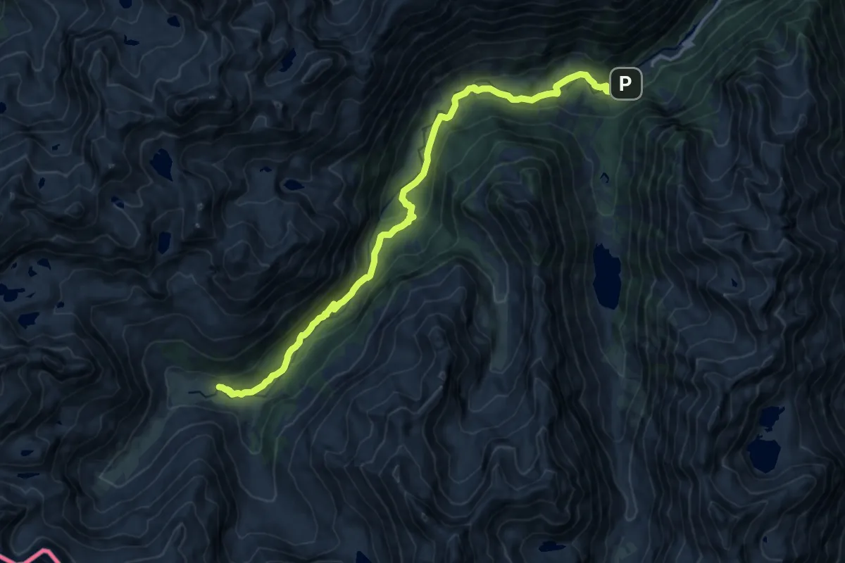
A travers la vallée du Marcadau vers le refuge Wallon
15.6 km · ↑ 492 m · 4 h 45 min
Easy · Trail
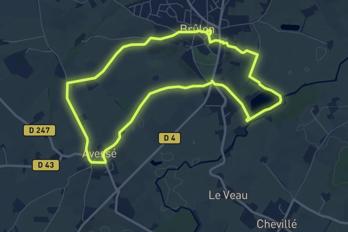
À travers les siècles
7.1 km · ↑ 114 m · 2 h 2 min
Medium · Trail
À travers le vignoble
13.3 km · ↑ 22 m · 3 h 22 min
Medium · Trail
À travers plaine et bois
12.1 km · ↑ 50 m · 3 h 8 min
Medium · Trail
À travers-toi Vallères
15.9 km · ↑ 135 m · 4 h 16 min
Easy · Trail
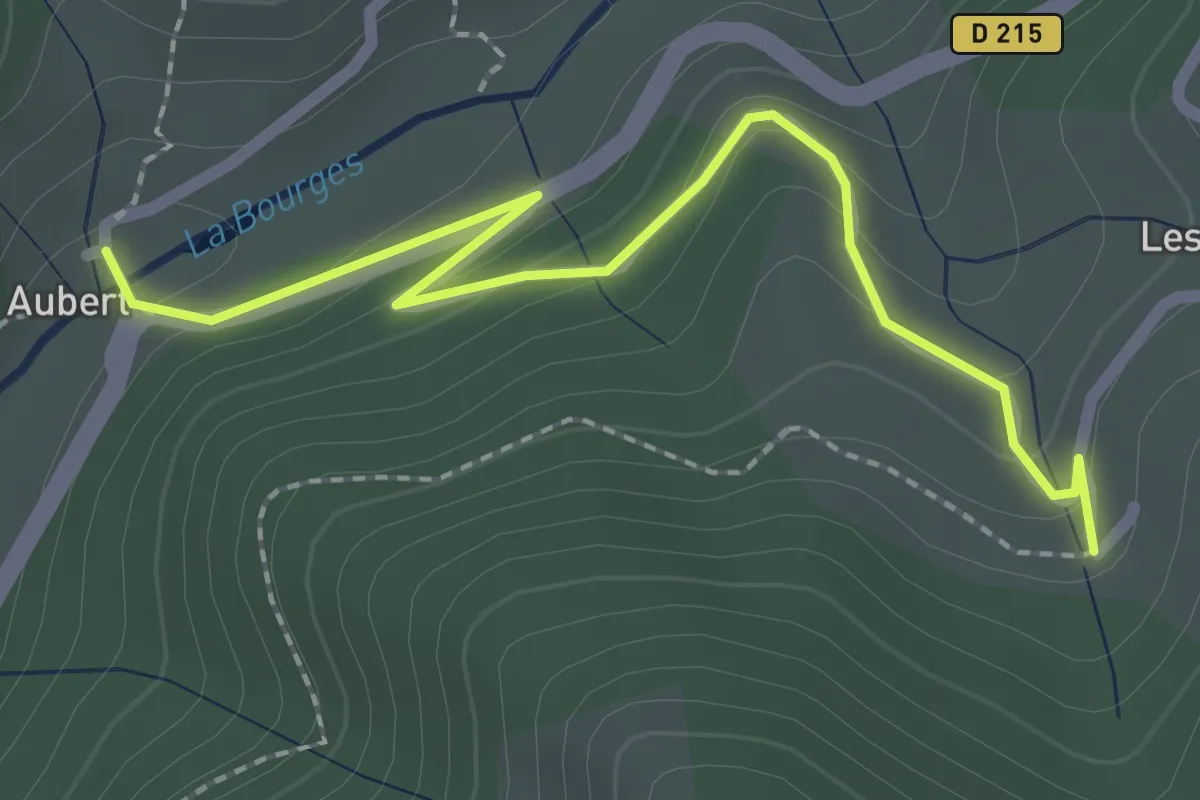
Aubert - Les Sausses
2.5 km · ↑ 106 m · 50 min
Easy · Trail
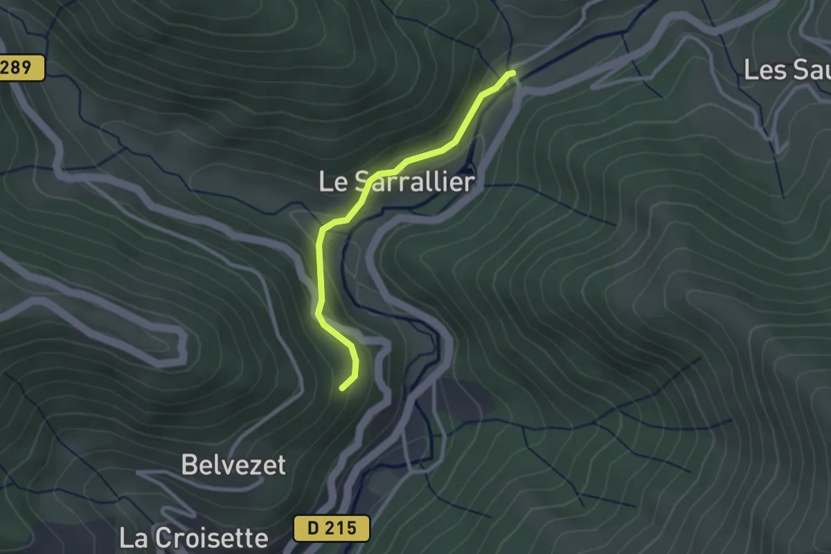
Aubert - Méjassole
2.4 km · ↑ 84 m · 45 min
Medium · Trail
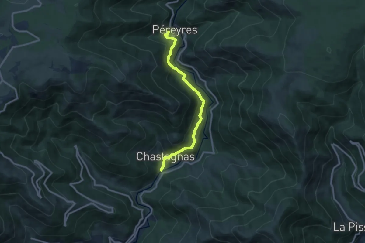
Aubert - Pereyres
7.1 km · ↑ 391 m · 2 h 32 min
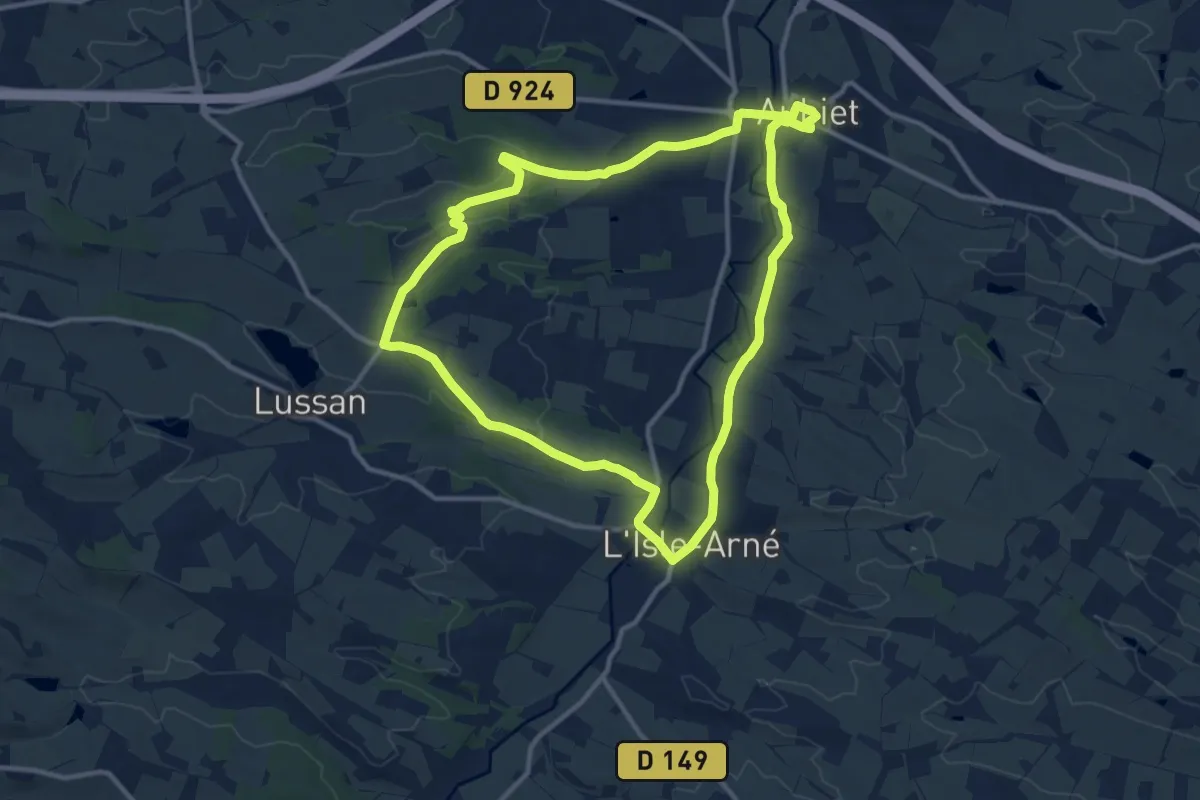
Medium · Trail
Au Bois de Tulle
12.3 km · ↑ 159 m · 3 h 26 min
Medium · Trail
Au Bord de l'Ourcq
8.8 km · ↑ 103 m · 2 h 25 min
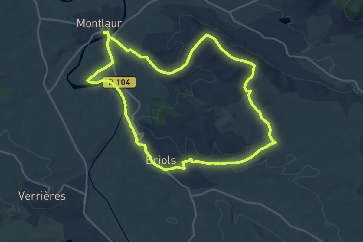
Medium · Trail
Au bord du cours d'eau
11.1 km · ↑ 142 m · 3 h 5 min
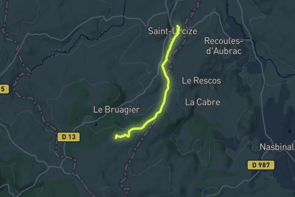
Medium · Summit
Aubrac au Coeur - Aubrac-Saint-Urcize
10.0 km · ↑ 294 m · 3 h
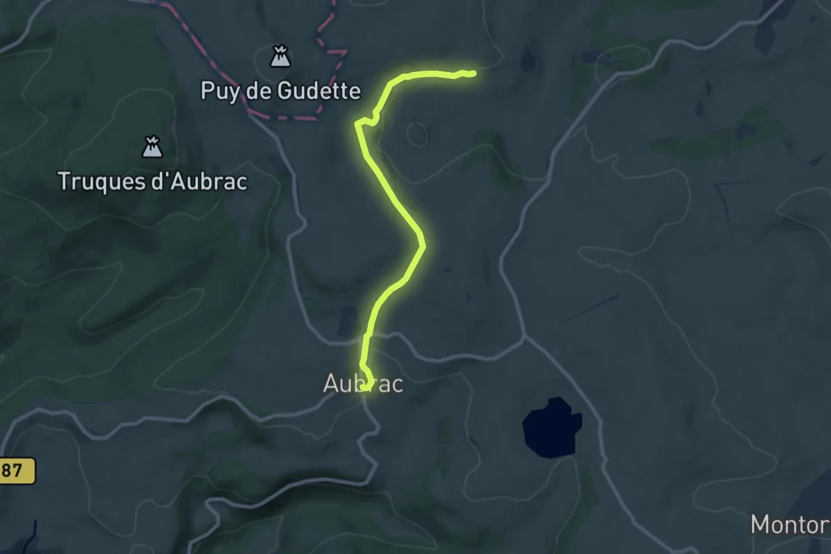
Medium · Cabin
Aubrac au Coeur - De Nasbinals au village d'aubrac
8.7 km · ↑ 158 m · 2 h 24 min
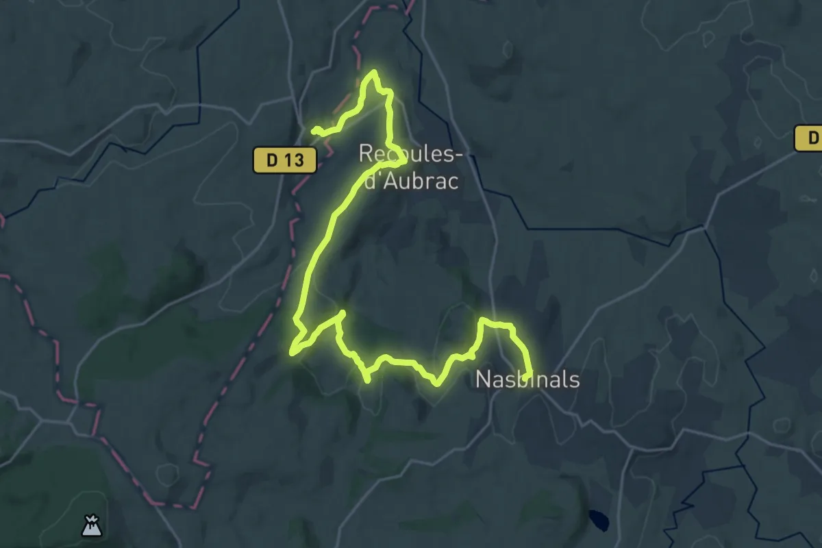
Demanding · Trail
Aubrac au Coeur - Saint-Urcize-Nasbinals
27.5 km · ↑ 573 m · 7 h 44 min
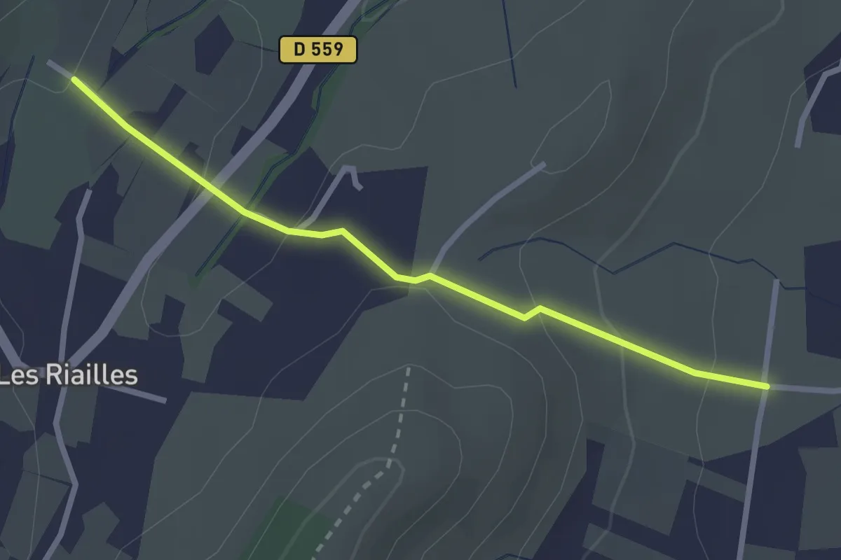
Easy · Trail
Auche d'Ozil - Saint André
2.6 km · ↑ 103 m · 50 min
Easy · Trail
Au Cœur de Clisson
6.8 km · ↑ 70 m · 1 h 51 min
Medium · Summit
Au Cœur de la Flandre
14.9 km · ↑ 189 m · 4 h 8 min
Easy · Trail
Au cœur de la forêt
6.6 km · ↑ 16 m · 1 h 41 min
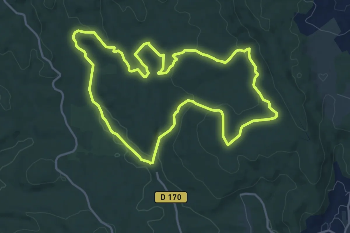
Medium · Trail
Au Coeur de la Grésigne
10.7 km · ↑ 197 m · 3 h 5 min
Easy · Trail
Au cœur de Nozay
3.5 km · ↑ 21 m · 56 min
Medium · Trail
Au coeur des bois
12.0 km · ↑ 62 m · 3 h 8 min
Medium · Trail
Au cœur des deux vallées
11.3 km · ↑ 187 m · 3 h 14 min
Medium · Trail
Au Cœur des Parcs Éoliens
12.5 km · ↑ 42 m · 3 h 12 min
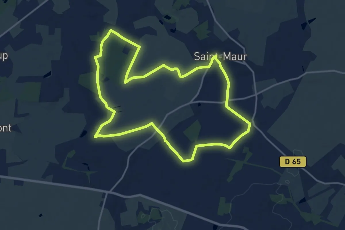
Medium · Trail
Au Coeur du Bocage
11.8 km · ↑ 108 m · 3 h 11 min