Trails in France
15,906 hiking trails, each with its route, climb, walking time and grade.
All trails, page 46 of 332
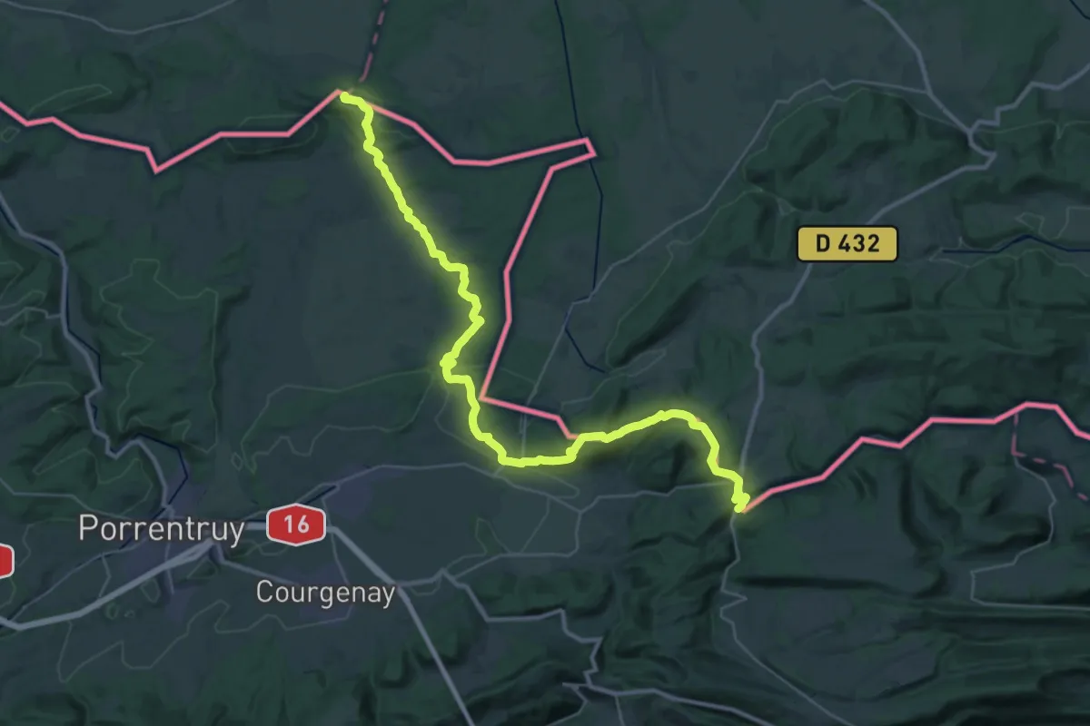
Demanding · Trail
Chemin Jurassien vers Compostelle Lucelle - Réchésy par l'Ajoie
19.4 km · ↑ 511 m · 5 h 54 min
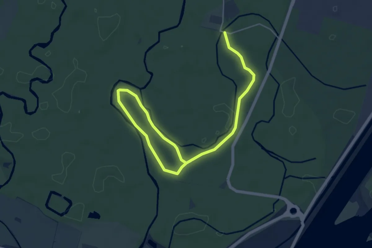
Easy · Trail
Chemin Kunesand
6.0 km · ↑ 17 m · 1 h 26 min
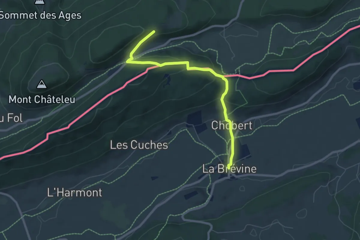
Easy · Trail
Chemin Michel Hollard
6.4 km · ↑ 225 m · 2 h
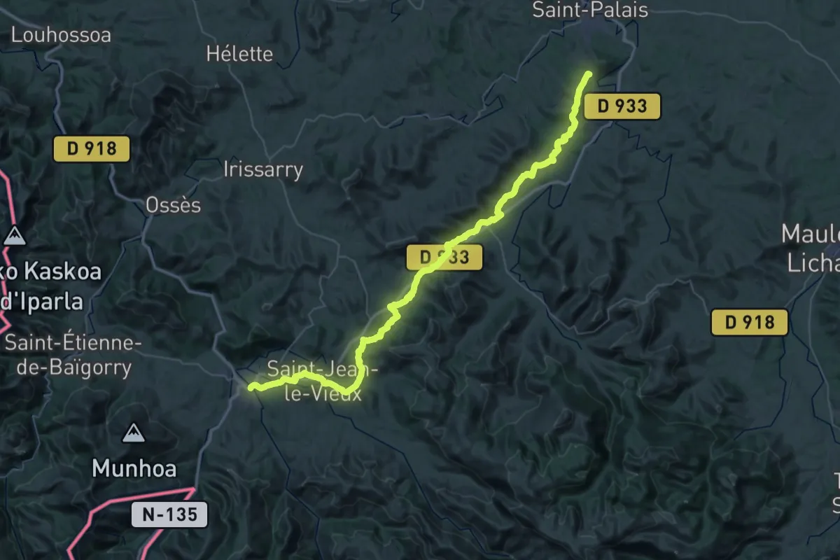
Demanding · Trail
Chemin navarrais / Nafar bidea
29.5 km · ↑ 693 m · 8 h 52 min
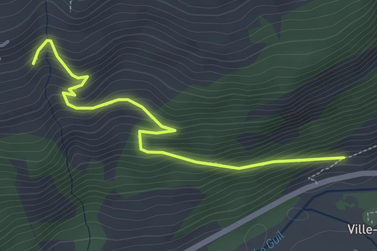
Medium · Trail
Chemin Neuf - ?
3.1 km · ↑ 269 m · 1 h 19 min
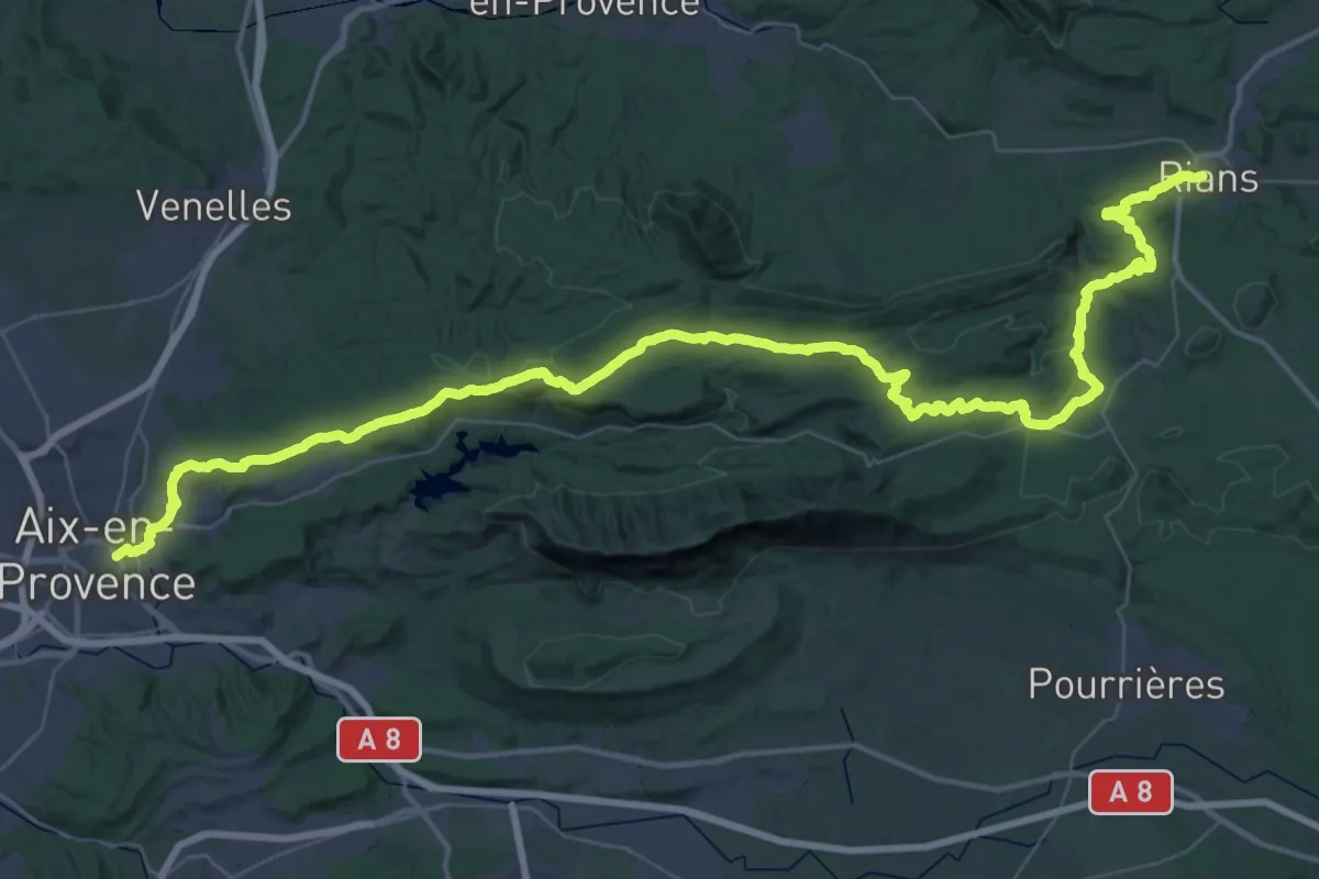
Demanding · Trail
Chemin pastoral de Aix-en-Provence à Rians
37.6 km · ↑ 842 m · 11 h 8 min
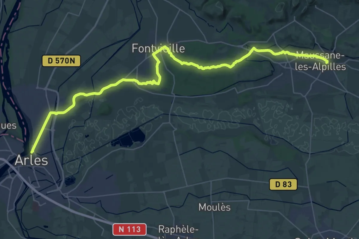
Demanding · Trail
Chemin pastoral de Arles à Maussane-les-Alpilles
20.1 km · ↑ 175 m · 5 h 23 min
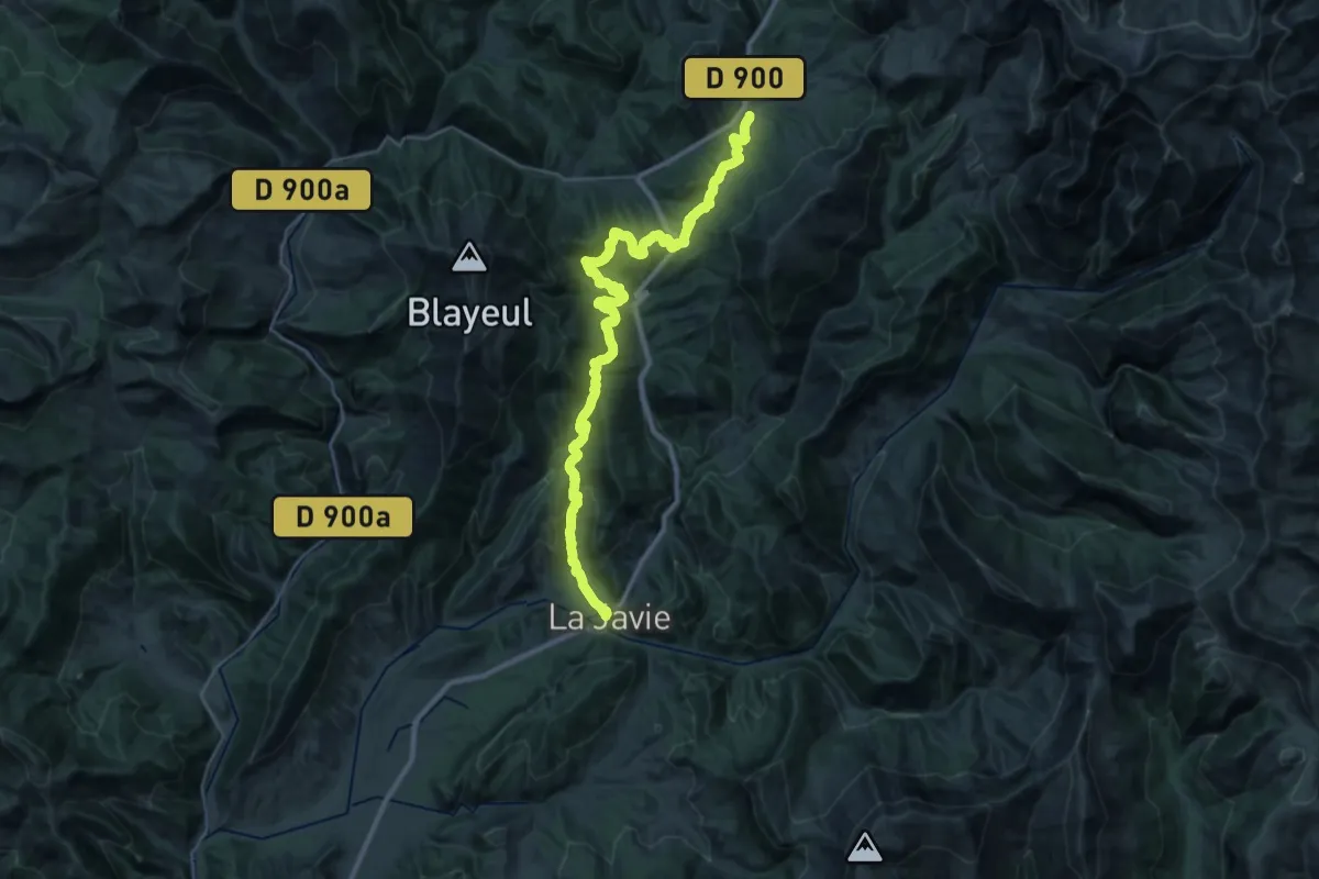
Demanding · Trail
Chemin pastoral de La Javie à Le Vernet
19.2 km · ↑ 963 m · 6 h 42 min
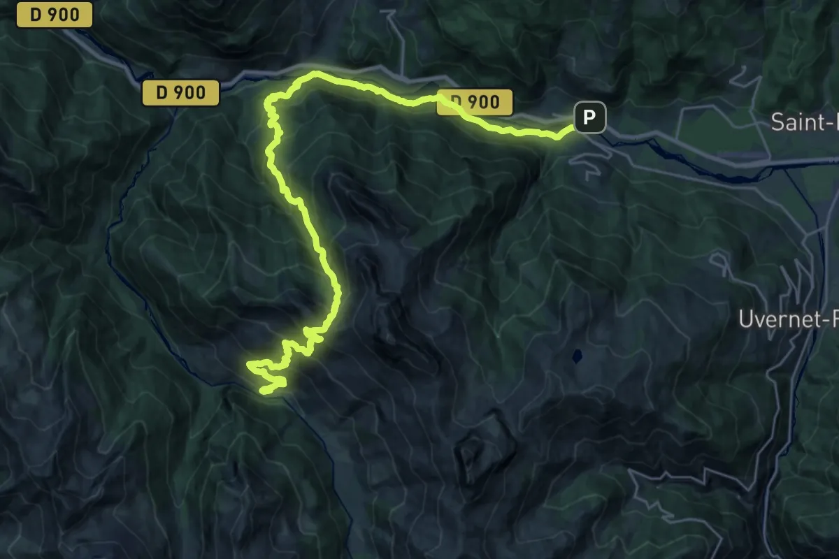
Demanding · Cabin
Chemin pastoral de LesThuiles à Laverq
16.8 km · ↑ 1415 m · 7 h 1 min
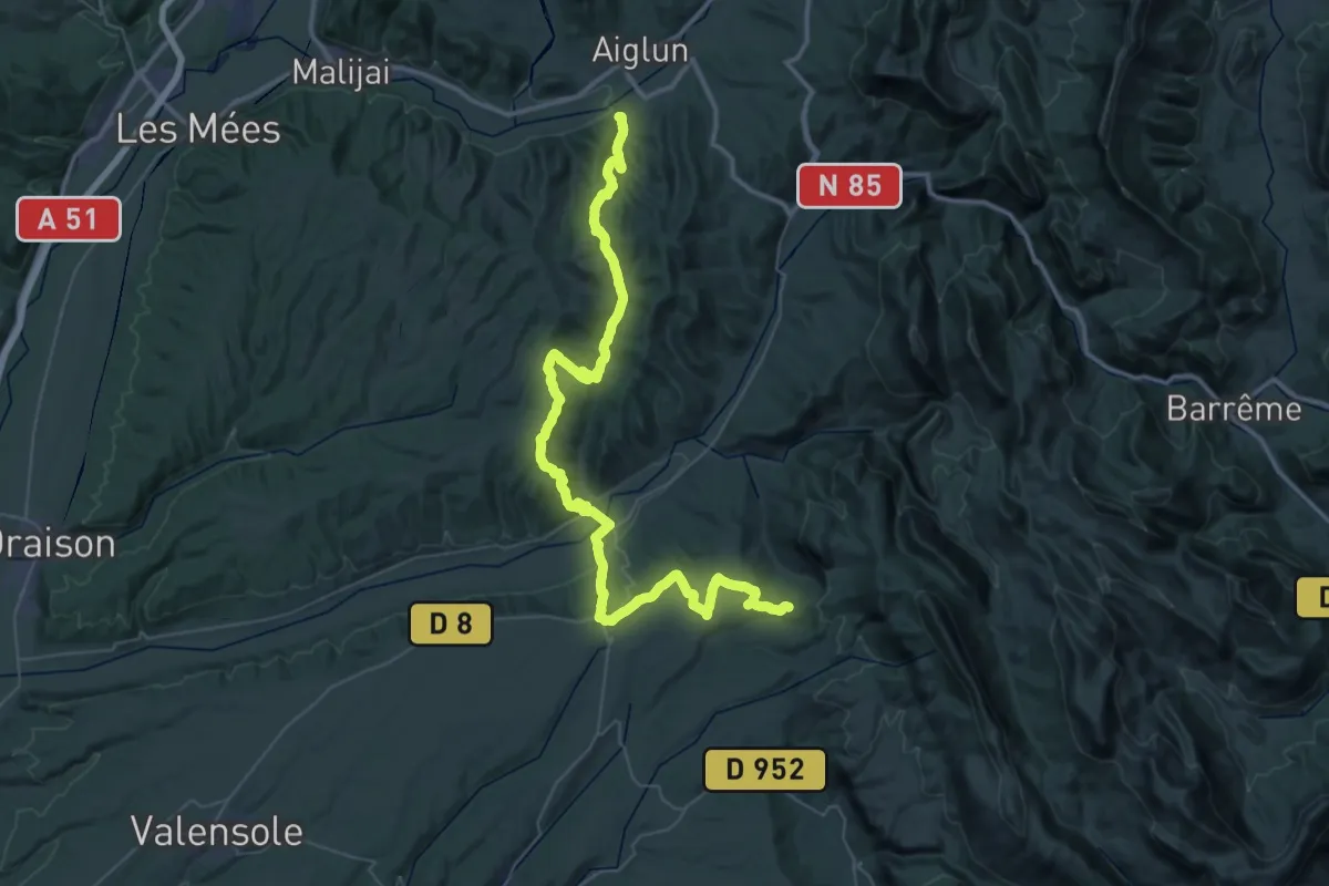
Demanding · Trail
Chemin pastoral de Saint-Jurs à Le Chaffaut-Saint-Jurson
31.4 km · ↑ 1088 m · 10 h 1 min
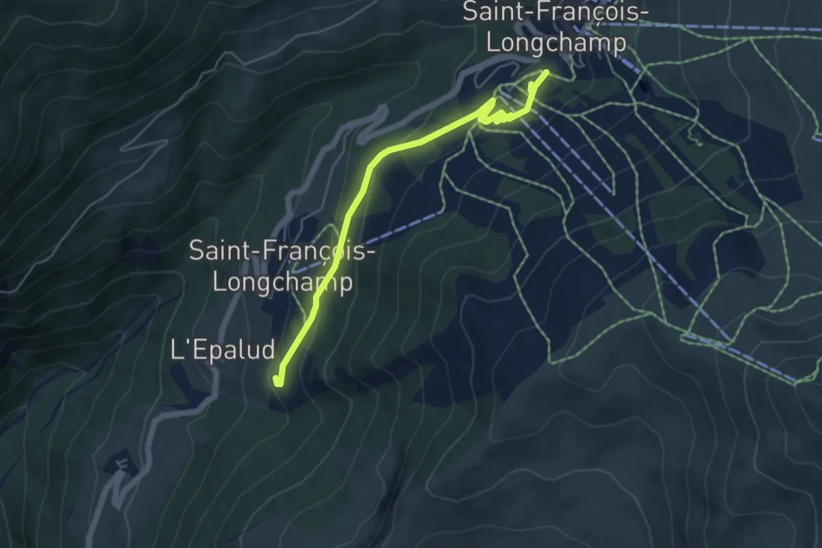
Easy · Trail
Chemin pastoral des Inversaires
4.8 km · ↑ 174 m · 1 h 31 min
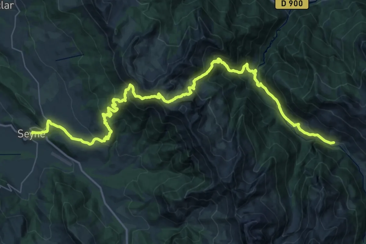
Demanding · Cabin
Chemin pastoral du Col de Bernardez
21.0 km · ↑ 1588 m · 8 h 29 min
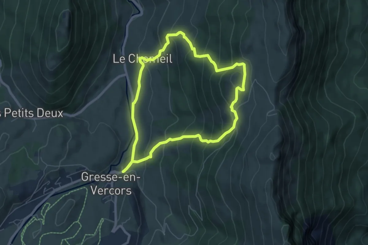
Medium · Trail
Chemin patrimonial de la montagne du Laud
5.7 km · ↑ 392 m · 2 h 17 min
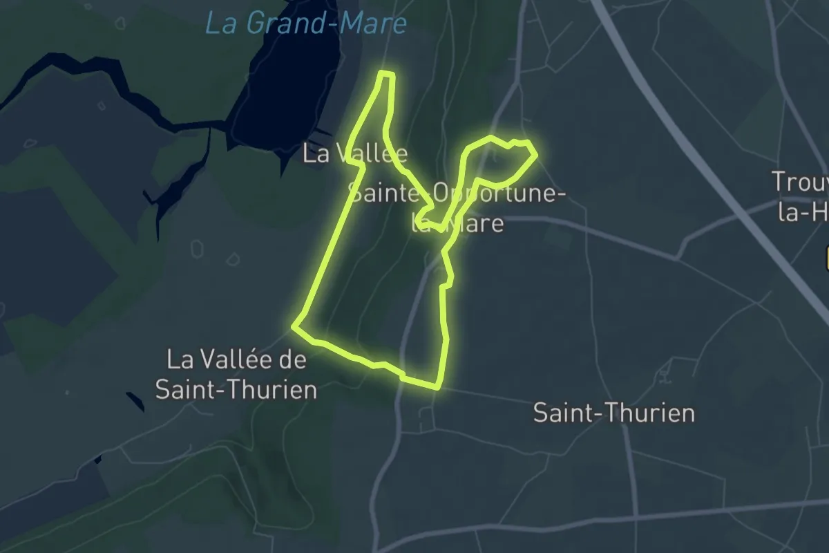
Medium · Trail
Chemin pédestre de l'Allée des Granges
6.4 km · ↑ 121 m · 1 h 51 min
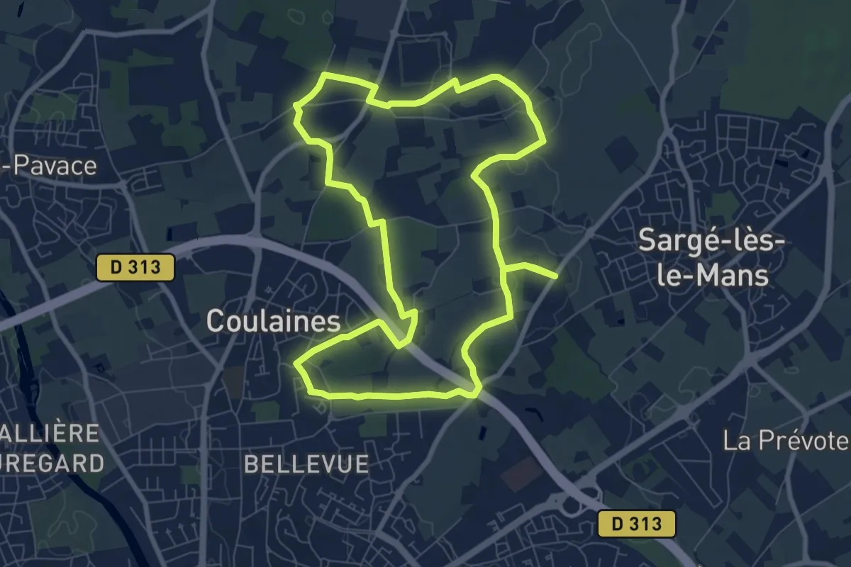
Medium · Trail
Chemin rouge
8.1 km · ↑ 120 m · 2 h 18 min
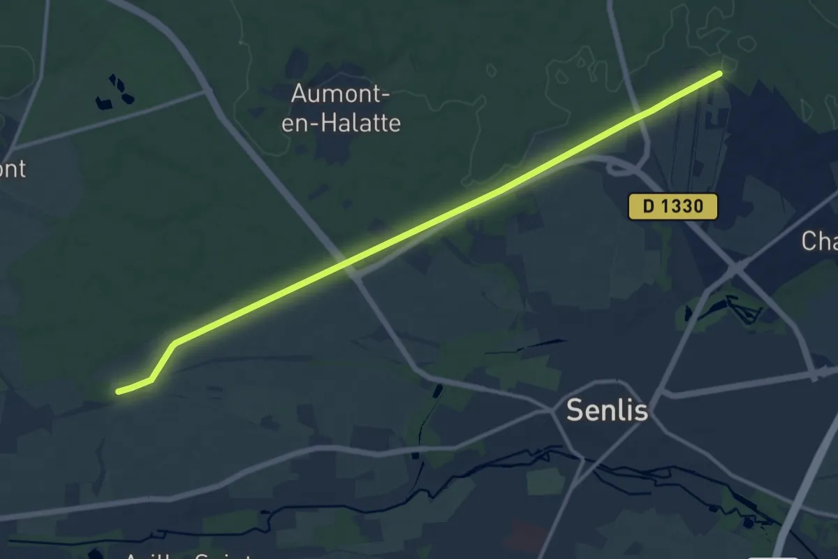
Medium · Trail
Chemin Royal
11.5 km · ↑ 76 m · 2 h 52 min
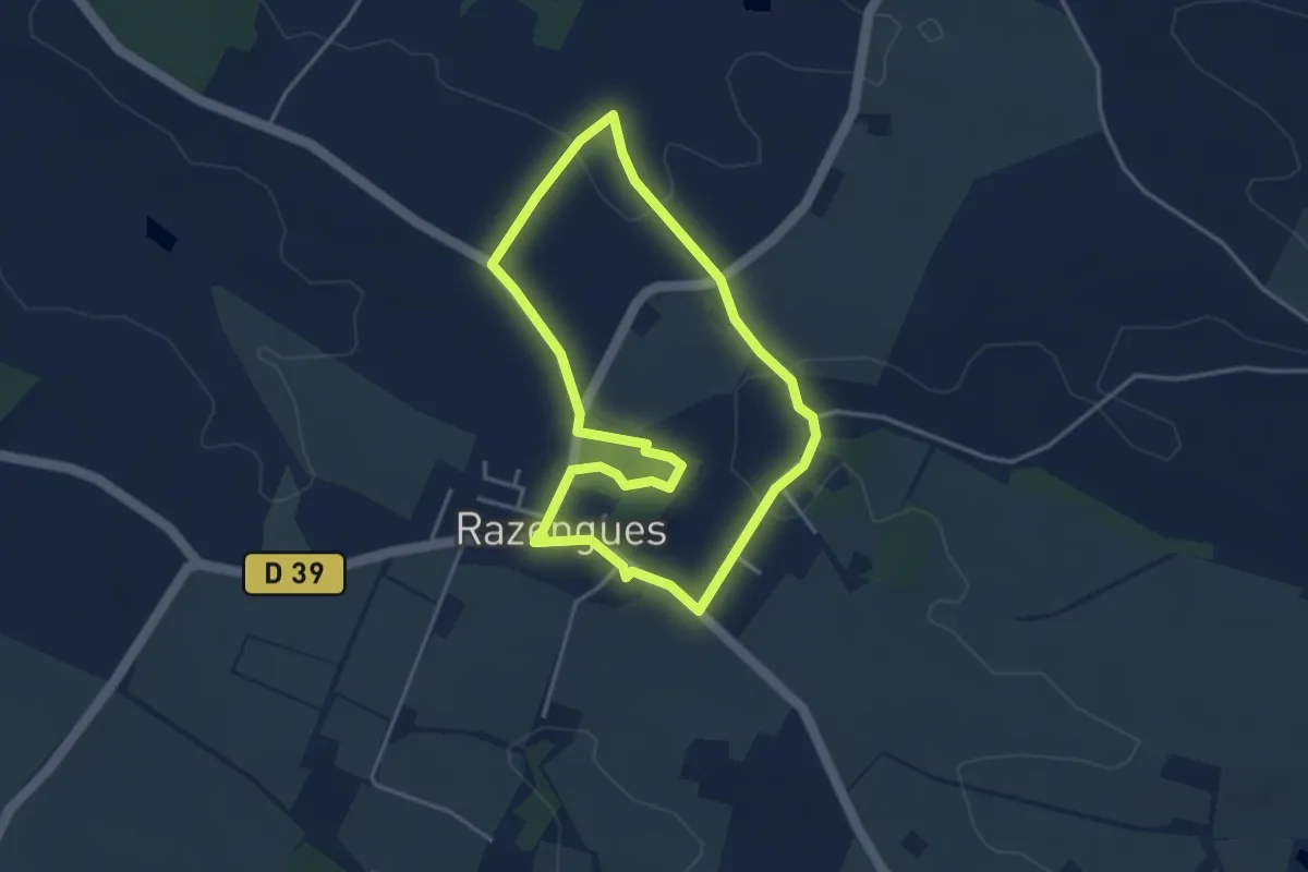
Easy · Trail
Chemin Saurigué - Beaupuy
3.7 km · ↑ 51 m · 1 h 3 min
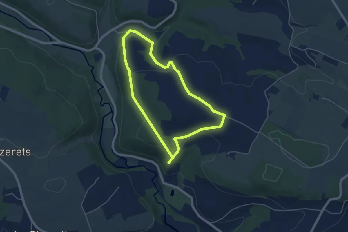
Easy · Trail
Chemins Creux A
3.8 km · ↑ 117 m · 1 h 13 min
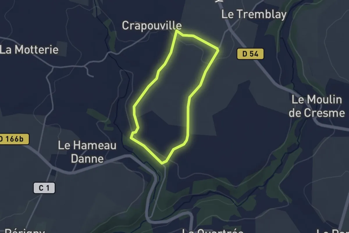
Easy · Trail
Chemins Creux B
2.4 km · ↑ 29 m · 40 min
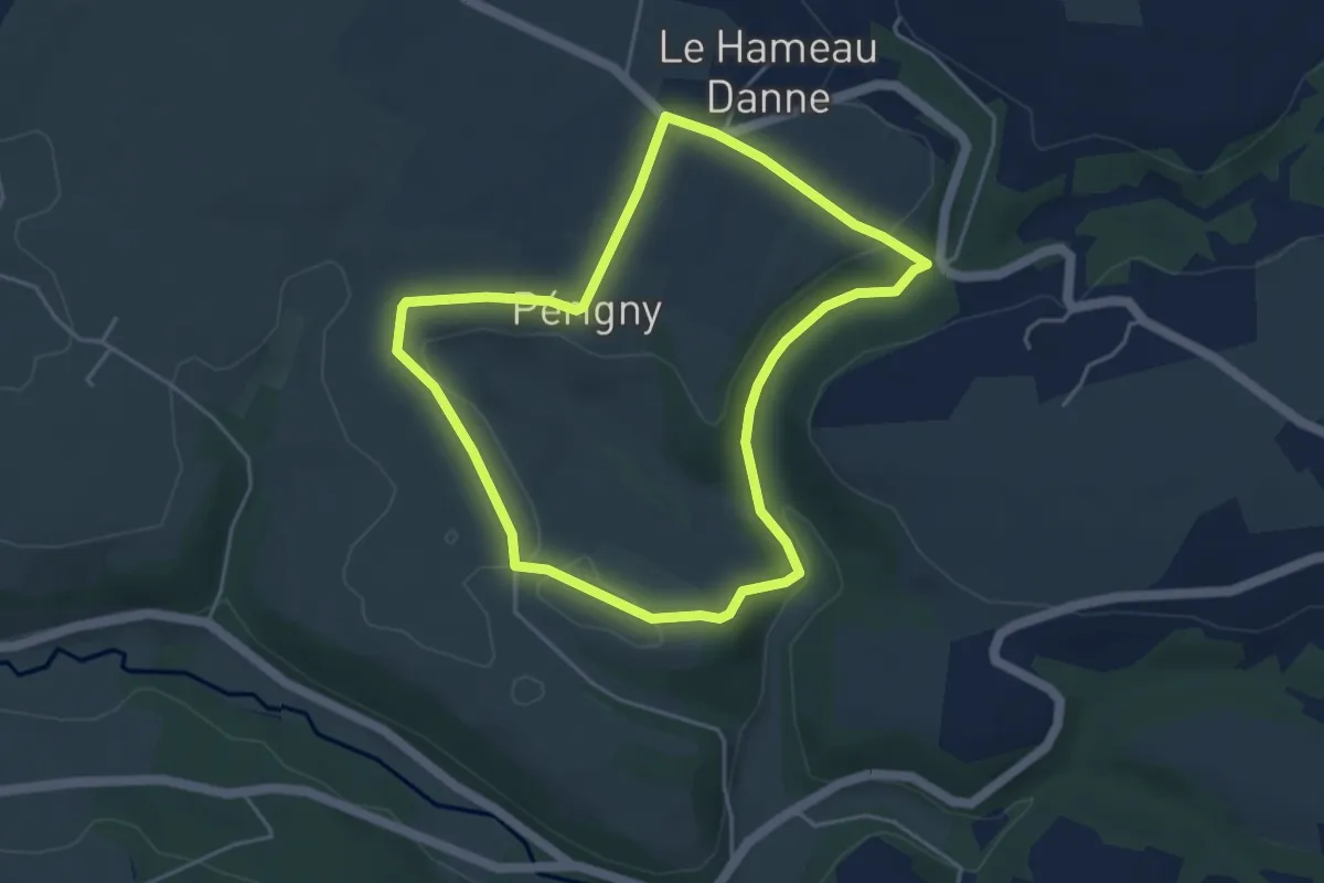
Easy · Trail
Chemins Creux C
4.1 km · ↑ 74 m · 1 h 12 min
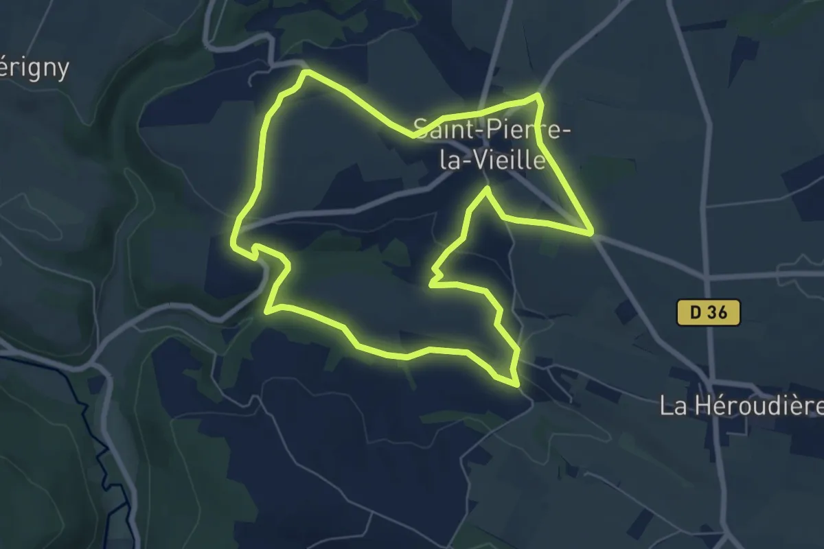
Easy · Trail
Chemins Creux E
6.6 km · ↑ 93 m · 1 h 51 min
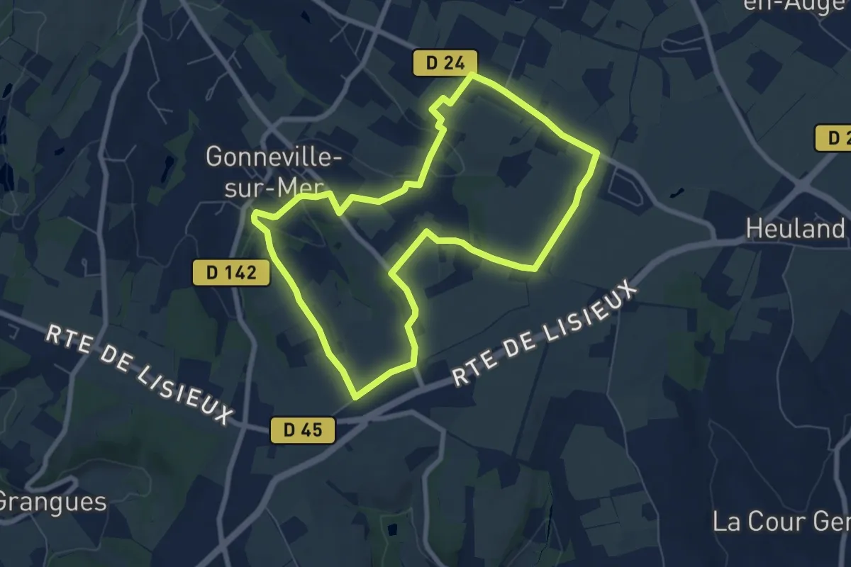
Easy · Trail
Chemins Creux et Pans de Bois
6.4 km · ↑ 92 m · 1 h 48 min
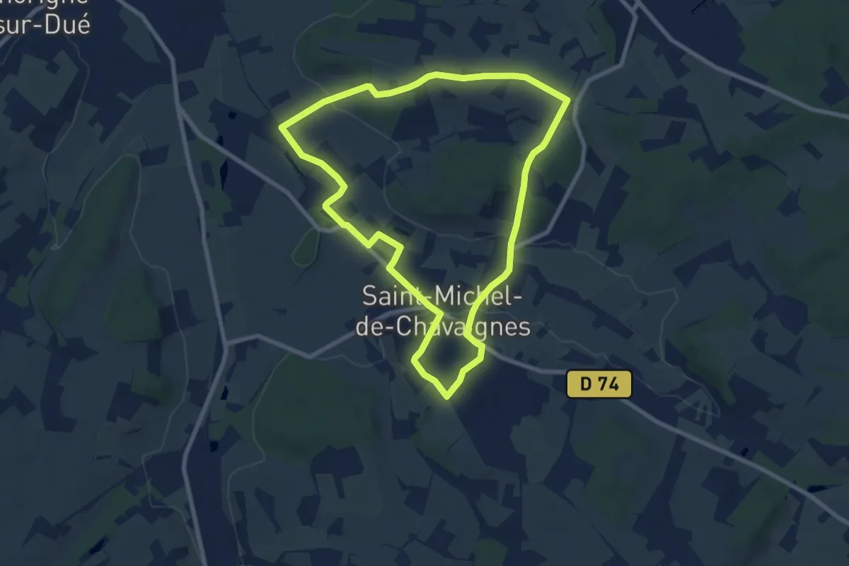
Easy · Trail
Chemins d'art
7.3 km · ↑ 107 m · 2 h 4 min
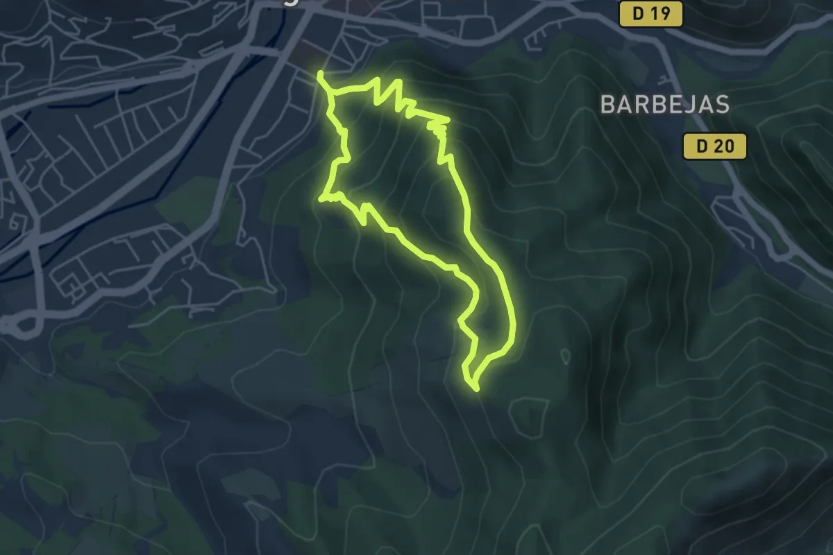
Medium · Trail
Chemins de Caramantran et des Oreilles d'âne
4.3 km · ↑ 358 m · 1 h 52 min
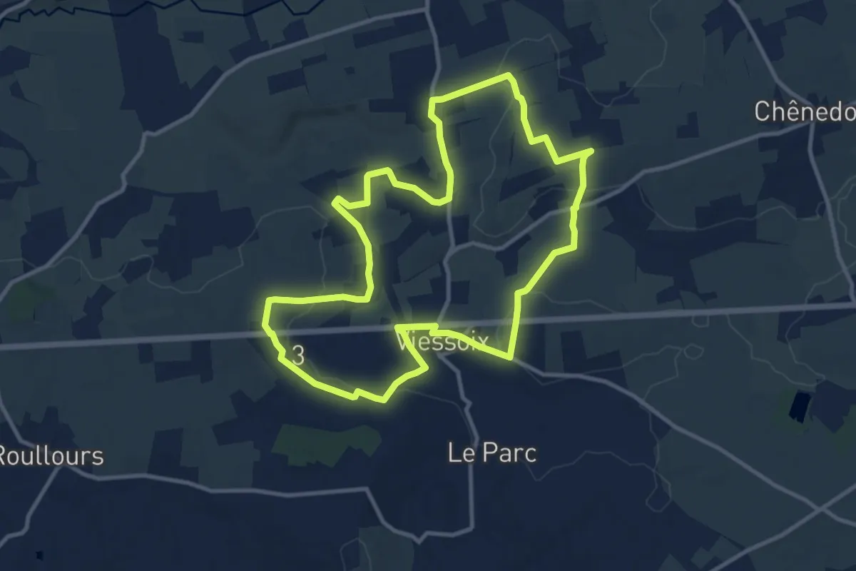
Medium · Trail
Chemins de Fer et de Terre
10.2 km · ↑ 127 m · 2 h 49 min
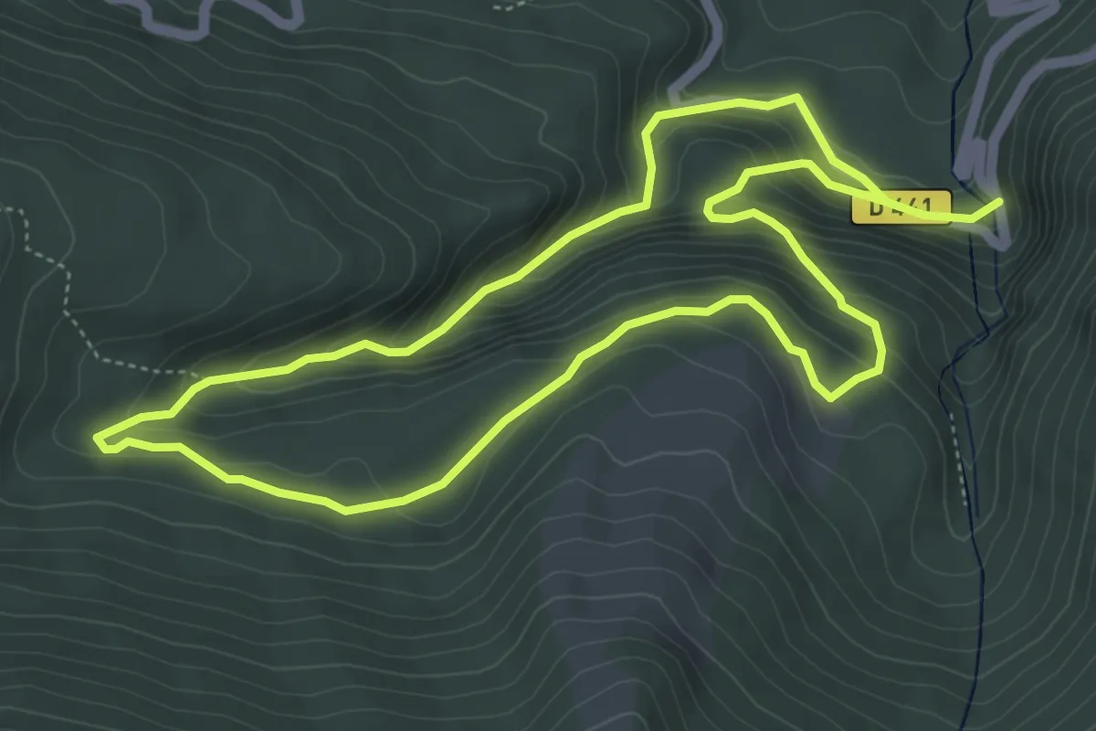
Medium · Trail
Chemins de Mâture d'Issaux asp45
5.2 km · ↑ 309 m · 1 h 59 min
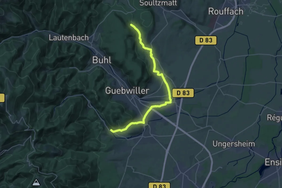
Demanding · Trail
Chemins de Saint-Jacques de Compostelle Variante vers le couvent d'Issenheim
23.5 km · ↑ 359 m · 6 h 20 min
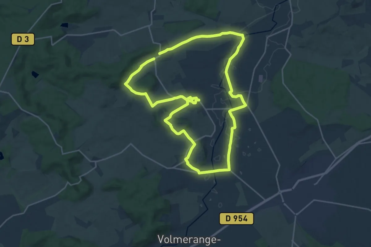
Medium · Trail
Chemins des Calvaires
15.8 km · ↑ 178 m · 4 h 20 min
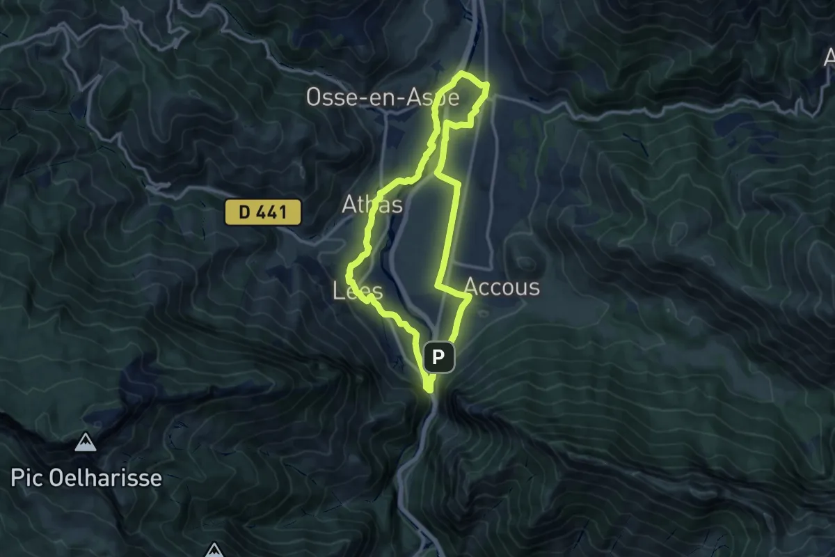
Medium · Trail
Chemins du Gave asp12
11.0 km · ↑ 135 m · 3 h 2 min
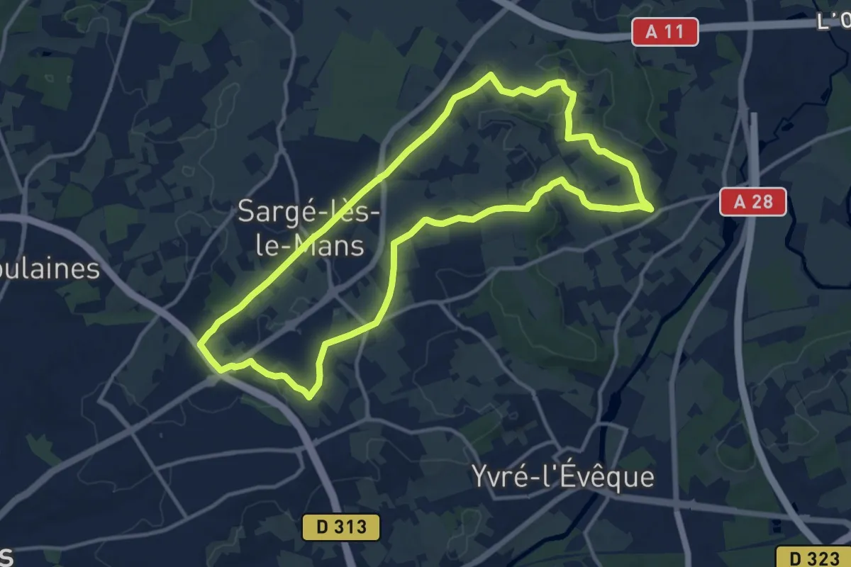
Medium · Trail
Chemins médiévaux
11.7 km · ↑ 109 m · 3 h 10 min
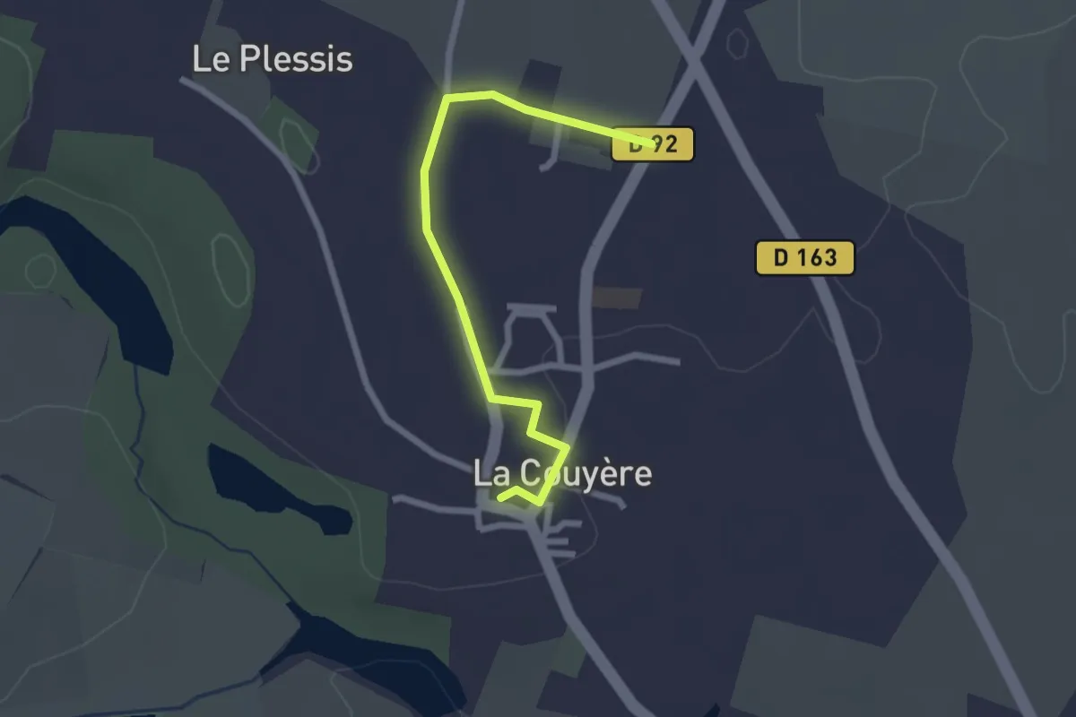
Easy · Trail
chemin solaire
2.2 km · ↑ 19 m · 34 min
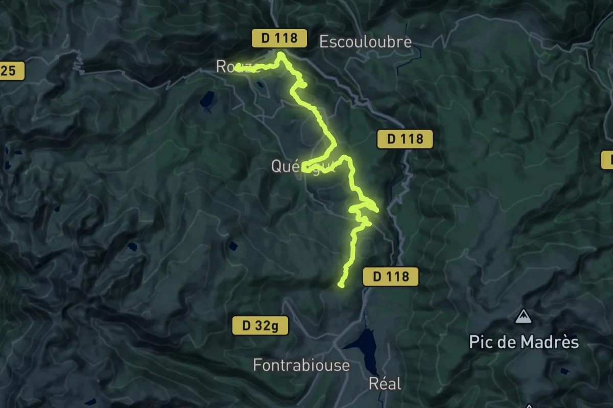
Demanding · Summit
Chemin Vauban
37.5 km · ↑ 1138 m · 11 h 19 min
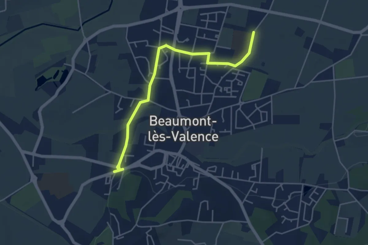
Easy · Trail
Chemin Verchères-collège
4.5 km · ↑ 18 m · 1 h 6 min
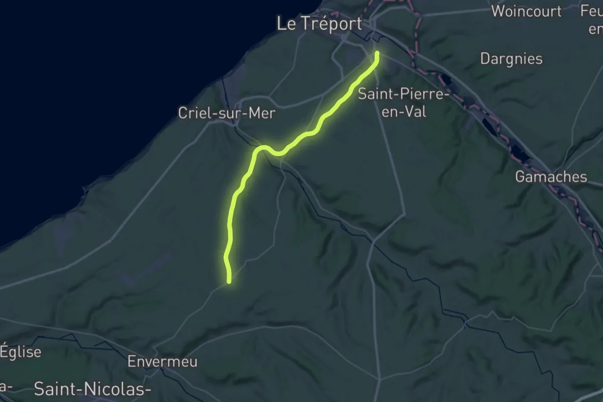
Medium · Trail
Chemin Vert du Petit Caux
16.6 km · ↑ 269 m · 4 h 41 min
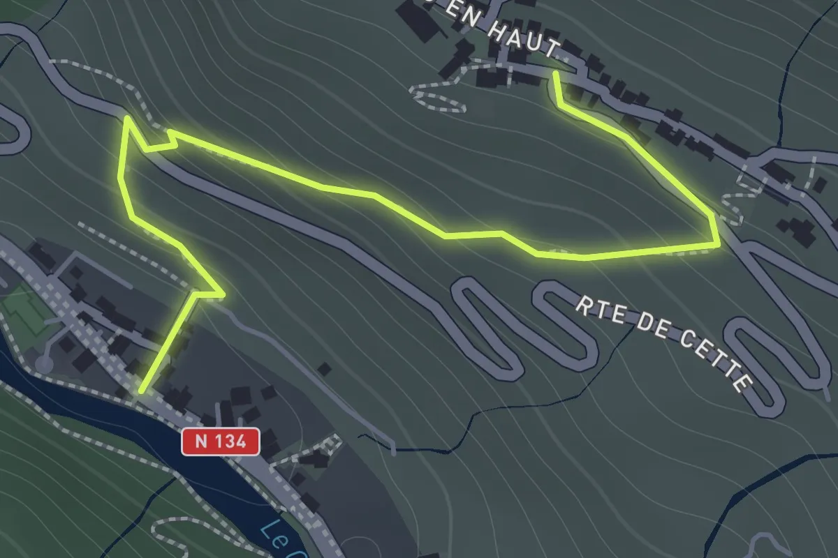
Easy · Trail
Chemin vieux d'Eygun à Cette asp114
2.1 km · ↑ 161 m · 50 min
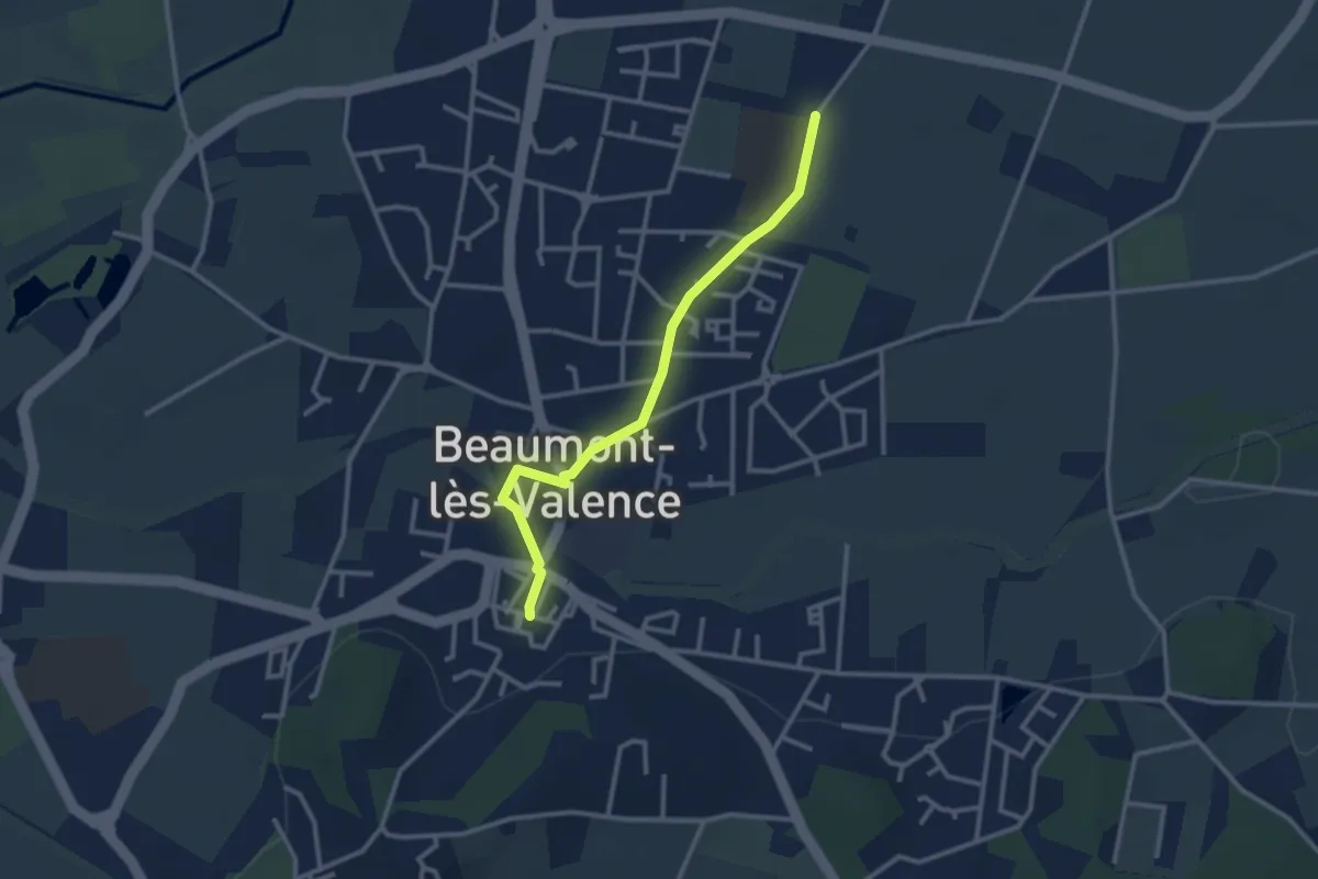
Easy · Trail
Chemin village-collège piéton
2.9 km · ↑ 9 m · 42 min
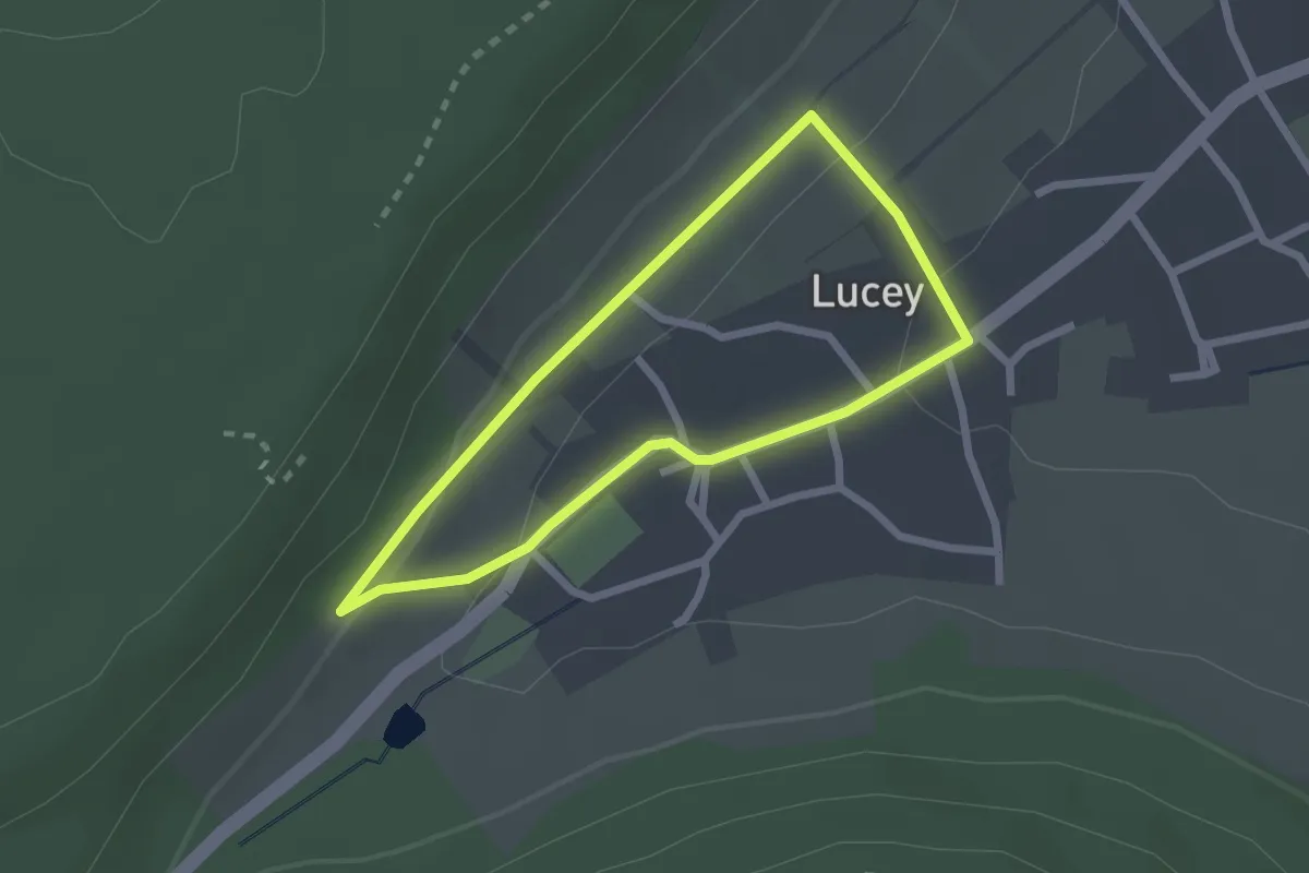
Easy · Trail
Chemin viticole Les Vignes l'Évêque
1.9 km · ↑ 46 m · 35 min
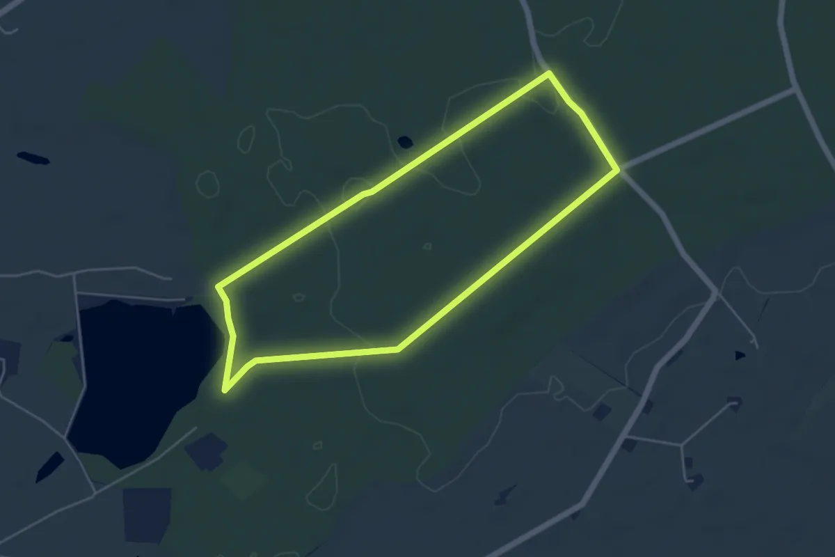
Easy · Trail
Chêne Enragé et Rond des Dames
4.7 km · ↑ 34 m · 1 h 14 min
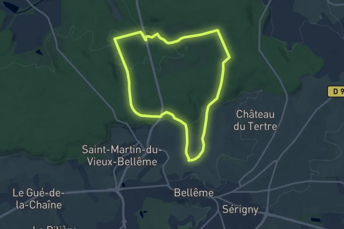
Medium · Trail
Chêne séculaire
8.7 km · ↑ 197 m · 2 h 35 min
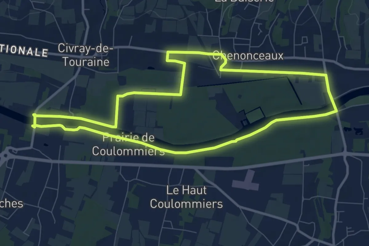
Medium · Trail
Chenonceaux - Sur les Bords du Cher
8.6 km · ↑ 26 m · 2 h 12 min
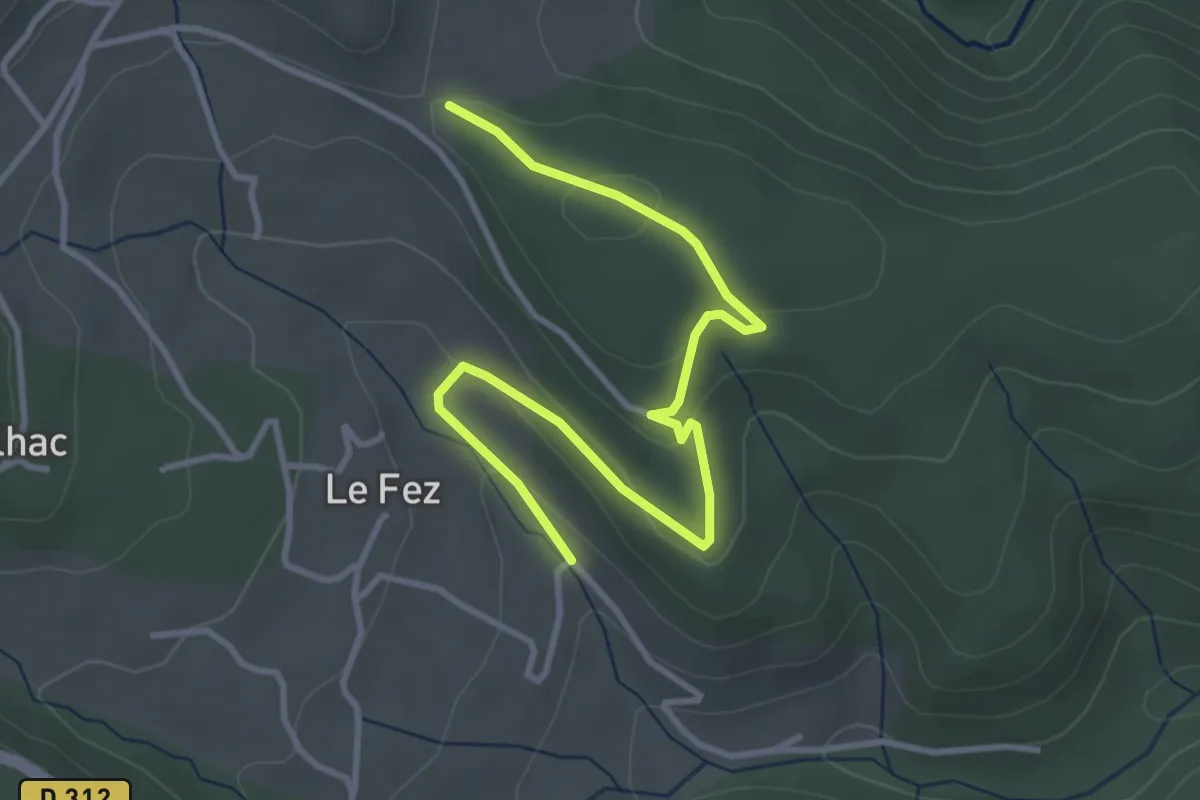
Easy · Trail
Chéron - Haut Laval
4.2 km · ↑ 135 m · 1 h 17 min
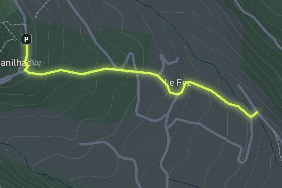
Easy · Trail
Chéron - Sanilhac Info Rando
2.2 km · ↑ 105 m · 45 min
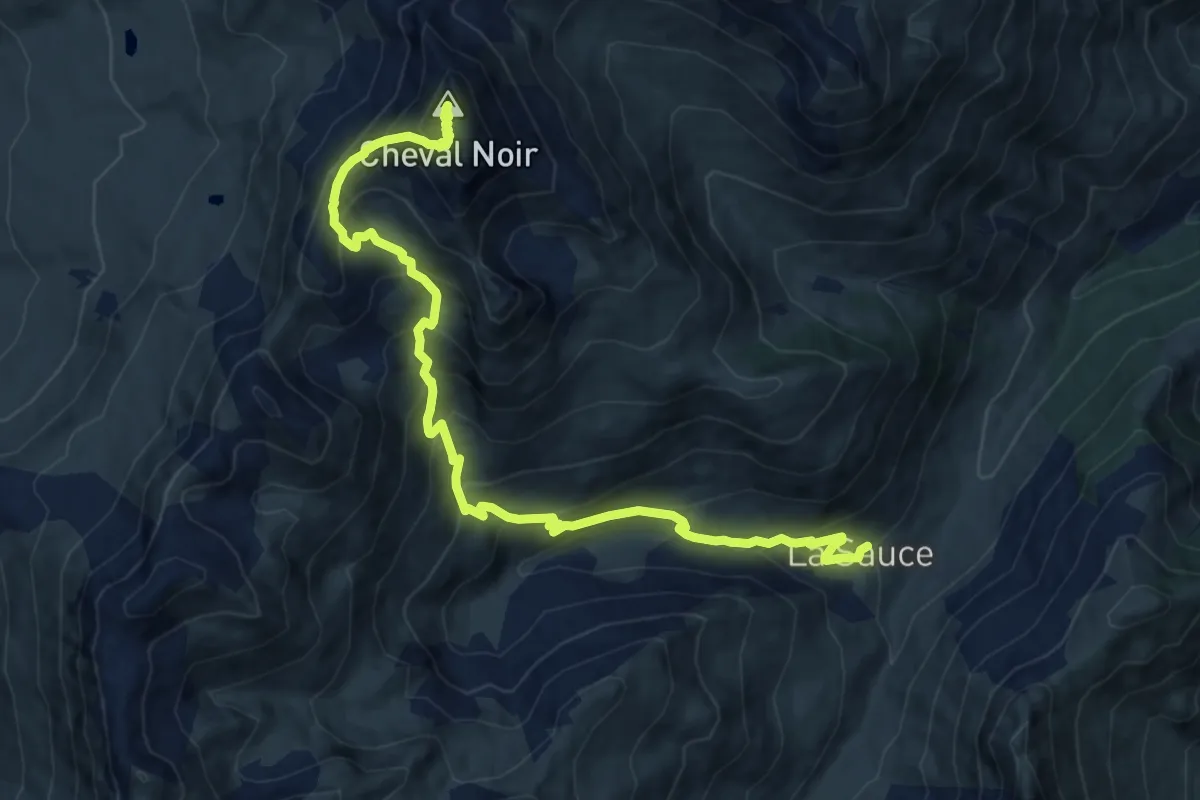
Demanding · Summit
Cheval Noir
14.6 km · ↑ 1203 m · 6 h 3 min
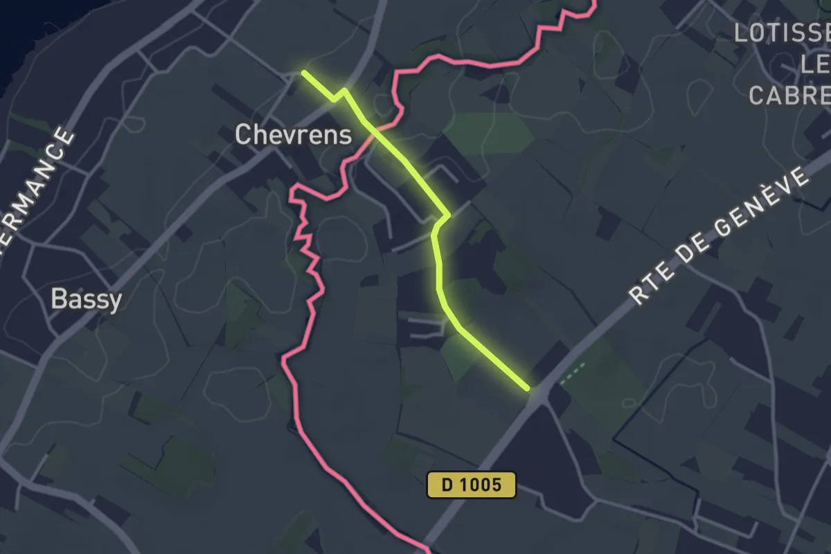
Easy · Trail
Chevrens - Les Lombards
2.4 km · ↑ 13 m · 36 min
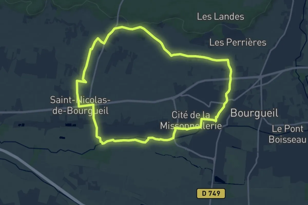
Medium · Trail
Chevrette - Bourgueil – Saint-Nicolas-de-Bourgueil
11.5 km · ↑ 75 m · 3 h 2 min
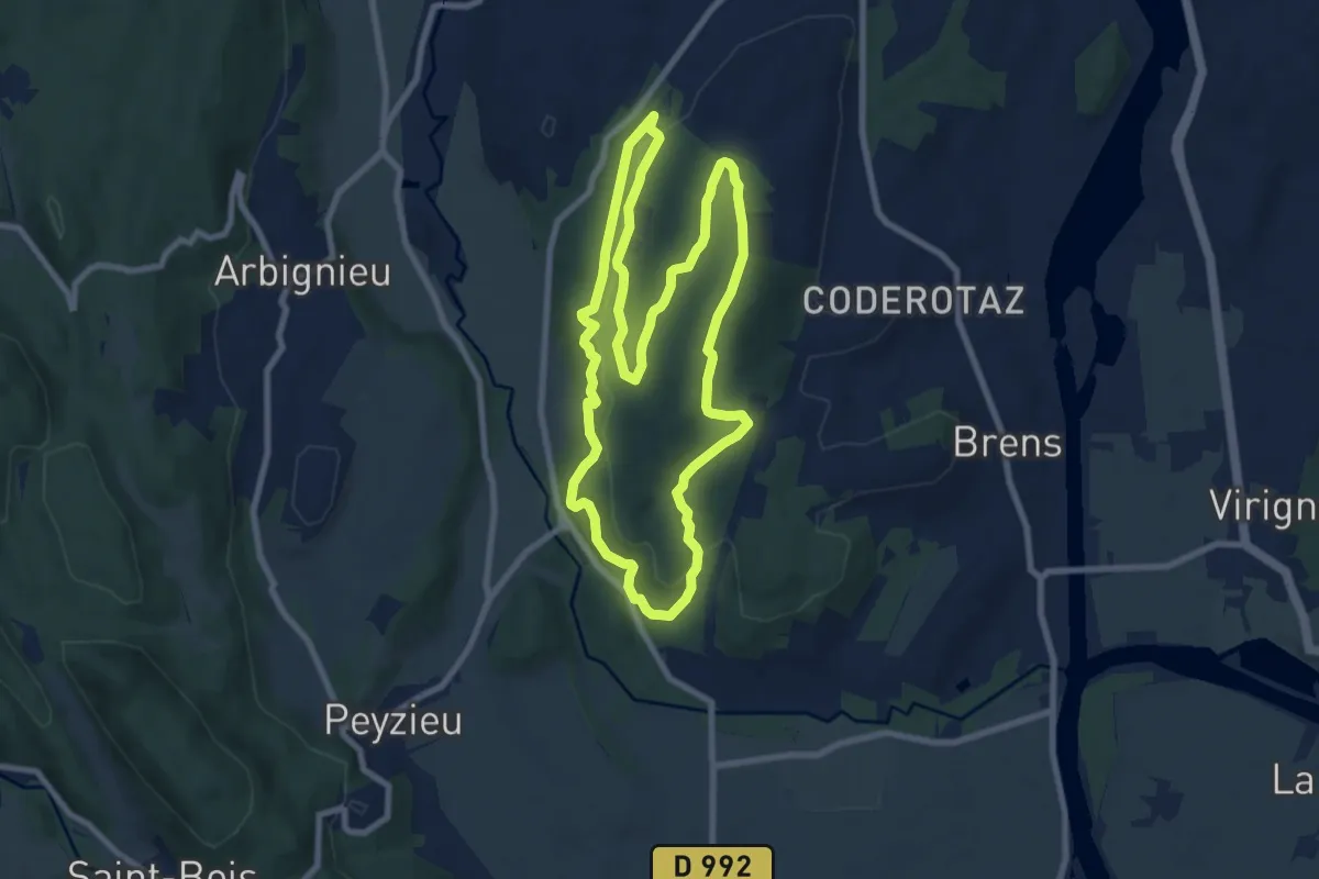
Medium · Trail
Chevreuil
8.7 km · ↑ 258 m · 2 h 44 min
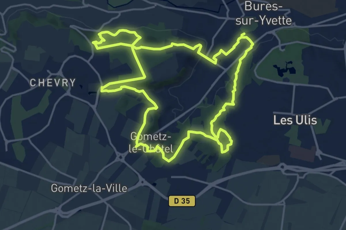
Medium · Trail
Chevry Gometz
12.8 km · ↑ 310 m · 3 h 52 min
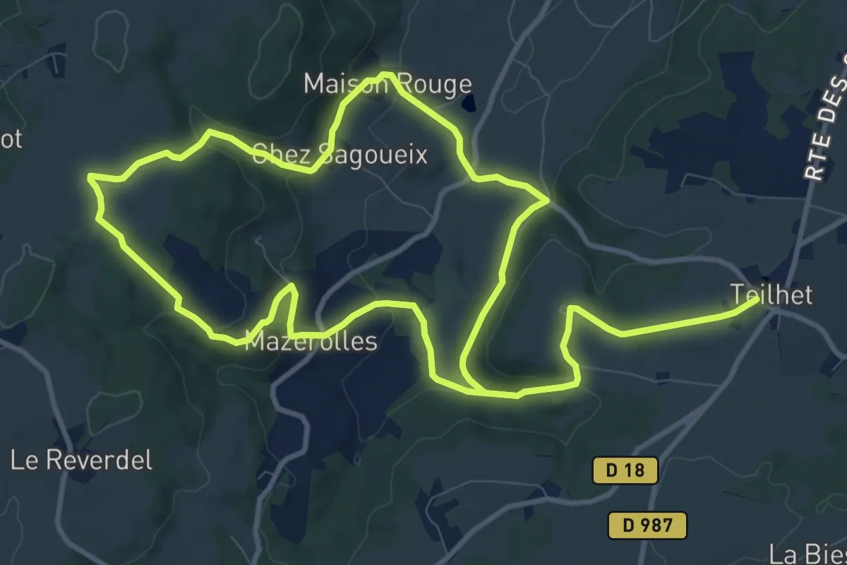
Medium · Trail
Chez Sagoueix
9.6 km · ↑ 287 m · 2 h 59 min