Trails in France
15,906 hiking trails, each with its route, climb, walking time and grade.
All trails, page 47 of 332
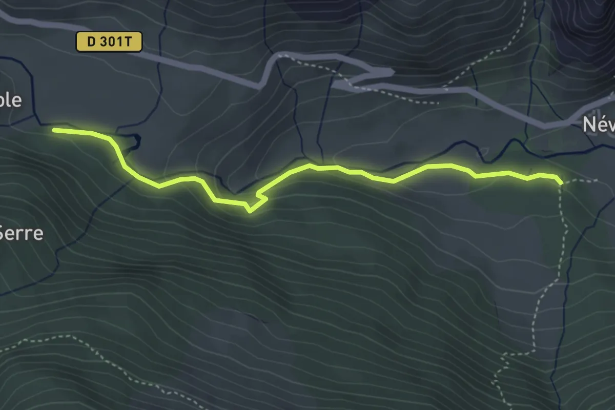
Medium · Trail
Chirouzes - Pont du Rately
4.2 km · ↑ 158 m · 1 h 20 min
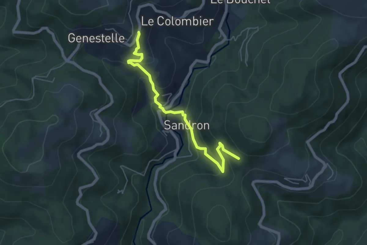
Medium · Trail
Christianet - Bois de Roumanou
4.9 km · ↑ 346 m · 1 h 55 min
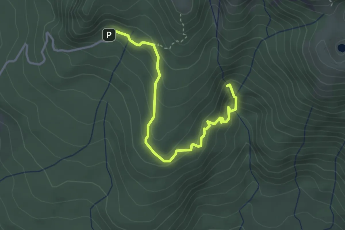
Demanding · Trail
Chute du Galion
4.6 km · ↑ 292 m · 1 h 44 min
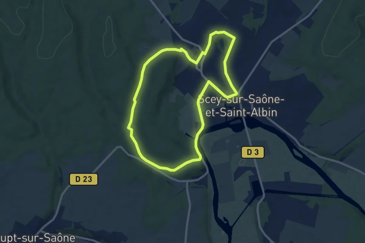
Easy · Trail
Cicruit des Princes de Beaufremont
6.9 km · ↑ 91 m · 1 h 55 min
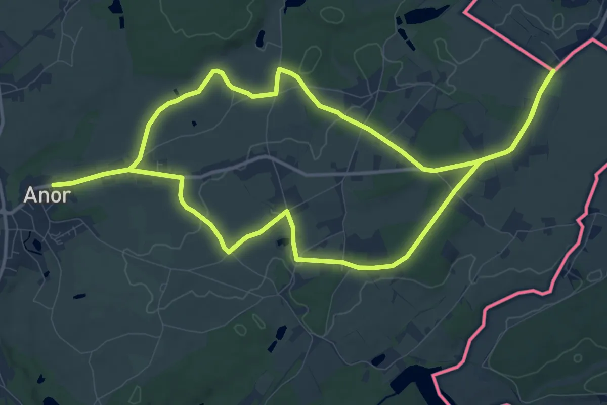
Medium · Trail
Cicuit des Chapelles des Anorelles
10.5 km · ↑ 55 m · 2 h 44 min
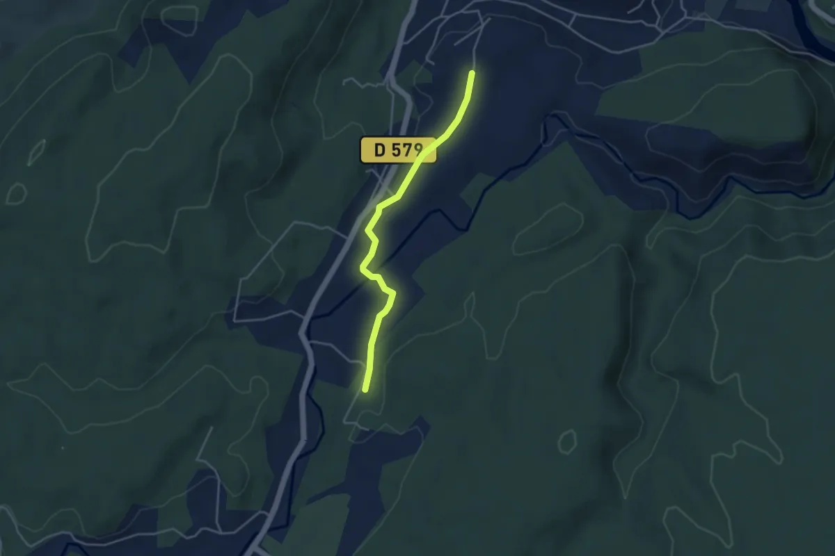
Easy · Trail
Cigeaille - Champagnac
3.7 km · ↑ 39 m · 58 min
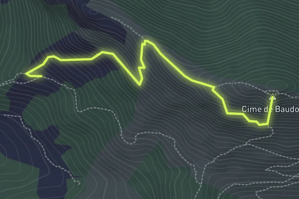
Medium · Summit
Cime de Baudon
3.5 km · ↑ 608 m · 2 h 9 min
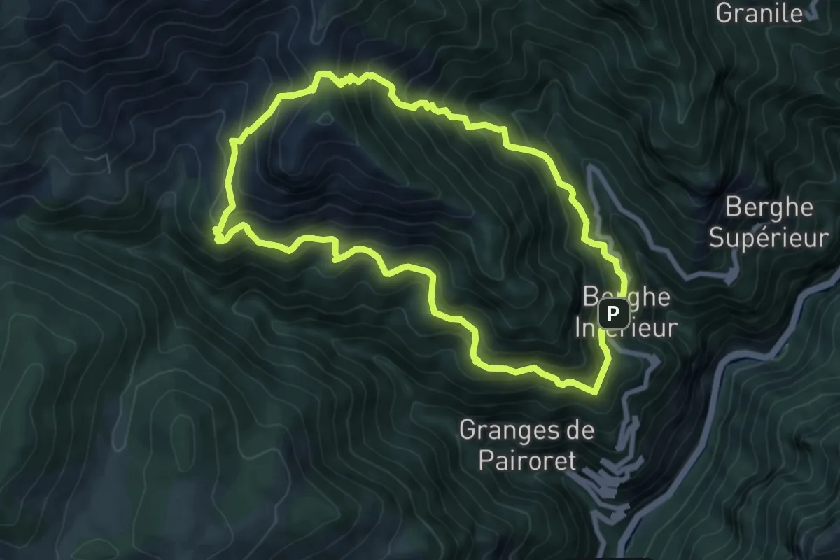
Medium · Trail
Cime de Corvo
7.6 km · ↑ 727 m · 3 h 28 min
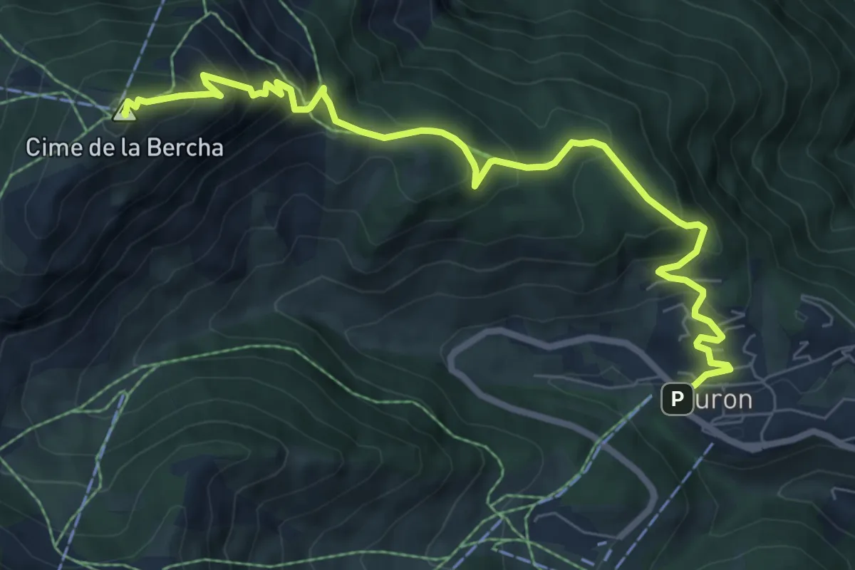
Medium · Summit
Cime de la Bercha
8.7 km · ↑ 647 m · 3 h 28 min
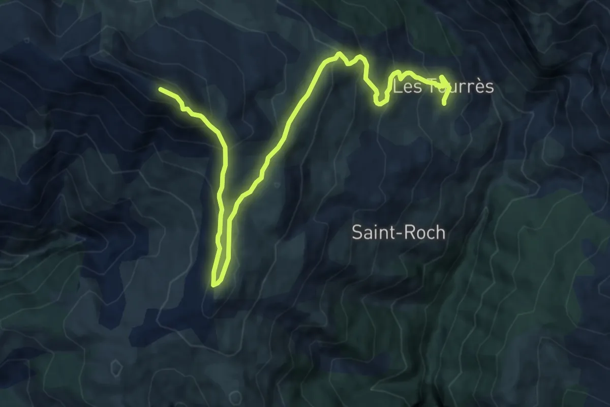
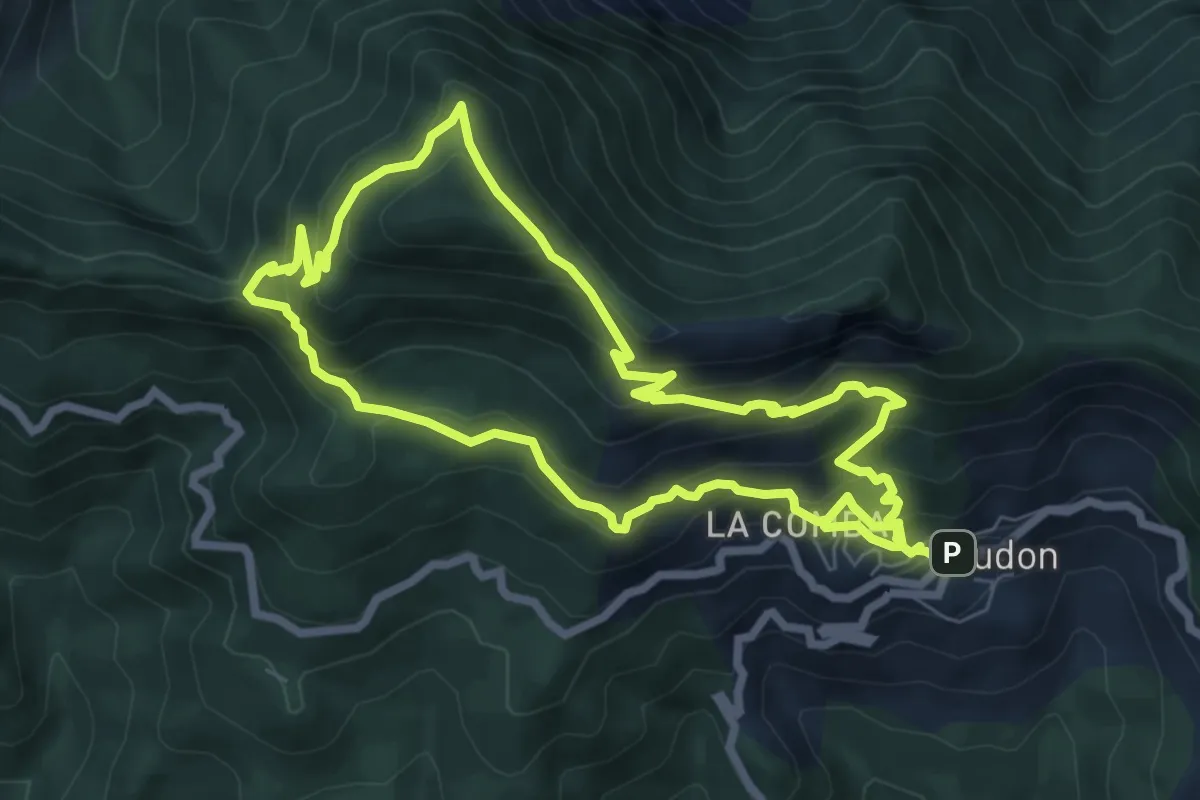
Demanding · Summit
Cime de l'Aspre
6.9 km · ↑ 810 m · 3 h 6 min
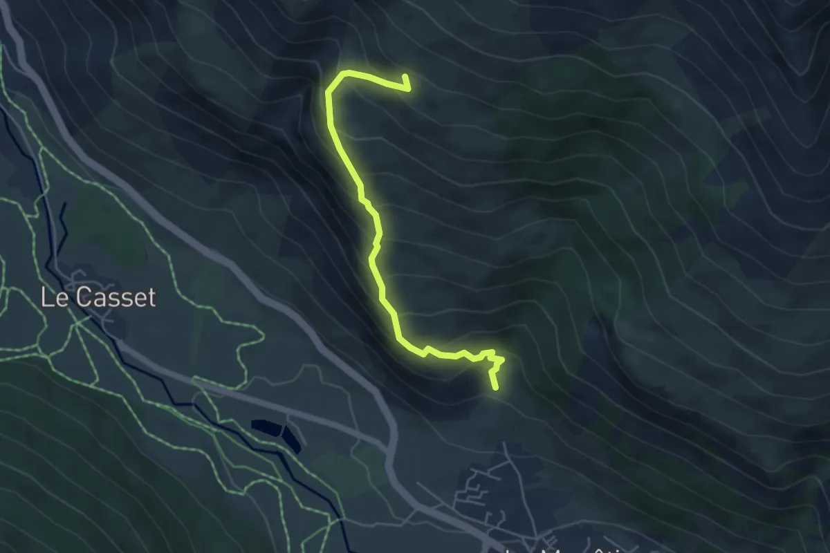
Medium · Trail
Cime des Collettes
7.2 km · ↑ 617 m · 3 h 6 min
Medium · Trail
Cîme des Conchiers - ?
4.7 km · ↑ 520 m · 2 h 14 min
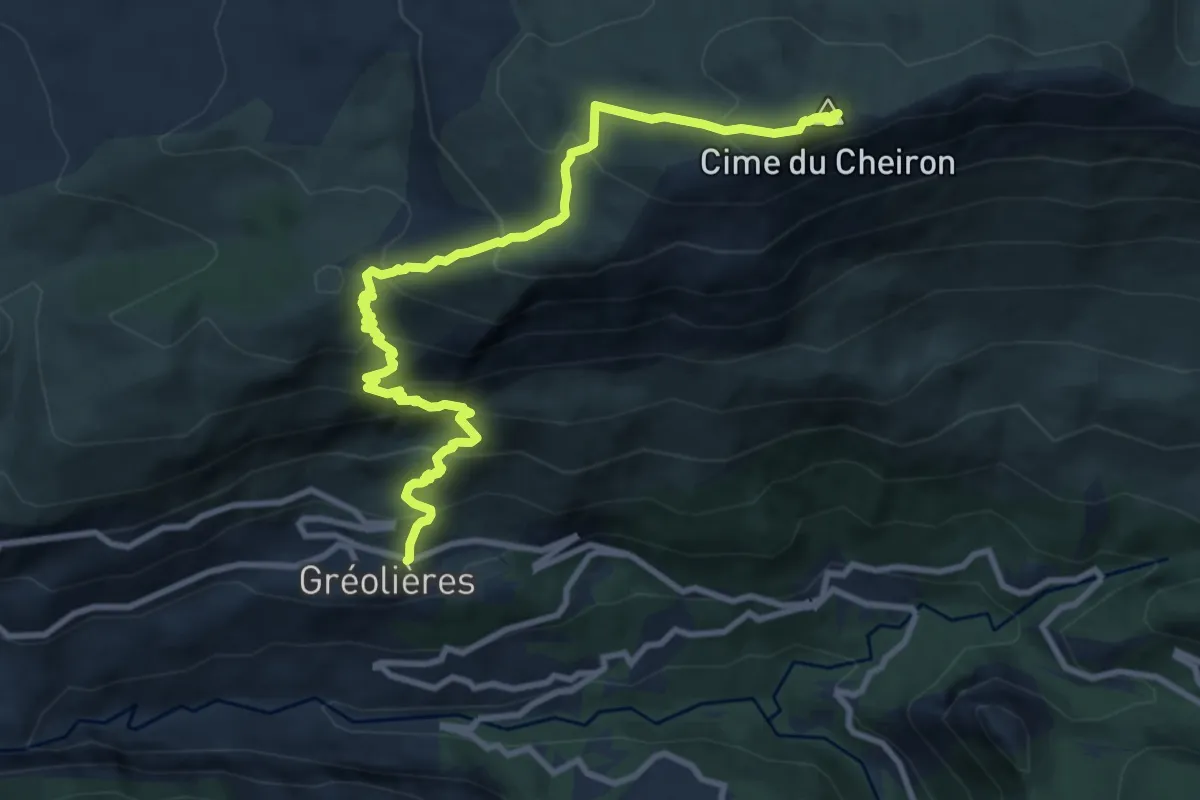
Demanding · Summit
Cime du Cheiron
6.0 km · ↑ 916 m · 3 h 1 min
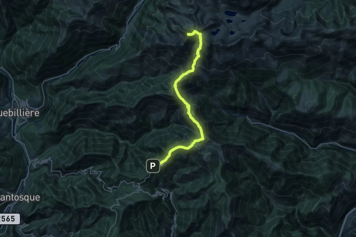
Demanding · Summit
Cime du Diable
22.5 km · ↑ 1584 m · 8 h 44 min
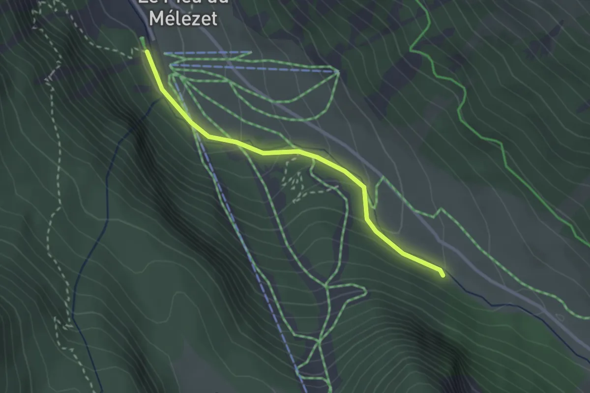
Easy · Cabin
Cime du Mélezet - Pied du Mélezet
2.5 km · ↑ 124 m · 52 min
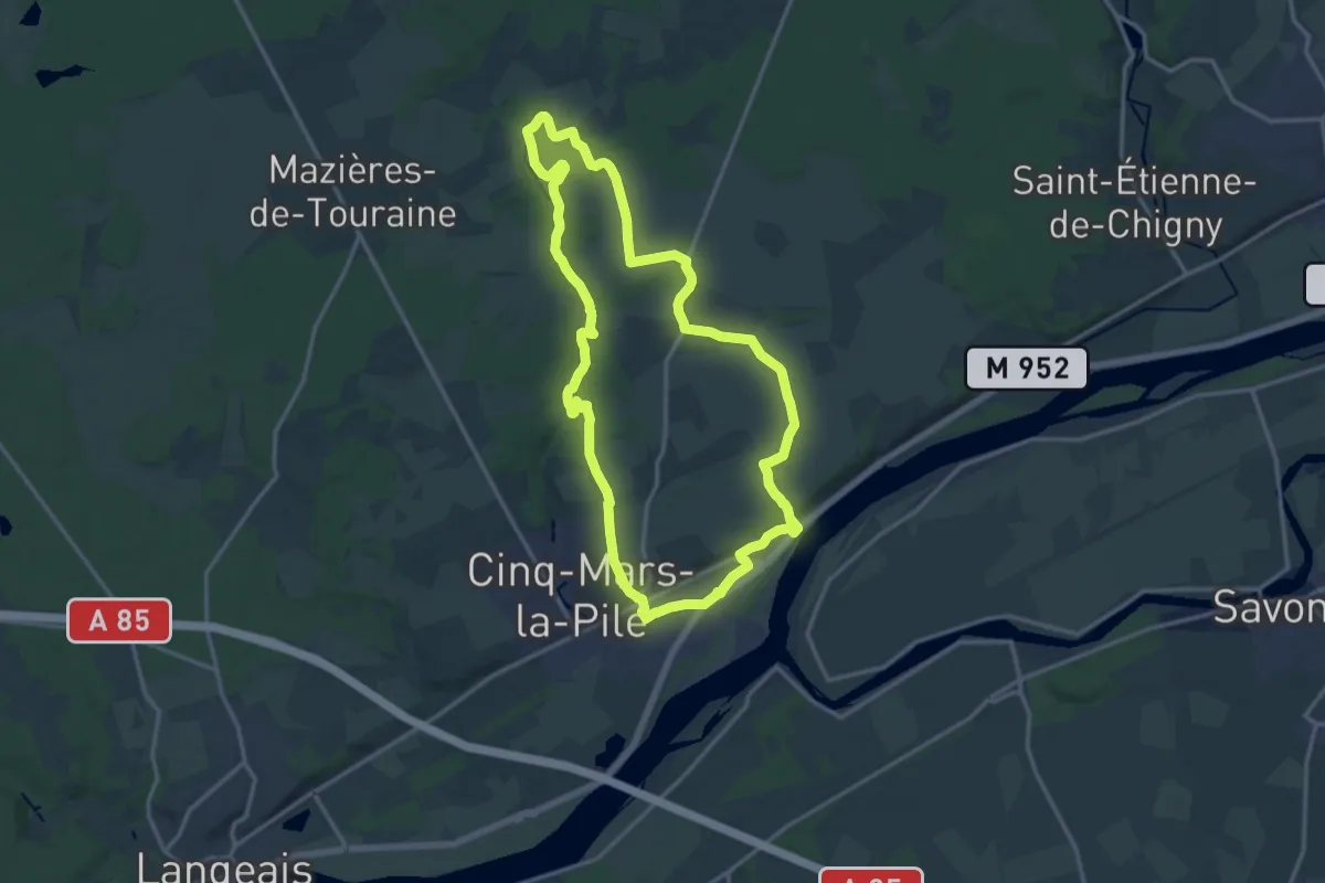
Medium · Trail
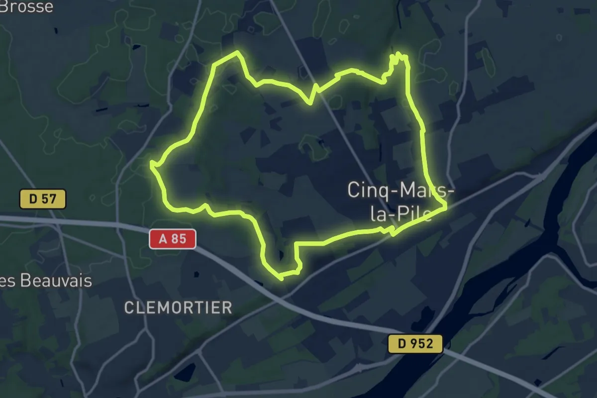
Cinq-Mars-la-Pile - Circuit 1
14.7 km · ↑ 204 m · 4 h 6 min
Medium · Trail
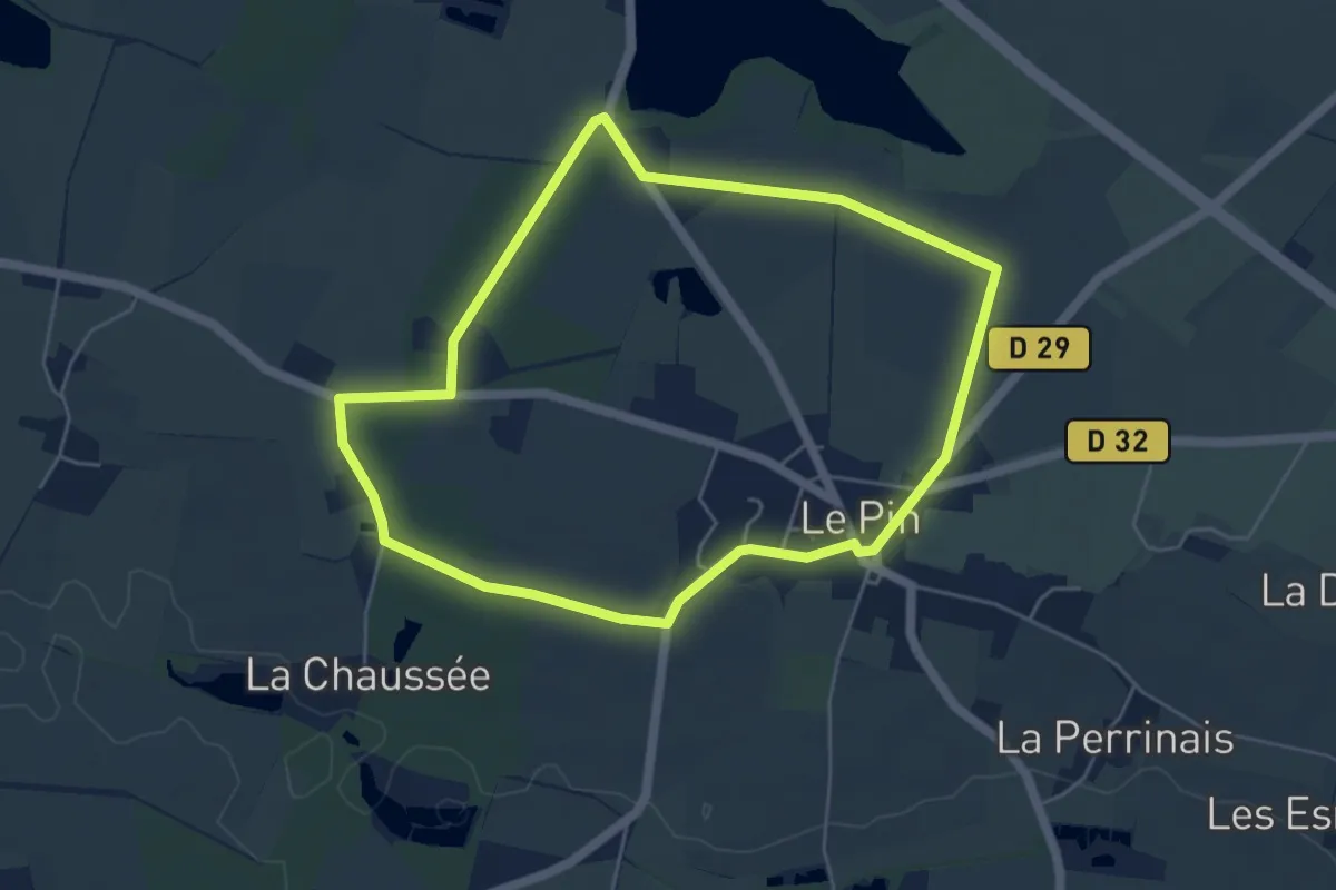
Cinq-Mars-la-Pile - Circuit 2
13.1 km · ↑ 163 m · 3 h 38 min
Easy · Trail
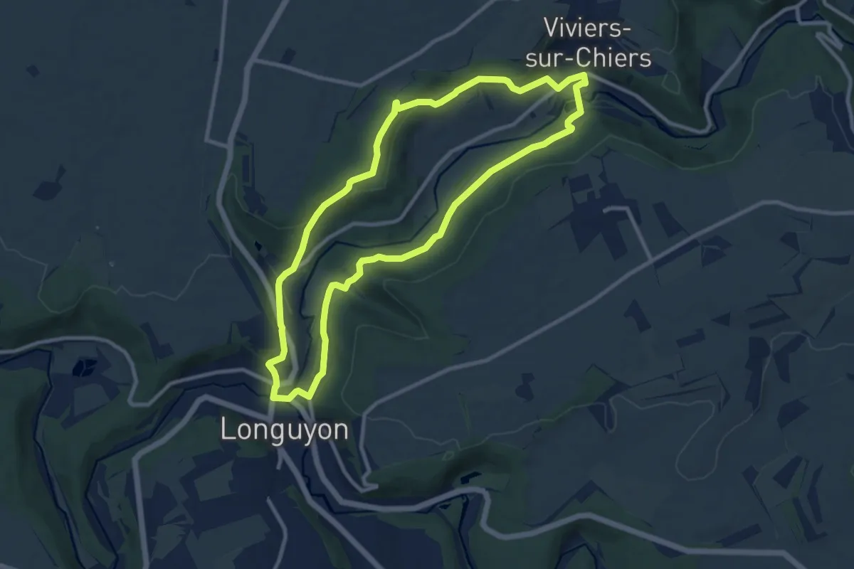
Circui de la Fontaine Cantrais
4.9 km · ↑ 18 m · 1 h 16 min
Medium · Trail
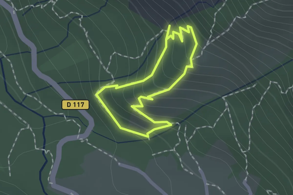
Circuilaire du Limaçon
8.8 km · ↑ 217 m · 2 h 40 min
Easy · Trail
Circuit
1.2 km · ↑ 114 m · 32 min
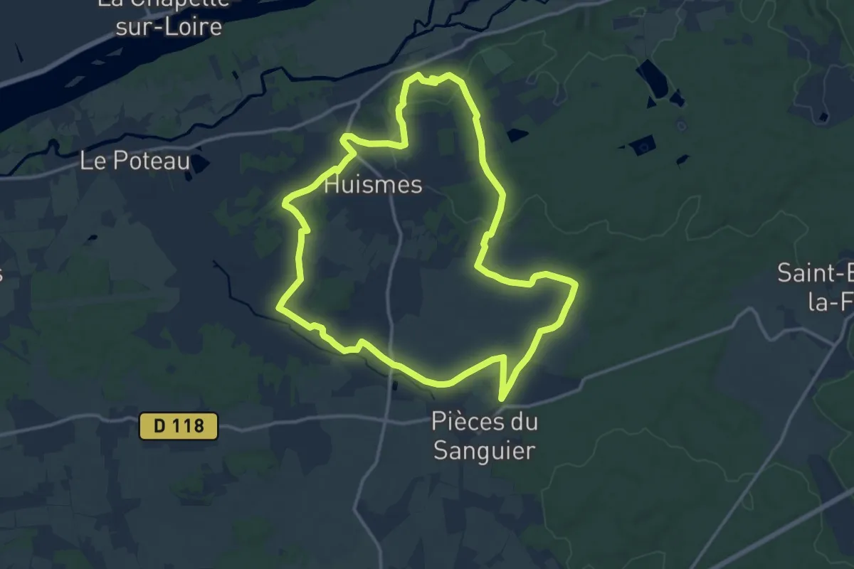
Medium · Trail
Circuit 1
13.1 km · ↑ 140 m · 3 h 35 min
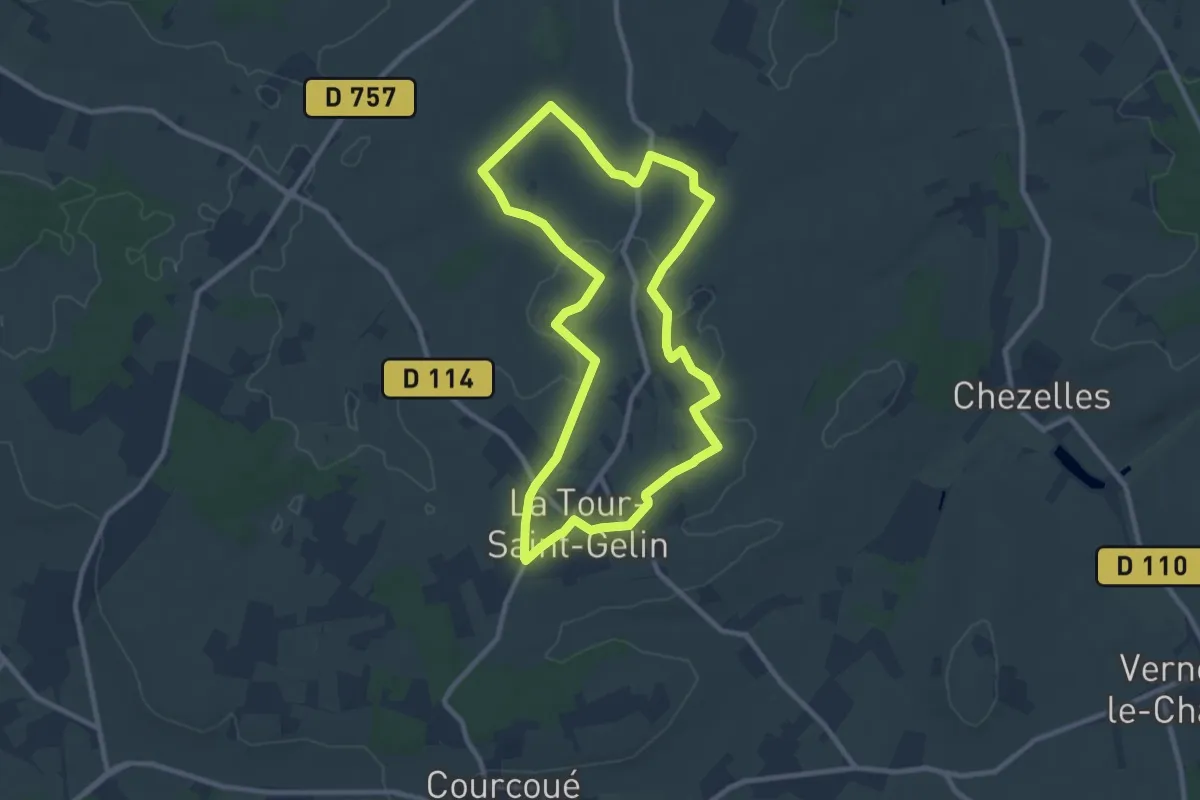
Medium · Trail
Circuit 1
9.3 km · ↑ 55 m · 2 h 26 min
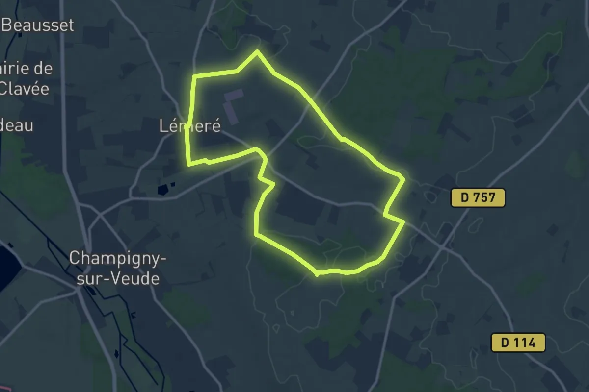
Medium · Trail
Circuit 1
10.0 km · ↑ 86 m · 2 h 41 min
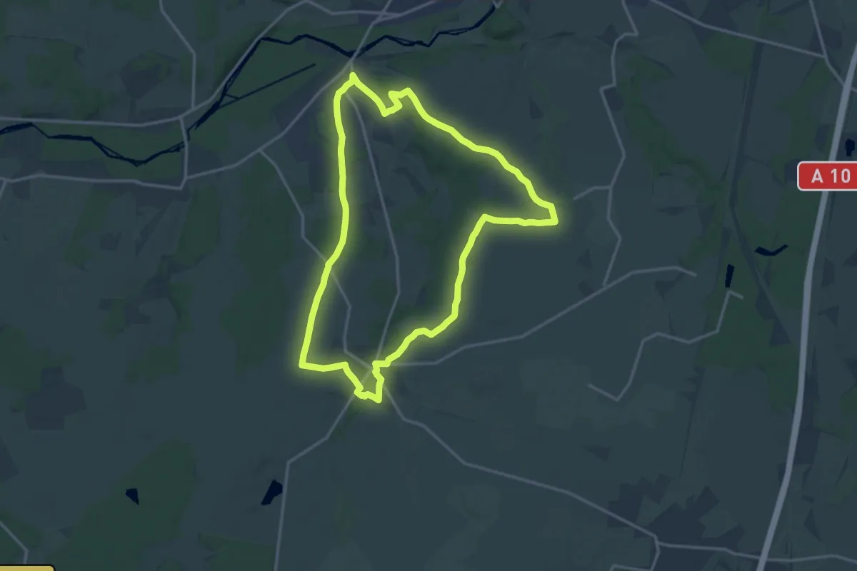
Medium · Trail
Circuit 1
14.4 km · ↑ 78 m · 3 h 46 min
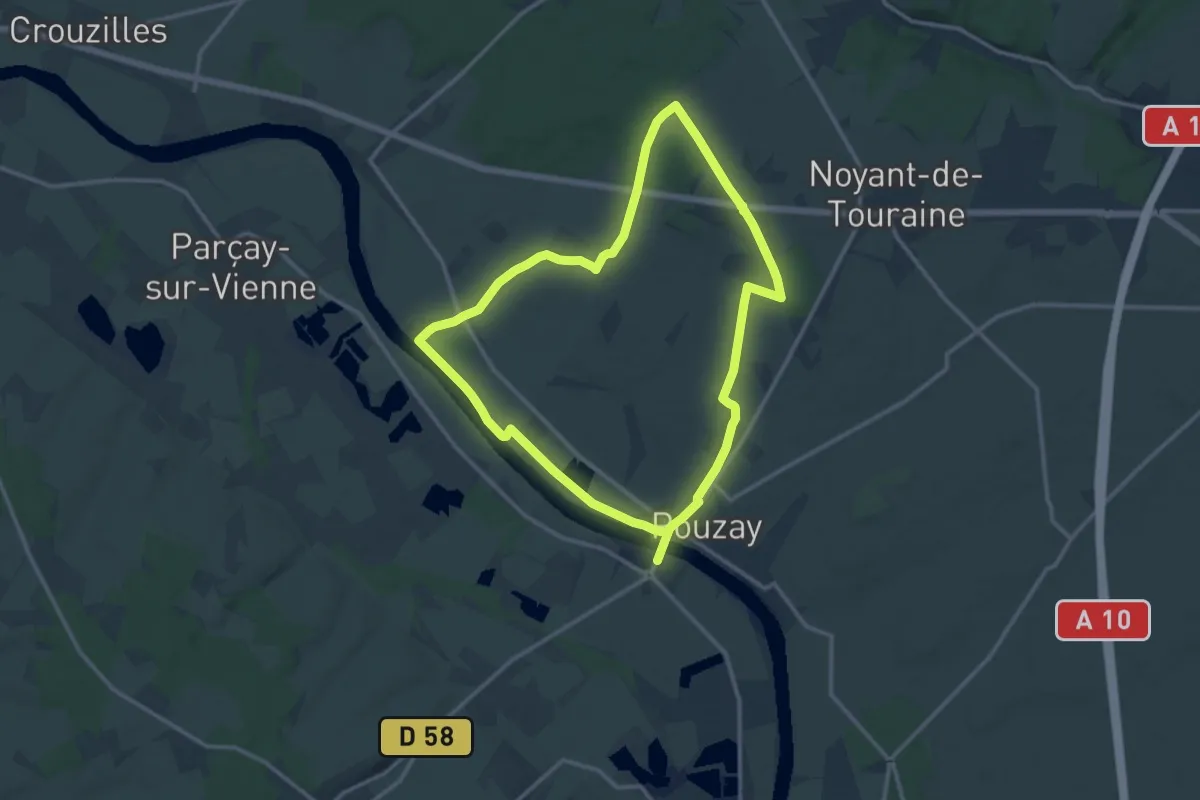
Demanding · Trail
Circuit 1
24.6 km · ↑ 145 m · 6 h 8 min
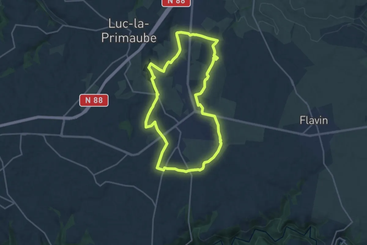
Medium · Trail
Circuit 10 La Capelle Saint-Martin
13.6 km · ↑ 190 m · 3 h 49 min
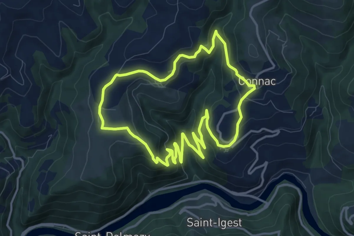
Medium · Trail
Circuit 11
9.4 km · ↑ 337 m · 3 h 4 min
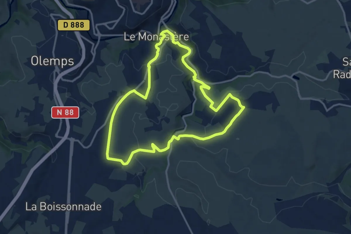
Medium · Trail
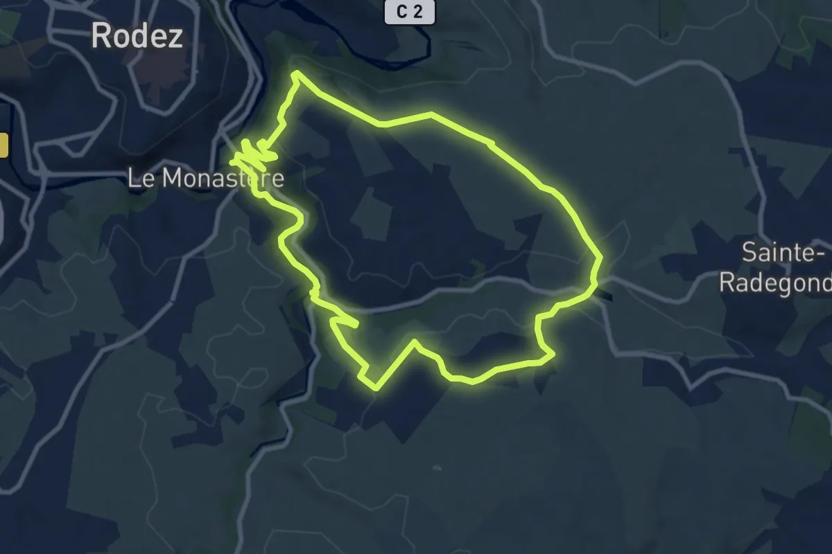
Circuit 11 Le Monsastère
9.9 km · ↑ 170 m · 2 h 50 min
Medium · Trail
Circuit 12 : Combelles
8.9 km · ↑ 180 m · 2 h 37 min
Medium · Trail
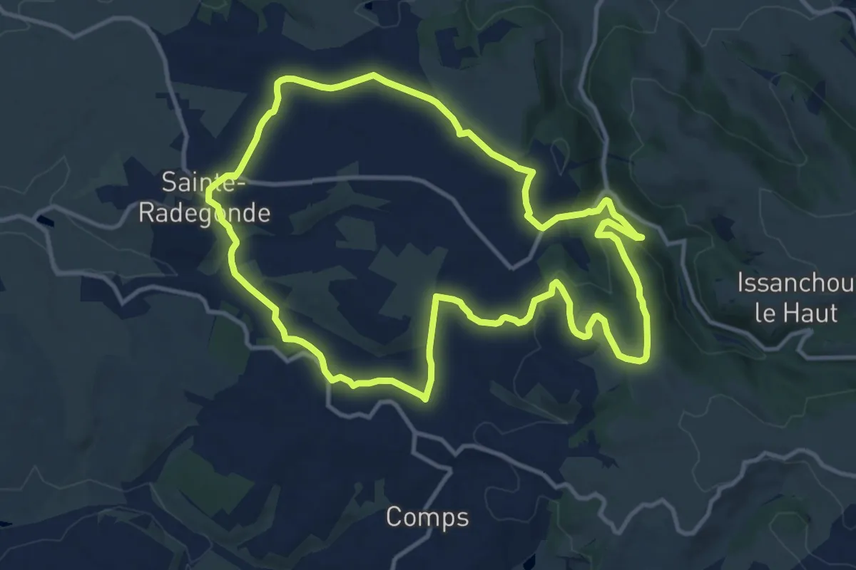
Circuit 14 Sainte-Radegonde
12.2 km · ↑ 294 m · 3 h 41 min
Easy · Trail
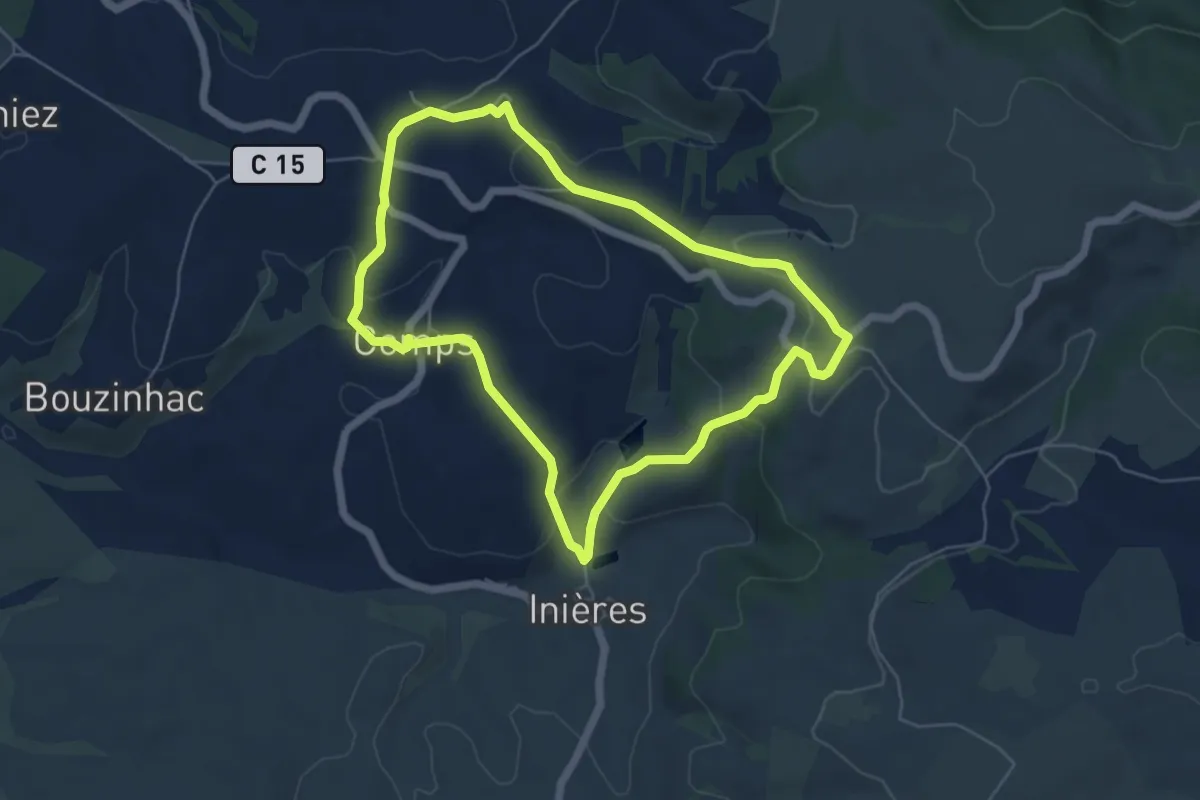
Circuit 15 Inières
5.6 km · ↑ 180 m · 1 h 47 min
Easy · Trail
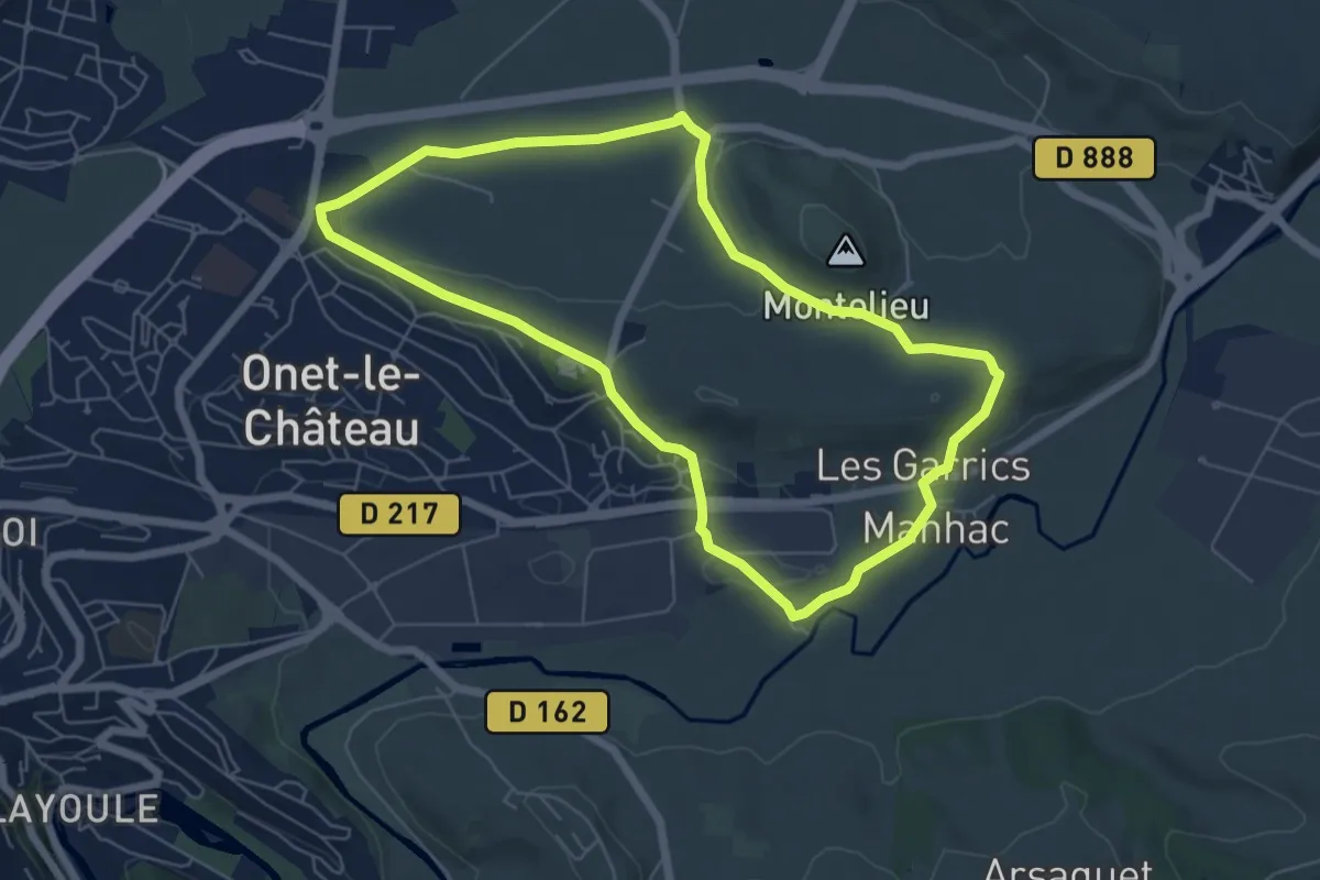
Circuit 16 Moulin de cantarane
6.3 km · ↑ 98 m · 1 h 47 min
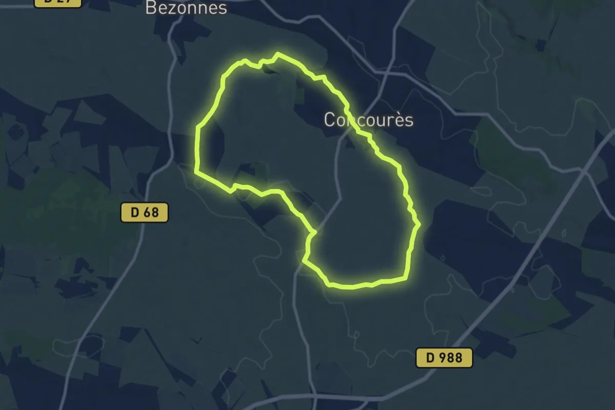
Medium · Trail
Circuit 17 Concourès
8.9 km · ↑ 88 m · 2 h 25 min
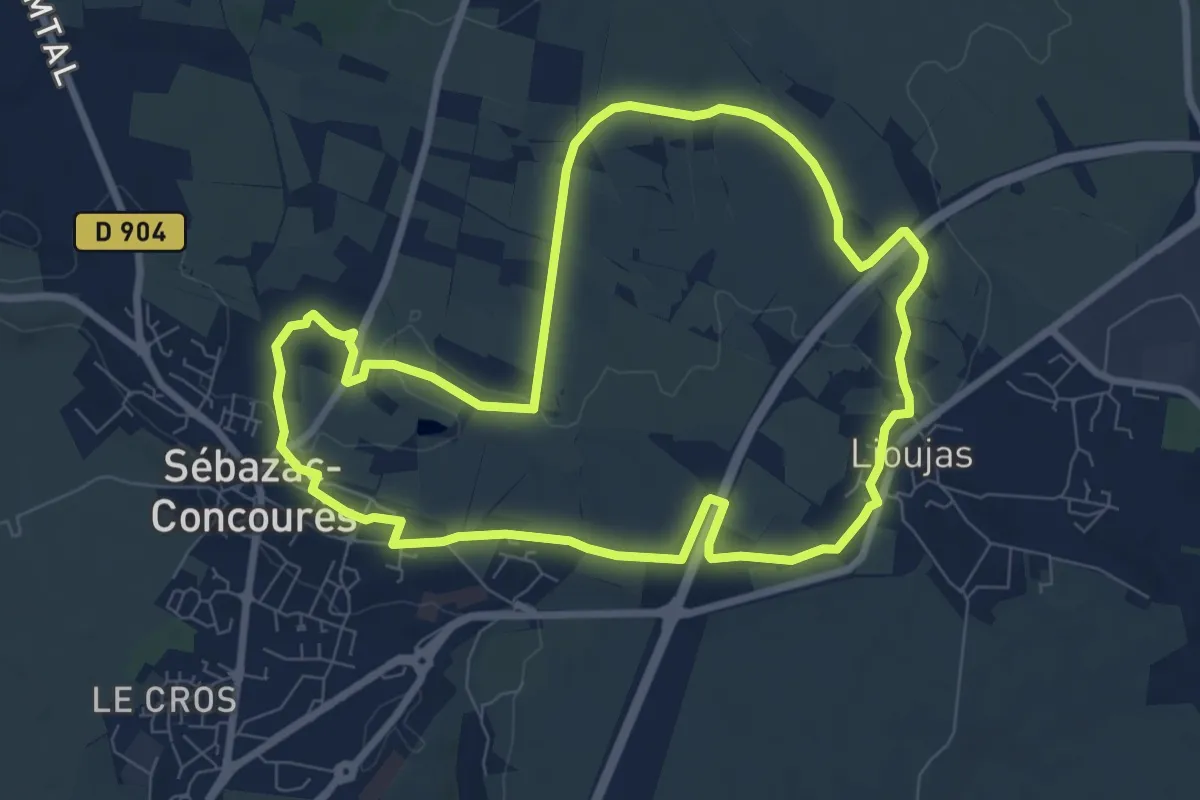
Medium · Trail
Circuit 18 Nord de Sébazac
8.6 km · ↑ 64 m · 2 h 17 min
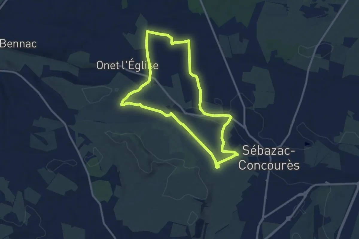
Easy · Trail
Circuit 19 Onet-l'Eglise
7.8 km · ↑ 57 m · 2 h 5 min
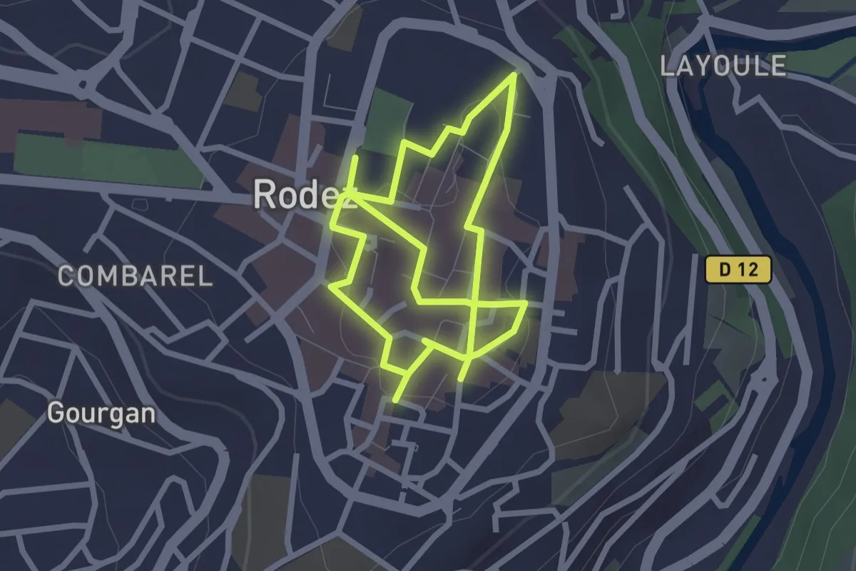
Easy · Trail
Circuit 1 Centre-ville de Rodez
4.5 km · ↑ 33 m · 1 h 8 min
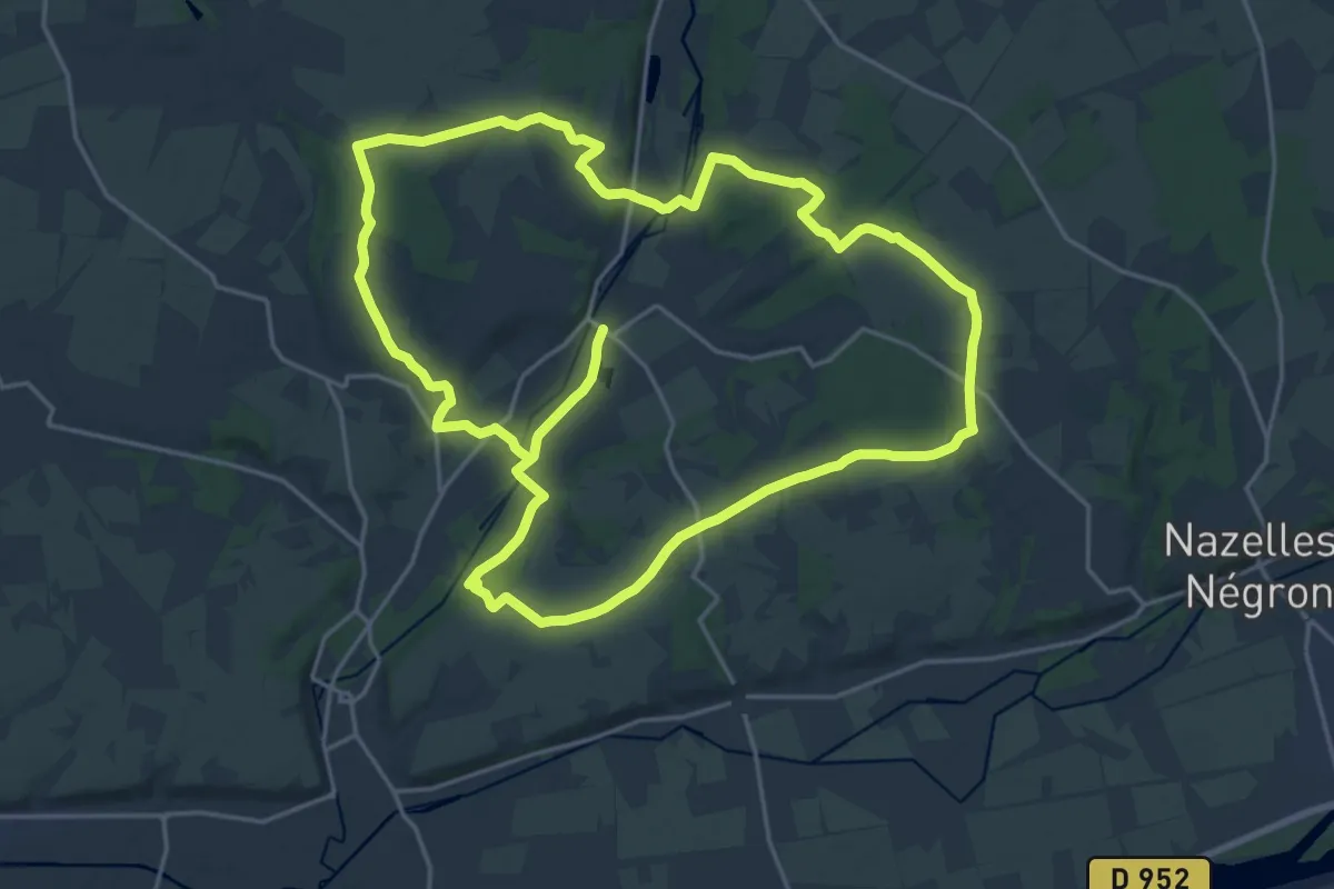
Demanding · Trail
Circuit 1 - Chançay
21.0 km · ↑ 137 m · 5 h 32 min
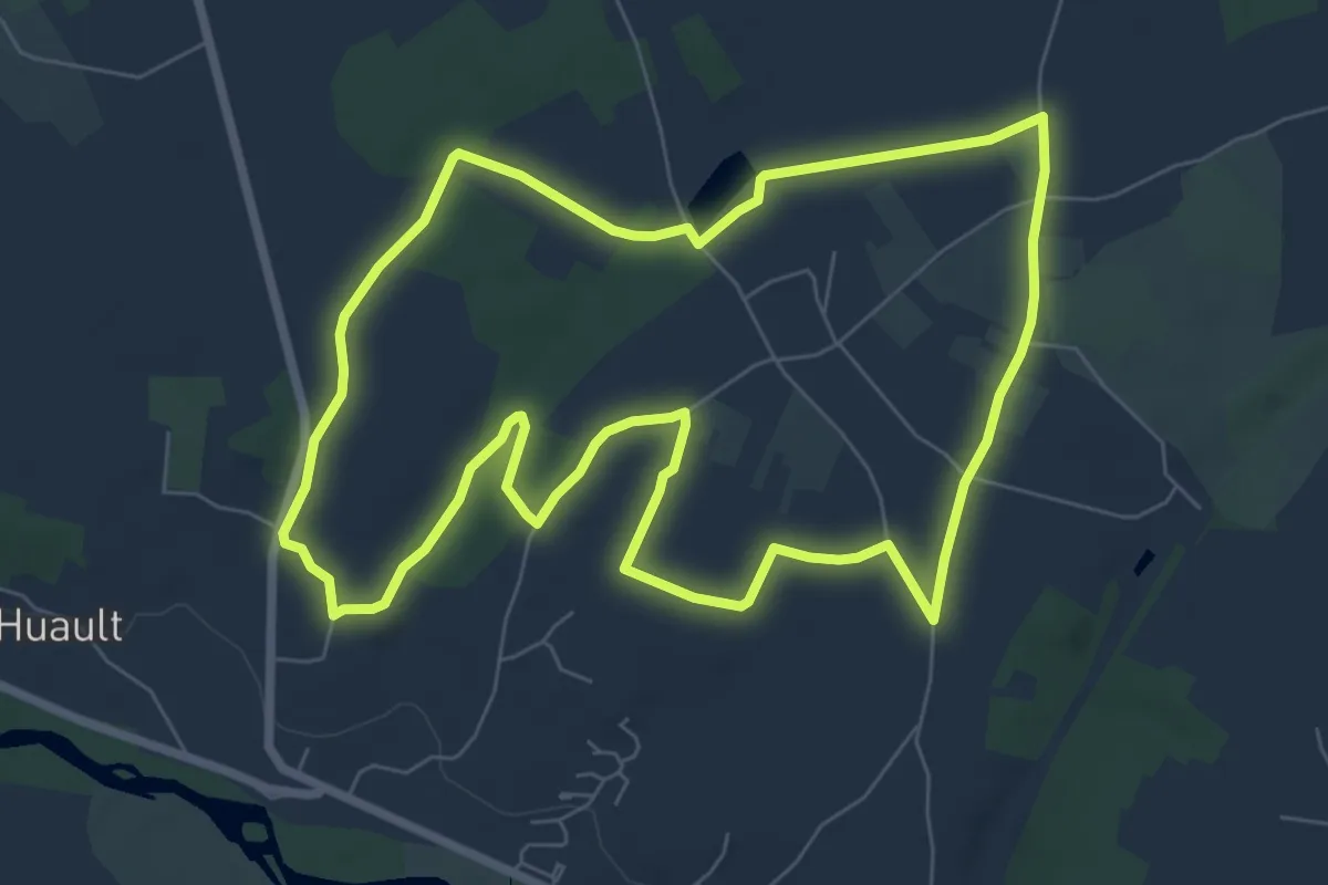
Easy · Trail
Circuit 1 d'Azay le Rideau
7.6 km · ↑ 40 m · 1 h 59 min
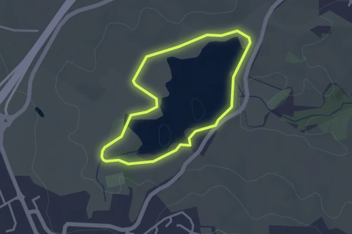
Easy · Trail
Circuit 1 - Les berges du lac du Val de Lenne
2.4 km · ↑ 14 m · 38 min
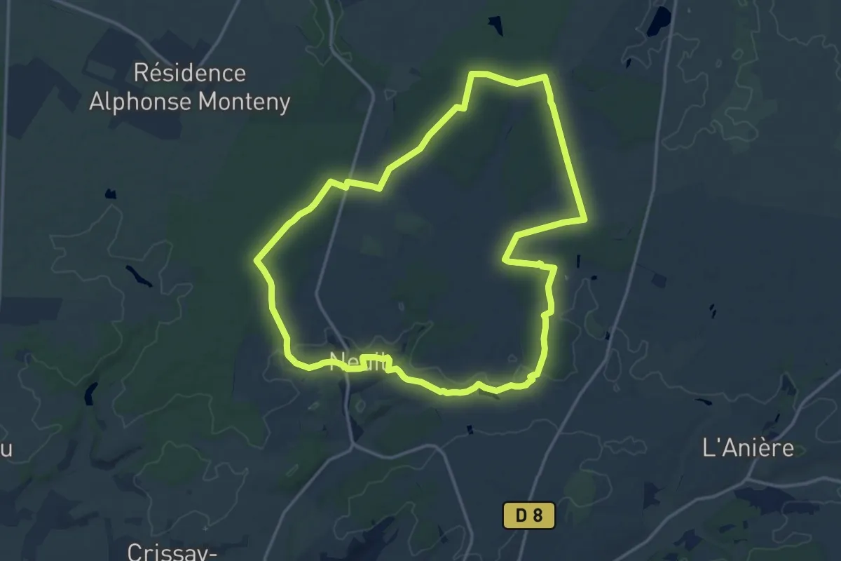
Medium · Trail
Circuit 1 - Neuil
14.4 km · ↑ 97 m · 3 h 49 min
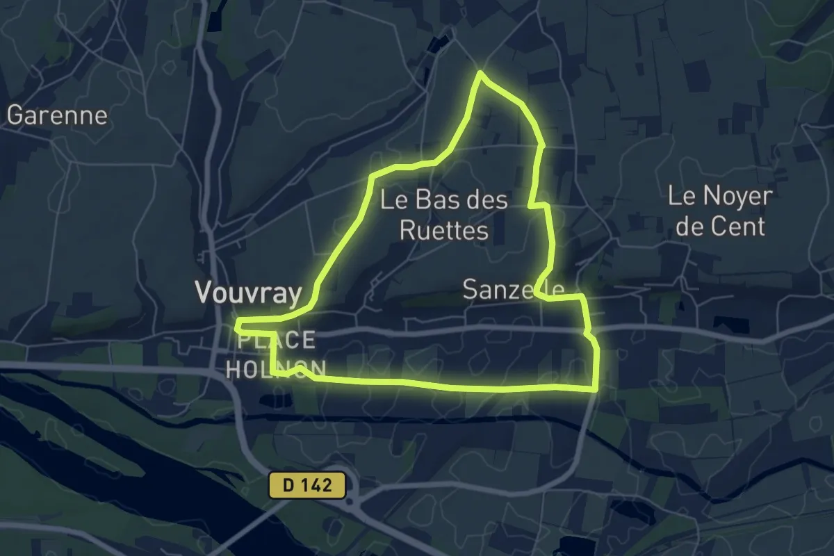
Easy · Trail
Circuit 1 - Vouvray
6.2 km · ↑ 51 m · 1 h 40 min
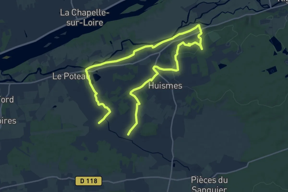
Demanding · Trail
Circuit 2
22.3 km · ↑ 275 m · 5 h 51 min
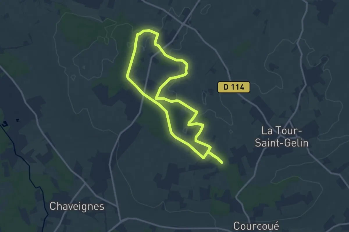
Medium · Trail
Circuit 2
8.5 km · ↑ 45 m · 2 h 13 min
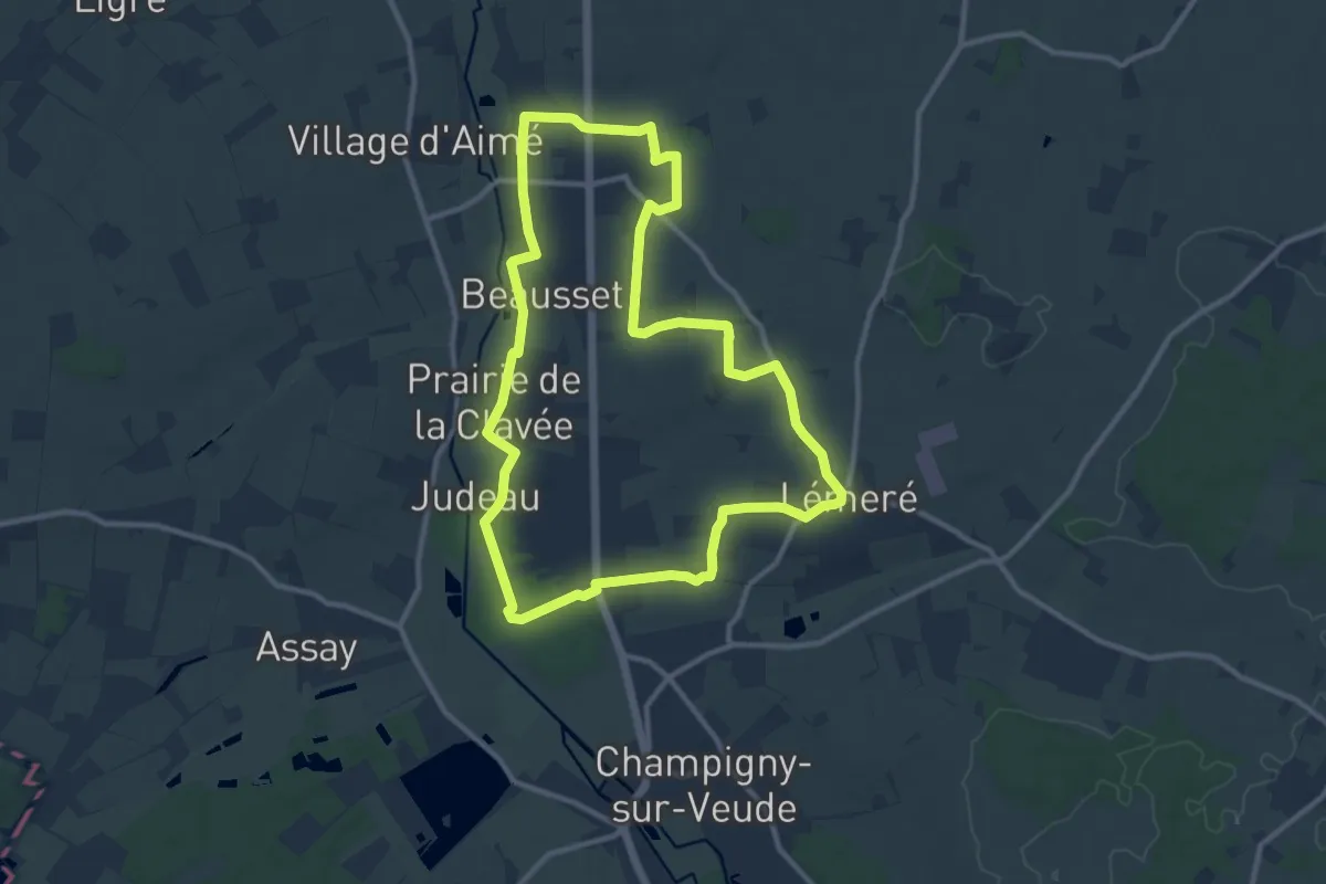
Medium · Trail
Circuit 2
10.9 km · ↑ 69 m · 2 h 52 min
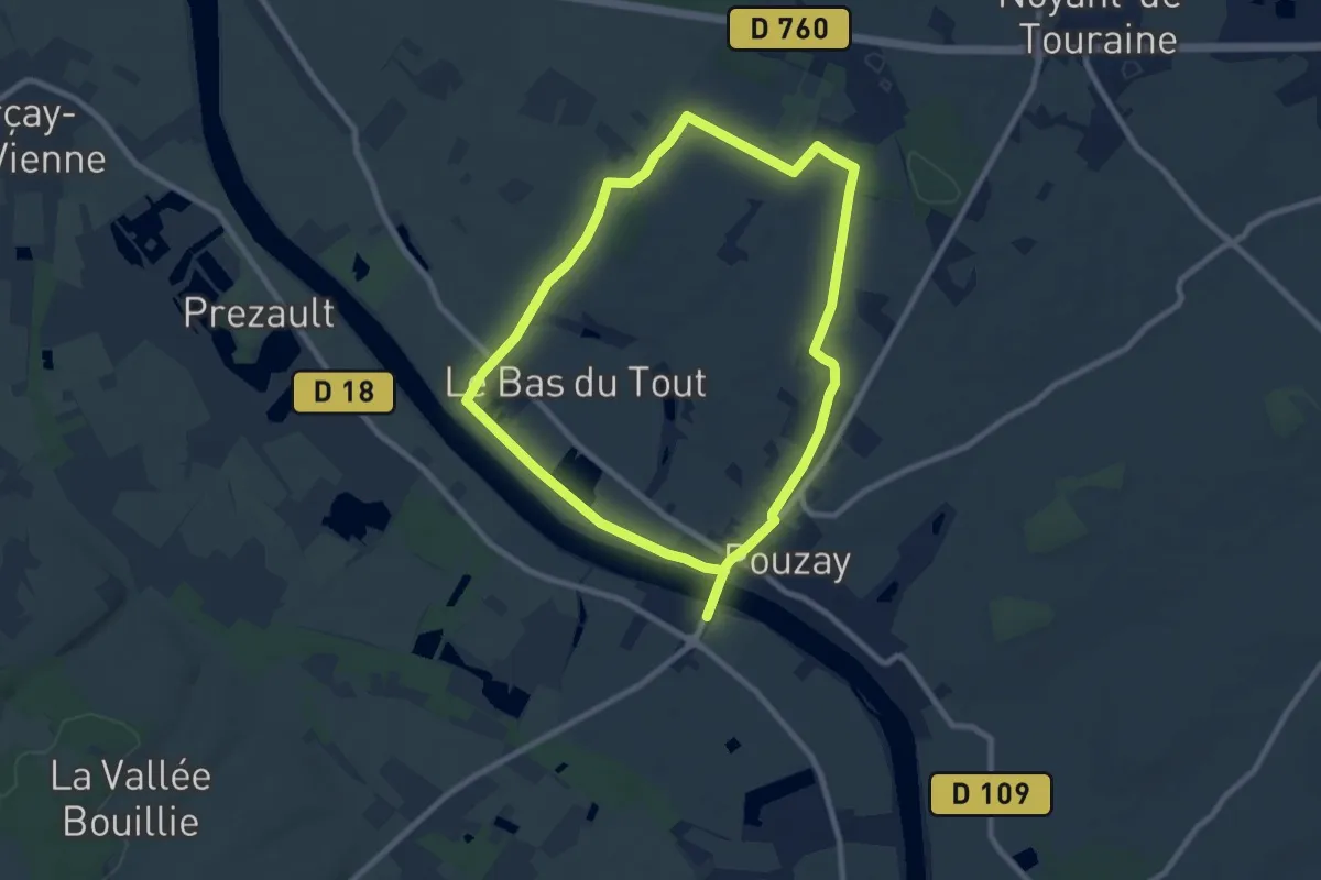
Medium · Trail
Circuit 2
16.1 km · ↑ 109 m · 4 h 3 min
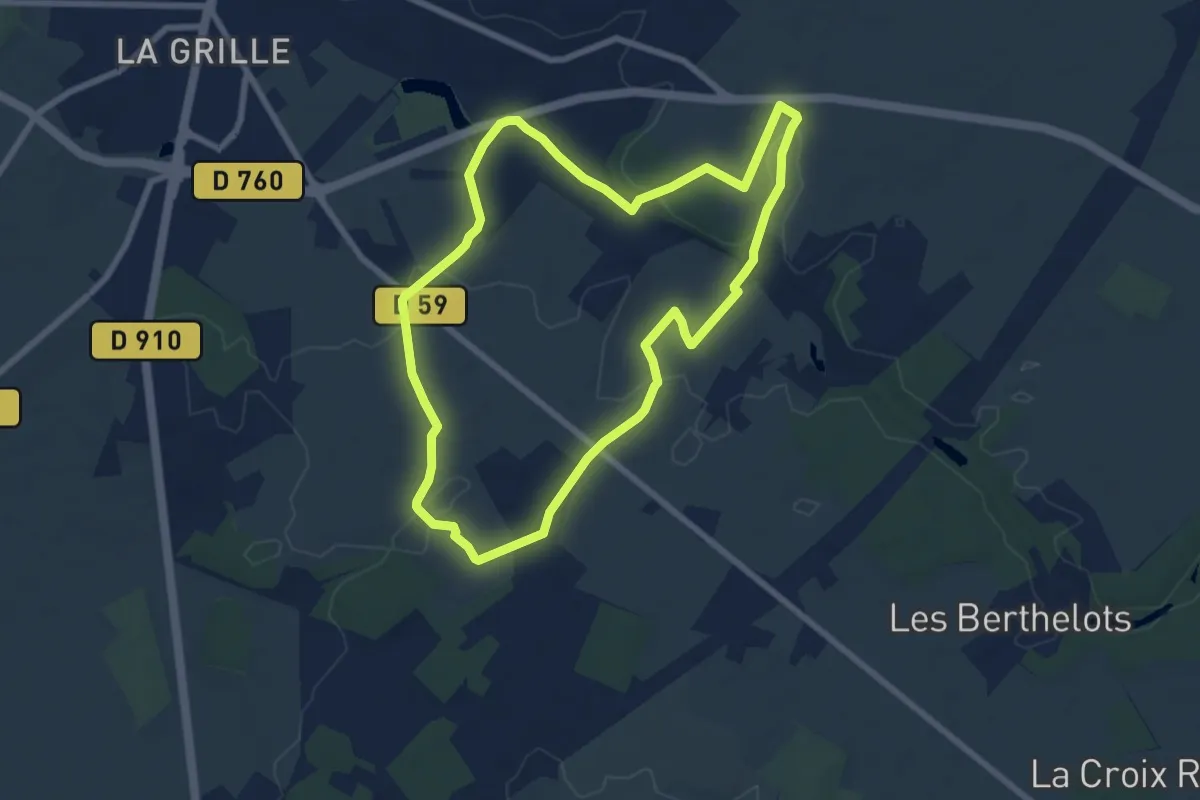
Easy · Trail
Circuit 2
7.4 km · ↑ 71 m · 2 h
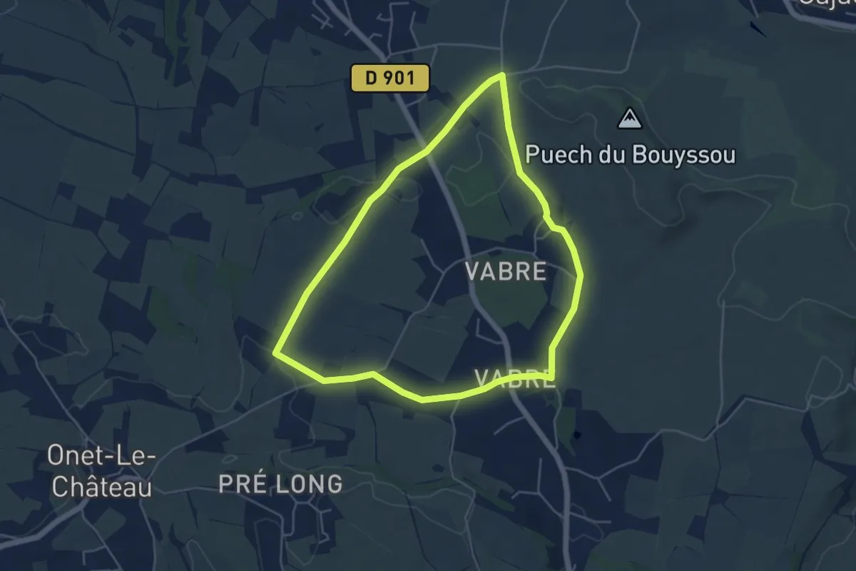
Easy · Trail
Circuit 20 Vabres
4.9 km · ↑ 46 m · 1 h 20 min
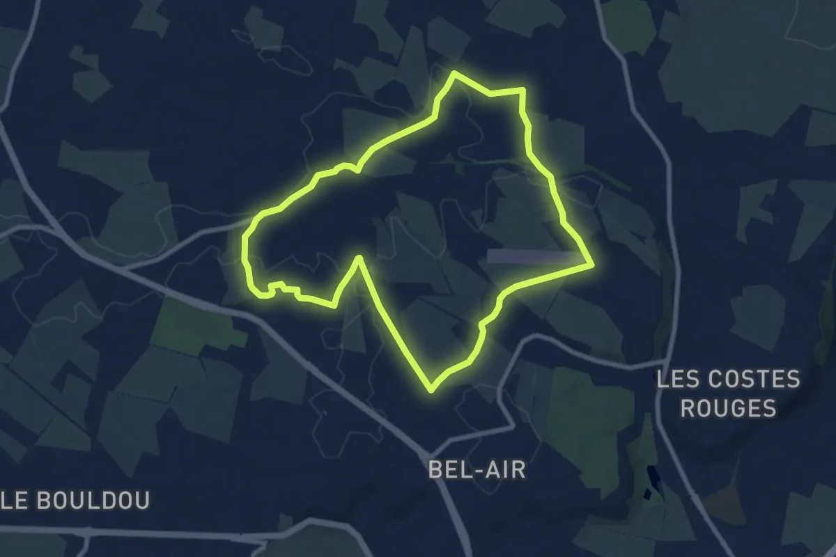
Easy · Trail
Circuit 21 Onet-Village
7.7 km · ↑ 74 m · 2 h 5 min