Trails in France
15,906 hiking trails, each with its route, climb, walking time and grade.
All trails, page 48 of 332
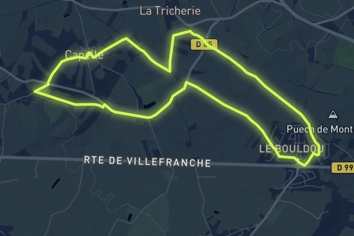
Medium · Trail
Circuit 22 Le château d'Is
9.4 km · ↑ 84 m · 2 h 32 min
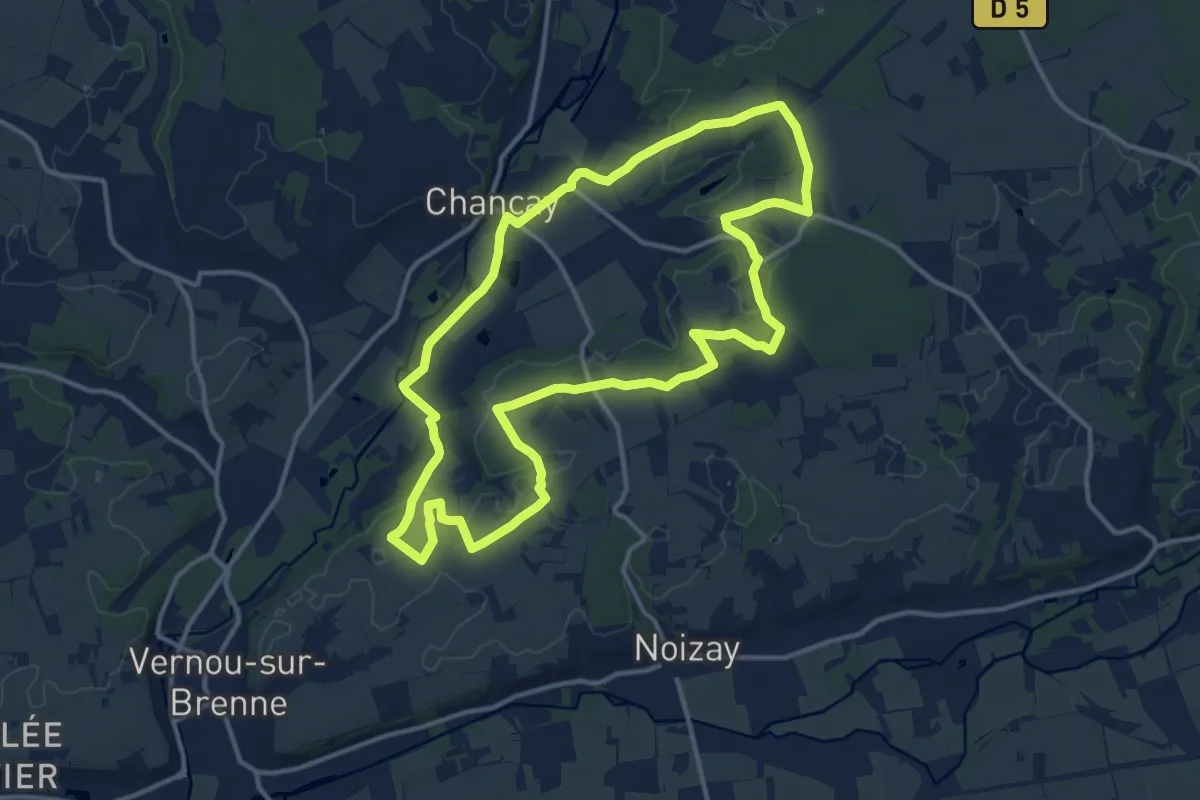
Medium · Trail
Circuit 2 - Chançay
13.4 km · ↑ 98 m · 3 h 34 min
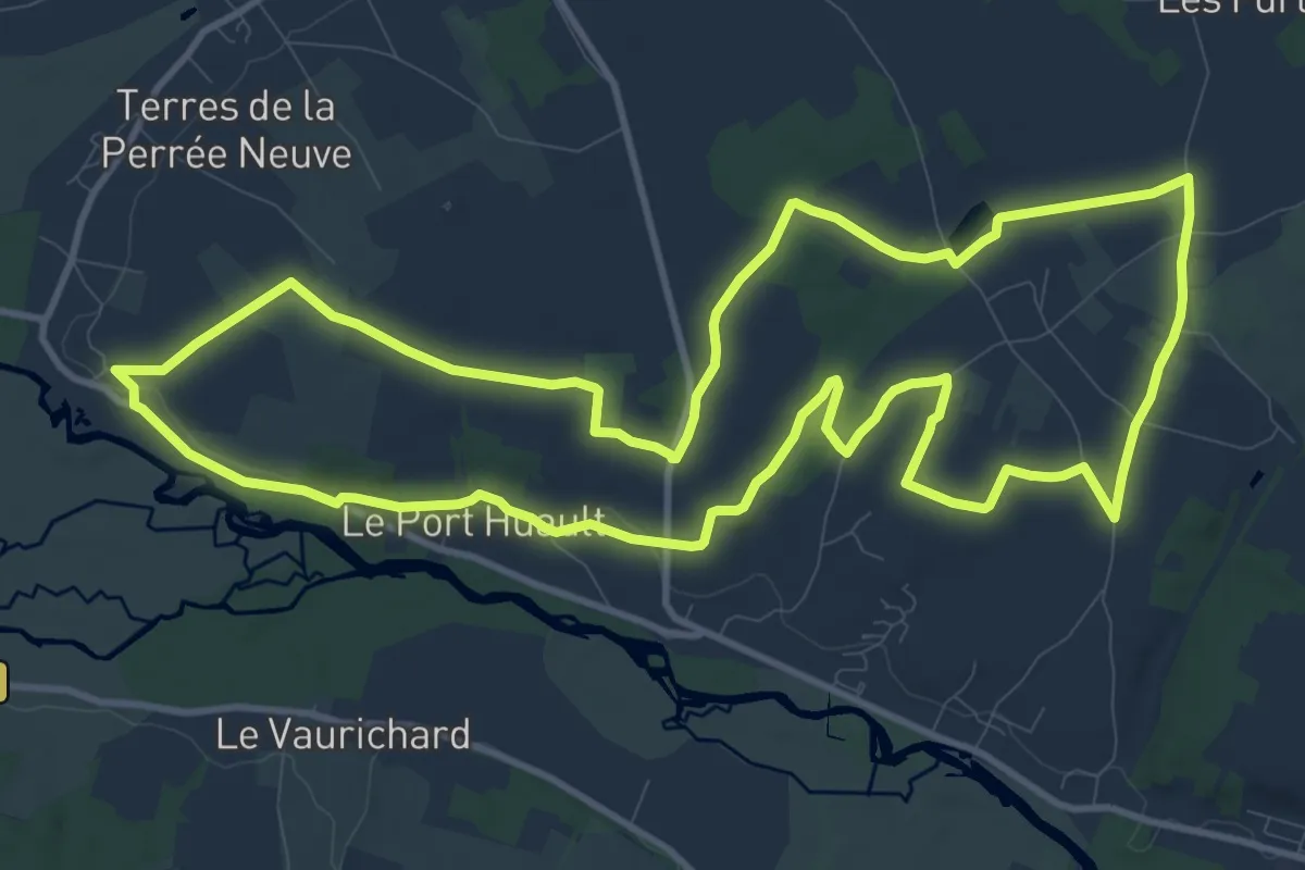
Medium · Trail
Circuit 2 d'Azay le Rideau
12.5 km · ↑ 107 m · 3 h 22 min
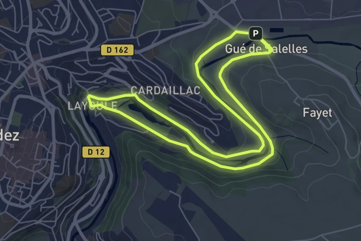
Medium · Trail
Circuit 2 Layoule
11.5 km · ↑ 101 m · 2 h 56 min
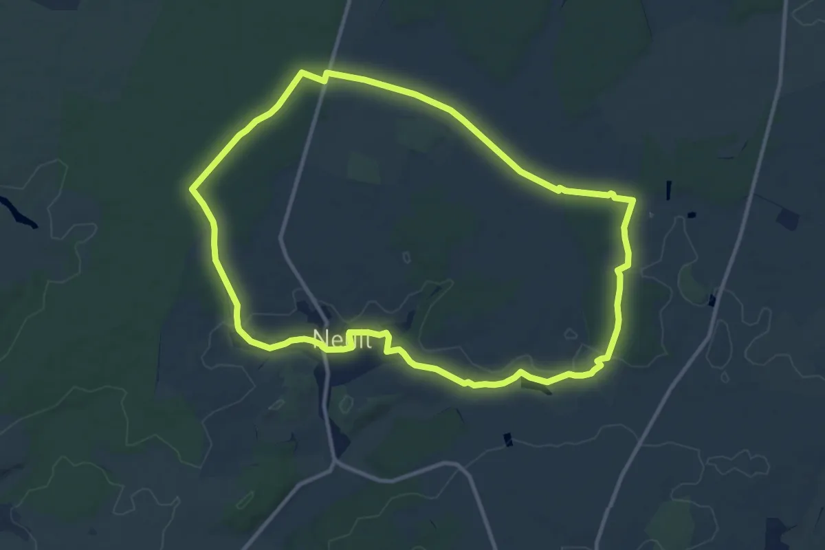
Medium · Trail
Circuit 2 - Neuil
10.5 km · ↑ 78 m · 2 h 48 min
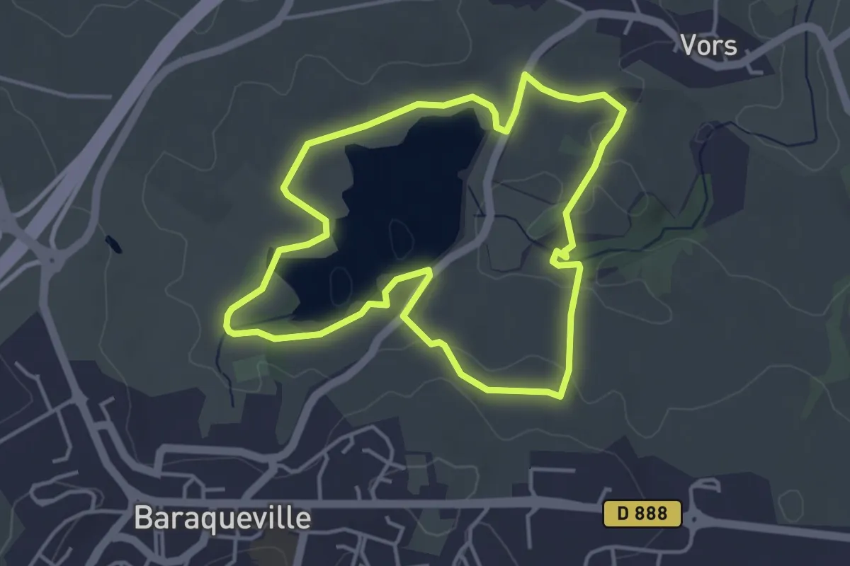
Easy · Trail
Circuit 2 - Petite balade ombragée
4.0 km · ↑ 46 m · 1 h 7 min
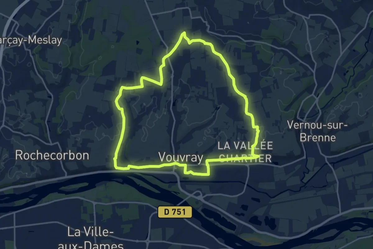
Medium · Trail
Circuit 2 - Vouvray
14.3 km · ↑ 77 m · 3 h 45 min
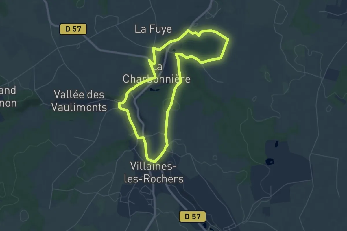
Easy · Trail
Circuit 3
6.0 km · ↑ 98 m · 1 h 43 min
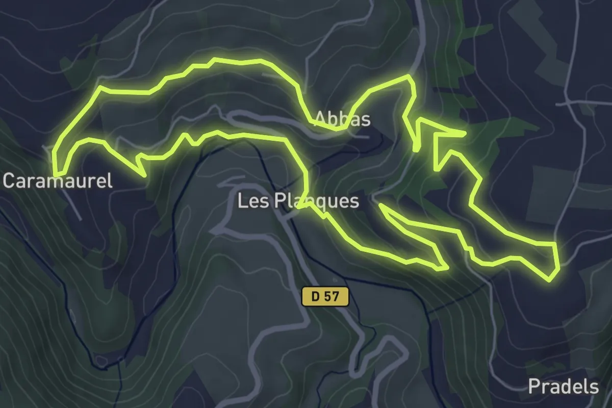
Easy · Trail
Circuit 3 Abbas
7.2 km · ↑ 289 m · 2 h 25 min
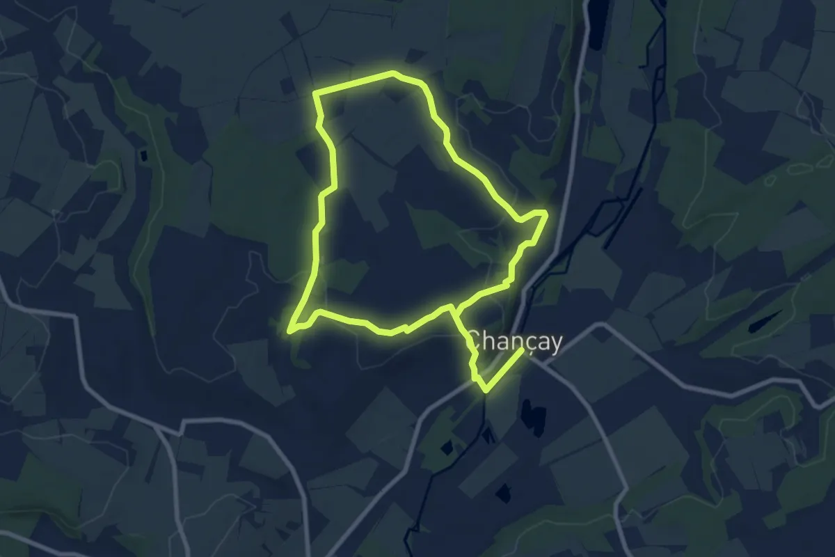
Easy · Trail
Circuit 3 - Chançay
7.0 km · ↑ 107 m · 1 h 57 min
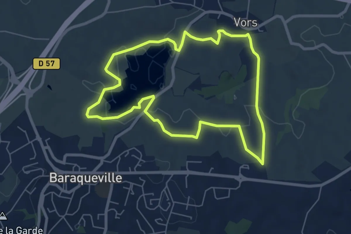
Easy · Trail
Circuit 3 - La fontainte romaine
5.4 km · ↑ 89 m · 1 h 33 min
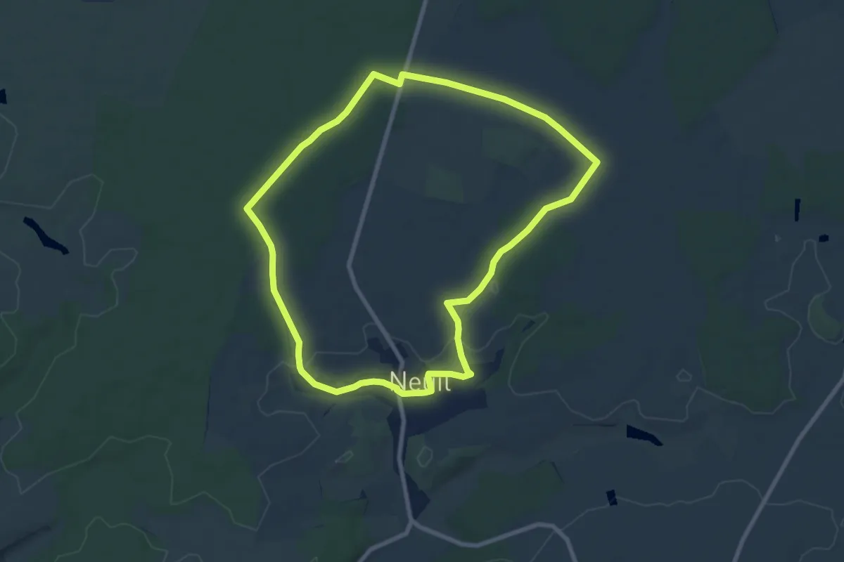
Easy · Trail
Circuit 3 - Neuil
7.8 km · ↑ 51 m · 2 h 3 min
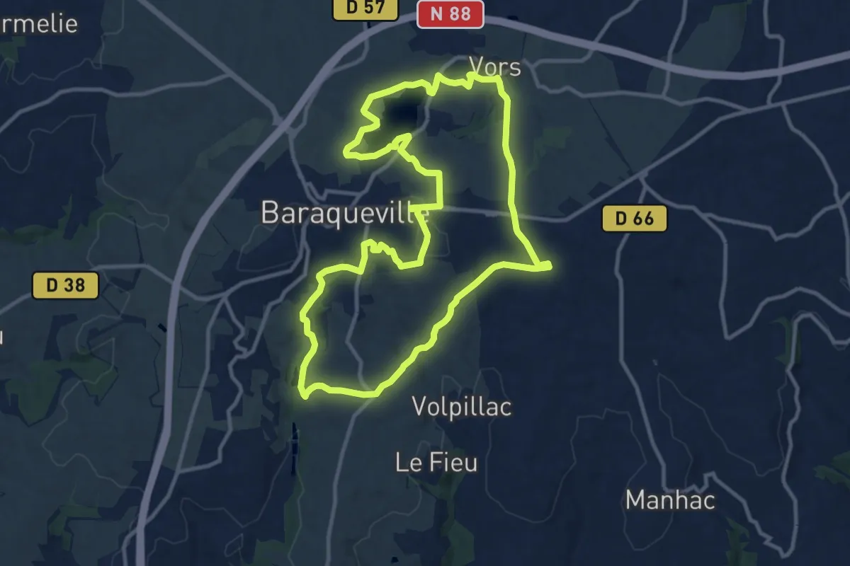
Medium · Trail
Circuit 4 - Au fil de l'eau
11.6 km · ↑ 190 m · 3 h 19 min
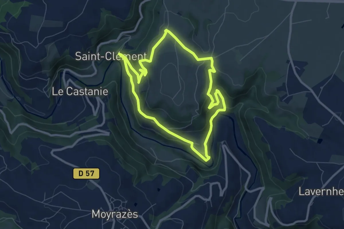
Medium · Trail
Circuit 4 Saint-Clément
6.9 km · ↑ 293 m · 2 h 22 min
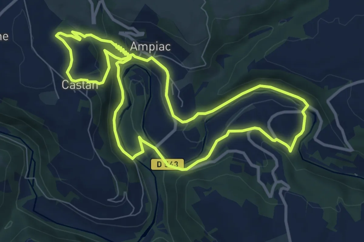
Easy · Trail
Circuit 5 Ampiac
7.6 km · ↑ 262 m · 2 h 28 min
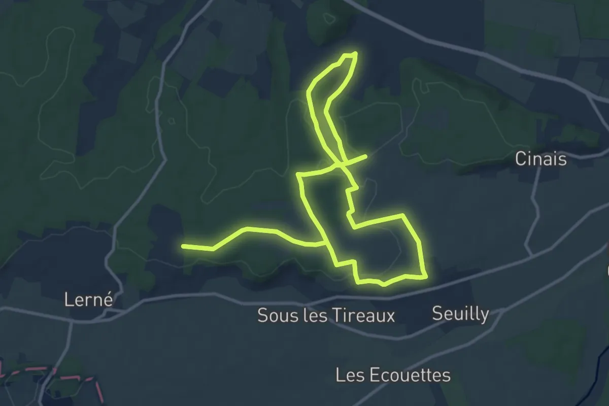
Demanding · Trail
Circuit 5km
18.0 km · ↑ 202 m · 4 h 42 min
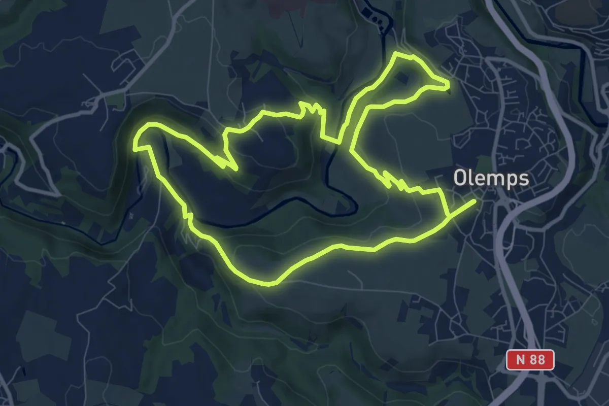
Medium · Trail
Circuit 6 Toizac
9.8 km · ↑ 282 m · 3 h 3 min
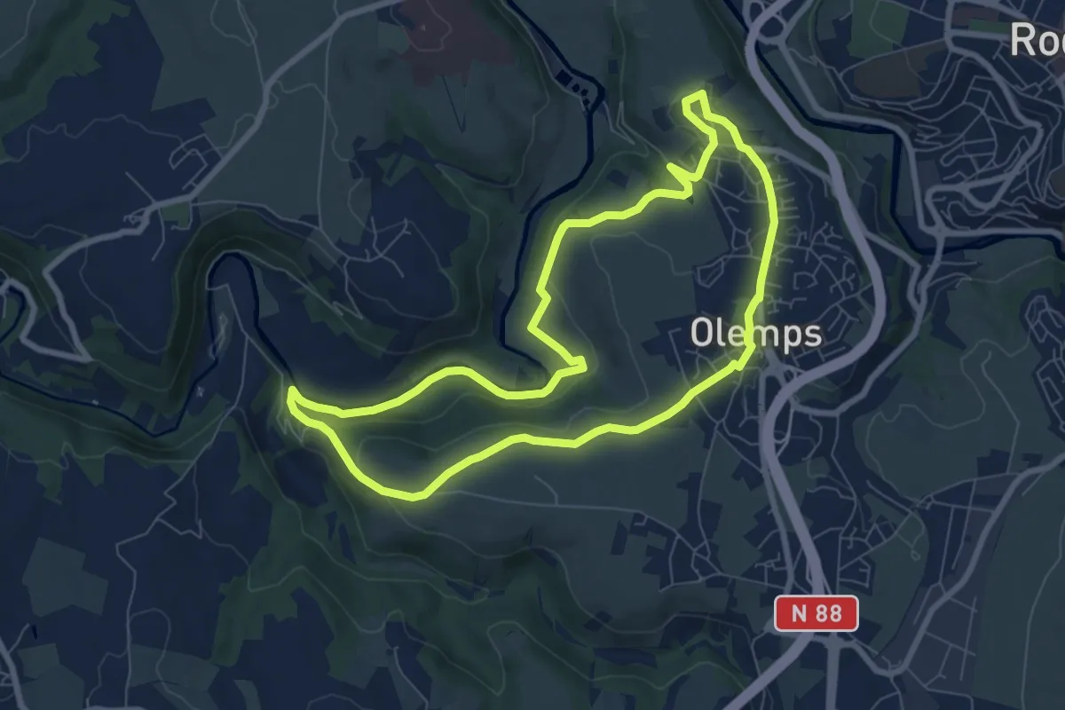
Easy · Trail
Circuit 7 Le Bois de Linars
8.0 km · ↑ 160 m · 2 h 21 min
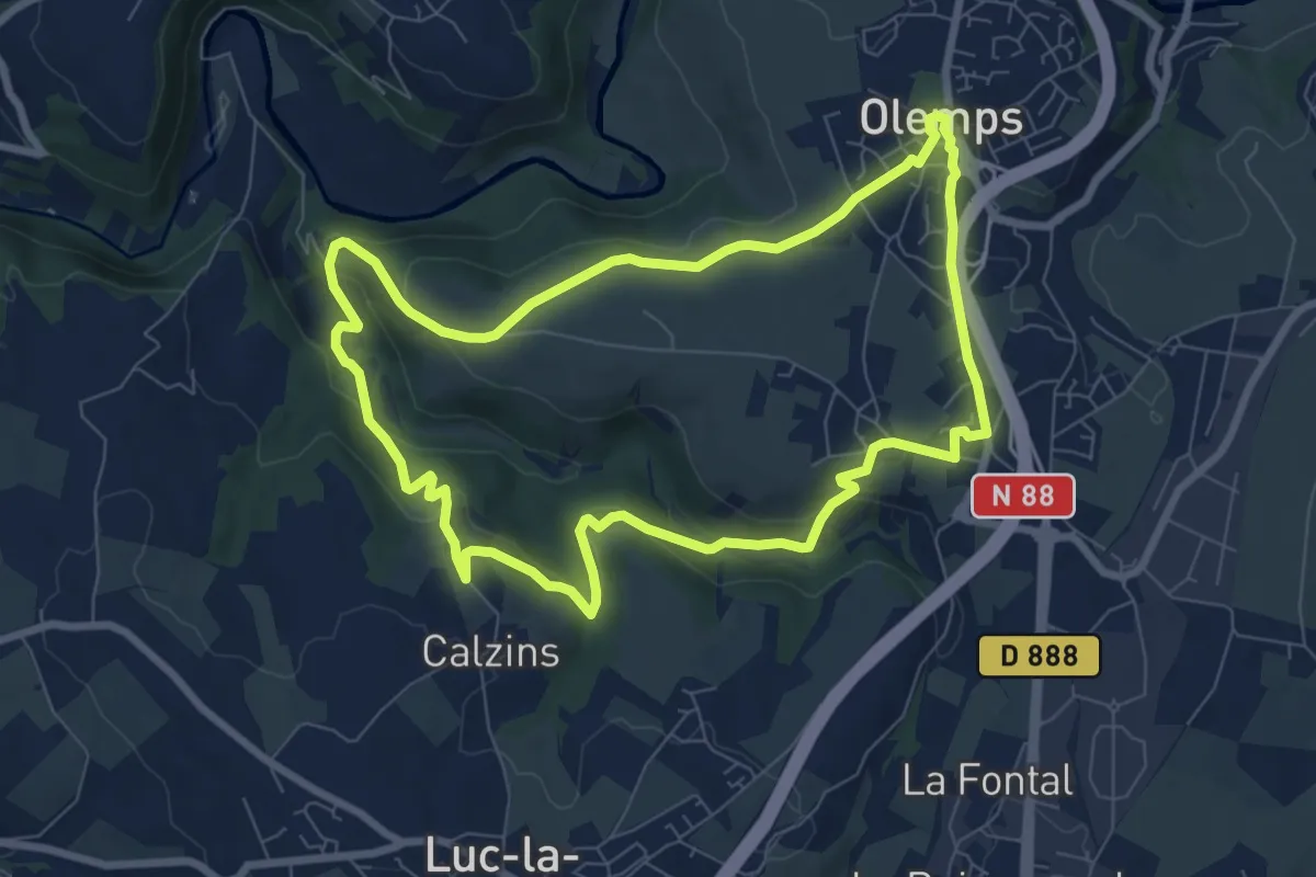
Medium · Trail
Circuit 8 La Briène
8.3 km · ↑ 215 m · 2 h 32 min
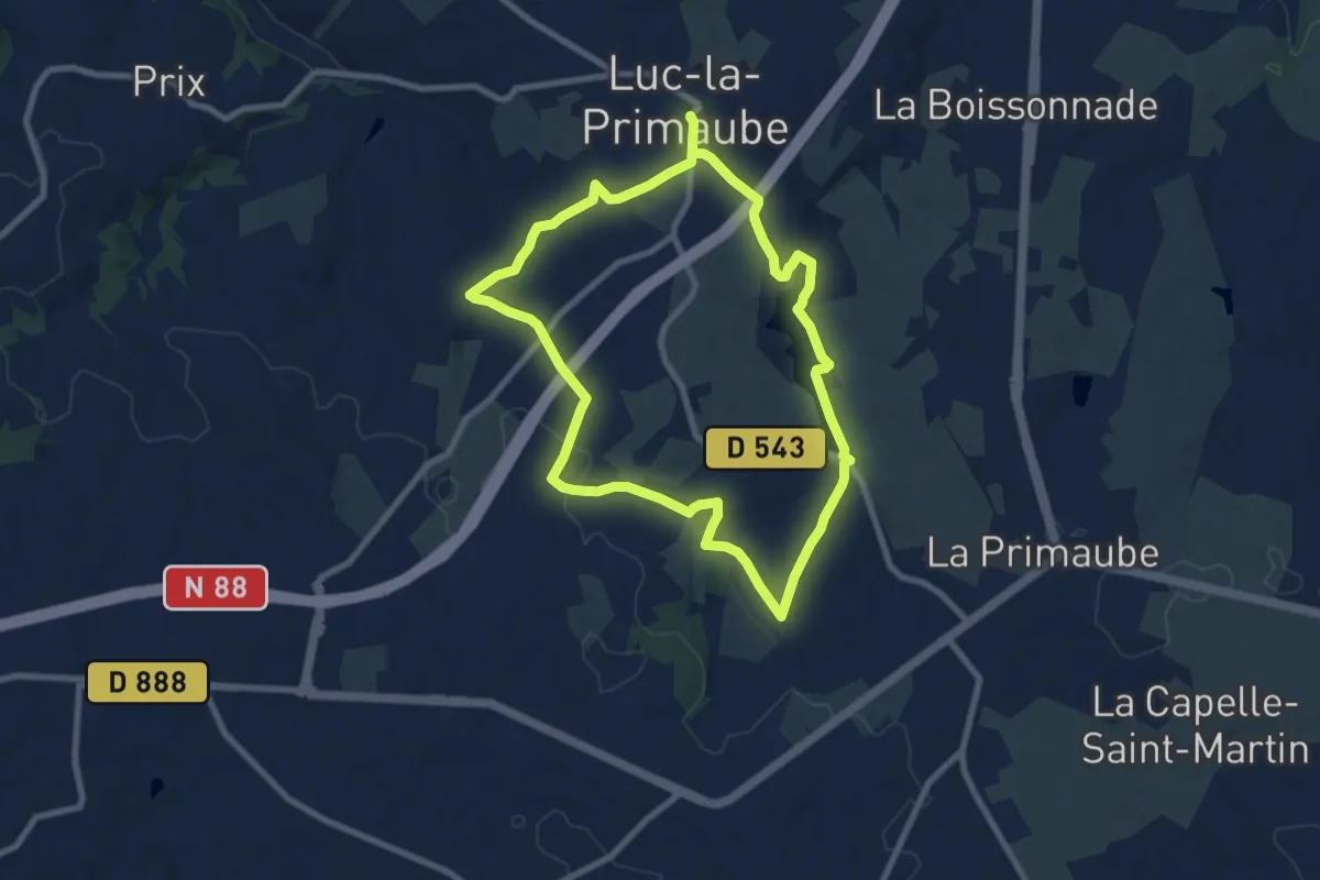
Medium · Trail
Circuit 9 Planèzes
8.4 km · ↑ 163 m · 2 h 27 min
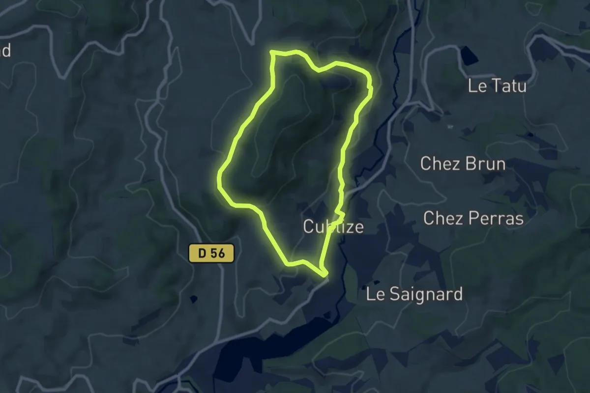
Easy · Trail
Circuit A
6.8 km · ↑ 222 m · 2 h 11 min
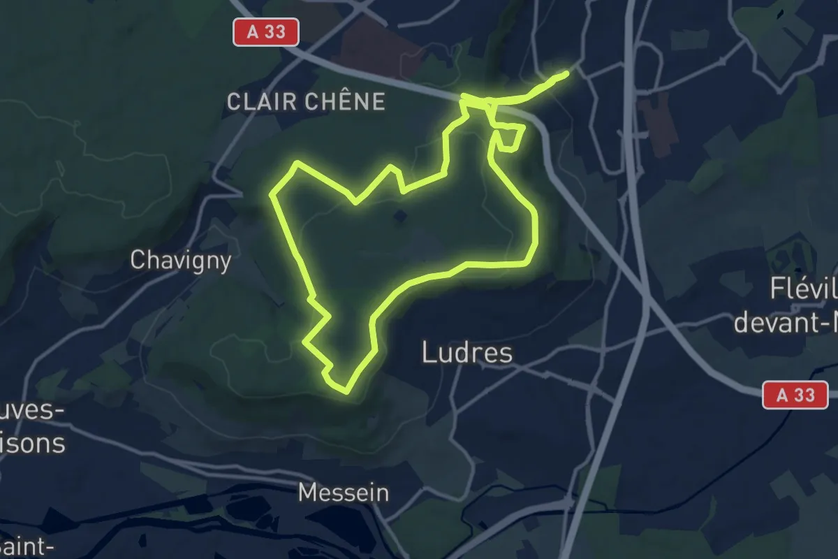
Medium · Trail
Circuit A
13.1 km · ↑ 204 m · 3 h 46 min
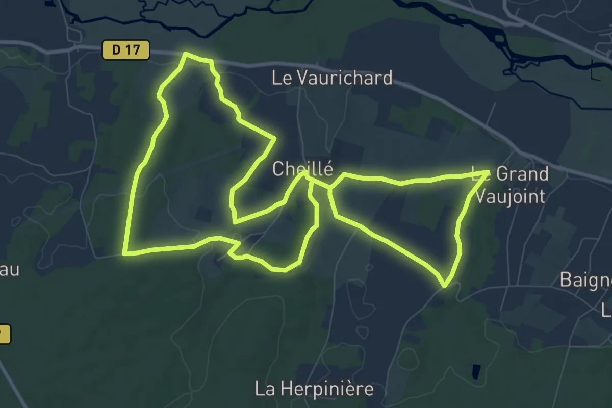
Medium · Trail
Circuit Agnès Sorel - Cheillé
9.6 km · ↑ 186 m · 2 h 49 min
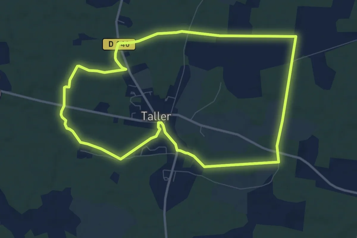
Medium · Trail
Circuit à la découverte de Lo Camin de Hé
9.5 km · ↑ 59 m · 2 h 30 min
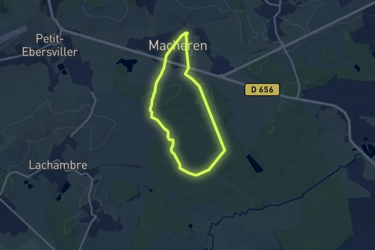
Easy · Trail
Circuit Alain Christophe
6.2 km · ↑ 100 m · 1 h 46 min
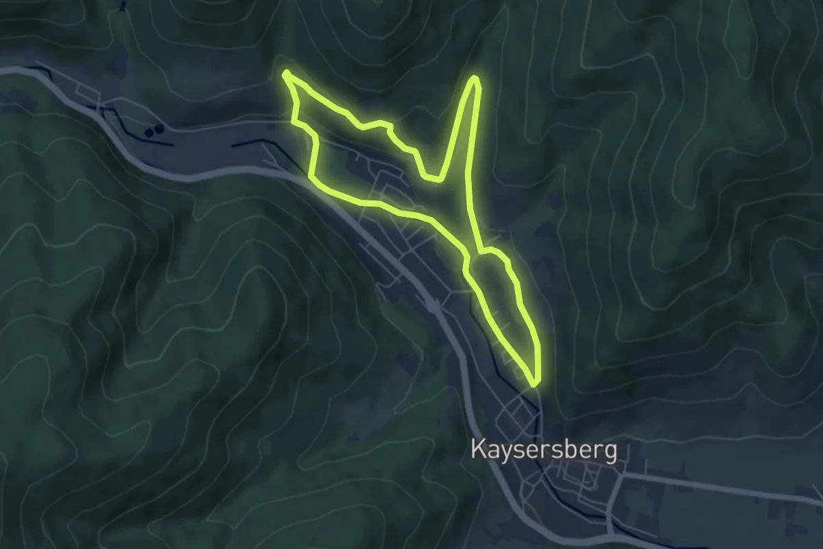
Easy · Trail
Circuit Alspach
5.6 km · ↑ 138 m · 1 h 41 min
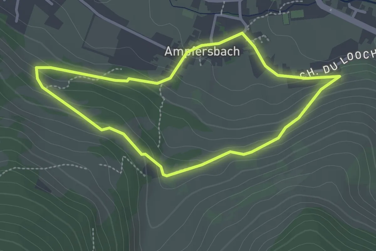
Easy · Trail
Circuit Ampfersbach
2.4 km · ↑ 94 m · 49 min
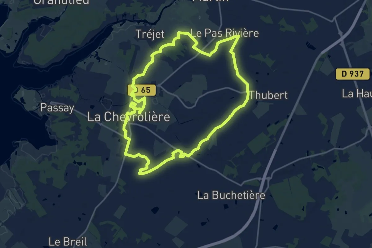
Medium · Trail
Circuit Aquaterra
14.8 km · ↑ 21 m · 3 h 44 min
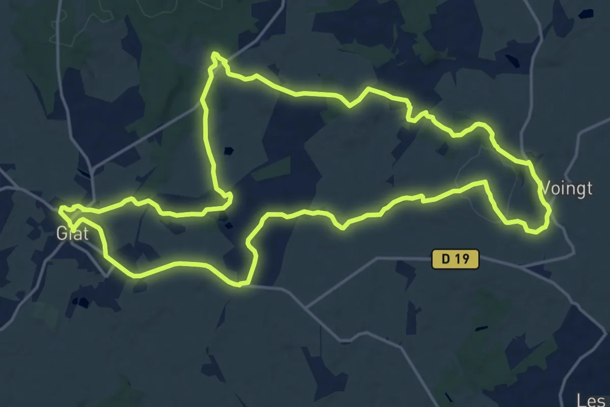
Medium · Trail
Circuit Archeologique
16.5 km · ↑ 228 m · 4 h 36 min
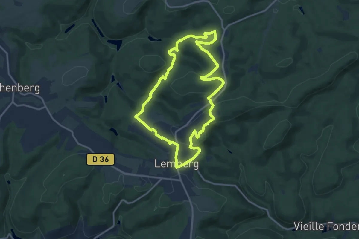
Medium · Summit
Circuit archéologique
8.6 km · ↑ 251 m · 2 h 42 min
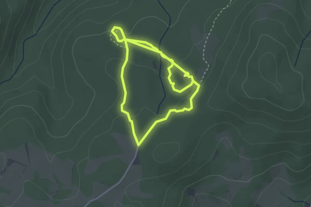
Easy · Trail
Circuit Archéologique de Cucuruzzu et Capula
5.9 km · ↑ 128 m · 1 h 41 min
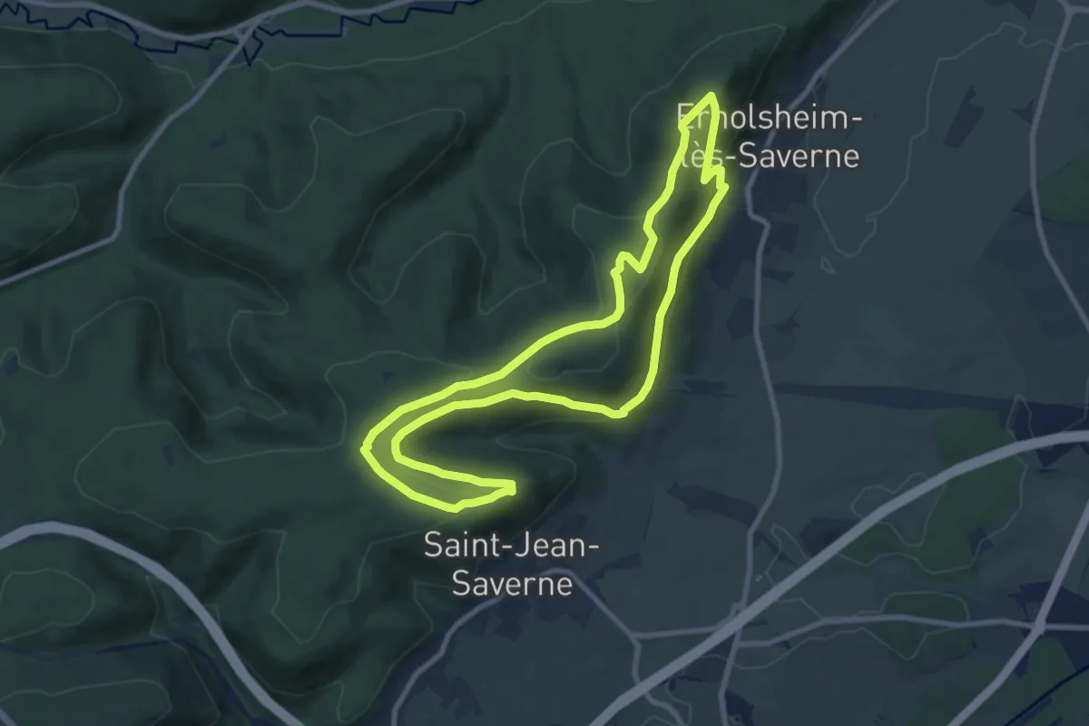
Medium · Trail
Circuit Archéologique d'Ernolsheim-lès-Saverne
8.7 km · ↑ 277 m · 2 h 46 min
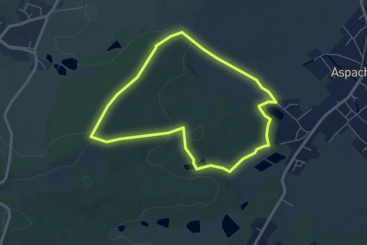
Easy · Trail
Circuit Aspach-le-Haut
4.4 km · ↑ 85 m · 1 h 16 min
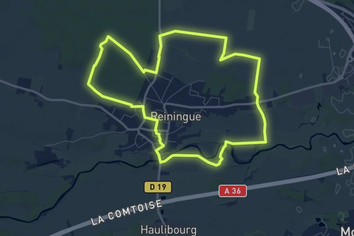
Medium · Trail
Circuit Au fil de l’eau
8.2 km · ↑ 25 m · 2 h 7 min
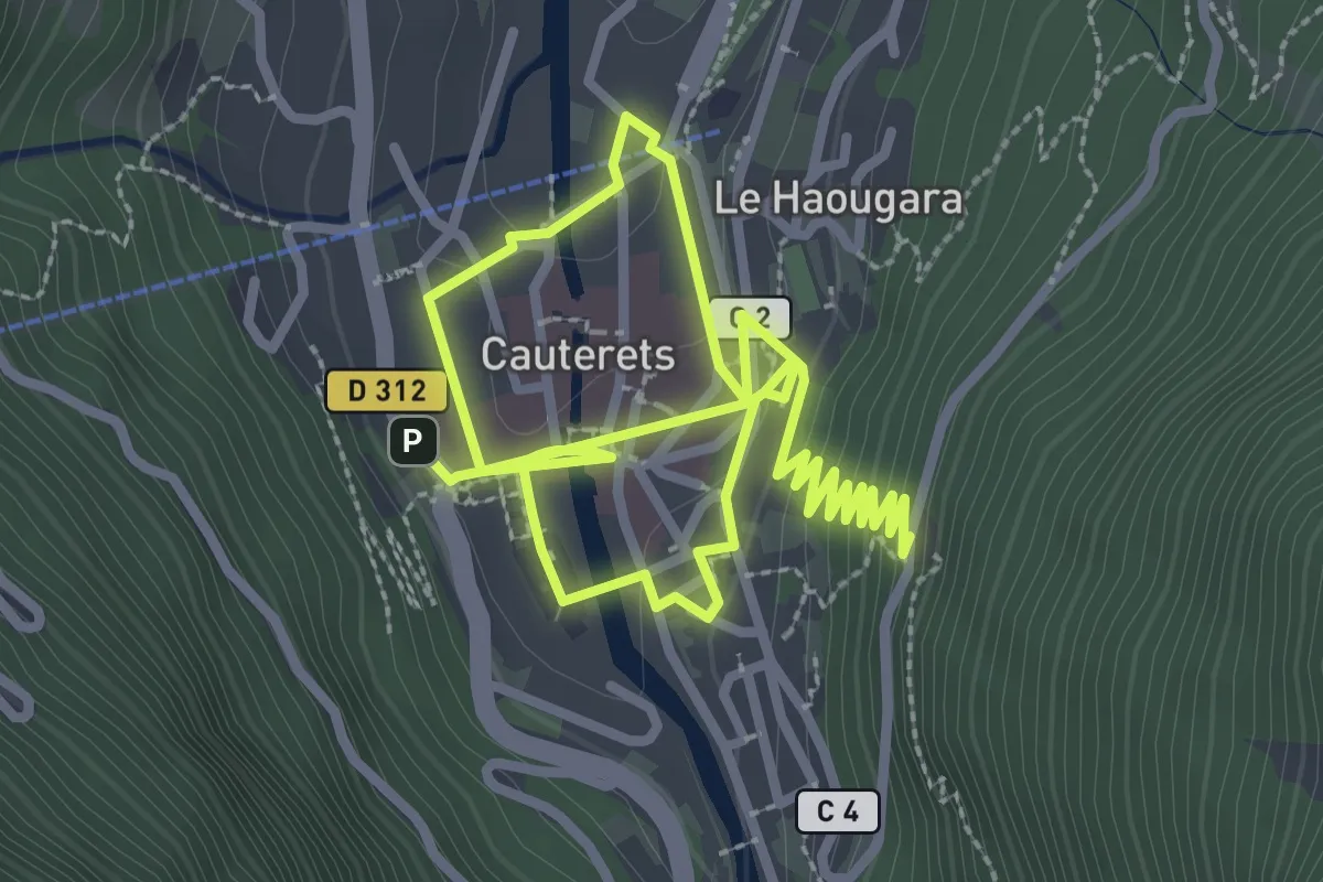
Easy · Trail
Circuit au fil du temps
5.8 km · ↑ 188 m · 1 h 46 min
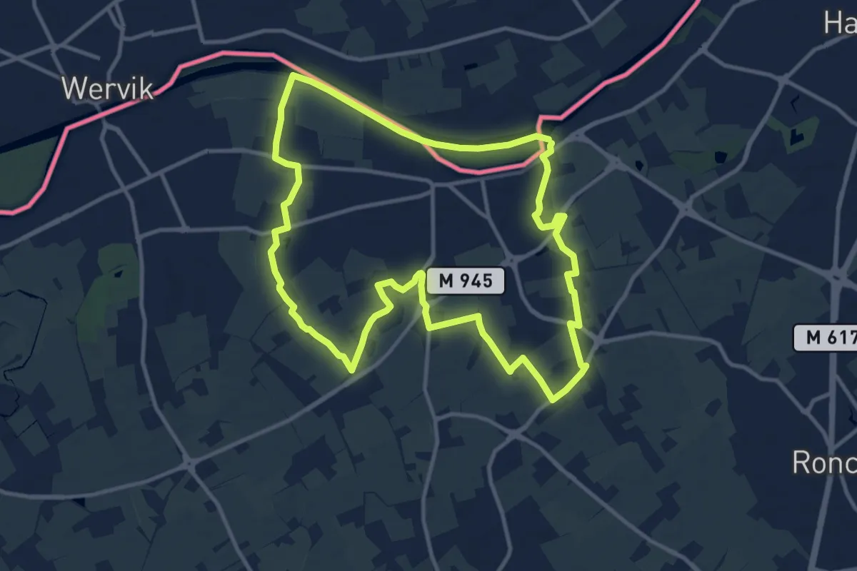
Medium · Trail
Circuit Auger de Bousbecque
10.5 km · ↑ 47 m · 2 h 43 min
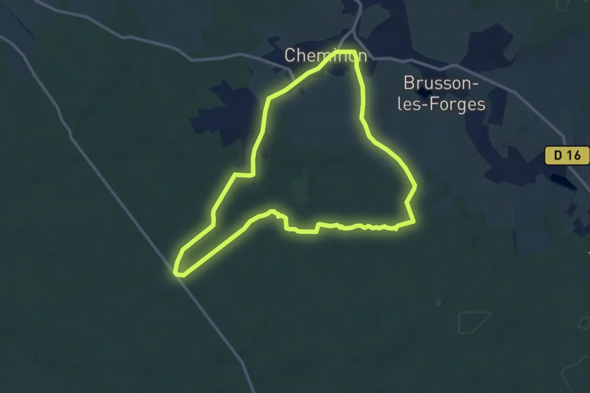
Medium · Trail
Circuit autour de Cheminon
8.3 km · ↑ 93 m · 2 h 16 min
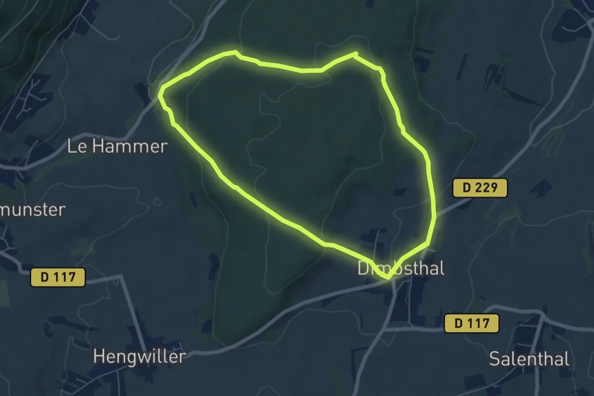
Medium · Trail
Circuit "Autour de Dimbsthal"
12.9 km · ↑ 382 m · 3 h 52 min
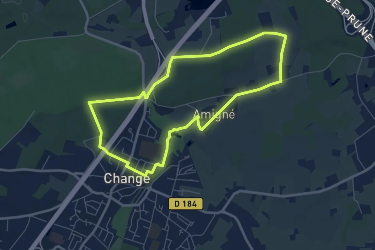
Easy · Trail
Circuit autour du Bois Clos
5.8 km · ↑ 66 m · 1 h 35 min
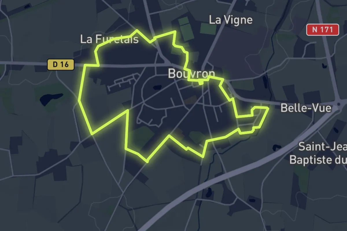
Easy · Trail
Circuit Autour du Bourg
4.9 km · ↑ 8 m · 1 h 14 min
Easy · Trail
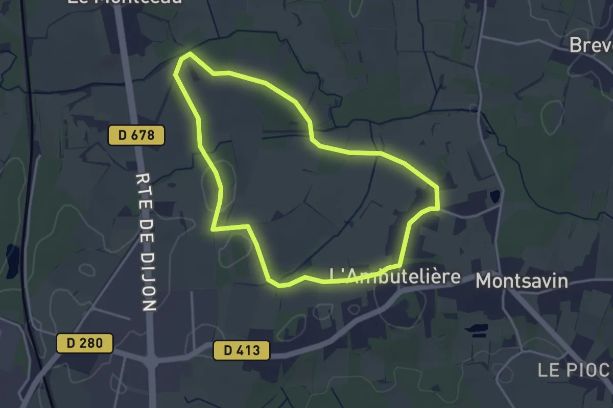
Circuit B
3.2 km · ↑ 23 m · 51 min
Medium · Trail
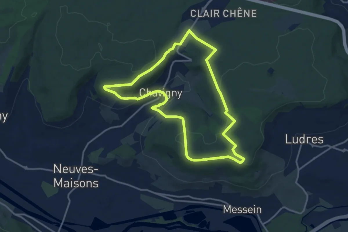
Circuit B
9.3 km · ↑ 167 m · 2 h 42 min
Easy · Trail
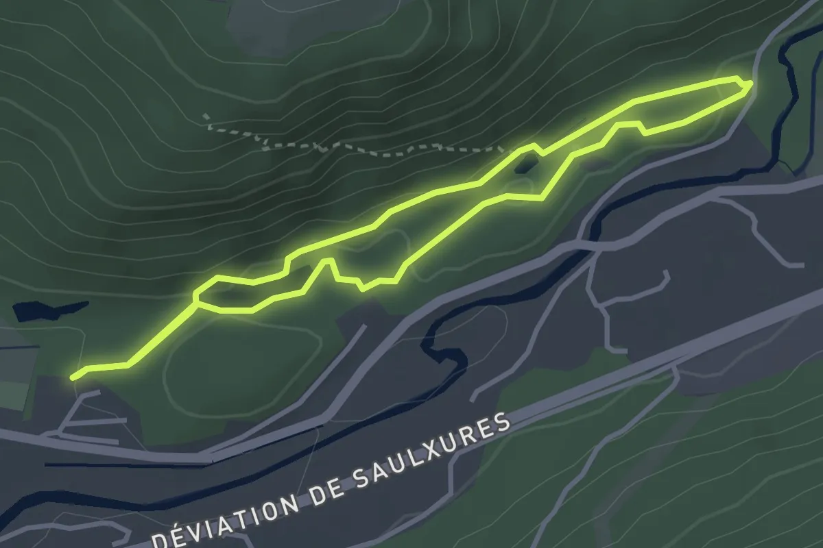
Circuit Bâmont
3.0 km · ↑ 69 m · 54 min
Demanding · Summit
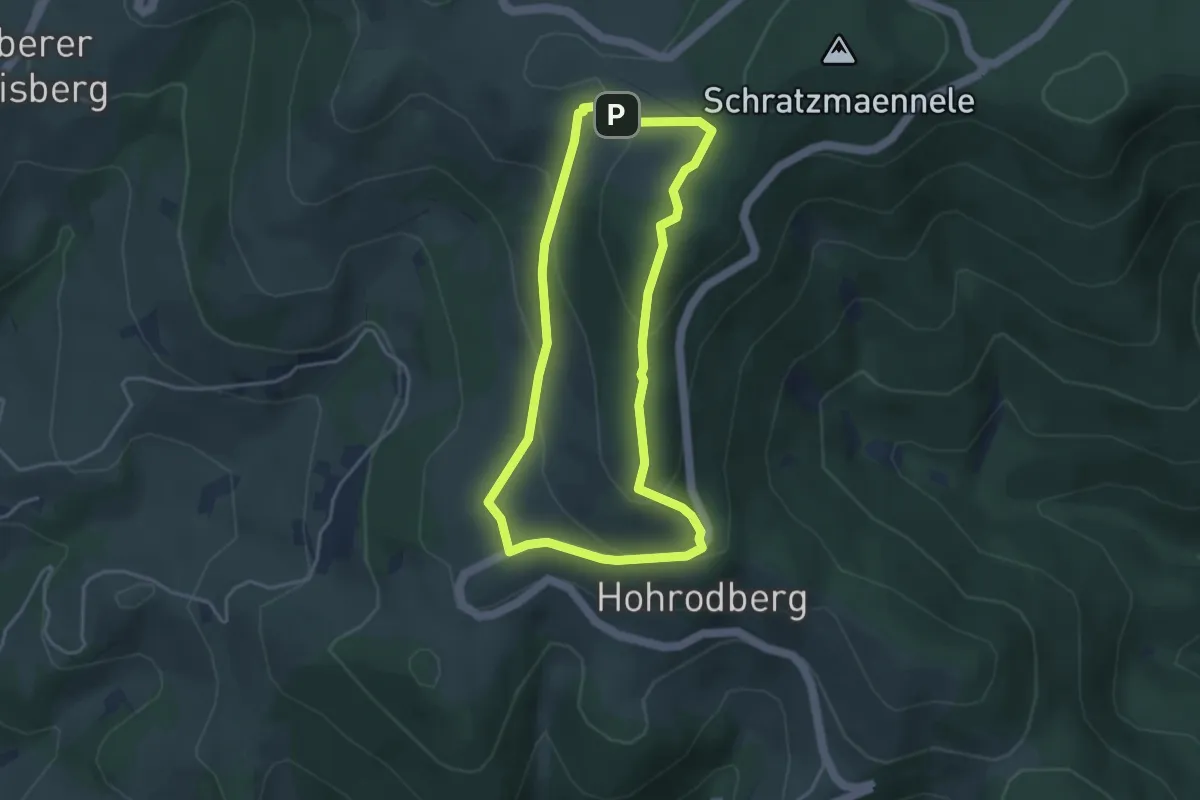
Circuit Barrenkopf
3.5 km · ↑ 162 m · 1 h 14 min
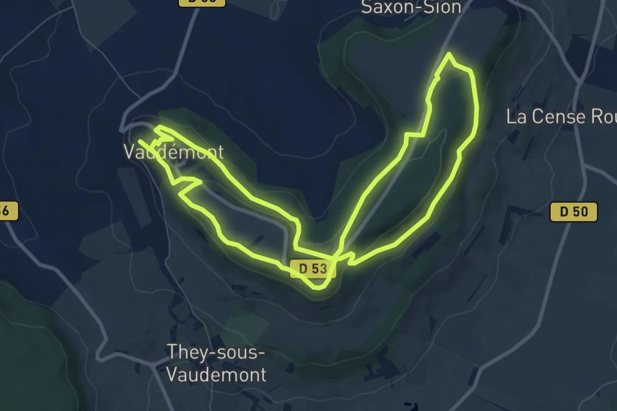
Medium · Summit
Circuit Barrès - Brunehaut
8.1 km · ↑ 159 m · 2 h 23 min
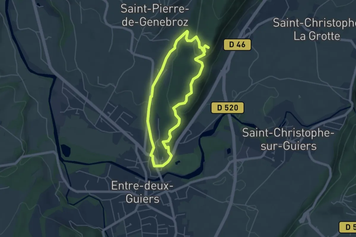
Easy · Trail
Circuit Béatrice de Savoie
4.2 km · ↑ 136 m · 1 h 21 min
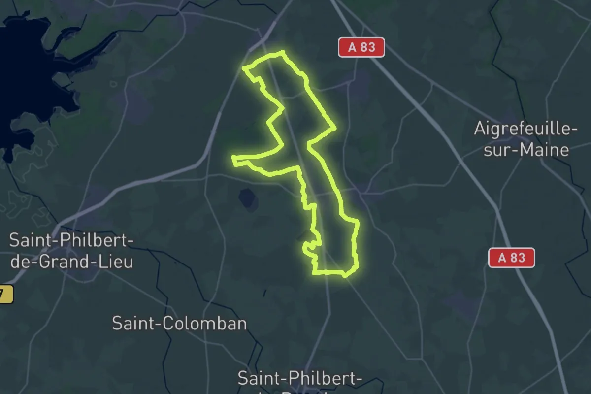
Demanding · Trail
Circuit Blanc
30.6 km · ↑ 42 m · 7 h 44 min
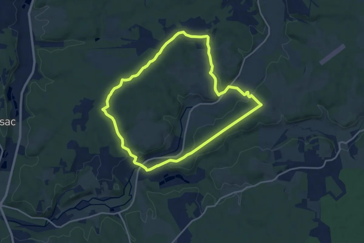
Medium · Trail
Circuit bleu
10.8 km · ↑ 191 m · 3 h 7 min