Trails in France
15,906 hiking trails, each with its route, climb, walking time and grade.
All trails, page 49 of 332
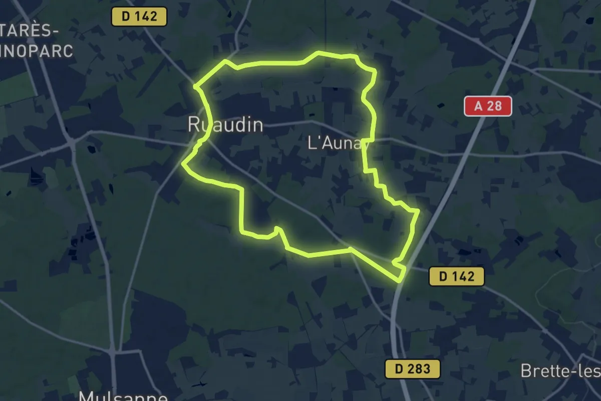
Medium · Trail
Circuit bleu
13.0 km · ↑ 53 m · 3 h 22 min
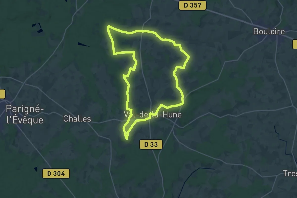
Demanding · Trail
Circuit bleu
21.0 km · ↑ 201 m · 5 h 41 min
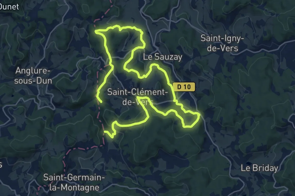
Medium · Trail
Circuit Bleu
15.0 km · ↑ 469 m · 4 h 46 min
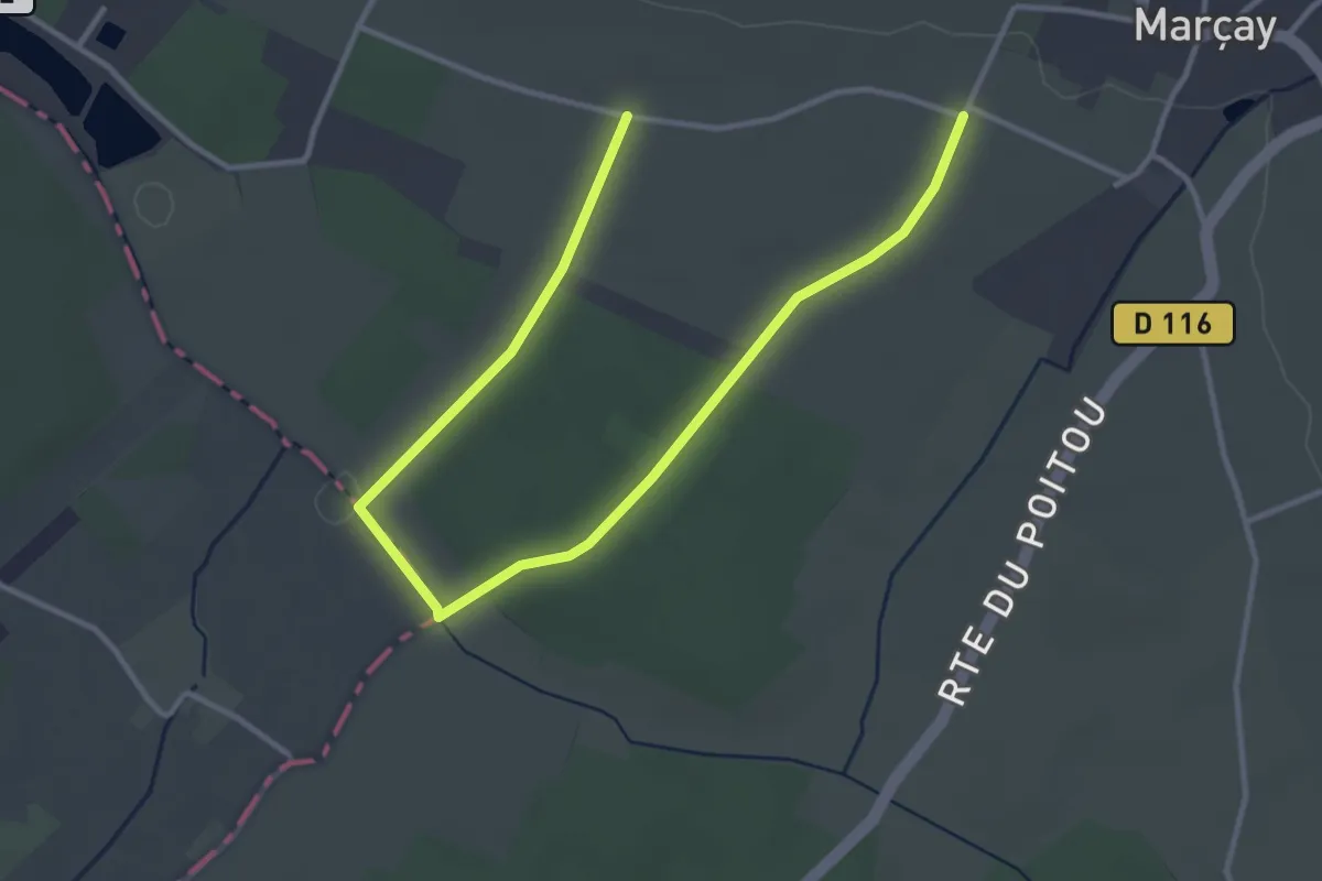
Easy · Trail
Circuit Bleu
4.6 km · ↑ 40 m · 1 h 10 min
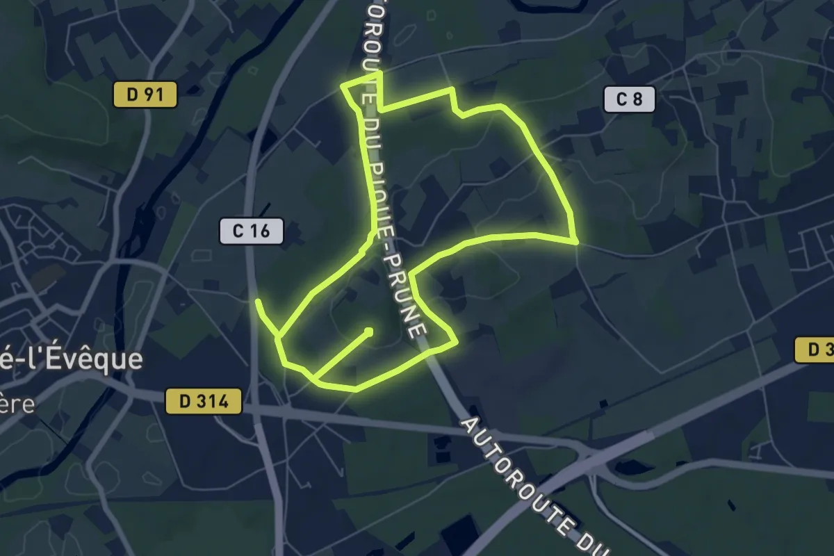
Easy · Trail
Circuit Bleu
6.8 km · ↑ 241 m · 2 h 14 min
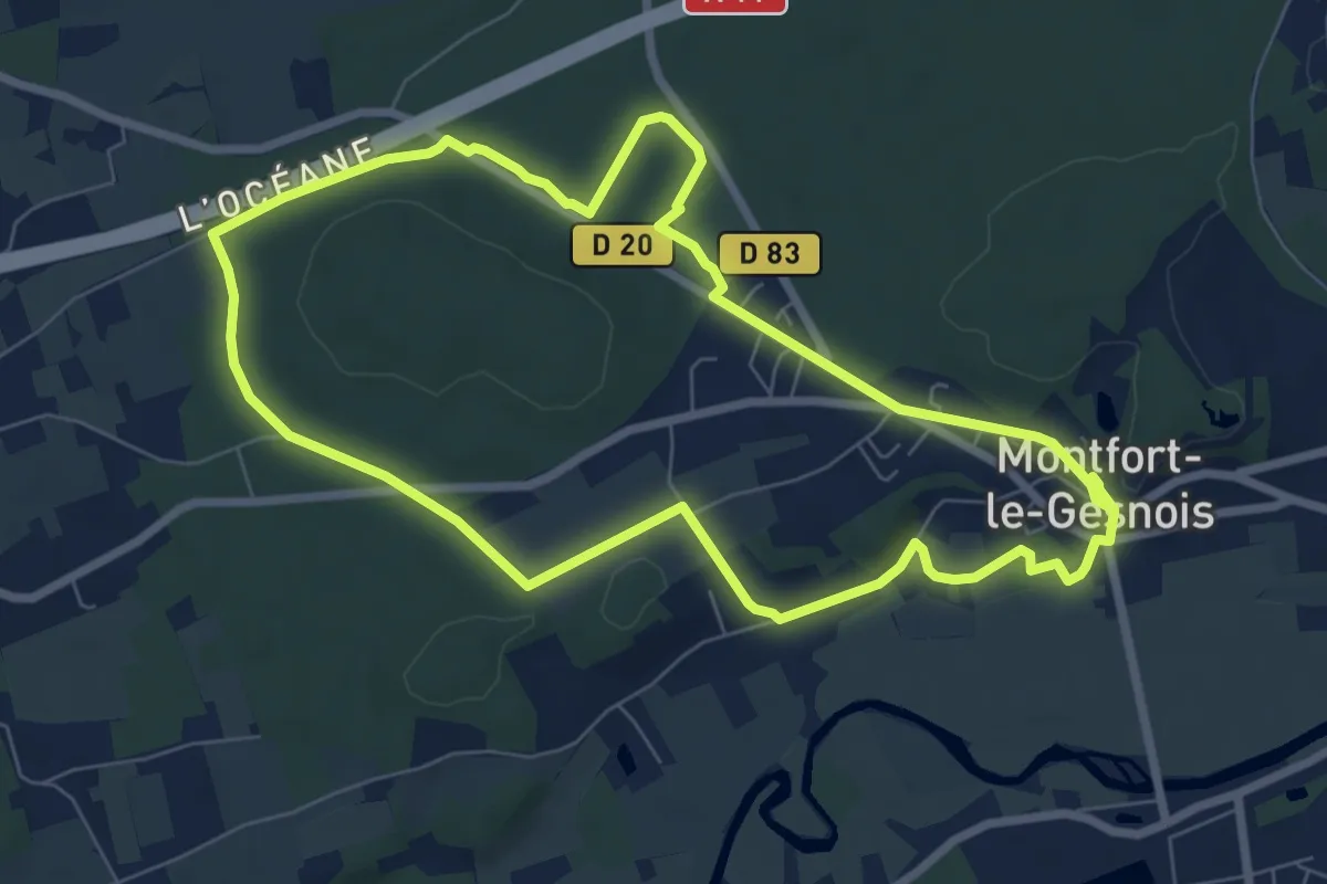
Easy · Trail
Circuit Bleu
7.3 km · ↑ 66 m · 1 h 58 min
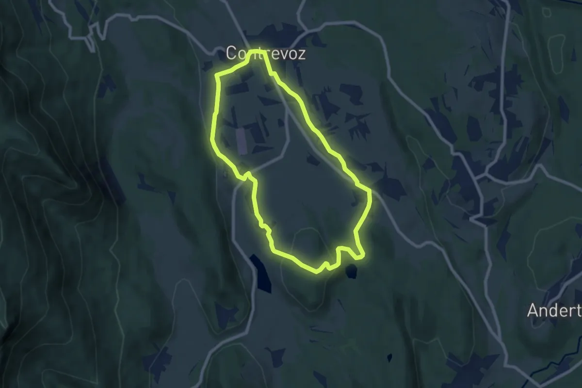
Easy · Trail
Circuit bleu 7 km de Contrevoz
6.5 km · ↑ 94 m · 1 h 50 min
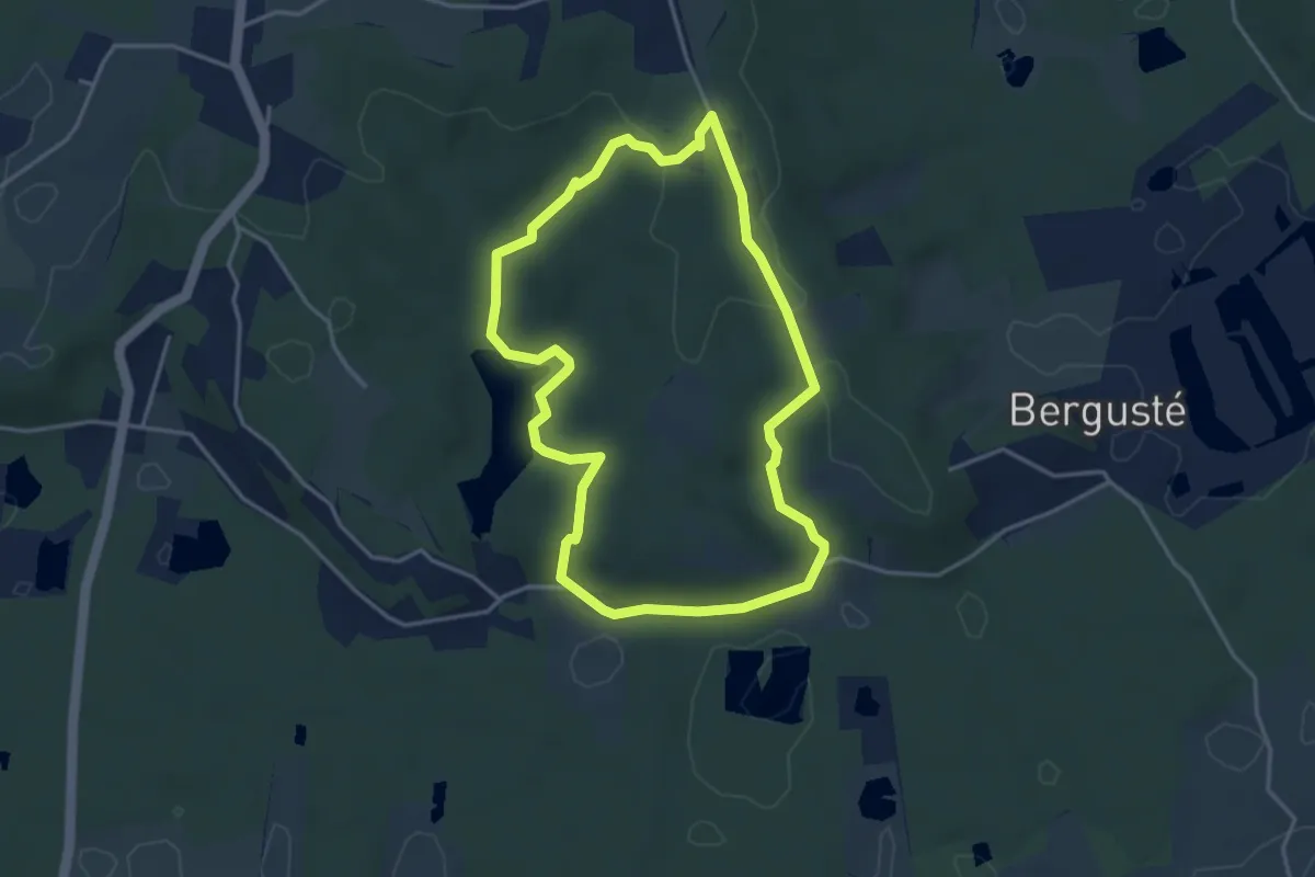
Easy · Trail
circuit_bleu_coteaux_barthes_smsx
3.9 km · ↑ 65 m · 1 h 7 min
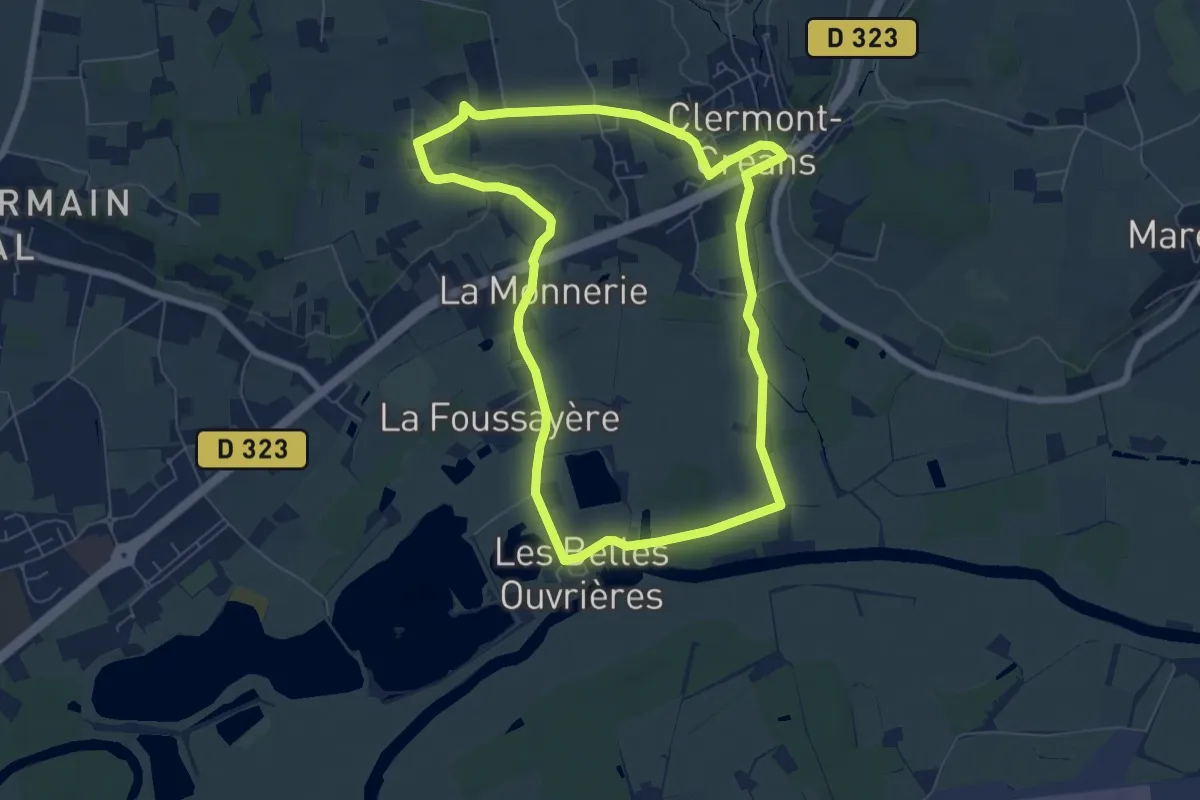
Easy · Trail
Circuit bleu de Clermont-Créans
6.8 km · ↑ 59 m · 1 h 49 min
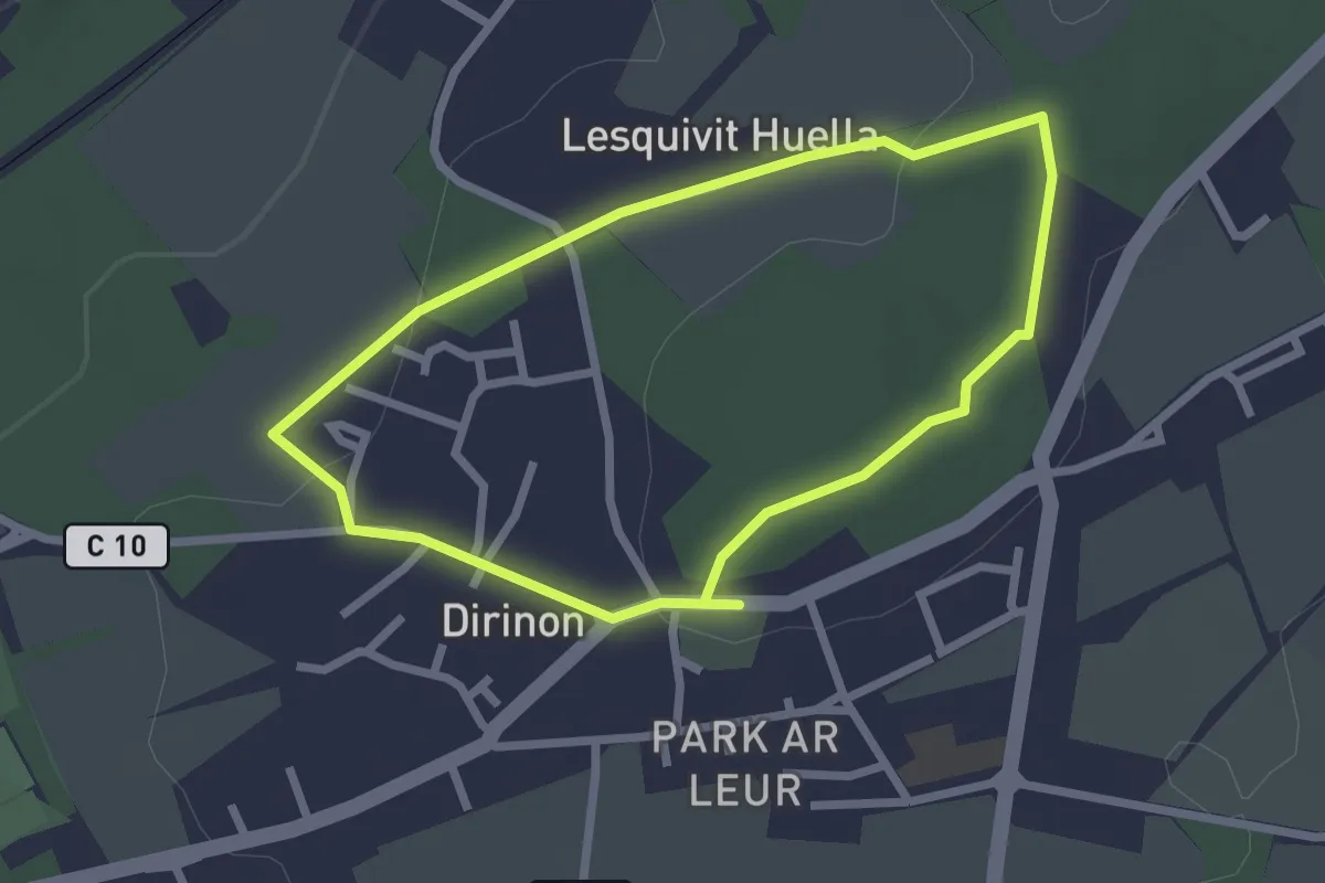
Easy · Trail
Circuit bleu des Terres de Roual
2.2 km · ↑ 38 m · 37 min
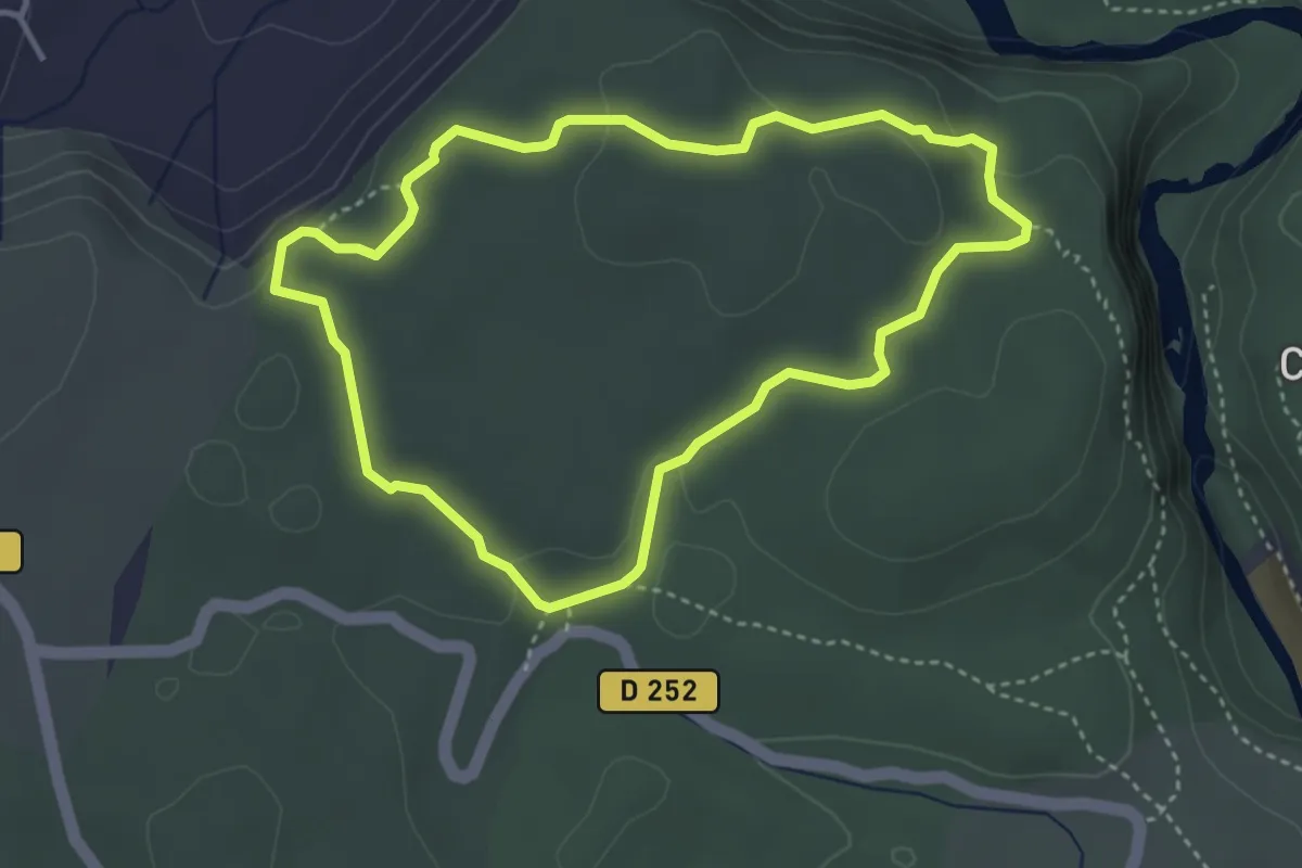
Medium · Trail
Circuit bleu de St. Eugéne
3.7 km · ↑ 95 m · 1 h 7 min
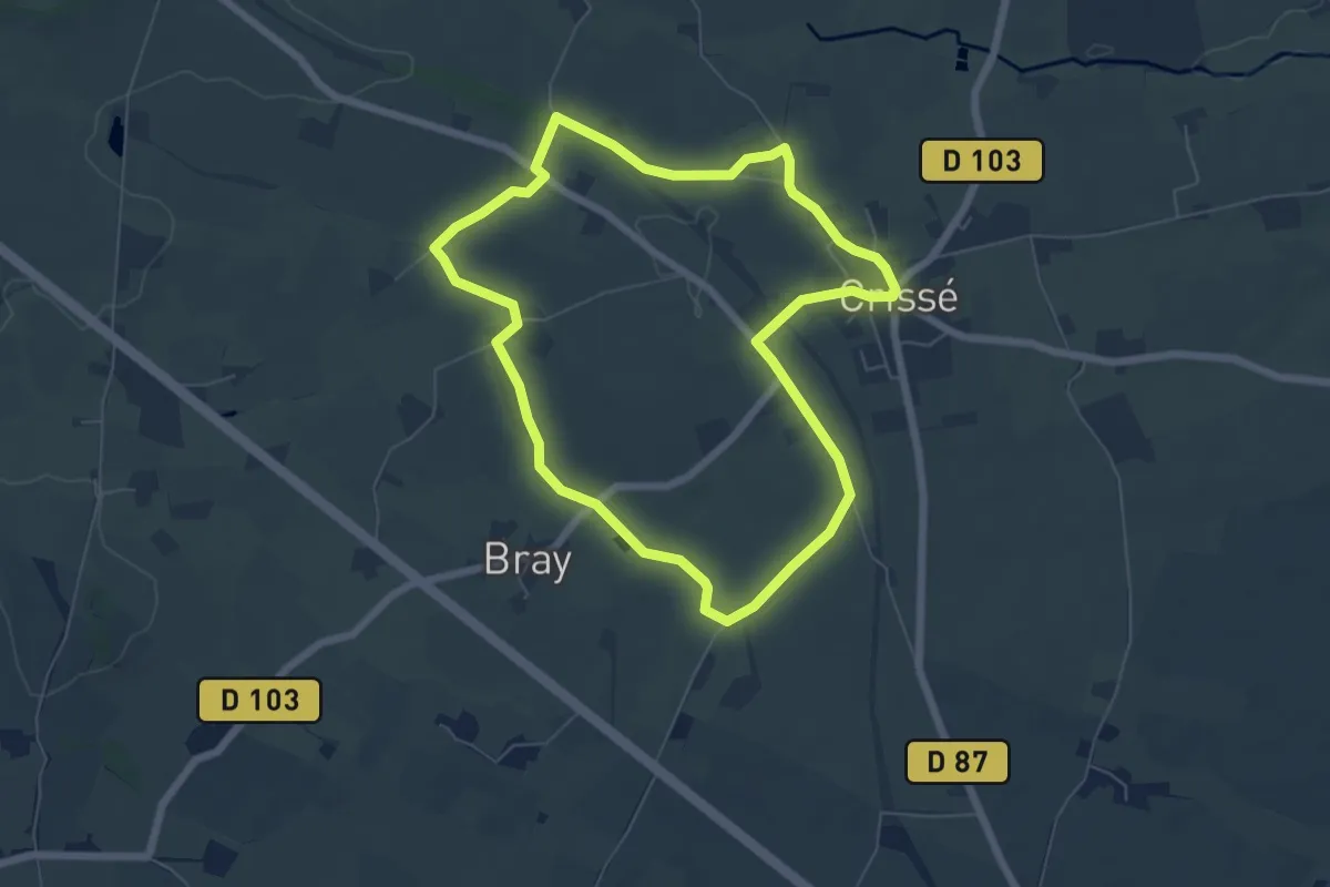
Easy · Trail
Circuit bocage et champagne
5.9 km · ↑ 40 m · 1 h 34 min
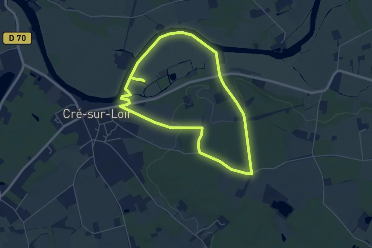
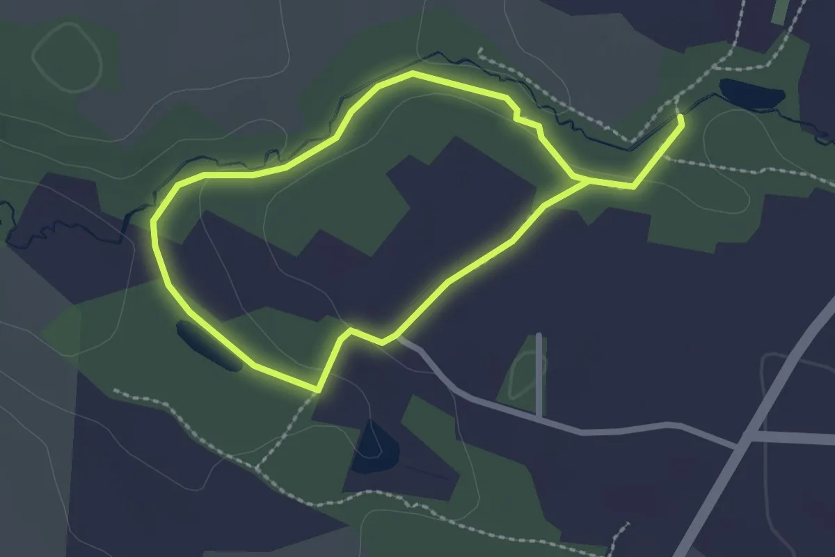
Easy · Trail
Circuit Bois et marais
5.0 km · ↑ 46 m · 1 h 21 min
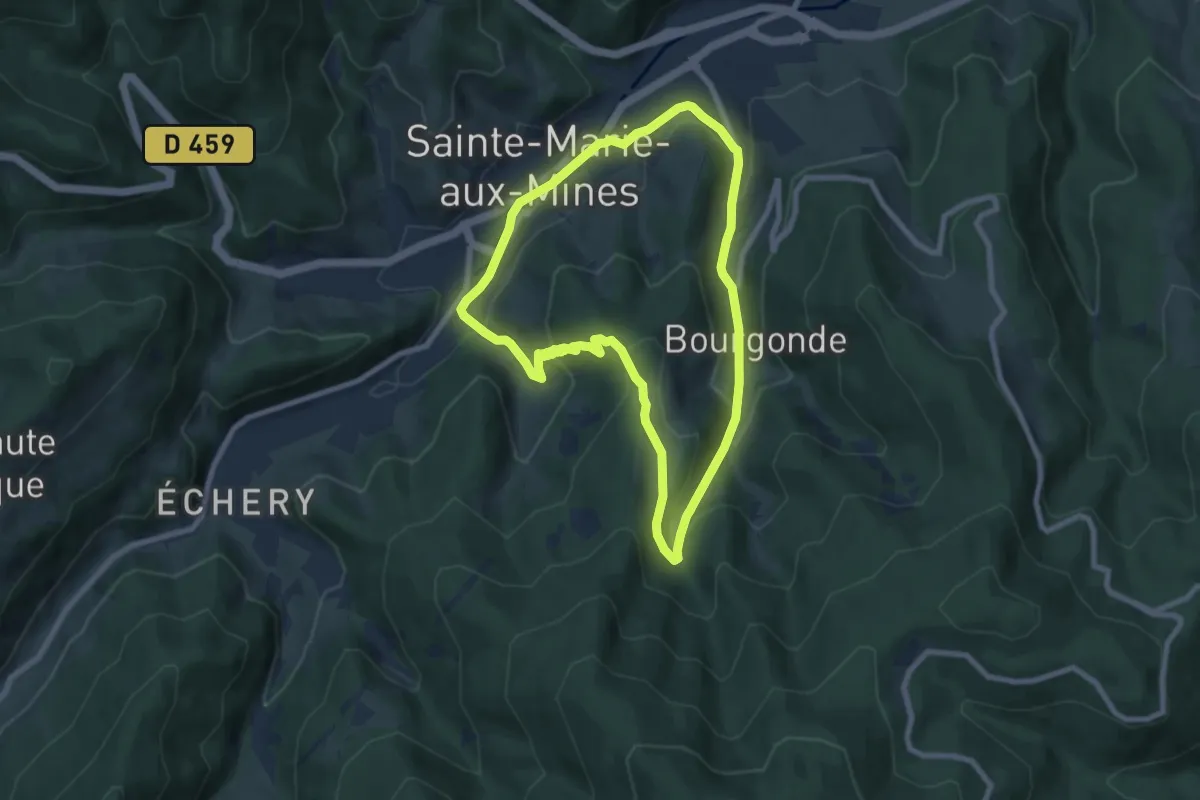
Easy · Trail
Circuit Botanique
3.8 km · ↑ 43 m · 59 min
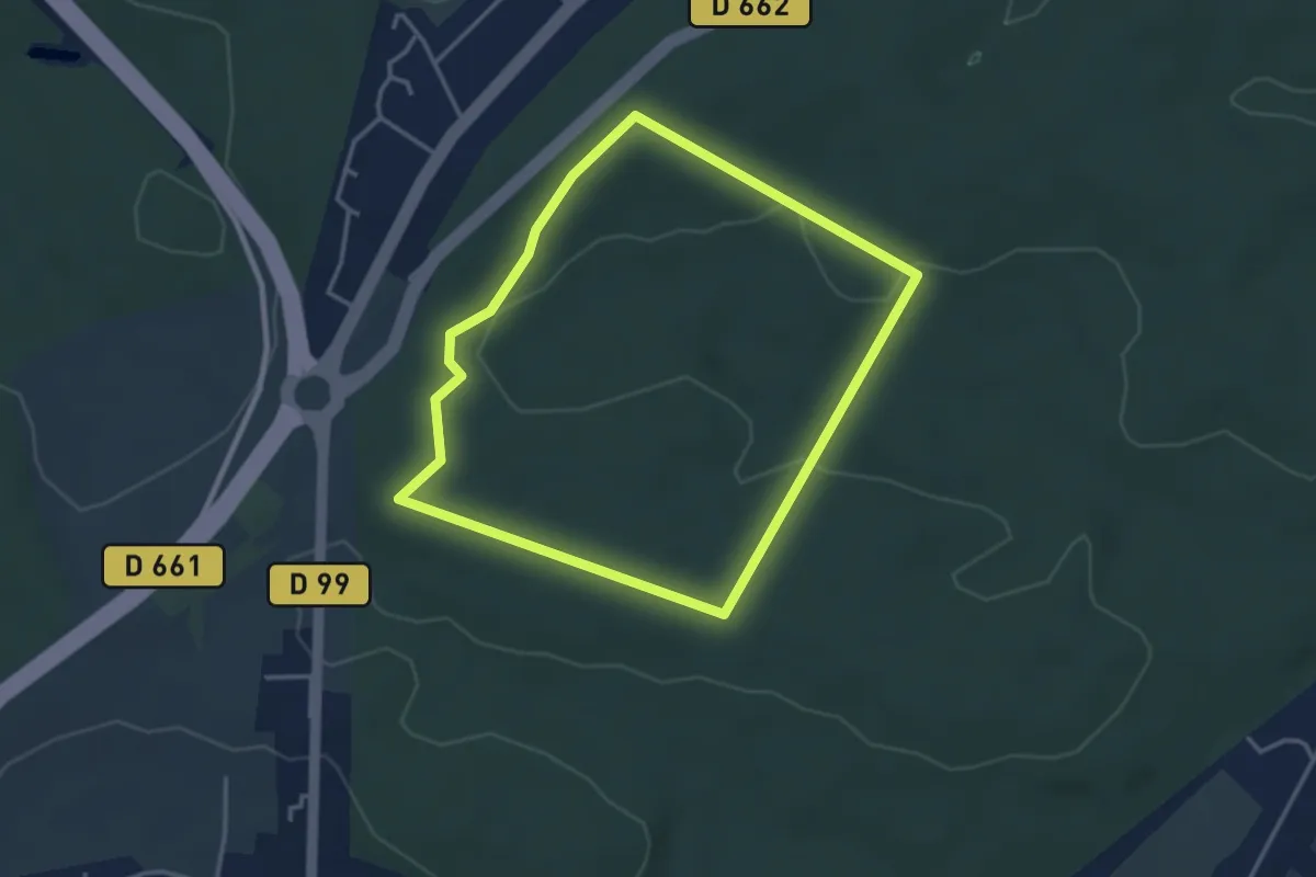
Easy · Trail
Circuit Bourgonde
7.2 km · ↑ 272 m · 2 h 23 min
Easy · Trail
Circuit Buchholz
3.2 km · ↑ 66 m · 56 min
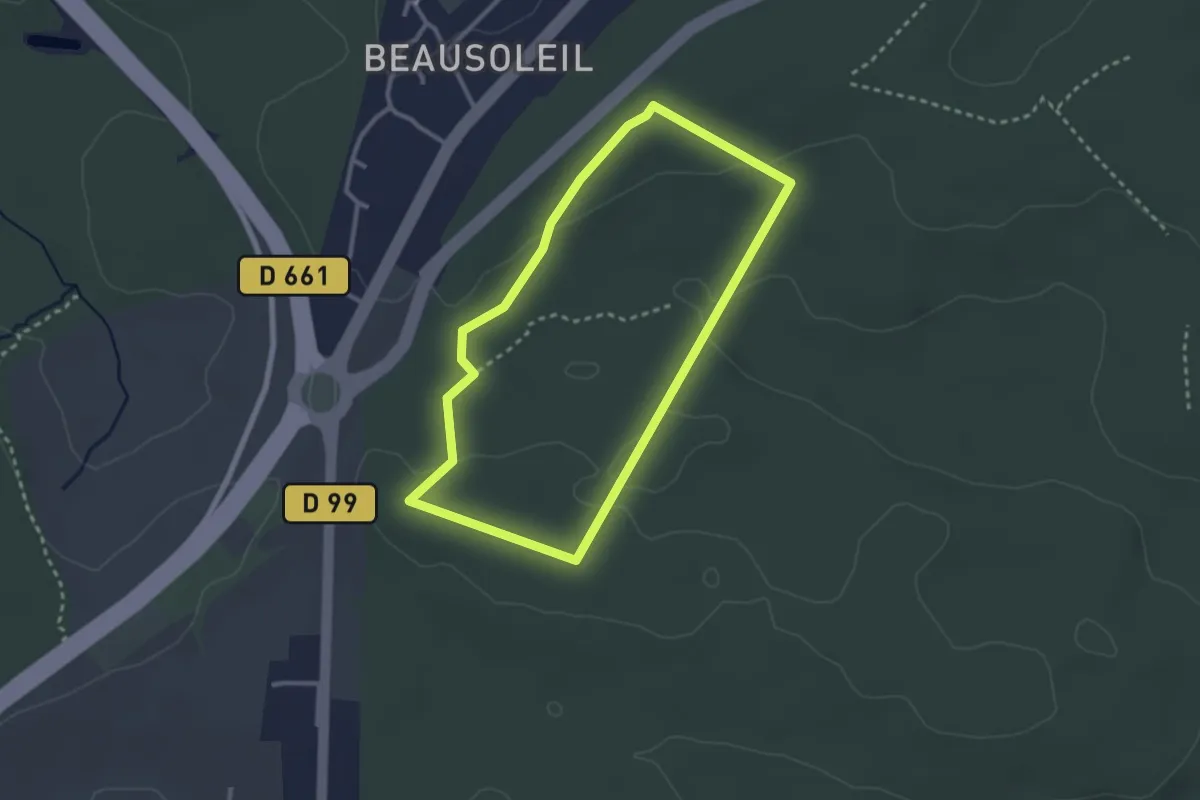
Easy · Trail
Circuit Buchholz
2.5 km · ↑ 48 m · 44 min
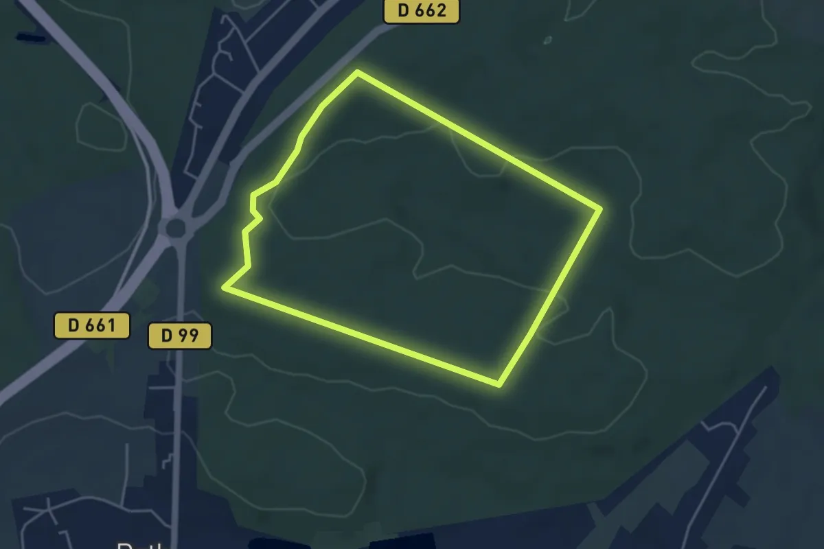
Easy · Trail
Circuit Buchholz
3.8 km · ↑ 56 m · 1 h 4 min
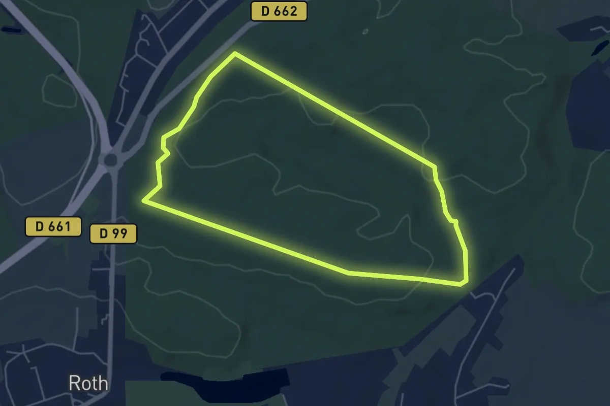
Easy · Trail
Circuit Buchholz
4.7 km · ↑ 78 m · 1 h 20 min
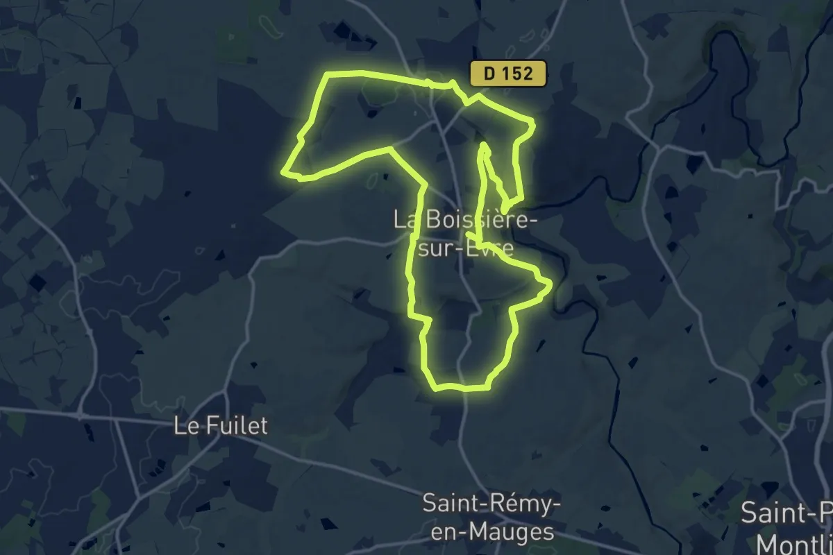
Medium · Trail
Circuit Buis à la Trézenne
15.0 km · ↑ 167 m · 4 h 7 min
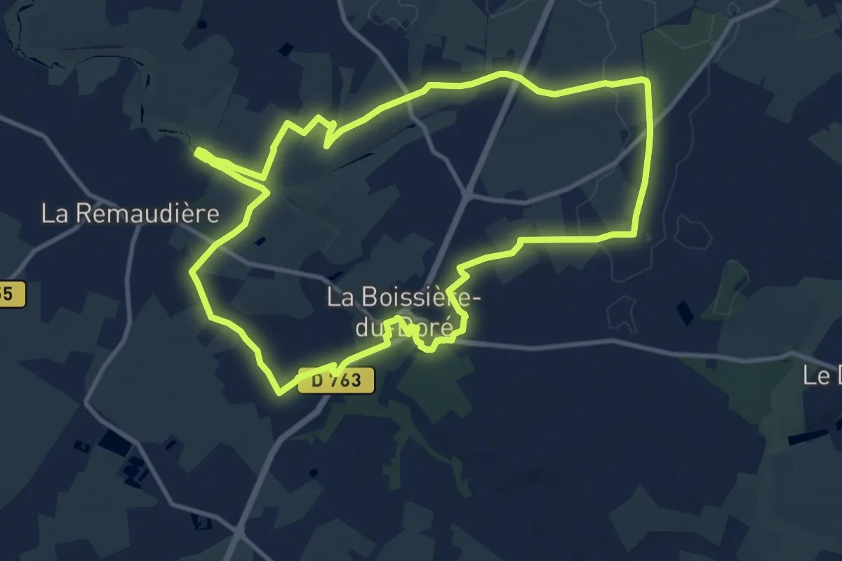
Medium · Trail
Circuit Buissonnier
10.8 km · ↑ 83 m · 2 h 53 min
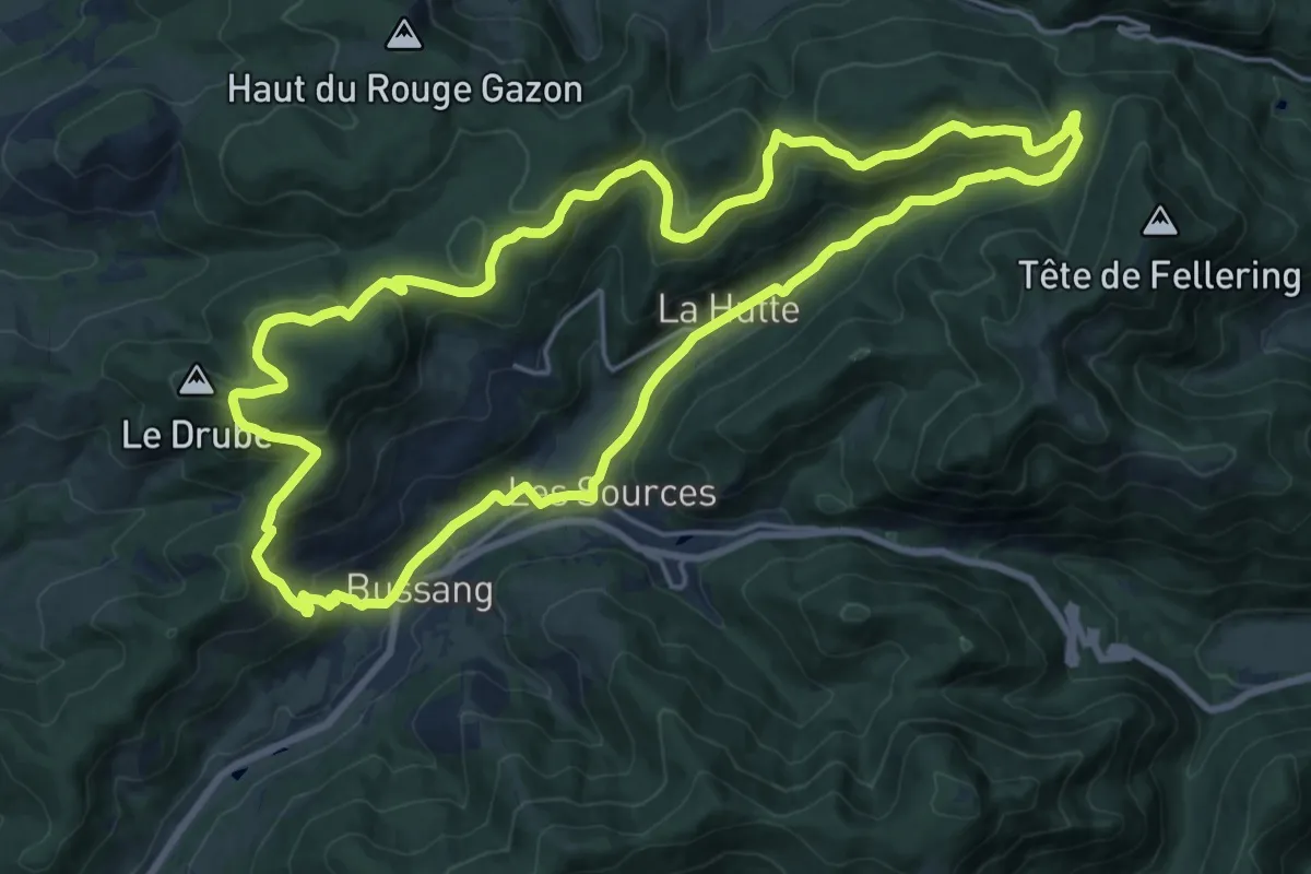
Demanding · Trail
Circuit Bussang - Col du Page
19.4 km · ↑ 644 m · 6 h 15 min
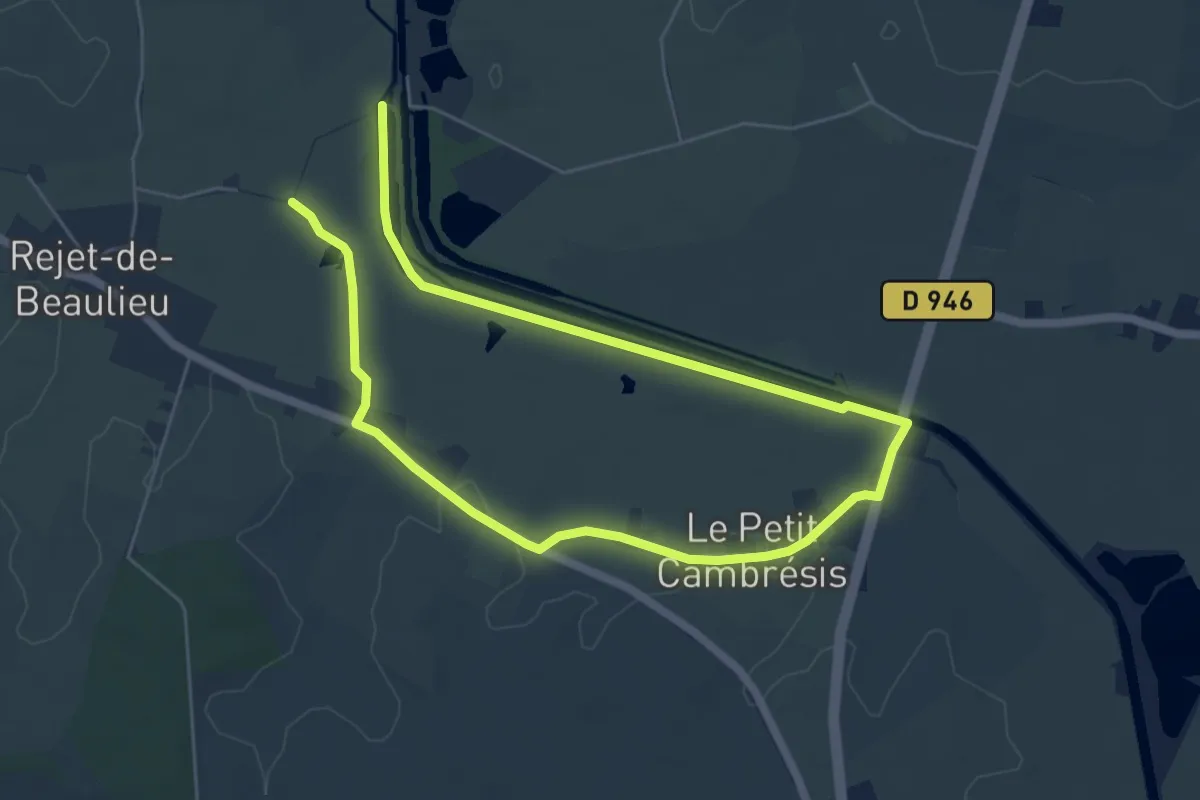
Medium · Trail
Circuit Canal Sambre à l'Oise
8.9 km · ↑ 21 m · 2 h 9 min
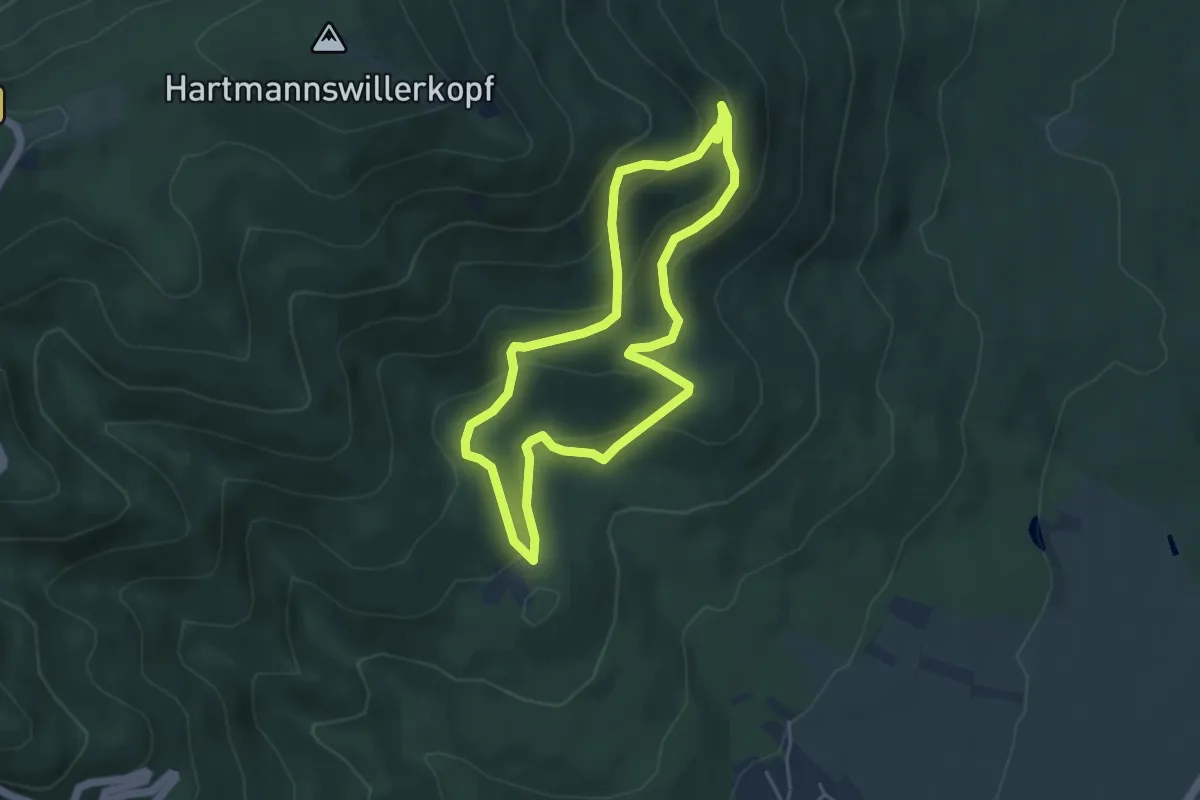
Easy · Trail
Circuit cantine Zeller
4.1 km · ↑ 226 m · 1 h 31 min
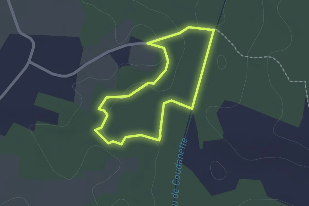
Easy · Trail
circuit_cassou_hourn_sasx
1.5 km · ↑ 20 m · 25 min
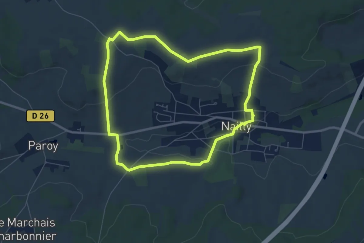
Easy · Trail
Circuit central C
6.2 km · ↑ 109 m · 1 h 47 min
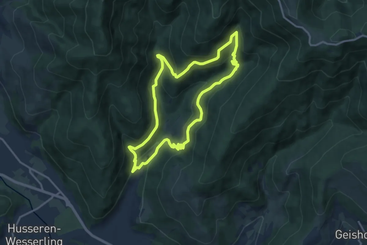
Medium · Trail
Circuit Chaillot
7.9 km · ↑ 420 m · 2 h 53 min
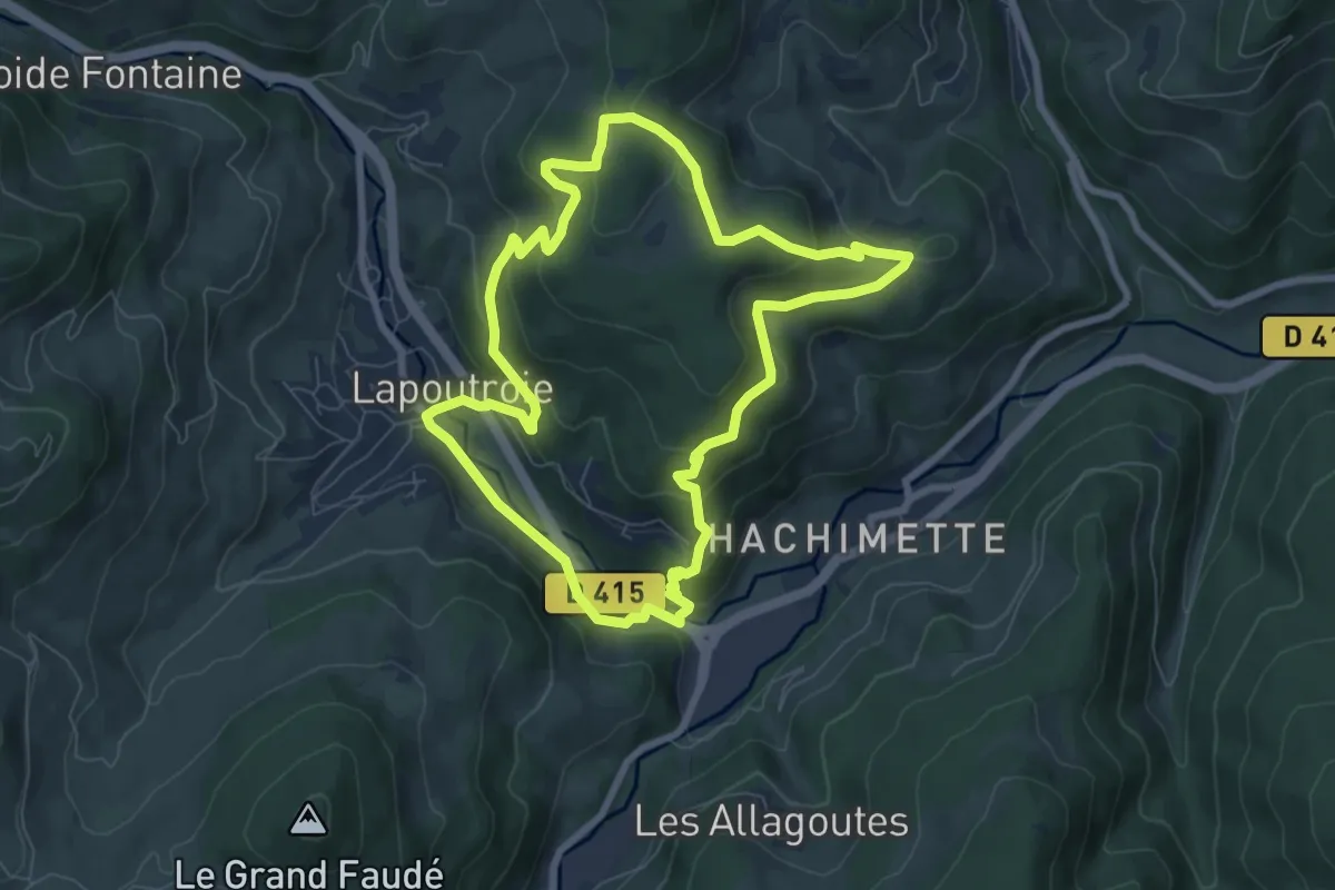
Easy · Trail
Circuit Chamont
7.3 km · ↑ 317 m · 2 h 30 min
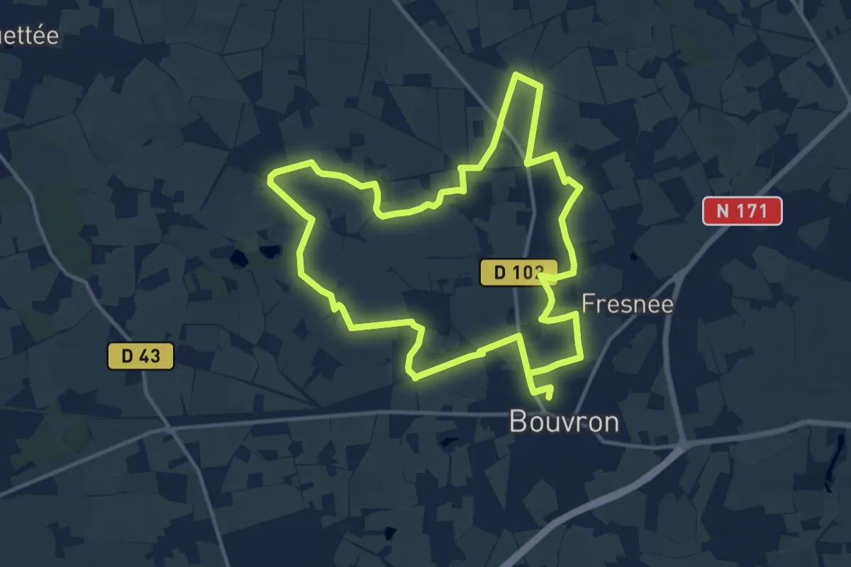
Medium · Trail
Circuit Champ de Mont
13.0 km · ↑ 35 m · 3 h 19 min
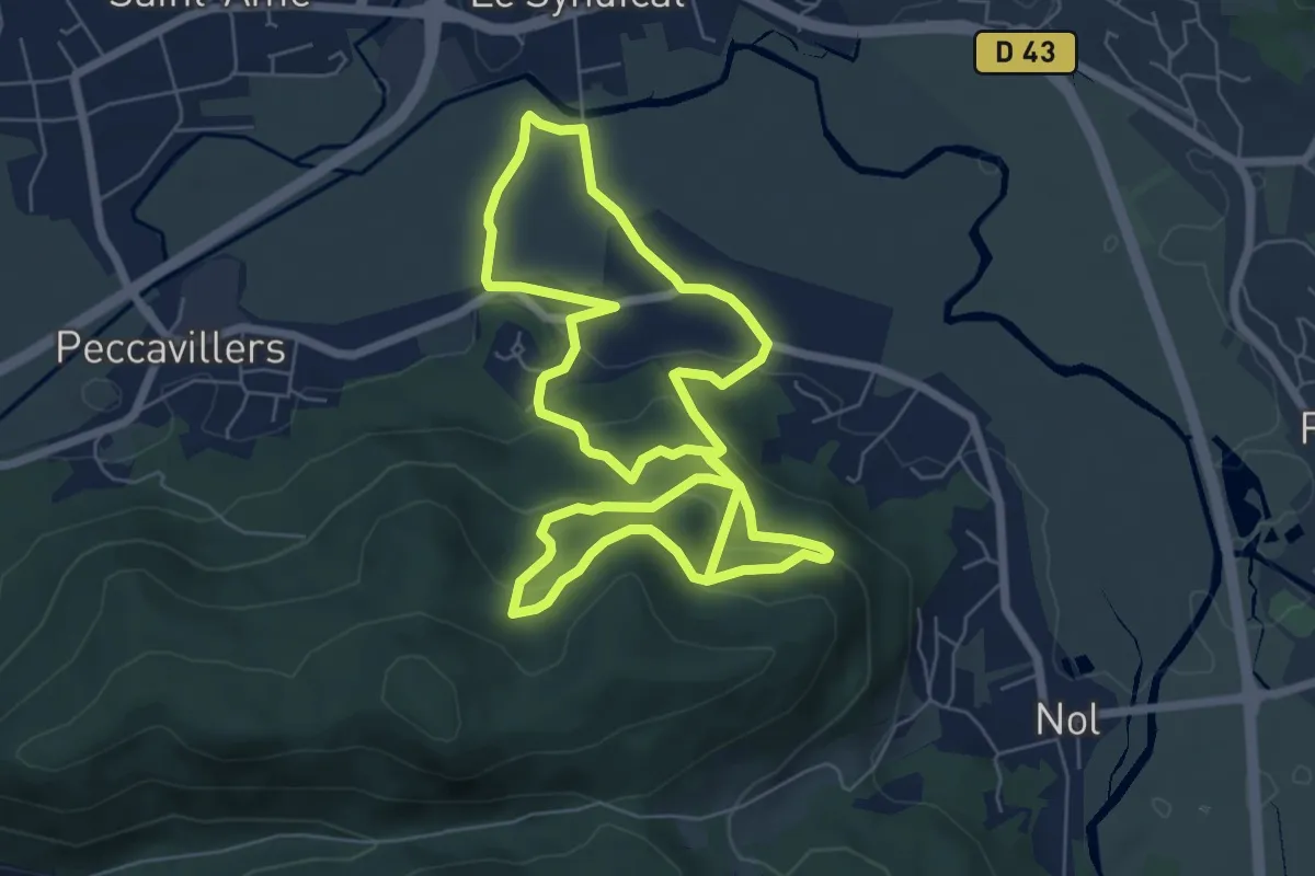
Easy · Trail
Circuit Champé
6.7 km · ↑ 298 m · 2 h 16 min
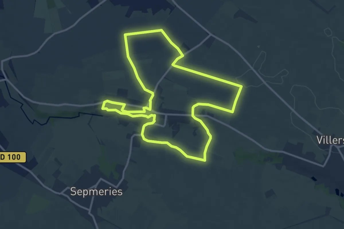
Medium · Trail
Circuit Champêtre de Maresches
9.0 km · ↑ 72 m · 2 h 24 min
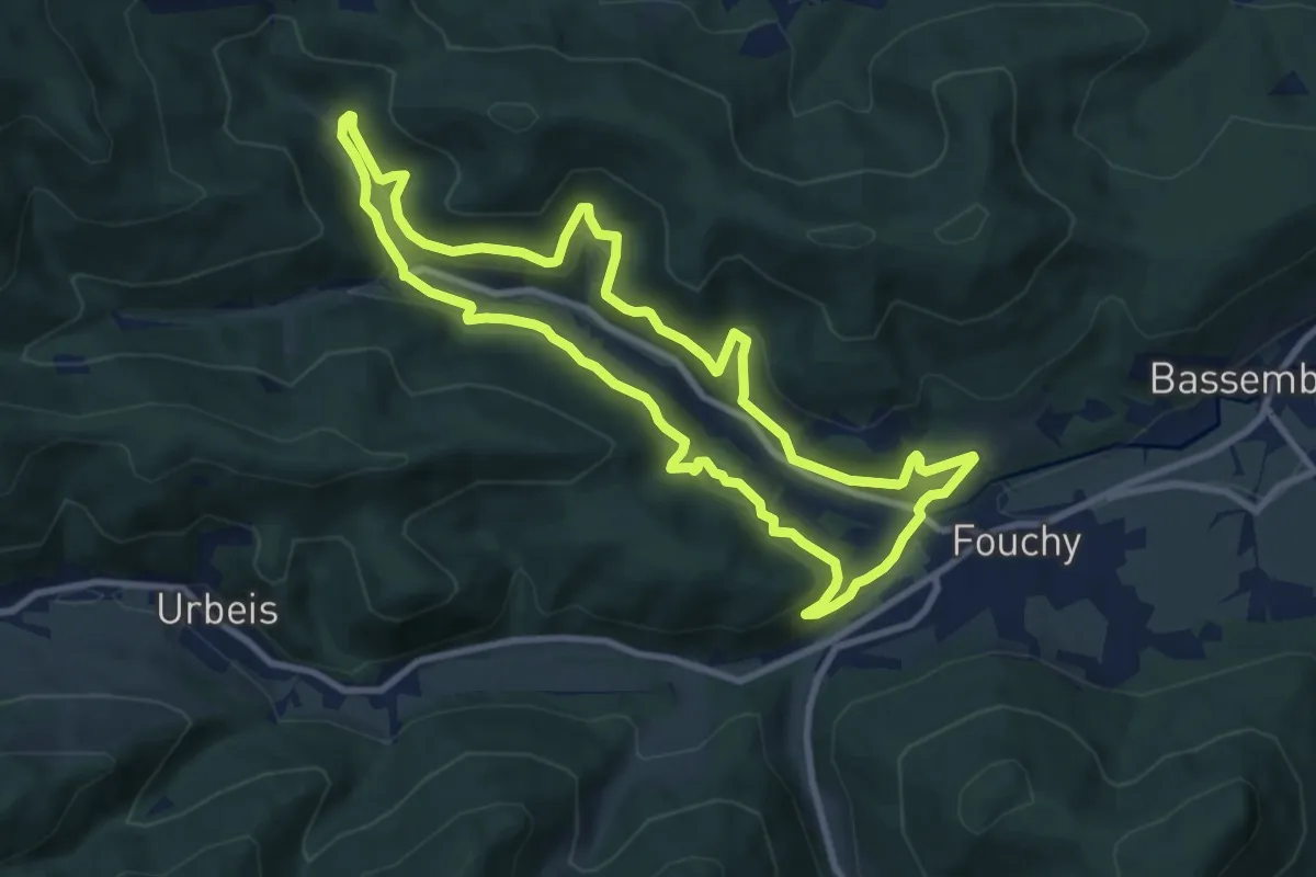
Medium · Trail
Circuit Charbes
9.0 km · ↑ 380 m · 3 h 4 min
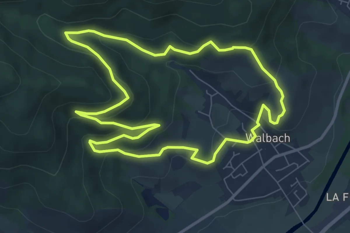
Easy · Trail
Circuit Chêne de la Vierge
6.5 km · ↑ 312 m · 2 h 19 min
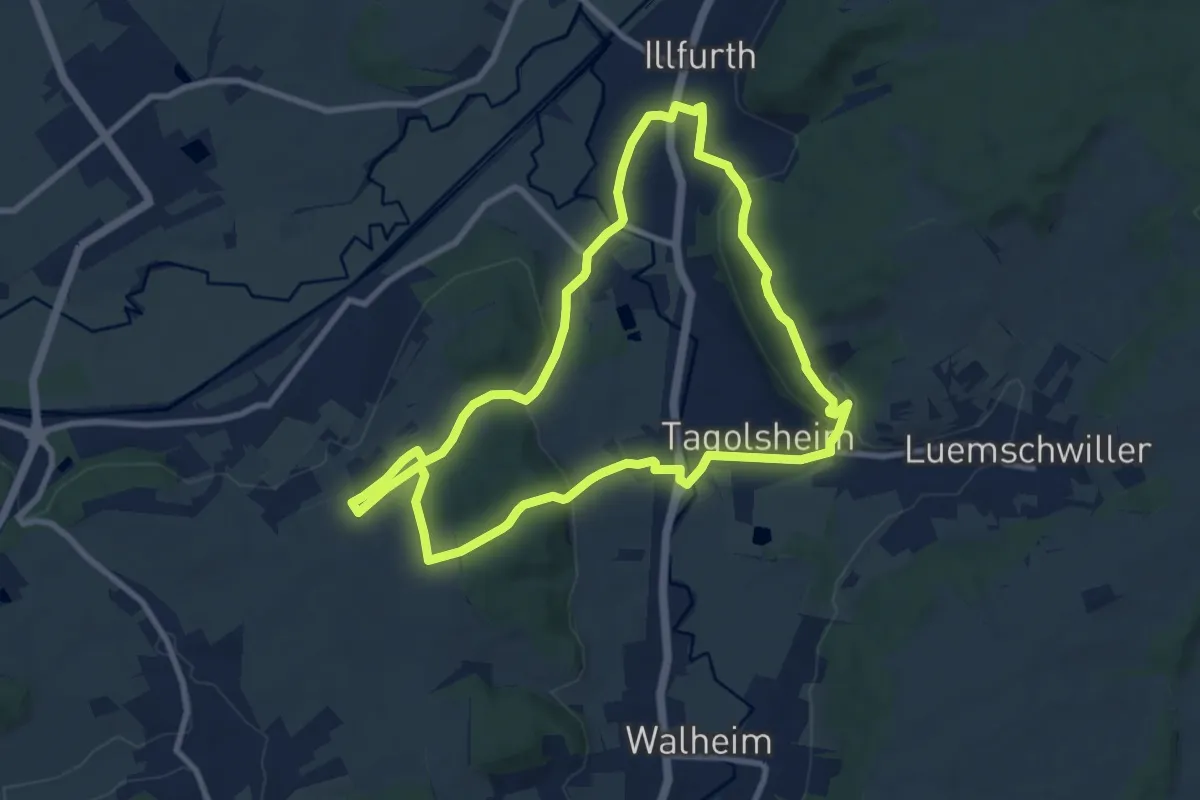
Medium · Trail
Circuit Clochers et buis - Illfurth
8.7 km · ↑ 205 m · 2 h 38 min
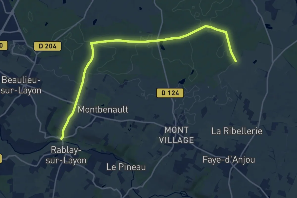
Medium · Trail
Circuit Coteaux et Forêt de Beaulieu
13.7 km · ↑ 137 m · 3 h 32 min
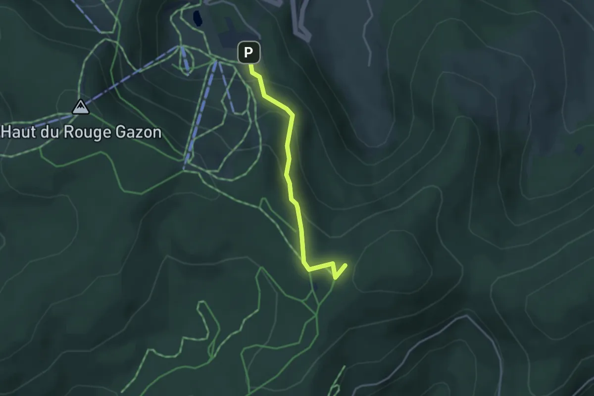
Easy · Trail
Circuit Croix de l’Ermite
1.4 km · ↑ 164 m · 37 min
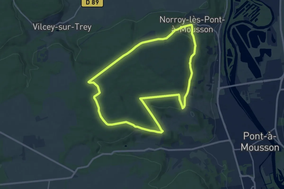
Medium · Trail
Circuit Croix des Carmes
12.5 km · ↑ 252 m · 3 h 40 min
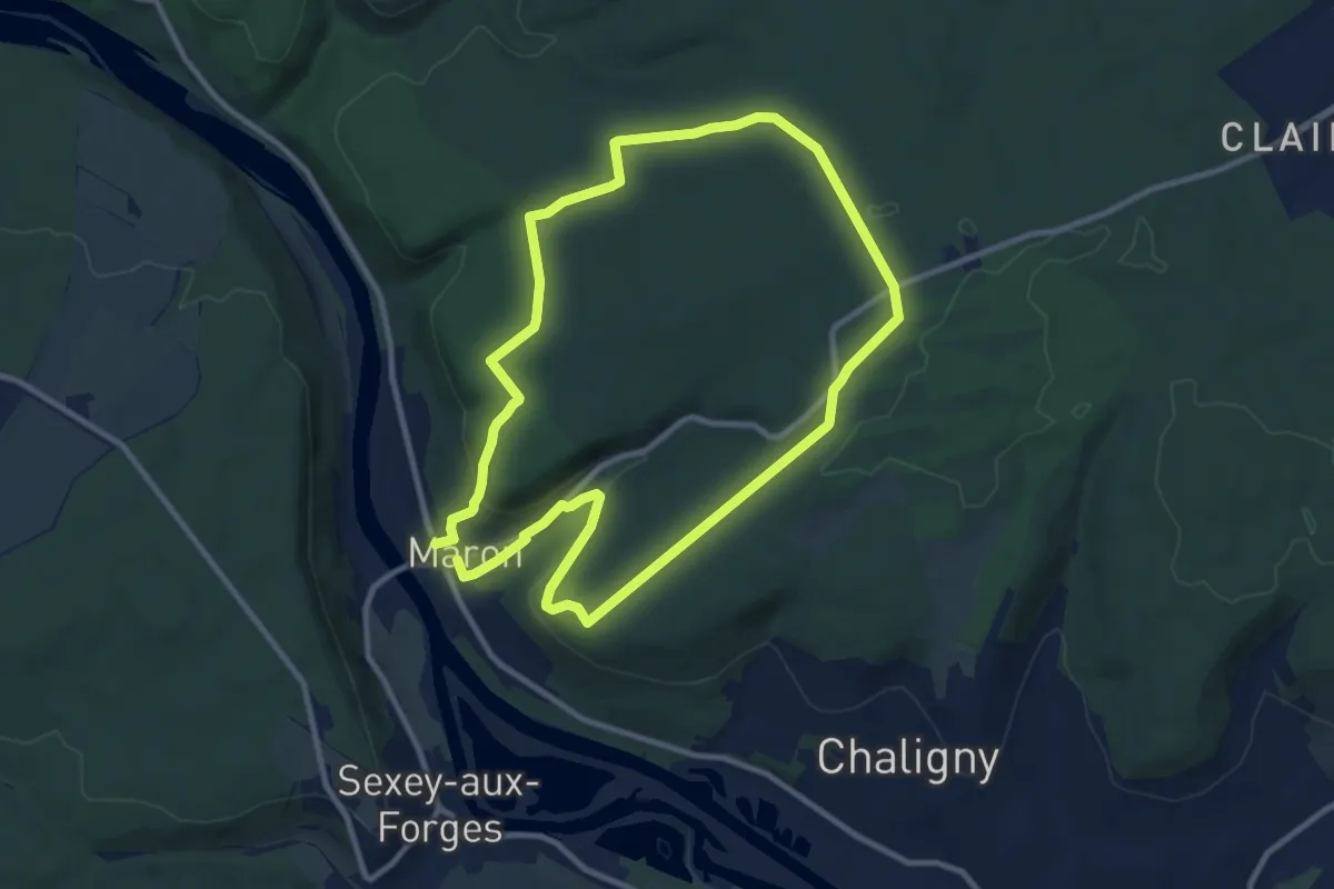
Medium · Trail
Circuit D1
9.4 km · ↑ 189 m · 2 h 46 min
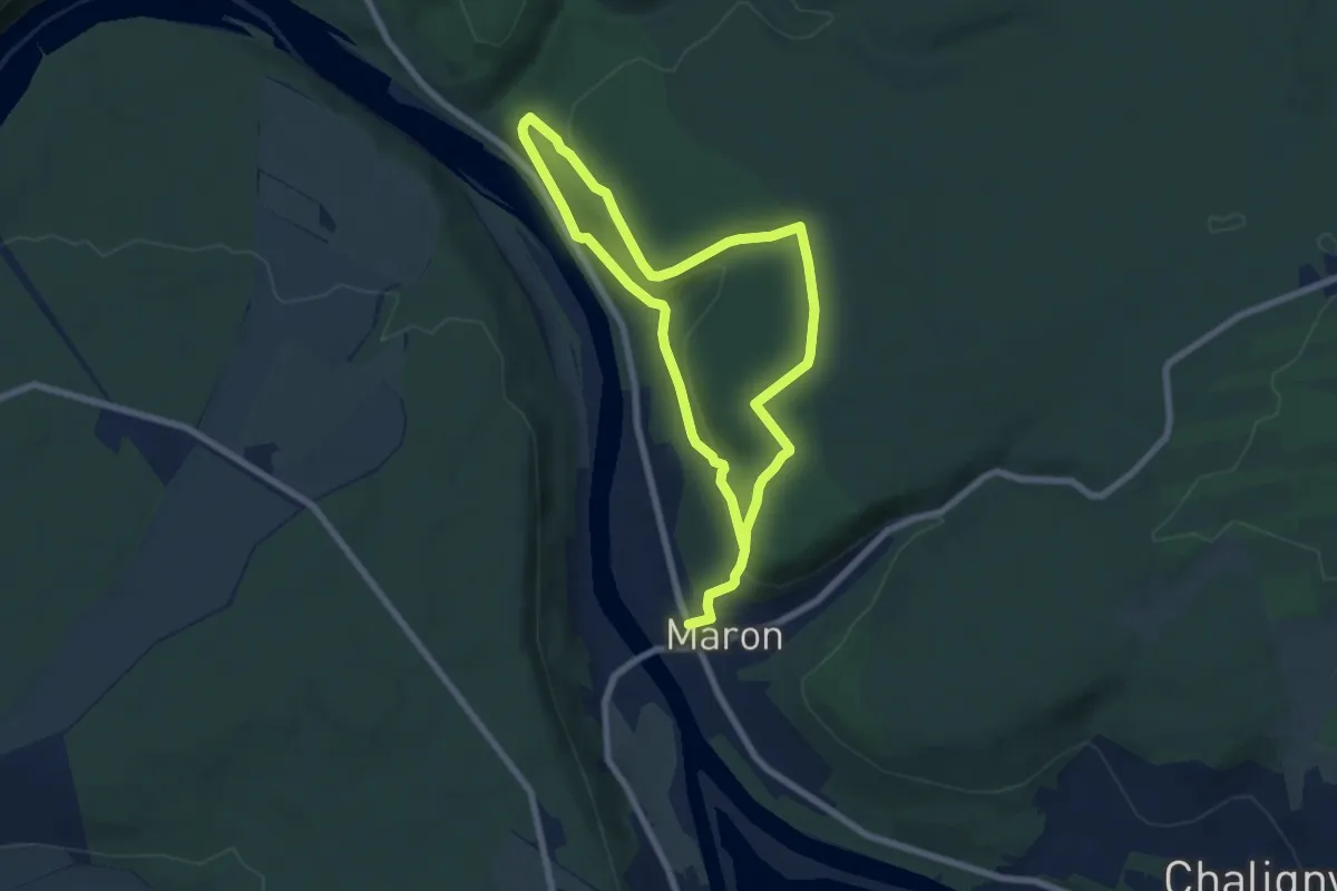
Easy · Trail
Circuit D2
6.1 km · ↑ 131 m · 1 h 51 min
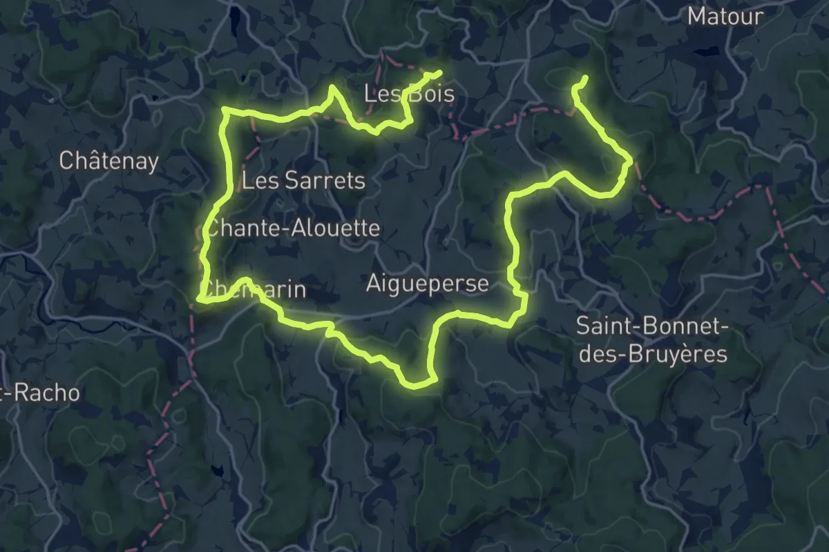
Medium · Summit
Circuit d'Aigueperse
17.1 km · ↑ 591 m · 5 h 31 min
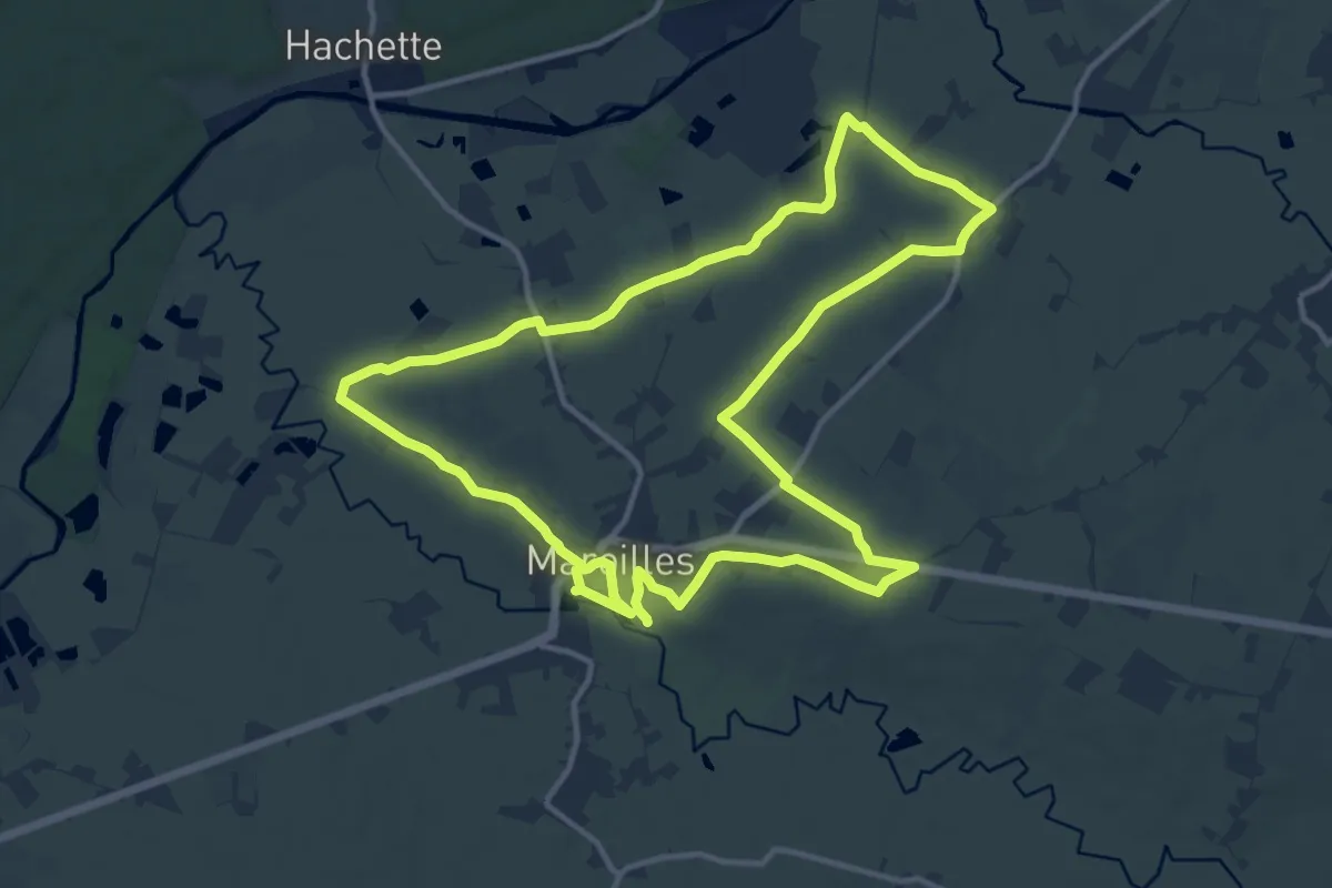
Demanding · Trail
Circuit Dame Marguerite
25.3 km · ↑ 156 m · 6 h 19 min
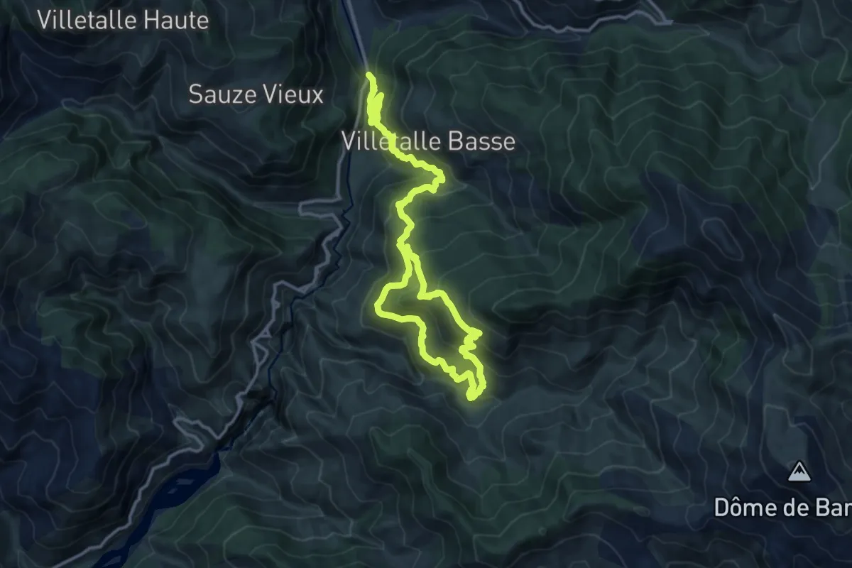
Demanding · Trail
Circuit d'Amen
9.3 km · ↑ 838 m · 3 h 59 min
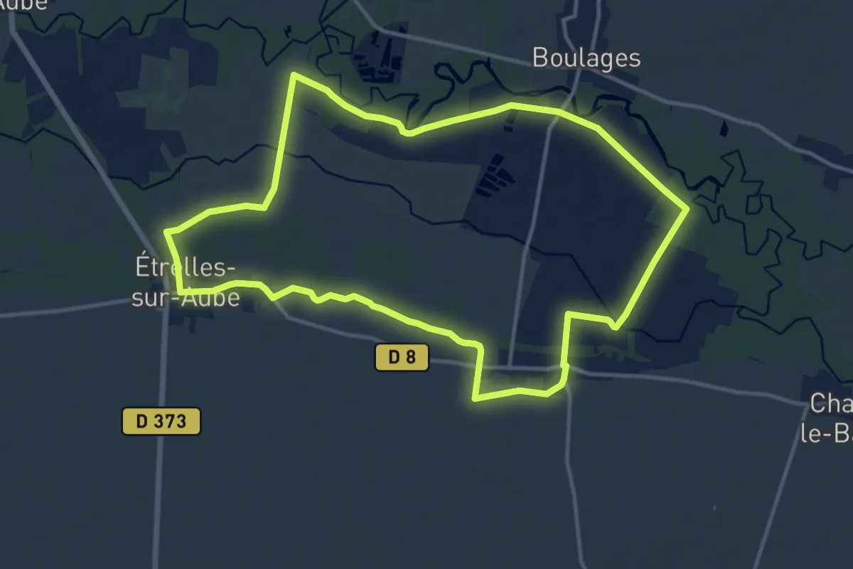
Medium · Trail
Circuit Daniel Joyeux
11.9 km · ↑ 18 m · 3 h 1 min
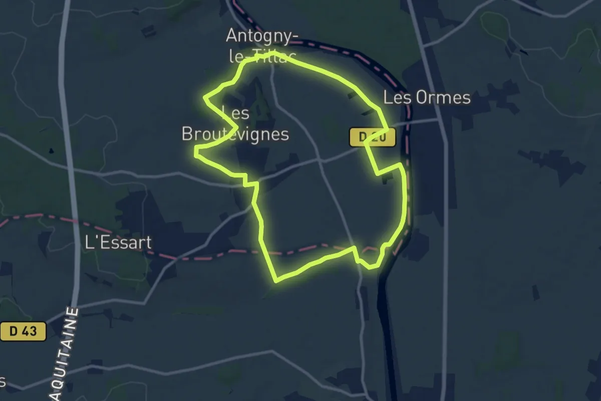
Medium · Trail
Circuit d'Antogny - Antogny-le-Tillac
9.9 km · ↑ 59 m · 2 h 36 min
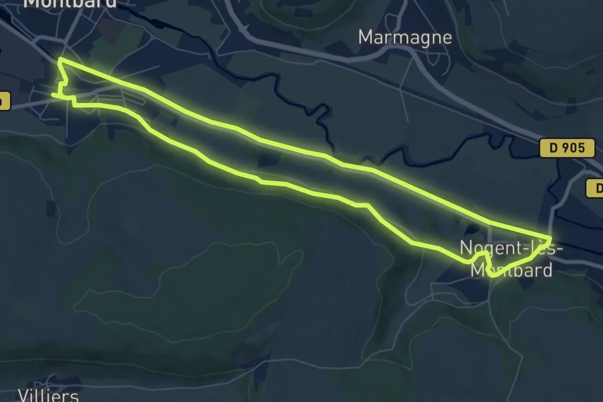
Medium · Trail
Circuit d'Arlette
8.1 km · ↑ 78 m · 2 h 11 min
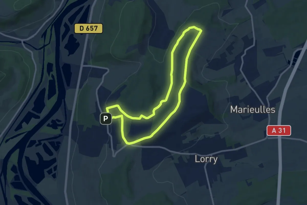
Easy · Trail
Circuit d'Arry Nord
7.3 km · ↑ 158 m · 2 h 10 min
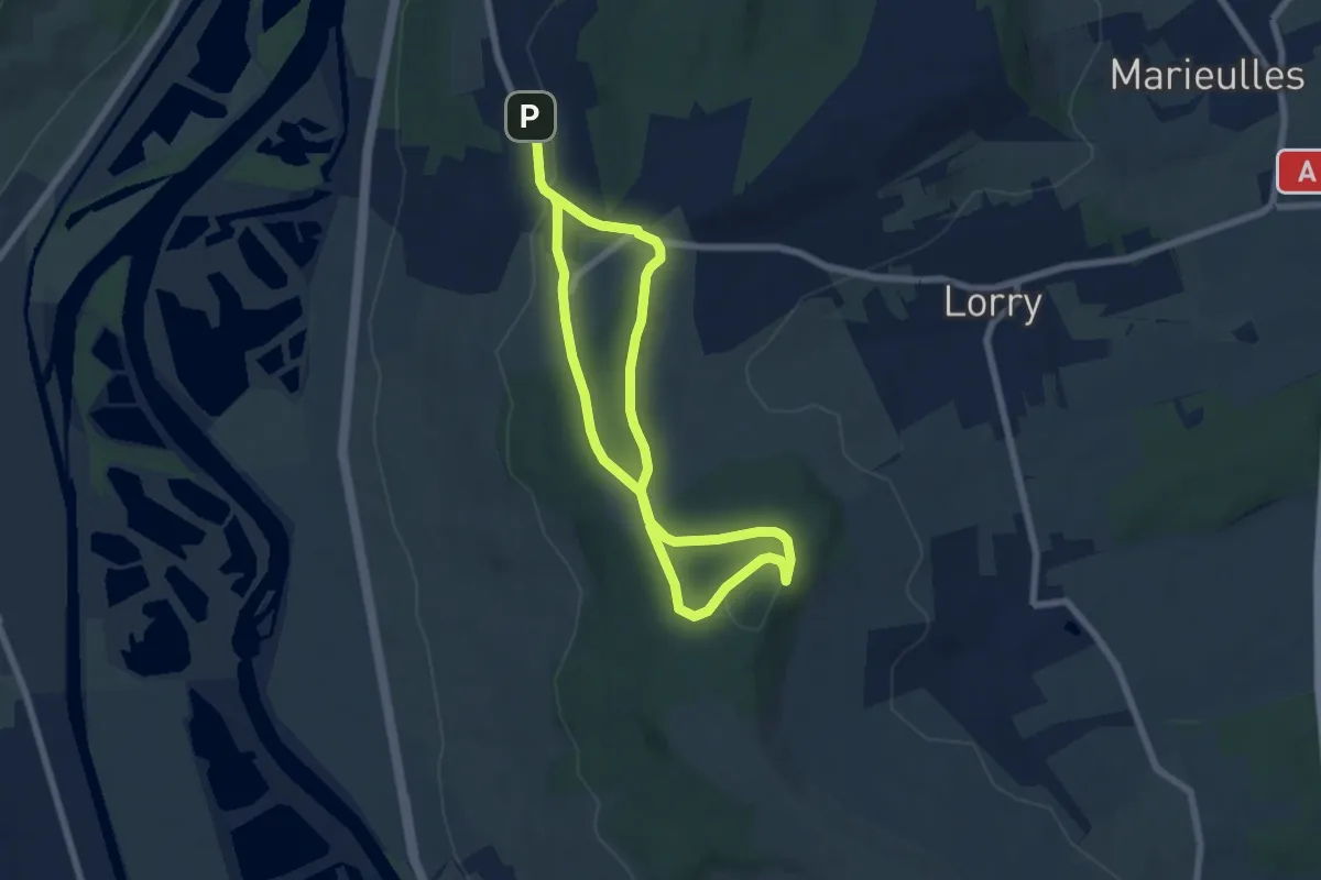
Easy · Trail
Circuit d'Arry Sud
5.5 km · ↑ 107 m · 1 h 35 min
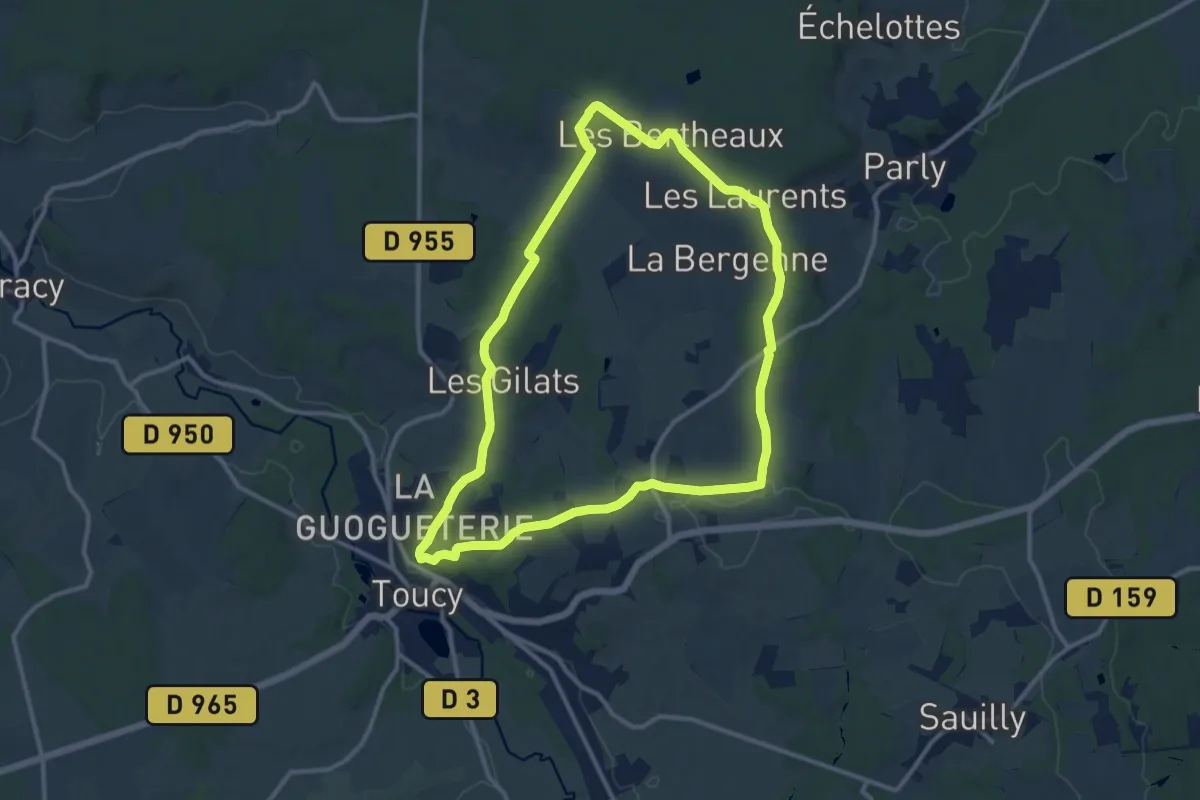
Medium · Trail
Circuit d'Arthé
11.4 km · ↑ 182 m · 3 h 15 min