Trails in France
15,926 hiking trails, each with its route, climb, walking time and grade.
All trails, page 86 of 332
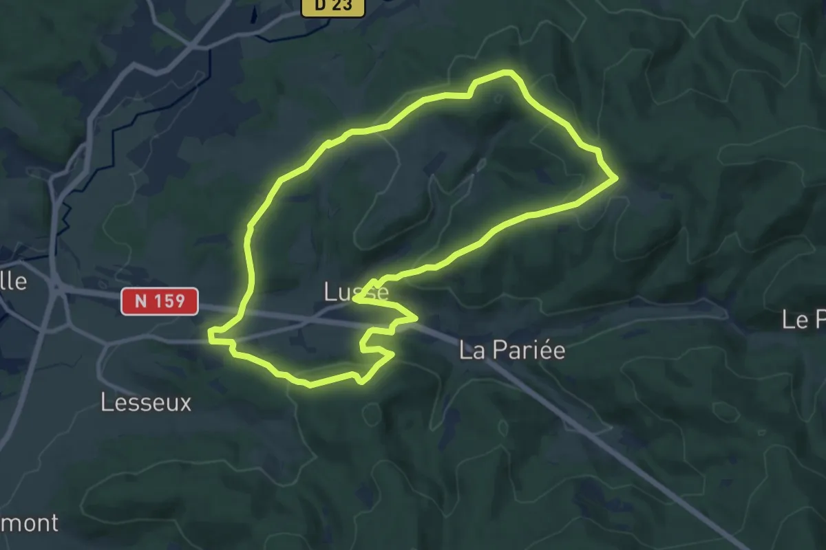
Medium · Trail
Circuit Herbeaupaire
10.1 km · ↑ 345 m · 3 h 17 min
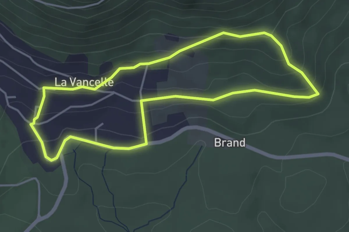
Easy · Trail
Circuit Heyrisheck
3.6 km · ↑ 131 m · 1 h 12 min
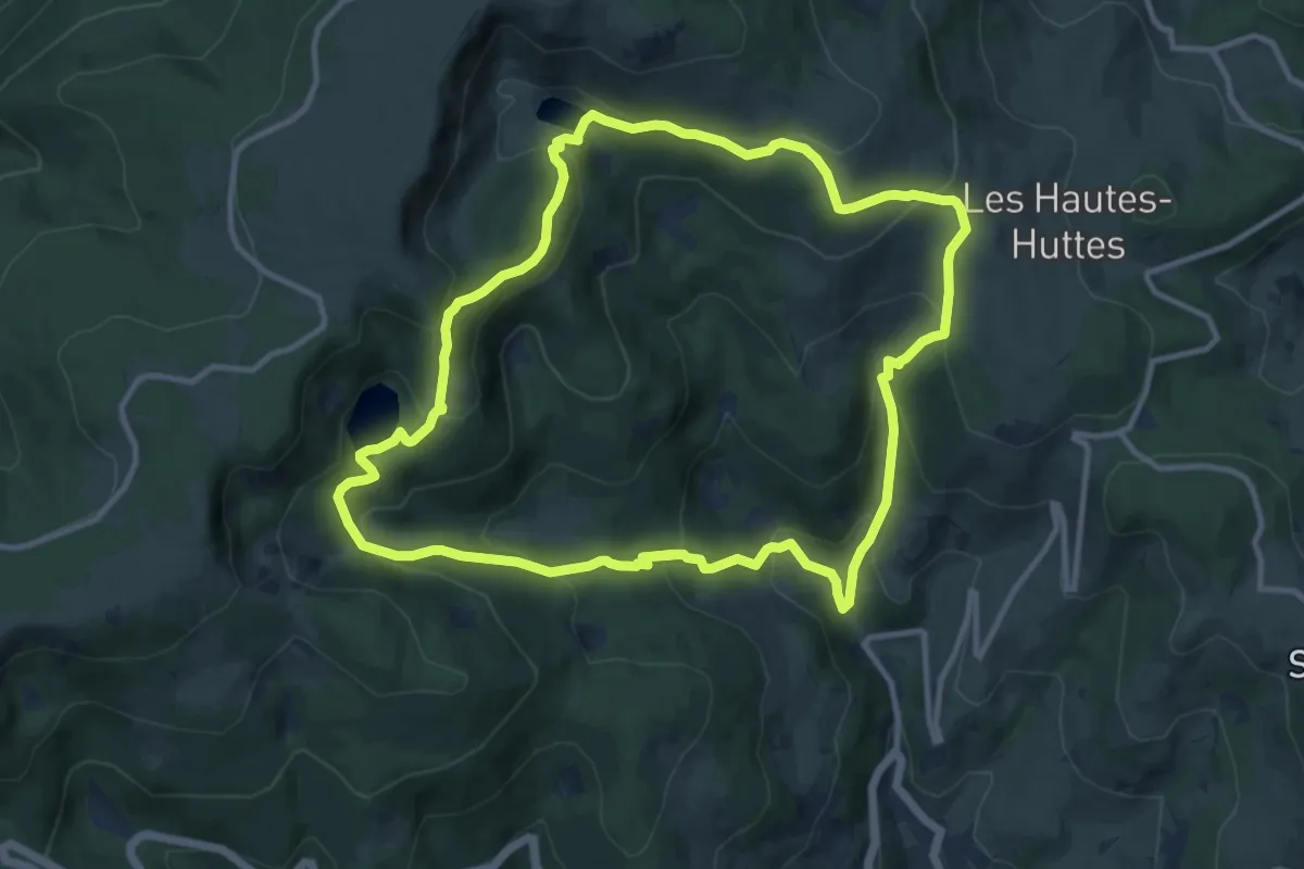
Medium · Trail
Circuit Hirsteren - Lac du Forlet
11.0 km · ↑ 620 m · 4 h 5 min
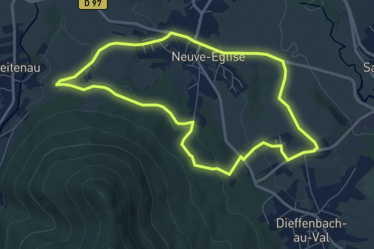
Easy · Trail
Circuit Hirtzelbach
5.9 km · ↑ 151 m · 1 h 48 min
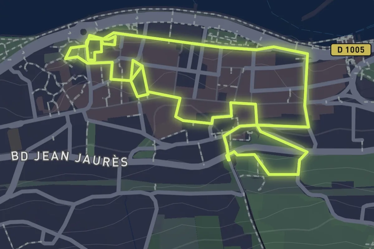
Easy · Trail
Circuit Historique
2.5 km · ↑ 58 m · 44 min
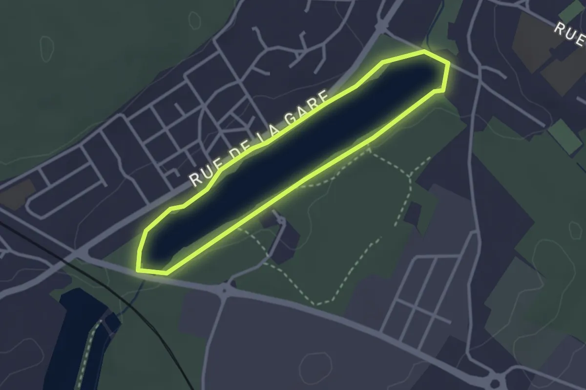
Easy · Trail
Circuit Historique
2.4 km · ↑ 8 m · 37 min
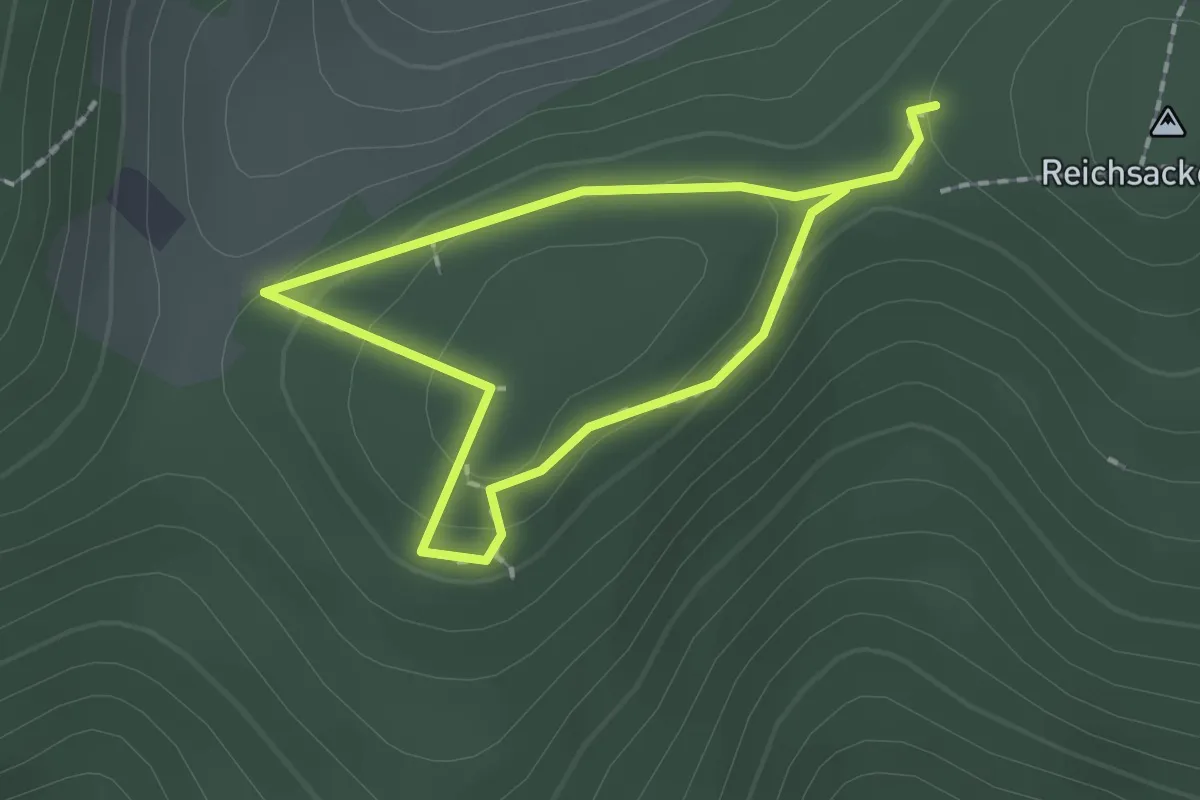
Easy · Trail
Circuit Historique 1914-1918 Gaschney-Reichakerkopf n°1
1.4 km · ↑ 45 m · 27 min
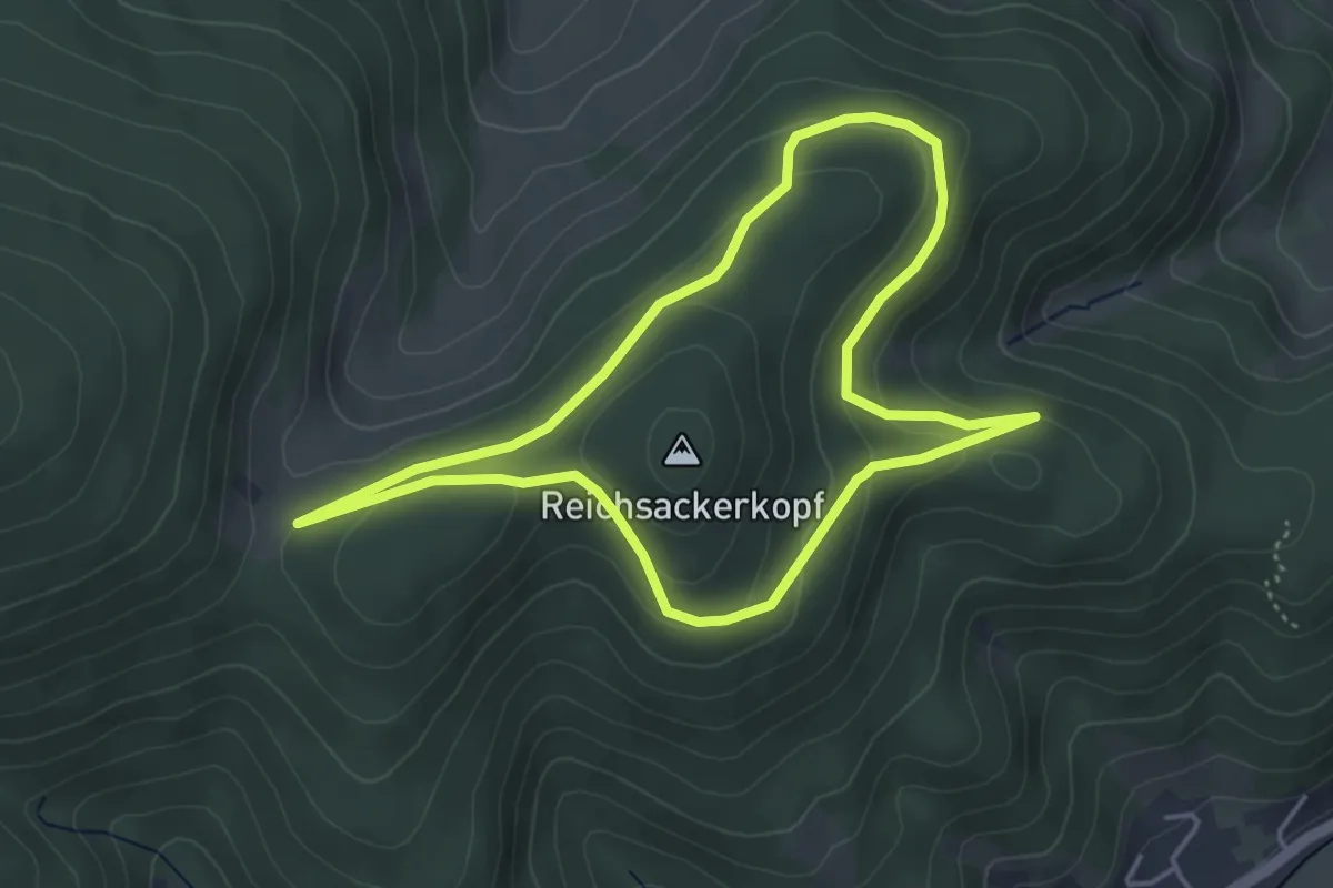
Easy · Trail
Circuit Historique 1914-1918 Gaschney-Reichakerkopf n°2
4.0 km · ↑ 139 m · 1 h 18 min
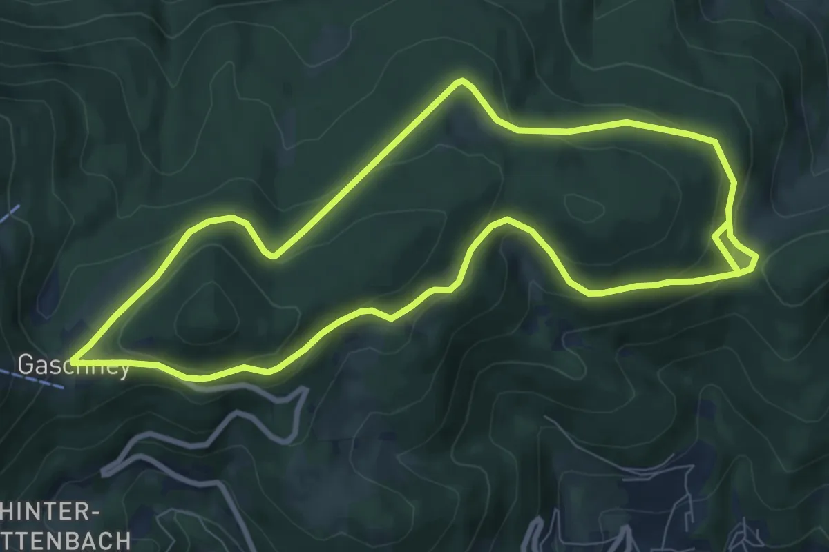
Medium · Trail
Circuit Historique 1914-1918 Gaschney-Reichakerkopf N°3
8.1 km · ↑ 312 m · 2 h 41 min
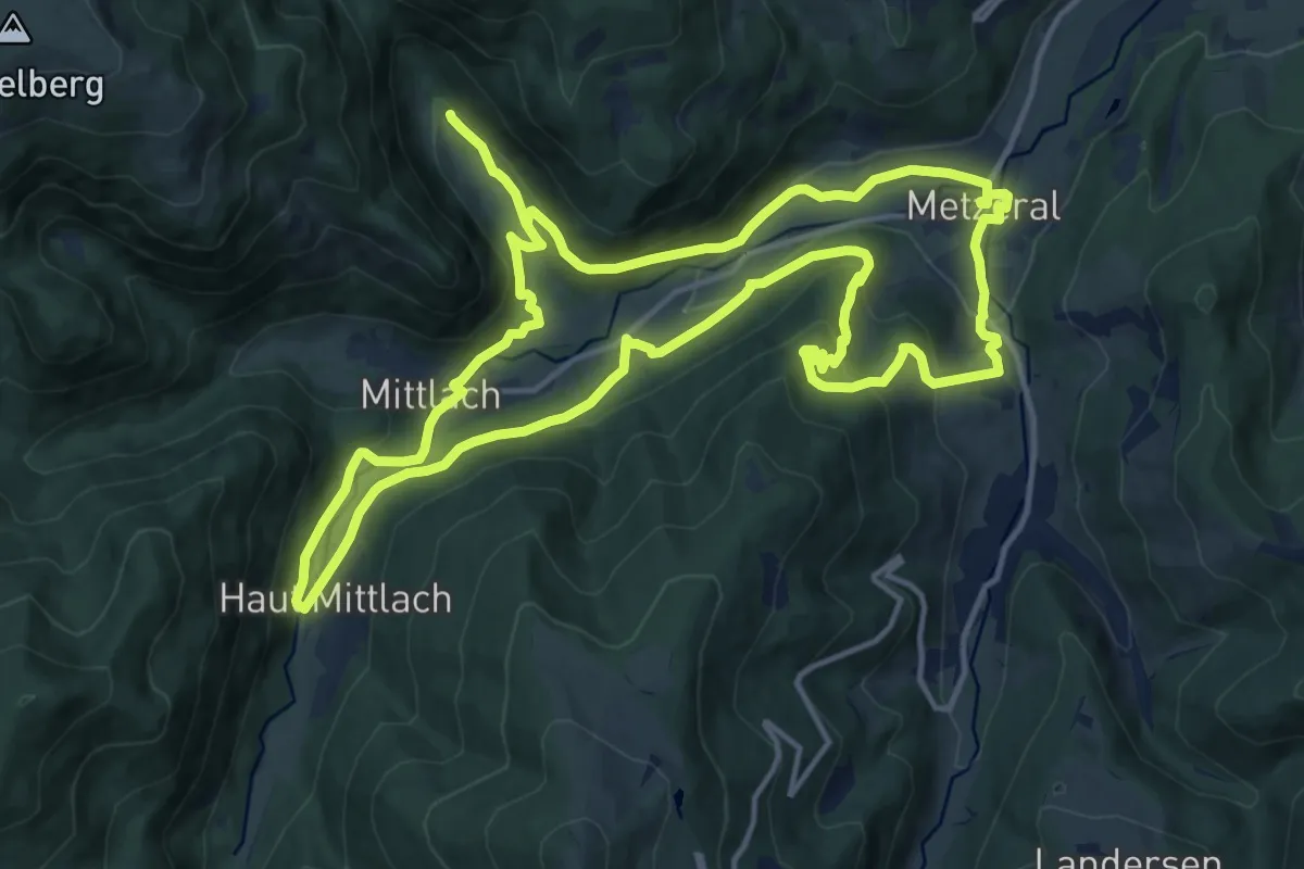
Medium · Trail
Circuit Historique 1914-1918 Mittlach-Metzeral
14.9 km · ↑ 593 m · 4 h 59 min
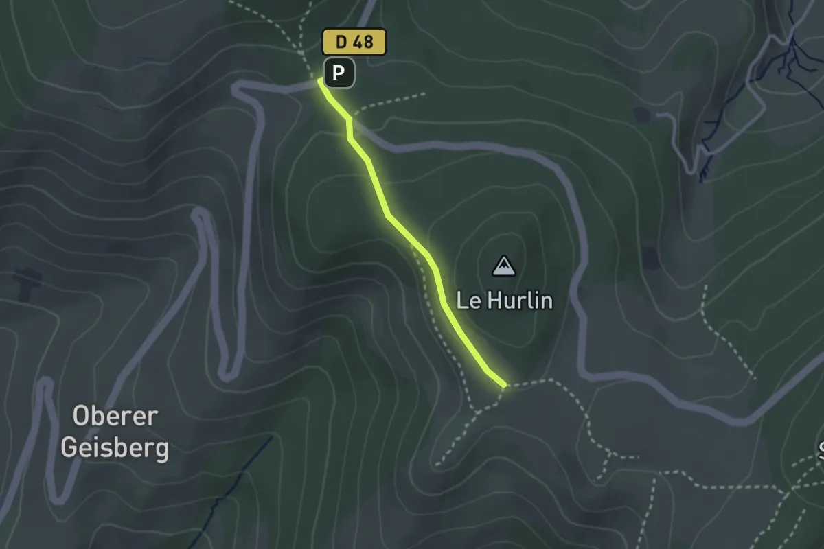
Easy · Trail
Circuit Historique annexe A
2.1 km · ↑ 61 m · 38 min
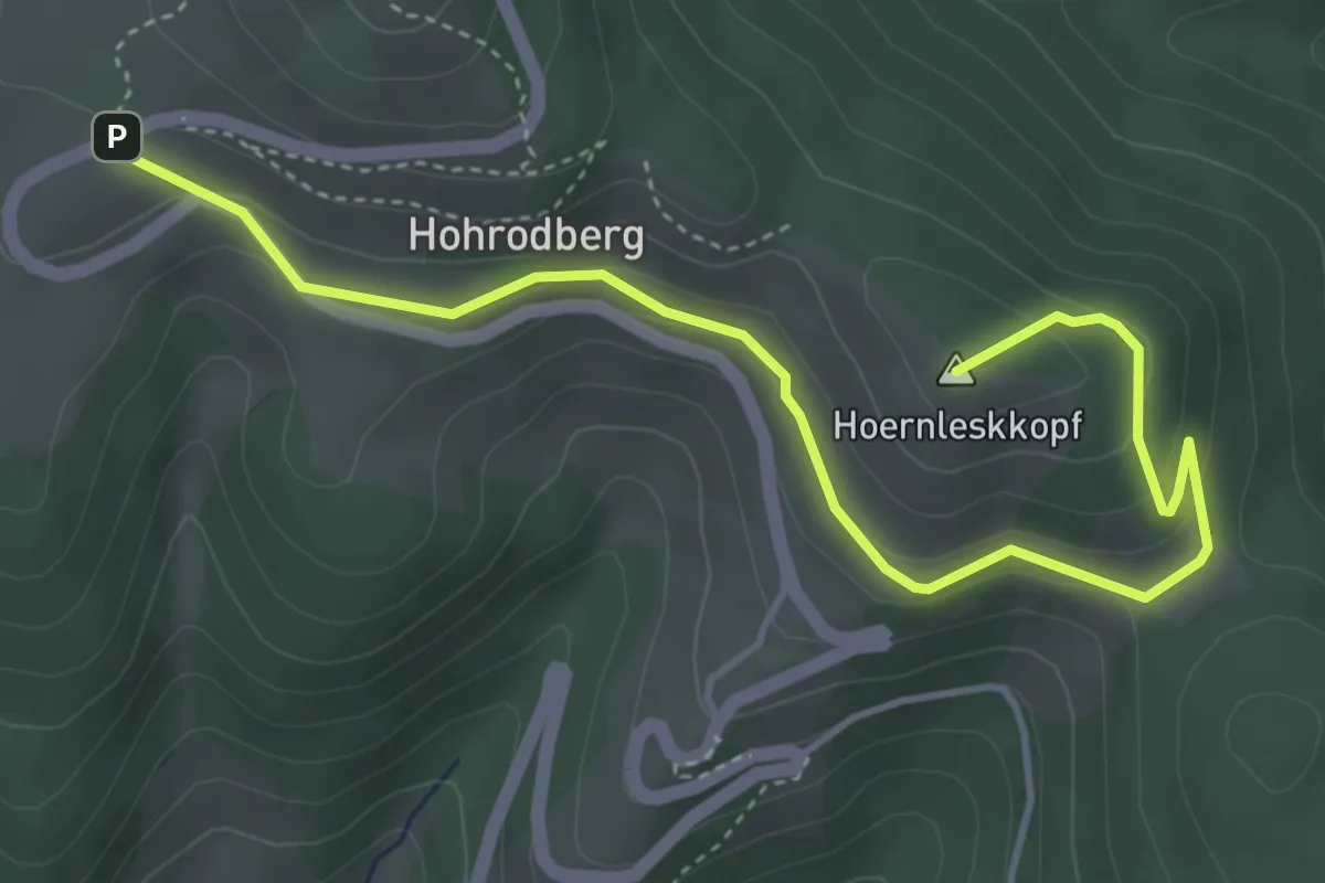
Easy · Summit
Circuit Historique annexe D'
4.9 km · ↑ 205 m · 1 h 37 min
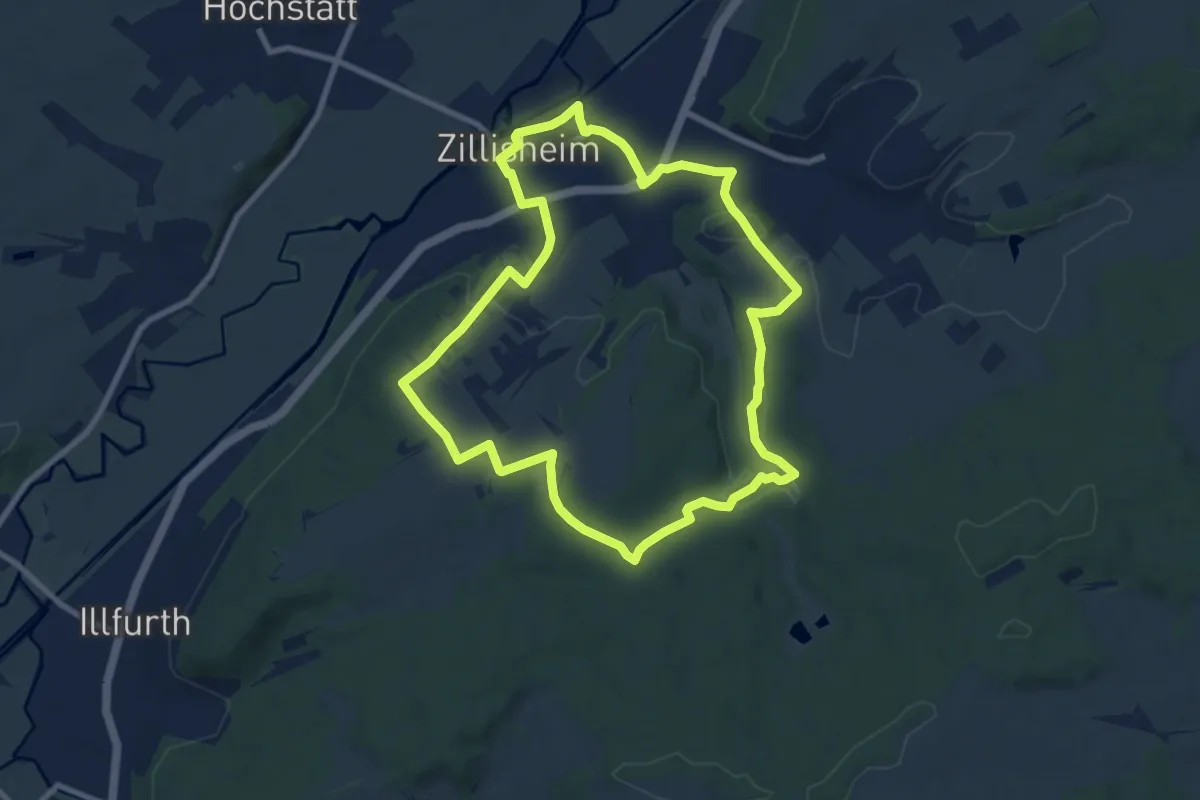
Medium · Trail
Circuit historique de Zillisheim
8.5 km · ↑ 151 m · 2 h 28 min
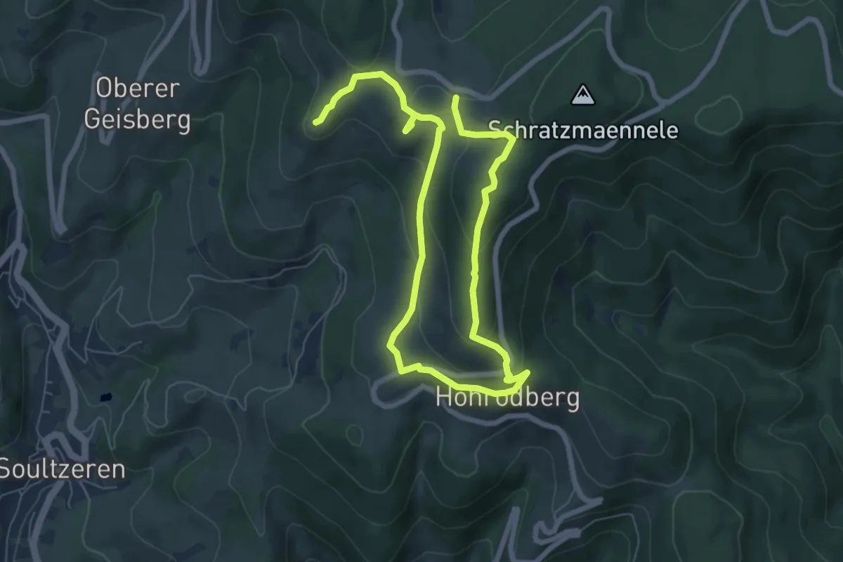
Demanding · Summit
Circuit Historique principale
5.0 km · ↑ 214 m · 1 h 42 min
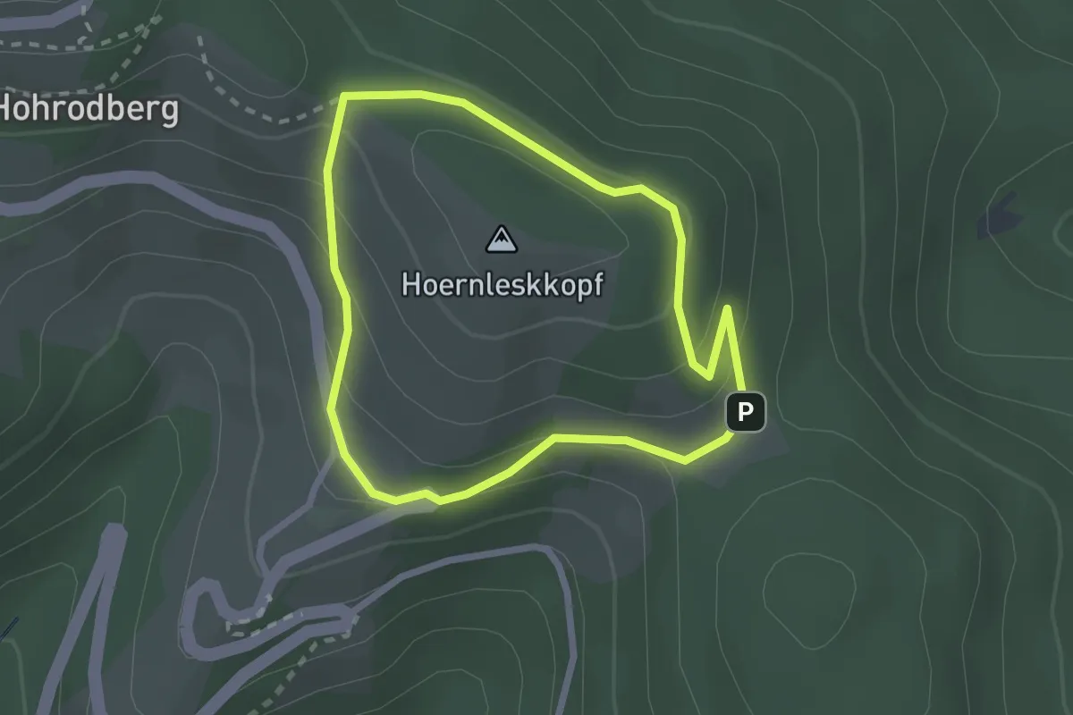
Easy · Summit
Circuit Hoernleskopf
2.0 km · ↑ 96 m · 43 min
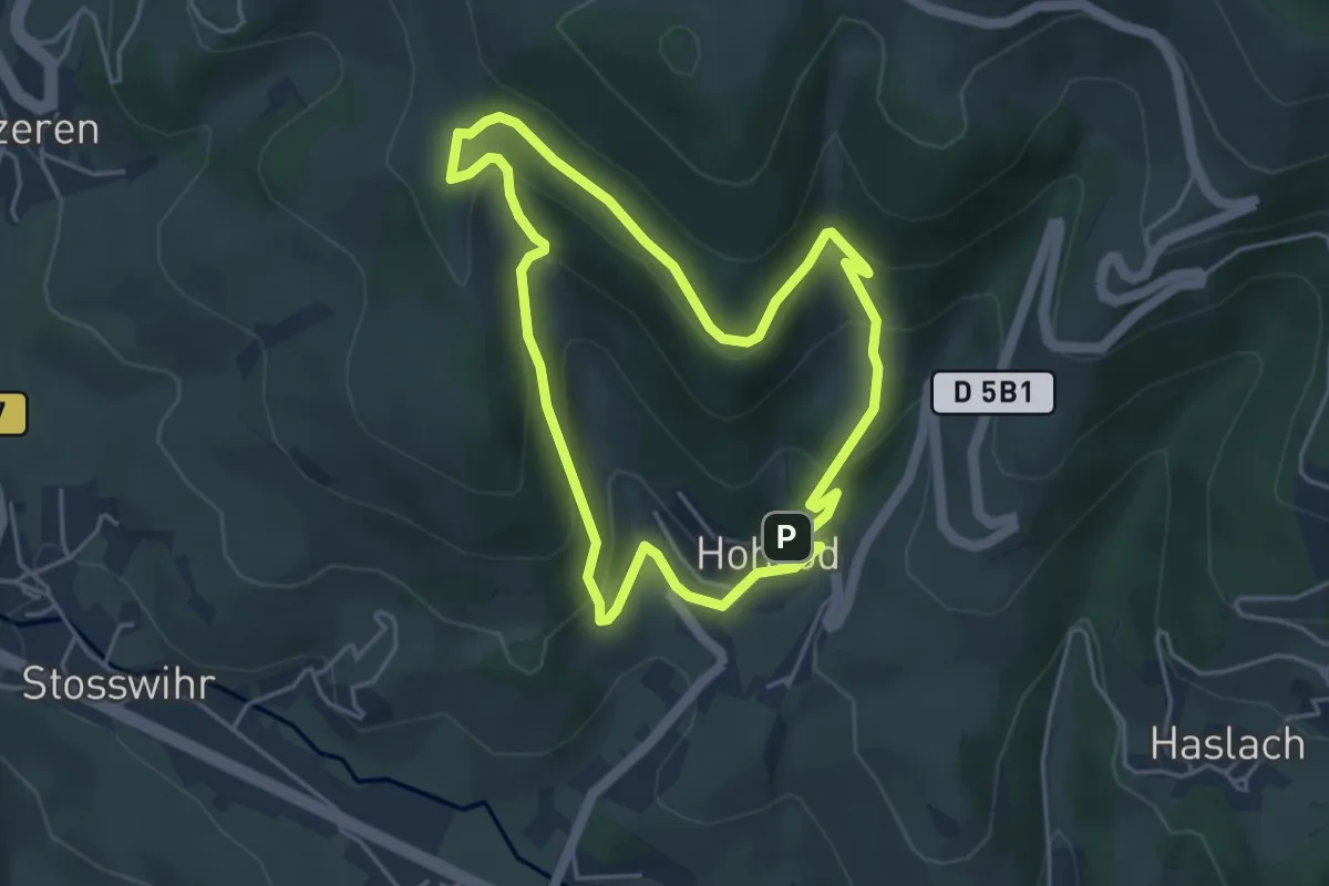
Easy · Summit
Circuit Hohrod
4.1 km · ↑ 236 m · 1 h 33 min
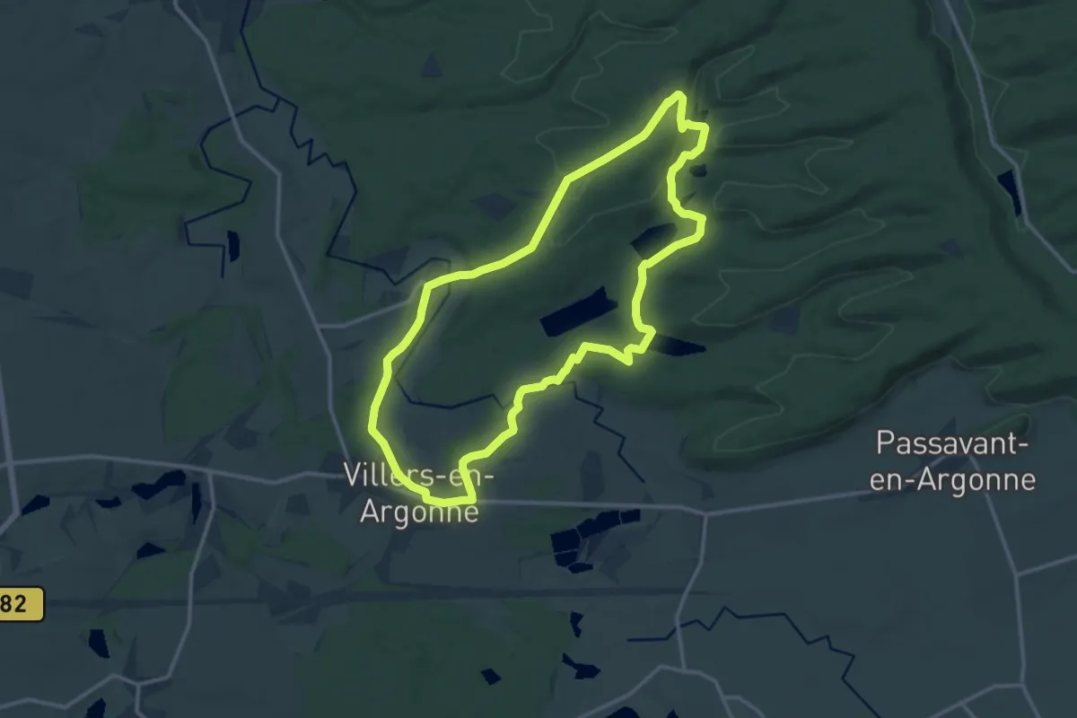
Medium · Trail
Circuit Initiation à la Nature d'Argonne
12.5 km · ↑ 227 m · 3 h 37 min
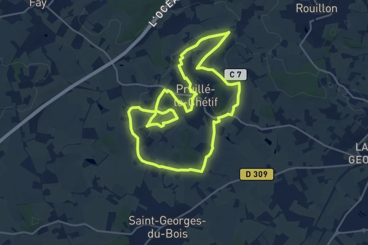
Medium · Trail
Circuit jaune
11.0 km · ↑ 126 m · 3 h 1 min
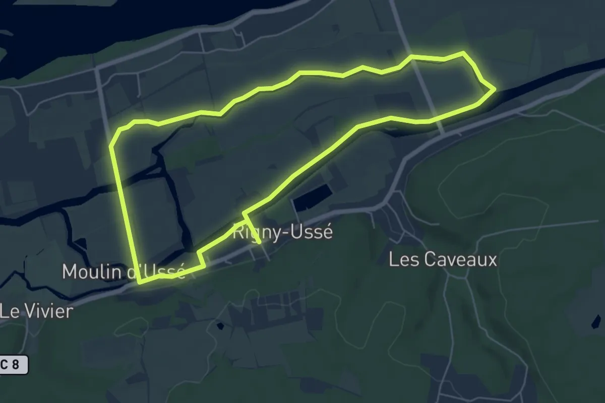
Easy · Trail
Circuit jaune
5.8 km · ↑ 8 m · 1 h 27 min
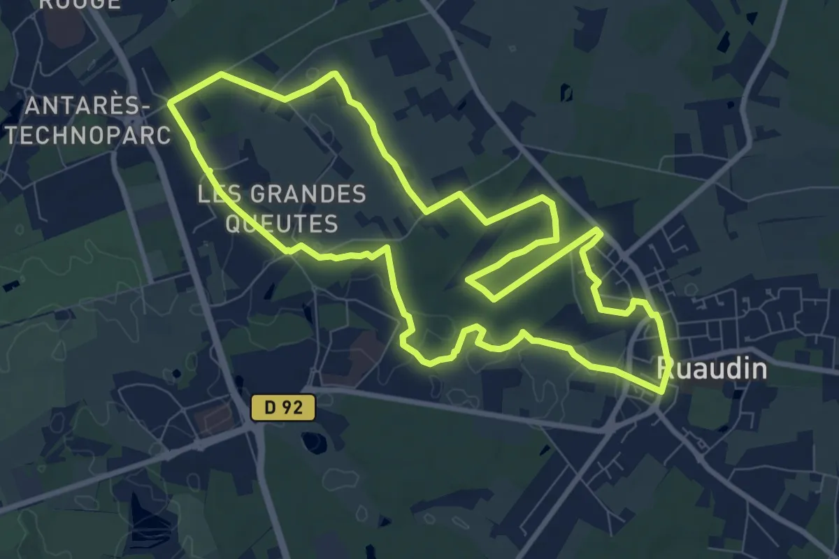
Medium · Trail
Circuit jaune
8.9 km · ↑ 25 m · 2 h 17 min
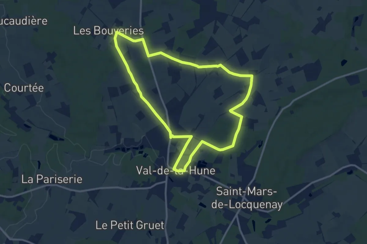
Medium · Trail
Circuit jaune
8.7 km · ↑ 68 m · 2 h 20 min
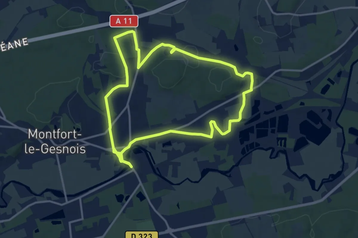
Medium · Trail
Circuit jaune
9.4 km · ↑ 72 m · 2 h 30 min
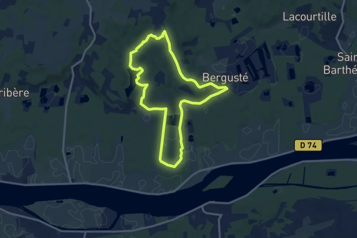
Easy · Trail
circuit_jaune_coteaux_barthes_smsx
6.8 km · ↑ 90 m · 1 h 54 min
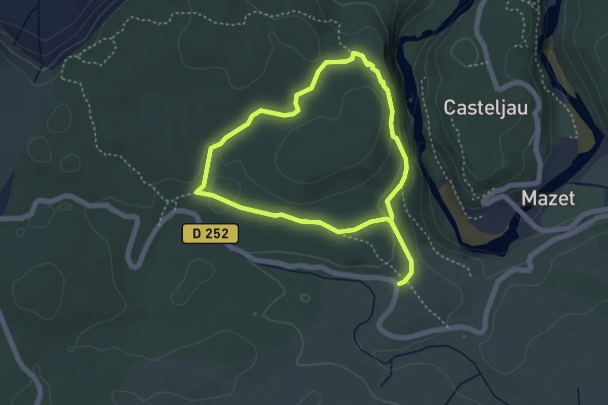
Medium · Trail
Circuit jaune de la Corniche
6.3 km · ↑ 151 m · 1 h 49 min
Easy · Trail
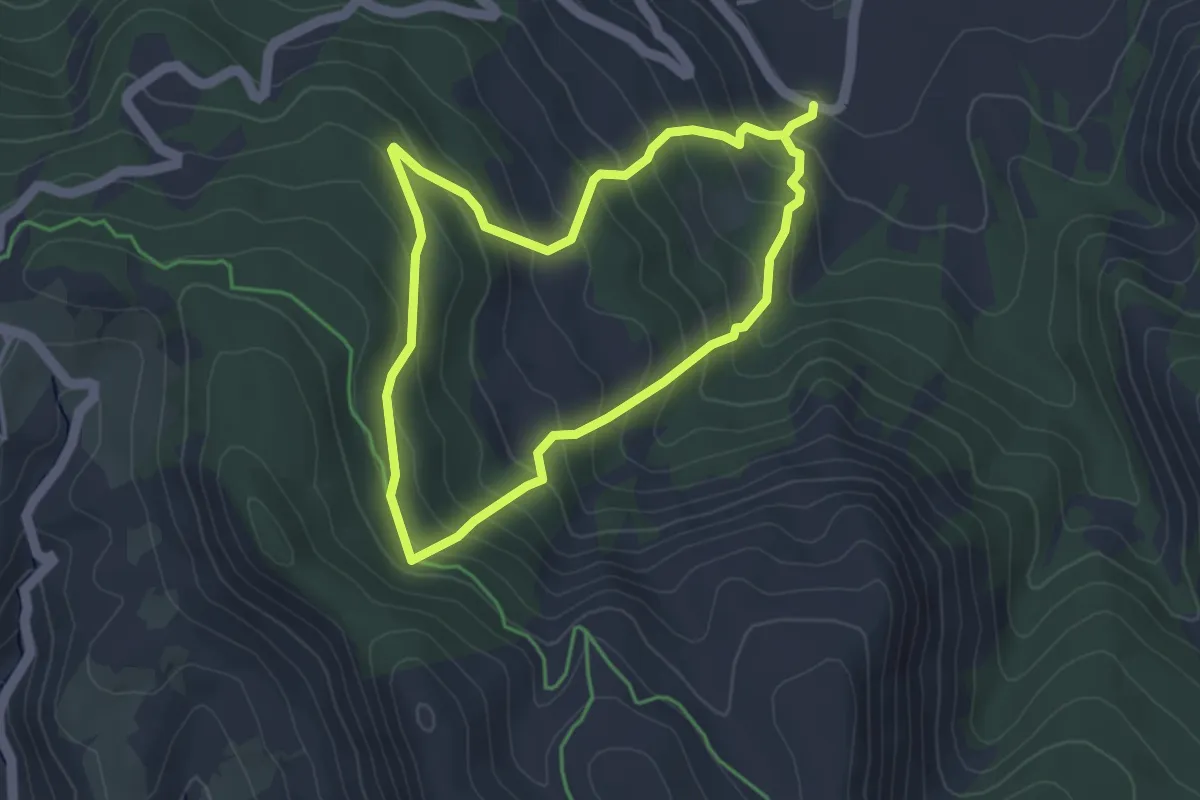
Circuit Jean Proal
3.6 km · ↑ 313 m · 1 h 34 min
Medium · Trail
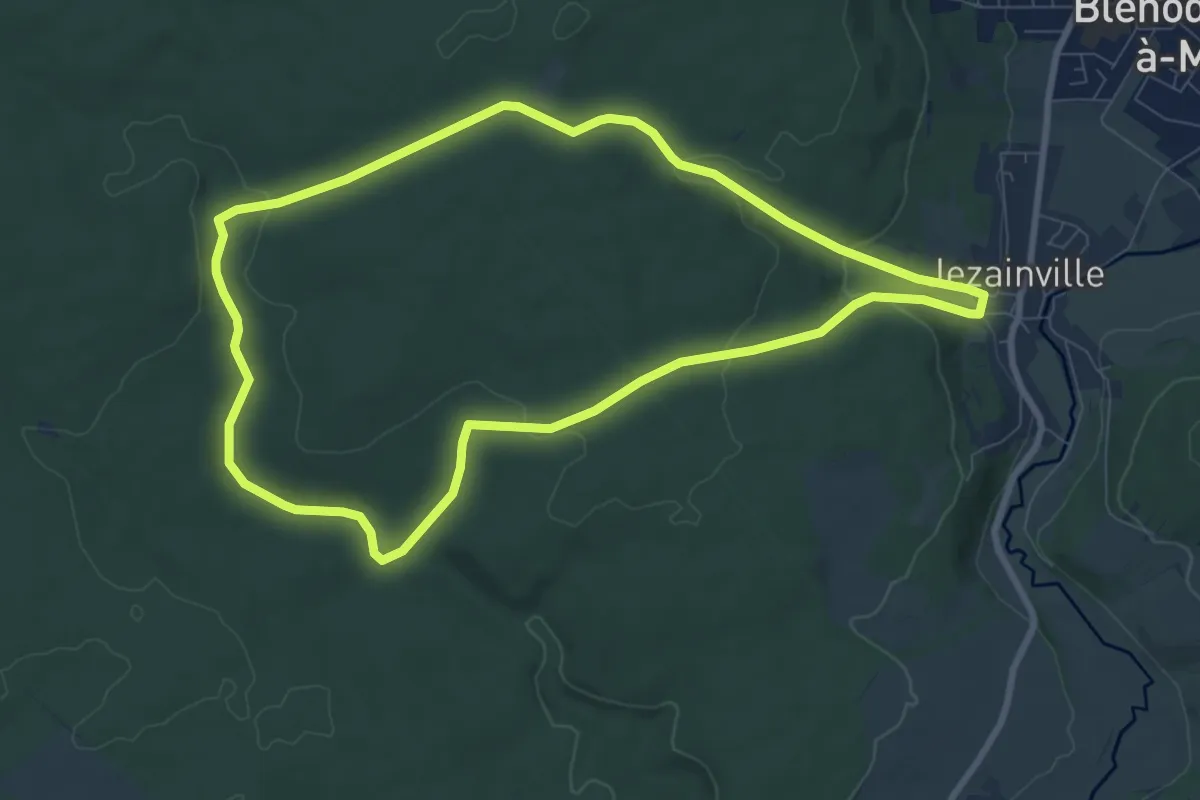
Circuit Jonc Fontaine
8.2 km · ↑ 185 m · 2 h 27 min
Easy · Trail
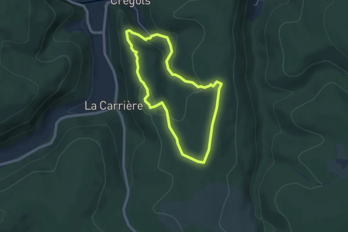
Circuit Karstique de l'Igue de Cregols
3.8 km · ↑ 132 m · 1 h 15 min
Easy · Trail
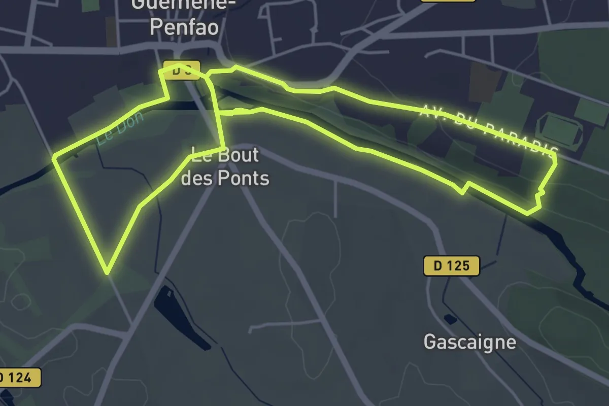
Circuit Ker Aline
4.9 km · ↑ 49 m · 1 h 20 min
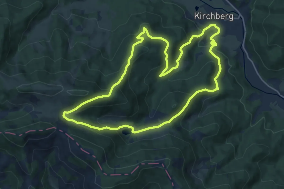
Medium · Summit
Circuit Kirchberg - Lachtelweiher
11.2 km · ↑ 594 m · 4 h 5 min
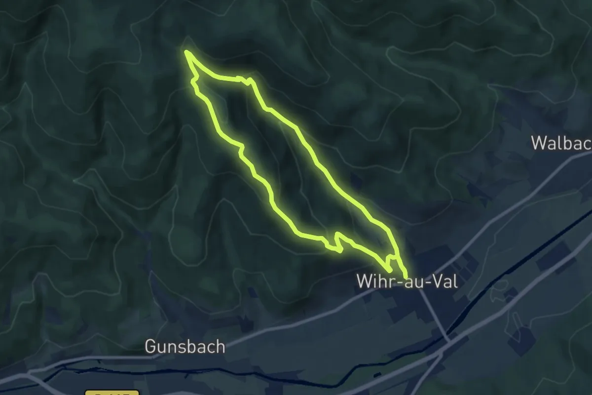
Medium · Trail
Circuit Krizle
7.1 km · ↑ 390 m · 2 h 38 min
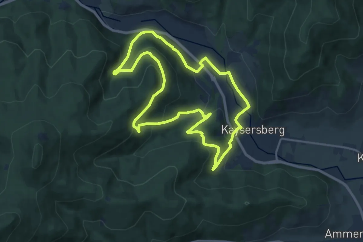
Medium · Trail
Circuit Kuebelburg
8.8 km · ↑ 390 m · 3 h 3 min
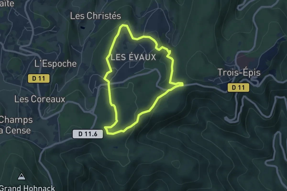
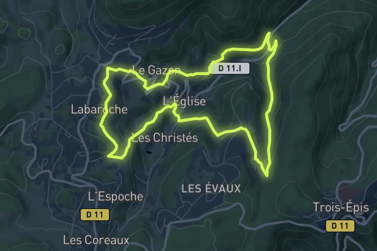
Easy · Trail
Circuit Labaroche Évaux
4.8 km · ↑ 122 m · 1 h 27 min
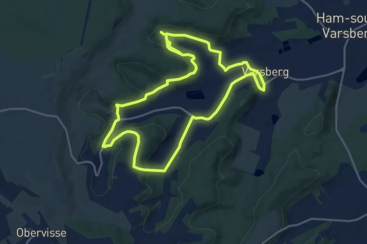
Medium · Trail
Circuit La Basse
8.3 km · ↑ 404 m · 2 h 57 min
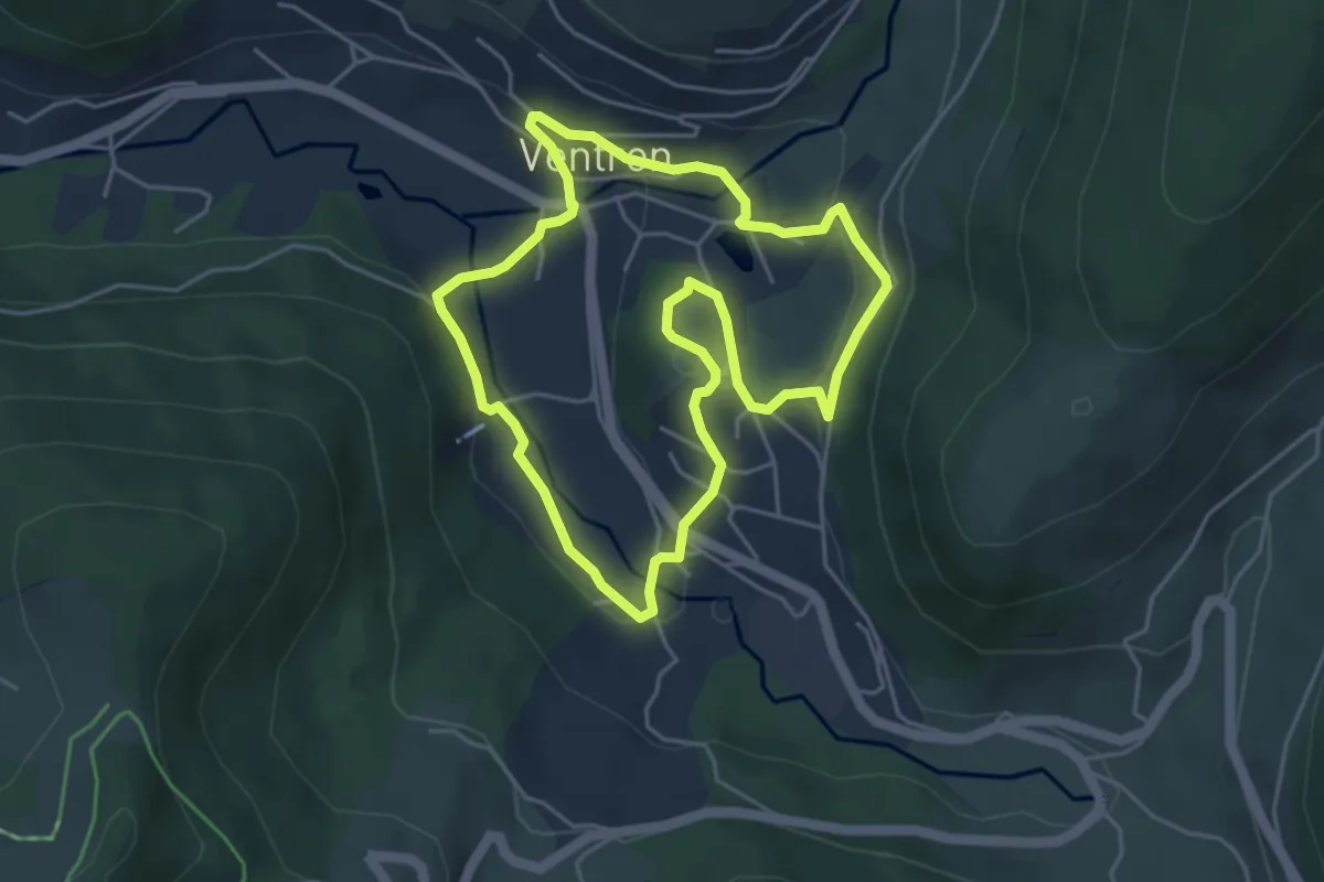
Demanding · Trail
Circuit la boutonniere du Warndt
18.4 km · ↑ 530 m · 5 h 29 min
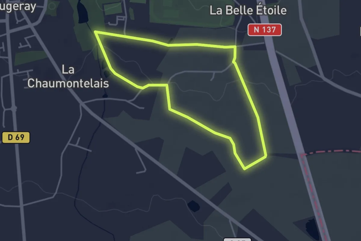
Easy · Trail
Circuit La Bruche
4.3 km · ↑ 125 m · 1 h 20 min
Easy · Trail
Circuit la Brûlonnais
3.3 km · ↑ 23 m · 52 min
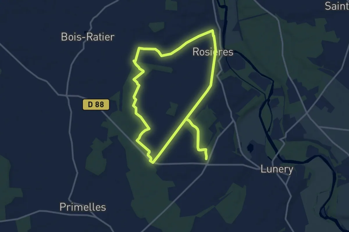
Medium · Trail
Circuit La Bruyère
11.1 km · ↑ 53 m · 2 h 53 min
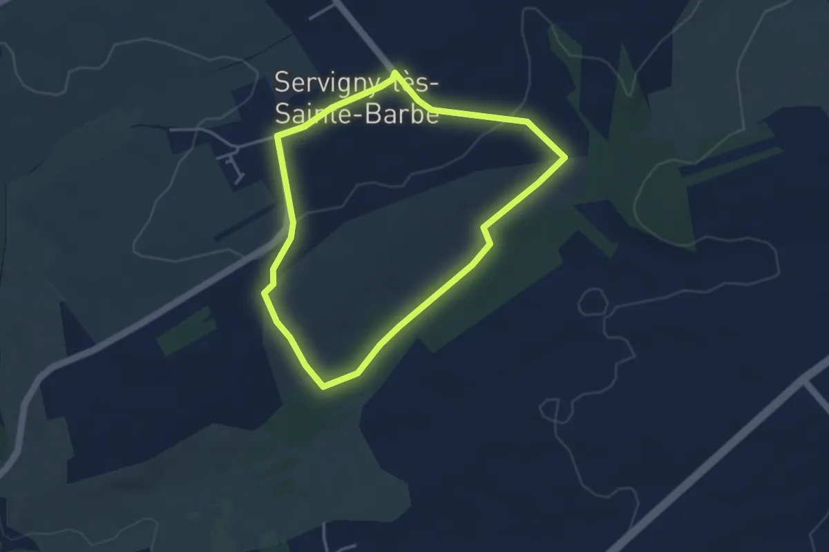
Easy · Trail
Circuit la fontaine à Lion
3.2 km · ↑ 44 m · 53 min
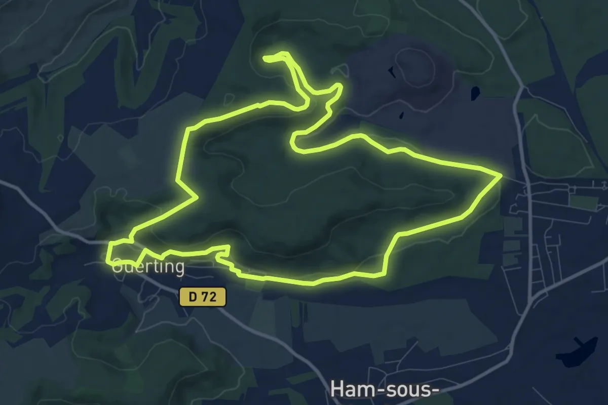
Medium · Trail
Circuit la foret de la Houve
10.5 km · ↑ 227 m · 3 h 7 min
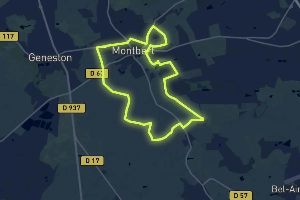
Medium · Trail
Circuit La Foye
11.2 km · ↑ 30 m · 2 h 52 min
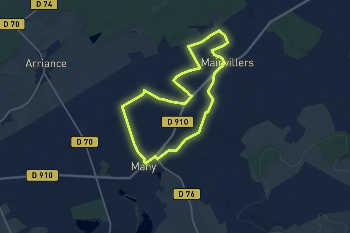
Medium · Trail
Circuit La Frontèredes Langues
8.6 km · ↑ 77 m · 2 h 18 min
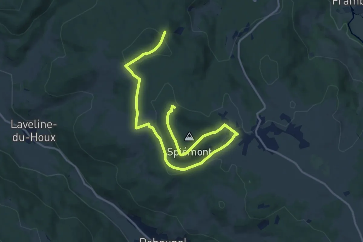
Easy · Trail
Circuit Laleu Colline
6.1 km · ↑ 181 m · 1 h 54 min
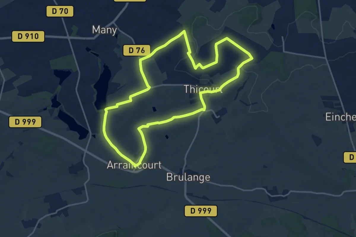
Medium · Trail
Circuit L’Allée Saint-Pierre
13.2 km · ↑ 155 m · 3 h 38 min
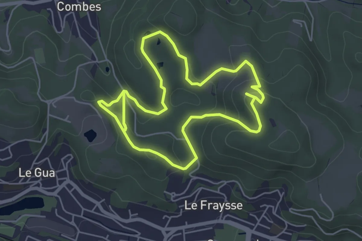
Easy · Trail
Circuit Land Art
4.7 km · ↑ 140 m · 1 h 29 min
Easy · Trail
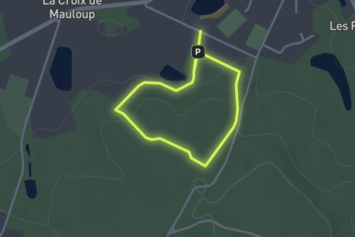
Circuit La Randonnade
1.9 km · ↑ 52 m · 36 min
Medium · Trail
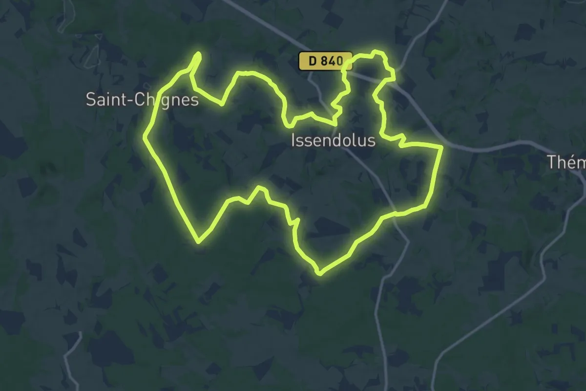
Circuit la randonnée du Causse
15.2 km · ↑ 154 m · 4 h 9 min
Medium · Summit
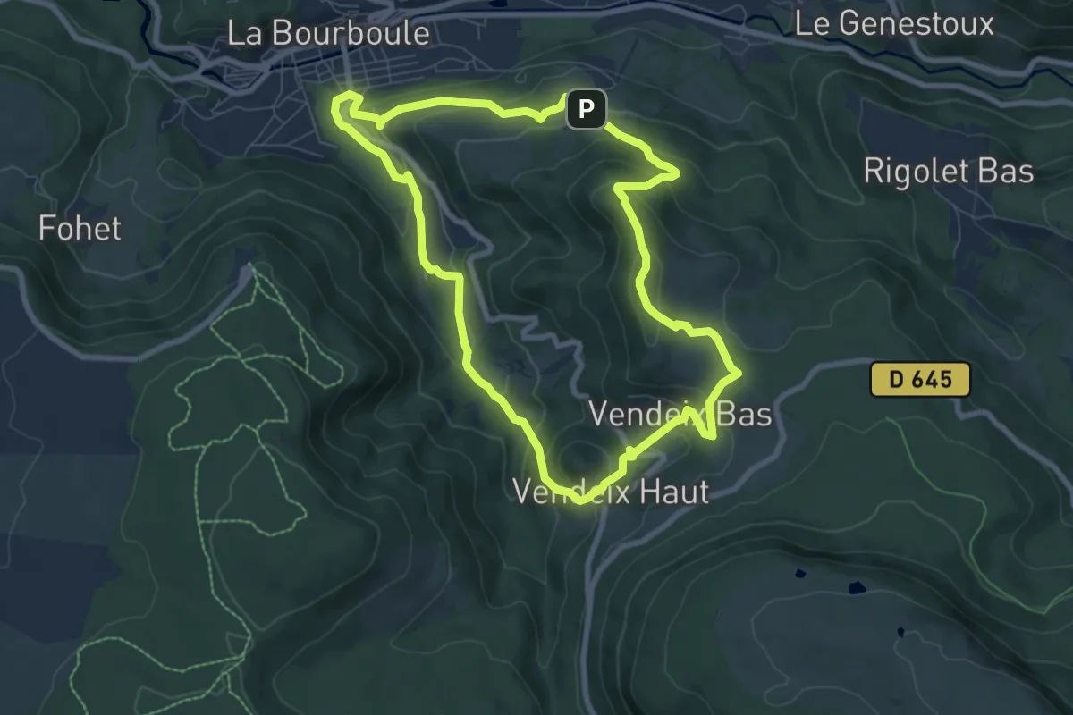
Circuit La Roche De Vendeix
7.7 km · ↑ 363 m · 2 h 42 min
Easy · Summit
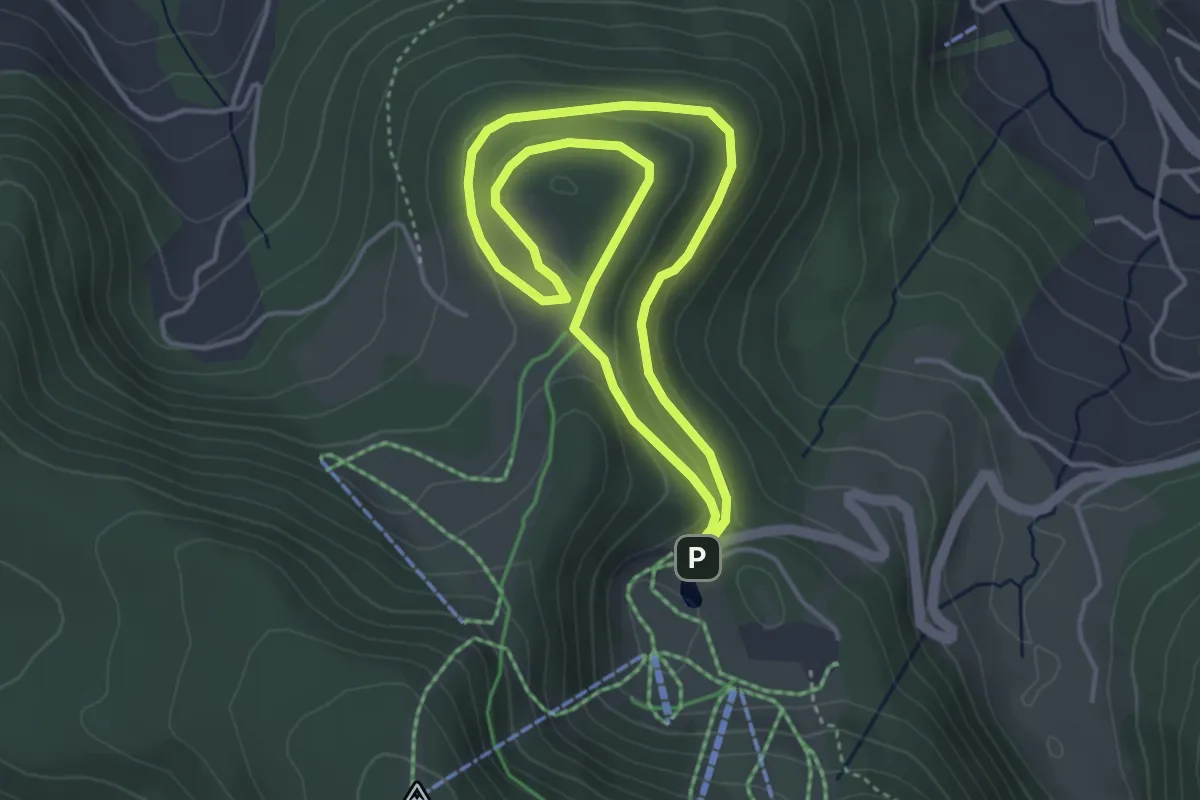
Circuit La Ronde Bruche
3.5 km · ↑ 87 m · 1 h 4 min