Trails in France
15,926 hiking trails, each with its route, climb, walking time and grade.
All trails, page 87 of 332
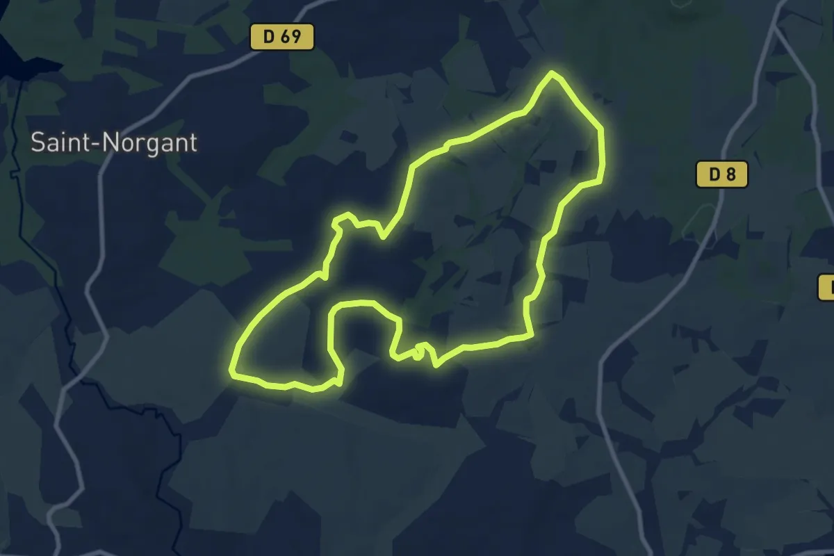
Medium · Trail
Circuit La ronde des calvaires
8.6 km · ↑ 74 m · 2 h 18 min
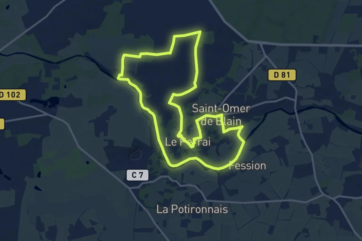
Medium · Trail
Circuit la Rote du Farinier (grande boucle)
10.6 km · ↑ 59 m · 2 h 46 min
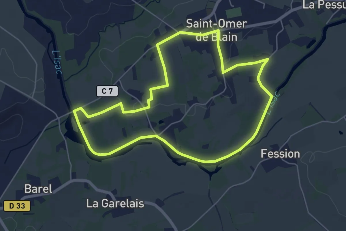
Easy · Trail
Circuit la Rote du Farinier (petite boucle)
4.7 km · ↑ 17 m · 1 h 13 min
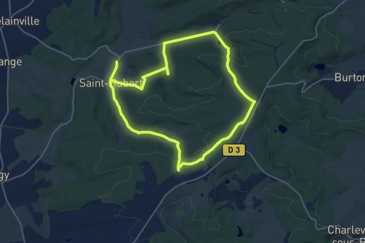
Demanding · Trail
Circuit la source Charlemagne
23.7 km · ↑ 461 m · 6 h 35 min
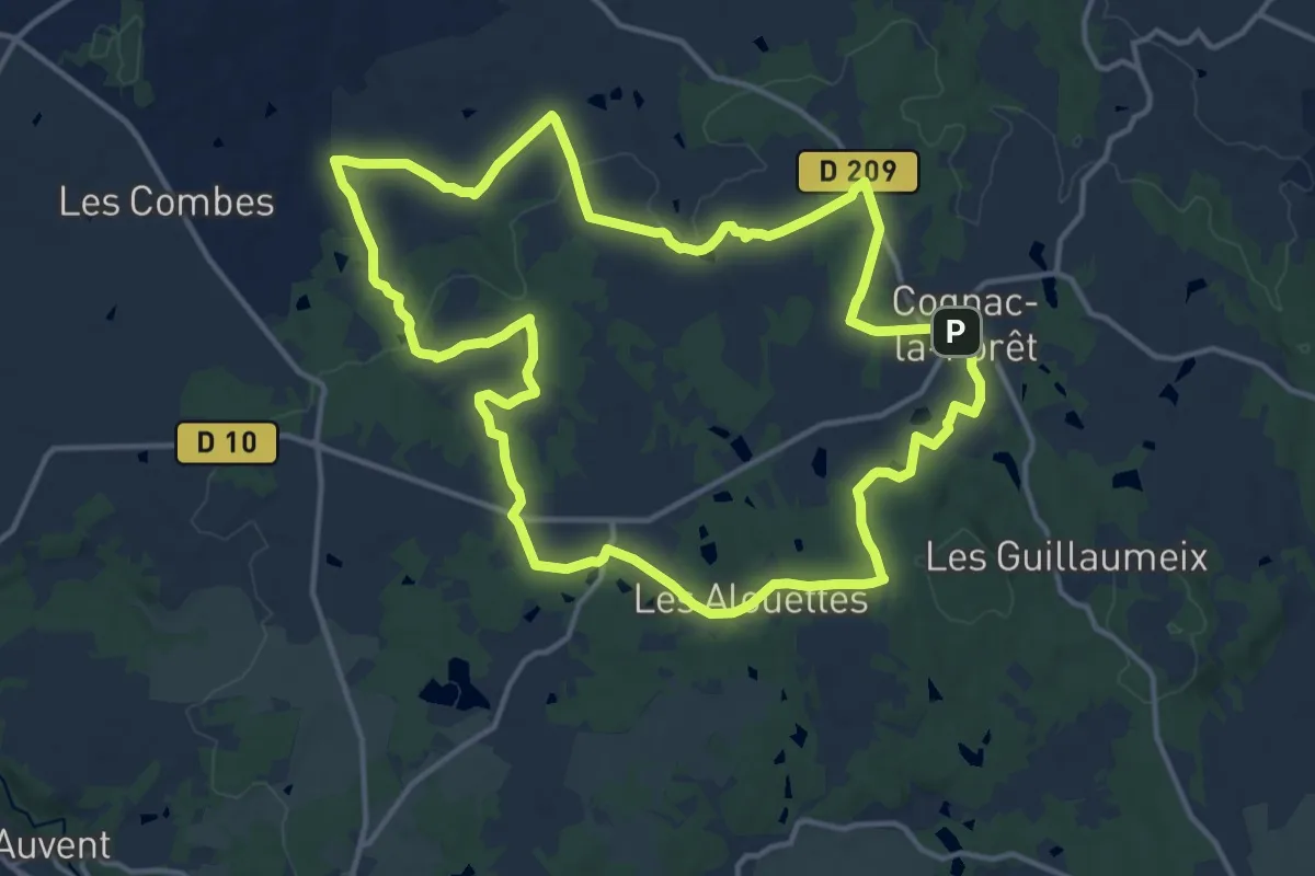
Medium · Trail
Circuit Las Pradas
14.9 km · ↑ 195 m · 4 h 10 min
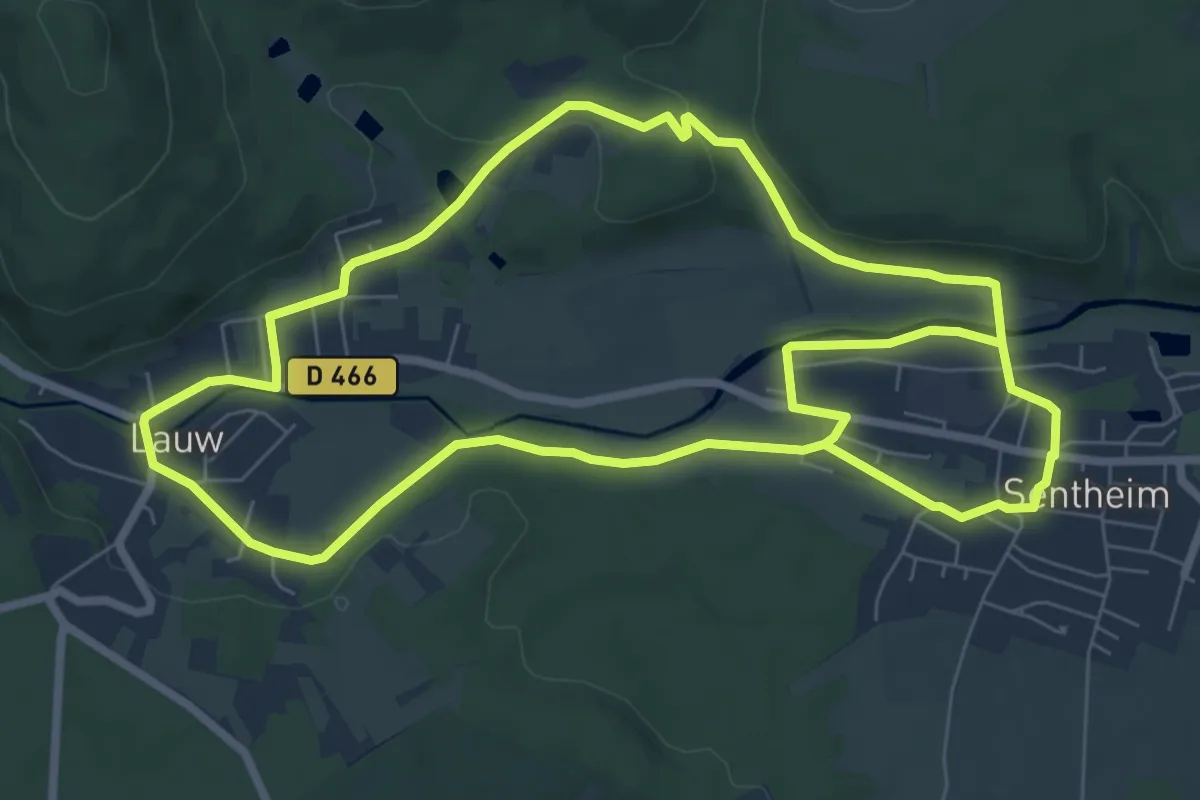
Easy · Trail
Circuit Lauw - Sentheim
7.7 km · ↑ 72 m · 2 h 5 min
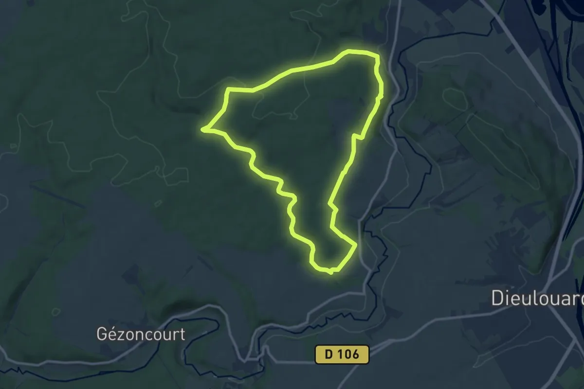
Medium · Trail
Circuit la Vau Châtel
9.6 km · ↑ 170 m · 2 h 47 min
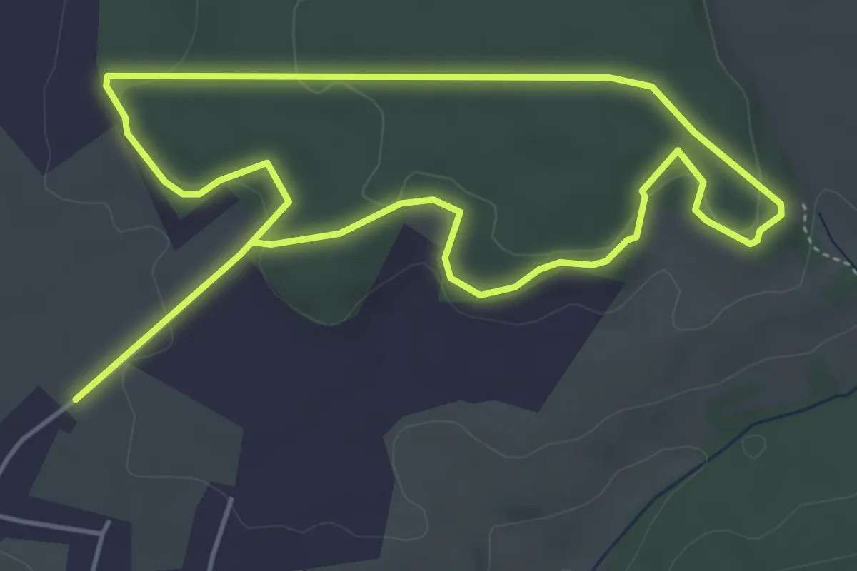
Easy · Trail
Circuit "La Villa"
4.3 km · ↑ 89 m · 1 h 16 min
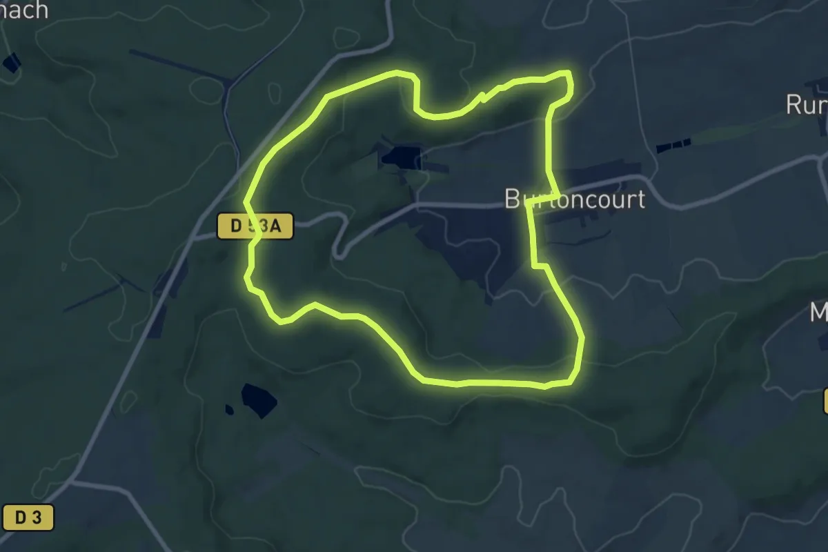
Easy · Trail
Circuit La voie de 60
7.4 km · ↑ 168 m · 2 h 13 min
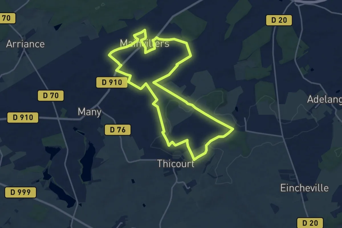
Medium · Trail
Circuit La Voie Romaine
14.8 km · ↑ 167 m · 4 h 3 min
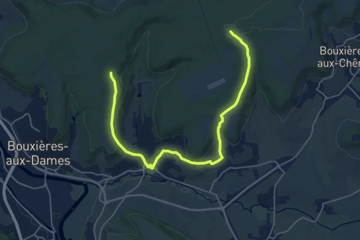
Medium · Trail
Circuit L : Circuit principal
16.9 km · ↑ 410 m · 4 h 52 min
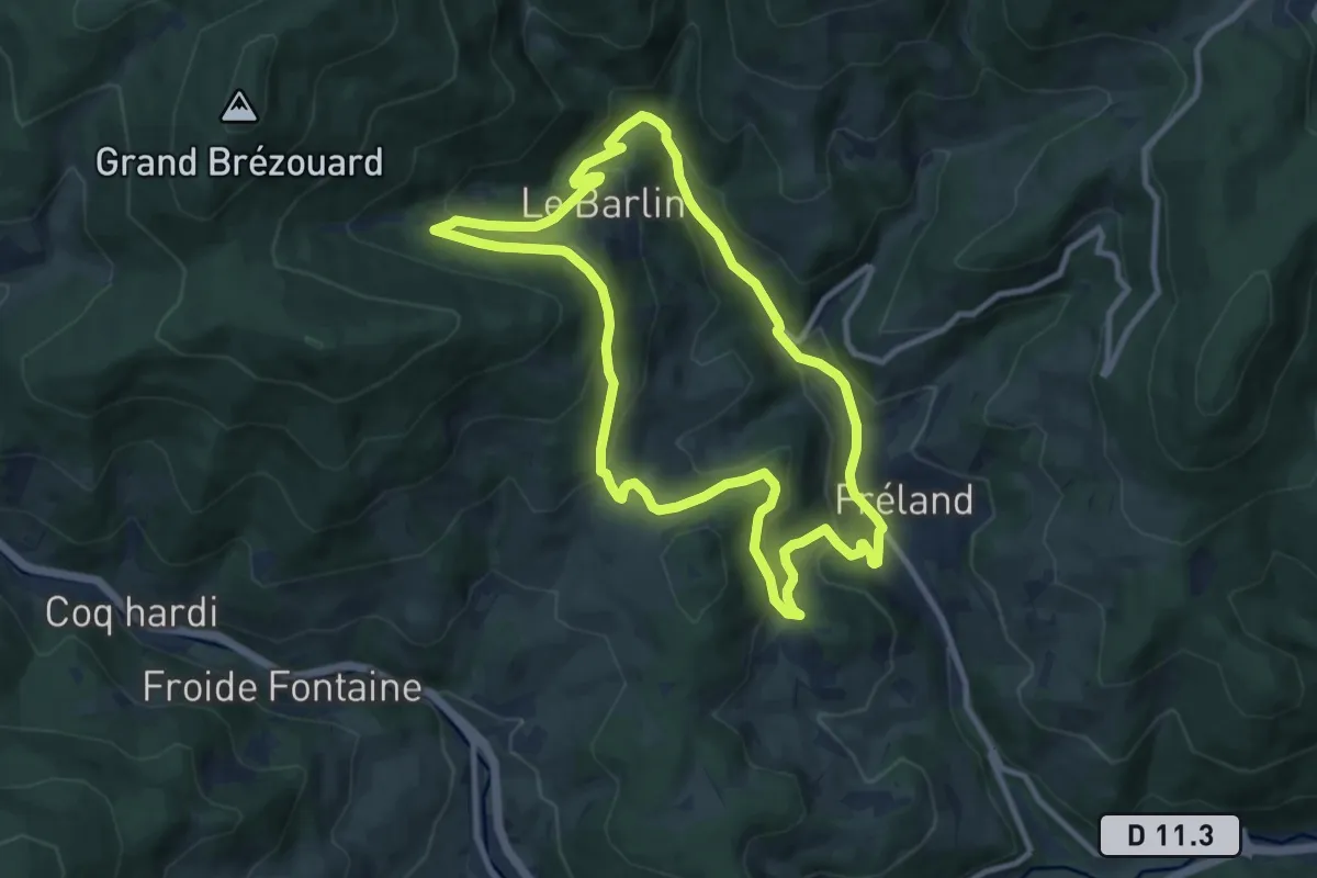
Medium · Trail
Circuit Le Barlin
9.2 km · ↑ 423 m · 3 h 13 min
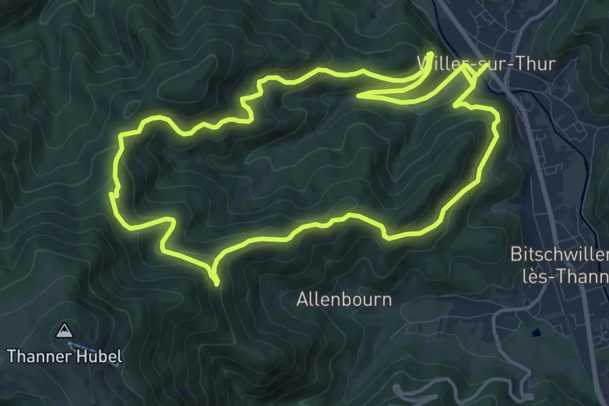
Medium · Trail
Circuit Le Blaufels
11.4 km · ↑ 561 m · 4 h 4 min
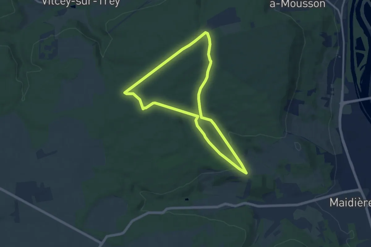
Easy · Trail
Circuit Lebocq
7.8 km · ↑ 148 m · 2 h 16 min
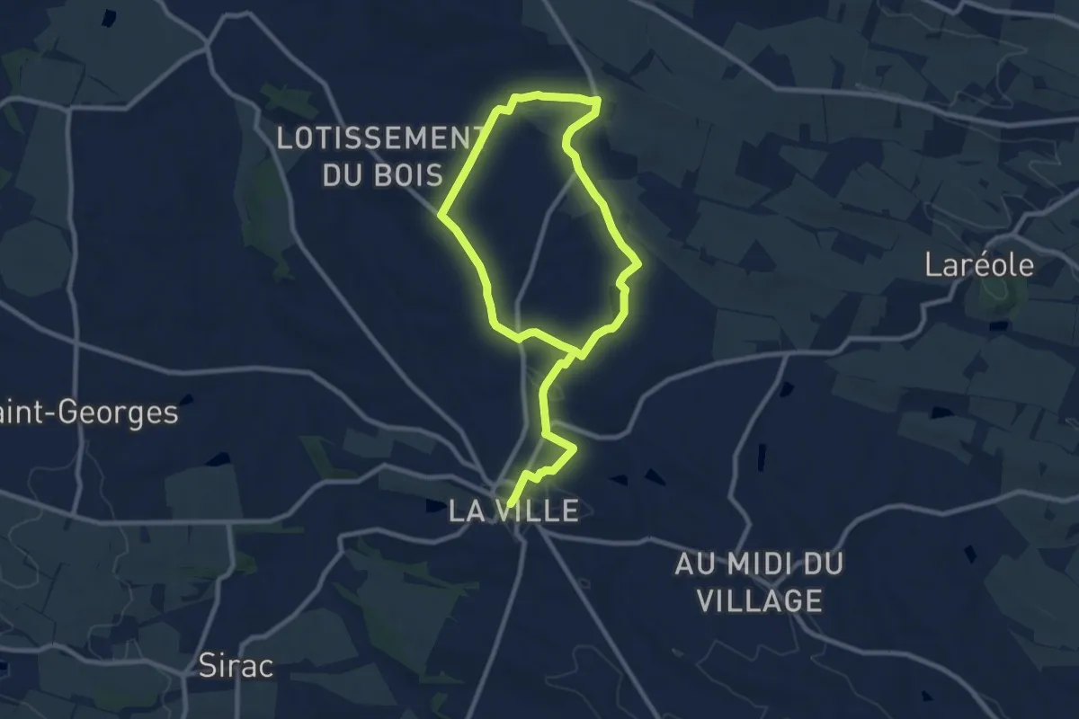
Medium · Trail
Circuit le Cachou
15.3 km · ↑ 185 m · 4 h 1 min
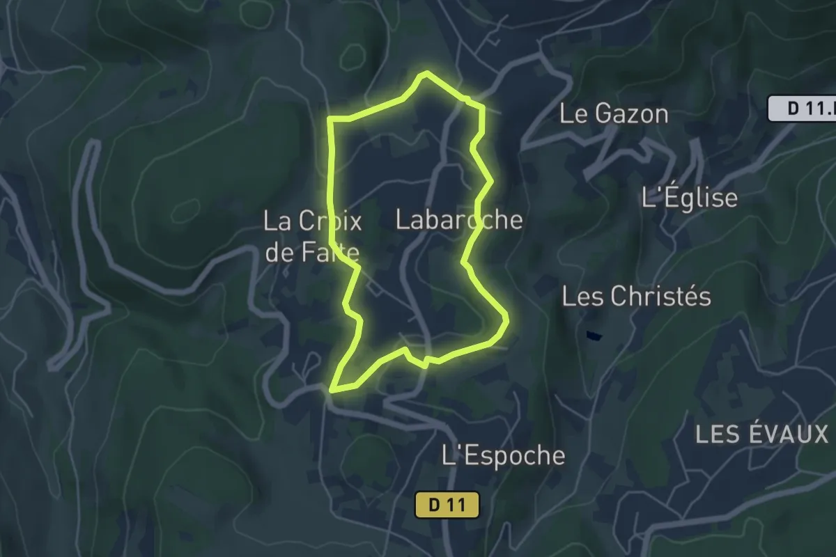
Easy · Trail
Circuit Le Centre
3.9 km · ↑ 69 m · 1 h 8 min
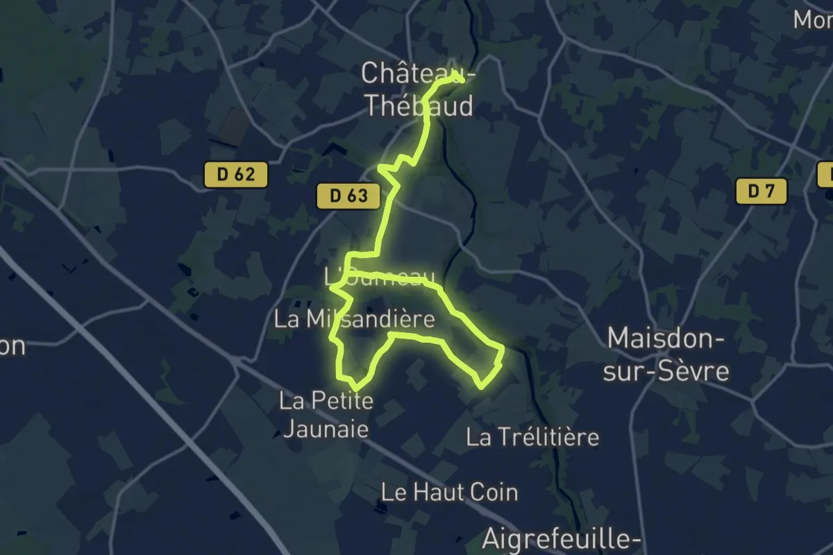
Medium · Trail
Circuit Le Chant des Trois Ruisseaux
10.1 km · ↑ 75 m · 2 h 42 min
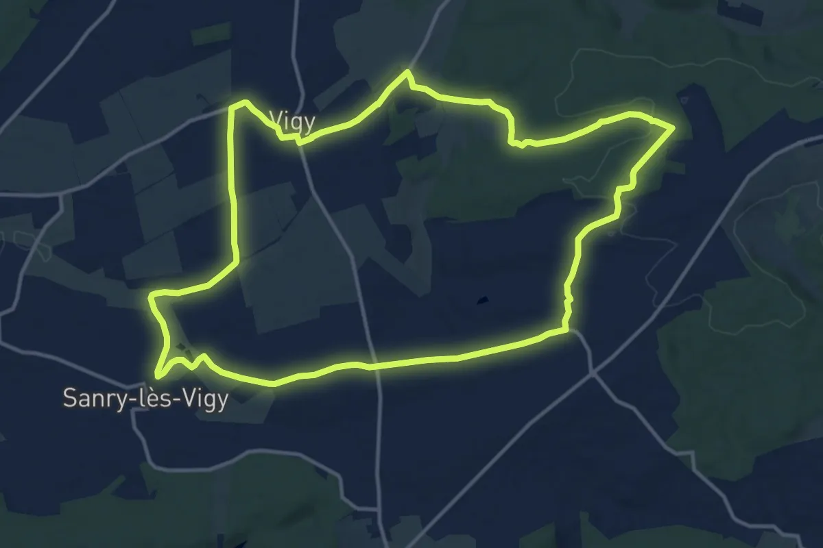
Medium · Trail
Circuit le chemin de la Reine
13.1 km · ↑ 151 m · 3 h 36 min
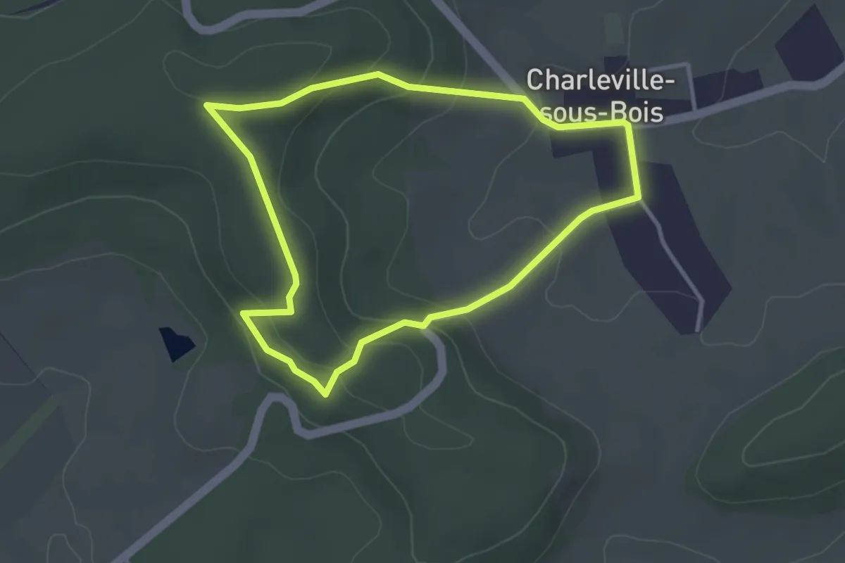
Easy · Trail
Circuit Le chemin des Ecoliers
2.9 km · ↑ 102 m · 57 min
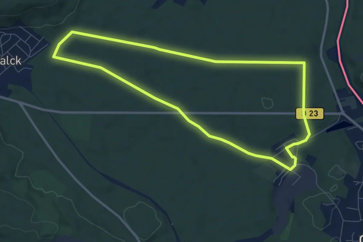
Easy · Trail
Circuit le chemin du Mineur
7.0 km · ↑ 64 m · 1 h 54 min
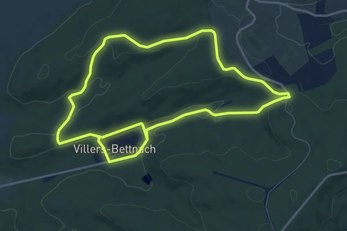
Medium · Trail
Circuit le Chene des Moines
14.6 km · ↑ 259 m · 4 h 1 min
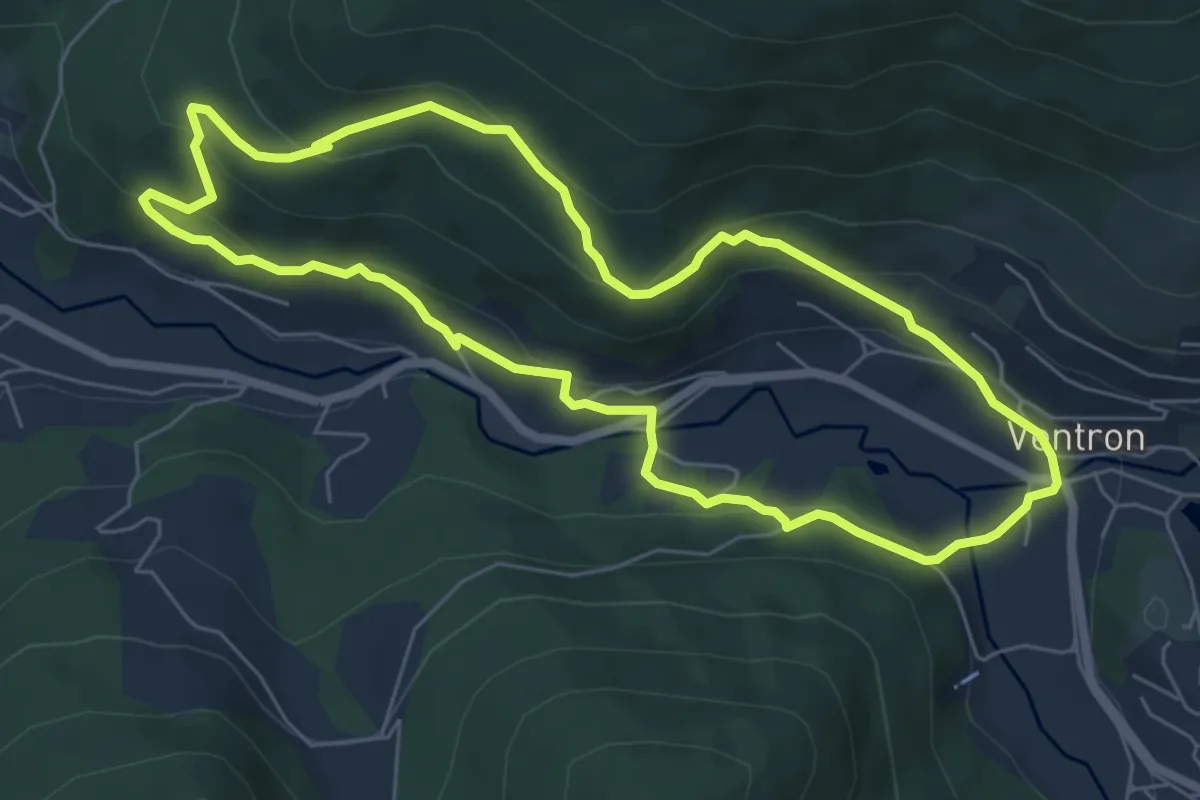
Easy · Trail
Circuit Le Daval
6.1 km · ↑ 279 m · 2 h 7 min
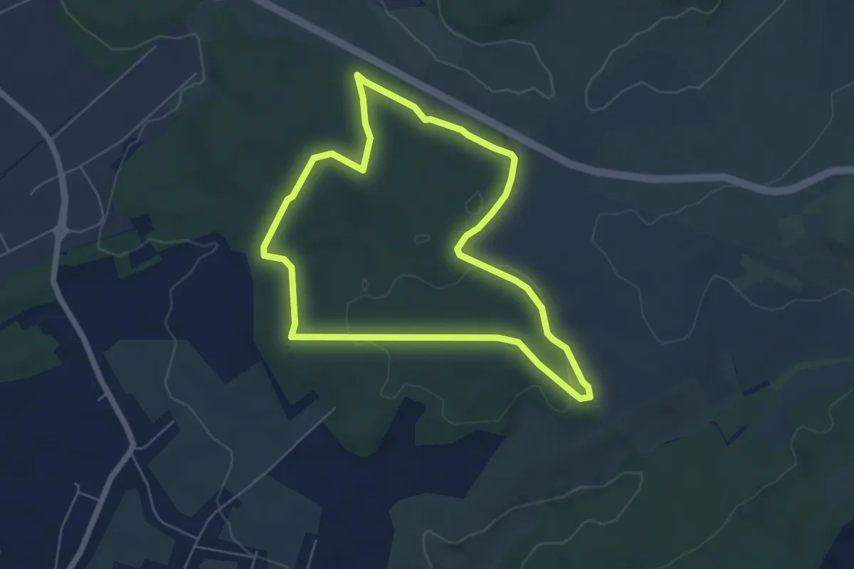
Easy · Trail
Circuit "Le Grosswald"
5.1 km · ↑ 91 m · 1 h 28 min
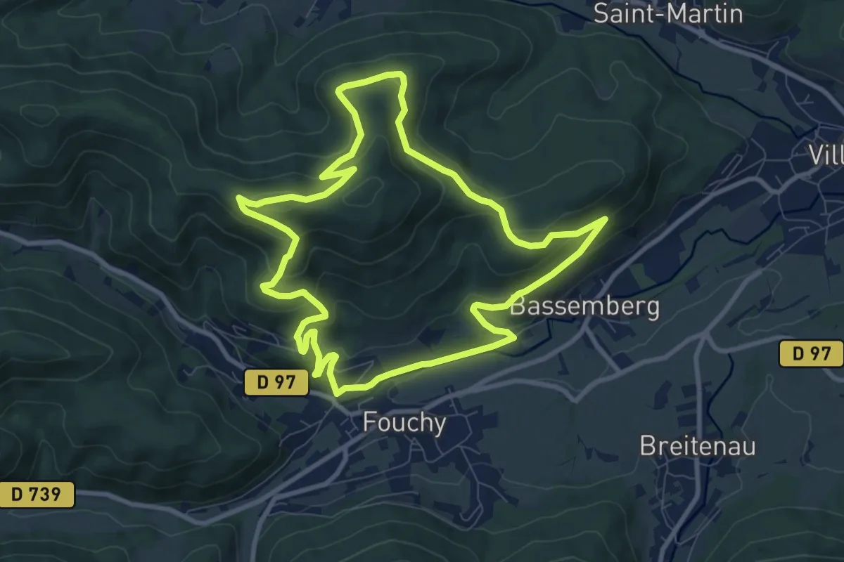
Medium · Trail
Circuit Le Honel
8.6 km · ↑ 377 m · 2 h 57 min
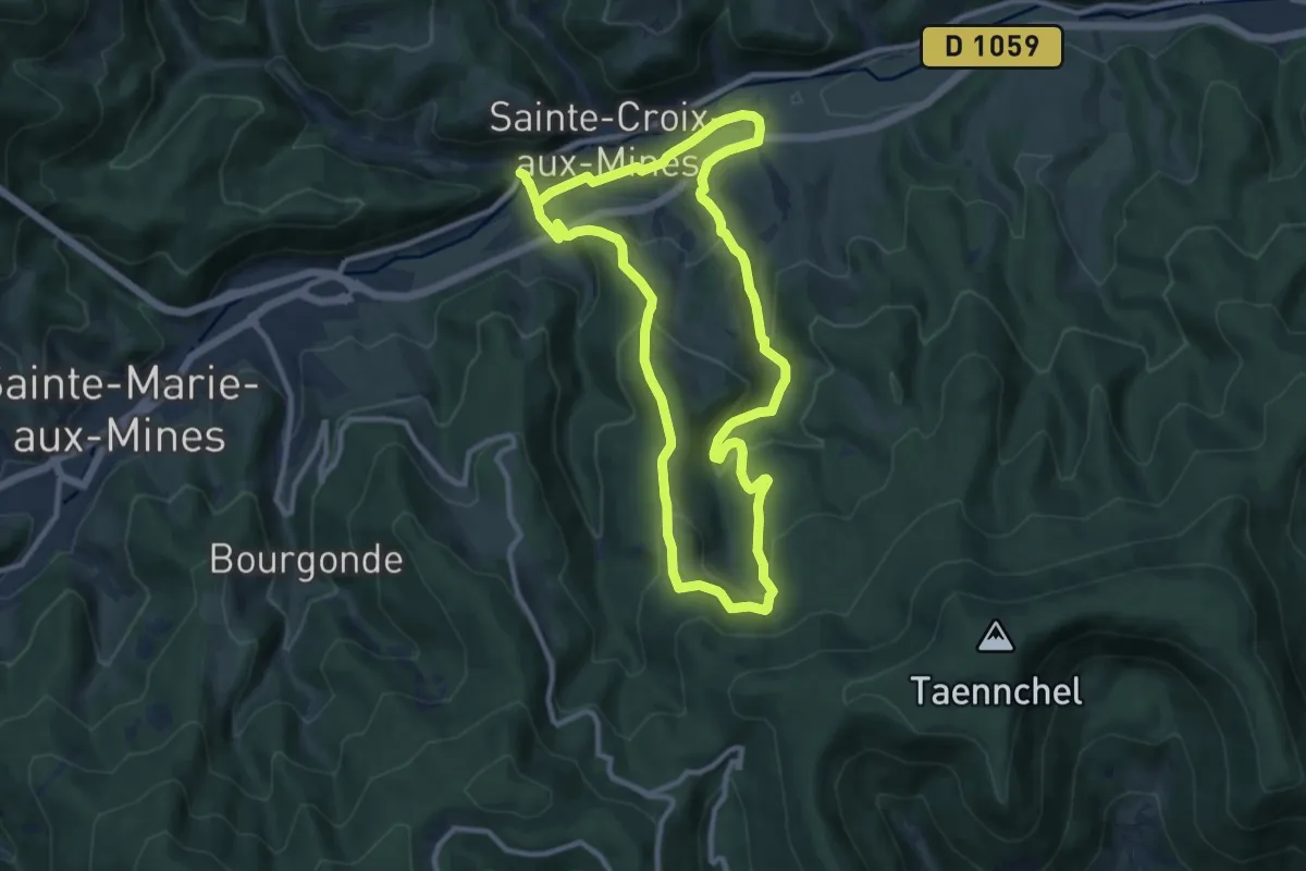
Medium · Trail
Circuit Le Hury
9.7 km · ↑ 369 m · 3 h 14 min
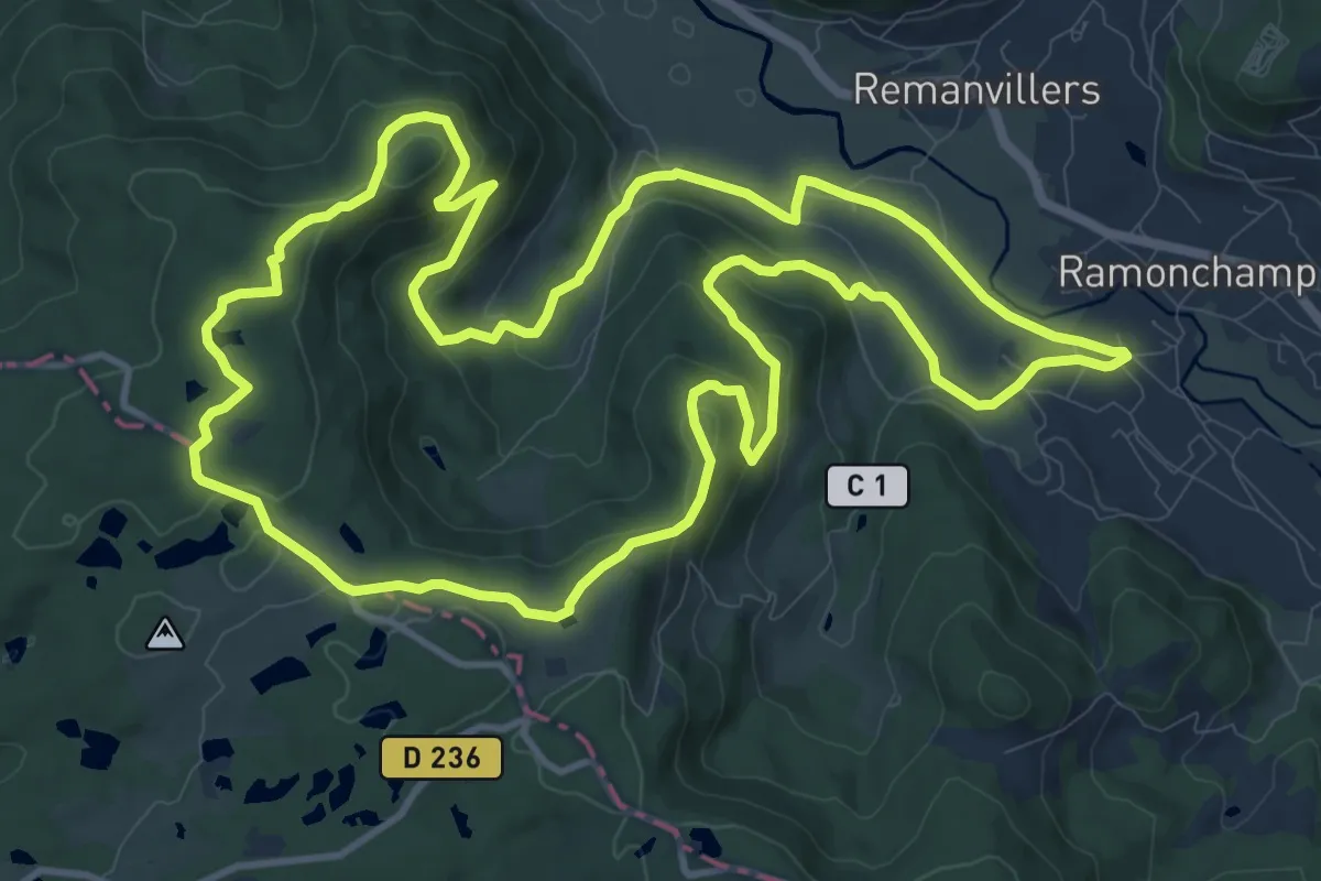
Medium · Trail
Circuit Le Linqueny
12.8 km · ↑ 363 m · 3 h 59 min
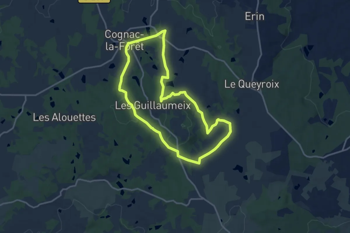
Medium · Trail
Circuit Le Paradis
10.0 km · ↑ 154 m · 2 h 50 min
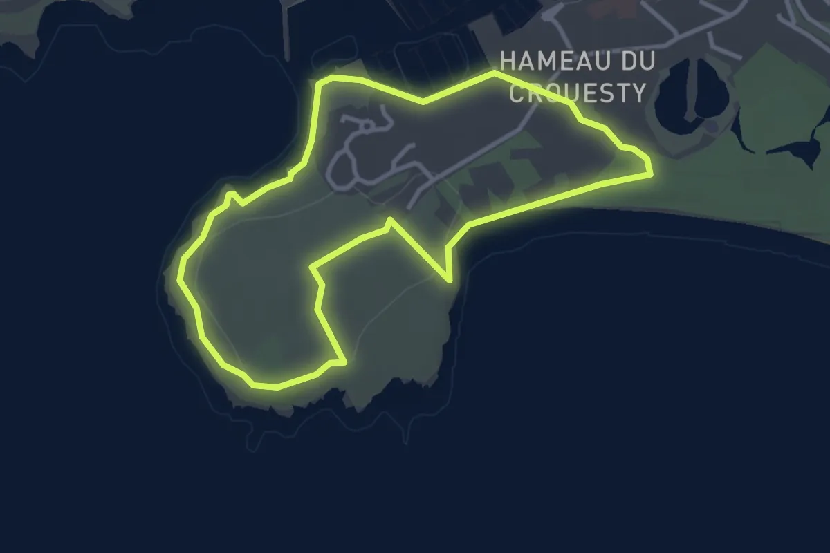
Easy · Trail
Circuit le Petit Mont
3.1 km · ↑ 43 m · 52 min
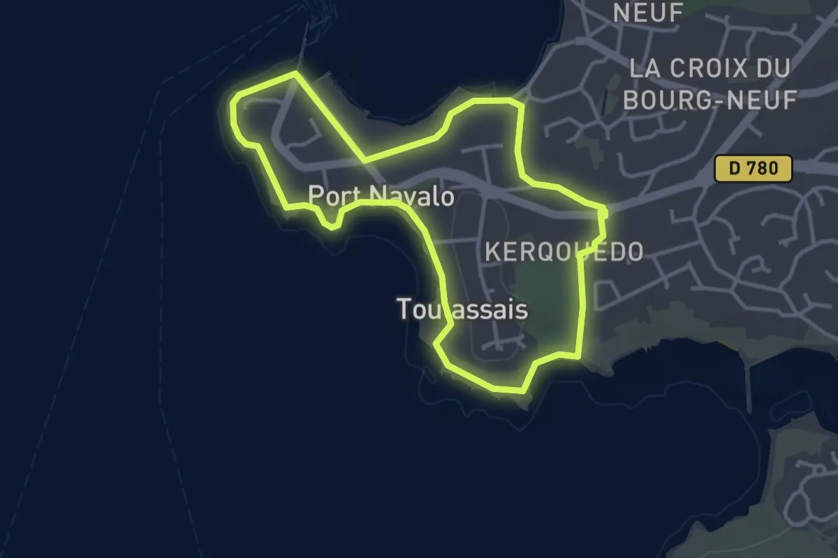
Easy · Trail
Circuit le Petit Mousse
3.2 km · ↑ 34 m · 53 min
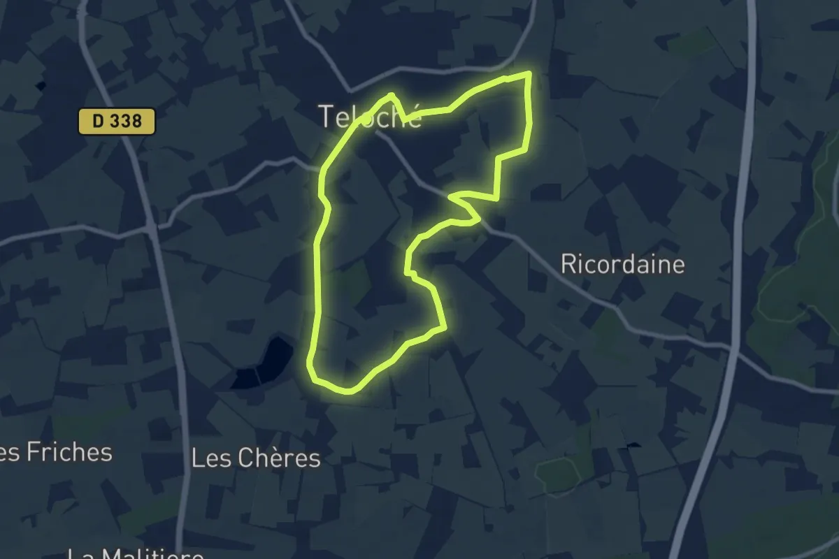
Easy · Trail
Circuit L'Épine
7.3 km · ↑ 31 m · 1 h 53 min
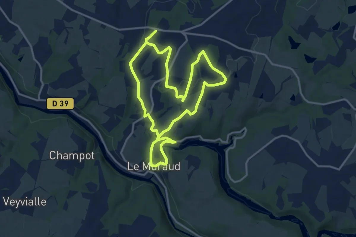
Medium · Trail
Circuit le Prieuré de l'Artige
16.5 km · ↑ 394 m · 4 h 45 min
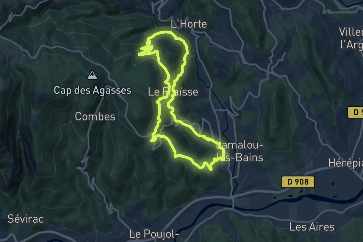
Medium · Trail
Circuit Le Roc de Bessèdes
11.0 km · ↑ 598 m · 4 h 3 min
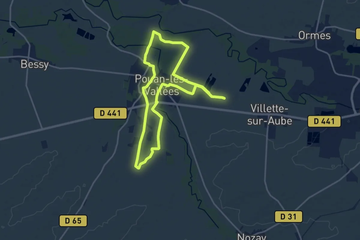
Demanding · Trail
Circuit Les 2 Vallées
22.4 km · ↑ 17 m · 5 h 19 min
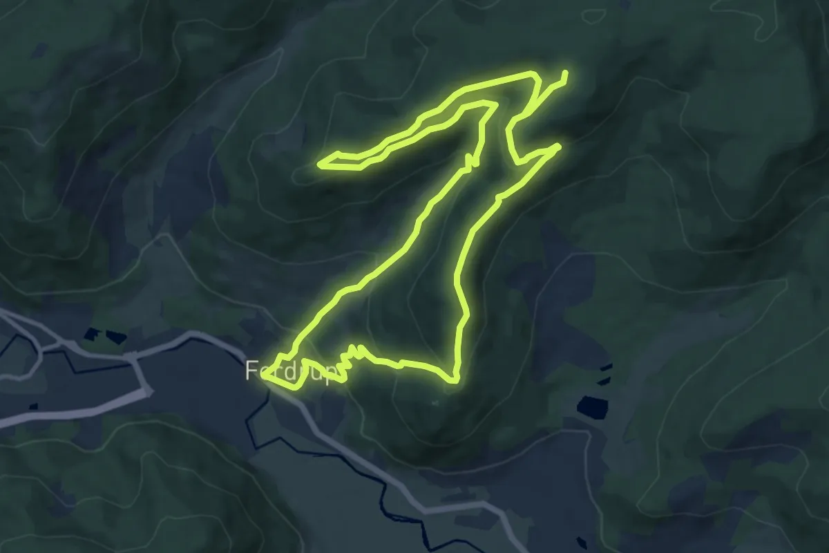
Medium · Cabin
Circuit les 3 Chalets
11.3 km · ↑ 465 m · 3 h 49 min
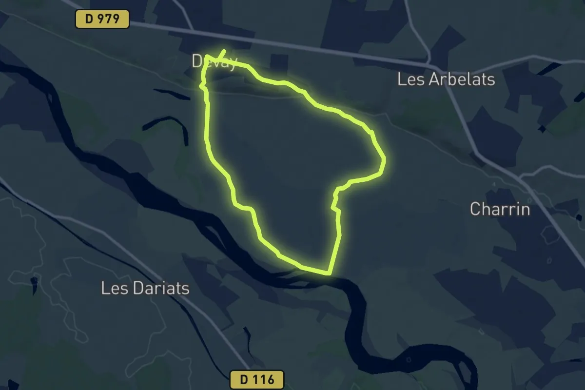
Medium · Trail
circuit les Appelettes
8.8 km · ↑ 45 m · 2 h 18 min
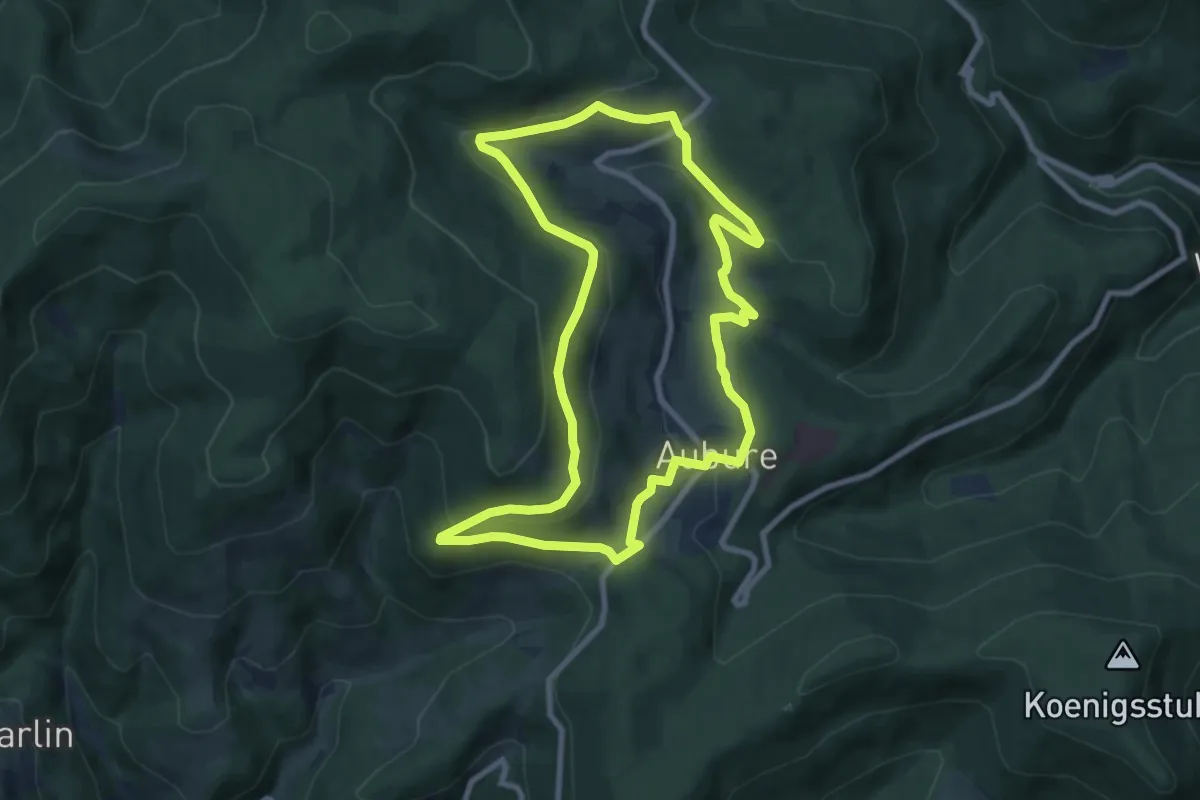
Medium · Trail
Circuit Le Schlueck
8.3 km · ↑ 264 m · 2 h 39 min
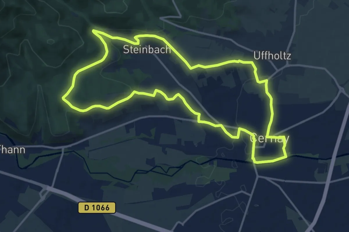
Medium · Trail
Circuit "Les Cigognes" 11 Km
11.0 km · ↑ 189 m · 3 h 10 min
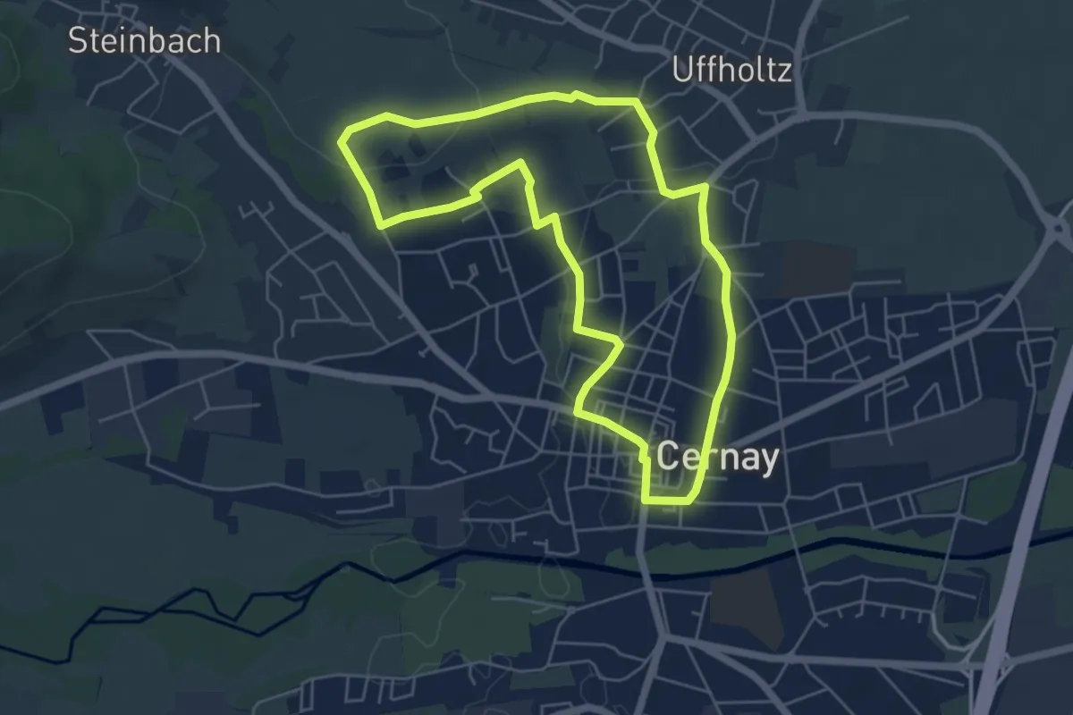
Easy · Trail
Circuit "Les Cigognes" 5 Km
5.1 km · ↑ 68 m · 1 h 26 min
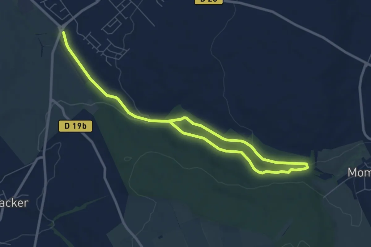
Medium · Trail
Circuit le sentier du Buchwald
9.3 km · ↑ 122 m · 2 h 27 min
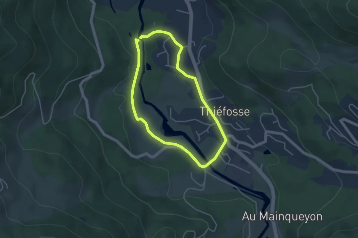
Easy · Trail
Circuit Les Gorges de Crosery
2.8 km · ↑ 30 m · 46 min
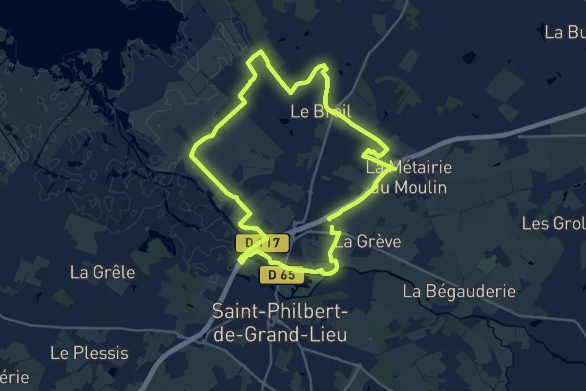
Medium · Trail
Circuit les Marais
13.0 km · ↑ 13 m · 3 h 16 min
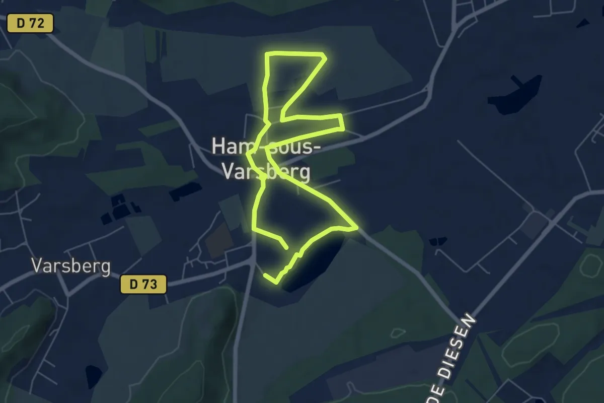
Medium · Trail
Circuit les marais du Warndt
9.6 km · ↑ 35 m · 2 h 20 min
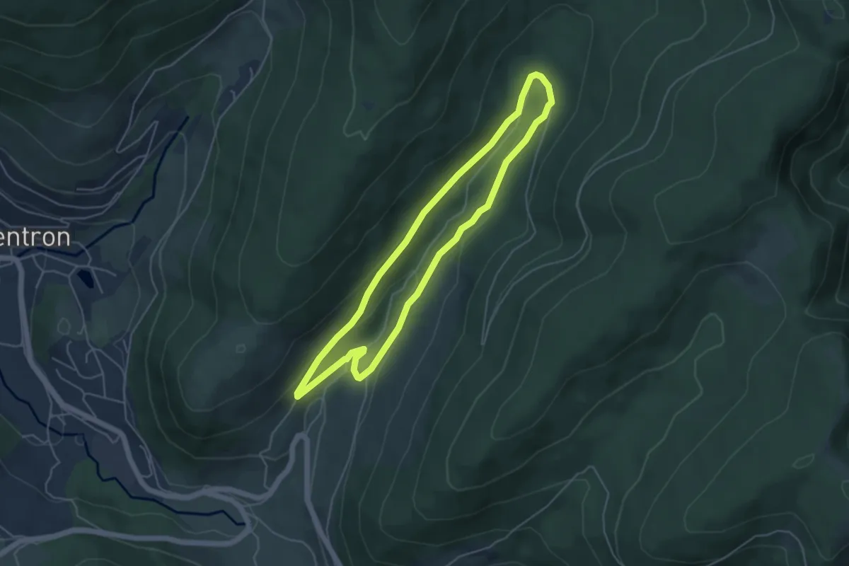
Easy · Trail
Circuit Les Places
4.3 km · ↑ 118 m · 1 h 21 min
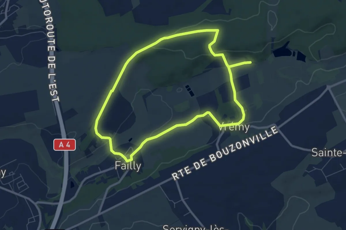
Medium · Trail
Circuit les Quelots
12.8 km · ↑ 231 m · 3 h 32 min
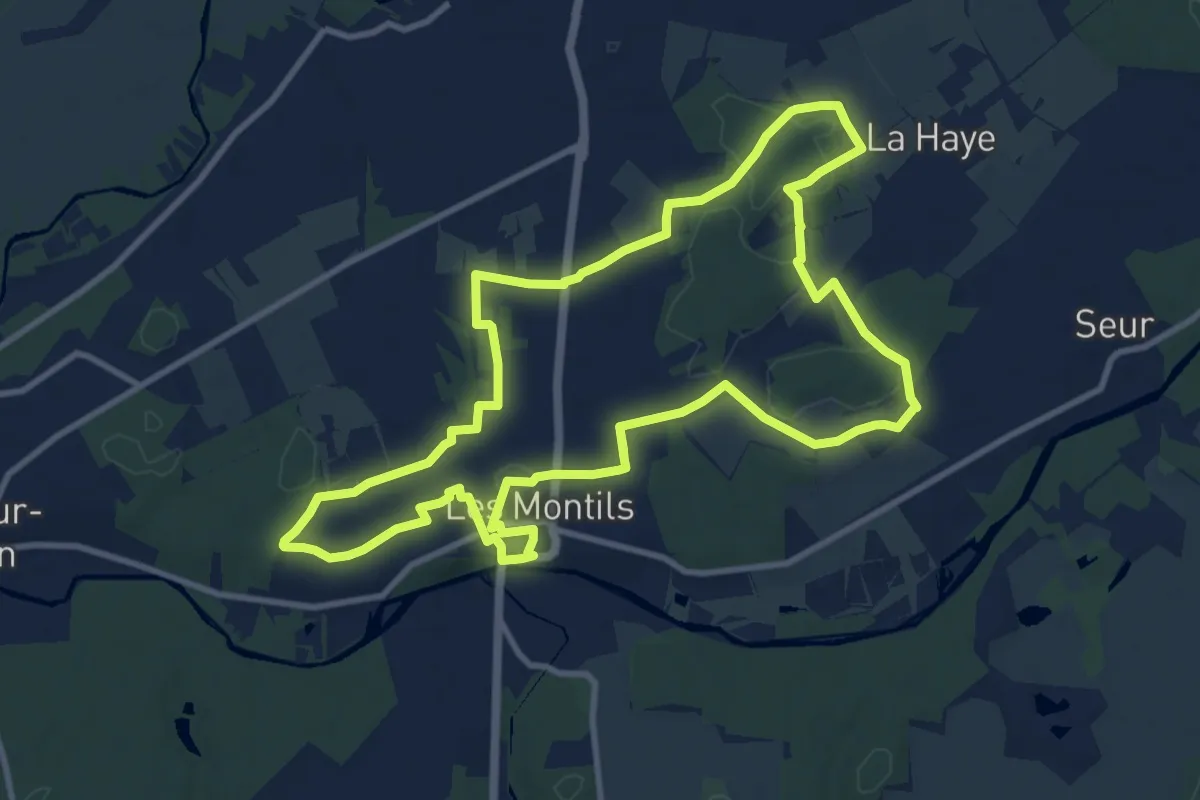
Medium · Trail
Circuit Les Vieux Montils
11.1 km · ↑ 67 m · 2 h 55 min
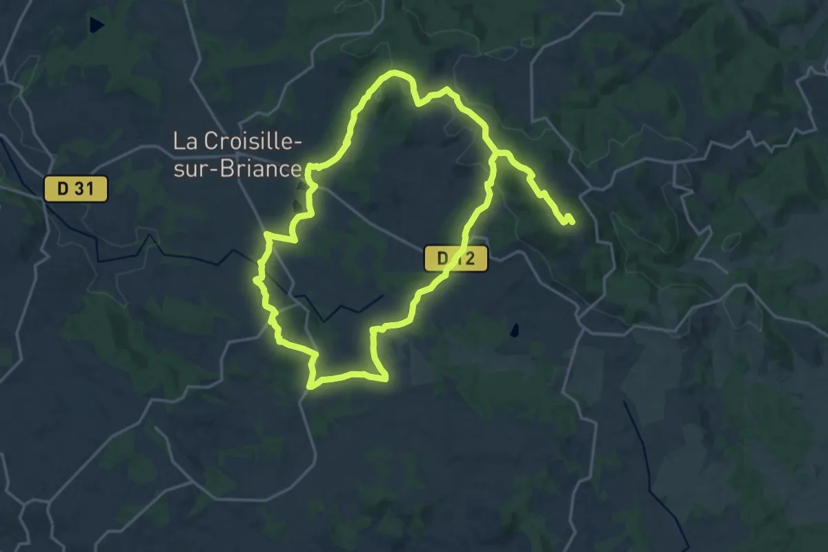
Demanding · Summit
Circuit Le Tour du Mont Gargan
34.7 km · ↑ 792 m · 9 h 54 min
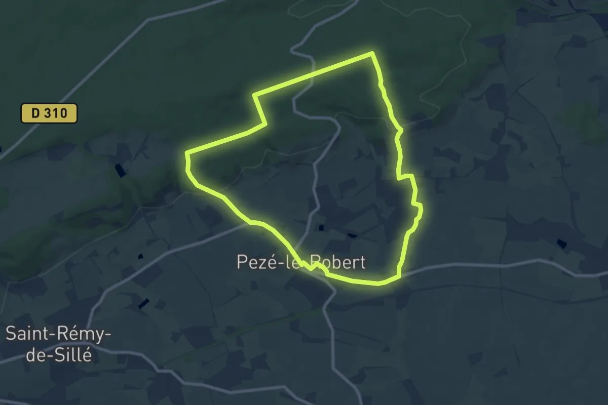
Easy · Trail
Circuit le village et la forêt
8.0 km · ↑ 166 m · 2 h 21 min
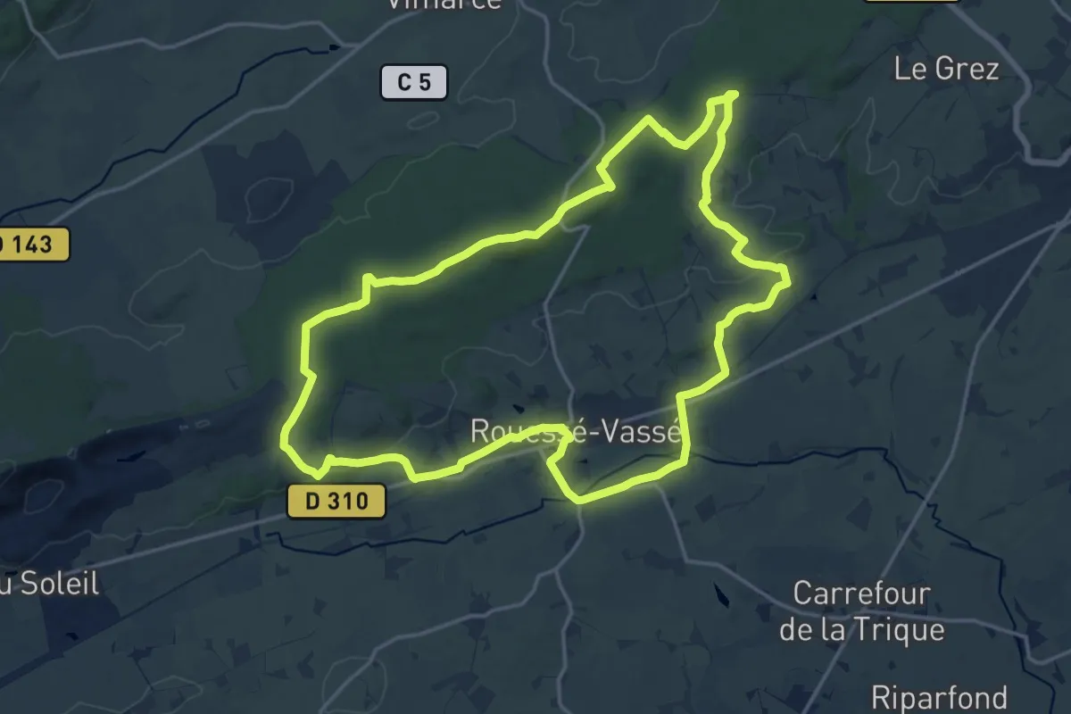
Medium · Trail
Circuit le village Vassé et la forêt
16.3 km · ↑ 266 m · 4 h 39 min