Trails in France
15,926 hiking trails, each with its route, climb, walking time and grade.
All trails, page 88 of 332
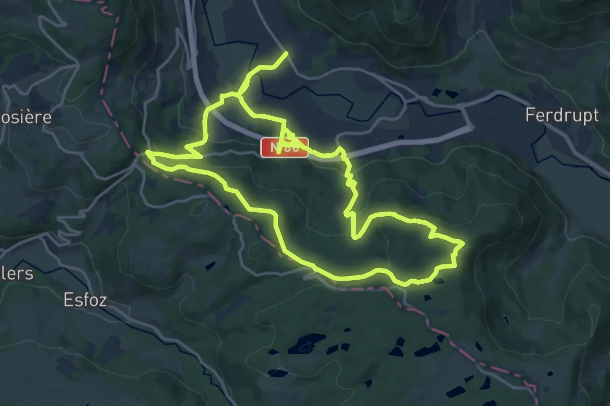
Medium · Trail
Circuit Linqueny
14.6 km · ↑ 502 m · 4 h 42 min
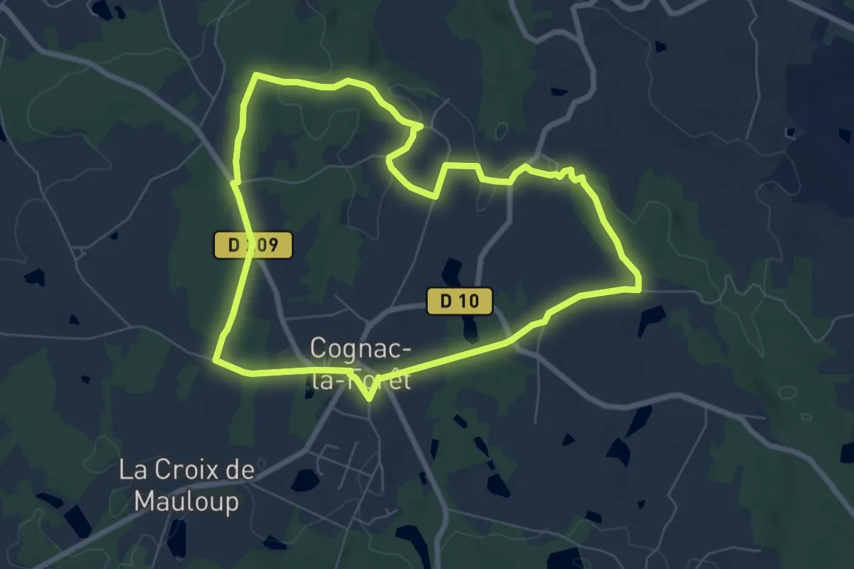
Easy · Trail
Circuit Lo Charbé
7.0 km · ↑ 79 m · 1 h 55 min
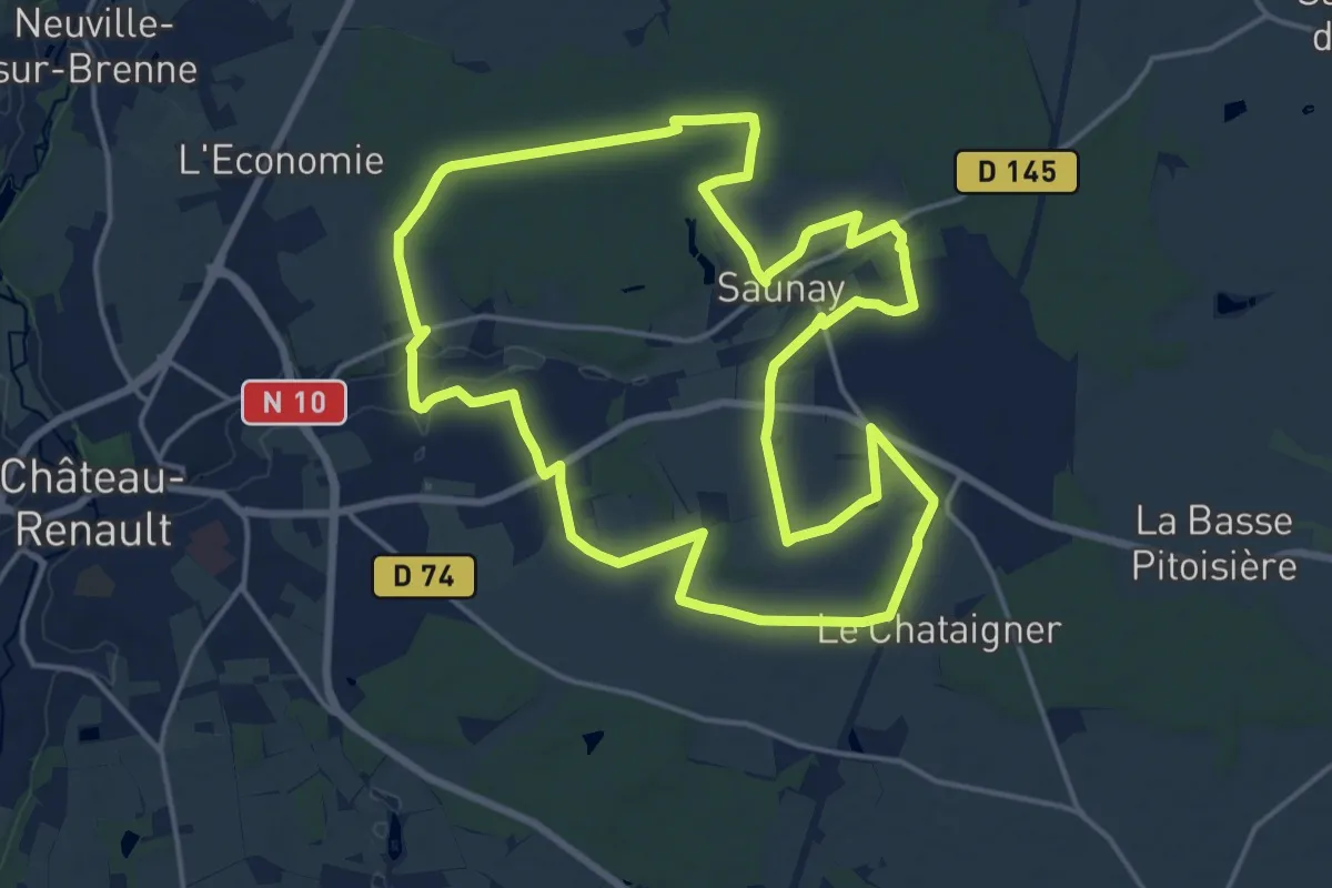
Medium · Trail
Circuit long
17.8 km · ↑ 116 m · 4 h 43 min
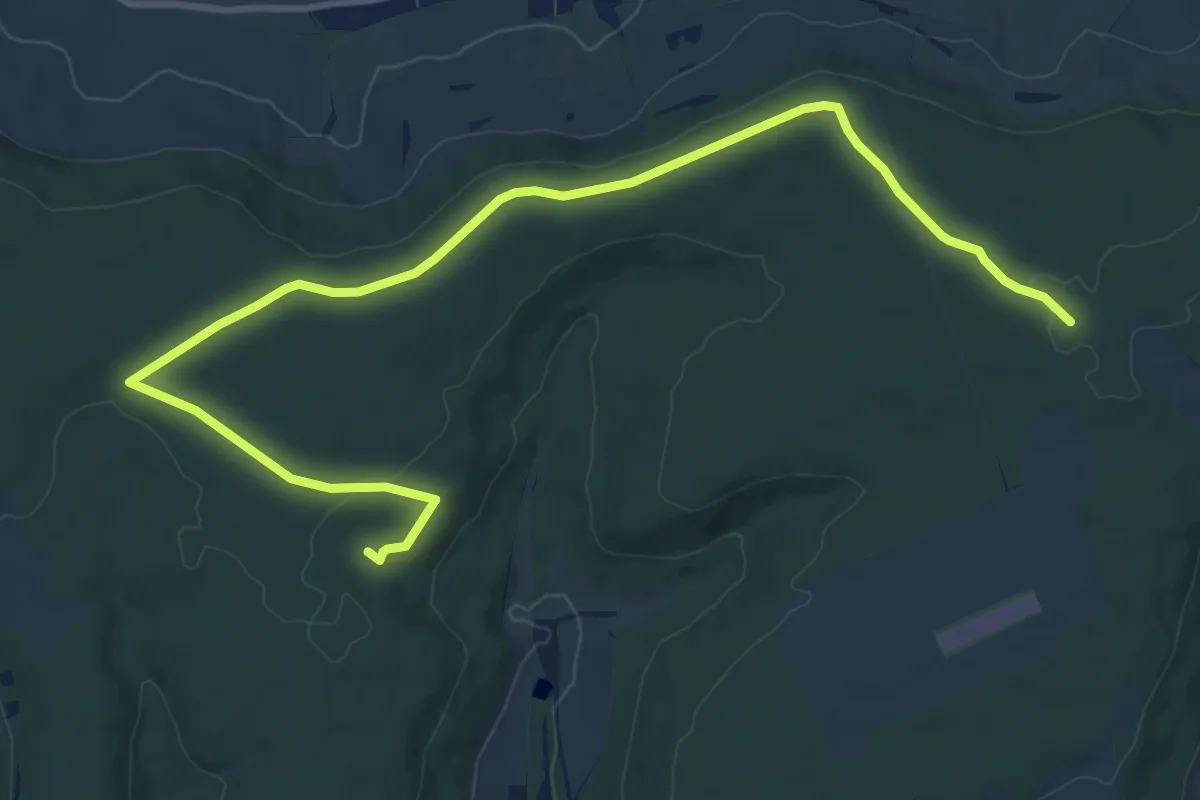
Medium · Trail
Circuit L : Variant Faulx
12.7 km · ↑ 101 m · 3 h 13 min
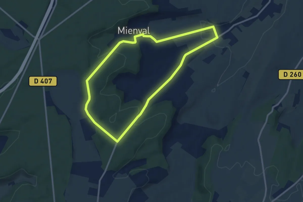
Easy · Trail
Circuit Maître Jean
6.9 km · ↑ 127 m · 1 h 59 min
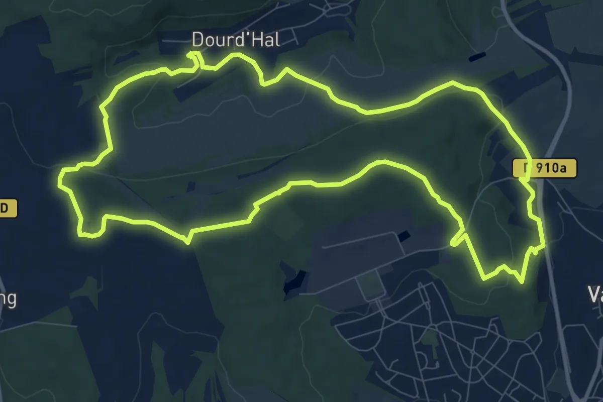
Medium · Trail
Circuit Mare au moine
9.7 km · ↑ 195 m · 2 h 51 min
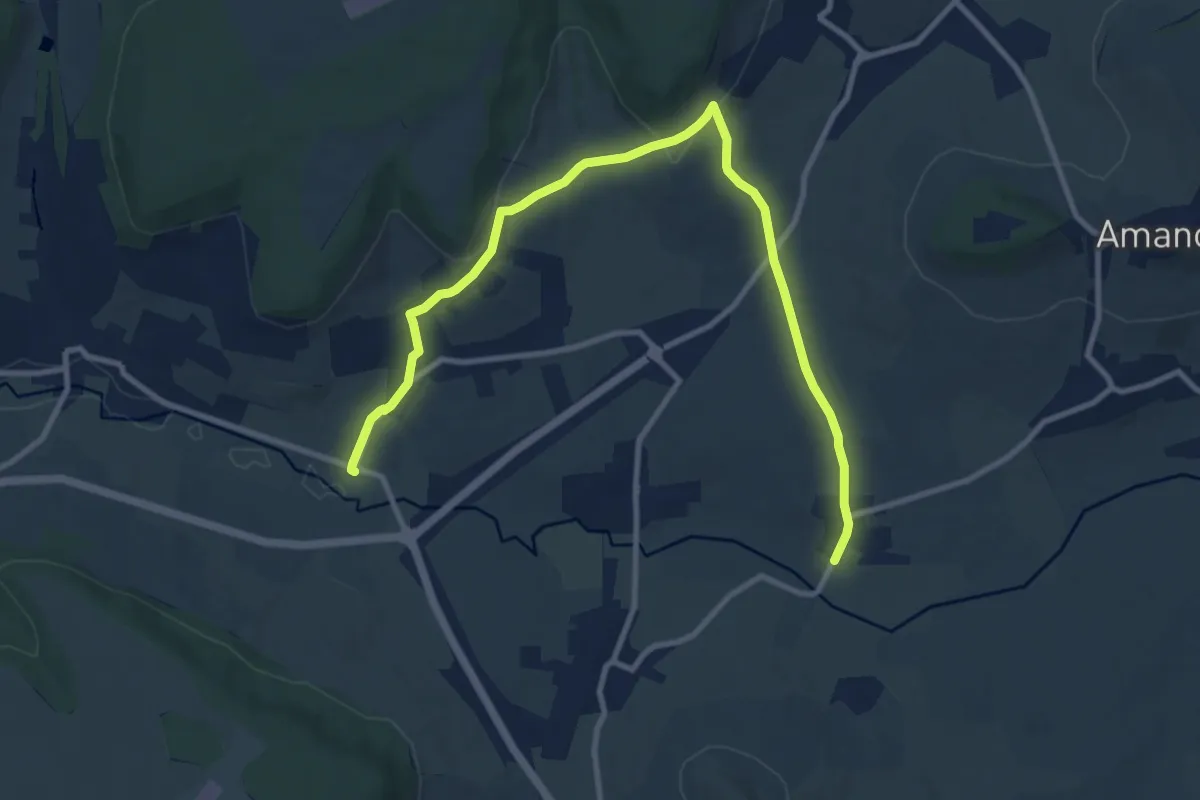
Medium · Trail
Circuit M : Blanzey
11.6 km · ↑ 277 m · 3 h 21 min
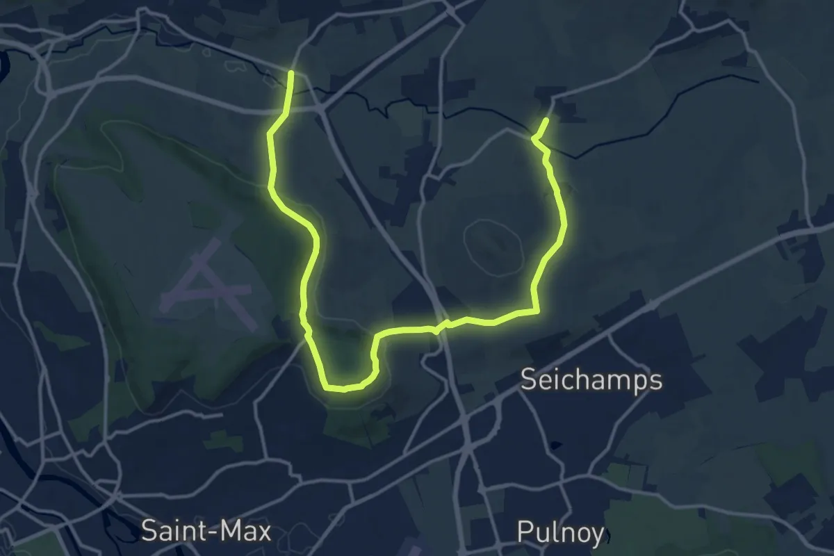
Medium · Trail
Circuit M : Circuit principal
16.9 km · ↑ 386 m · 4 h 49 min
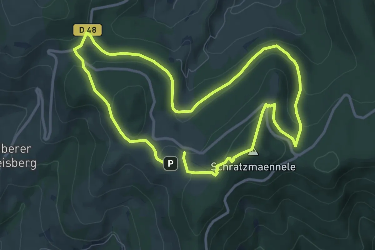
Medium · Summit
Circuit mémoire 14/18
7.1 km · ↑ 227 m · 2 h 15 min
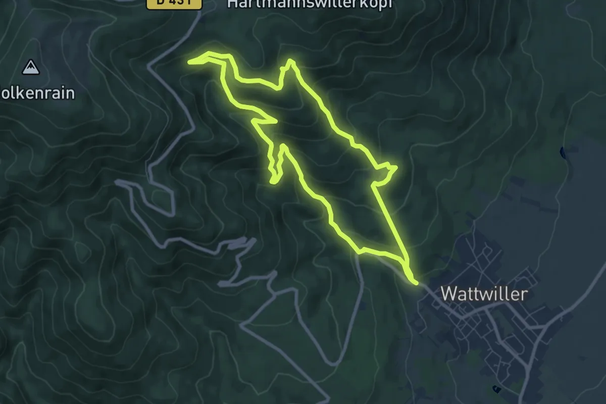
Medium · Trail
Circuit Mémoire de la guerre 14-18
7.6 km · ↑ 478 m · 2 h 56 min
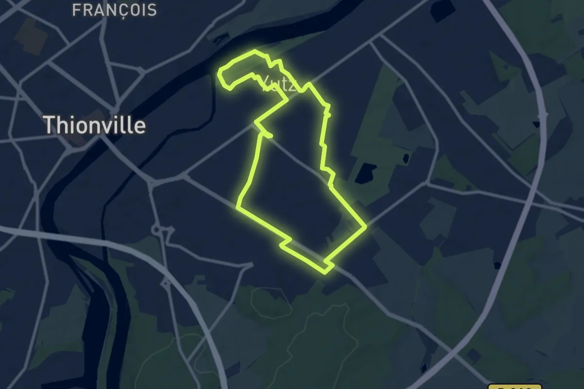
Easy · Trail
Circuit Mermoz
7.1 km · ↑ 20 m · 1 h 49 min
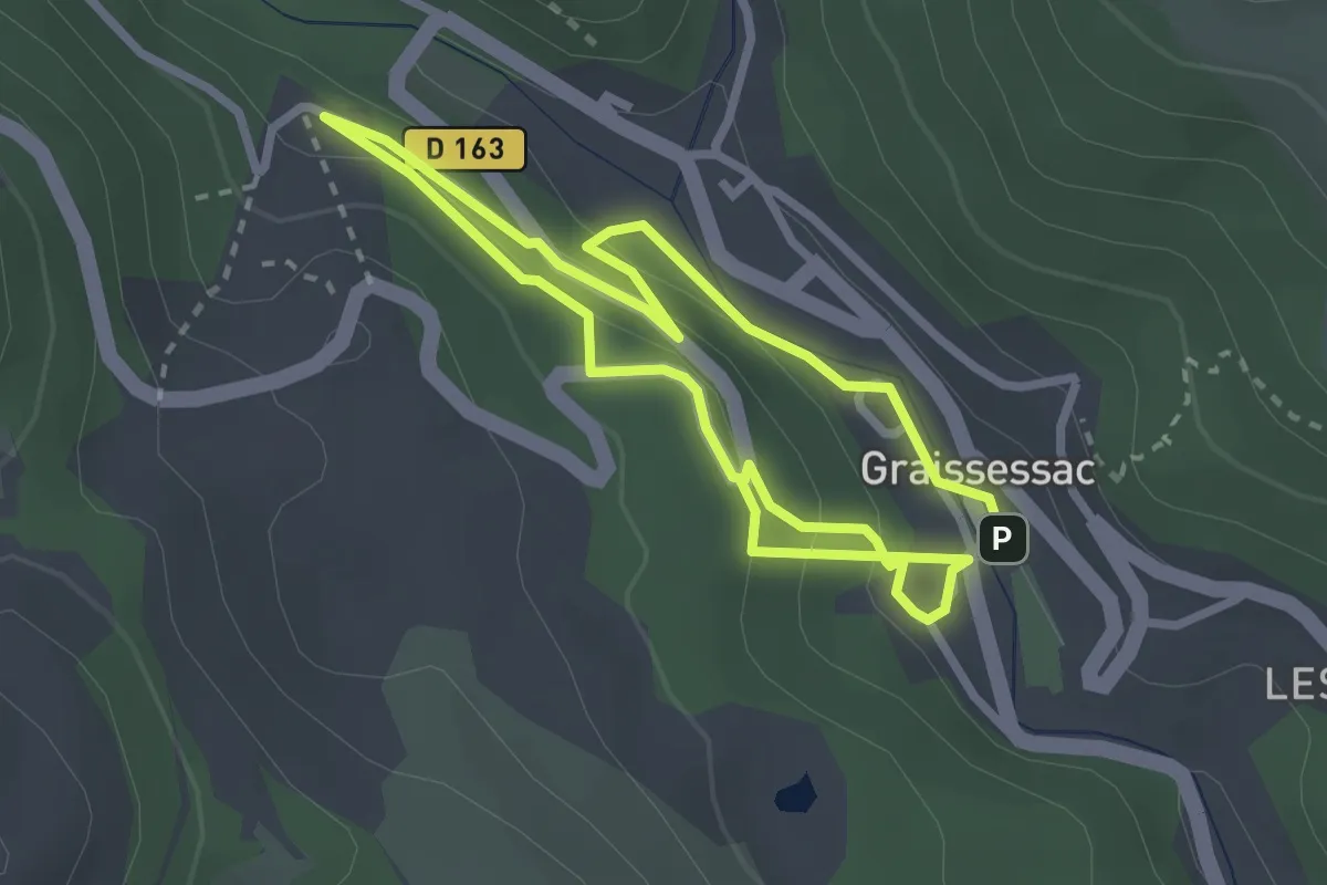
Easy · Trail
Circuit minier bleu
5.2 km · ↑ 254 m · 1 h 47 min
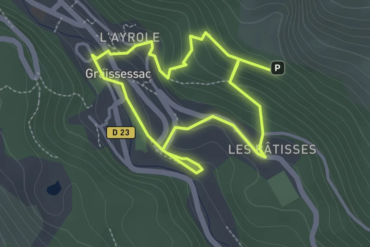
Easy · Trail
Circuit minier rouge
4.8 km · ↑ 235 m · 1 h 38 min
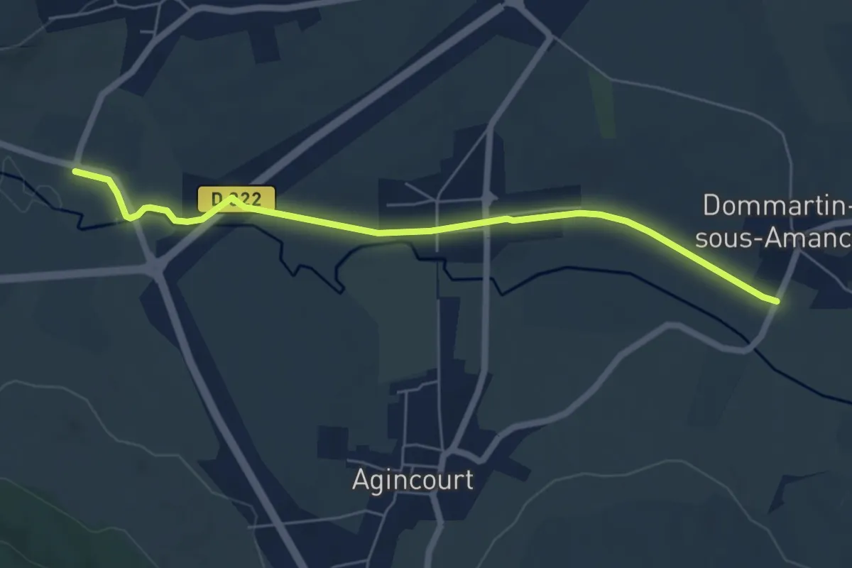
Easy · Trail
Circuit M : L'Amezule
5.7 km · ↑ 8 m · 1 h 22 min
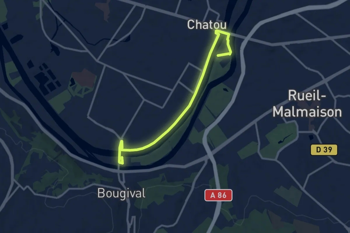
Medium · Trail
Circuit Monet
8.5 km · ↑ 38 m · 2 h 5 min
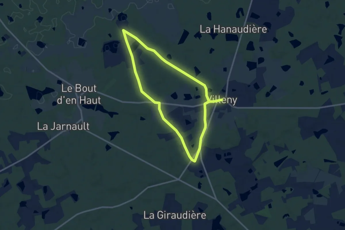
Medium · Trail
Circuit Monrepos
8.2 km · ↑ 55 m · 2 h 10 min
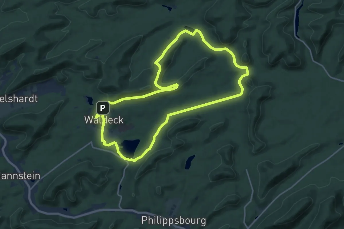
Medium · Summit
Circuit moyen de l'étang de Hanau
12.4 km · ↑ 231 m · 3 h 36 min
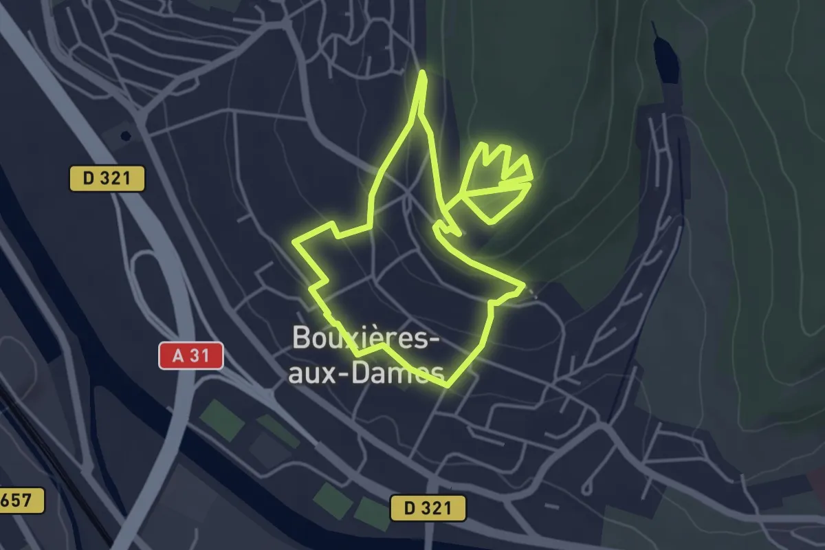
Easy · Trail
Circuit moyenne ceinture
4.0 km · ↑ 112 m · 1 h 14 min
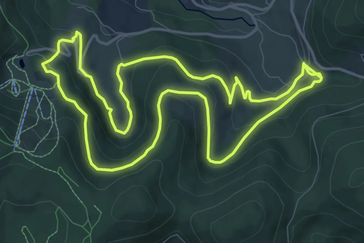
Medium · Trail
Circuit Musée du Textile
8.8 km · ↑ 329 m · 2 h 55 min
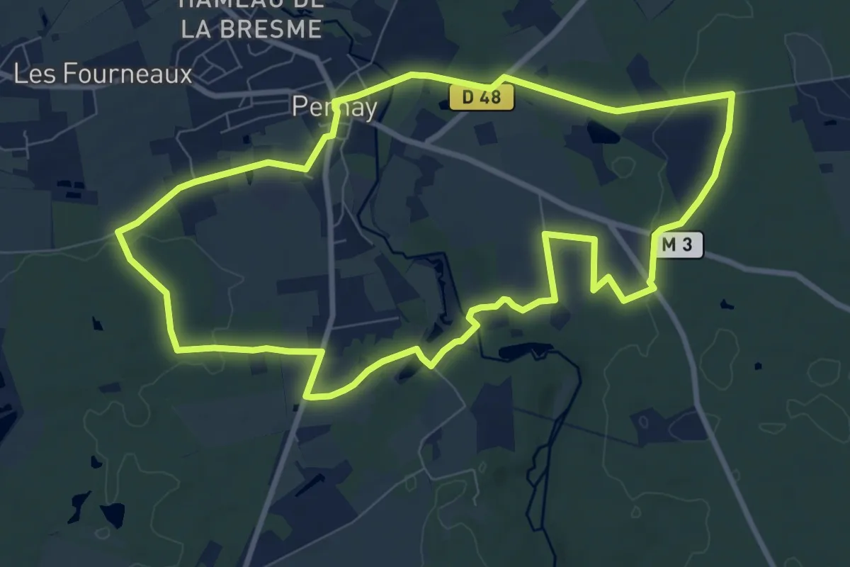
Medium · Trail
Circuit n°1
8.7 km · ↑ 82 m · 2 h 20 min
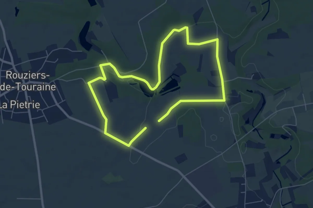
Medium · Trail
Circuit n°1
10.8 km · ↑ 73 m · 2 h 42 min
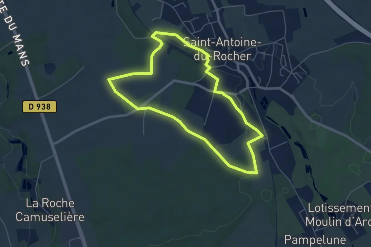
Easy · Trail
Circuit n°1
4.9 km · ↑ 30 m · 1 h 18 min
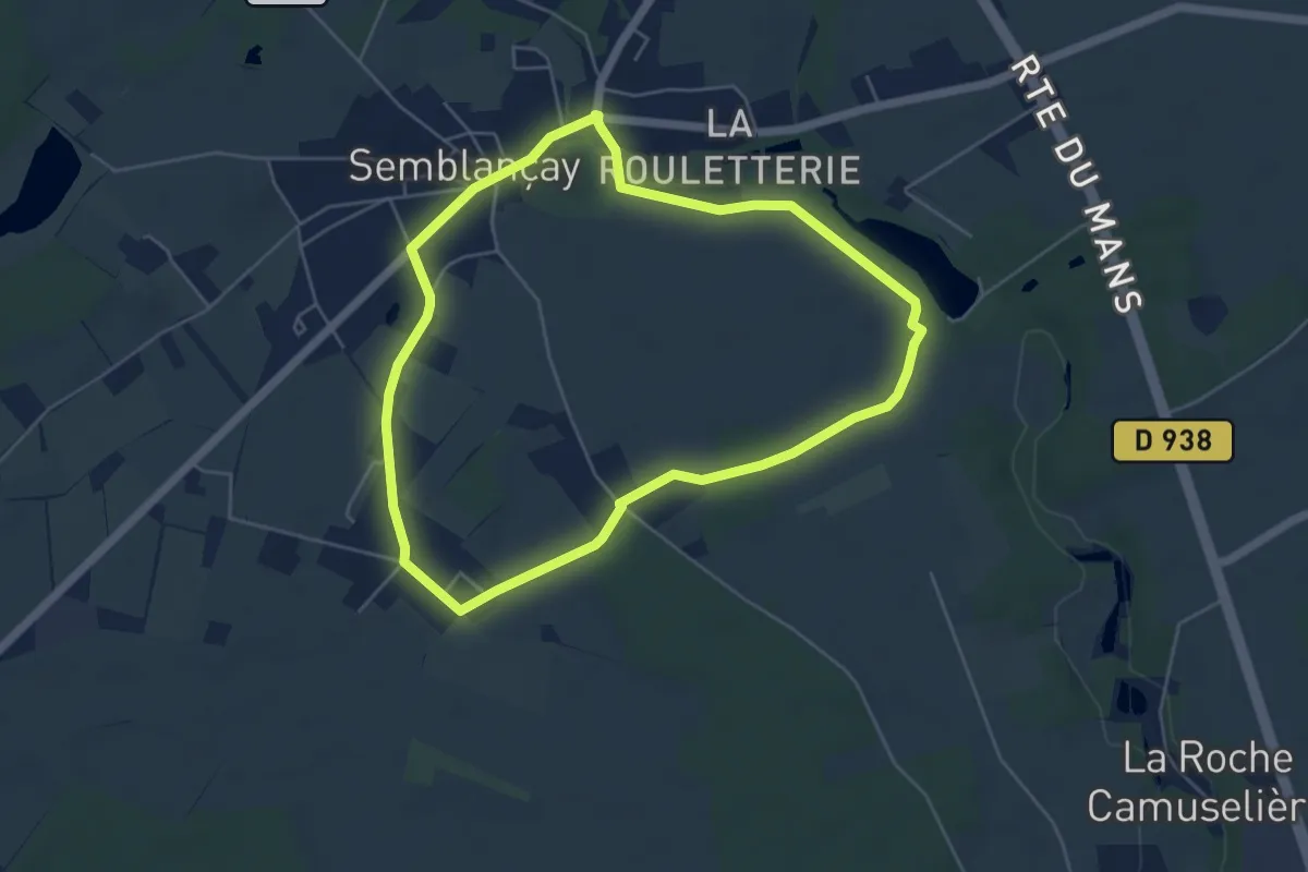
Easy · Trail
Circuit n°1
5.0 km · ↑ 22 m · 1 h 17 min
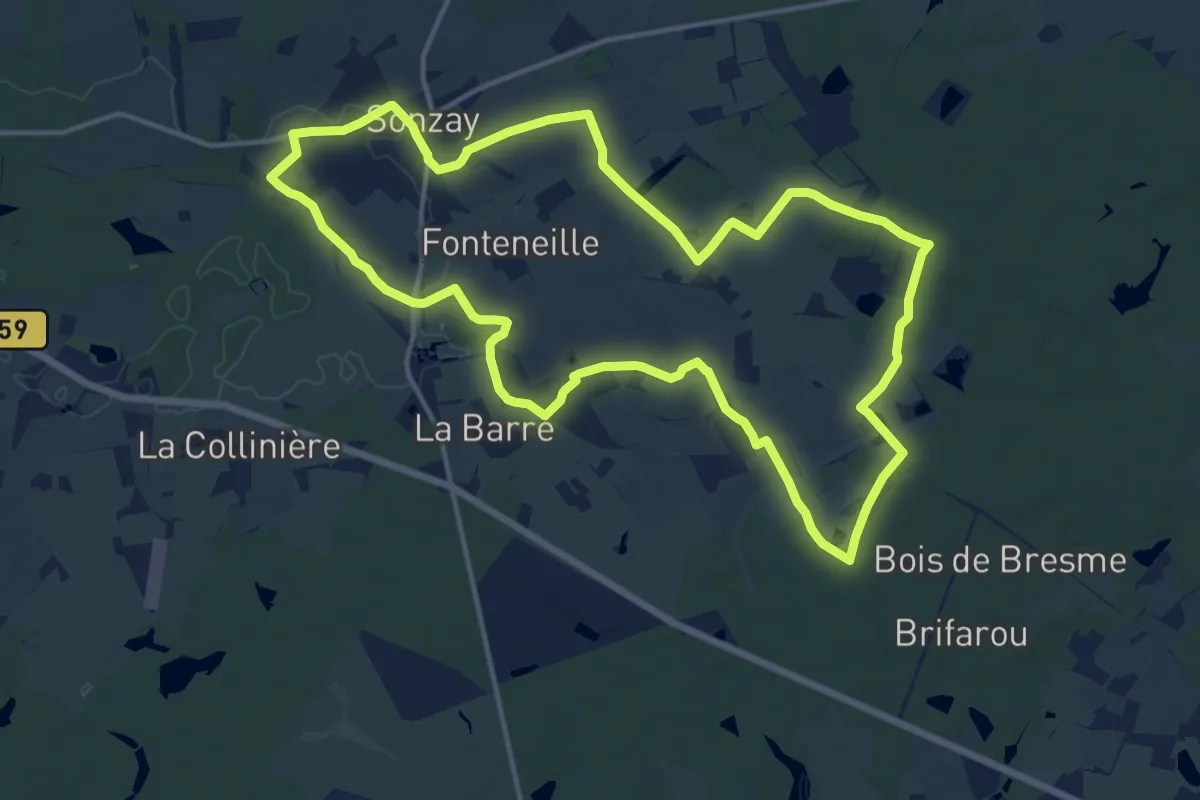
Medium · Trail
Circuit n°1
15.1 km · ↑ 77 m · 3 h 57 min
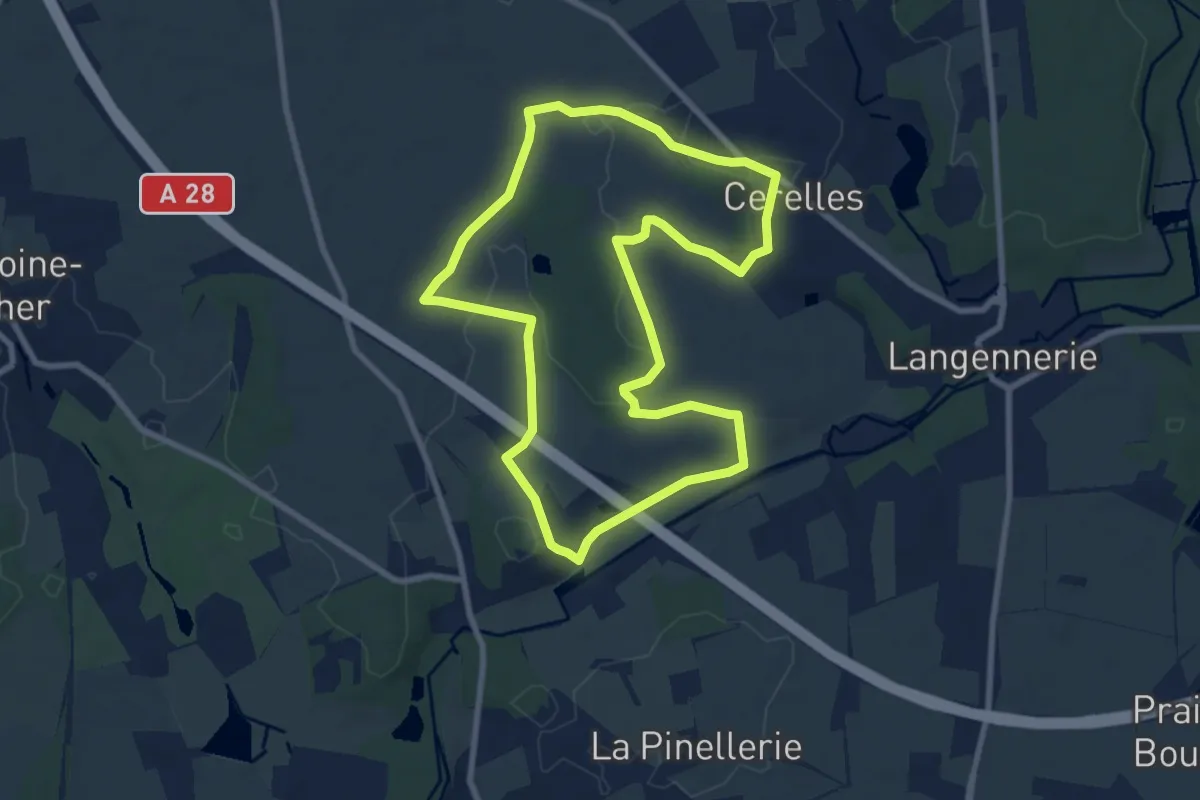
Medium · Trail
Circuit n°1 - Cérelles
8.3 km · ↑ 66 m · 2 h 13 min
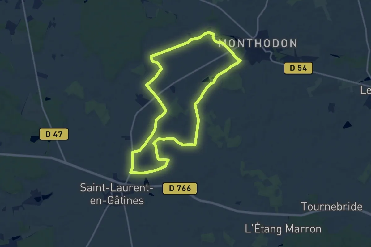
Medium · Trail
Circuit n°1 - Saint-Laurent-en-Gâtines
10.9 km · ↑ 43 m · 2 h 50 min
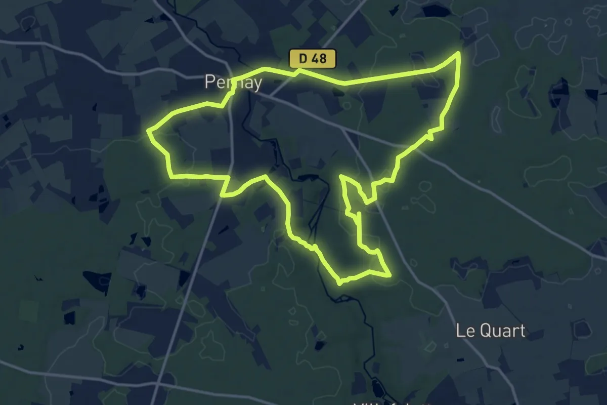
Medium · Trail
Circuit n°2
13.4 km · ↑ 112 m · 3 h 36 min
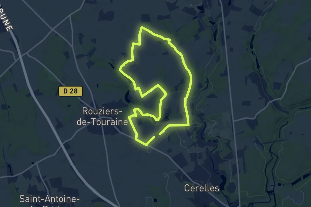
Demanding · Trail
Circuit n°2
21.4 km · ↑ 177 m · 5 h 27 min
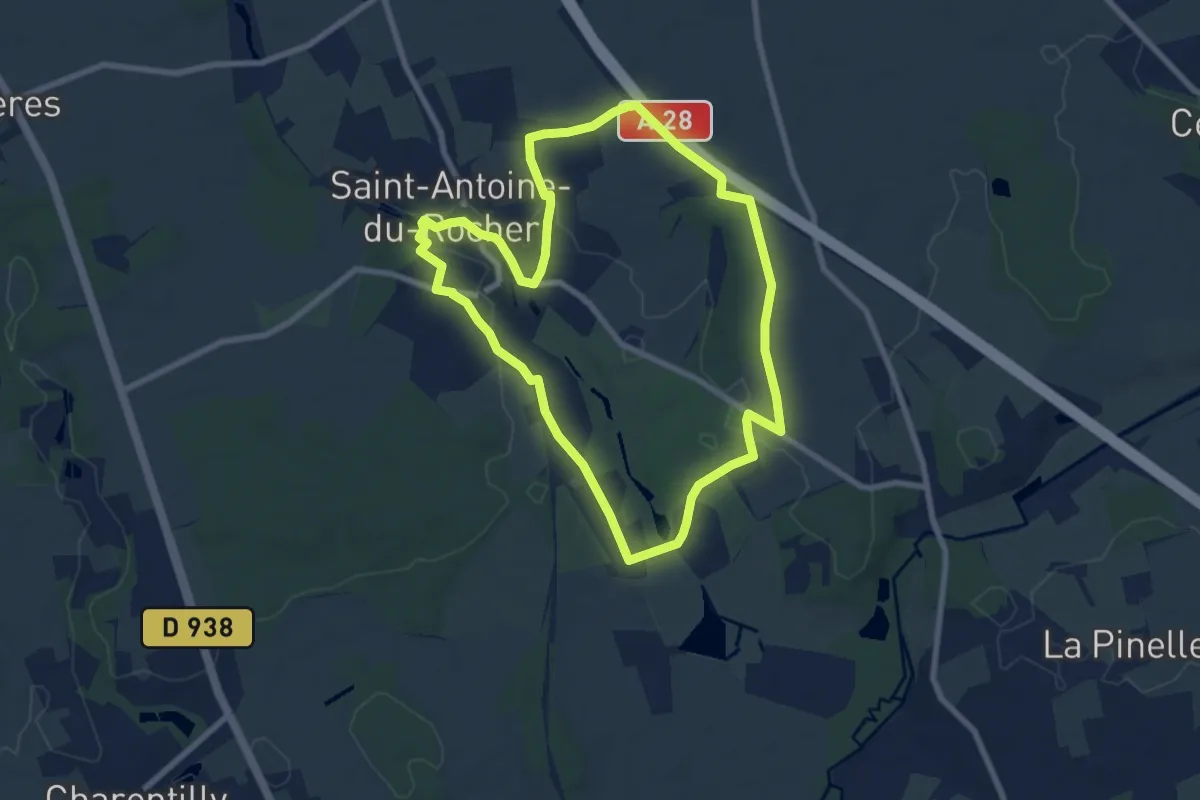
Easy · Trail
Circuit n°2
7.7 km · ↑ 56 m · 2 h 2 min
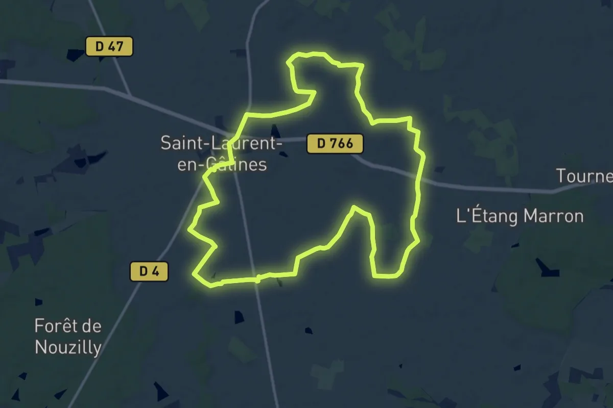
Medium · Trail
Circuit n°2
13.0 km · ↑ 22 m · 3 h 18 min
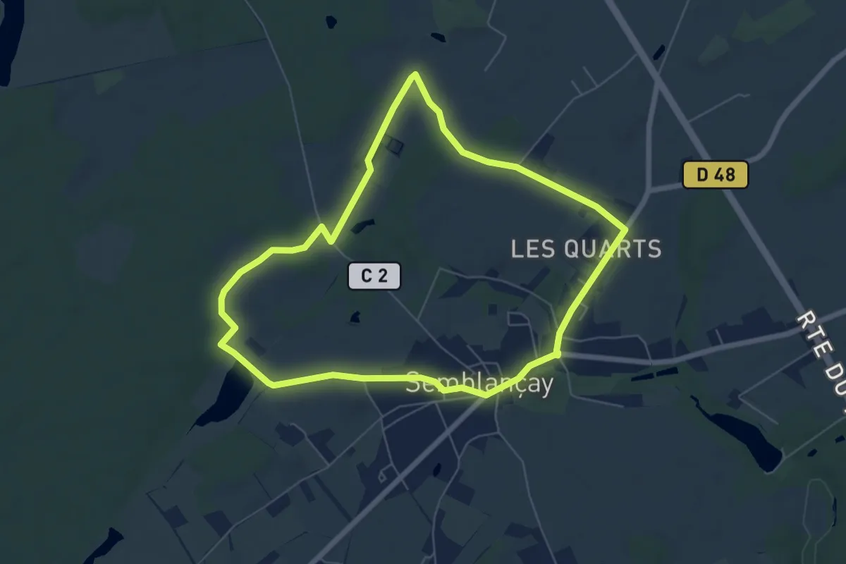
Easy · Trail
Circuit n°2
6.0 km · ↑ 31 m · 1 h 34 min
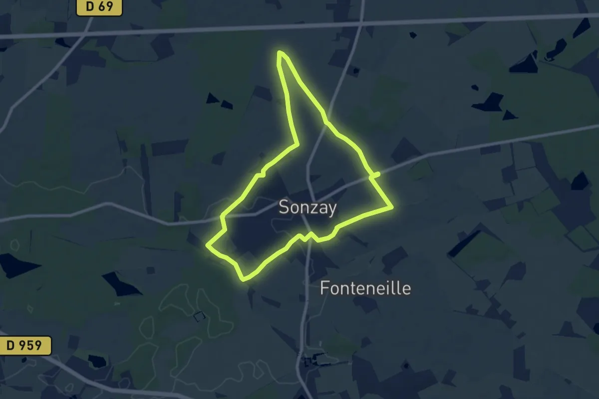
Easy · Trail
Circuit n°2
7.3 km · ↑ 48 m · 1 h 55 min
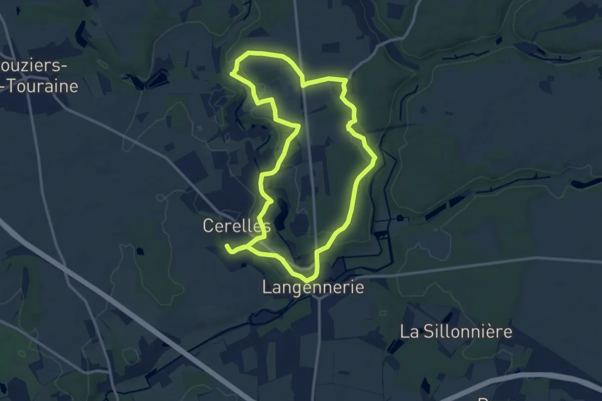
Medium · Trail
Circuit n°2 La Grande Cérelloise - Cérelles
9.8 km · ↑ 104 m · 2 h 40 min
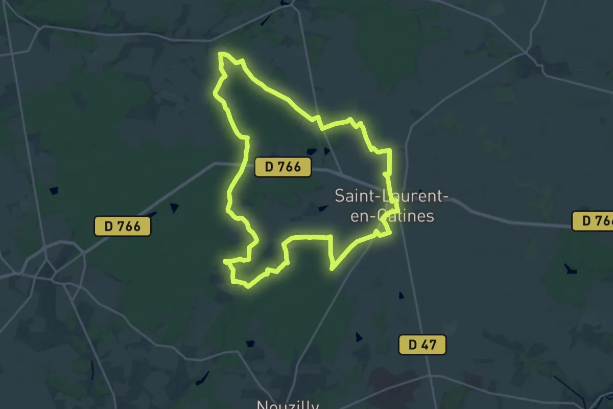
Demanding · Trail
Circuit n°3
20.5 km · ↑ 142 m · 5 h 25 min
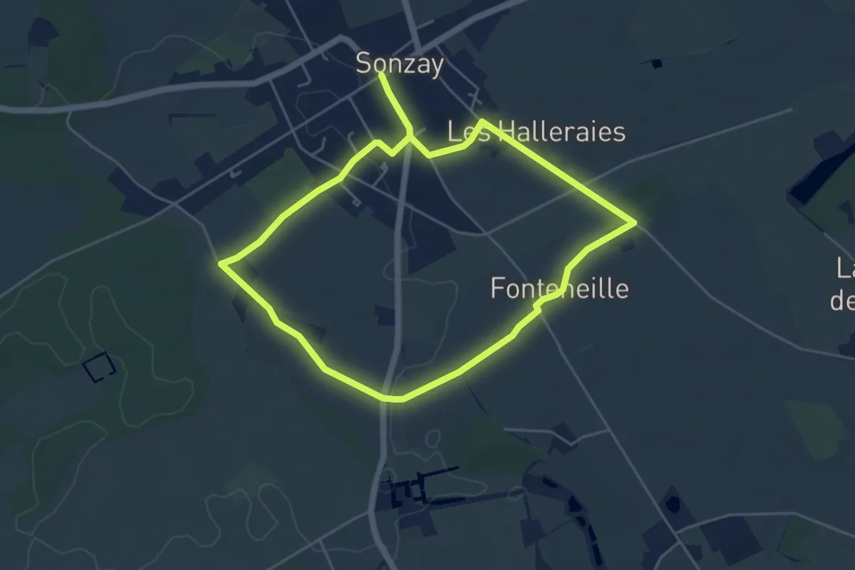
Medium · Trail
Circuit n°3
8.7 km · ↑ 76 m · 2 h 13 min
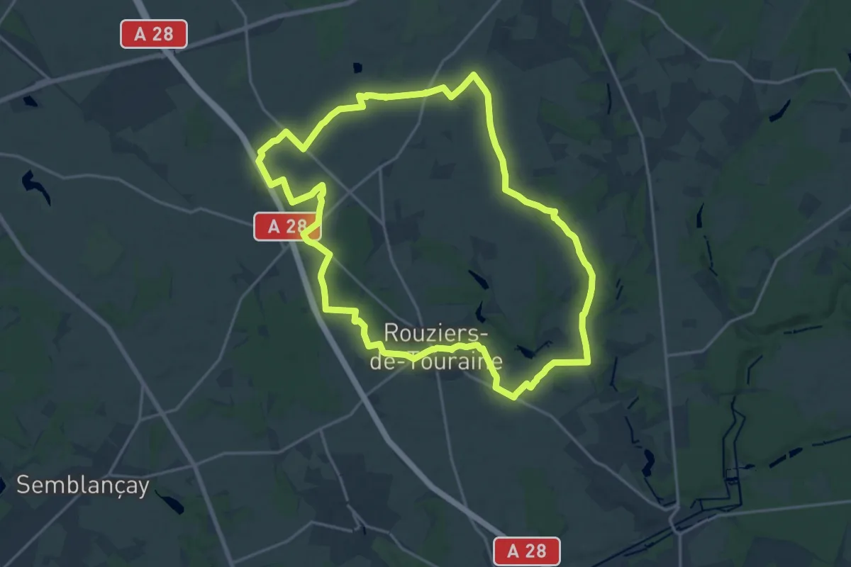
Demanding · Trail
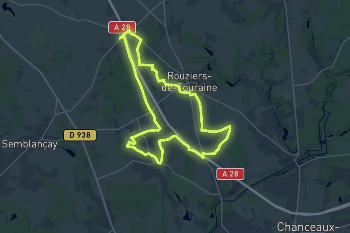
Circuit n°3 - Rouziers-de-Touraine
18.6 km · ↑ 99 m · 4 h 52 min
Medium · Trail
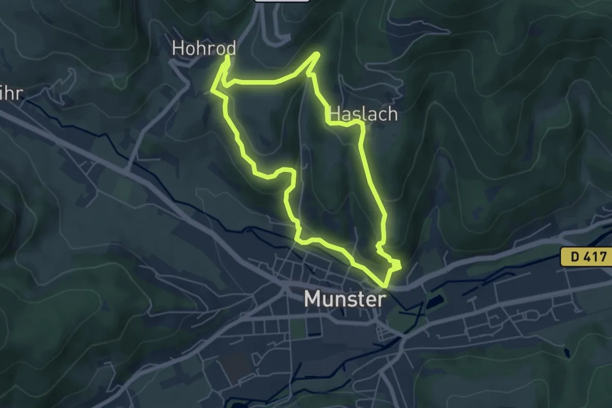
Circuit n°3 - Saint-Antoine-du-Rocher
17.3 km · ↑ 57 m · 4 h 27 min
Easy · Trail
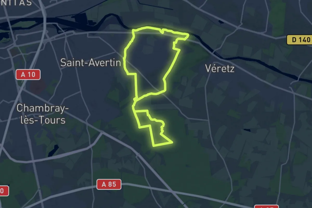
Circuit Narrenstein
5.0 km · ↑ 192 m · 1 h 41 min
Medium · Trail
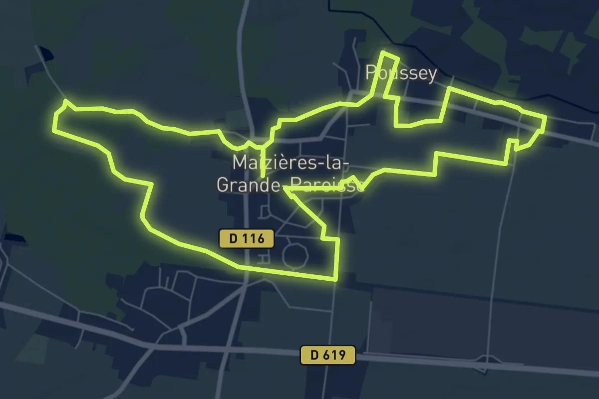
Circuit Nature - Larçay
15.9 km · ↑ 65 m · 4 h 7 min
Medium · Trail
Circuit nature par la Léchère
8.6 km · ↑ 4 m · 2 h 10 min
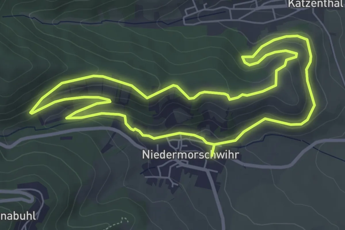
Easy · Trail
Circuit Niedermorschwihr - Katzenthal
5.8 km · ↑ 188 m · 1 h 52 min
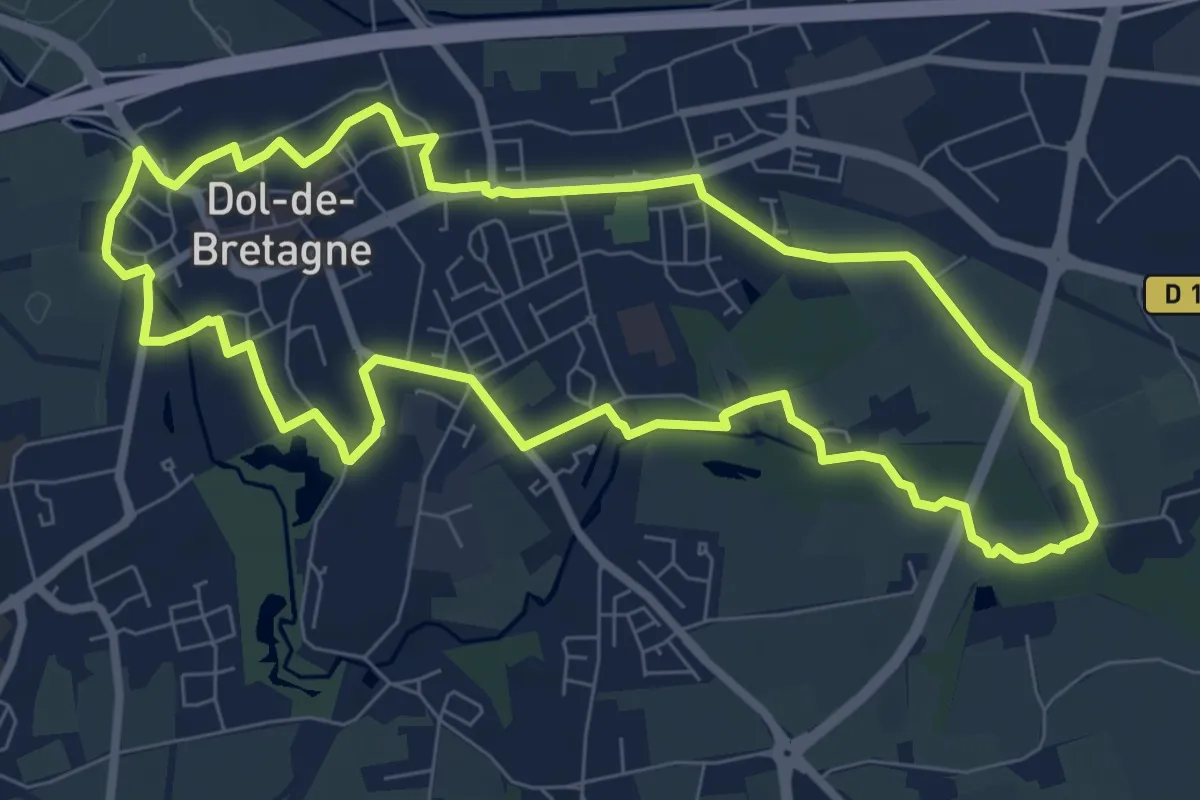
Easy · Trail
Circuit Nominoë
7.9 km · ↑ 43 m · 2 h 5 min
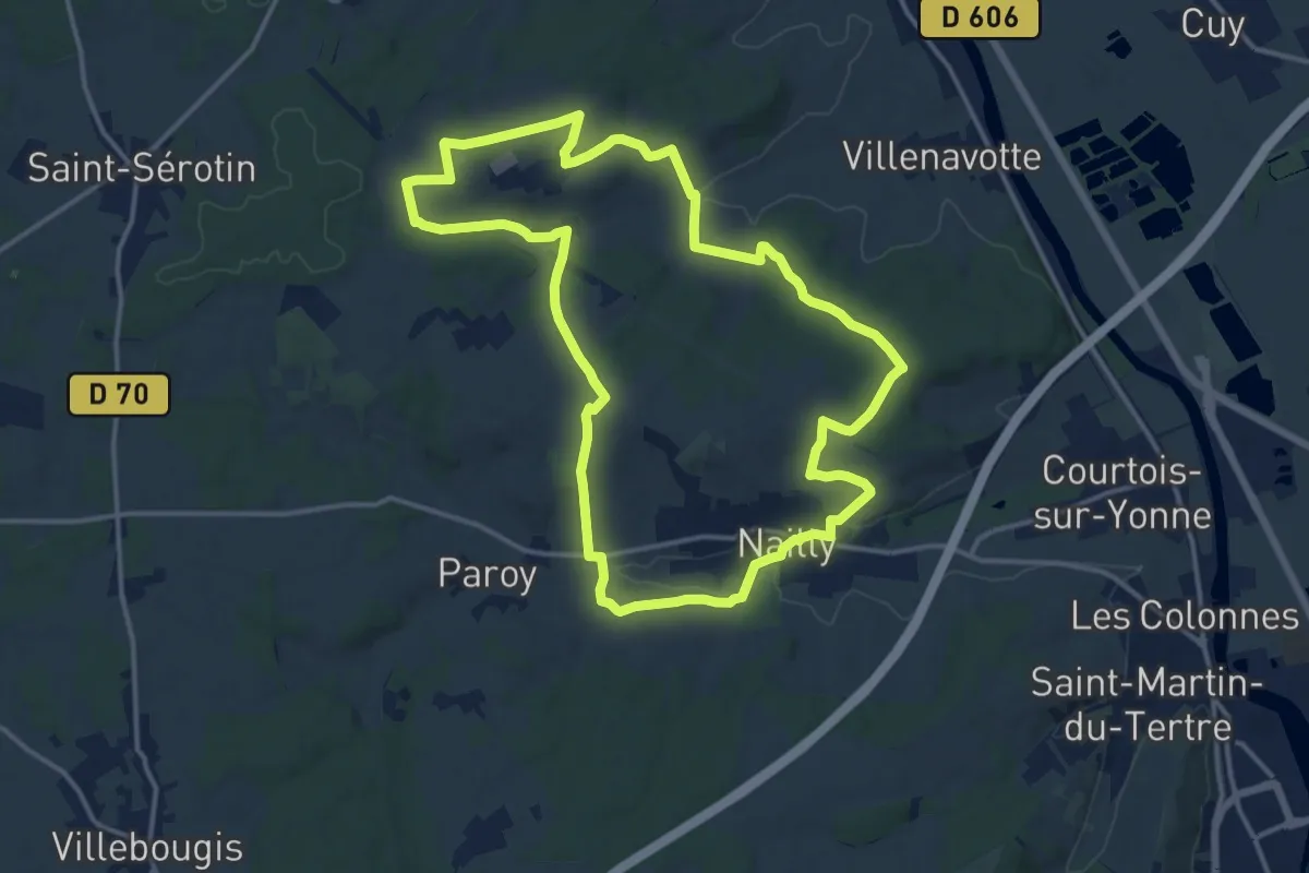
Medium · Trail
Circuit nord N
14.3 km · ↑ 257 m · 4 h 8 min
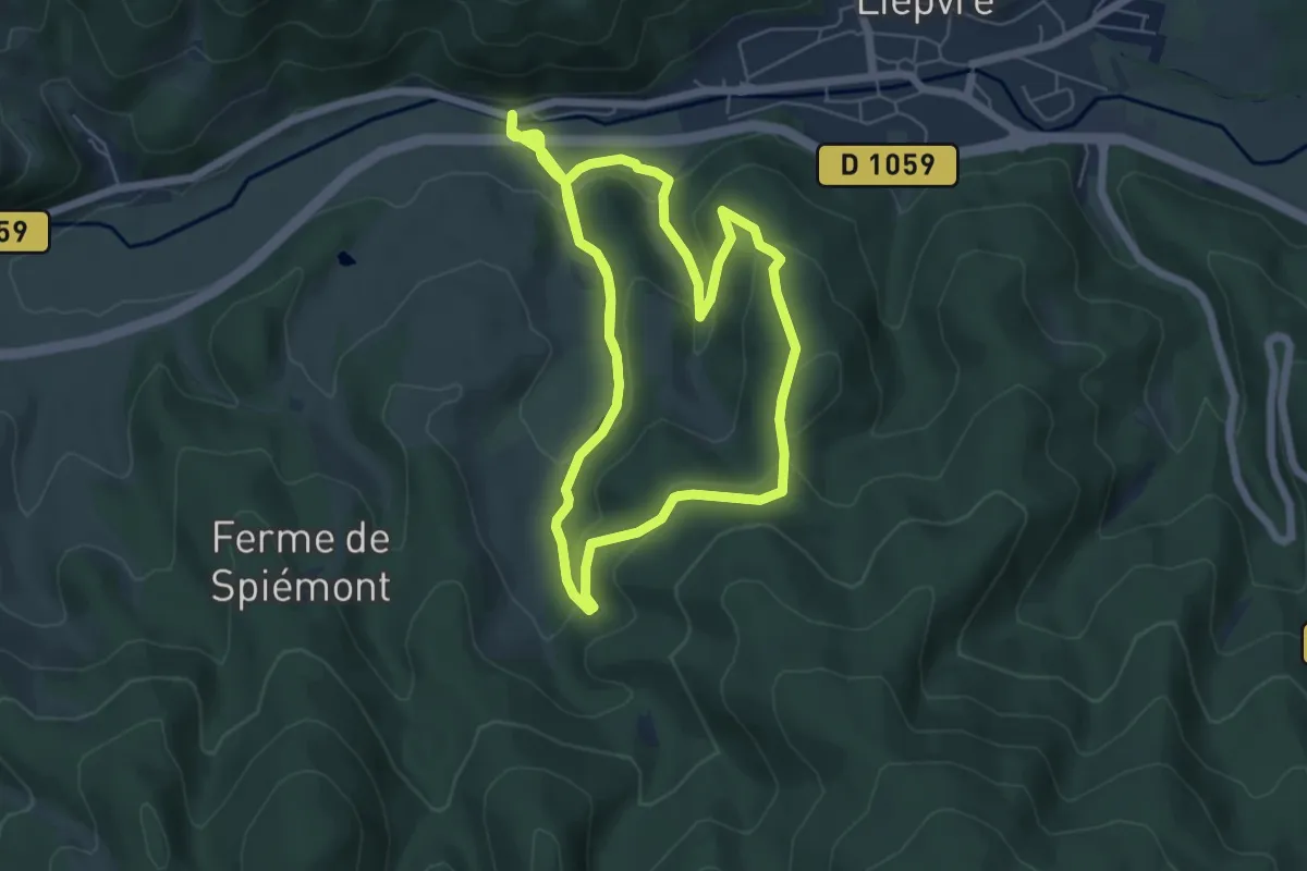
Easy · Trail
Circuit Notre-Dame-des-Mineurs
6.3 km · ↑ 247 m · 2 h 5 min
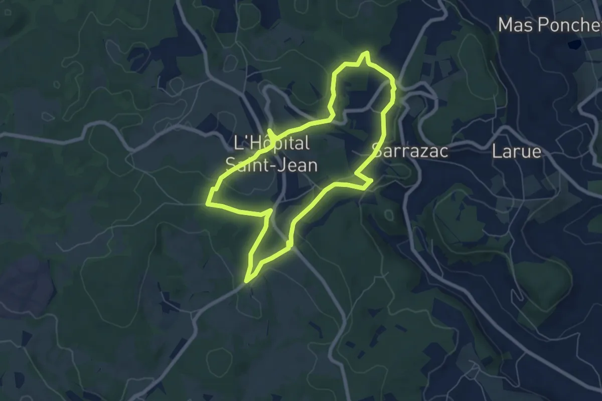
Easy · Trail
Circuit Notre-Dame des Neiges (violet)
6.1 km · ↑ 134 m · 1 h 48 min
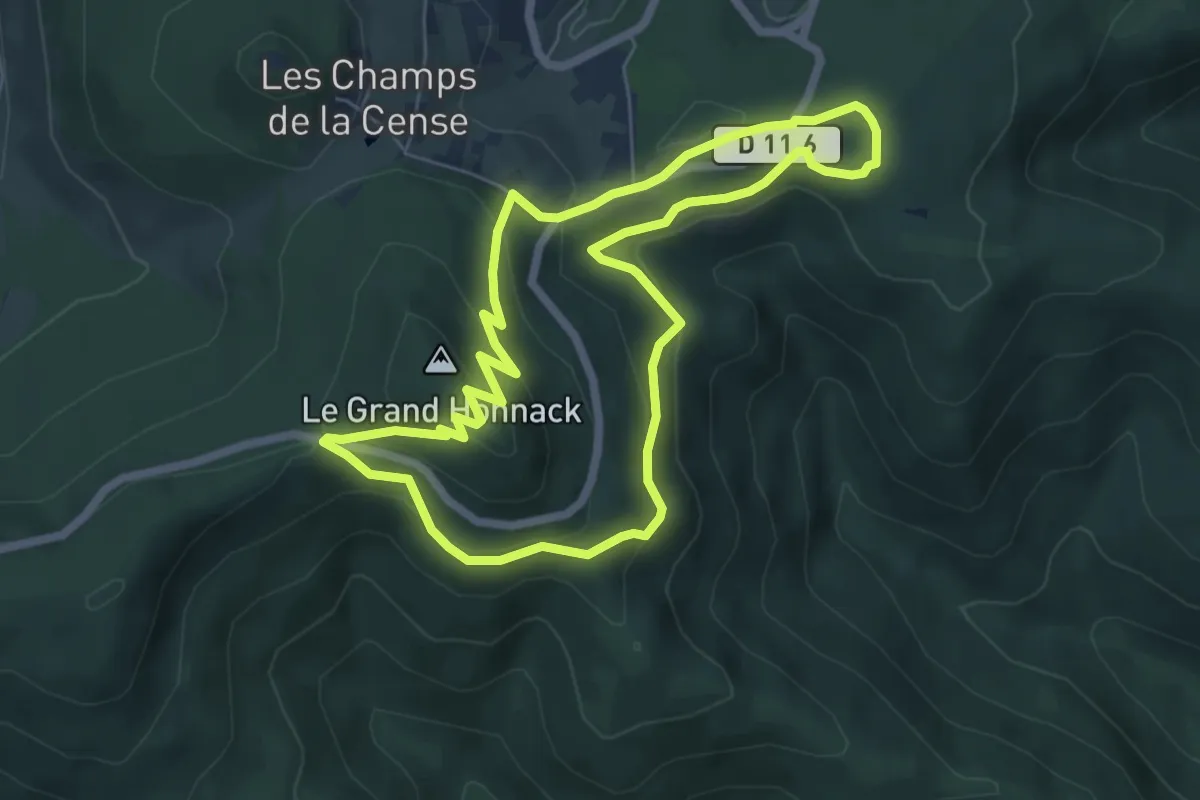
Easy · Summit
Circuit Obschel - Croix de Wihr
5.8 km · ↑ 261 m · 2 h 1 min
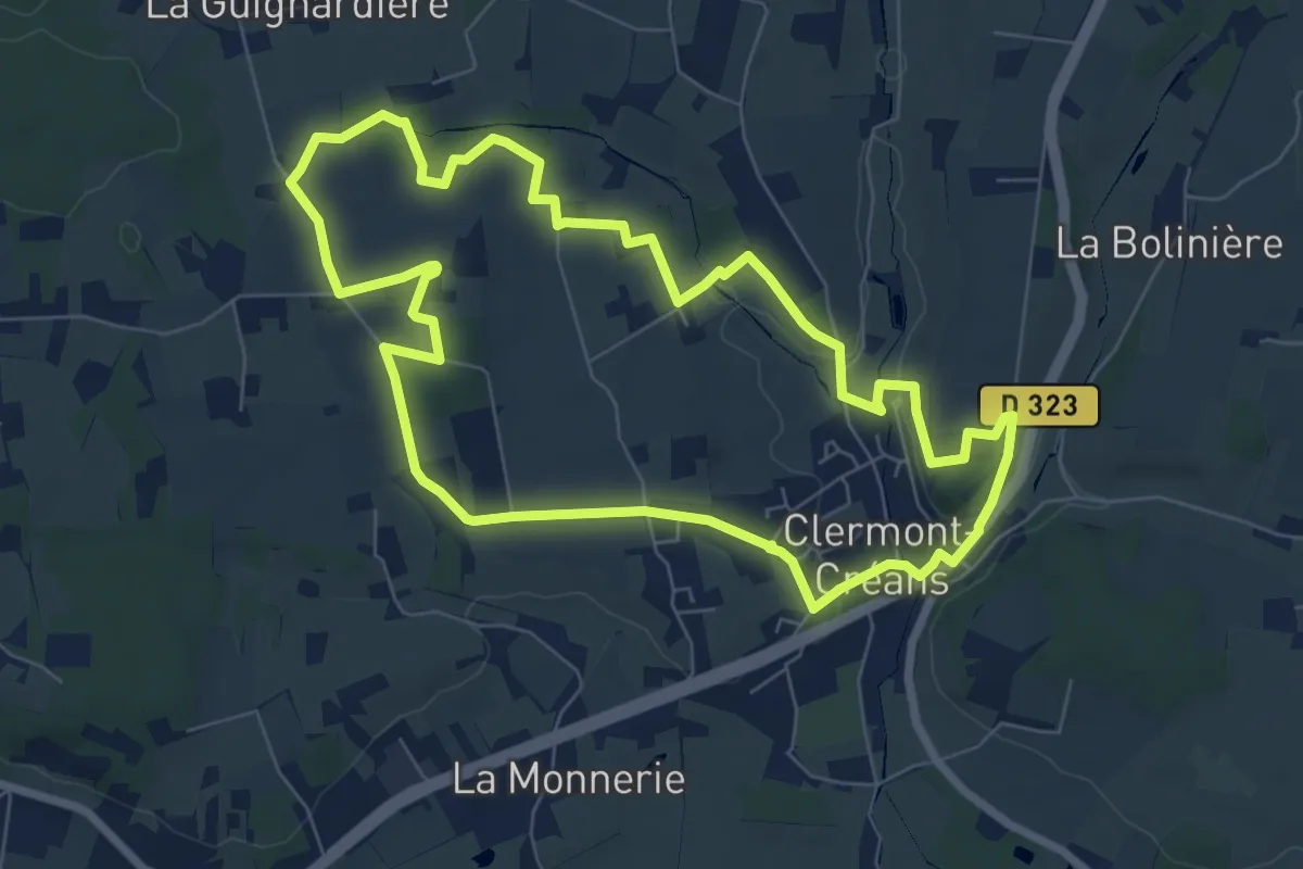
Easy · Trail
Circuit orange
7.3 km · ↑ 121 m · 2 h 5 min
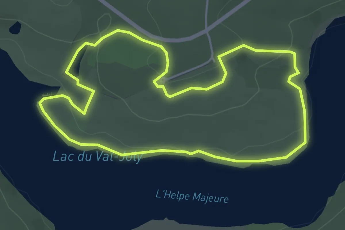
Easy · Trail
Circuit Ornithologique
3.8 km · ↑ 53 m · 1 h 4 min