Trails in France
15,926 hiking trails, each with its route, climb, walking time and grade.
All trails, page 89 of 332
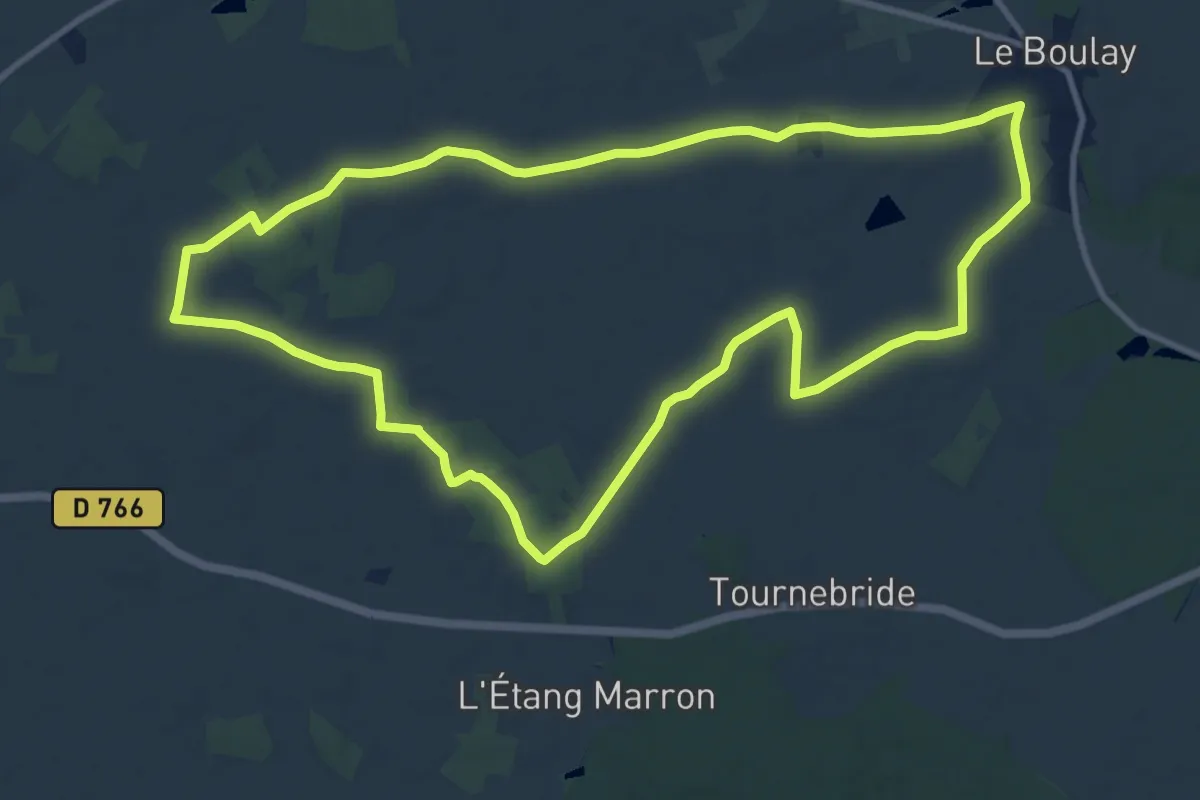
Medium · Trail
Circuit "Pain sec"
11.6 km · ↑ 44 m · 3 h
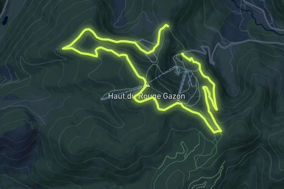
Medium · Summit
Circuit panoramique
8.4 km · ↑ 300 m · 2 h 45 min
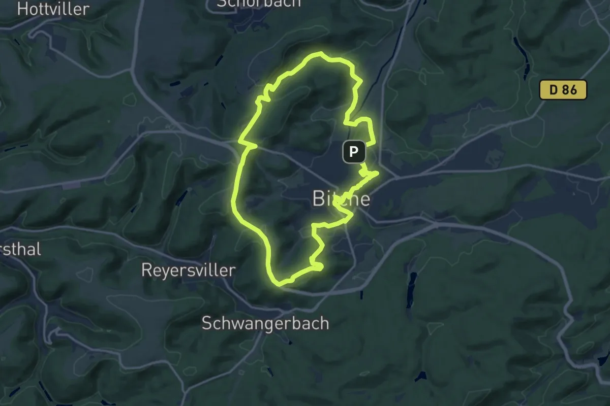
Medium · Summit
Circuit panoramique autour de Bitche
12.9 km · ↑ 288 m · 3 h 51 min
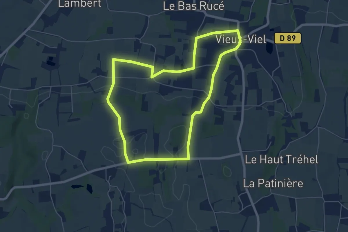
Easy · Trail
Circuit Panoramique de la Baie du Mont-Saint-Michel
5.3 km · ↑ 76 m · 1 h 29 min
Easy · Trail
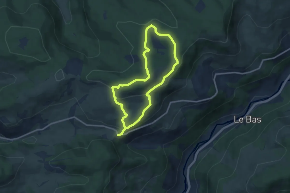
Circuit panoramique du Rondfaing
5.7 km · ↑ 197 m · 1 h 50 min
Medium · Summit
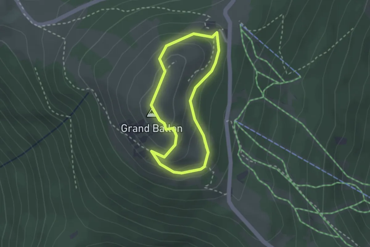
Circuit Panoramique Sittler
1.9 km · ↑ 123 m · 45 min
Medium · Summit
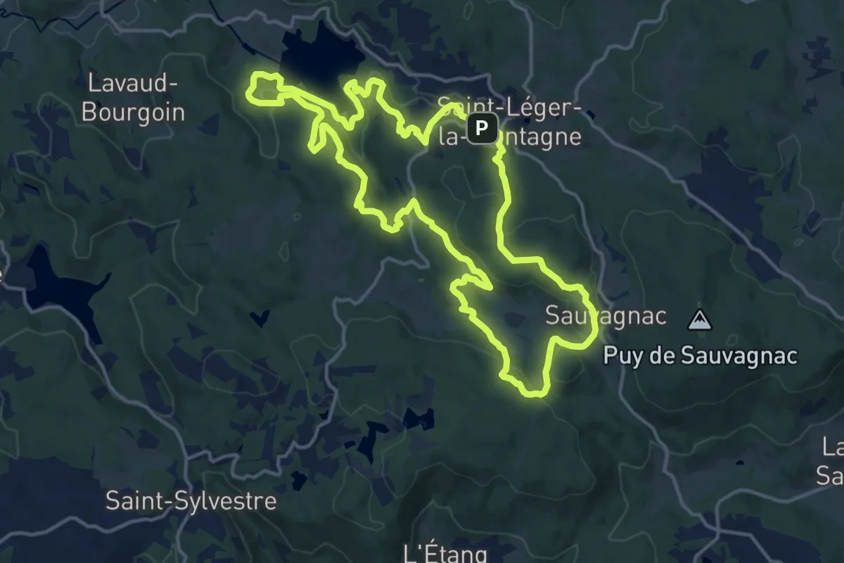
Circuit par Monts et par Eaux
15.4 km · ↑ 418 m · 4 h 45 min
Easy · Trail
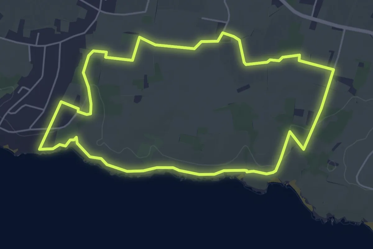
Circuit Pasquin
5.3 km · ↑ 32 m · 1 h 24 min
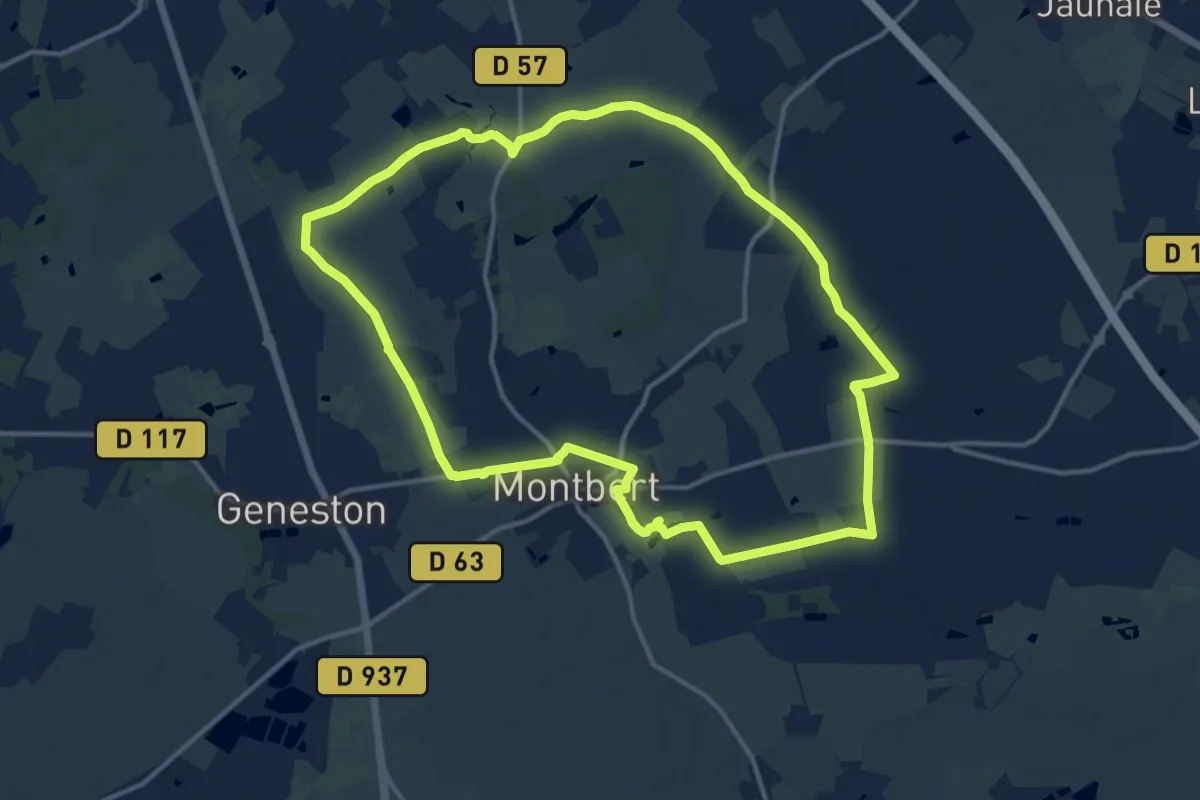
Medium · Trail
Circuit Passerelle
13.8 km · ↑ 50 m · 3 h 33 min
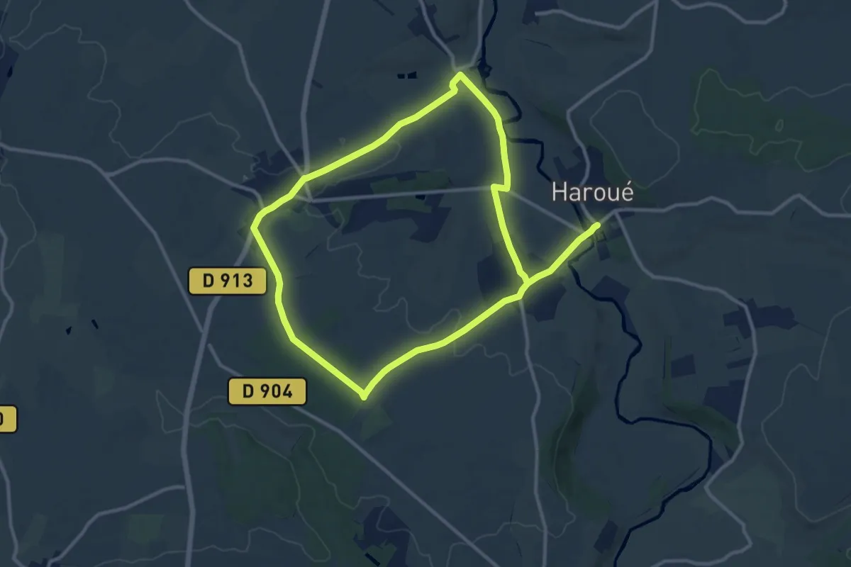
Medium · Trail
Circuit Pasteur
10.0 km · ↑ 101 m · 2 h 42 min
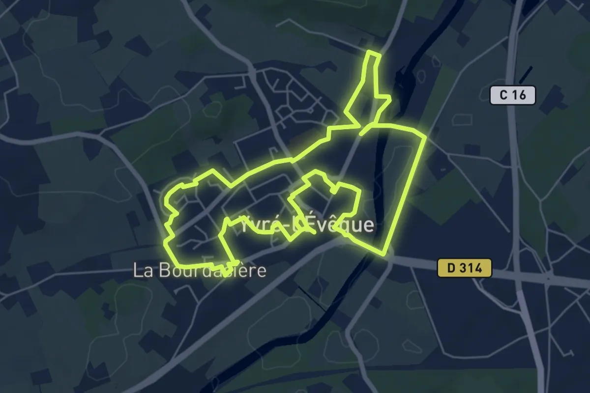
Easy · Trail
Circuit patrimoine
6.1 km · ↑ 46 m · 1 h 37 min
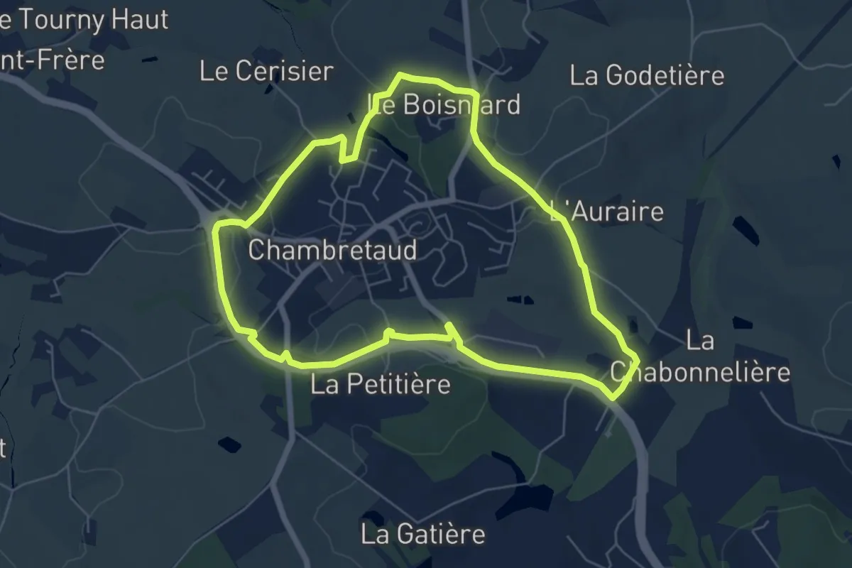
Easy · Trail
Circuit pedestre de Chambretaud
5.9 km · ↑ 81 m · 1 h 38 min
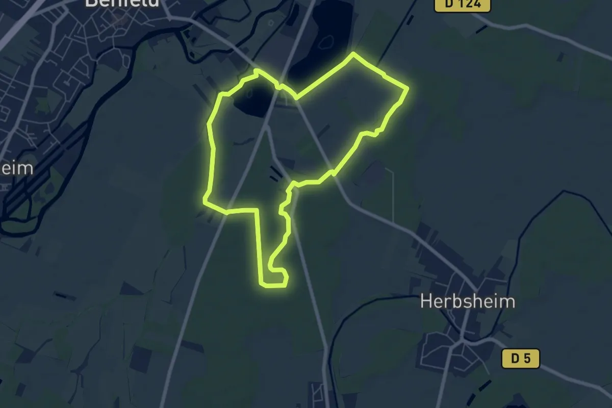
Easy · Trail
Circuit Pédestre de la Lutter
6.2 km · ↑ 9 m · 1 h 34 min
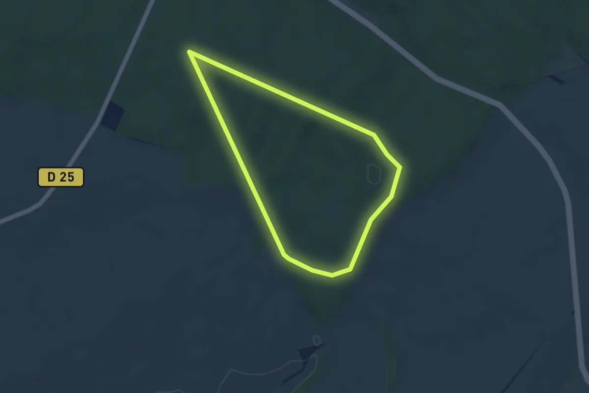
Easy · Trail
Circuit pédestre de la Voie Romaine
3.4 km · ↑ 55 m · 58 min
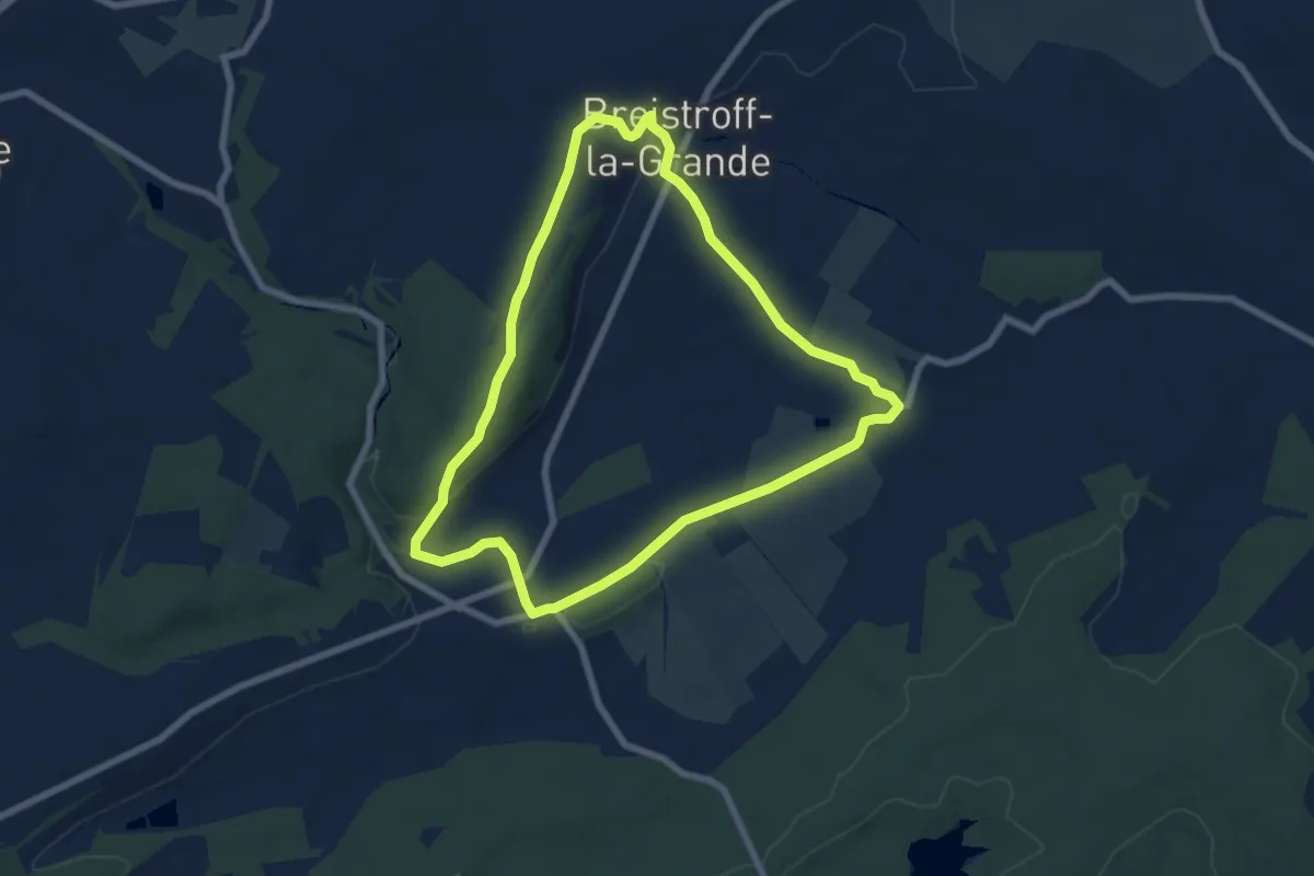
Easy · Trail
Circuit pedestre de l'Usselskirch
6.7 km · ↑ 107 m · 1 h 54 min
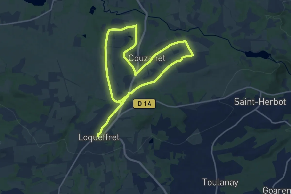
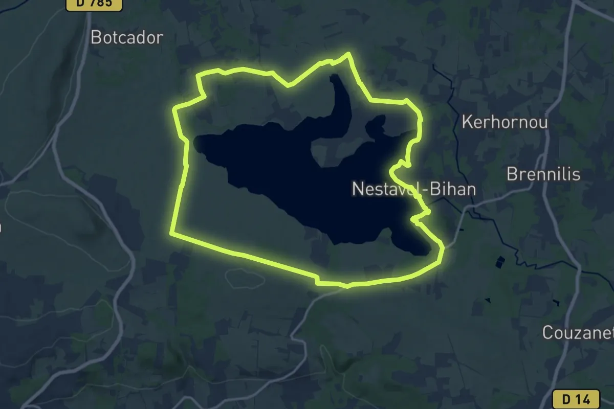
Demanding · Trail
Circuit pédestre du Chaos de Mardoul
18.2 km · ↑ 166 m · 4 h 40 min
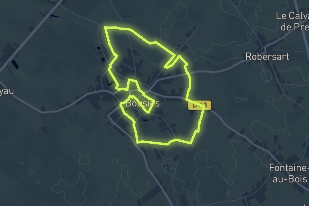
Medium · Trail
Circuit pédestre du Yeun Elez
14.9 km · ↑ 98 m · 3 h 56 min
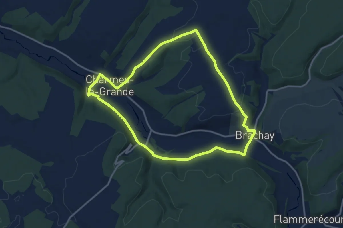
Easy · Trail
Circuit Perds tes Peines et des Hirondelles
7.3 km · ↑ 30 m · 1 h 53 min
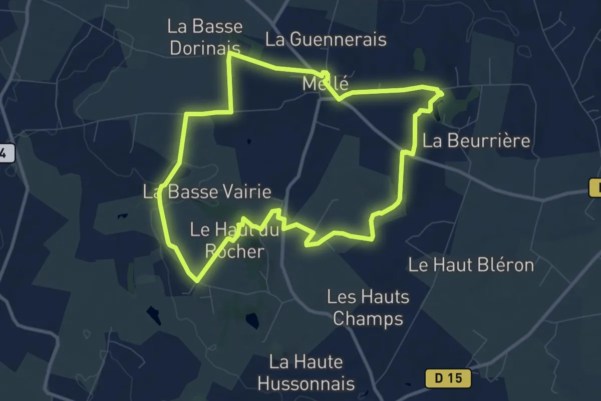
Medium · Trail
Circuit Philippe Lebon
8.4 km · ↑ 134 m · 2 h 23 min
Medium · Trail
circuit Pierres et Nature
8.3 km · ↑ 106 m · 2 h 18 min
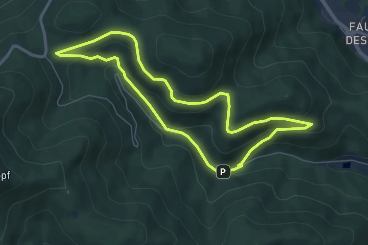
Easy · Trail
Circuit Plan Diebold
4.9 km · ↑ 206 m · 1 h 40 min
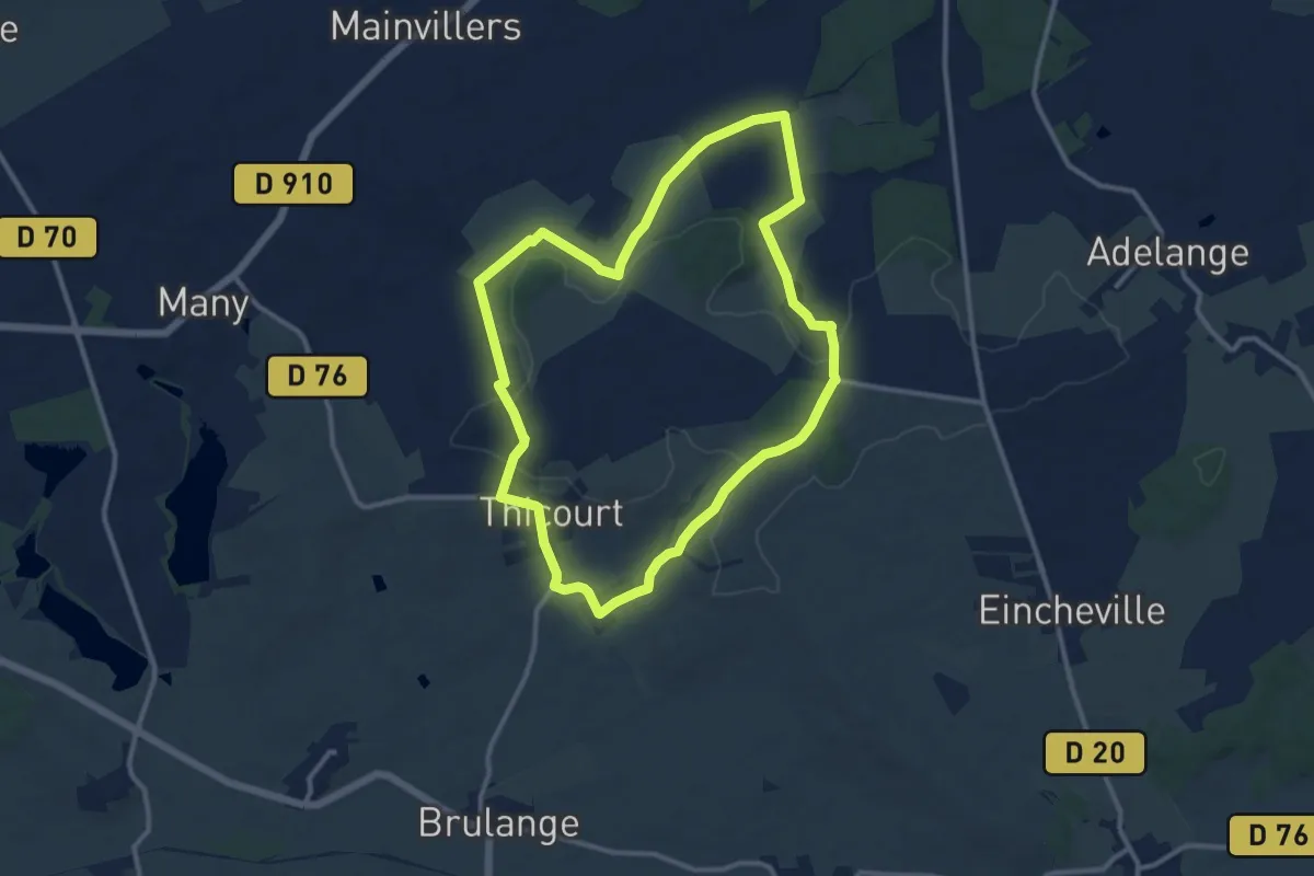
Medium · Trail
Circuit Poterie Gallo-Romaine
10.6 km · ↑ 169 m · 3 h
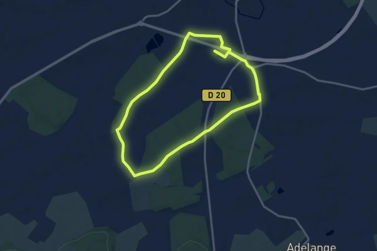
Medium · Trail
Circuit Poterie Gallo-Romaine petite boucle
13.5 km · ↑ 130 m · 3 h 28 min
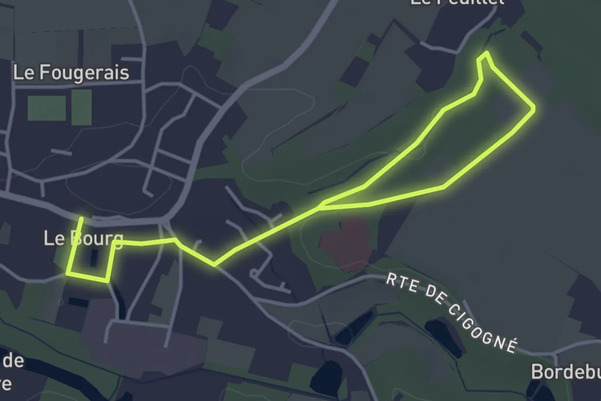
Easy · Trail
Circuit promenade
5.2 km · ↑ 48 m · 1 h 20 min
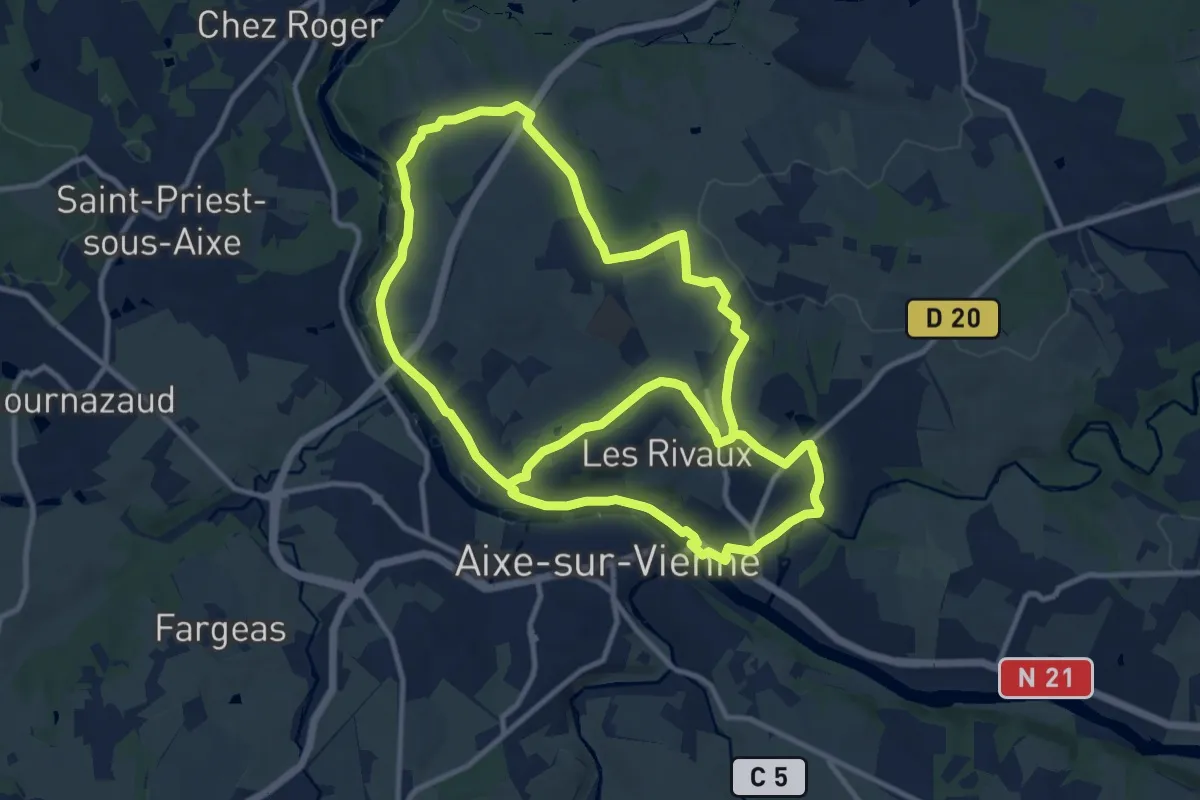
Medium · Trail
Circuit Puys et Vallées en Pays d'Aixe
12.1 km · ↑ 157 m · 3 h 24 min
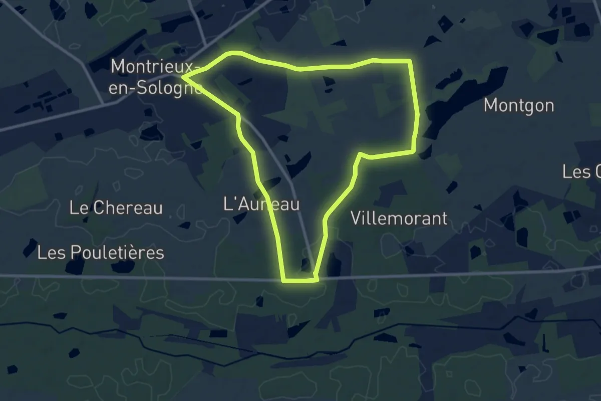
Medium · Trail
Circuit "Etang de Beaumont"
8.7 km · ↑ 44 m · 2 h 17 min
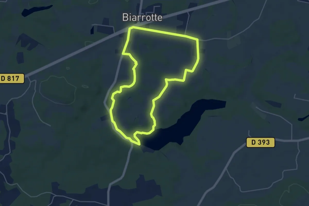
Easy · Trail
Circuit rando Biarrotte
4.8 km · ↑ 45 m · 1 h 18 min
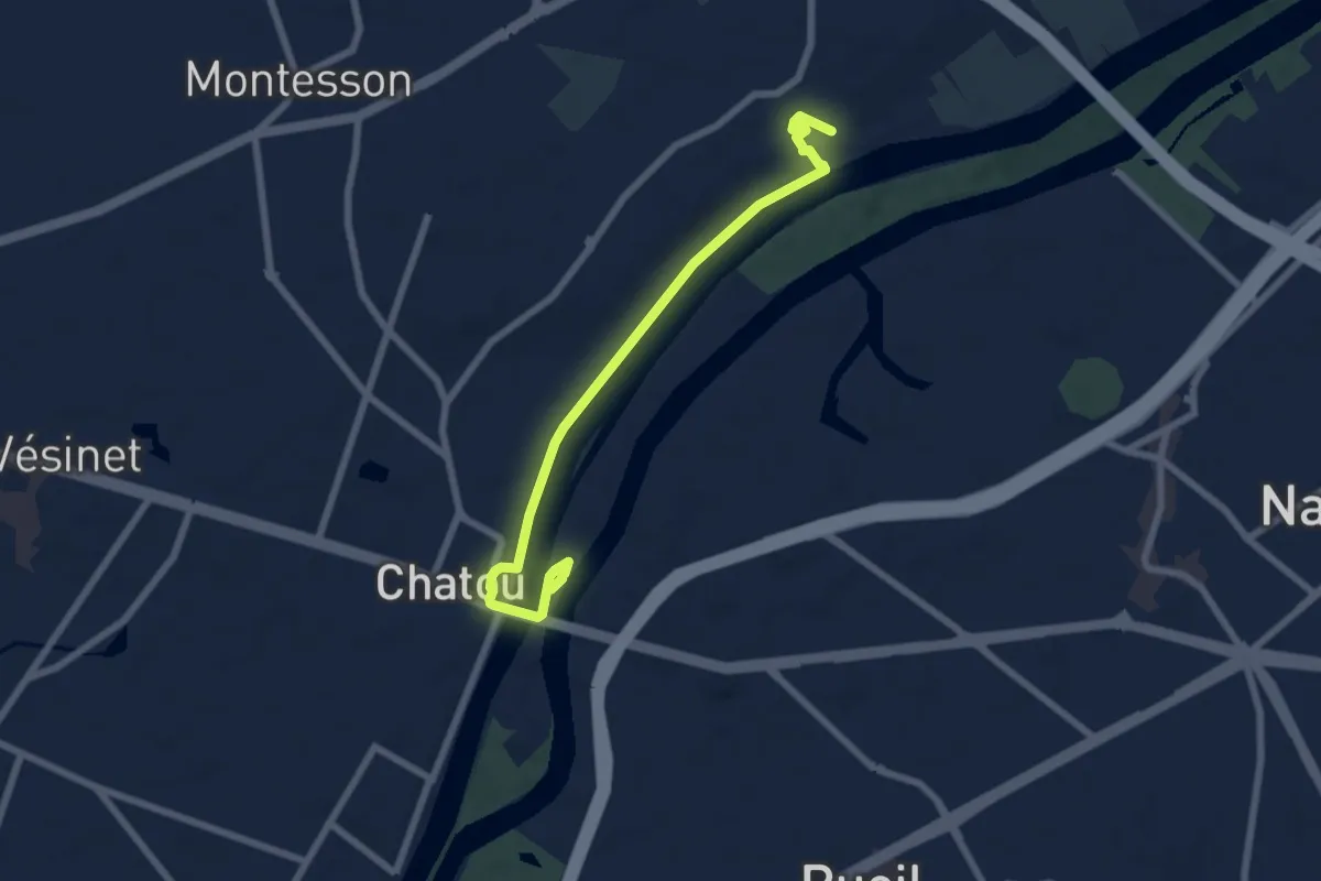
Easy · Trail
Circuit Renoir
6.8 km · ↑ 53 m · 1 h 44 min
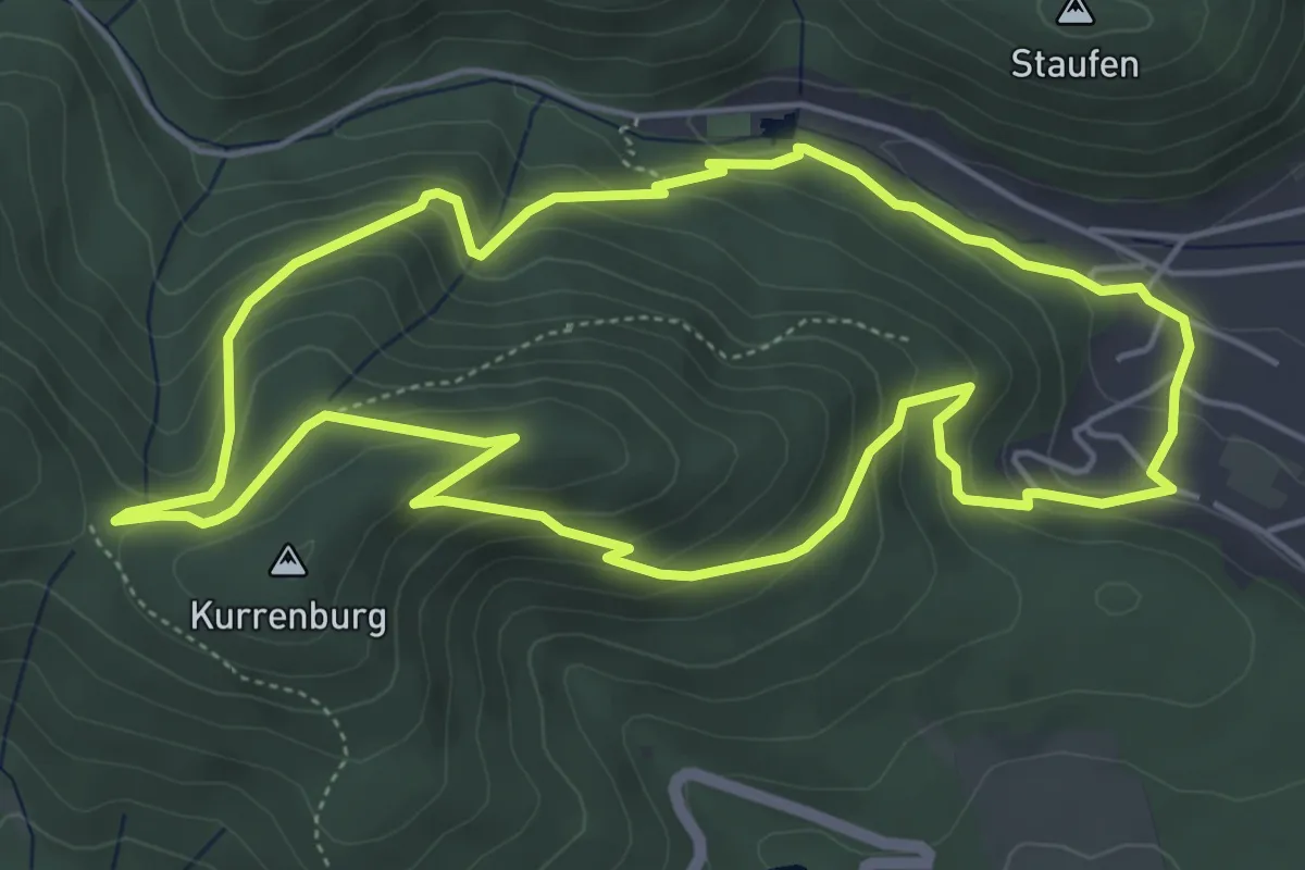
Easy · Summit
Circuit Riegelbourg
5.2 km · ↑ 306 m · 1 h 59 min
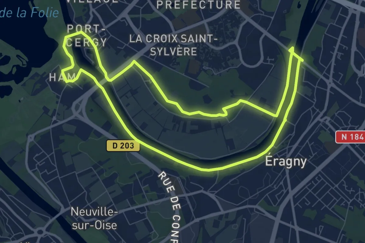
Medium · Trail
Circuit Rive Droite Rive Gauche- Cergy-Neu Cergy -> Cergy
8.7 km · ↑ 25 m · 2 h 13 min
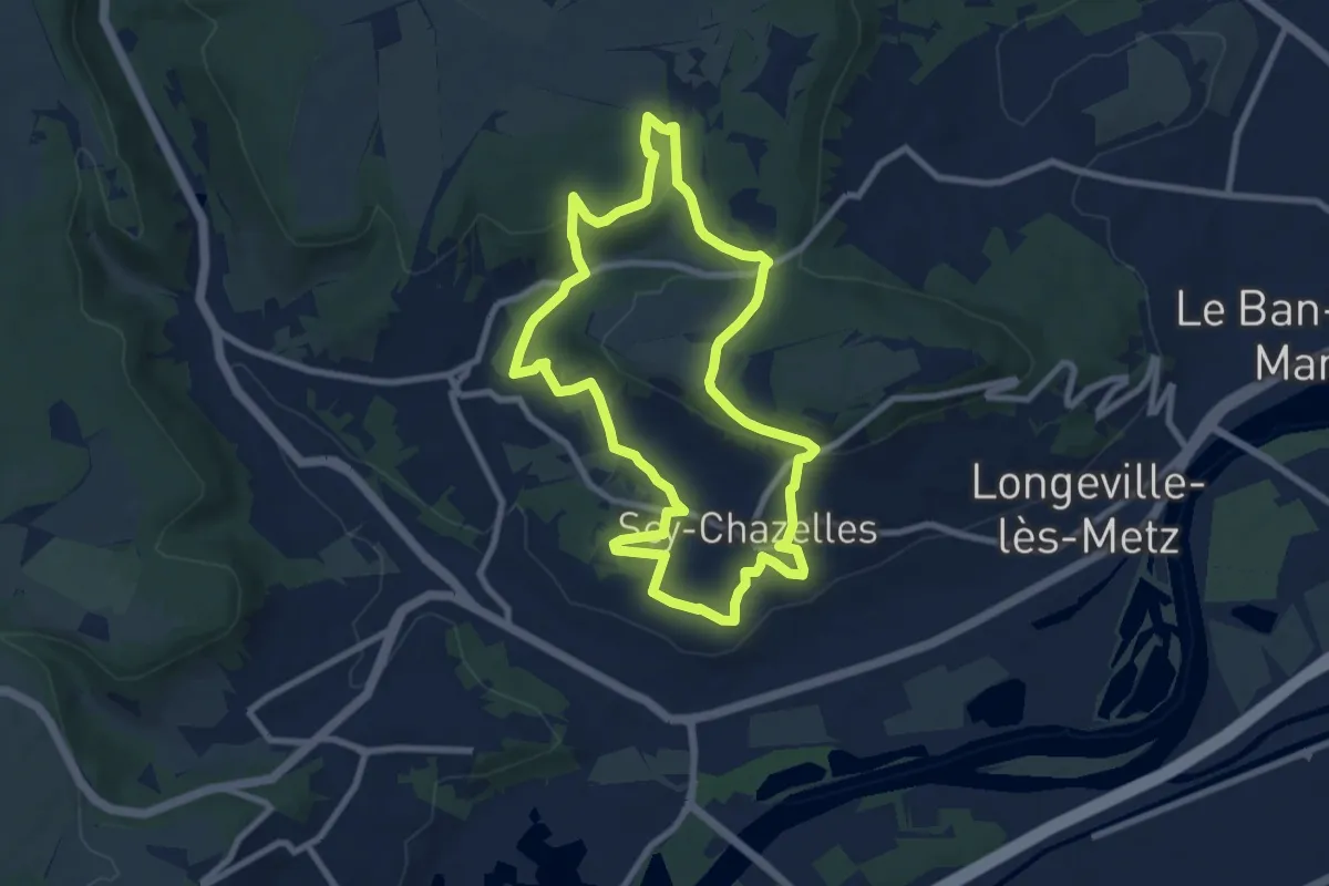
Easy · Trail
Circuit Robert Schuman
8.0 km · ↑ 214 m · 2 h 28 min
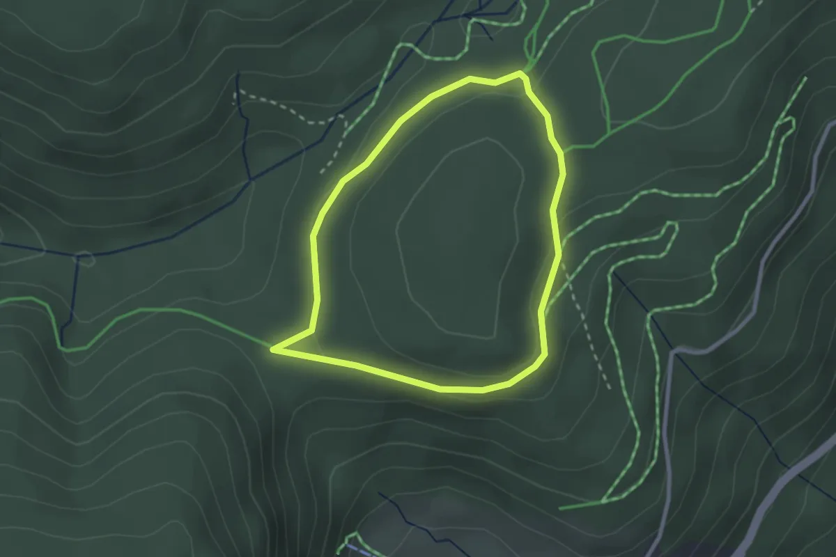
Easy · Trail
Circuit Rochelotte
2.3 km · ↑ 39 m · 39 min
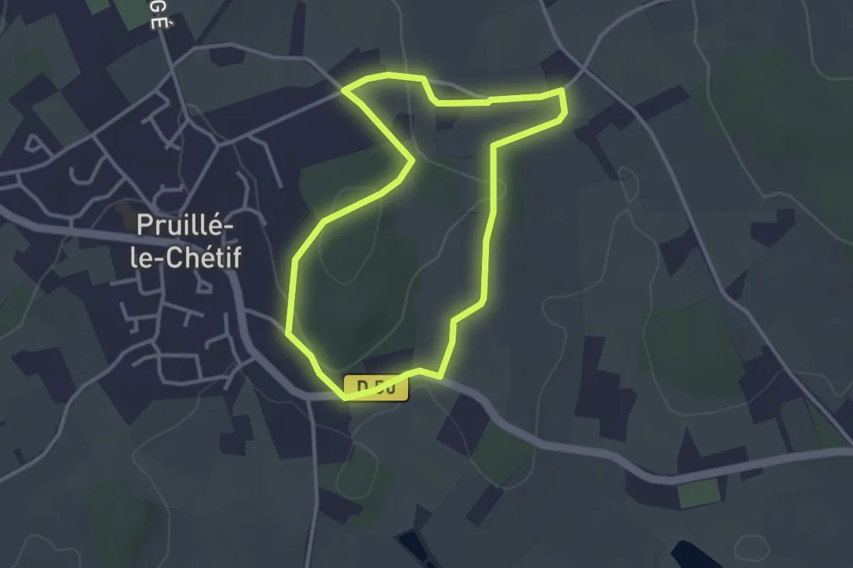
Easy · Trail
Circuit rouge
2.8 km · ↑ 52 m · 48 min
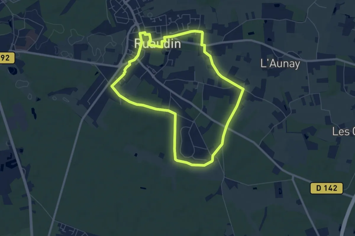
Easy · Trail
Circuit rouge
6.4 km · ↑ 22 m · 1 h 39 min
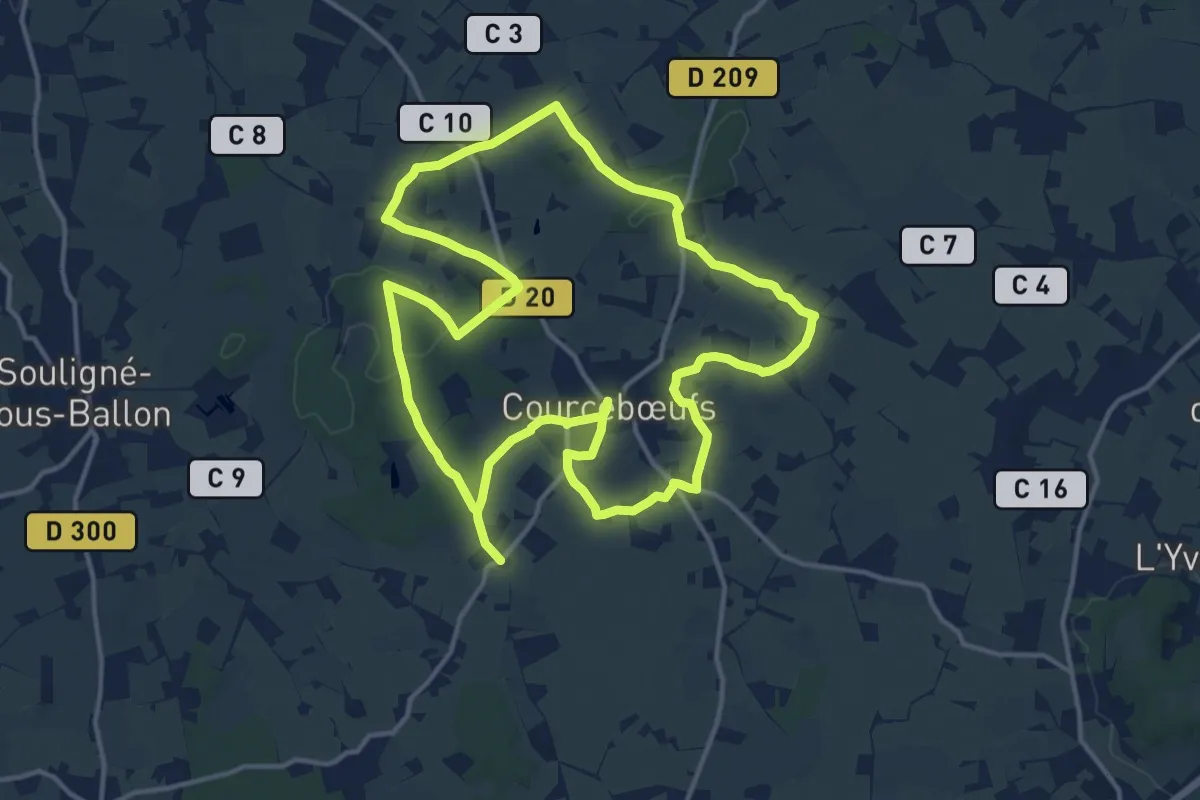
Demanding · Trail
Circuit rouge
28.2 km · ↑ 205 m · 7 h 5 min
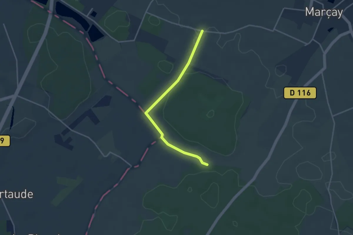
Easy · Trail
Circuit Rouge
2.9 km · ↑ 22 m · 45 min
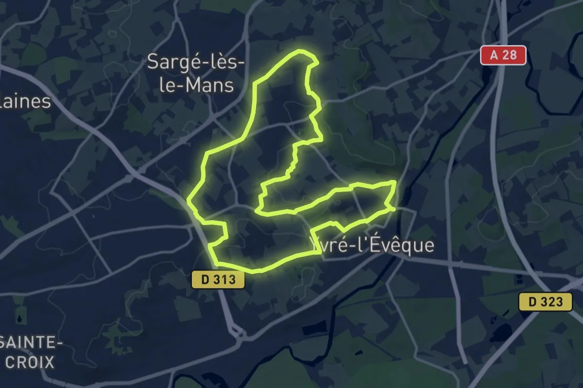
Medium · Trail
Circuit Rouge
12.4 km · ↑ 133 m · 3 h 23 min
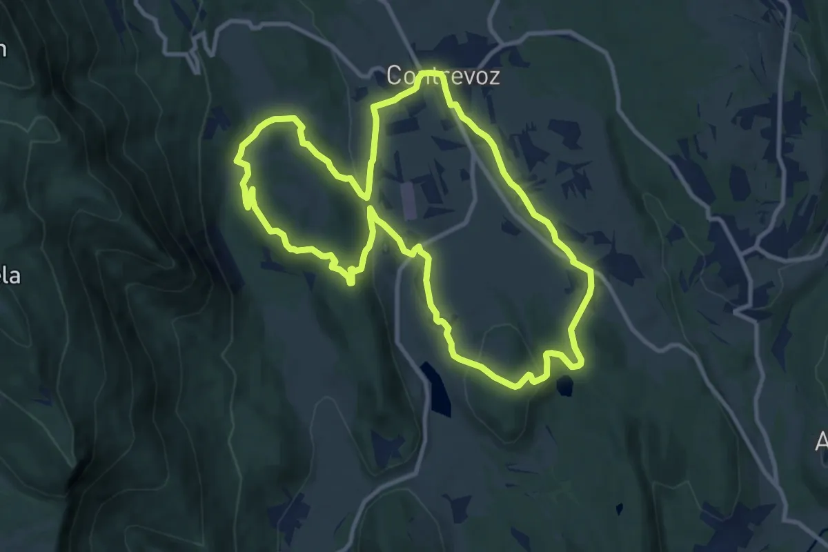
Medium · Trail
Circuit rouge 11 km de Contrevoz
10.2 km · ↑ 199 m · 2 h 59 min
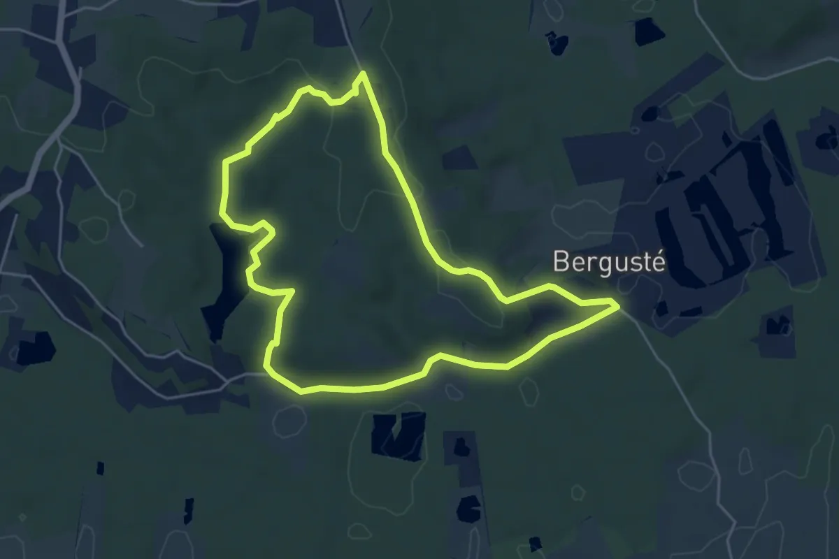
Easy · Trail
circuit_rouge_coteaux_barthes_smsx
5.0 km · ↑ 75 m · 1 h 24 min
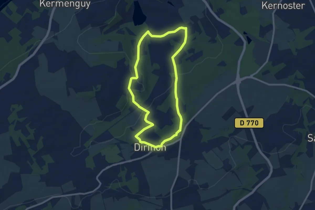
Easy · Trail
Circuit rouge des Terres du Roual
6.1 km · ↑ 130 m · 1 h 49 min
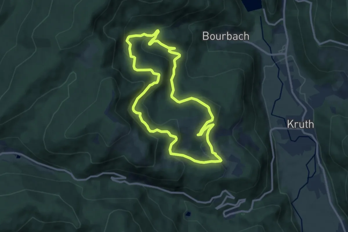
Medium · Trail
Circuit rouge du Frenz
8.2 km · ↑ 434 m · 2 h 59 min
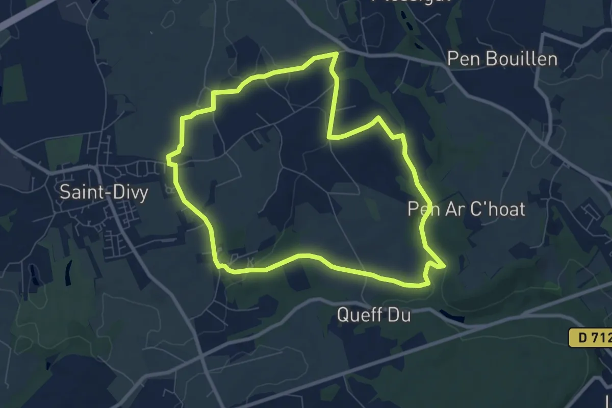
Easy · Trail
Circuit Ruines, moulin de pen ar c'hoat
7.0 km · ↑ 76 m · 1 h 55 min
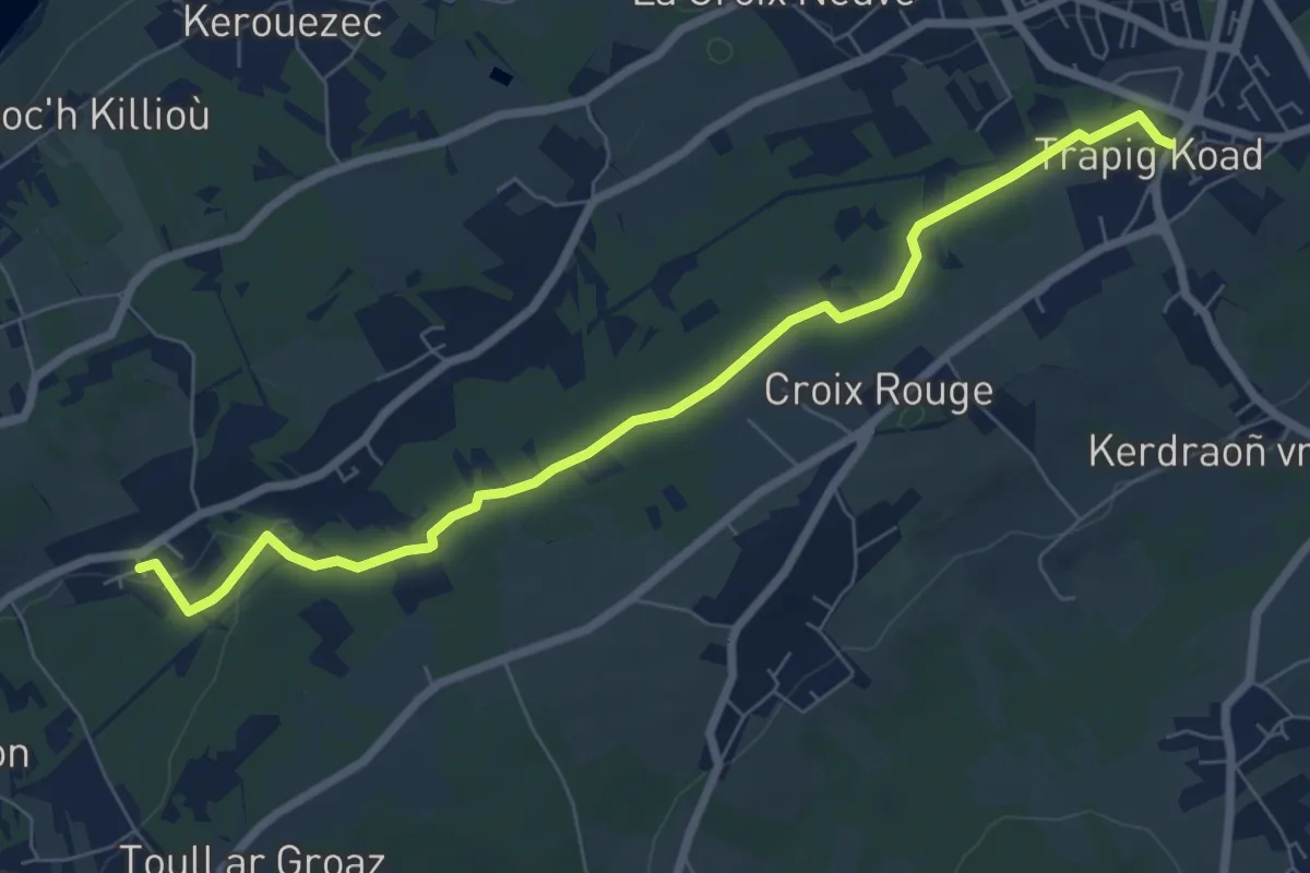
Easy · Trail
Circuit Sainte-Christine - Toull ar Ranig
7.4 km · ↑ 40 m · 1 h 50 min
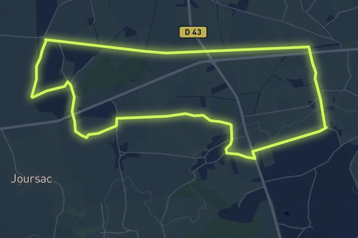
Medium · Trail
Circuit Saint-Eloi
8.6 km · ↑ 33 m · 2 h 13 min
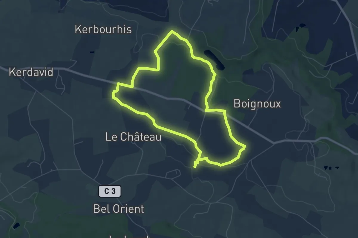
Easy · Trail
Circuit Sainte Marguerite
6.3 km · ↑ 68 m · 1 h 43 min
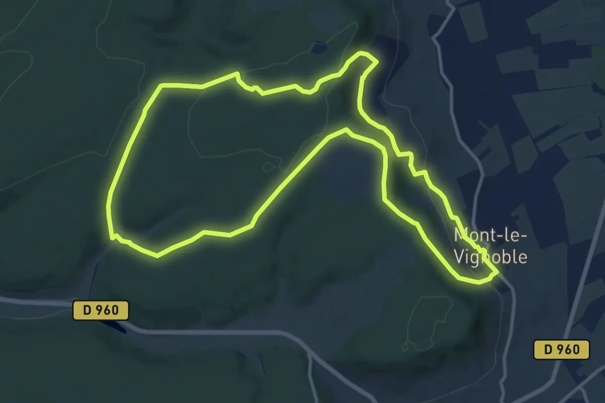
Medium · Trail
Circuit Saint-Fiacre
10.7 km · ↑ 248 m · 3 h 12 min
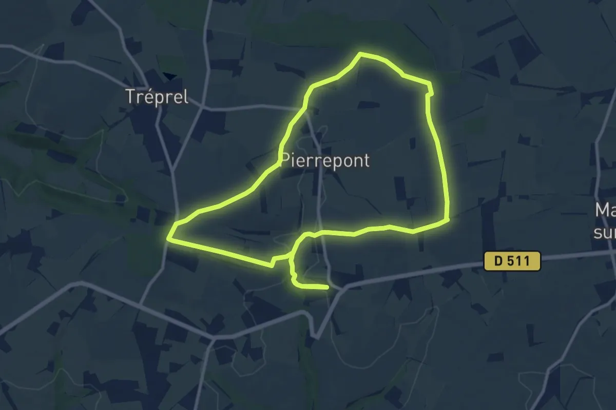
Medium · Trail
Circuit Saint-Julien
9.2 km · ↑ 142 m · 2 h 37 min
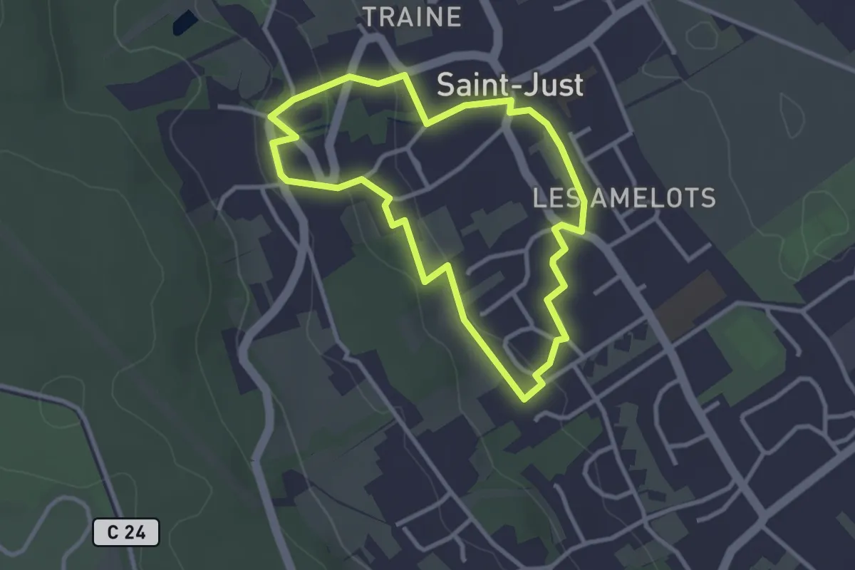
Easy · Trail
Circuit / Saint-Just
2.6 km · ↑ 60 m · 47 min