Trails in France
15,926 hiking trails, each with its route, climb, walking time and grade.
All trails, page 90 of 332
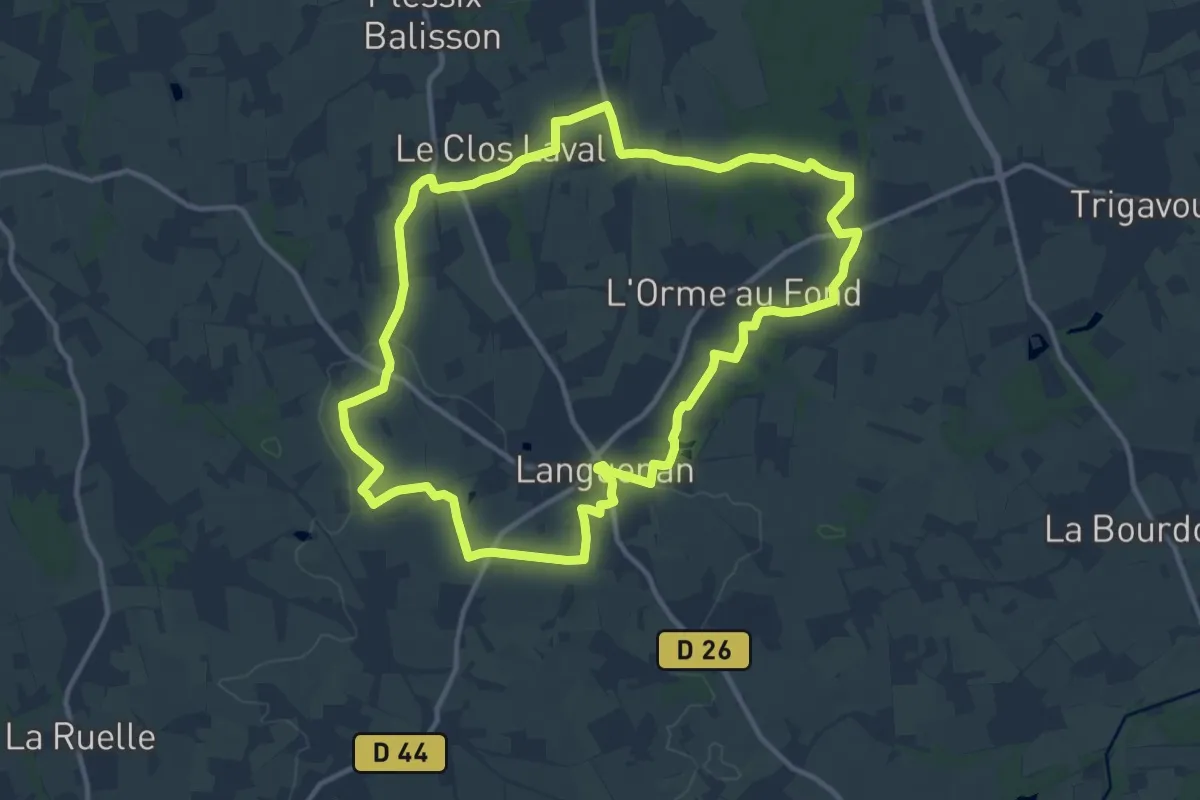
Medium · Trail
Circuit Saint Kenan
11.9 km · ↑ 73 m · 3 h 8 min
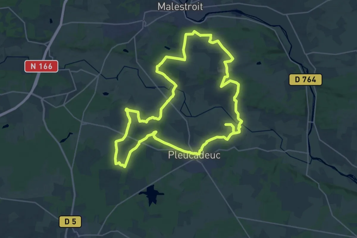
Demanding · Trail
Circuit Saint Marc
23.1 km · ↑ 266 m · 6 h 21 min
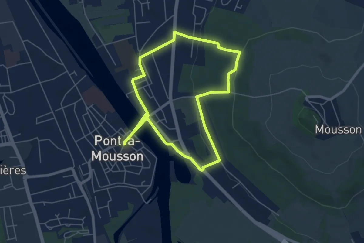
Easy · Trail
Circuit Saint Martin
4.7 km · ↑ 89 m · 1 h 22 min
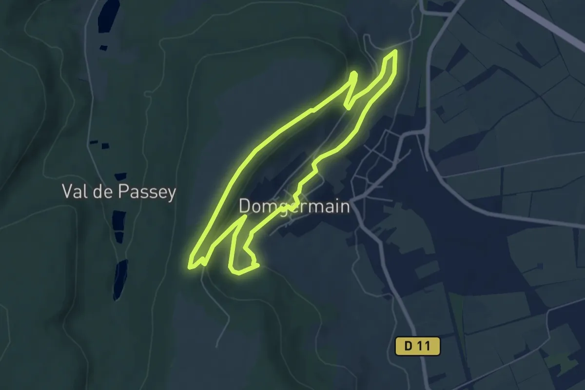
Easy · Trail
Circuit Saint-Maurice
5.6 km · ↑ 133 m · 1 h 41 min
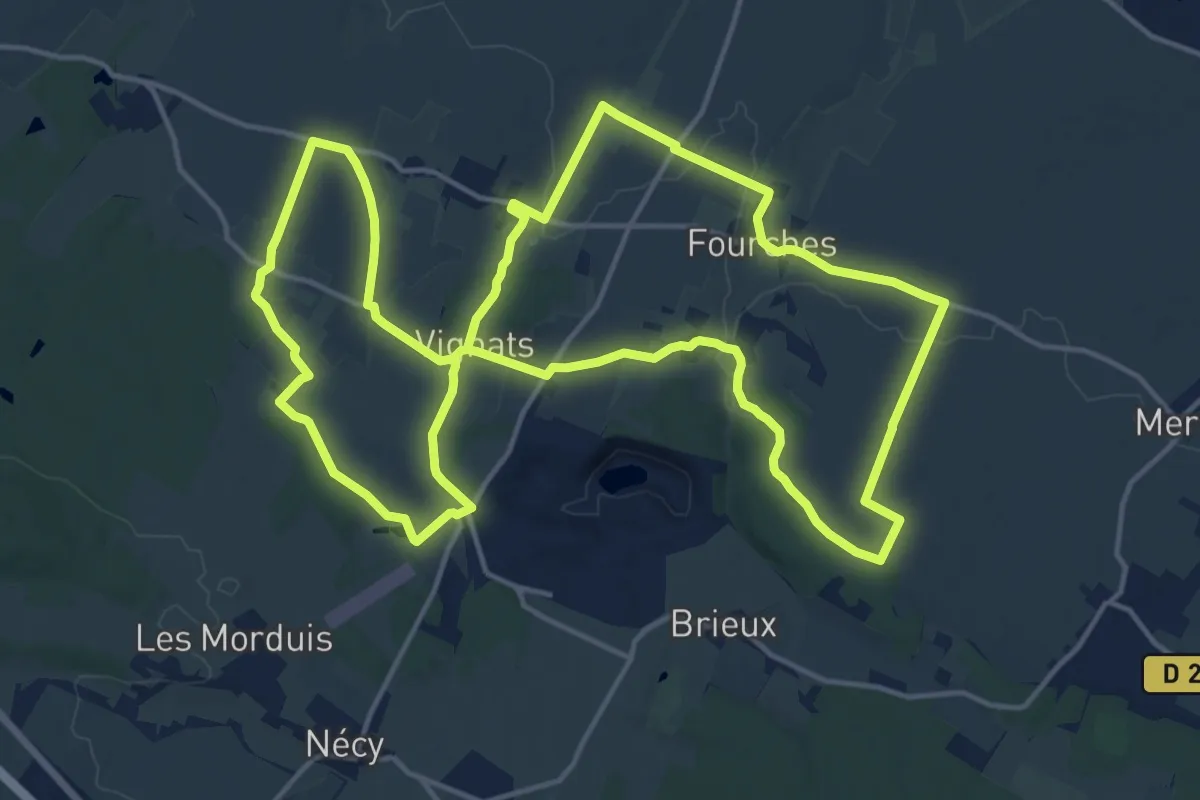
Medium · Trail
Circuit Saint-Nicolas
17.2 km · ↑ 166 m · 4 h 39 min
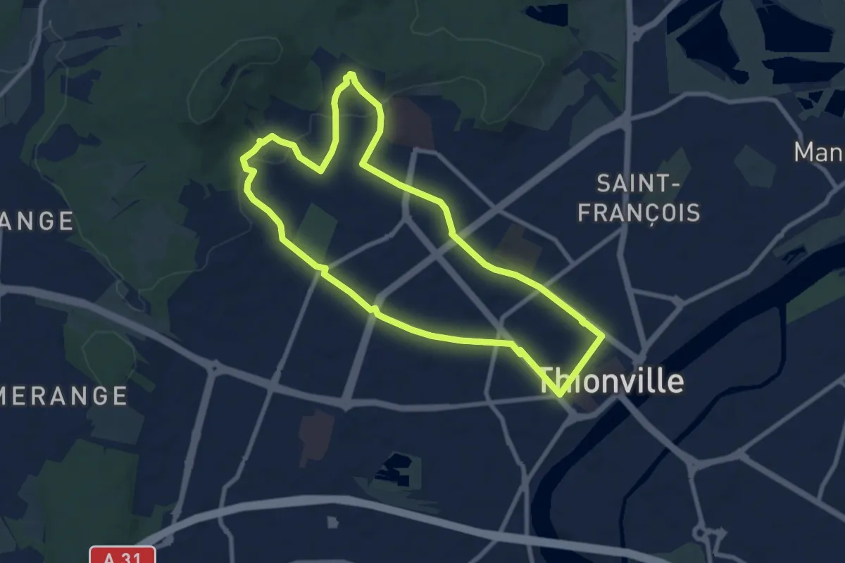
Easy · Trail
Circuit Saint Urbain
7.5 km · ↑ 109 m · 2 h 7 min
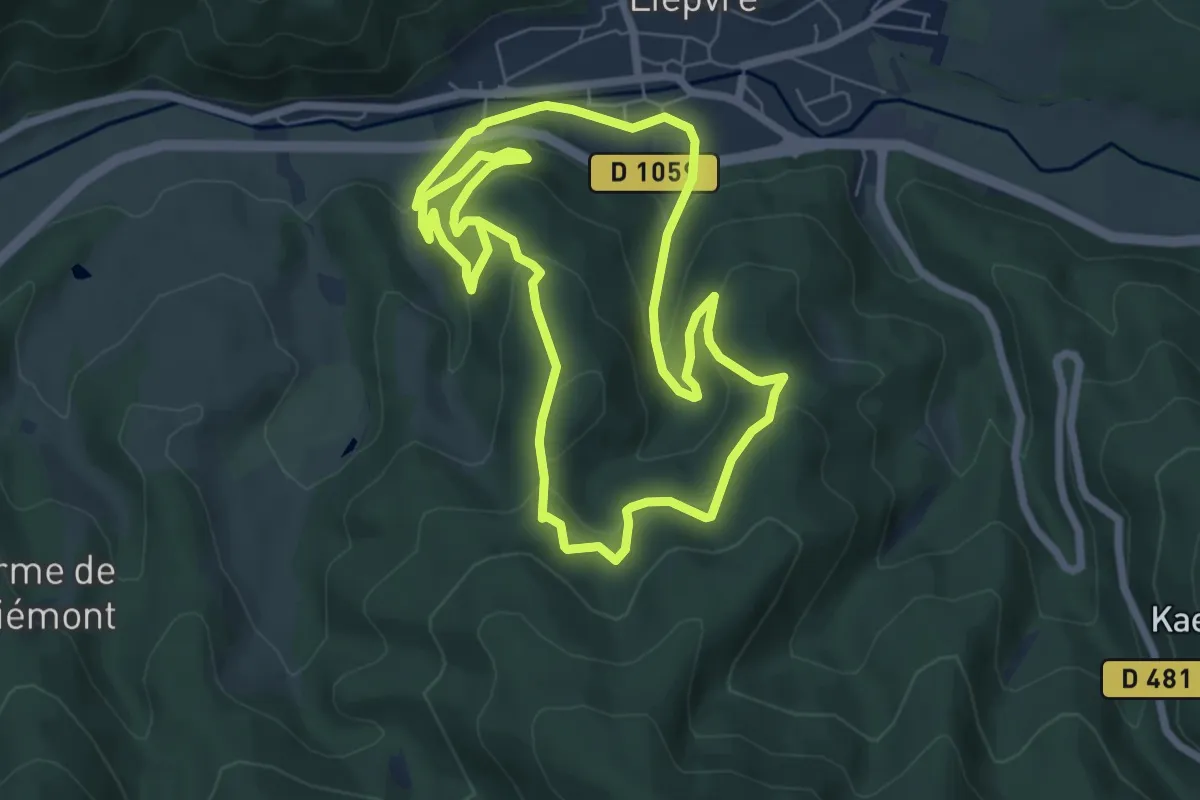
Easy · Trail
Circuit Schweinsbach
6.5 km · ↑ 243 m · 2 h 10 min
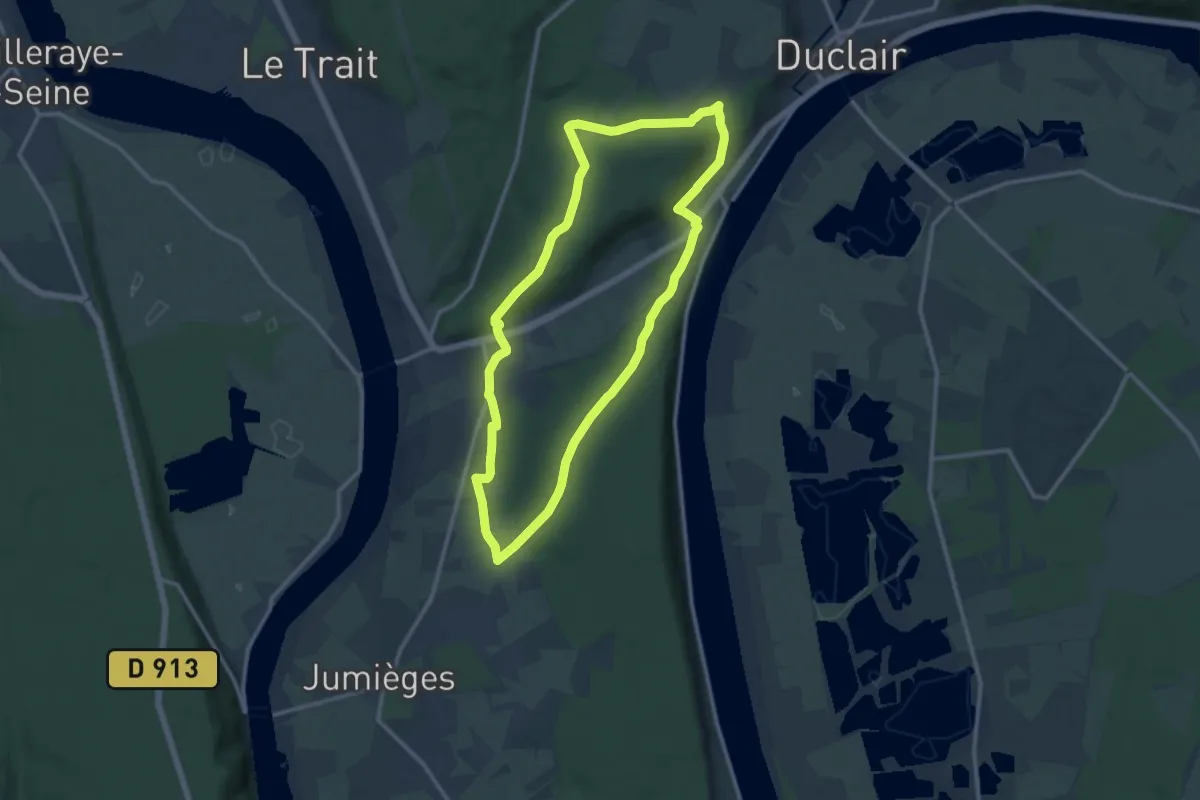
Medium · Trail
Circuits des Forêts
11.0 km · ↑ 237 m · 3 h 16 min
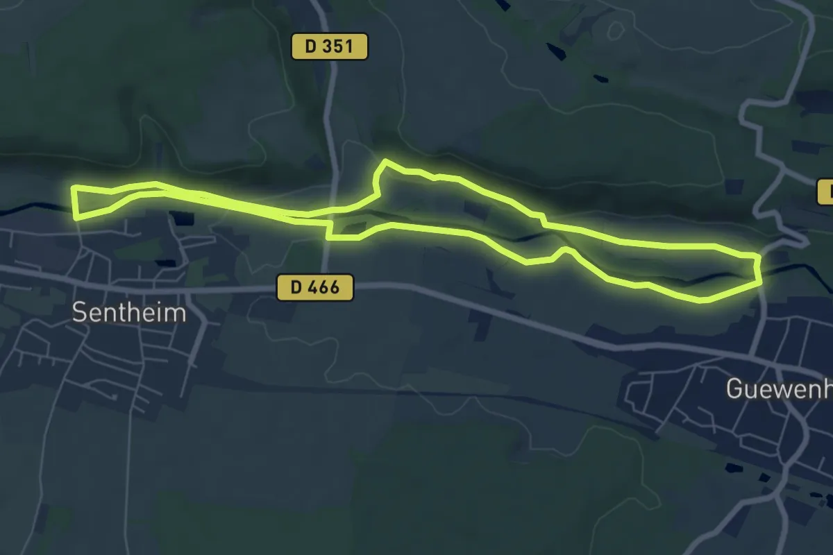
Easy · Trail
Circuit Senheim - Guewenheim
6.8 km · ↑ 70 m · 1 h 51 min
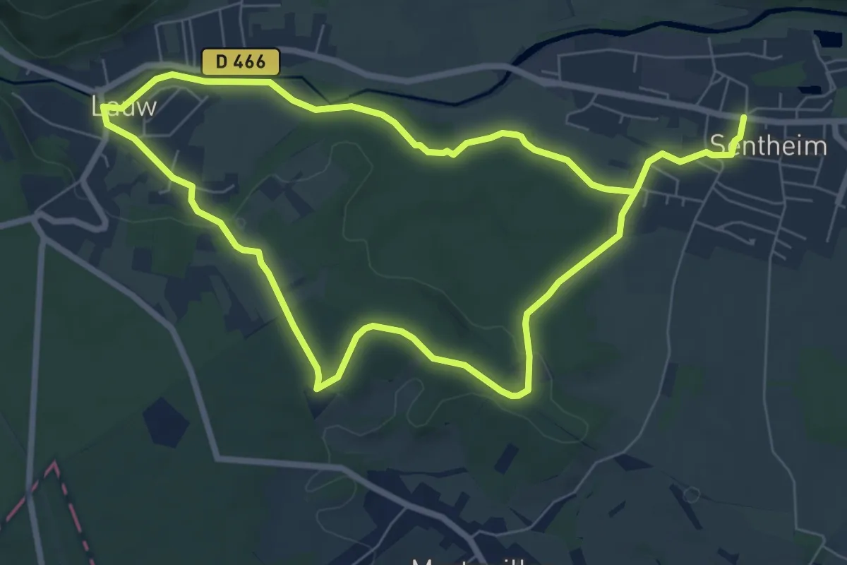
Easy · Trail
Circuit Sentheim - Lauw
6.5 km · ↑ 93 m · 1 h 48 min
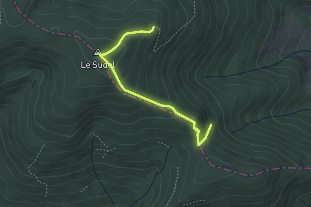
Medium · Summit
Circuit Sentier historique du Montori
1.6 km · ↑ 38 m · 34 min
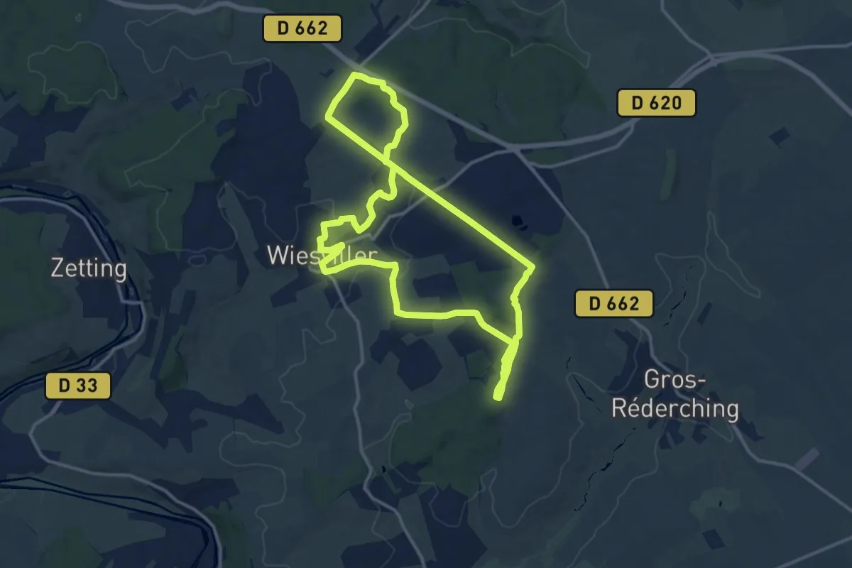
Medium · Trail
Circuits éoliennes
12.9 km · ↑ 176 m · 3 h 38 min
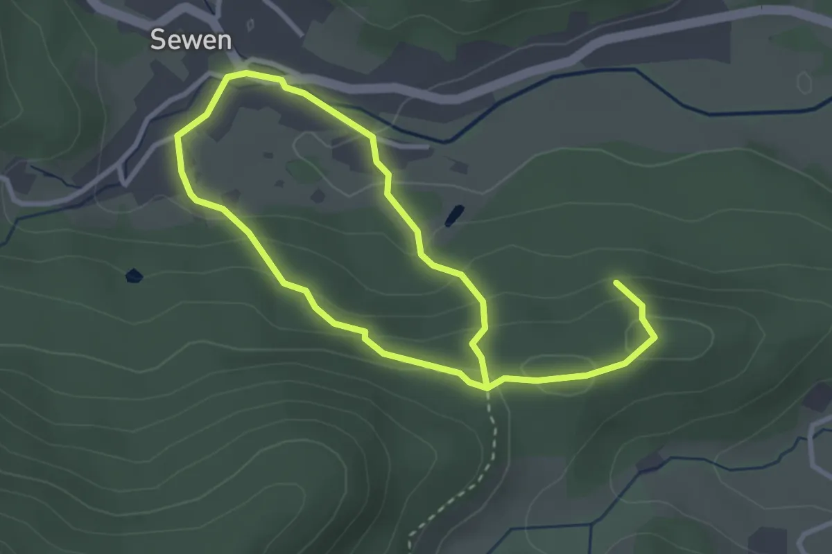
Easy · Trail
Circuit Sewen - Hunfels
2.4 km · ↑ 131 m · 52 min
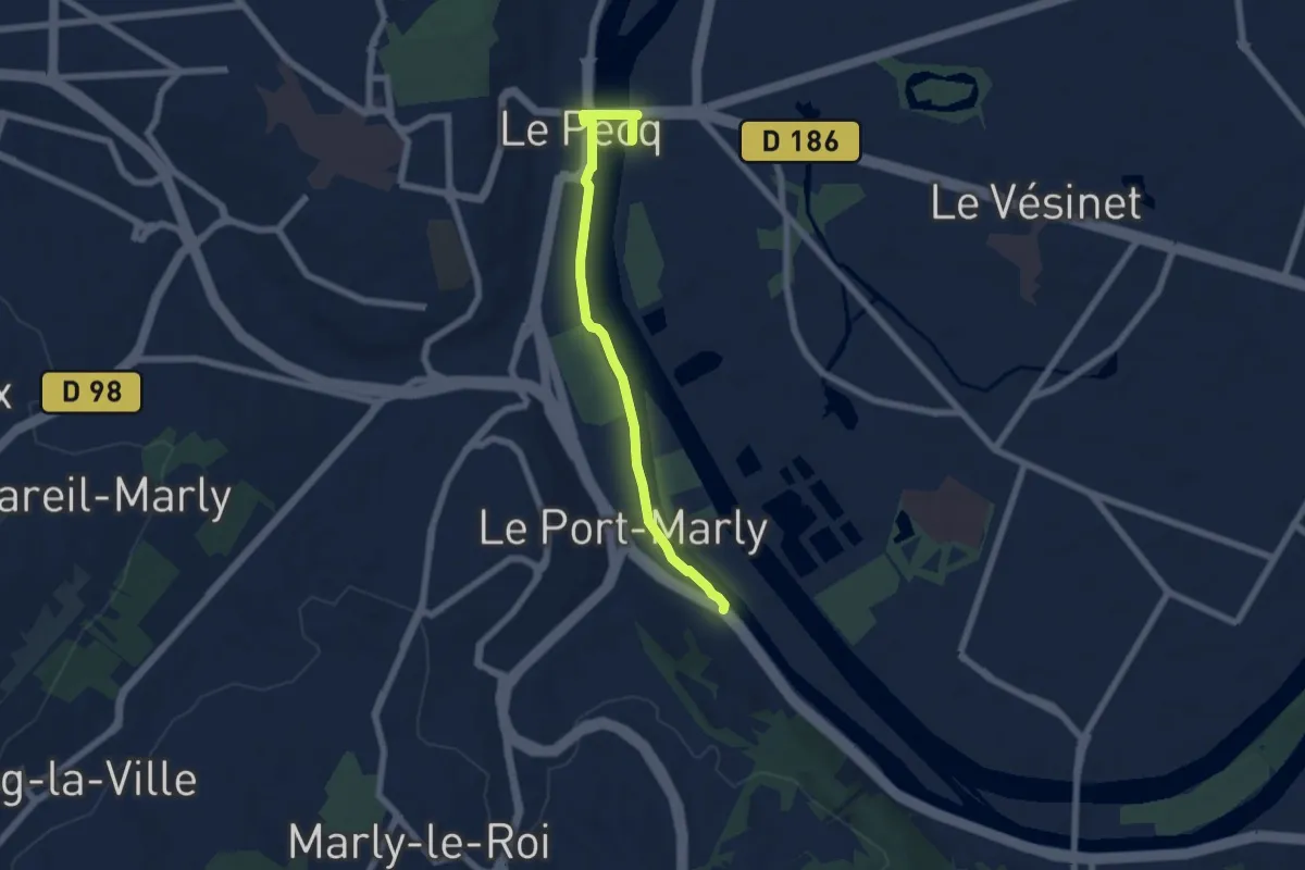
Easy · Trail
Circuit Sisley
5.8 km · ↑ 0 m · 1 h 22 min
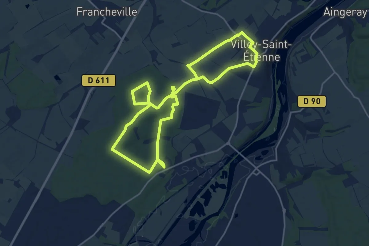
Medium · Trail
Circuit Sous les charmes du Vieux Canton
12.0 km · ↑ 79 m · 3 h 10 min
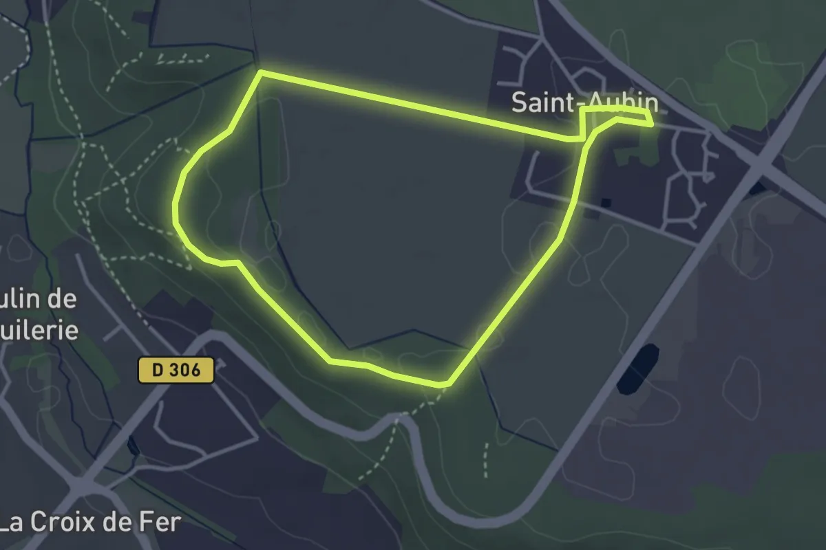
Easy · Trail
Circuit St-Aubin Les Plateaux
3.1 km · ↑ 17 m · 49 min
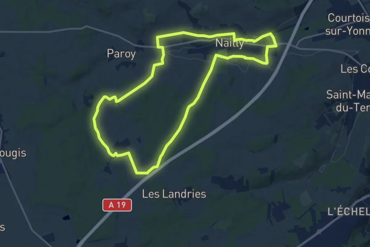
Medium · Trail
Circuit sud S
11.8 km · ↑ 135 m · 3 h 14 min
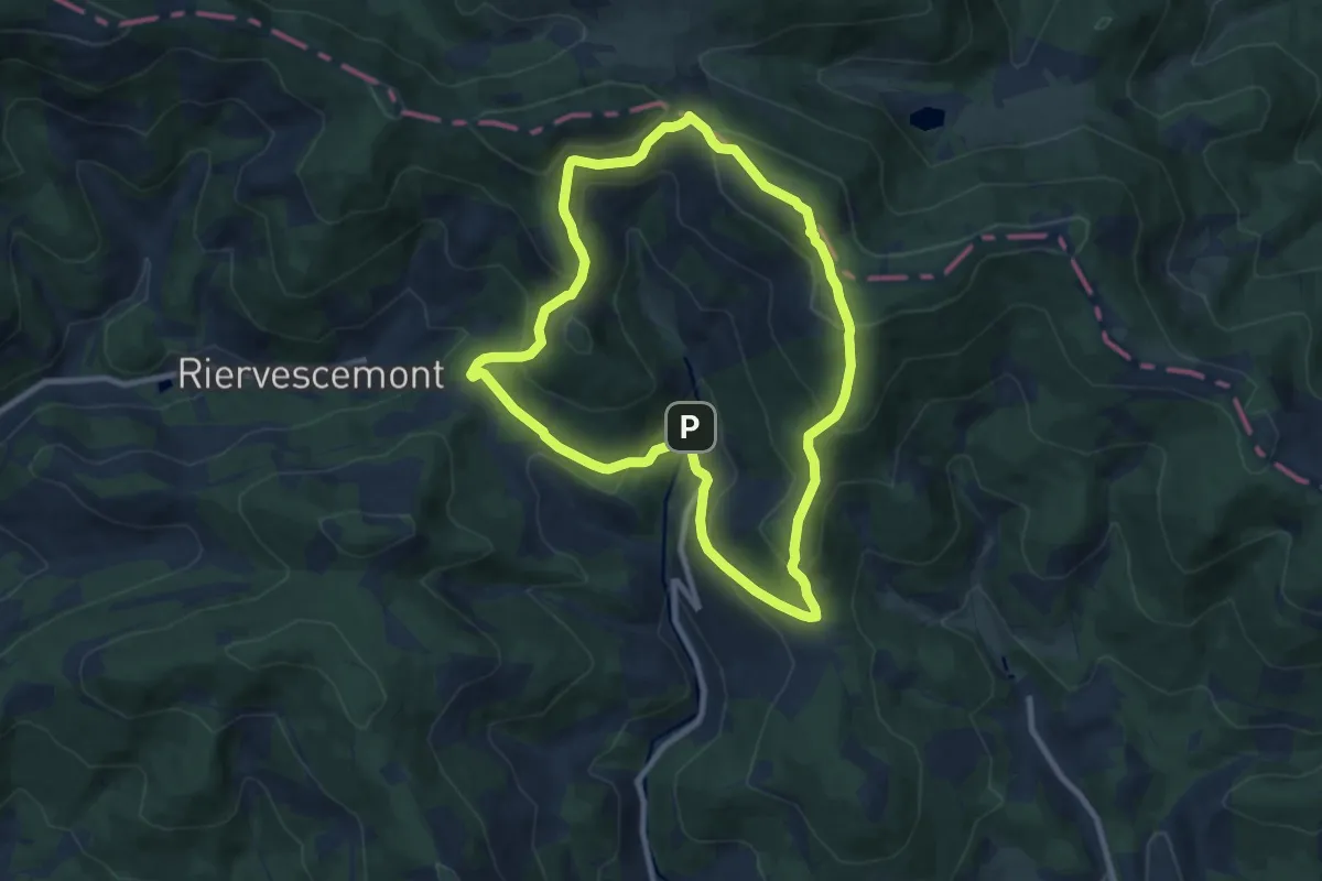
Demanding · Summit
Circuit sur les Hauts de Lamadeleine
8.4 km · ↑ 441 m · 3 h 4 min
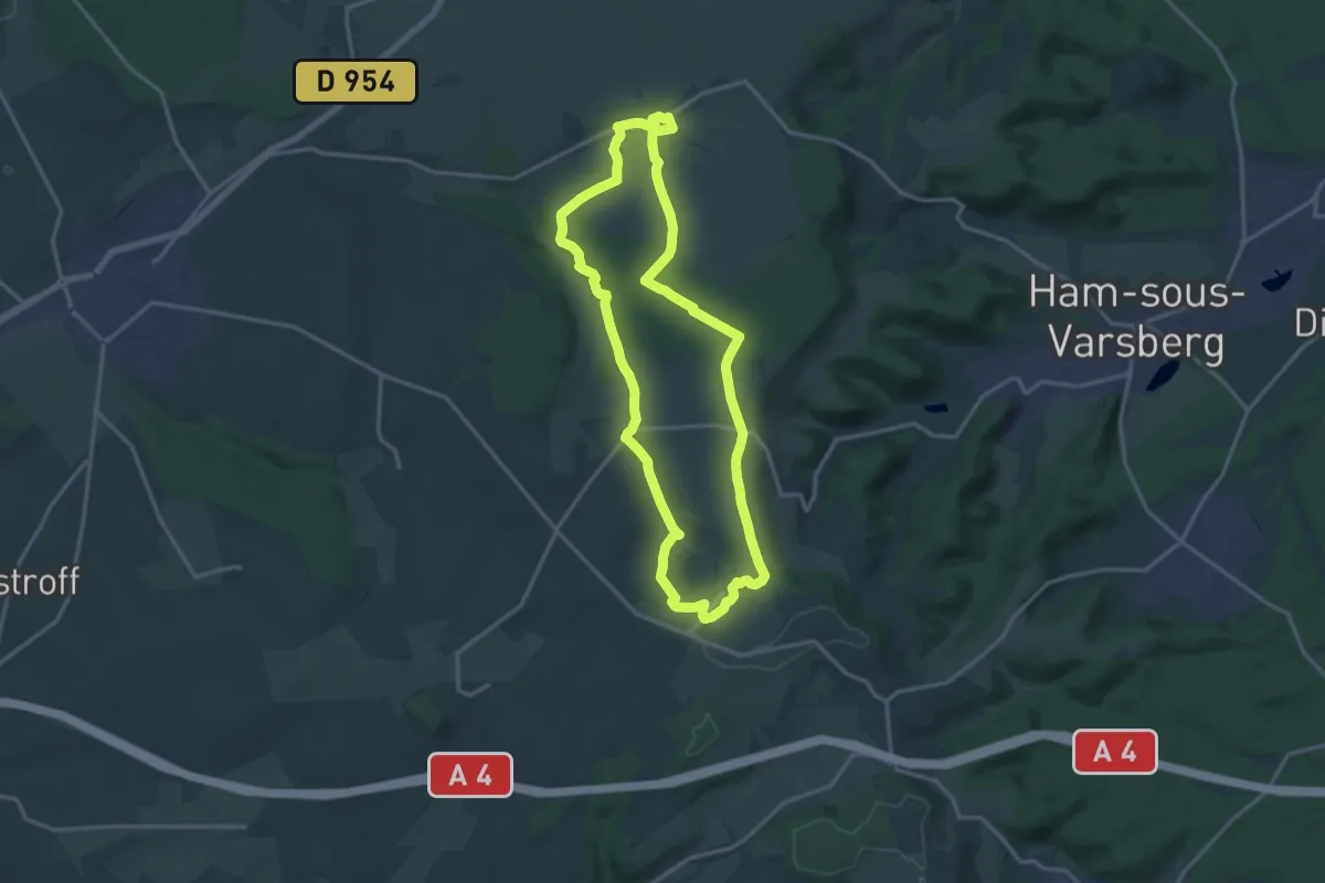
Medium · Trail
Circuit sur les pas d'Eole
14.7 km · ↑ 202 m · 4 h 7 min
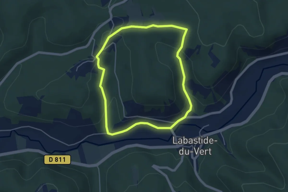
Easy · Trail
Circuit sur les pas d'Henri Martin
3.7 km · ↑ 123 m · 1 h 12 min
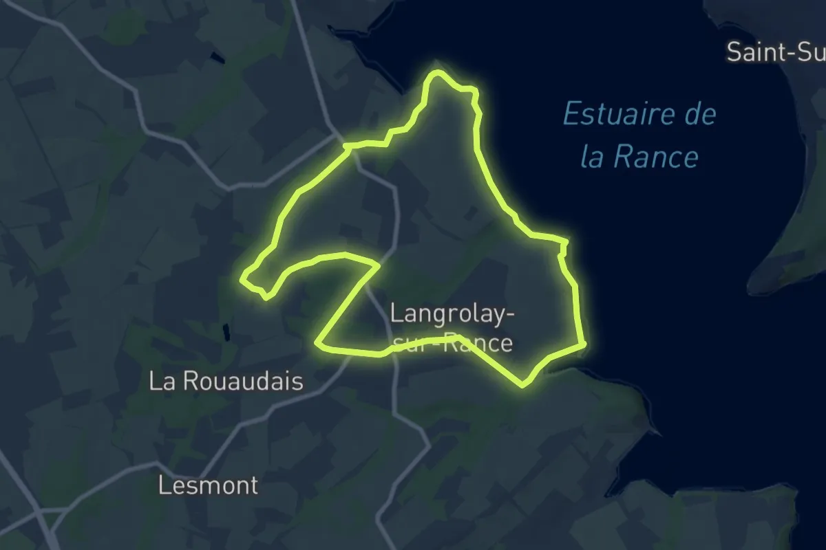
Easy · Trail
Circuit Terre et Rance
7.8 km · ↑ 103 m · 2 h 11 min
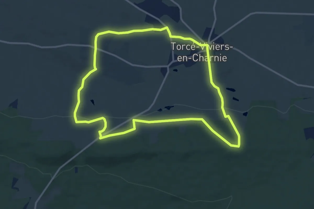
Medium · Trail
Circuit « Tour de Viviers »
9.1 km · ↑ 216 m · 2 h 44 min
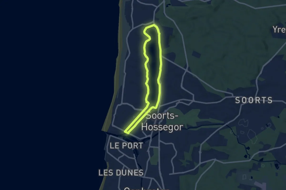
Easy · Trail
Circuit Tour du lac d'Hossegor
7.4 km · ↑ 28 m · 1 h 54 min
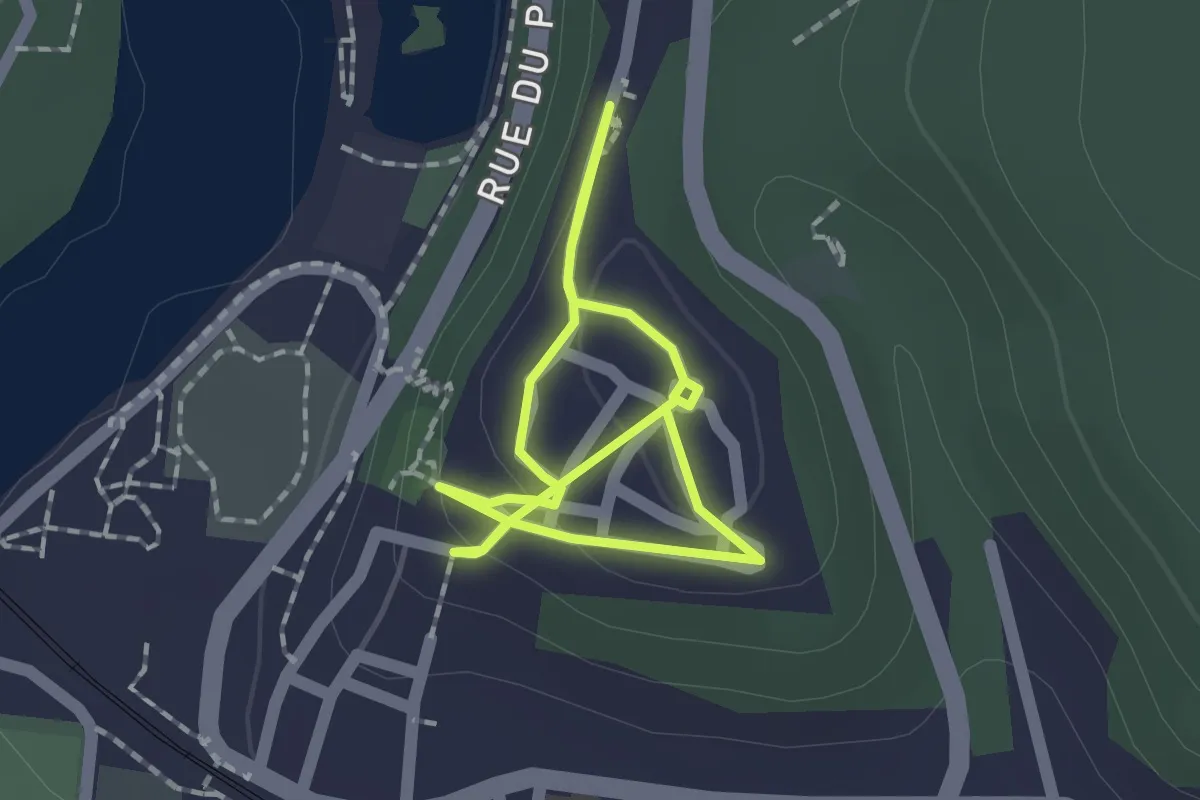
Easy · Trail
Circuit touristique de la ville haute
1.2 km · ↑ 53 m · 25 min
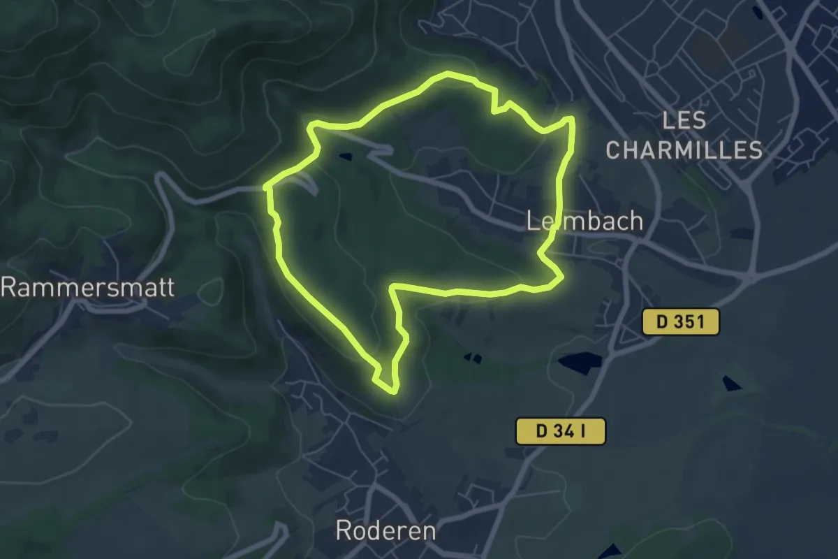
Easy · Trail
Circuit touristique de Leimbach
5.7 km · ↑ 153 m · 1 h 45 min
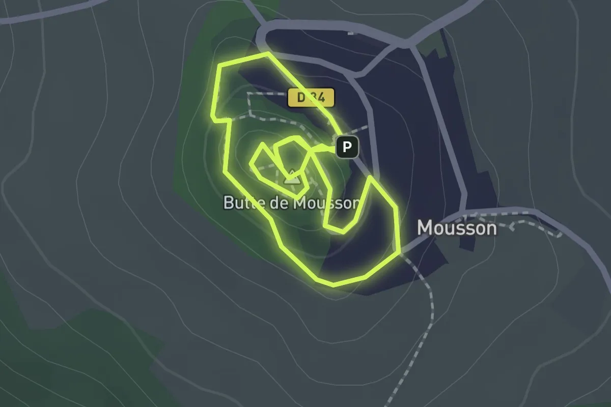
Easy · Summit
Circuit touristique Mousson
1.7 km · ↑ 41 m · 30 min
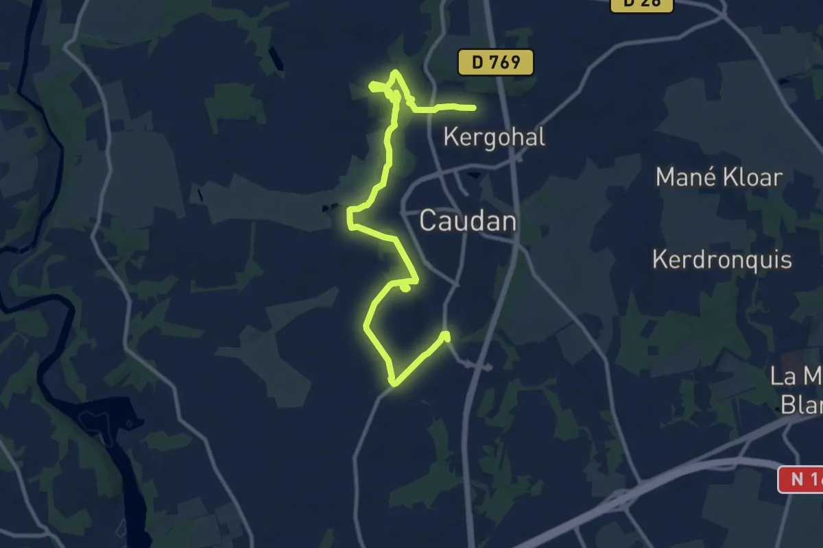
Easy · Trail
Circuit Tro Glas Kaodan
5.9 km · ↑ 97 m · 1 h 40 min
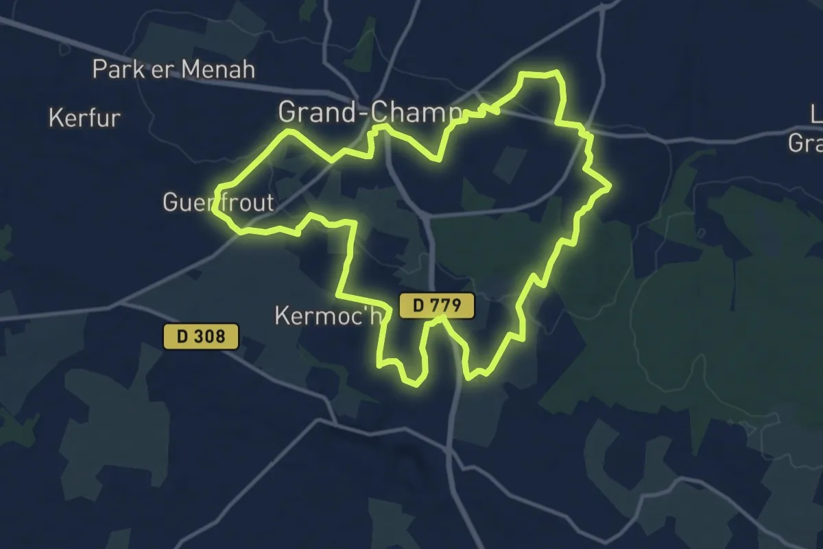
Medium · Trail
Circuit Tro Gregam
13.1 km · ↑ 155 m · 3 h 37 min
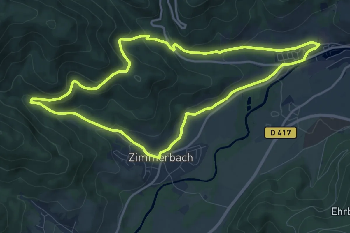
Medium · Trail
Circuit Turckheim - Zimmerbach
9.1 km · ↑ 294 m · 2 h 54 min
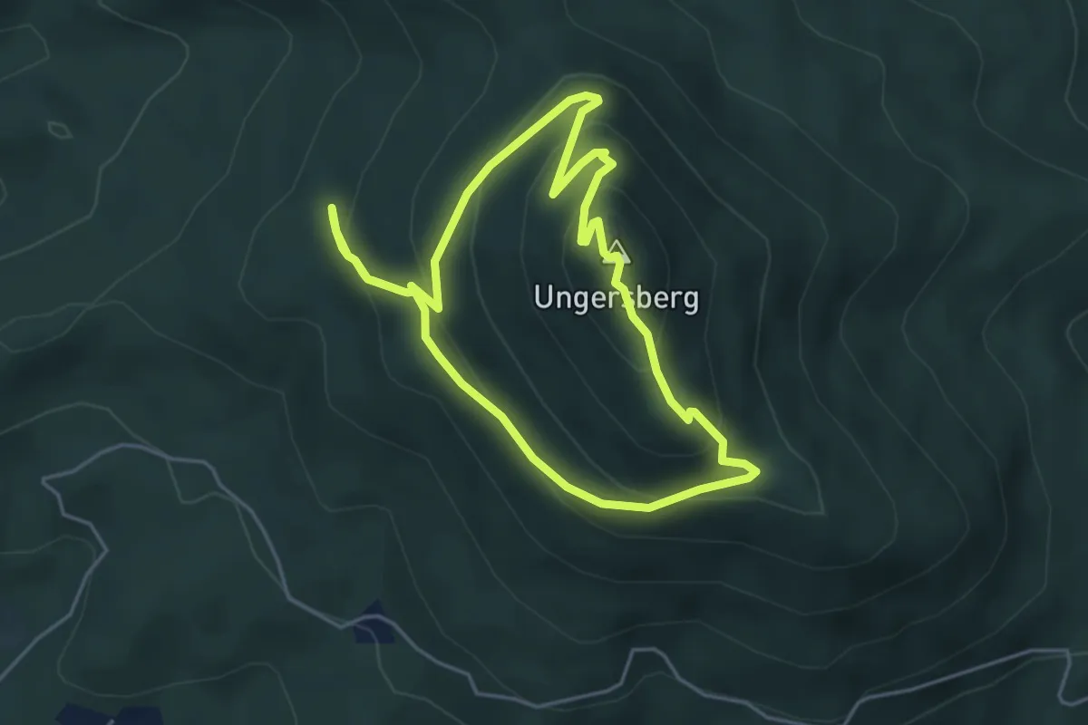
Easy · Summit
Circuit Ungersberg
4.1 km · ↑ 258 m · 1 h 35 min
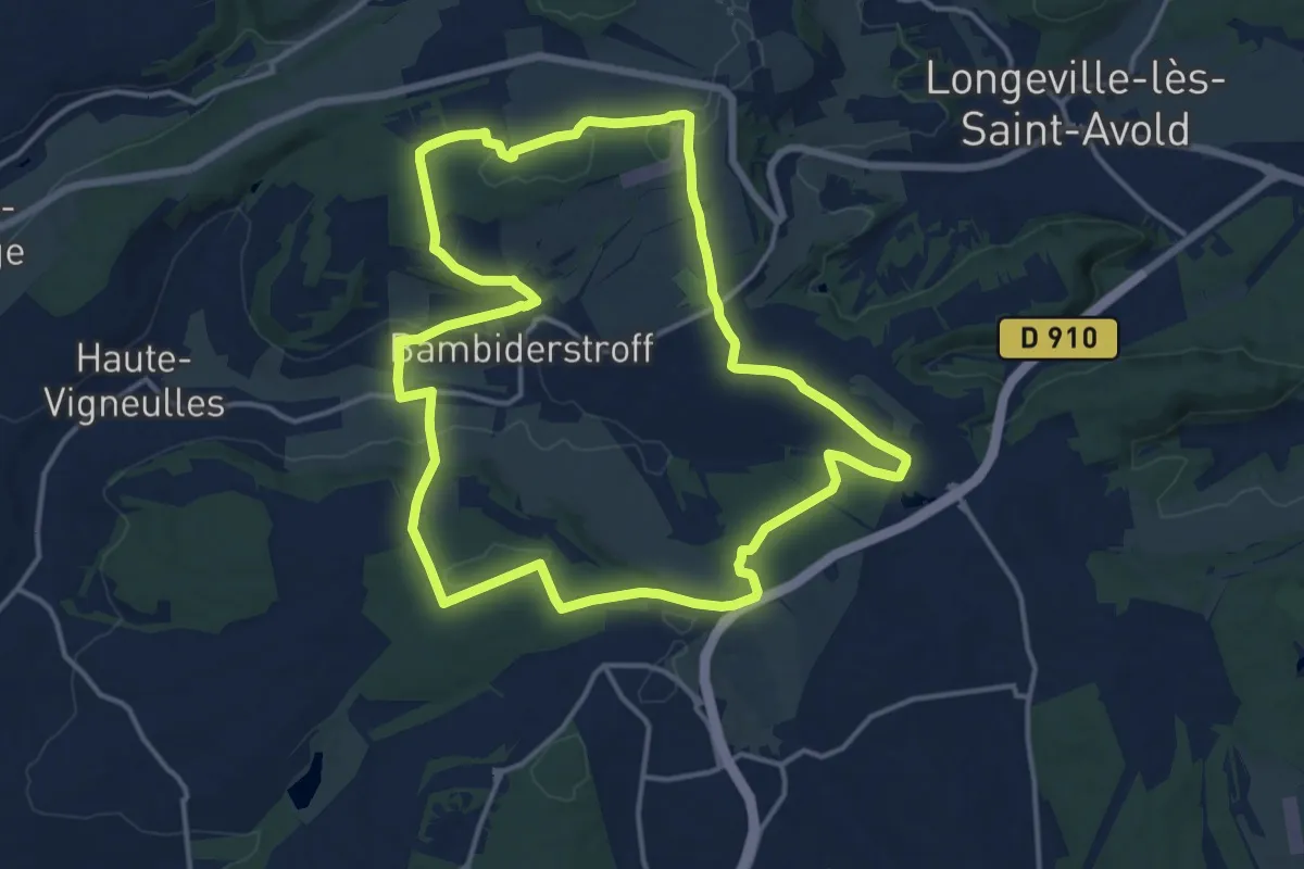
Medium · Trail
Circuit Vallée du Bambesh
14.5 km · ↑ 212 m · 4 h 6 min
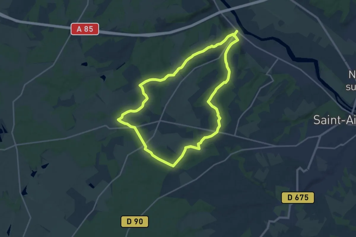
Medium · Trail
Circuit Vallons et forêts
13.2 km · ↑ 152 m · 3 h 38 min
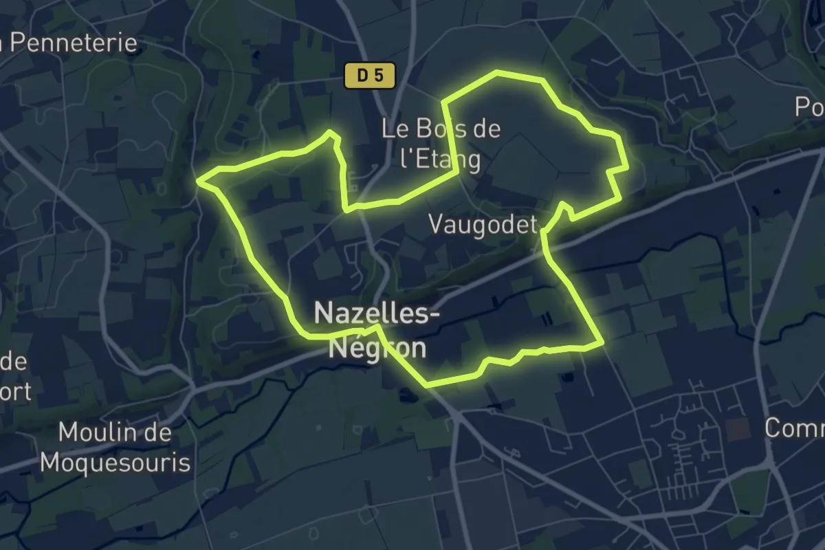
Medium · Trail
Circuit Val Plateau
8.2 km · ↑ 83 m · 2 h 14 min
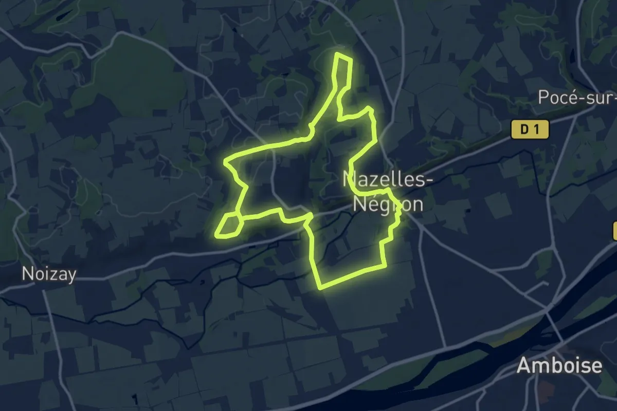
Medium · Trail
Circuit Val Vallées
11.9 km · ↑ 121 m · 3 h 13 min
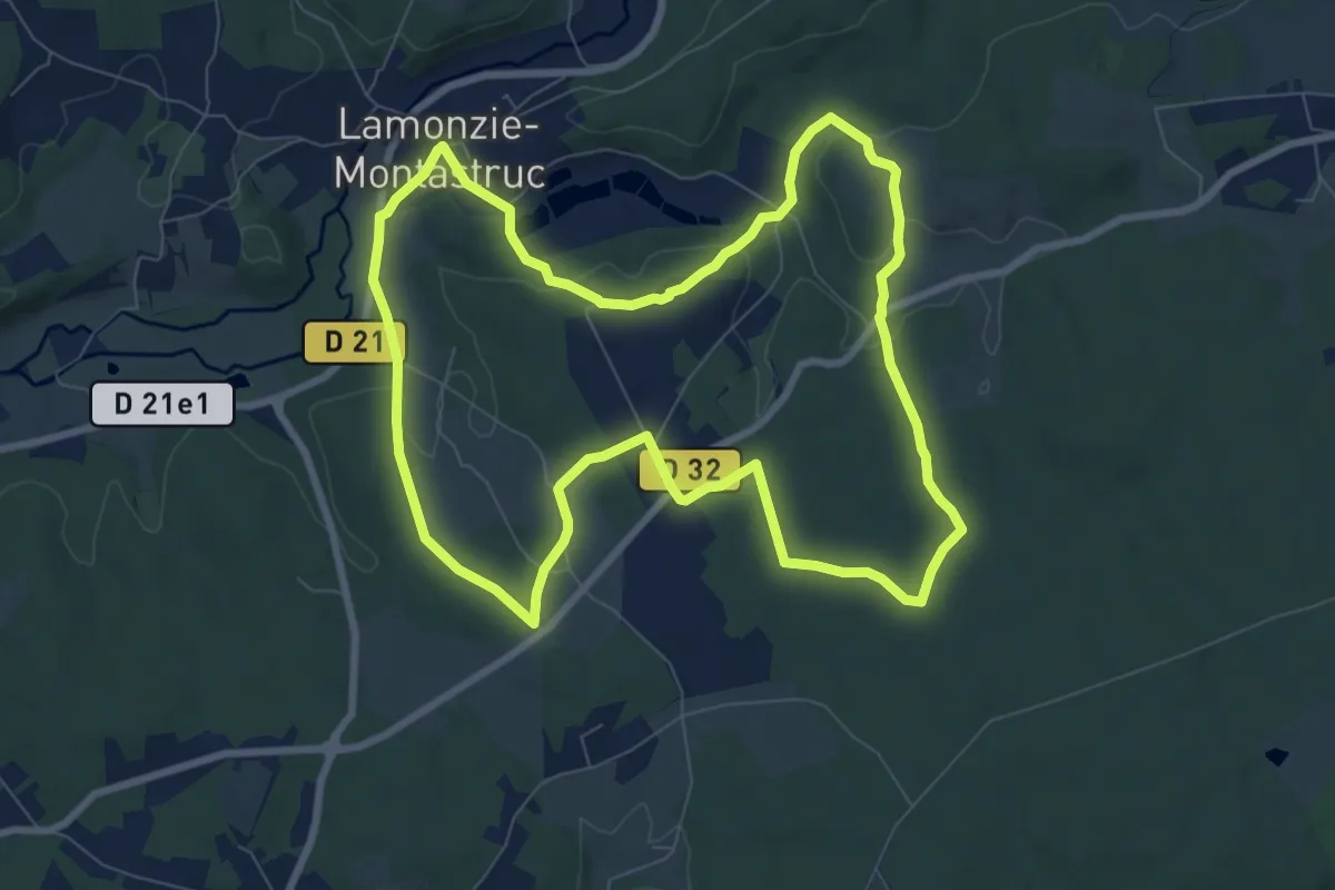
Medium · Trail
Circuit vert
8.9 km · ↑ 145 m · 2 h 32 min
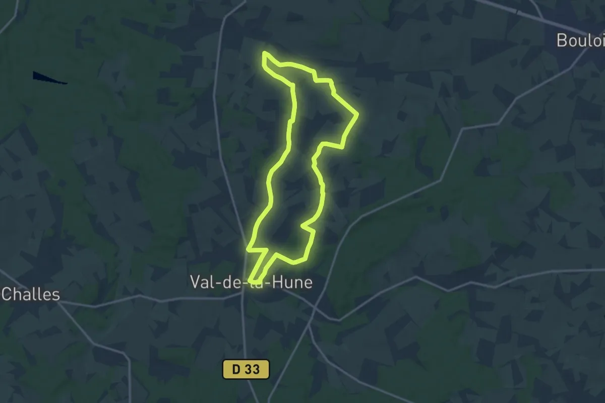
Medium · Trail
Circuit vert
12.4 km · ↑ 102 m · 3 h 19 min
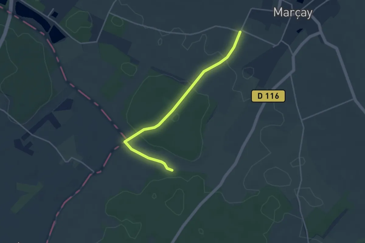
Easy · Trail
Circuit Vert
3.4 km · ↑ 25 m · 51 min
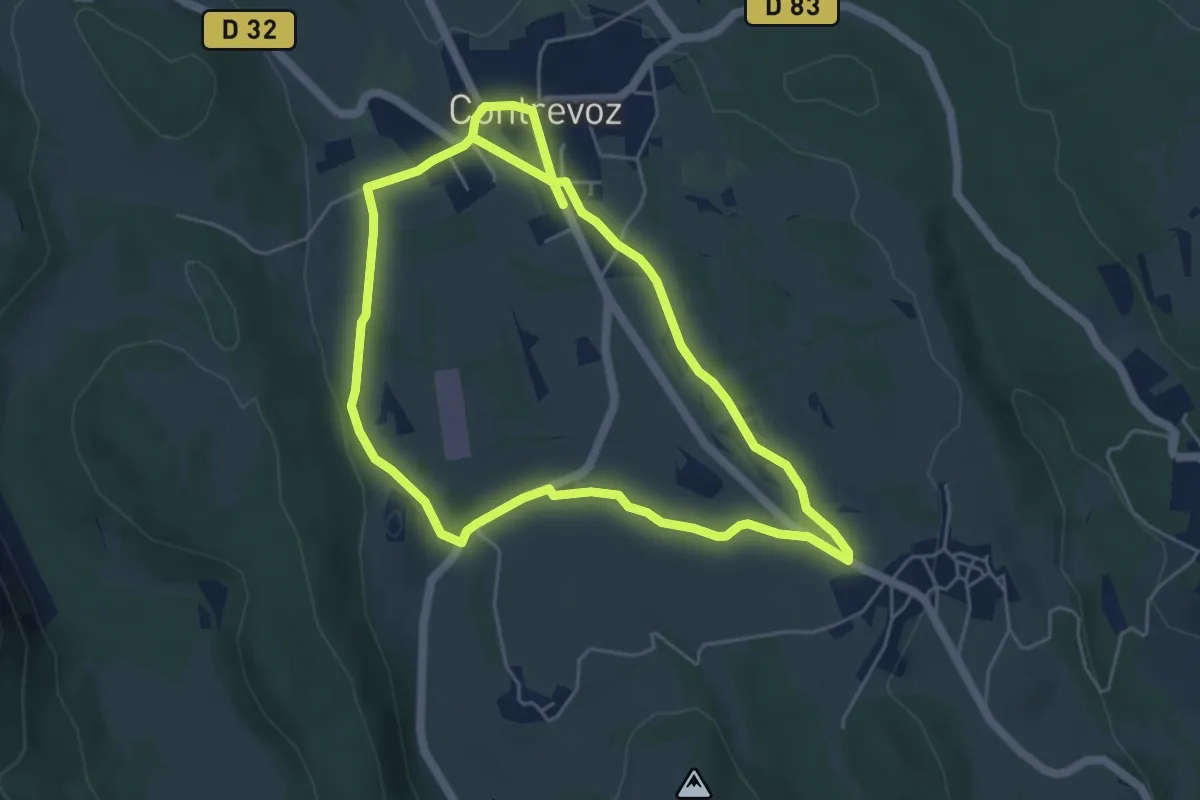
Easy · Trail
Circuit vert 5 km de Contrevoz
5.1 km · ↑ 46 m · 1 h 23 min
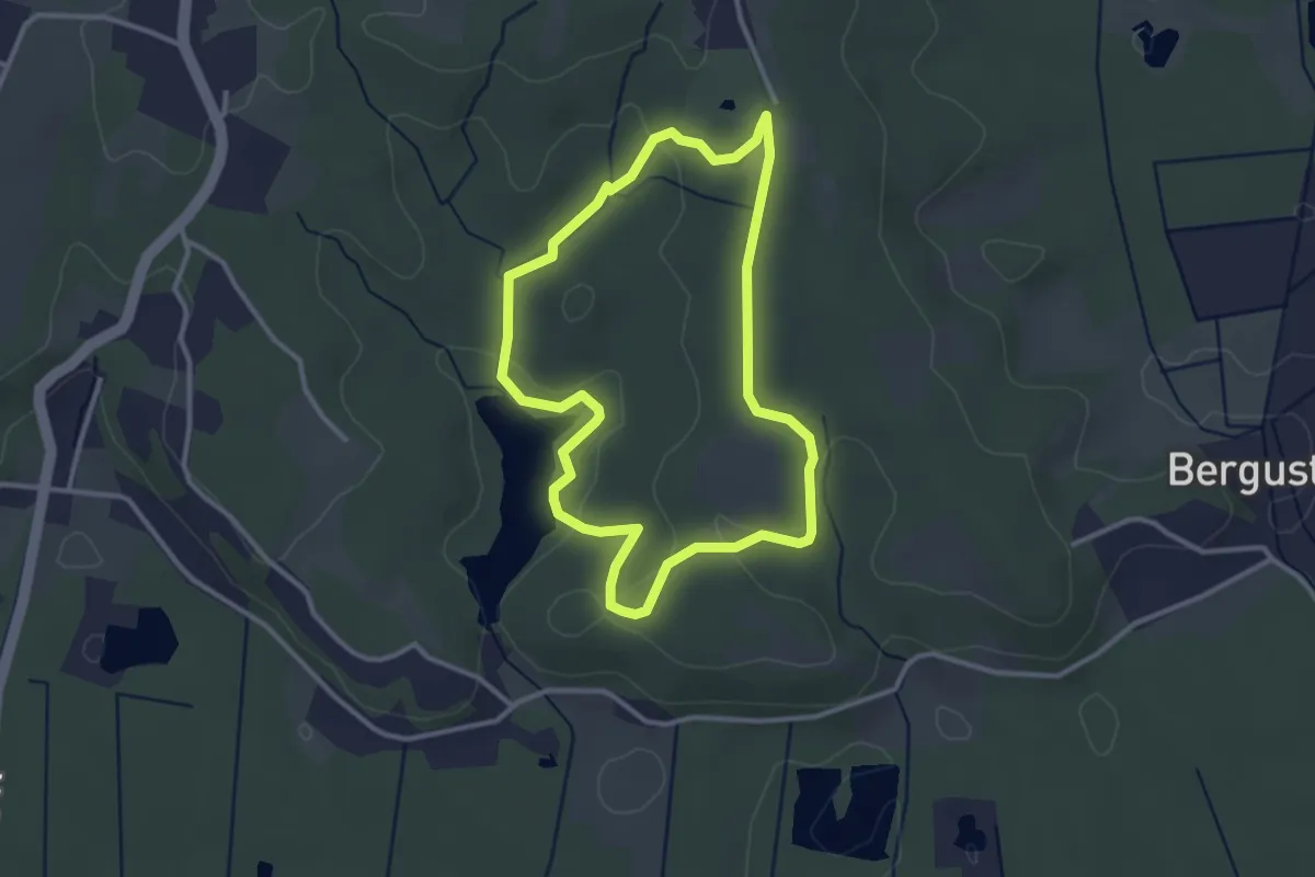
Easy · Trail
Circuit vert_coteaux-barthes smsx
3.1 km · ↑ 52 m · 53 min
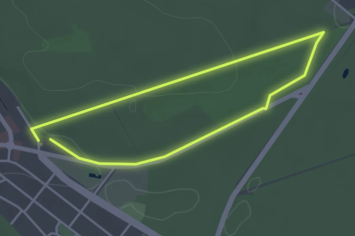
Easy · Trail
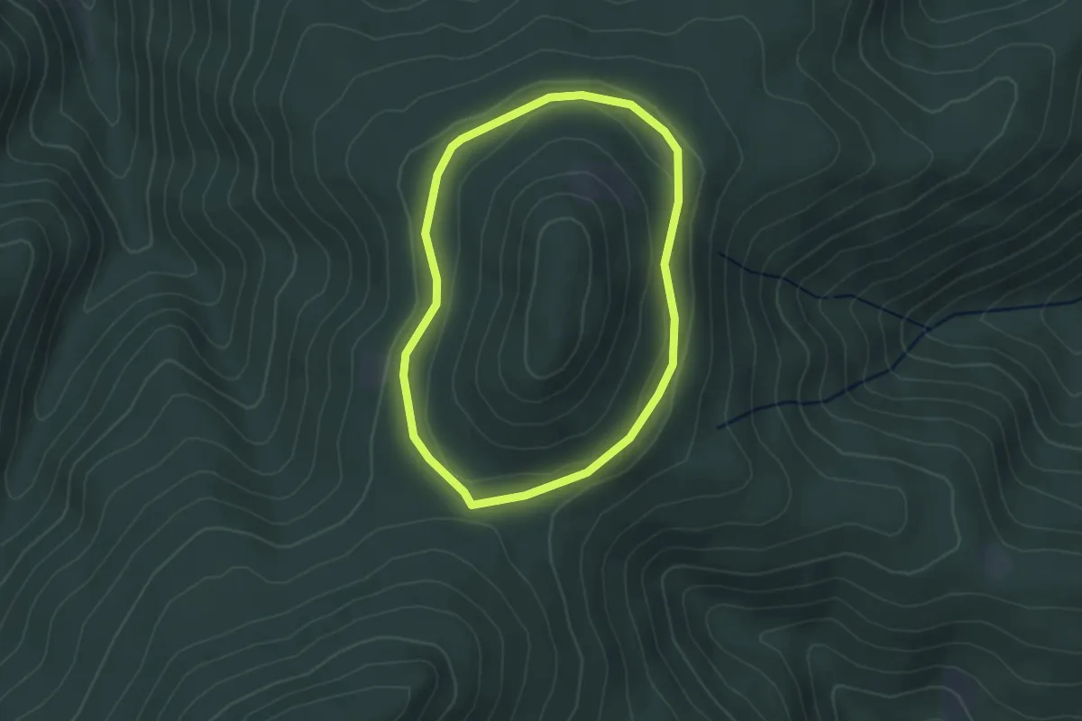
Circuit Vestiges de Guerre
2.5 km · ↑ 36 m · 42 min
Easy · Trail
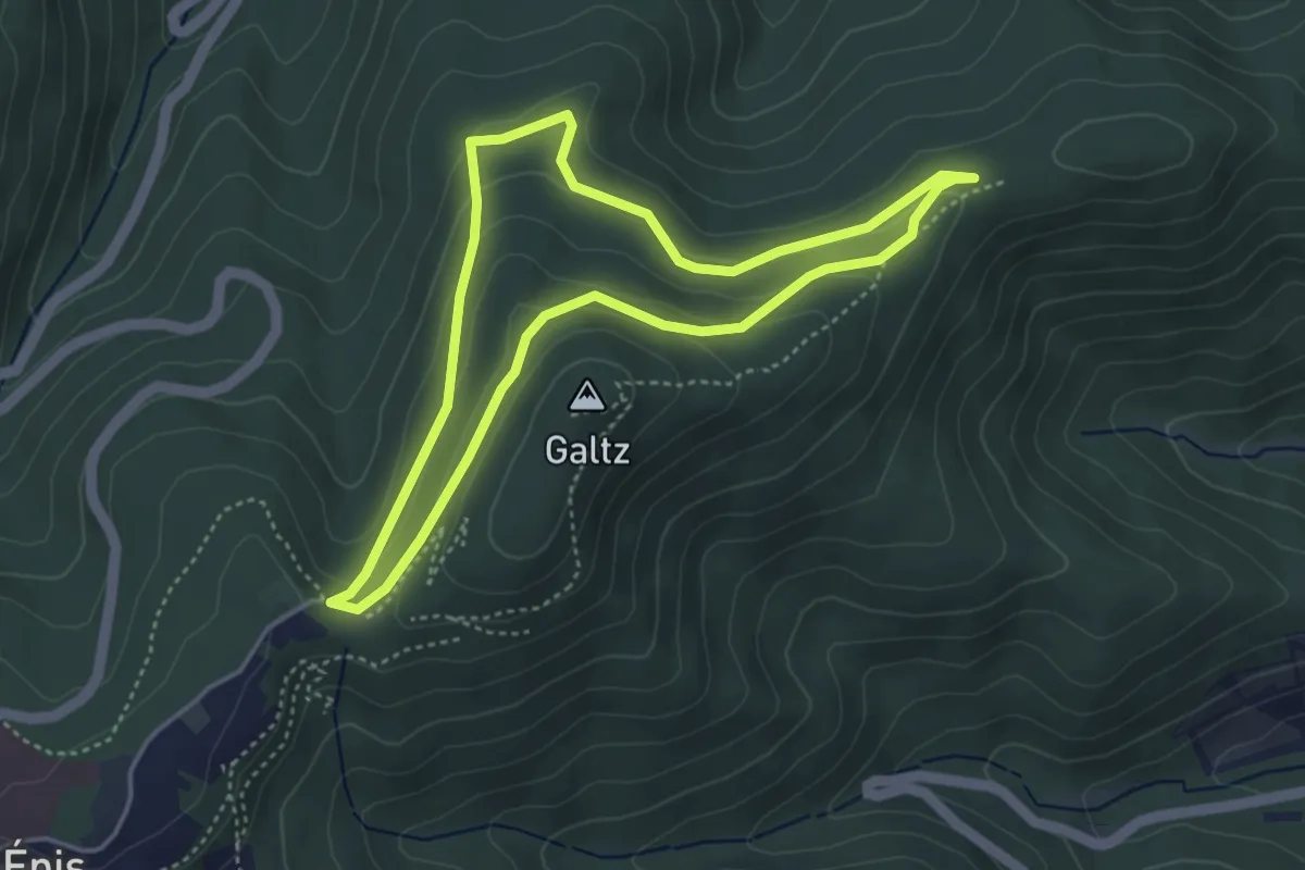
Circuit Vorhofkopf
2.6 km · ↑ 45 m · 45 min
Easy · Summit
Circuit Wineckwald
3.9 km · ↑ 129 m · 1 h 15 min
Medium · Trail
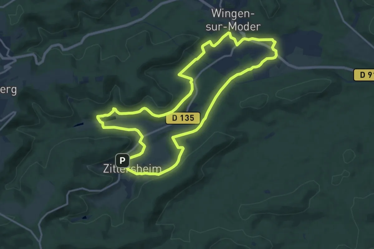
Circuit Wingen - Zittersheim
10.7 km · ↑ 170 m · 3 h 3 min
Medium · Trail
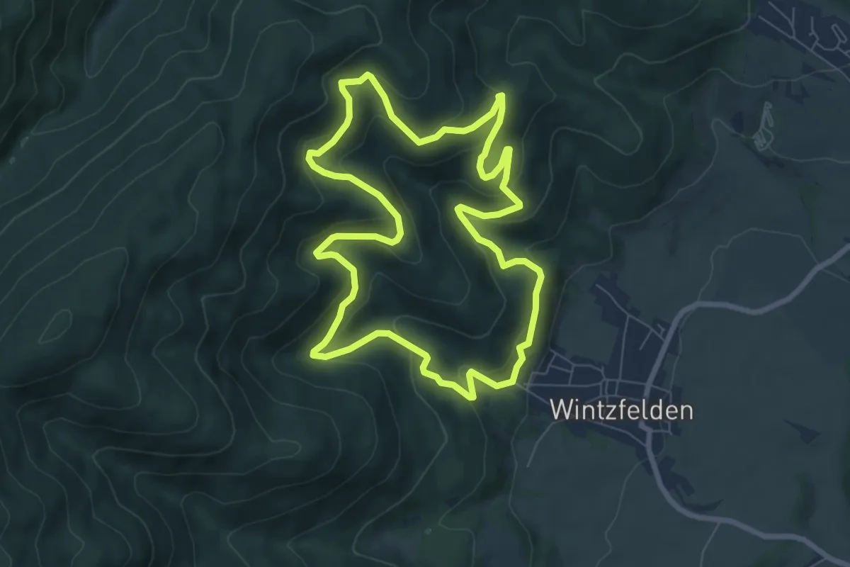
Circuit Wintzfelden
7.1 km · ↑ 368 m · 2 h 34 min
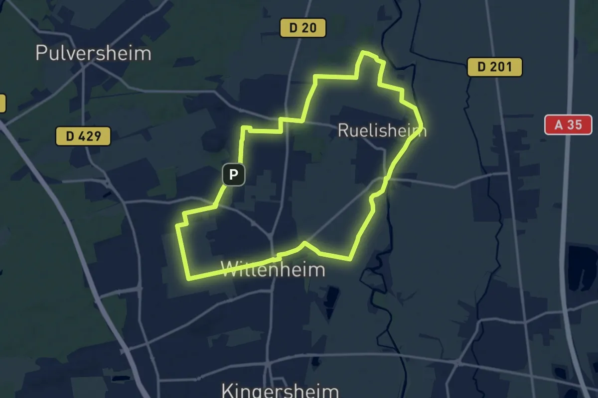
Medium · Trail
Circuit Wittyru - Wittenheim/Ruelisheim
12.0 km · ↑ 9 m · 3 h 1 min
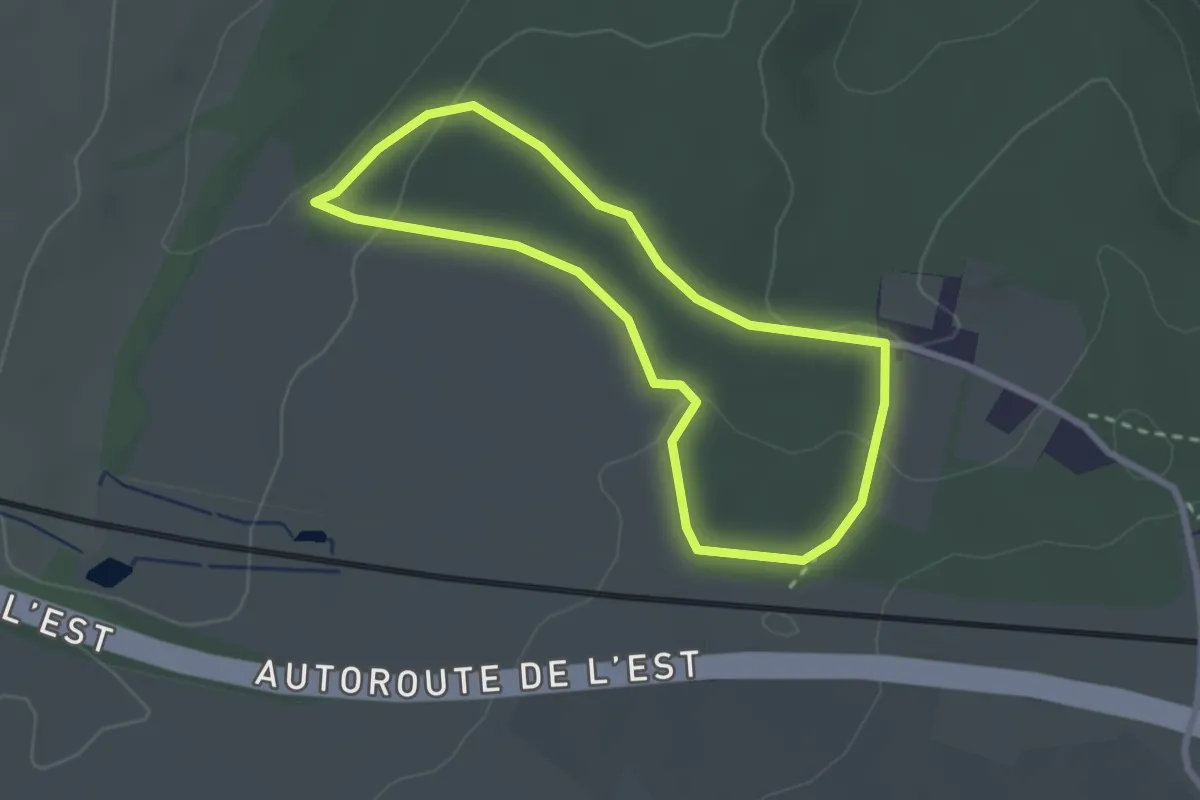
Easy · Trail
Circulaire anneau jaune
2.3 km · ↑ 63 m · 42 min
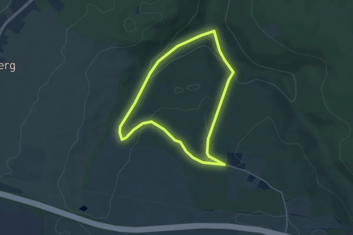
Easy · Trail
Circulaire anneau rouge
3.1 km · ↑ 92 m · 59 min
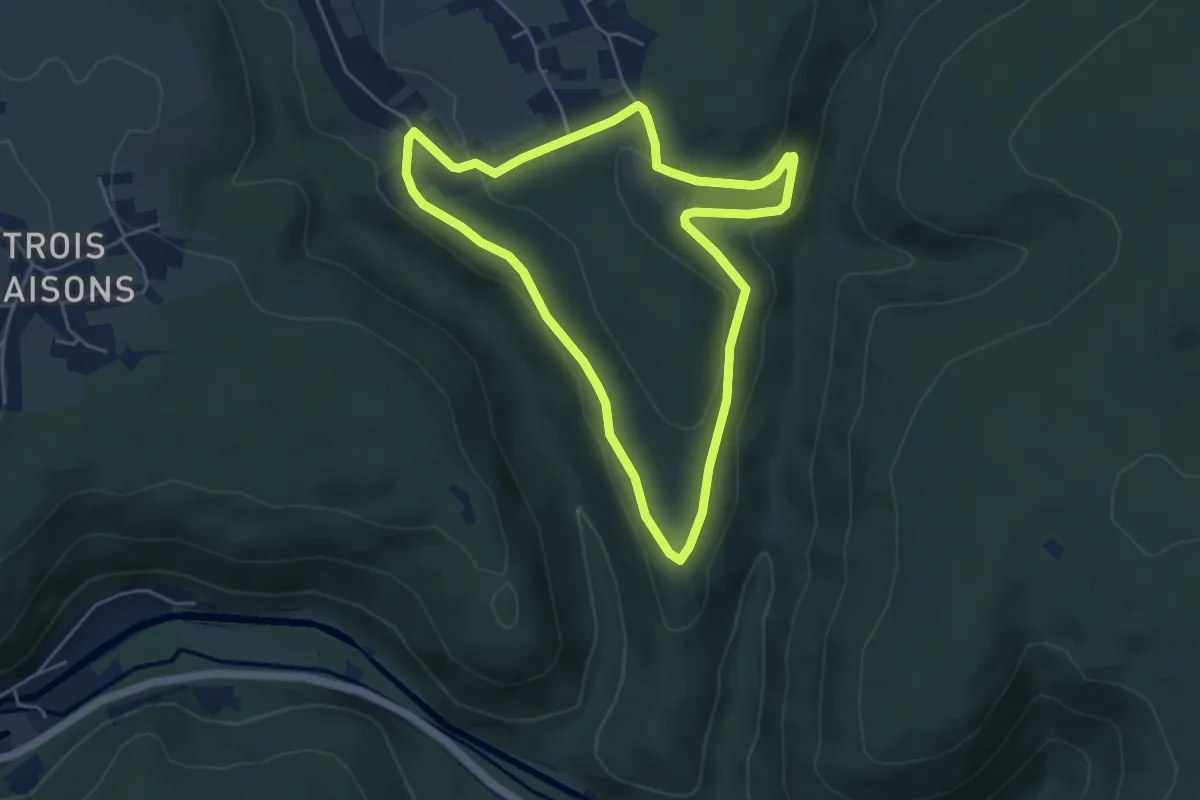
Easy · Trail
Circulaire anneau rouge
4.6 km · ↑ 103 m · 1 h 23 min