Trails in Georgia
204 hiking trails, each with its route, climb, walking time and grade.
All trails, page 3 of 5
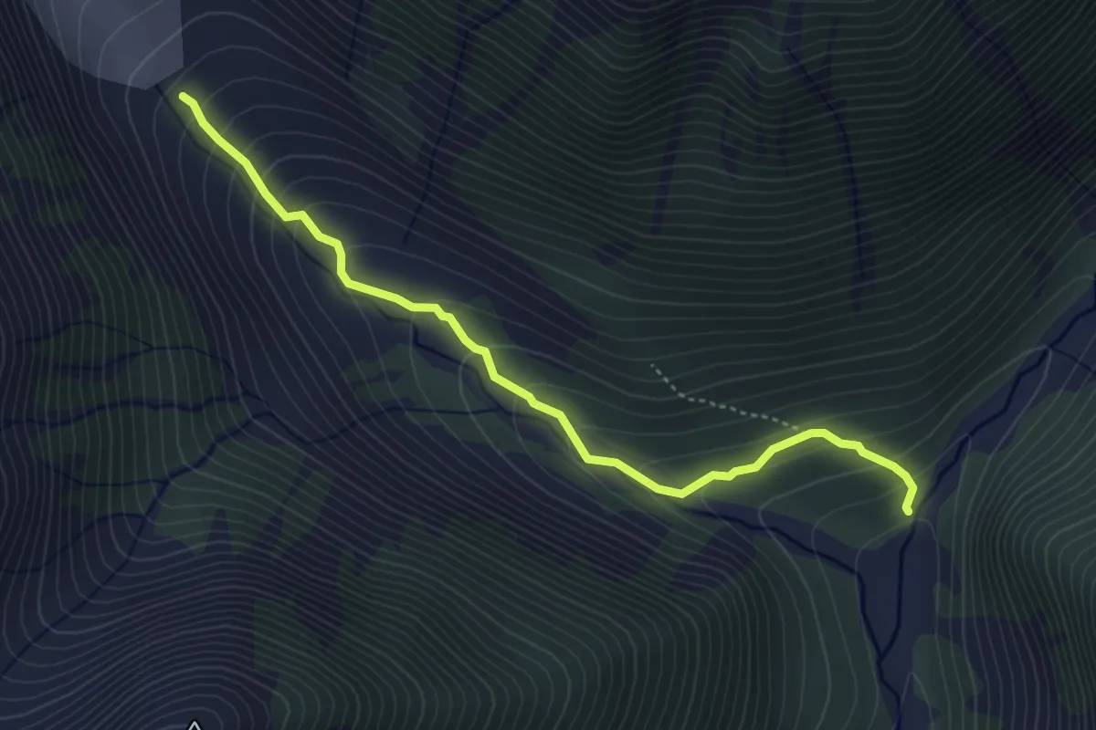
Medium · Trail
Mestia - Chalaadi
4.7 km · ↑ 352 m · 1 h 53 min
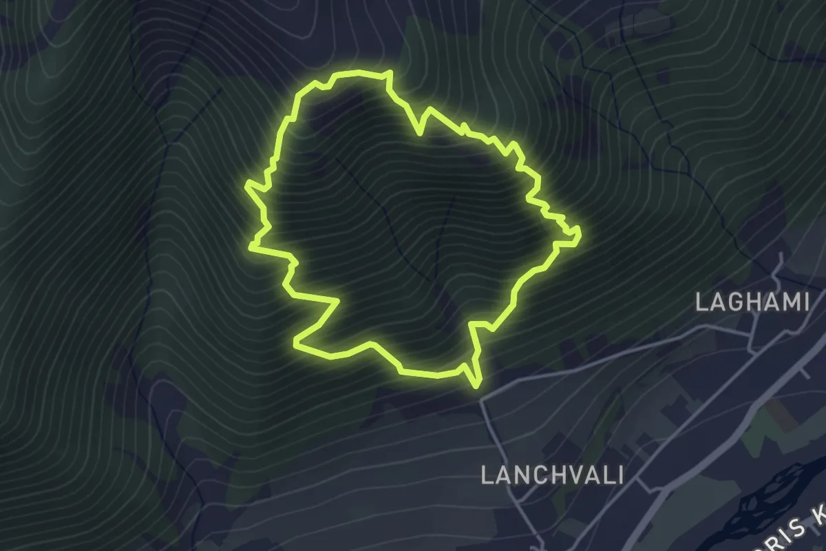
Medium · Trail
Mestia - Cross - Mestia
4.0 km · ↑ 659 m · 2 h 25 min
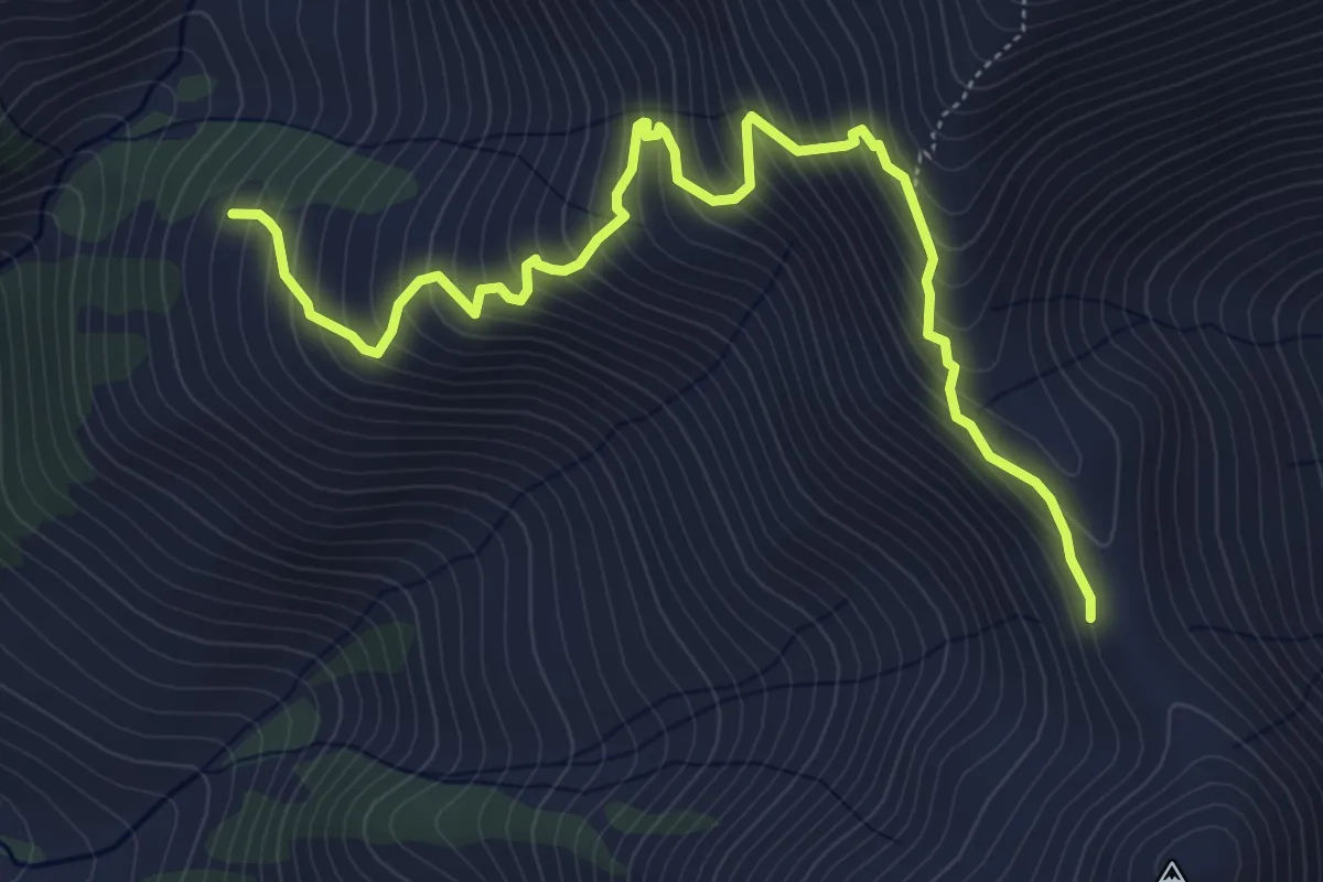
Medium · Trail
Mestia - Guli Pass - Mazeri
6.8 km · ↑ 736 m · 3 h 12 min
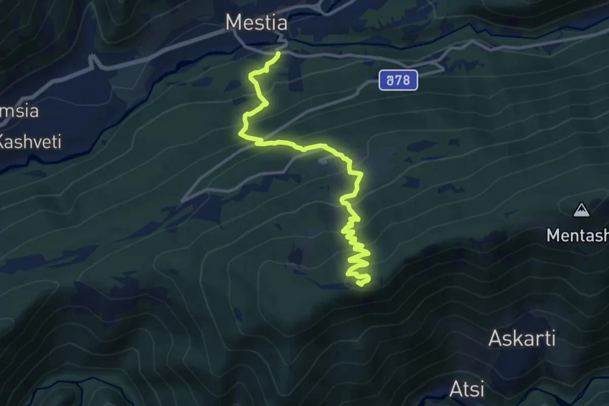
Demanding · Trail
Mestia - Hatsvali - Zuruldi
11.8 km · ↑ 969 m · 4 h 53 min
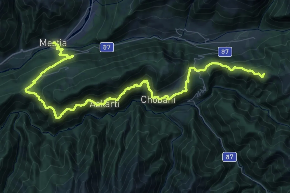
Demanding · Trail
Mestia - Heshkili - Ieli - Tsvirmi - Tetnuldi Ski Lift
26.0 km · ↑ 1750 m · 9 h 50 min
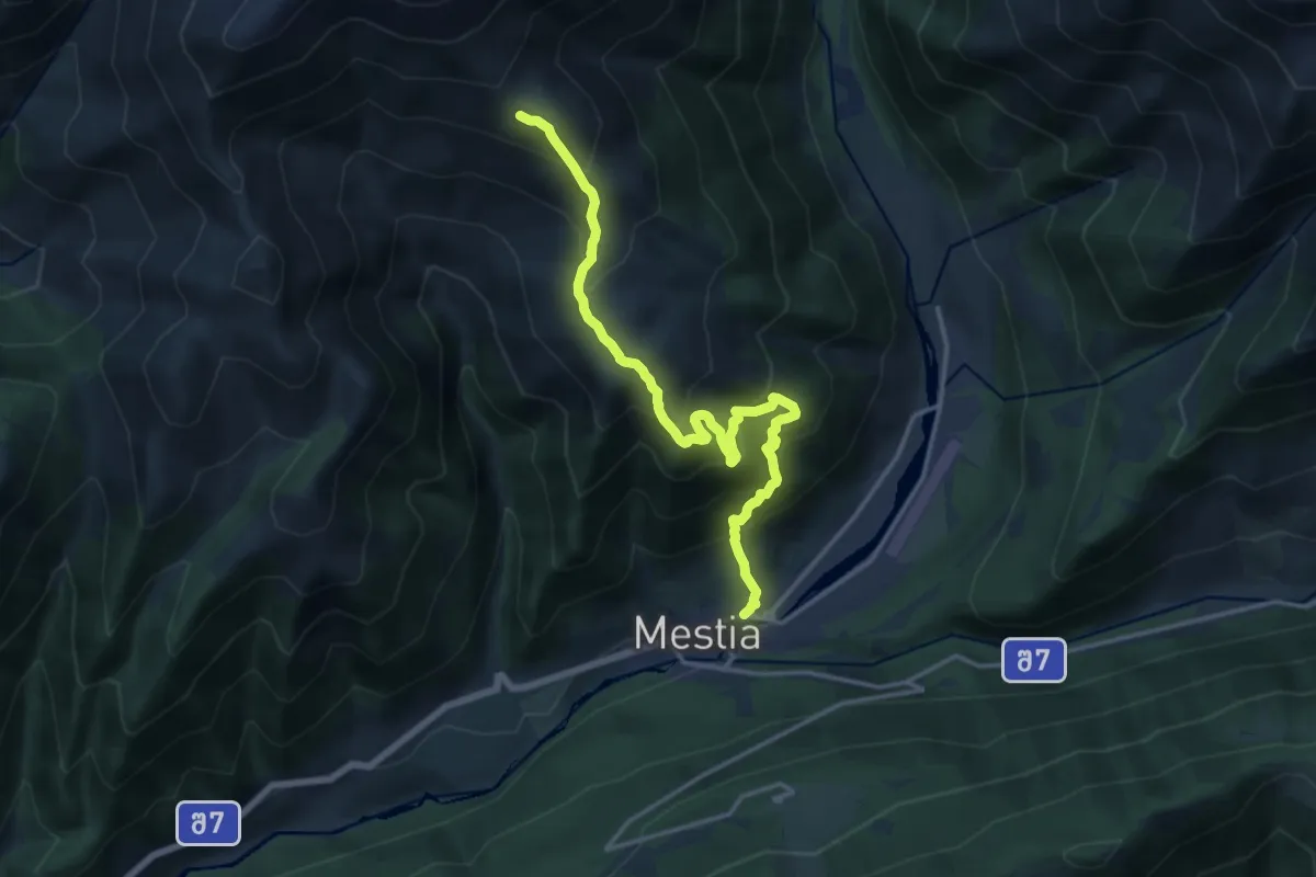
Demanding · Trail
Mestia - Koruldi Lakes
17.3 km · ↑ 1489 m · 7 h 19 min
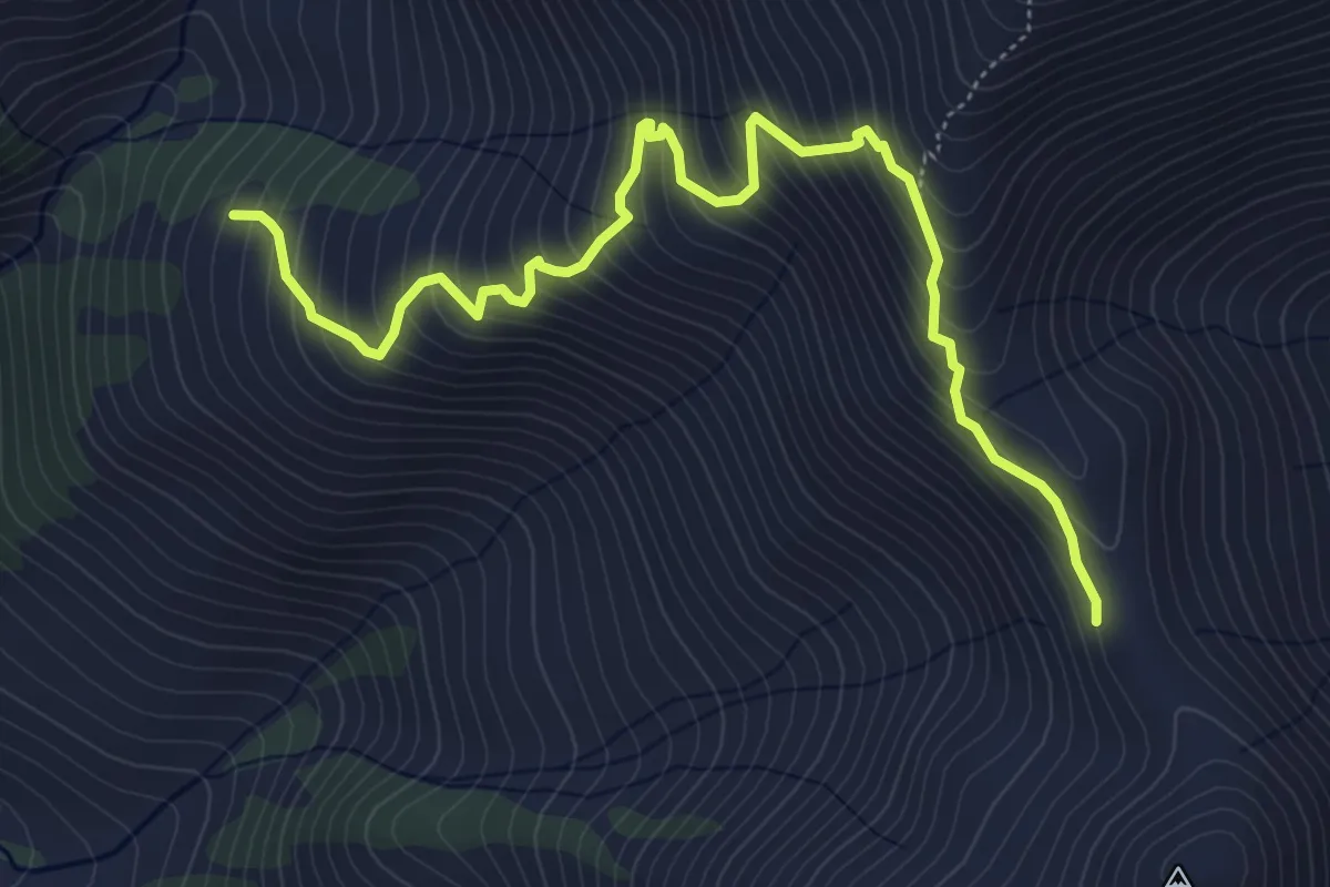
Medium · Trail
Mestia - Koruldi Lakes - Becho
6.8 km · ↑ 736 m · 3 h 12 min
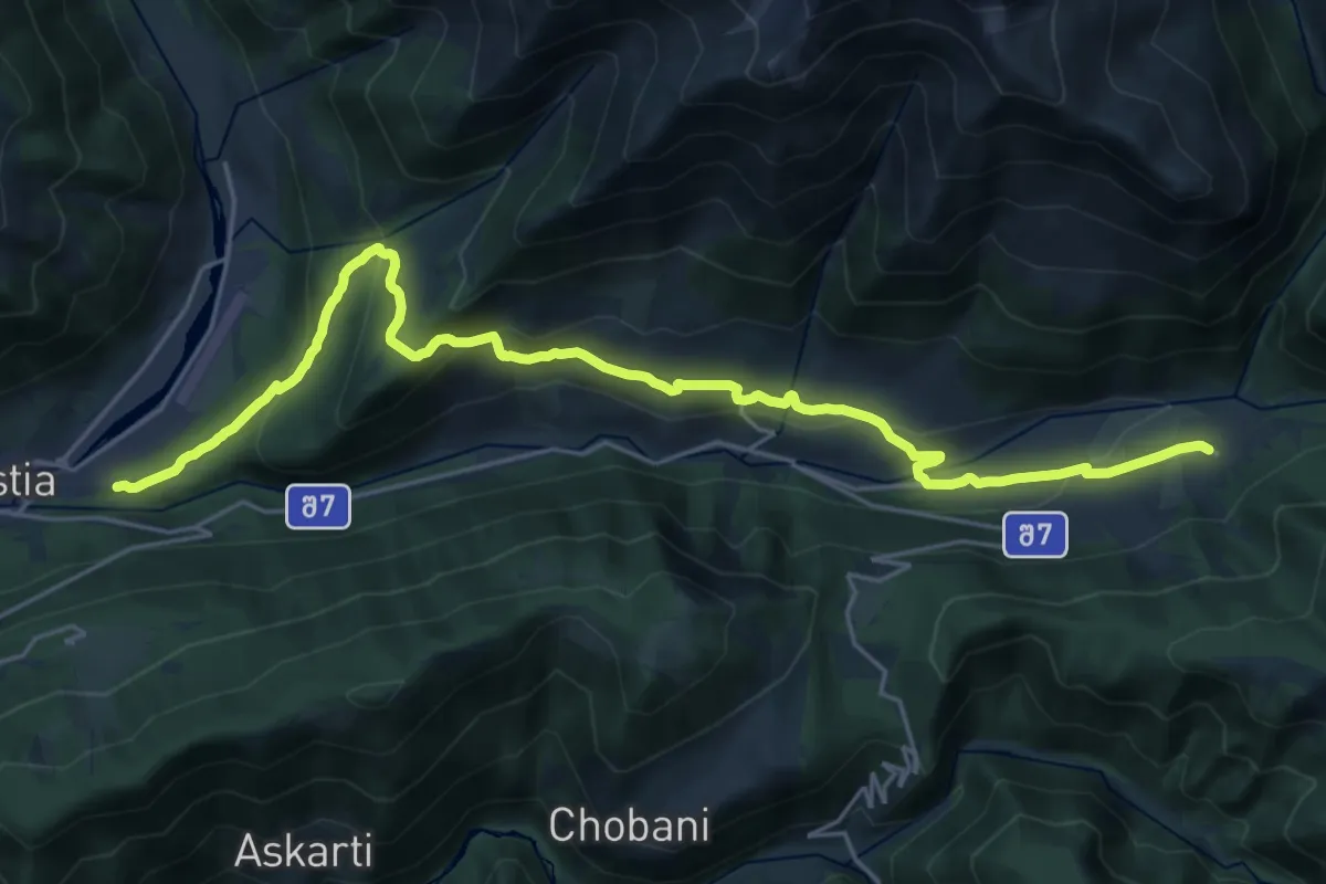
Medium · Trail
Mestia - Zabeshi
14.1 km · ↑ 607 m · 4 h 45 min
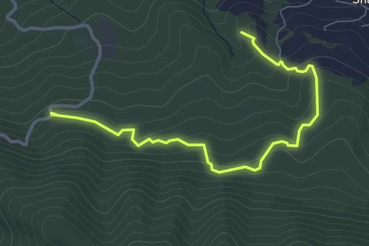
Easy · Trail
Mokoland
7.1 km · ↑ 251 m · 2 h 13 min
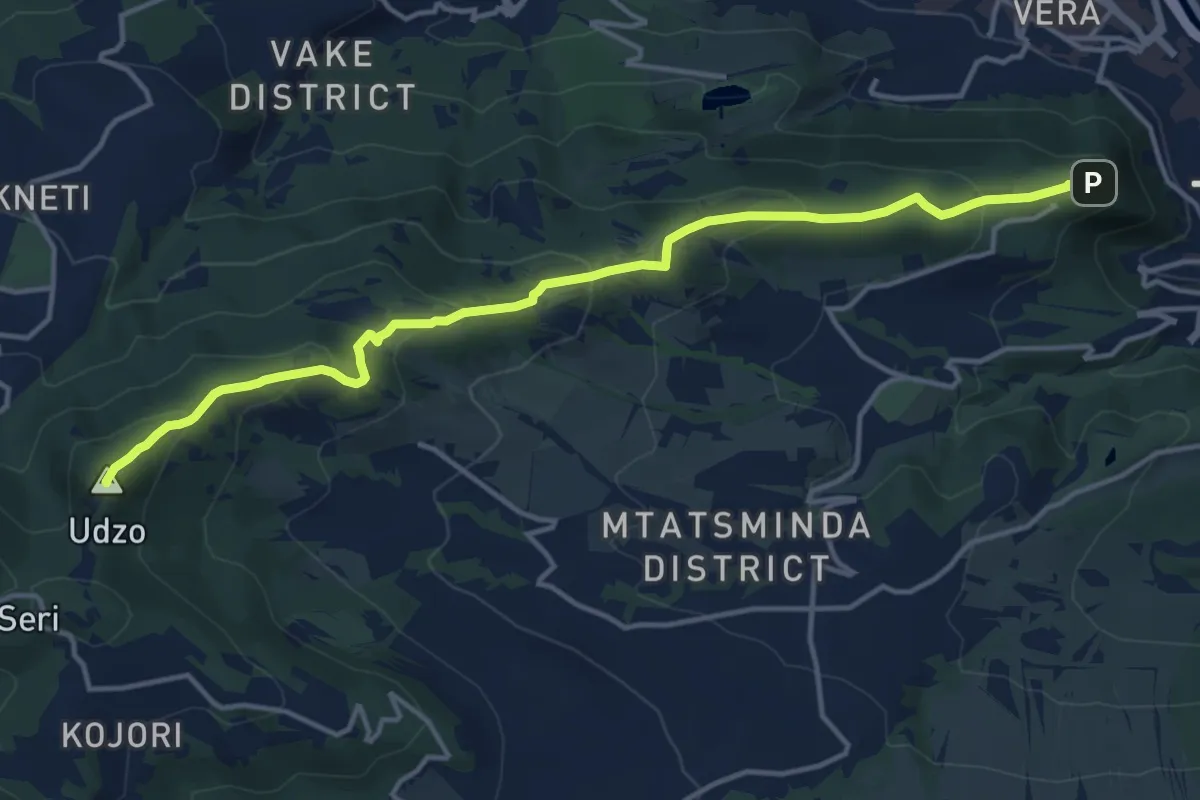
Medium · Summit
Mtatsminda - Kojori
16.4 km · ↑ 715 m · 5 h 25 min
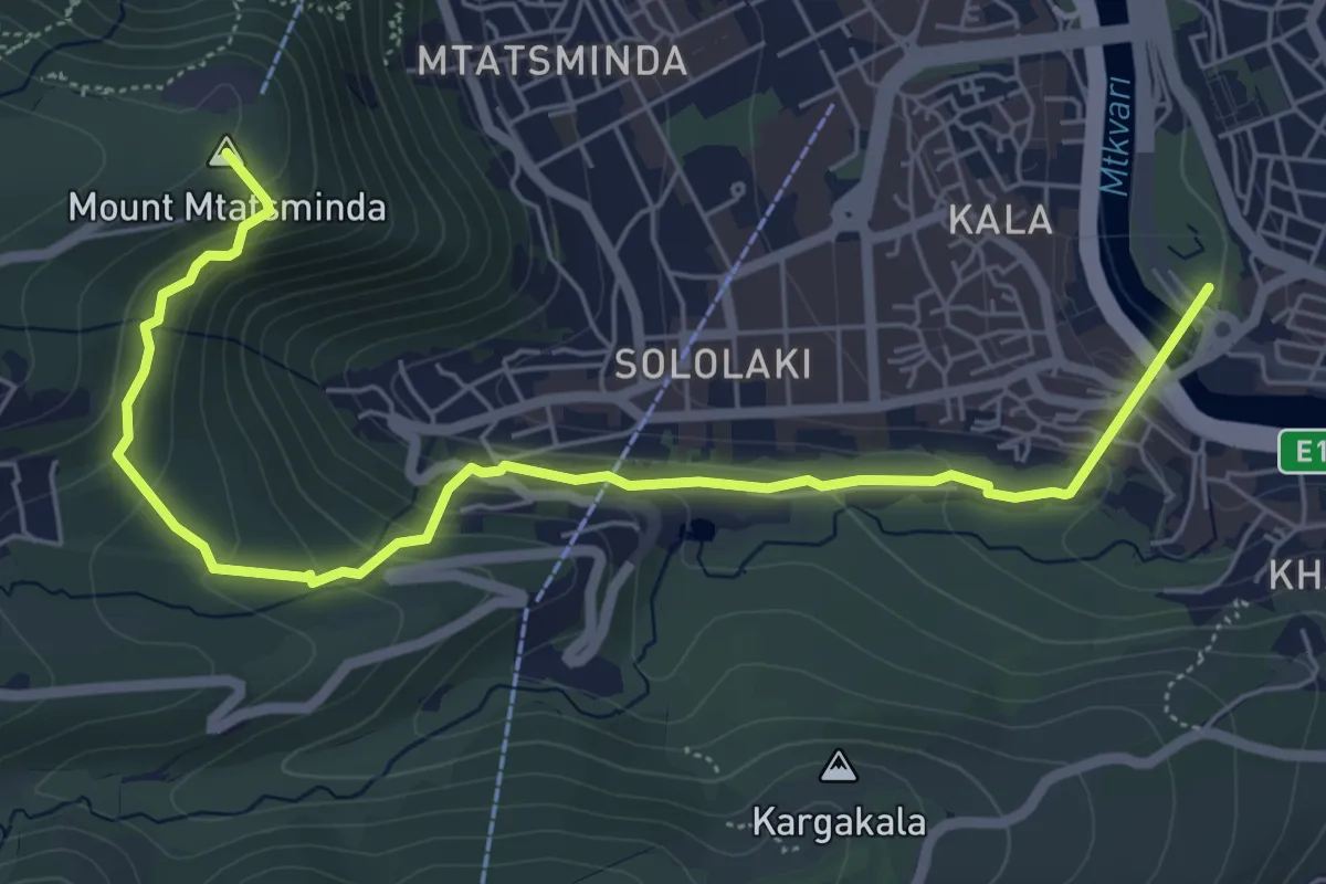
Medium · Summit
Mtatsminda Park to Narikala Fortress
7.4 km · ↑ 438 m · 2 h 42 min
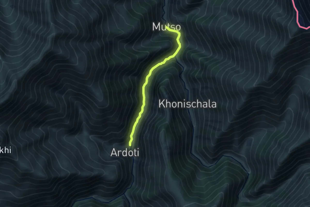
Medium · Trail
Mutso–Andaki
9.1 km · ↑ 456 m · 3 h 8 min
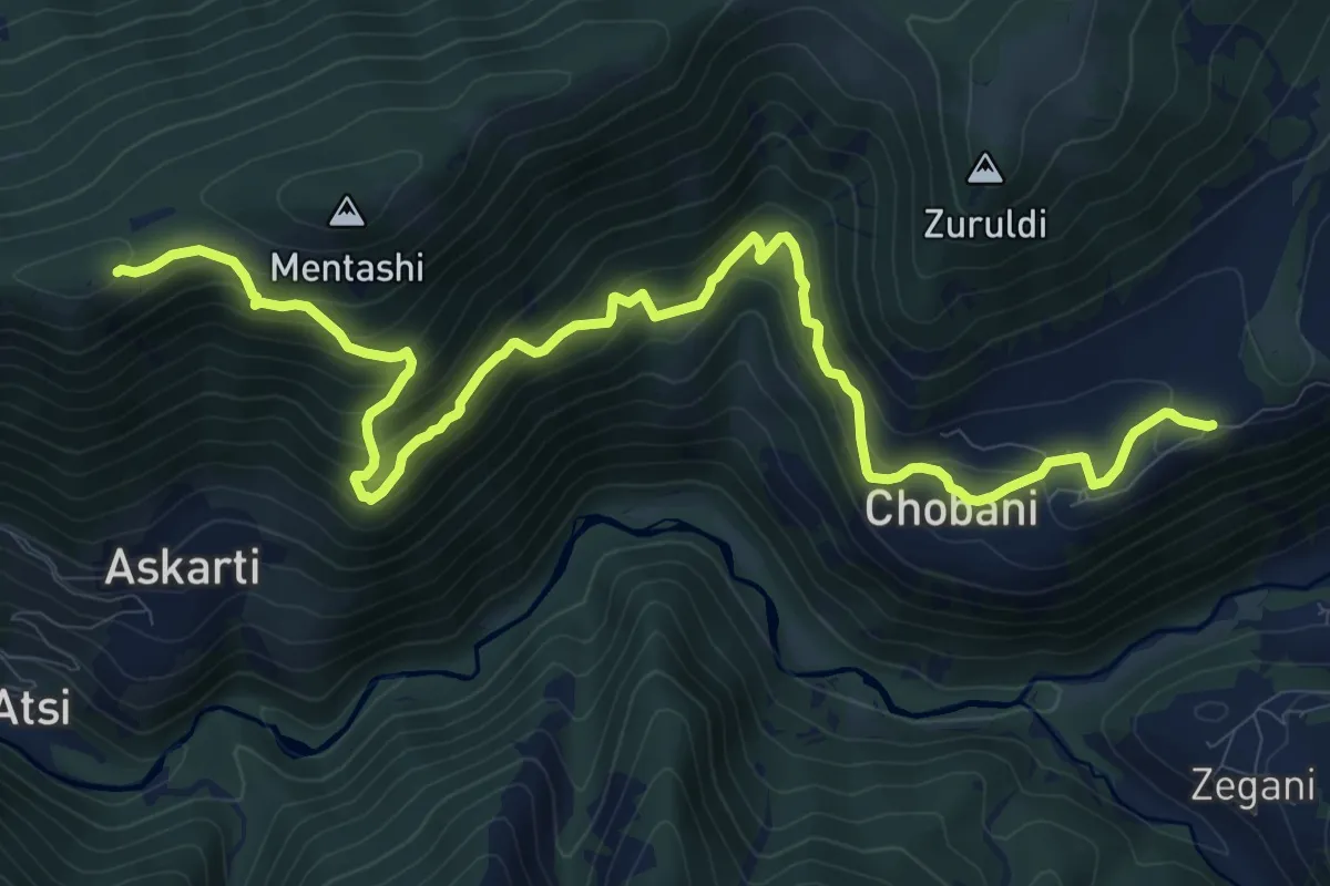
Demanding · Trail
N1 Tsvirmi - Ieli
14.9 km · ↑ 976 m · 5 h 38 min
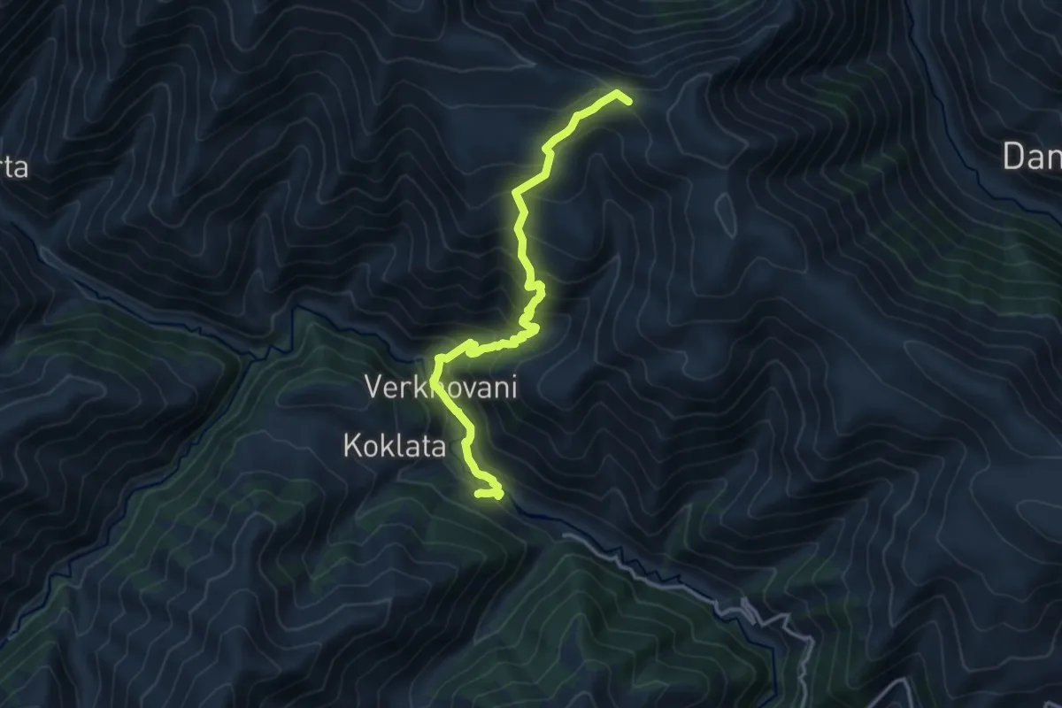
Expert · Trail
Nakaicho Pass Trail
13.9 km · ↑ 1308 m · 6 h 7 min
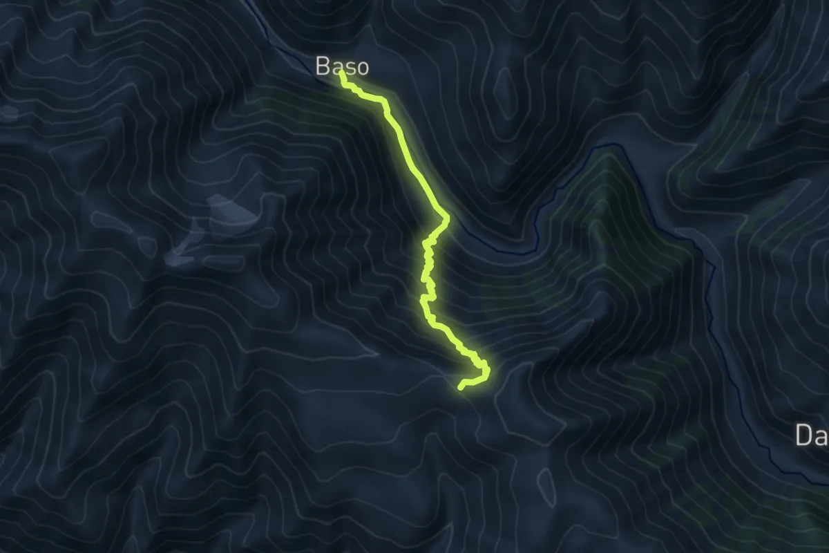
Demanding · Trail
Nakaicho Pass Trail
11.8 km · ↑ 1097 m · 5 h 9 min
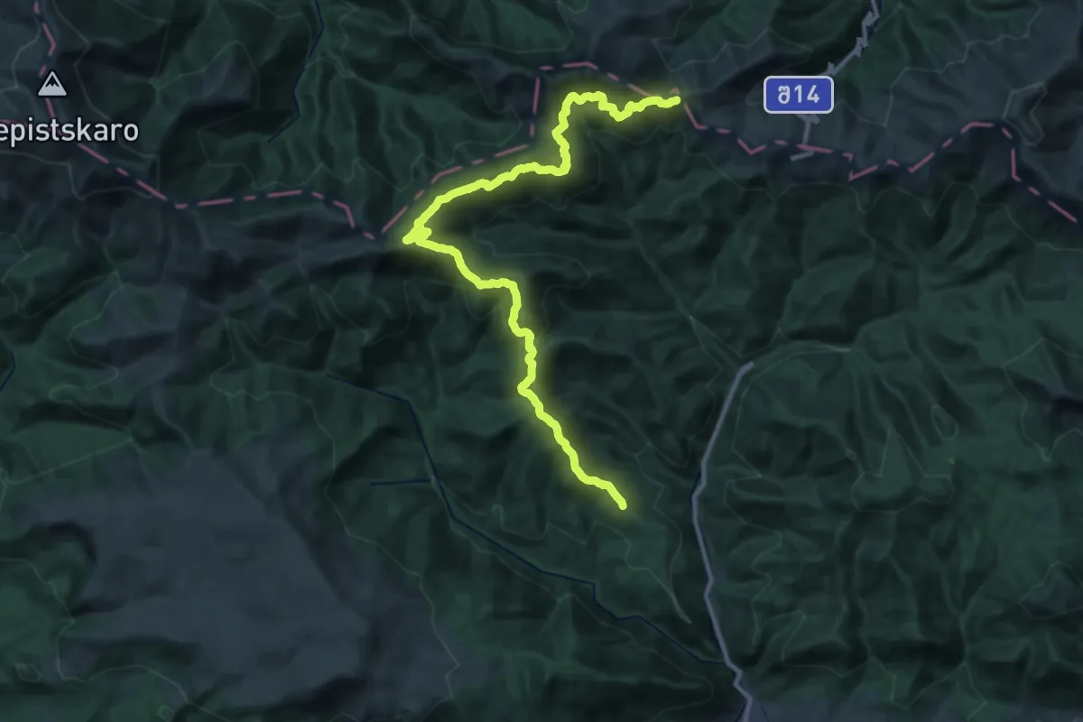
Demanding · Trail
Nasabajvari trail
19.3 km · ↑ 801 m · 6 h 52 min
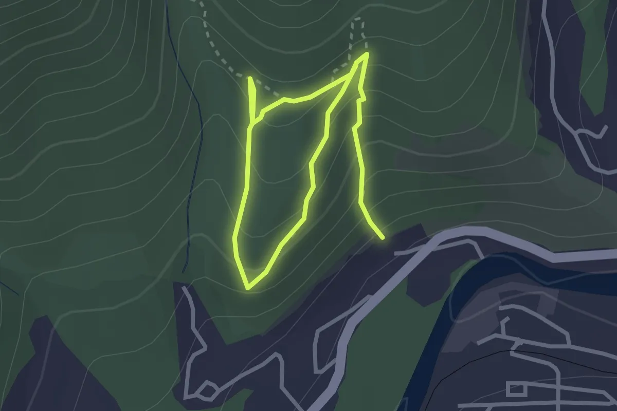
Easy · Trail
National Park Information Trail
2.2 km · ↑ 253 m · 1 h 2 min
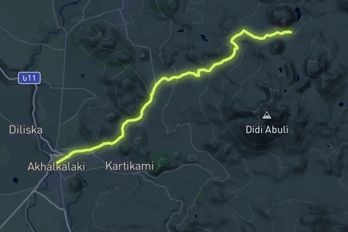
Demanding · Trail
Olaverdi-Lake Levani
20.7 km · ↑ 972 m · 6 h 52 min
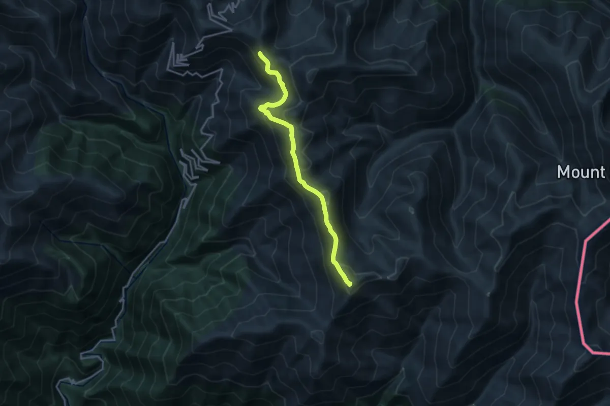
Expert · Summit
Omalo–Artana
14.3 km · ↑ 809 m · 5 h 7 min
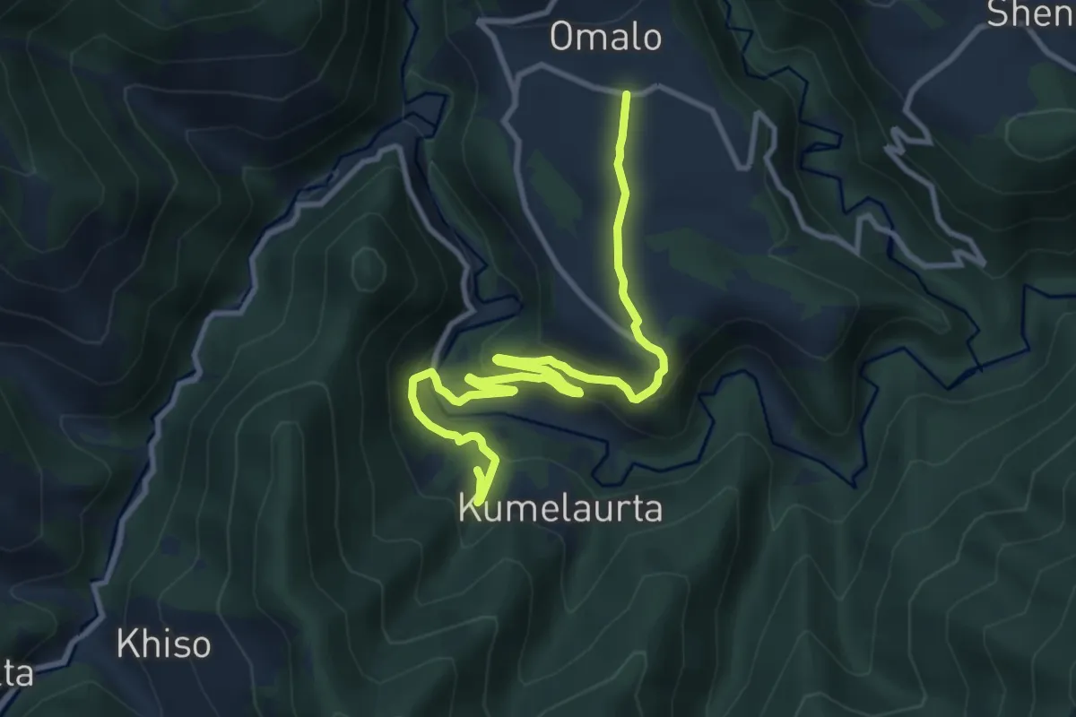
Medium · Trail
Omalo–Artana
11.9 km · ↑ 422 m · 3 h 43 min
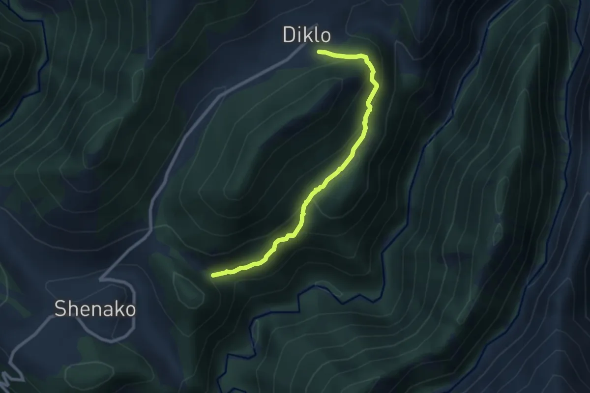
Demanding · Trail
Omalo–Diklo
7.2 km · ↑ 540 m · 2 h 52 min
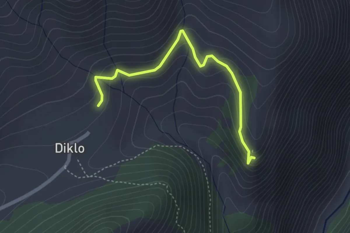
Easy · Trail
Omalo–Diklo Fortress
4.1 km · ↑ 173 m · 1 h 20 min
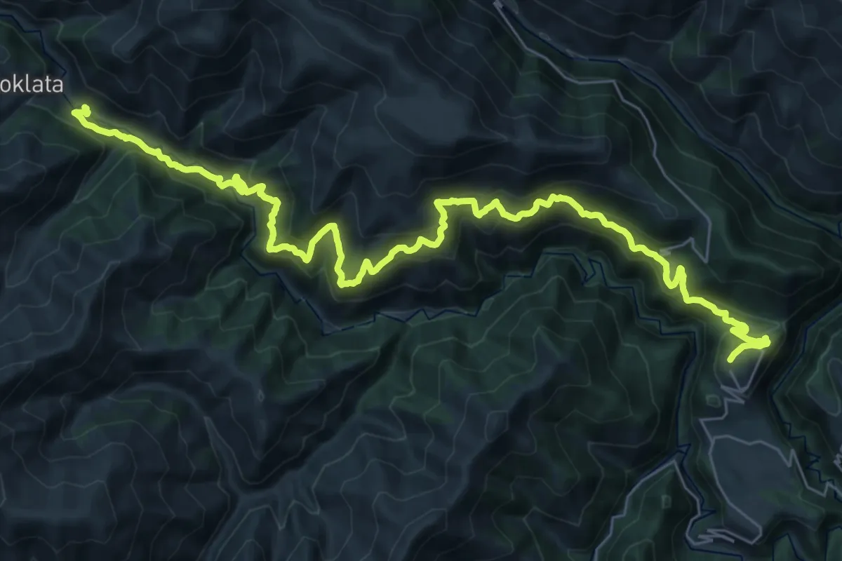
Expert · Trail
Omalo – Jvarboseli
20.9 km · ↑ 1309 m · 7 h 57 min
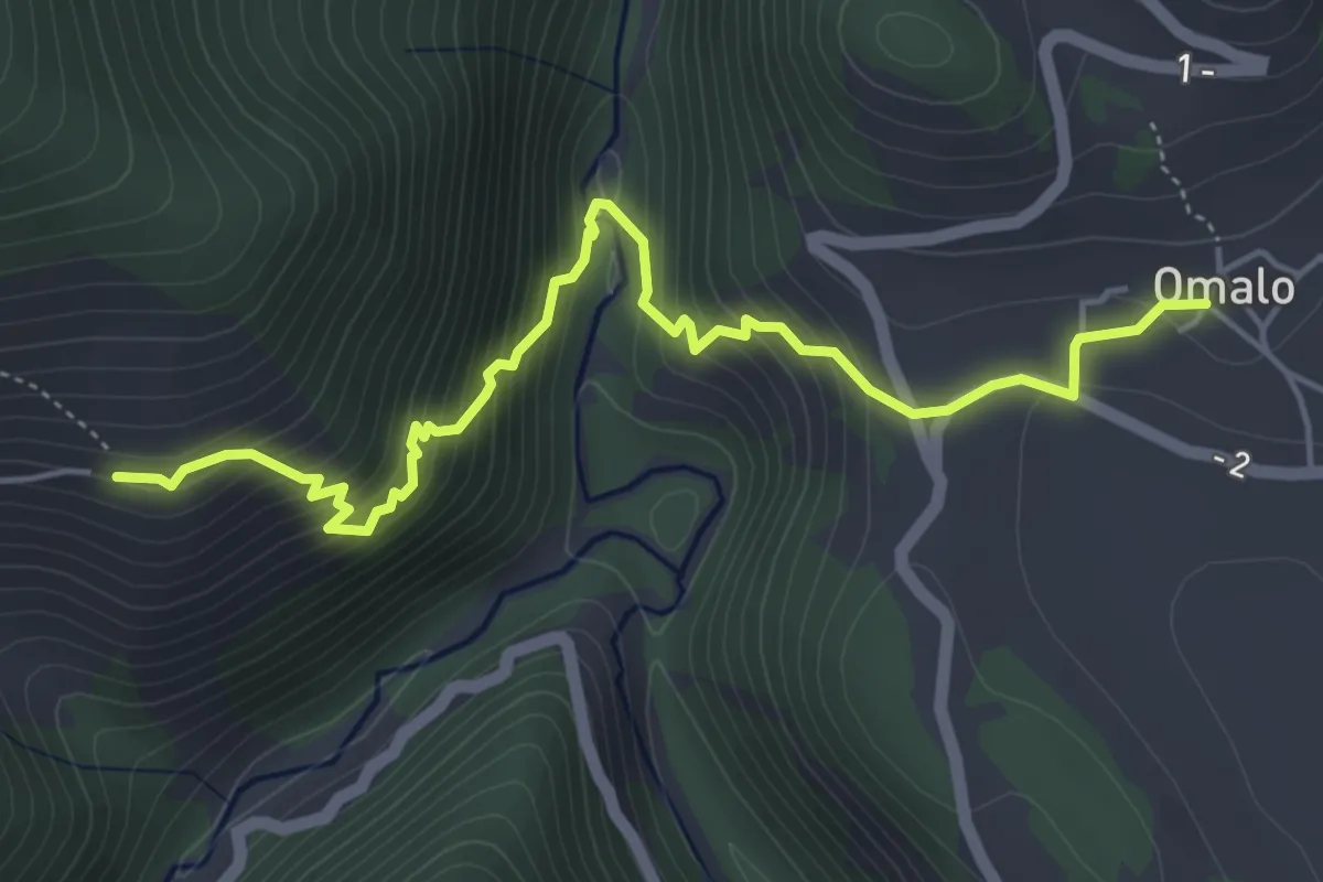
Expert · Trail
Omalo–Khakhabo
5.9 km · ↑ 634 m · 2 h 46 min
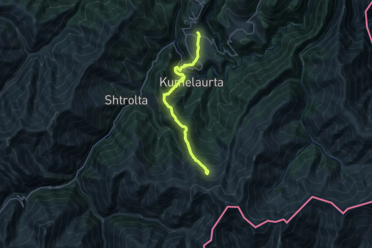
Demanding · Trail
Omalo – Oreti Lake
10.6 km · ↑ 1106 m · 4 h 40 min
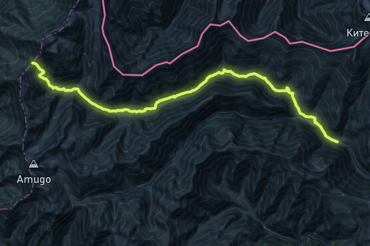
Expert · Trail
Omalo–Shatili
24.7 km · ↑ 586 m · 8 h 13 min
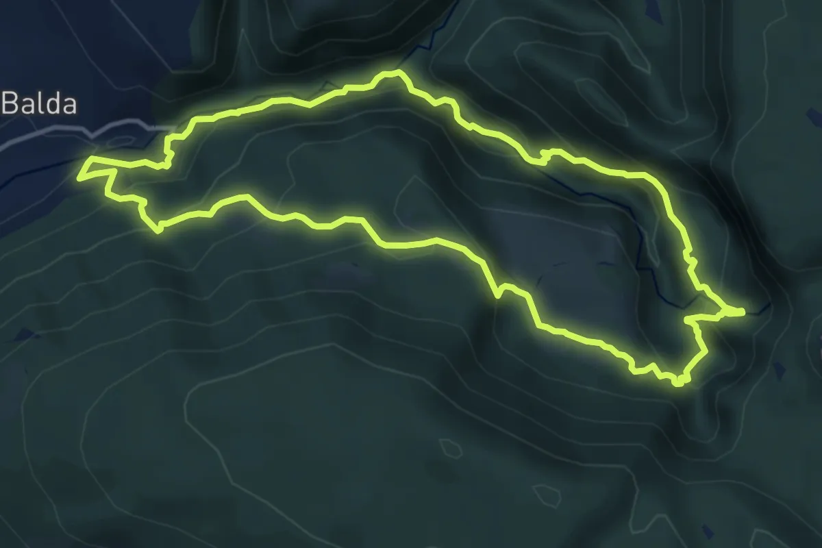
Demanding · Trail
Oniore Waterfalls tourist trails
12.5 km · ↑ 802 m · 4 h 52 min
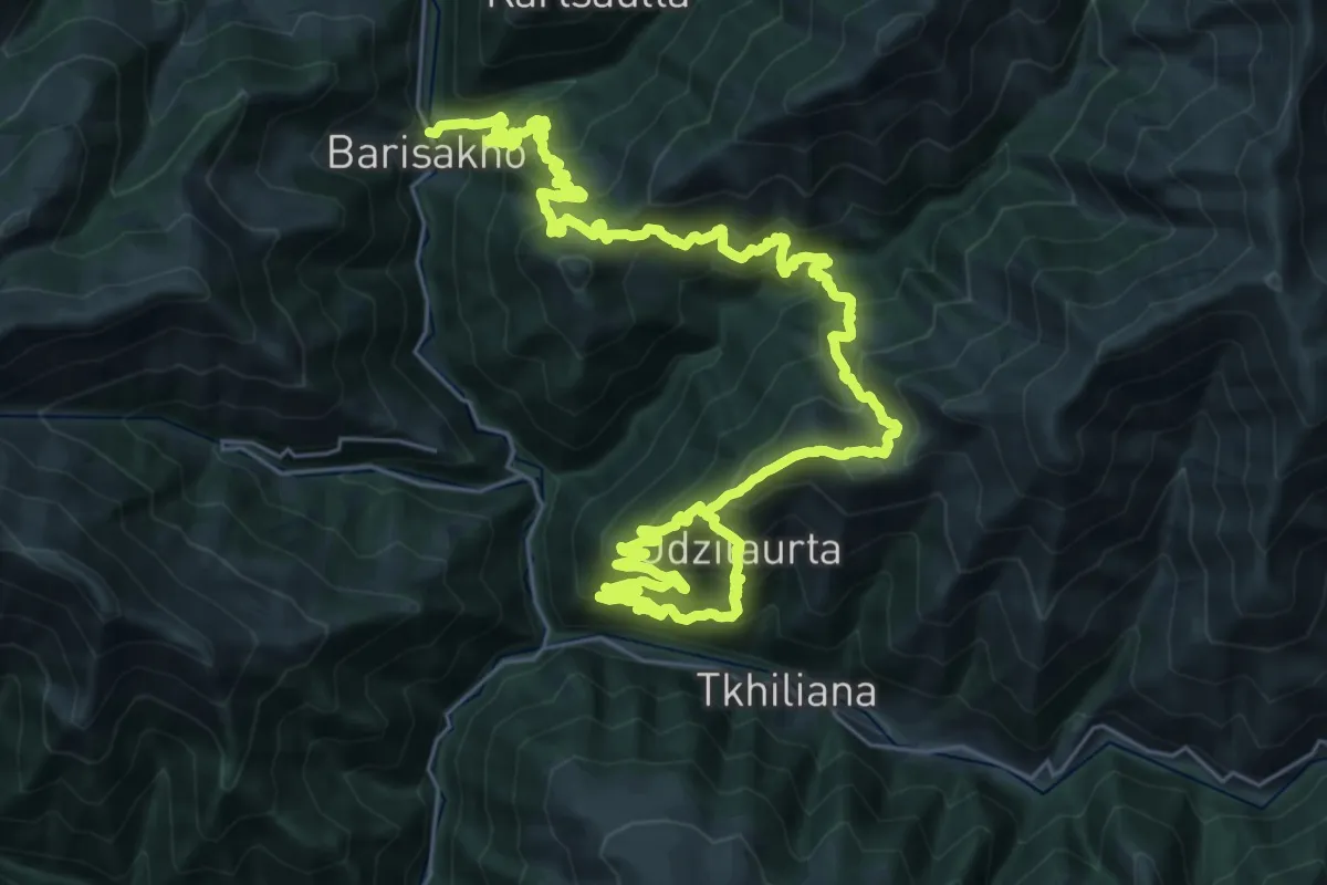
Demanding · Trail
Ortskali-Barisakho trail
23.3 km · ↑ 1611 m · 9 h 39 min
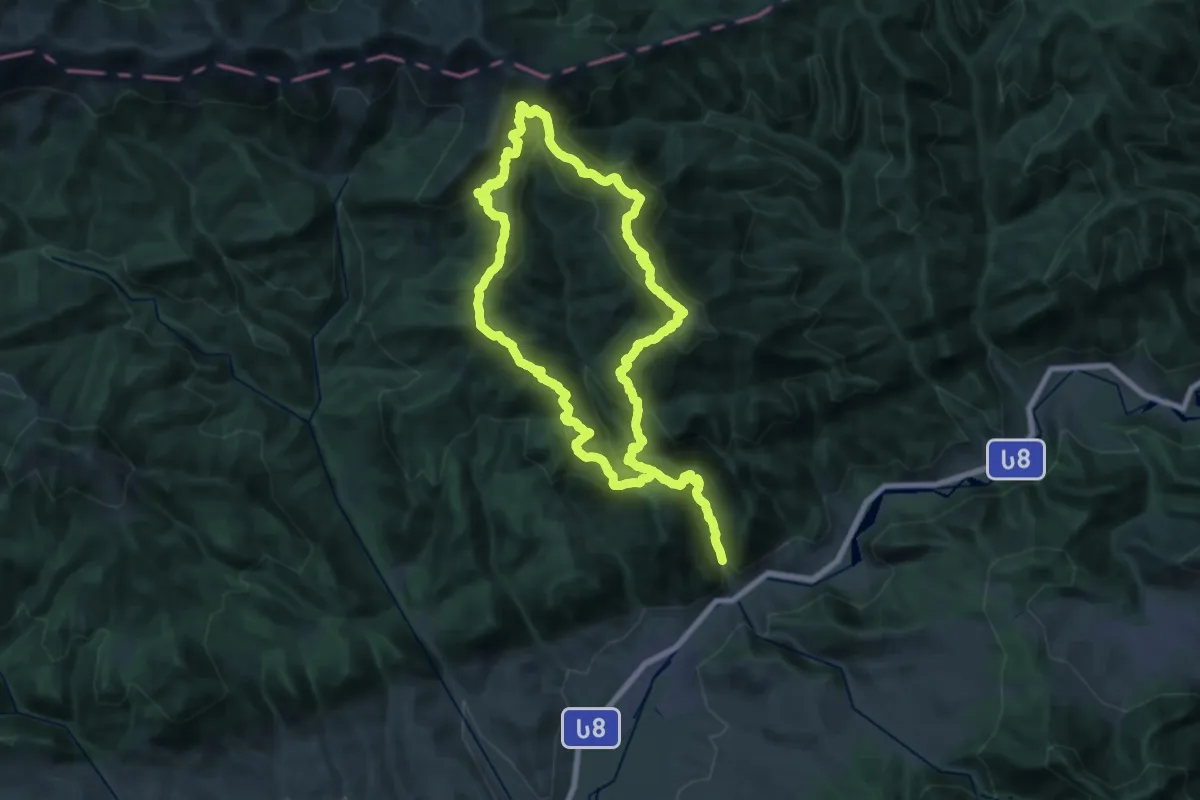
Demanding · Summit
Panorama Trail
27.2 km · ↑ 1973 m · 10 h 52 min
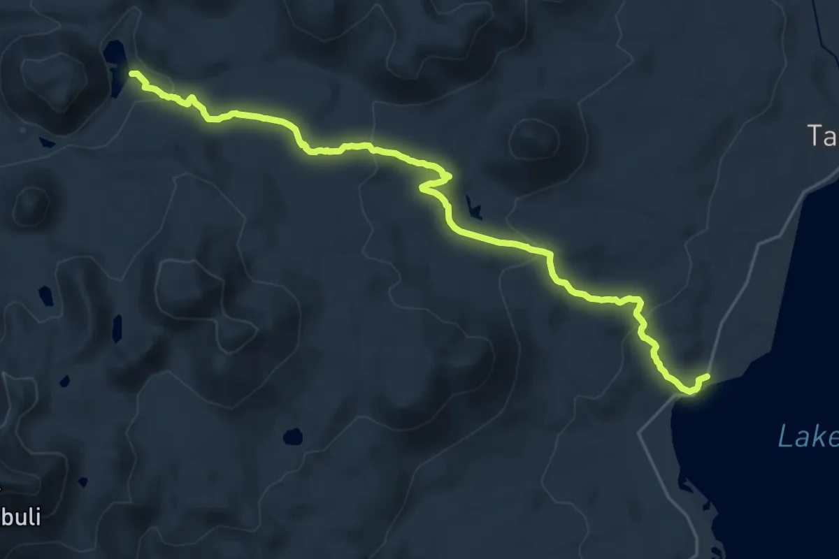
Demanding · Trail
Paravani-Lake Levani
26.0 km · ↑ 696 m · 7 h 39 min
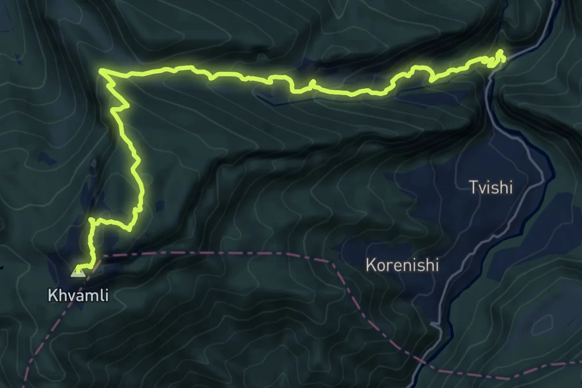
Demanding · Summit
Path to Khvamli mountain
27.2 km · ↑ 2056 m · 10 h 53 min
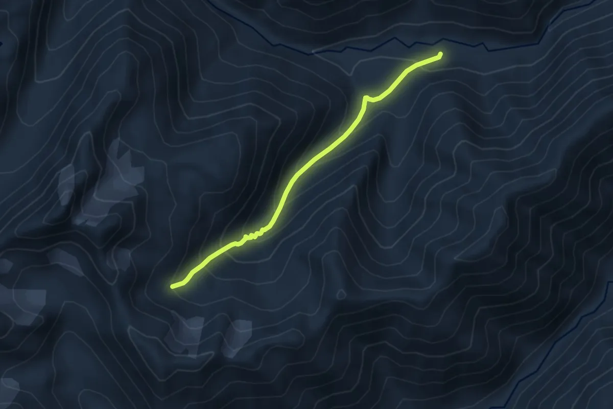
Expert · Trail
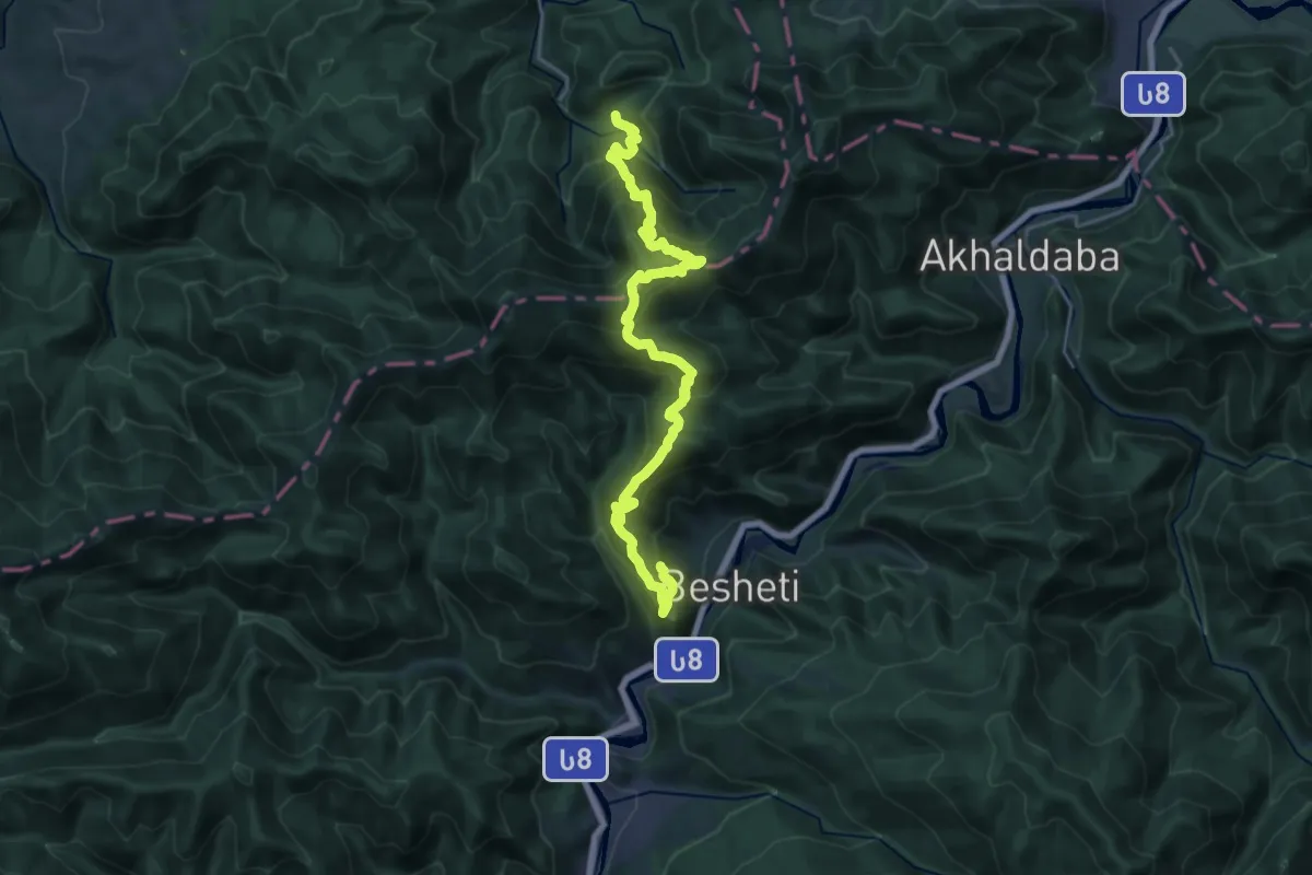
planned route (no trail yet)
9.5 km · ↑ 781 m · 3 h 57 min
Demanding · Trail
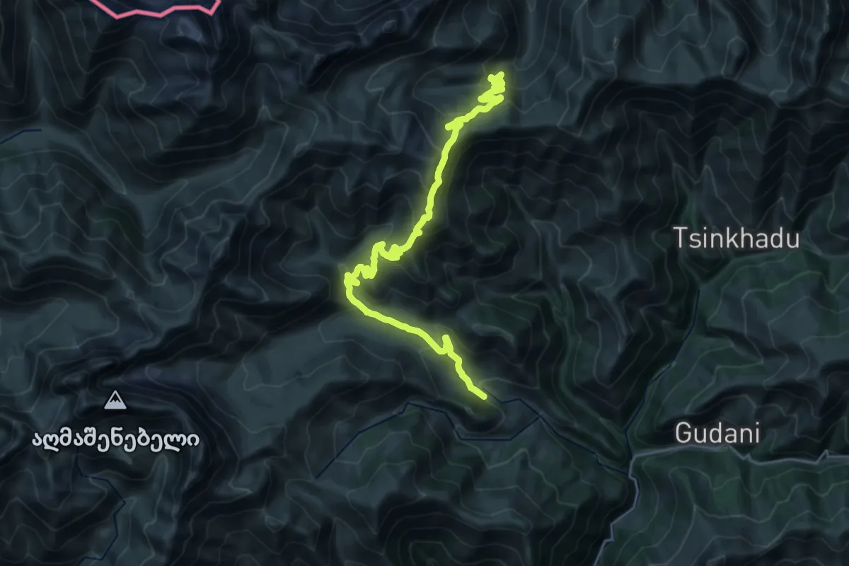
Pure Pristine forest trail
13.0 km · ↑ 969 m · 5 h 22 min
Demanding · Trail
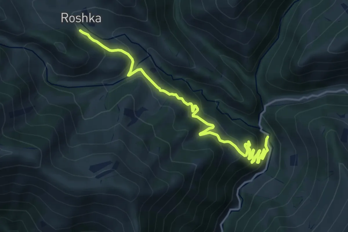
Roshka–Akhieli (no trail markers on this segment)
15.1 km · ↑ 1048 m · 5 h 47 min
Demanding · Trail
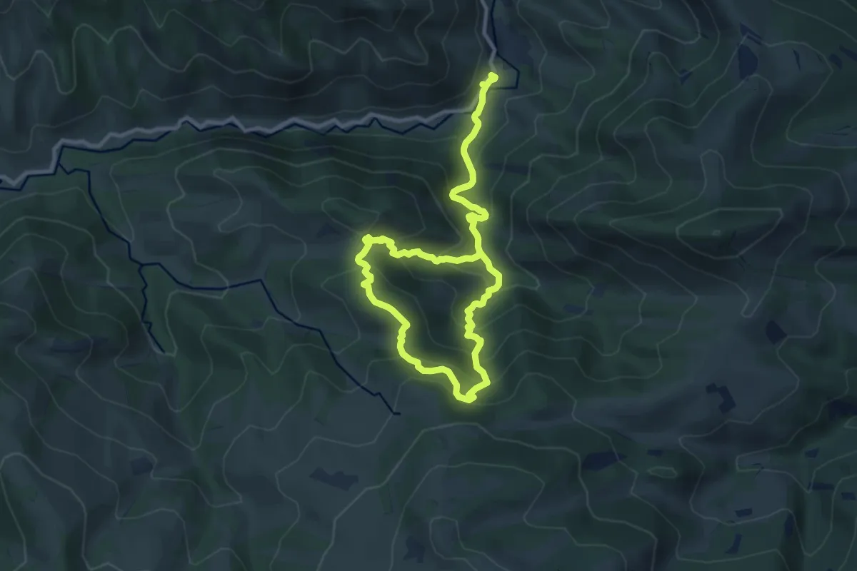
Roshka Trail (no trail markers)
14.4 km · ↑ 808 m · 5 h 9 min
Demanding · Trail
Round hiking trail in Tana gorge
15.6 km · ↑ 1143 m · 6 h 10 min
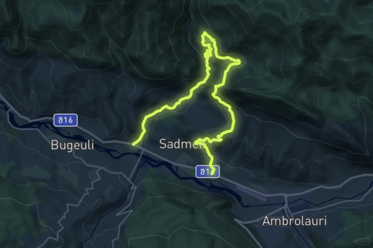
Medium · Trail
Sadmeli - Ritseuli
14.8 km · ↑ 714 m · 5 h 15 min
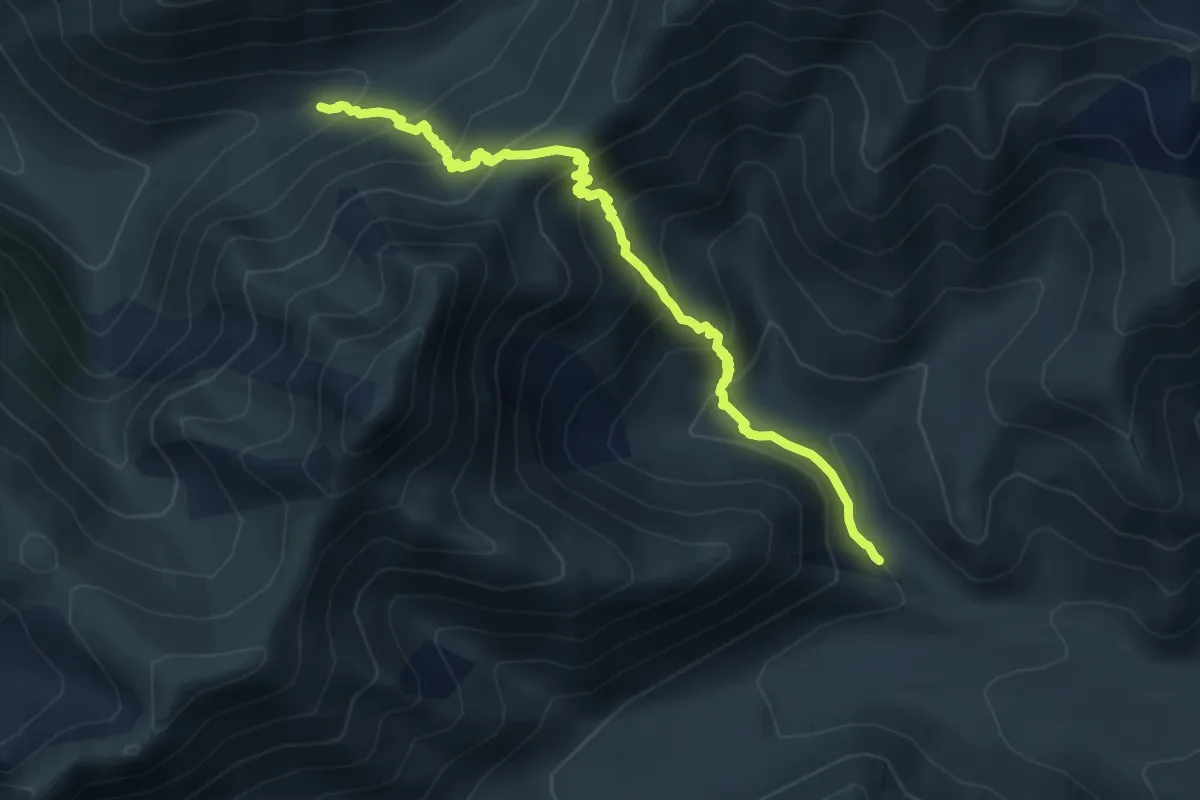
Expert · Trail
Sadzele Pass Trail
11.2 km · ↑ 1084 m · 5 h
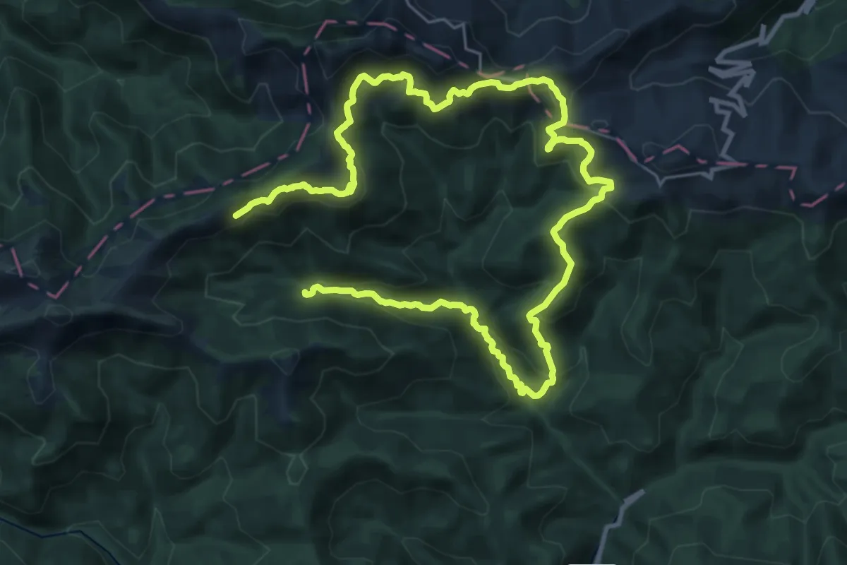
Demanding · Trail
Sairme Pass Trail
18.6 km · ↑ 1368 m · 7 h 24 min
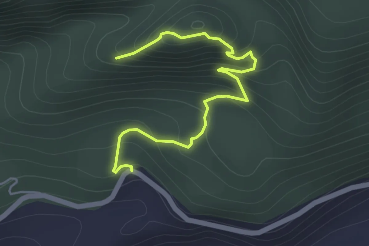
Medium · Trail
Sairme pillars trail
4.9 km · ↑ 417 m · 2 h 3 min
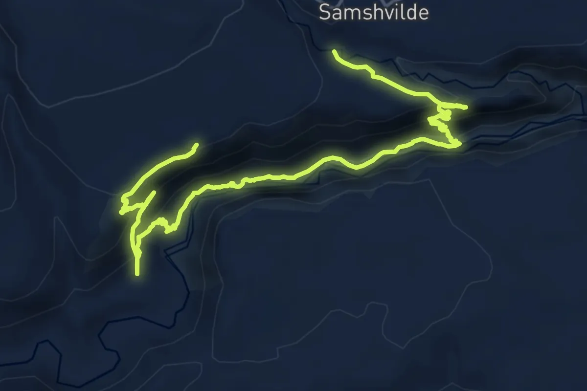
Demanding · Trail
Samshvilde canyon trail
21.0 km · ↑ 1127 m · 7 h 23 min
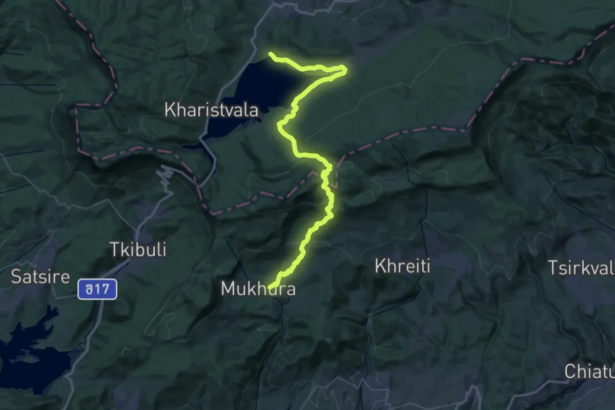
Demanding · Trail
Shaori Reservoir - Village of Mukhura
22.8 km · ↑ 1228 m · 8 h 7 min
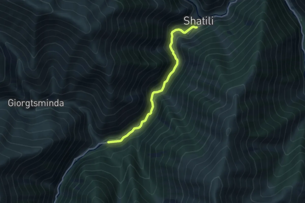
Medium · Trail
Shatili–Kistani (no trail markers on this segment)
9.5 km · ↑ 464 m · 3 h 15 min
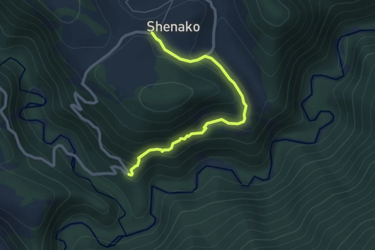
Demanding · Trail
Shenako–Ageurta–Tatikboselthana
5.6 km · ↑ 358 m · 2 h 6 min
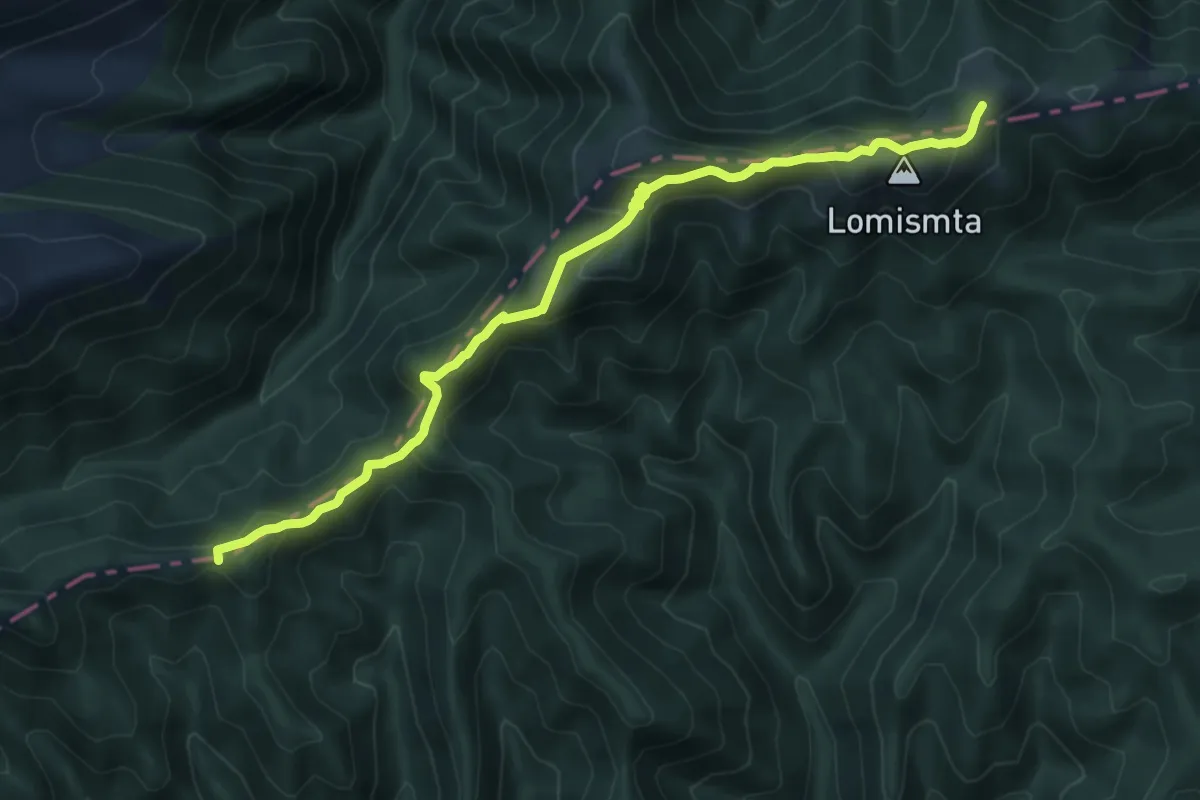
Demanding · Summit
Shepherd's trail
15.4 km · ↑ 806 m · 5 h 24 min
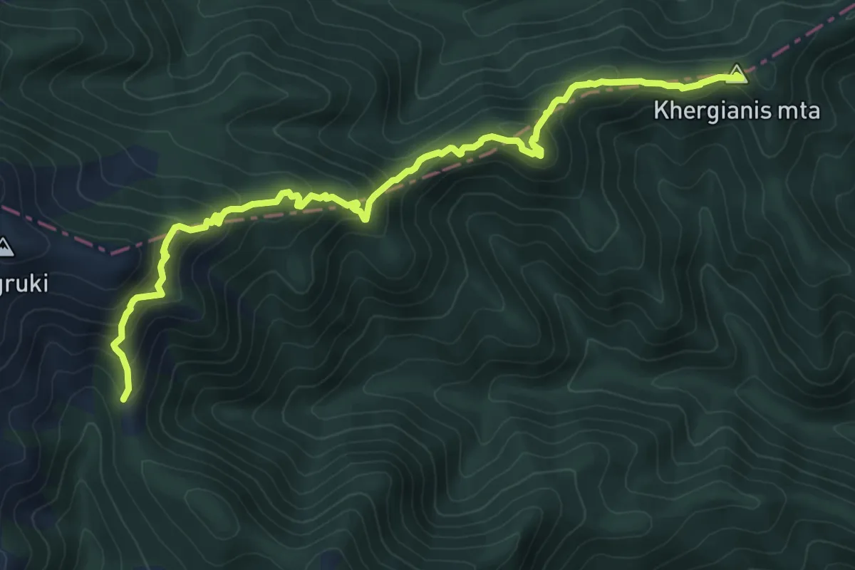
Demanding · Summit
Shepherds trail (by ridge)
12.9 km · ↑ 907 m · 5 h 1 min
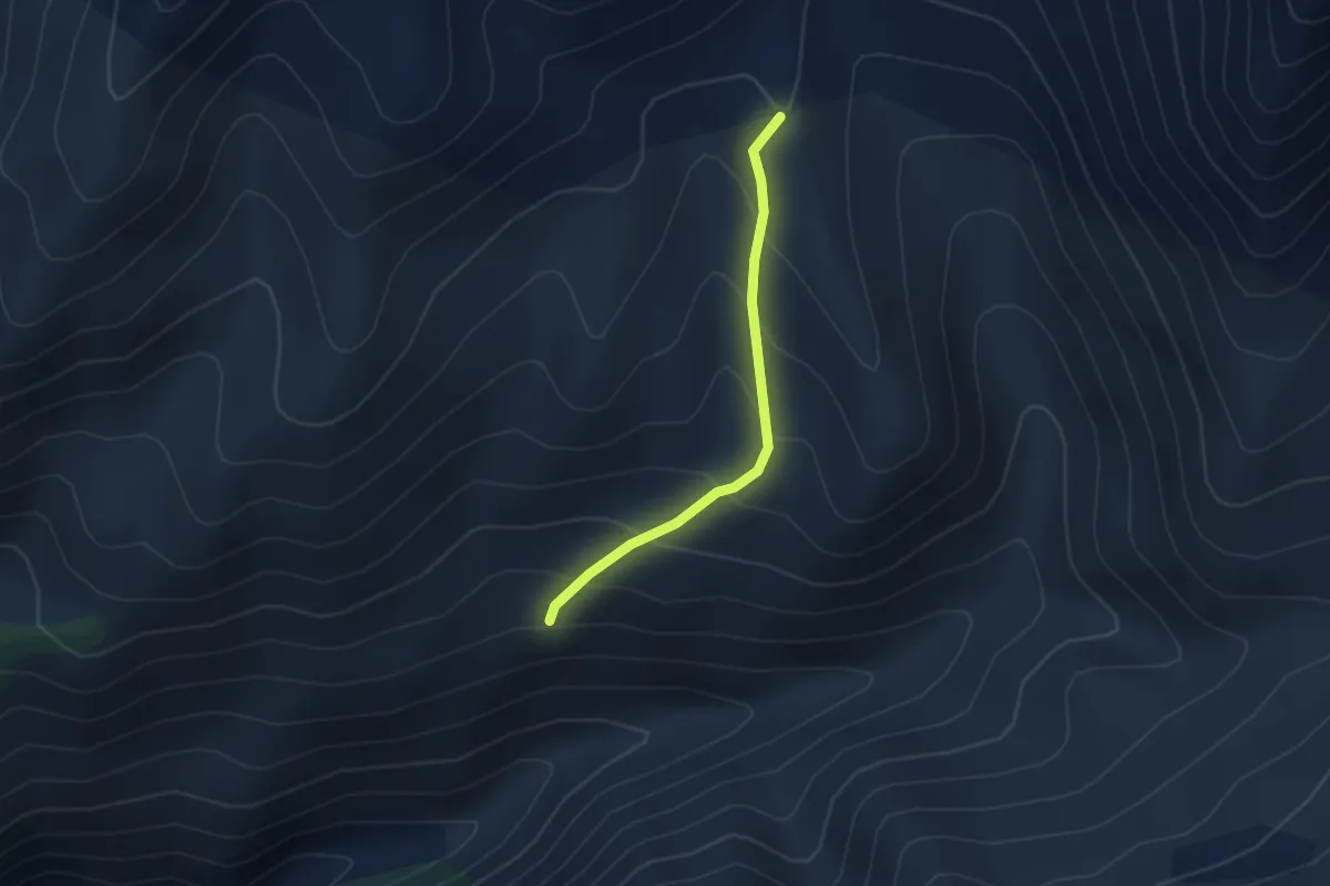
Medium · Trail
Shovi - Buba Glacier
2.0 km · ↑ 322 m · 1 h 2 min
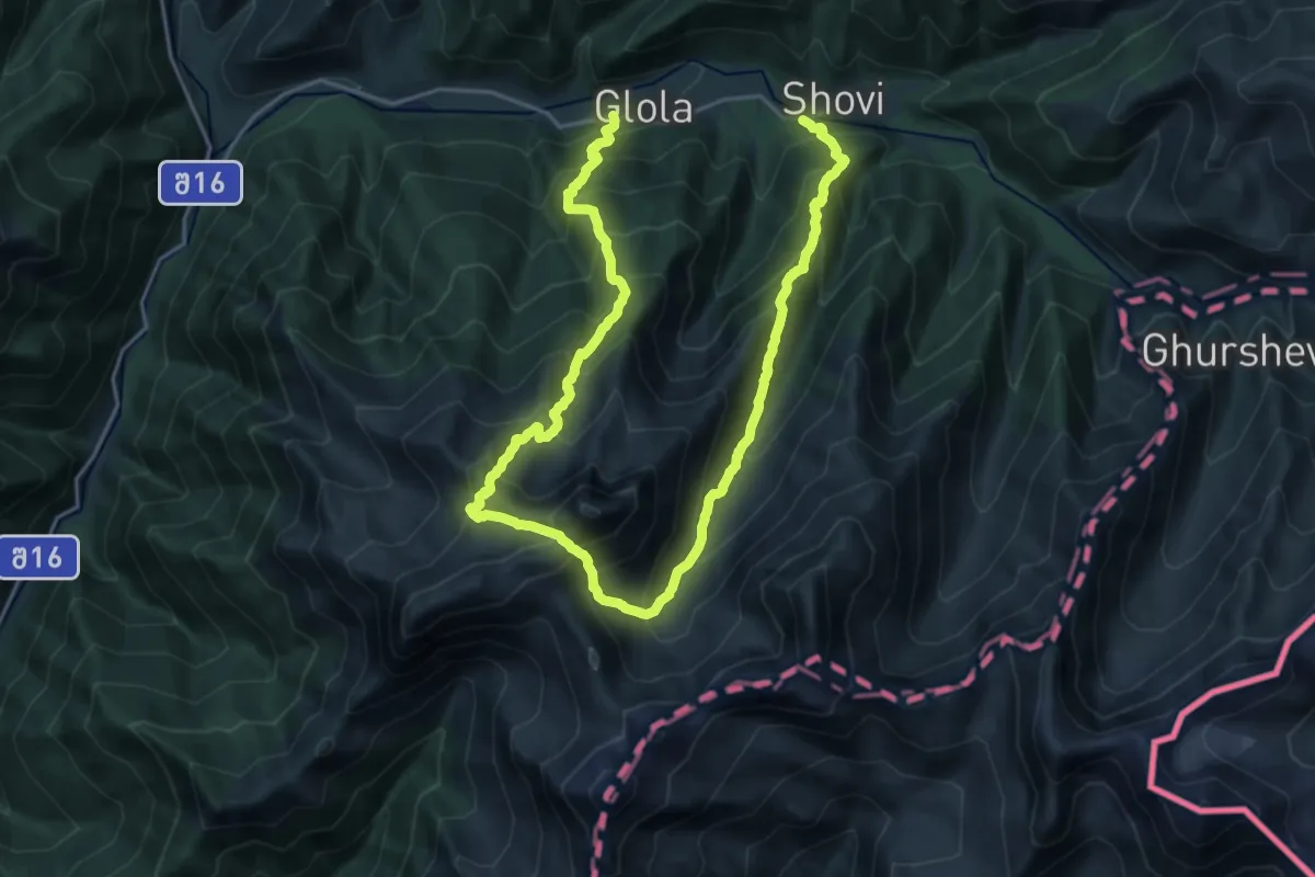
Demanding · Trail
Shovi - Udziro Lake - Glola
16.3 km · ↑ 1758 m · 7 h 56 min