Trails in Georgia
204 hiking trails, each with its route, climb, walking time and grade.
All trails, page 4 of 5
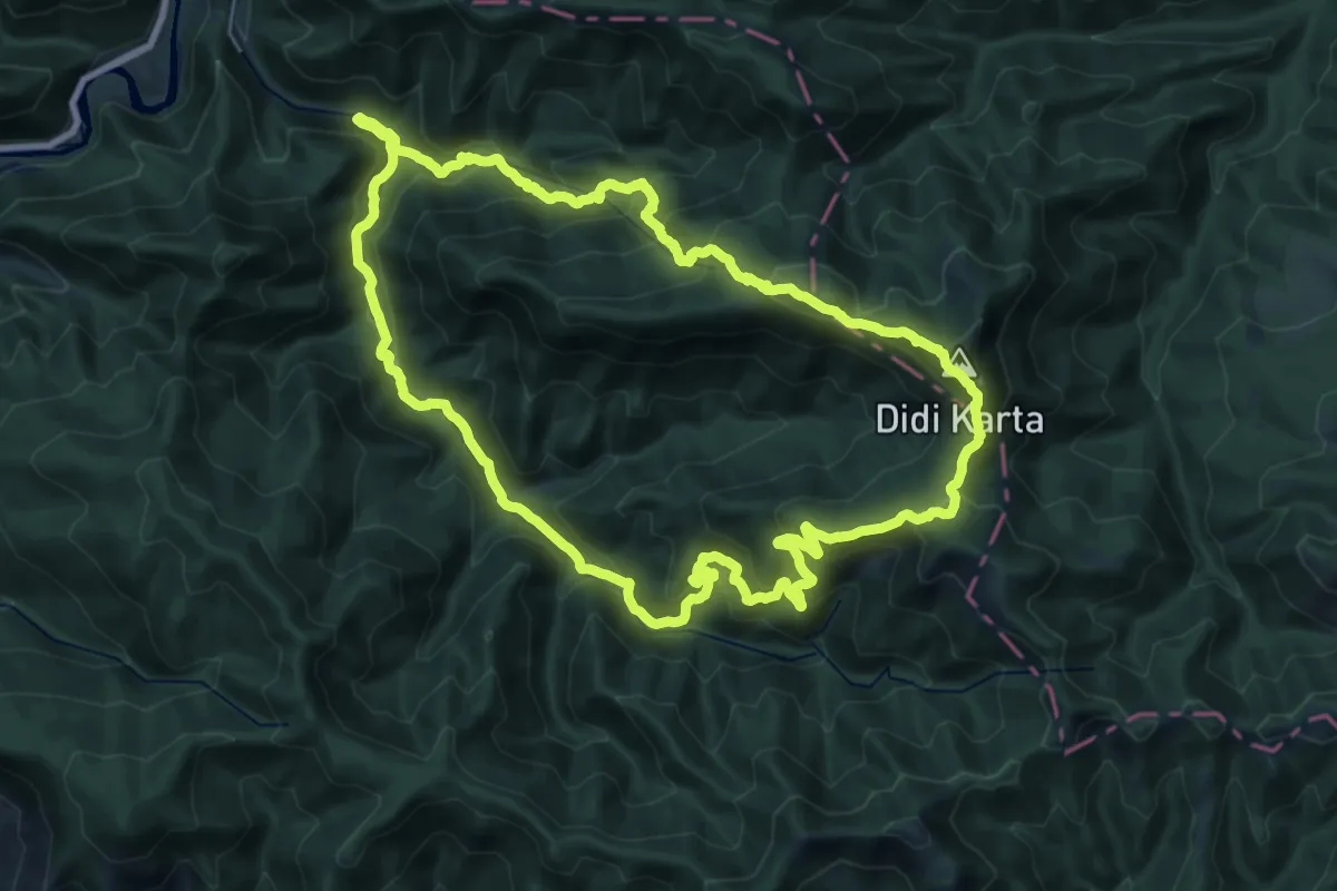
Demanding · Summit
Shuano Mountain Trail
28.2 km · ↑ 1692 m · 10 h 43 min
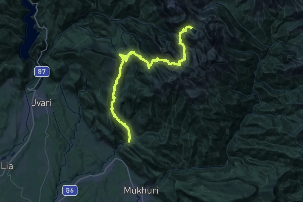
Demanding · Trail
Skuri - Tobavarchkhili lake.
29.5 km · ↑ 3558 m · 13 h 58 min
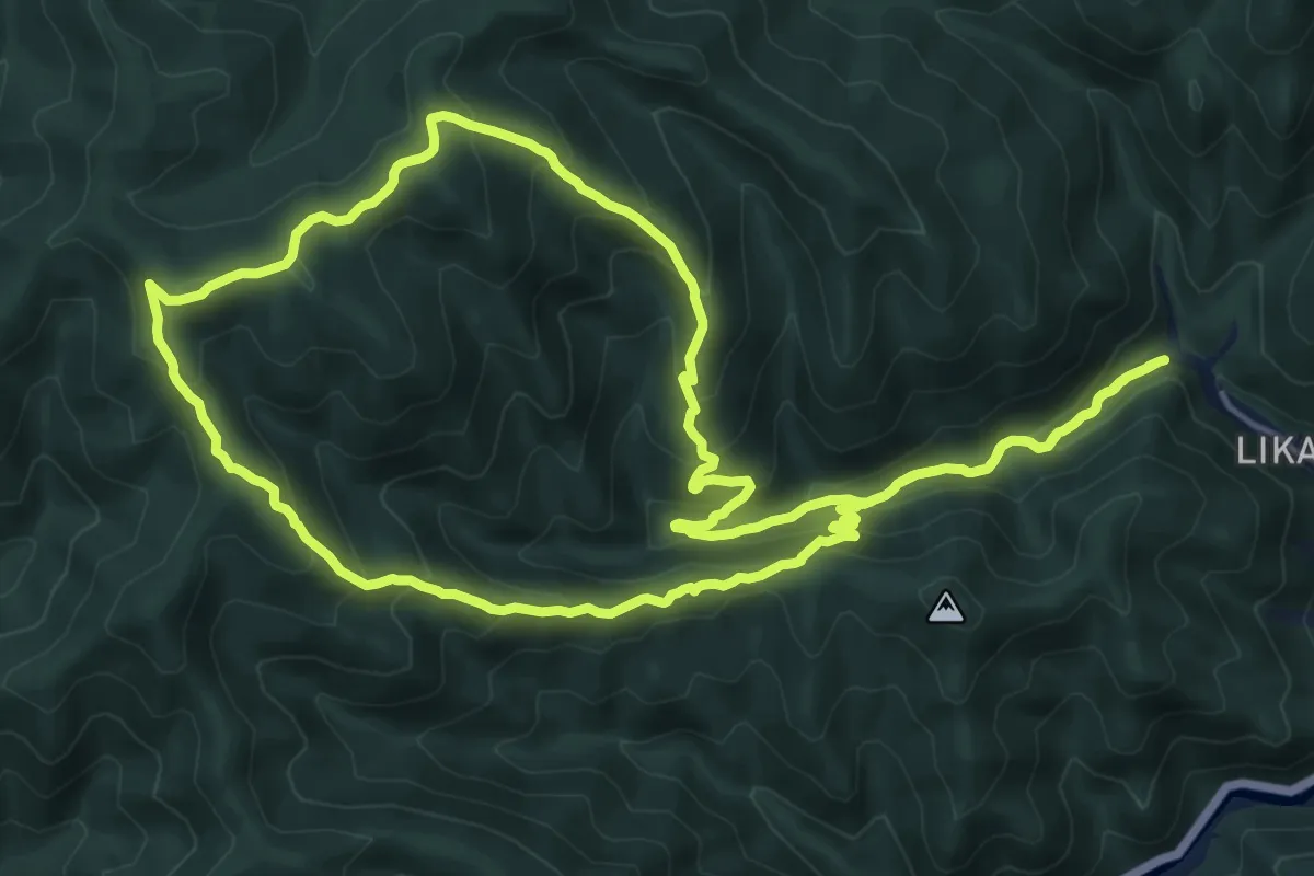
Demanding · Trail
Snow Shoes Trail
18.5 km · ↑ 1039 m · 6 h 52 min
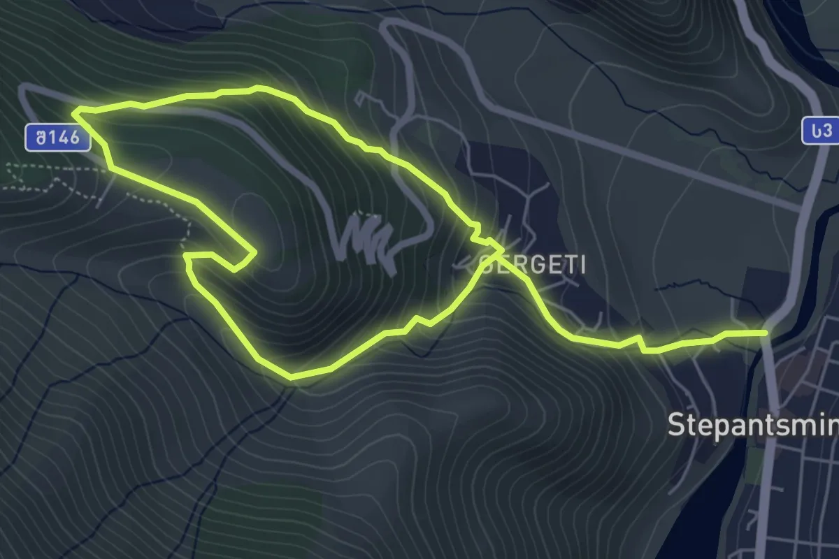
Medium · Trail
Stepantsminda–Gergeti Church
10.2 km · ↑ 799 m · 4 h 8 min
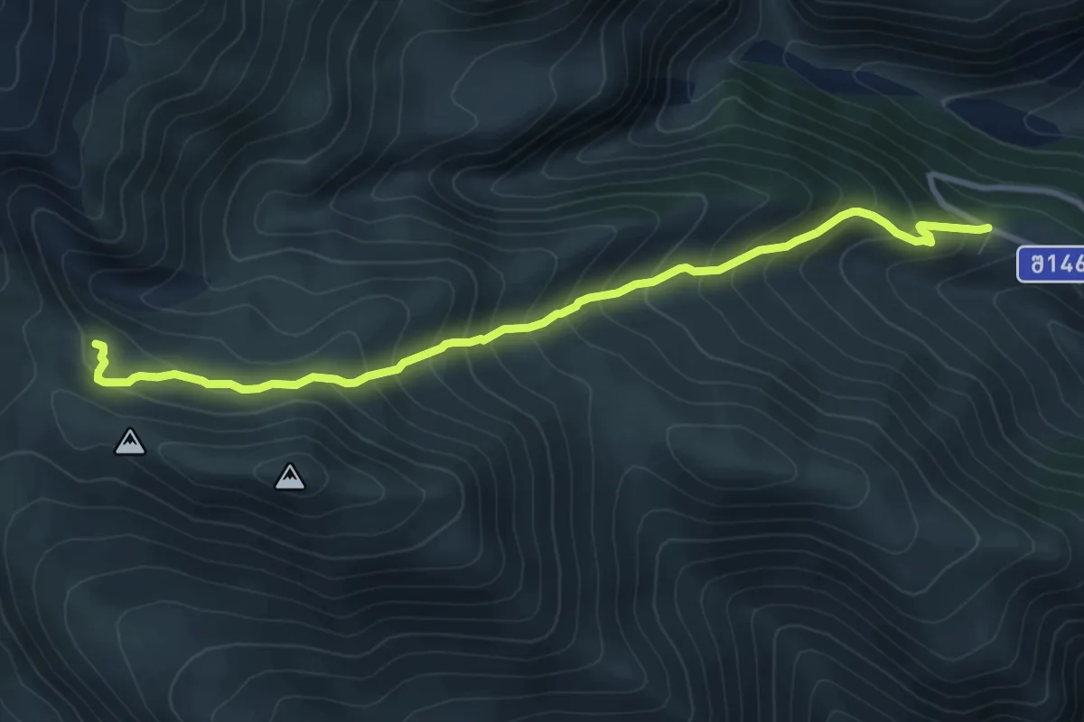
Demanding · Cabin
Stepantsminda–Kazbegi
10.2 km · ↑ 895 m · 4 h 21 min
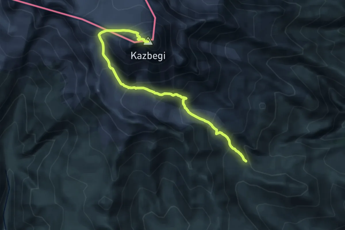
Expert · Summit
Stepantsminda–Kazbegi (no trailmarks)
19.0 km · ↑ 2027 m · 8 h 53 min
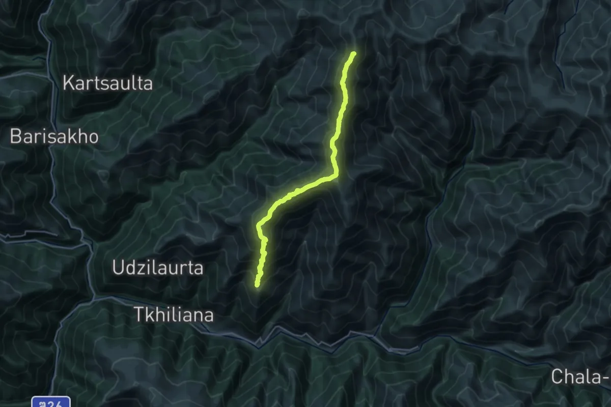
Demanding · Summit
Šuapcho
19.9 km · ↑ 1699 m · 8 h 23 min
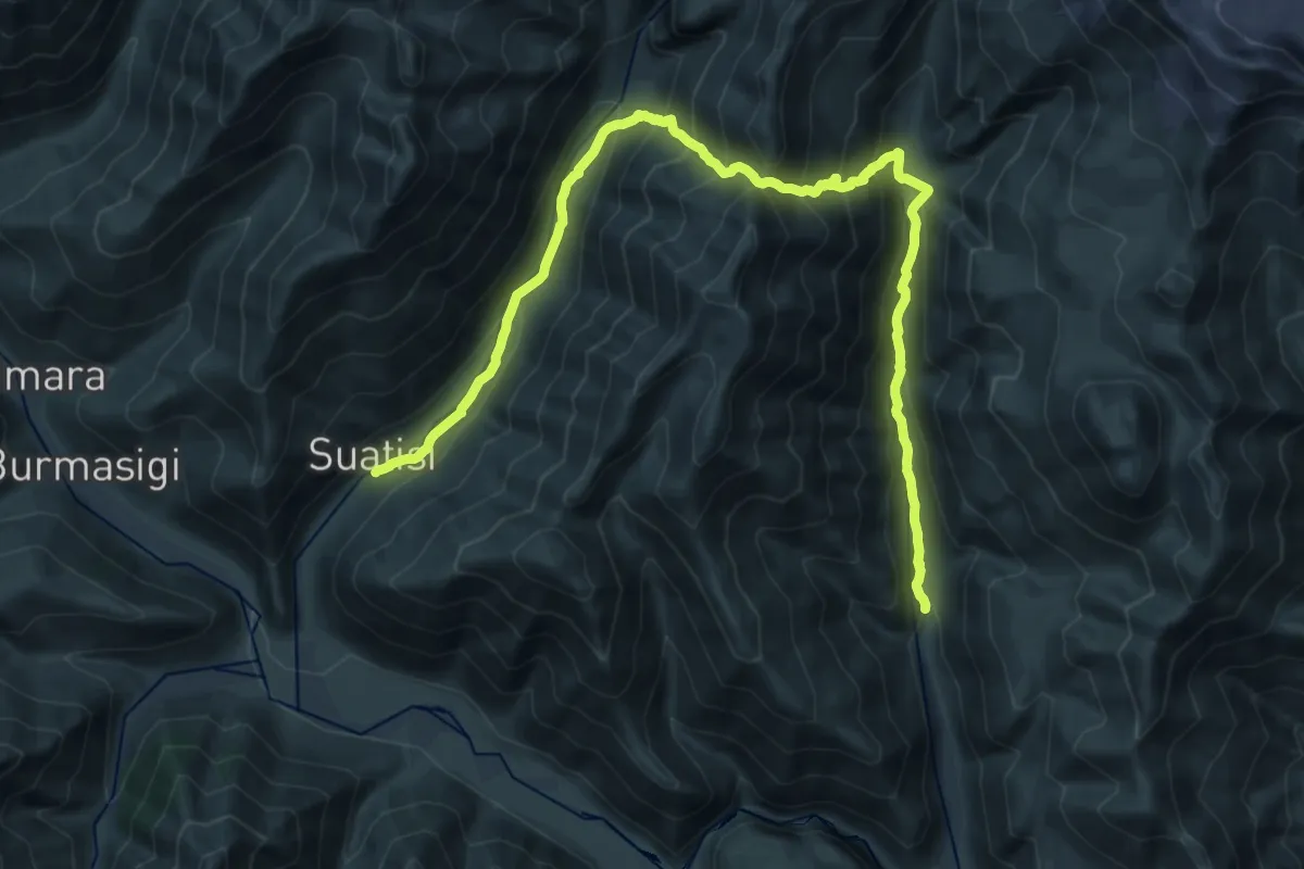
Demanding · Trail
Suatisi and Mna Gorge (no trailmarks)
16.0 km · ↑ 1211 m · 6 h 34 min
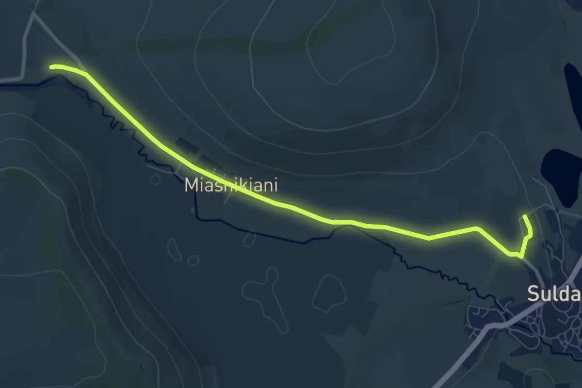
Medium · Trail
Sulda Wetland
9.3 km · ↑ 64 m · 2 h 20 min
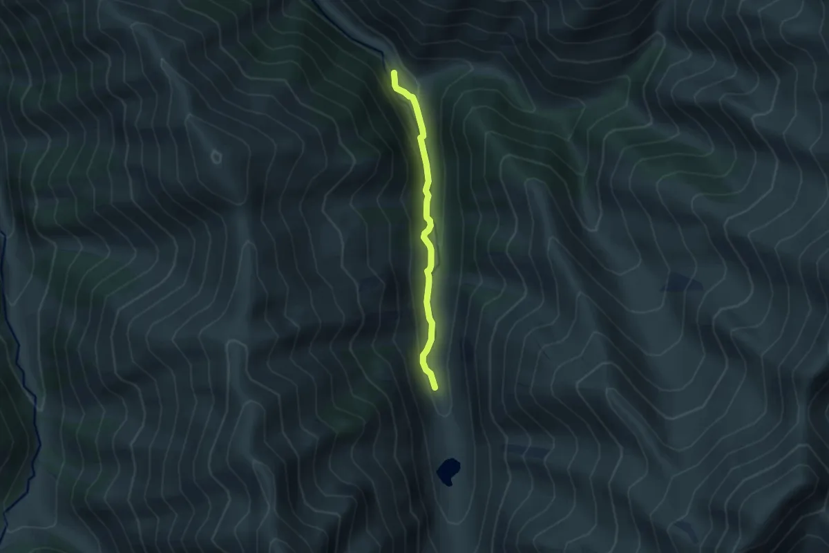
Medium · Cabin
Tanie Trail (no trail markers)
6.3 km · ↑ 273 m · 2 h 4 min
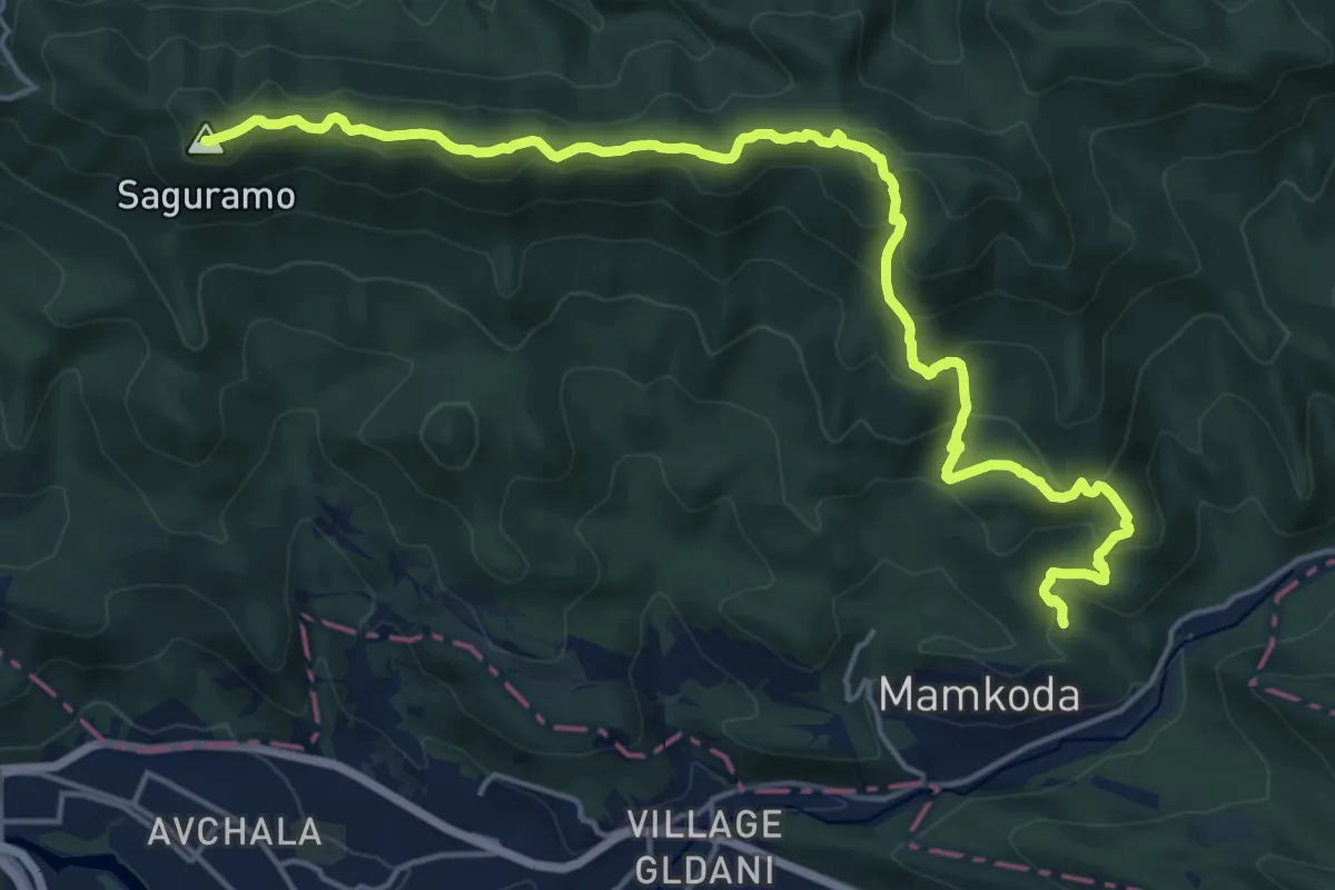
Demanding · Summit
Tbilisi National Park Trail
22.3 km · ↑ 1254 m · 8 h
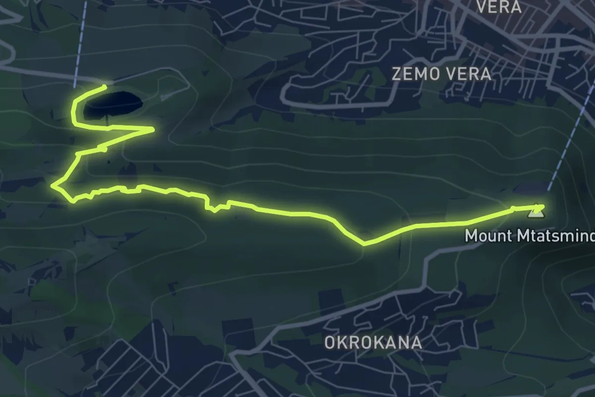
Medium · Summit
Tbilsi Hiking trail
10.1 km · ↑ 362 m · 3 h 10 min
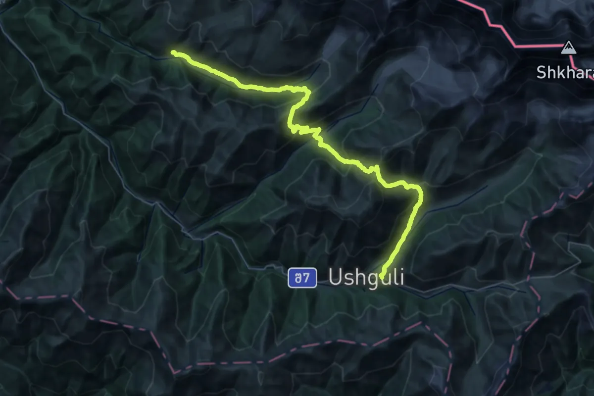
Demanding · Trail
TCT Adishi to Ushguli
20.8 km · ↑ 1529 m · 8 h 32 min
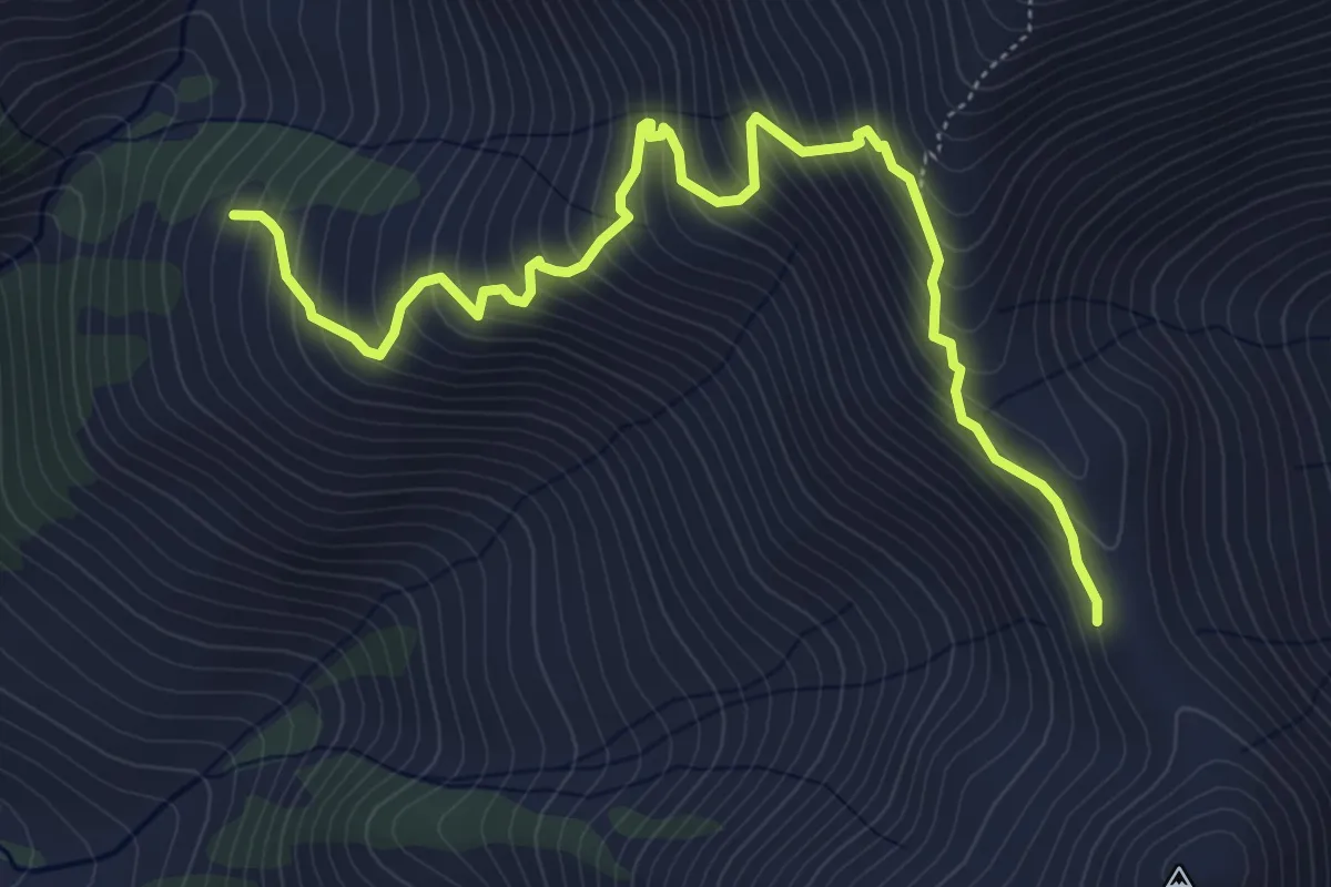
Medium · Trail
TCT Becho to Mestia
6.8 km · ↑ 736 m · 3 h 12 min
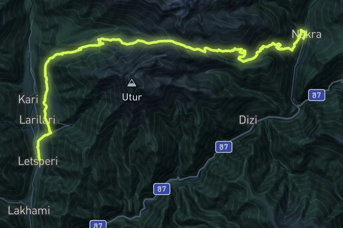
Demanding · Trail
TCT Chuberi to Nakra
29.2 km · ↑ 2117 m · 11 h 41 min
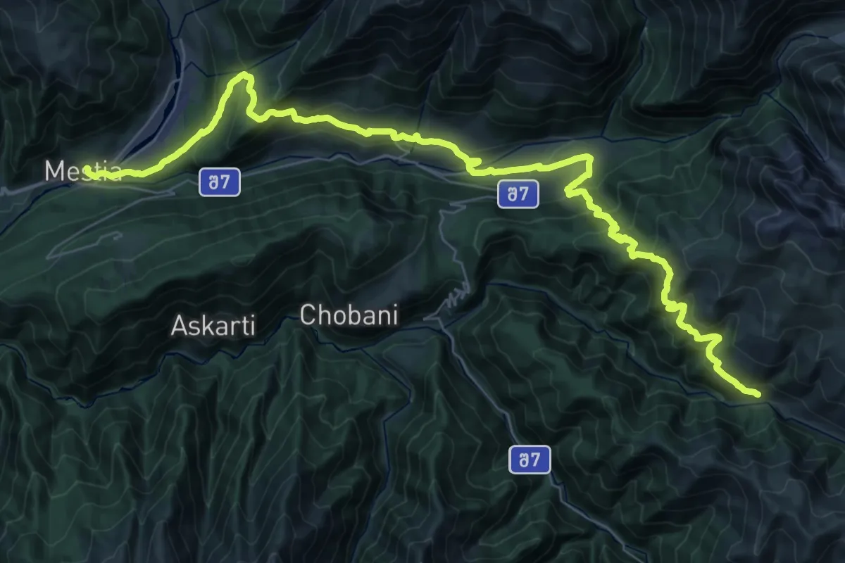
Demanding · Trail
TCT Mestia to Adishi
25.9 km · ↑ 887 m · 8 h 45 min
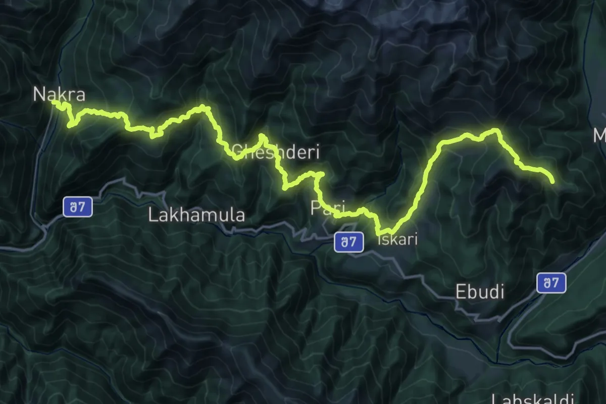
Demanding · Summit
TCT Nakra to Becho
57.2 km · ↑ 3873 m · 21 h 54 min
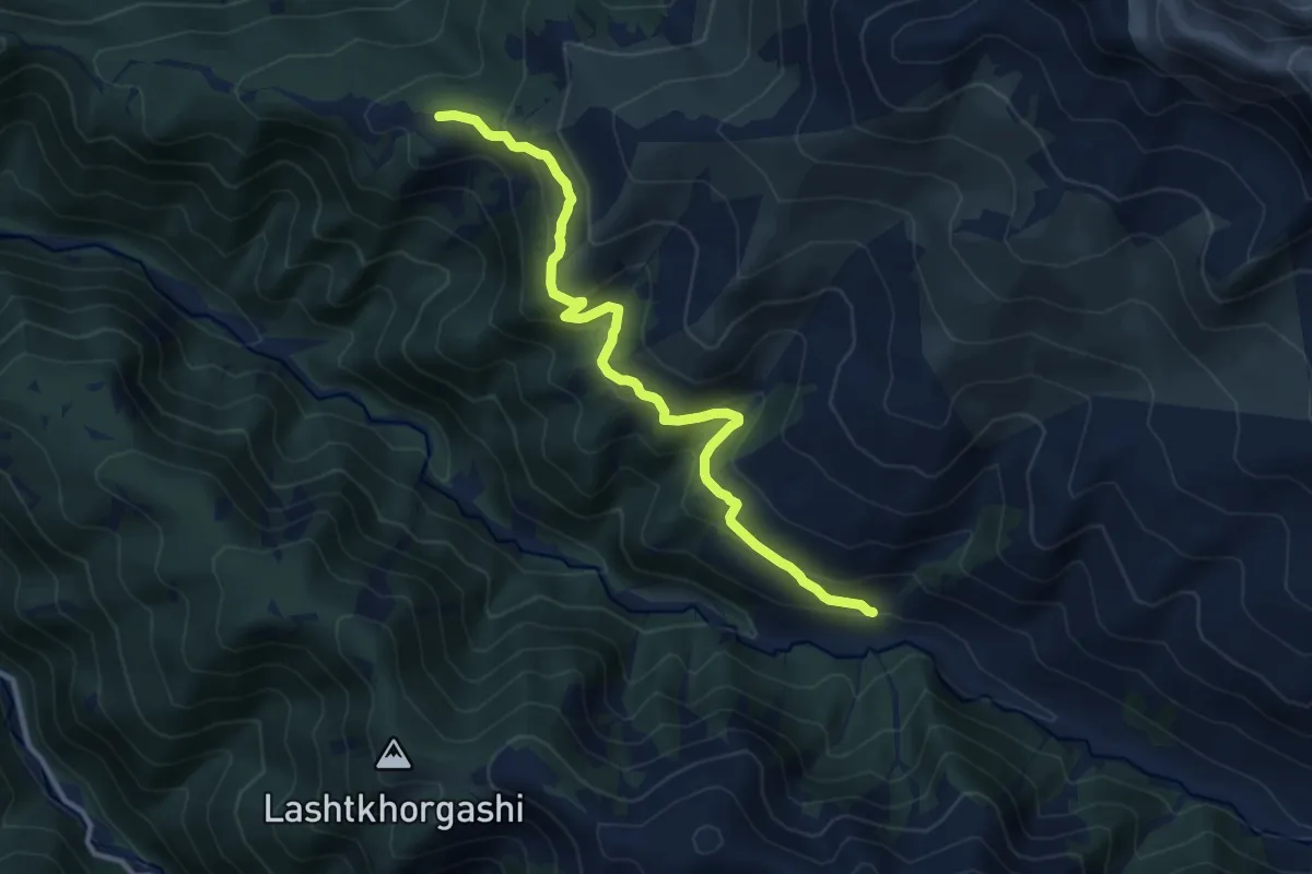
Medium · Trail
Tetnuldi Ski Resort - Adishi
12.3 km · ↑ 644 m · 4 h 17 min
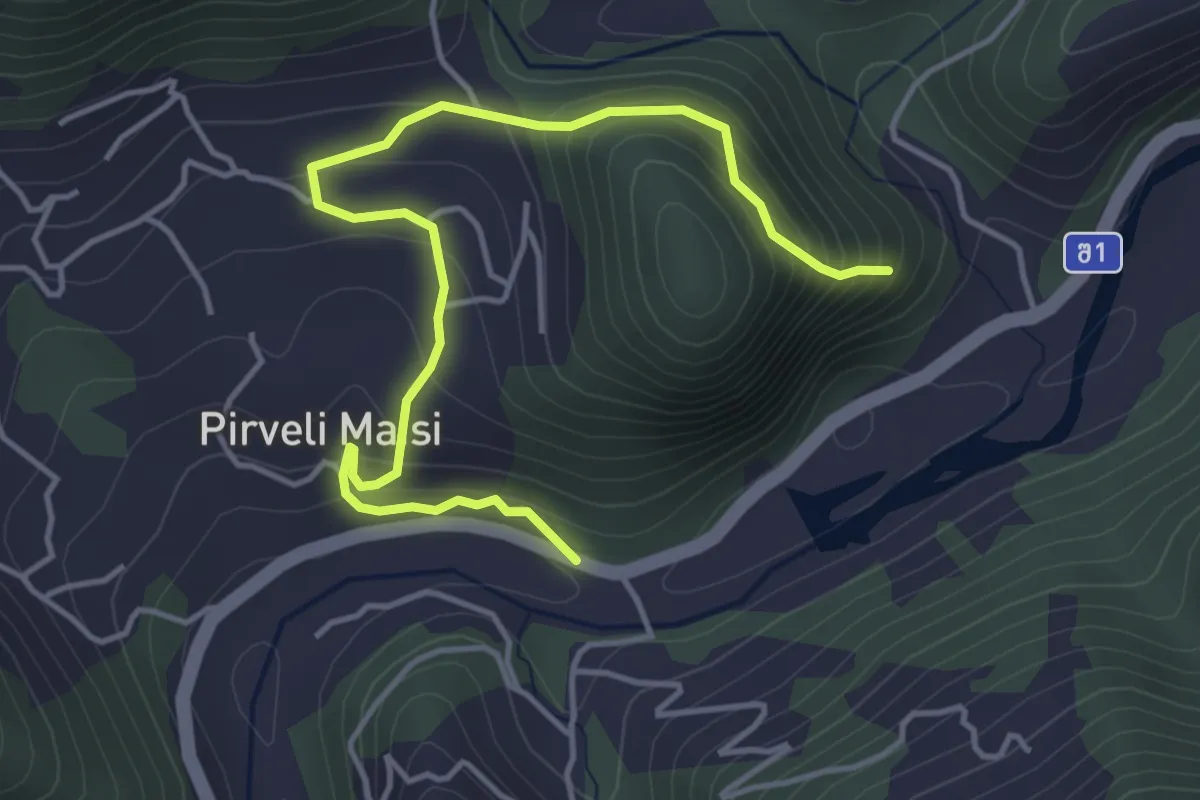
Medium · Trail
Tivasula fortress path
5.4 km · ↑ 370 m · 2 h 5 min
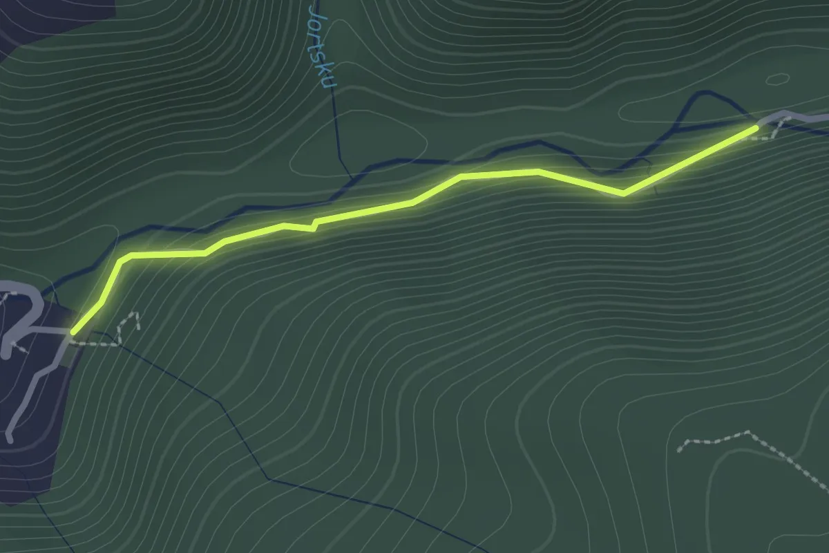
Easy · Trail
Toba-Oniore
2.4 km · ↑ 96 m · 47 min
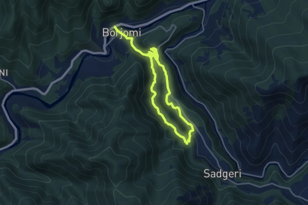
Medium · Trail
Trail 1: 19th c.
16.8 km · ↑ 483 m · 5 h
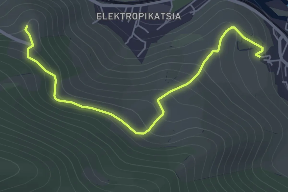
Easy · Trail
Trail to Gorijvari
5.3 km · ↑ 272 m · 1 h 50 min
Easy · Trail
Transcaucasian Trail
2.1 km · ↑ 9 m · 31 min
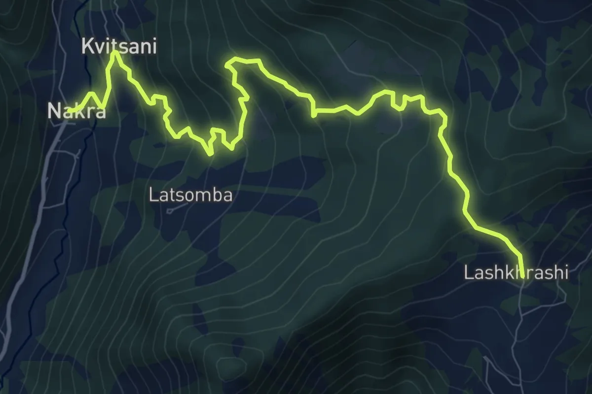
Demanding · Trail
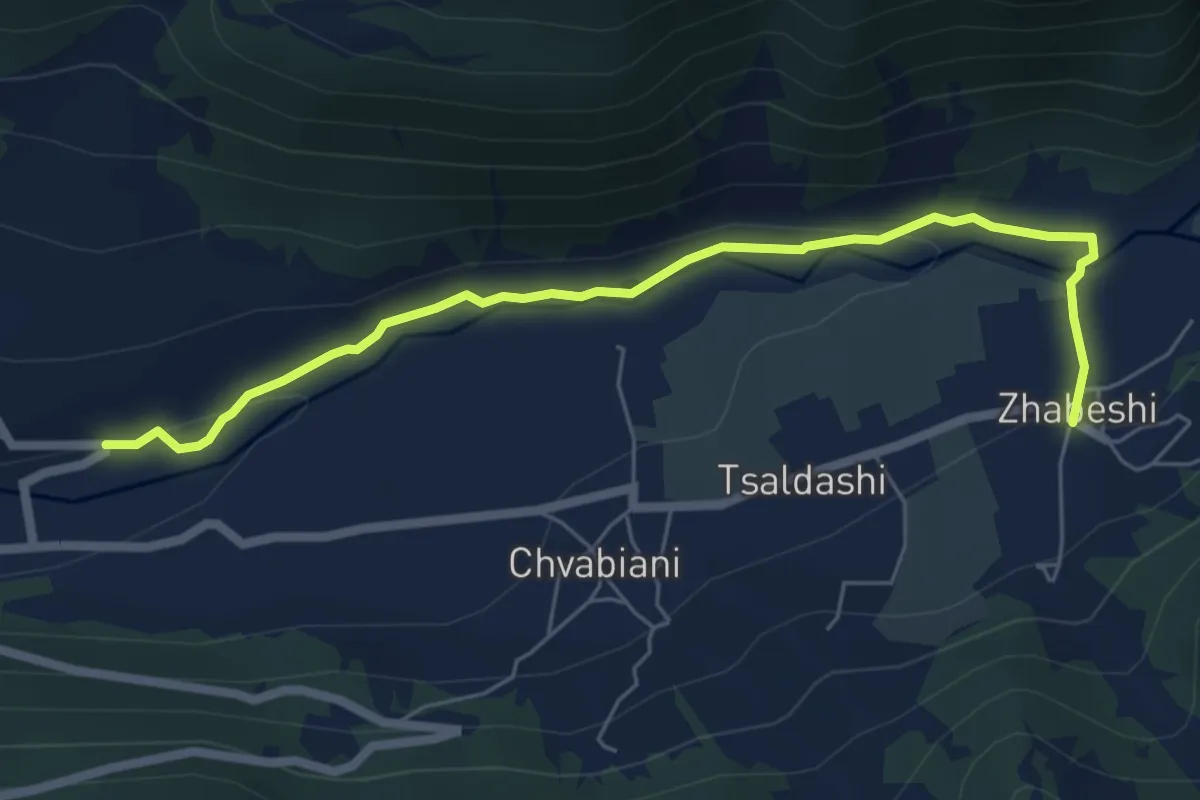
Transcaucasian Trail: Upper Svaneti 2 (Alternate)
13.0 km · ↑ 815 m · 4 h 50 min
Easy · Trail
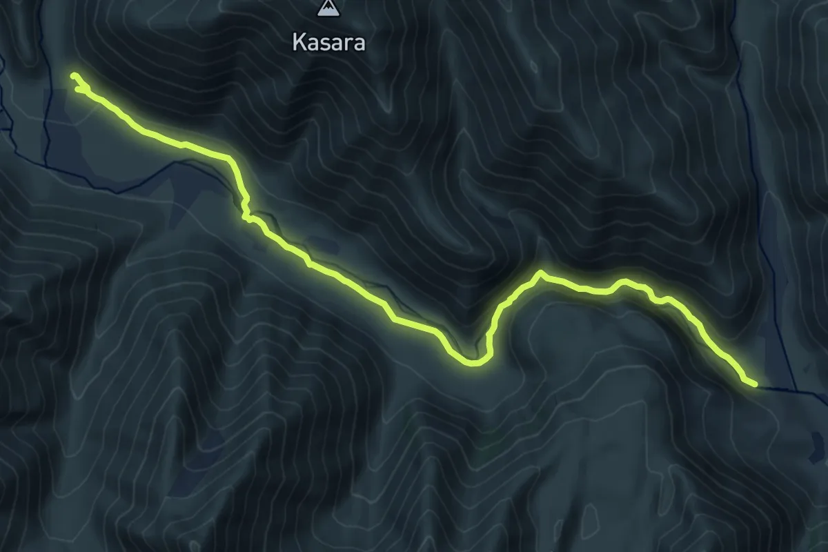
Transcaucasian Trail: Upper Svaneti 4 (Alternate)
6.7 km · ↑ 175 m · 1 h 58 min
Demanding · Trail
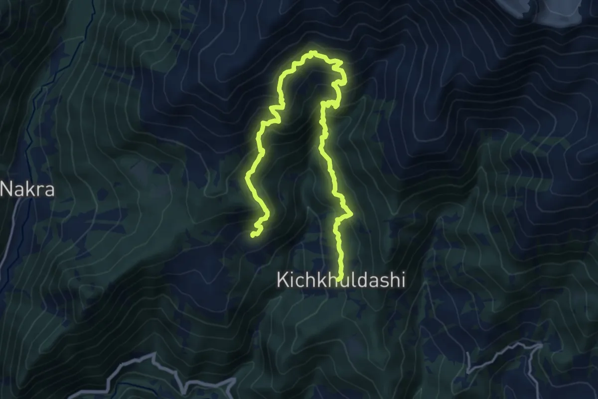
Truso Valley
20.5 km · ↑ 480 m · 5 h 53 min
Demanding · Trail
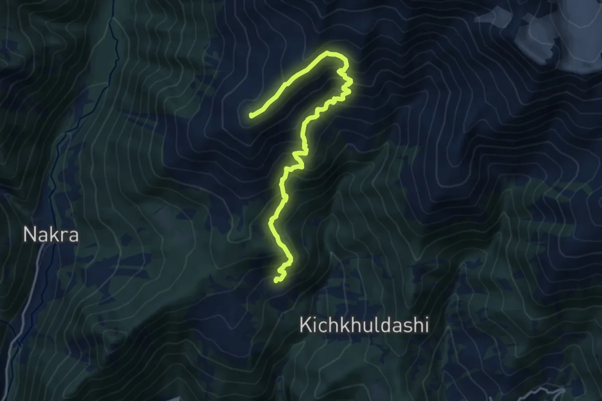
Tsaleri - Kichkhuldashi
10.3 km · ↑ 901 m · 4 h 34 min
Demanding · Summit
Tsaleri - mount Kva - Place Zagari
15.5 km · ↑ 1306 m · 6 h 29 min
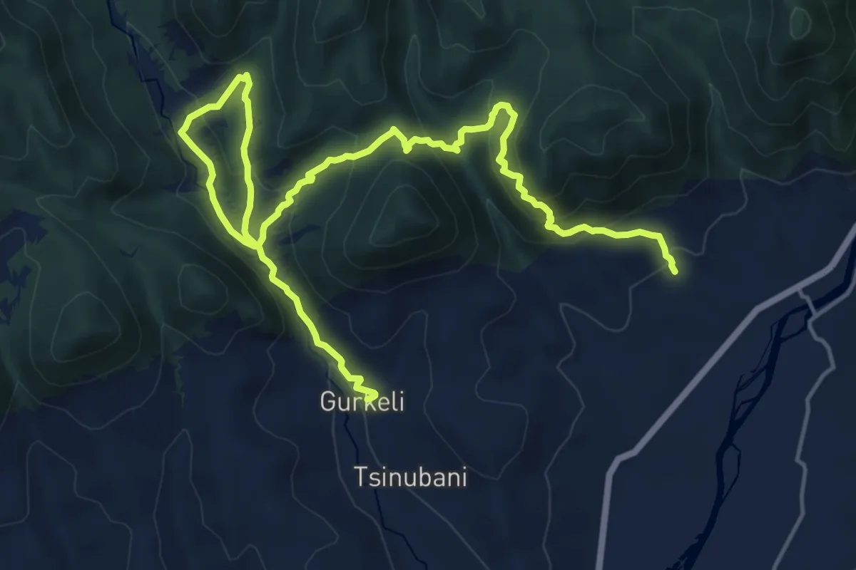
Medium · Trail
Tsriokhi Fortress trail
11.6 km · ↑ 679 m · 4 h 21 min
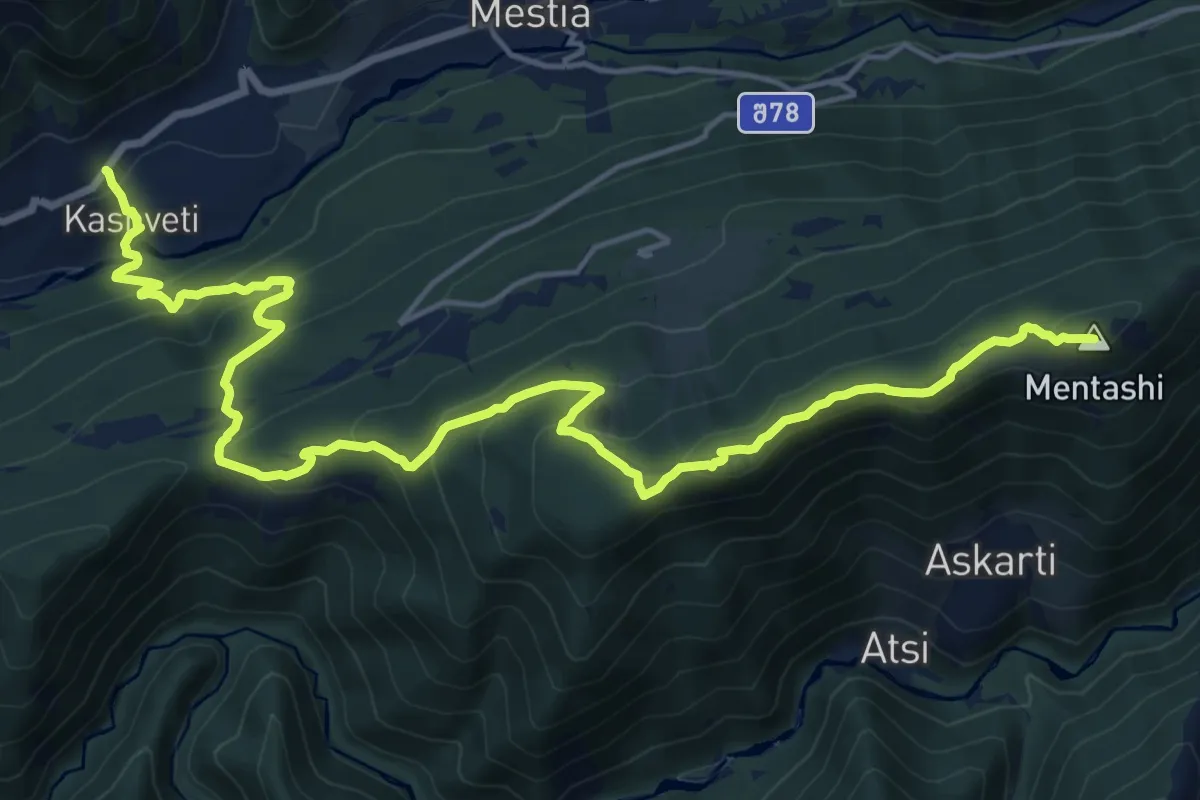
Demanding · Summit
Tsvirmi - Zuruldi Ski Lift - Heshkili - Lemsia
23.2 km · ↑ 1442 m · 8 h 35 min
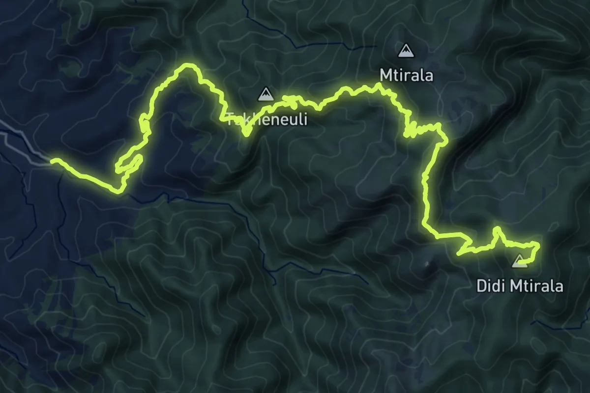
Demanding · Summit
Two Mountains Trail
38.0 km · ↑ 2481 m · 14 h 21 min
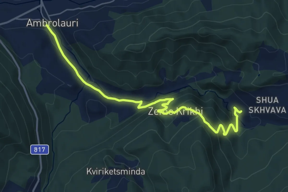
Demanding · Trail
Upper Krikhi
19.3 km · ↑ 839 m · 6 h 22 min
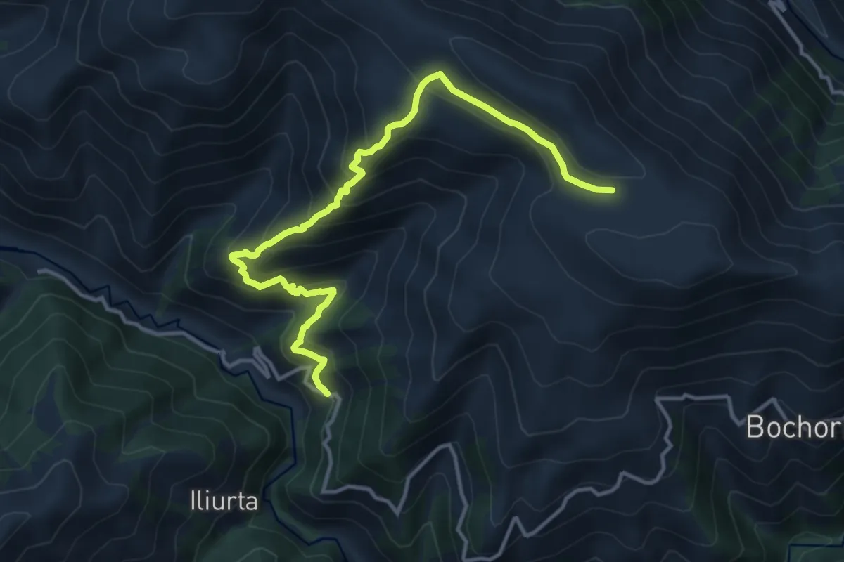
Demanding · Trail
Upper Omalo - Makratela Ridge - Beghela
14.2 km · ↑ 1159 m · 5 h 51 min
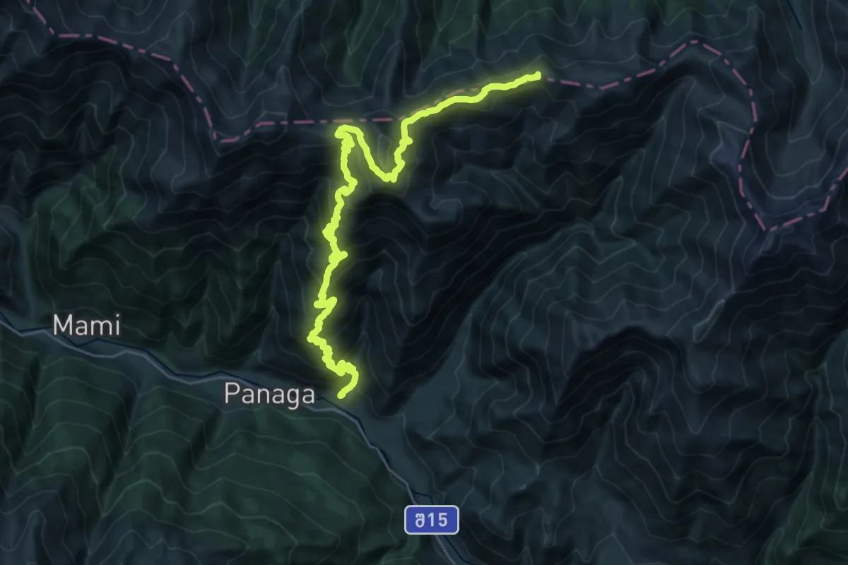
Demanding · Summit
Ushguli - Chvelpi
35.7 km · ↑ 2526 m · 13 h 54 min
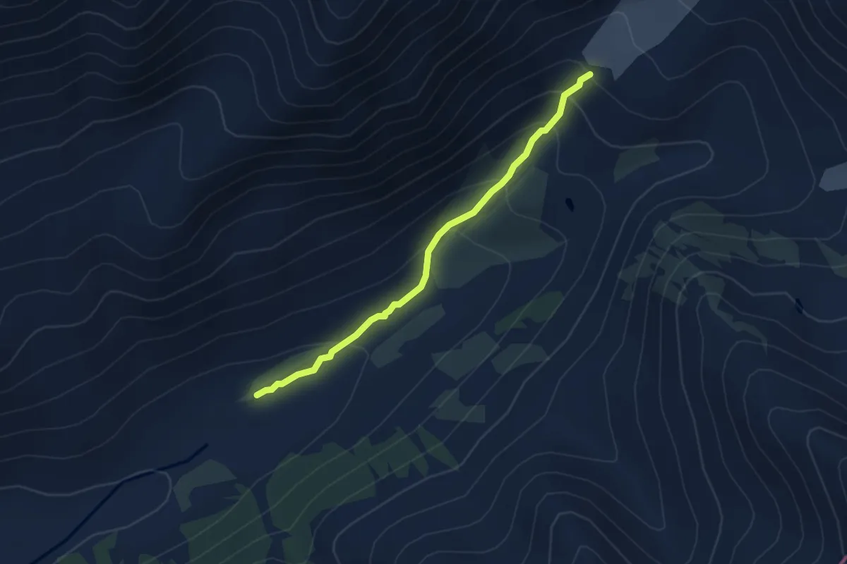
Easy · Trail
Ushguli - Shkahra glacier
4.5 km · ↑ 316 m · 1 h 45 min
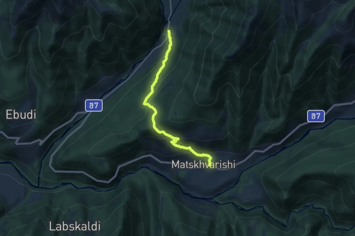
Medium · Trail
Ushkhvanari - Latali
13.2 km · ↑ 739 m · 4 h 43 min
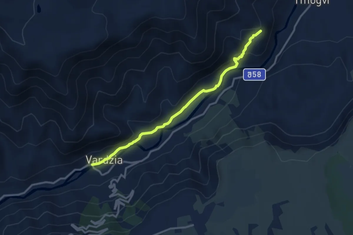
Medium · Trail
Vardzia Tmgovi
8.6 km · ↑ 284 m · 2 h 39 min
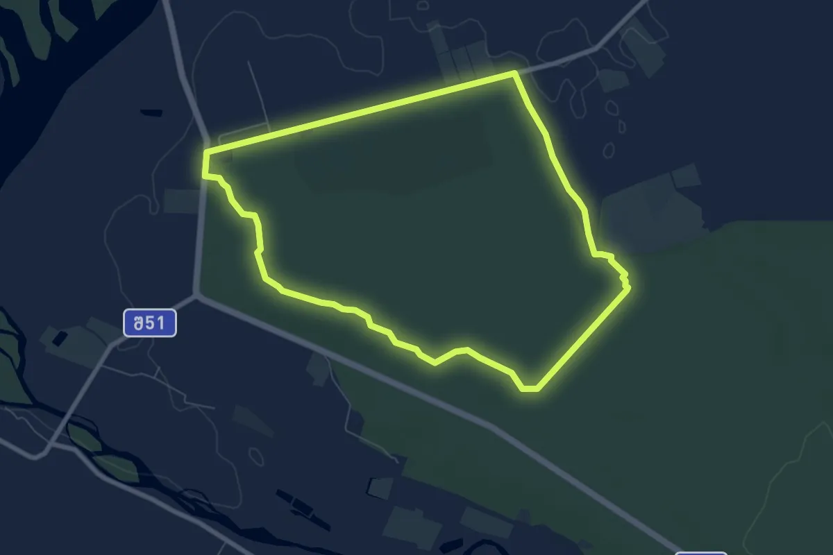
Easy · Trail
Vartsikhe Ajameti Park
7.8 km · ↑ 41 m · 2 h 3 min
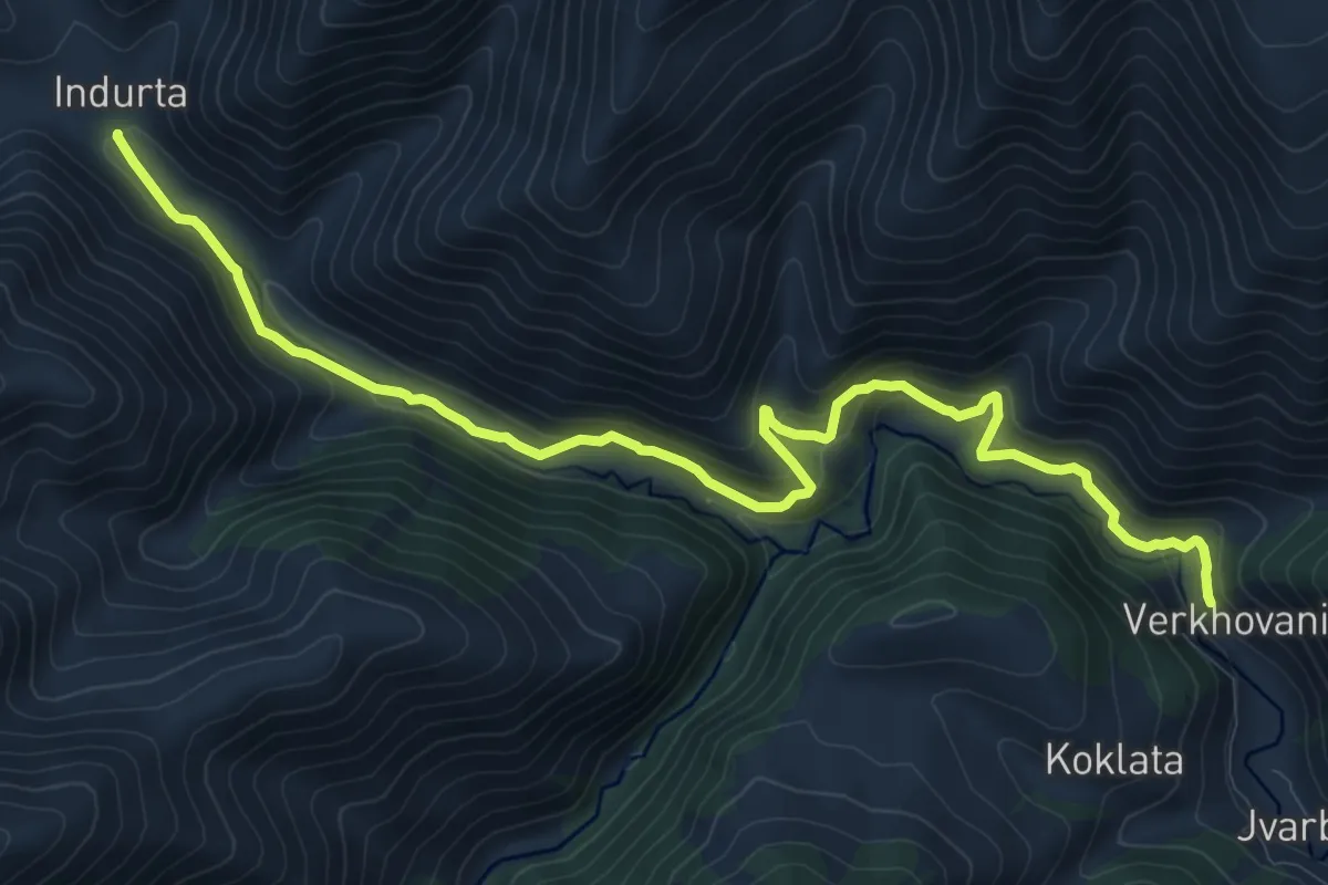
Demanding · Trail
Verkhovani – Indurta (no trail markers)
14.0 km · ↑ 734 m · 4 h 53 min
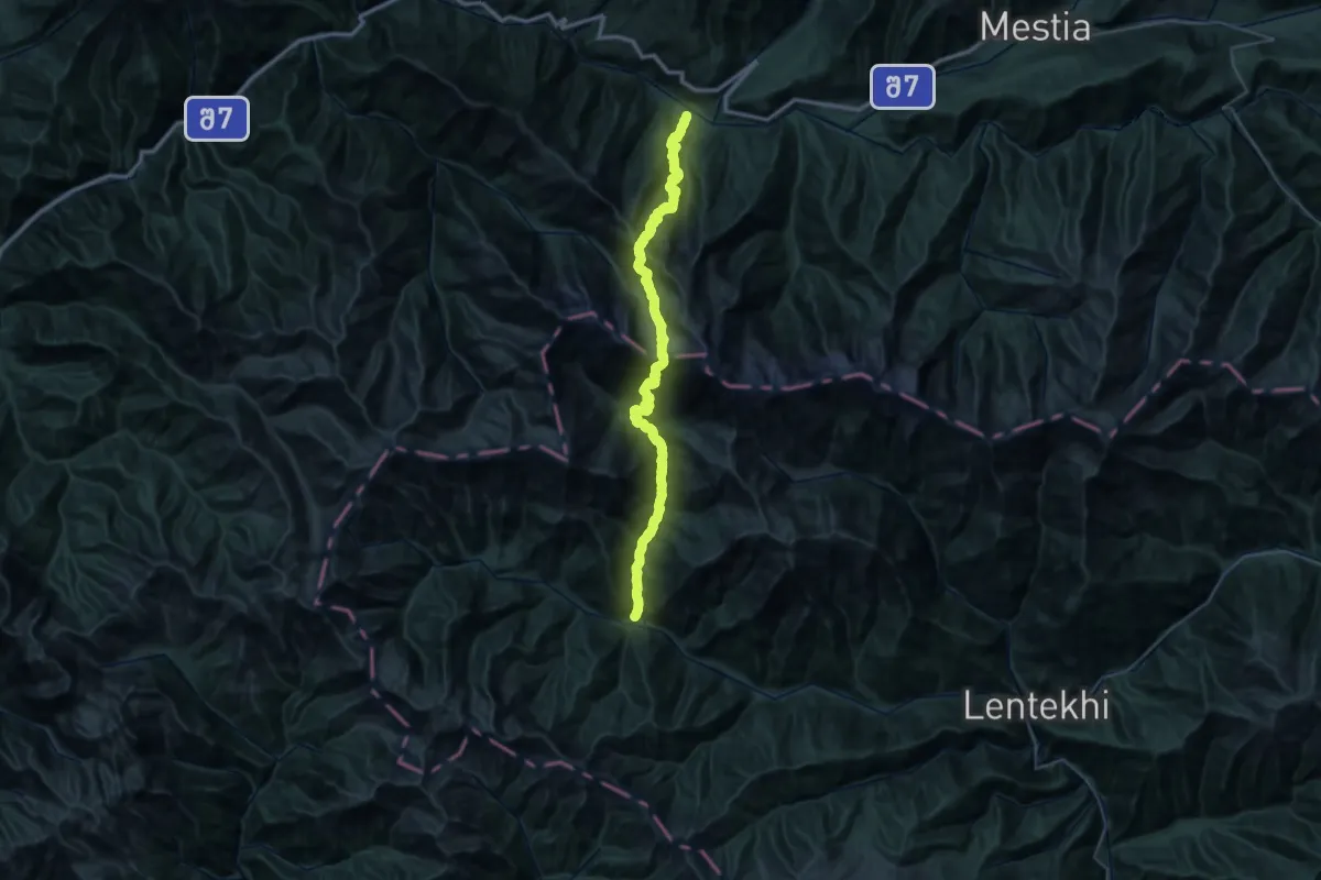
Demanding · Trail
Vil. Tviberi – Mount Laila – Vil. Mananauri
27.5 km · ↑ 2620 m · 12 h 35 min
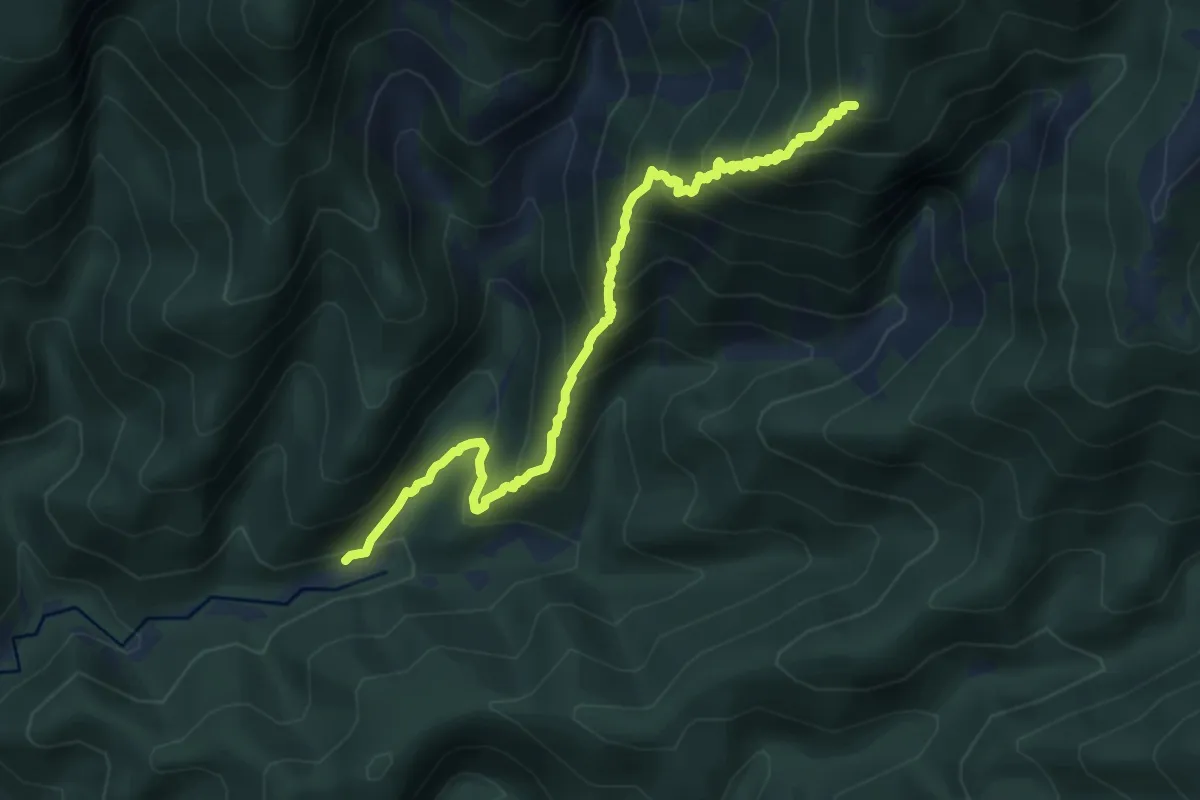
Demanding · Summit
Yew tree and lake Tbikeli
10.6 km · ↑ 1153 m · 5 h 1 min
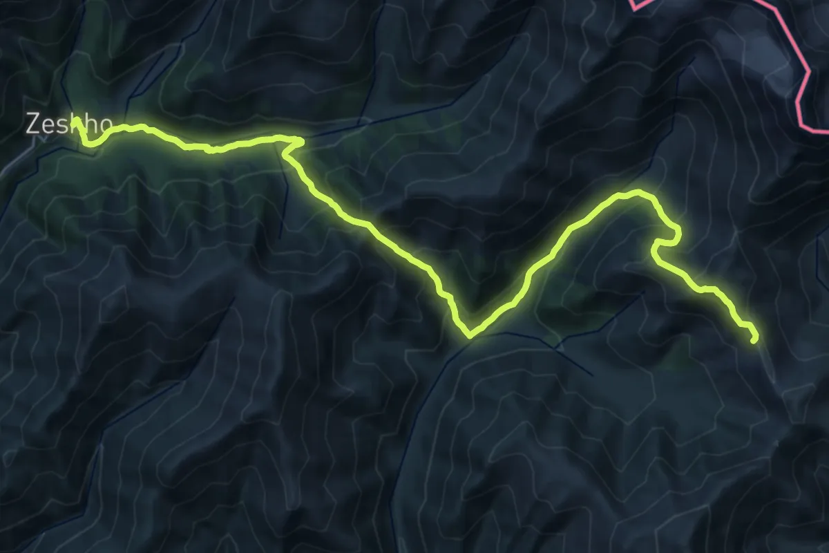
Demanding · Summit
Zeskho — Ghebi
33.8 km · ↑ 2535 m · 13 h 28 min
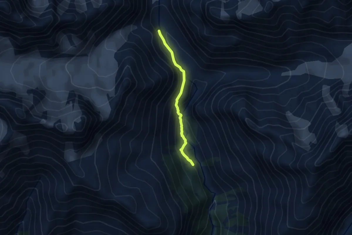
Medium · Trail
Zhabeshi-Tviberi Glacier
7.2 km · ↑ 467 m · 2 h 43 min
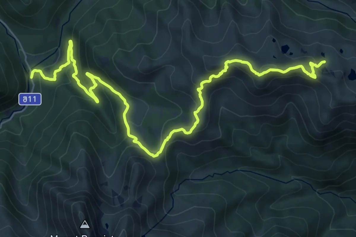
Demanding · Trail
в долину Семиозерья
38.6 km · ↑ 2637 m · 14 h 59 min
Easy · Trail
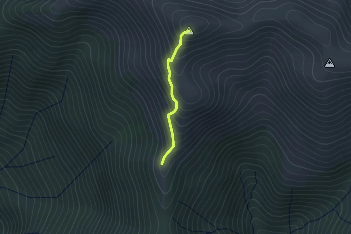
Видовой Тепе-Баше
2.4 km · ↑ 262 m · 1 h 8 min
Medium · Summit
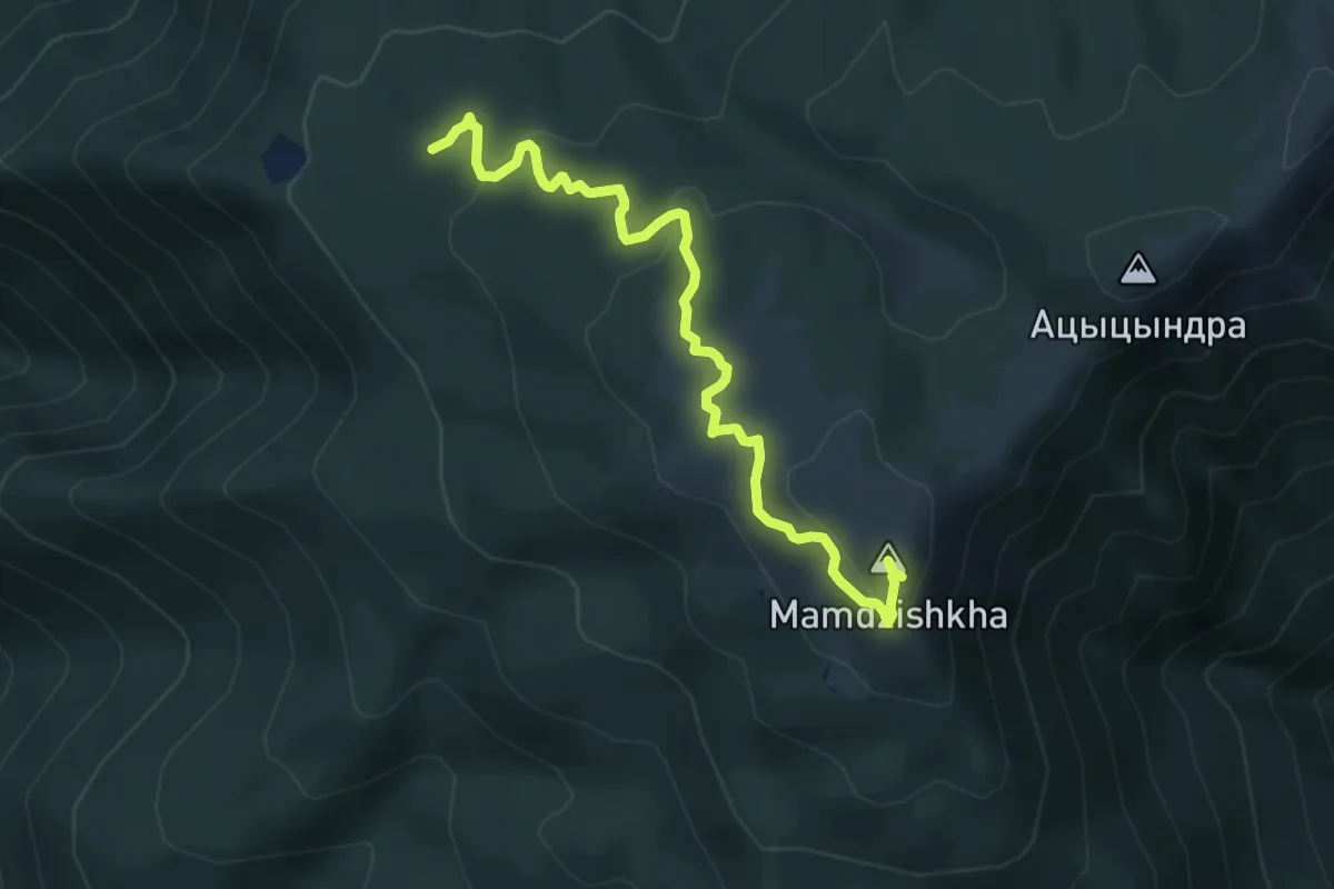
г. Мамдзышха
9.5 km · ↑ 501 m · 3 h 20 min
Easy · Trail
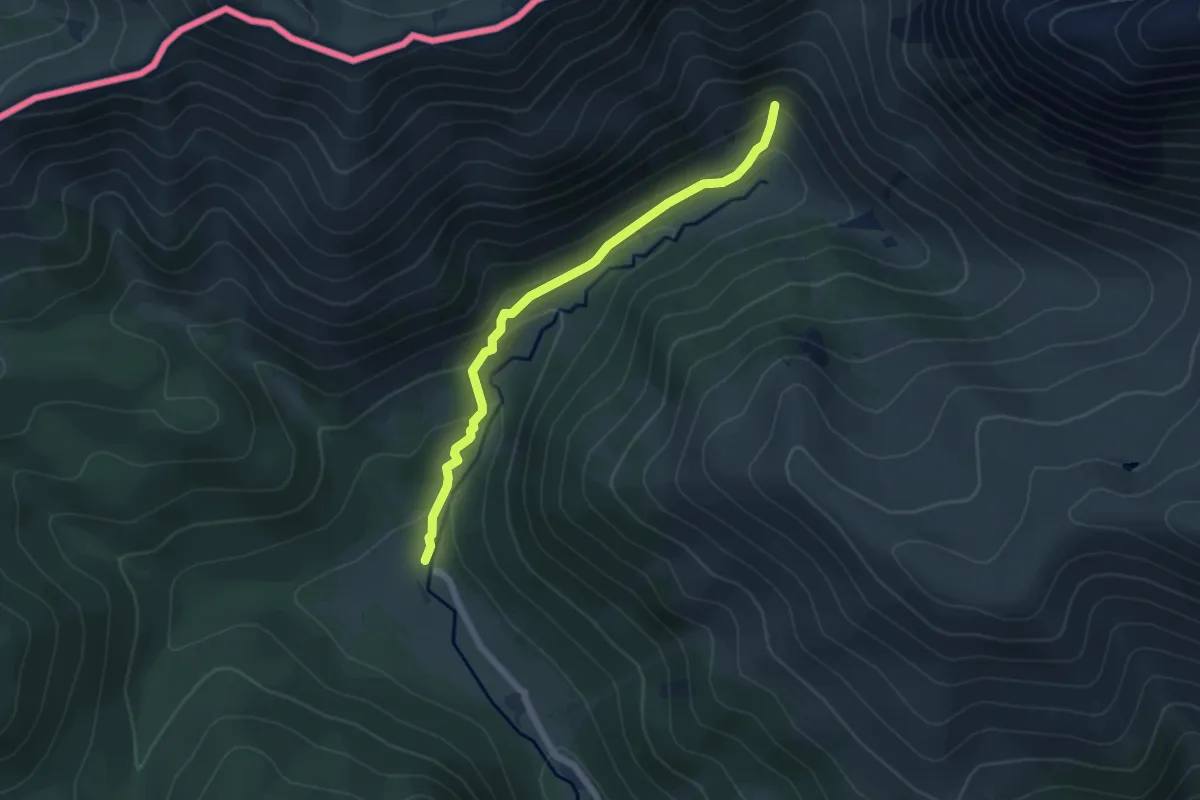
к Водопаду
5.7 km · ↑ 300 m · 2 h
Medium · Trail
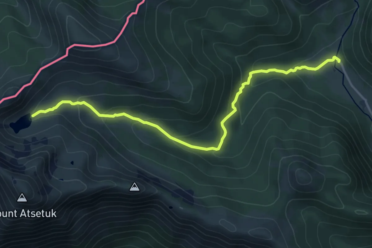
оз. Мзы
11.0 km · ↑ 472 m · 3 h 38 min