Trails near Zell im Wiesental
326 hikes starting within 15 km, nearest first.
Nearest first, page 6 of 7
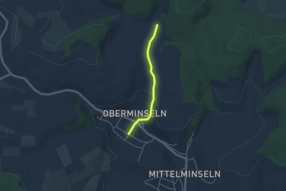
Easy · Trail
Angerswil - Oberminseln Zum Stillen Winkel
2.3 km · ↑ 64 m · 41 min · 12 km away
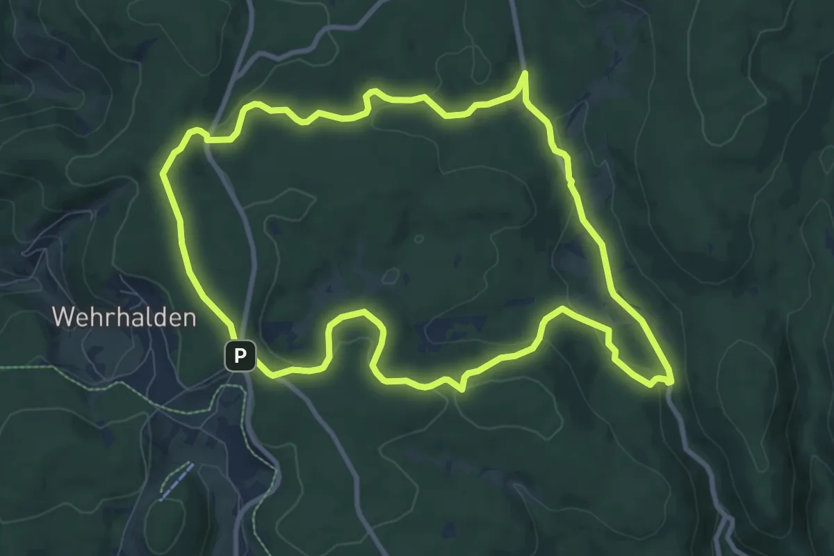
Medium · Trail
7-Moore-Weg
9.0 km · ↑ 229 m · 2 h 45 min · 12 km away
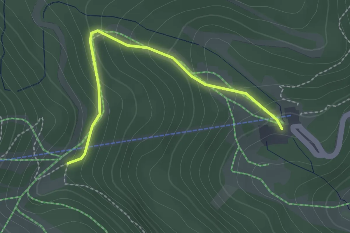
Easy · Trail
Unter der Belchenstraße - Jägerstüble
2.1 km · ↑ 144 m · 49 min · 13 km away
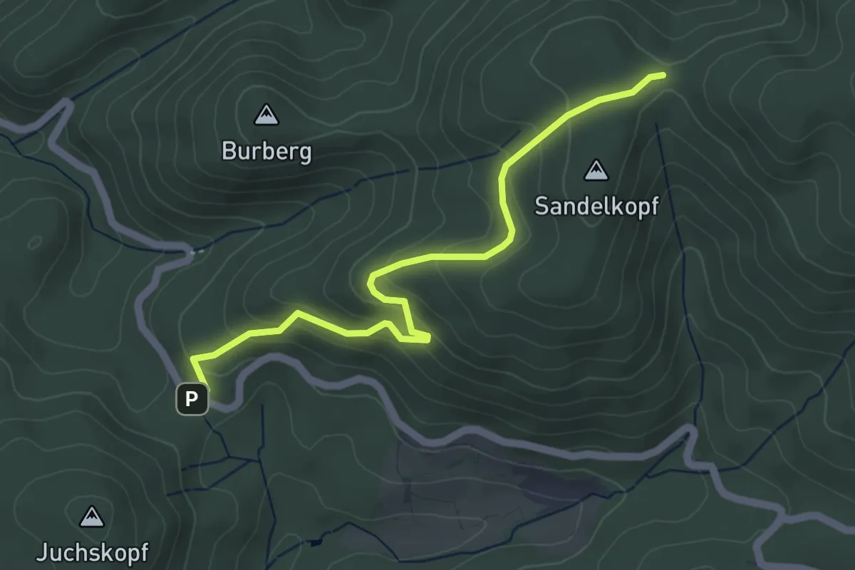
Easy · Trail
Roter Rain - Rehhütte
4.5 km · ↑ 252 m · 1 h 36 min · 13 km away
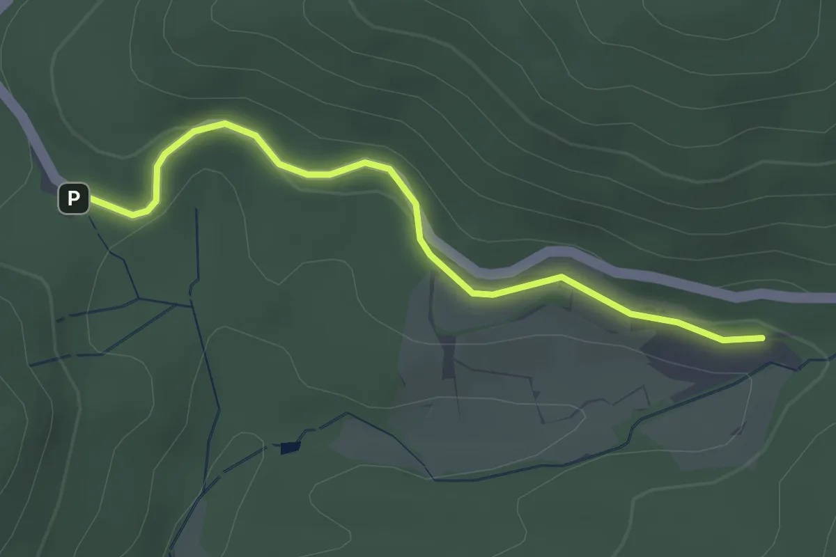
Easy · Trail
Roter Rain - Glashütte St. Christoph
2.7 km · ↑ 87 m · 49 min · 13 km away
Easy · Trail
Schwarzwasen - Lochhäuser-Heitere Grube
5.3 km · ↑ 176 m · 1 h 39 min · 13 km away
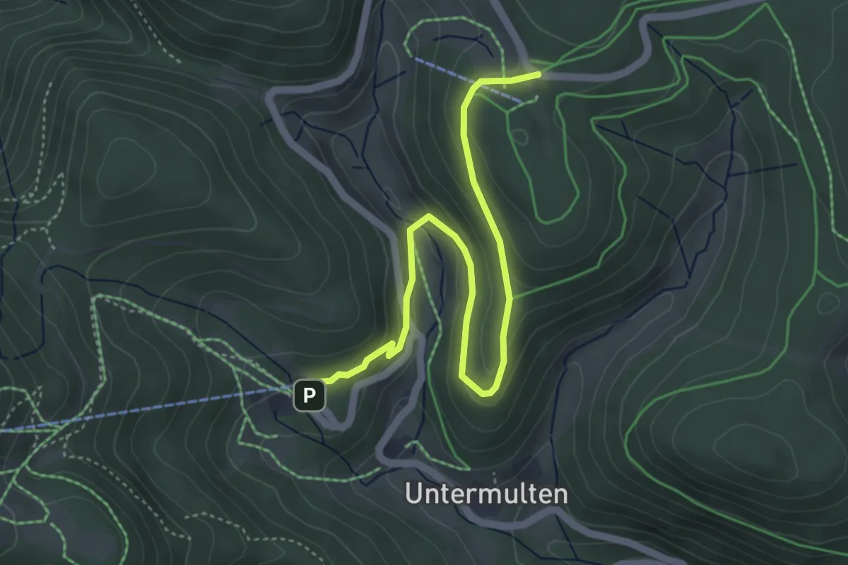
Easy · Cabin
Belchenerlebnisweg "Regenwurmpfad"
4.8 km · ↑ 156 m · 1 h 28 min · 13 km away
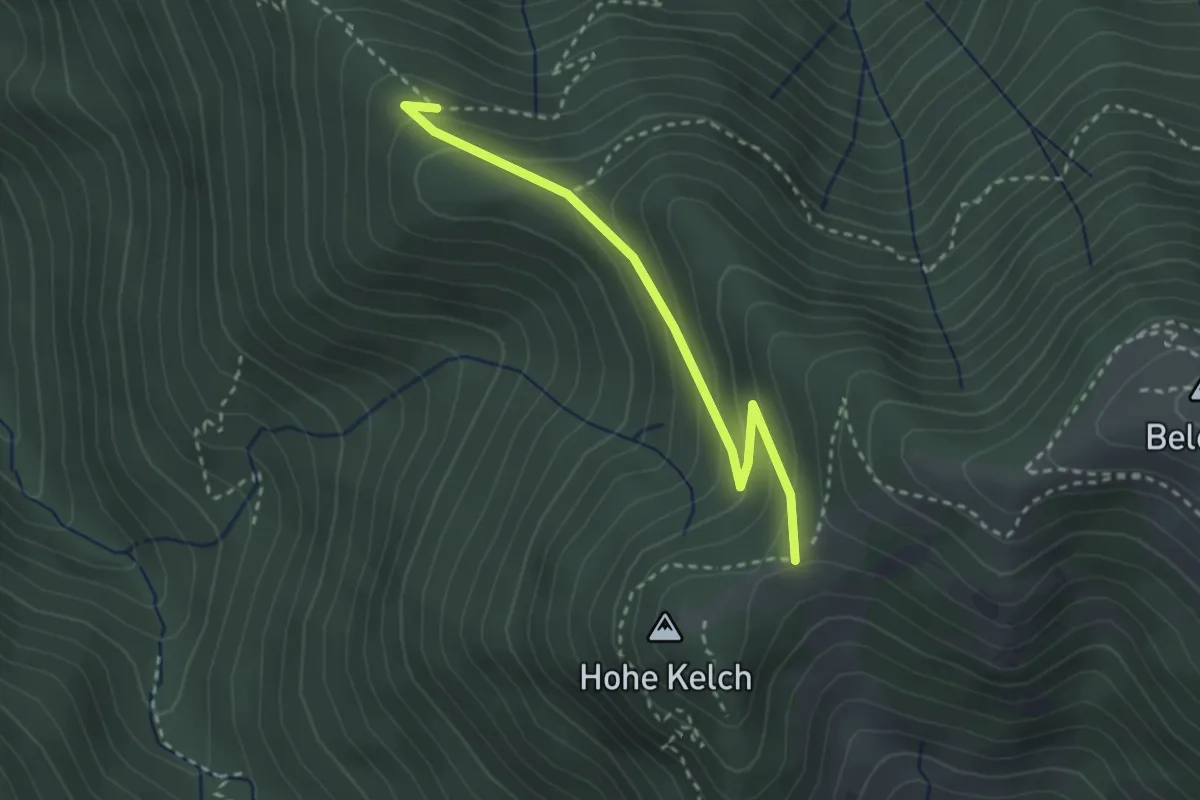
Medium · Trail
Feuersteinfelsen - Hohkelchsattel
2.7 km · ↑ 198 m · 1 h 3 min · 13 km away
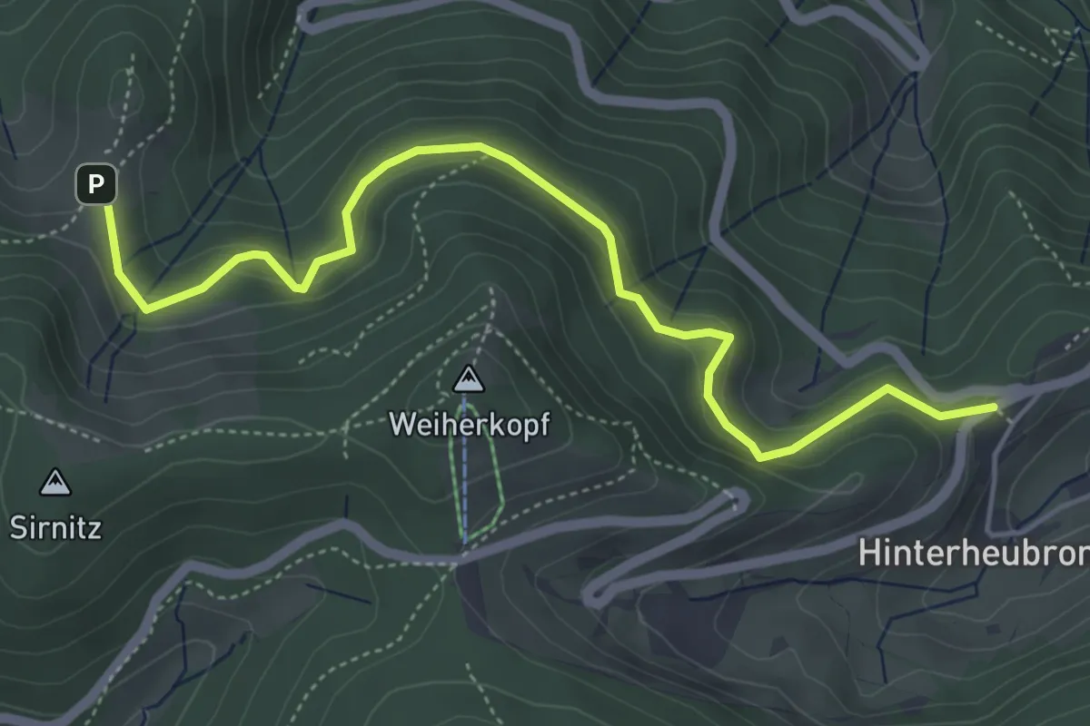
Easy · Trail
Kälbelescheuer - Haldenhof
5.2 km · ↑ 279 m · 1 h 50 min · 13 km away
Easy · Trail
Todtmoos-Höfle - Todtmooser Wasserfall
2.4 km · ↑ 87 m · 45 min · 13 km away
Medium · Trail
MTPf Panorama Schleife
10.1 km · ↑ 256 m · 3 h 5 min · 13 km away
Medium · Summit
MTPf Gugelturm Schleife
8.7 km · ↑ 294 m · 2 h 50 min · 13 km away
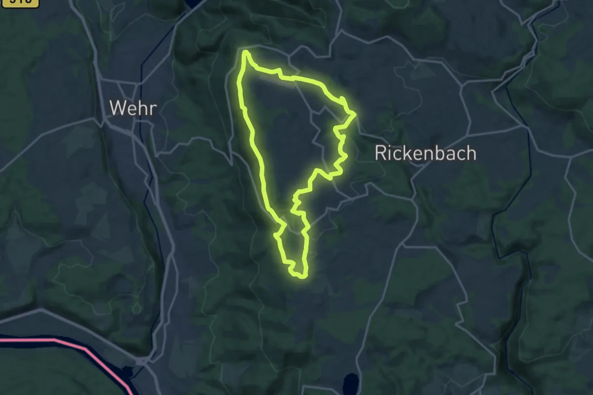
Medium · Summit
Hotzenpfad
12.8 km · ↑ 347 m · 3 h 57 min · 13 km away
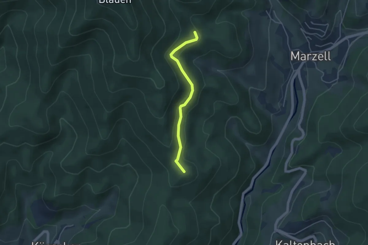
Easy · Summit
Steinenboden - Hexenplatz
3.3 km · ↑ 129 m · 1 h 3 min · 13 km away
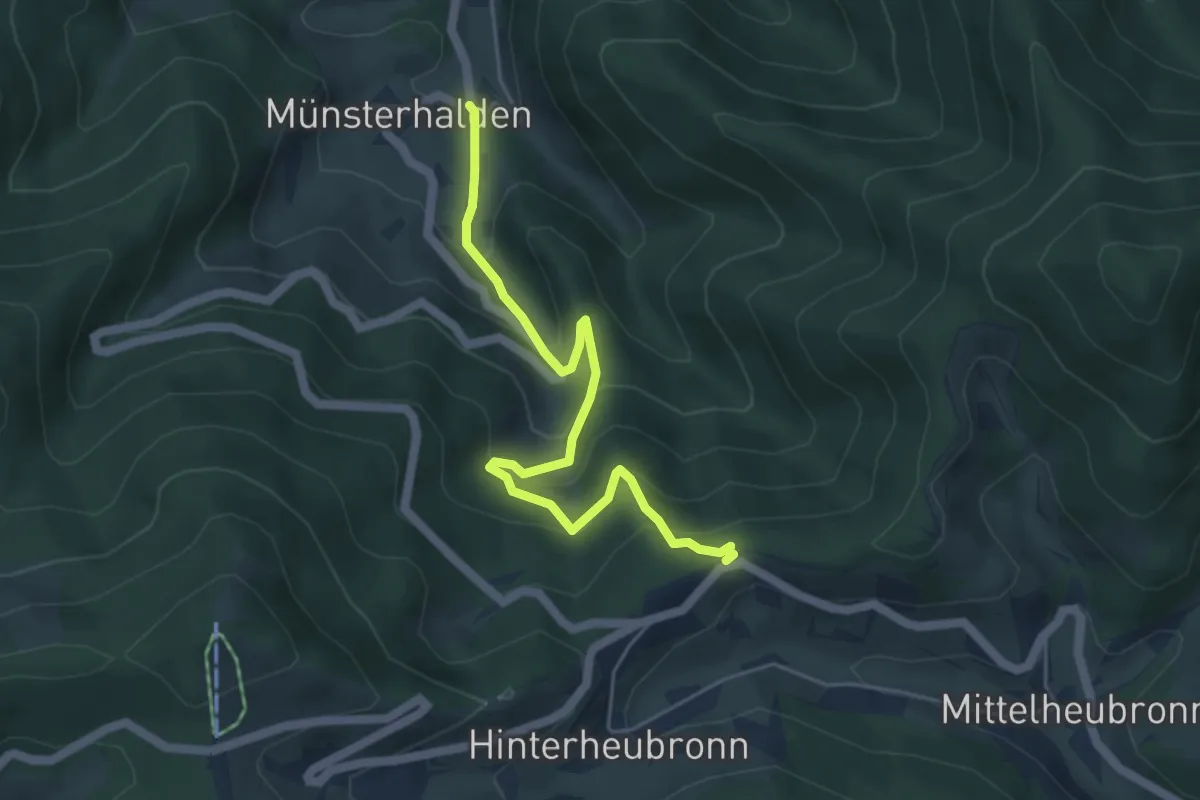
Medium · Trail
Münsterhalden Alte Gass - Im Mond
5.0 km · ↑ 377 m · 1 h 59 min · 13 km away
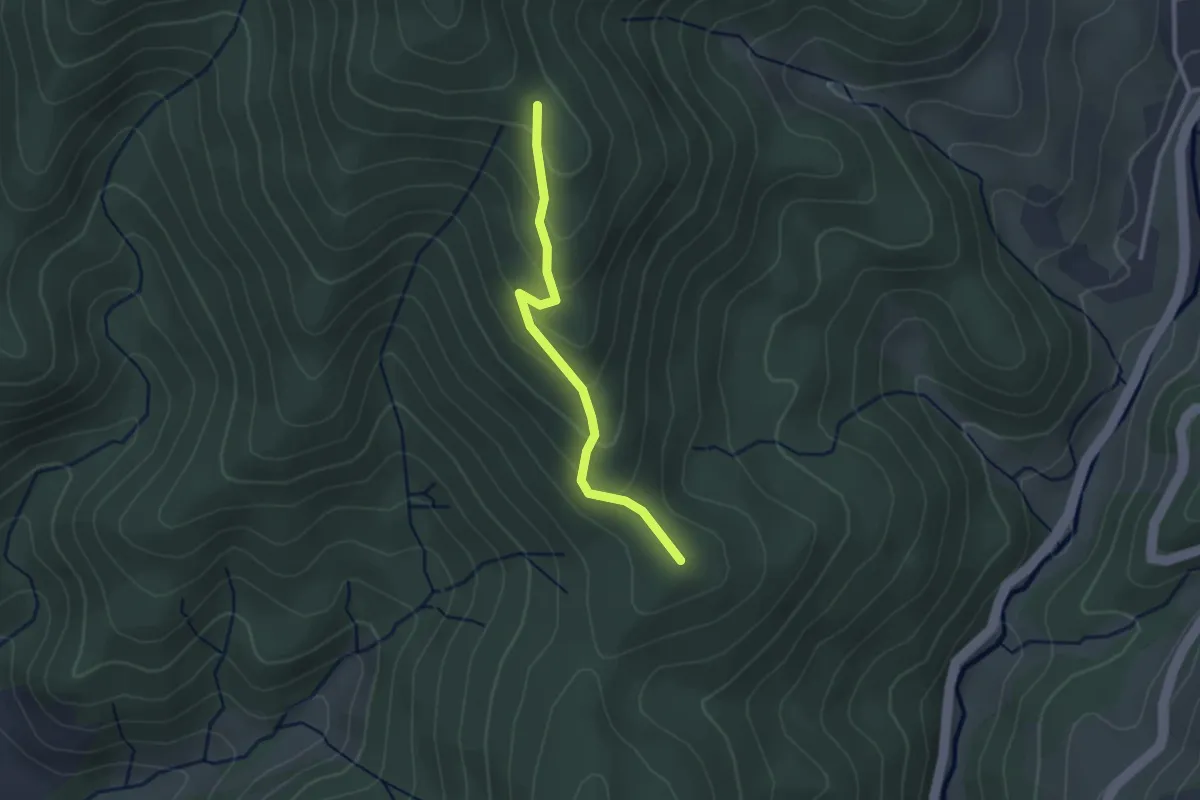
Easy · Summit
Hägi - Hexenplatz
2.4 km · ↑ 137 m · 52 min · 13 km away
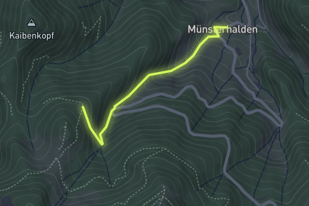
Easy · Trail
Sirnitzgrund - Münsterhalden Pfefferle Hof
3.4 km · ↑ 312 m · 1 h 28 min · 13 km away
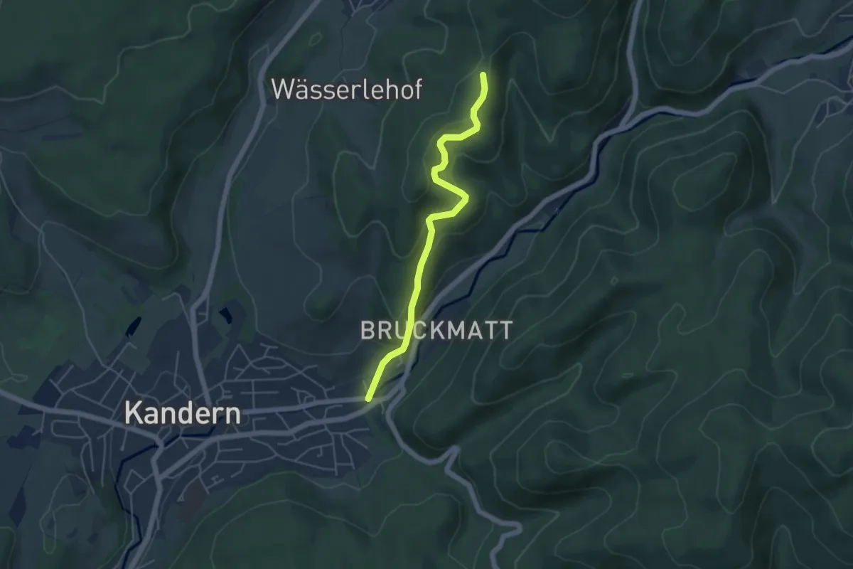
Easy · Trail
Kandern Edelmatt - Langenebene
4.4 km · ↑ 235 m · 1 h 33 min · 13 km away
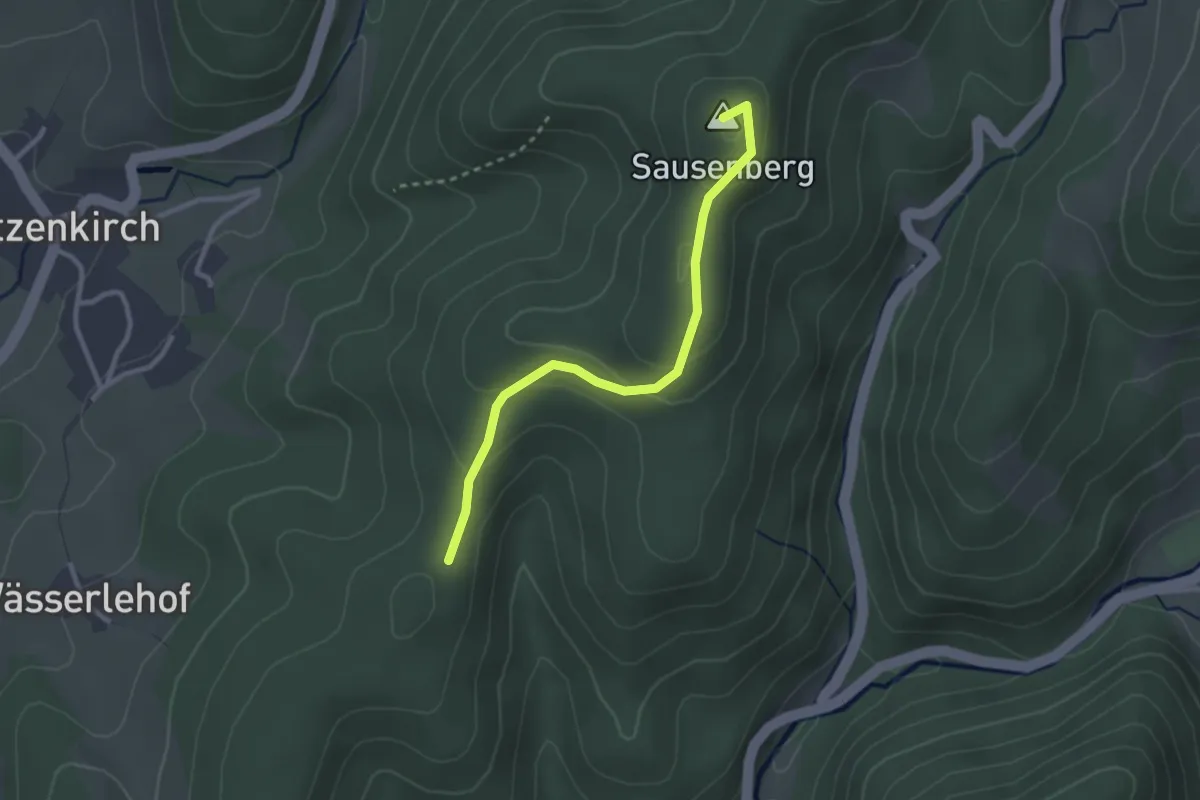
Easy · Summit
Lindenbückle - Langenebene
2.6 km · ↑ 112 m · 52 min · 13 km away
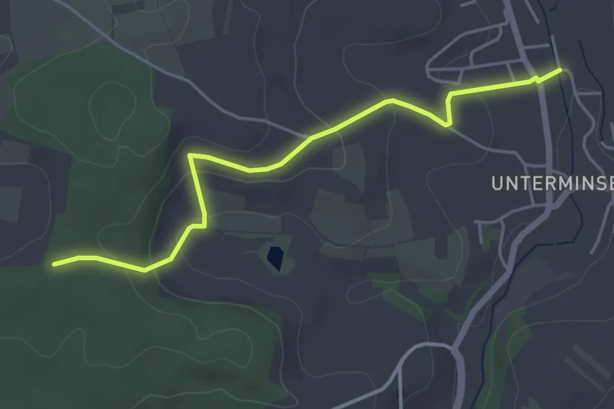
Easy · Trail
Buhrenboden - Minseln am Mühlbach
4.3 km · ↑ 152 m · 1 h 20 min · 13 km away
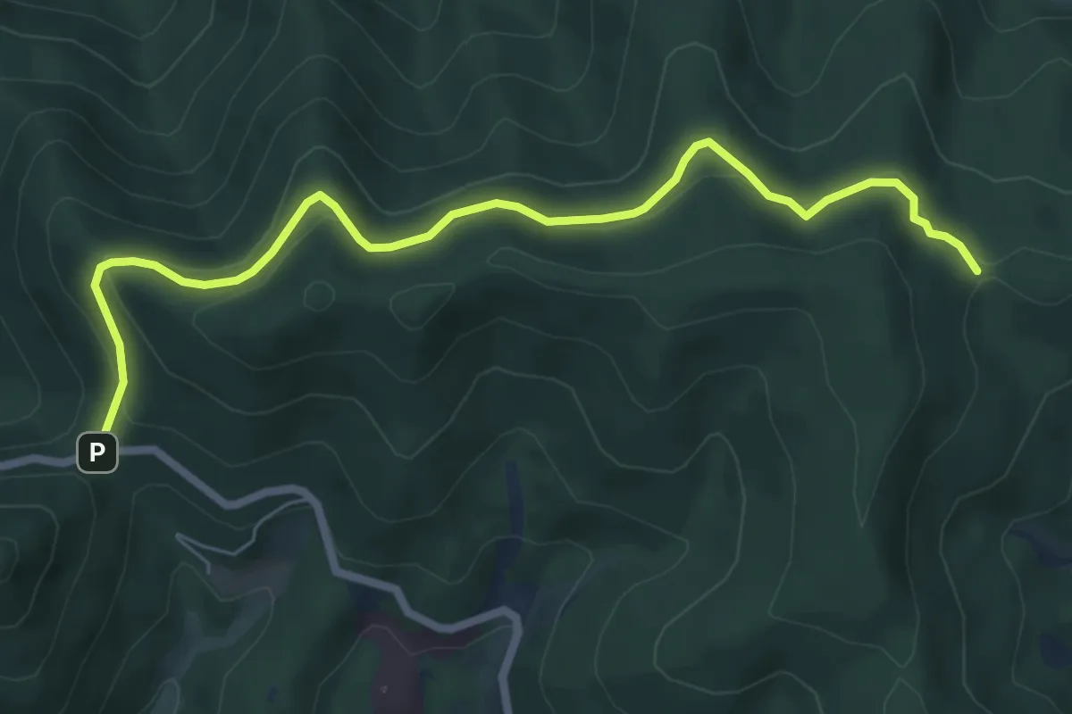
Easy · Trail
Stühle - Egerten
6.9 km · ↑ 222 m · 2 h 6 min · 13 km away
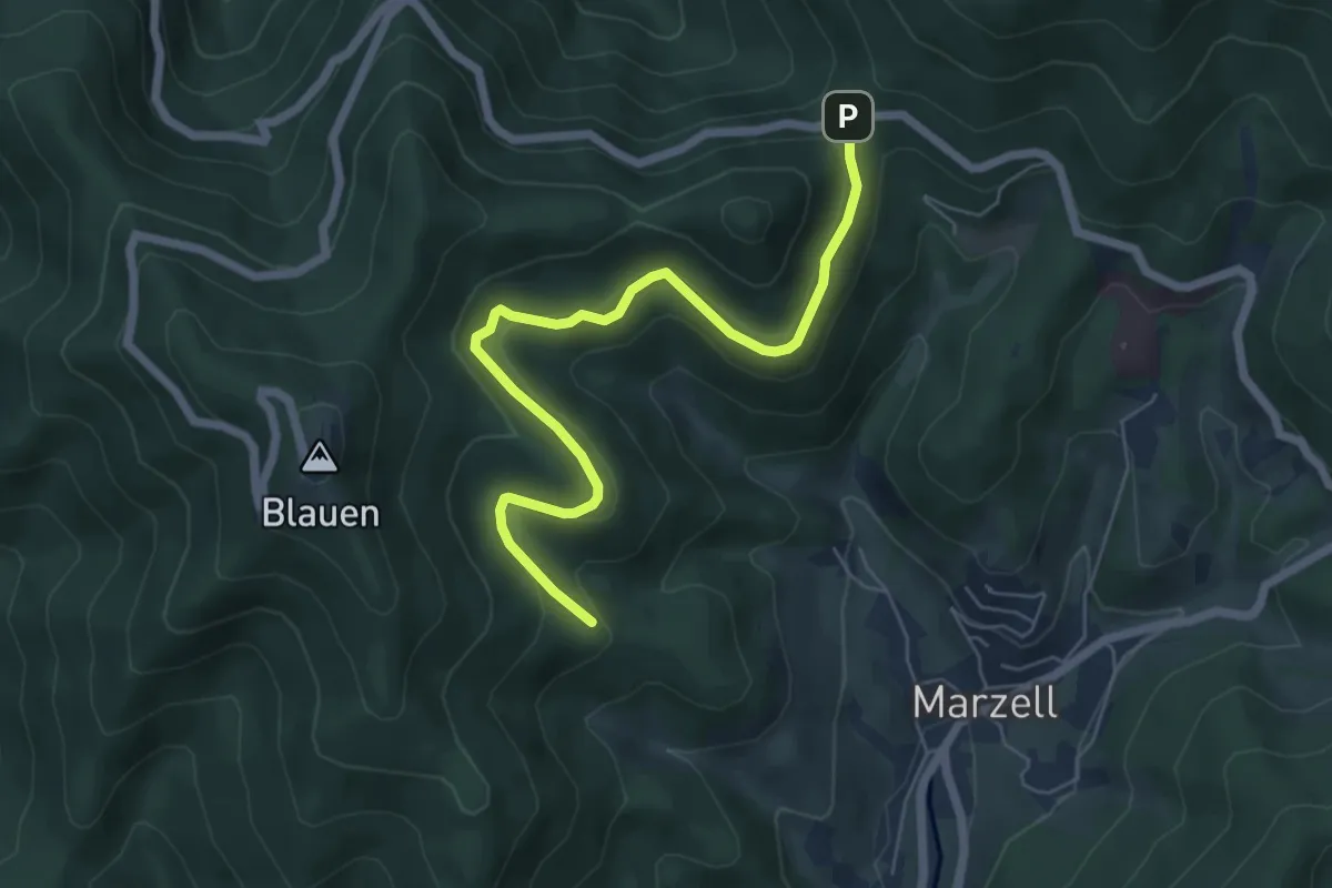
Easy · Trail
Steinenboden - Egerten
6.2 km · ↑ 239 m · 1 h 59 min · 13 km away
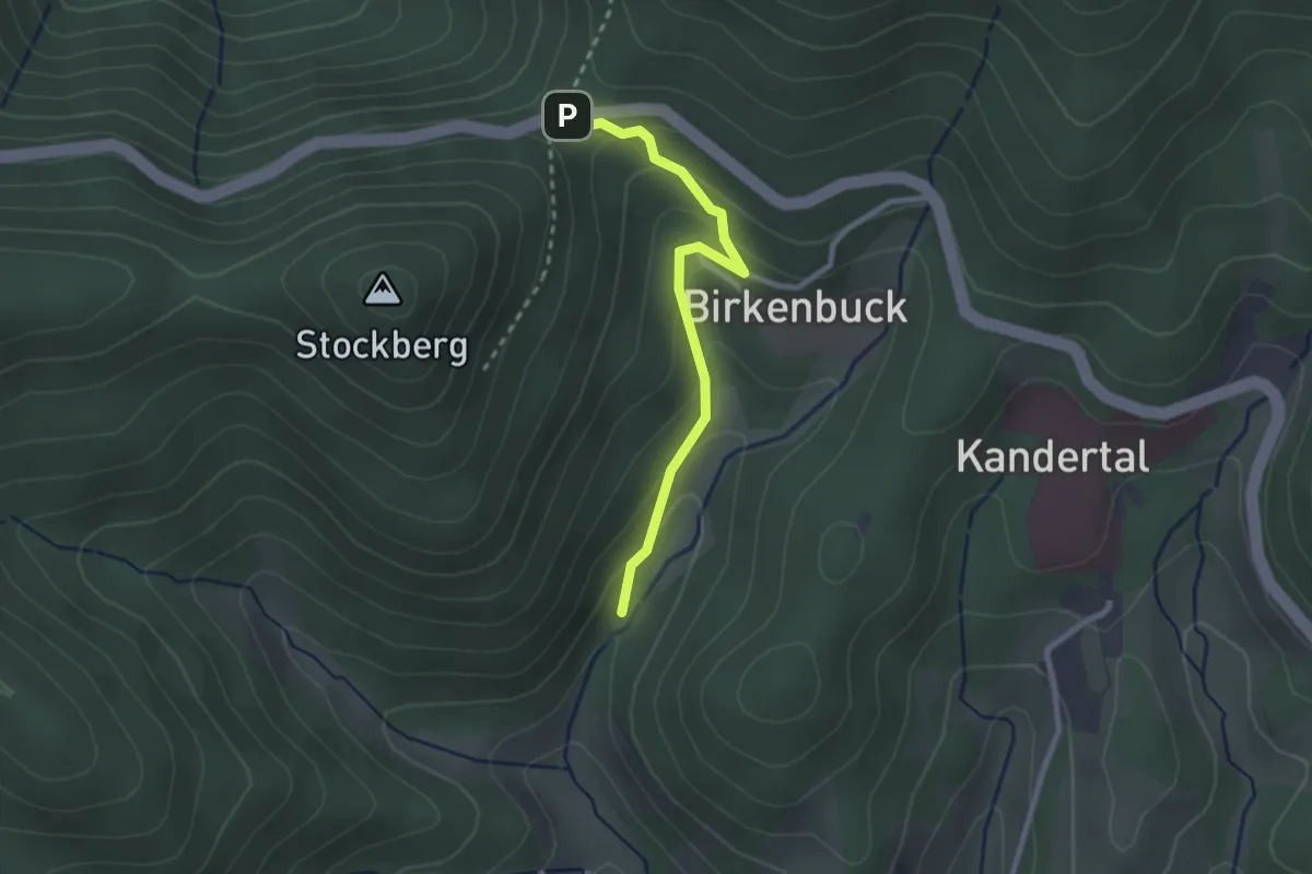
Easy · Trail
Egerten - Maisenbach
2.3 km · ↑ 124 m · 49 min · 13 km away
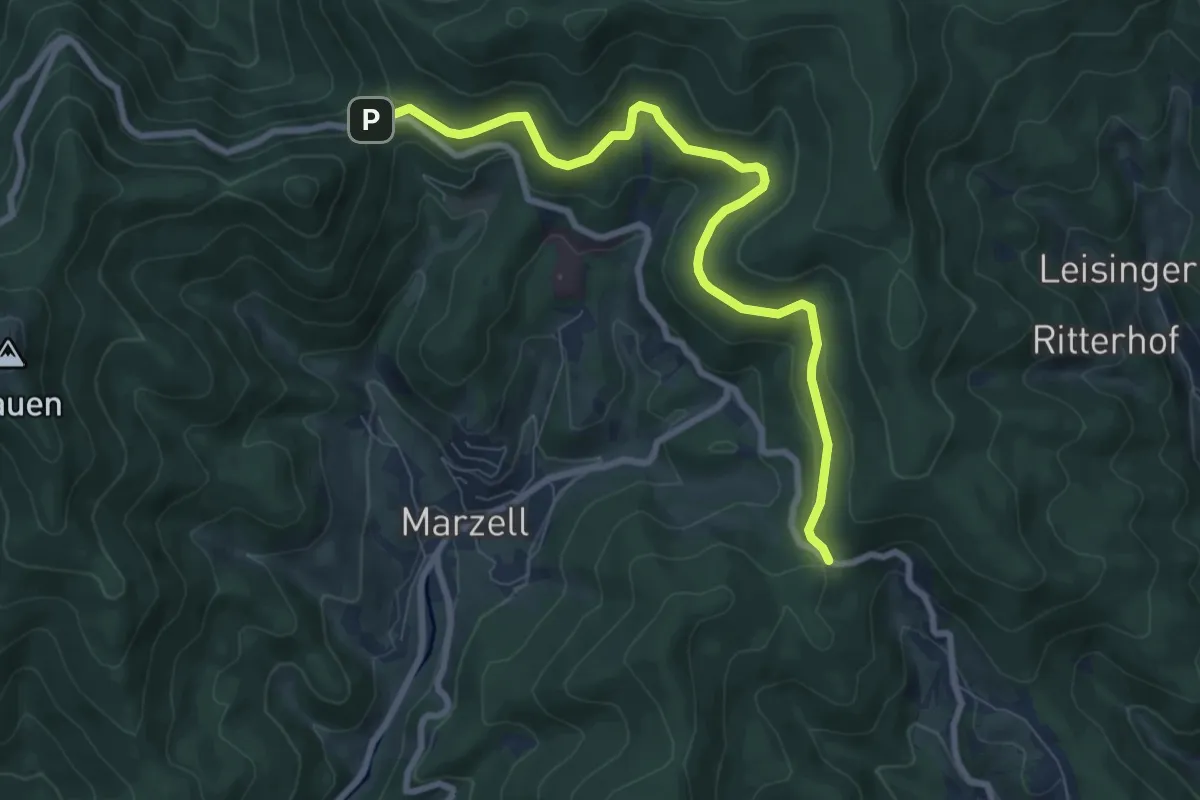
Medium · Trail
Egerten - Lipple
8.3 km · ↑ 284 m · 2 h 35 min · 13 km away
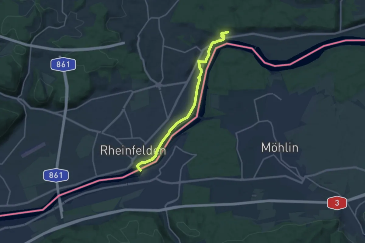
Medium · Trail
Interregio-Wanderweg (deutscher Abschnitt)
11.4 km · ↑ 79 m · 2 h 52 min · 13 km away
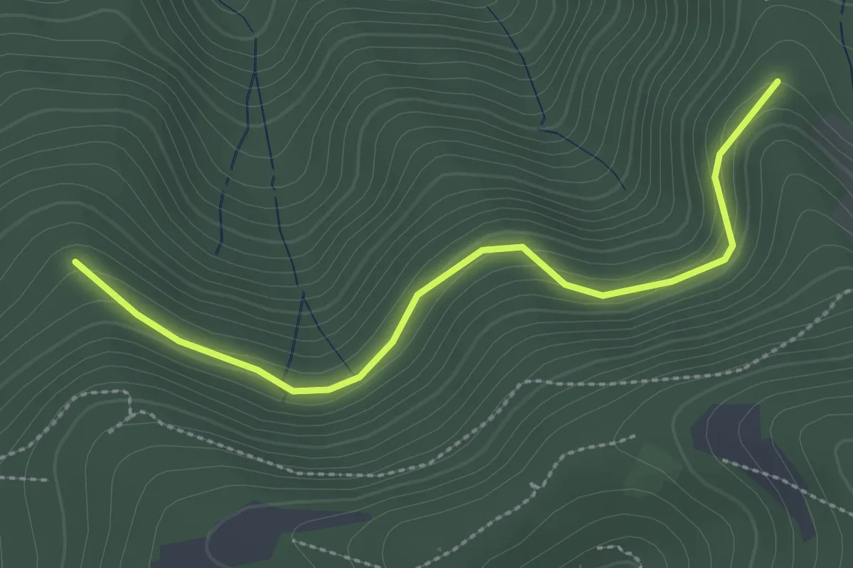
Easy · Trail
Schnellinghalde - Heitersheimer Rank
2.8 km · ↑ 102 m · 52 min · 13 km away
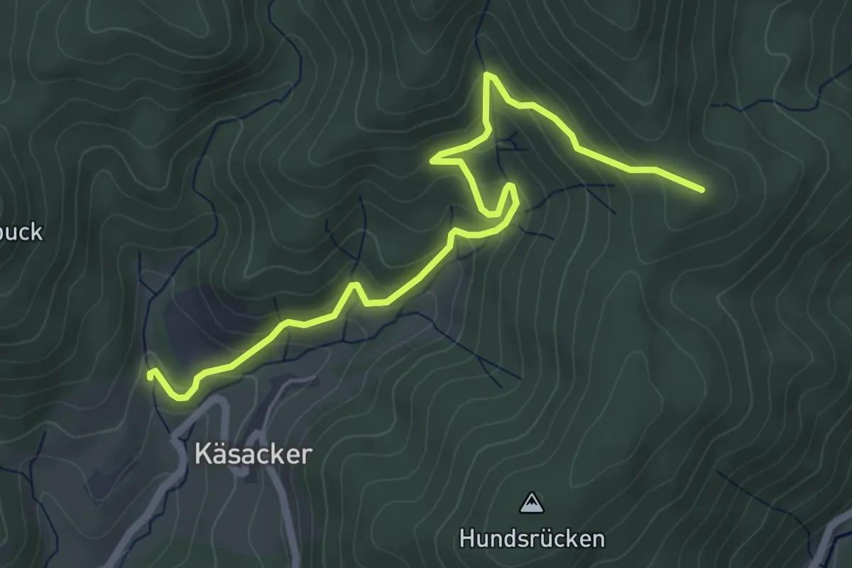
Medium · Summit
Bei den Lippisbacherhöfen - Unter Hexenplatz
5.6 km · ↑ 364 m · 2 h 6 min · 13 km away
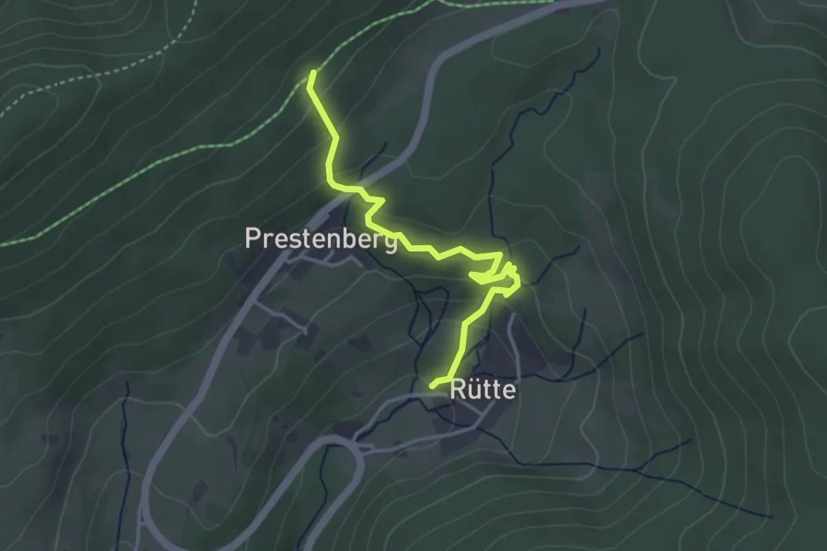
Easy · Trail
Am Beerebühl - Unt. Langenwaldweg Abzw. Prestenberg
3.3 km · ↑ 226 m · 1 h 17 min · 13 km away
Easy · Trail
Kindskreuzle - Sonnenmatt
3.7 km · ↑ 87 m · 1 h 4 min · 13 km away
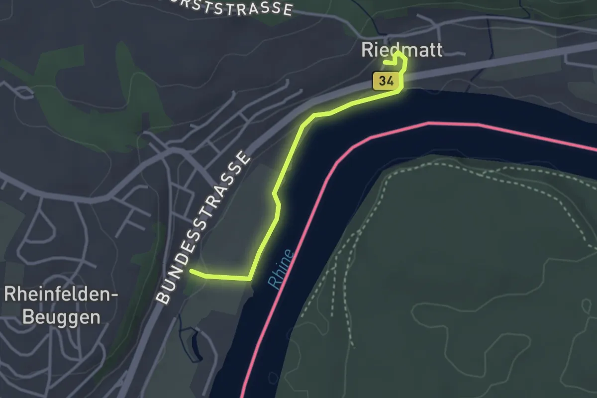
Easy · Trail
Schloss Beuggen - Bei der Tschamberhöhle
2.7 km · ↑ 47 m · 44 min · 13 km away
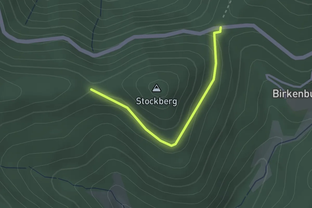
Easy · Trail
Egerten - Stockberg
2.2 km · ↑ 82 m · 42 min · 13 km away
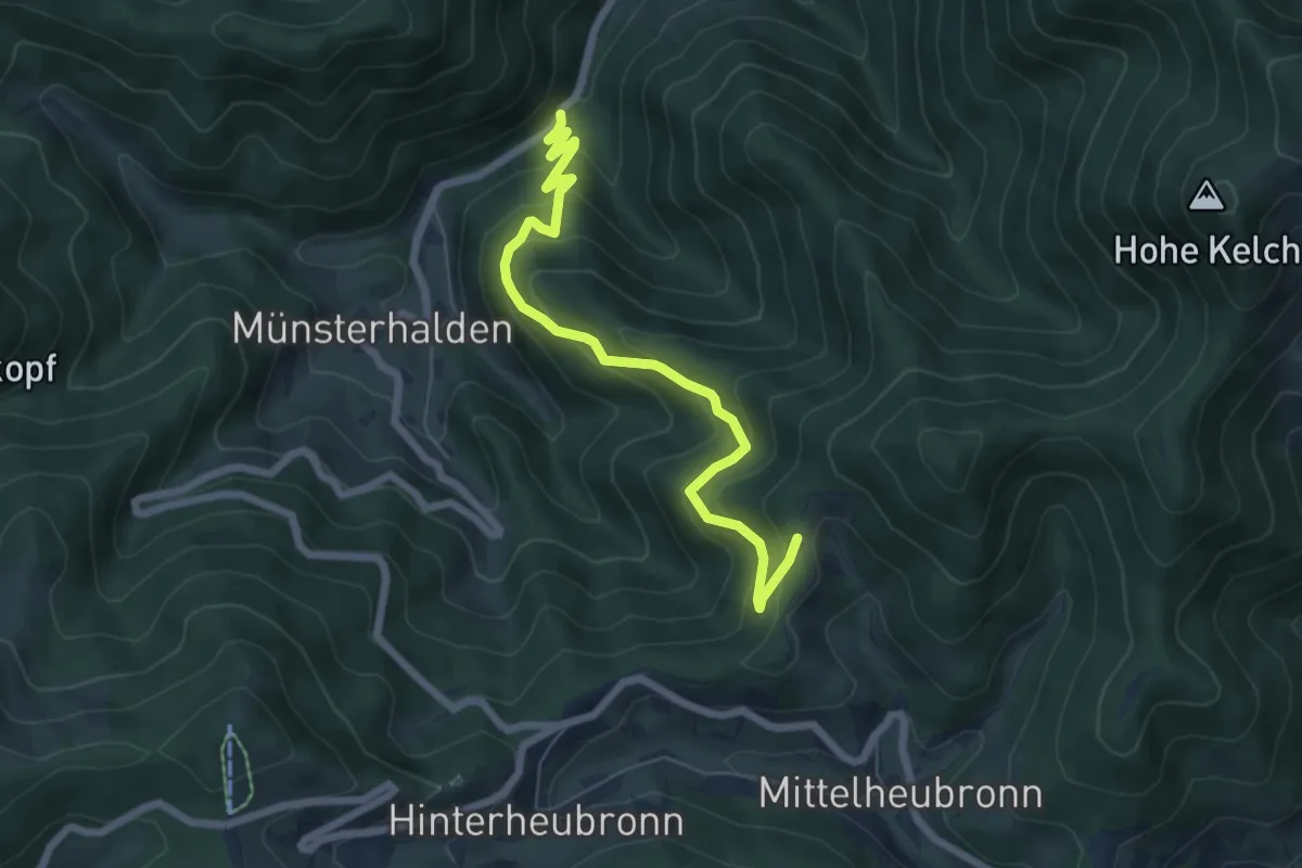
Medium · Trail
Rappenfelsen - Spänplatz
6.4 km · ↑ 470 m · 2 h 32 min · 13 km away
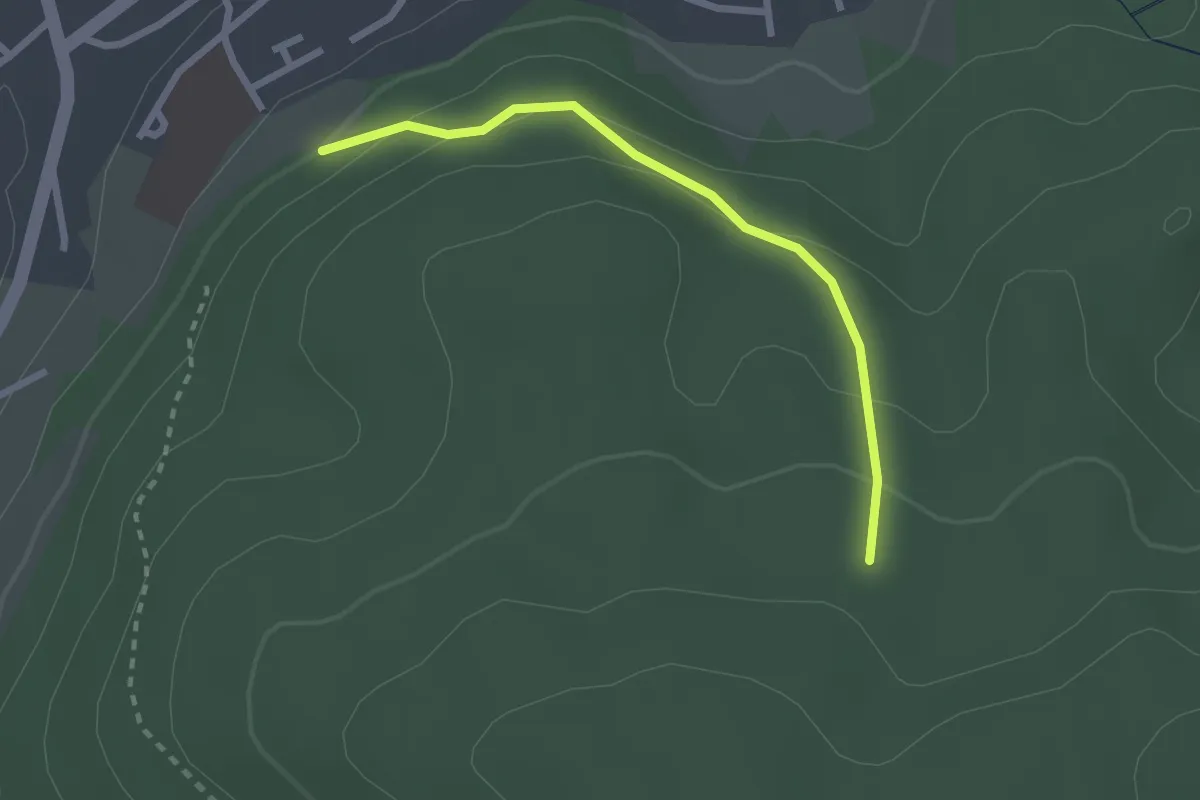
Easy · Trail
Staig - Fasanengarten
2.3 km · ↑ 121 m · 48 min · 13 km away
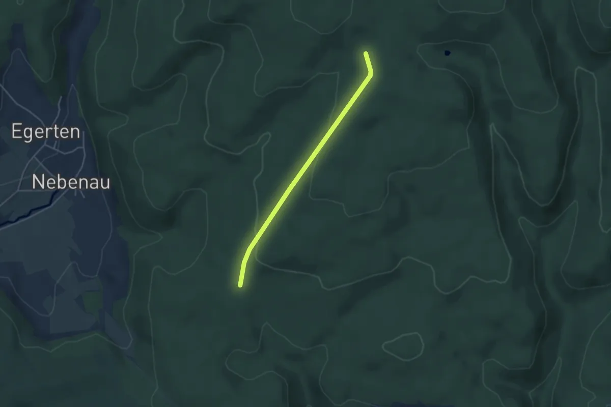
Easy · Trail
Hexenbrünnli - Siegenbachhüsli
3.5 km · ↑ 90 m · 1 h 1 min · 13 km away
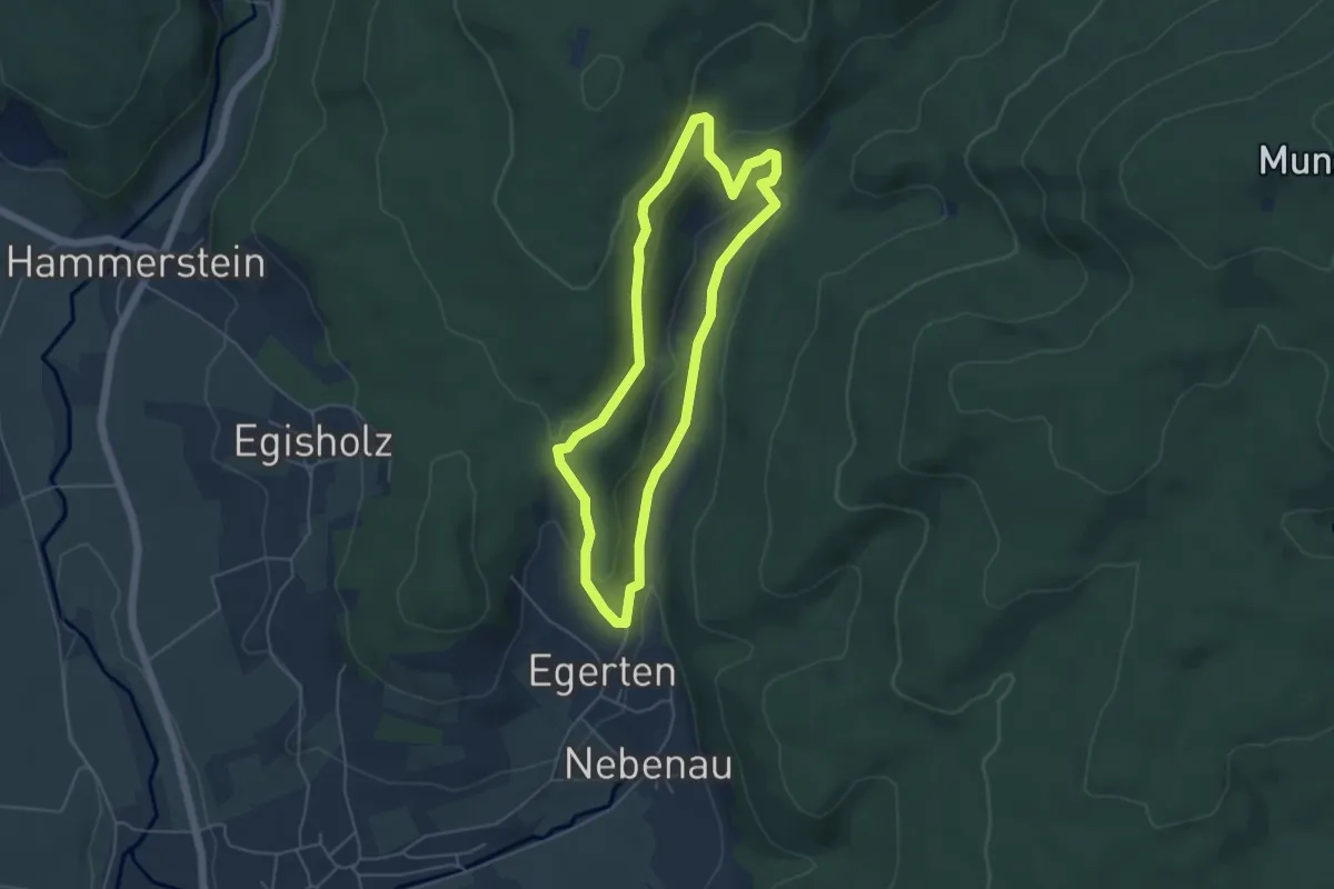
Medium · Trail
Kalkofen-Erlebnispfad
4.5 km · ↑ 183 m · 1 h 31 min · 13 km away
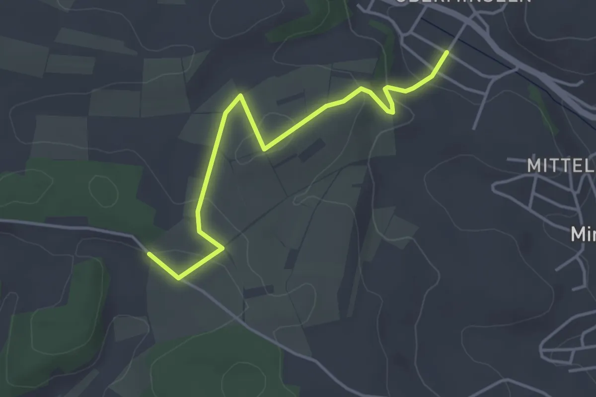
Easy · Trail
Oberminseln Zum Stillen Winkel - Hexenplatz
3.9 km · ↑ 88 m · 1 h 6 min · 13 km away
Easy · Trail
Unt. Langenwaldweg Abzw. Prestenberg - Unt. Langwaldweg Abzw. Weidenbuche
2.1 km · ↑ 54 m · 37 min · 13 km away
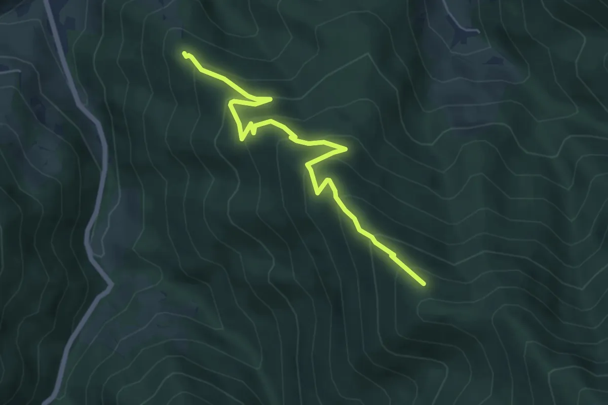
Medium · Trail
Langecker Weide - Feuersteinfelsen
5.2 km · ↑ 436 m · 2 h 10 min · 13 km away
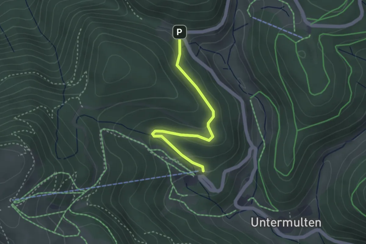
Easy · Trail
Krinne - Talstation Belchenbahn
2.9 km · ↑ 111 m · 56 min · 13 km away
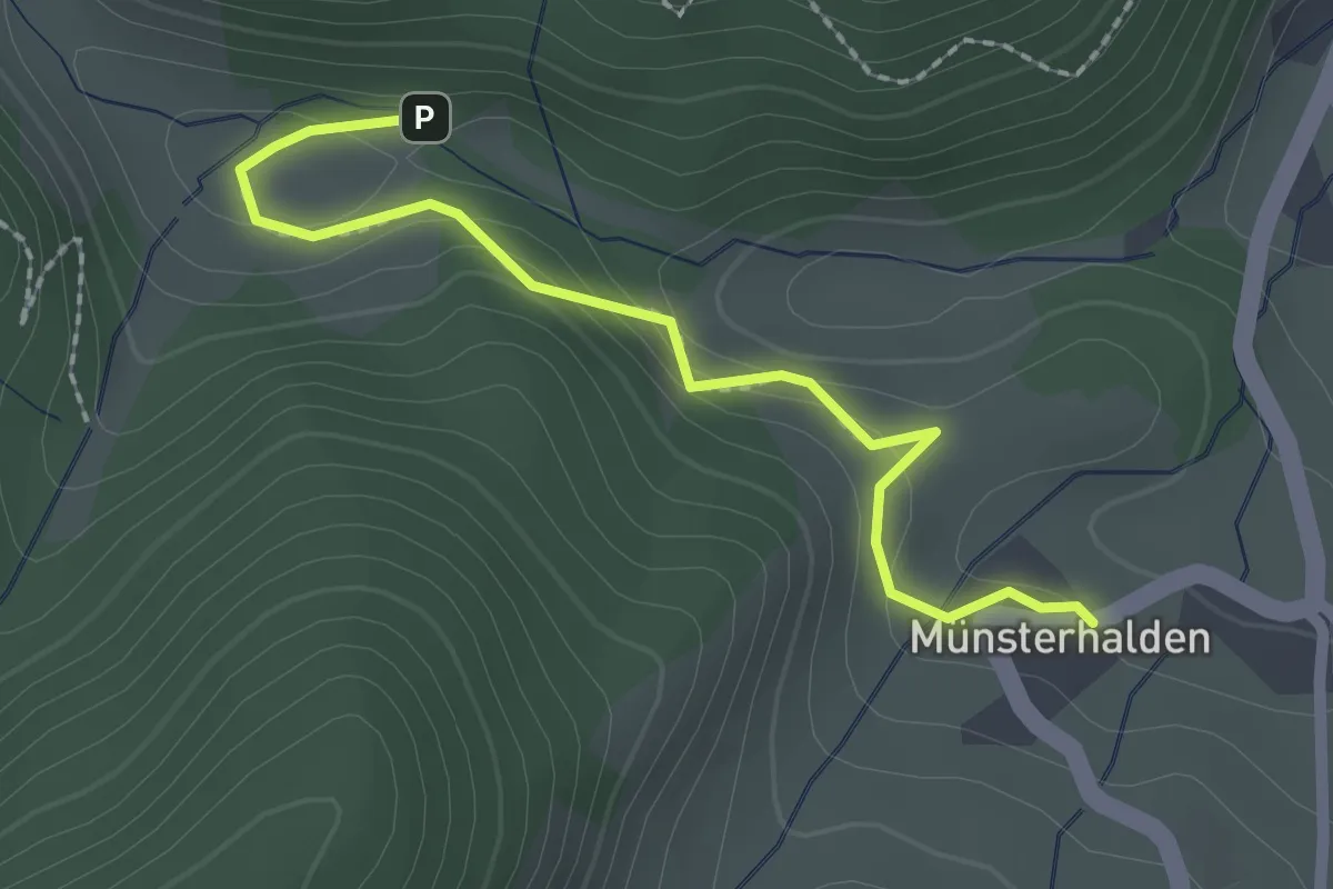
Easy · Trail
Dekan-Strohmeyer-Haus - Münsterhalden Pfefferle Hof
2.2 km · ↑ 93 m · 43 min · 13 km away
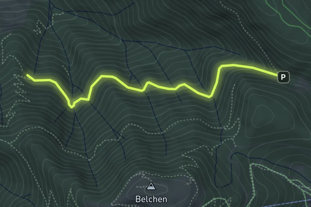
Medium · Trail
Knappengrund - Krinne
4.8 km · ↑ 397 m · 2 h · 14 km away
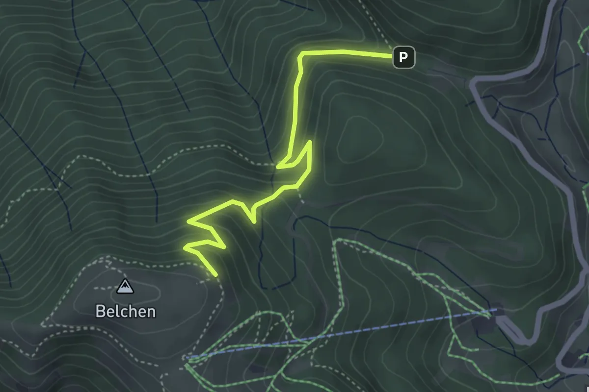
Easy · Trail
Krinne - Krinnenabgang
4.1 km · ↑ 276 m · 1 h 34 min · 14 km away
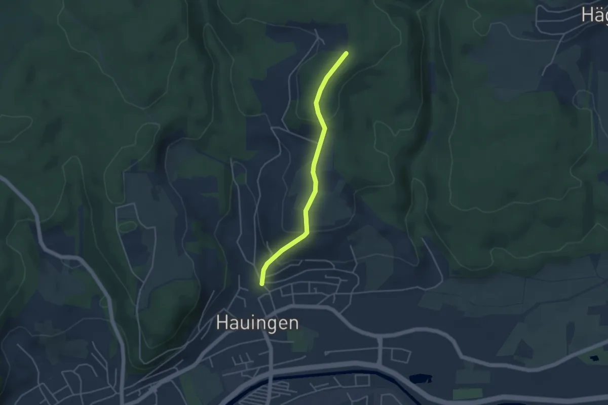
Easy · Trail
Rechberg - Hauingen Dornhalde
3.6 km · ↑ 161 m · 1 h 12 min · 14 km away
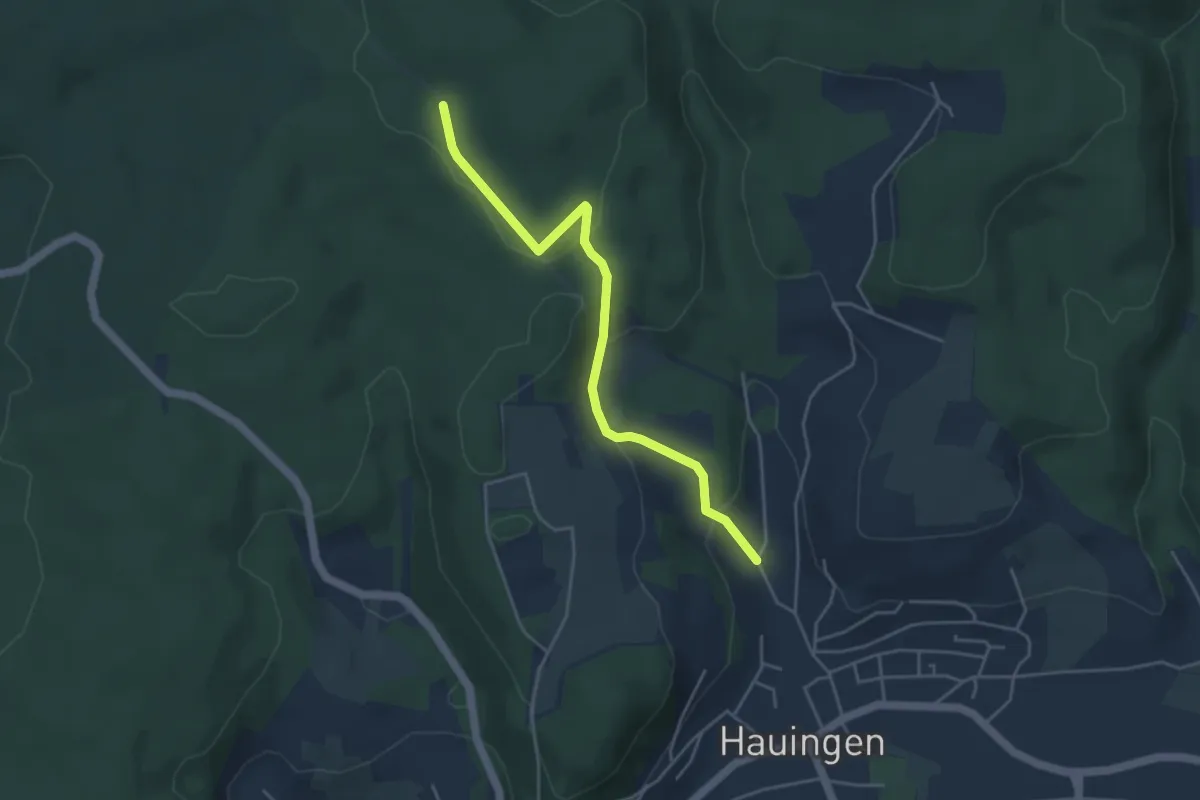
Easy · Trail
Wolfsgrube - Jungholzweg
4.2 km · ↑ 152 m · 1 h 19 min · 14 km away
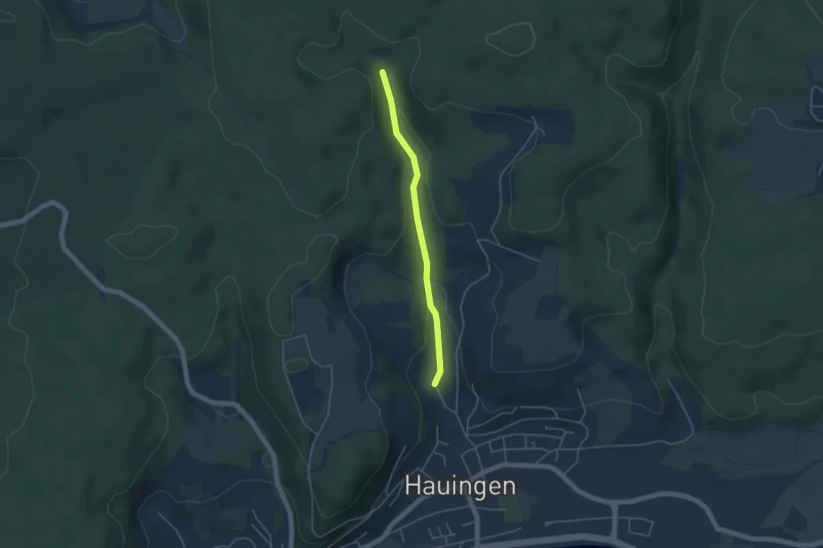
Easy · Trail
Obere Soormatt - Jungholzweg
3.5 km · ↑ 98 m · 1 h 2 min · 14 km away
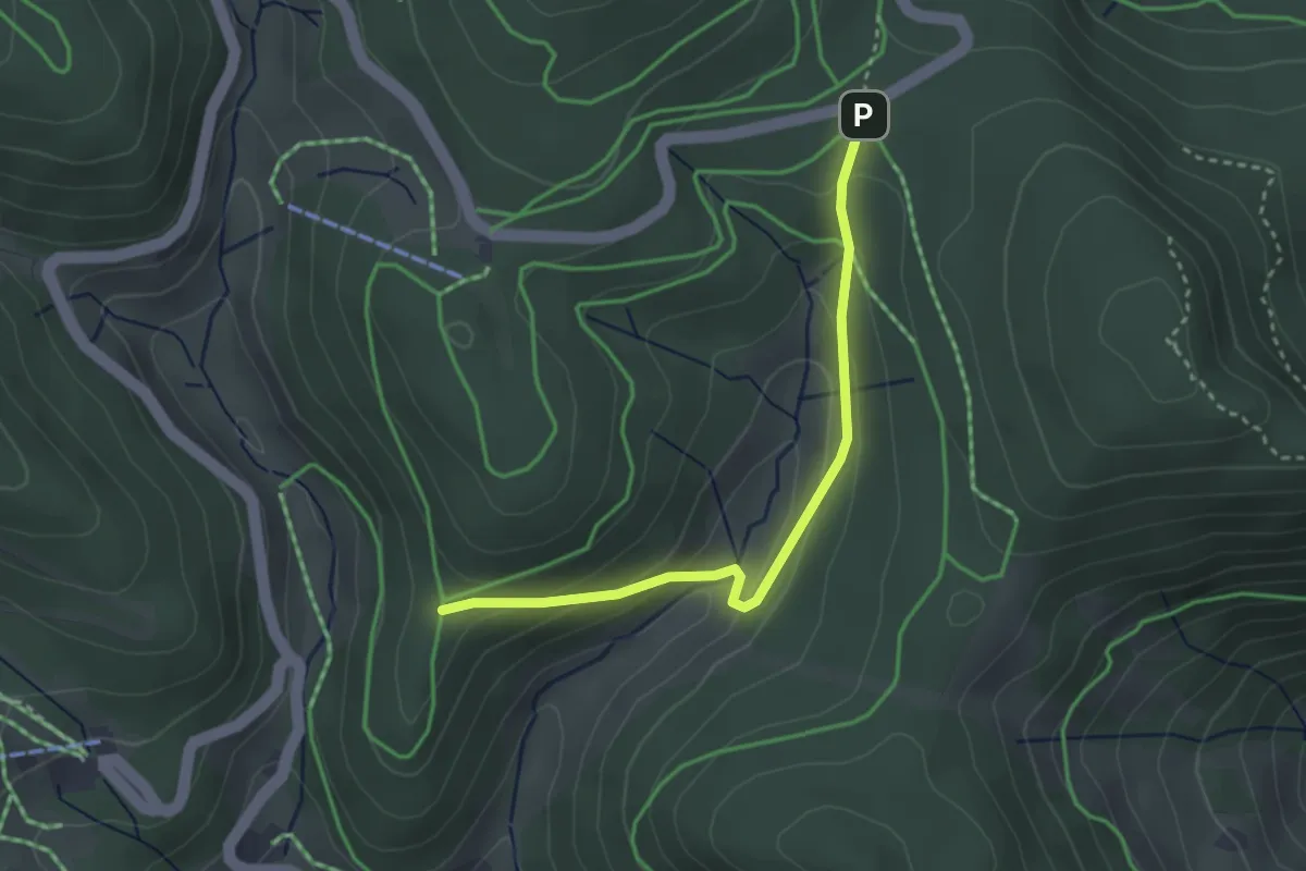
Easy · Trail
Eckle - Lückle
2.9 km · ↑ 171 m · 1 h 4 min · 14 km away
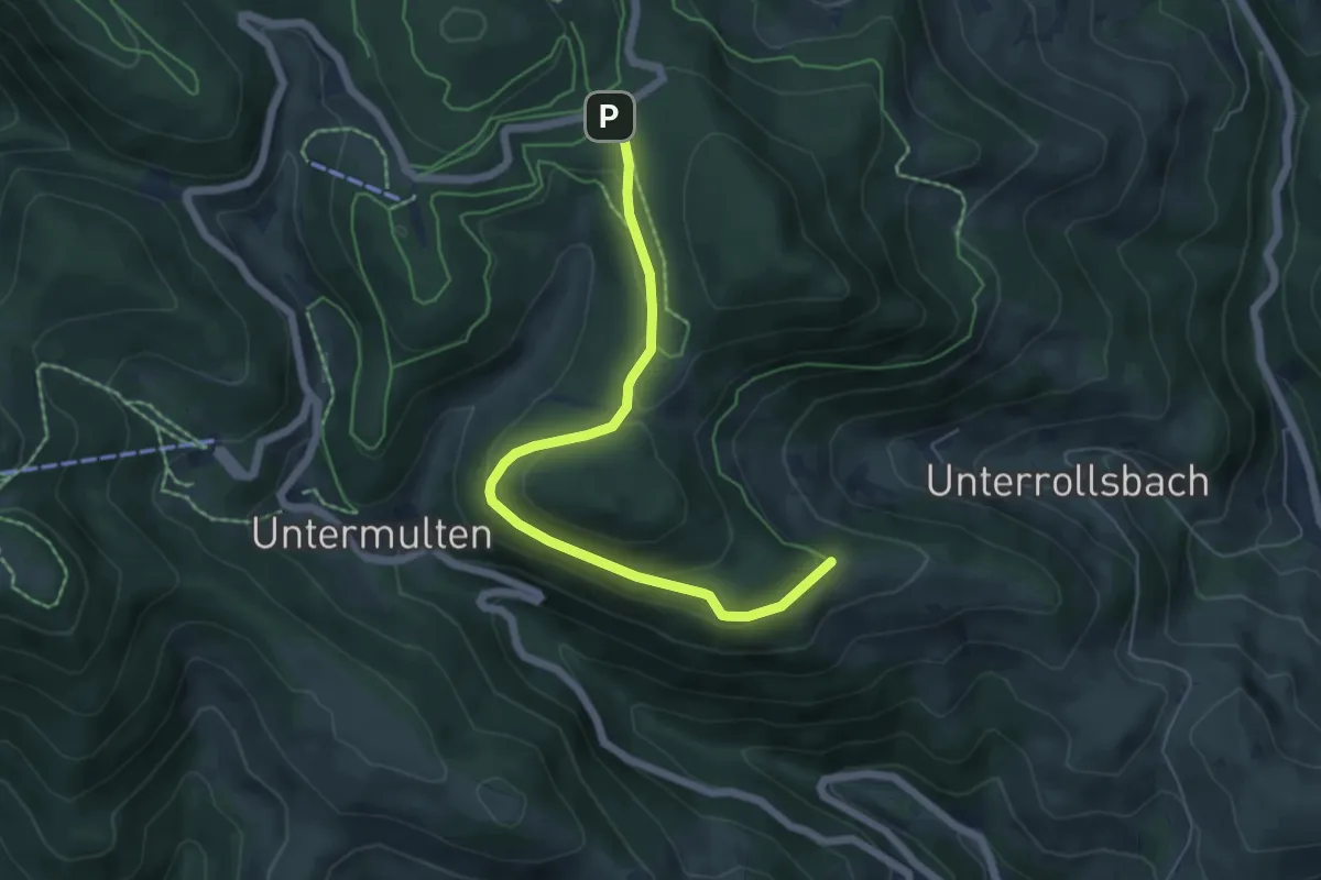
Easy · Trail
Lückle - Kälberweid
5.7 km · ↑ 180 m · 1 h 44 min · 14 km away
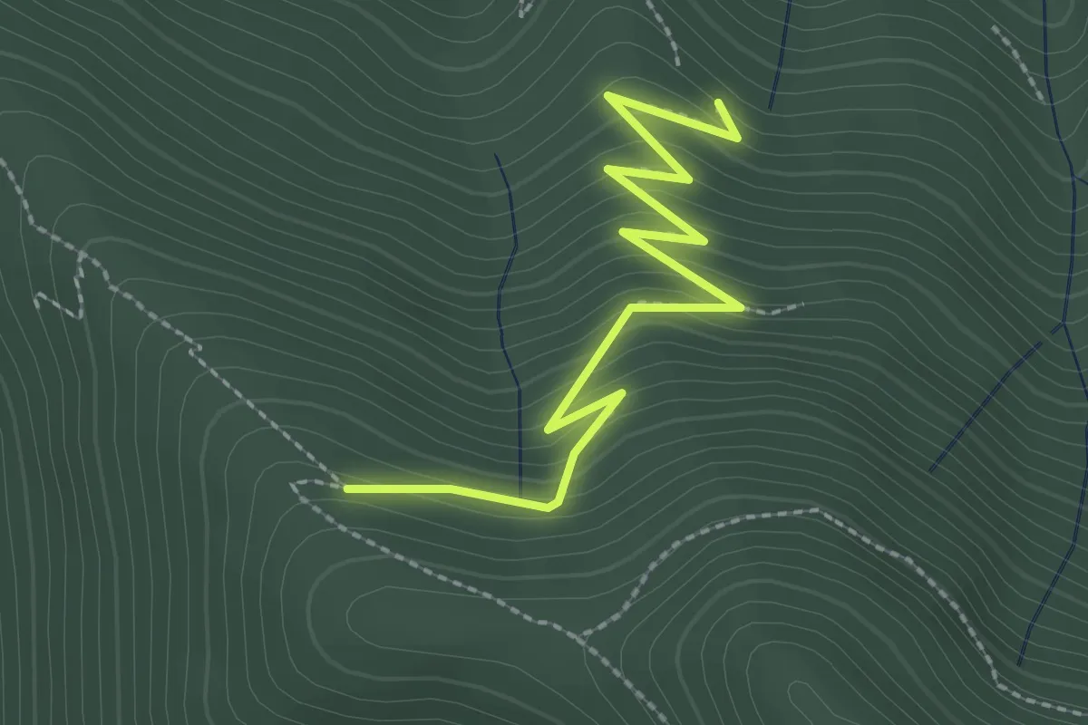
Medium · Trail
Feuersteinfelsen - Knappengrund
2.6 km · ↑ 231 m · 1 h 7 min · 14 km away