Trails near Zell im Wiesental
326 hikes starting within 15 km, nearest first.
Nearest first, page 7 of 7
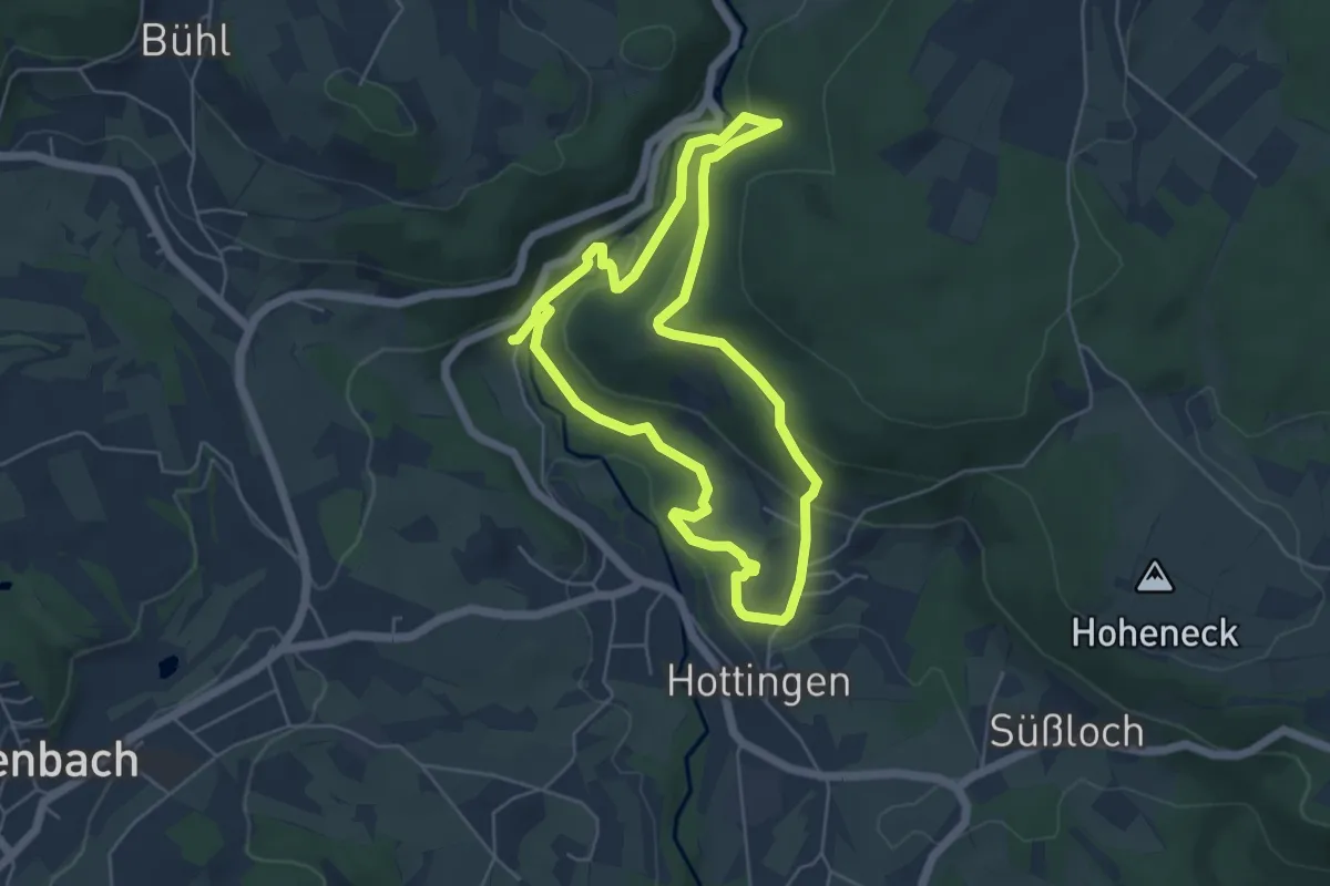
Easy · Trail
MTPf Wuhren Schleife
4.9 km · ↑ 171 m · 1 h 36 min · 14 km away
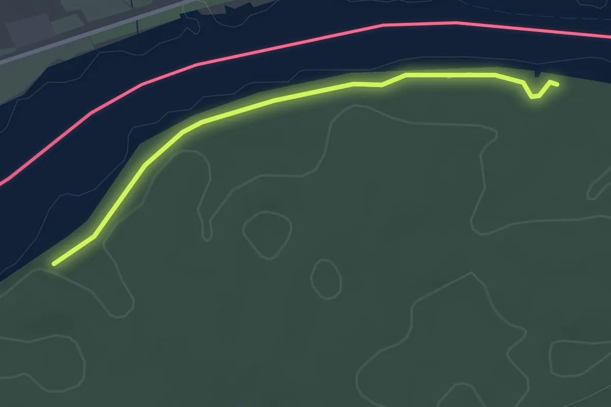
Easy · Trail
Chräbis - Rappertshüseren
2.8 km · ↑ 14 m · 41 min · 14 km away
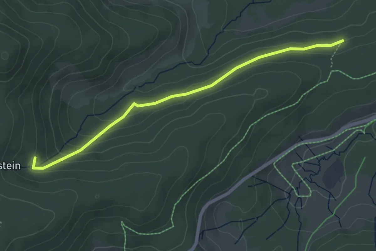
Easy · Trail
Hirzboden - Schmaleck
4.5 km · ↑ 149 m · 1 h 23 min · 14 km away
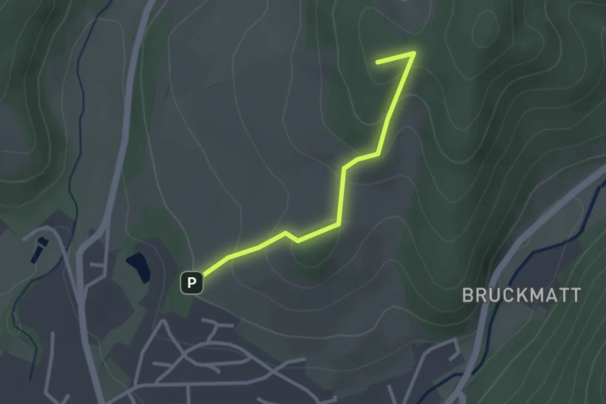
Easy · Summit
Wässerliwald - Im Loh
2.3 km · ↑ 125 m · 49 min · 14 km away
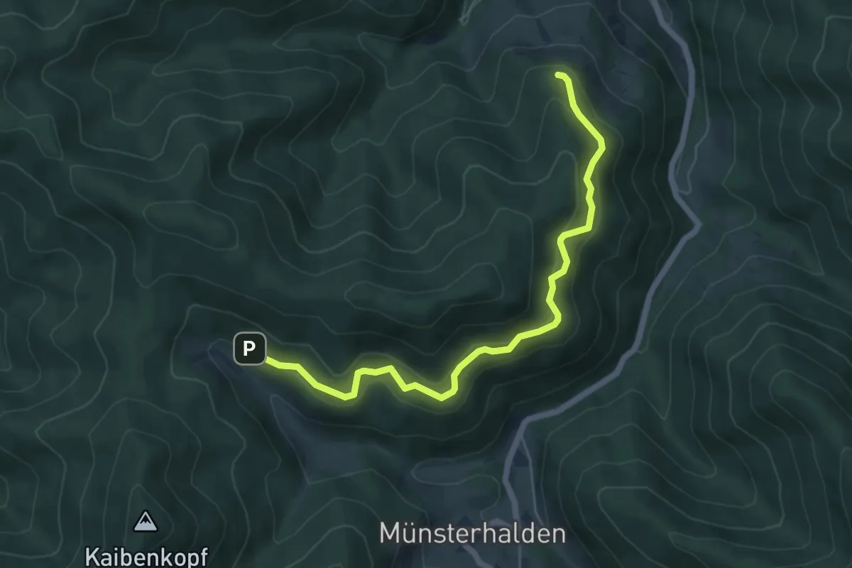
Medium · Trail
Rammelsbach - Antoniushütte
5.7 km · ↑ 321 m · 2 h 3 min · 14 km away
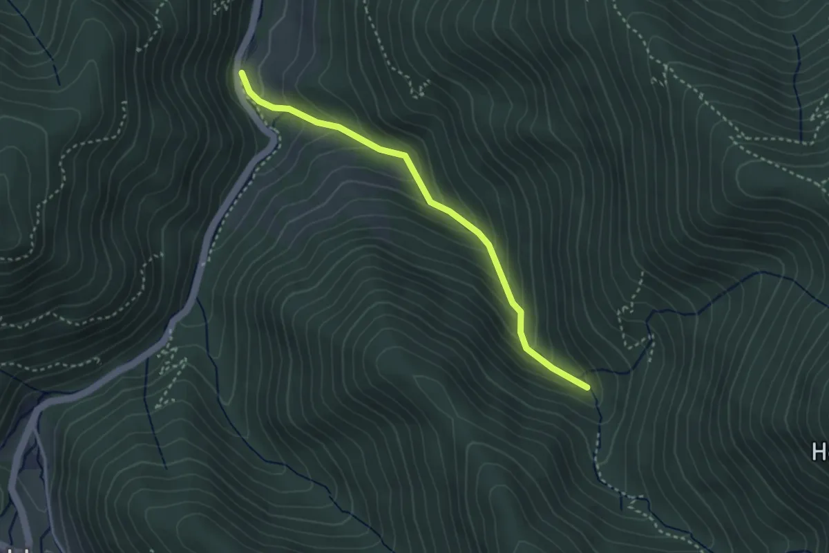
Easy · Cabin
Scheuerrain - Stangebodenhütte
3.1 km · ↑ 248 m · 1 h 15 min · 14 km away
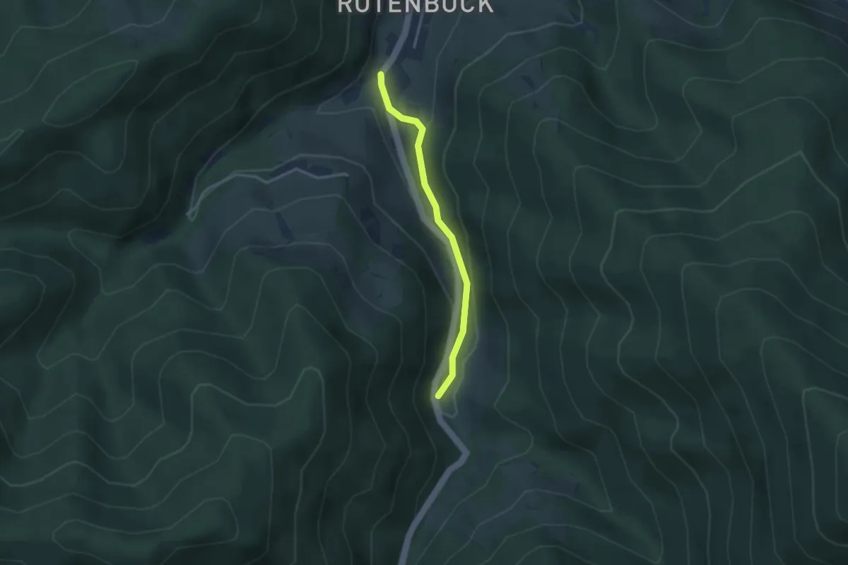
Easy · Trail
Scheuerrain - Rotenbuck
2.6 km · ↑ 87 m · 48 min · 14 km away
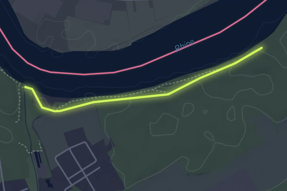
Easy · Trail
Bachtele - Chräbis
3.3 km · ↑ 56 m · 55 min · 14 km away
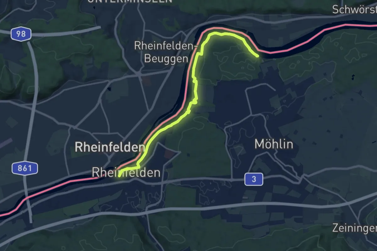
Medium · Trail
Rheinfelden - Bachtele
13.4 km · ↑ 225 m · 3 h 39 min · 14 km away
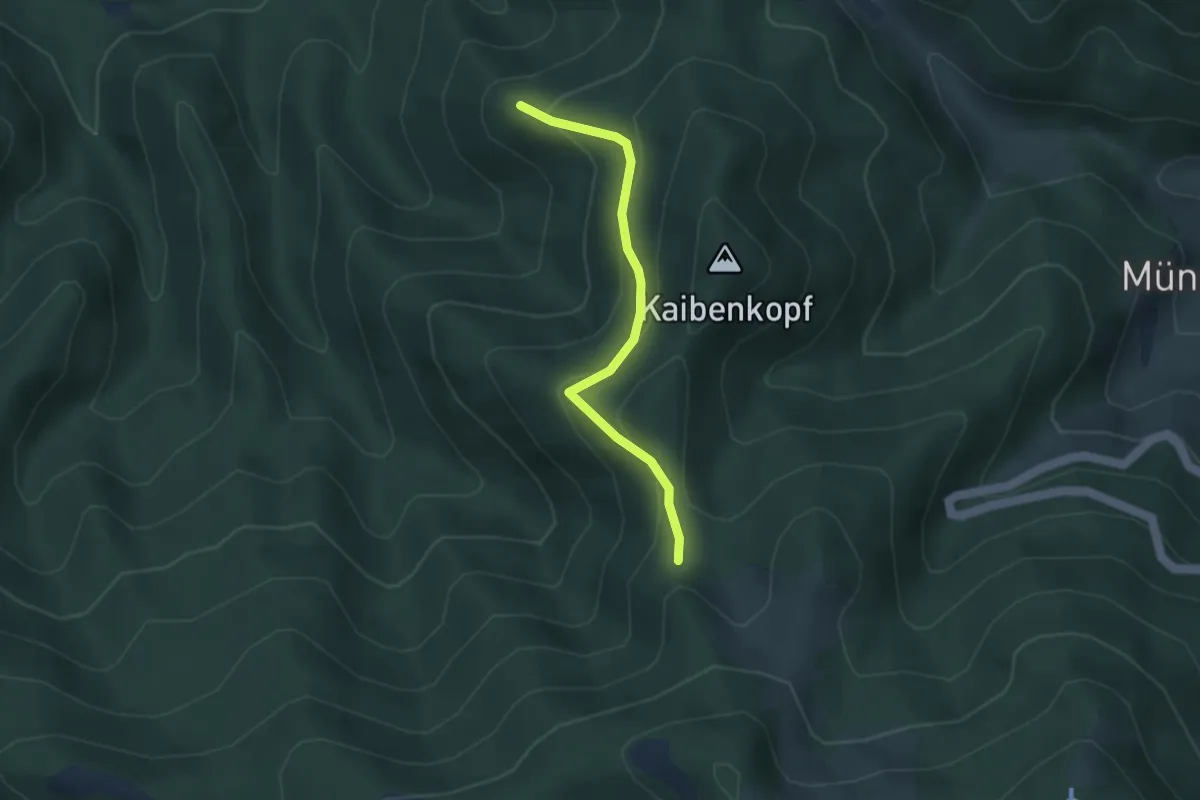
Easy · Trail
Behaghelfels - Heitersheimer Rank
3.1 km · ↑ 206 m · 1 h 11 min · 14 km away
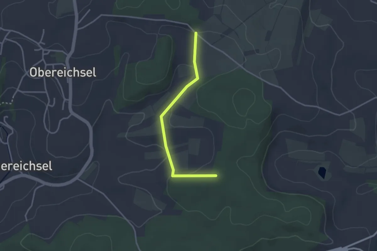
Easy · Trail
Hexenplatz - Buhrenboden
2.6 km · ↑ 58 m · 45 min · 14 km away
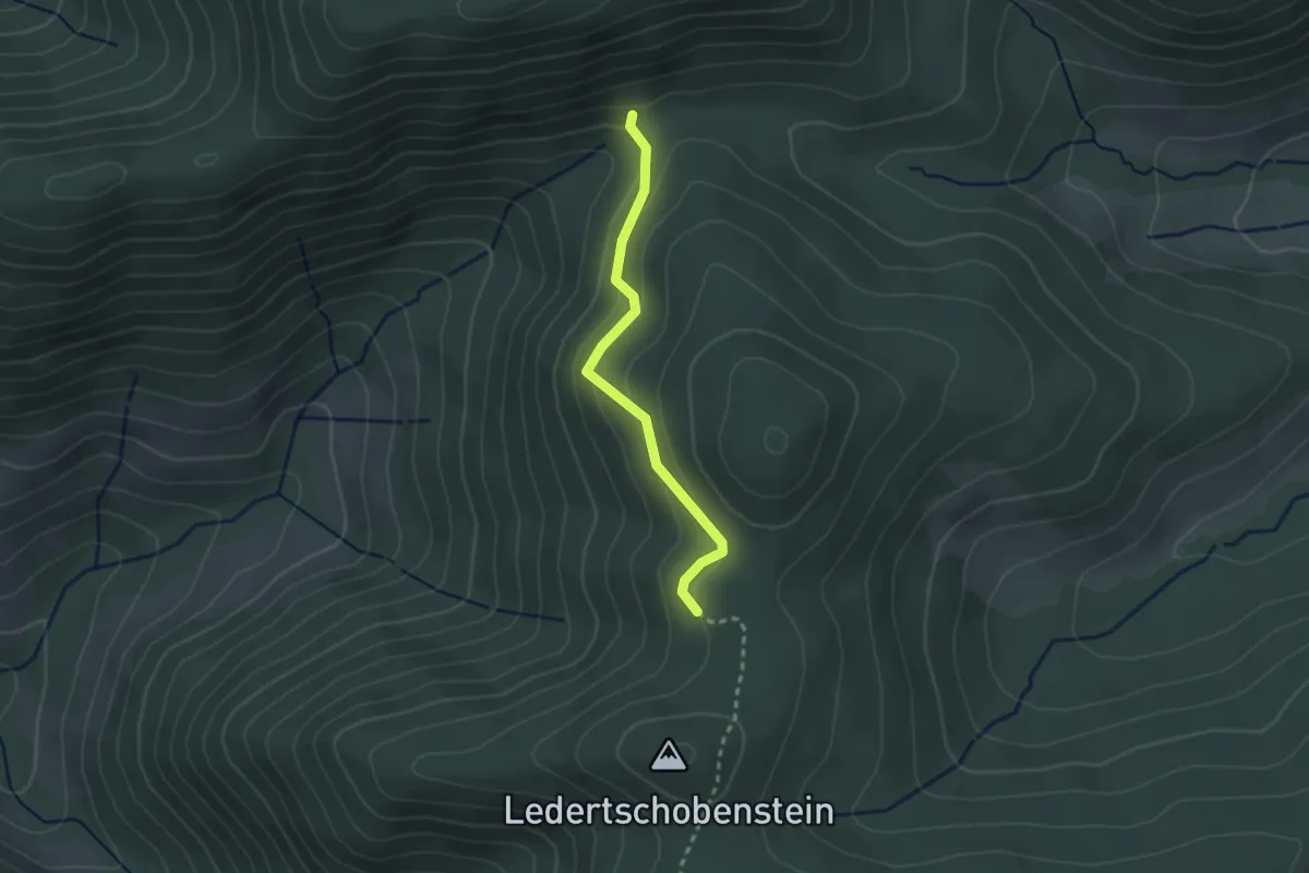
Easy · Trail
Präger Eck - Zinken
2.3 km · ↑ 115 m · 47 min · 14 km away
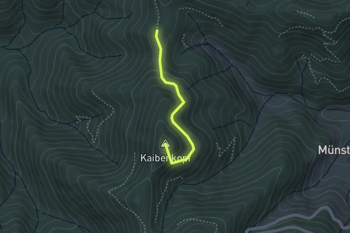
Easy · Summit
Gutmännerspass - Sirnitzgrund
2.7 km · ↑ 139 m · 56 min · 14 km away
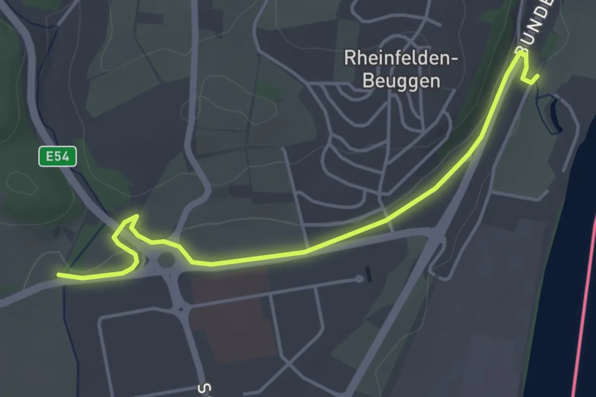
Easy · Trail
Degussabrücke - Schloss Beuggen
4.3 km · ↑ 55 m · 1 h 7 min · 14 km away
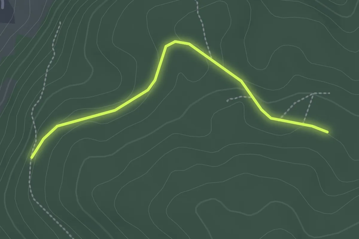
Easy · Trail
Heuberg - Fasanengarten
2.5 km · ↑ 47 m · 41 min · 14 km away
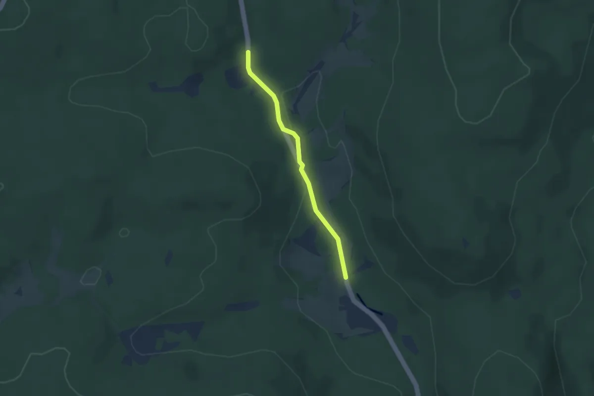
Easy · Trail
Sonnenmattmoos - Marksteinbrücke
2.4 km · ↑ 27 m · 37 min · 14 km away
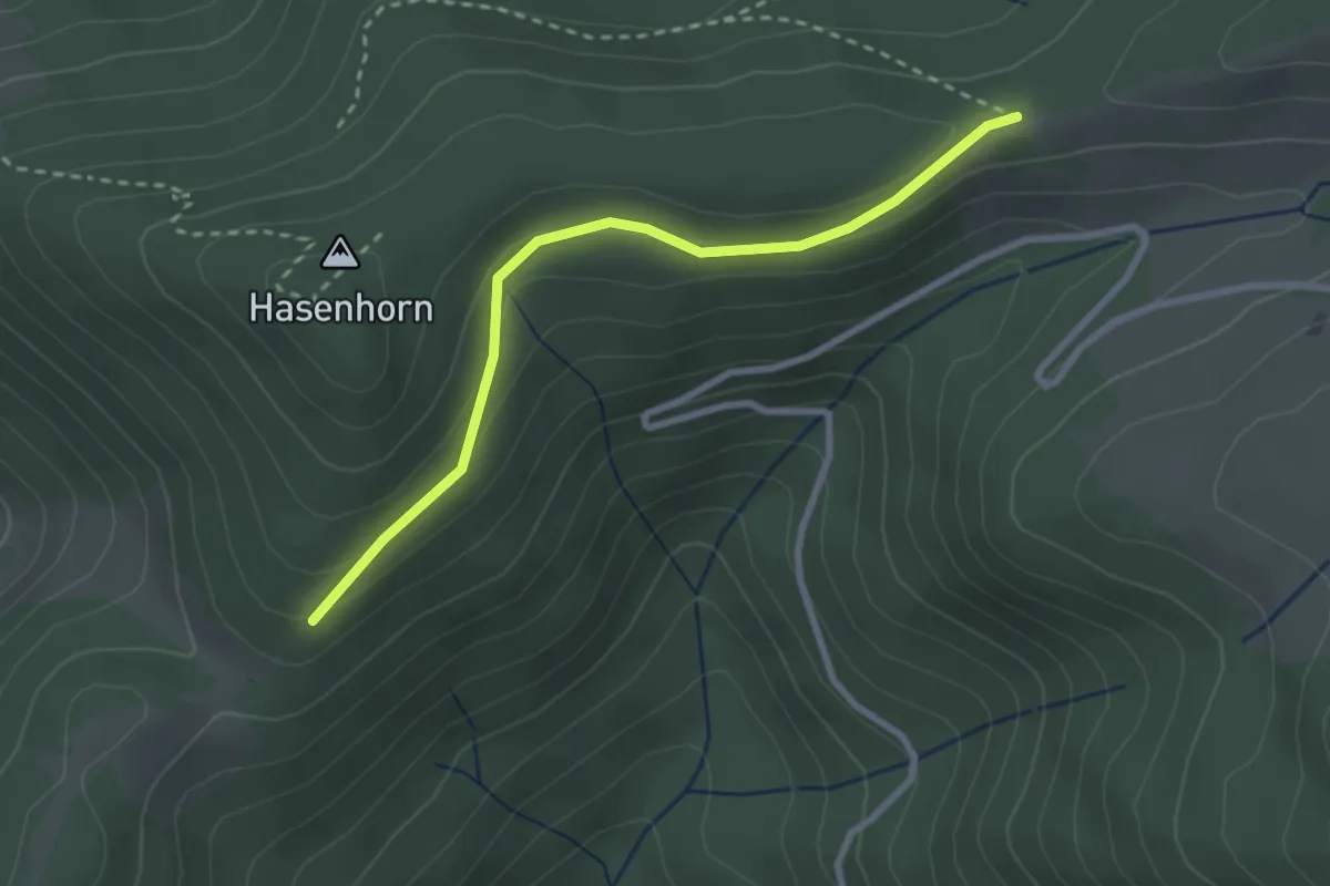
Easy · Trail
Bei der Schlechtnauerhöhe - Mausköpfle
2.7 km · ↑ 97 m · 50 min · 14 km away
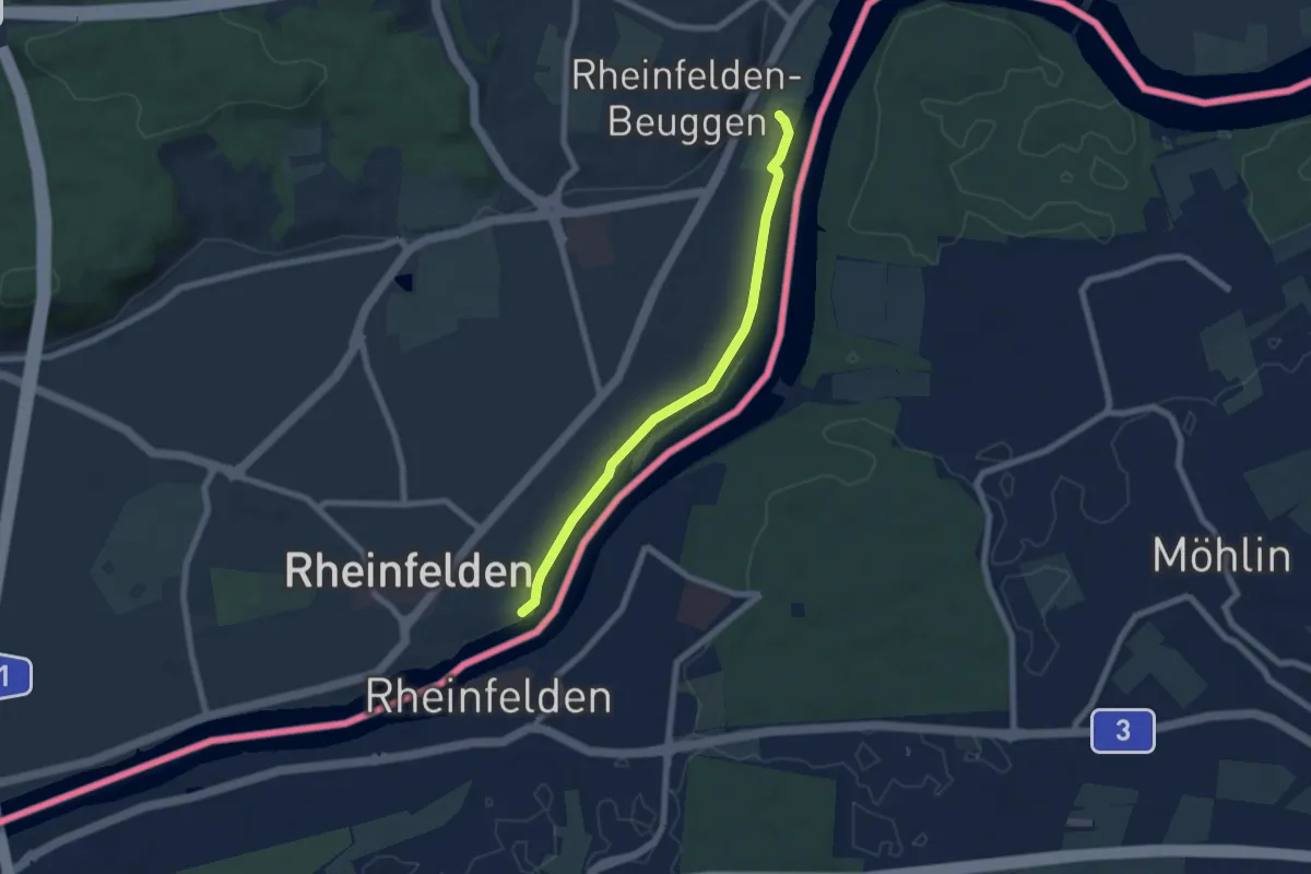
Easy · Trail
Höllhaken - Schloss Beuggen
6.2 km · ↑ 14 m · 1 h 30 min · 14 km away
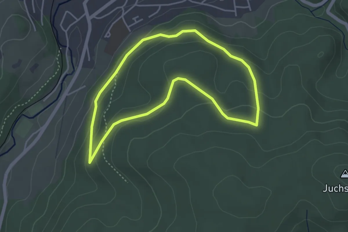
Easy · Trail
Walderlebnispfad Kandern
3.4 km · ↑ 117 m · 1 h 6 min · 14 km away
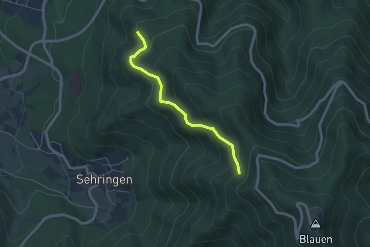
Medium · Trail
Prinzensitzhütte - Oberer Musbach
4.0 km · ↑ 347 m · 1 h 41 min · 15 km away
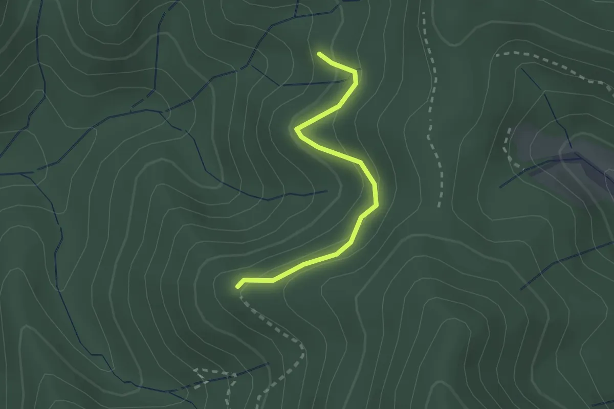
Easy · Trail
Adenauer-Rank - Behaghelfels
2.0 km · ↑ 141 m · 47 min · 15 km away
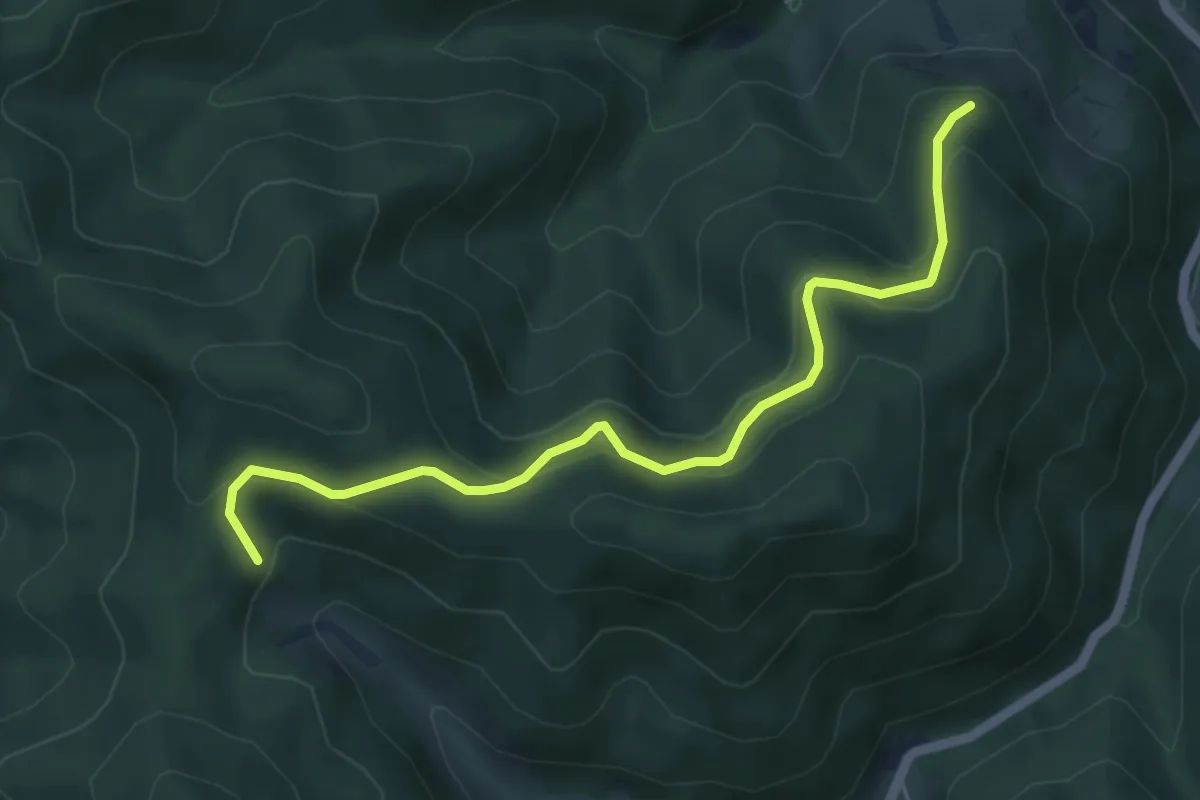
Medium · Trail
Otter - Antoniushütte
5.2 km · ↑ 329 m · 1 h 56 min · 15 km away
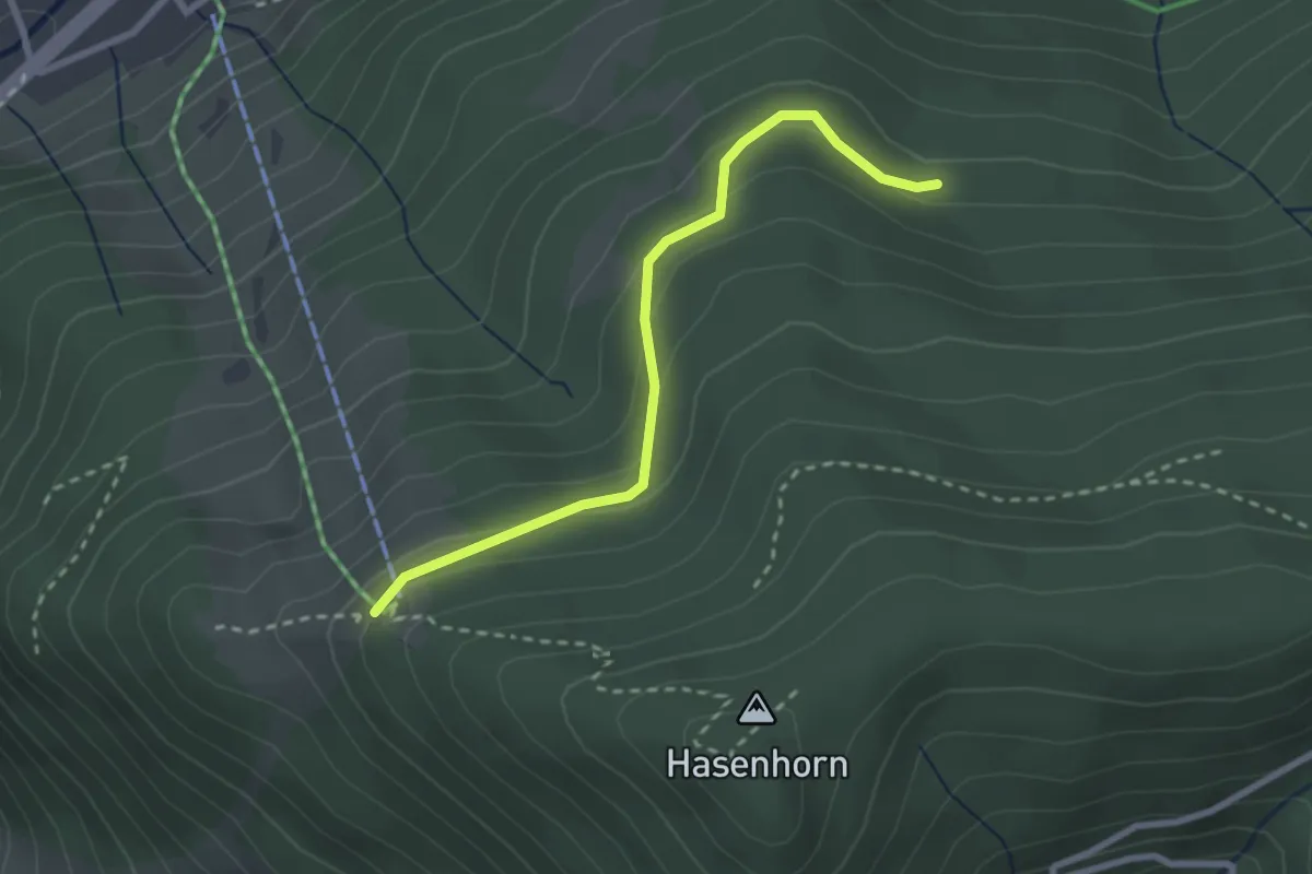
Easy · Trail
Gasthaus Hasenhorn - Mausboden
2.6 km · ↑ 115 m · 51 min · 15 km away
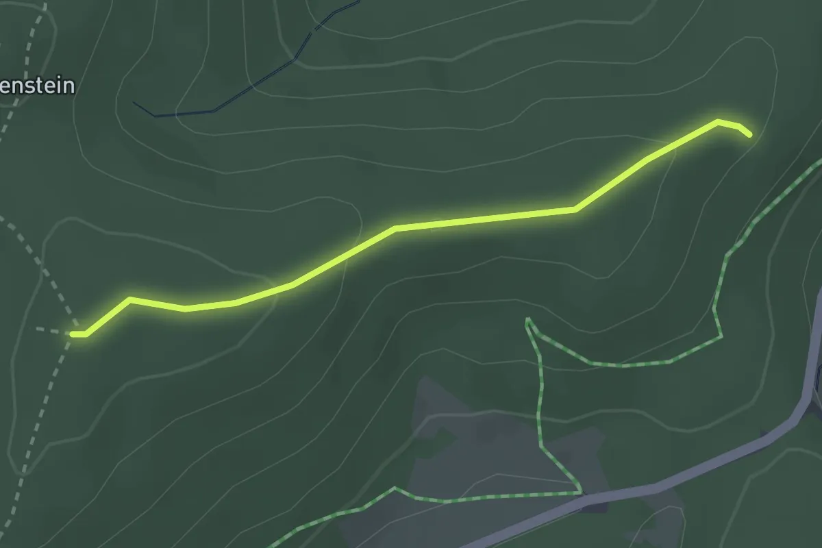
Easy · Trail
Ledertschobenstein - Neuschweine
2.5 km · ↑ 70 m · 44 min · 15 km away
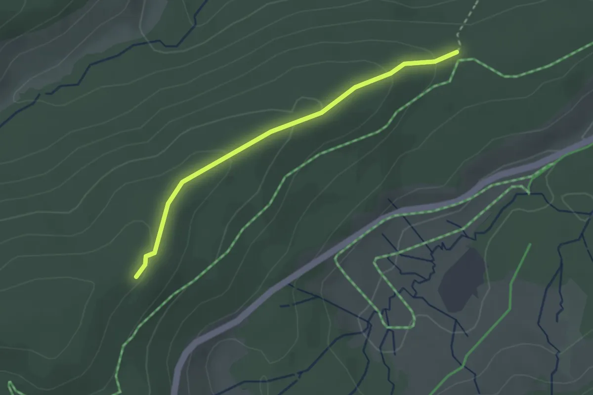
Easy · Trail
Neuschweine - Stöckerwaldhütte
2.4 km · ↑ 86 m · 46 min · 15 km away
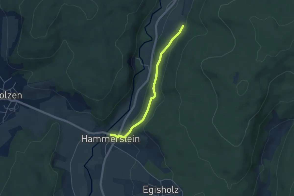
Easy · Trail
Hammerstein Am Dorfbrunnen - Kalkgraben
3.7 km · ↑ 126 m · 1 h 8 min · 15 km away
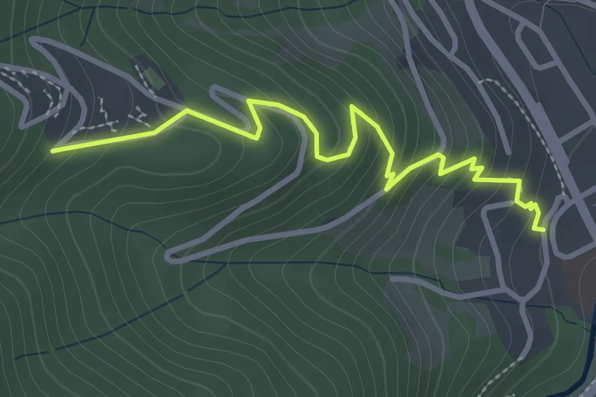
Easy · Trail
Feriendorf - Todtnau Nesslerstraße
2.7 km · ↑ 226 m · 1 h 7 min · 15 km away
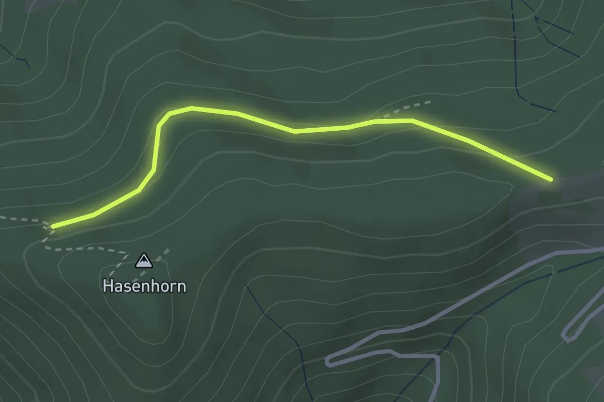
Easy · Trail
Mauswald - Mausköpfle
2.6 km · ↑ 91 m · 49 min · 15 km away
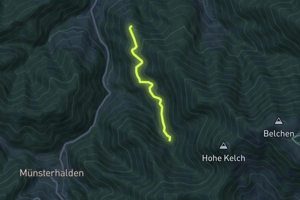
Easy · Cabin
Stangebodenhütte - Langecker Weide
4.7 km · ↑ 307 m · 1 h 46 min · 15 km away
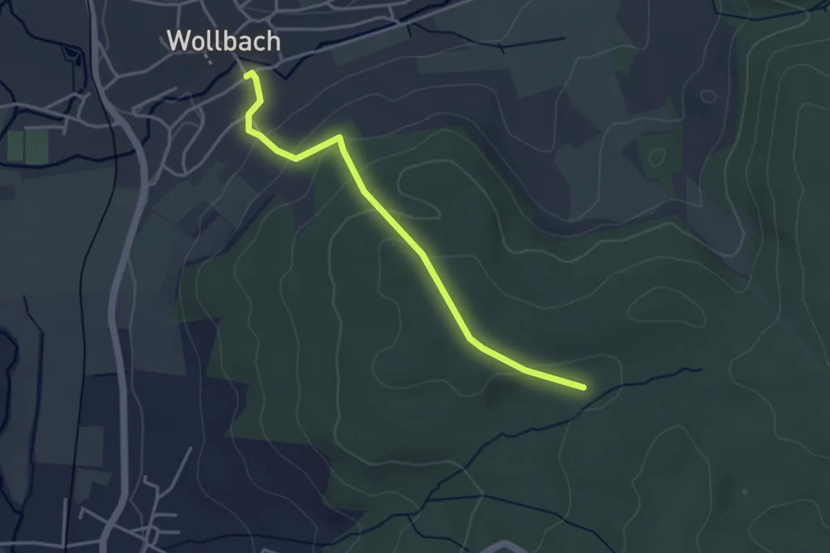
Easy · Trail
Wollbach Kronenplatz - Eselplatz
3.2 km · ↑ 146 m · 1 h 5 min · 15 km away
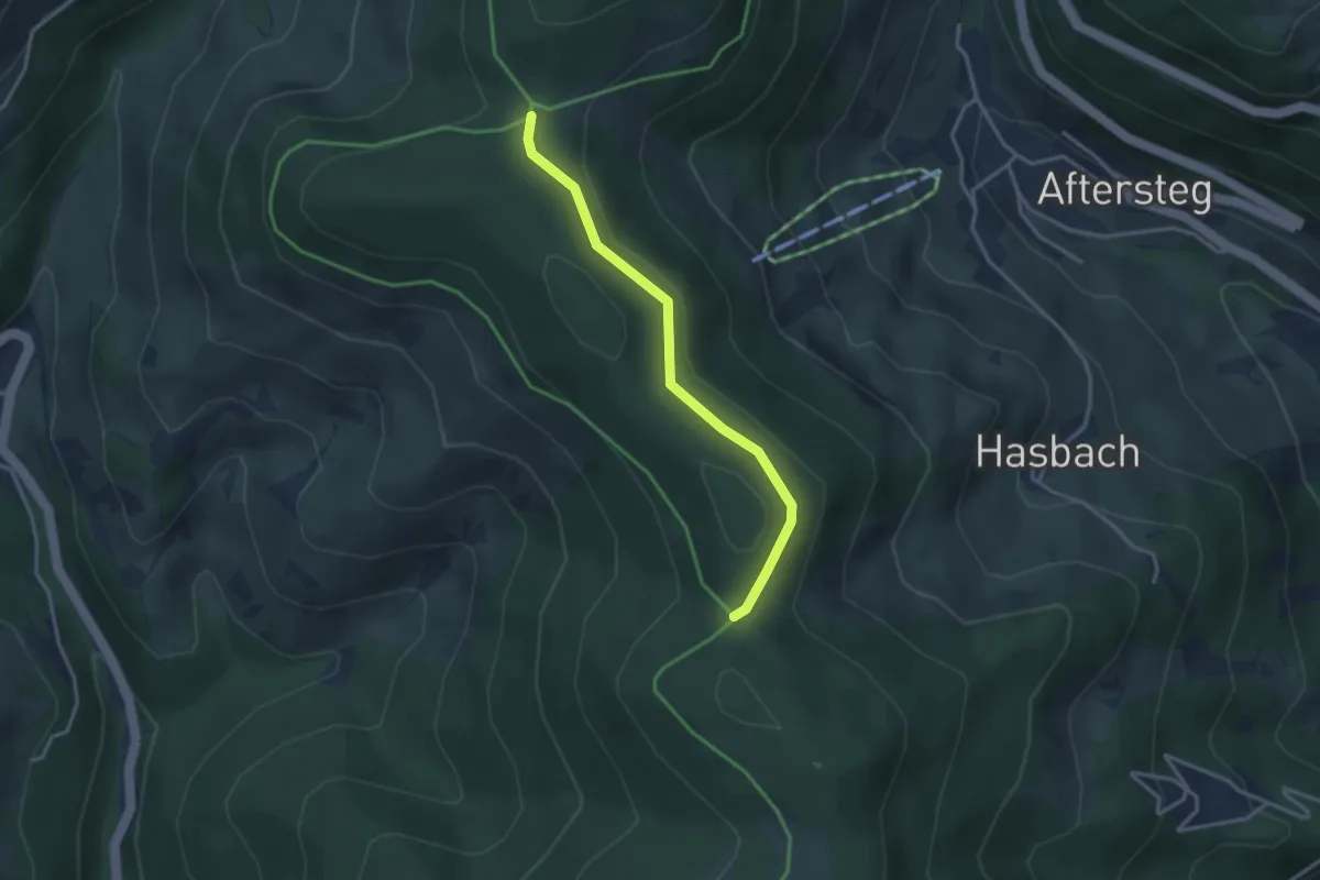
Easy · Trail
Dachsrain - Hasbacher Höhe
3.0 km · ↑ 42 m · 48 min · 15 km away
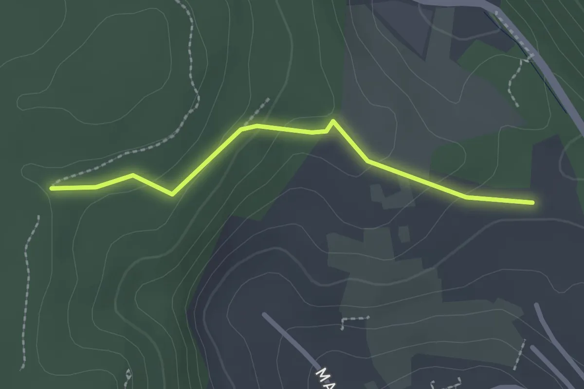
Easy · Trail
Am Trimm-Dich-Pfad - Scherbenacker
2.0 km · ↑ 79 m · 39 min · 15 km away
Easy · Trail
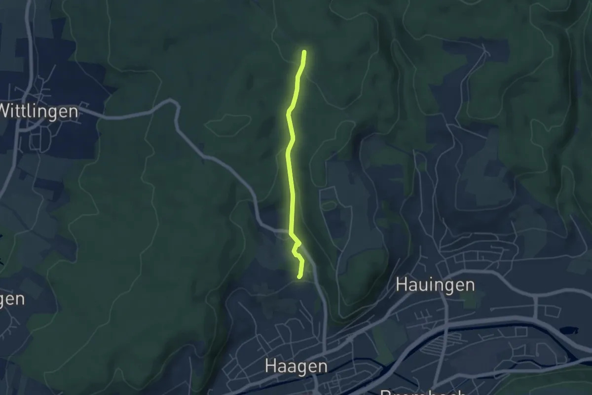
Wolfsgrube - Scherbenacker
3.9 km · ↑ 115 m · 1 h 11 min · 15 km away
Easy · Summit
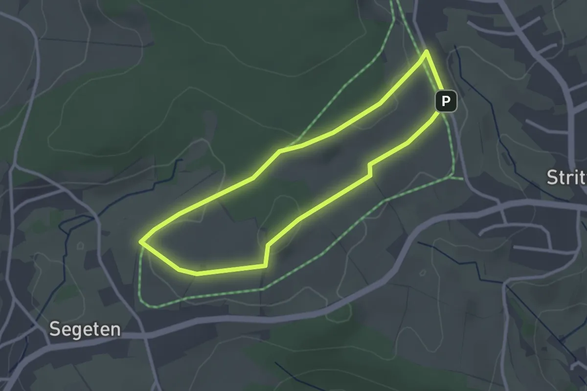
Panoramaweg
2.5 km · ↑ 42 m · 43 min · 15 km away
Easy · Trail
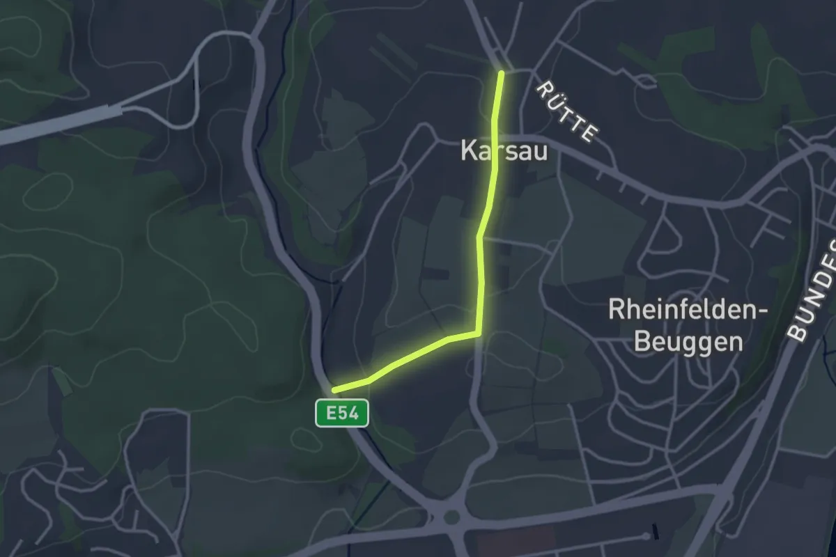
Dürrenbach Brücke - Karsau Altes Rathaus
2.5 km · ↑ 49 m · 42 min · 15 km away
Easy · Trail
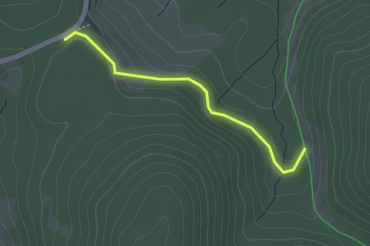
Ahornloch - Rotes Kreuz
2.1 km · ↑ 54 m · 37 min · 15 km away
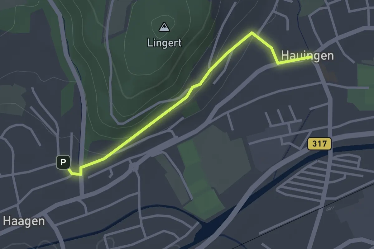
Easy · Trail
Haagen Lichsen - Hauingen Kirche
2.6 km · ↑ 79 m · 48 min · 15 km away
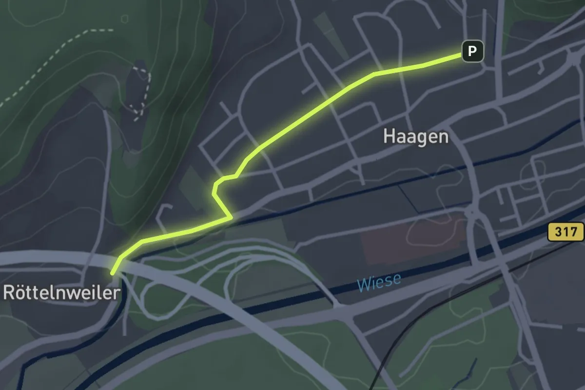
Easy · Trail
Röttelnweiler Hasenloch - Haagen Lichsen
2.7 km · ↑ 22 m · 41 min · 15 km away