Trails in Germany
36,847 hiking trails, each with its route, climb, walking time and grade.
All trails, page 102 of 768
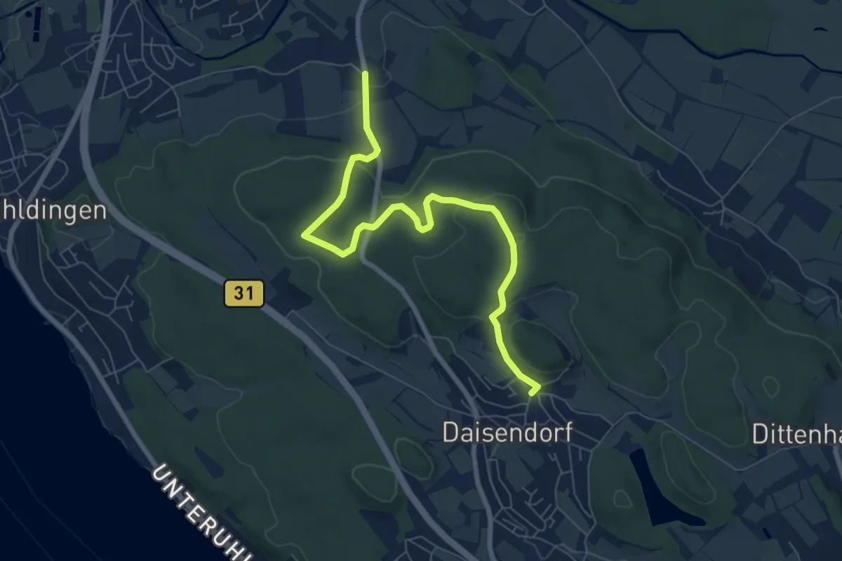
Easy · Trail
Daisendorf - Gebhardsweiler
7.5 km · ↑ 196 m · 2 h 11 min
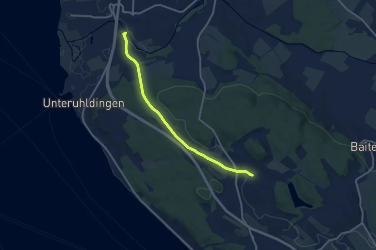
Easy · Trail
Daisendorf - Oberuhldingen
6.9 km · ↑ 115 m · 1 h 53 min
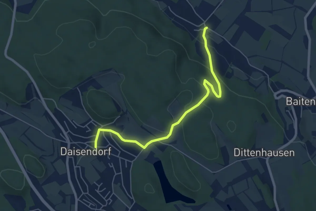
Easy · Trail
Daisendorf-Schiggendorf via Gärtlesberg
5.3 km · ↑ 168 m · 1 h 36 min
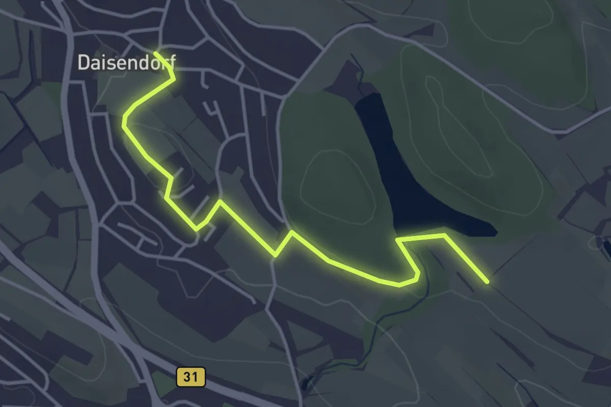
Easy · Trail
Daisendorf-Schüssel
4.0 km · ↑ 53 m · 1 h 3 min
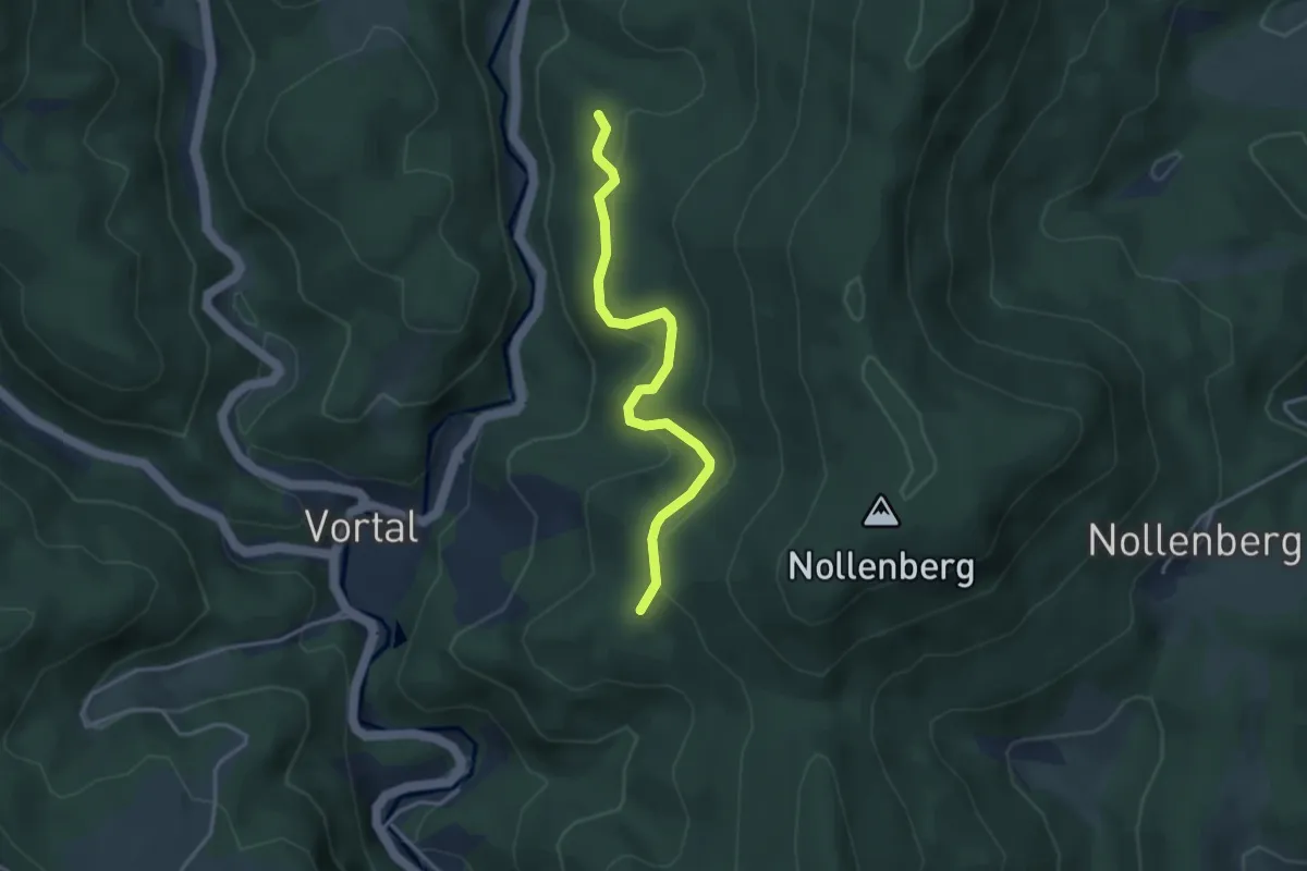
Easy · Trail
Daiswald - Gallusberg
3.4 km · ↑ 170 m · 1 h 10 min
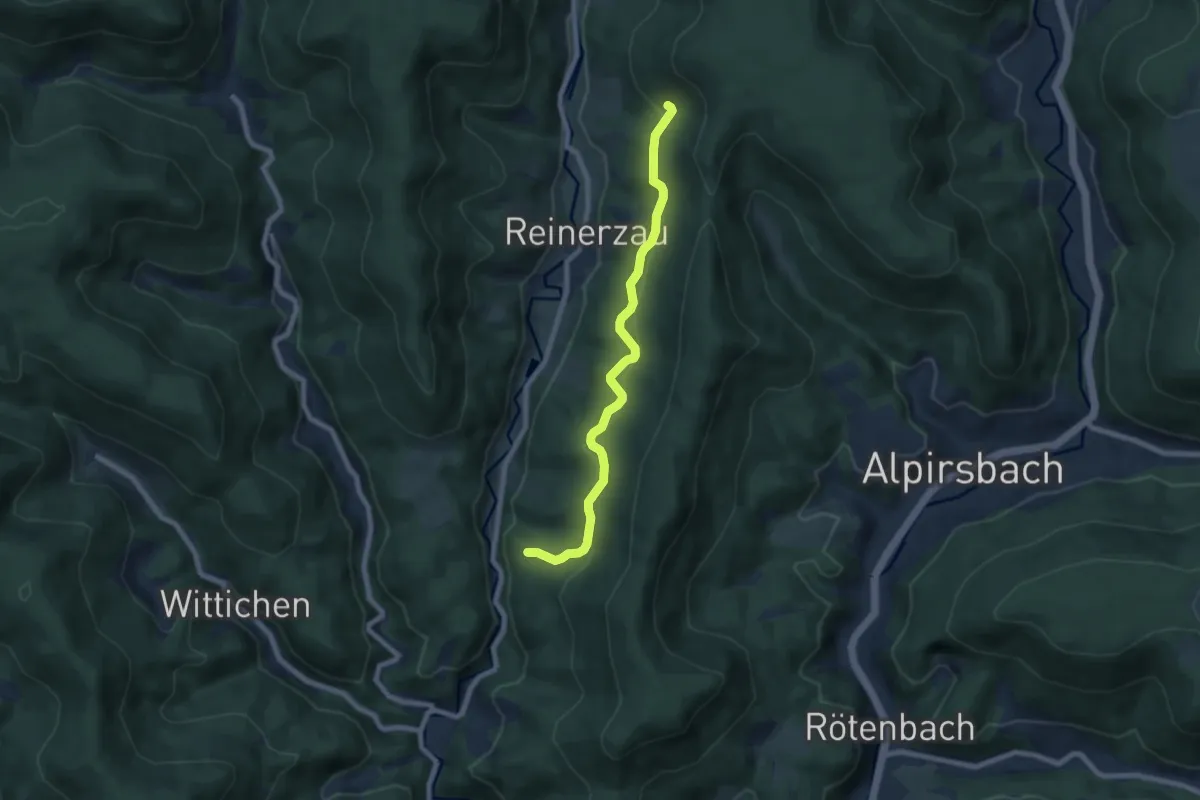
Easy · Trail
Daiswald - Sommerhangweg Abzw. Auerhahn
7.0 km · ↑ 221 m · 2 h 8 min
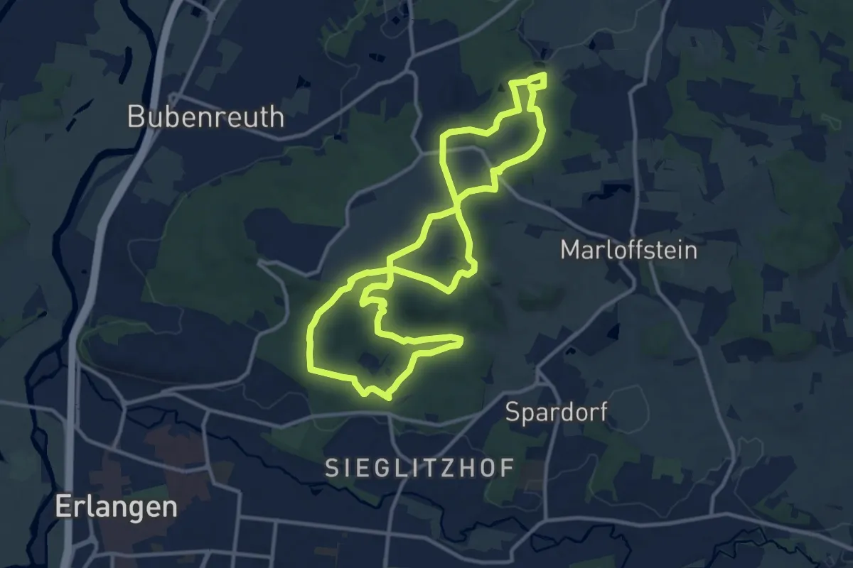
Medium · Trail
DAK-Eisert-Nordic Walking Parcour
10.7 km · ↑ 238 m · 3 h 12 min
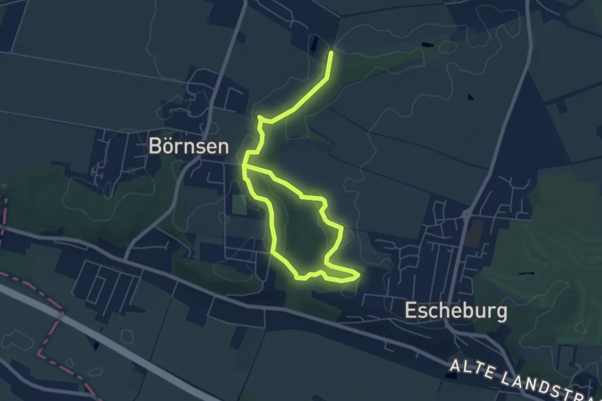
Easy · Trail
Dalbekschlucht
3.7 km · ↑ 19 m · 59 min
Easy · Trail
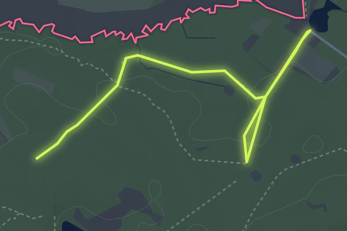
Dalheimer-Runde
2.3 km · ↑ 13 m · 36 min
Medium · Summit
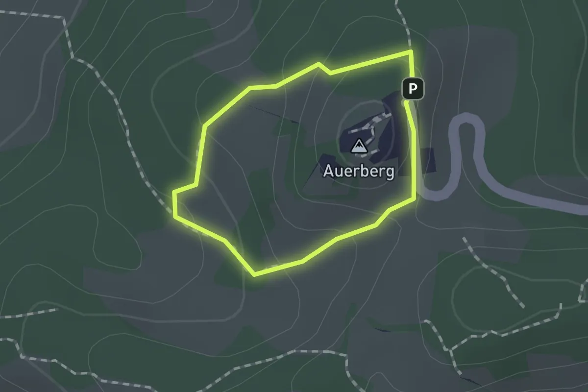
Damasia - nördlicher Römer-Rundweg
1.0 km · ↑ 44 m · 21 min
Easy · Trail
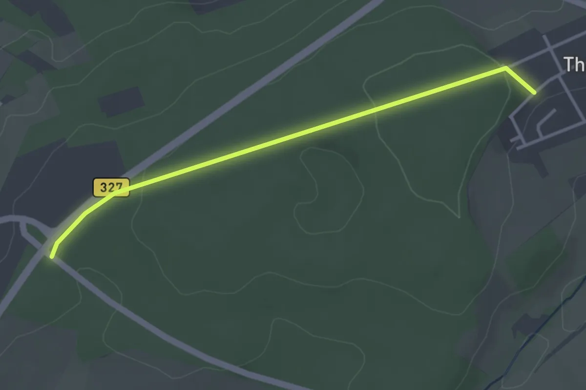
Damflos 1
3.1 km · ↑ 51 m · 51 min
Easy · Trail
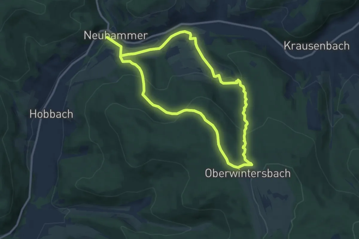
Dammbach-RÄUBERpfad "Himmelshirtenweg"
7.1 km · ↑ 305 m · 2 h 27 min
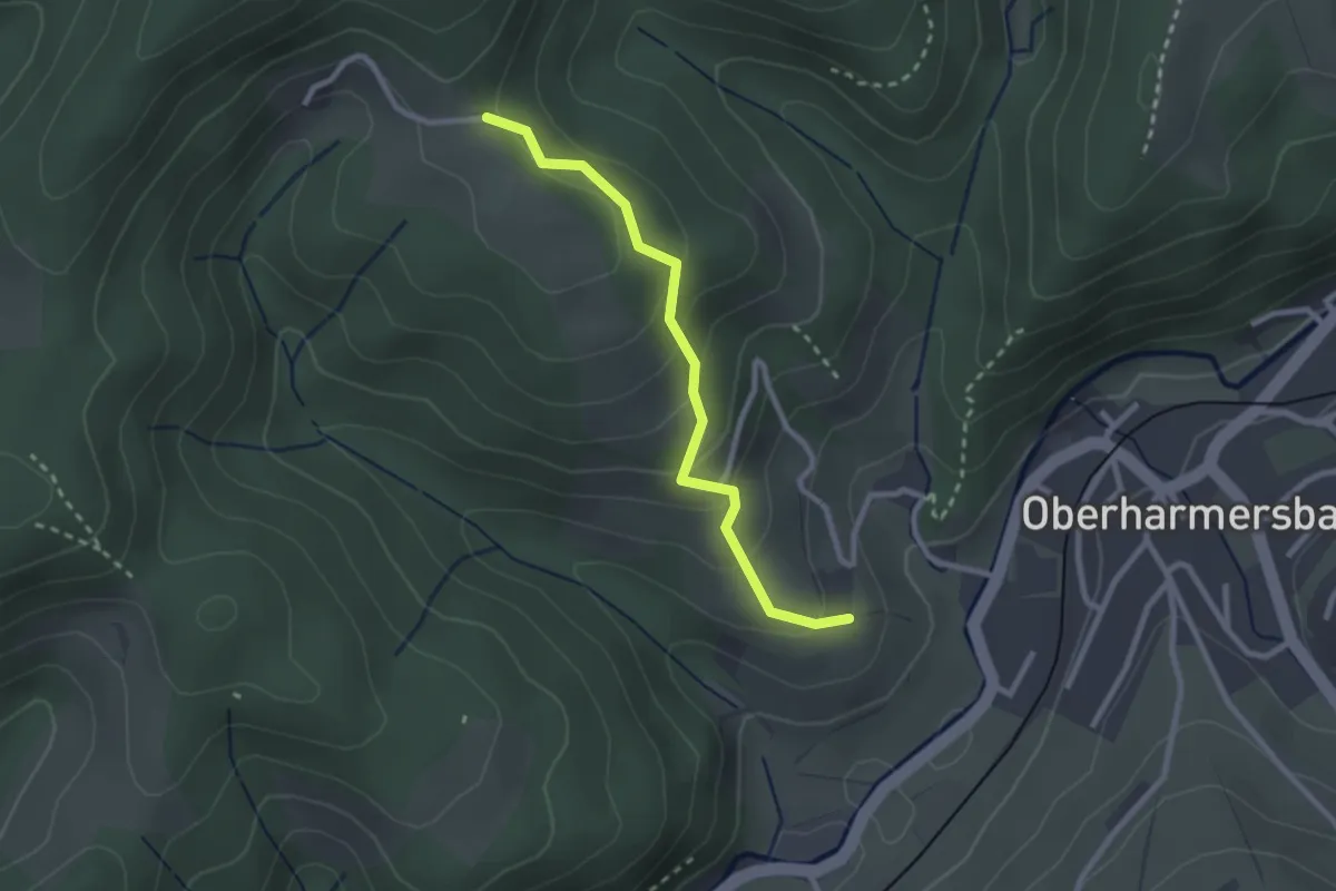
Easy · Trail
Dammenseflehof - Im Berg
2.4 km · ↑ 148 m · 53 min
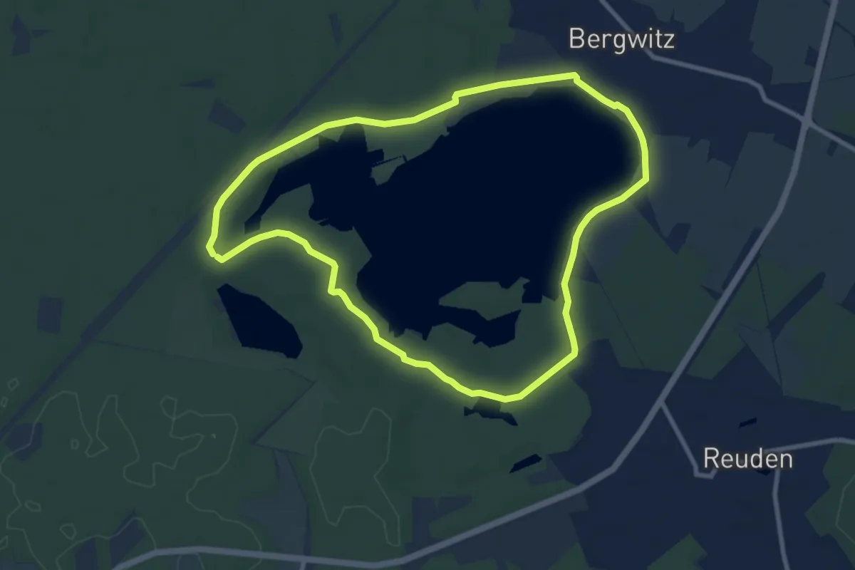
Easy · Trail
Dammwildweg
7.4 km · ↑ 32 m · 1 h 55 min
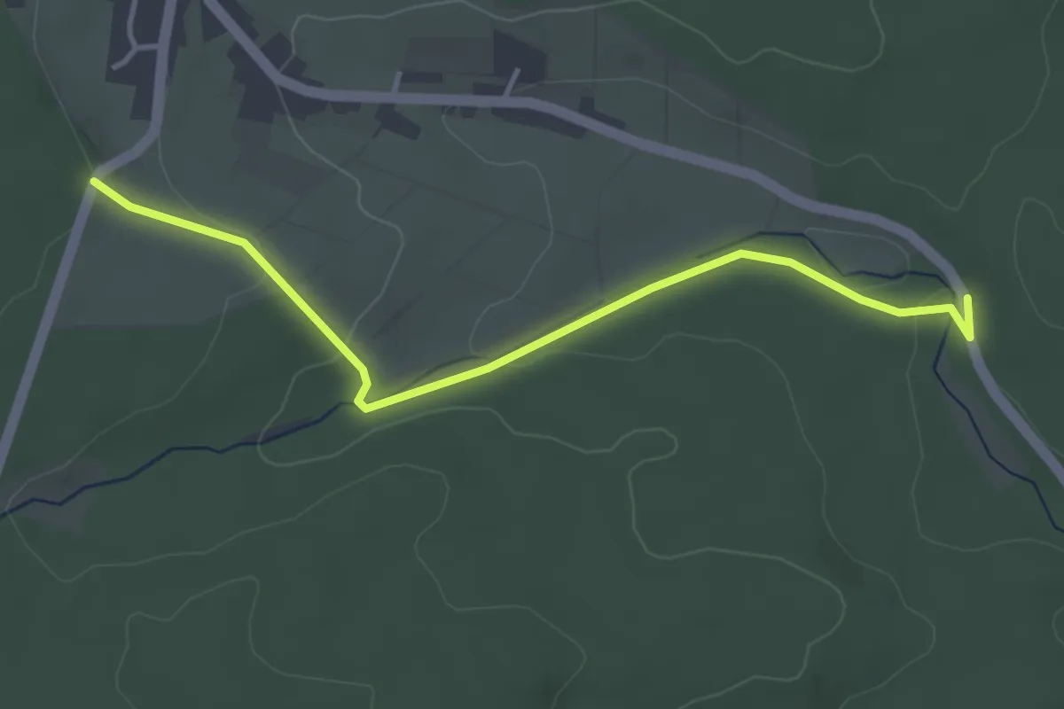
Easy · Trail
Dampfe - Igelsberger Weg
3.8 km · ↑ 71 m · 1 h 3 min
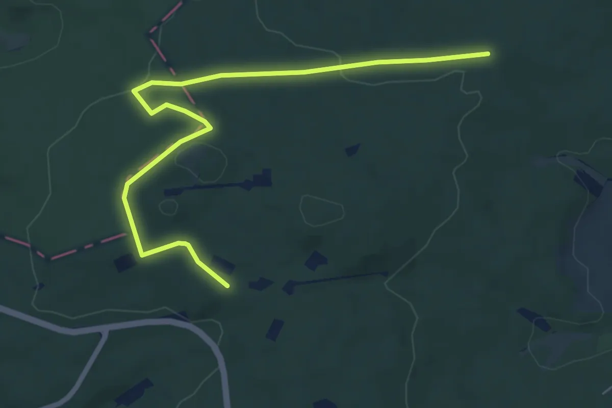
Easy · Trail
Damschaufel
3.1 km · ↑ 55 m · 55 min
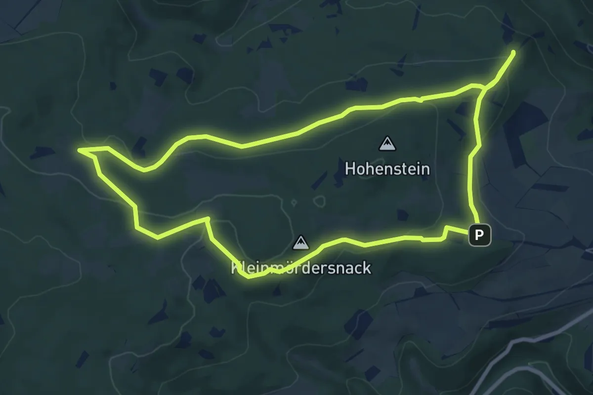
Easy · Summit
Damscheid Rundweg Aldegundis
7.4 km · ↑ 160 m · 2 h 11 min
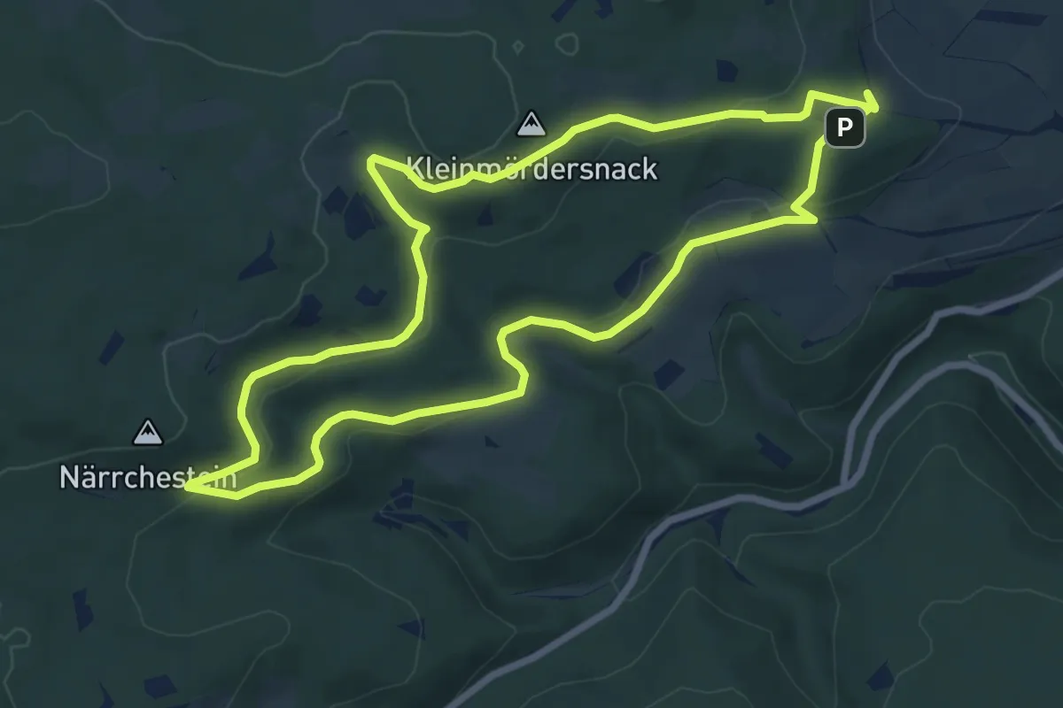
Easy · Summit
Damscheid Rundweg Fichte
6.8 km · ↑ 159 m · 2 h 3 min
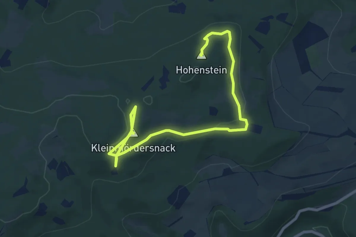
Easy · Summit
Damscheid Rundweg Hohenstein
6.7 km · ↑ 144 m · 1 h 54 min
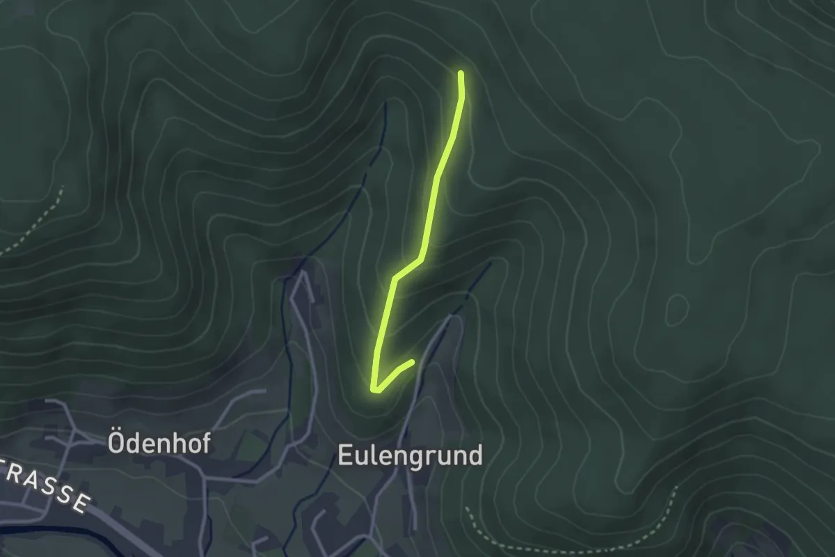
Medium · Trail
Damwildgehege - Elme
2.1 km · ↑ 177 m · 53 min
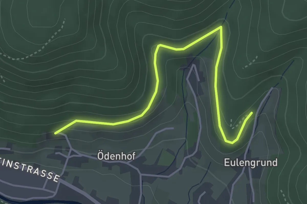
Easy · Trail
Damwildgehege - Ruhbach
4.0 km · ↑ 227 m · 1 h 26 min
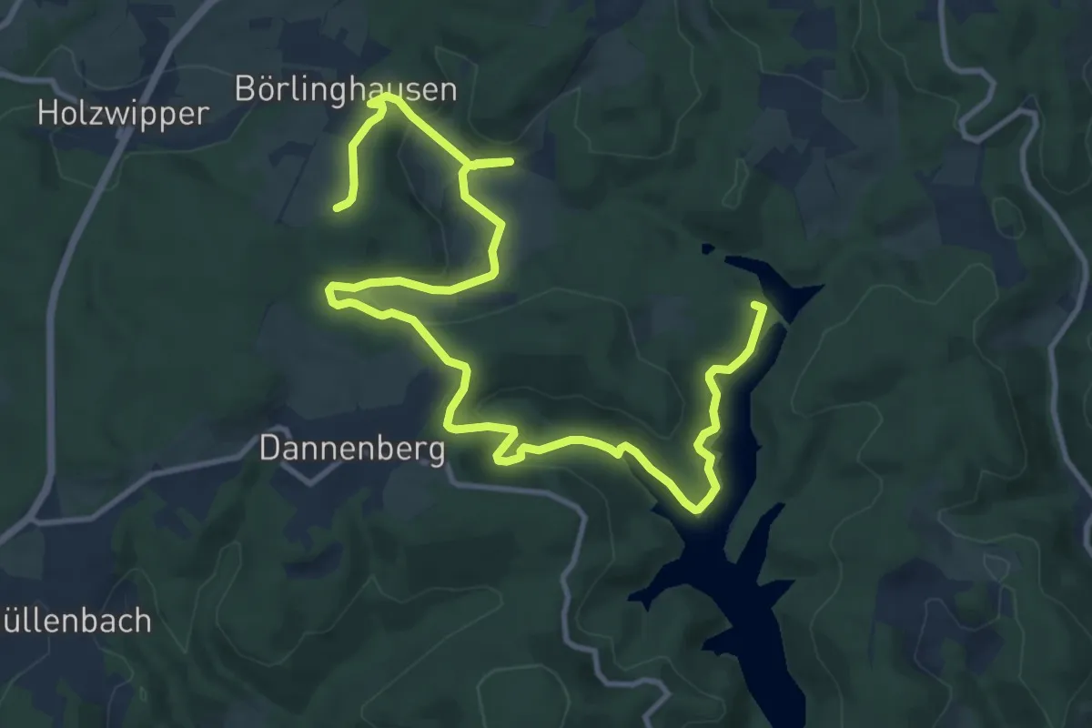
Medium · Trail
Dannenberg Rundweg A6
14.6 km · ↑ 456 m · 4 h 26 min
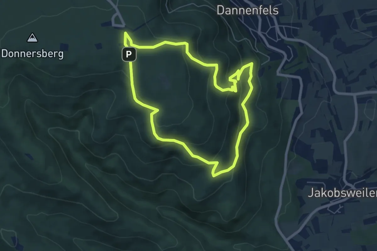
Easy · Trail
Dannenfels 1: Ludwigsturm
5.4 km · ↑ 255 m · 1 h 54 min
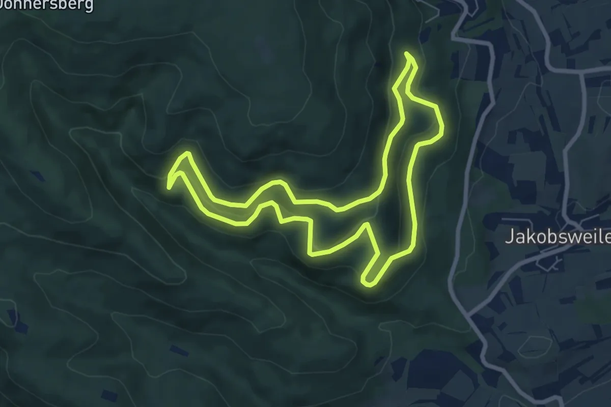
Medium · Trail
Dannenfels 2: Ruine Wildenstein
6.3 km · ↑ 333 m · 2 h 18 min
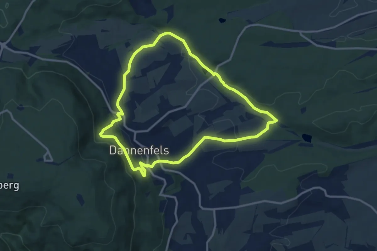
Easy · Trail
Dannenfels 3: Dannenfelser Mühle
7.3 km · ↑ 231 m · 2 h 19 min
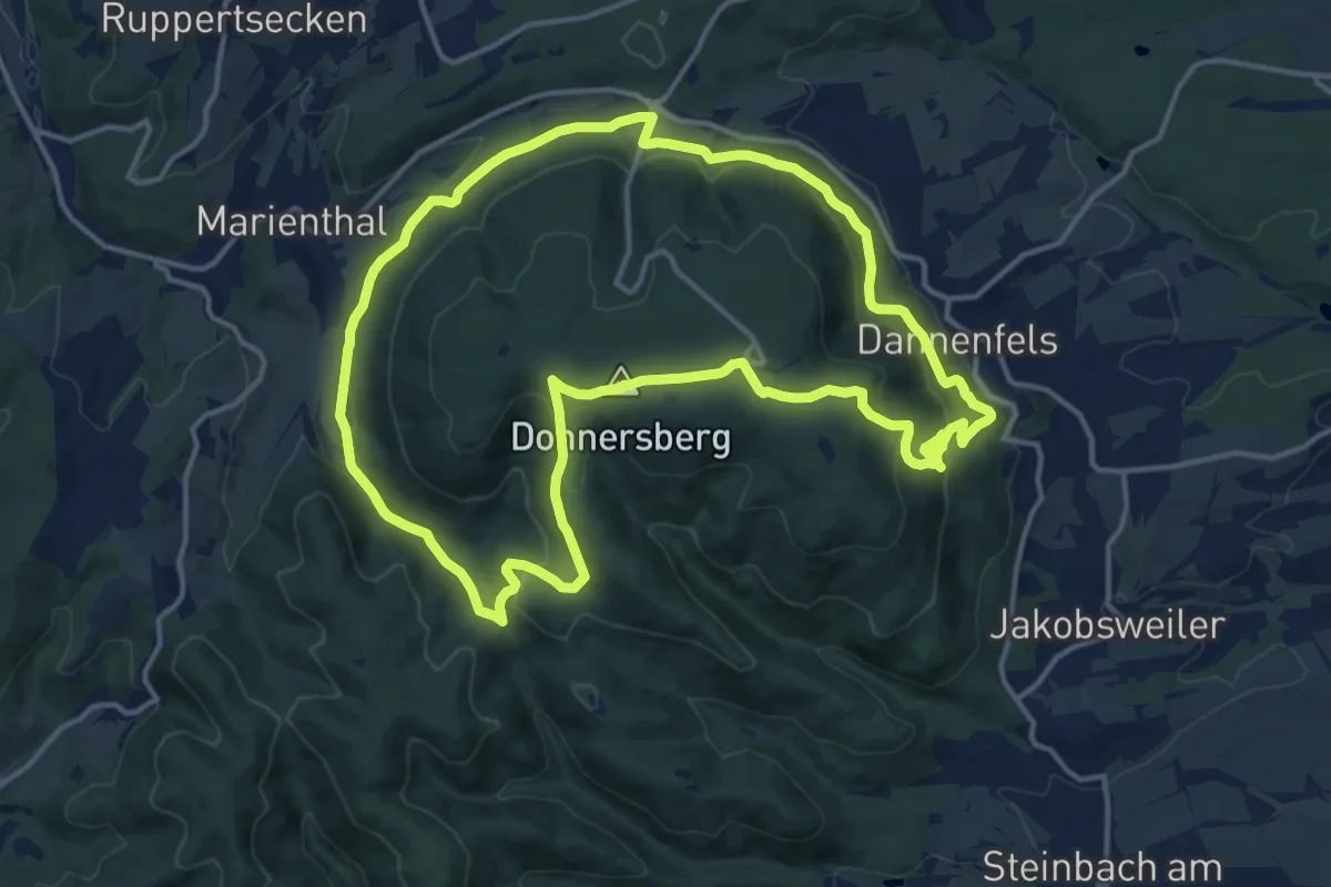
Medium · Summit
Dannenfels 4: Kastanienweg
14.2 km · ↑ 514 m · 4 h 39 min
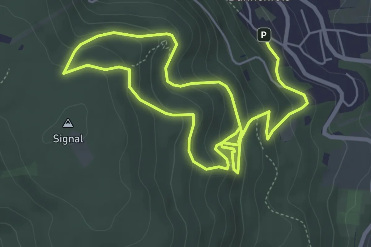
Medium · Trail
Dannenfels 5: Felsenweg
4.1 km · ↑ 321 m · 1 h 39 min
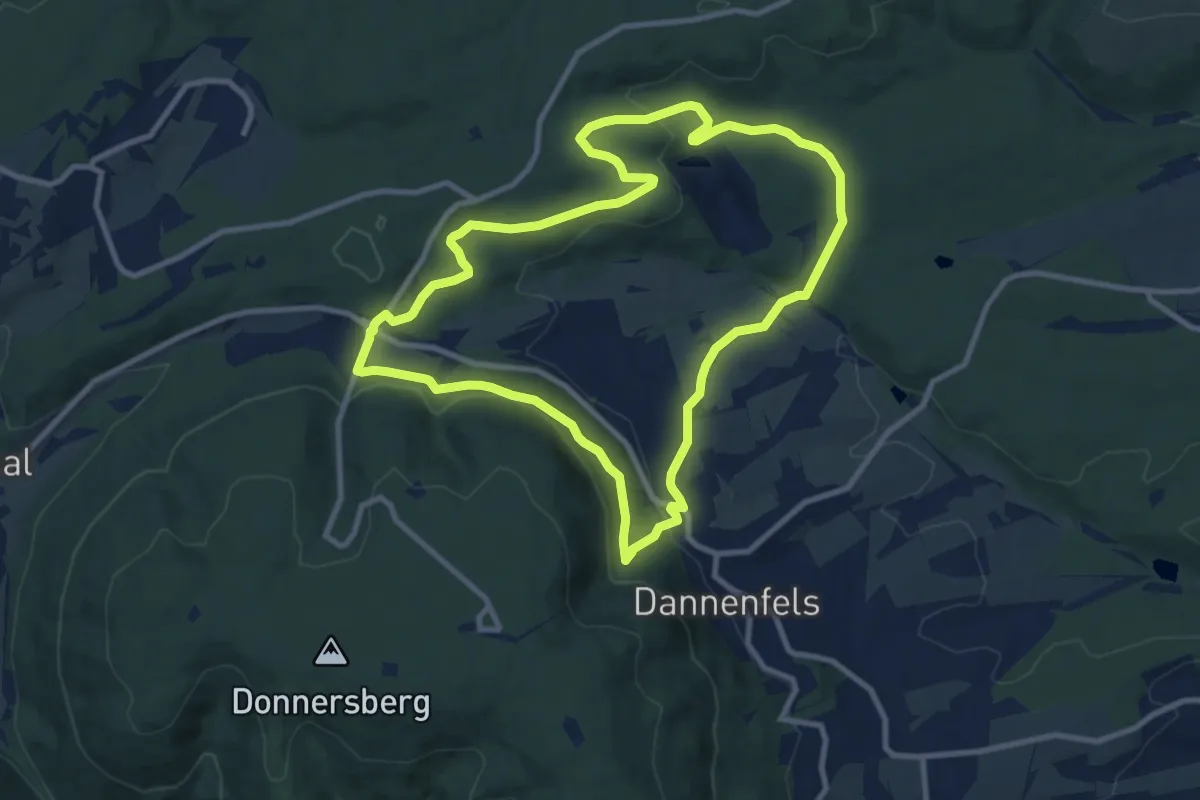
Medium · Trail
Dannenfels 6: Bastenhaus
9.2 km · ↑ 302 m · 2 h 57 min
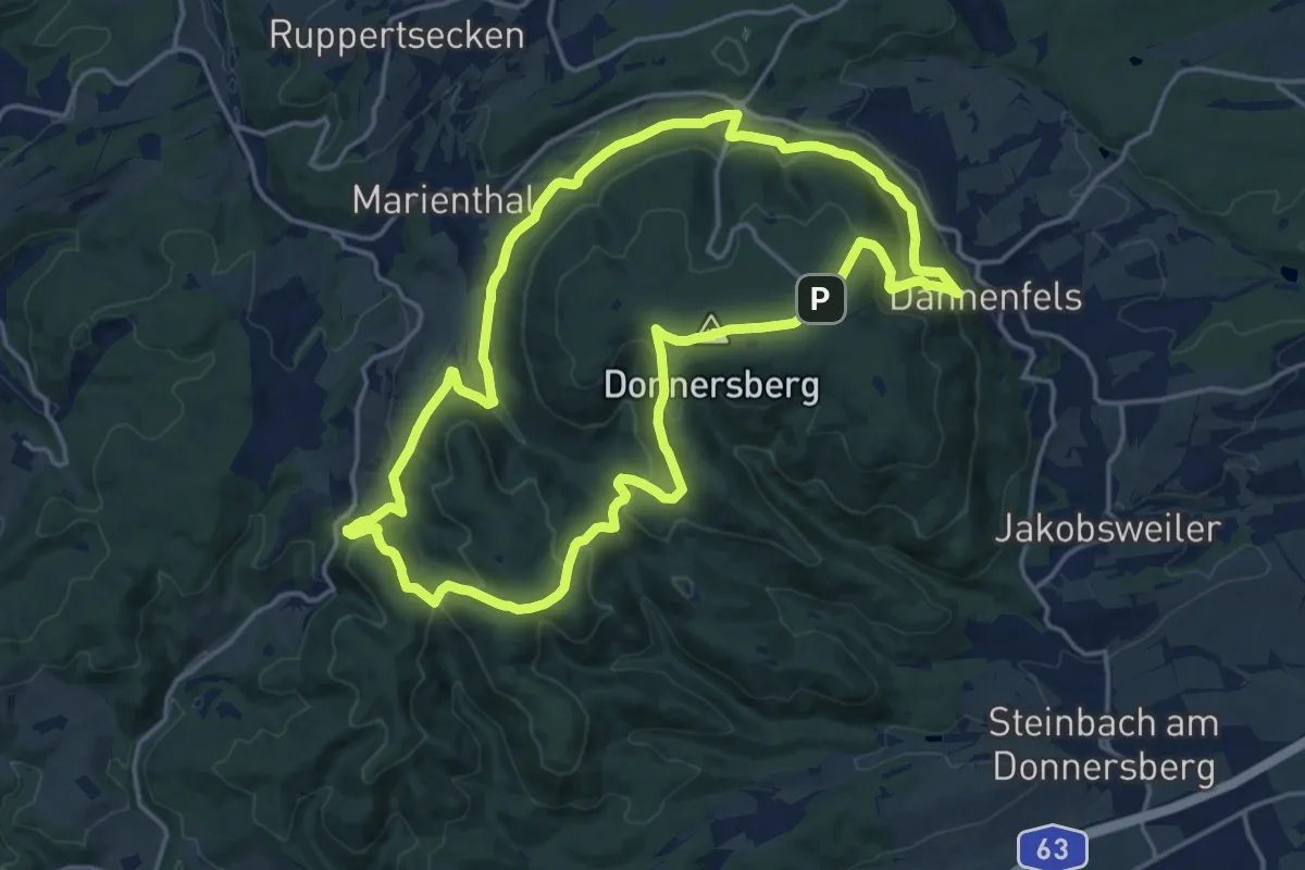
Medium · Summit
Dannenfels 7: Falkenstein
15.8 km · ↑ 568 m · 5 h 11 min
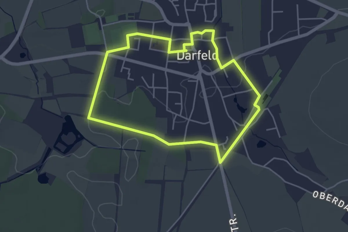
Easy · Trail
Darfelder Rundweg D1
3.4 km · ↑ 9 m · 52 min
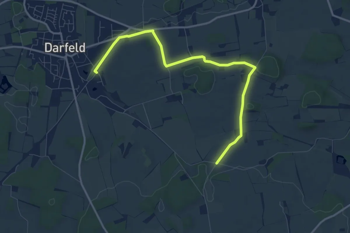
Easy · Trail
Darfeld Rundweg D3
4.2 km · ↑ 39 m · 1 h 7 min
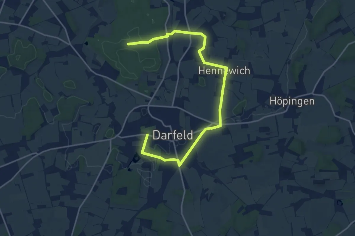
Easy · Trail
Darfeld Rundweg D4
6.9 km · ↑ 21 m · 1 h 46 min
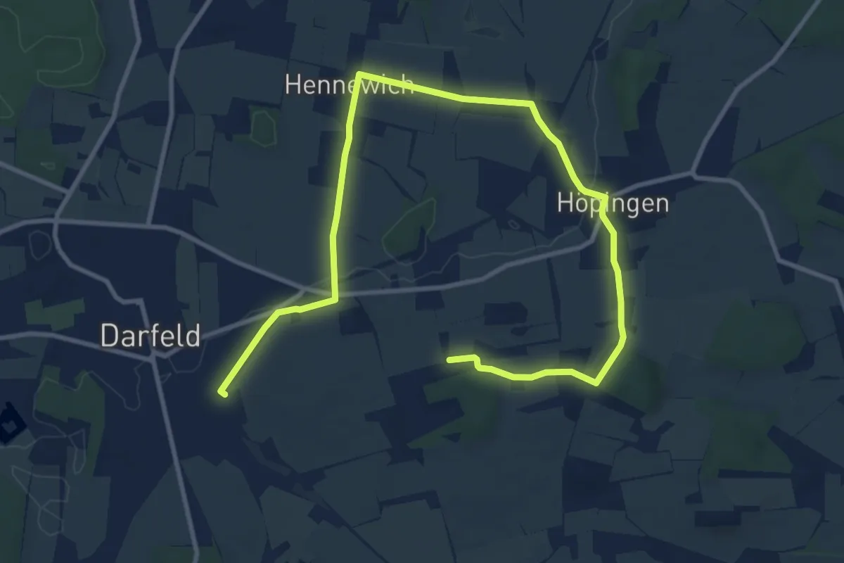
Easy · Trail
Darfeld Rundweg D5
5.9 km · ↑ 40 m · 1 h 34 min
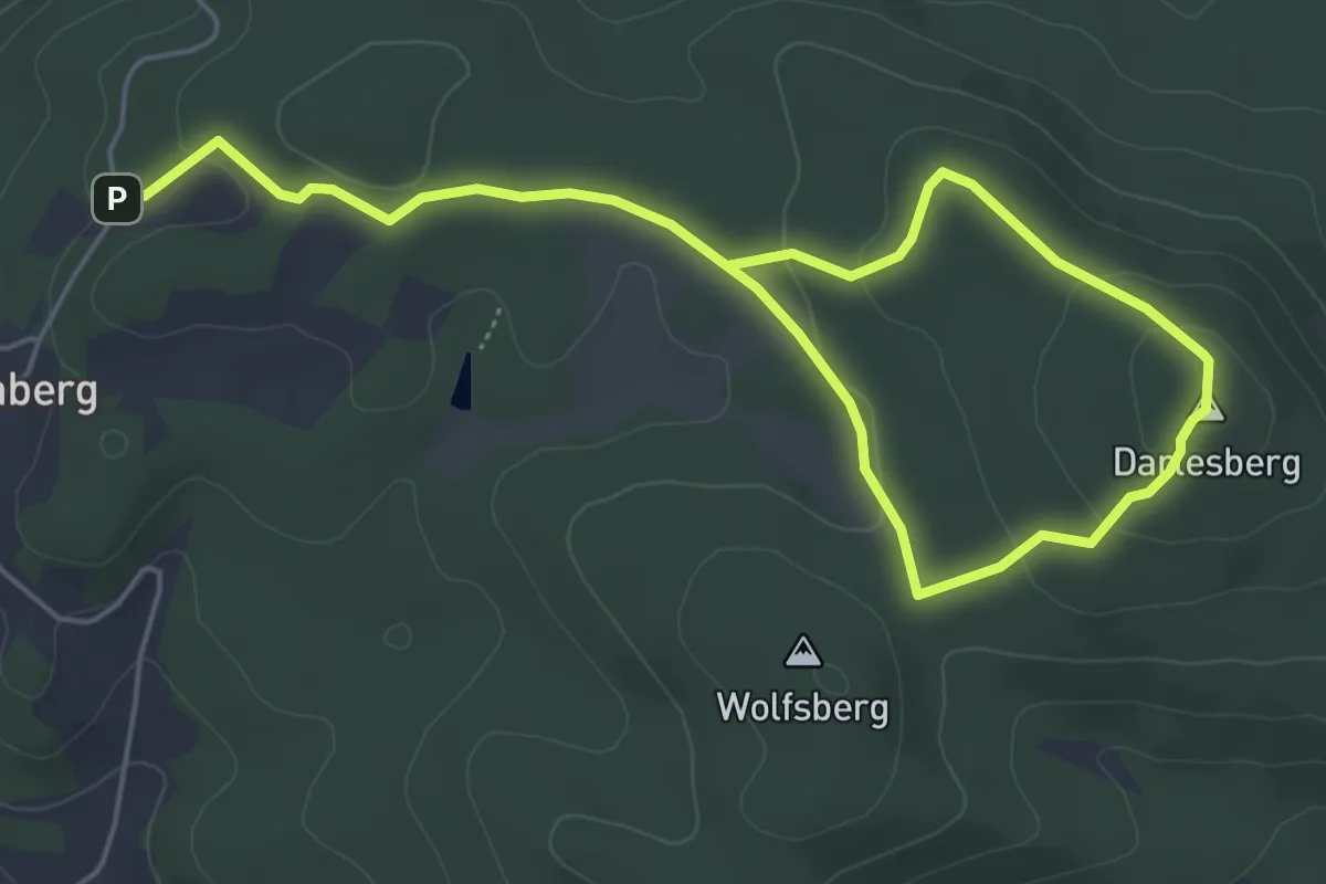
Easy · Summit
Darlesberg
3.7 km · ↑ 111 m · 1 h 9 min
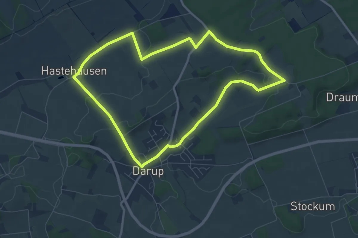
Easy · Trail
Darum Rundweg D2
6.8 km · ↑ 91 m · 1 h 54 min
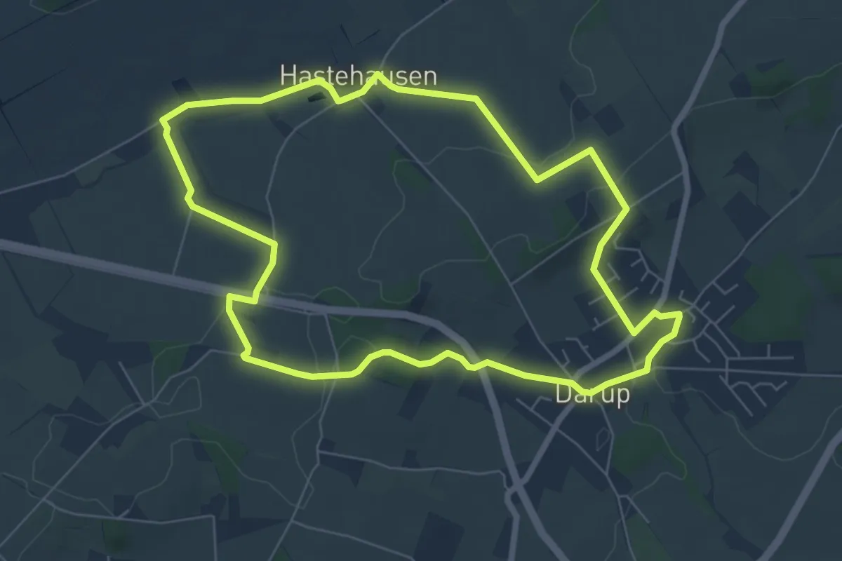
Easy · Trail
Darup Rundweg D1
6.0 km · ↑ 85 m · 1 h 41 min
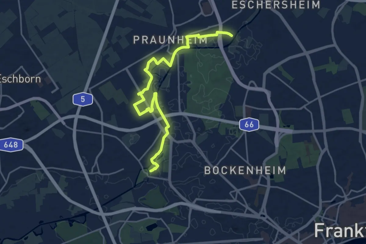
Medium · Trail
Das neue Frankfurt
15.3 km · ↑ 33 m · 3 h 42 min
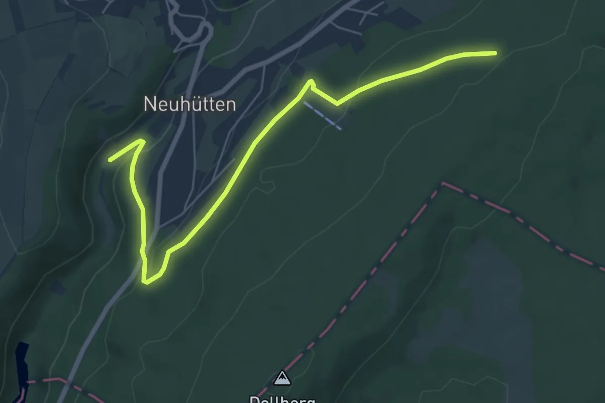
Easy · Trail
Das züscht!
6.0 km · ↑ 183 m · 1 h 48 min
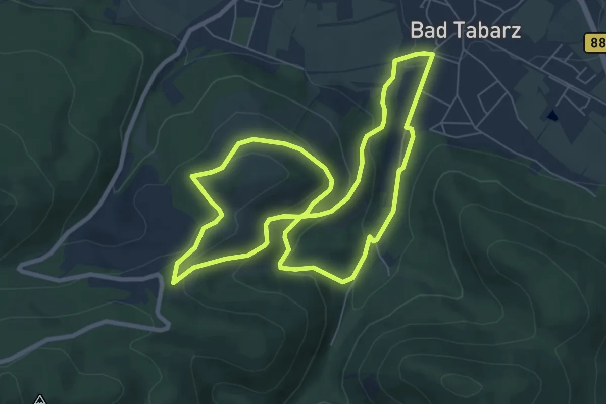
Easy · Summit
Datenberg-Rundweg
6.0 km · ↑ 247 m · 2 h 2 min
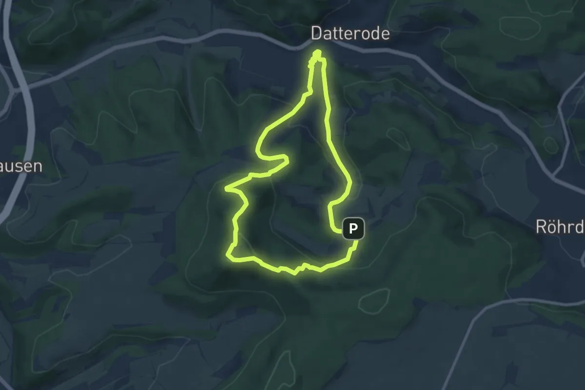
Easy · Summit
Datteröder Burgweg
7.1 km · ↑ 263 m · 2 h 21 min
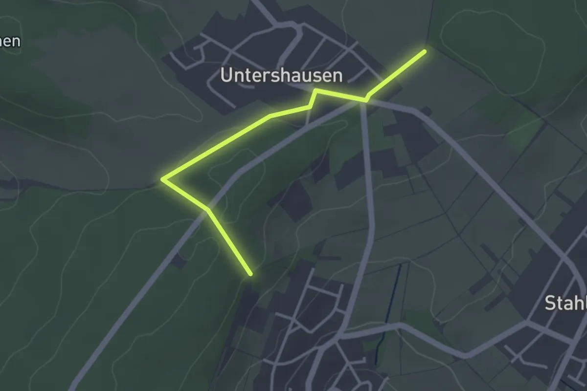
Easy · Trail
Daubacher Rundwanderweg D1
2.9 km · ↑ 62 m · 49 min
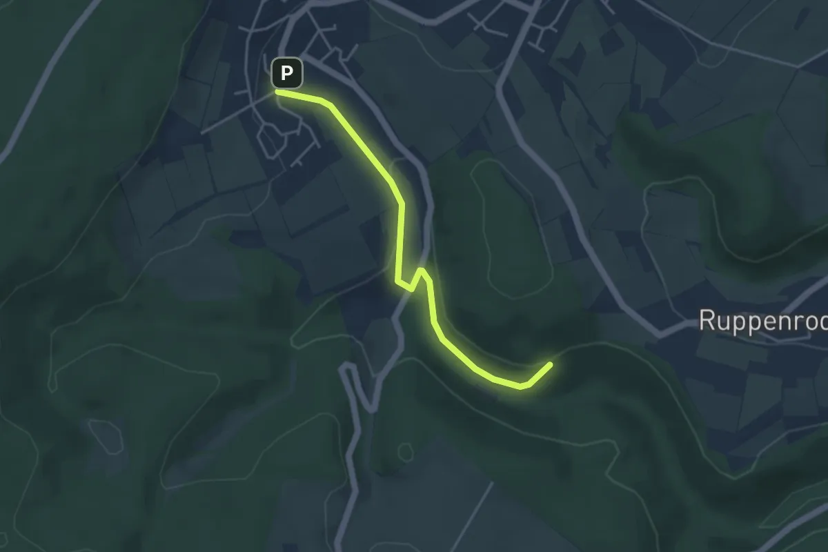
Easy · Trail
Daubacher Rundwanderweg D2
3.5 km · ↑ 81 m · 1 h
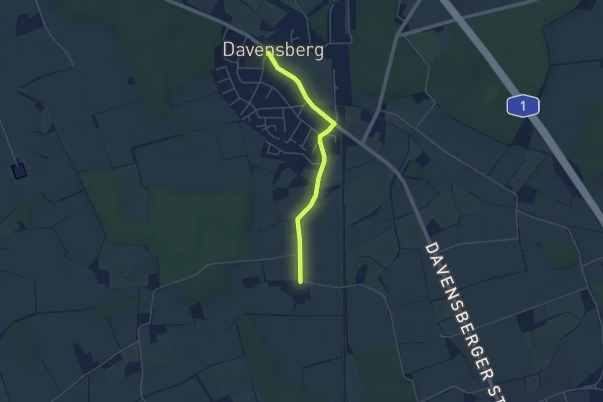
Easy · Trail
Davensberg Rundweg A5
1.8 km · ↑ 0 m · 28 min
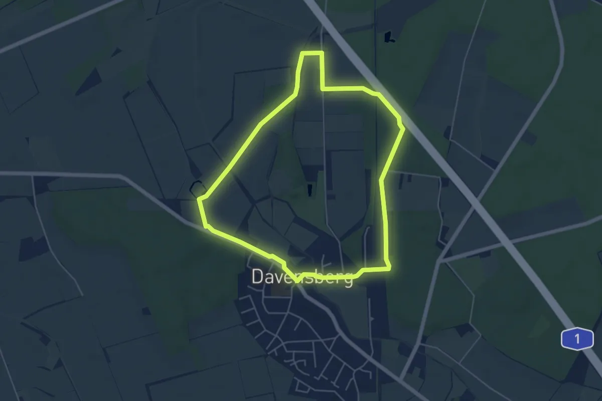
Easy · Trail
Davensberg Rundweg W1
4.5 km · ↑ 22 m · 1 h 10 min
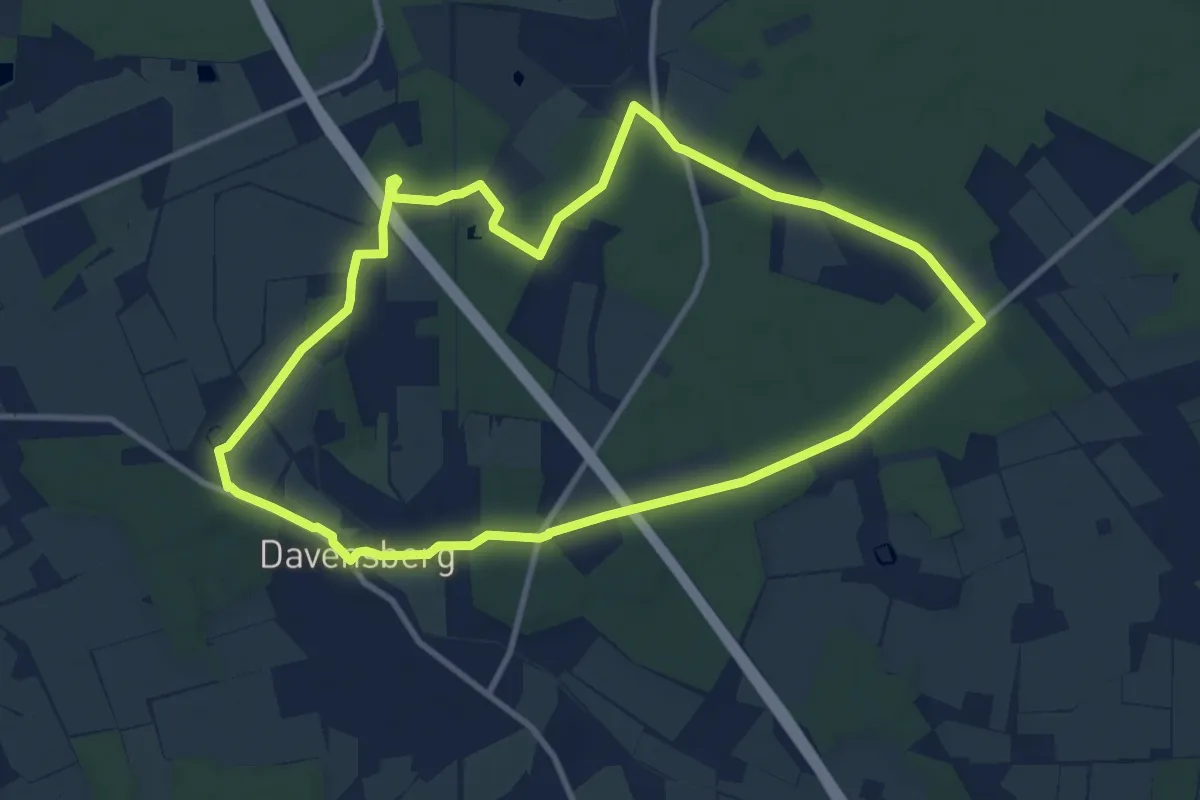
Medium · Trail
Davensberg Rundweg W2
9.5 km · ↑ 38 m · 2 h 27 min
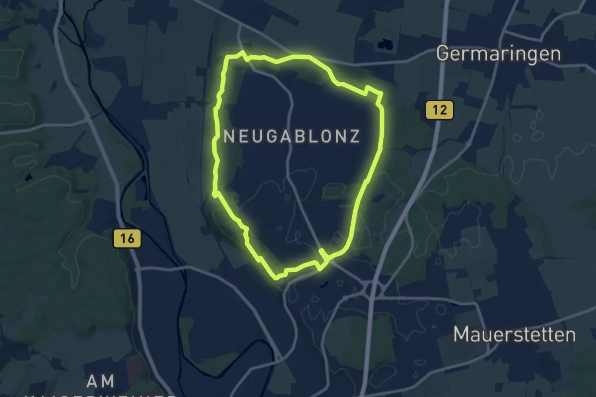
Medium · Trail
DAV Gablonzer Rundwanderweg
8.4 km · ↑ 89 m · 2 h 17 min
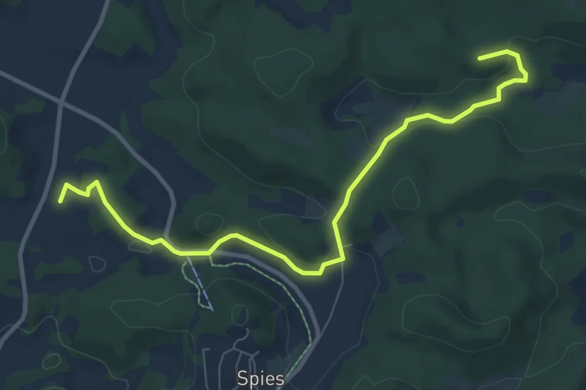
Easy · Summit
DAV Laufer Hüttenweg
7.2 km · ↑ 212 m · 2 h 10 min
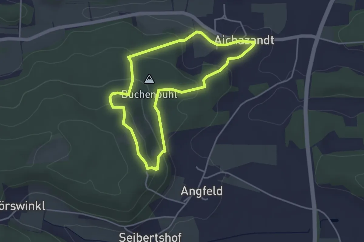
Easy · Summit
DAV-Rundweg (Grünring)
3.0 km · ↑ 98 m · 58 min