Trails in Germany
36,847 hiking trails, each with its route, climb, walking time and grade.
All trails, page 101 of 768
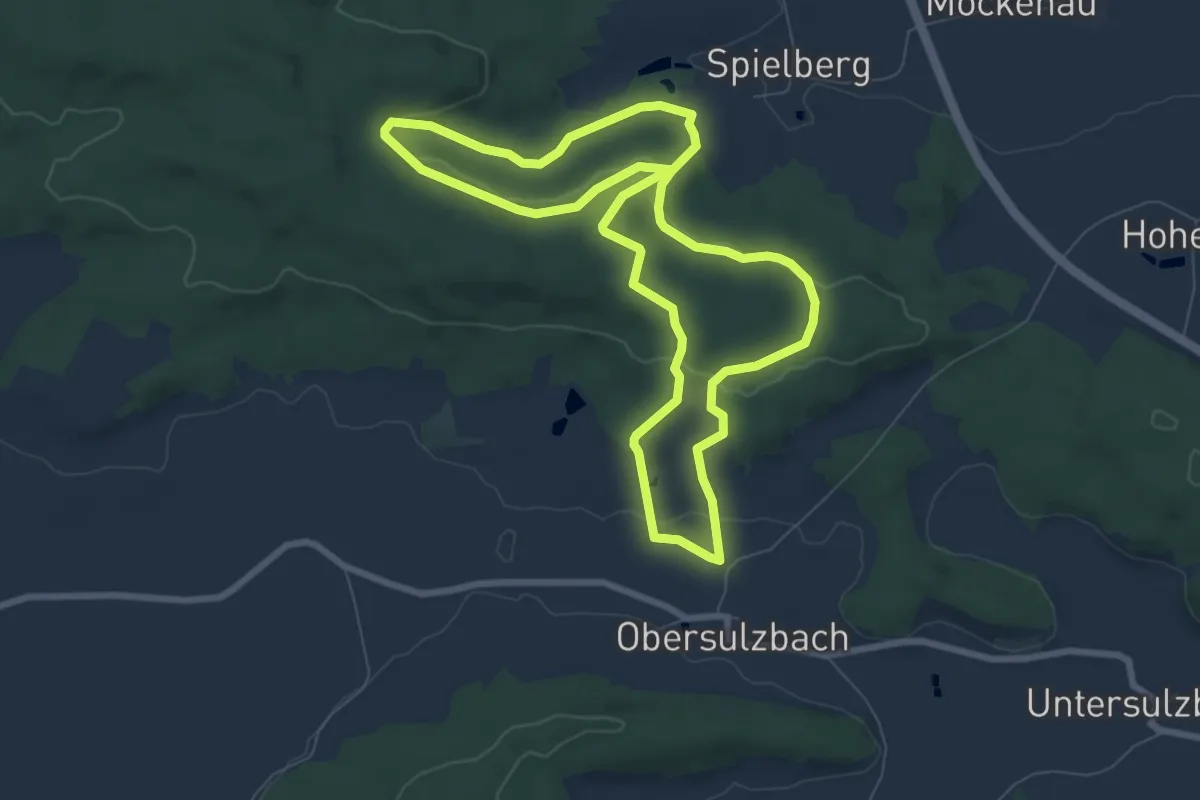
Easy · Summit
Dachs
7.4 km · ↑ 145 m · 2 h 9 min
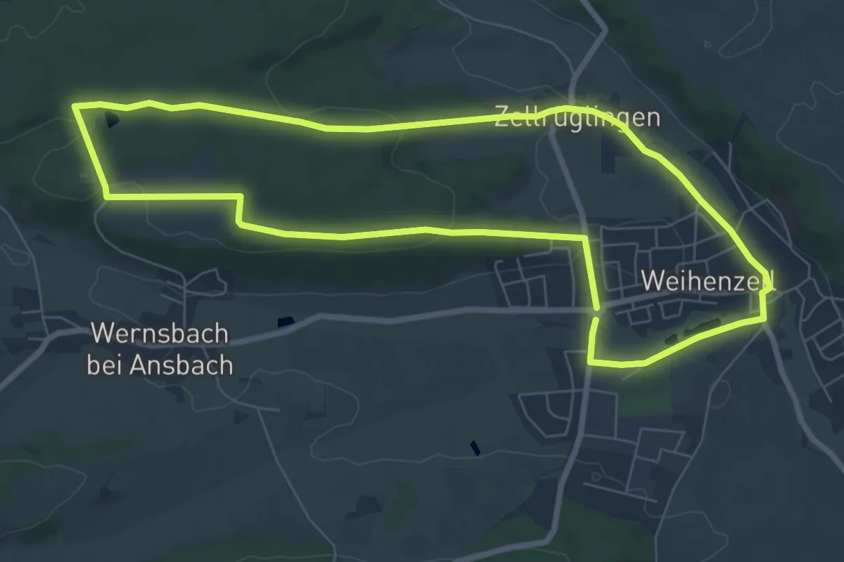
Easy · Trail
Dachs
6.9 km · ↑ 98 m · 1 h 56 min
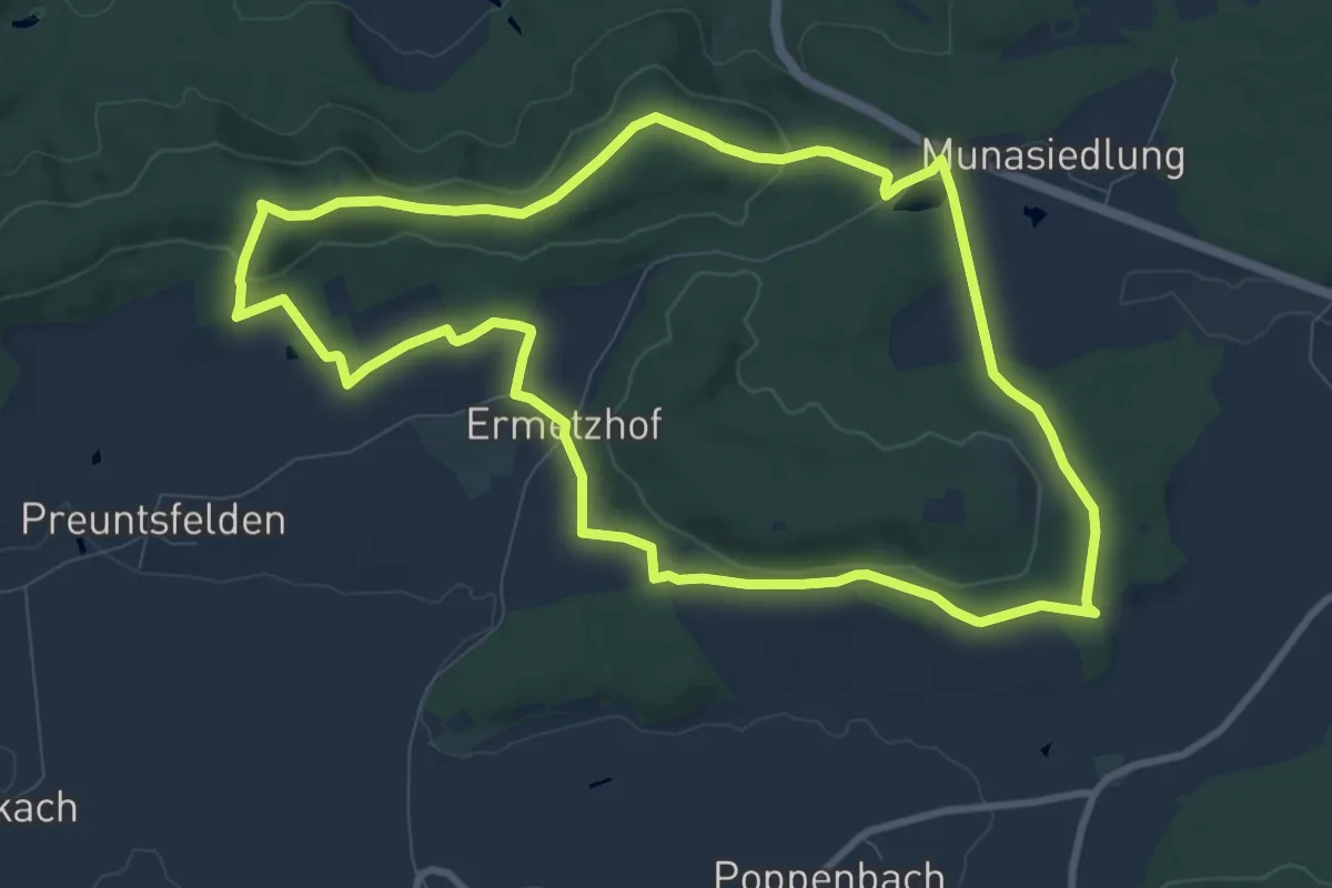
Medium · Summit
Dachs
9.2 km · ↑ 138 m · 2 h 35 min
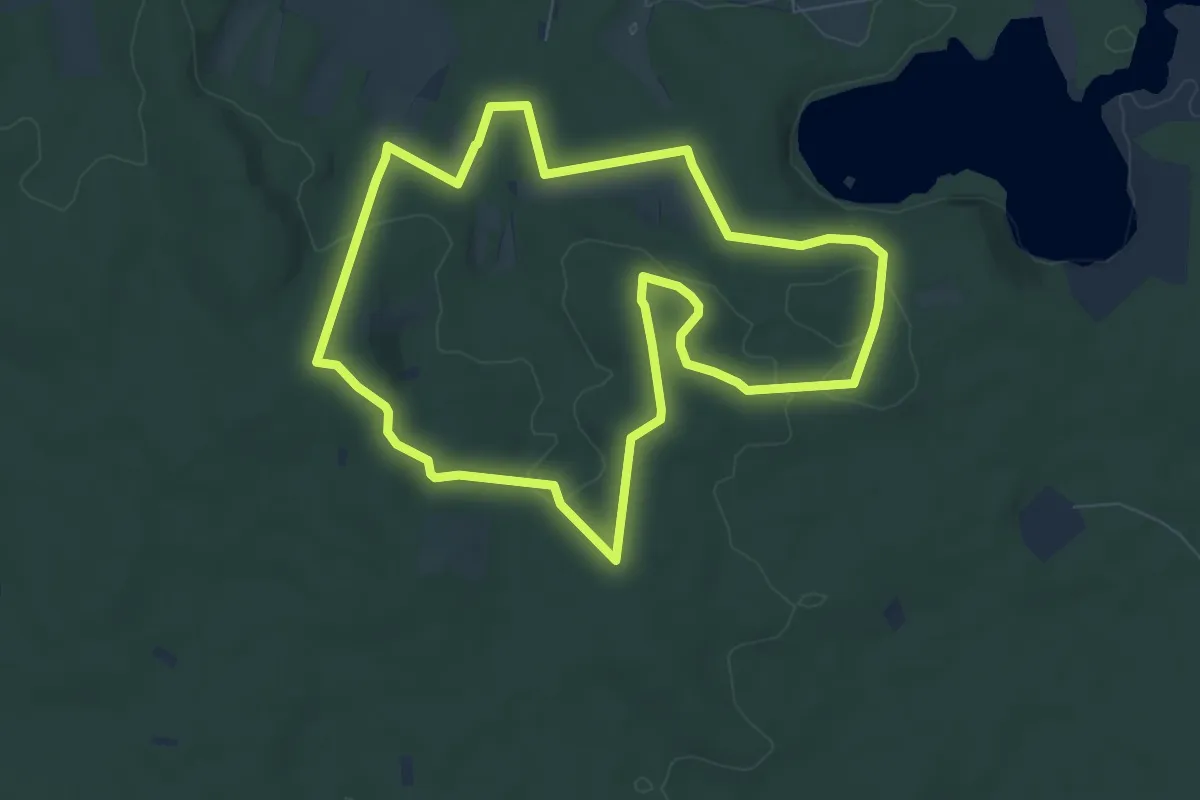
Easy · Summit
Dachsberg - Die Haard (blau)
7.2 km · ↑ 112 m · 2 h 2 min
Easy · Trail
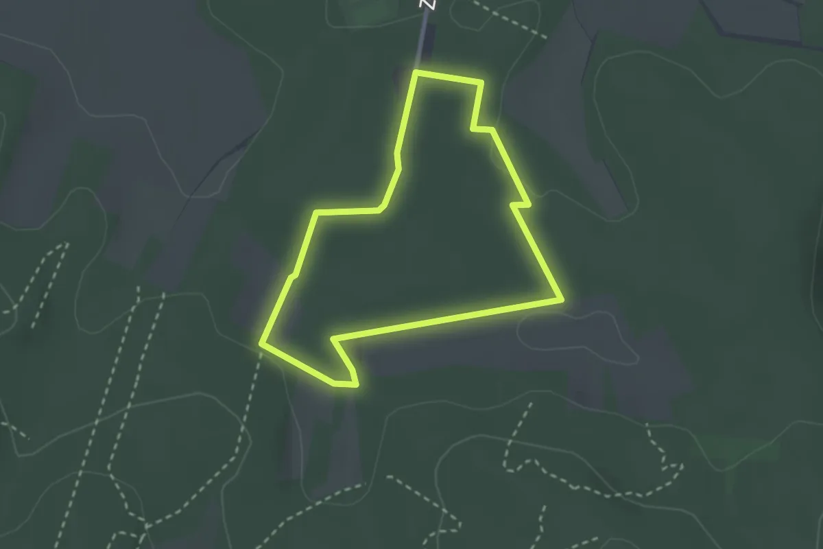
Dachsberg - Die Haard (braun)
2.2 km · ↑ 13 m · 35 min
Easy · Summit
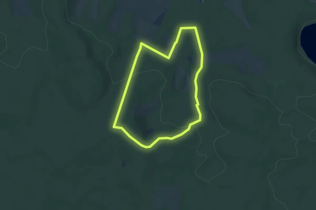
Dachsberg - Die Haard (orange)
3.3 km · ↑ 73 m · 59 min
Easy · Summit
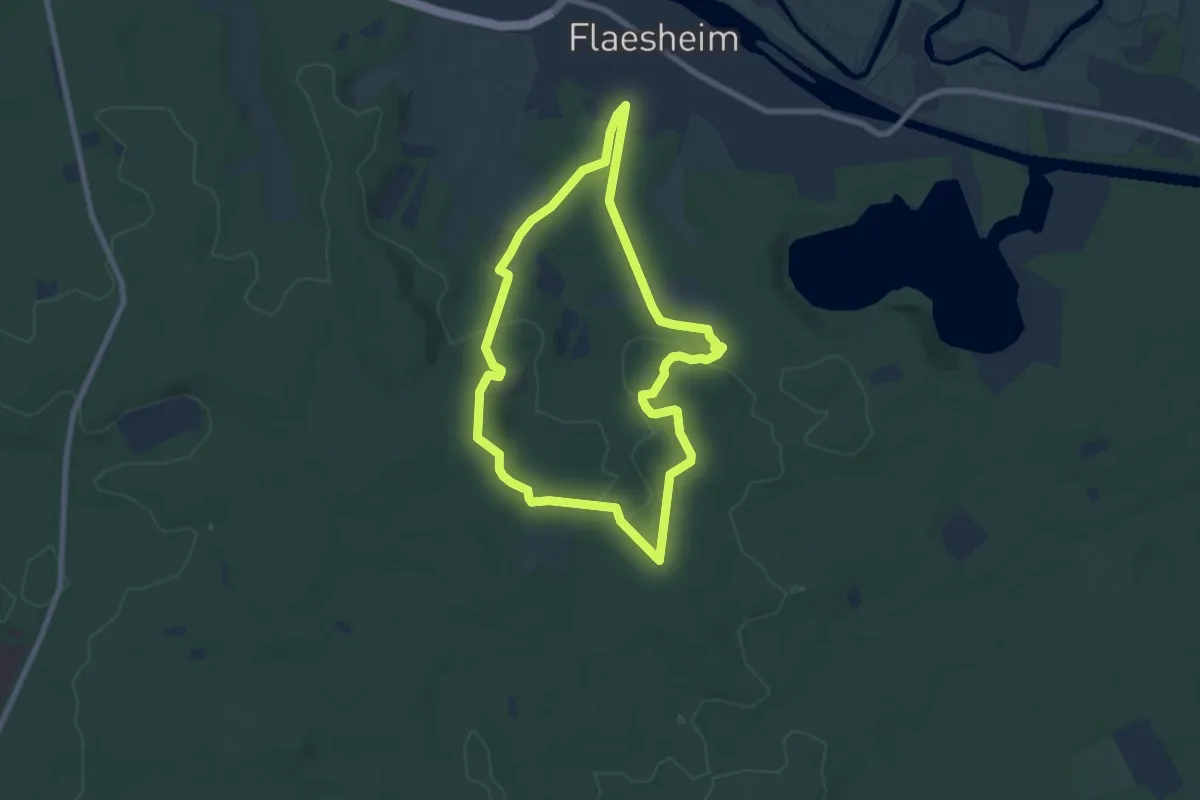
Dachsberg Rundweg A2
6.5 km · ↑ 98 m · 1 h 50 min
Medium · Trail
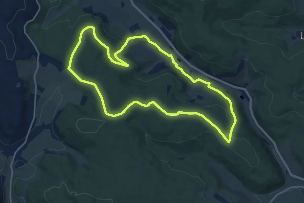
Dachsberg-Weg
9.1 km · ↑ 216 m · 2 h 45 min
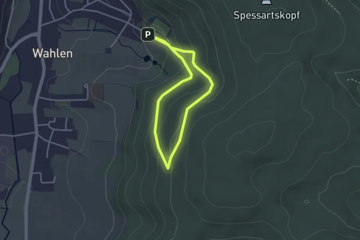
Easy · Trail
Dachsbrunnen-Weg
4.8 km · ↑ 222 m · 1 h 37 min
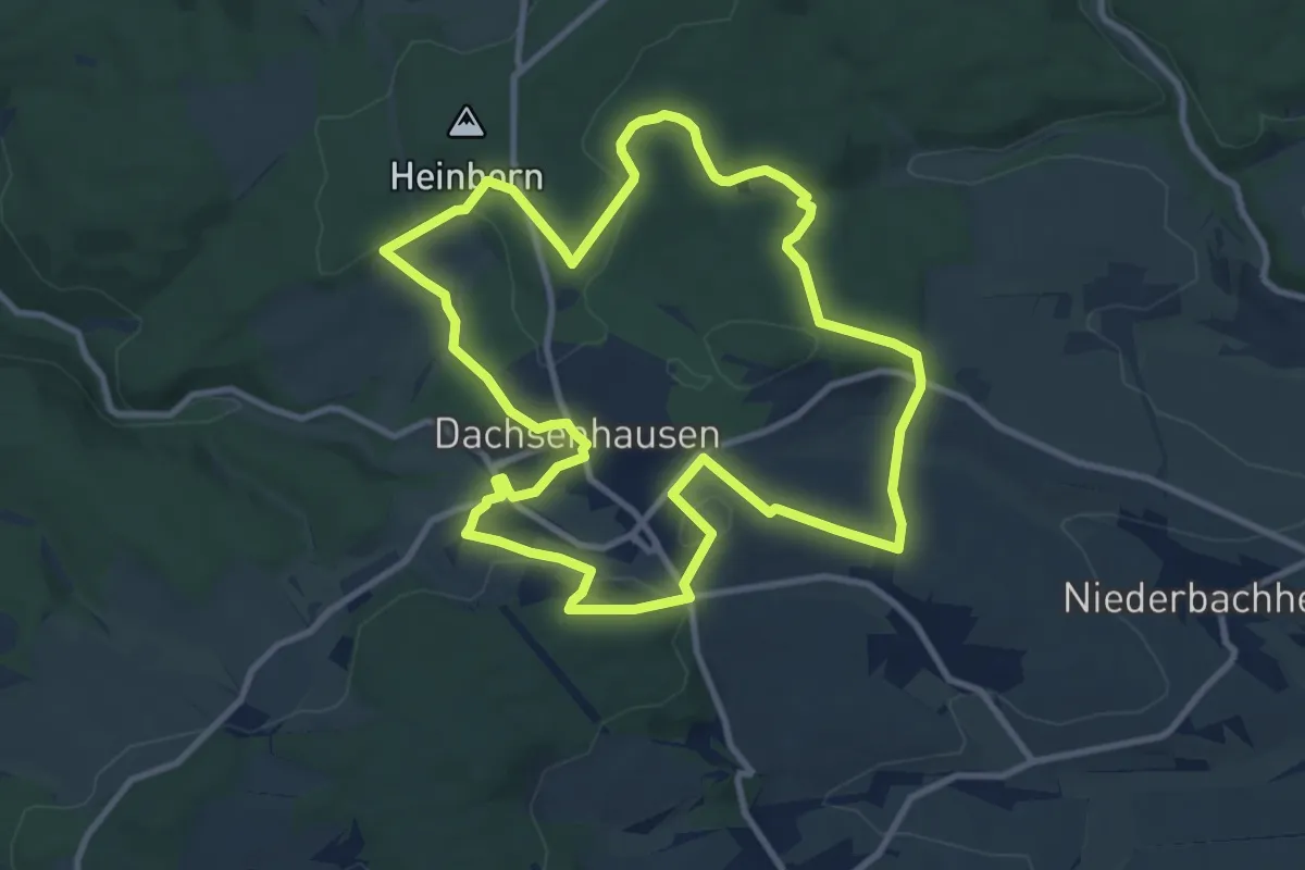
Medium · Trail
Dachsenhäuser Runde
9.7 km · ↑ 216 m · 2 h 54 min
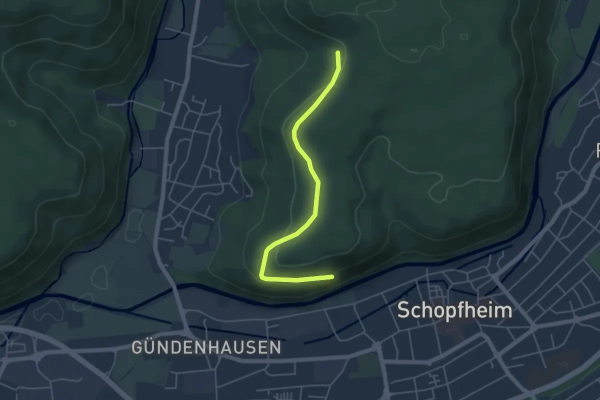
Easy · Trail
Dachsgrabenbrünnli - Gündenhausener Halde
4.1 km · ↑ 122 m · 1 h 13 min
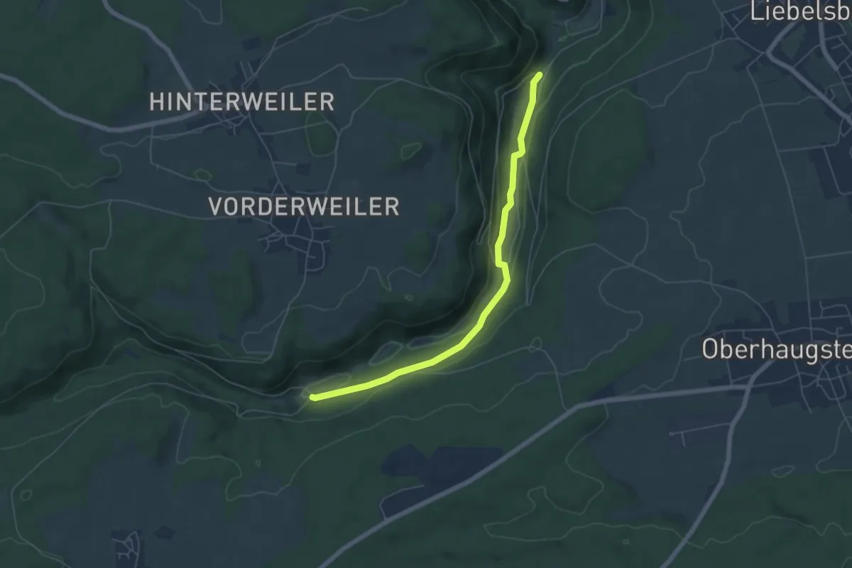
Easy · Trail
Dachshof - Weikenmühle
5.5 km · ↑ 146 m · 1 h 37 min
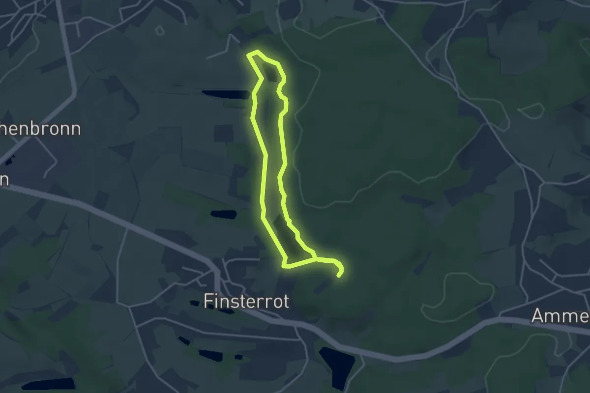
Easy · Trail
Dachsi NaturErlebnisPfad
2.8 km · ↑ 28 m · 46 min
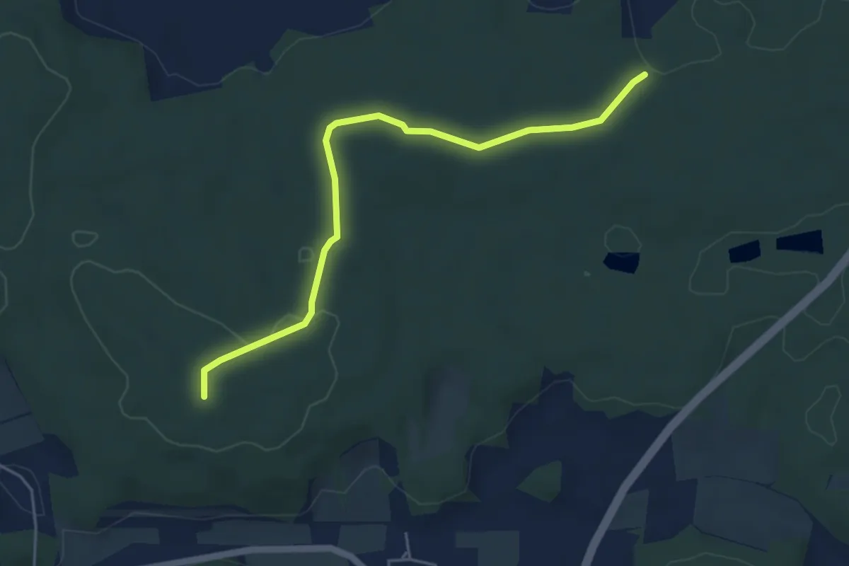
Easy · Summit
Dachsleitensteig
4.6 km · ↑ 53 m · 1 h 12 min
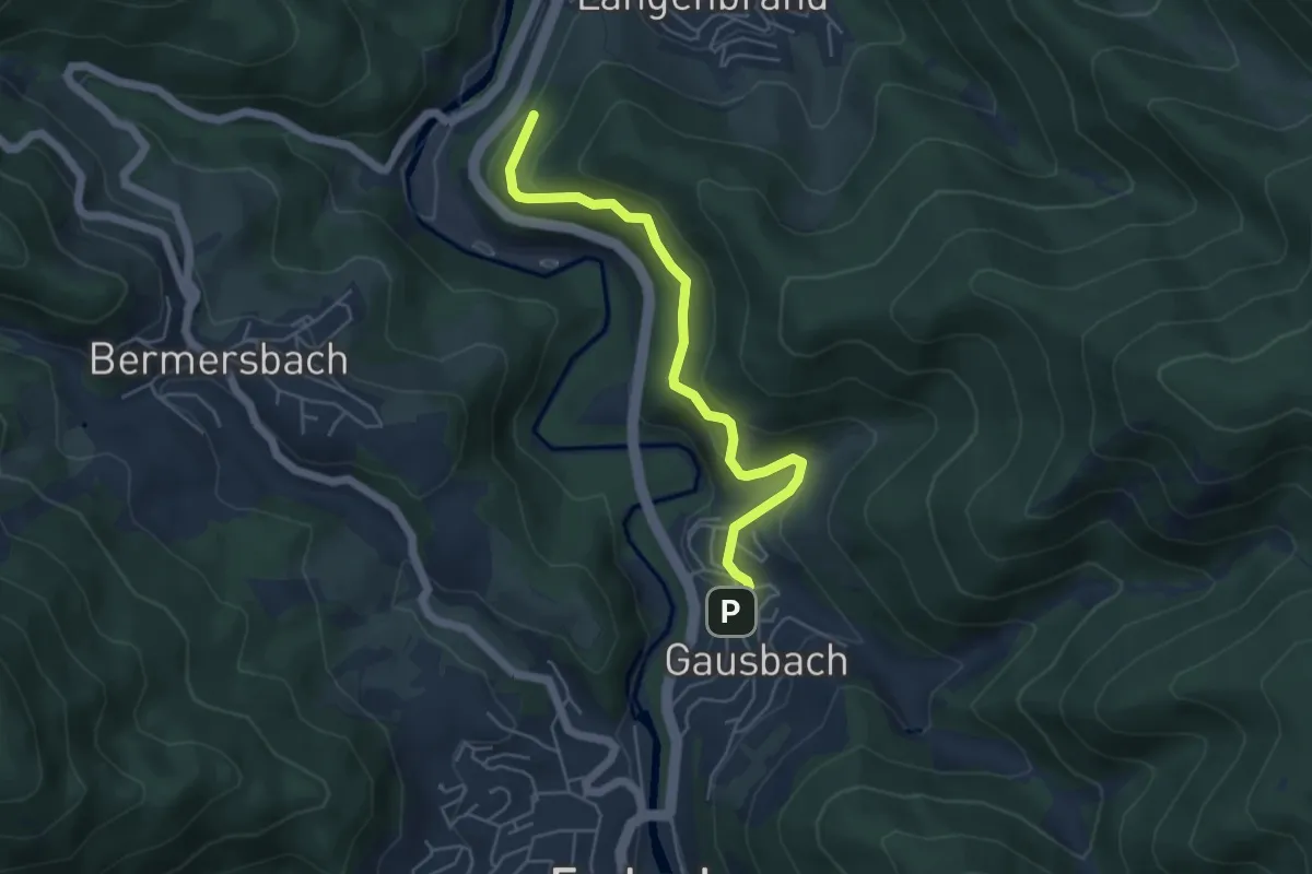
Easy · Trail
Dachsloch - Haltepunkt Gausbach
4.7 km · ↑ 259 m · 1 h 41 min
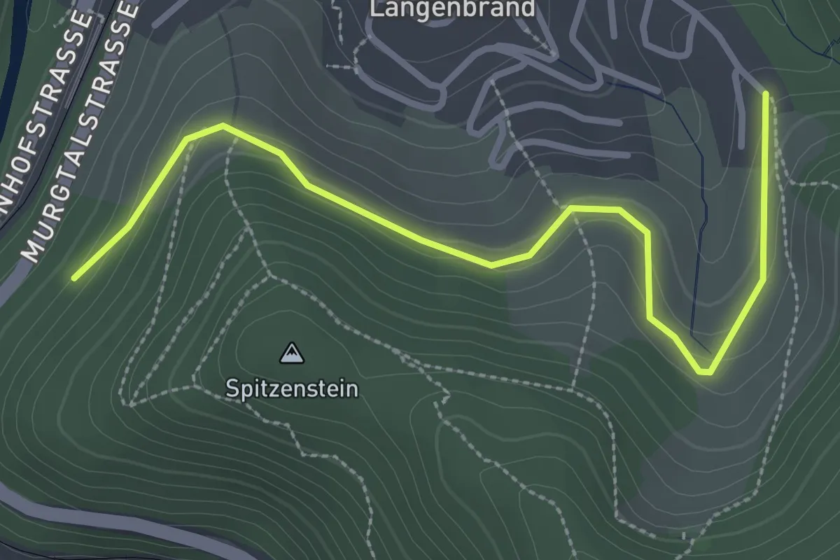
Easy · Trail
Dachsloch - Langenbrand Bildstöckl
3.1 km · ↑ 154 m · 1 h 4 min
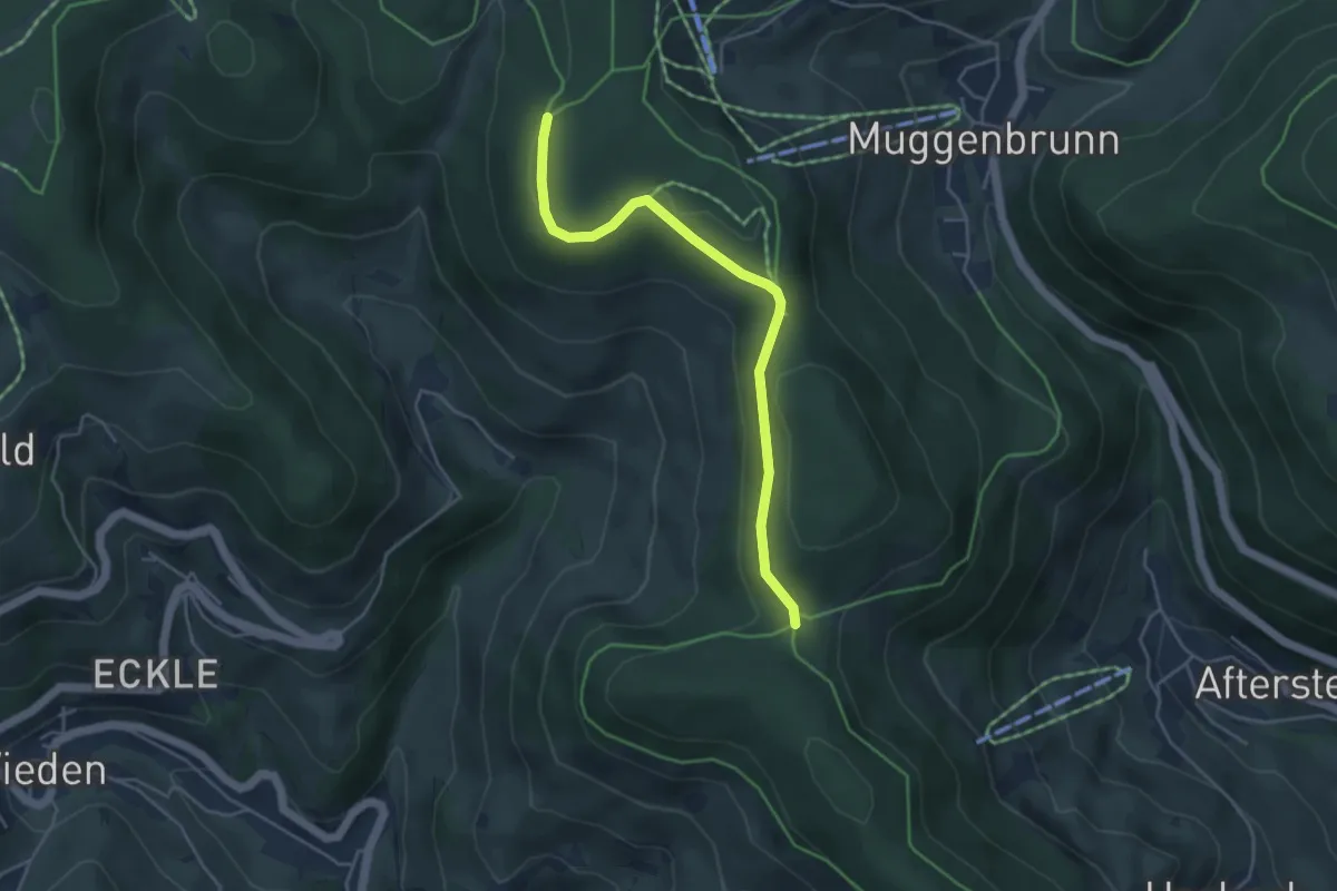
Easy · Trail
Dachsrain - Gschwender Hölzle
4.2 km · ↑ 78 m · 1 h 10 min
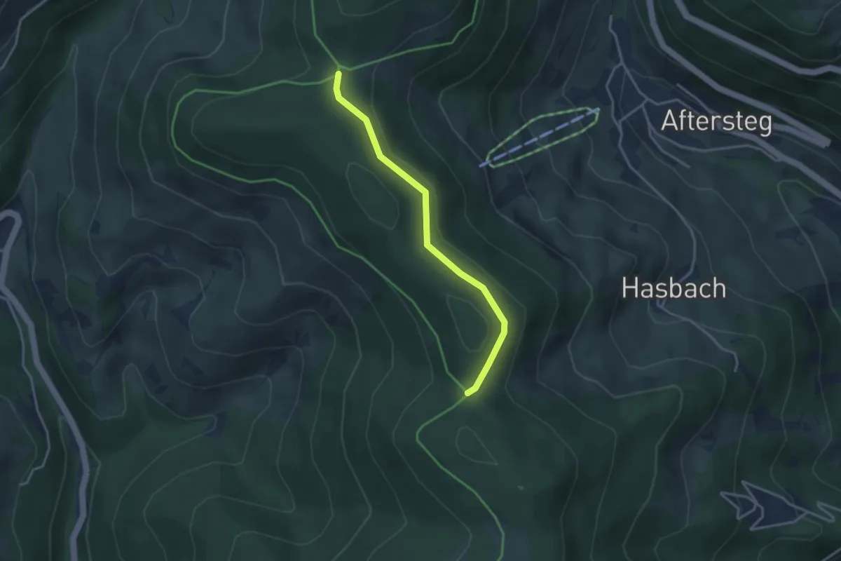
Easy · Trail
Dachsrain - Hasbacher Höhe
3.0 km · ↑ 42 m · 48 min
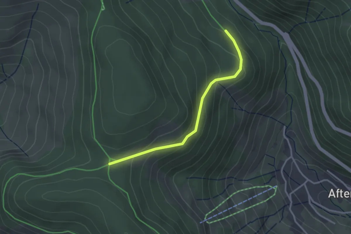
Easy · Trail
Dachsrain - Läger
2.6 km · ↑ 146 m · 55 min
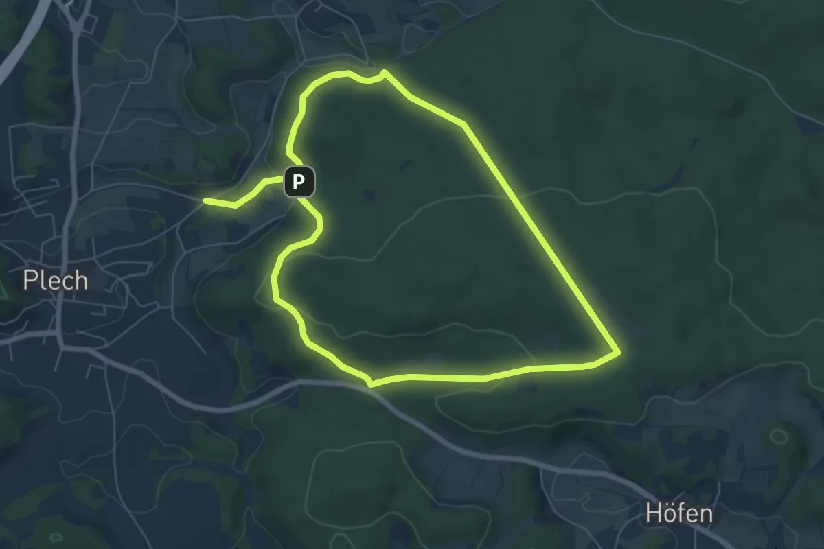
Easy · Trail
Dachs-Runde
5.8 km · ↑ 129 m · 1 h 44 min
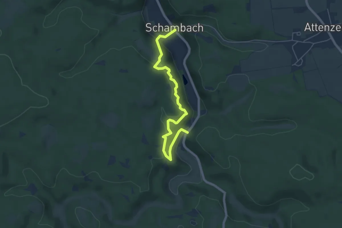
Easy · Trail
Dachsteig
5.1 km · ↑ 251 m · 1 h 44 min
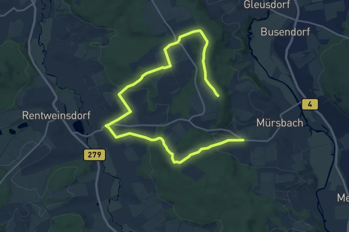
Medium · Trail
Dachs-Wanderweg Mürsbach
16.4 km · ↑ 385 m · 4 h 42 min
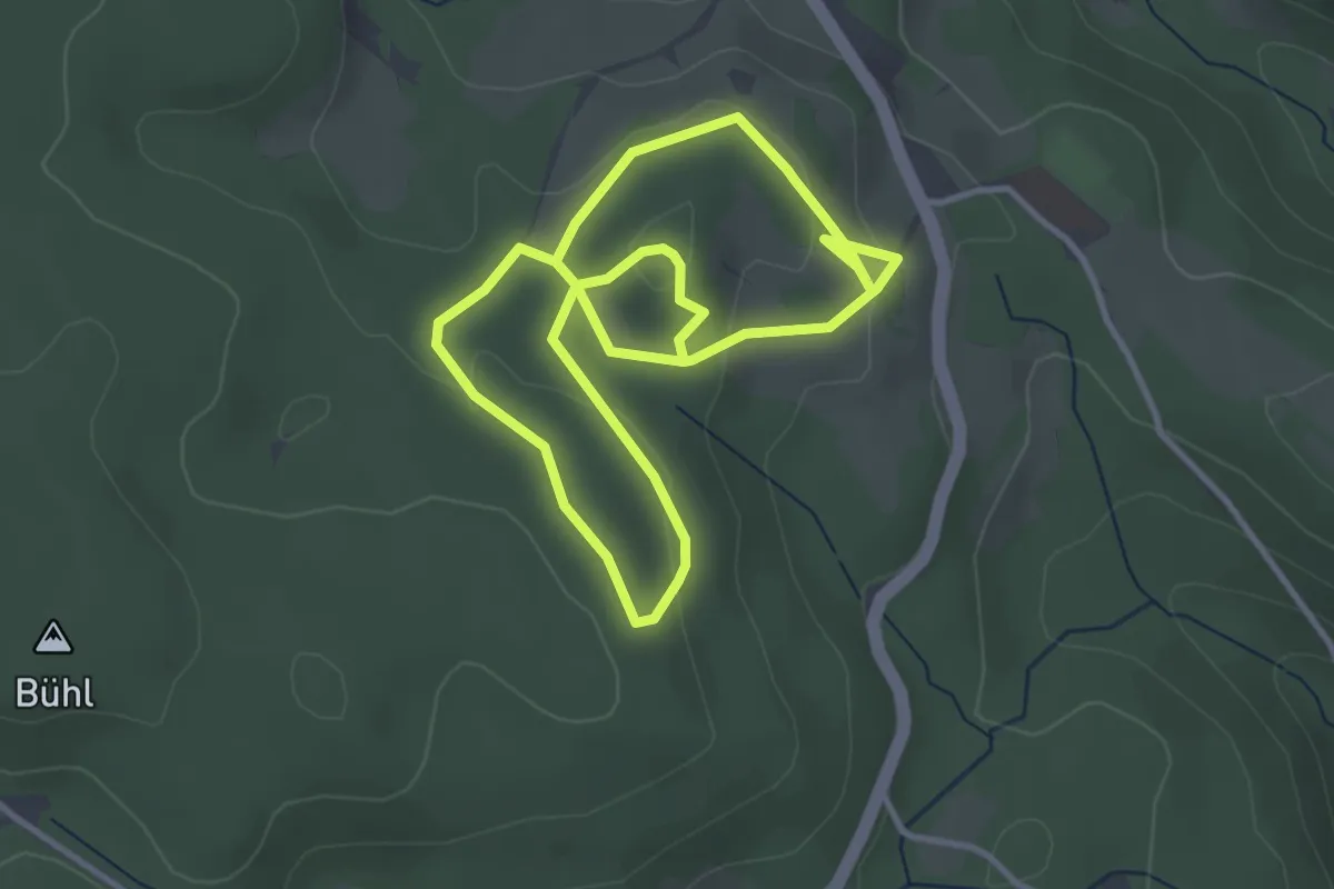
Easy · Trail
Dachsweg
6.3 km · ↑ 167 m · 1 h 52 min
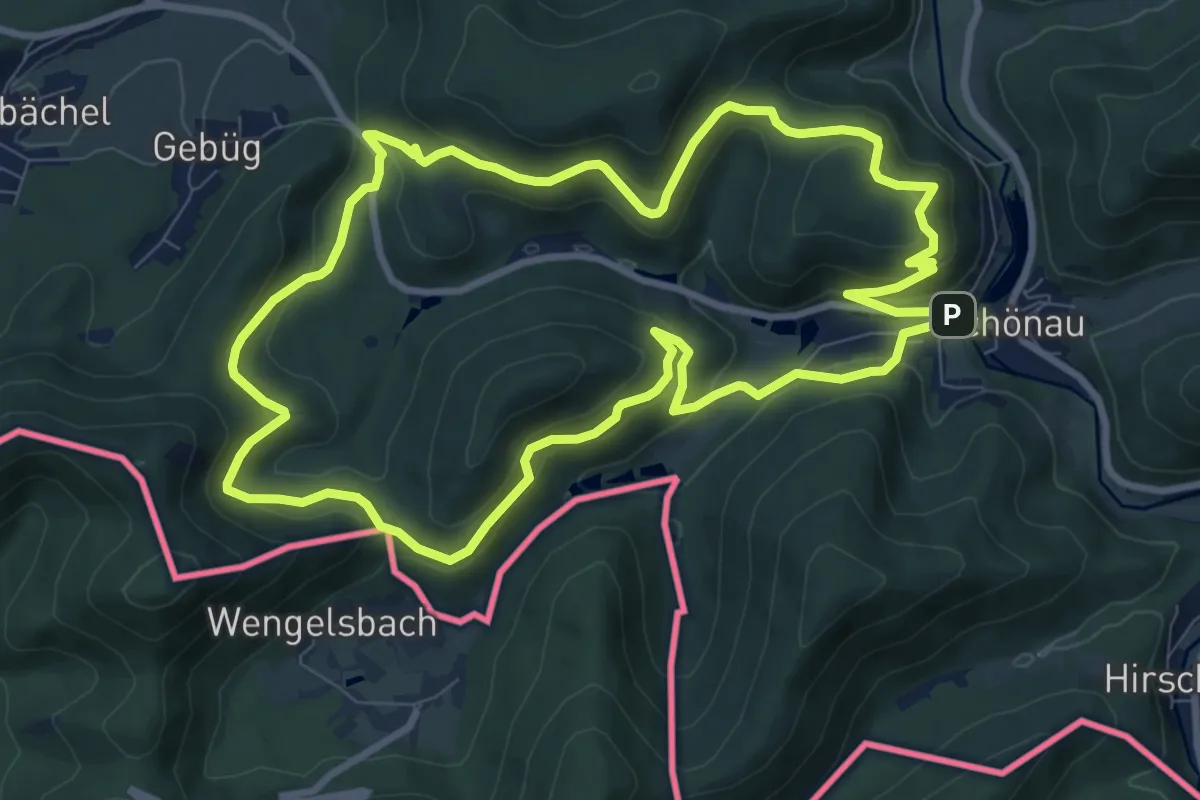
Medium · Summit
Dachs-Weg
9.1 km · ↑ 430 m · 3 h 12 min
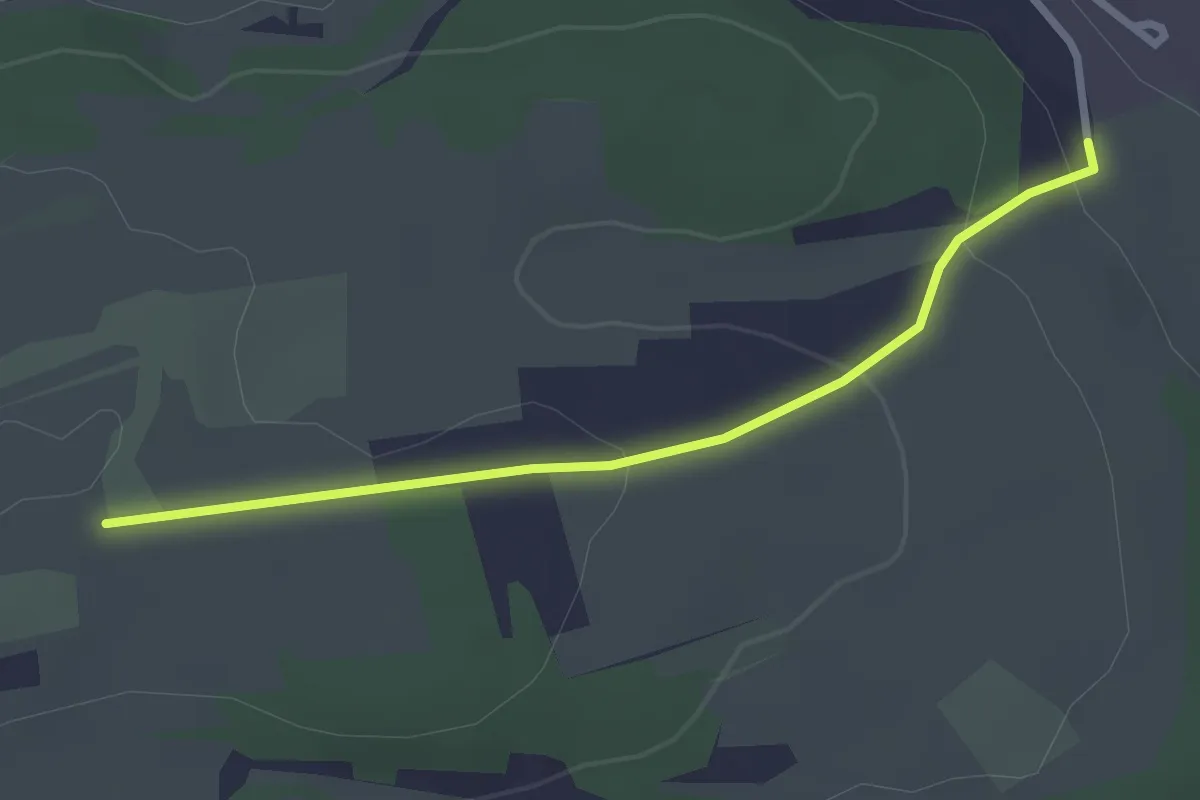
Easy · Trail
Dachtel Eckweg - Deufringen Leiderle
2.5 km · ↑ 77 m · 46 min
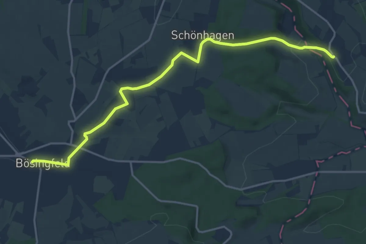
Medium · Trail
Dachtelfeldweg X12
10.7 km · ↑ 162 m · 2 h 52 min
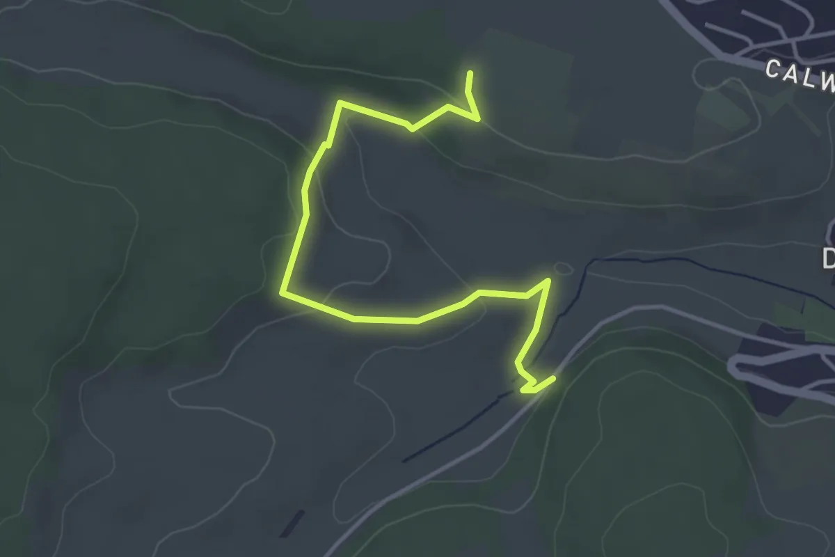
Easy · Trail
Dachtel Grenzstein - Bierkeller
3.9 km · ↑ 127 m · 1 h 12 min
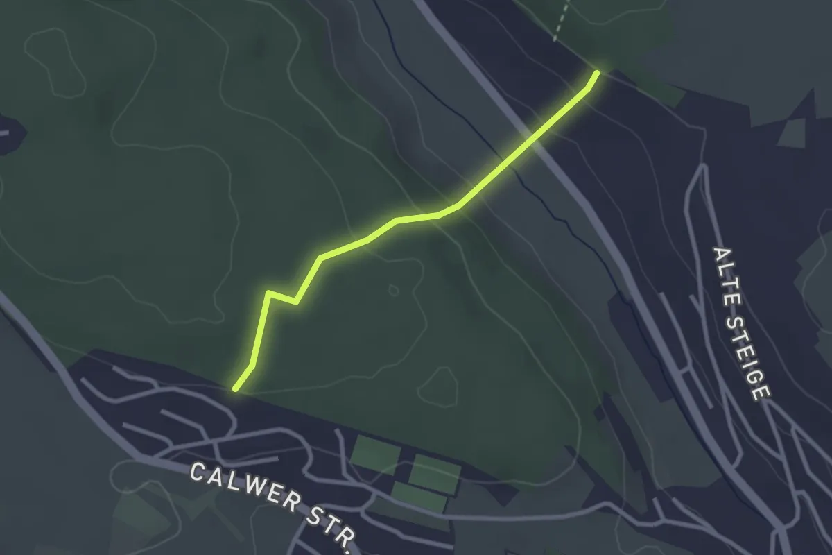
Easy · Trail
Dachtel Keltengrabhügel - Deufringen Stockenwald
2.3 km · ↑ 129 m · 49 min
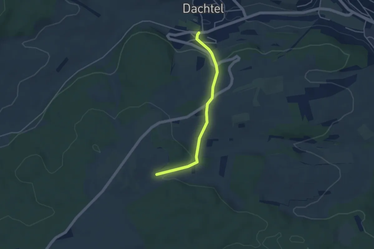
Easy · Trail
Dachtel Wolfspfad-Schreiberweg-Heckental-Stupeiter-Triebweg
3.3 km · ↑ 102 m · 1 h
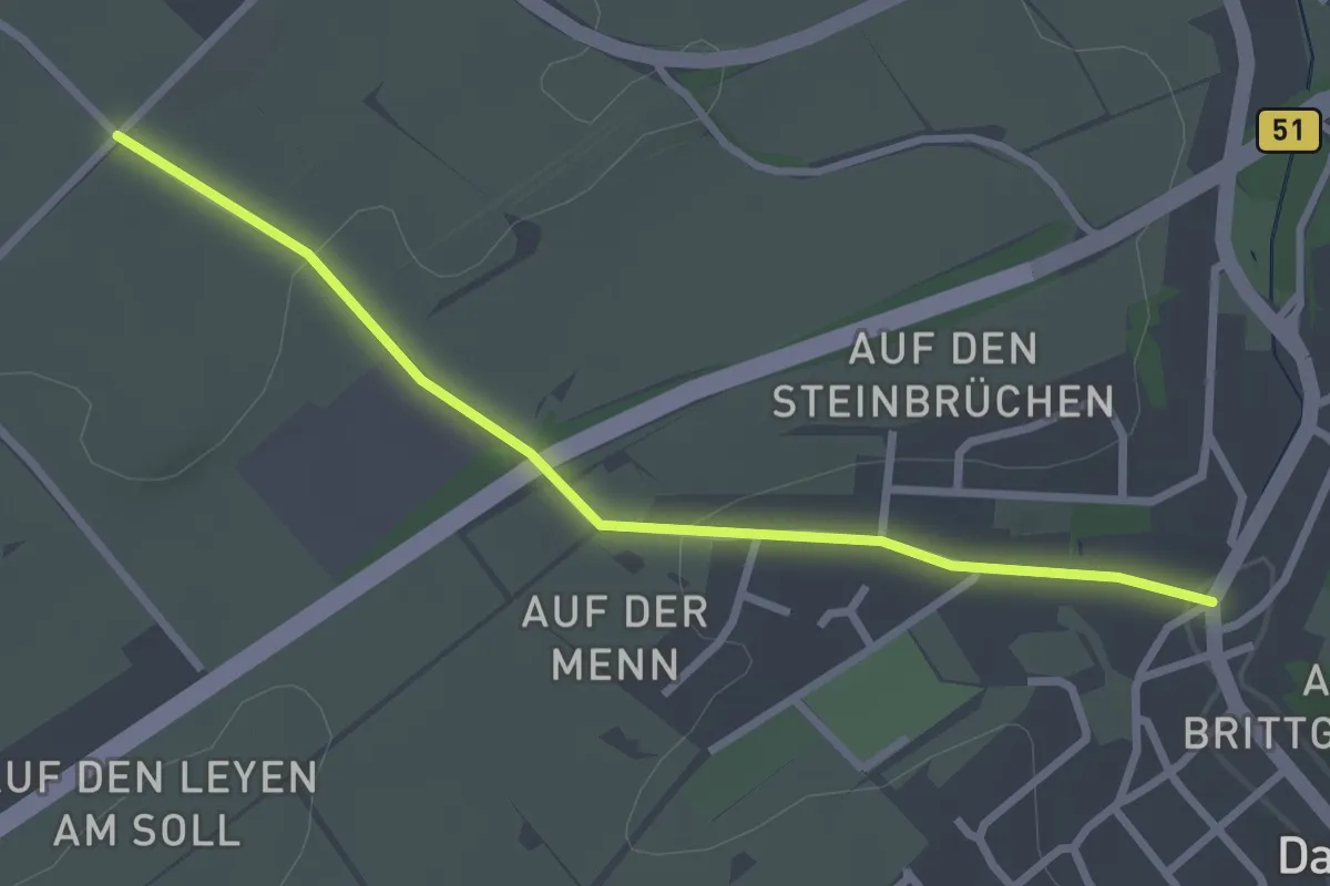
Easy · Trail
Dahlem Rundweg D1
2.6 km · ↑ 44 m · 42 min
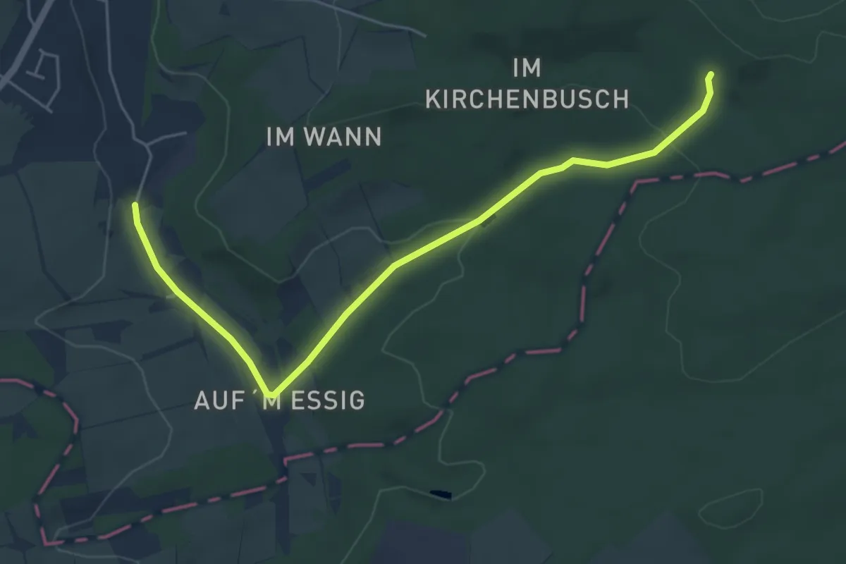
Easy · Trail
Dahlem Rundweg D3
5.1 km · ↑ 131 m · 1 h 29 min
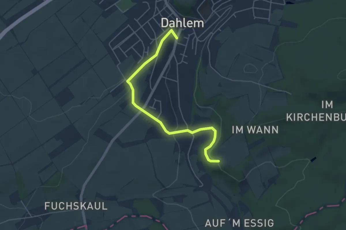
Easy · Trail
Dahlem Rundweg D4
4.2 km · ↑ 152 m · 1 h 20 min
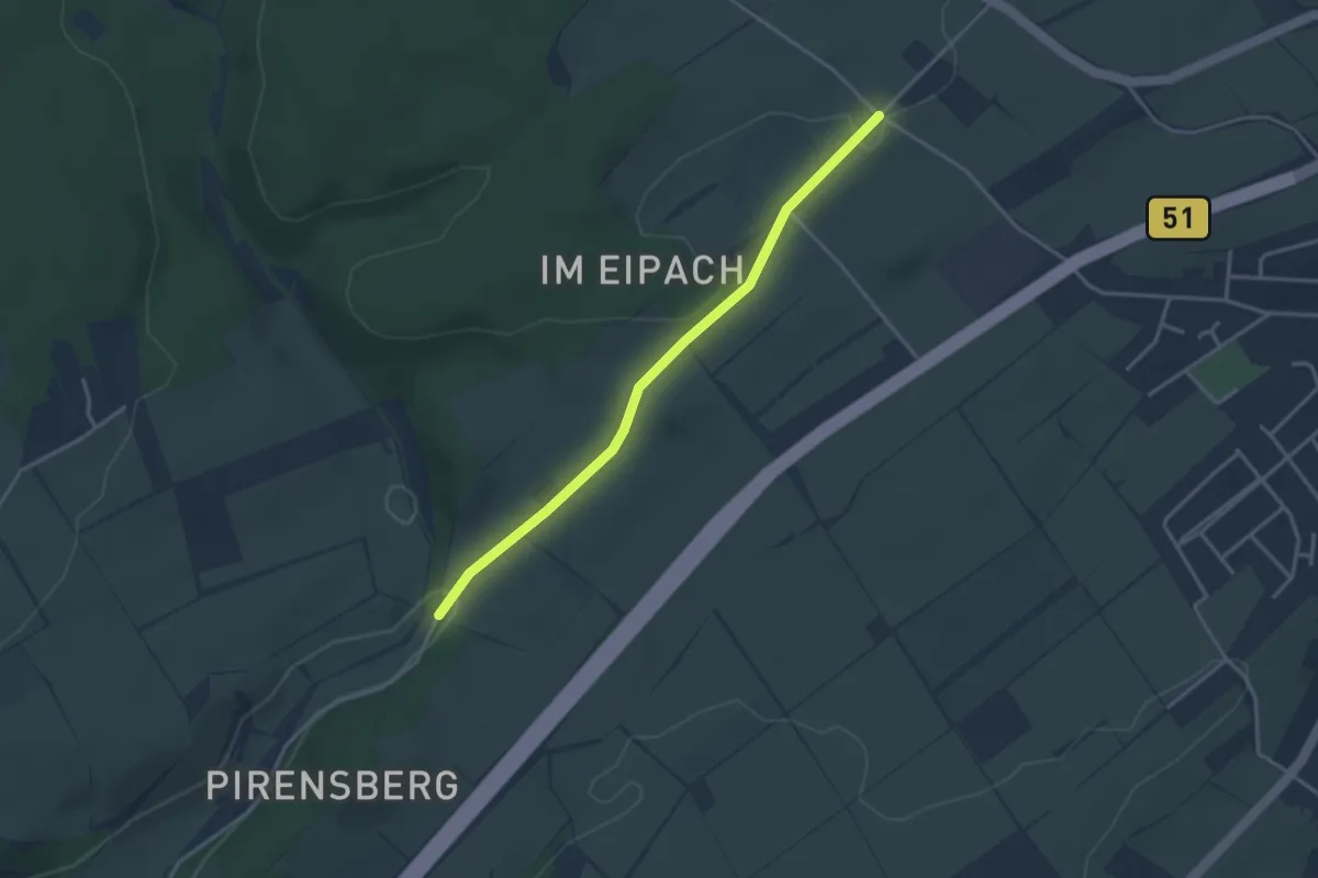
Easy · Trail
Dahlem Rundweg D6
3.1 km · ↑ 46 m · 50 min
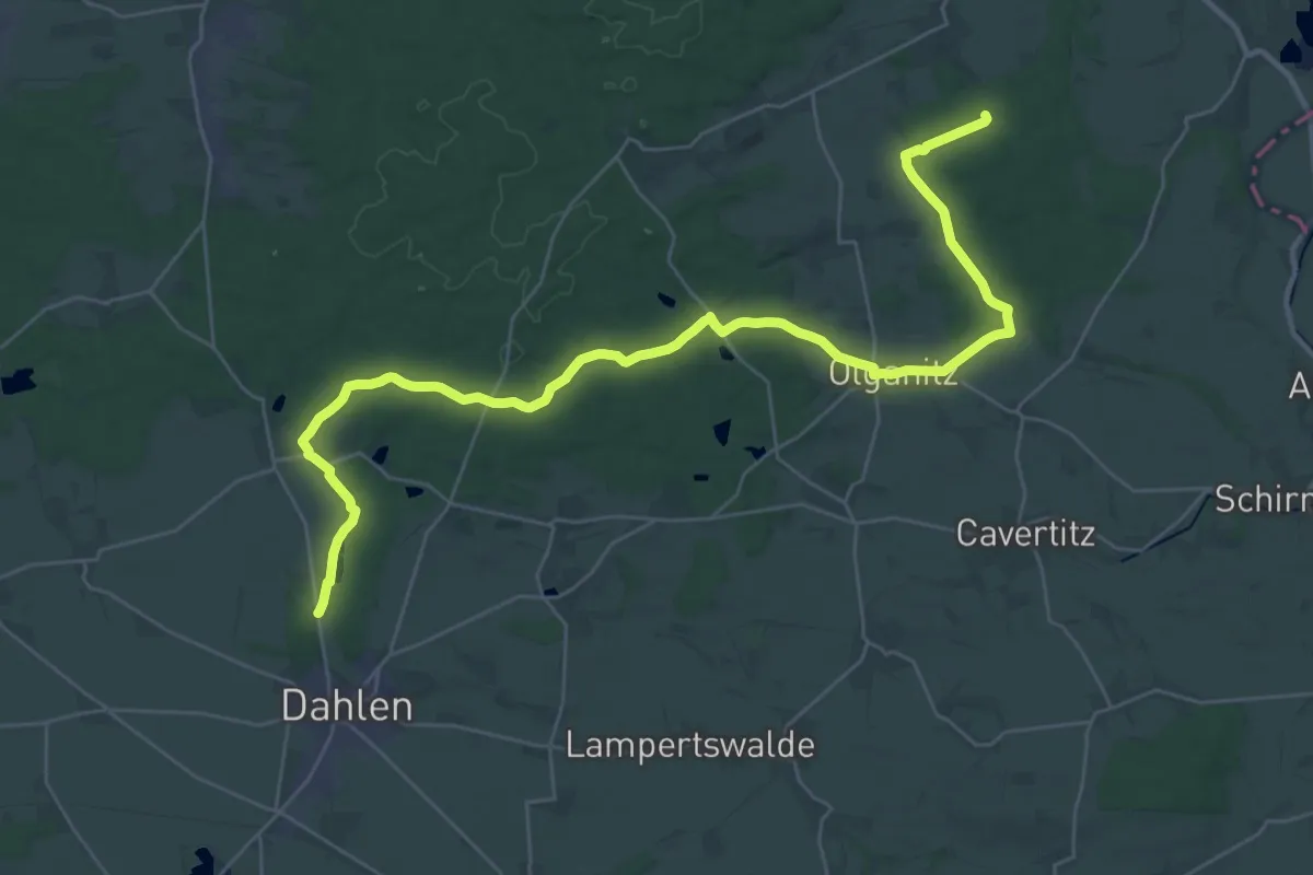
Demanding · Trail
Dahlen - Forsthaus Dröschkau
18.0 km · ↑ 159 m · 4 h 51 min
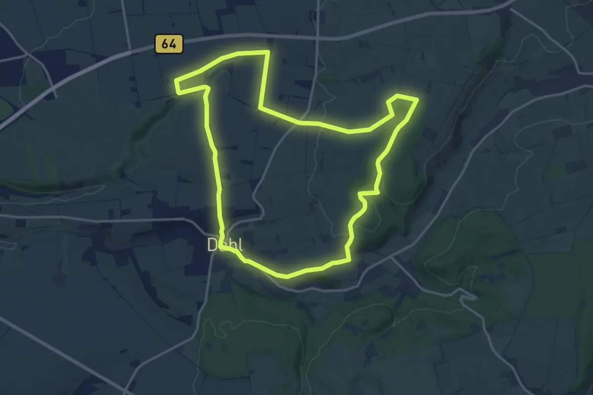
Medium · Trail
Dahler Aussichtstour
12.3 km · ↑ 169 m · 3 h 27 min
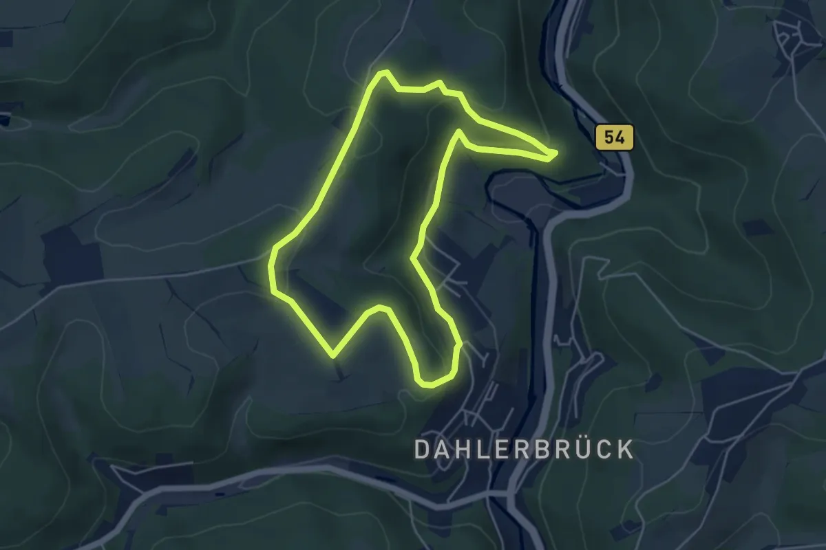
Easy · Trail
Dahlerbrück Rundweg A6
4.2 km · ↑ 171 m · 1 h 25 min
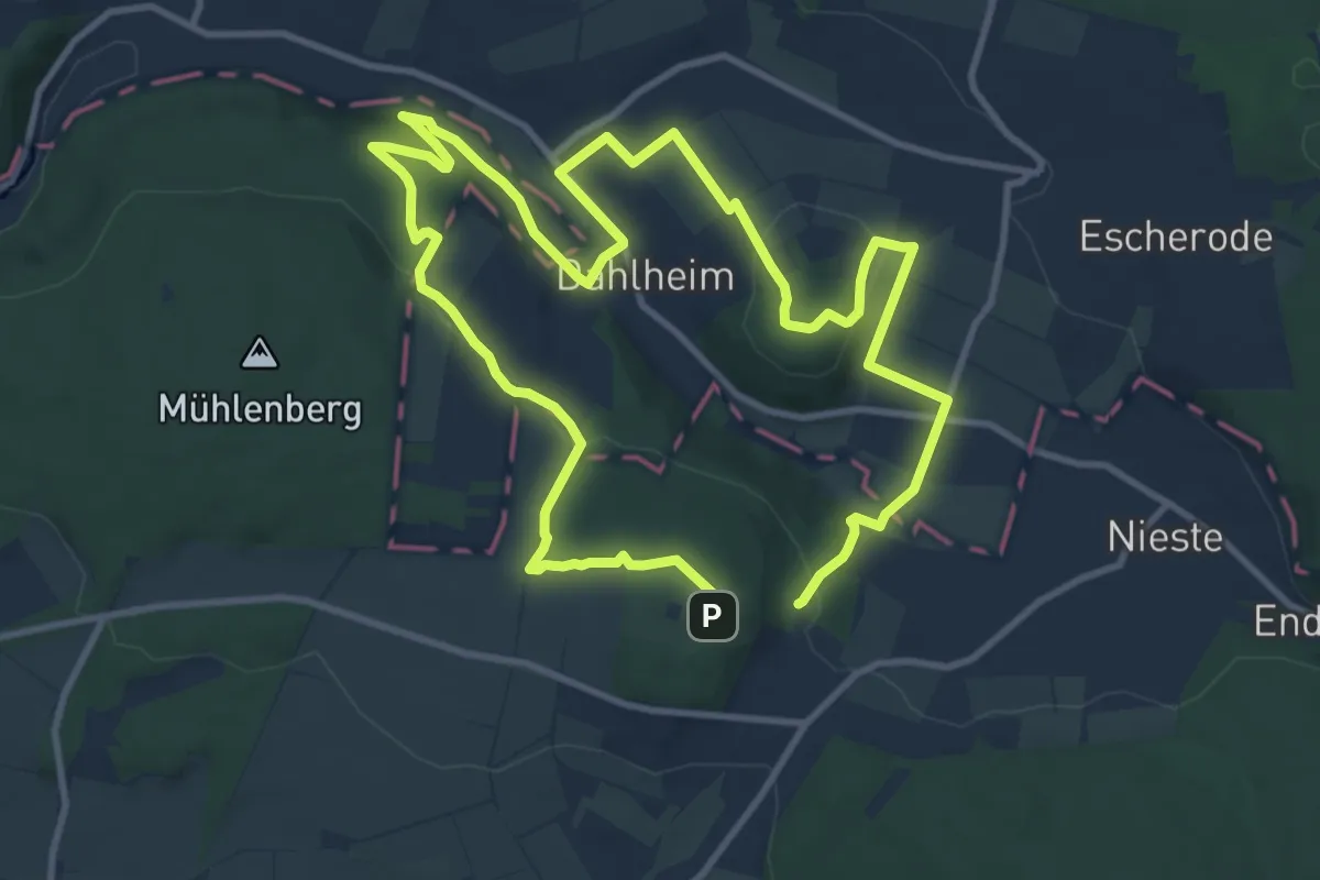
Medium · Summit
Dahlheimer 700-Jahre- Panoramaweg
9.3 km · ↑ 183 m · 2 h 45 min
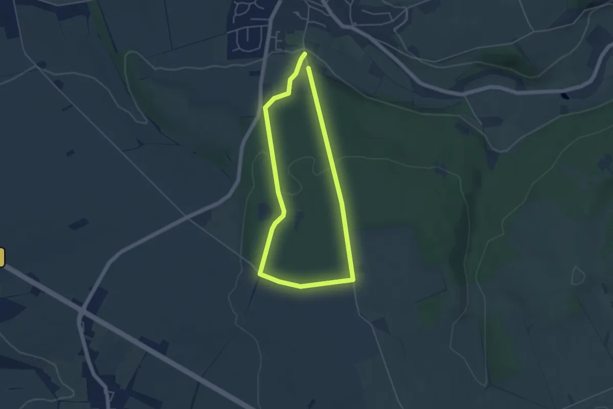
Easy · Trail
Dahl Rundweg A1
3.6 km · ↑ 71 m · 1 h 3 min
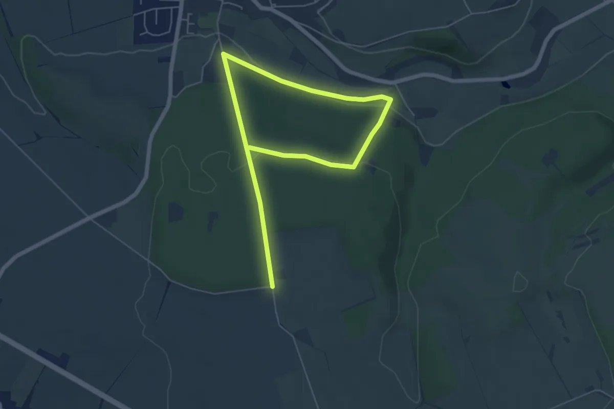
Easy · Trail
Dahl Rundweg A2
6.9 km · ↑ 155 m · 1 h 59 min
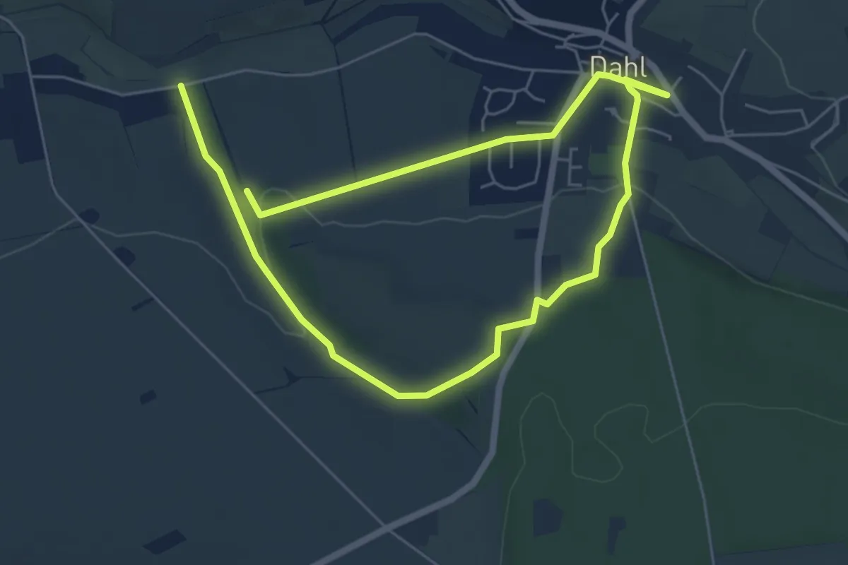
Medium · Trail
Dahl Rundweg A3
8.7 km · ↑ 169 m · 2 h 25 min
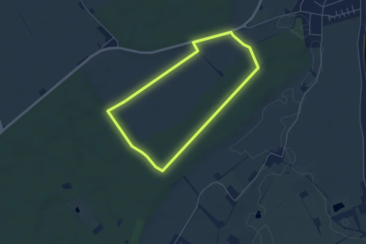
Easy · Trail
Dahmer Gehege-Tour
3.9 km · ↑ 9 m · 59 min
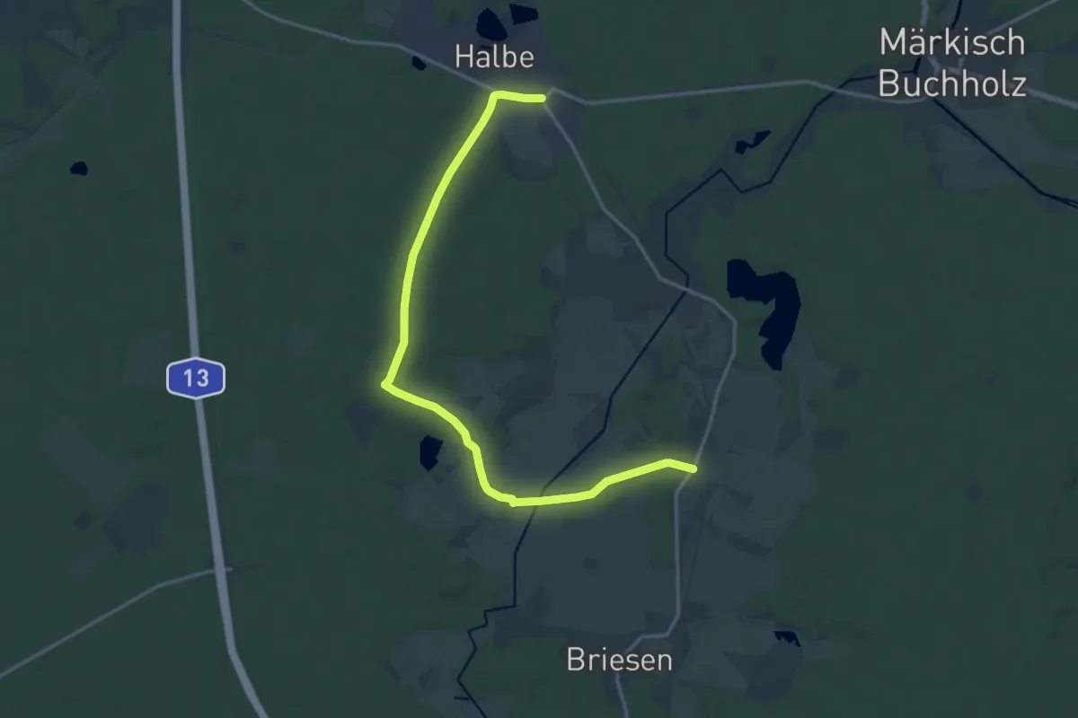
Easy · Trail
Dahme-Rundweg
7.7 km · ↑ 26 m · 1 h 58 min
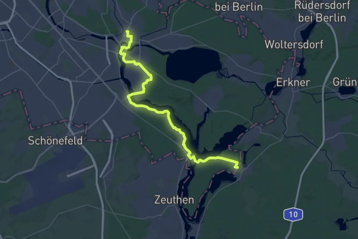
Demanding · Trail
Dahmeweg
20.6 km · ↑ 64 m · 5 h 17 min
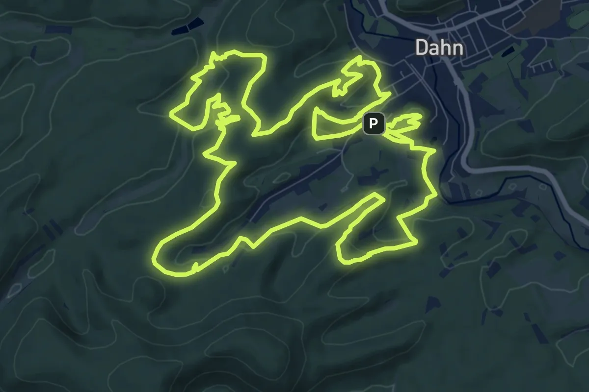
Medium · Summit
Dahner Felsenpfad
13.2 km · ↑ 402 m · 4 h 10 min
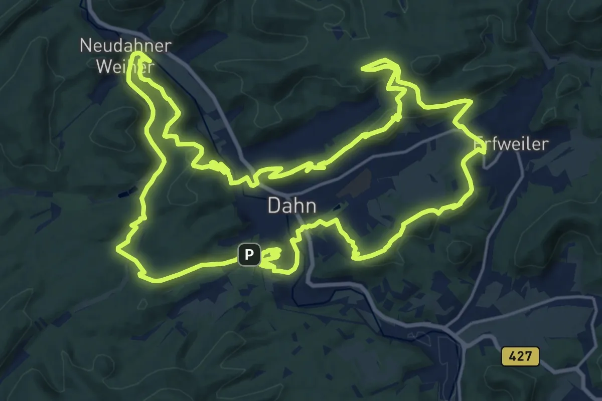
Demanding · Summit
Dahner Rundwanderweg
19.4 km · ↑ 625 m · 6 h 12 min
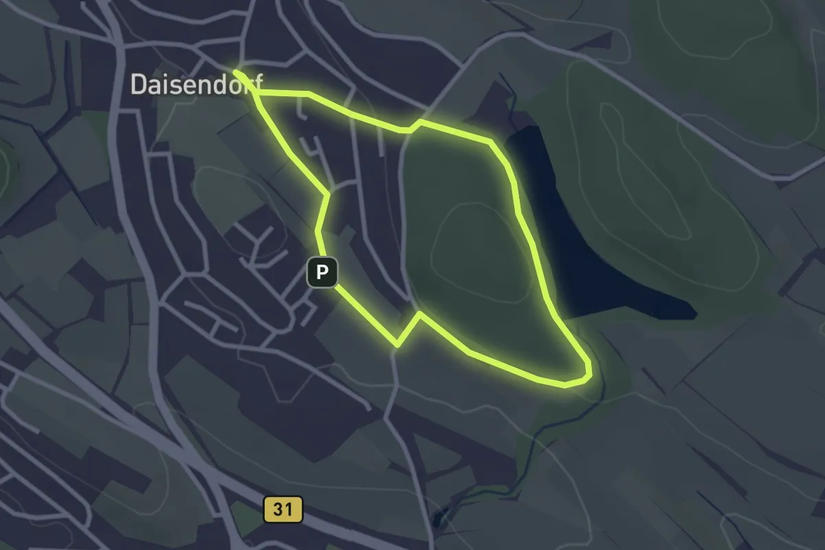
Easy · Trail
Daisendorfer Wanderweg W1
2.4 km · ↑ 26 m · 39 min
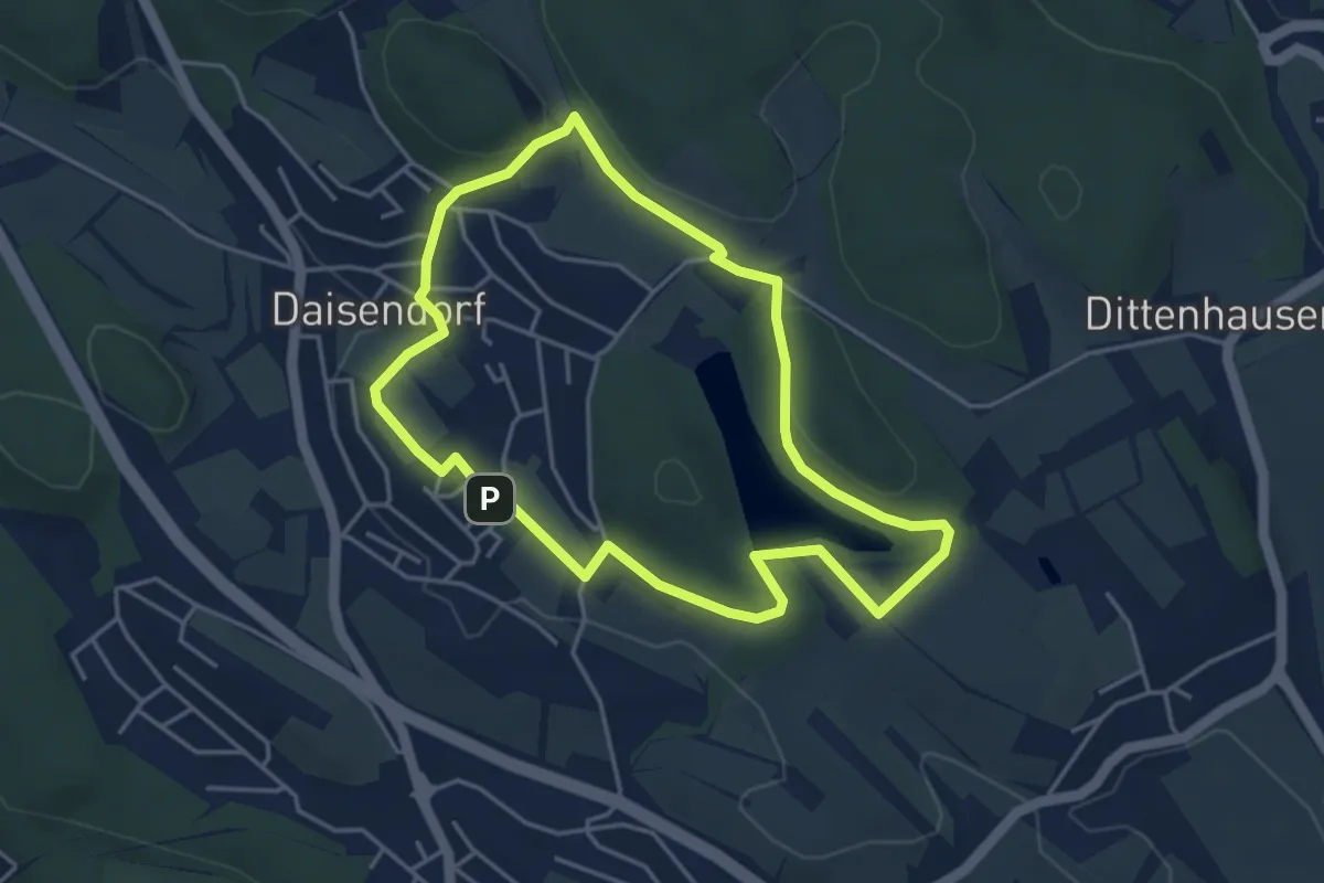
Easy · Trail
Daisendorfer Wanderweg W2
4.1 km · ↑ 58 m · 1 h 8 min
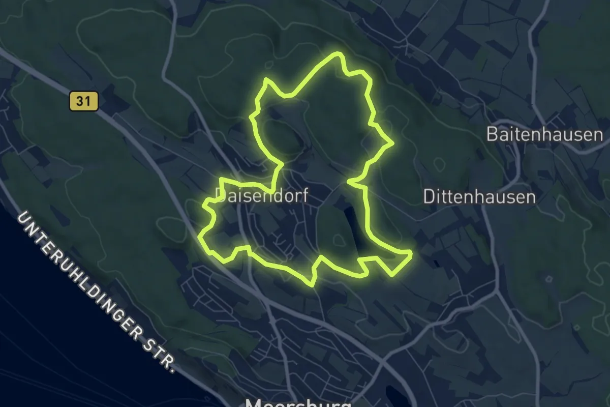
Easy · Trail
Daisendorfer Wanderweg W3
7.9 km · ↑ 146 m · 2 h 17 min