Trails in Germany
36,847 hiking trails, each with its route, climb, walking time and grade.
All trails, page 100 of 768
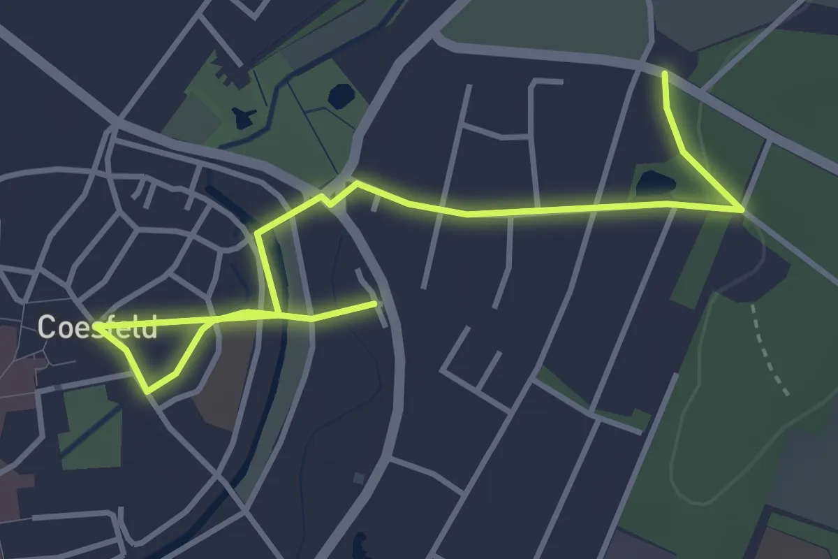
Easy · Trail
Coesfeld Rundweg C3
1.9 km · ↑ 4 m · 29 min
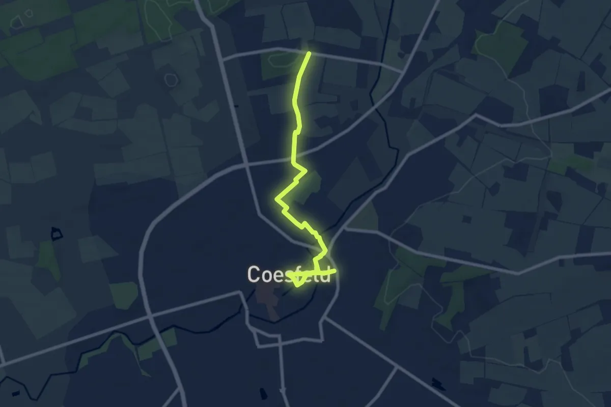
Easy · Trail
Coesfeld Rundweg C4
3.3 km · ↑ 0 m · 50 min
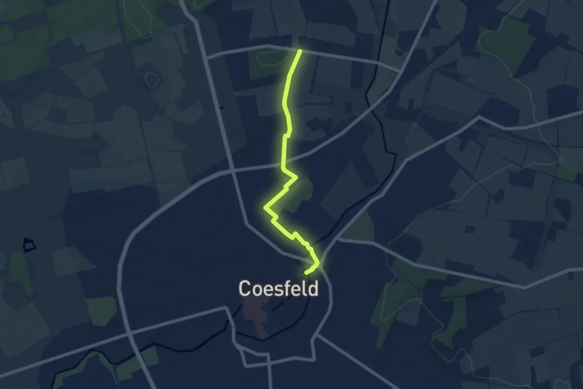
Easy · Trail
Coesfeld Rundweg C5
2.4 km · ↑ 0 m · 37 min
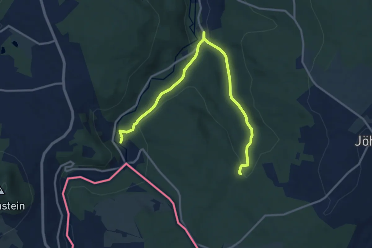
Medium · Summit
Conduppelbach-Kuehberg
8.4 km · ↑ 254 m · 2 h 32 min
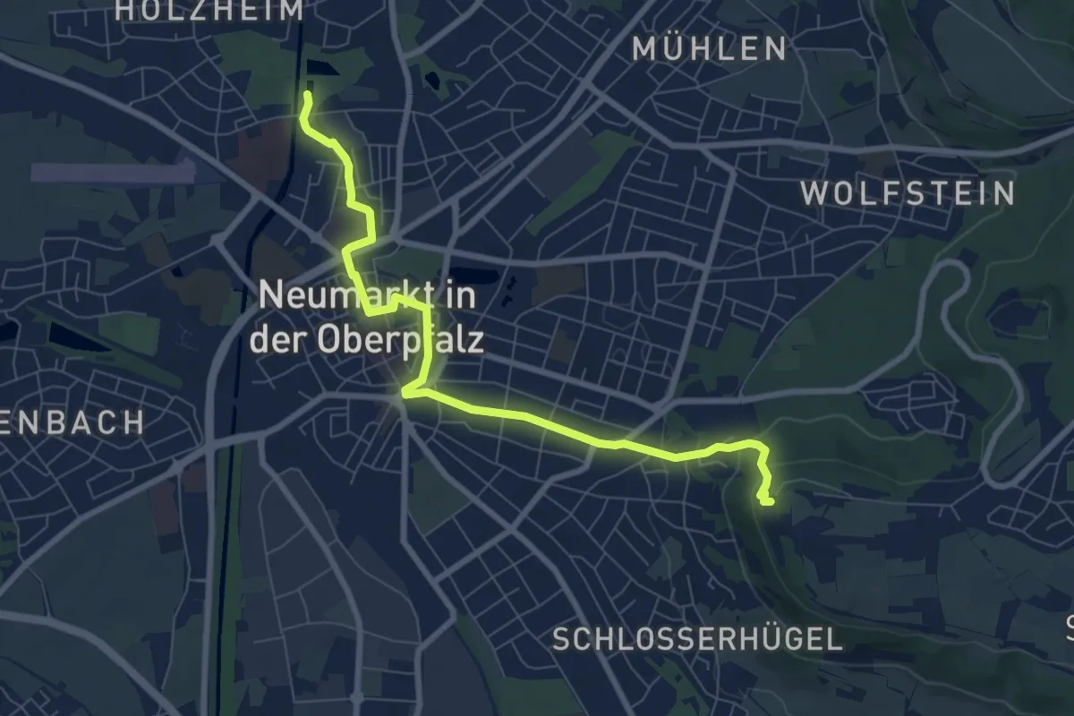
Medium · Pilgrim path
Contemplatio Neumarkt - Freystadt Etappe 1
3.8 km · ↑ 153 m · 1 h 13 min
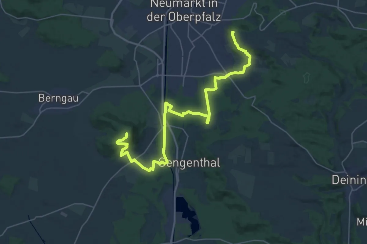
Medium · Summit
Contemplatio Neumarkt - Freystadt Etappe 2
13.2 km · ↑ 227 m · 3 h 47 min
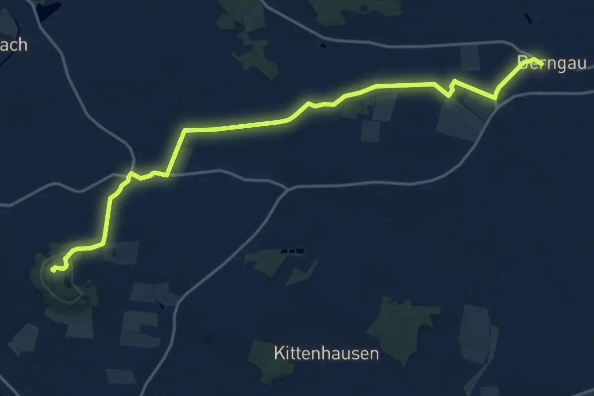
Easy · Summit
Contemplatio Neumarkt - Freystadt Etappe 3
7.3 km · ↑ 122 m · 2 h 3 min
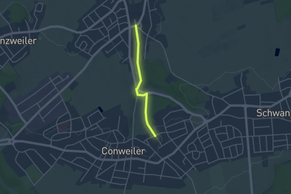
Easy · Trail
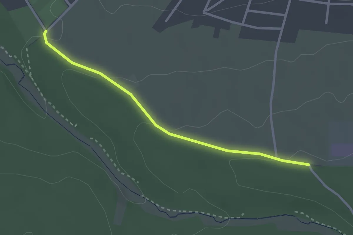
Conweiler Friedhof - Feldrennach Marktplatz
2.5 km · ↑ 62 m · 44 min
Easy · Trail
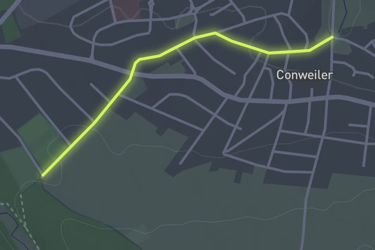
Conweiler Tennisplatz - Etzäcker
2.5 km · ↑ 60 m · 42 min
Easy · Trail
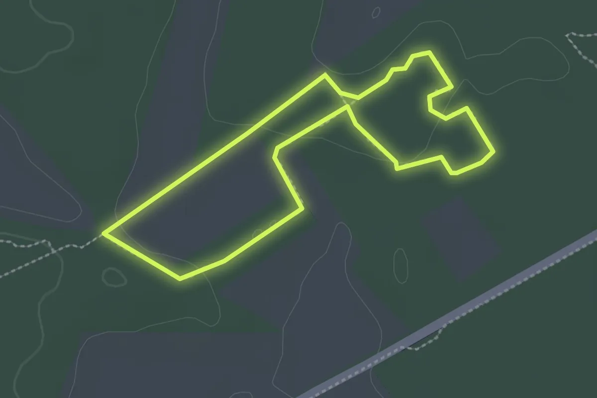
Conweiler Tennisplatz - Wilhelm-Ganzhorn-Denkmal
2.5 km · ↑ 32 m · 39 min
Easy · Trail
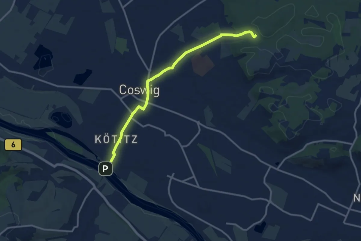
Cooperbahn
2.1 km · ↑ 12 m · 33 min
Medium · Summit
Coswig - Moritzburg
8.1 km · ↑ 89 m · 2 h 7 min
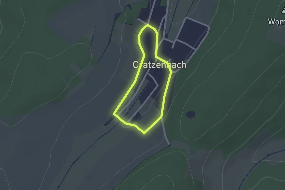
Easy · Trail
Cratzenbacher Dorfspaziergang
1.3 km · ↑ 23 m · 23 min
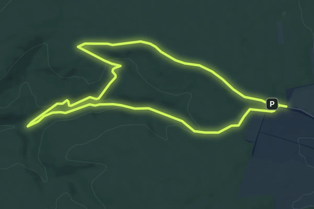
Medium · Trail
Craulaer Kreuz
14.8 km · ↑ 312 m · 4 h 11 min
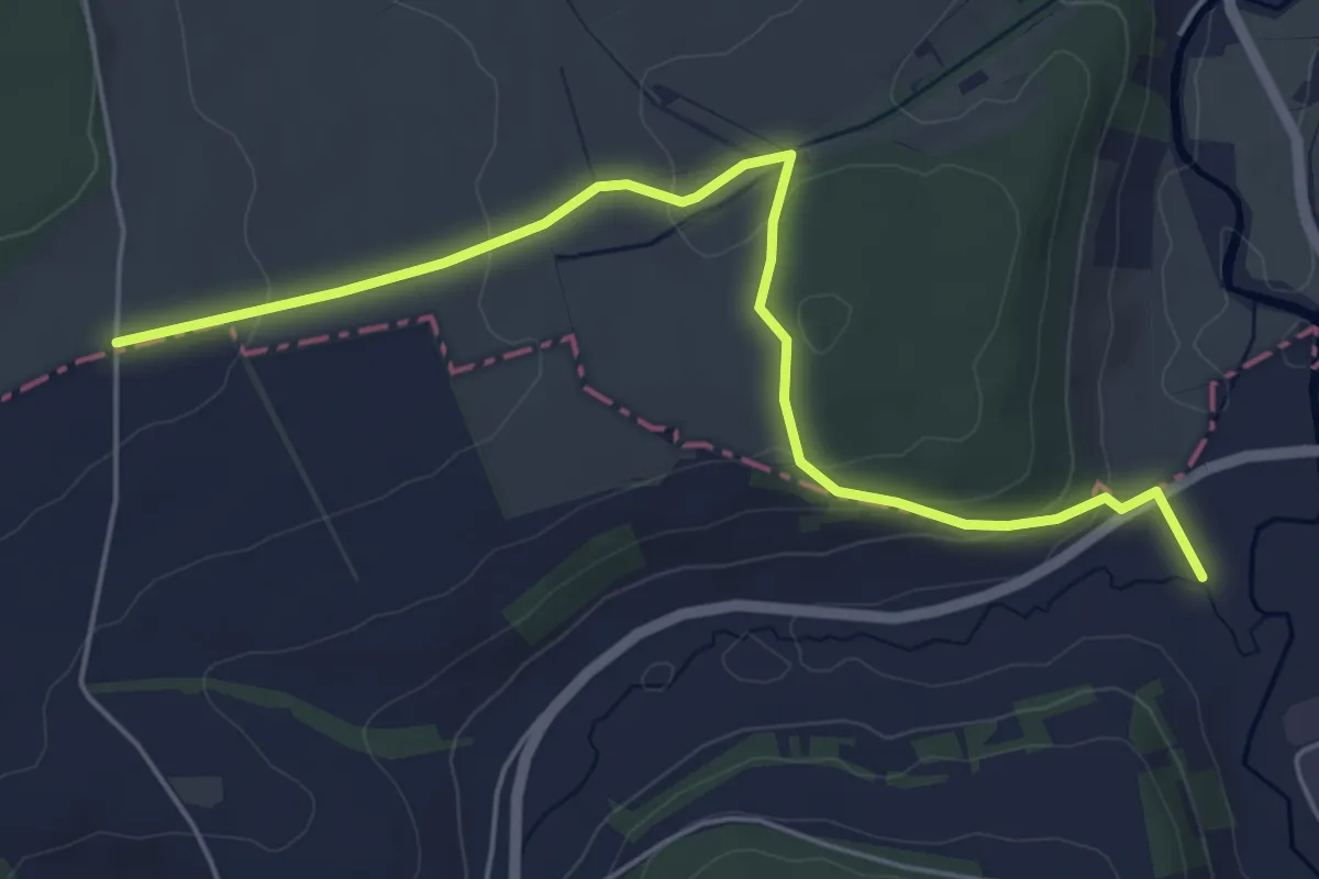
Easy · Trail
Creglingen - Niederstetten
5.5 km · ↑ 172 m · 1 h 40 min
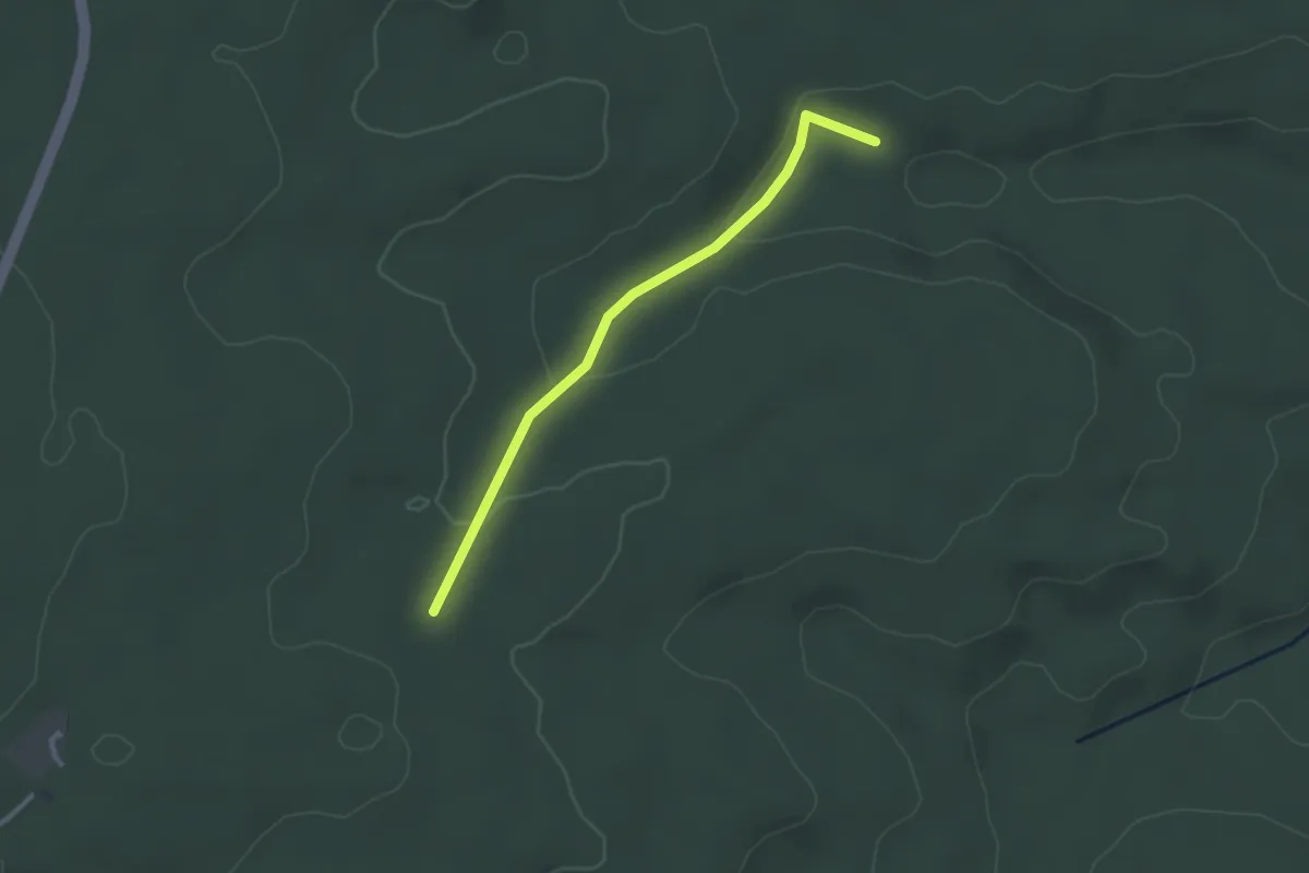
Easy · Trail
Cresbacher Stich - Freiwiese
2.6 km · ↑ 60 m · 44 min
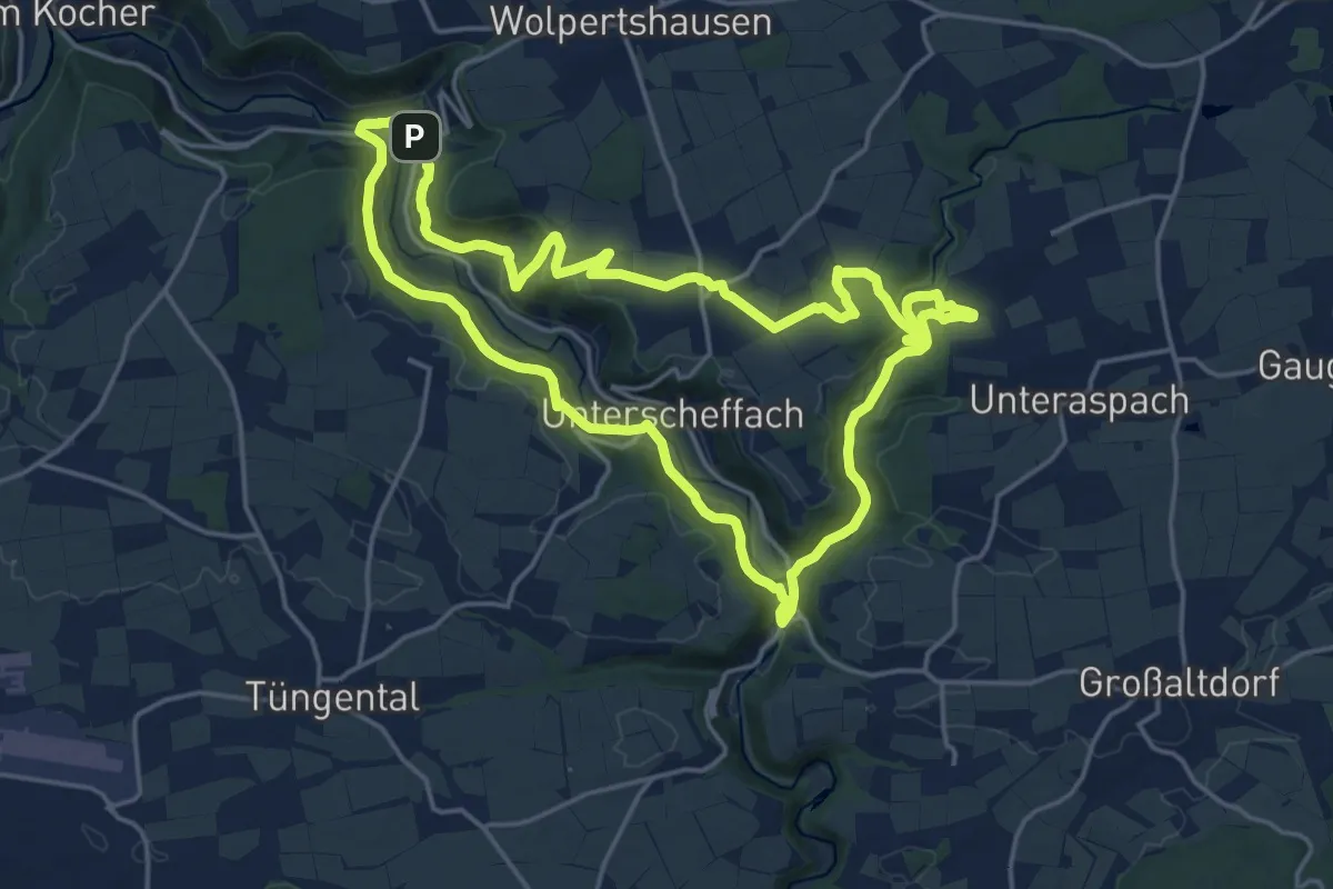
Medium · Trail
Cröffelbach - RW WS
17.3 km · ↑ 492 m · 5 h 23 min
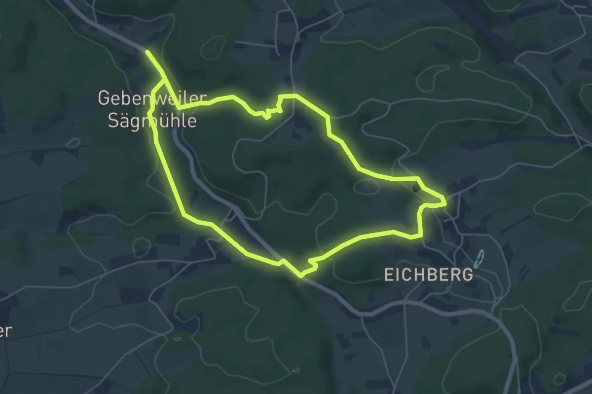
Easy · Trail
Cronhütte Rundweg
4.8 km · ↑ 122 m · 1 h 27 min
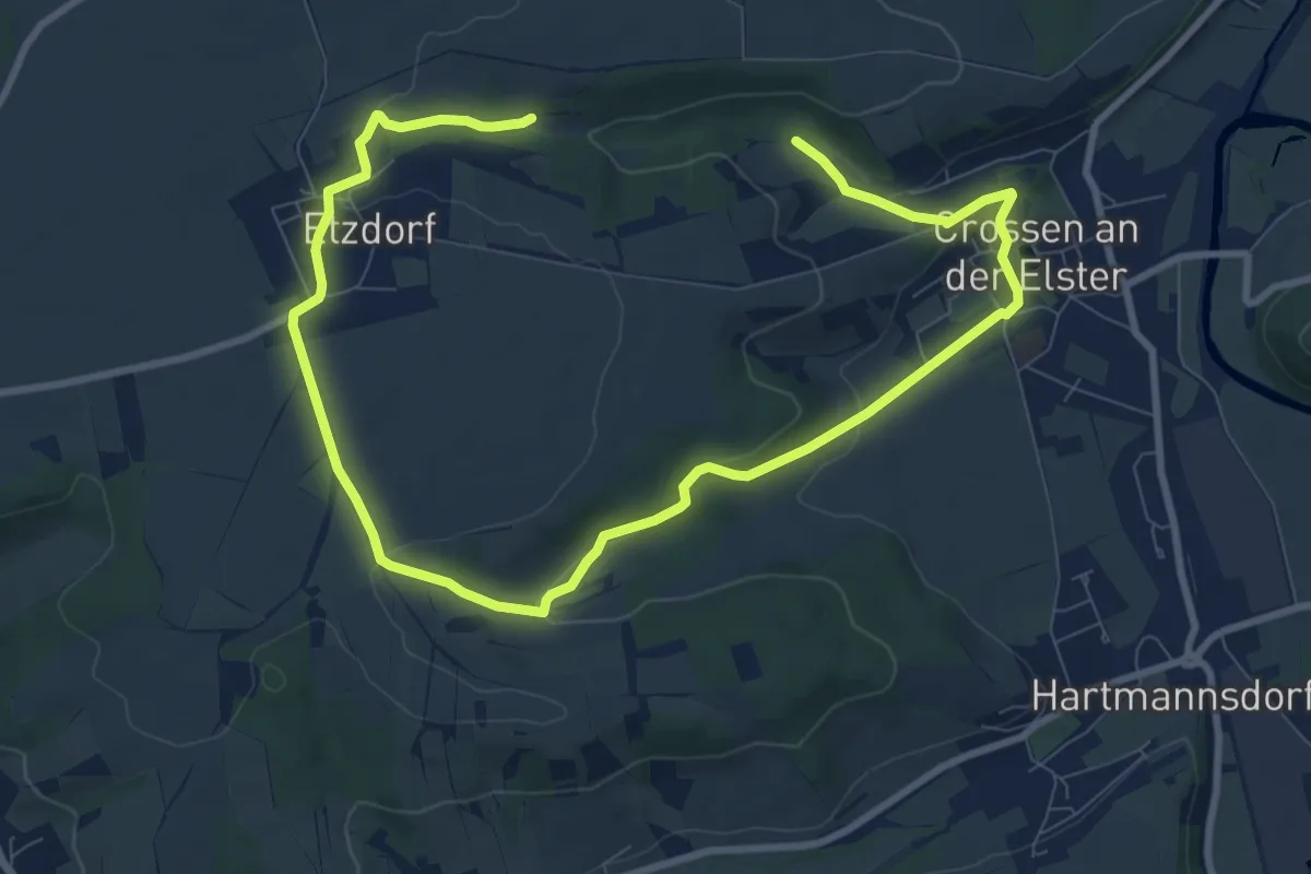
Medium · Trail
Crossen-Etzdorf Rundweg
12.5 km · ↑ 285 m · 3 h 35 min
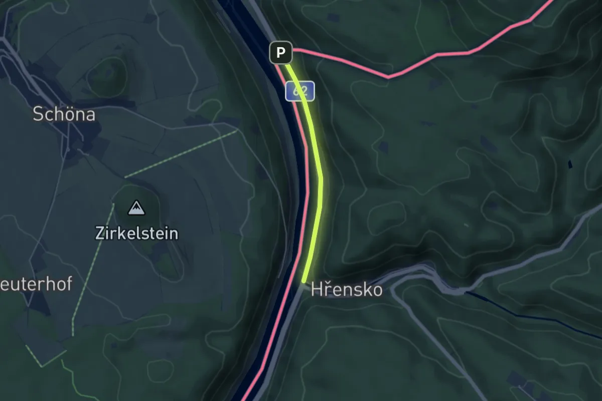
Easy · Trail
[Č] Státní hranice Schmilka – Hřensko (nábřeží)
3.1 km · ↑ 19 m · 46 min
Easy · Trail
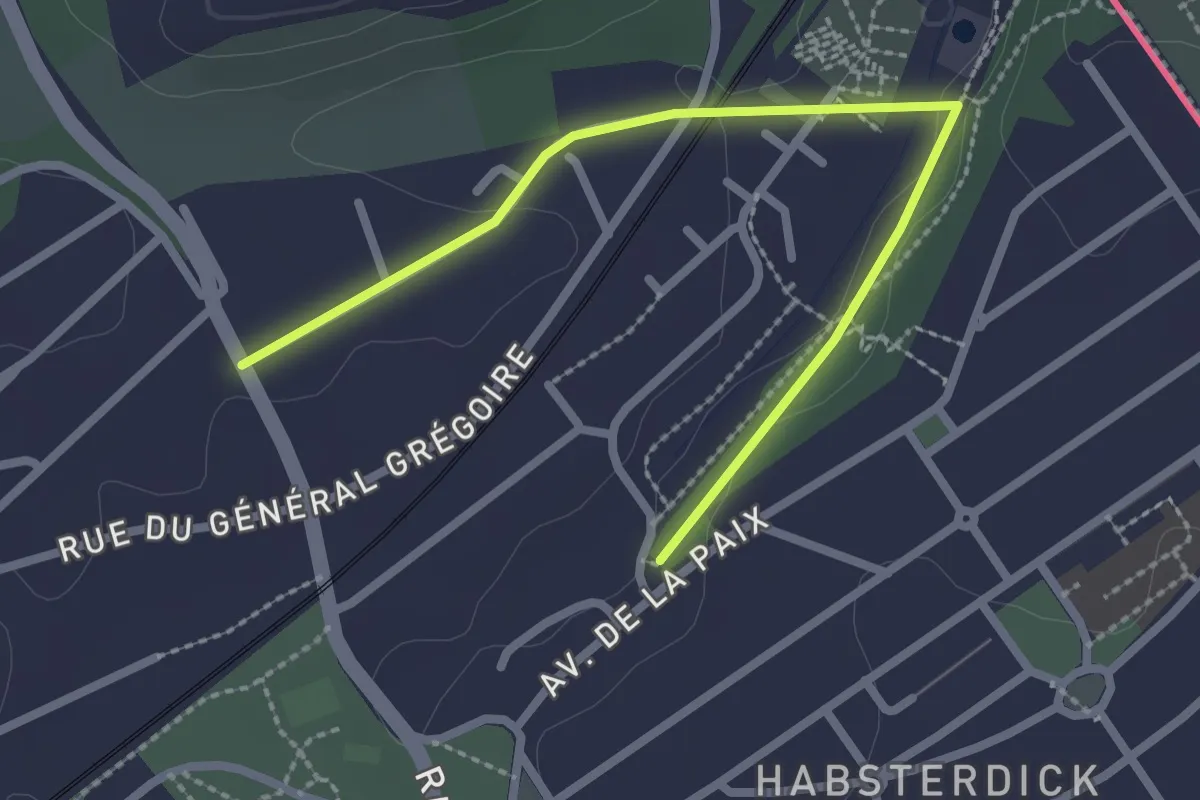
CTL_BlueSquare
2.6 km · ↑ 38 m · 42 min
Demanding · Summit
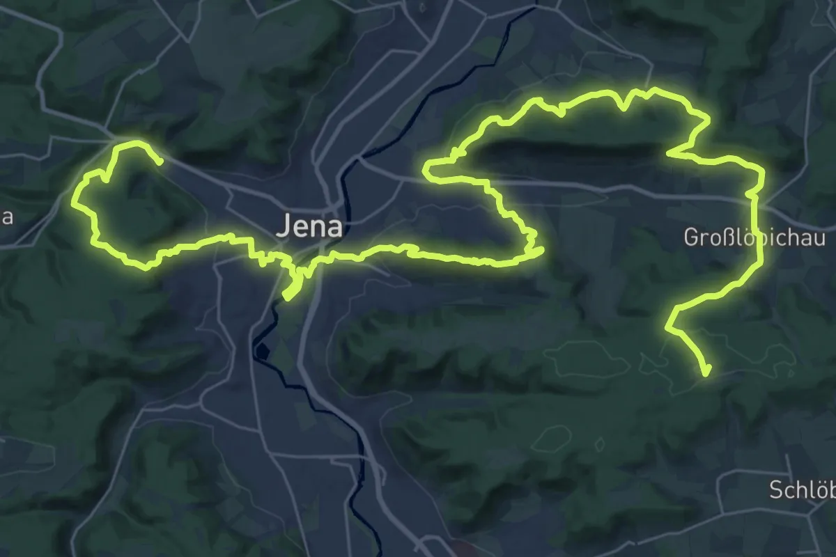
Culmberg-Steinkreuz-Jenzig-Fuchsturm-Forsthaus-Papiermühle
54.1 km · ↑ 1781 m · 16 h 38 min
Medium · Trail
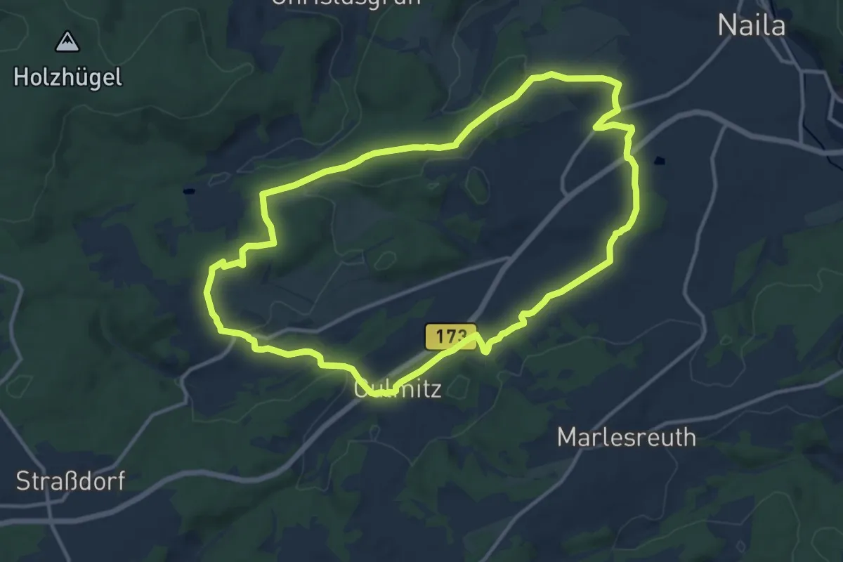
Culmitztal-Weg DÖ 12
11.1 km · ↑ 186 m · 3 h 11 min
Easy · Trail
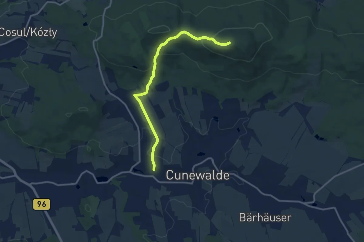
Cunewalde Kirche – Czorneboh (grüner Strich)
7.9 km · ↑ 285 m · 2 h 29 min
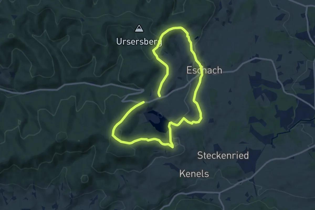
Medium · Trail
CvL Planetenweg
14.8 km · ↑ 419 m · 4 h 24 min
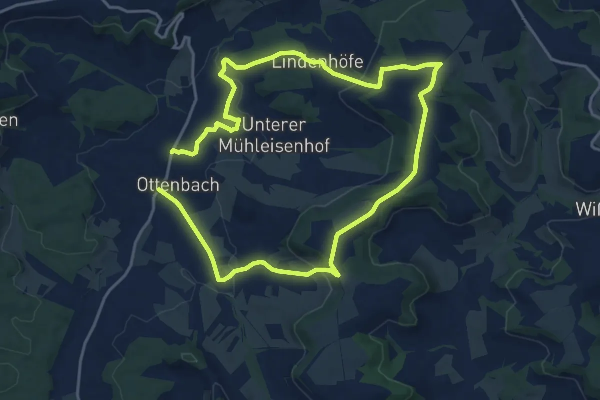
Demanding · Trail
Cyriakusweg
19.0 km · ↑ 400 m · 5 h 21 min
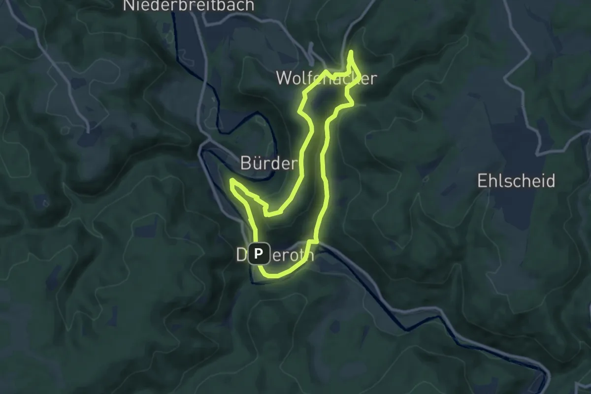
Easy · Trail
D1 Datzeroth
7.3 km · ↑ 239 m · 2 h 21 min
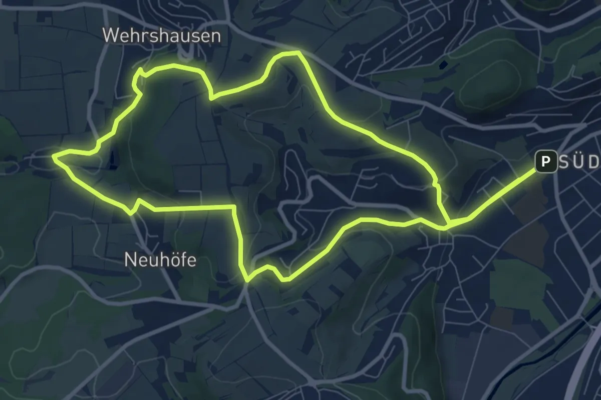
Medium · Trail
[D1] Rundwanderweg Wilhelmsplatz Dammühle
8.5 km · ↑ 223 m · 2 h 36 min
Easy · Trail
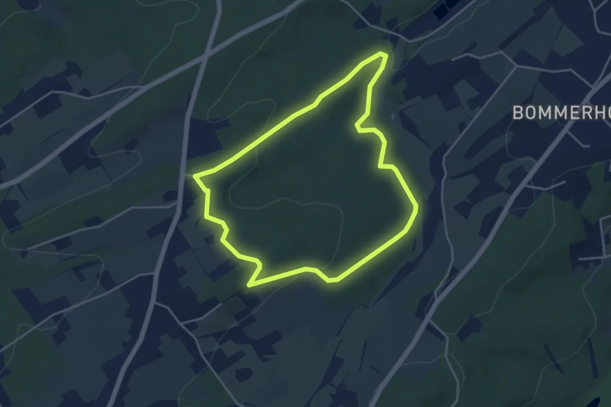
[D1] Rundweg Vormholz
3.4 km · ↑ 72 m · 1 h
Easy · Trail
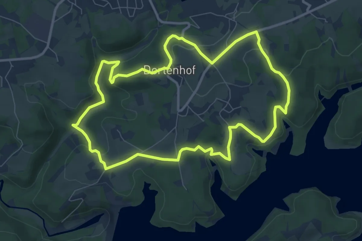
D1 - Siefen, Wälder und Höhen
7.2 km · ↑ 174 m · 2 h 11 min
Medium · Trail
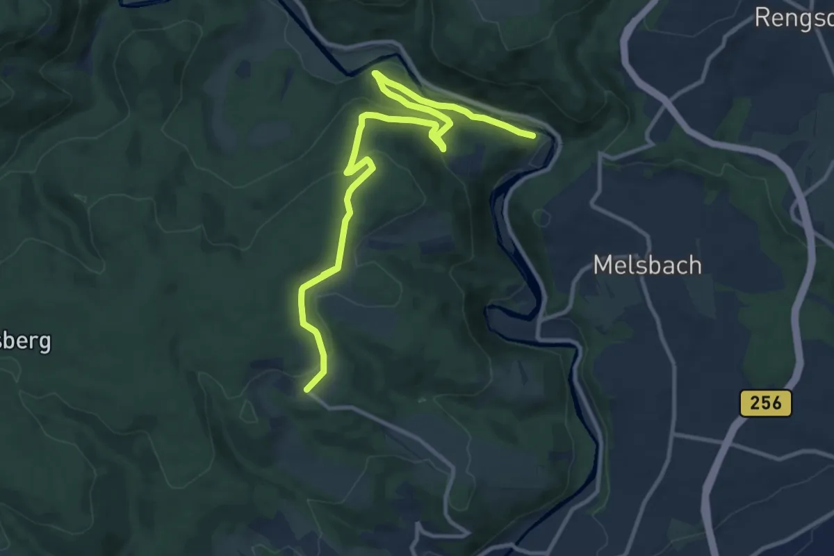
D2
11.3 km · ↑ 419 m · 3 h 35 min
Medium · Trail
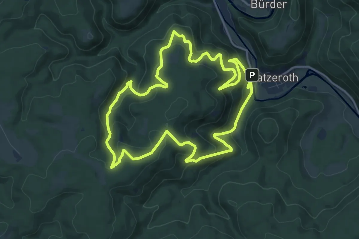
D2 Datzeroth
9.6 km · ↑ 492 m · 3 h 27 min
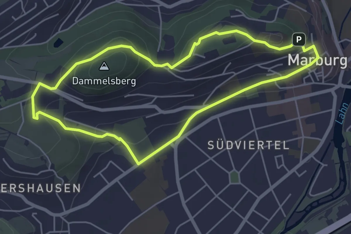
Easy · Summit
[D2] Rundwanderweg Wilhelmsplatz Schloss
4.1 km · ↑ 121 m · 1 h 18 min
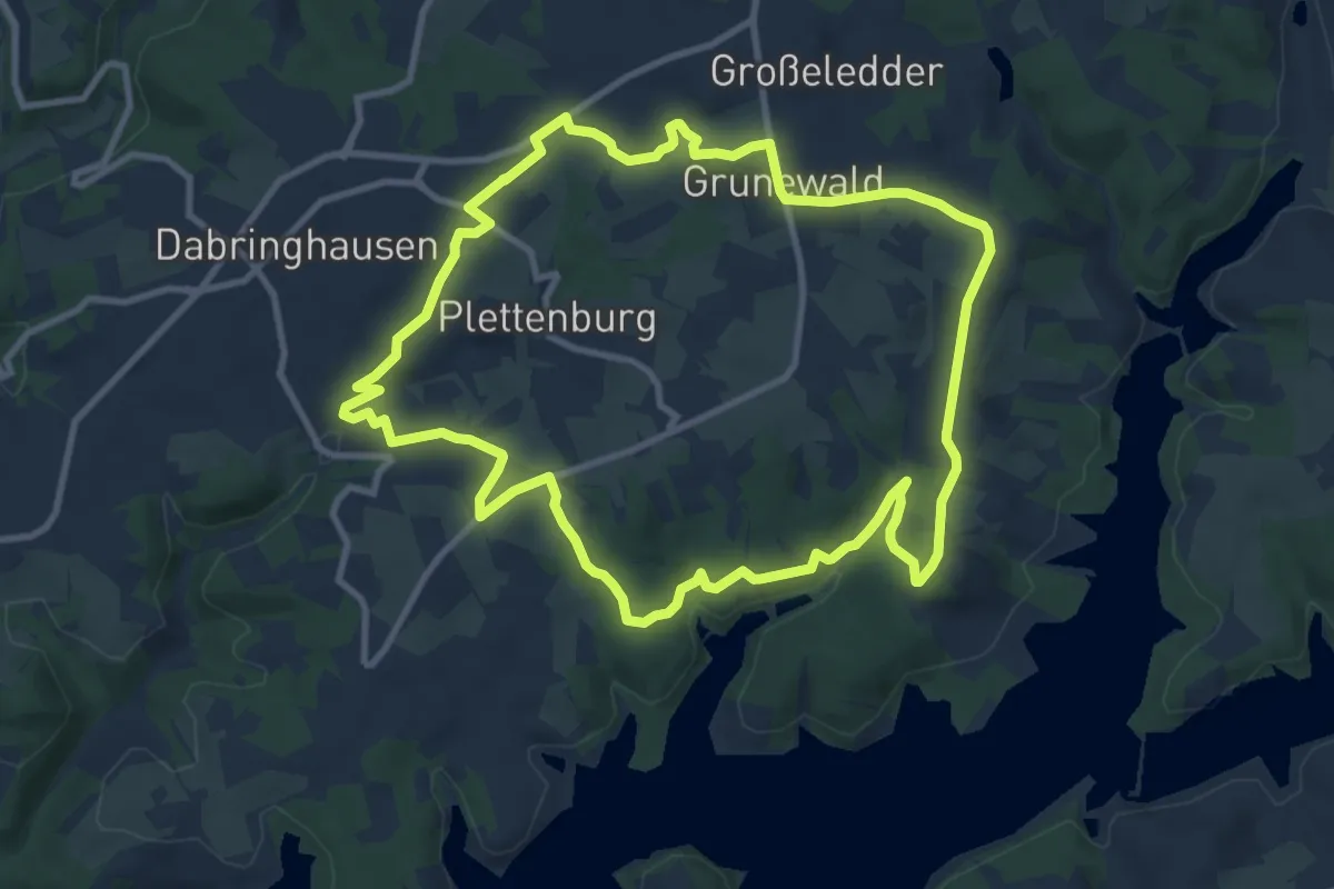
Medium · Trail
D2 - Über Berg und Tal
9.6 km · ↑ 153 m · 2 h 44 min
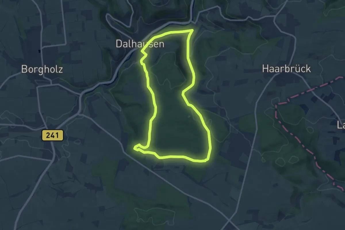
Medium · Trail
D2 - Zur Klus Eddessen
9.2 km · ↑ 188 m · 2 h 42 min
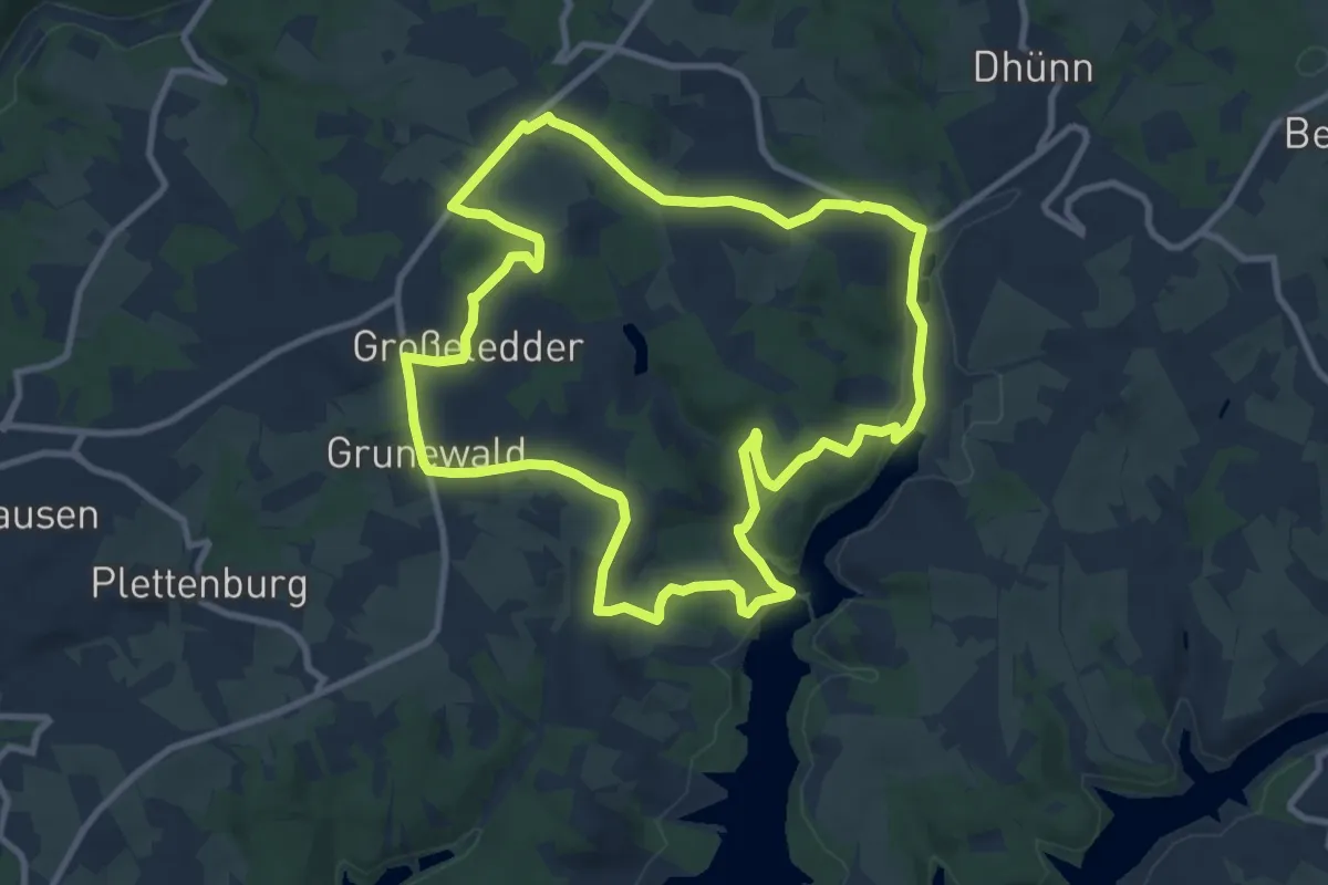
Medium · Trail
D3 - Kirchweg
9.3 km · ↑ 178 m · 2 h 43 min
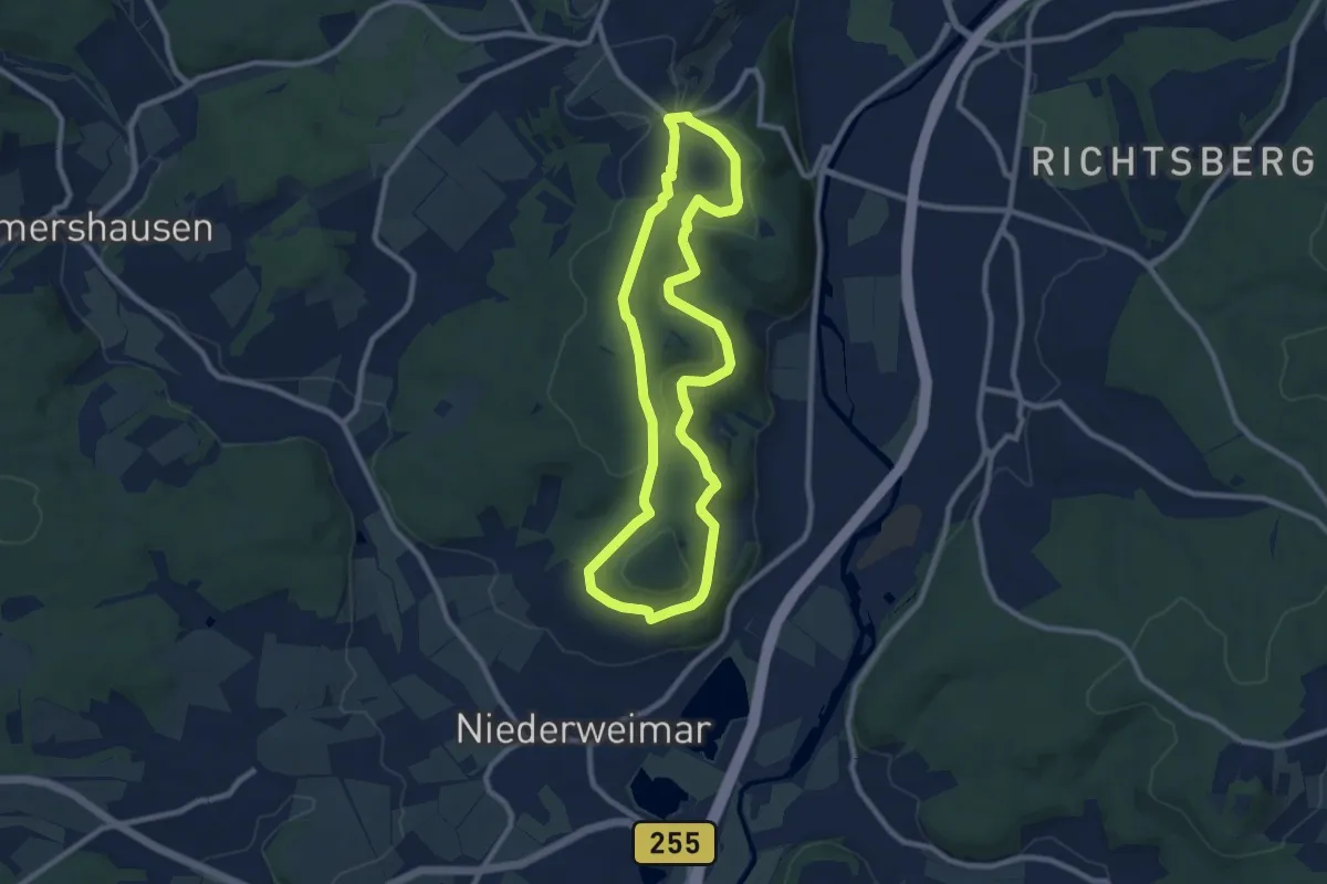
Medium · Trail
[D3] Rundwanderweg Stadtwald Niederweimar
8.0 km · ↑ 140 m · 2 h 18 min
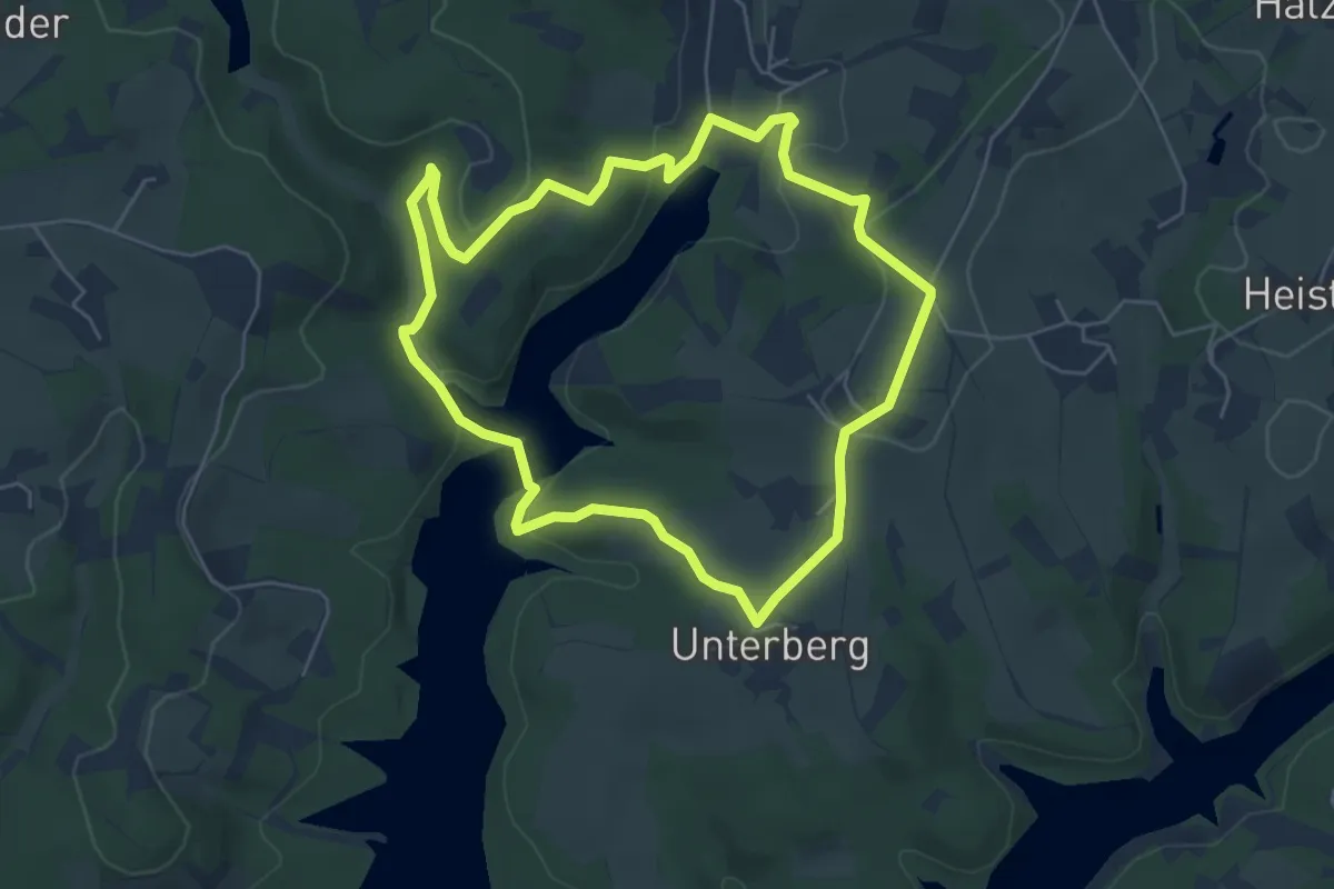
Easy · Trail
D4 - Naturwelten
4.9 km · ↑ 132 m · 1 h 31 min
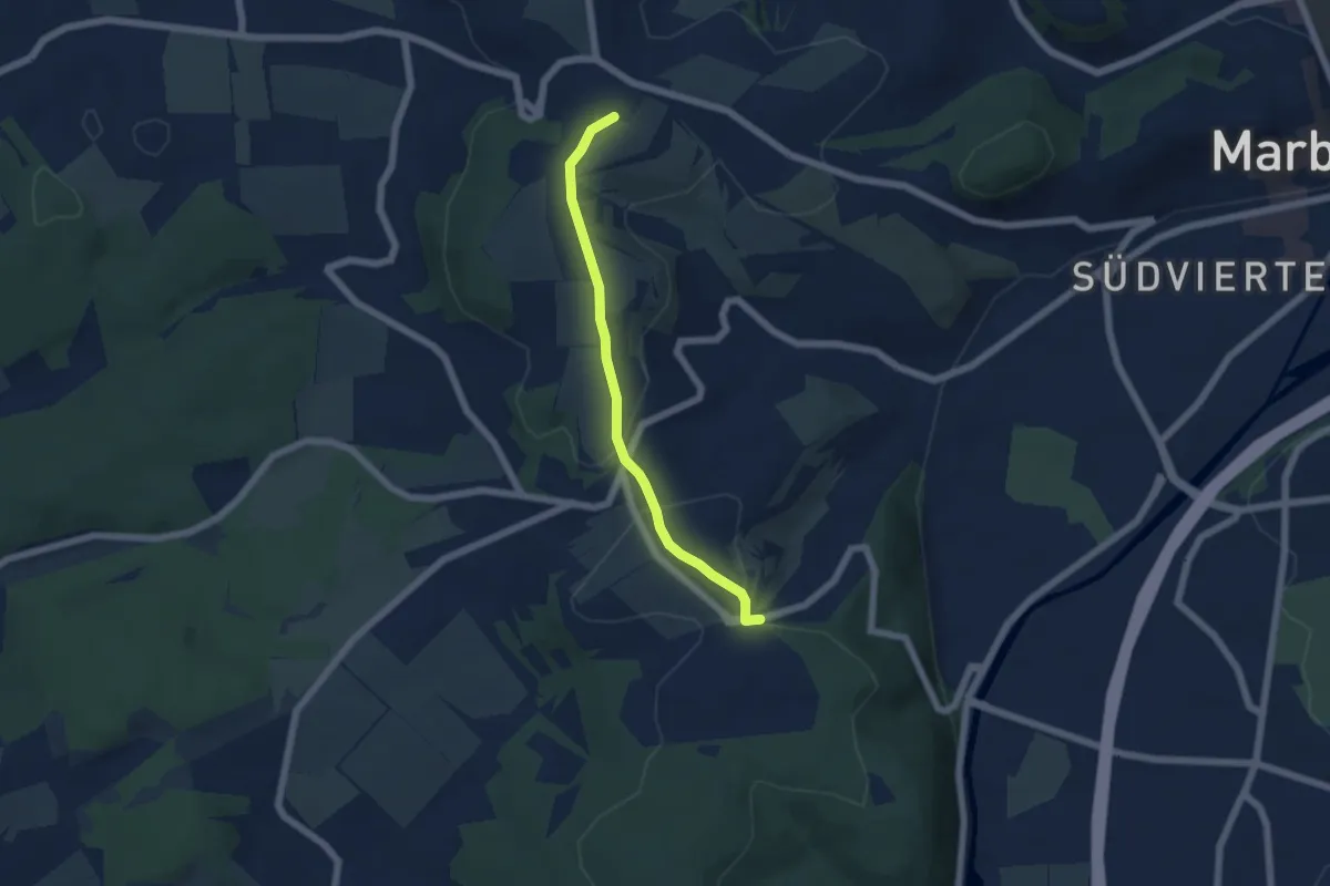
Easy · Summit
[D4] Streckenwanderung Sellhof Stadtwald
4.6 km · ↑ 86 m · 1 h 17 min
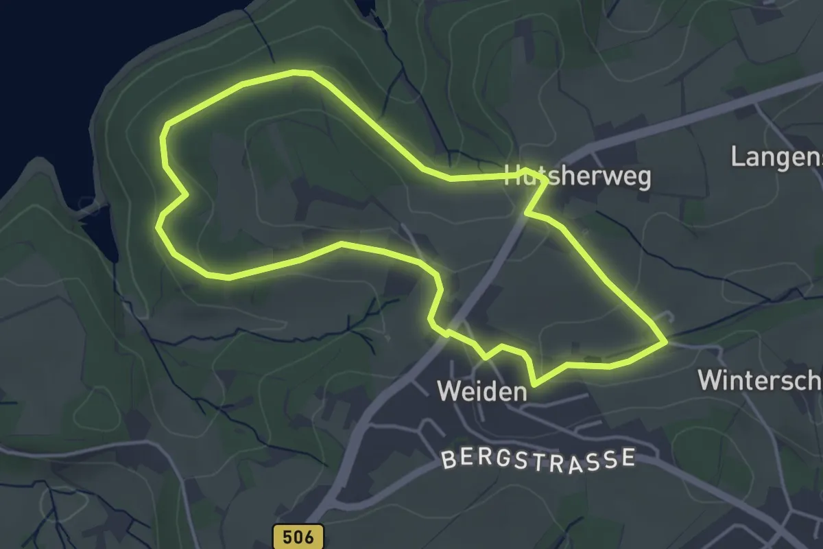
Easy · Trail
D5 - Dunkle Wälder, sonnige Höhen
3.7 km · ↑ 71 m · 1 h 5 min
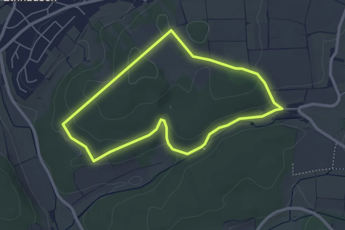
Easy · Trail
[D5] Rundwanderweg Allersberg
3.9 km · ↑ 81 m · 1 h 8 min
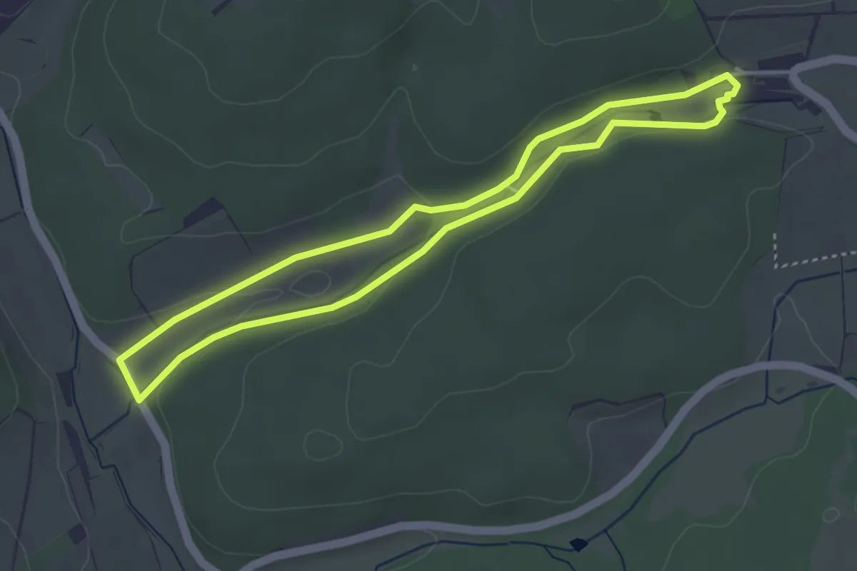
Easy · Trail
[D6] Rundwanderweg Rumpeltal
3.4 km · ↑ 57 m · 58 min
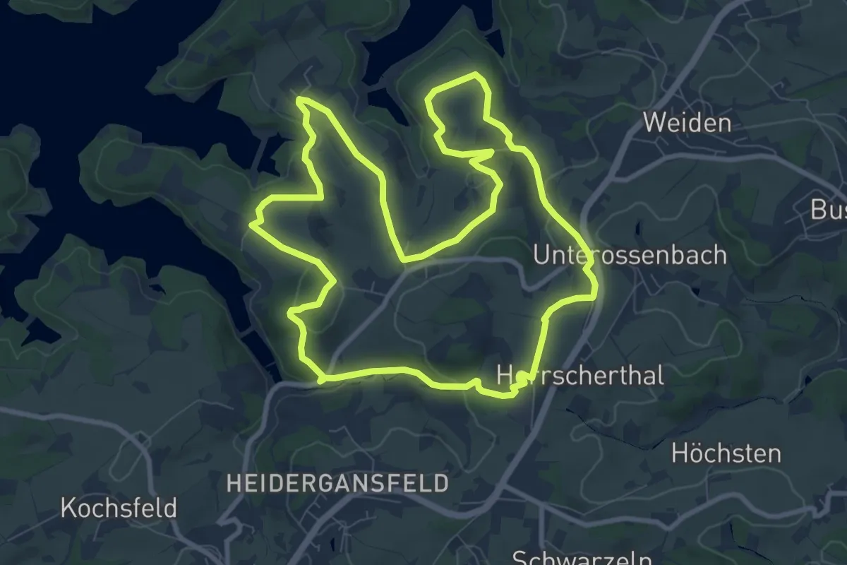
Medium · Trail
D6 - Weites Wasserland
8.5 km · ↑ 217 m · 2 h 36 min
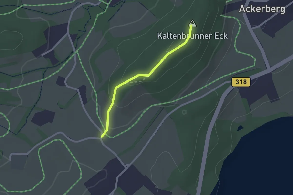
Medium · Summit
D7
1.7 km · ↑ 62 m · 32 min
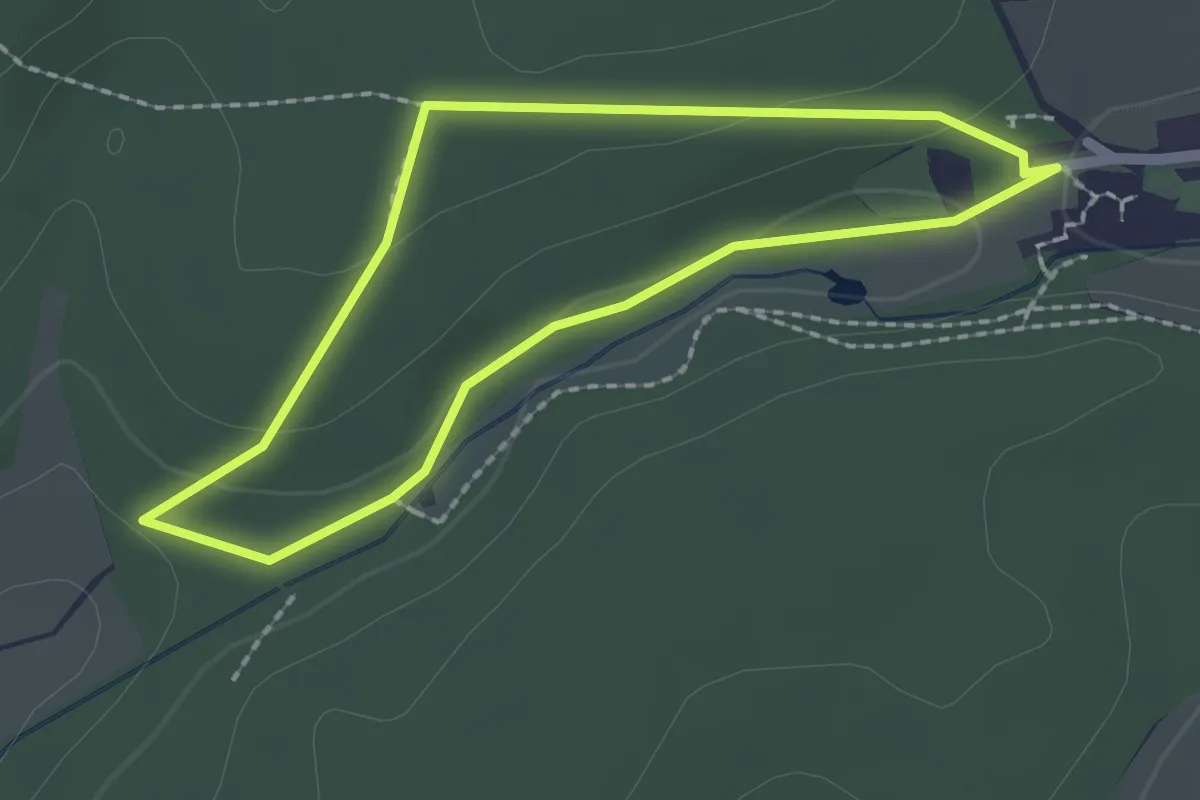
Easy · Trail
[D7] Rundwanderweg Jägerpfad
1.7 km · ↑ 36 m · 30 min
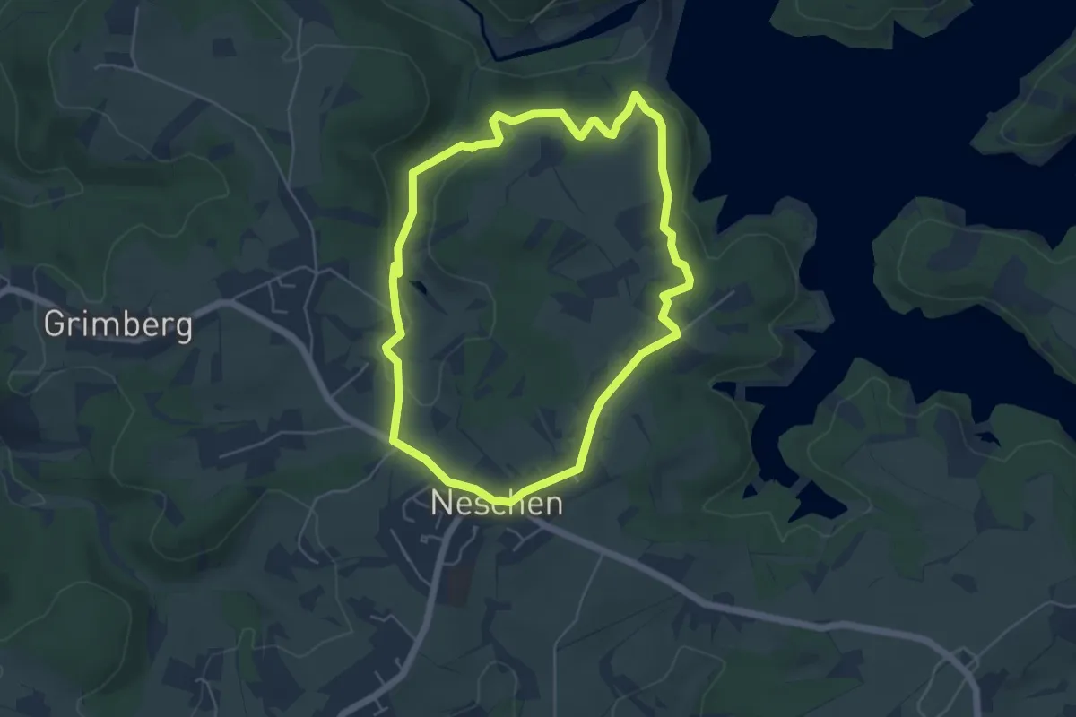
Easy · Trail
D8 - Über den Bömberg
4.5 km · ↑ 90 m · 1 h 20 min
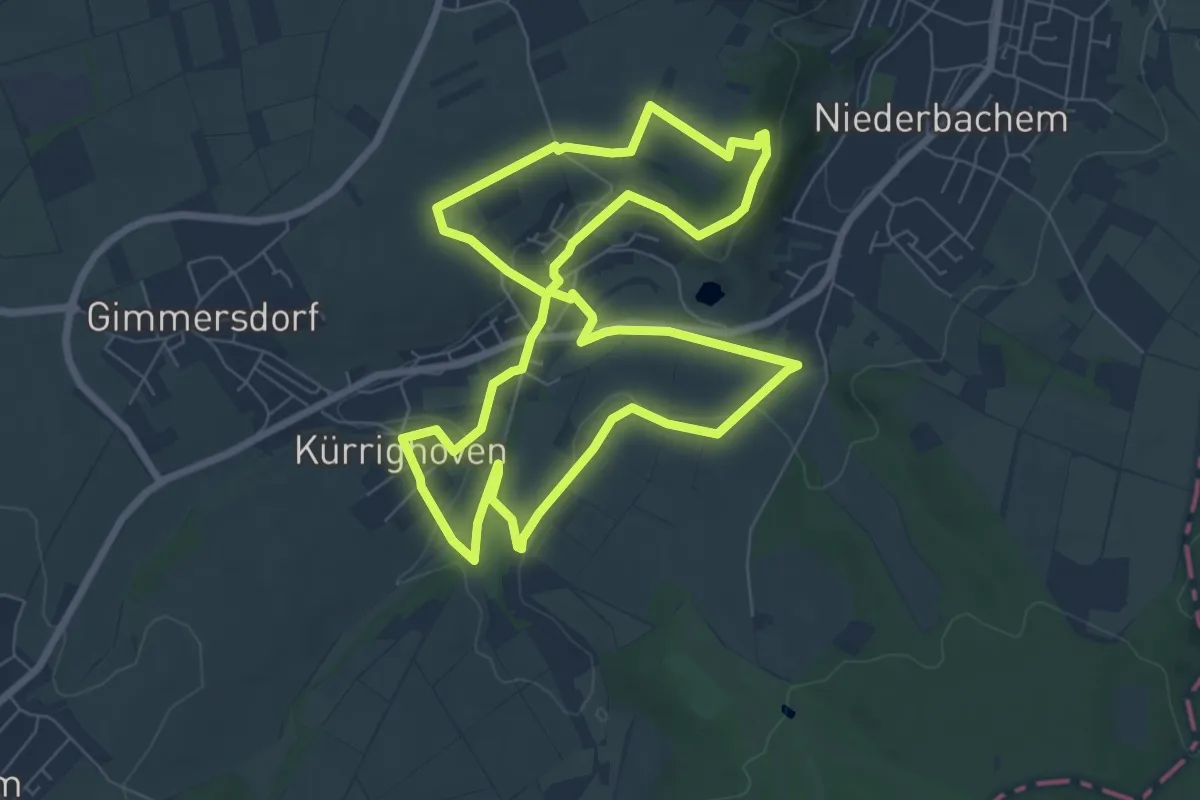
Easy · Trail
Dächelsberg-Runde
7.1 km · ↑ 88 m · 1 h 59 min
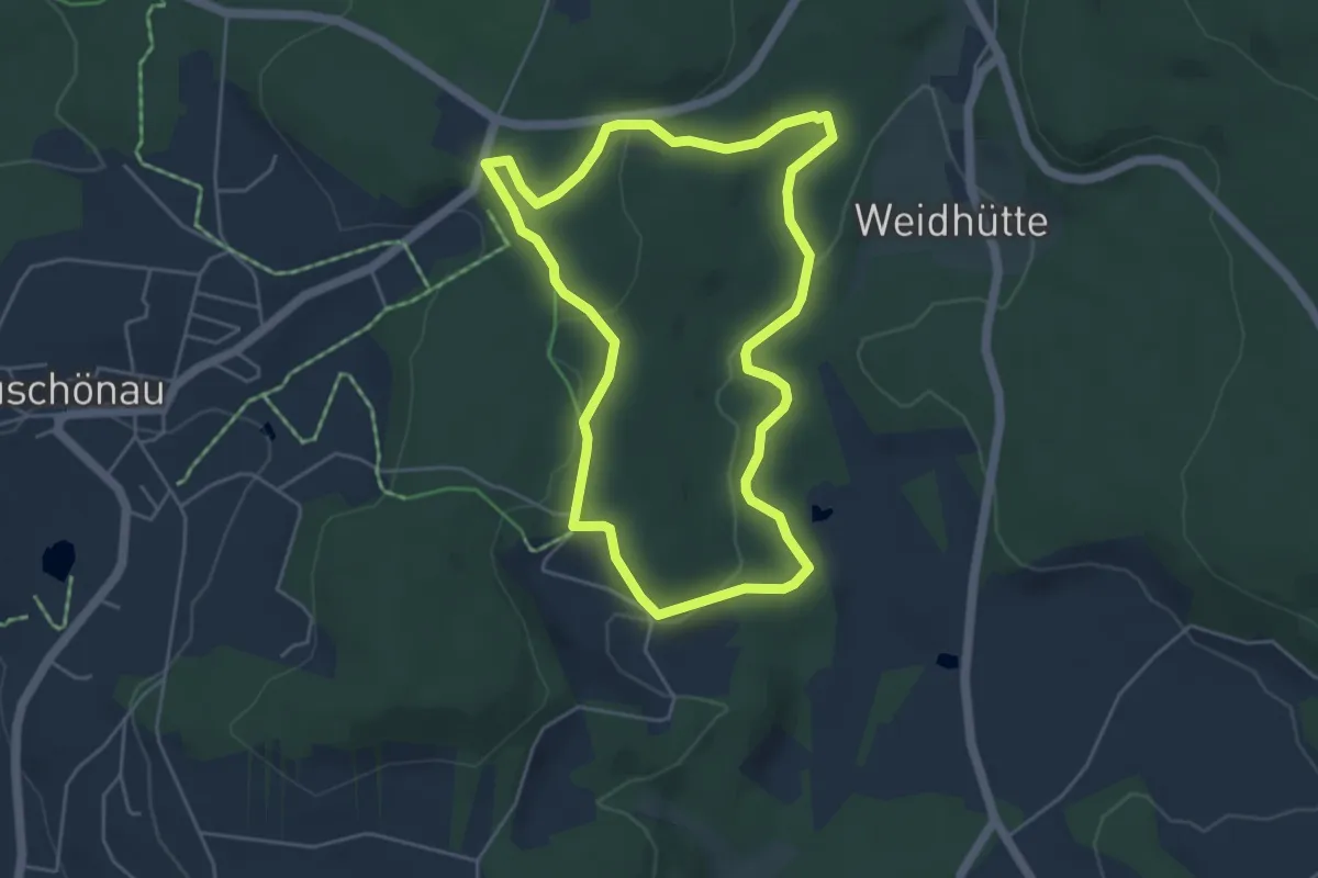
Easy · Trail
Dachs
4.5 km · ↑ 82 m · 1 h 17 min