Trails in Germany
36,847 hiking trails, each with its route, climb, walking time and grade.
All trails, page 99 of 768
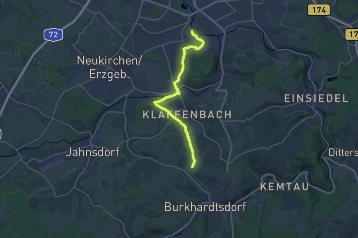
Medium · Trail
Chemnitztalwanderweg
14.8 km · ↑ 267 m · 4 h 4 min
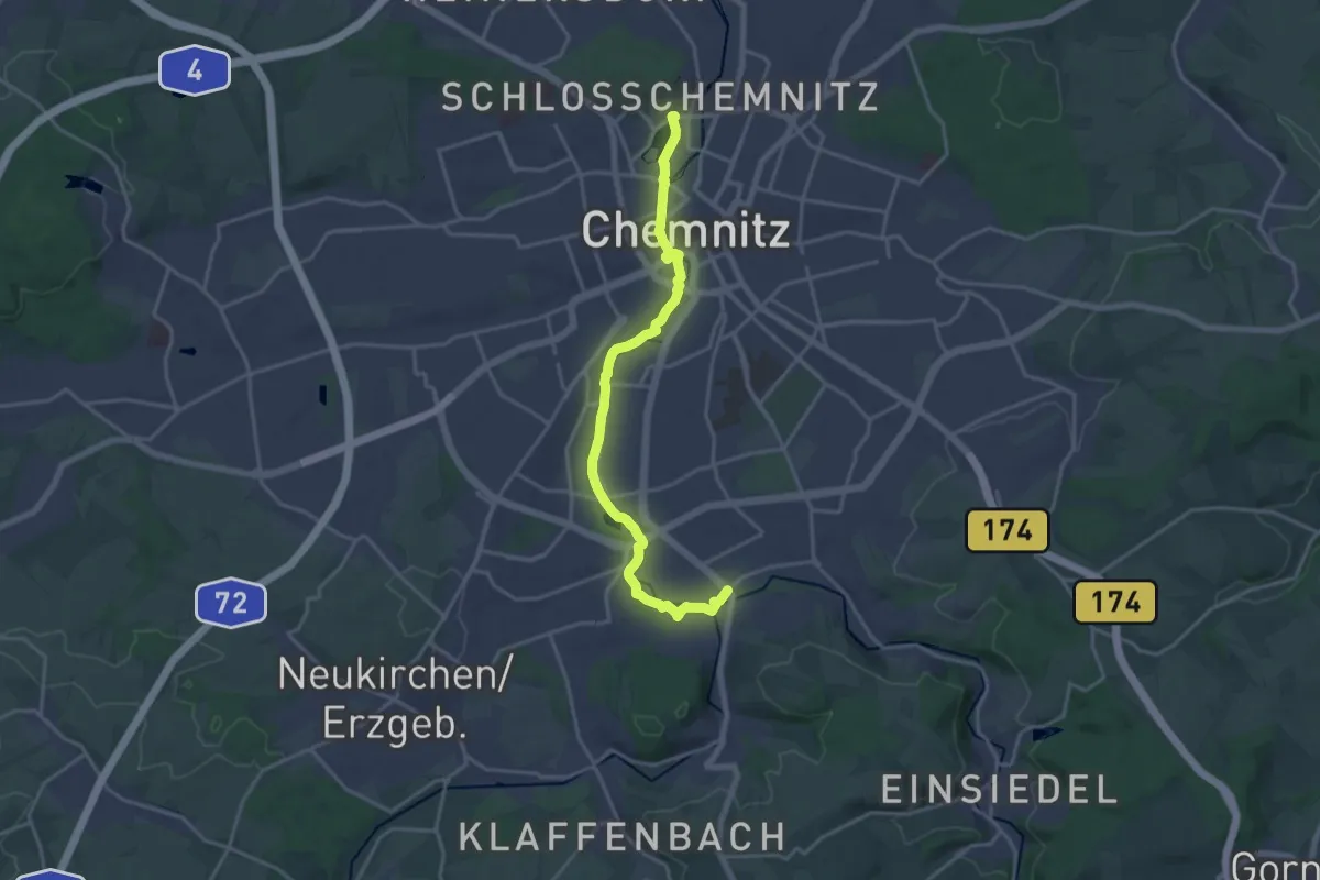
Medium · Trail
Chemnitztalweg Altchemnitz – Schloßchemnitz
17.7 km · ↑ 78 m · 4 h 20 min
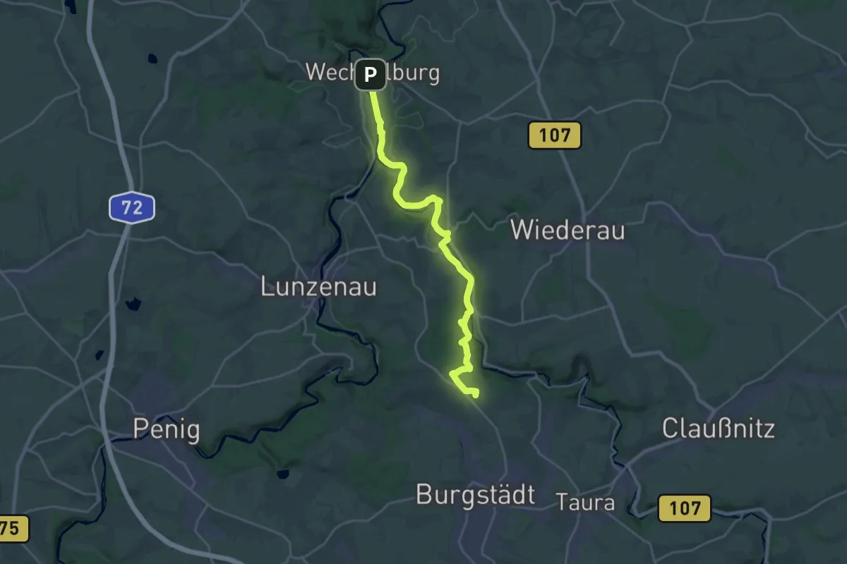
Demanding · Summit
Chemnitztalweg Burgstädt – Wechselburg
20.6 km · ↑ 365 m · 5 h 39 min
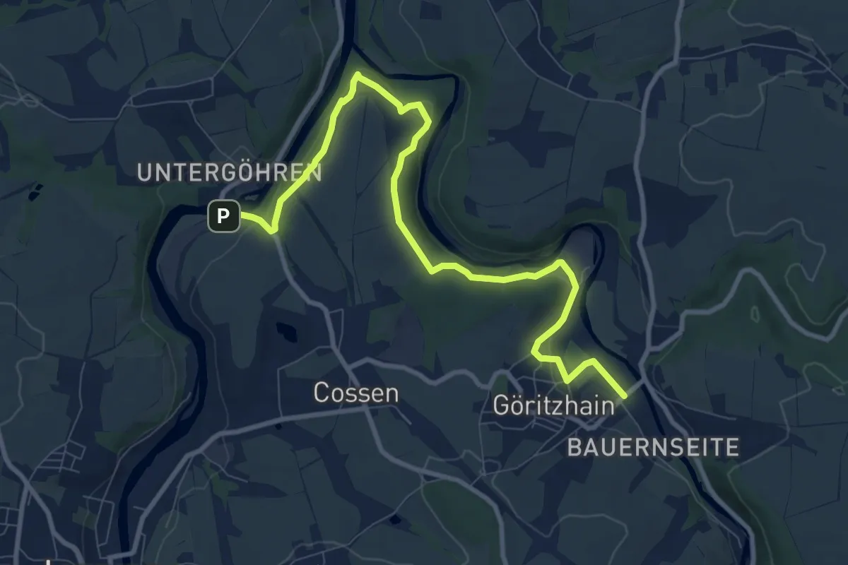
Medium · Trail
Chemnitztalweg Göritzhain – Göhren
9.6 km · ↑ 212 m · 2 h 44 min
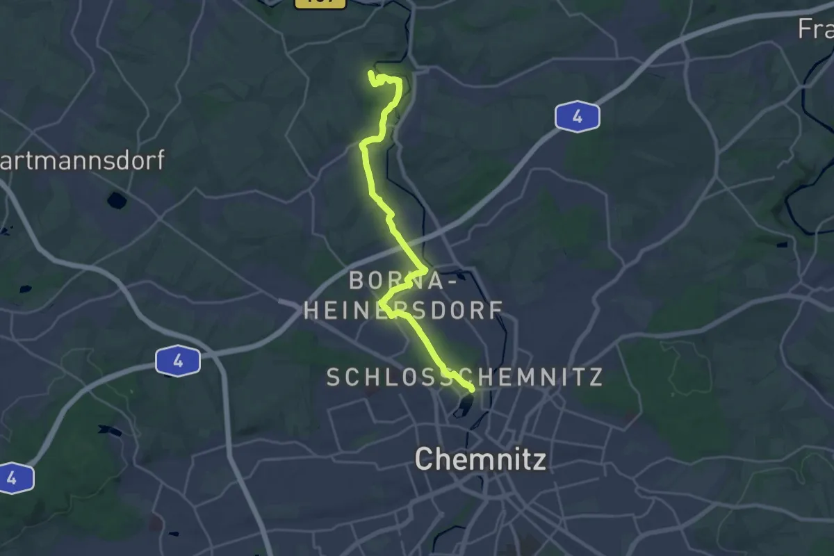
Demanding · Trail
Chemnitztalweg Schloßchemnitz - Wittgensdorf
19.6 km · ↑ 269 m · 5 h 13 min
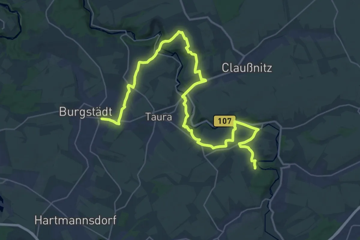
Medium · Trail
Chemnitztalweg Wittgensdorf – Burgstädt
15.5 km · ↑ 214 m · 4 h 20 min
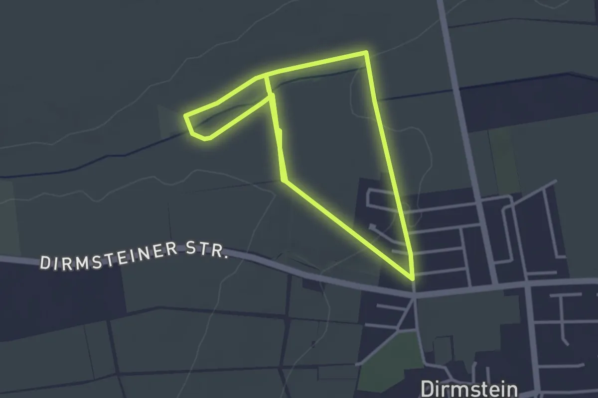
Easy · Trail
Chorbrünnel-Rundweg
2.9 km · ↑ 25 m · 47 min
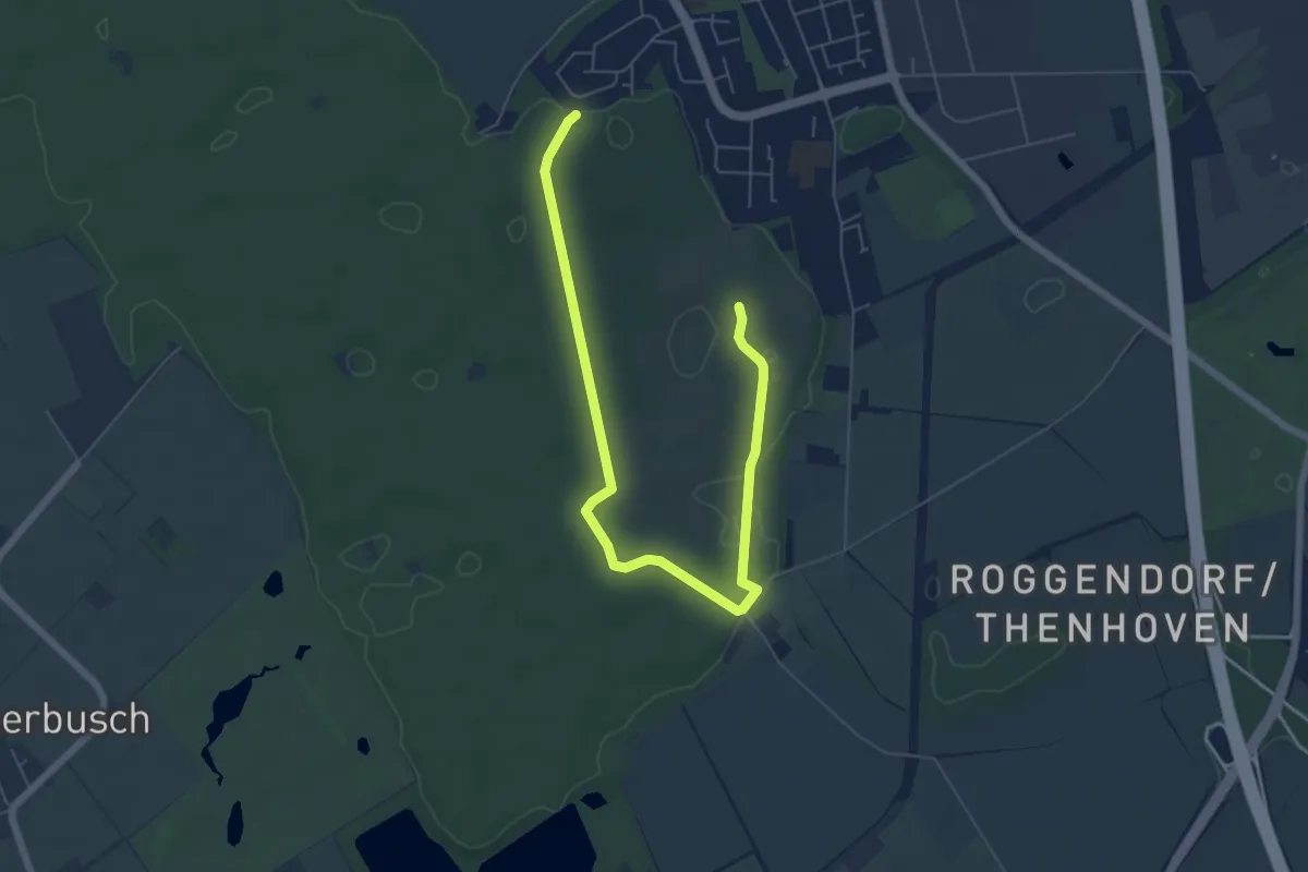
Easy · Trail
Chorbusch Rundweg A3
3.4 km · ↑ 8 m · 52 min
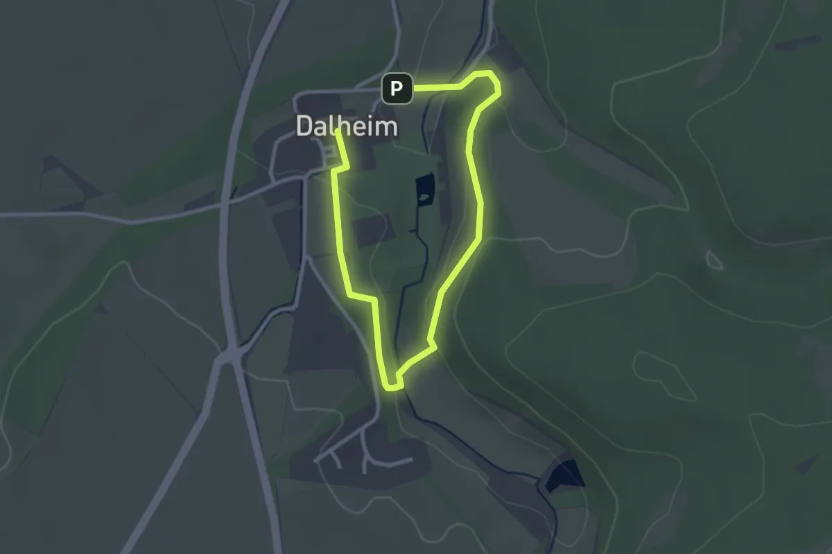
Easy · Trail
Chorherrenweg
3.5 km · ↑ 65 m · 58 min
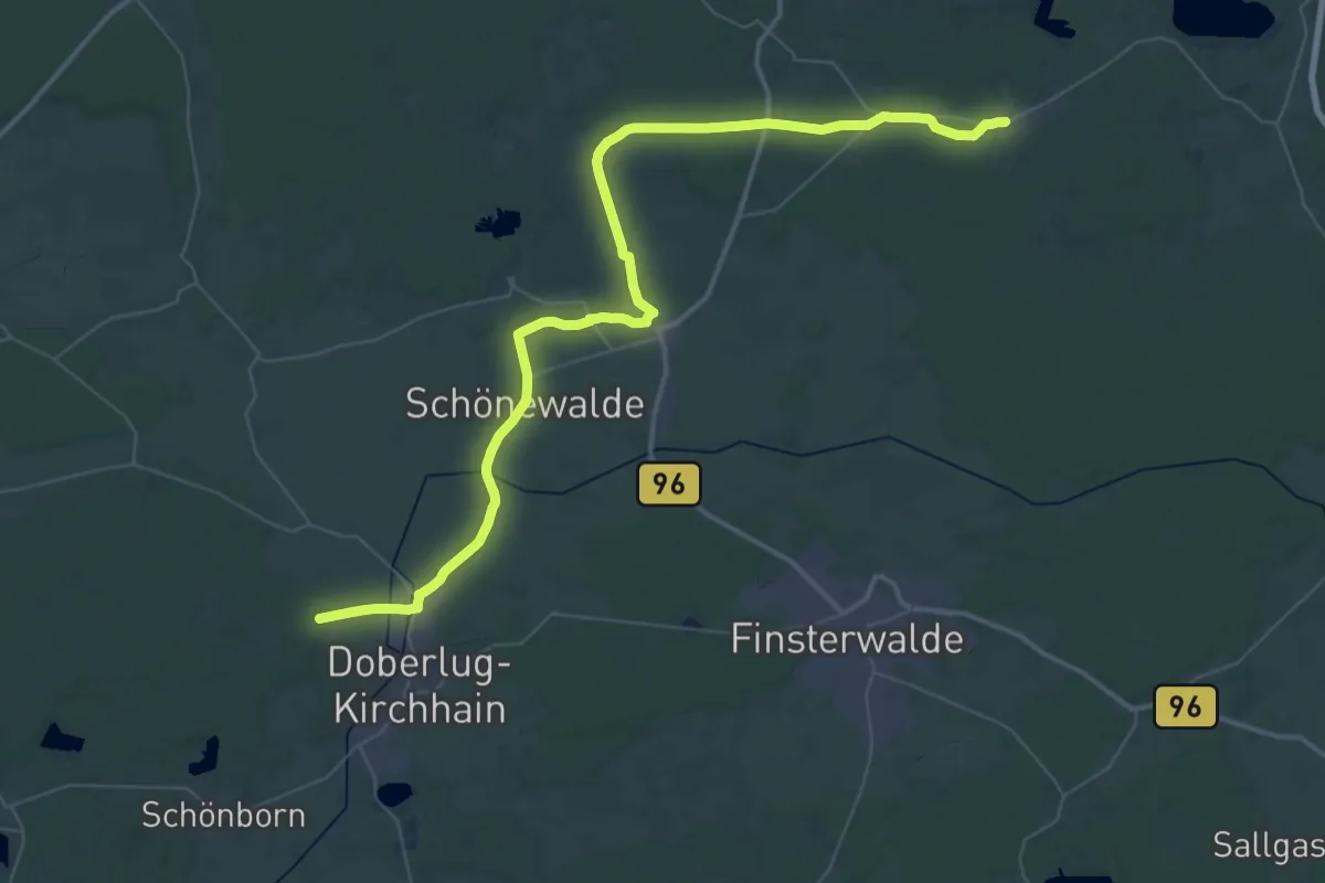
Demanding · Trail
Chrinitz - Döberlug-Kirchhain
26.8 km · ↑ 101 m · 6 h 56 min
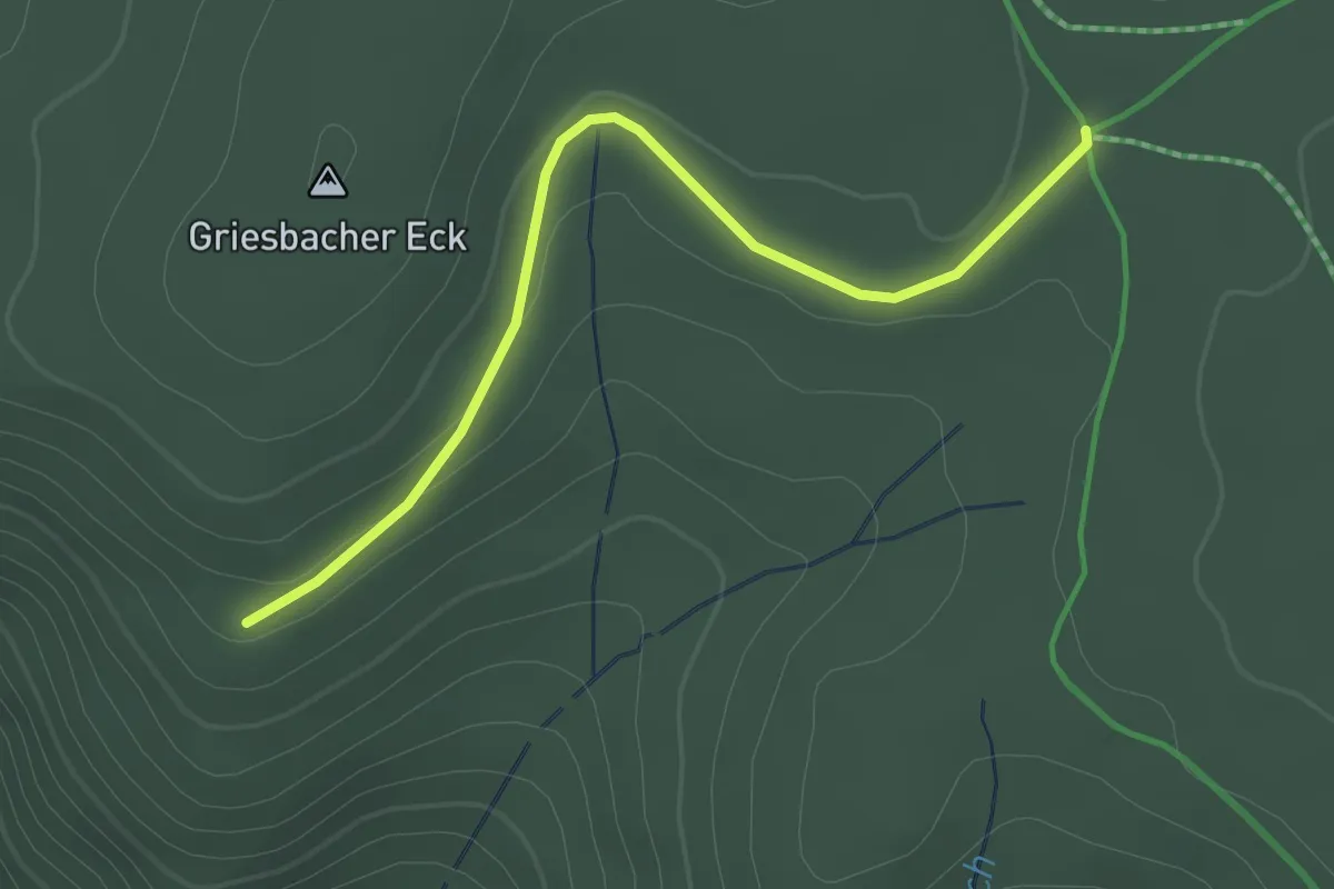
Easy · Trail
Christenmoos - Spechttanne
2.3 km · ↑ 59 m · 41 min
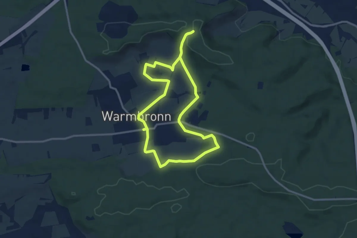
Easy · Trail
Christian-Wagner-Dichterpfad
7.1 km · ↑ 133 m · 2 h 3 min
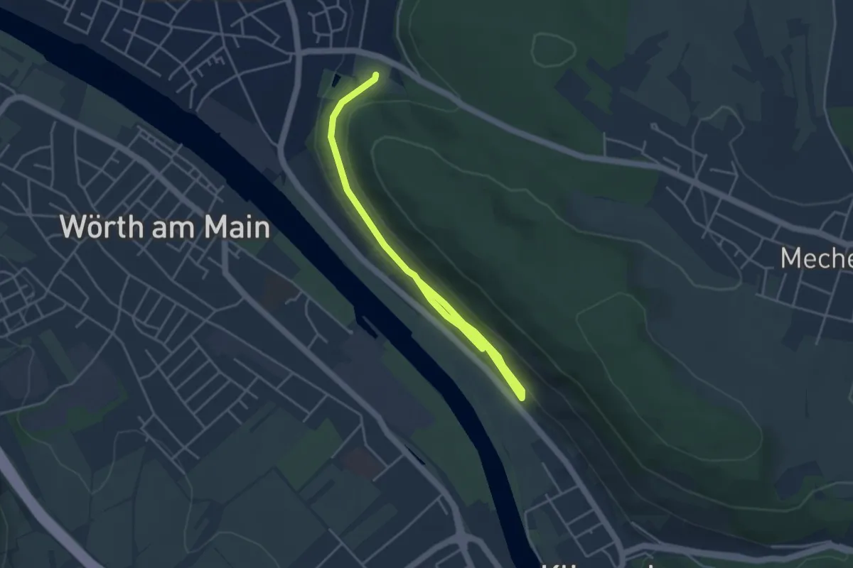
Easy · Trail
Churfranken-Steig
4.5 km · ↑ 134 m · 1 h 22 min
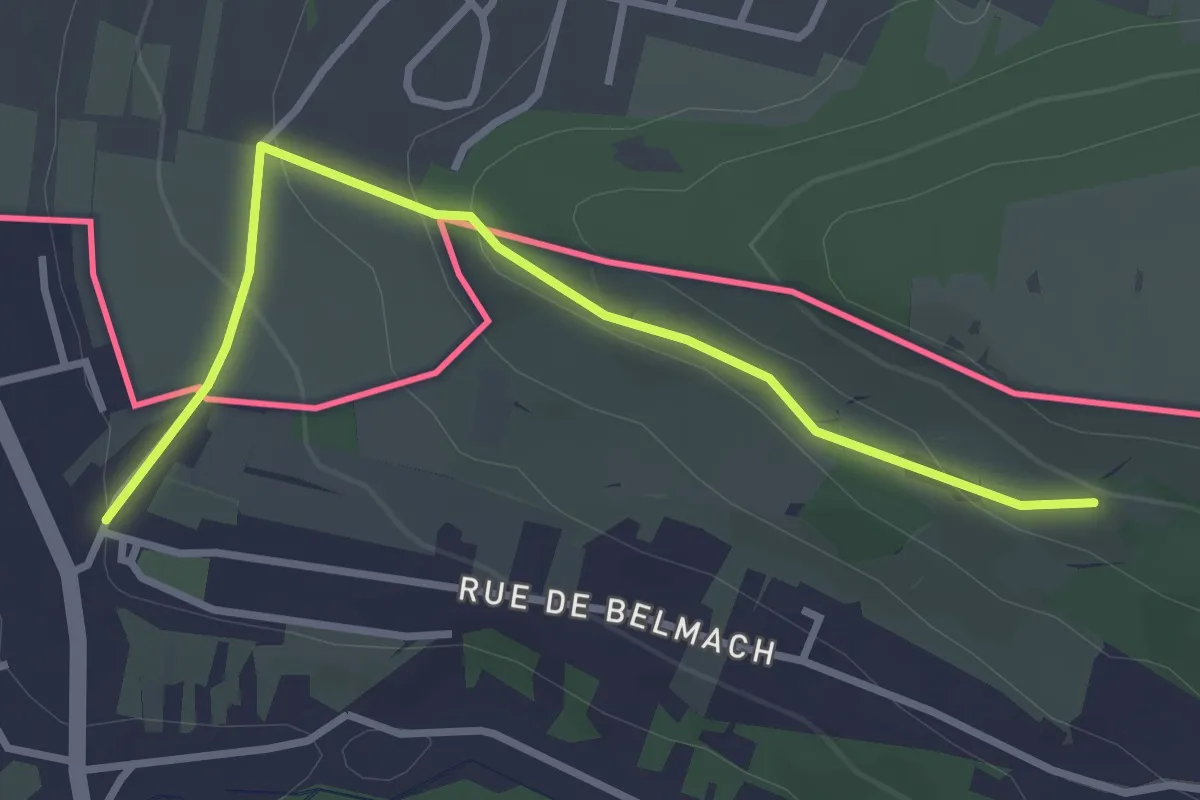
Easy · Trail
Circuit Apach-Waldwisse
3.1 km · ↑ 117 m · 59 min
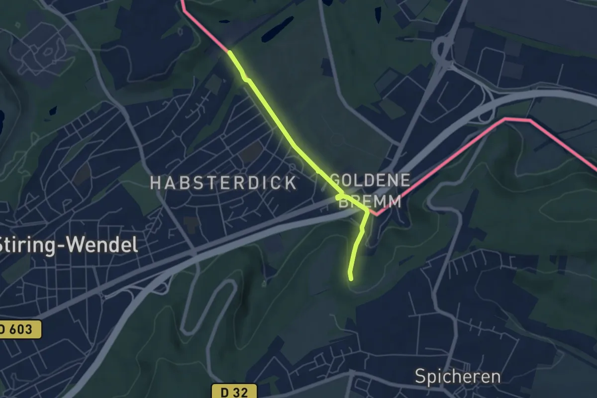
Easy · Trail
CircuitCTL_RedSquare
4.4 km · ↑ 124 m · 1 h 18 min
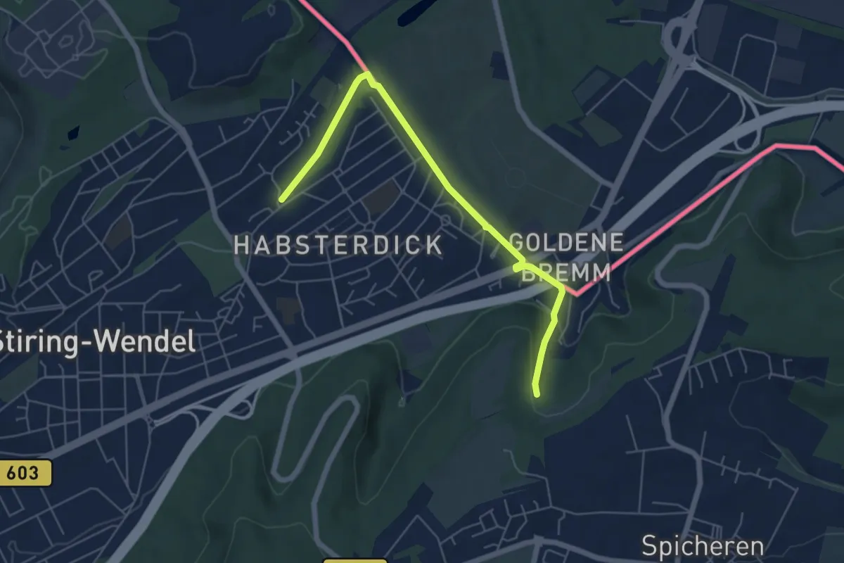
Easy · Trail
CircuitCTL_WhiteDot
5.5 km · ↑ 128 m · 1 h 34 min
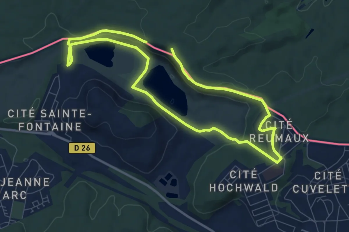
Medium · Trail
Circuit de la Carrière
13.0 km · ↑ 255 m · 3 h 38 min
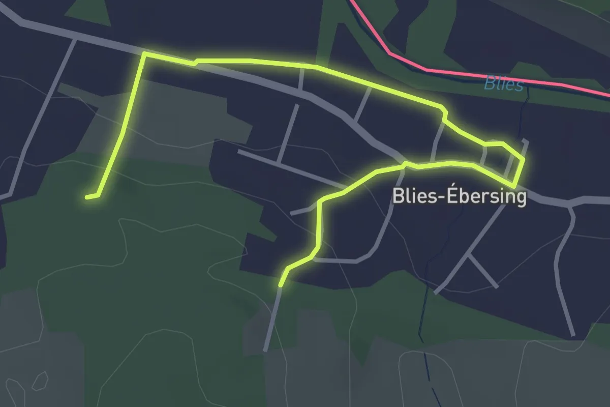
Easy · Trail
Circuit des Bois du Sanglier
1.9 km · ↑ 48 m · 34 min
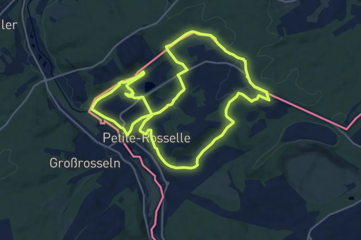
Medium · Trail
Circuit du Galibot
11.4 km · ↑ 185 m · 3 h 16 min
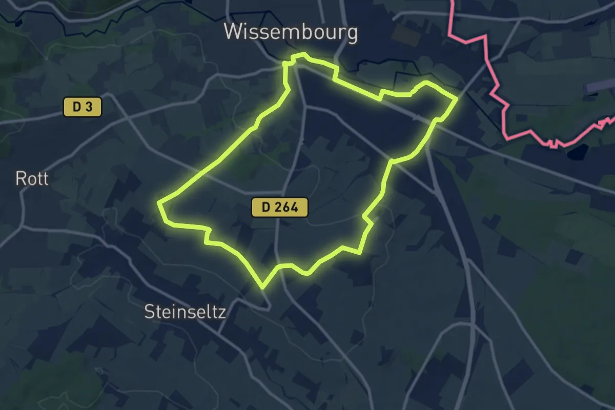
Medium · Summit
Circuit du Geisberg
9.2 km · ↑ 99 m · 2 h 30 min
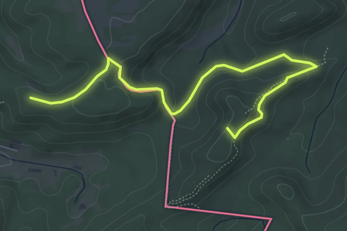
Easy · Summit
Circuit du rocher de l'Altschlossfelsen
6.4 km · ↑ 192 m · 1 h 55 min
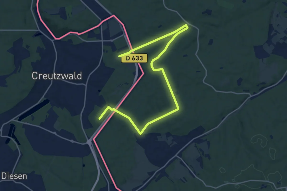
Medium · Trail
Circuit Etangs et Lacs
17.3 km · ↑ 213 m · 4 h 33 min
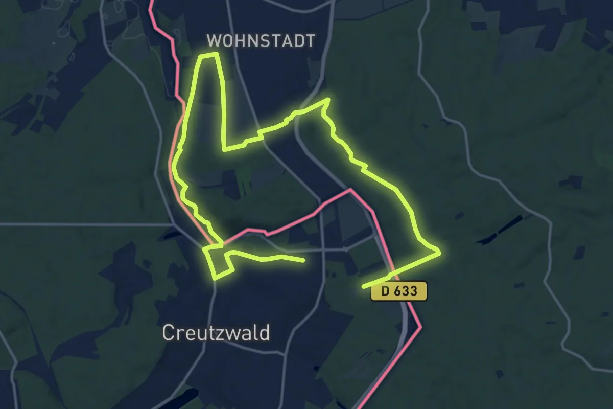
Demanding · Trail
Circuit l'ancien Tramway
22.9 km · ↑ 317 m · 6 h 5 min
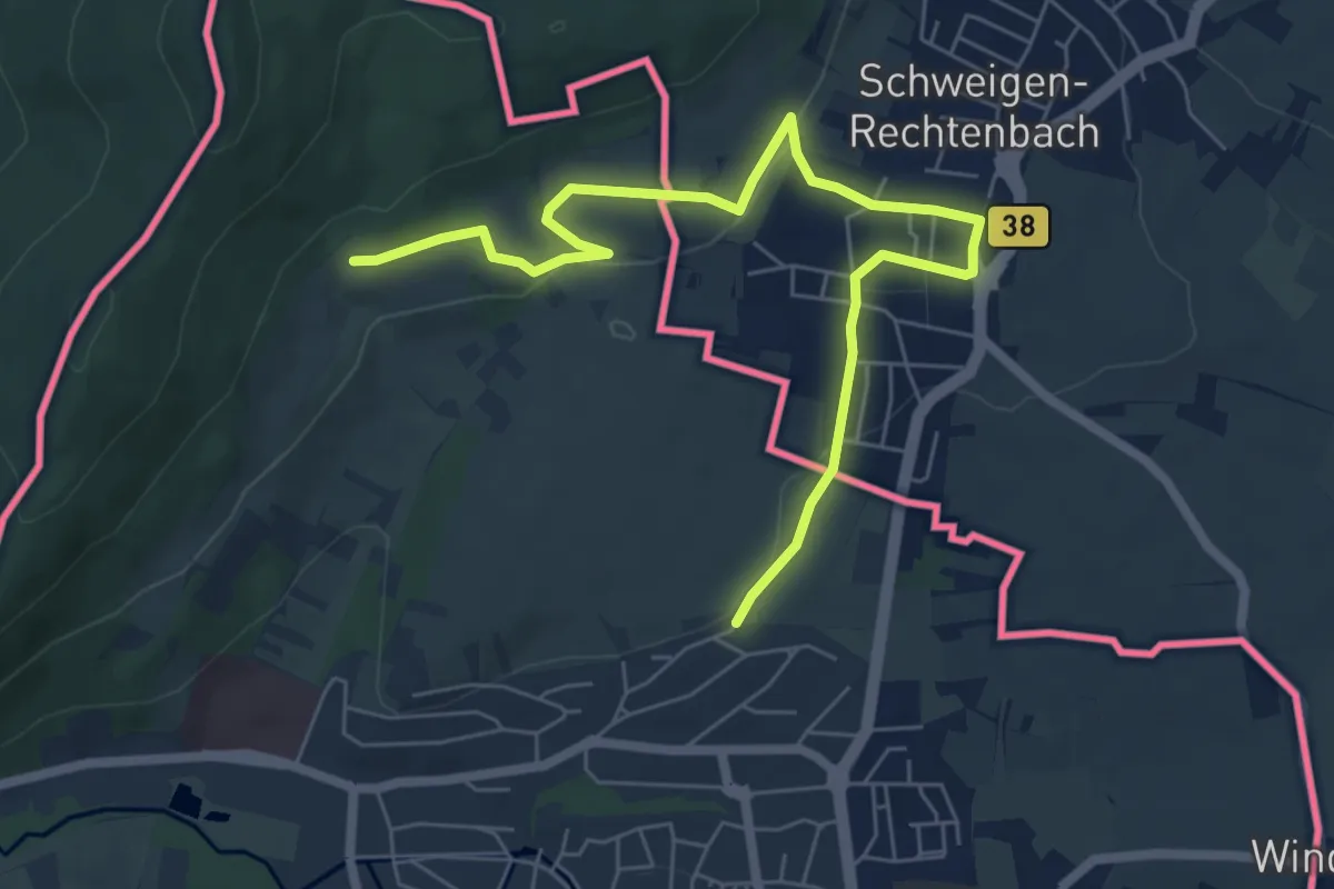
Easy · Trail
Circuit Weintor - Wissembourg
7.1 km · ↑ 128 m · 1 h 57 min
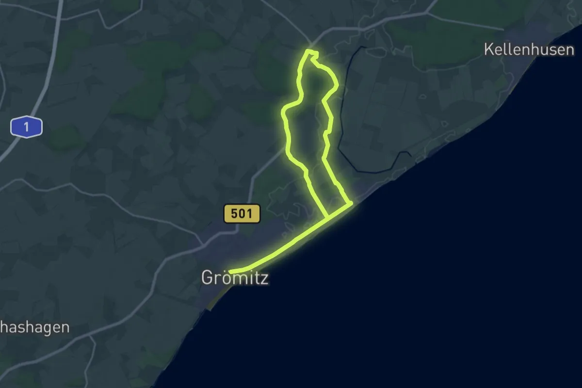
Demanding · Trail
Cismar-Route, Grömitz
24.0 km · ↑ 83 m · 5 h 50 min
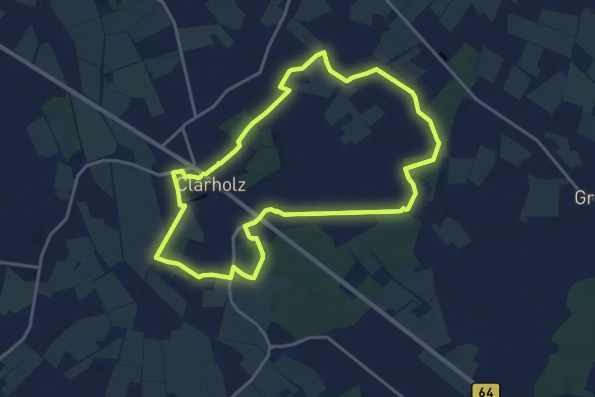
Medium · Trail
Clarholzer Klosterwälder
8.1 km · ↑ 29 m · 2 h 5 min
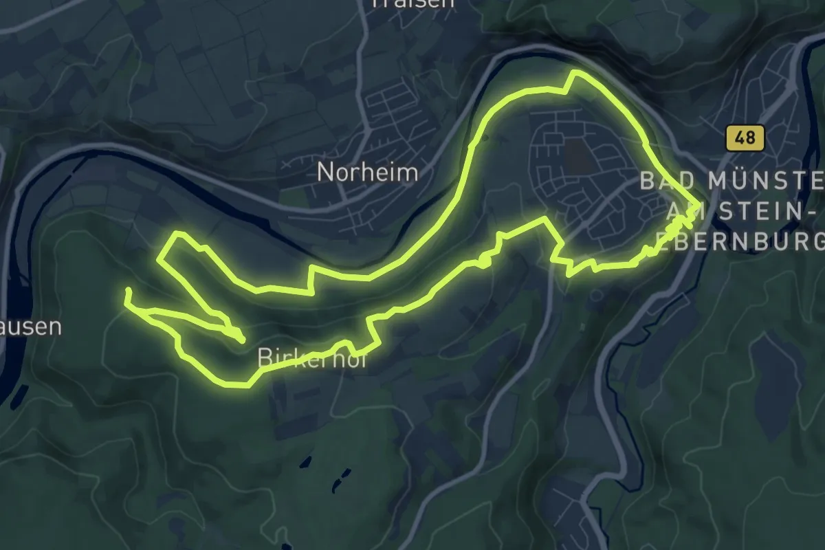
Medium · Trail
CLASSICtour Ebernburg
11.1 km · ↑ 256 m · 3 h 19 min
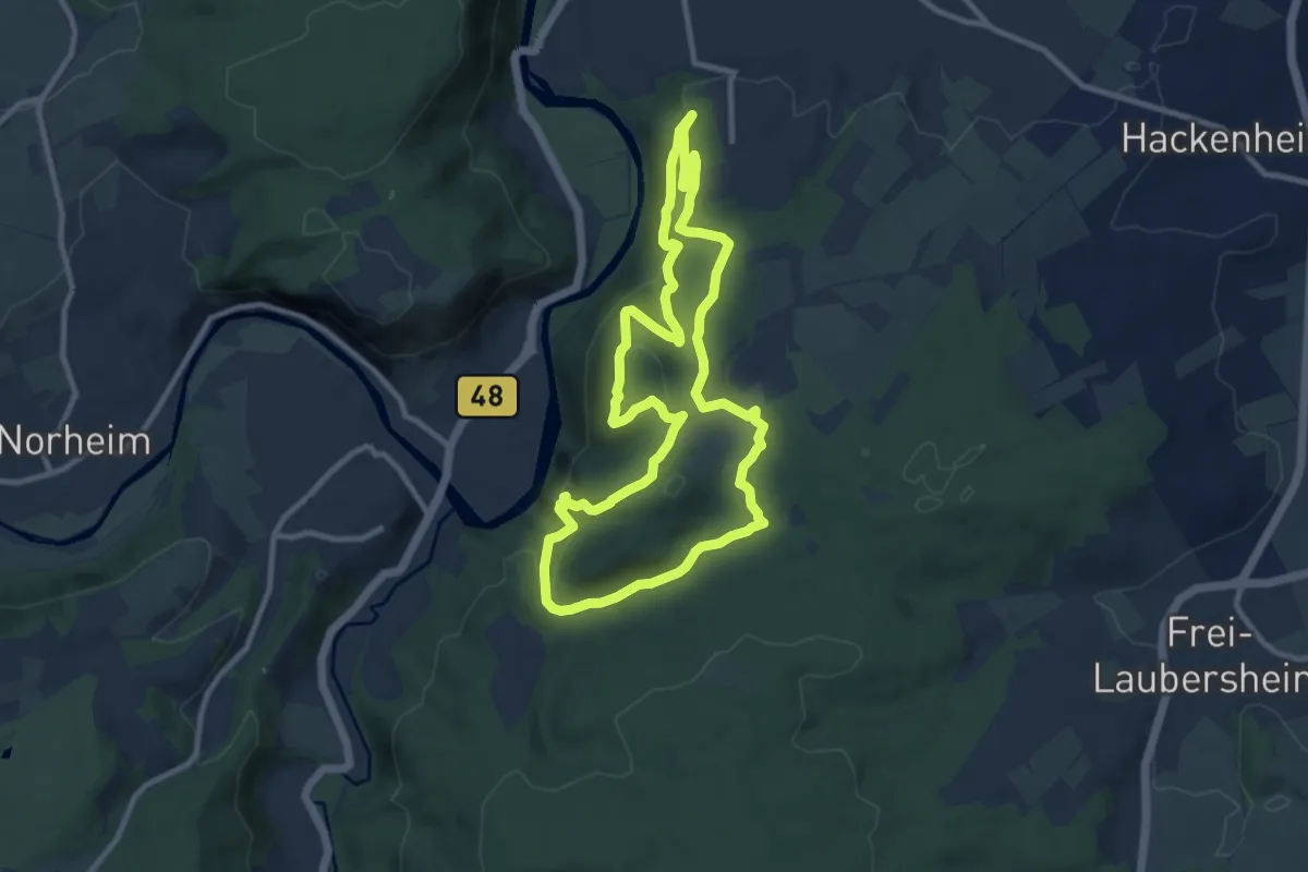
Medium · Summit
CLASSICtour Rheingrafenstein
9.1 km · ↑ 333 m · 2 h 59 min
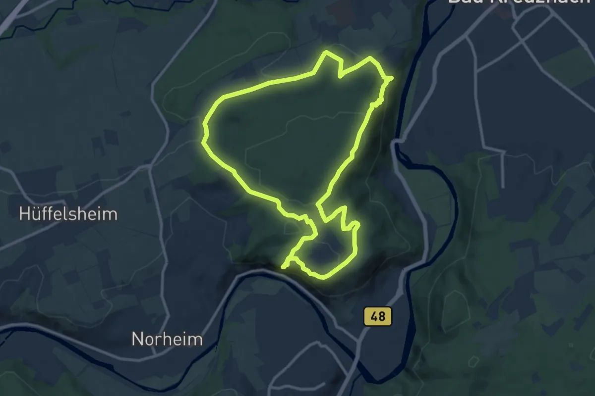
Medium · Summit
CLASSICtour Rotenfels
8.9 km · ↑ 313 m · 2 h 54 min
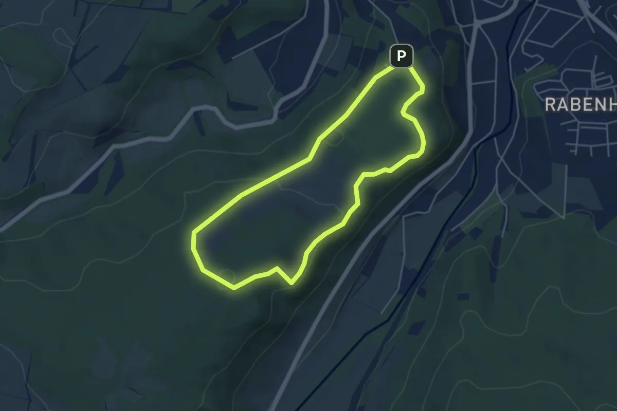
Easy · Summit
Claus Eichel - Weg
3.9 km · ↑ 79 m · 1 h 9 min
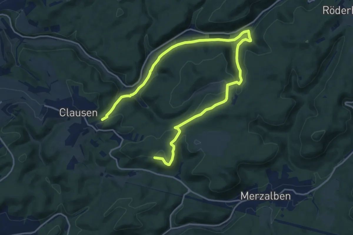
Medium · Trail
Clausenseetour
8.5 km · ↑ 219 m · 2 h 36 min
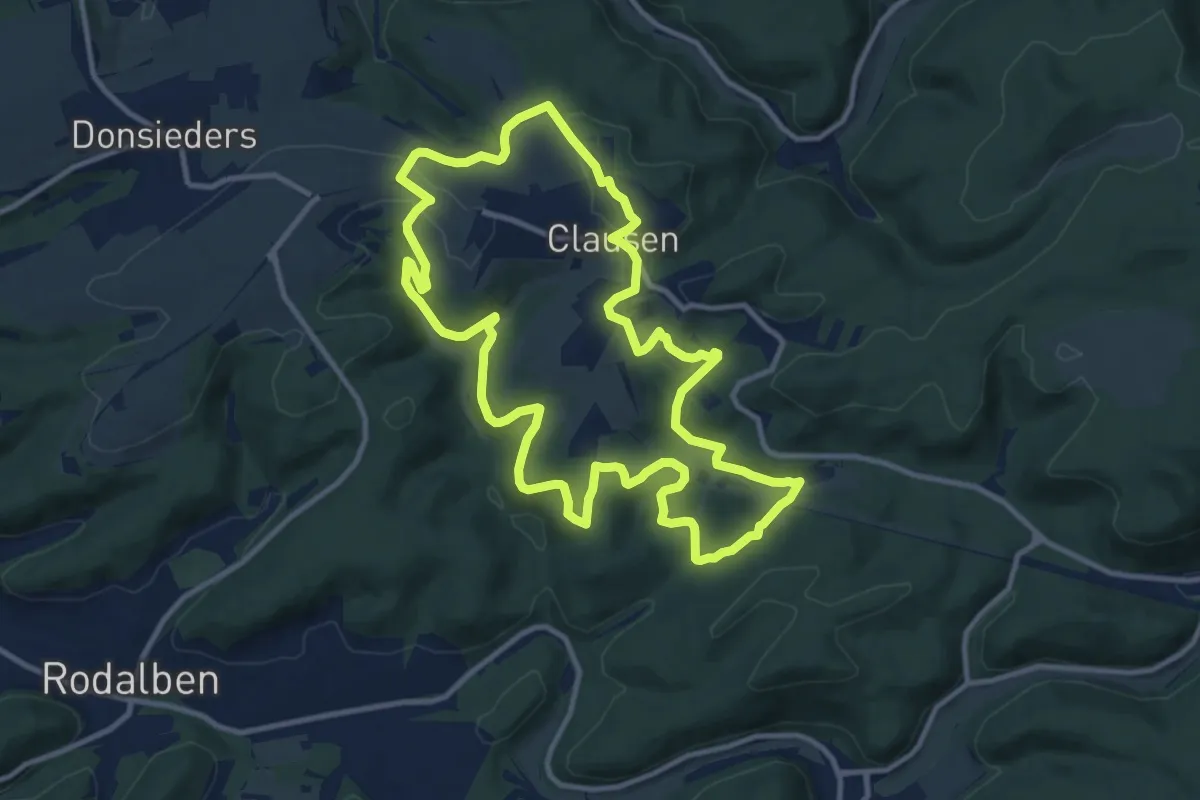
Medium · Summit
Clauser Haweweg
11.1 km · ↑ 368 m · 3 h 34 min
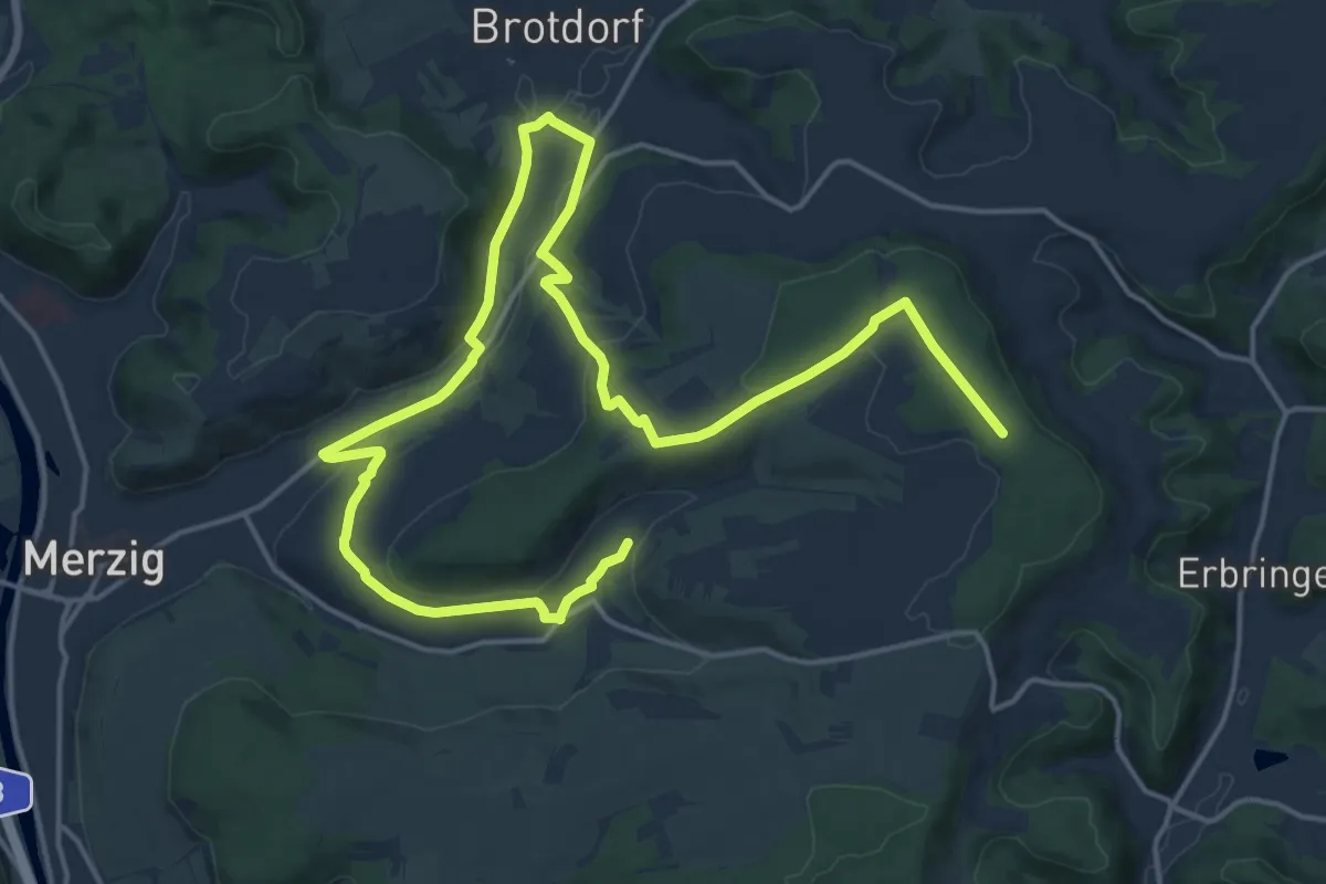
Demanding · Trail
Clemens Holzmeister Weg
23.8 km · ↑ 467 m · 6 h 38 min
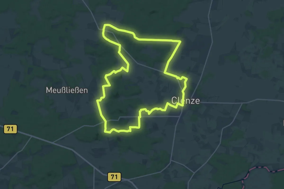
Demanding · Trail
Clenzer-Schweiz-Weg
19.1 km · ↑ 237 m · 5 h 17 min
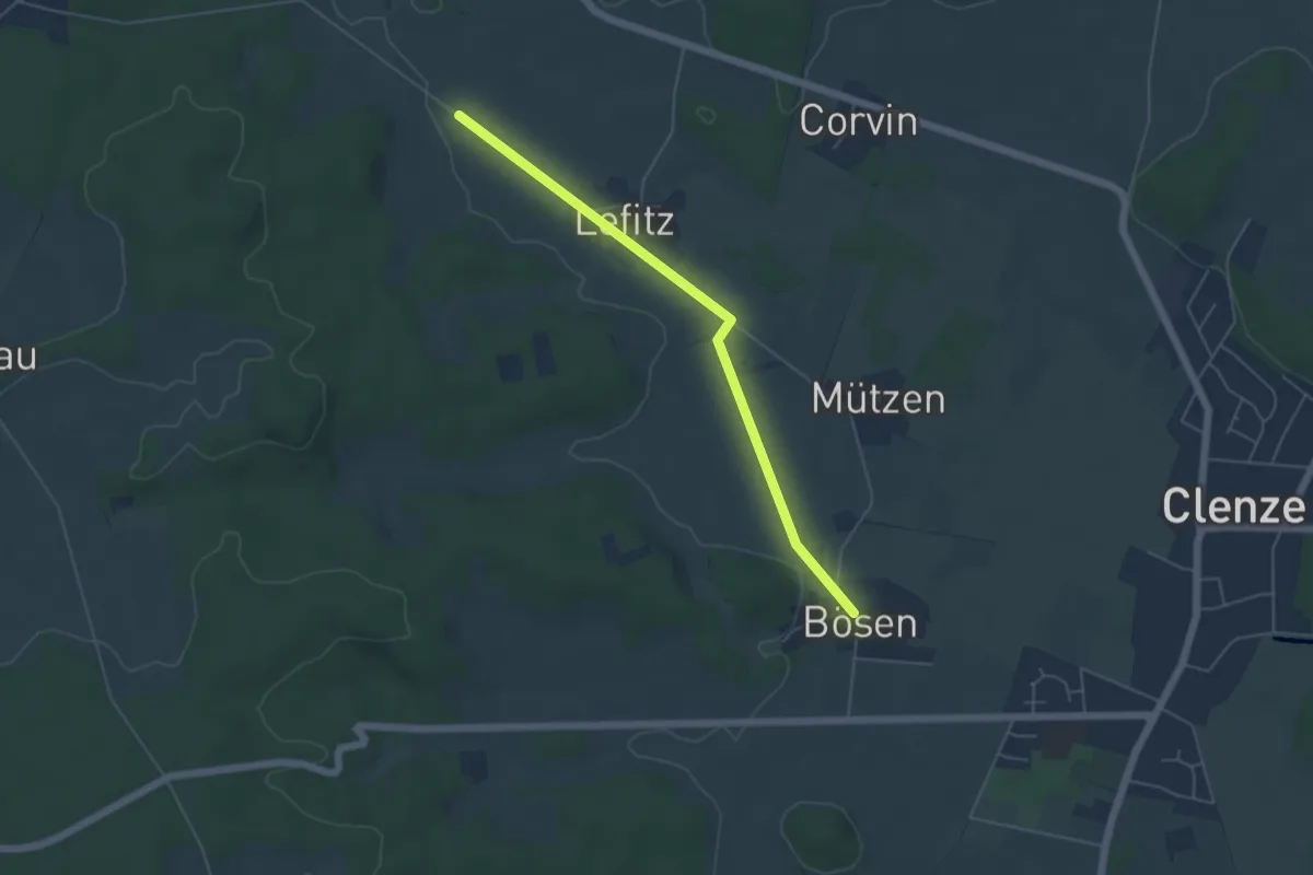
Easy · Trail
Clenzer-Schweiz-Weg Abkürzung
4.4 km · ↑ 14 m · 1 h 3 min
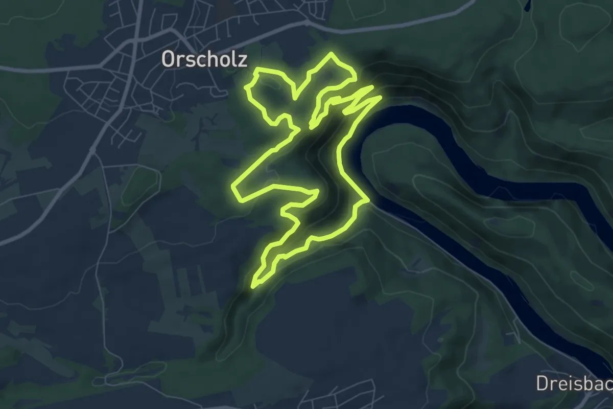
Easy · Trail
Cloefpfad
7.6 km · ↑ 309 m · 2 h 34 min
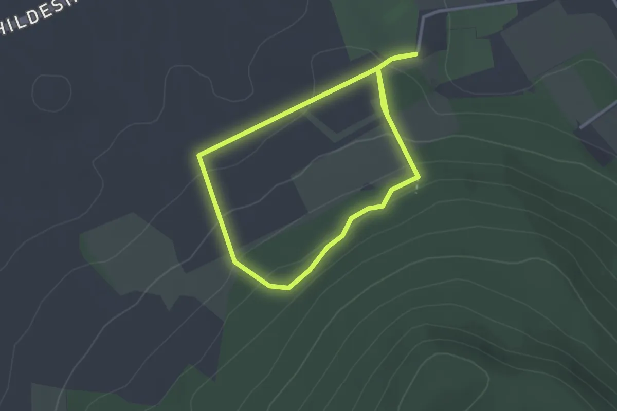
Easy · Trail
CO1 Rattenfänger Panoramaweg
2.3 km · ↑ 73 m · 44 min
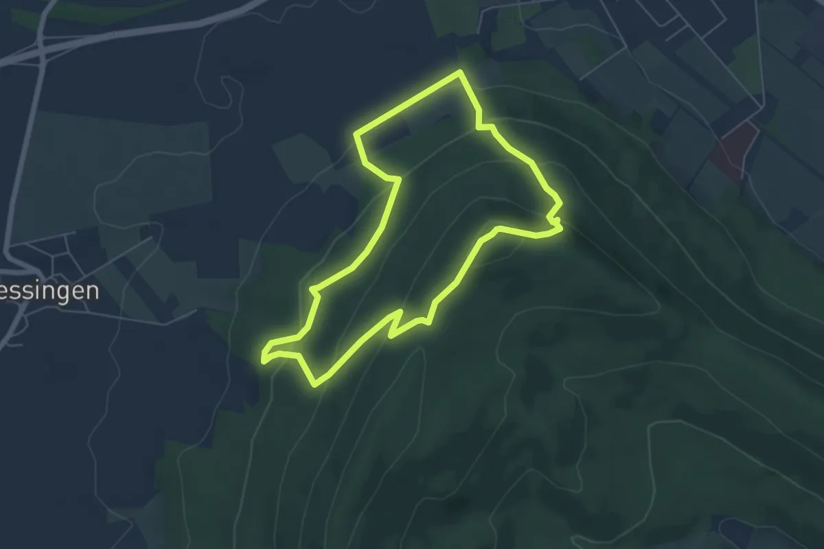
Easy · Trail
CO2 Götterpfad
5.0 km · ↑ 260 m · 1 h 49 min
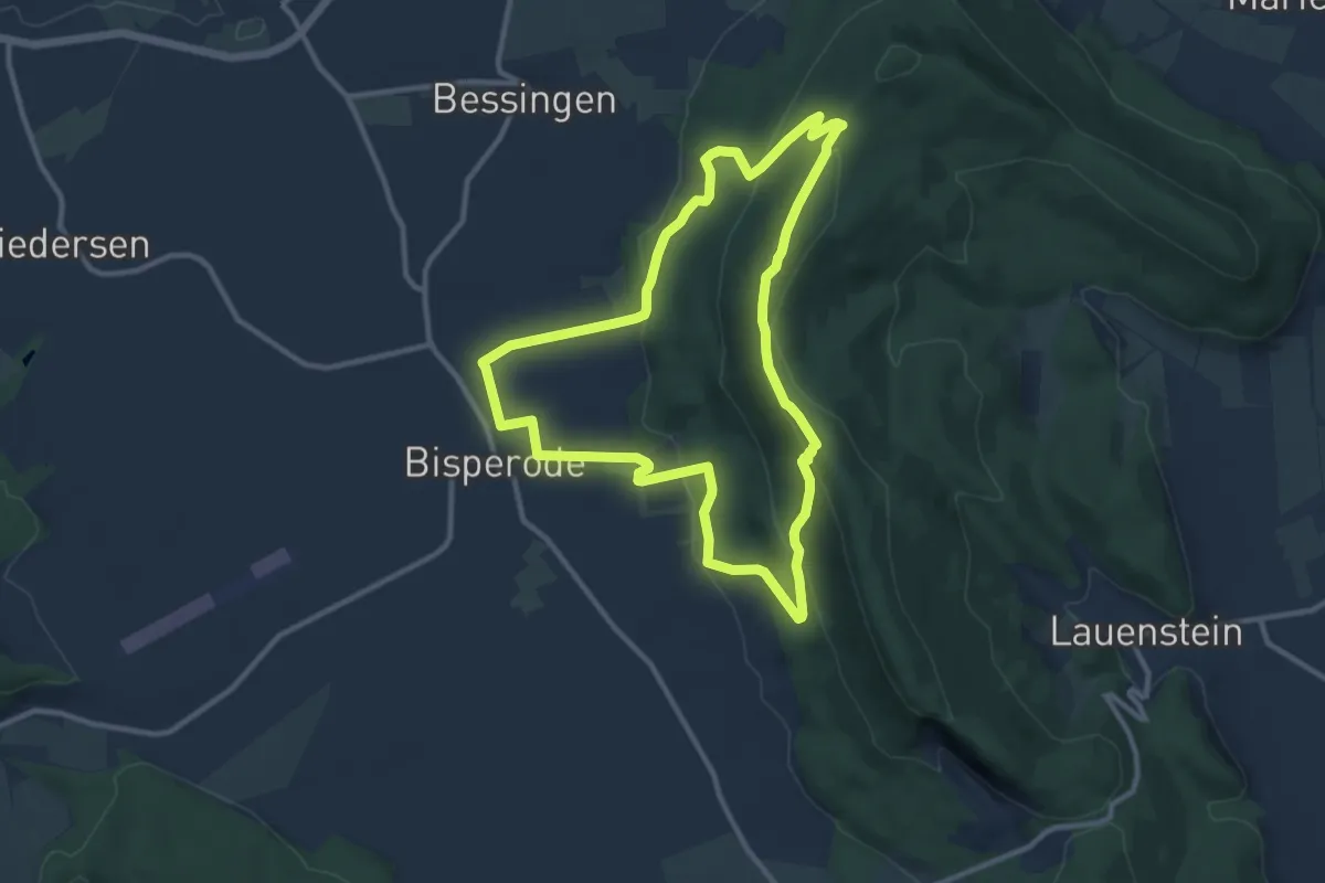
Expert · Summit
CO3 Schlossweg
9.4 km · ↑ 344 m · 3 h 6 min
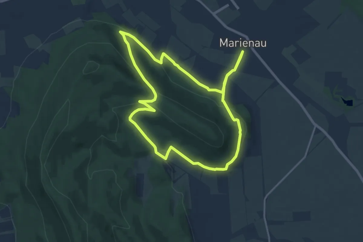
Medium · Trail
CO4 Pilgerweg
9.3 km · ↑ 275 m · 2 h 54 min
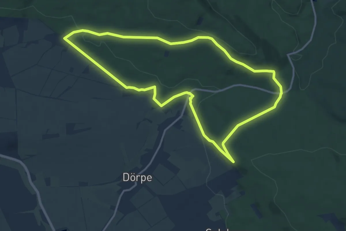
Medium · Trail
CO5 Dörper Hutewald-Runde
8.9 km · ↑ 193 m · 2 h 39 min
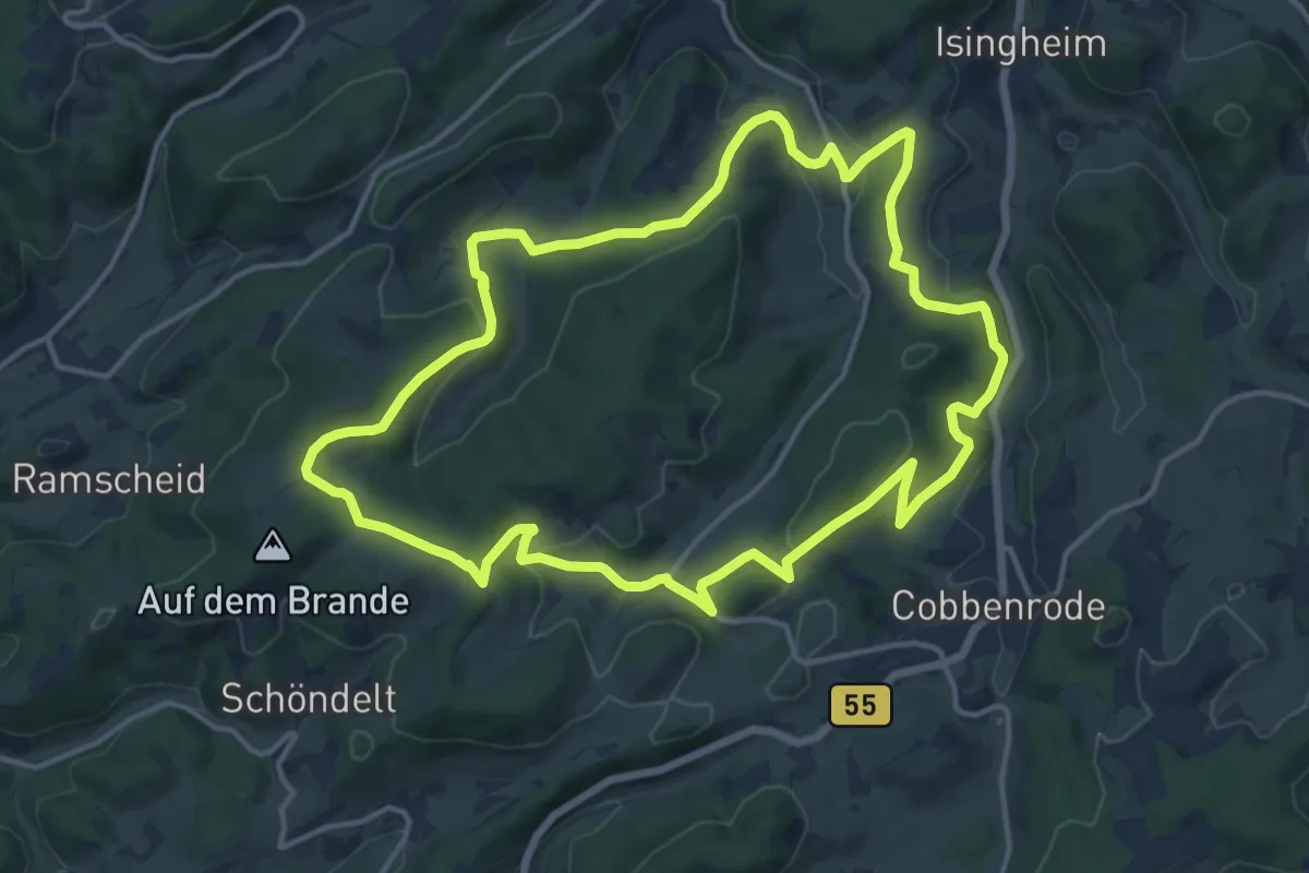
Medium · Trail
Cobbenrode Rundweg C3
13.7 km · ↑ 354 m · 4 h 12 min
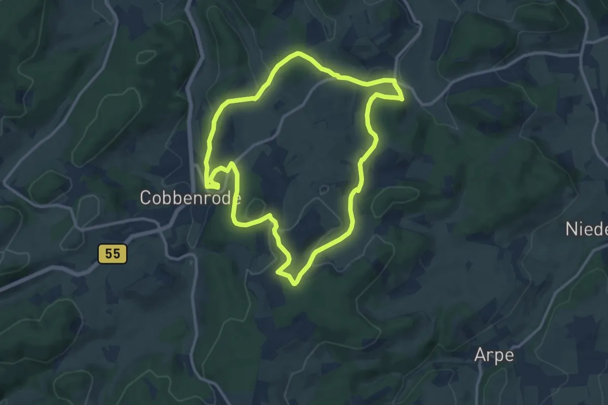
Medium · Summit
Cobbenrode Rundweg C6
8.2 km · ↑ 216 m · 2 h 31 min
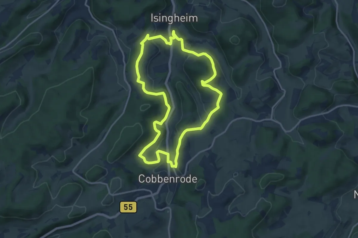
Medium · Trail
Cobbenrode Rundweg C7
9.7 km · ↑ 251 m · 2 h 58 min
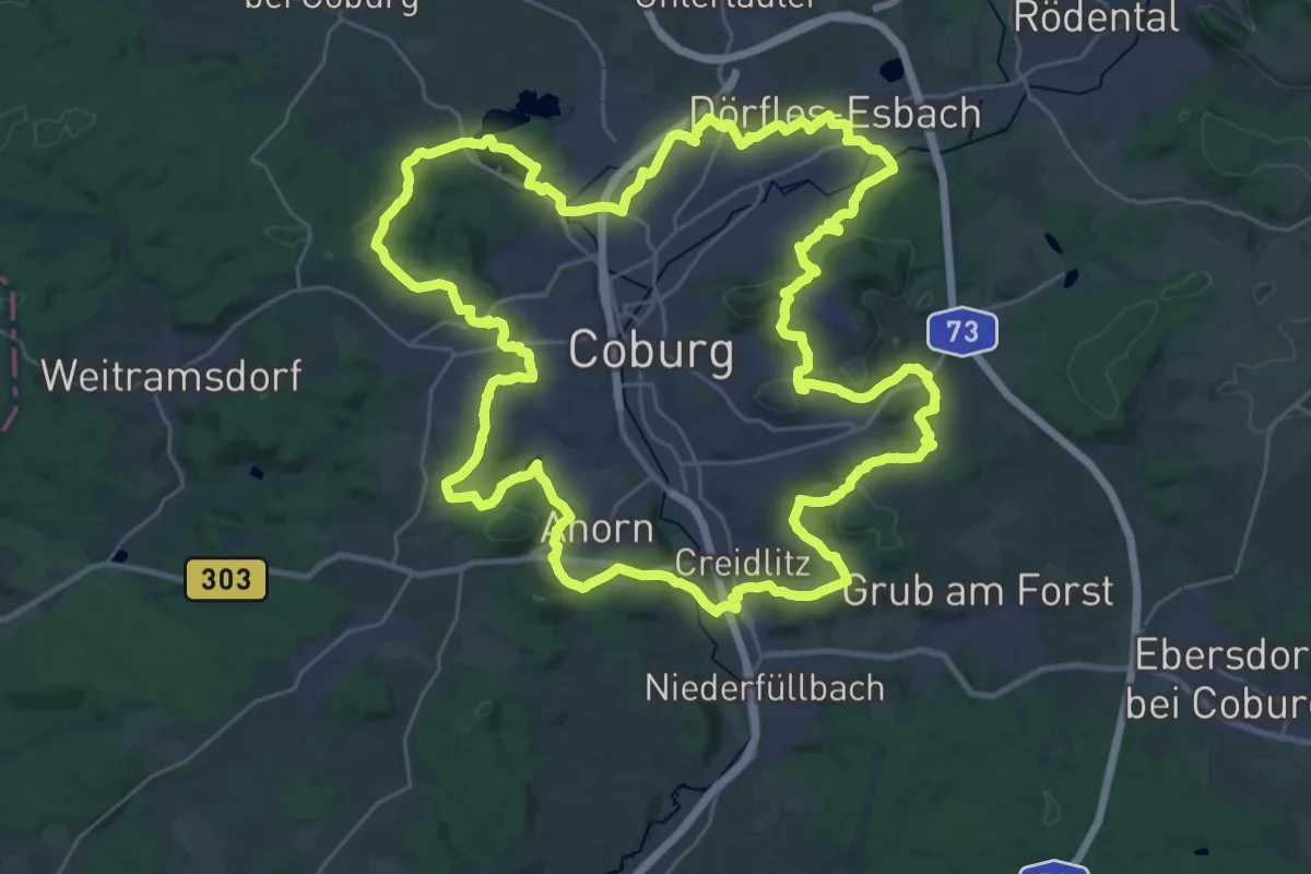
Demanding · Summit
Coburger Rundwanderweg
33.8 km · ↑ 594 m · 9 h 45 min
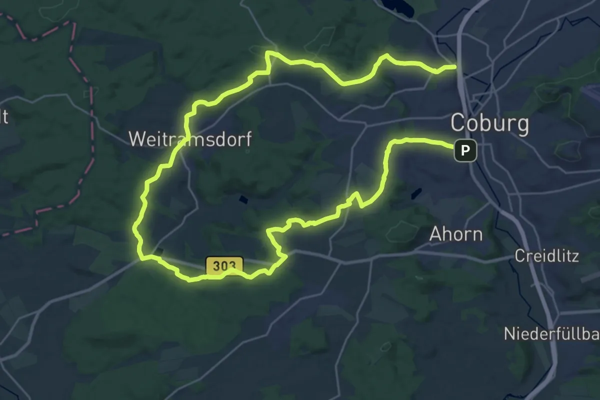
Demanding · Summit
Coburg-Tambach-Wanderweg
20.2 km · ↑ 337 m · 5 h 47 min
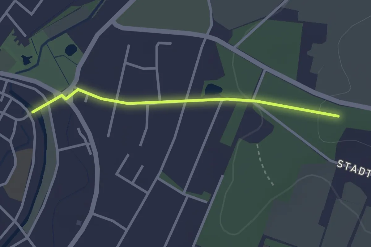
Easy · Trail
Coesfeld Rundweg C1
1.0 km · ↑ 0 m · 17 min
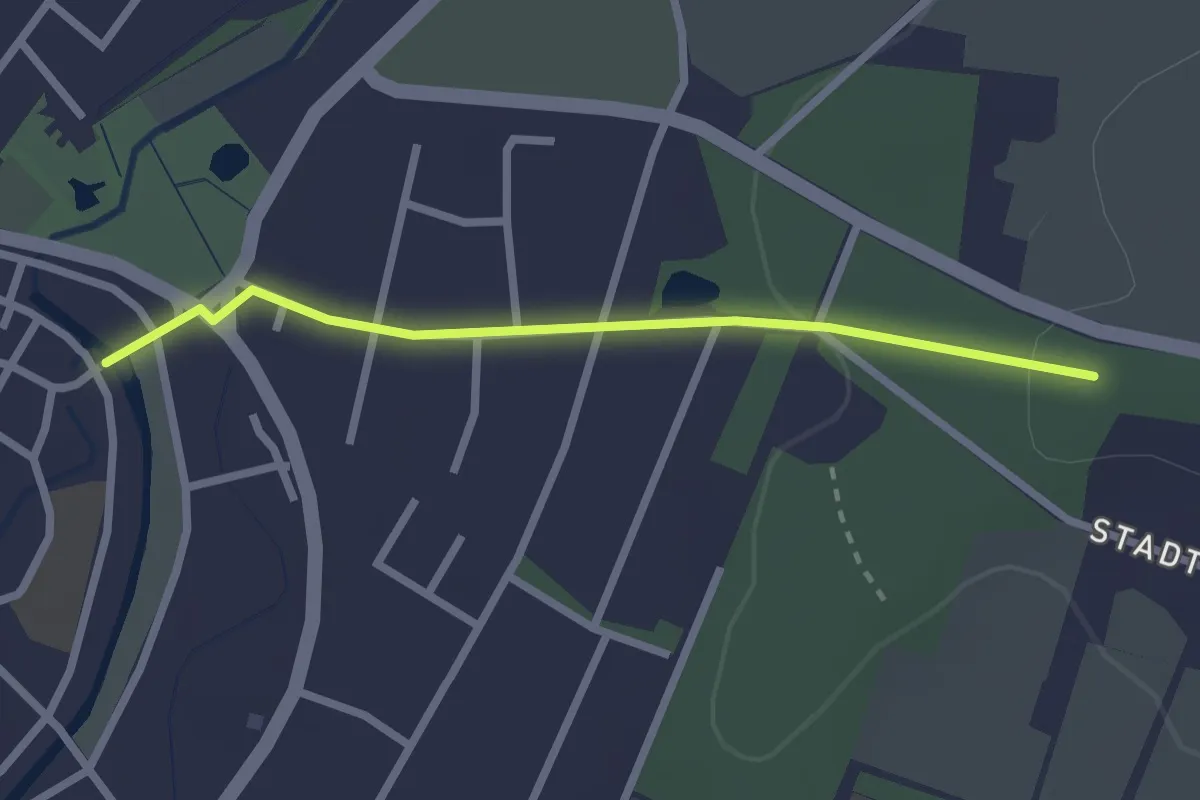
Easy · Trail
Coesfeld Rundweg C2
1.0 km · ↑ 0 m · 17 min