Trails in Germany
36,847 hiking trails, each with its route, climb, walking time and grade.
All trails, page 98 of 768
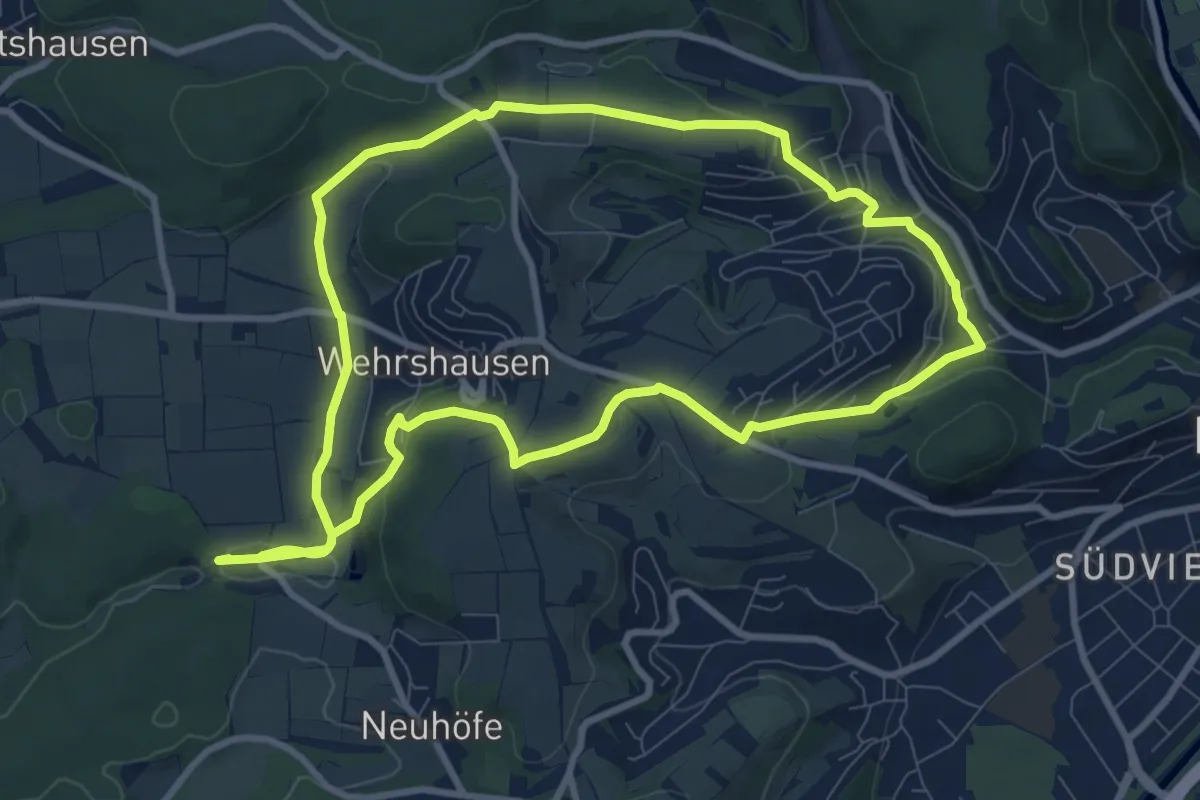
Medium · Trail
[C2] Rundwanderweg Elisabethkirche Dammühle
8.6 km · ↑ 189 m · 2 h 34 min
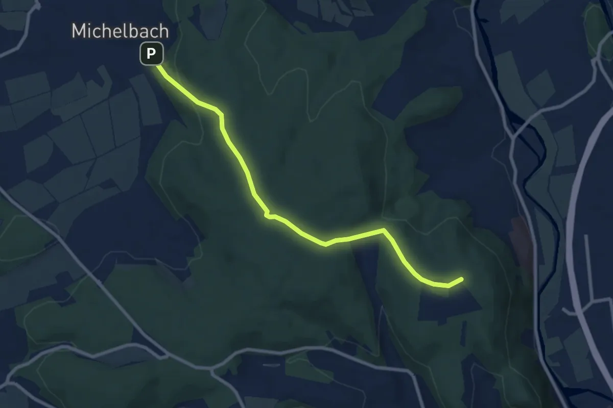
Easy · Summit
[C3] - Wanderweg des Verkehrs- und Verschönerungsvereins Marburg - Elisabethkirche - Michelbach
7.1 km · ↑ 222 m · 2 h 10 min
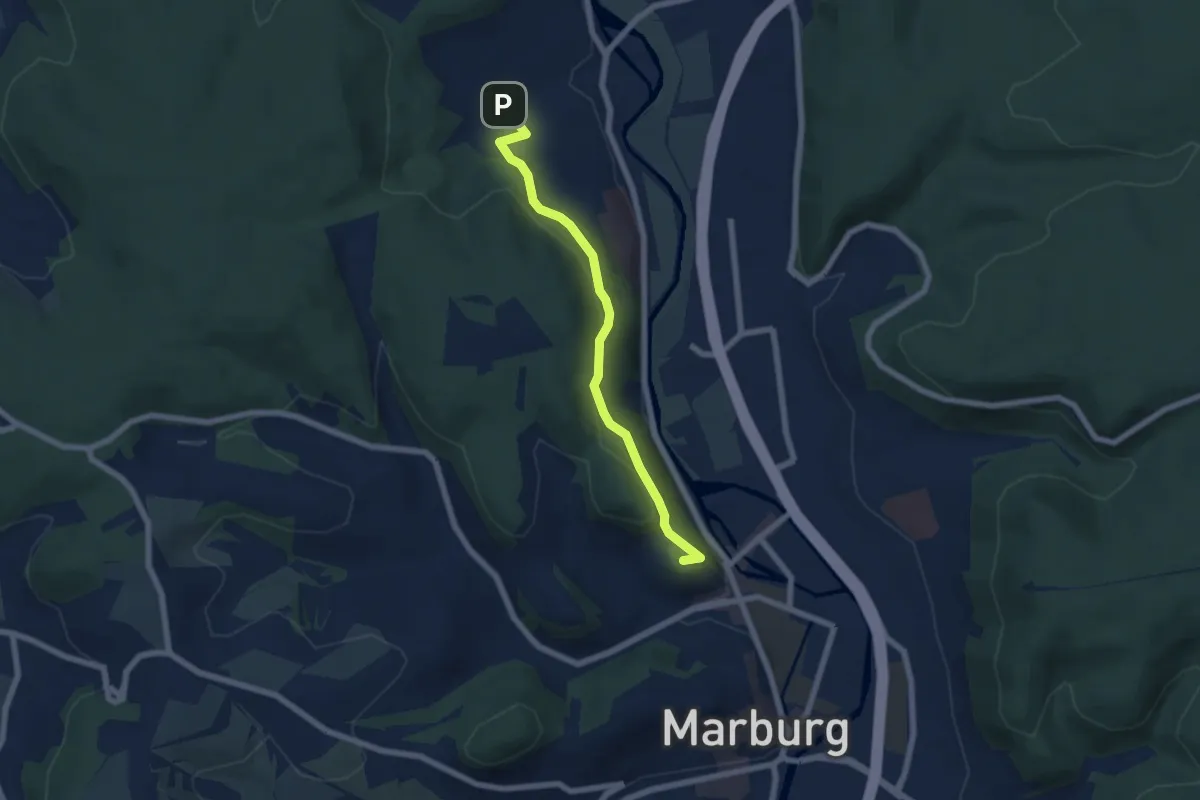
Easy · Summit
[C4] - Wanderweg des Verkehrs- und Verschönerungsvereins Marburg - Elisabethkirche - Wehrda-Schwimmbad
5.5 km · ↑ 227 m · 1 h 48 min
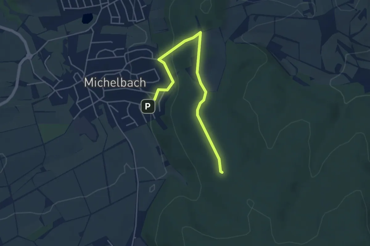
Easy · Summit
[C5] - Wanderweg des Verkehrs- und Verschönerungsvereins Marburg - Michelbach - Wehrda-Sachsenring
4.2 km · ↑ 145 m · 1 h 18 min
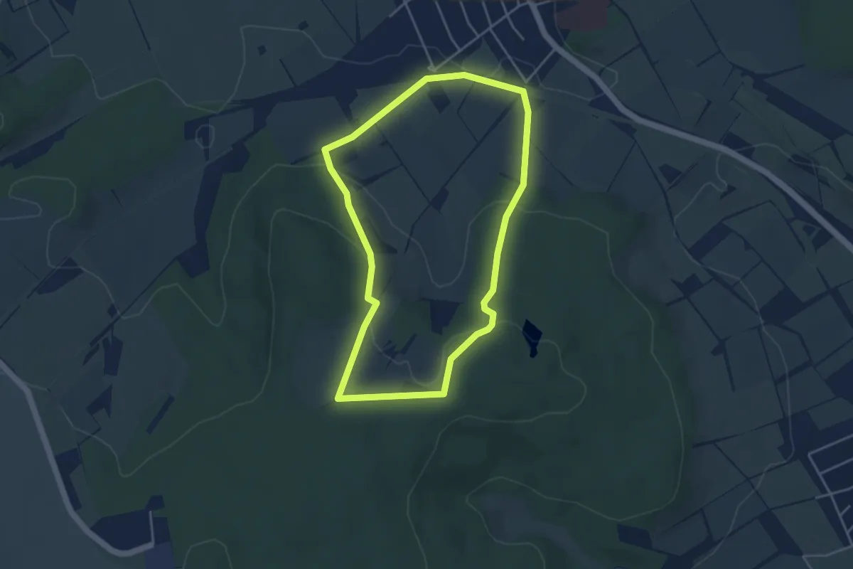
Easy · Trail
Calden F1
3.6 km · ↑ 106 m · 1 h 8 min
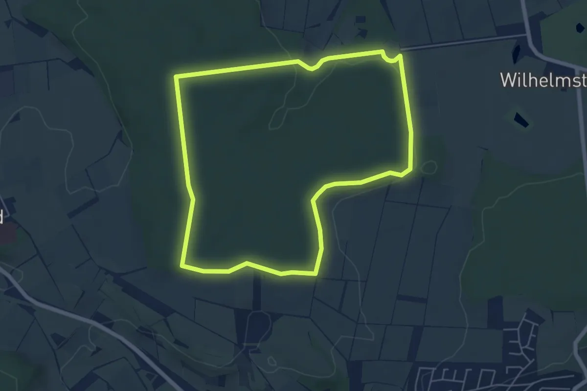
Easy · Trail
Calden, Rundweg 1
5.0 km · ↑ 54 m · 1 h 22 min
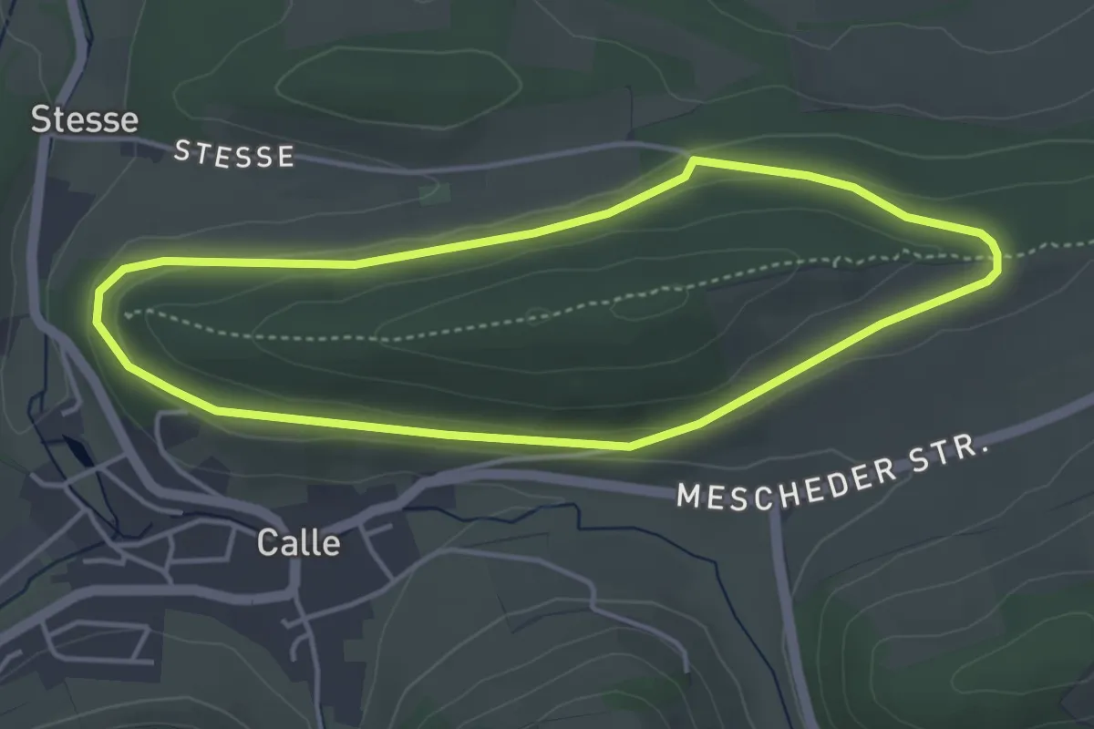
Easy · Summit
Calle Rundweg C1 Kleiner Ransenberg
3.6 km · ↑ 51 m · 1 h
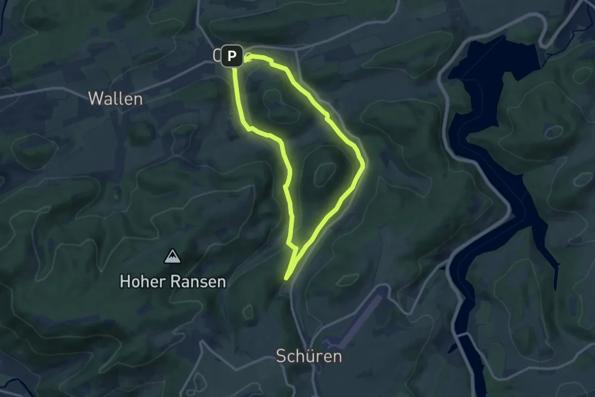
Easy · Trail
Calle Rundweg C2 Hardt/Welsberg
7.9 km · ↑ 189 m · 2 h 24 min
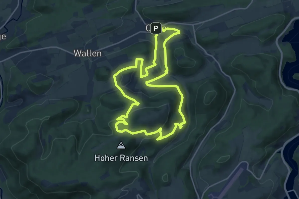
Medium · Summit
Calle Rundweg C3 Hömberg
11.5 km · ↑ 366 m · 3 h 40 min
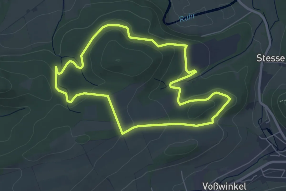
Easy · Summit
Calle Rundweg C4 Kehling
4.7 km · ↑ 128 m · 1 h 28 min
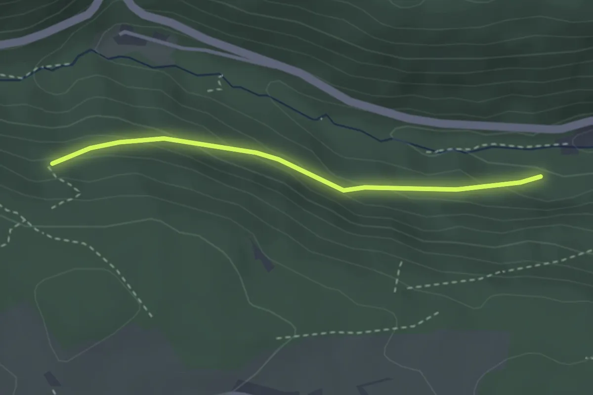
Easy · Trail
Calmbacher Weg - Lange Wand
2.7 km · ↑ 130 m · 55 min
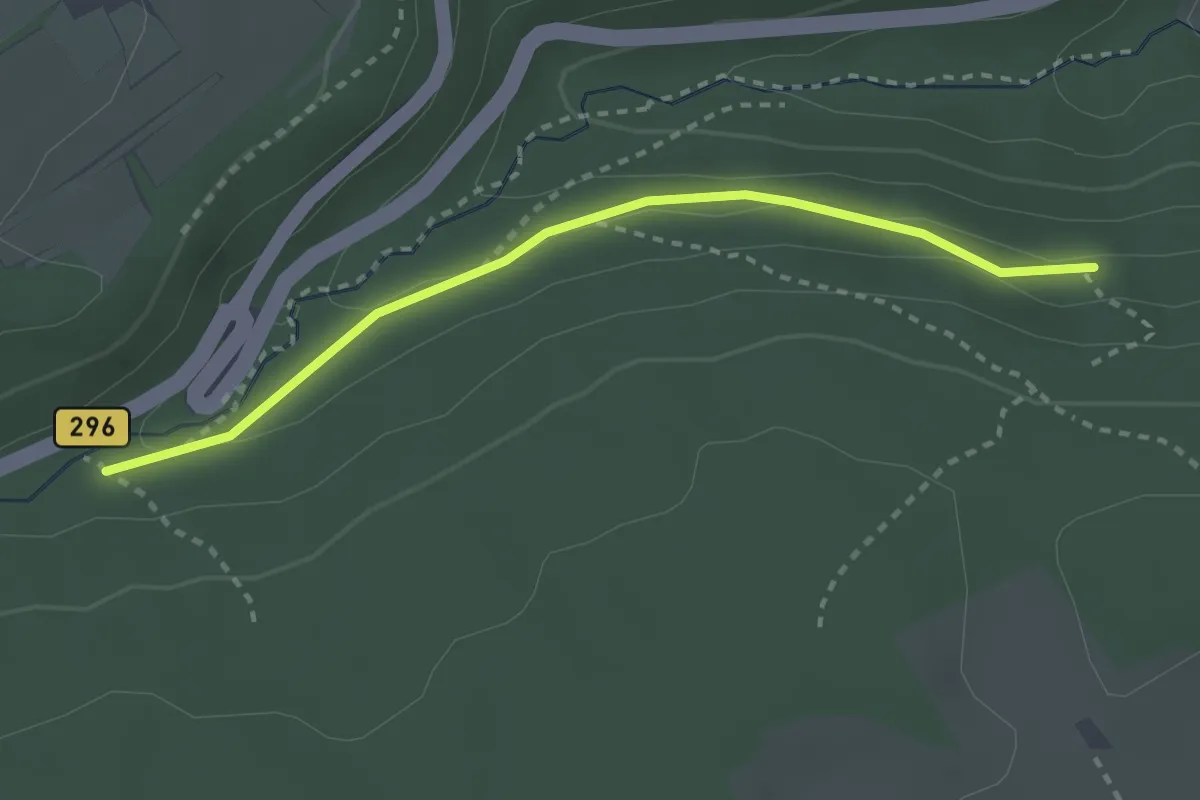
Easy · Trail
Calmbacher Weg - Schweinbachtal Steinernes Brückle
2.6 km · ↑ 76 m · 47 min
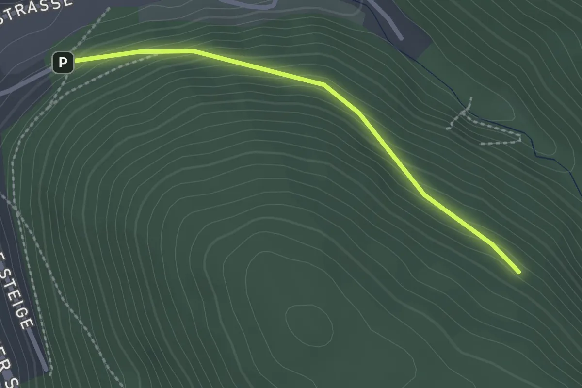
Easy · Trail
Calmbach Friedhofweg - Tannhalde
2.1 km · ↑ 140 m · 48 min
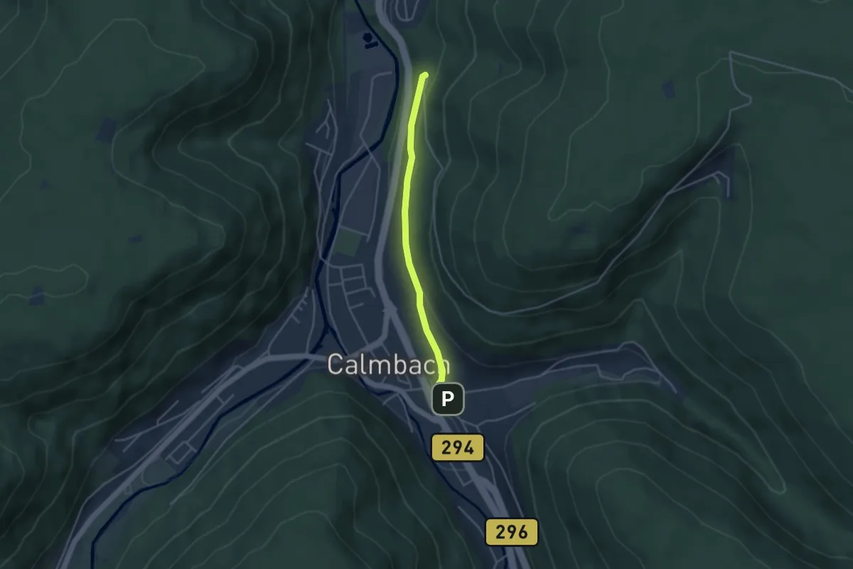
Easy · Trail
Calmbach Lindenplatz - Drei Buchen
3.2 km · ↑ 65 m · 54 min
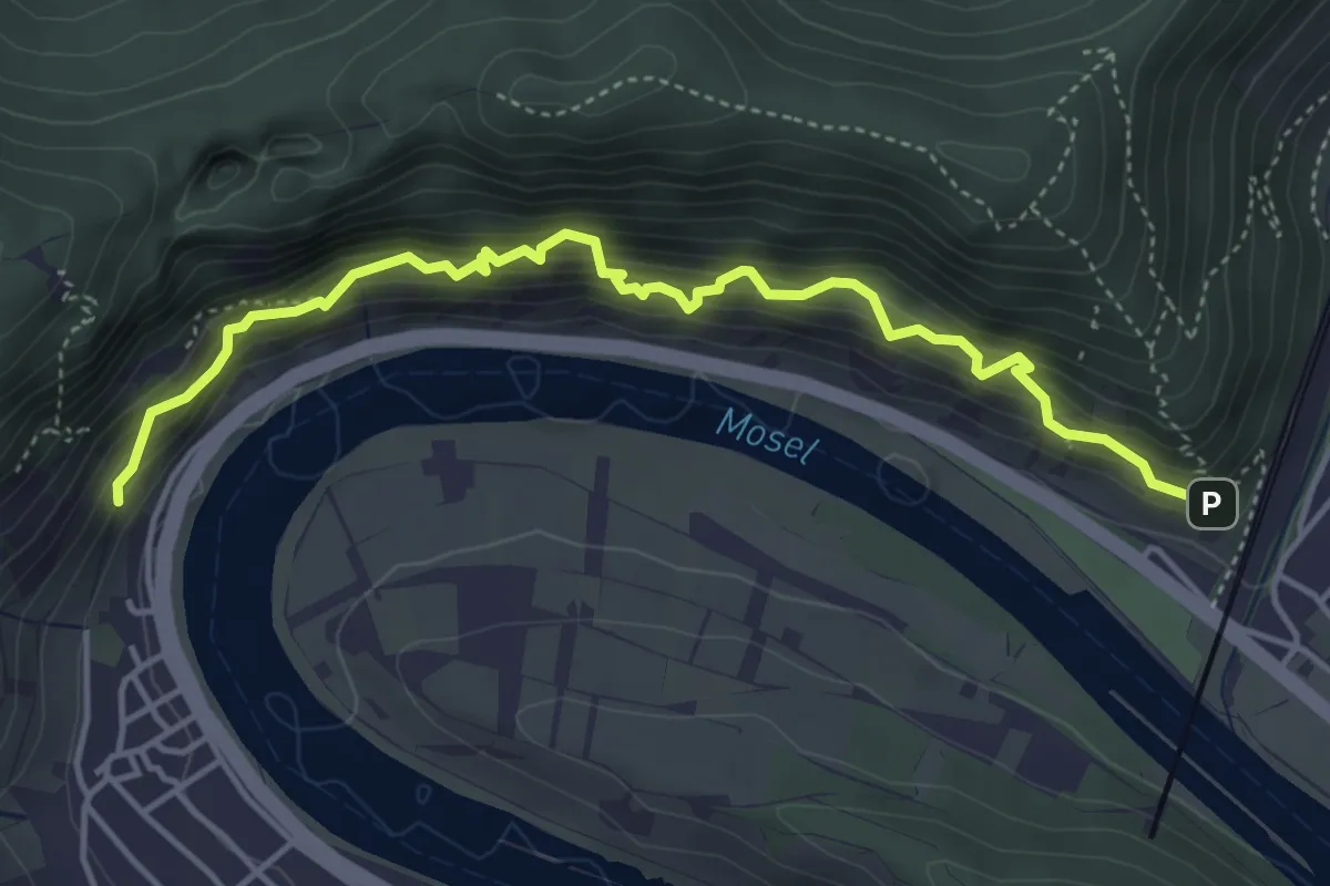
Demanding · Trail
Calmont-Klettersteig
4.5 km · ↑ 608 m · 2 h 22 min
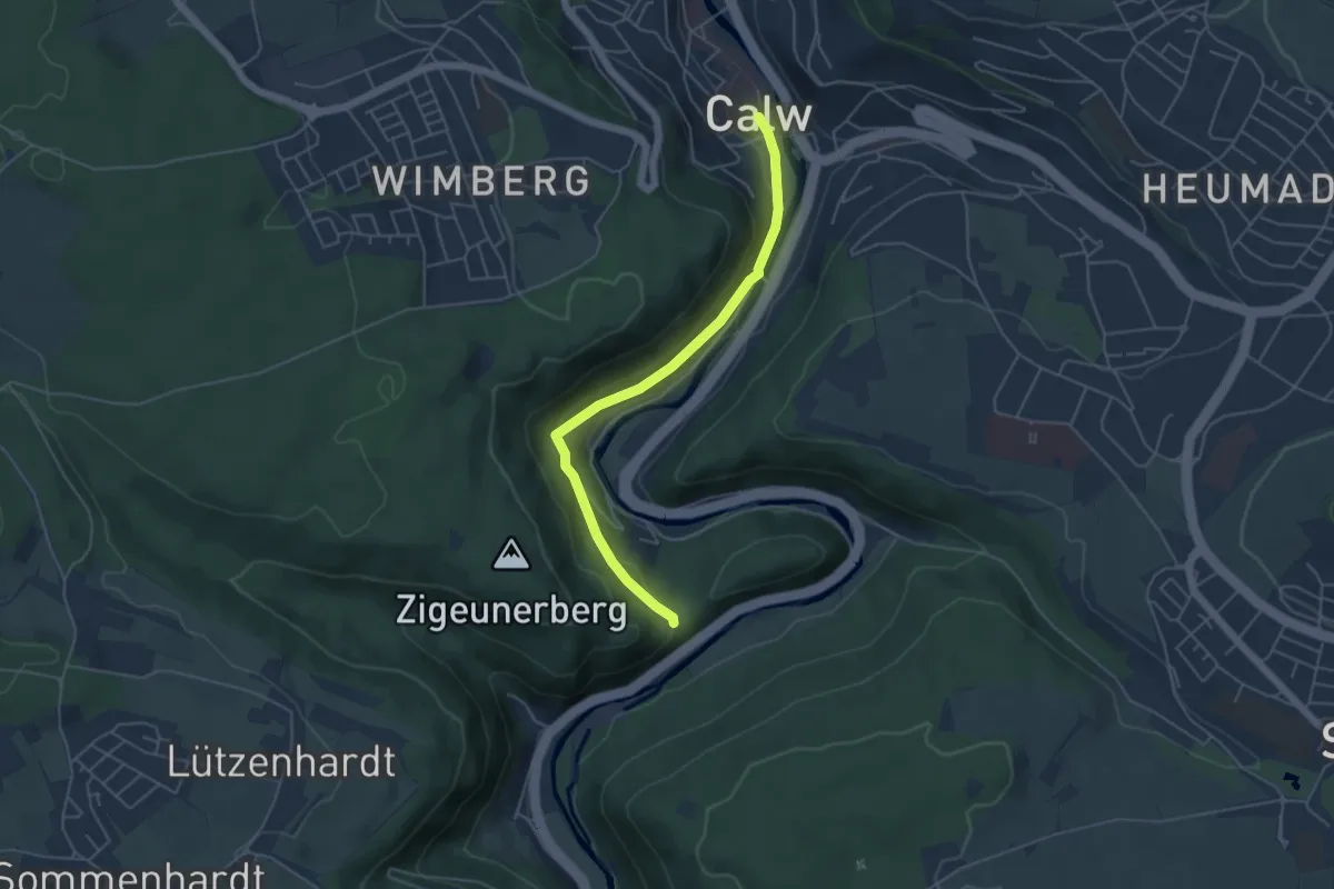
Easy · Trail
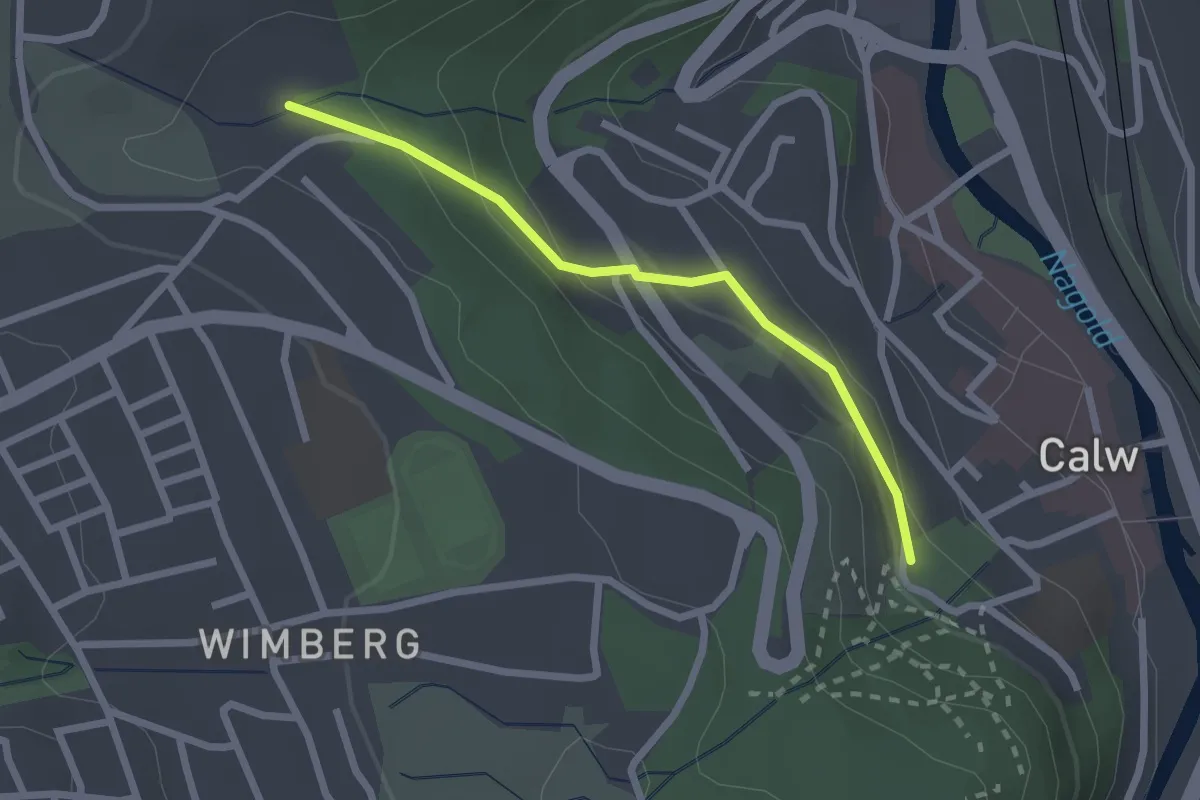
Calw Calwer Markt - Rudersberg
4.5 km · ↑ 125 m · 1 h 21 min
Easy · Trail
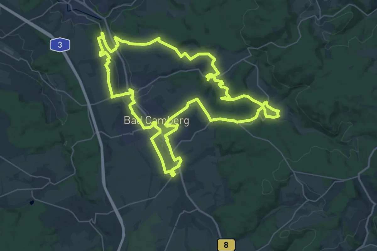
Calw Stadtgarten - Wimberg Wurstbrunnenbach
2.1 km · ↑ 89 m · 41 min
Demanding · Trail
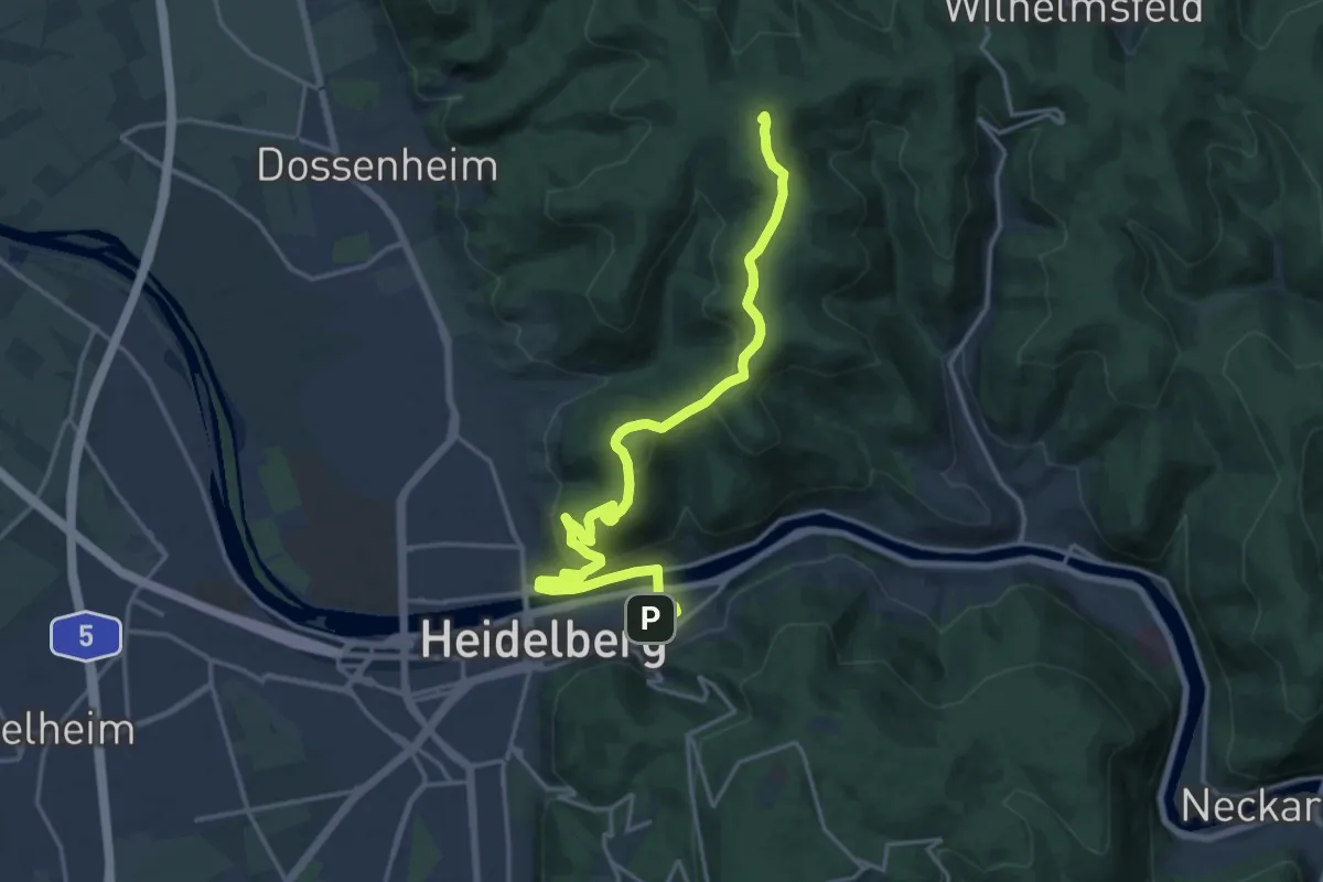
Camberger Kercheweg
28.4 km · ↑ 475 m · 8 h 8 min
Demanding · Summit
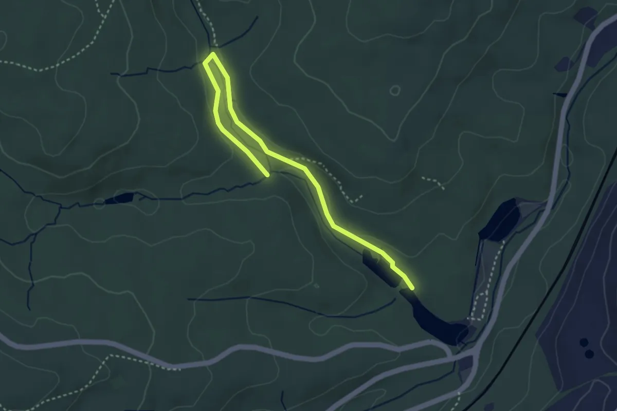
Camino Incluso
19.1 km · ↑ 646 m · 5 h 54 min
Easy · Trail
Camphauser Schachtweg 1
3.8 km · ↑ 56 m · 1 h 1 min
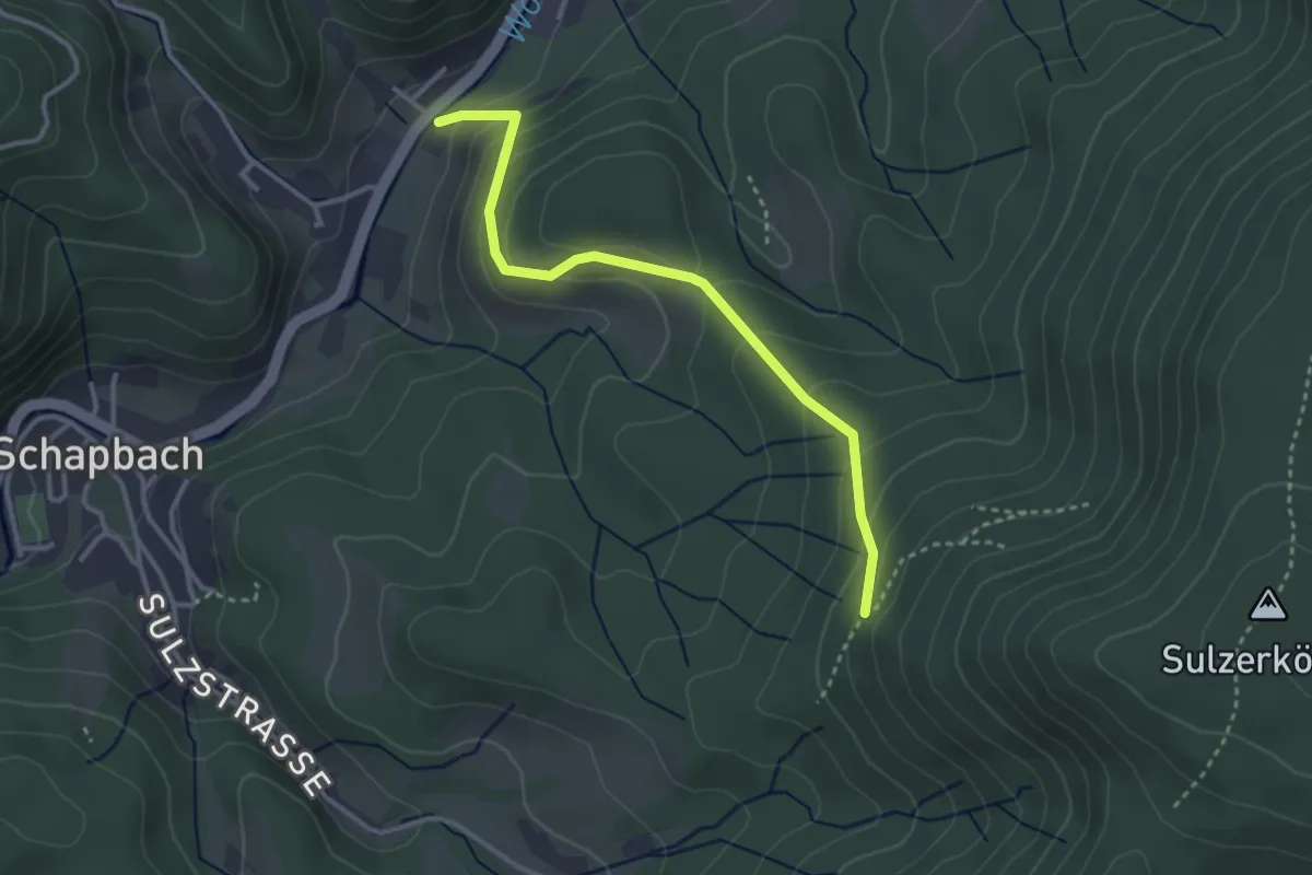
Easy · Trail
Campingbrücke - Höll
3.1 km · ↑ 208 m · 1 h 11 min
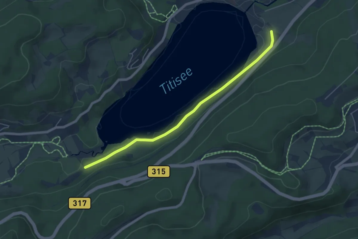
Easy · Trail
Campingplatz Bankenhof - Titisee Seehof
4.8 km · ↑ 51 m · 1 h 14 min
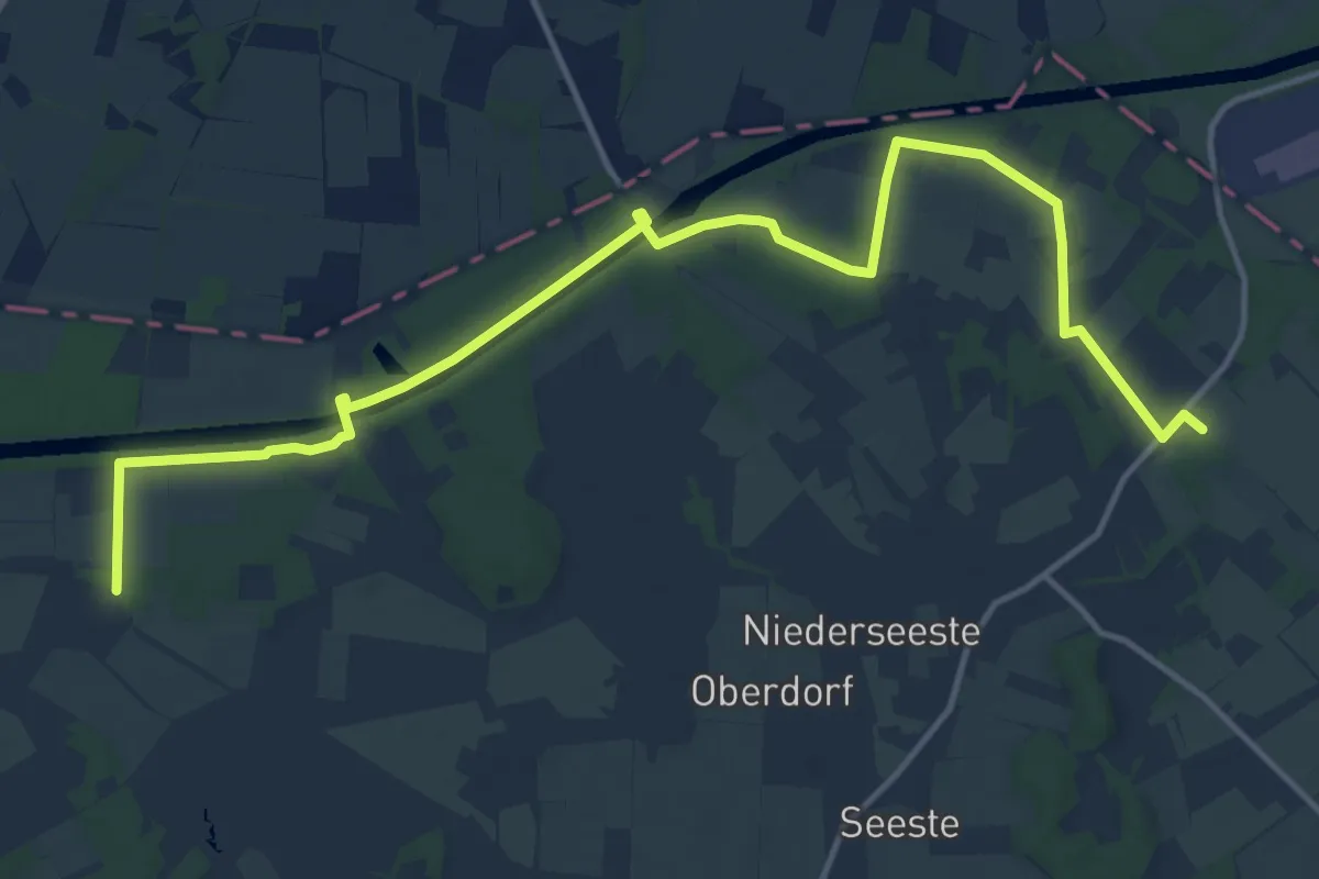
Medium · Trail
Cappelner Ringweg
15.3 km · ↑ 51 m · 3 h 43 min
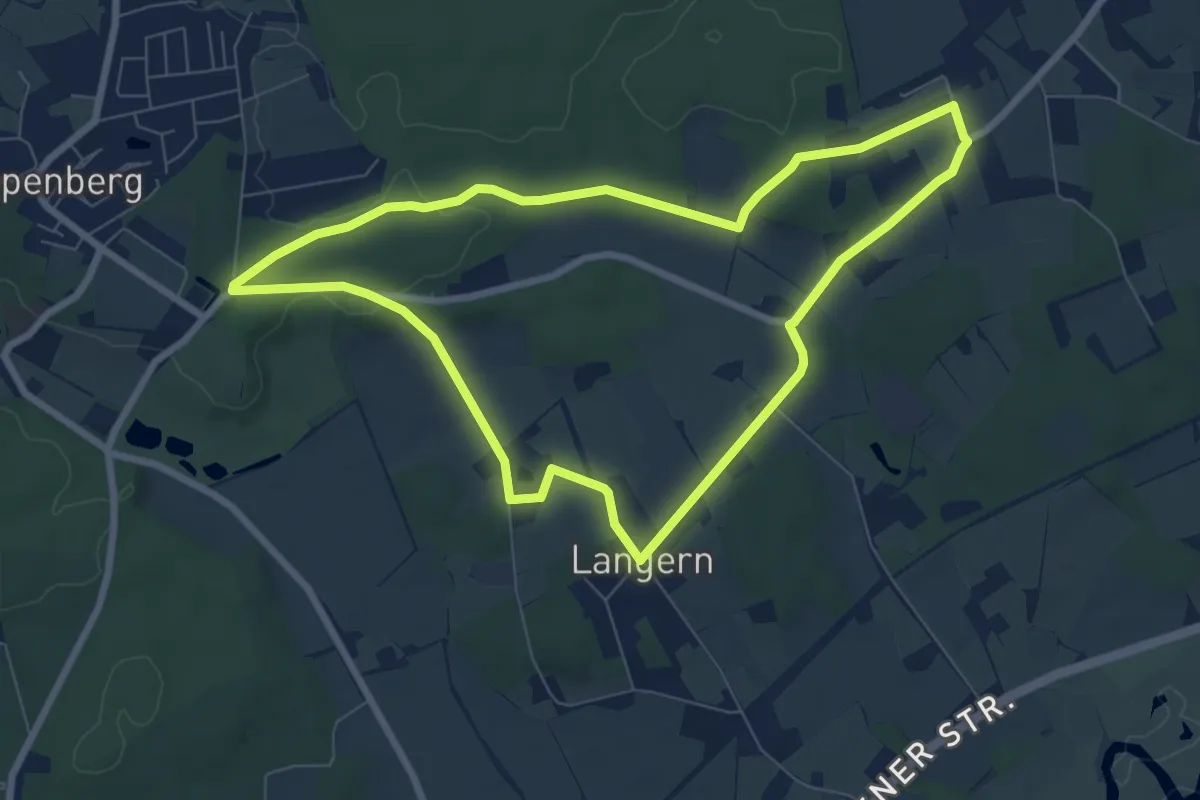
Easy · Trail
Cappenberg Rundweg A1
6.8 km · ↑ 93 m · 1 h 54 min
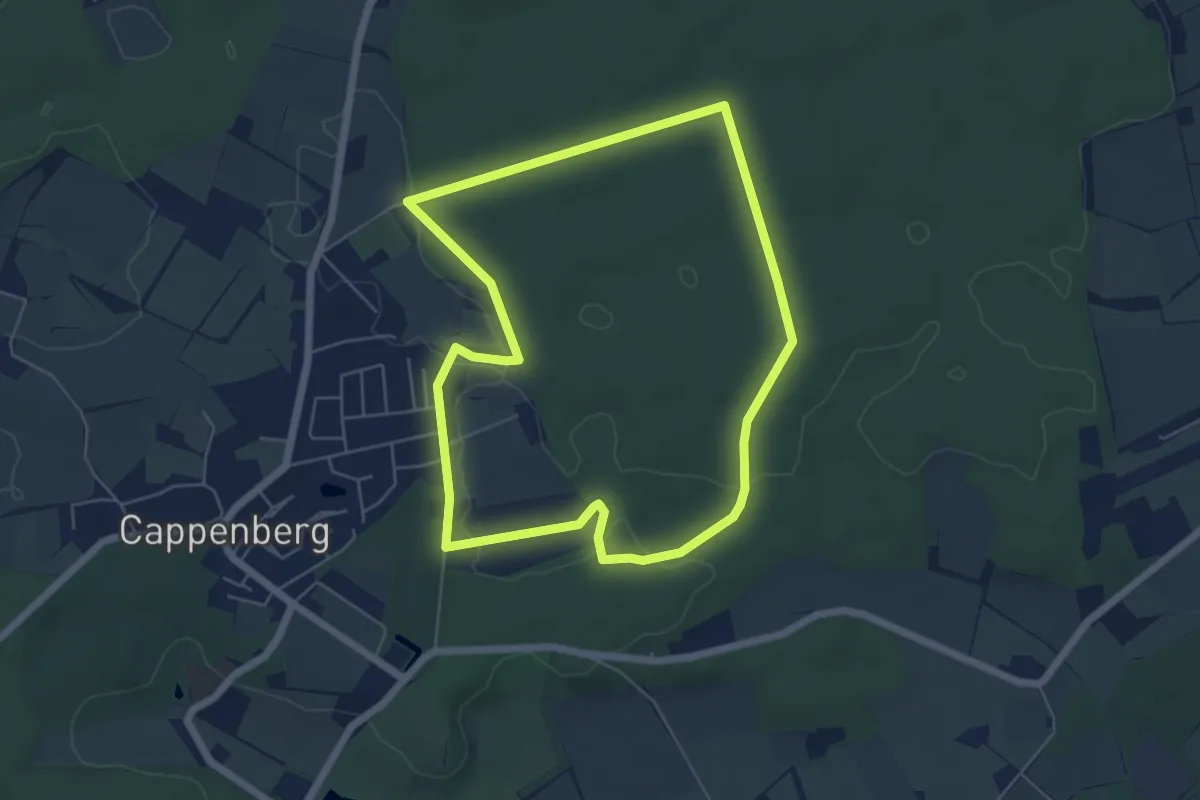
Easy · Trail
Cappenberg Rundweg A2
5.0 km · ↑ 35 m · 1 h 19 min
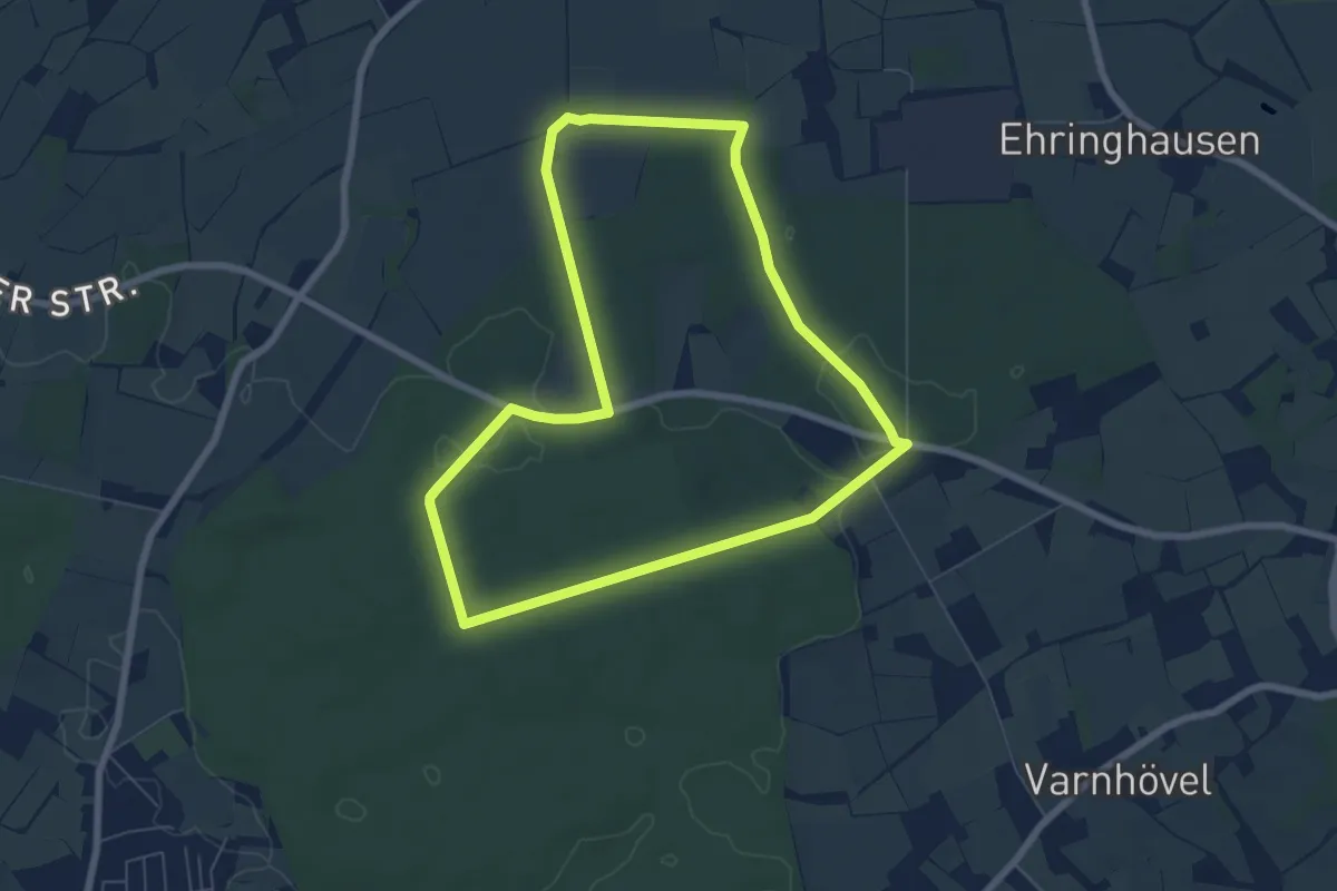
Easy · Trail
Cappenberg Rundweg A3
6.0 km · ↑ 41 m · 1 h 36 min
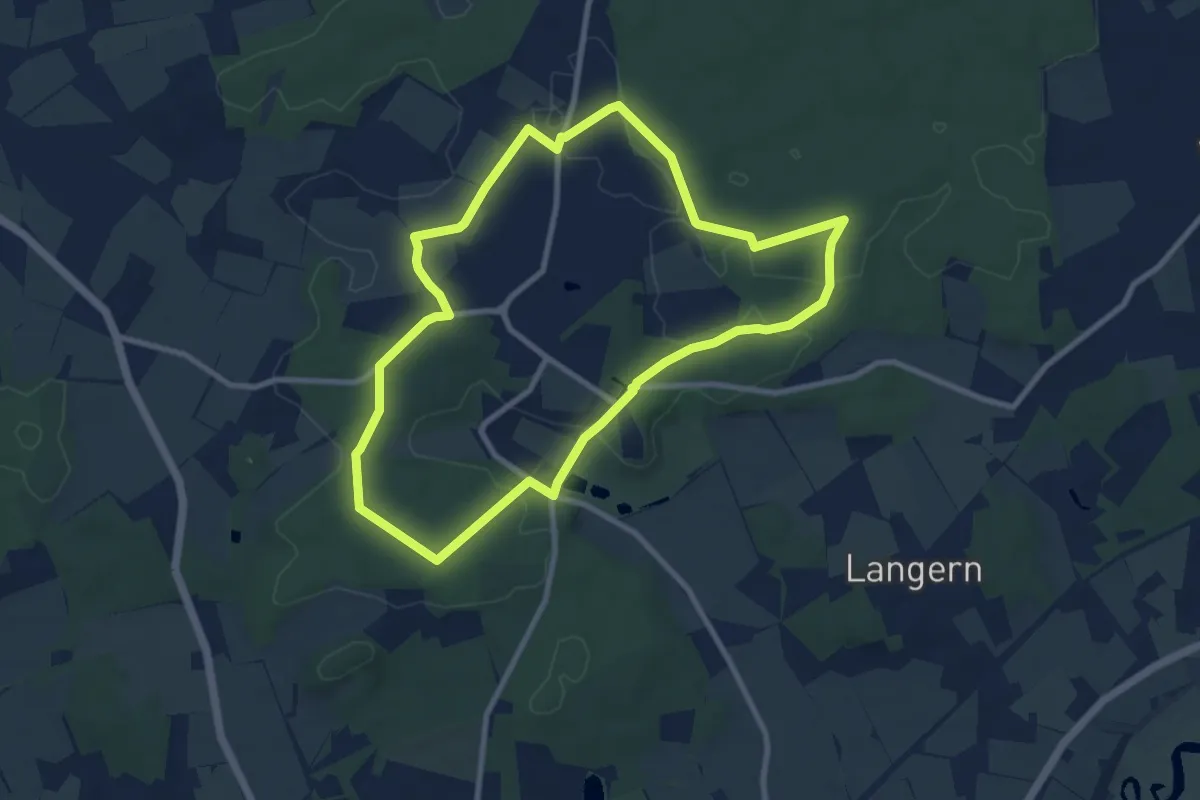
Easy · Trail
Cappenberg Rundweg A4
8.0 km · ↑ 71 m · 2 h 9 min
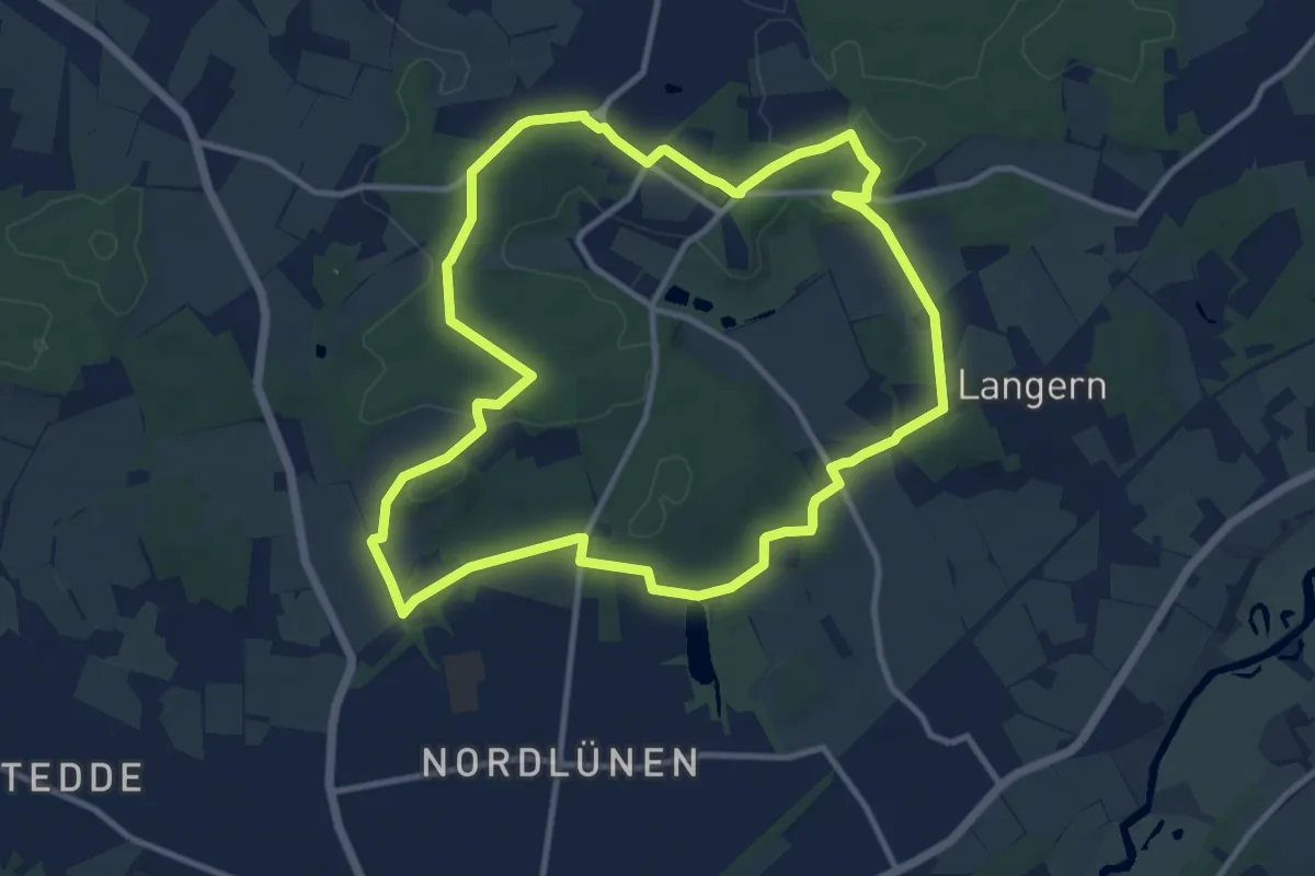
Medium · Trail
Cappenberg Rundweg T
10.1 km · ↑ 87 m · 2 h 42 min
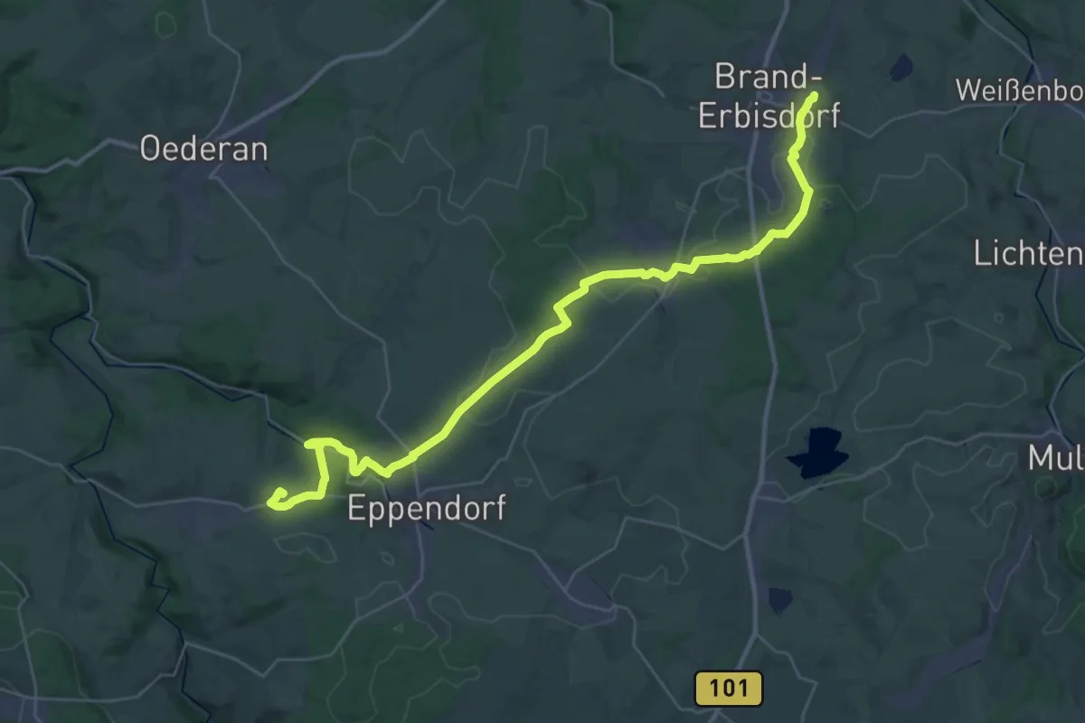
Demanding · Trail
Carl-August-Nendel-Weg
18.2 km · ↑ 272 m · 5 h 6 min
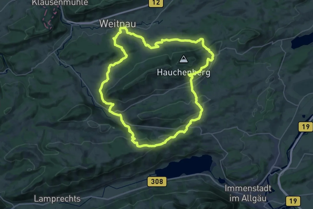
Demanding · Summit
Carl Hirnbeinweg
25.3 km · ↑ 791 m · 8 h 3 min
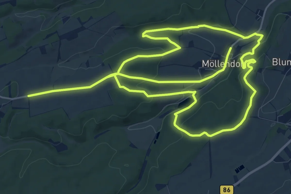
Demanding · Trail
Carl-Wentzel Wanderweg
24.4 km · ↑ 507 m · 6 h 52 min
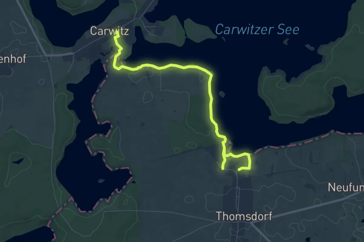
Easy · Trail
Carwitzer See-Uferweg
7.7 km · ↑ 41 m · 1 h 54 min
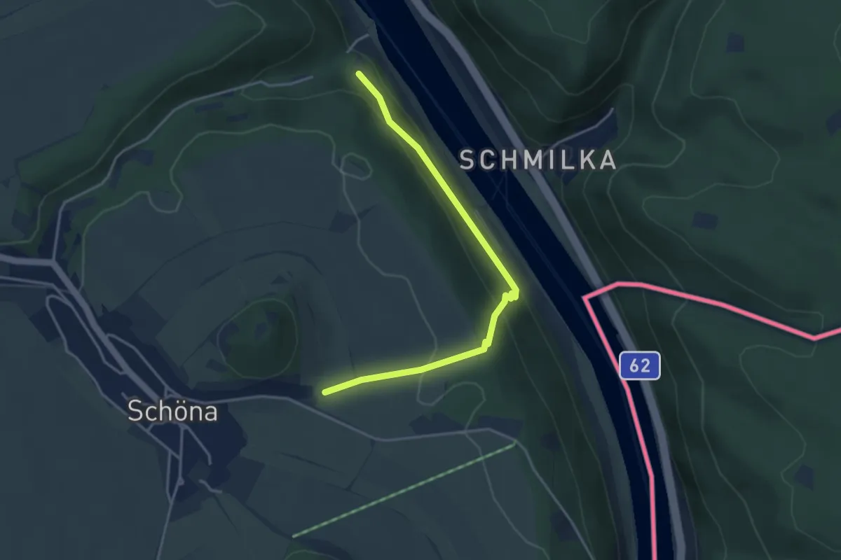
Easy · Trail
Caspar-David-Friedrich-Weg
3.4 km · ↑ 164 m · 1 h 10 min
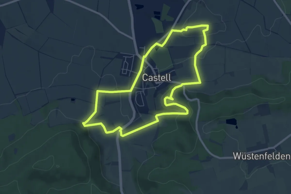
Easy · Summit
Casteller Weg
6.0 km · ↑ 188 m · 1 h 54 min
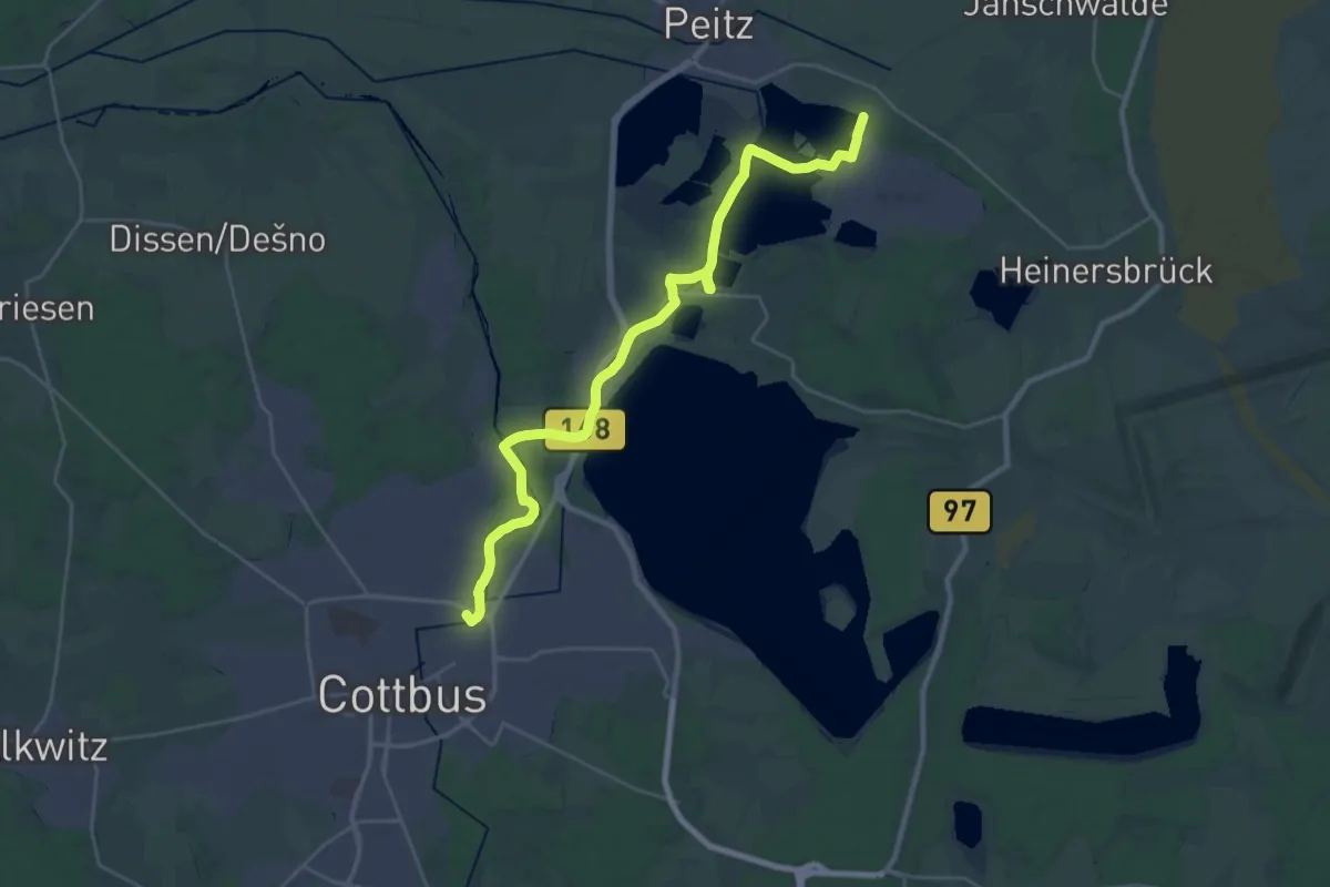
Demanding · Summit
CB Jugendherberge - Peitz Ostbahnhof.
29.5 km · ↑ 53 m · 7 h 4 min
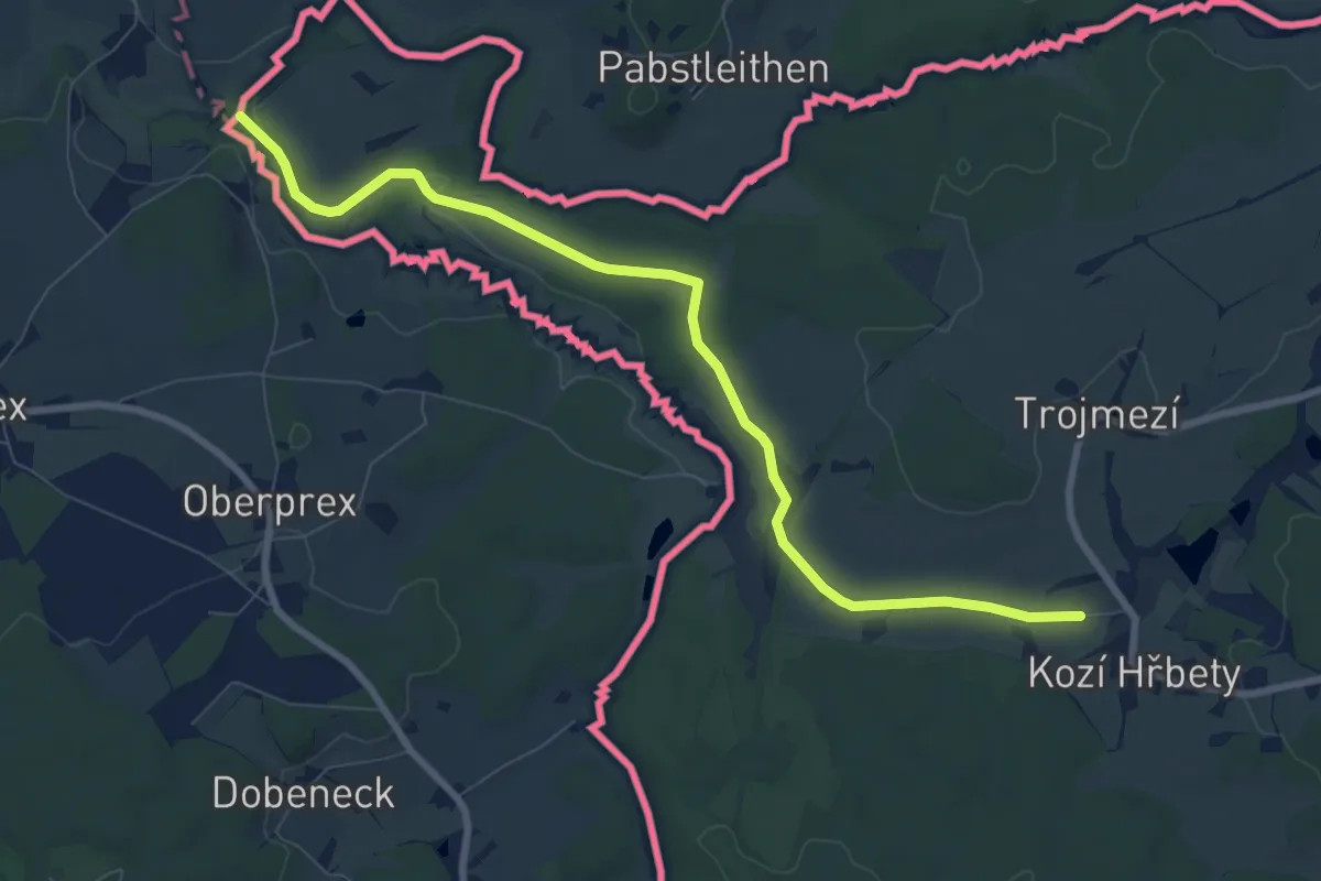
Medium · Trail
[Č] Cheb - Trojmezí
8.3 km · ↑ 85 m · 2 h 9 min
Easy · Trail
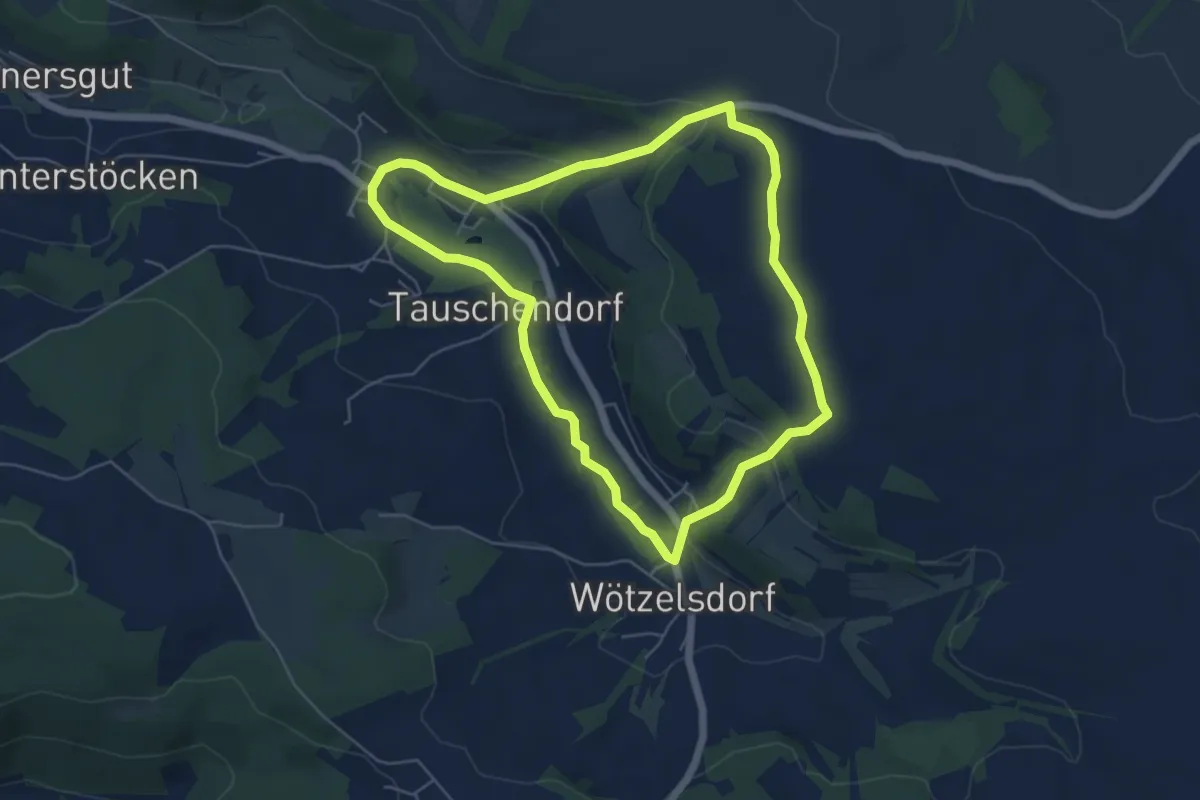
Centstein-Weg KC 53
5.1 km · ↑ 121 m · 1 h 32 min
Easy · Trail
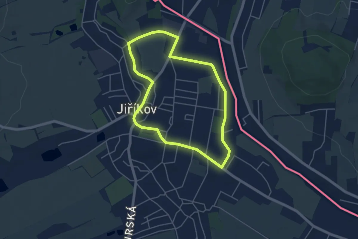
Cesta do Loučného
3.5 km · ↑ 26 m · 56 min
Easy · Trail
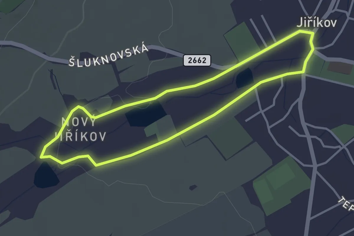
Cesta Novým Jiříkovem
2.7 km · ↑ 13 m · 42 min
Easy · Trail
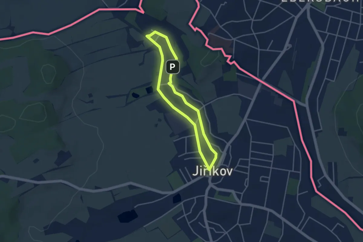
Cesta za jiříkovskými mlýny
2.8 km · ↑ 8 m · 43 min
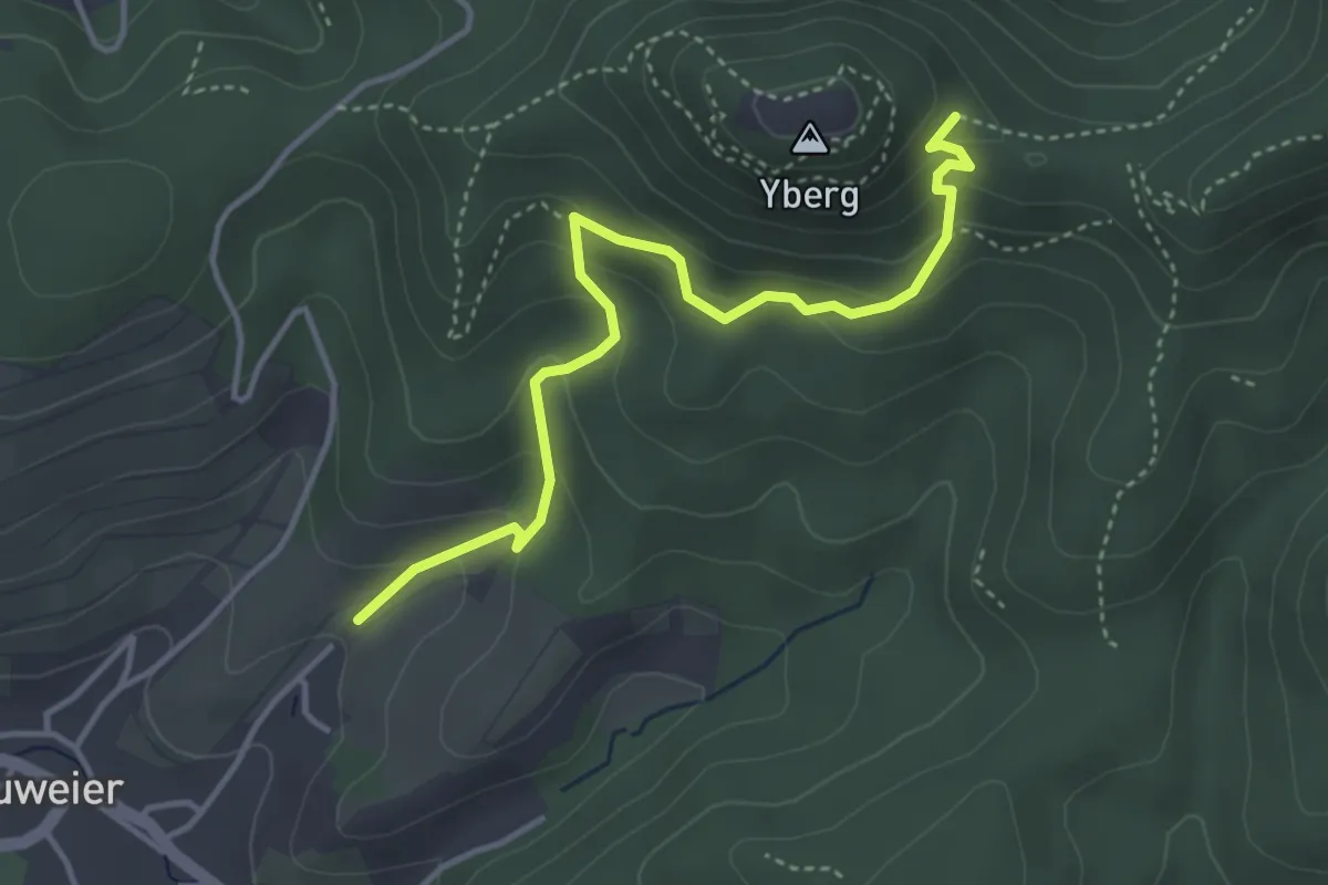
Medium · Trail
Chaisenplatz - Gasseckbrünnele
3.9 km · ↑ 290 m · 1 h 33 min
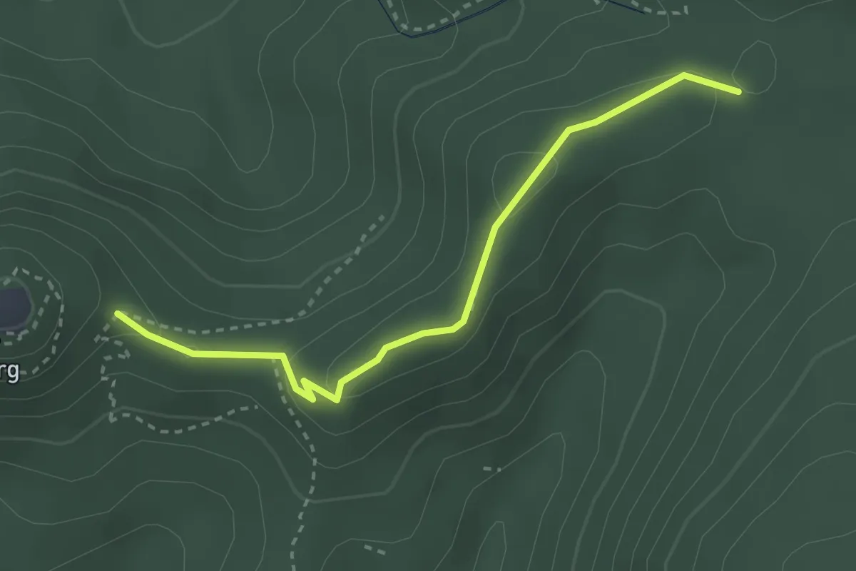
Medium · Trail
Chaisenplatz - Lache Abzw. Italienerweg
2.9 km · ↑ 99 m · 54 min
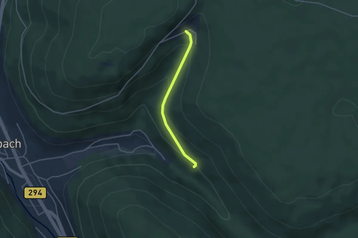
Easy · Trail
Charlottenhöhe - Tannberg
2.5 km · ↑ 139 m · 54 min
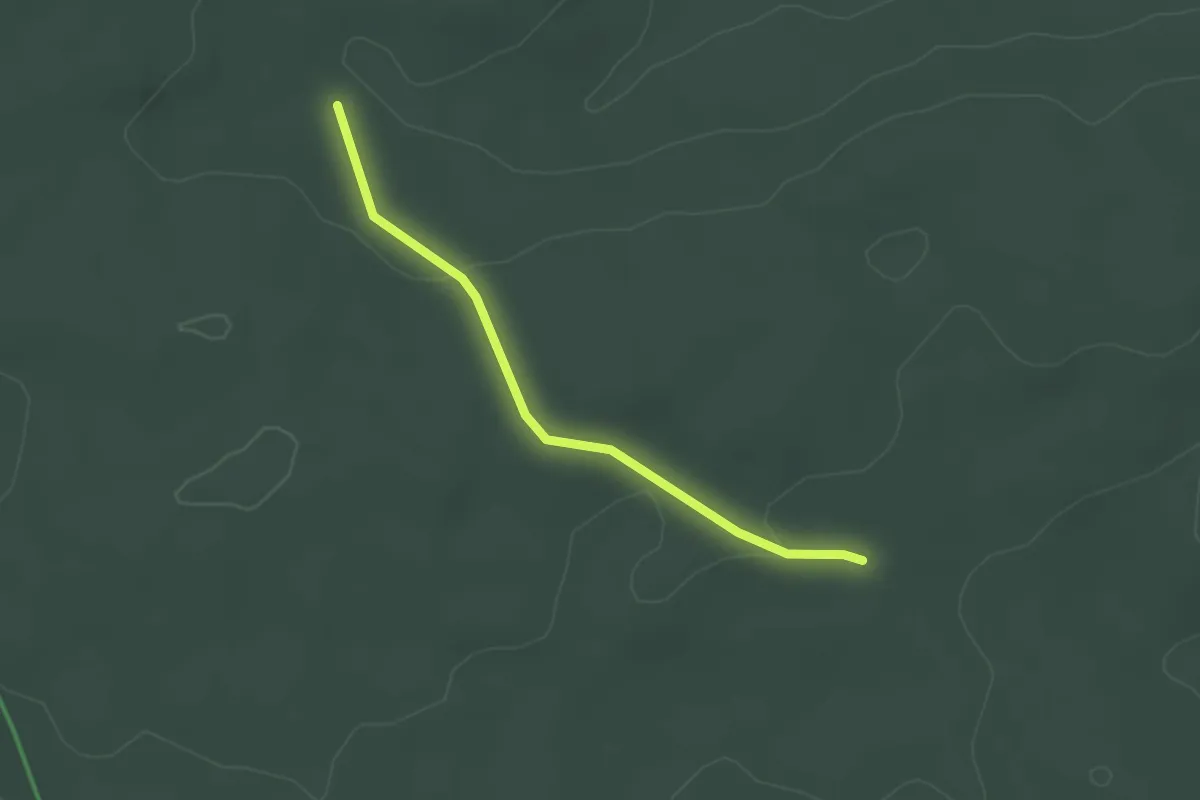
Easy · Trail
Charlottenhütte - Hohmüsse
2.3 km · ↑ 40 m · 38 min
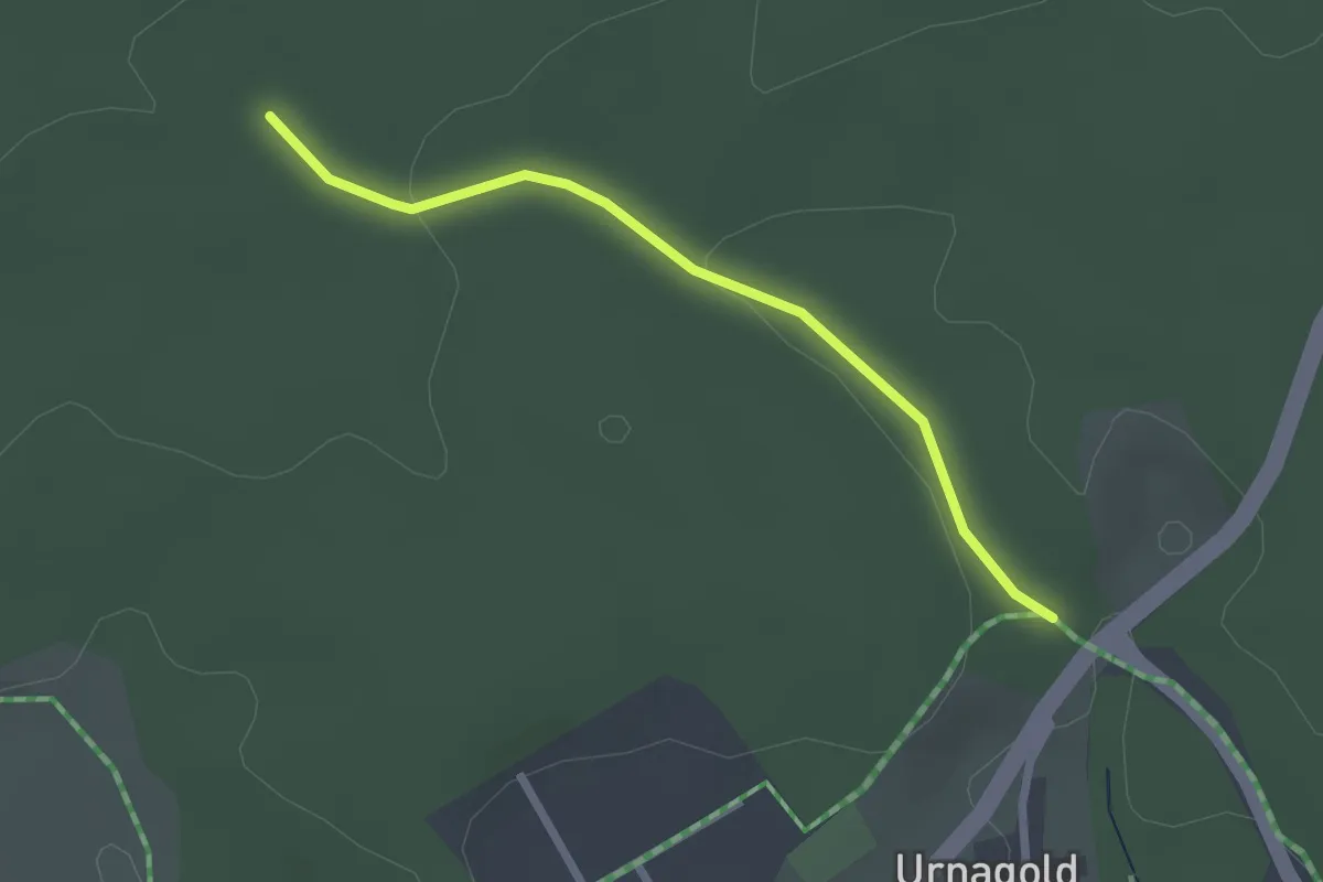
Easy · Trail
Charlottenhütte - Parkplatz Schäufflerweg
2.2 km · ↑ 39 m · 36 min
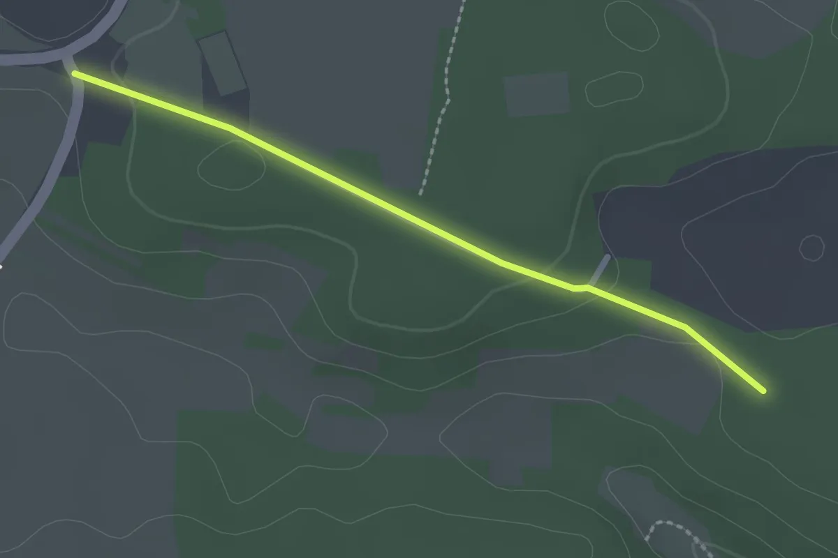
Easy · Trail
Chausseehaus - Märzenhalde
2.1 km · ↑ 40 m · 36 min
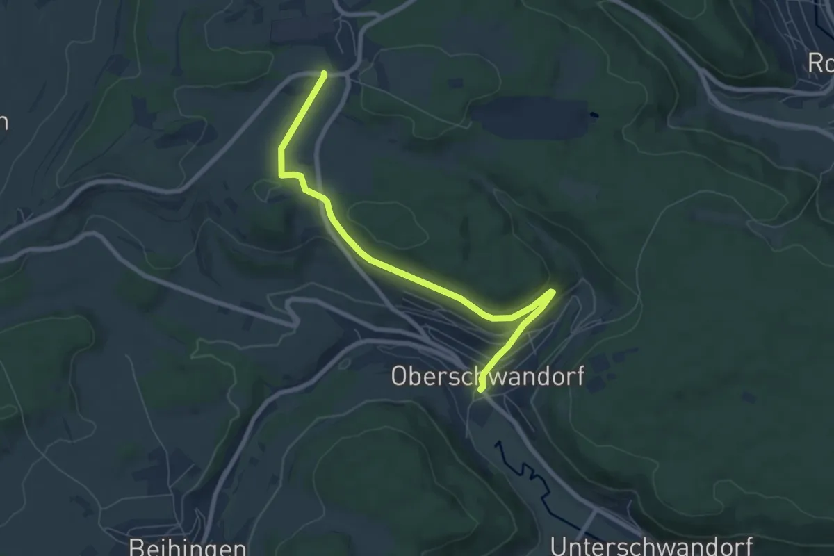
Easy · Trail
Chaussee - Oberschwandorf Ortsmitte
6.9 km · ↑ 170 m · 2 h
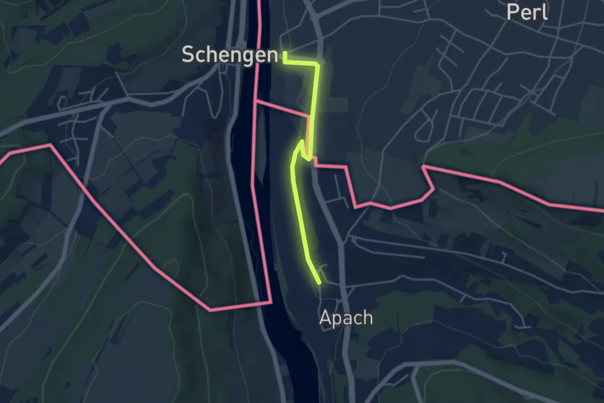
Easy · Trail
Chemin de la Moselle
3.2 km · ↑ 42 m · 51 min