Trails in Germany
36,847 hiking trails, each with its route, climb, walking time and grade.
All trails, page 97 of 768
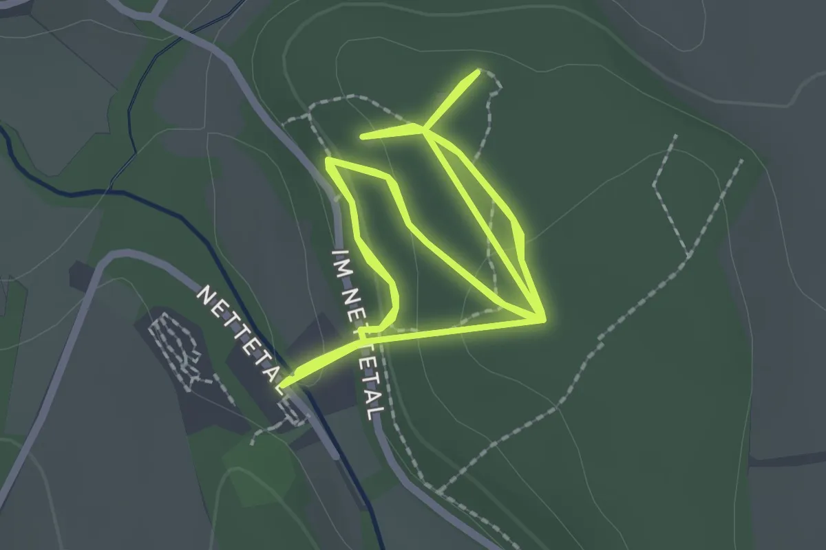
Easy · Trail
Burgweg
2.5 km · ↑ 48 m · 44 min
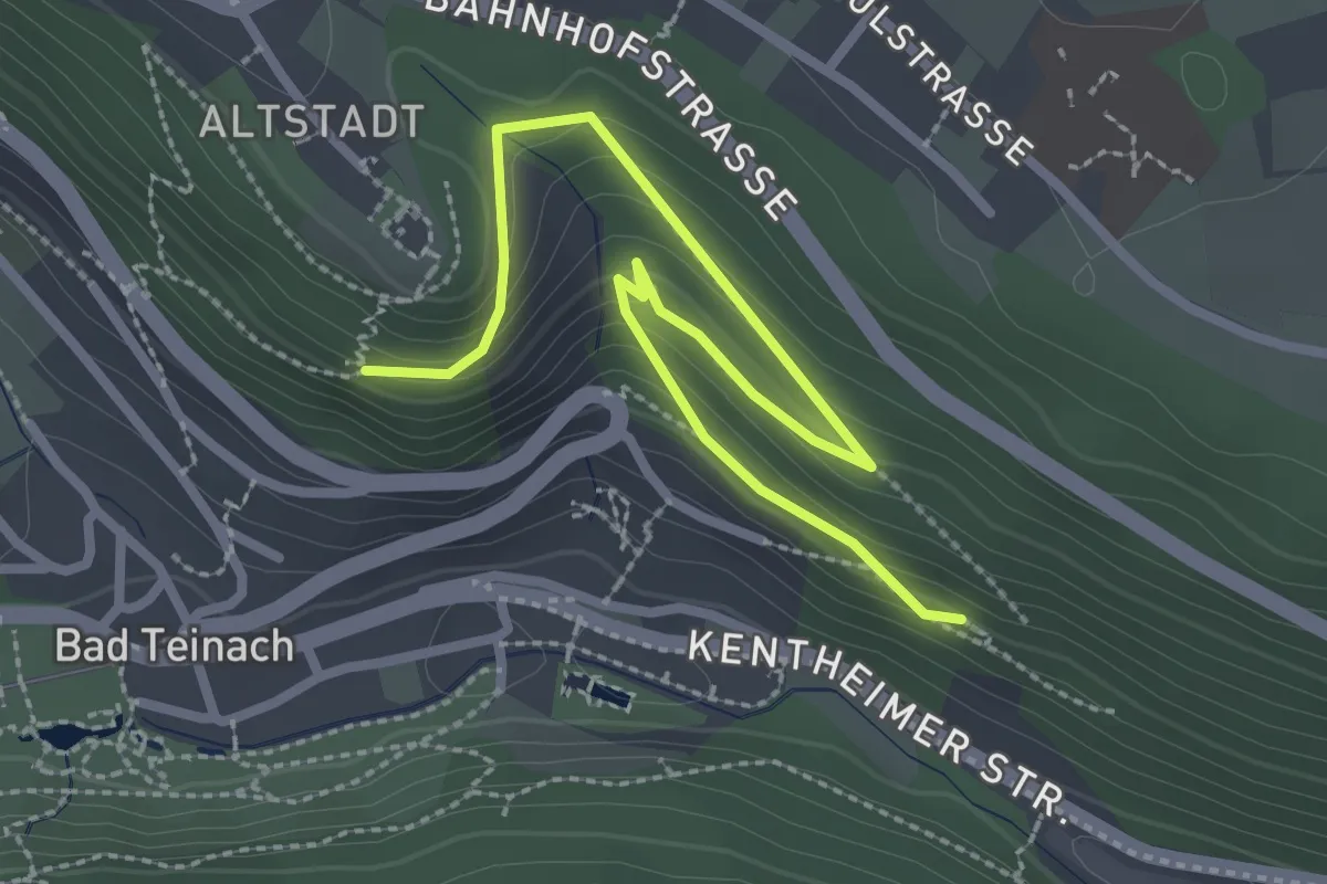
Easy · Trail
Burgweg - Adolfshöhe
3.1 km · ↑ 212 m · 1 h 12 min
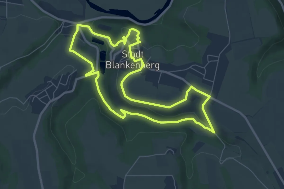
Easy · Trail
Burgweg (Erlebnisweg Sieg Nr. 7)
5.8 km · ↑ 165 m · 1 h 48 min
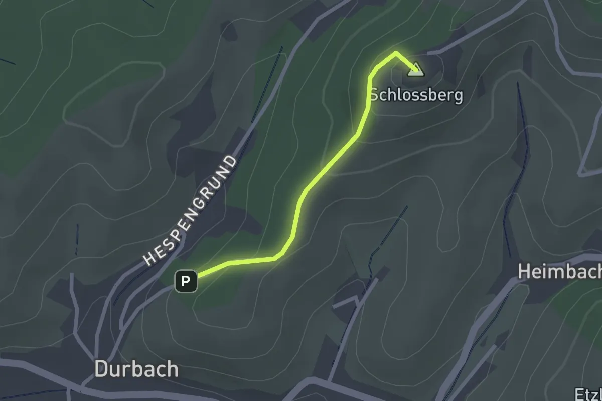
Easy · Summit
Burgweg - Schloss Staufenberg
1.8 km · ↑ 107 m · 39 min
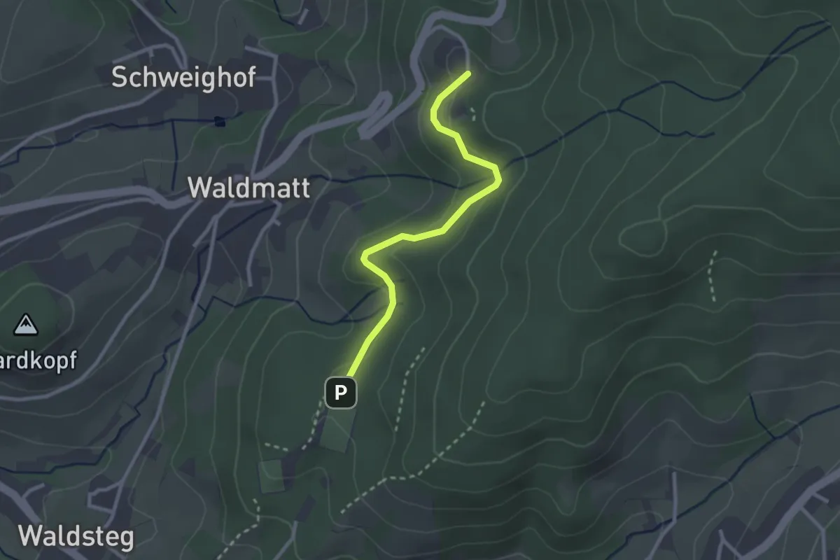
Easy · Trail
Burg Windeck - Am Sportplatz Neusatz
2.4 km · ↑ 63 m · 43 min
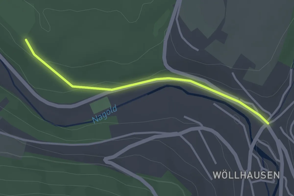
Easy · Trail
Burkardts-Wiese - Ebhausen Lammbrücke
2.5 km · ↑ 45 m · 42 min
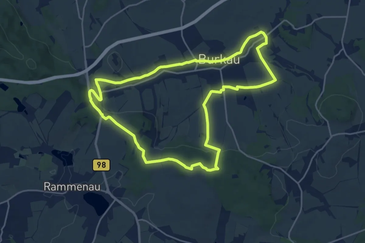
Medium · Trail
Burkauer Rundweg
12.9 km · ↑ 188 m · 3 h 38 min
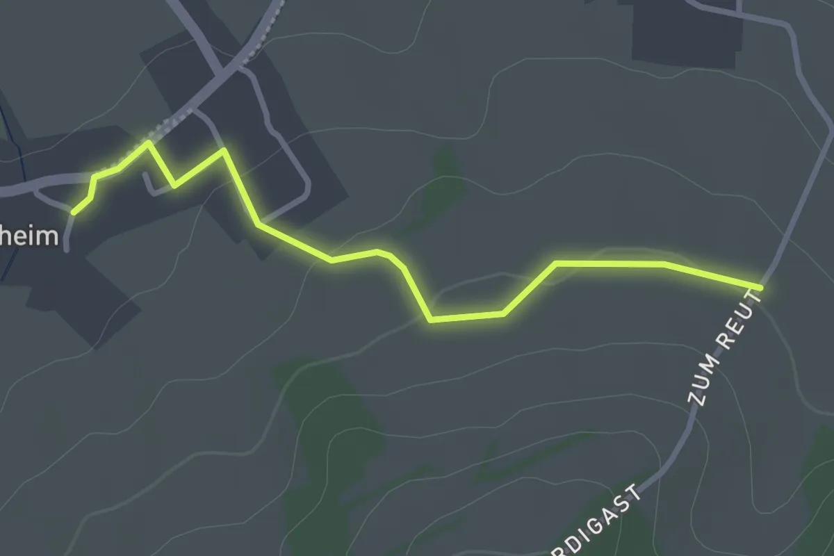
Easy · Trail
Burkheimer Verbindungsweg
2.5 km · ↑ 33 m · 40 min
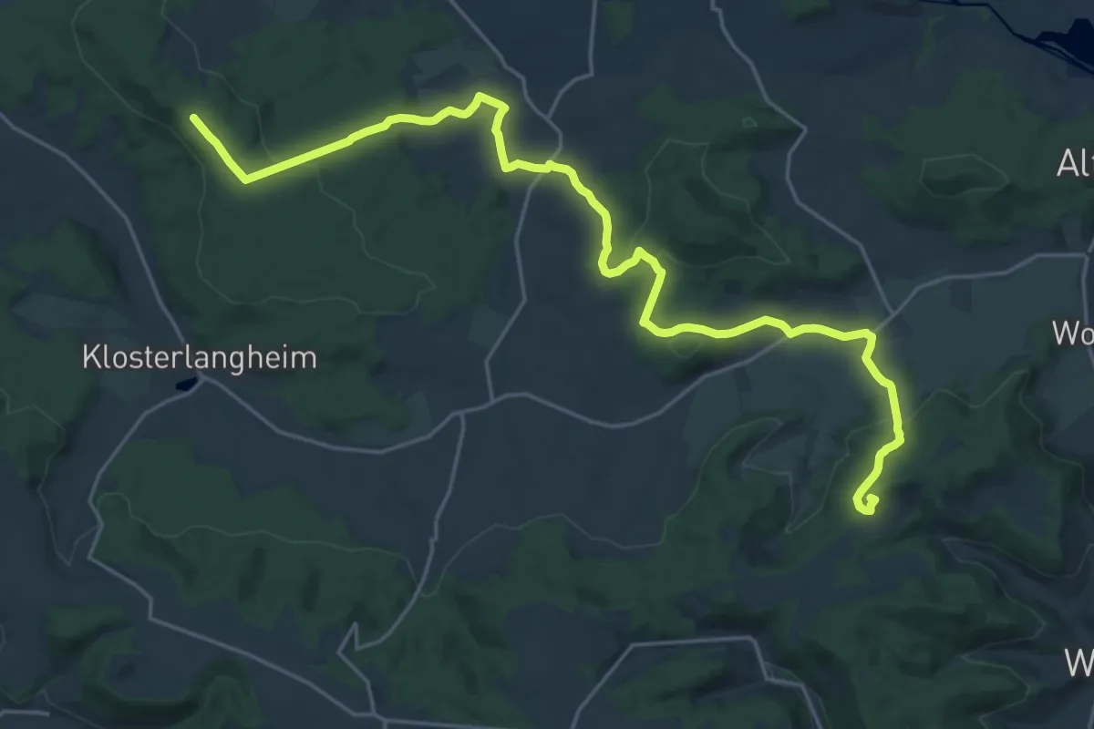
Demanding · Summit
Burkheimer Weg
23.7 km · ↑ 549 m · 6 h 47 min
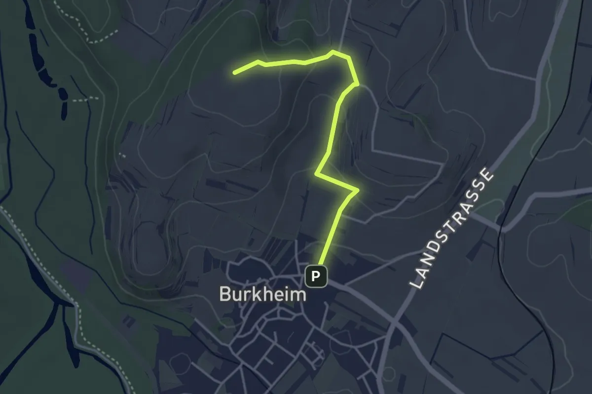
Easy · Summit
Burkheim Winzergenossenschaft - Am Haberberg
3.2 km · ↑ 117 m · 1 h 1 min
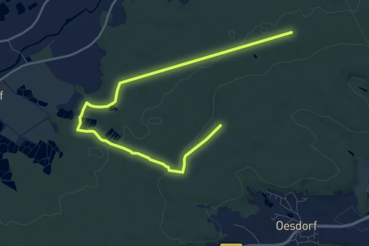
Medium · Trail
Burk-Lunzkeller
10.4 km · ↑ 151 m · 2 h 47 min
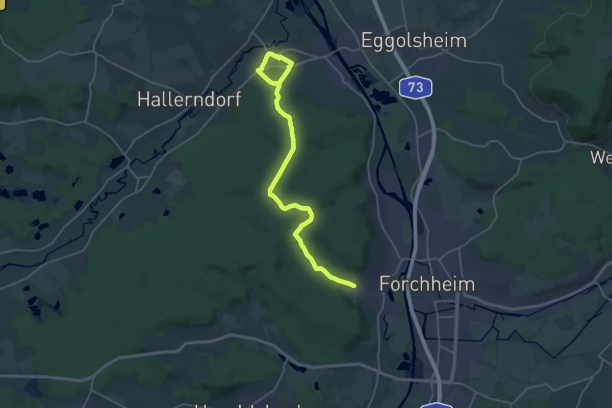
Demanding · Trail
Burk-Schlammersdorf
18.4 km · ↑ 236 m · 4 h 51 min
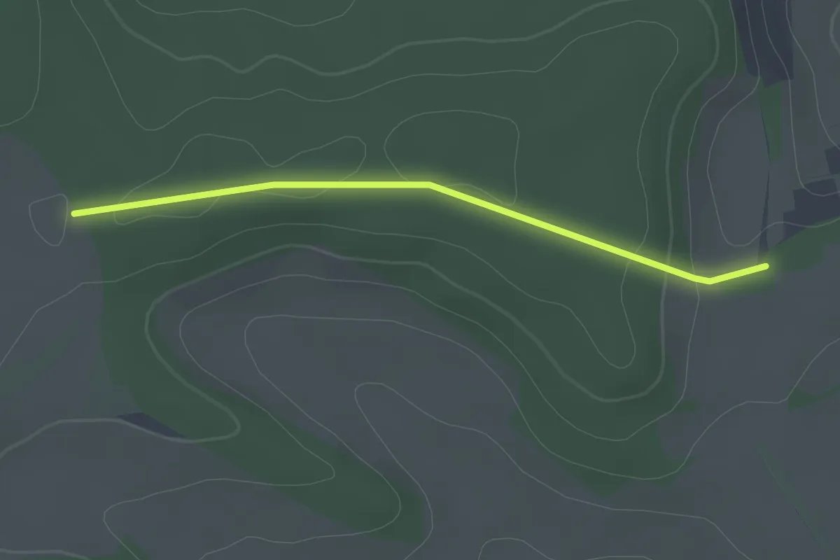
Easy · Trail
Burrain - Gansschnabel
2.1 km · ↑ 35 m · 34 min
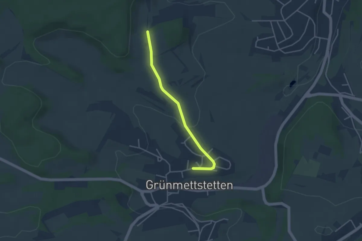
Easy · Trail
Burrain - Grünmettstetten Killbergstraße
2.8 km · ↑ 57 m · 47 min
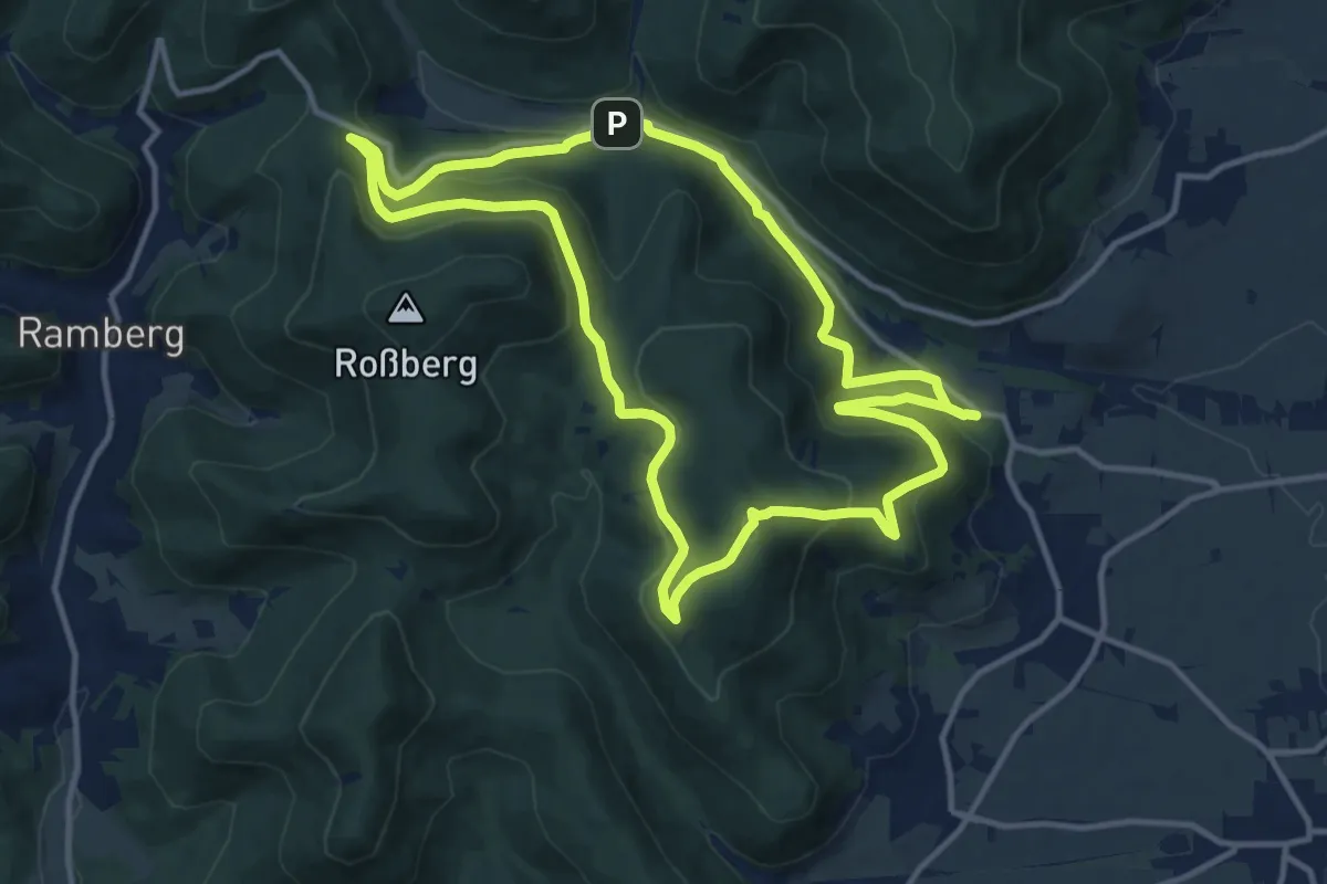
Medium · Summit
Burri-Rundweg (groß) Burrweiler
11.7 km · ↑ 503 m · 4 h 1 min
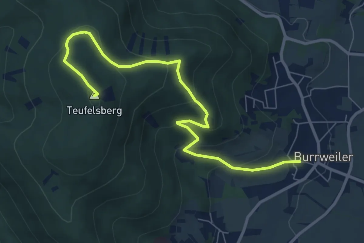
Medium · Summit
Burri-Rundweg (klein) Burrweiler
6.8 km · ↑ 350 m · 2 h 22 min
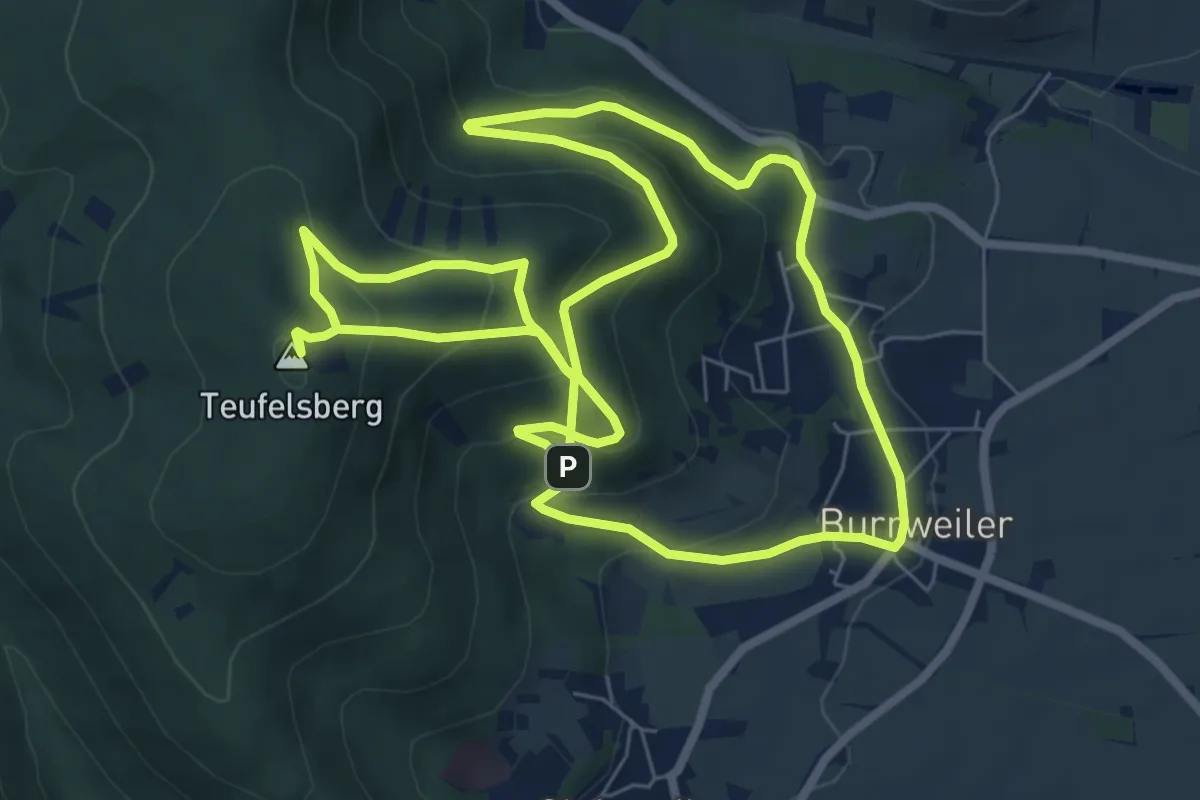
Medium · Summit
Burri-Rundweg (mittel) Burrweiler
7.5 km · ↑ 447 m · 2 h 49 min
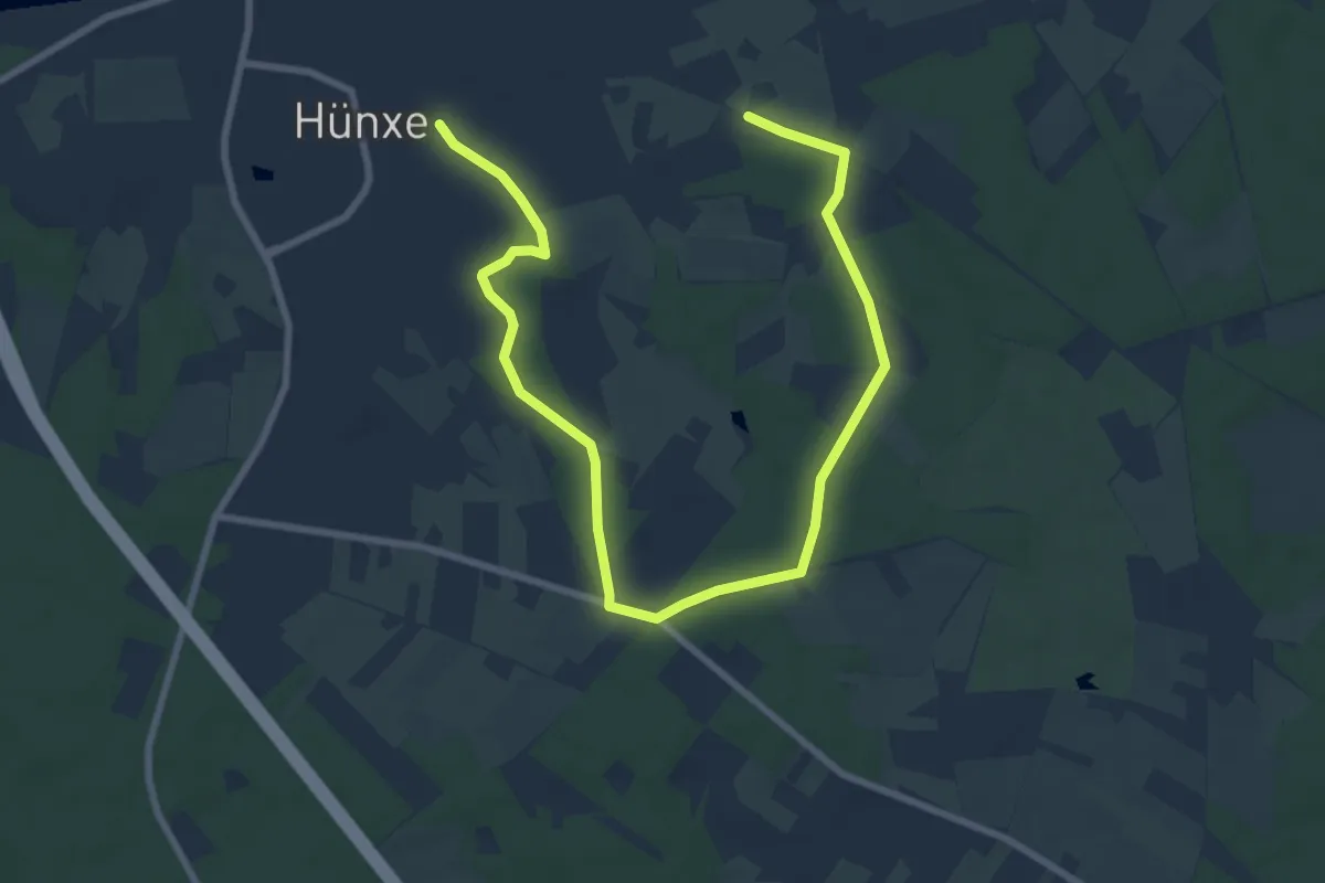
Easy · Trail
Burshof Rundweg A2
5.0 km · ↑ 45 m · 1 h 21 min
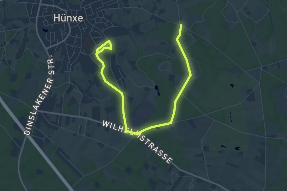
Easy · Trail
Burshof Rundweg A4
4.4 km · ↑ 40 m · 1 h 12 min
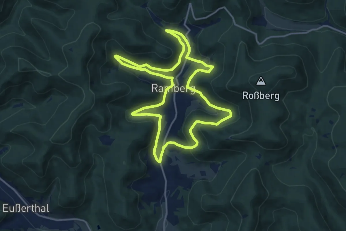
Medium · Trail
Bürstenbinderweg
10.6 km · ↑ 408 m · 3 h 32 min
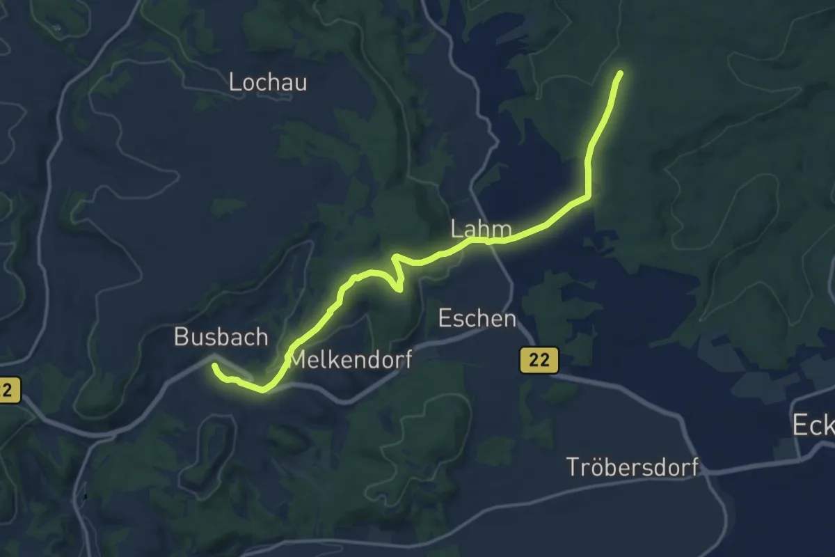
Medium · Trail
Busbach--Waldhütte
13.7 km · ↑ 271 m · 3 h 49 min
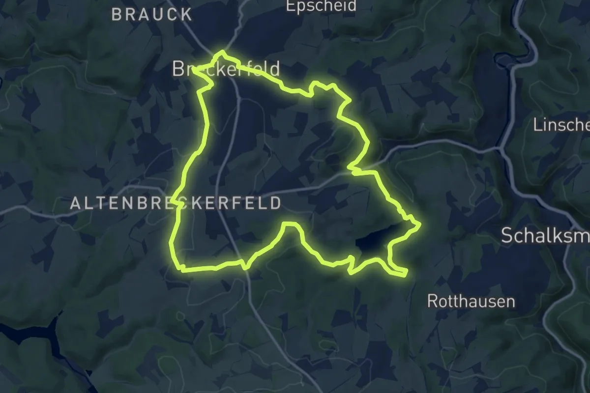
Medium · Trail
Busbahnhof Rundweg A10
13.2 km · ↑ 329 m · 4 h 1 min
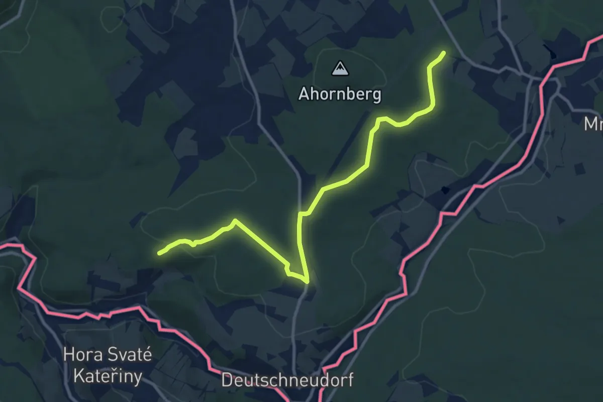
Medium · Trail
Buschecke-Morgengrund
9.8 km · ↑ 140 m · 2 h 37 min
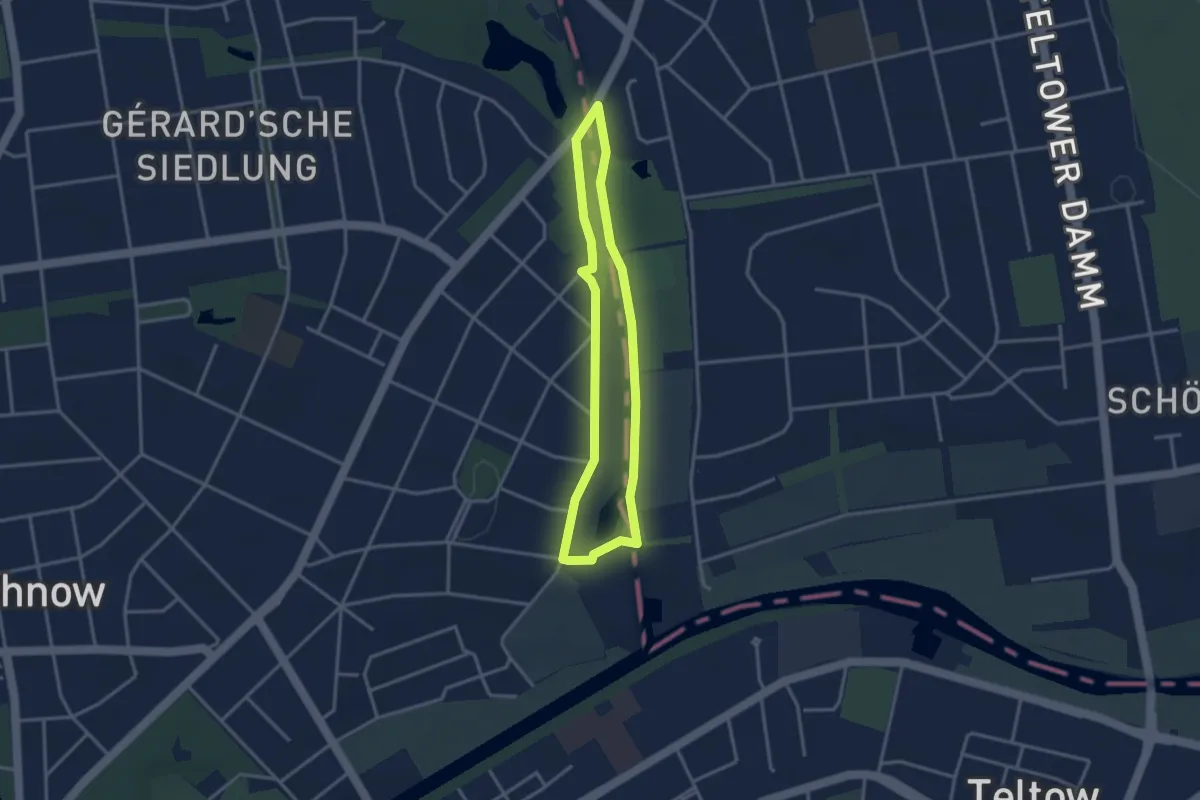
Easy · Trail
Buschgrabenrundweg
2.6 km · ↑ 0 m · 39 min
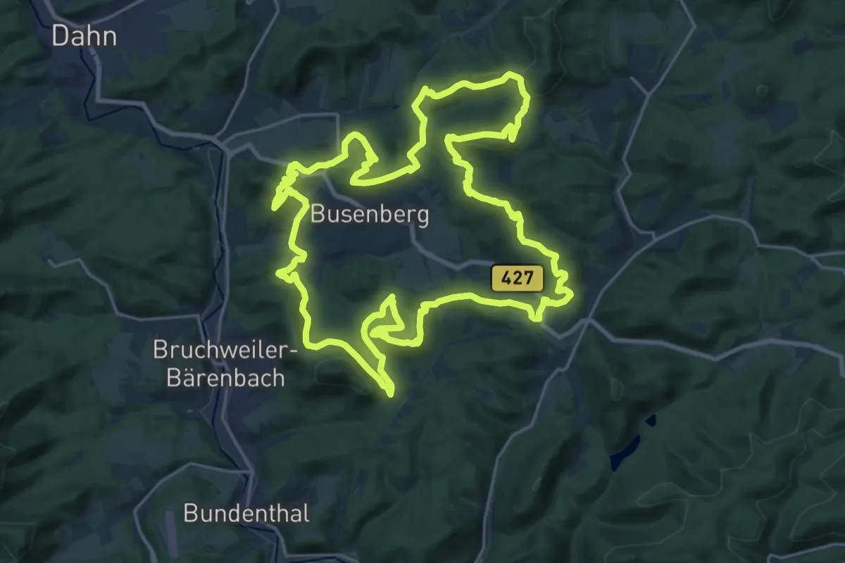
Demanding · Summit
Busenberger Holzschuhpfad
23.2 km · ↑ 983 m · 7 h 55 min
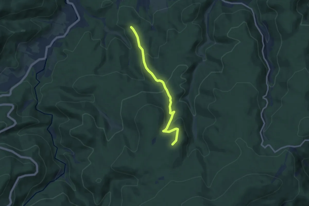
Medium · Trail
Bußackerhütte - Scherrhaldenkopf
6.9 km · ↑ 346 m · 2 h 23 min
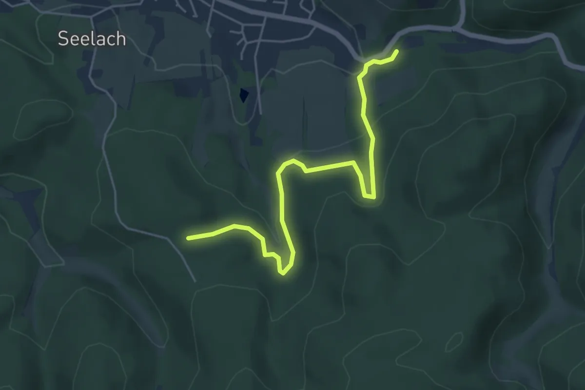
Easy · Trail
Bußacker - Oberbeuern Busendstation
4.6 km · ↑ 220 m · 1 h 34 min
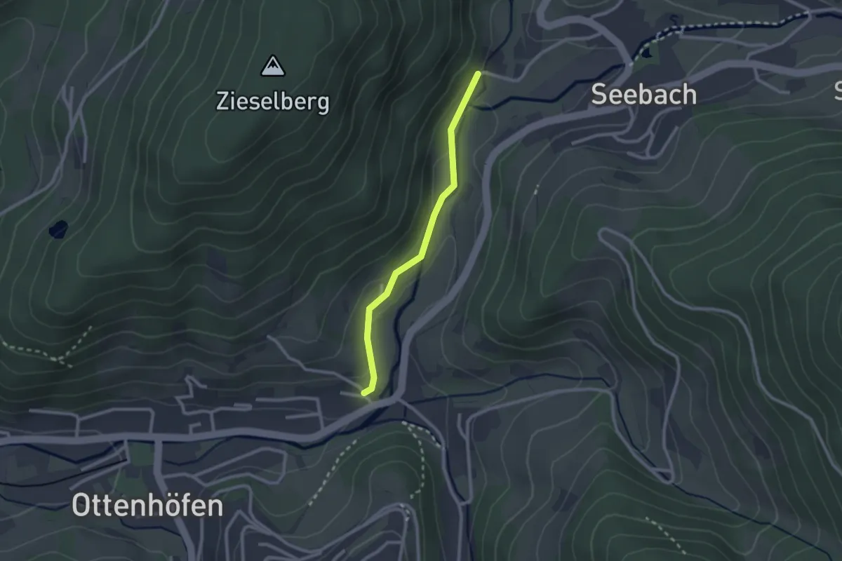
Easy · Trail
Bußhalde (Elsaweg) - Viehbrücke
2.0 km · ↑ 73 m · 38 min
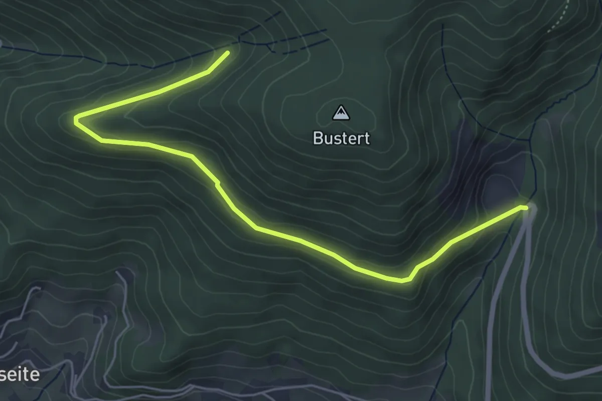
Easy · Trail
Busterbächer Hütte - Wolfsbrunnen
5.5 km · ↑ 157 m · 1 h 38 min
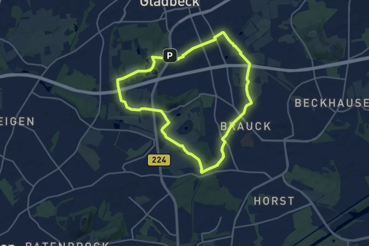
Medium · Summit
Butendorf Rundweg A3
10.6 km · ↑ 43 m · 2 h 45 min
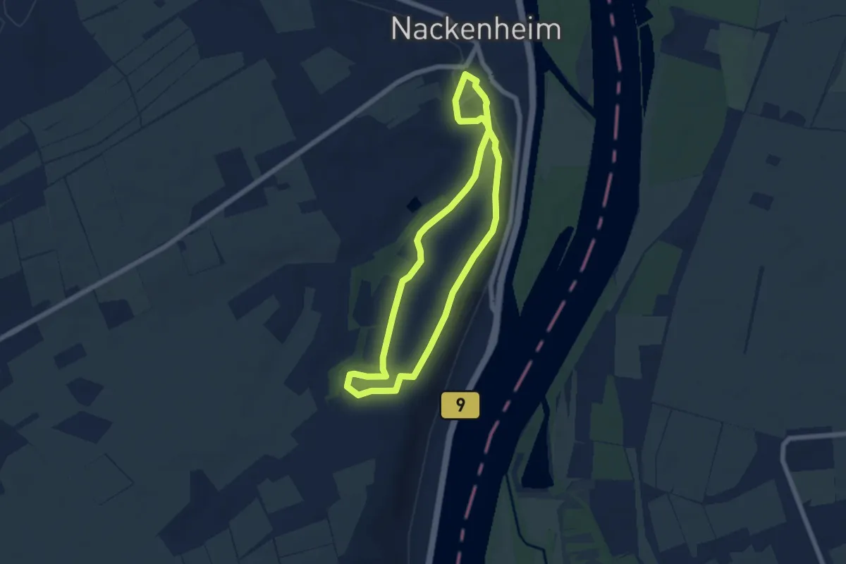
Easy · Trail
Buttemännje Wanderweg
4.9 km · ↑ 106 m · 1 h 28 min
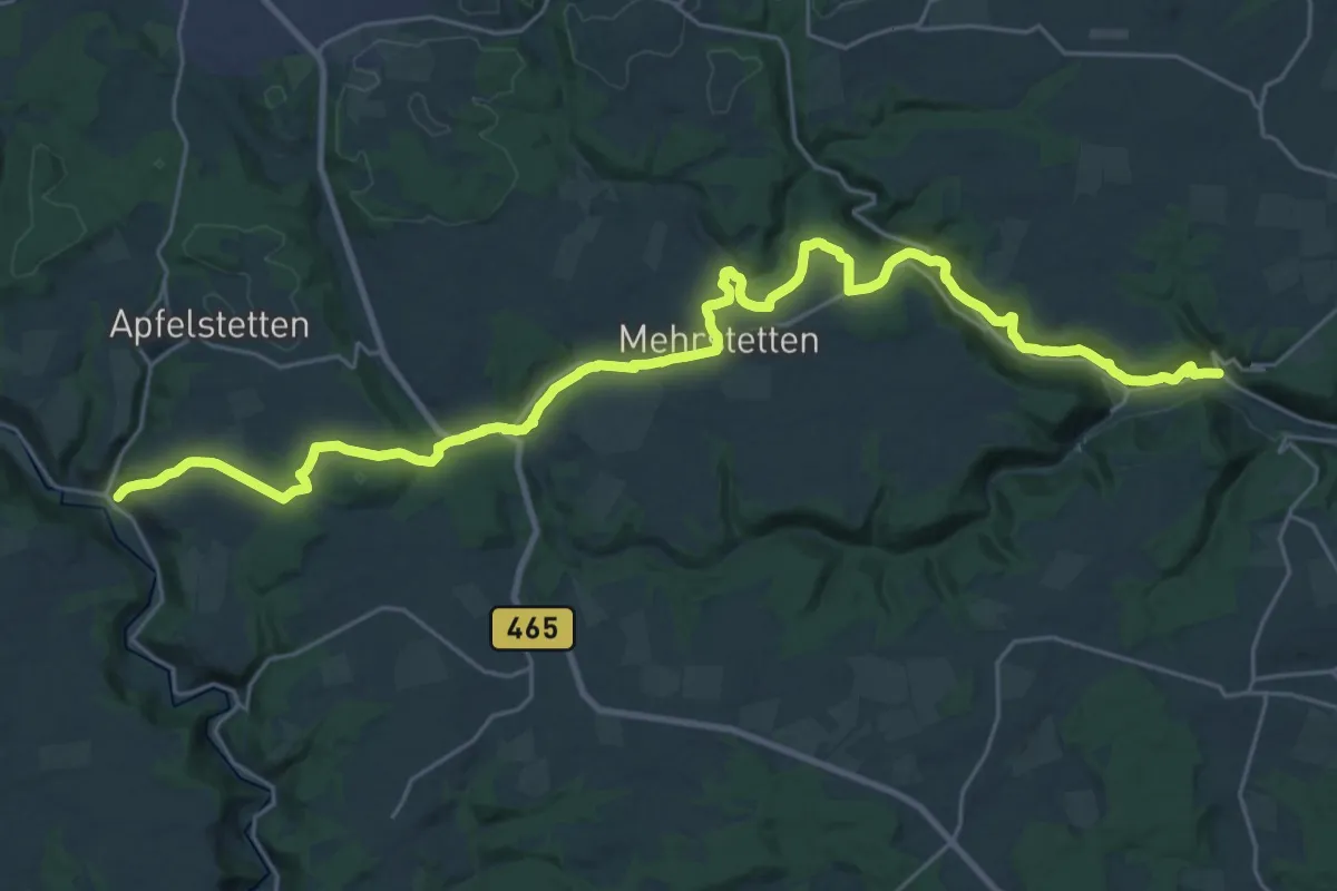
Medium · Trail
Buttenhausen - Hütten
16.3 km · ↑ 459 m · 5 h 5 min
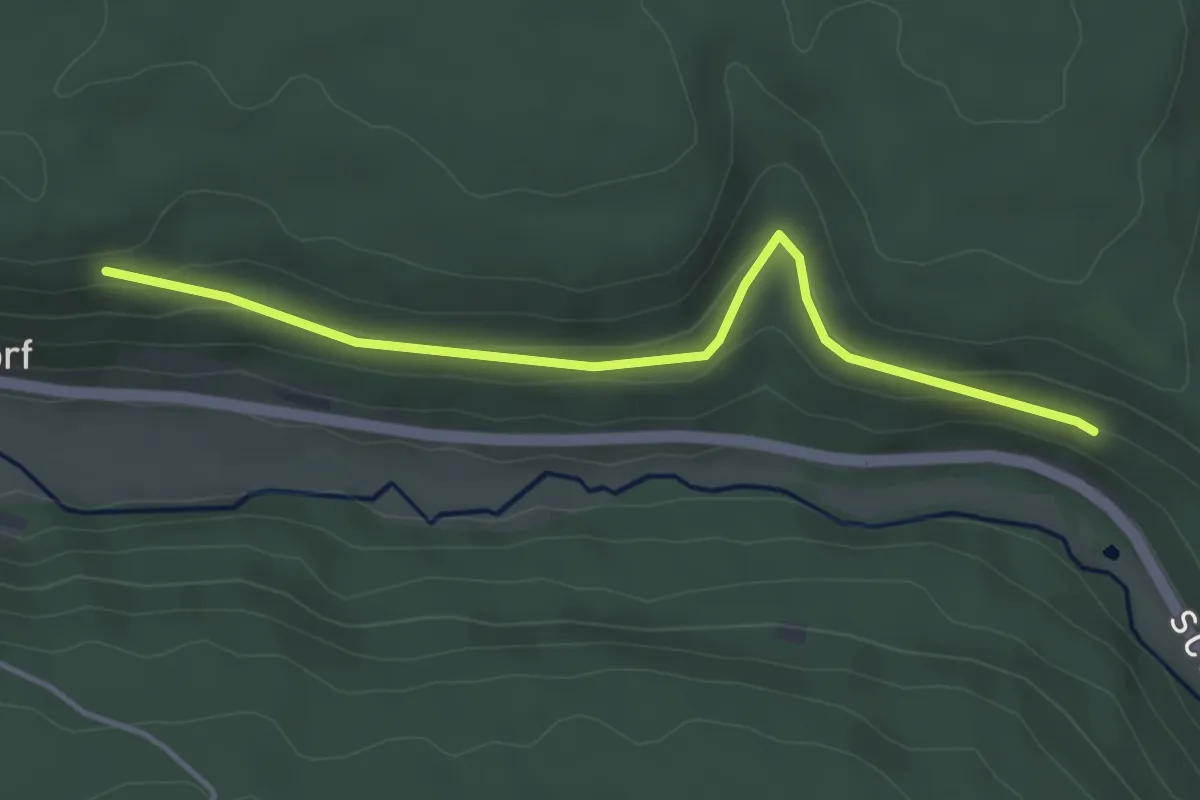
Easy · Trail
Buttenmühle - Schafhaussteige
3.9 km · ↑ 62 m · 1 h 3 min
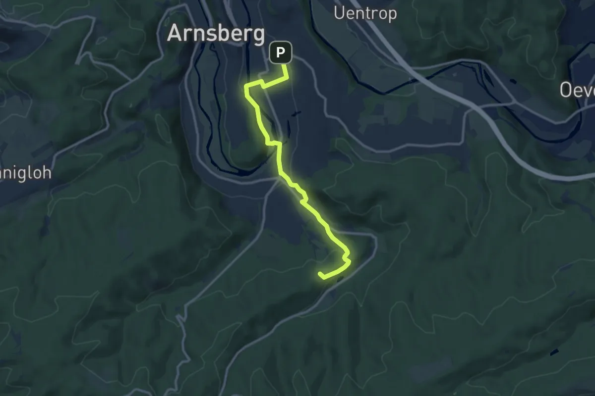
Medium · Summit
Butterbettchen-Pfad
9.1 km · ↑ 220 m · 2 h 37 min
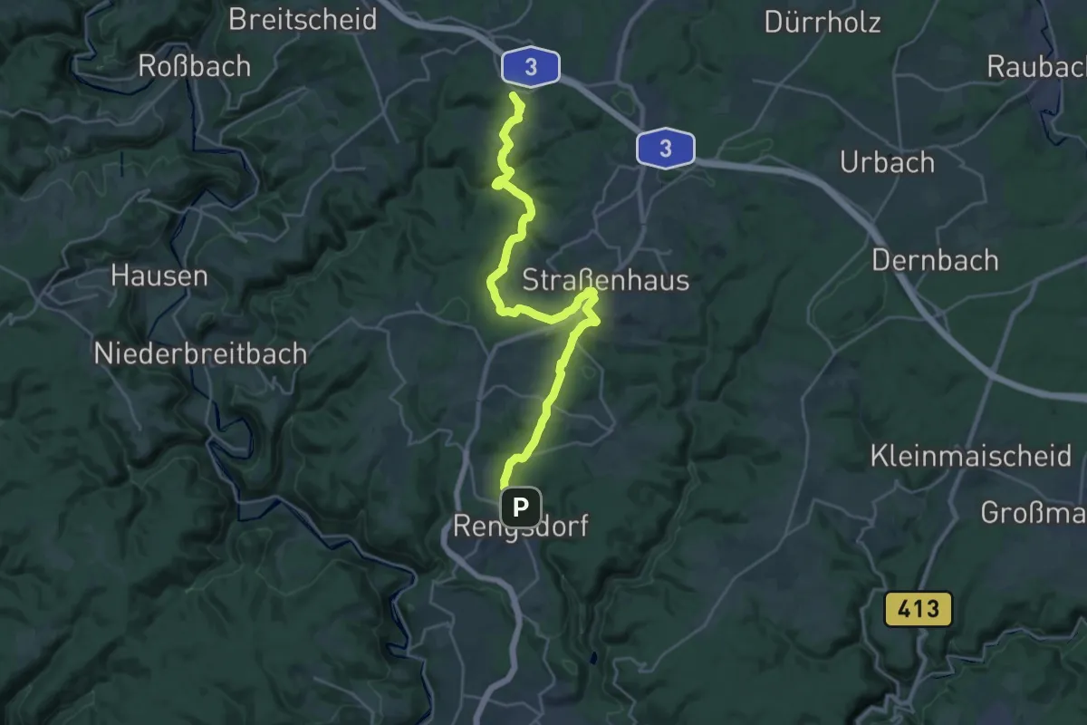
Demanding · Trail
Butterpfad
23.6 km · ↑ 510 m · 6 h 41 min
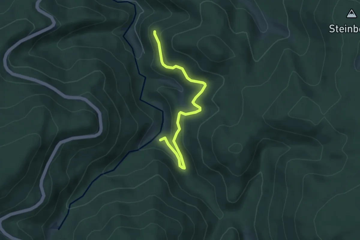
Easy · Trail
Büttertsträßle - Neubrücke
4.8 km · ↑ 225 m · 1 h 37 min
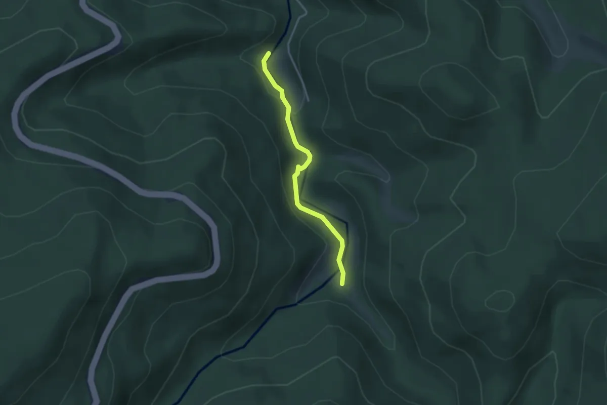
Easy · Trail
Bütthof - Neubrücke
2.7 km · ↑ 91 m · 50 min
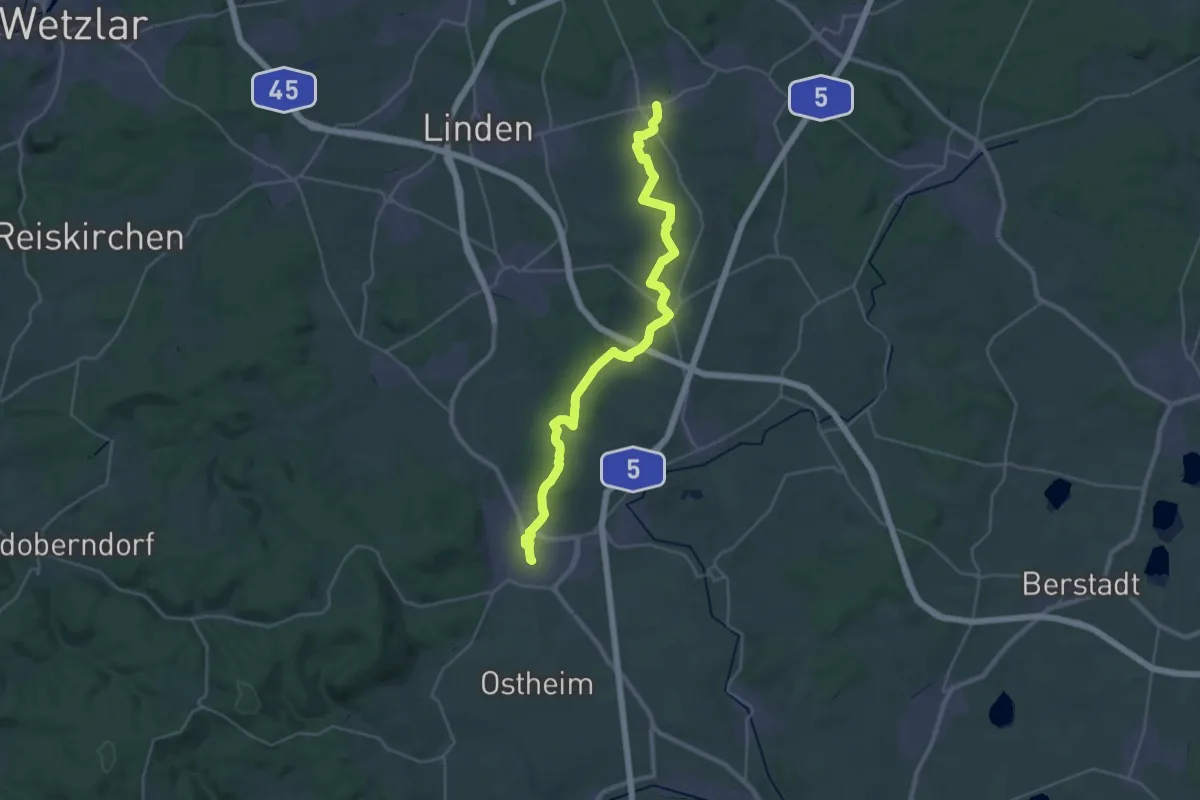
Medium · Trail
Butzbach-Watzenborn-Steinbach
16.2 km · ↑ 185 m · 4 h 27 min
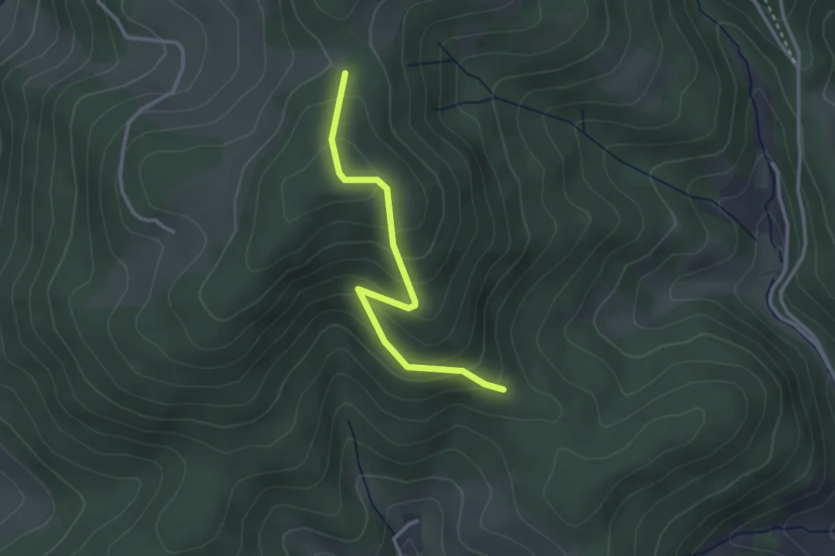
Easy · Trail
Butzenberg - Über dem Neuenbach
2.7 km · ↑ 196 m · 1 h 3 min
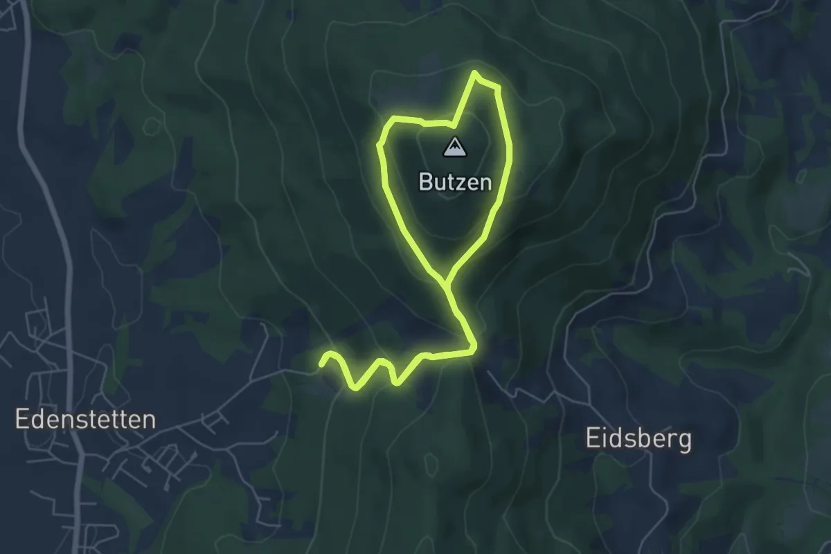
Easy · Summit
Butzenschuster Weg
4.9 km · ↑ 289 m · 1 h 50 min
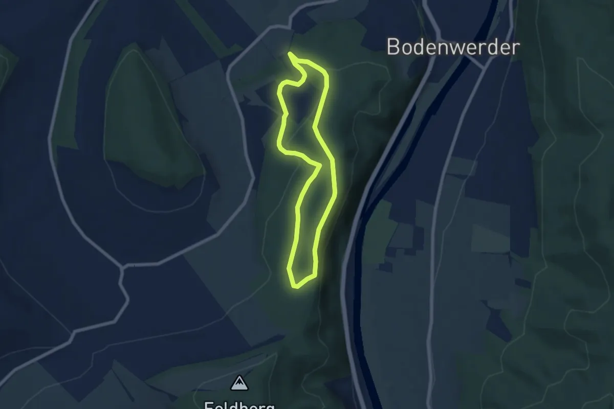
Easy · Trail
BW1 Hopfenberg und Kemnader Holz
5.0 km · ↑ 94 m · 1 h 27 min
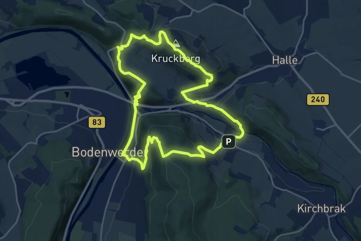
Medium · Summit
BW2 Zweitürmetour
12.2 km · ↑ 572 m · 4 h 17 min
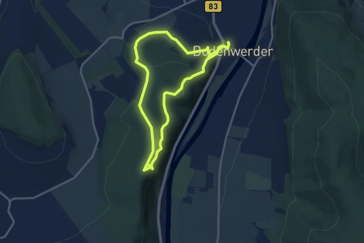
Easy · Summit
BW5 Weserhöhen
6.2 km · ↑ 275 m · 2 h 8 min
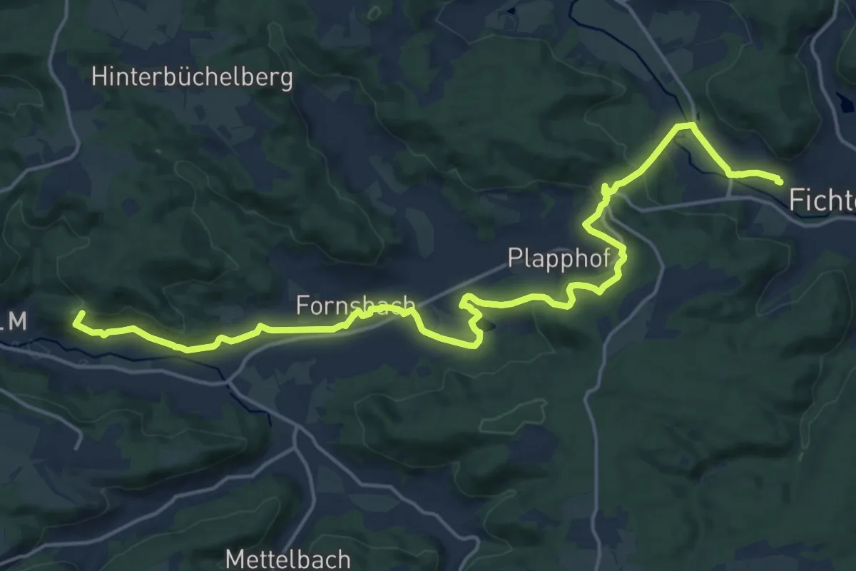
Demanding · Summit
bwegt-Wanderweg Fichtenberg-Murrhardt
19.7 km · ↑ 547 m · 5 h 51 min
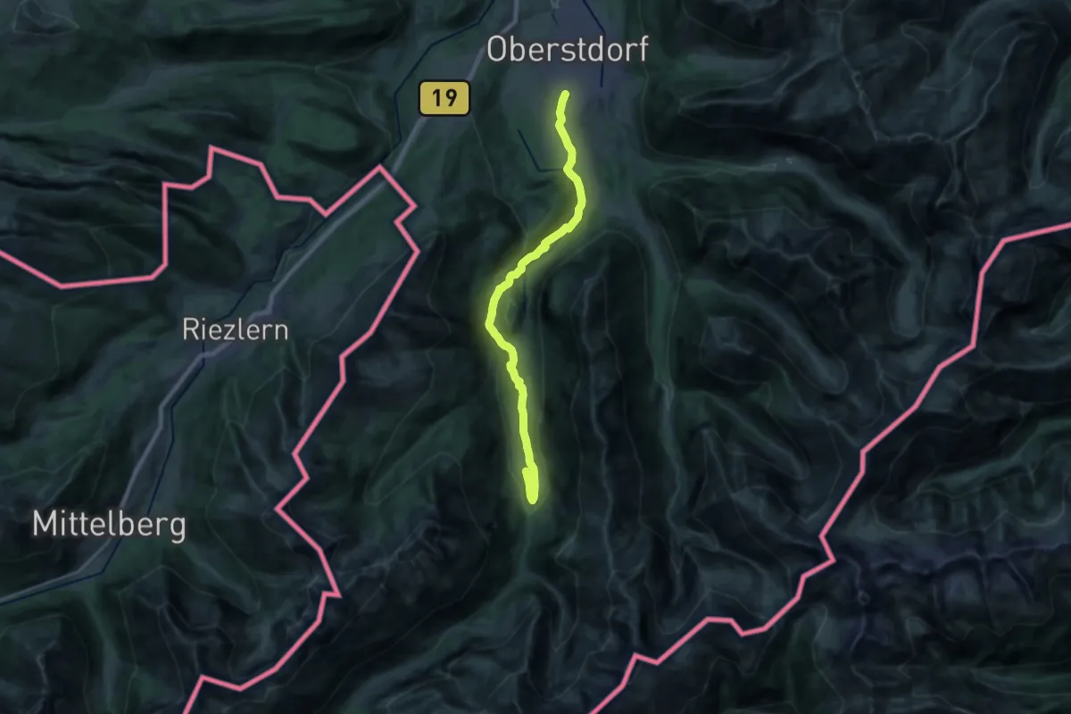
Demanding · Trail
B - Winterwanderung ins Stillachtal
20.8 km · ↑ 324 m · 5 h 37 min
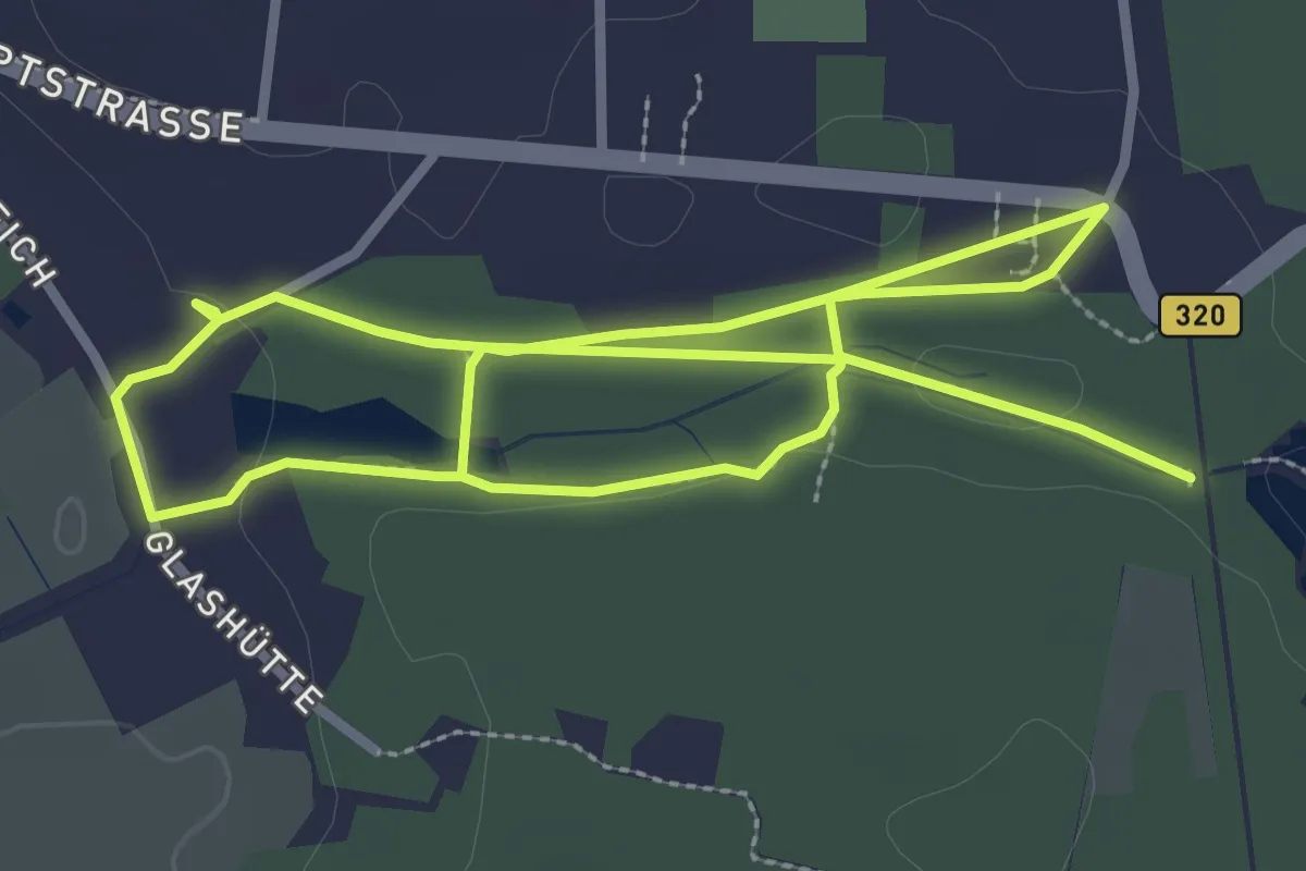
Easy · Trail
Byhletalwanderweg
5.2 km · ↑ 22 m · 1 h 16 min
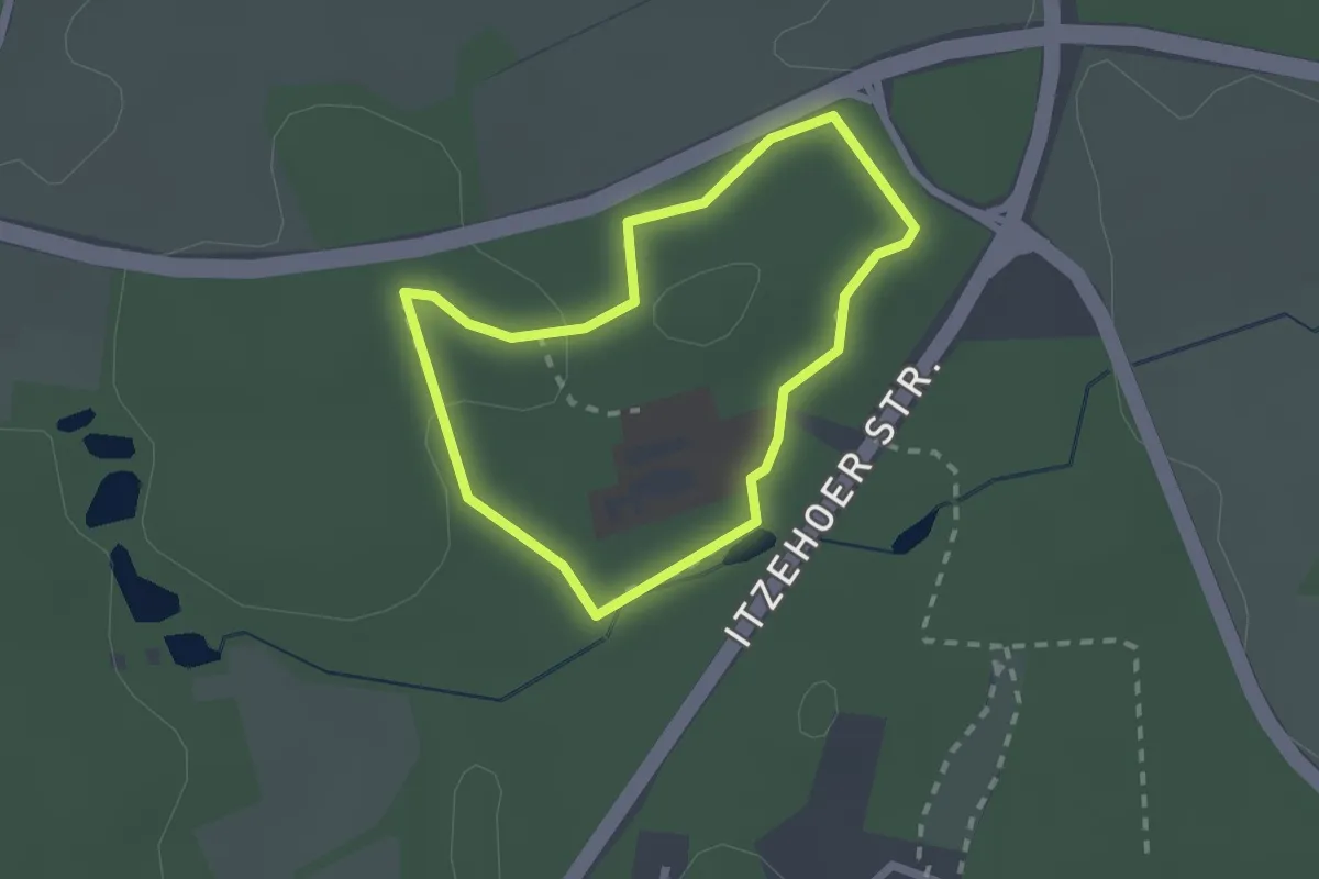
Easy · Trail
BZT
1.5 km · ↑ 17 m · 25 min
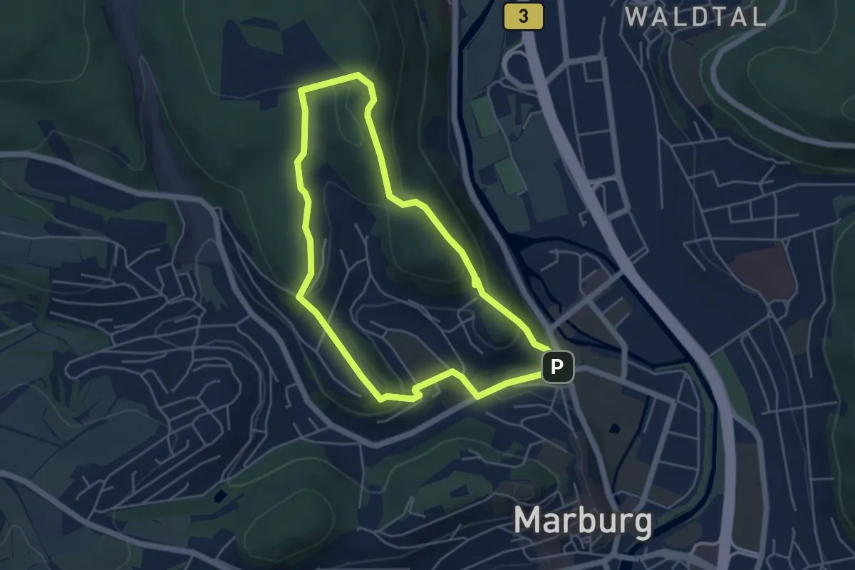
Easy · Summit
[C1] - Rundwanderweg des Verkehrs- und Verschönerungsvereins Marburg
4.1 km · ↑ 165 m · 1 h 23 min