Trails in Germany
36,847 hiking trails, each with its route, climb, walking time and grade.
All trails, page 96 of 768
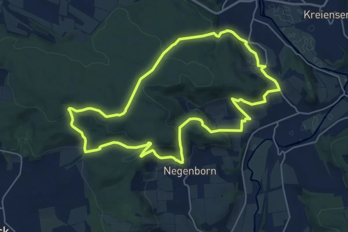
Medium · Trail
Burgrunde
13.5 km · ↑ 533 m · 4 h 32 min
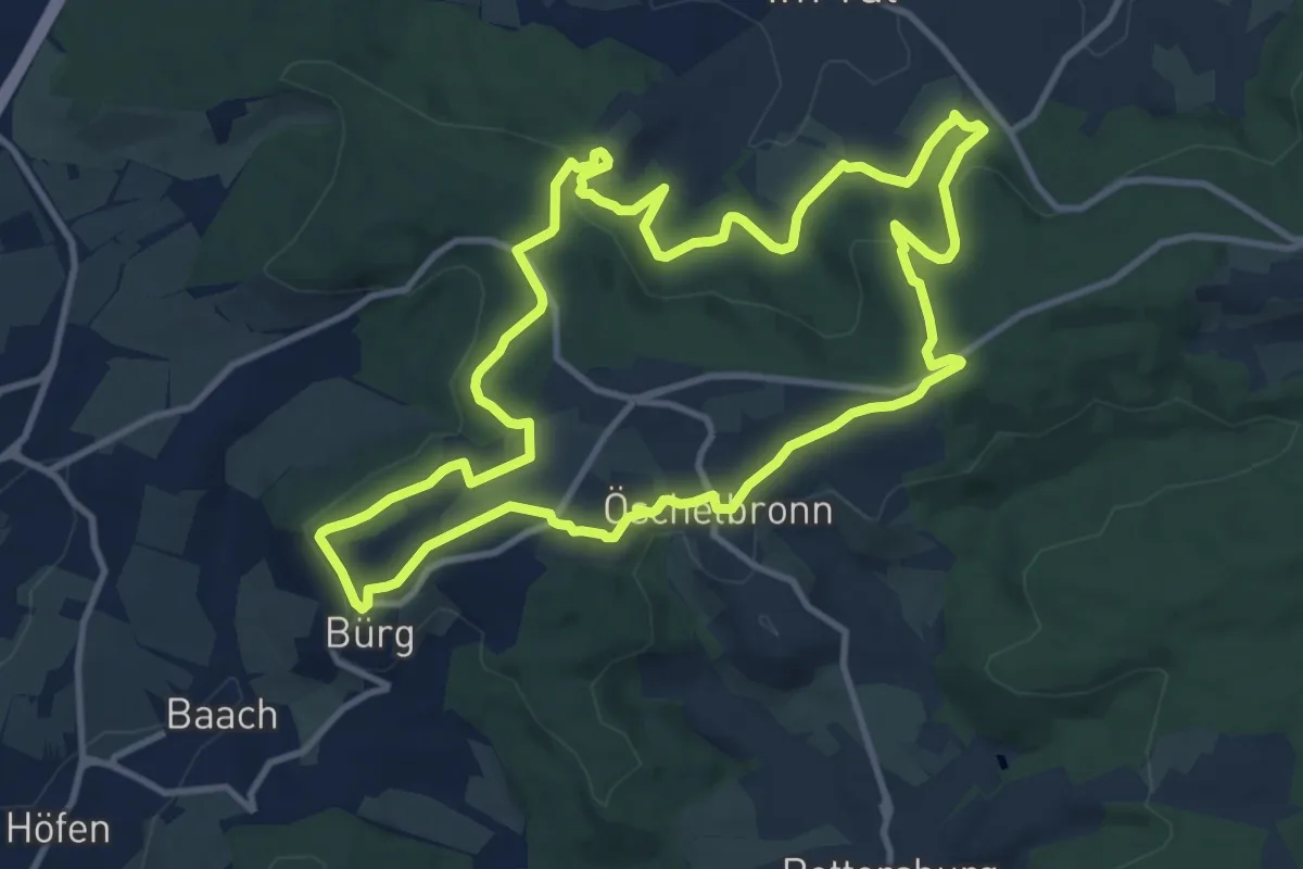
Medium · Trail
Bürgrunde
10.9 km · ↑ 298 m · 3 h 23 min
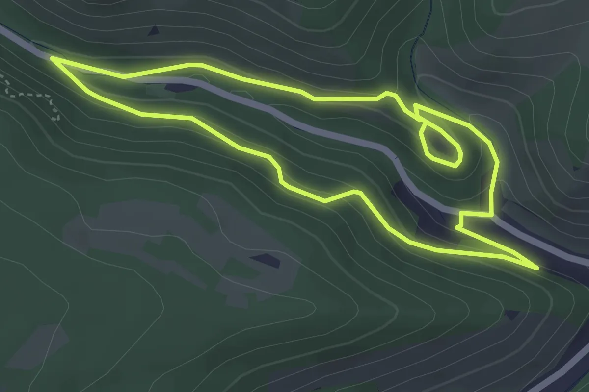
Easy · Trail
Burgrundweg
3.6 km · ↑ 131 m · 1 h 11 min
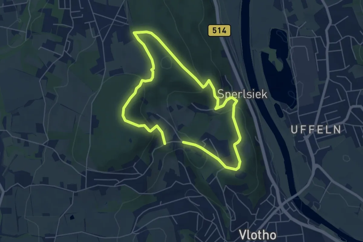
Easy · Summit
Burg Rundweg A1
4.3 km · ↑ 185 m · 1 h 28 min
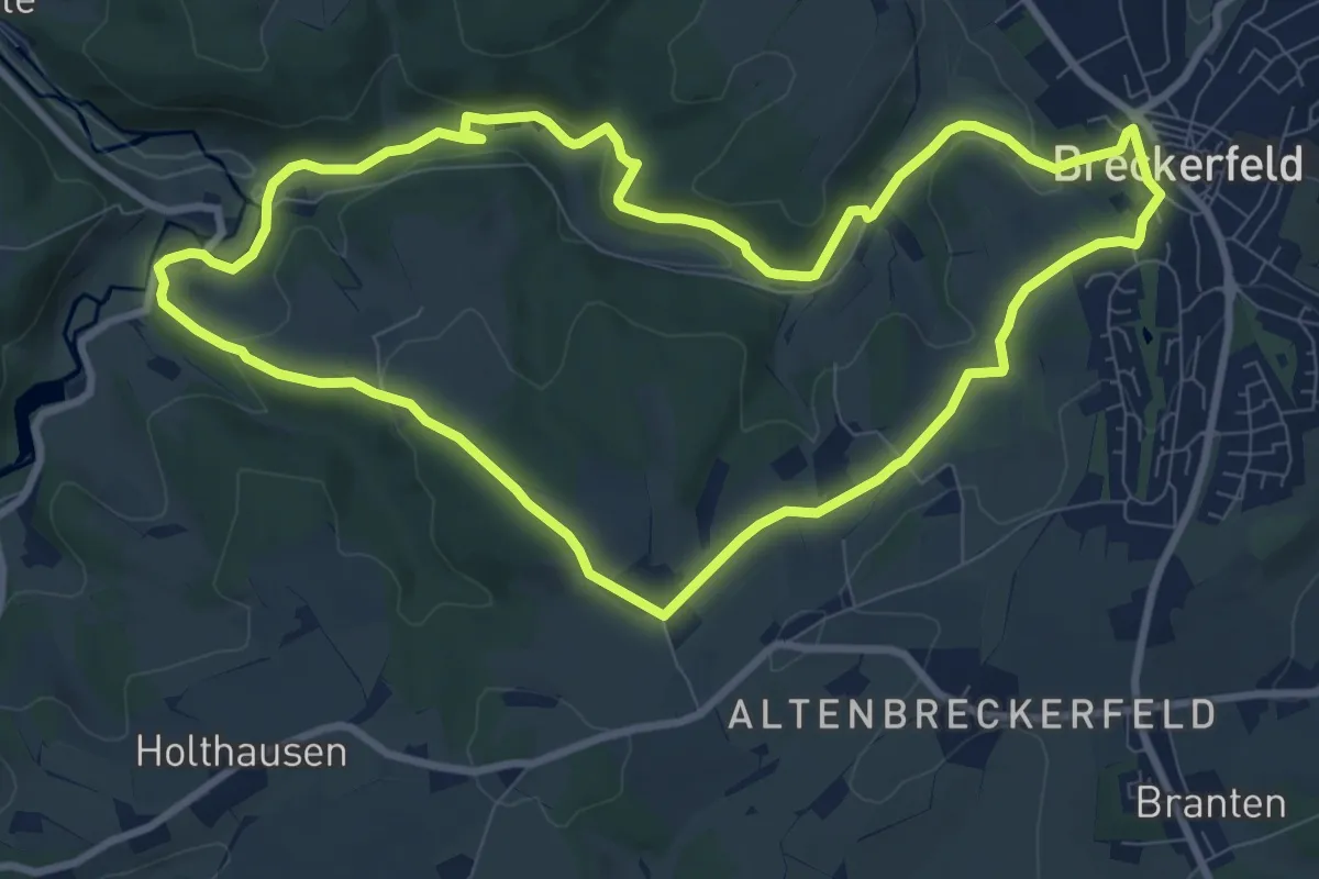
Medium · Trail
Burg Rundweg A18
8.6 km · ↑ 217 m · 2 h 37 min
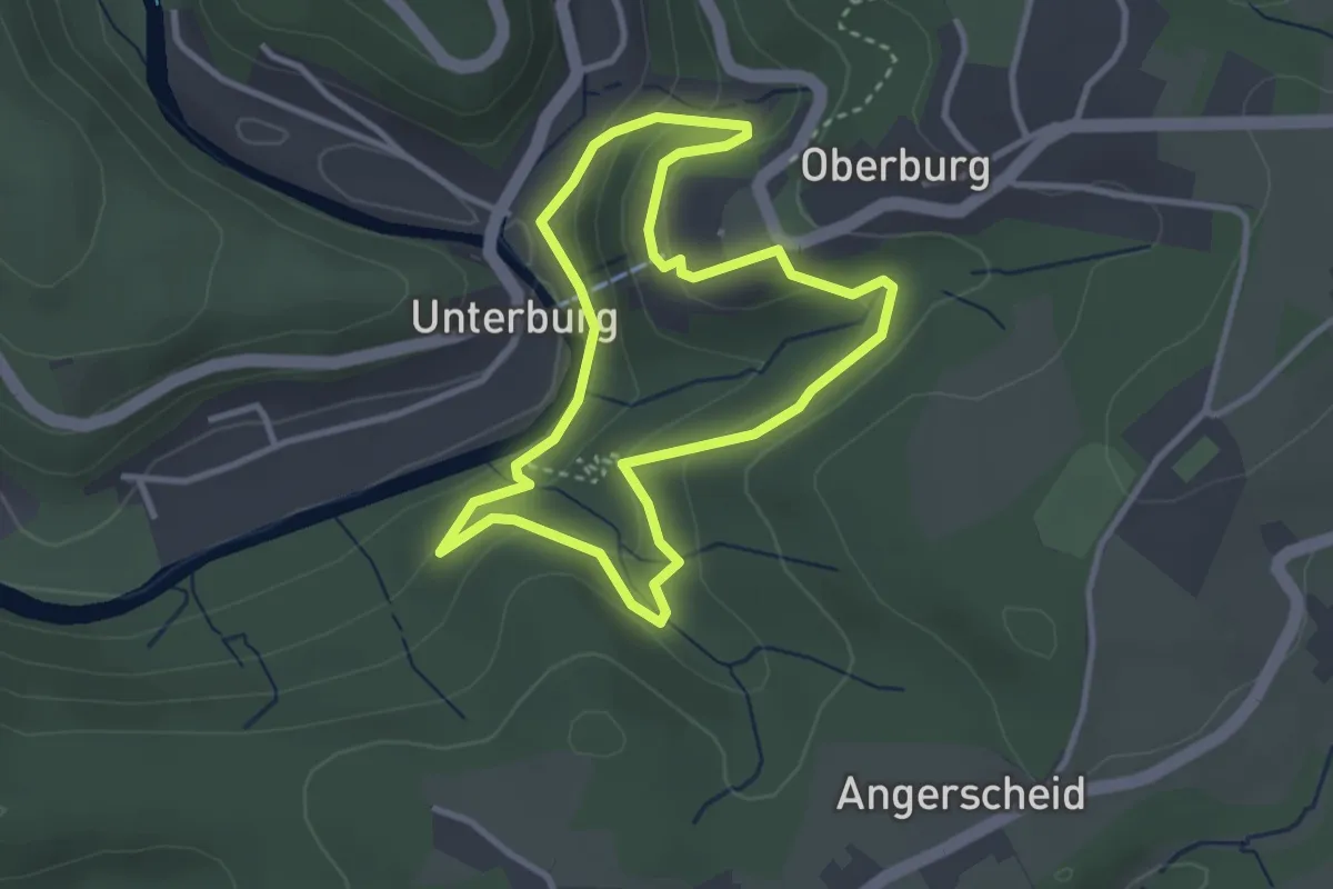
Easy · Trail
Burg Rundweg A1 - Schloss Burg
2.8 km · ↑ 125 m · 58 min
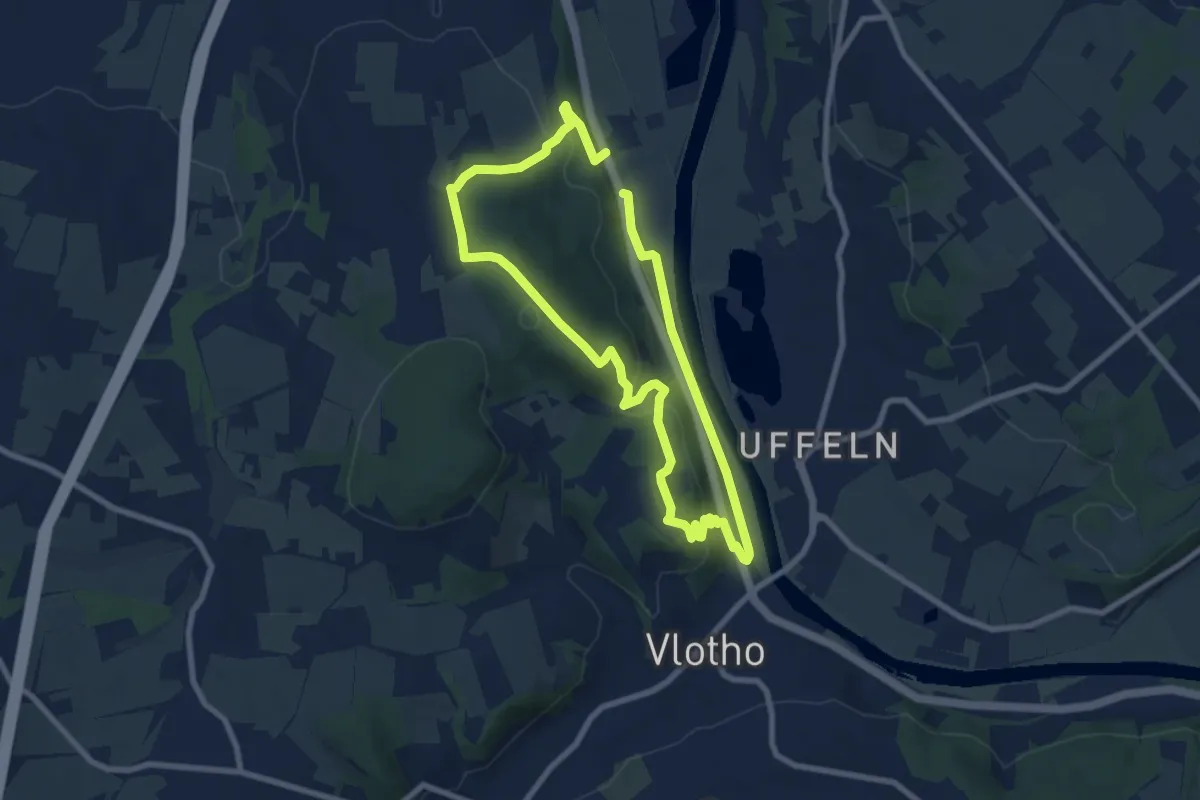
Easy · Summit
Burg Rundweg A2
6.4 km · ↑ 223 m · 2 h 5 min
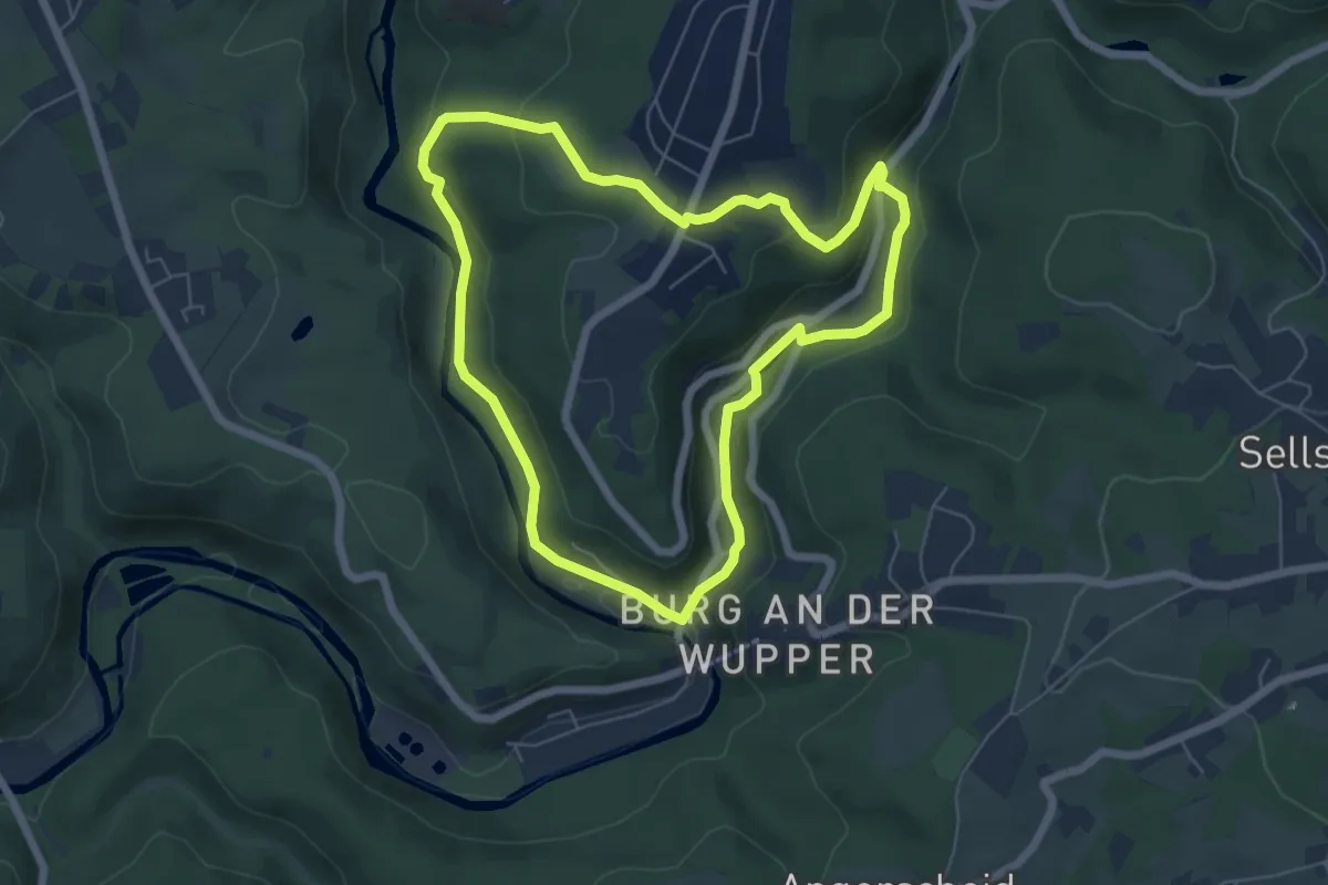
Easy · Trail
Burg Rundweg A2 Eschbachstraße
5.5 km · ↑ 133 m · 1 h 39 min
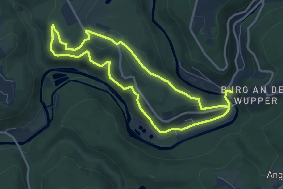
Easy · Trail
Burg Rundweg A3 Jagenberg
5.2 km · ↑ 199 m · 1 h 44 min
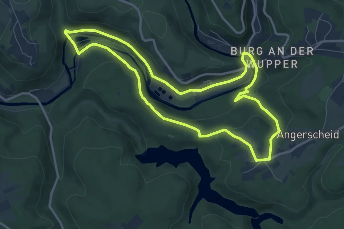
Easy · Trail
Burg Rundweg A4 Hasenclever
6.7 km · ↑ 157 m · 2 h 1 min
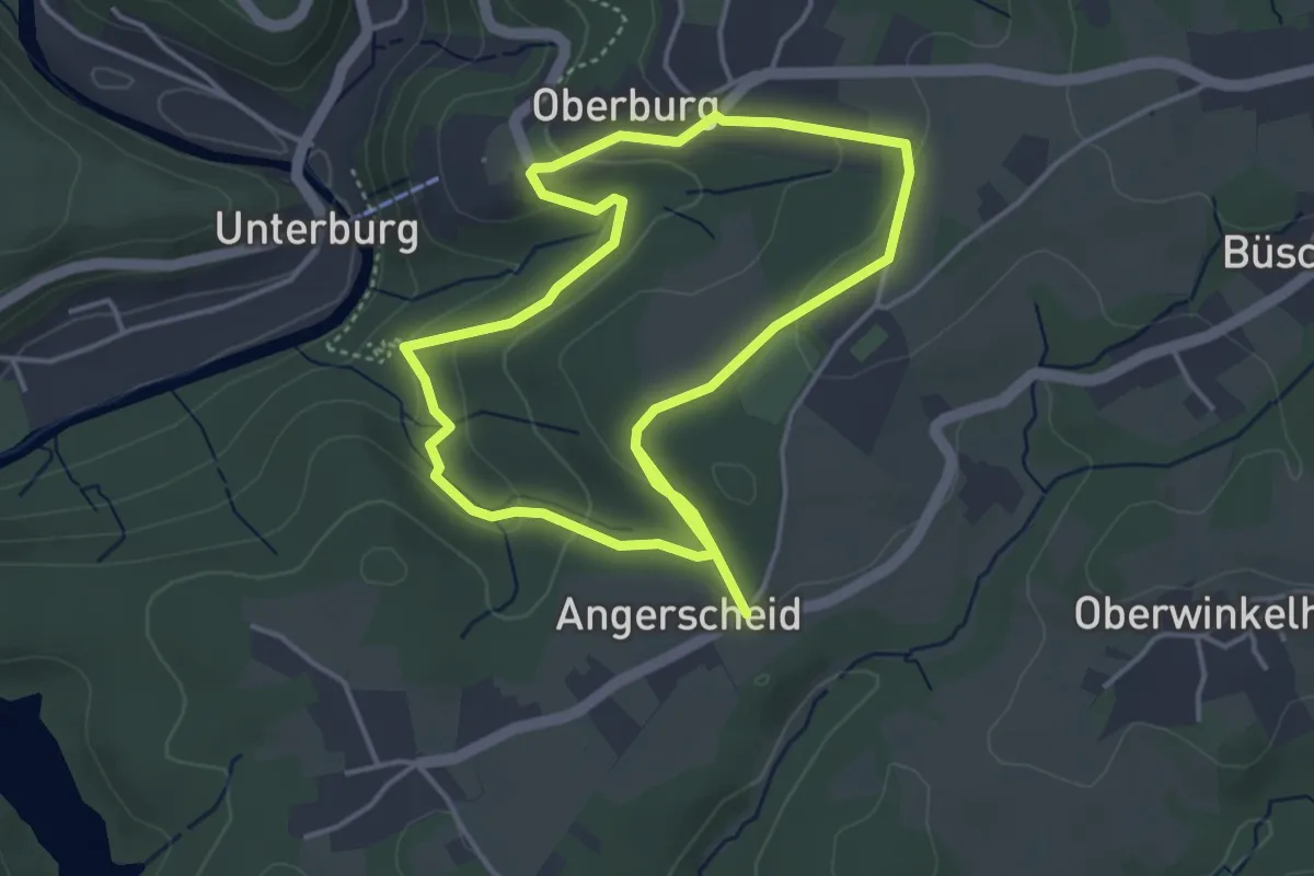
Easy · Trail
Burg Rundweg A5 Angerscheid
3.5 km · ↑ 90 m · 1 h 4 min
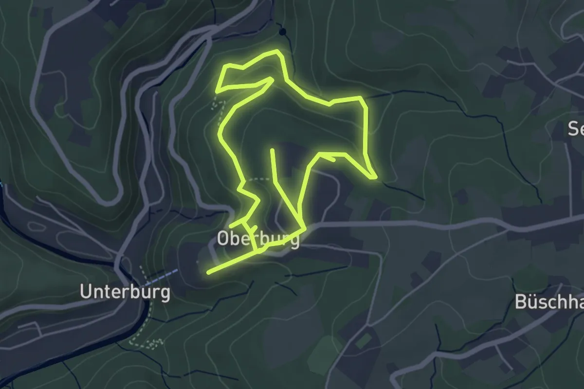
Easy · Trail
Burg Rundweg A6 - In der Planke
4.1 km · ↑ 105 m · 1 h 16 min
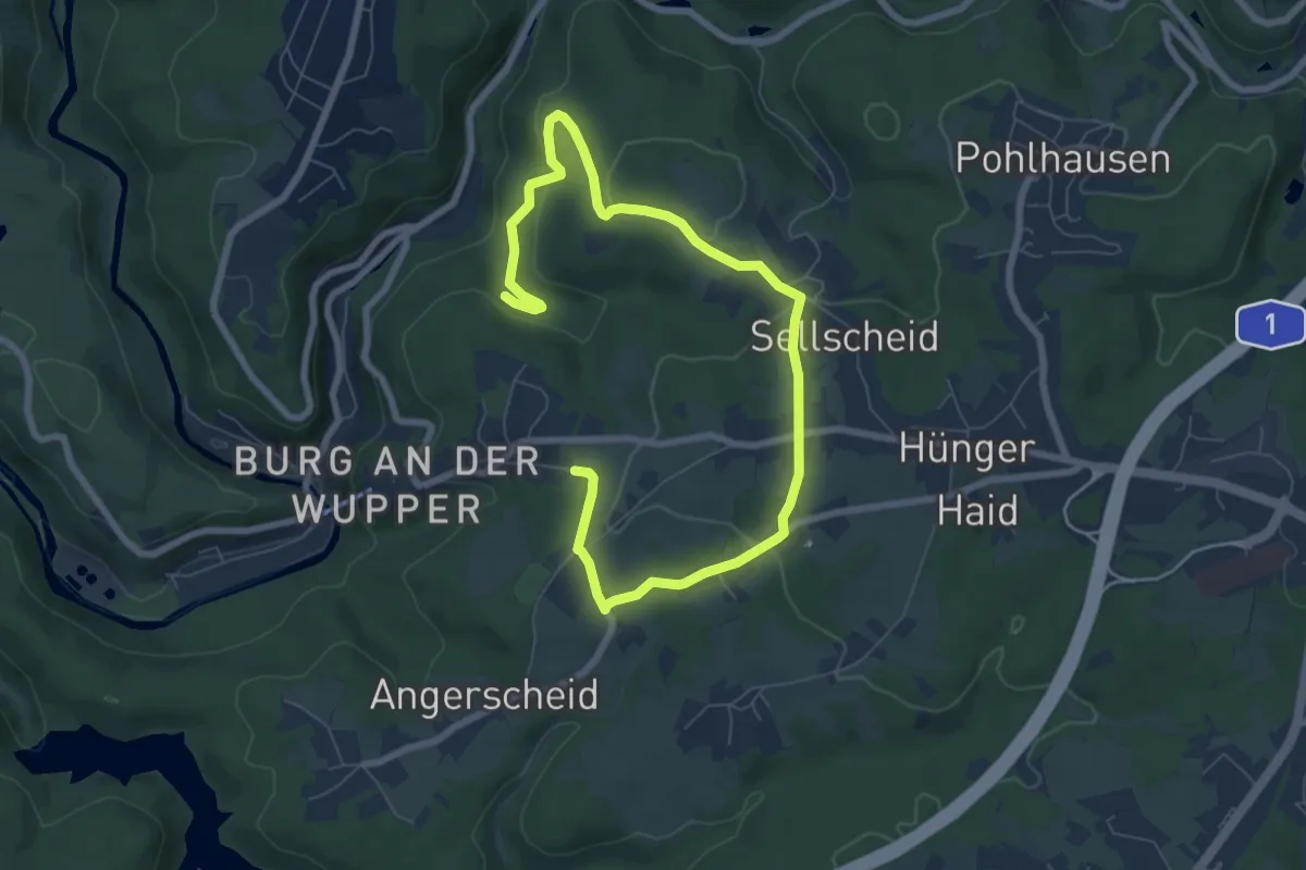
Easy · Trail
Burg Rundweg A7 Sportplatz
4.5 km · ↑ 86 m · 1 h 21 min
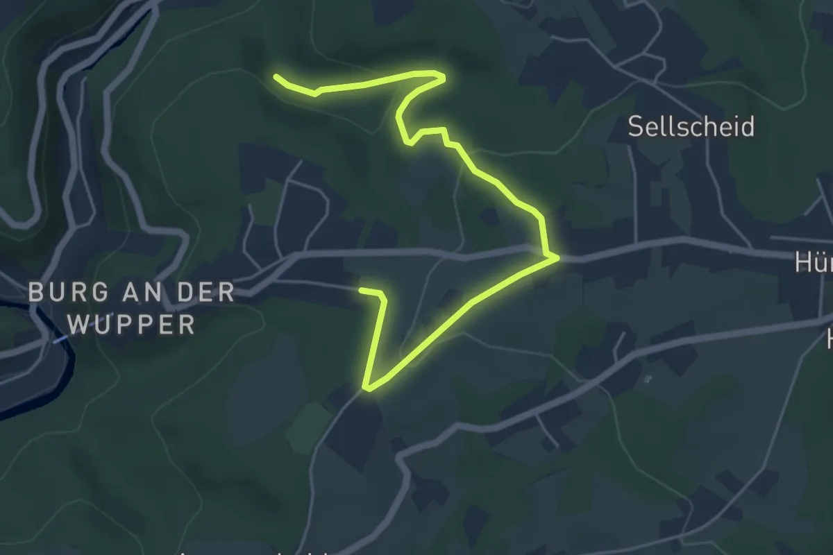
Easy · Trail
Burg Rundweg A8 Oberburg
2.5 km · ↑ 42 m · 45 min
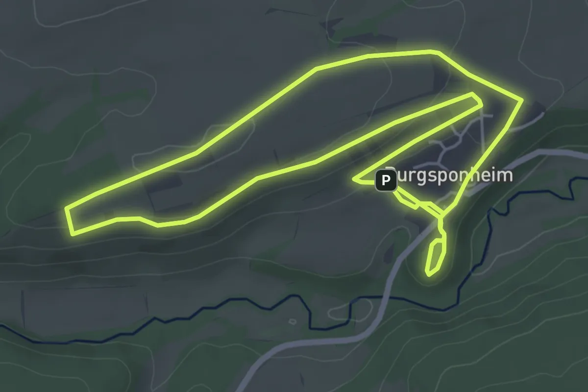
Easy · Trail
Burgsponheimer Grafenrunde
5.1 km · ↑ 90 m · 1 h 28 min
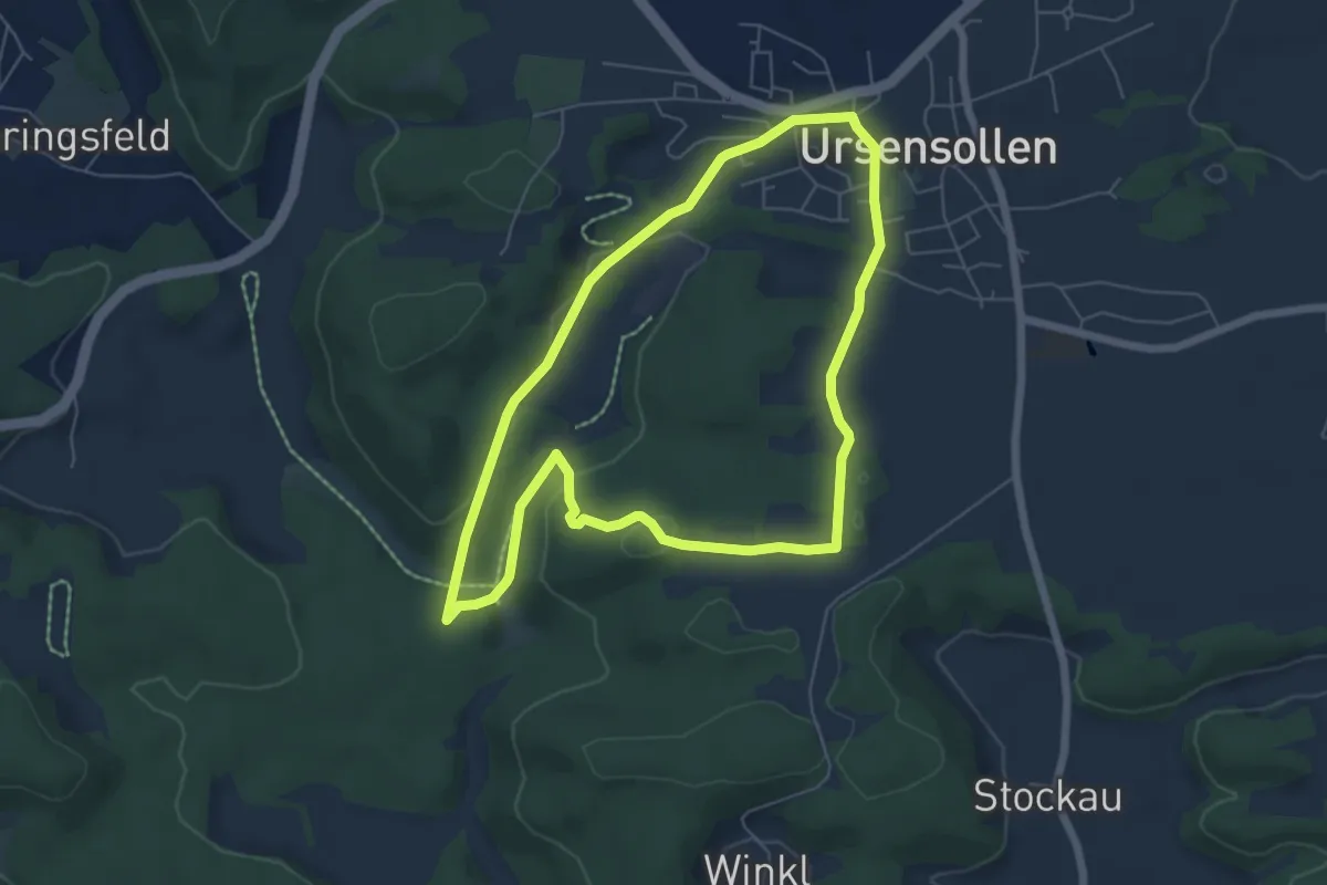
Easy · Summit
Burgstall-Scharfenberg-Weg (U1)
5.6 km · ↑ 149 m · 1 h 43 min
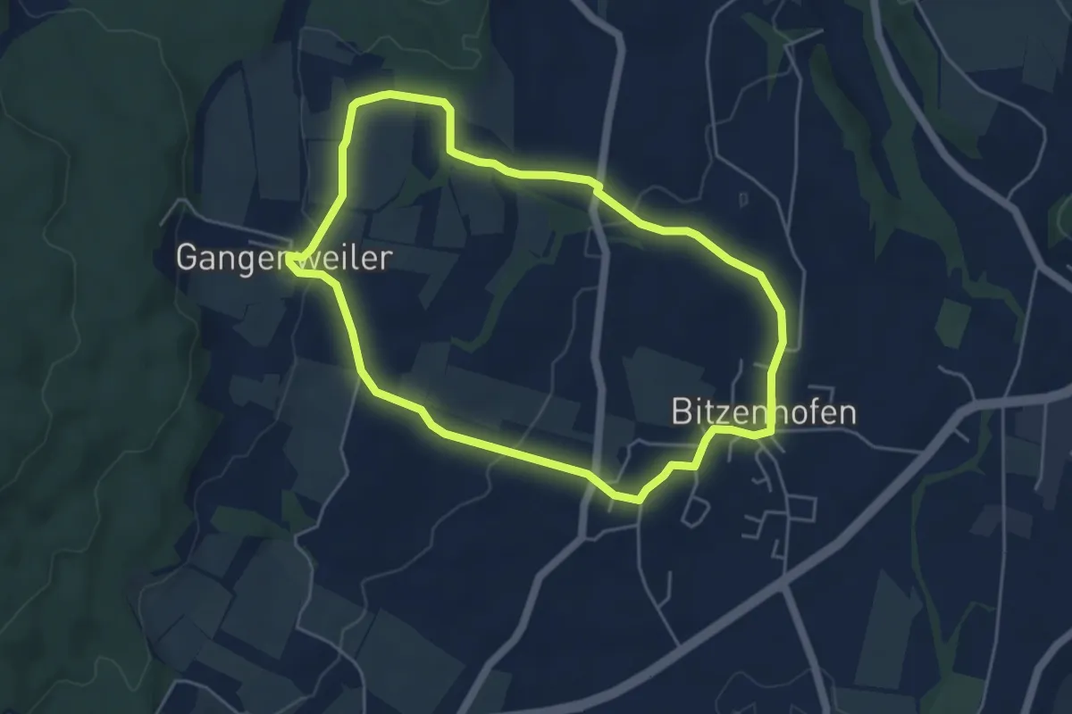
Easy · Trail
Burgstallweg
4.5 km · ↑ 87 m · 1 h 19 min
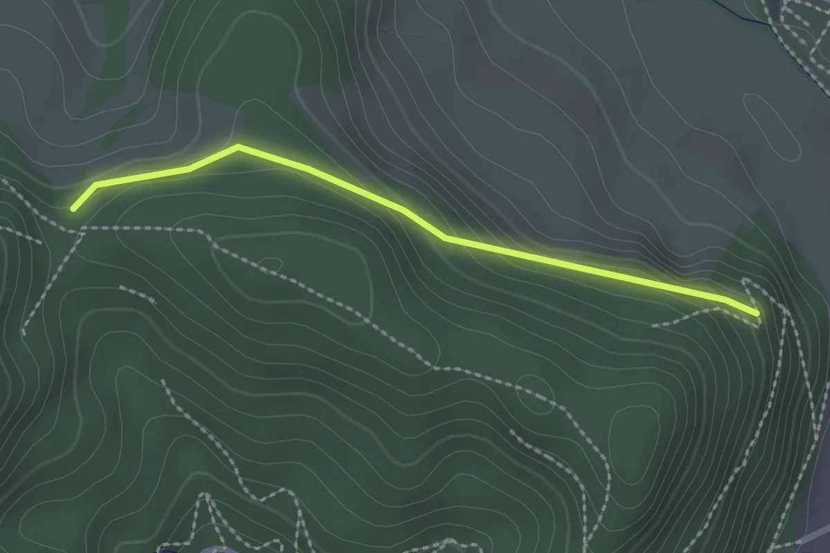
Easy · Trail
Burgsteige - Waldkircher Haseneckle
2.0 km · ↑ 94 m · 41 min
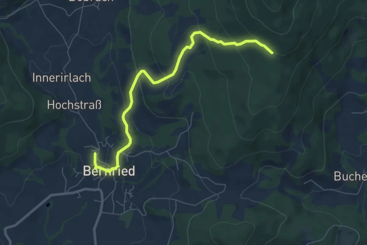
Easy · Trail
Burgsteinhausweg
6.2 km · ↑ 319 m · 2 h 9 min
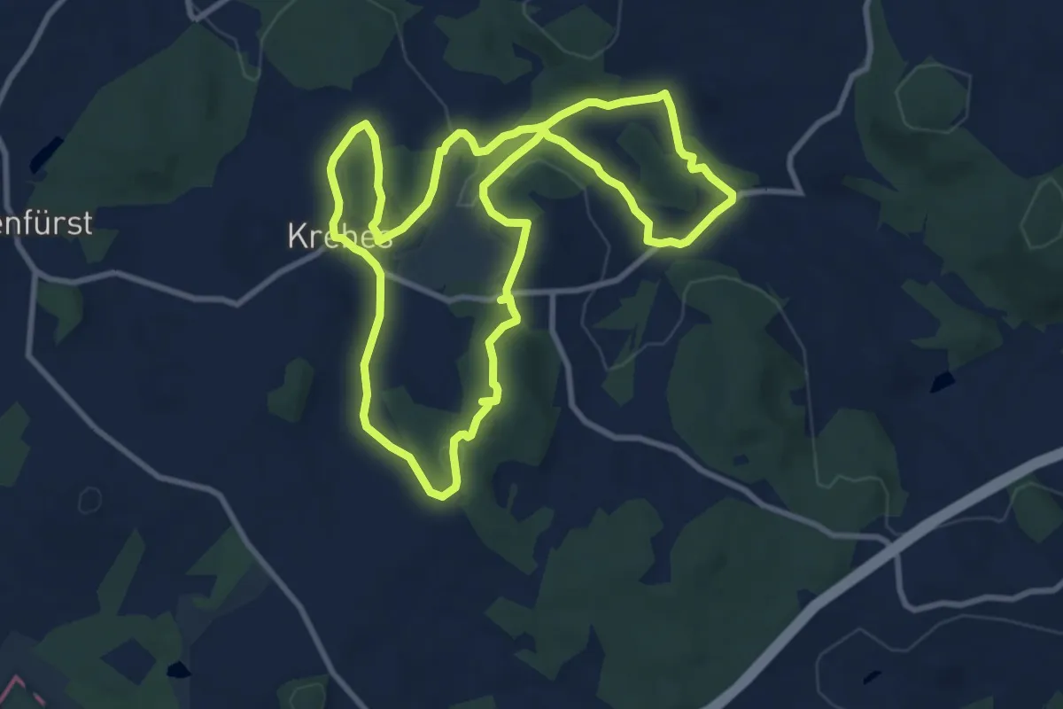
Medium · Summit
Burgstein-Lehrpfad
8.8 km · ↑ 203 m · 2 h 39 min
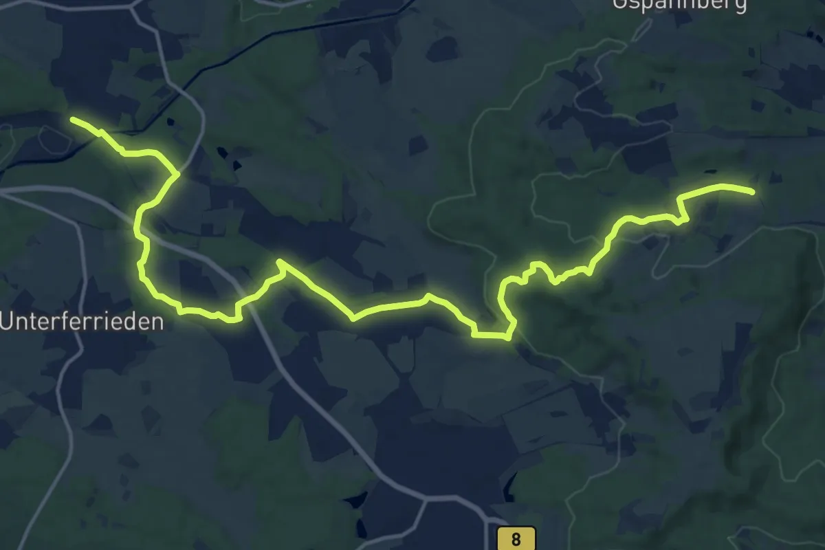
Demanding · Trail
Burgthann 1
20.0 km · ↑ 330 m · 5 h 26 min
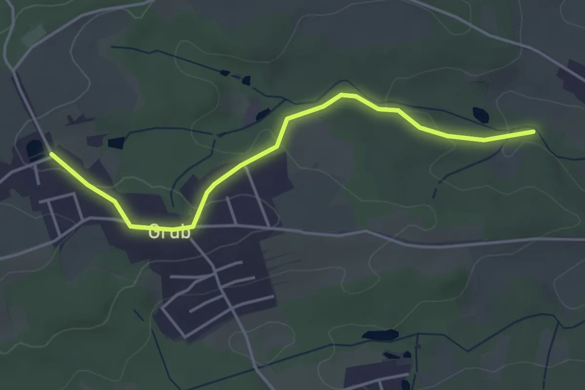
Easy · Trail
Burgthann 2
3.9 km · ↑ 85 m · 1 h 6 min
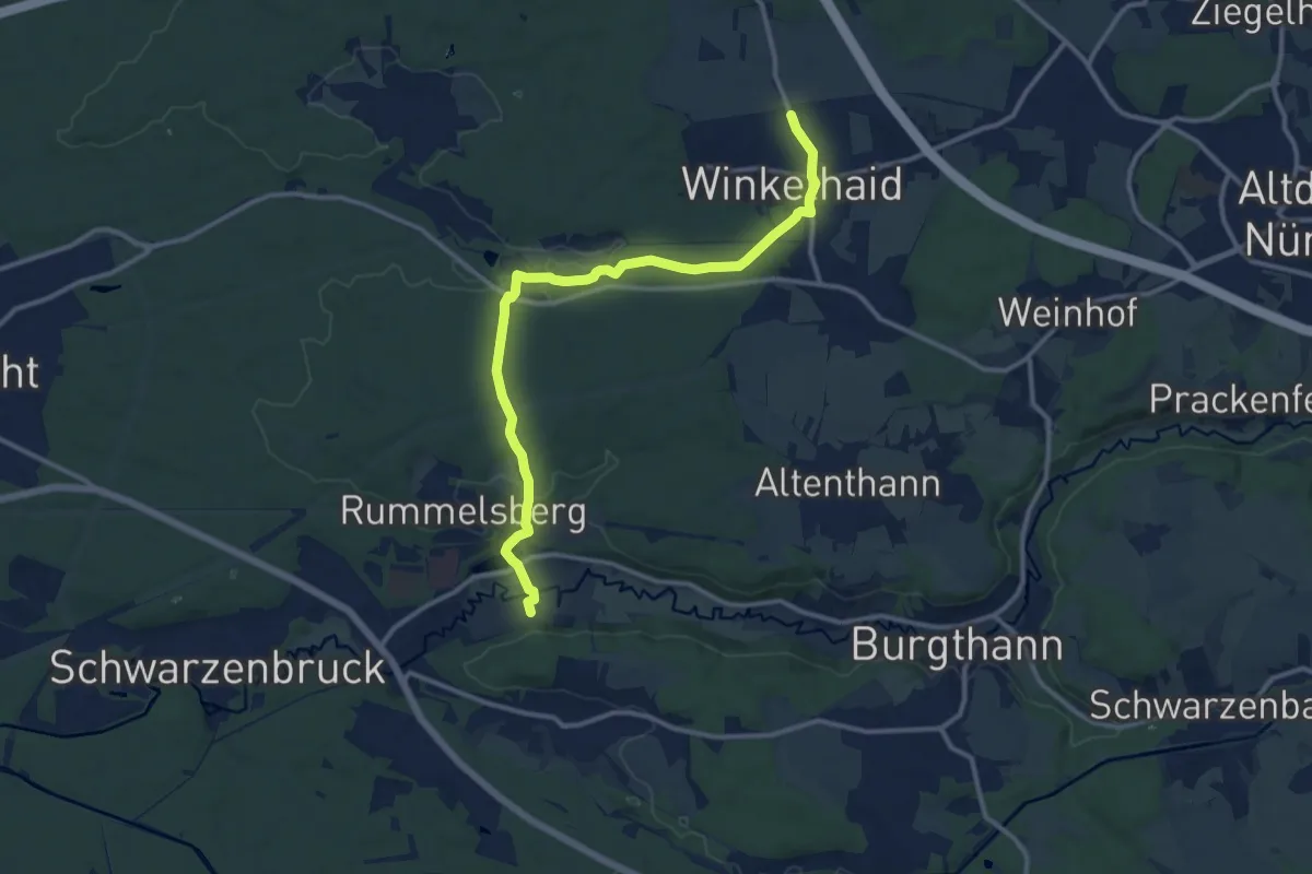
Medium · Trail
Burgthann 2 blau
12.1 km · ↑ 186 m · 3 h 15 min
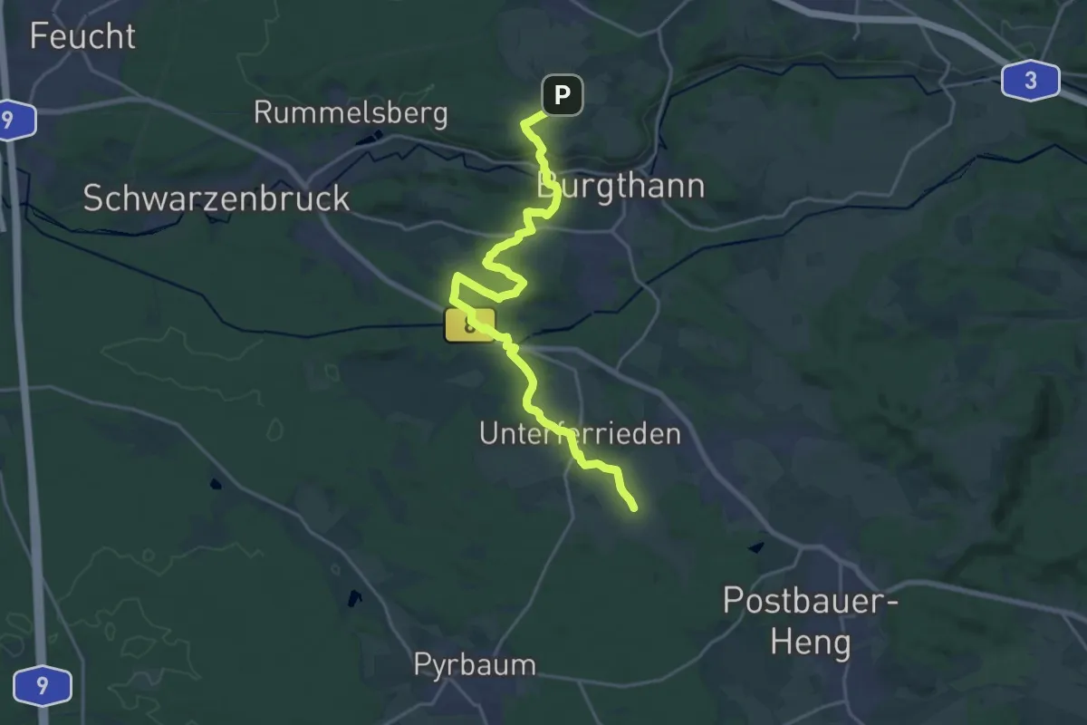
Demanding · Trail
Burgthann 3
20.1 km · ↑ 352 m · 5 h 31 min
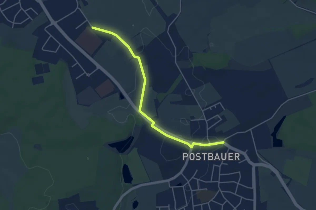
Easy · Trail
Burgthann 4
3.7 km · ↑ 8 m · 54 min
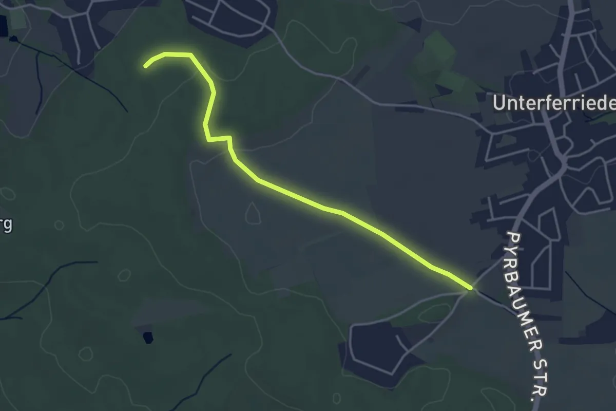
Easy · Trail
Burgthann 6
3.6 km · ↑ 27 m · 54 min
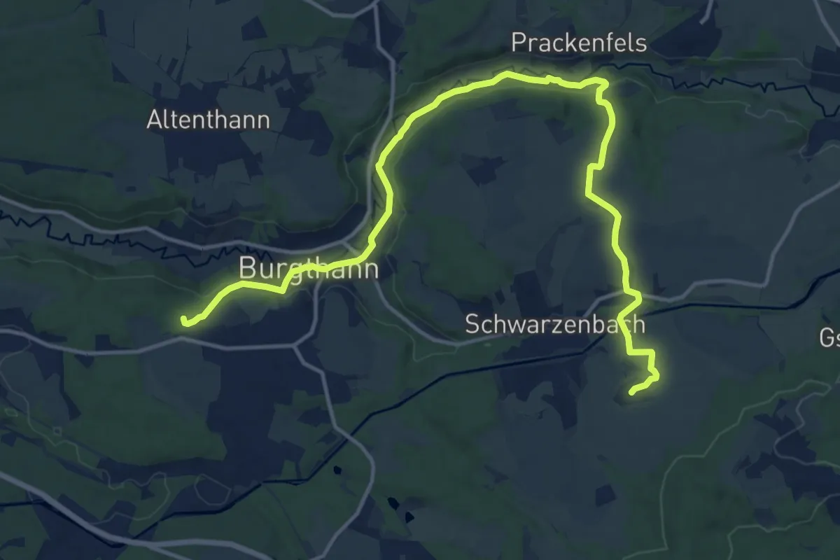
Medium · Trail
Burgthann 7
16.1 km · ↑ 224 m · 4 h 17 min
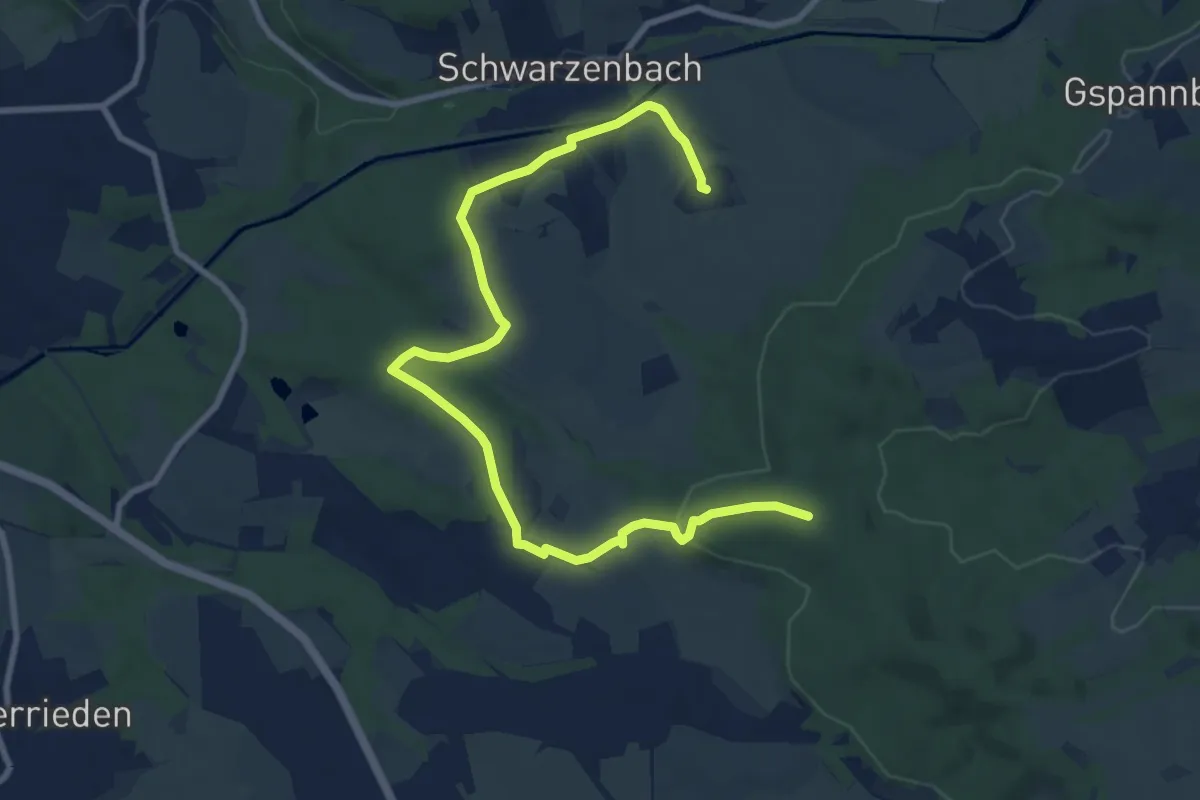
Medium · Trail
Burgthann 8
10.6 km · ↑ 236 m · 3 h
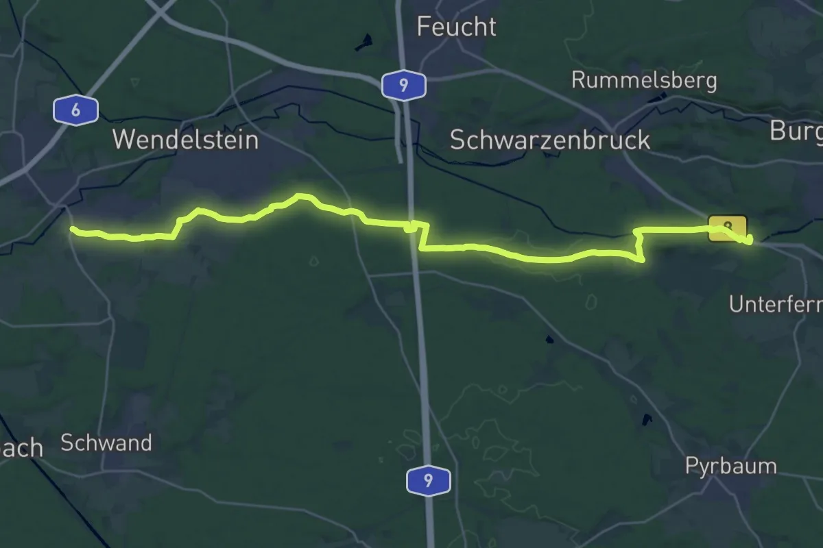
Demanding · Trail
Burgthann 9
31.5 km · ↑ 191 m · 7 h 52 min
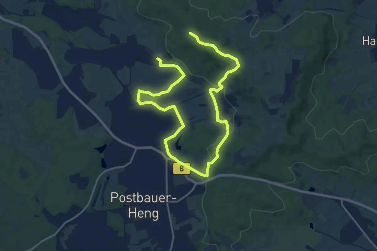
Medium · Summit
Burgthann Walking Etzelrunde
8.0 km · ↑ 193 m · 2 h 23 min
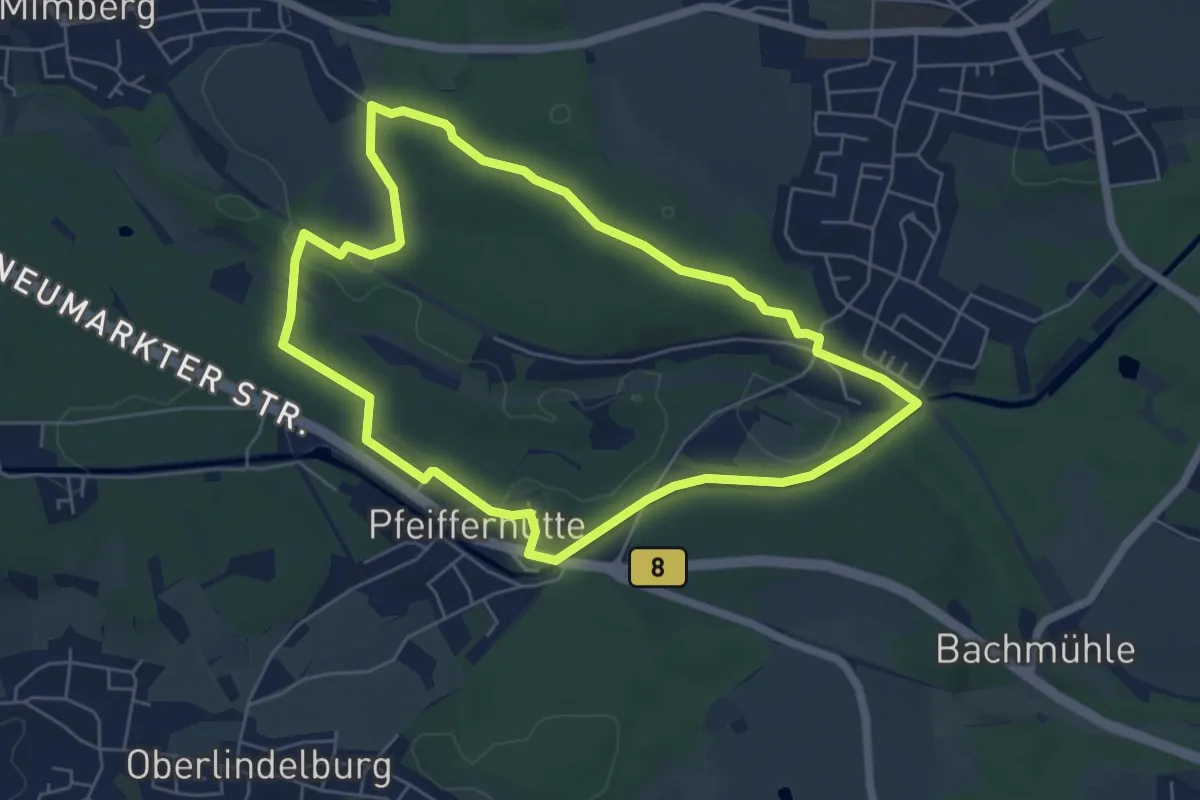
Easy · Trail
Burgthann Walking König-Ludwig-Runde
5.5 km · ↑ 67 m · 1 h 31 min
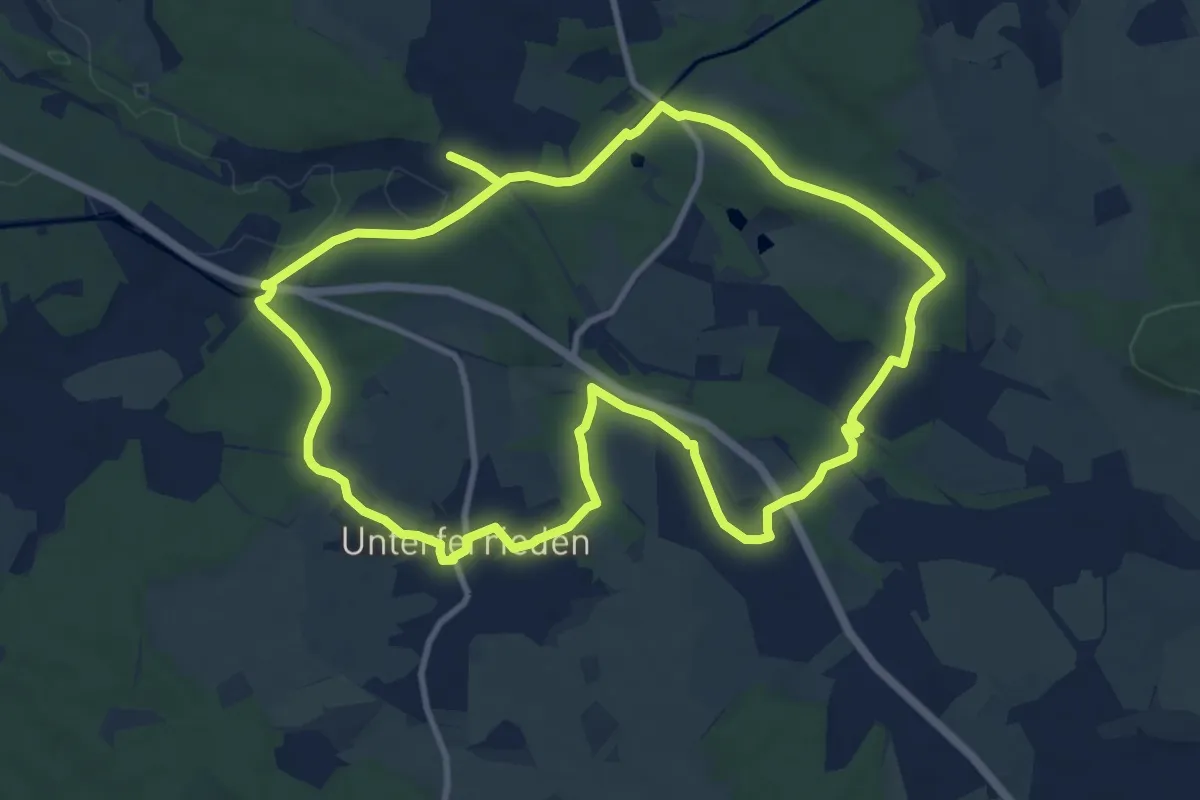
Demanding · Trail
Burgthann Walking Saugrabenrunde
20.3 km · ↑ 231 m · 5 h 17 min
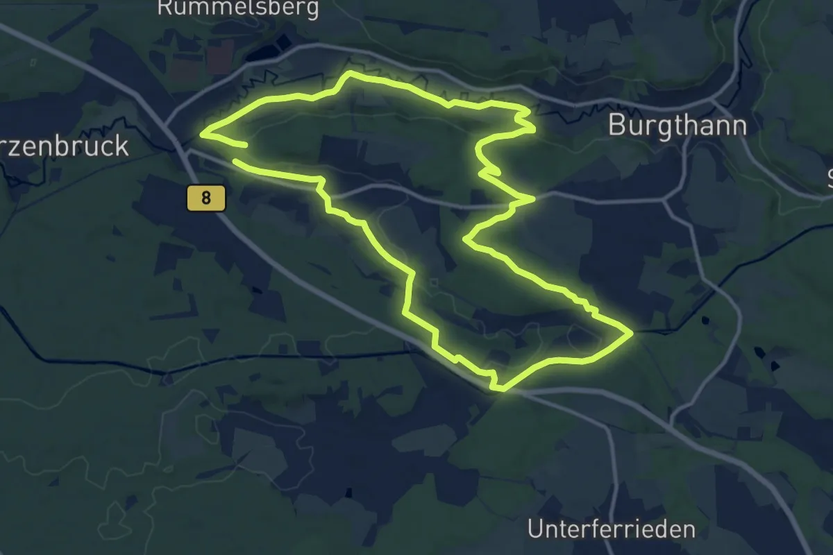
Medium · Trail
Burgthann Walking Schwarzachrunde
12.1 km · ↑ 128 m · 3 h 19 min
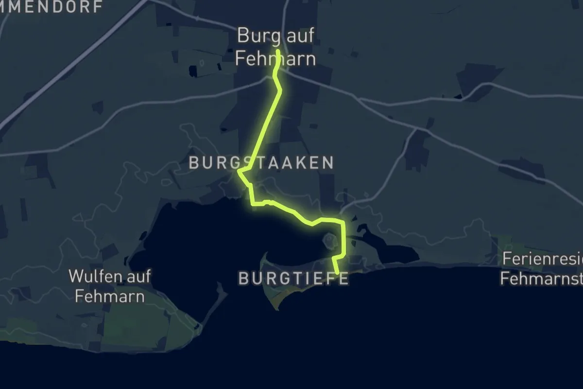
Medium · Trail
Burgtiefe-Burg-Burgtiefe
9.1 km · ↑ 17 m · 2 h 11 min
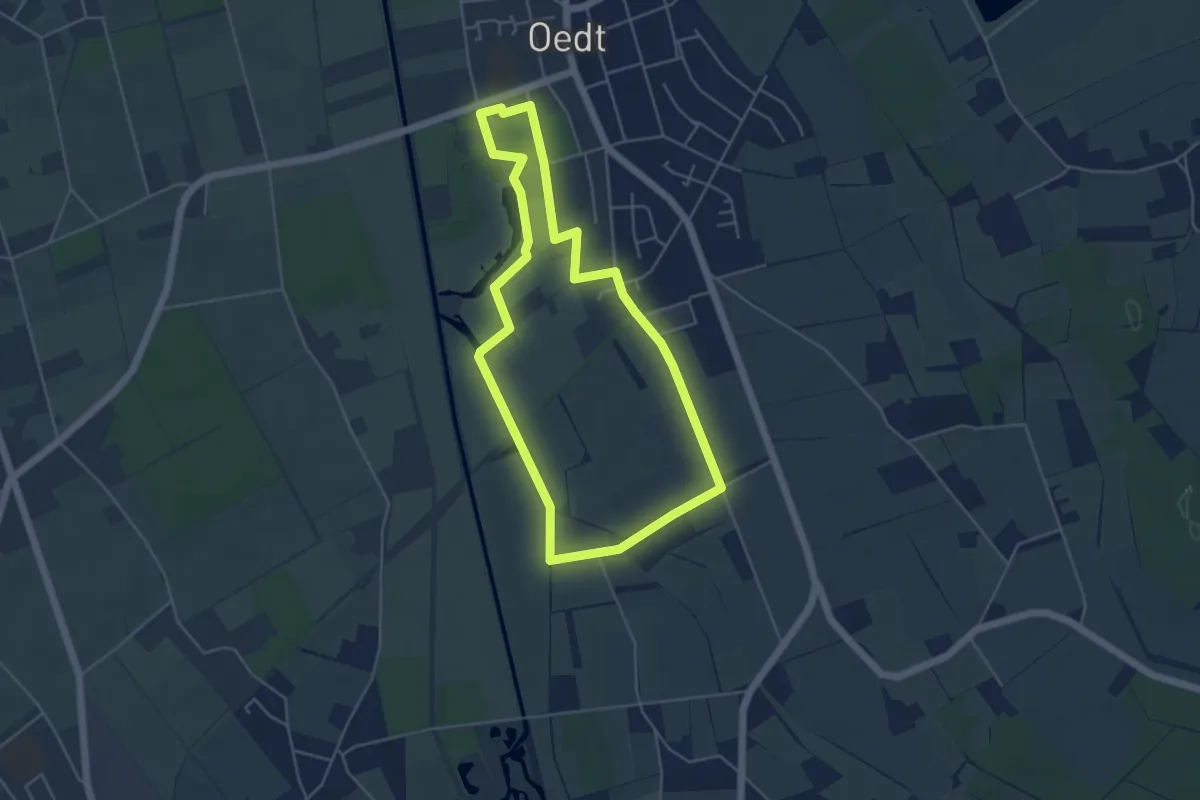
Easy · Trail
Burg Uda-Pfad
4.3 km · ↑ 0 m · 1 h 4 min
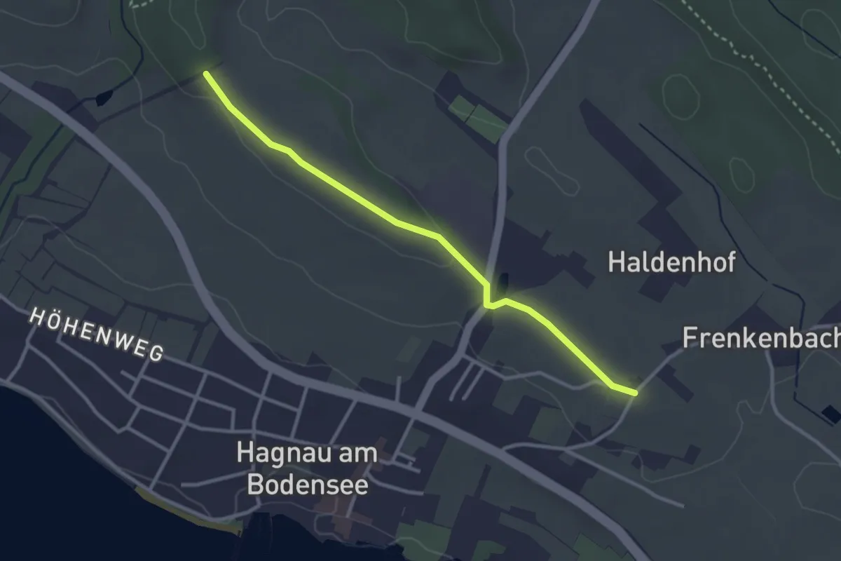
Easy · Trail
Burgunderhof - Wilhelmshöhe
2.9 km · ↑ 19 m · 44 min
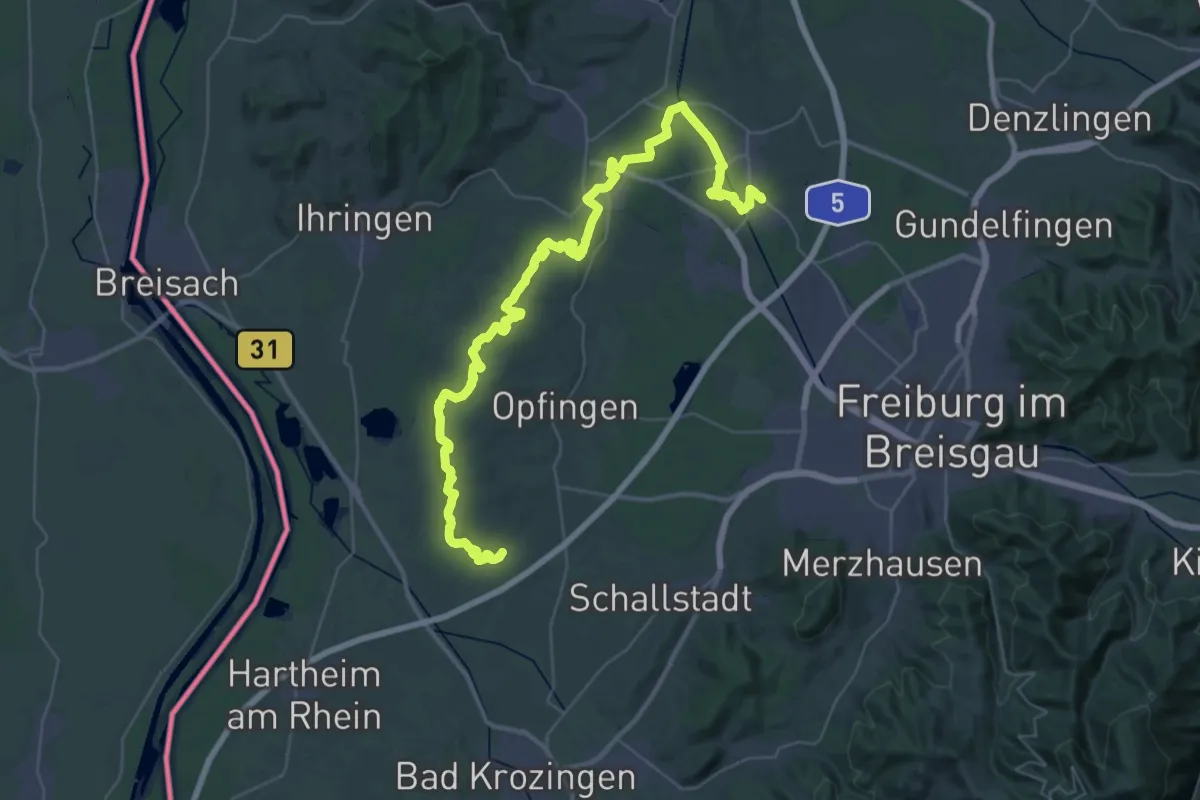
Demanding · Trail
Burgunderpfad
26.3 km · ↑ 419 m · 7 h 28 min
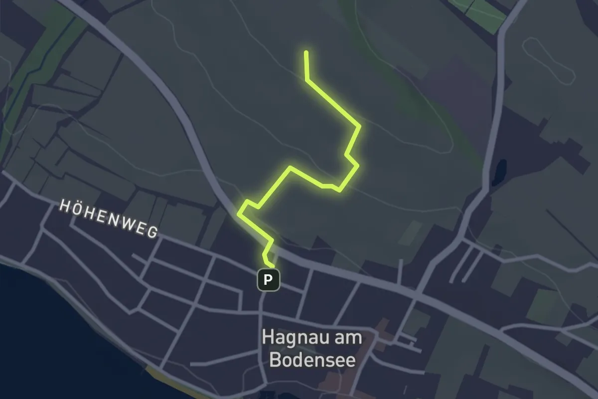
Easy · Trail
Burgunderweg
2.1 km · ↑ 51 m · 37 min
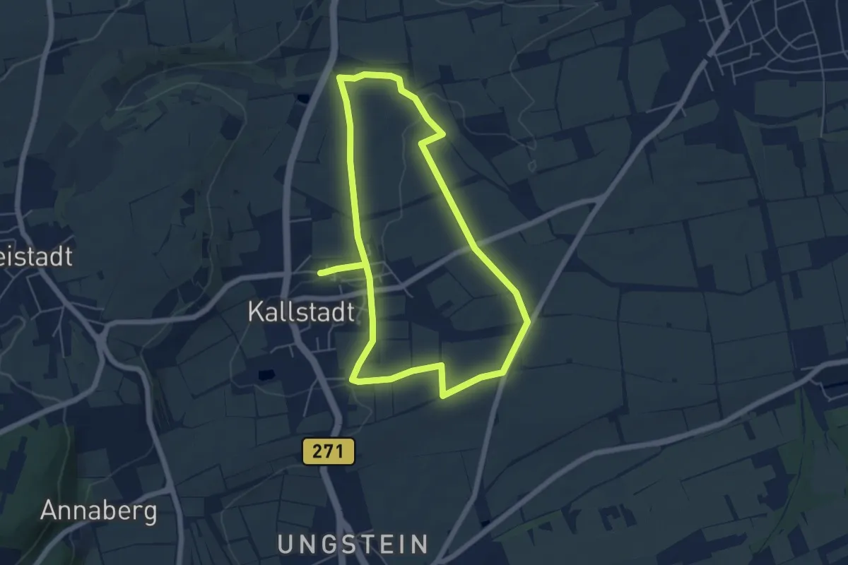
Easy · Trail
Burgunderweg
5.1 km · ↑ 39 m · 1 h 22 min
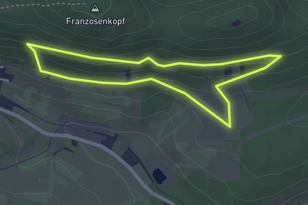
Easy · Trail
Burgunderweg Gräfenhausen
2.8 km · ↑ 124 m · 58 min
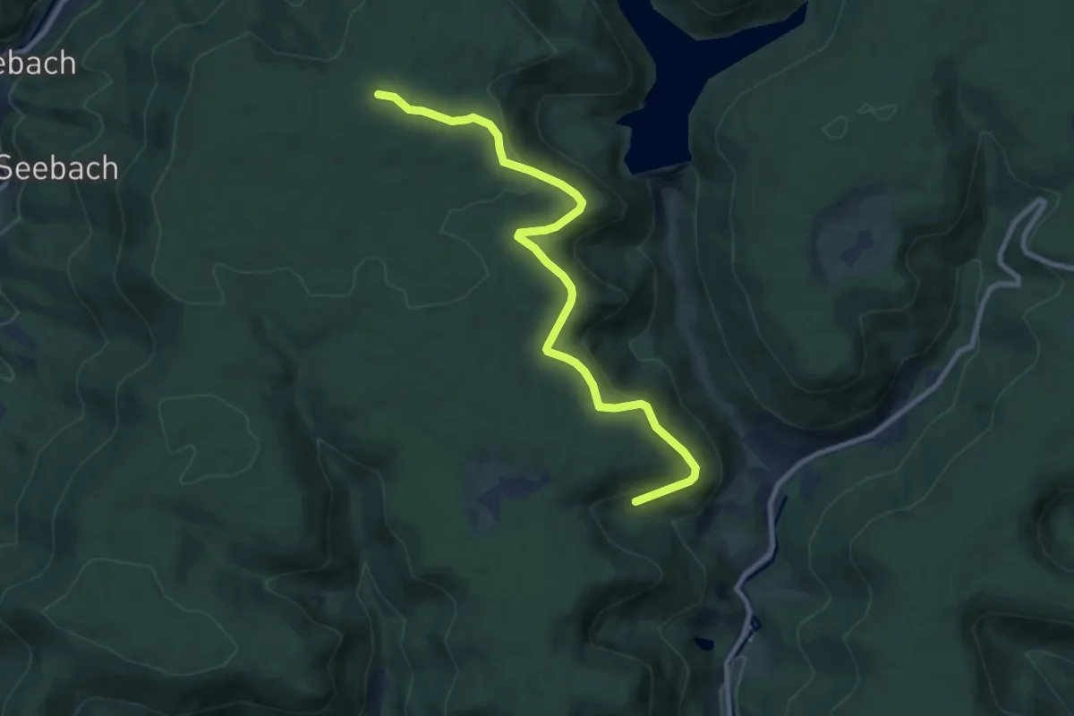
Medium · Trail
Burgwaldhöhe - Roßbergsteige
9.0 km · ↑ 258 m · 2 h 41 min
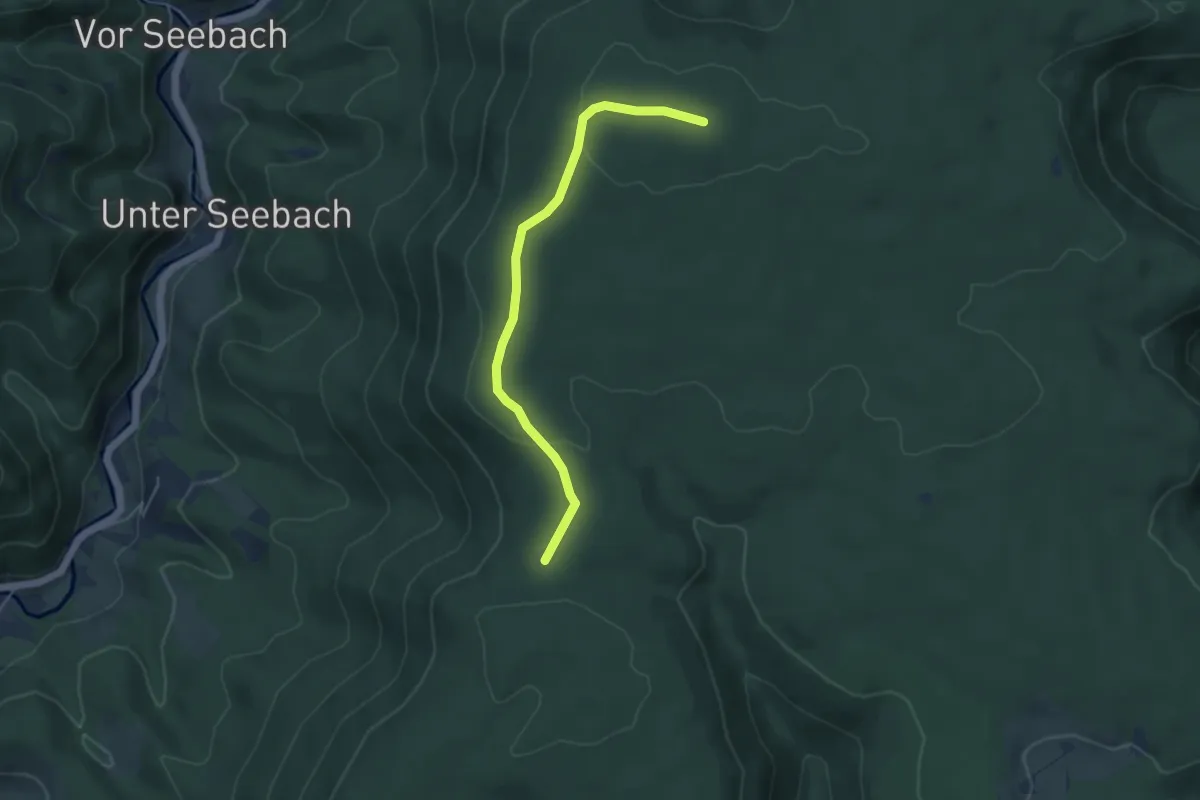
Easy · Summit
Burgwaldhöhe - Schmidsberger Platz
4.5 km · ↑ 72 m · 1 h 12 min
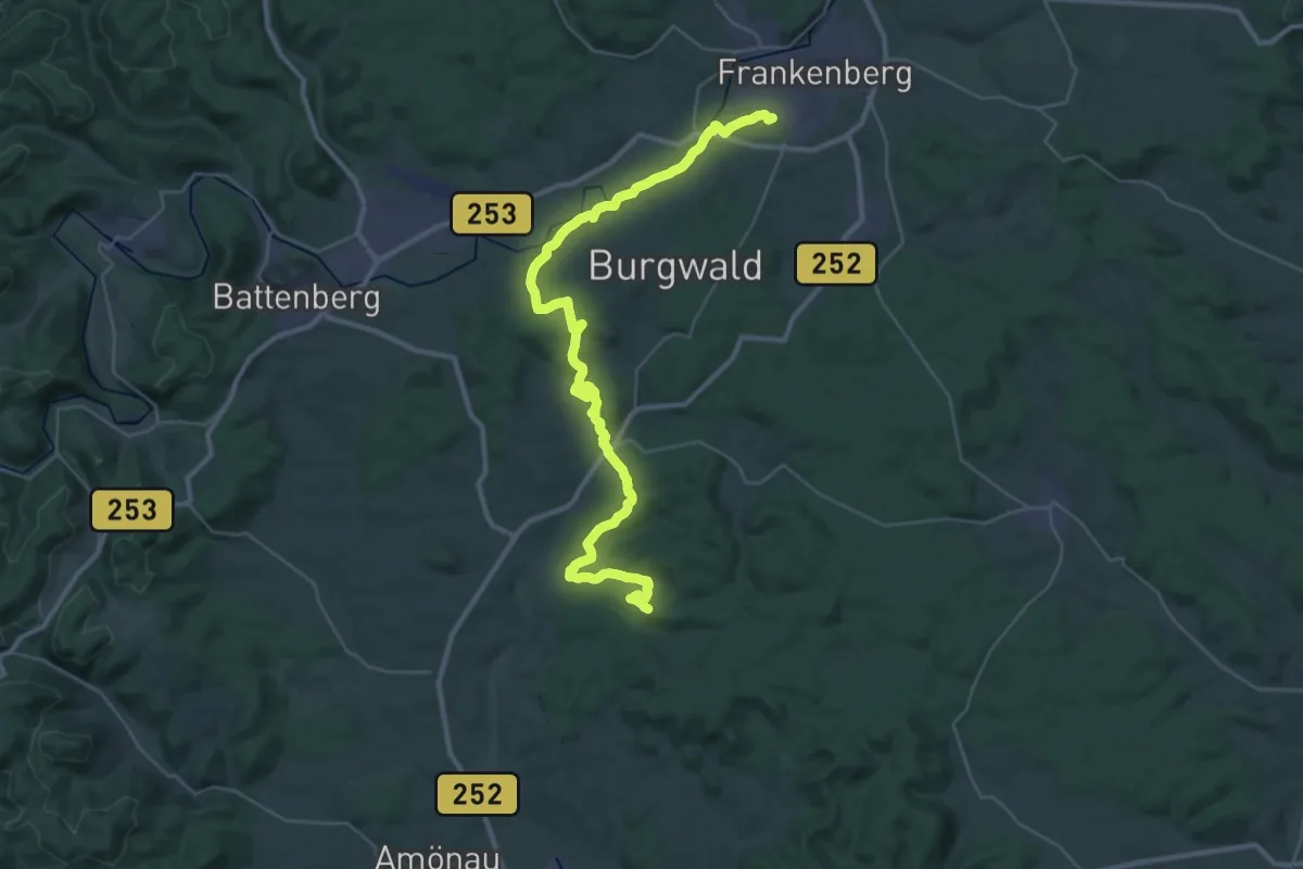
Demanding · Trail
Burgwaldpfad (Teilstrecke Christenberg-Frankenberg)
19.2 km · ↑ 323 m · 5 h 32 min
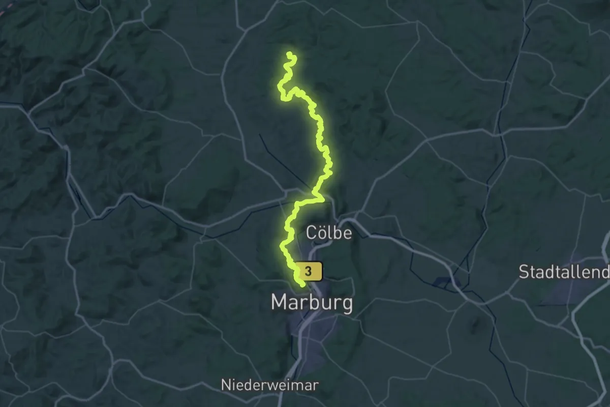
Demanding · Summit
Burgwaldpfad (Teilstrecke Marburg-Christenberg)
56.8 km · ↑ 1686 m · 17 h 4 min
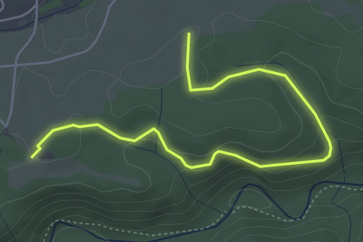
Easy · Trail
Burgwald - Wanderparkplatz Bachheim
4.8 km · ↑ 150 m · 1 h 27 min
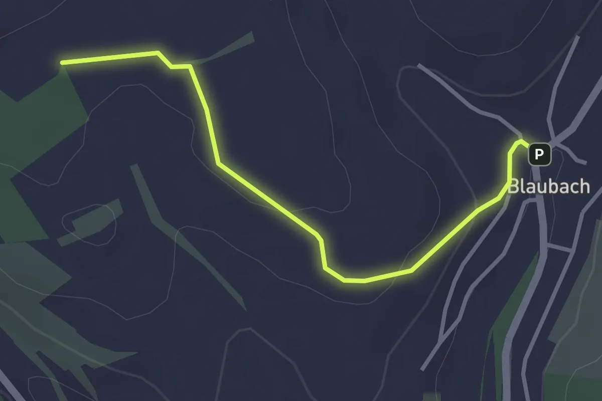
Easy · Trail
Burg-Wanderweg
2.9 km · ↑ 69 m · 51 min
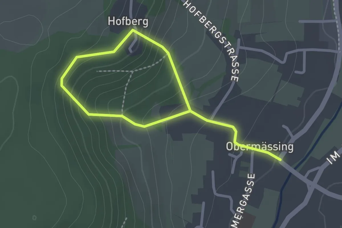
Easy · Trail
Burgwanderweg Hofberg
3.0 km · ↑ 221 m · 1 h 12 min
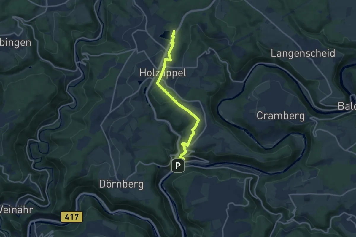
Medium · Trail
Burgweg
11.1 km · ↑ 336 m · 3 h 21 min