Trails in Germany
36,847 hiking trails, each with its route, climb, walking time and grade.
All trails, page 106 of 768
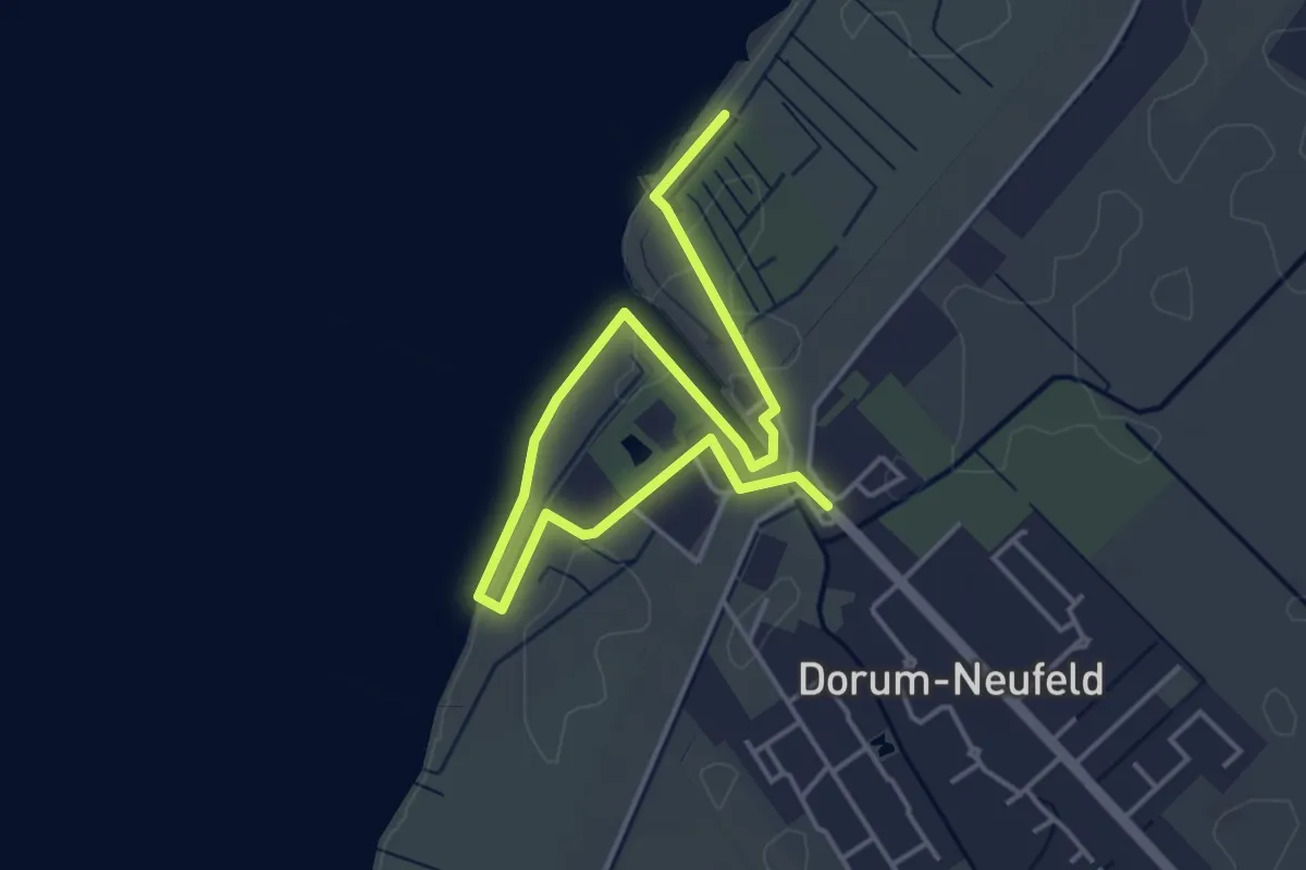
Easy · Trail
Der Sturmweg Wanderweg - Dorum-Neufeld
4.8 km · ↑ 0 m · 1 h 8 min
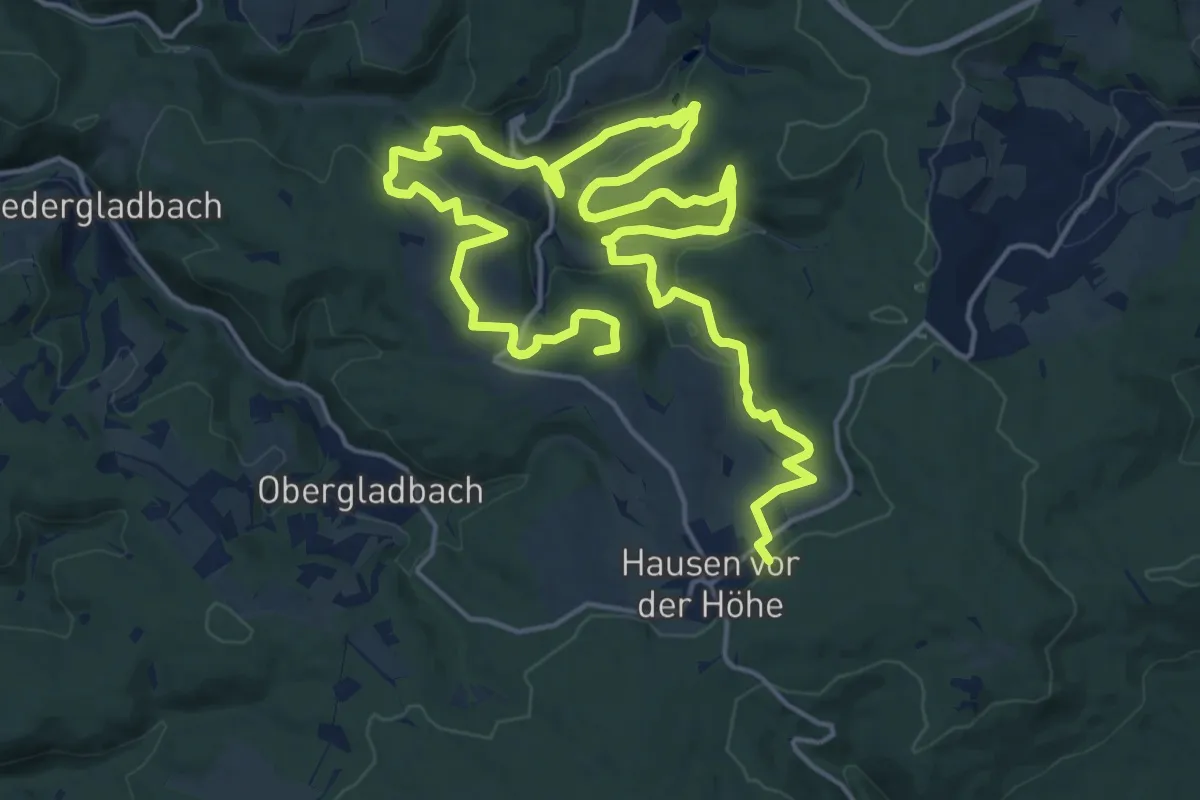
Demanding · Summit
Der Überhöhische
26.8 km · ↑ 744 m · 7 h 56 min
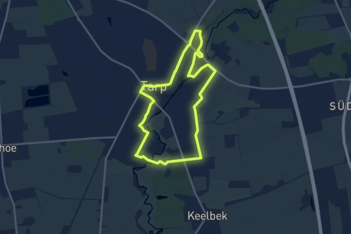
Easy · Trail
Der Wanderweg entlang der Eulenskulpturen
5.8 km · ↑ 21 m · 1 h 29 min
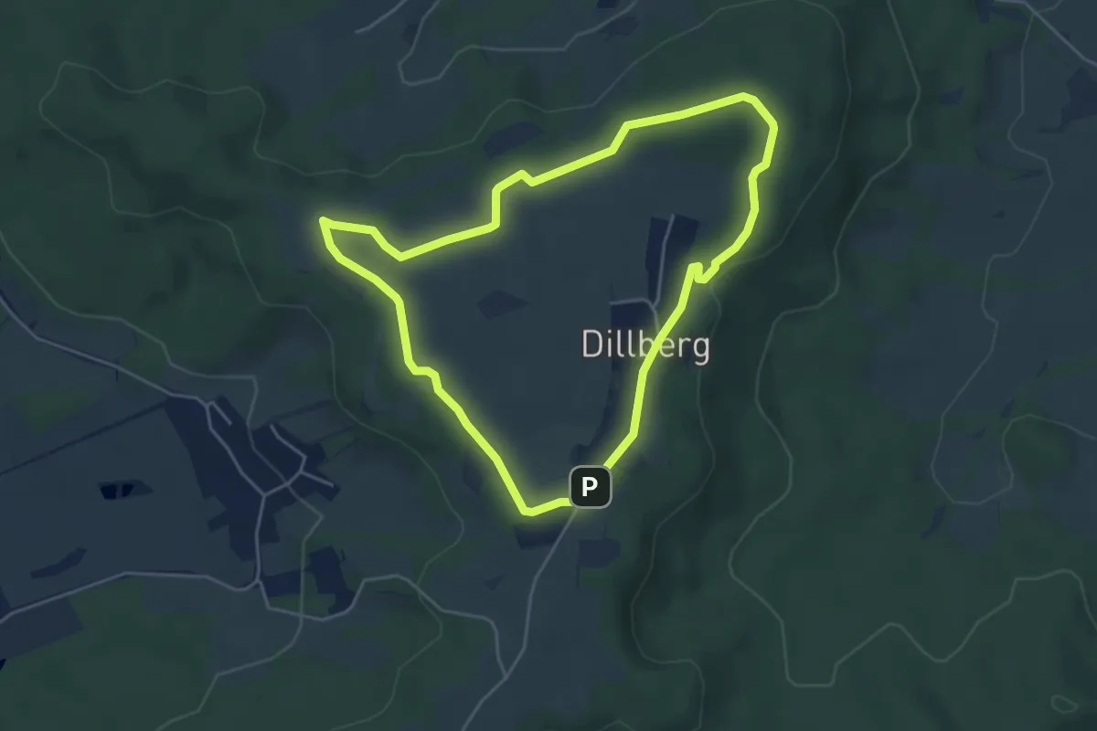
Easy · Trail
Der Weg der Poesie
4.3 km · ↑ 64 m · 1 h 12 min
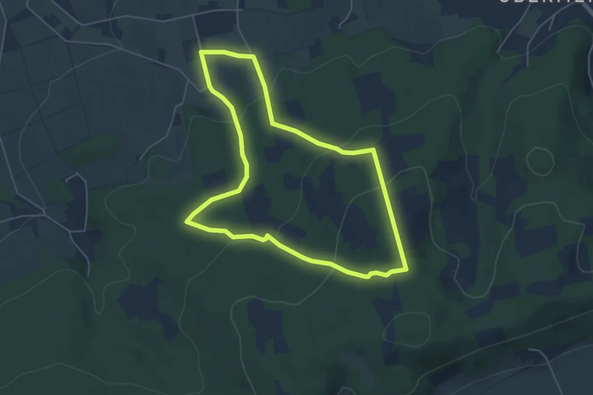
Easy · Summit
Der Weg zum Gipfel "Altes Verbrenn"
4.3 km · ↑ 163 m · 1 h 25 min
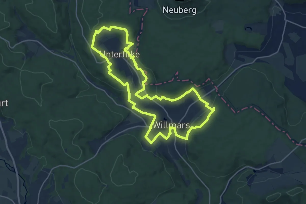
Medium · Trail
Der Willmarser
14.4 km · ↑ 361 m · 4 h 22 min
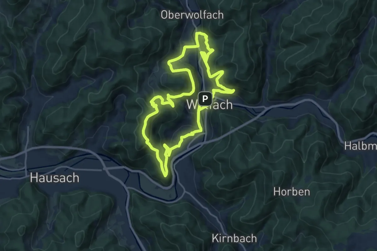
Medium · Summit
Der Wolfacher Rundwanderweg 3. Etappe
14.1 km · ↑ 728 m · 5 h 6 min
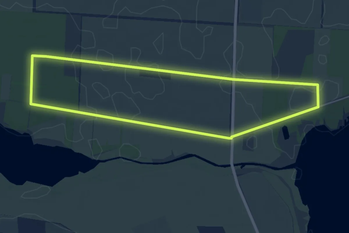
Easy · Trail
De Schöne un dat Moor
4.3 km · ↑ 8 m · 1 h 6 min
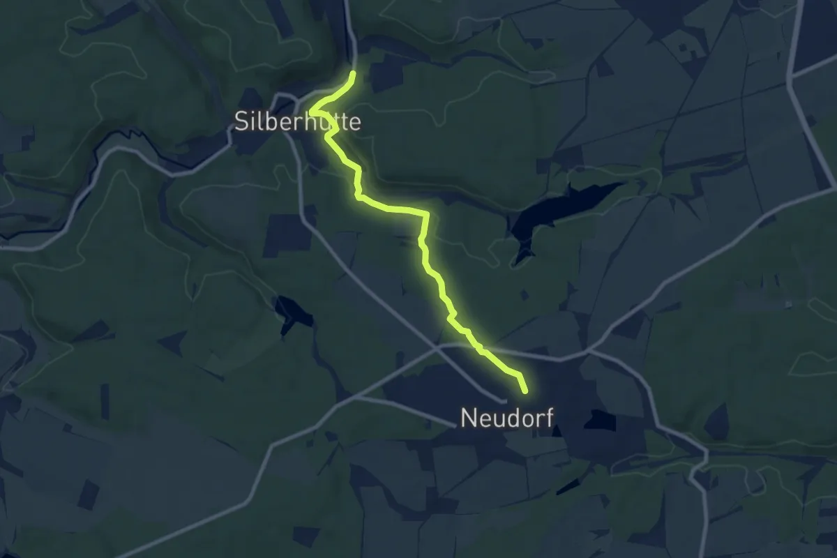
Easy · Trail
Dessauer Weg
7.3 km · ↑ 121 m · 1 h 59 min
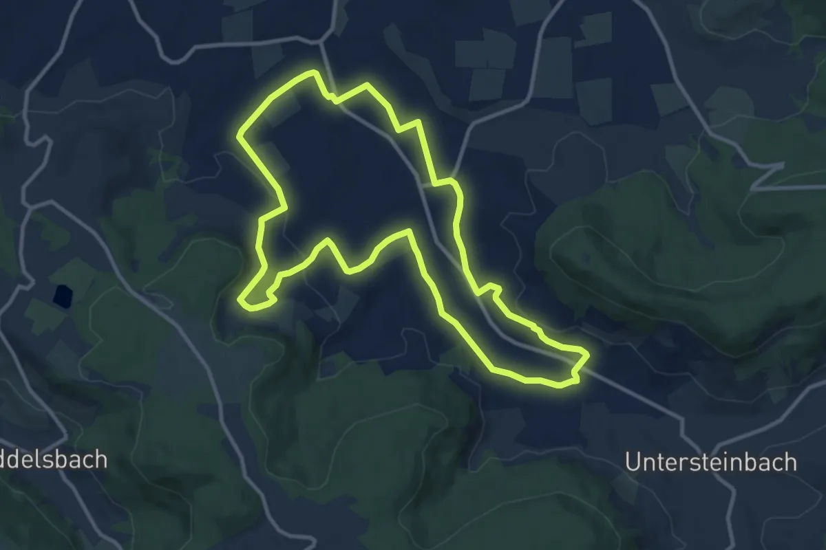
Medium · Trail
Destillat Weg - Wissenspfad "Balduffer"
10.0 km · ↑ 166 m · 2 h 52 min
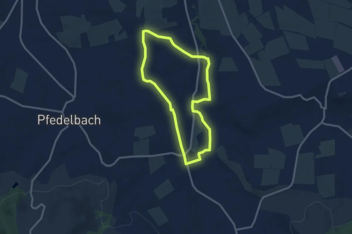
Easy · Trail
Destillat Weg - Wissenspfad "Gfingldr"
5.4 km · ↑ 49 m · 1 h 28 min
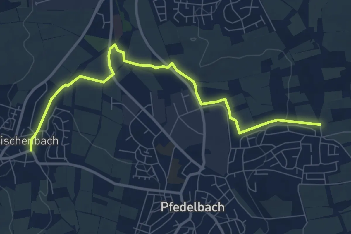
Easy · Trail
Destillat Weg - Wissenspfad "Himbeergeist" (Nord)
7.3 km · ↑ 52 m · 1 h 50 min
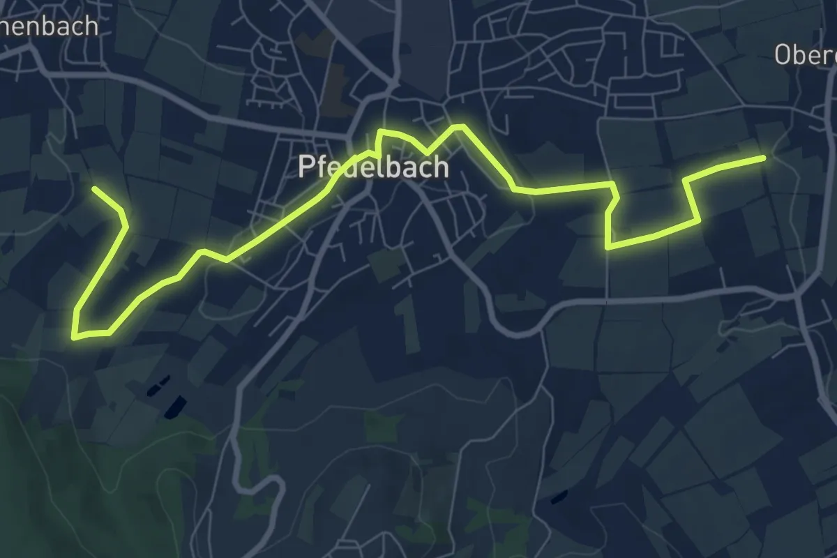
Medium · Trail
Destillat Weg - Wissenspfad "Himbeergeist" (Süd)
9.1 km · ↑ 135 m · 2 h 26 min
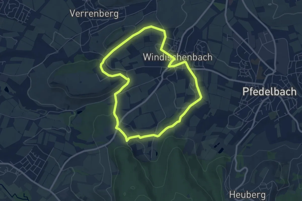
Easy · Trail
Destillat Weg - Wissenspfad "Kirschwasser"
6.2 km · ↑ 123 m · 1 h 49 min
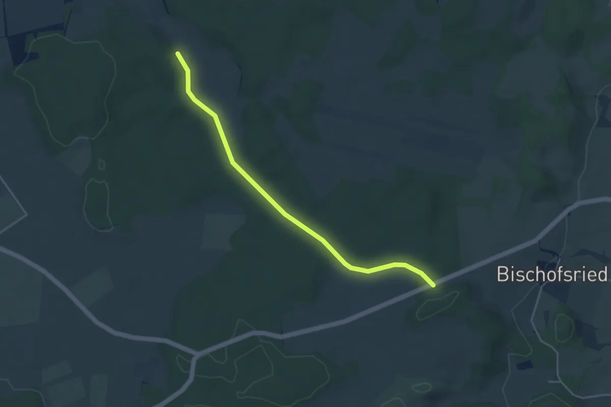
Easy · Trail
Dettenschwanger Runde
3.9 km · ↑ 41 m · 1 h
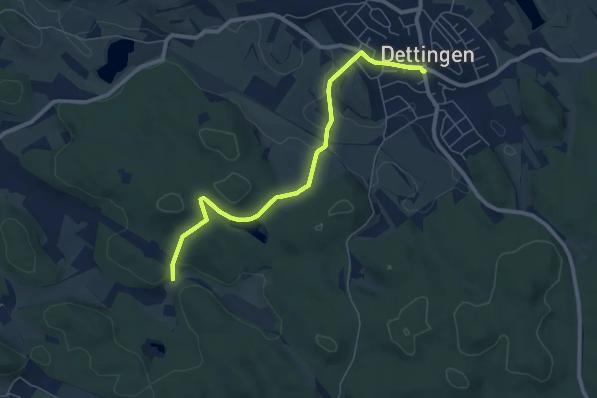
Easy · Trail
Dettingen Ortsmitte - Reitern
5.7 km · ↑ 99 m · 1 h 33 min
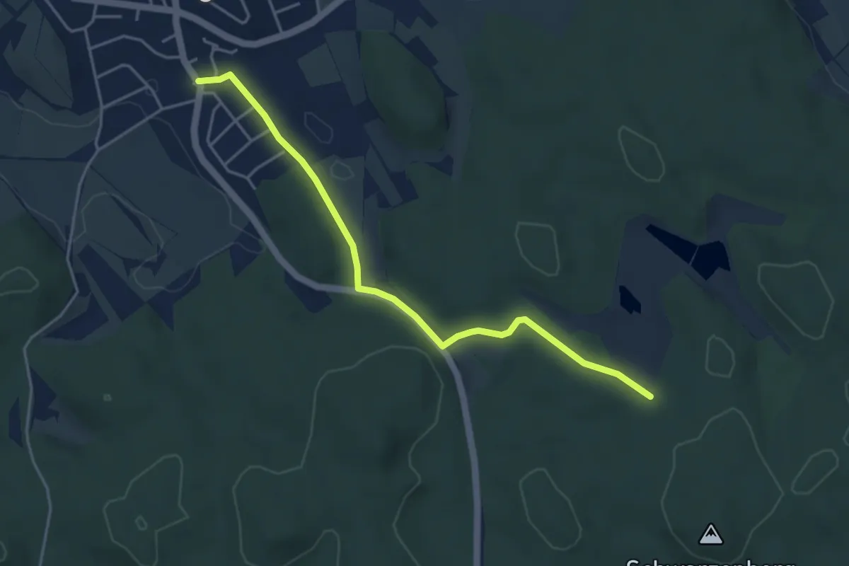
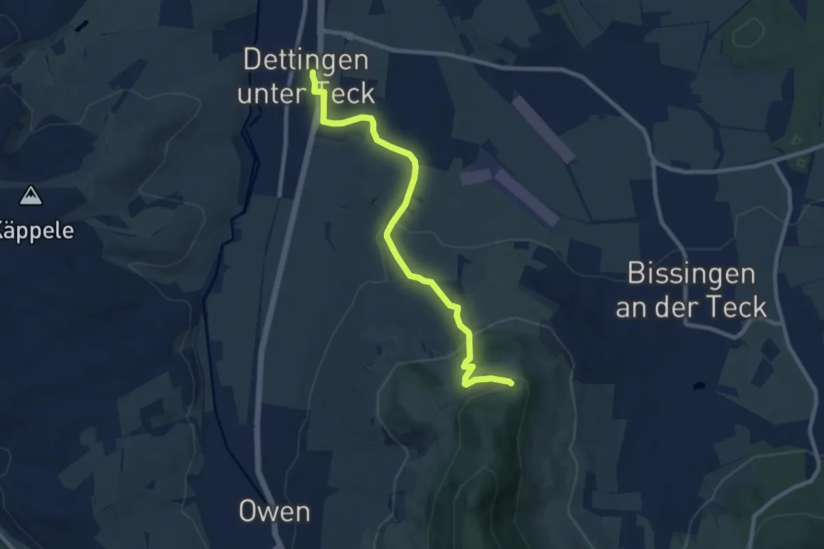
Easy · Trail
Dettingen Pappelweg - Homberg
4.2 km · ↑ 31 m · 1 h 3 min
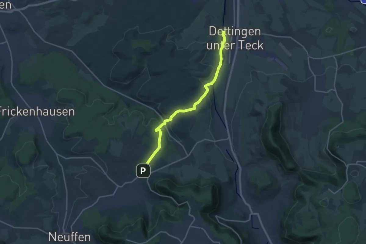
Easy · Trail
Dettingen - Teck
7.4 km · ↑ 253 m · 2 h 17 min
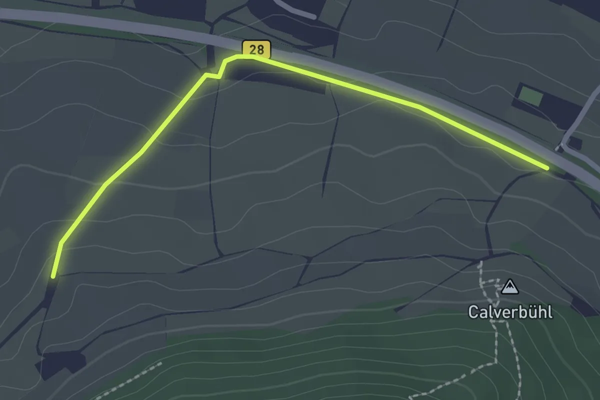
Medium · Trail
Dettingen u. T. ,Owen, Beuren
13.2 km · ↑ 287 m · 3 h 44 min
Easy · Trail
Dettinger Kirschenheimat
2.1 km · ↑ 60 m · 38 min
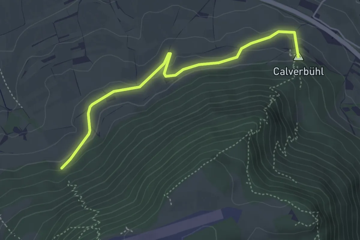
Easy · Summit
Dettinger Kirschenweg
4.3 km · ↑ 132 m · 1 h 19 min
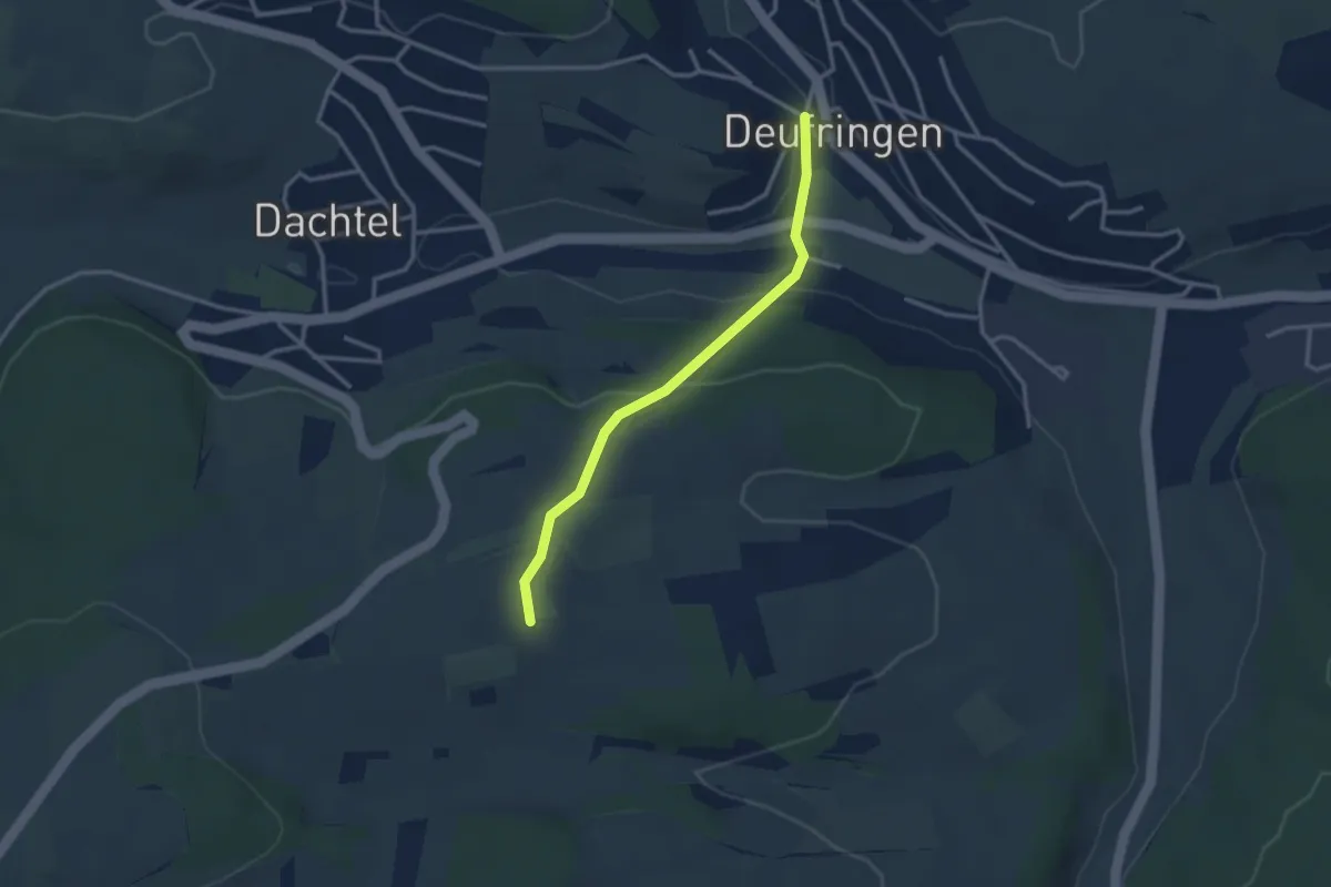
Easy · Trail
Deufringen Kreuzstraße - Eckweg
2.7 km · ↑ 95 m · 51 min
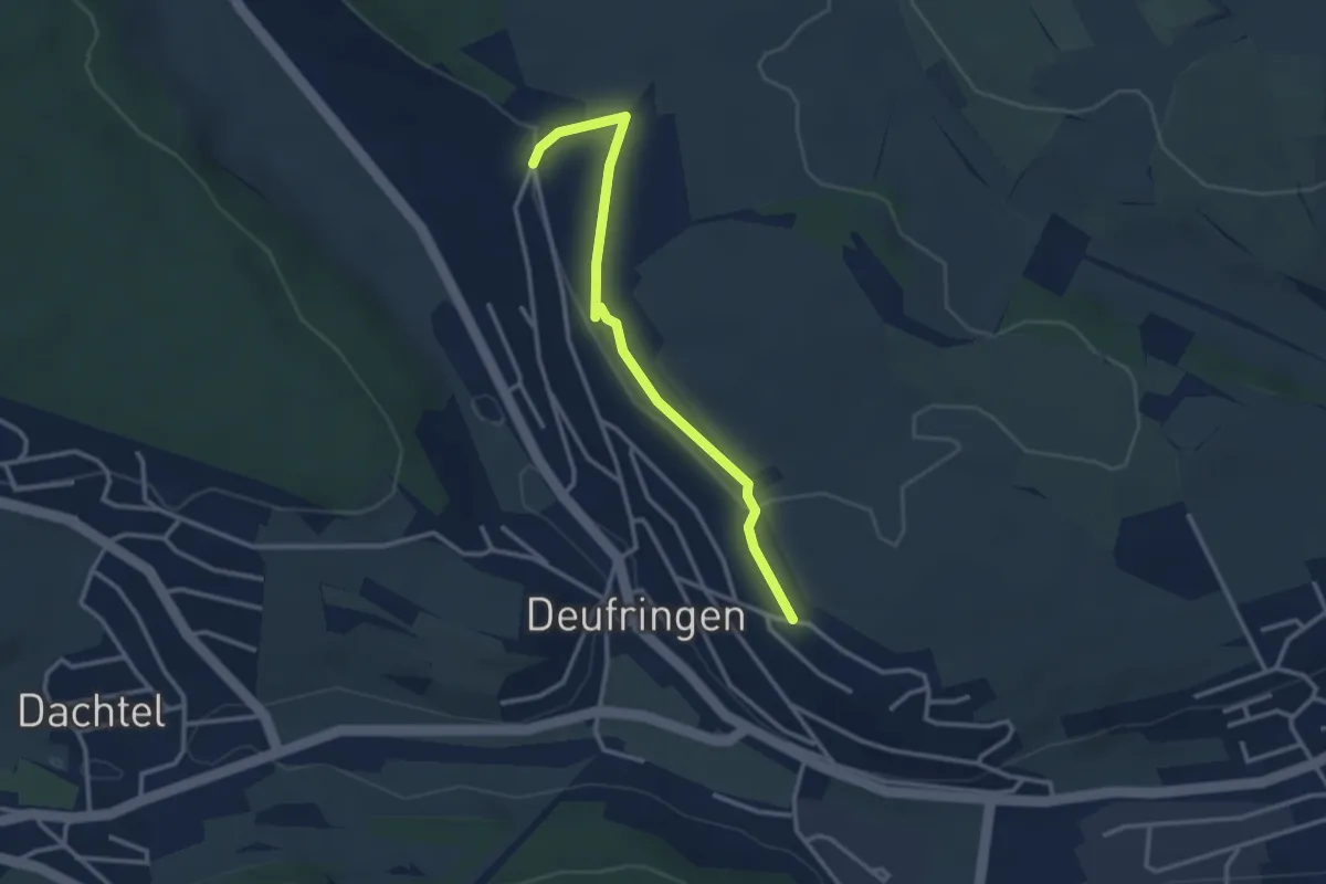
Easy · Trail
Deufringen Lindenallee - Henneburg
2.9 km · ↑ 29 m · 45 min
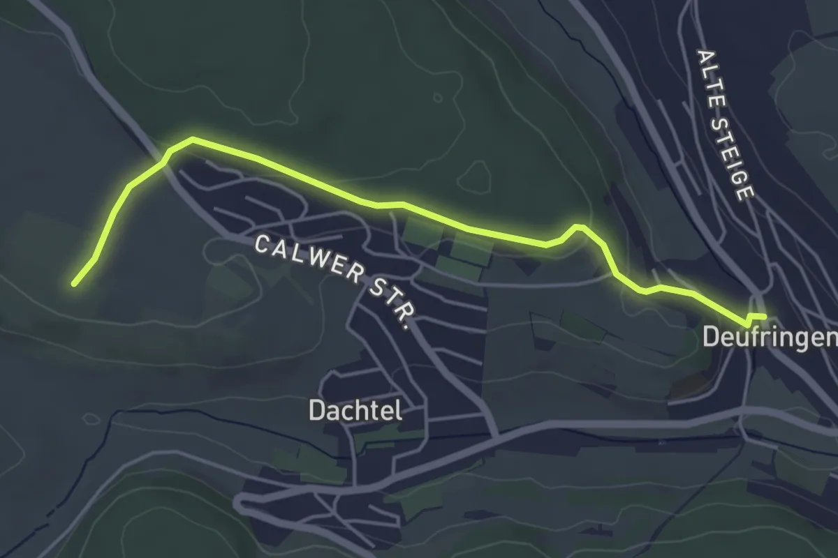
Easy · Trail
Deufringen Rathaus - Storrenberg
4.5 km · ↑ 94 m · 1 h 15 min
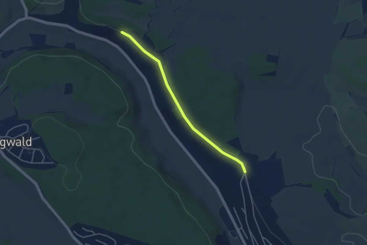
Easy · Trail
Deufringer Weg - Lindenallee
3.1 km · ↑ 77 m · 53 min
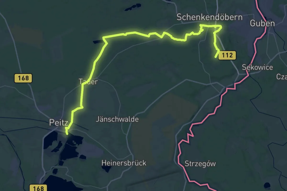
Demanding · Trail
Deulowitzer See - Peitz
30.7 km · ↑ 135 m · 7 h 58 min
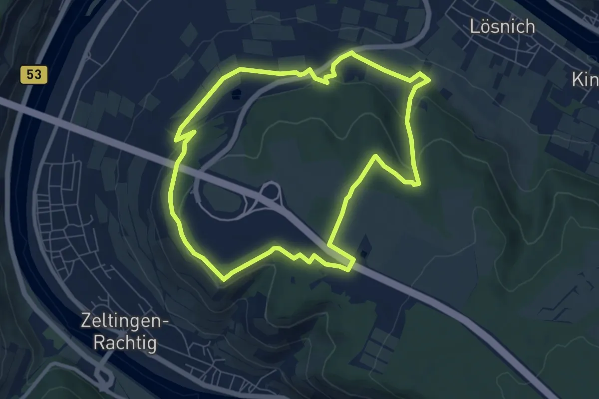
Easy · Trail
Deutschherrenweg
6.5 km · ↑ 140 m · 1 h 56 min
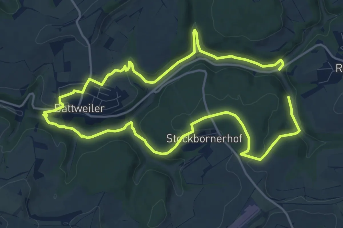
Medium · Trail
Deutschritter-Tour
9.4 km · ↑ 248 m · 2 h 53 min
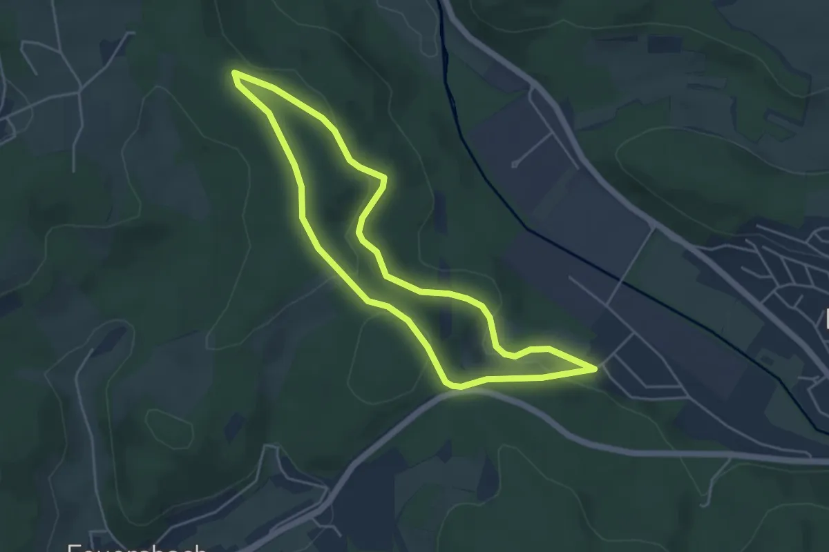
Easy · Trail
Deuz Rundweg A1
3.9 km · ↑ 93 m · 1 h 11 min
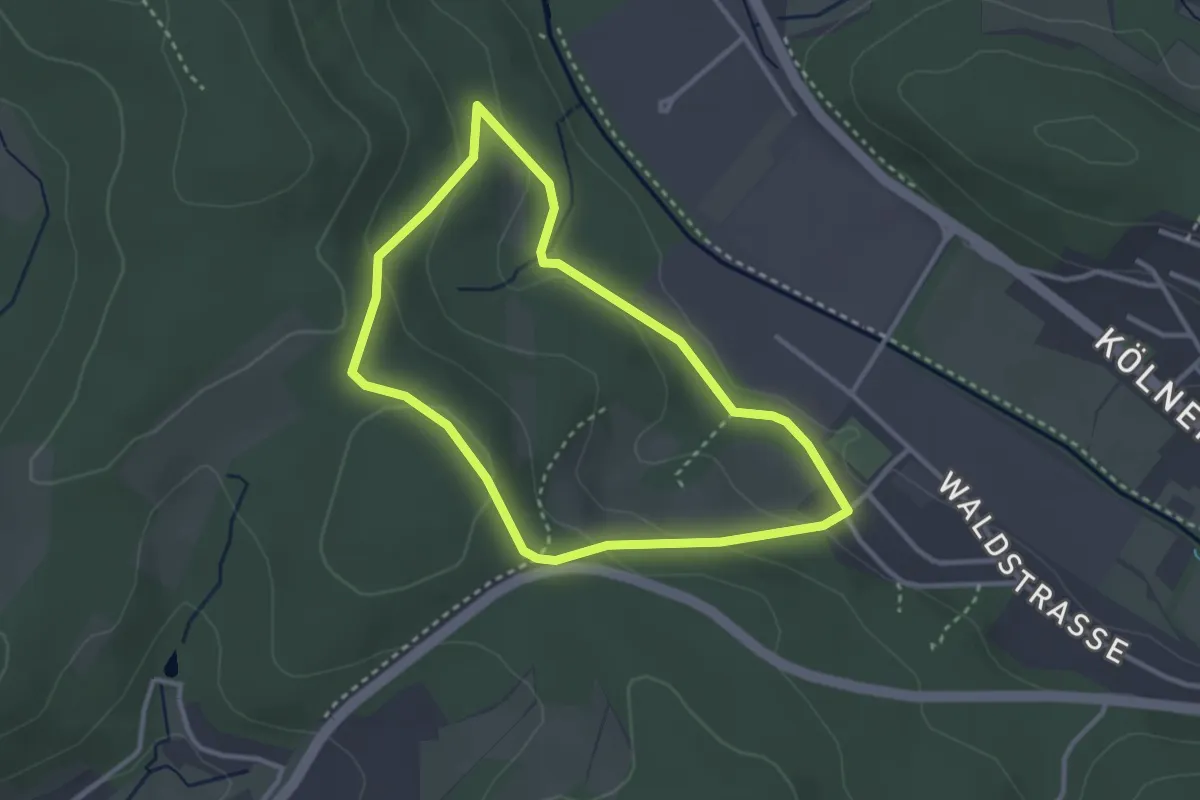
Easy · Trail
Deuz Rundweg A2
2.6 km · ↑ 90 m · 51 min
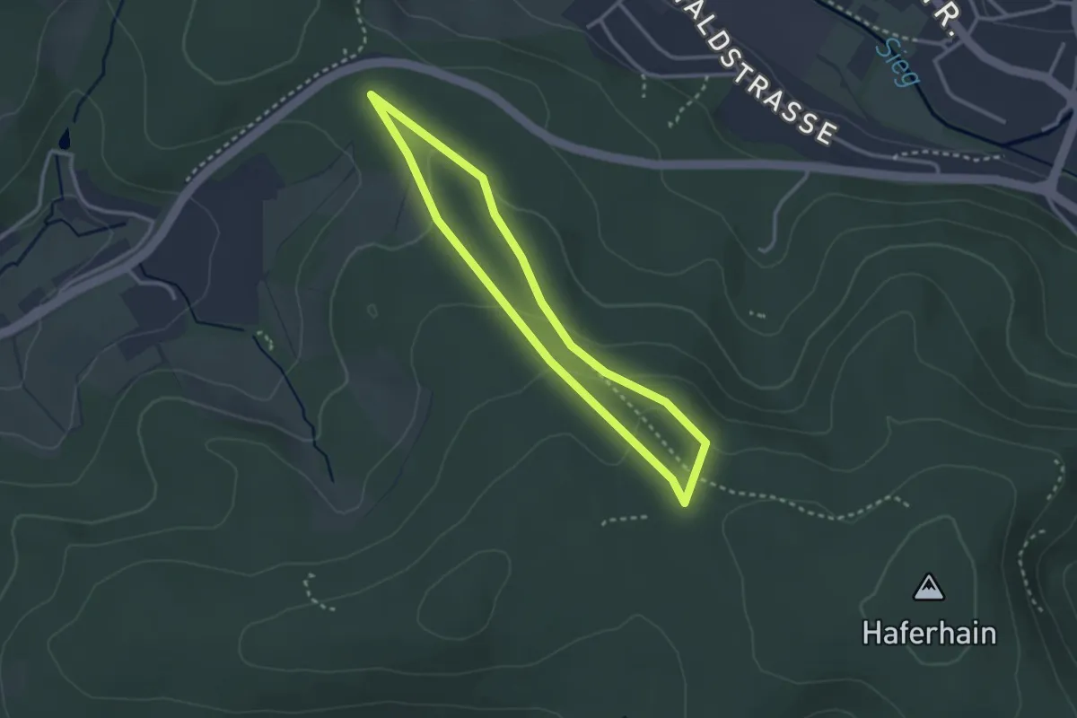
Easy · Trail
Deuz Rundweg A5
2.4 km · ↑ 78 m · 46 min
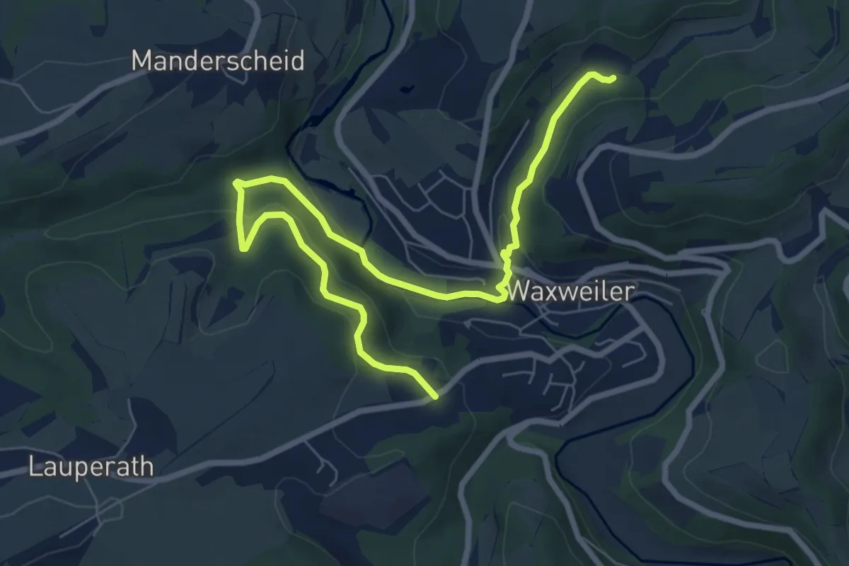
Medium · Trail
Devon-Pfad
8.0 km · ↑ 269 m · 2 h 28 min
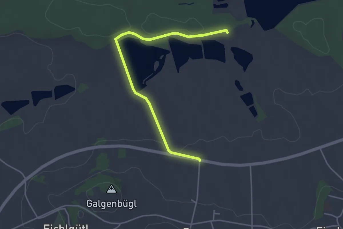
Easy · Trail
d'Fischbacher Weiherrund'n
3.7 km · ↑ 28 m · 56 min
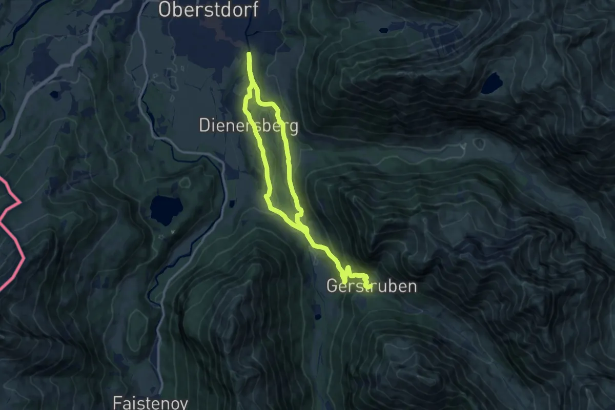
Medium · Trail
D - Gerstruben - ein Bergdorf im Winter
17.9 km · ↑ 533 m · 5 h 23 min
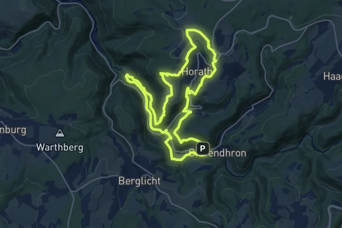
Demanding · Trail
Dhrontal-Wackentour
14.7 km · ↑ 573 m · 4 h 54 min
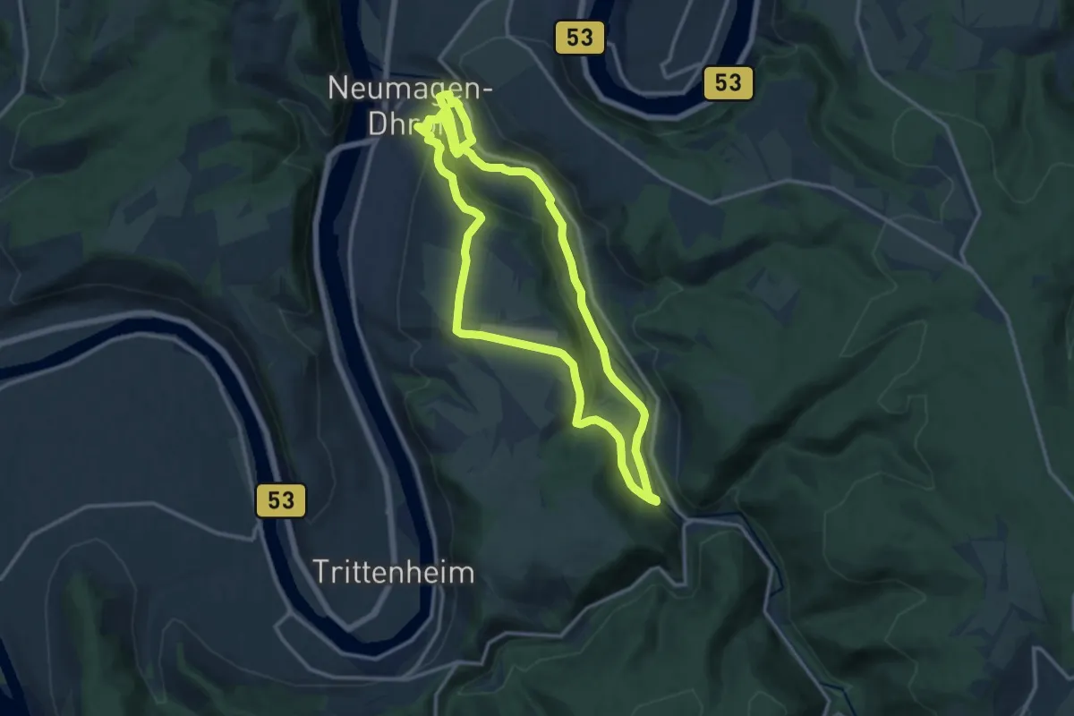
Medium · Trail
Dhrontalweg
11.9 km · ↑ 183 m · 3 h 22 min
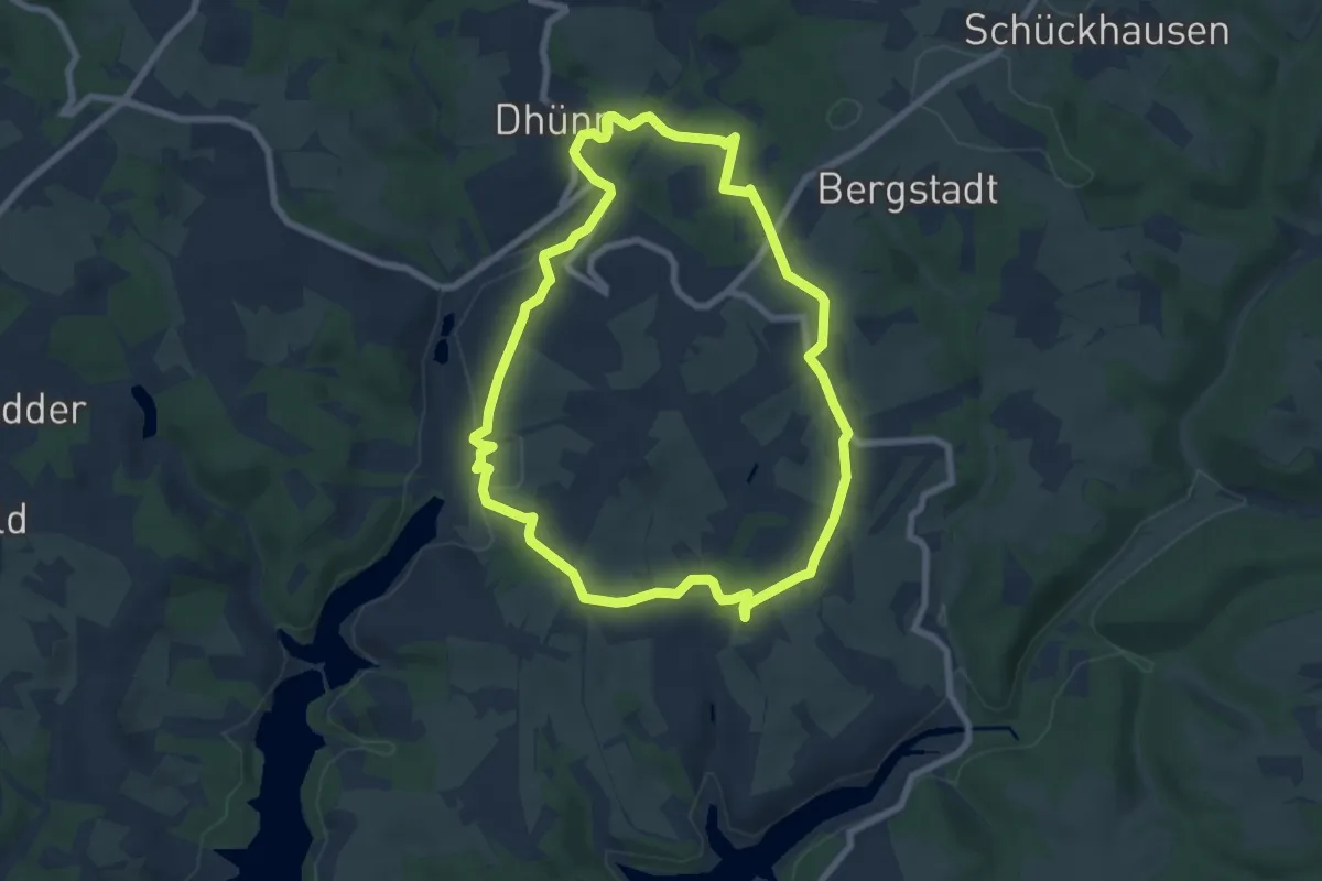
Easy · Trail
Dhünn Rundweg A1
6.6 km · ↑ 166 m · 2 h 1 min
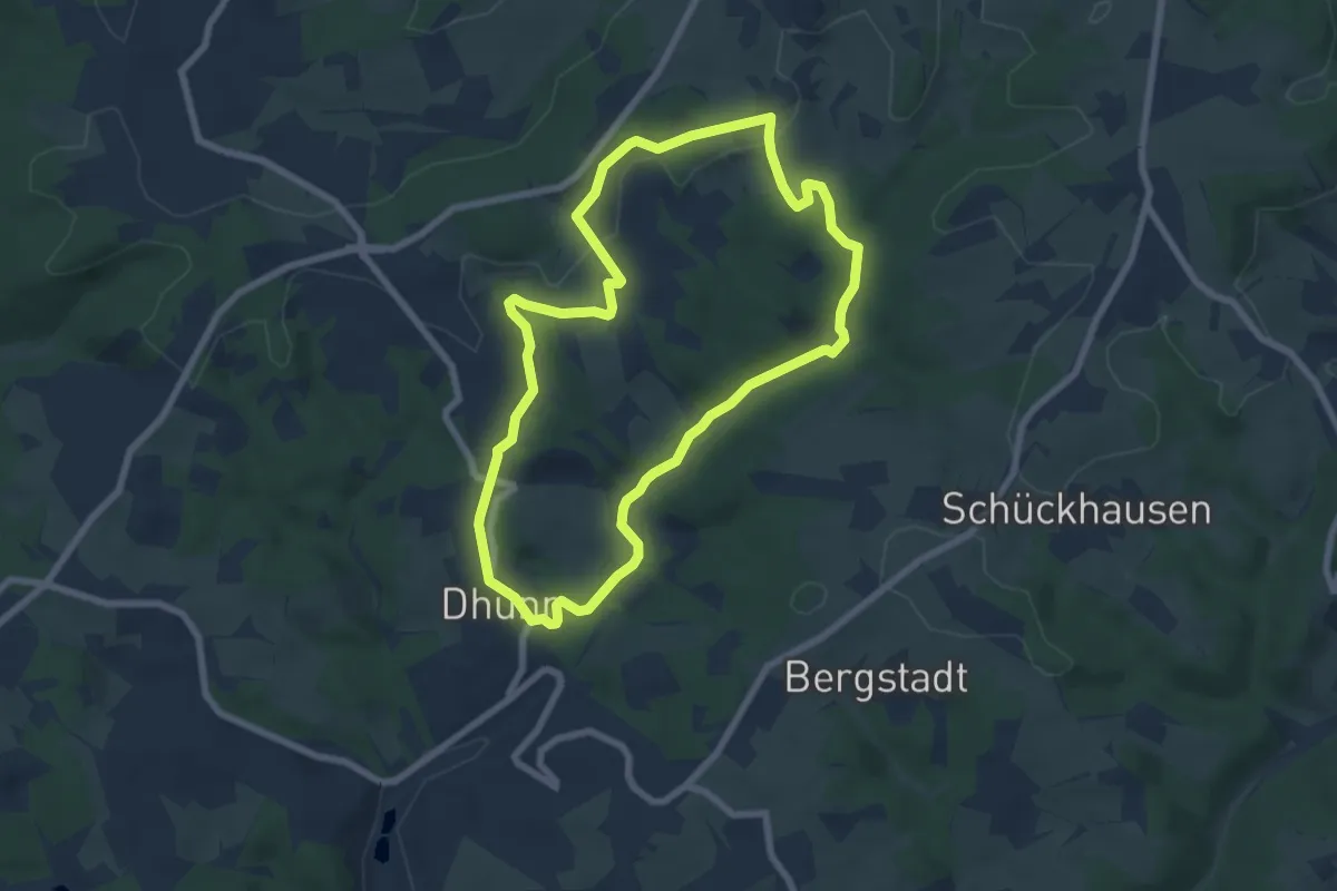
Easy · Trail
Dhünn Rundweg A2
6.3 km · ↑ 128 m · 1 h 51 min
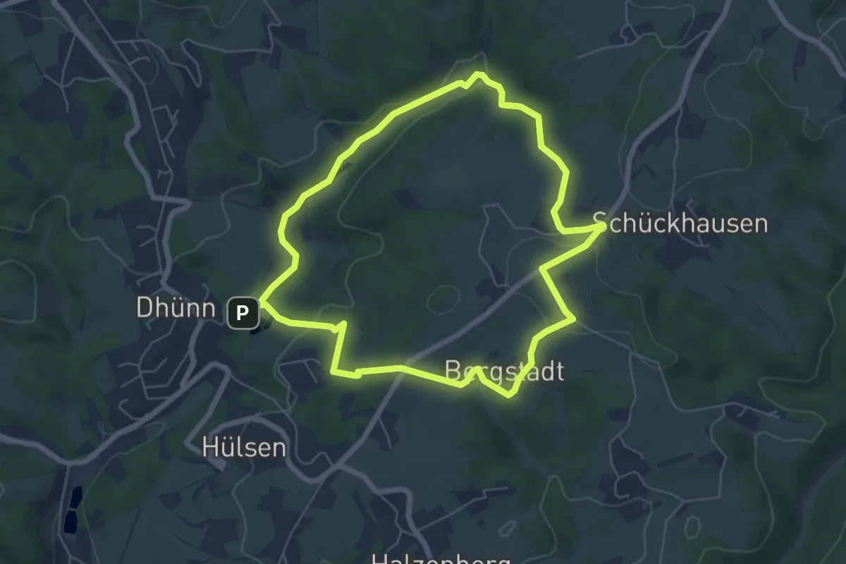
Easy · Trail
Dhünn Rundweg A3
5.3 km · ↑ 110 m · 1 h 34 min
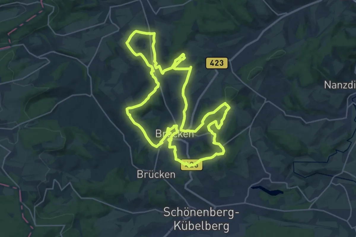
Demanding · Summit
Diamant-Schleifer-Weg
20.4 km · ↑ 605 m · 6 h 25 min
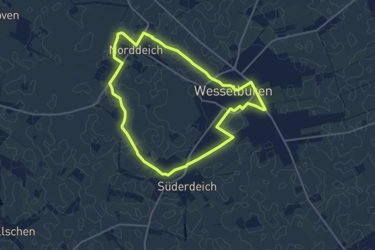
Easy · Trail
Dichterfad 1
7.7 km · ↑ 4 m · 1 h 56 min
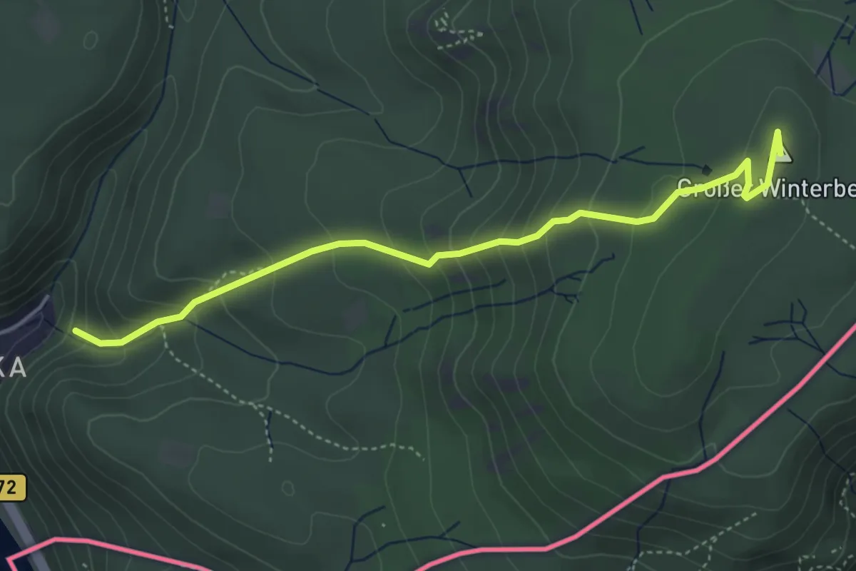
Medium · Summit
DichterMusikerMaler-Weg (DE)
4.2 km · ↑ 340 m · 1 h 43 min
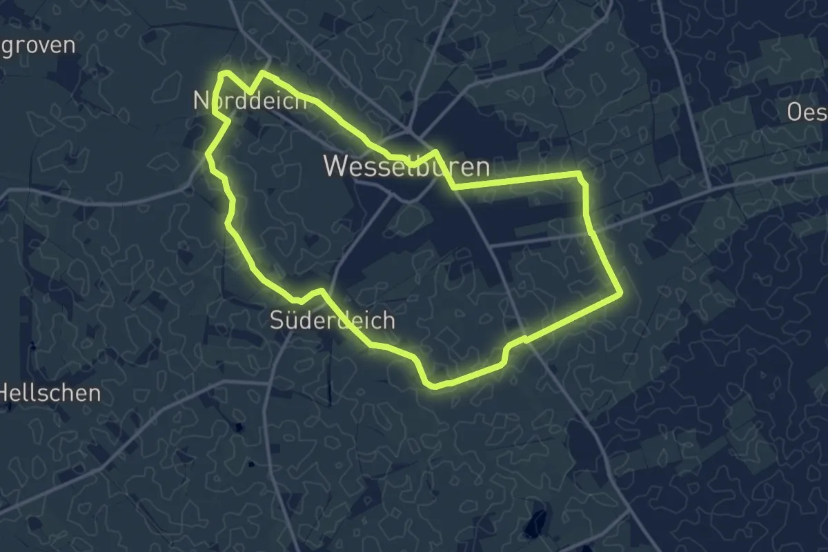
Medium · Trail
Dichterpfad 2
11.2 km · ↑ 4 m · 2 h 48 min
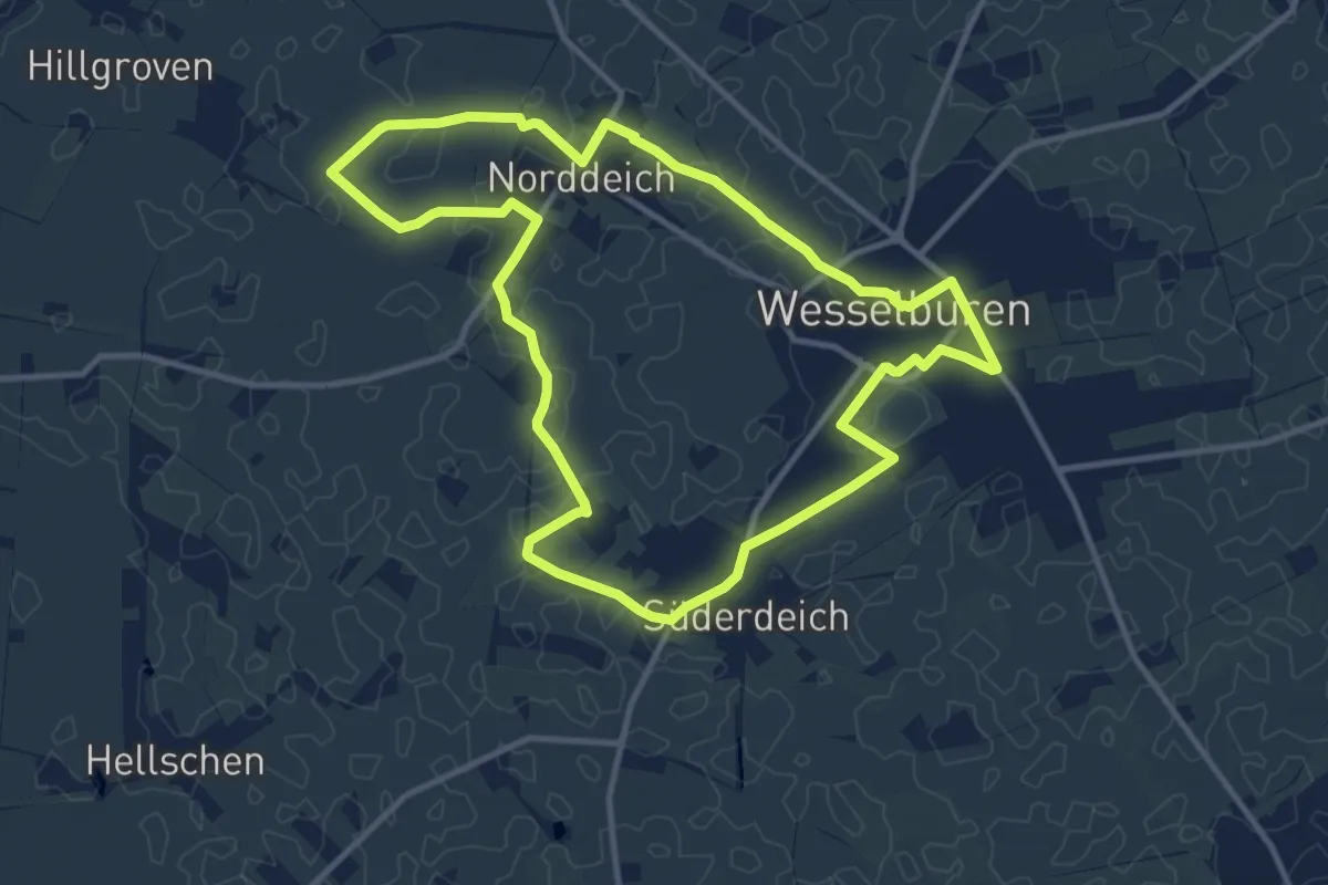
Medium · Trail
Dichterpfad 3
10.0 km · ↑ 4 m · 2 h 30 min
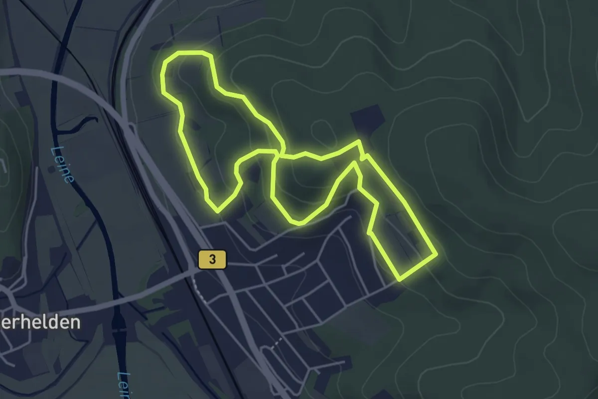
Easy · Trail
Dicke Buchen Weg
3.8 km · ↑ 157 m · 1 h 18 min
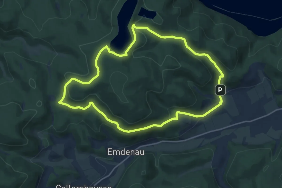
Medium · Trail
Dicker Kopf-Route
10.0 km · ↑ 303 m · 3 h 9 min
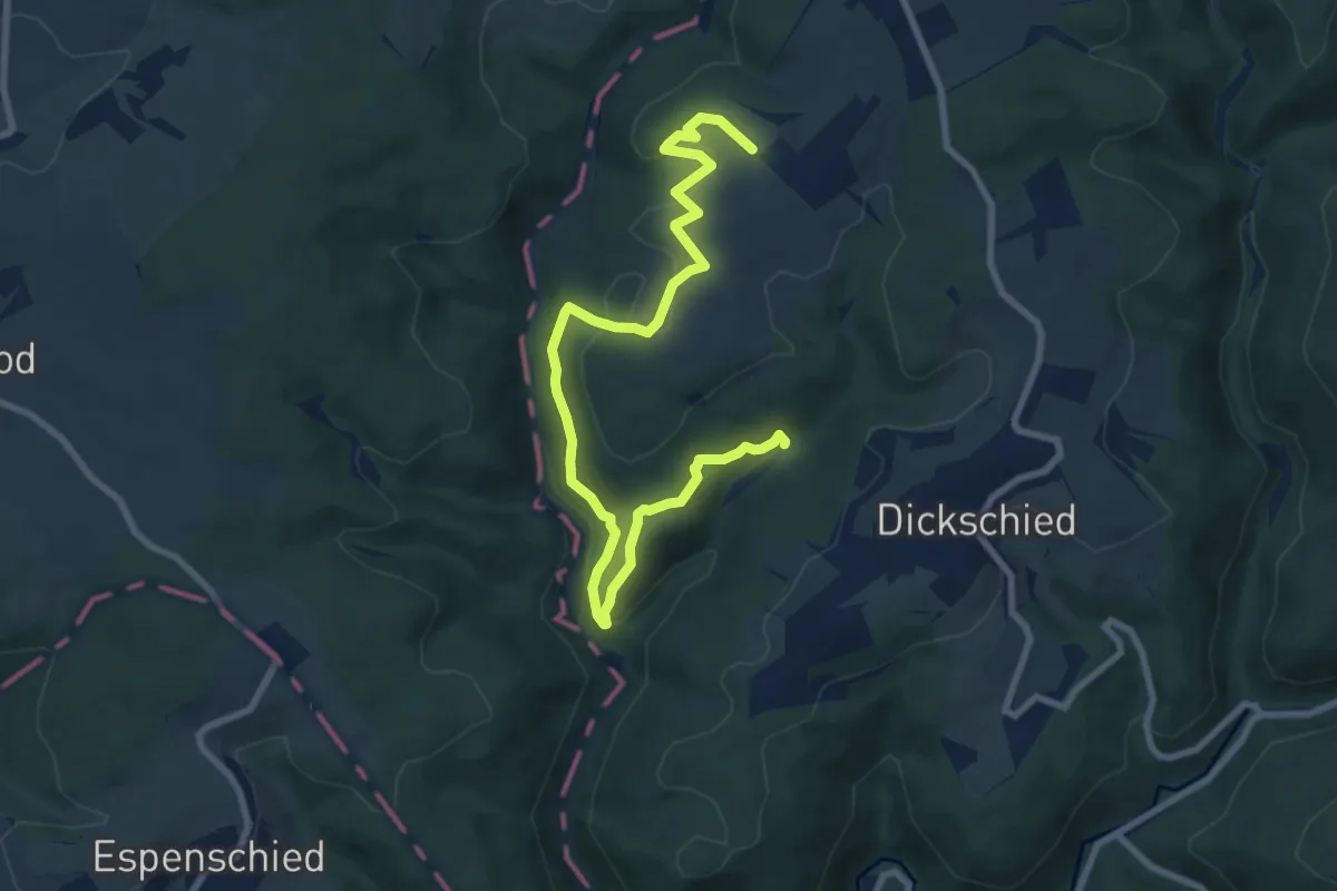
Easy · Trail
Dickschieder Wildwechsel
4.8 km · ↑ 202 m · 1 h 35 min
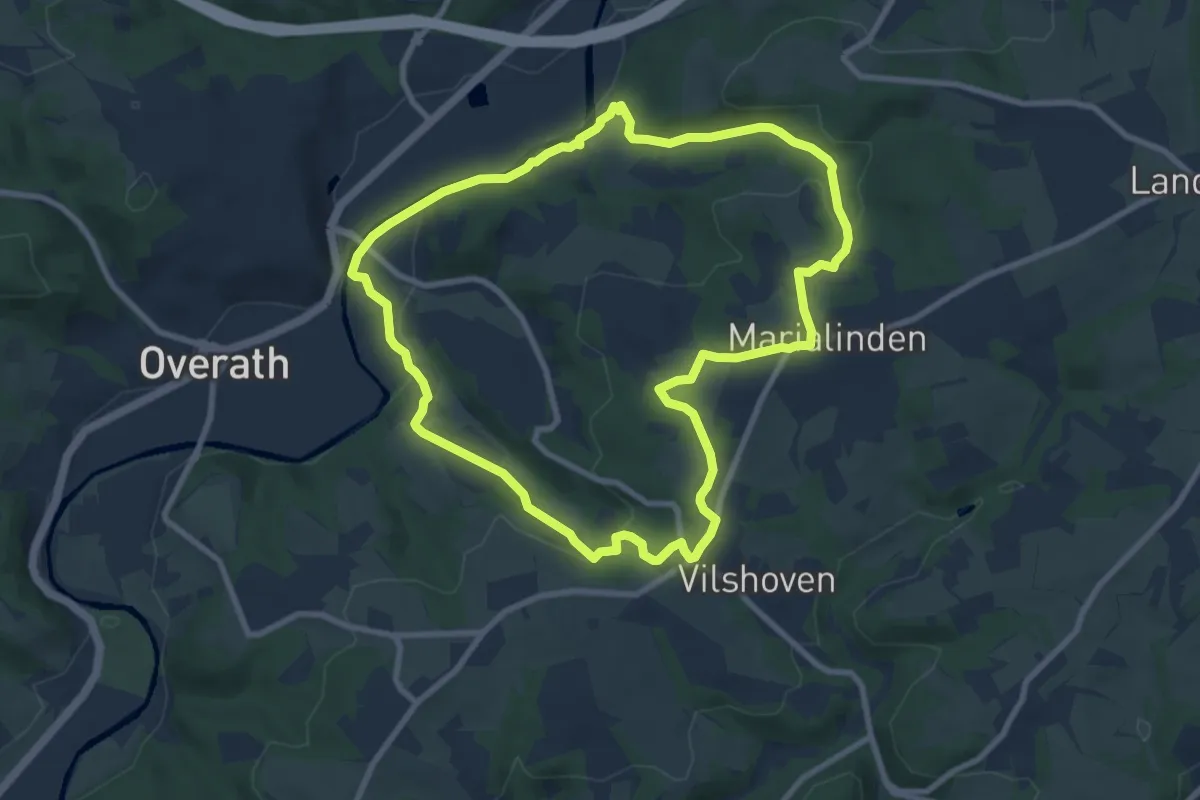
Medium · Trail
Die Aggerschleife
8.1 km · ↑ 180 m · 2 h 24 min