Trails in Germany
36,847 hiking trails, each with its route, climb, walking time and grade.
All trails, page 107 of 768
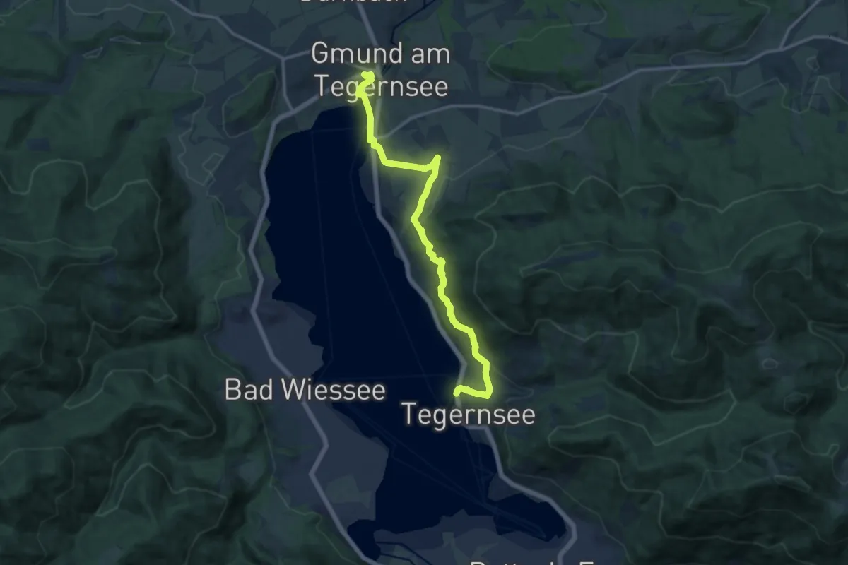
Medium · Trail
Die Alpenüberquerung - Etappe 1
13.2 km · ↑ 373 m · 3 h 55 min
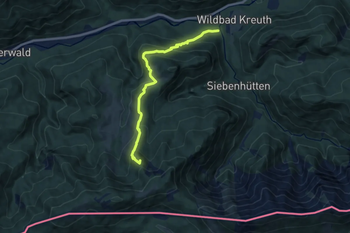
Medium · Summit
Die Alpenüberquerung - Etappe 2
8.7 km · ↑ 662 m · 3 h 29 min
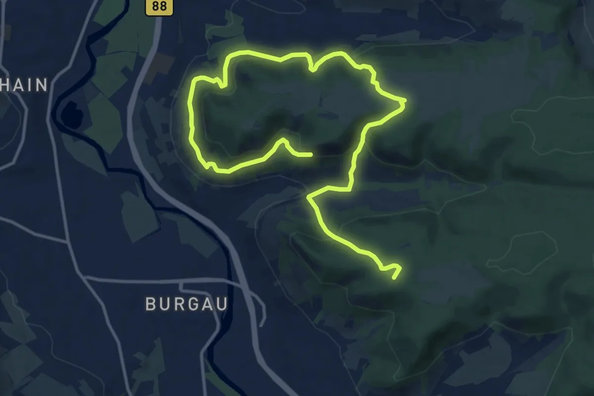
Medium · Summit
Diebeskrippe-Kernberge-Johannisberg-Alt-Lobeda
14.6 km · ↑ 690 m · 4 h 56 min
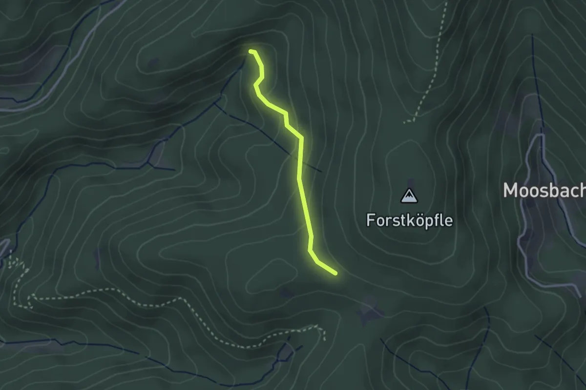
Easy · Trail
Diebsbrunnen - Diebsebene
2.1 km · ↑ 109 m · 44 min
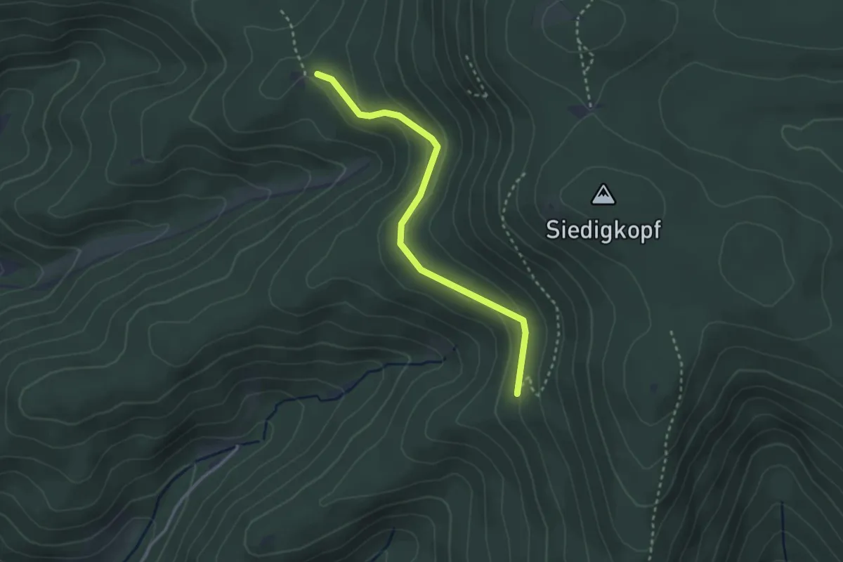
Easy · Trail
Diebshalde - Späneplatz
2.8 km · ↑ 81 m · 50 min
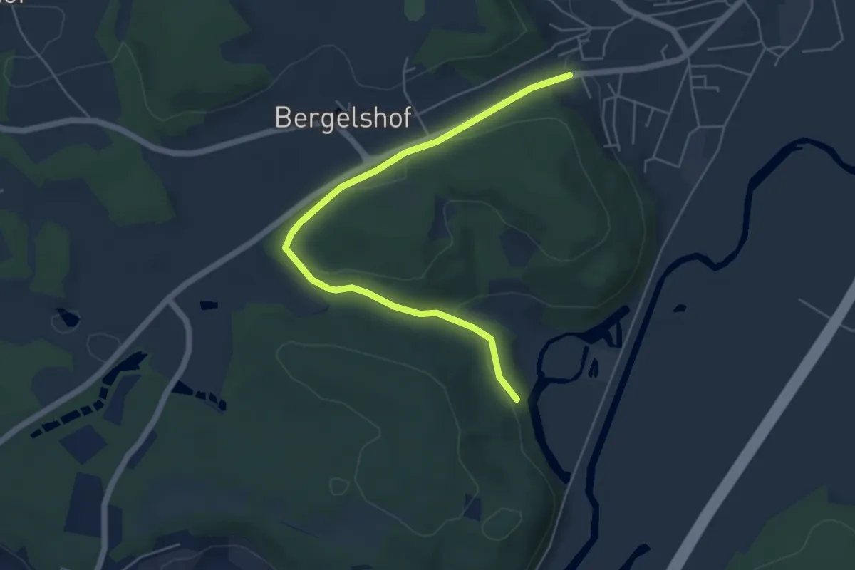
Easy · Trail
Diebsteig
5.2 km · ↑ 133 m · 1 h 31 min
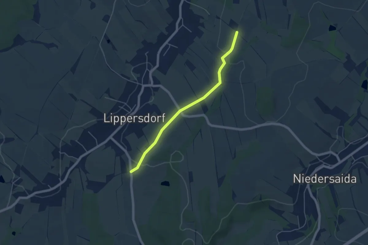
Easy · Trail
Diebsteig
4.0 km · ↑ 65 m · 1 h 5 min
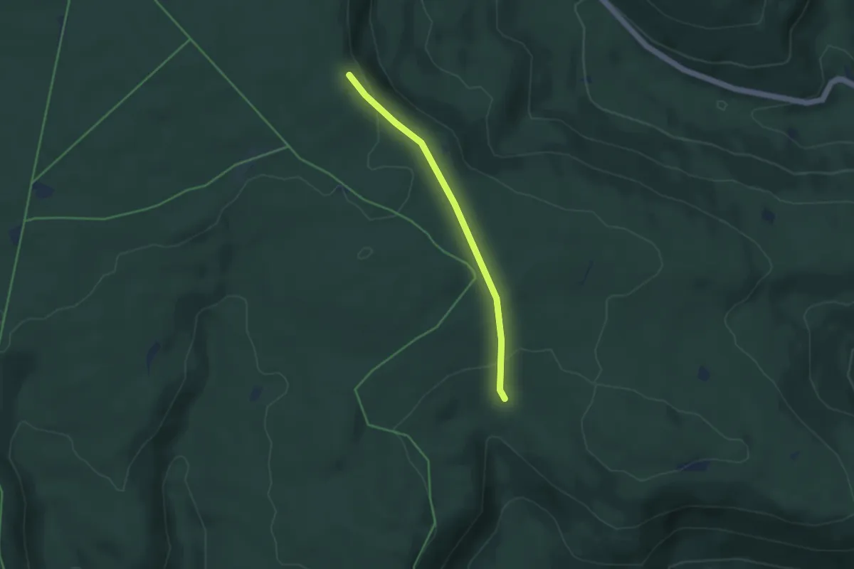
Easy · Trail
Diebstich - Gernsbacher Steige
3.3 km · ↑ 98 m · 1 h
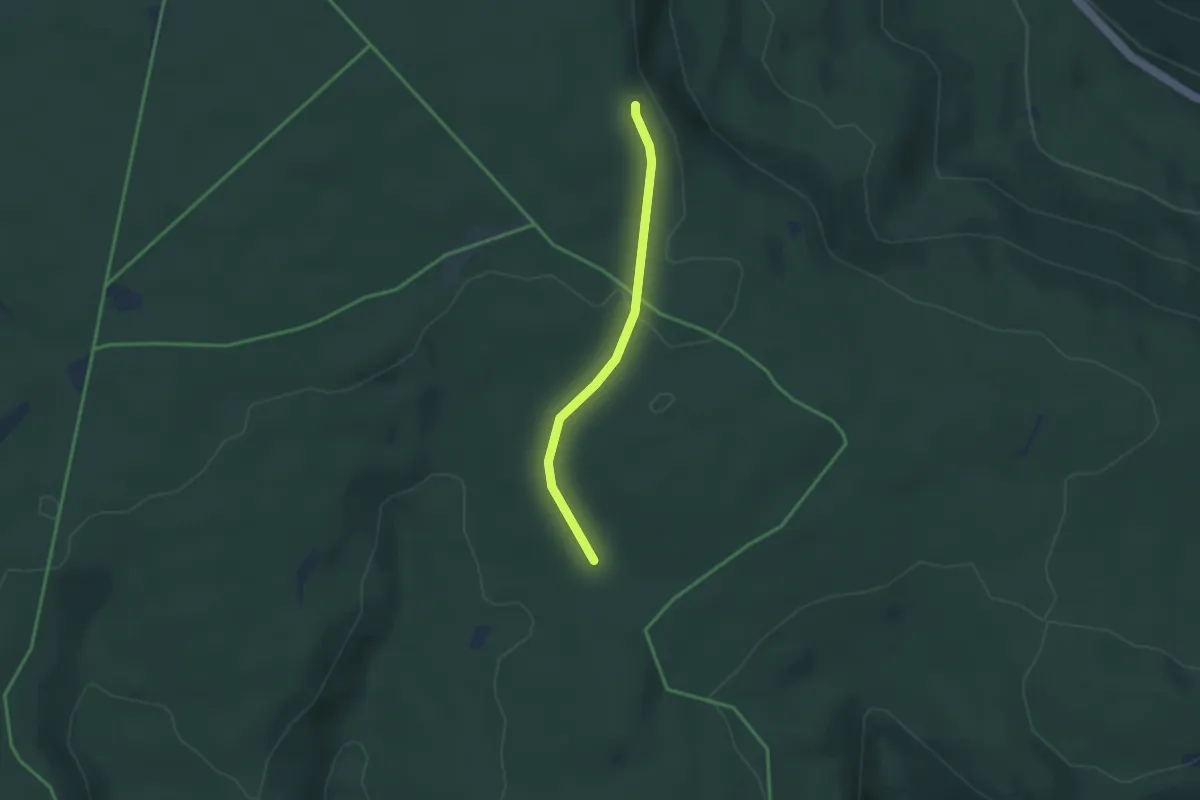
Easy · Trail
Diebstich - Viereichenhütte
2.7 km · ↑ 51 m · 44 min
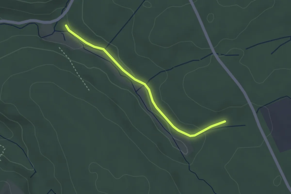
Easy · Trail
Diebswiesen Ponyhof - Gscheidweg
2.9 km · ↑ 54 m · 48 min
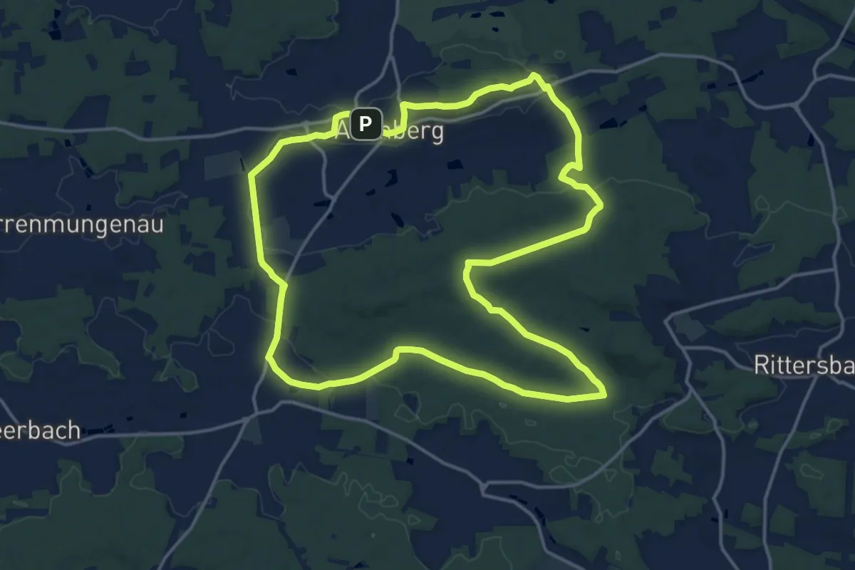
Medium · Summit
Die Burg Abenberg und der Abenberger Wald
15.3 km · ↑ 195 m · 4 h 15 min
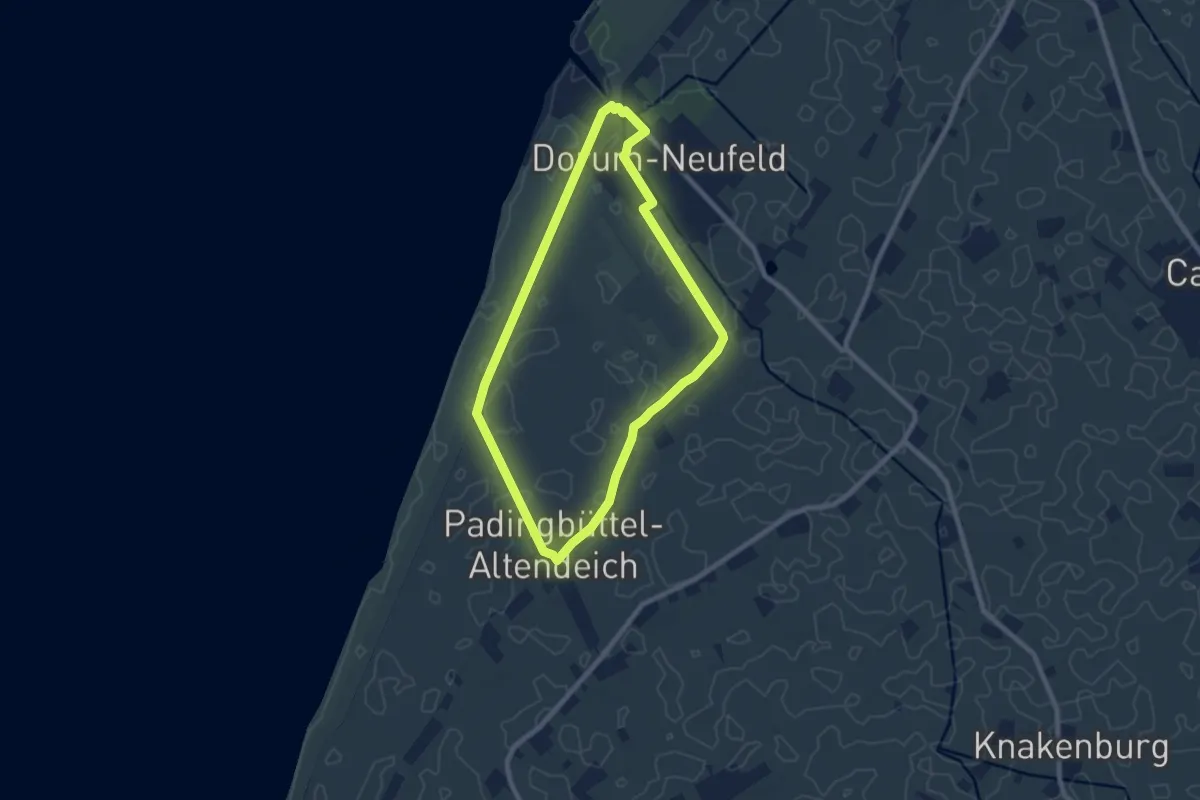
Easy · Trail
Die Deichroute Wanderweg - Dorum-Neufeld
6.6 km · ↑ 0 m · 1 h 39 min
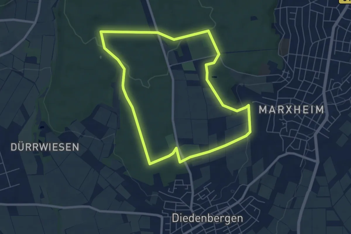
Easy · Trail
Diedenbergen: Meise
5.8 km · ↑ 95 m · 1 h 40 min
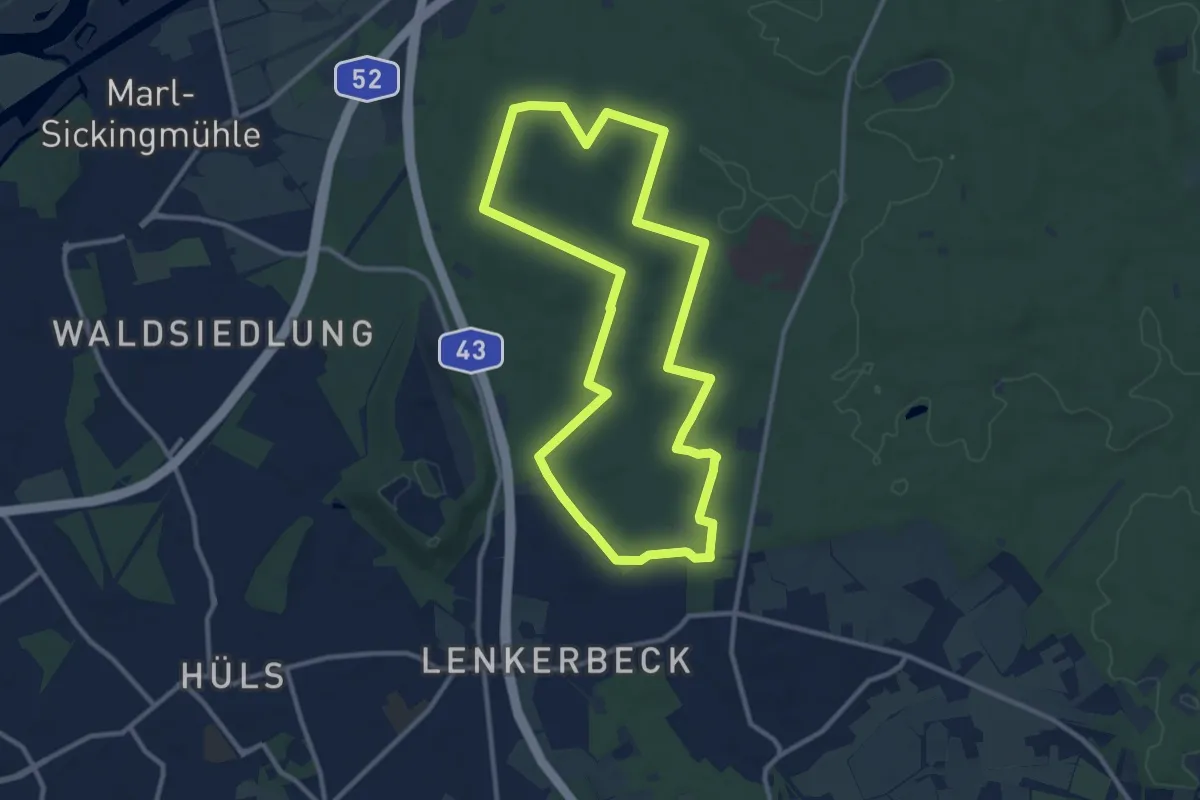
Medium · Trail
Die Haard - Haidberg (große Runde)
10.0 km · ↑ 52 m · 2 h 37 min
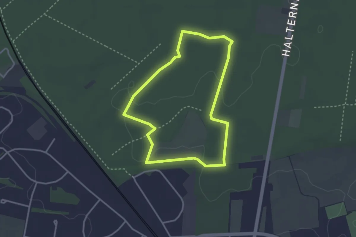
Easy · Trail
Die Haard - Haidberg (kleine Runde)
2.5 km · ↑ 4 m · 38 min
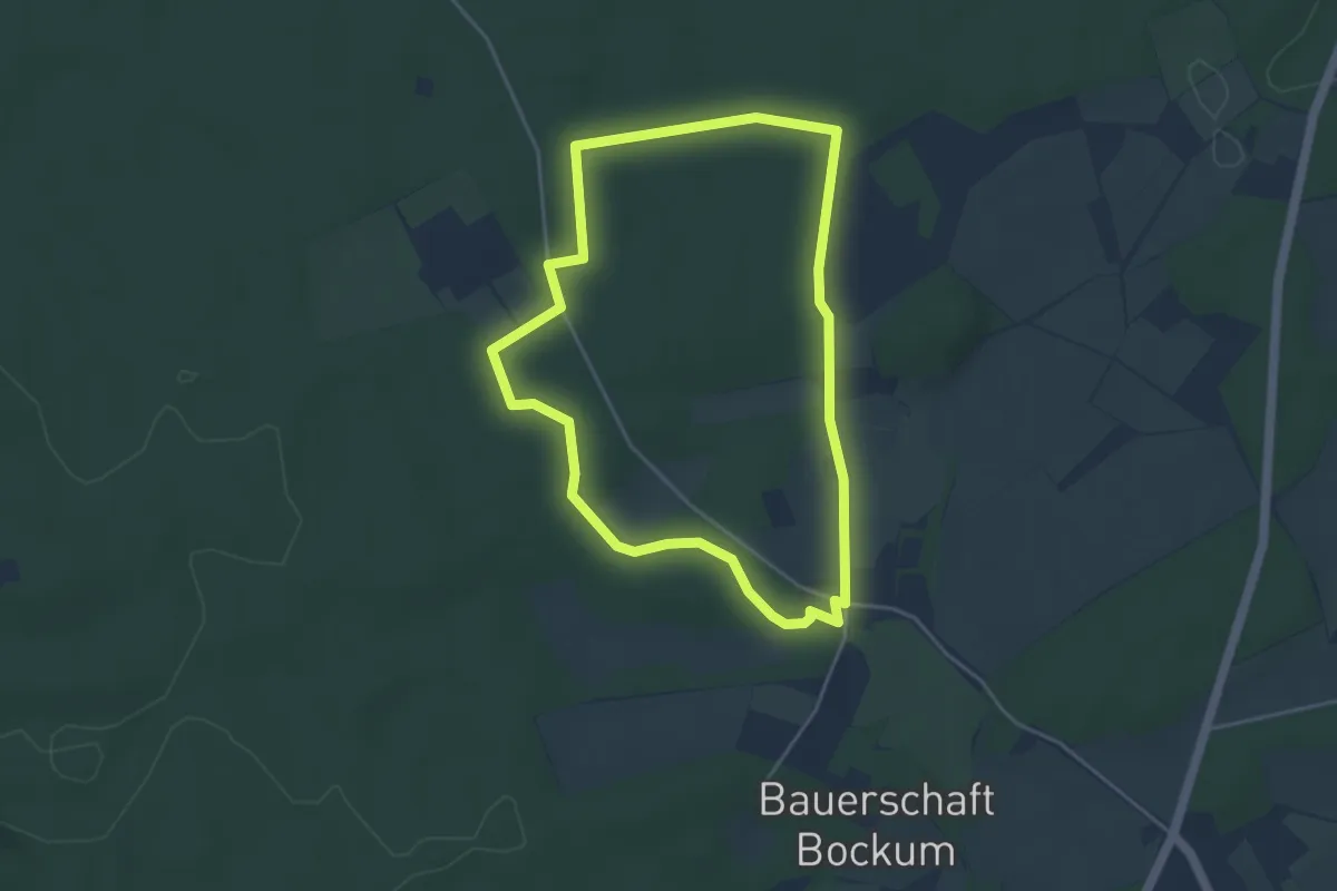
Easy · Trail
Die Haard - Katenkreuz (kurzer Rundweg)
3.7 km · ↑ 24 m · 59 min
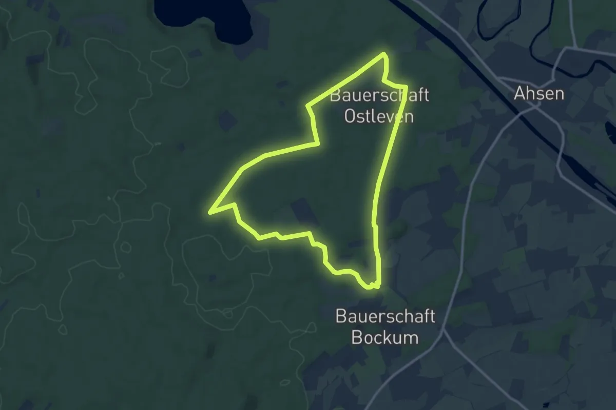
Medium · Trail
Die Haard - Katenkreuz (langer Rundweg)
9.0 km · ↑ 54 m · 2 h 22 min
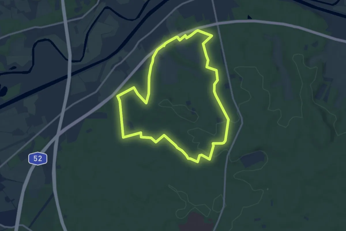
Medium · Summit
Die Haard - Römerweg (große Runde)
8.0 km · ↑ 79 m · 2 h 10 min
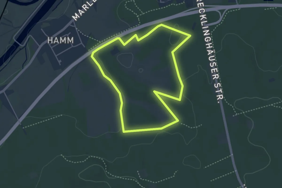
Easy · Trail
Die Haard - Römerweg (kleine Runde)
3.4 km · ↑ 34 m · 55 min
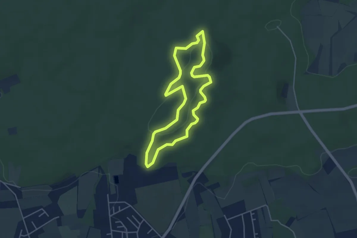
Medium · Summit
Die Haard - Stimberg (kurzer Rundweg)
3.2 km · ↑ 56 m · 56 min
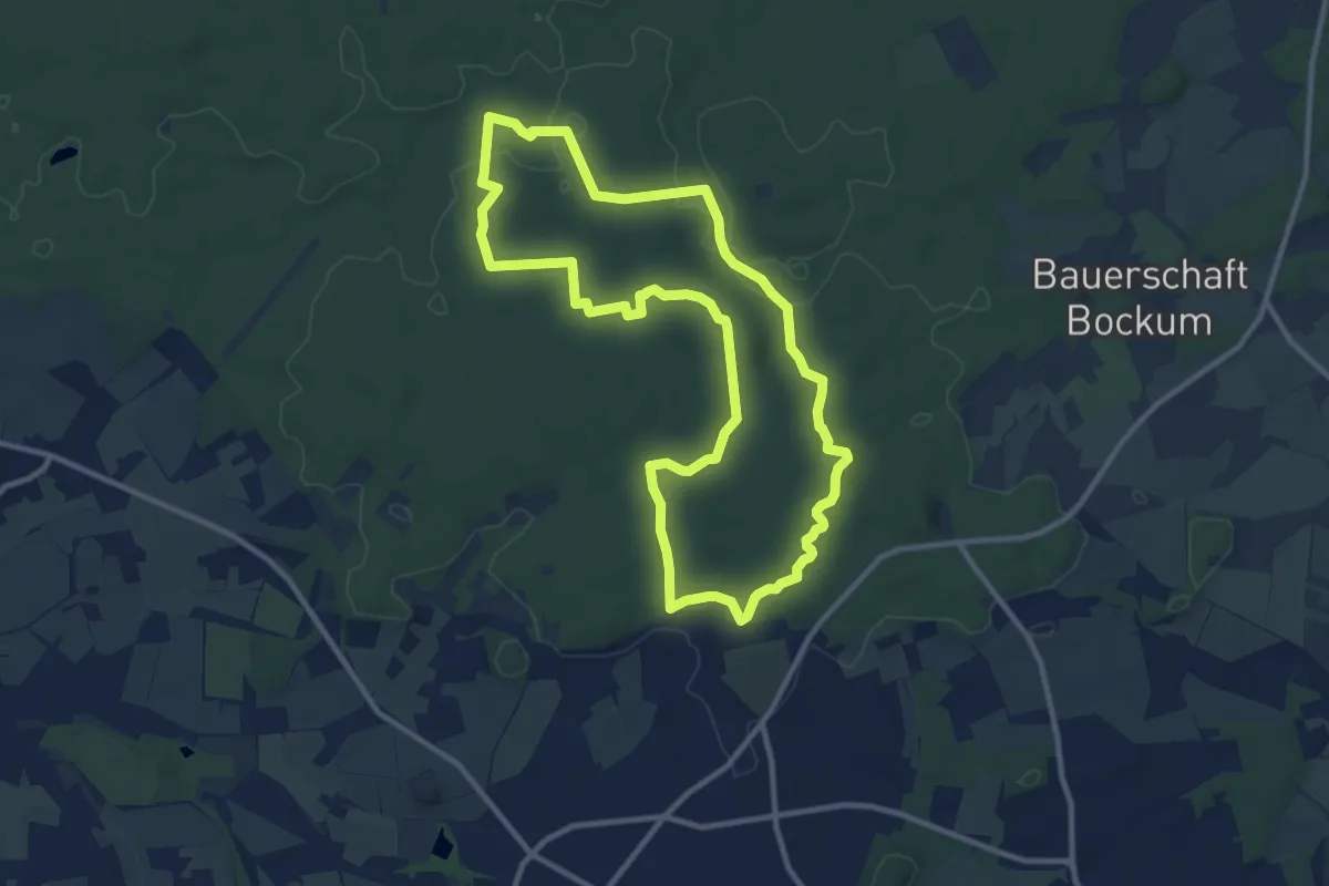
Medium · Summit
Die Haard - Stimberg (langer Rundweg)
9.7 km · ↑ 124 m · 2 h 42 min
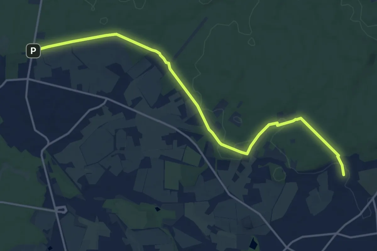
Medium · Trail
Die Haard Waldpromenade
12.3 km · ↑ 116 m · 3 h 9 min
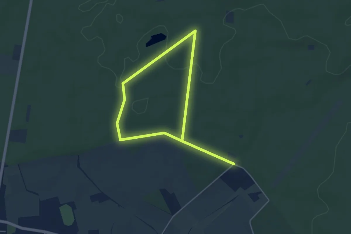
Easy · Trail
Die Haard Waldpromenade barrierearme Runde
2.9 km · ↑ 22 m · 46 min
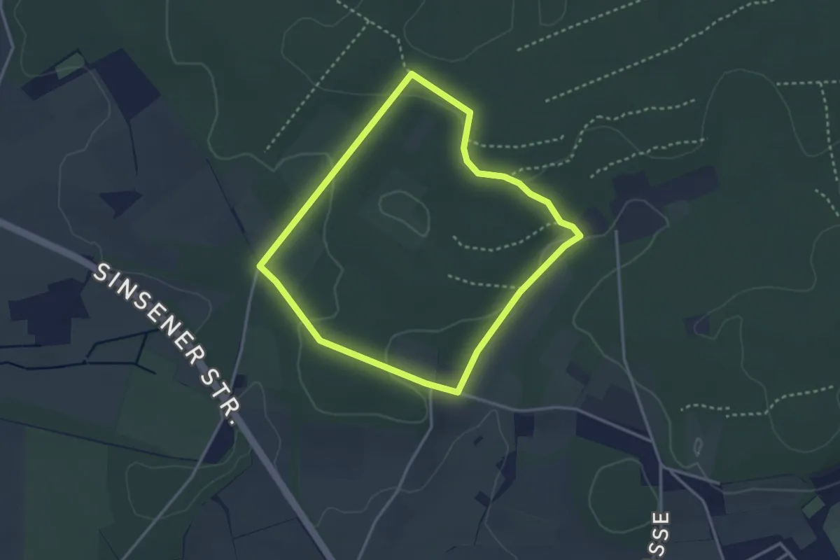
Easy · Trail
Die Haard Waldpromenade (kurzer Rundweg)
2.7 km · ↑ 45 m · 46 min
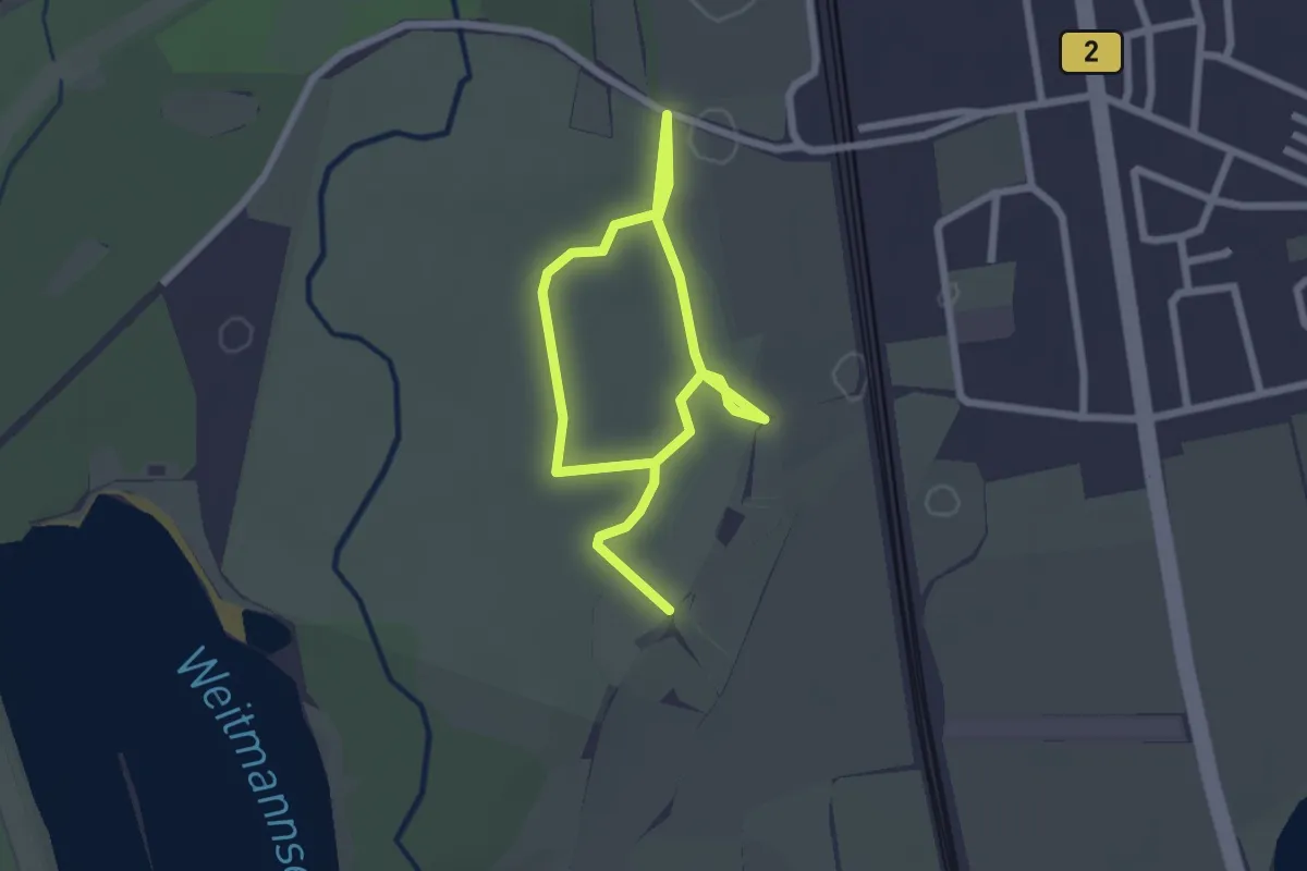
Easy · Trail
Die Kissinger Heide
1.7 km · ↑ 0 m · 25 min
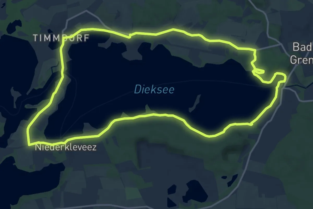
Medium · Trail
Dieksee-Rundweg
11.5 km · ↑ 53 m · 2 h 59 min
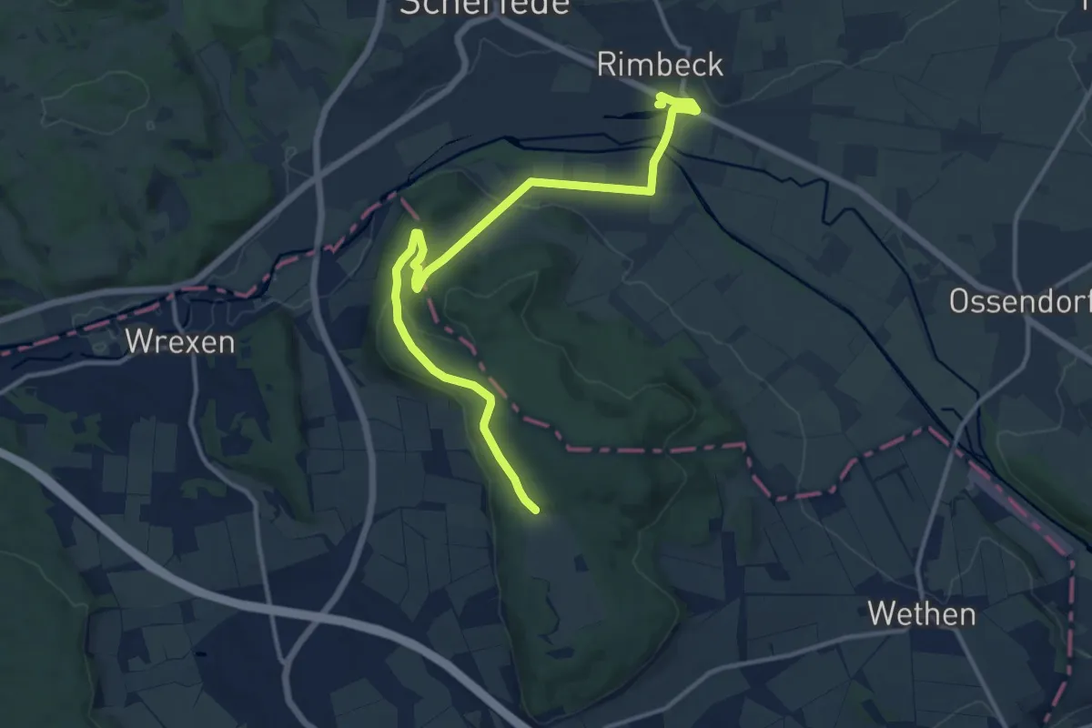
Medium · Trail
Diemel-Eder-Weg
12.6 km · ↑ 185 m · 3 h 23 min
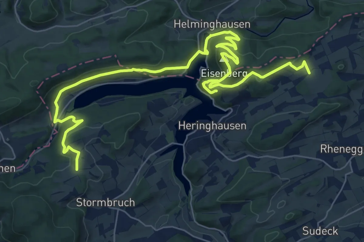
Demanding · Summit
Diemelsteig
15.1 km · ↑ 503 m · 4 h 53 min
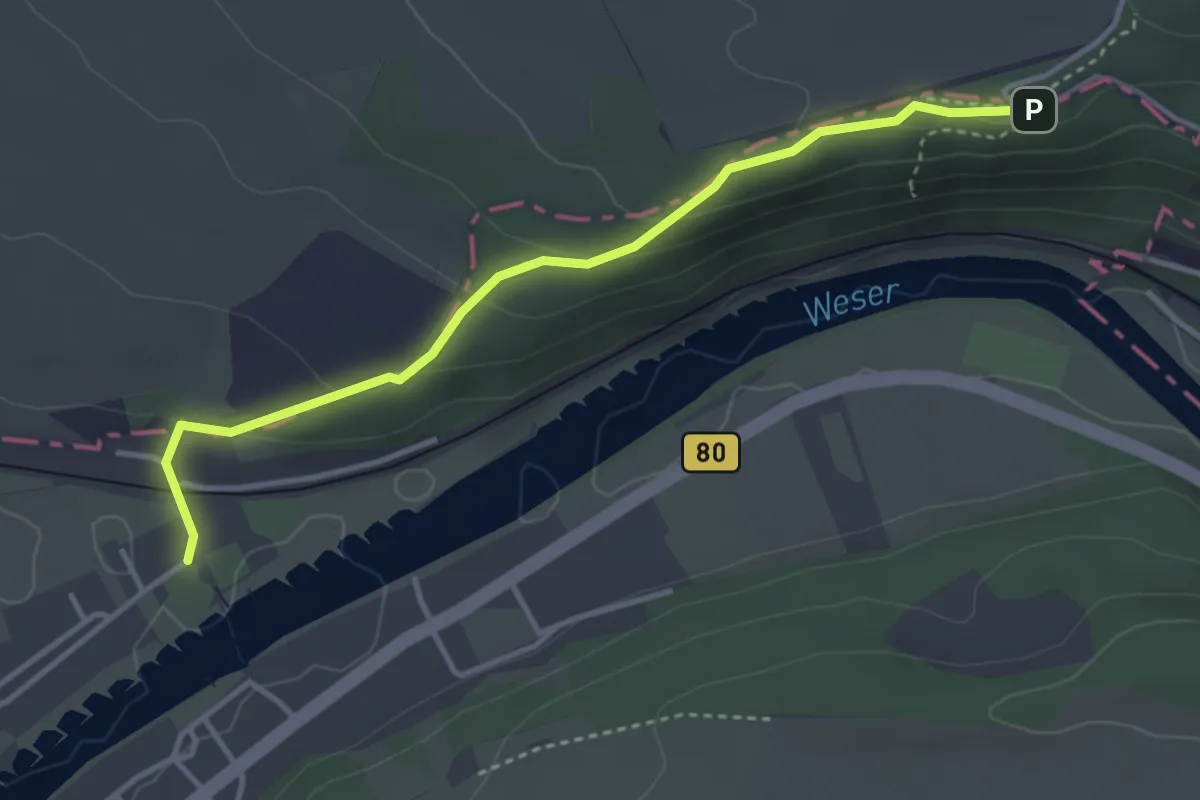
Easy · Trail
Diemeltaler Schmetterlings-Steig nord
3.4 km · ↑ 124 m · 1 h 4 min
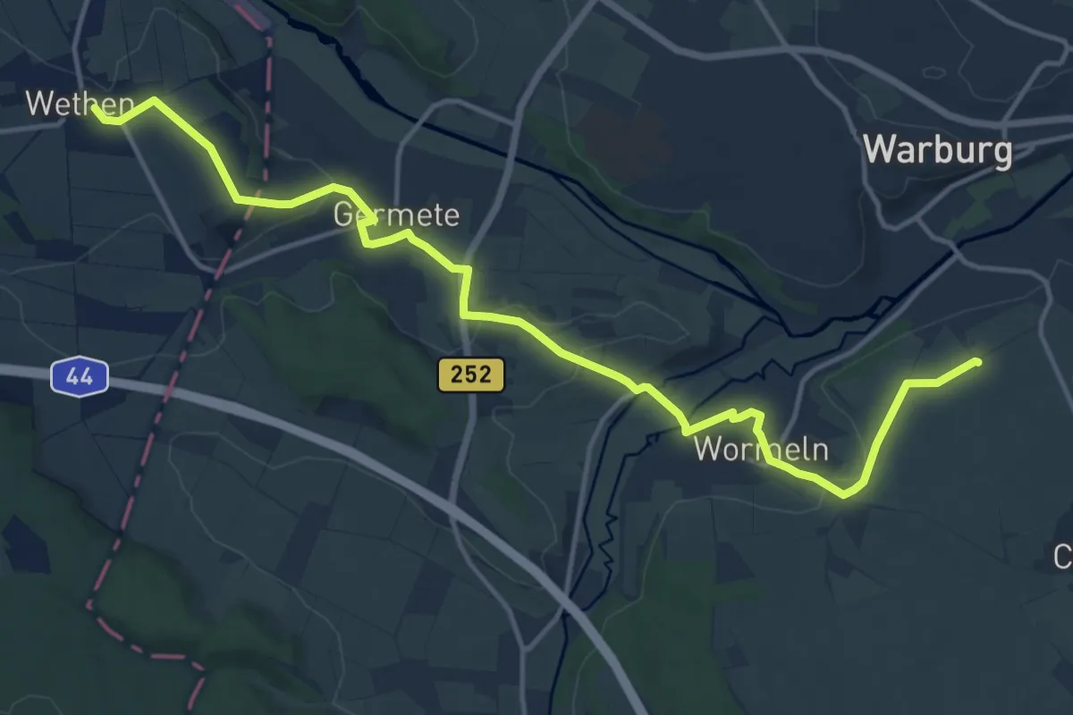
Medium · Summit
Diemeltaler Schmetterlings-Steig süd
14.6 km · ↑ 215 m · 3 h 55 min
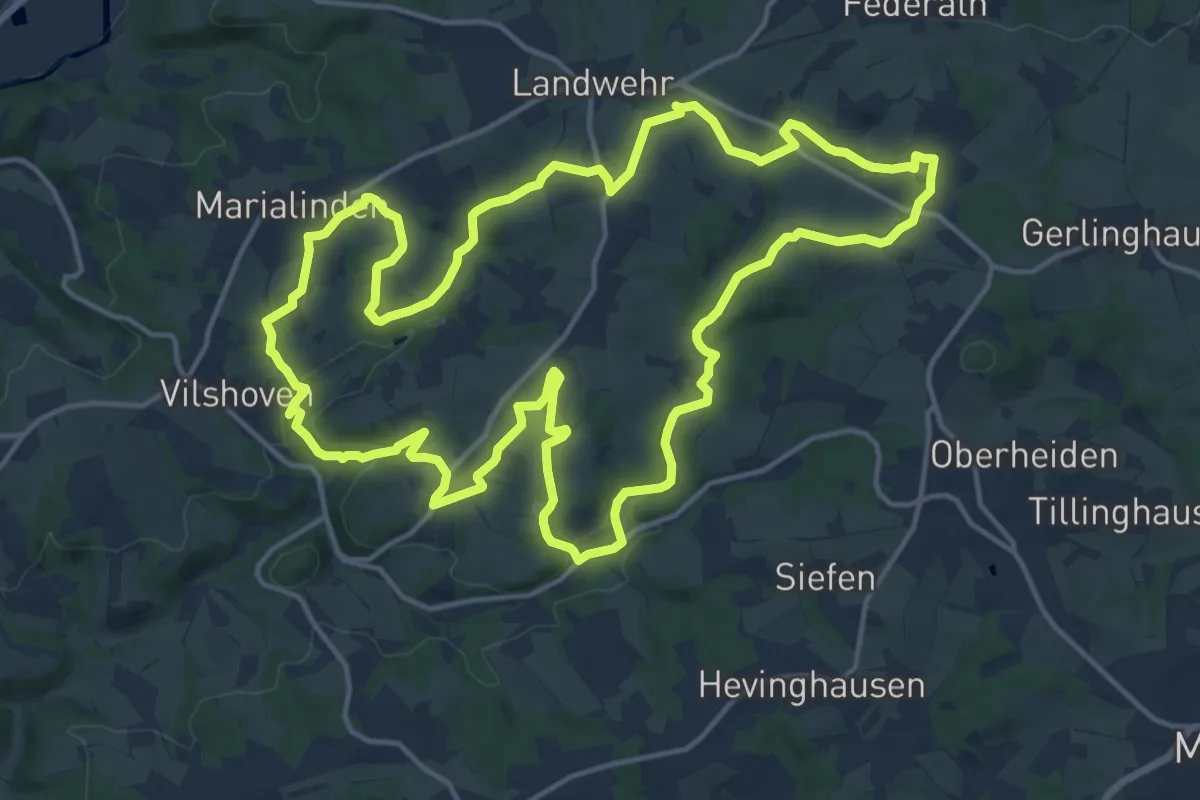
Medium · Trail
Die Naafbachrunde
15.8 km · ↑ 248 m · 4 h 29 min
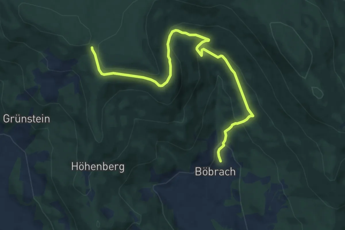
Medium · Trail
Diensthüttenweg
11.3 km · ↑ 454 m · 3 h 39 min
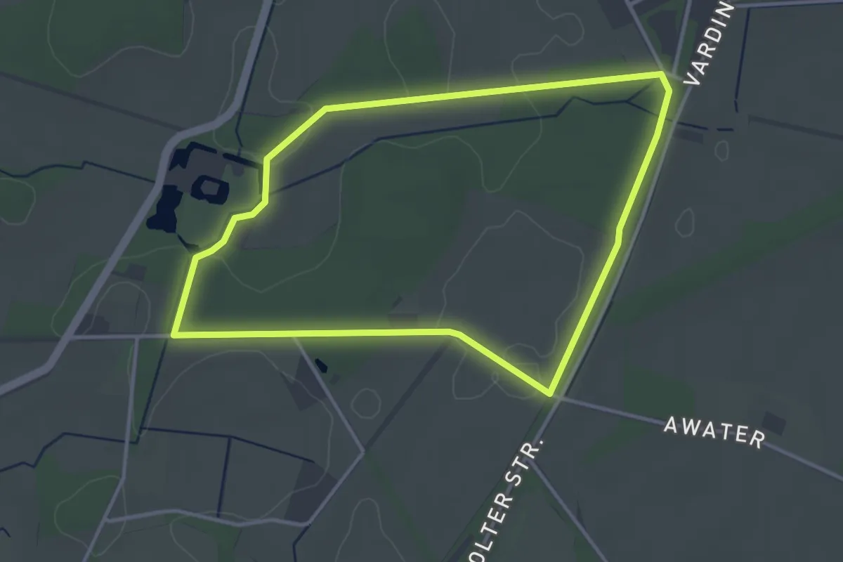
Easy · Trail
Diepenbrock Rundweg A5
3.1 km · ↑ 4 m · 47 min
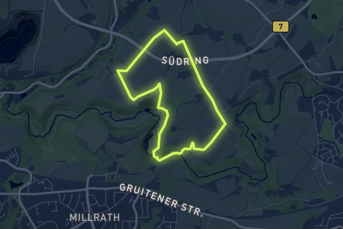
Easy · Trail
Diepensiepen Rundweg A5
5.2 km · ↑ 60 m · 1 h 26 min
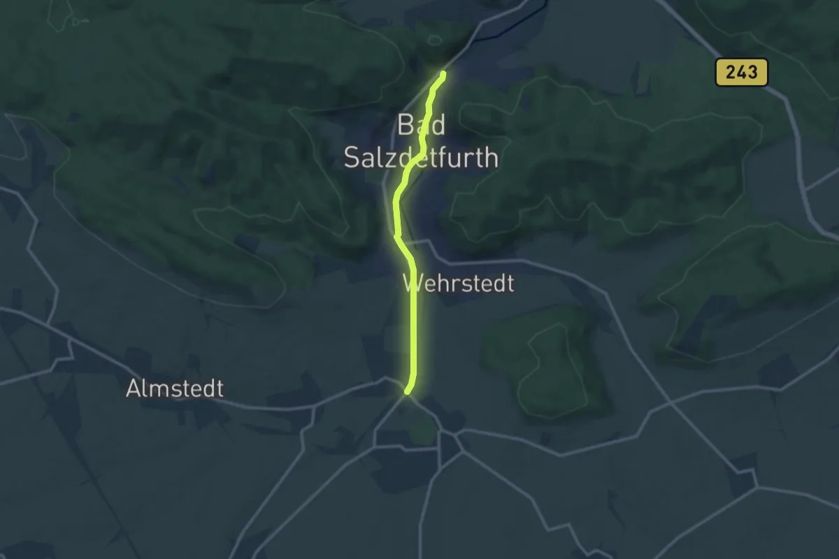
Medium · Trail
Die Planetenstraße Bad Salzdetfurth
8.2 km · ↑ 17 m · 1 h 59 min
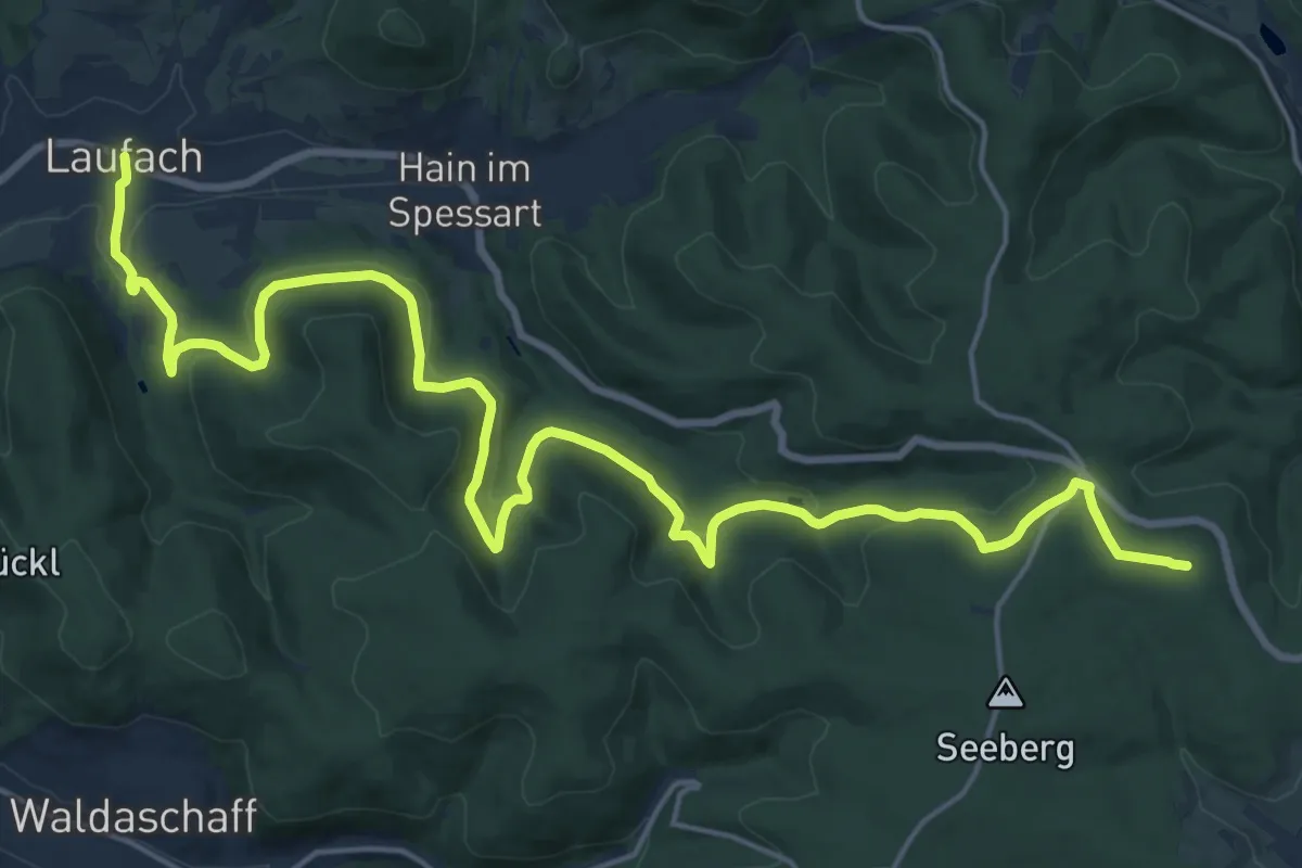
Demanding · Summit
Diepoldspfad - Gebietswanderweg Roter Punkt Laufach - Rothenbuch
23.4 km · ↑ 613 m · 6 h 51 min
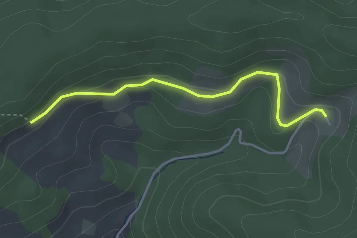
Easy · Trail
Dierlisberg - Barberast
3.0 km · ↑ 83 m · 53 min
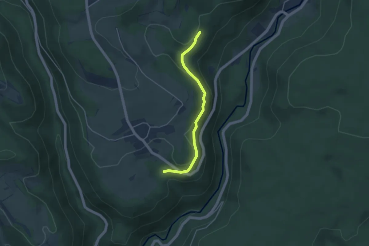
Easy · Trail
Die Rosen - Erlen
3.2 km · ↑ 100 m · 59 min
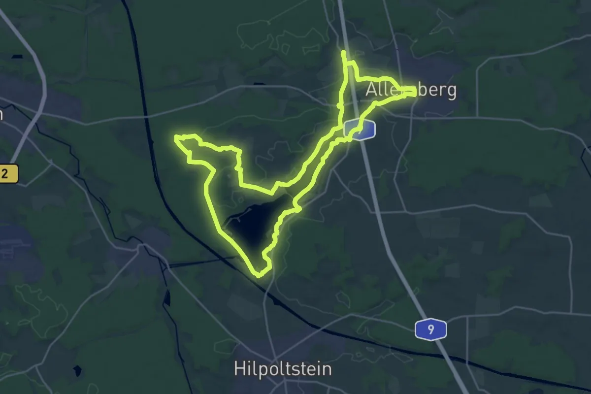
Demanding · Trail
Die Rothsee-Tour
22.5 km · ↑ 180 m · 6 h 1 min
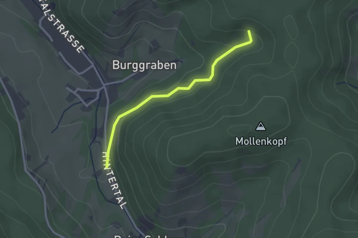
Easy · Trail
Diersburg Beim Jugendtreff - Wiederkehr
2.2 km · ↑ 88 m · 42 min
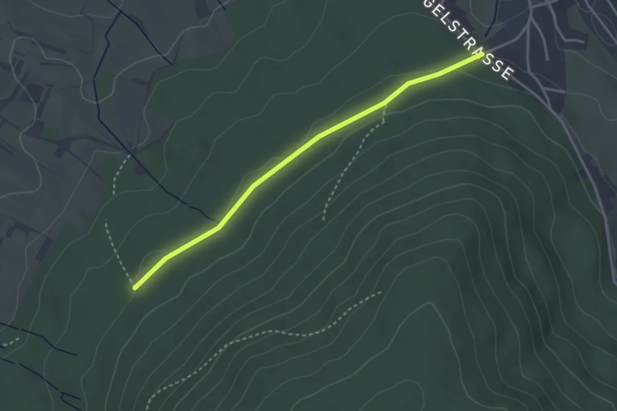
Easy · Trail
Diersburg Miniaturdörfle - Lendersbachhütte
3.0 km · ↑ 36 m · 47 min
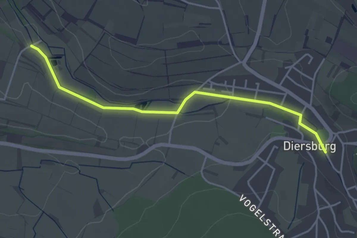
Easy · Trail
Diersburg Rathaus - Riedmühle
3.8 km · ↑ 31 m · 58 min
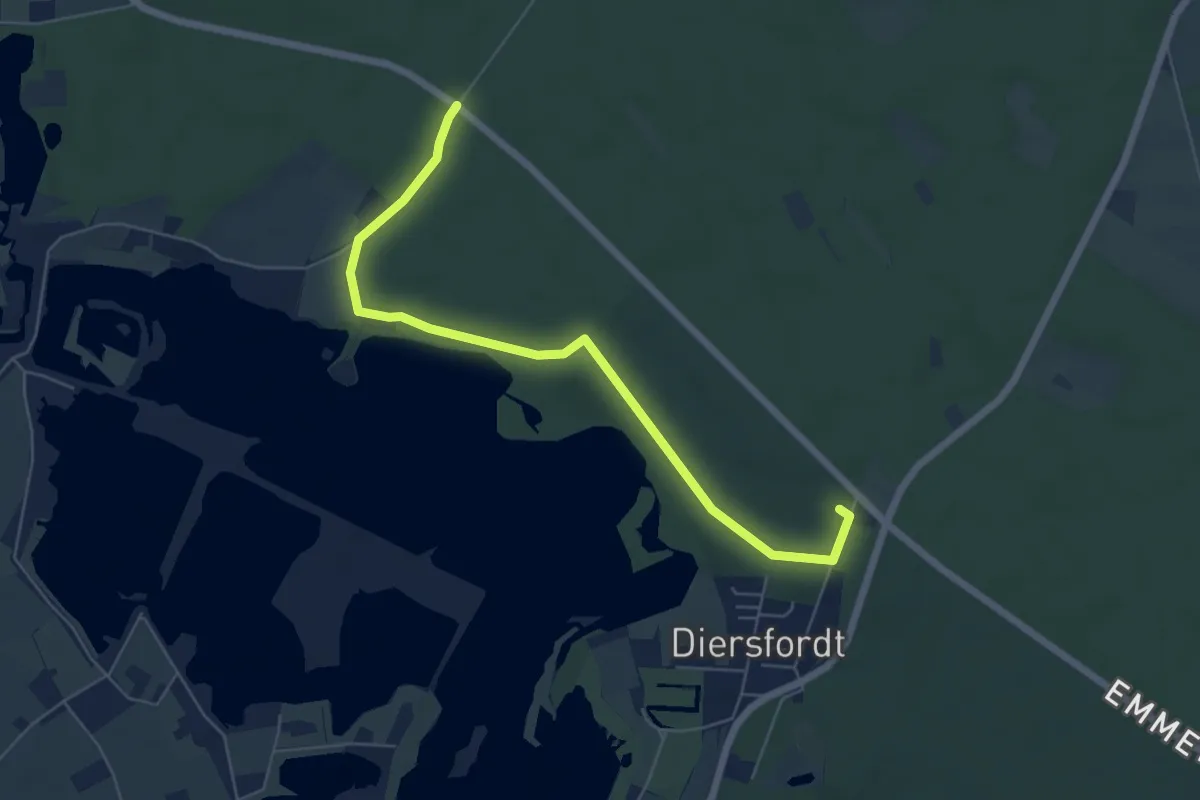
Easy · Trail
Diersfordt Rundweg A3
2.9 km · ↑ 14 m · 45 min
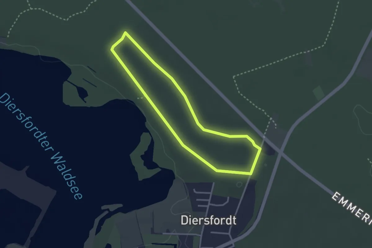
Easy · Trail
Diersfordt Rundweg A5
2.5 km · ↑ 0 m · 38 min
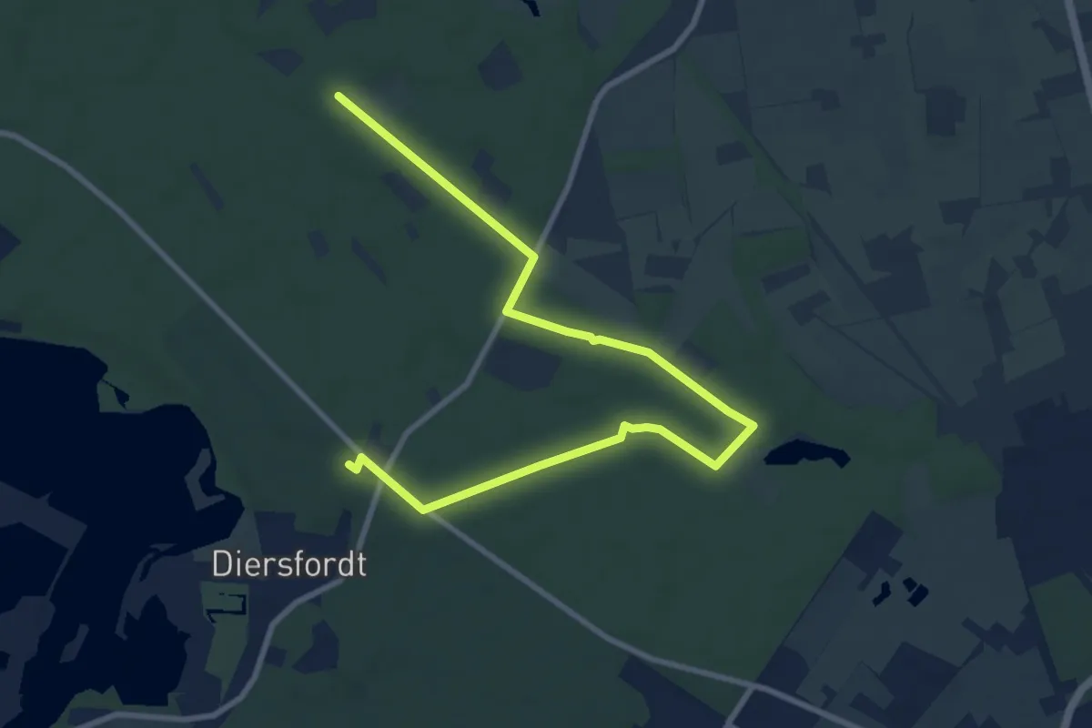
Easy · Trail
Diersfordt Rundweg A6
4.7 km · ↑ 13 m · 1 h 13 min
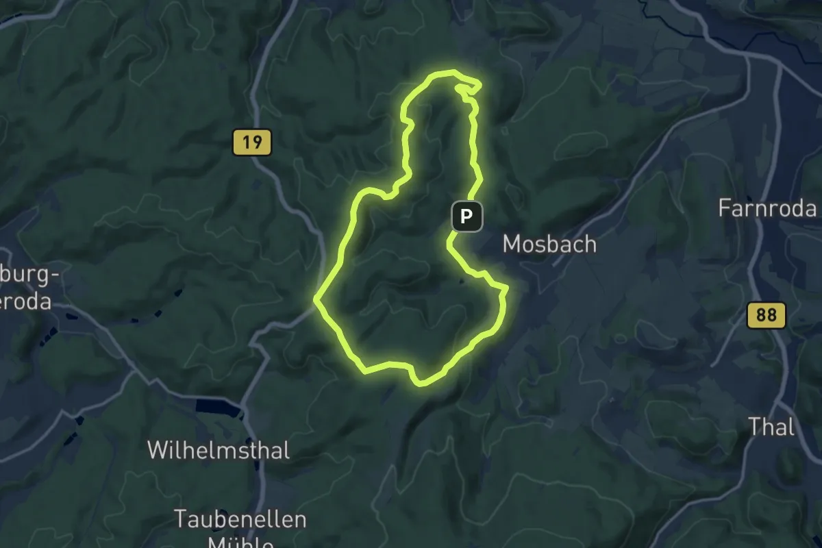
Medium · Summit
Die schönen Unbekannten
10.7 km · ↑ 268 m · 3 h 16 min
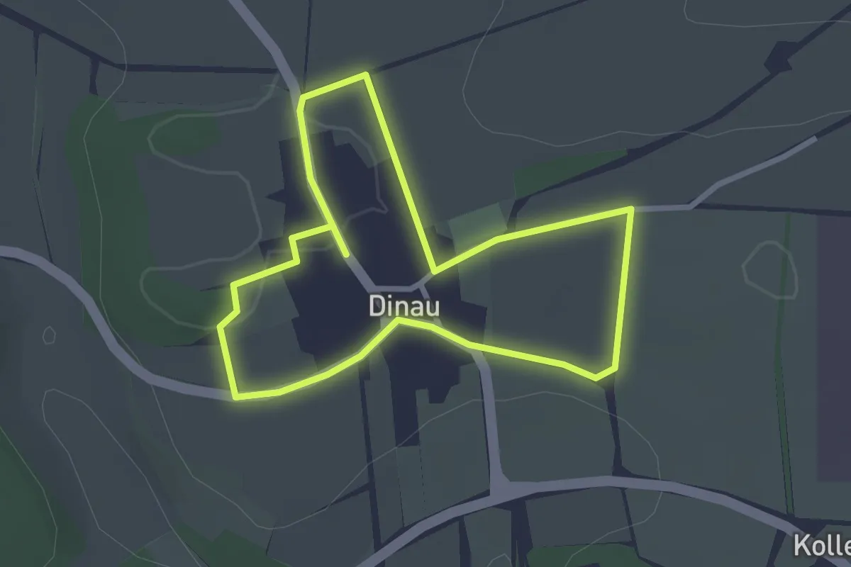
Easy · Trail
Die Streuobstwiese
2.3 km · ↑ 14 m · 37 min
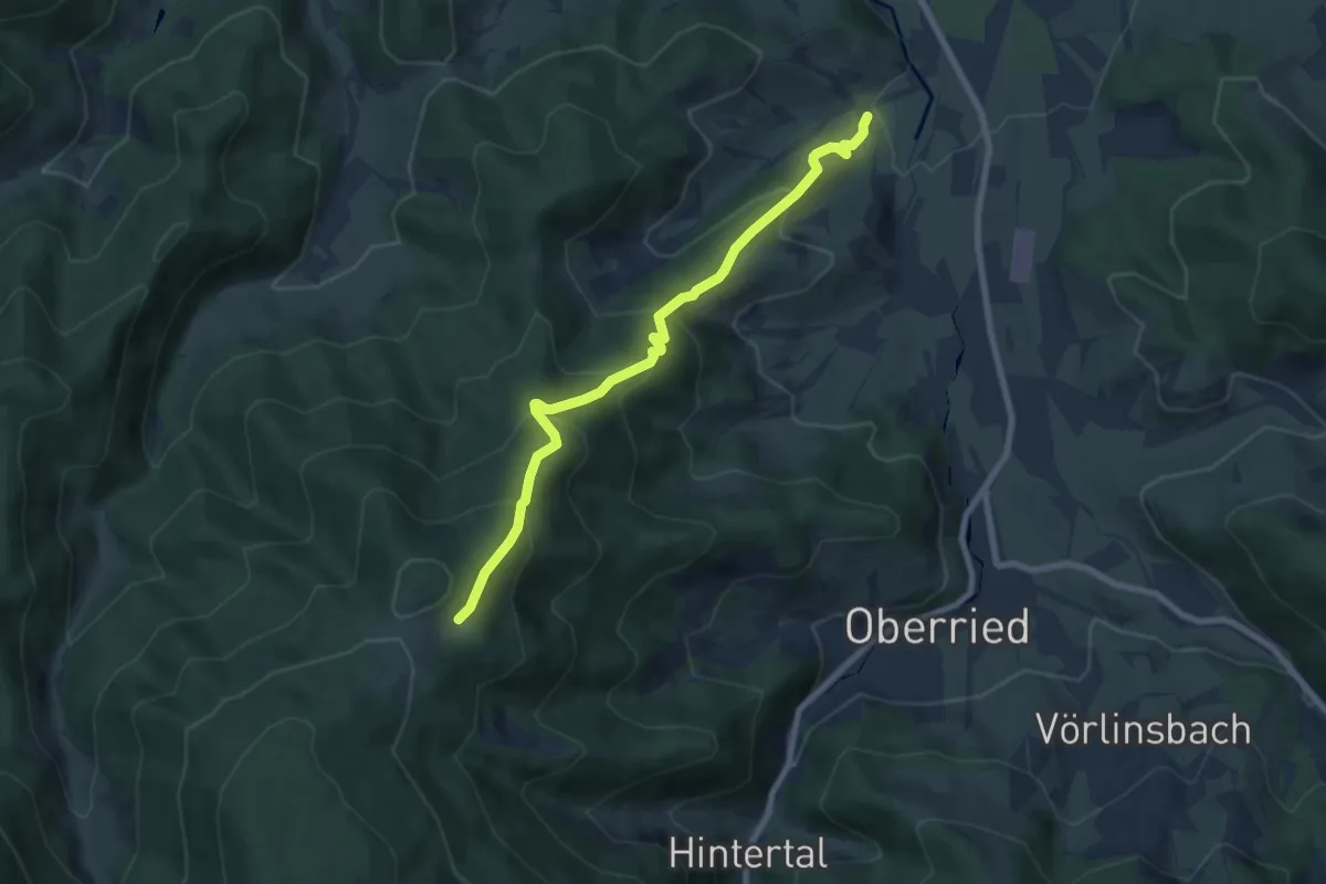
Medium · Trail
Dietenbach Jungbauernhof - Rappeneck
7.3 km · ↑ 588 m · 2 h 59 min