Trails in Germany
36,847 hiking trails, each with its route, climb, walking time and grade.
All trails, page 108 of 768
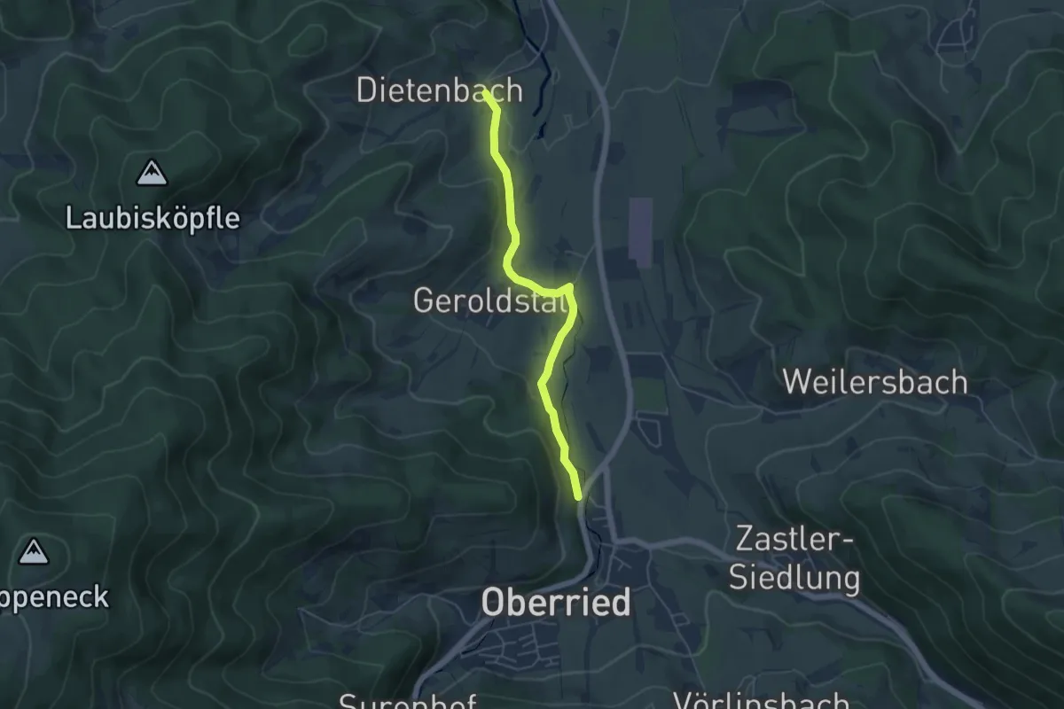
Easy · Trail
Dietenbach Jungbauernhof - Schlößle
4.5 km · ↑ 83 m · 1 h 15 min
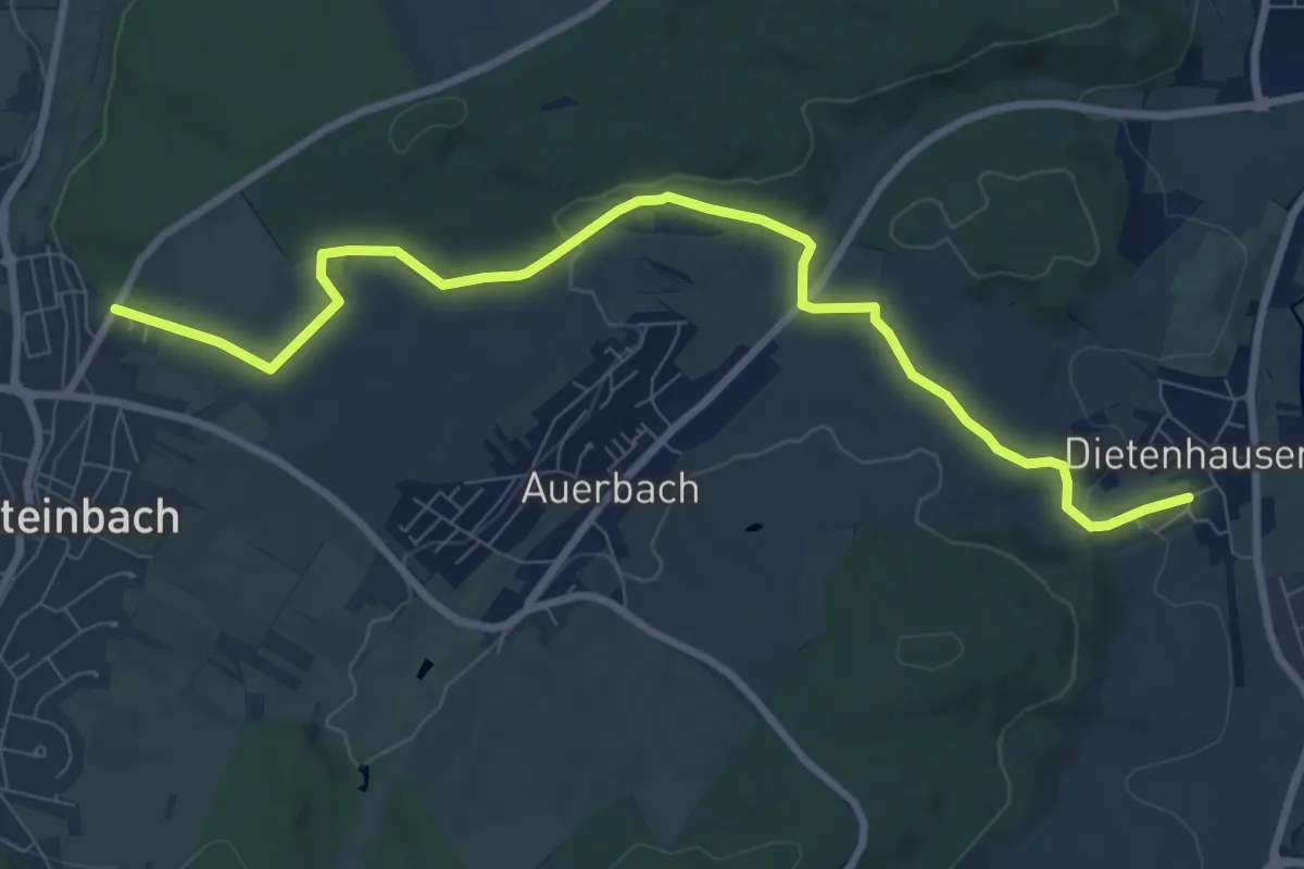
Medium · Trail
Dietenhausen Kelter - Parkplatz Rappenbusch
9.2 km · ↑ 139 m · 2 h 28 min
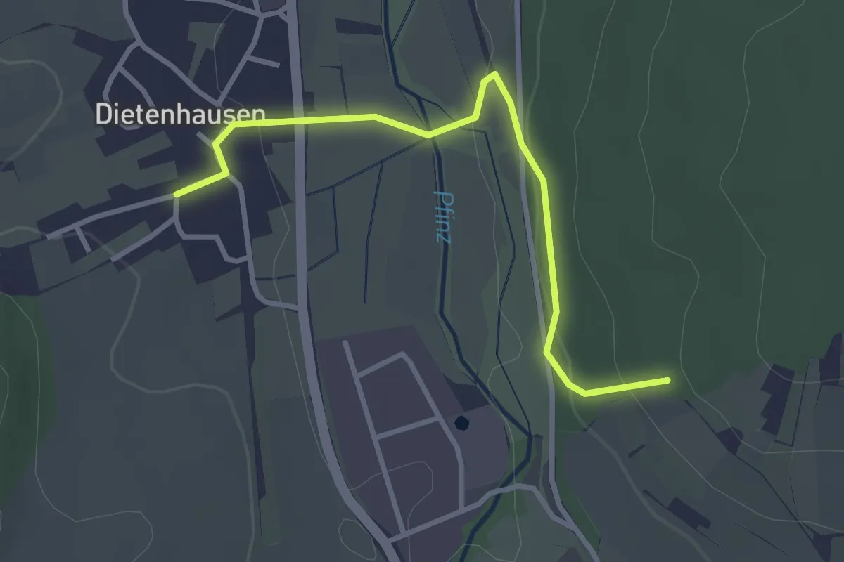
Easy · Trail
Dietenhausen Kelter - Unterwald
2.9 km · ↑ 99 m · 55 min
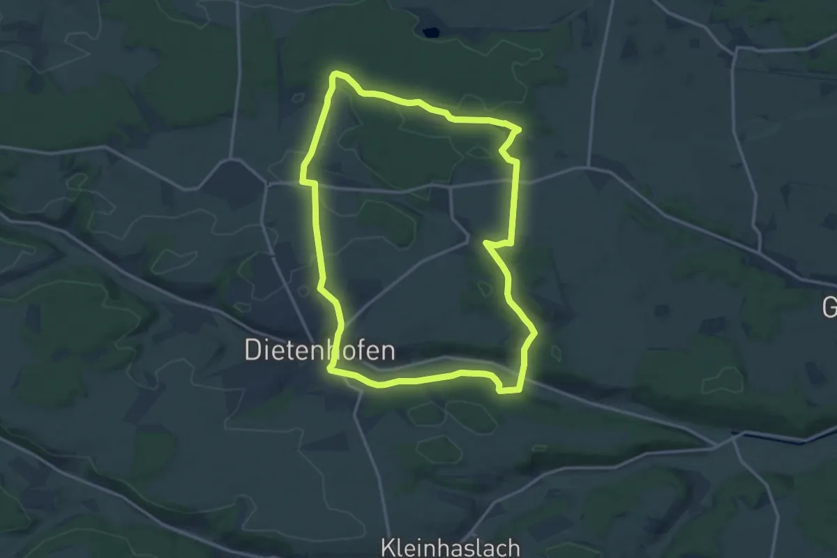
Medium · Summit
Dietenhofener Wanderweg 2
12.6 km · ↑ 137 m · 3 h 27 min
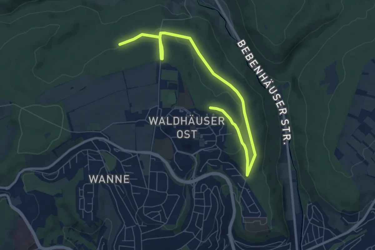
Easy · Trail
Dieter-Baumann-Runde
4.2 km · ↑ 75 m · 1 h 14 min
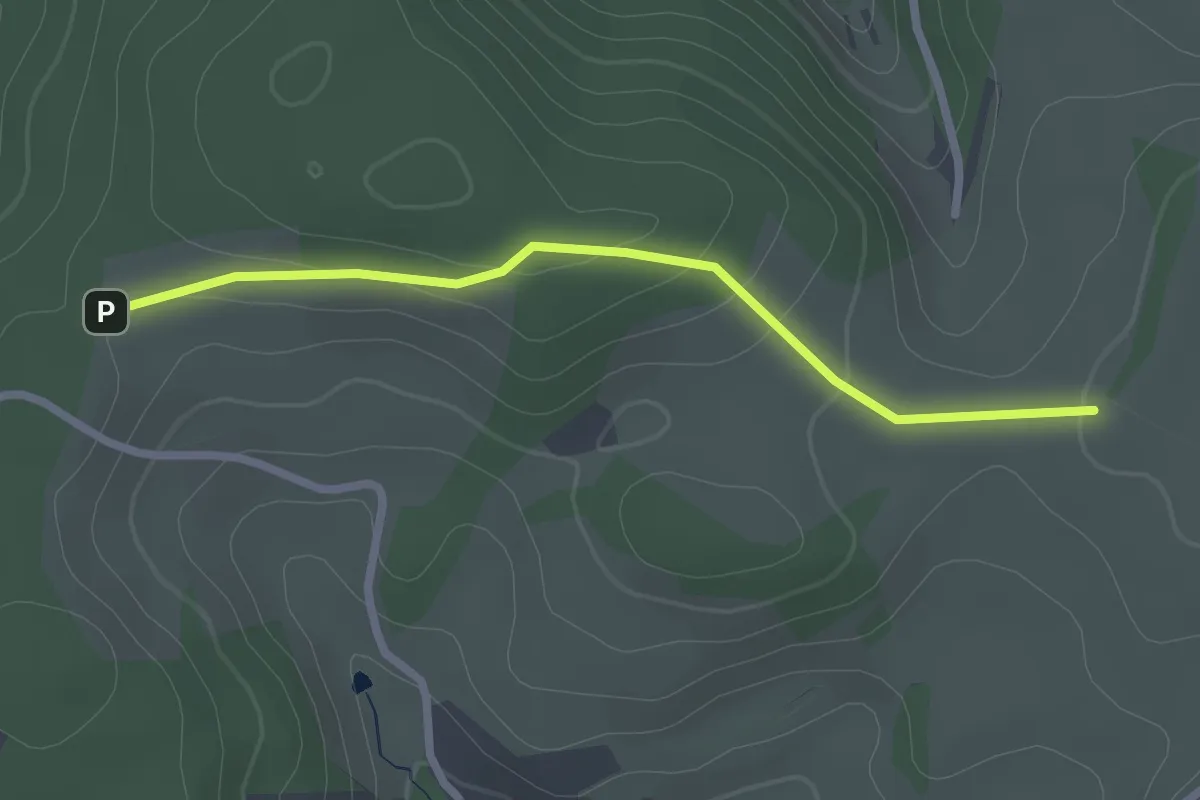
Easy · Trail
Dieterle-Bauern-Höhe - Obersteighöhe
2.2 km · ↑ 55 m · 39 min
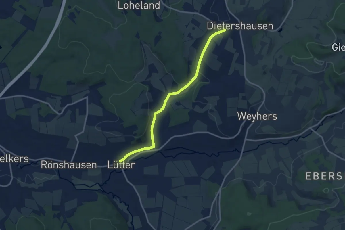
Medium · Trail
Dietershausen - Lütter
8.3 km · ↑ 144 m · 2 h 17 min
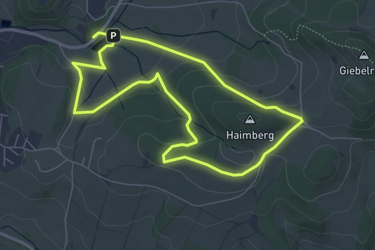
Easy · Summit
Dietershausen Nordic Walking 3
4.7 km · ↑ 115 m · 1 h 26 min
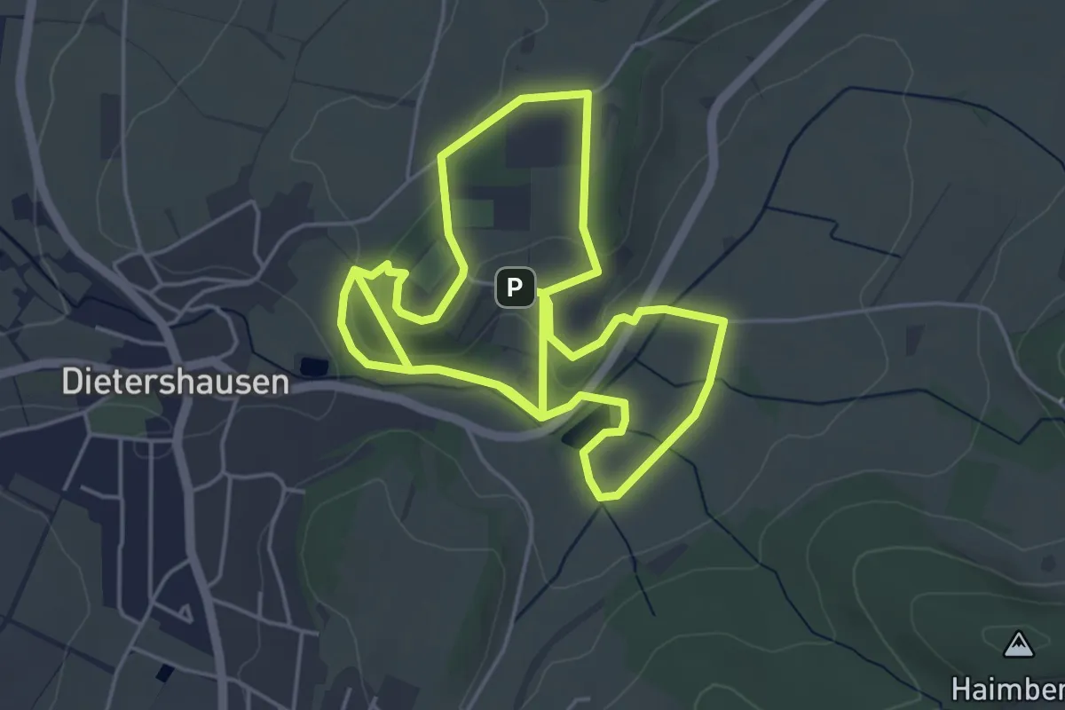
Easy · Summit
Dietershausen Nordic Walking 5
4.6 km · ↑ 76 m · 1 h 19 min
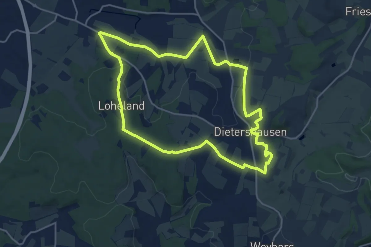
Medium · Summit
Dietershausen Nordic Walking 6
10.9 km · ↑ 178 m · 3 h 7 min
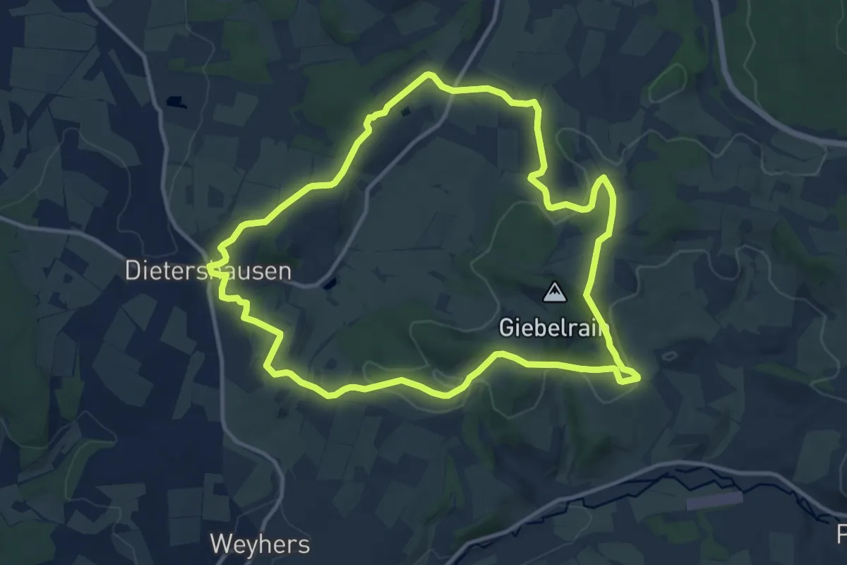
Medium · Summit
Dietershausen Rundweg 1
10.6 km · ↑ 240 m · 3 h 11 min
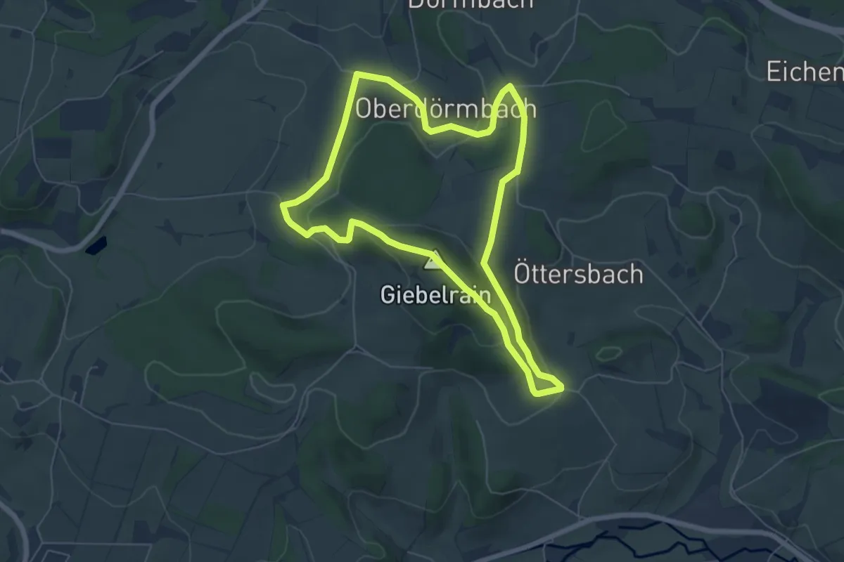
Easy · Summit
Dietershausen Rundweg 2
5.5 km · ↑ 179 m · 1 h 45 min
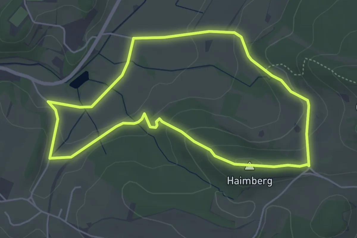
Easy · Summit
Dietershausen Rundweg 3
4.2 km · ↑ 113 m · 1 h 18 min
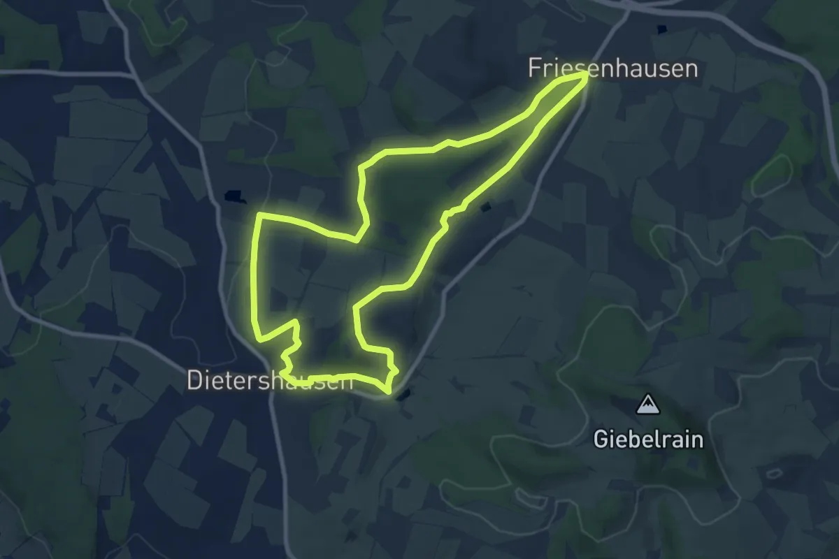
Medium · Summit
Dietershausen Rundweg 4
8.4 km · ↑ 157 m · 2 h 26 min
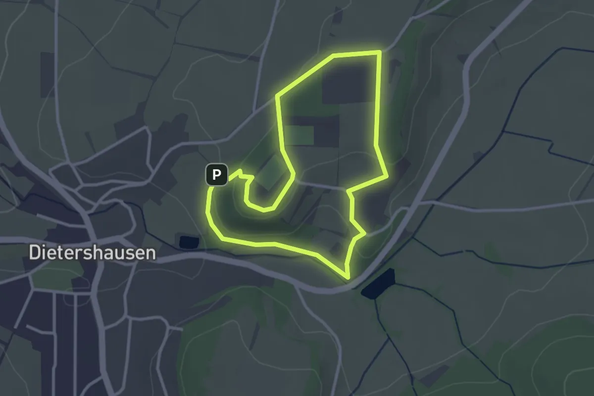
Easy · Summit
Dietershausen Rundweg 5
2.5 km · ↑ 51 m · 44 min
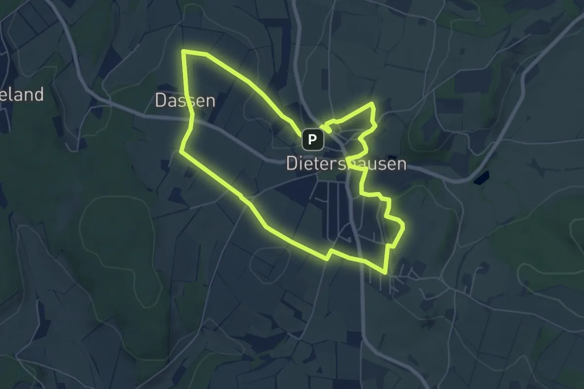
Easy · Summit
Dietershausen Rundweg 6
5.7 km · ↑ 98 m · 1 h 38 min
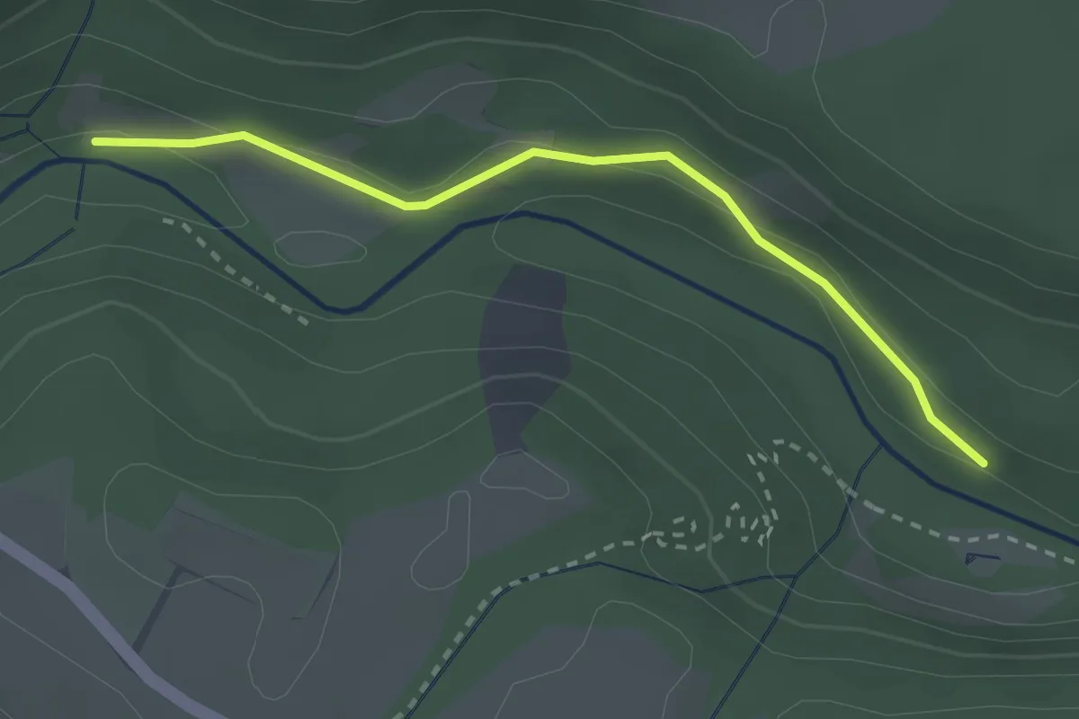
Easy · Trail
Dietfurtbrücke - Am Münzlochweg
2.5 km · ↑ 59 m · 43 min
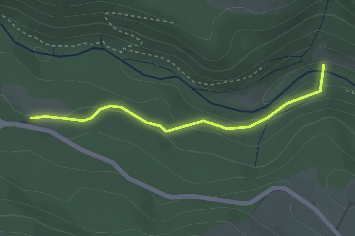
Easy · Trail
Dietfurtbrücke - Oberhalden
2.5 km · ↑ 70 m · 45 min
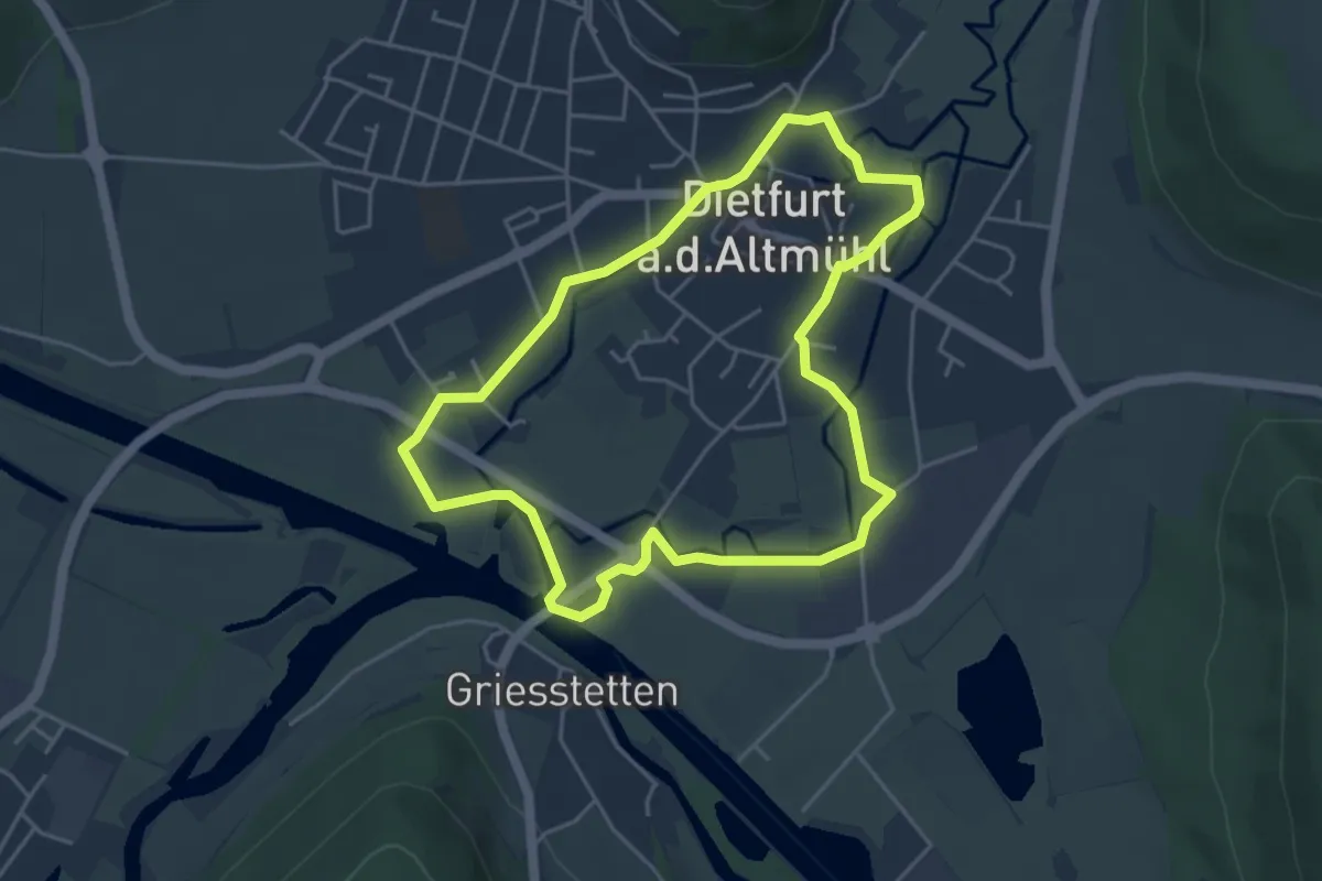
Easy · Trail
Dietfurter Wasserwege (Stadtspaziergang)
4.1 km · ↑ 15 m · 1 h 4 min
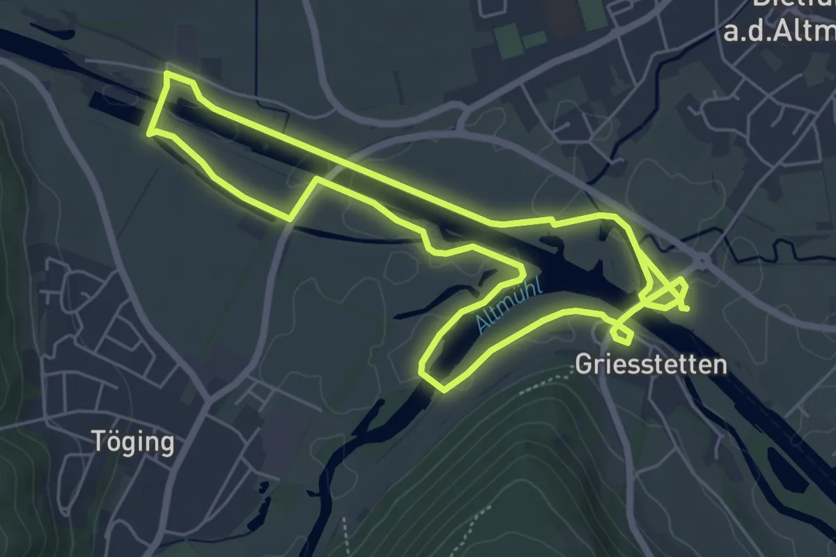
Medium · Trail
Dietfurter Wasserwege (Technik & Natur)
10.5 km · ↑ 9 m · 2 h 29 min
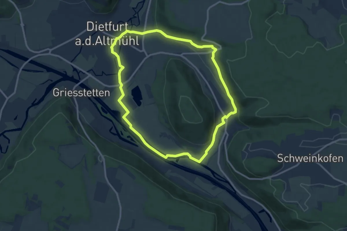
Easy · Trail
Dietfurter Wasserwege (Zurück zur Quelle)
7.8 km · ↑ 104 m · 2 h 10 min
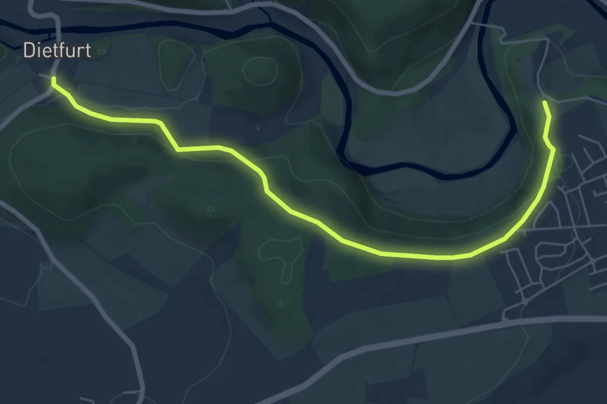
Easy · Trail
Dietfurth - Inzigkofen
6.2 km · ↑ 178 m · 1 h 51 min
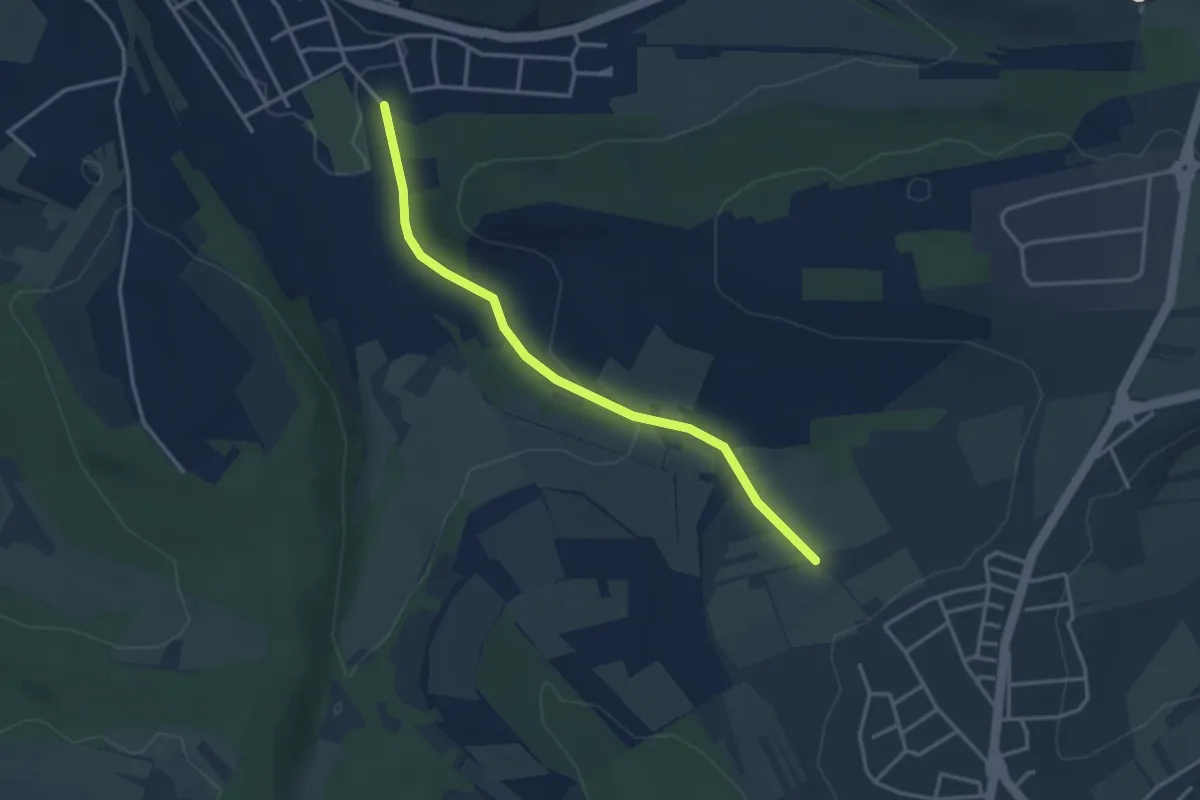
Easy · Trail
Dietlingen Kempf - Hofgut Müller
3.2 km · ↑ 77 m · 55 min
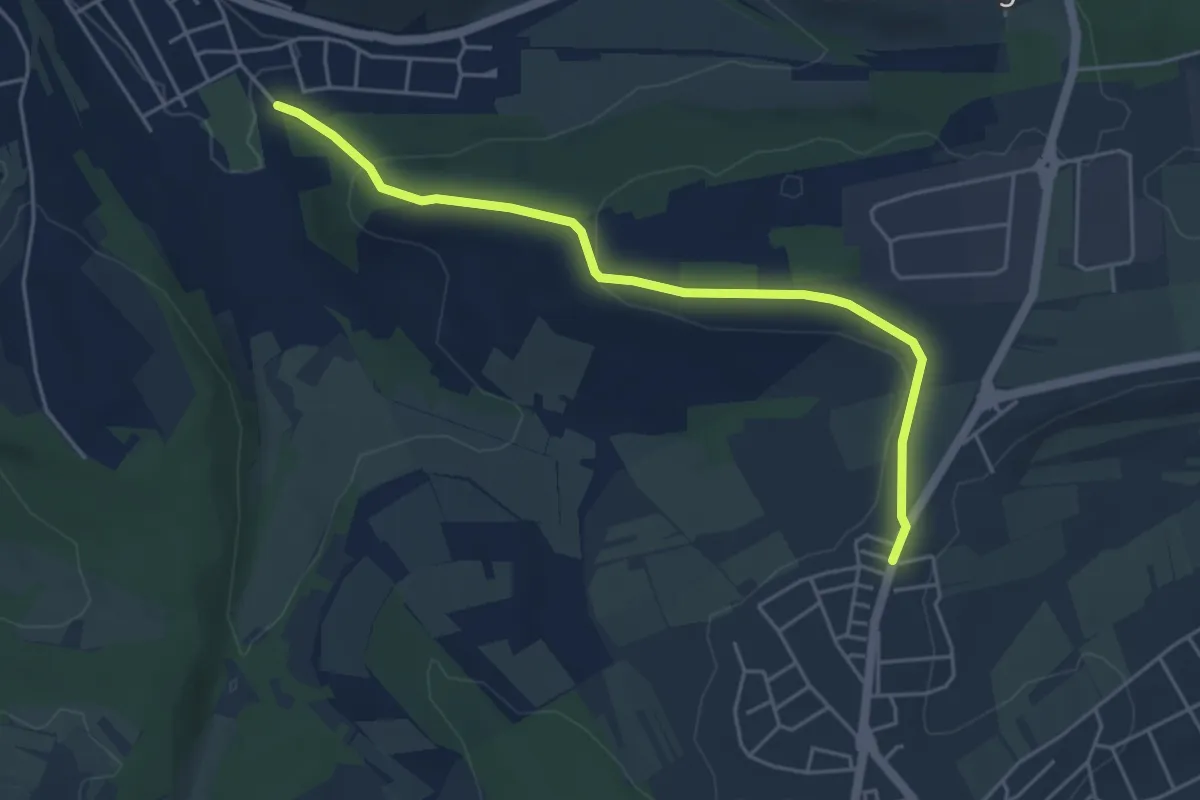
Easy · Trail
Dietlingen Kempf - Spielplatz Sonne
4.6 km · ↑ 117 m · 1 h 20 min
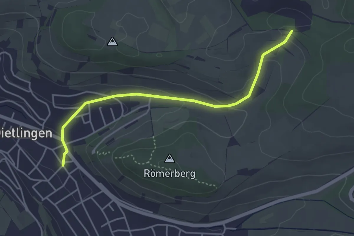
Easy · Trail
Dietlingen Spitzgarten - Steinbruch Dietlingen
3.8 km · ↑ 102 m · 1 h 6 min
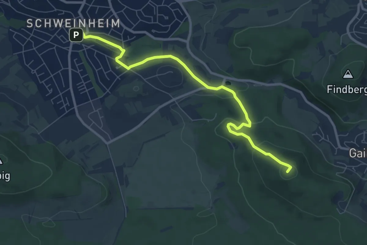
Easy · Summit
Dietz-Weg
7.3 km · ↑ 206 m · 2 h 10 min
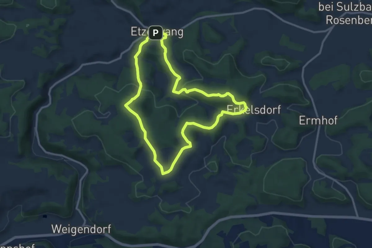
Easy · Summit
Die waldige Sechs
7.4 km · ↑ 246 m · 2 h 22 min
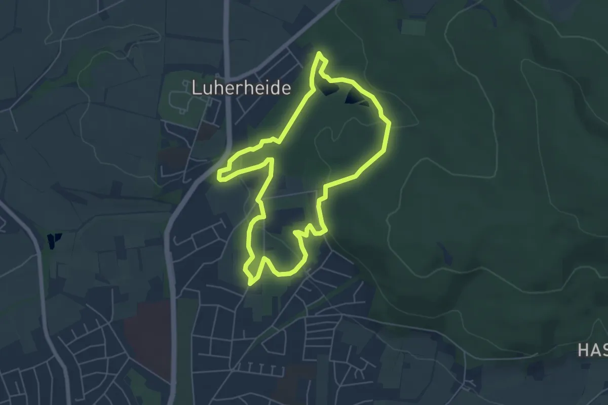
Easy · Trail
Digitalpfad Stadtwald Lemgo
4.9 km · ↑ 112 m · 1 h 28 min
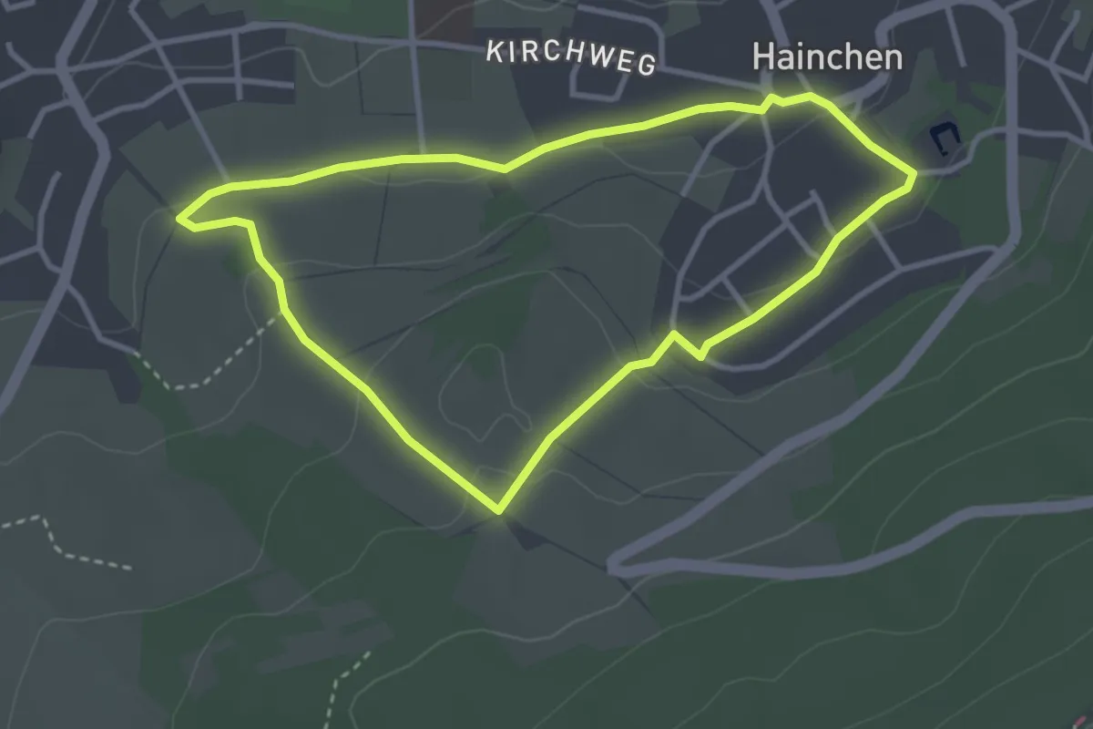
Easy · Trail
Dilldappenweg
2.9 km · ↑ 70 m · 52 min
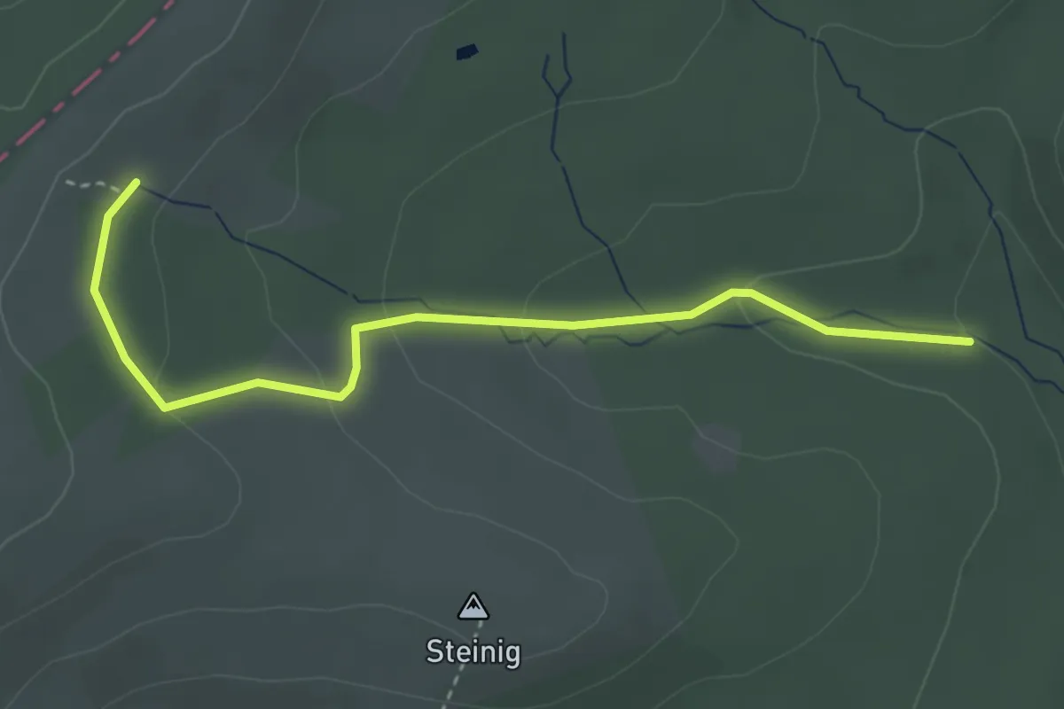
Easy · Trail
Dillhöhenweg (links der Dill)
3.3 km · ↑ 117 m · 1 h 2 min
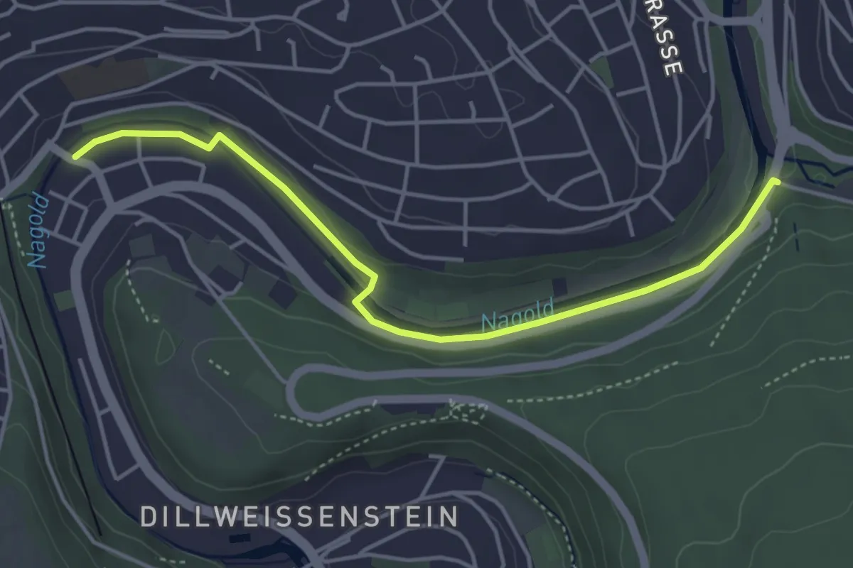
Easy · Trail
Dillstein Steinerne Brücke - Pforzheim Kupferhammer
4.2 km · ↑ 30 m · 1 h 3 min
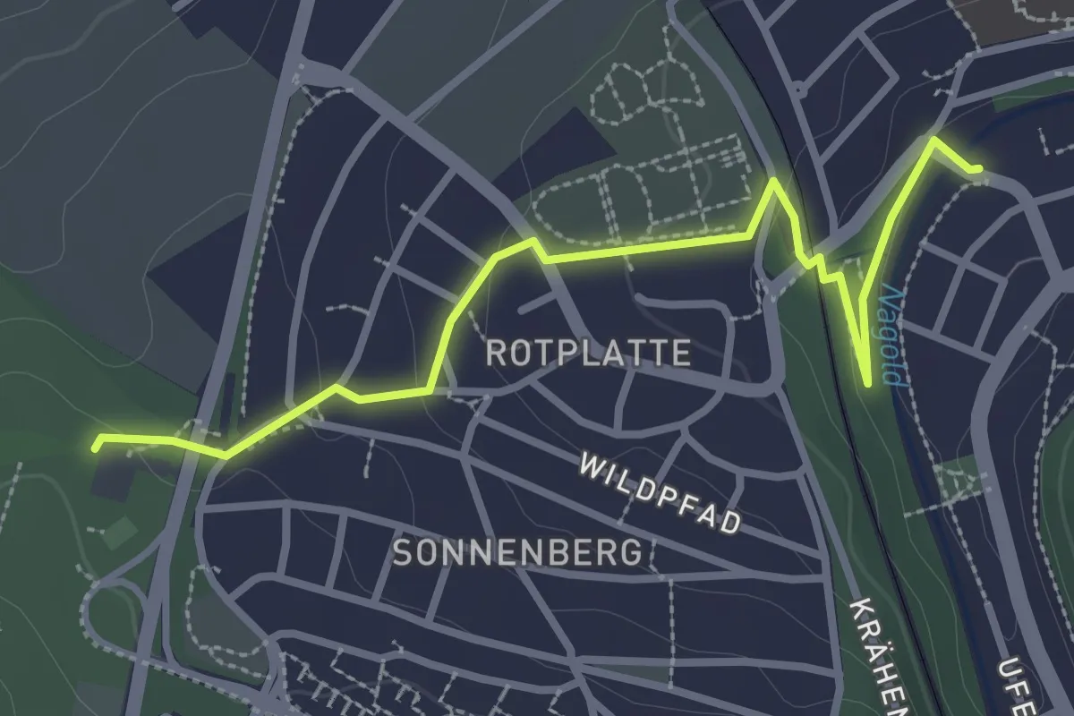
Easy · Trail
Dillstein Steinerne Brücke - Sonnenberg
3.1 km · ↑ 73 m · 53 min
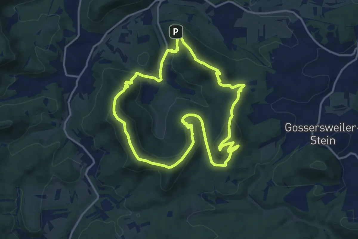
Medium · Summit
Dimbacher Buntsandstein-Höhenweg (Premium-Wanderweg)
9.6 km · ↑ 486 m · 3 h 27 min
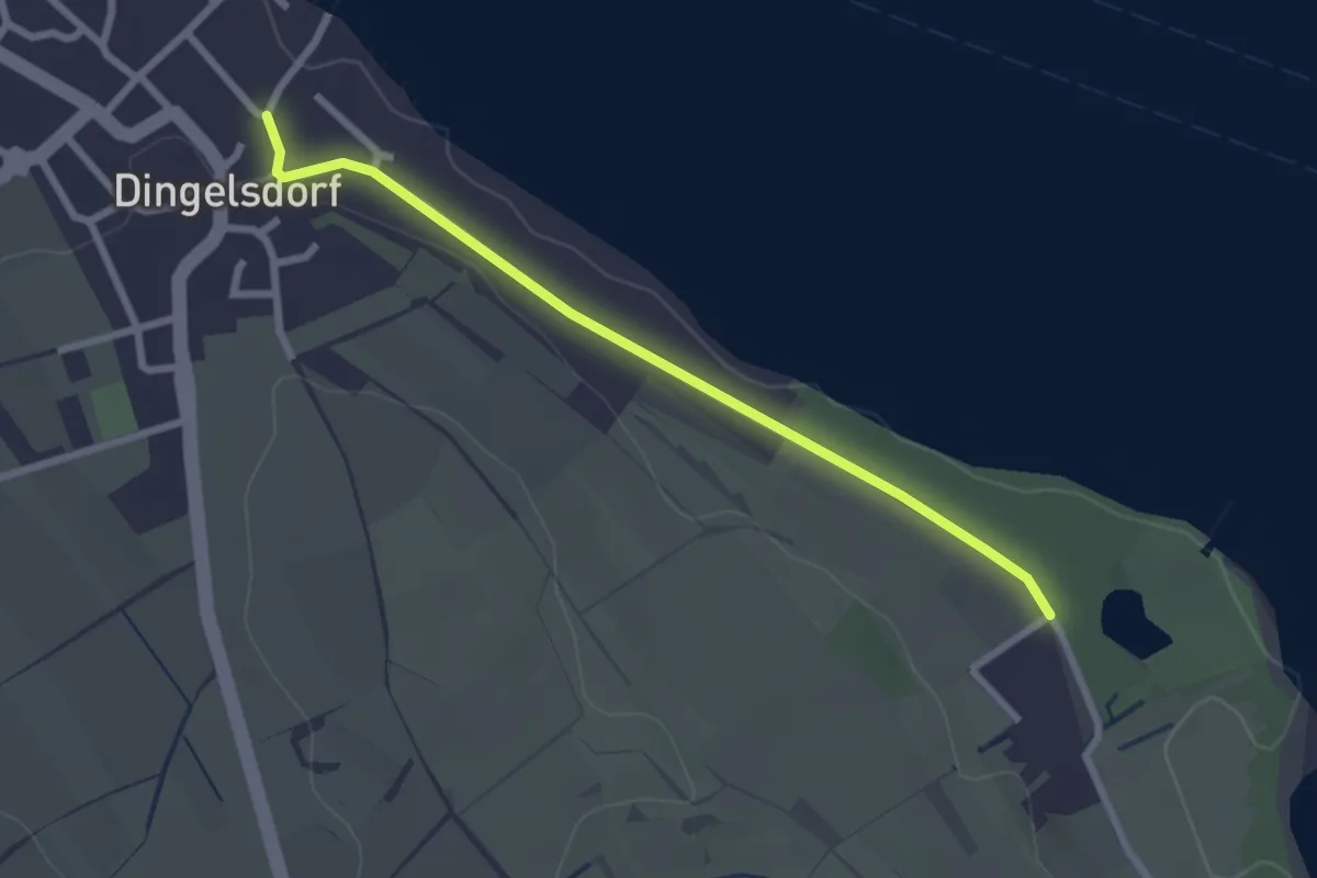
Easy · Trail
Dingelsdorf Am Tobel - Fließhorn
2.5 km · ↑ 19 m · 38 min
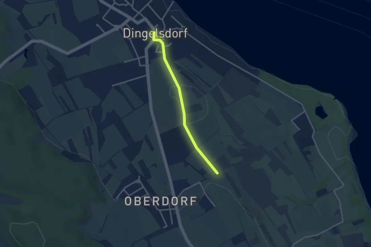
Easy · Trail
Dingelsdorf Dorfplatz - Höhenweg
2.3 km · ↑ 35 m · 37 min
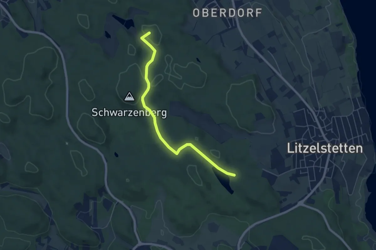
Easy · Summit
Dingelsdorfer Ried - Am Mühlweiher
5.4 km · ↑ 111 m · 1 h 31 min
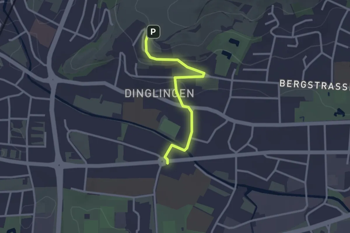
Easy · Trail
Dinglinger Haus - Lahr Otto-Hahn-Straße
2.4 km · ↑ 55 m · 41 min
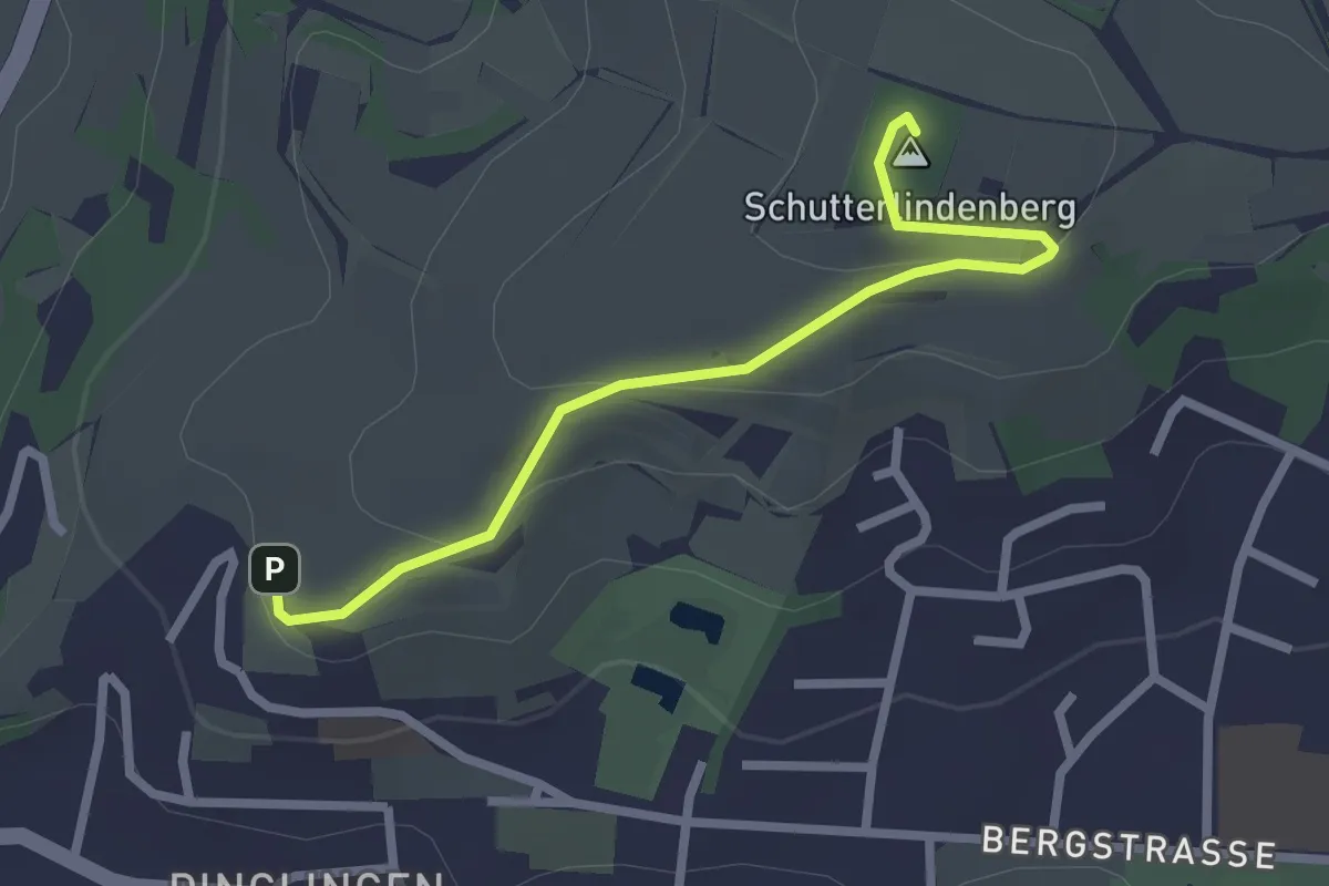
Easy · Summit
Dinglinger Haus - Schutterlindenberg
2.4 km · ↑ 71 m · 44 min
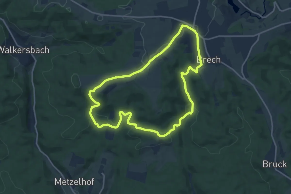
Medium · Trail
Dinkelfirst-Rundweg
8.2 km · ↑ 177 m · 2 h 26 min
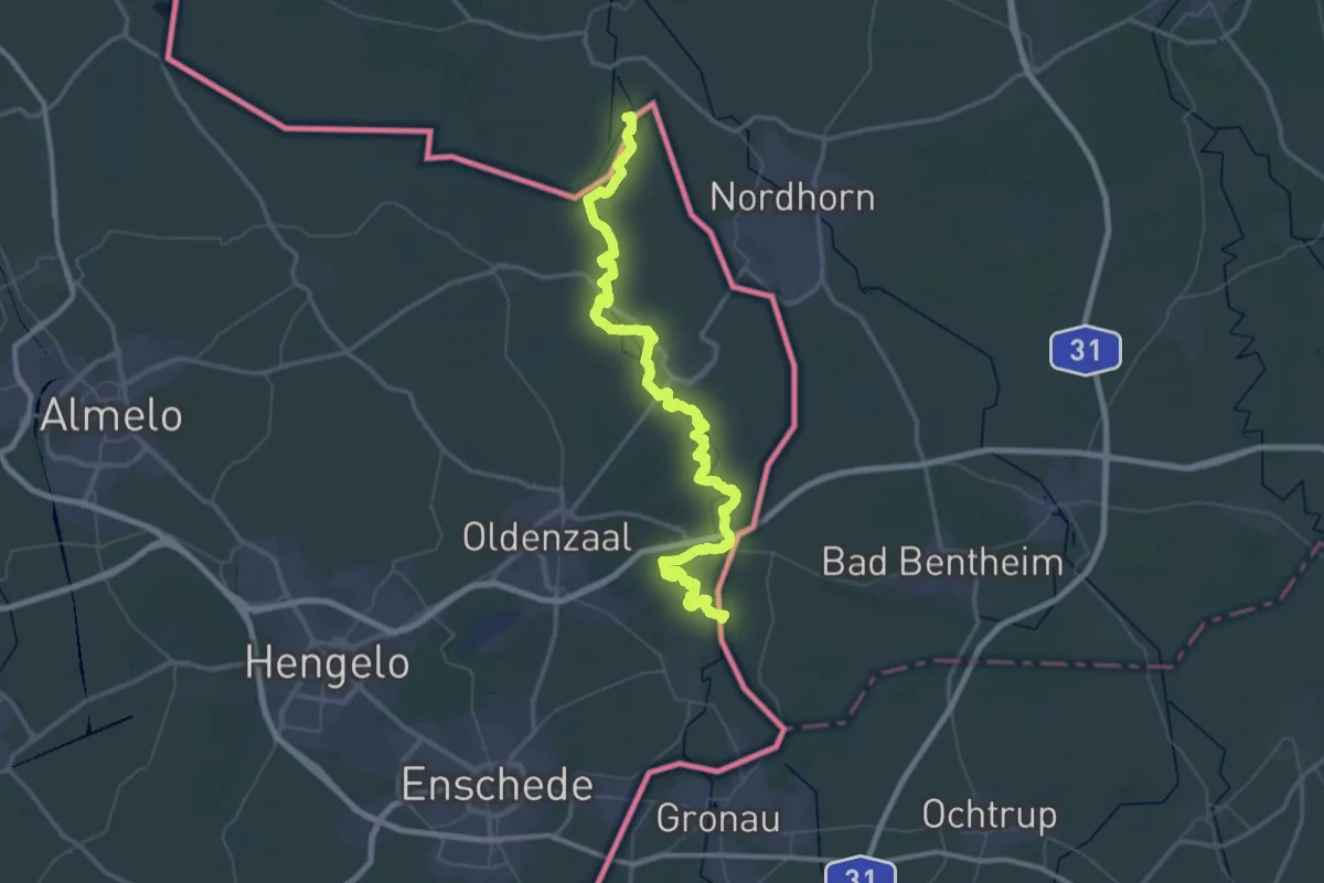
Demanding · Trail
Dinkelpad
37.4 km · ↑ 66 m · 9 h 30 min
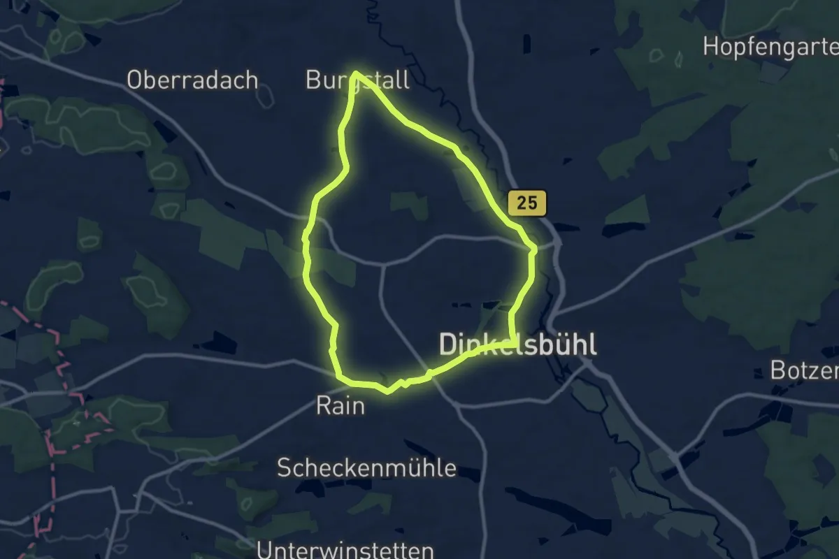
Medium · Trail
Dinkelsbühl Nr. 3
8.7 km · ↑ 78 m · 2 h 20 min
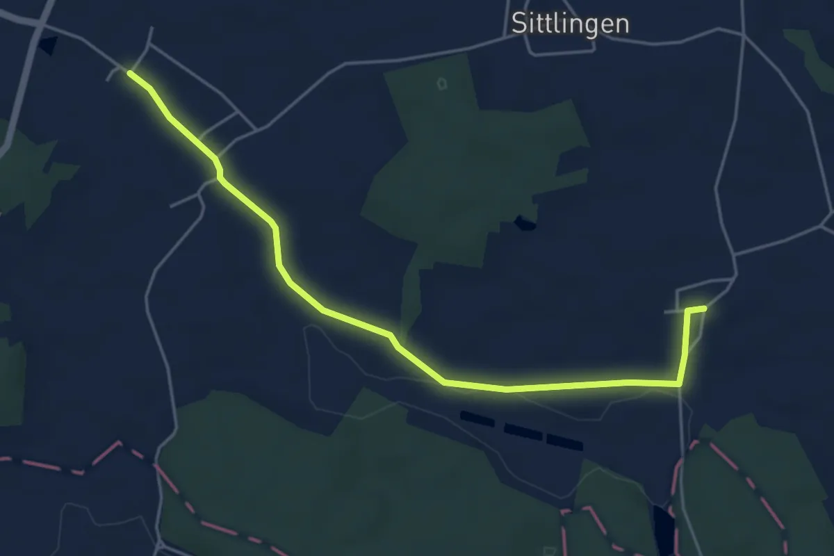
Easy · Trail
Dinkelsbühl Nr. 5
2.4 km · ↑ 18 m · 38 min
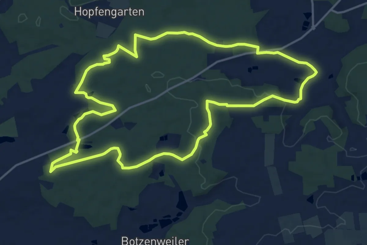
Medium · Trail
Dinkelsbühl Nr. 6
11.7 km · ↑ 160 m · 3 h 17 min
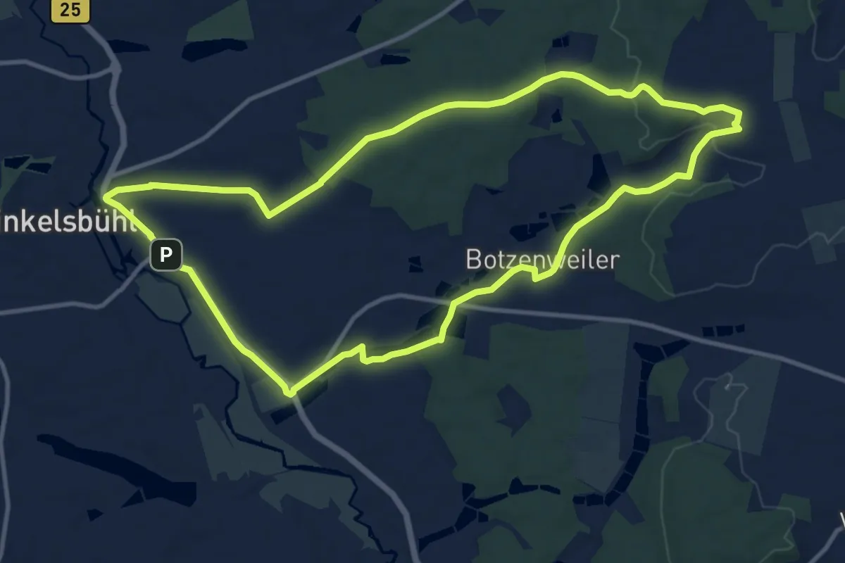
Medium · Summit
Dinkelsbühl Nr. 7
10.6 km · ↑ 120 m · 2 h 55 min
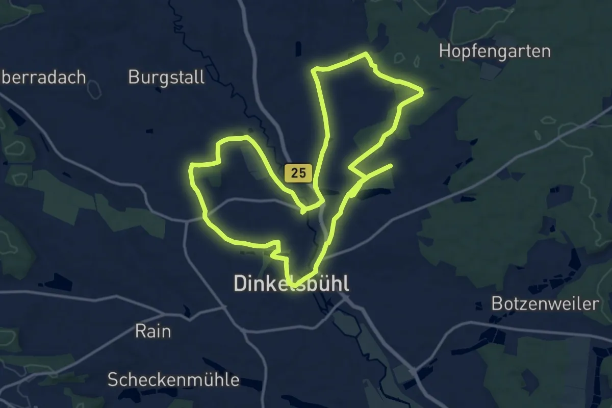
Medium · Trail
Dinkelsbühl Nr. 8
12.3 km · ↑ 103 m · 3 h 18 min
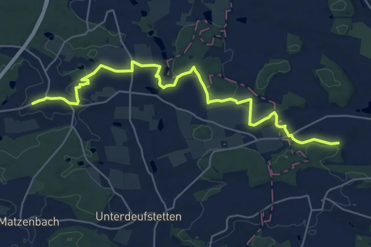
Medium · Trail
Dinkelsbühl - Wildenstein
15.4 km · ↑ 183 m · 4 h 2 min
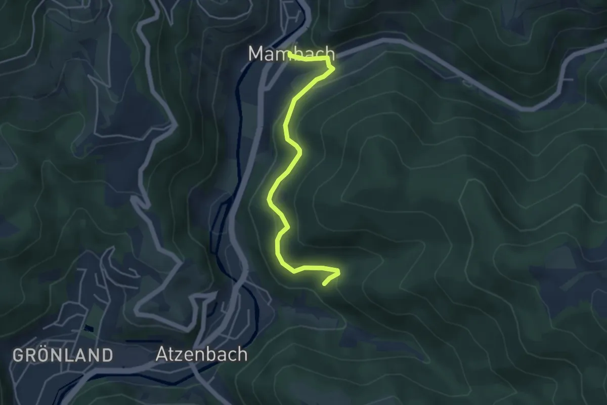
Easy · Trail
Dinkelsgraben - Mambach Dorfplatz
3.9 km · ↑ 193 m · 1 h 20 min
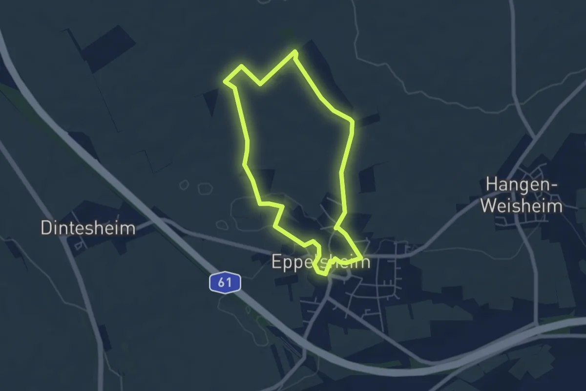
Easy · Trail
Dinotheriumweg
4.4 km · ↑ 47 m · 1 h 13 min