Trails in Germany
36,847 hiking trails, each with its route, climb, walking time and grade.
All trails, page 109 of 768
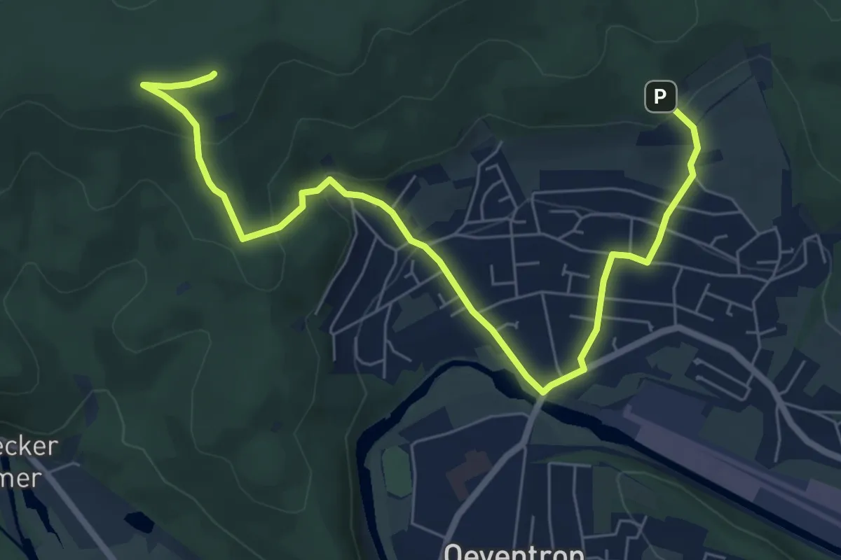
Medium · Summit
Dinschede Rundweg A2
7.2 km · ↑ 320 m · 2 h 24 min
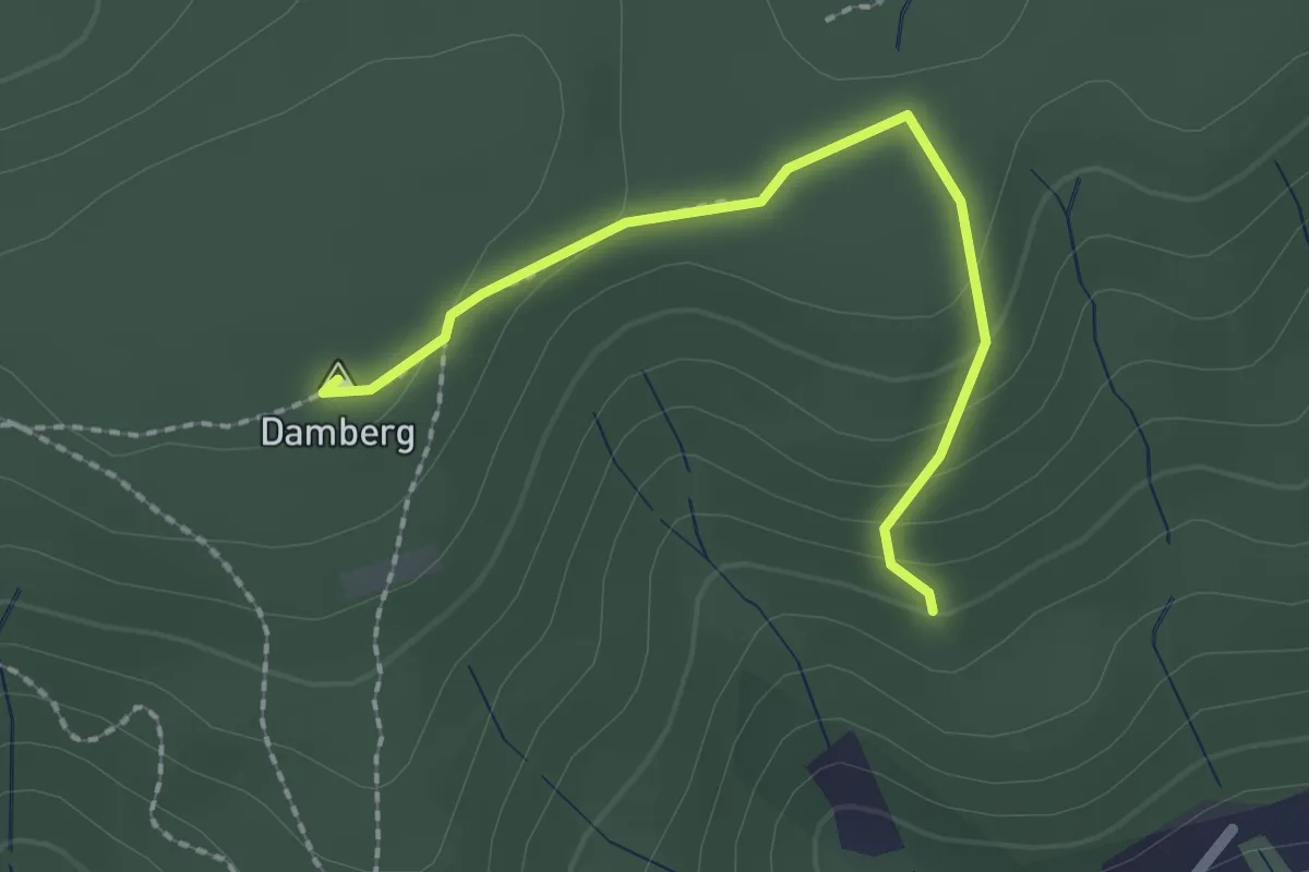
Easy · Summit
Dinschede Rundweg A3
1.9 km · ↑ 87 m · 38 min
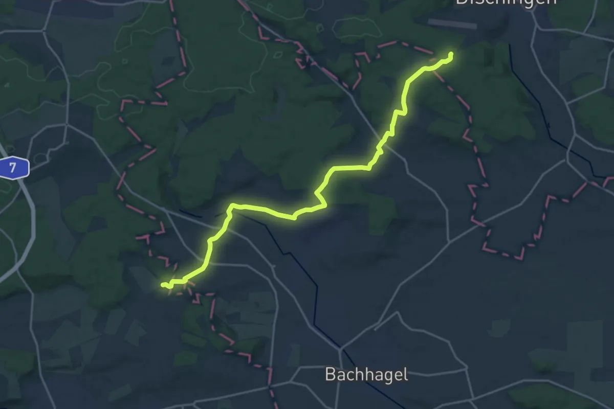
Demanding · Trail
Dischingen - Staufen HW2
18.3 km · ↑ 368 m · 5 h 7 min
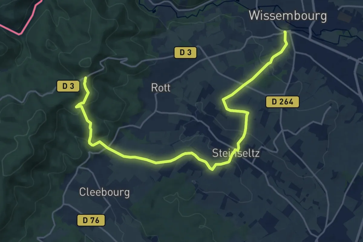
Medium · Cabin
disque vert
17.9 km · ↑ 454 m · 5 h 12 min
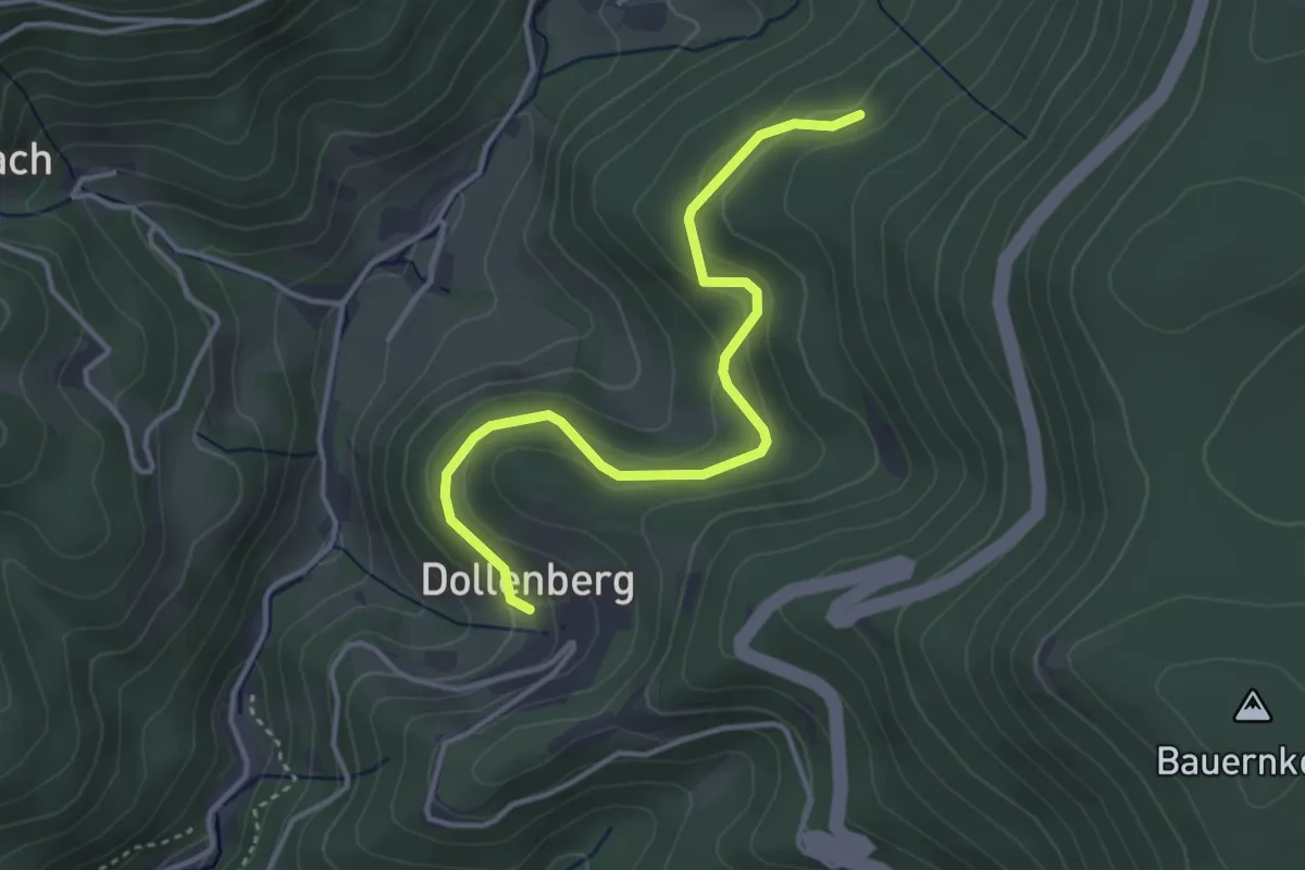
Easy · Trail
Dissenhofweg - Unterer Dollenberg
3.7 km · ↑ 178 m · 1 h 15 min
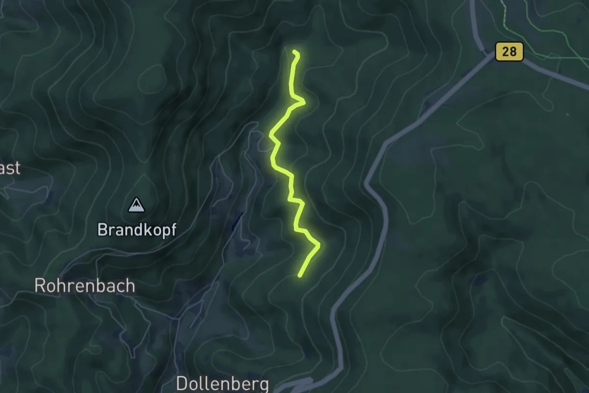
Easy · Trail
Dissenhofweg - Weiherplatz
4.4 km · ↑ 220 m · 1 h 30 min
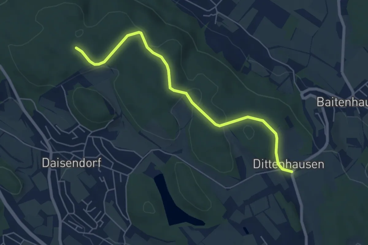
Easy · Trail
Dittenhausen - Lichtenberg
5.3 km · ↑ 109 m · 1 h 29 min
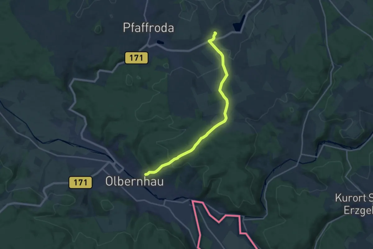
Medium · Trail
Dittmannsdorf-Olbernhau
12.6 km · ↑ 351 m · 3 h 44 min
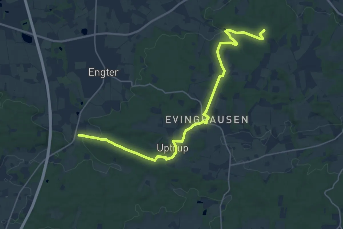
Medium · Summit
DiVa Walk - Etappe 1
16.2 km · ↑ 223 m · 4 h 18 min
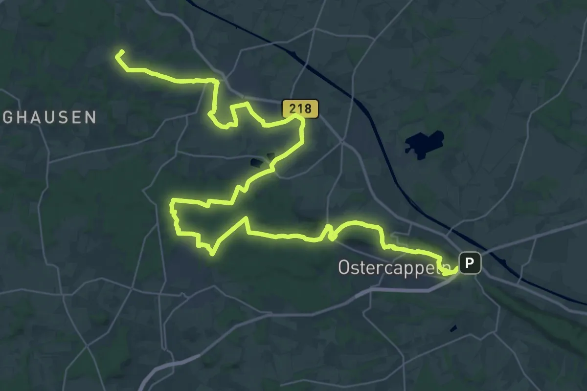
Demanding · Summit
DiVa Walk - Etappe 2
44.3 km · ↑ 634 m · 11 h 50 min
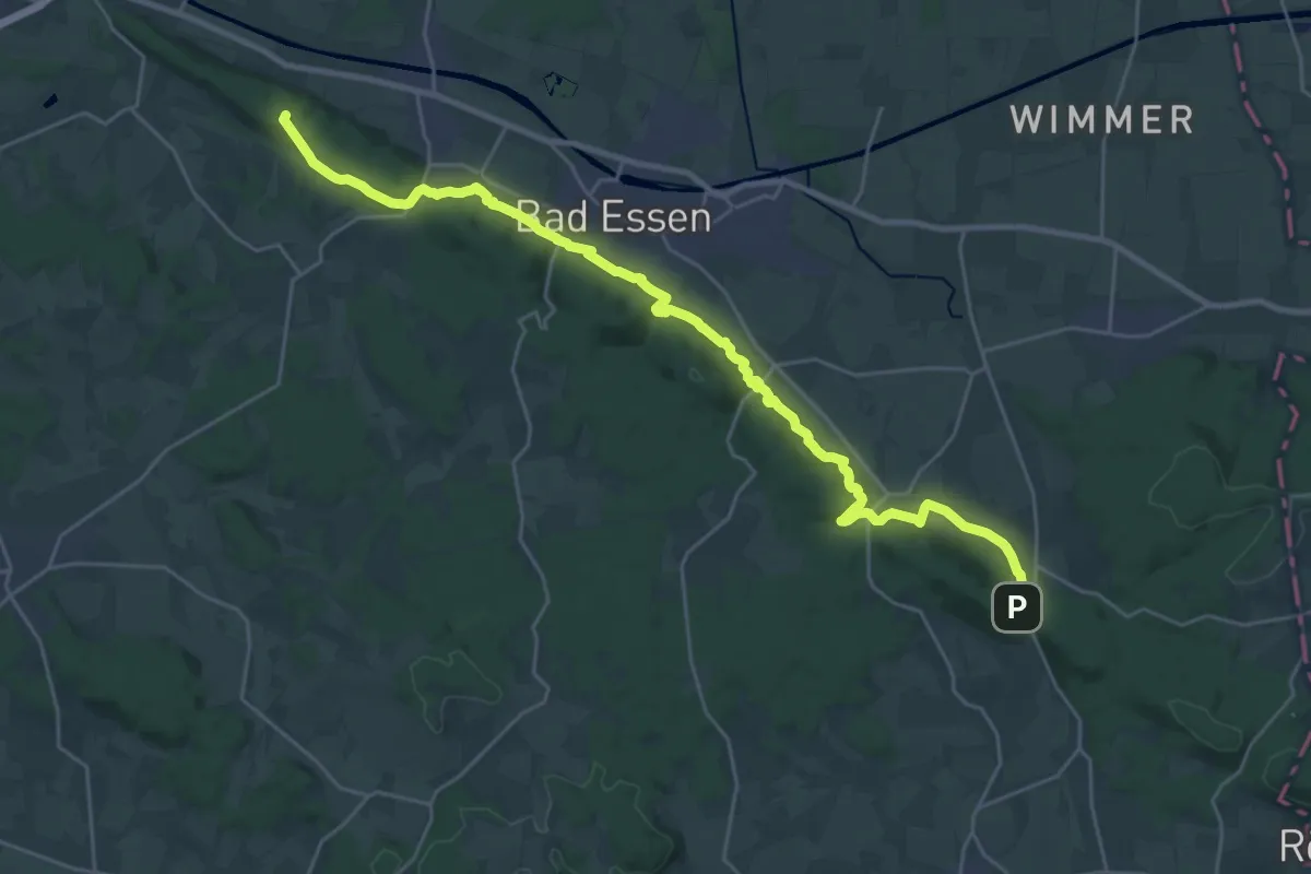
Demanding · Summit
DiVa Walk - Etappe 3
26.7 km · ↑ 787 m · 8 h 1 min
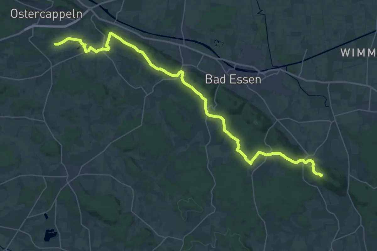
Demanding · Summit
DiVa Walk - Etappe 4
34.1 km · ↑ 651 m · 9 h 28 min
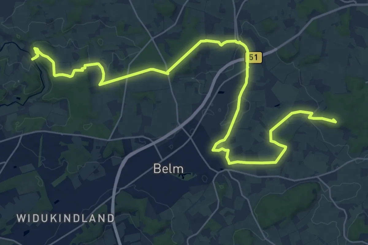
Demanding · Summit
DiVa Walk - Etappe 5
26.5 km · ↑ 293 m · 6 h 53 min
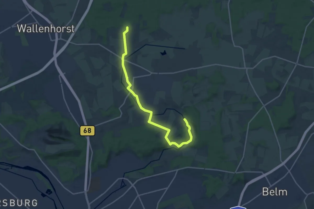
Medium · Summit
DiVa Walk - Etappe 6
12.8 km · ↑ 132 m · 3 h 19 min
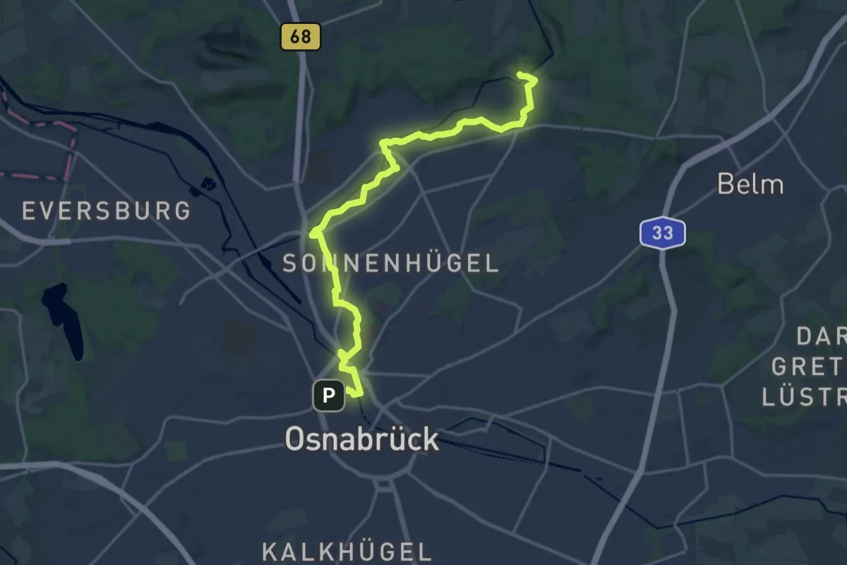
Medium · Trail
DiVa Walk ZUWEG
17.1 km · ↑ 169 m · 4 h 24 min
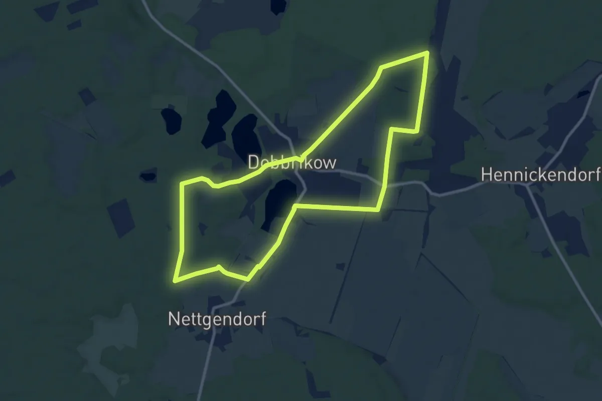
Medium · Trail
Dobbrikower Rundweg
8.8 km · ↑ 31 m · 2 h 16 min
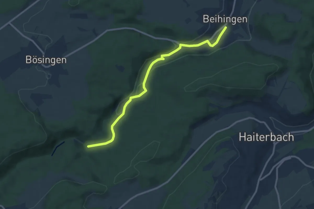
Easy · Trail
Döbele - Beihingen Kirche
7.1 km · ↑ 126 m · 1 h 57 min
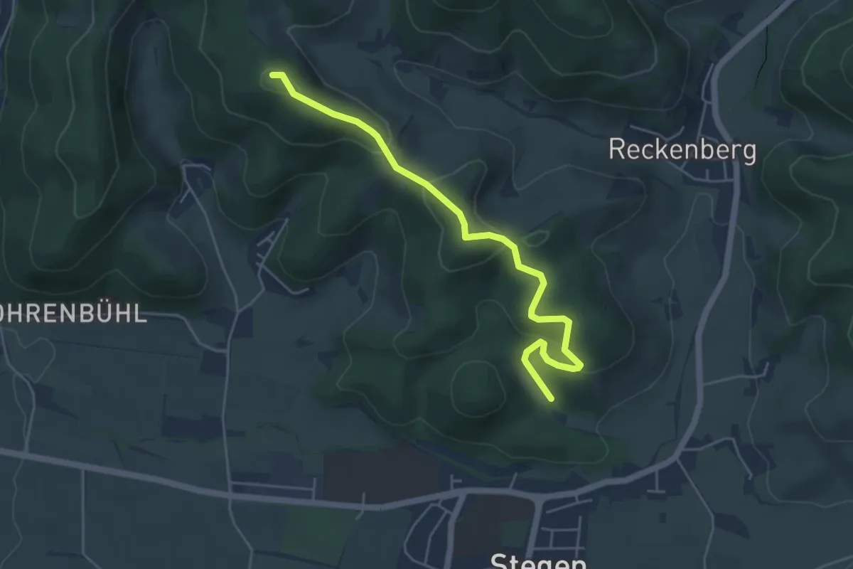
Easy · Summit
Dobelmatte - Unterm Waseck
4.9 km · ↑ 224 m · 1 h 38 min
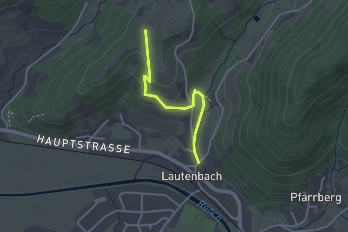
Easy · Trail
Dobelsbur - Lautenbach Hinterdorf
2.3 km · ↑ 119 m · 49 min
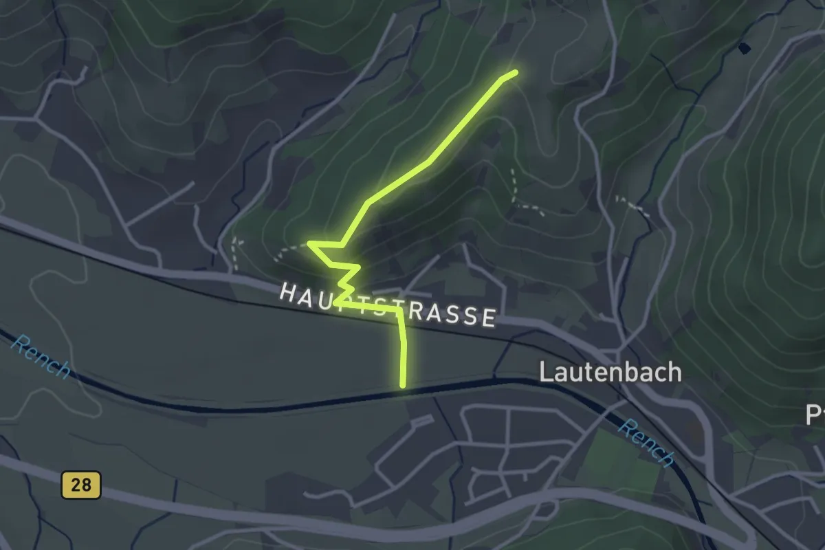
Easy · Trail
Dobelsbur - Renchdamm
2.7 km · ↑ 106 m · 52 min
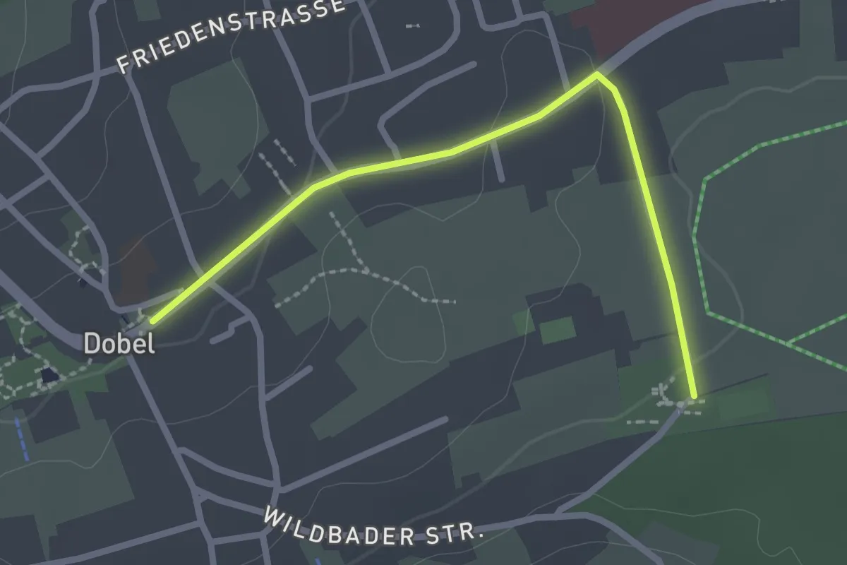
Easy · Trail
Dobel Schulhaus - Reutäcker
2.3 km · ↑ 17 m · 35 min
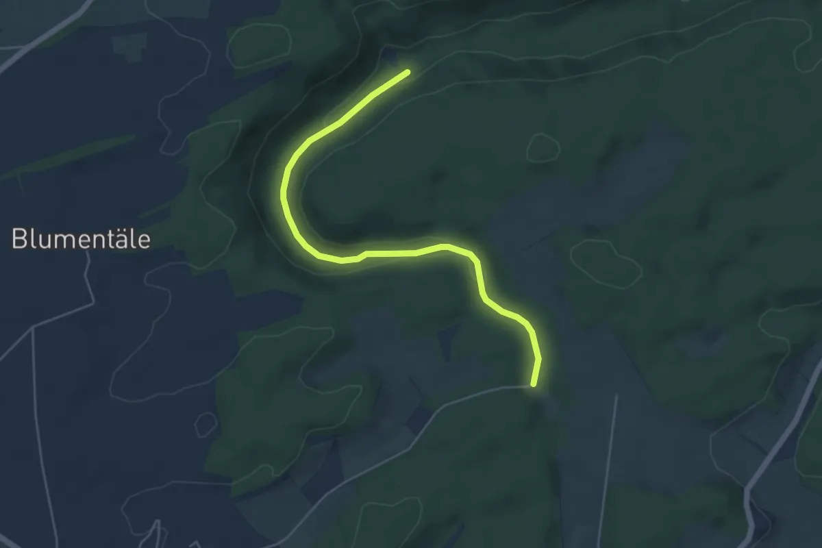
Easy · Trail
Dobeltal Fischweiher-Heiligenhalde
4.9 km · ↑ 82 m · 1 h 21 min
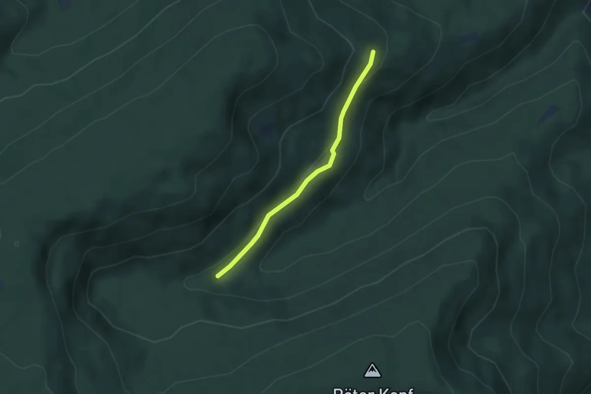
Easy · Trail
Dobelwald - Schwarzmiss
2.6 km · ↑ 72 m · 47 min
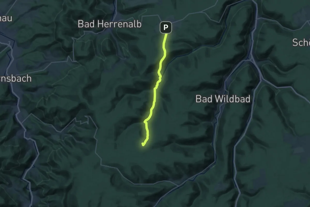
Demanding · Trail
Dobel - Wildseemoor
19.0 km · ↑ 740 m · 6 h 5 min
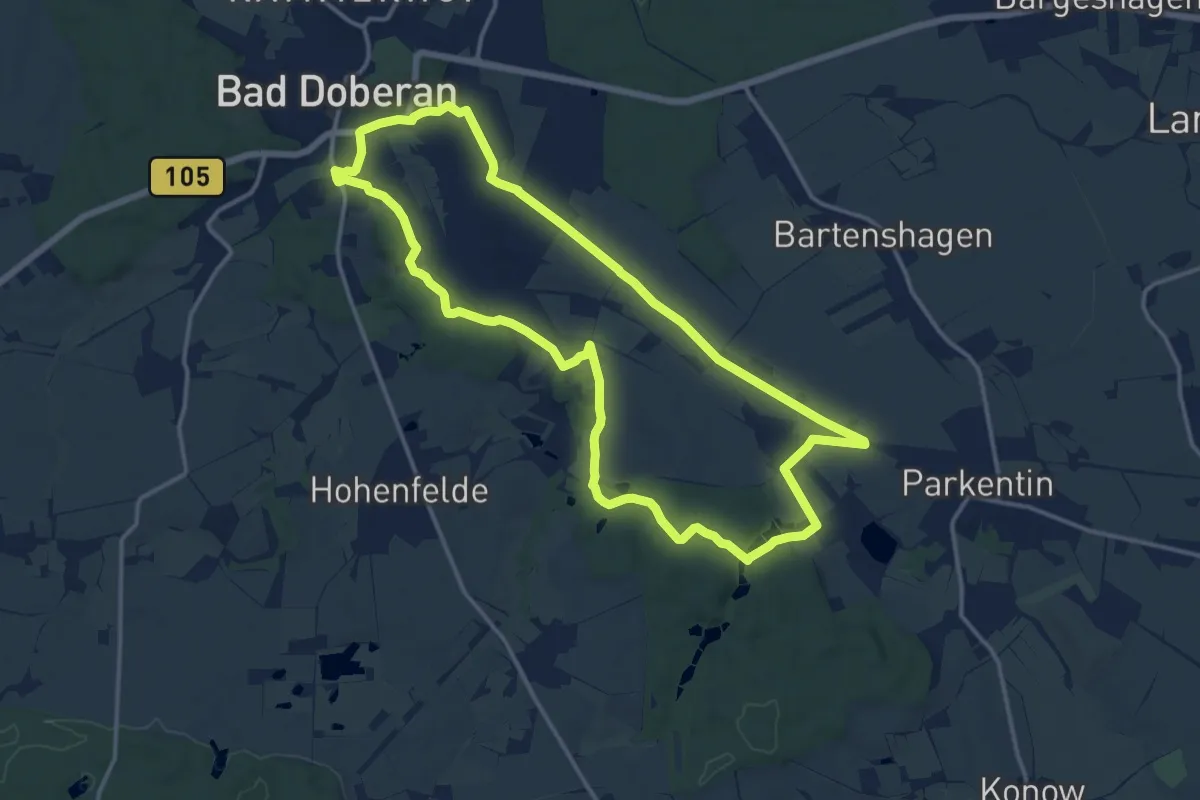
Medium · Trail
Doberaner Klostertour
12.6 km · ↑ 109 m · 3 h 23 min
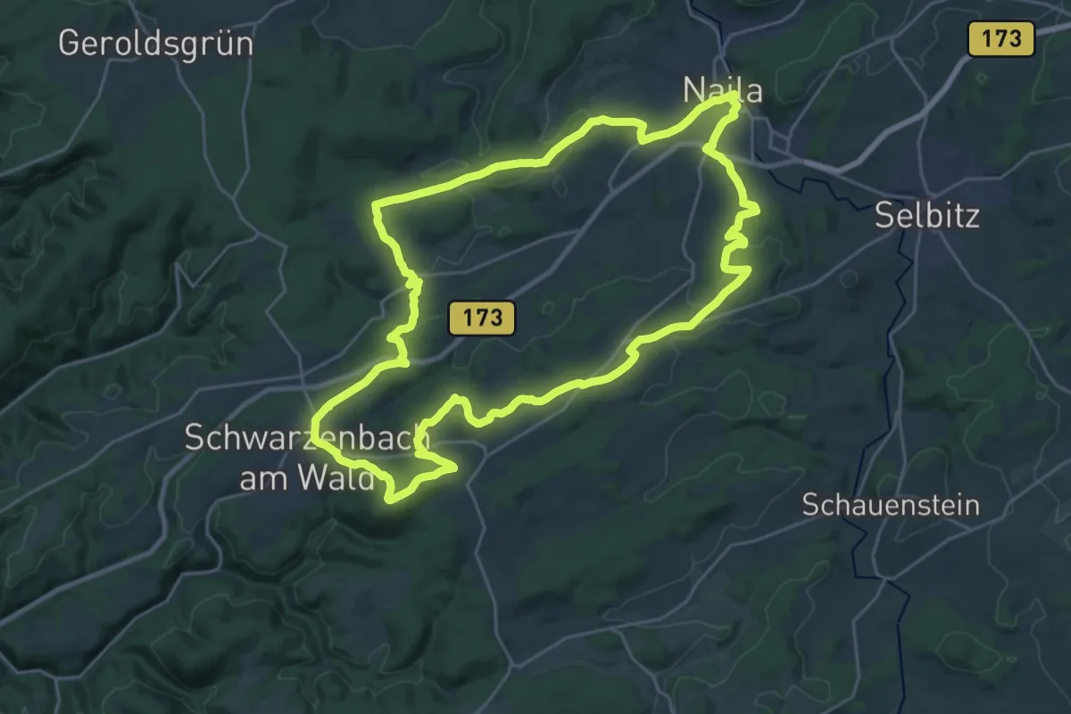
Demanding · Summit
Döbraberg-Weg OS 45
24.1 km · ↑ 489 m · 7 h 5 min
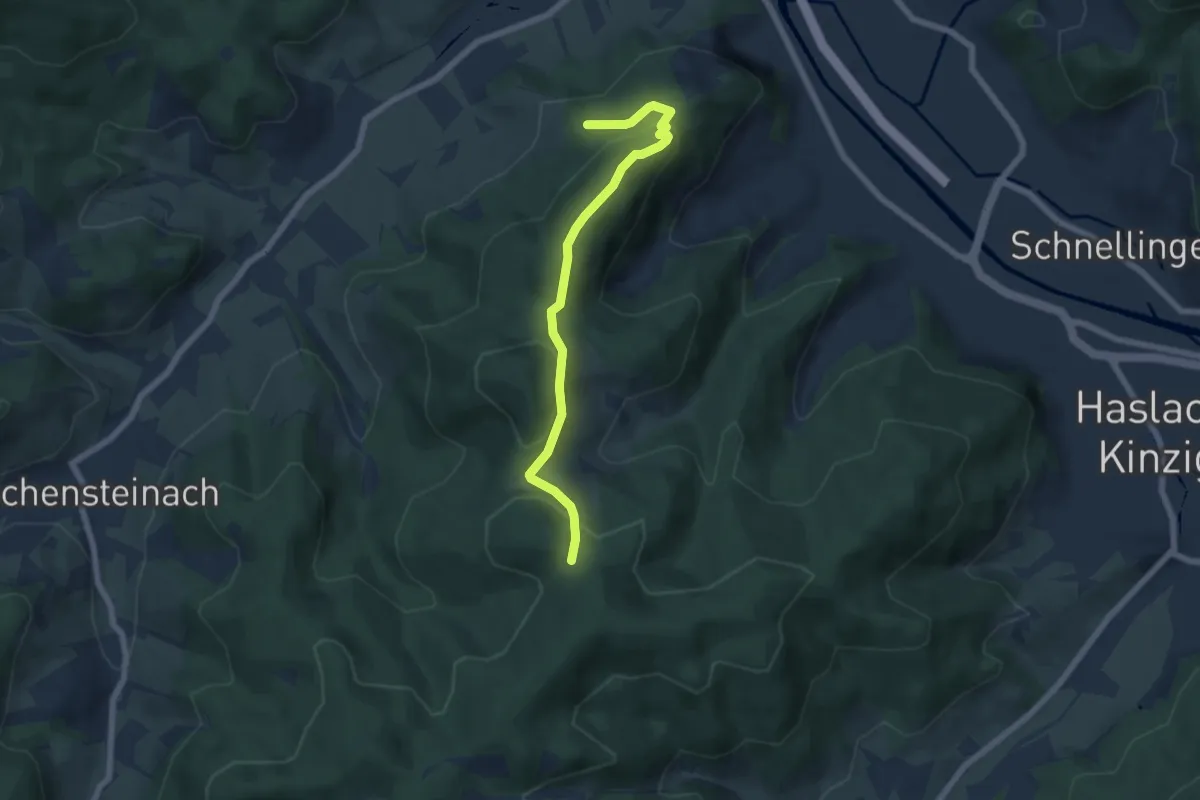
Easy · Trail
Dochbacher Platz - Artenberg
5.9 km · ↑ 309 m · 2 h 4 min
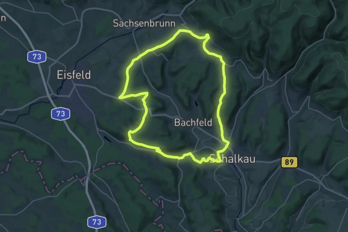
Demanding · Summit
Dockenweg
21.3 km · ↑ 433 m · 6 h 15 min
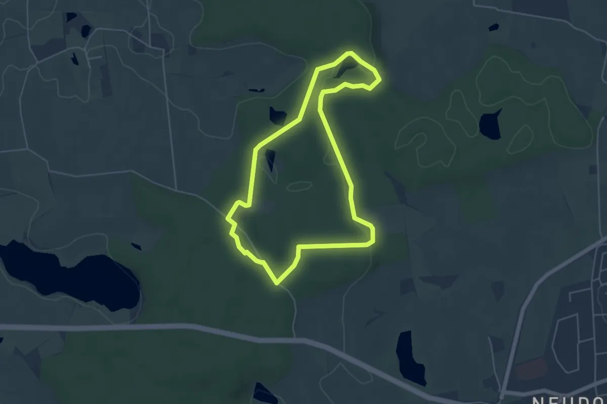
Easy · Trail
Dodauer Forst-Route - Kurz
4.0 km · ↑ 40 m · 1 h 5 min
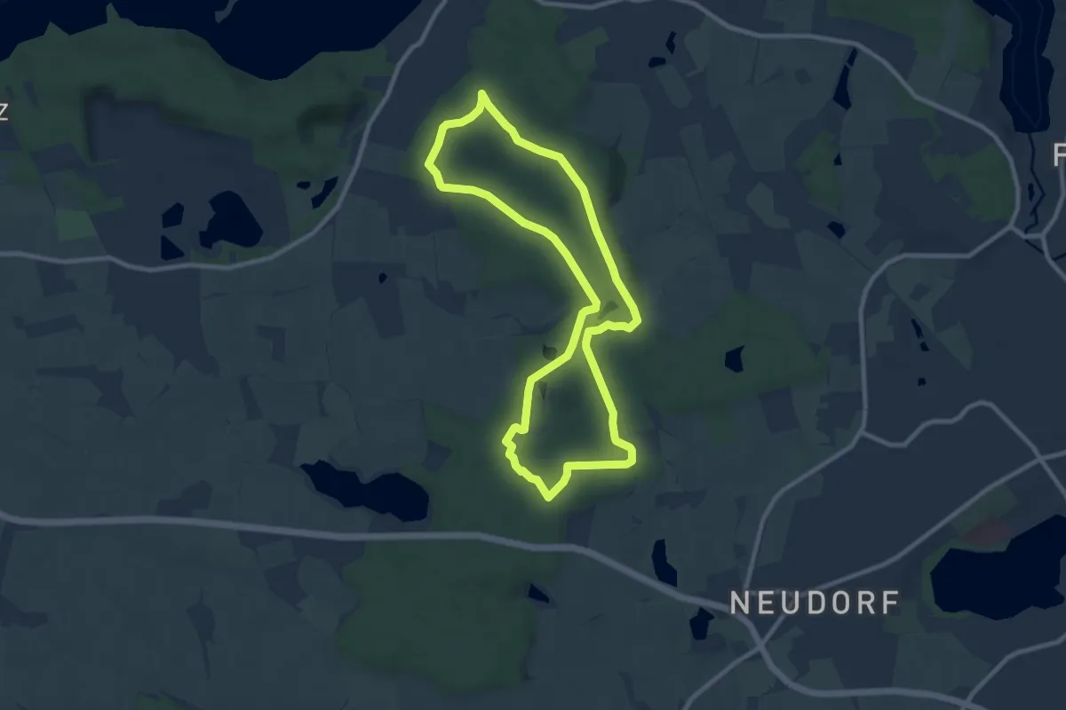
Easy · Trail
Dodauer Forst-Route - Lang
7.6 km · ↑ 76 m · 2 h 4 min
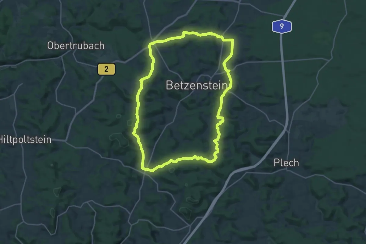
Demanding · Summit
Doerfer Rund um Betzenstein
18.7 km · ↑ 439 m · 5 h 38 min
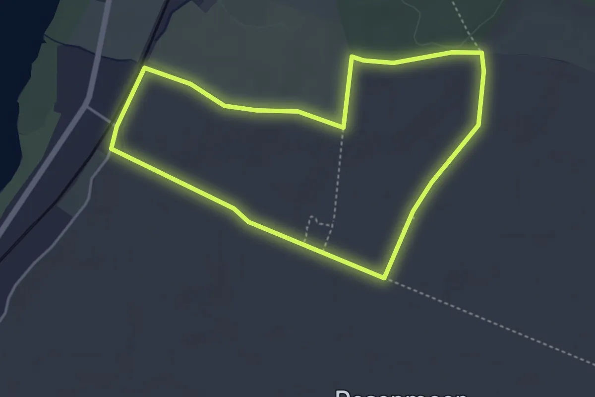
Easy · Trail
Doesenmoor Weg 2
3.4 km · ↑ 9 m · 51 min
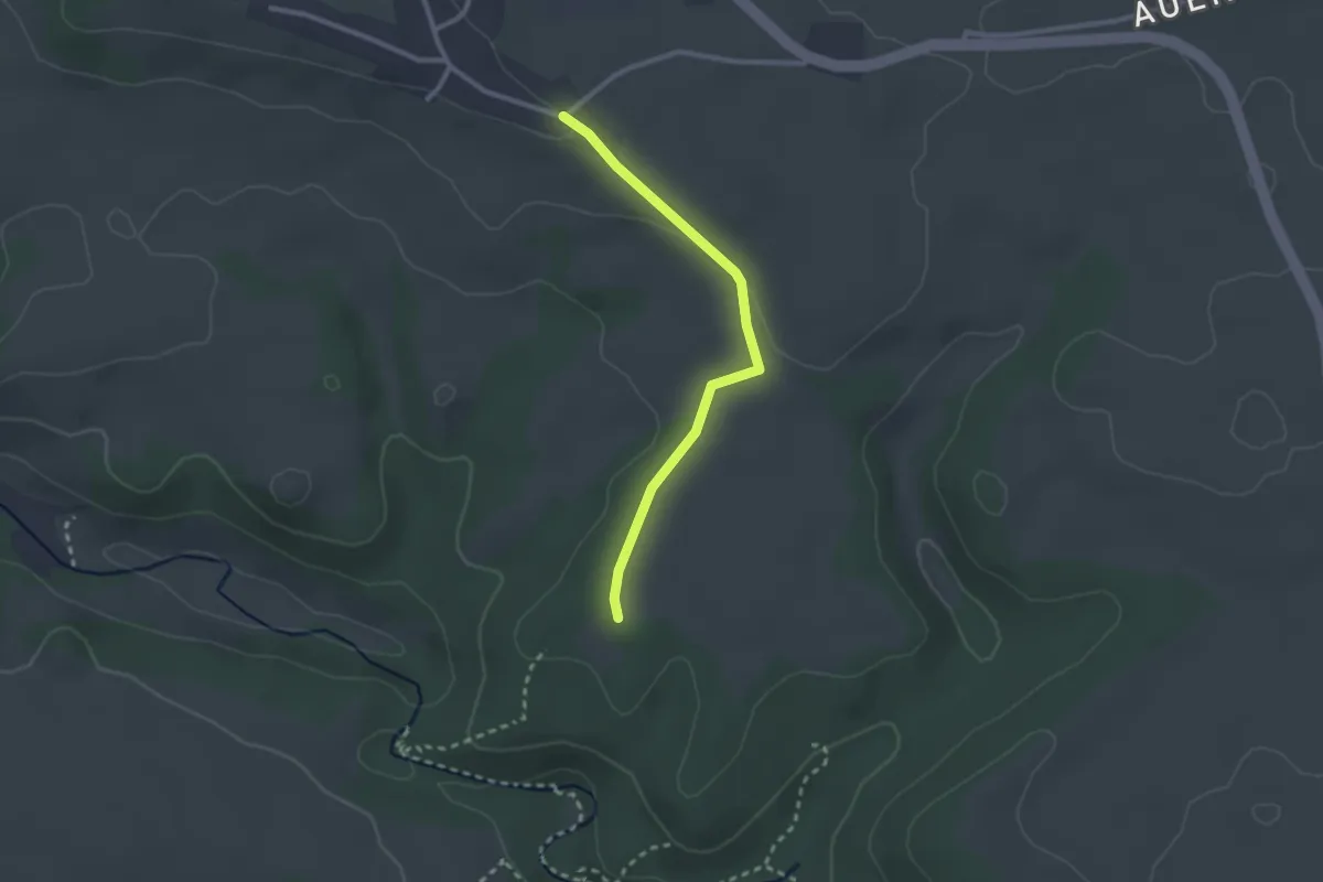
Easy · Trail
Döggingen Baierleh - Wanderparkplatz Gauchachhütte
2.4 km · ↑ 31 m · 37 min
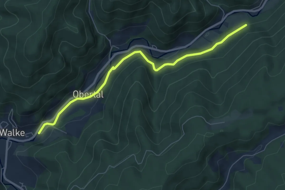
Easy · Trail
Dohlenbacherhof - Walke Bauhof
6.3 km · ↑ 173 m · 1 h 52 min
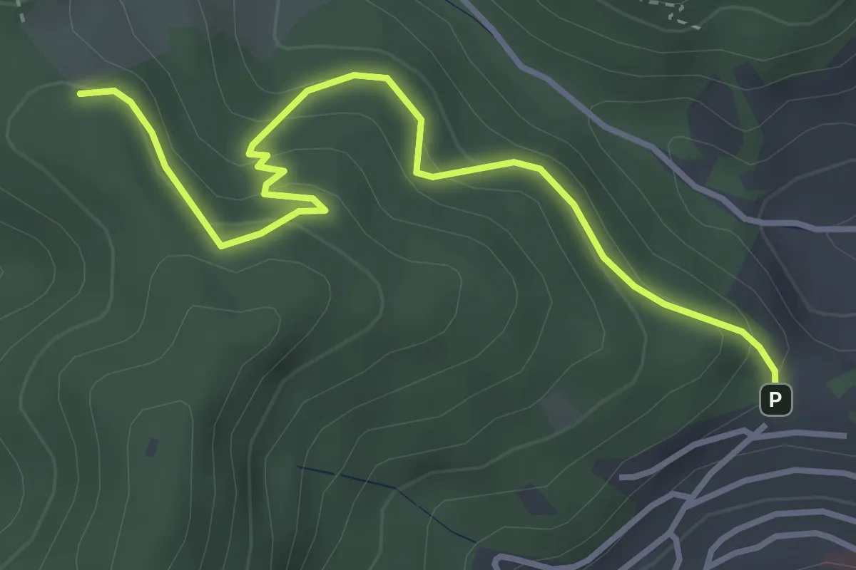
Easy · Trail
Dohlenbacherhöhe - Hofeckle
3.7 km · ↑ 266 m · 1 h 27 min
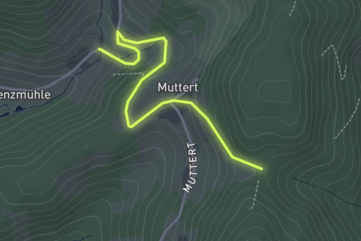
Easy · Trail
Dohleneck - Oberer Bach
2.7 km · ↑ 145 m · 57 min
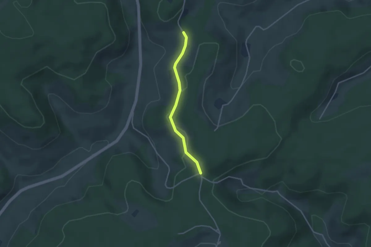
Easy · Trail
Doldenhäusle - Schlegelberg West
2.5 km · ↑ 40 m · 40 min
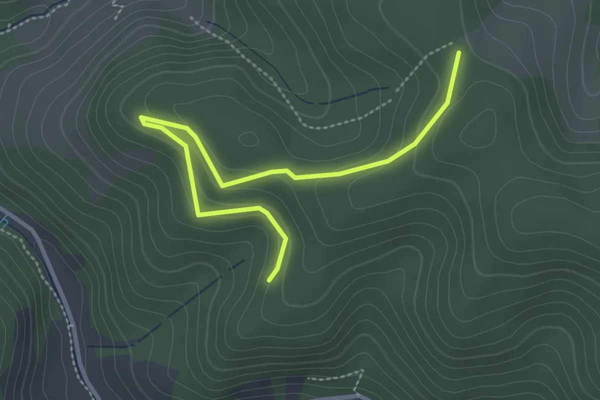
Easy · Trail
Doldergraben - Oberer Herrengrund
2.9 km · ↑ 129 m · 57 min
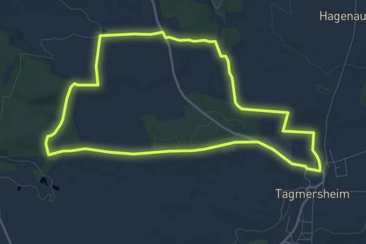
Easy · Trail
Dolinenlehrpfad Tagmersheim
7.8 km · ↑ 108 m · 2 h 11 min
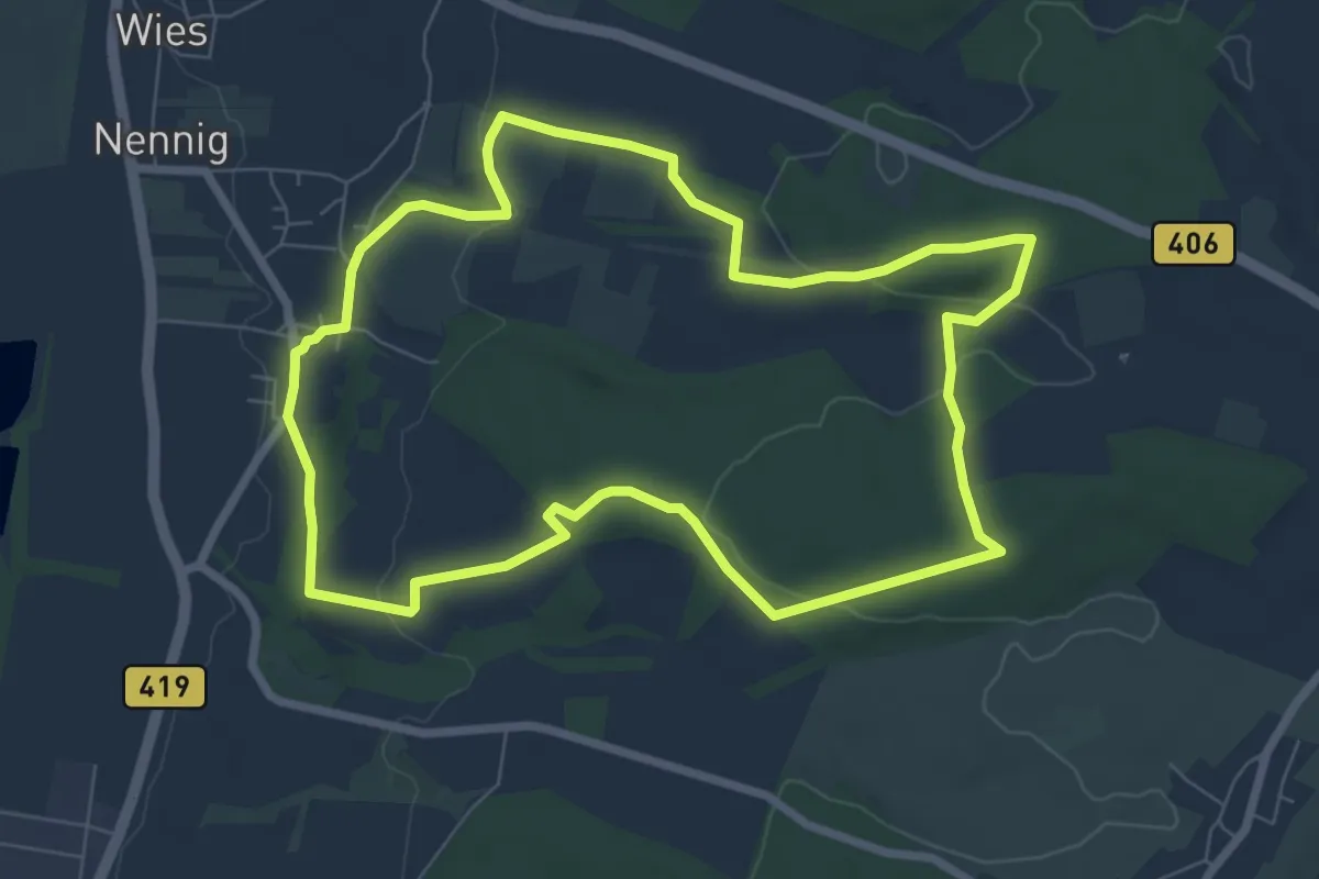
Easy · Trail
Dolinenweg
7.0 km · ↑ 160 m · 2 h 6 min
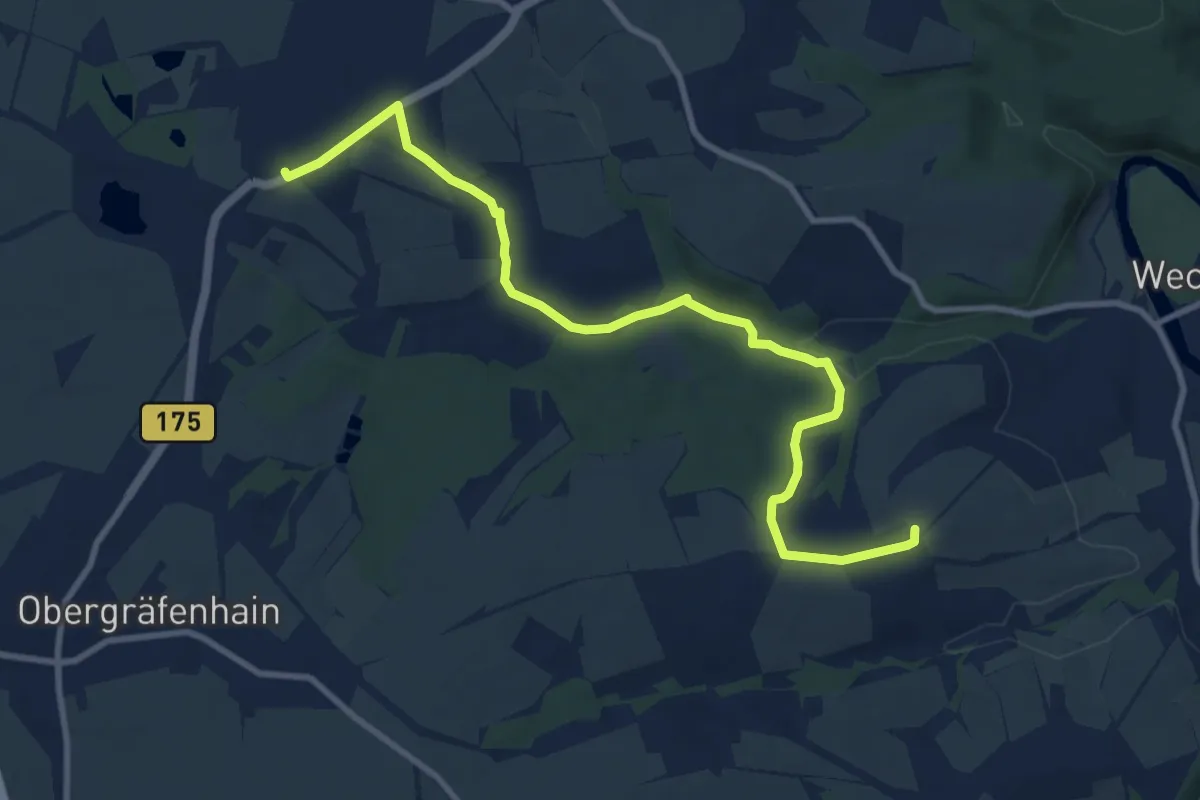
Medium · Summit
Dölitzschtalweg Wechselburg – Dölitzsch
9.9 km · ↑ 167 m · 2 h 42 min
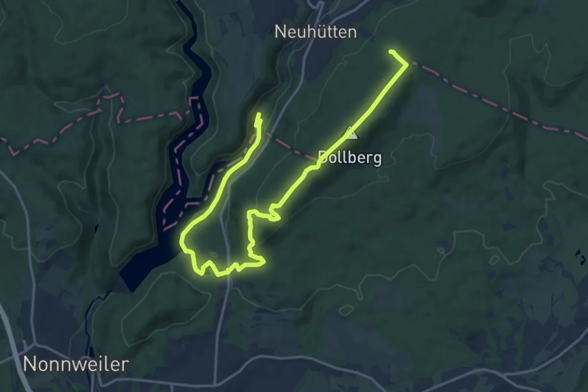
Medium · Summit
Dollbergschleife
7.7 km · ↑ 295 m · 2 h 29 min
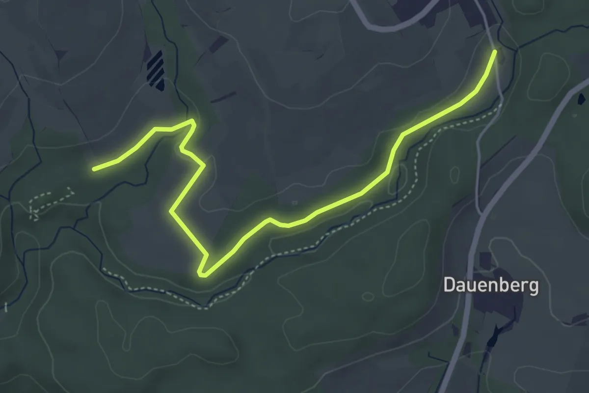
Easy · Trail
Dollenäcker - Mühlweg
5.1 km · ↑ 37 m · 1 h 17 min
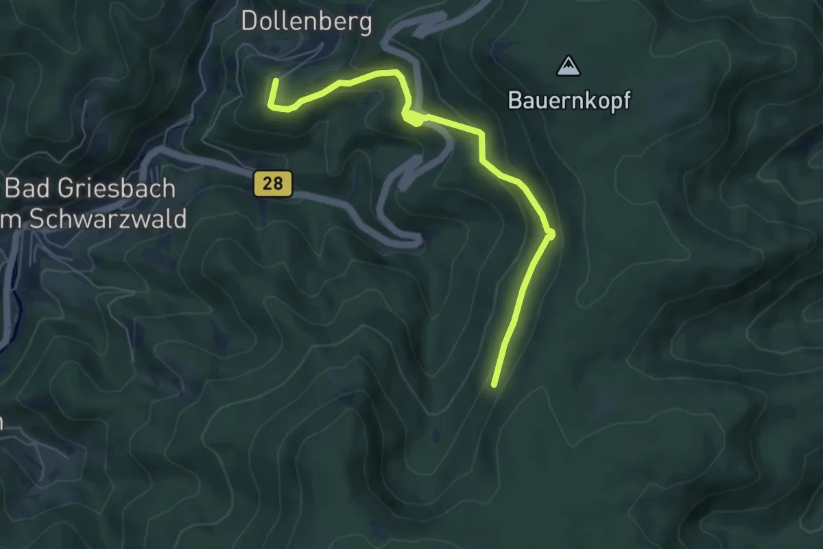
Easy · Trail
Dollenberg - Teufelskanzelweg
5.9 km · ↑ 243 m · 1 h 56 min
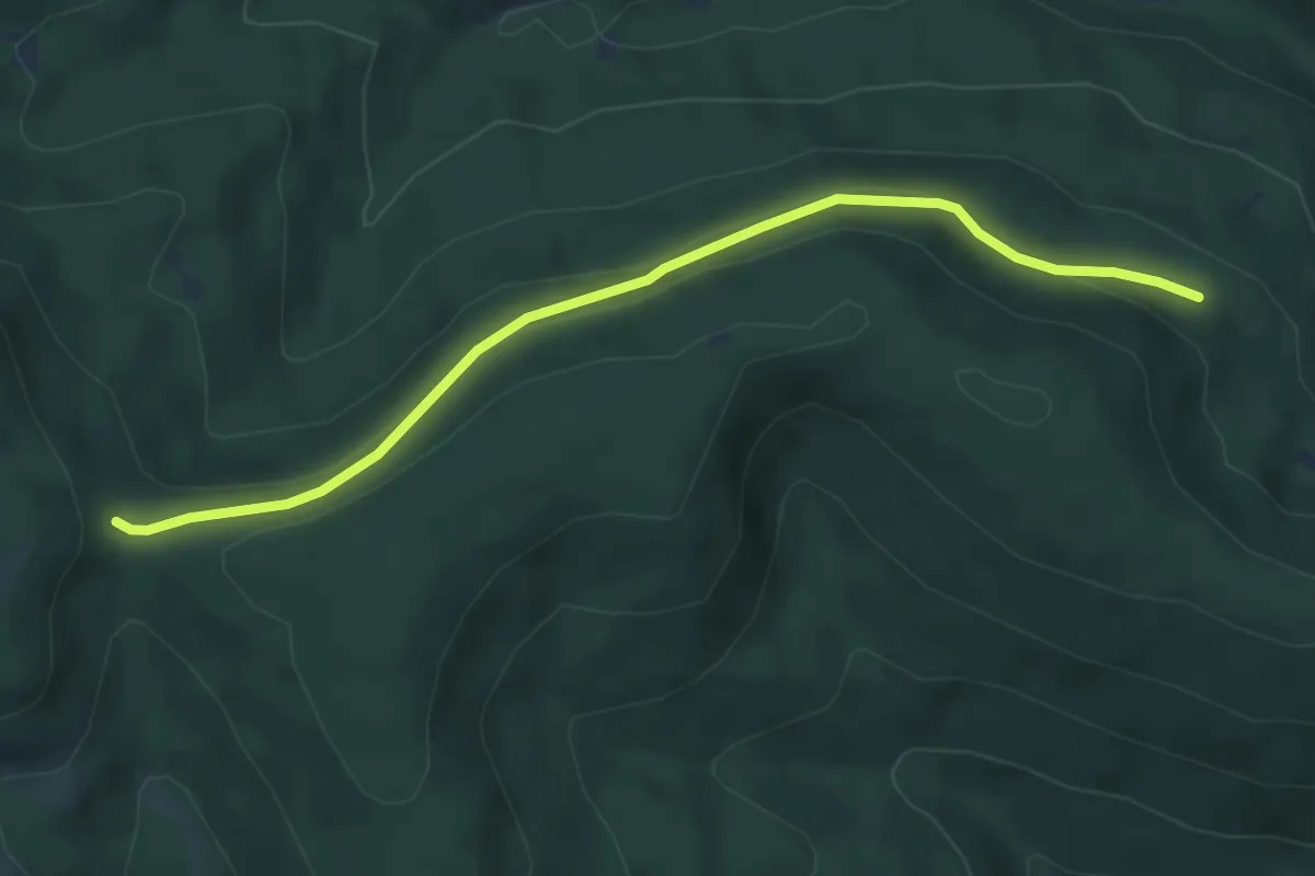
Easy · Trail
Döllesrain - Roter Schliff
4.9 km · ↑ 144 m · 1 h 28 min
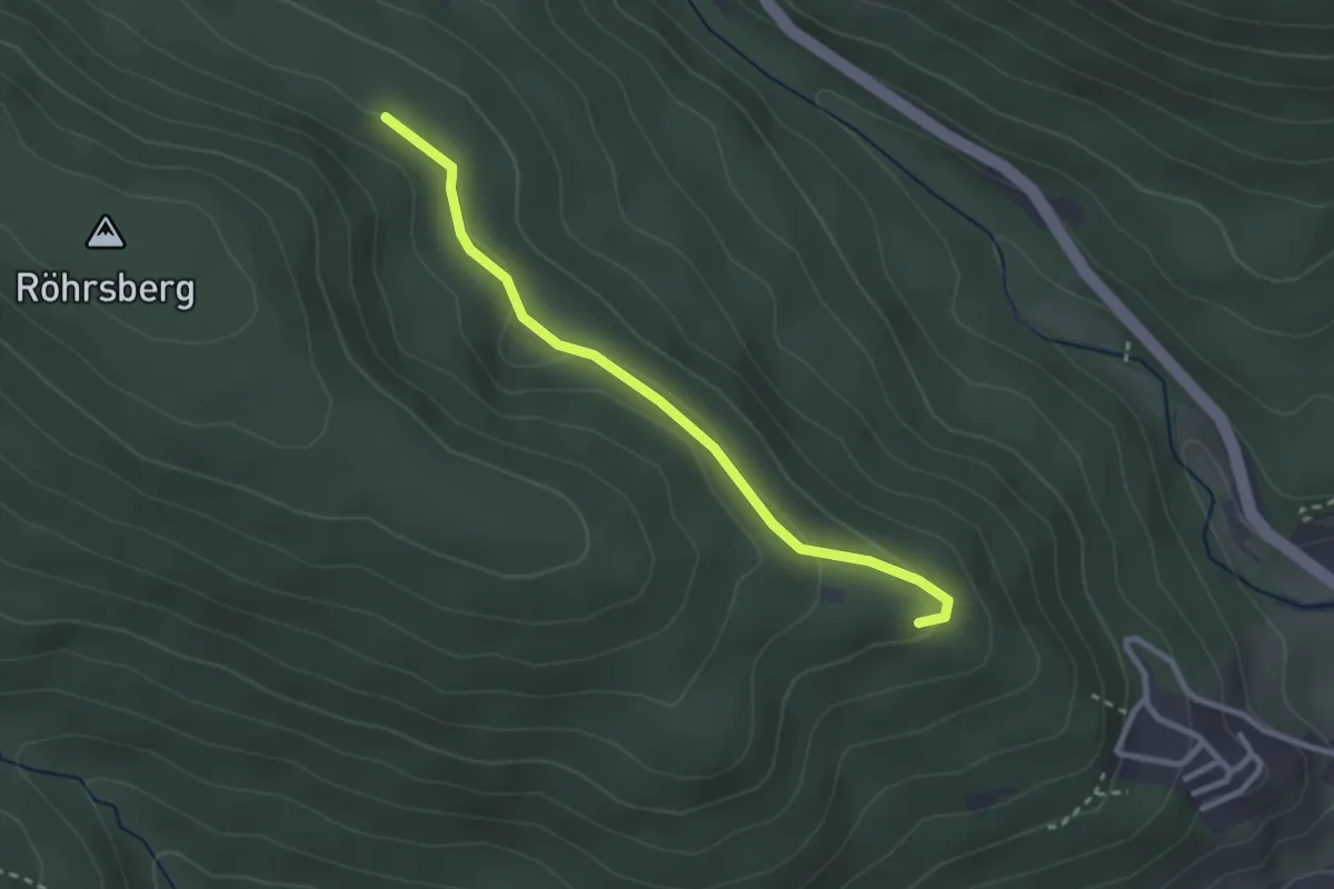
Easy · Trail
Döllesrain - Wolkenhütte
2.6 km · ↑ 83 m · 47 min
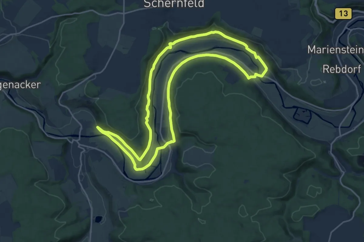
Medium · Trail
Dollnstein 12
15.0 km · ↑ 257 m · 4 h 19 min
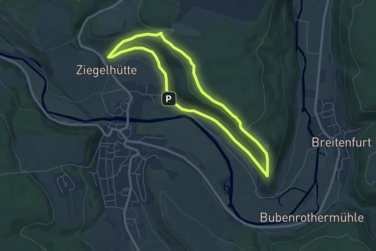
Medium · Trail
Dollnstein Nr. 0
5.1 km · ↑ 148 m · 1 h 36 min