Trails in Germany
36,847 hiking trails, each with its route, climb, walking time and grade.
All trails, page 110 of 768
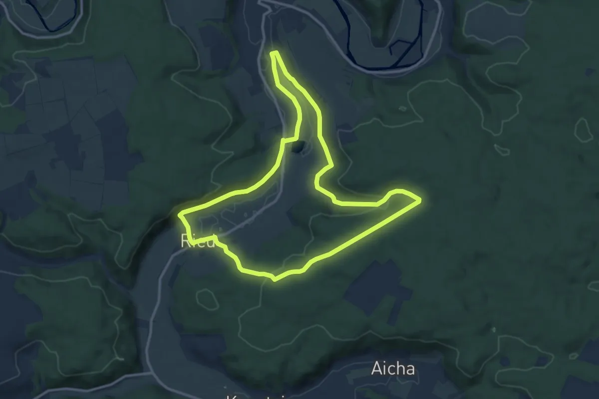
Medium · Trail
Dollnstein Nr. 7
10.5 km · ↑ 221 m · 3 h 7 min
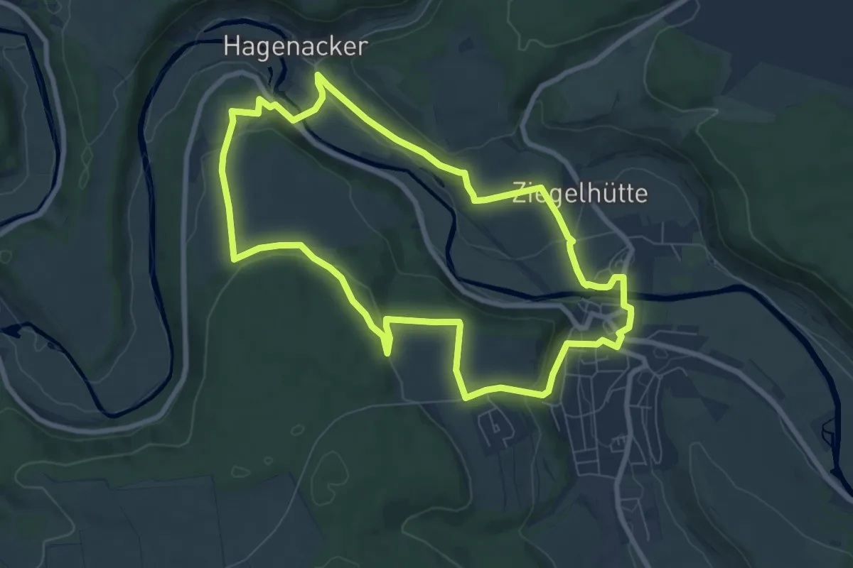
Easy · Trail
Dollnstein Nr. 8
7.3 km · ↑ 156 m · 2 h 10 min
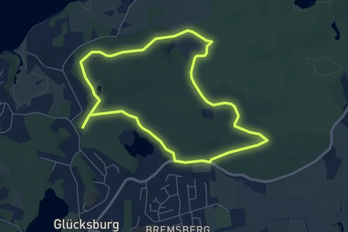
Easy · Trail
Dolmenpfad
4.6 km · ↑ 38 m · 1 h 14 min
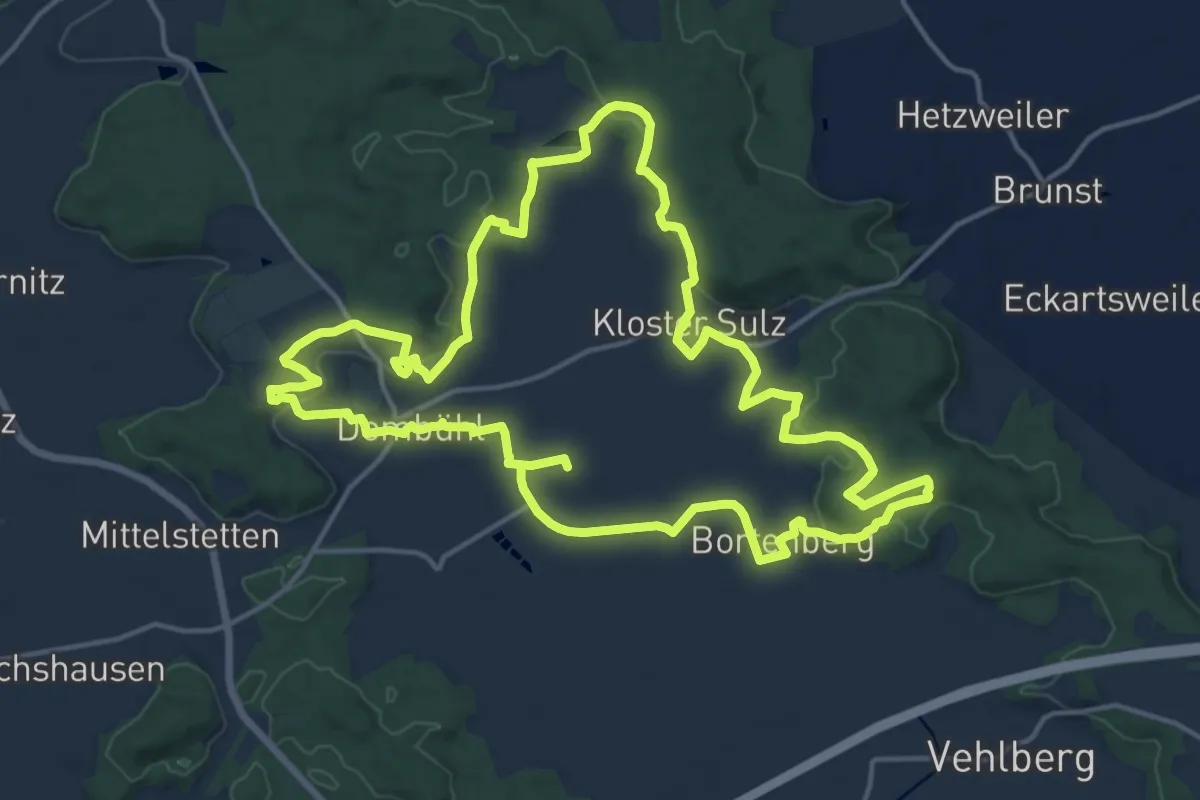
Medium · Trail
Dombühler Naturerlebnisweg (blau)
16.3 km · ↑ 272 m · 4 h 40 min
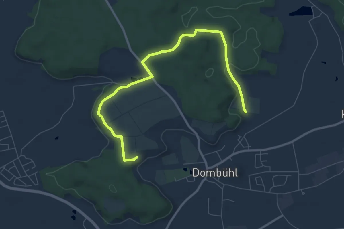
Easy · Trail
Dombühler Naturerlebnisweg Var1
7.8 km · ↑ 104 m · 2 h 5 min
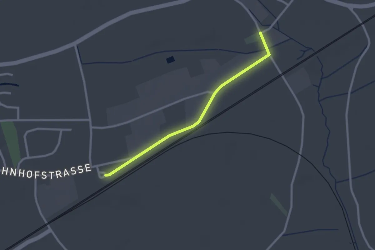
Easy · Trail
Dombühler Naturerlebnisweg Var2
2.1 km · ↑ 4 m · 31 min
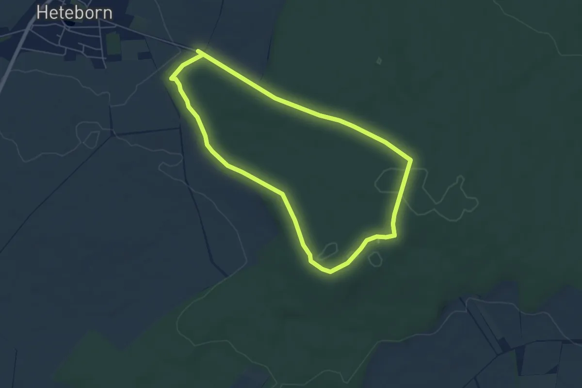
Easy · Trail
Domburg Rundwanderweg
4.9 km · ↑ 45 m · 1 h 20 min
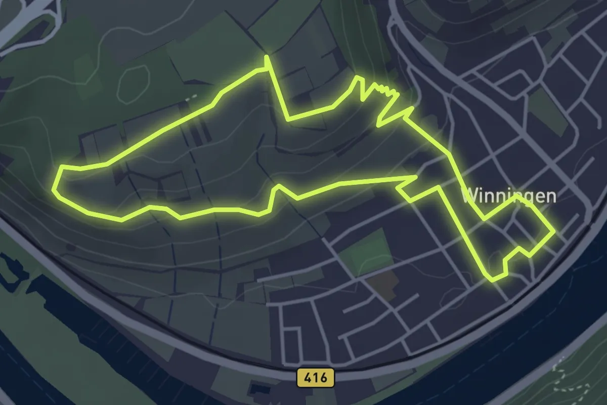
Easy · Trail
Domgarten Weinpfad
4.0 km · ↑ 129 m · 1 h 16 min
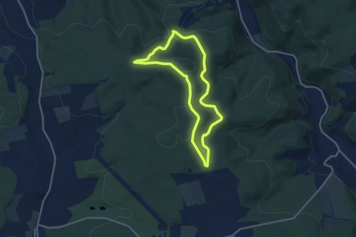
Easy · Trail
Domherrnwald: Keiler
5.9 km · ↑ 140 m · 1 h 47 min
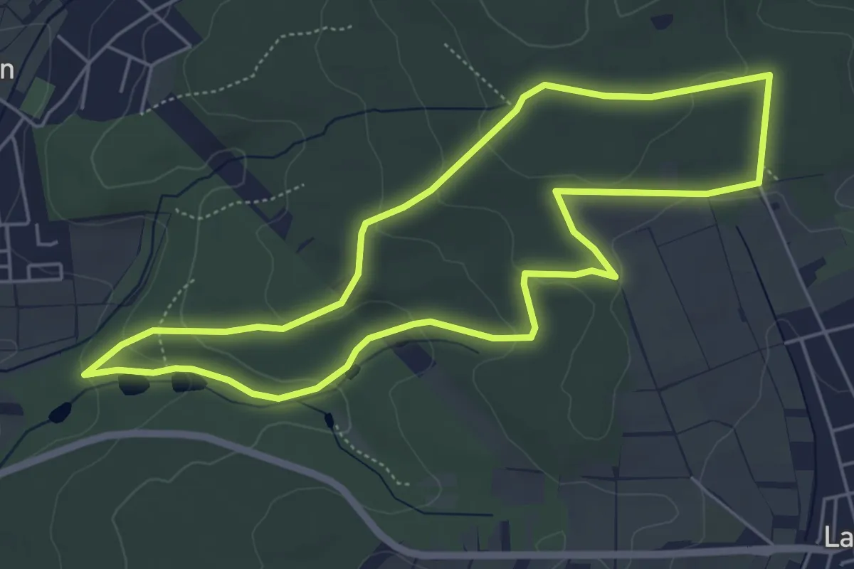
Easy · Trail
Domherrnwald: Lindenblatt
5.1 km · ↑ 140 m · 1 h 35 min
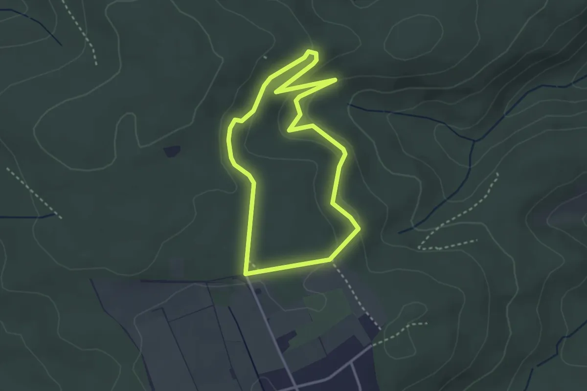
Easy · Trail
Domherrnwald: Rehbock
2.7 km · ↑ 73 m · 50 min
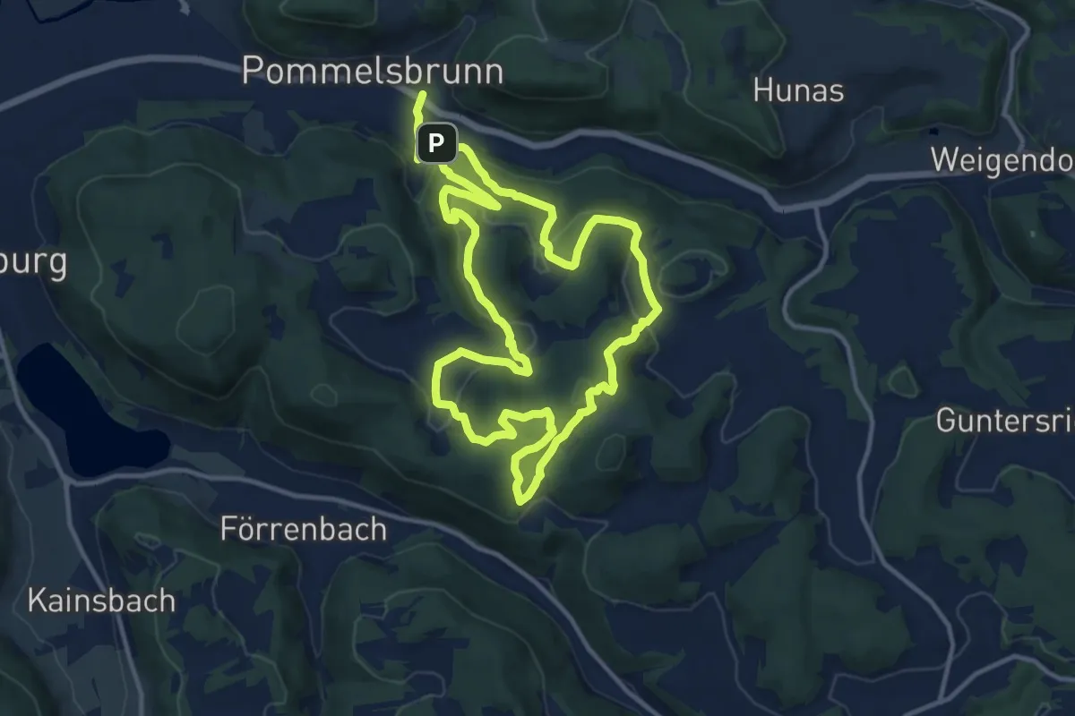
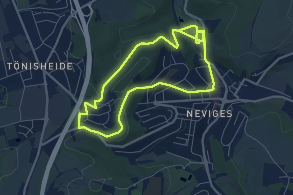
Medium · Summit
Dom-Rundweg
11.1 km · ↑ 469 m · 3 h 48 min
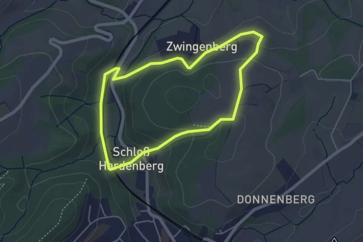
Easy · Trail
Dom Rundweg A2
4.7 km · ↑ 116 m · 1 h 26 min
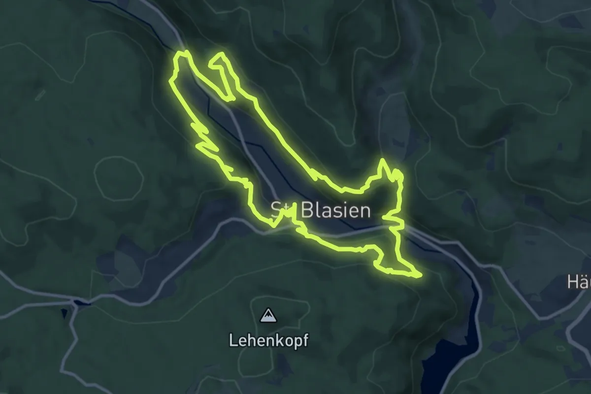
Easy · Trail
Dom Rundweg A3
3.3 km · ↑ 102 m · 1 h 2 min
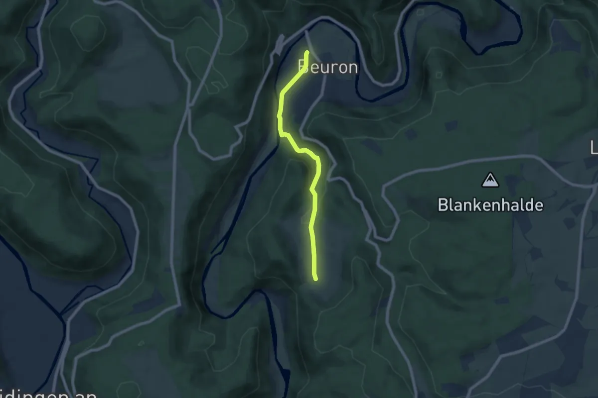
Medium · Trail
Domsteig
11.3 km · ↑ 506 m · 3 h 56 min
Easy · Trail
Donauberglandweg
5.3 km · ↑ 104 m · 1 h 28 min
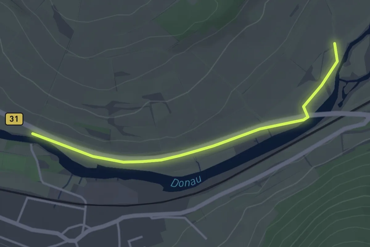
Easy · Trail
Donaubrücke Gutmadingen - Geisingen Mühle
3.5 km · ↑ 4 m · 50 min
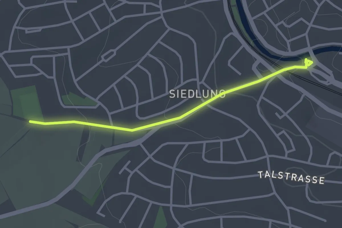
Easy · Trail
Donaueschingen Käferbrücke - Donaueschingen SSC-Sportplatz
2.6 km · ↑ 68 m · 46 min
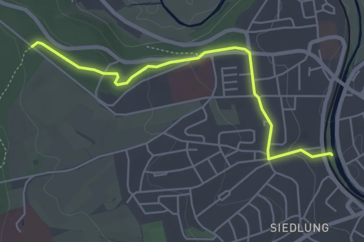
Easy · Trail
Donaueschingen Siedlersteg - Alte Wolterdinger Straße
4.2 km · ↑ 67 m · 1 h 8 min
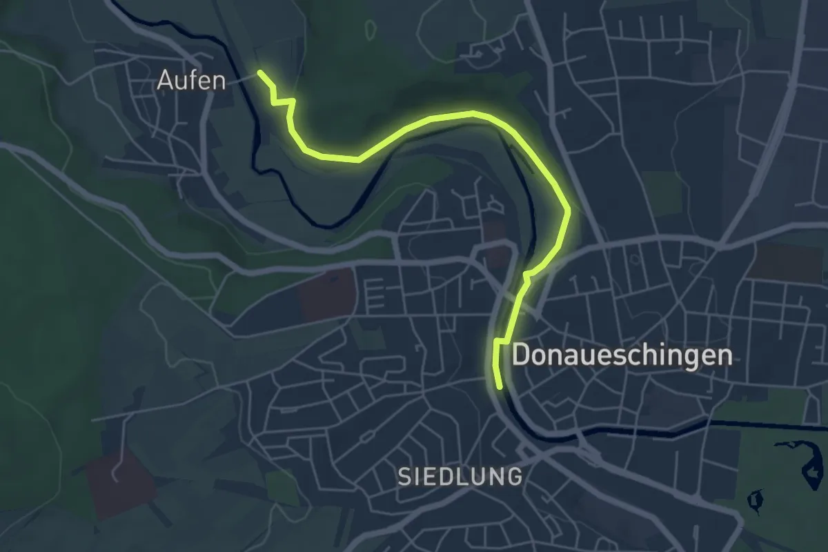
Easy · Trail
Donaueschingen Siedlersteg - Haltepunkt Aufen
5.1 km · ↑ 49 m · 1 h 19 min
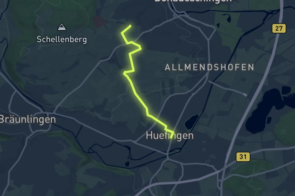
Easy · Trail
Donaueschingen SSC-Sportplatz - Hüfingen Stadtkirche
7.1 km · ↑ 69 m · 1 h 49 min
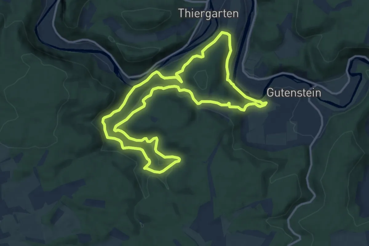
Medium · Trail
DonauFelsenLäufe: Bettelküchenfährte
10.4 km · ↑ 326 m · 3 h 18 min
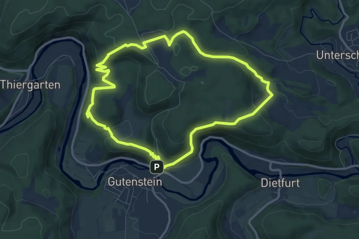
Medium · Trail
DonauFelsenLäufe: Donaufelsengarten
7.7 km · ↑ 337 m · 2 h 40 min
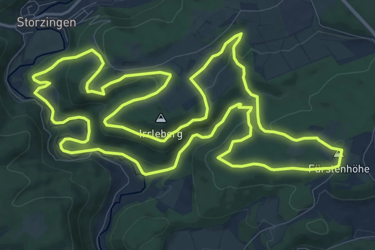
Medium · Summit
Donau Felsen Läufe: Wilde Täler - Fürstliche Höhen
12.5 km · ↑ 337 m · 3 h 52 min
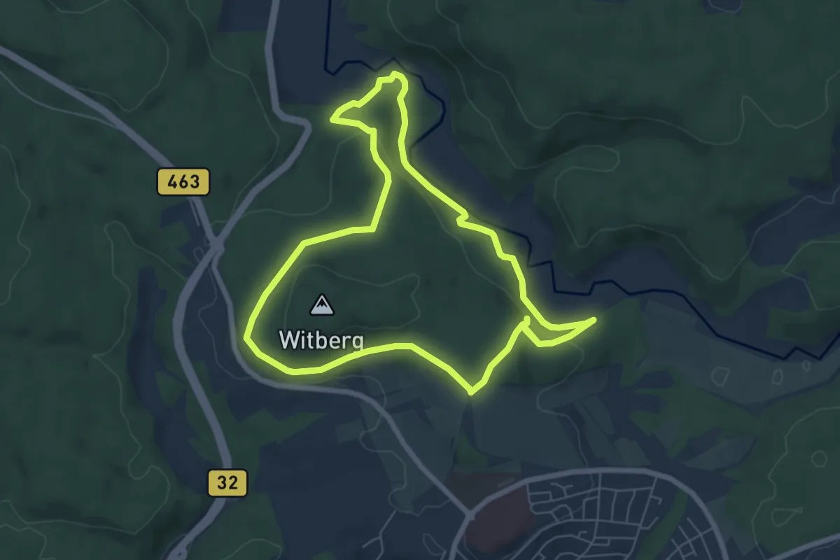
Easy · Trail
DonauFelsenLäufe: Witbergrunde
6.2 km · ↑ 136 m · 1 h 51 min
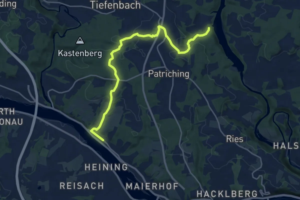
Medium · Trail
Donauhof-Mausmühle (Ilz)
14.0 km · ↑ 325 m · 4 h 1 min
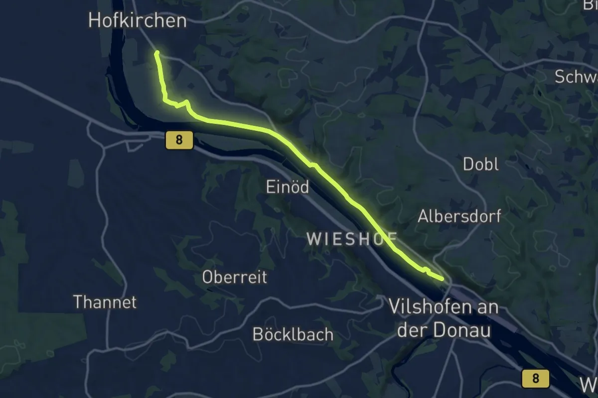
Medium · Trail
Donauplanetenweg
13.2 km · ↑ 45 m · 3 h 12 min
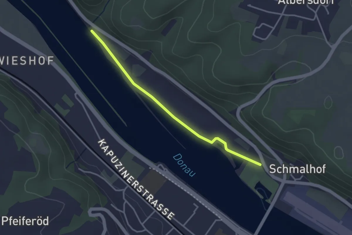
Easy · Trail
Donauplanetenweg
2.8 km · ↑ 8 m · 41 min
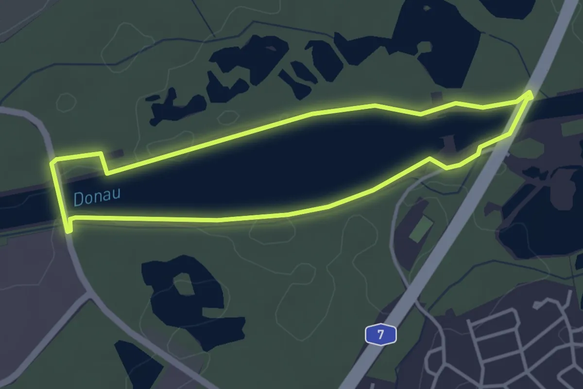
Easy · Trail
Donausteg- Tour
3.1 km · ↑ 9 m · 48 min
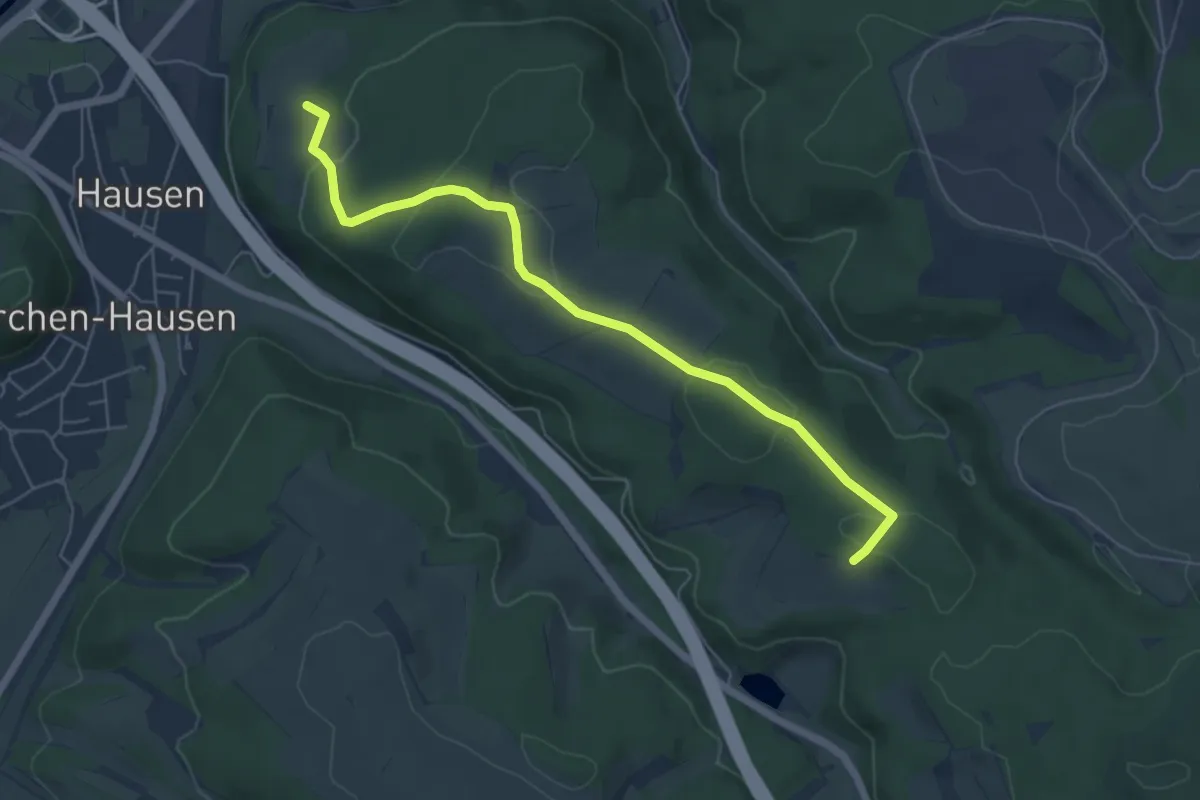
Easy · Trail
Donautalblick - Kohlerhau
5.9 km · ↑ 120 m · 1 h 39 min
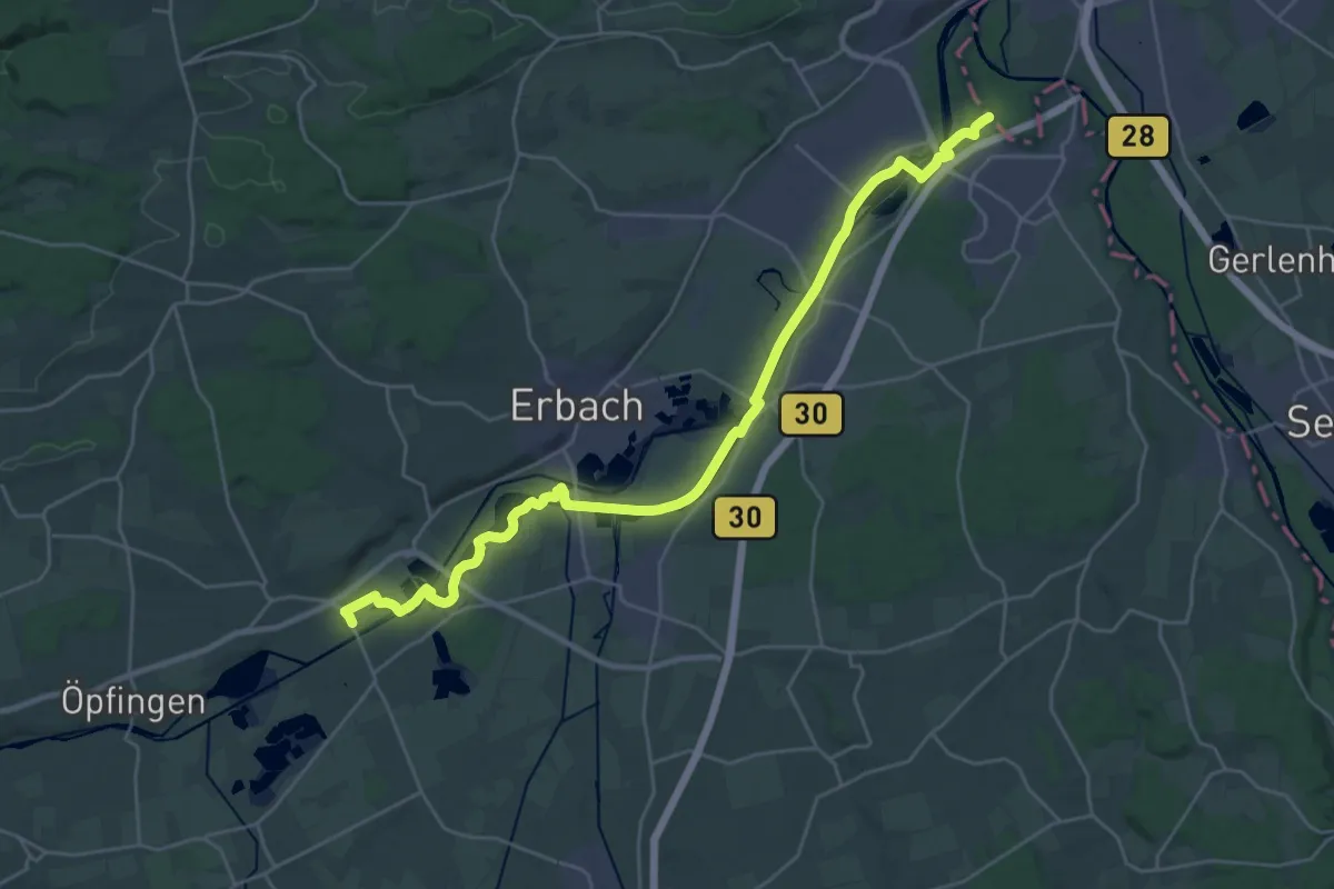
Demanding · Trail
Donautal - Oberdischingen
30.6 km · ↑ 33 m · 7 h 18 min
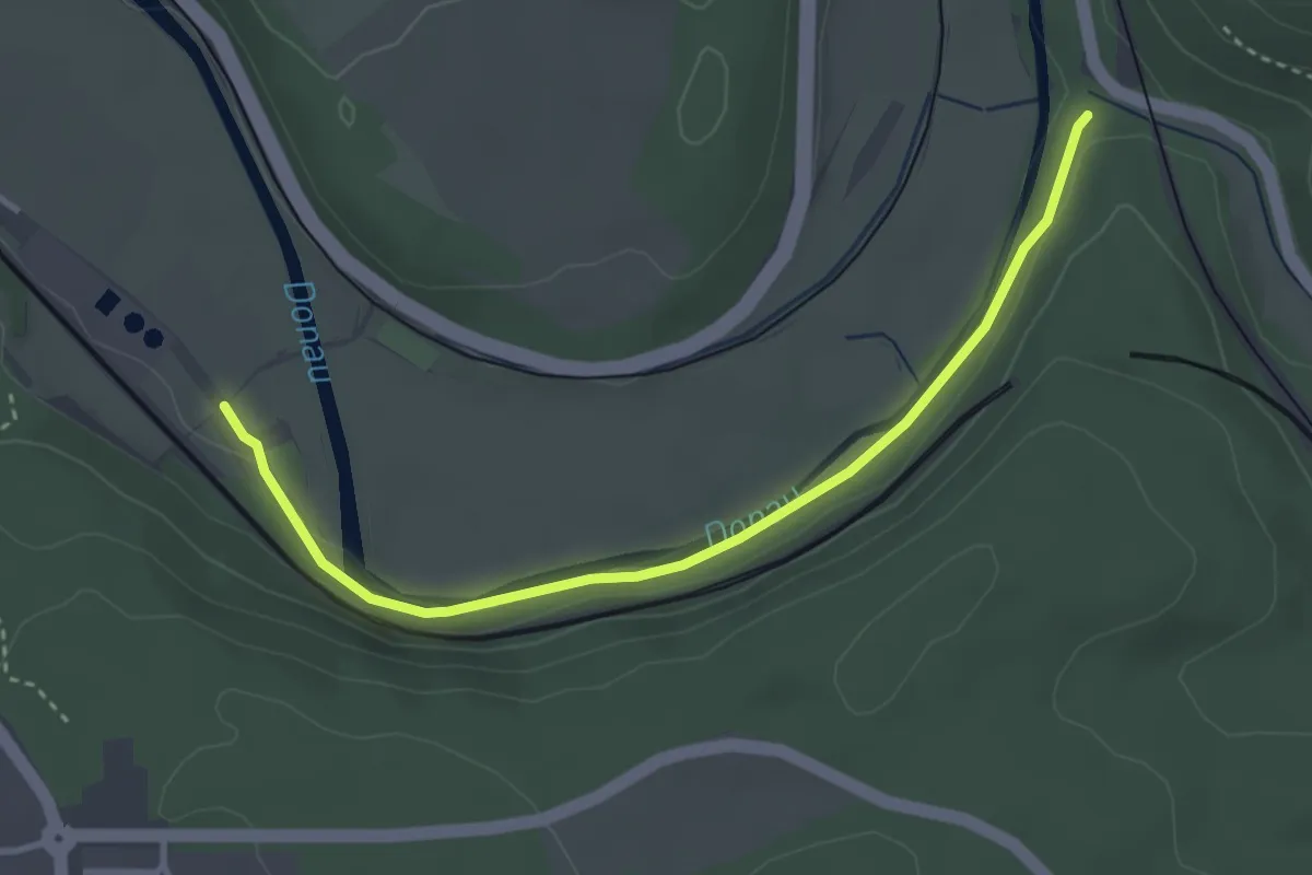
Easy · Trail
Donauversinkung - Abzweig Donaupfad
3.5 km · ↑ 63 m · 58 min
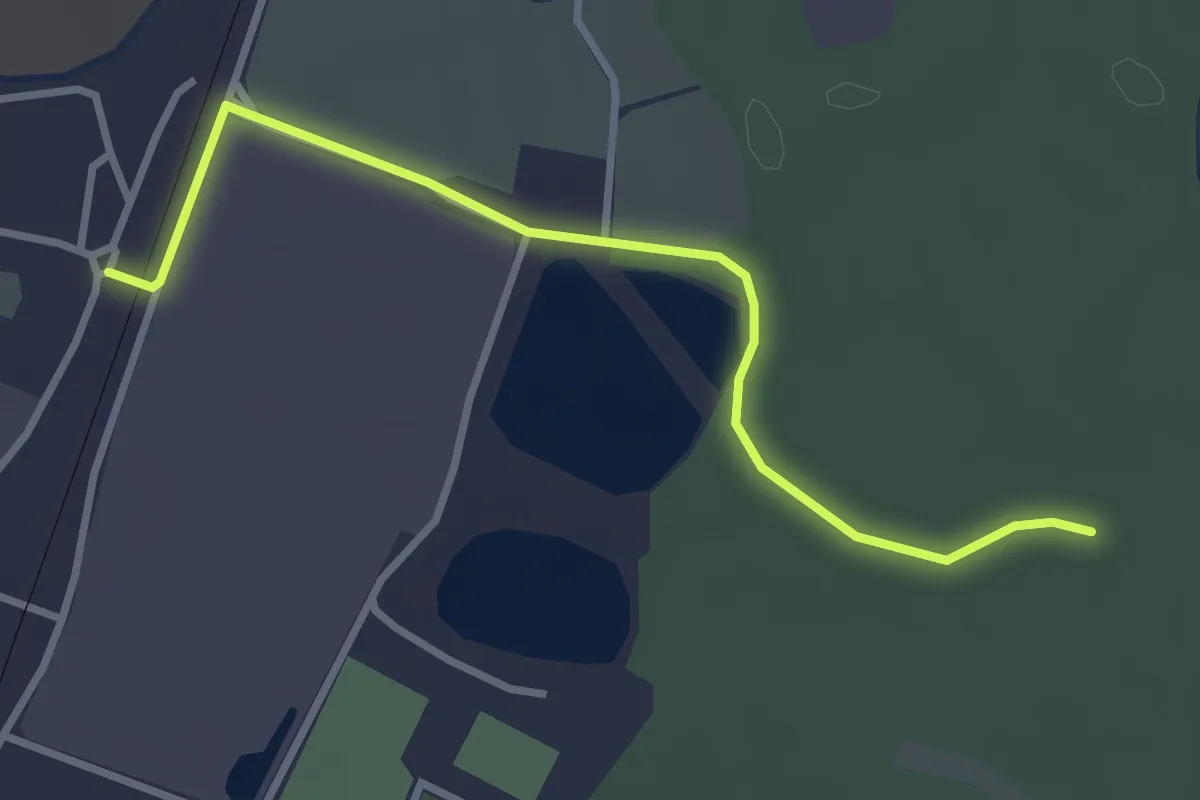
Easy · Trail
Donauwald-Premiumwanderweg - Zubringer
3.2 km · ↑ 4 m · 45 min
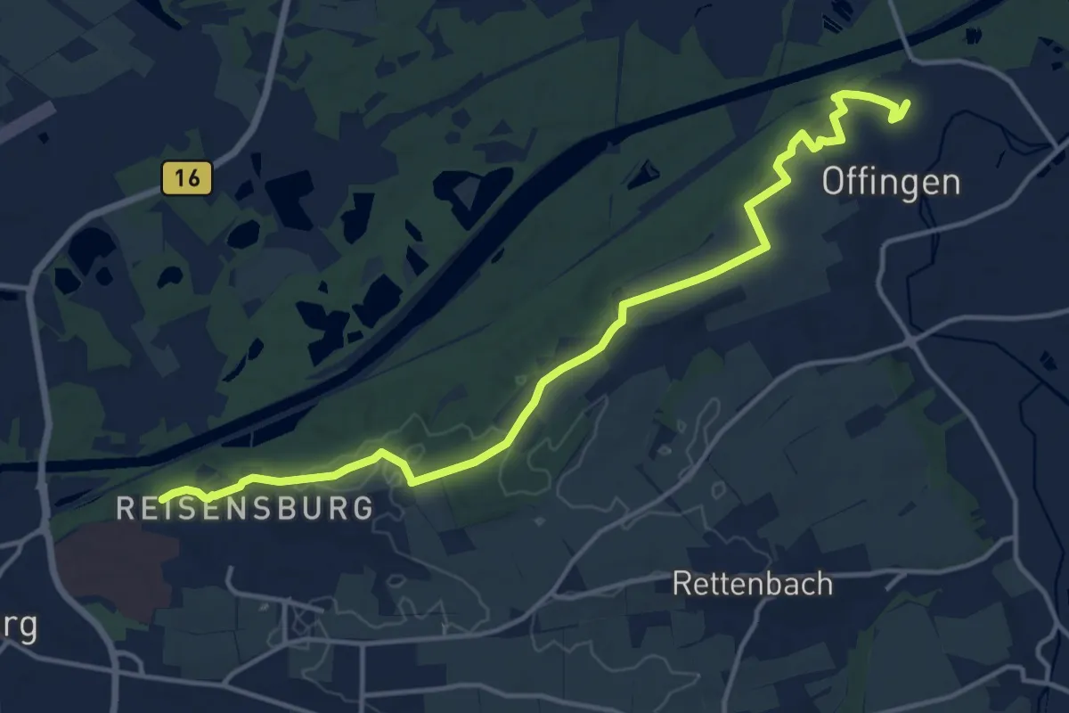
Medium · Trail
DonAUwald Umleitung Etappe 1
15.0 km · ↑ 168 m · 3 h 55 min
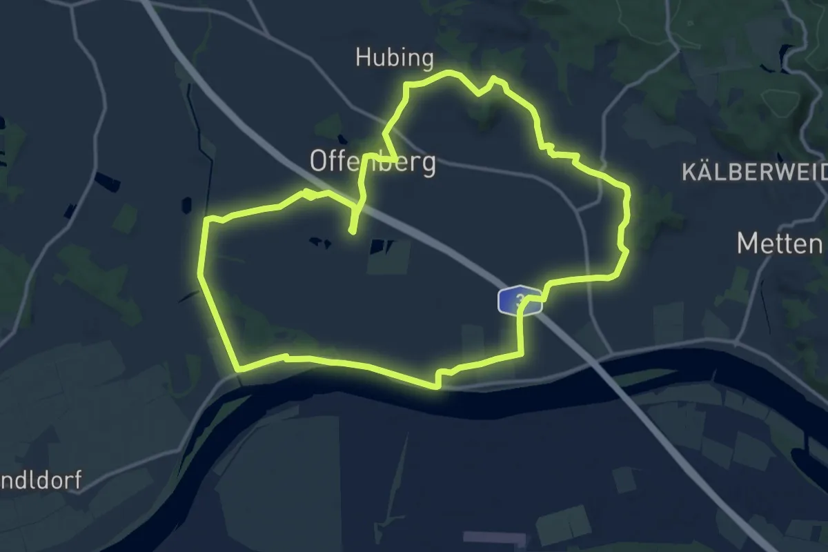
Medium · Summit
Donauweg
13.1 km · ↑ 68 m · 3 h 25 min
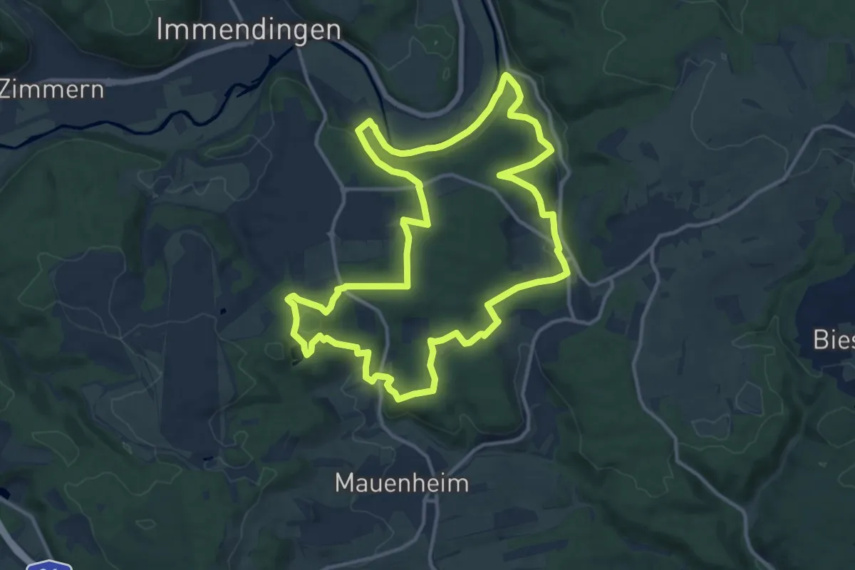
Medium · Trail
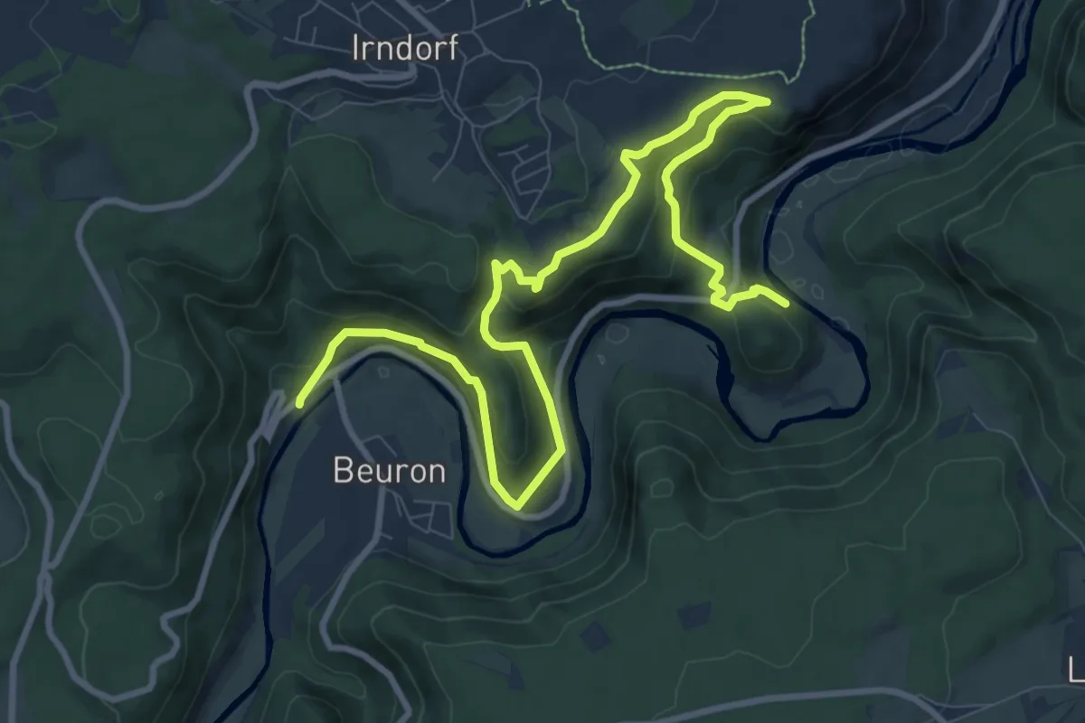
DonauWellen: Donauversinkung
12.8 km · ↑ 335 m · 3 h 55 min
Medium · Trail
Donau-Zollernalb-Weg
11.9 km · ↑ 538 m · 3 h 59 min
Medium · Trail
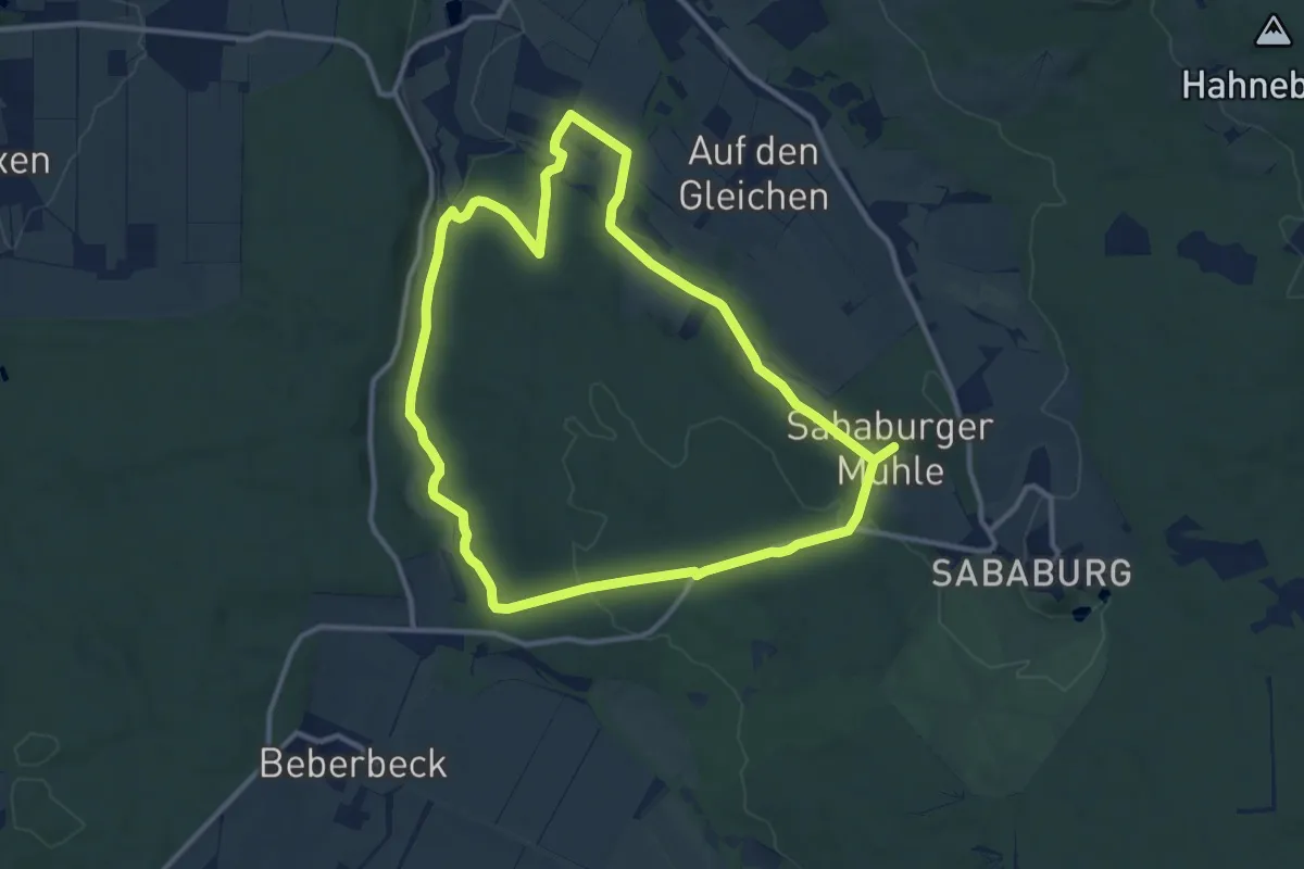
Donnebachrundweg (2)
10.1 km · ↑ 184 m · 2 h 56 min
Medium · Trail
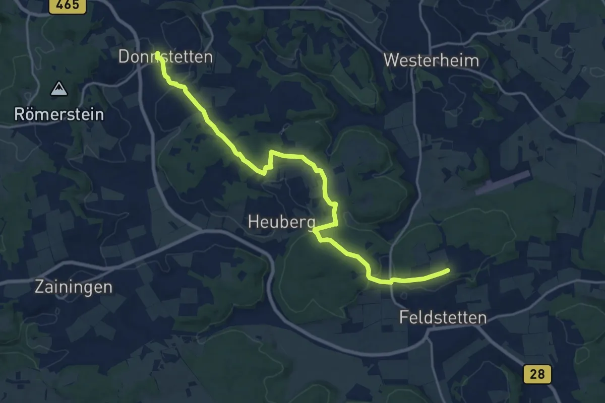
Donnstetten - Feldstetten
16.1 km · ↑ 376 m · 4 h 37 min
Easy · Trail
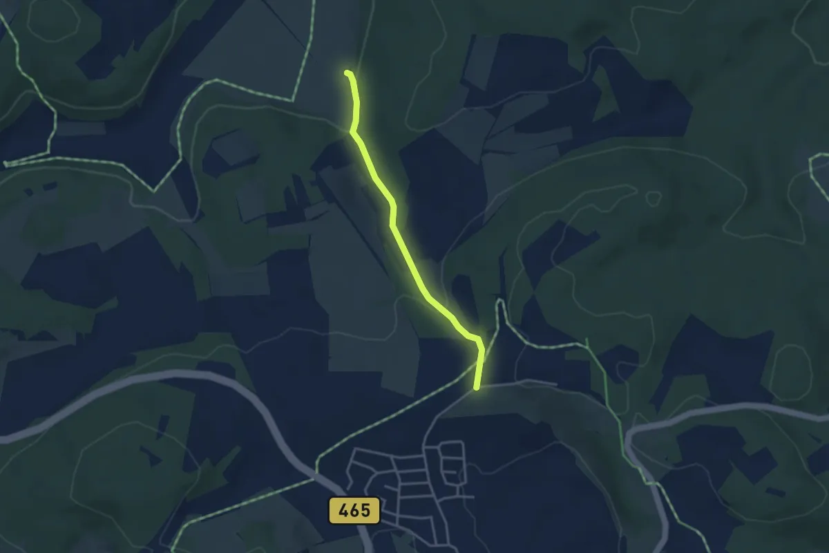
Donnstetten - Rain / Hasental
2.9 km · ↑ 91 m · 53 min
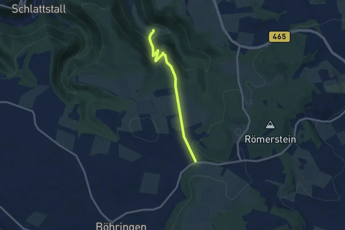
Easy · Trail
Donntal - Sperberseck - Böhringen
5.3 km · ↑ 230 m · 1 h 45 min
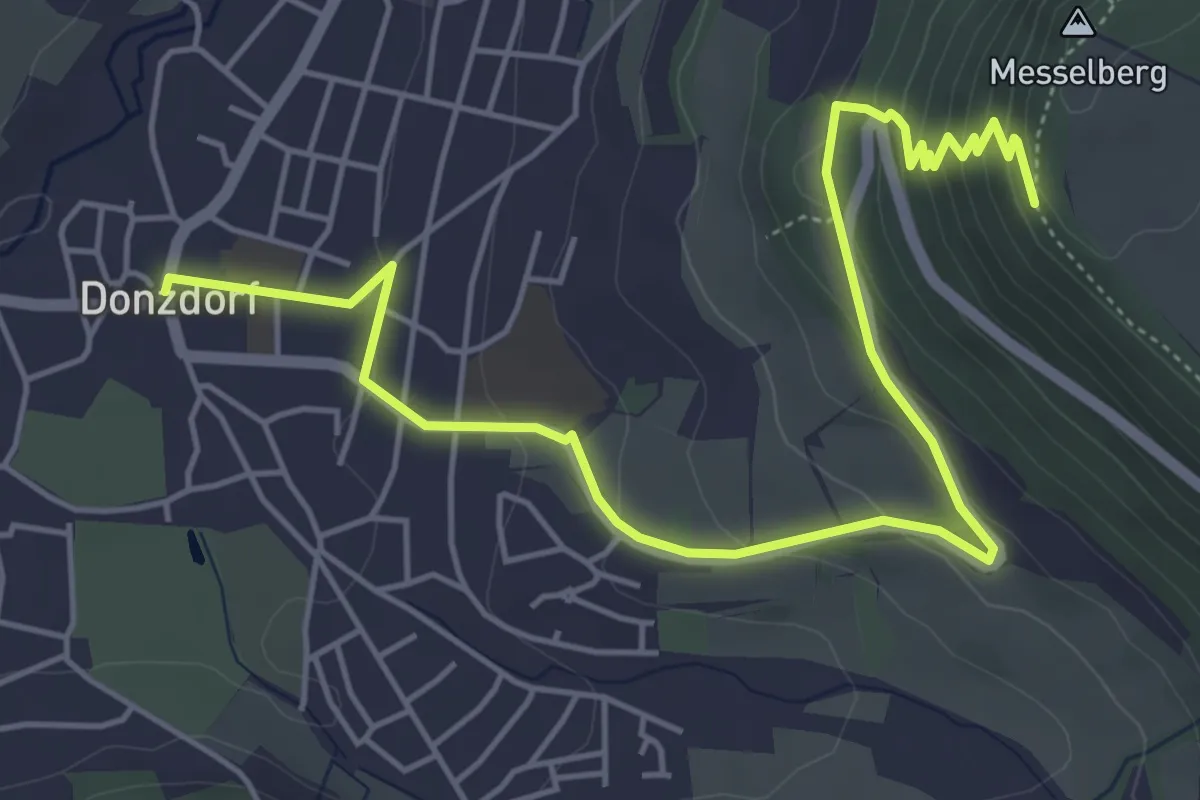
Easy · Trail
Donzdorf - Messelberg
6.5 km · ↑ 294 m · 2 h 11 min
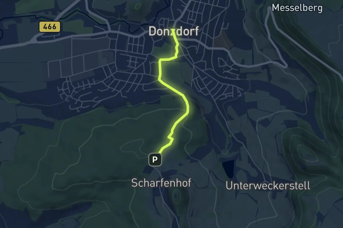
Easy · Trail
Donzdorf - Scharfenhof
4.1 km · ↑ 134 m · 1 h 16 min
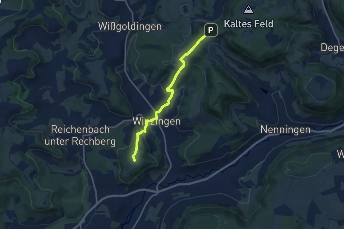
Medium · Summit
Donzdorf - Winzingen - Reiterleskapelle
8.4 km · ↑ 316 m · 2 h 40 min
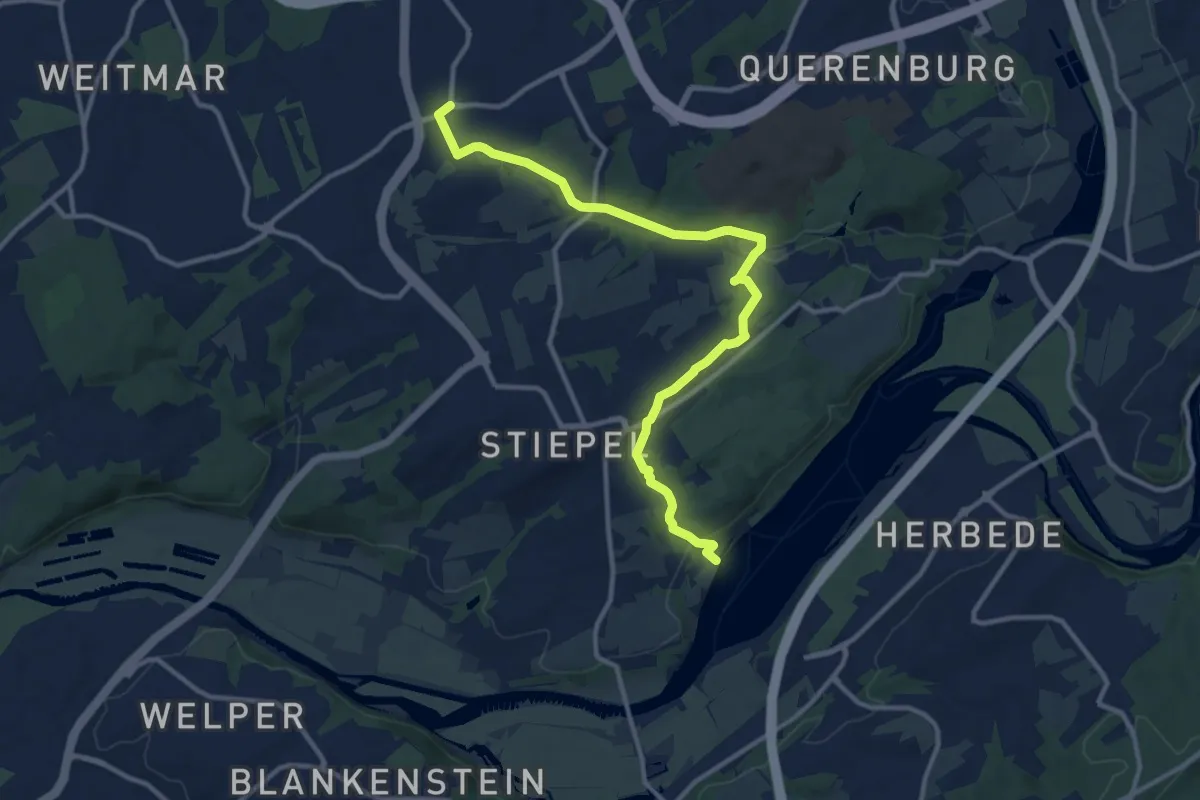
Medium · Trail
Doppelbalken Brenschede - Oeveney
11.5 km · ↑ 257 m · 3 h 16 min
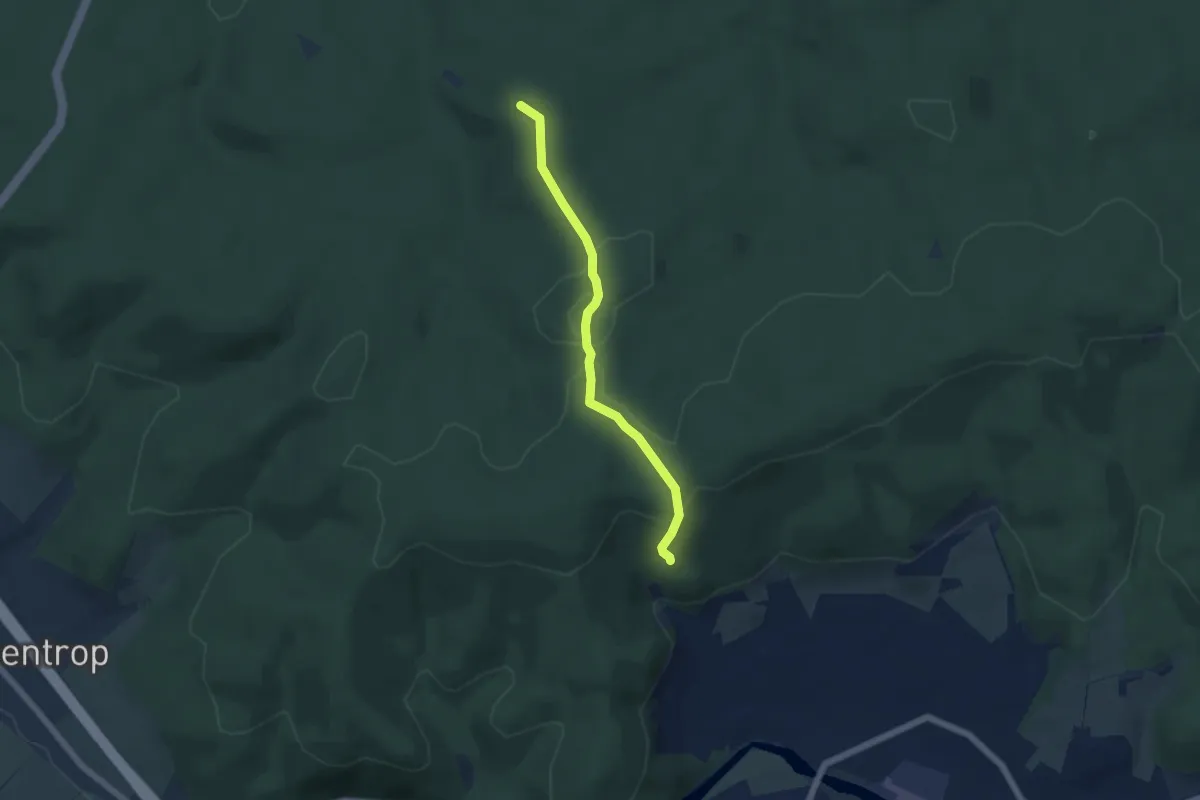
Easy · Summit
Doppelbalken Dinschede - Breitenbruch
4.5 km · ↑ 89 m · 1 h 16 min
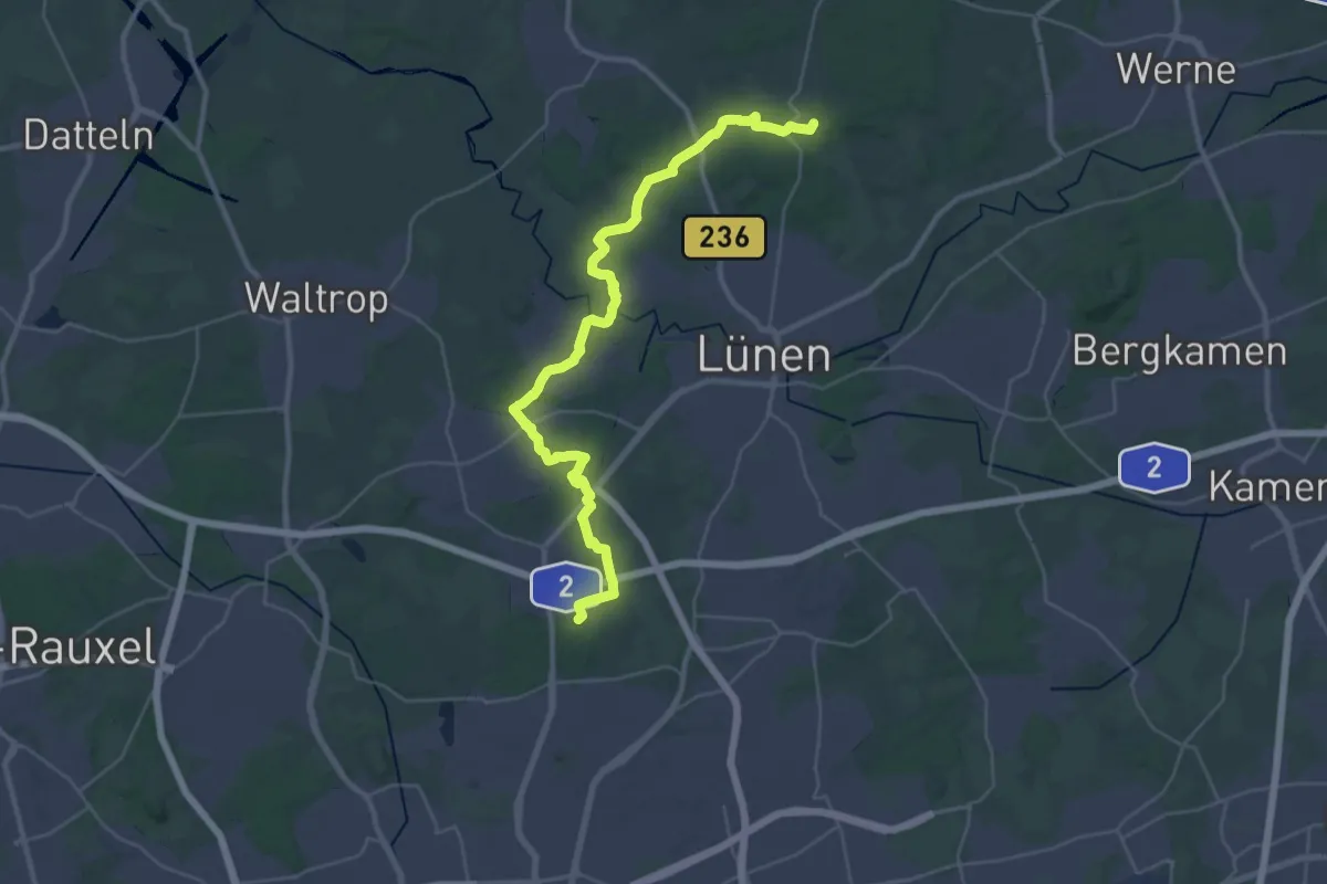
Medium · Trail
Doppelbalken Grävingholz - Cappenberg
17.0 km · ↑ 114 m · 4 h 30 min
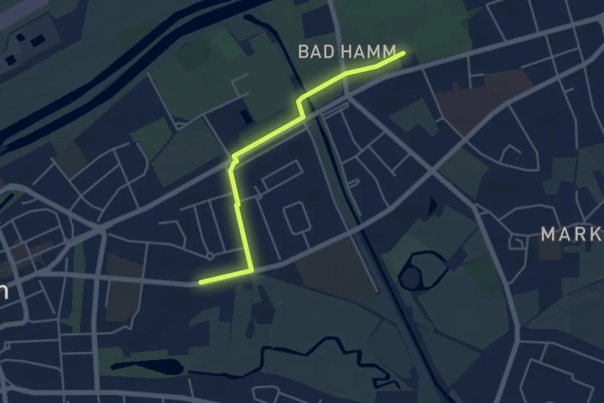
Easy · Trail
Doppelbalken Hamm - Kurpark
3.3 km · ↑ 4 m · 47 min