Trails in Germany
36,847 hiking trails, each with its route, climb, walking time and grade.
All trails, page 111 of 768
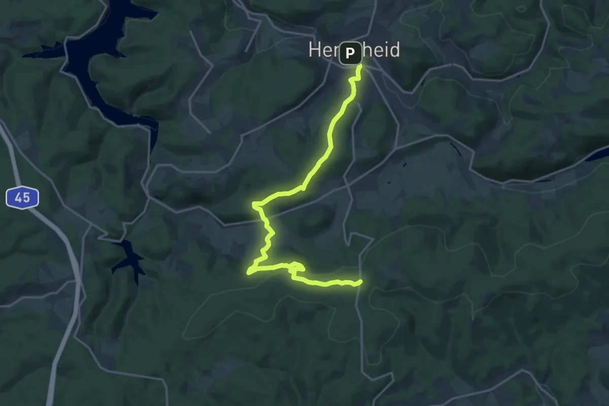
Medium · Trail
Doppelbalken Herscheid - Nordhelle
16.1 km · ↑ 494 m · 4 h 52 min
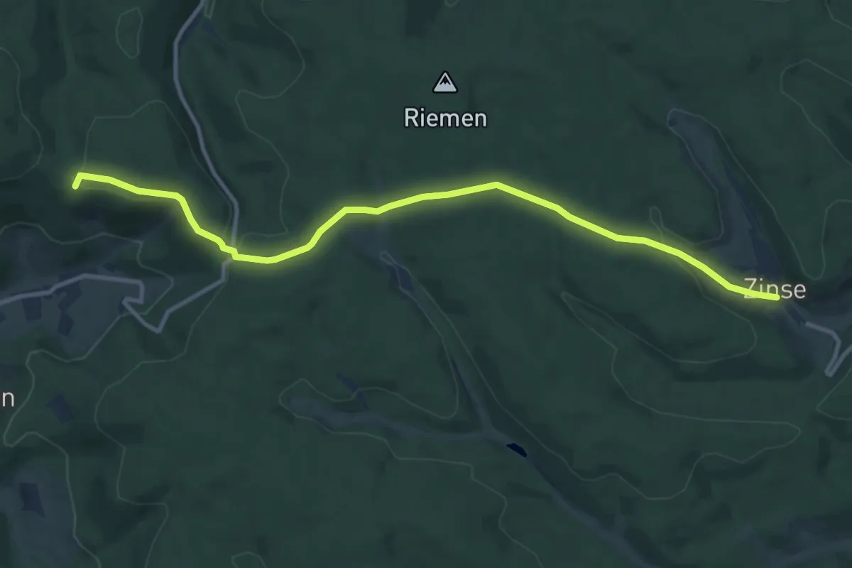
Medium · Trail
Doppelbalken Hilchenbach - Zinse
10.0 km · ↑ 259 m · 2 h 55 min
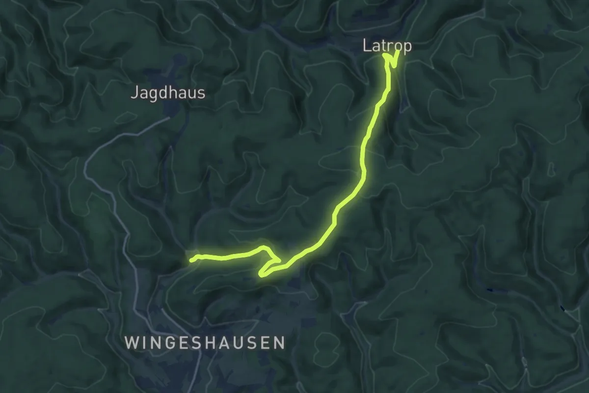
Medium · Trail
Doppelbalken Latrop - Wingeshausen
13.9 km · ↑ 523 m · 4 h 25 min
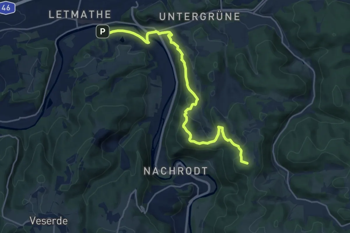
Medium · Summit
Doppelbalken Letmathe-Wixberg
14.0 km · ↑ 465 m · 4 h 19 min
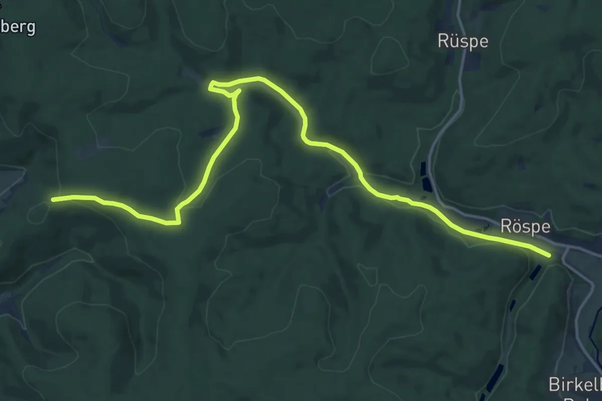
Medium · Trail
Doppelbalken Marmecke - Röspe
15.2 km · ↑ 193 m · 4 h 1 min
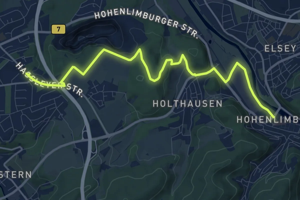
Medium · Trail
Doppelbalken Mastenberg und Weißensteinweg
12.1 km · ↑ 241 m · 3 h 23 min
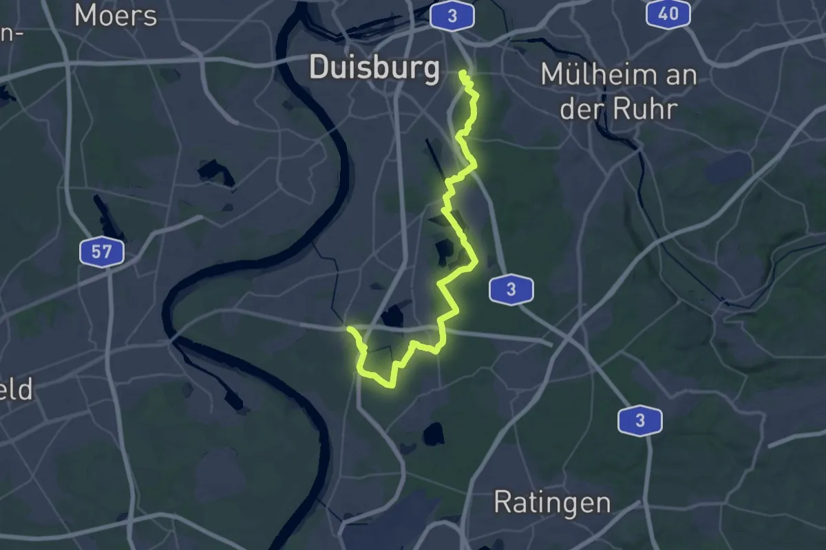
Demanding · Summit
Doppelbalken Mercatorweg
19.7 km · ↑ 81 m · 5 h 5 min
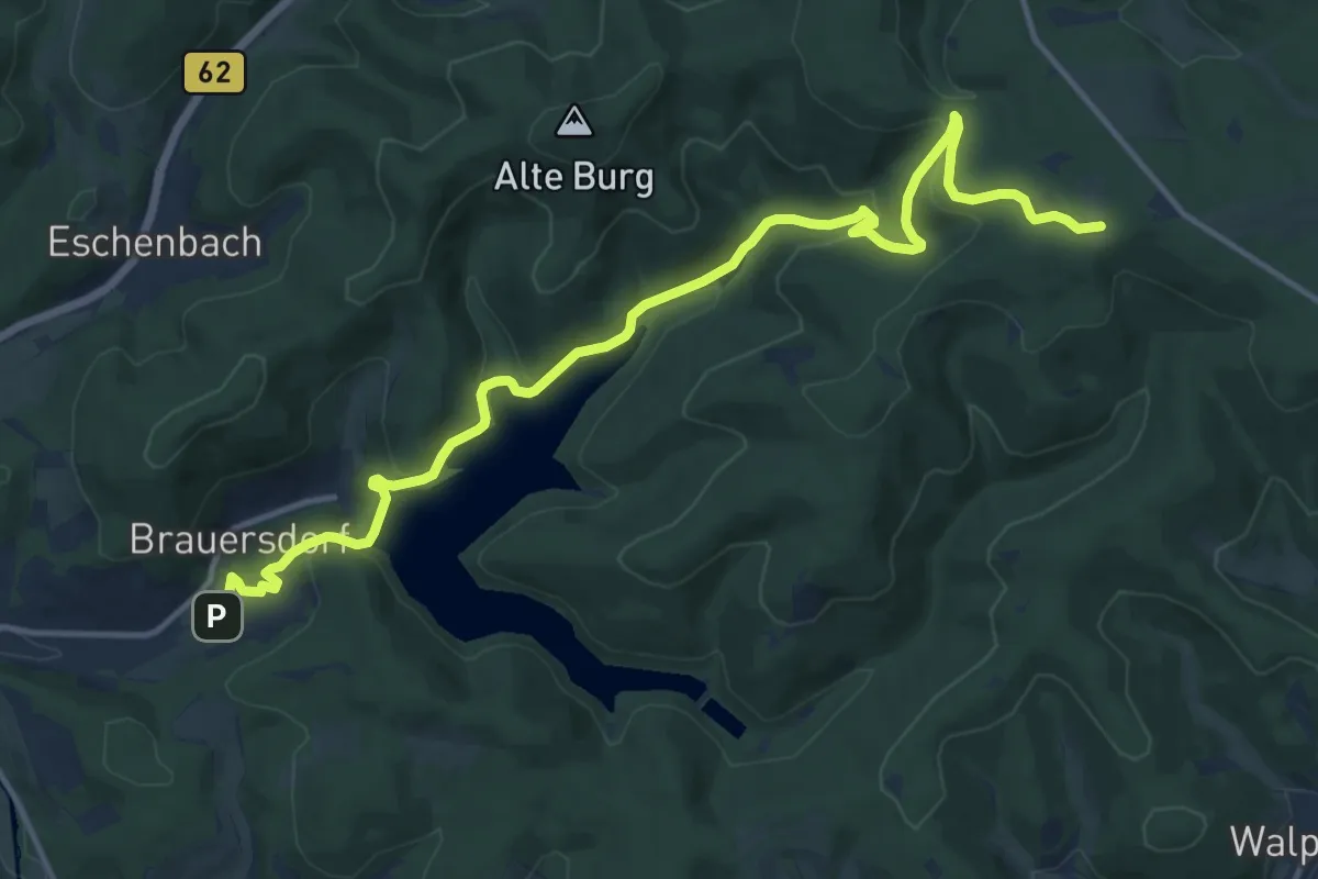
Medium · Trail
Doppelbalken Netphen - Forsthaus Hohenroth
14.5 km · ↑ 427 m · 4 h 21 min
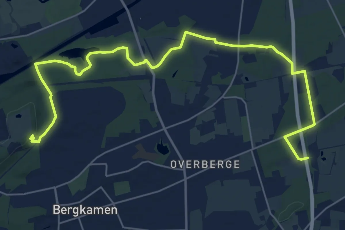
Demanding · Trail
Doppelbalken Oberaden - Haus Reck
19.0 km · ↑ 125 m · 4 h 45 min
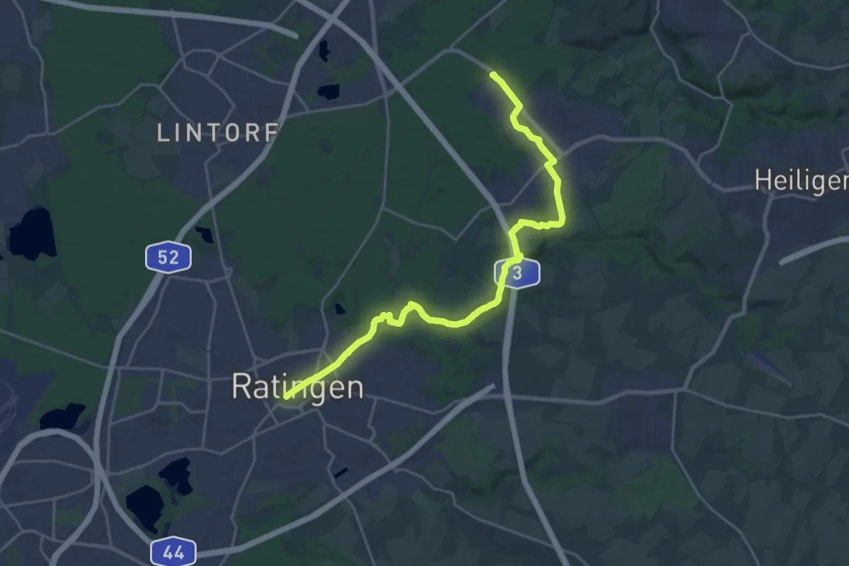
Demanding · Trail
Doppelbalken Ratingen-Hösel
19.2 km · ↑ 203 m · 4 h 59 min
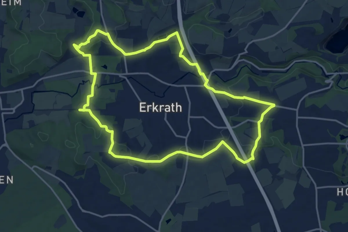
Medium · Trail
Doppelbalken Rund um Alt-Erkrath
11.5 km · ↑ 193 m · 3 h 18 min
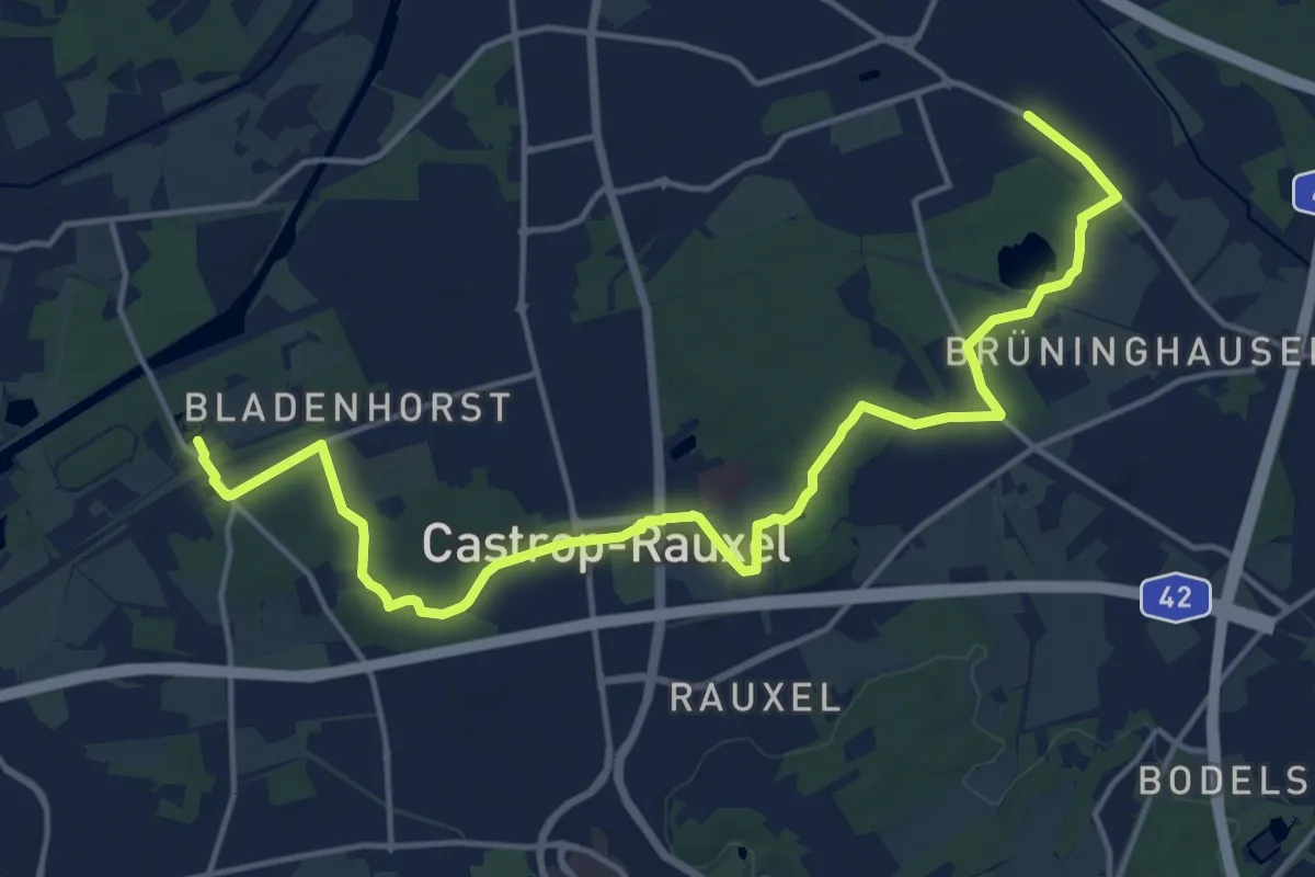
Medium · Trail
Doppelbalken Schloß Bladenhorst - Ickern Beerenbruch
16.9 km · ↑ 106 m · 4 h 13 min
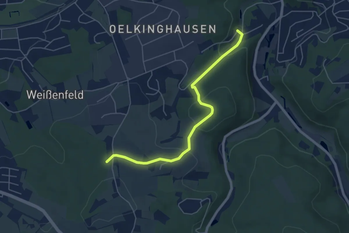
Easy · Trail
Doppelbalken Schwelm Sophienhöhe - Ennepetal-Milspe
4.6 km · ↑ 177 m · 1 h 28 min
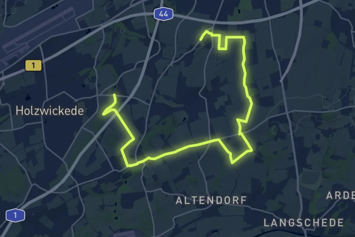
Demanding · Trail
Doppelbalken Unna - Opherdicke
22.8 km · ↑ 218 m · 5 h 52 min
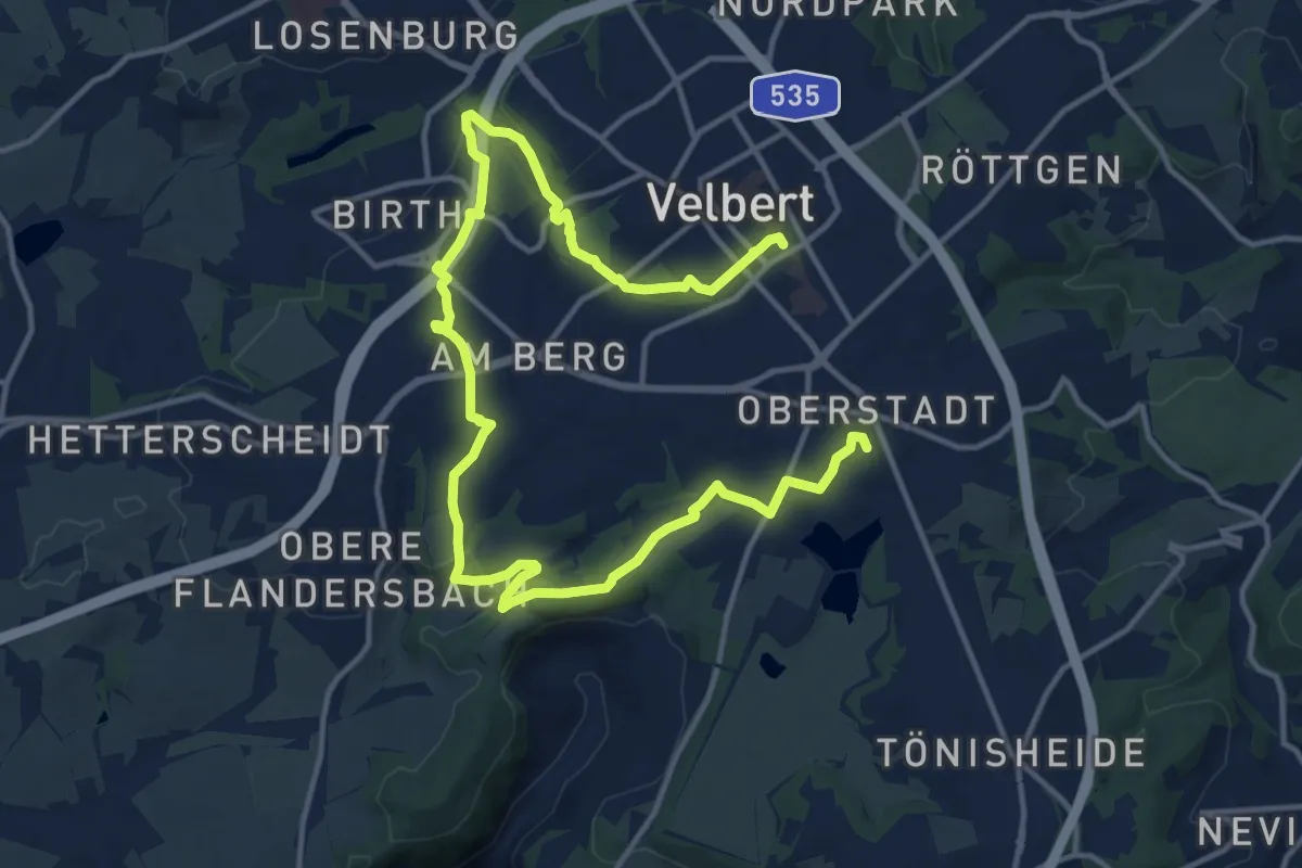
Demanding · Trail
Doppelbalken Wanderweg Velbert - Basterteich
18.2 km · ↑ 272 m · 4 h 53 min
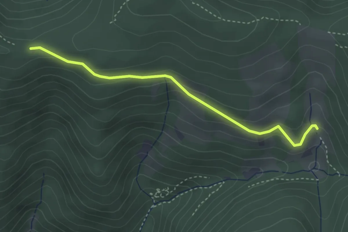
Easy · Cabin
Dorerbühl-Hütte - Kostgefäll
3.2 km · ↑ 126 m · 1 h 2 min
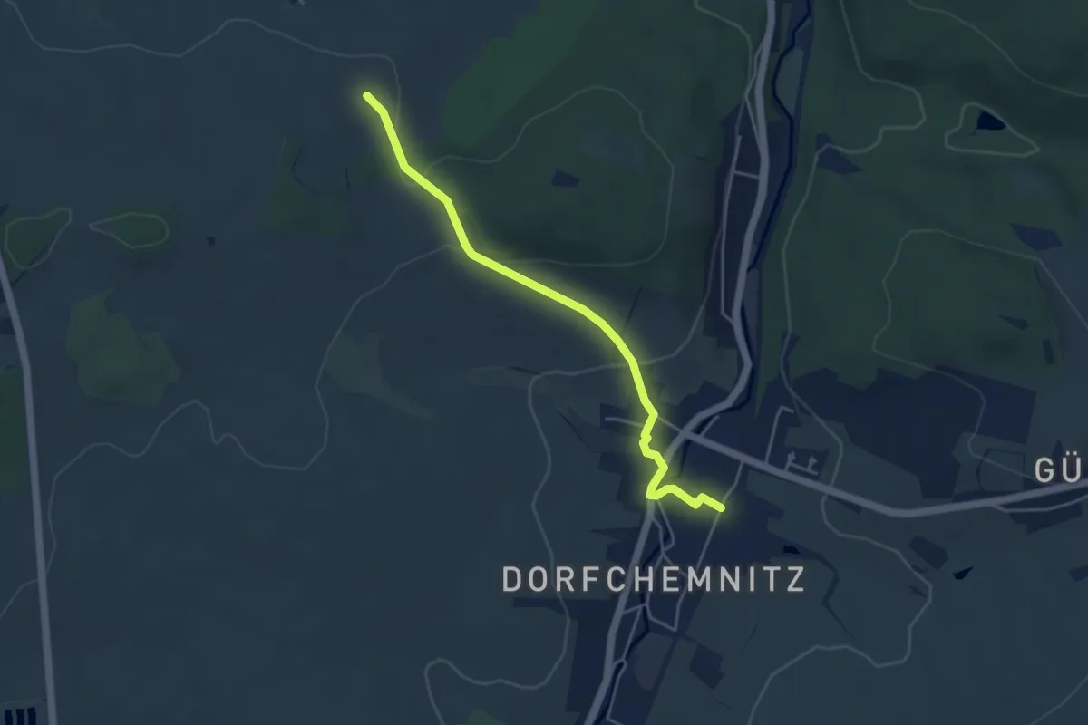
Easy · Trail
Dorfchemnitz - Fichtelbergblick
4.1 km · ↑ 88 m · 1 h 9 min
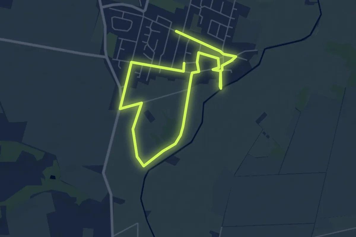
Medium · Trail
Dorferlebnispfad Dollbergen
8.6 km · ↑ 17 m · 2 h 5 min
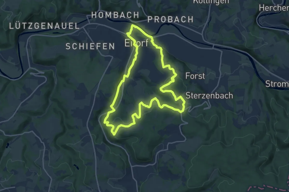
Medium · Trail
Dörferweg (Erlebnisweg Sieg Nr. 18)
13.2 km · ↑ 305 m · 3 h 57 min
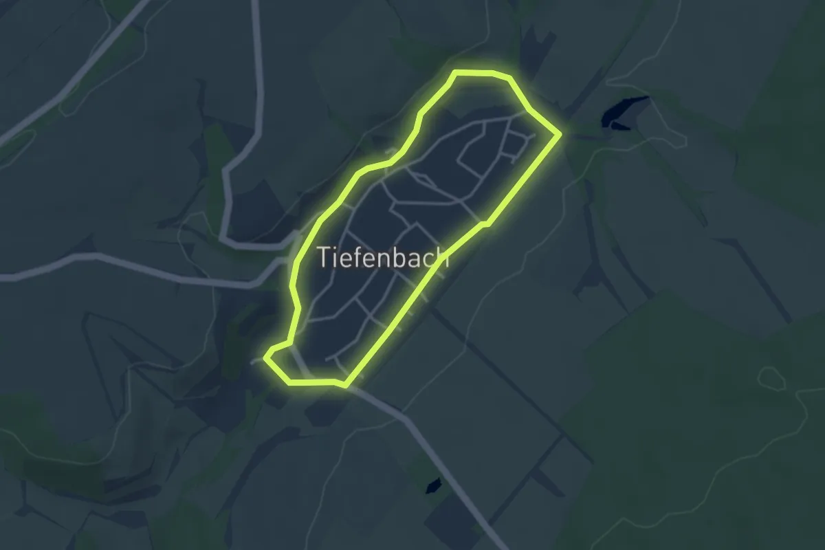
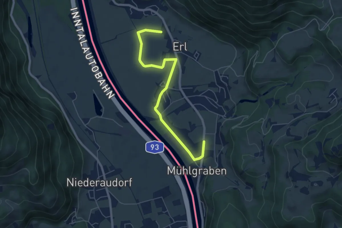
Easy · Trail
Dorfrunde
2.8 km · ↑ 29 m · 46 min
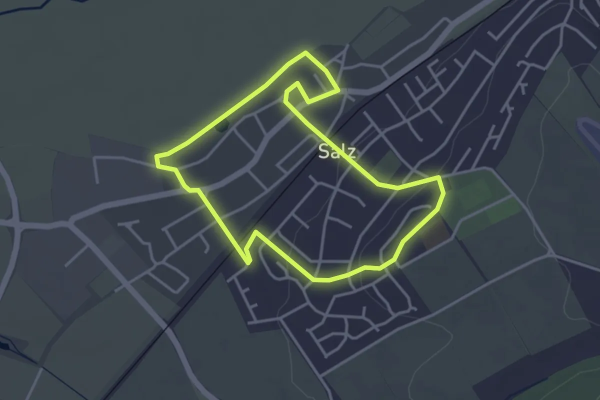
Easy · Trail
Dorf-Runde
5.8 km · ↑ 28 m · 1 h 26 min
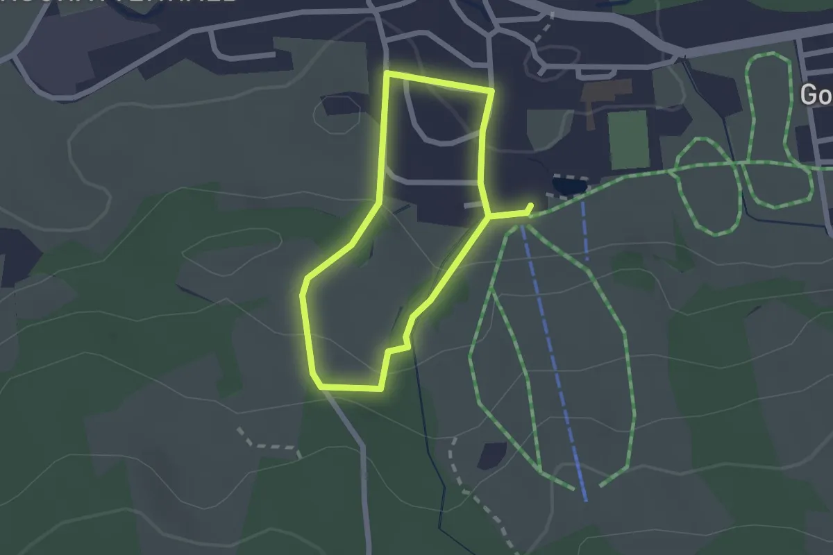
Easy · Trail
Dorfrunde Salz
3.0 km · ↑ 39 m · 51 min
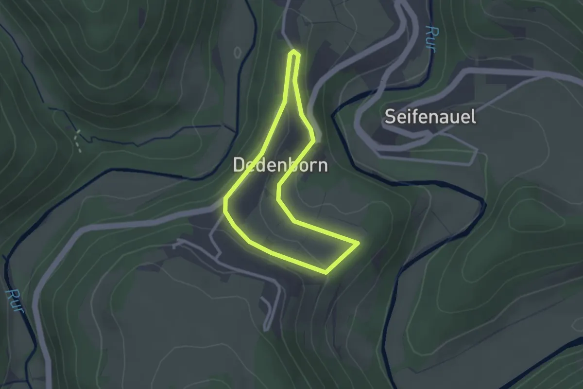
Easy · Trail
Dorfrunde Weitnau
1.6 km · ↑ 50 m · 30 min
Easy · Trail
Dorfrundgang Dedenborn
1.9 km · ↑ 47 m · 35 min
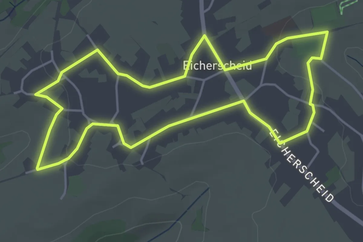
Easy · Trail
Dorfrundgang Eicherscheid
3.9 km · ↑ 40 m · 1 h 4 min
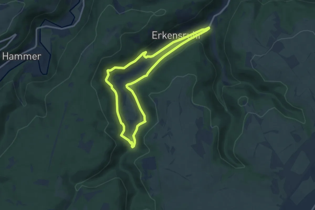
Easy · Trail
Dorfrundgang Erkensruhr
6.8 km · ↑ 219 m · 2 h 11 min
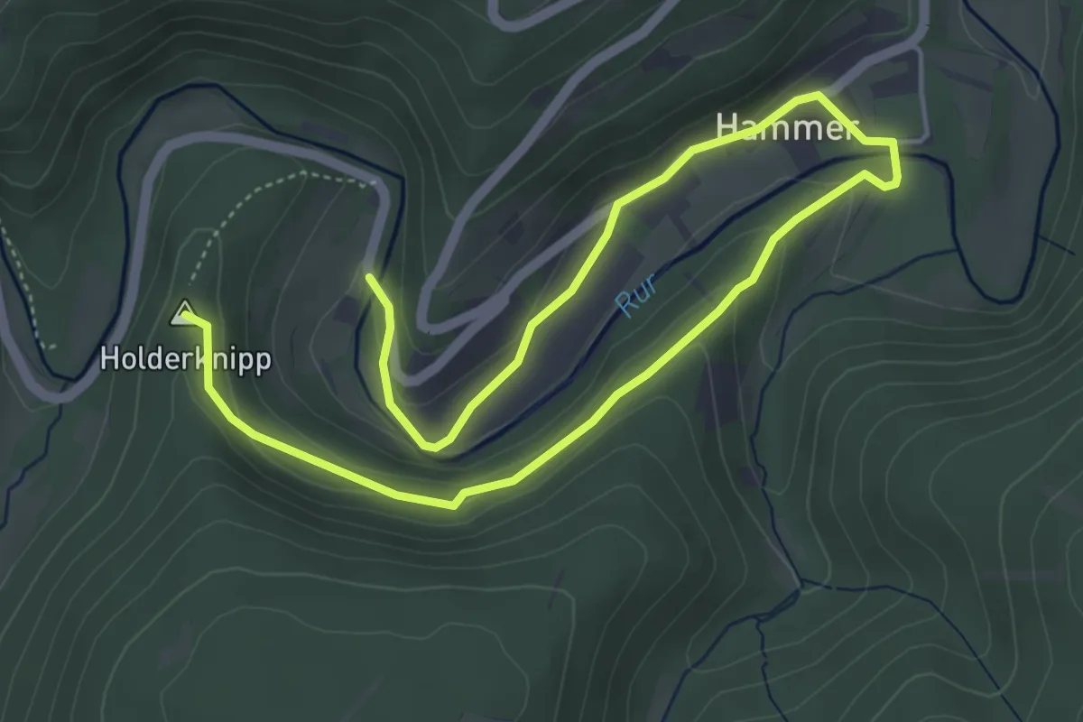
Easy · Summit
Dorfrundgang Hammer
6.8 km · ↑ 172 m · 1 h 59 min
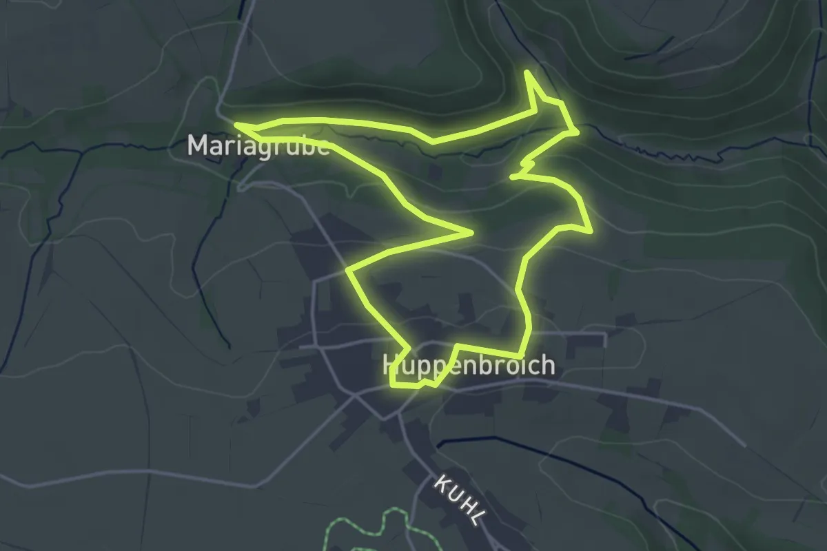
Easy · Trail
Dorfrundgang Huppenbroich
4.0 km · ↑ 101 m · 1 h 13 min
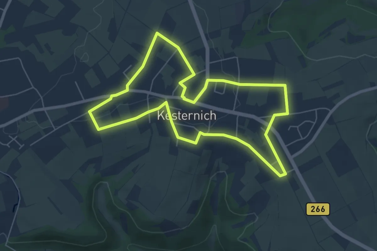
Easy · Trail
Dorfrundgang Kesternich
5.2 km · ↑ 43 m · 1 h 24 min
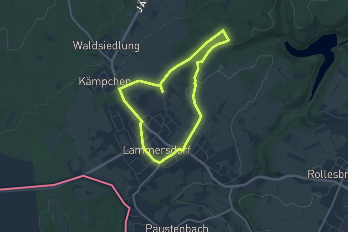
Medium · Trail
Dorfrundgang Lammersdorf
5.6 km · ↑ 56 m · 1 h 31 min
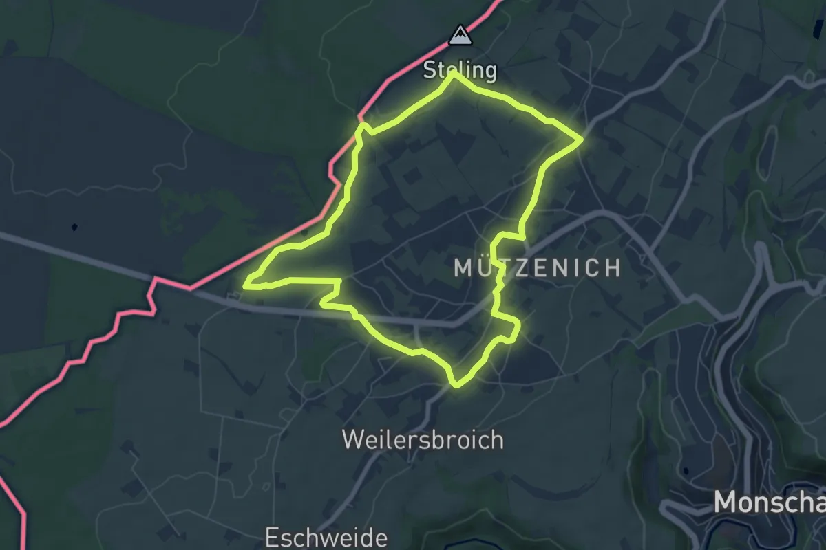
Easy · Trail
Dorfrundgang Mützenich [16]
6.6 km · ↑ 77 m · 1 h 49 min
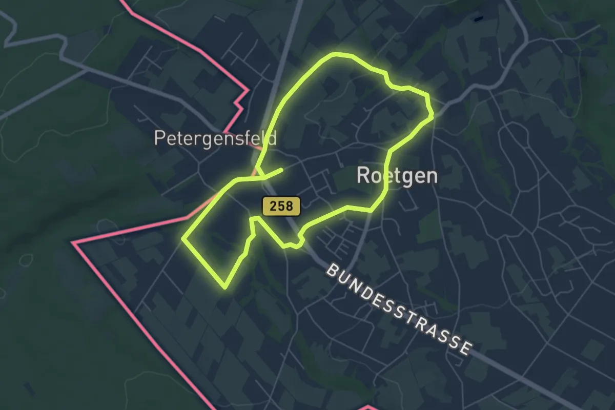
Easy · Trail
Dorfrundgang Roetgen
5.2 km · ↑ 30 m · 1 h 22 min
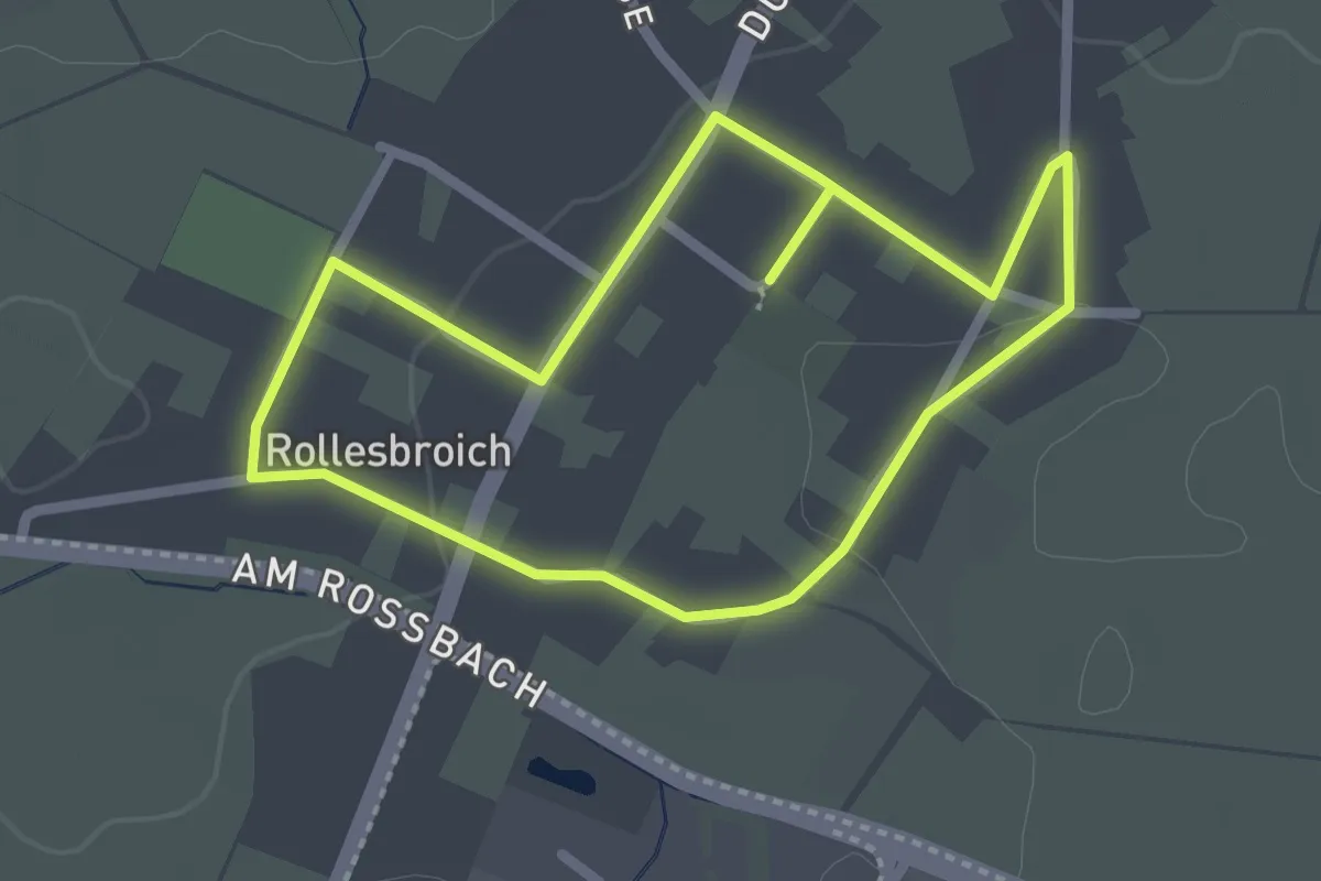
Easy · Trail
Dorfrundgang Rollesbroich
4.3 km · ↑ 18 m · 1 h 3 min
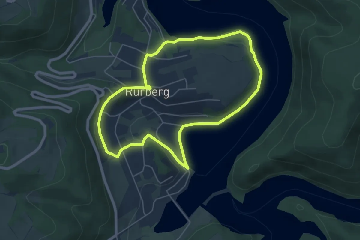
Easy · Trail
Dorfrundgang Rurberg
4.2 km · ↑ 80 m · 1 h 13 min
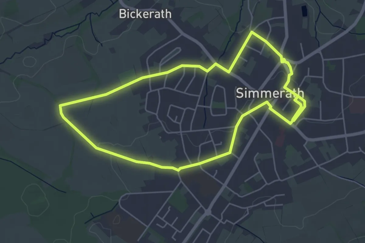
Easy · Trail
Dorfrundgang Simmerath
4.5 km · ↑ 26 m · 1 h 11 min
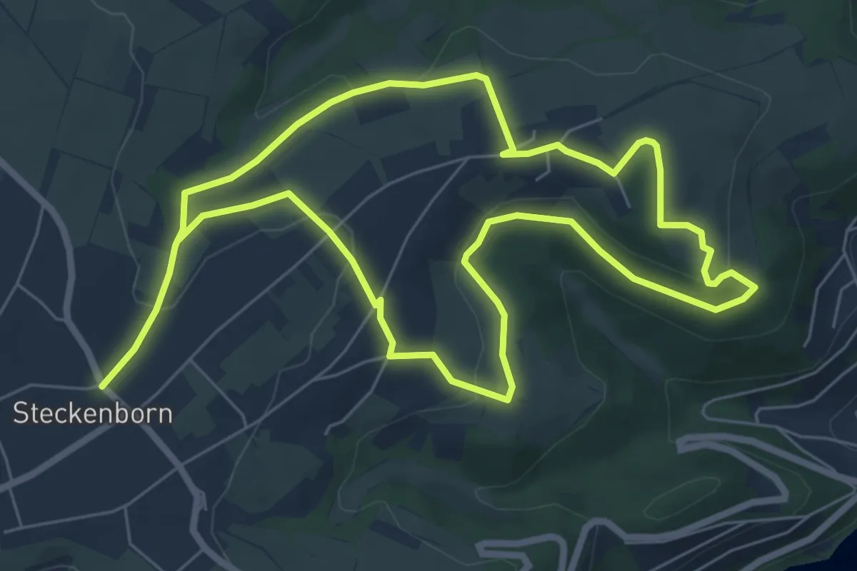
Medium · Trail
Dorfrundgang Steckenborn
11.8 km · ↑ 256 m · 3 h 21 min
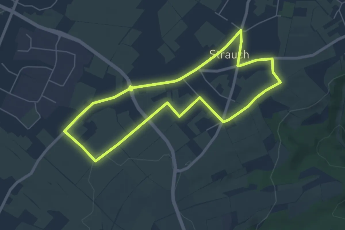
Easy · Trail
Dorfrundgang Strauch
4.6 km · ↑ 26 m · 1 h 12 min
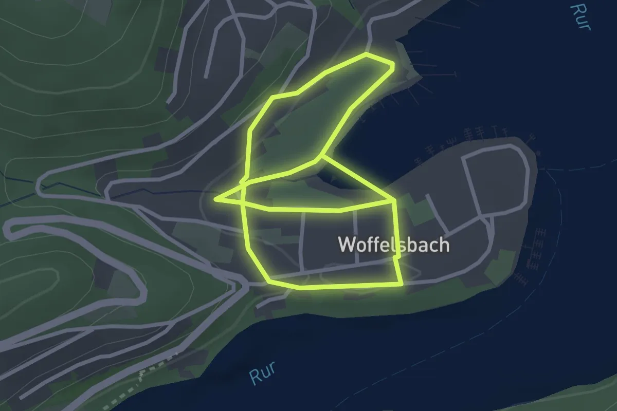
Easy · Trail
Dorfrundgang Woffelsbach
4.8 km · ↑ 99 m · 1 h 20 min
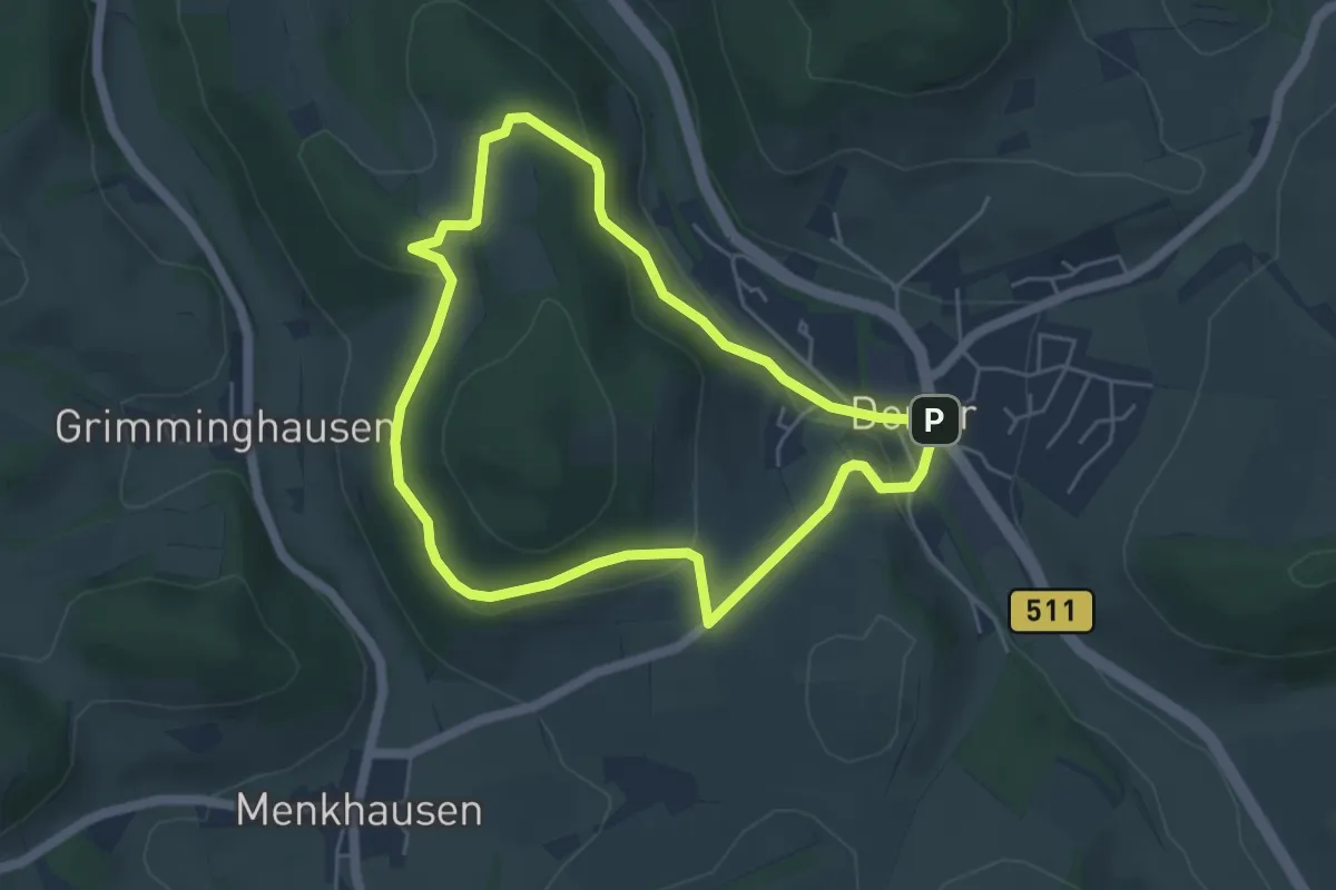
Easy · Trail
Dorlar Rundweg D11
4.2 km · ↑ 119 m · 1 h 18 min
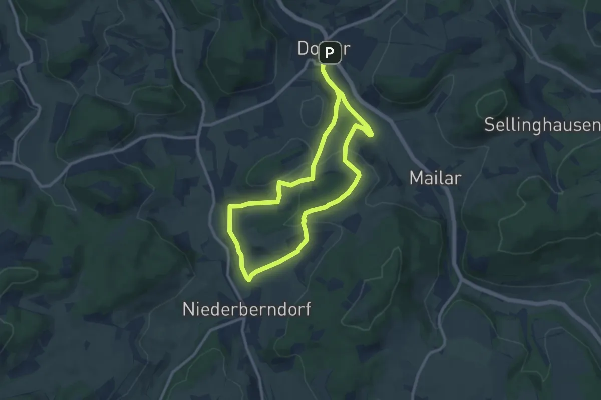
Easy · Summit
Dorlar Rundweg D12
6.4 km · ↑ 163 m · 1 h 57 min
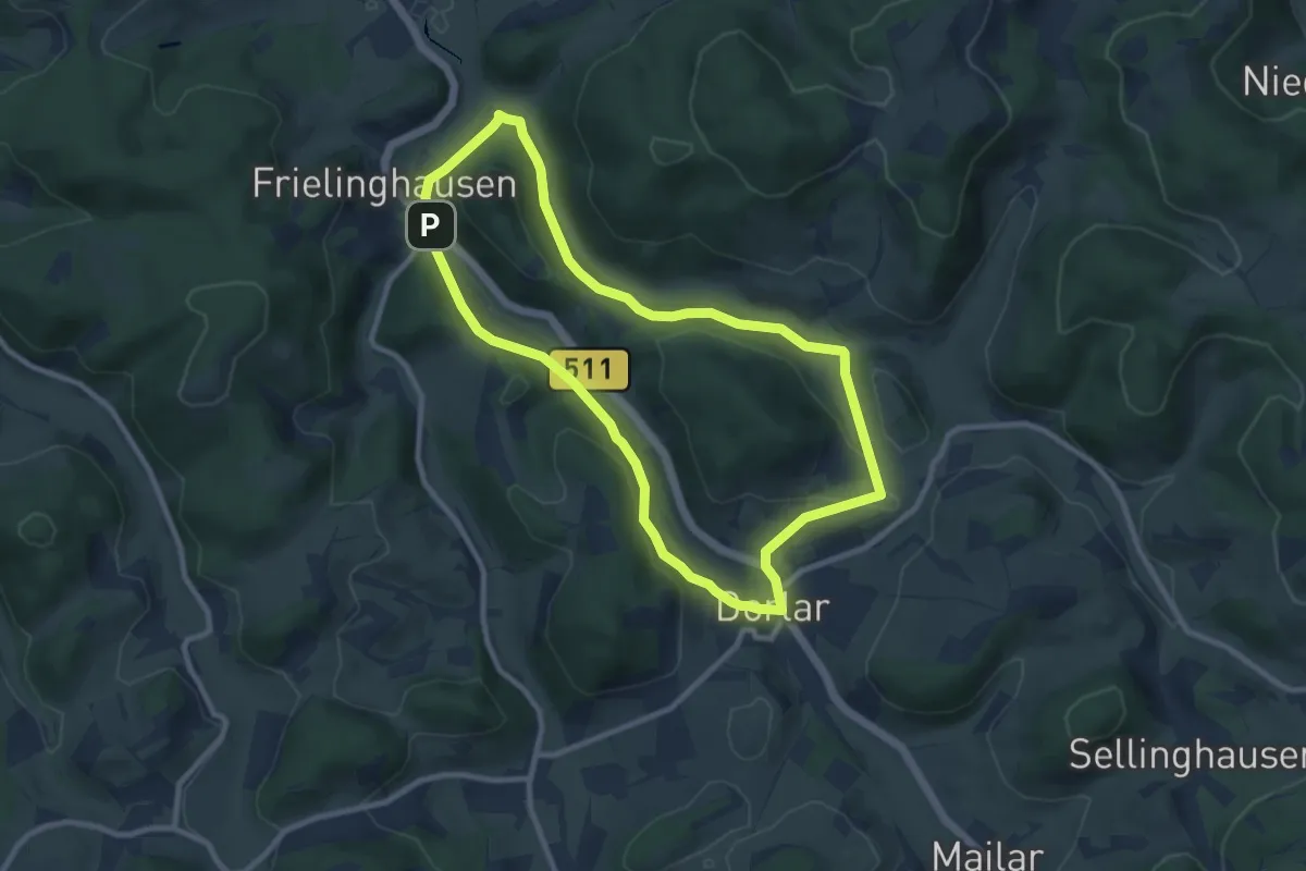
Medium · Trail
Dorlar Rundweg D15
8.1 km · ↑ 150 m · 2 h 21 min
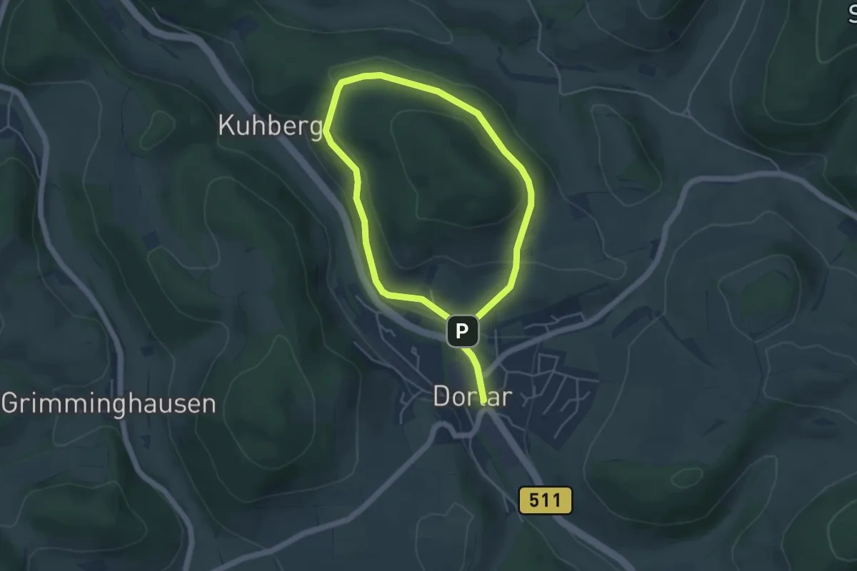
Easy · Trail
Dorlar Rundweg D16
3.5 km · ↑ 99 m · 1 h 6 min
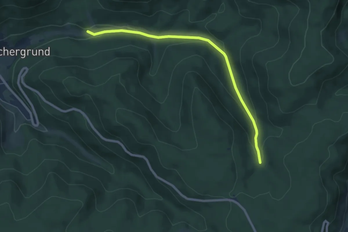
Easy · Trail
Dörlinbachquelle - Kochelbach
5.6 km · ↑ 157 m · 1 h 40 min
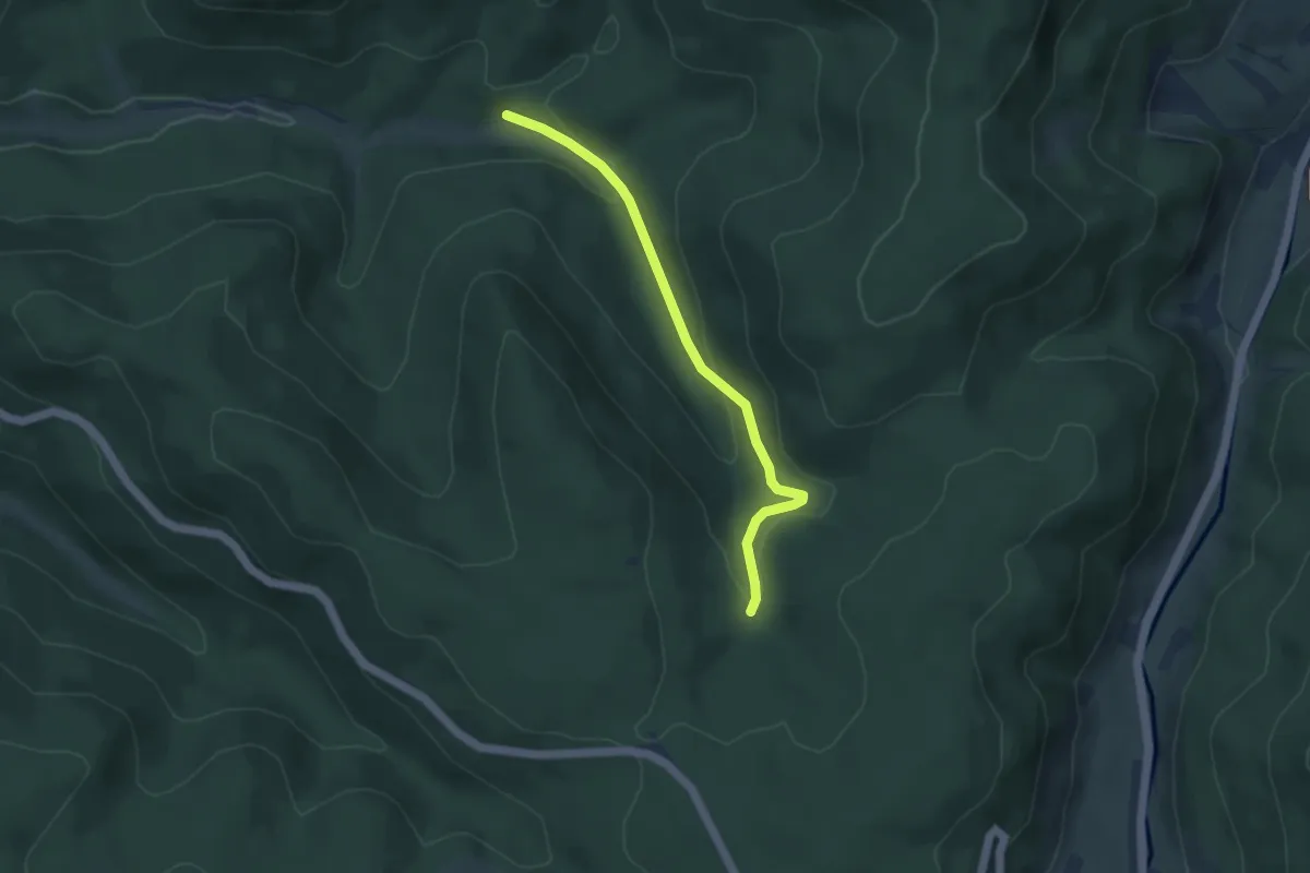
Easy · Trail
Dörlinbachquelle - Ringsheimer Hütte
3.8 km · ↑ 135 m · 1 h 12 min
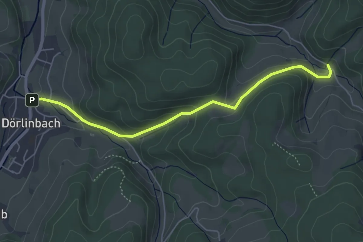
Easy · Trail
Dörlinbach Rathaus - Durenbach Engelhof
4.6 km · ↑ 196 m · 1 h 30 min
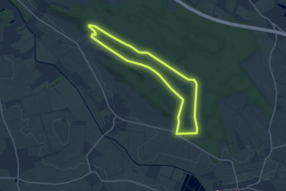
Easy · Trail
Dorm Rundwanderweg 1
7.8 km · ↑ 101 m · 2 h 10 min
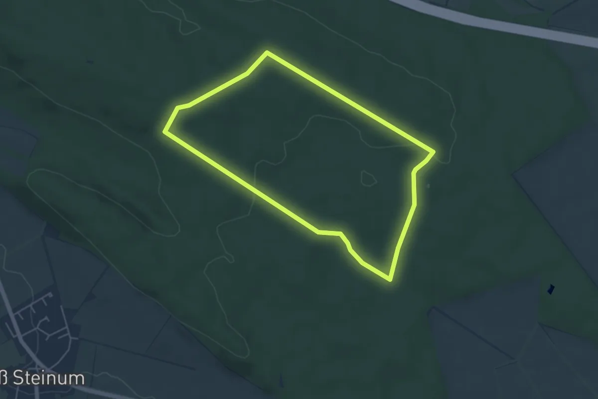
Easy · Trail
Dorm Rundwanderweg 2
4.2 km · ↑ 46 m · 1 h 9 min
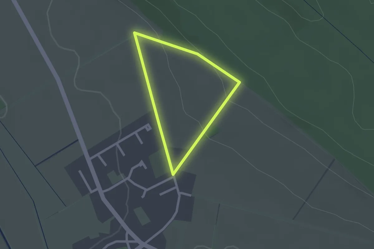
Easy · Trail
Dorm Rundwanderweg 3
1.4 km · ↑ 40 m · 26 min