Trails in Germany
36,847 hiking trails, each with its route, climb, walking time and grade.
All trails, page 112 of 768
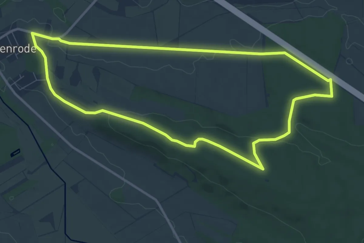
Easy · Trail
Dorm Rundwanderweg 4
7.6 km · ↑ 88 m · 2 h 5 min
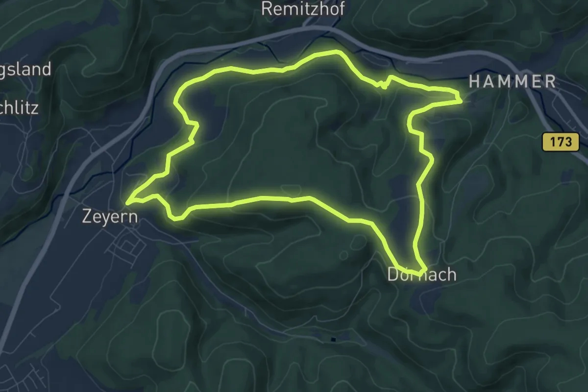
Medium · Trail
Dörnacher Runde KC 67
8.7 km · ↑ 261 m · 2 h 45 min
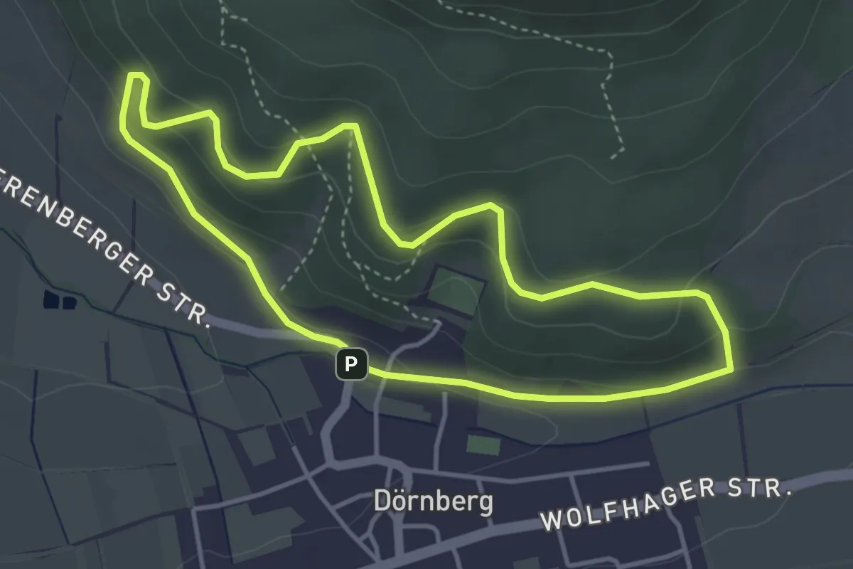
Easy · Trail
Dörnberg D1
3.4 km · ↑ 161 m · 1 h 12 min
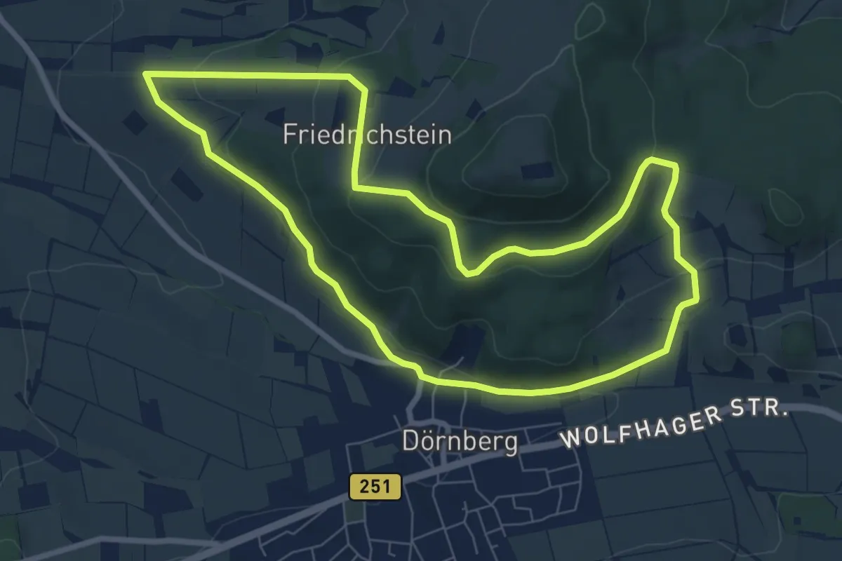
Easy · Trail
Dörnberg D2
6.9 km · ↑ 211 m · 2 h 10 min
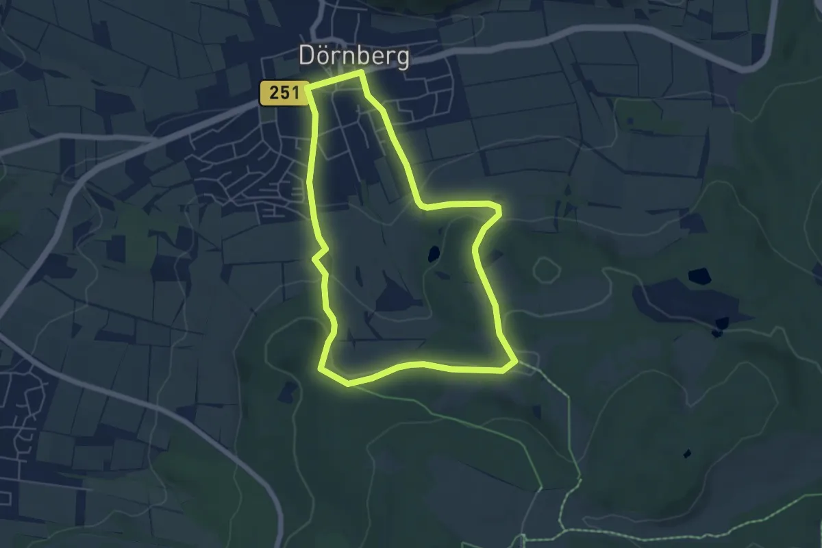
Easy · Summit
Dörnberg D3
4.9 km · ↑ 155 m · 1 h 34 min
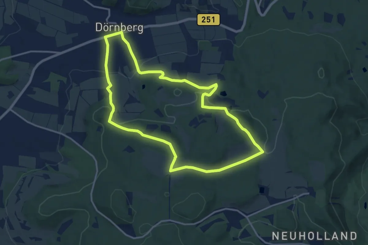
Medium · Summit
Dörnberg D4
9.3 km · ↑ 263 m · 2 h 54 min
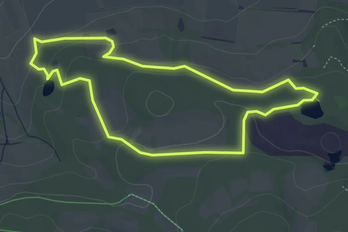
Easy · Trail
Dörnberg, Rundweg 35
3.9 km · ↑ 103 m · 1 h 12 min
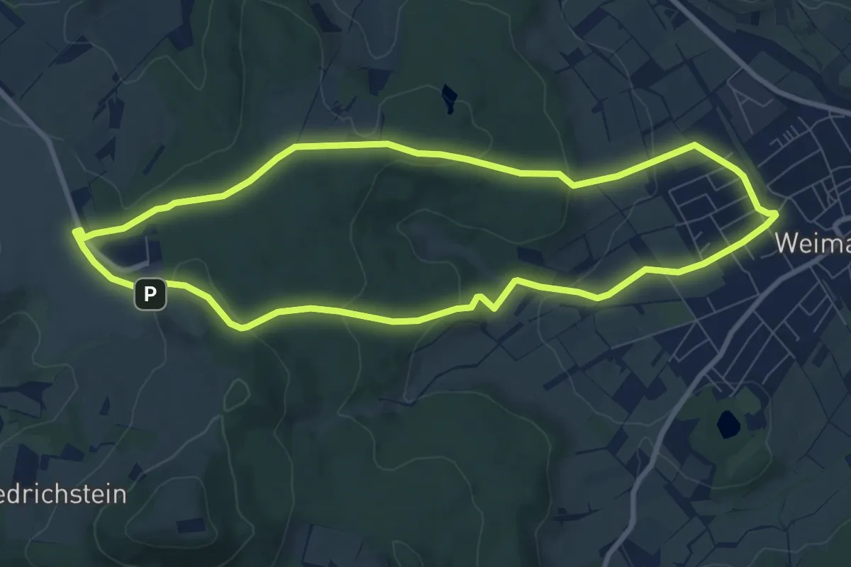
Easy · Summit
Dörnbergweg W7
7.7 km · ↑ 205 m · 2 h 22 min
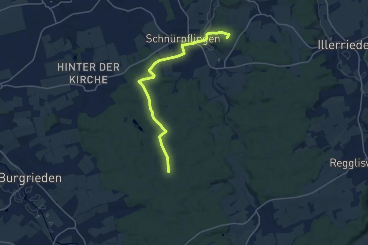
Medium · Summit
Dorndorf - Schnürpflingen
13.0 km · ↑ 204 m · 3 h 30 min
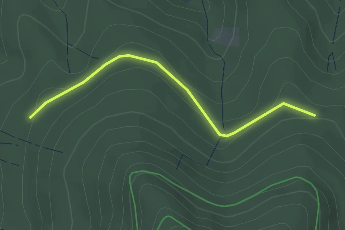
Easy · Trail
Dornenweg - Giehmatt
2.7 km · ↑ 81 m · 48 min
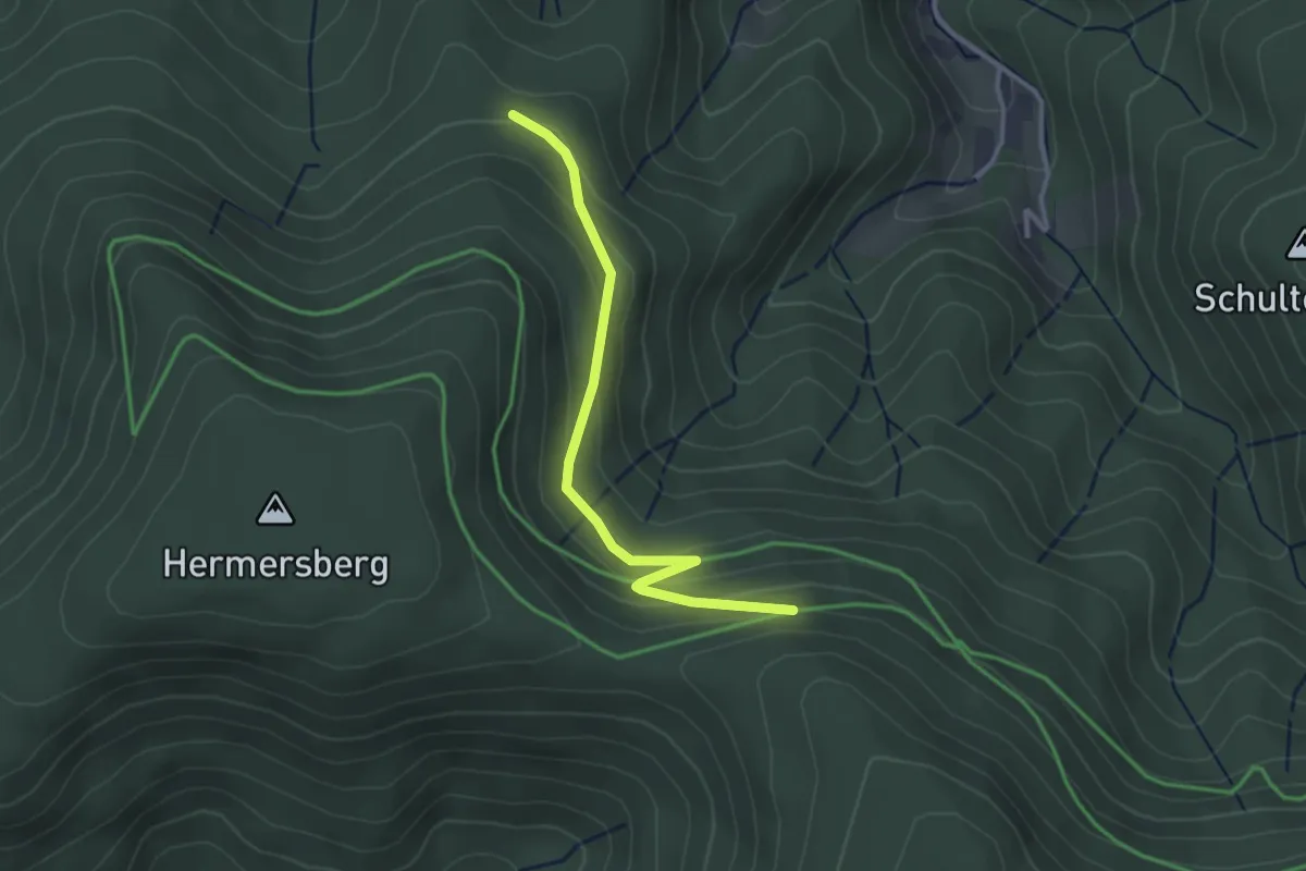
Easy · Trail
Dornenweg - Saale Brunnenweg
2.8 km · ↑ 120 m · 55 min
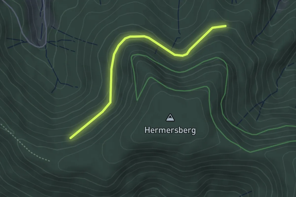
Easy · Trail
Dornenweg - Täfele
3.6 km · ↑ 150 m · 1 h 10 min
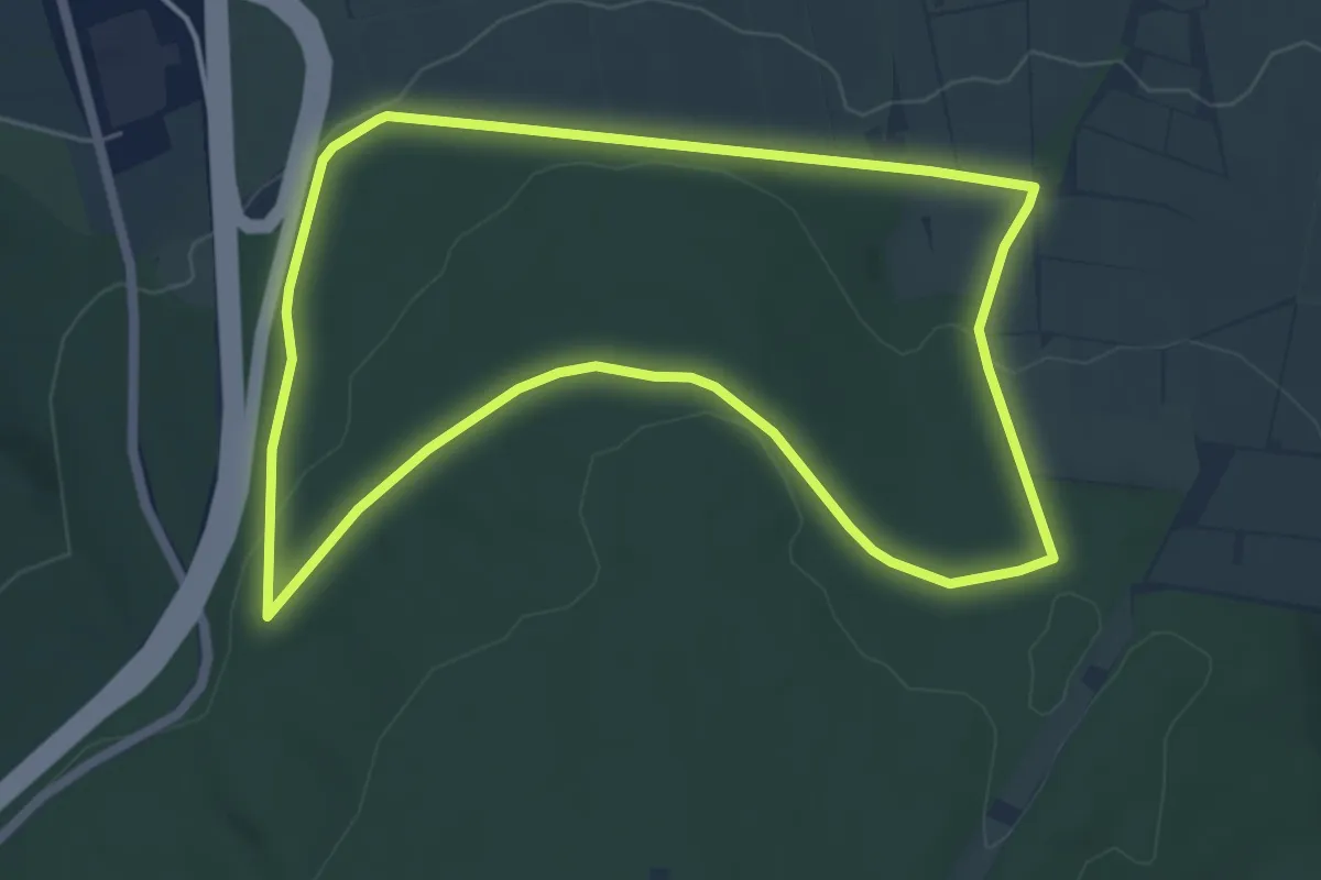
Easy · Trail
Dörnhagen, Rundweg 5
5.5 km · ↑ 119 m · 1 h 37 min
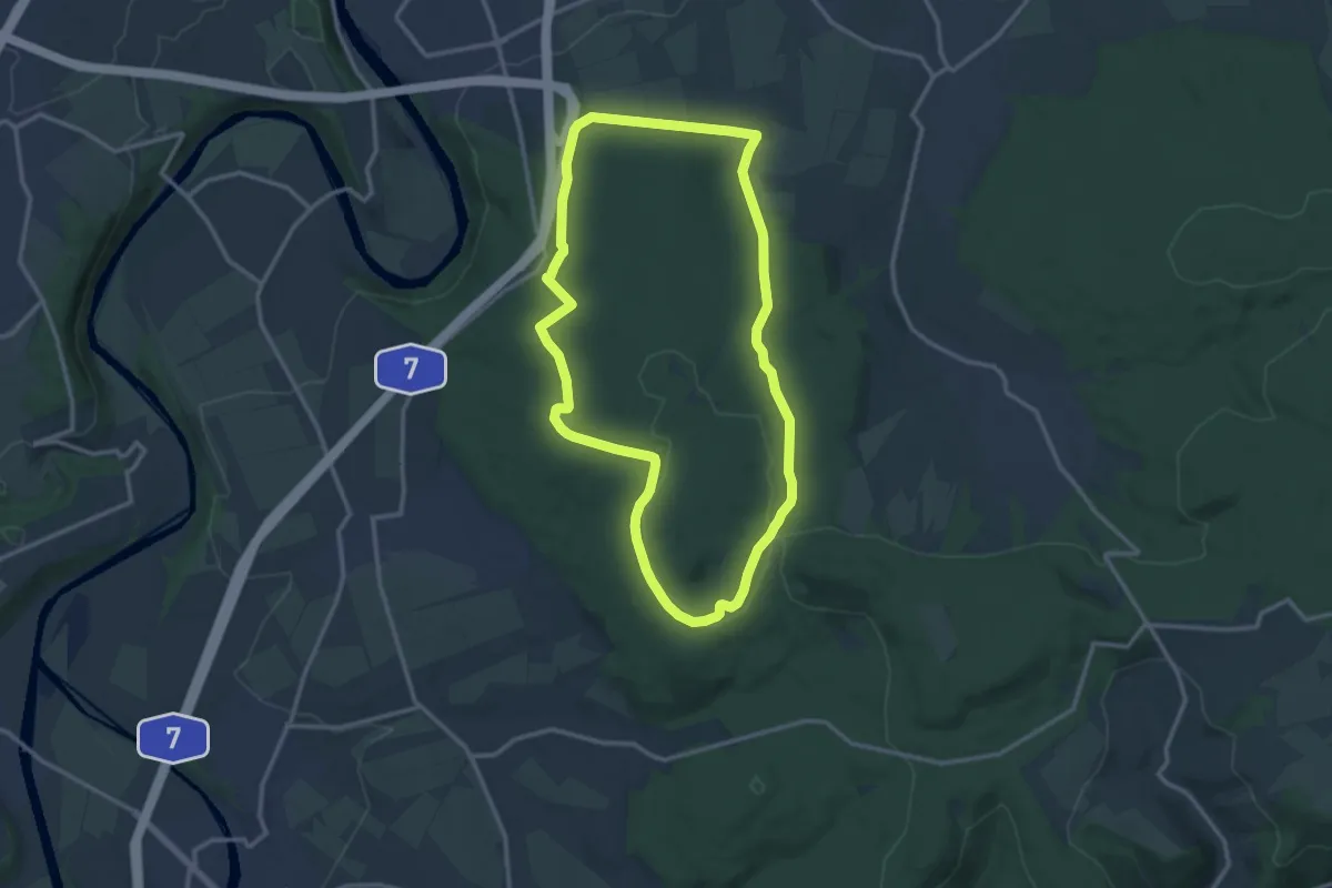
Medium · Trail
Dörnhagen, Rundweg 7
11.7 km · ↑ 202 m · 3 h 21 min
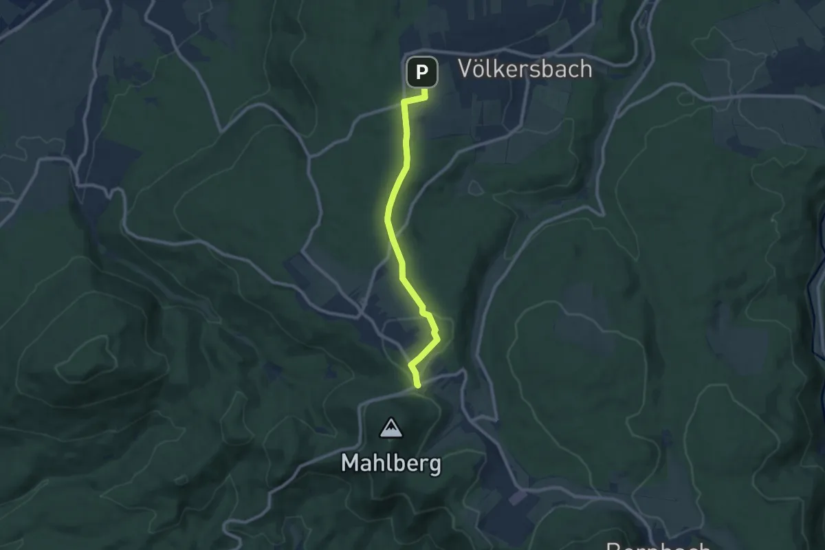
Easy · Trail
Dornhag - Freiolsheim Waldparkplatz
7.7 km · ↑ 130 m · 2 h 5 min
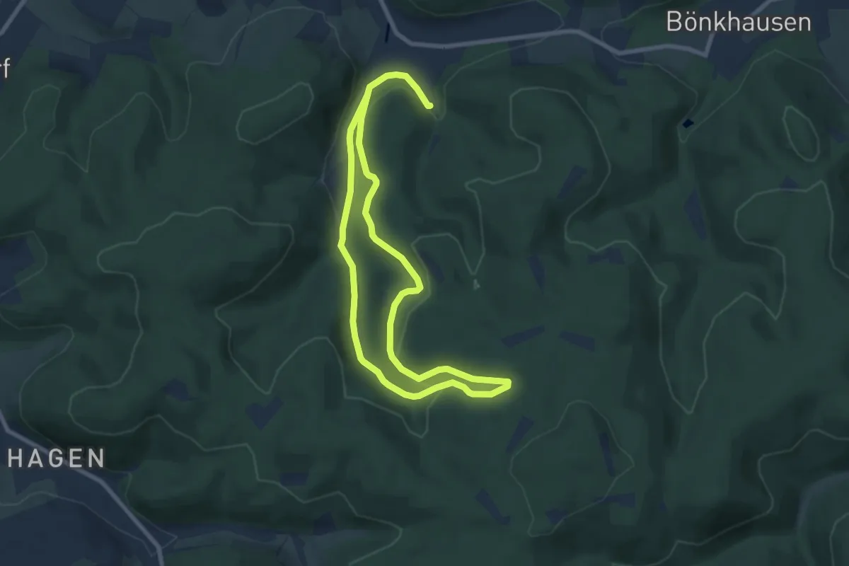
Easy · Summit
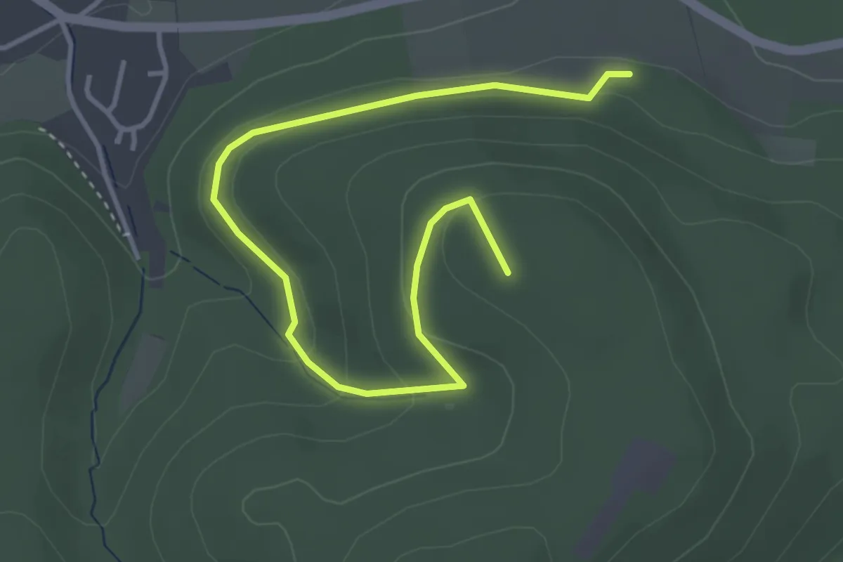
Dörnholthausen Rundwanderweg A3
6.1 km · ↑ 236 m · 2 h 2 min
Easy · Summit
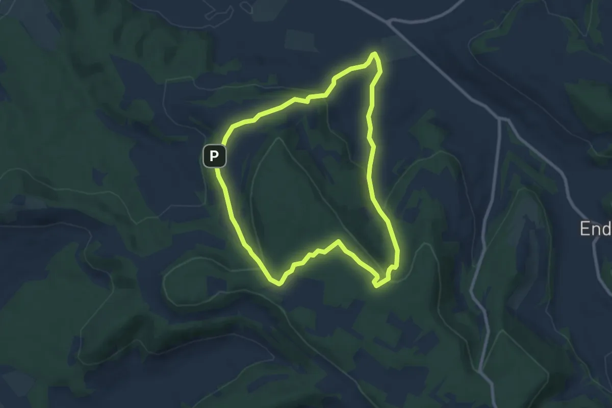
Dörnholthausen Rundweg A1
4.2 km · ↑ 150 m · 1 h 18 min
Easy · Trail
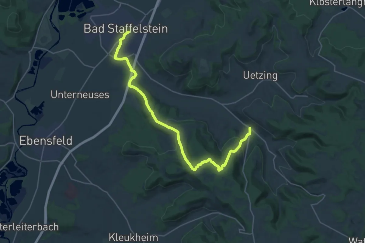
Dornig Rundweg
6.9 km · ↑ 230 m · 2 h 13 min
Demanding · Trail
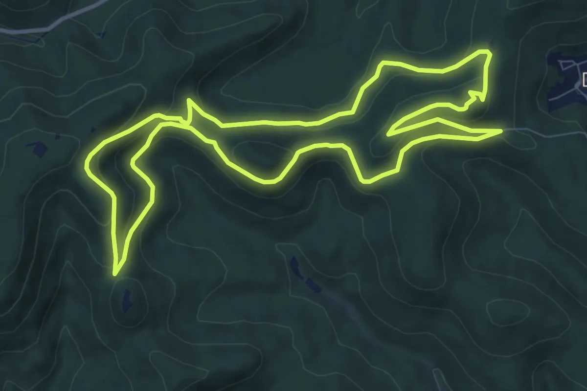
Dornigweg
20.7 km · ↑ 467 m · 5 h 54 min
Medium · Summit
Dornröschen Rundwanderweg, Dörrenbach
8.9 km · ↑ 334 m · 2 h 57 min
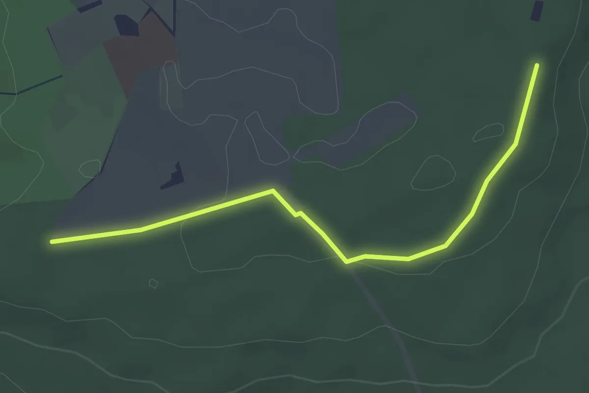
Easy · Trail
Dornsberg - ?
3.1 km · ↑ 49 m · 51 min
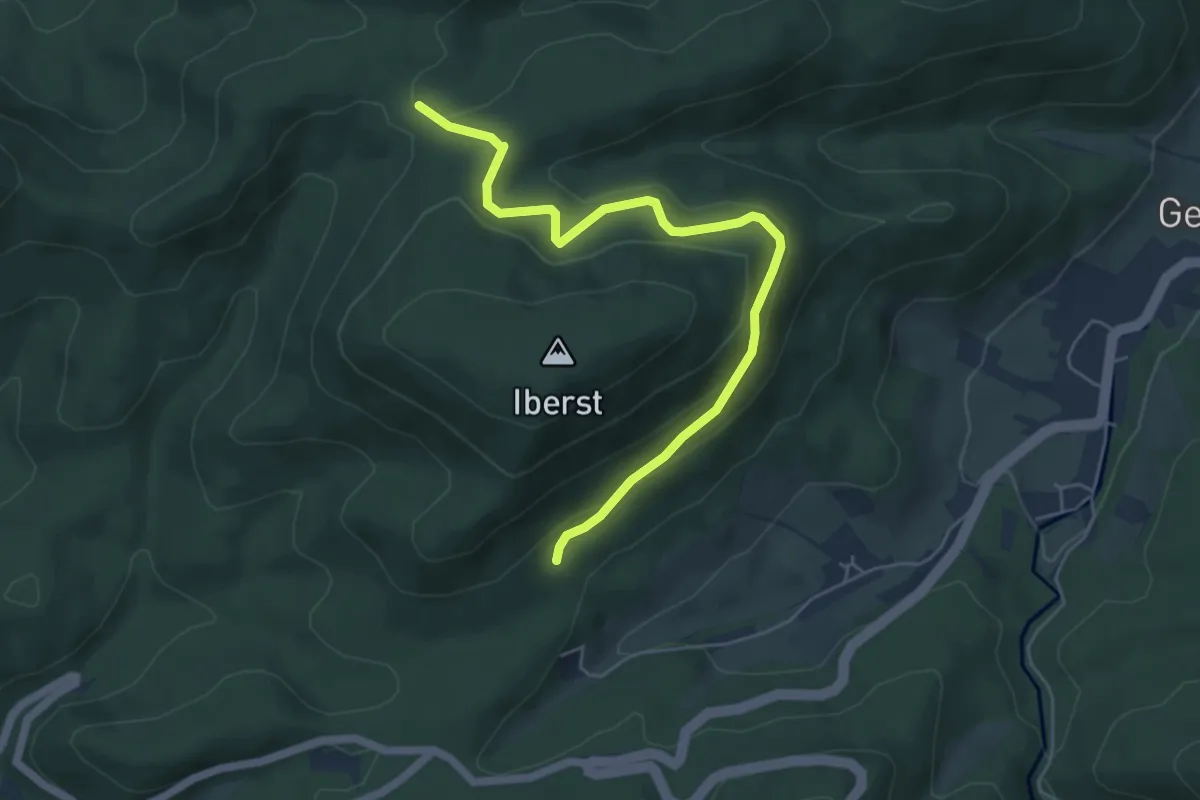
Easy · Trail
Dörnsel - Lache Abzw. Prisewitzallee
5.5 km · ↑ 281 m · 1 h 54 min
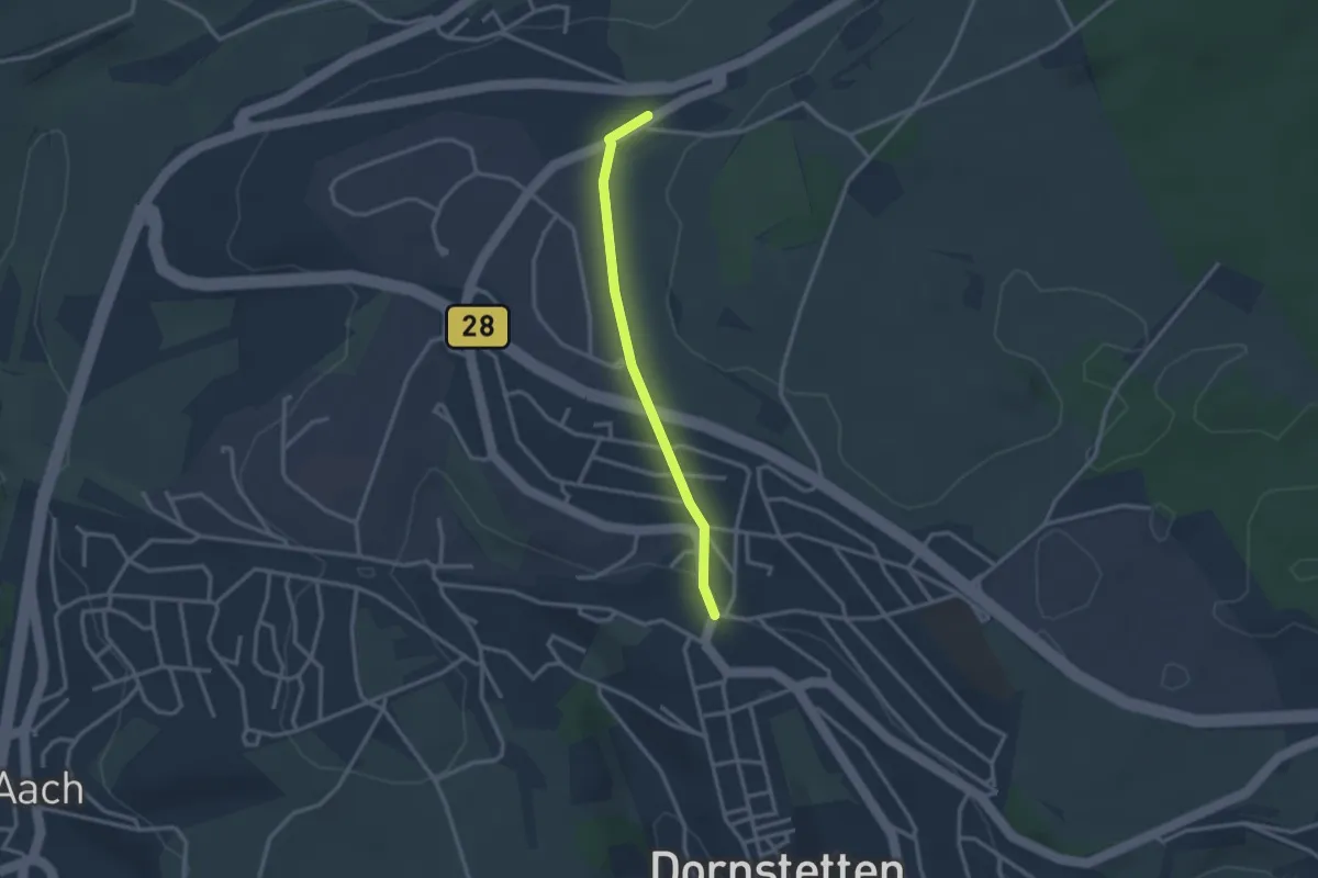
Easy · Trail
Dornstetten Zigeunerbrünnle - Eichenäcker
2.5 km · ↑ 46 m · 41 min
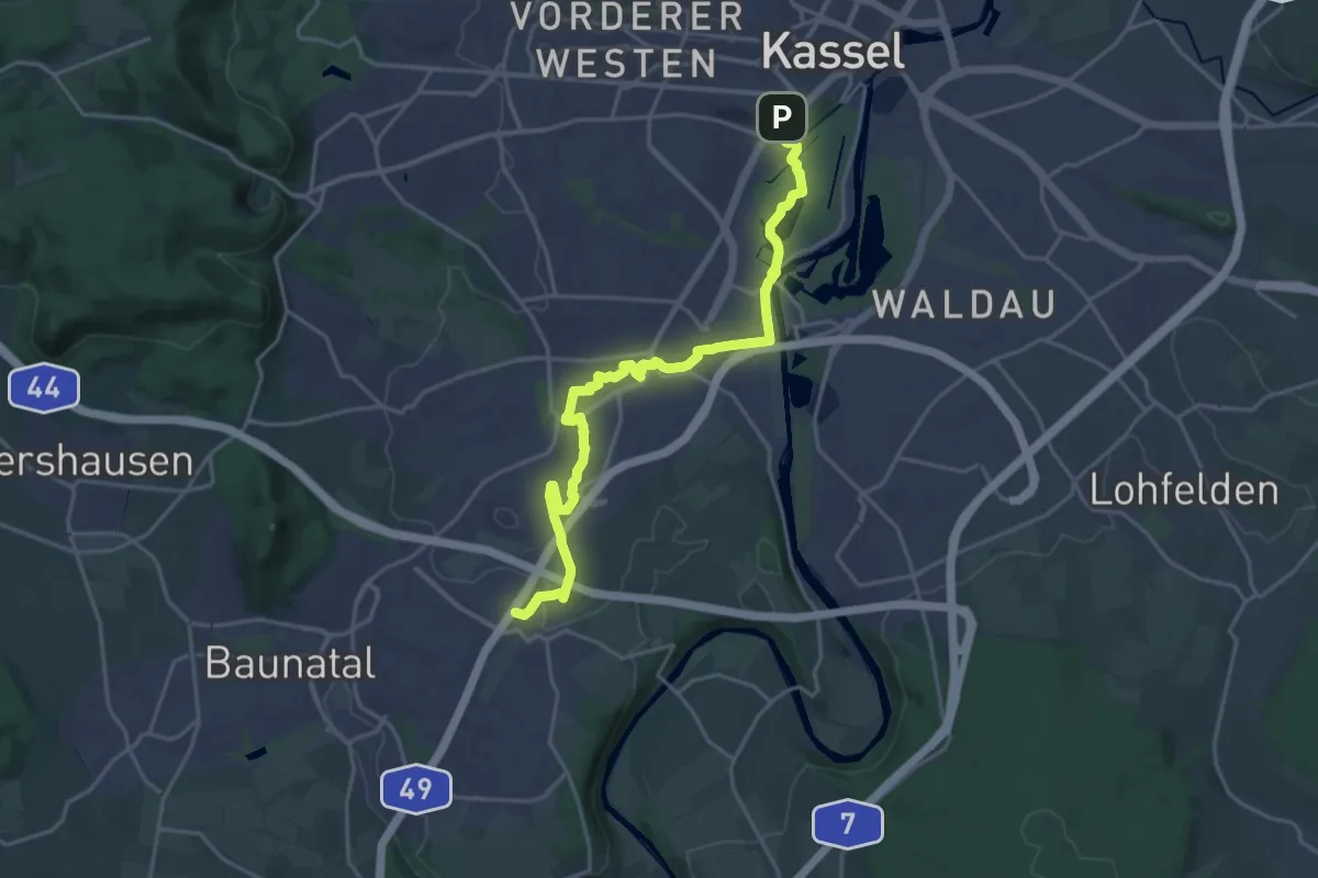
Demanding · Trail
Dorothea-Viehmann-Weg
20.3 km · ↑ 115 m · 5 h 3 min
Easy · Trail
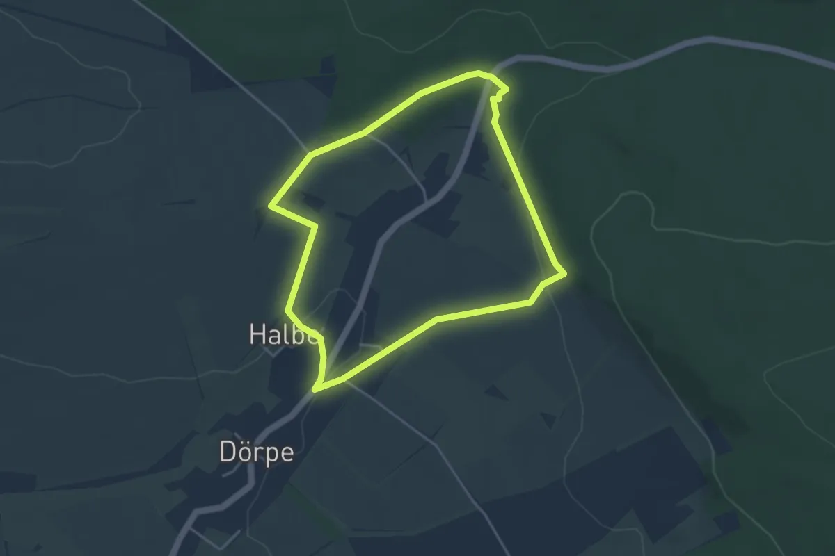
Dörper Bergmannspfad
3.3 km · ↑ 68 m · 59 min
Demanding · Summit
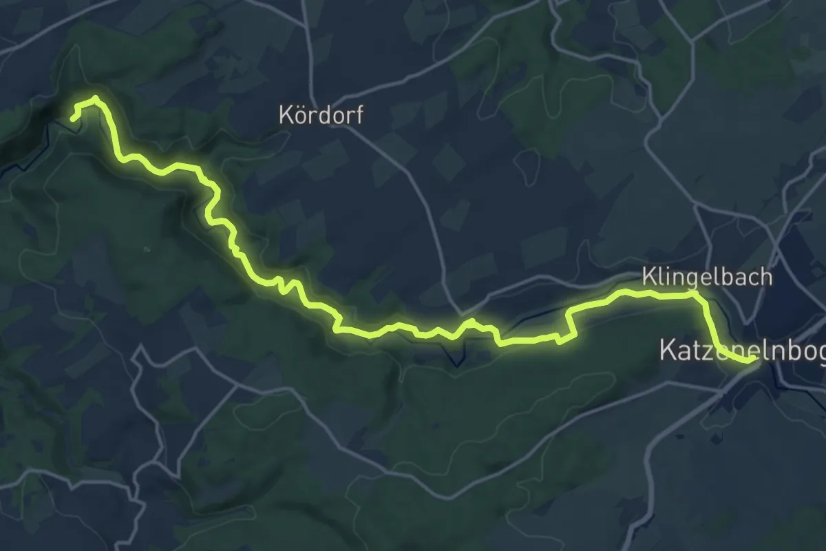
Dörsbach Mühlenwanderweg
18.7 km · ↑ 453 m · 5 h 24 min
Easy · Trail
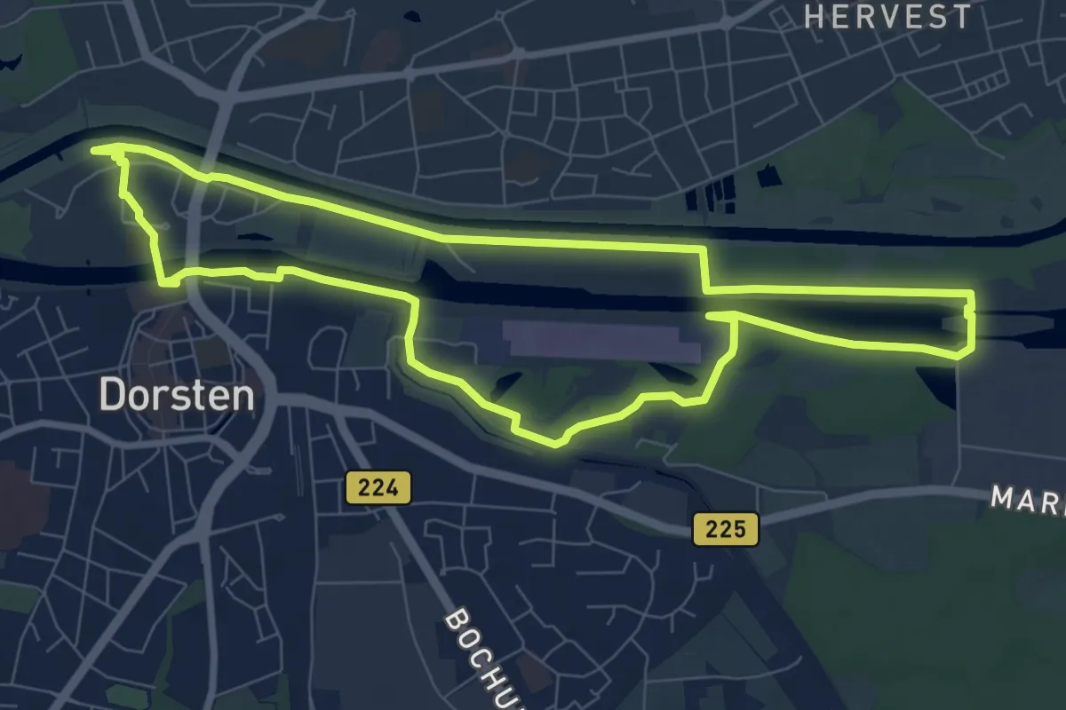
Dorsten Rundweg A1
7.6 km · ↑ 12 m · 1 h 56 min
Medium · Trail
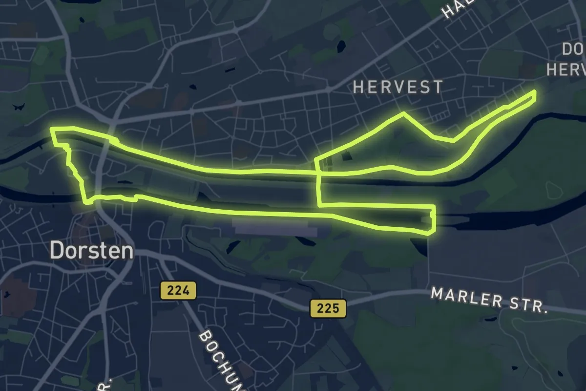
Dorsten Rundweg A2
11.3 km · ↑ 8 m · 2 h 51 min
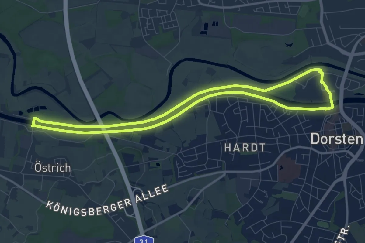
Easy · Trail
Dorsten Rundweg A3
8.0 km · ↑ 0 m · 2 h
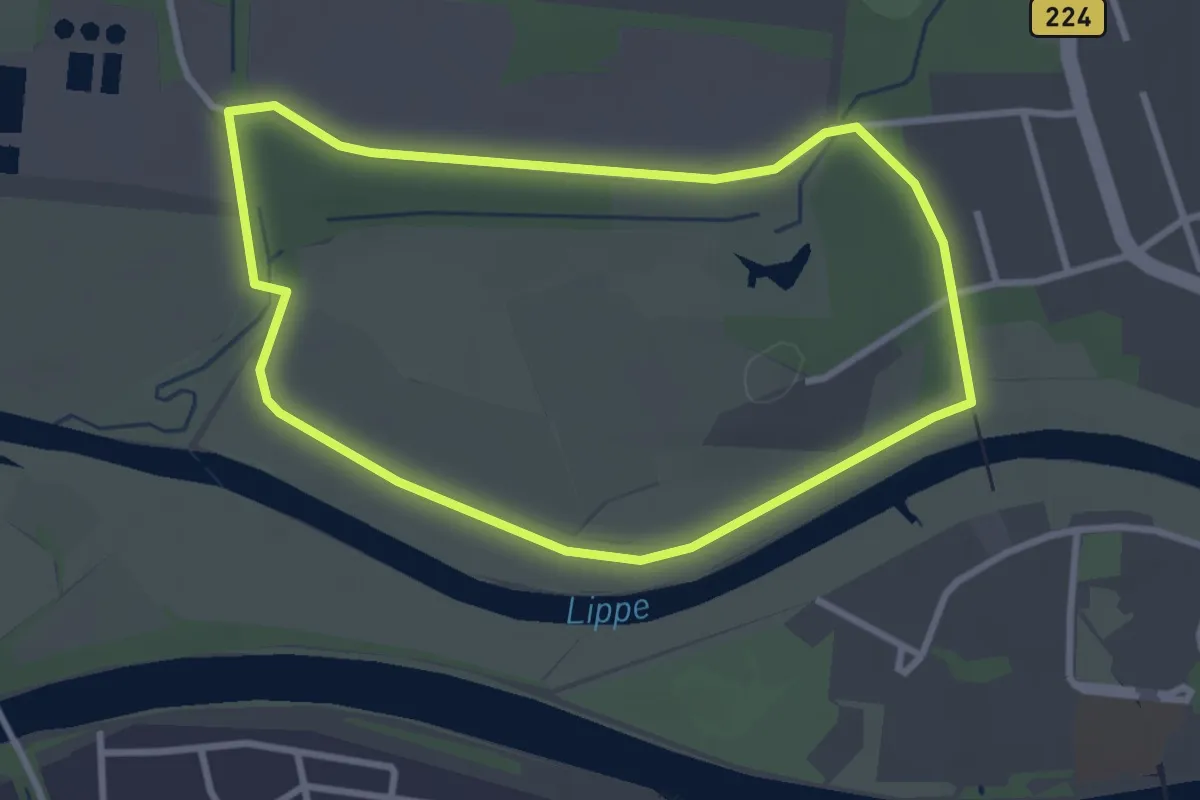
Easy · Trail
Dorsten Rundweg A4
2.7 km · ↑ 9 m · 41 min
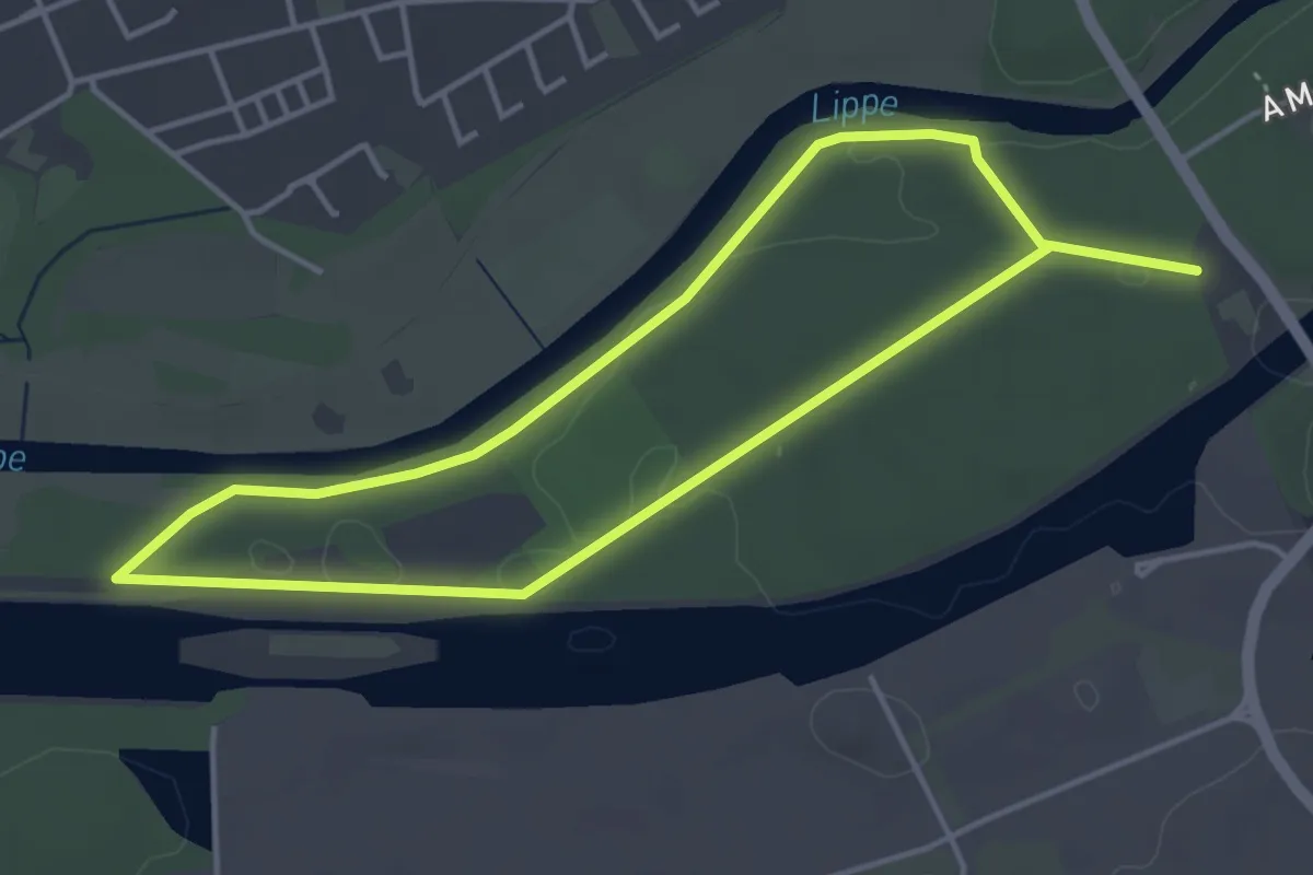
Easy · Trail
Dorsten Rundweg A5
3.4 km · ↑ 17 m · 54 min
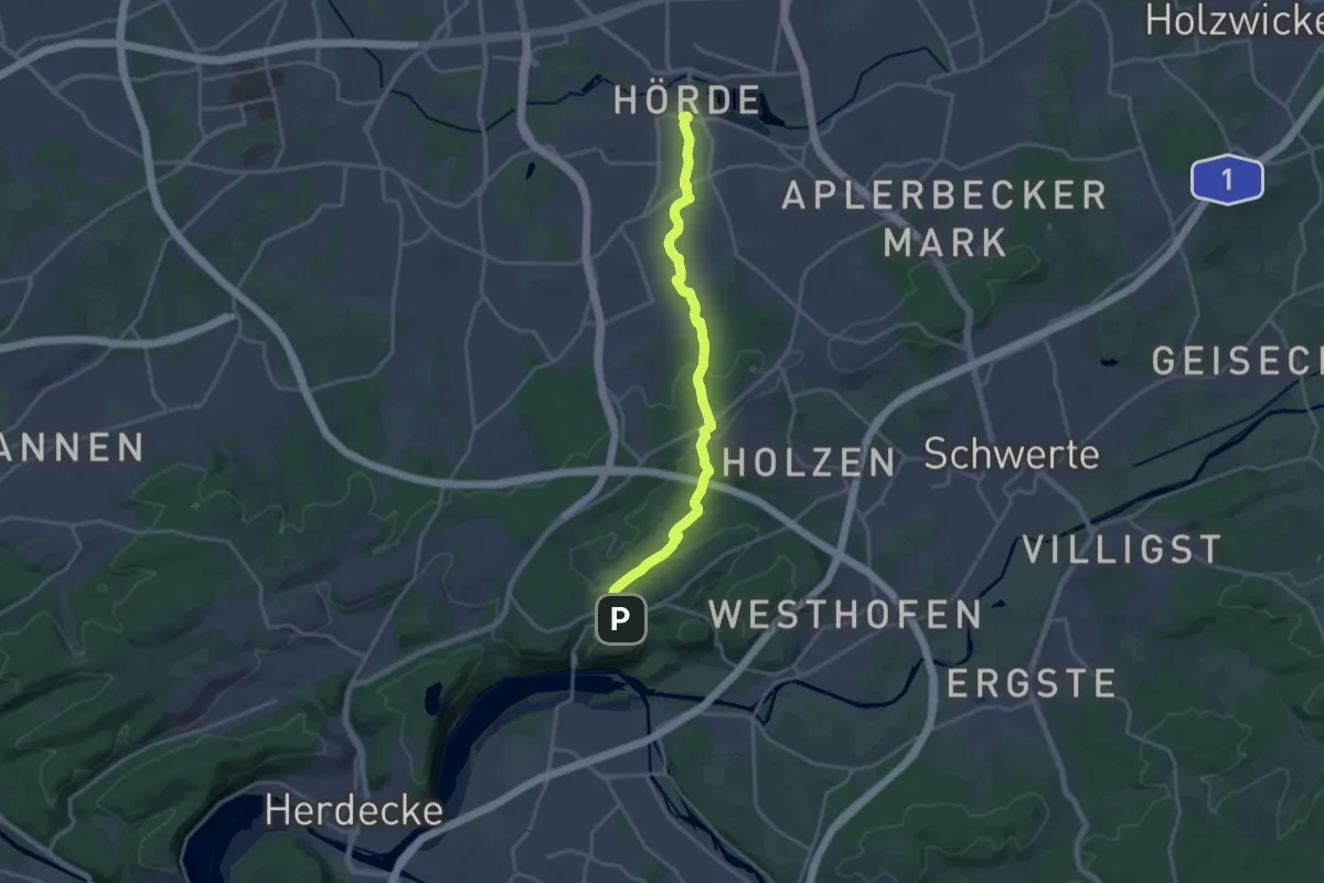
Medium · Trail
Dortmund-Hörde - Dortmund-Syburg
17.3 km · ↑ 238 m · 4 h 36 min
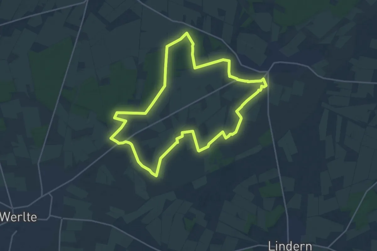
Medium · Trail
Dosenmoortour
14.5 km · ↑ 29 m · 3 h 42 min
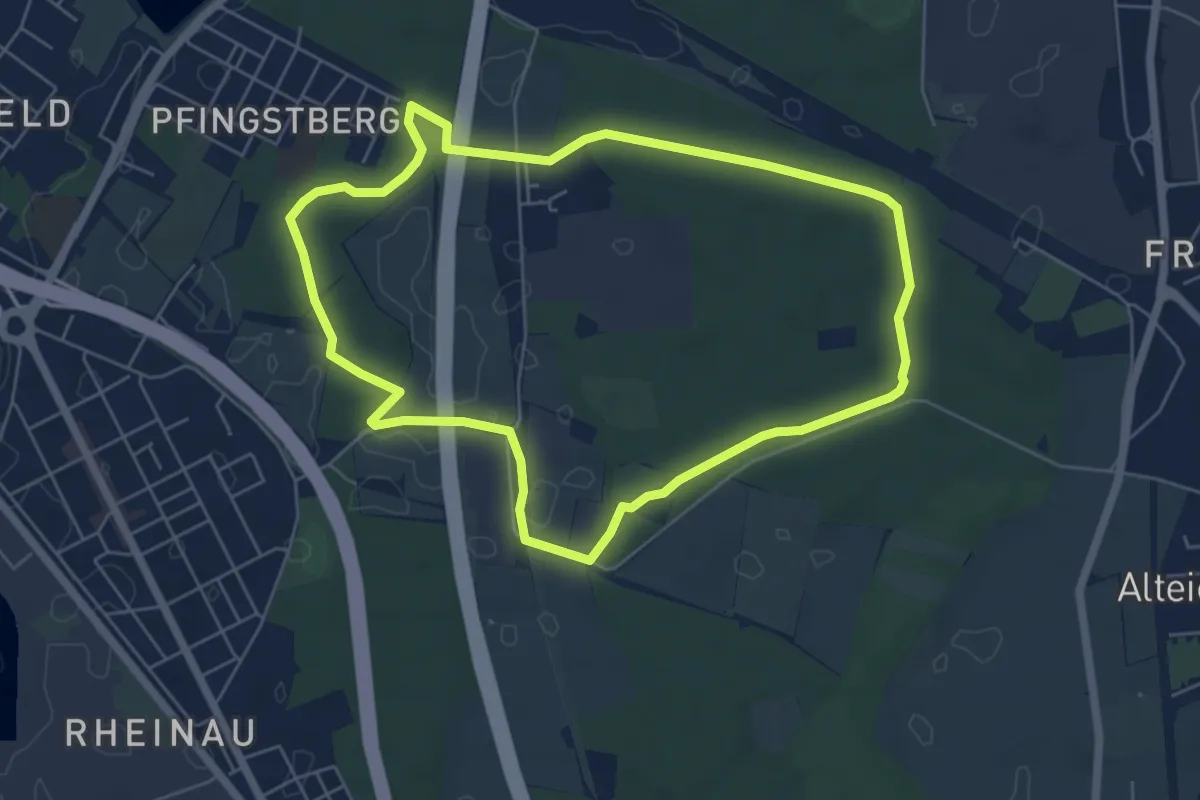
Easy · Trail
Dossenwald Rundweg Nr. 1
5.5 km · ↑ 19 m · 1 h 25 min
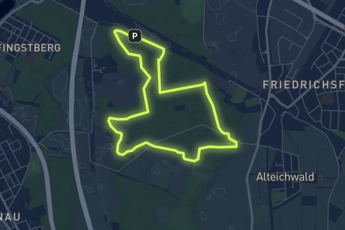
Easy · Trail
Dossenwald Rundweg Nr. 2
5.8 km · ↑ 22 m · 1 h 29 min
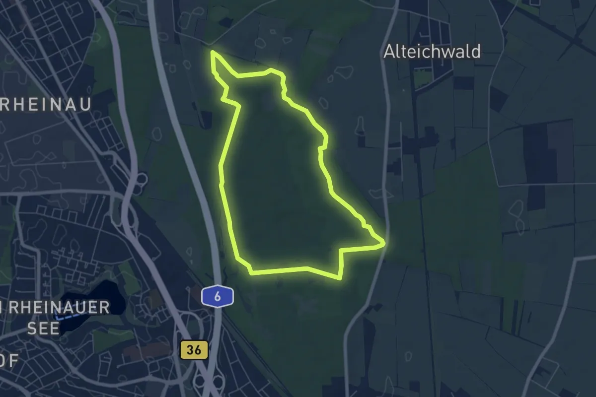
Easy · Trail
Dossenwald Rundweg Nr. 3
5.7 km · ↑ 17 m · 1 h 28 min
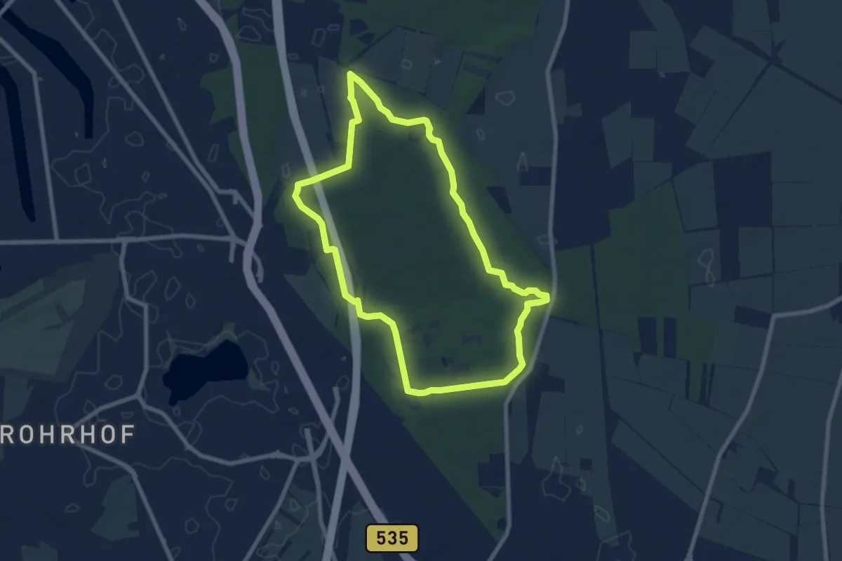
Easy · Trail
Dossenwald Rundweg Nr. 4
6.6 km · ↑ 22 m · 1 h 42 min
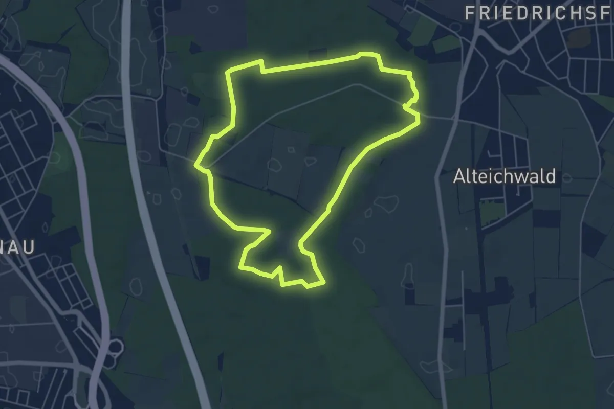
Easy · Trail
Dossenwald Rundweg Nr. 5
5.2 km · ↑ 9 m · 1 h 20 min
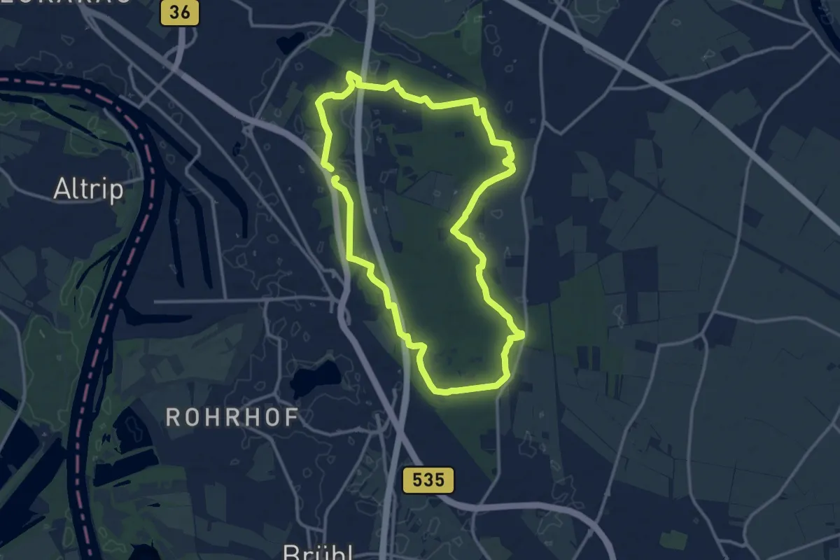
Medium · Trail
Dossenwald Rundweg Nr. 6
11.4 km · ↑ 42 m · 2 h 57 min
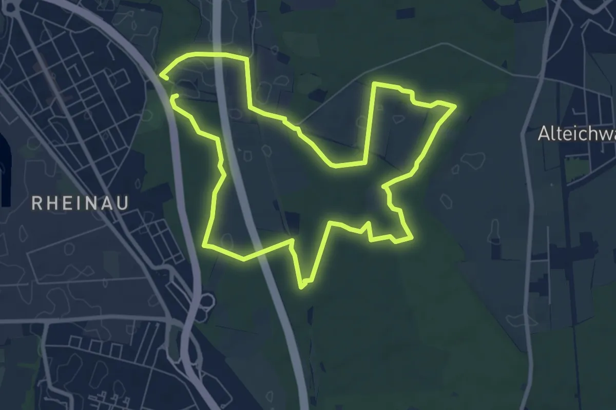
Easy · Trail
Dossenwald Rundweg Nr. 7
6.9 km · ↑ 21 m · 1 h 46 min
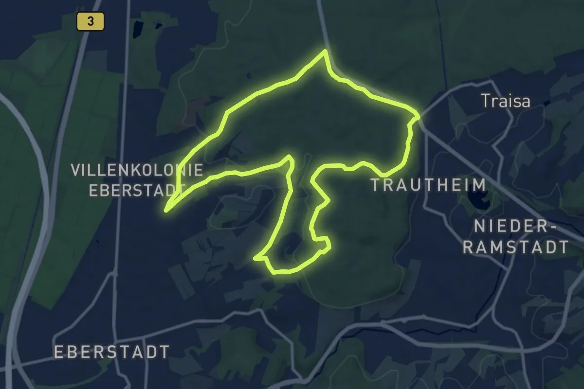
Medium · Summit
Dotter-Parcours-10km
10.1 km · ↑ 177 m · 2 h 55 min
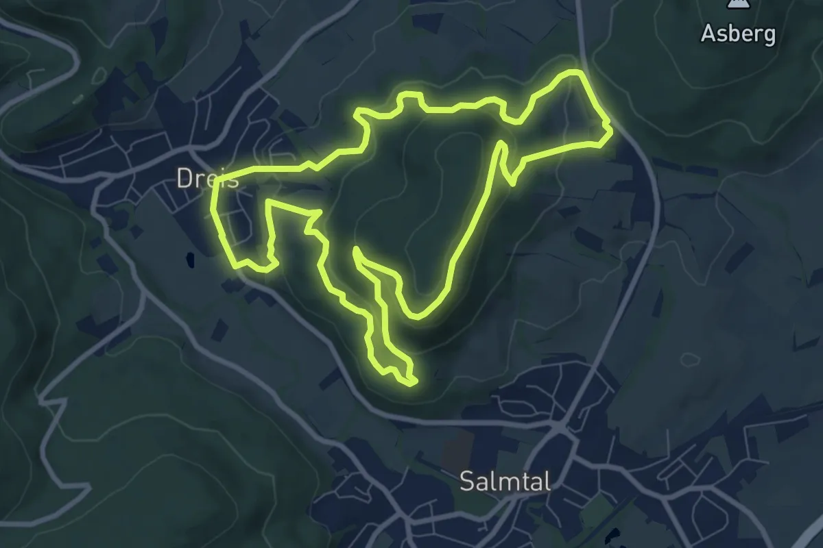
Medium · Trail
DR3
8.3 km · ↑ 298 m · 2 h 43 min
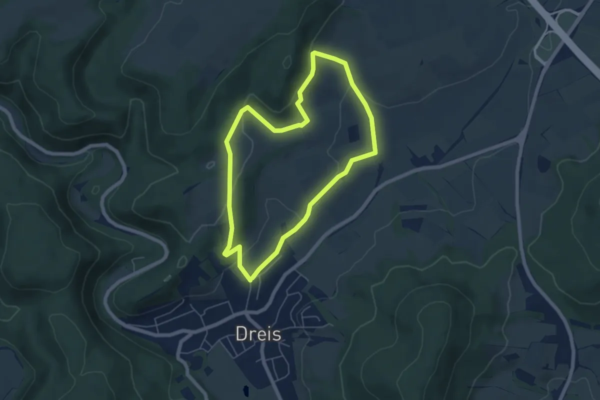
Easy · Trail
DR5
4.7 km · ↑ 122 m · 1 h 26 min
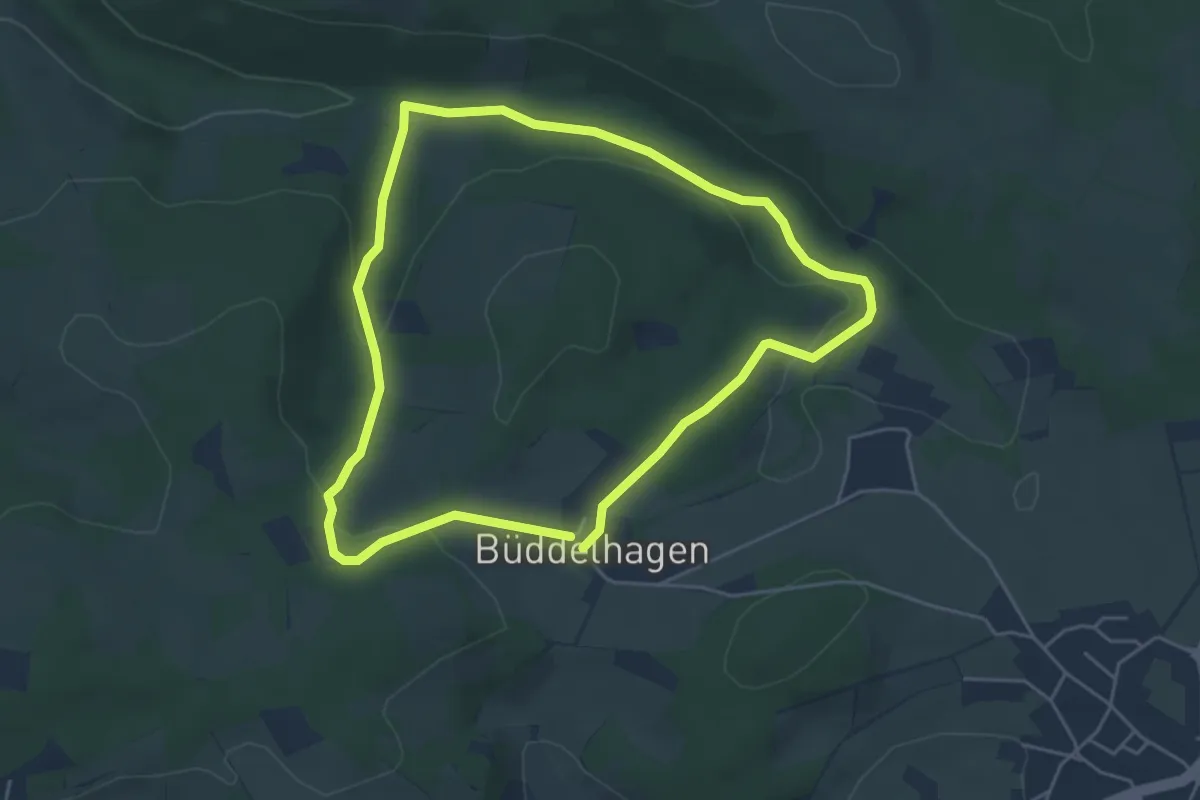
Easy · Trail
Drabenderhöhe Rundweg A1
4.2 km · ↑ 91 m · 1 h 16 min
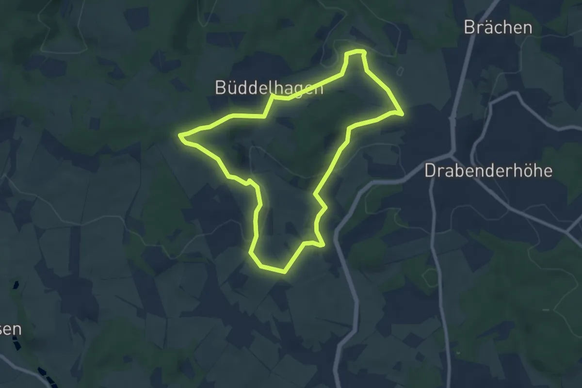
Easy · Trail
Drabenderhöhe Rundweg A2
6.3 km · ↑ 123 m · 1 h 51 min
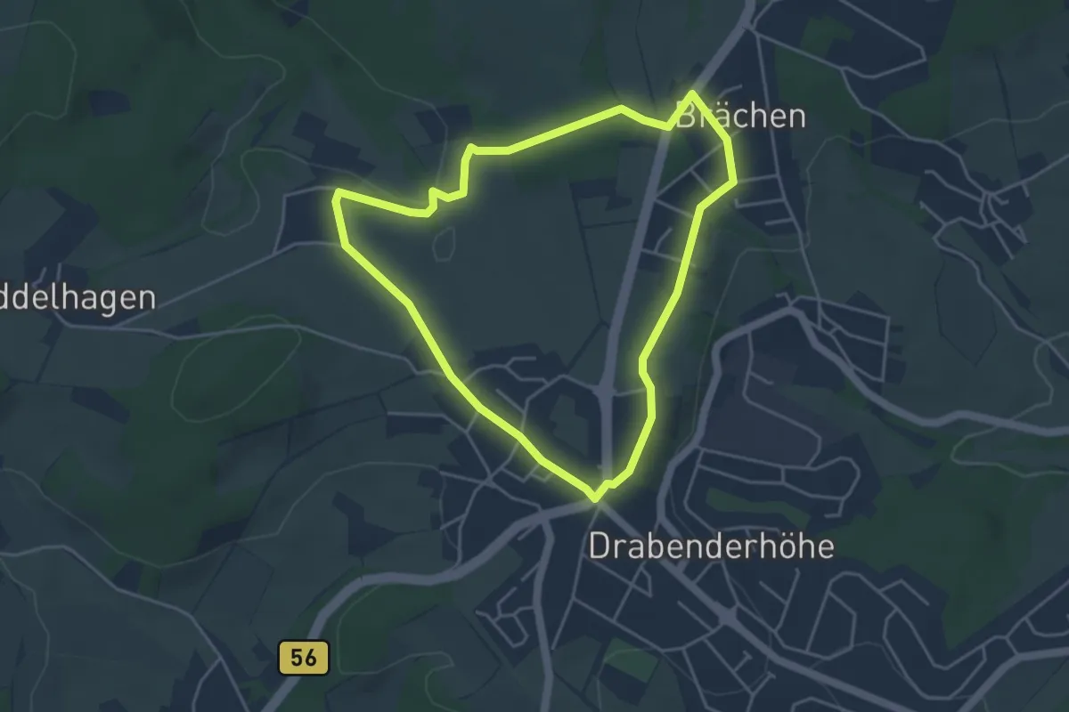
Easy · Trail
Drabenderhöhe Rundweg A5
3.7 km · ↑ 37 m · 1 h 1 min
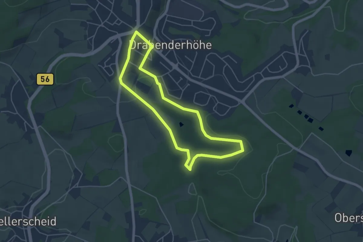
Easy · Trail
Drabenderhöhe Rundweg A6
3.9 km · ↑ 66 m · 1 h 7 min
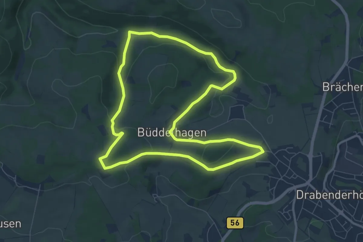
Easy · Trail
Drabenderhöhe Rundweg A7
7.2 km · ↑ 144 m · 2 h 7 min