Trails in Germany
36,847 hiking trails, each with its route, climb, walking time and grade.
All trails, page 113 of 768
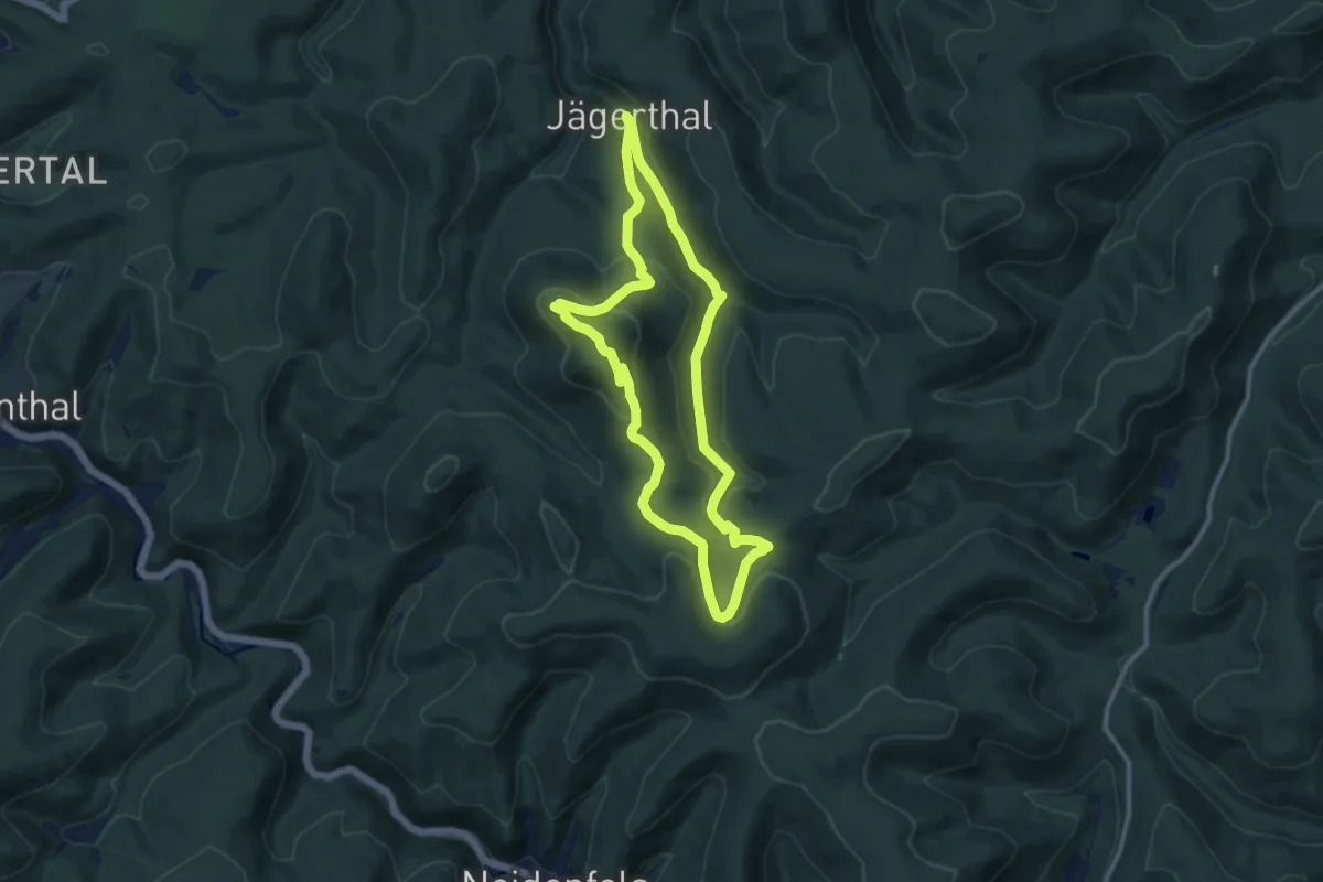
Medium · Summit
Drachenfels
9.5 km · ↑ 369 m · 3 h 10 min
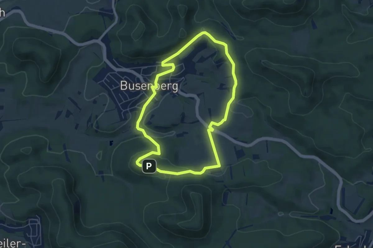
Easy · Summit
Drachenfels-Tour
5.5 km · ↑ 140 m · 1 h 40 min
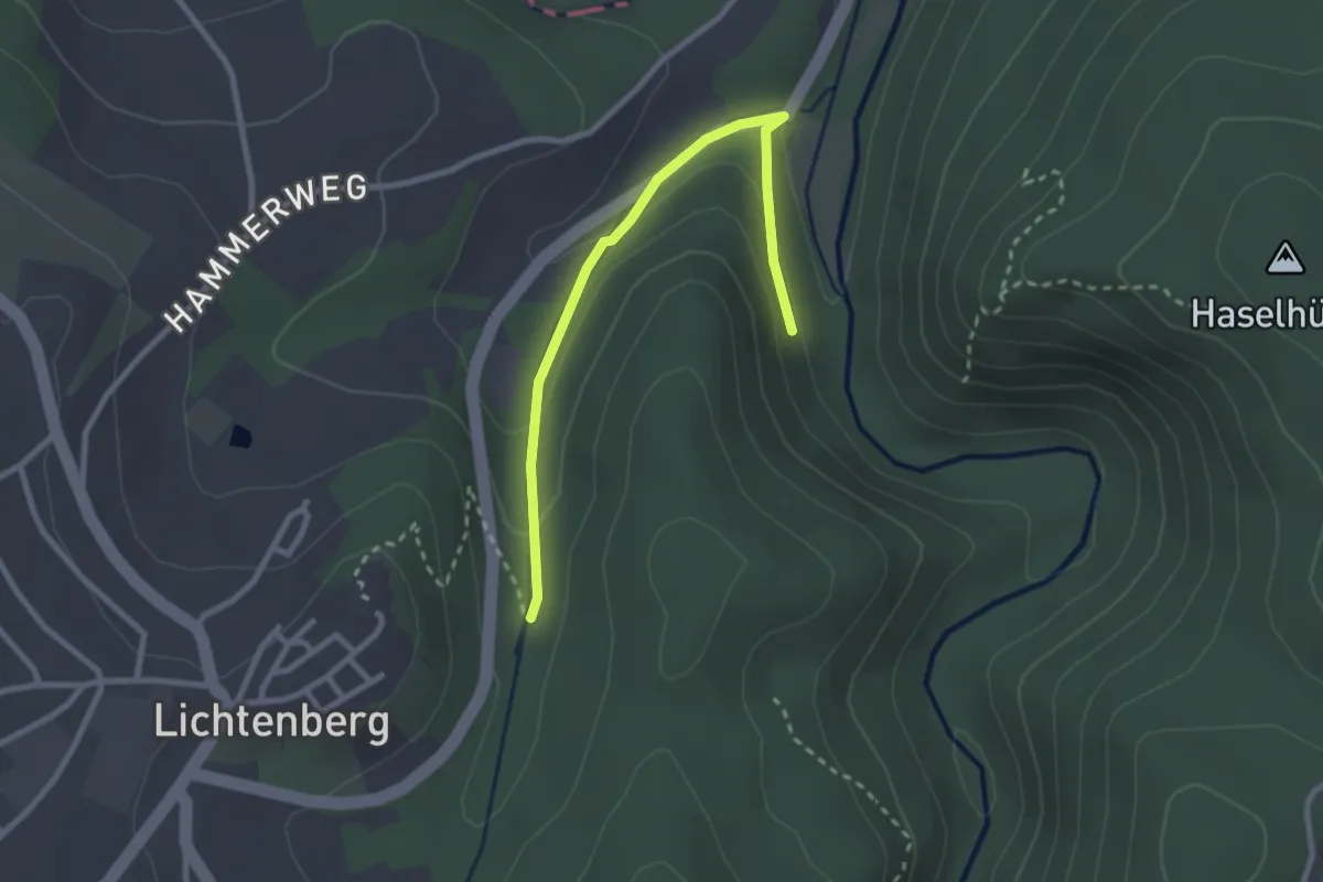
Easy · Trail
Drachenfels-Weg US 53
1.3 km · ↑ 29 m · 24 min
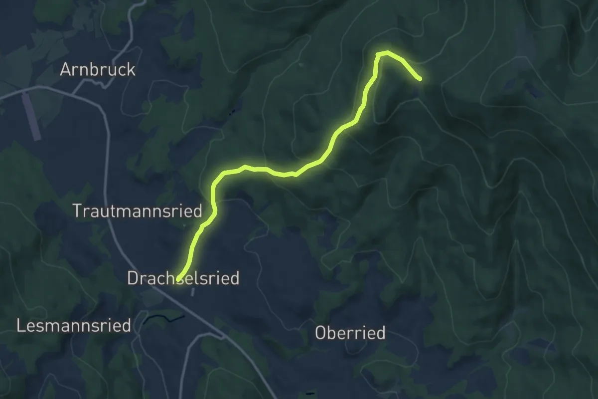
Medium · Trail
Drachselsried: Dr1 - Scharebenweg
10.2 km · ↑ 496 m · 3 h 29 min
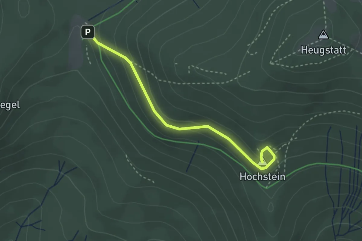
Medium · Summit
Drachselsried: Dr60 - Hochsteintour
2.8 km · ↑ 180 m · 1 h 3 min
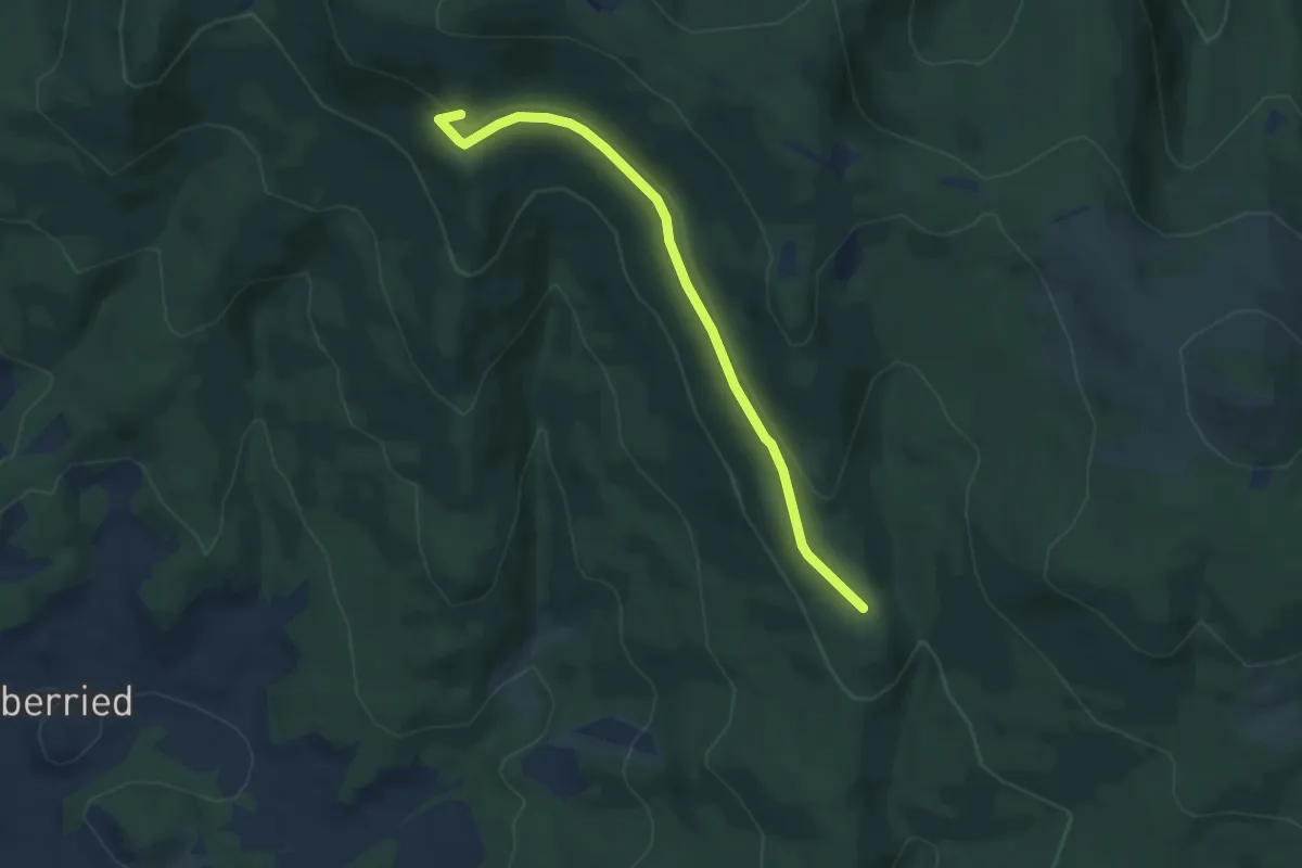
Easy · Summit
Drachselsried: Dr66 - 3-Tausenderweg
6.4 km · ↑ 119 m · 1 h 47 min
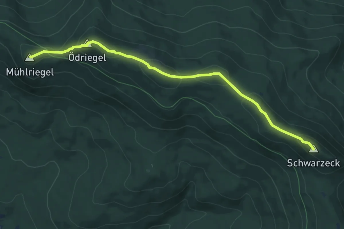
Demanding · Summit
Drachselsried: Dr67 - 4-Tausenderweg
8.4 km · ↑ 286 m · 2 h 36 min
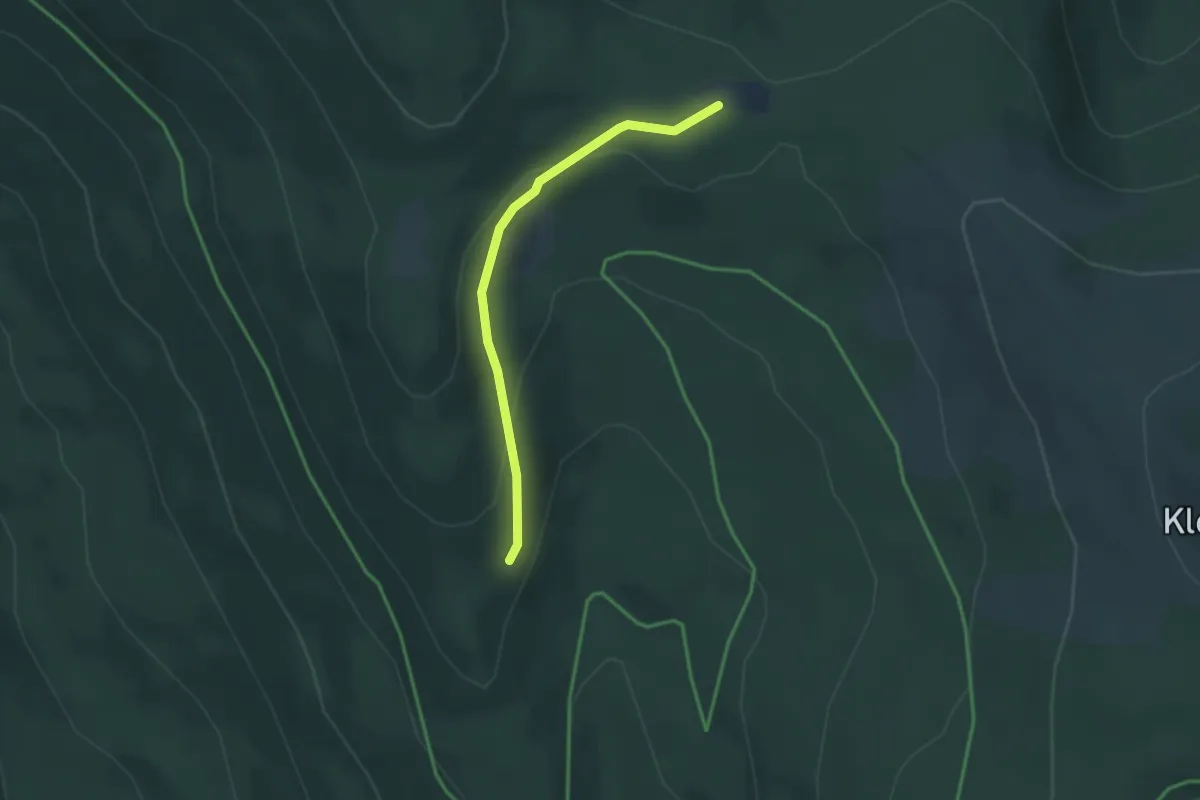
Easy · Trail
Drachsenried: Dr4 - Enziansteig
2.8 km · ↑ 96 m · 51 min
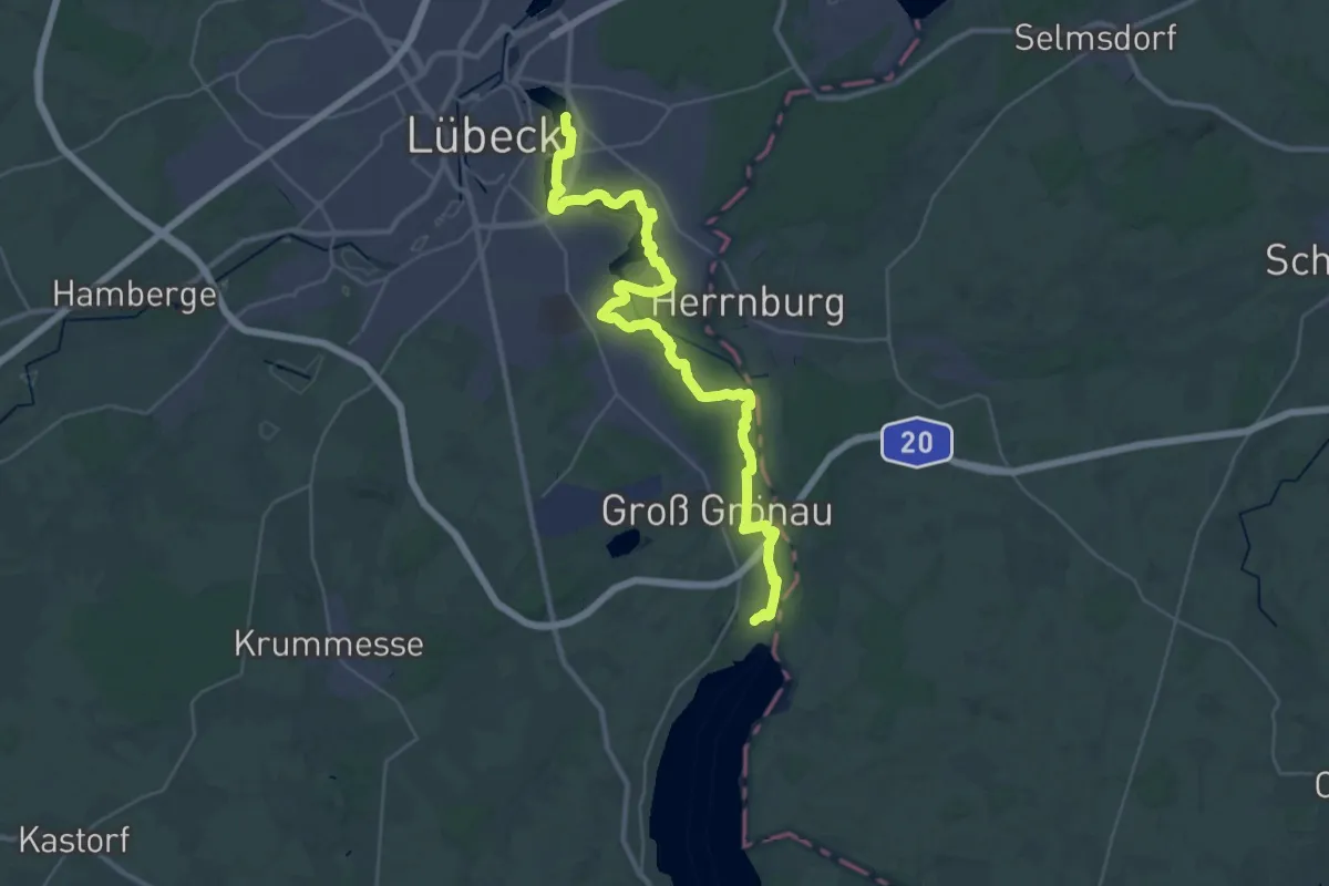
Medium · Trail
Drägerweg
17.4 km · ↑ 58 m · 4 h 28 min
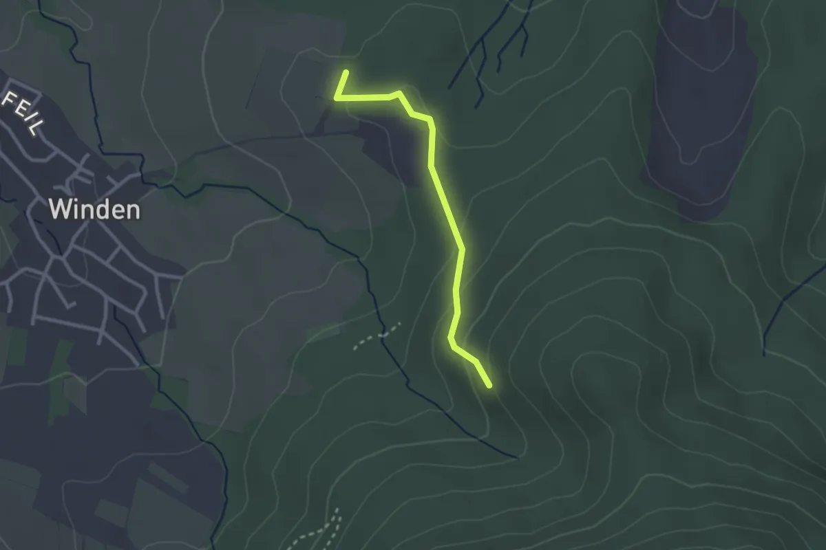
Easy · Trail
Dragonerdenkmal - Unterm Kälbelskopf
2.2 km · ↑ 82 m · 42 min
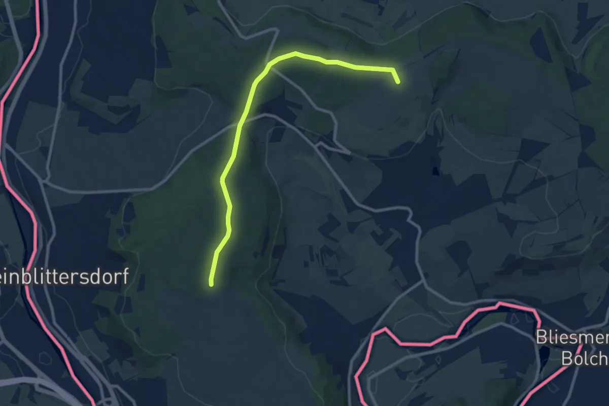
Medium · Summit
Dragonerweg
8.1 km · ↑ 77 m · 2 h 4 min
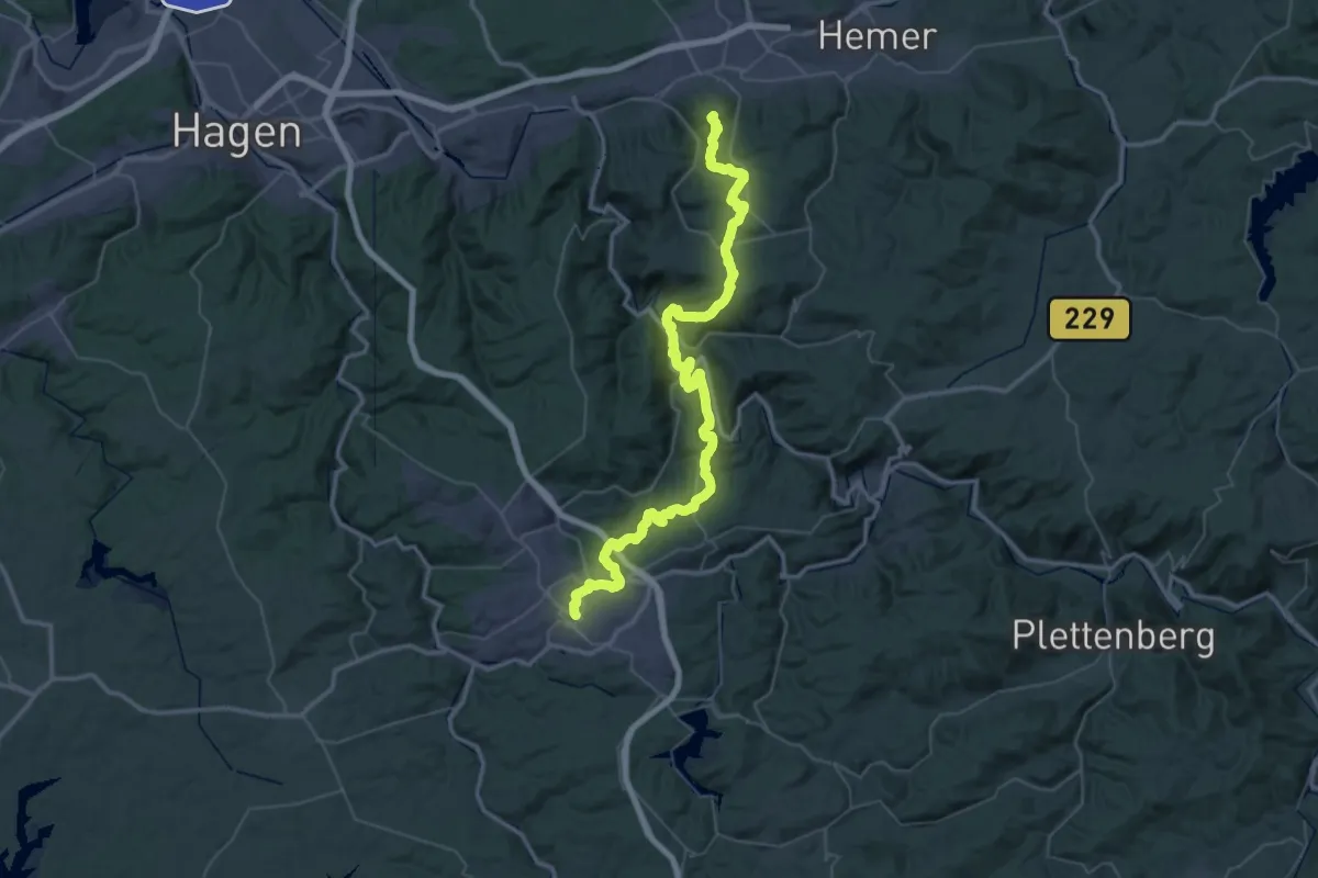
Demanding · Summit
Drahthandelsweg
56.6 km · ↑ 1877 m · 17 h 27 min
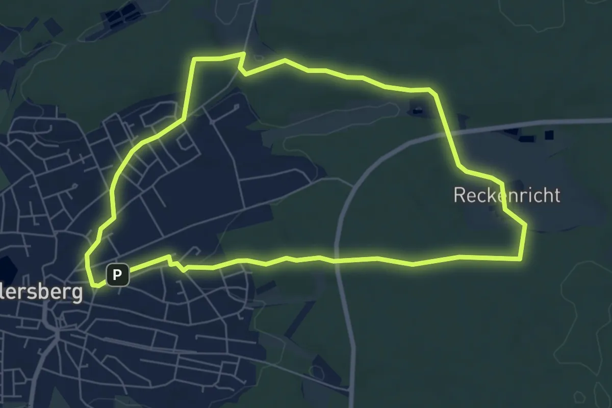
Easy · Trail
Drahtzieherweg östliche Schleife
6.1 km · ↑ 76 m · 1 h 41 min
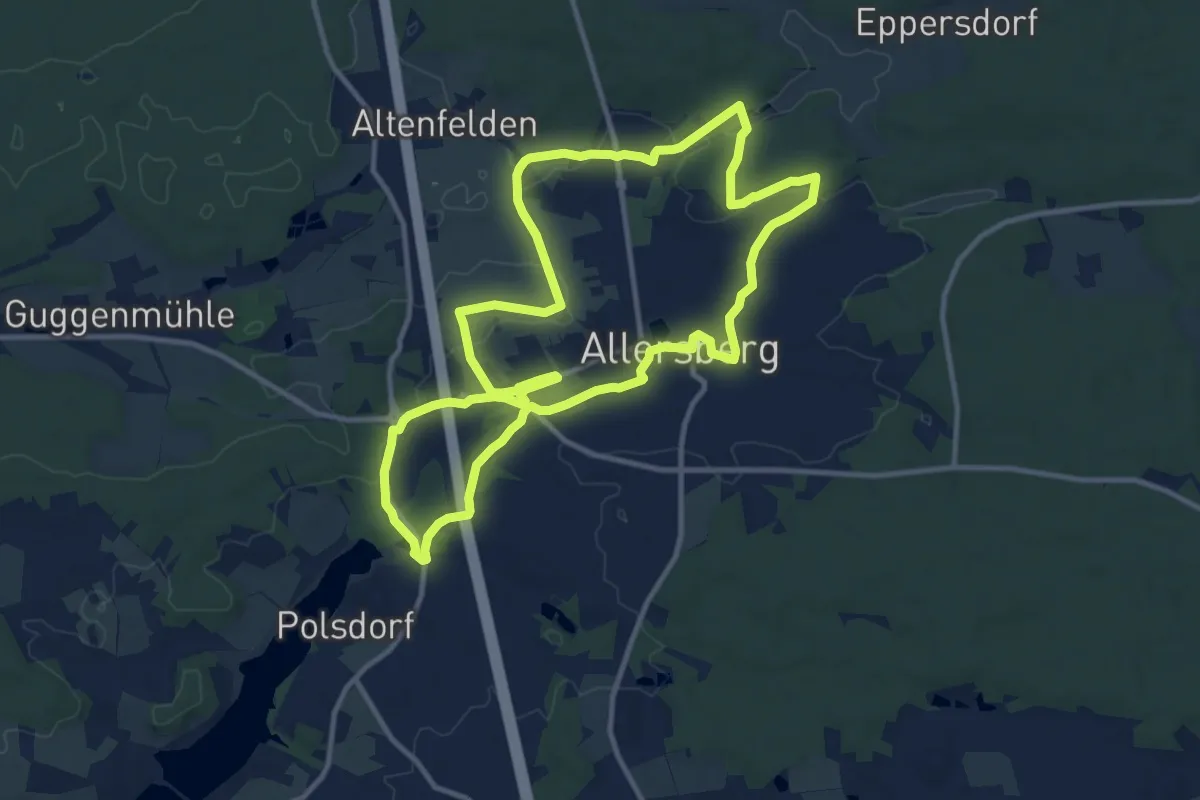
Medium · Trail
Drahtzieherweg westliche Schleife
11.2 km · ↑ 105 m · 3 h 1 min
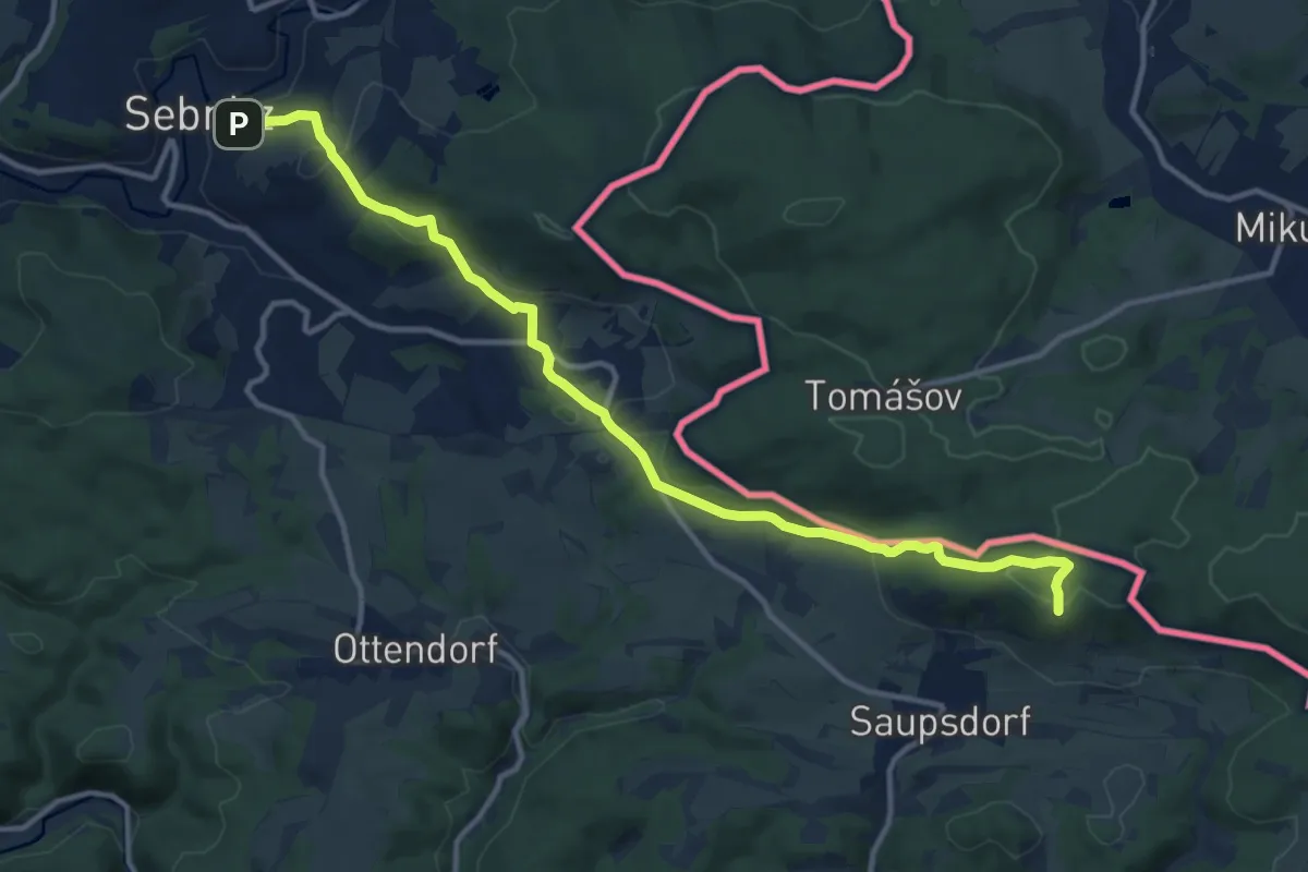
Medium · Summit
Dr.-Alfred-Meiche-Weg
12.5 km · ↑ 397 m · 3 h 48 min
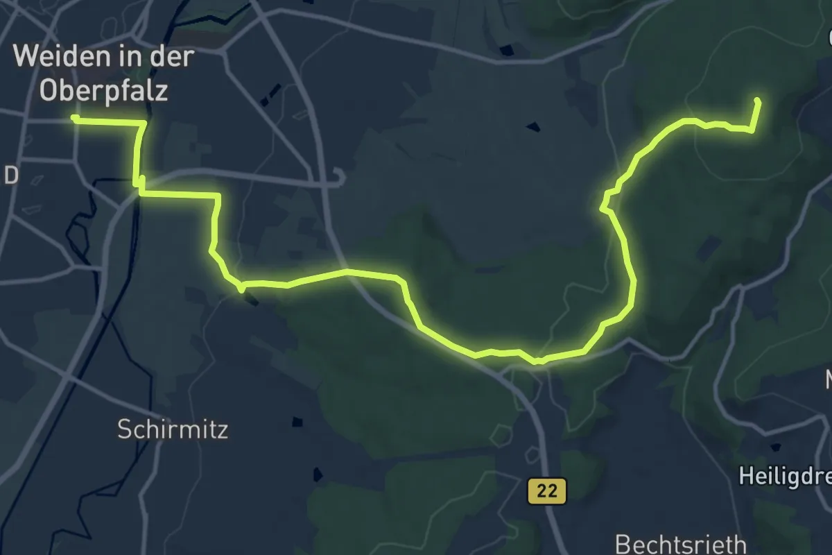
Medium · Summit
Dr. Beck-Rundweg
15.3 km · ↑ 364 m · 4 h 23 min
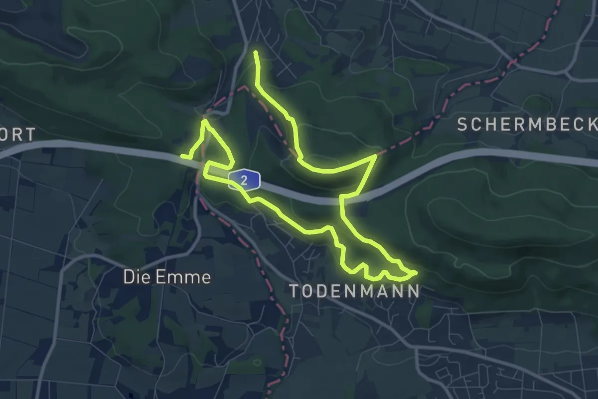
Medium · Summit
Dr. Eduard Braun Weg
6.0 km · ↑ 233 m · 2 h 2 min
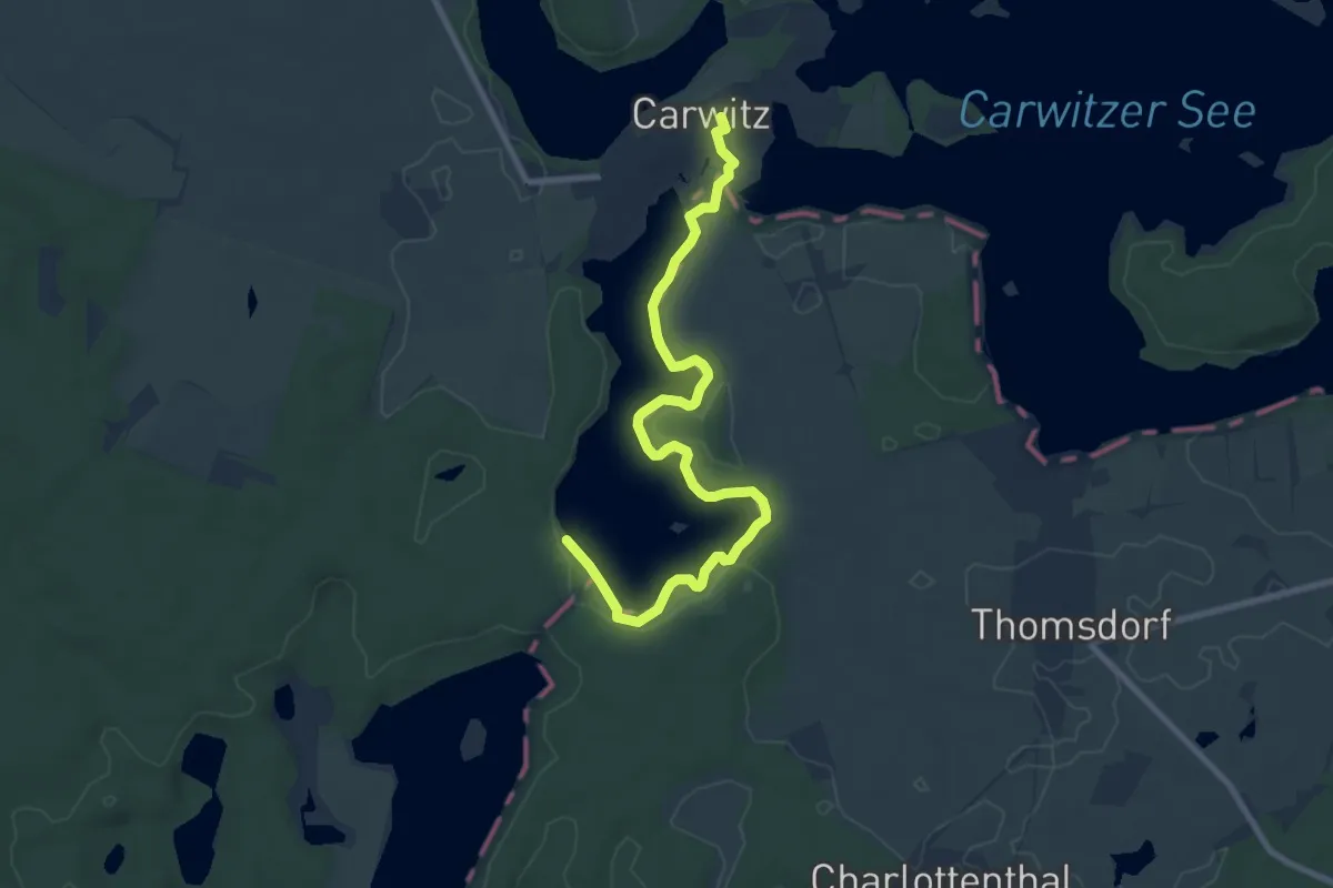
Medium · Trail
Dreetzsee-Ostuferweg
8.3 km · ↑ 43 m · 2 h 3 min
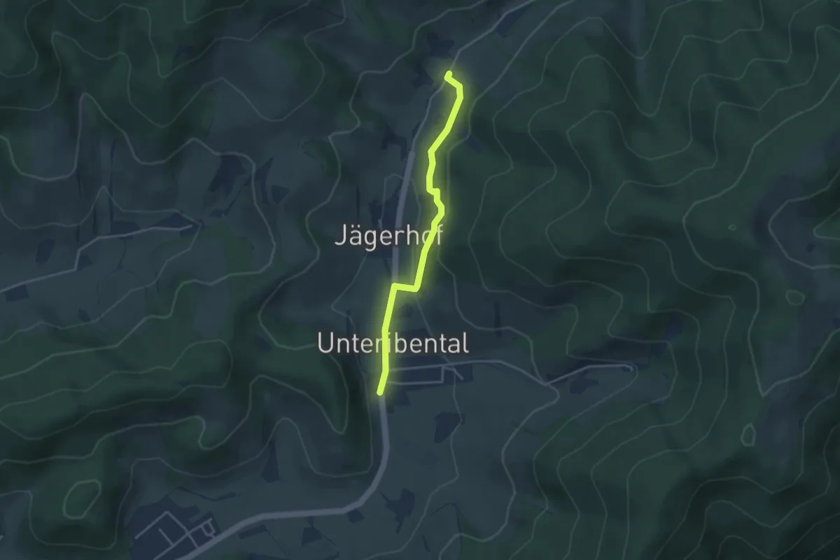
Easy · Trail
Dreherhof - Unteribental Hirschen
3.2 km · ↑ 73 m · 54 min
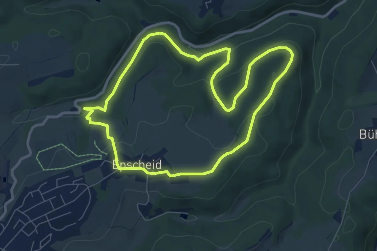
Medium · Trail
Drehe Rundweg A17
5.9 km · ↑ 166 m · 1 h 50 min
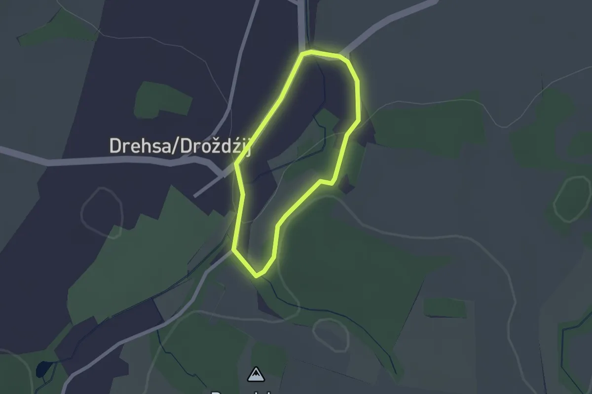
Easy · Trail
Drehsa Benatsberg & Dorfrunde
1.4 km · ↑ 24 m · 24 min
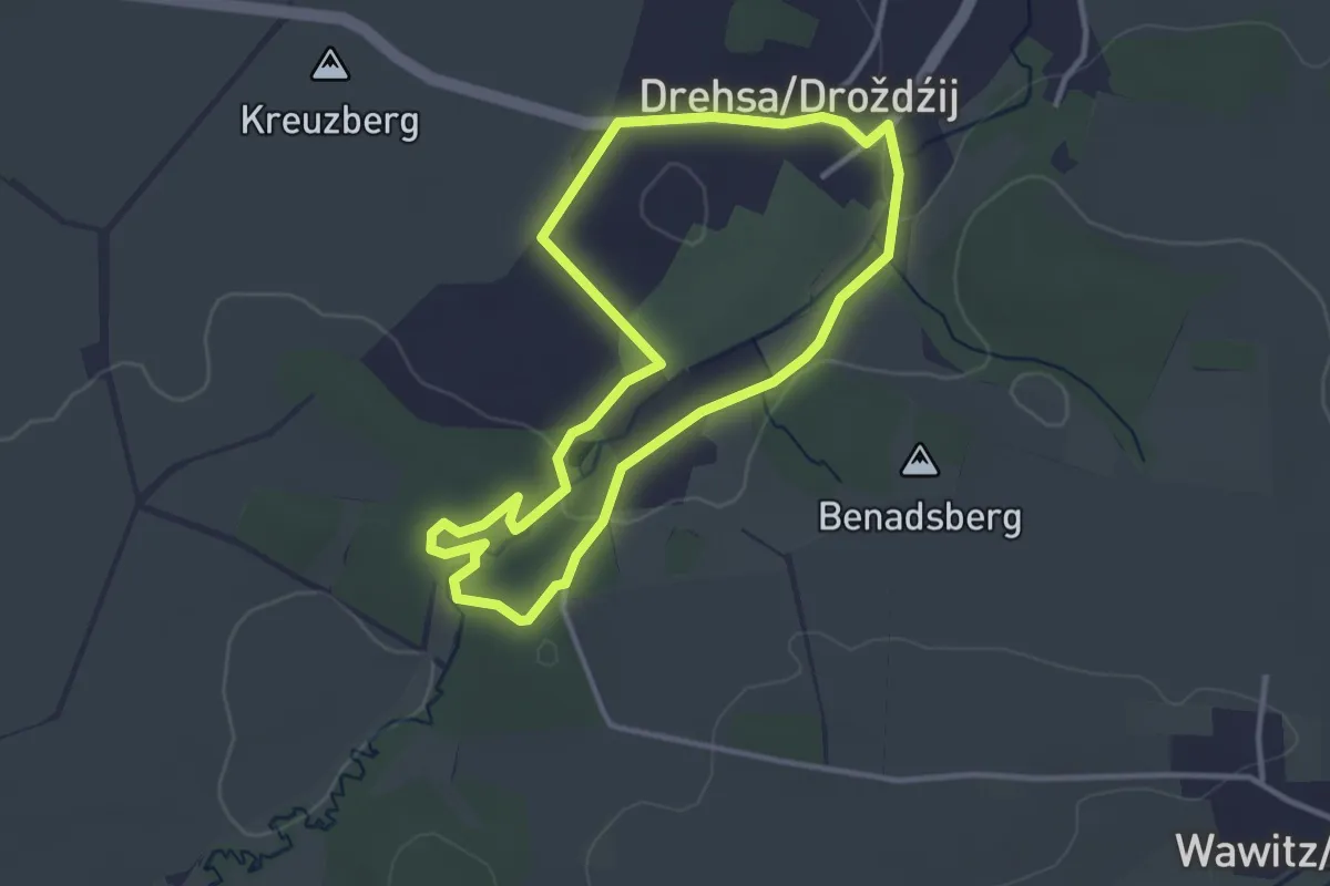
Easy · Summit
Drehsaer Schweiz
2.9 km · ↑ 32 m · 48 min
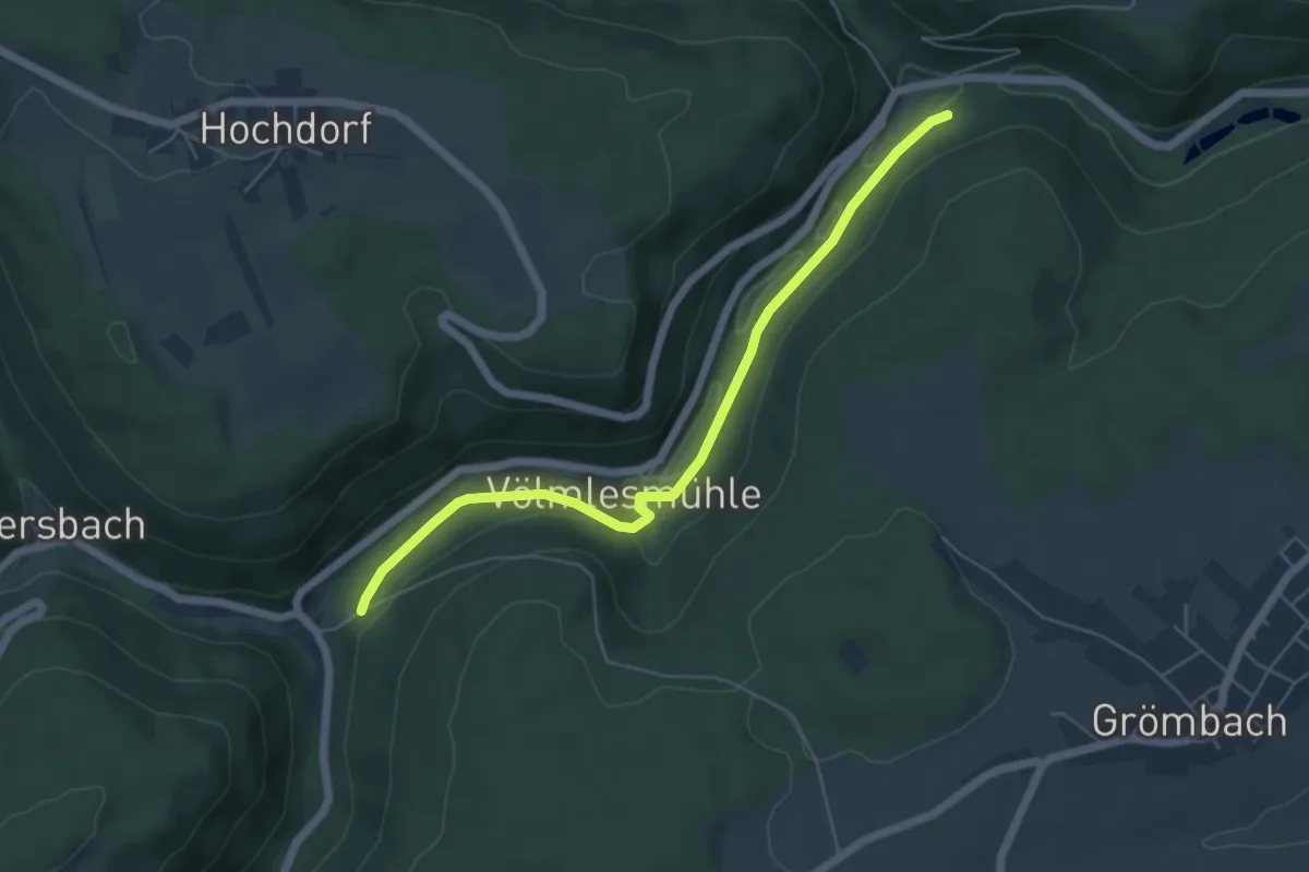
Easy · Trail
Drehwaldberg - Beim Kirgissteg
5.4 km · ↑ 115 m · 1 h 32 min
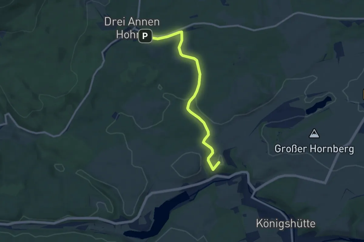
Easy · Summit
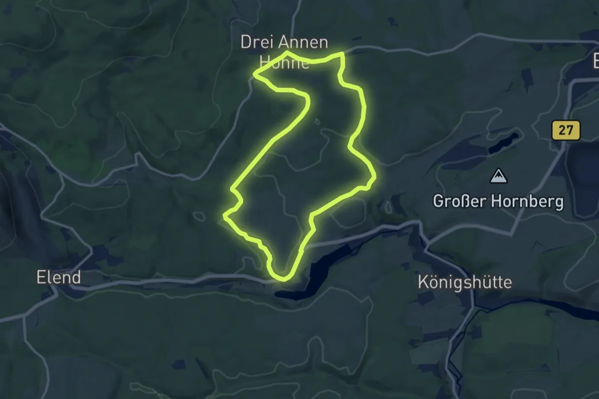
Drei Annen Hohne - Königshütte
7.0 km · ↑ 84 m · 1 h 49 min
Medium · Trail
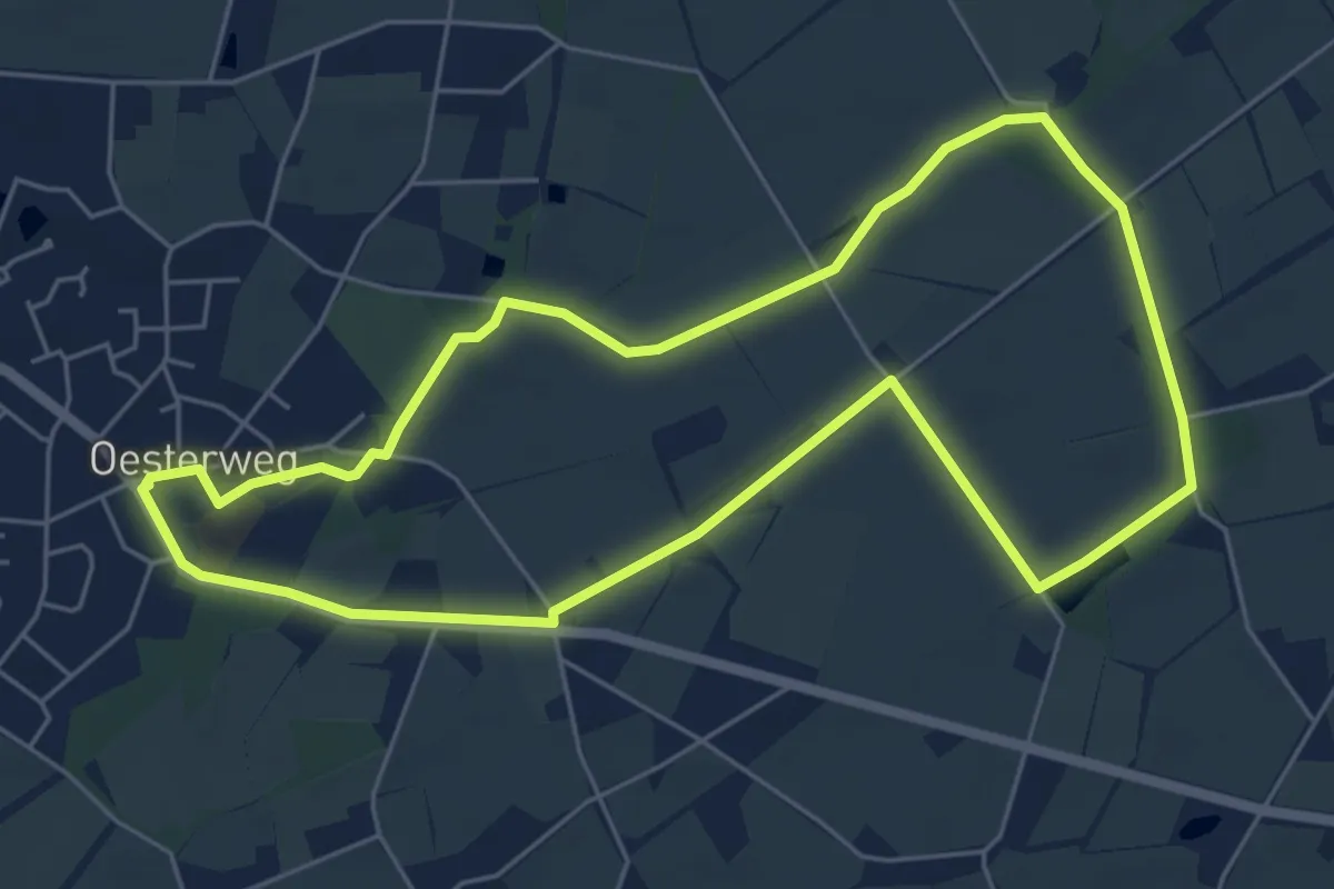
Drei Annen Hohne-Mandelholz
9.8 km · ↑ 108 m · 2 h 41 min
Easy · Trail
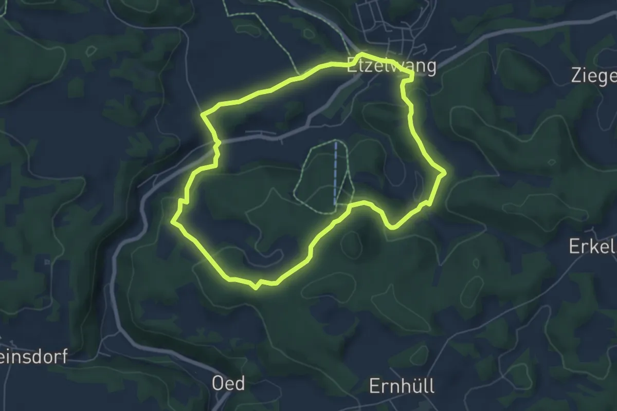
Drei-Bäche-Pfad
5.2 km · ↑ 9 m · 1 h 19 min
Easy · Summit
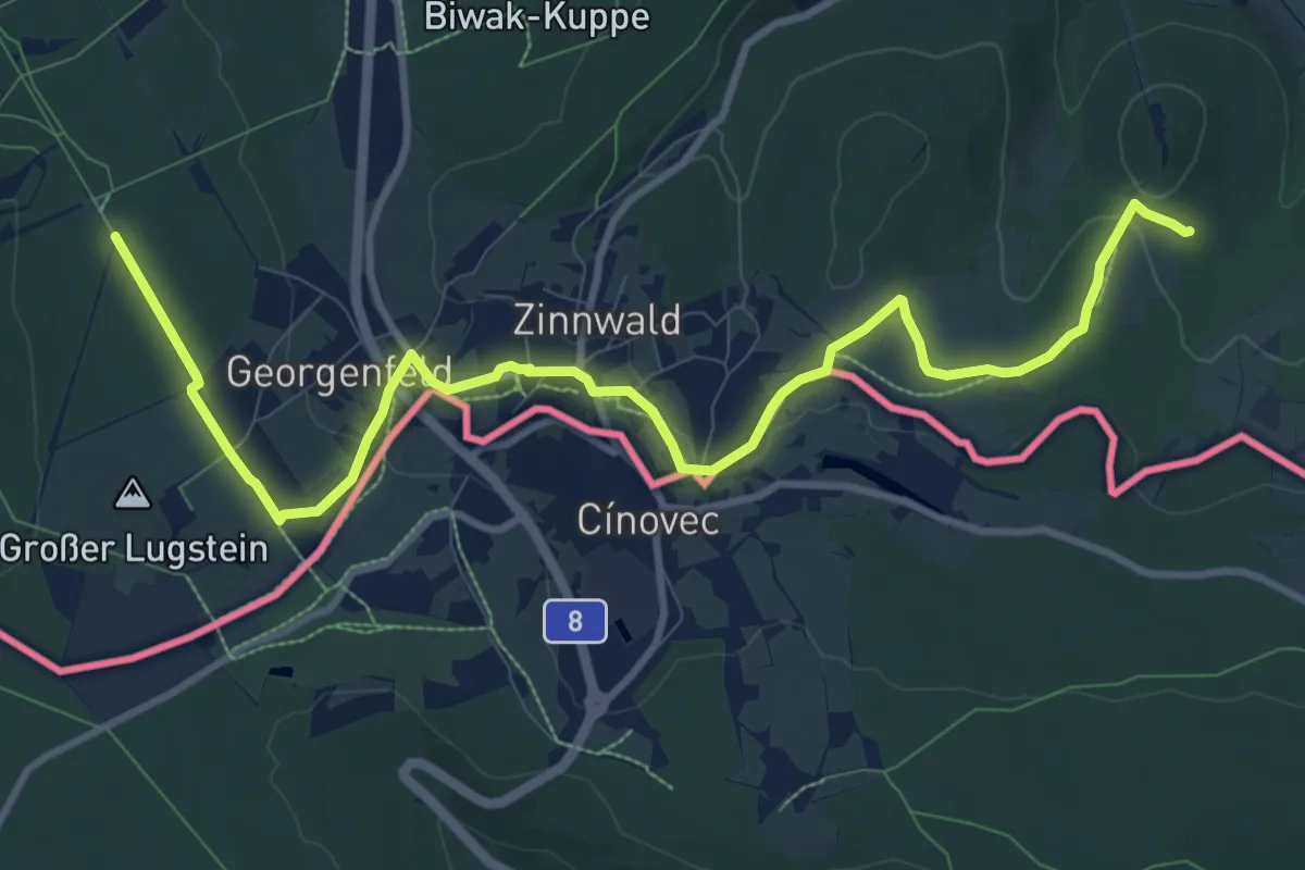
Drei Berge Runde
5.8 km · ↑ 170 m · 1 h 50 min
Medium · Trail
Drei-Berge-Tour
11.2 km · ↑ 169 m · 3 h
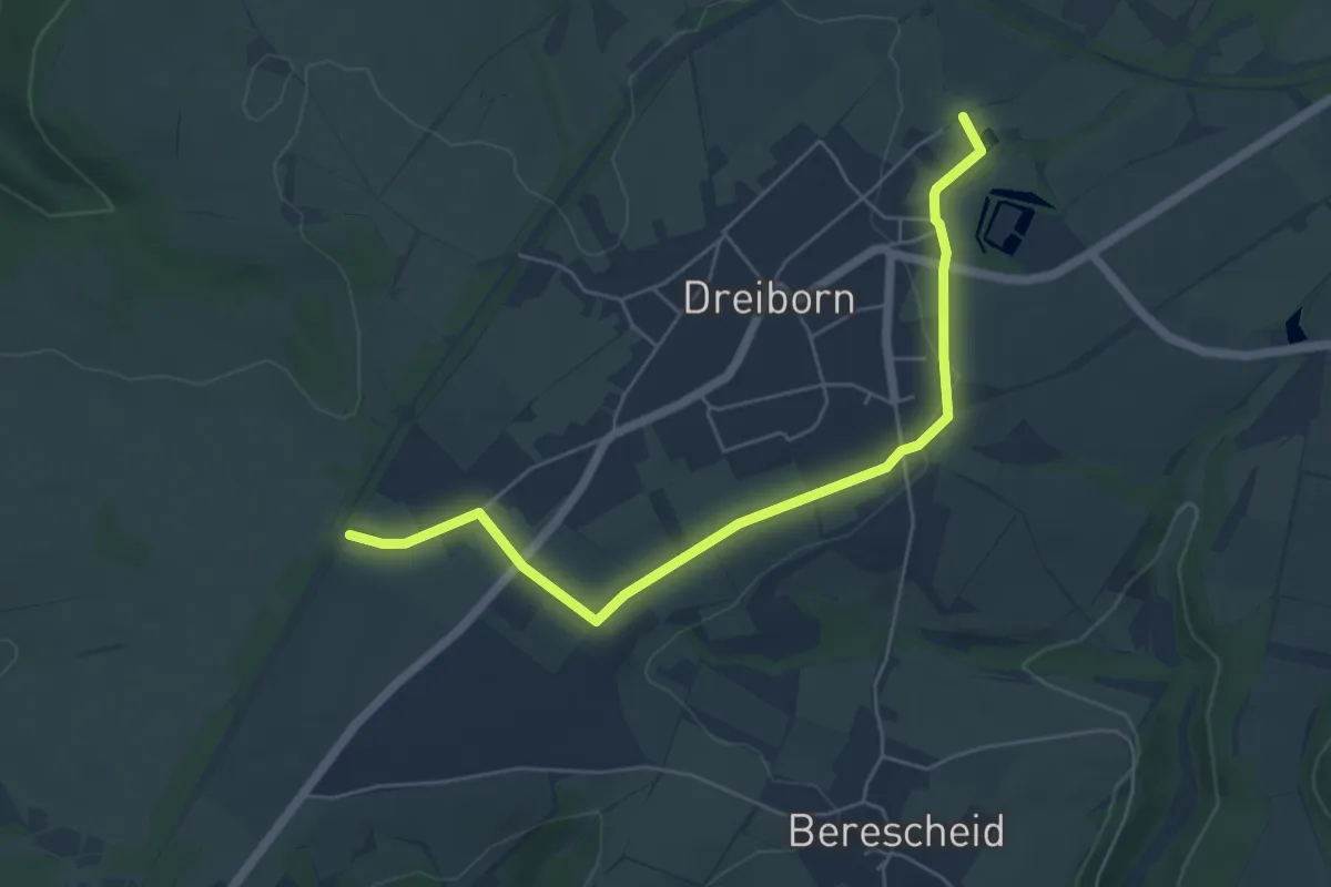
Easy · Trail
Dreiborn 1
5.3 km · ↑ 61 m · 1 h 24 min
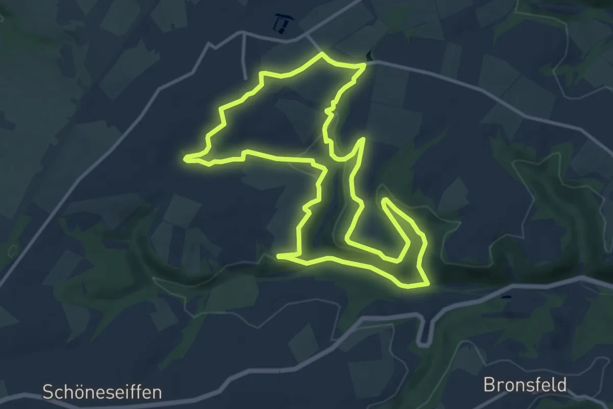
Medium · Trail
Dreiborn 2
9.9 km · ↑ 194 m · 2 h 53 min
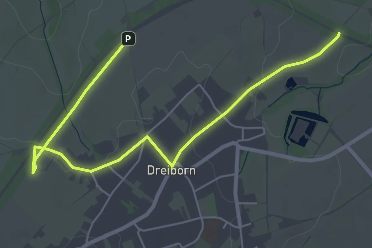
Easy · Trail
Dreiborn 4
5.5 km · ↑ 62 m · 1 h 26 min
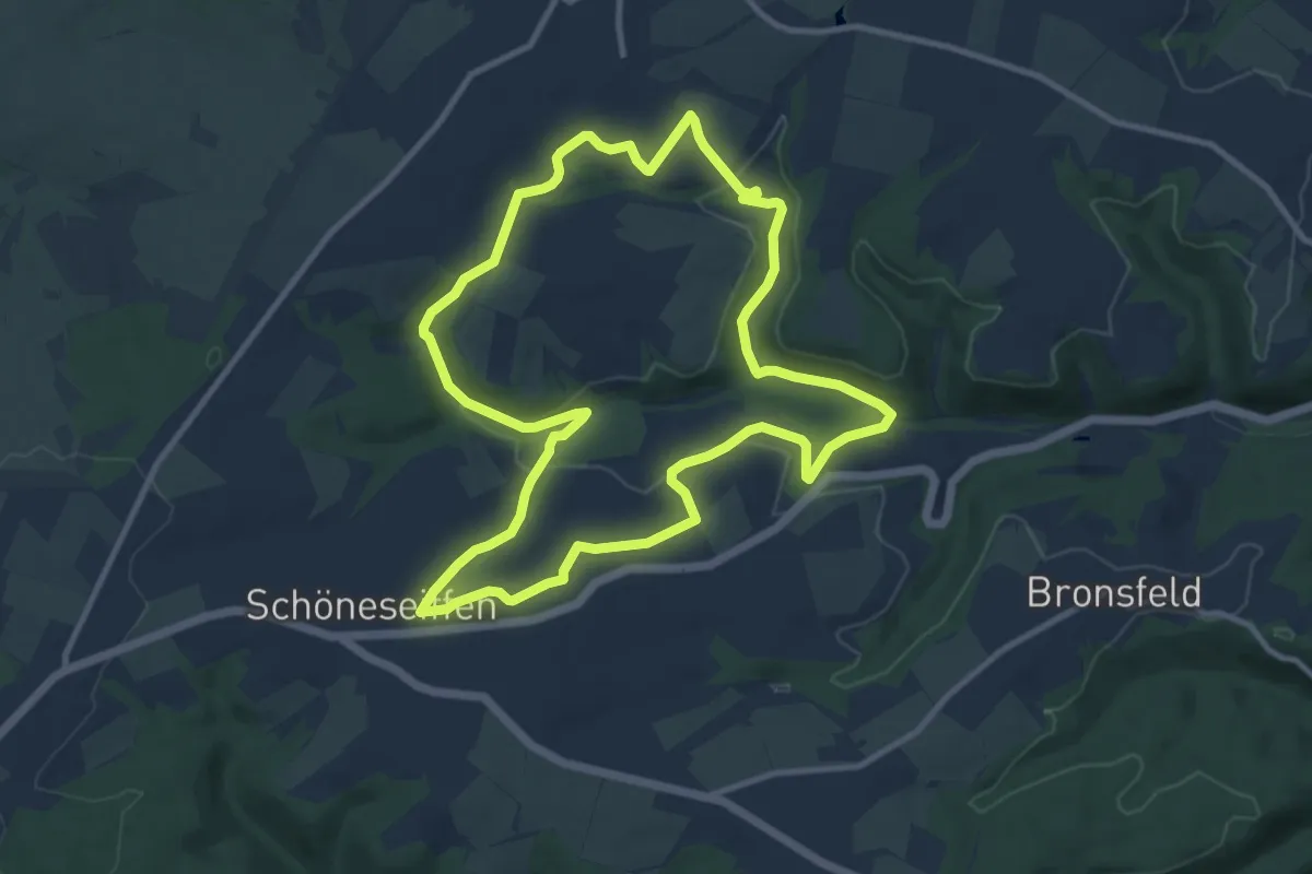
Medium · Trail
Dreiborn 5
9.8 km · ↑ 214 m · 2 h 55 min
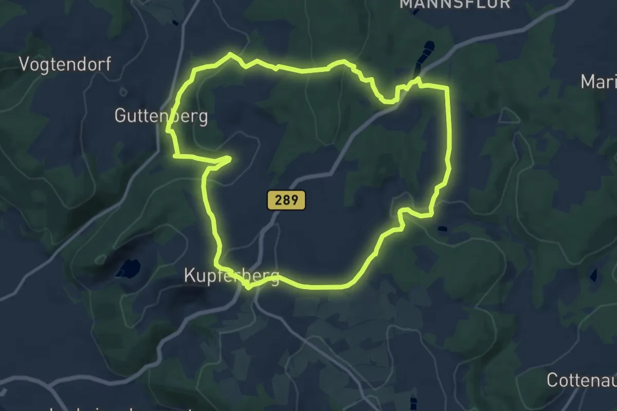
Medium · Summit
Drei-Brücken-Weg KU 23
10.8 km · ↑ 309 m · 3 h 21 min
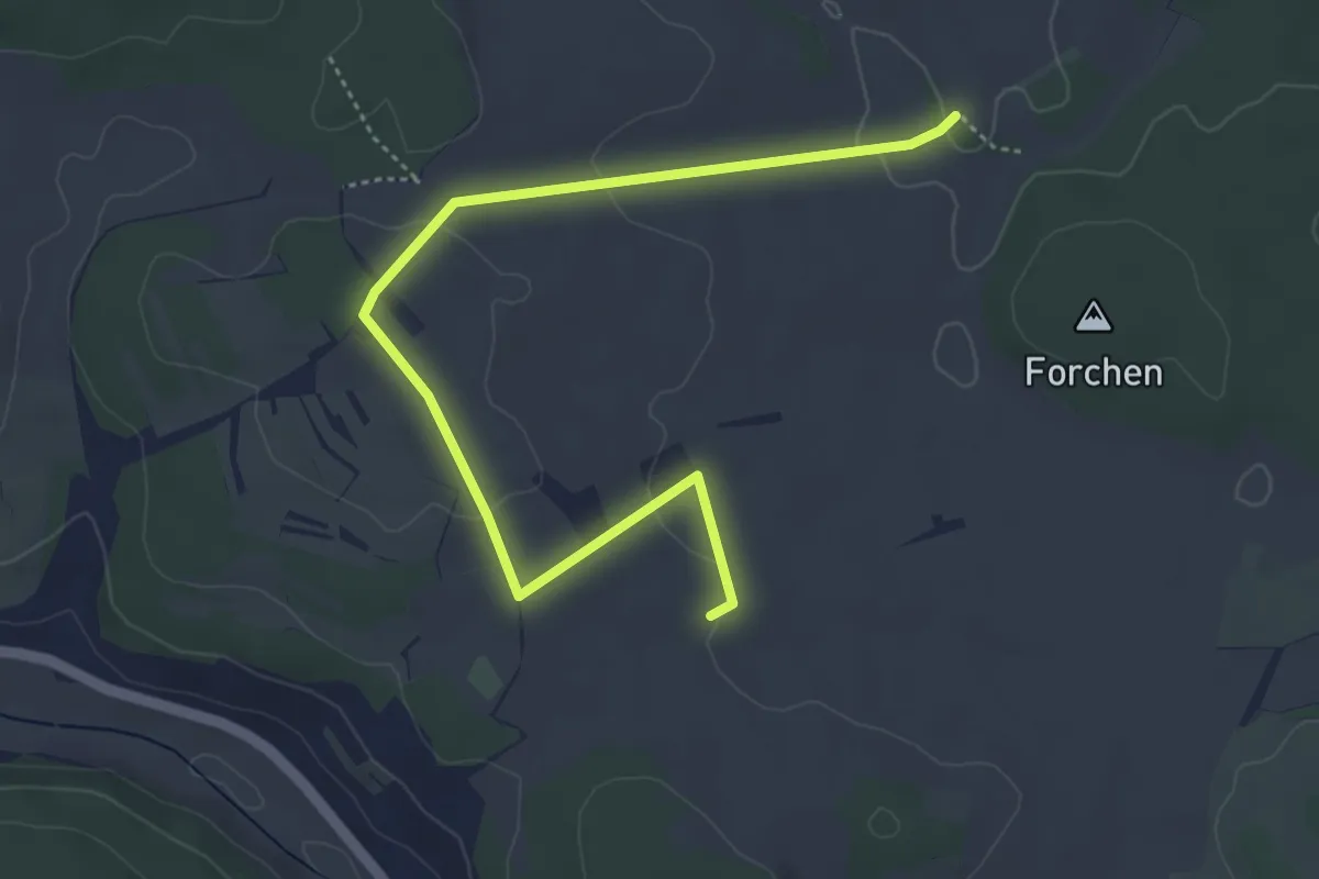
Easy · Trail
Drei Buchen - Bei den Berghöfen
4.9 km · ↑ 83 m · 1 h 21 min
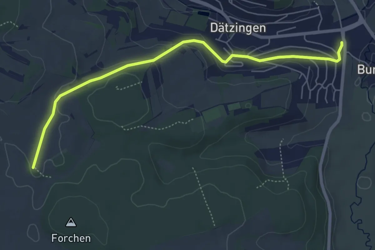
Easy · Trail
Drei Buchen - Dätzingen Wiesengrundhalle
5.3 km · ↑ 108 m · 1 h 29 min
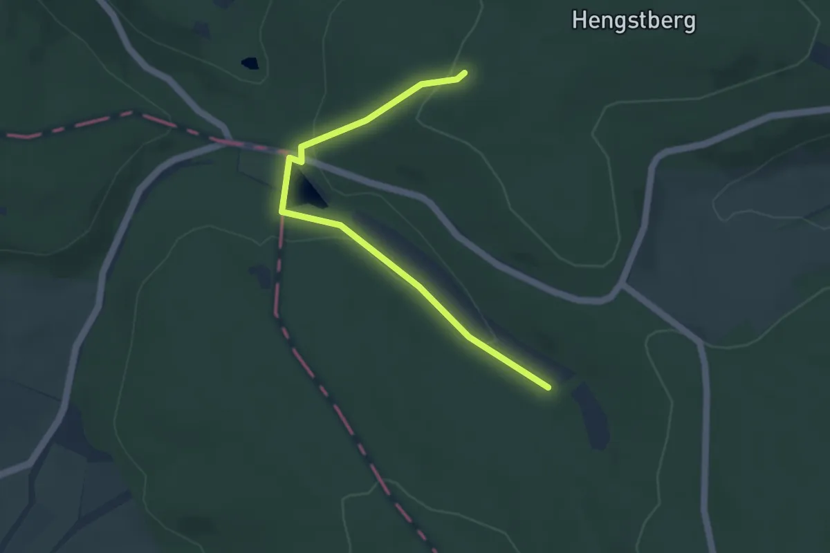
Easy · Trail
Drei Buchen: Eichenblatt
1.9 km · ↑ 18 m · 31 min
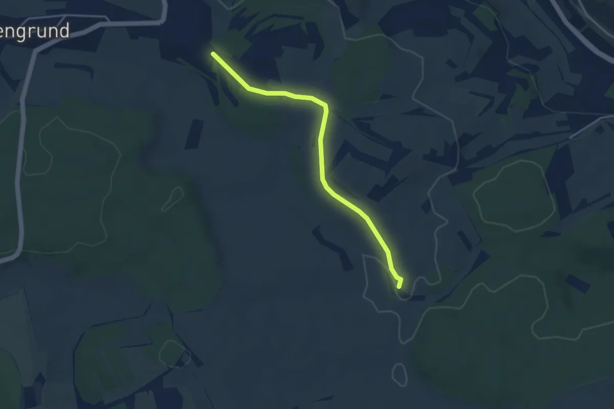
Easy · Trail
Drei Buchen - Schneller Ost
3.4 km · ↑ 24 m · 51 min
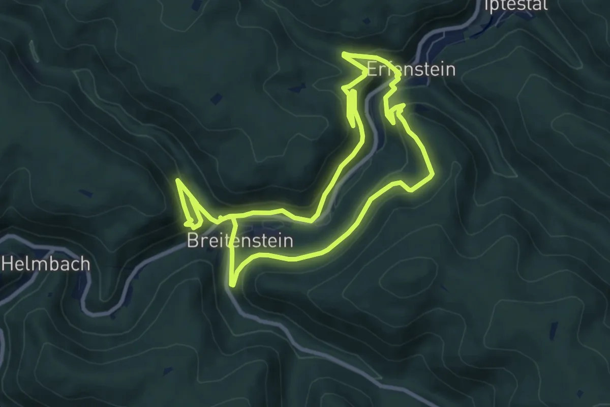
Medium · Trail
Drei-Burgen-Rundweg, Lambrecht, Pfalz
7.0 km · ↑ 337 m · 2 h 27 min
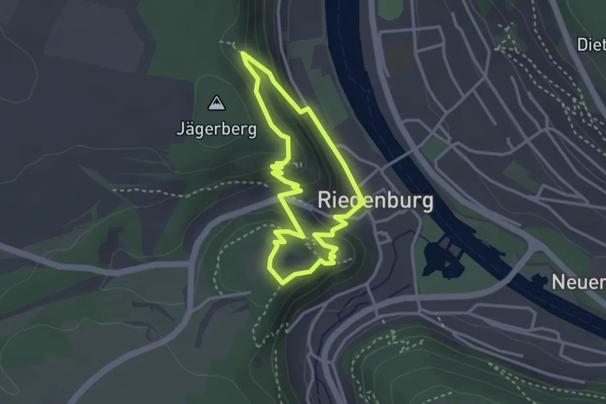
Medium · Summit
Drei-Burgen-Steig
2.5 km · ↑ 142 m · 56 min
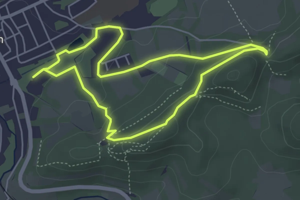
Easy · Summit
Drei Burgen-Tour
3.9 km · ↑ 106 m · 1 h 13 min
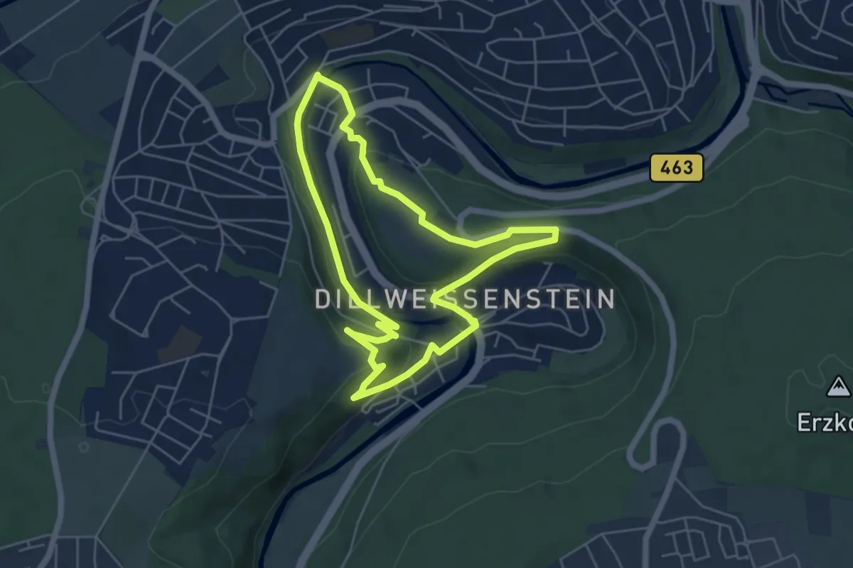
Easy · Trail
Drei-Burgen-Weg
4.7 km · ↑ 141 m · 1 h 29 min
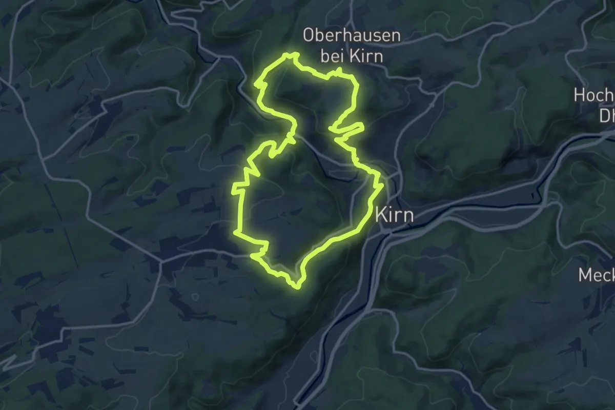
Demanding · Trail
Drei-Burgen-Weg
13.3 km · ↑ 479 m · 4 h 21 min
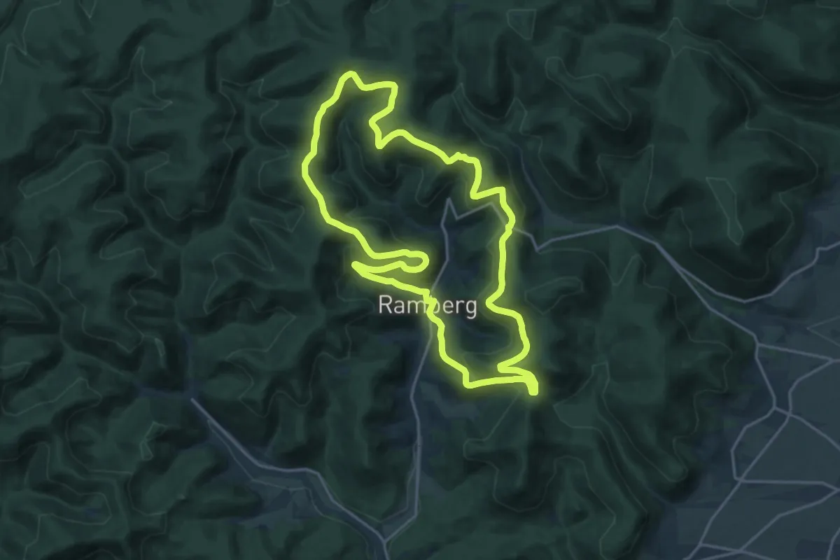
Medium · Summit
Drei-Burgen-Weg
17.2 km · ↑ 624 m · 5 h 40 min
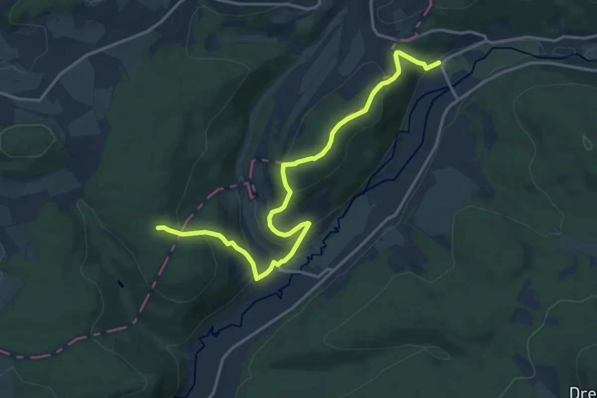
Medium · Trail
Drei-Burgen-Weg
10.7 km · ↑ 470 m · 3 h 33 min
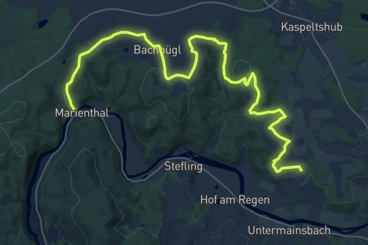
Medium · Trail
Drei-Burgen-Weg (Nittenau)
11.1 km · ↑ 324 m · 3 h 27 min
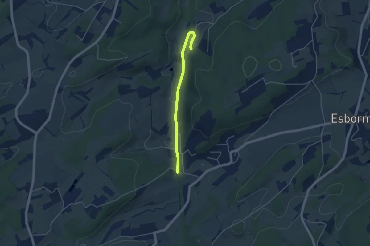
Easy · Trail
Drei-Dörfer-Weg Albringhausen
1.6 km · ↑ 5 m · 25 min
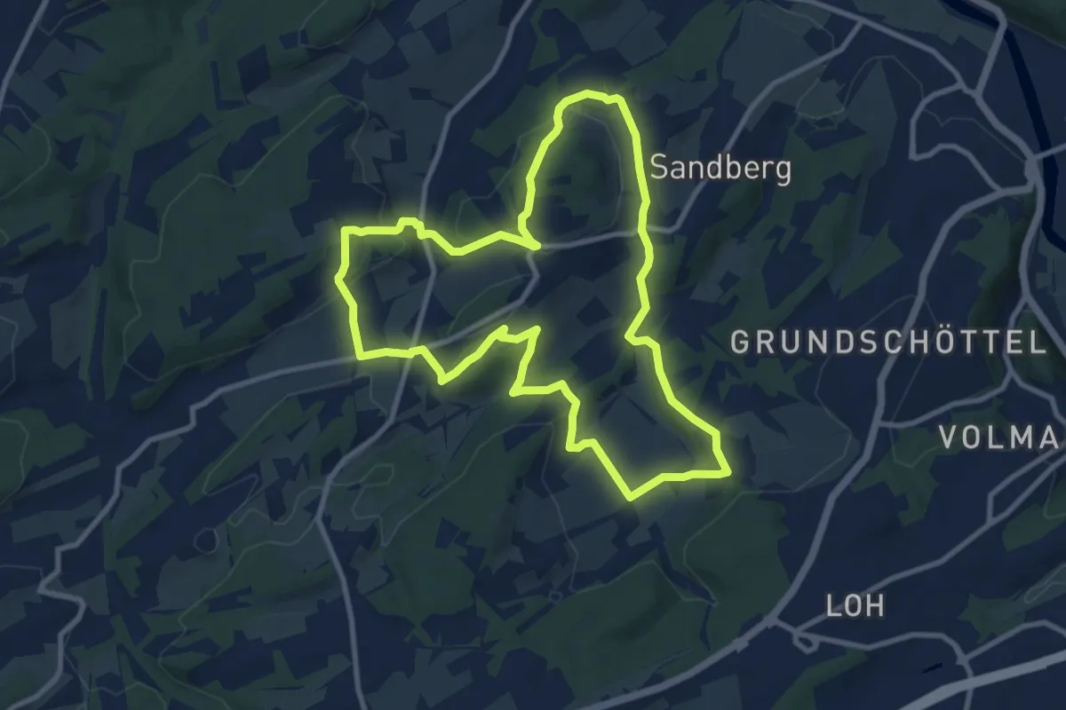
Medium · Summit
Drei-Dörfer-Weg Voßhöfen
8.8 km · ↑ 208 m · 2 h 38 min
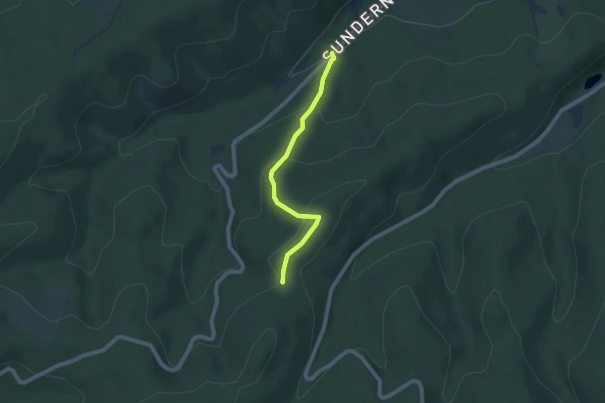
Easy · Trail
[/\] Dreieck
3.4 km · ↑ 154 m · 1 h 8 min