Trails in Germany
36,847 hiking trails, each with its route, climb, walking time and grade.
All trails, page 115 of 768
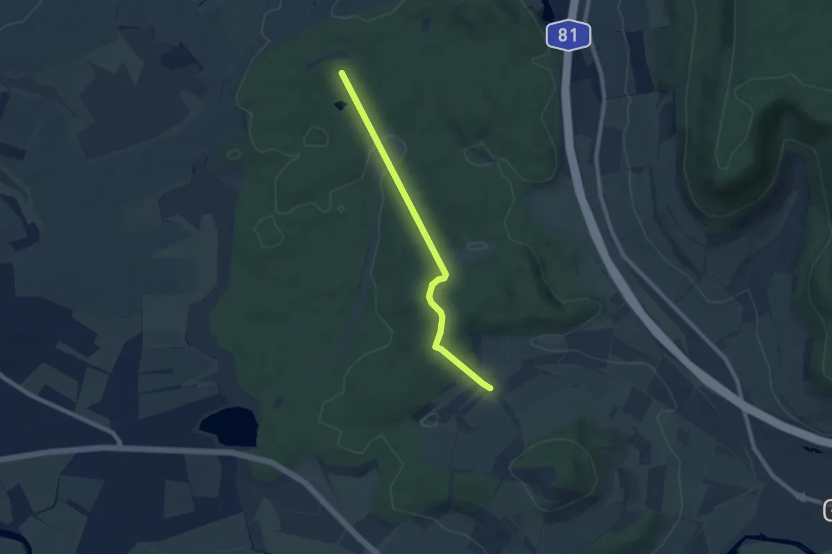
Easy · Trail
Dreilärchen - Jägerhaus
5.4 km · ↑ 116 m · 1 h 31 min
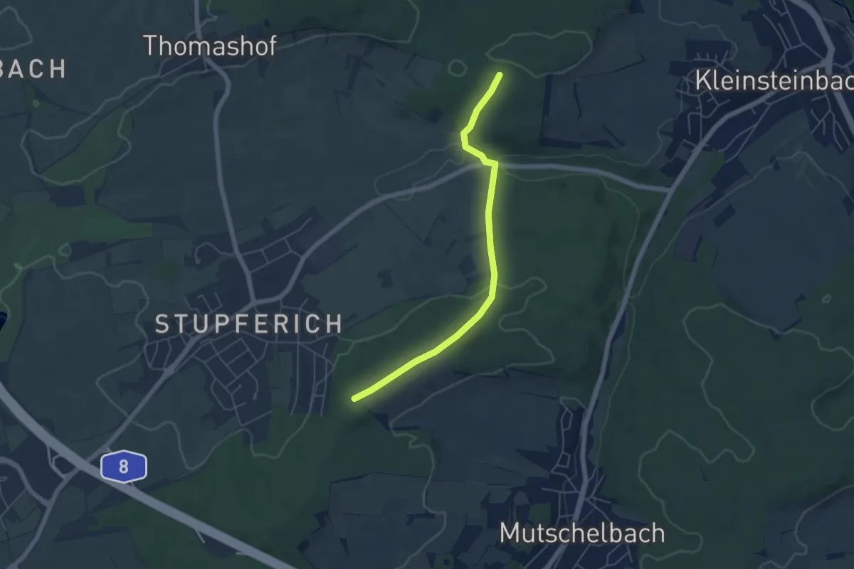
Easy · Trail
Dreimärker - Gansäcker
4.9 km · ↑ 123 m · 1 h 26 min
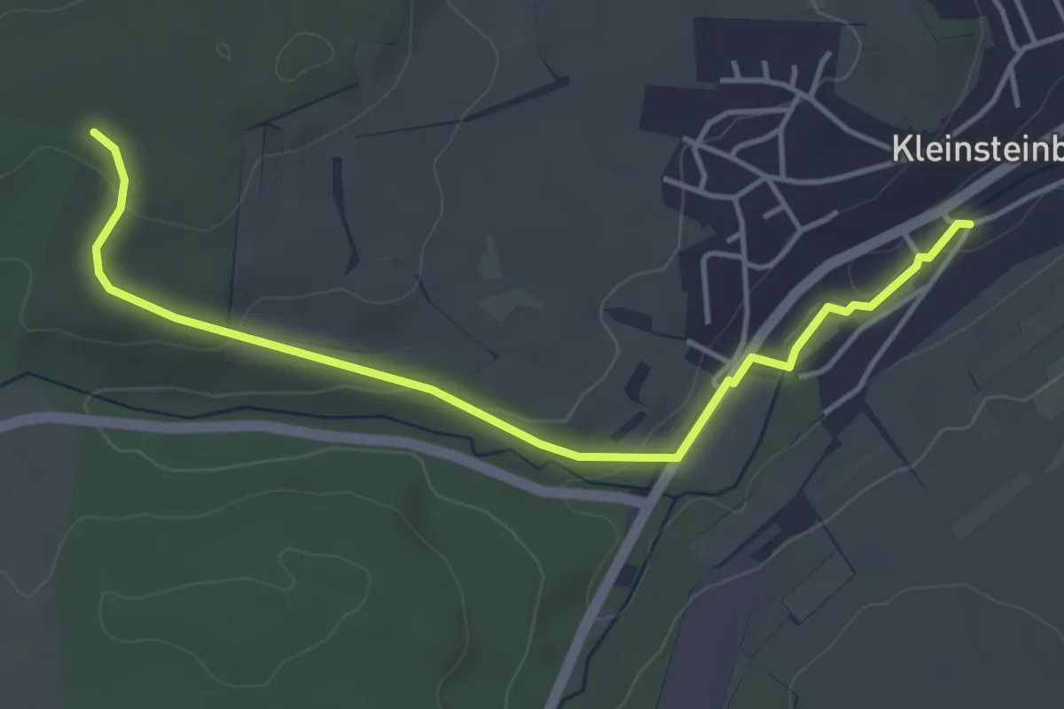
Easy · Trail
Dreimärker - Kleinsteinbach Skulpturenweg
4.3 km · ↑ 85 m · 1 h 12 min
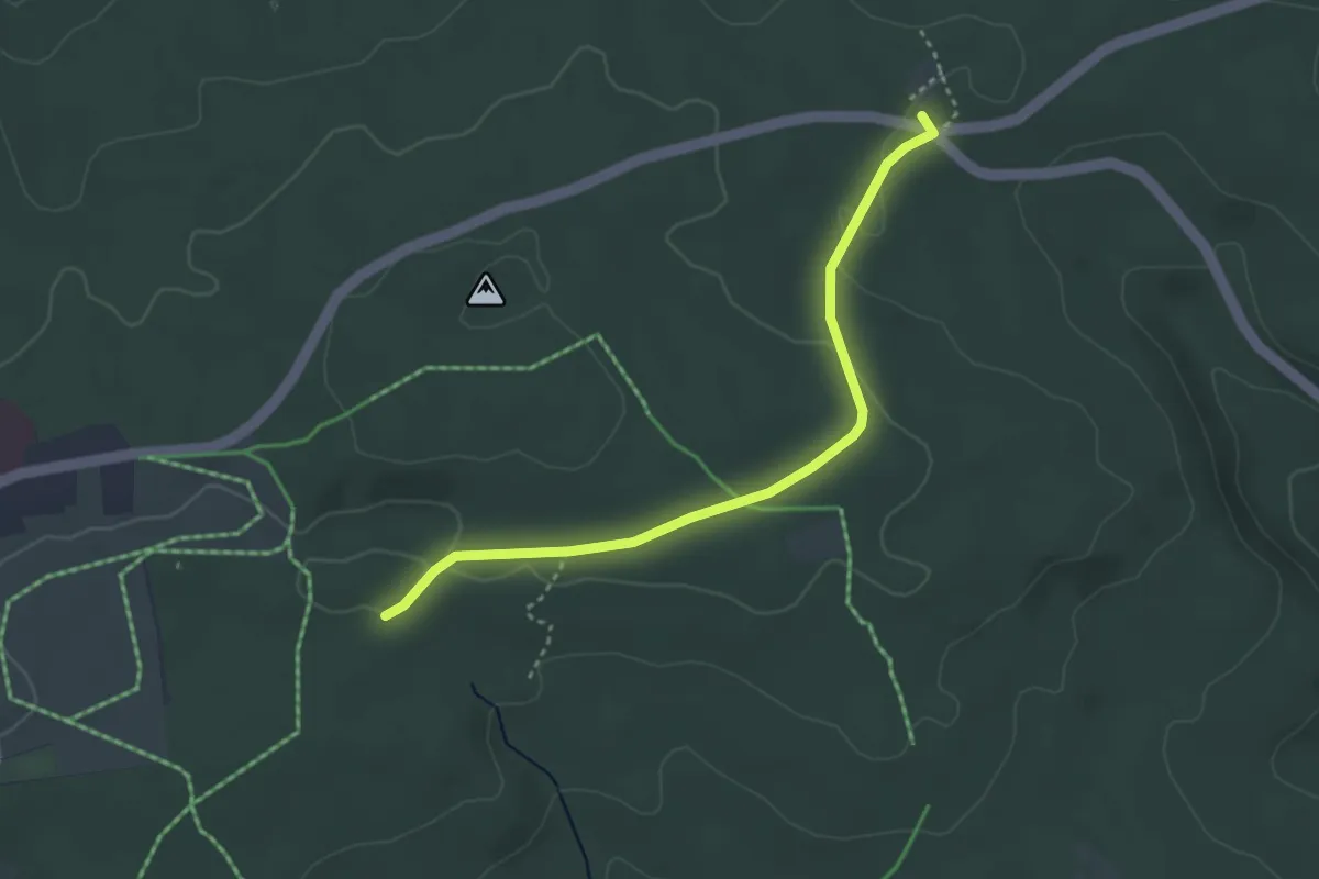
Easy · Trail
Dreimarkstein - Großer Volzemer Stein
3.3 km · ↑ 40 m · 52 min
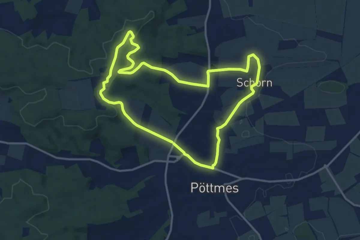
Medium · Trail
Drei-Schloesser-Tour
8.4 km · ↑ 149 m · 2 h 26 min
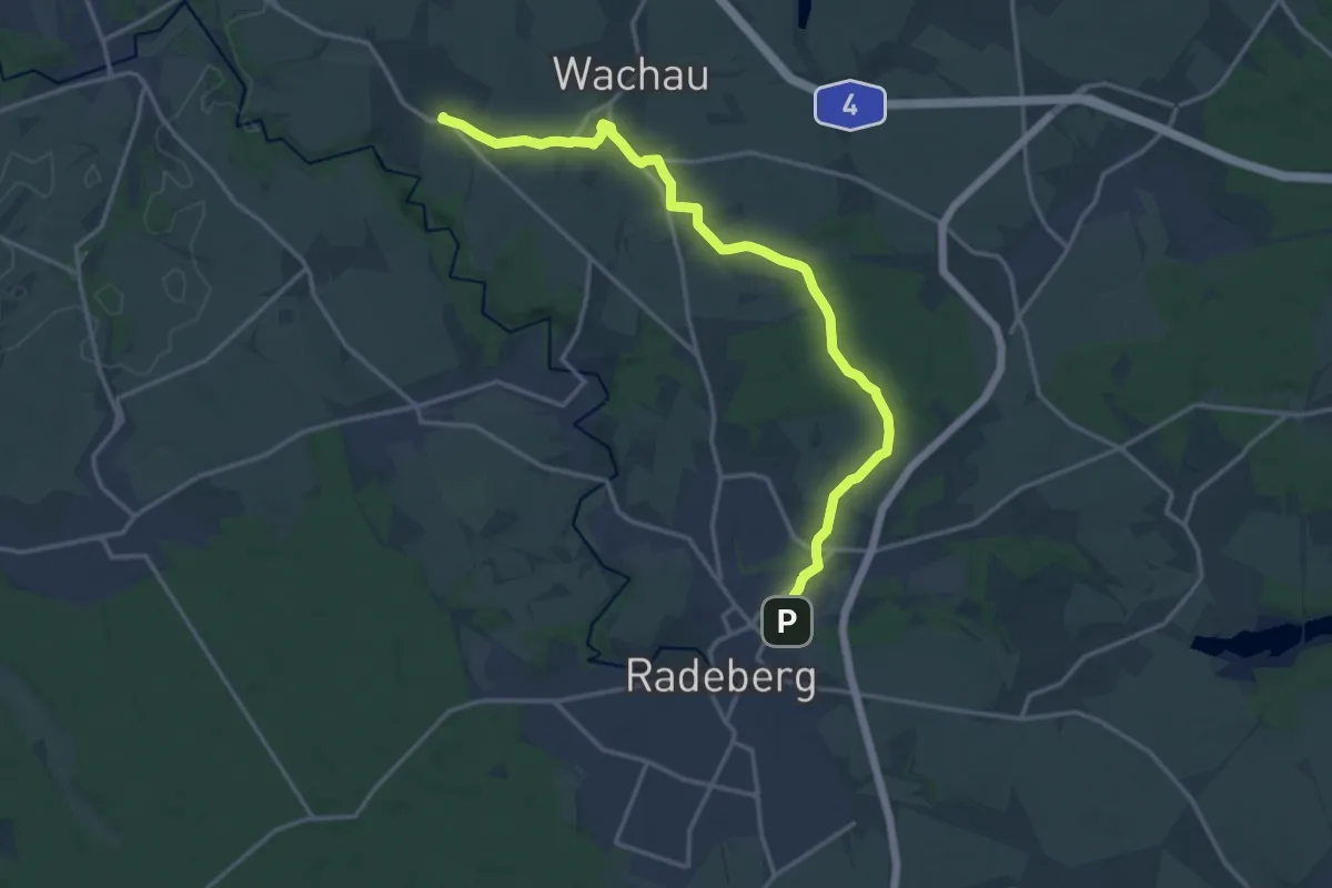
Medium · Trail
Drei-Schlösser-Weg
15.7 km · ↑ 114 m · 3 h 58 min
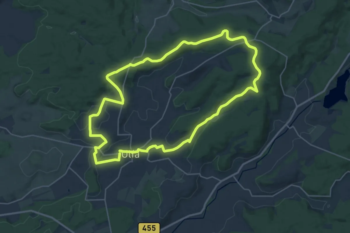
Demanding · Trail
Drei Schneidenweg rot
18.3 km · ↑ 314 m · 5 h 15 min
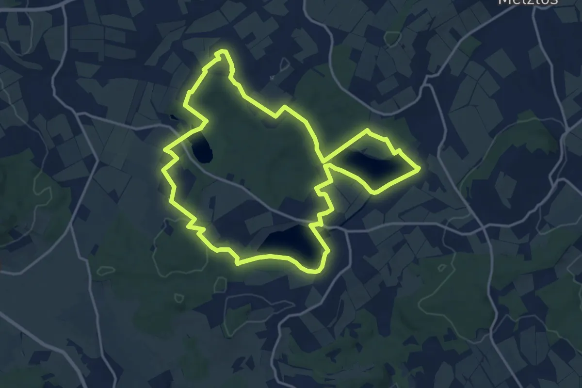
Medium · Trail
Drei-SeenTour Freiensteinau
12.7 km · ↑ 139 m · 3 h 28 min
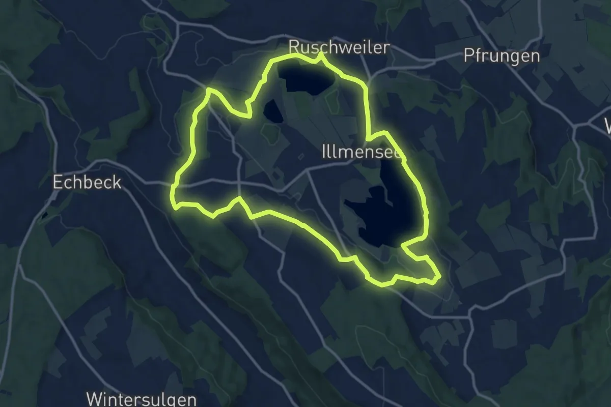
Medium · Trail
Drei Seen Wanderung
11.7 km · ↑ 130 m · 3 h 12 min
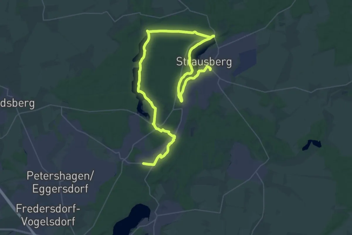
Demanding · Trail
Drei-Seen-Wanderung
21.3 km · ↑ 66 m · 5 h 29 min
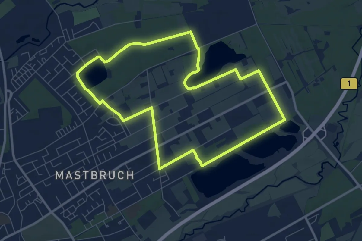
Easy · Trail
Drei-Seen-Weg in Paderborn-Schloß Neuhaus
6.8 km · ↑ 27 m · 1 h 46 min
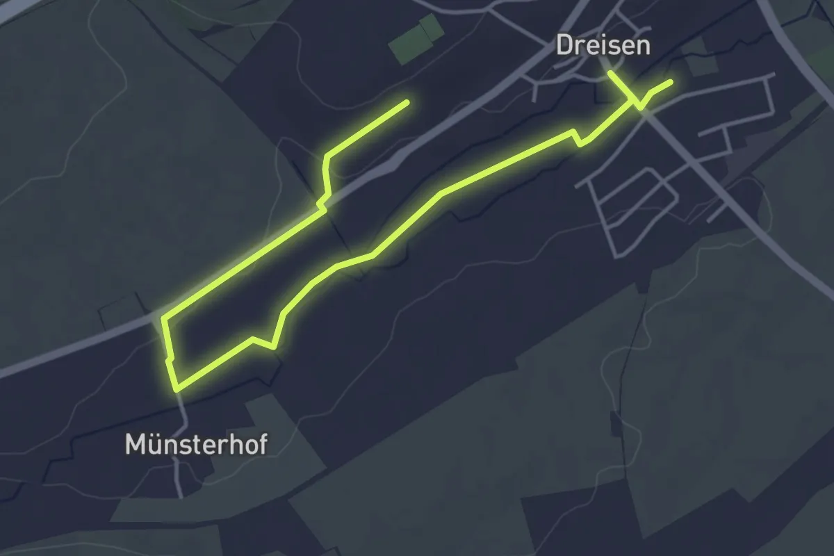
Easy · Trail
Dreisen - Mühlenwanderweg
5.4 km · ↑ 38 m · 1 h 21 min
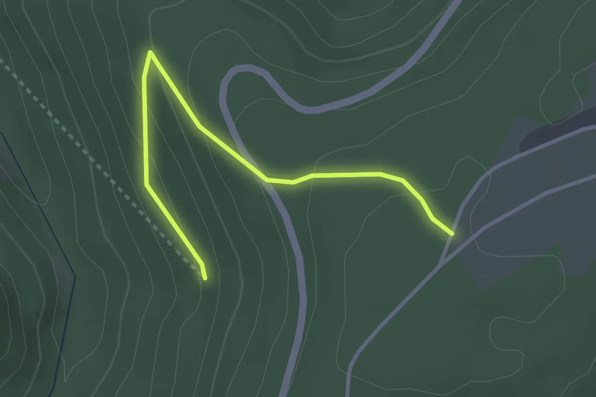
Easy · Trail
Dreispitz - Kälbersteige
2.9 km · ↑ 152 m · 1 h 1 min
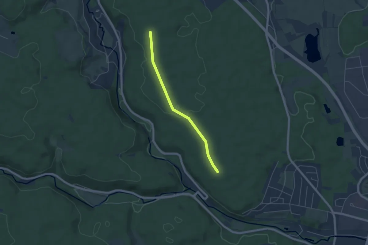
Easy · Trail
Dreispitz - Krummer Baum
4.2 km · ↑ 18 m · 1 h 2 min
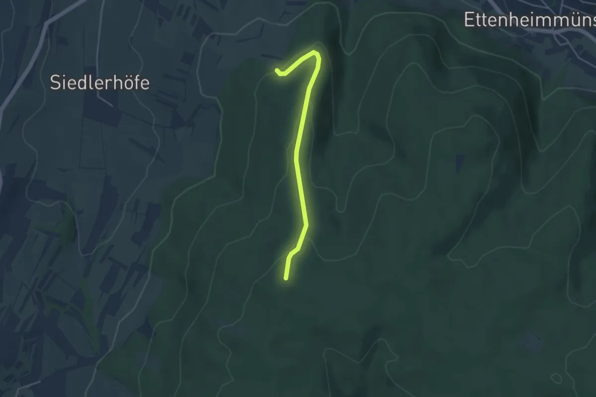
Easy · Trail
Dreispitz - Speckacker
3.4 km · ↑ 117 m · 1 h 4 min
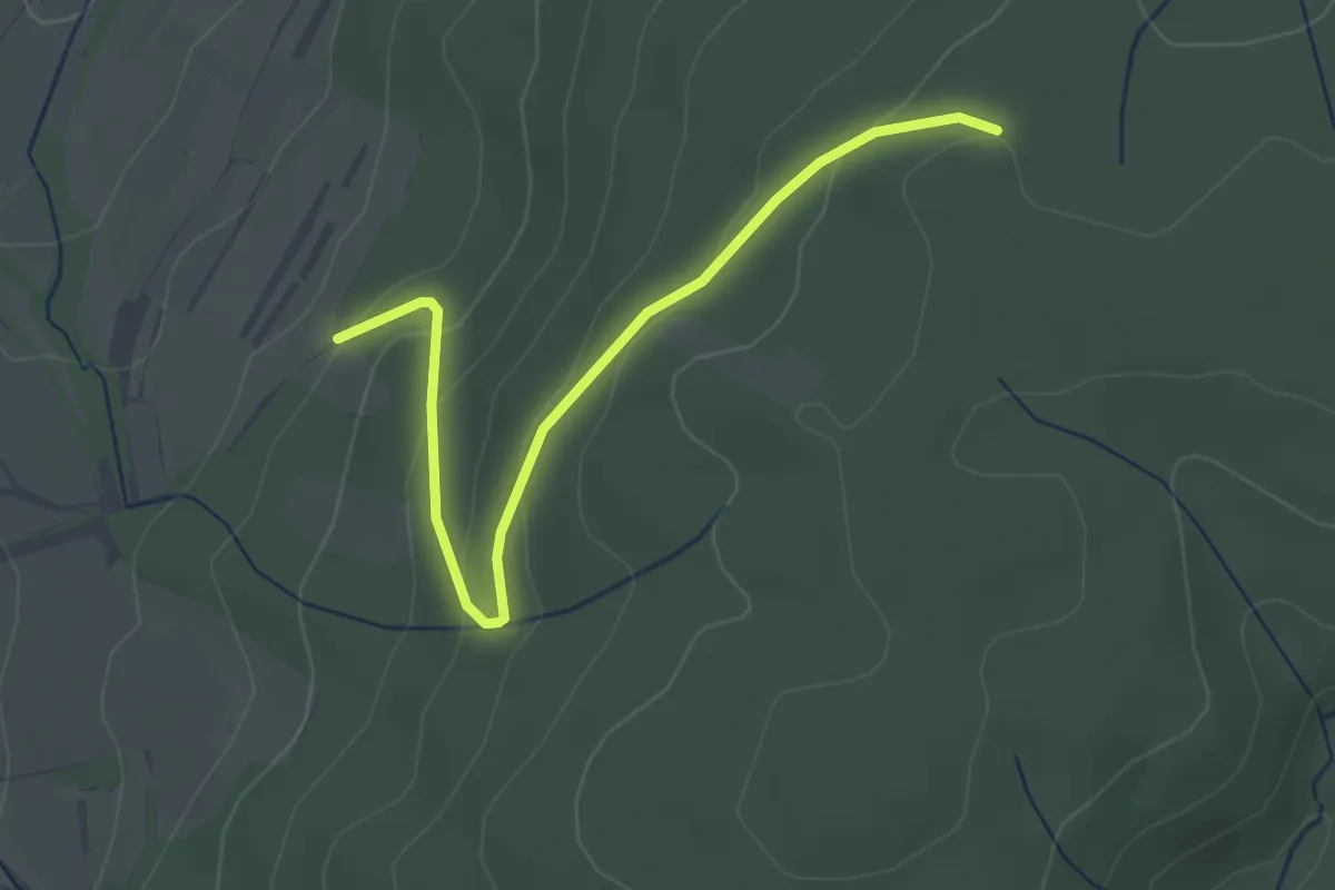
Easy · Trail
Dreispitz - Waldparkplatz Reute
3.2 km · ↑ 136 m · 1 h 2 min
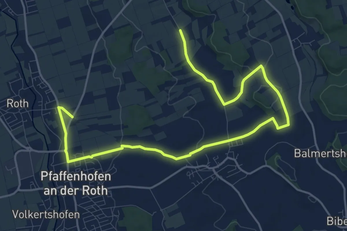
Medium · Trail
Dreitäler-/Kapellen- und Kirchenwanderung
14.9 km · ↑ 136 m · 3 h 48 min
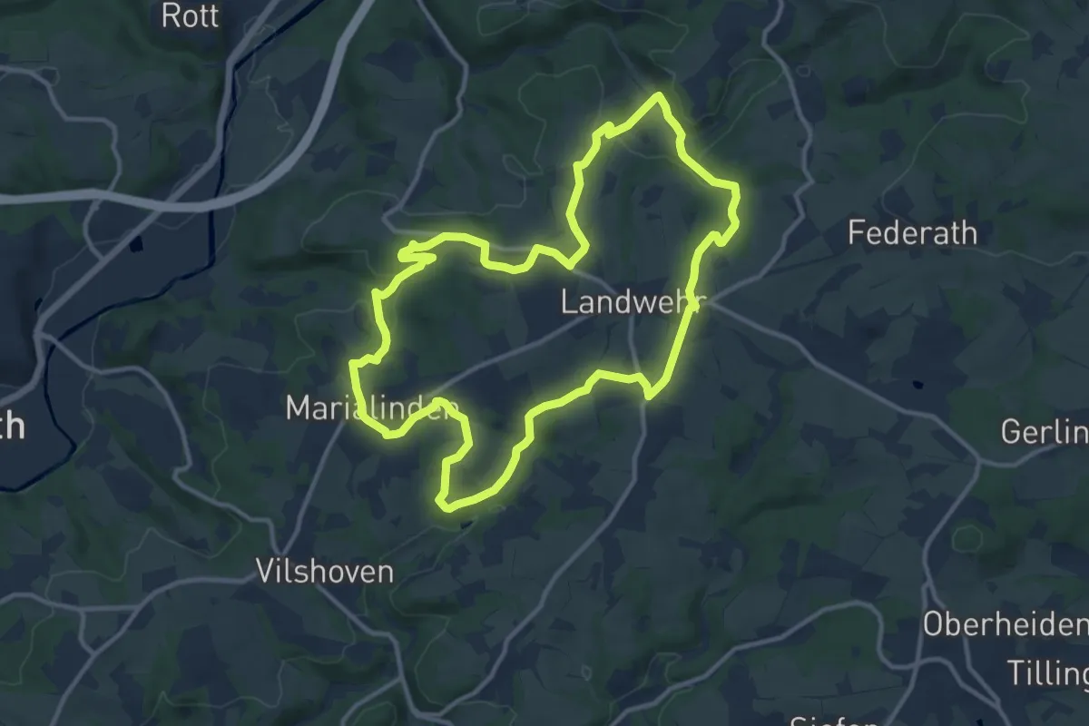
Medium · Trail
Drei-Täler-Runde
11.0 km · ↑ 223 m · 3 h 14 min
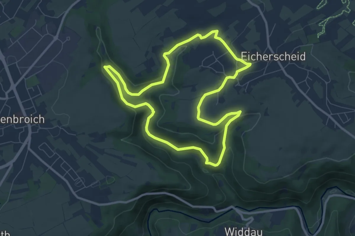
Easy · Trail
Dreitälerweg
6.9 km · ↑ 158 m · 2 h 4 min
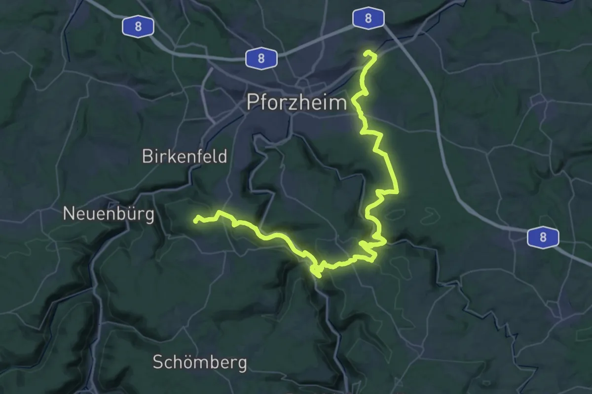
Demanding · Summit
Drei-Täler-Weg
54.3 km · ↑ 1462 m · 15 h 59 min
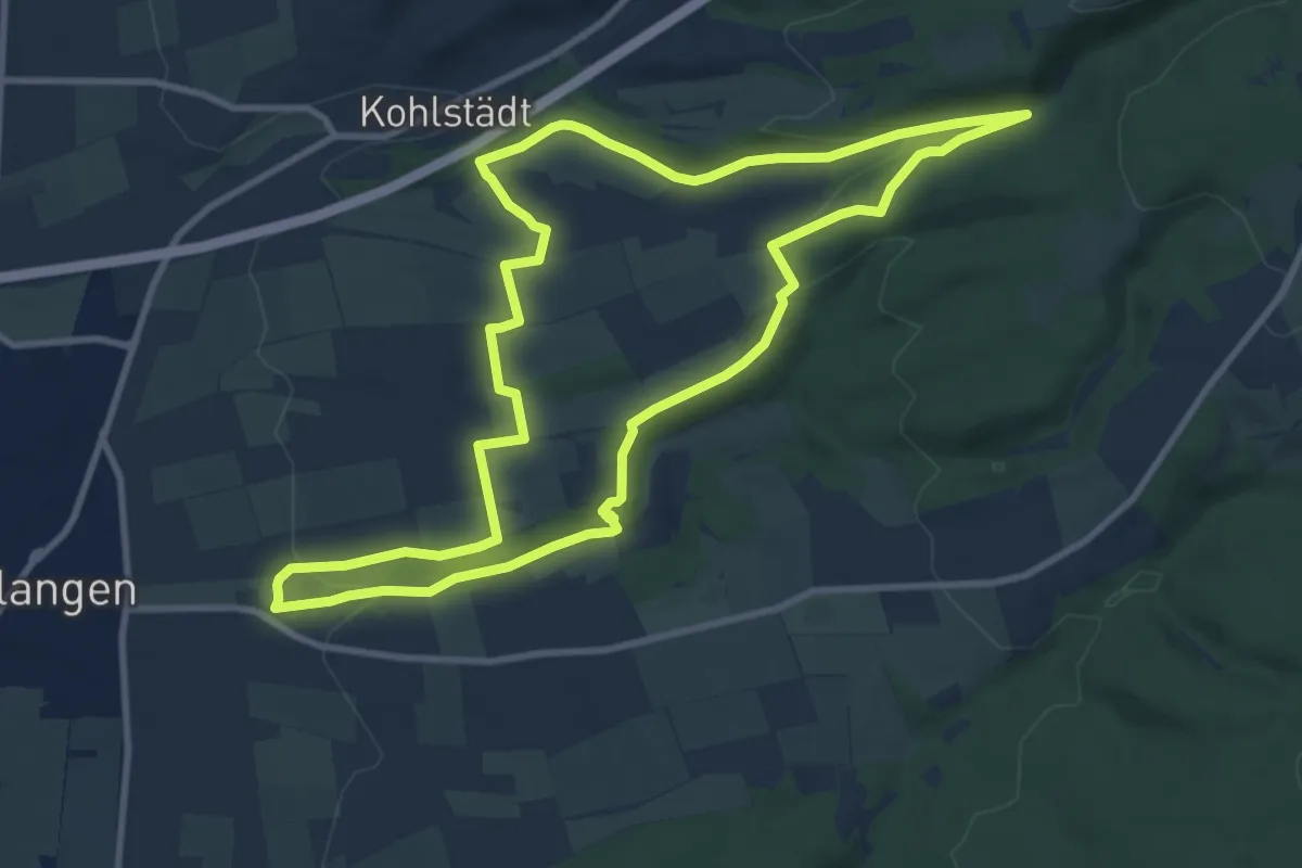
Medium · Trail
Drei-Täler-Weg
9.2 km · ↑ 186 m · 2 h 42 min
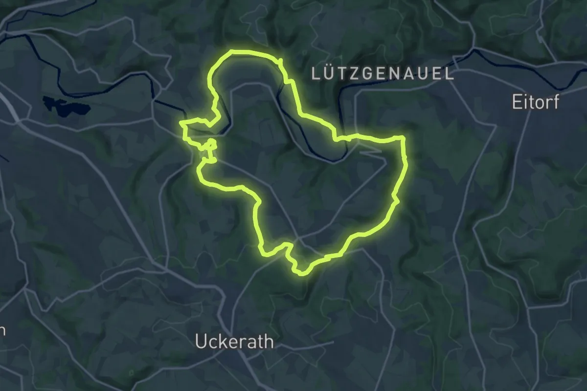
Medium · Trail
Dreitälerweg (Erlebnisweg Sieg Nr. 8)
16.7 km · ↑ 366 m · 4 h 58 min
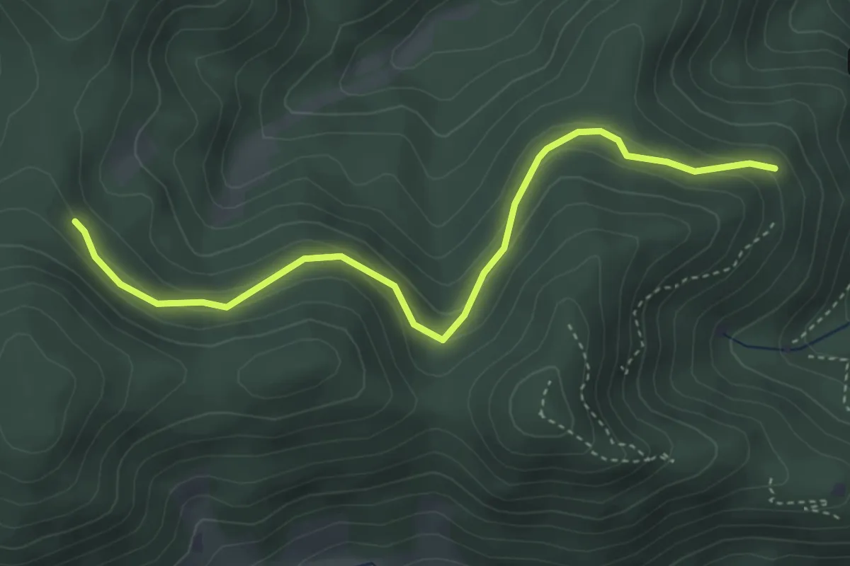
Easy · Trail
Dreitälerweg - Europakurve
4.1 km · ↑ 199 m · 1 h 23 min
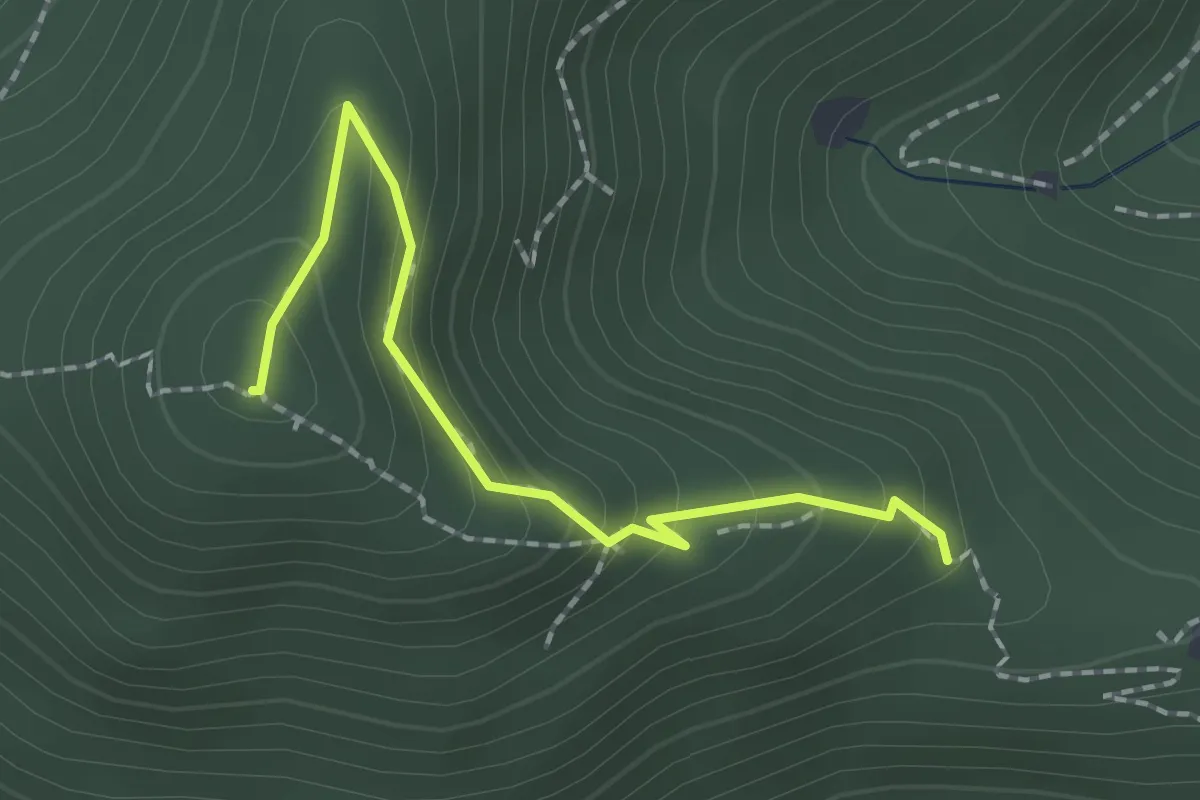
Medium · Summit
Dreitälerweg - Unter der Ziegelkopfschanze
1.9 km · ↑ 132 m · 43 min
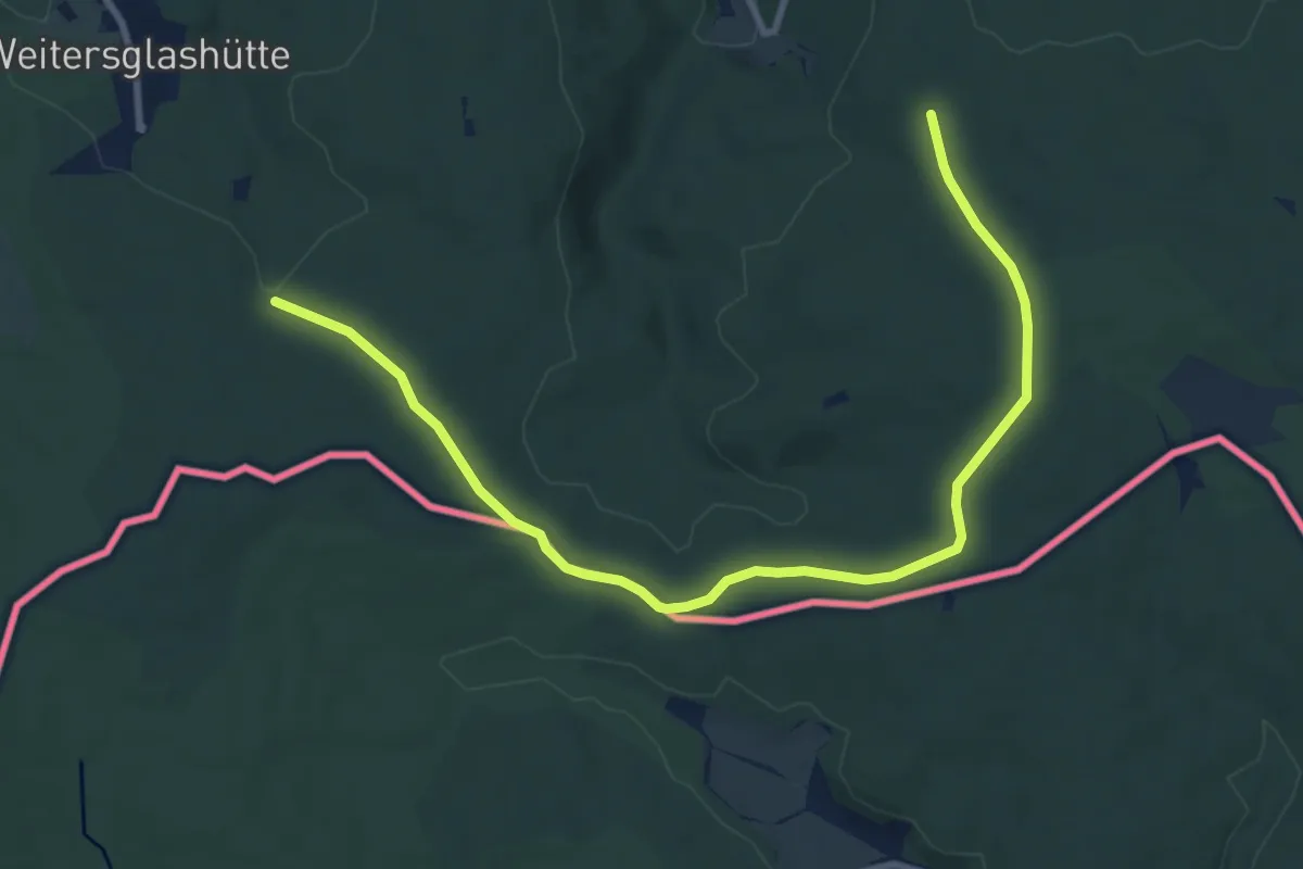
Easy · Trail
Drei-Talsperren-Wanderung
5.0 km · ↑ 41 m · 1 h 21 min
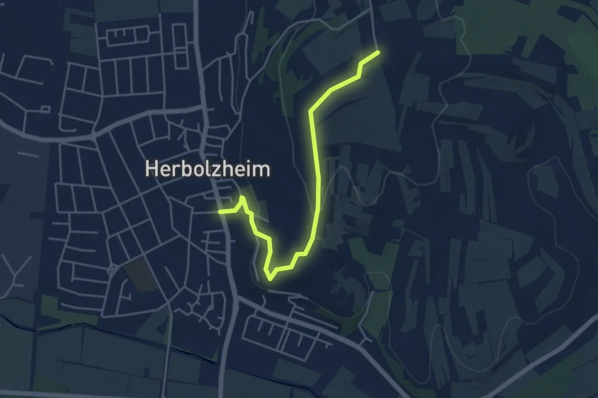
Easy · Trail
Dreitannen - Herbolzheim Torhaus
4.0 km · ↑ 117 m · 1 h 11 min
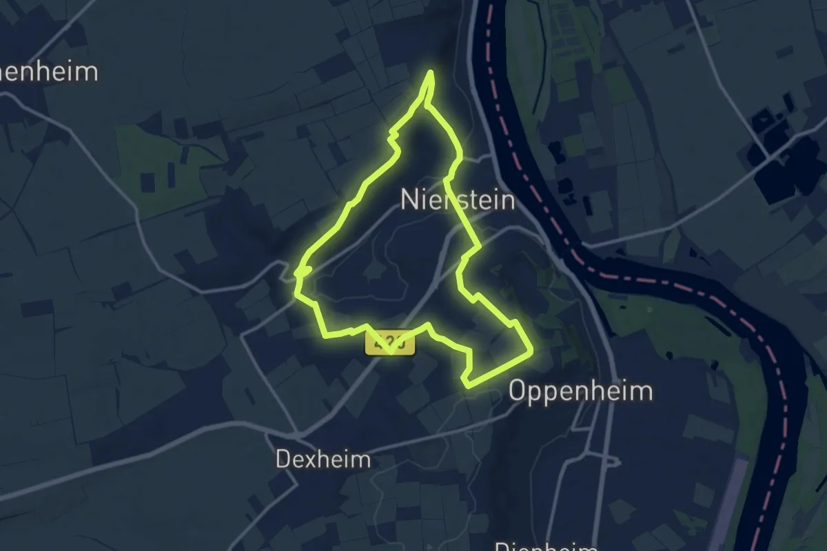
Medium · Trail
Drei-Türme-Weg
10.7 km · ↑ 203 m · 3 h 7 min
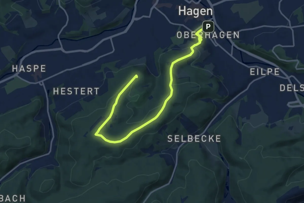
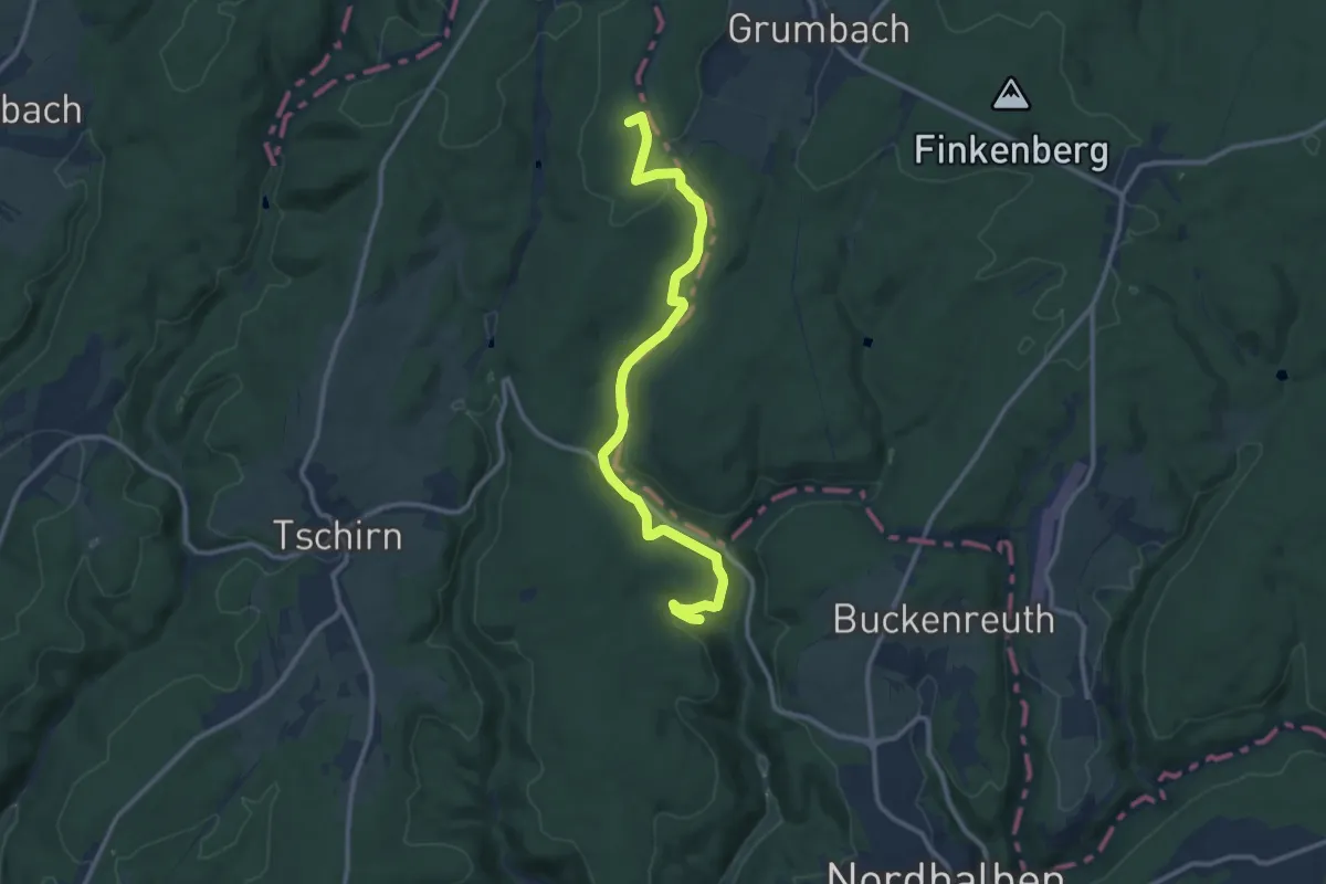
Medium · Summit
Drei-Türme-Weg
11.7 km · ↑ 350 m · 3 h 32 min
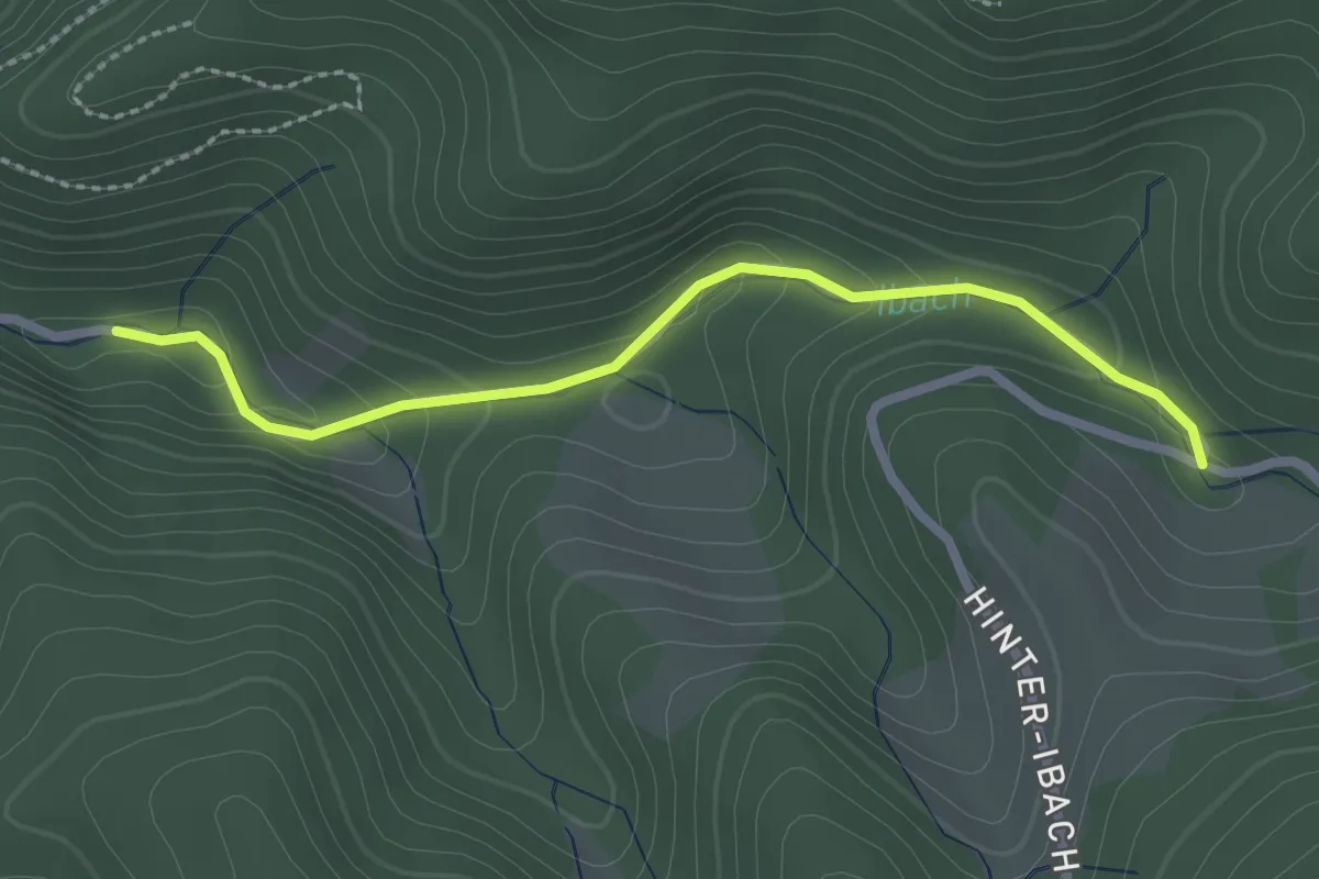
Medium · Summit
Dreiwappen-Weg
11.1 km · ↑ 265 m · 3 h 12 min
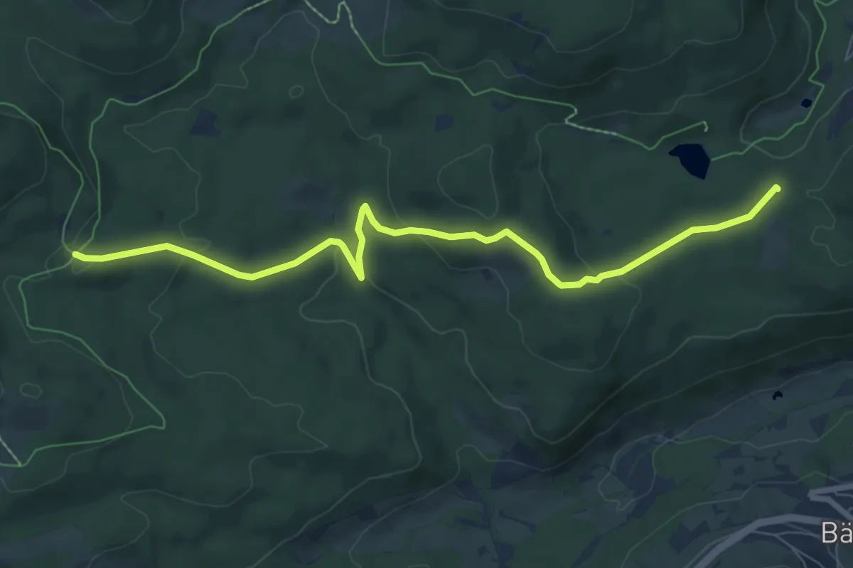
Easy · Trail
Dreiwegeplatz - Mühlenplatz
2.3 km · ↑ 87 m · 44 min
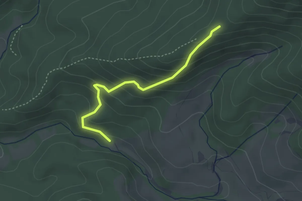
Easy · Trail
Dreiwege - Rufenholzplatz
7.8 km · ↑ 285 m · 2 h 28 min
Easy · Trail
Dreizielstein - Sackpfeife
3.1 km · ↑ 235 m · 1 h 14 min
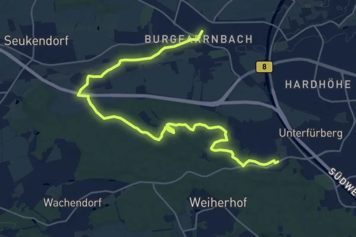
Demanding · Trail
Dr.-Enslin Weg
18.8 km · ↑ 260 m · 5 h 1 min
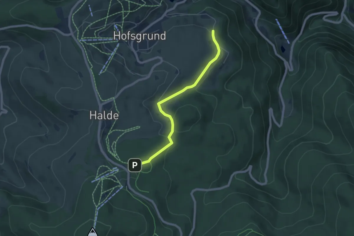
Easy · Trail
Drescherhof - Kohlwald
4.8 km · ↑ 86 m · 1 h 19 min
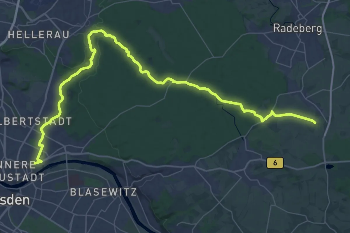
Demanding · Summit
Dresden - Karswald
39.5 km · ↑ 302 m · 9 h 59 min
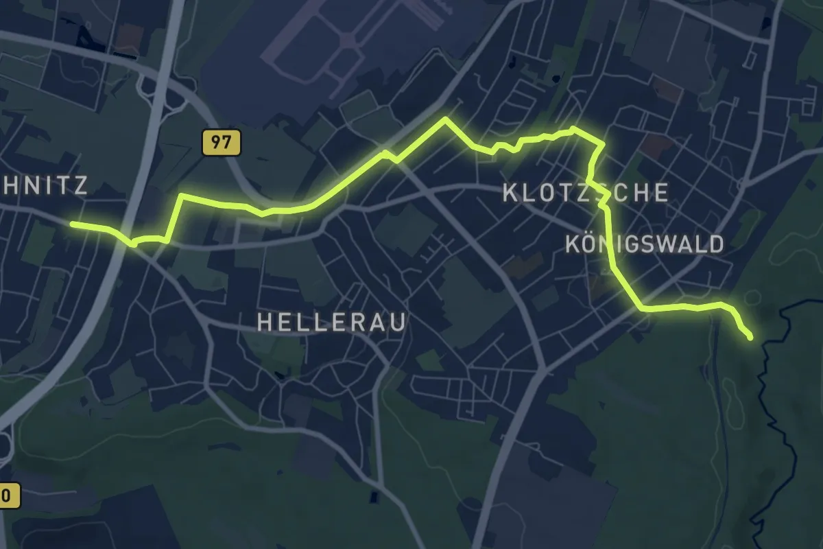
Medium · Trail
Dresden, Rähnitz - Klotzsche
9.9 km · ↑ 48 m · 2 h 26 min
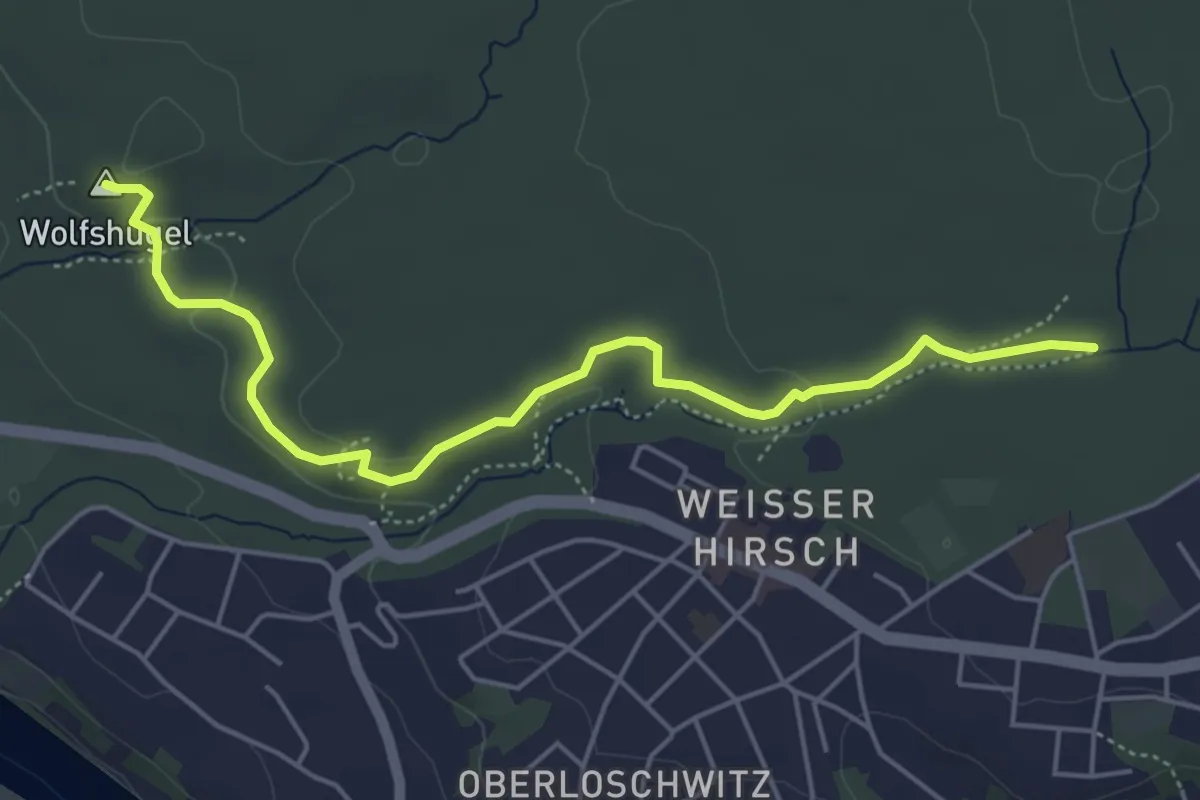
Easy · Summit
Dresdner Heide, Gelber Punkt
5.0 km · ↑ 71 m · 1 h 20 min
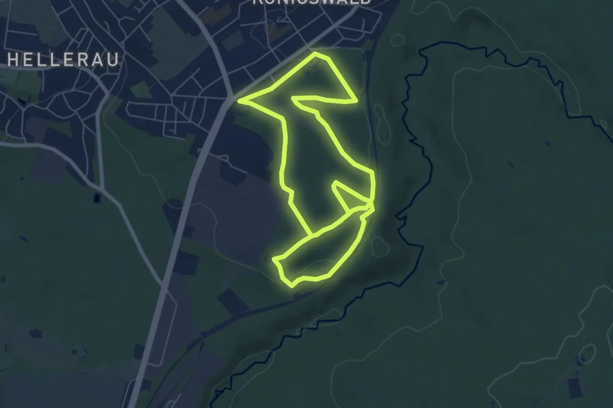
Easy · Summit
Dresdner Heide, Lehrpfad Kretschelgrund
5.7 km · ↑ 72 m · 1 h 36 min
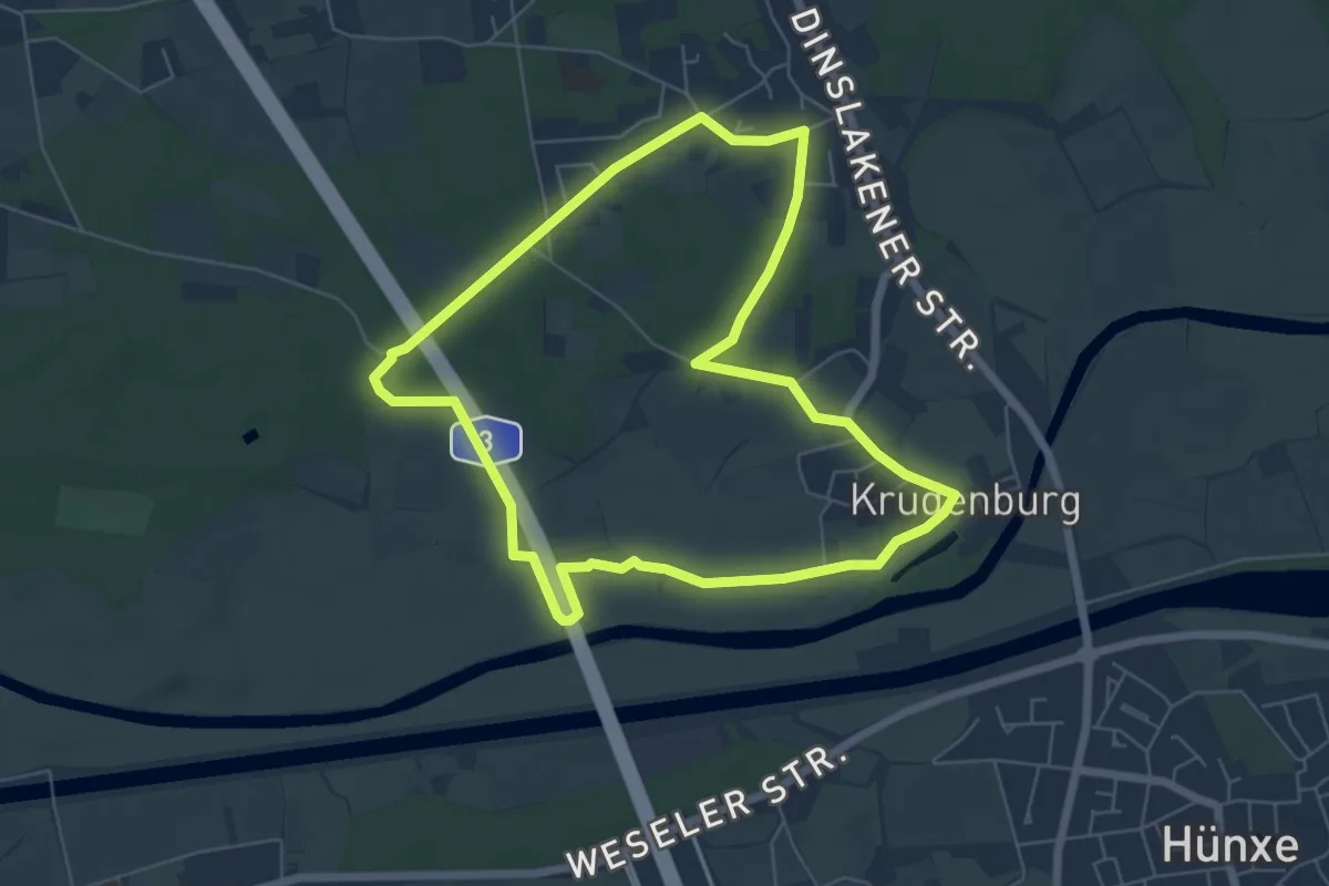
Easy · Trail
Drevenack Rundweg A1
5.5 km · ↑ 23 m · 1 h 26 min
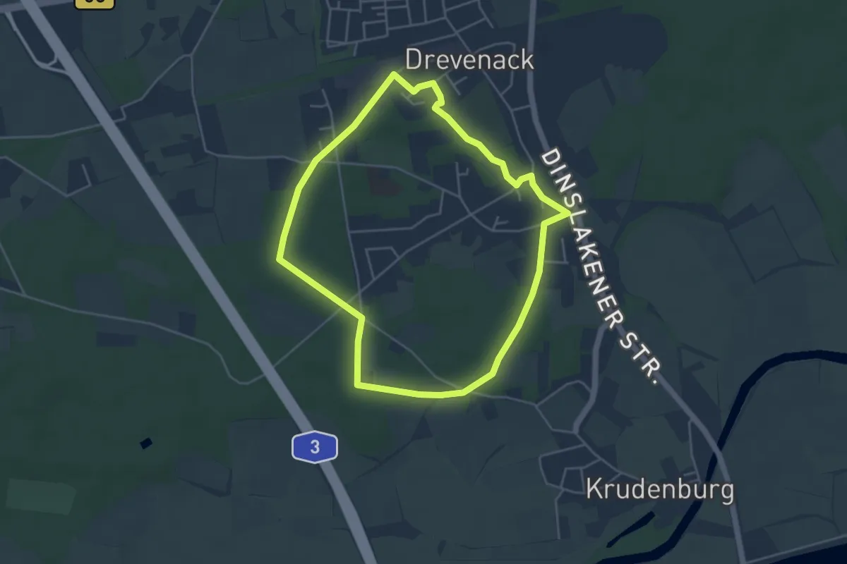
Easy · Trail
Drevenack Rundweg A3
3.9 km · ↑ 8 m · 59 min
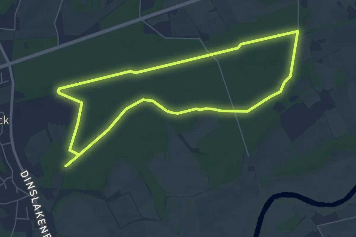
Easy · Trail
Drevenack Waldsportplatz Rundweg A2
5.3 km · ↑ 9 m · 1 h 20 min
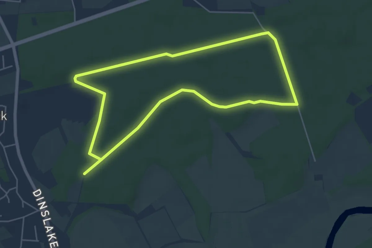
Easy · Trail
Drevenack Waldsportplatz Rundweg A3
4.2 km · ↑ 8 m · 1 h 4 min
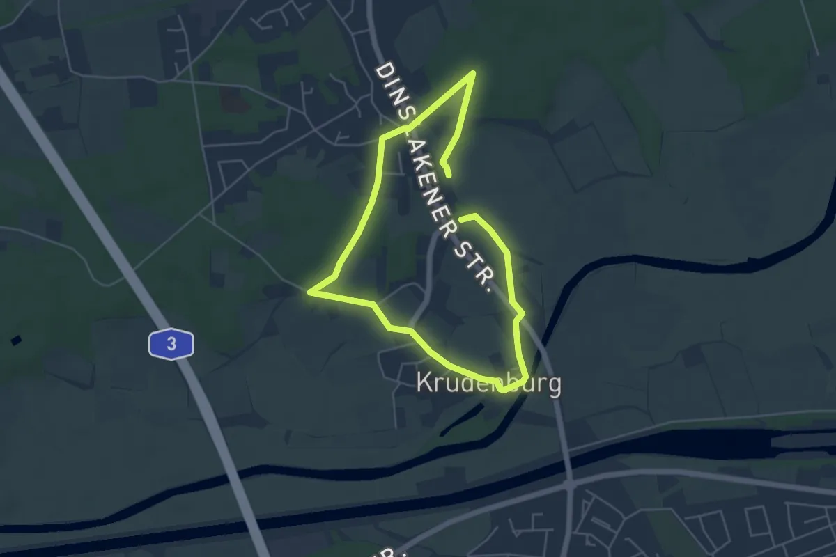
Easy · Trail
Drevenack Waldsportplatz Rundweg A7
3.6 km · ↑ 13 m · 56 min
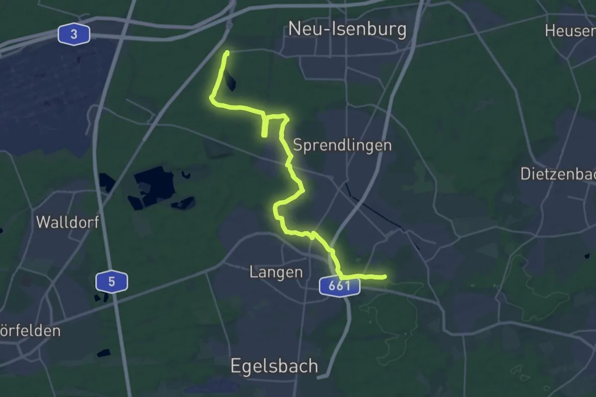
Demanding · Trail
DreyEicher Grenzweg
26.3 km · ↑ 149 m · 6 h 33 min
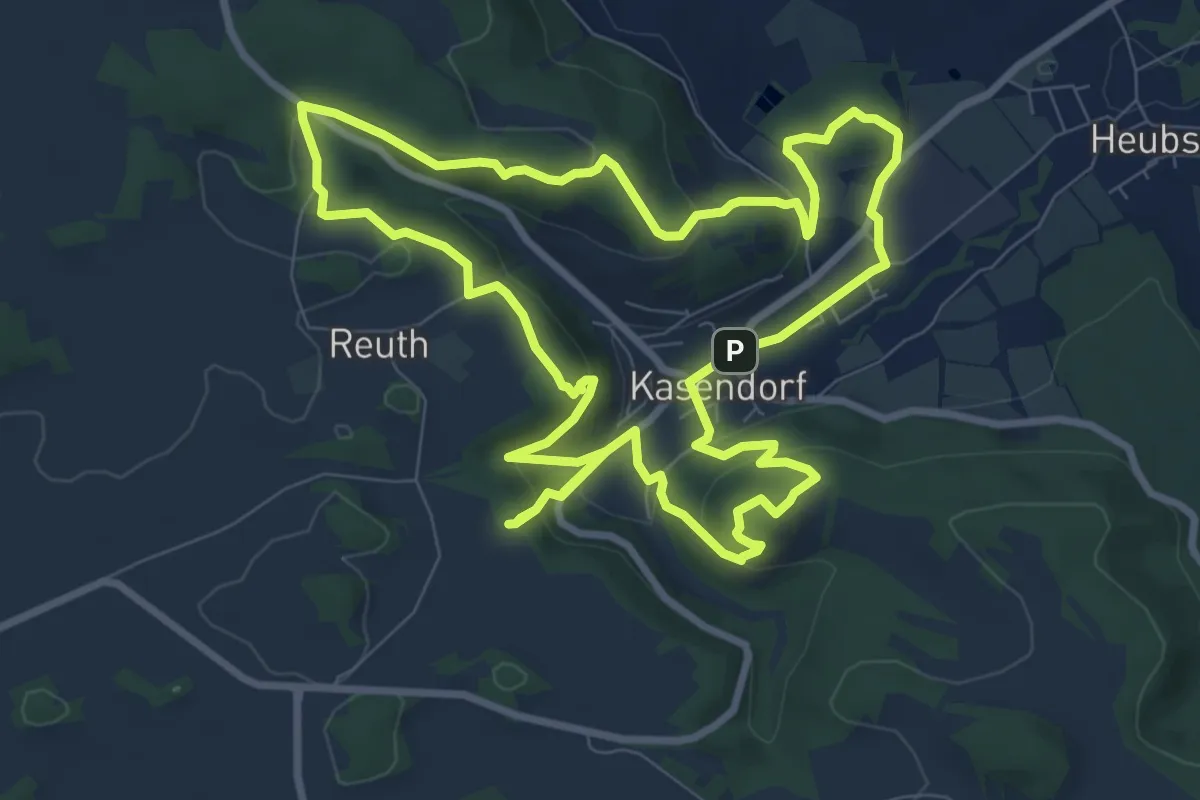
Medium · Summit
Dr.-Fritz-Hornschuh-Naturlehrpfad
9.0 km · ↑ 330 m · 2 h 58 min
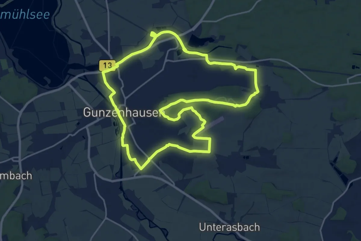
Medium · Trail
Dr.-Heinrich-Eidam-Weg
15.1 km · ↑ 136 m · 4 h 4 min
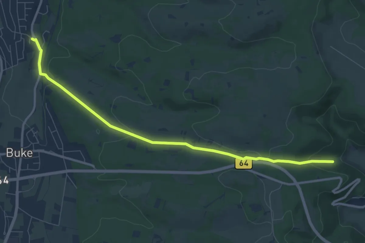
Easy · Trail
Dr. Hoffschulte-Weg
7.7 km · ↑ 198 m · 2 h 14 min
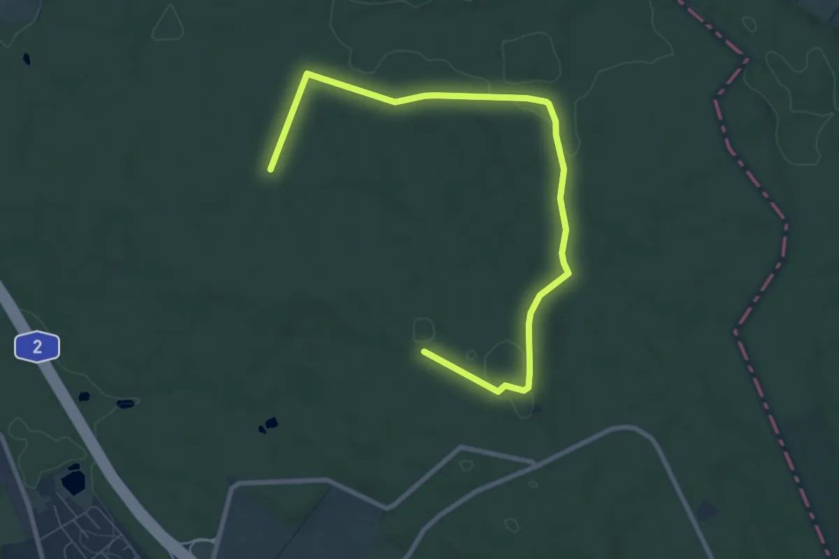
Medium · Trail
Drillingskiefer Rundweg
8.2 km · ↑ 78 m · 2 h 6 min