Trails in Germany
36,847 hiking trails, each with its route, climb, walking time and grade.
All trails, page 116 of 768
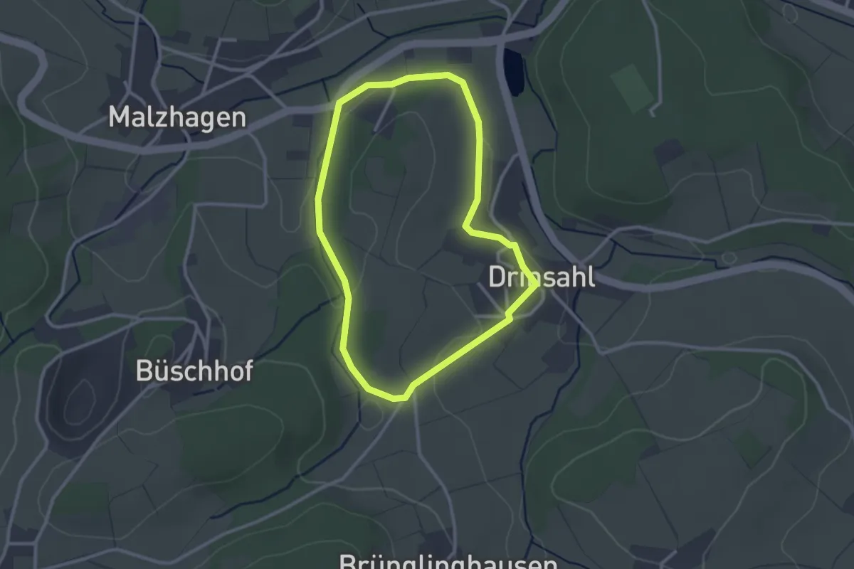
Easy · Trail
Drinsahl: Rundwanderweg Dreieck
2.3 km · ↑ 45 m · 41 min
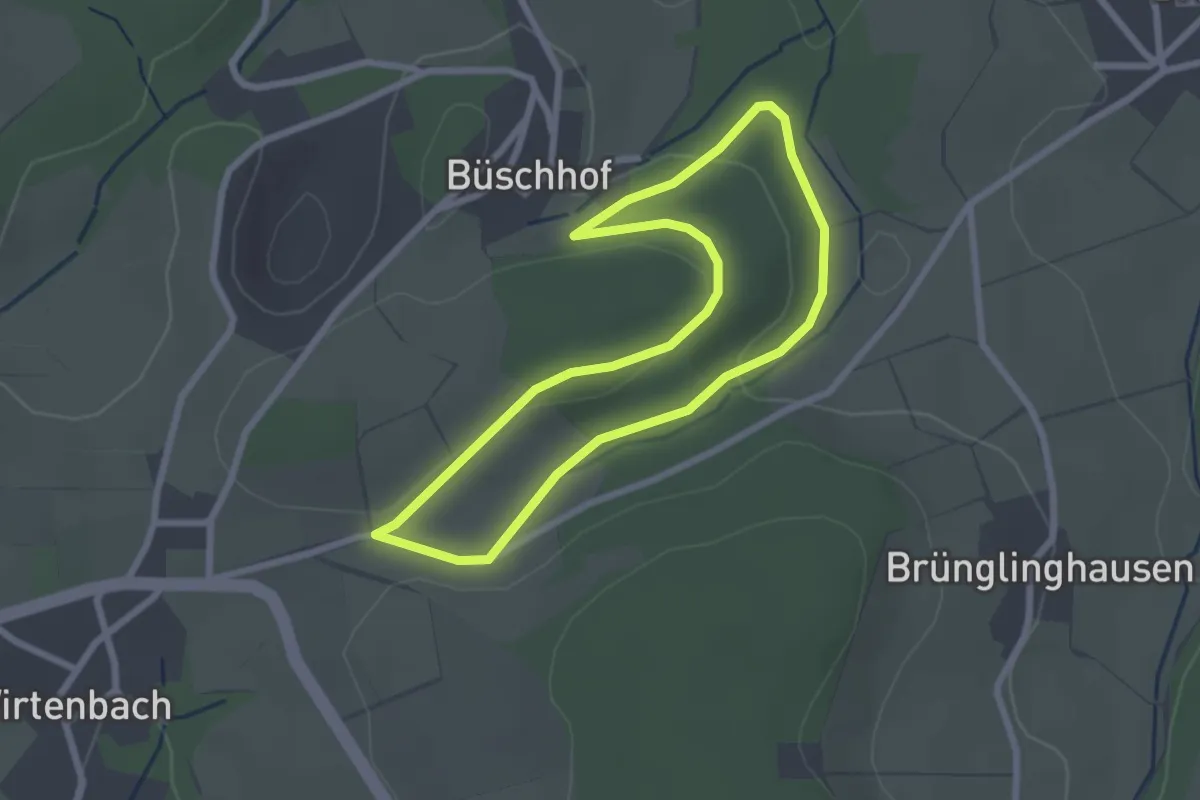
Easy · Trail
Drinsahl: Rundweg U
2.1 km · ↑ 35 m · 36 min
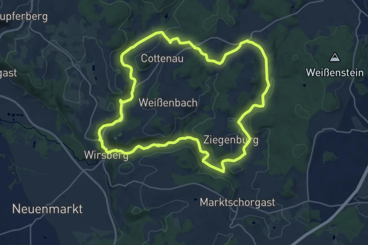
Medium · Trail
Dr.-Margerie-Weg KU 14
16.7 km · ↑ 315 m · 4 h 51 min
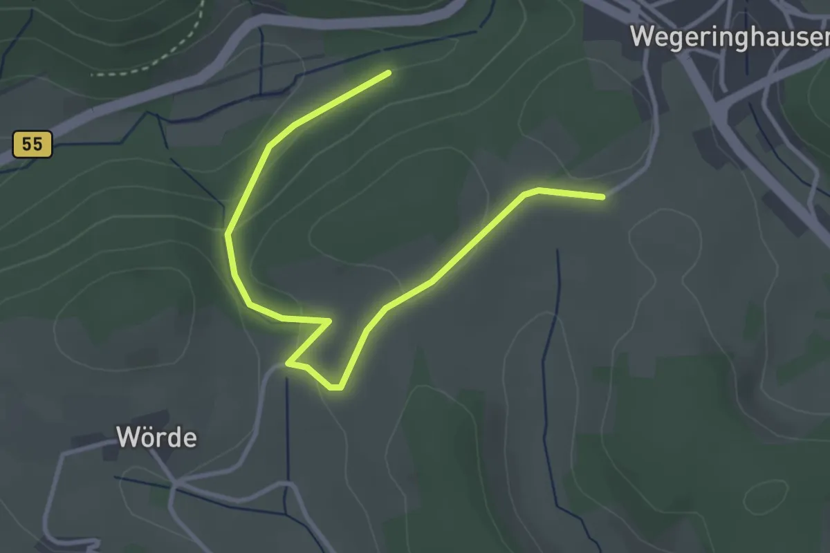
Easy · Trail
Drolshagen Rundweg A1 (Hützemert)
3.5 km · ↑ 105 m · 1 h 3 min
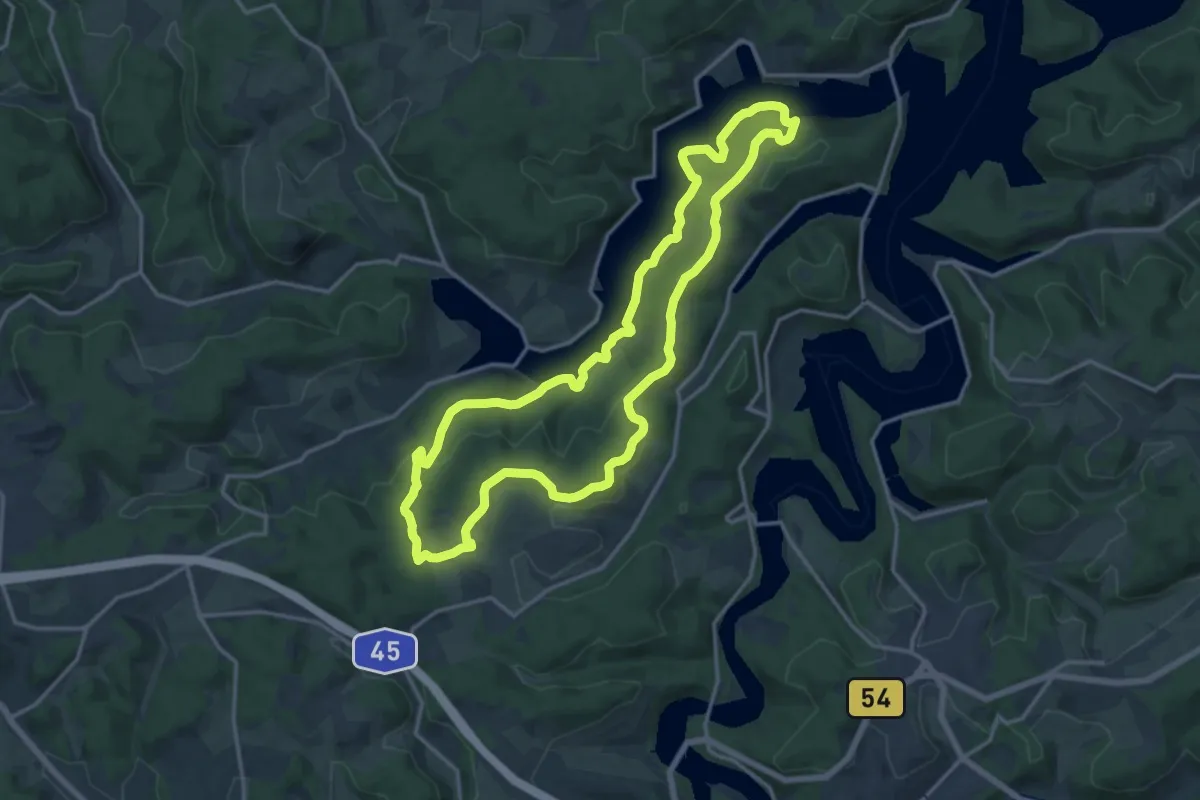
Medium · Summit
Drolshagen Rundweg A1 (Kalberschnacke)
13.9 km · ↑ 345 m · 4 h 13 min
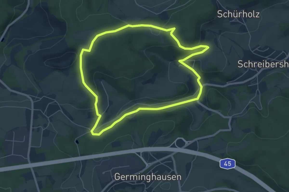
Easy · Trail
Drolshagen Rundweg A2 (Heimicke)
5.3 km · ↑ 143 m · 1 h 38 min
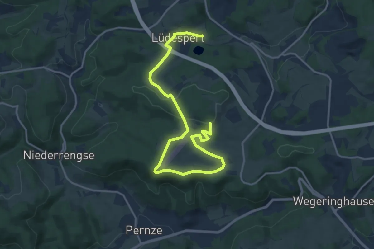
Medium · Trail
Drolshagen Rundweg A2 (Lüdespert)
11.6 km · ↑ 279 m · 3 h 21 min
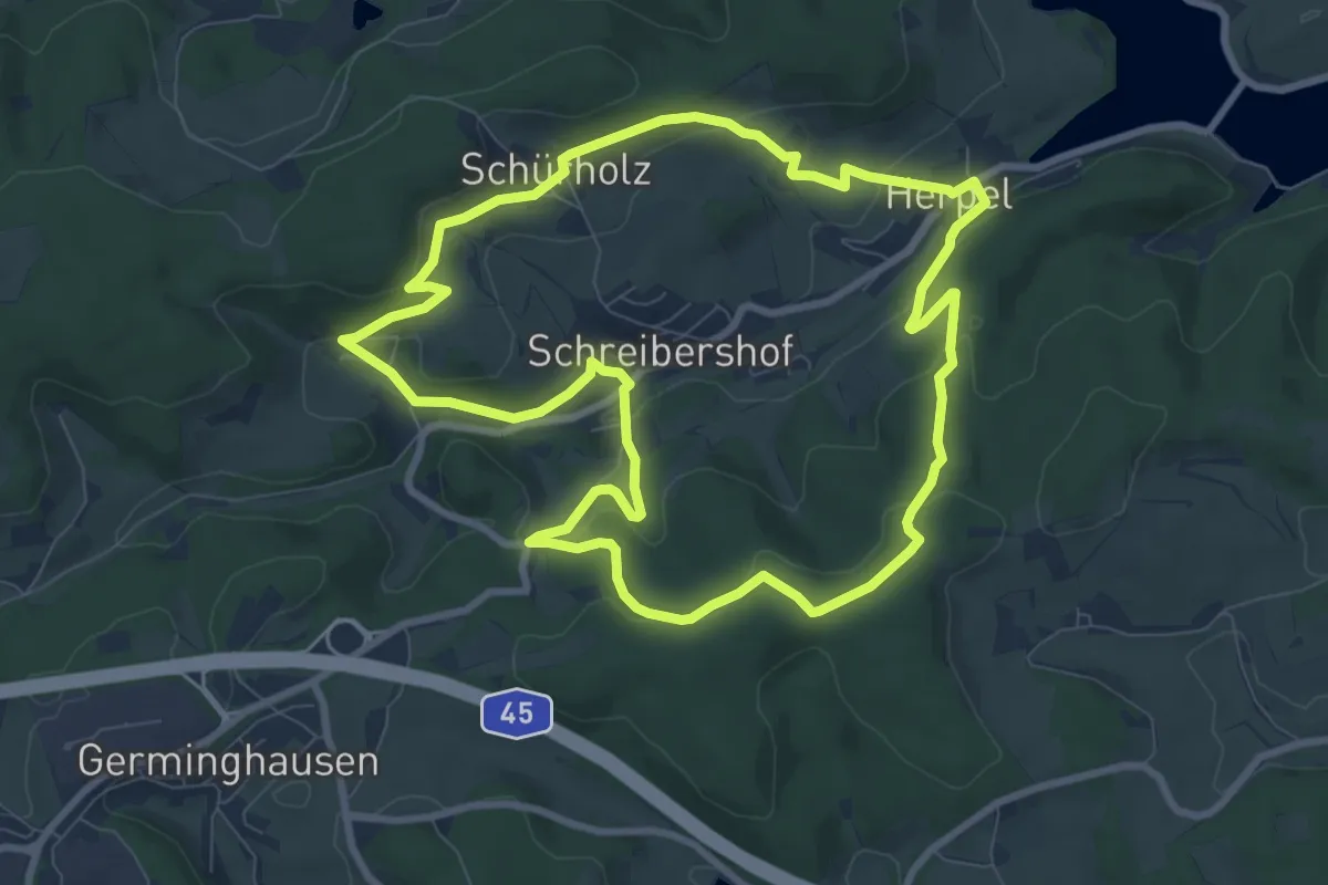
Medium · Summit
Drolshagen Rundweg A3 (Heimicke)
8.1 km · ↑ 256 m · 2 h 35 min
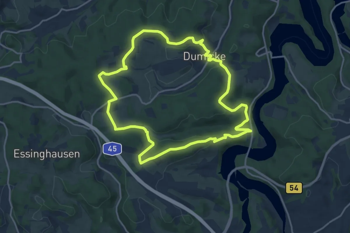
Medium · Trail
Drolshagen Rundweg A4 (Dumicke)
10.3 km · ↑ 287 m · 3 h 11 min
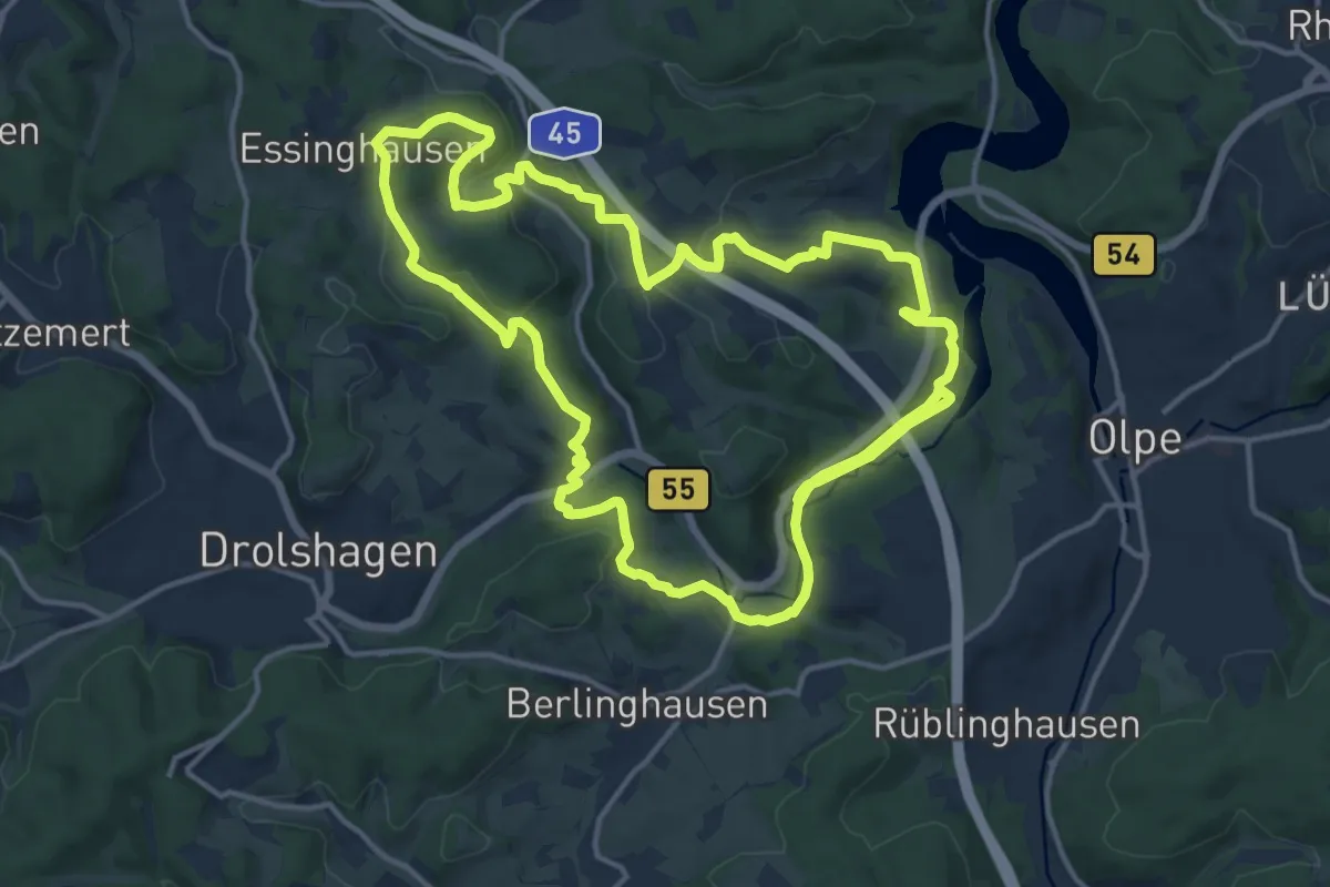
Demanding · Trail
Drolshagen Rundweg A5 (Frenkhausen)
28.1 km · ↑ 588 m · 7 h 55 min
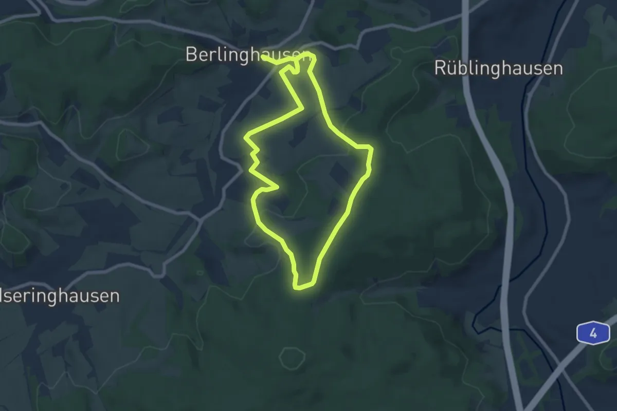
Medium · Trail
Drolshagen Rundweg A6 (Berlinghausen)
11.6 km · ↑ 296 m · 3 h 24 min
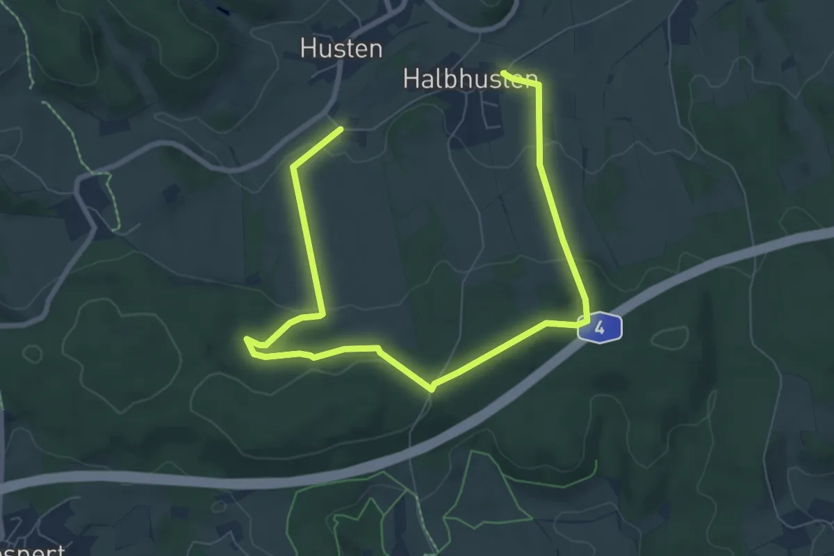
Medium · Trail
Drolshagen Rundweg A7 (Husten)
9.0 km · ↑ 222 m · 2 h 37 min
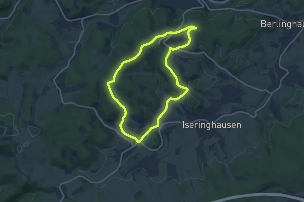
Easy · Summit
Drolshagen Rundweg A8 (Brudertreue)
7.3 km · ↑ 206 m · 2 h 16 min
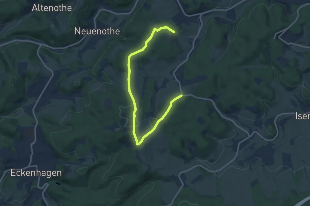
Medium · Trail
Drolshagen Rundweg A9 (Stadtpark Lohmühle)
9.2 km · ↑ 182 m · 2 h 34 min
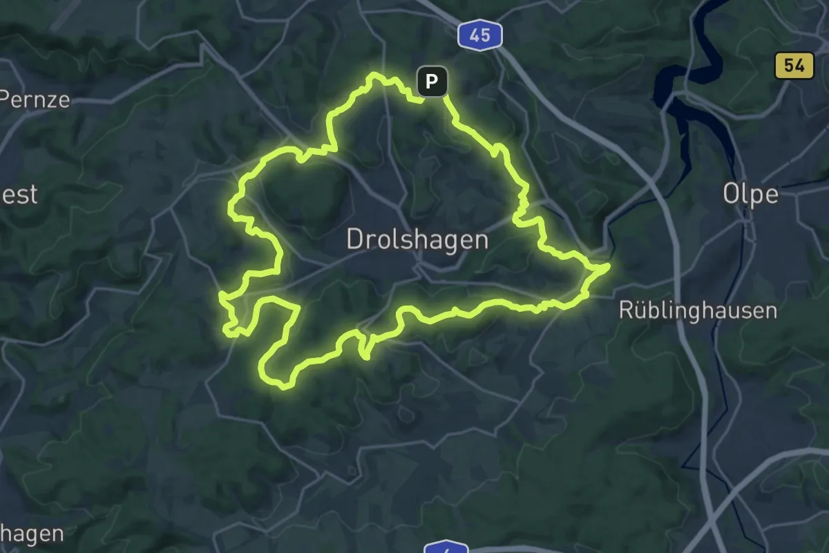
Demanding · Summit
Drolshagen Rundweg (d)
22.5 km · ↑ 563 m · 6 h 50 min
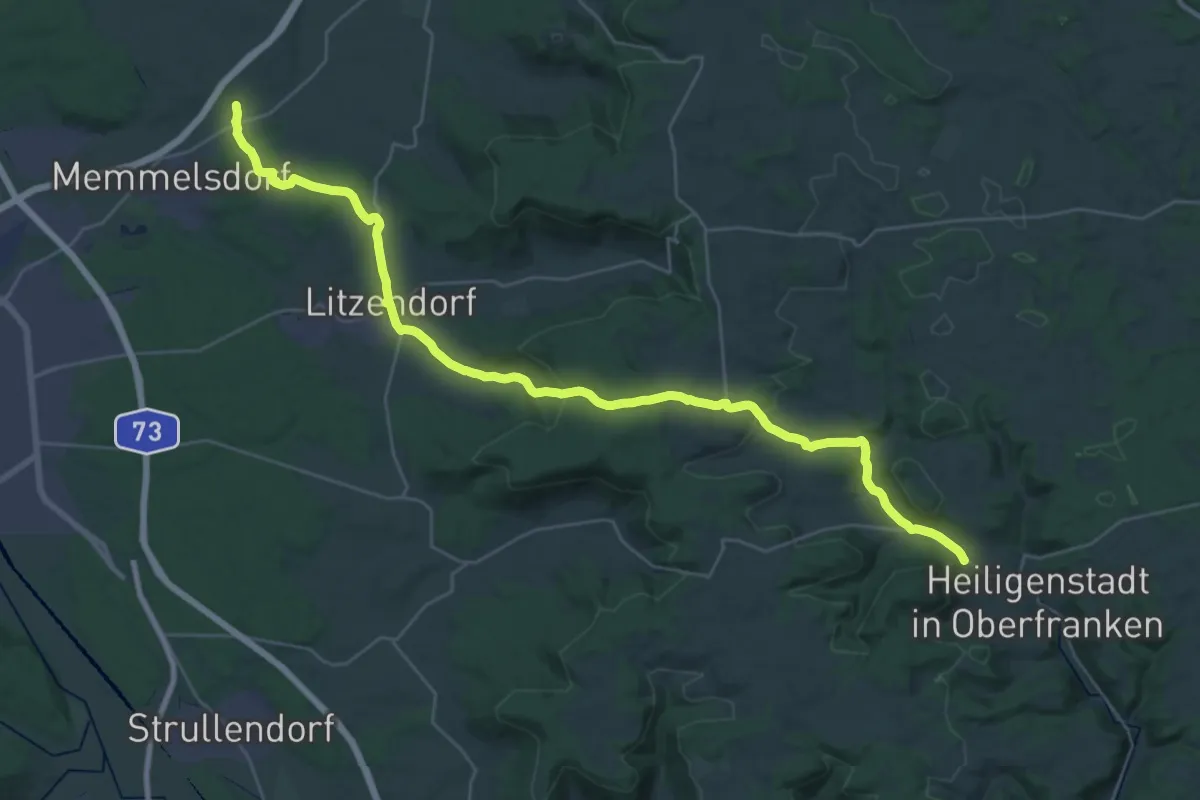
Demanding · Trail
Drosendorfer Wallfahrt
18.5 km · ↑ 249 m · 5 h 13 min
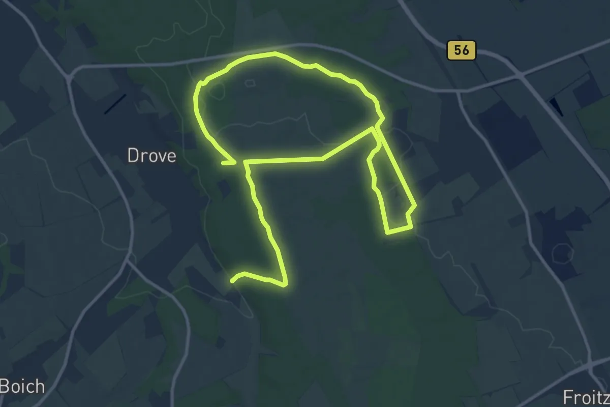
Medium · Trail
Drover-Berg-Tunnelweg
15.9 km · ↑ 80 m · 3 h 55 min
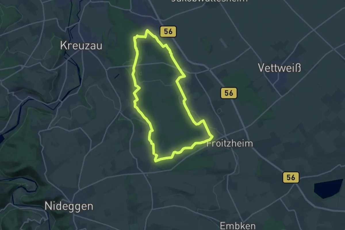
Medium · Trail
Drover Heide
14.5 km · ↑ 97 m · 3 h 50 min
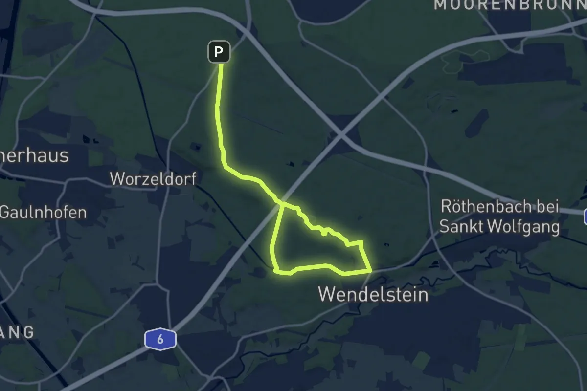
Easy · Trail
Dr.-Richard-Sauber-Weg
7.7 km · ↑ 92 m · 2 h 7 min
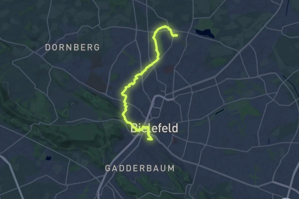
Demanding · Summit
Dr.-Schmidt-Weg Bielefeld
18.3 km · ↑ 214 m · 4 h 48 min
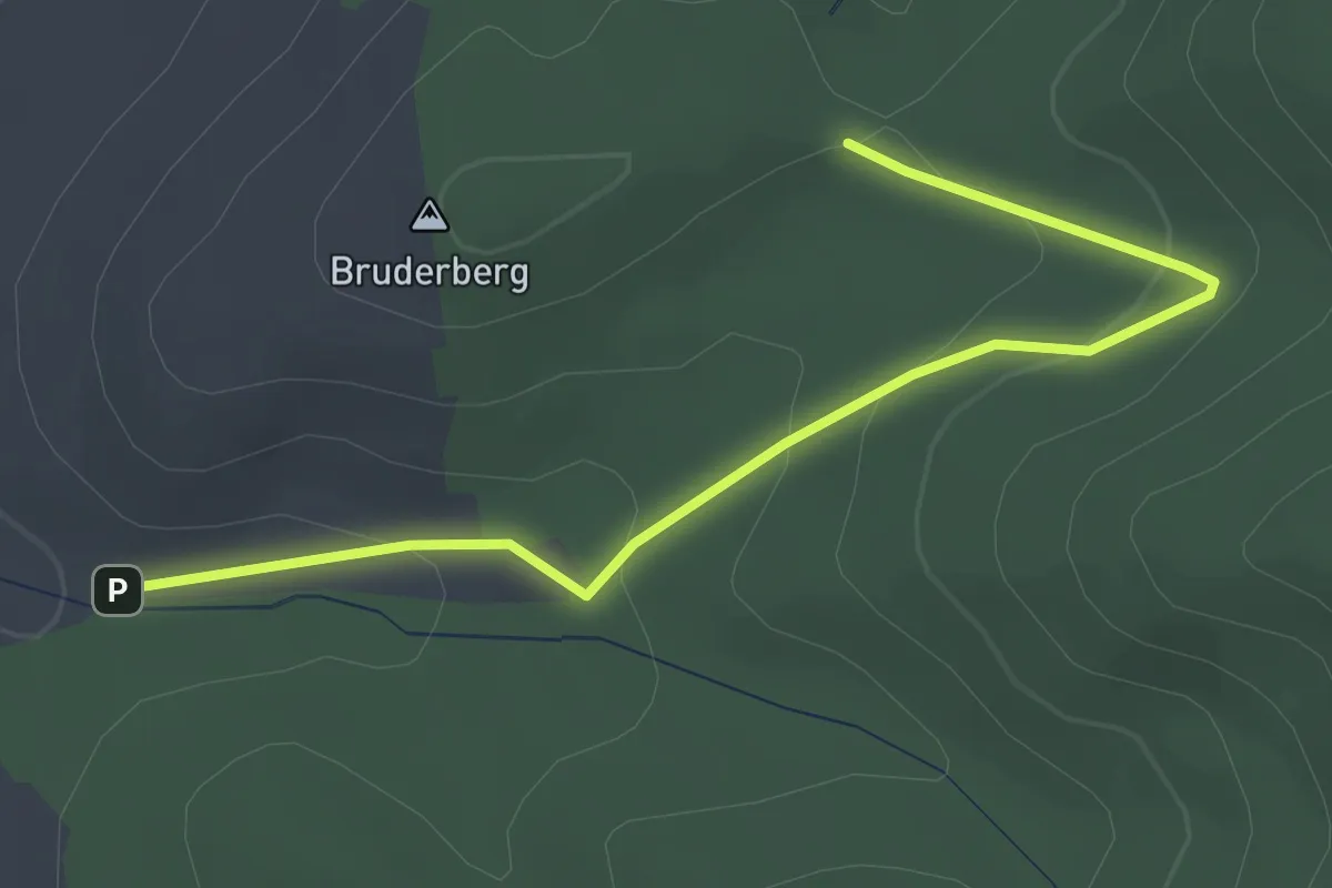
Easy · Trail
Dr. Späne Platz - Nächstenbach-Brunnen
3.2 km · ↑ 135 m · 1 h 2 min
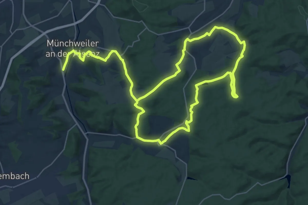
Demanding · Trail
Dr.-Straßburg-Kneipp-Wanderweg
19.3 km · ↑ 377 m · 5 h 36 min
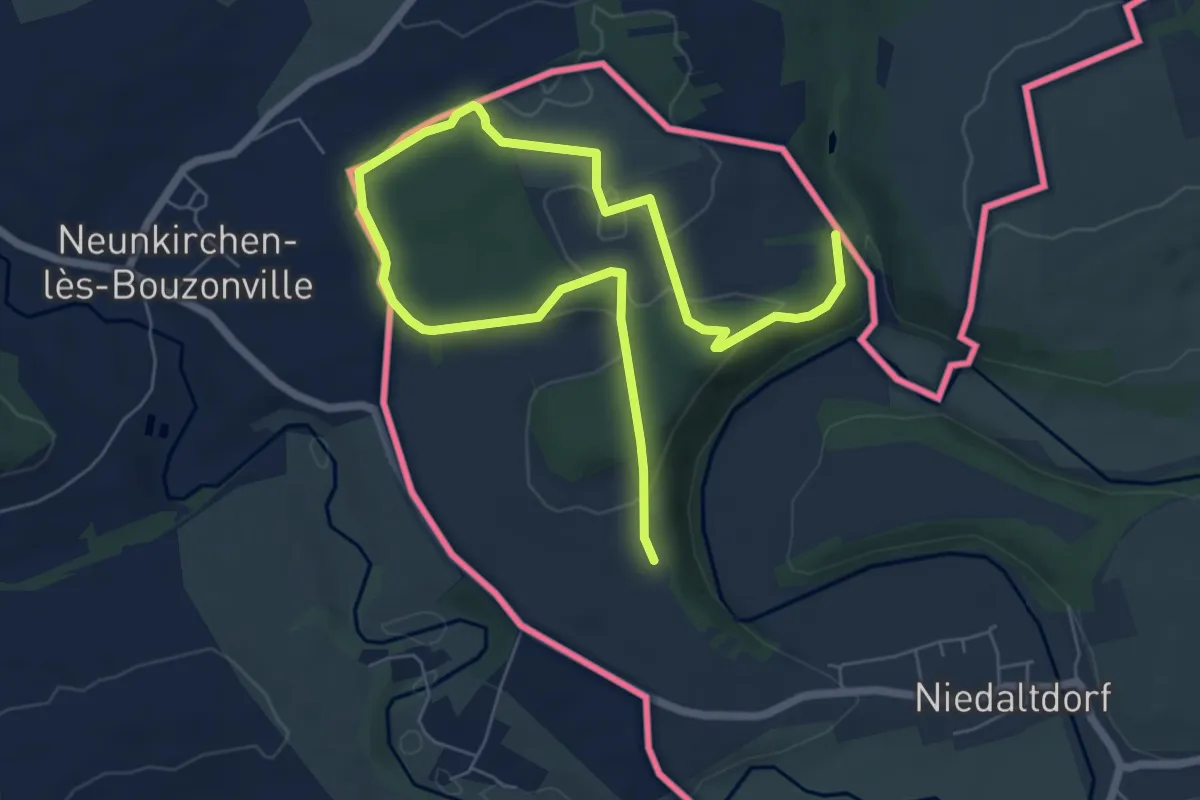
Medium · Trail
Druidenpfad
8.8 km · ↑ 164 m · 2 h 26 min
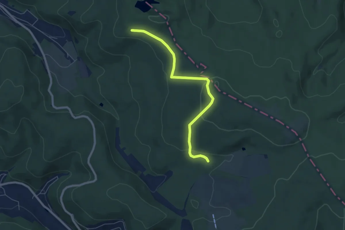
Easy · Trail
Druidensteig
5.3 km · ↑ 130 m · 1 h 32 min
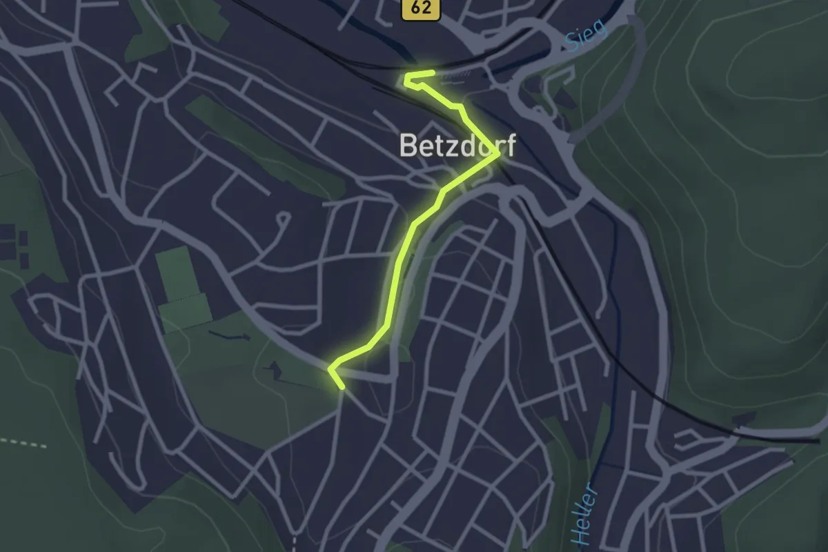
Easy · Trail
Druidensteig Zugang Betzdorf
2.1 km · ↑ 39 m · 35 min
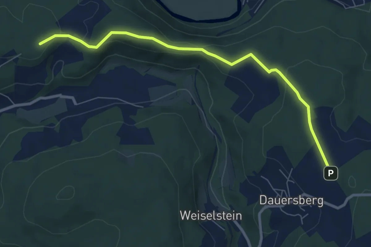
Easy · Trail
Druidensteig - Zustiege
6.4 km · ↑ 162 m · 1 h 51 min
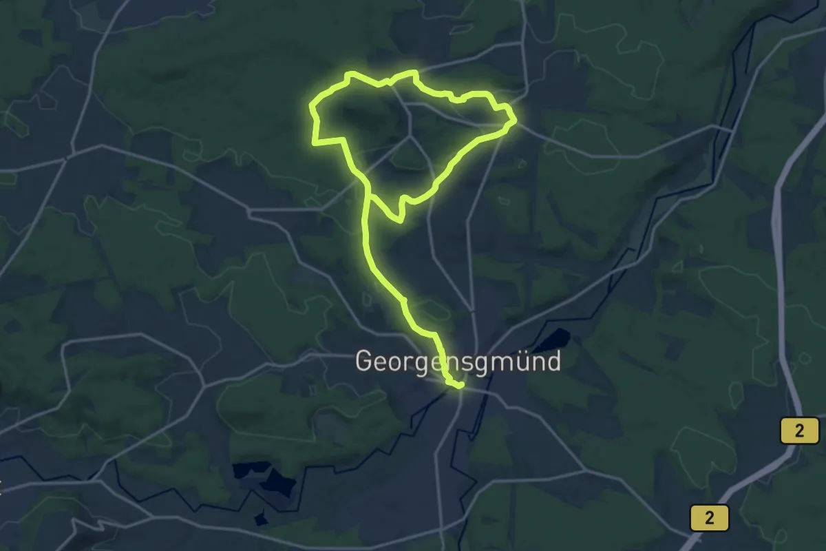
Medium · Trail
Druidenweg Georgensgmünd
11.3 km · ↑ 152 m · 3 h 8 min
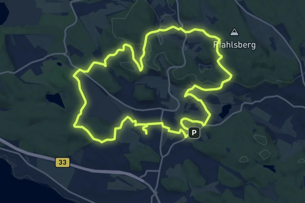
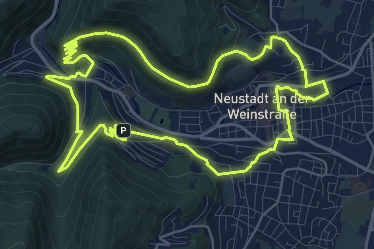
Medium · Summit
Drumlin-Runde, Allensbacher Naturkino
12.6 km · ↑ 216 m · 3 h 38 min
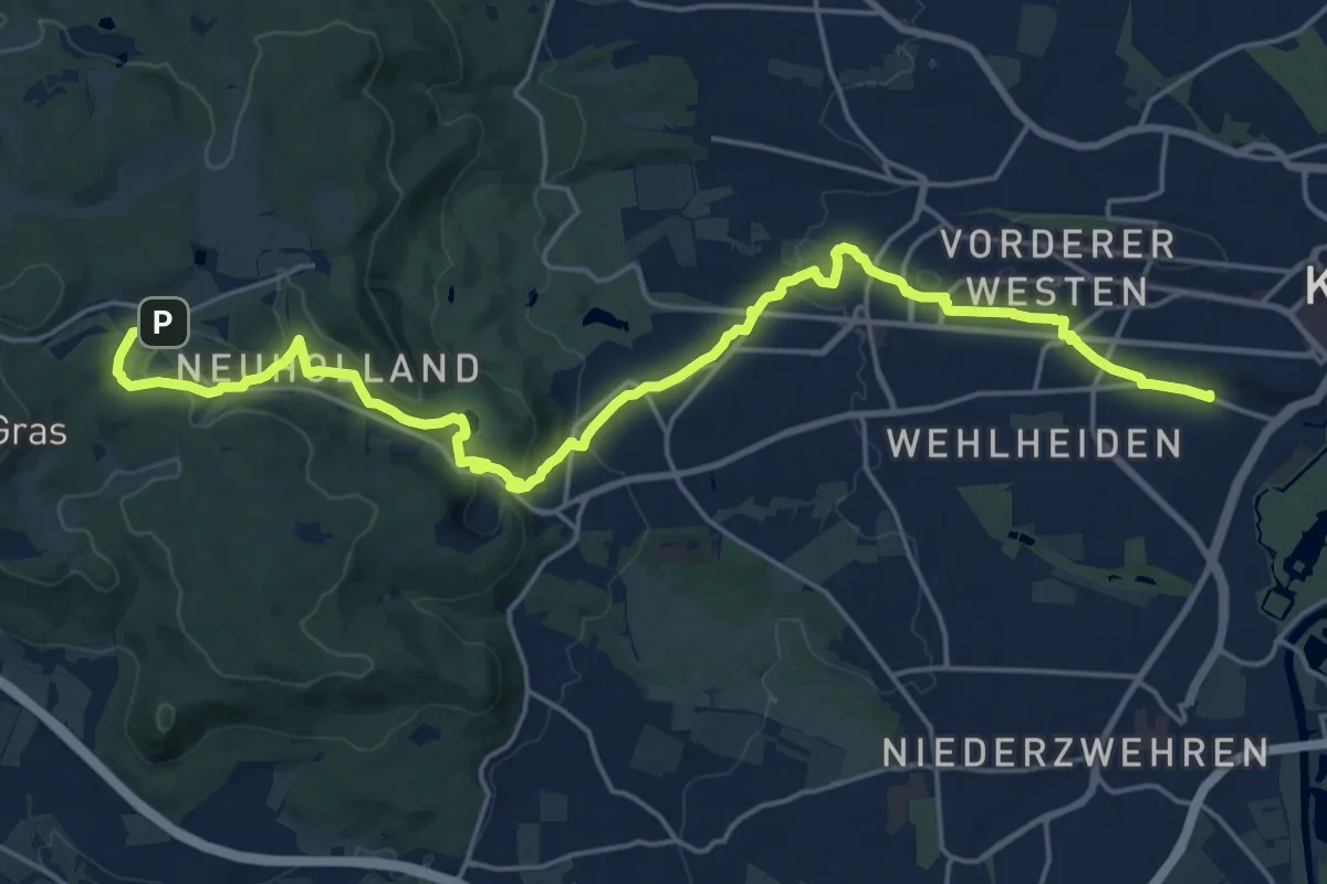
Medium · Trail
Drumrum-Weg
11.8 km · ↑ 350 m · 3 h 43 min
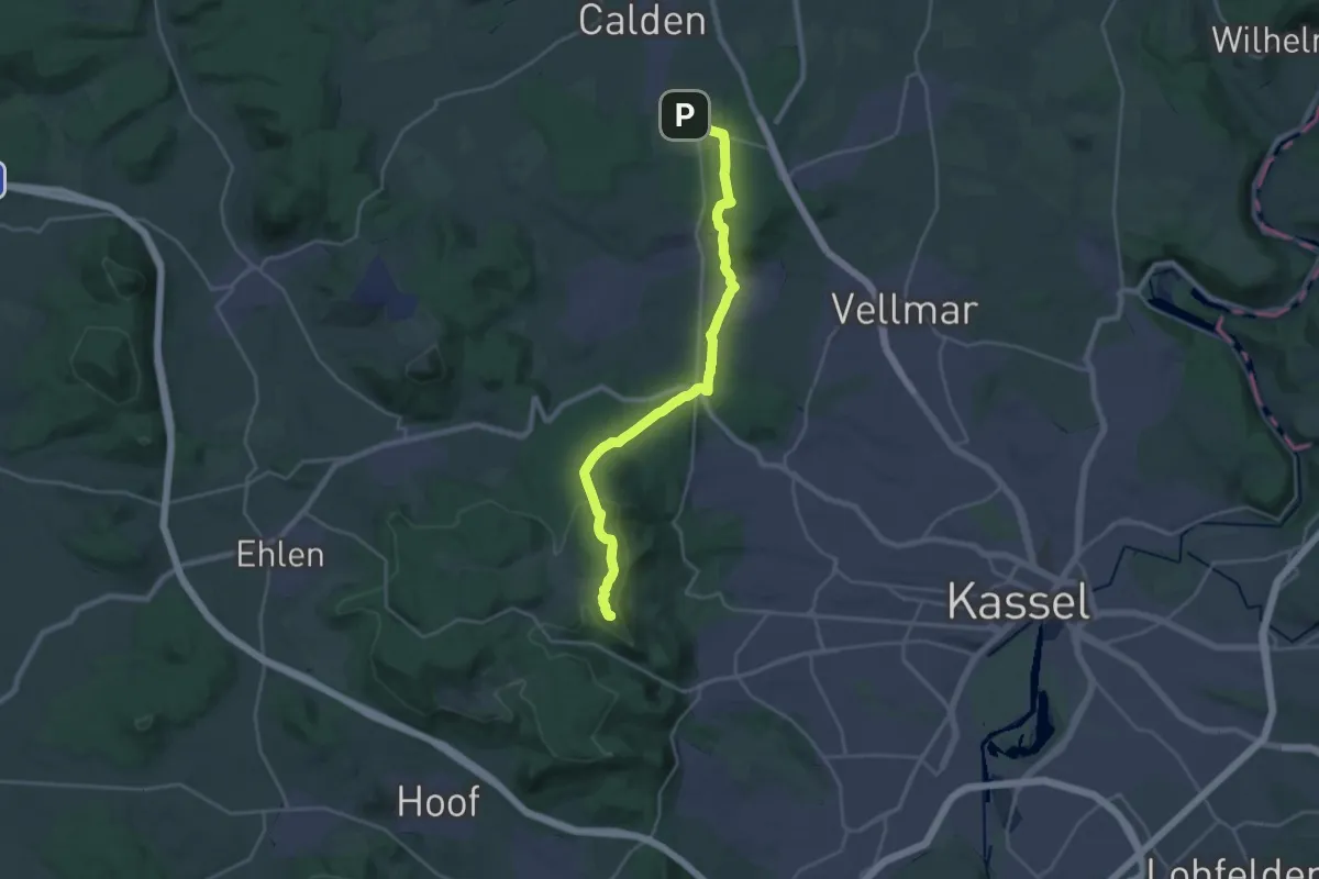
Demanding · Trail
Druselpfad
22.3 km · ↑ 466 m · 6 h 17 min
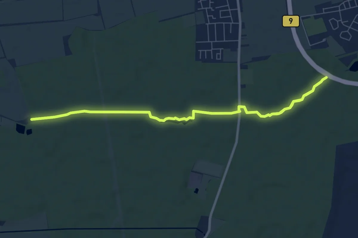
Demanding · Summit
Druseltal - Wilhelmsthal
22.9 km · ↑ 581 m · 6 h 40 min
Medium · Trail
Druslach Bacherlebnisweg
8.6 km · ↑ 42 m · 2 h 7 min
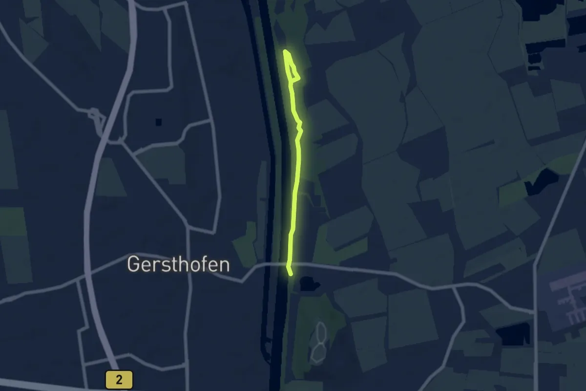
Easy · Trail
Dschungelpfad in den Lechauen Nord
2.3 km · ↑ 0 m · 35 min
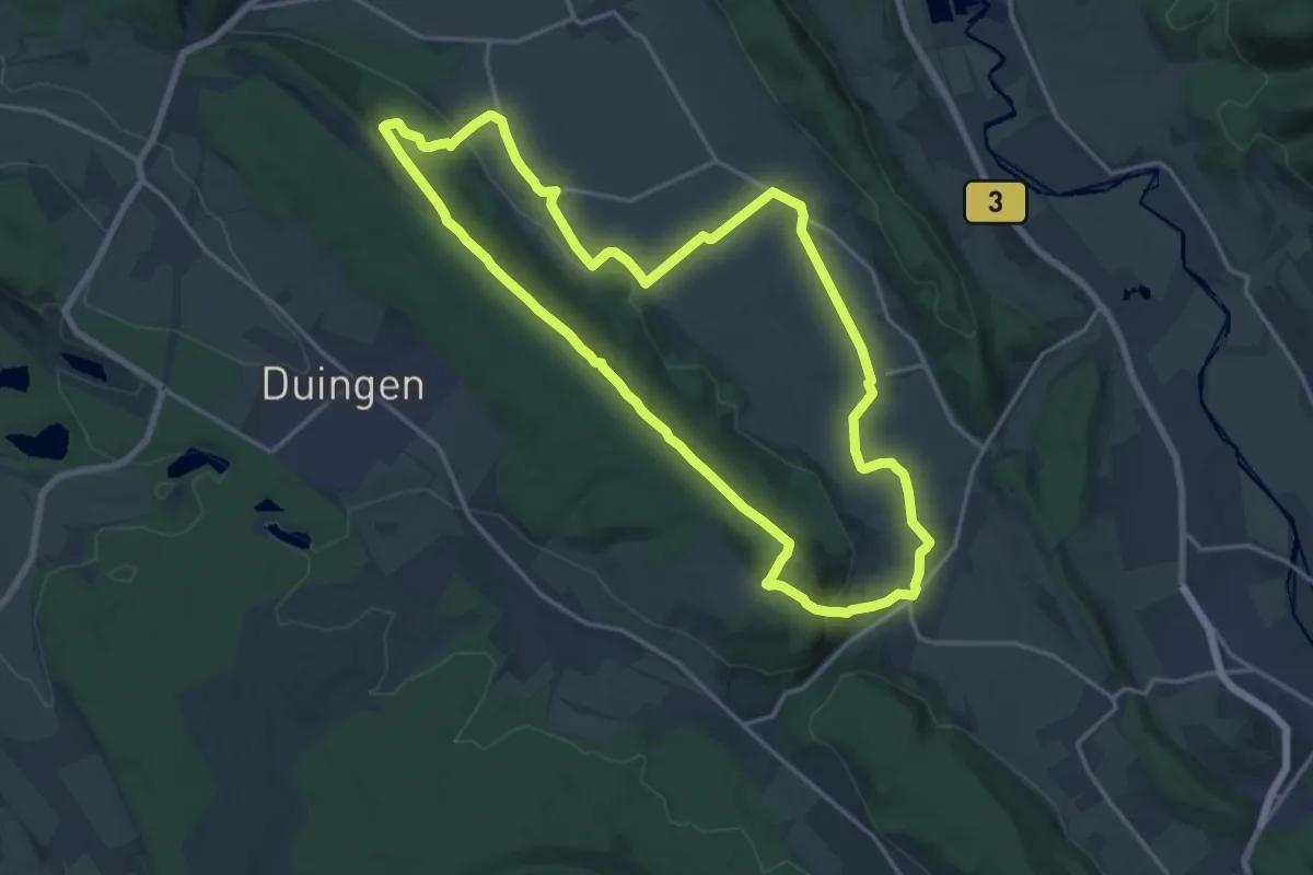
Medium · Summit
DU 1 Panoramaweg Pottland
15.6 km · ↑ 310 m · 4 h 35 min
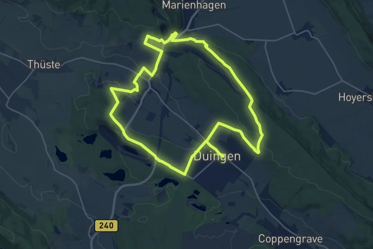
Medium · Trail
DU 3 Pottlandweg 3
15.0 km · ↑ 310 m · 4 h 25 min
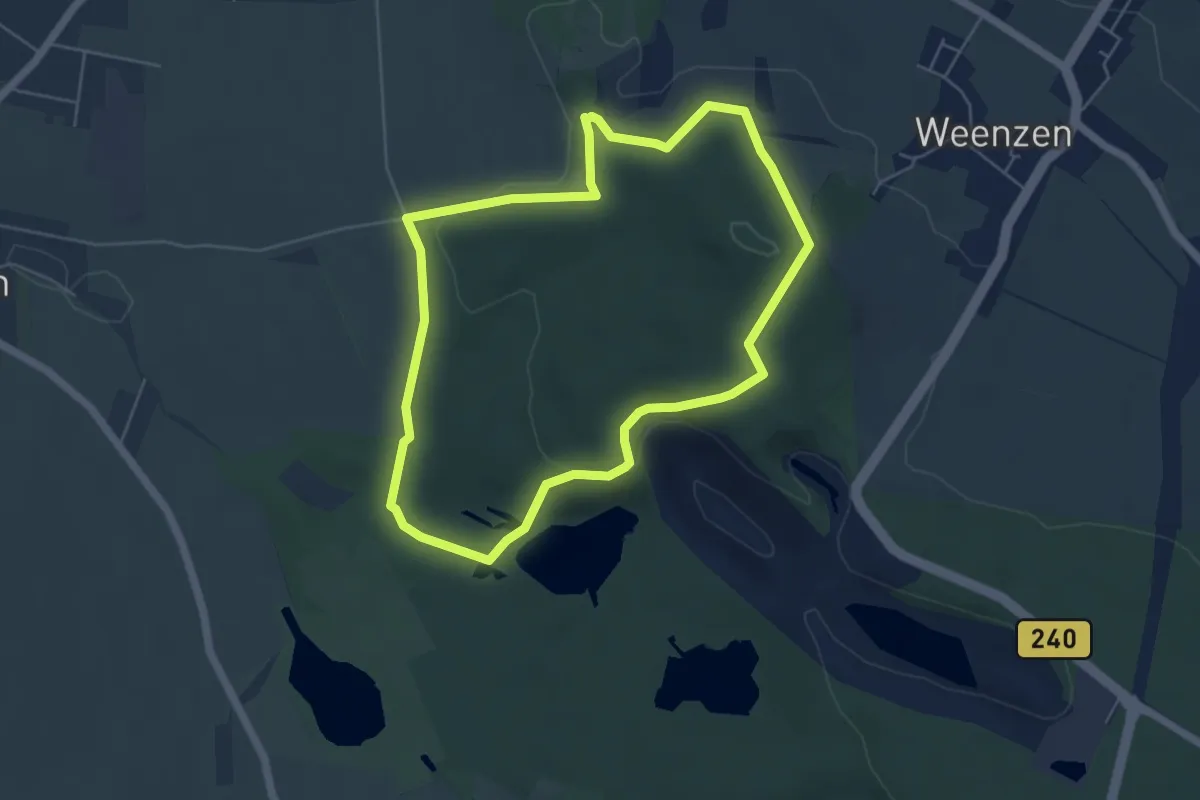
Easy · Trail
DU 4 Haidkopfweg
4.6 km · ↑ 92 m · 1 h 21 min
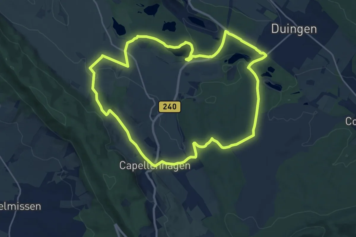
Medium · Trail
DU 5 Wiesenweg Fölziehausen
13.8 km · ↑ 192 m · 3 h 52 min
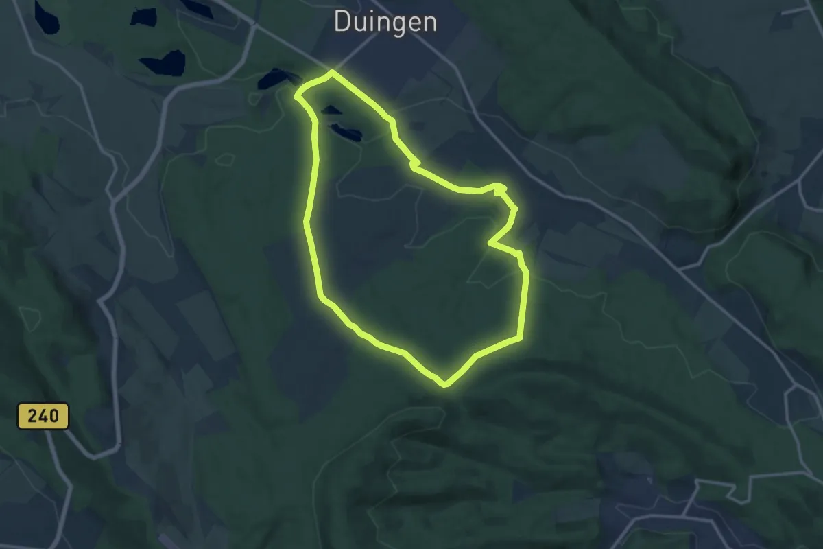
Medium · Trail
DU 6 Töpferweg
10.7 km · ↑ 164 m · 3 h 2 min
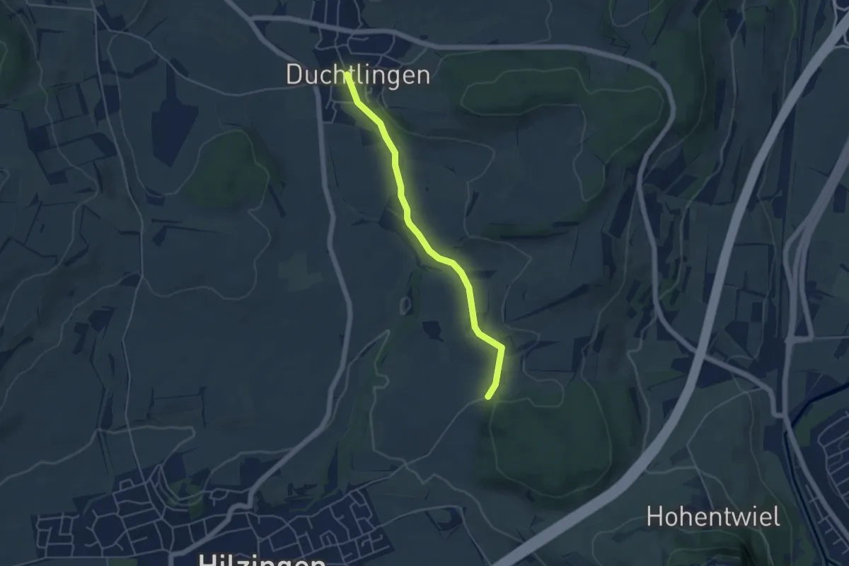
Easy · Trail
Duchtlingen Hegaustraße - Staufen
4.3 km · ↑ 23 m · 1 h 4 min
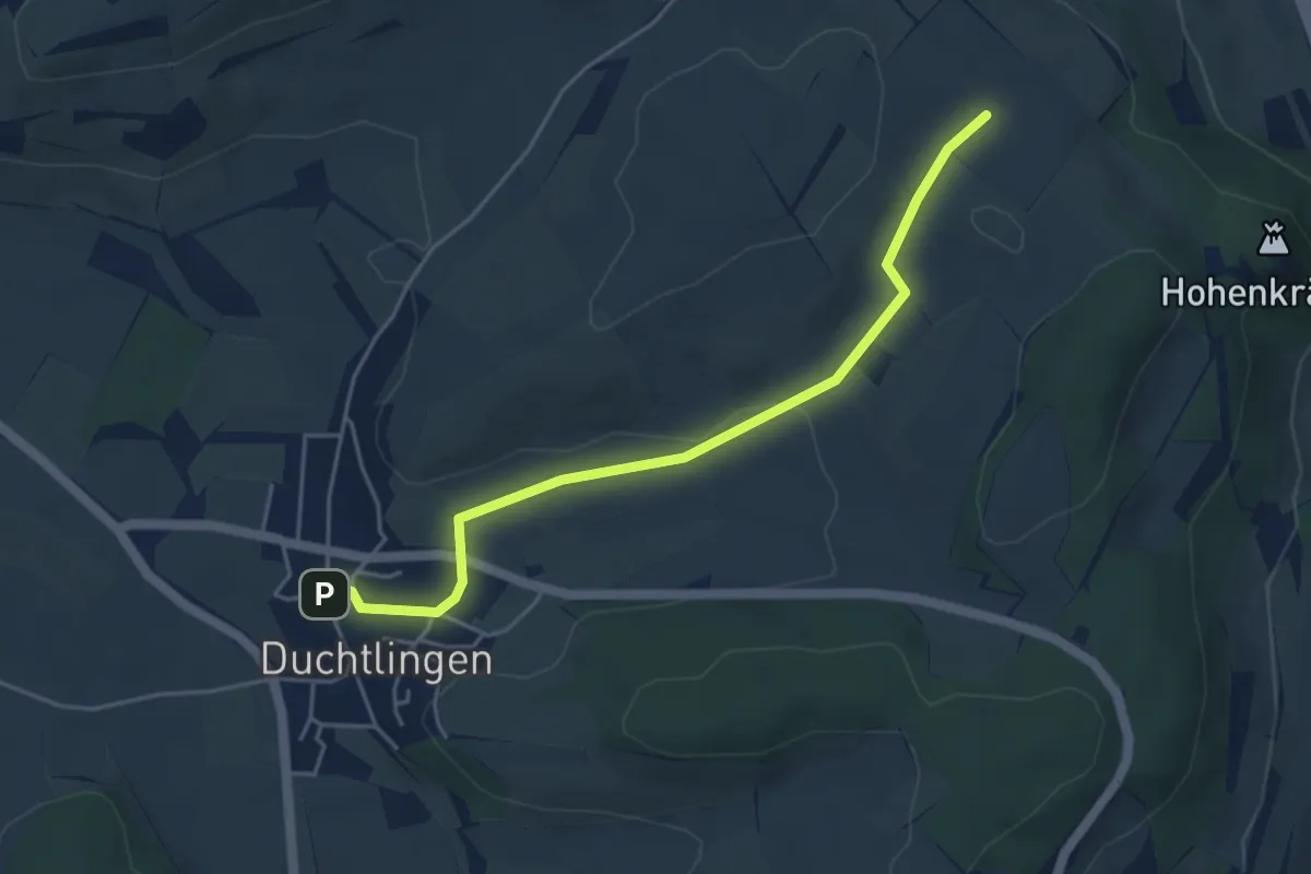
Easy · Trail
Duchtlingen Kirche - Unterm Lederbohl
4.5 km · ↑ 62 m · 1 h 12 min
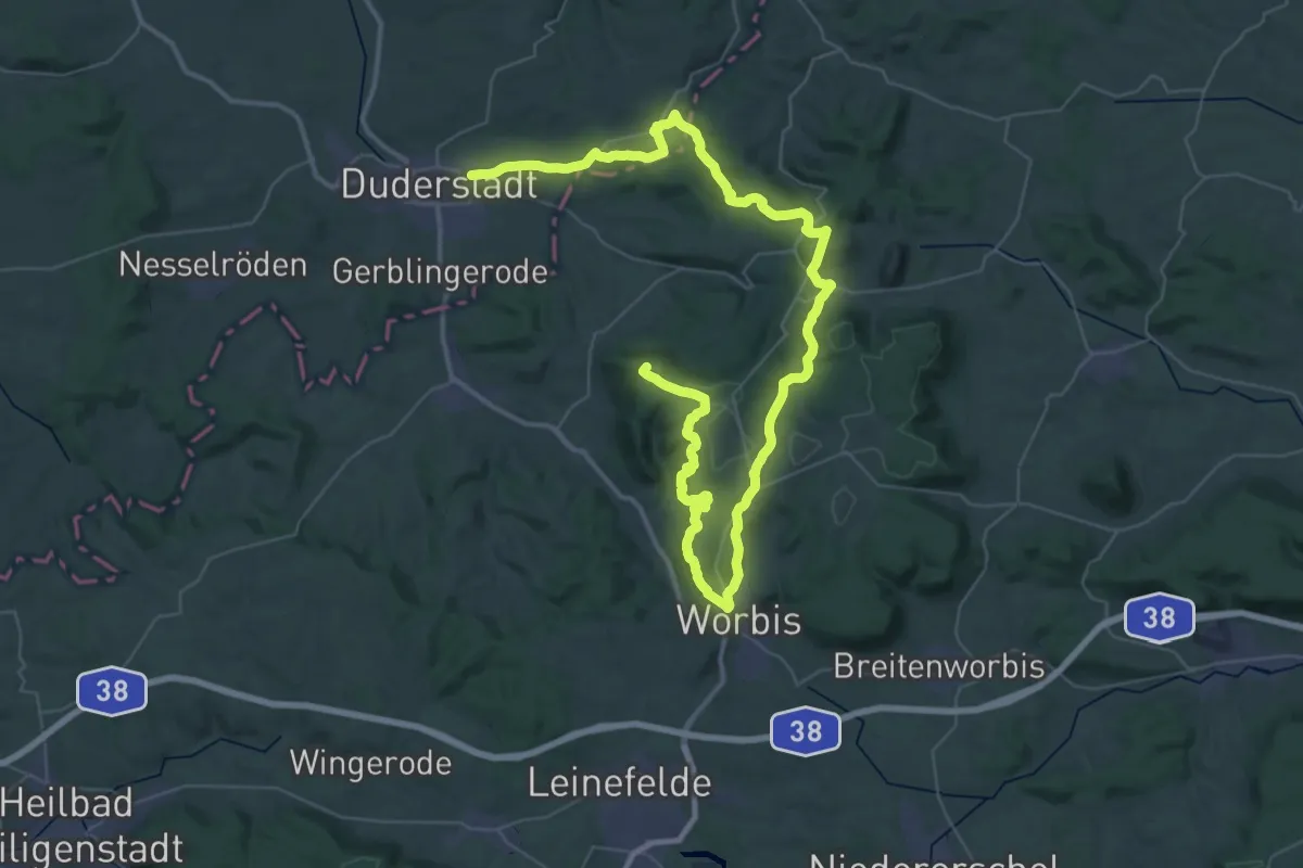
Demanding · Summit
Duderstadt-Worbis-Duderstadt
61.2 km · ↑ 1218 m · 17 h 6 min
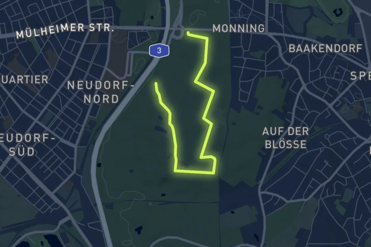
Easy · Summit
Duisburg Zooparkplatz Rundweg A1
3.5 km · ↑ 36 m · 57 min
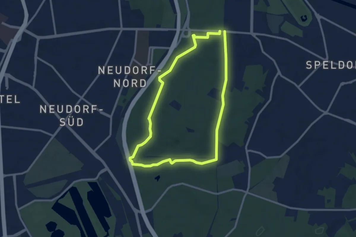
Easy · Trail
Duisburg Zooparkplatz Rundweg A2
6.1 km · ↑ 64 m · 1 h 40 min
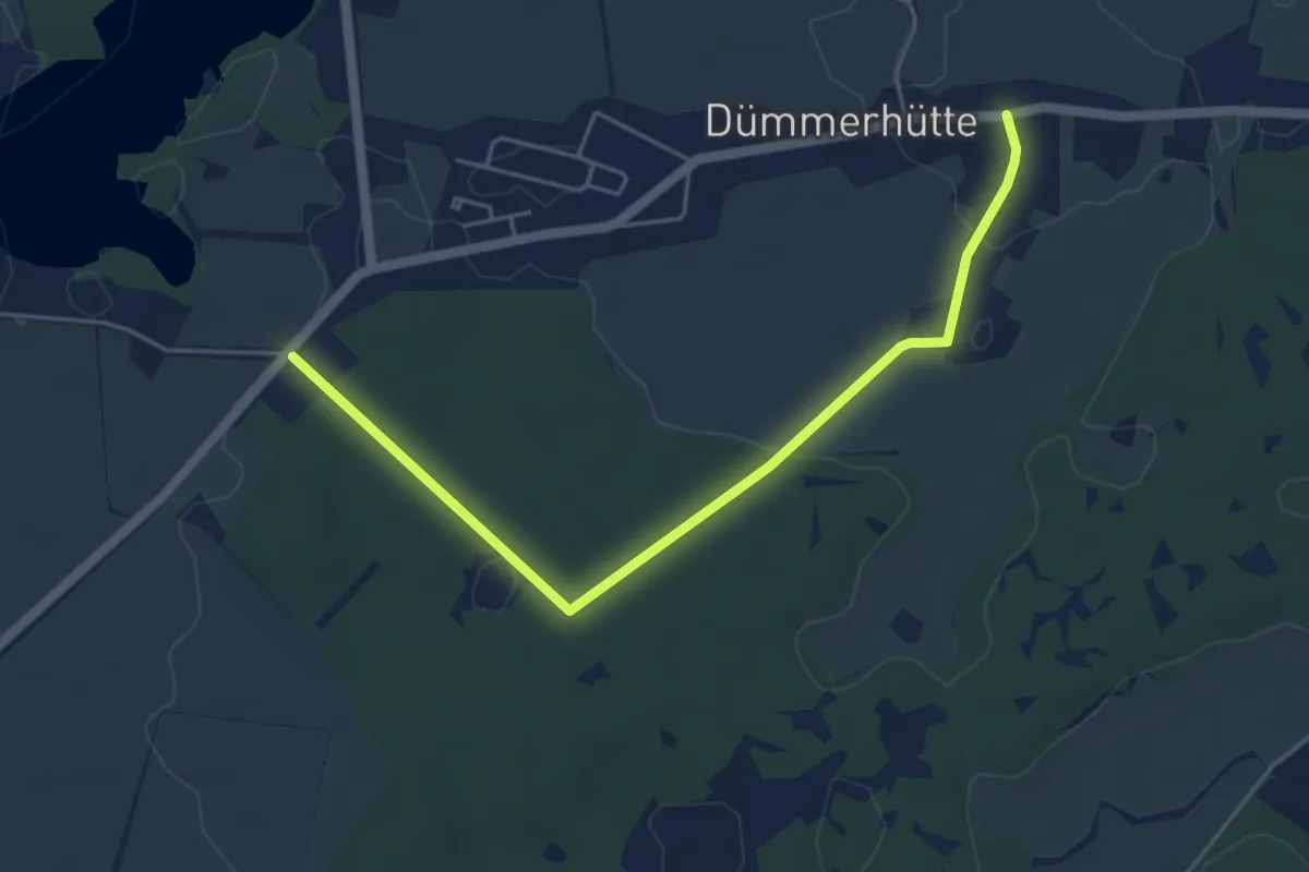
Easy · Trail
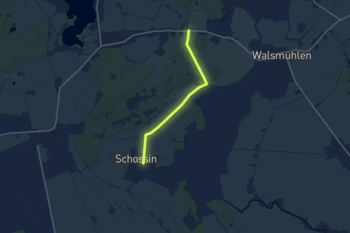
Dümmer-Dümmerhütte
4.5 km · ↑ 24 m · 1 h 7 min
Easy · Trail
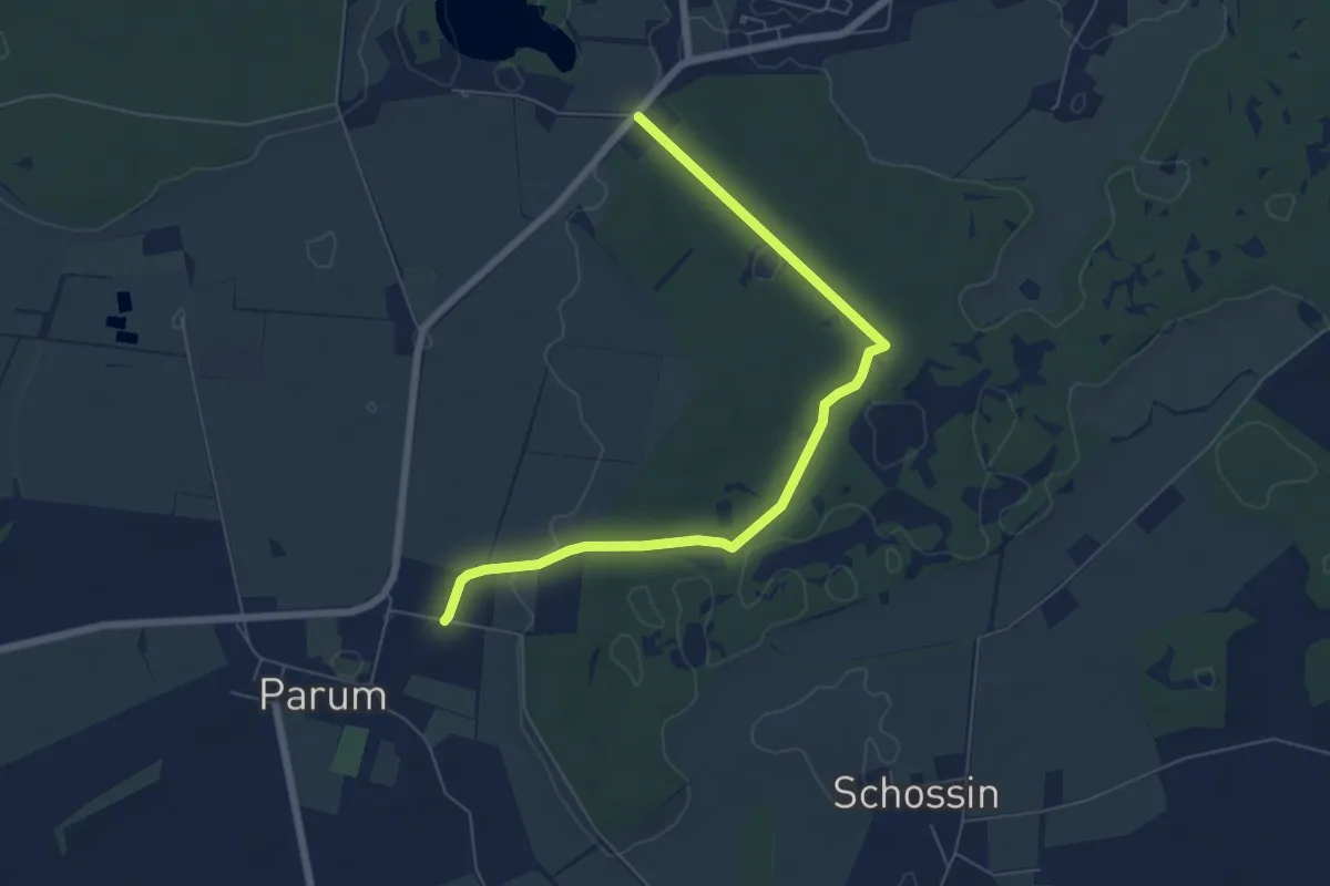
Dümmerhütte - Schossin
7.0 km · ↑ 18 m · 1 h 42 min
Easy · Trail
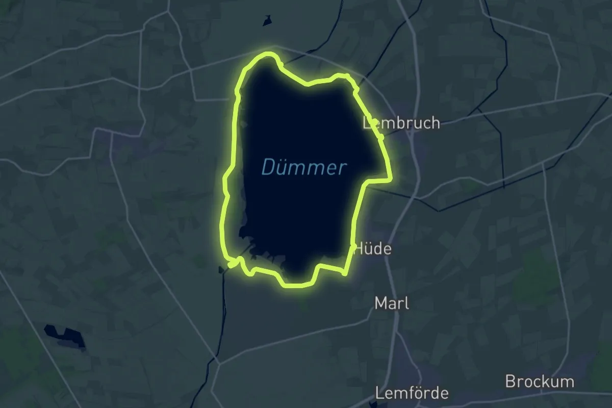
Dümmer-Parum
6.0 km · ↑ 29 m · 1 h 29 min
Medium · Trail
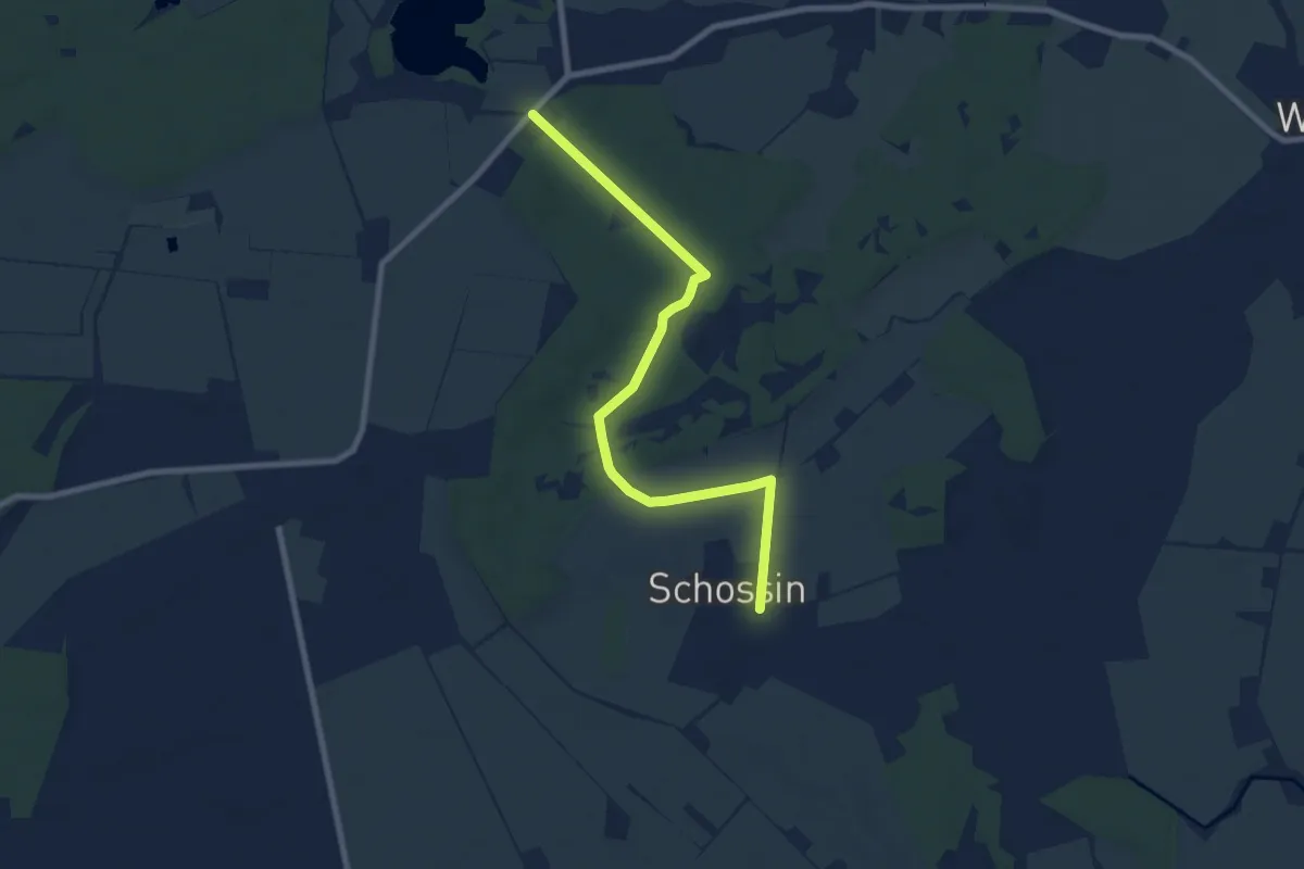
Dümmer-Rundweg
17.9 km · ↑ 4 m · 4 h 29 min
Easy · Trail
Dümmer-Schossin
7.2 km · ↑ 22 m · 1 h 45 min