Trails in Germany
36,847 hiking trails, each with its route, climb, walking time and grade.
All trails, page 117 of 768
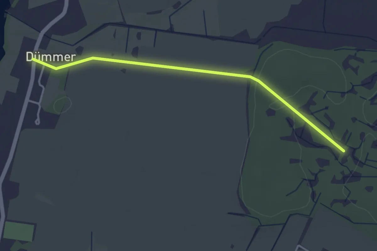
Easy · Trail
Dümmerstück Dorf - Schleusenholz
3.1 km · ↑ 19 m · 46 min
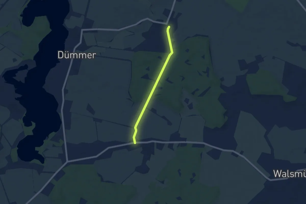
Easy · Trail
Dümmerstück Hof - Dümmerhütte
4.1 km · ↑ 17 m · 1 h
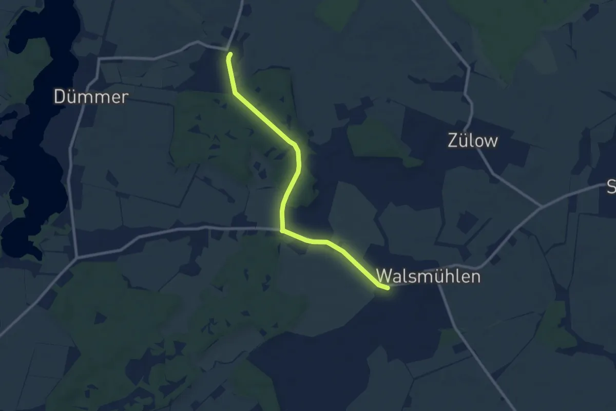
Easy · Trail
Dümmerstück Hof - Walsmühlen
7.2 km · ↑ 32 m · 1 h 46 min
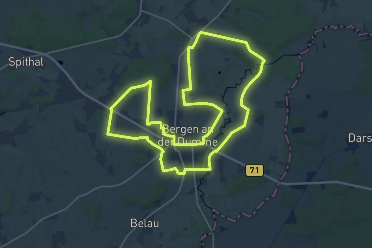
Medium · Trail
Dummewiesen-Weg
13.7 km · ↑ 74 m · 3 h 35 min
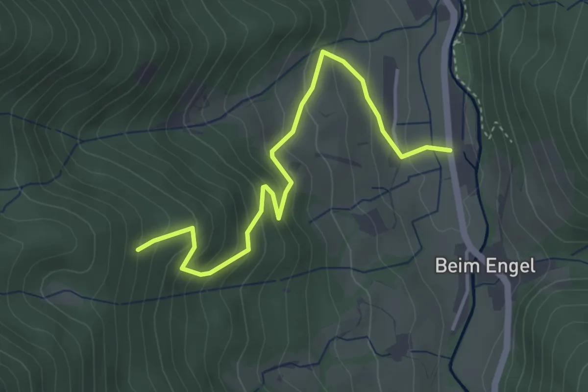
Medium · Trail
Dümpfle - Obersimonswald Mattenhof
3.8 km · ↑ 325 m · 1 h 36 min
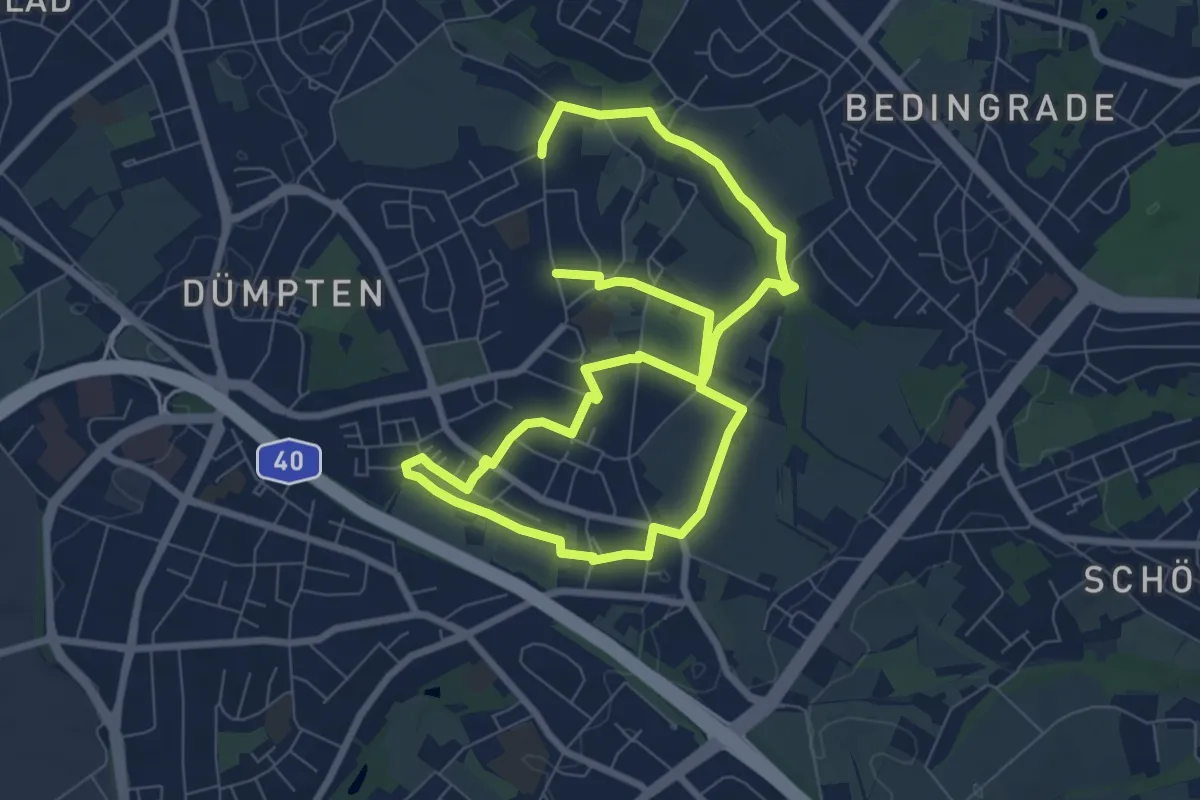
Easy · Trail
Dümpten Rundweg A2
6.1 km · ↑ 34 m · 1 h 35 min
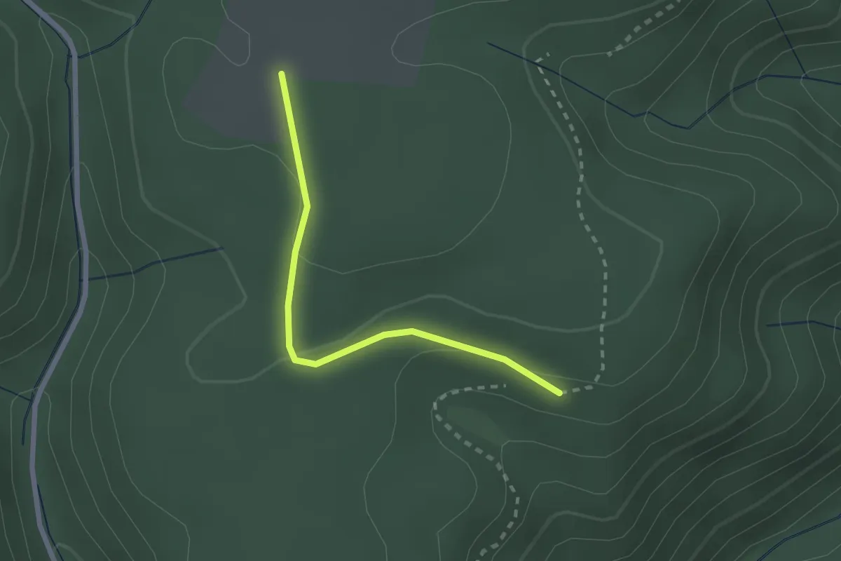
Easy · Trail
Dumrig-Parkplatz - Wolfshütte Dumrighütte
2.1 km · ↑ 45 m · 36 min
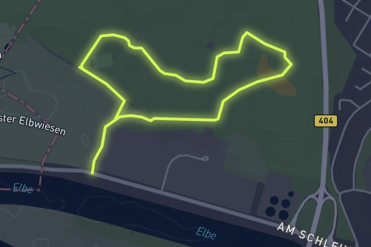
Easy · Trail
Düneberger Sandberge, Rundweg 3 km
2.9 km · ↑ 8 m · 45 min
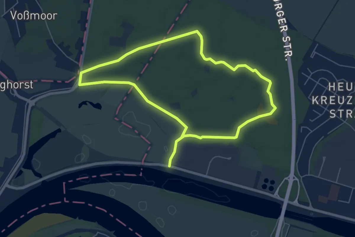
Easy · Trail
Düneberger Sandberge, Rundweg 5 km
4.7 km · ↑ 13 m · 1 h 12 min
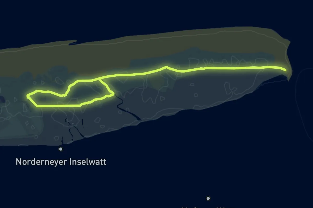
Medium · Trail
Dünen-Heller-Weg
17.7 km · ↑ 40 m · 4 h 16 min
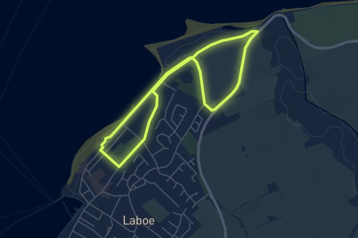
Easy · Trail
Dünenlandschaft
3.9 km · ↑ 17 m · 1 h 1 min
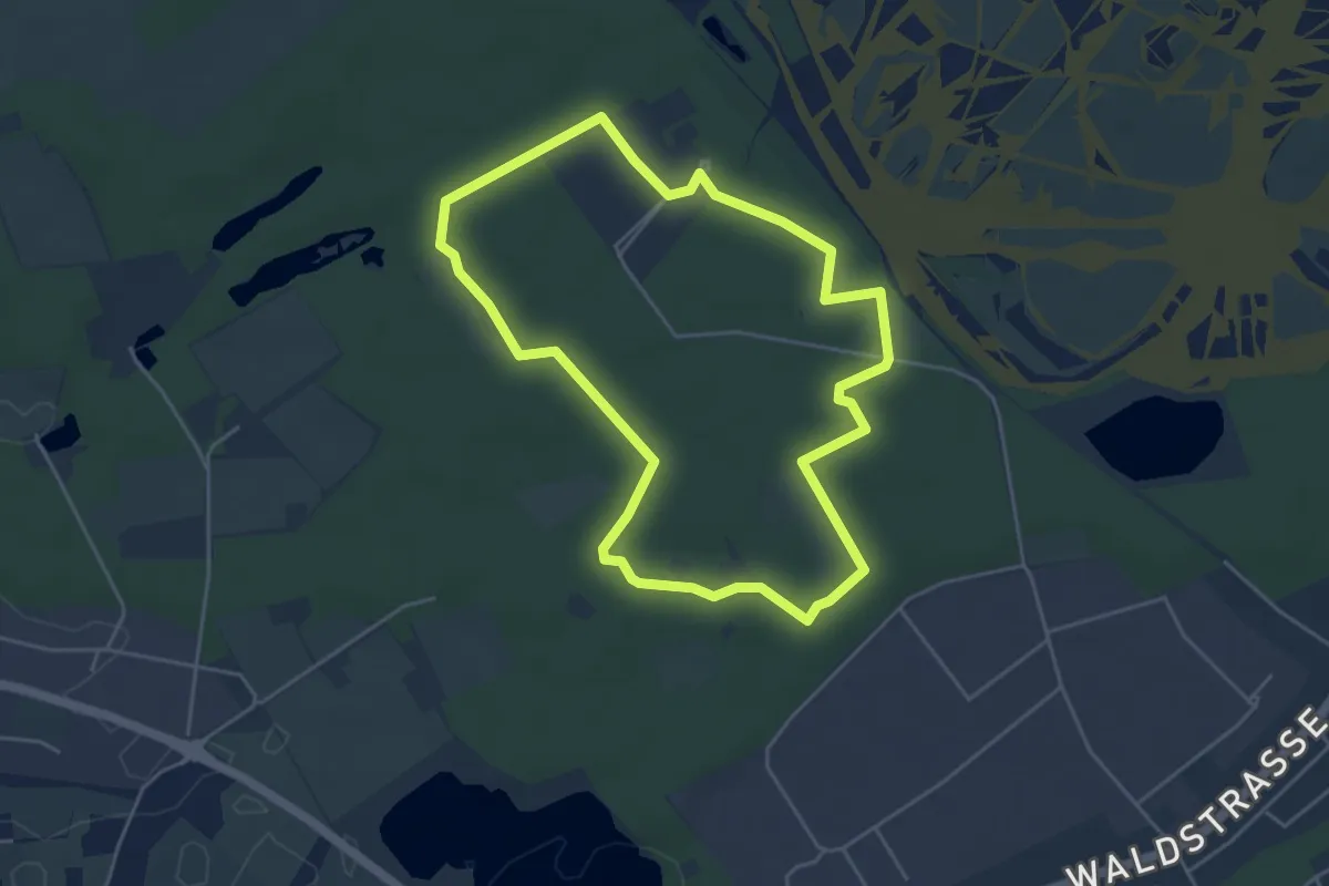
Easy · Trail
Dünenpfad
4.0 km · ↑ 18 m · 1 h 3 min
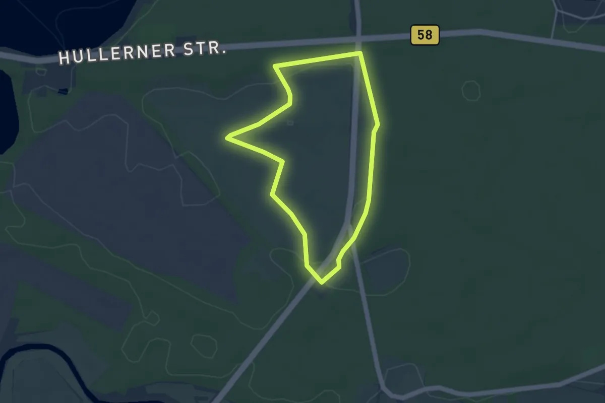
Easy · Trail
Dünenroute (Haltern Westruper Heide)
2.9 km · ↑ 9 m · 45 min
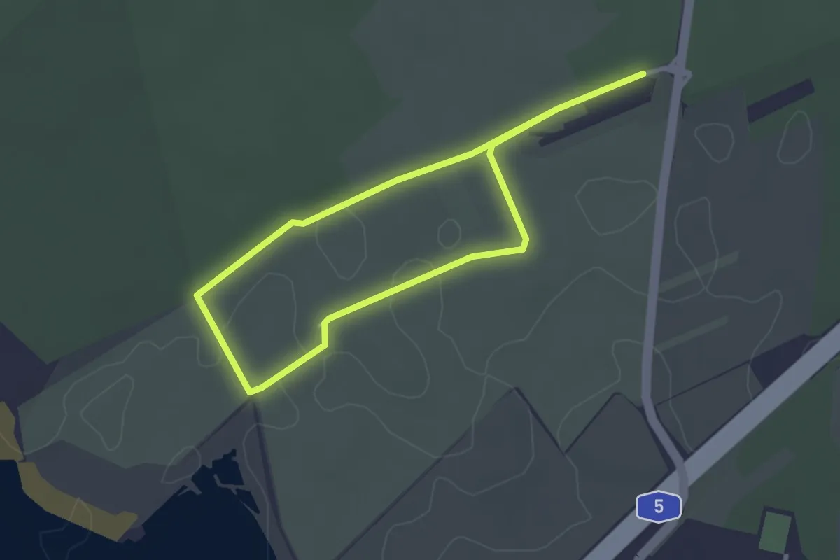
Easy · Trail
Dünen-Rundweg
2.4 km · ↑ 10 m · 37 min
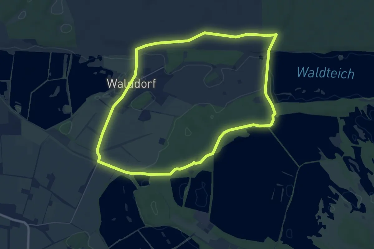
Easy · Trail
Dünenweg
6.2 km · ↑ 32 m · 1 h 37 min
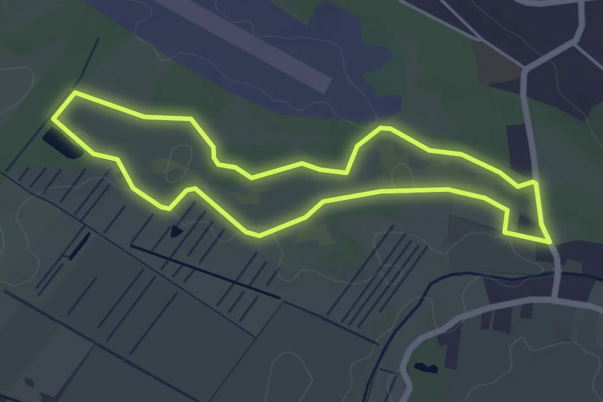
Easy · Trail
Dünenweg [Boberger Niederung]
3.5 km · ↑ 4 m · 53 min
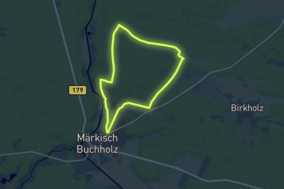
Easy · Trail
Dunkler Weg
7.6 km · ↑ 22 m · 1 h 57 min
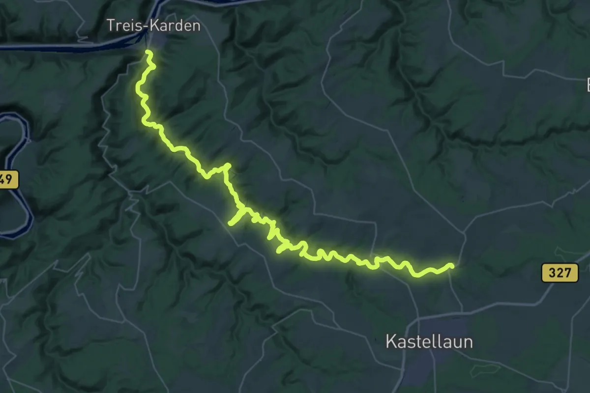
Demanding · Trail
Dünnbachtal-Weg
25.0 km · ↑ 733 m · 7 h 58 min
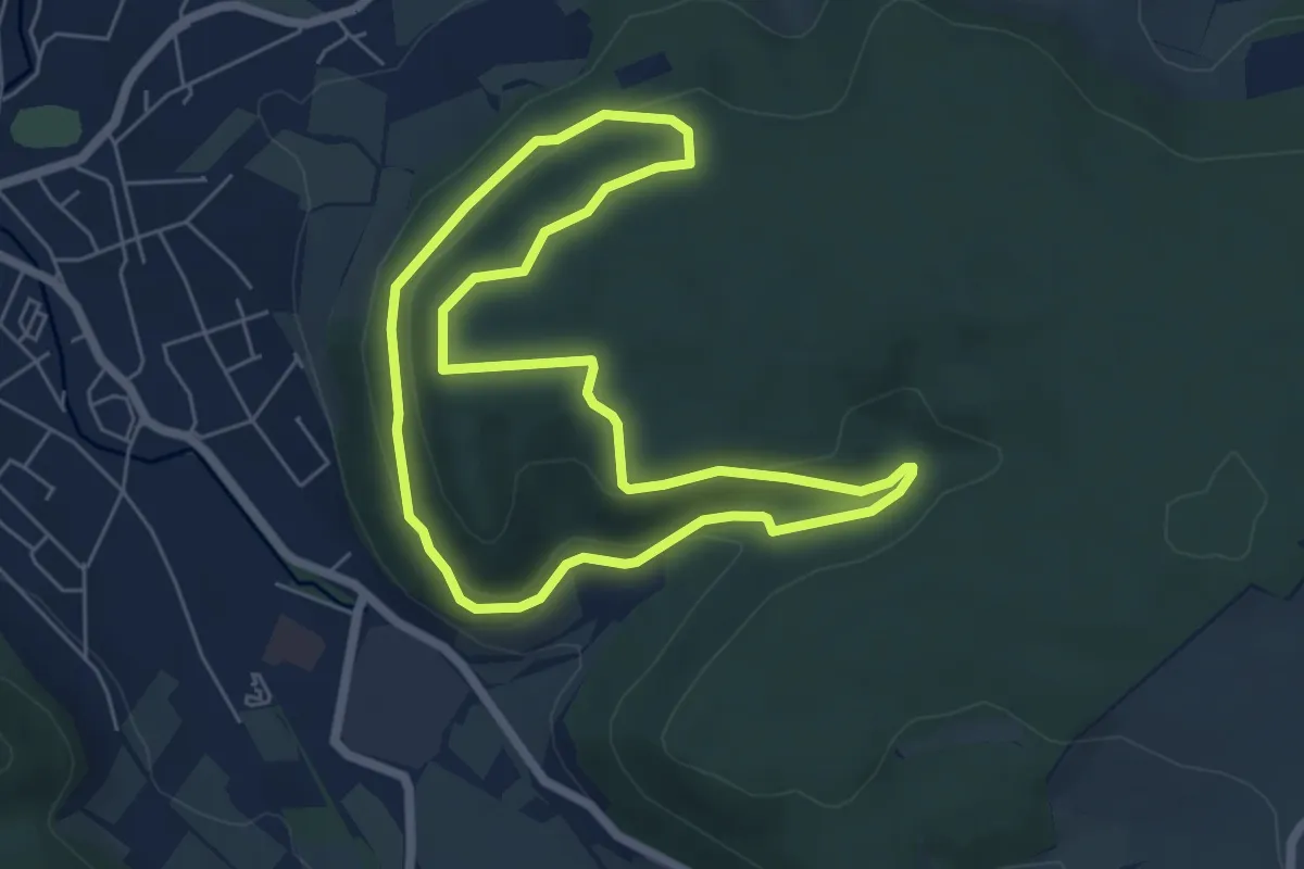
Easy · Trail
Dünrunde Walking
5.2 km · ↑ 129 m · 1 h 35 min
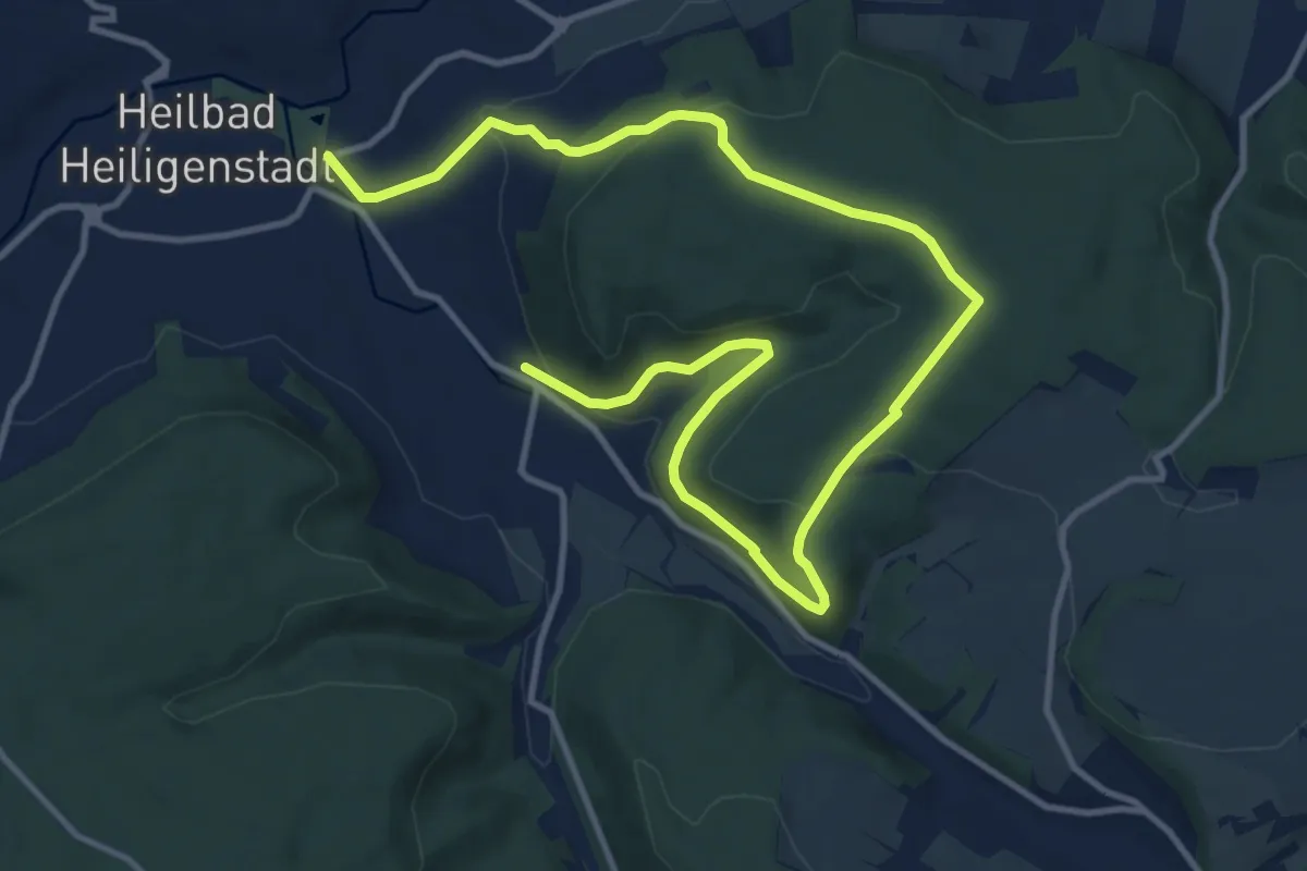
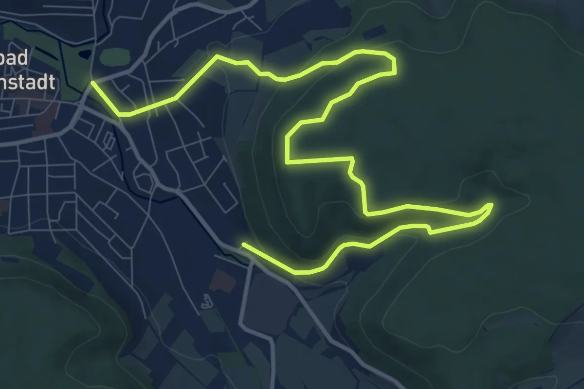
Easy · Trail
Dün Rundwanderweg (Gelber Balken)
7.6 km · ↑ 214 m · 2 h 21 min
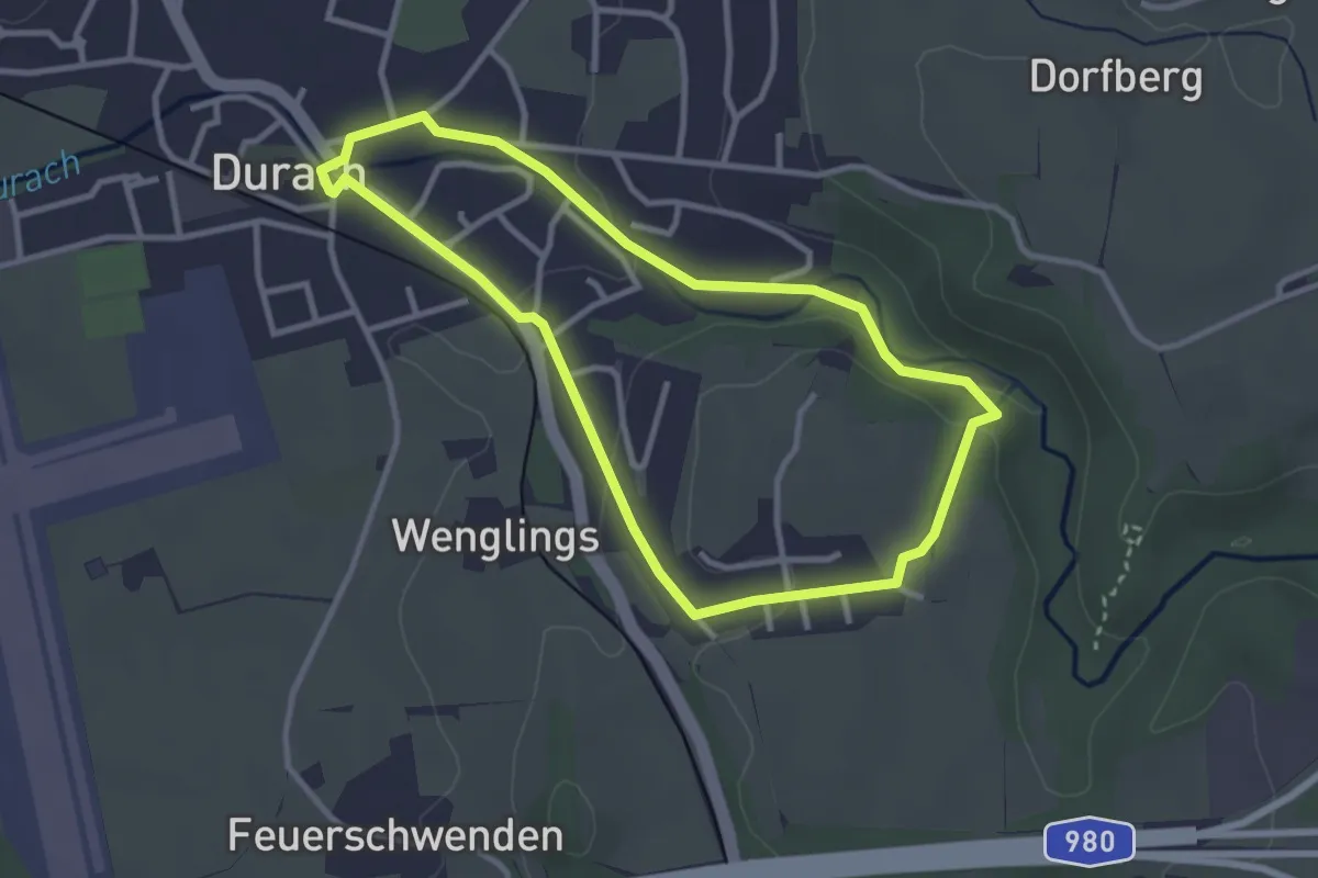
Easy · Trail
Dün Rundwanderweg (Grüner Balken)
5.8 km · ↑ 191 m · 1 h 51 min
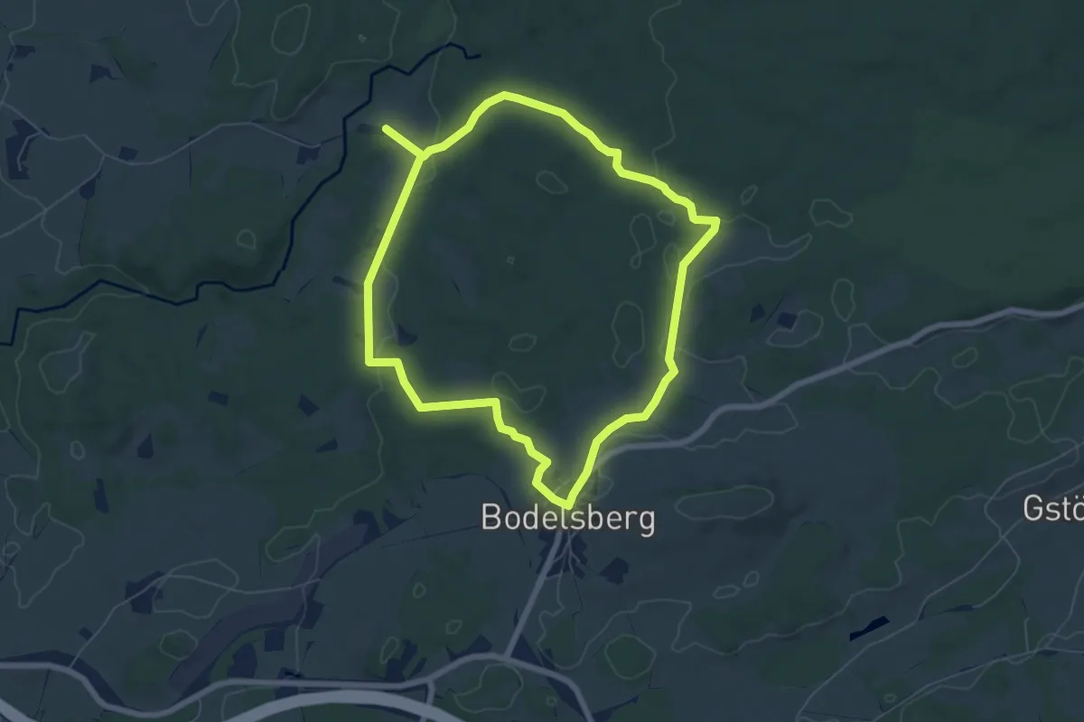
Easy · Trail
Durach: Auf der Römerstraße
2.9 km · ↑ 44 m · 49 min
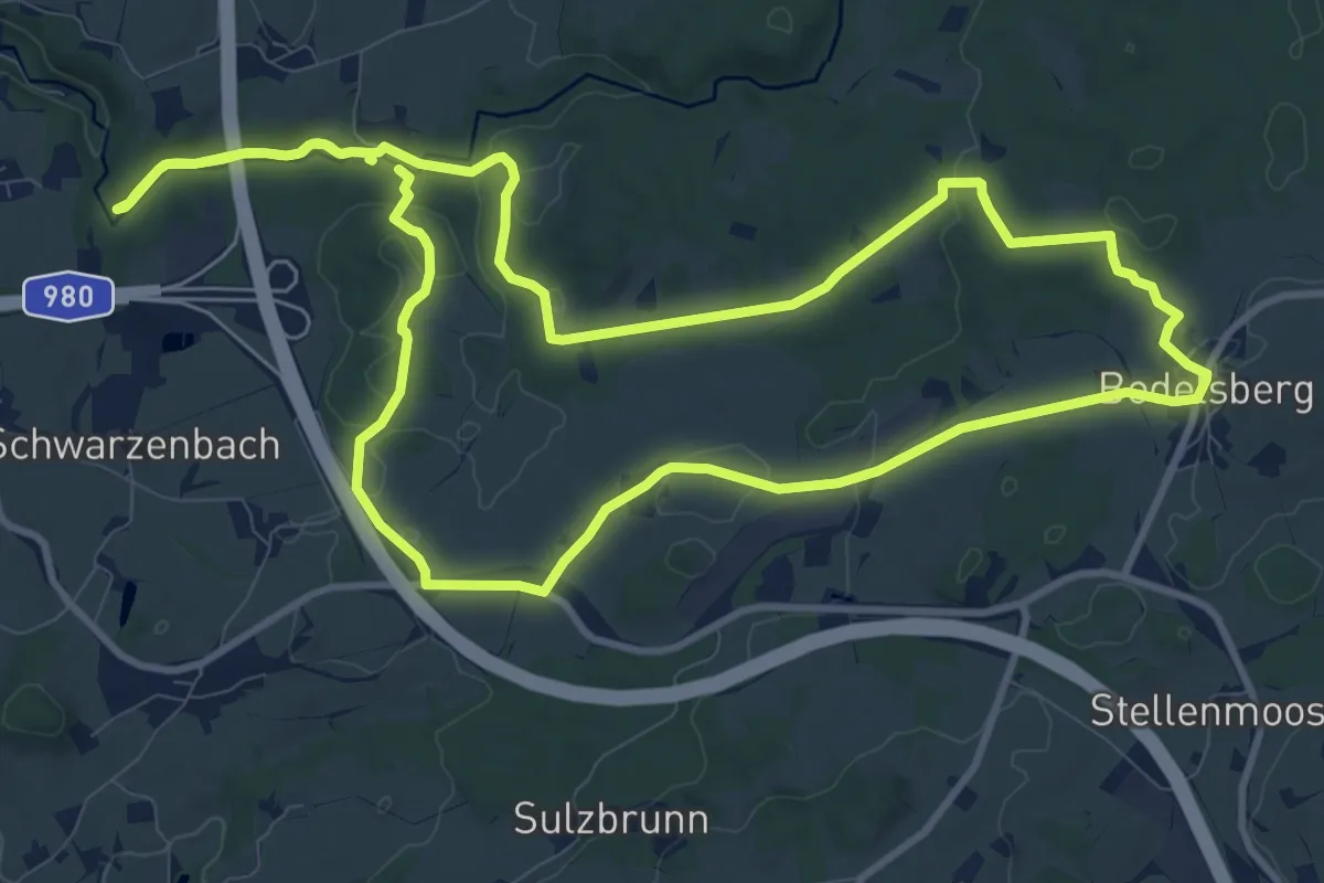
Easy · Trail
Durach: Bauernfliehburg-Runde
6.3 km · ↑ 94 m · 1 h 47 min
Medium · Trail
Durach: Bodelsberg-Runde
11.3 km · ↑ 173 m · 3 h 12 min
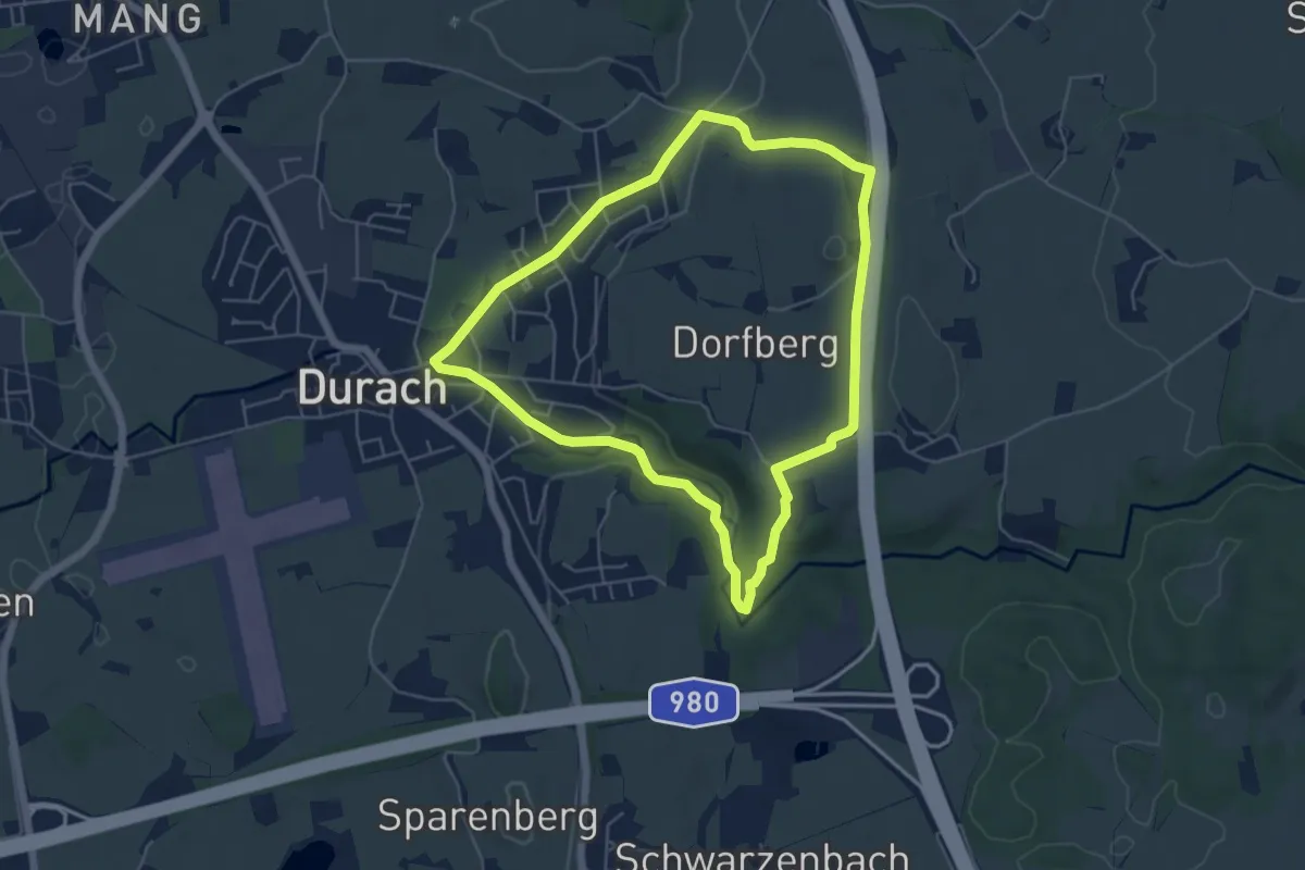
Medium · Trail
Durach: Dürrenberg-Runde
5.1 km · ↑ 79 m · 1 h 26 min
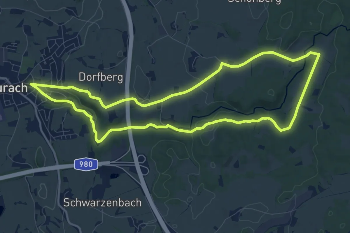
Medium · Trail
Durach: Einkehrweg
9.8 km · ↑ 142 m · 2 h 45 min
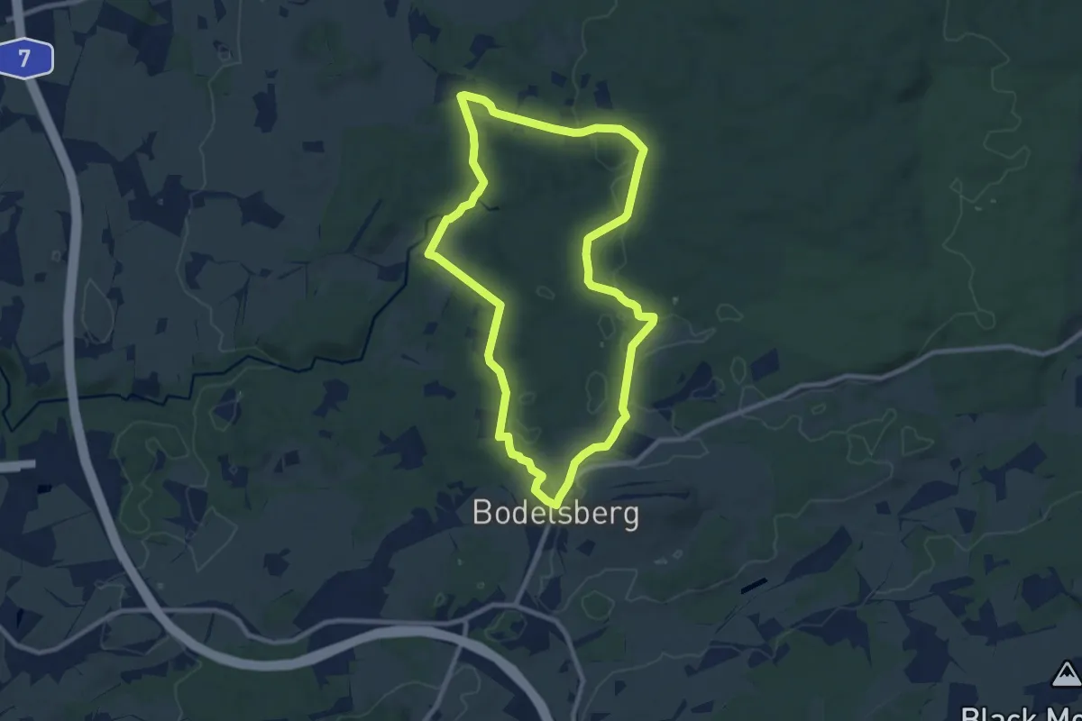
Medium · Trail
Durach: Findlingsweg
8.5 km · ↑ 137 m · 2 h 26 min
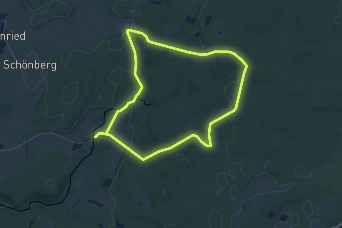
Easy · Trail
Durach: Geotopweg Dengelstein
5.5 km · ↑ 104 m · 1 h 35 min
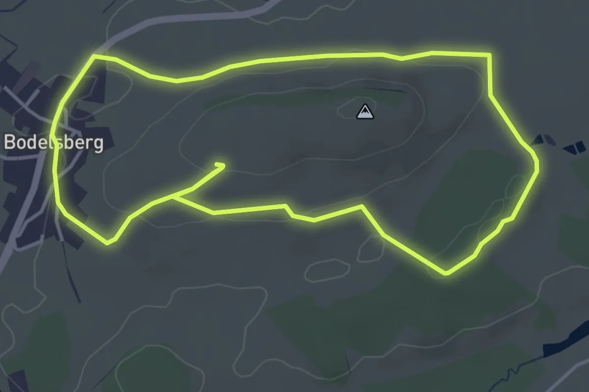
Easy · Trail
Durach: Rund um den Bodelsberg
3.9 km · ↑ 61 m · 1 h 6 min
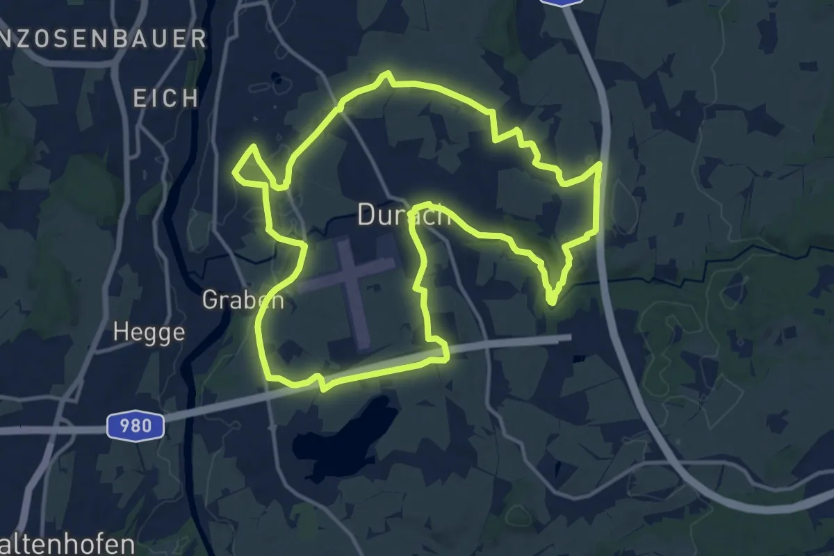
Medium · Trail
Durach: Rund um Durach
13.1 km · ↑ 127 m · 3 h 33 min
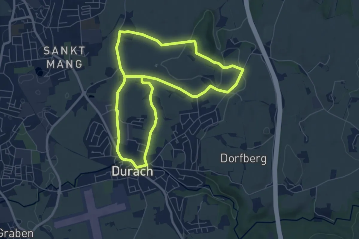
Easy · Trail
Durach: Schreierwald-Runde
6.5 km · ↑ 63 m · 1 h 45 min
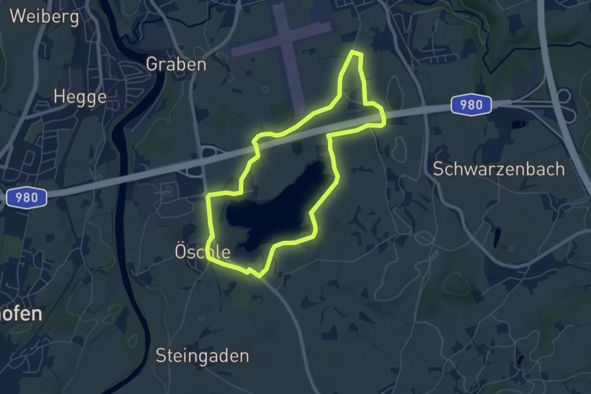
Easy · Trail
Durach: Sulzberger-See-Runde
5.7 km · ↑ 40 m · 1 h 31 min
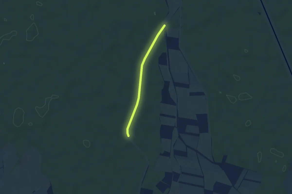
Easy · Trail
Durbach-Kammbach-Wannenbach Kanal - Am Dücker
2.6 km · ↑ 0 m · 37 min
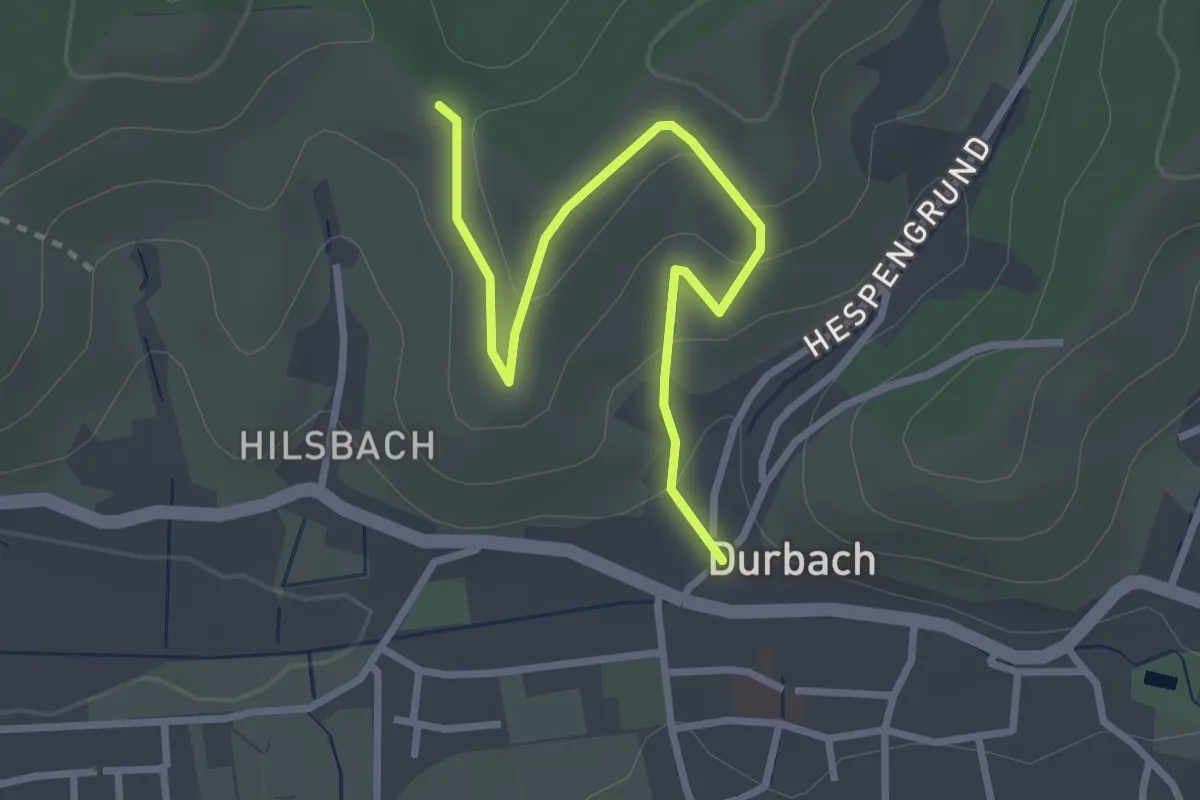
Easy · Trail
Durbach Kirche St. Heinrich - Hilsbacher Höhe
3.1 km · ↑ 153 m · 1 h 3 min
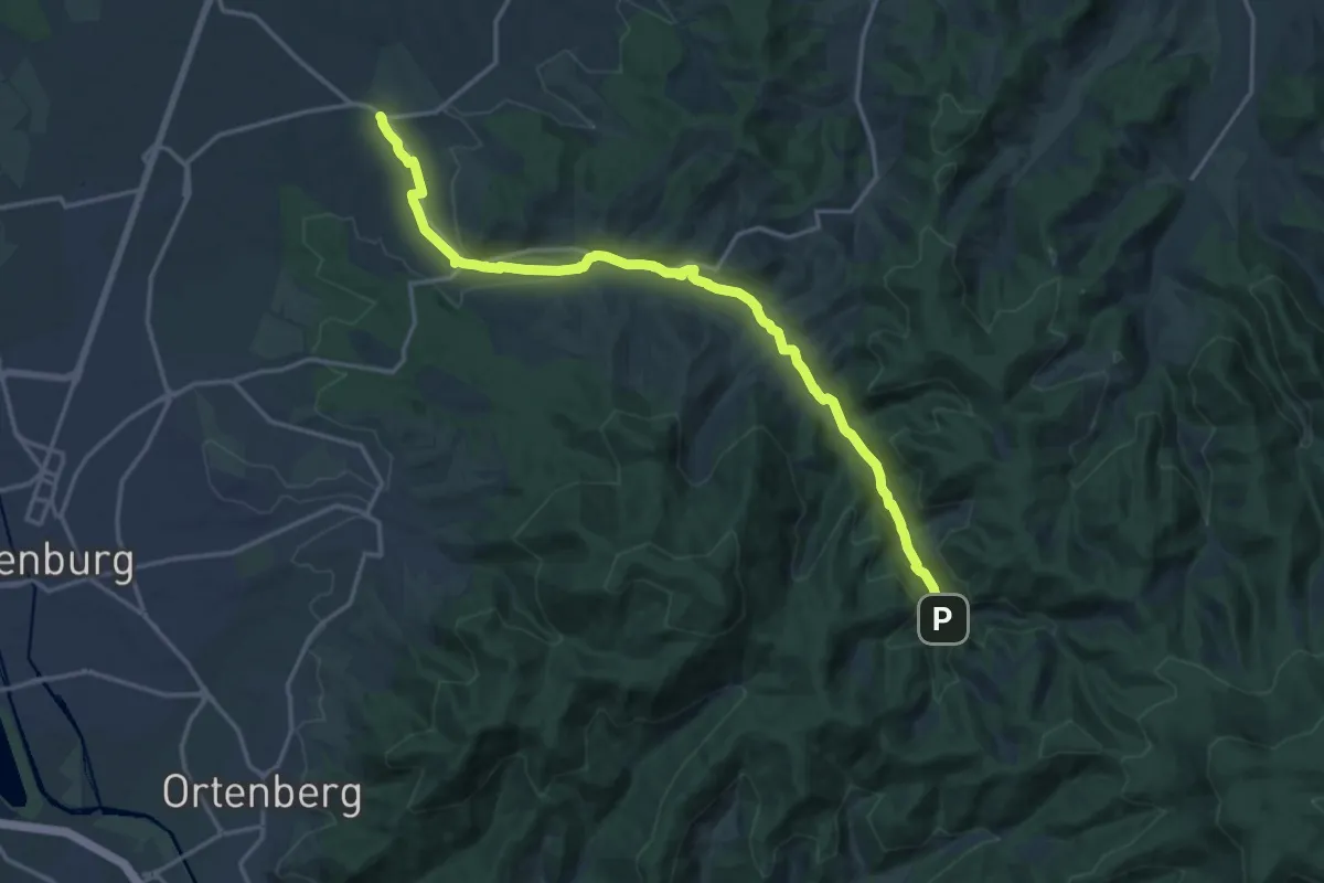
Medium · Trail
Durbachtalweg
16.9 km · ↑ 189 m · 4 h 24 min
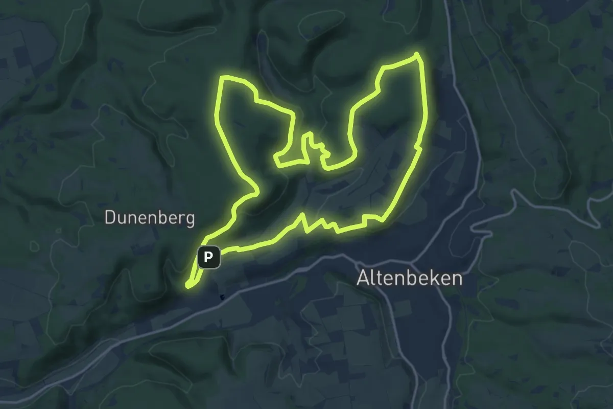
Medium · Summit
Durbeke-Steig (Naturerbe Wanderwelt Altenbeken)
14.4 km · ↑ 338 m · 4 h 21 min
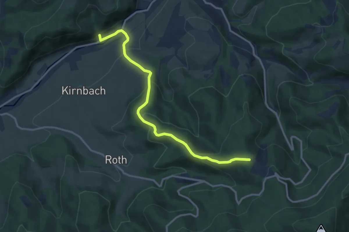
Medium · Trail
Durben - Erbsengrund
7.9 km · ↑ 425 m · 2 h 48 min
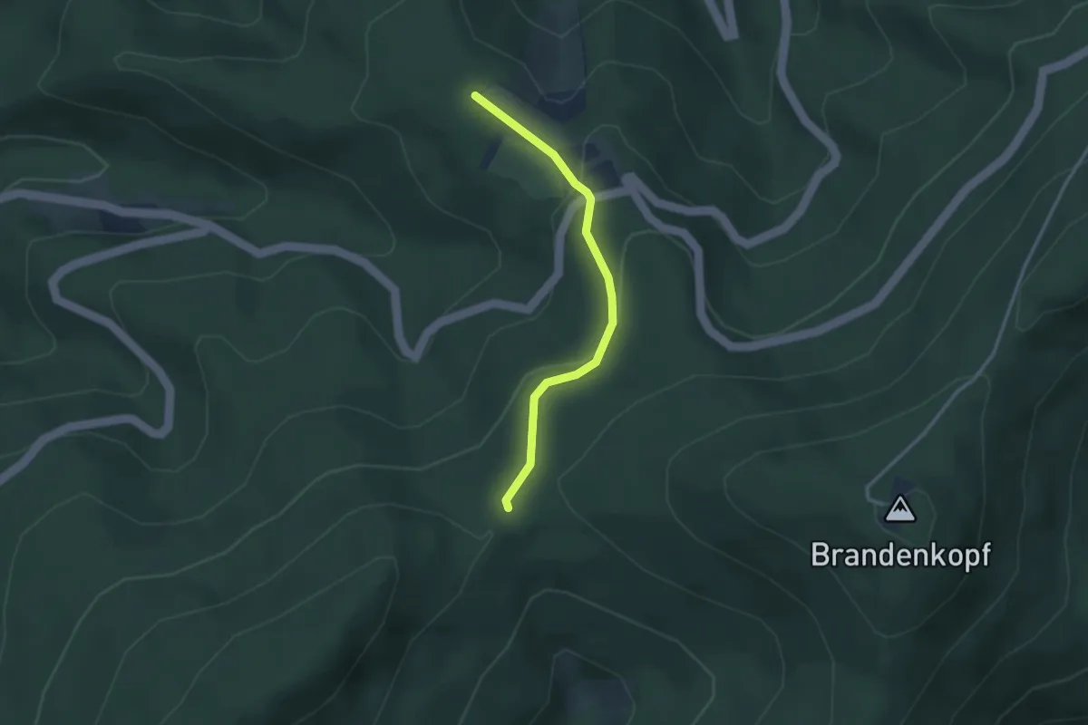
Easy · Trail
Durben - Schwarzenbachsattel
2.6 km · ↑ 115 m · 52 min
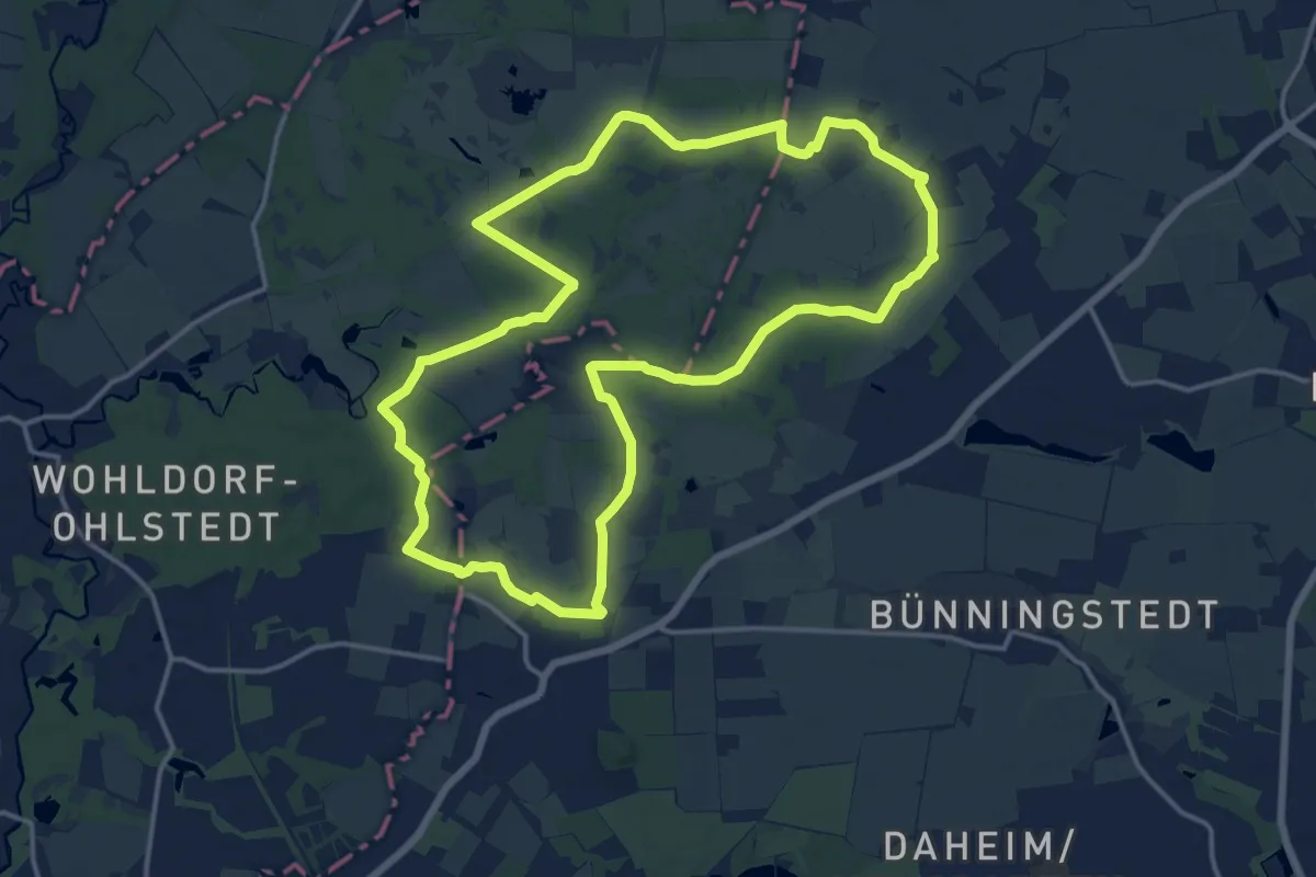
Medium · Trail
Durch Brook, Wald und Auen
13.6 km · ↑ 25 m · 3 h 27 min
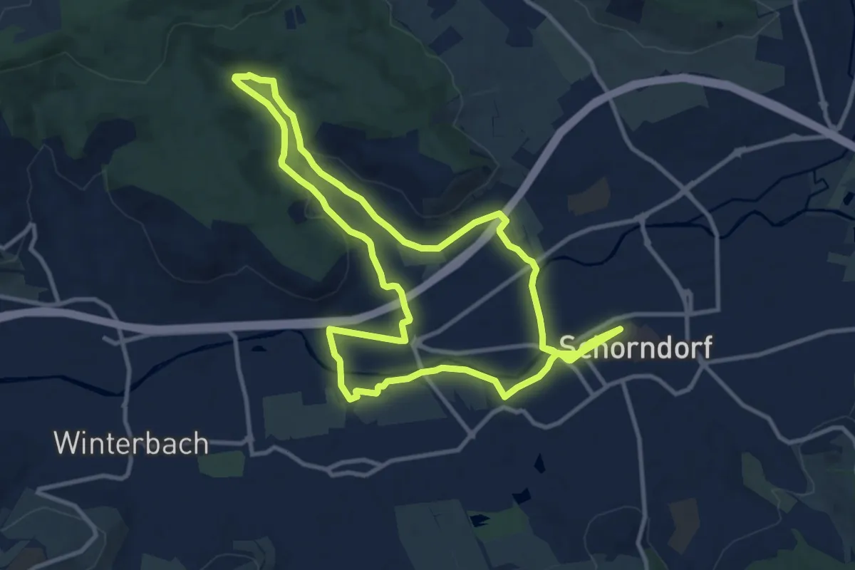
Medium · Trail
Durch das Ramsbachtal
10.6 km · ↑ 106 m · 2 h 53 min
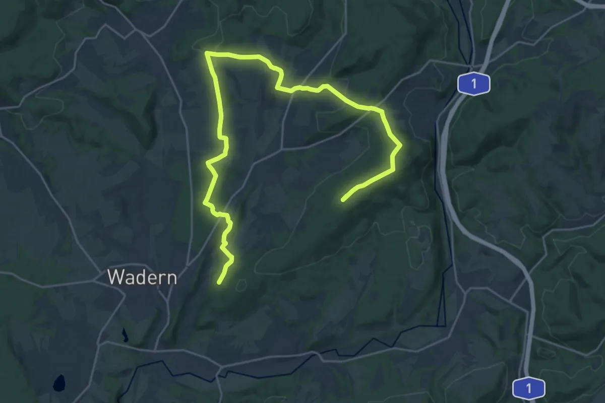
Demanding · Summit
Durch das Sagenhafte Löstertal
24.7 km · ↑ 514 m · 6 h 56 min
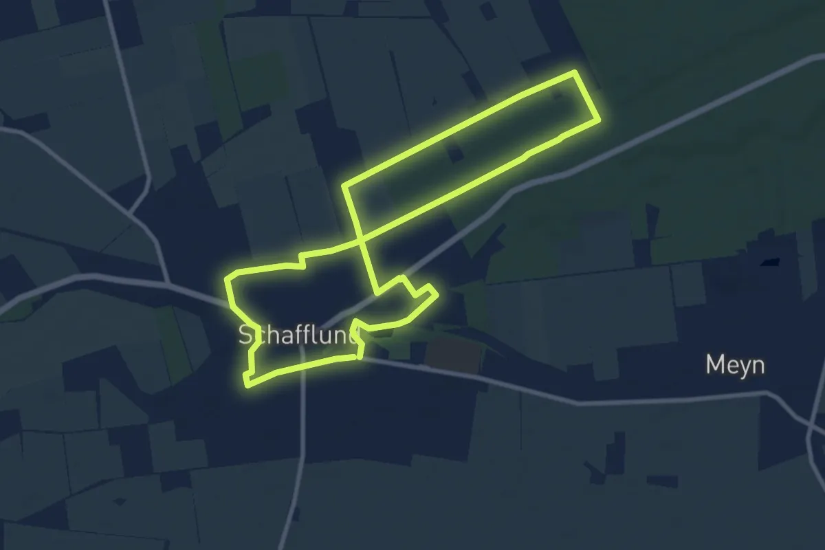
Easy · Trail
Durch das Urstromtal der Wallsbek
7.3 km · ↑ 0 m · 1 h 49 min
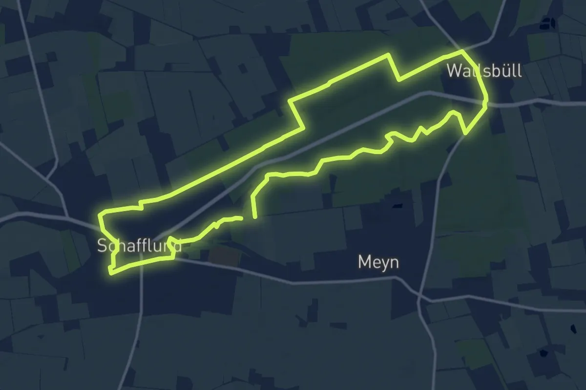
Medium · Trail
Durch das Urstromtal der Wallsbek
11.3 km · ↑ 25 m · 2 h 53 min
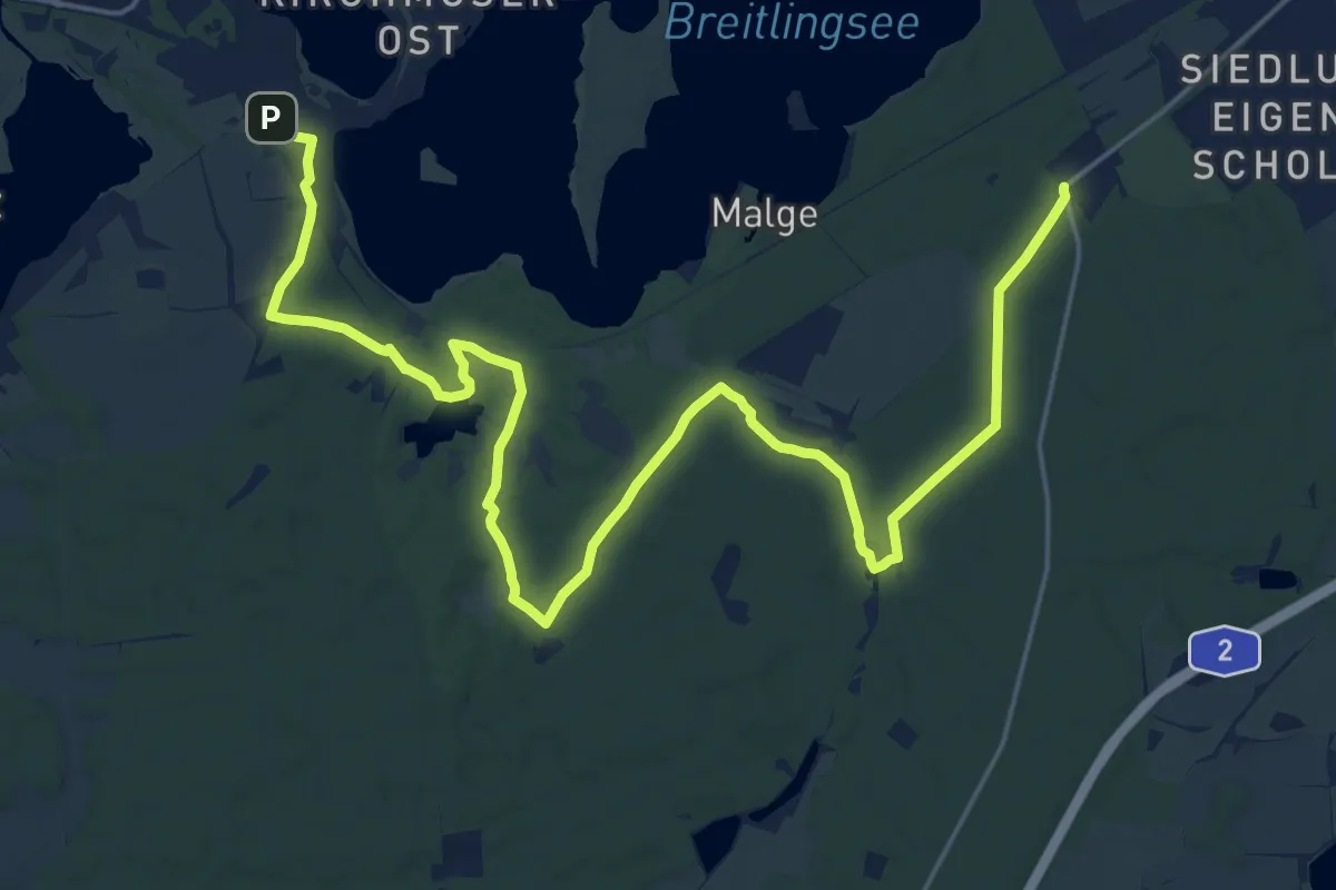
Demanding · Trail
Durch den Gränert
26.1 km · ↑ 138 m · 6 h 28 min
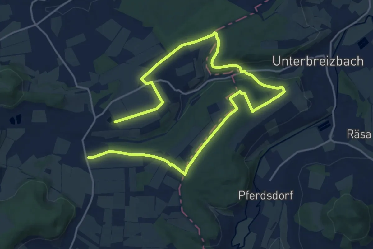
Medium · Trail
Durch die Glaam
9.7 km · ↑ 157 m · 2 h 45 min
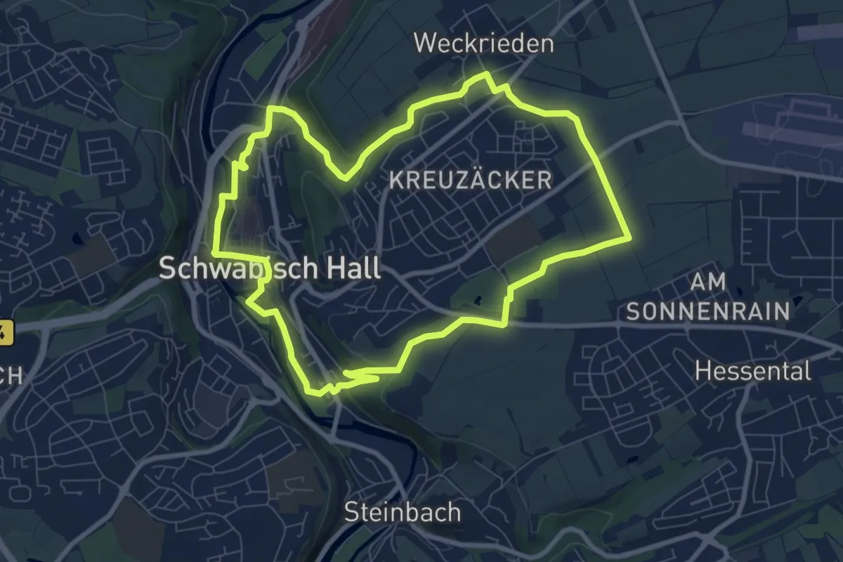
Easy · Trail
Durch die Haller Klinge
7.9 km · ↑ 155 m · 2 h 19 min
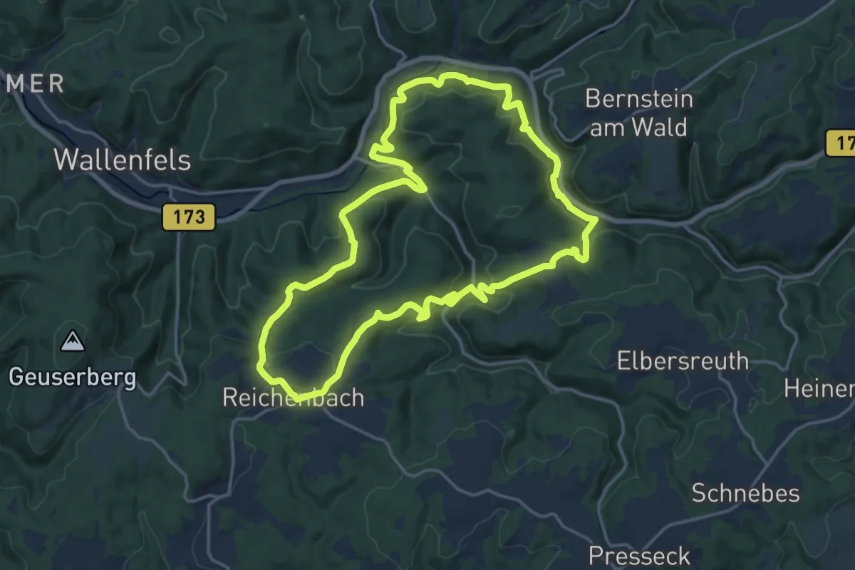
Medium · Trail
Durch die Kösten RWF 56
15.0 km · ↑ 559 m · 4 h 58 min
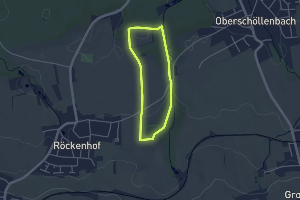
Medium · Trail
Durch die Kübelsbachschlucht
2.3 km · ↑ 34 m · 38 min