Trails in Germany
36,847 hiking trails, each with its route, climb, walking time and grade.
All trails, page 118 of 768
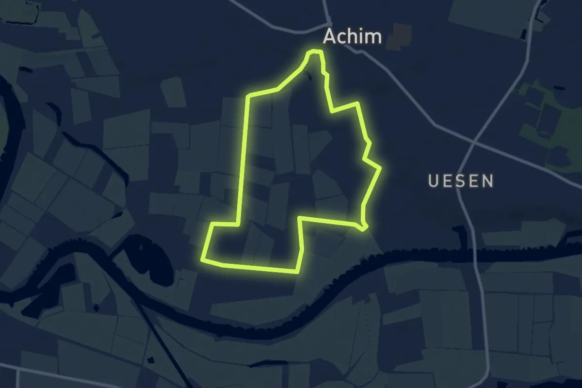
Easy · Trail
Durch die Marsch
6.4 km · ↑ 14 m · 1 h 38 min
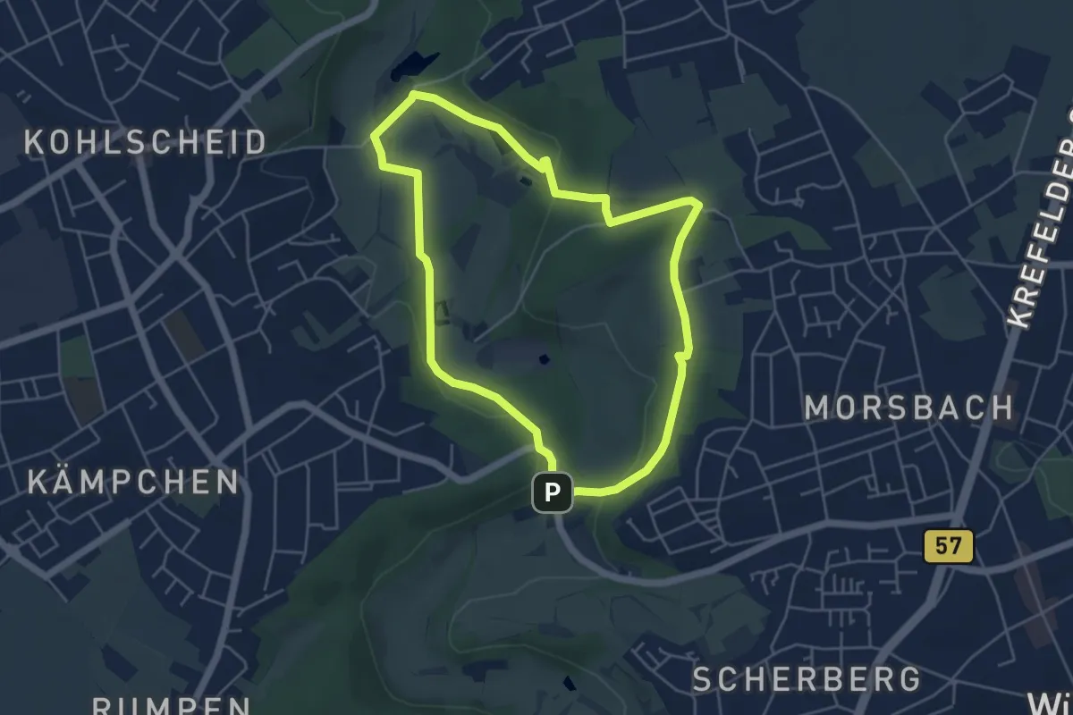
Easy · Summit
Durch die Morsbacher Heide - A3
4.2 km · ↑ 76 m · 1 h 13 min
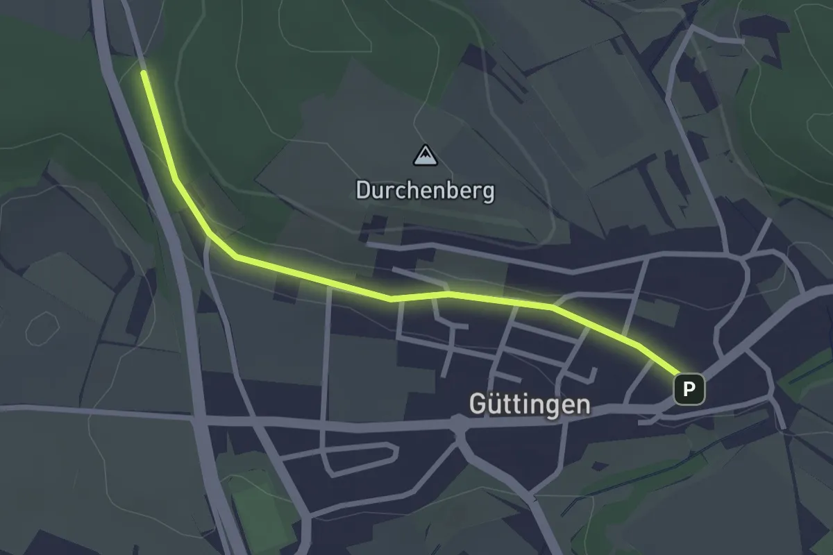
Easy · Trail
Durchenberg - Güttingen Kirche
2.4 km · ↑ 34 m · 39 min
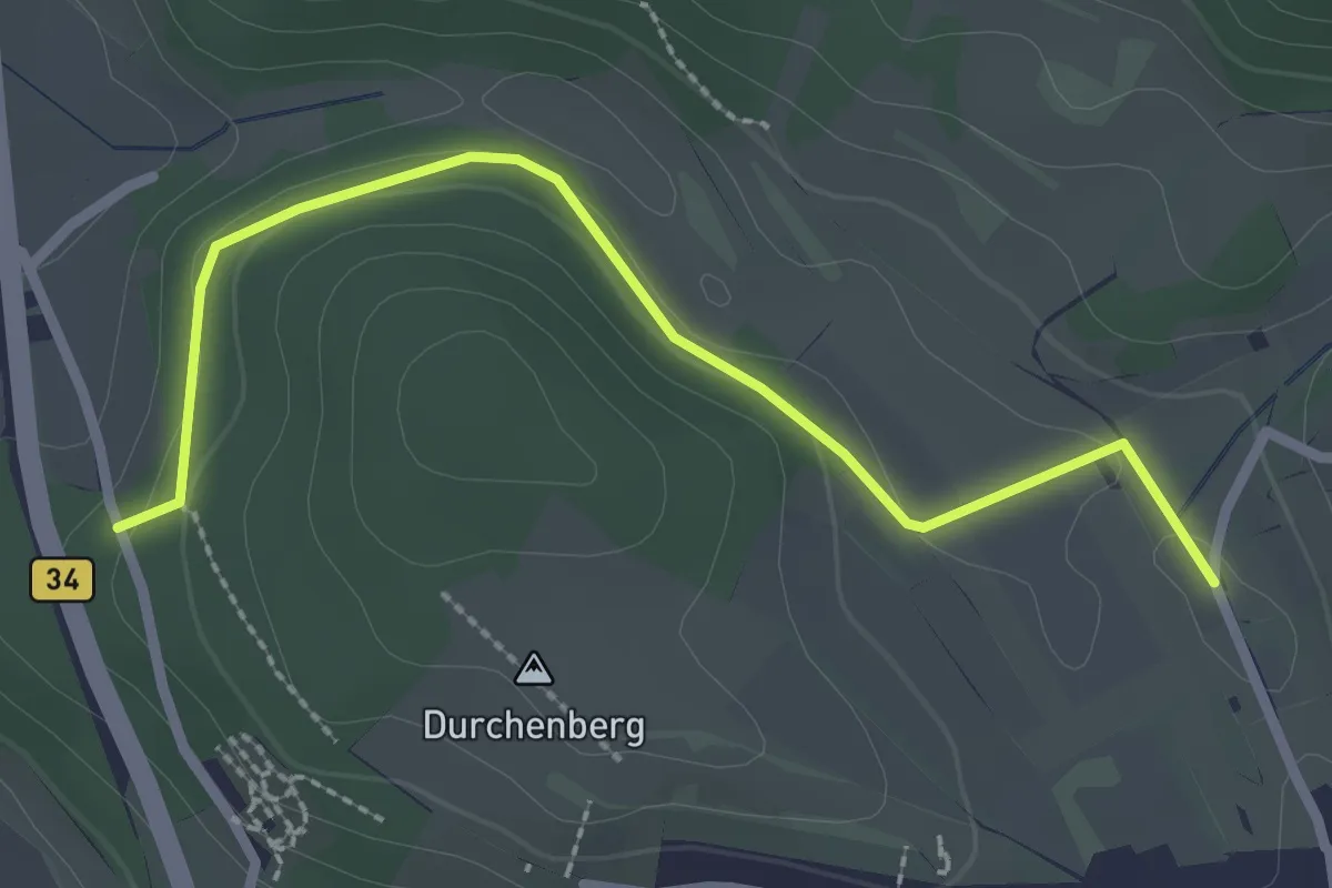
Easy · Trail
Durchenberg - Stockäcker
2.6 km · ↑ 27 m · 41 min
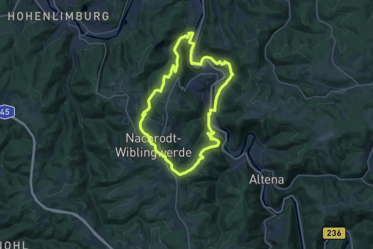
Medium · Trail
durch Nachrodt-Wiblingwerde
16.7 km · ↑ 579 m · 5 h 26 min
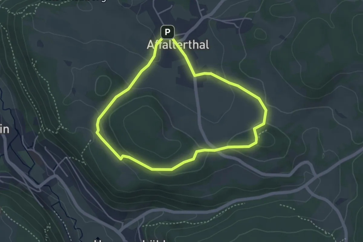
Easy · Trail
Durch Obstgärten zum Marterhaus
3.3 km · ↑ 84 m · 1 h
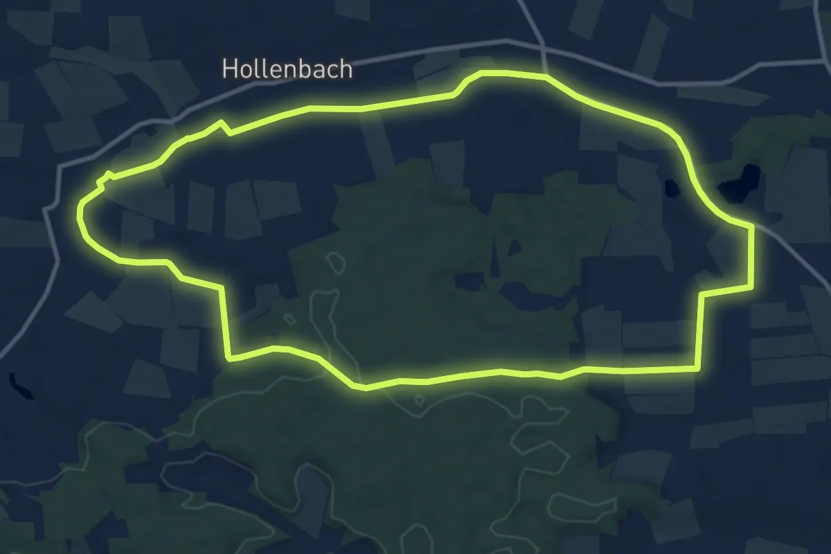
Medium · Trail
Durchs Krebsbachtal
10.7 km · ↑ 81 m · 2 h 51 min
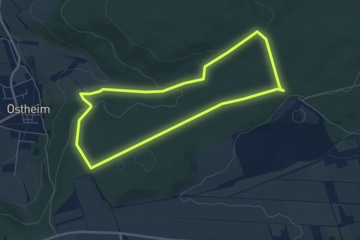
Easy · Trail
Durchs Lange Feld zur Ostheimer Hute
5.2 km · ↑ 120 m · 1 h 33 min
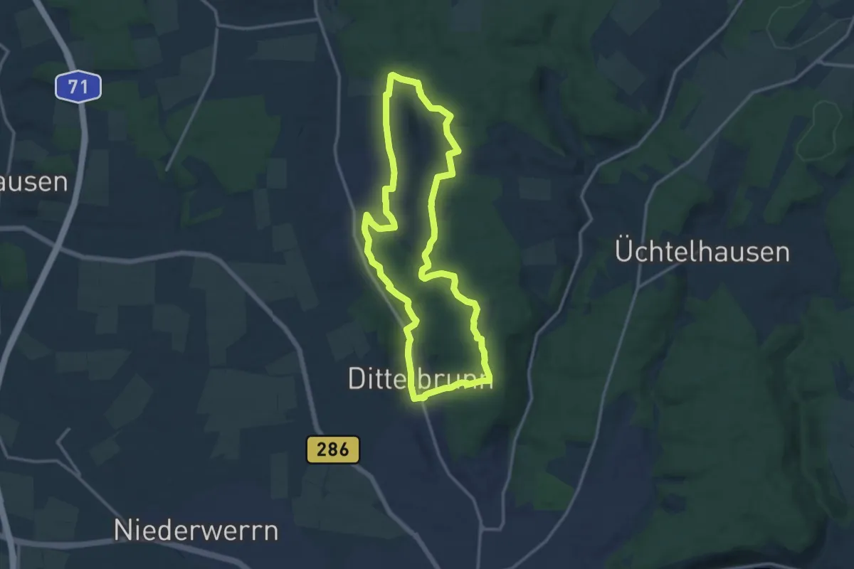
Medium · Trail
Durchs Lauerbachtal
11.3 km · ↑ 192 m · 3 h 15 min
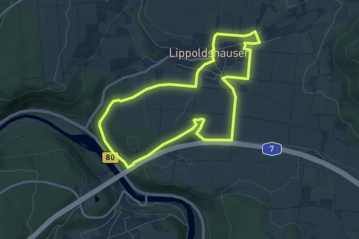
Easy · Trail
Durchs Lippoldshäuser Feld
6.2 km · ↑ 73 m · 1 h 42 min
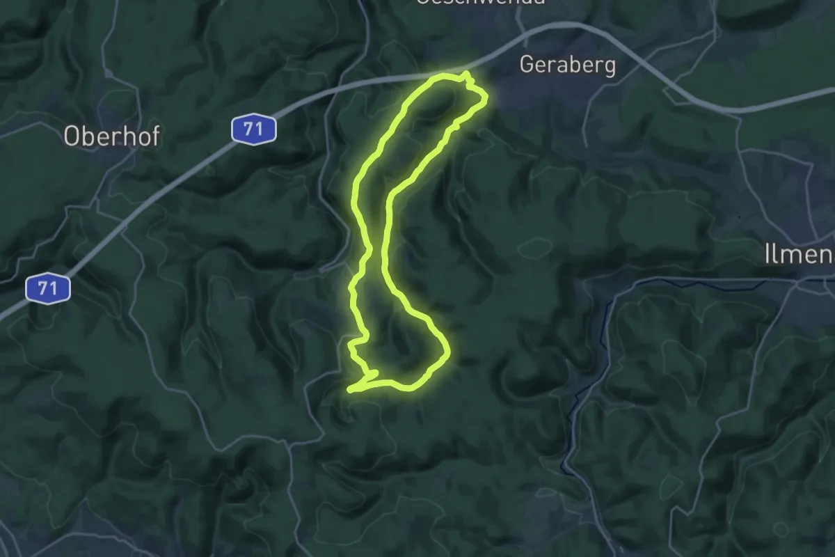
Medium · Summit
Durch's Tal der Zahmen Gera
17.2 km · ↑ 426 m · 5 h 14 min
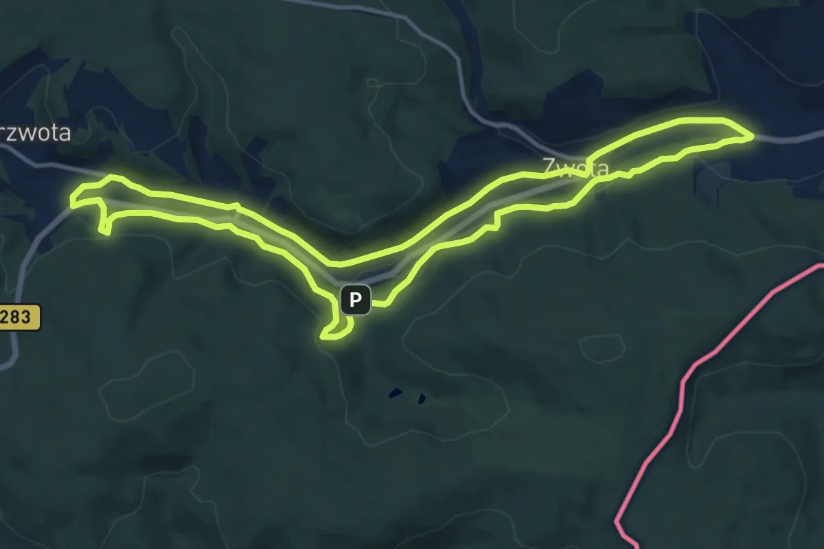
Medium · Trail
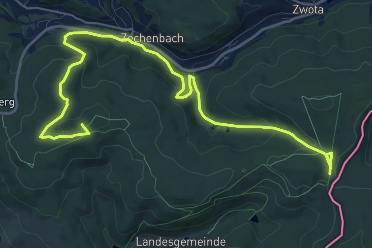
Durchs Zwotaer Land 1
11.3 km · ↑ 275 m · 3 h 25 min
Medium · Summit
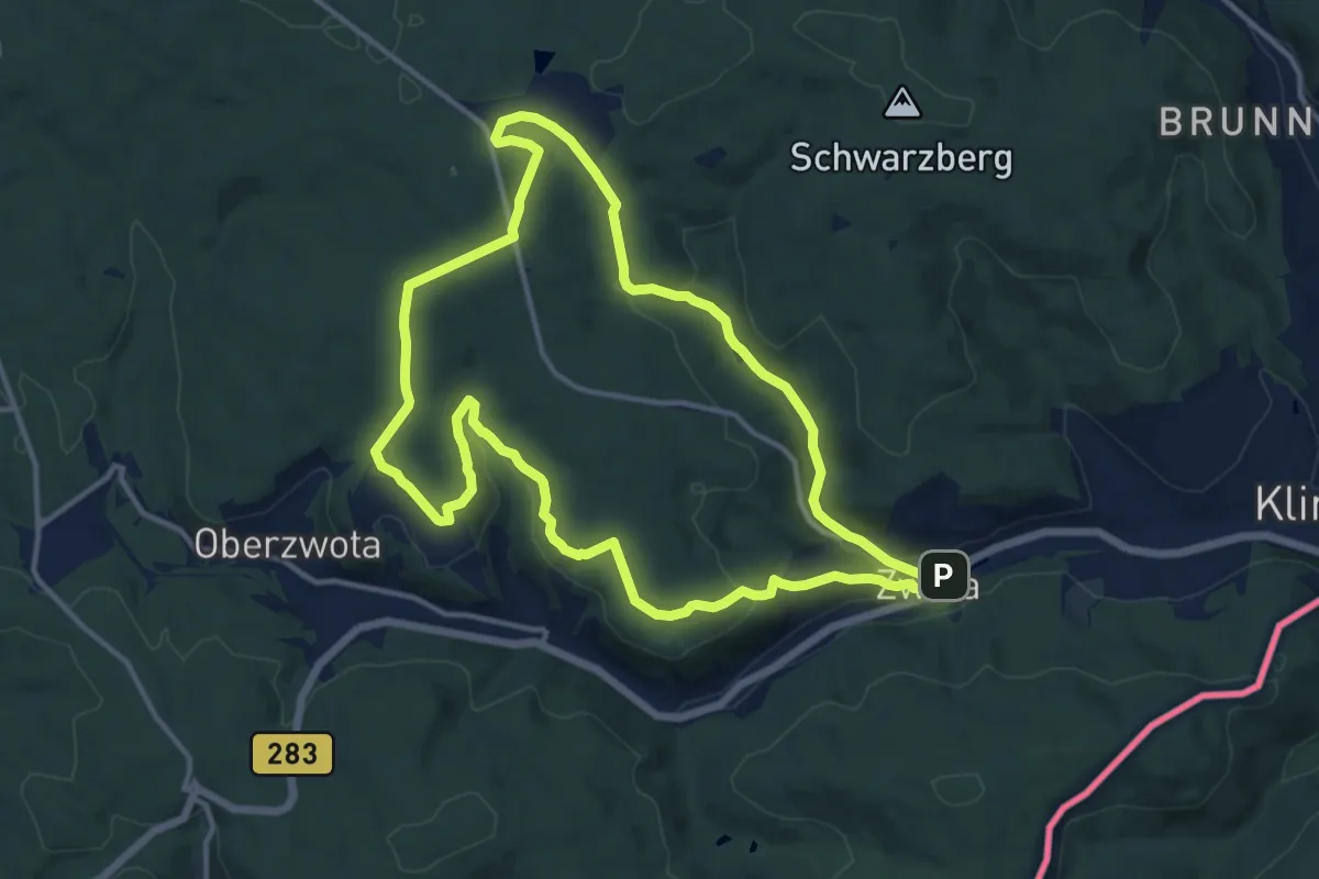
Durchs Zwotaer Land 2
15.8 km · ↑ 451 m · 4 h 43 min
Medium · Trail
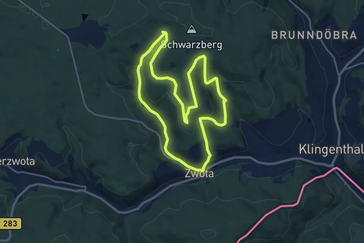
Durchs Zwotaer Land 3
12.3 km · ↑ 292 m · 3 h 42 min
Medium · Trail
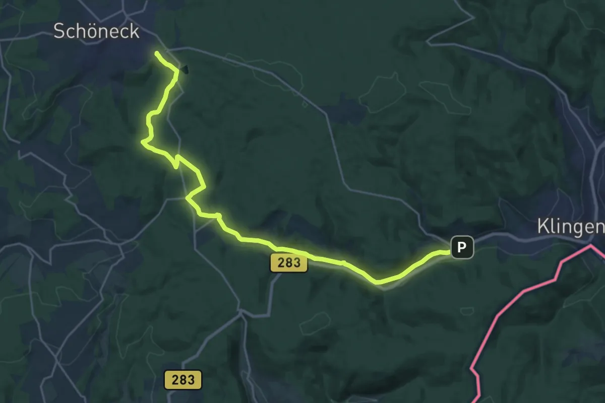
Durchs Zwotaer Land 4
11.0 km · ↑ 277 m · 3 h 21 min
Demanding · Trail
Durchs Zwotaer Land 5
21.9 km · ↑ 337 m · 5 h 55 min
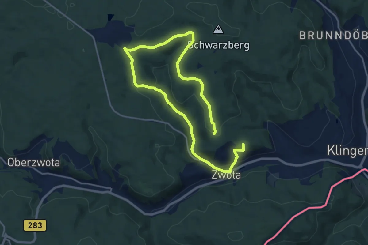
Medium · Summit
Durchs Zwotaer Land 6
16.6 km · ↑ 381 m · 4 h 45 min
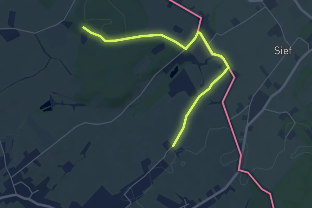
Easy · Trail
Durch Wald und Flur
2.4 km · ↑ 37 m · 40 min
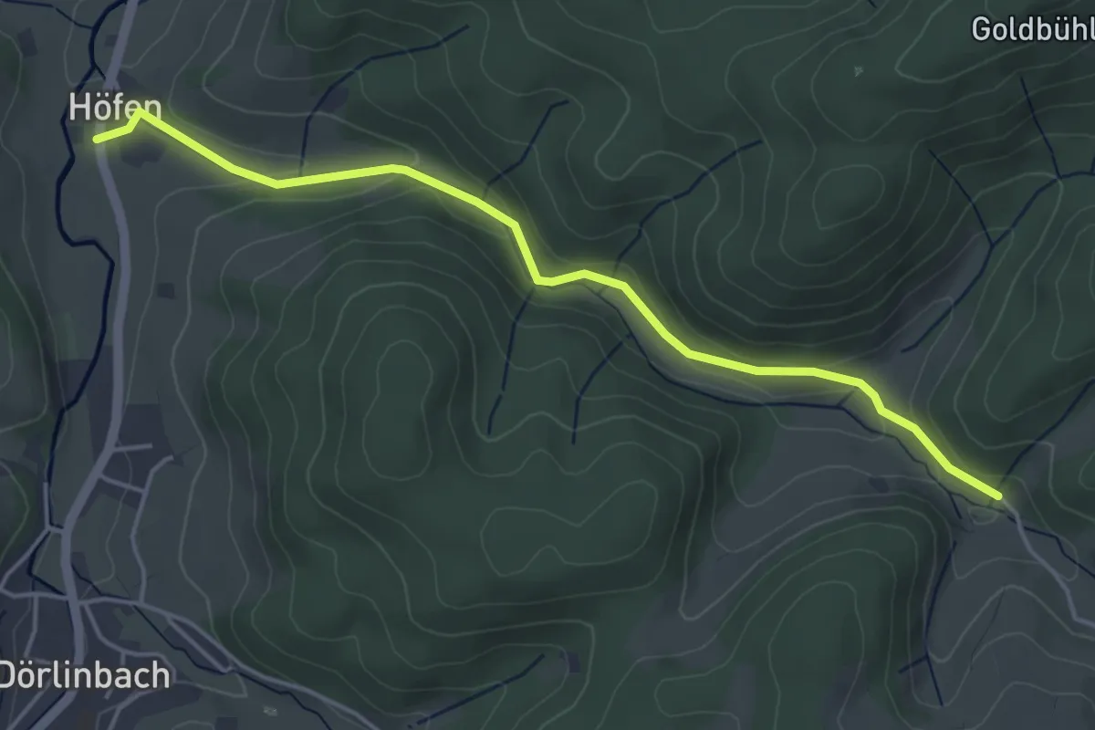
Easy · Trail
Durenbach Engelhof - Höfen
4.5 km · ↑ 147 m · 1 h 23 min
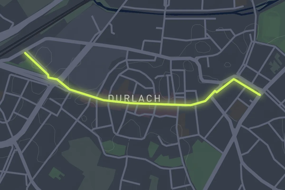
Easy · Trail
Durlach Bahnhof - Durlach Endhaltestelle
2.7 km · ↑ 8 m · 39 min
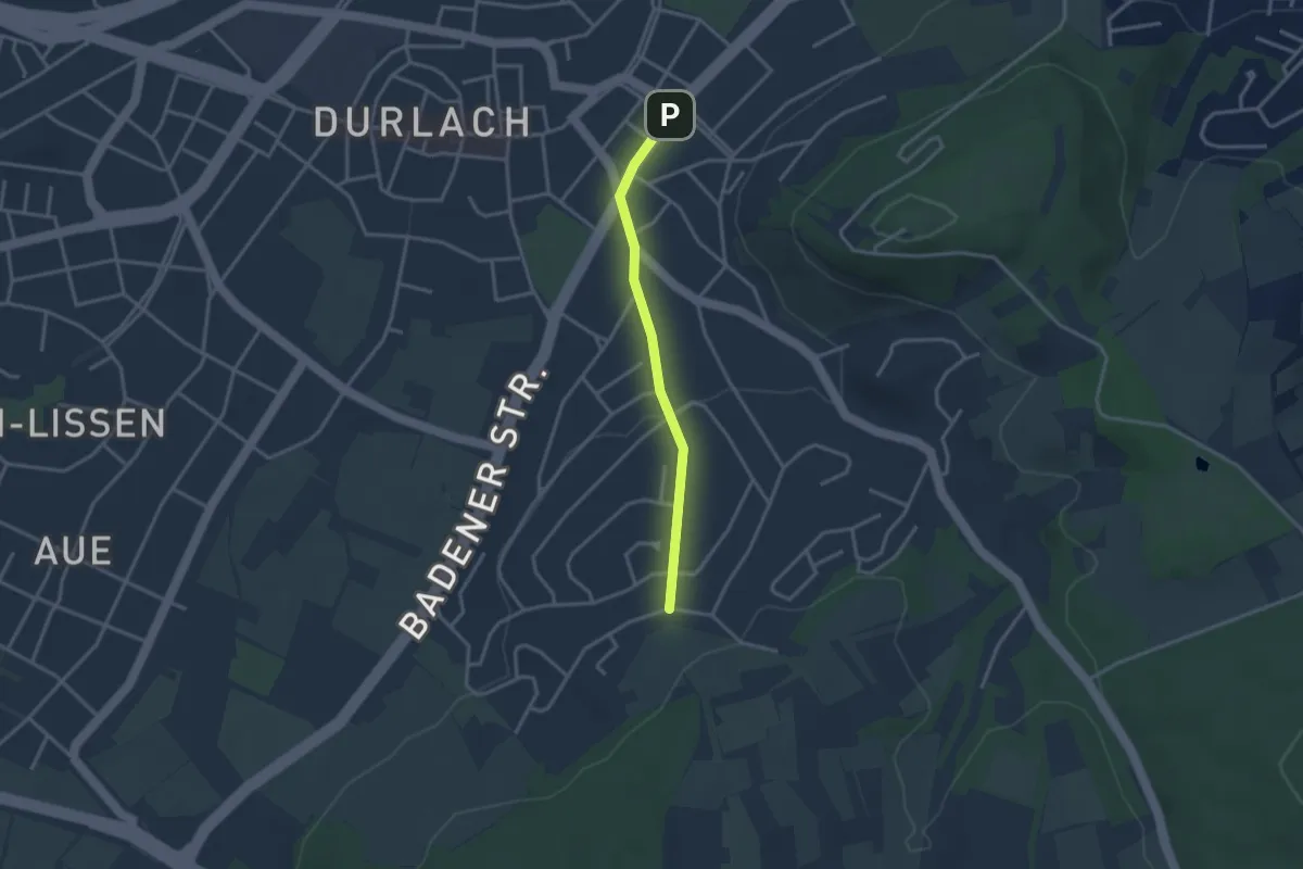
Easy · Trail
Durlach Endhaltestelle - Geigersberg
2.7 km · ↑ 58 m · 45 min
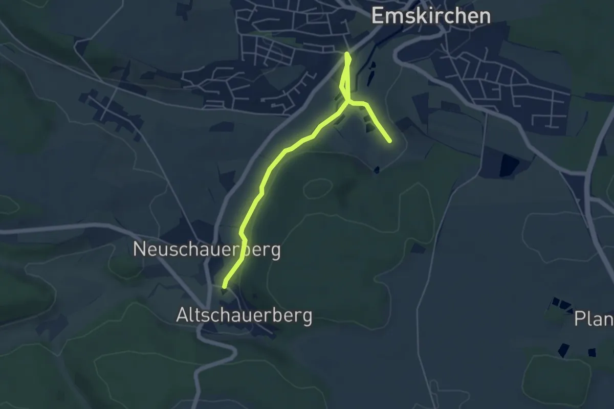
Easy · Trail
Dürnbacher Achter
4.8 km · ↑ 77 m · 1 h 18 min
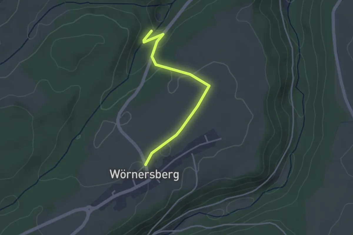
Easy · Trail
Dürrbach - Wörnersberg
3.0 km · ↑ 52 m · 49 min
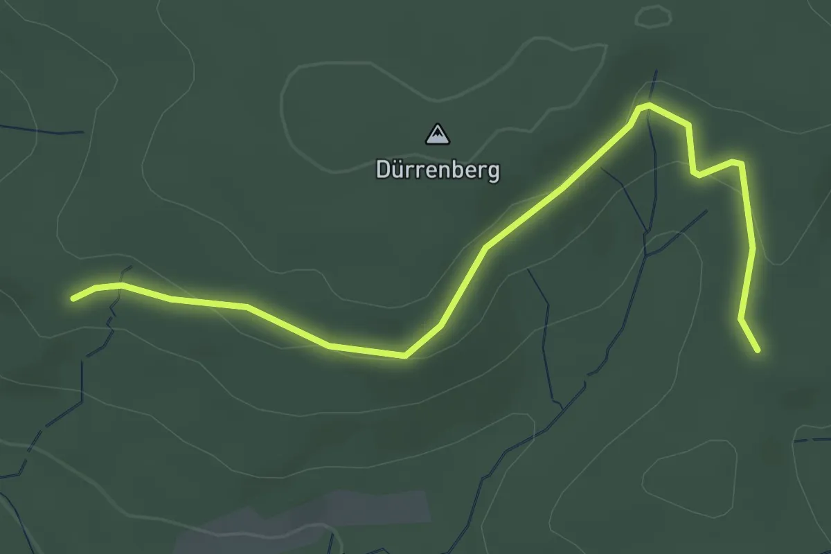
Easy · Trail
Dürreberg - Jägertanne
3.5 km · ↑ 73 m · 59 min
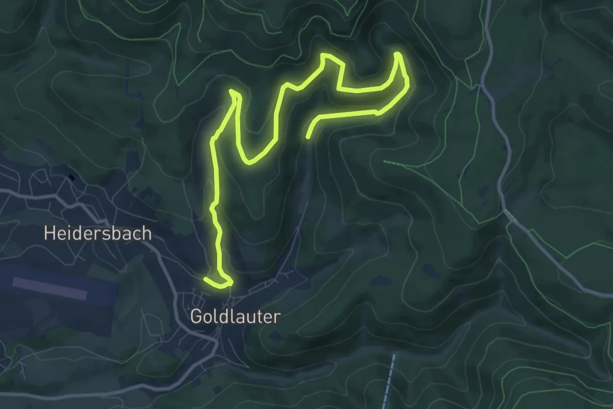
Medium · Trail
Dürre Lauter Wanderweg
11.7 km · ↑ 467 m · 3 h 46 min
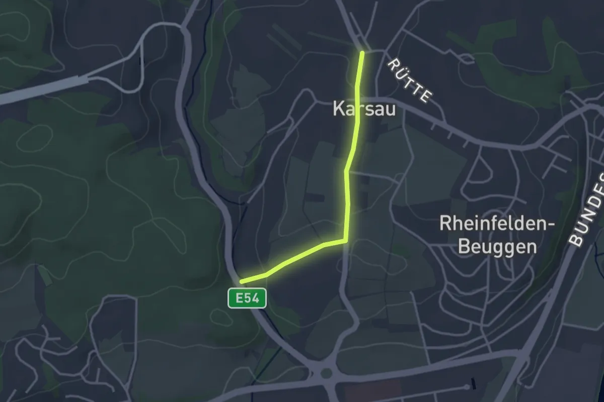
Easy · Trail
Dürrenbach Brücke - Karsau Altes Rathaus
2.5 km · ↑ 49 m · 42 min
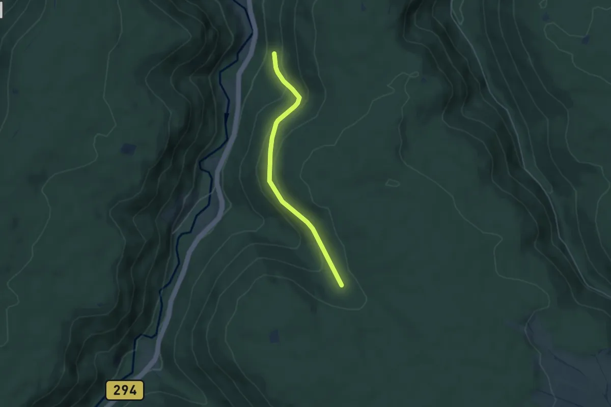
Easy · Trail
Dürrengrundplatte - Kleinenzhalde
4.0 km · ↑ 162 m · 1 h 18 min
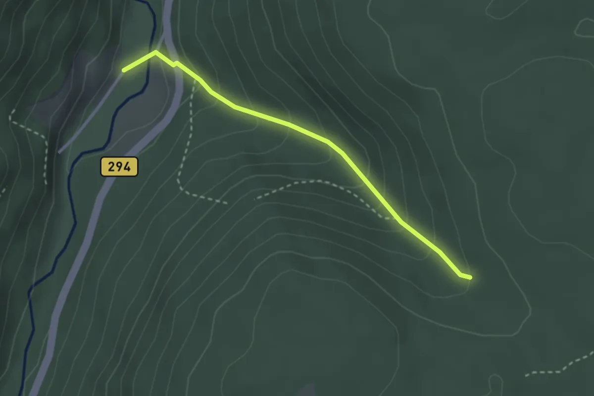
Easy · Trail
Dürrengrundplatte - Kleinenzhof Campingplatz
2.6 km · ↑ 194 m · 1 h 2 min
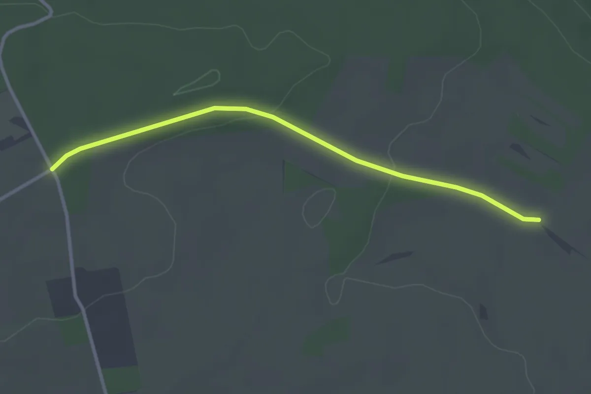
Easy · Trail
Dürrenhardt - Fuchsloch
2.9 km · ↑ 45 m · 46 min
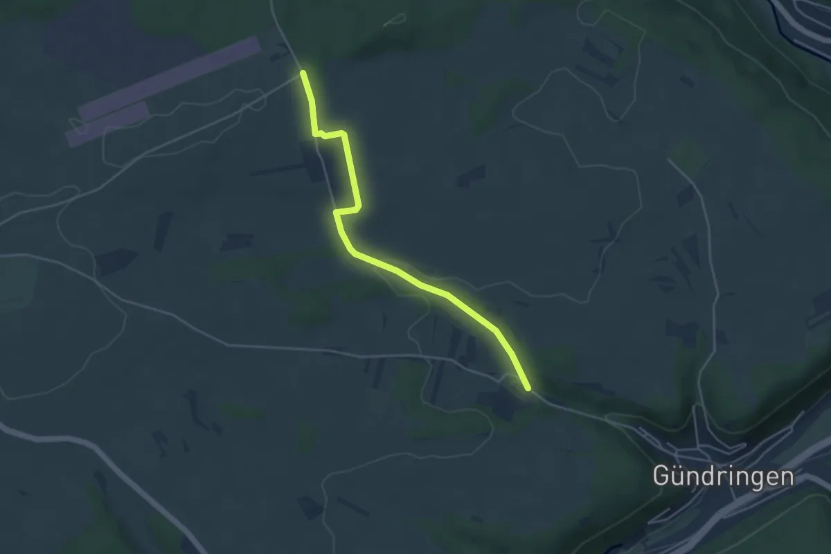
Easy · Trail
Dürrenhardt - Weibelsäcker
4.1 km · ↑ 78 m · 1 h 9 min
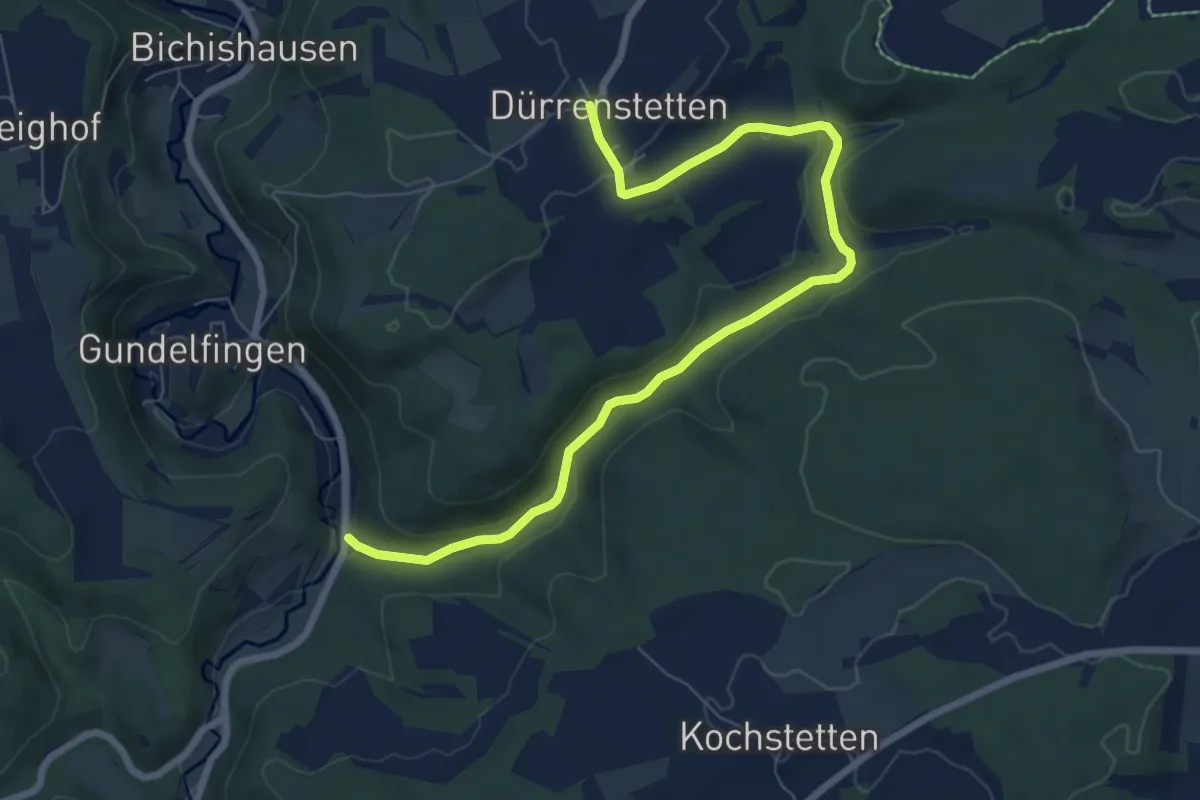
Medium · Trail
Dürrenstetten - Heiligental
8.2 km · ↑ 171 m · 2 h 18 min
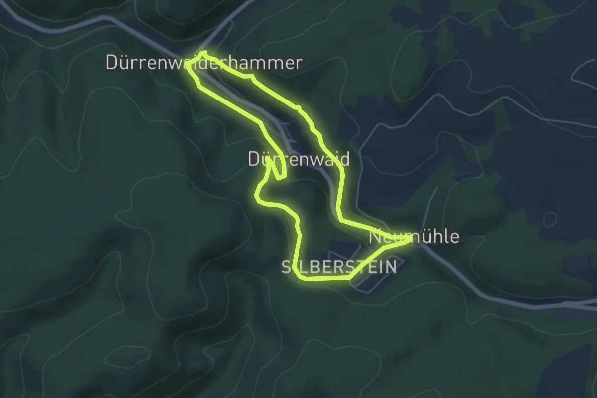
Medium · Trail
Dürrenwaider Panoramaweg DÖ 99
4.6 km · ↑ 193 m · 1 h 34 min
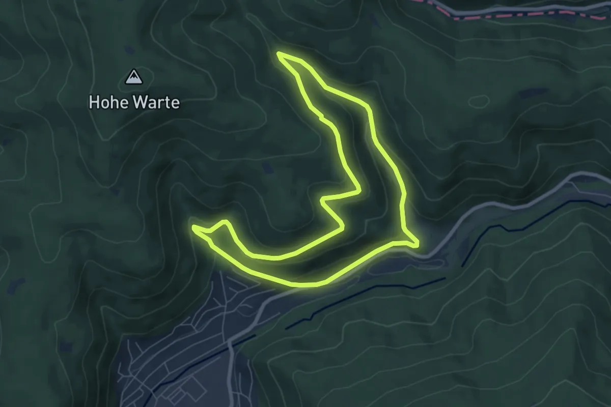
Easy · Trail
Dürrhebstal-Weg
6.5 km · ↑ 264 m · 2 h 12 min
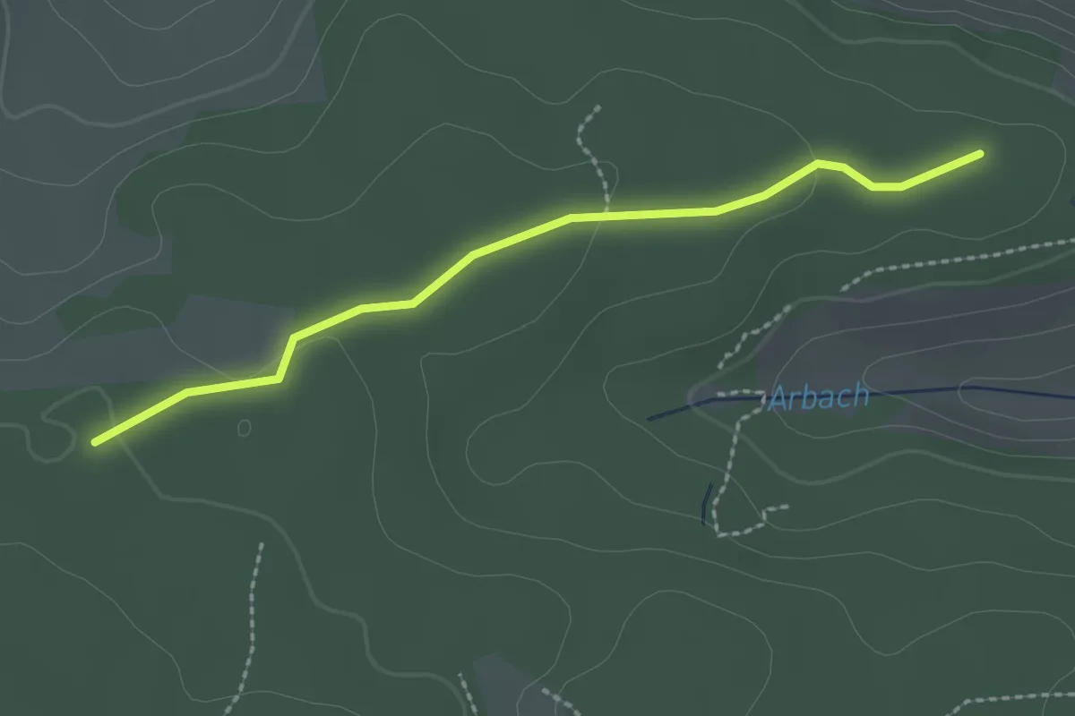
Easy · Trail
Dürrheimer Wald - Beim Umsetzer
2.2 km · ↑ 41 m · 37 min
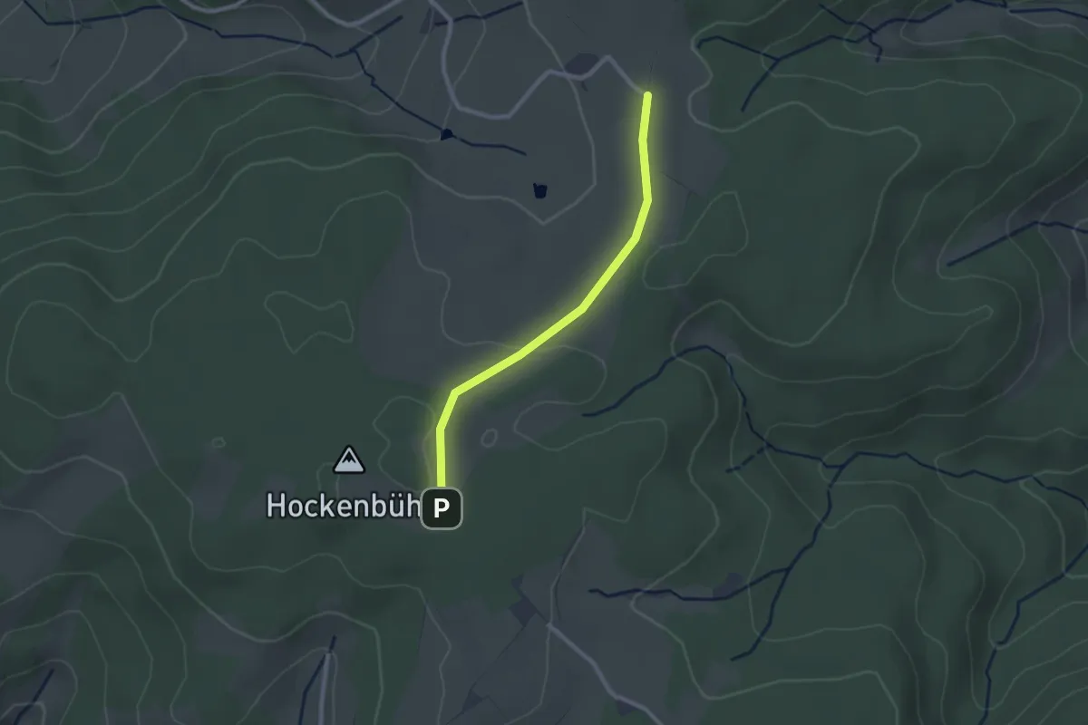
Easy · Trail
Dürrhöfe Parkplatz - Kreuzmoosmatte
2.2 km · ↑ 29 m · 35 min
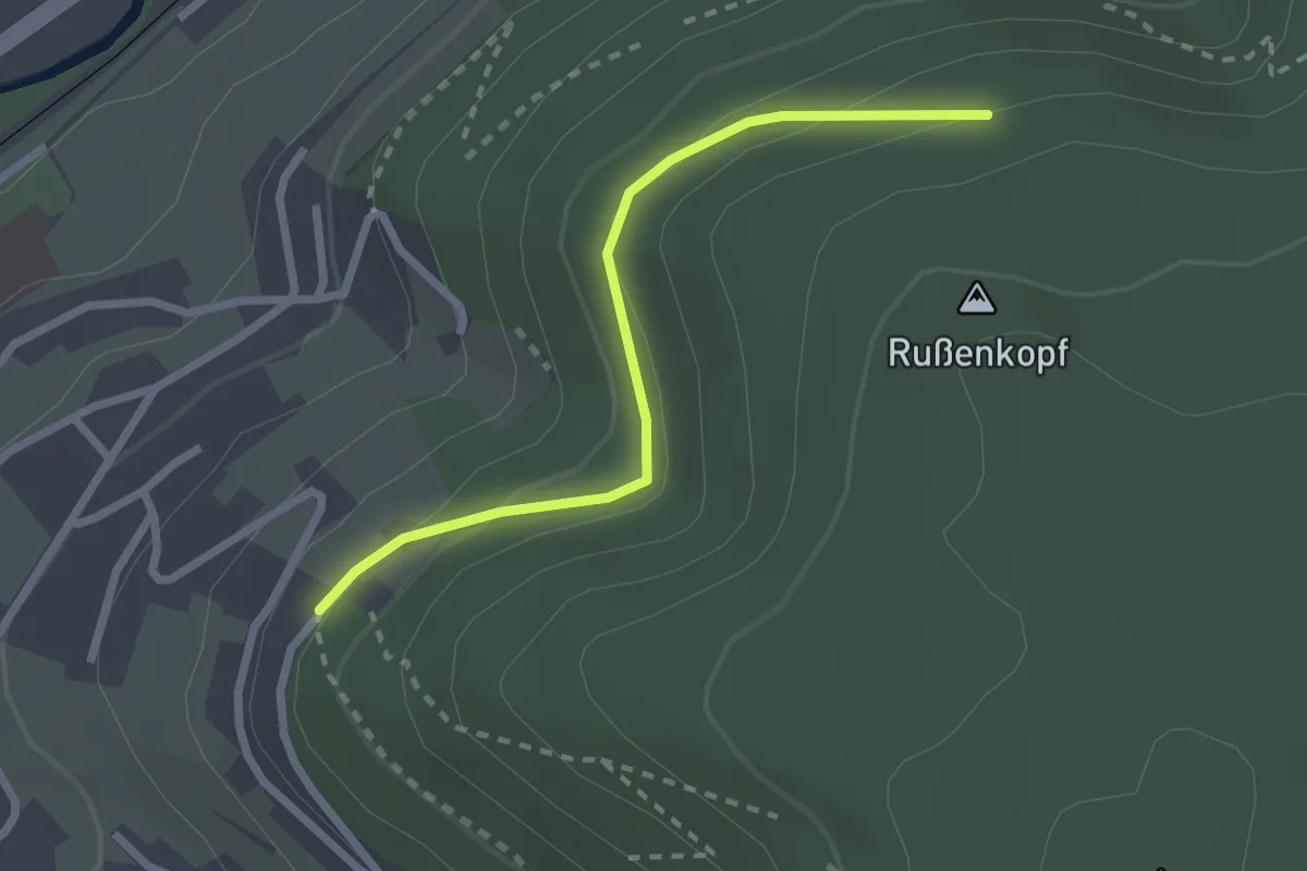
Easy · Trail
Dürrwäldle - Rußenkopf
2.3 km · ↑ 102 m · 45 min
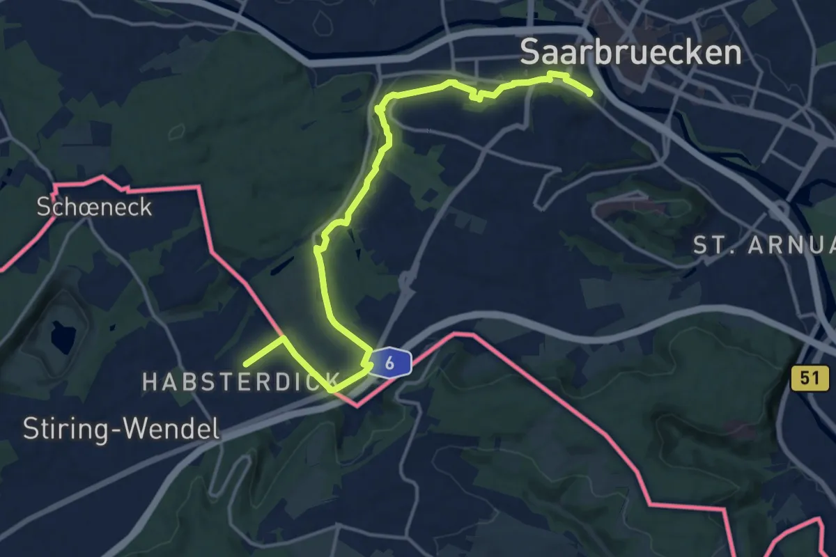
Medium · Trail
DuSchlossbergAuSchloss_rouge
15.0 km · ↑ 168 m · 3 h 54 min
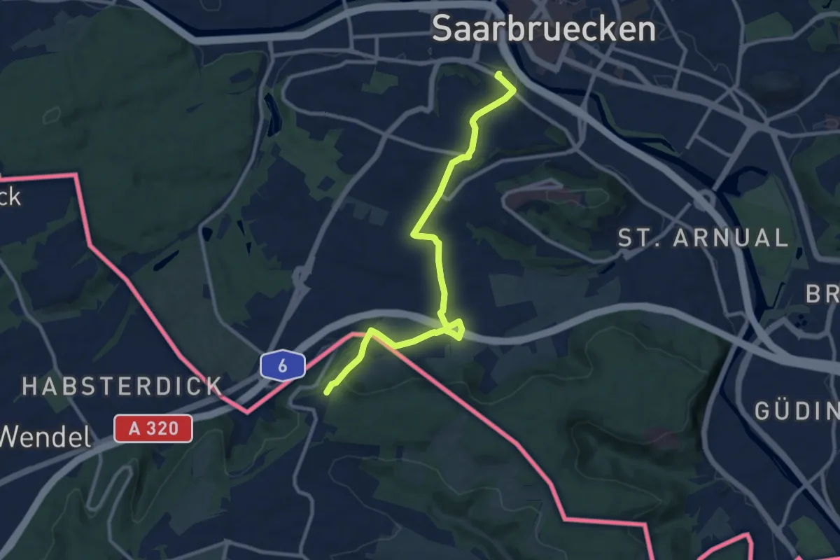
Medium · Trail
DuSchlossbergFoAuSchlossSb_vert
9.7 km · ↑ 215 m · 2 h 45 min
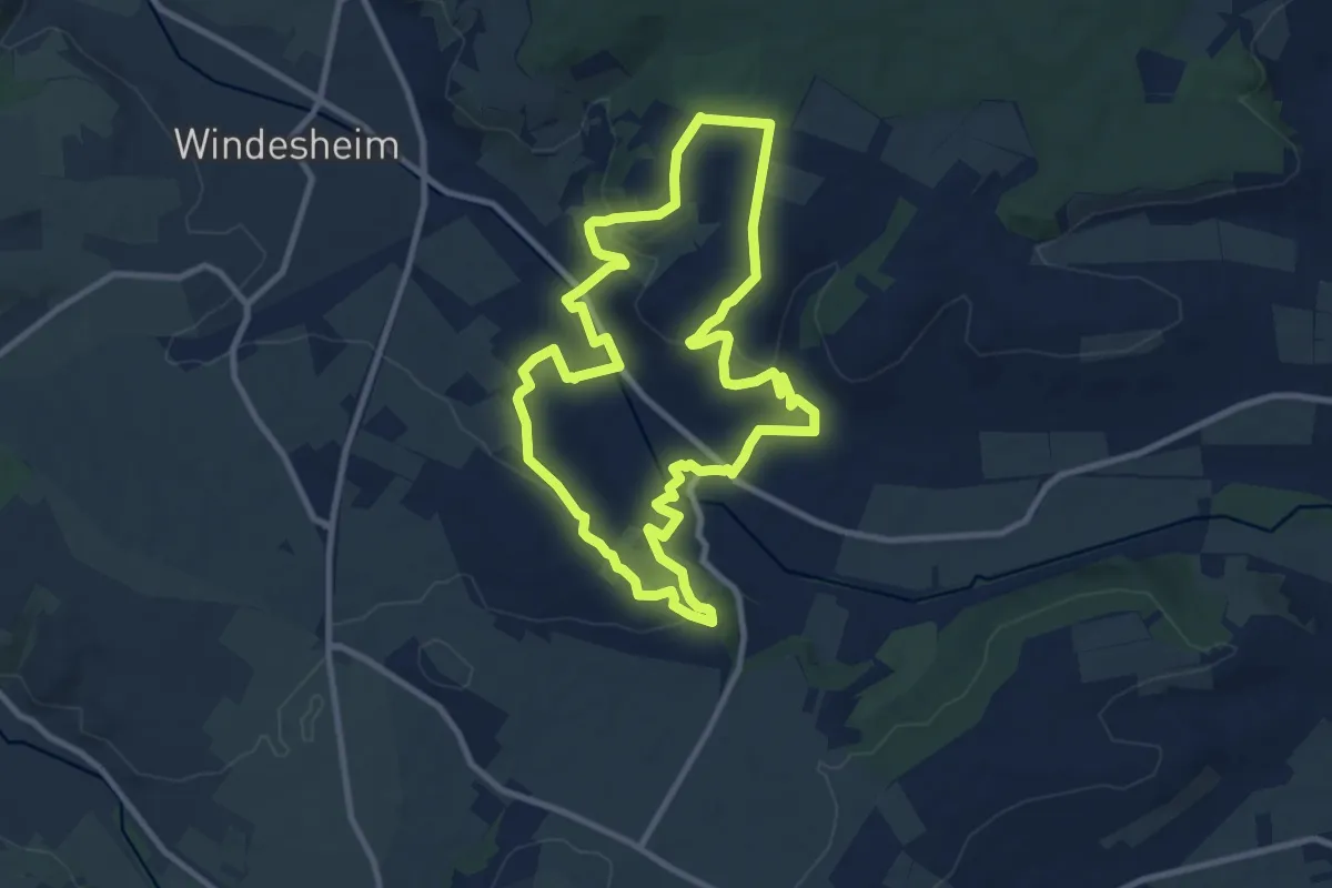
Medium · Trail
DVV Auf den Spuren von Gustav Pfarrius 10
9.2 km · ↑ 218 m · 2 h 46 min
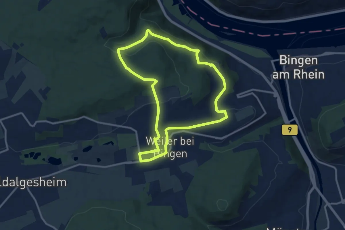
Easy · Summit
DVV Binger Wald Römervilla Rheinblick 7
7.2 km · ↑ 218 m · 2 h 16 min
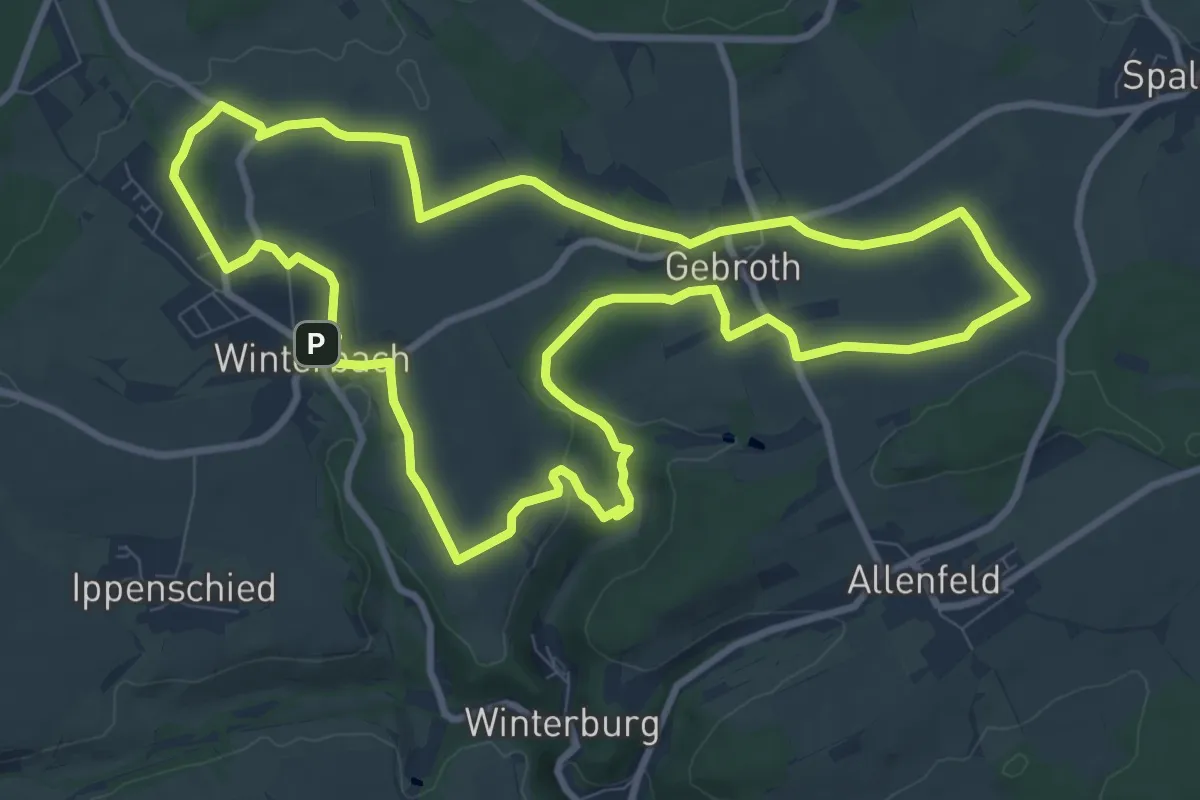
Medium · Trail
DVV Durch den Schlunk 10
9.6 km · ↑ 125 m · 2 h 40 min
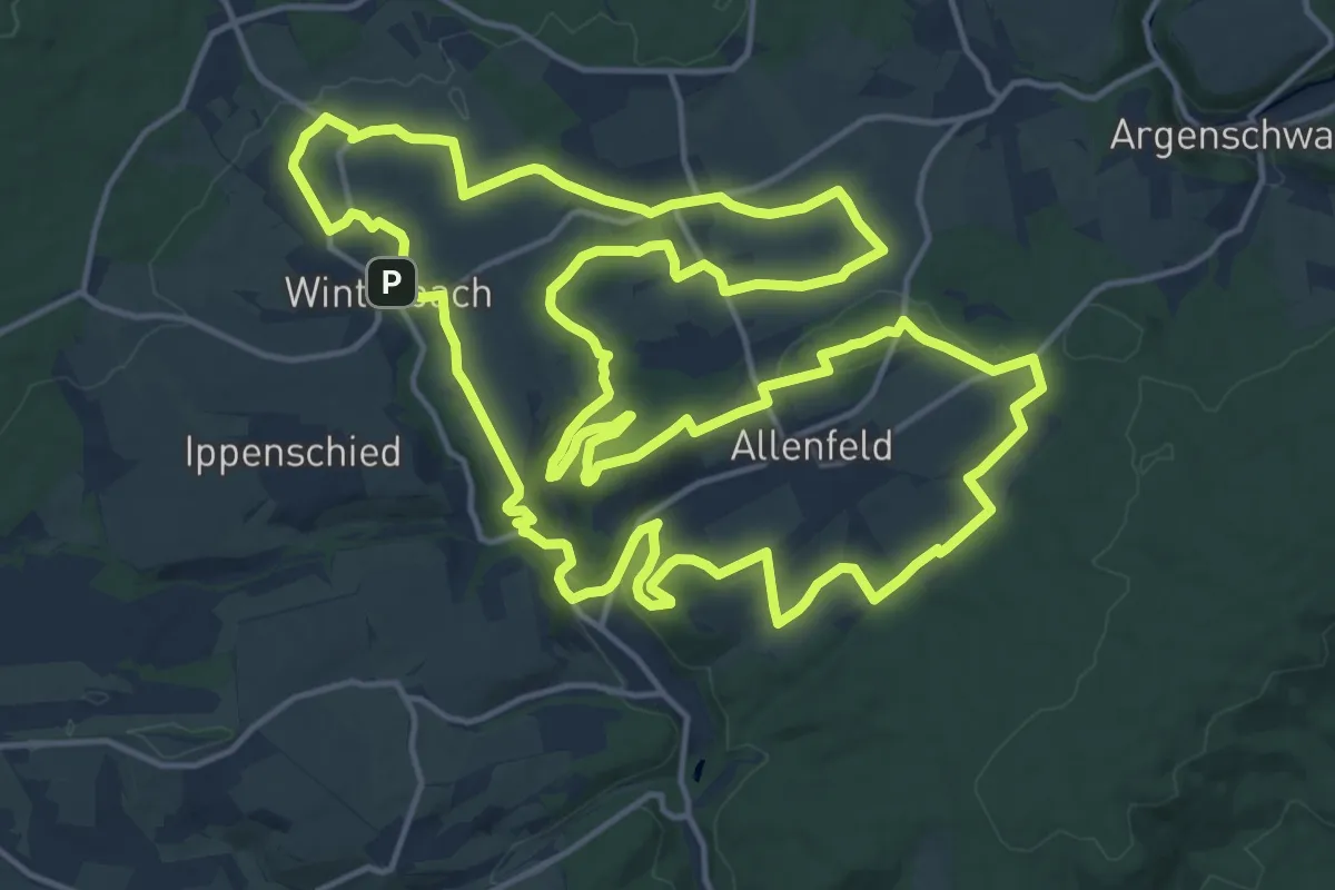
Demanding · Summit
DVV Durch den Schlunk 20
19.2 km · ↑ 356 m · 5 h 34 min
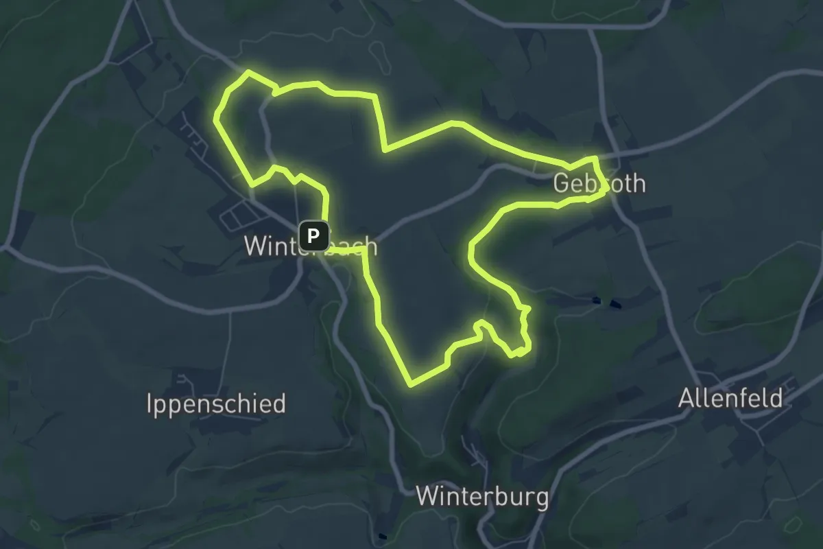
Easy · Trail
DVV Durch den Schlunk 7
7.3 km · ↑ 97 m · 2 h 2 min
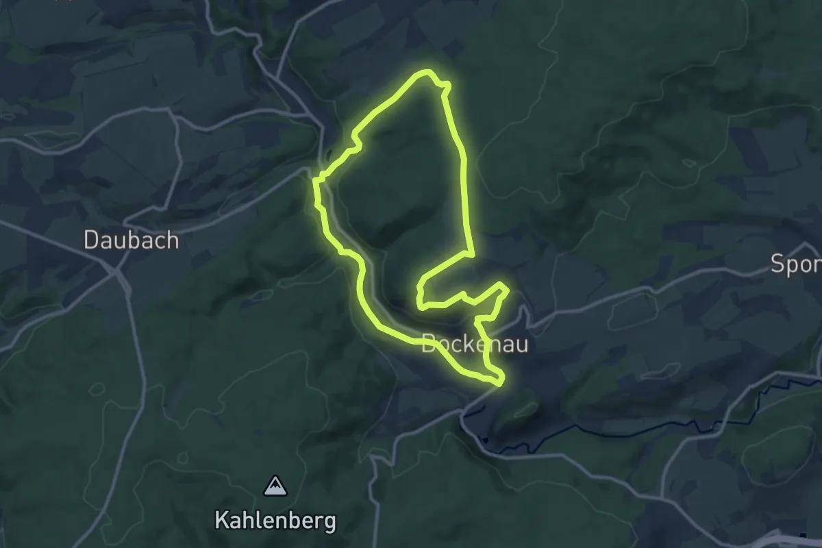
Medium · Trail
DVV Durch die Bockenauer Schweiz
9.5 km · ↑ 191 m · 2 h 47 min
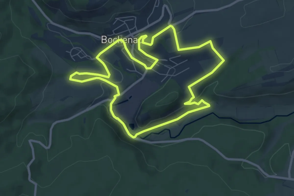
Easy · Trail
DVV Durch die Bockenauer Schweiz 2
6.5 km · ↑ 144 m · 1 h 56 min
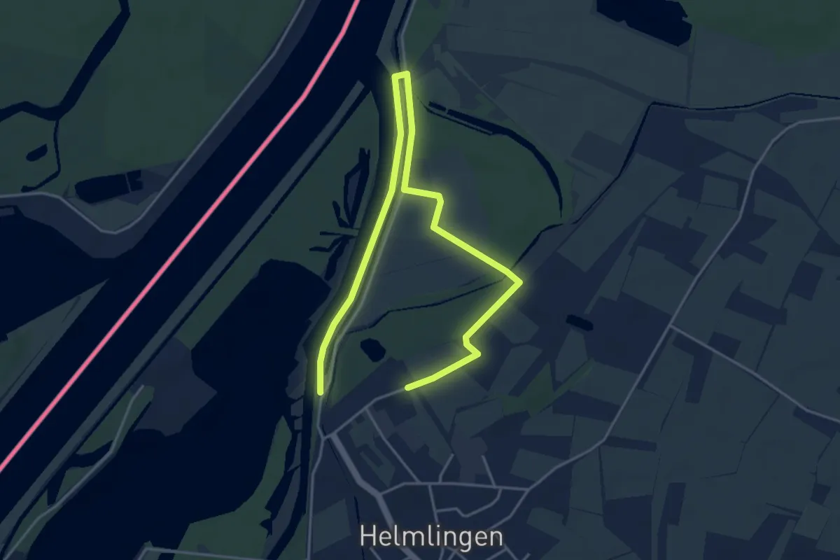
Easy · Trail
DVV Naturpark Helmlingen
2.9 km · ↑ 14 m · 45 min
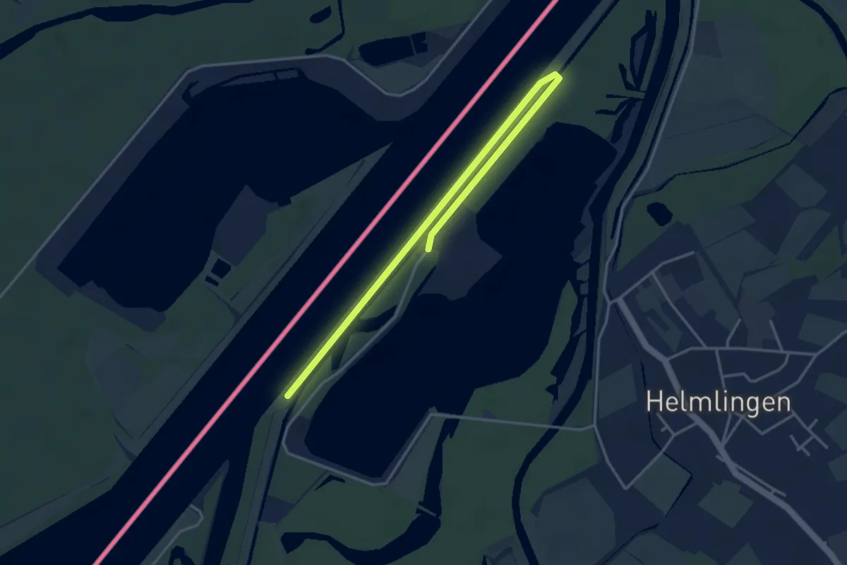
Easy · Trail
DVV Naturpark Helmlingen
2.3 km · ↑ 14 m · 36 min
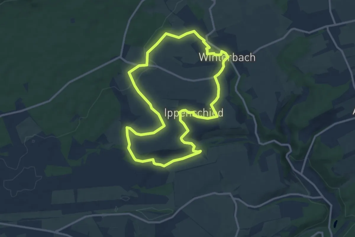
Easy · Summit
DVV Soonwald Panoramarunde 11
7.7 km · ↑ 96 m · 2 h 8 min