Trails in Germany
36,847 hiking trails, each with its route, climb, walking time and grade.
All trails, page 119 of 768
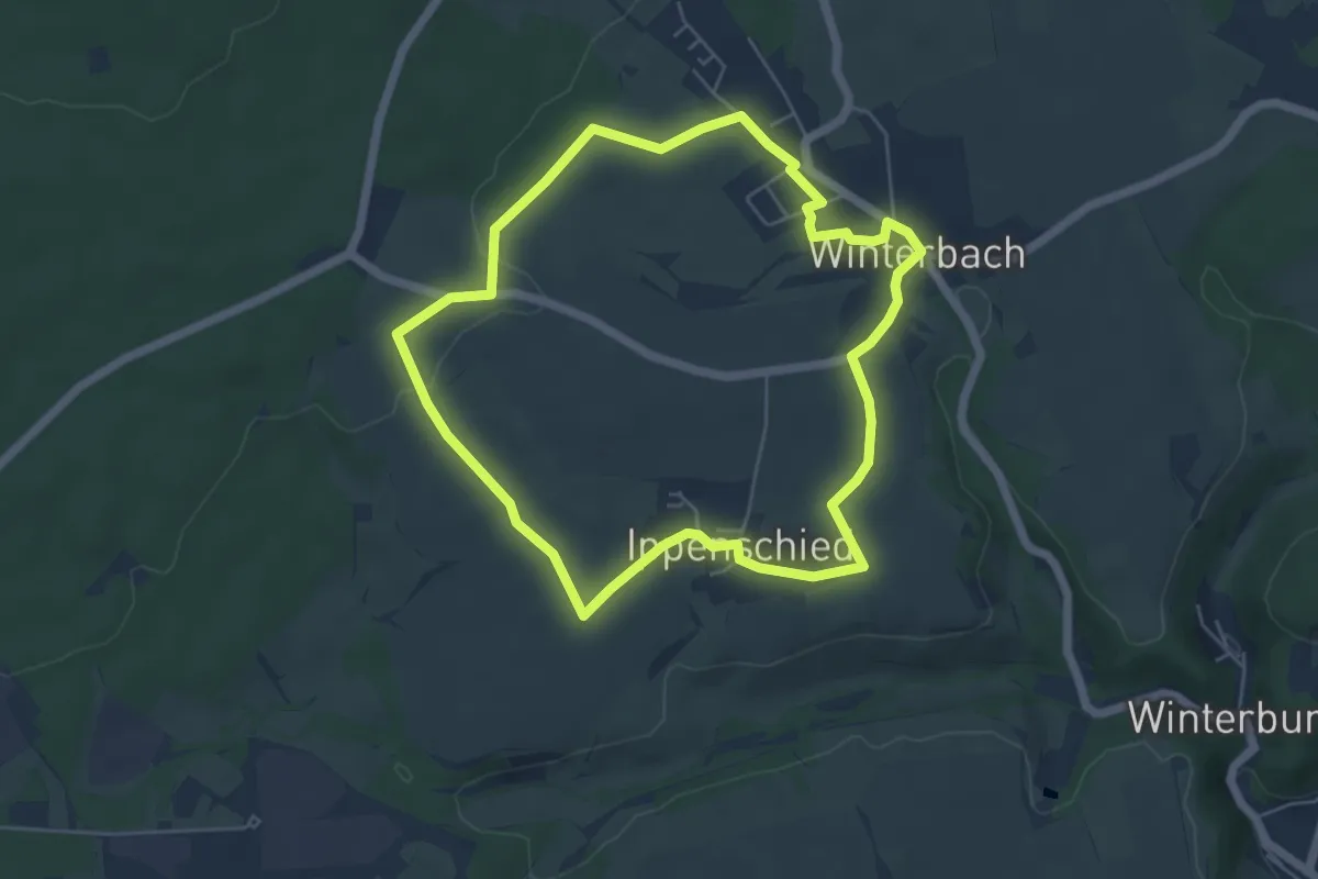
Easy · Summit
DVV Soonwald Panoramarunde 5
5.0 km · ↑ 53 m · 1 h 22 min
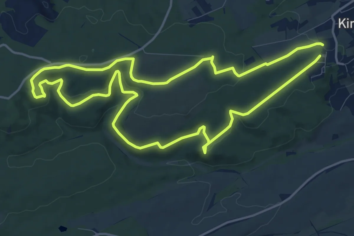
Medium · Summit
DVV Weg "Schöne Aussicht"
10.2 km · ↑ 243 m · 3 h 4 min
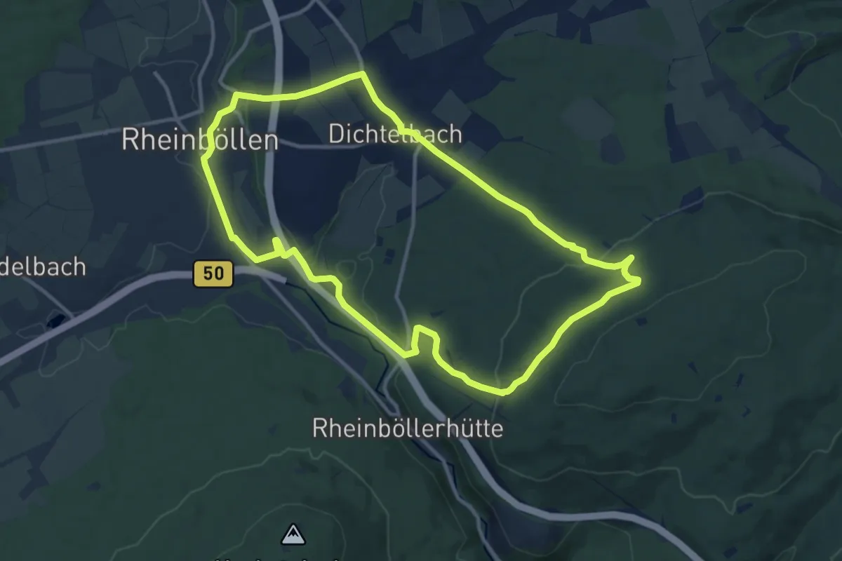
Medium · Trail
DVV Wiesen Windkraft Wälder 11
10.6 km · ↑ 227 m · 3 h 9 min
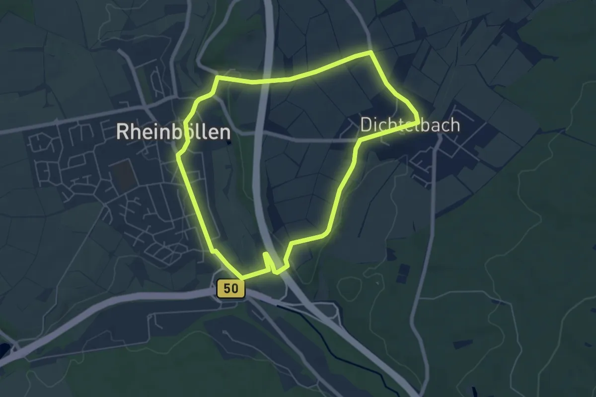
Easy · Trail
DVV Wiesen Windkraft Wälder 5
5.4 km · ↑ 78 m · 1 h 30 min
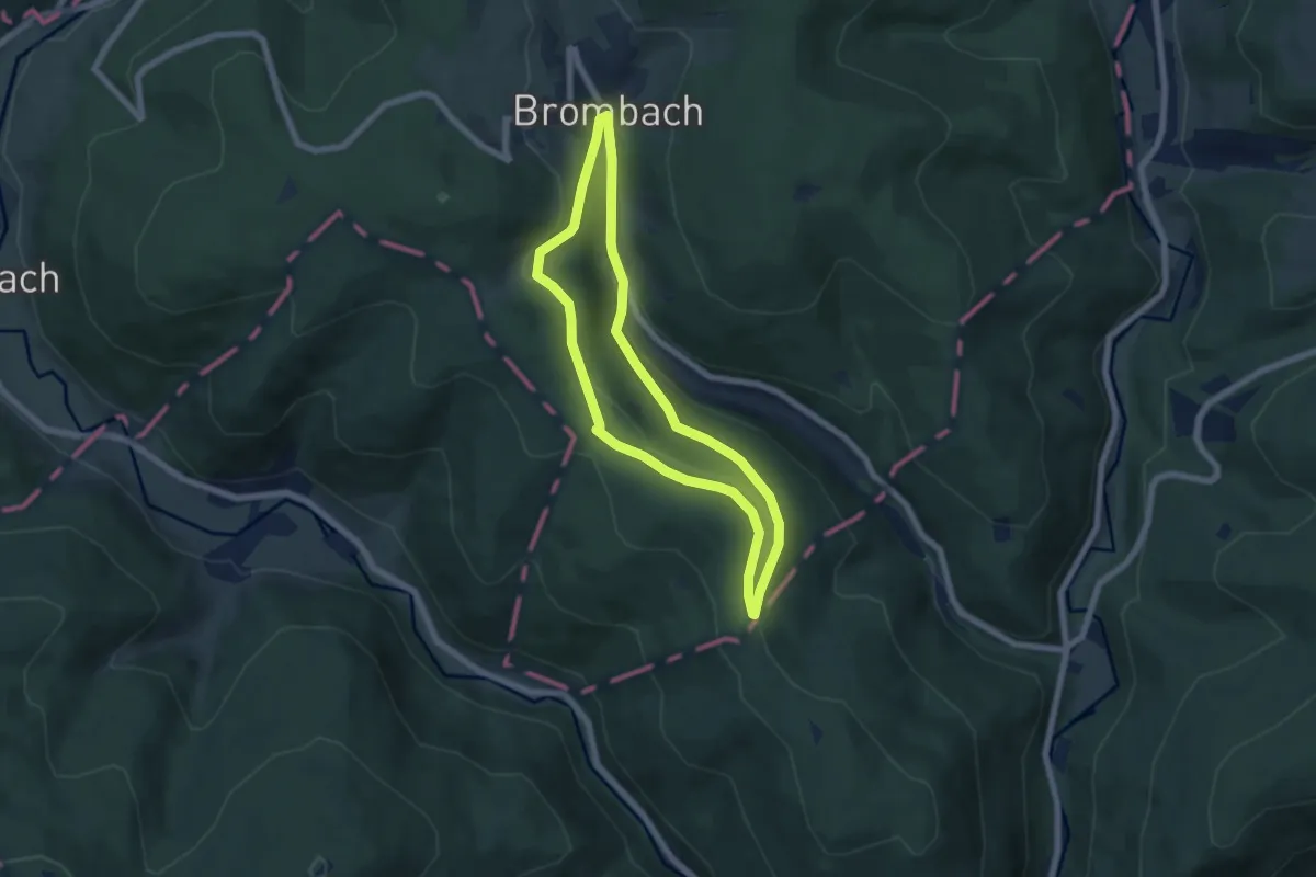
Easy · Trail
„d'Woog“-Weg
5.4 km · ↑ 134 m · 1 h 39 min
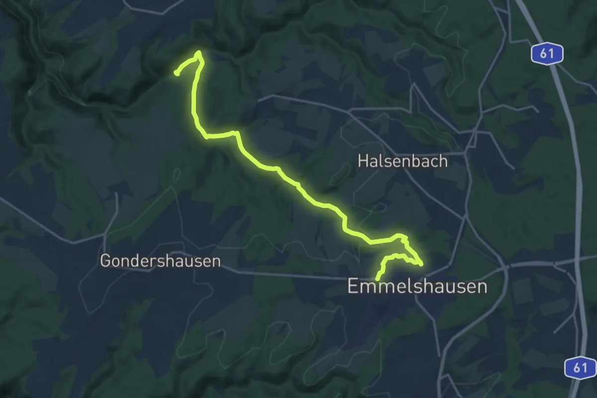
Medium · Trail
E
16.6 km · ↑ 314 m · 4 h 36 min
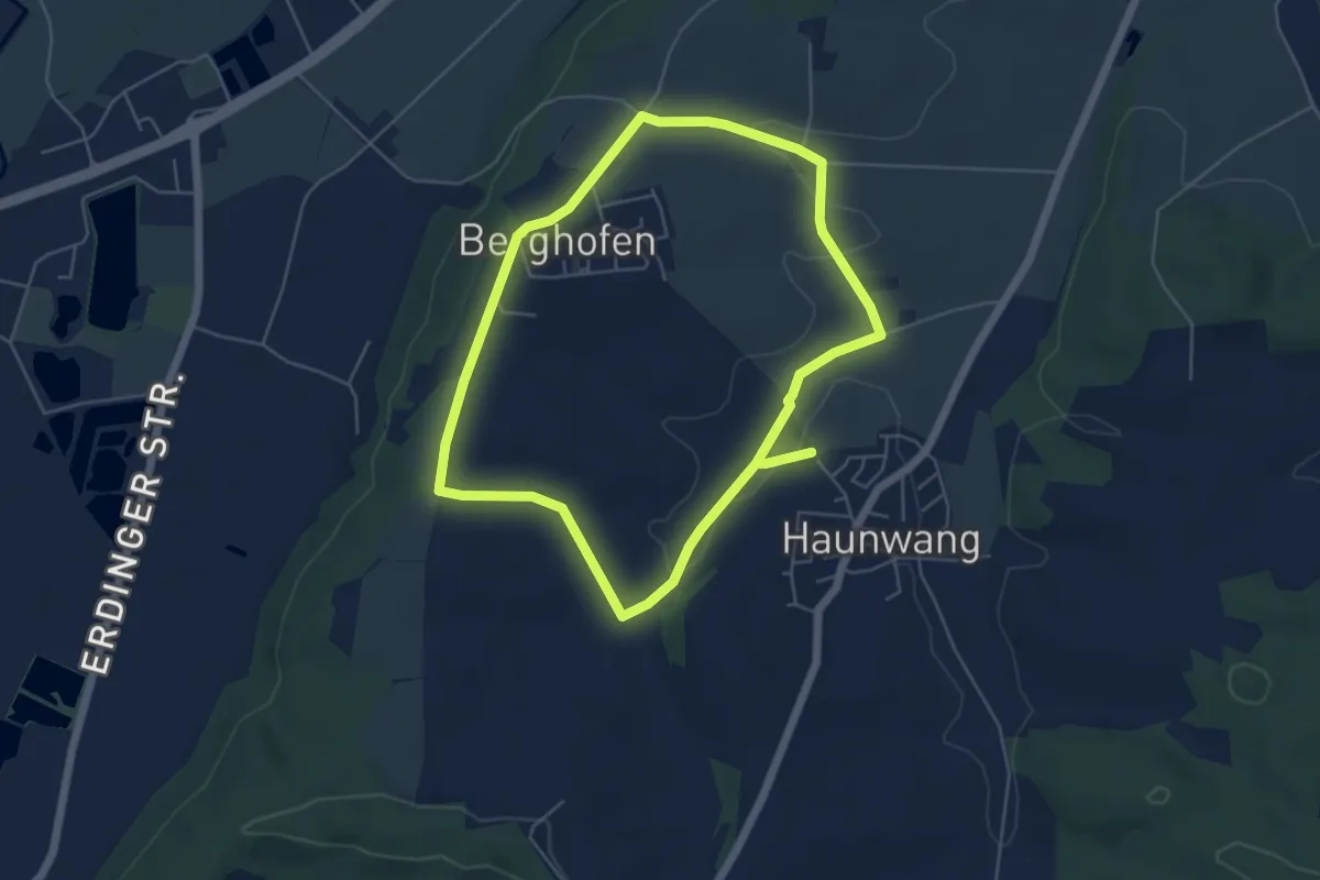
Easy · Trail
E1 - Berghofen
4.9 km · ↑ 53 m · 1 h 20 min
Easy · Trail
E1 E6 Bungsberg Abkürzung
3.2 km · ↑ 19 m · 47 min
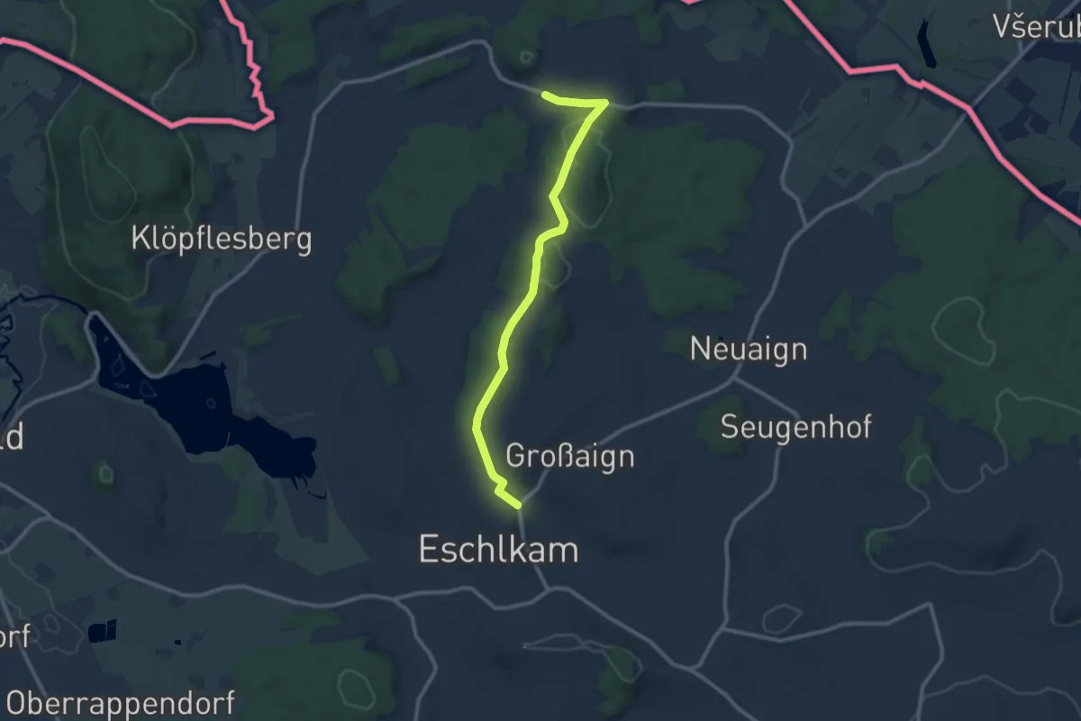
Medium · Trail
E1 Eschlkam-Gaishof-Eschlkam
9.2 km · ↑ 195 m · 2 h 36 min
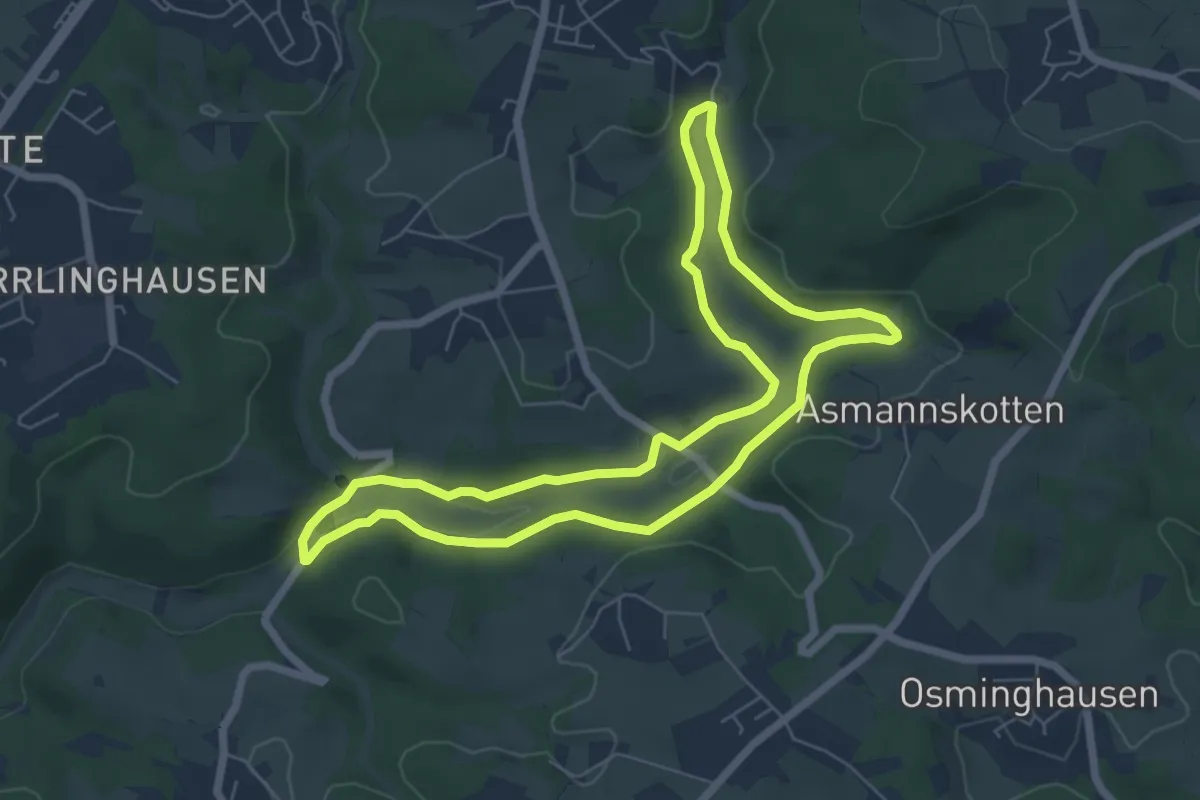
Easy · Trail
E1 - Vom Park ins Tal
5.8 km · ↑ 85 m · 1 h 38 min
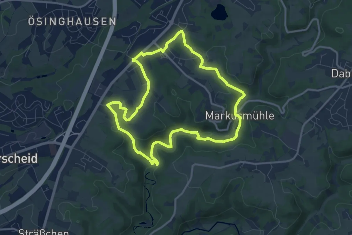
Easy · Trail
E2 - Auf alten Pfaden
7.4 km · ↑ 137 m · 2 h 8 min
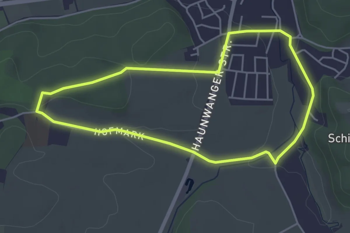
Easy · Trail
E2 - Kronwinkl
3.8 km · ↑ 58 m · 1 h 4 min
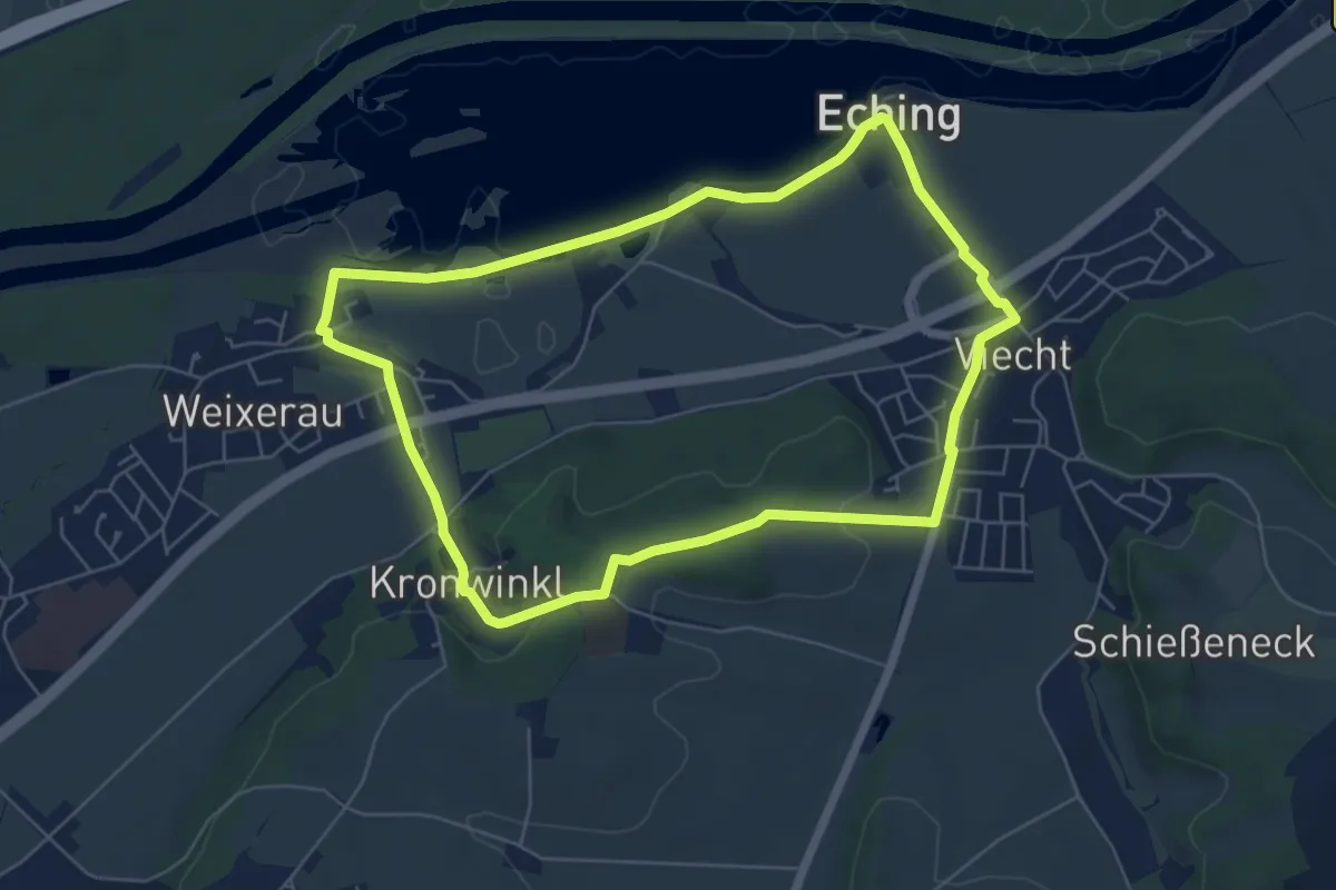
Easy · Trail
E3 - Naturschutzgebiet Eching
6.0 km · ↑ 63 m · 1 h 38 min
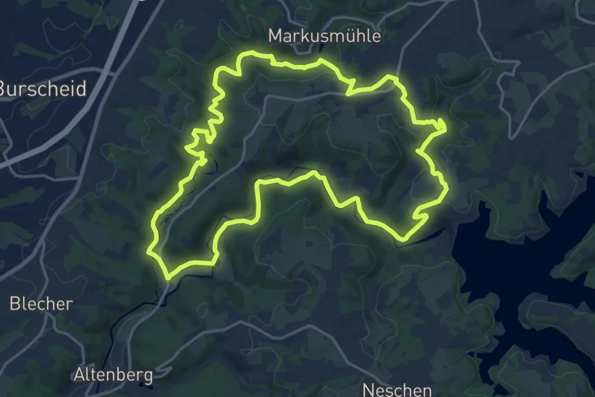
Medium · Trail
E3 - Täler und Höhen
13.3 km · ↑ 310 m · 4 h
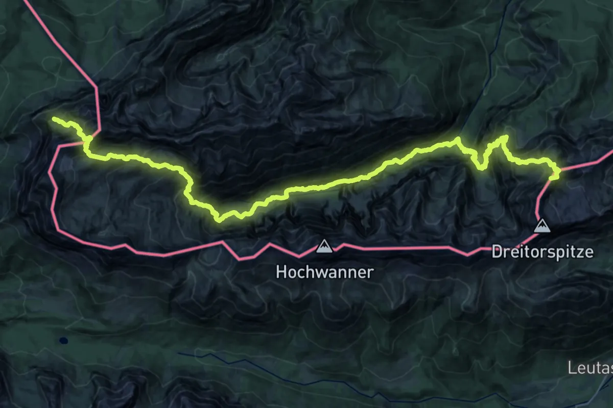
Expert · Summit
[E4] Europäischer Fernwanderweg [004]
38.4 km · ↑ 4208 m · 18 h 12 min
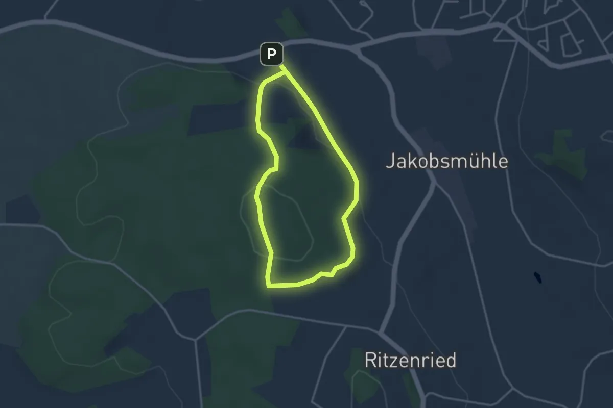
Easy · Summit
E4 Karpflingweg
2.6 km · ↑ 69 m · 47 min
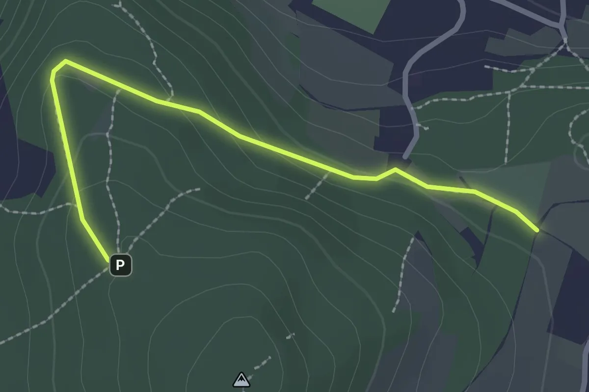
Easy · Trail
EB Alternative Gleesberg
2.3 km · ↑ 108 m · 47 min
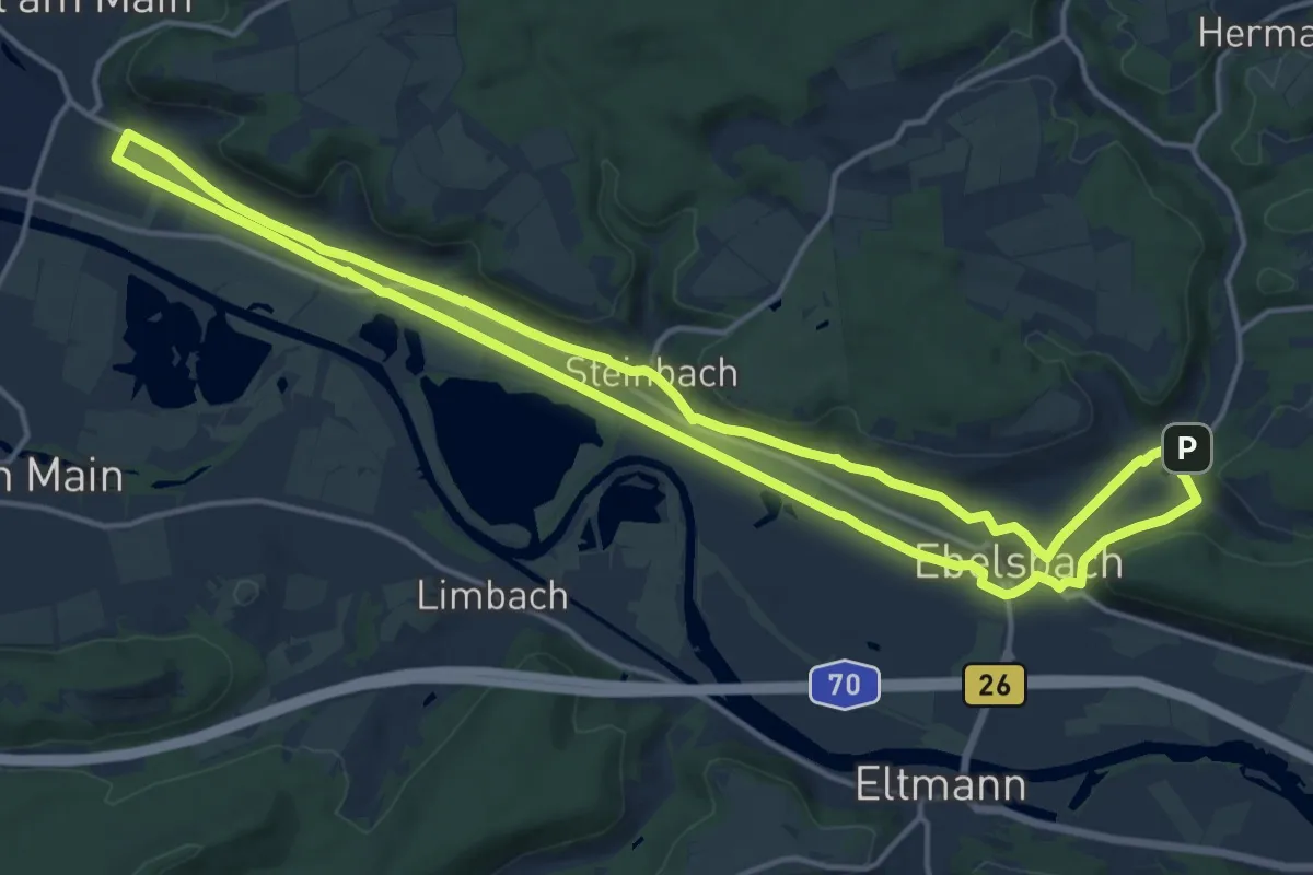
Medium · Trail
Ebelsbach/Zeil Weintal-Route
15.0 km · ↑ 87 m · 3 h 56 min
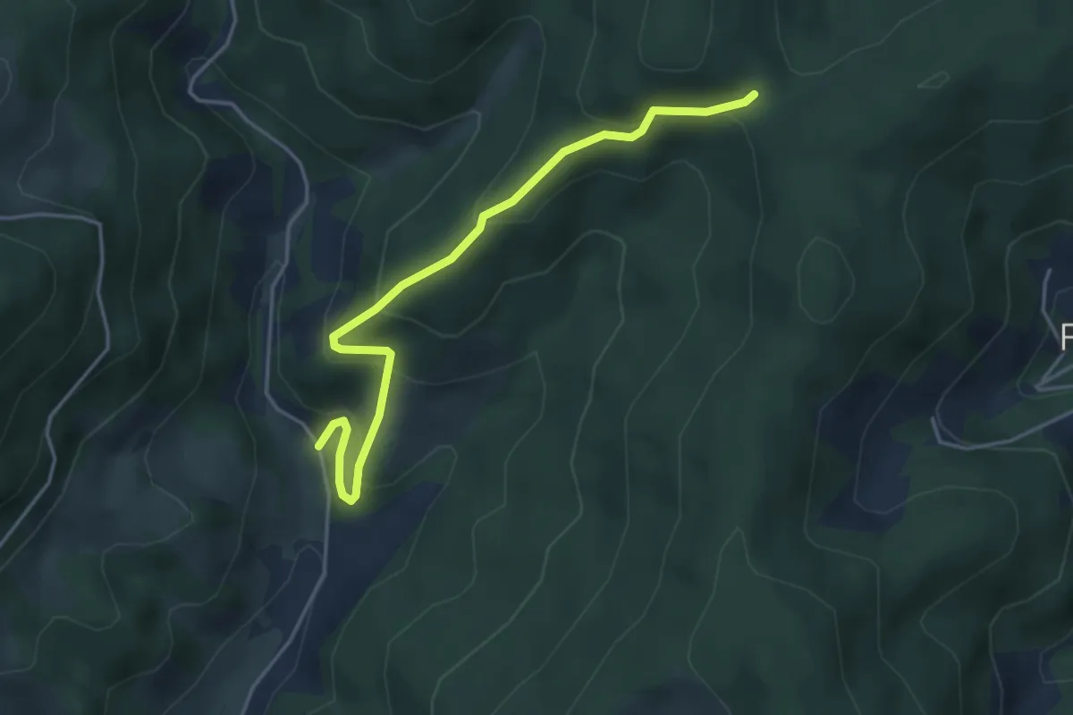
Medium · Trail
Ebenacker - Wanderparkplatz Hintertal Einbach
4.1 km · ↑ 331 m · 1 h 41 min
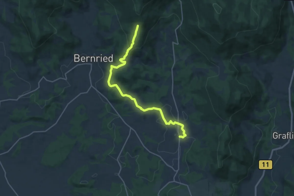
Medium · Trail
Ebenanger Weg
14.1 km · ↑ 428 m · 4 h 15 min
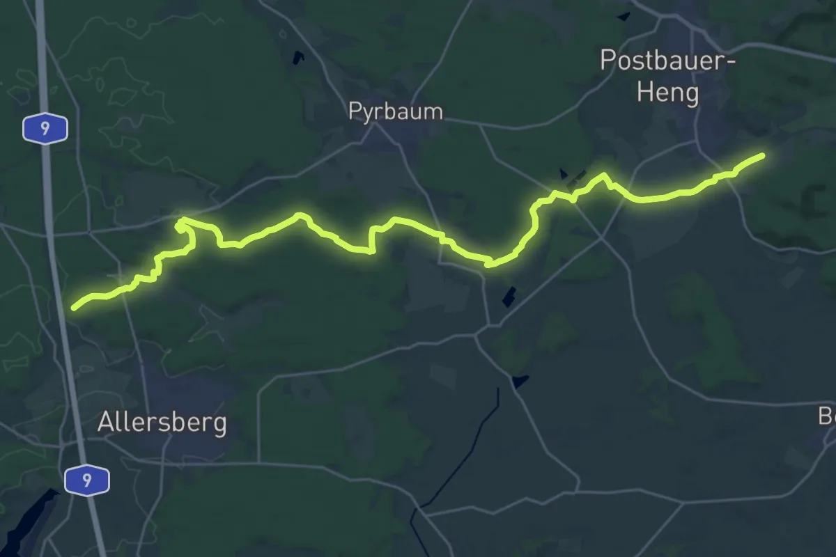
Medium · Trail
Ebenbühlweg
15.9 km · ↑ 121 m · 4 h 16 min
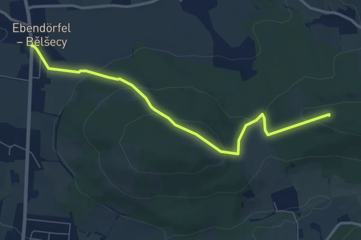
Easy · Summit
Ebendörfel - Rote Schenke (gelber Punkt)
6.0 km · ↑ 273 m · 2 h
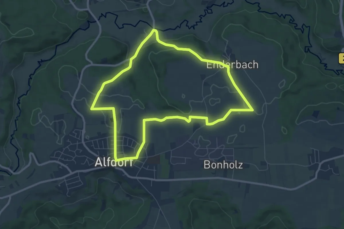
Easy · Trail
Ebenen-Rundweg
7.2 km · ↑ 101 m · 2 h 1 min
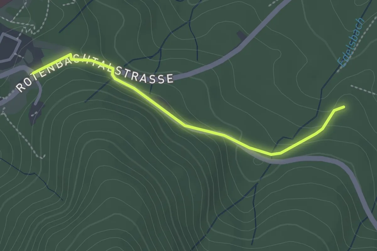
Easy · Trail
Ebener Weg - Ebersteinburg Gasthaus Wolfsschlucht
2.3 km · ↑ 70 m · 42 min
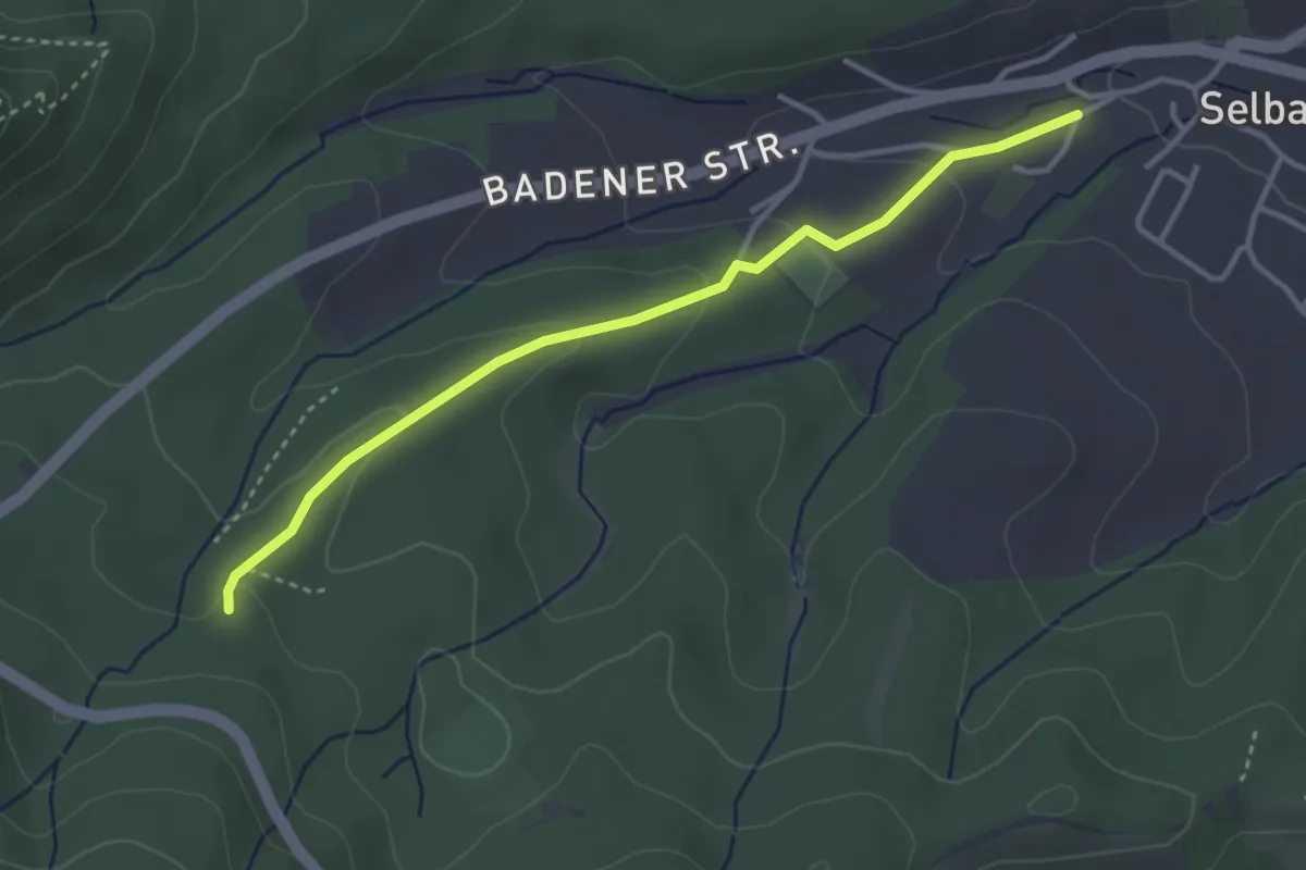
Easy · Trail
Ebener Weg - Selbach Hinterbachweg
3.3 km · ↑ 105 m · 1 h 1 min
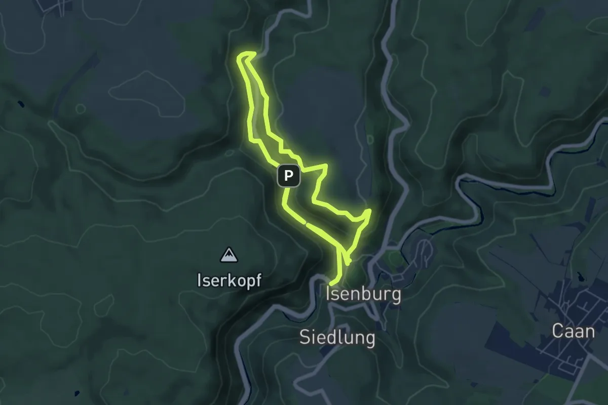
Medium · Trail
Ebenfeld, Iserblick und Isertal
10.4 km · ↑ 422 m · 3 h 22 min
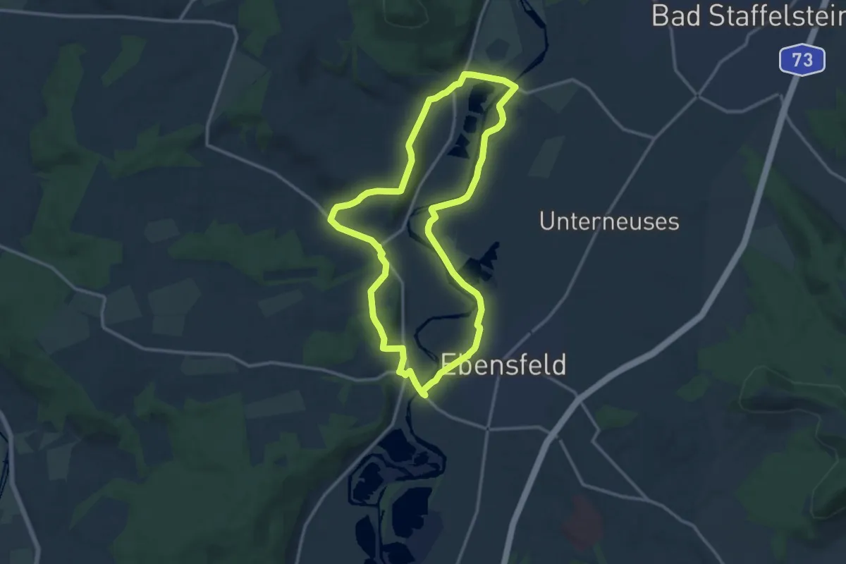
Medium · Trail
Ebensfelder Main-Runde oder Wiesener Rundweg
11.0 km · ↑ 117 m · 3 h
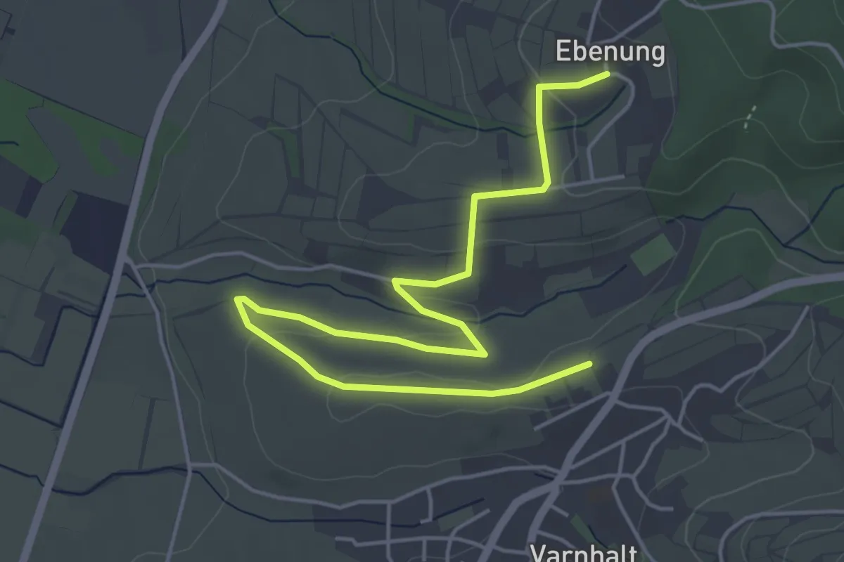
Easy · Trail
Ebenung - Gallenbach
5.8 km · ↑ 100 m · 1 h 35 min
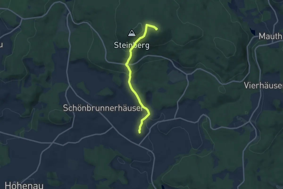
Demanding · Trail
Eberesche
7.6 km · ↑ 337 m · 2 h 31 min
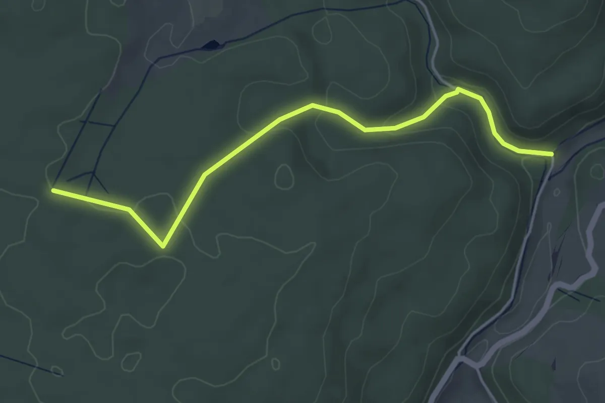
Easy · Trail
Eberfang - Wasserburger Tal Abzwg. Schenkenberg
4.4 km · ↑ 105 m · 1 h 16 min
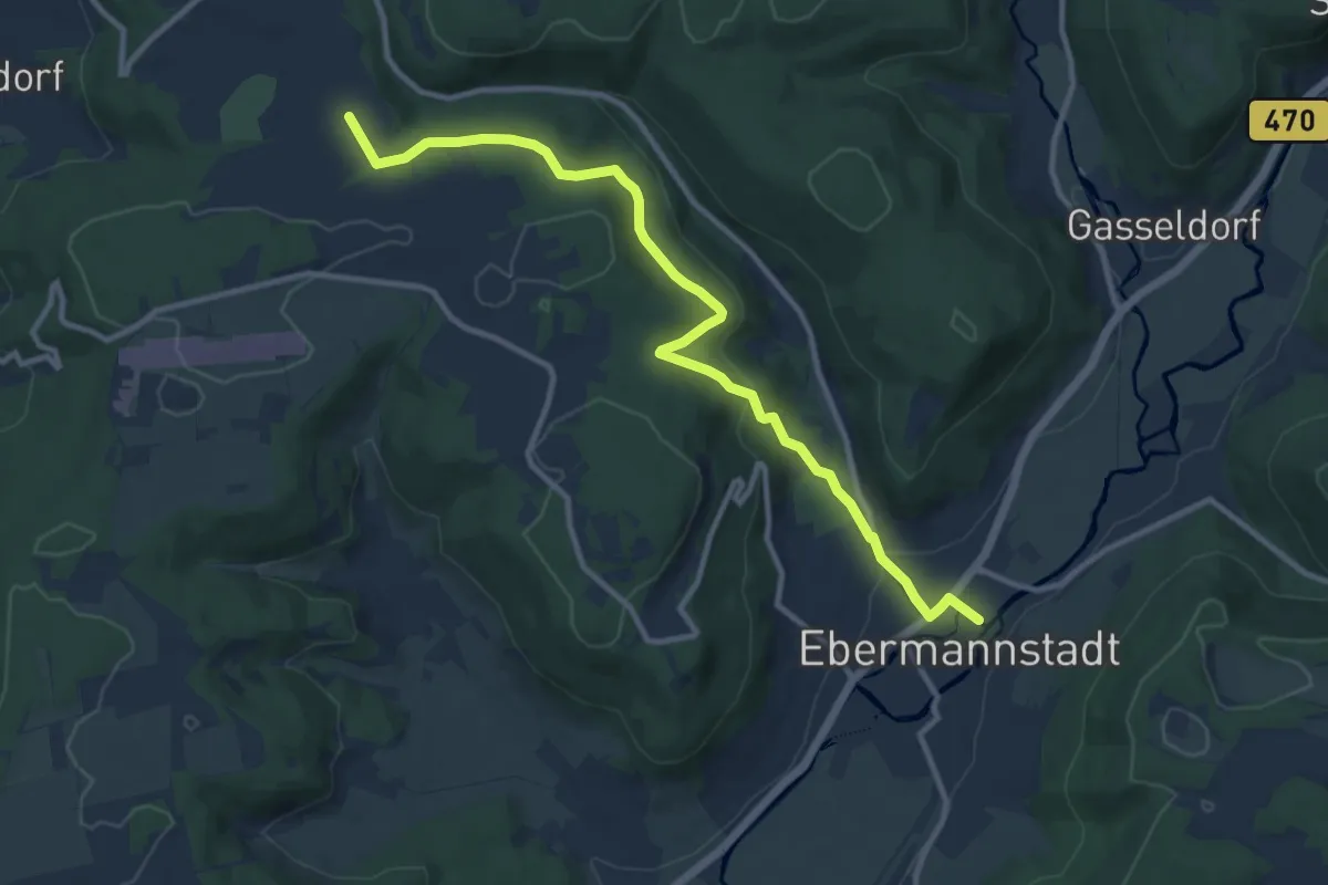
Medium · Trail
Ebermannnstadt-Eschlipp
10.8 km · ↑ 328 m · 3 h 16 min
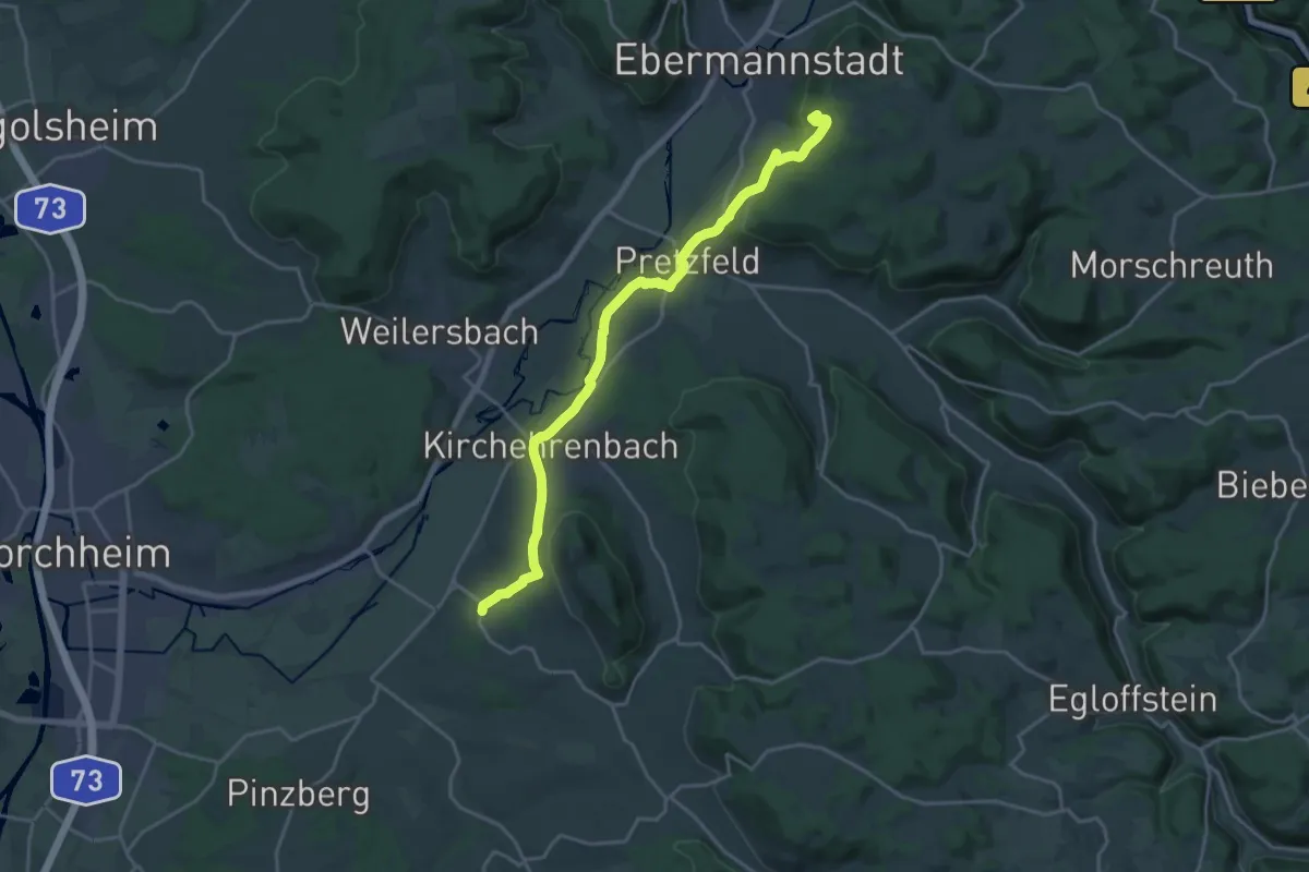
Demanding · Summit
Ebermannstadt-Wiesenthau
19.7 km · ↑ 438 m · 5 h 37 min
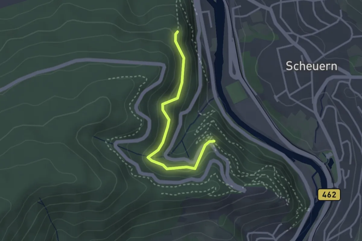
Easy · Trail
Eberpfad - Luisenruhe
2.6 km · ↑ 149 m · 56 min
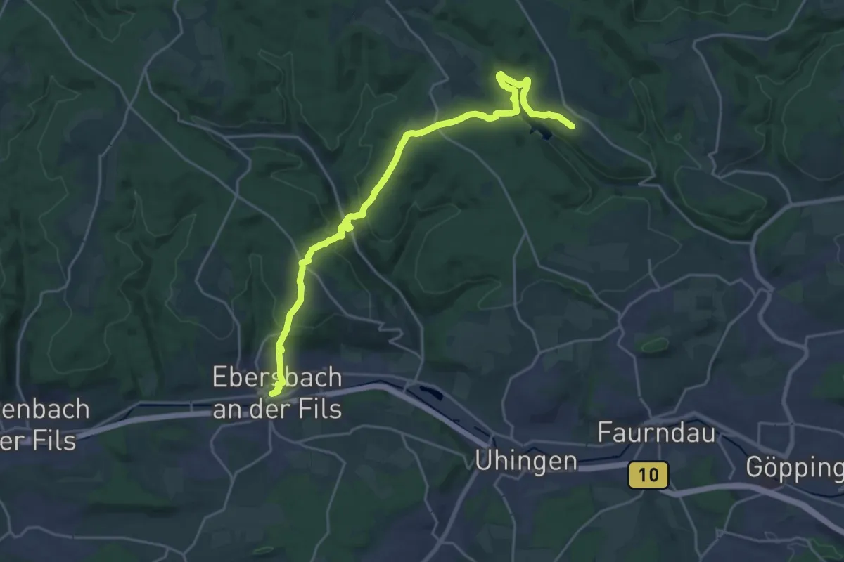
Demanding · Trail
Ebersbach - Adelberger See - Kloster Adelberg
22.1 km · ↑ 814 m · 6 h 59 min
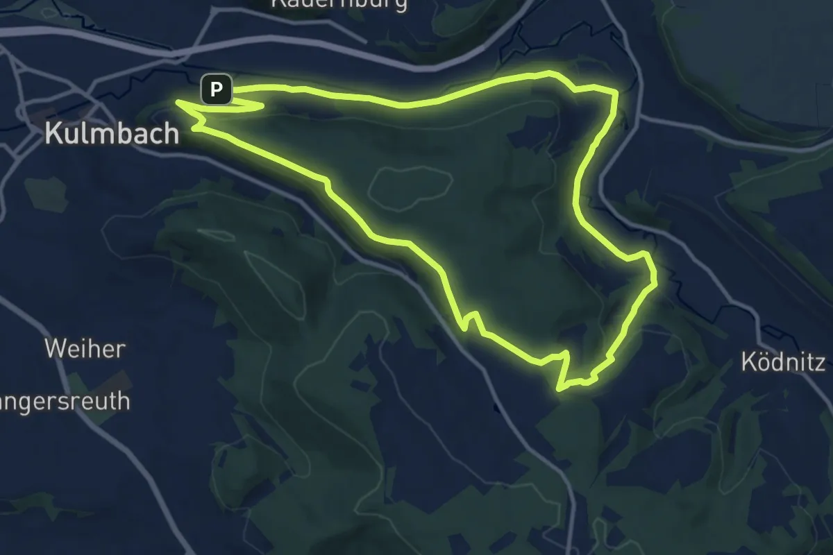
Medium · Trail
Ebersbacher Weg KU 45
11.5 km · ↑ 269 m · 3 h 27 min
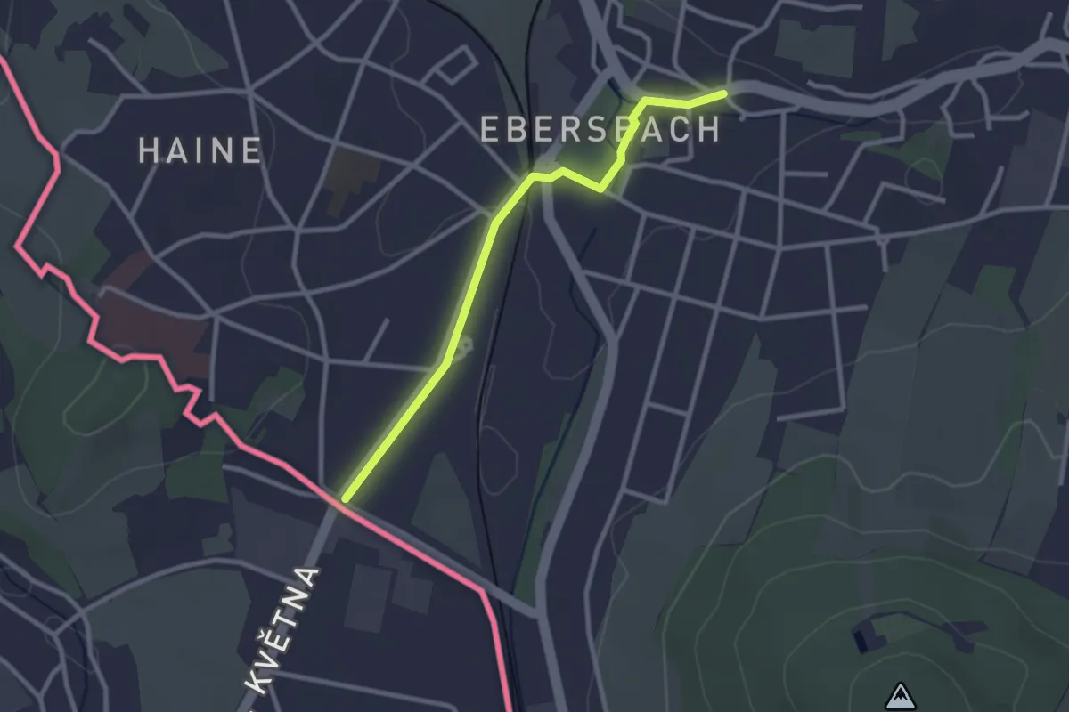
Easy · Trail
Ebersbach - Klunst (grüner Strich)
2.4 km · ↑ 23 m · 36 min
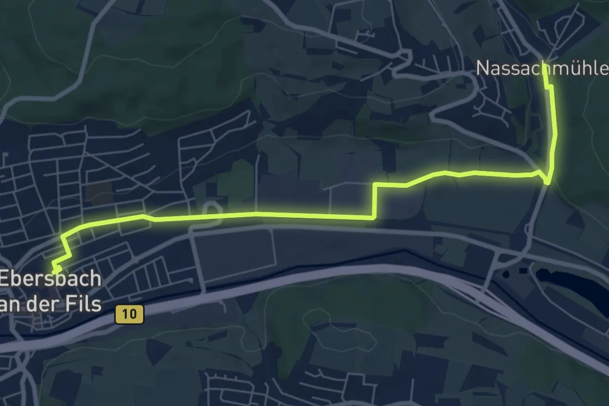
Easy · Trail
Ebersbach - Nassachmühle
7.3 km · ↑ 27 m · 1 h 47 min
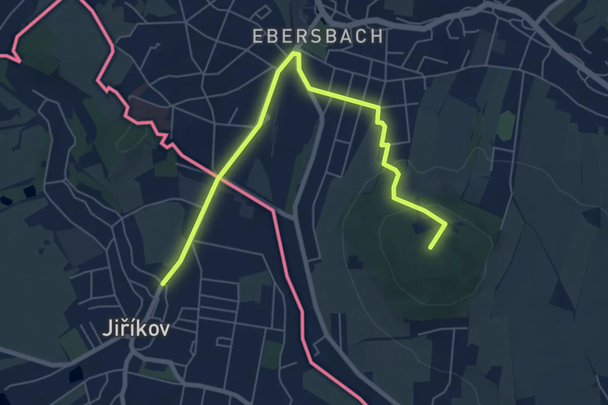
Easy · Summit
Ebersbach - Wendisch-Paulsdorf (gelber Strich)
5.7 km · ↑ 131 m · 1 h 38 min
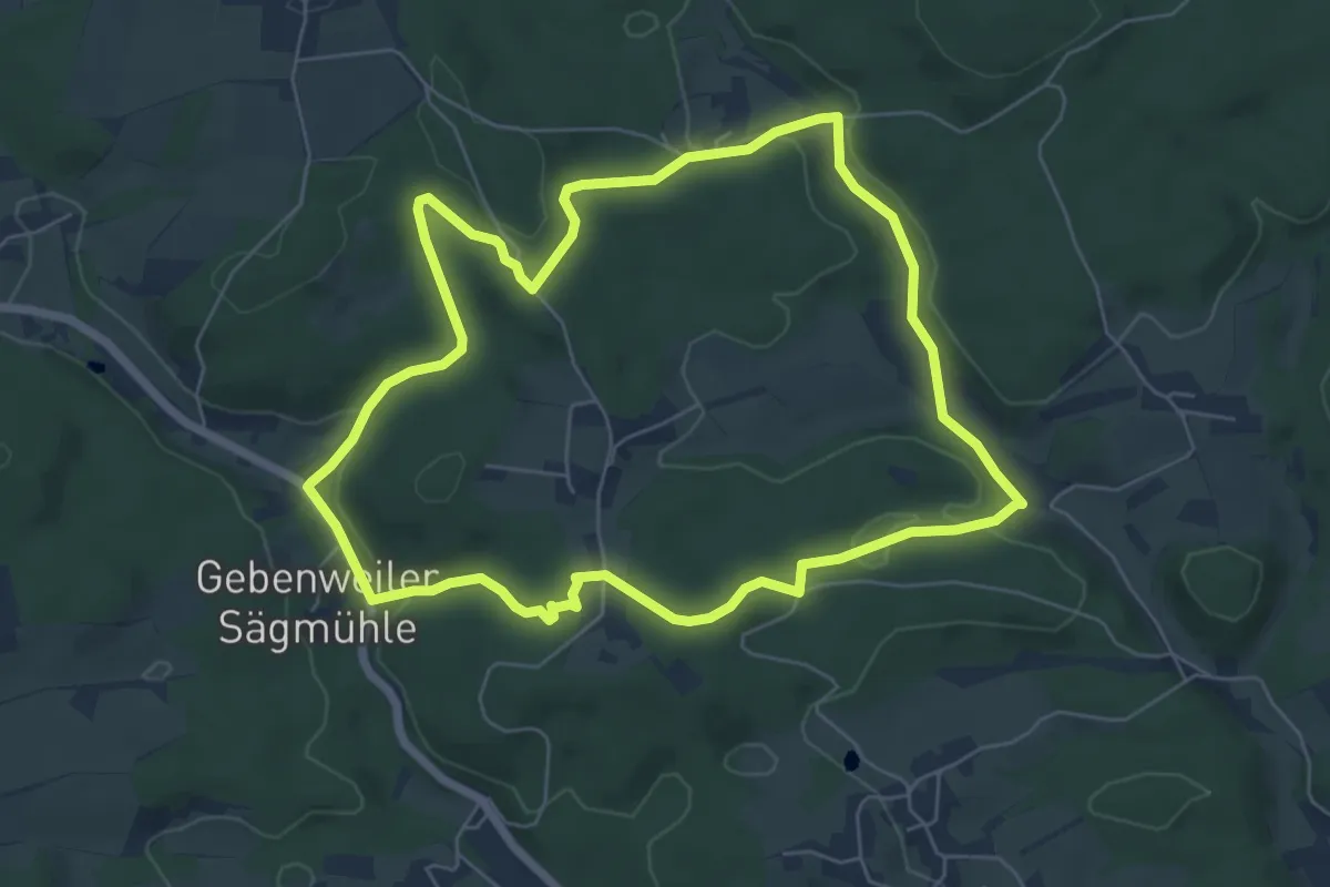
Easy · Trail
Ebersberg Rundweg
6.0 km · ↑ 140 m · 1 h 48 min
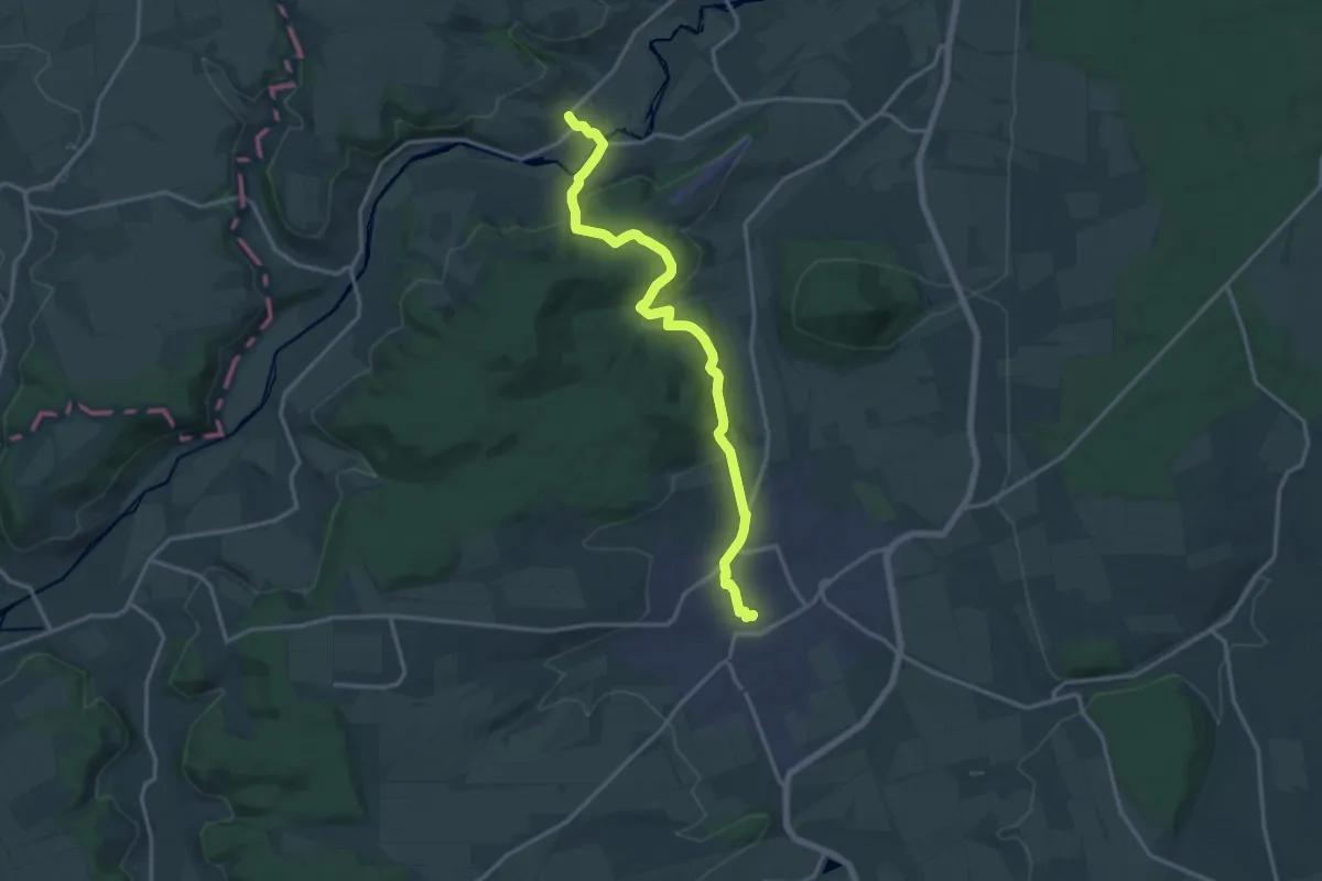
Medium · Trail
Eberschütz - Hofgeismar
14.6 km · ↑ 380 m · 4 h 16 min
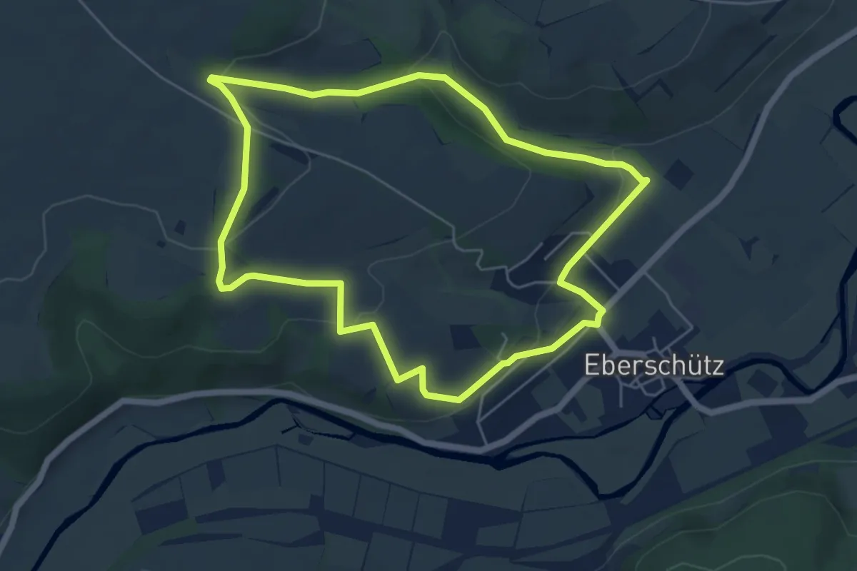
Easy · Trail
Eberschütz Rundweg
4.9 km · ↑ 131 m · 1 h 30 min
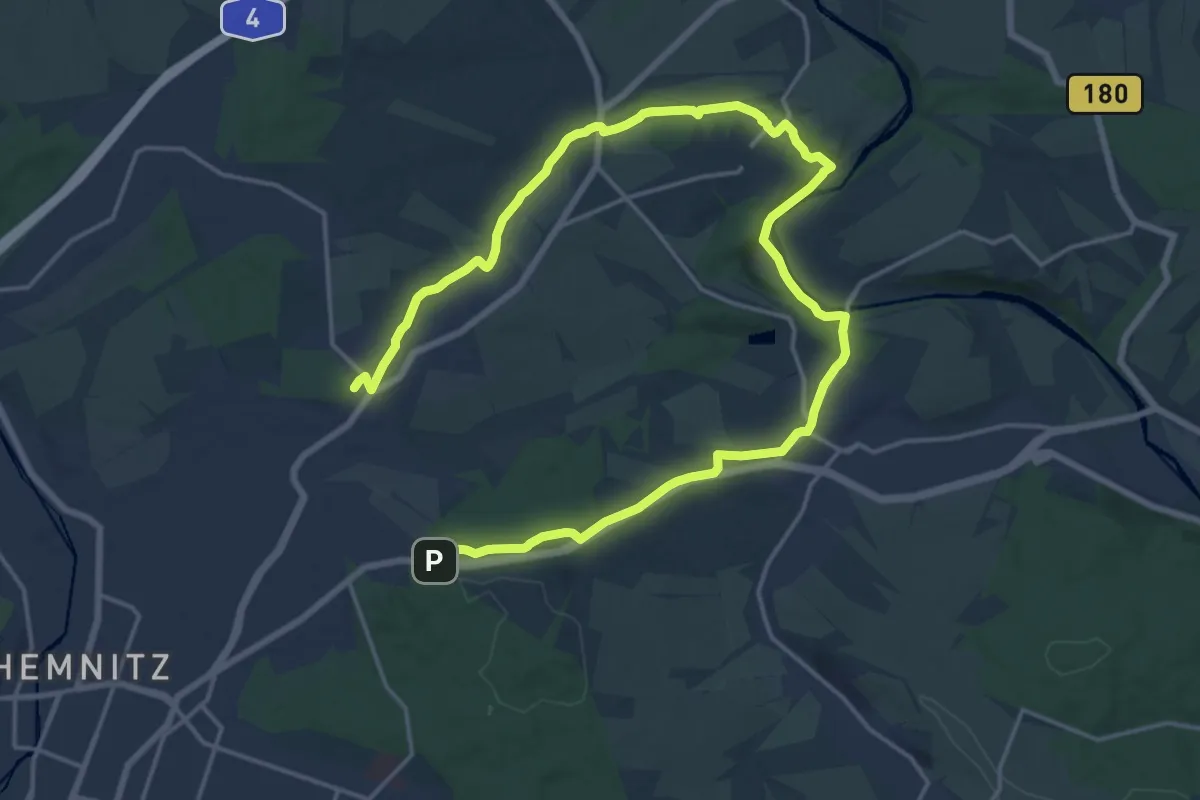
Demanding · Trail
Ebersdorf - Zeisigwald
24.1 km · ↑ 305 m · 6 h 20 min
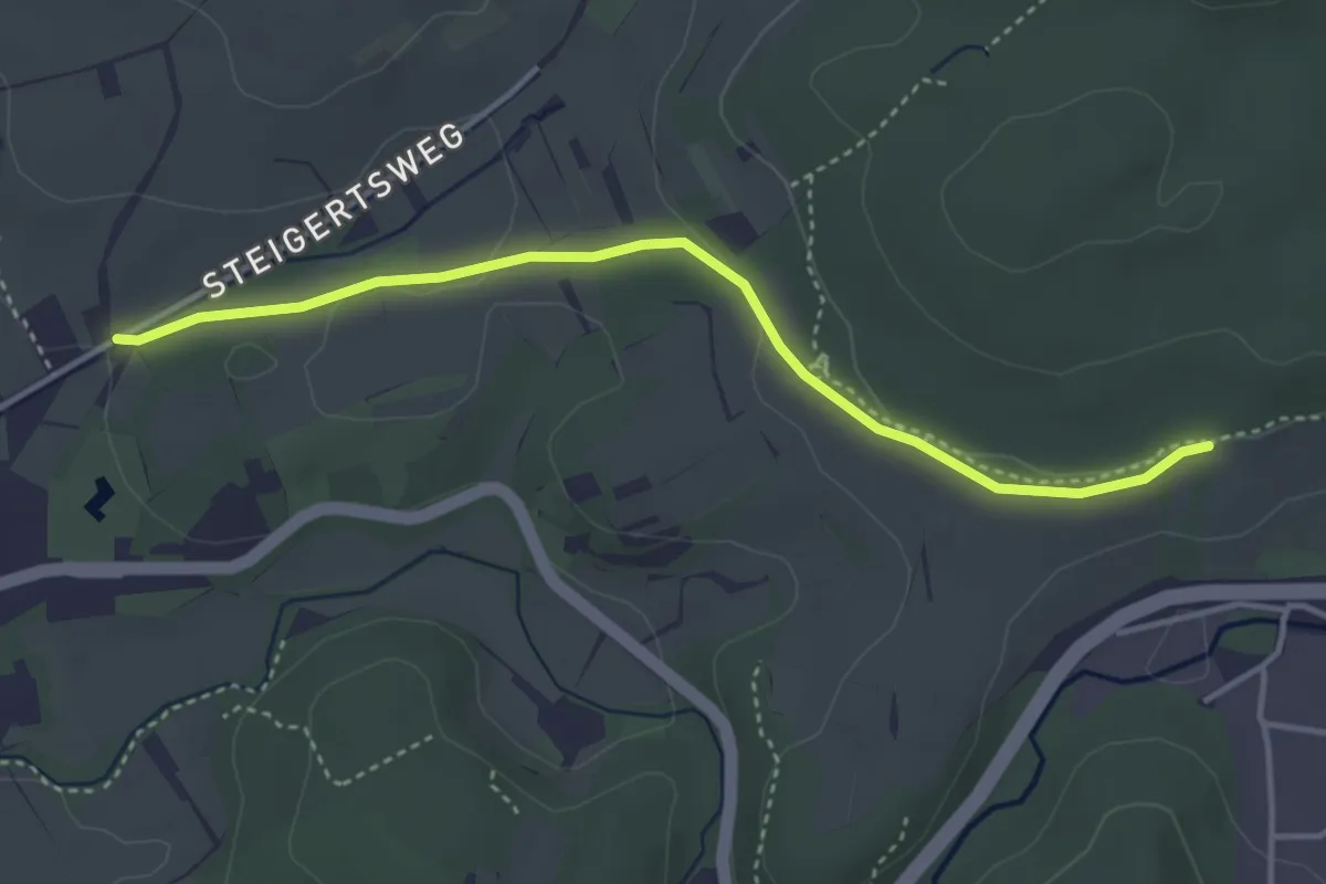
Easy · Trail
Eberstadt Verbindungsweg
3.6 km · ↑ 54 m · 58 min
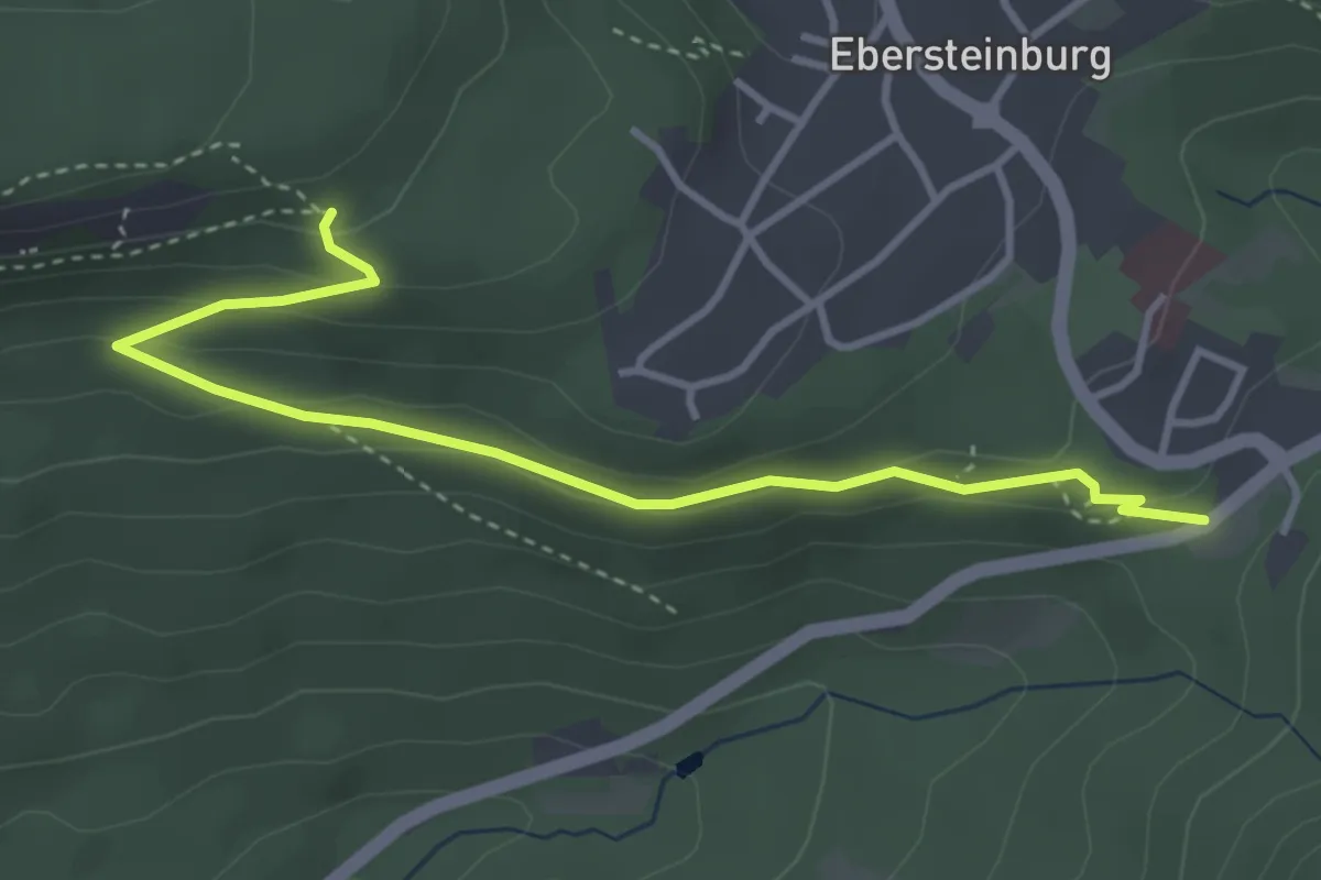
Easy · Trail
Ebersteinburg Parkplatz Wolfsschlucht - Untere Batterthütte
3.7 km · ↑ 147 m · 1 h 12 min
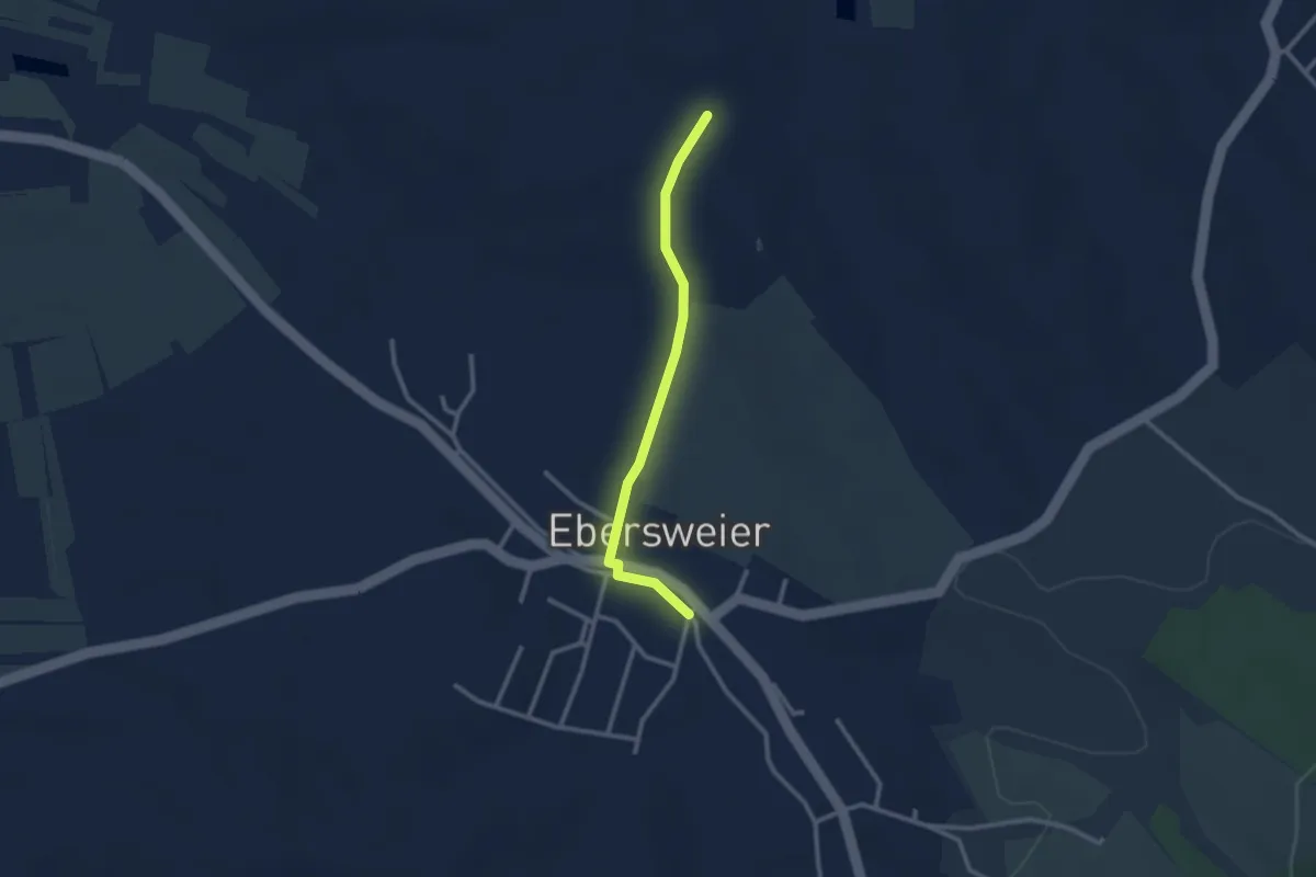
Easy · Trail
Ebersweier Am Hexenbrunnen - Riedhalde
2.4 km · ↑ 24 m · 37 min
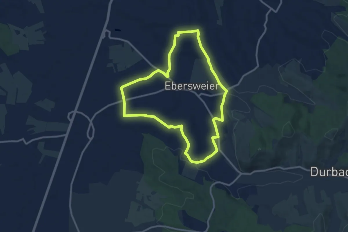
Easy · Trail
Ebersweier Rundweg 1
7.4 km · ↑ 64 m · 1 h 59 min
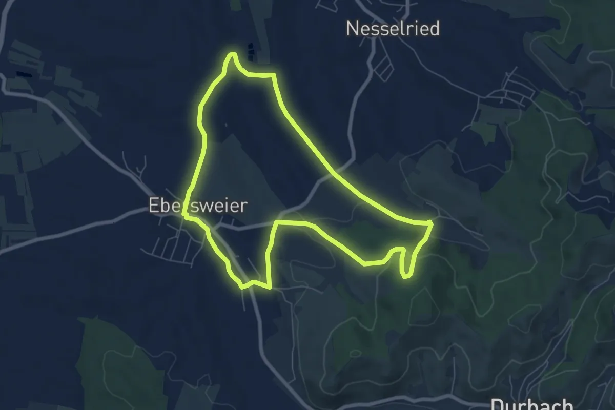
Easy · Trail
Ebersweier Rundweg 2
6.5 km · ↑ 120 m · 1 h 53 min
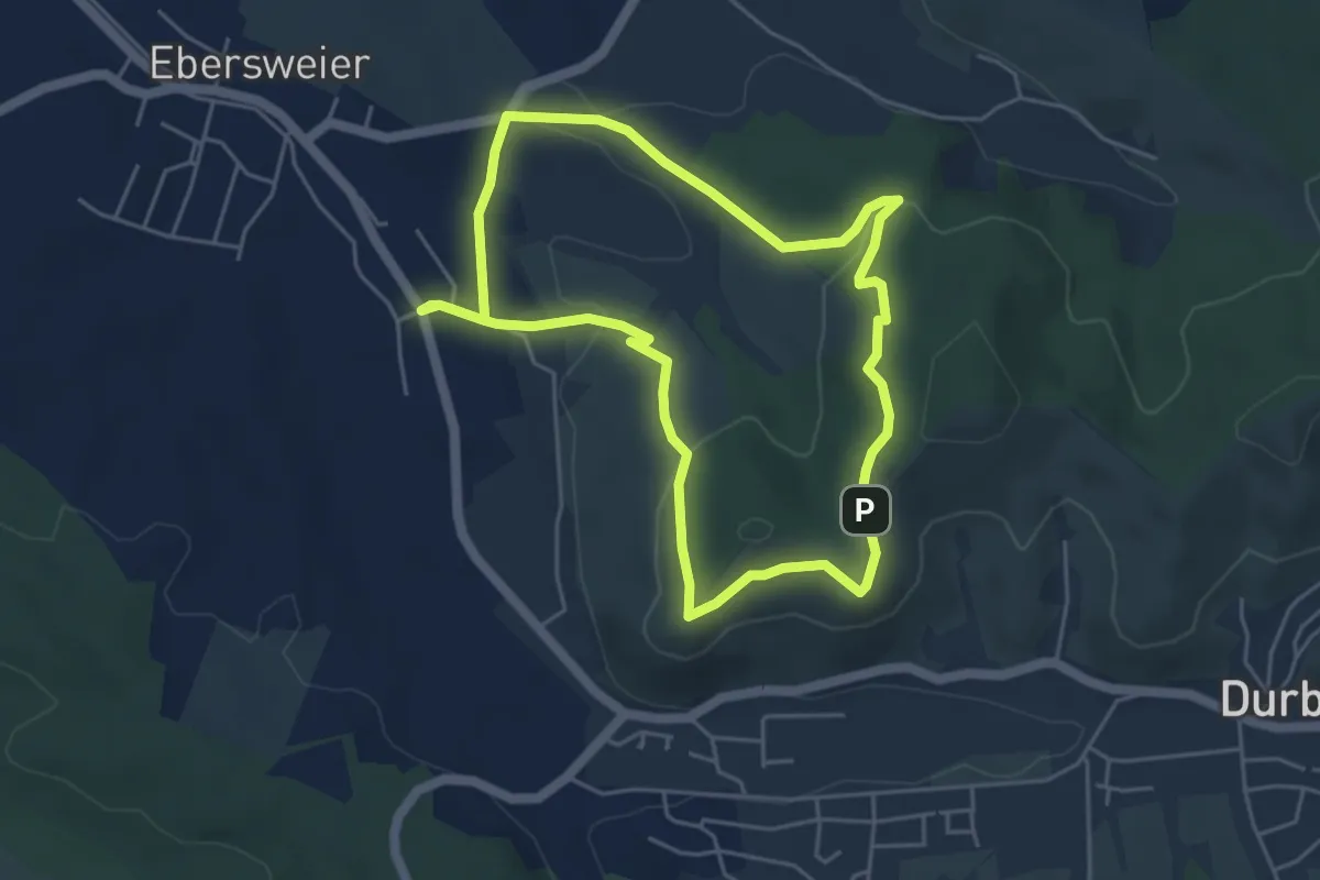
Easy · Trail
Ebersweier Rundweg 3
4.5 km · ↑ 123 m · 1 h 24 min