Trails in Germany
36,847 hiking trails, each with its route, climb, walking time and grade.
All trails, page 120 of 768
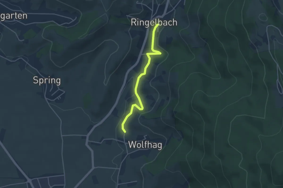
Easy · Trail
Ebert-Brünnele - Wolfhag
3.3 km · ↑ 93 m · 58 min
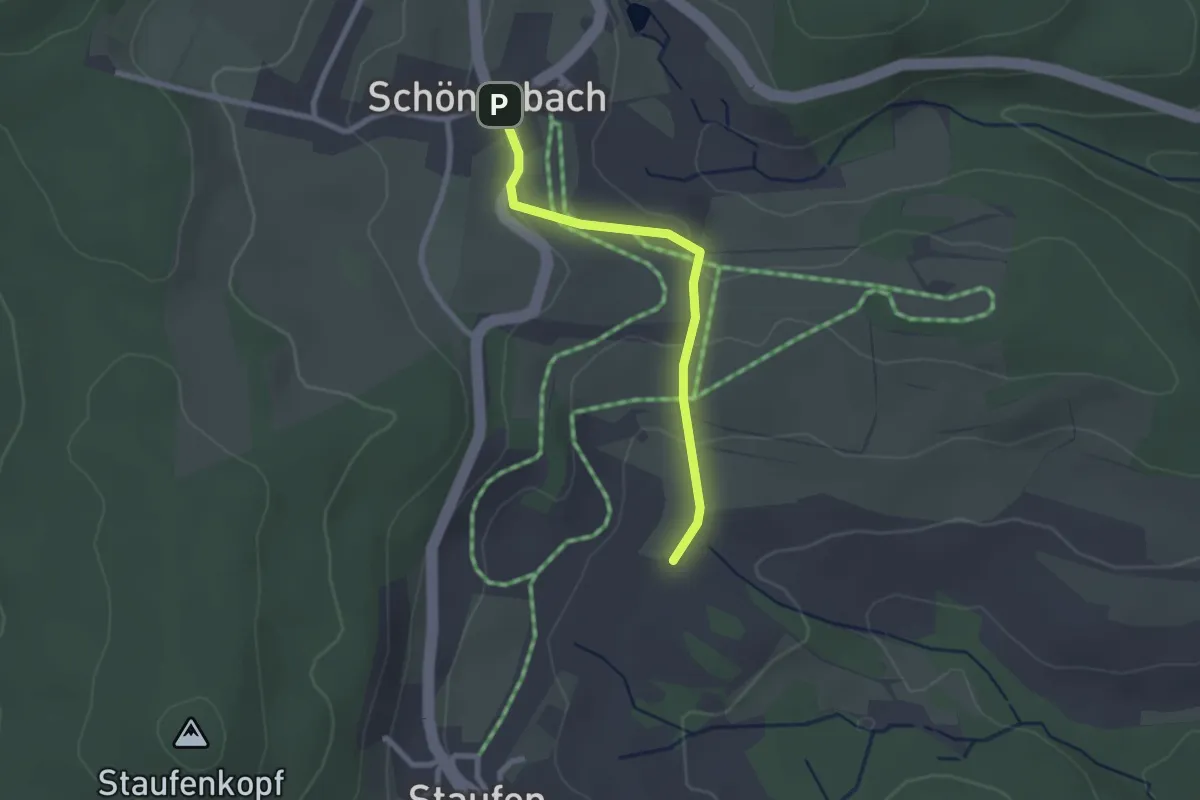
Easy · Trail
Ebertswiese - Schönenbach
2.1 km · ↑ 58 m · 38 min
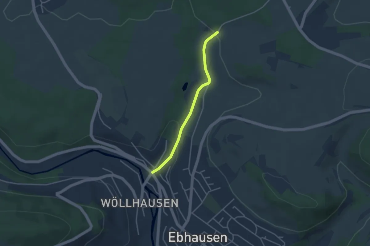
Easy · Trail
Ebhausen Lammbrücke - Kaltenau
2.6 km · ↑ 69 m · 46 min
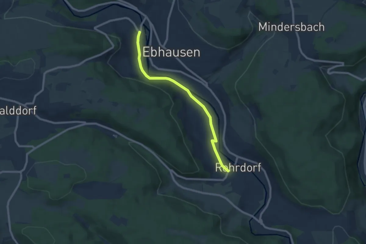
Easy · Trail
Ebhausen Wöllhausen - Rohrdorf Sonnenbrünnele
5.4 km · ↑ 73 m · 1 h 26 min
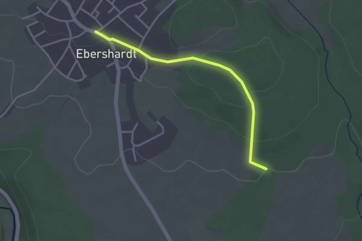
Easy · Trail
Ebhauser Straße - Reute
2.6 km · ↑ 66 m · 46 min
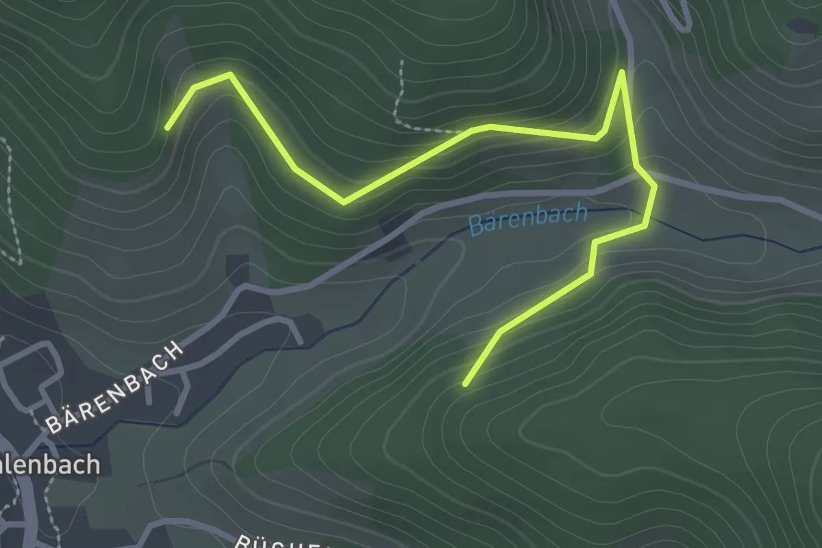
Easy · Trail
Ebles Winterberg - Pavillon
2.9 km · ↑ 168 m · 1 h 3 min
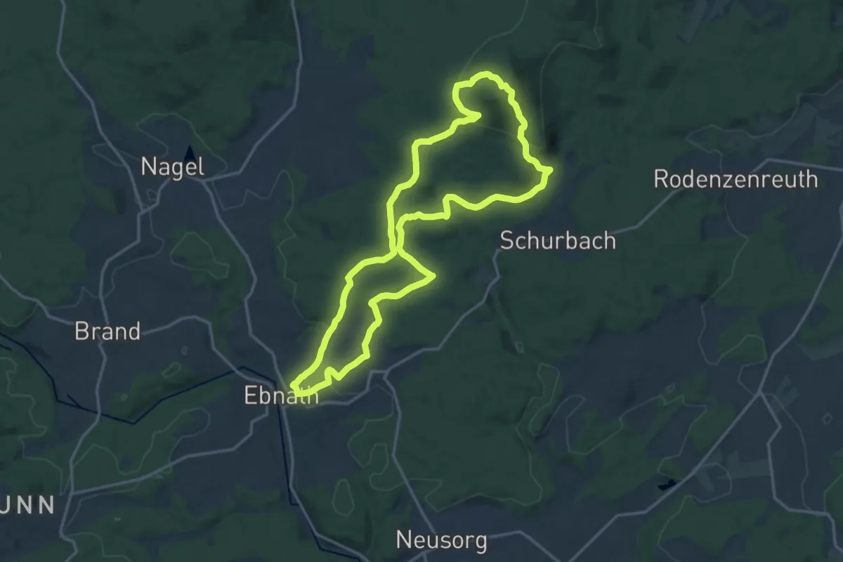
Medium · Summit
Ebnath Pfarrer-Hupfer-Weg
14.3 km · ↑ 410 m · 4 h 28 min
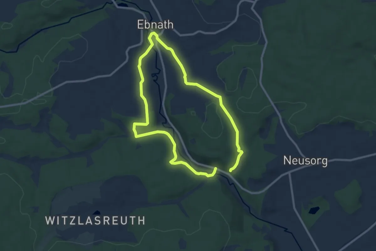
Medium · Trail
Ebnath Rundwanderweg Nr.1
12.1 km · ↑ 205 m · 3 h 18 min
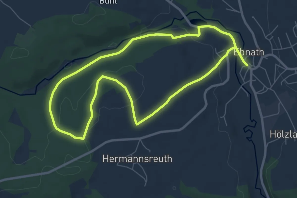
Easy · Trail
Ebnath Rundwanderweg Nr. 2
5.5 km · ↑ 84 m · 1 h 34 min
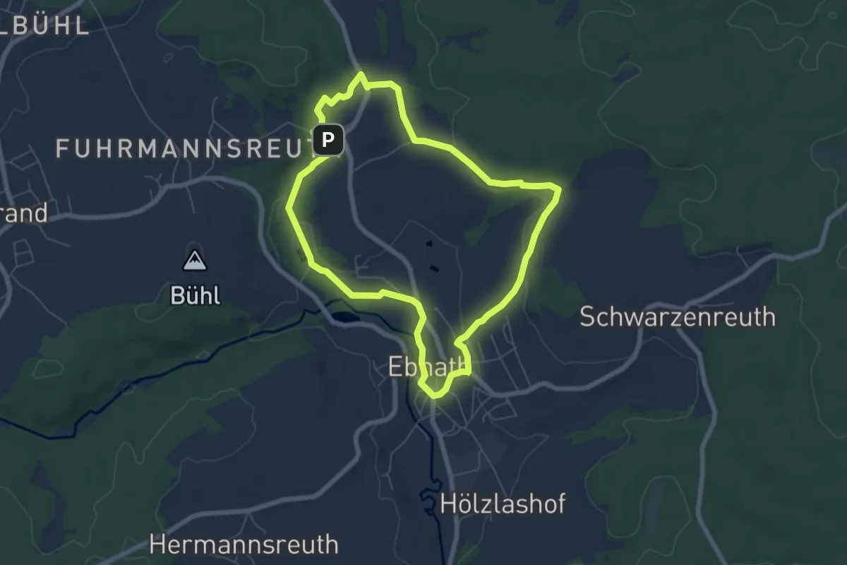
Easy · Trail
Ebnath Rundwanderweg Nr. 3
5.6 km · ↑ 95 m · 1 h 36 min
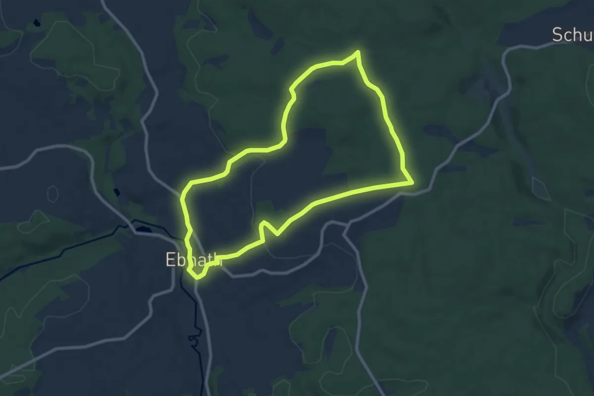
Easy · Trail
Ebnath Rundwanderweg Nr. 4
6.9 km · ↑ 140 m · 2 h 2 min
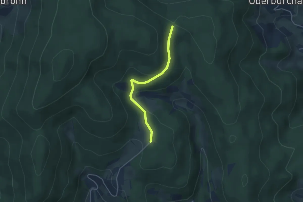
Easy · Trail
Ebnets - Grube
2.9 km · ↑ 81 m · 52 min
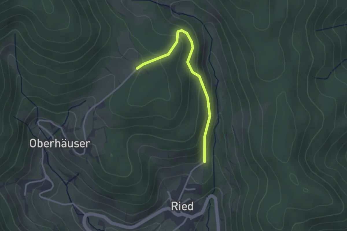
Easy · Trail
Ebnets - Hinterm Bühl
2.5 km · ↑ 139 m · 54 min
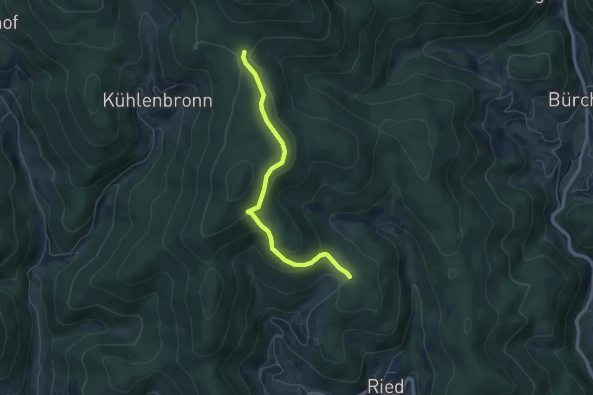
Easy · Trail
Ebnets - Jungholz
5.1 km · ↑ 191 m · 1 h 37 min
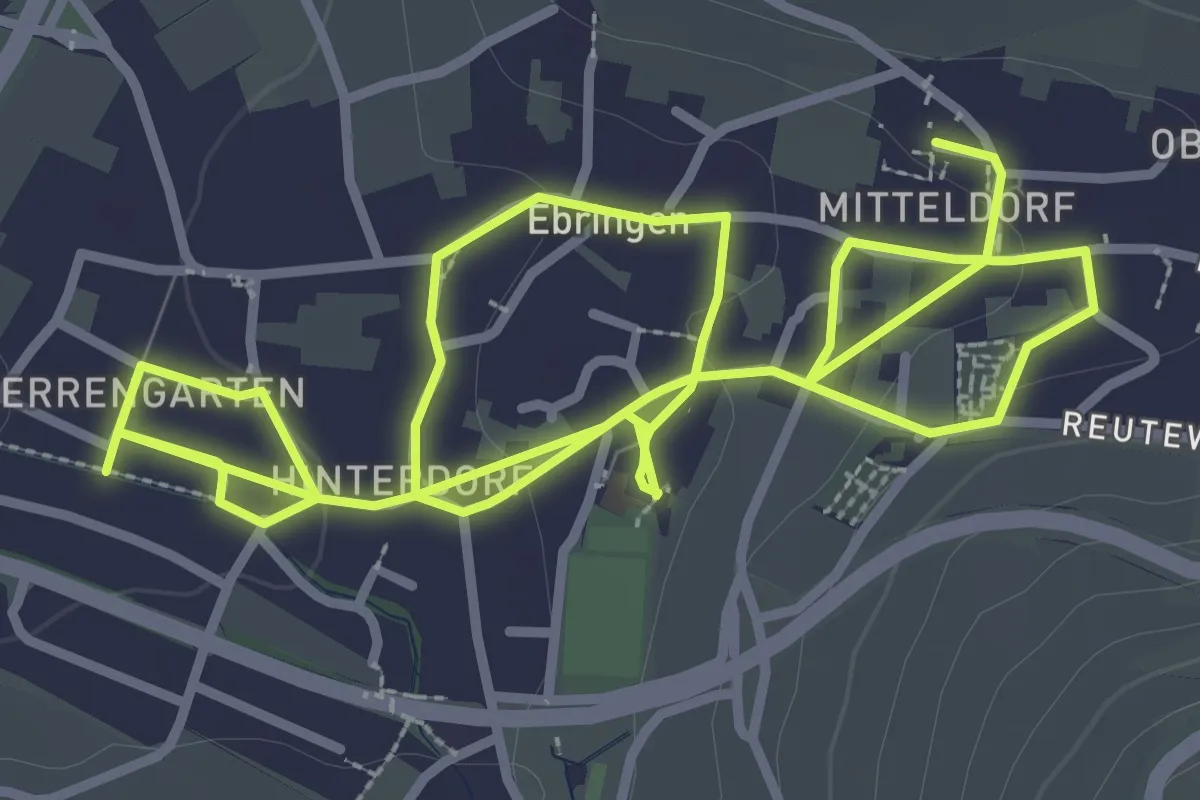
Easy · Trail
Ebringer Brunnenweg
6.5 km · ↑ 99 m · 1 h 46 min
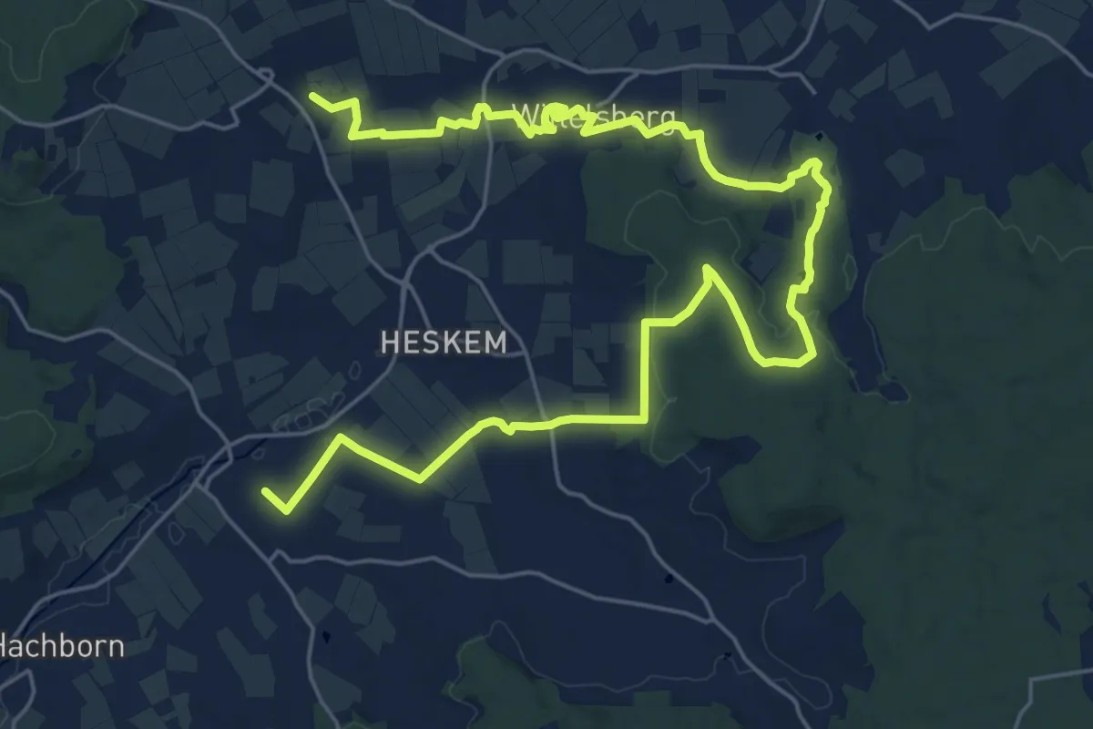
Medium · Summit
Ebsdorfer-Grund-Trail
15.1 km · ↑ 205 m · 4 h 12 min
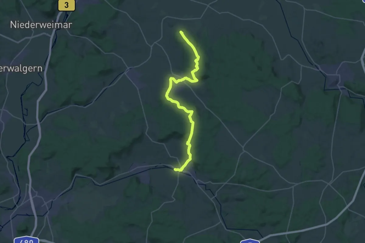
Demanding · Summit
Ebsdorfergrund-Weg
28.6 km · ↑ 656 m · 8 h 11 min
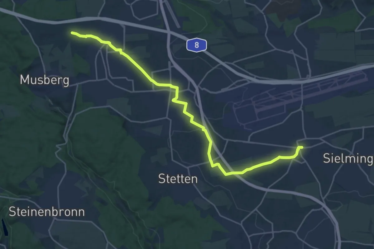
Demanding · Trail
Echterdingen - Bernhausen
19.4 km · ↑ 96 m · 4 h 47 min
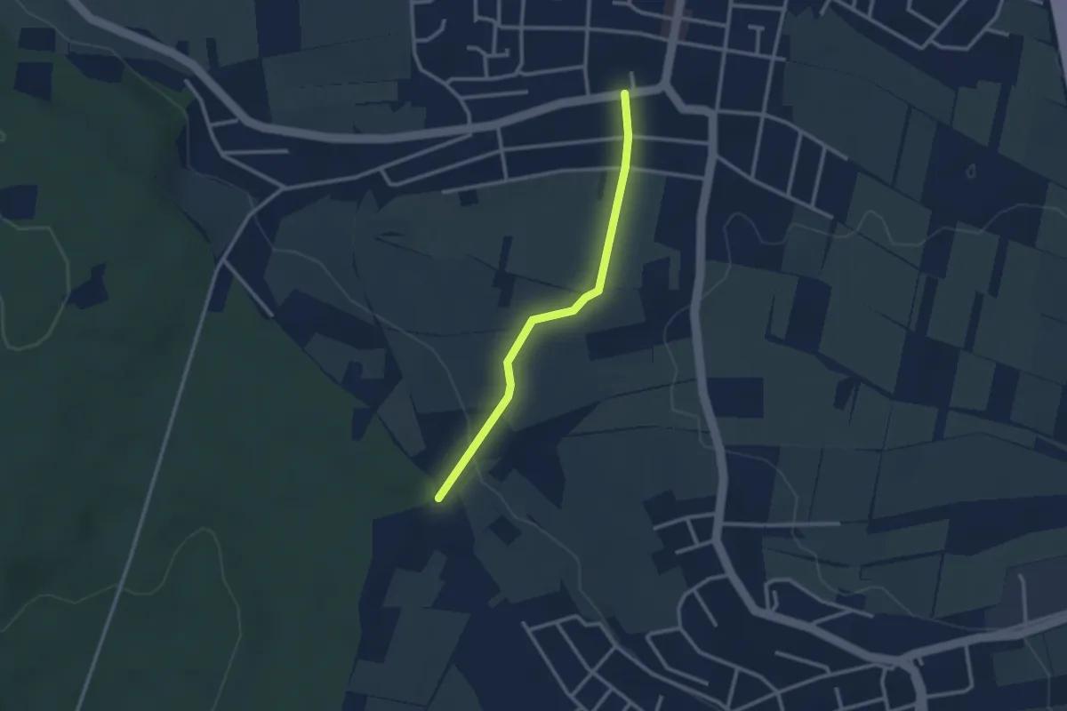
Easy · Trail
Echterdingen - Weidacher Höhe
2.4 km · ↑ 61 m · 42 min
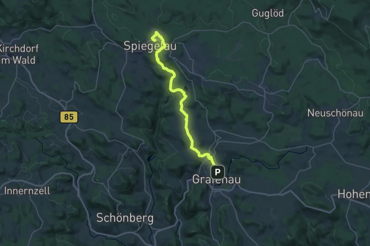
Demanding · Trail
Echtes Springkraut
20.3 km · ↑ 431 m · 5 h 44 min
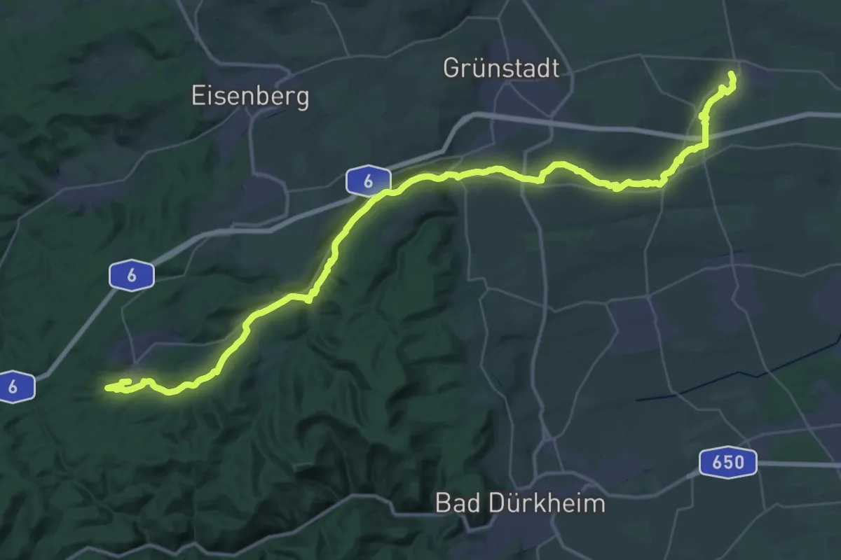
Demanding · Trail
Eckbach-Mühlenwanderweg
23.9 km · ↑ 315 m · 6 h 33 min
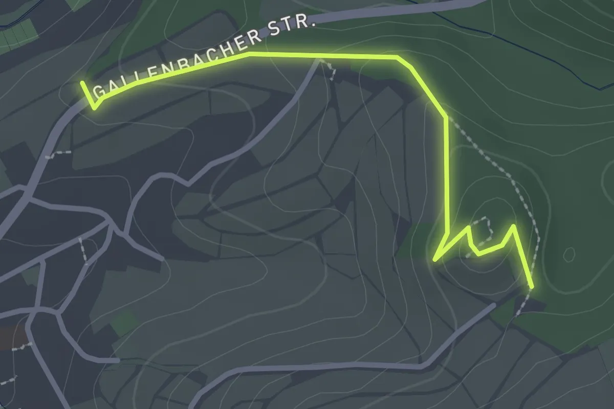
Medium · Trail
Eckbosch - Nellenberg
2.5 km · ↑ 88 m · 46 min
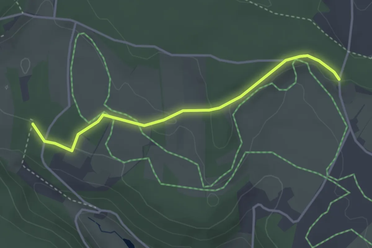
Easy · Trail
Ecke - Abzweig Klausenhof
3.2 km · ↑ 70 m · 54 min
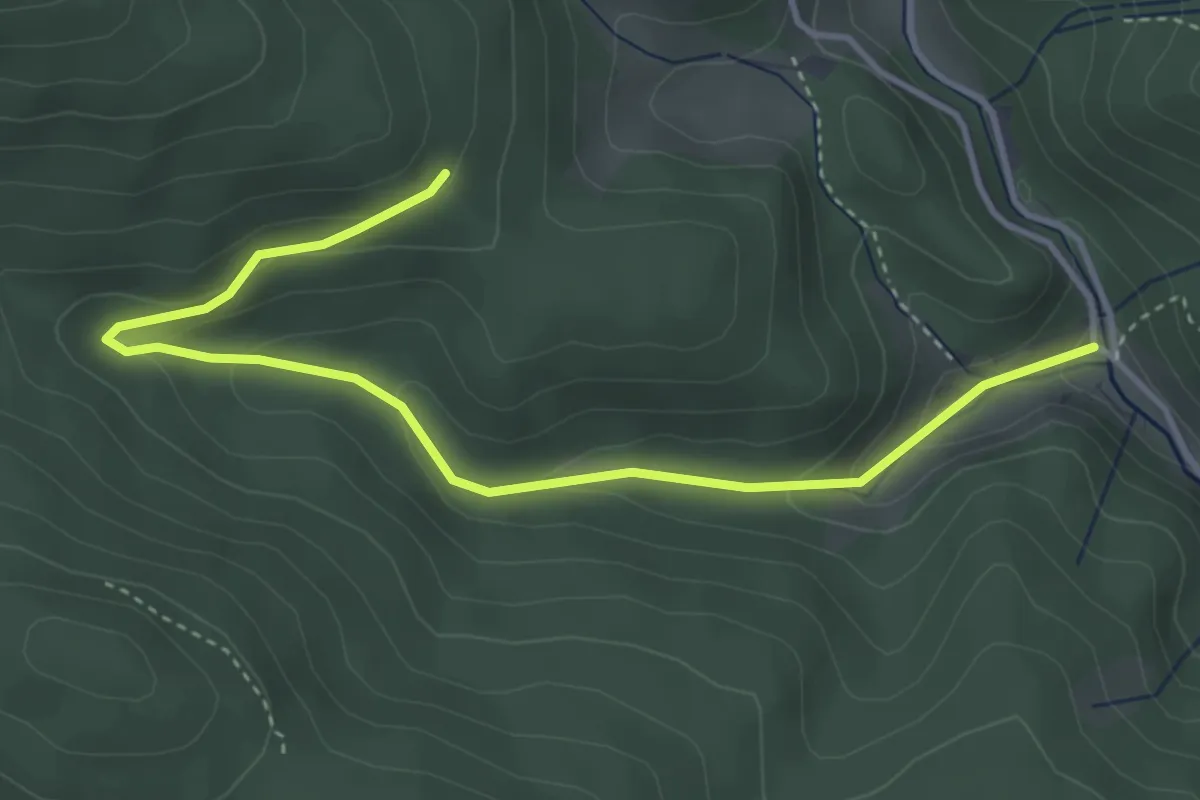
Easy · Trail
Eckenbrunnen - Langengrund
4.2 km · ↑ 175 m · 1 h 22 min
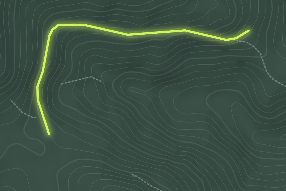
Easy · Trail
Eckenbrunnen - Seebensattel
2.5 km · ↑ 86 m · 47 min
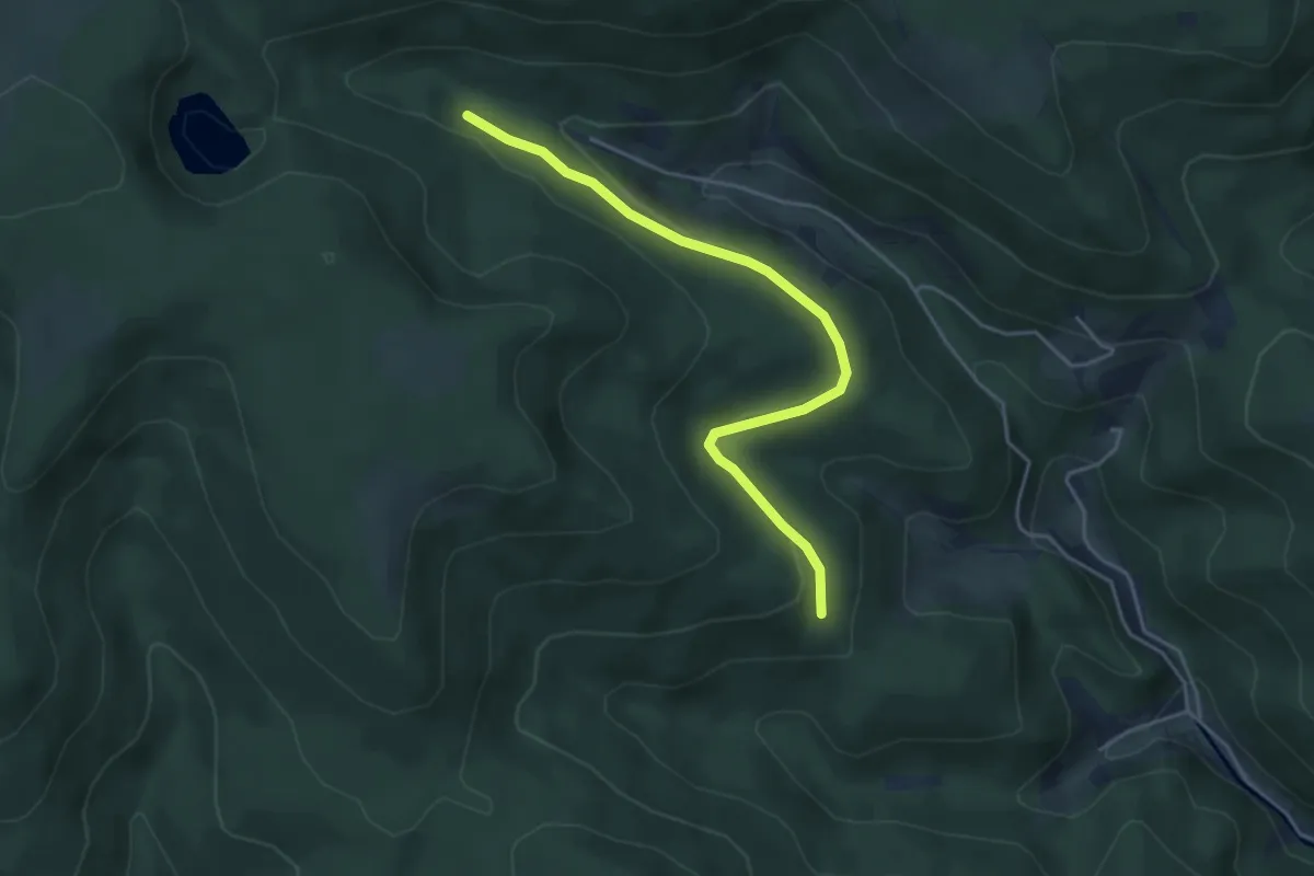
Easy · Trail
Eckenbrunnen - Seeloch
4.3 km · ↑ 78 m · 1 h 11 min
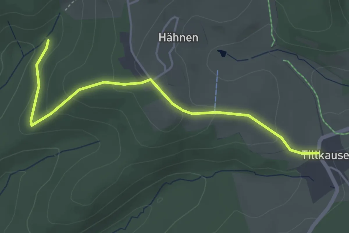
Easy · Trail
Eckenhagen Rundweg A2
3.8 km · ↑ 115 m · 1 h 9 min
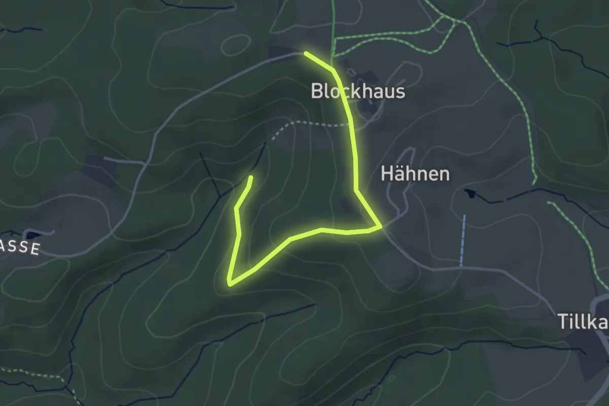
Easy · Trail
Eckenhagen Rundweg A3
3.5 km · ↑ 88 m · 1 h 1 min
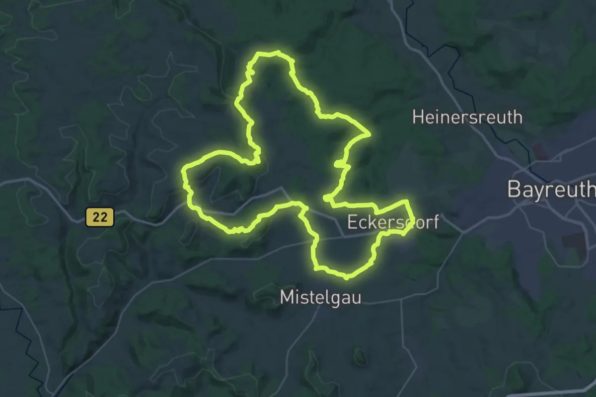
Demanding · Summit
Eckersdorf - Großer Rundwanderweg
34.7 km · ↑ 734 m · 10 h 16 min
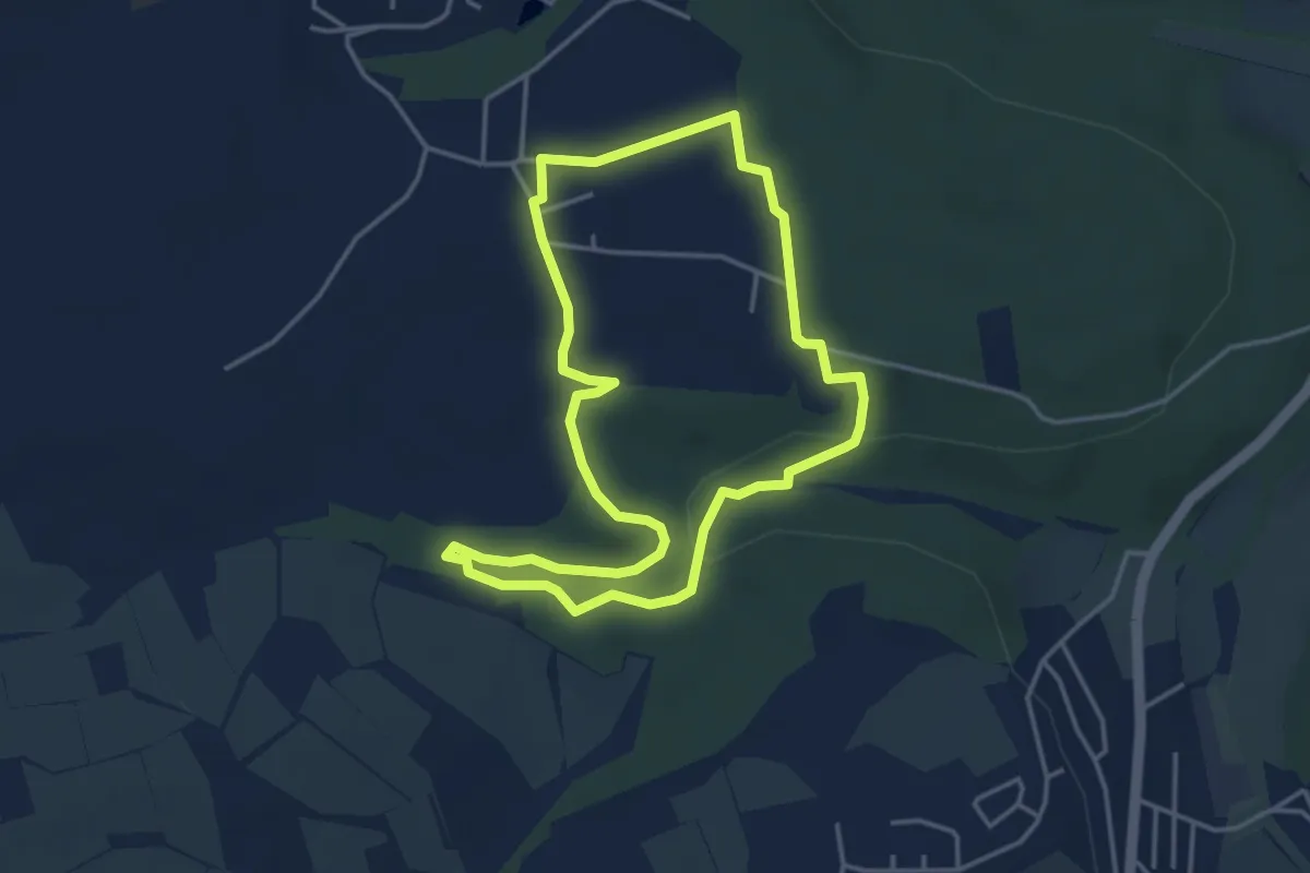
Easy · Trail
Eckersdorf Rundwanderweg Arzloch
3.6 km · ↑ 36 m · 59 min
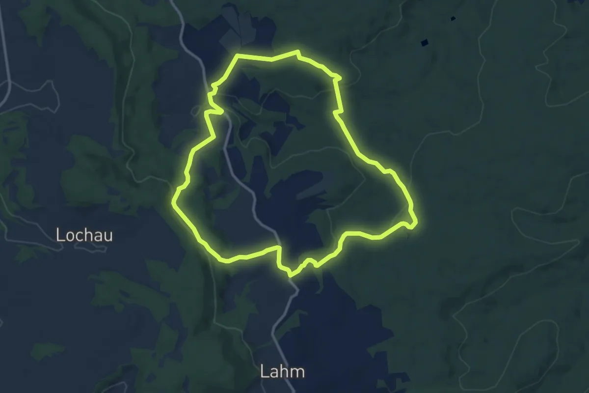
Medium · Trail
Eckersdorf Rundweg "Wälder & Auen"
9.6 km · ↑ 251 m · 2 h 56 min
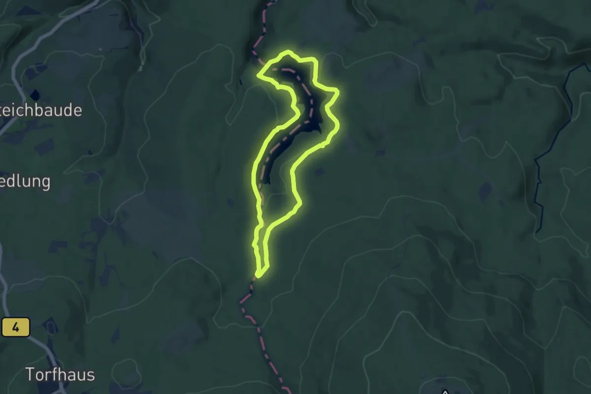
Medium · Trail
Eckertalsperren-Rundweg
8.5 km · ↑ 142 m · 2 h 26 min
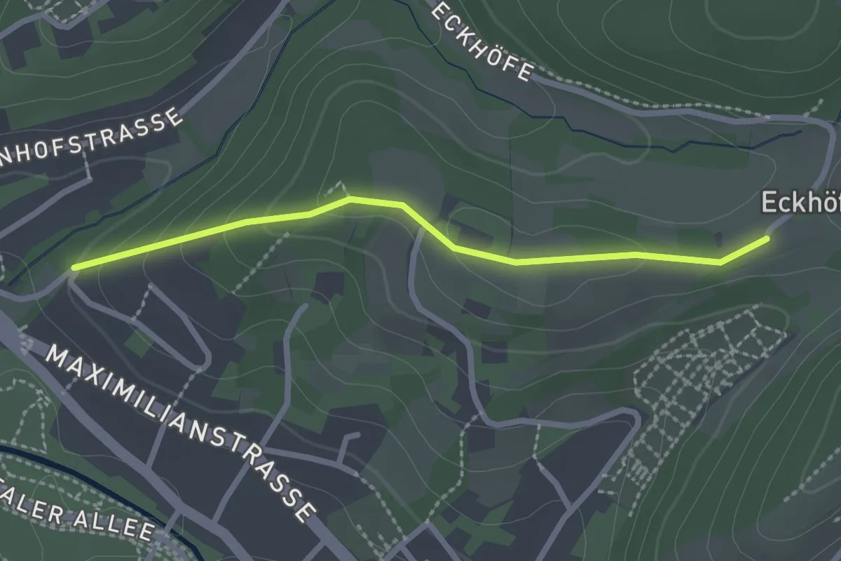
Easy · Trail
Eckhöfe - Tony-Marshall-Weg
2.1 km · ↑ 74 m · 40 min
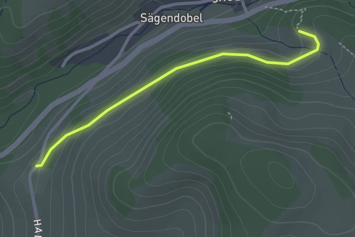
Easy · Trail
Eckjörghof - Haldenhof
2.0 km · ↑ 56 m · 36 min
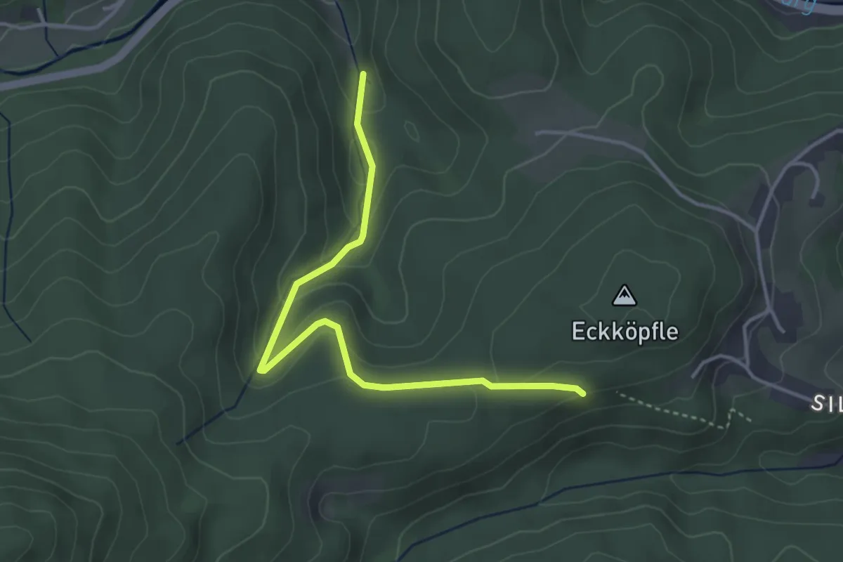
Easy · Trail
Eckköpfle - Emersbach
3.7 km · ↑ 184 m · 1 h 17 min
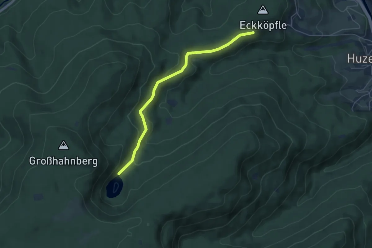
Easy · Trail
Eckköpfle - Huzenbacher See
4.8 km · ↑ 218 m · 1 h 37 min
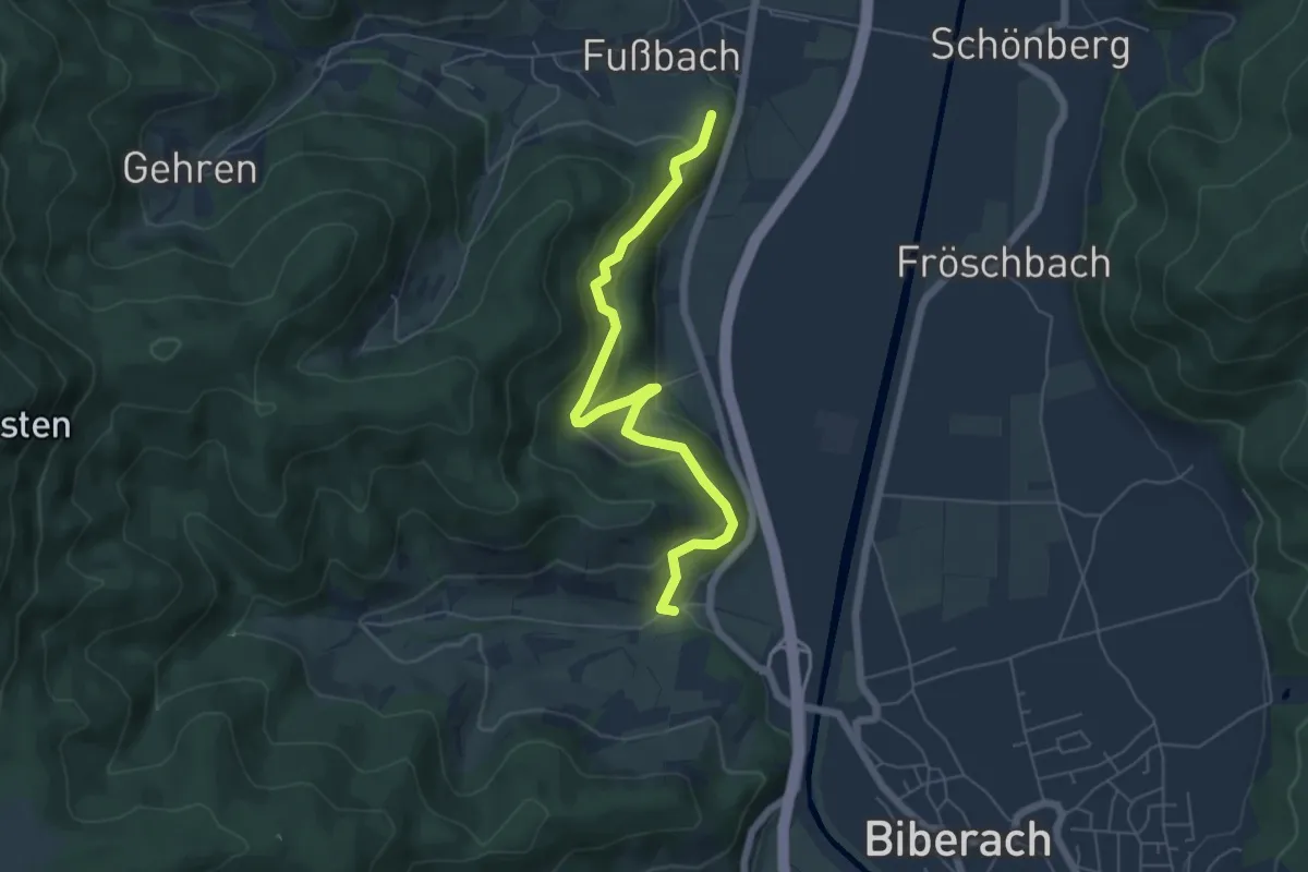
Easy · Trail
Eckle - Erzbach Bildstöckle
5.7 km · ↑ 286 m · 1 h 59 min
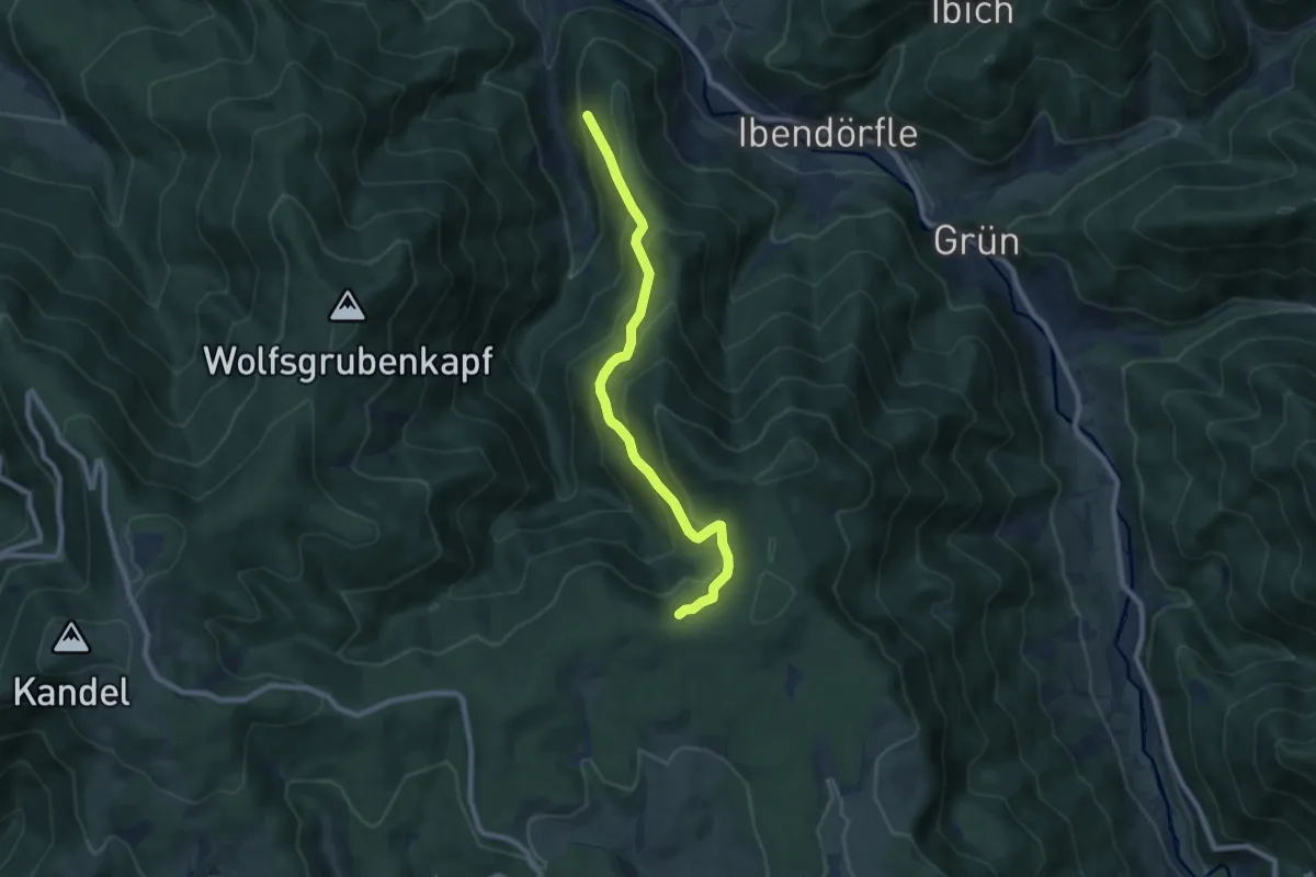
Medium · Trail
Eckle - Herzwald
7.9 km · ↑ 579 m · 3 h 8 min
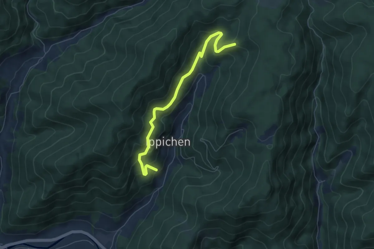
Medium · Trail
Eckle - Hirzebel
6.1 km · ↑ 444 m · 2 h 24 min
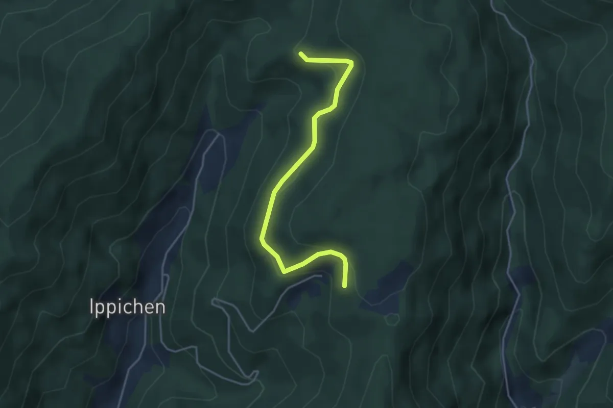
Easy · Trail
Eckle - Hohbergweg
3.7 km · ↑ 192 m · 1 h 17 min
Easy · Trail
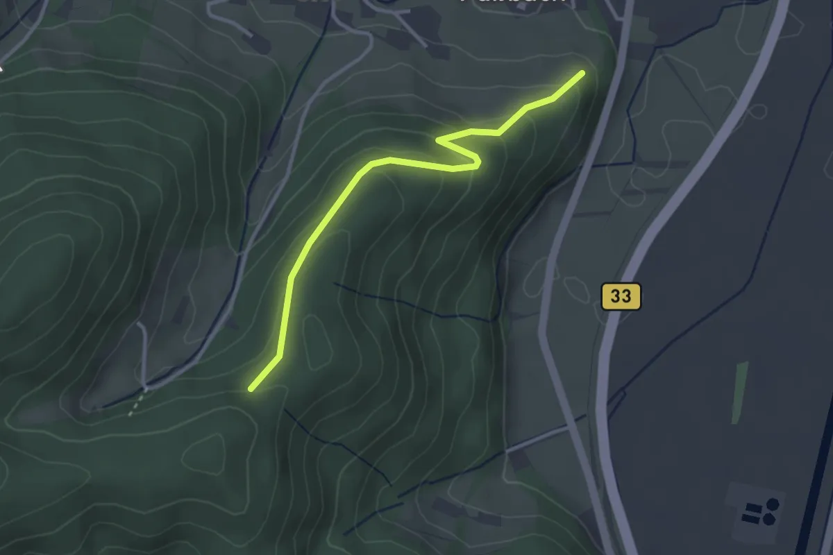
Eckle - Im Branden
3.0 km · ↑ 152 m · 1 h 2 min
Easy · Trail
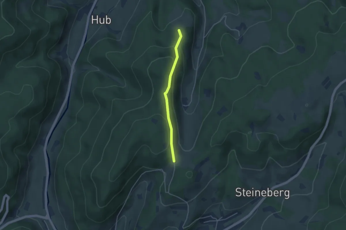
Eckle - Jägertoni-Eck
2.9 km · ↑ 123 m · 57 min
Easy · Trail
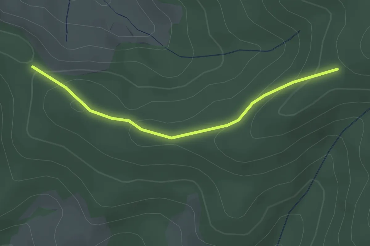
Eckle - Langeck
2.5 km · ↑ 116 m · 51 min
Easy · Trail
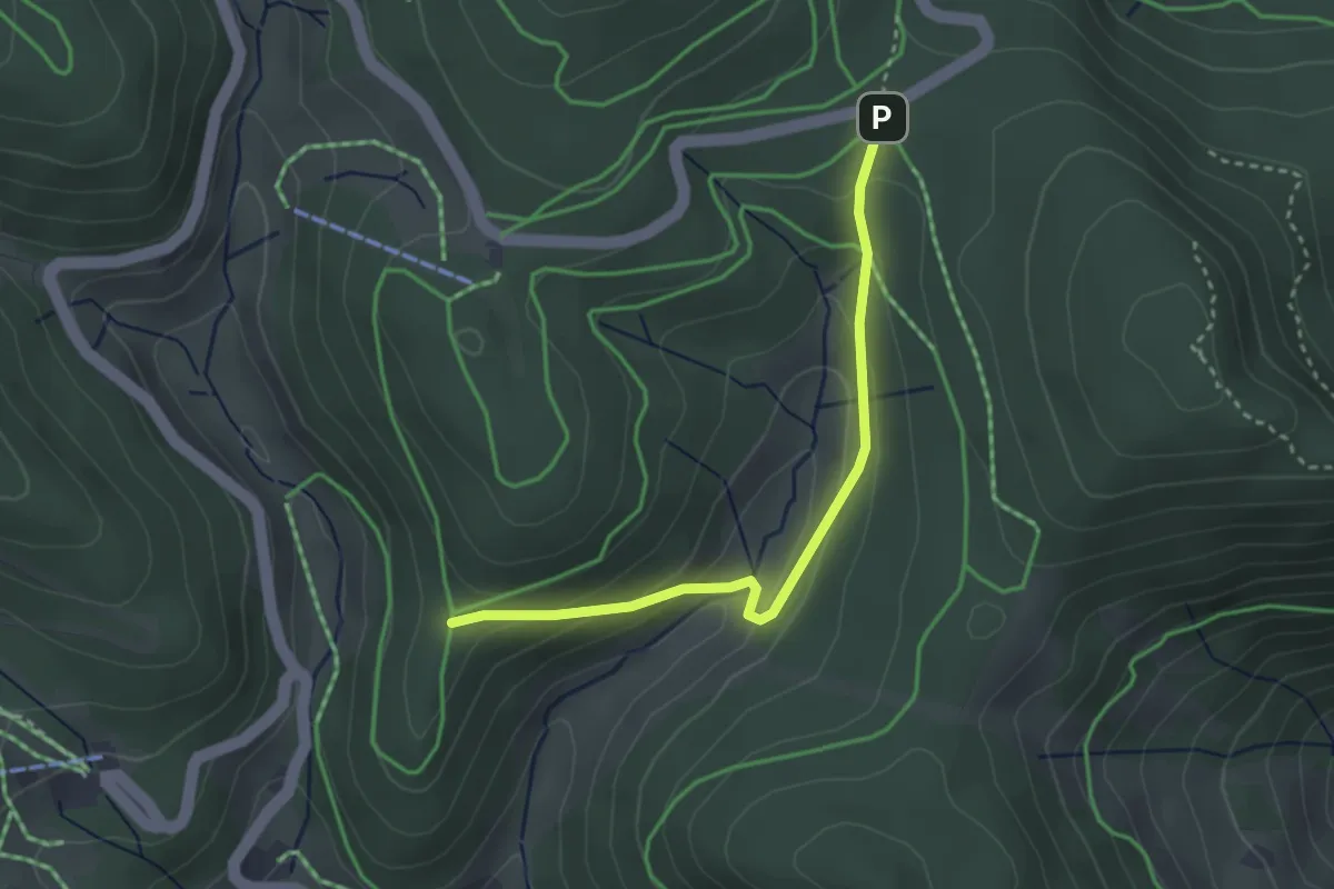
Eckle - Lückle
2.9 km · ↑ 171 m · 1 h 4 min
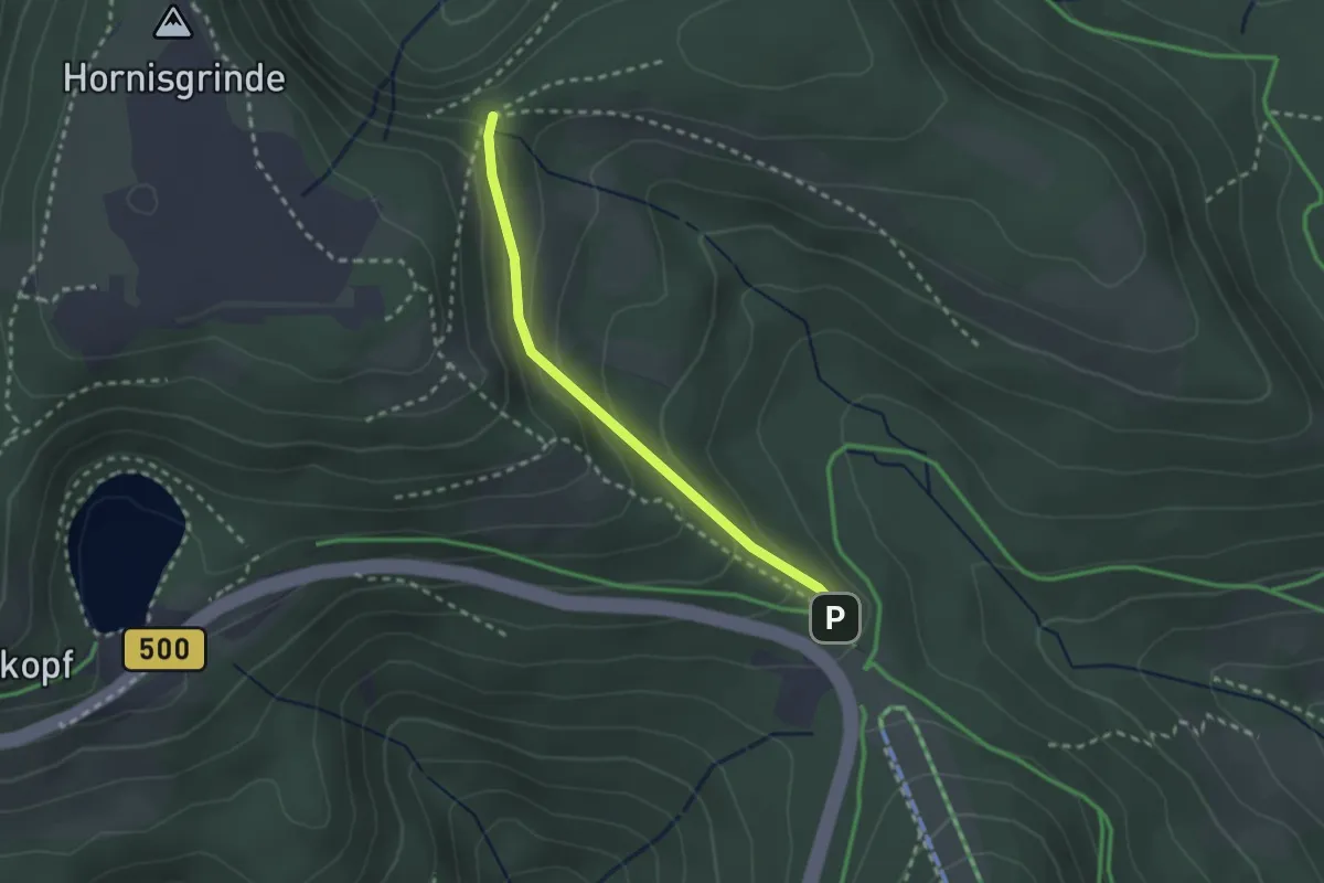
Medium · Trail
Ecklesbrunnen - Kieneck
2.2 km · ↑ 134 m · 48 min
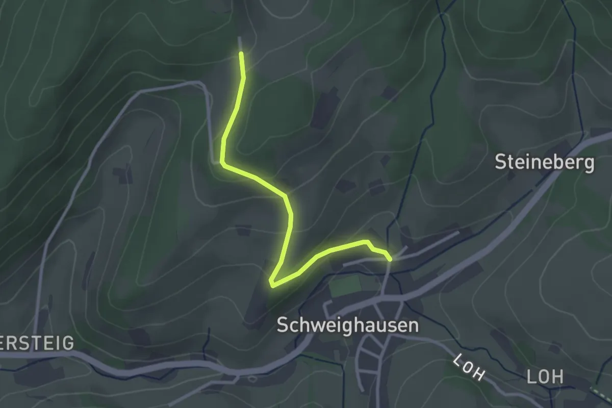
Easy · Trail
Eckle - Schweighausen Am Steineberg
2.6 km · ↑ 102 m · 50 min
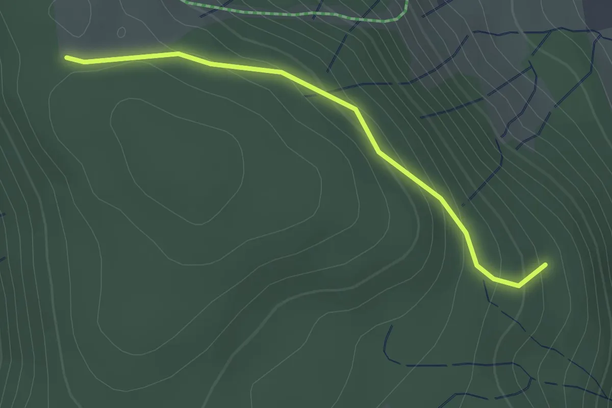
Easy · Trail
Ecklewald - Hofeck
2.0 km · ↑ 98 m · 42 min
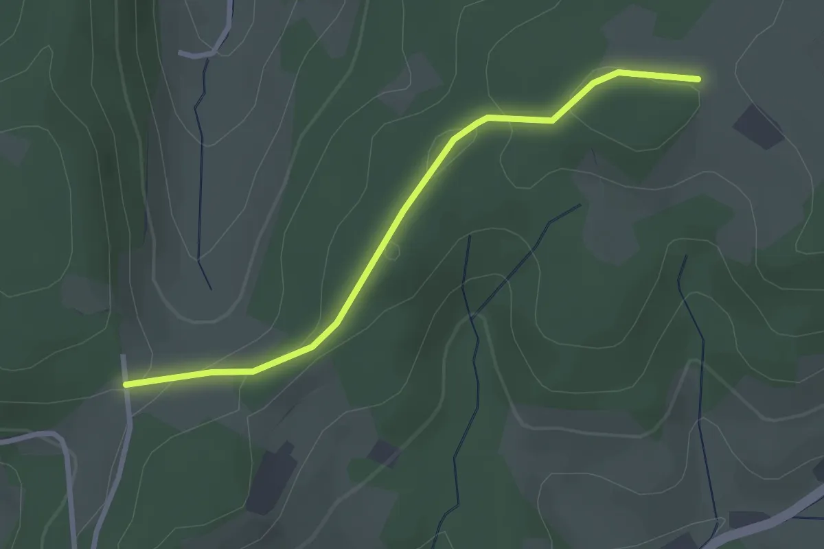
Easy · Trail
Eckle - Weißmoos
2.6 km · ↑ 72 m · 46 min