Trails in Germany
36,847 hiking trails, each with its route, climb, walking time and grade.
All trails, page 121 of 768
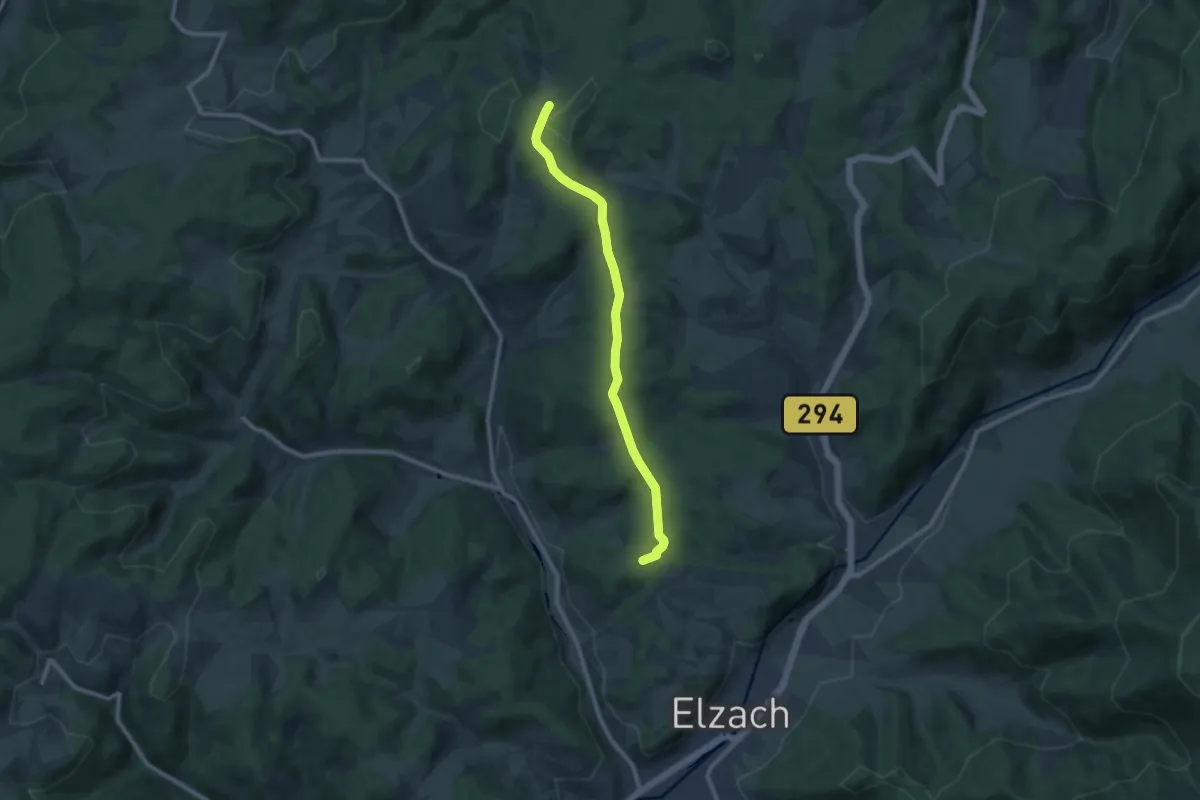
Medium · Summit
Eckstraße (Römerstraße)
9.2 km · ↑ 178 m · 2 h 34 min
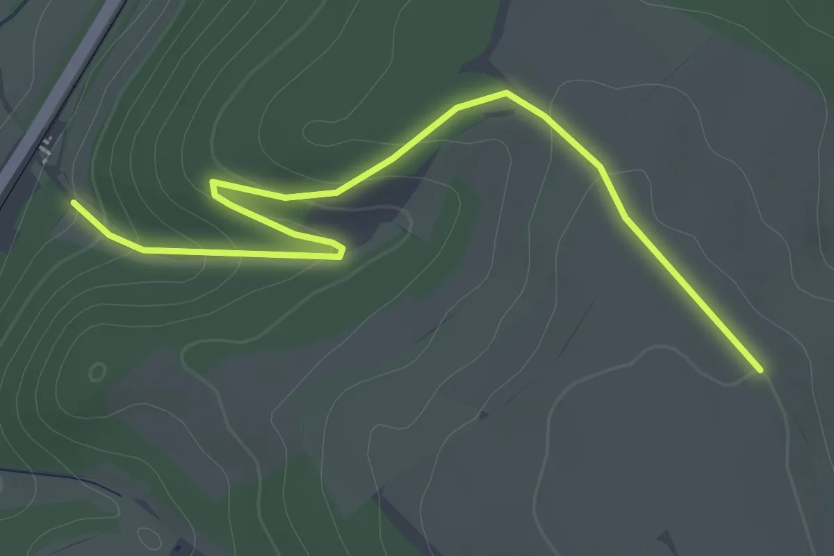
Easy · Trail
Eck - Strick
3.1 km · ↑ 111 m · 58 min
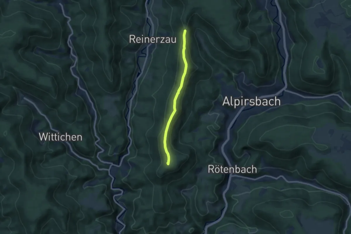
Easy · Summit
Eckte - Sattellege
6.5 km · ↑ 205 m · 1 h 58 min
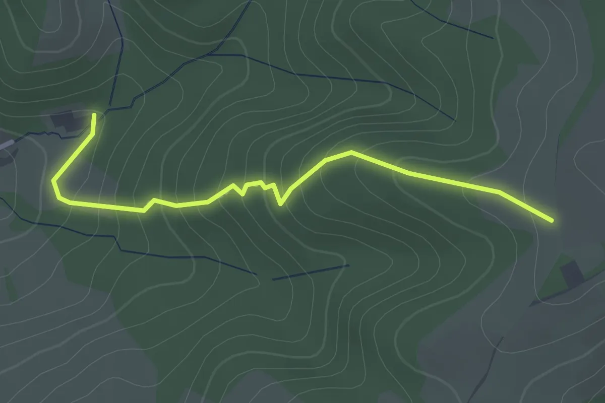
Easy · Trail
Eckwald - Gemeindehof
2.4 km · ↑ 178 m · 57 min
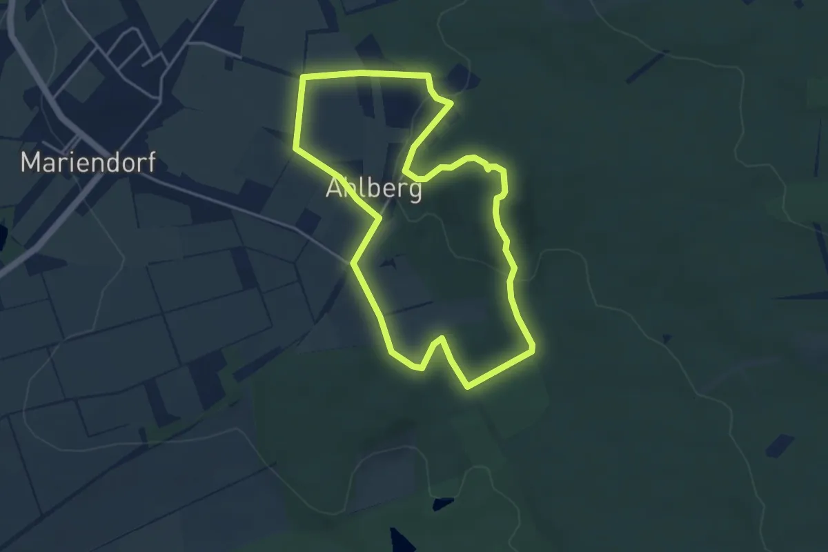
Easy · Summit
Eco Pfad Ahlberg-Mariendorf
3.6 km · ↑ 82 m · 1 h 5 min
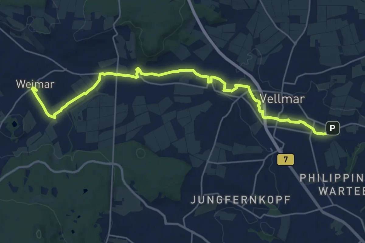
Demanding · Trail
Eco-Pfad Ahne
18.4 km · ↑ 98 m · 4 h 33 min
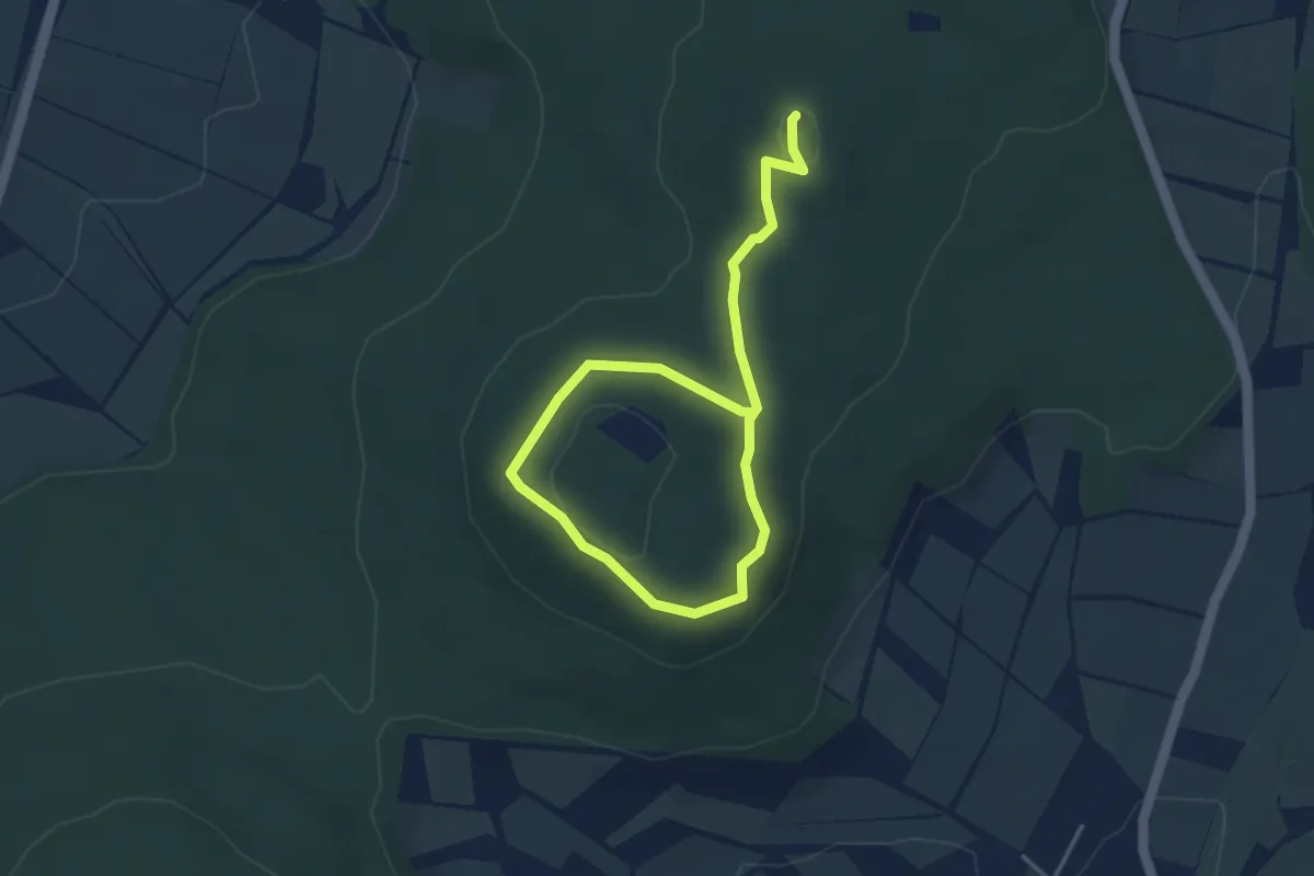
Easy · Summit
Eco Pfad Archäologie Altenburg und Falkenstein
4.9 km · ↑ 89 m · 1 h 21 min
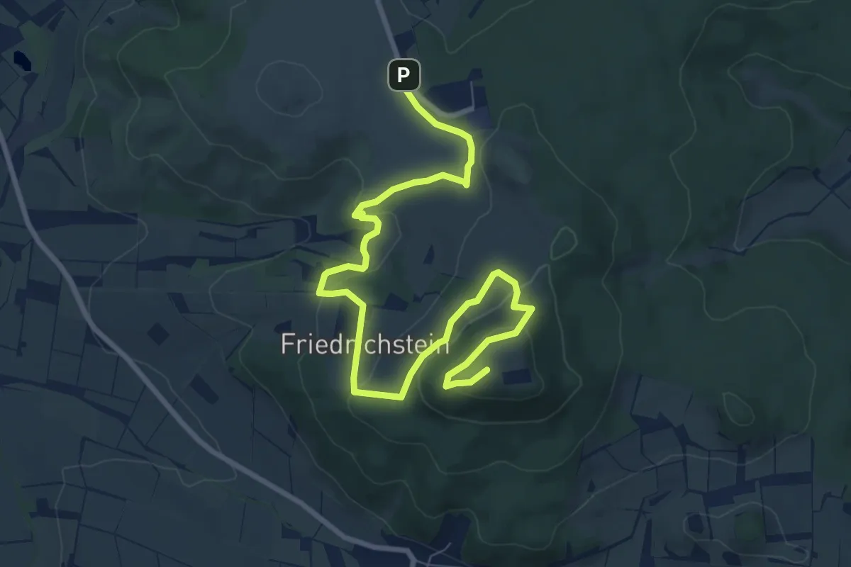
Medium · Summit
Eco Pfad Archäologie Dörnberg
9.4 km · ↑ 331 m · 2 h 57 min
Medium · Summit
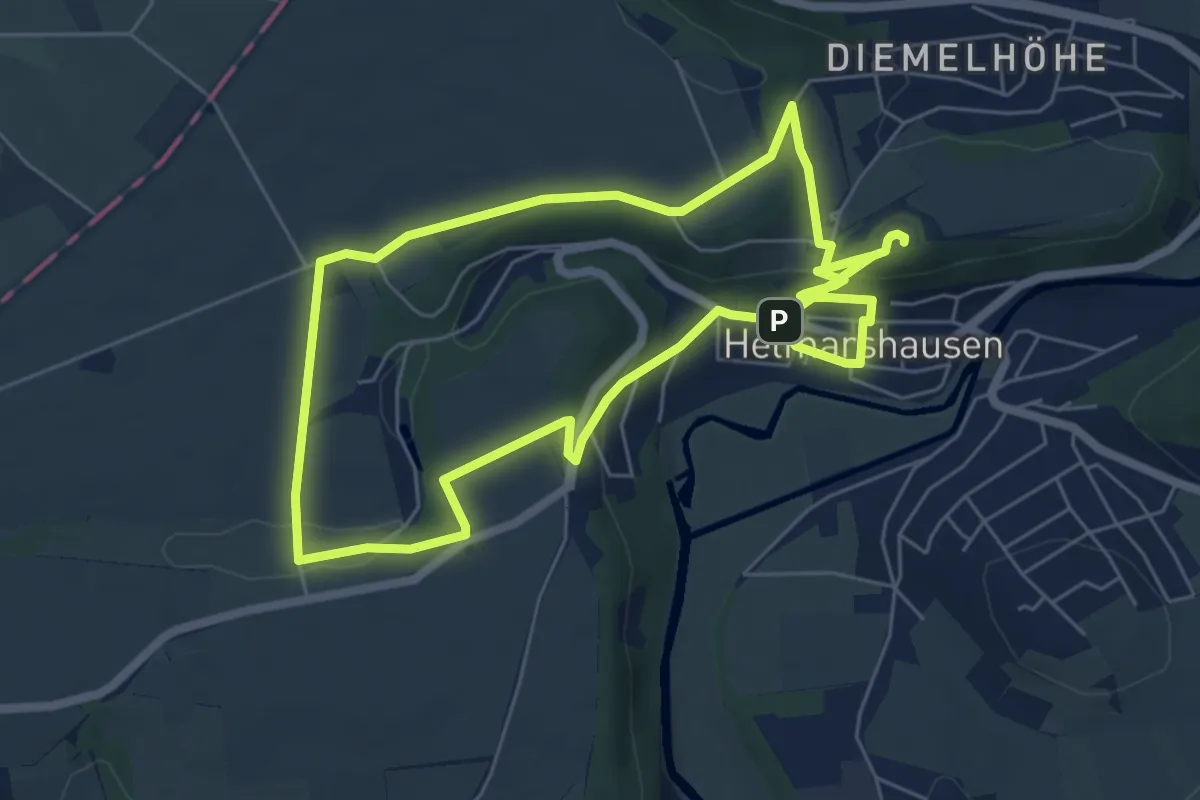
Eco Pfad Archäologie Helmarshausen
11.3 km · ↑ 266 m · 3 h 14 min
Medium · Summit
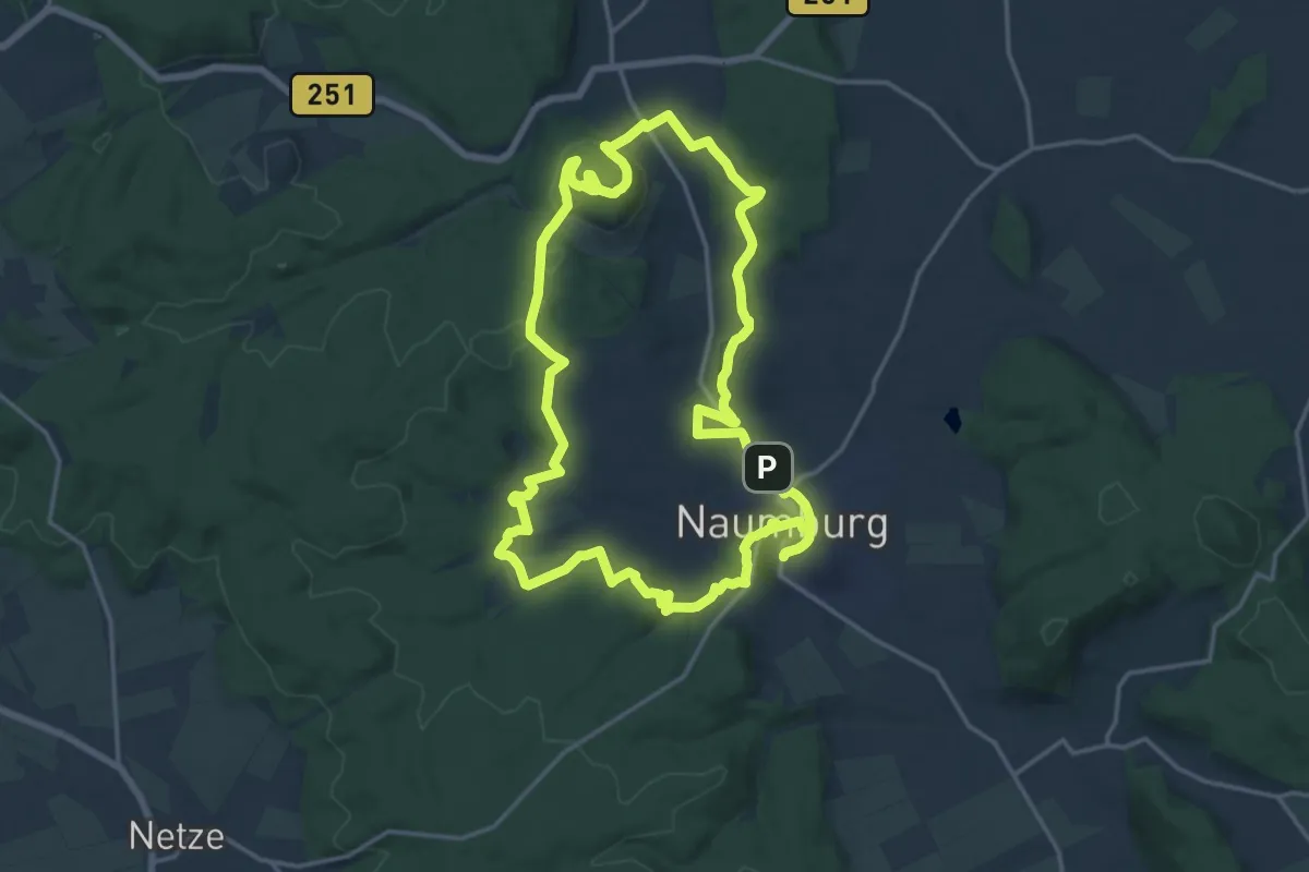
Eco Pfad Archäologie Naumburg
16.2 km · ↑ 382 m · 4 h 52 min
Easy · Summit
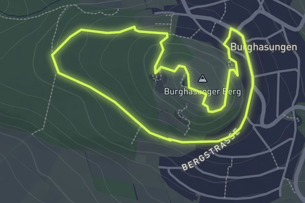
Eco-Pfad Burghasungen
2.7 km · ↑ 77 m · 51 min
Easy · Trail
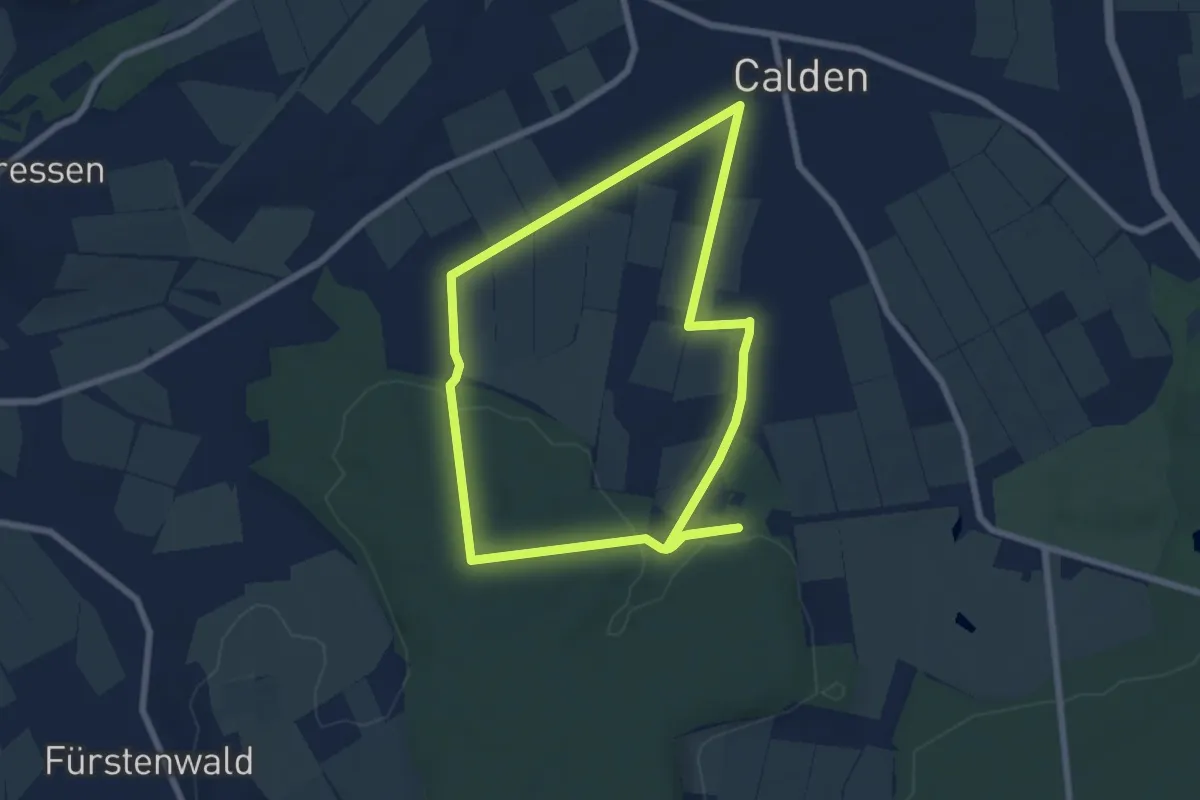
Eco-Pfad Calden
6.1 km · ↑ 81 m · 1 h 42 min
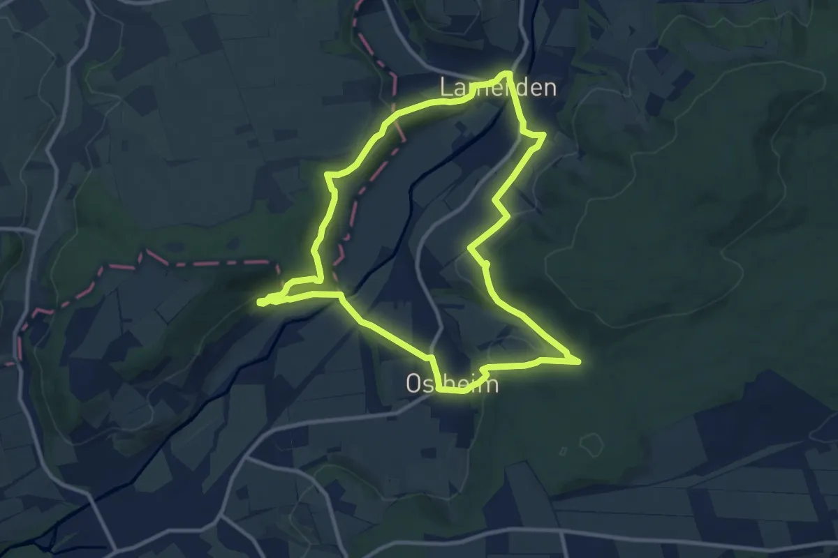
Medium · Trail
Eco Pfad Diemeltal
9.3 km · ↑ 306 m · 2 h 58 min
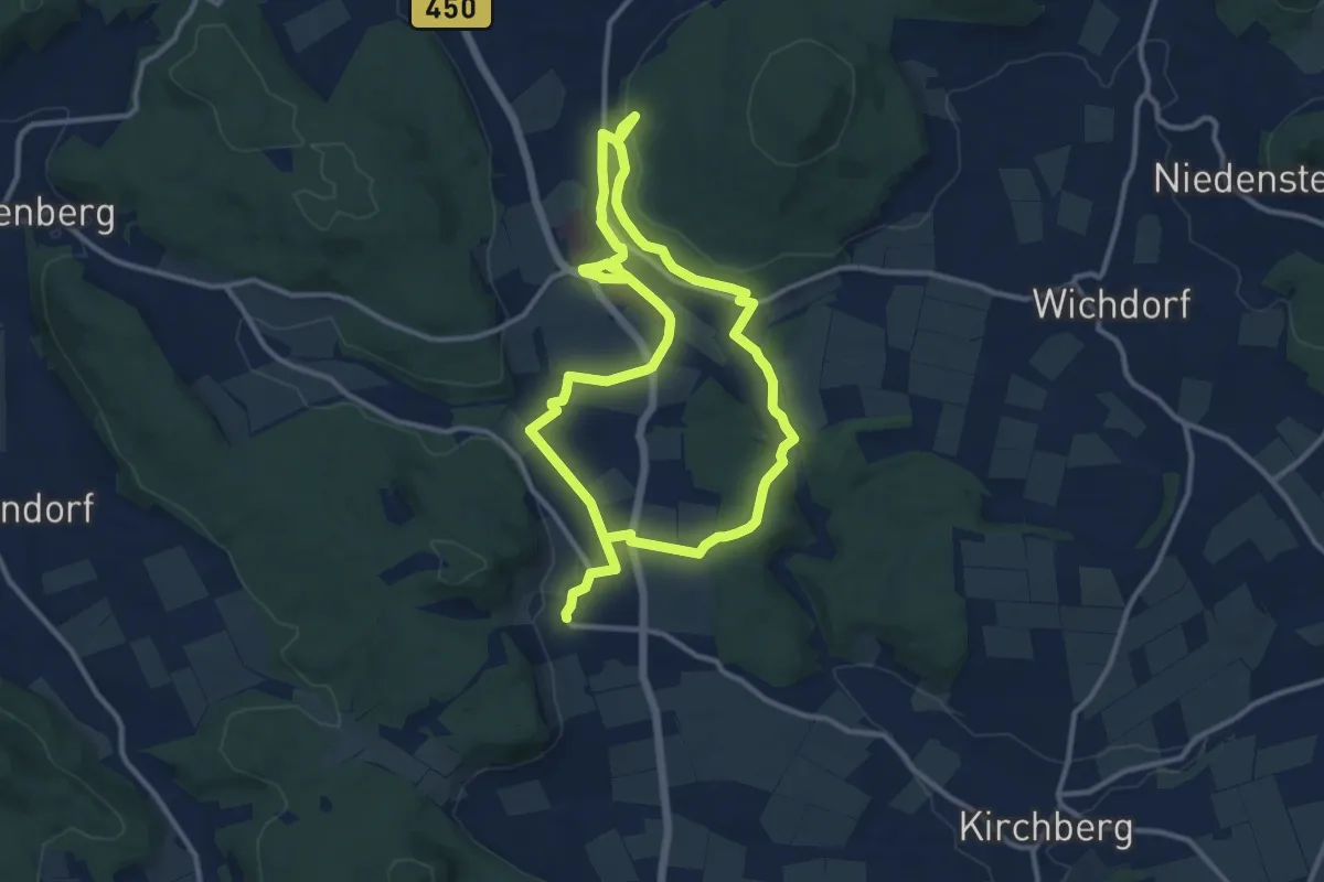
Demanding · Trail
Eco Pfad Friedenspädagogik Bad Emstal
19.5 km · ↑ 342 m · 5 h 21 min
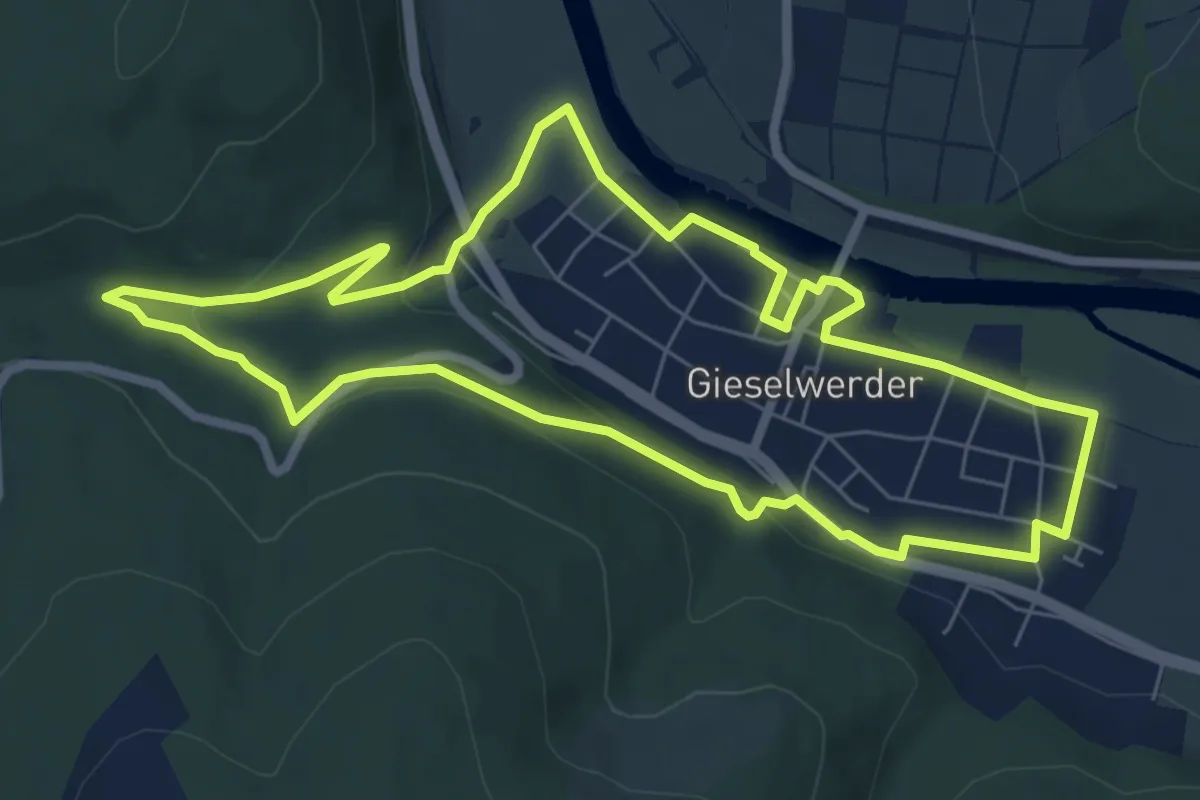
Easy · Trail
Eco Pfad Gieselwerder
6.4 km · ↑ 139 m · 1 h 54 min
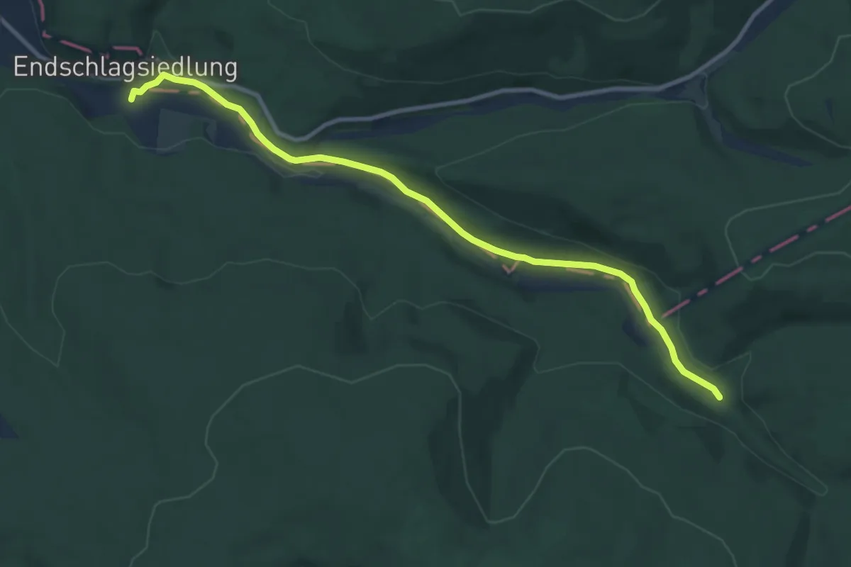
Medium · Trail
Eco Pfad Gläsnertal
9.0 km · ↑ 110 m · 2 h 21 min
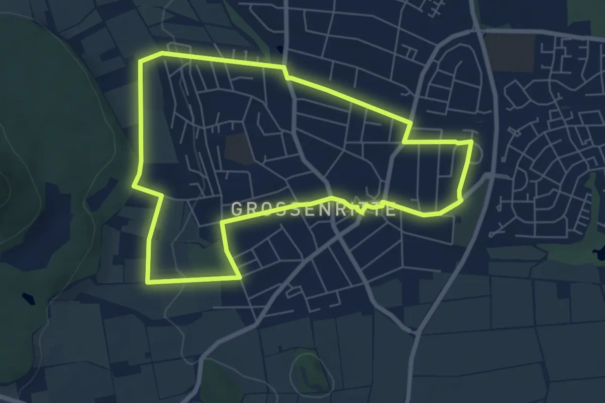
Easy · Trail
Eco Pfad Großenritte
5.5 km · ↑ 59 m · 1 h 31 min
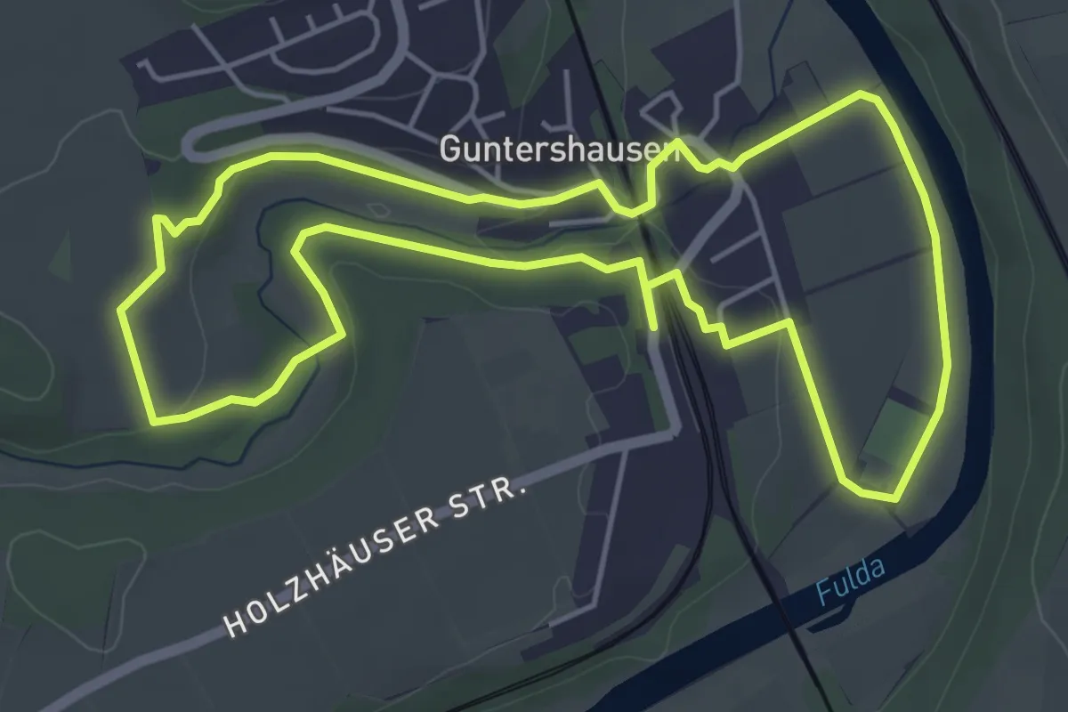
Easy · Trail
Eco-Pfad Guntershausen
4.7 km · ↑ 48 m · 1 h 16 min
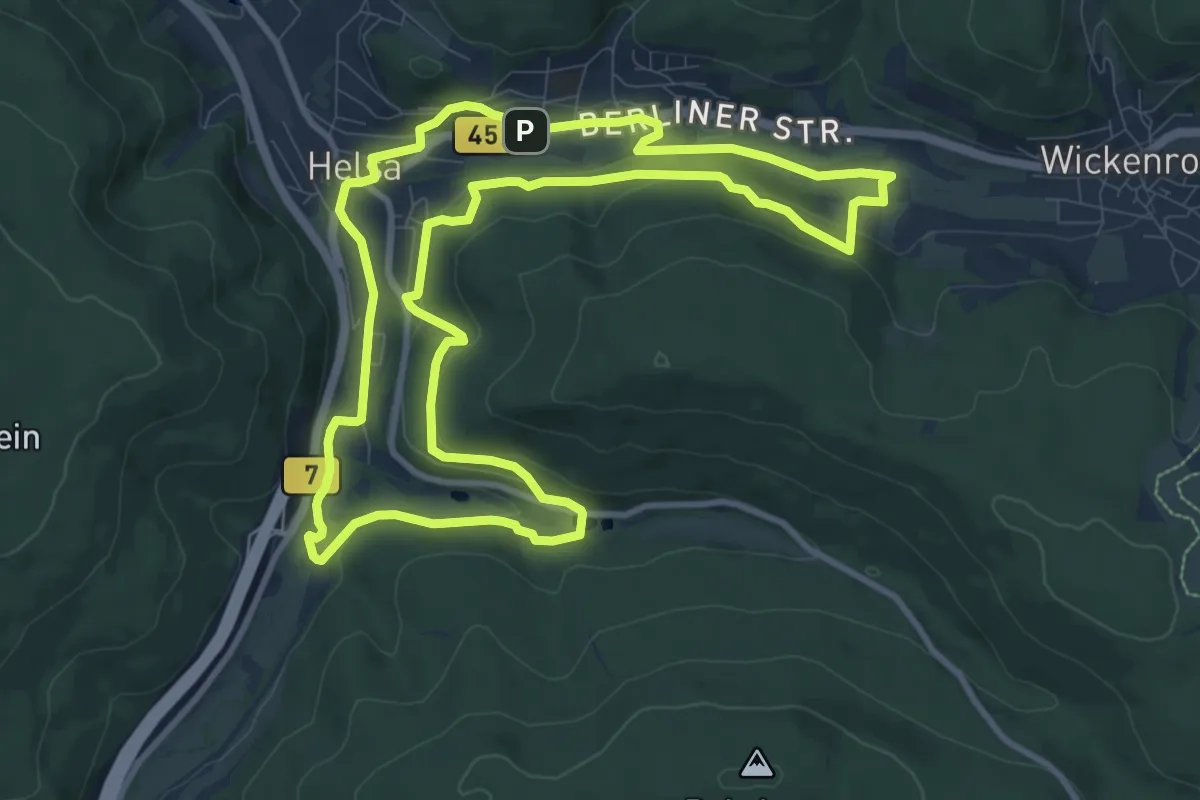
Medium · Trail
Eco-Pfad Helsa
9.8 km · ↑ 222 m · 2 h 55 min
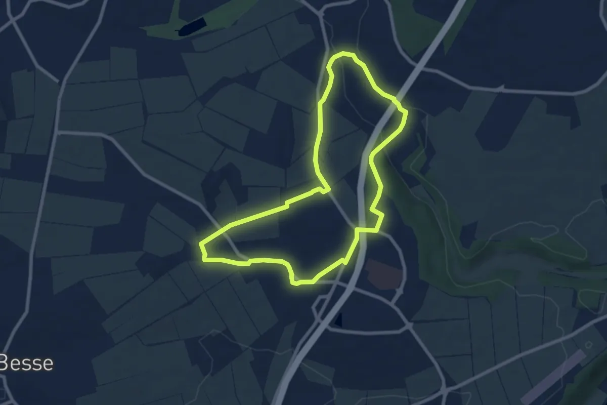
Easy · Trail
Eco-Pfad Hertingshausen/Kirchbauna
6.1 km · ↑ 69 m · 1 h 40 min
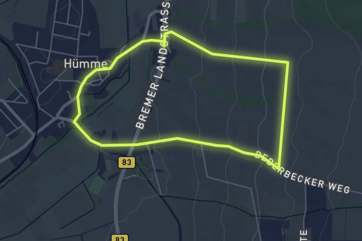
Easy · Trail
Eco Pfad Historische Dorferkundung Hümme - Bergrunde
4.0 km · ↑ 87 m · 1 h 10 min
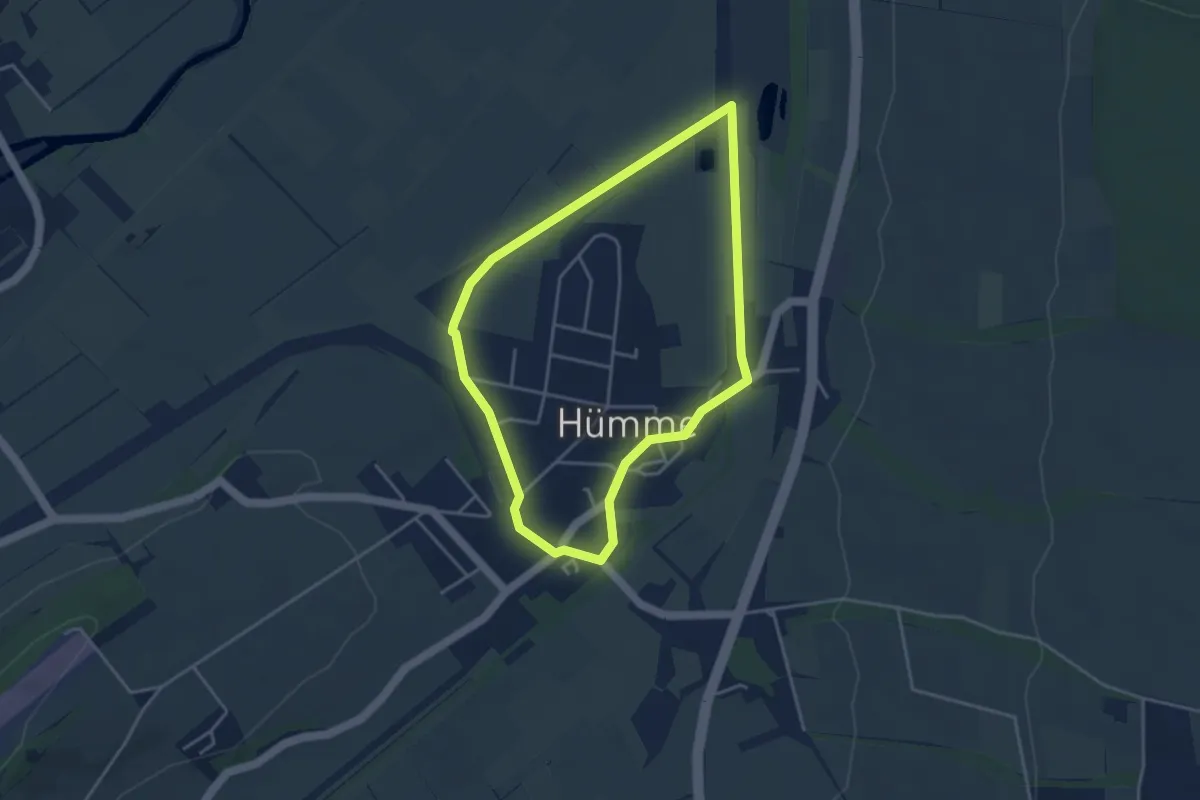
Easy · Trail
Eco Pfad Historische Dorferkundung Hümme - Talrunde
3.3 km · ↑ 13 m · 52 min
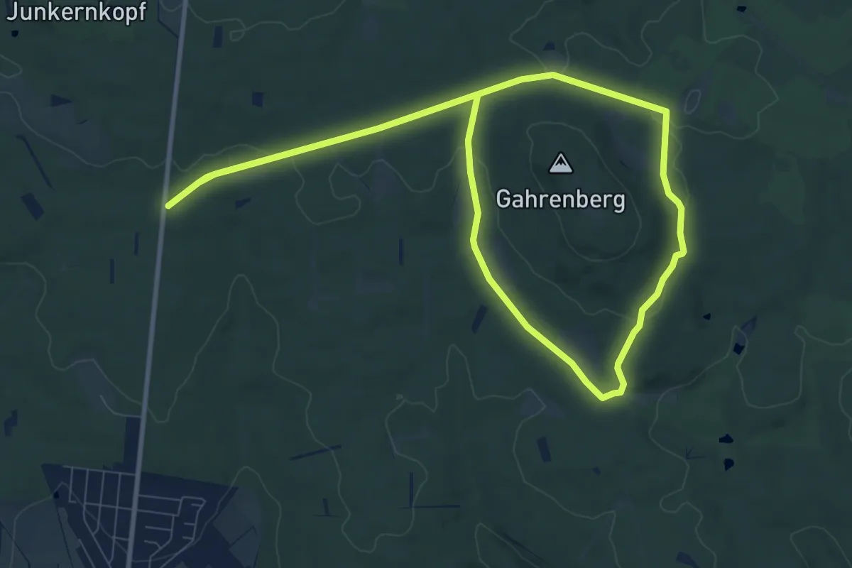
Medium · Trail
Eco Pfad Holzhausen, Gahrenbergrunde
8.3 km · ↑ 102 m · 2 h 17 min
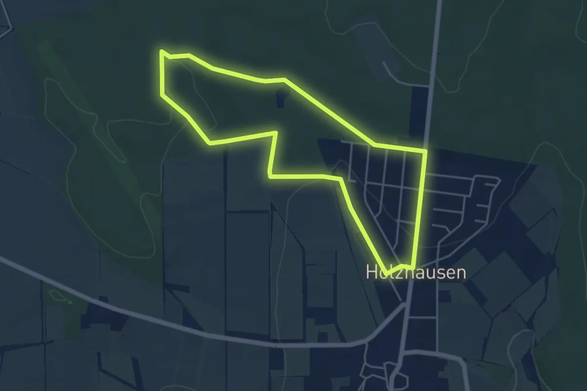
Easy · Trail
Eco-Pfad Holzhausen, Kleebergrunde
4.0 km · ↑ 63 m · 1 h 8 min
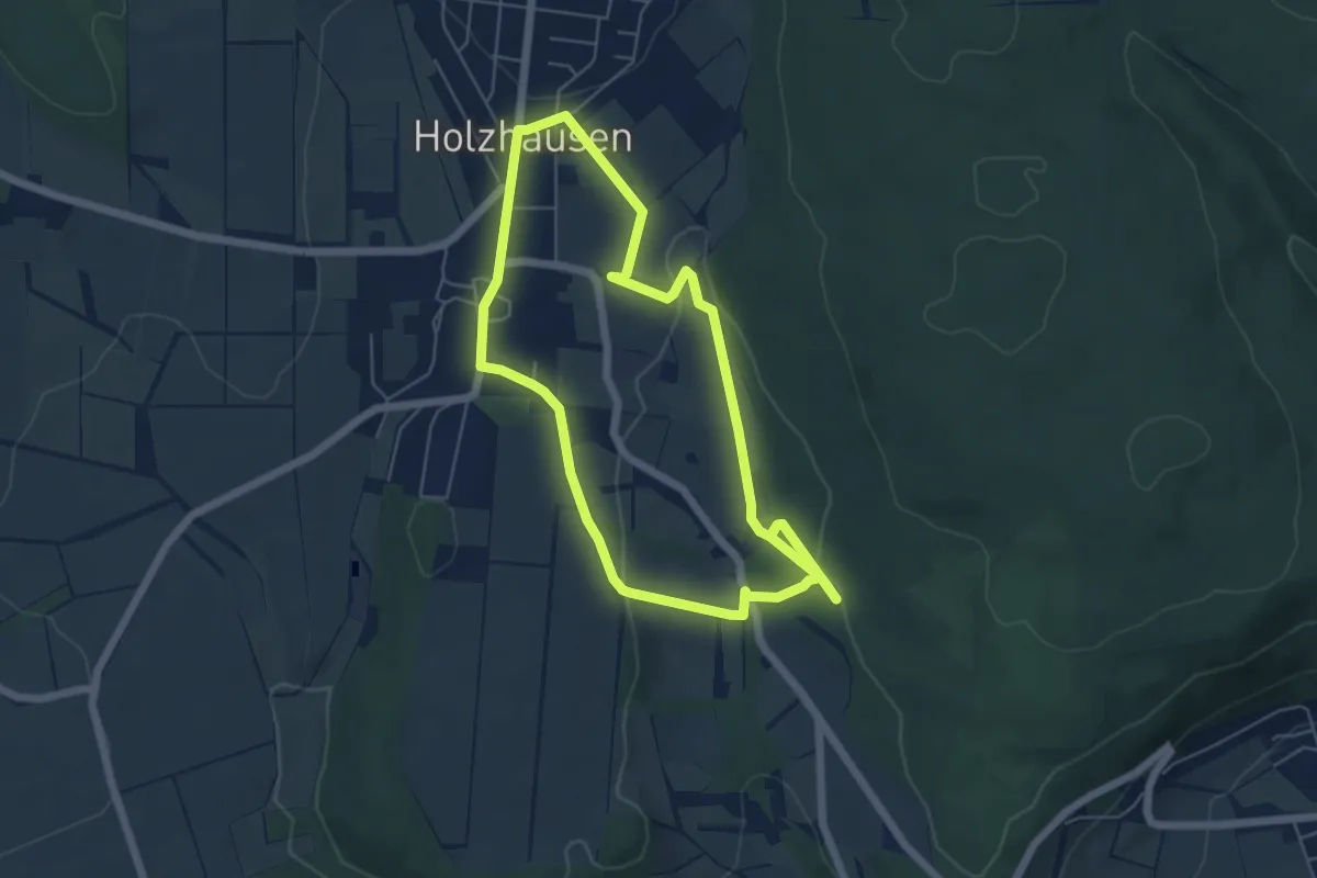
Easy · Trail
Eco Pfad Holzhausen, Osterbergrunde
4.9 km · ↑ 102 m · 1 h 28 min
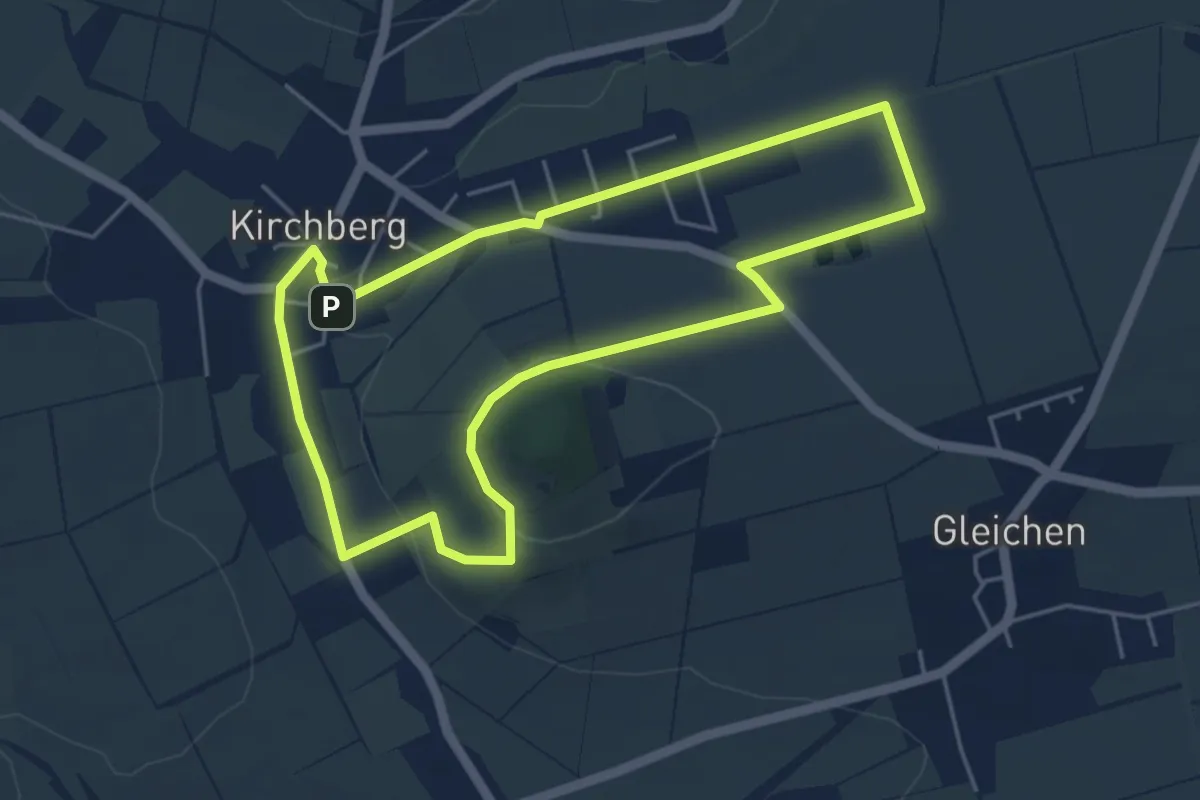
Easy · Summit
Eco Pfad Kirchberg - B
4.3 km · ↑ 70 m · 1 h 14 min
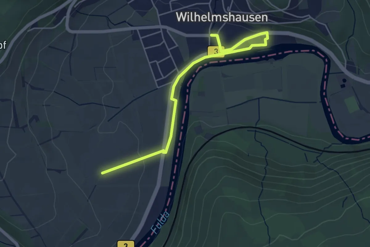
Easy · Trail
Eco Pfad Knickhagen-Wilhelmshausen
2.1 km · ↑ 19 m · 35 min
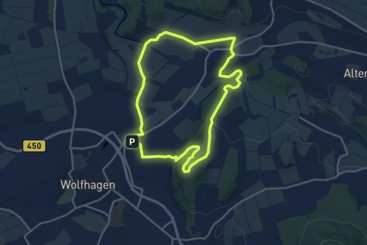
Easy · Summit
Eco Pfad Kulturgeschichte Wolfhagen
7.5 km · ↑ 156 m · 2 h 12 min
Medium · Trail
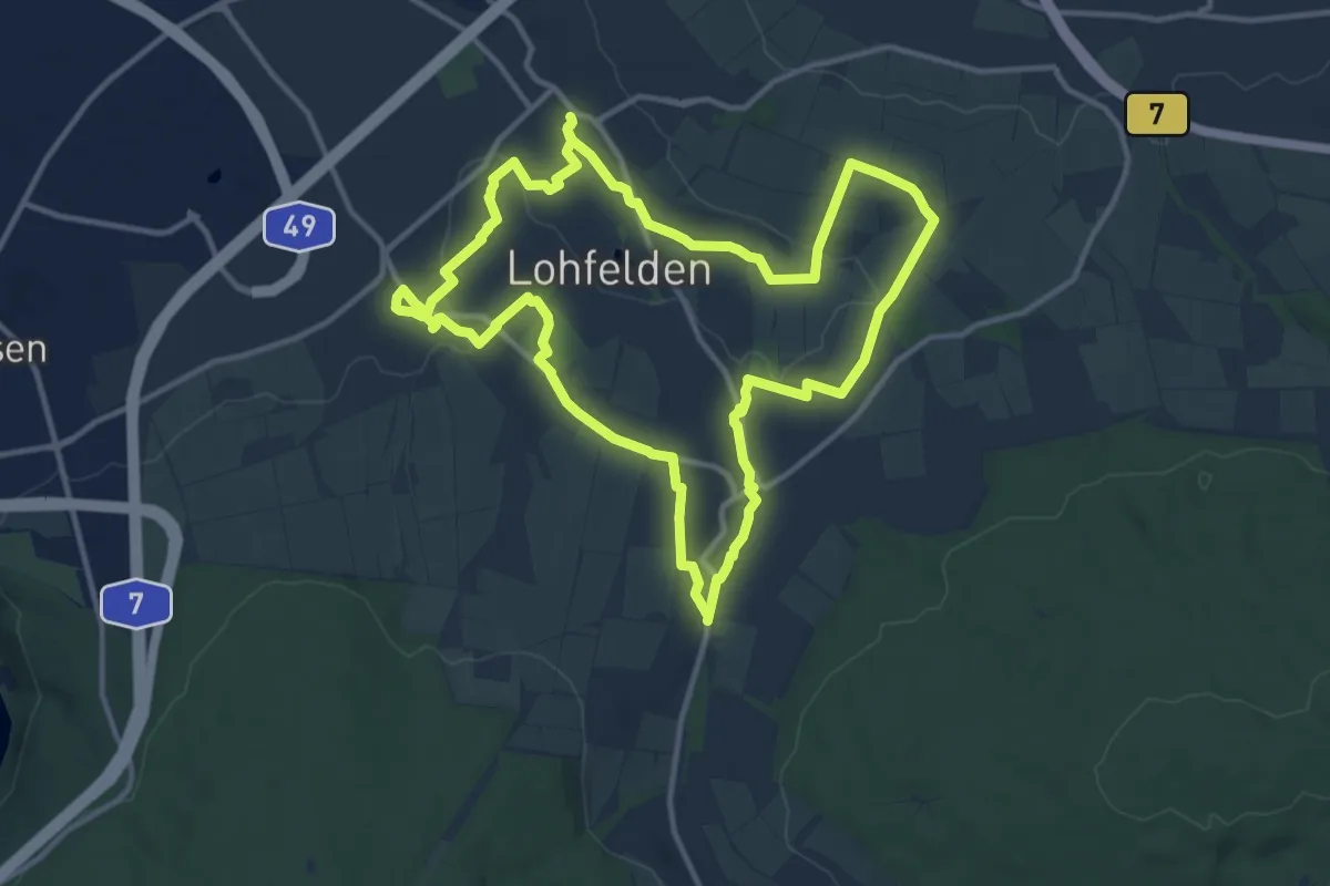
Eco Pfad Lohfelden
11.7 km · ↑ 102 m · 3 h 9 min
Easy · Trail
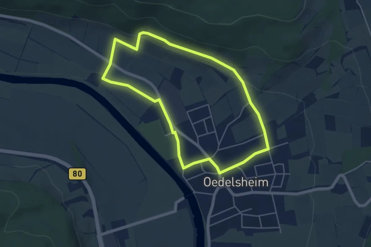
Eco-Pfad Oedelsheim
3.6 km · ↑ 55 m · 1 h 2 min
Medium · Trail
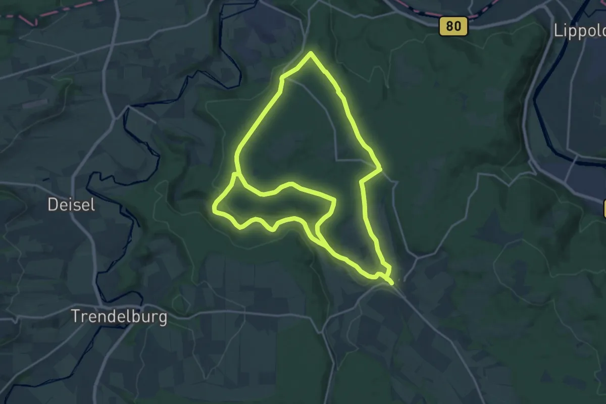
Eco-Pfad Pilgerwege Gottsbüren 1 "Helmarshäuser Weg"
16.8 km · ↑ 276 m · 4 h 46 min
Medium · Trail
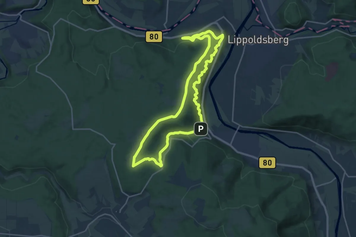
Eco-Pfad Pilgerwege Gottsbüren 2 "Nonnenweg"
13.1 km · ↑ 451 m · 4 h 16 min
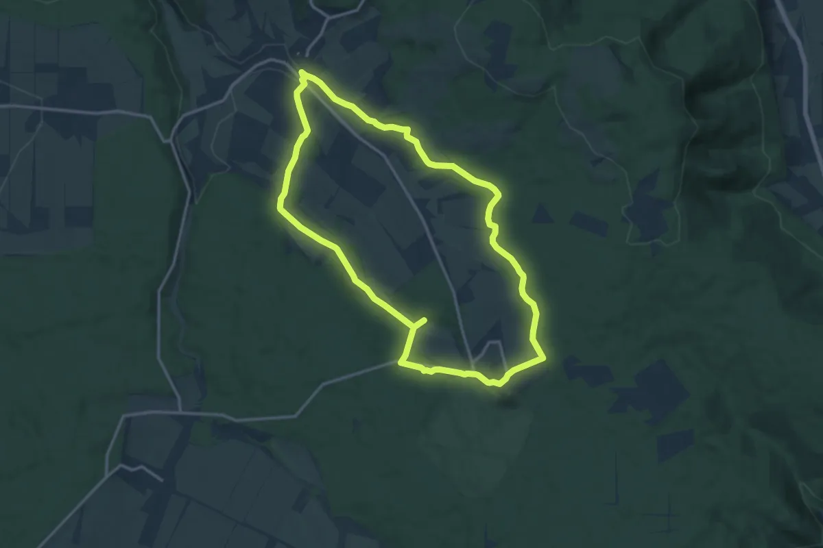
Medium · Trail
Eco Pfad Pilgerwege Gottsbüren 4 "Sababurger Weg"
11.6 km · ↑ 218 m · 3 h 22 min
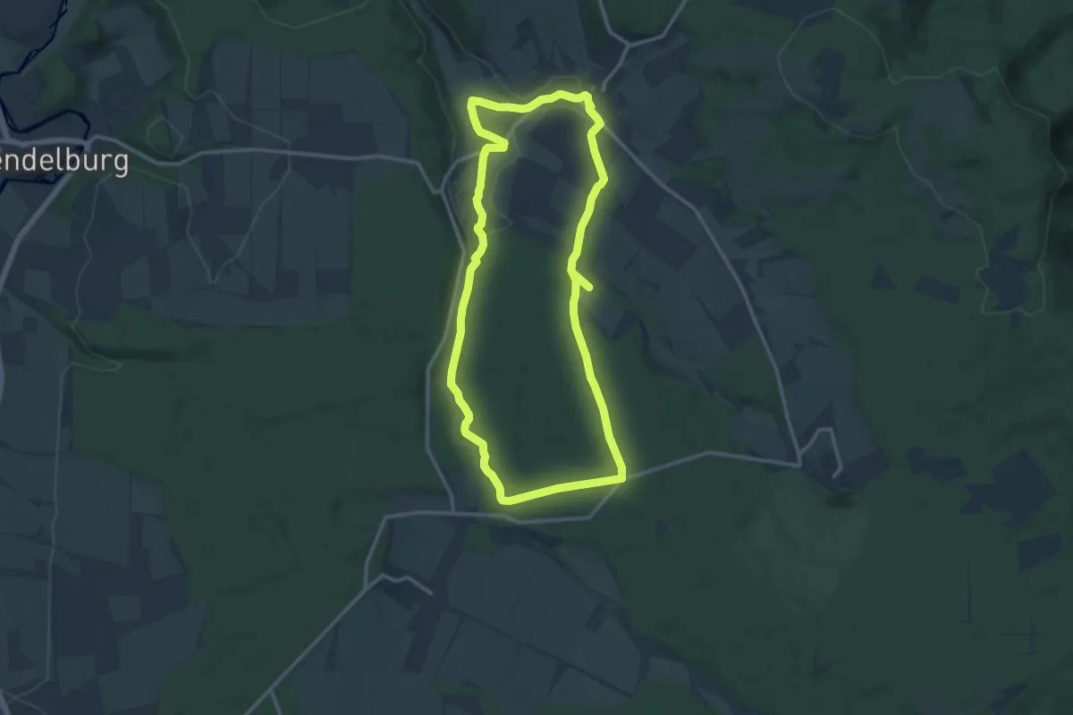
Medium · Trail
Eco Pfad Pilgerwege Gottsbüren 5 "Hofgeismarer Weg"
11.4 km · ↑ 199 m · 3 h 17 min
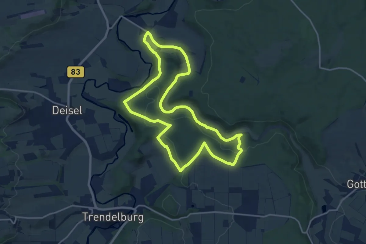
Medium · Summit
Eco-Pfad Pilgerwege Gottsbüren 6 "Jakobsweg"
11.0 km · ↑ 246 m · 3 h 16 min
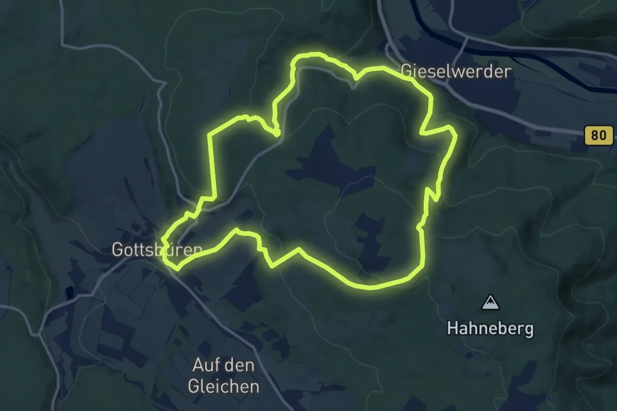
Medium · Trail
Eco Pfad Pilgerwege Gottsbüren "Werderscher Weg"
12.3 km · ↑ 429 m · 4 h
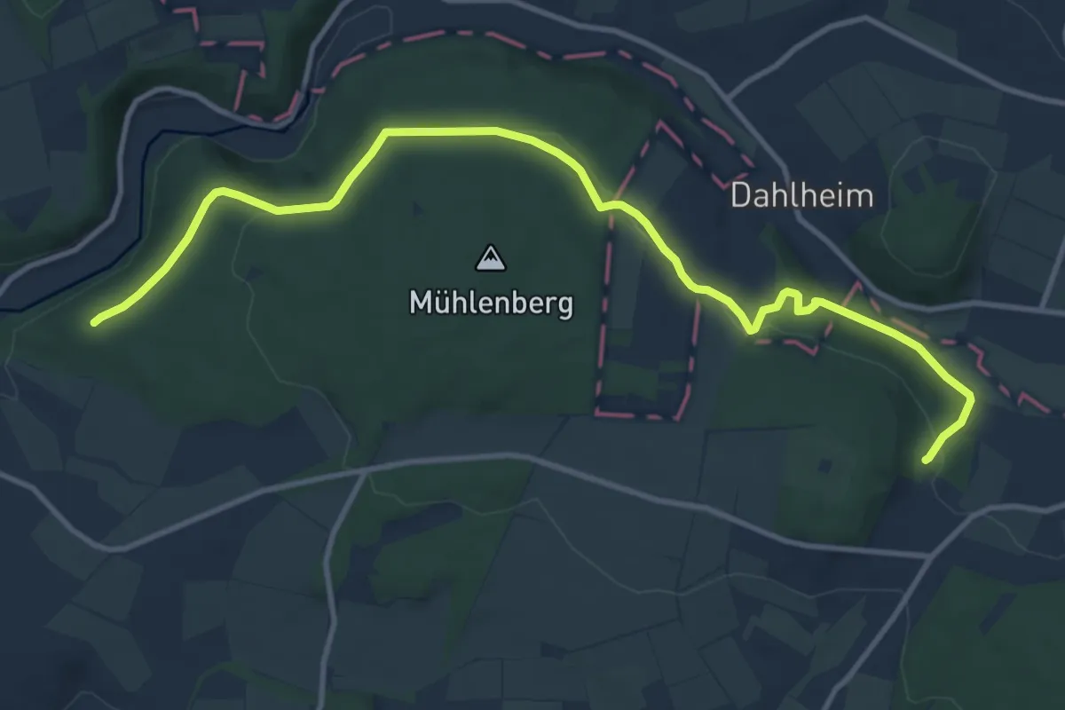
Easy · Trail
Eco Pfad Sensenstein
5.8 km · ↑ 105 m · 1 h 42 min
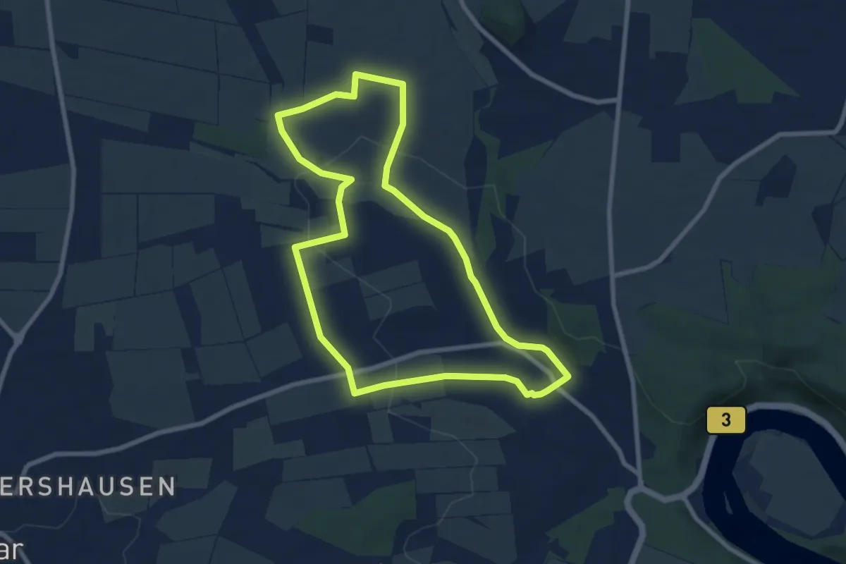
Easy · Trail
Eco-Pfad Simmershausen
6.6 km · ↑ 103 m · 1 h 52 min
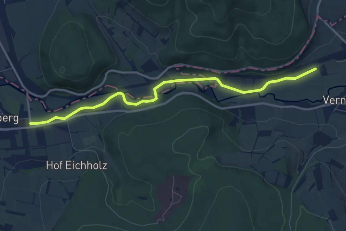
Easy · Trail
Eco-Pfad Wahlsburg
3.6 km · ↑ 26 m · 58 min
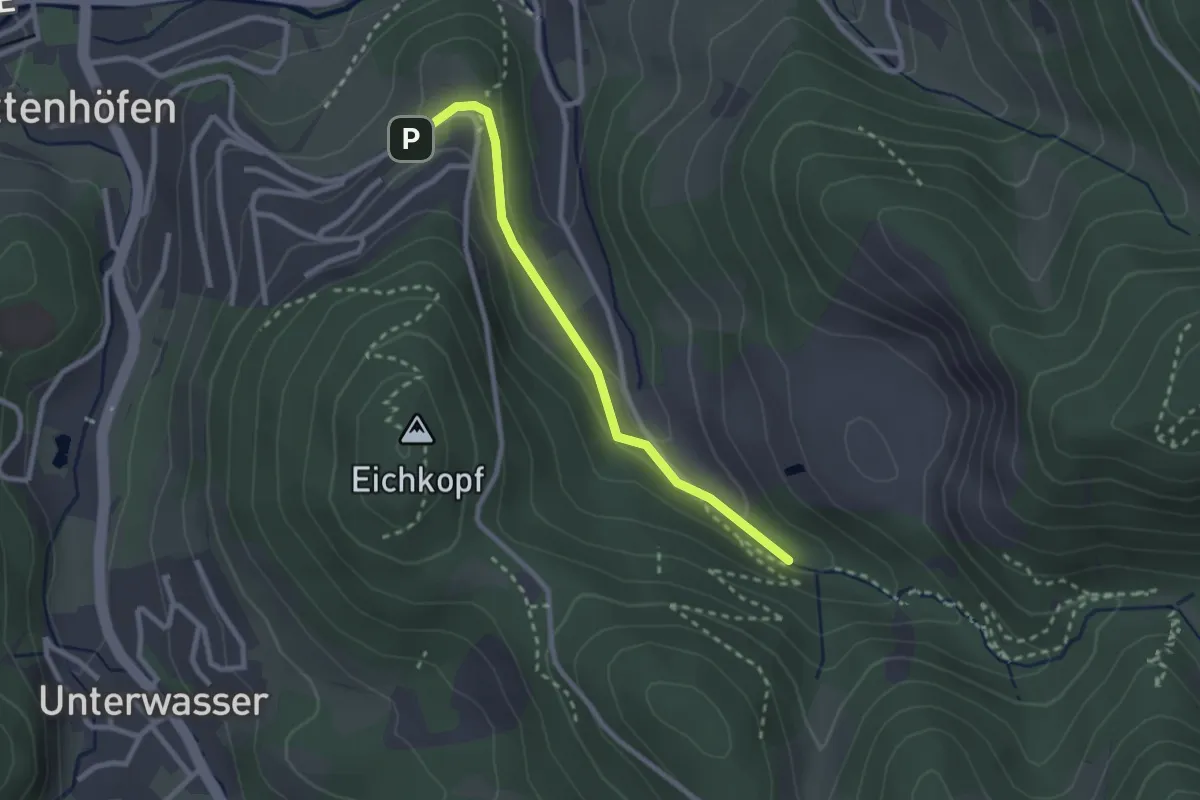
Easy · Trail
Edelfrauengrab Wasserfälle - Schloßhof
2.3 km · ↑ 80 m · 44 min
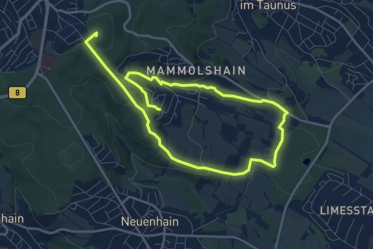
Medium · Summit
Edelkastanien-Erlebnispfad
12.3 km · ↑ 420 m · 3 h 49 min
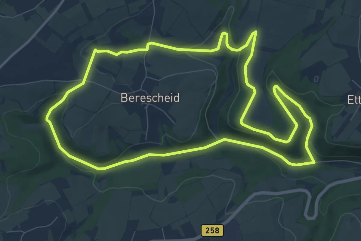
Medium · Trail
Edelkrebspfad im Schafbachtal
8.3 km · ↑ 163 m · 2 h 26 min
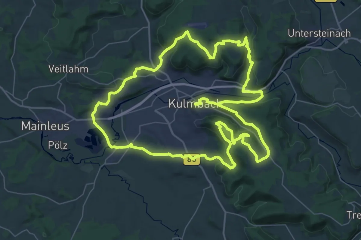
Demanding · Summit
Edelmann-Ringweg
32.4 km · ↑ 673 m · 9 h 37 min
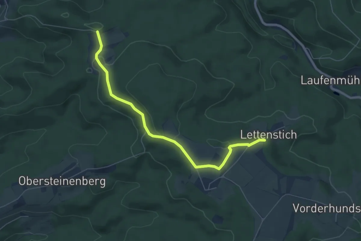
Easy · Trail
Edelmannshof - Langenberg
5.8 km · ↑ 83 m · 1 h 33 min
Easy · Trail
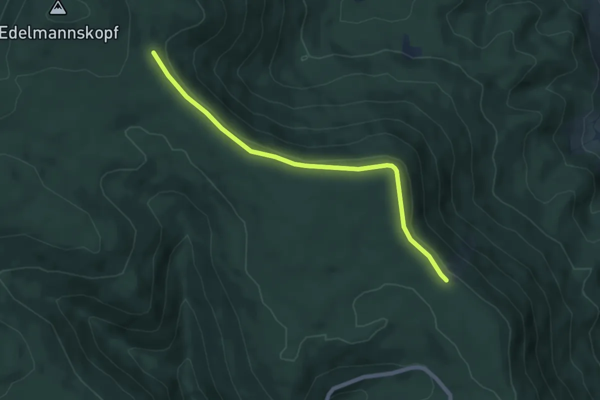
Edelmannskopf - Ibacher Holzplatz
5.0 km · ↑ 159 m · 1 h 31 min
Easy · Trail
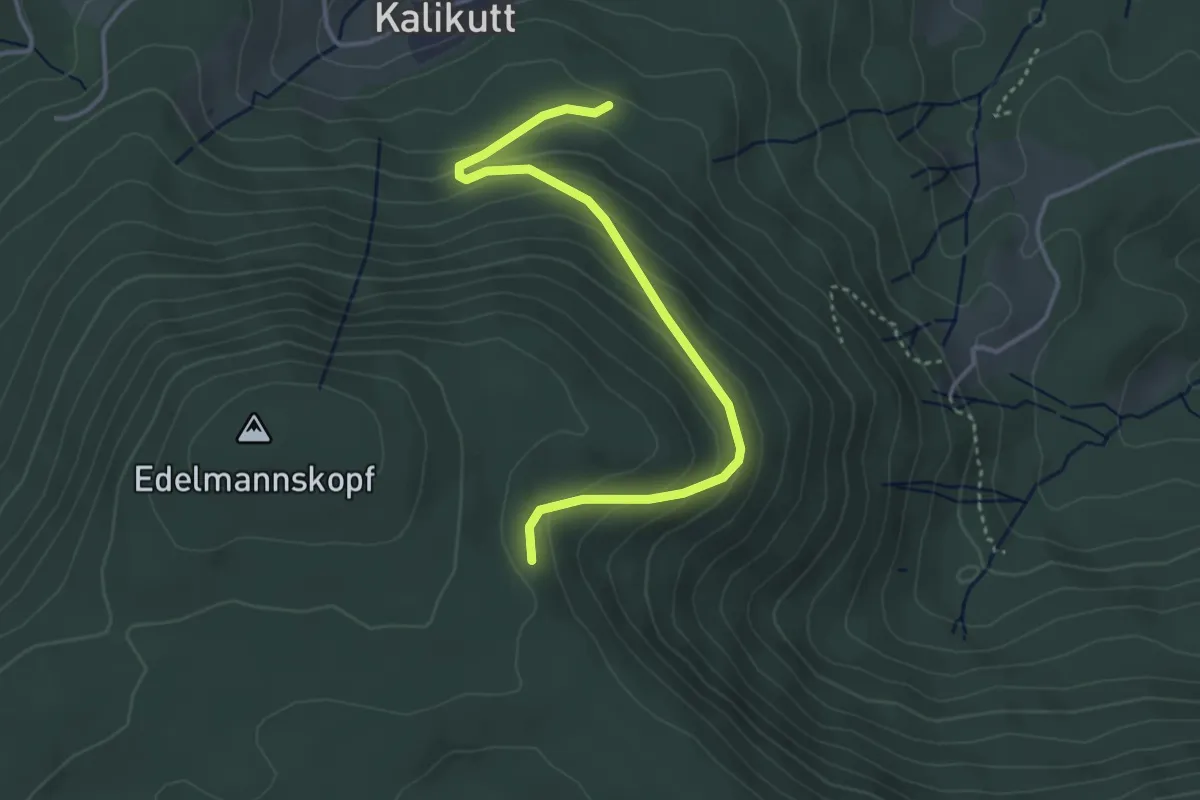
Edelmannskopf - Sod
3.6 km · ↑ 216 m · 1 h 20 min
Expert · Summit
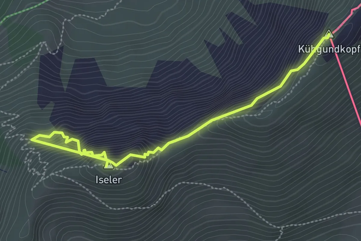
Edelrid Klettersteig
3.4 km · ↑ 486 m · 1 h 51 min
Medium · Trail
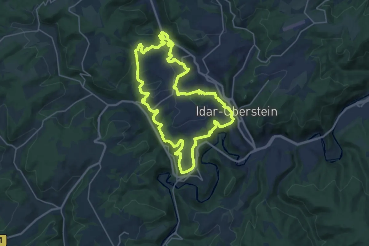
Edelsteinschleiferweg
15.7 km · ↑ 686 m · 5 h 24 min