Trails in Germany
36,847 hiking trails, each with its route, climb, walking time and grade.
All trails, page 122 of 768
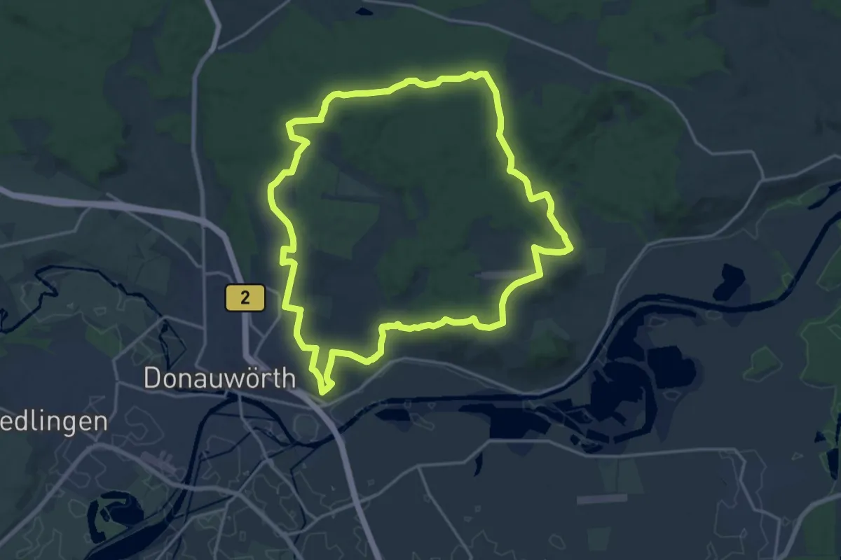
Medium · Trail
Edelweißweg
16.4 km · ↑ 288 m · 4 h 44 min
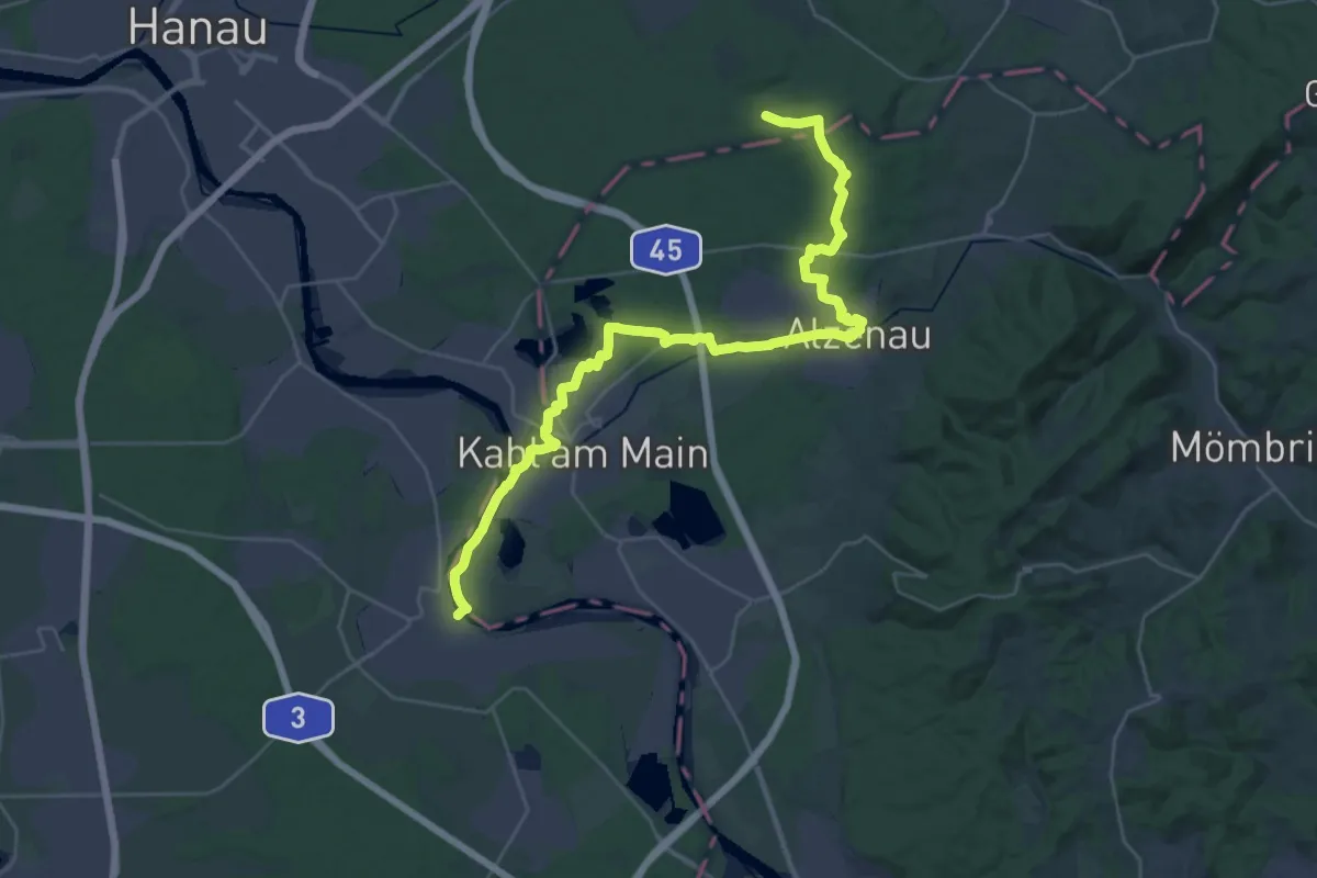
Medium · Trail
Edelweißweg
17.7 km · ↑ 198 m · 4 h 49 min
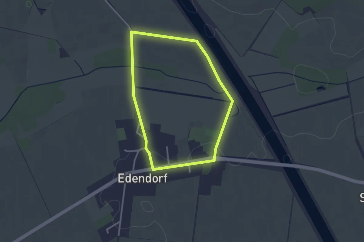
Easy · Trail
Edendorf Rundgang 1
2.1 km · ↑ 8 m · 33 min
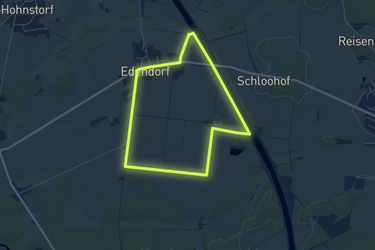
Easy · Trail
Edendorf Rundgang 2
5.0 km · ↑ 16 m · 1 h 17 min
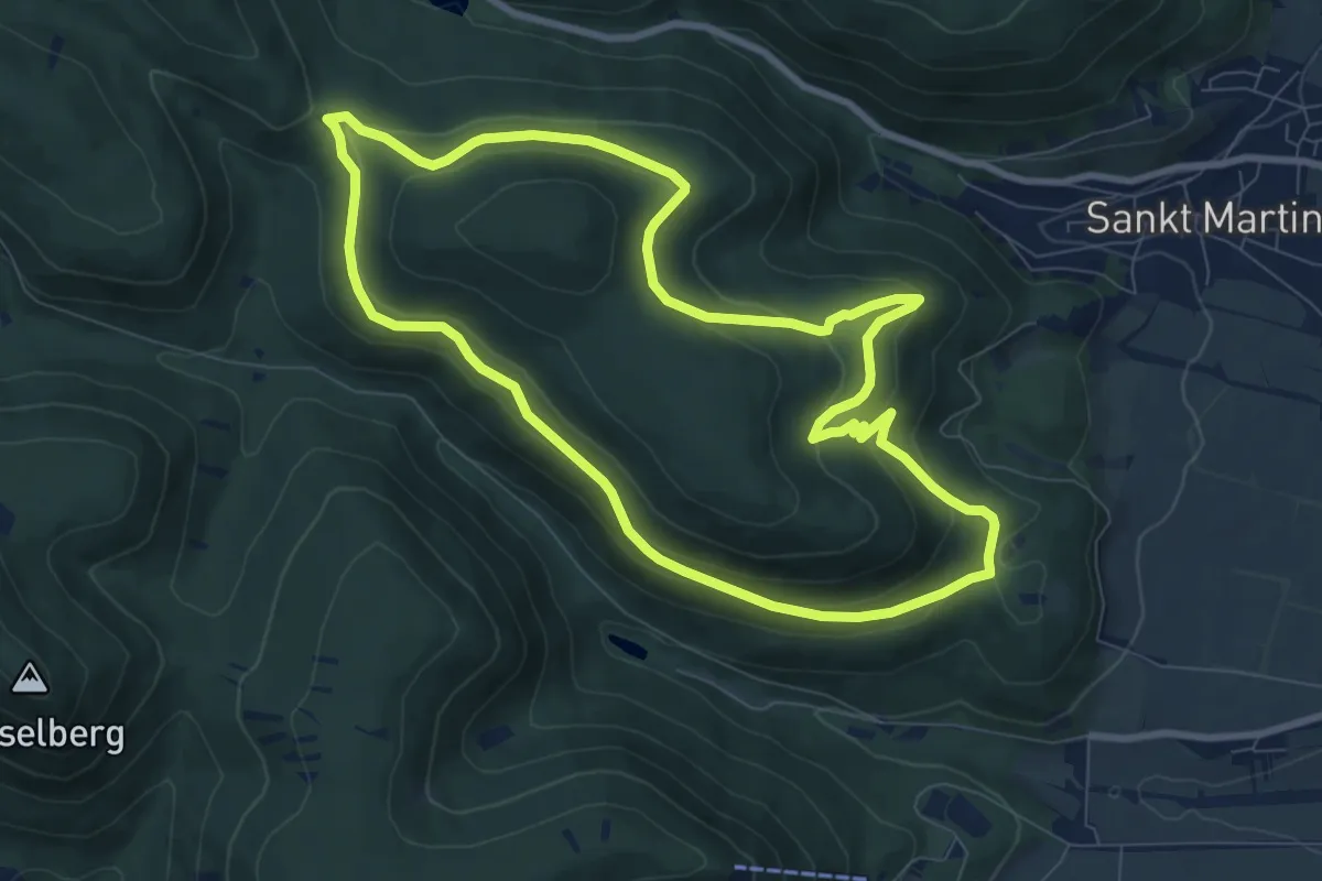
Medium · Trail
Edenkoben Naturpark Pfälzerwald 1
8.3 km · ↑ 298 m · 2 h 42 min
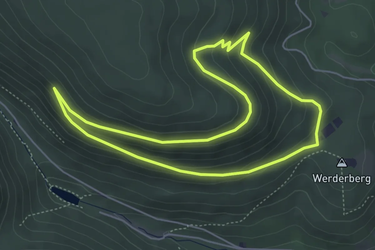
Easy · Trail
Edenkoben Naturpark Pfälzerwald 2
4.4 km · ↑ 169 m · 1 h 28 min
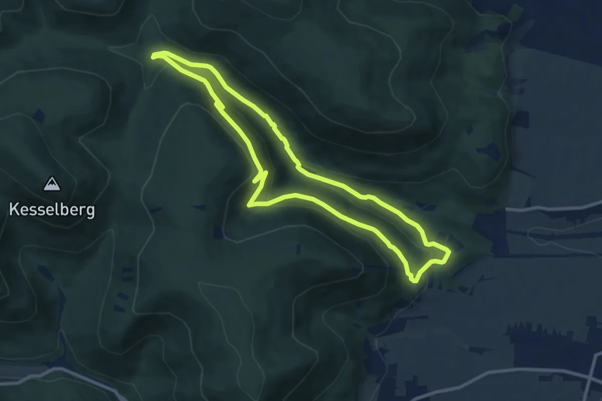
Easy · Trail
Edenkoben Naturpark Pfälzerwald 3
7.4 km · ↑ 249 m · 2 h 24 min
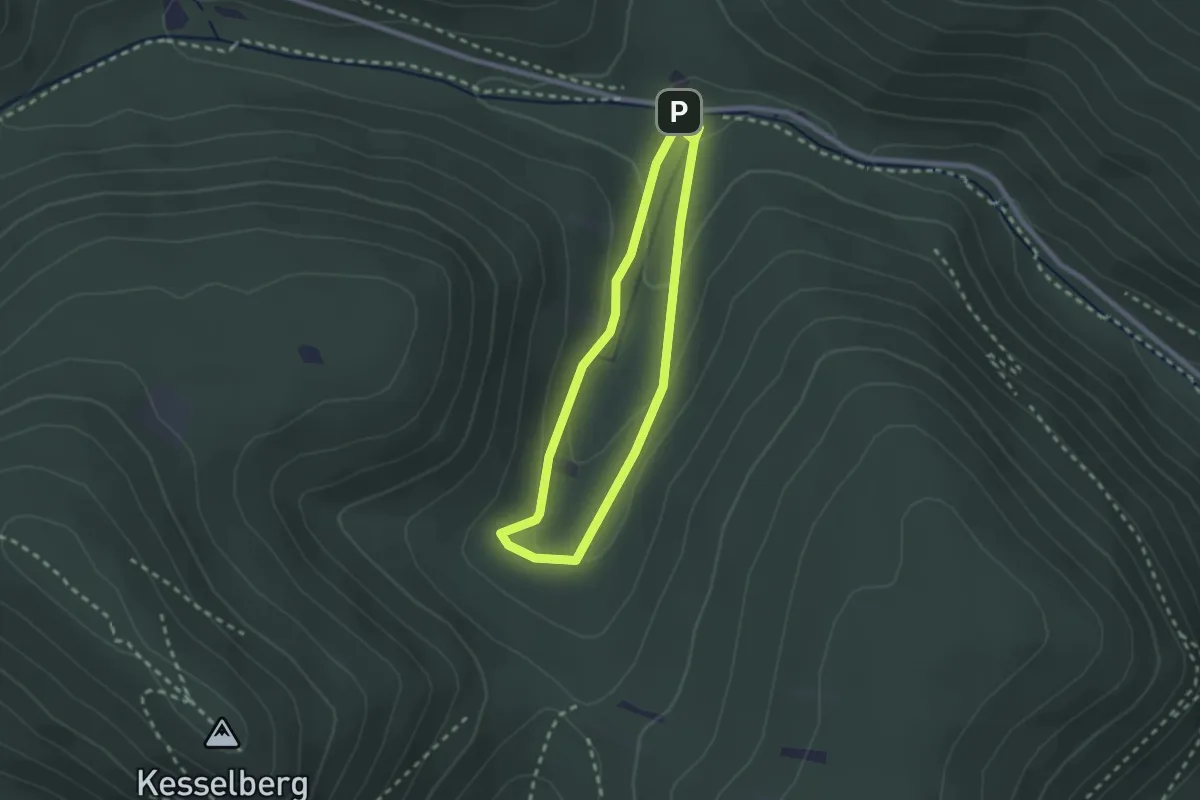
Easy · Trail
Edenkoben Naturpark Pfälzerwald 4
2.0 km · ↑ 66 m · 39 min
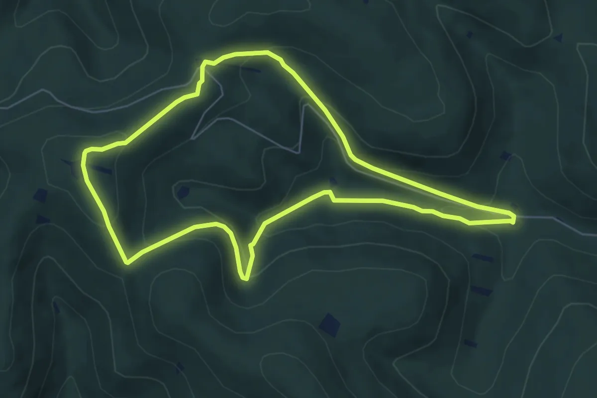
Easy · Summit
Edenkoben Naturpark Pfälzerwald 5
5.8 km · ↑ 264 m · 2 h 2 min
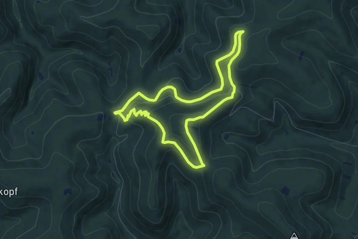
Easy · Summit
Edenkoben Naturparkweg 6
6.7 km · ↑ 194 m · 2 h 5 min
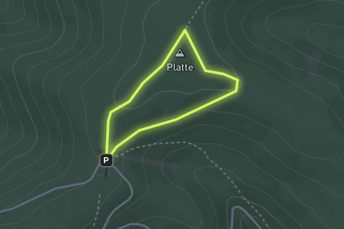
Easy · Summit
Edenkoben Naturparkweg 7
1.6 km · ↑ 35 m · 29 min
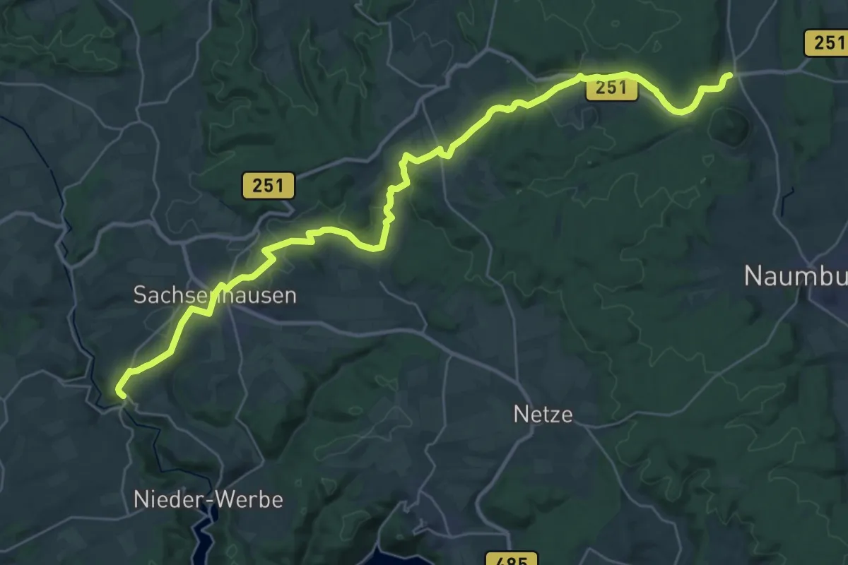
Medium · Trail
Eder-Elbe-Weg
16.8 km · ↑ 253 m · 4 h 46 min
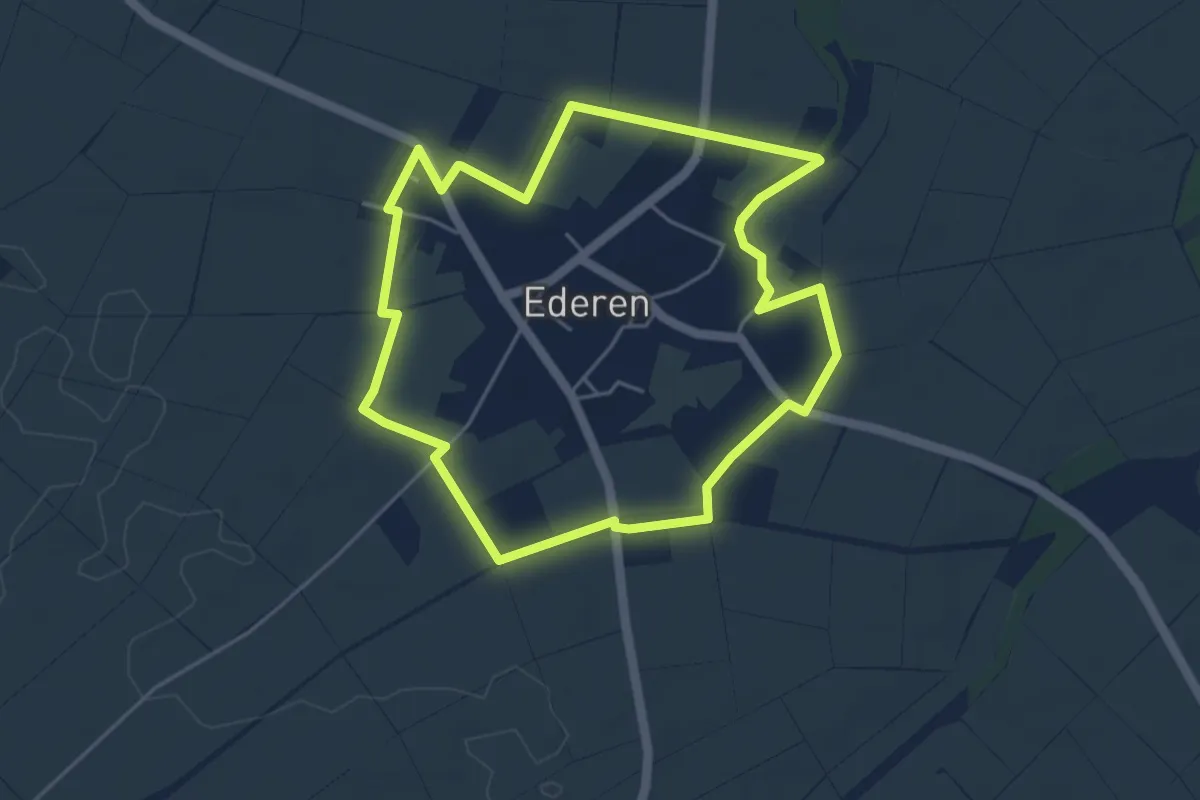
Easy · Trail
Ederener Runde
4.2 km · ↑ 8 m · 1 h 4 min
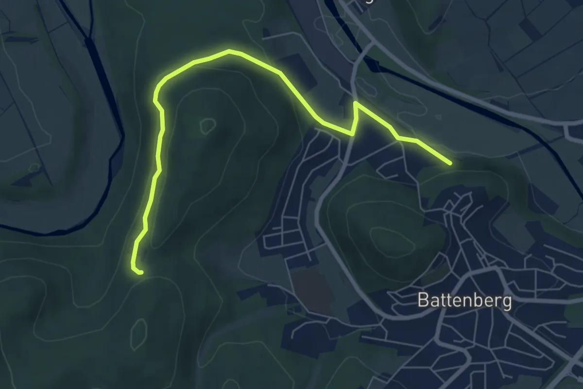
Easy · Trail
Ederhöhenpfad
6.2 km · ↑ 201 m · 1 h 54 min
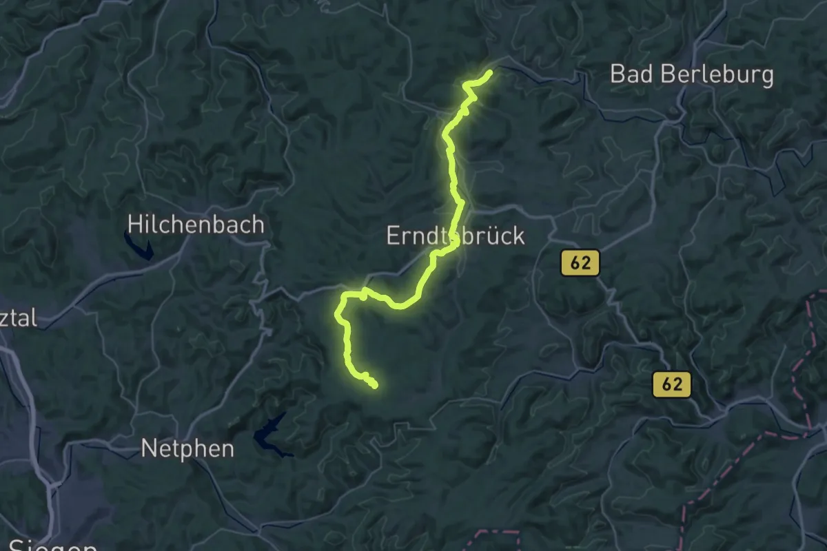
Demanding · Trail
Ederhöhenweg
20.6 km · ↑ 304 m · 5 h 53 min
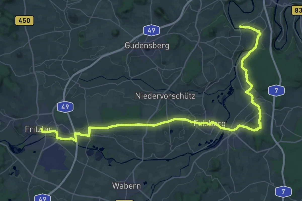
Demanding · Trail
Ederhöhenweg Etappe 10
23.9 km · ↑ 388 m · 6 h 51 min
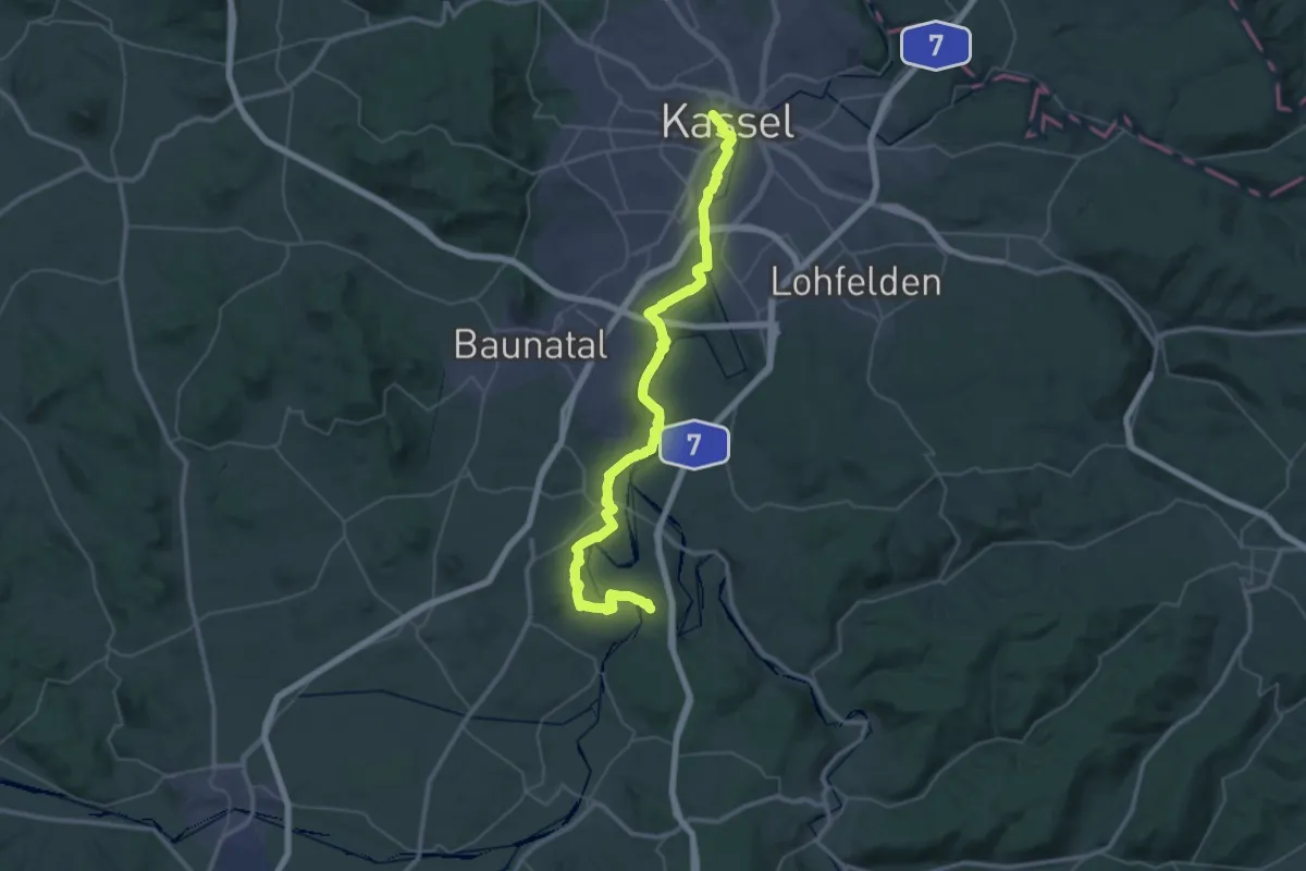
Demanding · Trail
Ederhöhenweg Etappe 11
23.1 km · ↑ 291 m · 6 h 24 min
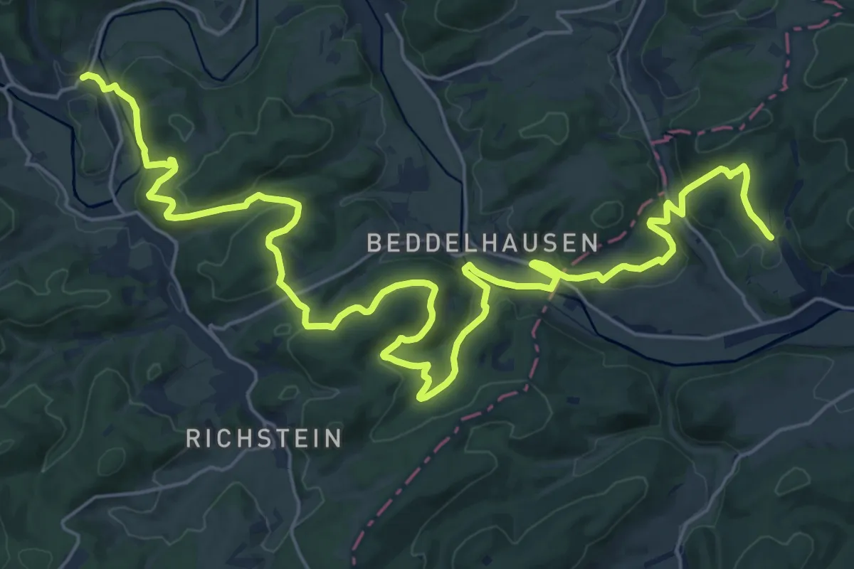
Medium · Trail
Ederhöhenweg Etappe 3
15.0 km · ↑ 452 m · 4 h 44 min
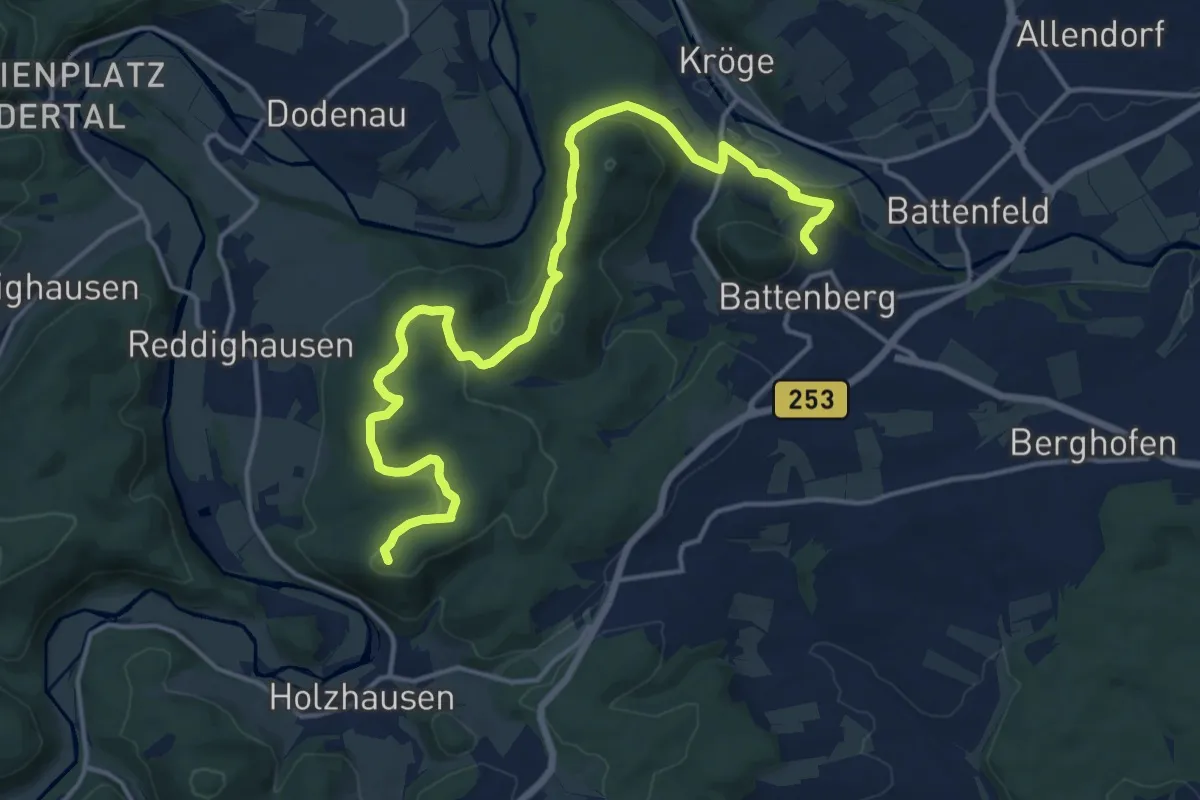
Medium · Summit
Ederhöhenweg Etappe 4
16.7 km · ↑ 483 m · 4 h 59 min
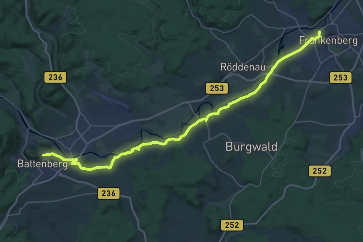
Demanding · Trail
Ederhöhenweg Etappe 5
27.4 km · ↑ 307 m · 7 h 8 min
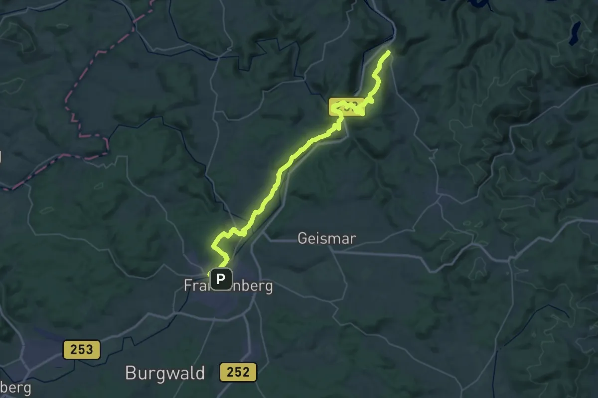
Demanding · Trail
Ederhöhenweg Etappe 6
19.8 km · ↑ 478 m · 5 h 59 min
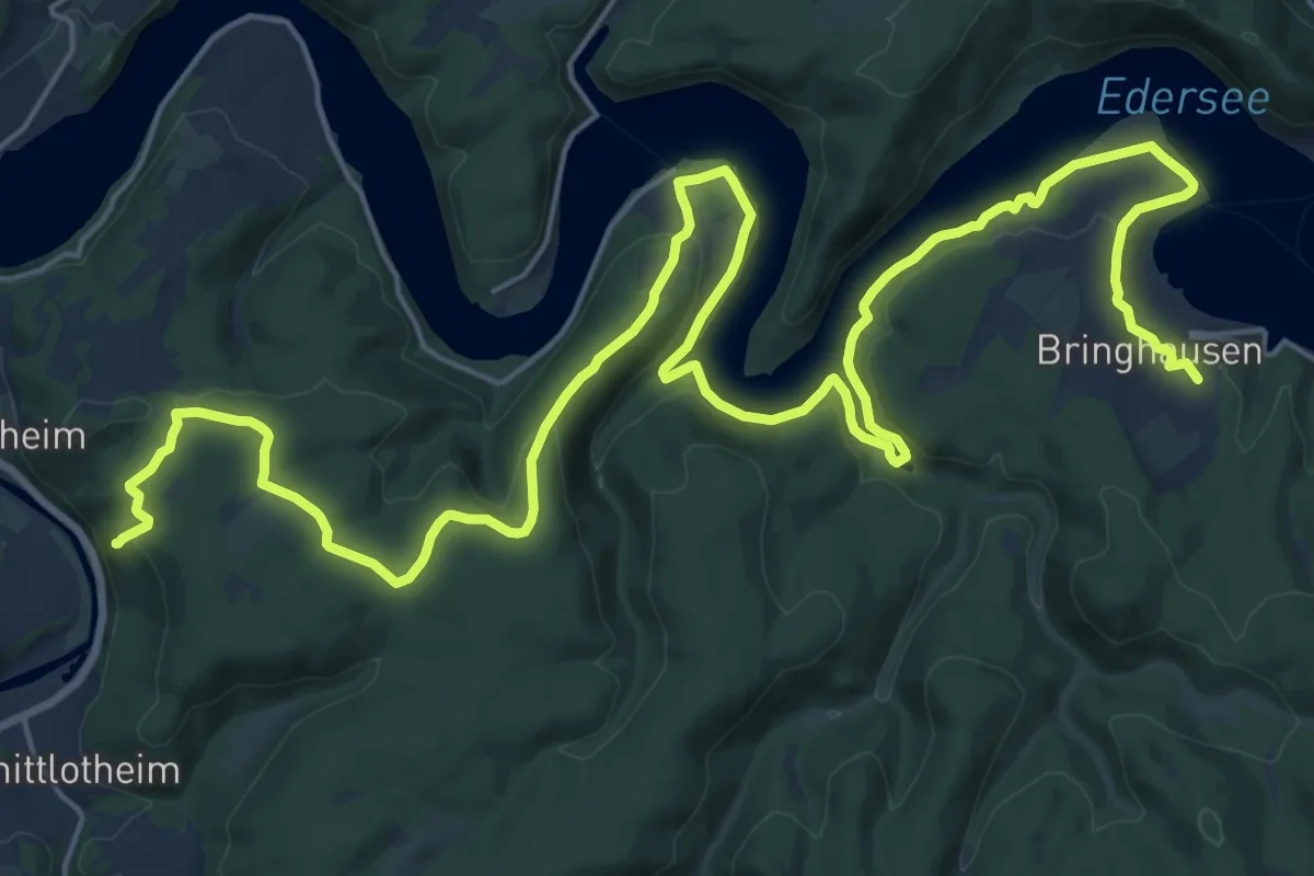
Demanding · Summit
Ederhöhenweg Etappe 7
29.7 km · ↑ 736 m · 8 h 37 min
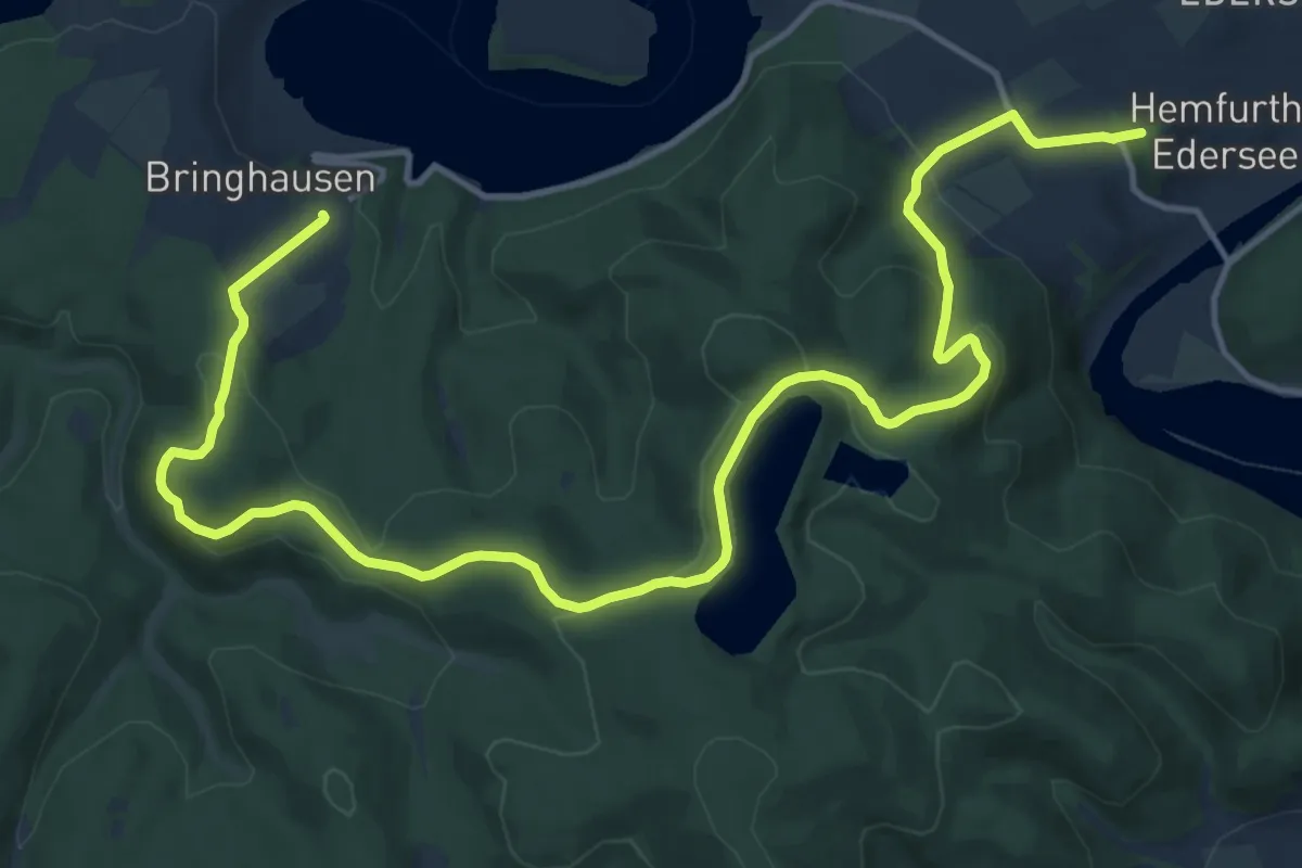
Medium · Summit
Ederhöhenweg Etappe 8
17.7 km · ↑ 664 m · 5 h 37 min
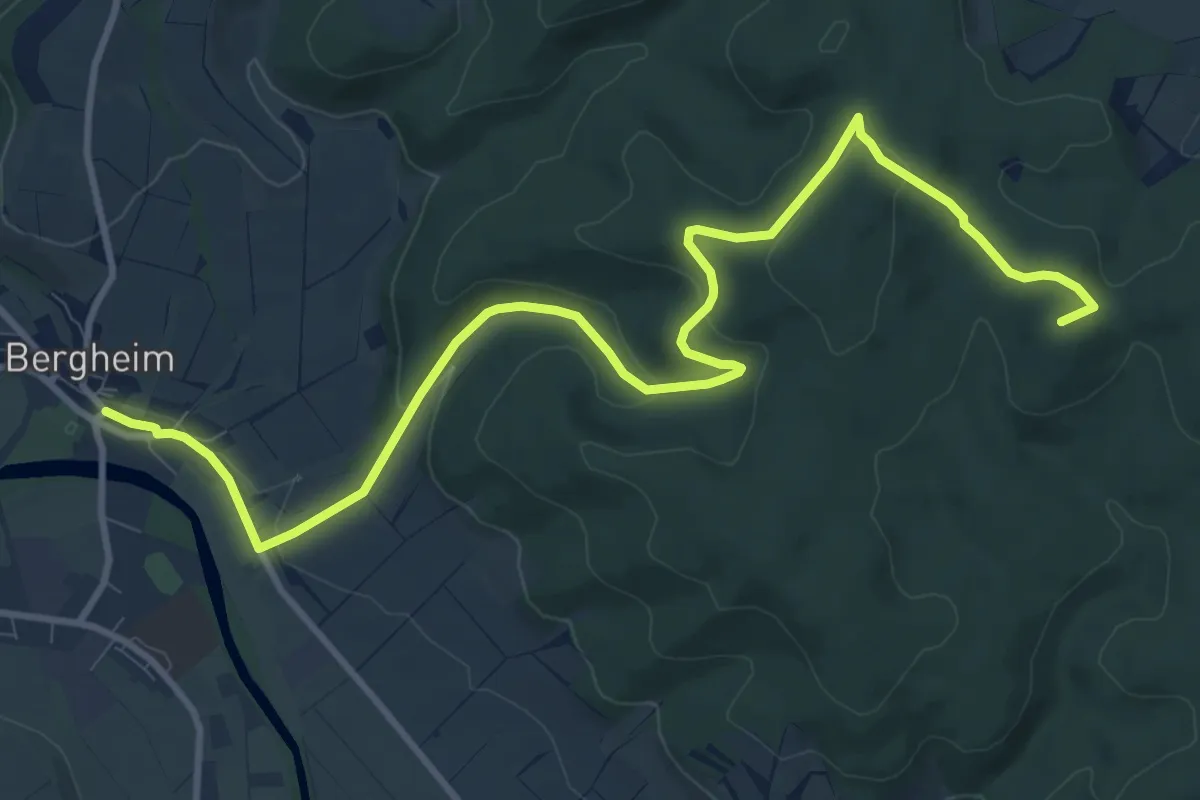
Medium · Summit
Ederhöhenweg Etappe 9
11.9 km · ↑ 297 m · 3 h 27 min
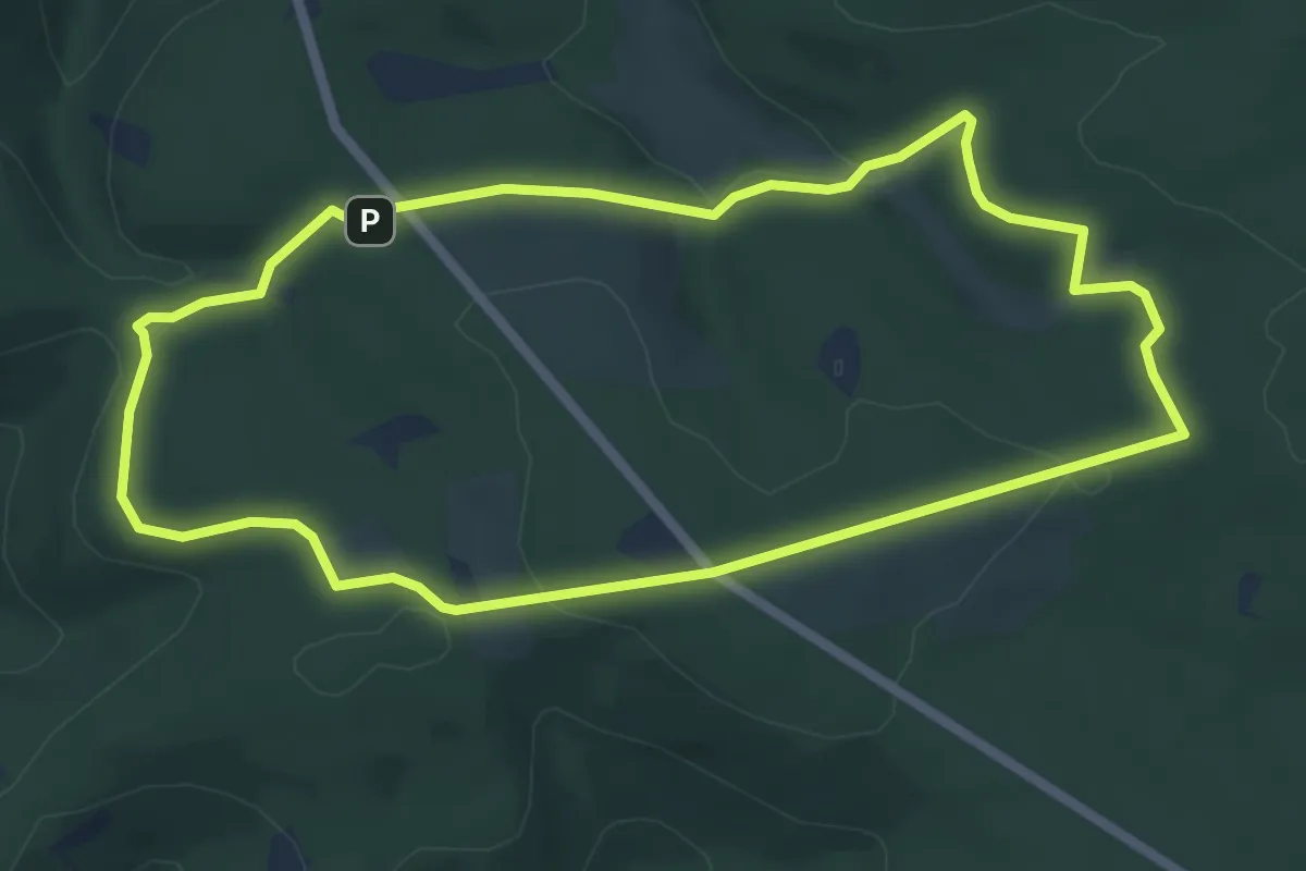
Easy · Trail
Ederquelle Rundweg
5.4 km · ↑ 101 m · 1 h 34 min
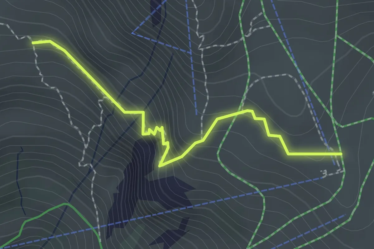
Demanding · Cabin
Edmund-Probst-Haus - Gaißalpe
2.0 km · ↑ 167 m · 50 min
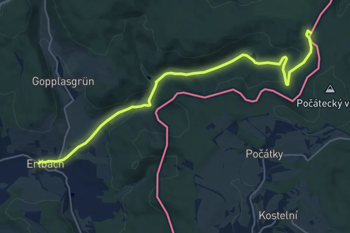
Medium · Trail
EDST: Erlbach - Dreirainsteine
13.7 km · ↑ 256 m · 3 h 47 min
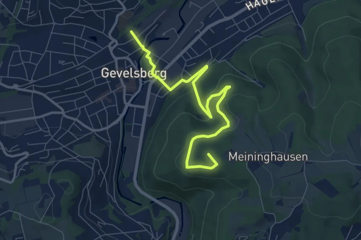
Easy · Summit
[E] Ehrenmal-Weg
7.5 km · ↑ 223 m · 2 h 16 min
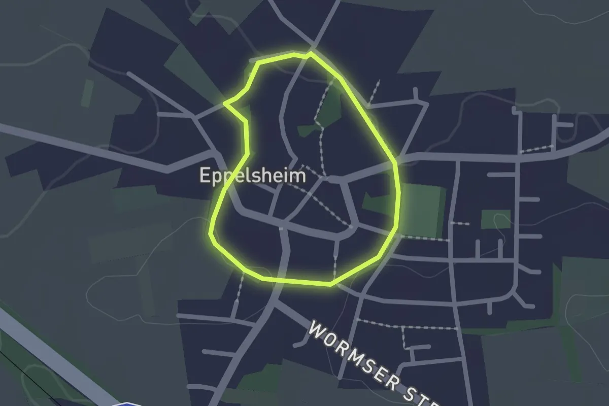
Easy · Trail
Effenkranz
1.3 km · ↑ 9 m · 21 min
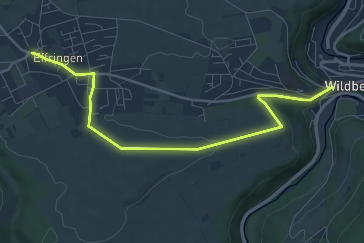
Easy · Trail
Effringen Hauptstraße - Wildberg Marktstraße
7.8 km · ↑ 159 m · 2 h 11 min
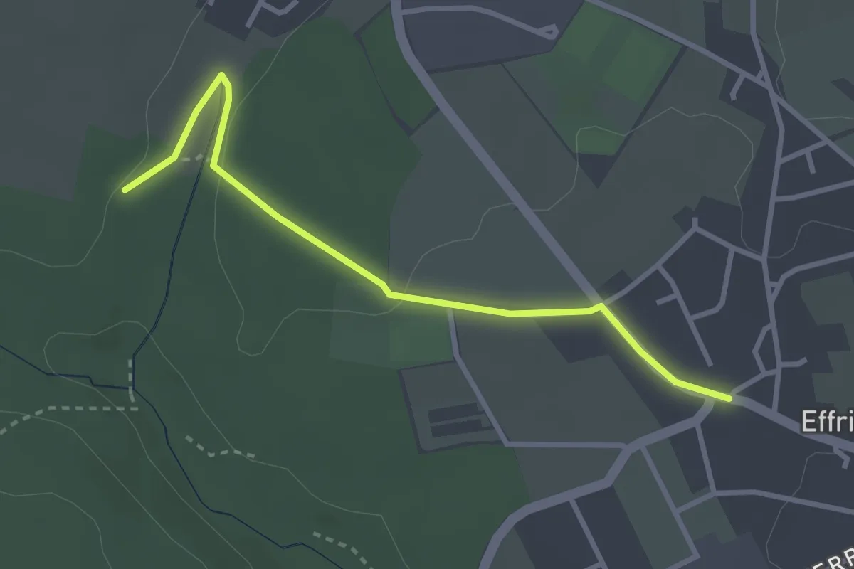
Easy · Trail
Effringen Hauptstraße - Ziegelwiesen
2.9 km · ↑ 29 m · 45 min
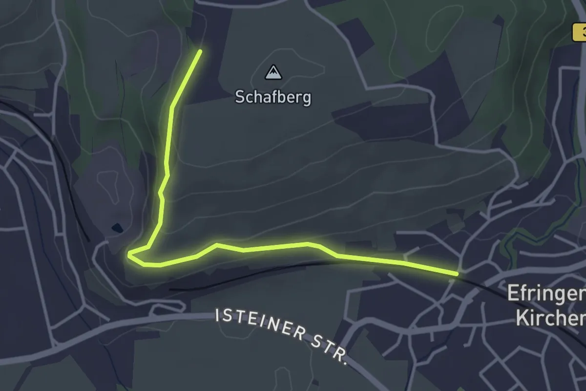
Easy · Trail
Efringen Altes Rathaus - Überm Kalkwerk
3.6 km · ↑ 113 m · 1 h 6 min
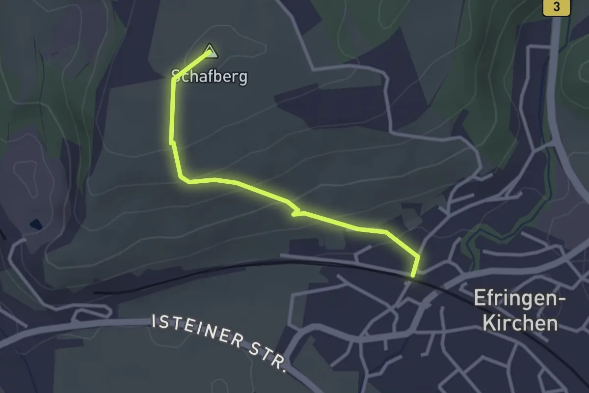
Easy · Summit
Efringen Altes Rathaus - Überm Kalkwerk
2.5 km · ↑ 122 m · 51 min
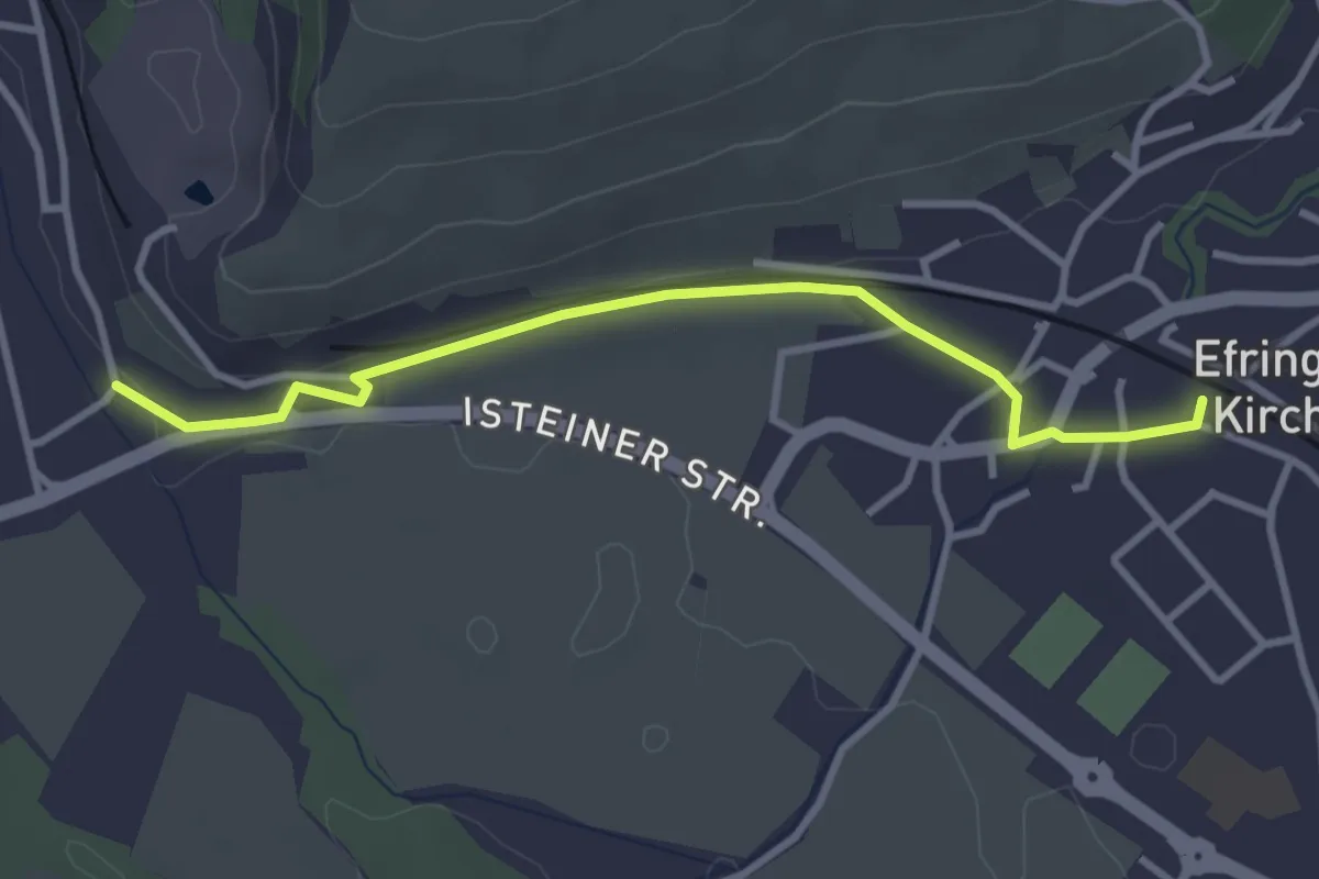
Easy · Trail
Efringen-Kirchen Bahnhof - Hodbach
3.3 km · ↑ 46 m · 52 min
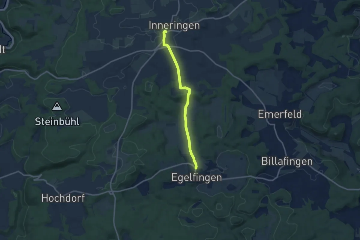
Medium · Trail
Egelfingen - Inneringen
8.2 km · ↑ 145 m · 2 h 15 min
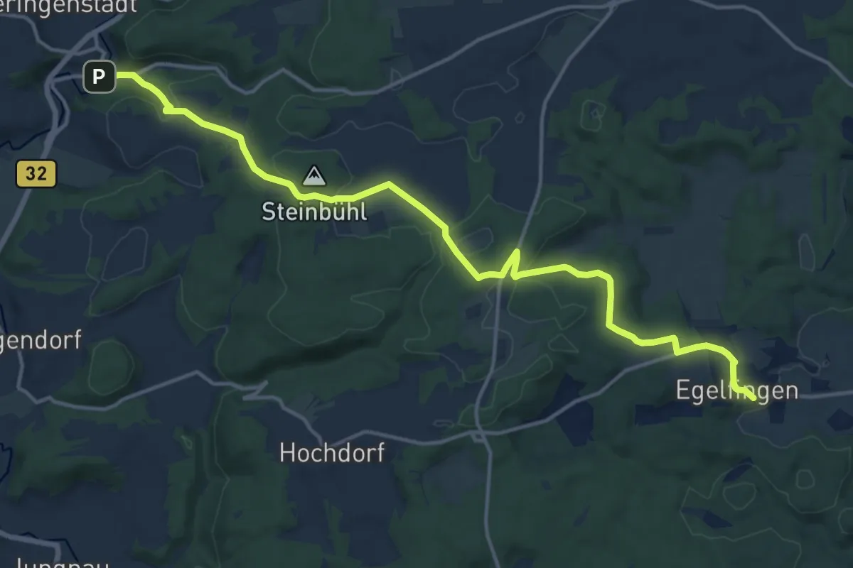
Medium · Trail
Egelfingen - Veringenstadt
15.9 km · ↑ 350 m · 4 h 31 min
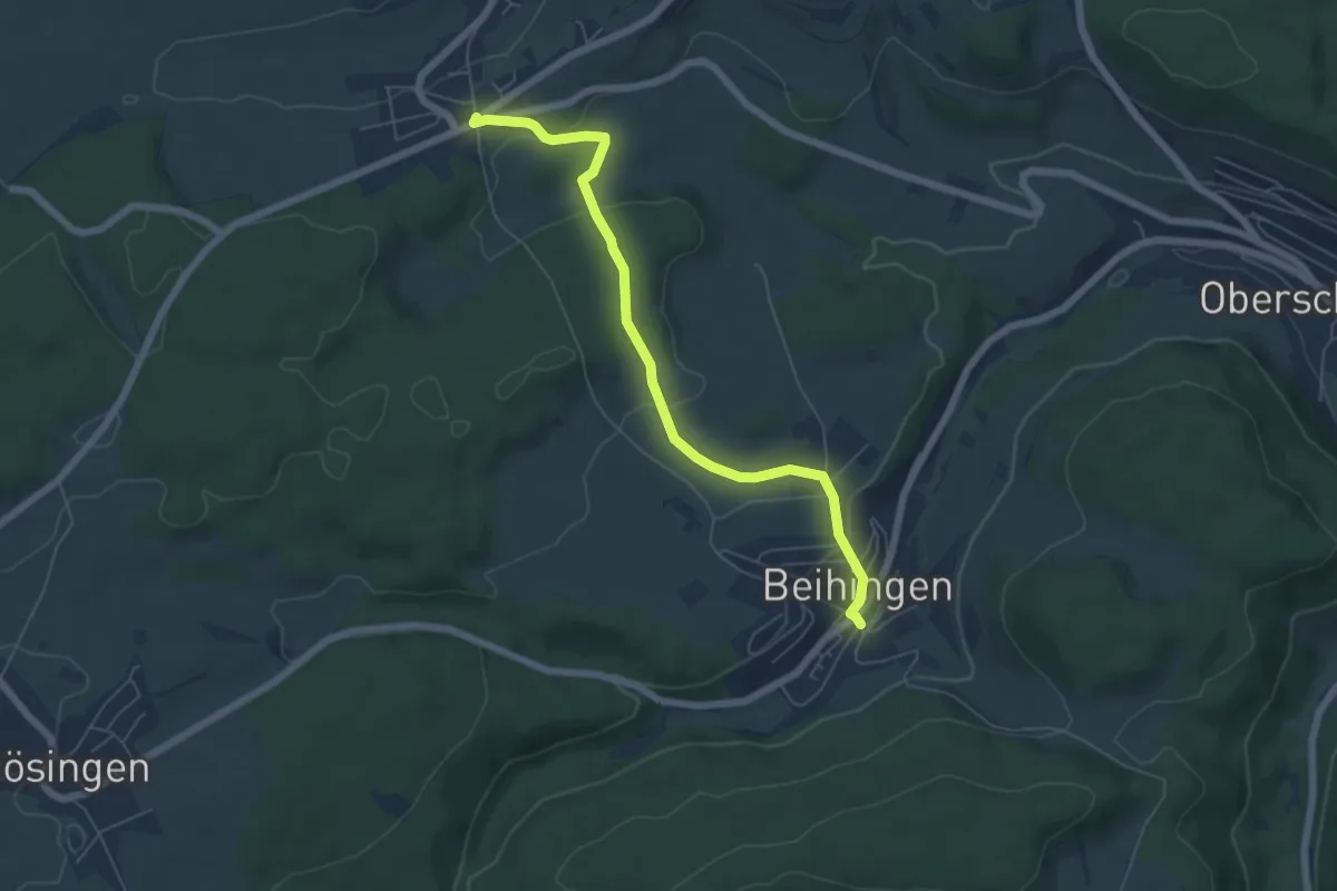
Easy · Trail
Egenhausen Chausseehaus - Beihingen Kirche
5.8 km · ↑ 166 m · 1 h 44 min
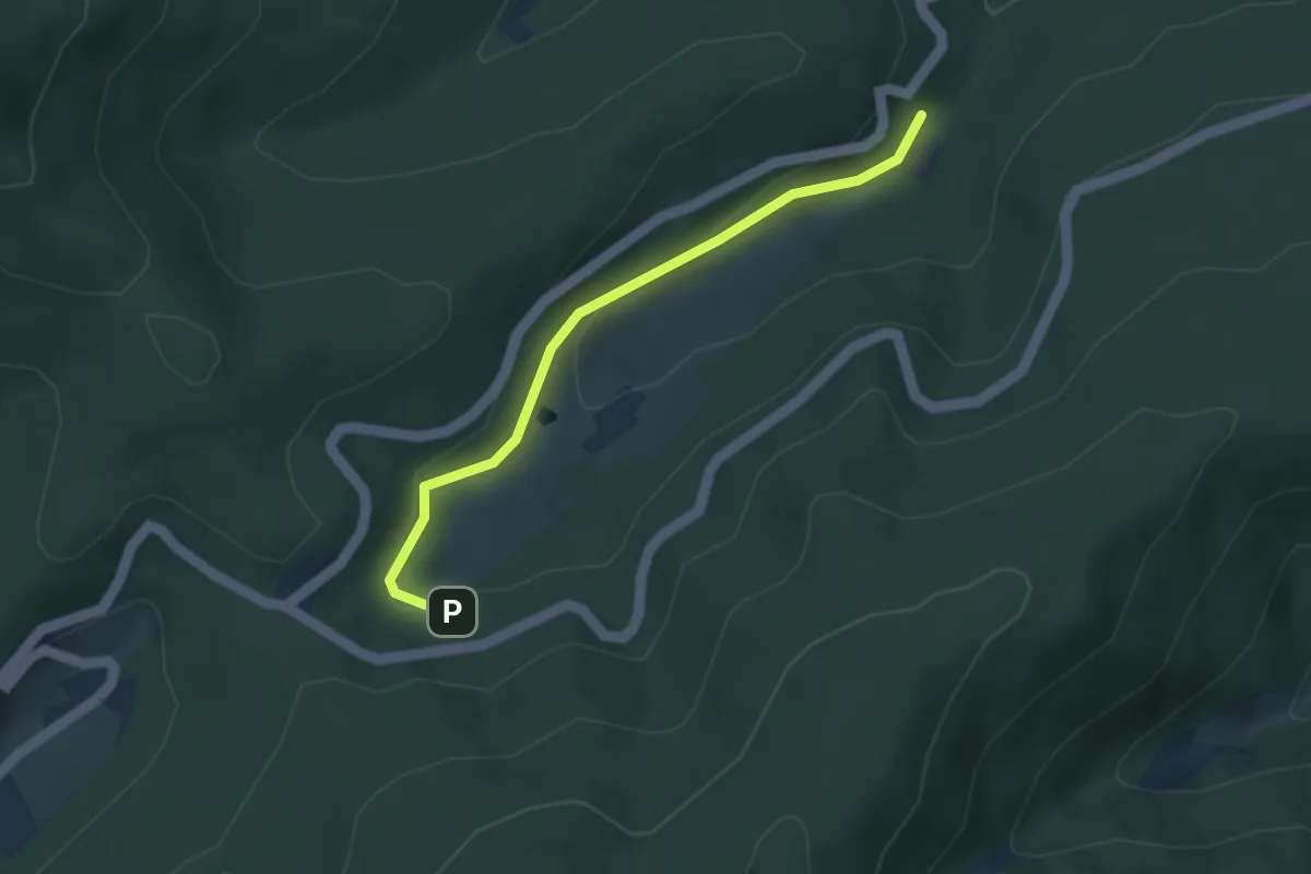
Easy · Trail
Egenwies - Walheimer Hof
3.2 km · ↑ 104 m · 1 h
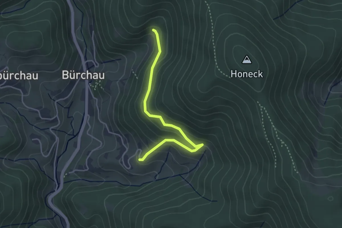
Easy · Trail
Egerten - Bei der Silberberghütte
3.4 km · ↑ 179 m · 1 h 11 min
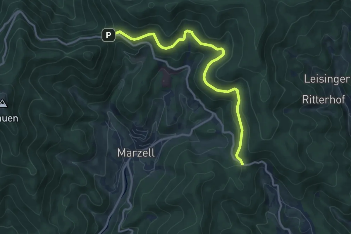
Medium · Trail
Egerten - Lipple
8.3 km · ↑ 284 m · 2 h 35 min
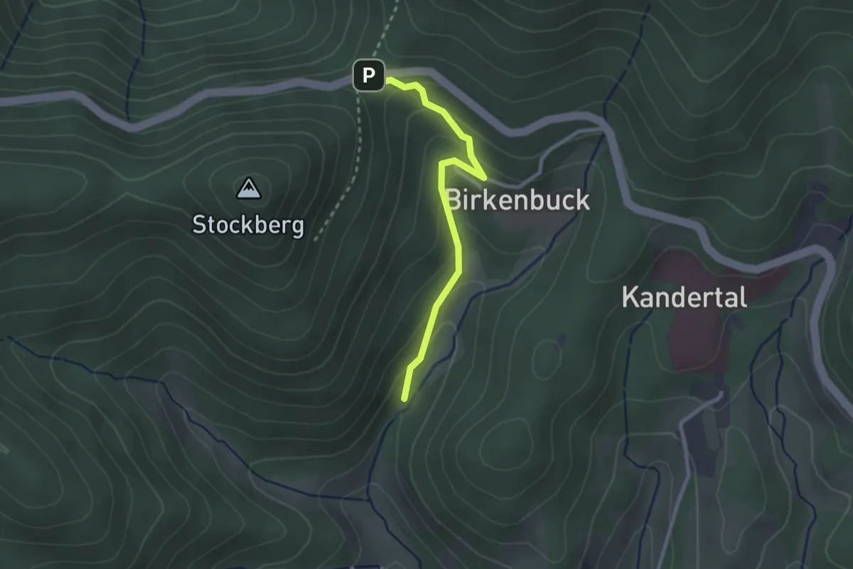
Easy · Trail
Egerten - Maisenbach
2.3 km · ↑ 124 m · 49 min
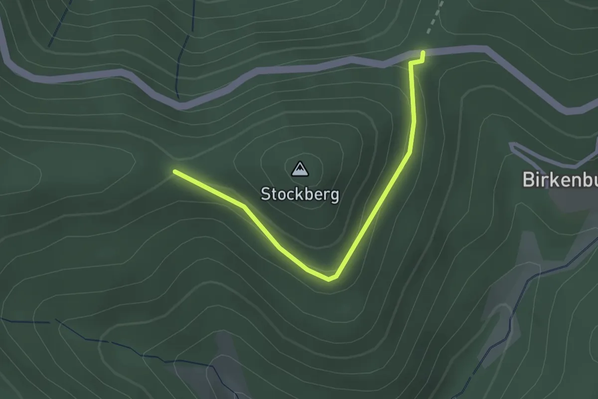
Easy · Trail
Egerten - Stockberg
2.2 km · ↑ 82 m · 42 min
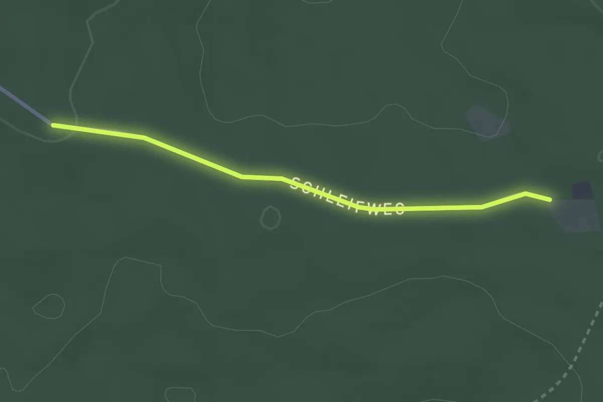
Easy · Trail
Egert - Große Saumiss
2.5 km · ↑ 26 m · 38 min
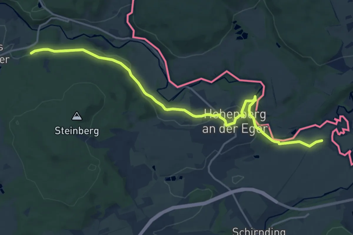
Medium · Trail
Egerweg
12.2 km · ↑ 225 m · 3 h 22 min
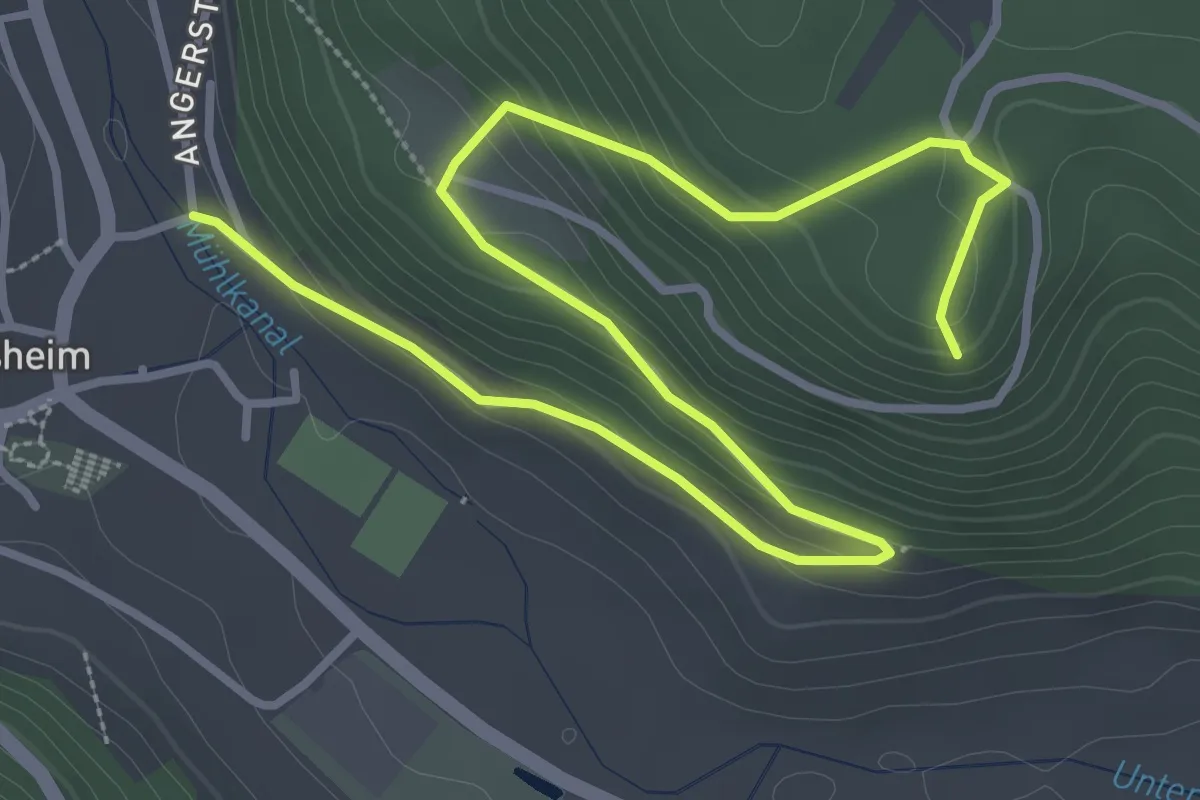
Easy · Trail
Egesheim - Katzenfels
4.7 km · ↑ 214 m · 1 h 34 min
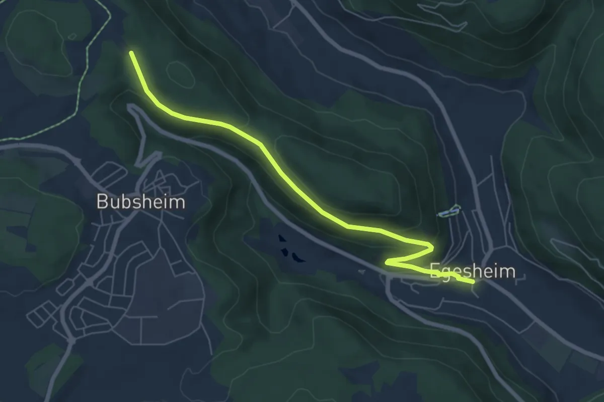
Easy · Trail
Egesheim - Sommerhaldenweg
6.0 km · ↑ 204 m · 1 h 52 min
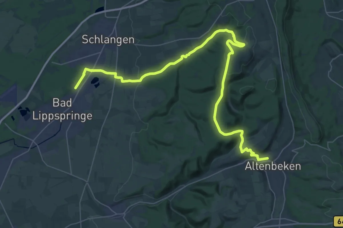
Medium · Trail
Egge-Nord-Route
17.6 km · ↑ 400 m · 5 h 12 min
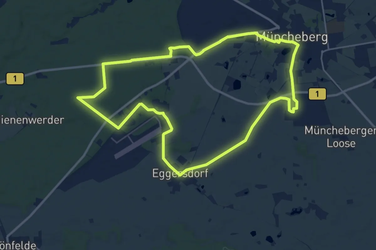
Medium · Trail
Eggersdorfer Rundweg
15.1 km · ↑ 51 m · 3 h 53 min