Trails in Germany
36,847 hiking trails, each with its route, climb, walking time and grade.
All trails, page 123 of 768
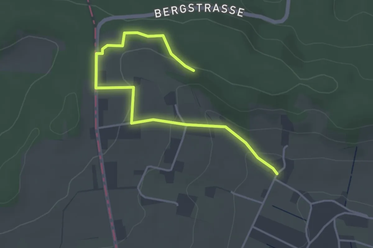
Easy · Trail
Eggetaler Panorama Rundwanderweg
1.9 km · ↑ 14 m · 32 min
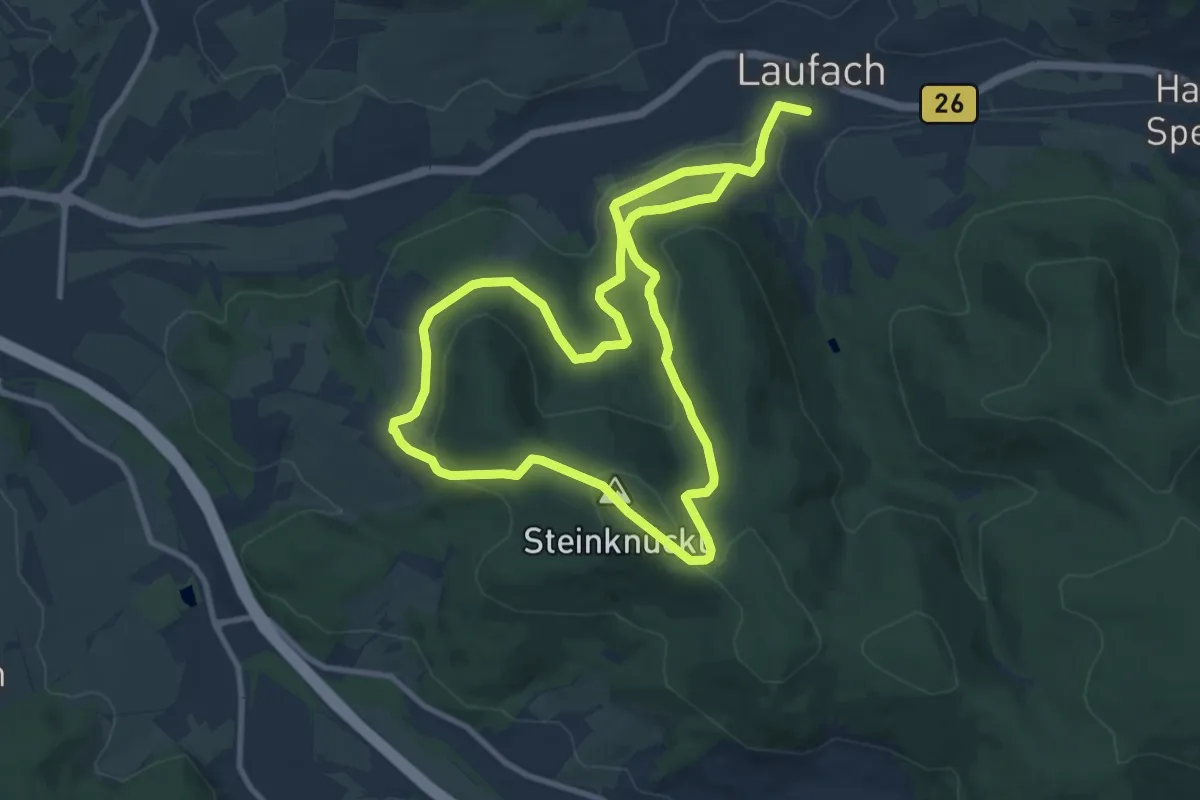
Medium · Summit
Egid-Kaindl-Weg Rundwanderweg 5 OG Laufach
8.6 km · ↑ 274 m · 2 h 43 min
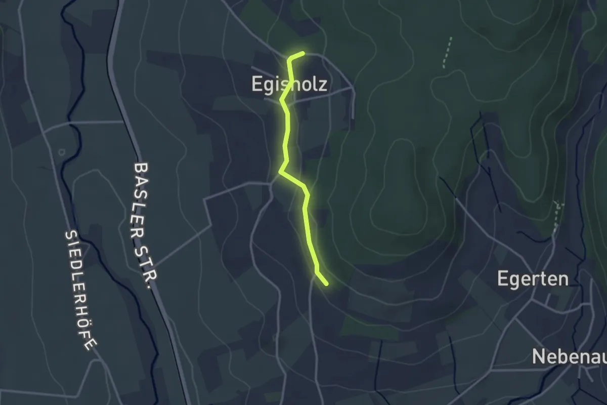
Easy · Trail
Egisholz - Baselblickhütte
2.2 km · ↑ 52 m · 38 min
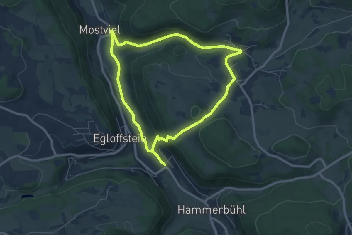
Easy · Summit
Egloffstein Rundweg "Alter Kirchweg"
5.3 km · ↑ 143 m · 1 h 38 min
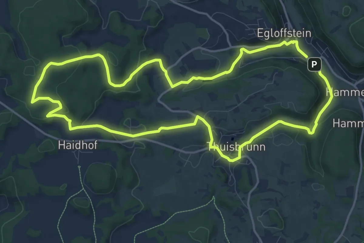
Medium · Summit
Egloffstein Rundweg Schlossßbergrunde
11.1 km · ↑ 255 m · 3 h 20 min
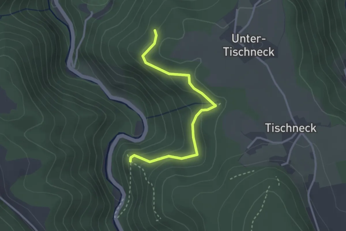
Medium · Trail
Ehemalige Burg Berneck - Allmandwald
2.7 km · ↑ 155 m · 58 min
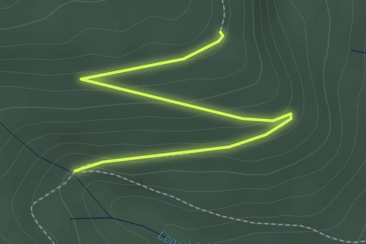
Easy · Trail
Ehemalige Falzhütte - Seeloch
2.5 km · ↑ 69 m · 44 min
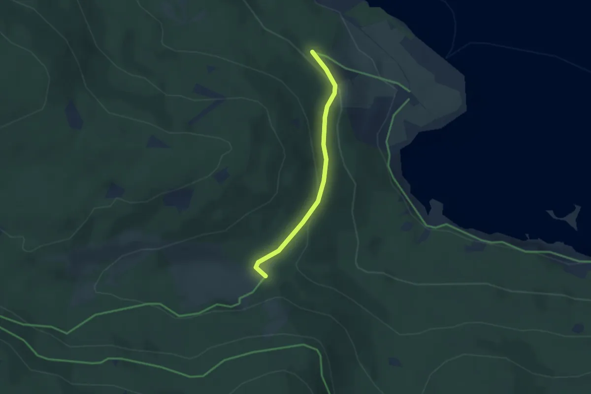
Easy · Trail
Ehemalige Krummensäge - Kirschbaumweg
2.4 km · ↑ 81 m · 45 min
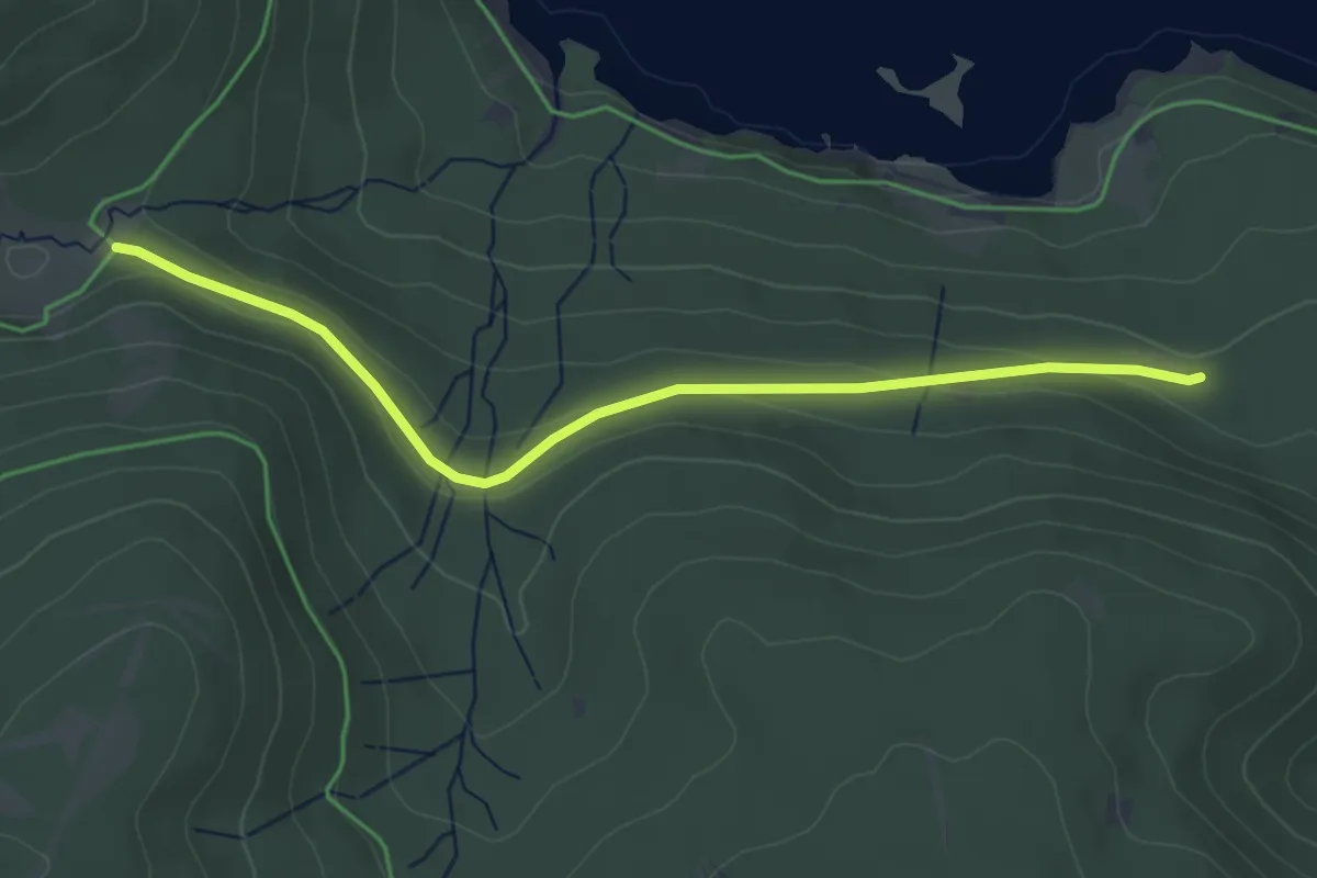
Easy · Trail
Ehemalige Krummensäge - Kohlhütte
4.1 km · ↑ 99 m · 1 h 11 min
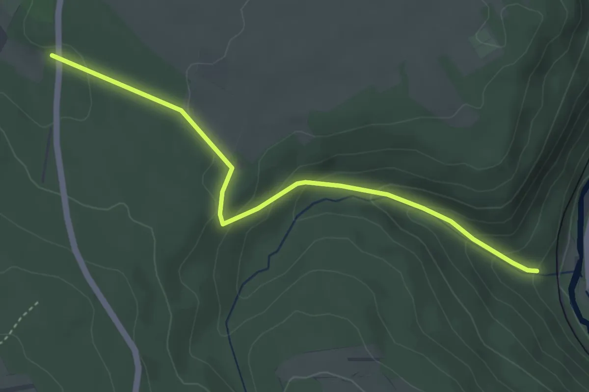
Easy · Trail
Ehemaliger Bahnhof Grunbach - Haltestelle Herrmannsee
3.8 km · ↑ 171 m · 1 h 16 min
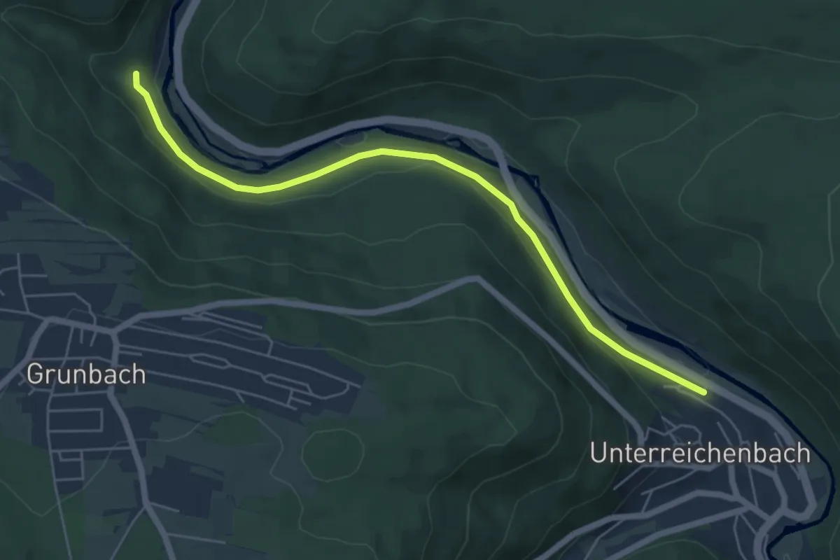
Easy · Trail
Ehemaliger Bahnhof Grunbach - Unterreichenbach Unterführung
5.5 km · ↑ 134 m · 1 h 36 min
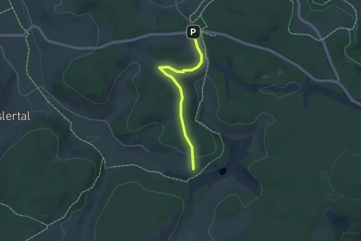
Easy · Trail
Ehemaliger Herrenwälderhof - Gutenhöhe
3.2 km · ↑ 71 m · 55 min
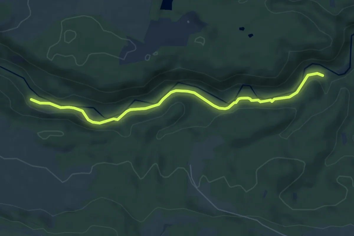
Medium · Trail
Ehemaliges Bad Boll - Schurhammerhütte
6.1 km · ↑ 151 m · 1 h 46 min
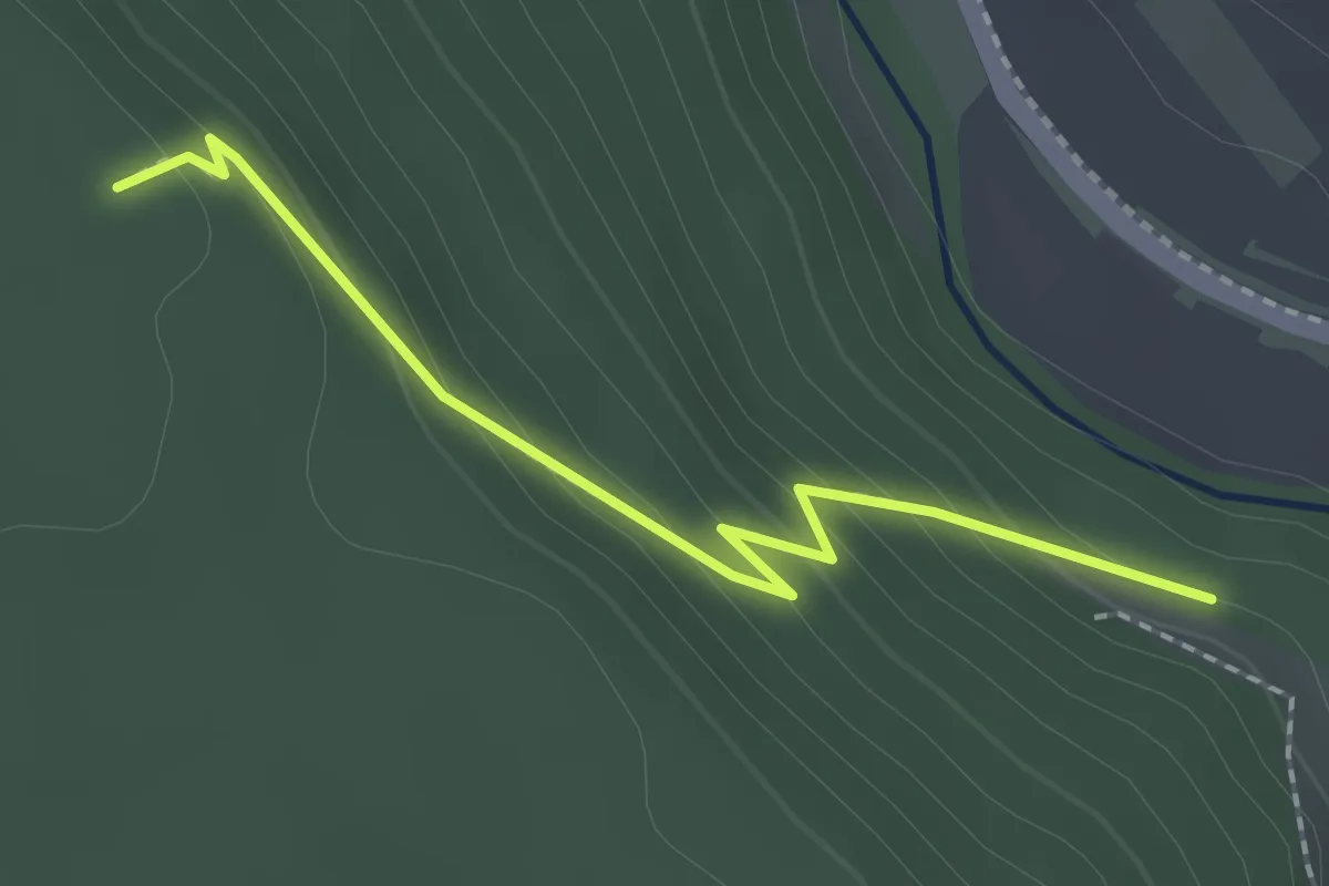
Easy · Trail
Ehemalige Seilerei - Stottele Hütte
2.0 km · ↑ 134 m · 46 min
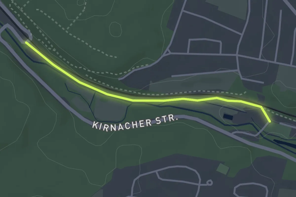
Easy · Trail
Ehemaliges Kirnacher Bahnhöfle - Villingen Kurgarten
2.8 km · ↑ 17 m · 42 min
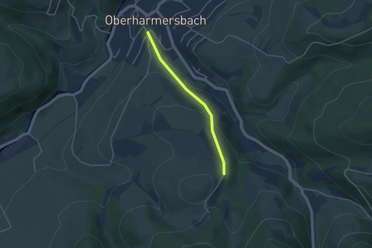
Easy · Trail
Ehemalige Ziegelhütte - Häldele
2.5 km · ↑ 121 m · 51 min
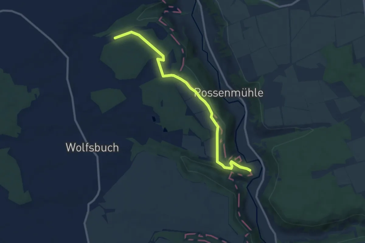
Easy · Trail
ehem. HW 4 (Würzburg - Ellwangen)
7.3 km · ↑ 156 m · 2 h 3 min
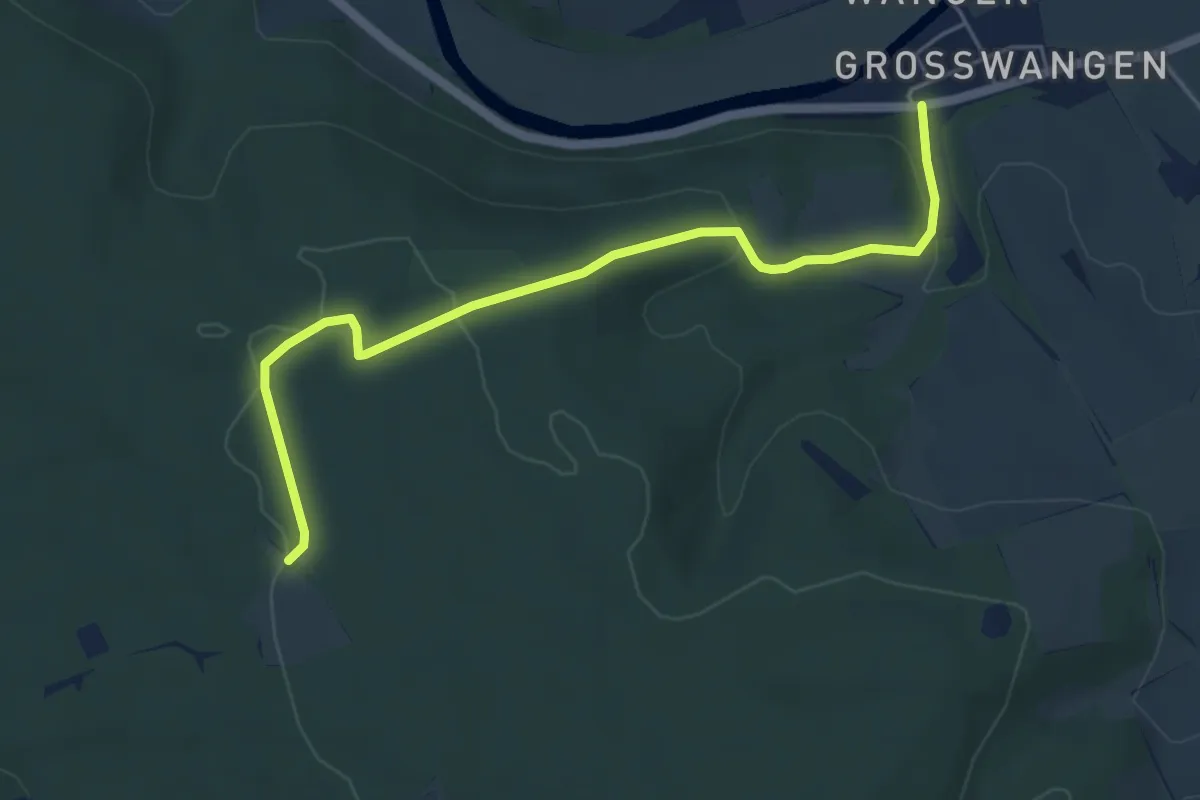
Easy · Trail
ehem. Orlas-Biberbach Wanderweg
5.0 km · ↑ 126 m · 1 h 27 min
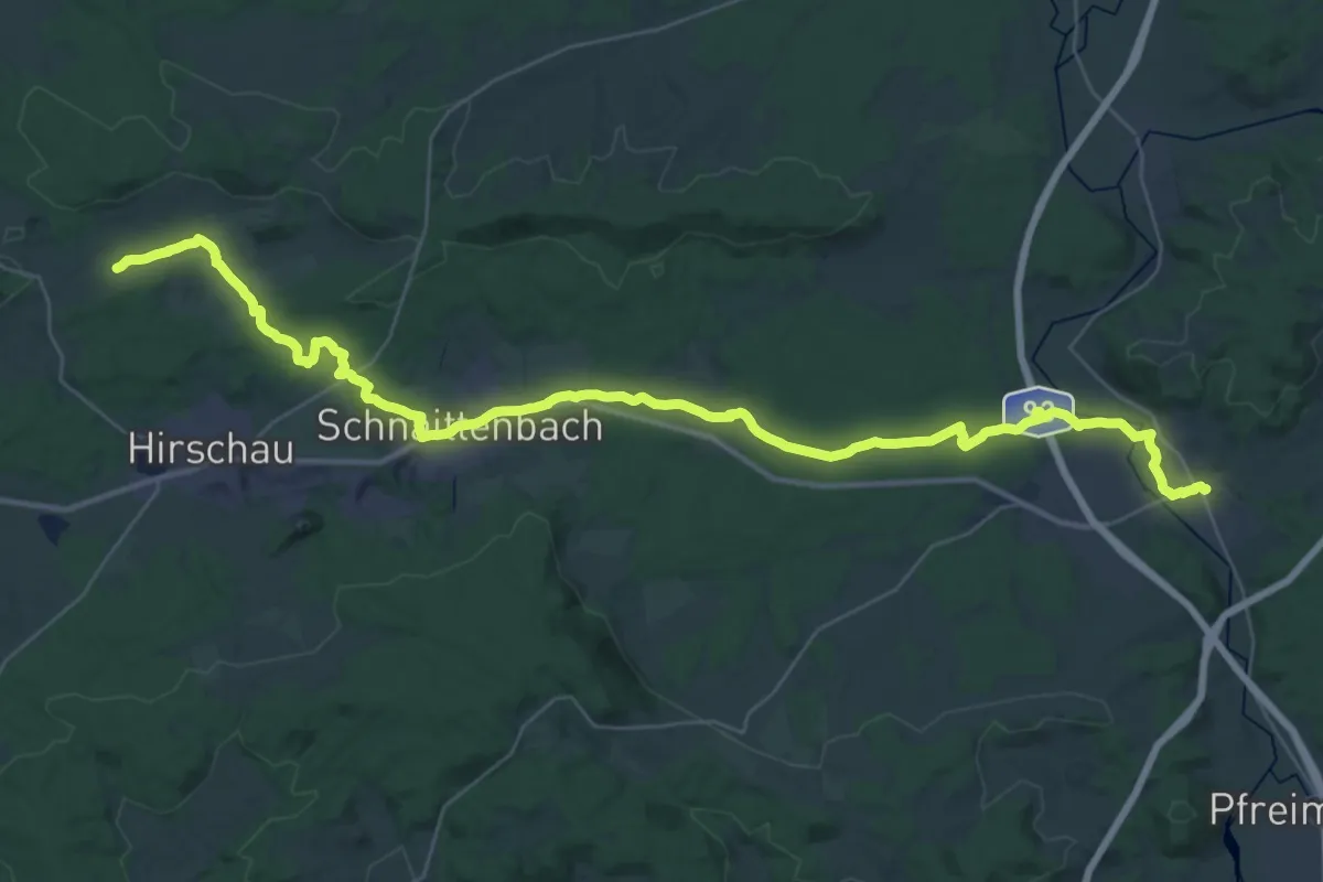
Demanding · Trail
Ehenbachweg
22.2 km · ↑ 139 m · 5 h 54 min
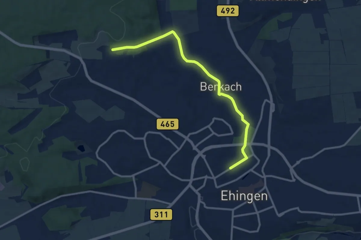
Easy · Trail
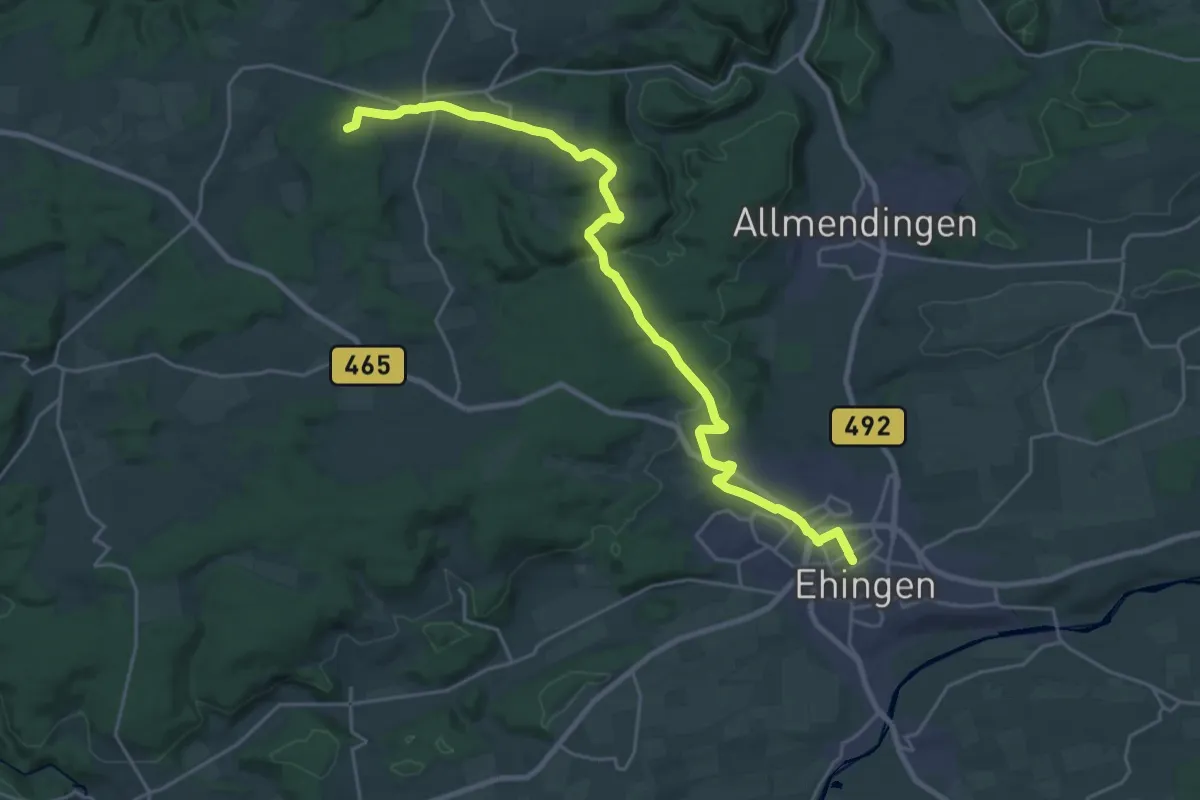
Ehingen - Berkach
8.0 km · ↑ 93 m · 2 h 5 min
Demanding · Trail
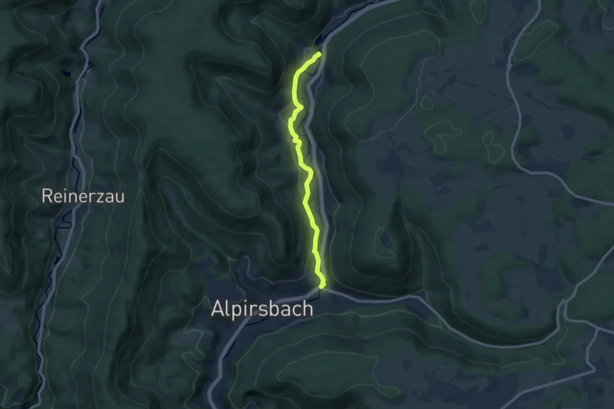
Ehingen - Grötzingen
25.7 km · ↑ 439 m · 7 h 2 min
Easy · Trail
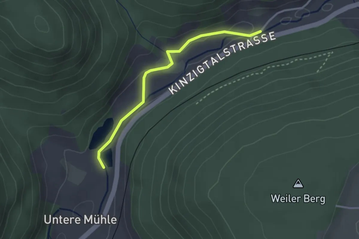
Ehlenbogen Gabrielenweiher - Alpirsbach Farbmühle B 294
7.0 km · ↑ 178 m · 2 h 2 min
Easy · Trail
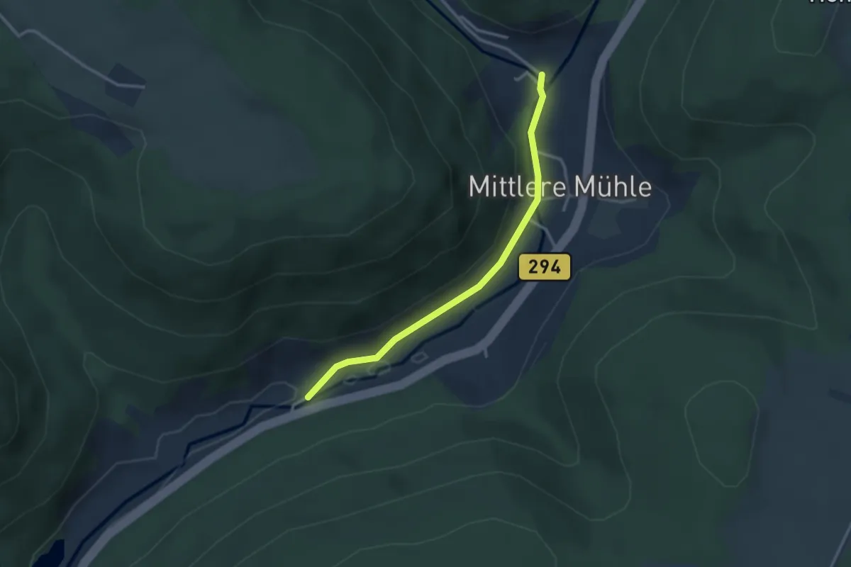
Ehlenbogen Juntleshof - Ehlenbogen Gabrielenweiher
2.5 km · ↑ 48 m · 42 min
Easy · Trail
Ehlenbogen Obere Mühle - Ehlenbogen Juntleshof
2.7 km · ↑ 43 m · 43 min
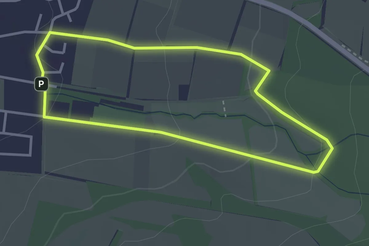
Easy · Trail
Ehlen, E1
2.4 km · ↑ 70 m · 46 min
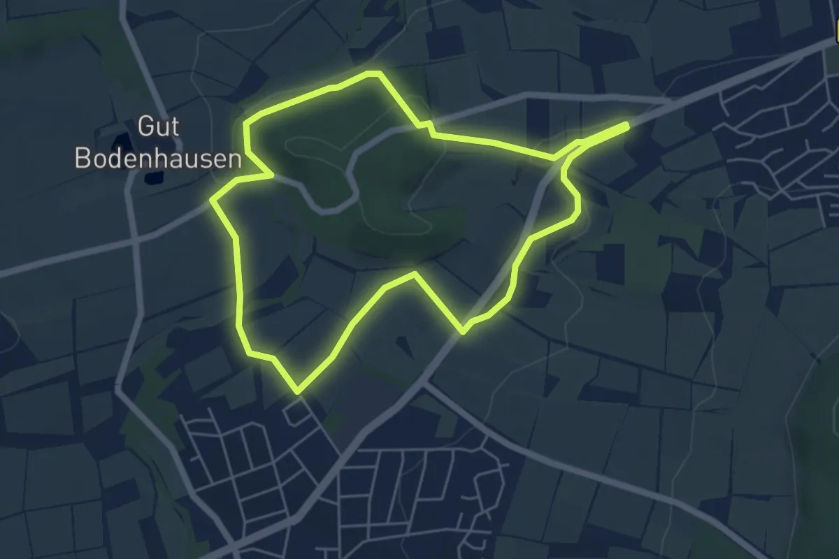
Easy · Summit
Ehlen, E2
4.6 km · ↑ 77 m · 1 h 19 min
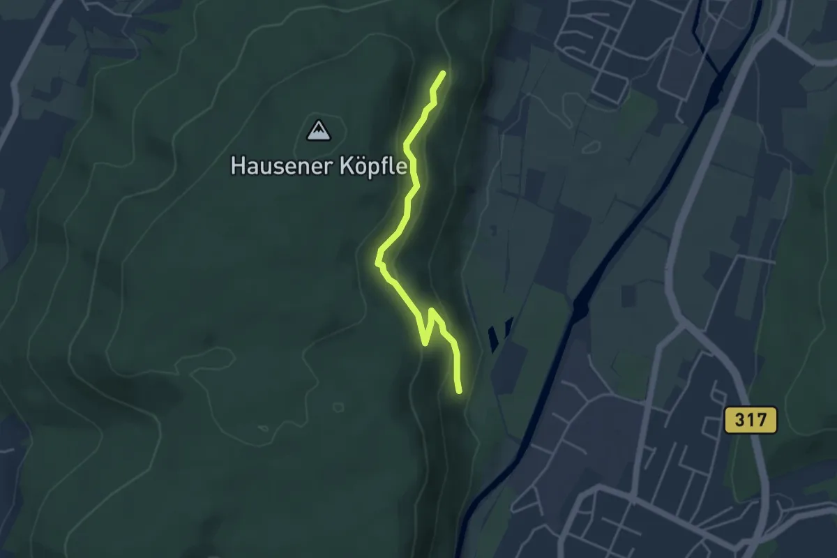
Easy · Trail
Ehner Fahrnau - Niederberg
3.4 km · ↑ 152 m · 1 h 8 min
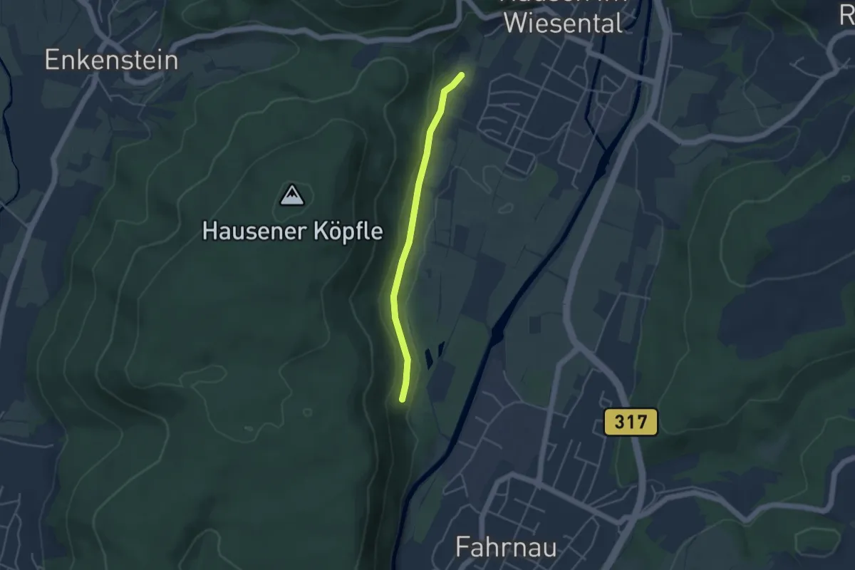
Easy · Trail
Ehner Fahrnau - Säuwäid
3.4 km · ↑ 101 m · 1 h 2 min
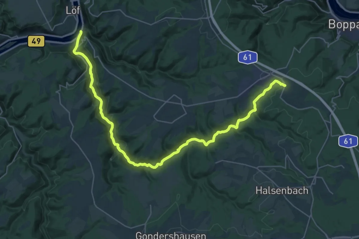
Medium · Trail
Ehrbachtal-Weg
14.2 km · ↑ 495 m · 4 h 27 min
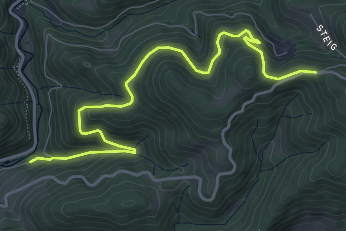
Medium · Trail
Ehrenbach - Kleine Steig
8.0 km · ↑ 438 m · 2 h 50 min
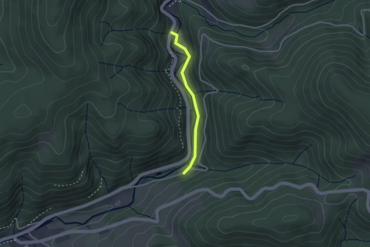
Easy · Trail
Ehrenbach - Lierbach Freizeitheim Taube
2.0 km · ↑ 61 m · 36 min
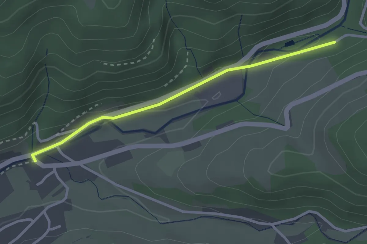
Easy · Trail
Ehrenbach - Oppenau Schwimmbad
2.3 km · ↑ 44 m · 39 min
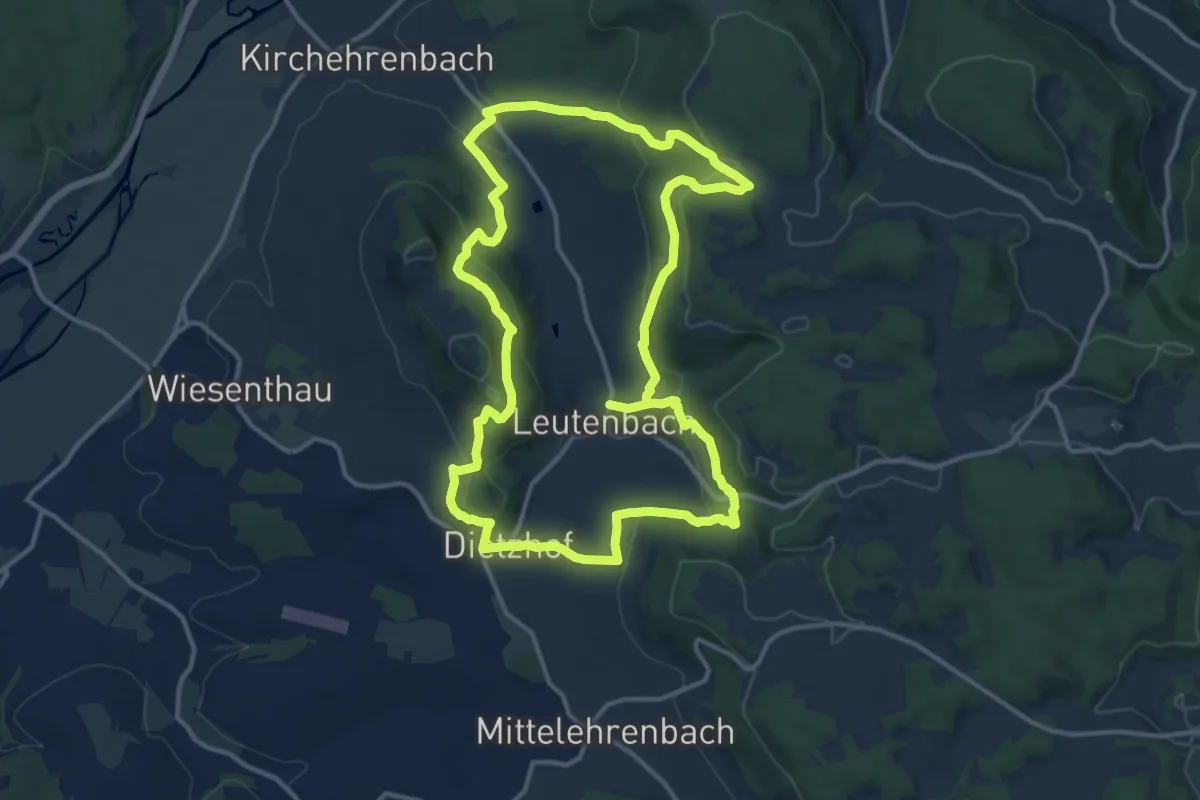
Medium · Trail
Ehrenbachtalweg
12.8 km · ↑ 506 m · 4 h 18 min
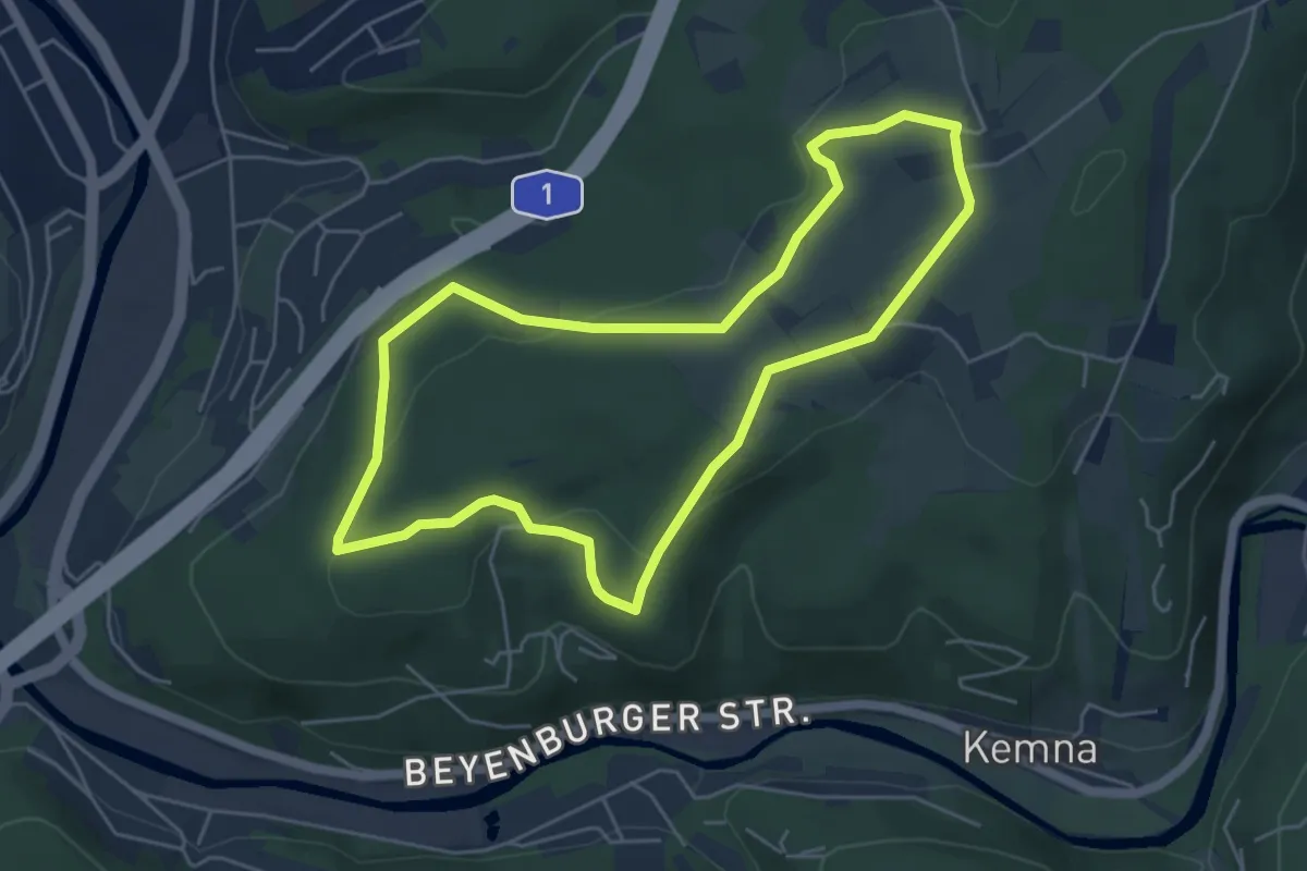
Easy · Trail
Ehrenberg Rundweg A1
4.6 km · ↑ 112 m · 1 h 23 min
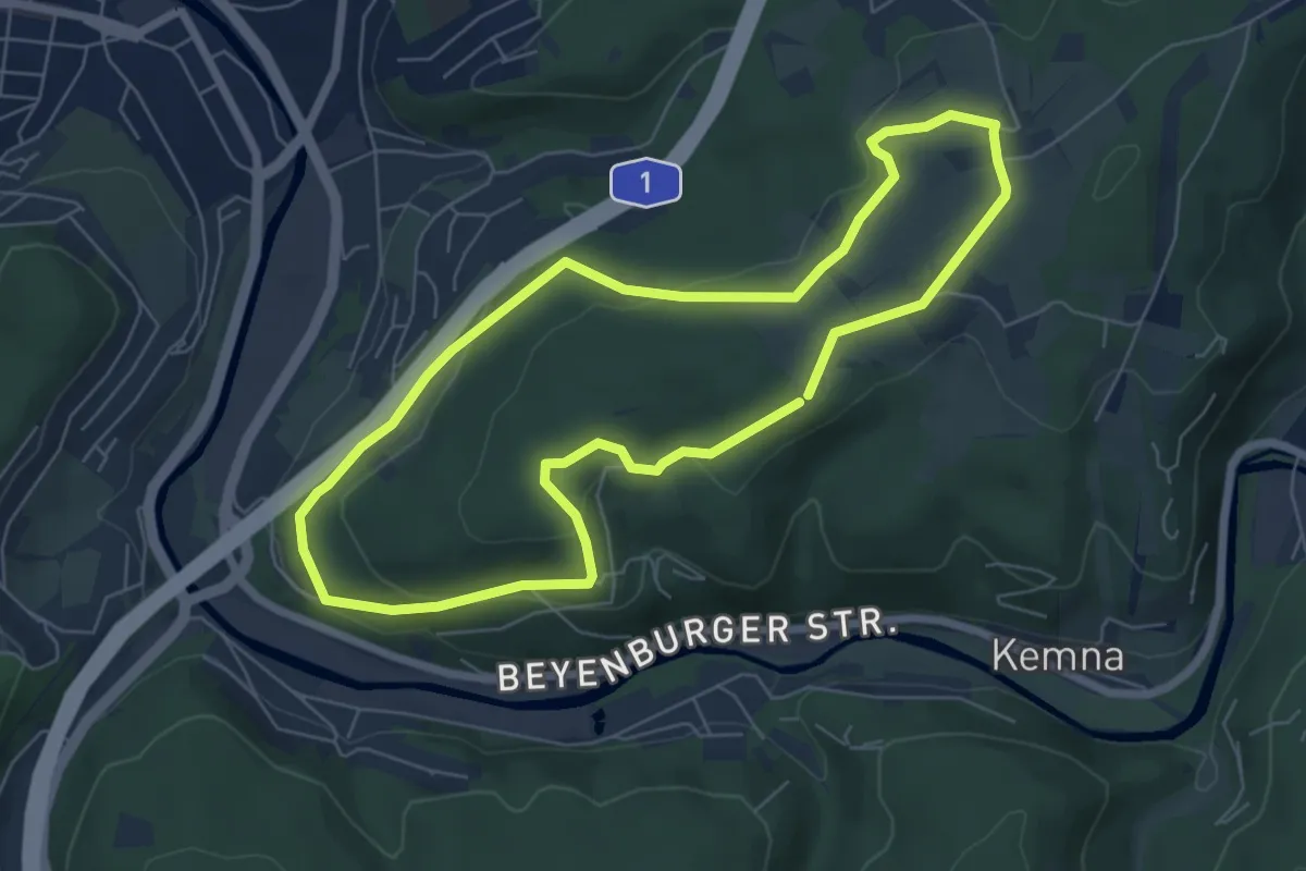
Easy · Trail
Ehrenberg Rundweg A2
5.7 km · ↑ 148 m · 1 h 45 min
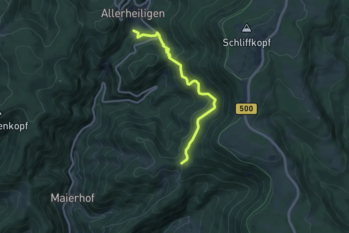
Medium · Trail
Ehrenmal Schwarzwaldverein - Wahlholzhütte
6.2 km · ↑ 328 m · 2 h 11 min
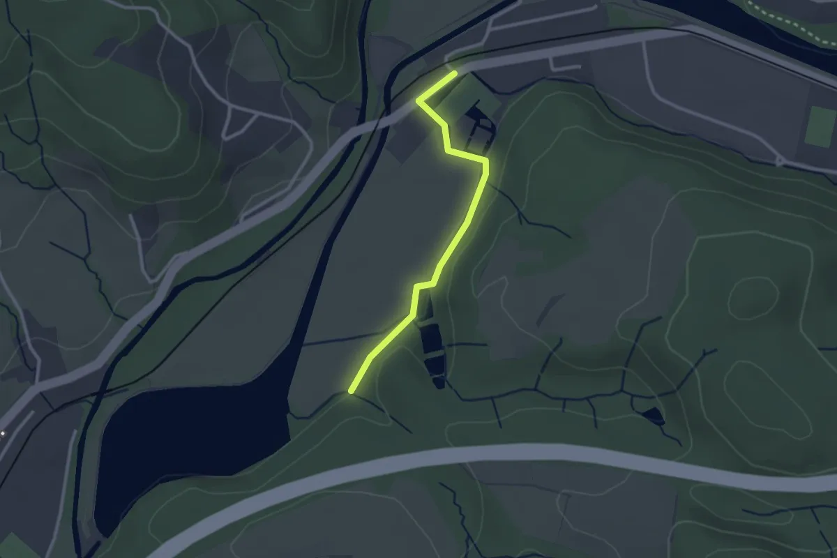
Easy · Trail
Ehreshoven Rundweg A1
1.1 km · ↑ 30 m · 20 min
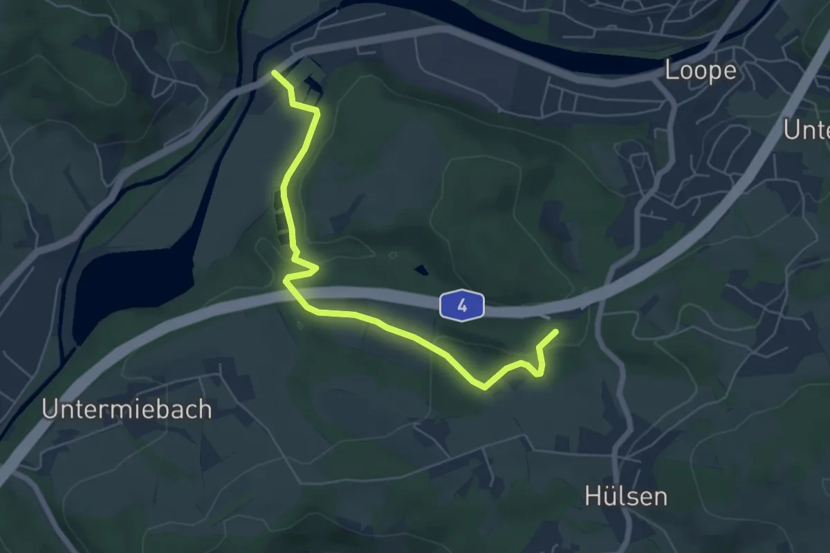
Easy · Trail
Ehreshoven Rundweg A2
2.7 km · ↑ 124 m · 53 min
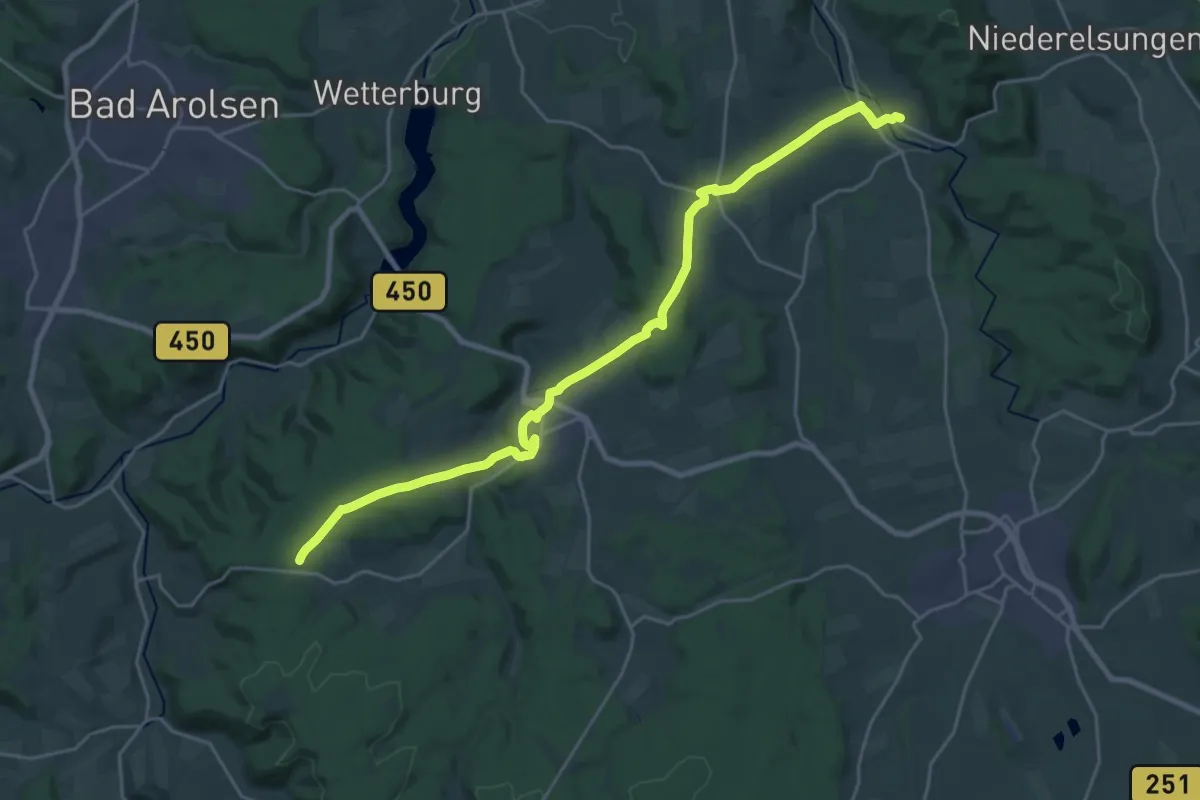
Demanding · Trail
Ehringen - Waldschmiede
23.9 km · ↑ 428 m · 6 h 34 min
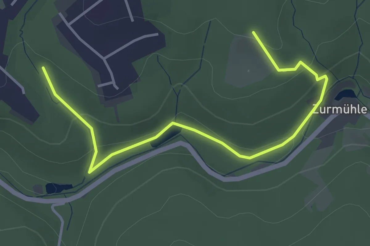
Easy · Trail
Ehringhausen Rundweg A5
1.7 km · ↑ 62 m · 34 min
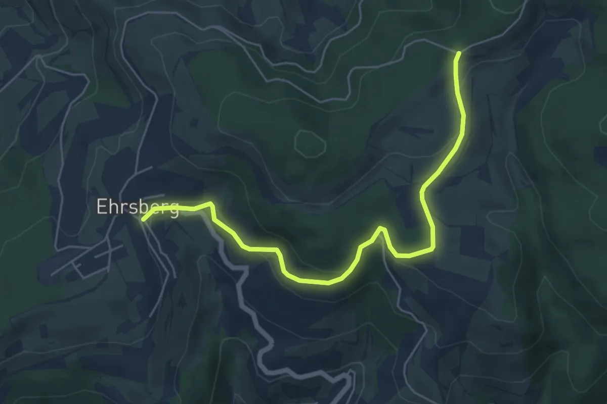
Easy · Trail
Ehrsberg Dorfmitte - Waldmatter Kreuz
5.4 km · ↑ 196 m · 1 h 42 min
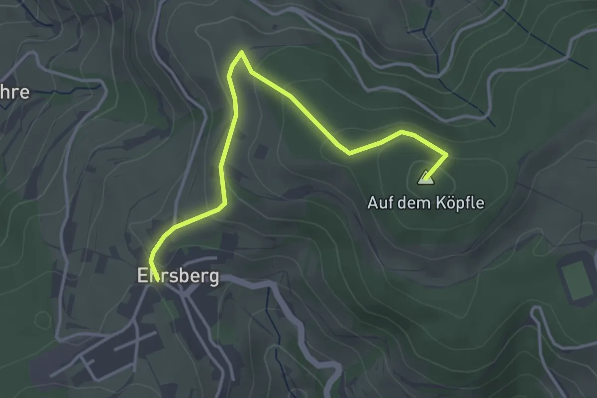
Easy · Summit
Ehrsberg Oberdorf - Waldmatter Kreuz
3.5 km · ↑ 161 m · 1 h 10 min
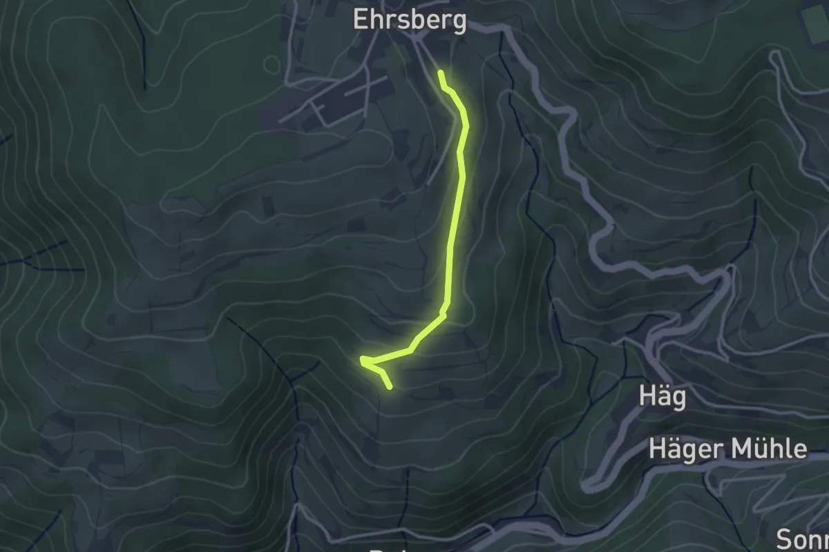
Easy · Trail
Ehrsberg Unterdorf - Scheuerle
2.4 km · ↑ 92 m · 46 min
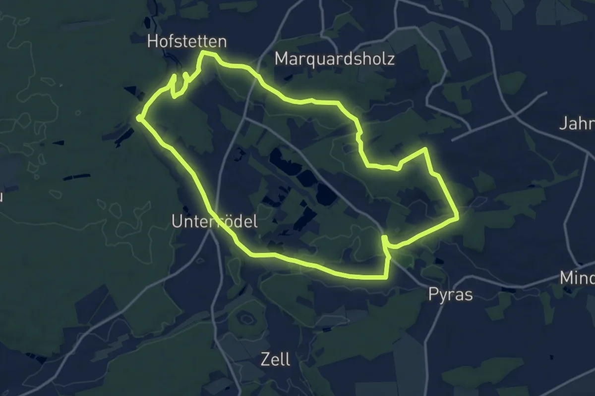
Medium · Trail
Eibachgrund
13.3 km · ↑ 165 m · 3 h 42 min
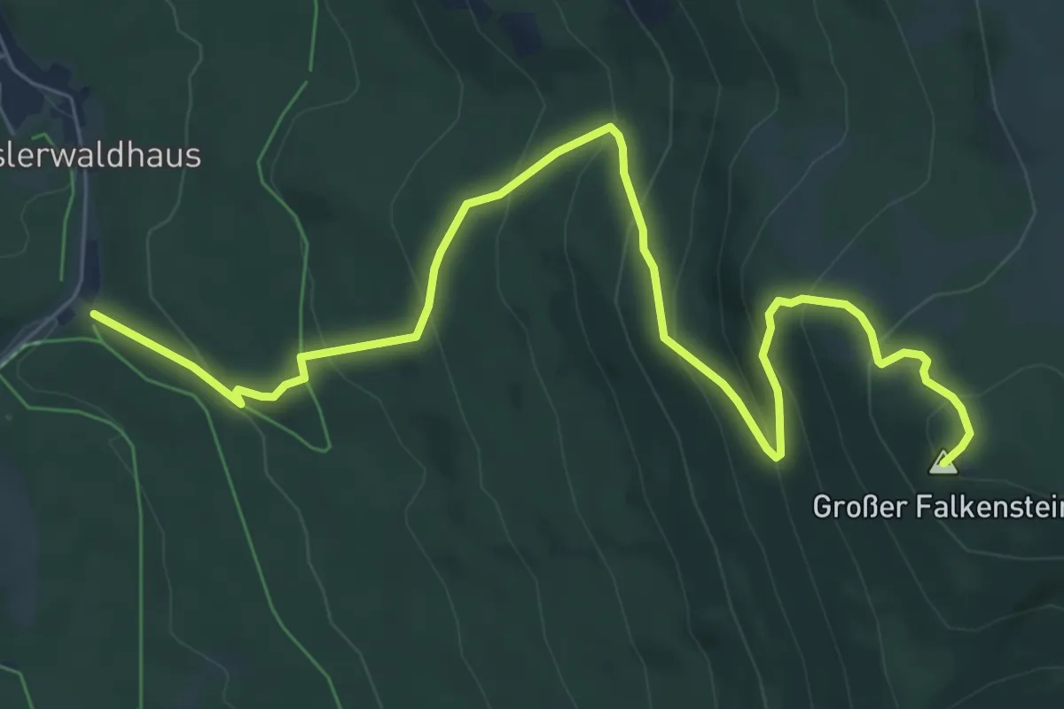
Medium · Summit
Eibe
8.5 km · ↑ 590 m · 3 h 17 min
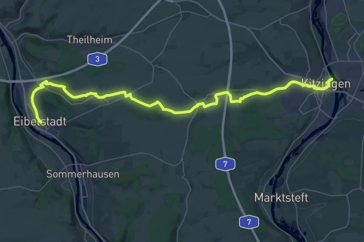
Medium · Trail
Eibelstadt - Kitzingen
16.6 km · ↑ 200 m · 4 h 34 min
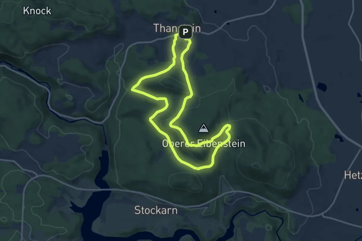
Medium · Trail
Eibensteinweg T 5
9.9 km · ↑ 226 m · 2 h 58 min
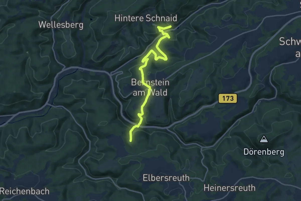
Medium · Trail
Eibenweg
13.0 km · ↑ 553 m · 4 h 17 min