Trails in Germany
36,847 hiking trails, each with its route, climb, walking time and grade.
All trails, page 125 of 768
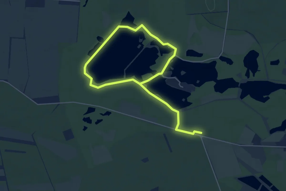
Easy · Trail
Eichenweg
6.4 km · ↑ 13 m · 1 h 32 min
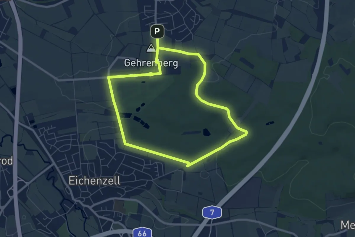
Easy · Summit
Eichenzell 1
5.9 km · ↑ 67 m · 1 h 37 min
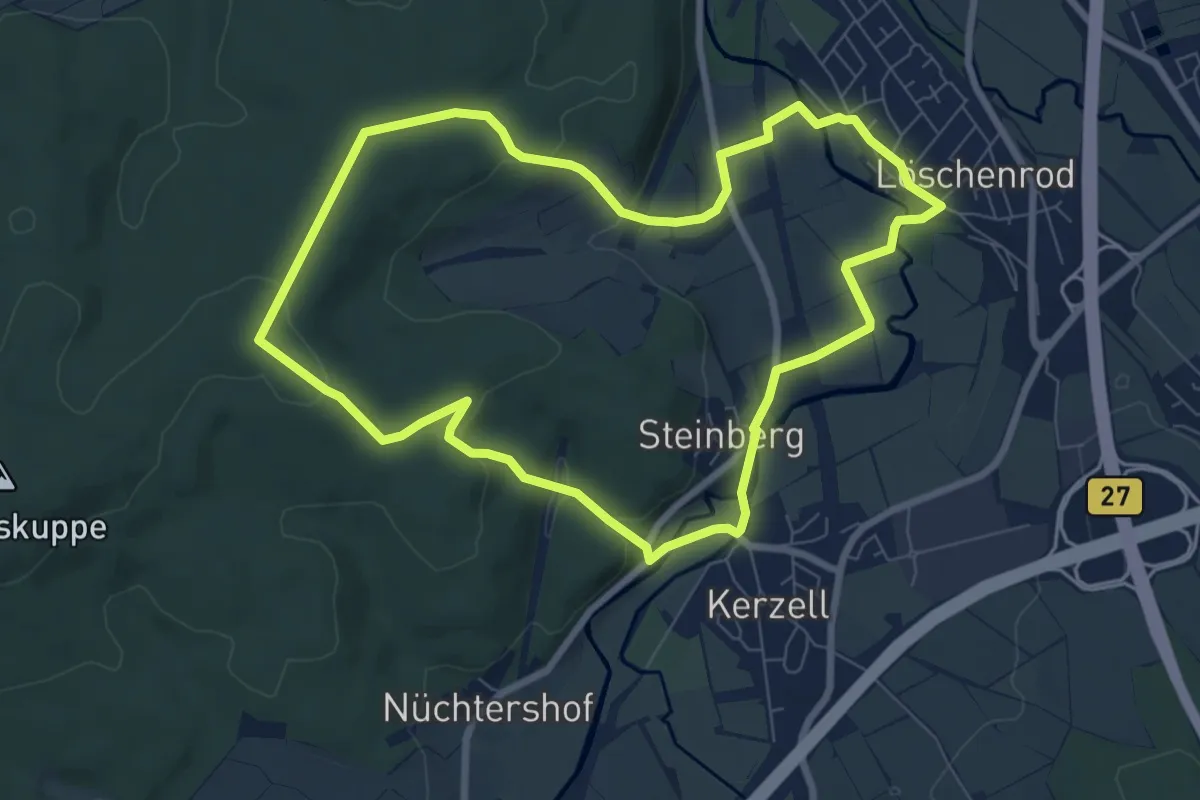
Easy · Summit
Eichenzell 10
7.2 km · ↑ 162 m · 2 h 9 min
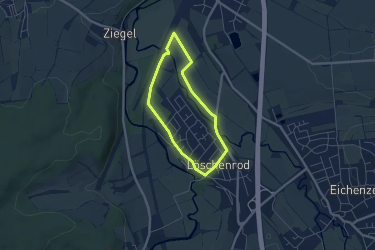
Easy · Trail
Eichenzell 11
3.5 km · ↑ 17 m · 54 min
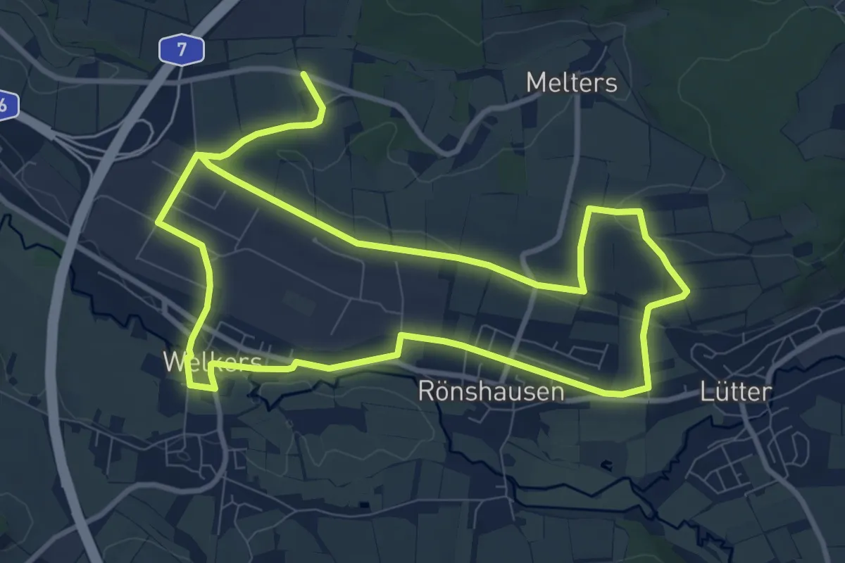
Medium · Trail
Eichenzell 3
16.6 km · ↑ 231 m · 4 h 25 min
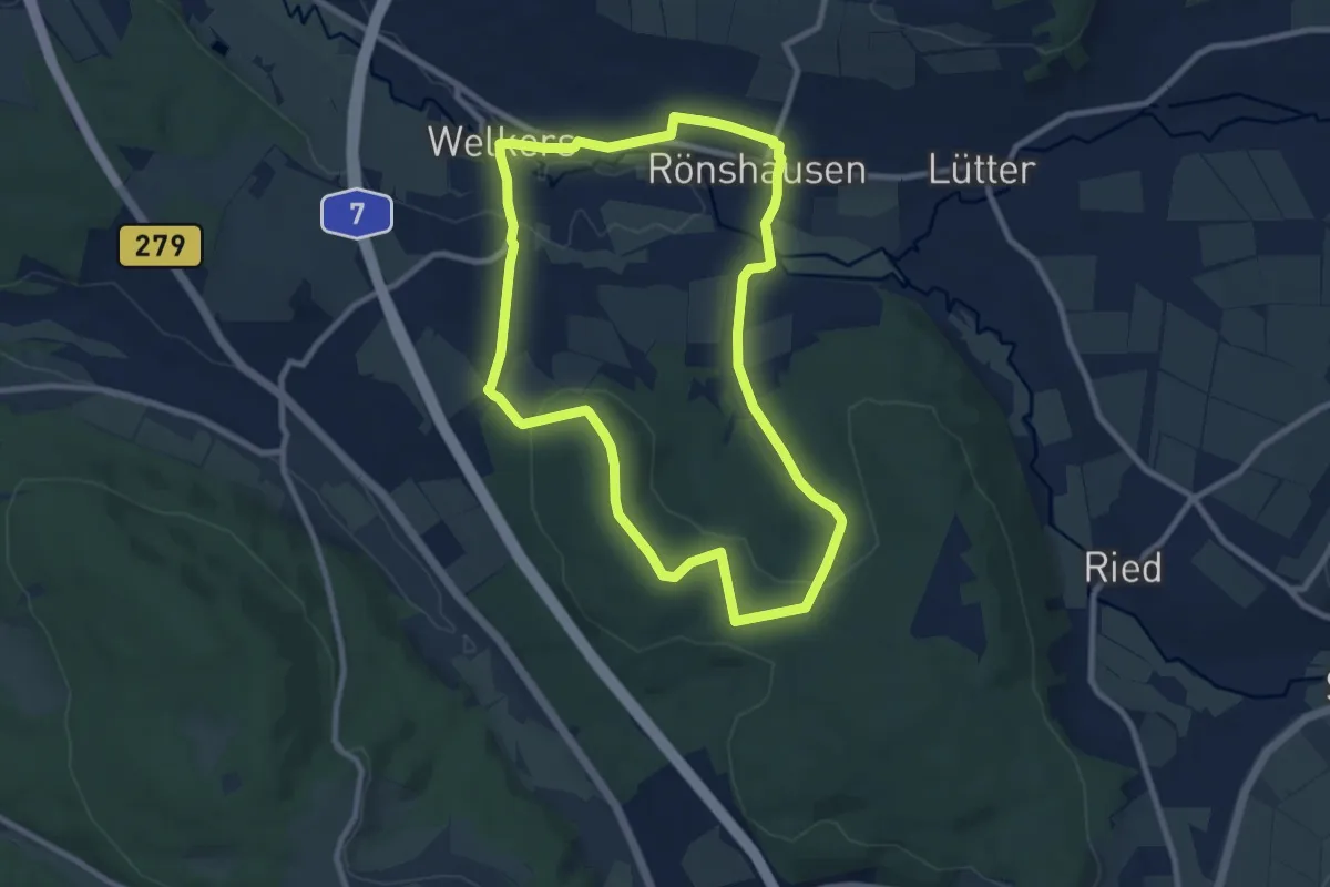
Medium · Trail
Eichenzell 4
8.3 km · ↑ 158 m · 2 h 25 min
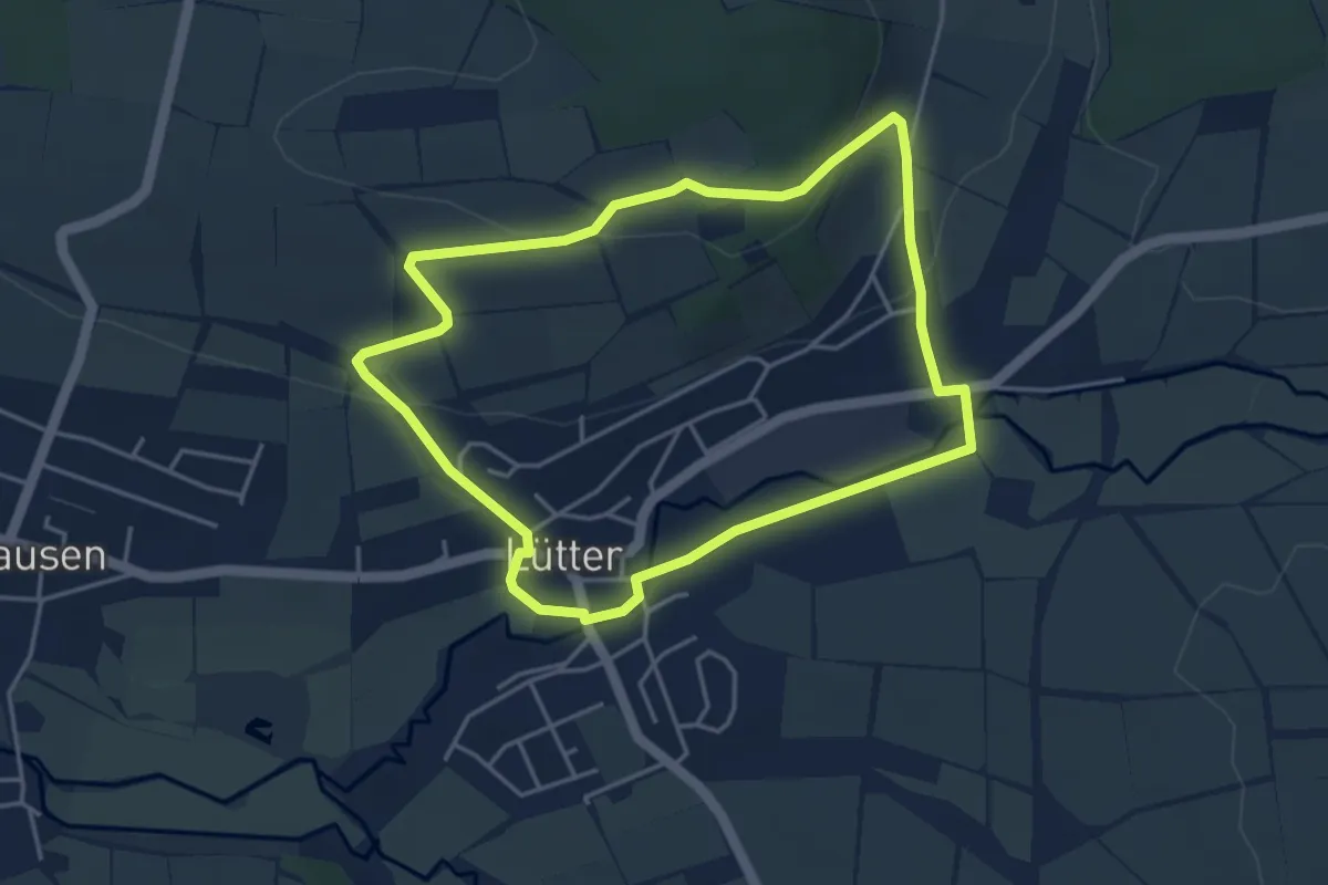
Easy · Trail
Eichenzell 5
3.9 km · ↑ 90 m · 1 h 10 min
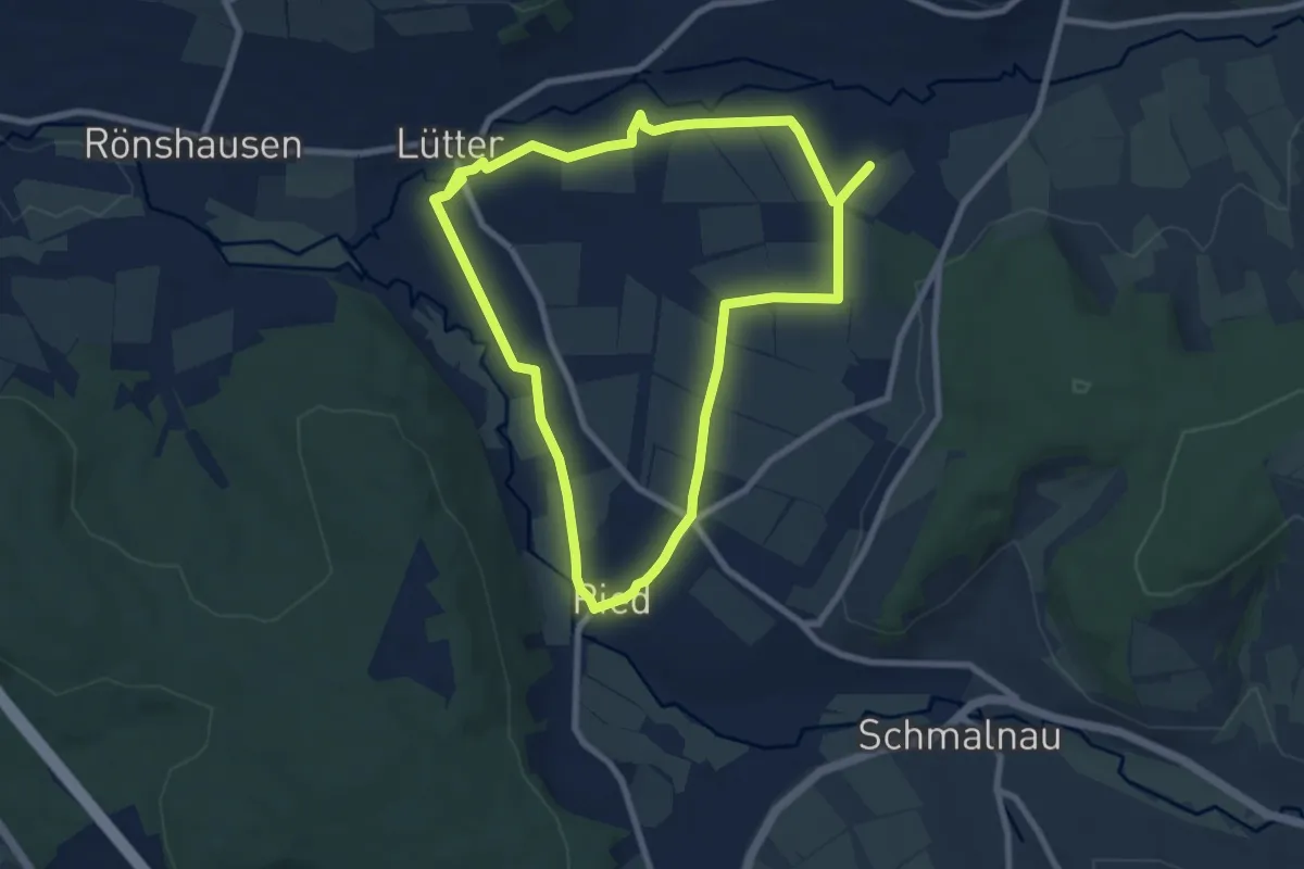
Easy · Trail
Eichenzell 6
7.6 km · ↑ 51 m · 2 h 1 min
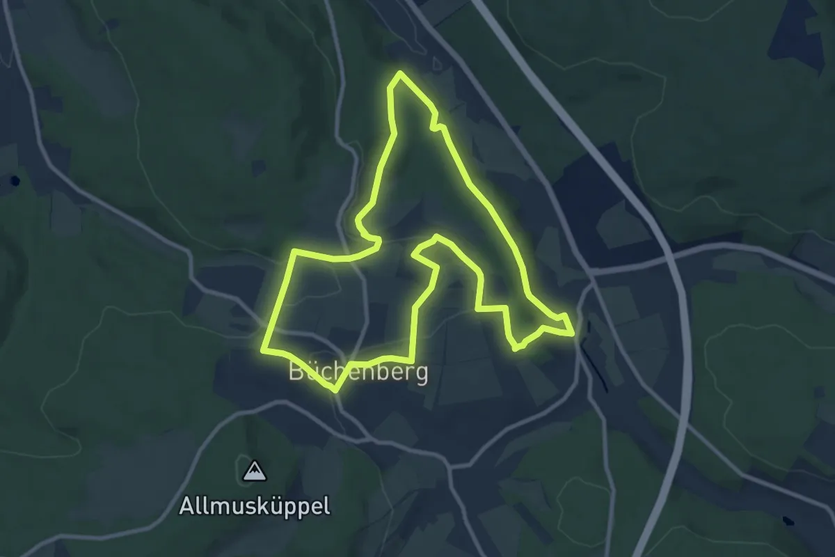
Medium · Summit
Eichenzell-Rundweg Nr. 7
8.9 km · ↑ 173 m · 2 h 36 min
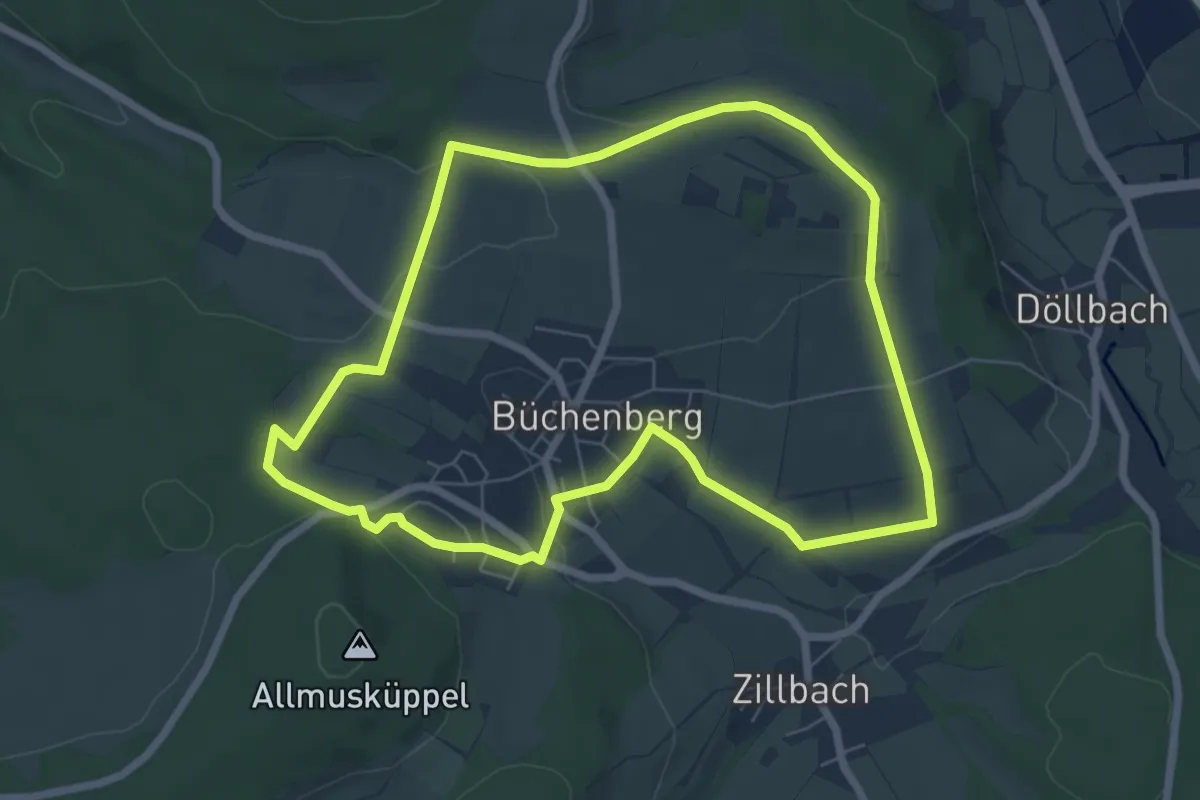
Easy · Trail
Eichenzell-Rundweg Nr. 8
6.3 km · ↑ 103 m · 1 h 48 min
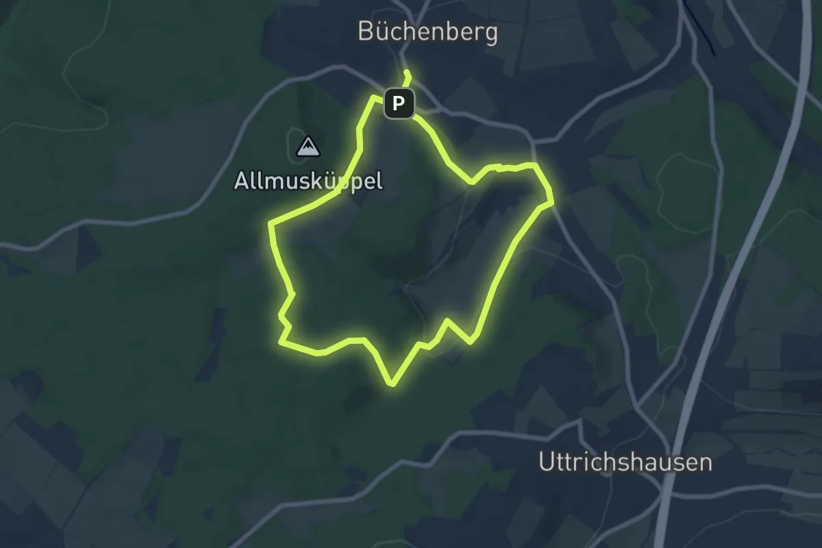
Easy · Trail
Eichenzell-Rundweg Nr. 9
6.1 km · ↑ 163 m · 1 h 53 min
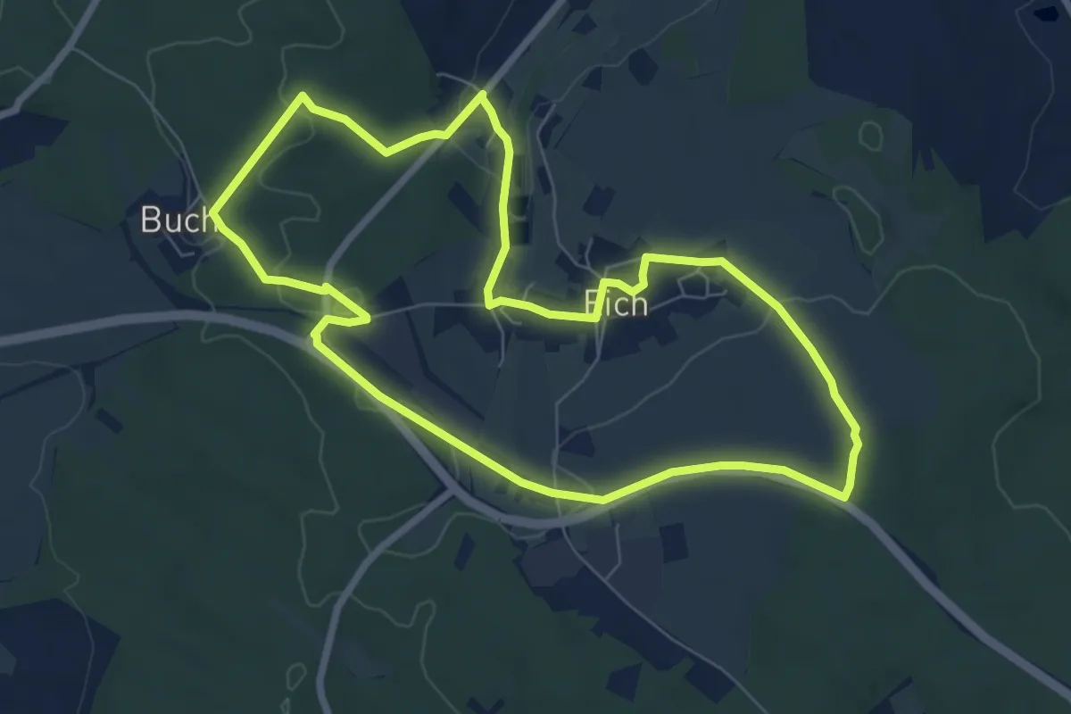
Easy · Trail
Eicher Dorfpfad
6.6 km · ↑ 96 m · 1 h 52 min
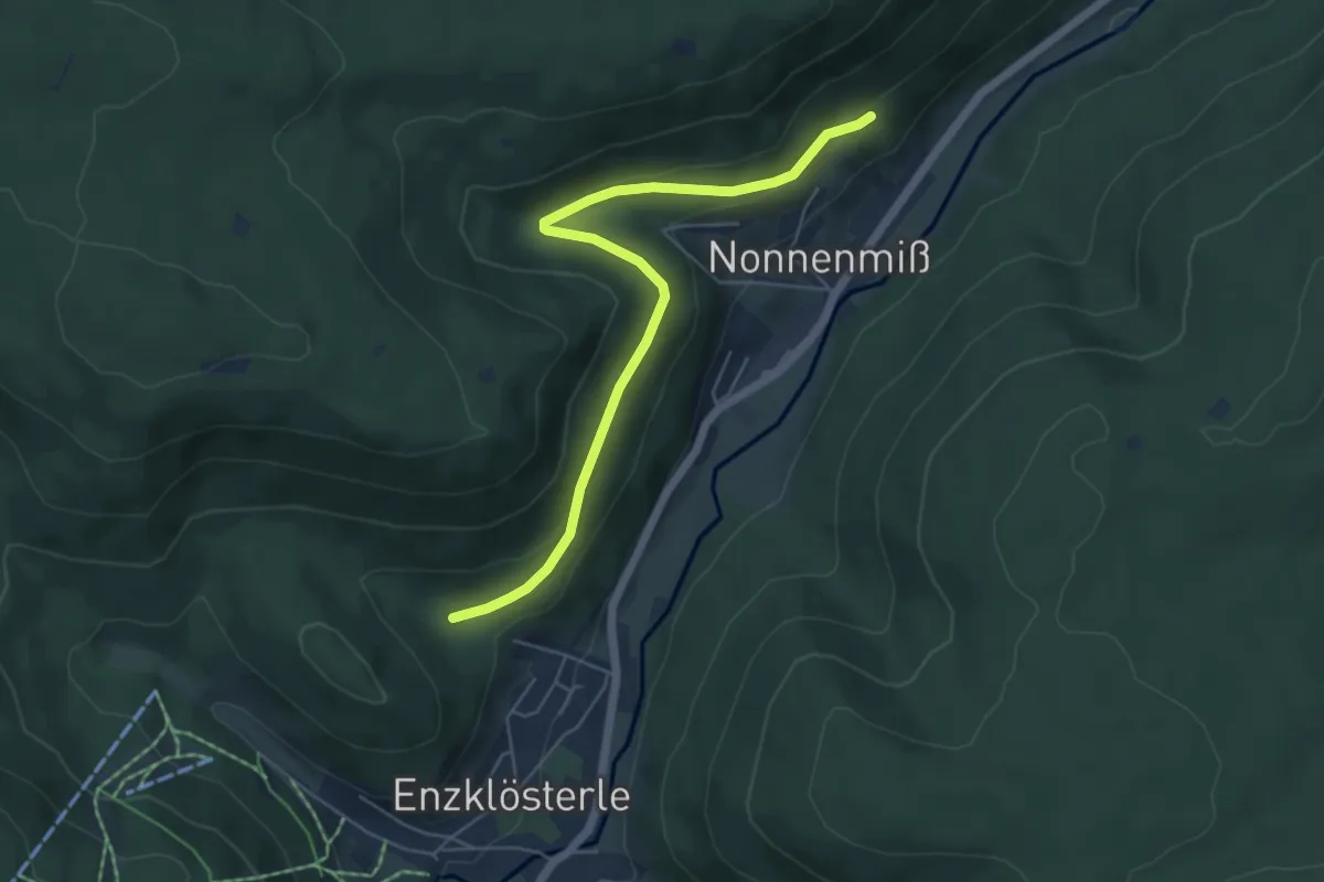
Easy · Trail
Eiche - Schneckentalweg
5.4 km · ↑ 199 m · 1 h 42 min
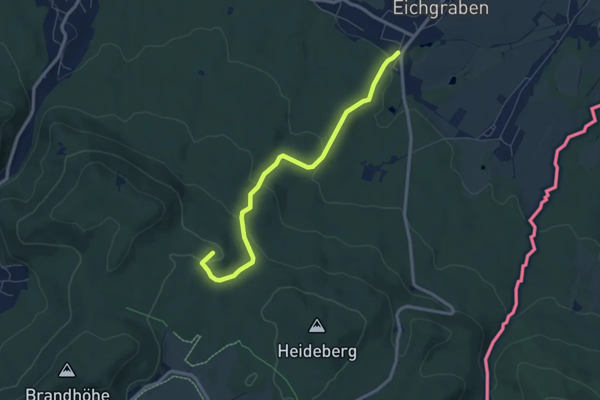
Easy · Summit
Eichgraben - Zigeunerberg (grüner Punkt)
6.0 km · ↑ 208 m · 1 h 52 min
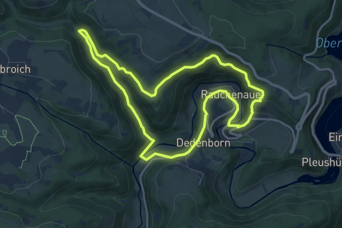
Medium · Trail
Eichheck-Runde
8.0 km · ↑ 245 m · 2 h 33 min
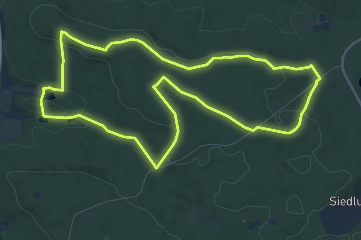
Easy · Trail
Eichhörnchen
7.8 km · ↑ 123 m · 2 h 13 min
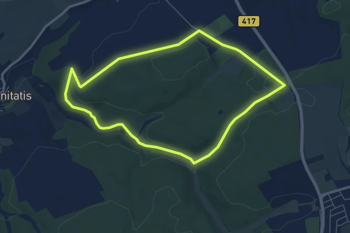
Easy · Trail
Eichhörnchen
5.3 km · ↑ 92 m · 1 h 31 min
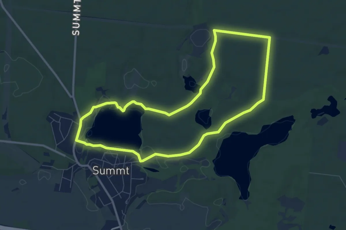
Easy · Trail
Eichhörnchen
6.8 km · ↑ 54 m · 1 h 49 min
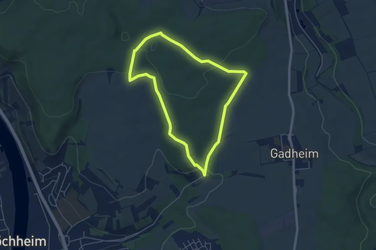
Easy · Trail
Eichhörnchen im Edelmannswald
4.2 km · ↑ 73 m · 1 h 12 min
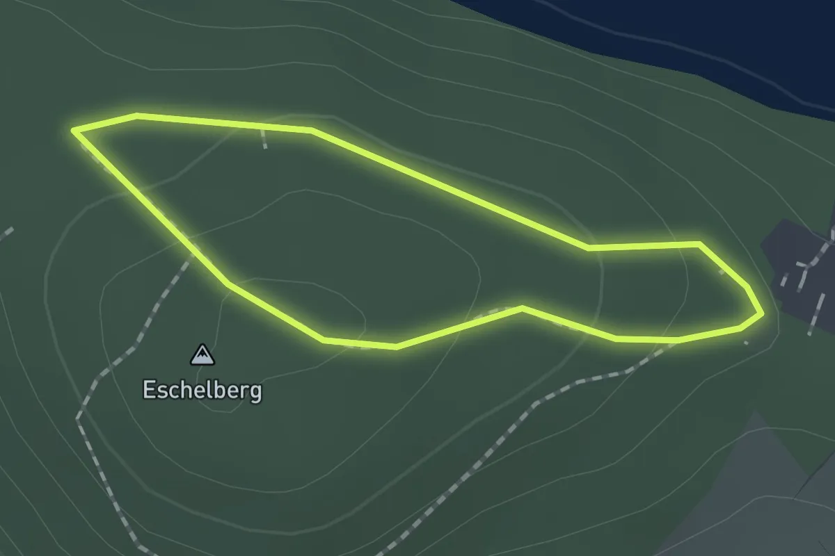
Easy · Summit
Eichhörnchenpfad
1.3 km · ↑ 37 m · 24 min
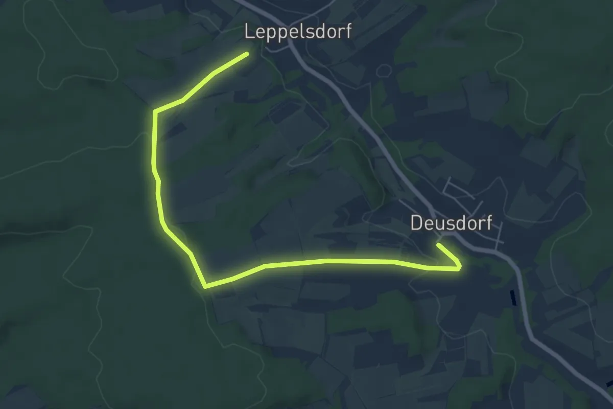
Easy · Trail
Eichhörnchen-Wanderweg Lauter
3.1 km · ↑ 42 m · 52 min
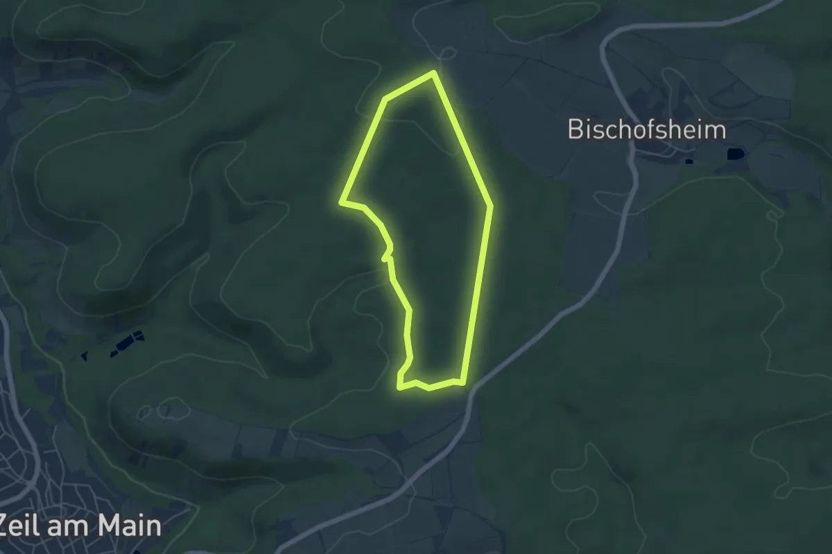
Easy · Trail
Eichhörnchen-Wanderweg Zeil
4.2 km · ↑ 55 m · 1 h 10 min
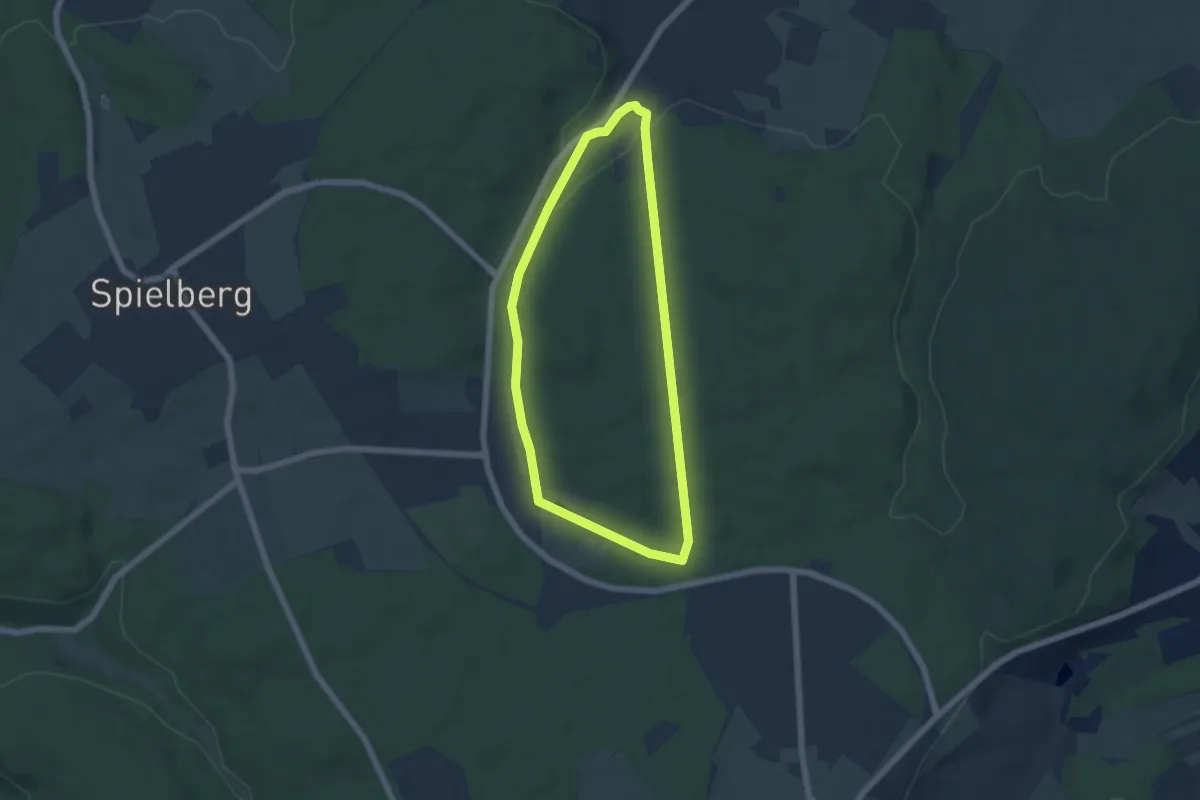
Easy · Trail
Eichhörnchenweg
4.9 km · ↑ 78 m · 1 h 24 min
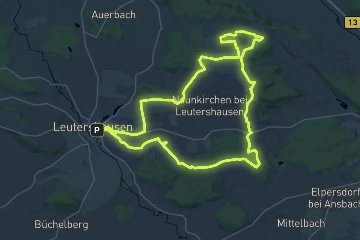
Demanding · Summit
Eichhörnchenweg
22.1 km · ↑ 261 m · 6 h 5 min
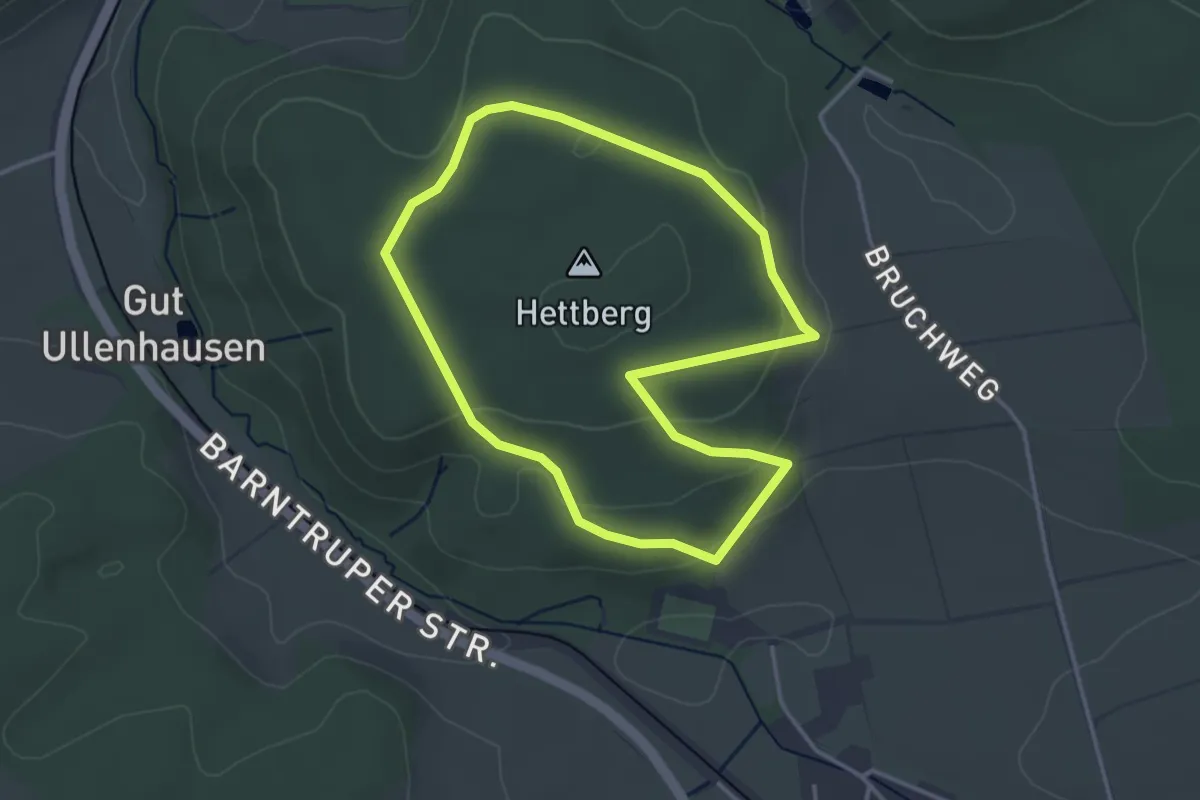
Easy · Trail
Eichhörnchenweg
3.0 km · ↑ 87 m · 57 min
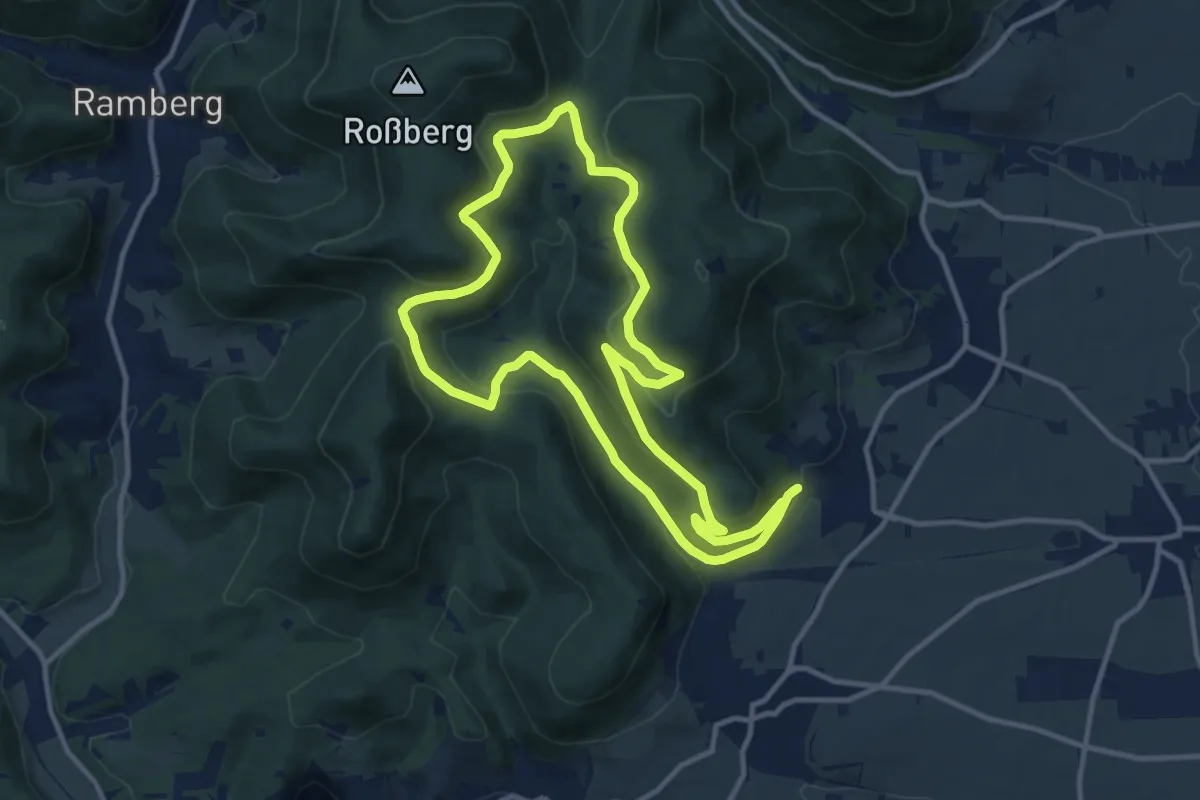
Medium · Trail
Eichhörnchenweg Gleisweiler
10.7 km · ↑ 347 m · 3 h 26 min
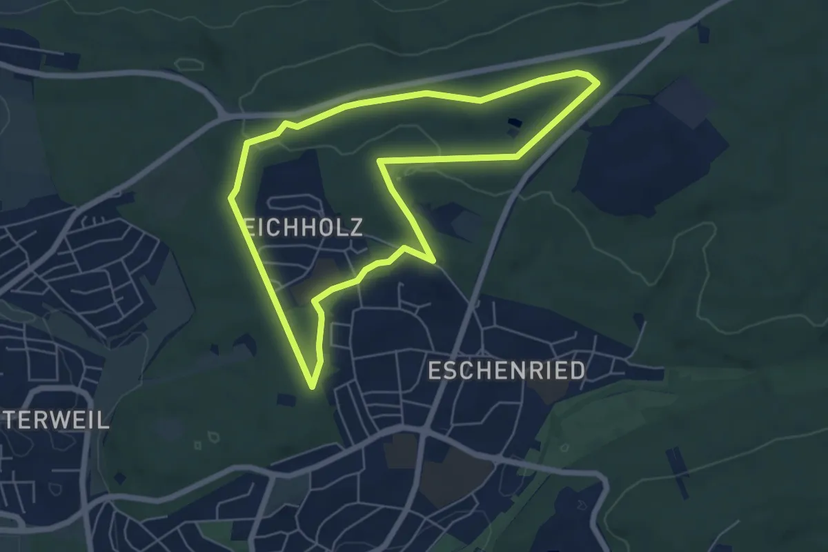
Easy · Trail
Eichhörnchenweg Sindelfingen (große Runde)
5.3 km · ↑ 66 m · 1 h 28 min
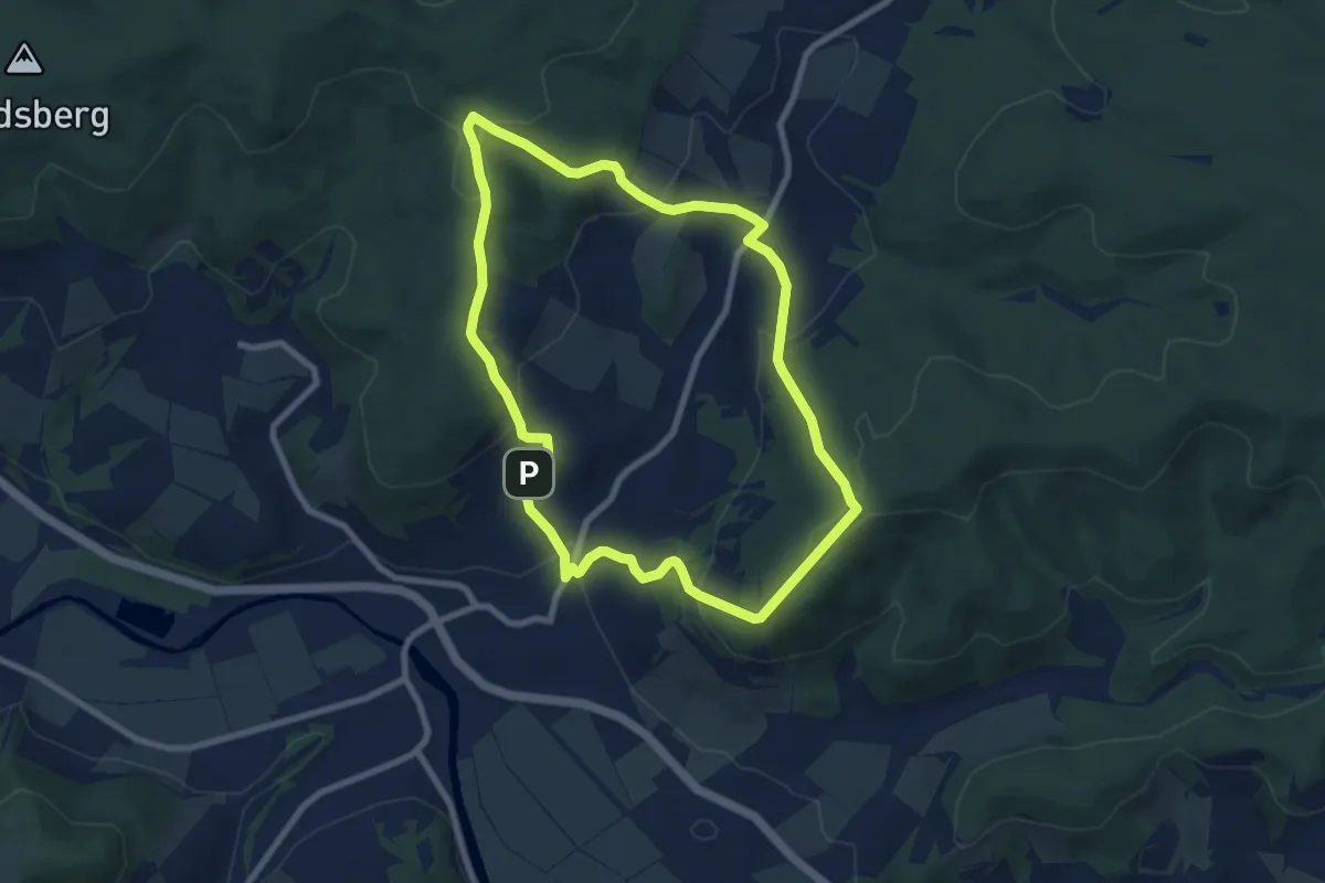
Medium · Trail
Eichkopfhüttenweg
7.4 km · ↑ 349 m · 2 h 37 min
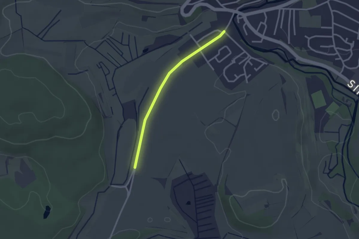
Easy · Trail
Eichle - Aach Mühlhauser Straße
2.2 km · ↑ 4 m · 31 min
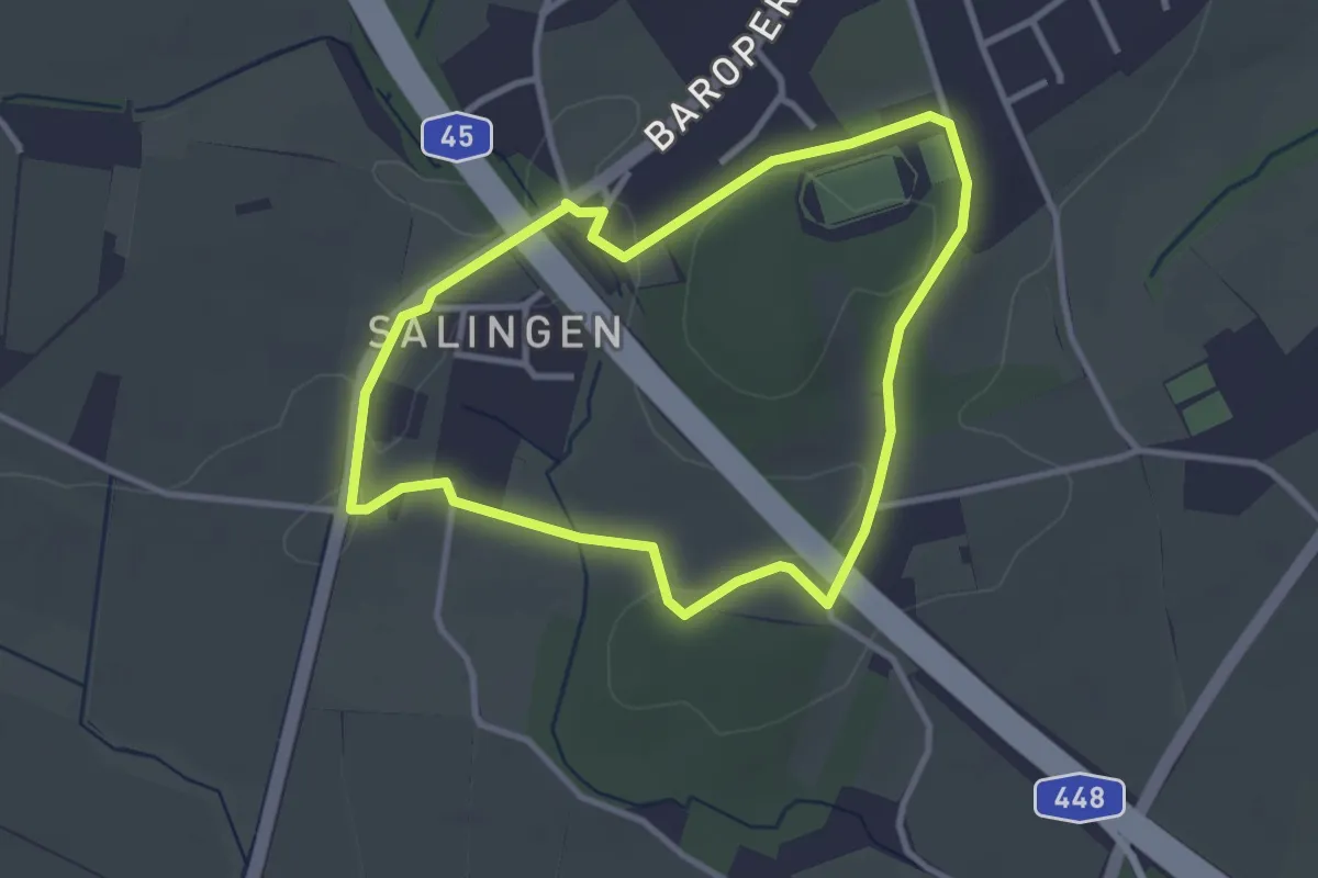
Easy · Trail
Eichlinghofen Rundweg A1
2.7 km · ↑ 23 m · 43 min
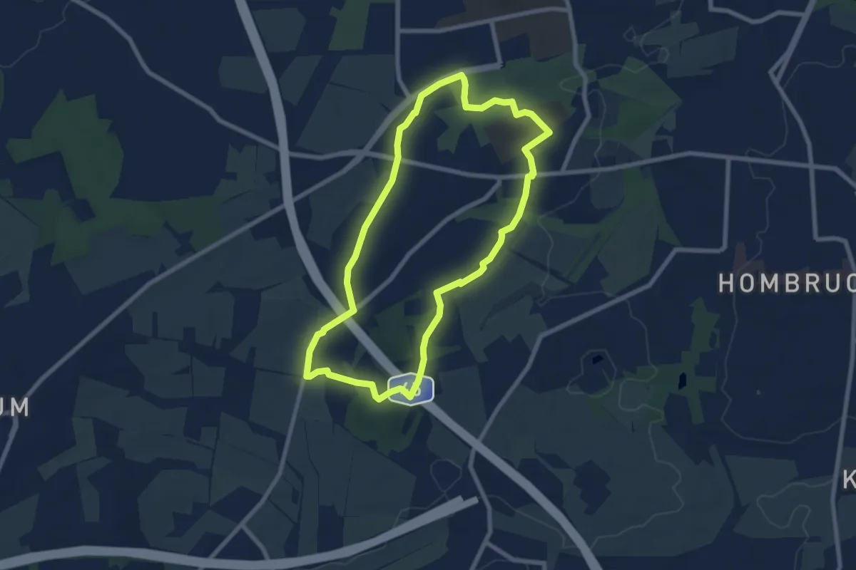
Easy · Trail
Eichlinghofen Rundweg A2
6.1 km · ↑ 55 m · 1 h 38 min
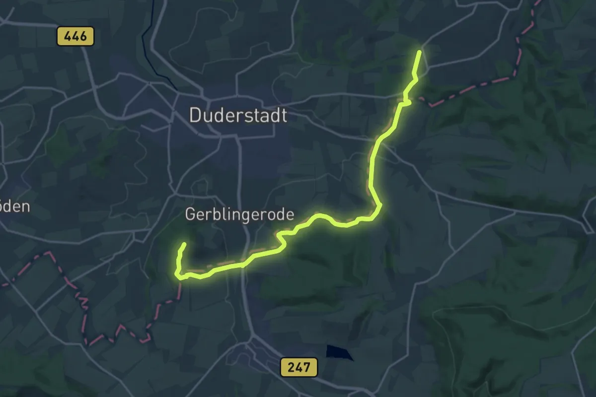
Medium · Trail
Eichsfelder Grenzspuren
9.5 km · ↑ 243 m · 2 h 54 min
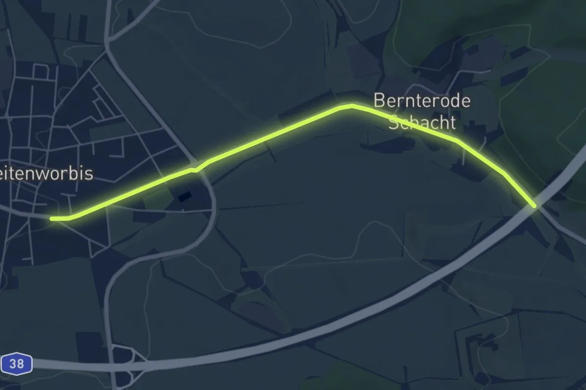
Easy · Trail
Eichsfeld-Wanderweg Abzweig Breitenworbis
5.8 km · ↑ 26 m · 1 h 25 min
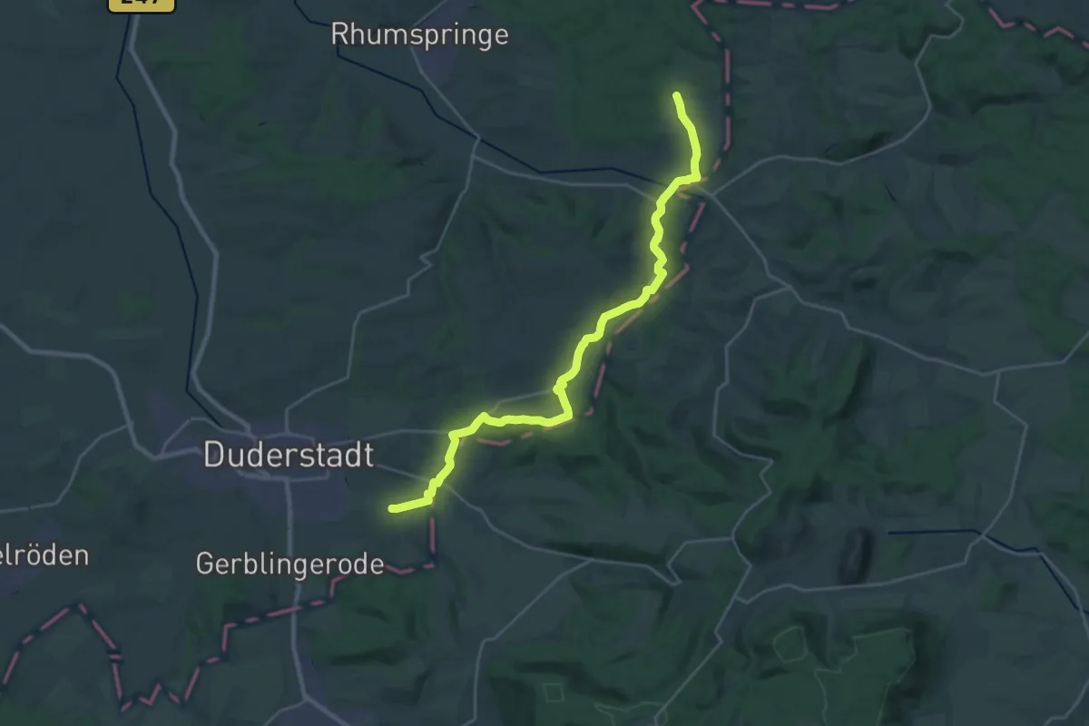
Demanding · Trail
Eichsfeld-Wanderweg - Zweig Duderstadt
24.8 km · ↑ 359 m · 6 h 38 min
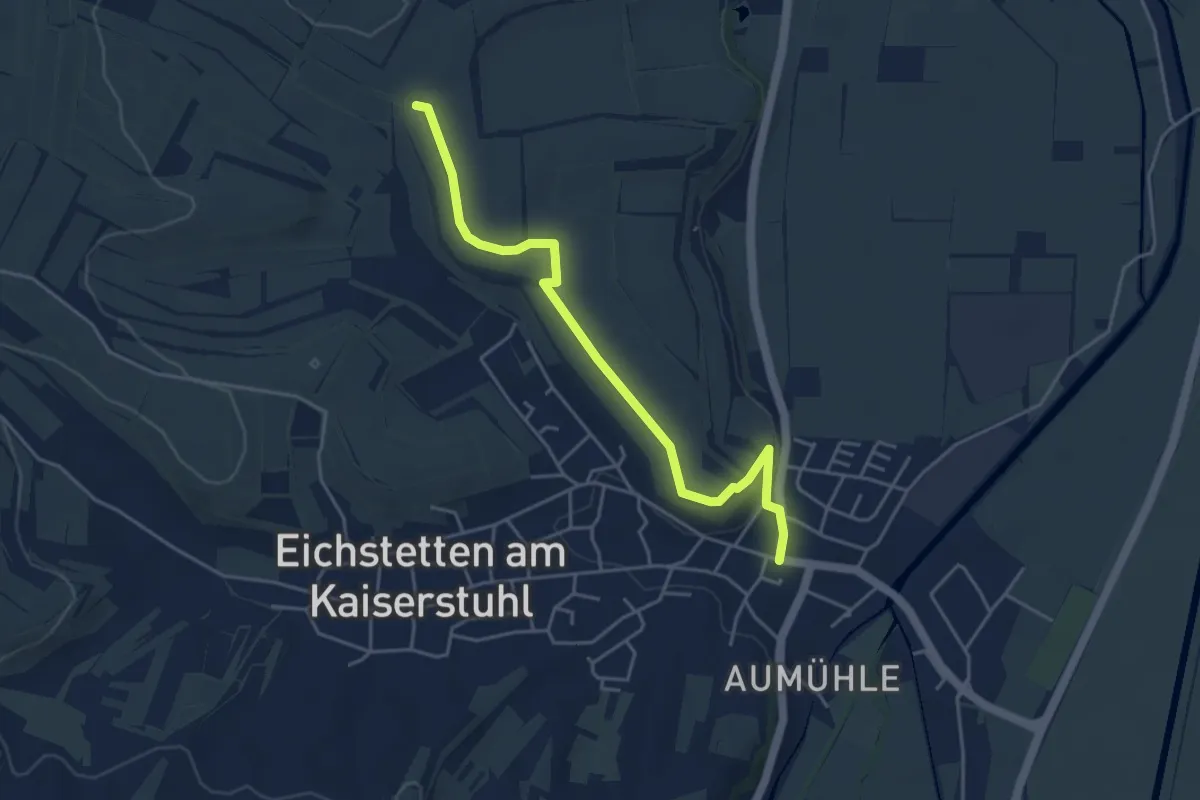
Easy · Trail
Eichstetten Rathaus - Rennweg
4.4 km · ↑ 65 m · 1 h 11 min
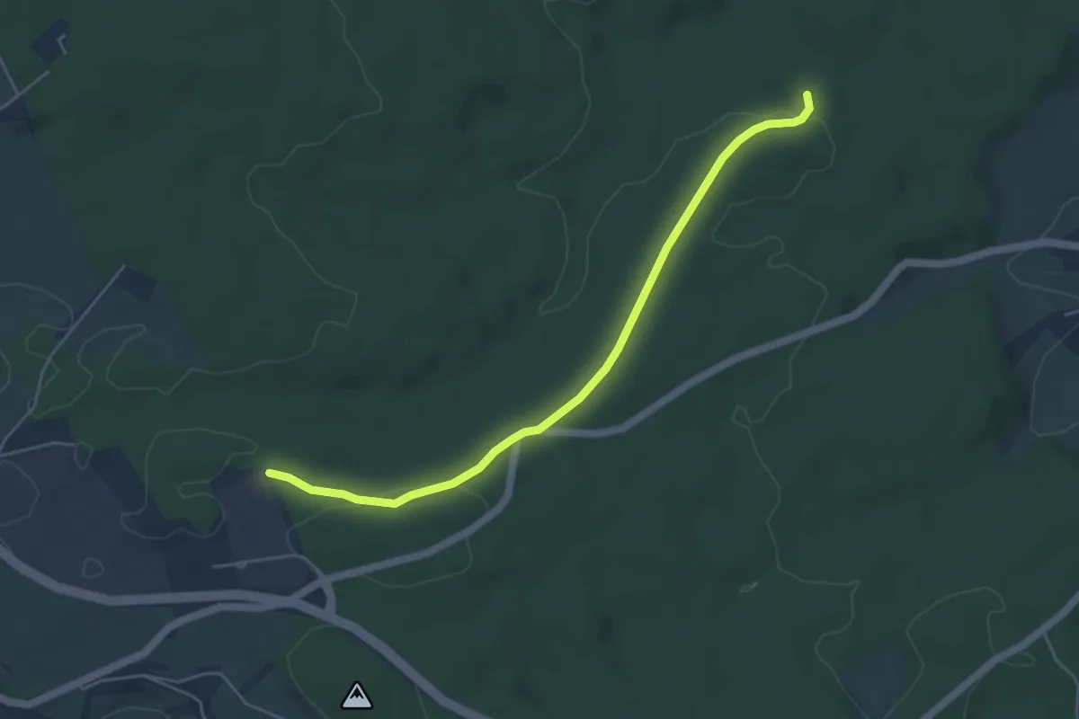
Easy · Trail
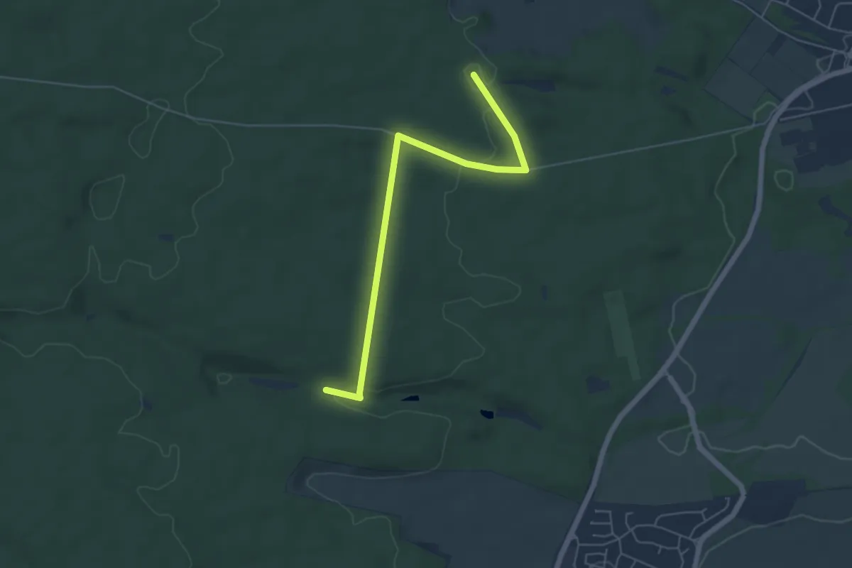
Eichwald - Hinterer Harzwald
4.6 km · ↑ 79 m · 1 h 16 min
Easy · Trail
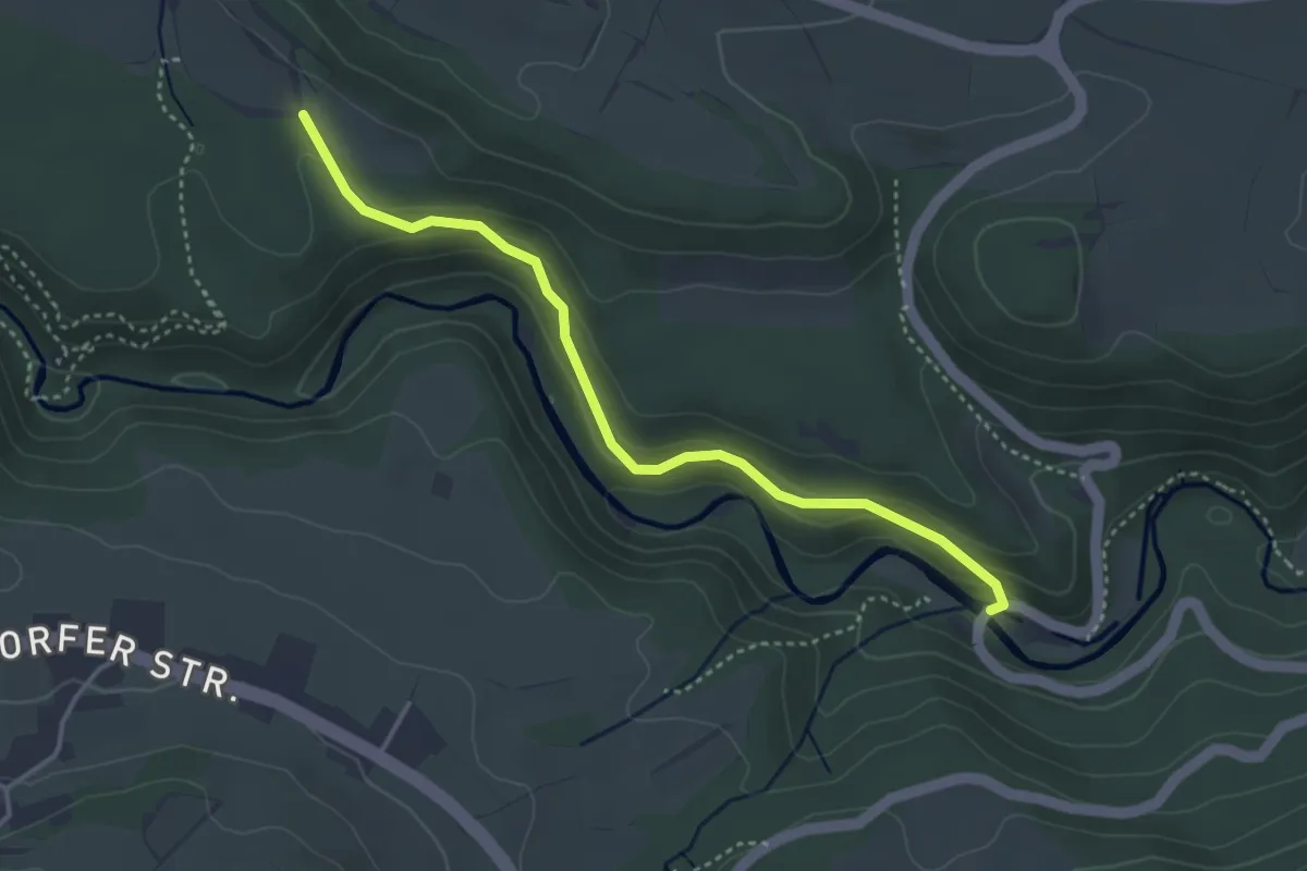
Eichwäldle - Mühlesteinbruch
5.3 km · ↑ 77 m · 1 h 25 min
Medium · Trail
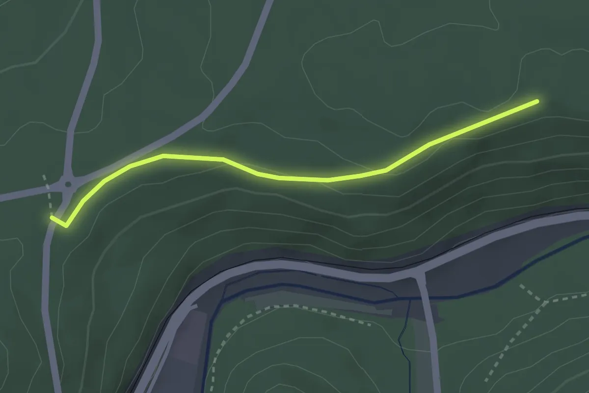
Eichwäldle - Schattenmühle
3.7 km · ↑ 178 m · 1 h 16 min
Easy · Trail
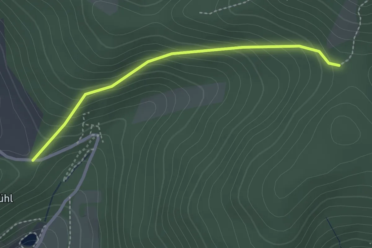
Eichwald - Riegertswasen
2.6 km · ↑ 40 m · 42 min
Easy · Trail
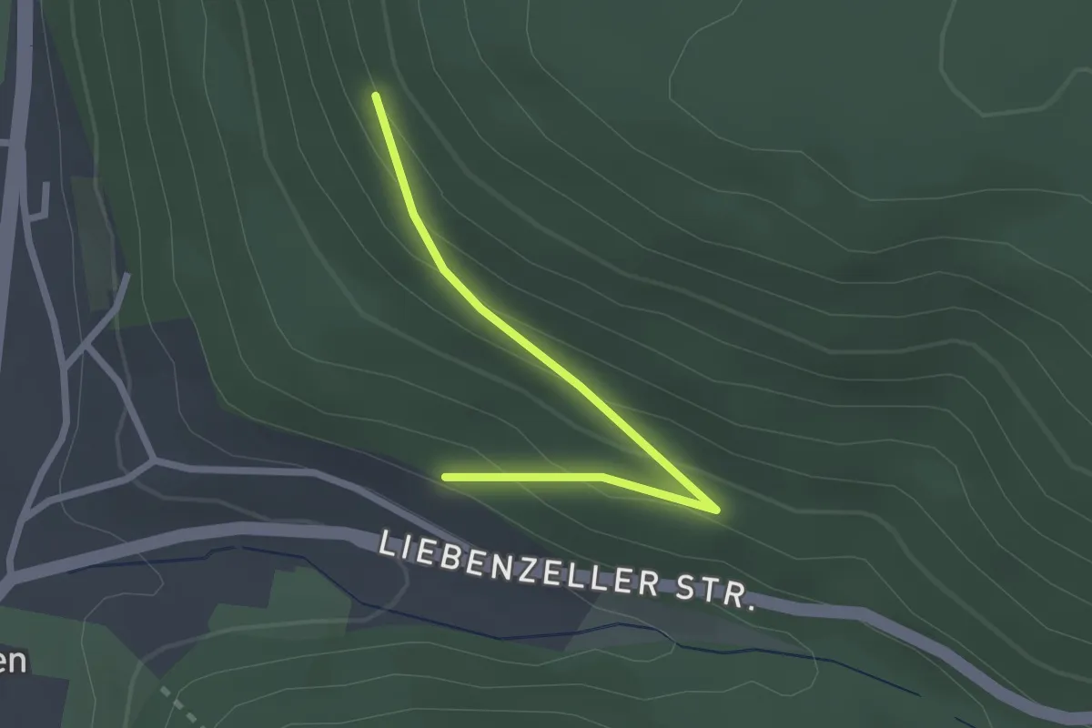
Eichwald - Saunase
2.1 km · ↑ 164 m · 51 min
Easy · Trail
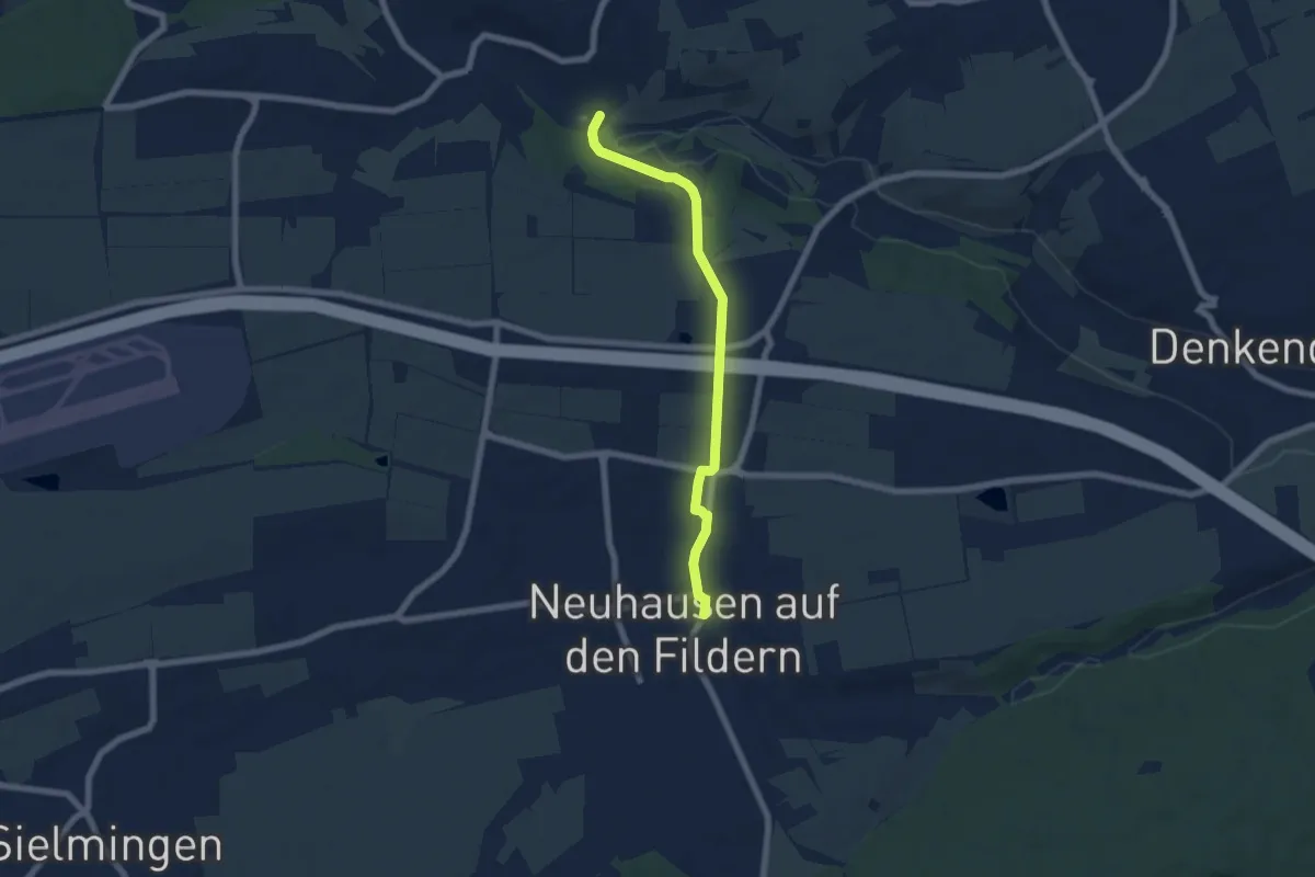
Eichwald - Schutzhütte (Cafe Fuchs)
2.1 km · ↑ 119 m · 45 min
Easy · Trail
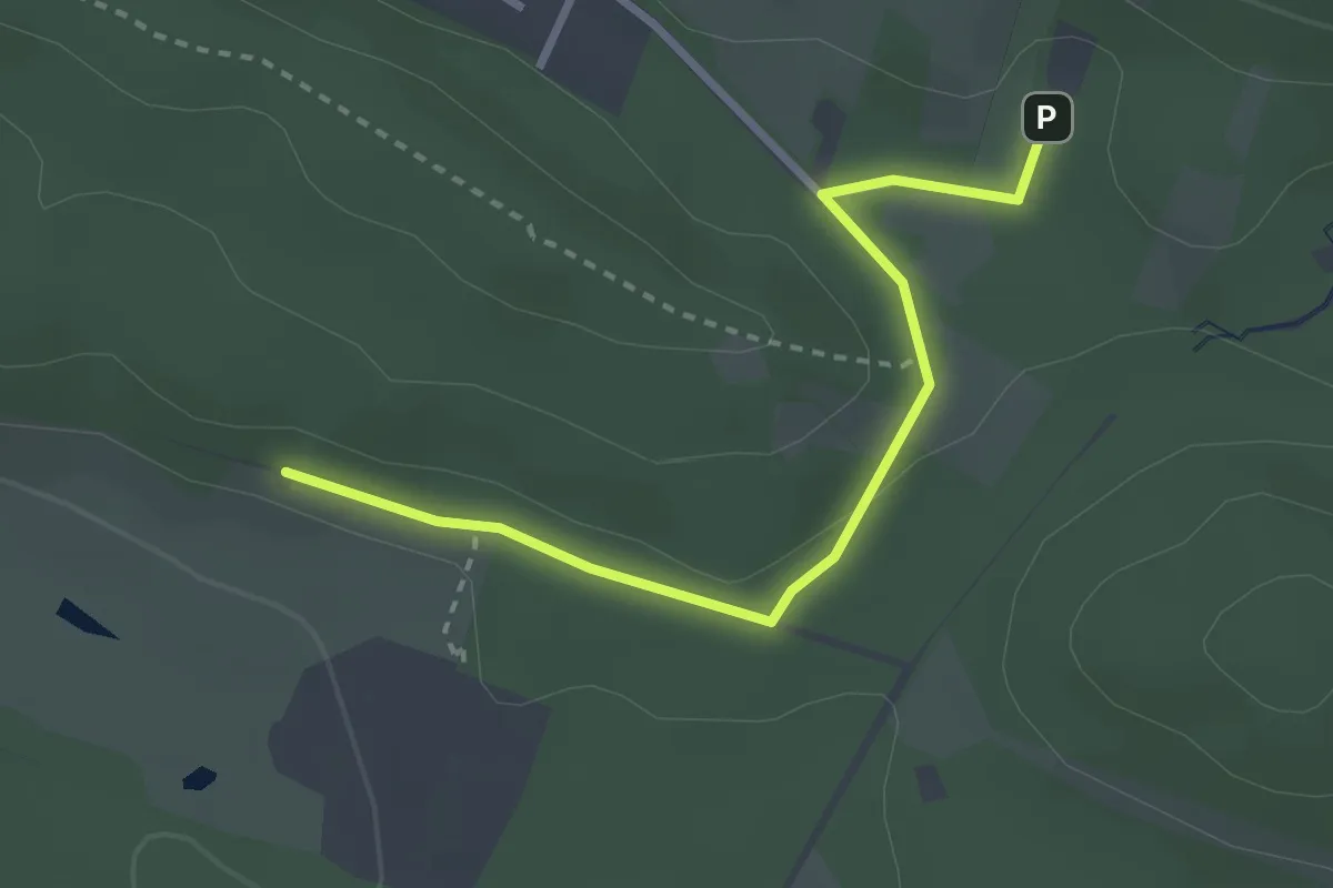
Eichwiesen - Neuhausen
5.9 km · ↑ 86 m · 1 h 35 min
Easy · Trail
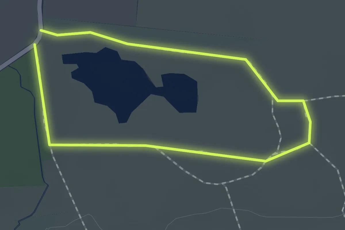
Eidechsenpfad (Zuweg Naturfreundehaus)
2.6 km · ↑ 38 m · 42 min
Easy · Trail
Eidechsenweg
1.1 km · ↑ 0 m · 17 min
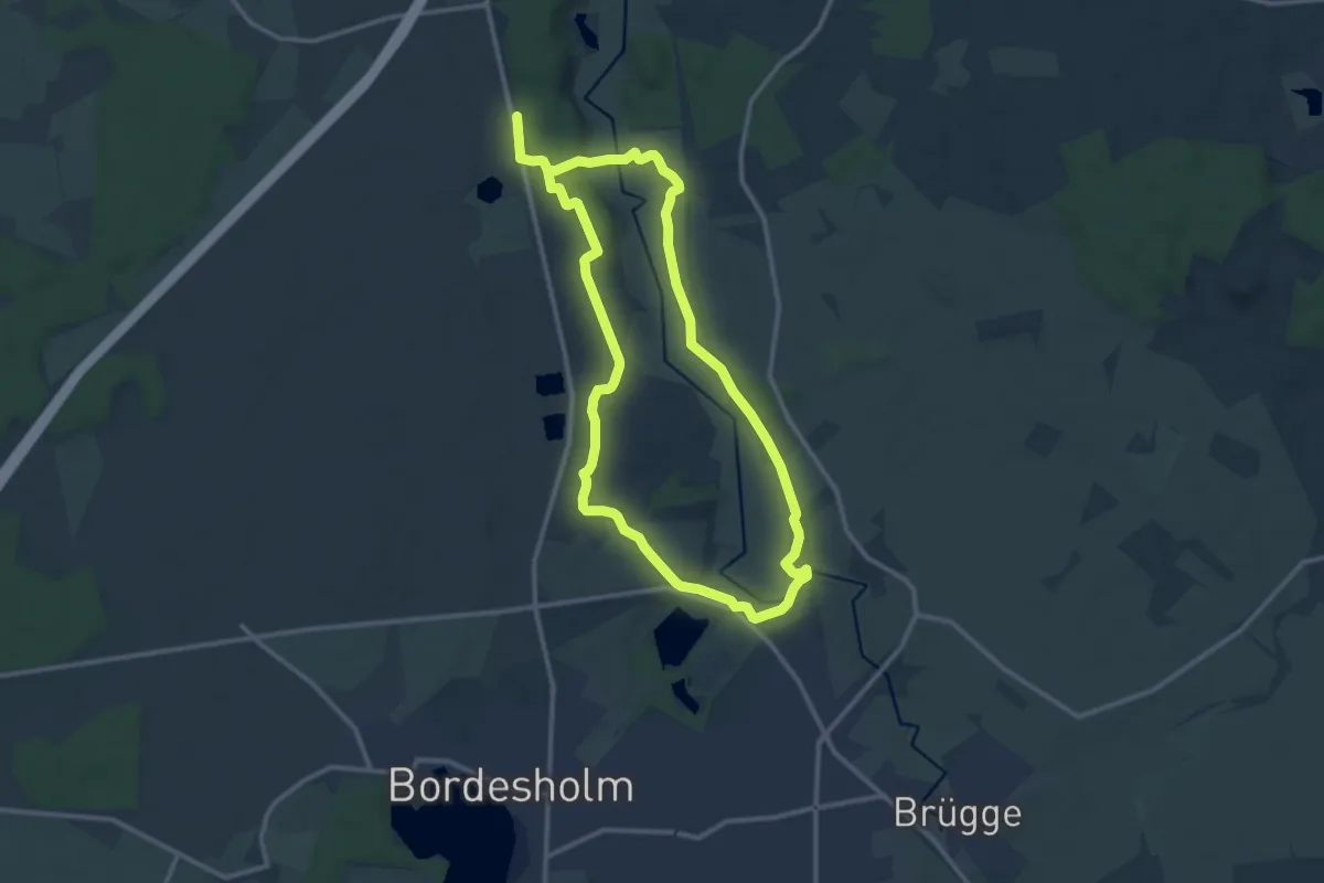
Medium · Trail
Eidertal Wanderweg
9.7 km · ↑ 56 m · 2 h 32 min
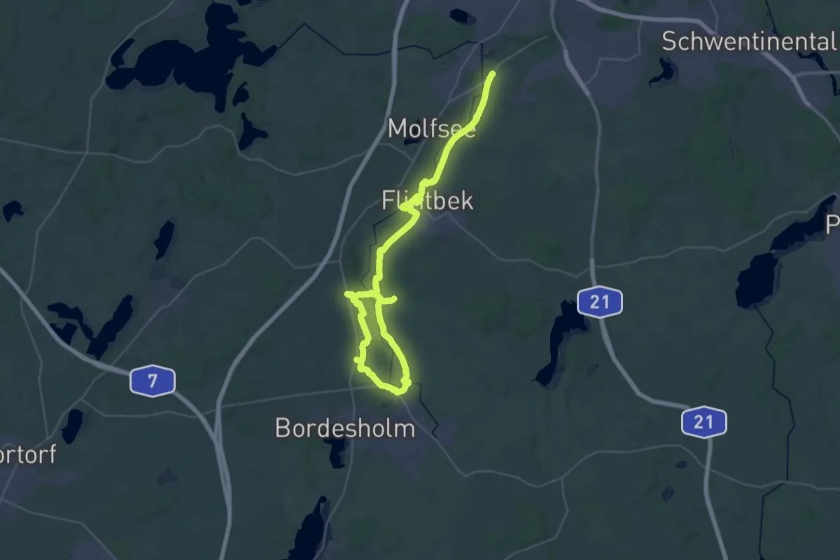
Demanding · Trail
Eidertal-Wanderweg
20.4 km · ↑ 122 m · 5 h 22 min
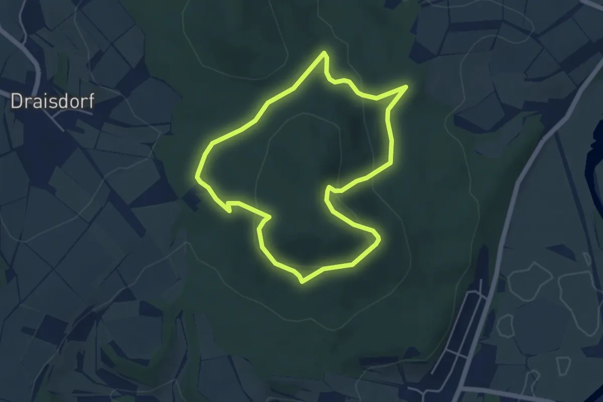
Easy · Trail
Eierbergrundweg
3.8 km · ↑ 144 m · 1 h 16 min
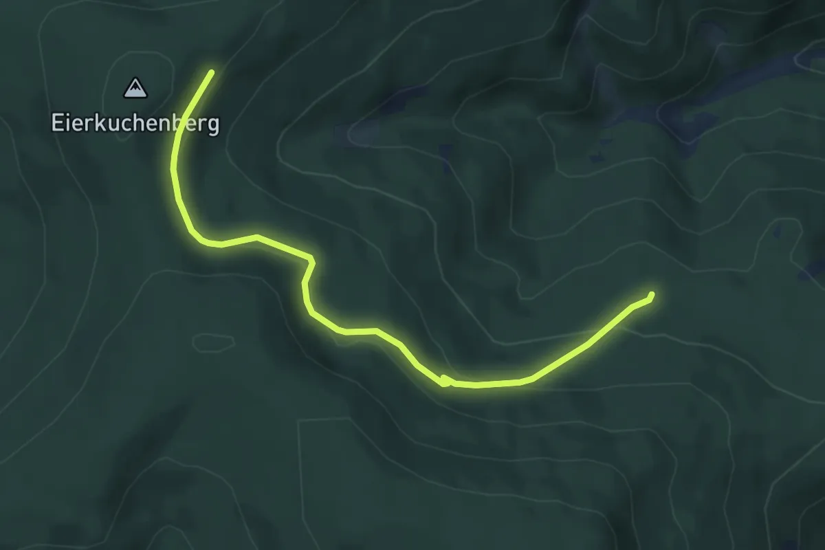
Easy · Trail
Eierkuchenberg - Romiss
5.3 km · ↑ 198 m · 1 h 40 min