Trails in Germany
36,847 hiking trails, each with its route, climb, walking time and grade.
All trails, page 126 of 768
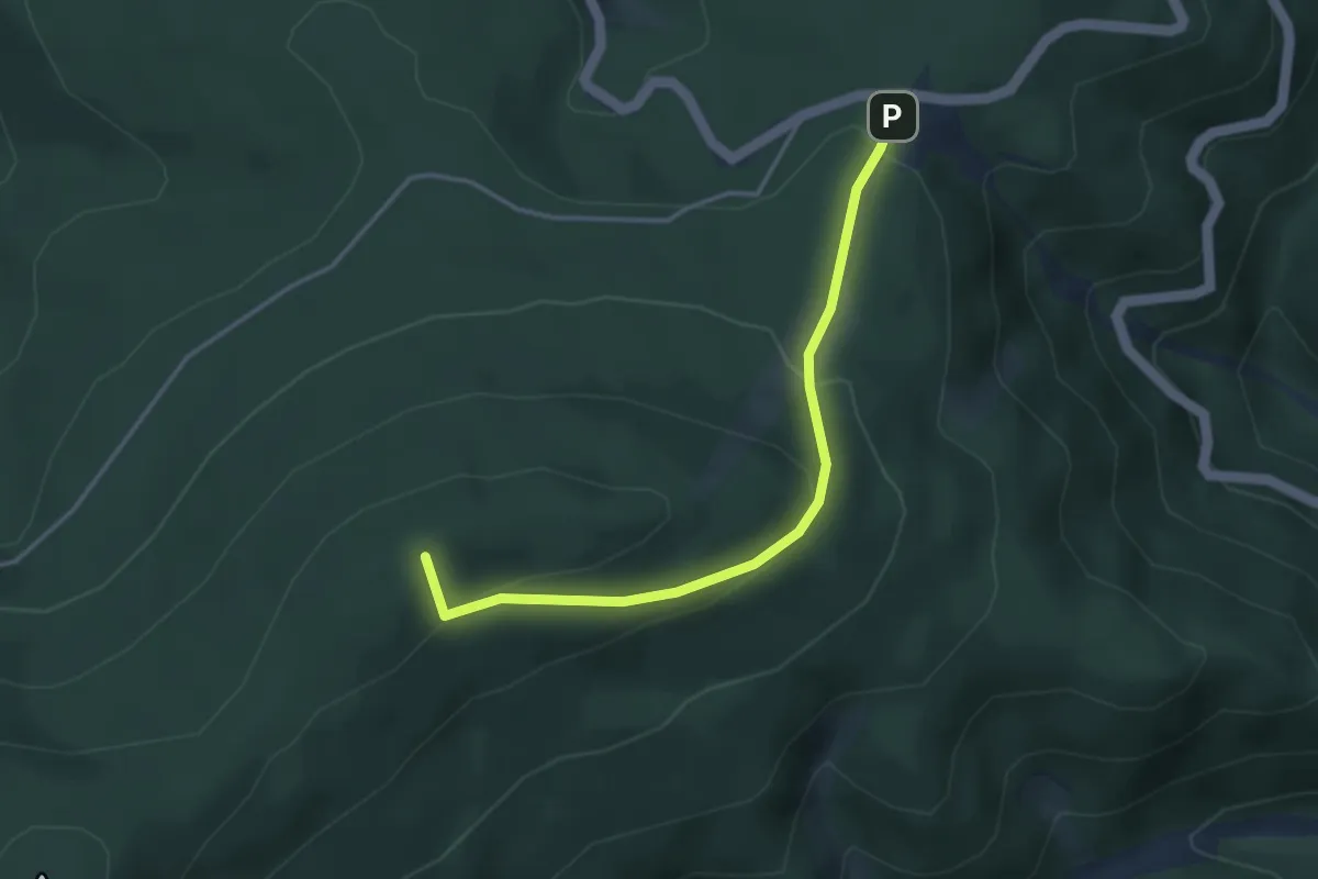
Easy · Summit
Eierkuchenberg - Rote Lache Süd
3.5 km · ↑ 176 m · 1 h 12 min
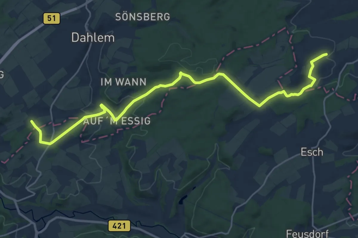
Medium · Trail
Eifeler Quellenpfad
8.8 km · ↑ 143 m · 2 h 32 min
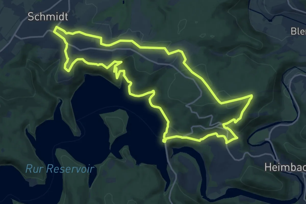
Medium · Trail
Eifeler Steilküste
13.4 km · ↑ 266 m · 3 h 56 min
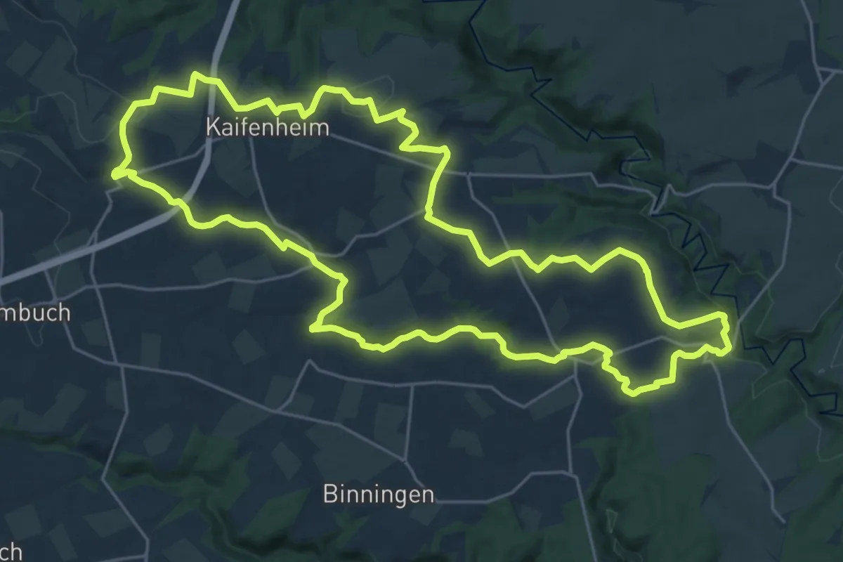
Demanding · Summit
Eifelhöhen und Brohlbachtal
23.2 km · ↑ 343 m · 6 h 32 min
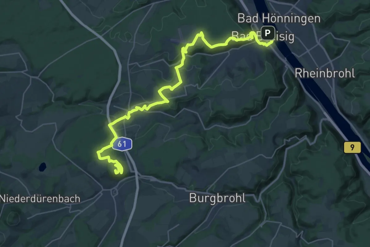
Demanding · Summit
Eifelleiter Etappe 1 Bad Breisig - Niederzissen
30.2 km · ↑ 695 m · 8 h 38 min
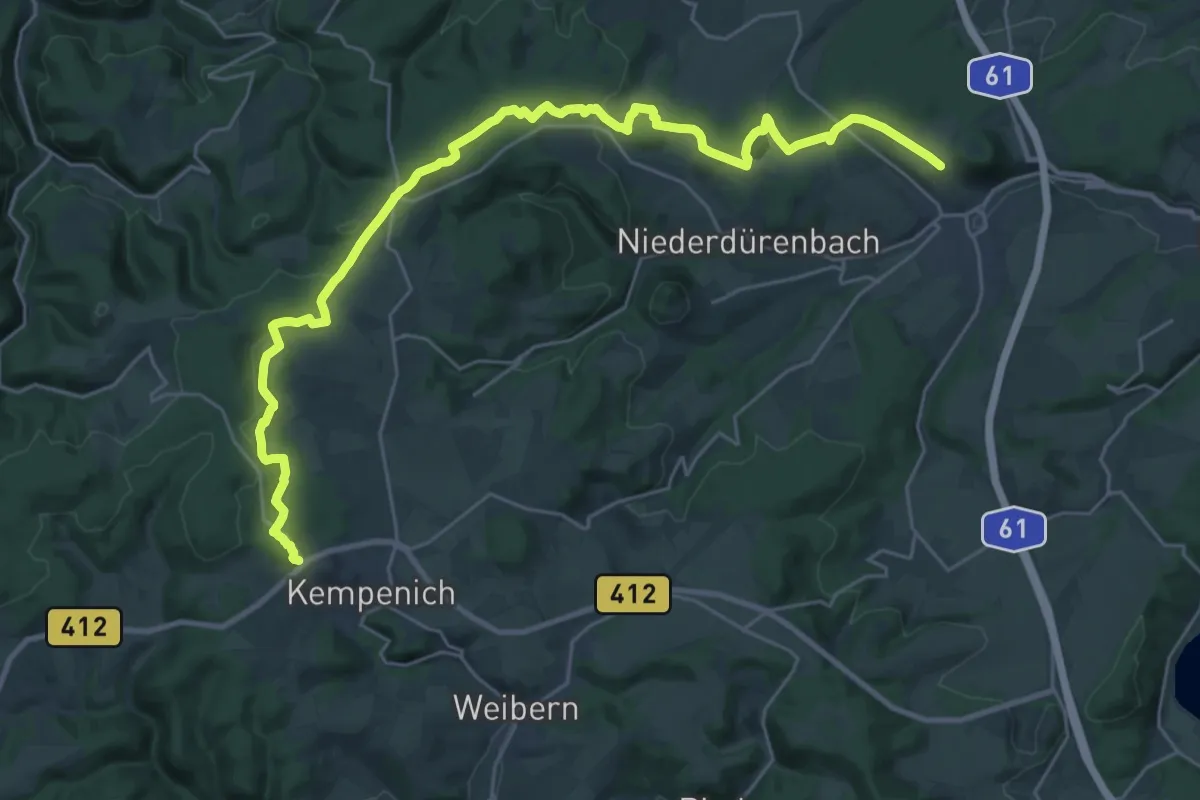
Medium · Trail
Eifelleiter Etappe 2 Niederzissen - Spessart/Kempenich
15.1 km · ↑ 189 m · 4 h 18 min
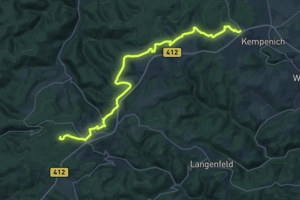
Demanding · Summit
Eifelleiter Etappe 3 Spessart/Kempenich - Adenau
23.9 km · ↑ 729 m · 7 h 14 min
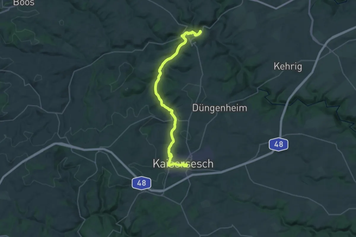
Demanding · Trail
Eifel-Schiefer-Radwanderweg
24.6 km · ↑ 386 m · 6 h 39 min
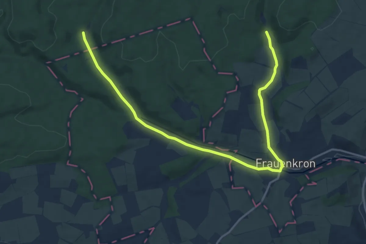
Medium · Trail
Eifelschleife 13 Quellen
11.3 km · ↑ 104 m · 2 h 54 min
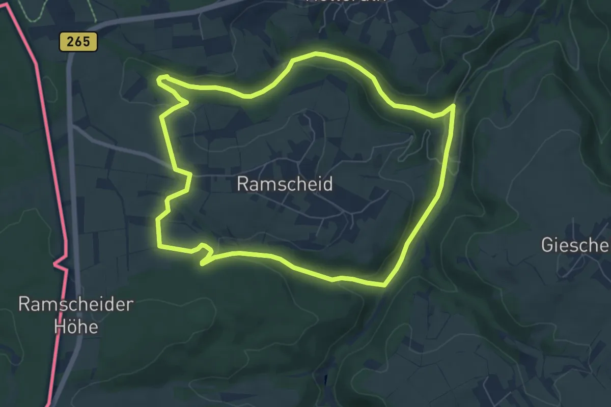
Easy · Trail
Eifelschleife 3-Bäche
6.8 km · ↑ 127 m · 1 h 59 min
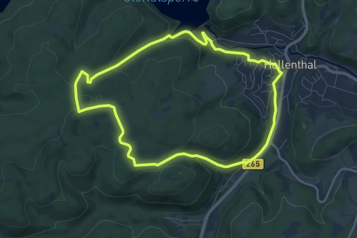
Easy · Trail
EifelSchleife 3-Eichen
7.2 km · ↑ 203 m · 2 h 14 min
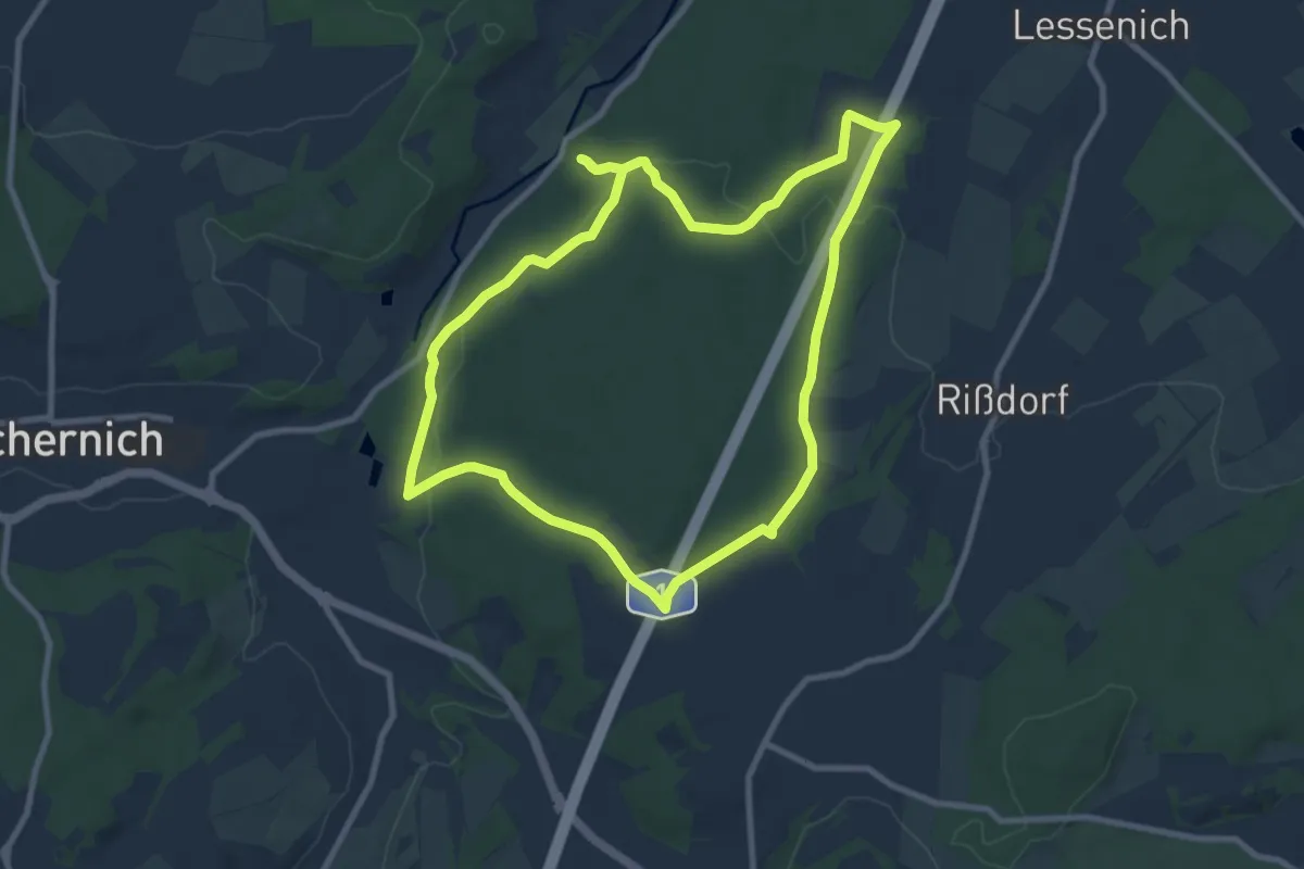
Medium · Trail
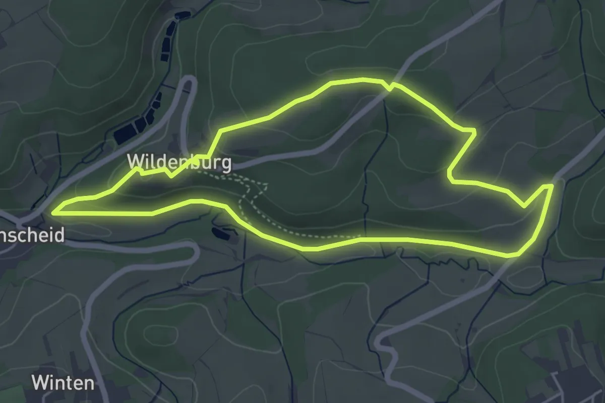
EifelSchleife Ab in den Wald!
8.3 km · ↑ 154 m · 2 h 25 min
Easy · Trail
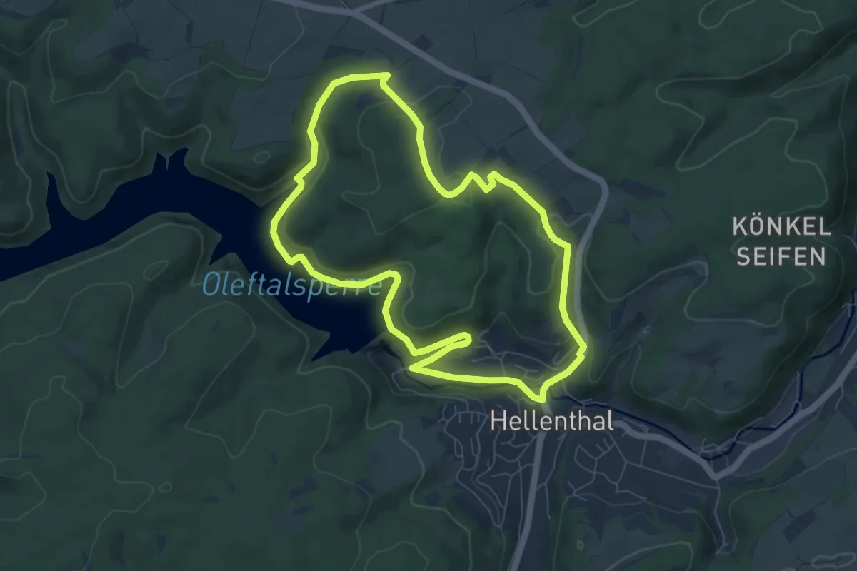
EifelSchleife Ackerterrassenweg
4.4 km · ↑ 118 m · 1 h 22 min
Easy · Trail
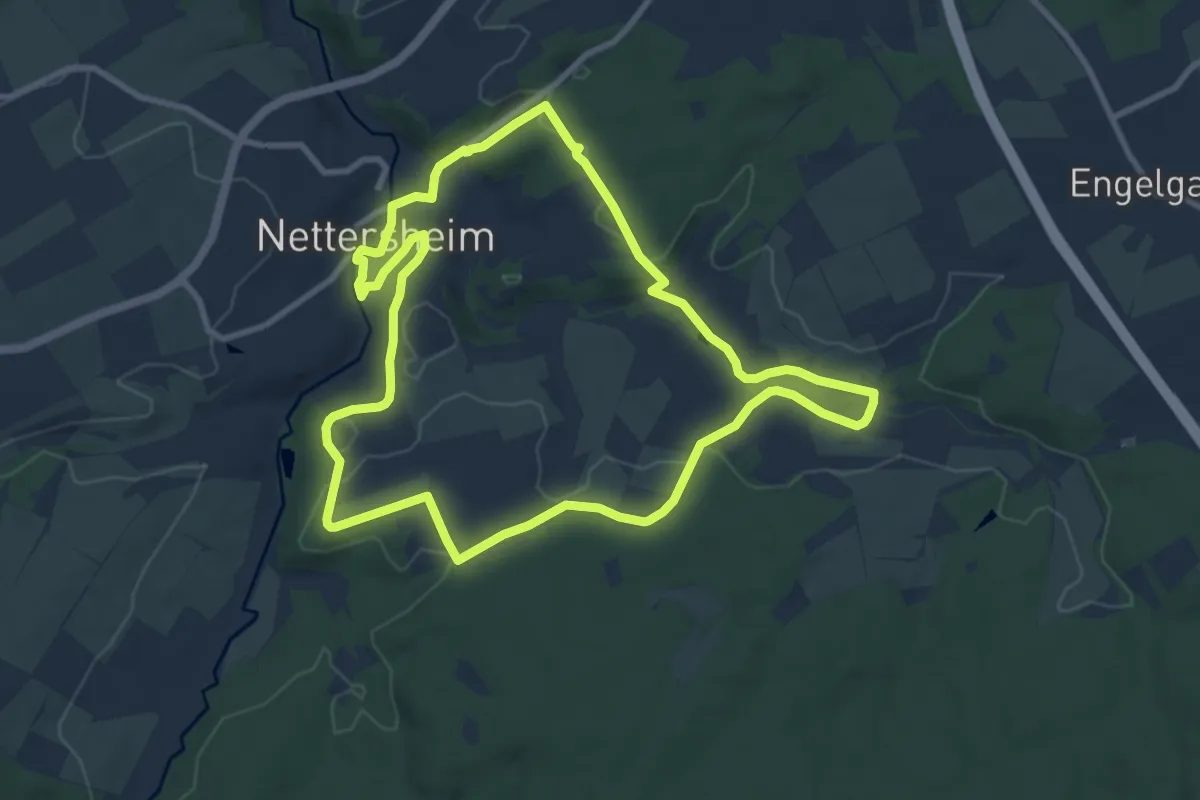
EifelSchleife Adlerblick
7.0 km · ↑ 174 m · 2 h 7 min
Medium · Trail
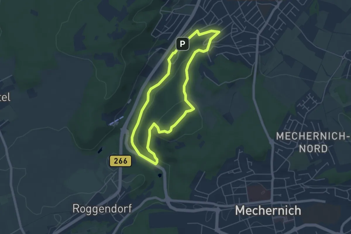
EifelSchleife Ahekapelle
8.9 km · ↑ 101 m · 2 h 26 min
Easy · Summit
EifelSchleife Altusknipp-Weg
4.2 km · ↑ 97 m · 1 h 15 min
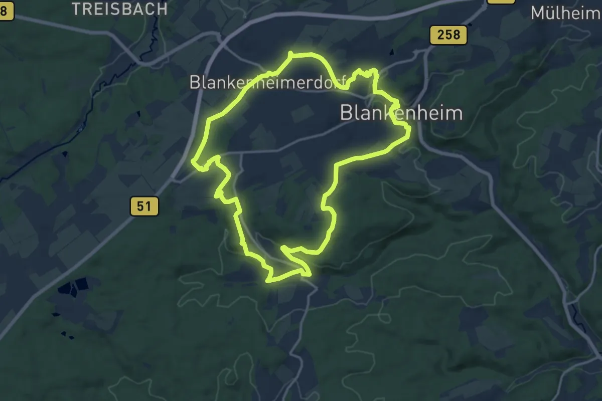
Medium · Trail
EifelSchleife Auf den Spuren der Römer
12.7 km · ↑ 215 m · 3 h 38 min
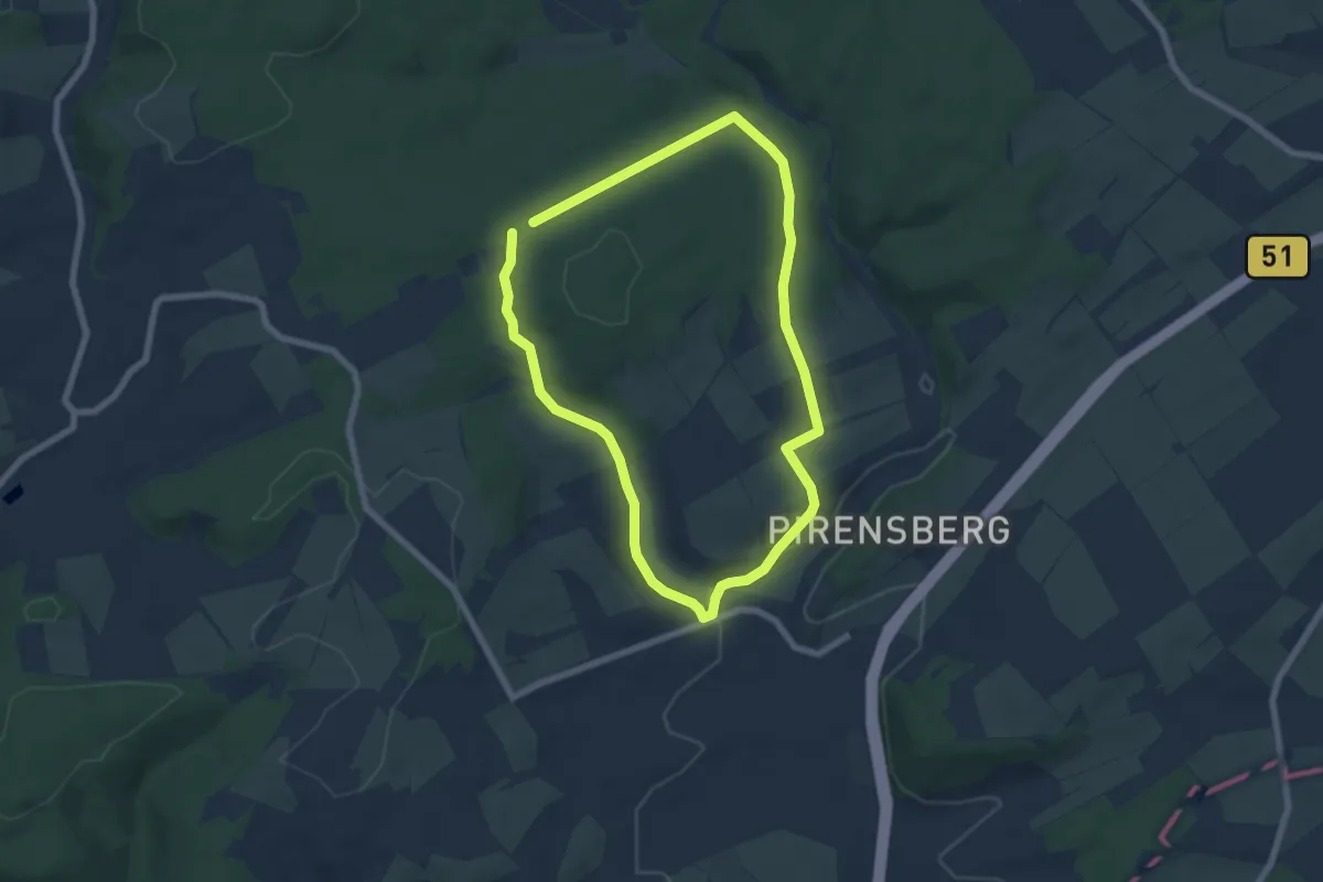
Easy · Trail
EifelSchleife Baasemer Weiden
5.7 km · ↑ 104 m · 1 h 39 min
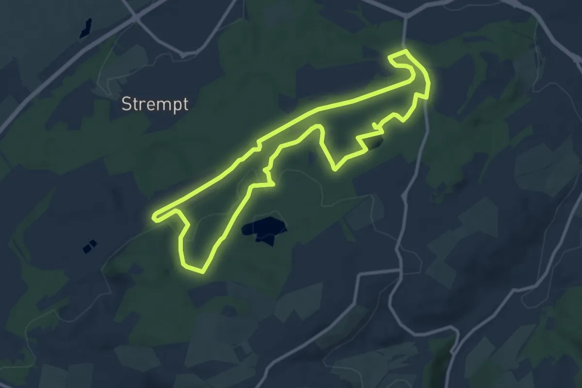
Medium · Trail
EifelSchleife Bergbauhistorischer Wanderweg
8.1 km · ↑ 138 m · 2 h 20 min
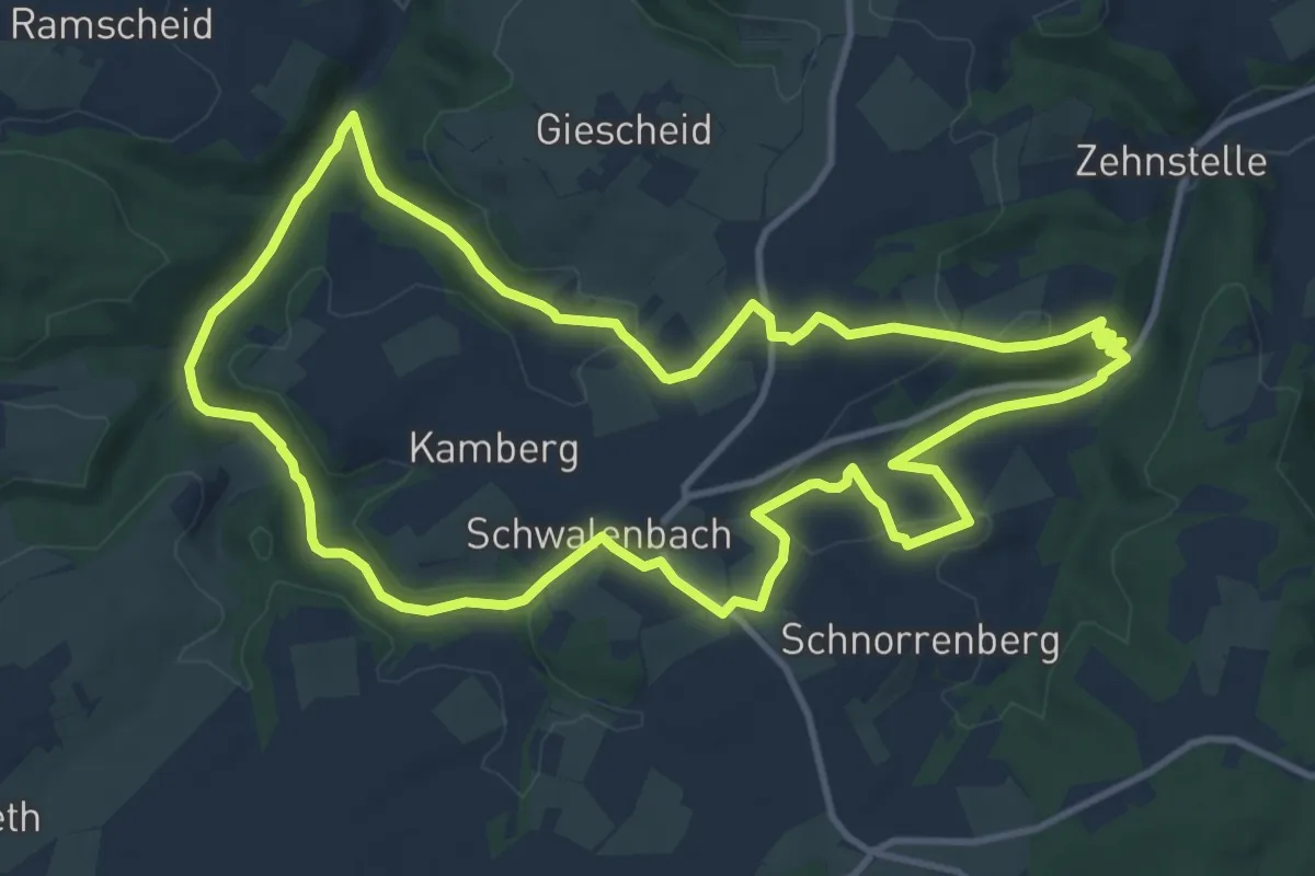
Medium · Trail
Eifelschleife Bergbaupfad
11.3 km · ↑ 239 m · 3 h 21 min
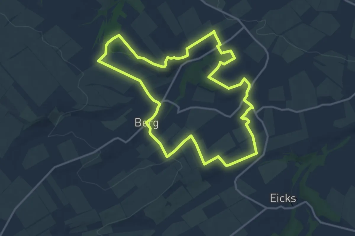
Medium · Summit
EifelSchleife Berg und Tal
9.1 km · ↑ 181 m · 2 h 40 min
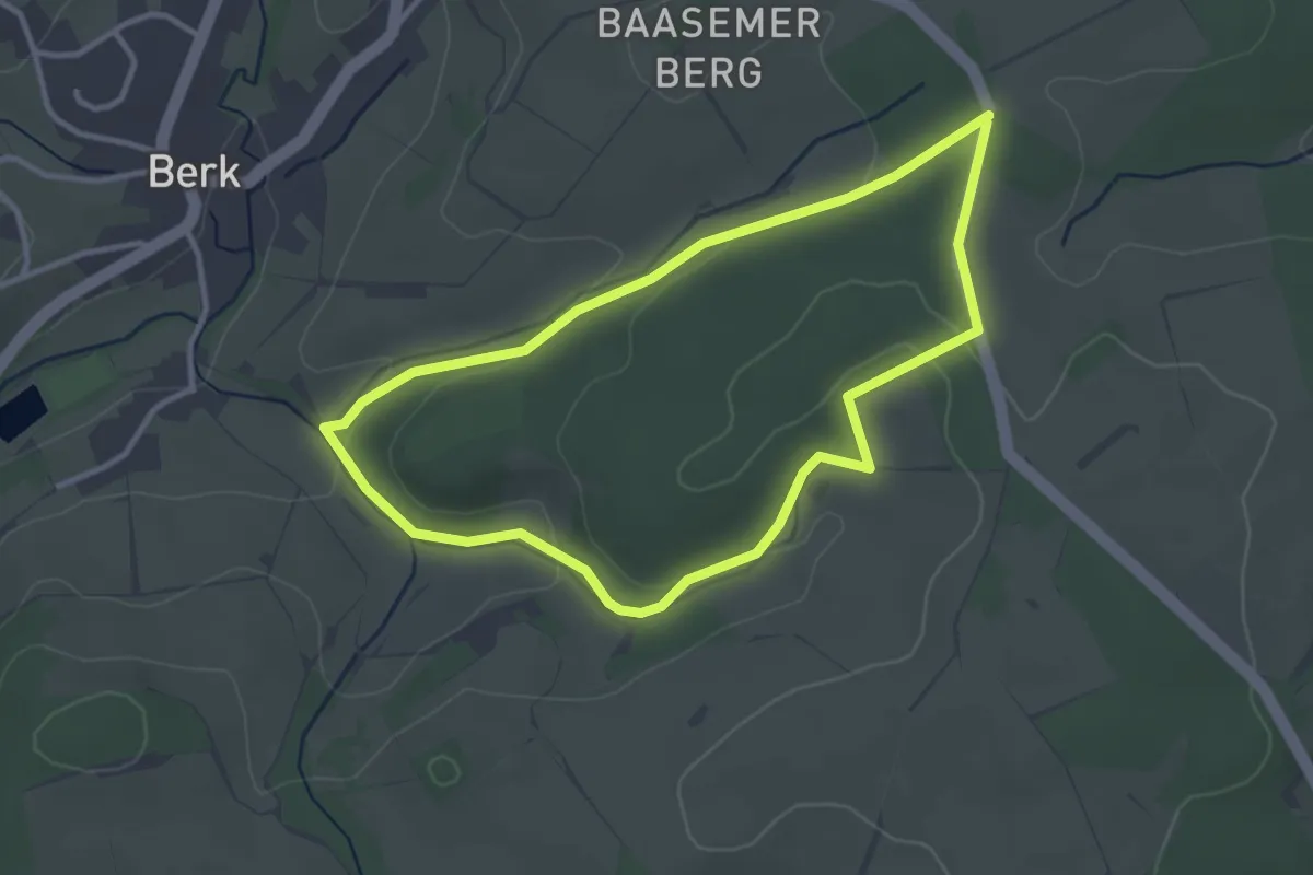
Easy · Trail
EifelSchleife Berker Wald
2.9 km · ↑ 58 m · 51 min
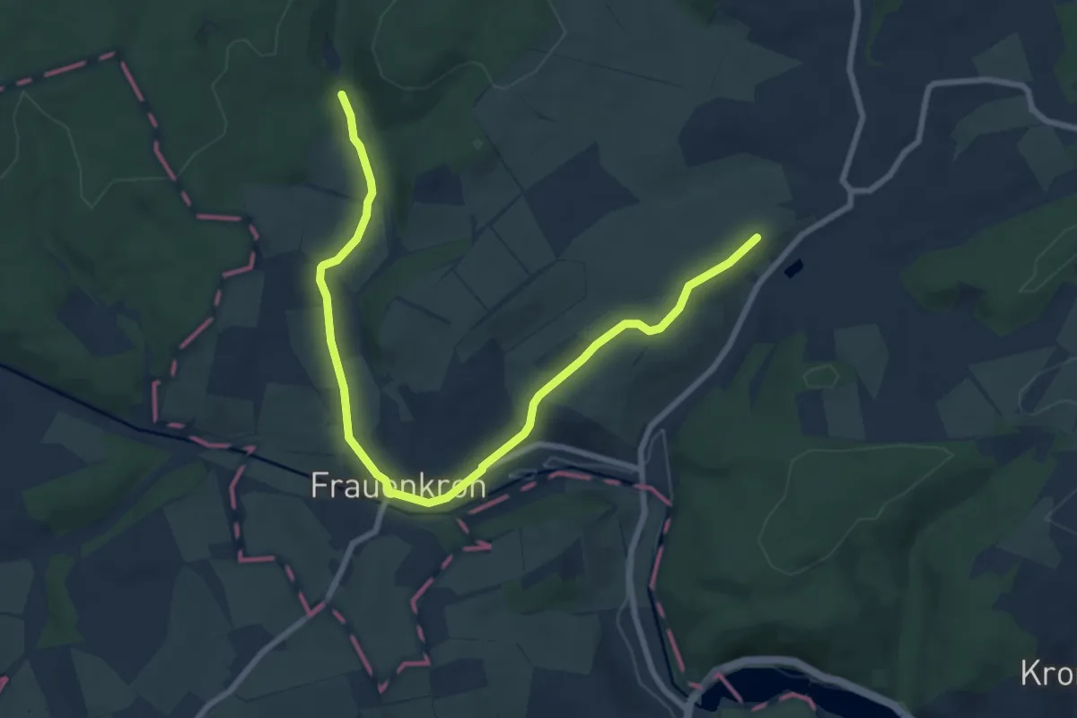
Medium · Trail
EifelSchleife Berk und Tal
8.6 km · ↑ 128 m · 2 h 18 min
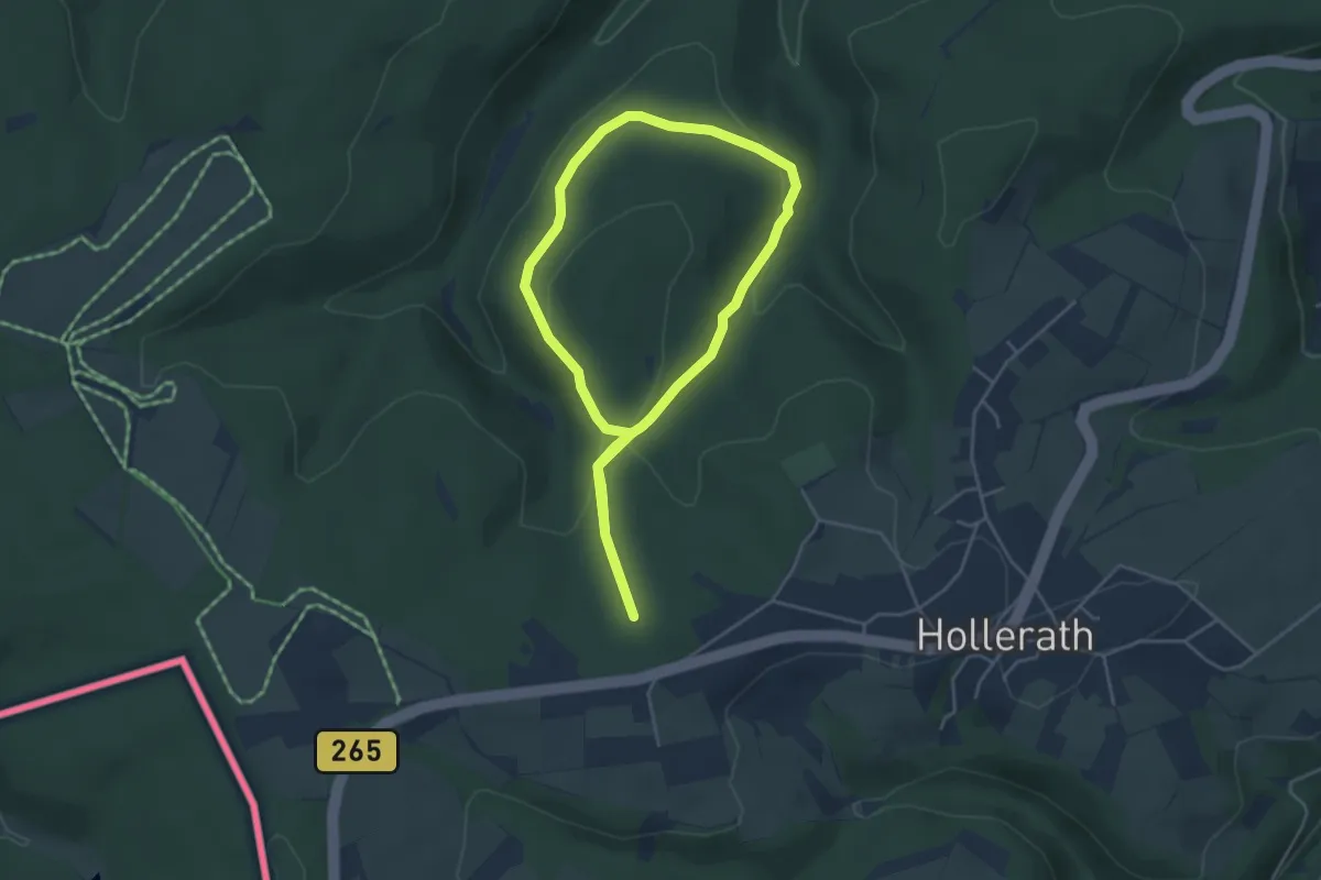
Easy · Trail
Eifelschleife Büllinger Hardt
3.6 km · ↑ 103 m · 1 h 7 min
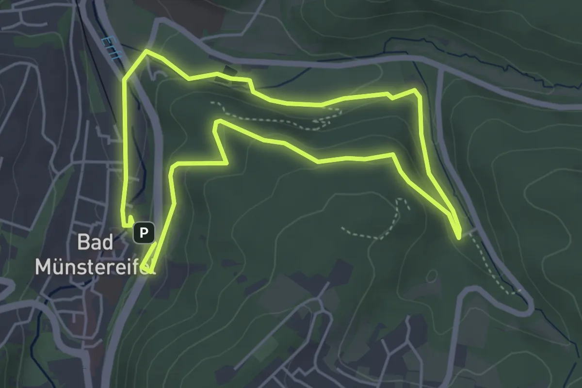
Easy · Trail
EifelSchleife Burgenblick
4.1 km · ↑ 127 m · 1 h 18 min
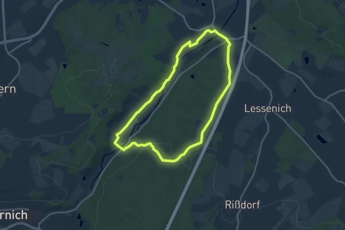
Easy · Trail
EifelSchleife Burg Satzvey
7.3 km · ↑ 92 m · 2 h 1 min
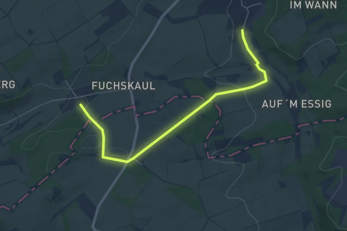
Easy · Trail
EifelSchleife Dahlemer Weitblicke
5.1 km · ↑ 87 m · 1 h 24 min
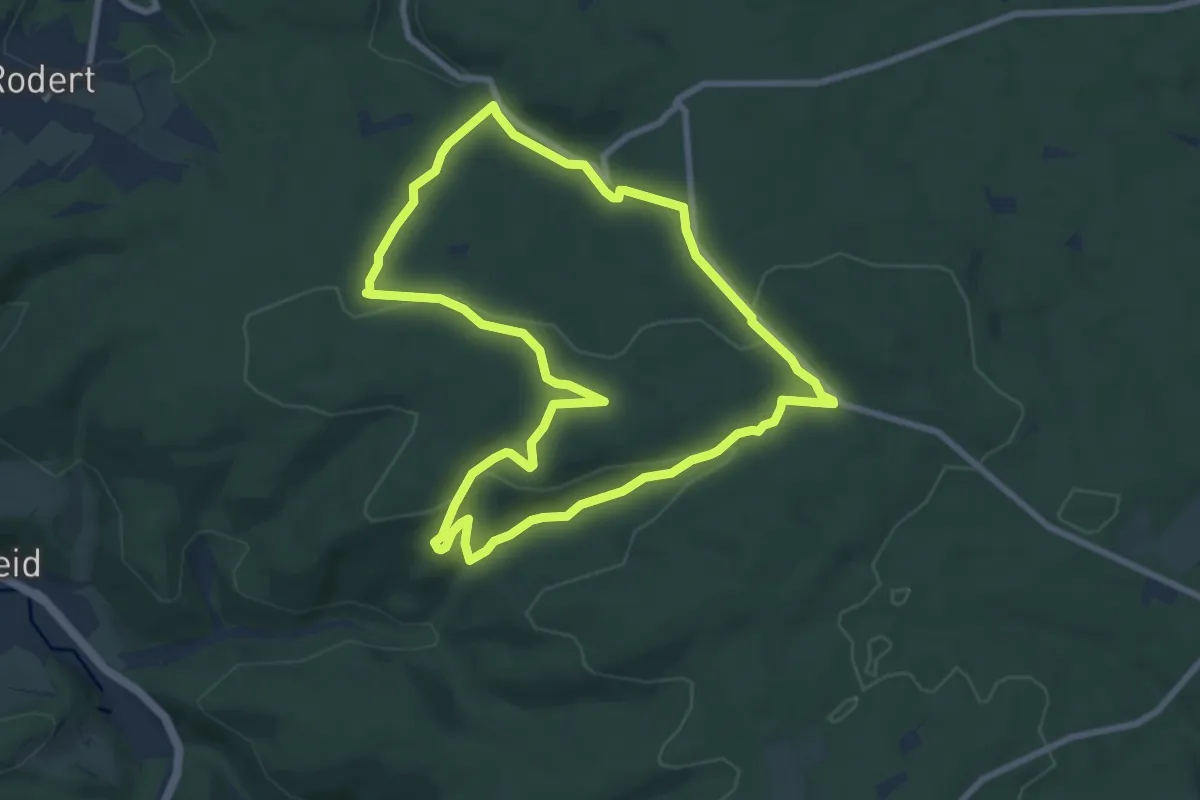
Easy · Trail
EifelSchleife Decke Tönnes
7.5 km · ↑ 207 m · 2 h 19 min
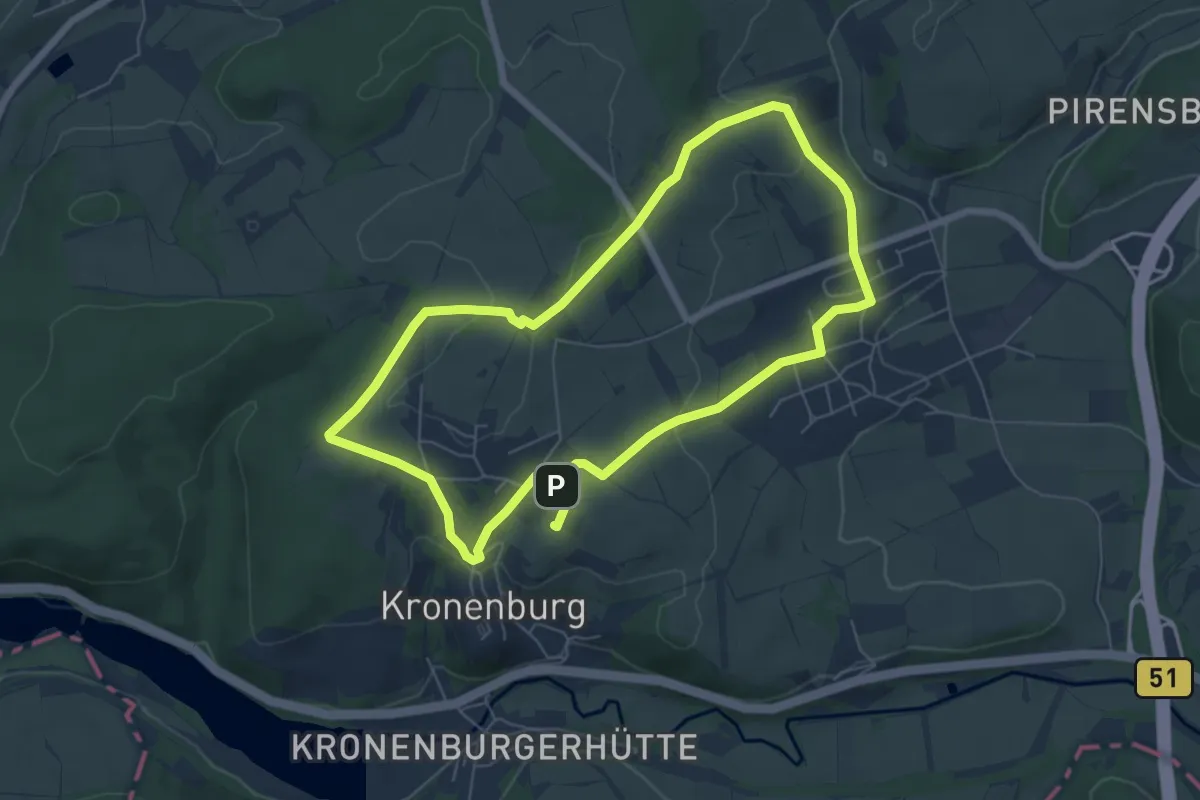
Easy · Trail
EifelSchleife Dem Himmel ganz nah
5.6 km · ↑ 114 m · 1 h 39 min
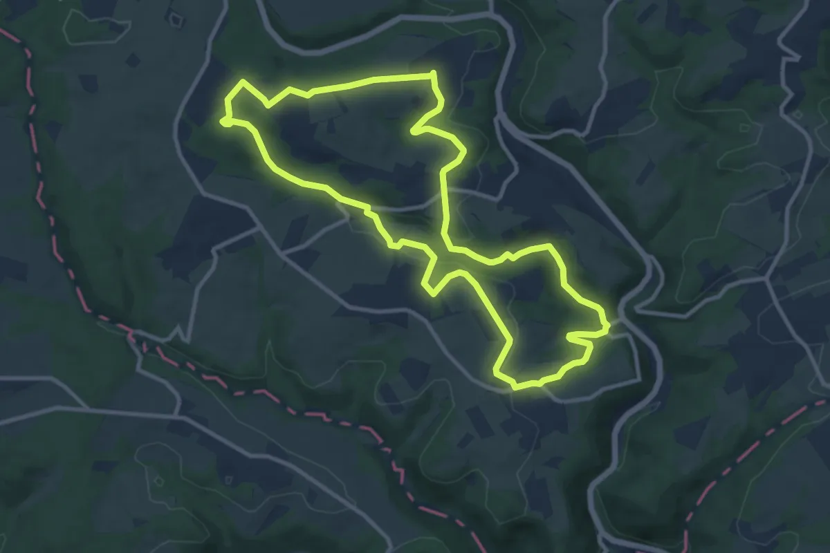
Medium · Trail
EifelSchleife Durch die Mutscheid
9.3 km · ↑ 189 m · 2 h 45 min
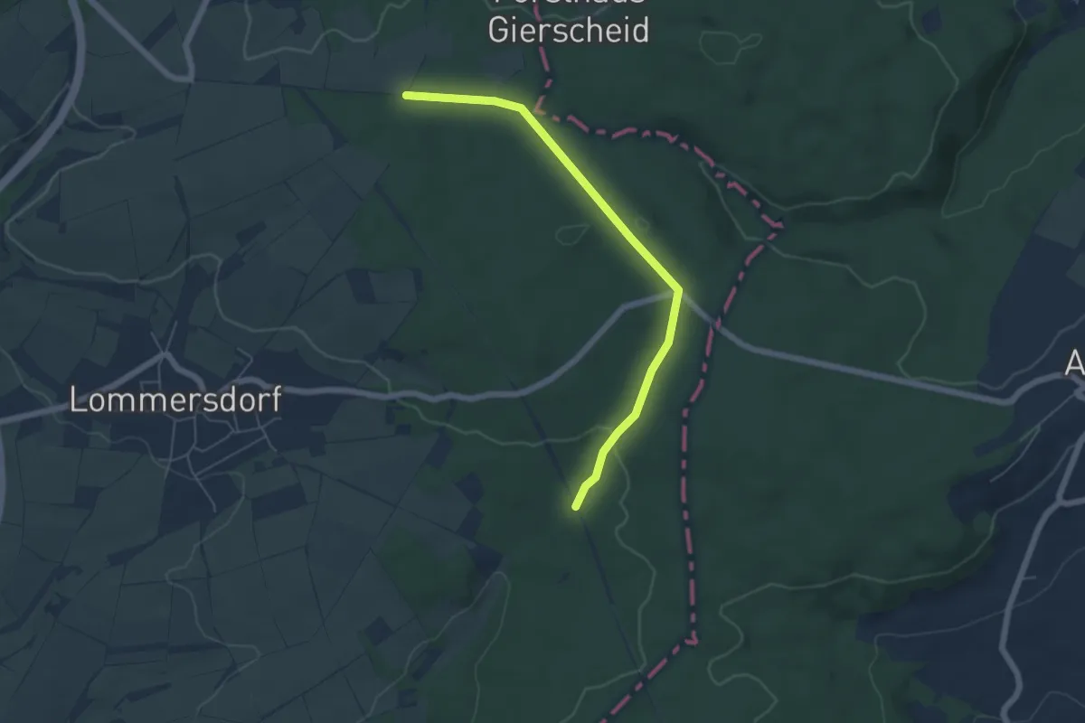
Easy · Trail
EifelSchleife Durchs Auelbachtal
5.1 km · ↑ 105 m · 1 h 26 min
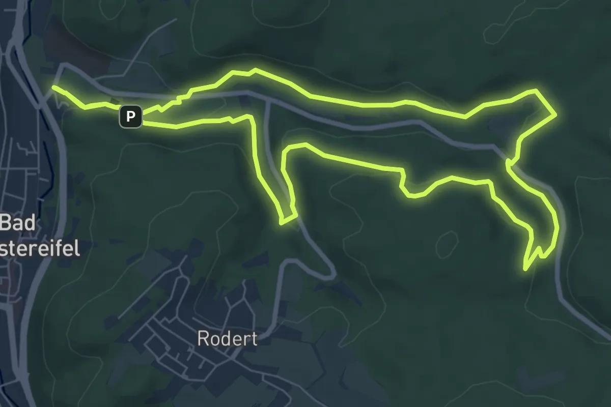
Easy · Trail
EifelSchleife Durchs Schleidtal
7.1 km · ↑ 167 m · 2 h 8 min
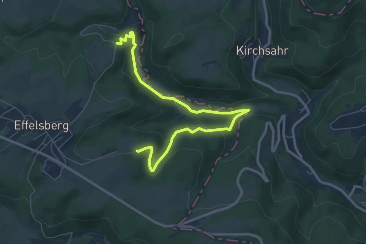
Easy · Trail
EifelSchleife Effelsberg
3.4 km · ↑ 99 m · 1 h 5 min
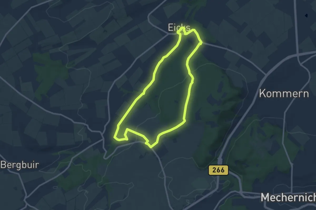
Easy · Trail
EifelSchleife Eickser Busch
7.8 km · ↑ 108 m · 2 h 11 min
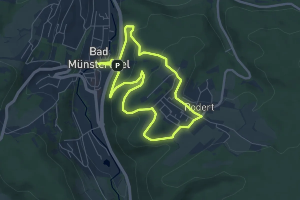
Easy · Trail
EifelSchleife Eselsberg
4.9 km · ↑ 133 m · 1 h 32 min
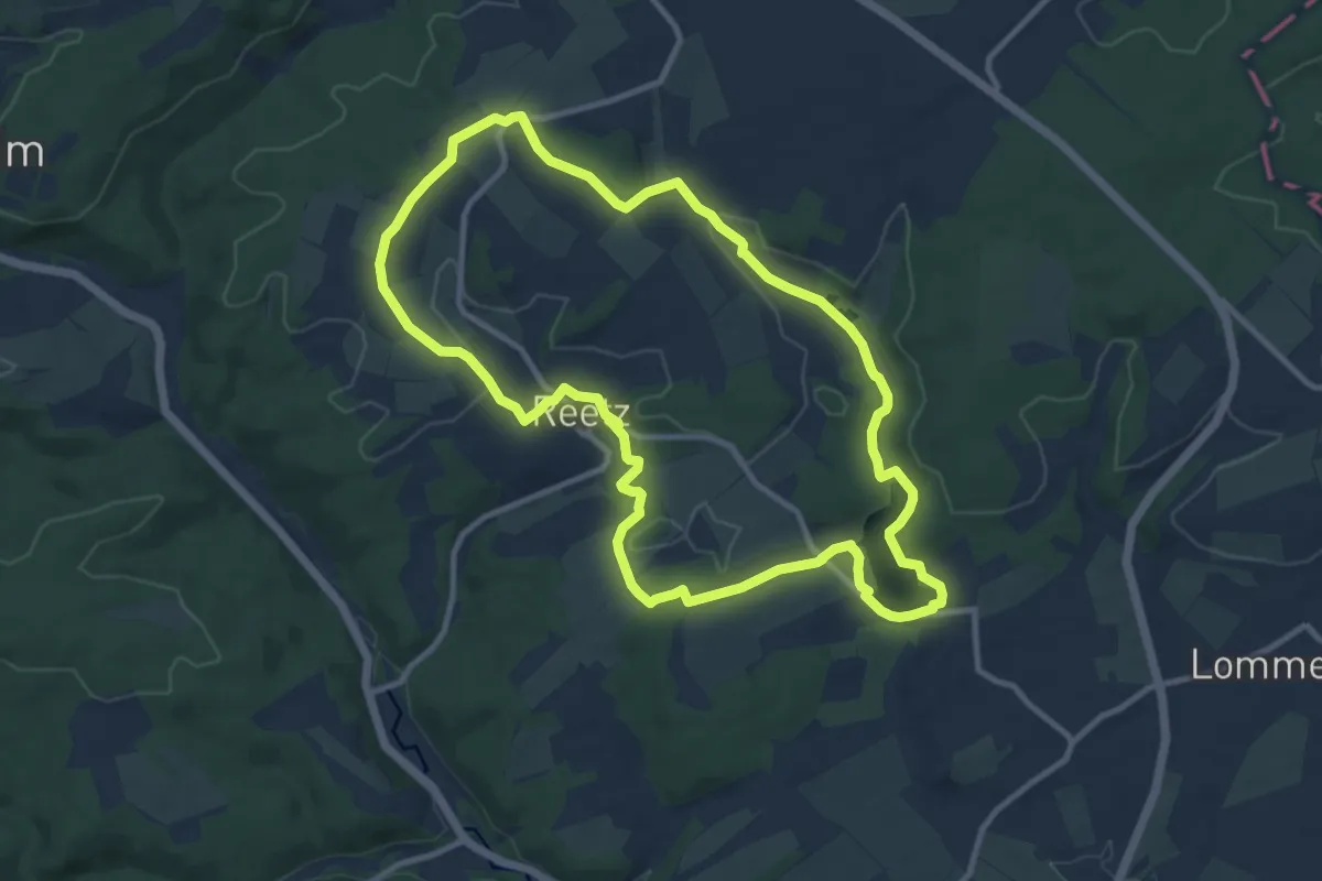
Medium · Trail
EifelSchleife Freilinger See
9.8 km · ↑ 144 m · 2 h 46 min
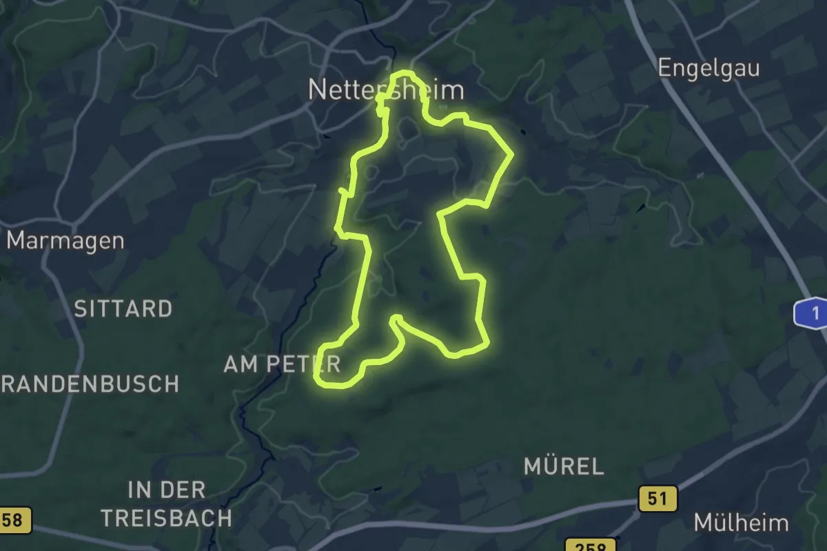
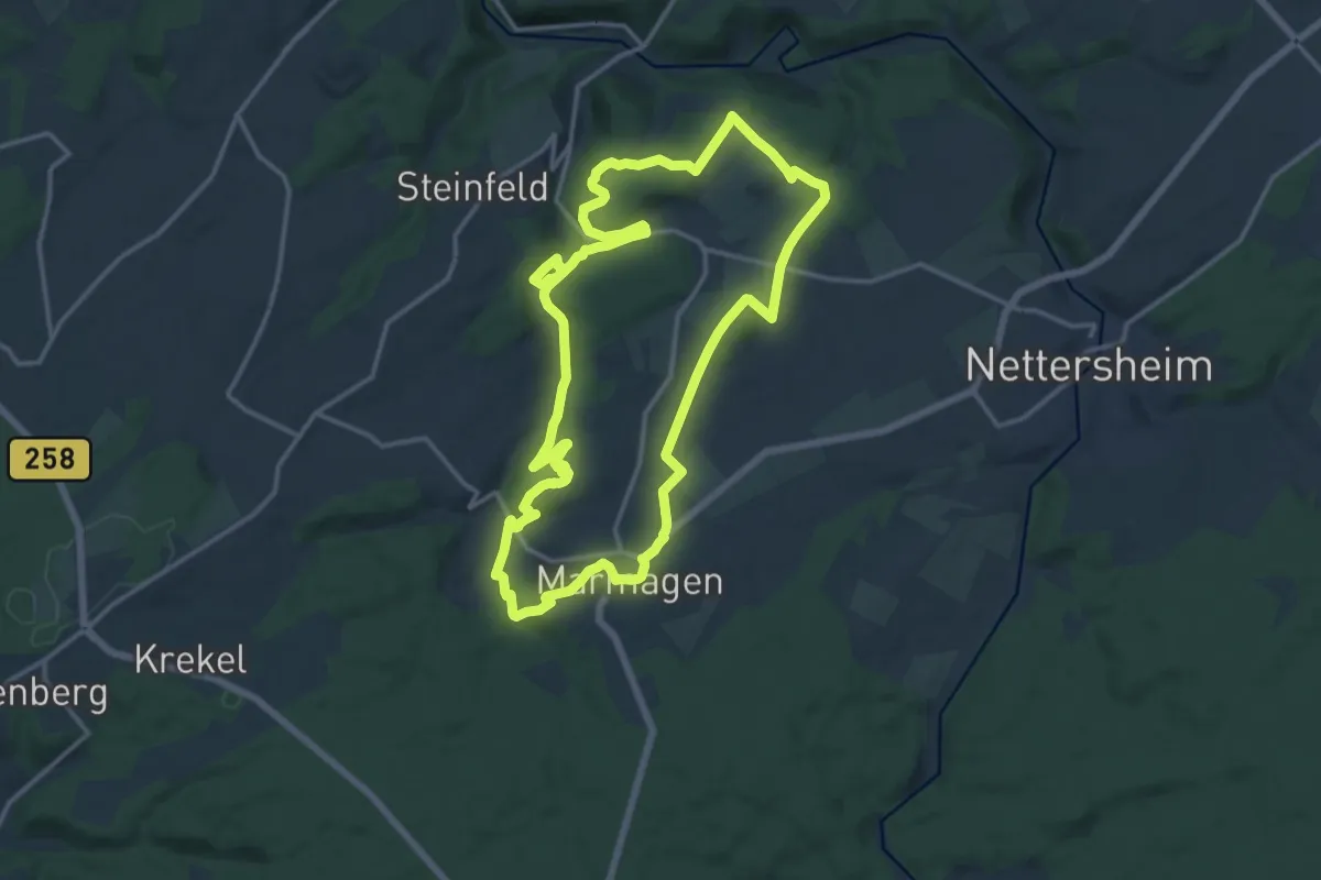
Medium · Trail
EifelSchleife Frühstücksbuche
11.9 km · ↑ 186 m · 3 h 23 min
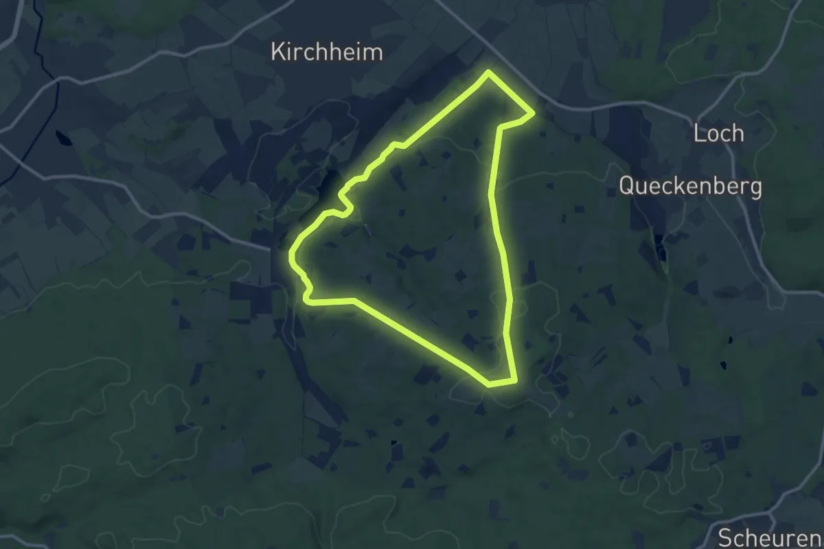
Medium · Summit
EifelSchleife Fuchshöhle
13.8 km · ↑ 245 m · 3 h 59 min
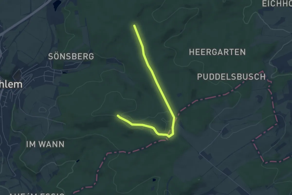
Medium · Trail
EifelSchleife Hahnenberg
9.9 km · ↑ 216 m · 2 h 56 min
Easy · Trail
EifelSchleife Heidenkopf
2.8 km · ↑ 8 m · 44 min
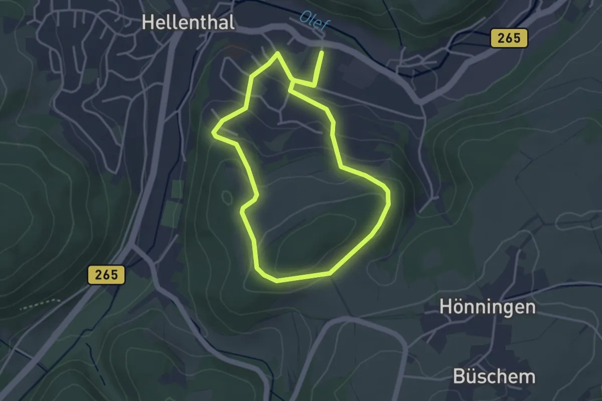
Easy · Trail
Eifelschleife Hellenthaler Panorama
3.0 km · ↑ 100 m · 58 min
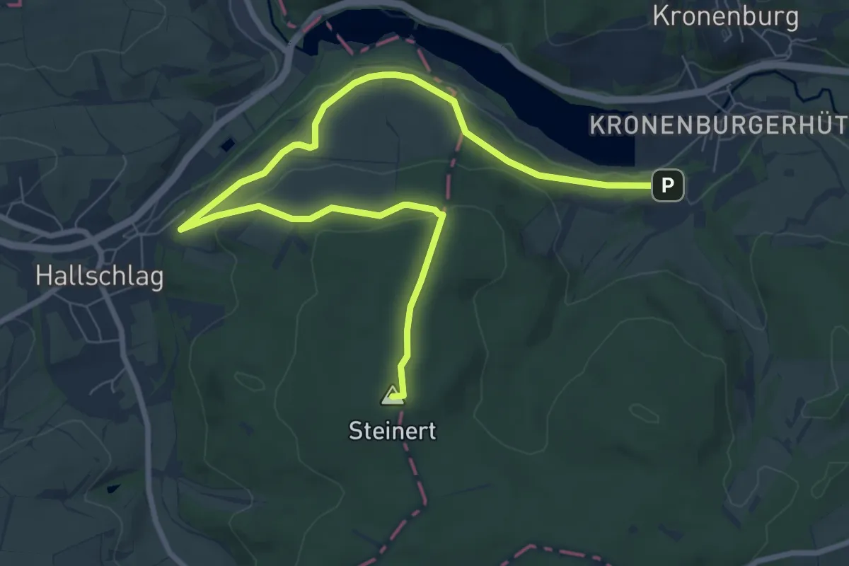
Medium · Summit
EifelSchleife Hoch auf den Steinert
9.6 km · ↑ 203 m · 2 h 42 min
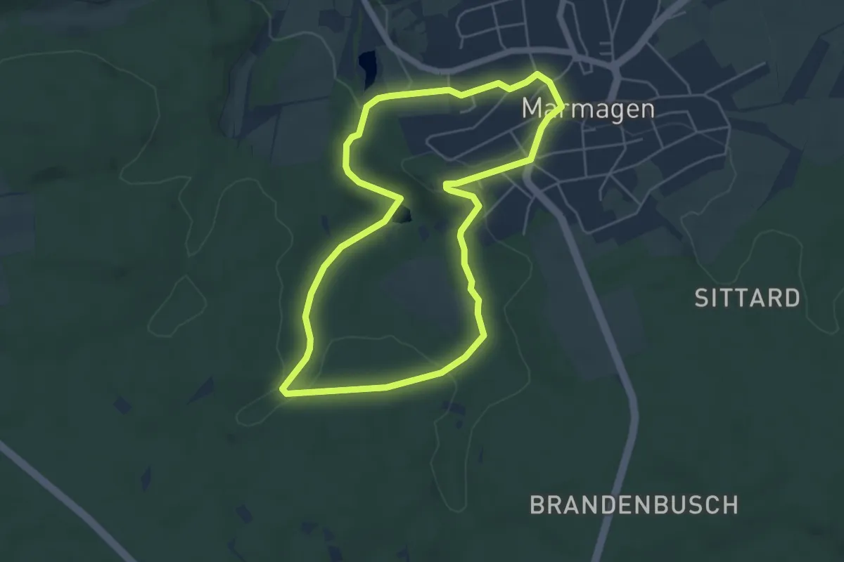
Easy · Trail
EifelSchleife Jägerpfad
4.5 km · ↑ 93 m · 1 h 20 min
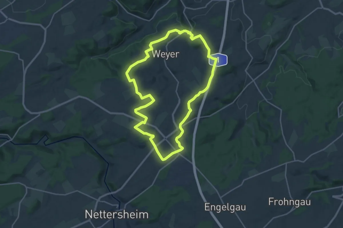
Medium · Trail
EifelSchleife Kakushöhle und Kartsteinhöhe
13.7 km · ↑ 233 m · 3 h 56 min
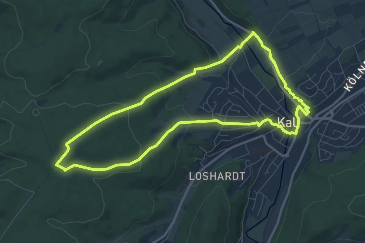
Easy · Trail
EifelSchleife Kaller Sagen
7.1 km · ↑ 187 m · 2 h 11 min
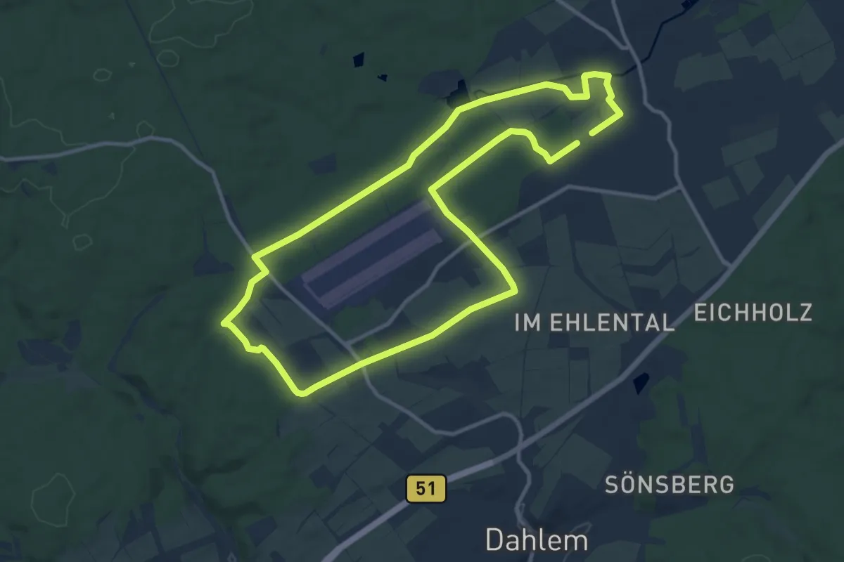
Medium · Trail
EifelSchleife Kloster Maria Frieden
10.0 km · ↑ 86 m · 2 h 41 min
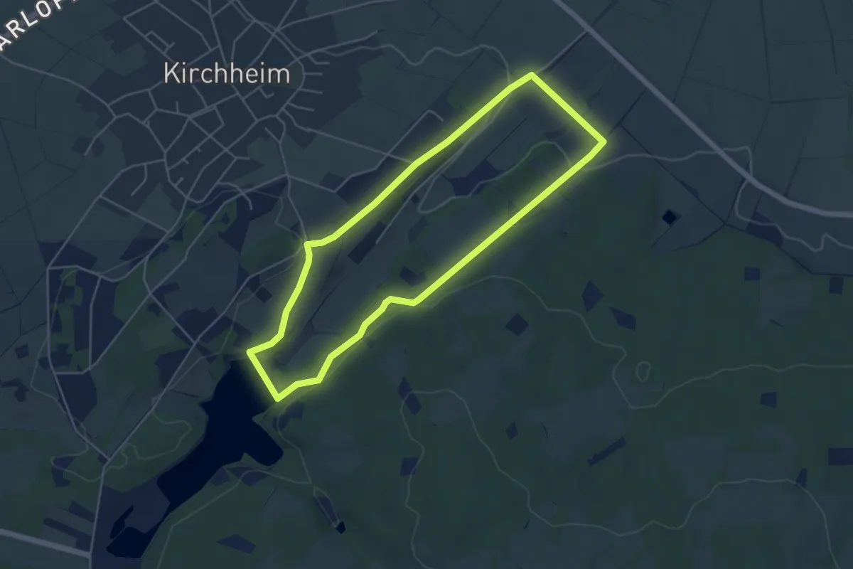
Easy · Trail
EifelSchleife Kloster Schweinheim
4.3 km · ↑ 91 m · 1 h 17 min
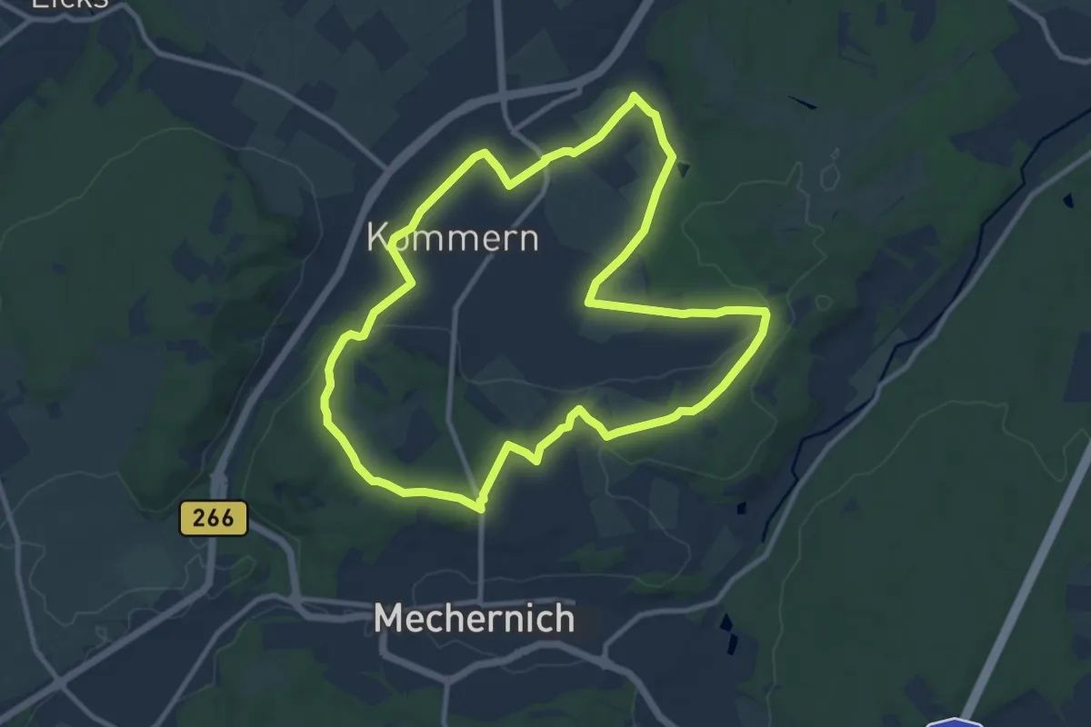
Medium · Trail
EifelSchleife Kommerner Fachwerkidylle
9.6 km · ↑ 132 m · 2 h 41 min