Trails in Germany
36,847 hiking trails, each with its route, climb, walking time and grade.
All trails, page 127 of 768
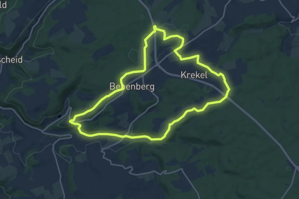
Medium · Trail
EifelSchleife Krekeler Höhe
10.4 km · ↑ 166 m · 2 h 58 min
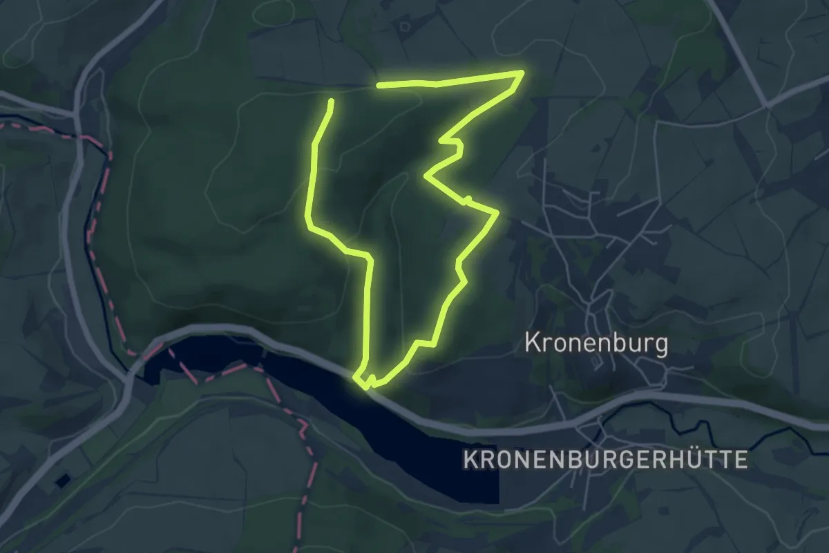
Medium · Trail
EifelSchleife Kronenburger Himmelsglück
8.3 km · ↑ 270 m · 2 h 32 min
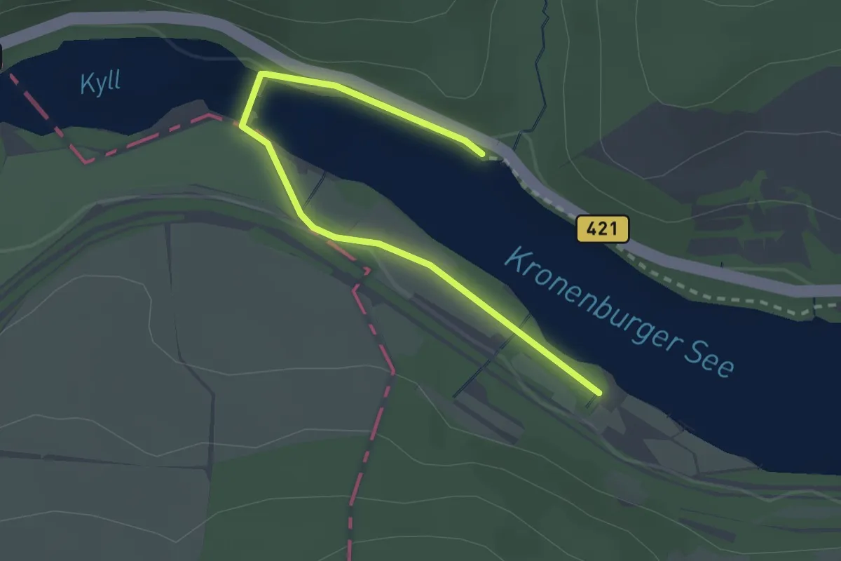
Easy · Trail
EifelSchleife Kronenburger See
2.4 km · ↑ 28 m · 38 min
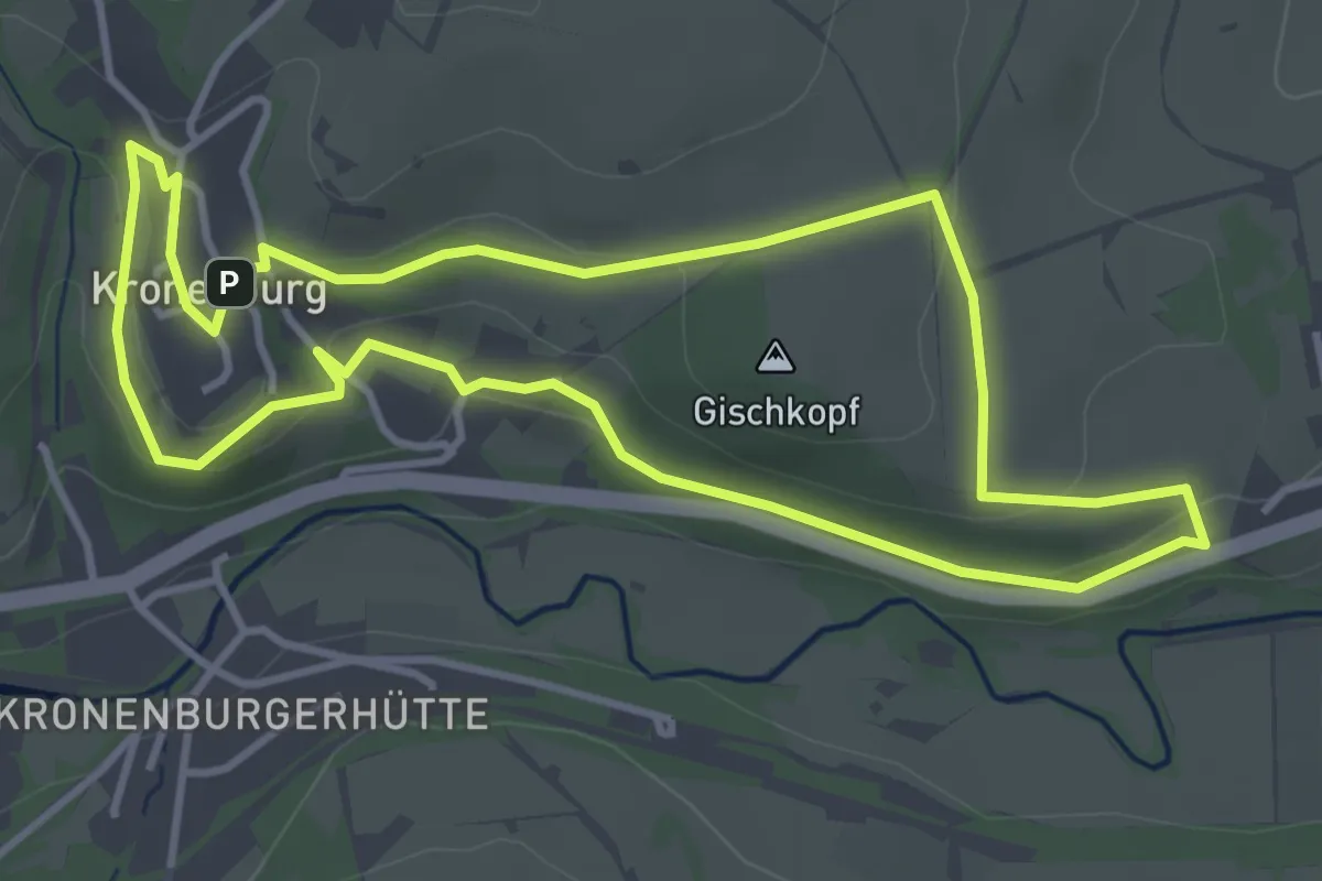
Easy · Summit
EifelSchleife Kronenburger Tälertour
3.7 km · ↑ 90 m · 1 h 7 min
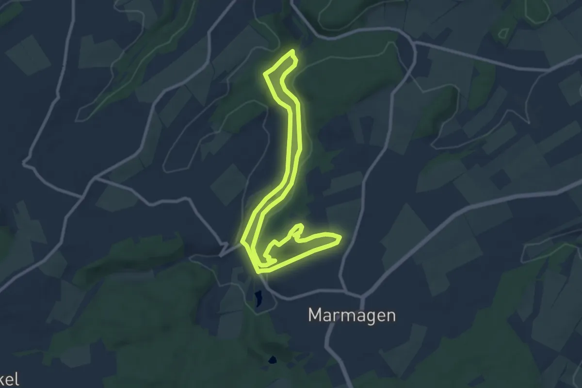
Easy · Summit
EifelSchleife Küchenschellen
6.8 km · ↑ 104 m · 1 h 56 min
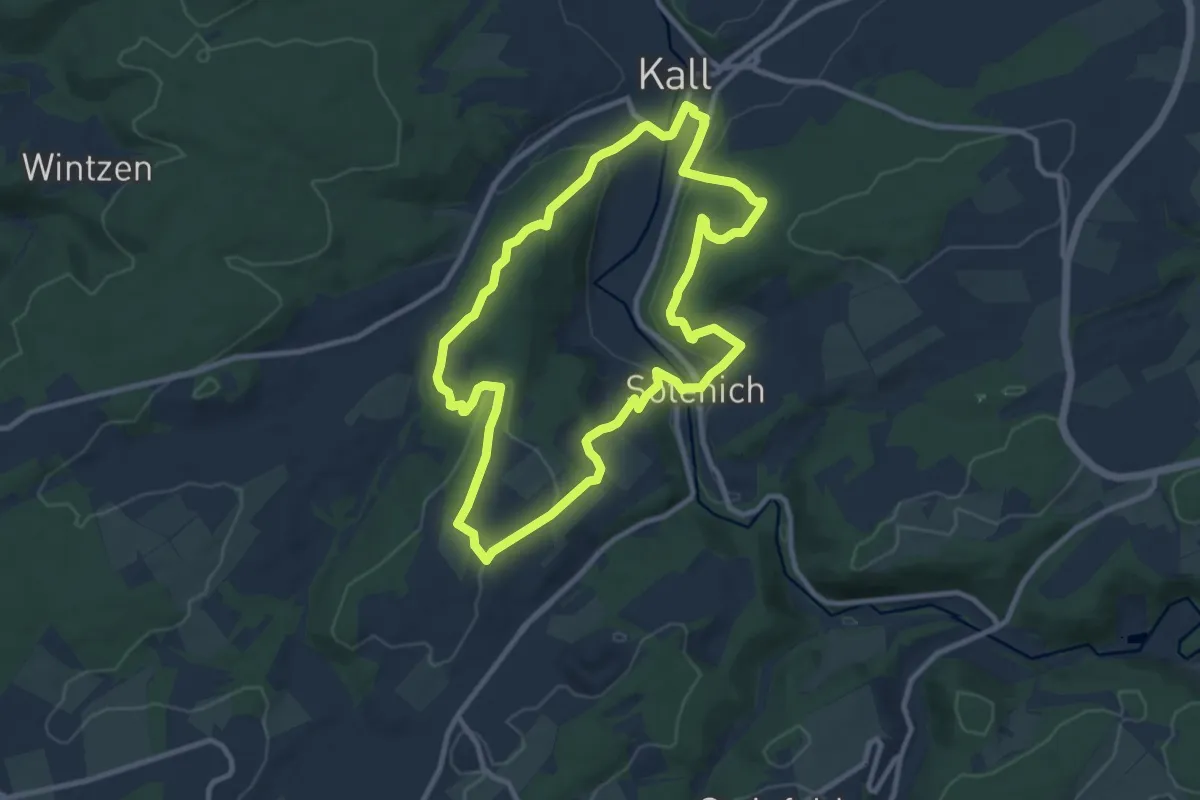
Medium · Summit
EifelSchleife Kuttenbachtal
9.0 km · ↑ 280 m · 2 h 50 min
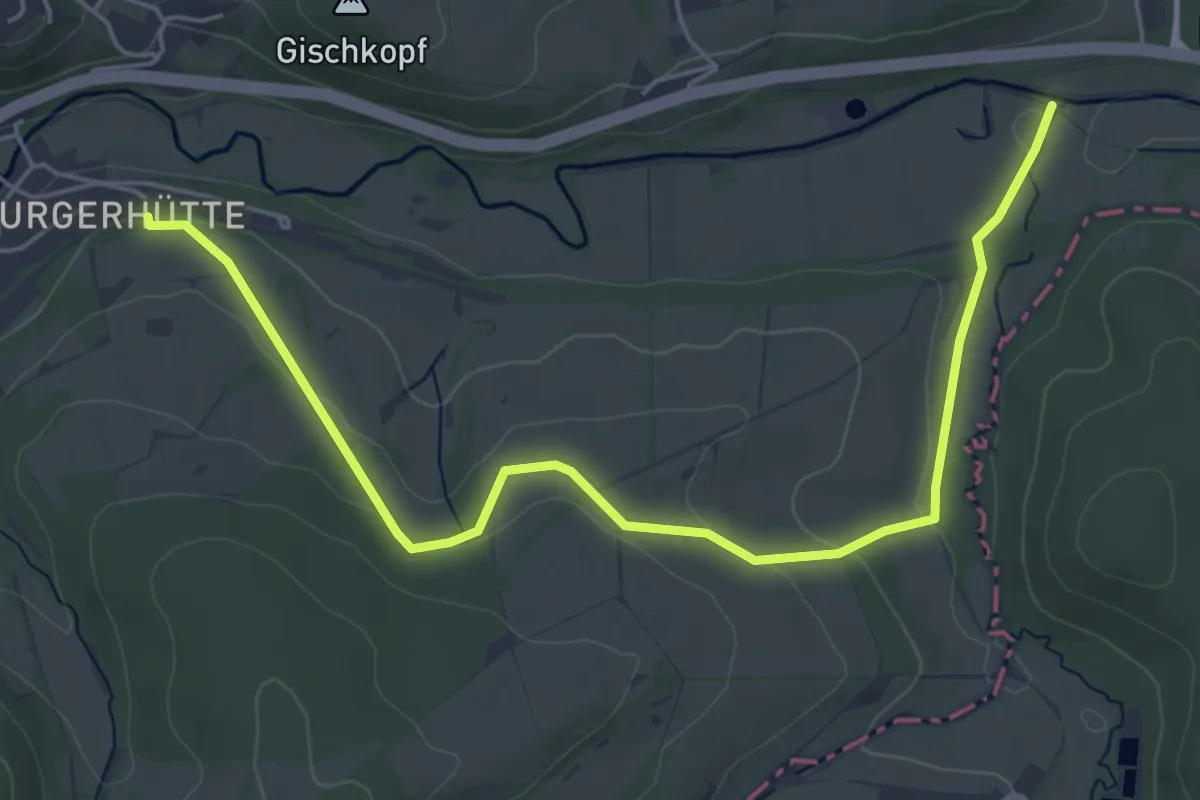
Easy · Trail
EifelSchleife Kylltal
5.7 km · ↑ 120 m · 1 h 36 min
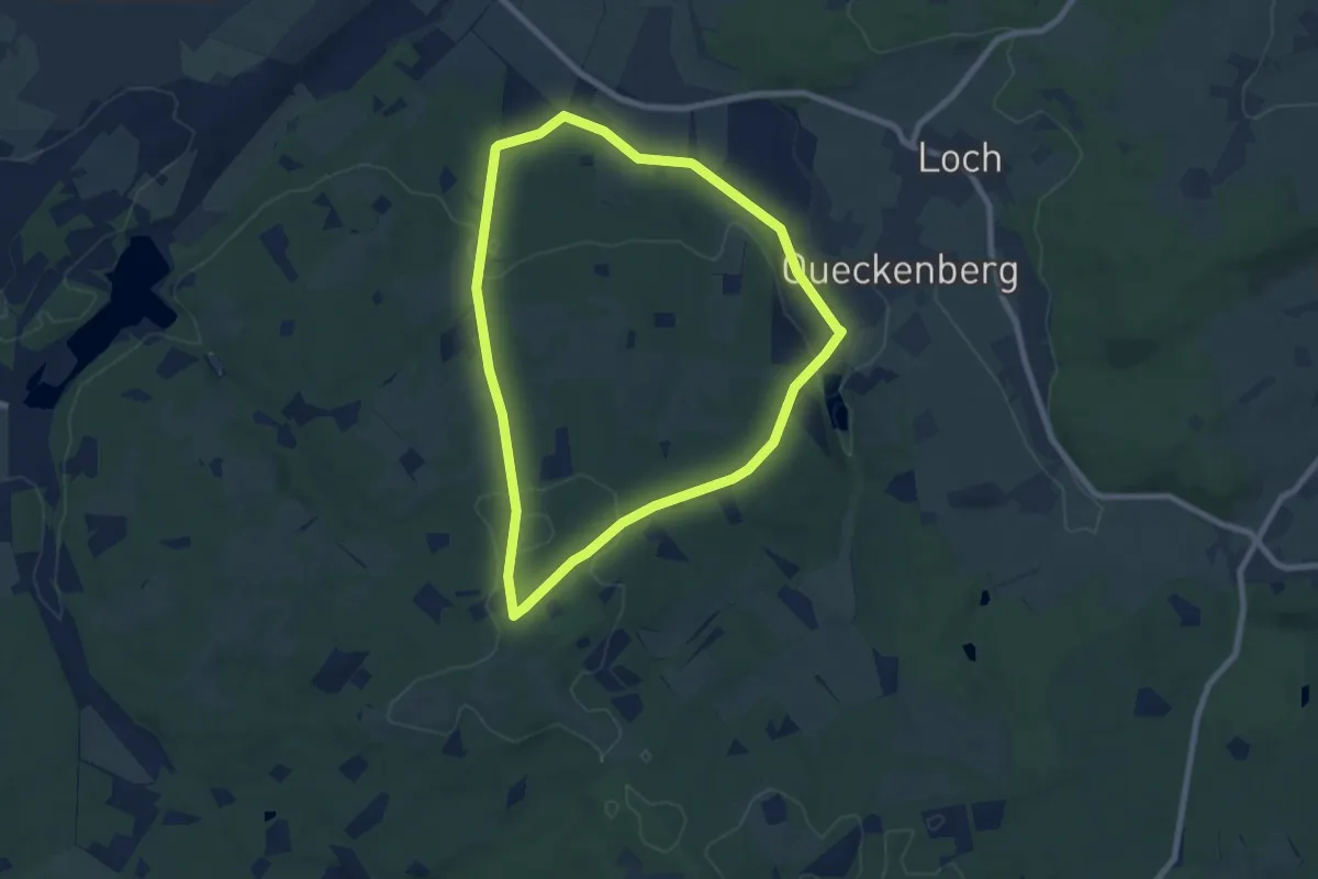
Easy · Trail
EifelSchleife Madbachtalsperre
6.8 km · ↑ 157 m · 2 h 3 min
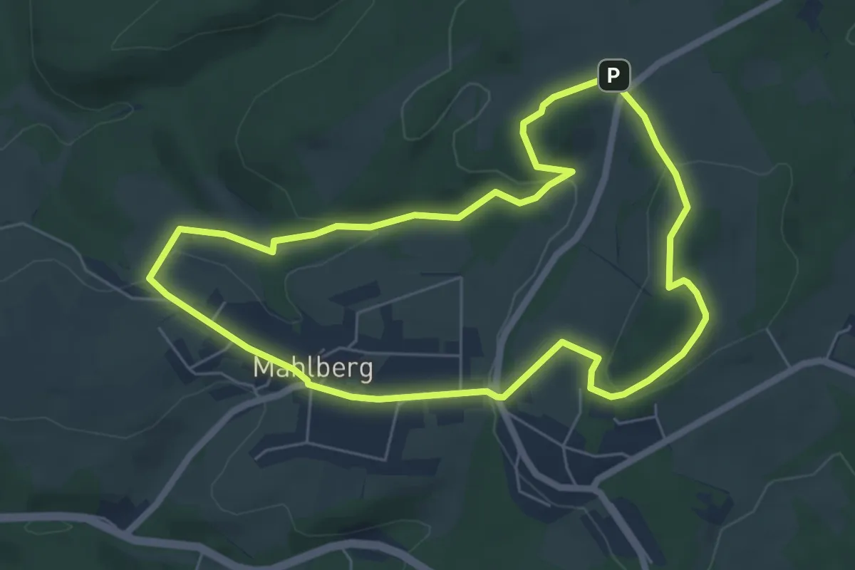
Easy · Summit
EifelSchleife Michelsberg
5.3 km · ↑ 133 m · 1 h 37 min
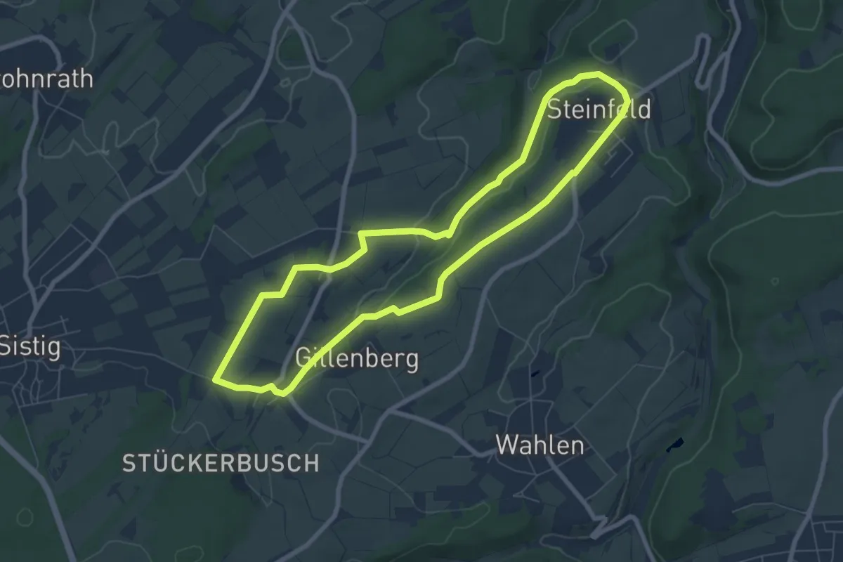
Easy · Trail
EifelSchleife Milchweg
6.5 km · ↑ 89 m · 1 h 49 min
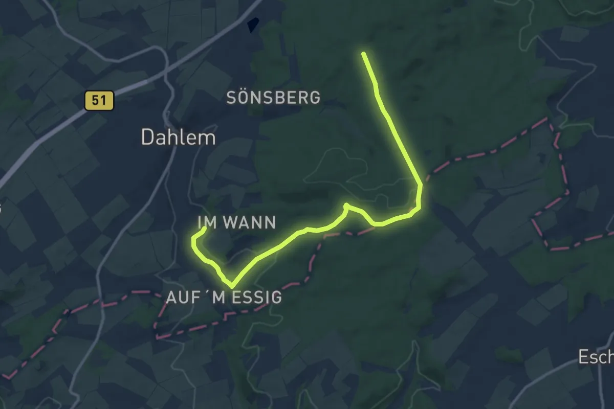
Easy · Trail
EifelSchleife Moorpfad
5.3 km · ↑ 126 m · 1 h 33 min
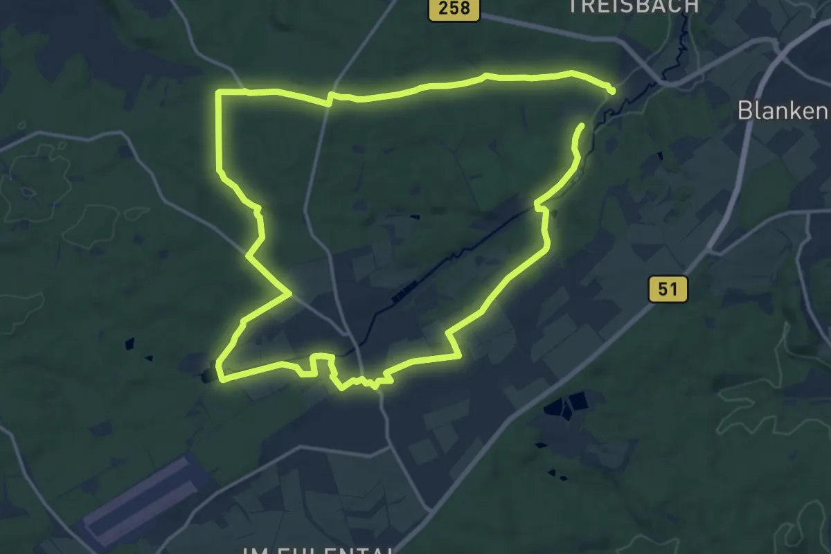
Demanding · Trail
EifelSchleife Motte
27.1 km · ↑ 335 m · 7 h 7 min
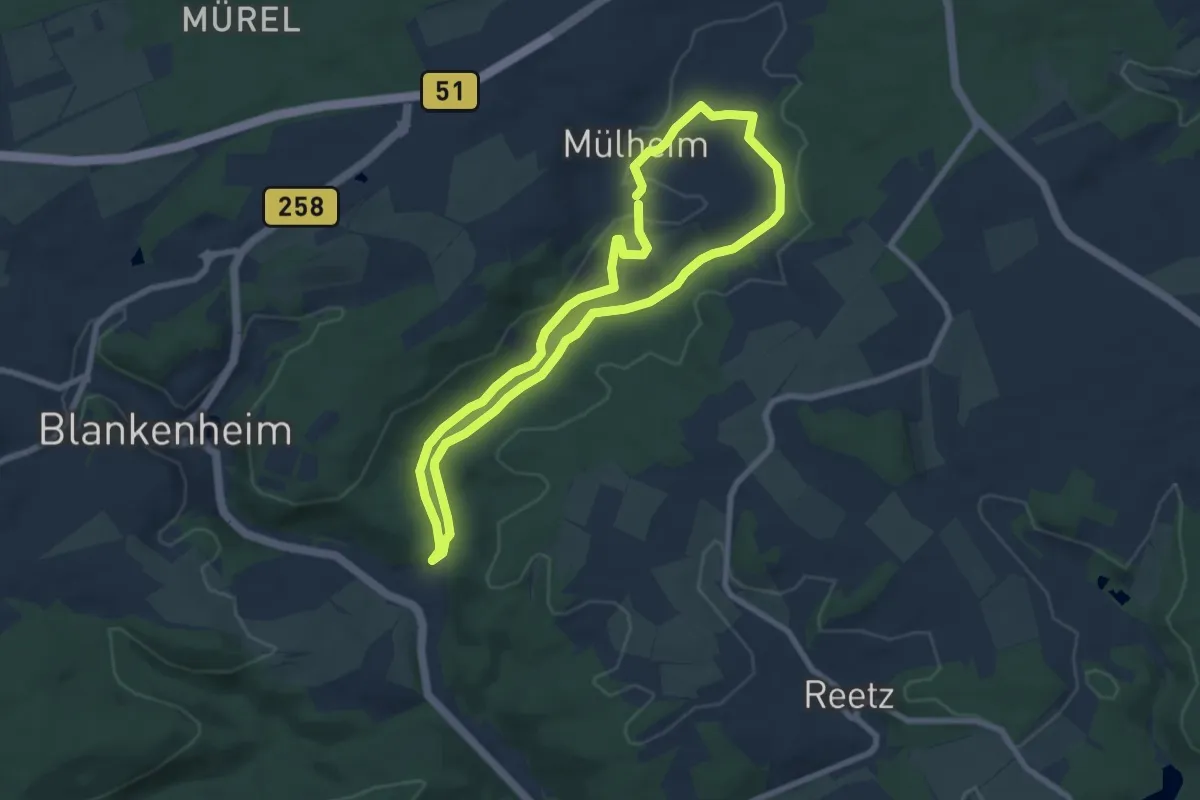
Easy · Trail
EifelSchleife Mülheimer Naturbachtal
6.6 km · ↑ 101 m · 1 h 52 min
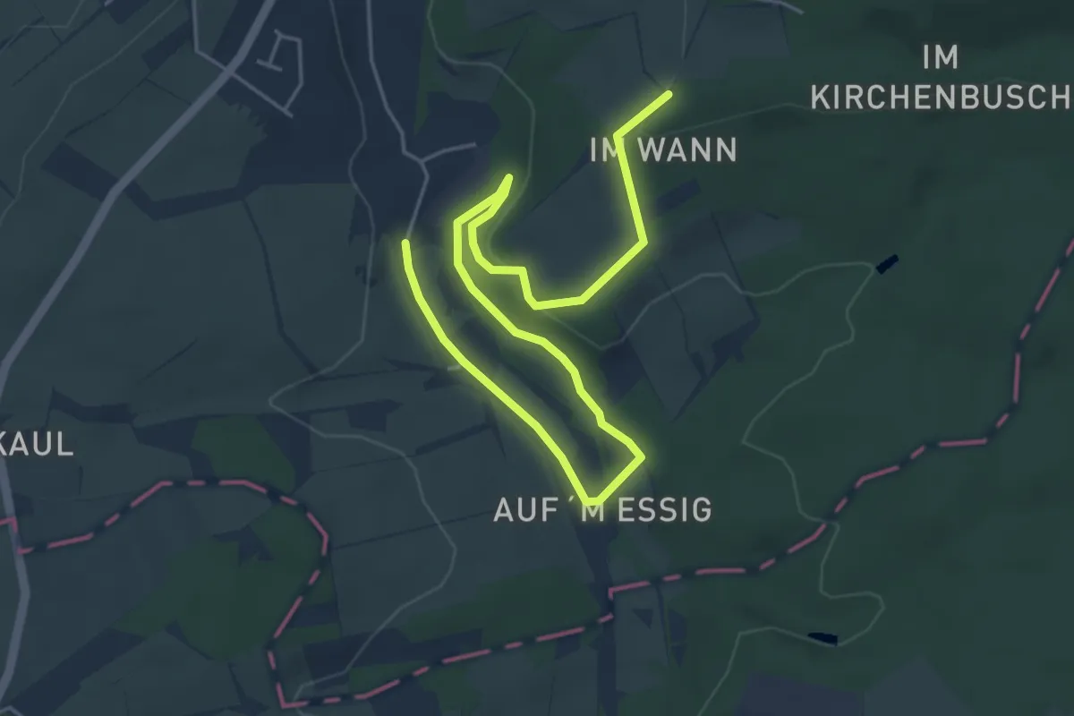
Easy · Trail
EifelSchleife Naturwanderpfad
2.9 km · ↑ 34 m · 50 min
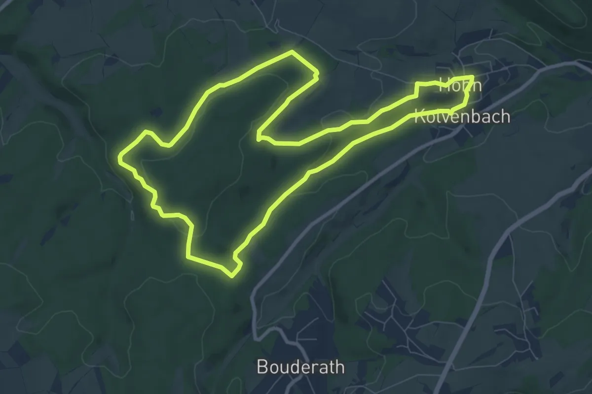
Medium · Trail
EifelSchleife Pfaffenbusch und Gotteswald
8.0 km · ↑ 154 m · 2 h 21 min
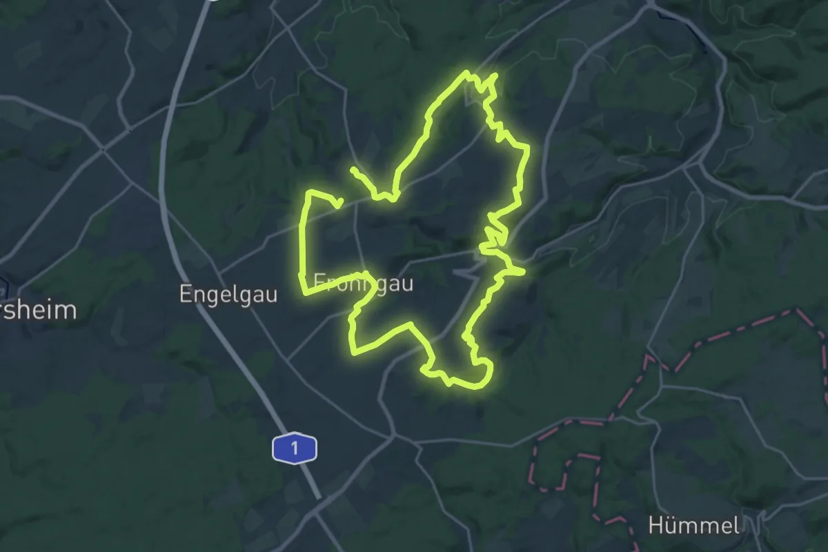
Demanding · Trail
EifelSchleife Quelle der Erft
19.7 km · ↑ 371 m · 5 h 43 min
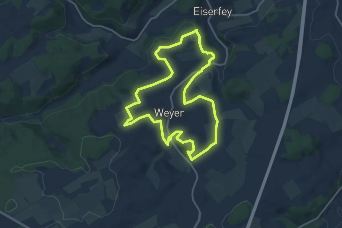
Easy · Trail
EifelSchleife Rund um die Kakushöhle
7.5 km · ↑ 141 m · 2 h 11 min
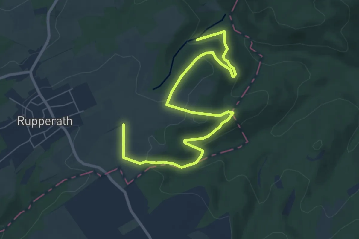
Easy · Trail
EifelSchleife Rund um Rupperath
3.7 km · ↑ 92 m · 1 h 9 min
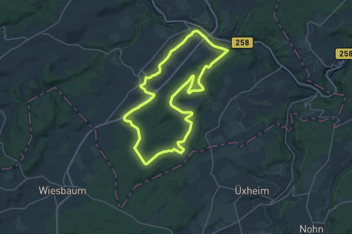
Medium · Trail
EifelSchleife Stille im Buchenwald
16.0 km · ↑ 300 m · 4 h 39 min
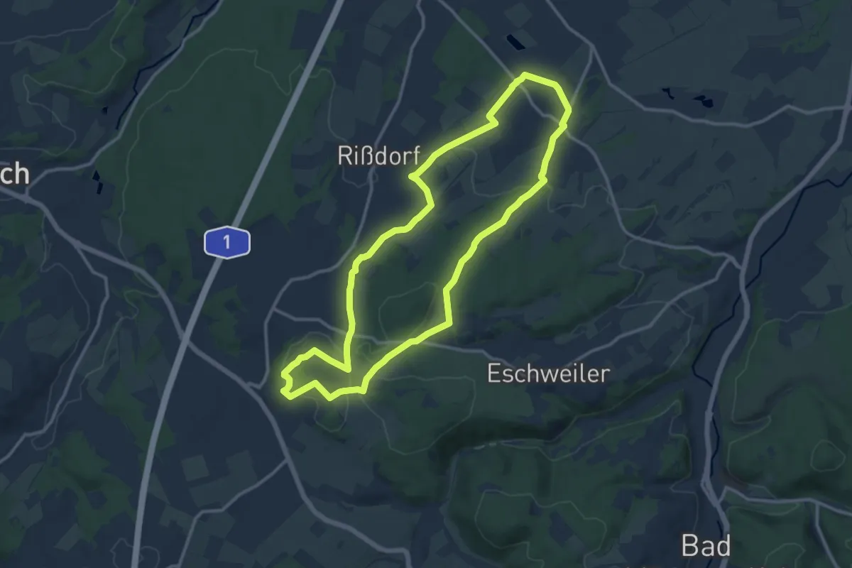
Medium · Trail
EifelSchleife Stockertblick und Herkelstein
10.9 km · ↑ 186 m · 3 h 7 min
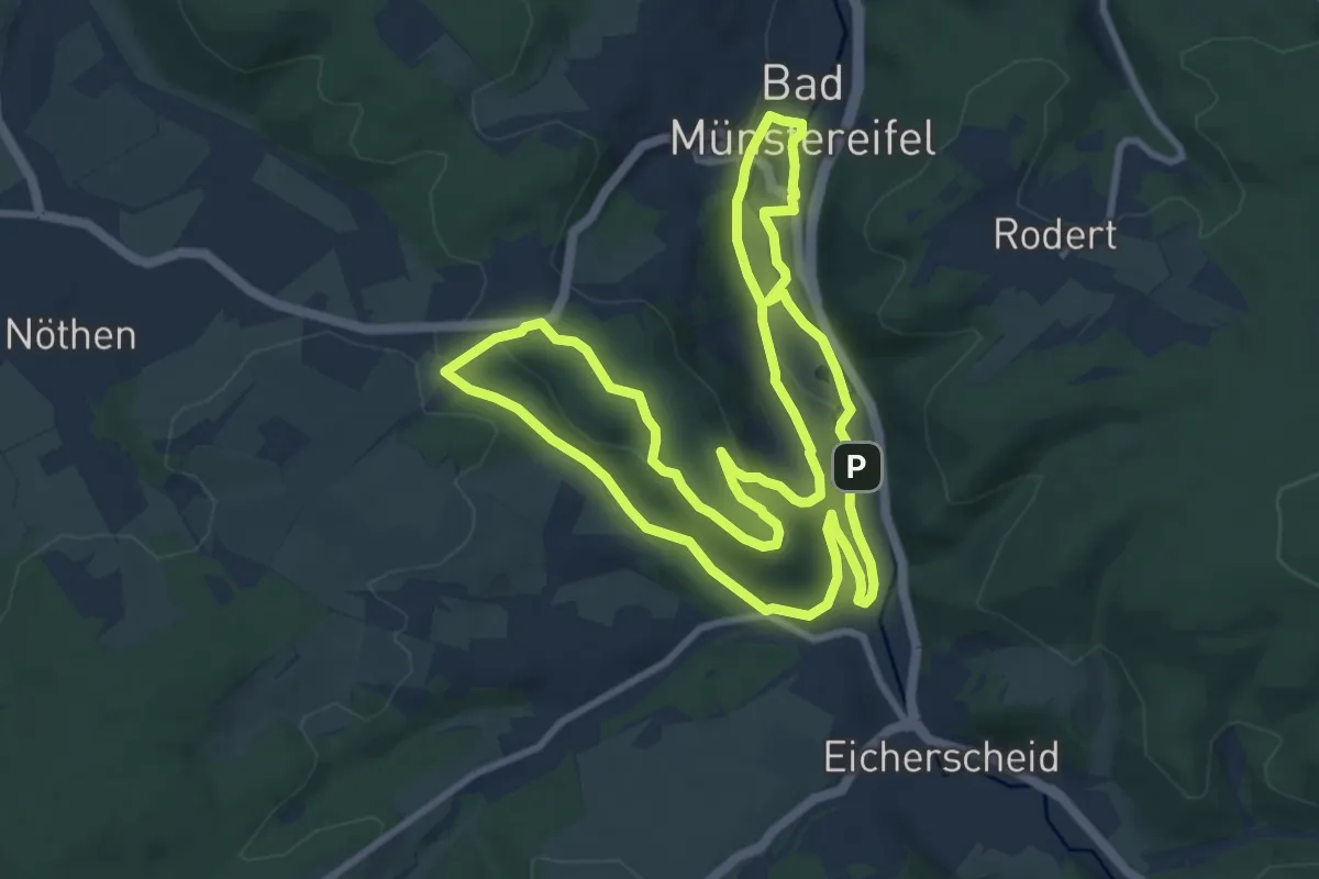
Medium · Trail
EifelSchleife Tönnesbusch
9.2 km · ↑ 188 m · 2 h 43 min
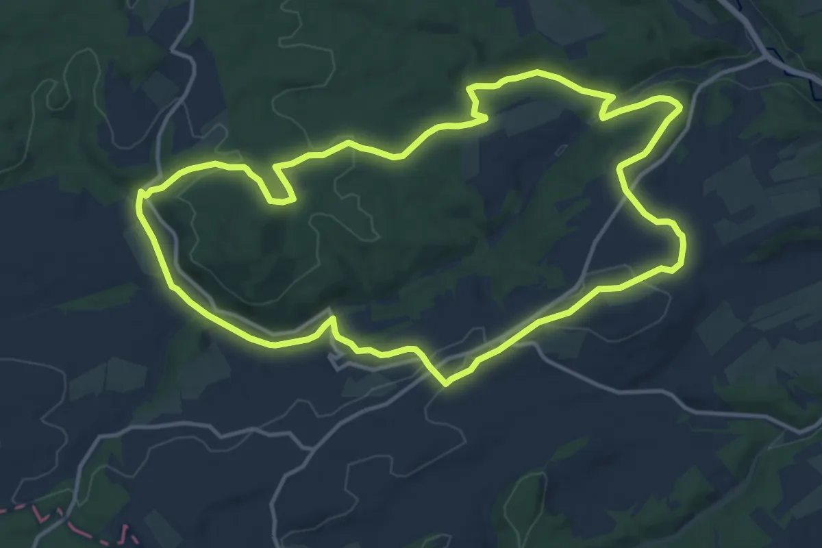
Medium · Trail
EifelSchleife Über den Brotpfad
12.1 km · ↑ 215 m · 3 h 30 min
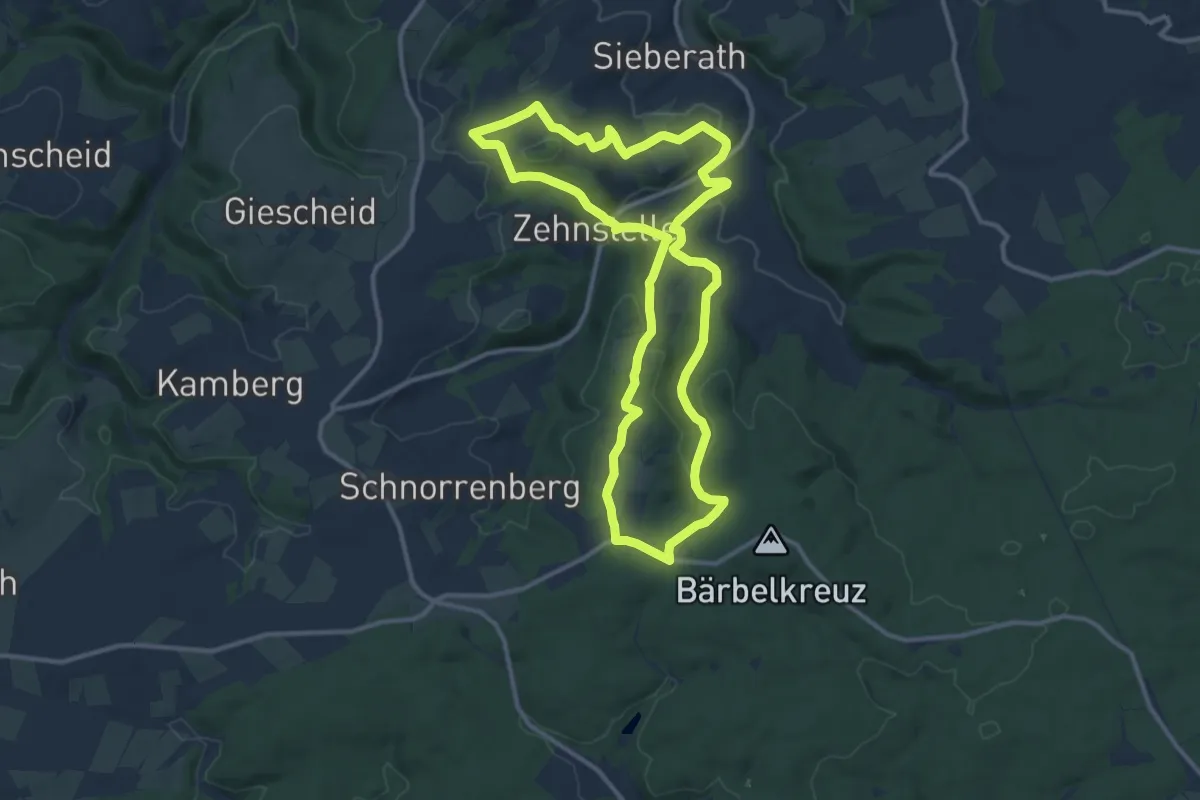
Medium · Trail
Eifelschleife Über Wolferter Höhen
11.1 km · ↑ 273 m · 3 h 22 min
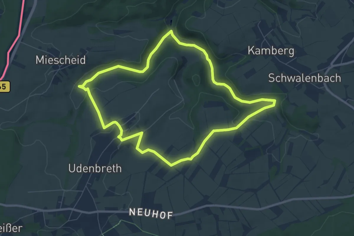
Easy · Trail
Eifelschleife Udenbrether Höckerlinie
6.8 km · ↑ 113 m · 1 h 57 min
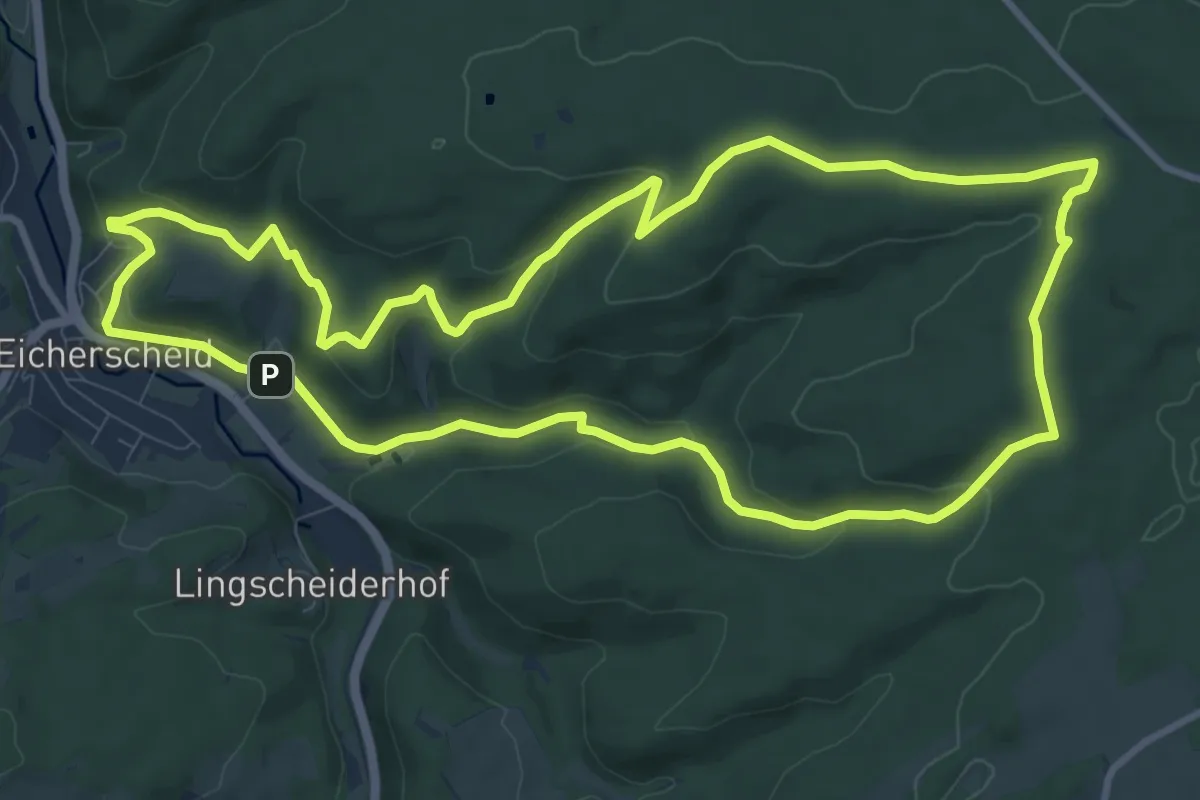
Medium · Summit
EifelSchleife Um den Langen Kopf
10.3 km · ↑ 310 m · 3 h 14 min
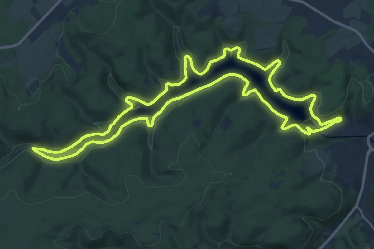
Medium · Trail
EifelSchleife Um die Oleftalsperre
13.9 km · ↑ 246 m · 4 h 1 min
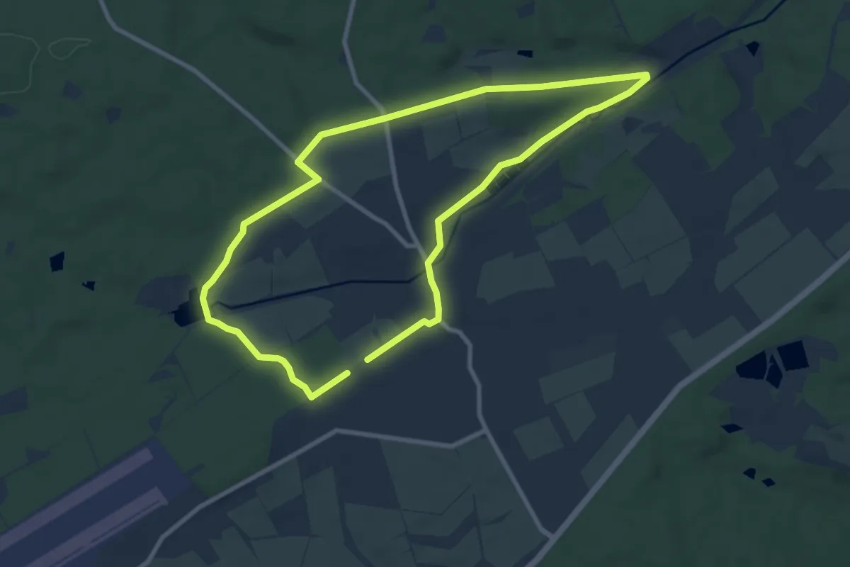
Easy · Trail
EifelSchleife Urftweiher
7.2 km · ↑ 69 m · 1 h 57 min
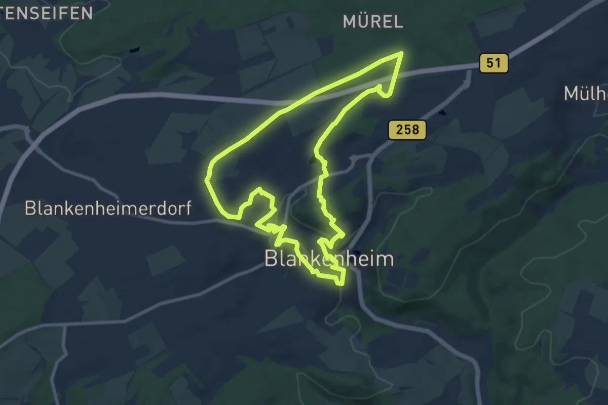
Easy · Trail
EifelSchleife Ursprünge Blankenheims
7.7 km · ↑ 152 m · 2 h 15 min
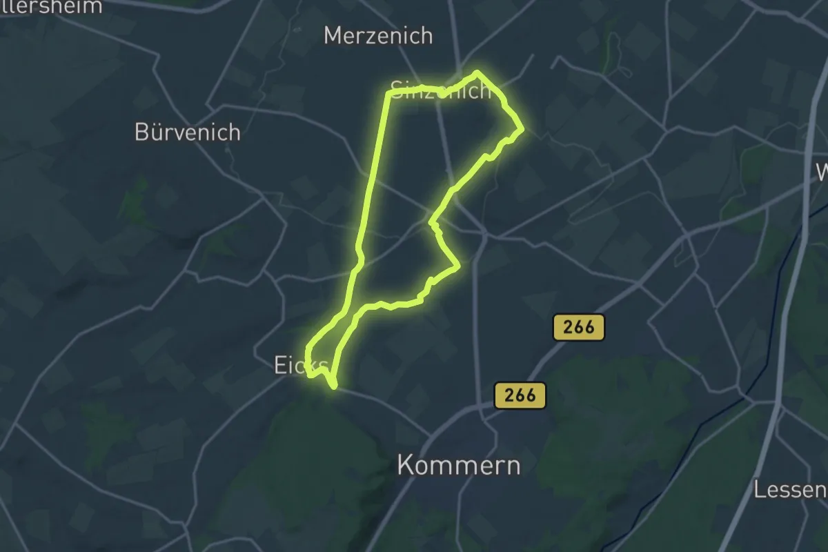
Medium · Trail
EifelSchleife Via Agrippa
13.2 km · ↑ 121 m · 3 h 34 min
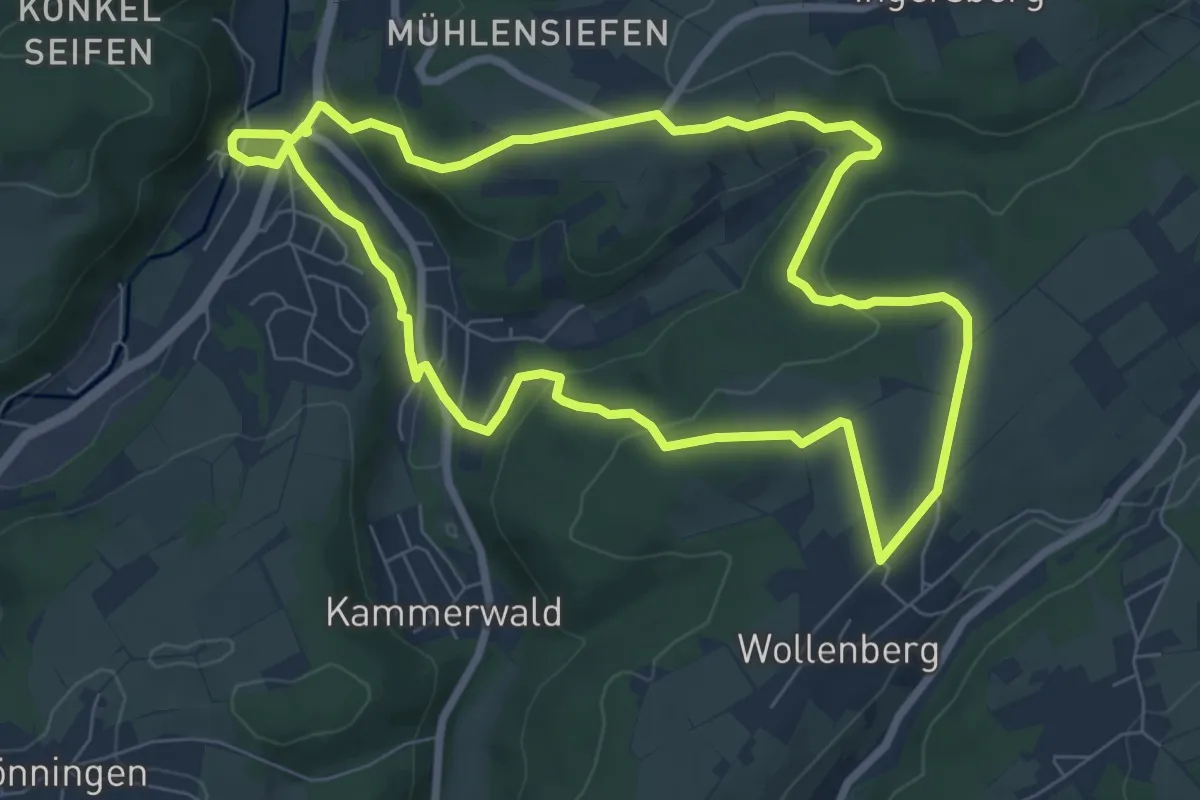
Easy · Trail
EifelSchleife Vom Ferkelsberg zum Kuhberg
7.0 km · ↑ 186 m · 2 h 9 min
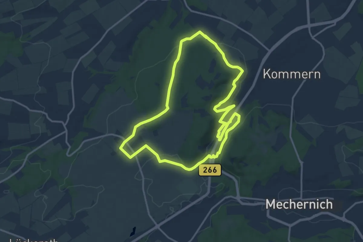
Medium · Trail
EifelSchleife Vom Mühlensee zum Eifelblick
9.5 km · ↑ 180 m · 2 h 46 min
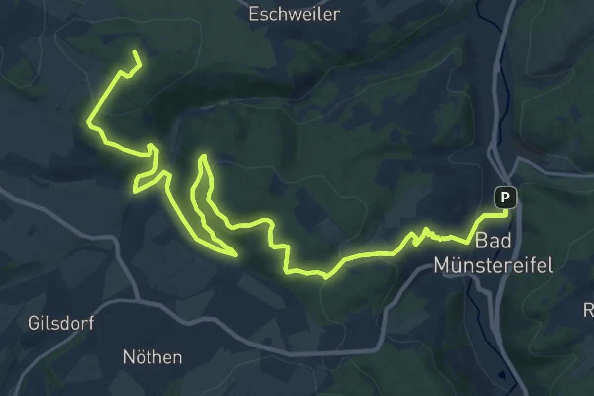
Medium · Summit
EifelSchleife Von Sternen und Römern
16.8 km · ↑ 432 m · 4 h 54 min
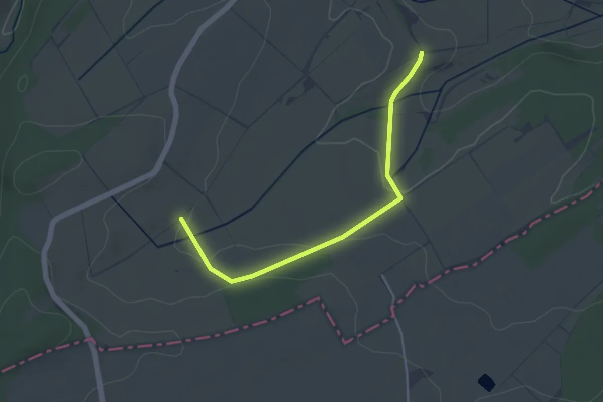
Easy · Trail
EifelSchleife Vun drinne noh drusse
3.2 km · ↑ 51 m · 52 min
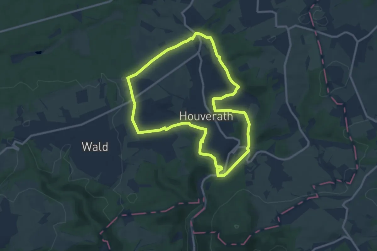
Easy · Trail
EifelSchleife Wääsch jangs
6.9 km · ↑ 99 m · 1 h 57 min
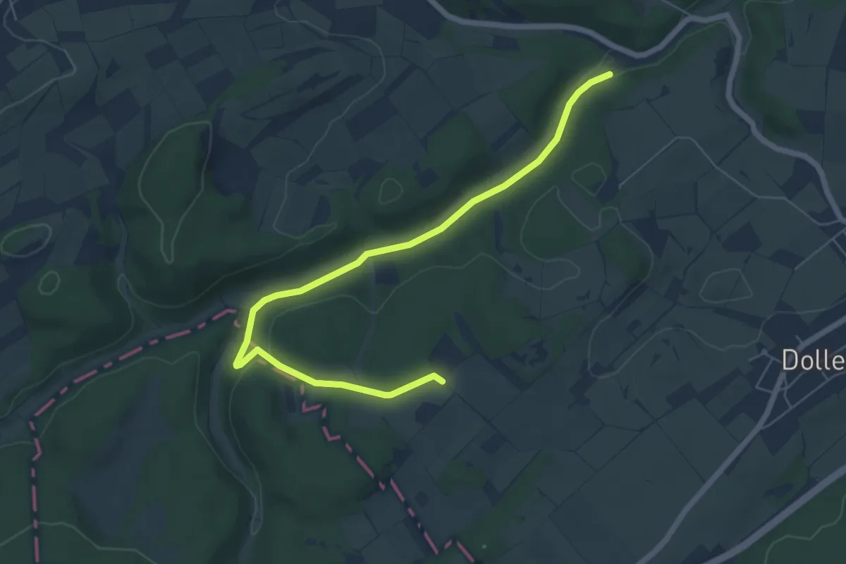
Easy · Trail
EifelSchleife Wacholderheide
3.1 km · ↑ 14 m · 51 min
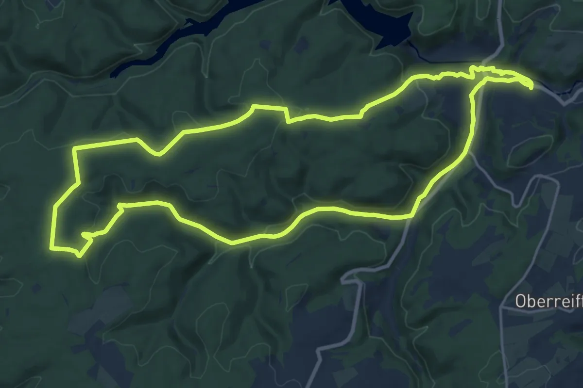
Medium · Trail
EifelSchleife Waldkapelle
15.5 km · ↑ 273 m · 4 h 28 min
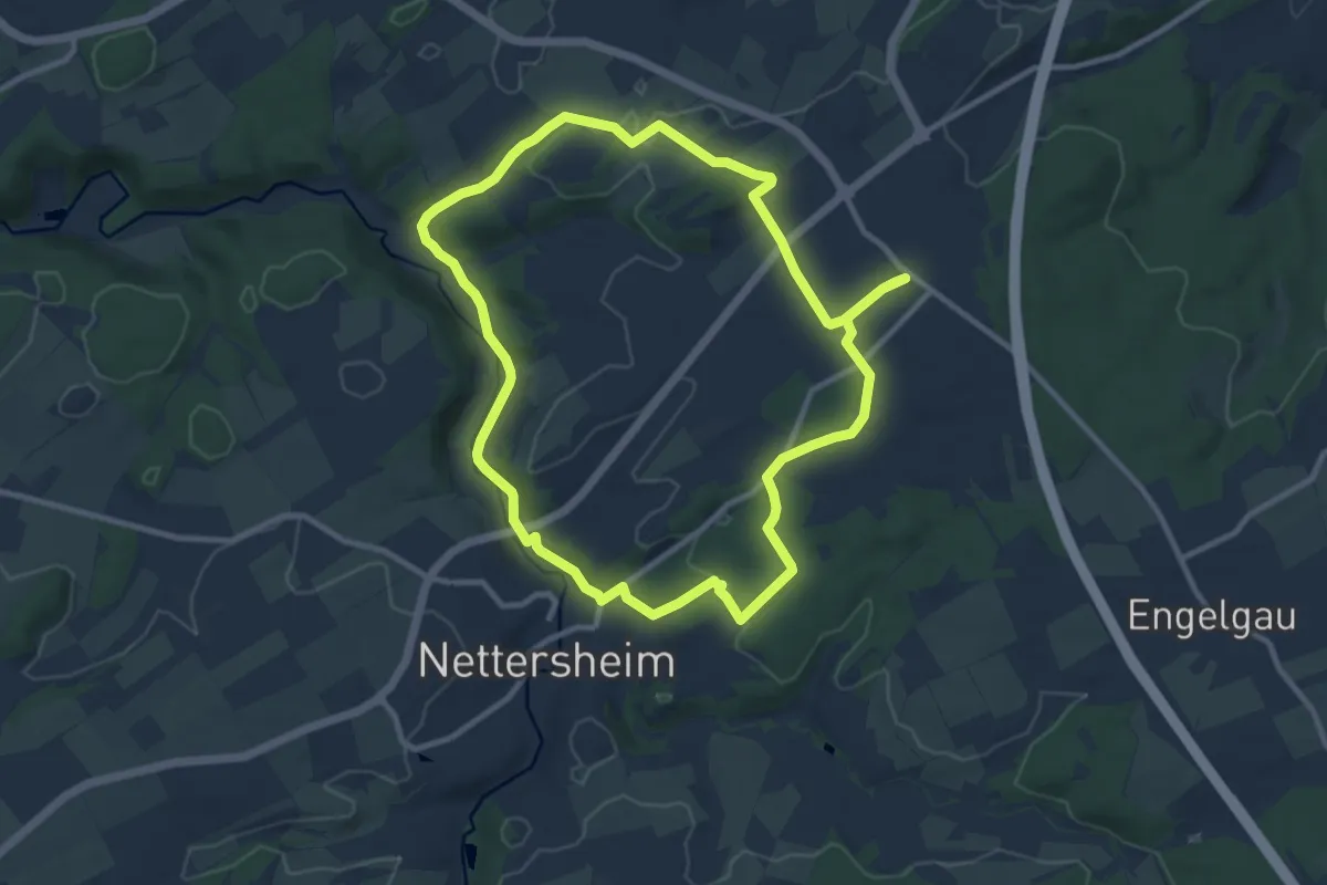
Medium · Trail
EifelSchleife Wald, Wasser, Wiesen, Weiten
9.6 km · ↑ 166 m · 2 h 45 min
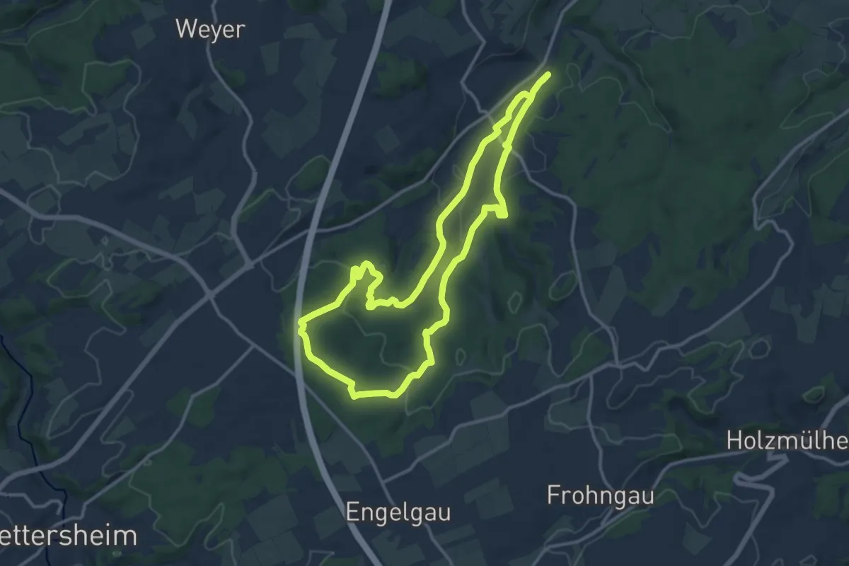
Medium · Trail
EifelSchleife Wespelquelle und Heidentempel
10.8 km · ↑ 214 m · 3 h 11 min
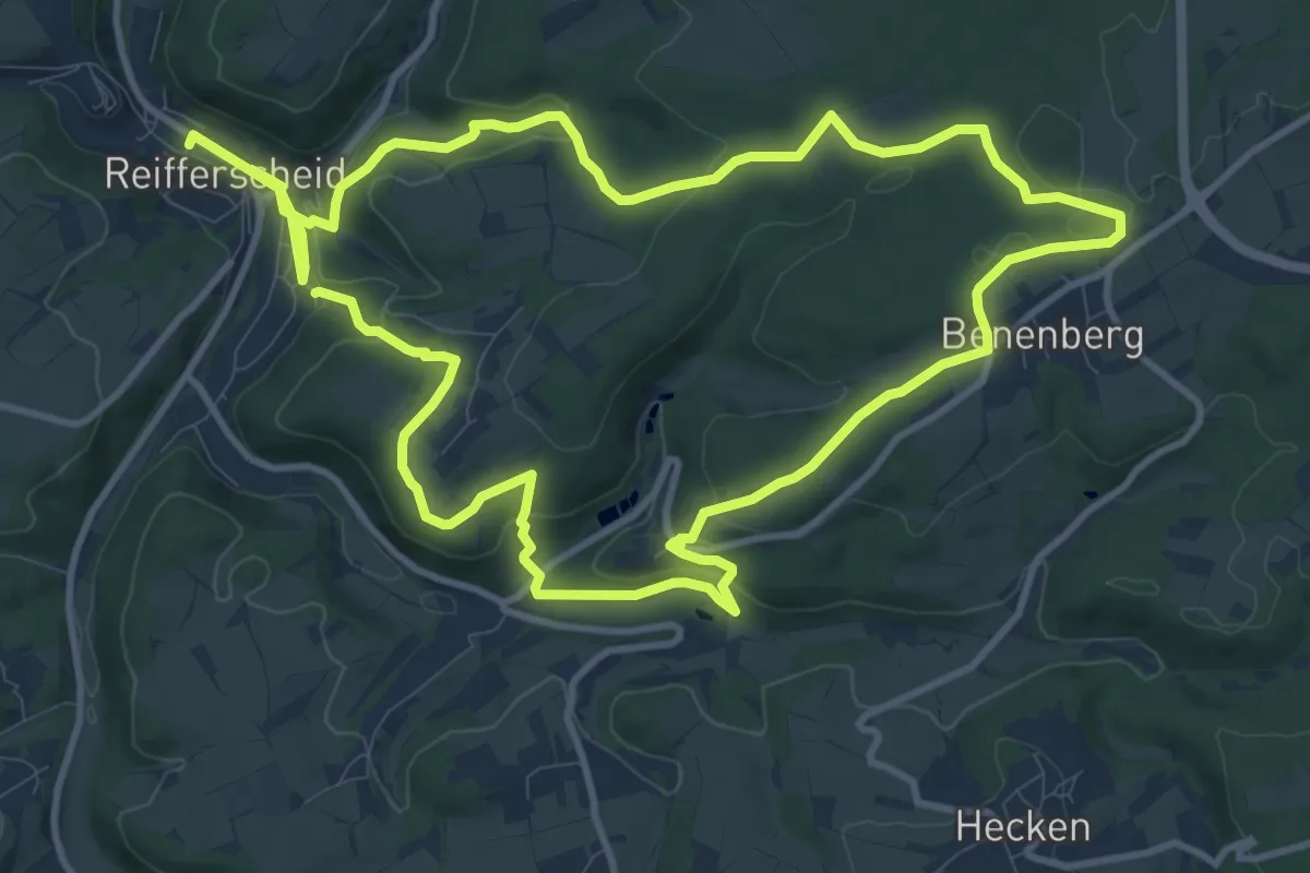
Demanding · Trail
EifelSchleife Wildenburgsteig
21.8 km · ↑ 531 m · 6 h 18 min
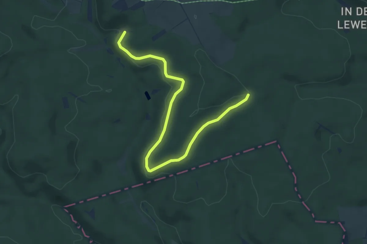
Easy · Trail
EifelSchleife Wilder Buchenwald
6.2 km · ↑ 98 m · 1 h 41 min
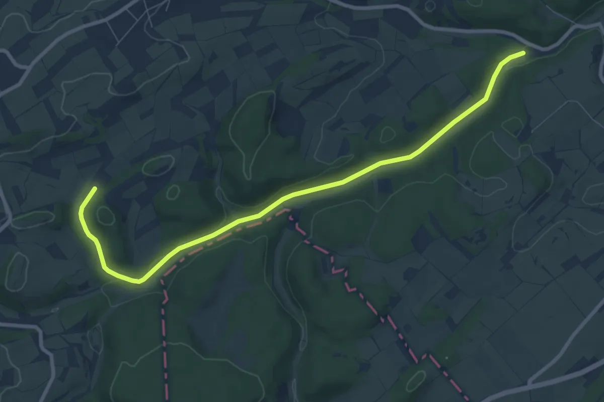
Easy · Trail
Eifelschleife Wo Bäche verschwinden
4.0 km · ↑ 8 m · 1 h 3 min
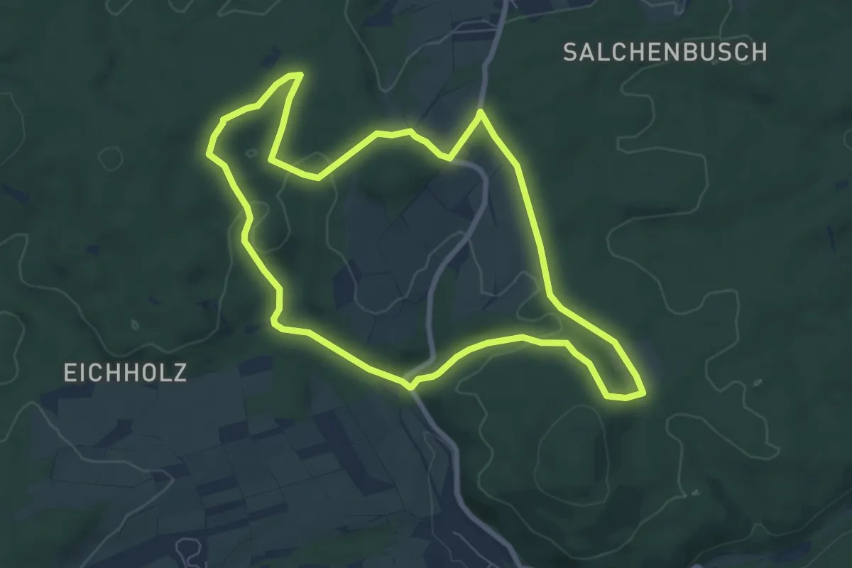
Easy · Trail
EifelSchleife Wo Wälder rauschen
6.6 km · ↑ 116 m · 1 h 54 min
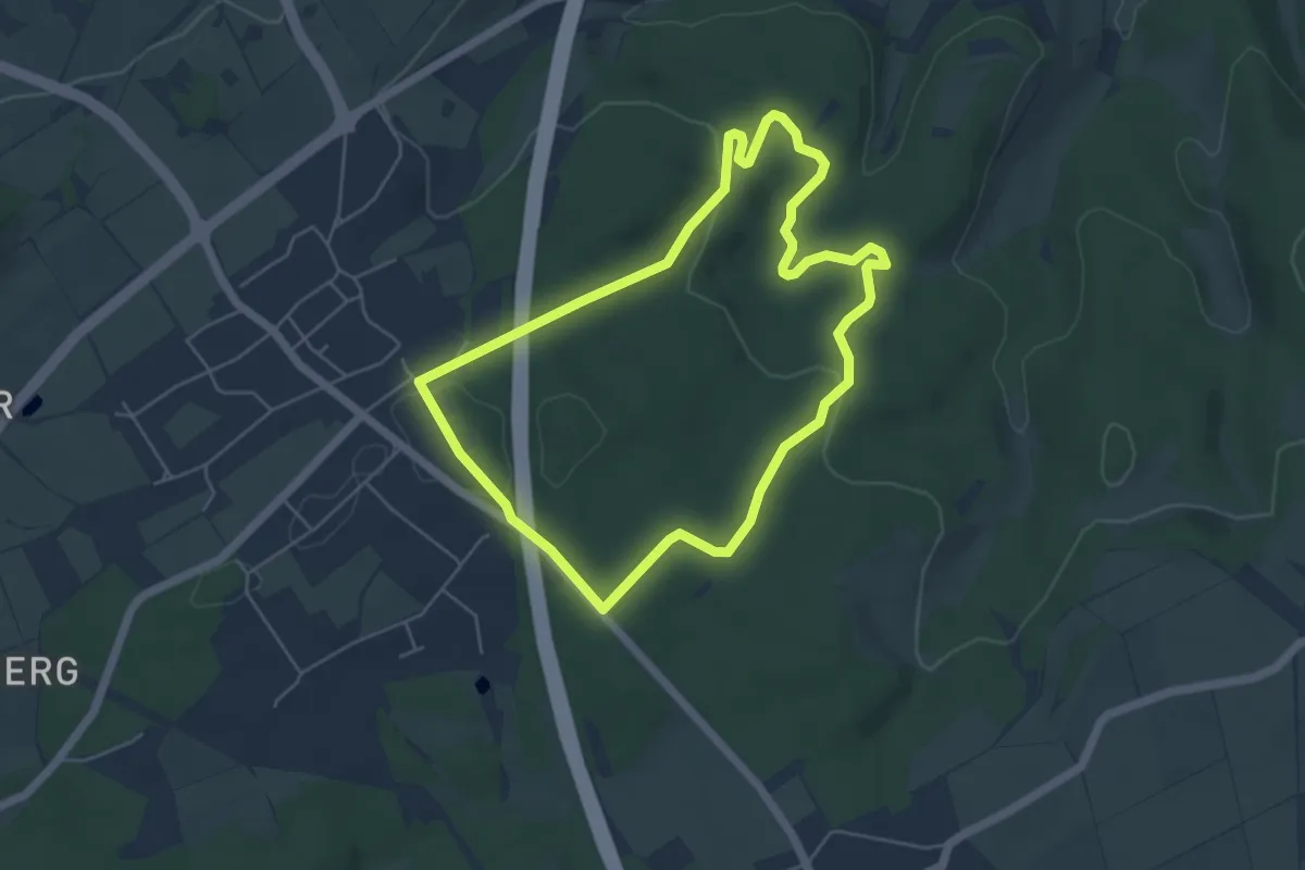
Easy · Trail
EifelSchleife Zingsheimer Schutzhüttenweg
4.7 km · ↑ 87 m · 1 h 21 min
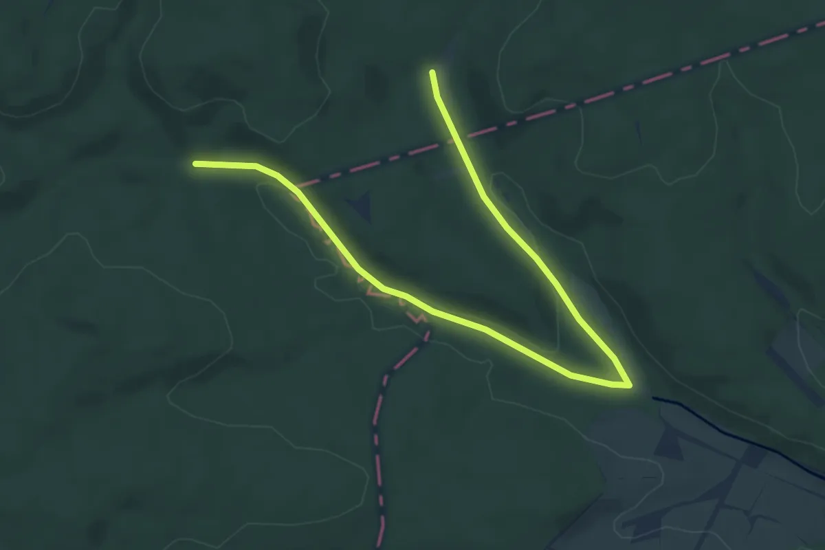
Easy · Trail
EifelSchleife Zittergras und wilde Orchideen
6.3 km · ↑ 57 m · 1 h 37 min
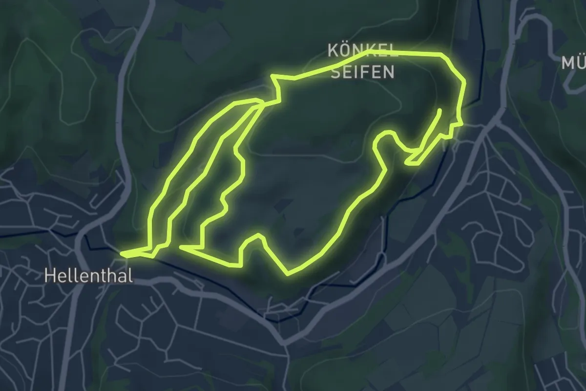
Easy · Trail
EifelSchleife Zu den Denkmälern
7.1 km · ↑ 290 m · 2 h 25 min
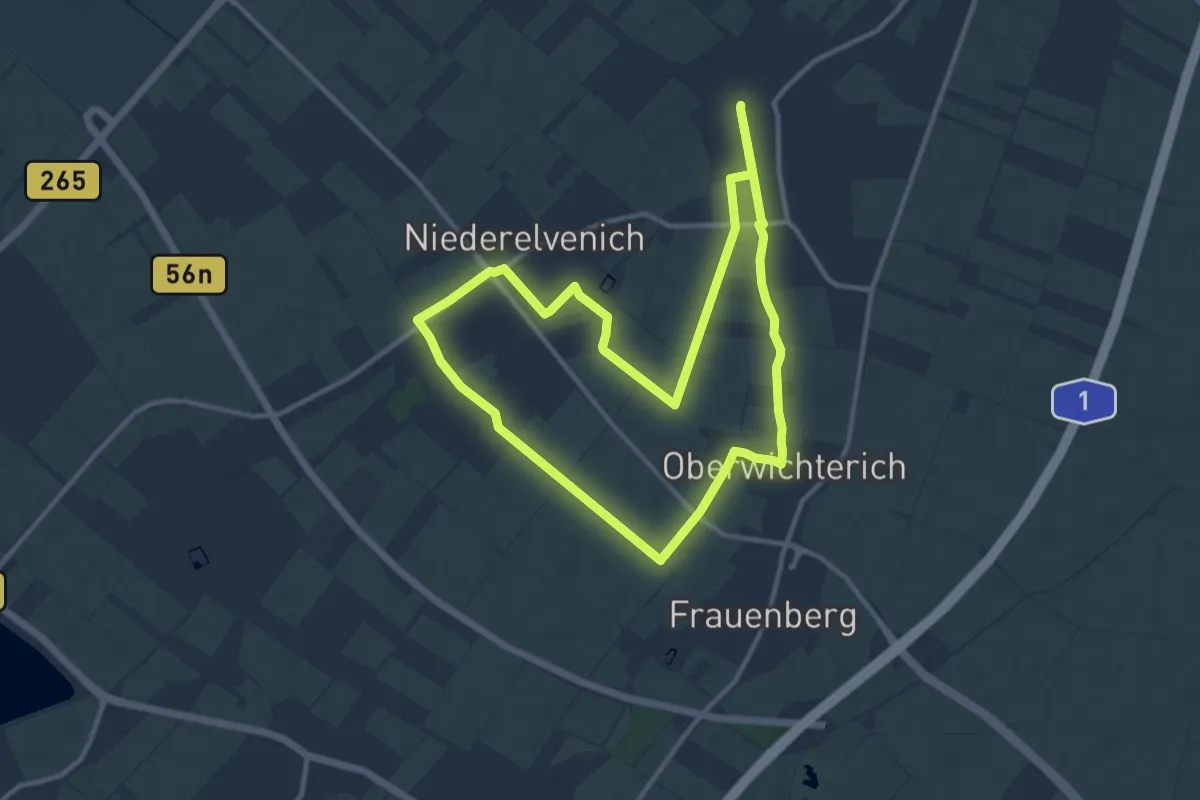
Medium · Trail
EifelSchleife Zum Bleibach
10.5 km · ↑ 25 m · 2 h 41 min
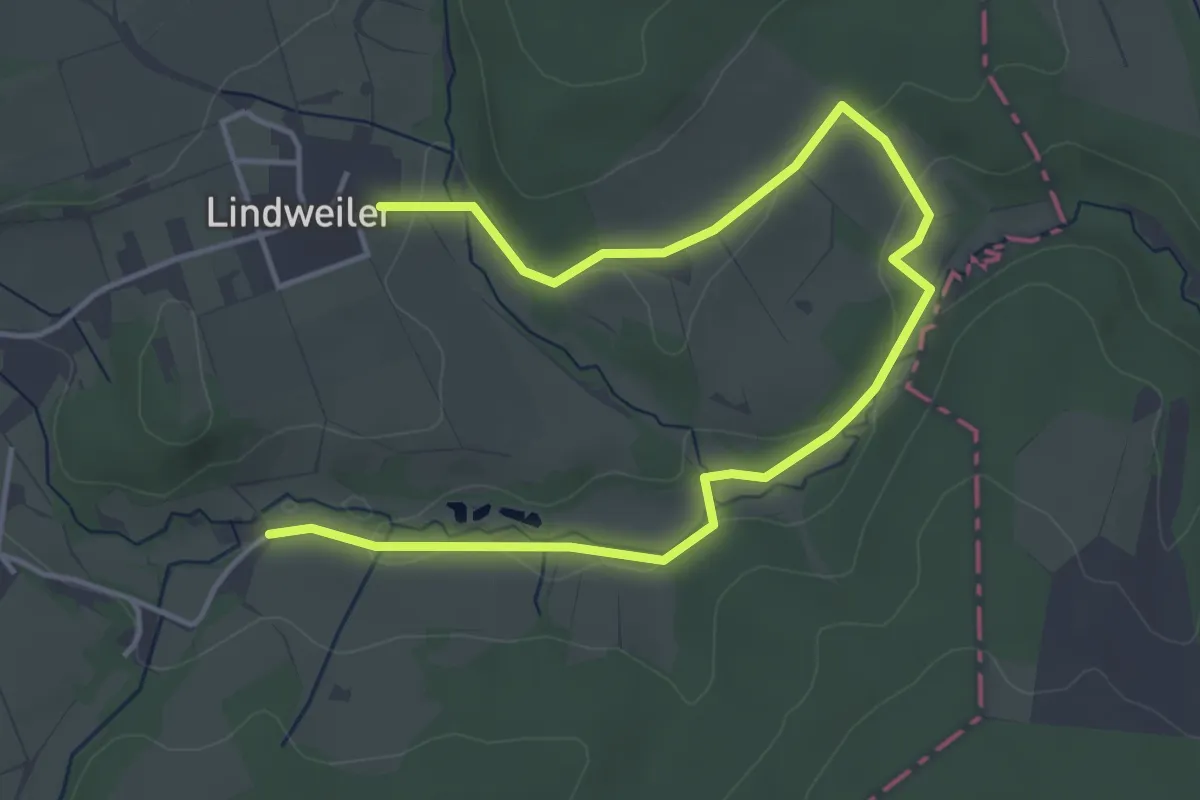
Easy · Trail
EifelSchleife Zum Kalkofen
5.4 km · ↑ 70 m · 1 h 26 min
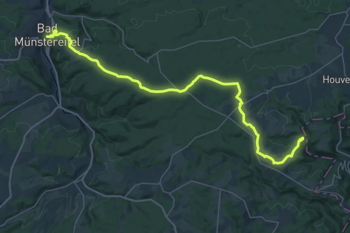
Demanding · Trail
EifelSchleife Zum Radioteleskop
25.6 km · ↑ 551 m · 7 h 15 min