Trails in Germany
36,847 hiking trails, each with its route, climb, walking time and grade.
All trails, page 128 of 768
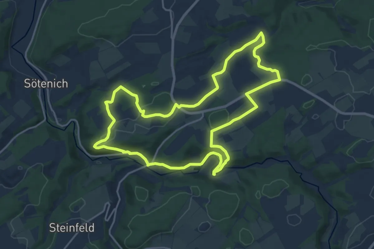
Medium · Trail
EifelSchleife Zur Zeit der Römer
11.5 km · ↑ 277 m · 3 h 28 min
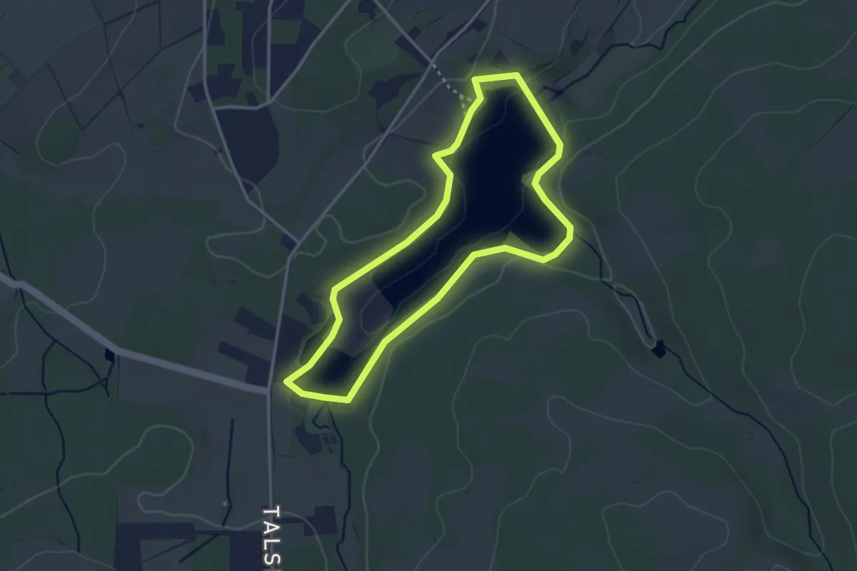
Easy · Trail
EifelSpur Auf Tuchmachers Fährte
2.8 km · ↑ 26 m · 46 min
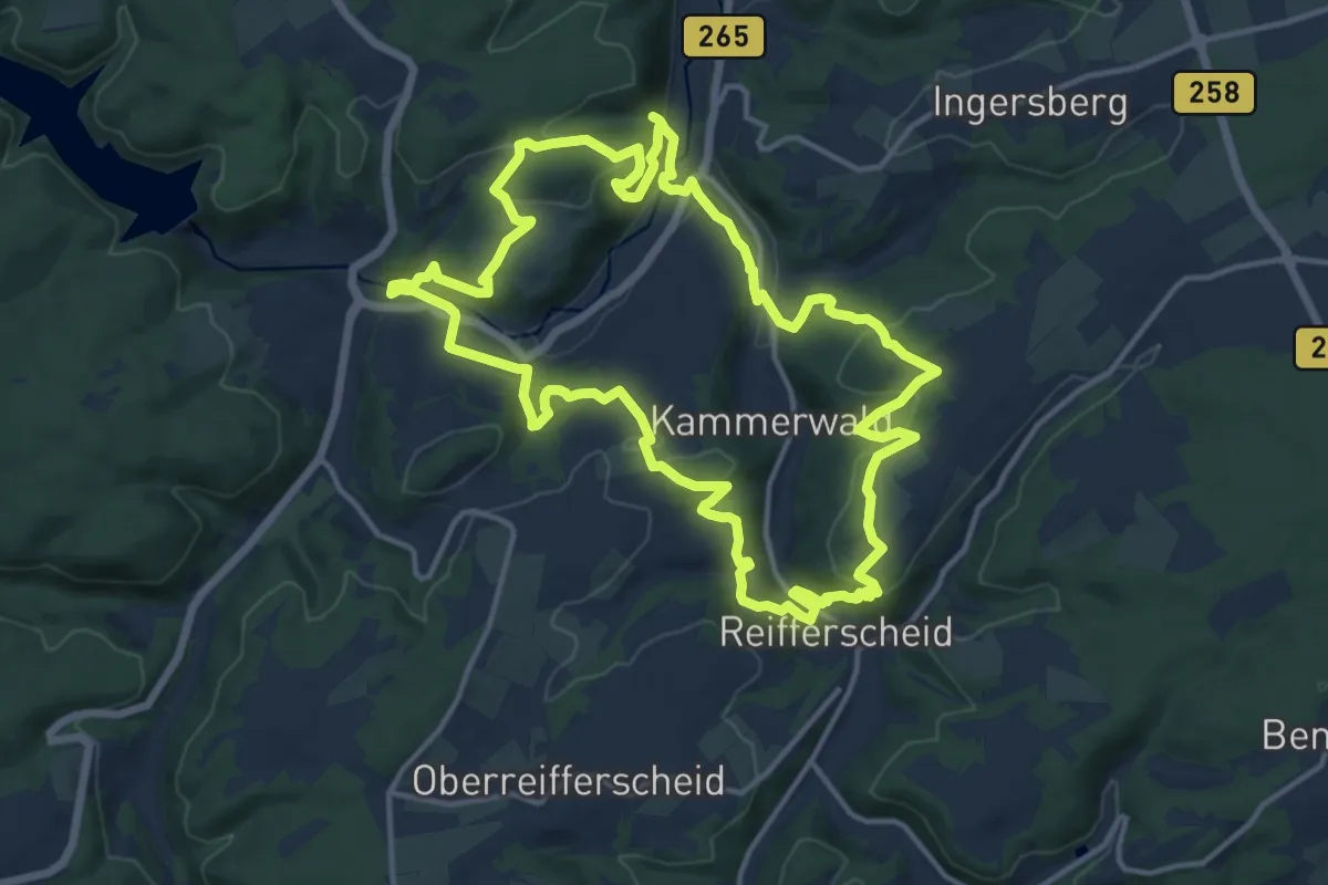
Medium · Trail
EifelSpuren Auf den Spuren der Raubritter
13.7 km · ↑ 431 m · 4 h 21 min
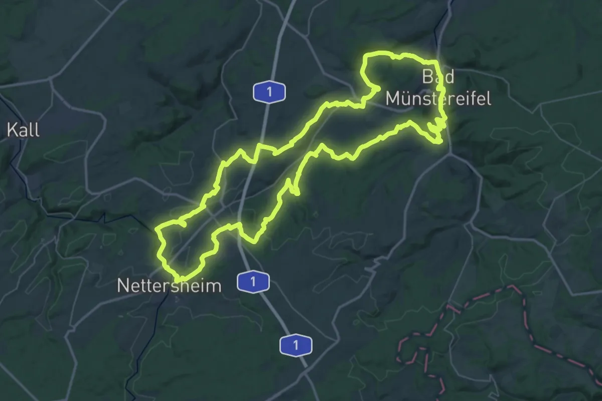
Demanding · Summit
EifelSpur Kräuterpfad
39.7 km · ↑ 820 m · 11 h 42 min
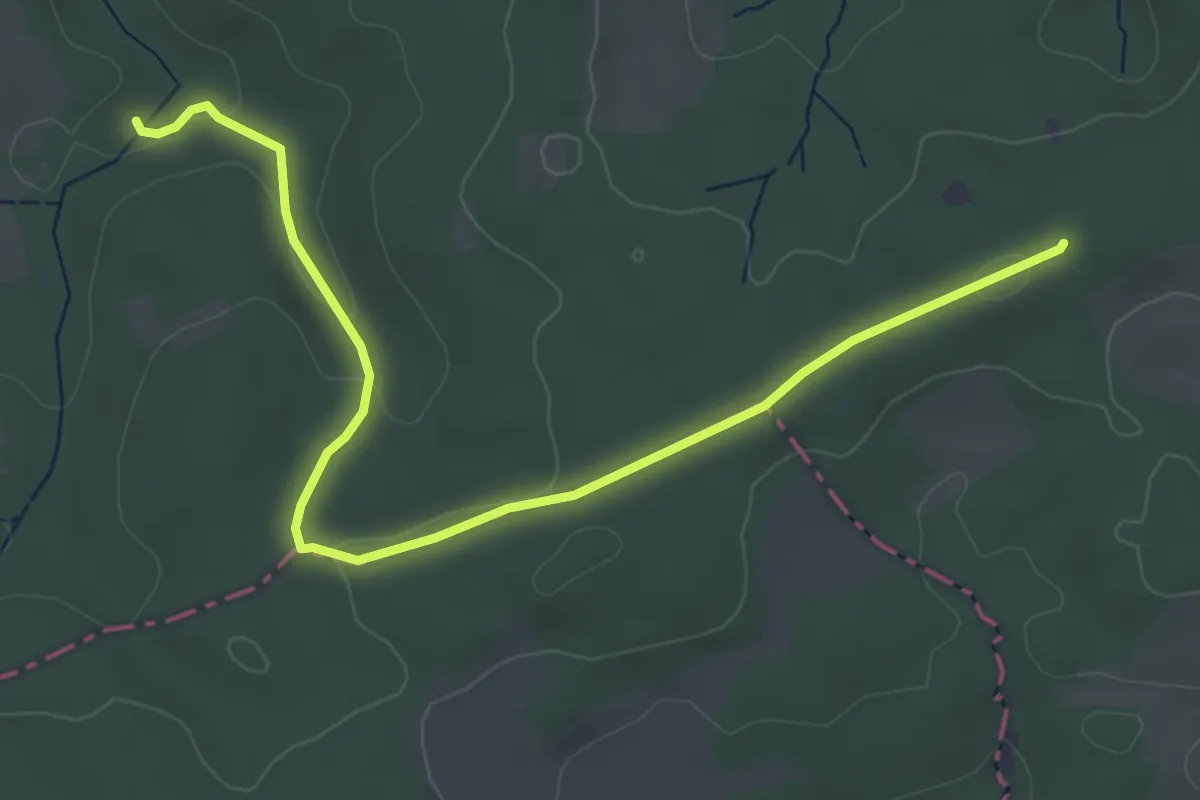
Easy · Trail
EifelSpur Münstereifelsteig
2.5 km · ↑ 79 m · 46 min
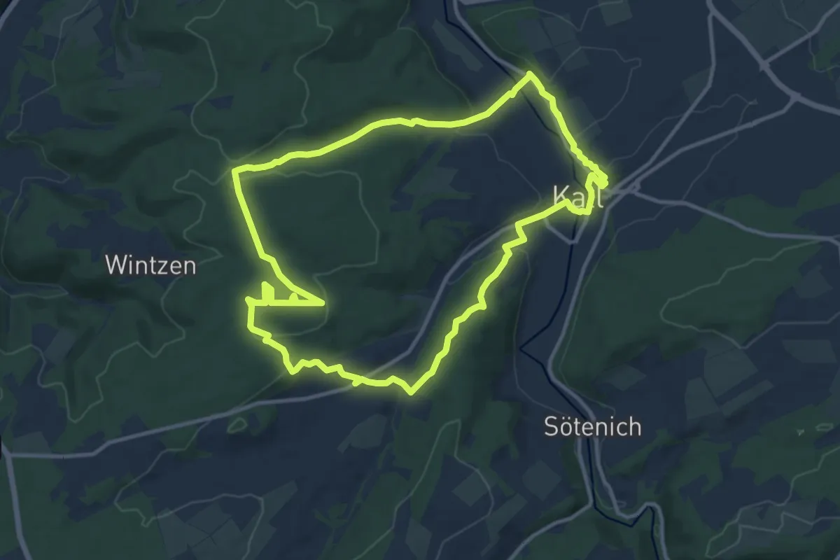
Medium · Trail
EifelSpur Pingenwanderpfad
10.7 km · ↑ 262 m · 3 h 15 min
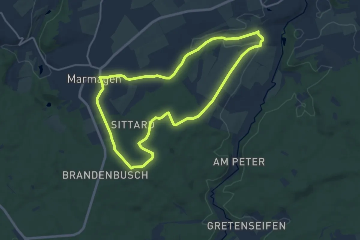
Medium · Trail
EifelSpur Silberschatz
8.5 km · ↑ 117 m · 2 h 23 min
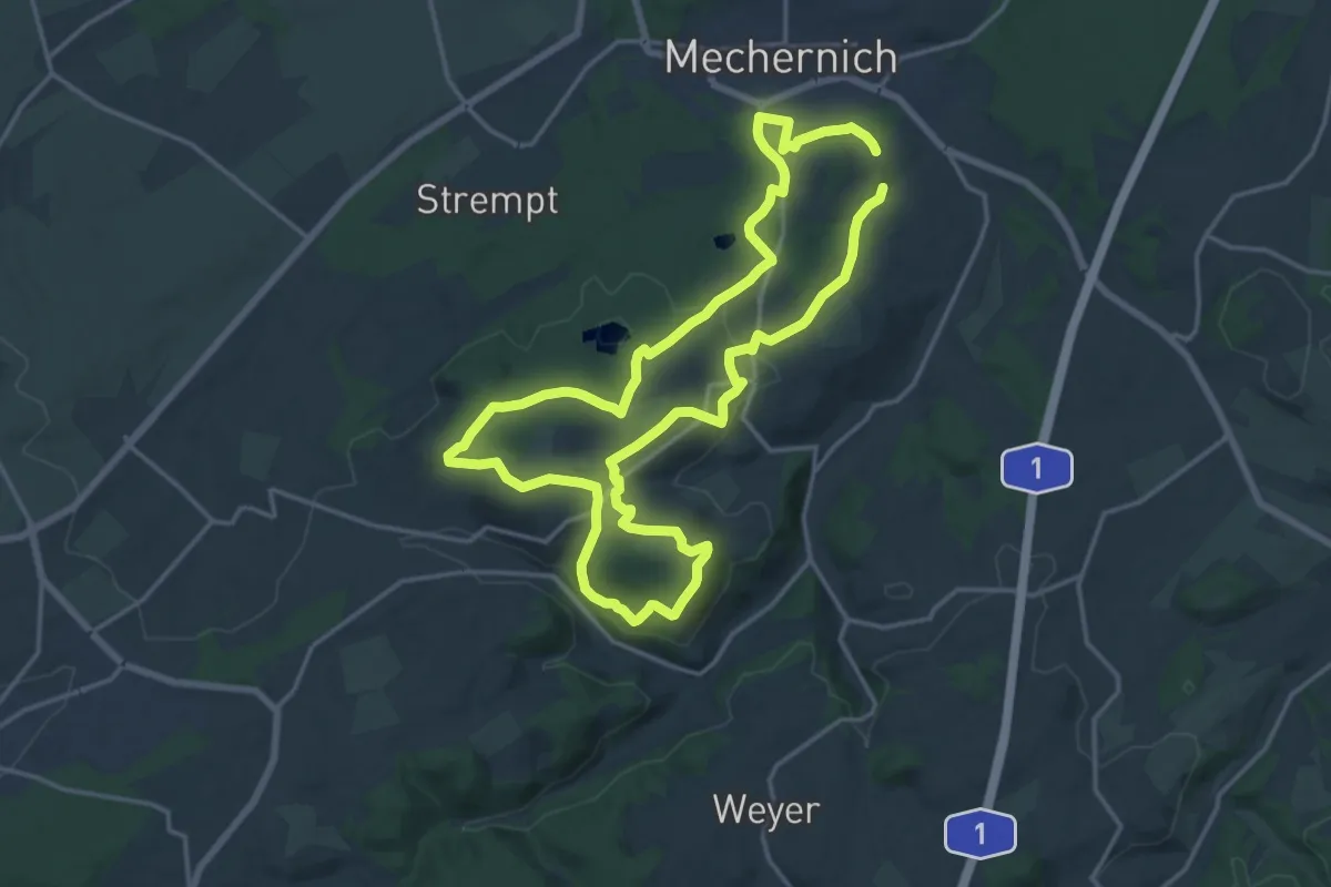
Medium · Trail
EifelSpur Soweit das Auge reicht
15.0 km · ↑ 316 m · 4 h 26 min
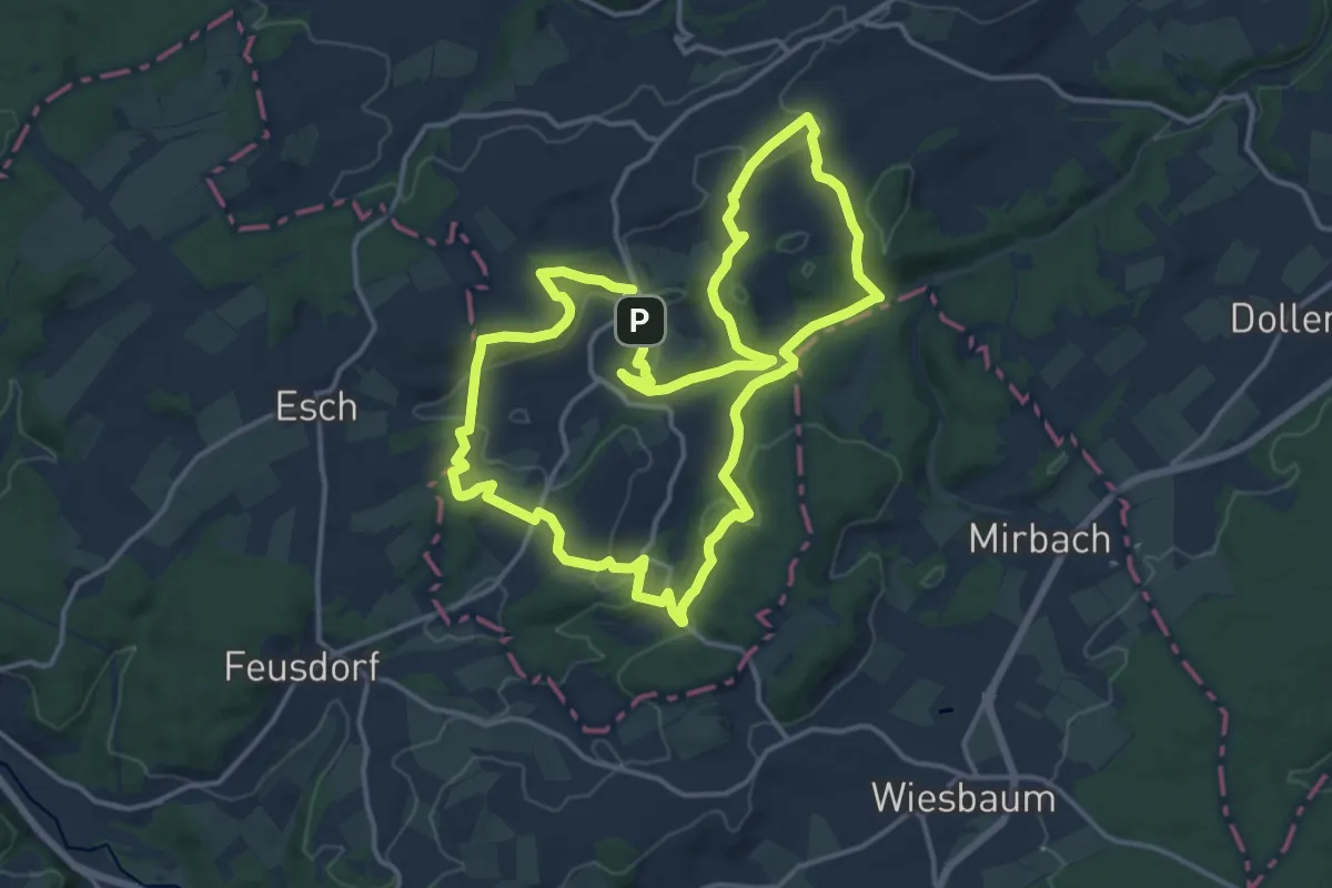
Medium · Summit
EifelSpur Toscana der Eifel
14.1 km · ↑ 332 m · 4 h 14 min
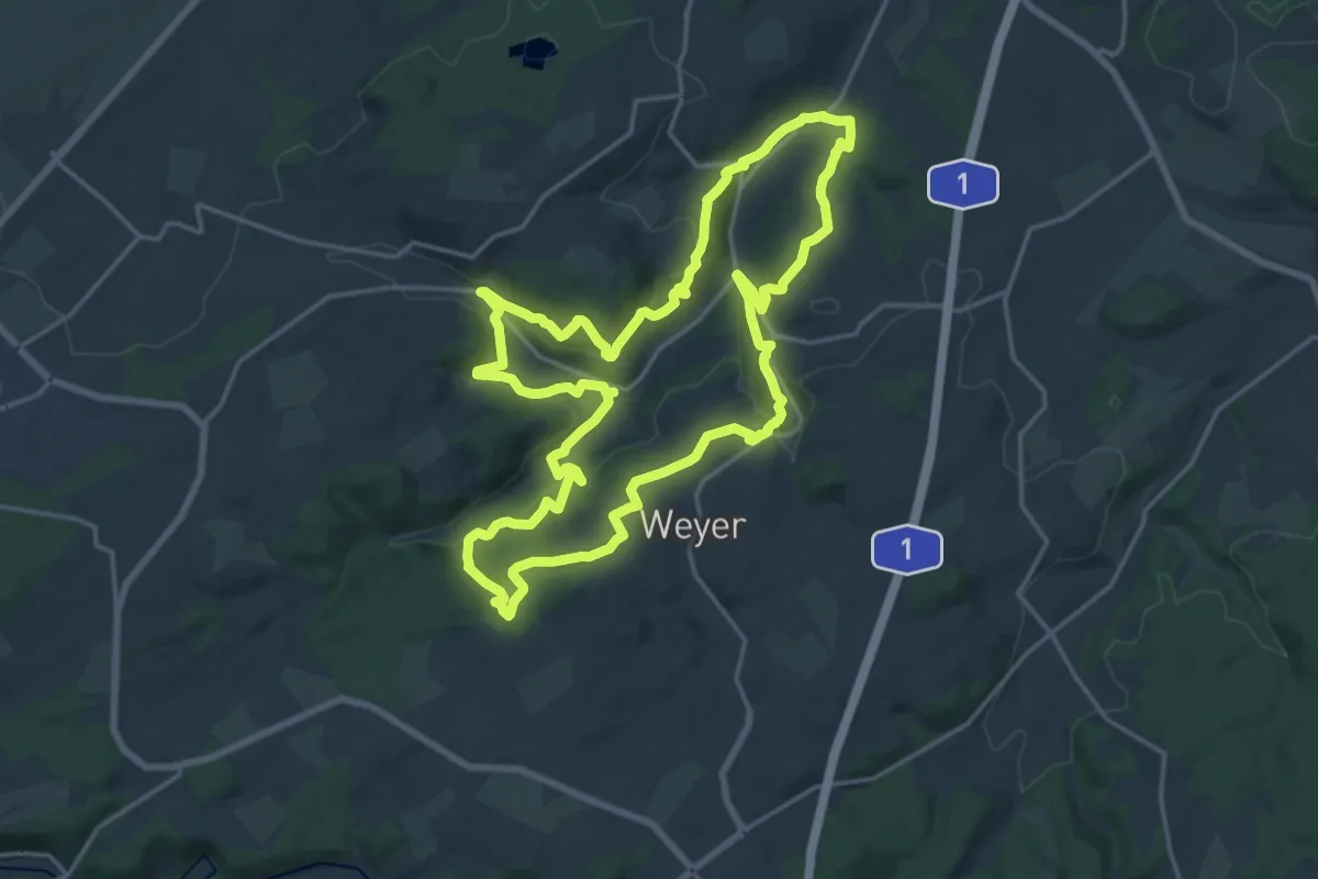
Medium · Trail
EifelSpur Wasser für Köln
17.0 km · ↑ 507 m · 5 h 21 min
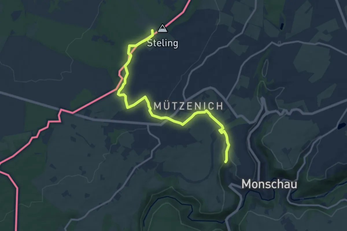
Medium · Summit
Eifelsteig
9.6 km · ↑ 180 m · 2 h 39 min
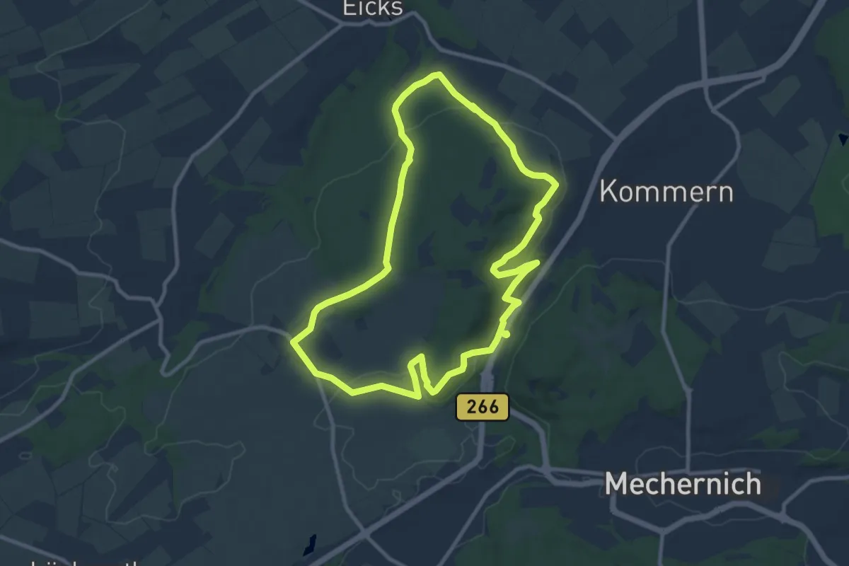
Medium · Trail
Eifeltor Panorama - Route
8.8 km · ↑ 209 m · 2 h 40 min
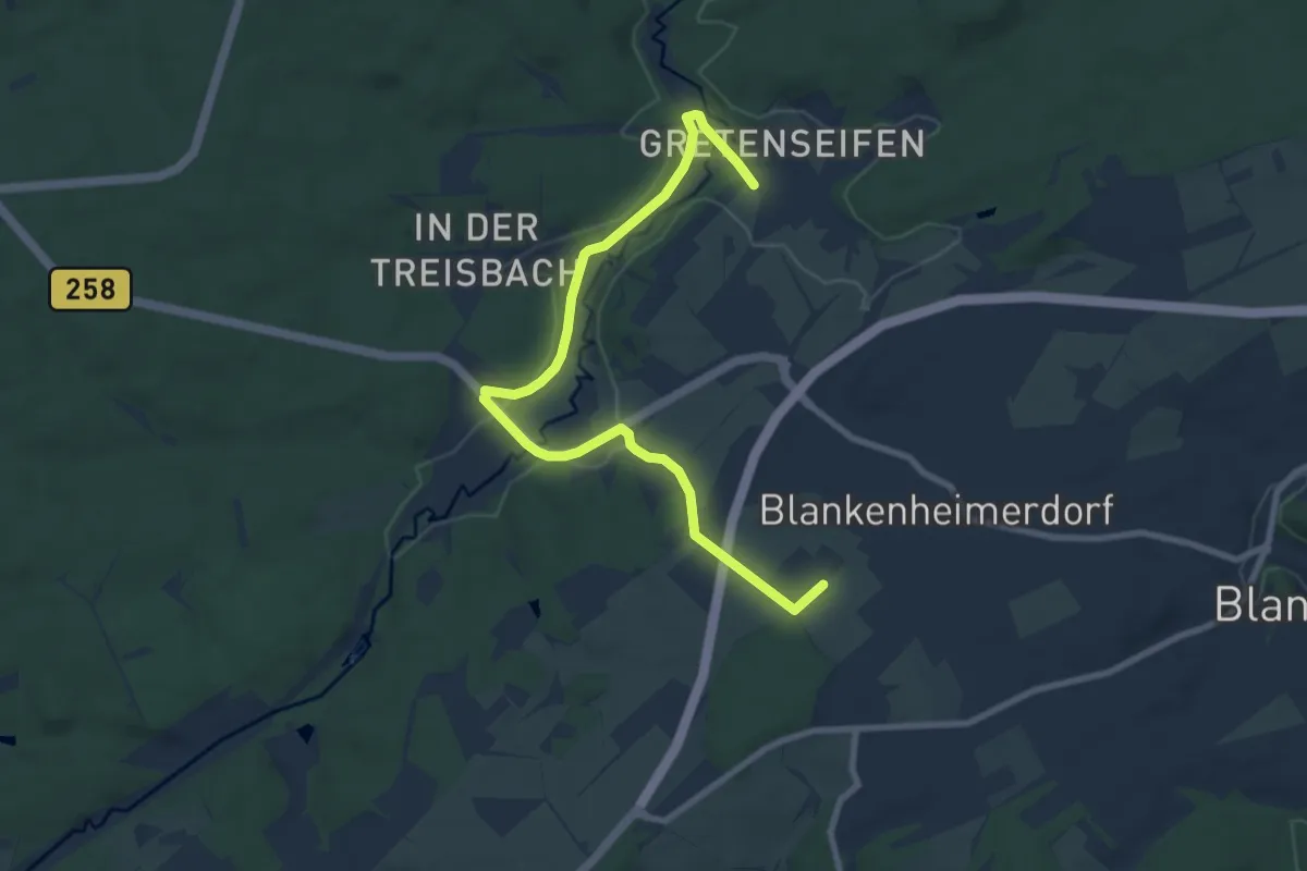
Medium · Trail
Eifelverein Nr. 13
8.7 km · ↑ 109 m · 2 h 17 min
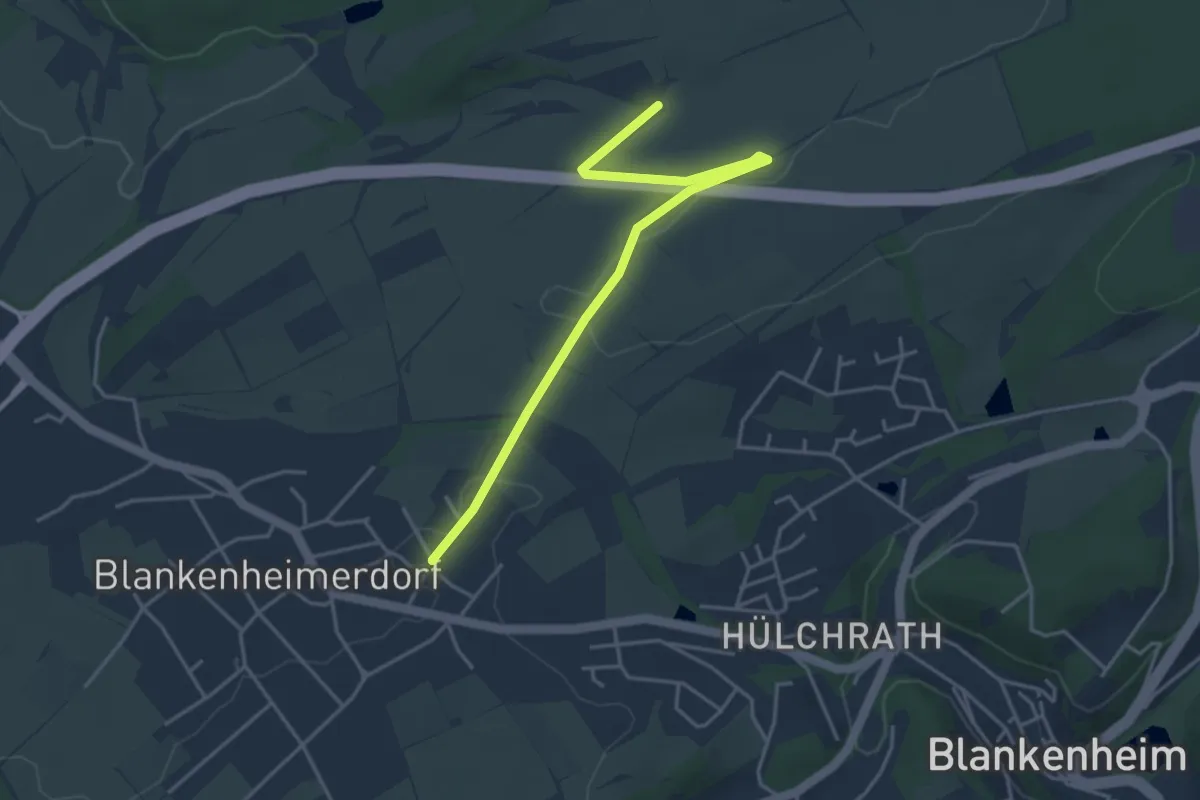
Easy · Trail
Eifelverein Nr.14
3.9 km · ↑ 26 m · 59 min
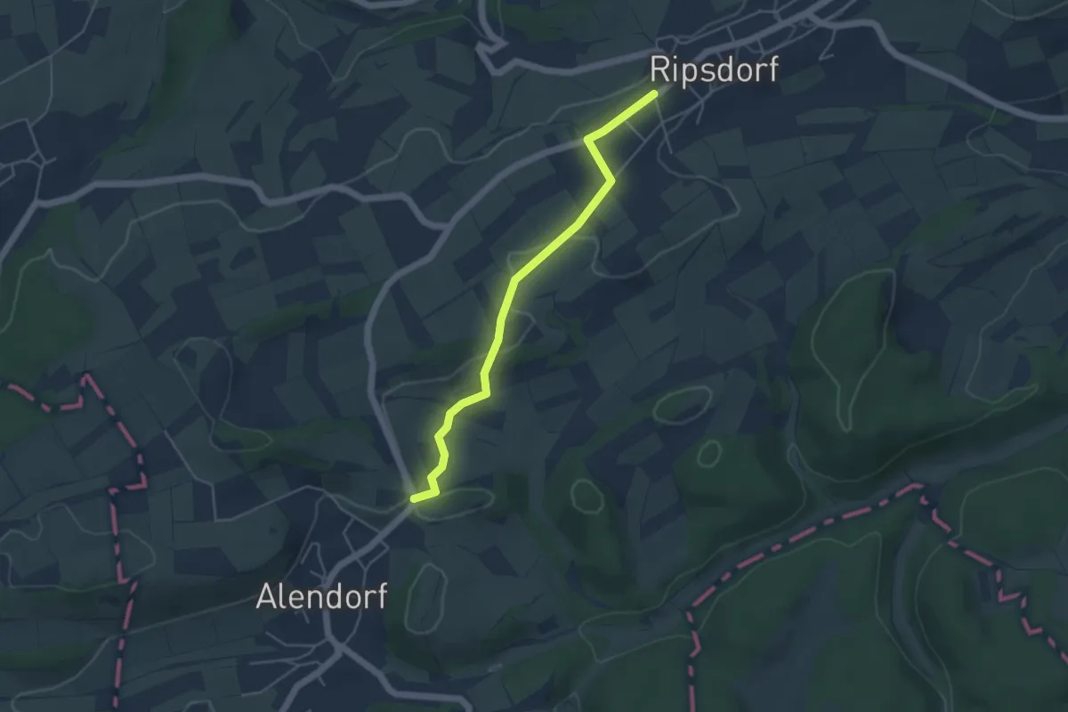
Easy · Trail
Eifelverein Nr. 37
4.1 km · ↑ 48 m · 1 h 4 min
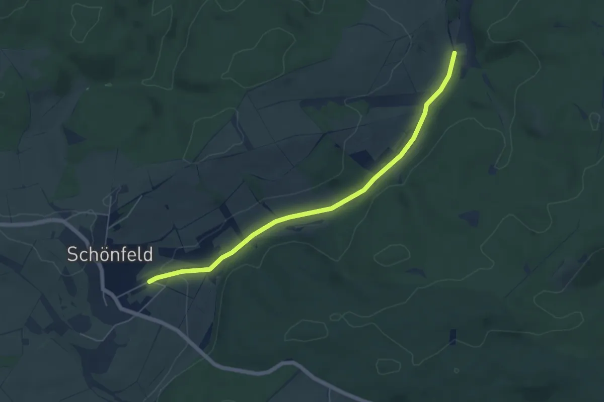
Easy · Trail
Eifelverein Nr. 4
5.1 km · ↑ 46 m · 1 h 18 min
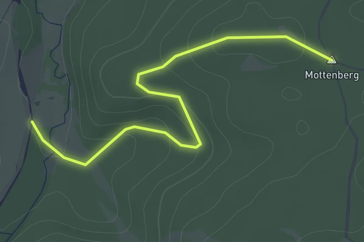
Easy · Summit
Eifelverein Nr. 5
3.1 km · ↑ 66 m · 52 min
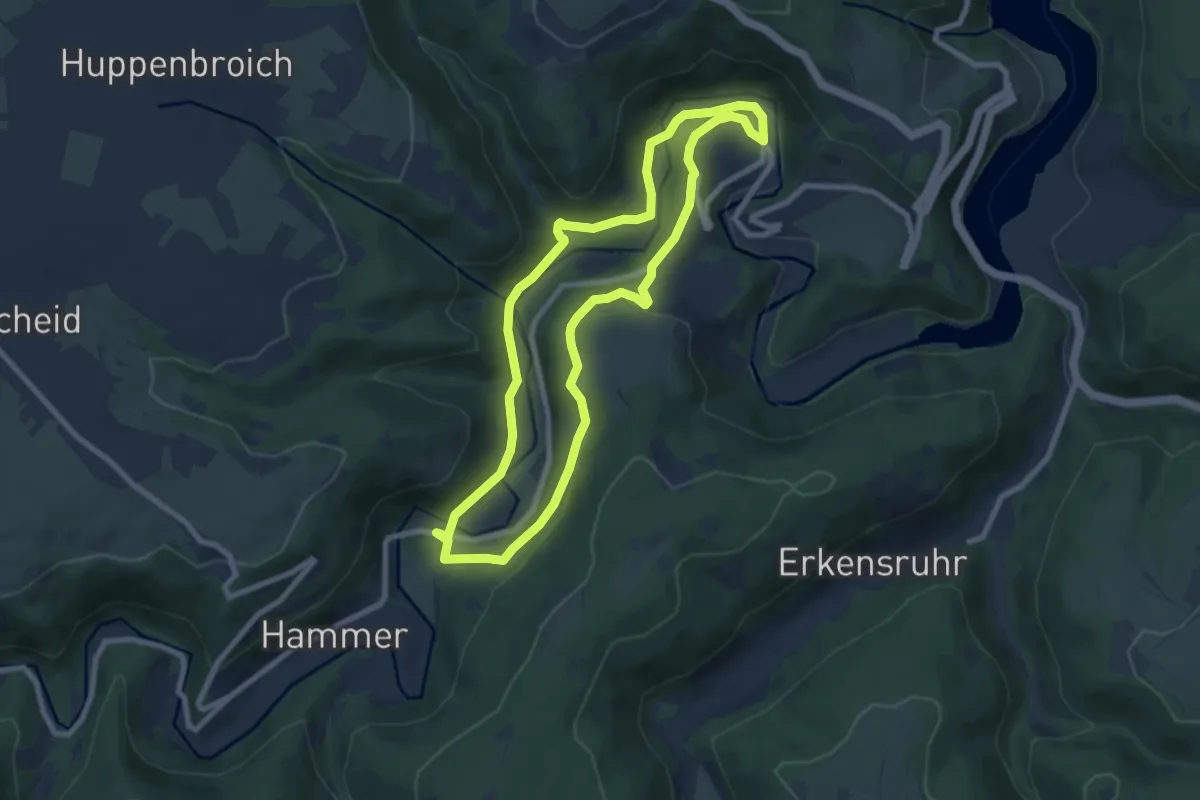
Easy · Trail
Eifelverein OG Eicherscheid - Weg 26
7.2 km · ↑ 158 m · 2 h 8 min
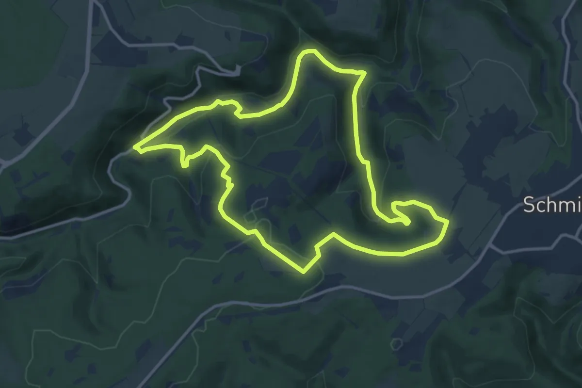
Medium · Trail
Eifelverein Wanderweg 70
9.8 km · ↑ 249 m · 2 h 59 min
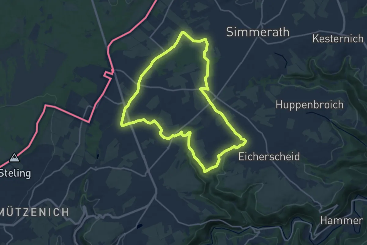
Medium · Trail
Eifelverein - Weg 54
11.7 km · ↑ 122 m · 3 h 11 min
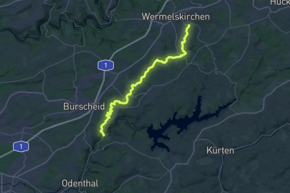
Medium · Trail
Eifgenbachweg Streifzug [5]
14.7 km · ↑ 238 m · 4 h 16 min
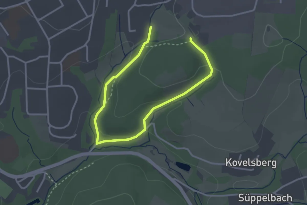
Easy · Trail
Eifgen Rundweg A1
1.7 km · ↑ 48 m · 31 min
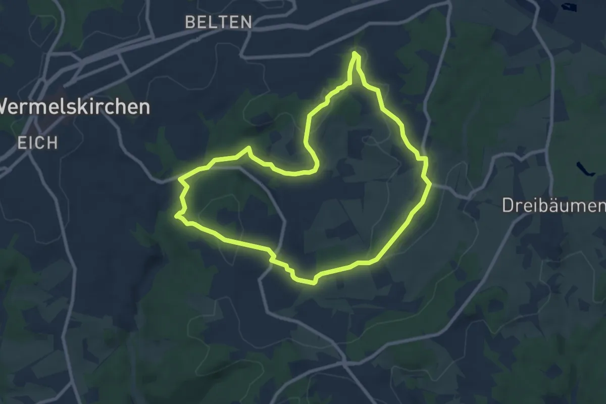
Easy · Trail
Eifgen Rundweg A2
6.8 km · ↑ 122 m · 1 h 58 min
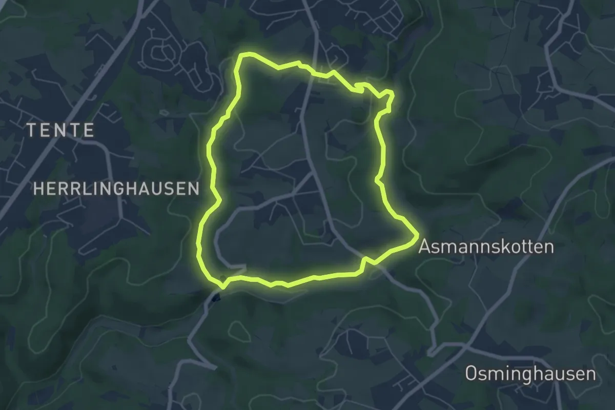
Easy · Trail
Eifgen Rundweg A3
5.5 km · ↑ 118 m · 1 h 38 min
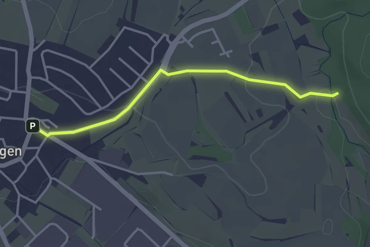
Easy · Trail
Eigeltingen Adlereck - Brielbachbrücke
2.7 km · ↑ 36 m · 42 min
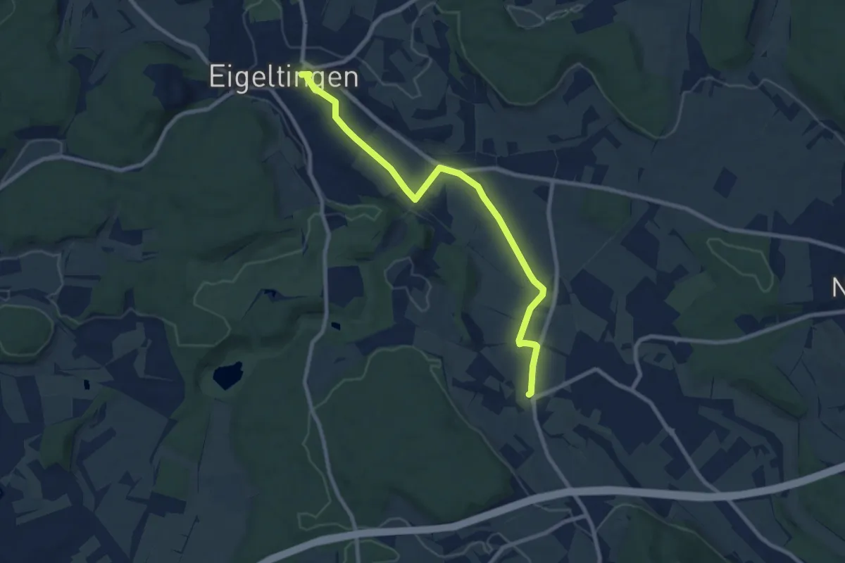
Medium · Trail
Eigeltingen Rathaus - Brunnenstube
8.2 km · ↑ 38 m · 2 h 2 min
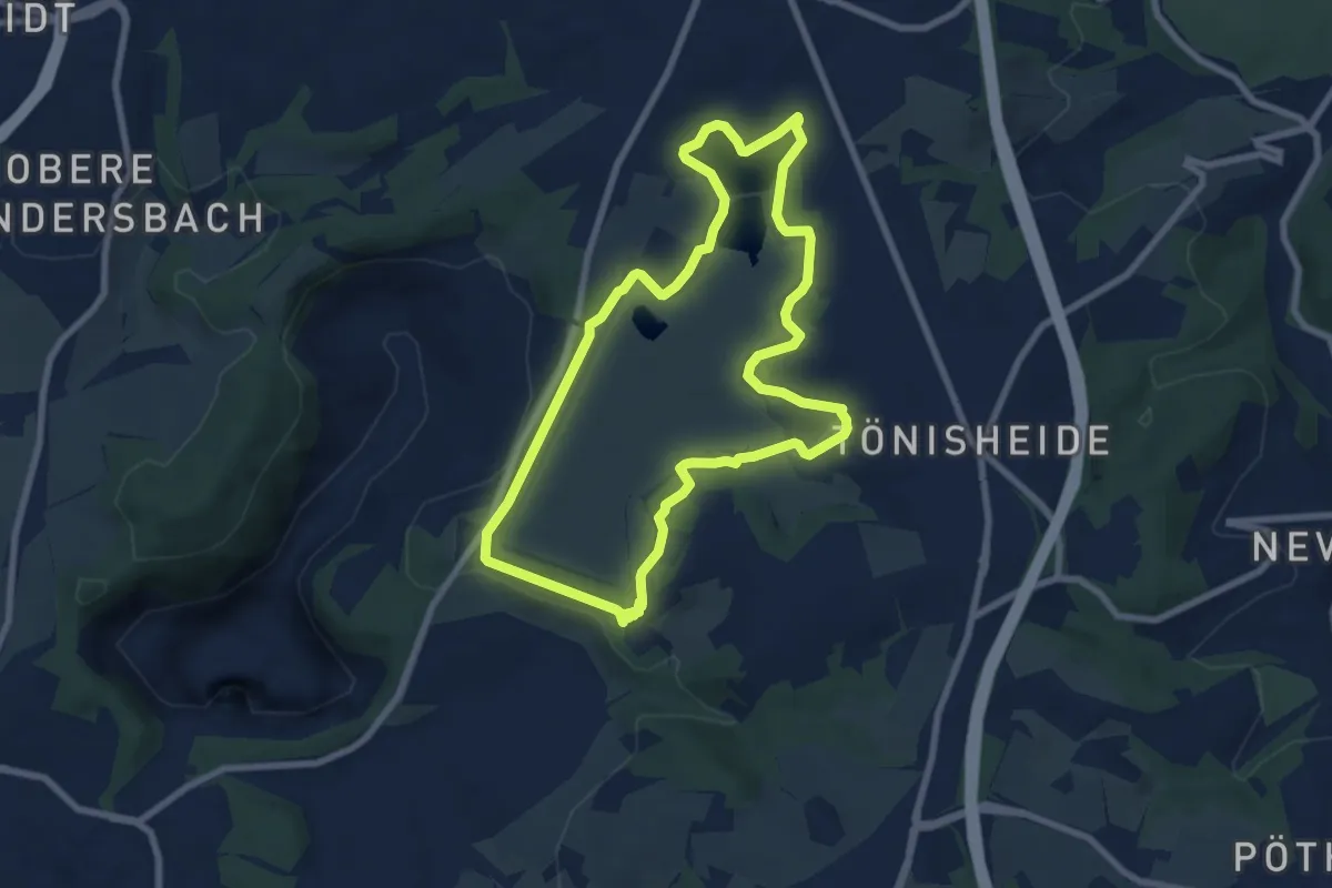
Easy · Trail
Eignerbach Rundwanderweg
6.9 km · ↑ 56 m · 1 h 51 min
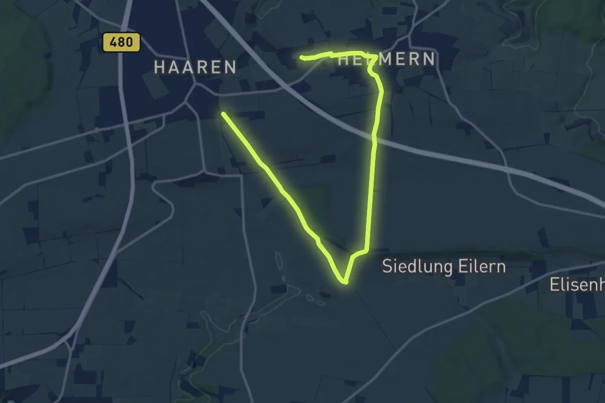
Medium · Trail
Eiler Berg
14.4 km · ↑ 238 m · 3 h 56 min
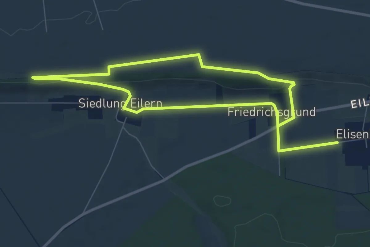
Easy · Trail
Eilerberg Route
6.4 km · ↑ 55 m · 1 h 43 min
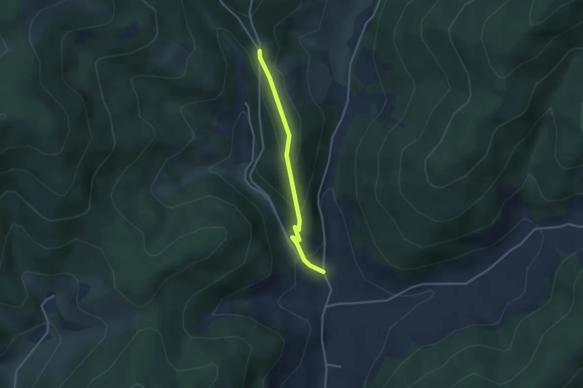
Easy · Trail
Einbach Dorf Zimmerei - Unterer Neuenbach
2.4 km · ↑ 138 m · 52 min
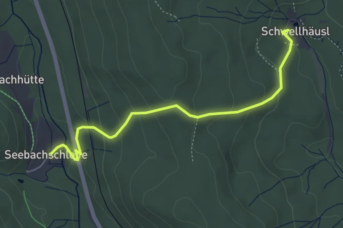
Easy · Trail
Einbeere
4.4 km · ↑ 222 m · 1 h 31 min
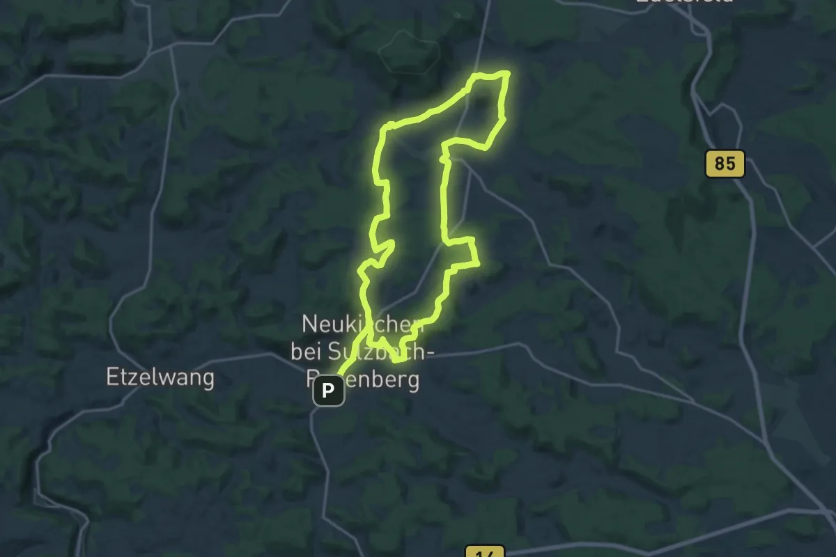
Medium · Summit
Eine Juralandschaft erzählt
14.9 km · ↑ 247 m · 4 h 15 min
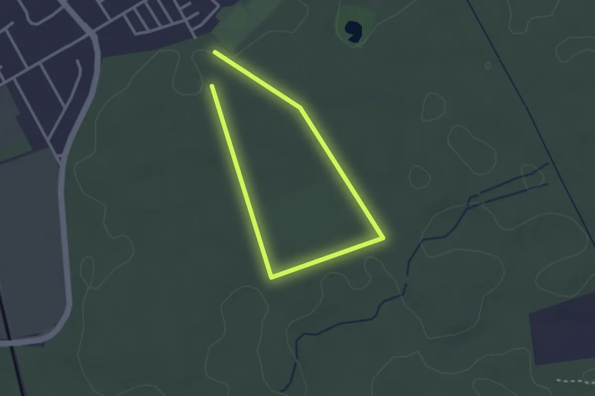
Easy · Trail
Eine neue Generation Wald
1.9 km · ↑ 8 m · 29 min
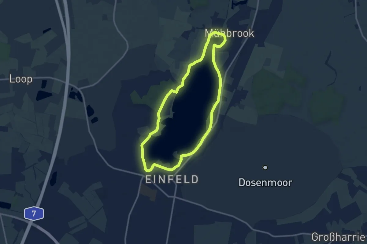
Easy · Trail
Einfelder Sehpunkte
7.7 km · ↑ 14 m · 1 h 58 min
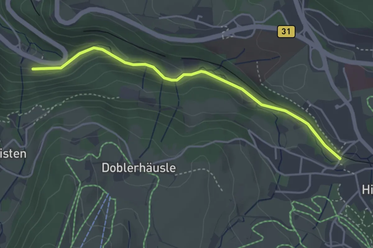
Easy · Trail
Eingang Löffeltal - Unterführung B31
3.6 km · ↑ 125 m · 1 h 8 min
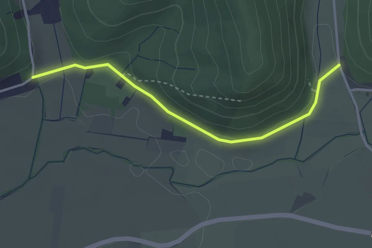
Easy · Trail
Eingang Welchental - Attental Kreuzmatte
2.8 km · ↑ 48 m · 46 min
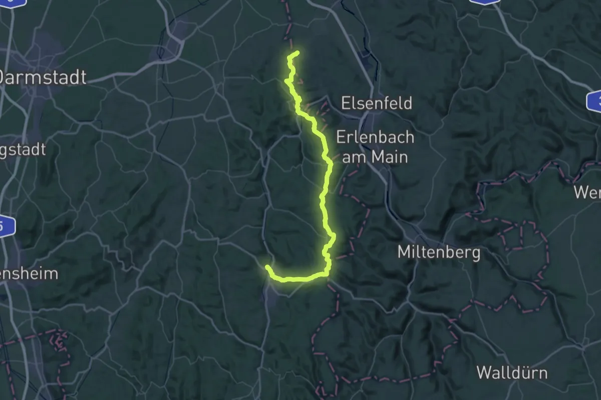
Demanding · Trail
Einhardweg
38.7 km · ↑ 844 m · 11 h 29 min
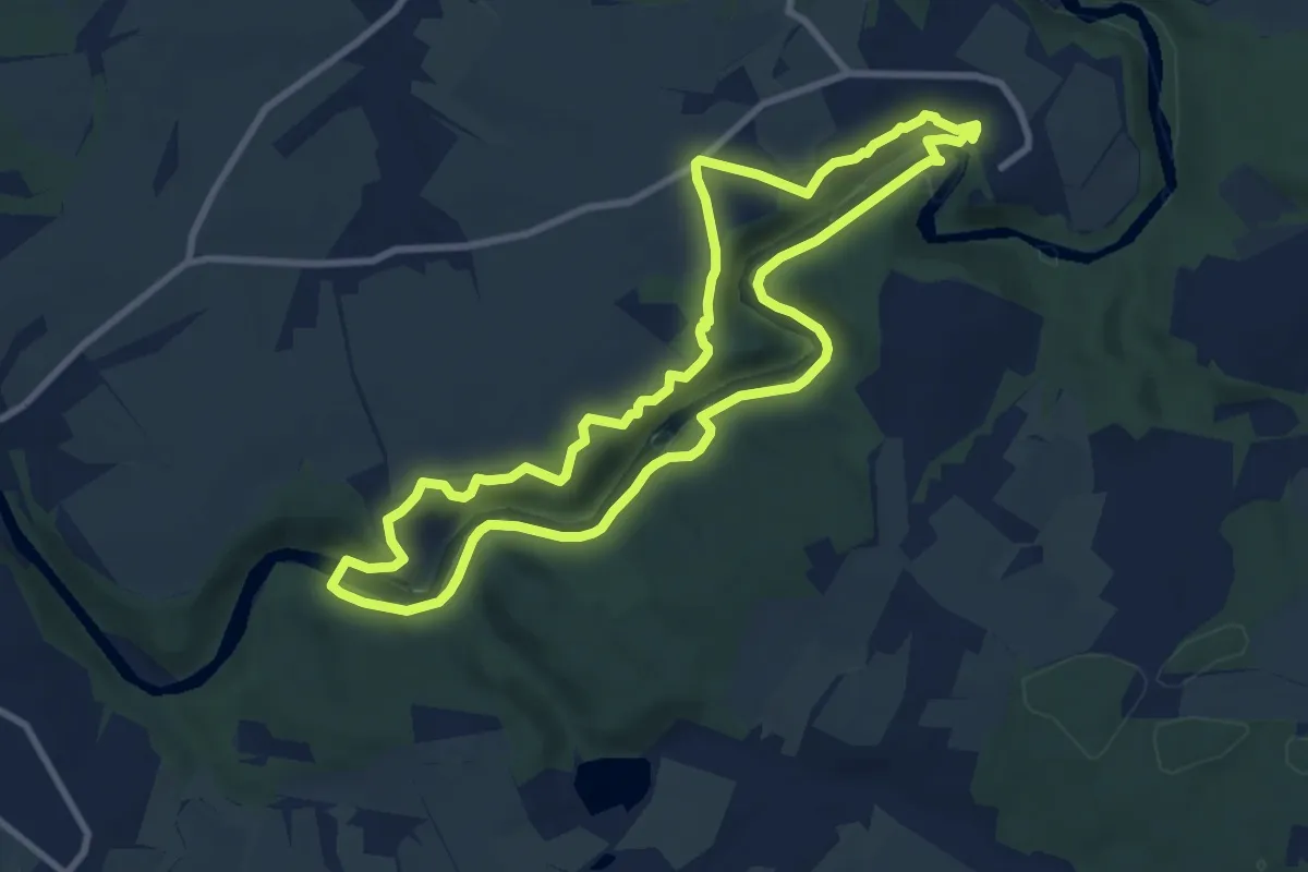
Medium · Trail
Einmal Amerika und zurück
8.2 km · ↑ 165 m · 2 h 25 min
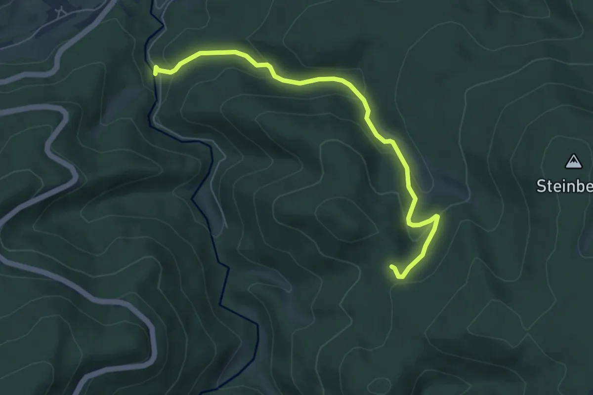
Easy · Trail
Einmündung Littersbach - Bernickel
6.0 km · ↑ 266 m · 2 h
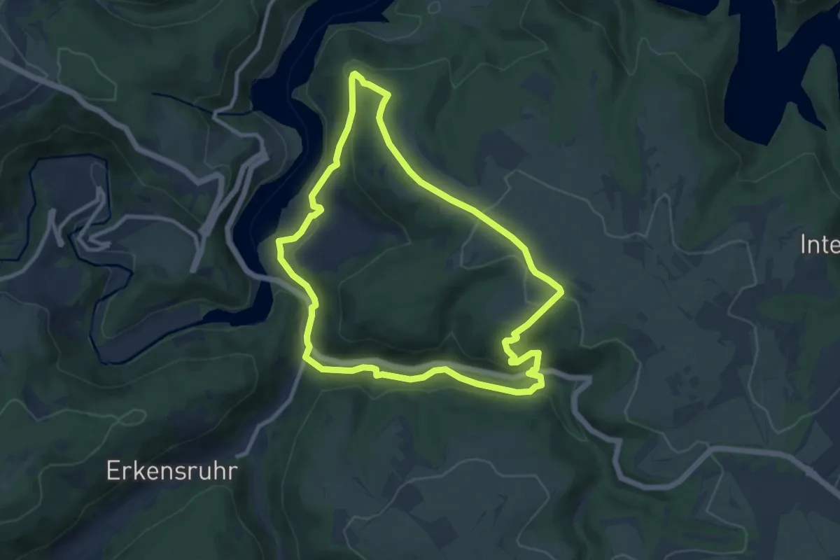
Medium · Summit
Einruhr - Sauermühle
8.3 km · ↑ 235 m · 2 h 35 min
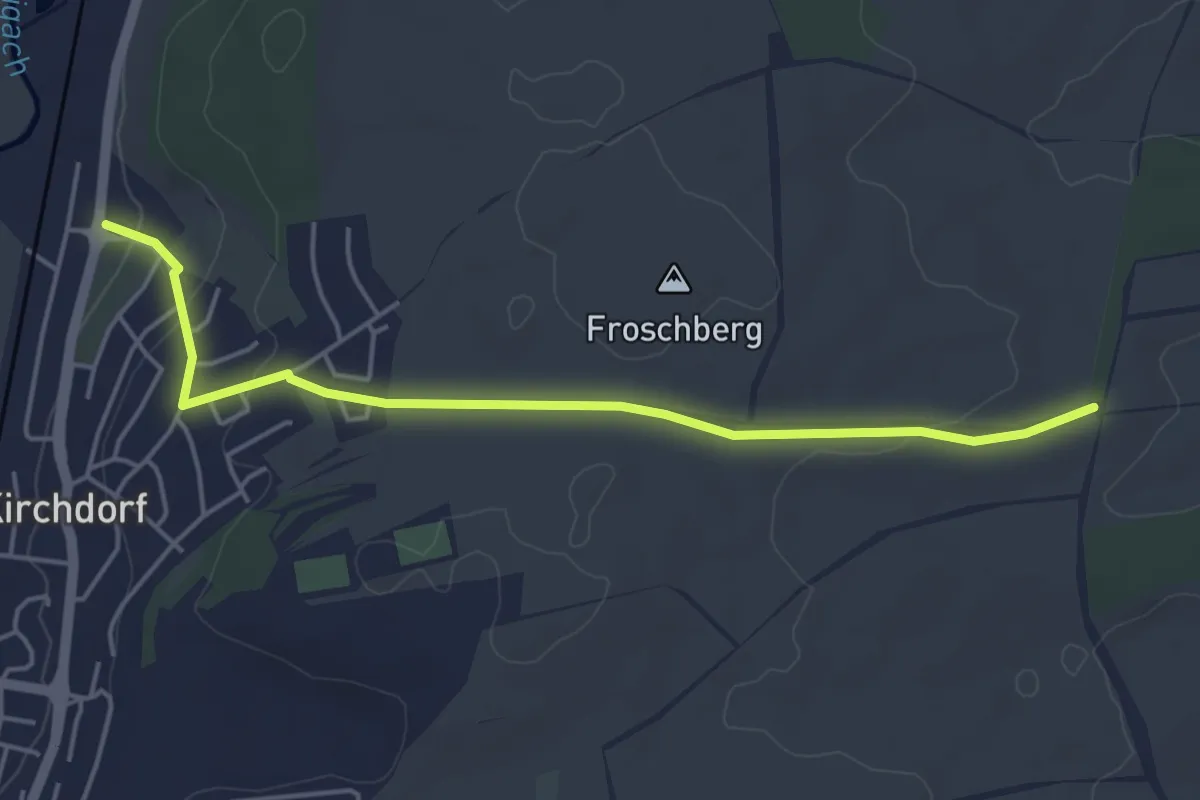
Easy · Trail
Einsame Fichte - Kirchdorf Kälberweid
4.7 km · ↑ 86 m · 1 h 18 min
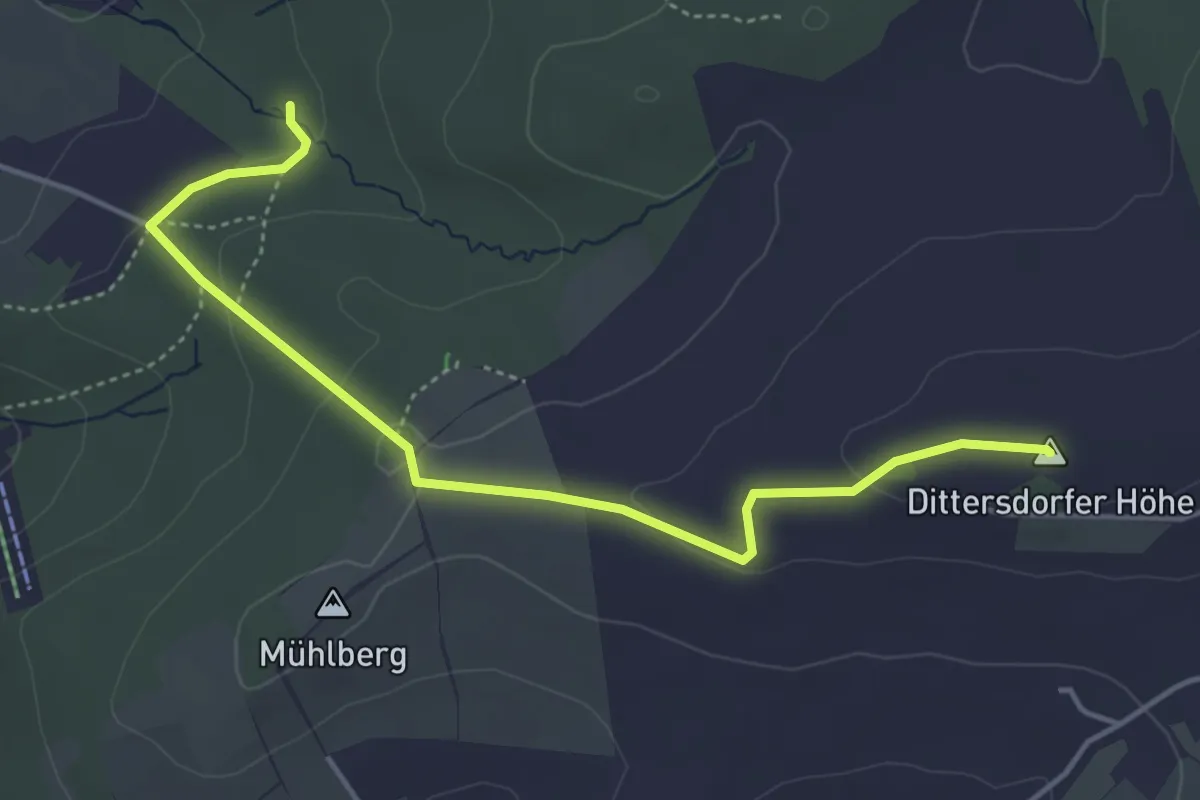
Easy · Summit
Einsiedel - Dittersdorfer Höhe - Altenhain
4.4 km · ↑ 118 m · 1 h 18 min
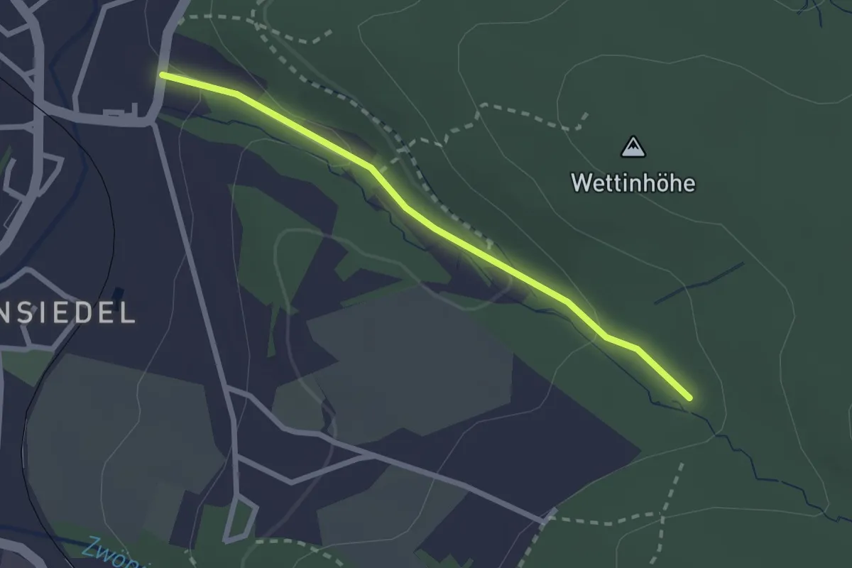
Easy · Trail
Einsiedel Fischzuchtgrund - Anschluss an blau markierten Weg
2.0 km · ↑ 77 m · 39 min
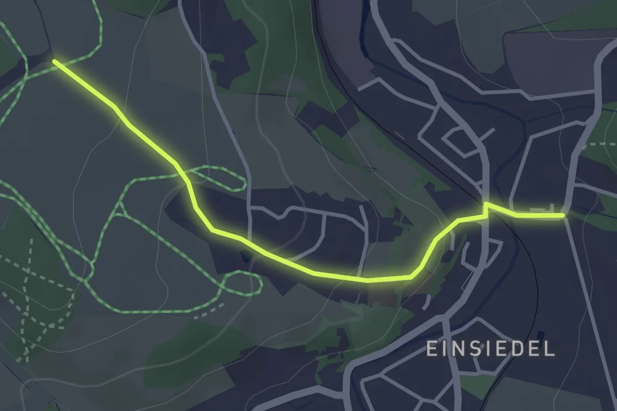
Easy · Trail
Einsiedel Zwönitztalweg - Pappel
3.0 km · ↑ 99 m · 55 min
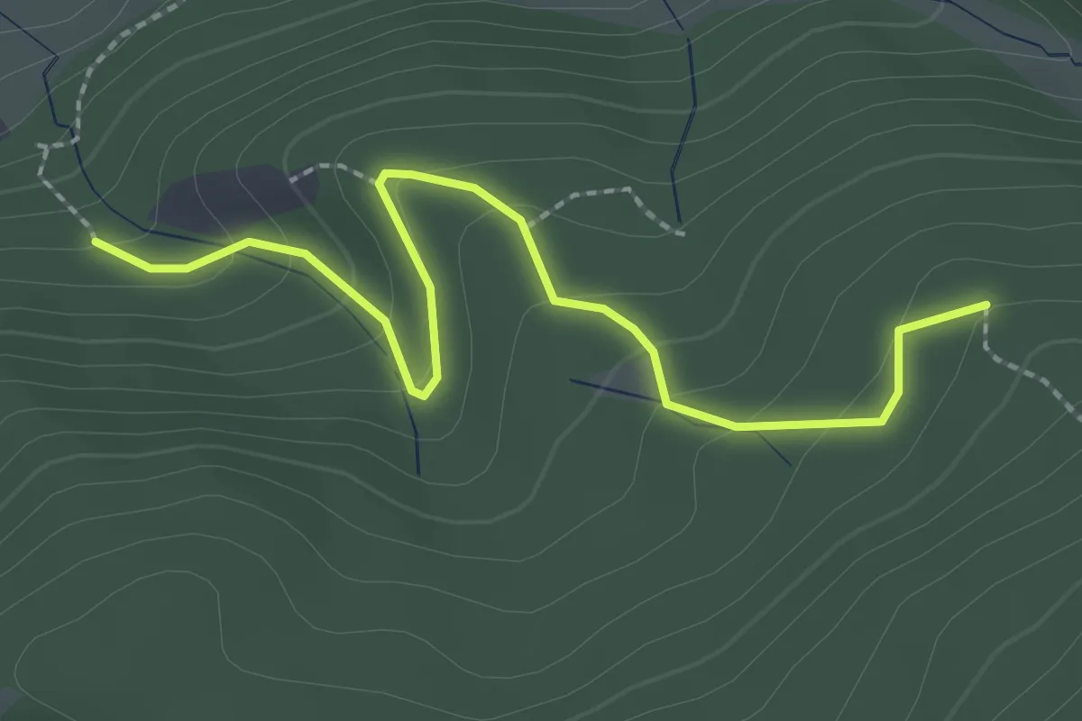
Easy · Trail
Einstieg Großes Loch - Bockstein
2.4 km · ↑ 138 m · 52 min
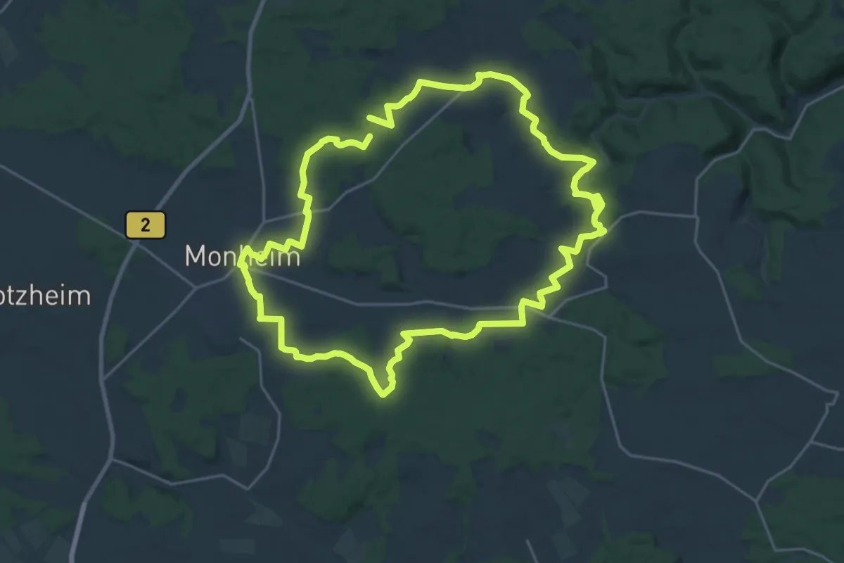
Demanding · Trail
Ein Tag in herrlicher Juralandschaft
19.8 km · ↑ 270 m · 5 h 33 min
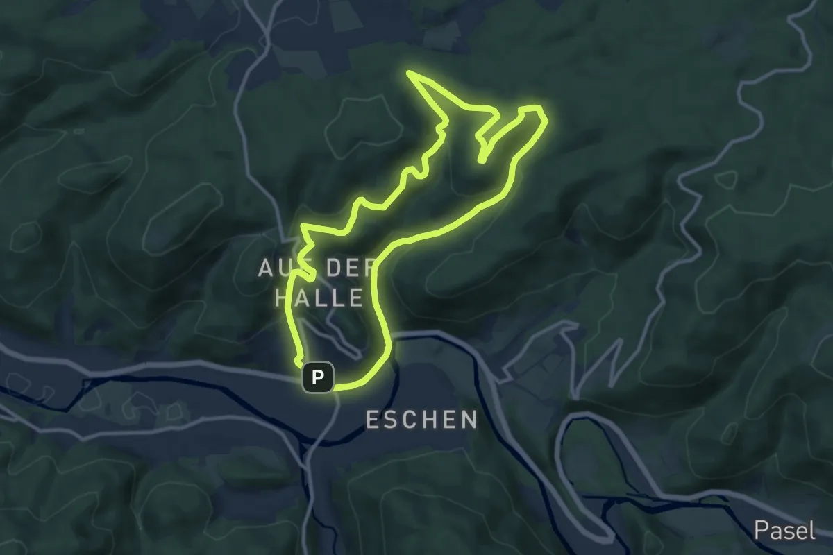
Medium · Summit
Eiringhausen Rundweg Balken
9.9 km · ↑ 386 m · 3 h 19 min
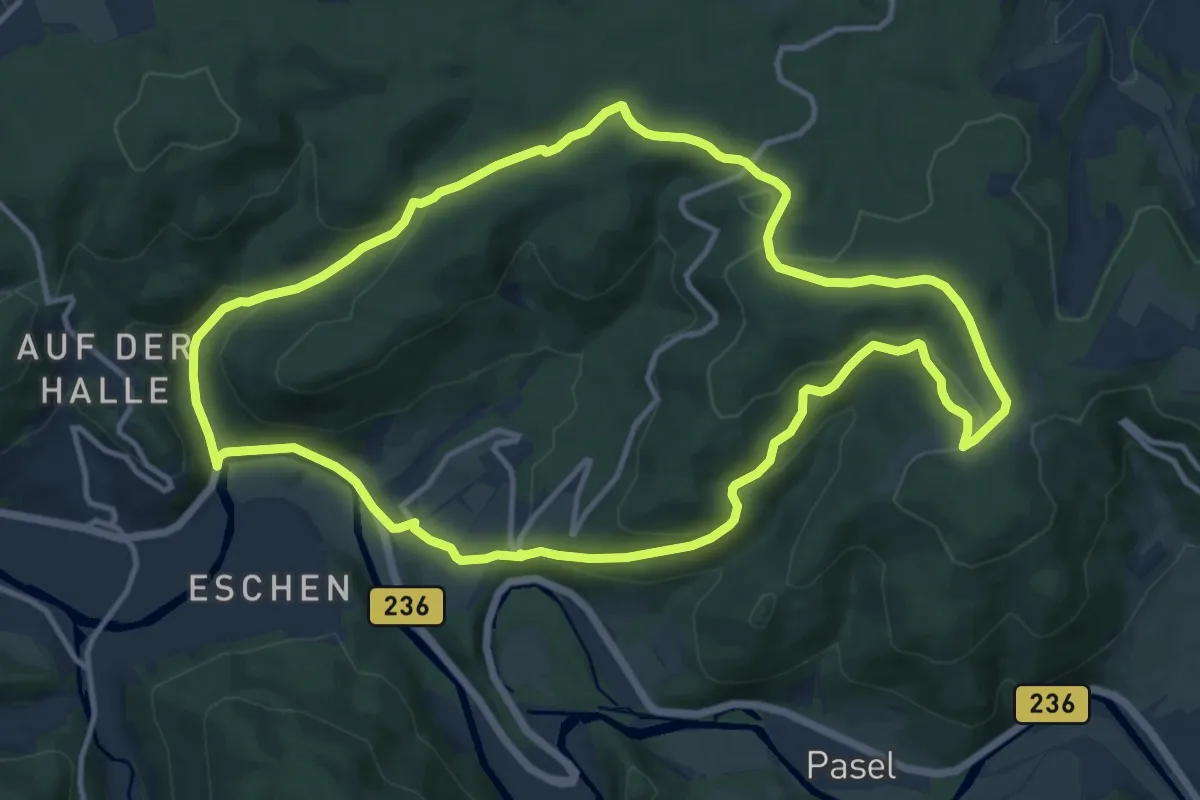
Medium · Trail
Eiringhausen Rundweg Doppelbalken
11.8 km · ↑ 440 m · 3 h 54 min