Trails in Germany
36,847 hiking trails, each with its route, climb, walking time and grade.
All trails, page 129 of 768
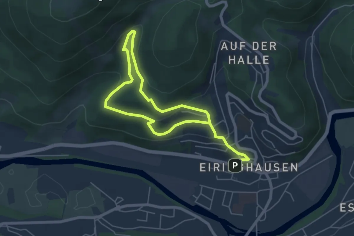
Medium · Trail
Eiringhausen Rundweg O
6.6 km · ↑ 341 m · 2 h 18 min
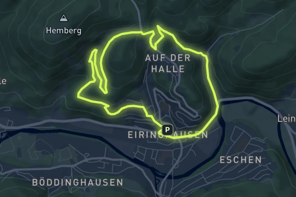
Easy · Trail
Eiringhausen Rundweg Vollquadrat
6.7 km · ↑ 303 m · 2 h 19 min
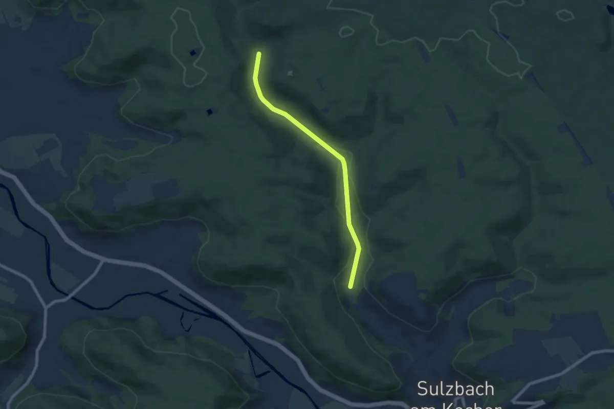
Easy · Trail
Eisbachtal - Eisbach
5.5 km · ↑ 90 m · 1 h 30 min
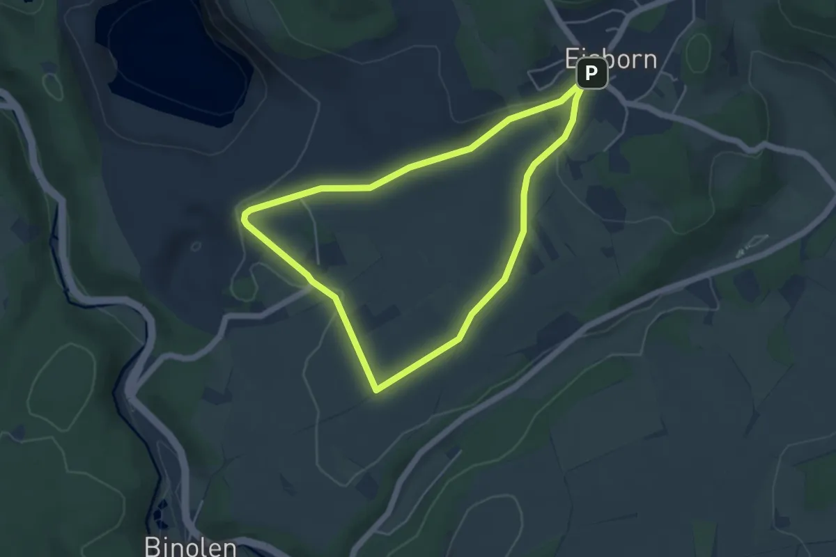
Easy · Summit
Eisborn Rundweg A4
3.9 km · ↑ 53 m · 1 h 5 min
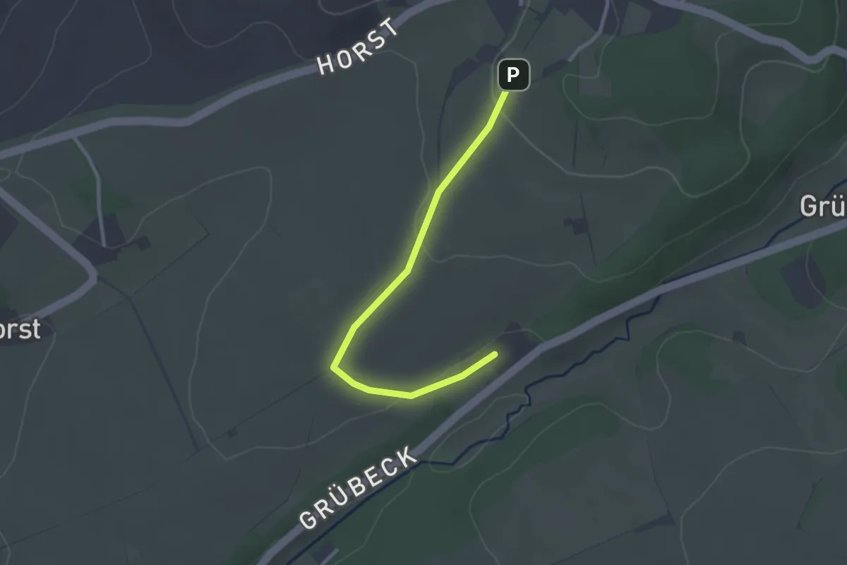
Easy · Summit
Eisborn Rundweg A5
1.2 km · ↑ 0 m · 20 min
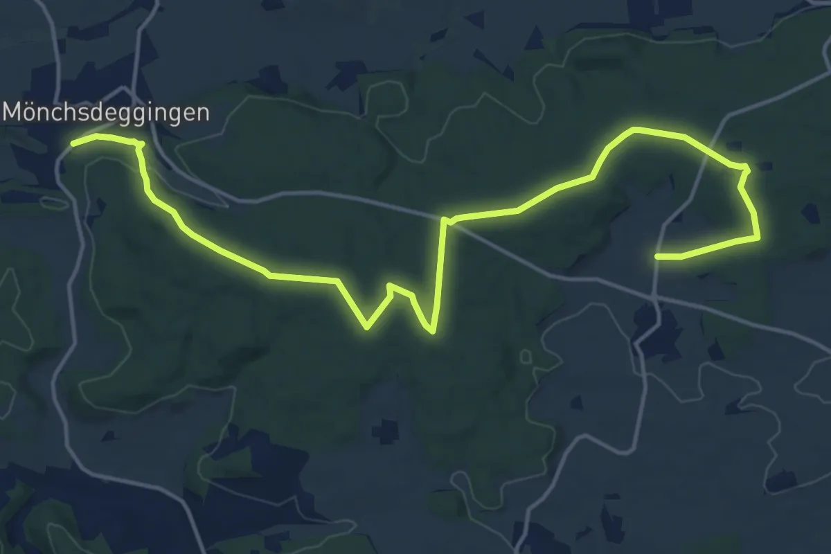
Medium · Trail
Eisbrunn Rundweg
8.7 km · ↑ 152 m · 2 h 28 min
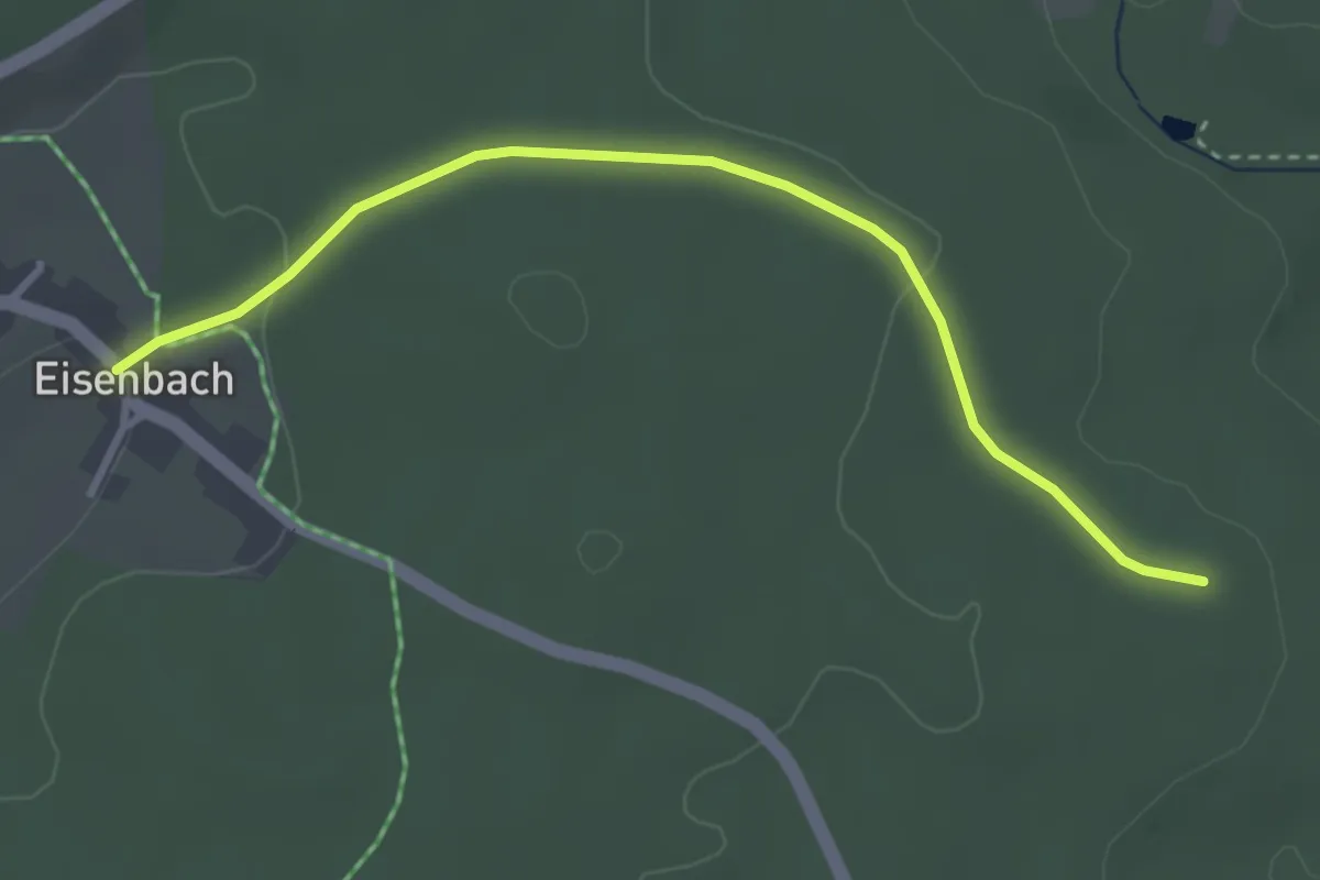
Easy · Trail
Eisenbach - Glashäuser
3.3 km · ↑ 53 m · 53 min
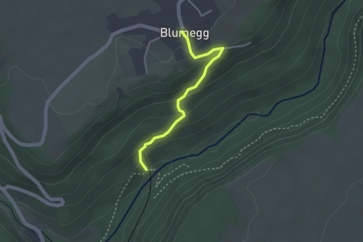
Easy · Trail
Eisenbahnbrücke - Blumegg
2.5 km · ↑ 139 m · 53 min
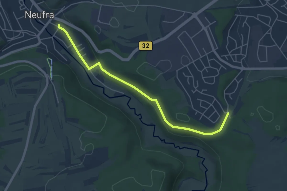
Easy · Trail
Eisenbahnlehrpfad
4.5 km · ↑ 79 m · 1 h 14 min
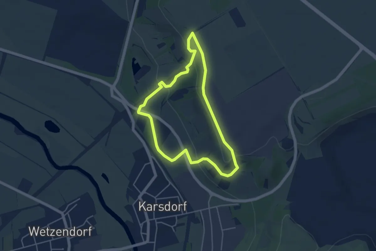
Easy · Trail
Eisenbahn Rundweg
3.4 km · ↑ 89 m · 1 h 2 min
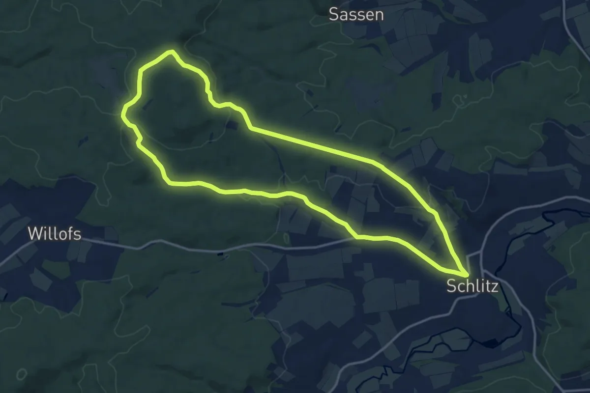
Medium · Summit
Eisenberg Rundweg
13.2 km · ↑ 213 m · 3 h 46 min
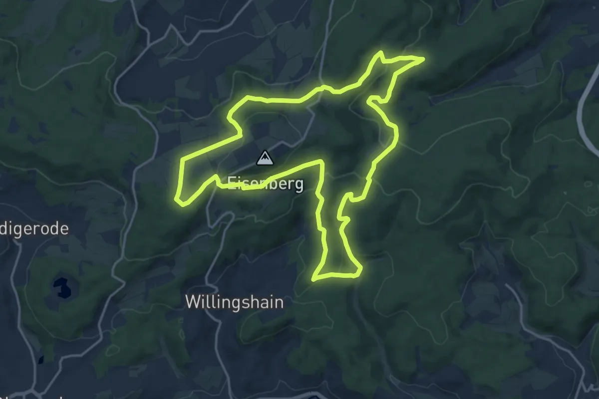
Medium · Trail
Eisenberg-Siegelweg
14.3 km · ↑ 344 m · 4 h 19 min
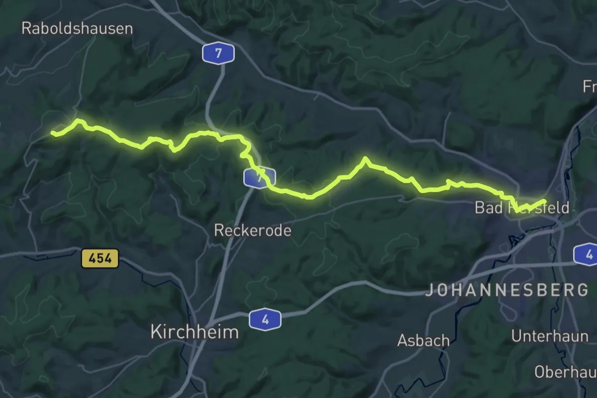
Demanding · Summit
Eisenberg-Steig
36.4 km · ↑ 734 m · 10 h 11 min
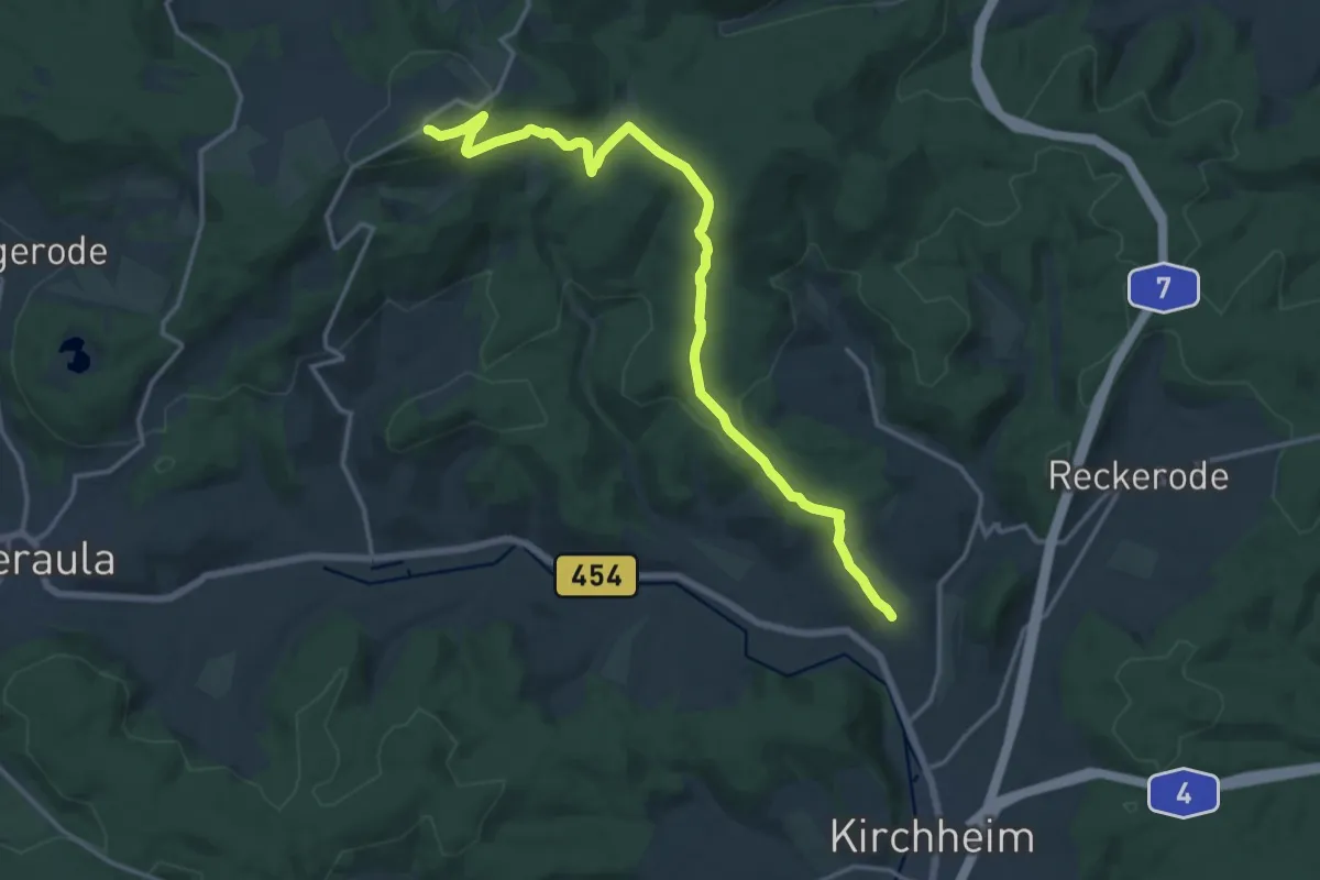
Medium · Summit
Eisenbergweg (+42)
15.2 km · ↑ 428 m · 4 h 31 min
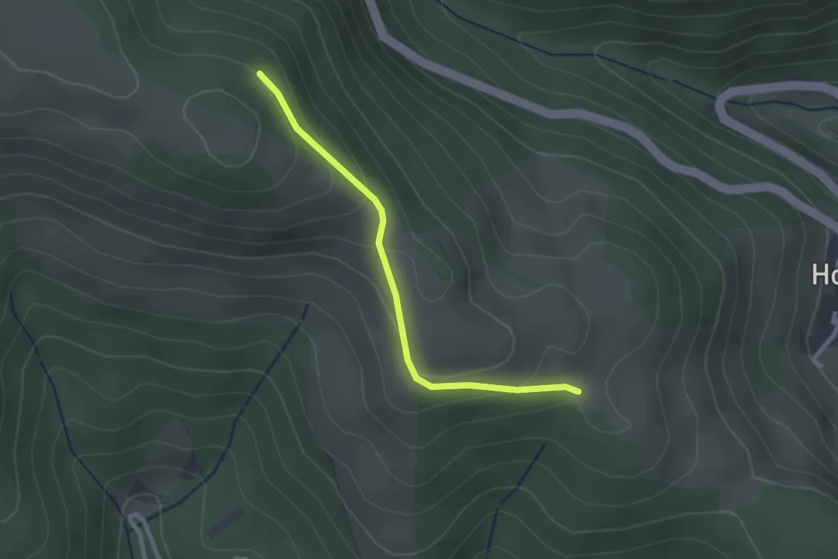
Easy · Trail
Eisenbläue - Mittelbühl
2.2 km · ↑ 107 m · 45 min
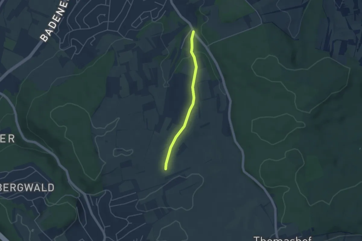
Easy · Trail
Eisenhafengrund - Ochsenstraße
3.2 km · ↑ 54 m · 52 min
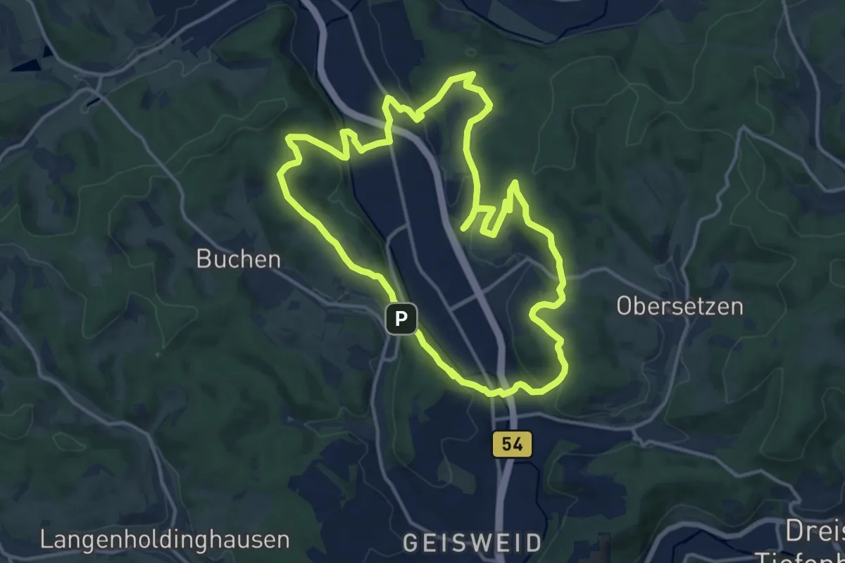
Medium · Trail
Eisenhammerweg Buschhütten
12.6 km · ↑ 382 m · 3 h 59 min
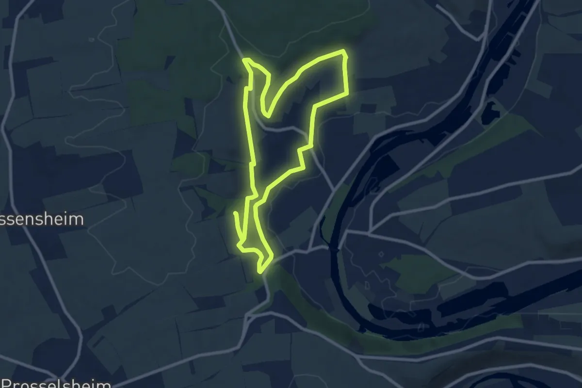
Easy · Trail
Eisenheimer Bildstockweg
7.2 km · ↑ 157 m · 2 h 8 min
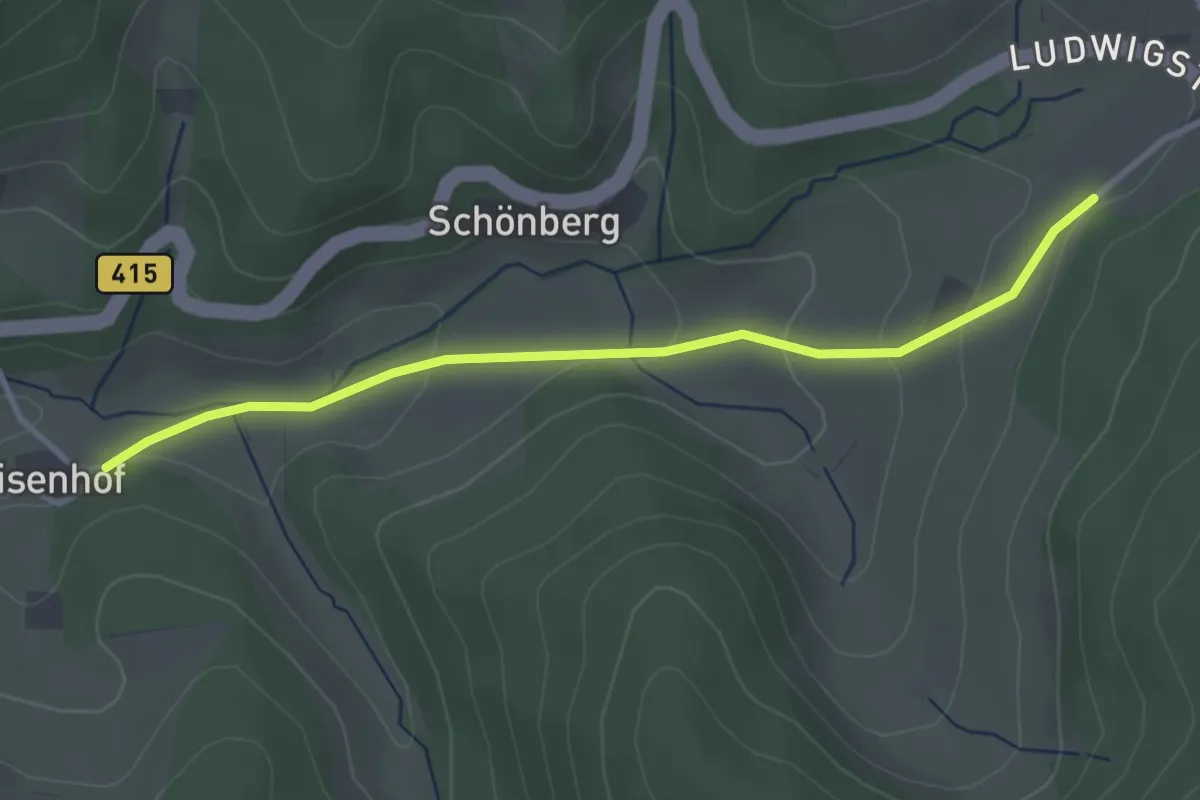
Easy · Trail
Eisenhof - Oberer Haghof
3.1 km · ↑ 111 m · 59 min
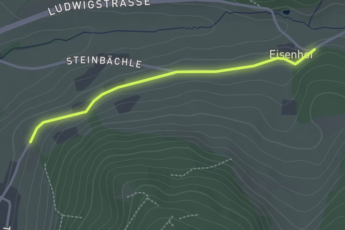
Easy · Trail
Eisenhof - Wachtbühl
2.3 km · ↑ 38 m · 37 min
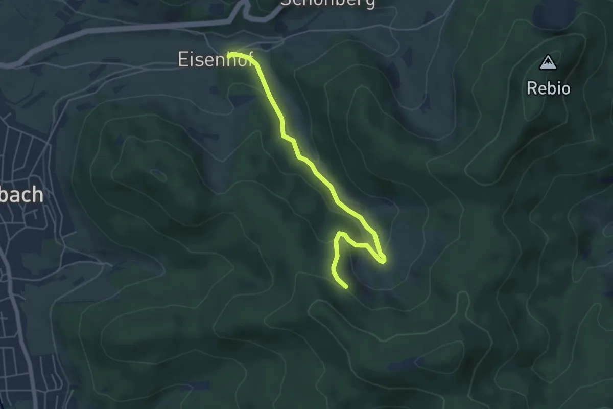
Easy · Trail
Eisenhof - Walzenhof
4.8 km · ↑ 196 m · 1 h 34 min
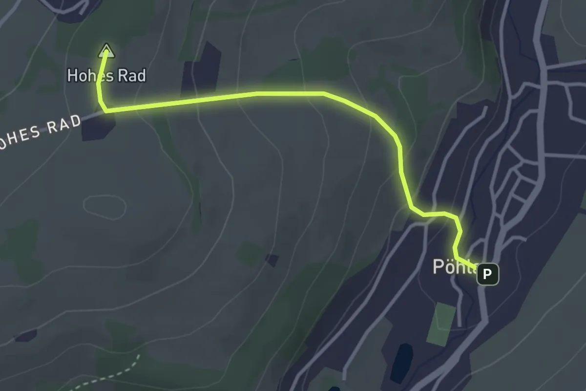
Easy · Summit
Eisenhüttensteig
2.9 km · ↑ 151 m · 1 h 1 min
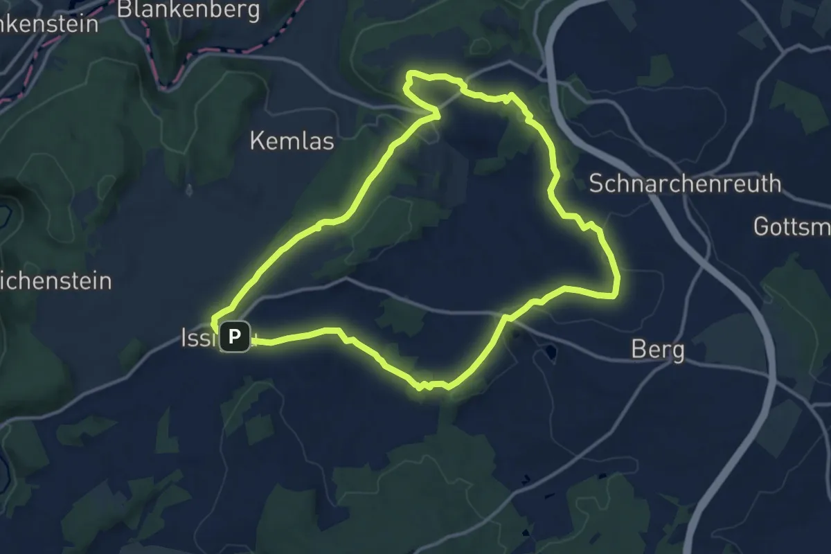
Medium · Trail
Eisenpark-Weg US 72
11.4 km · ↑ 235 m · 3 h 22 min
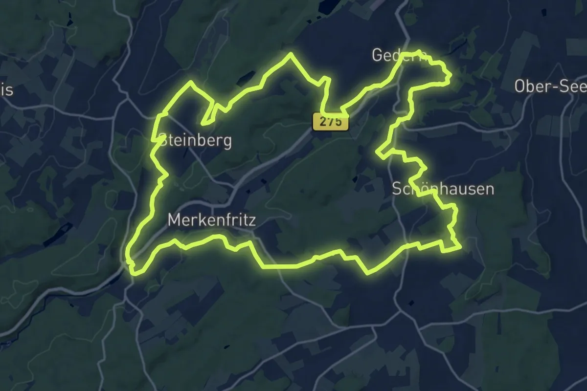
Demanding · Summit
Eisenpfad
23.6 km · ↑ 386 m · 6 h 45 min
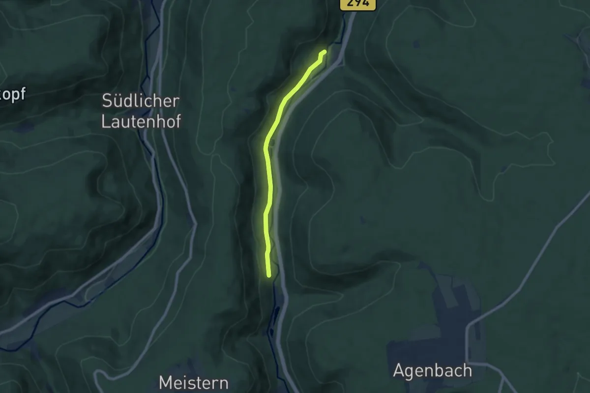
Easy · Trail
Eisenriß - Fischzucht
5.7 km · ↑ 112 m · 1 h 35 min
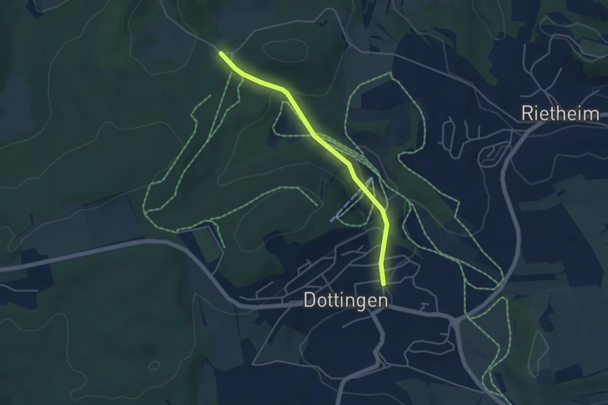
Easy · Trail
Eisenrüttel - Dottingen
3.6 km · ↑ 118 m · 1 h 6 min
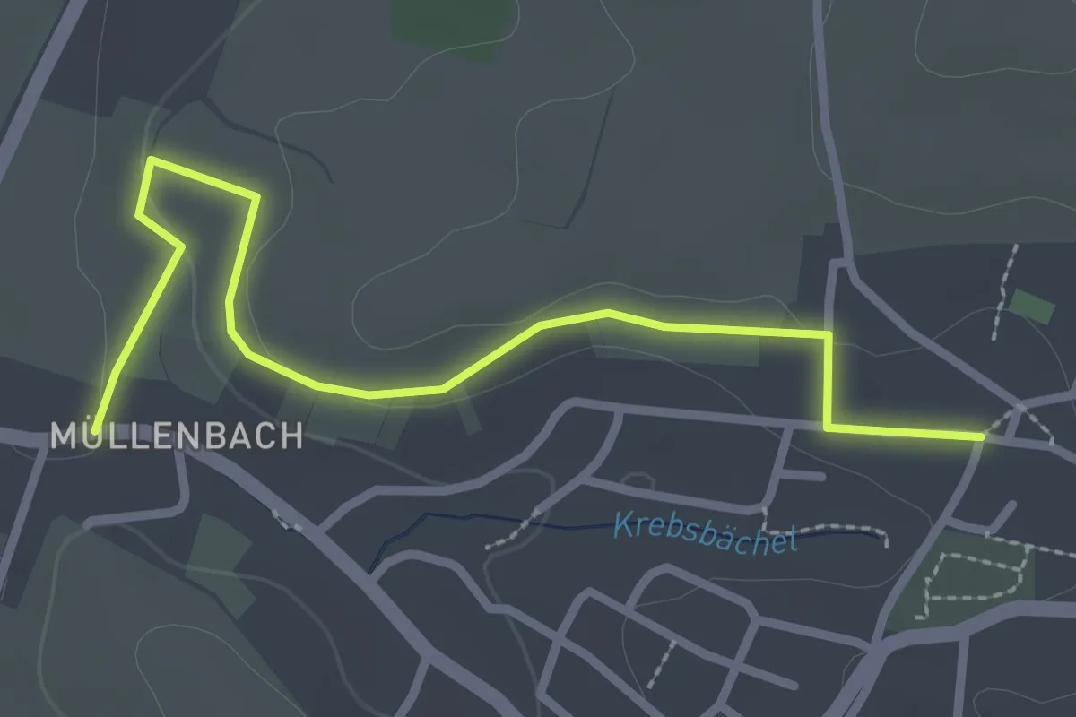
Easy · Trail
Eisental Trottenplatz - Müllenbach
2.8 km · ↑ 34 m · 44 min
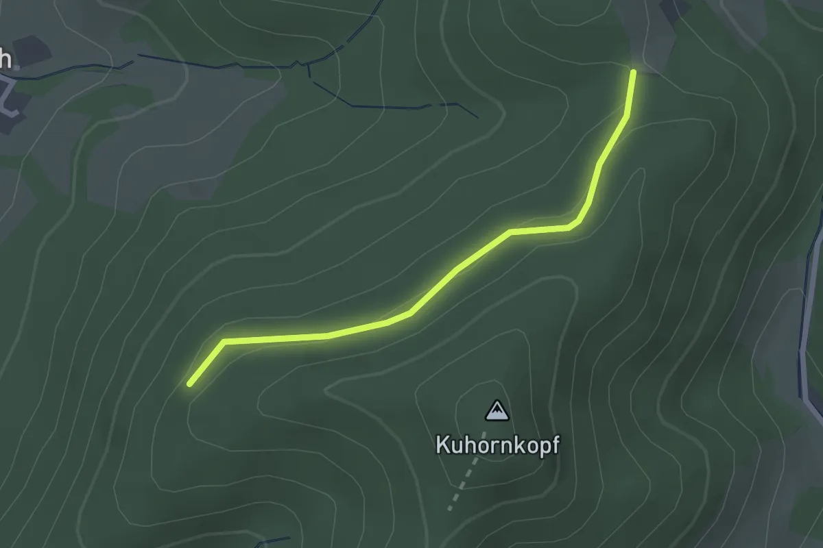
Easy · Trail
Eisenwand - Heugrabeneck
2.1 km · ↑ 63 m · 38 min
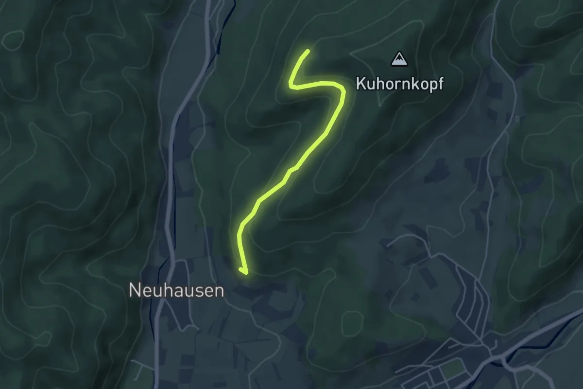
Easy · Trail
Eisenwand - Neuhauser Rebberg
3.8 km · ↑ 212 m · 1 h 21 min
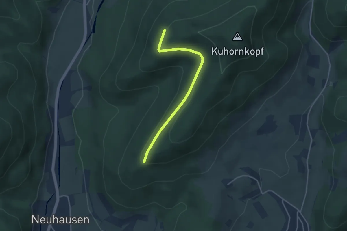
Easy · Trail
Eisenwand - Unterm Kamm
2.8 km · ↑ 80 m · 50 min
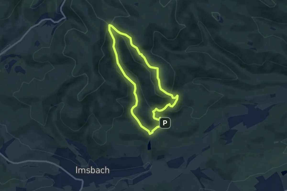
Easy · Trail
Eisenweg
5.5 km · ↑ 253 m · 1 h 55 min
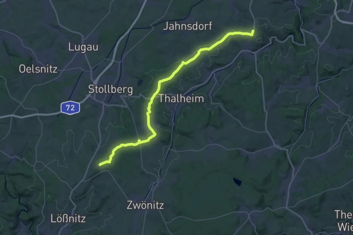
Demanding · Trail
Eisenweg
18.8 km · ↑ 281 m · 5 h 15 min
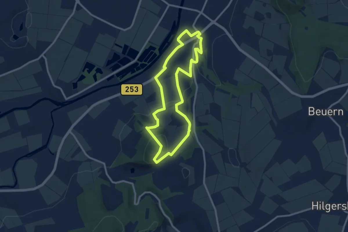
Easy · Trail
Eisenzeitliche Höhensiedlung
6.3 km · ↑ 197 m · 2 h
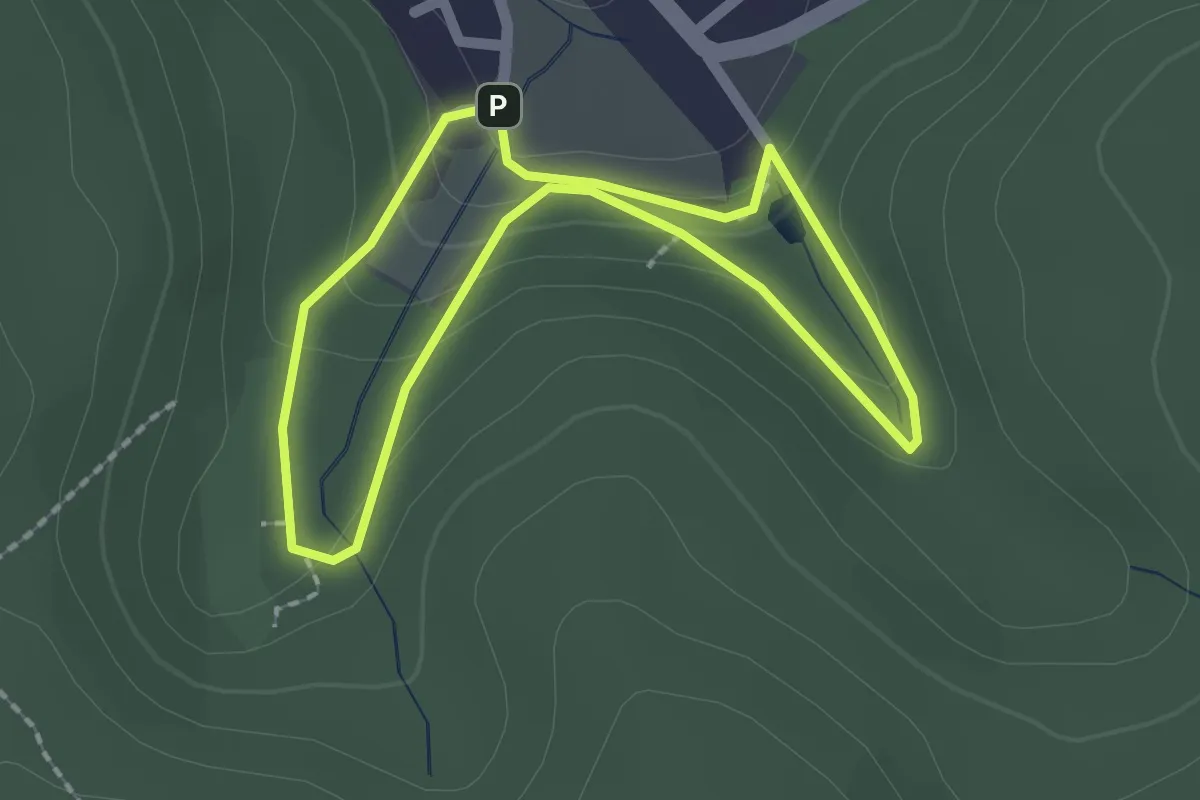
Easy · Trail
Eiserfelder Weihnachtsweg
1.6 km · ↑ 77 m · 34 min
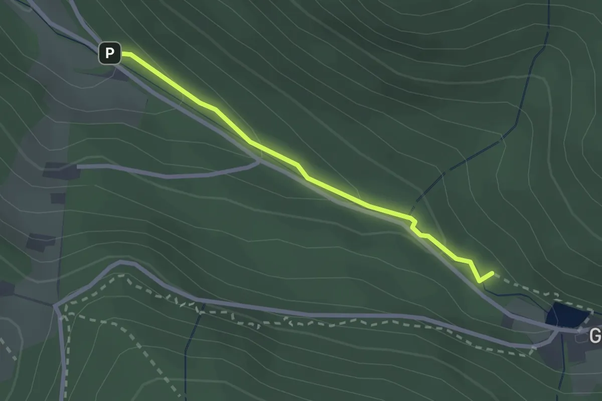
Easy · Trail
Eiserne Brücke - Unterm Stausee
2.0 km · ↑ 89 m · 40 min
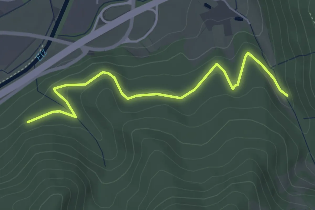
Easy · Trail
Eiserner Steg - Beim Felsenwässerle
4.5 km · ↑ 244 m · 1 h 35 min
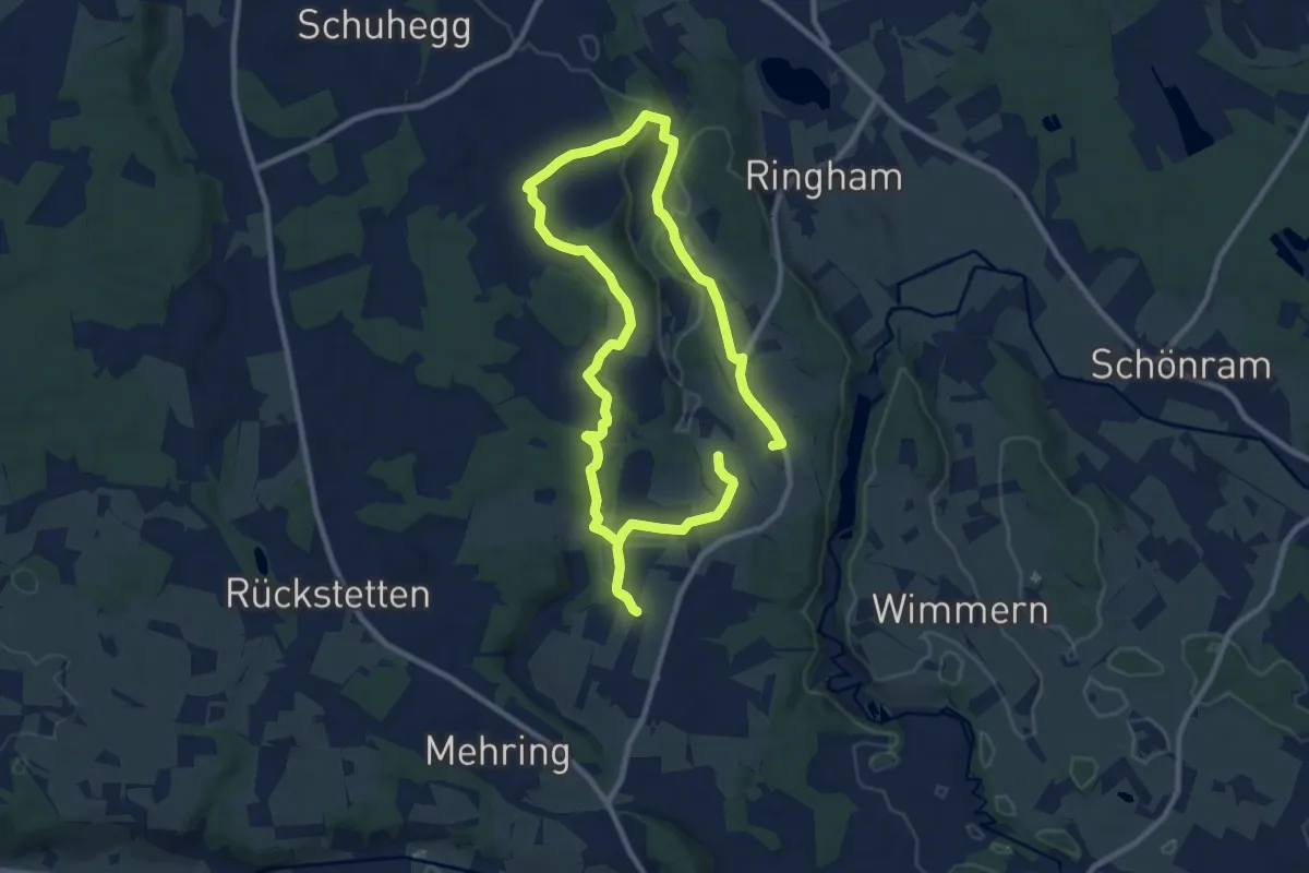
Medium · Trail
Eisgraben Weg Nr. 12
16.7 km · ↑ 182 m · 4 h 20 min
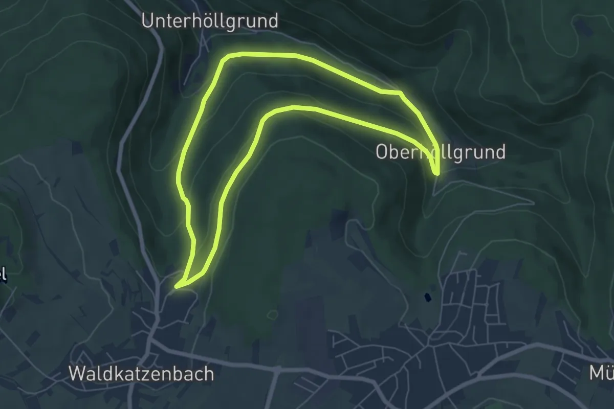
Easy · Trail
Eisigklinge-Weg
5.5 km · ↑ 194 m · 1 h 48 min
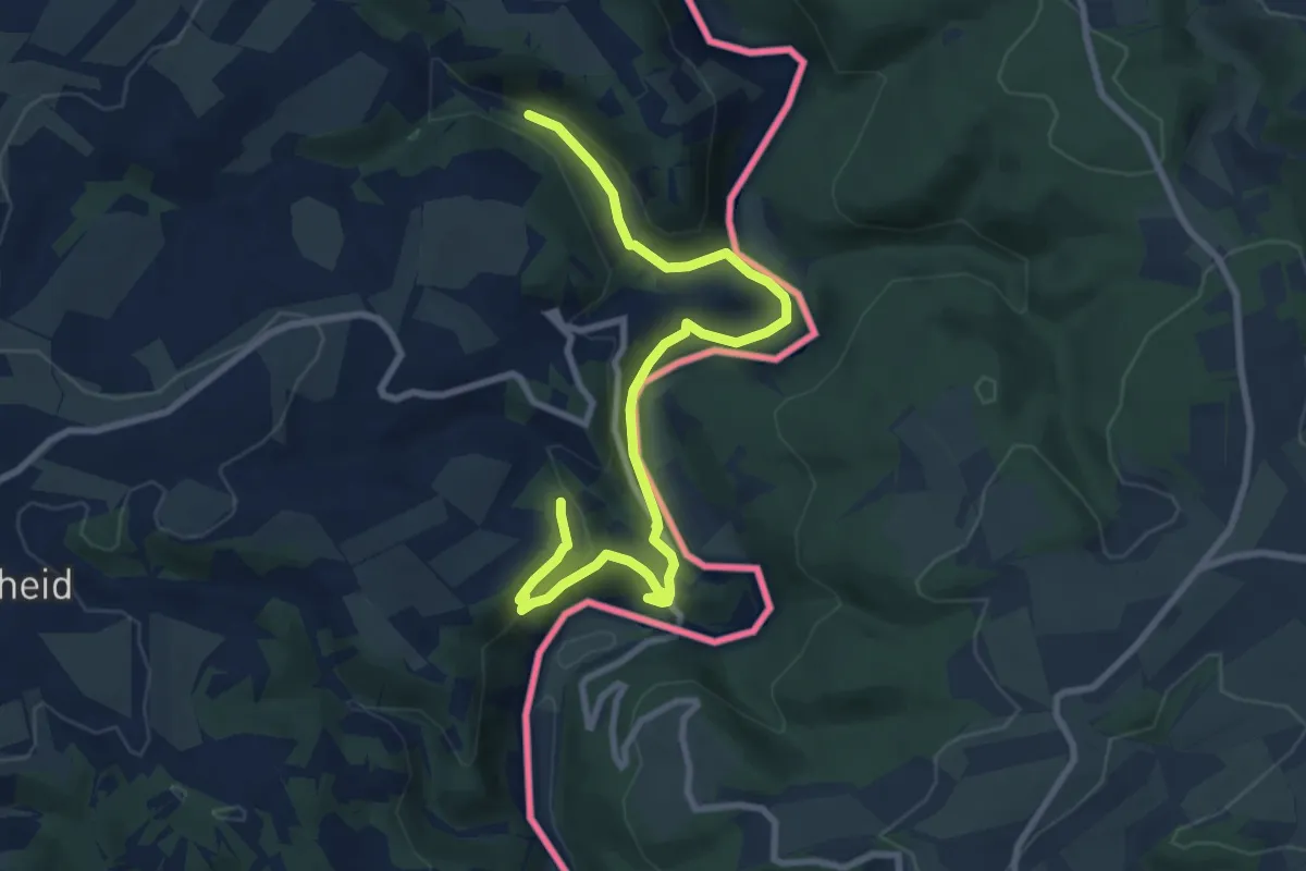
Easy · Summit
Eislek Pad Kalborn
4.7 km · ↑ 133 m · 1 h 28 min
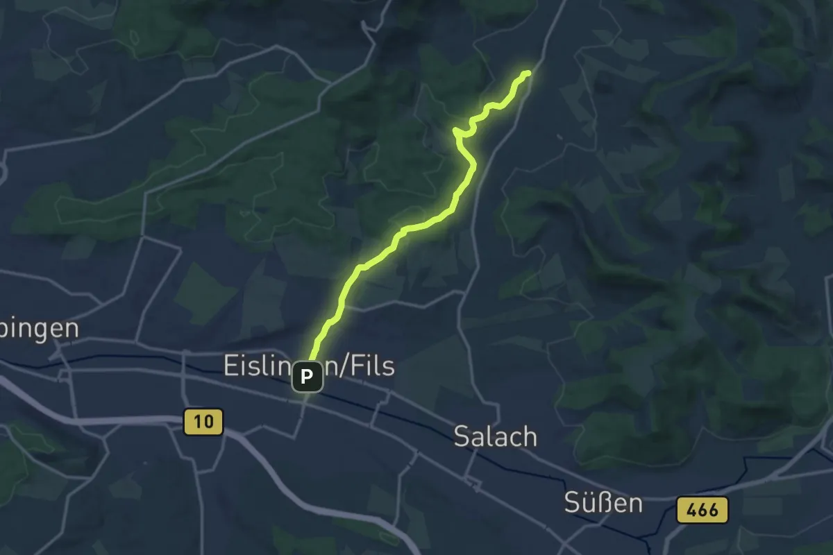
Medium · Trail
Eislingen - Ottenbach
12.4 km · ↑ 185 m · 3 h 20 min
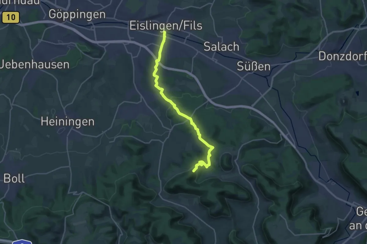
Medium · Trail
Eislingen - Wasserberg
17.8 km · ↑ 475 m · 5 h 14 min
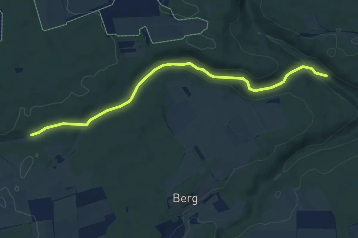
Easy · Trail
Eistalweg
6.8 km · ↑ 160 m · 1 h 57 min
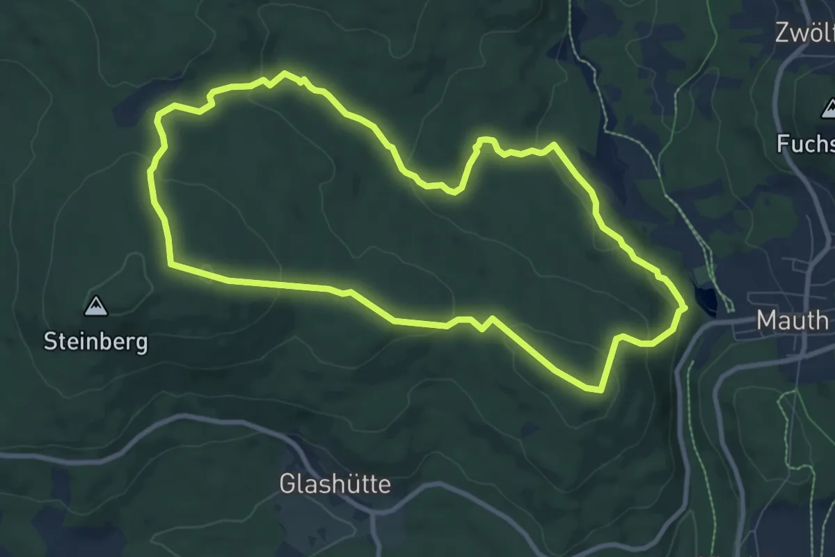
Medium · Summit
Eisvogel
8.2 km · ↑ 270 m · 2 h 39 min
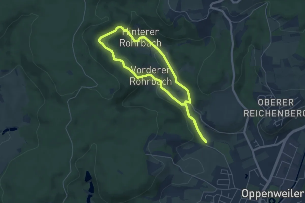
Easy · Trail
Eisvögel und Orchideen
4.3 km · ↑ 110 m · 1 h 18 min
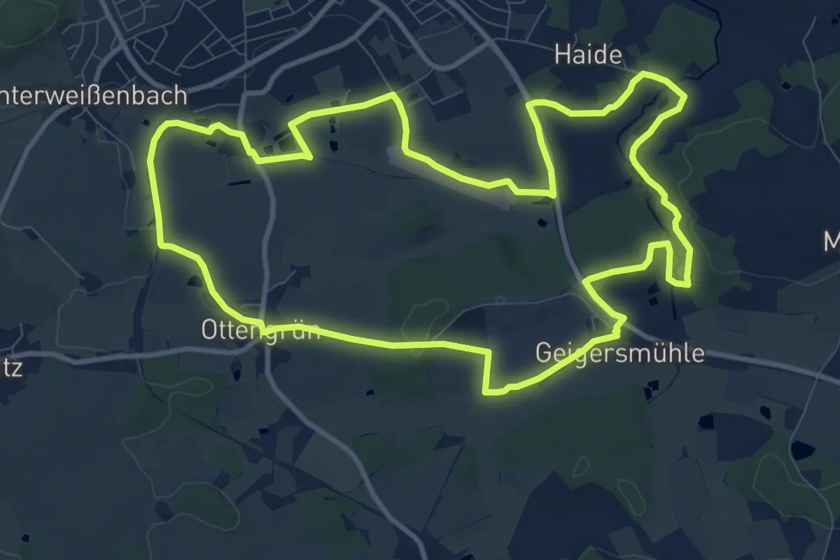
Medium · Trail
Eisvogel-Weg OS 14
9.9 km · ↑ 107 m · 2 h 42 min
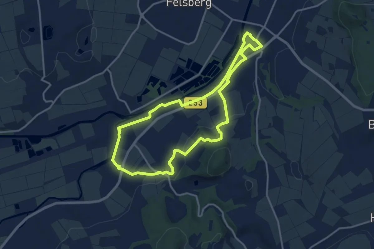
Medium · Trail
Eiszeitjäger
8.5 km · ↑ 97 m · 2 h 20 min
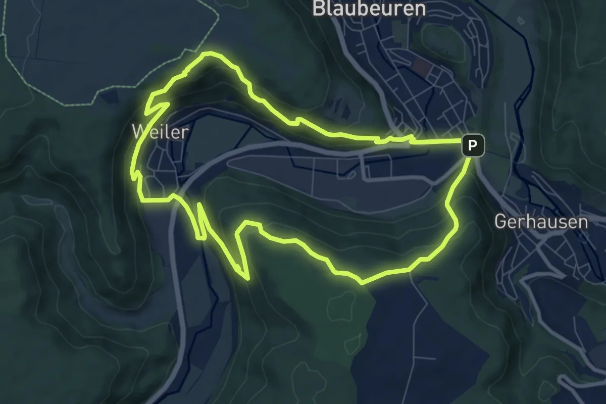
Medium · Summit
Eiszeitjägerpfad
8.0 km · ↑ 382 m · 2 h 50 min
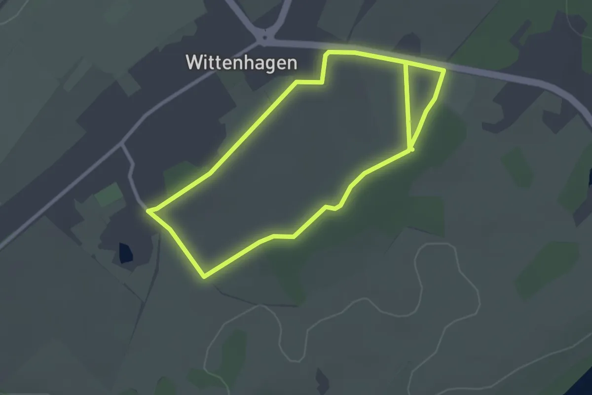
Easy · Trail
Eiszeit-Lehrpfad
2.2 km · ↑ 4 m · 33 min