Trails in Germany
36,847 hiking trails, each with its route, climb, walking time and grade.
All trails, page 130 of 768
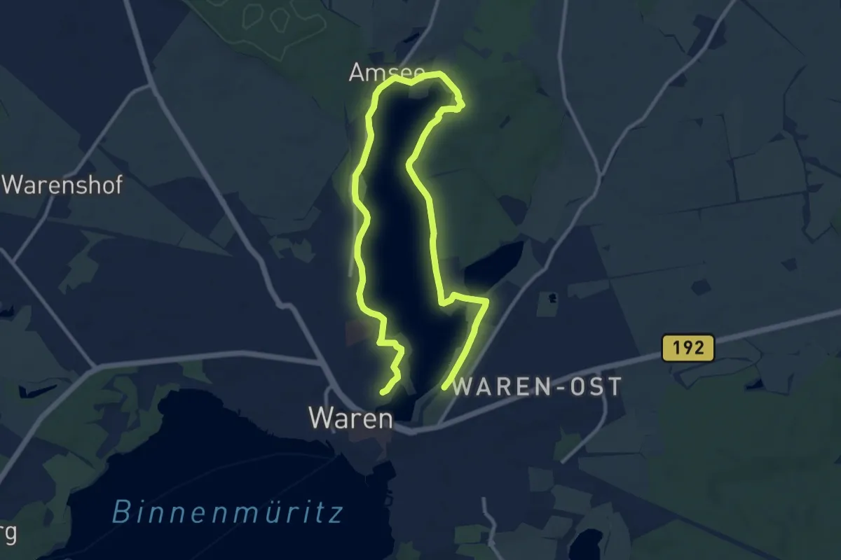
Easy · Trail
Eiszeitlehrpfad Tiefwarensee
7.2 km · ↑ 40 m · 1 h 53 min
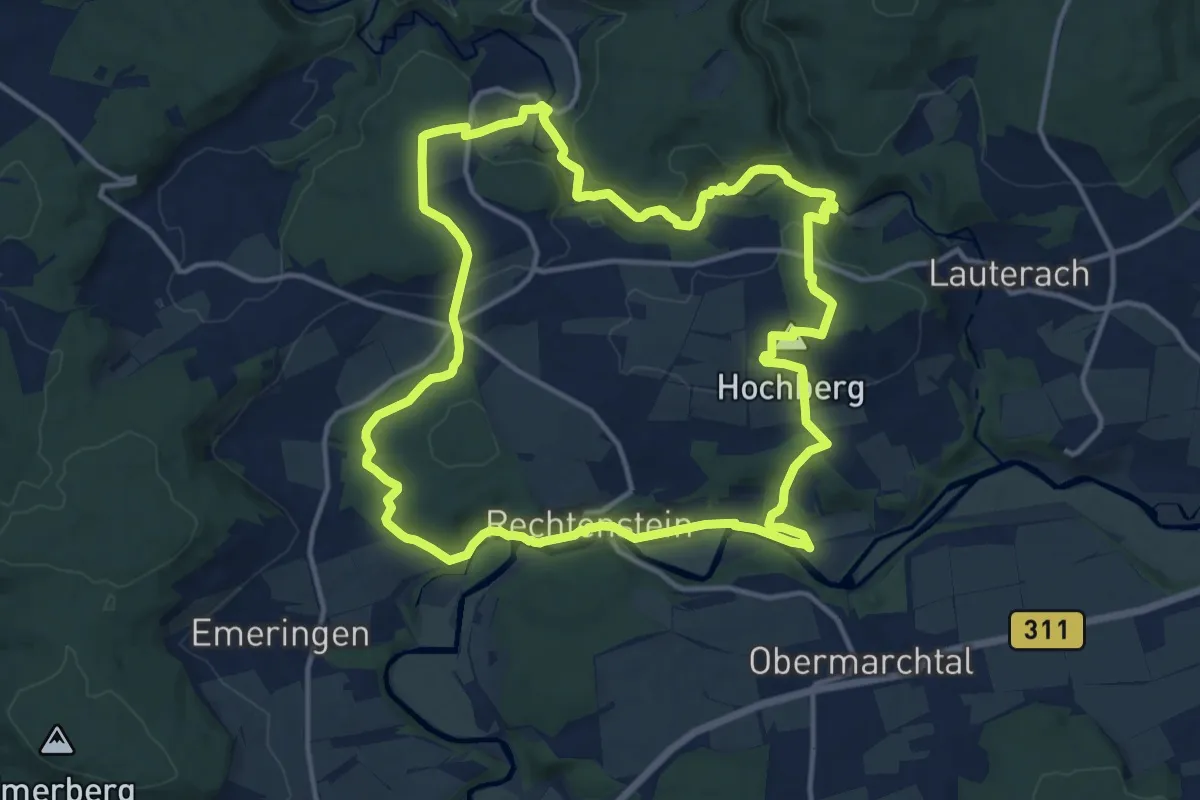
Medium · Summit
Eiszeitpfad Donau-Hochberg-Tour (DH)
15.1 km · ↑ 365 m · 4 h 34 min
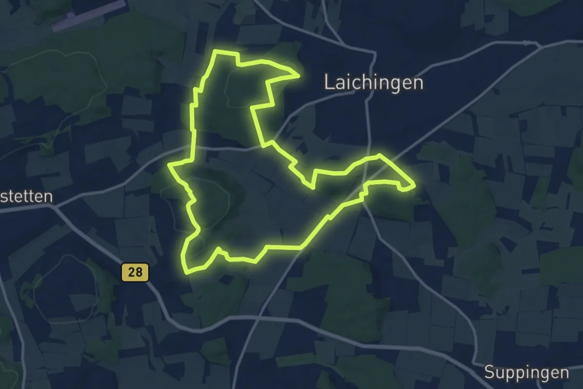
Medium · Trail
Eiszeitpfade: Laichinger Höhlentour
11.9 km · ↑ 285 m · 3 h 36 min
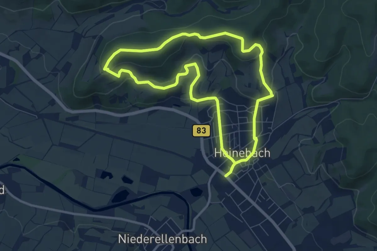
Easy · Summit
Eiszeitwanderweg
7.0 km · ↑ 208 m · 2 h 11 min
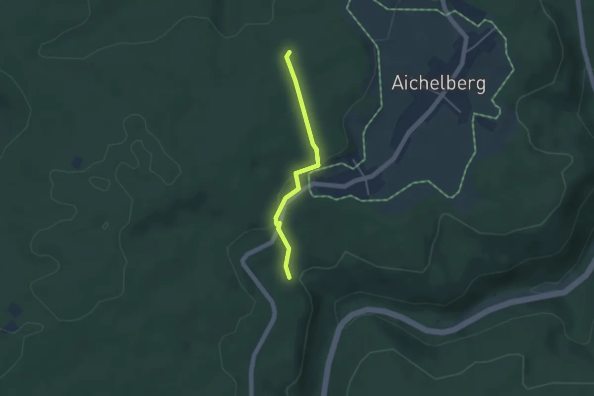
Easy · Trail
Eitele - Harter Rain
2.7 km · ↑ 75 m · 48 min
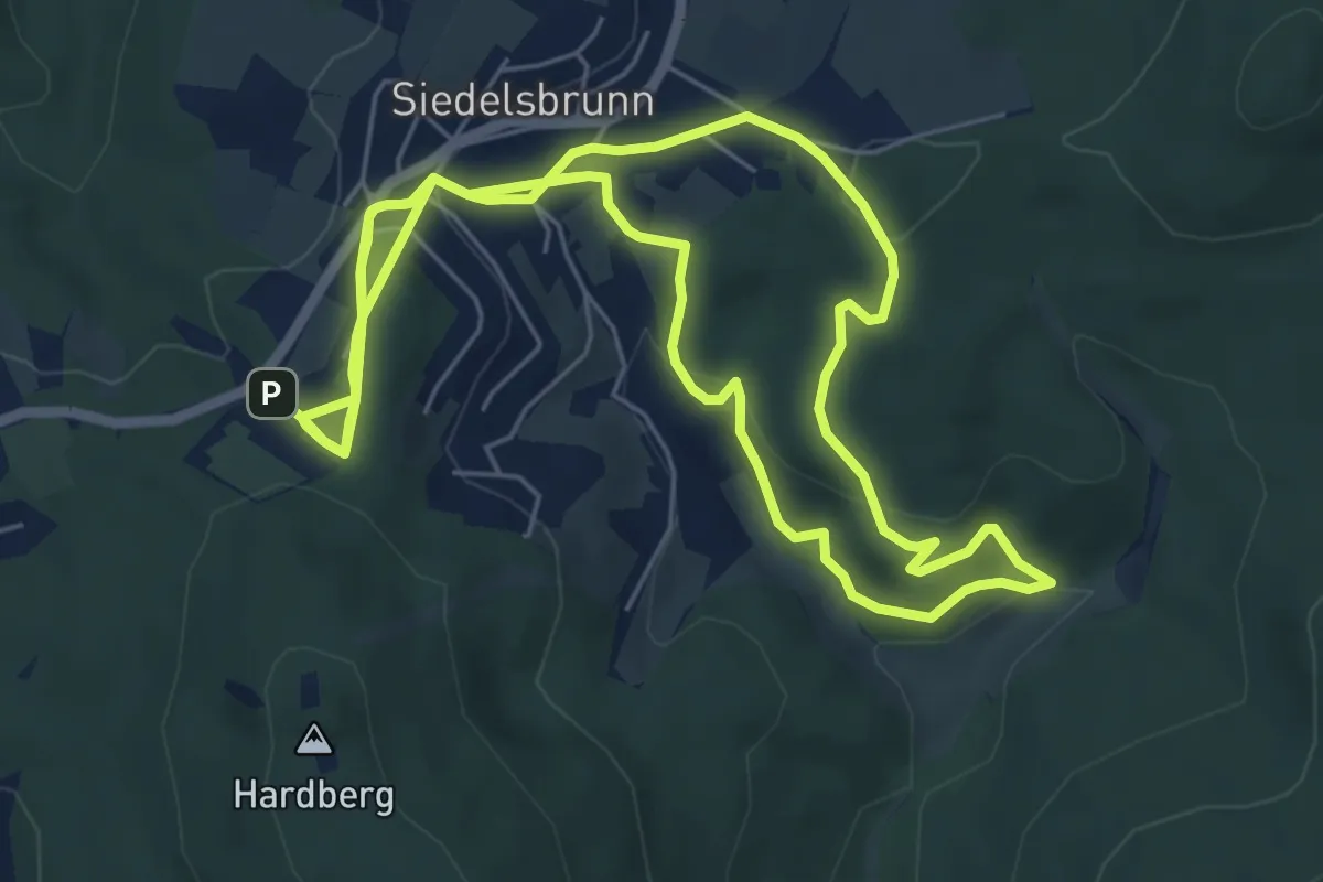
Easy · Trail
Eiterbachtal-Weg
6.5 km · ↑ 179 m · 2 h 2 min
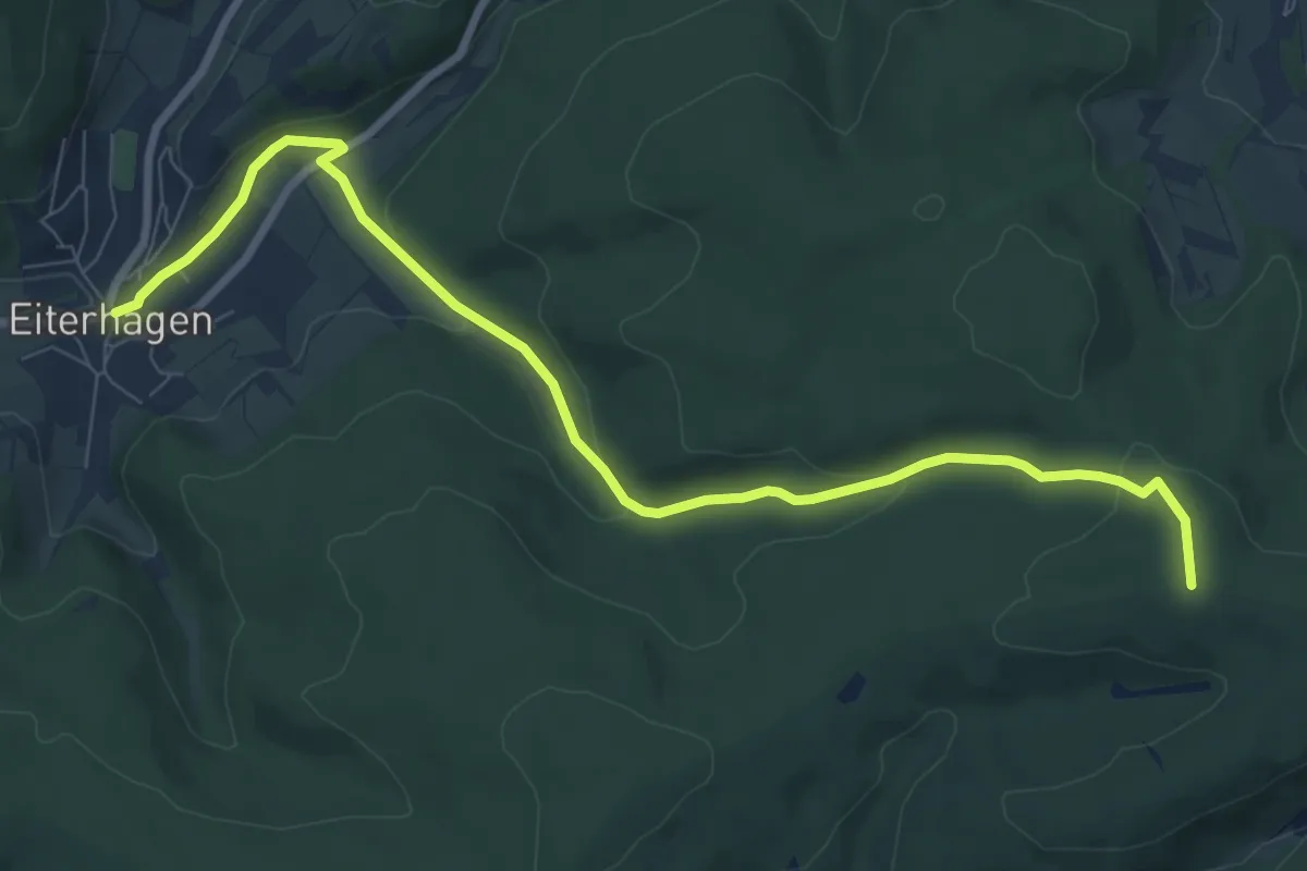
Medium · Trail
Eiterhagen-Sälzerweg Richtung HeLi
8.5 km · ↑ 245 m · 2 h 33 min
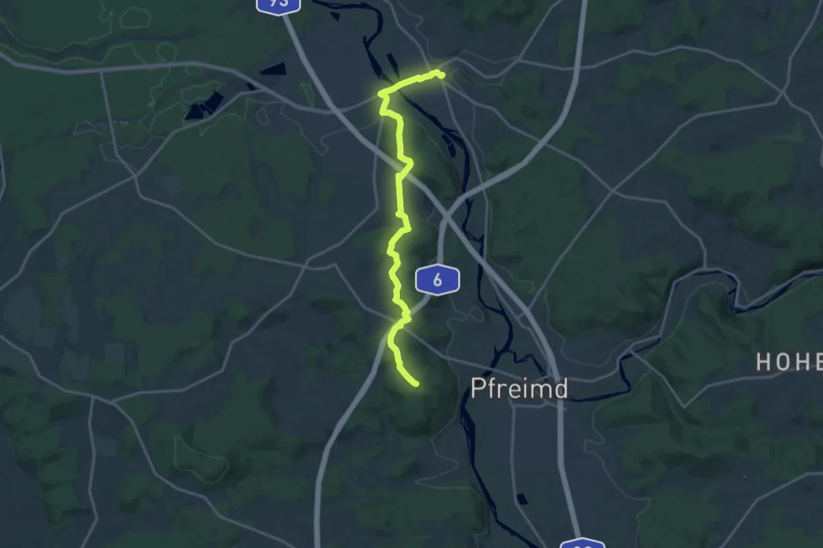
Medium · Summit
Eixelbergweg
14.2 km · ↑ 363 m · 4 h 9 min
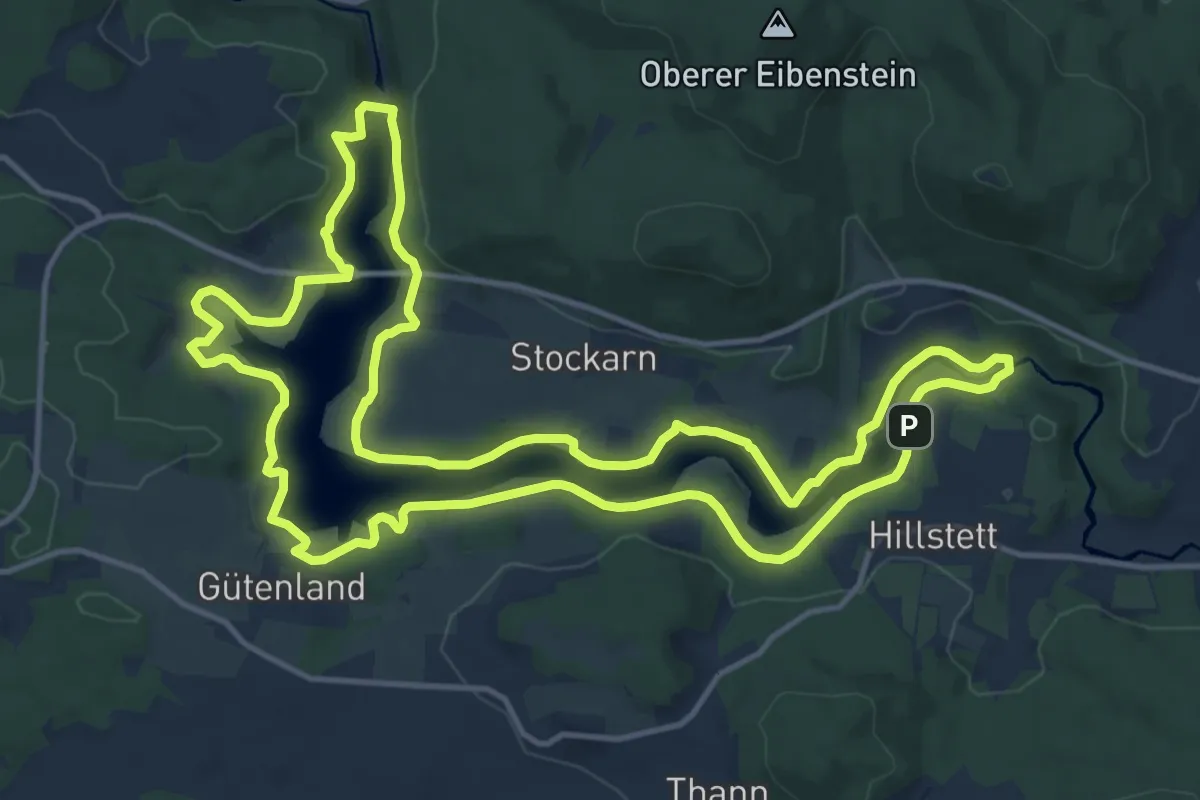
Medium · Trail
Eixendorfer Seeweg
15.1 km · ↑ 308 m · 4 h 27 min
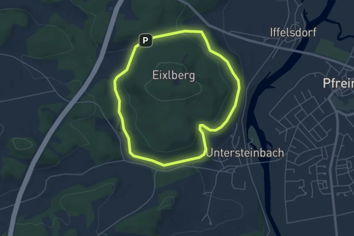
Easy · Trail
Eixlberg Rundweg 1
4.1 km · ↑ 91 m · 1 h 14 min
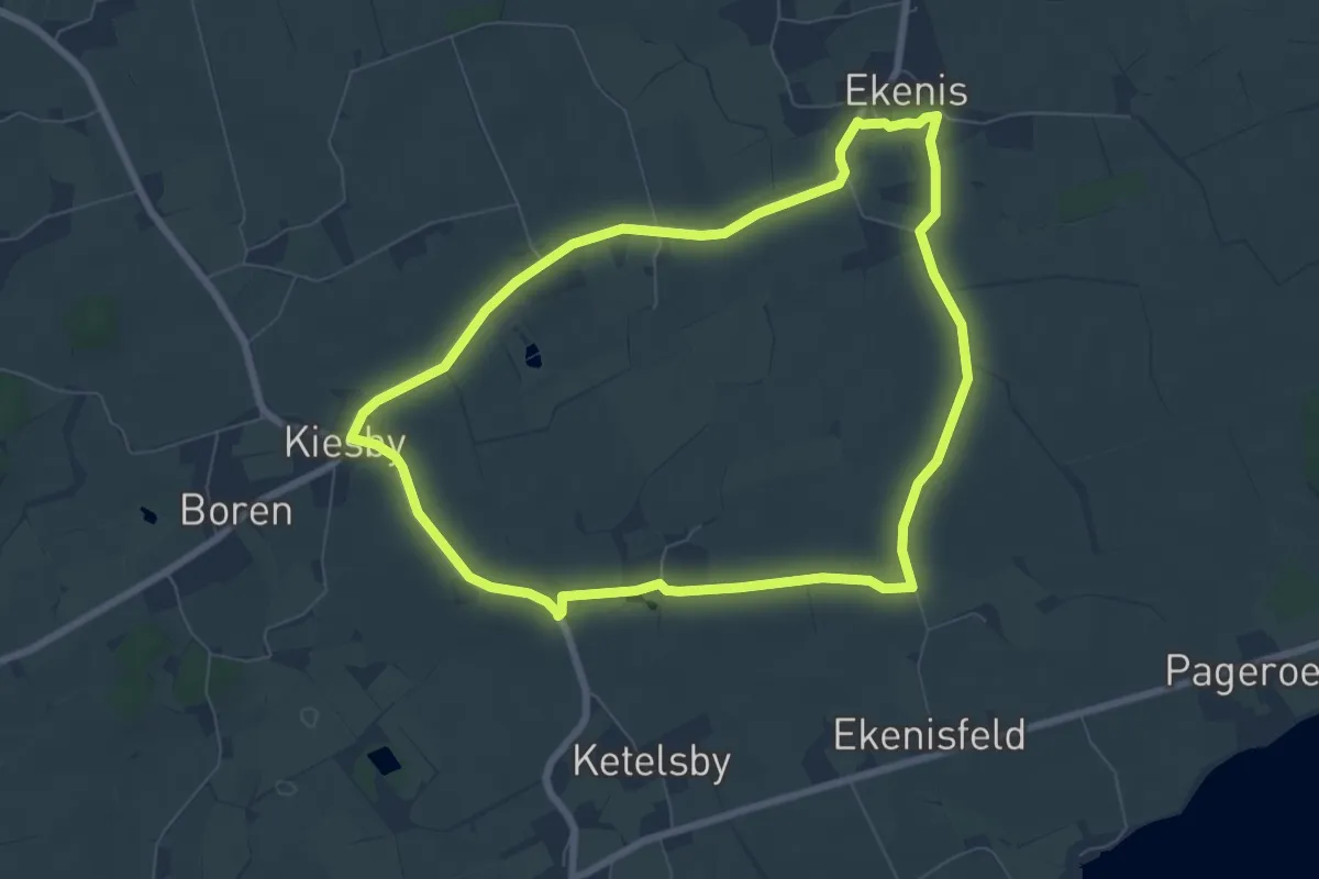
Easy · Trail
Ekenis-Kiesby-Boren
6.0 km · ↑ 13 m · 1 h 32 min
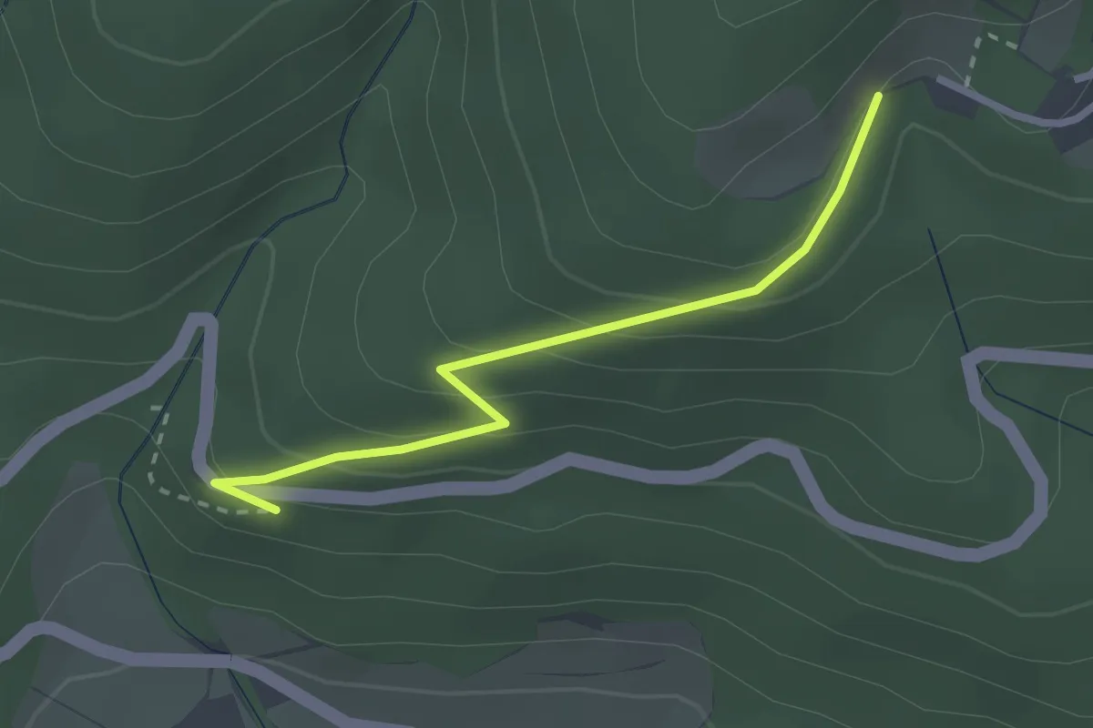
Easy · Trail
Elbacher Graben - Hagenmatt
2.4 km · ↑ 174 m · 57 min
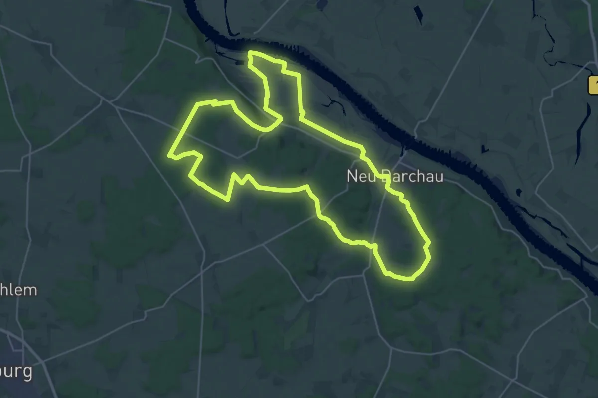
Demanding · Trail
Elbe-Katemin-Weg
23.1 km · ↑ 190 m · 6 h 12 min
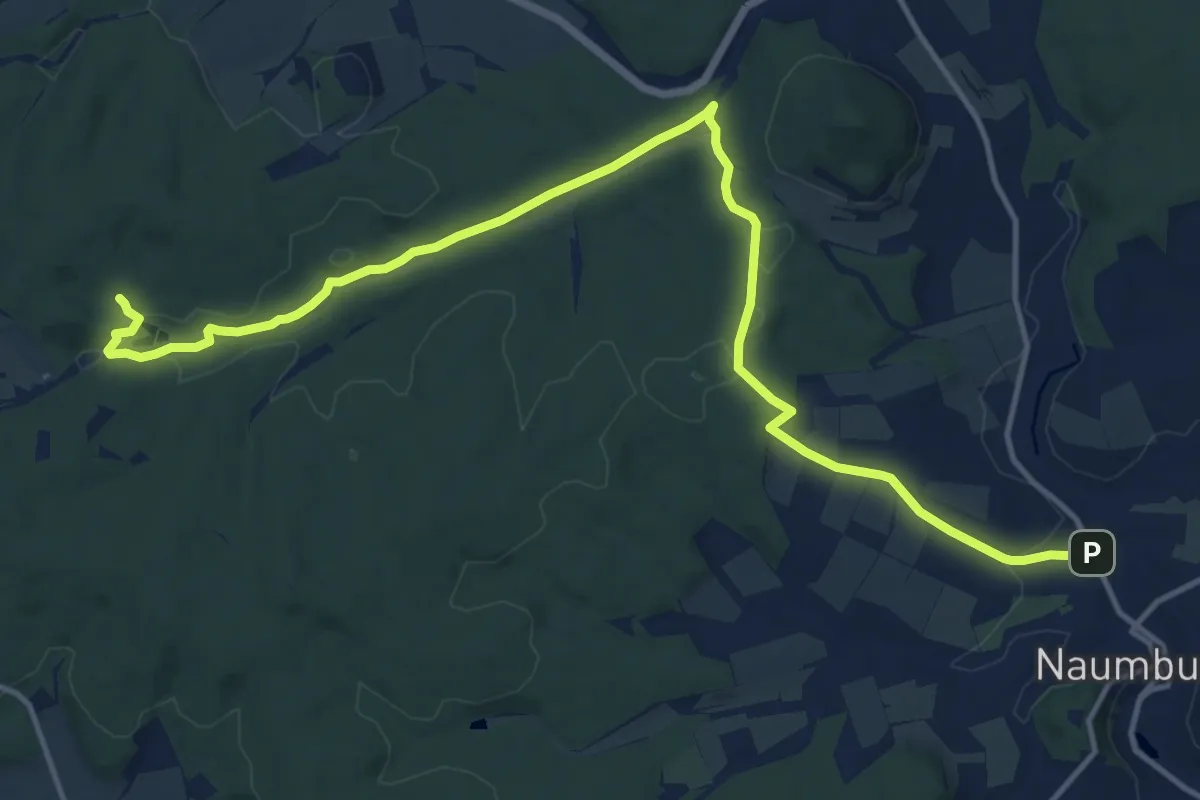
Medium · Trail
Elbequelleweg
15.6 km · ↑ 285 m · 4 h 18 min
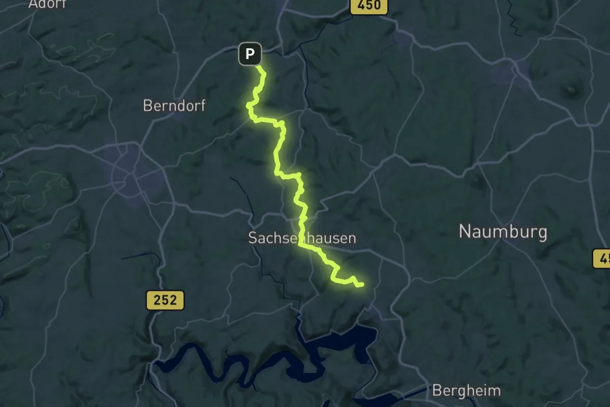
Demanding · Trail
Elbe-Twiste-Weg
21.5 km · ↑ 515 m · 6 h 24 min
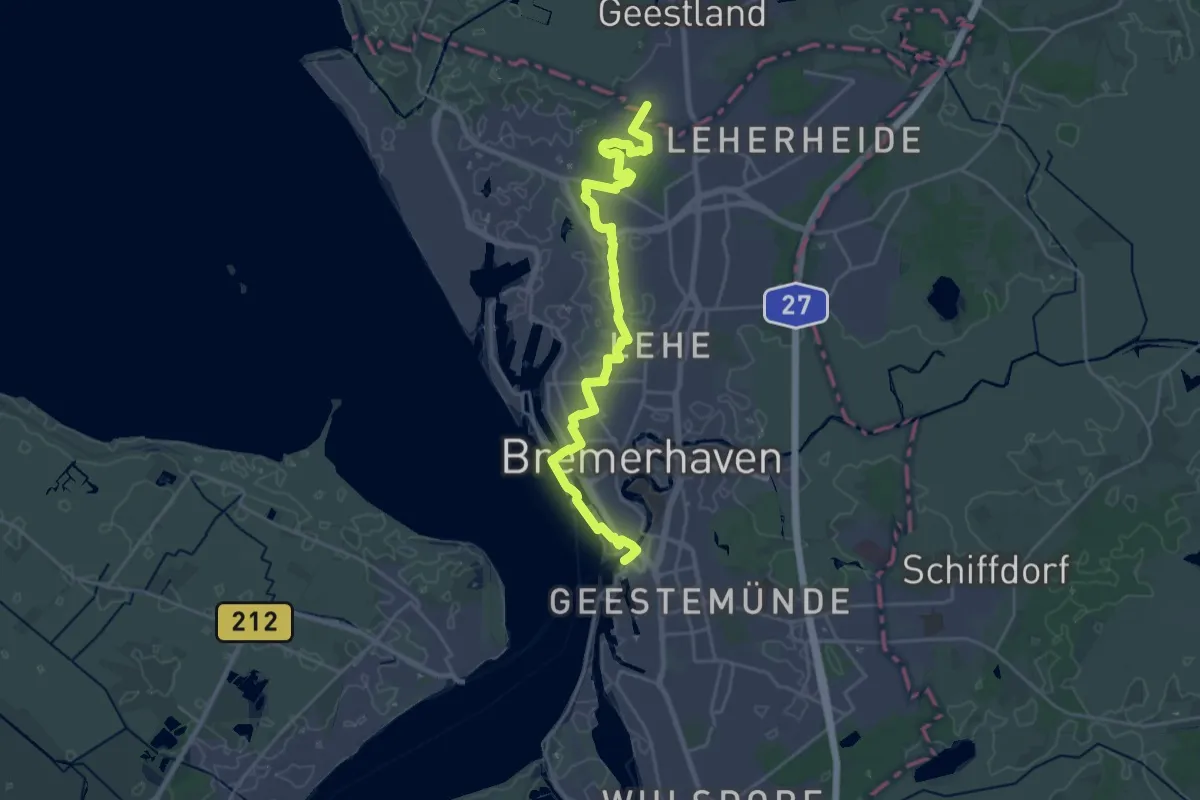
Demanding · Trail
Elbe-Weser-Wanderweg
22.7 km · ↑ 38 m · 5 h 26 min
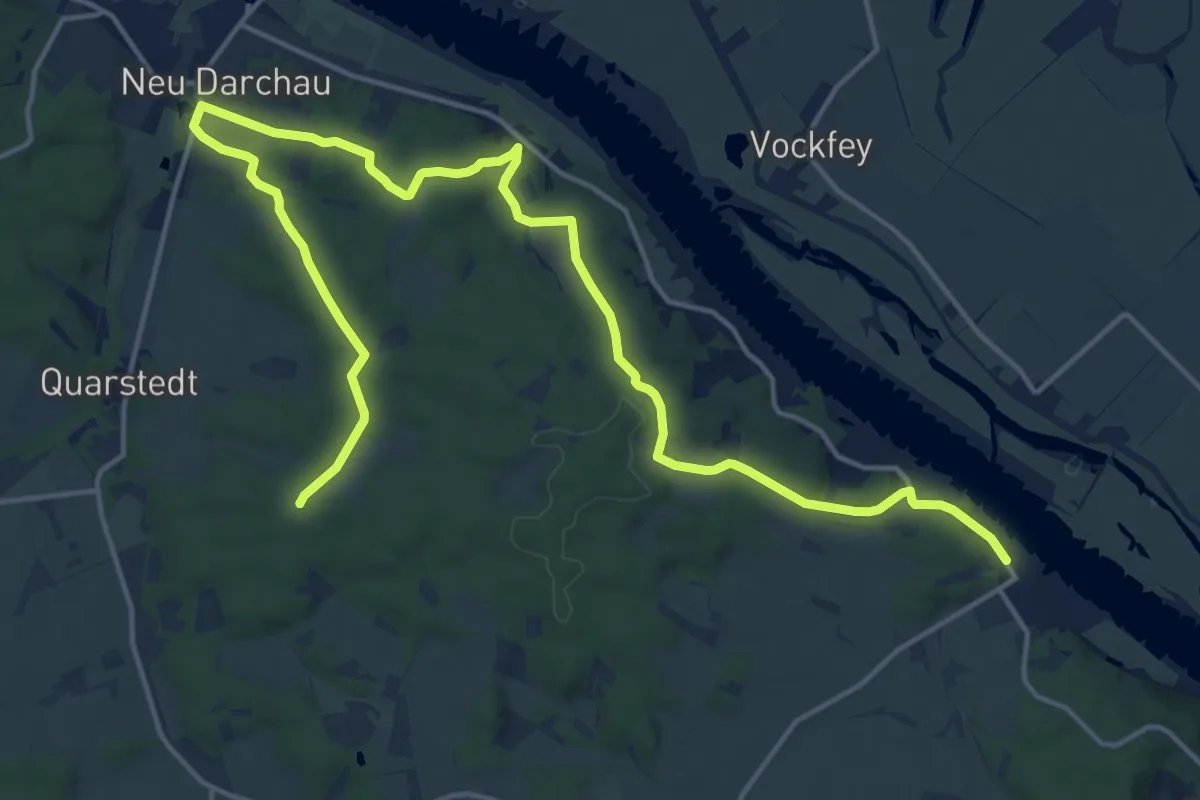
Demanding · Trail
Elbhöhenweg
19.5 km · ↑ 296 m · 5 h 14 min
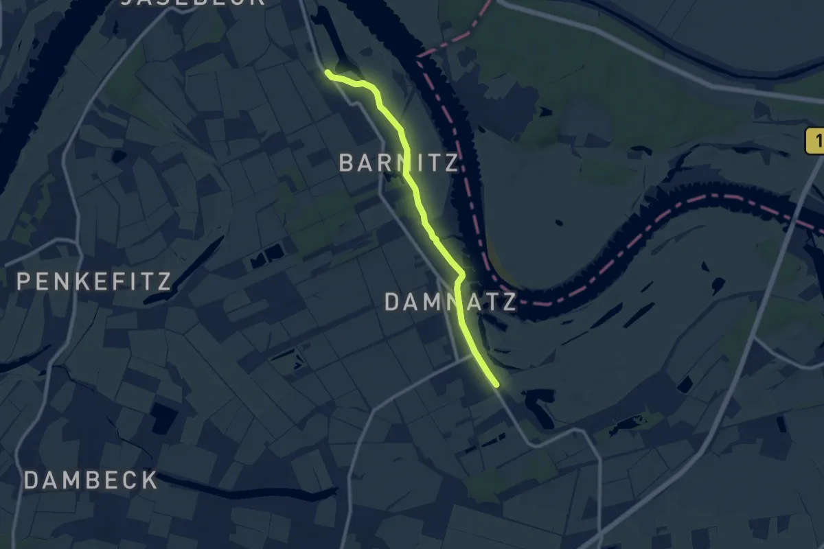
Easy · Trail
Elbhöhenweg
7.6 km · ↑ 0 m · 1 h 48 min
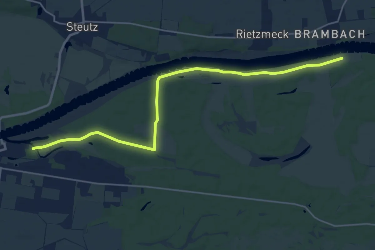
Medium · Trail
Elbnaher Rad-& Wanderweg Aken Großkühnau
14.6 km · ↑ 18 m · 3 h 29 min
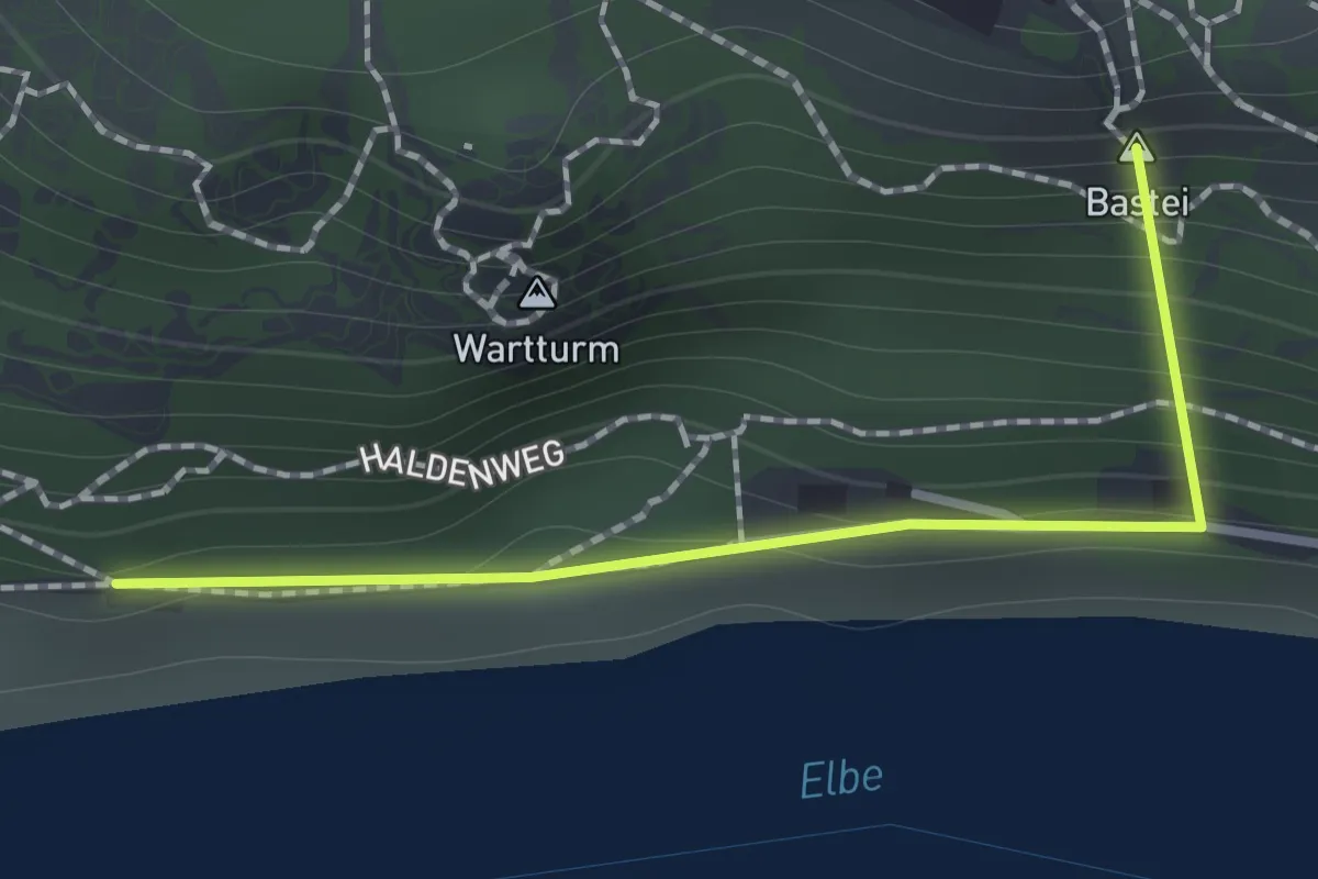
Easy · Summit
Elbpromenade
1.0 km · ↑ 123 m · 31 min
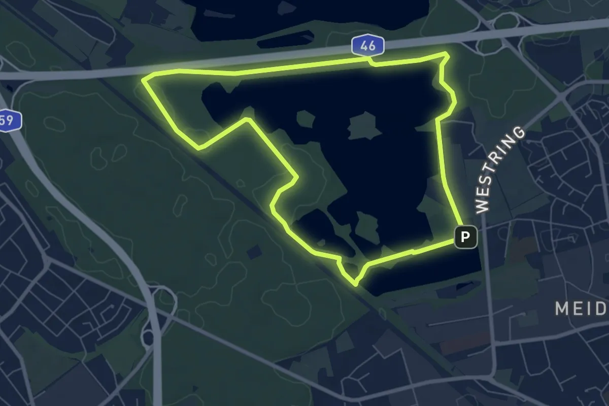
Easy · Trail
Elbsee Rundweg A7
6.4 km · ↑ 13 m · 1 h 38 min
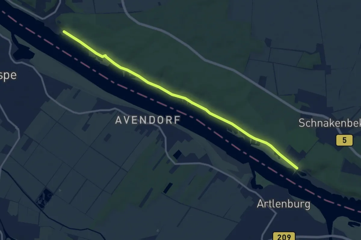
Medium · Trail
Elbuferwanderweg Tesperhude - Schnakenbek
9.5 km · ↑ 44 m · 2 h 20 min
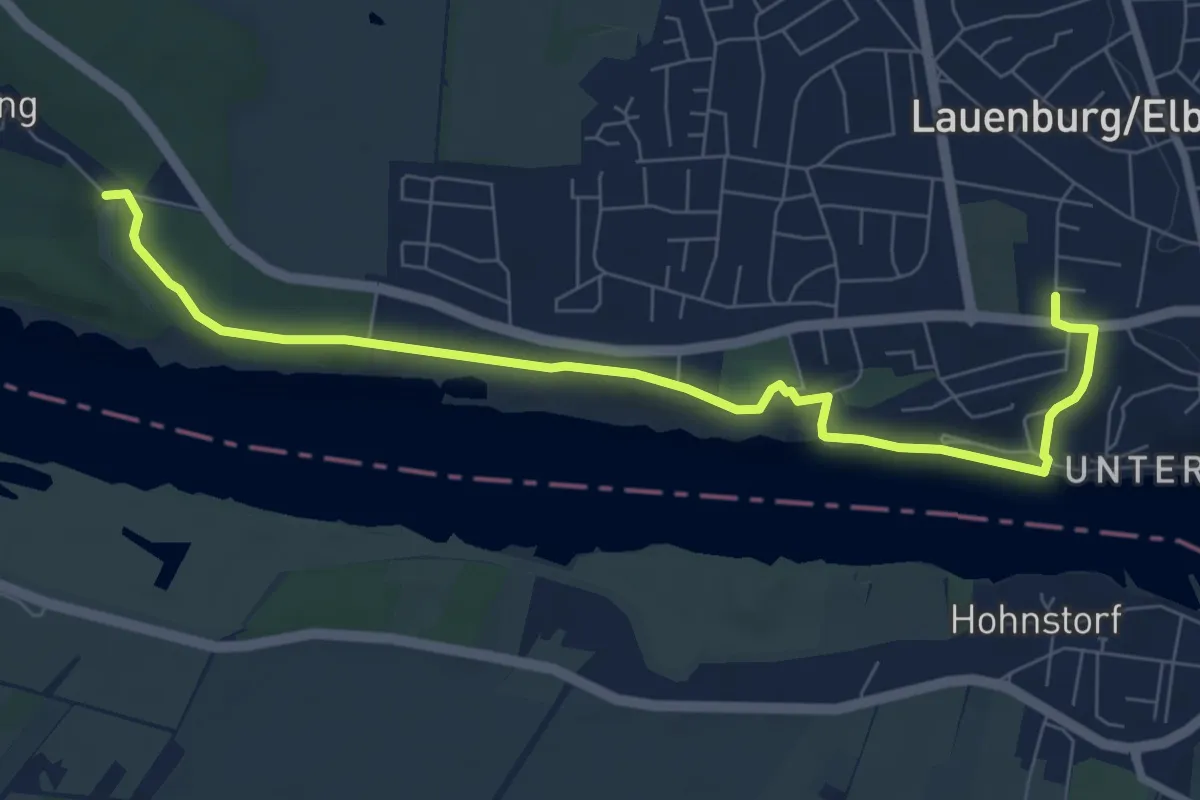
Easy · Trail
Elbwanderweg
7.2 km · ↑ 98 m · 1 h 55 min
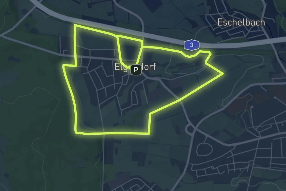
Medium · Trail
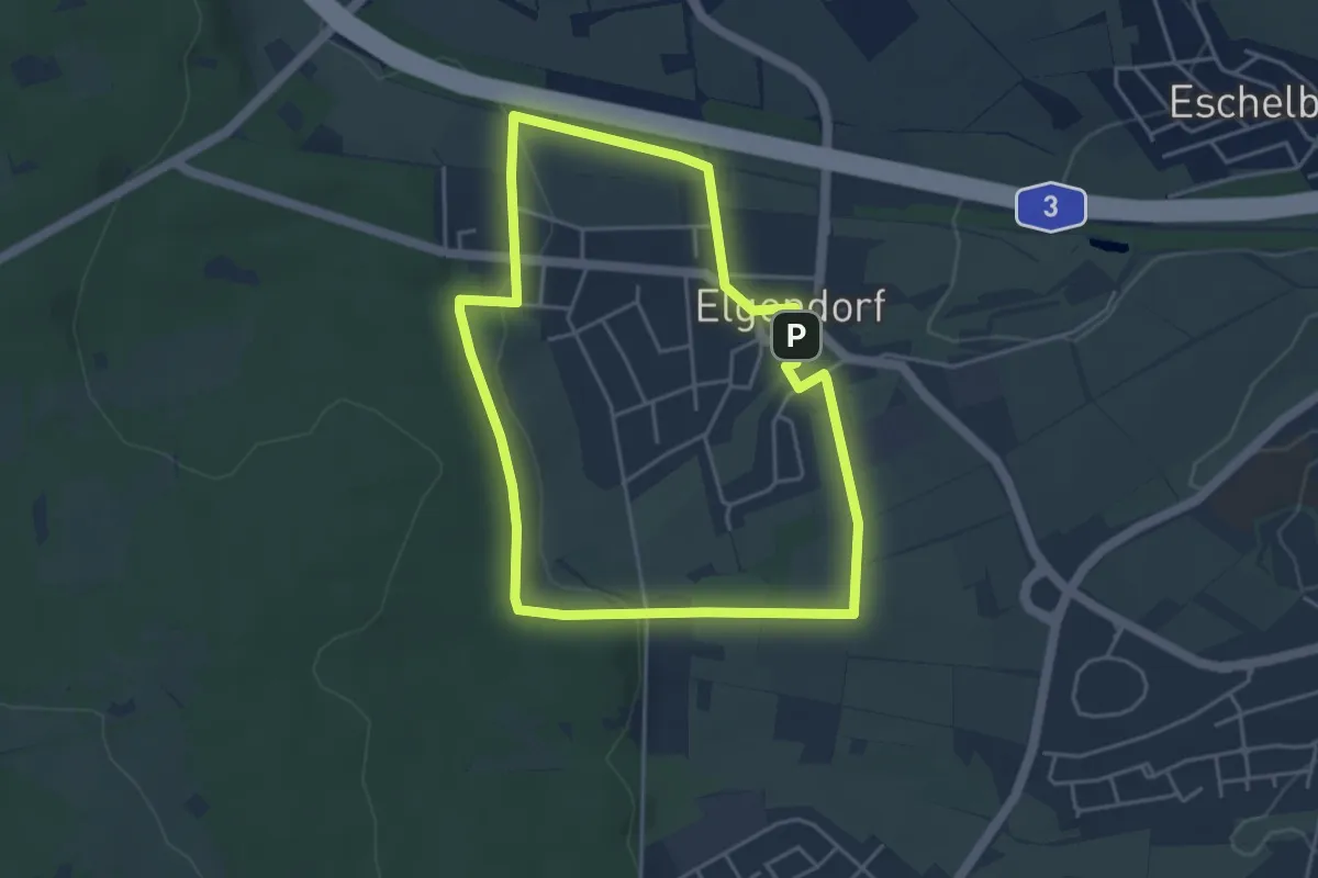
Elchwanderweg Elgendorf (Große Umrundung)
12.0 km · ↑ 196 m · 3 h 15 min
Easy · Trail
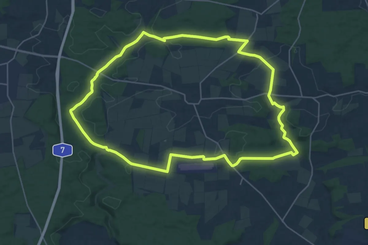
Elchwanderweg Elgendorf (Kleine Umrundung)
3.9 km · ↑ 75 m · 1 h 7 min
Demanding · Trail
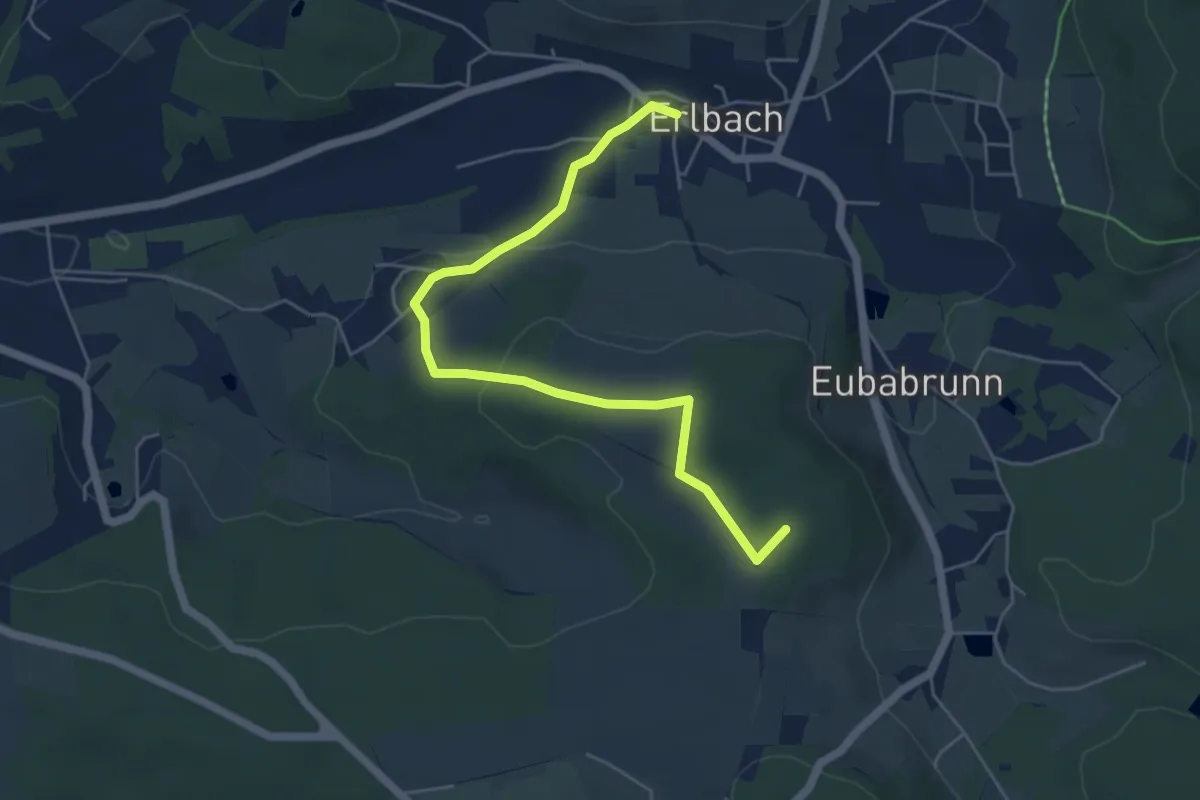
Elchweg
19.1 km · ↑ 231 m · 5 h 16 min
Easy · Summit
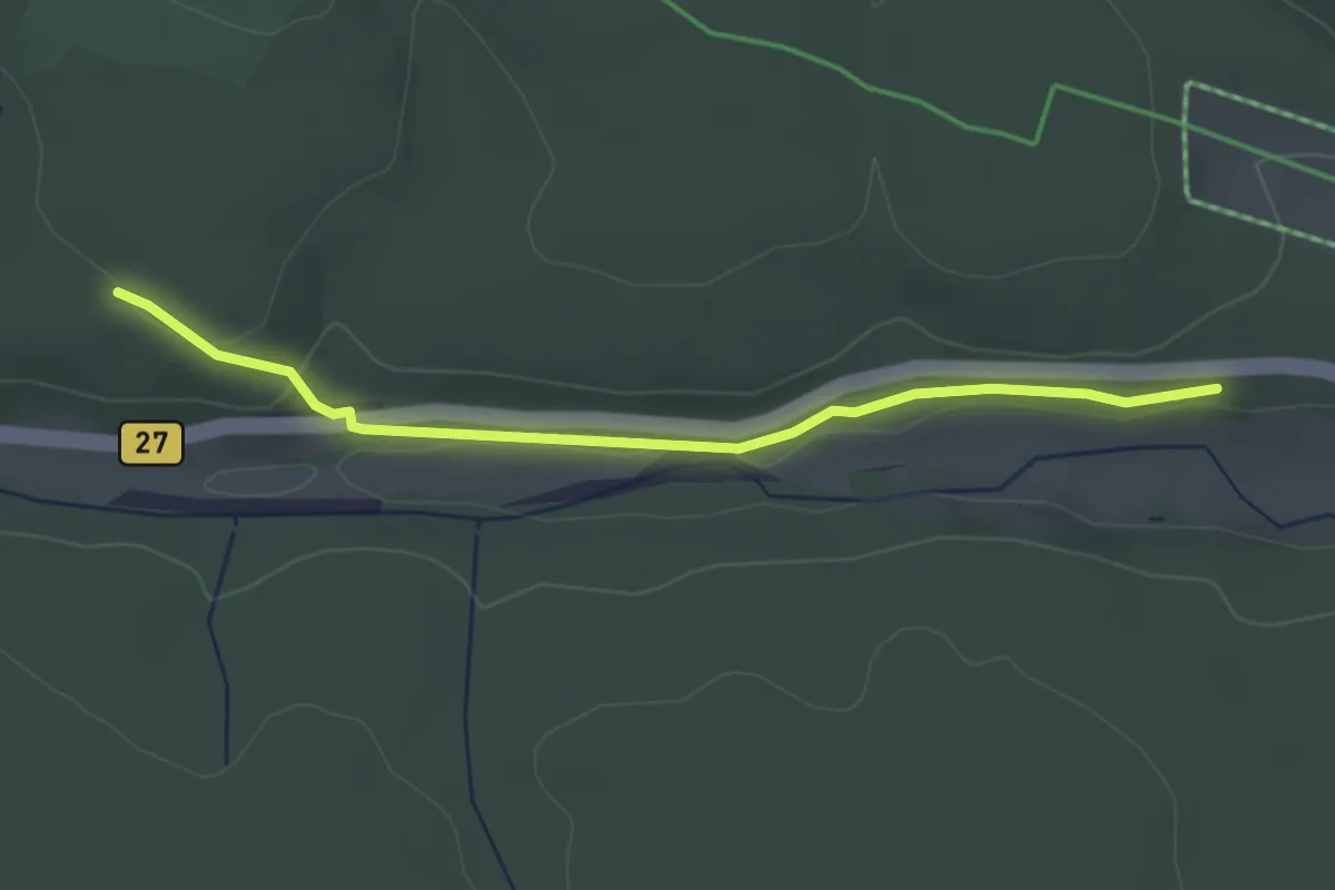
ELE: Erlbach - Lindenhöhe - Eubabrunn
5.3 km · ↑ 116 m · 1 h 30 min
Easy · Trail
Elend - Mandelholz Hangpfad
2.9 km · ↑ 33 m · 46 min
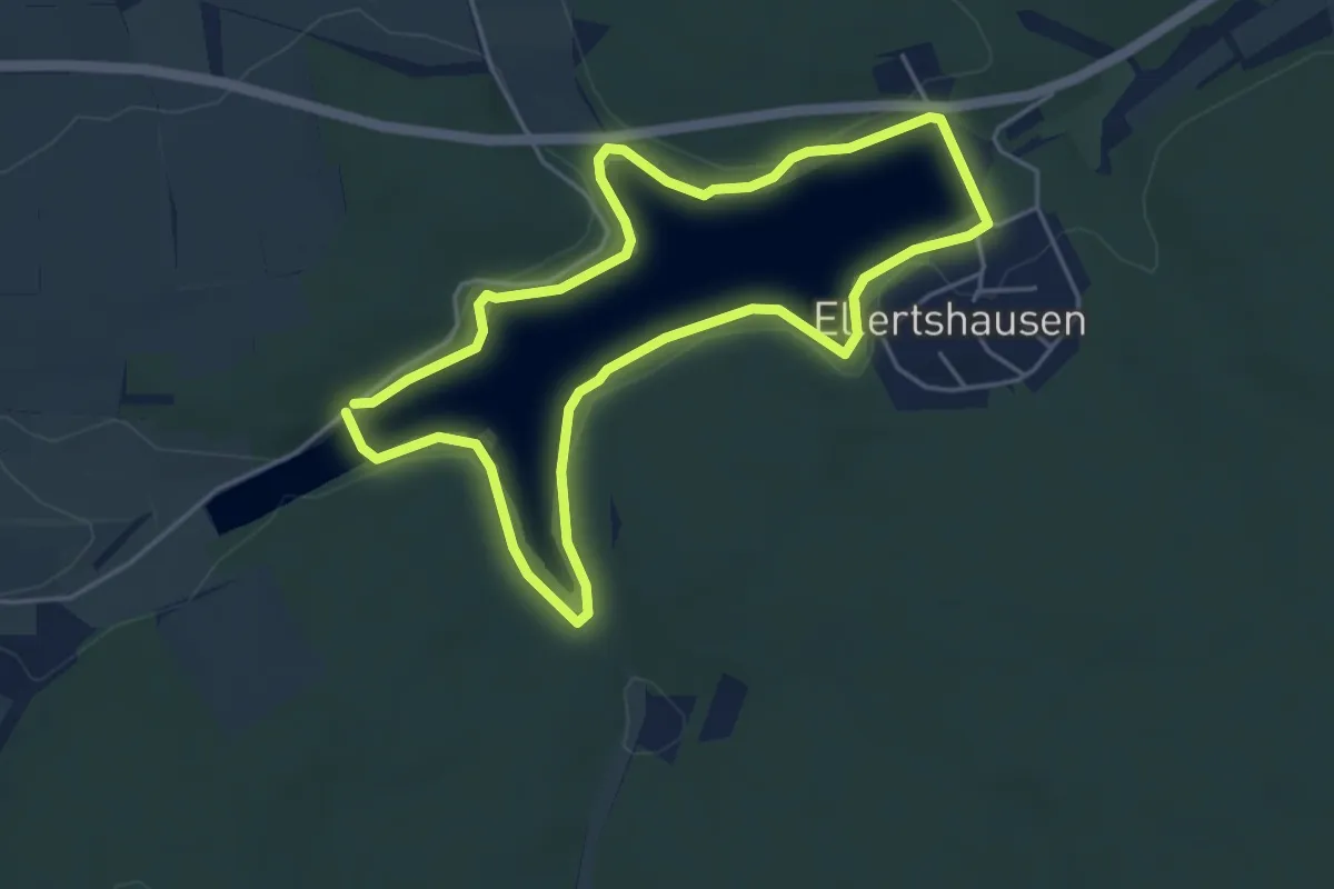
Easy · Trail
Elertshäuser Seeweg
4.2 km · ↑ 43 m · 1 h 8 min
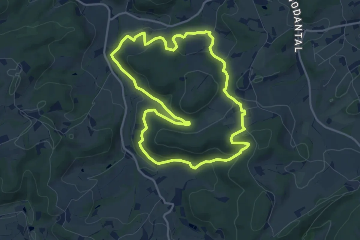
Medium · Trail
Elfringhausen Rundweg A5
8.1 km · ↑ 320 m · 2 h 43 min
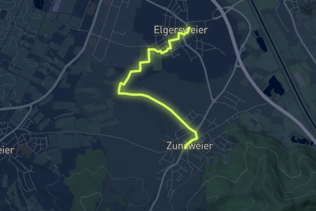
Easy · Trail
Elgersweier Dorfbrunnen - Zunsweier Rathaus
7.5 km · ↑ 26 m · 1 h 49 min
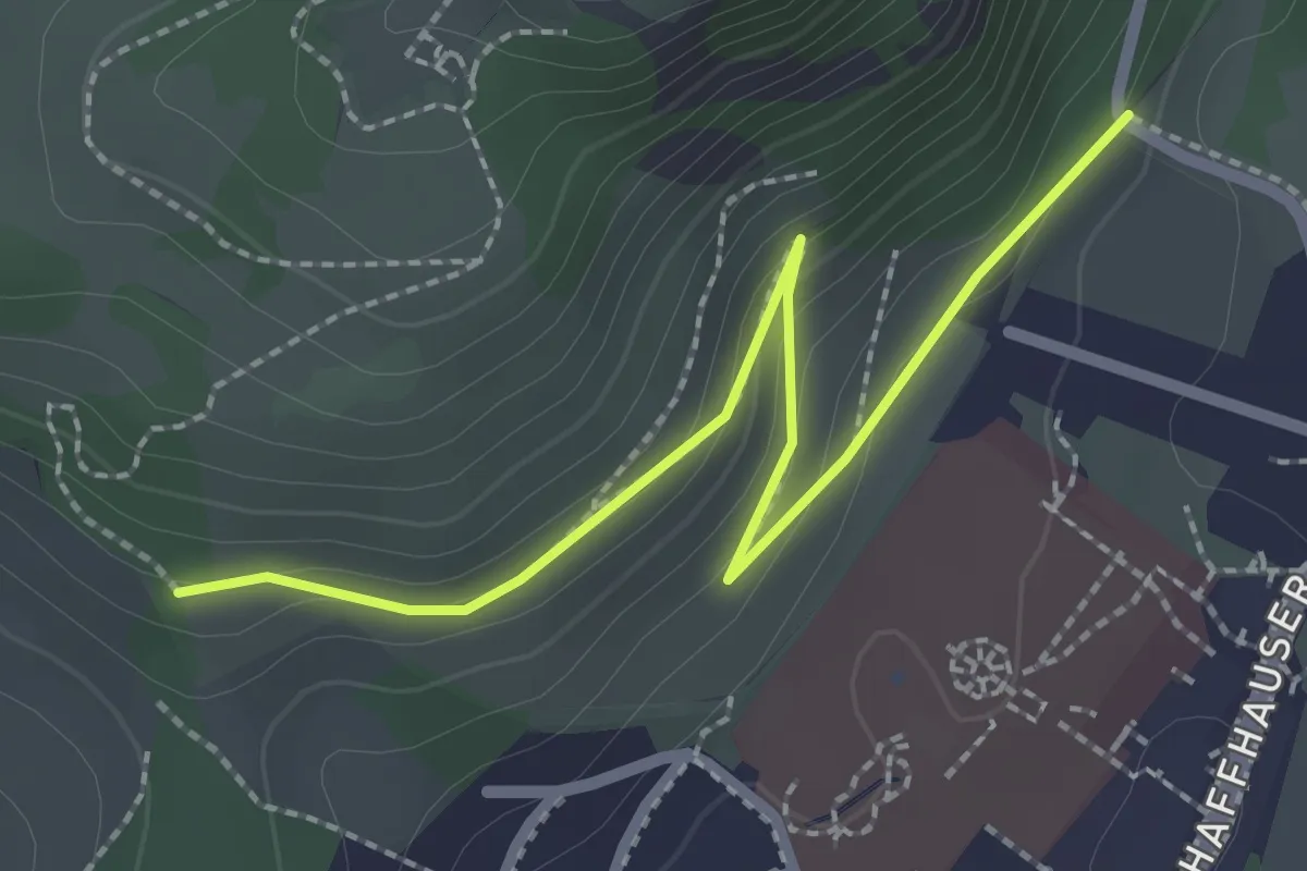
Easy · Trail
Elisabethenberg - Eingang Olgaberg
2.5 km · ↑ 80 m · 46 min
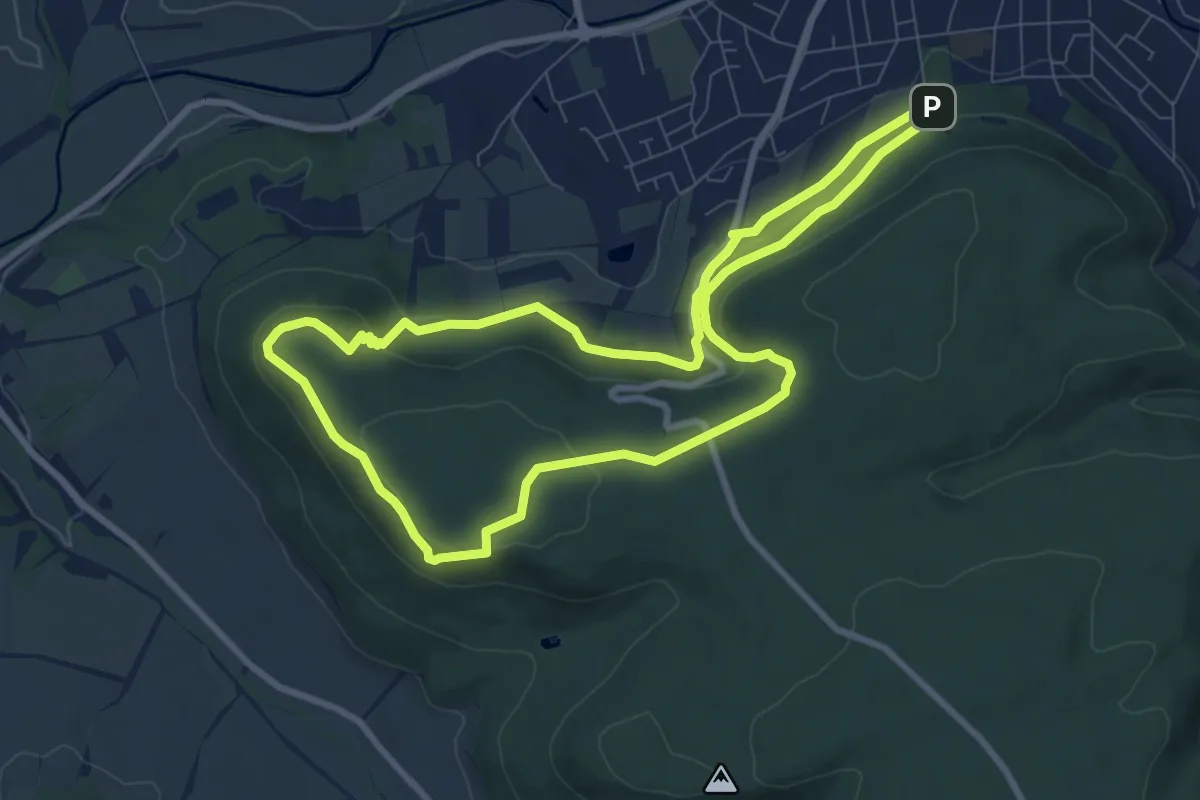
Easy · Summit
Elisabethhöhe Rundwanderweg (Grüner Balken)
7.7 km · ↑ 210 m · 2 h 22 min
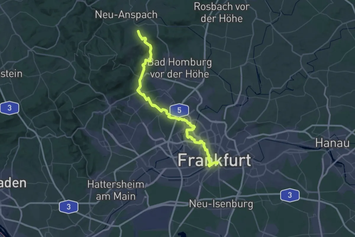
Demanding · Trail
Elisabethpfad 1 (Teilstrecke Ffm-Sachsenhausen - Hessenpark)
34.9 km · ↑ 333 m · 9 h 36 min
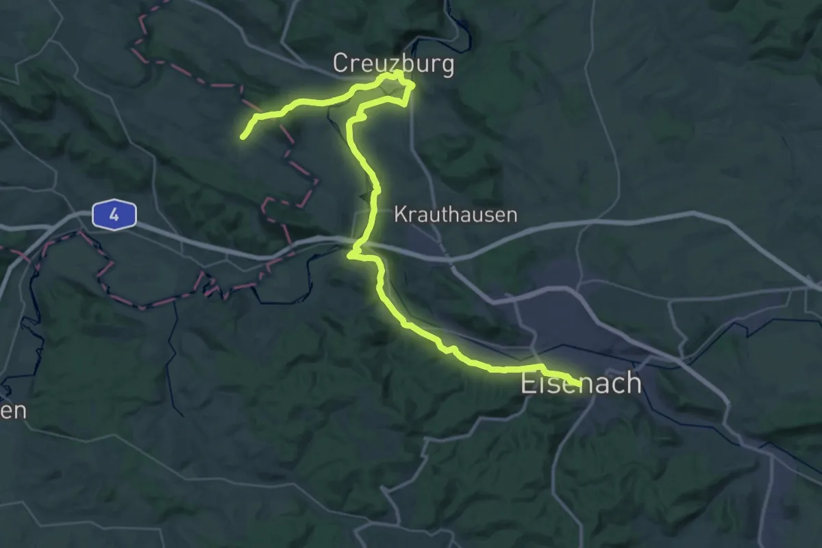
Demanding · Pilgrim path
Elisabethpfad 2 (Teilstück Eisenach - Waldkappel)
21.4 km · ↑ 206 m · 5 h 50 min
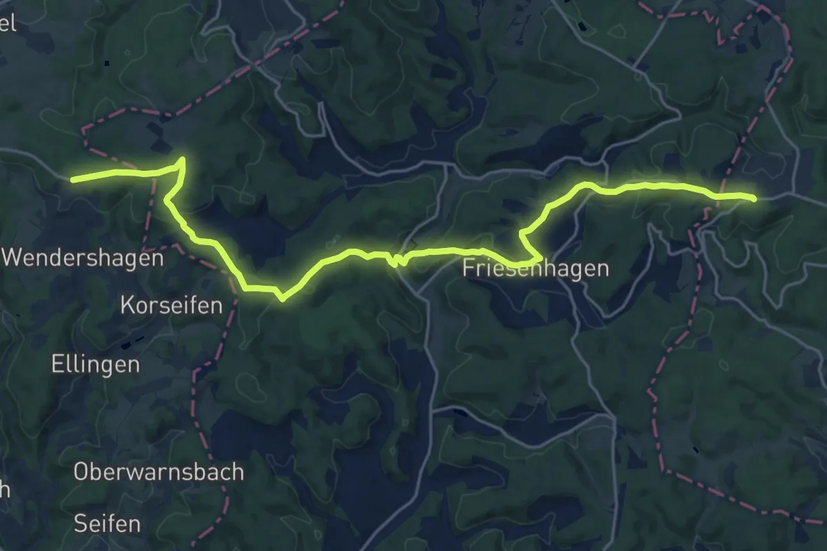
Medium · Pilgrim path
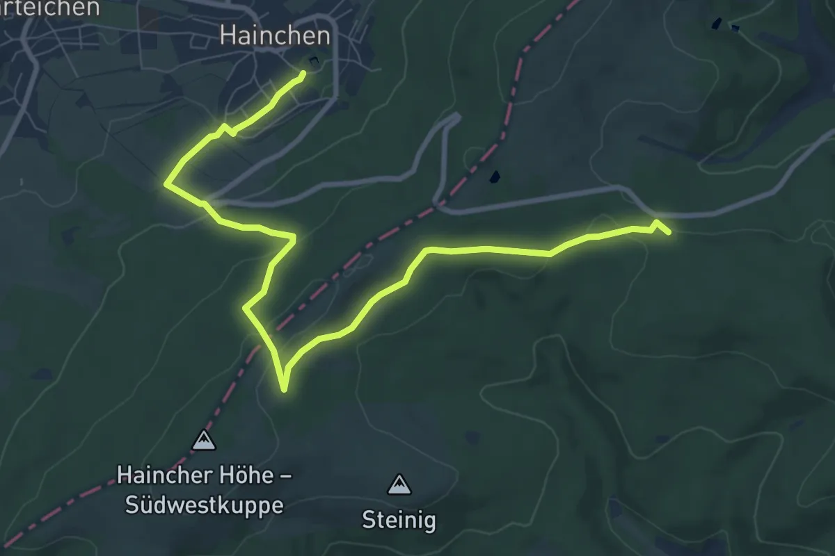
Elisabethpfad 3 (Teilstück Drabenderhöhe - Hainchen)
10.4 km · ↑ 229 m · 3 h 6 min
Easy · Pilgrim path
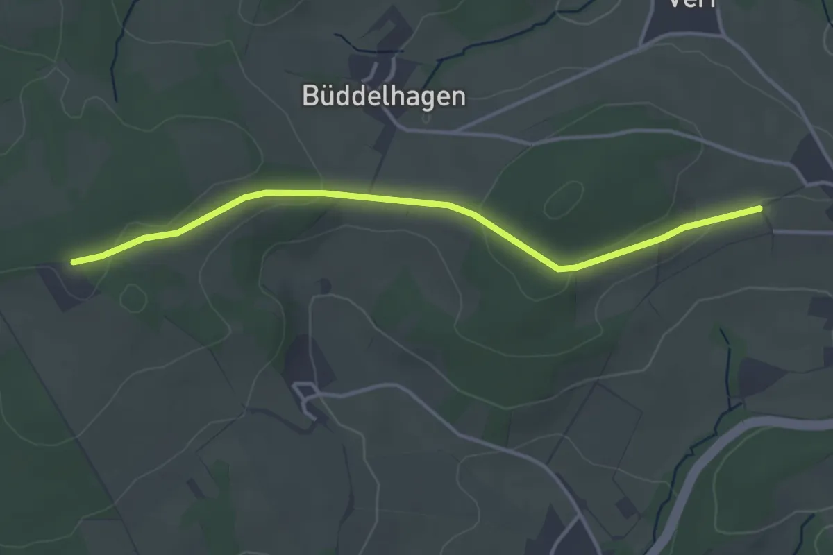
Elisabethpfad 3 (Teilstück Hainchen - Marburg)
4.7 km · ↑ 199 m · 1 h 32 min
Easy · Trail
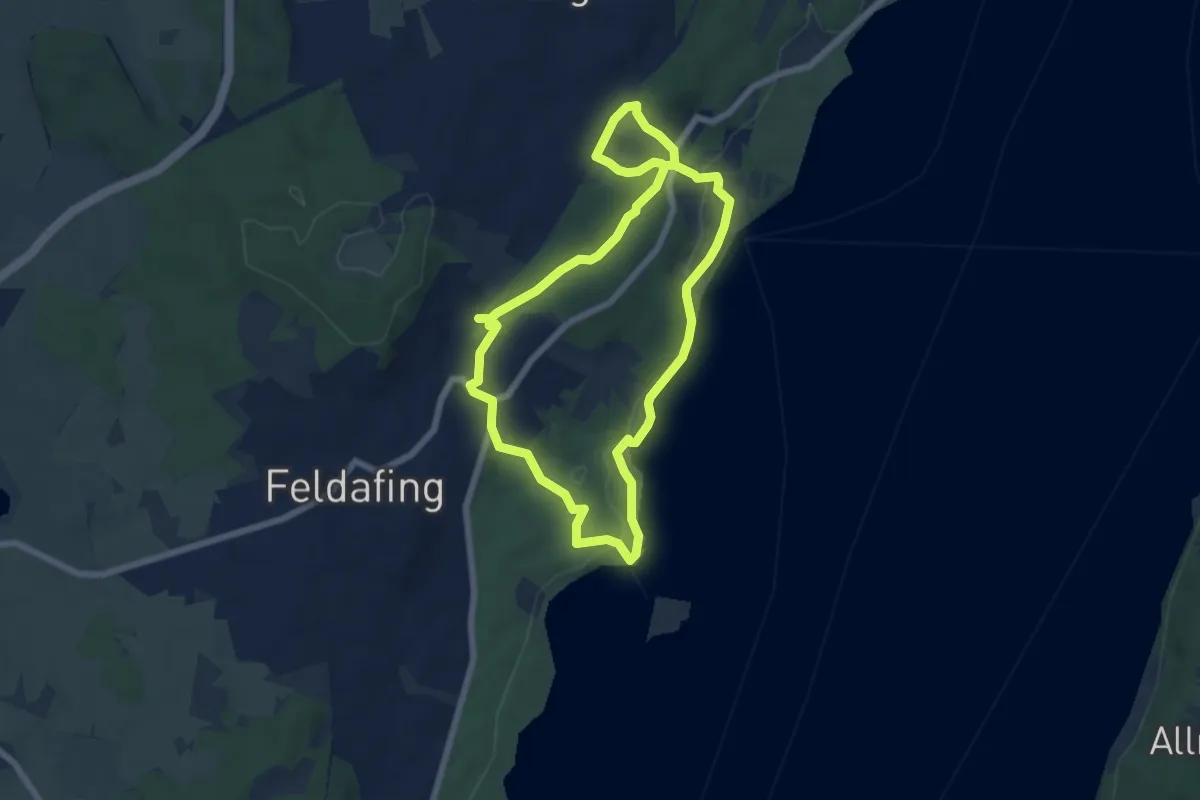
Elisabethpfad [Much]
3.5 km · ↑ 57 m · 57 min
Easy · Trail
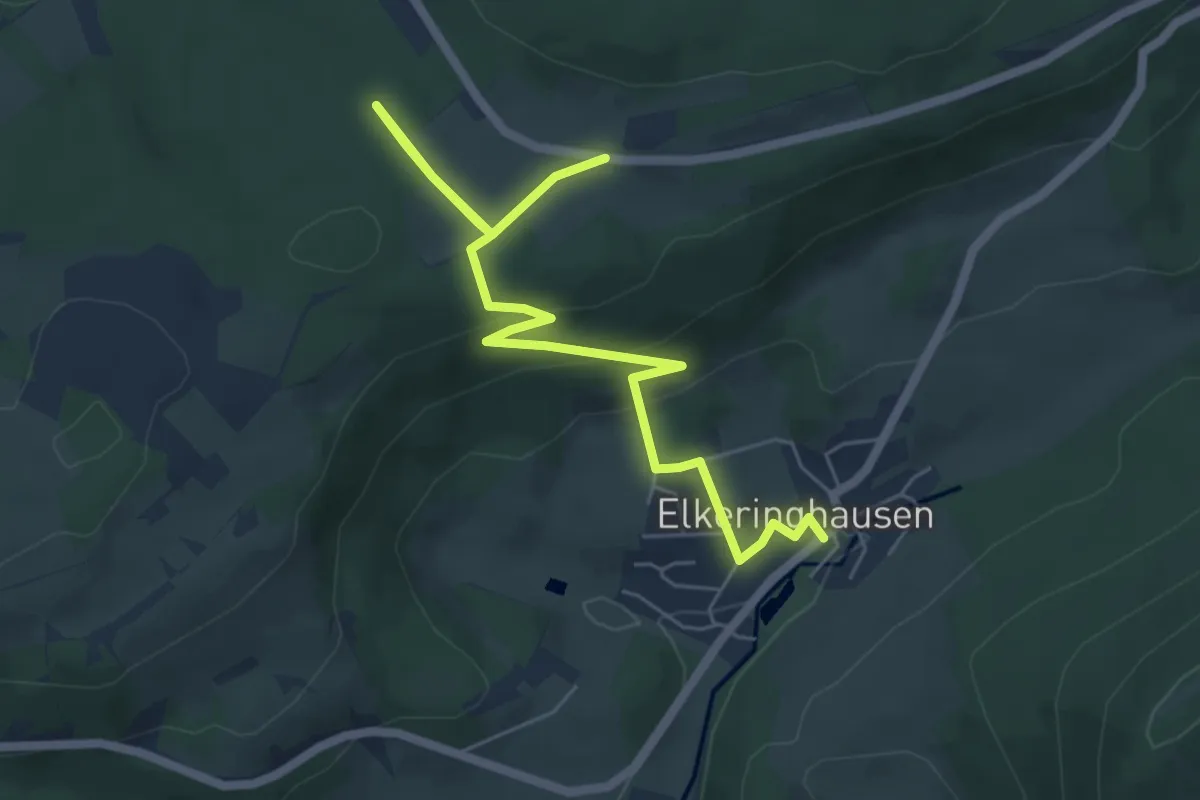
Elisabethweg
6.0 km · ↑ 102 m · 1 h 43 min
Easy · Trail
Elkeringhausen Rundweg E3
6.3 km · ↑ 210 m · 1 h 57 min
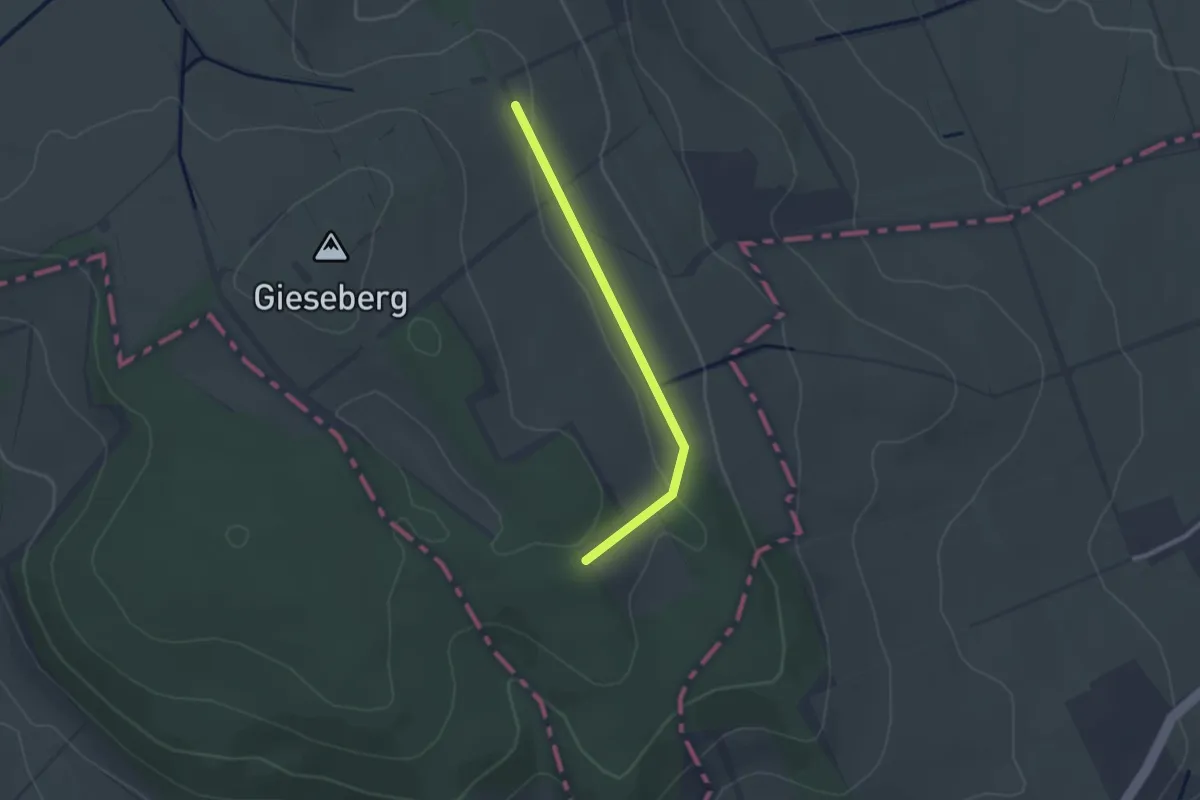
Easy · Trail
Elkershausen/Marzhausen Rot
2.0 km · ↑ 36 m · 34 min
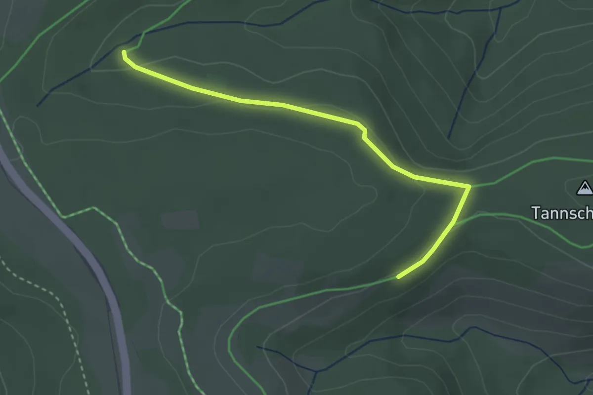
Easy · Trail
Ellbachläger - Plon
2.9 km · ↑ 50 m · 48 min
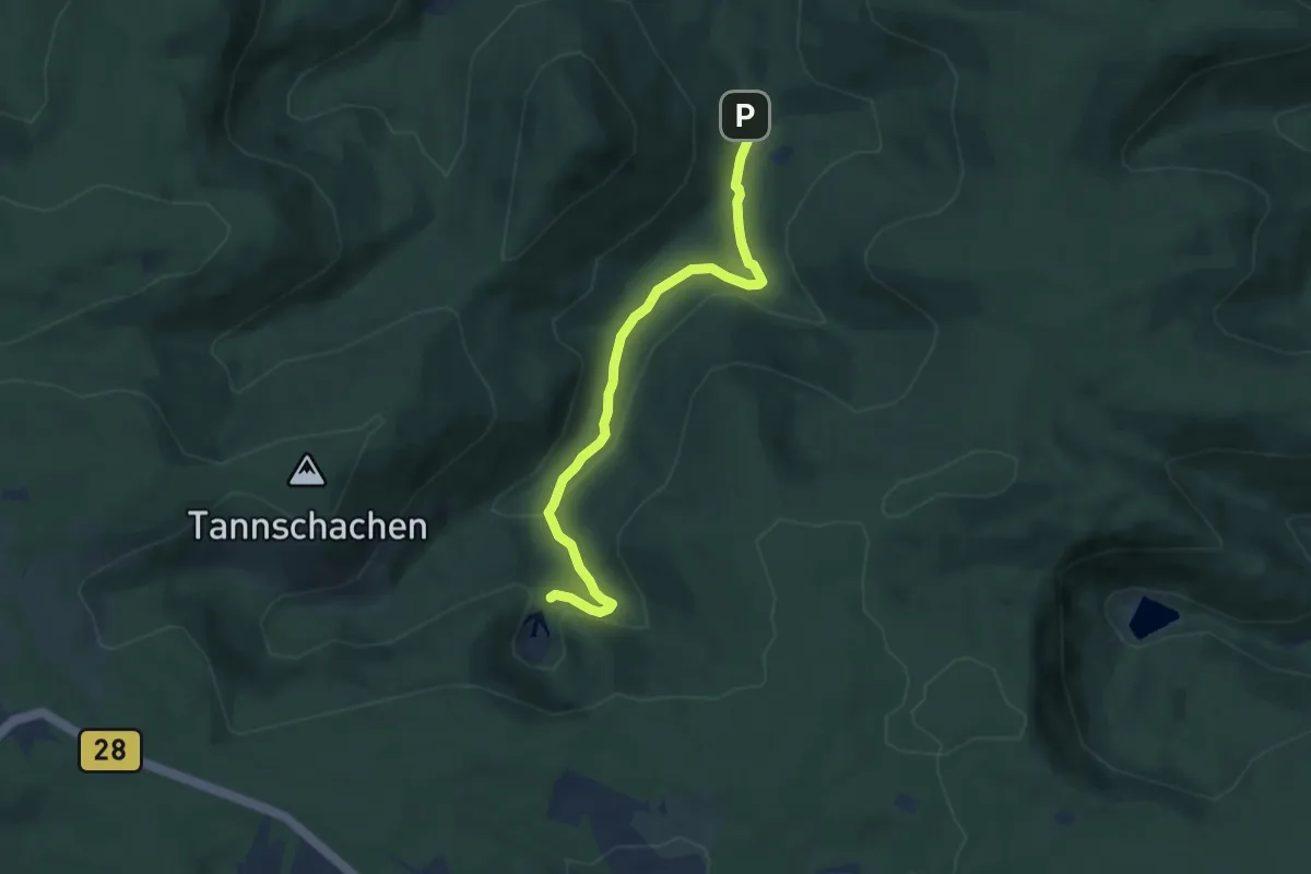
Easy · Trail
Ellbachsee - Gutellbachwegle
5.9 km · ↑ 190 m · 1 h 49 min
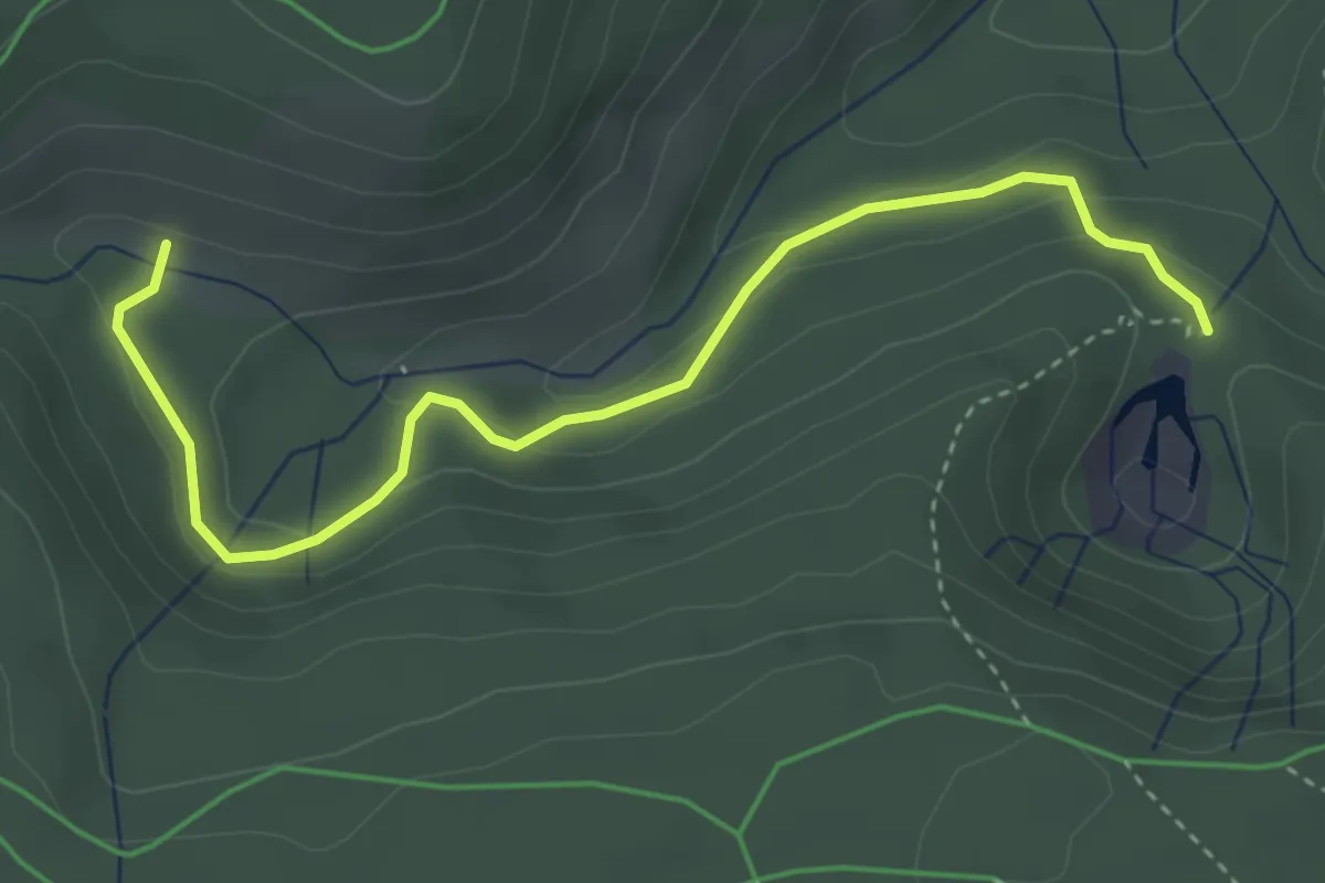
Easy · Trail
Ellbachsee - Oberes Gewölbe
3.8 km · ↑ 148 m · 1 h 14 min
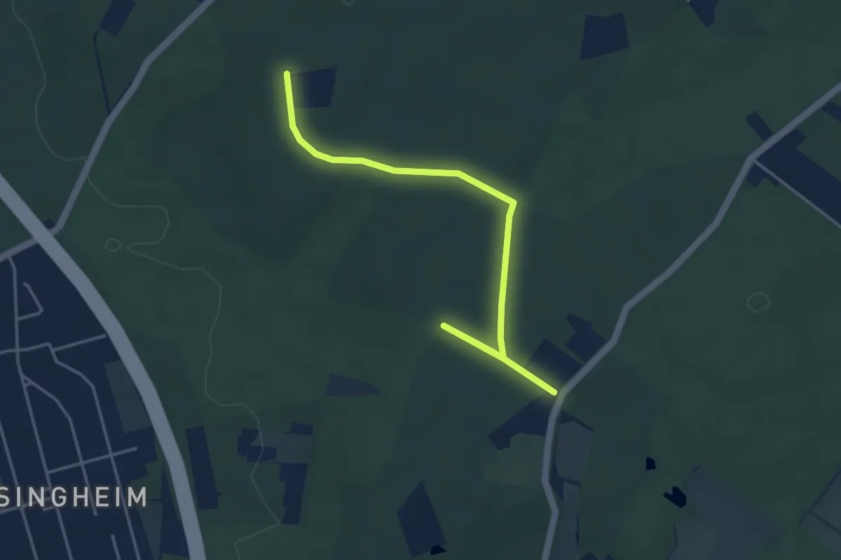
Easy · Trail
Ellenberg Rundweg A4
2.0 km · ↑ 4 m · 31 min
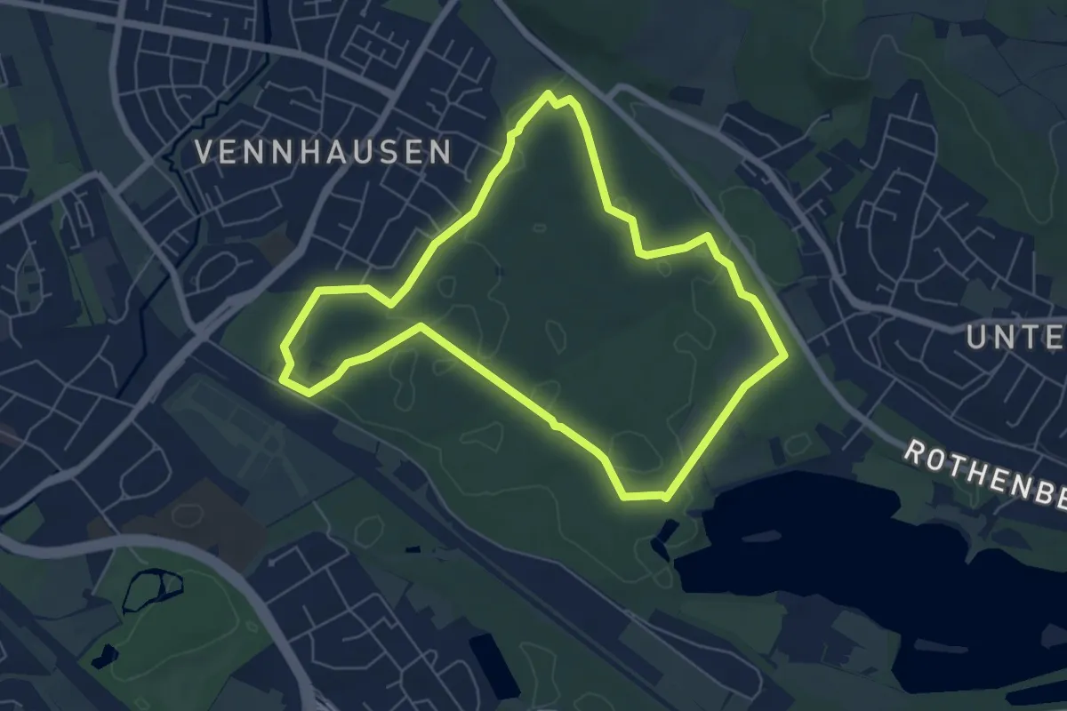
Easy · Trail
Eller Forst Rundweg A2
5.6 km · ↑ 13 m · 1 h 25 min
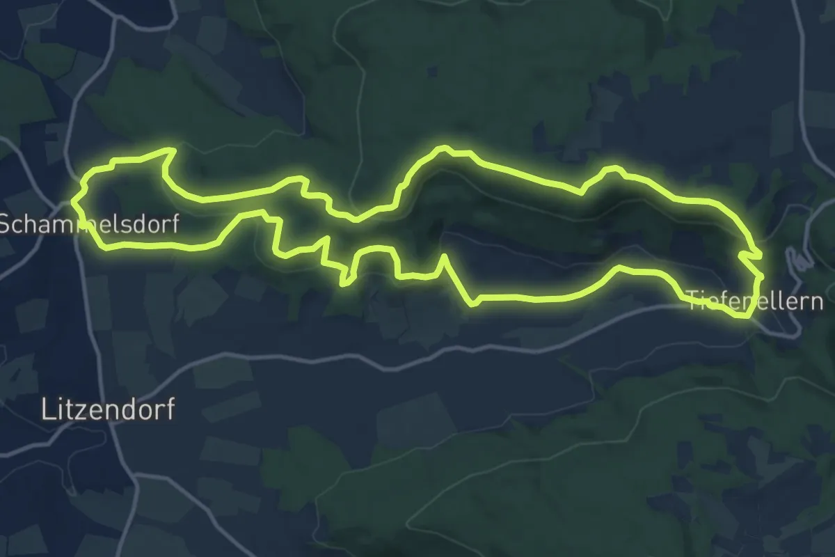
Medium · Summit
Ellertal Nord - Stammberg - Rundweg
13.8 km · ↑ 425 m · 4 h 23 min
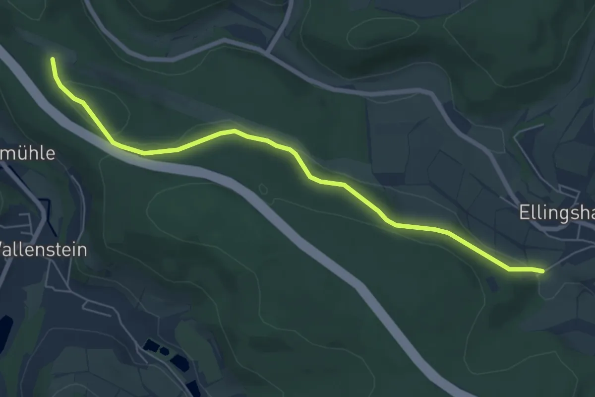
Easy · Trail
Ellingshausen Rundweg E12
2.8 km · ↑ 62 m · 50 min