Trails in Germany
36,847 hiking trails, each with its route, climb, walking time and grade.
All trails, page 132 of 768
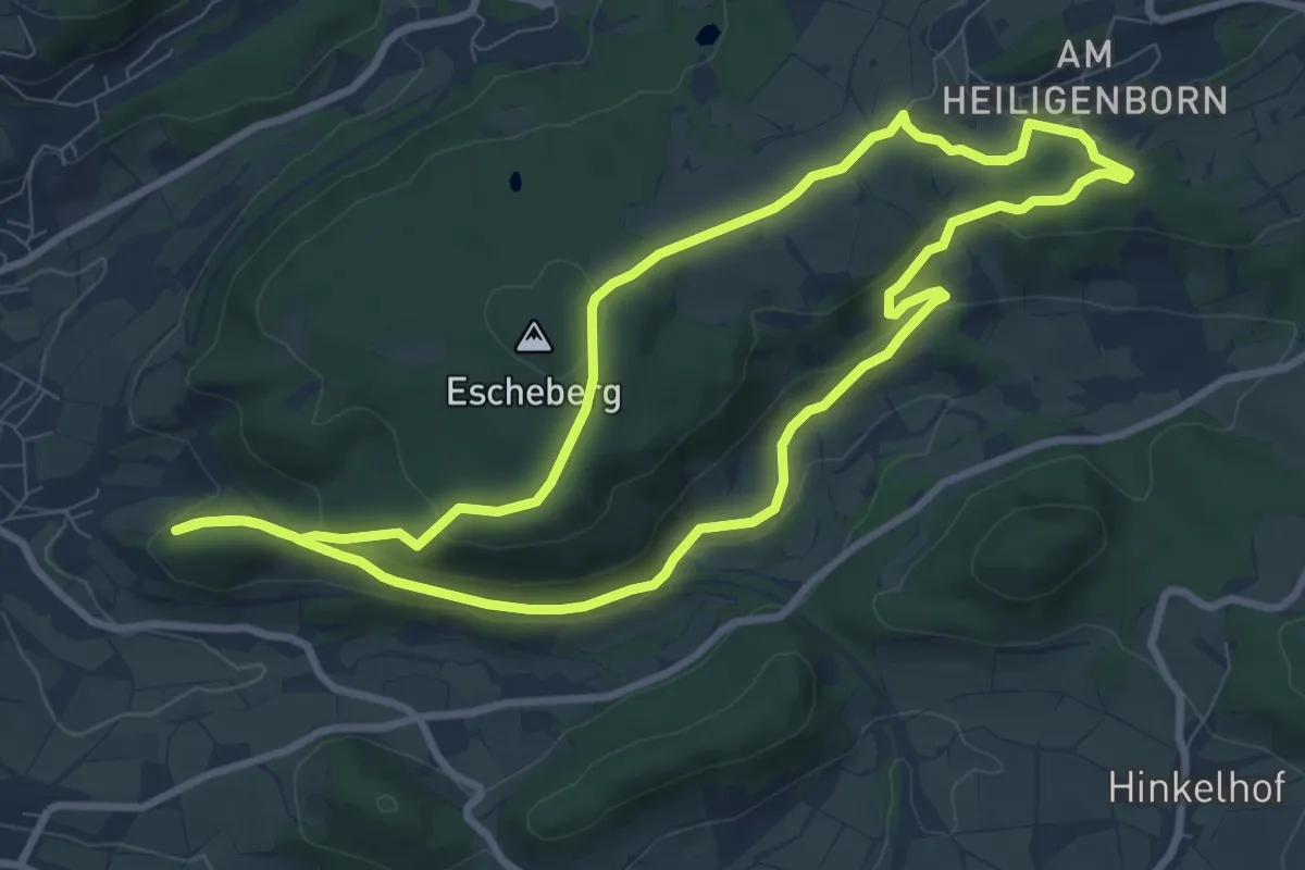
Medium · Trail
Elm - Rundwanderweg ELM3
8.3 km · ↑ 206 m · 2 h 31 min
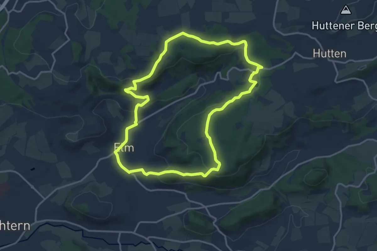
Medium · Trail
Elm - Rundwanderweg ELM4
10.1 km · ↑ 306 m · 3 h 12 min
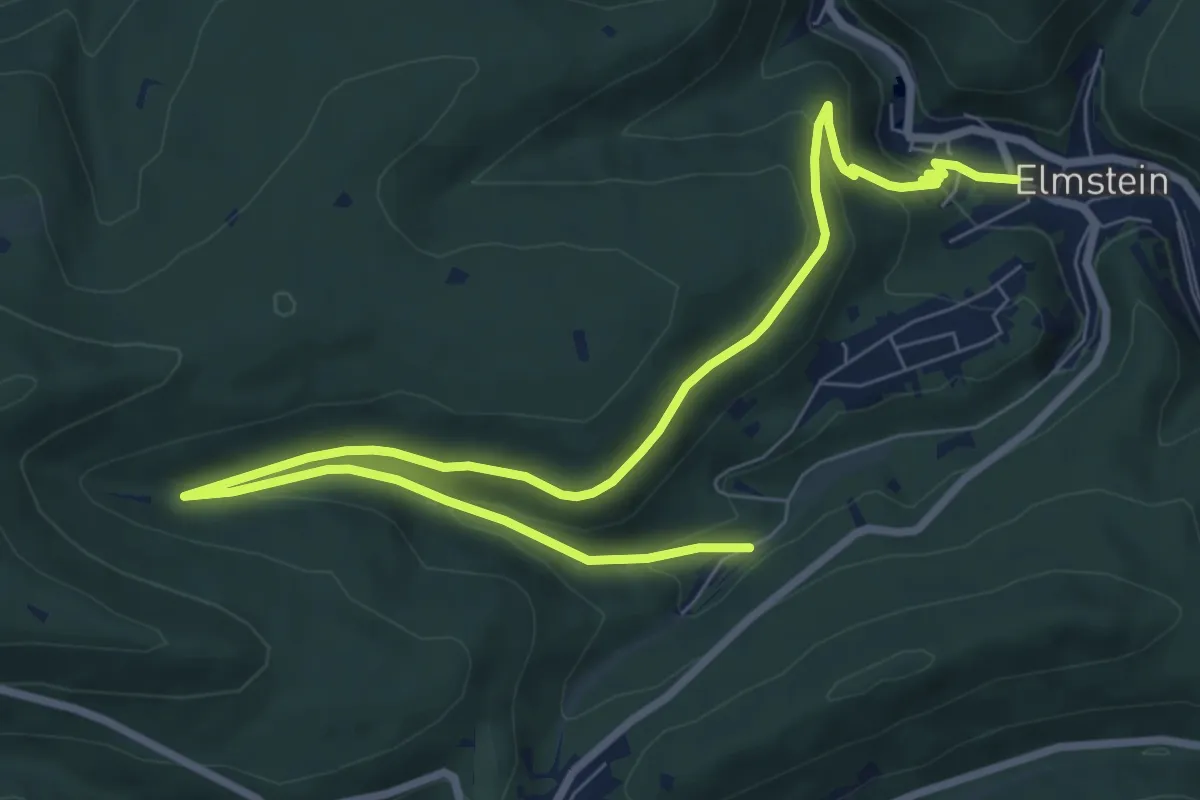
Easy · Trail
Elmstein Rundwanderweg 1
5.1 km · ↑ 227 m · 1 h 45 min
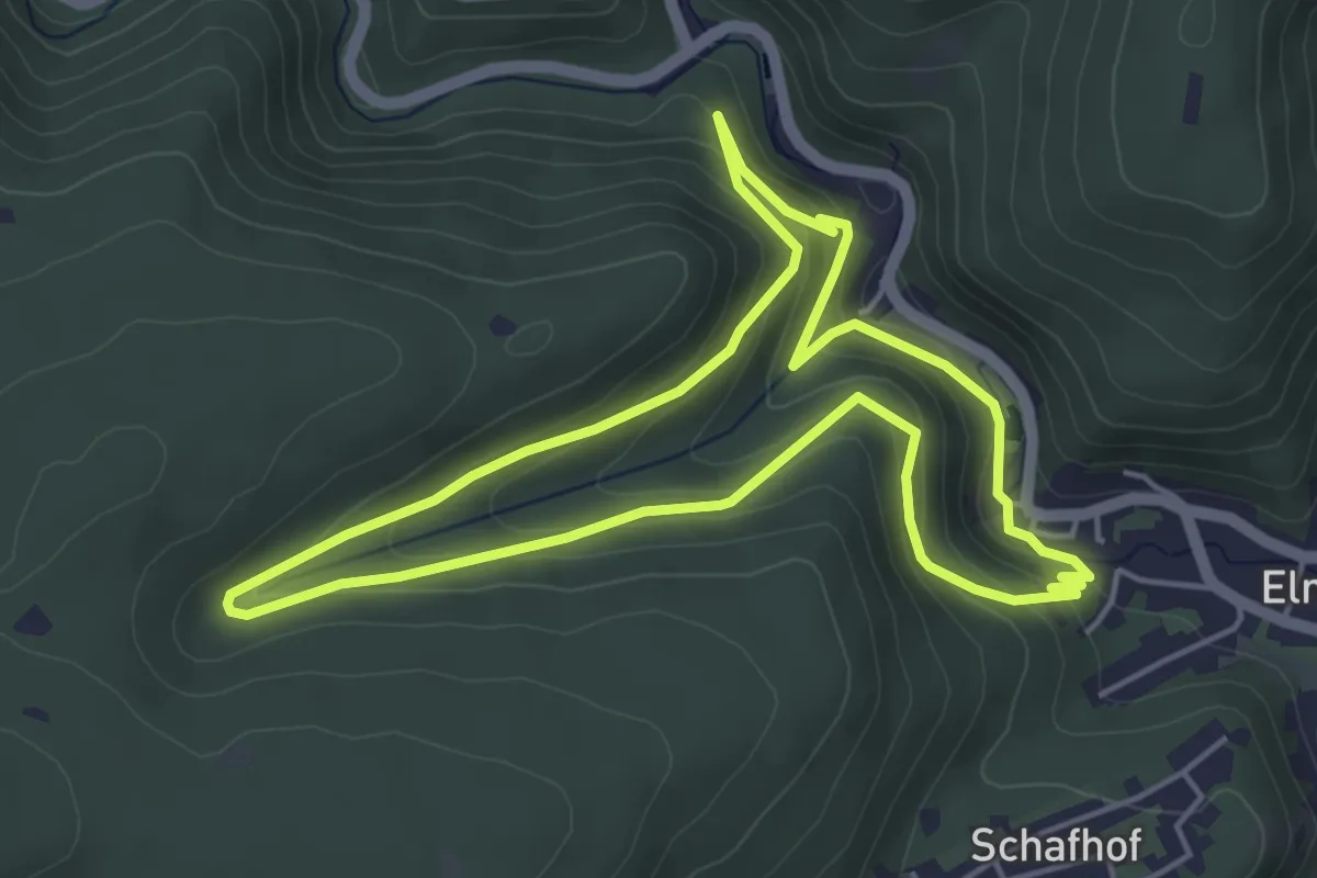
Easy · Trail
Elmstein Rundwanderweg 2
4.5 km · ↑ 258 m · 1 h 42 min
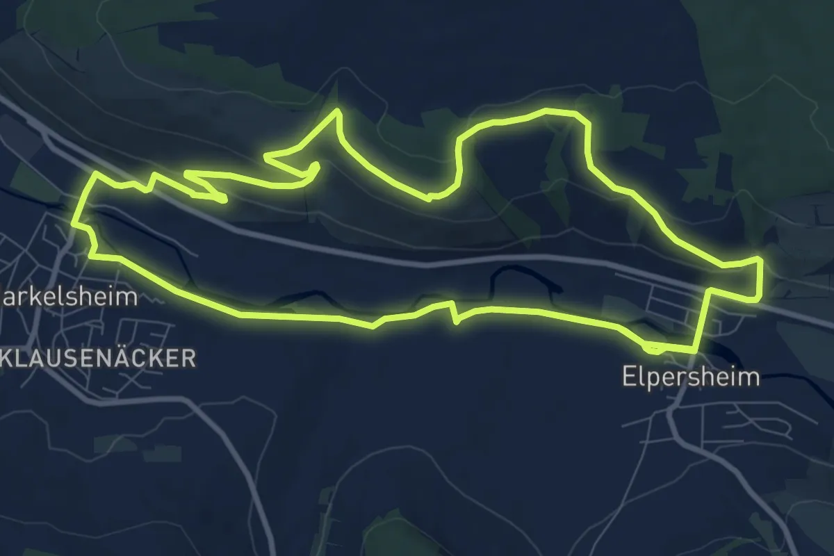
Medium · Trail
Elpersheimer Weg
10.6 km · ↑ 175 m · 3 h 2 min
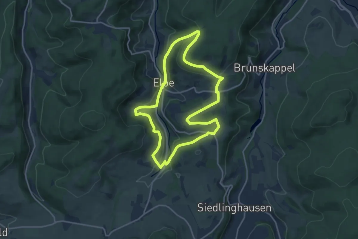
Medium · Trail
Elpe Rundweg E1
9.5 km · ↑ 270 m · 2 h 58 min
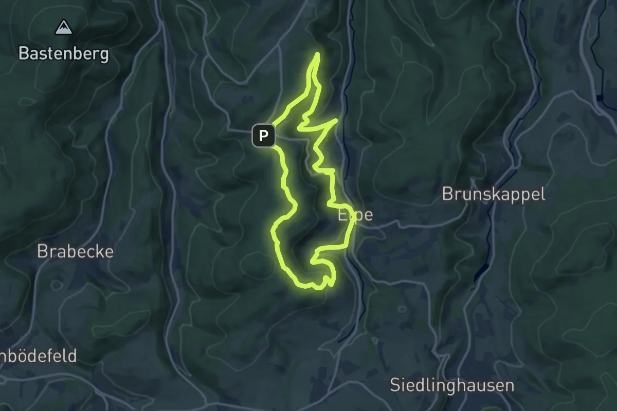
Medium · Summit
Elpe Rundweg E3
11.1 km · ↑ 406 m · 3 h 40 min
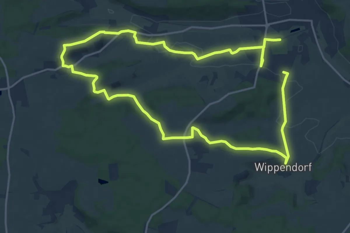
Medium · Trail
Elsbeere
10.6 km · ↑ 161 m · 3 h
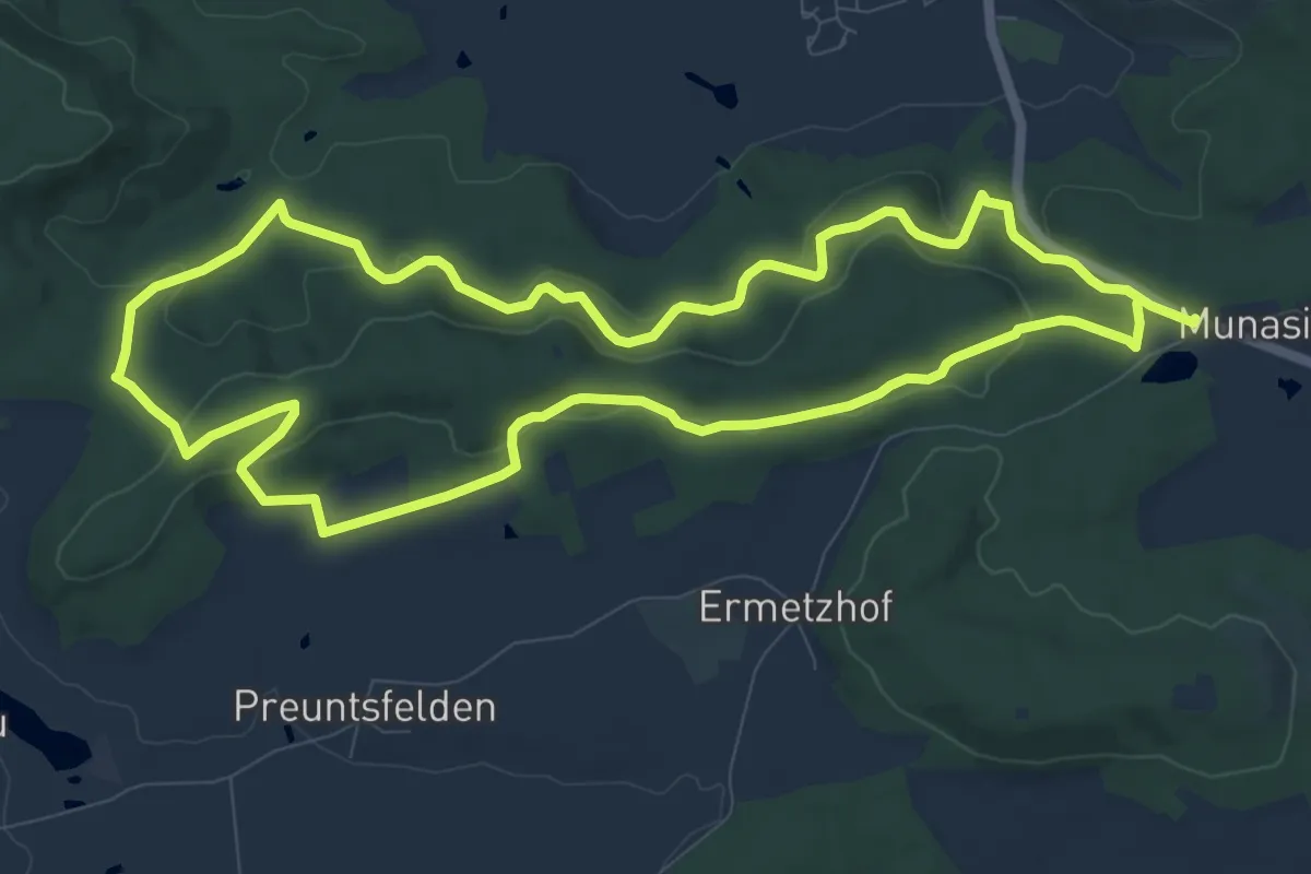
Medium · Summit
Elsbeere
9.7 km · ↑ 317 m · 3 h 7 min
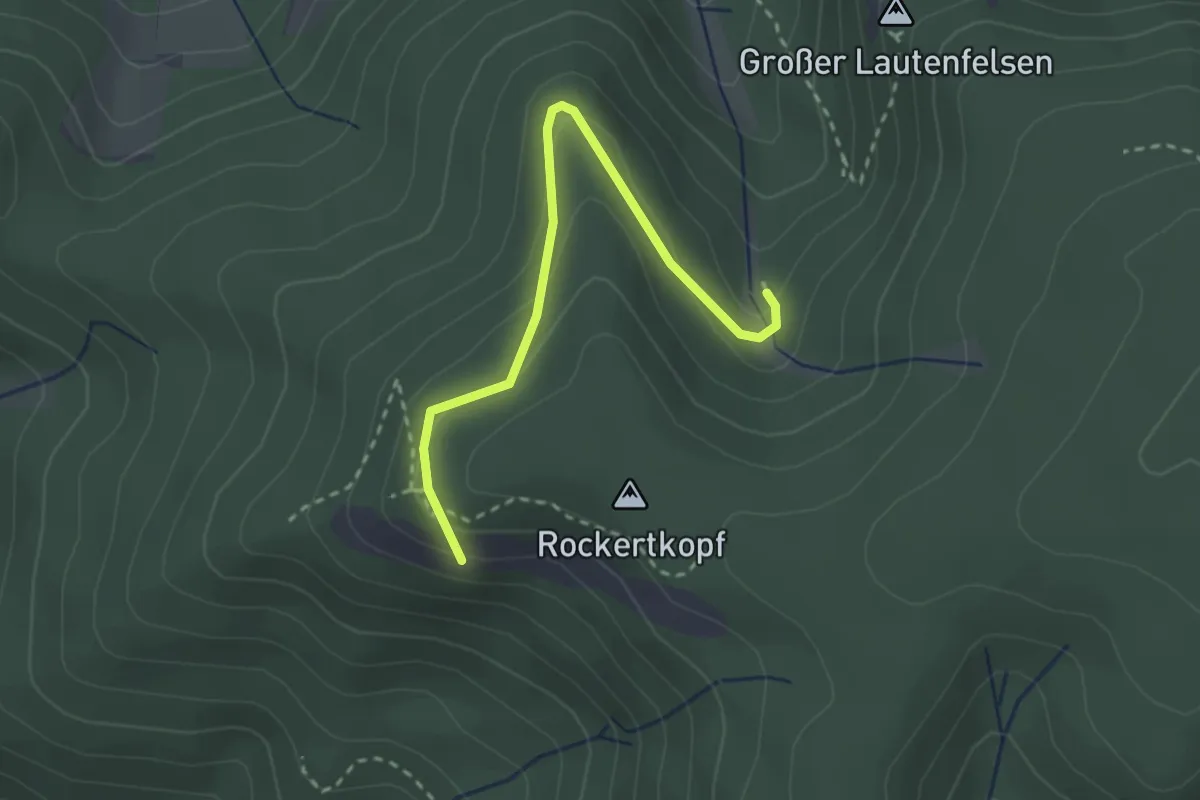
Medium · Summit
Elsbethhütte - Heilwiesen
2.6 km · ↑ 140 m · 56 min
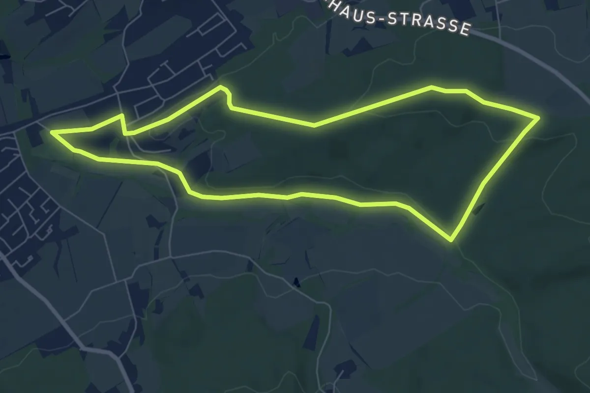
Easy · Trail
Elsebad Rundweg A7
6.1 km · ↑ 109 m · 1 h 46 min
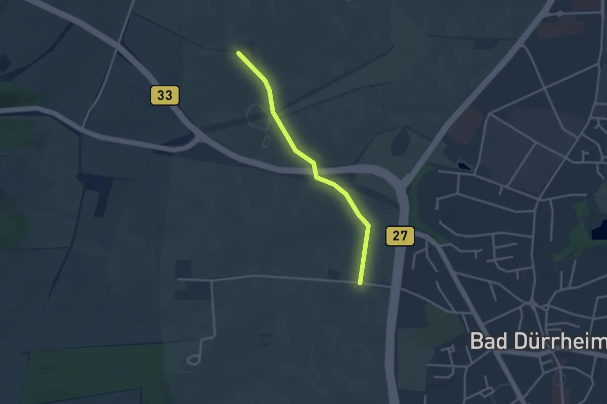
Easy · Trail
Elsenberg - Friedhofbrücke
2.5 km · ↑ 17 m · 38 min
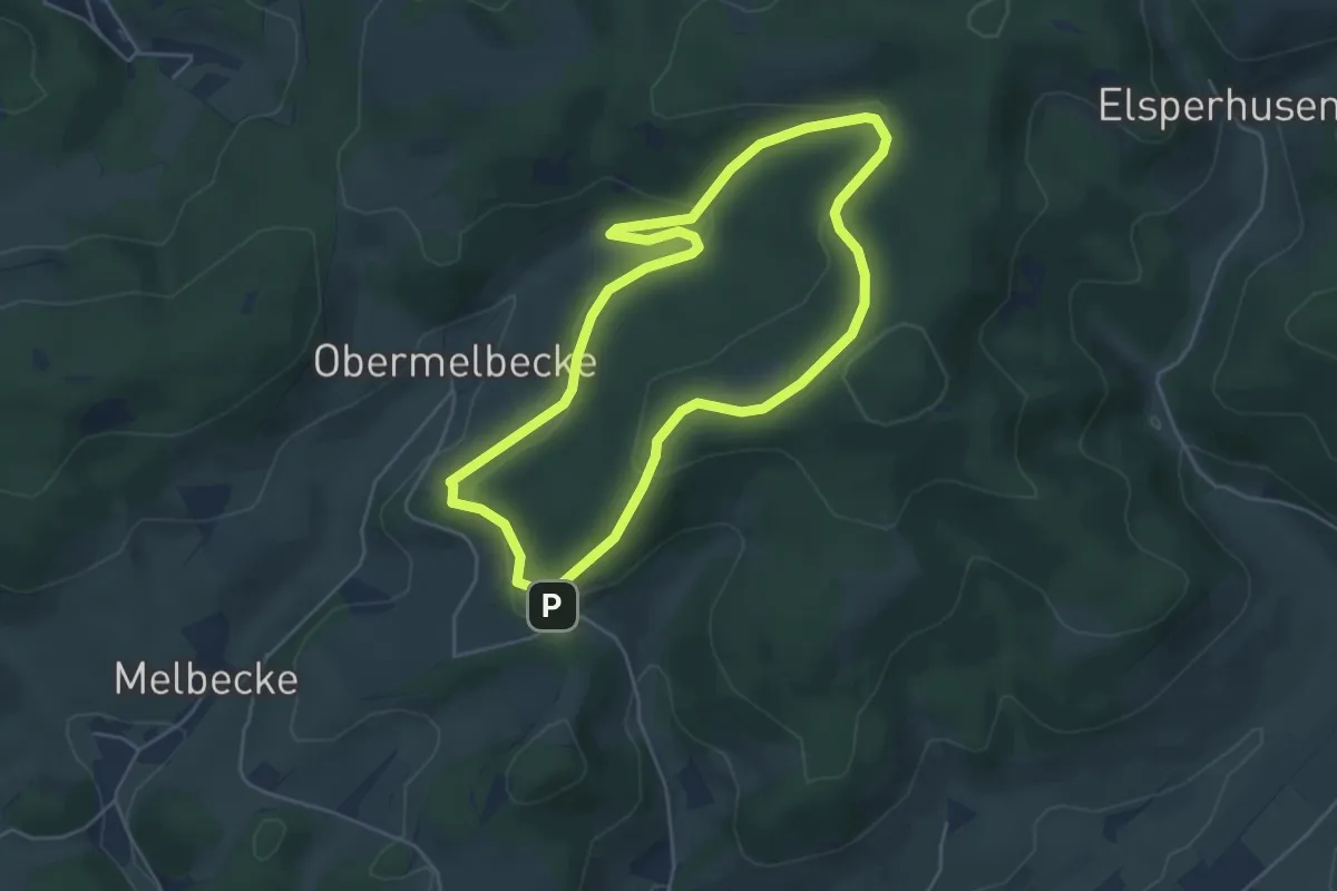
Easy · Trail
Elspe Rundweg A14
4.3 km · ↑ 132 m · 1 h 22 min
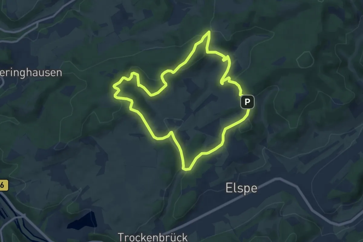
Easy · Summit
Elspe Rundweg A15
7.9 km · ↑ 285 m · 2 h 36 min
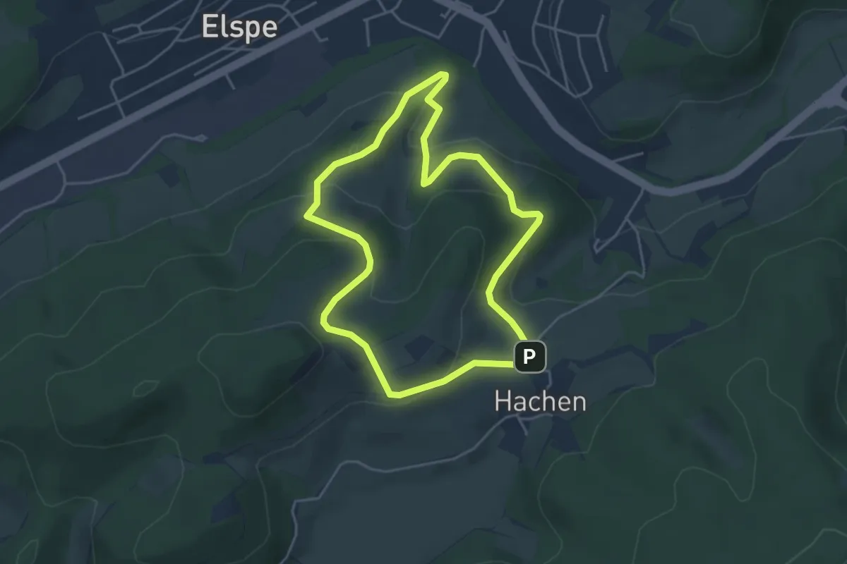
Easy · Trail
Elspe Rundweg A16
3.7 km · ↑ 180 m · 1 h 19 min
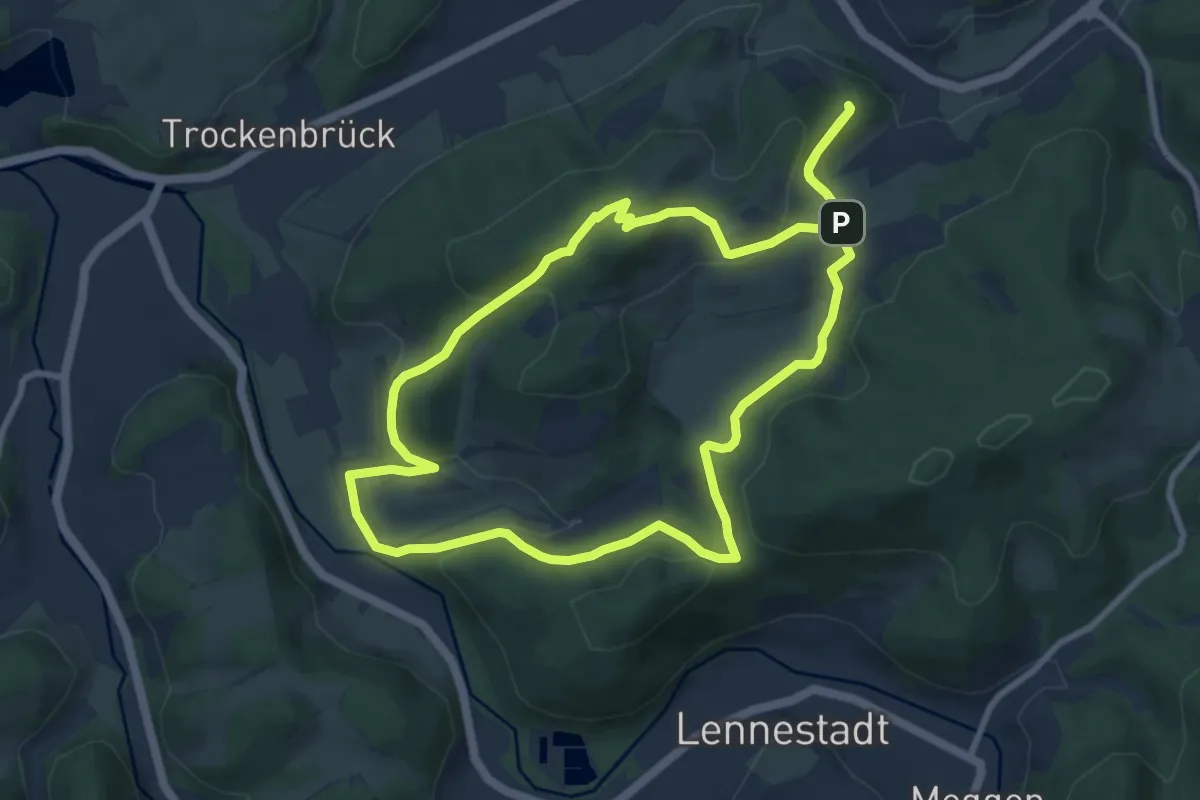
Medium · Summit
Elspe Rundweg A17
8.2 km · ↑ 313 m · 2 h 43 min
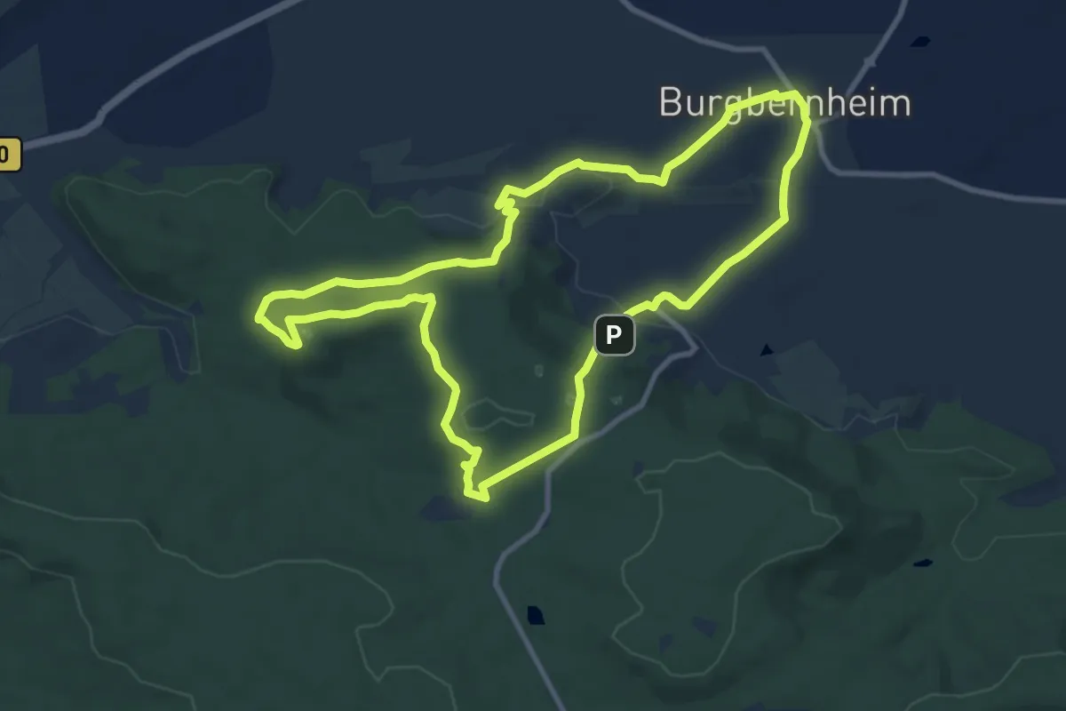
Medium · Summit
Elster
9.0 km · ↑ 251 m · 2 h 47 min
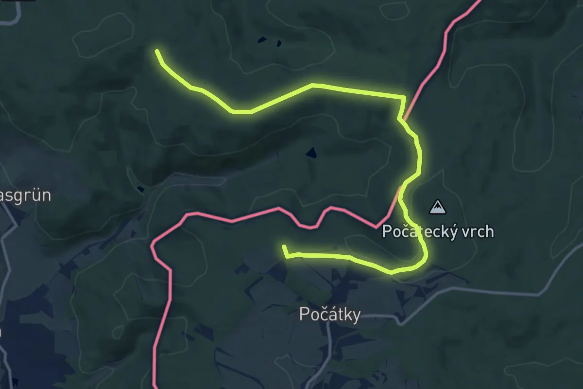
Medium · Summit
Elstergebirgsweg
12.9 km · ↑ 199 m · 3 h 28 min
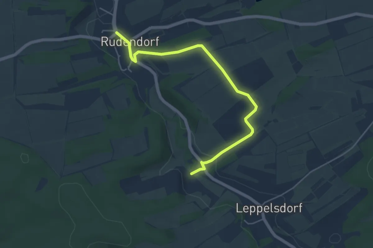
Easy · Trail
Elster-Wanderweg
4.2 km · ↑ 79 m · 1 h 10 min
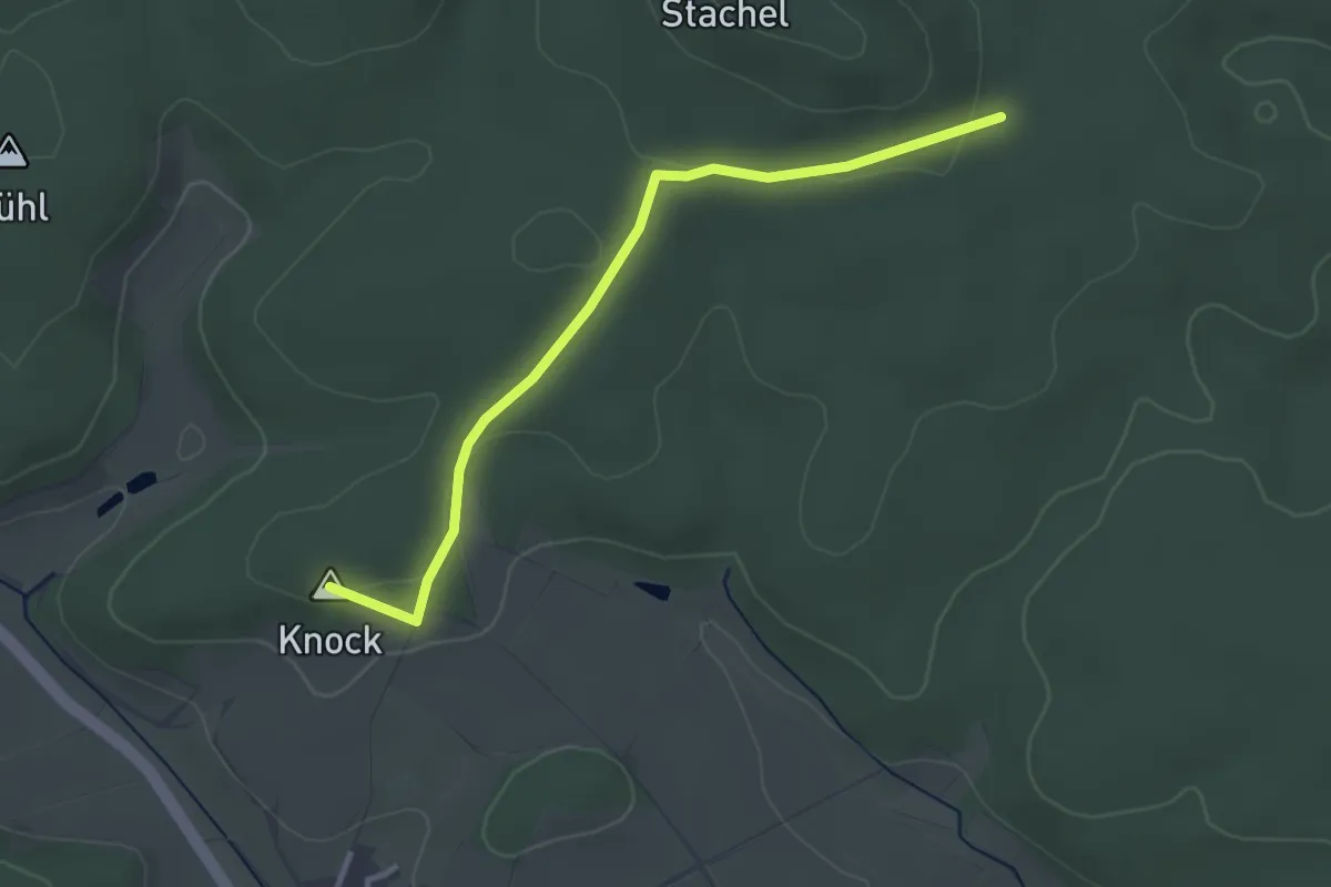
Easy · Summit
Elster-Wanderweg Jesserndorf
3.0 km · ↑ 49 m · 50 min
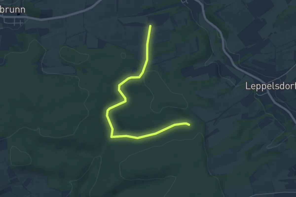
Easy · Trail
Elster-Wanderweg Rudendorf
5.0 km · ↑ 88 m · 1 h 22 min
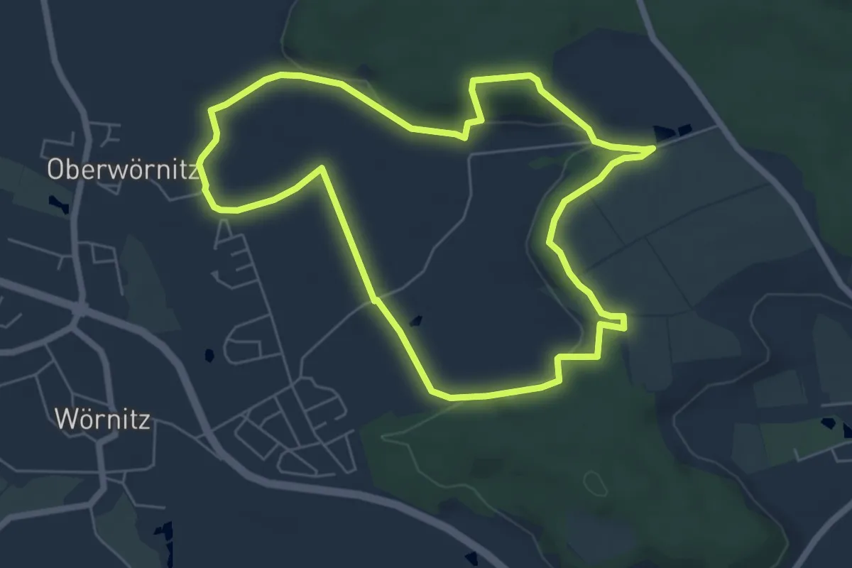
Easy · Trail
Elsterweg Wörnitz
5.6 km · ↑ 104 m · 1 h 38 min
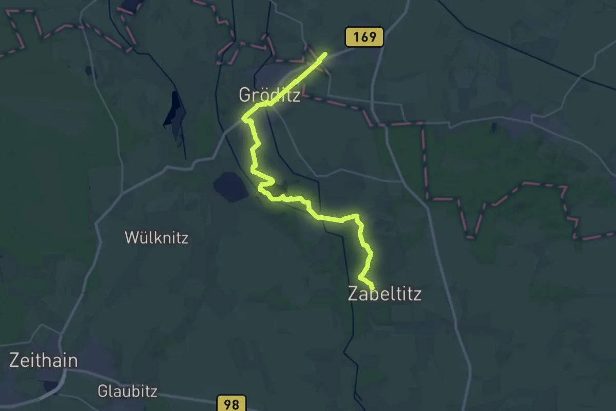
Demanding · Trail
Elsterwerda - Zabeltitz
28.3 km · ↑ 76 m · 6 h 50 min
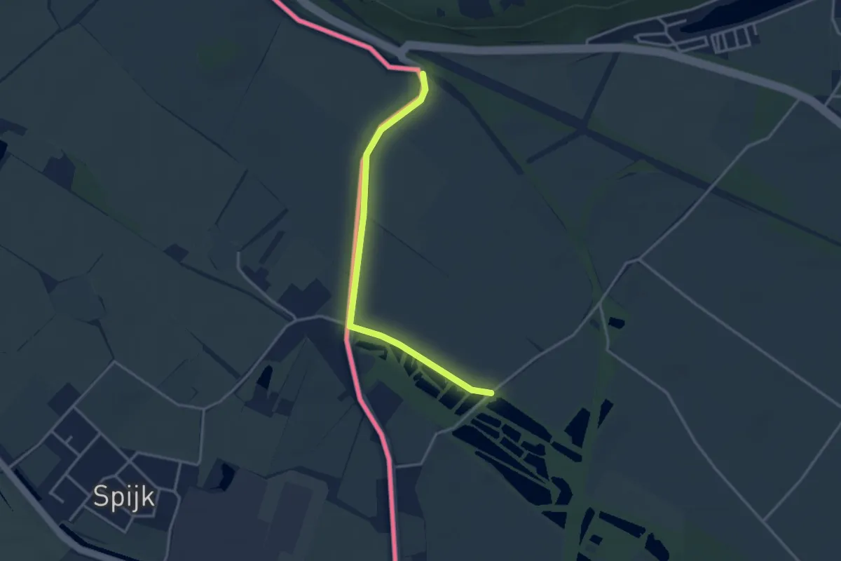
Easy · Trail
Elten Rundweg A7
1.4 km · ↑ 0 m · 21 min
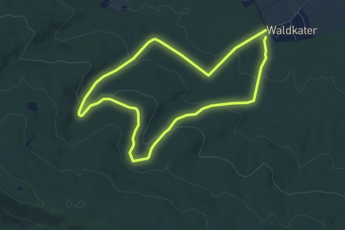
Easy · Trail
Eltenweg
6.5 km · ↑ 162 m · 1 h 59 min
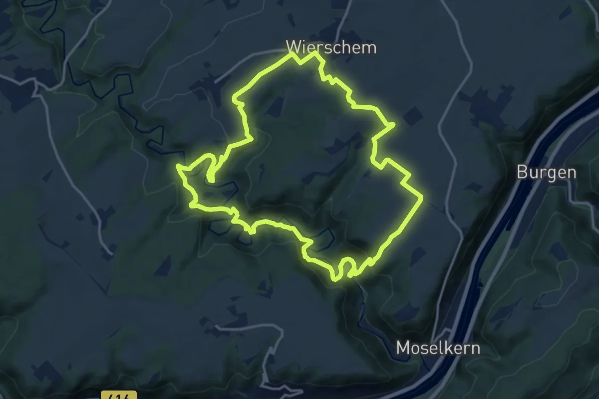
Medium · Trail
Eltzer Burgpanorama
12.3 km · ↑ 386 m · 3 h 54 min
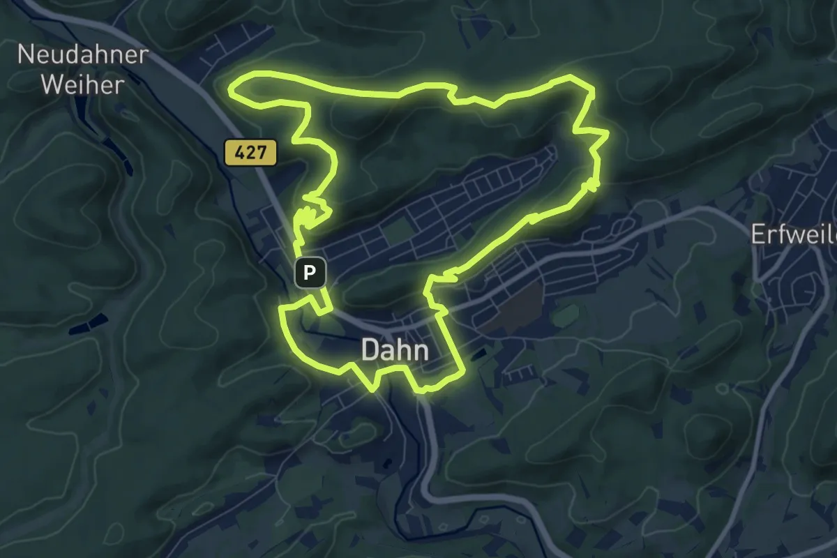
Medium · Summit
Elwetritscheweg
9.7 km · ↑ 386 m · 3 h 16 min
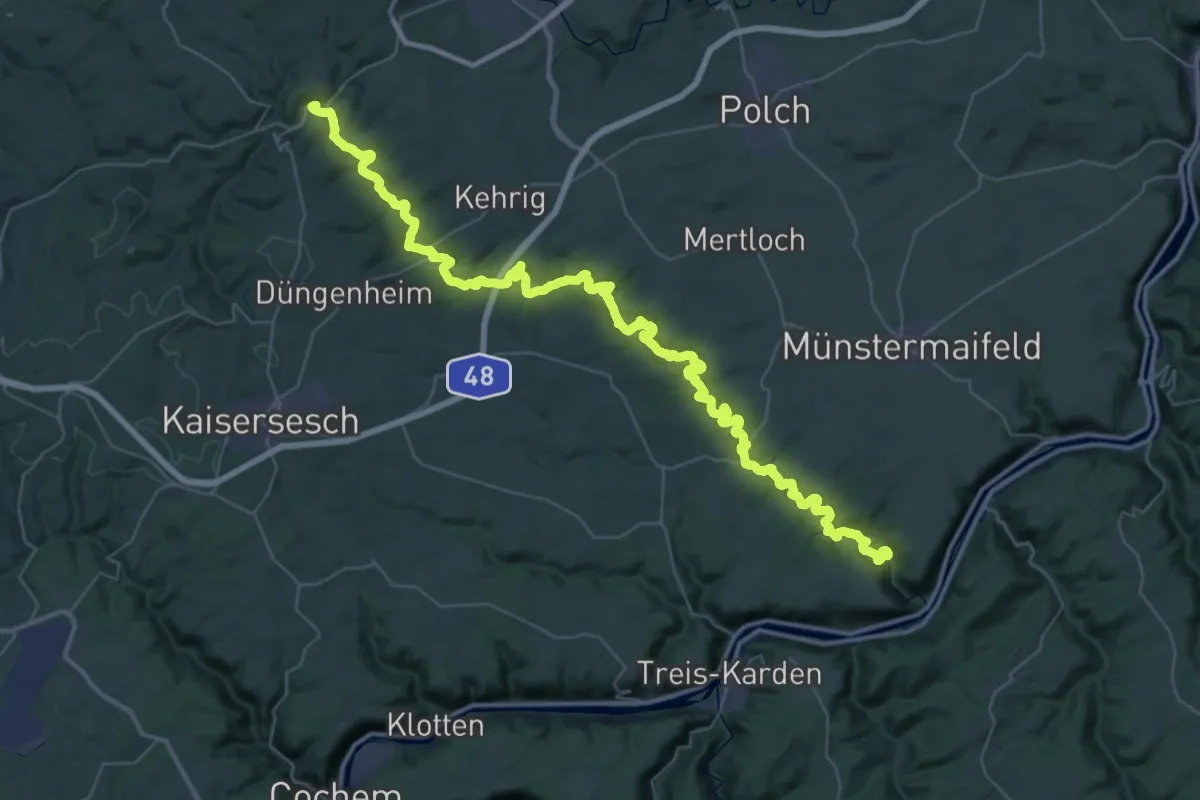
Demanding · Trail
Elzbachtal
29.2 km · ↑ 630 m · 8 h 46 min
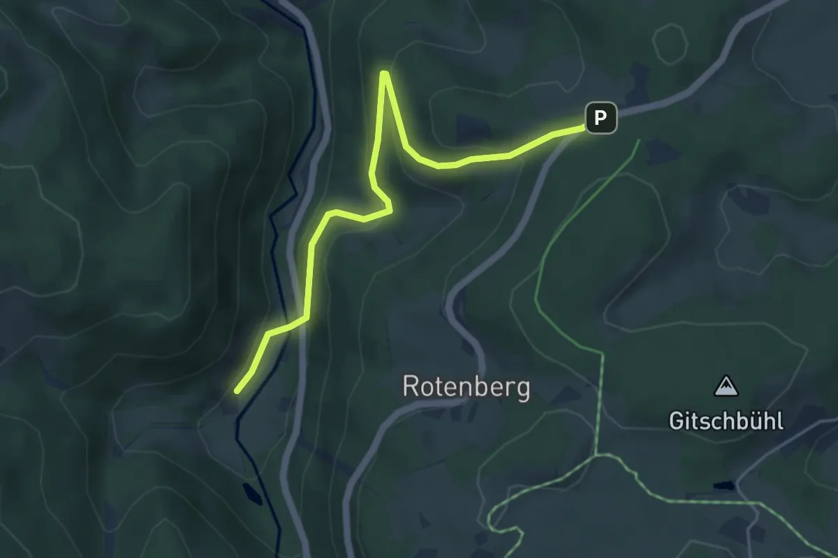
Easy · Trail
Elzhof - Wetzelweg
4.5 km · ↑ 204 m · 1 h 30 min
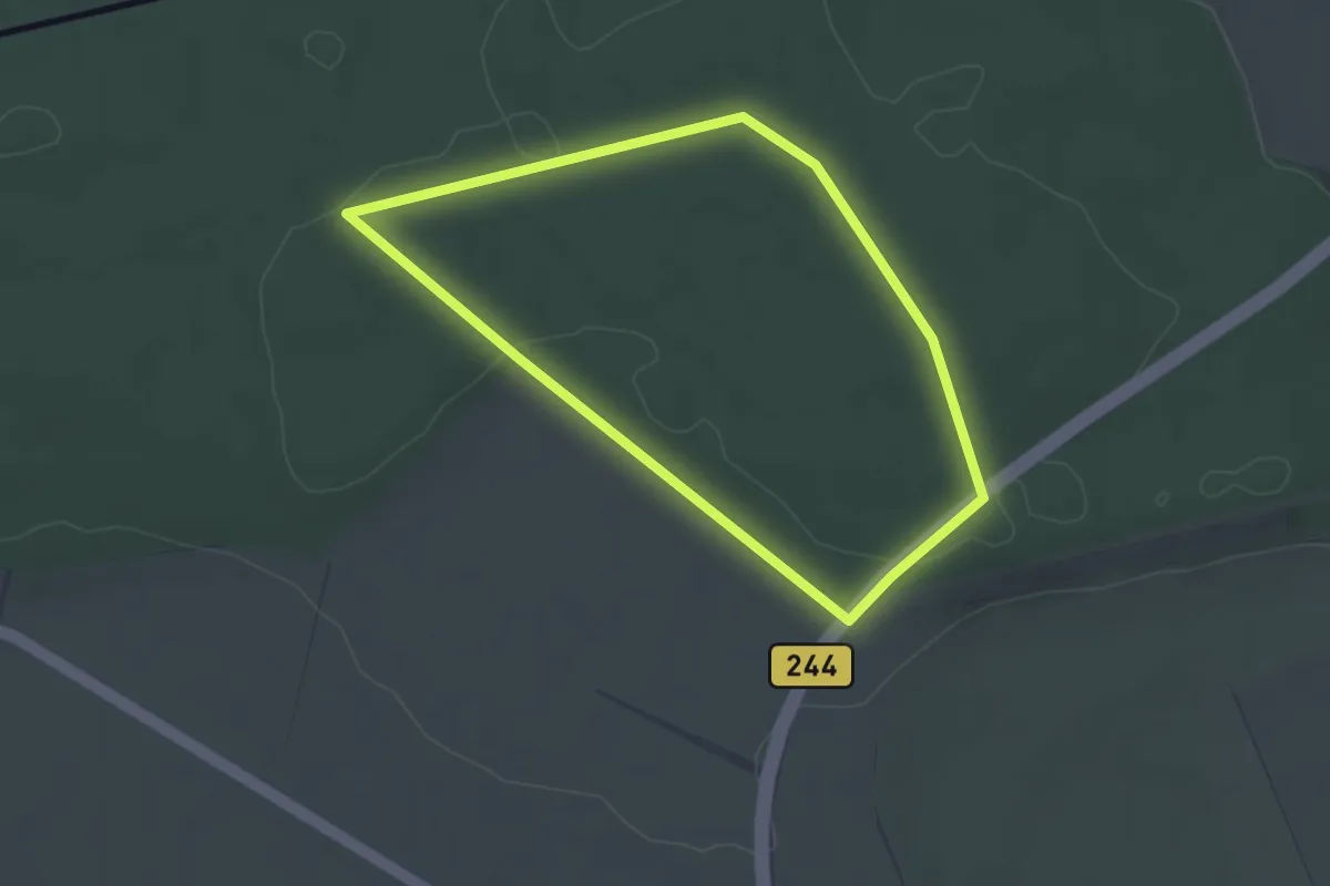
Easy · Trail
Elz Rundwanderweg 1
2.6 km · ↑ 18 m · 42 min
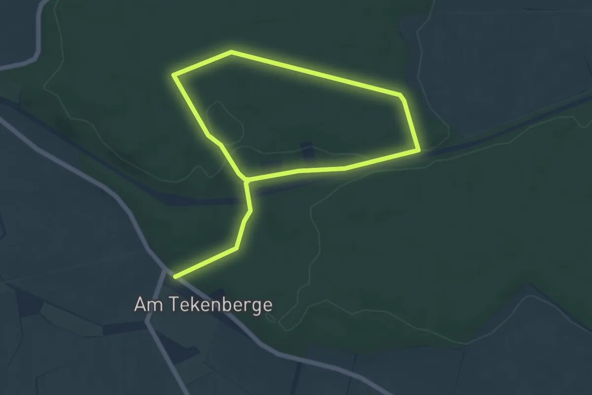
Easy · Trail
Elz Rundwanderweg 2
6.8 km · ↑ 51 m · 1 h 43 min
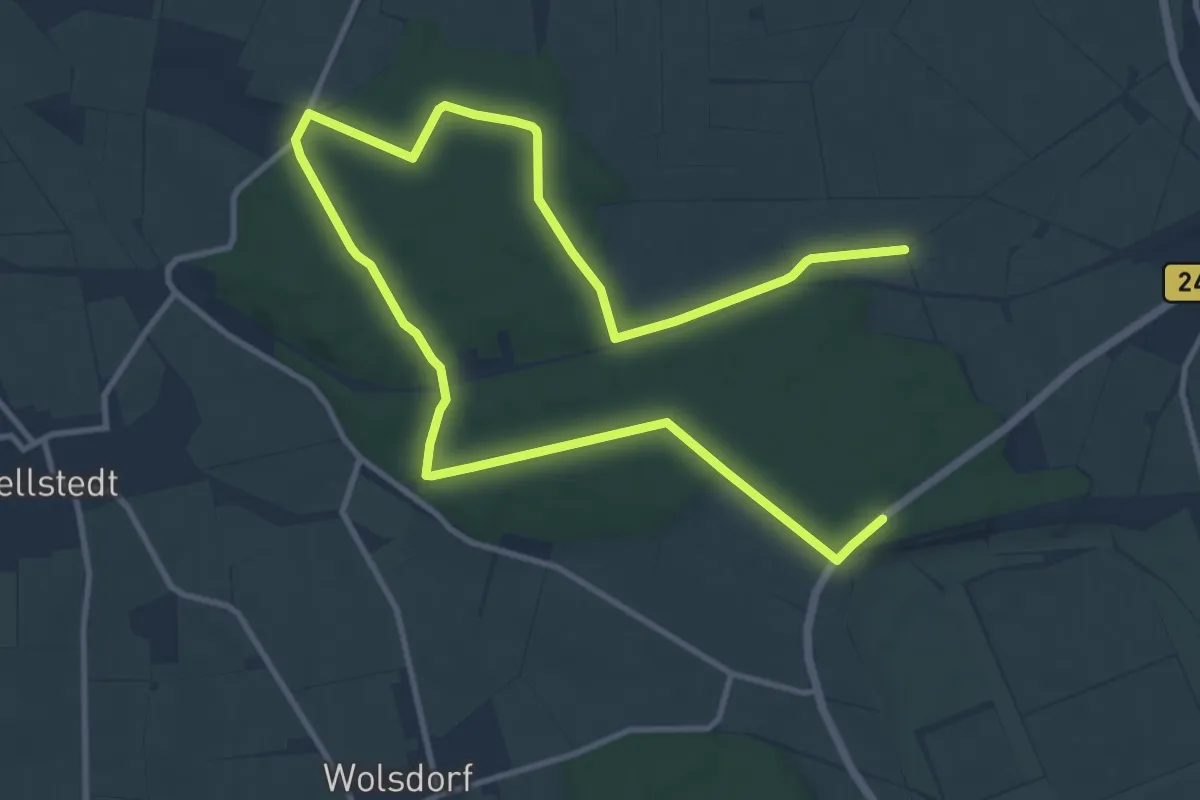
Medium · Trail
Elz Rundwanderweg 3
16.0 km · ↑ 150 m · 4 h 7 min
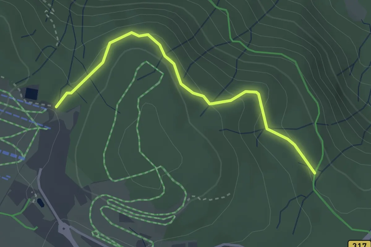
Easy · Trail
E. Maurer Weg - Feldbergbahn Talstation
2.9 km · ↑ 135 m · 59 min
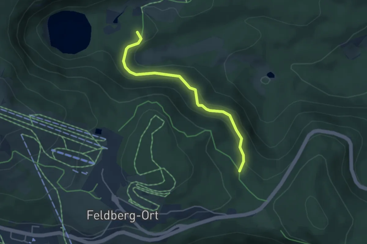
Easy · Trail
E. Maurer Weg - Seesträßle
3.6 km · ↑ 185 m · 1 h 15 min
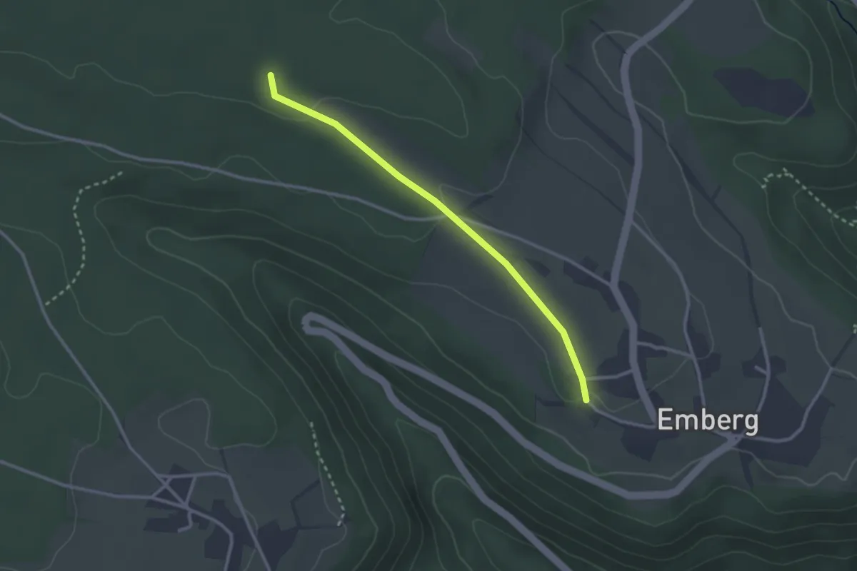
Easy · Trail
Emberg Kirchhof - Kleine Misse
2.6 km · ↑ 46 m · 43 min
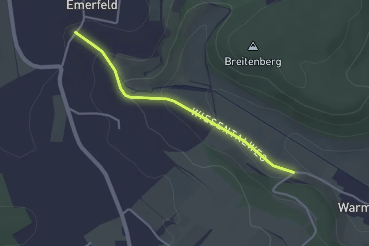
Easy · Trail
Emerfeld - Warmtal
2.4 km · ↑ 90 m · 46 min
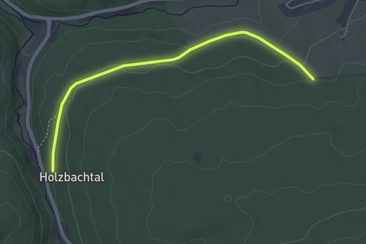
Easy · Trail
Emil-Frey-Eiche - Hansgaß
4.1 km · ↑ 88 m · 1 h 10 min
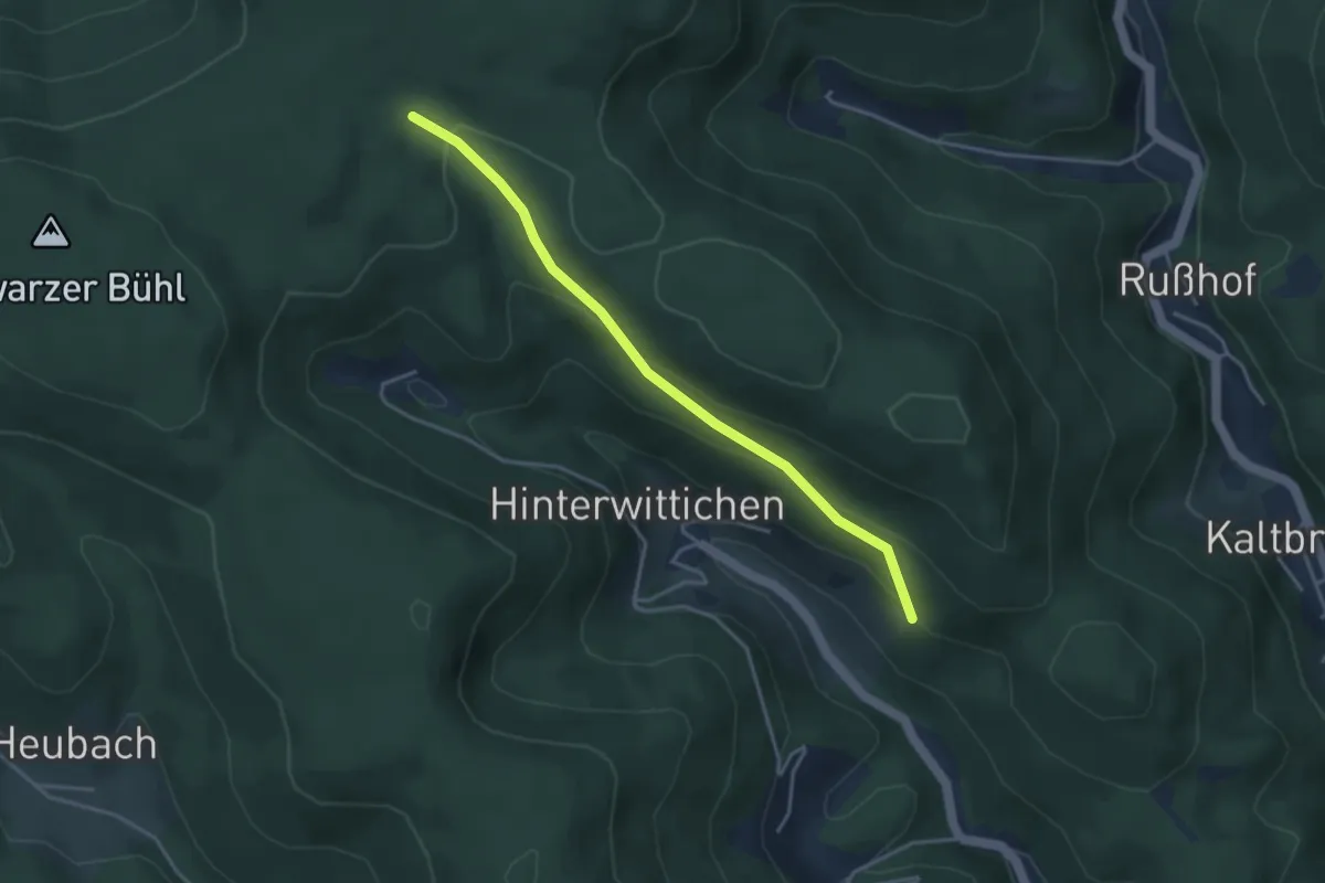
Easy · Trail
Emilshütte - Jägerhaus
3.6 km · ↑ 170 m · 1 h 13 min
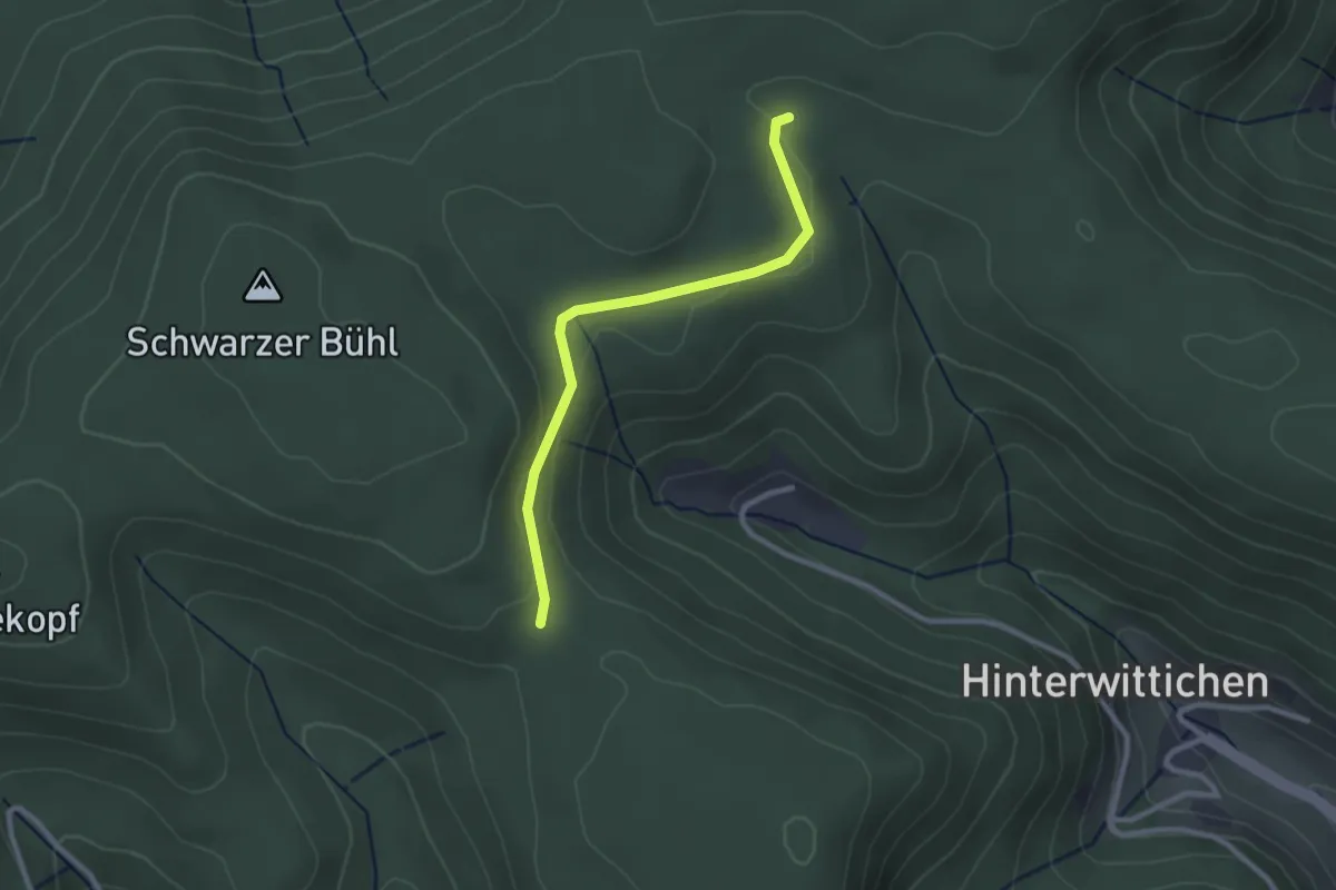
Easy · Trail
Emilshütte - Salzlecke
2.4 km · ↑ 47 m · 40 min
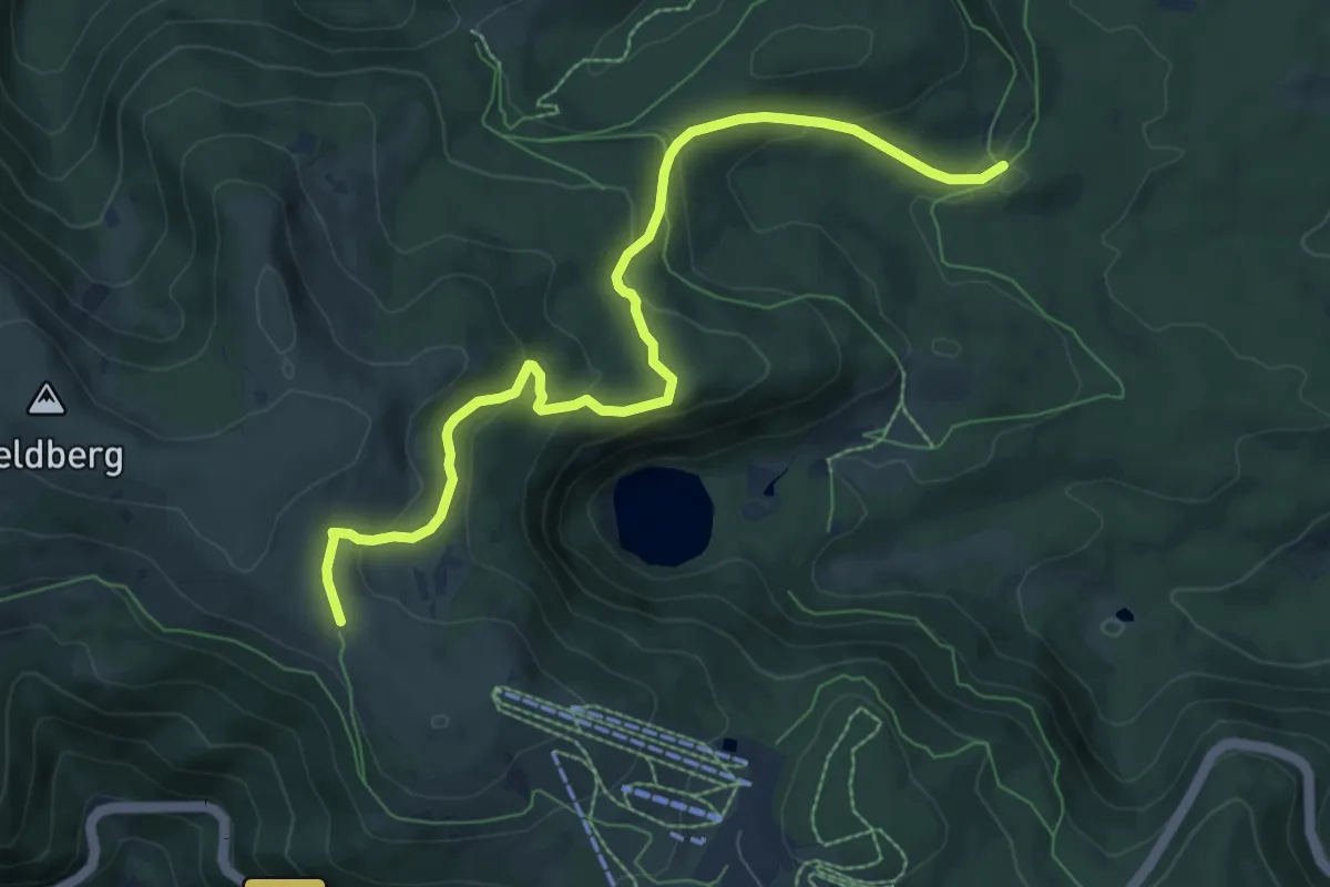
Medium · Trail
Emil-Thoma-Weg
8.4 km · ↑ 327 m · 2 h 41 min
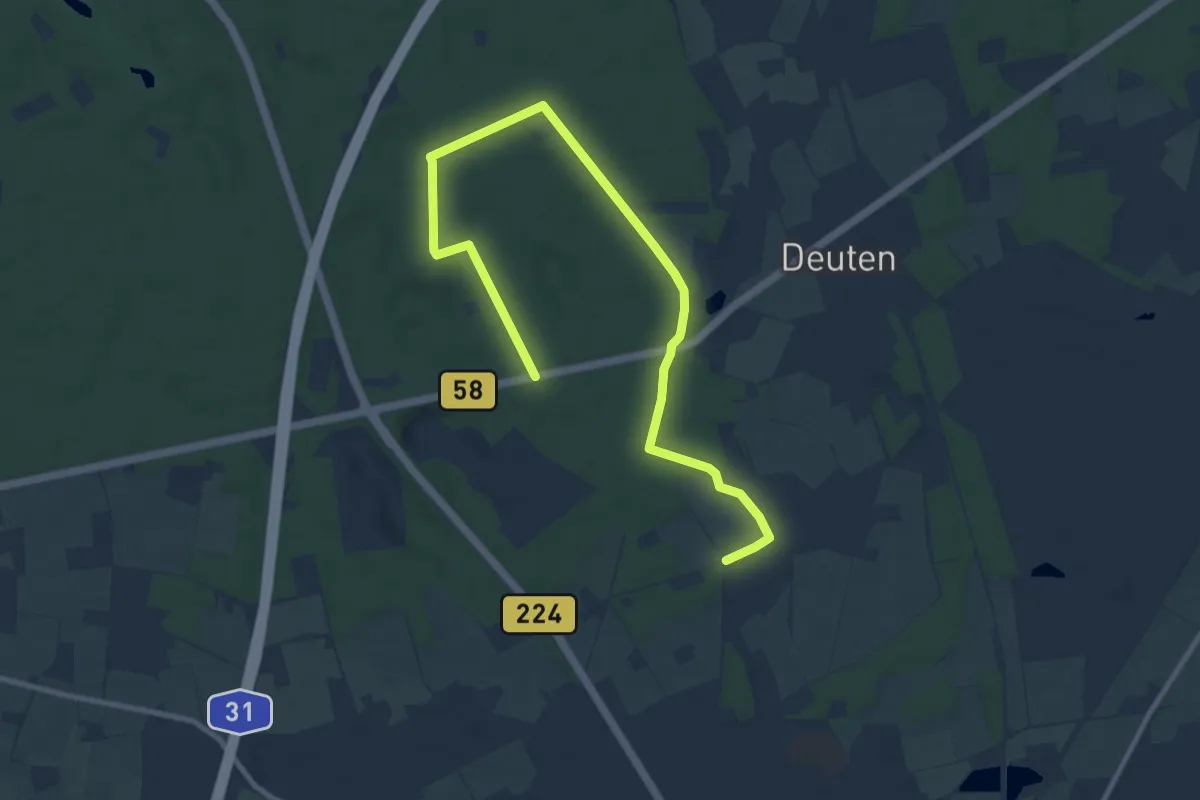
Easy · Trail
Emmelkämper Mark Rundweg A1
5.4 km · ↑ 26 m · 1 h 25 min
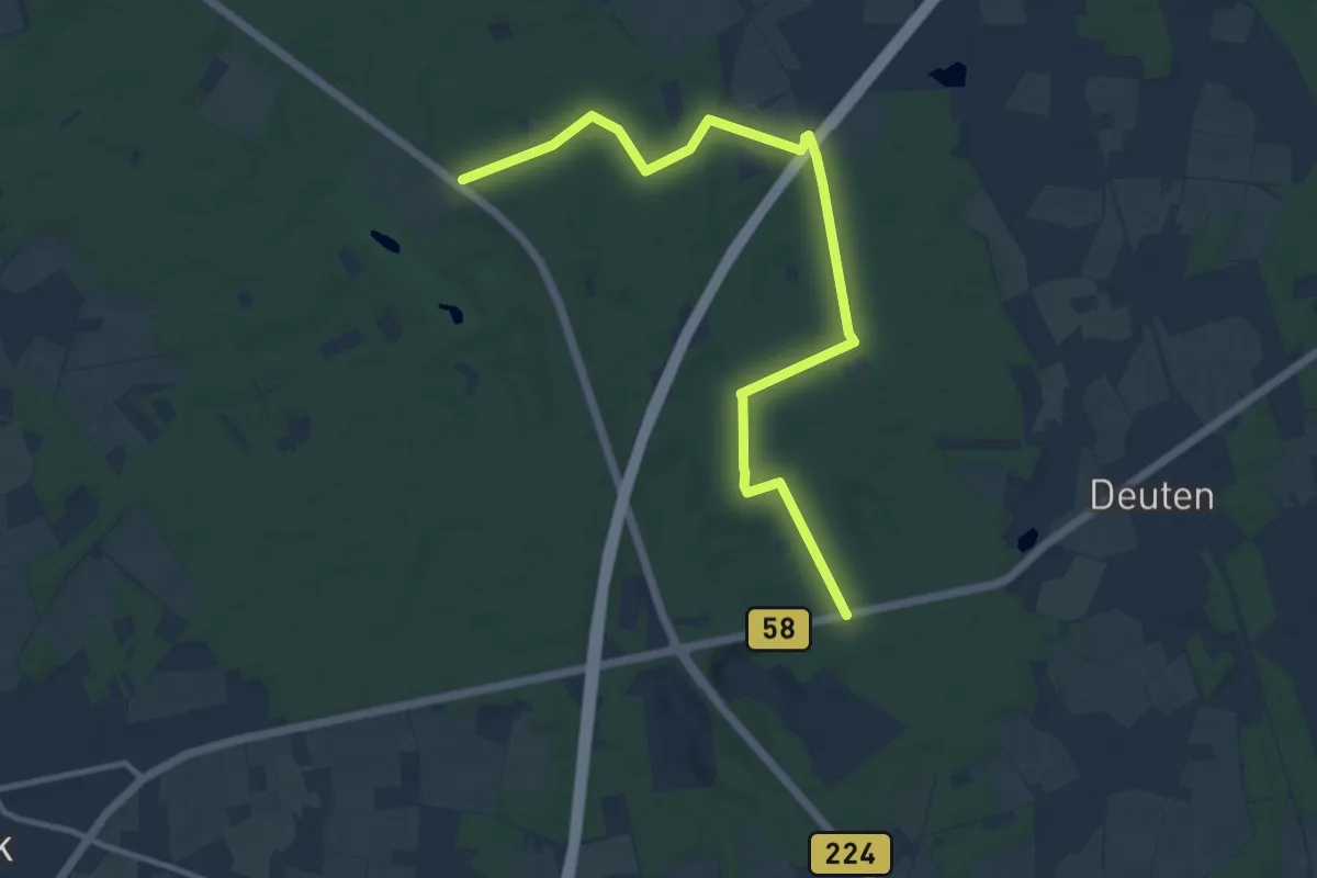
Easy · Trail
Emmelkämper Mark Rundweg A2
5.6 km · ↑ 18 m · 1 h 26 min
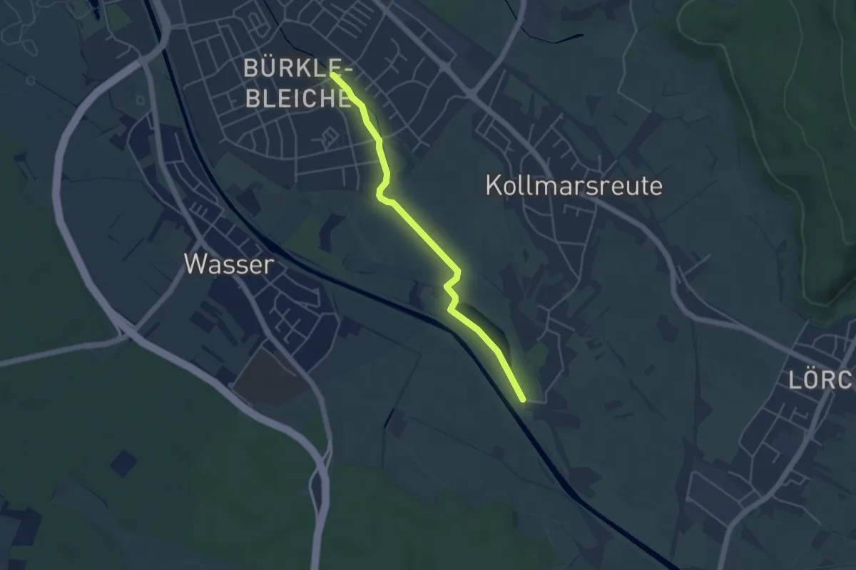
Easy · Trail
Emmendingen Bürkle-Bleiche - Tennisplatz Kollmarsreute
4.2 km · ↑ 4 m · 1 h
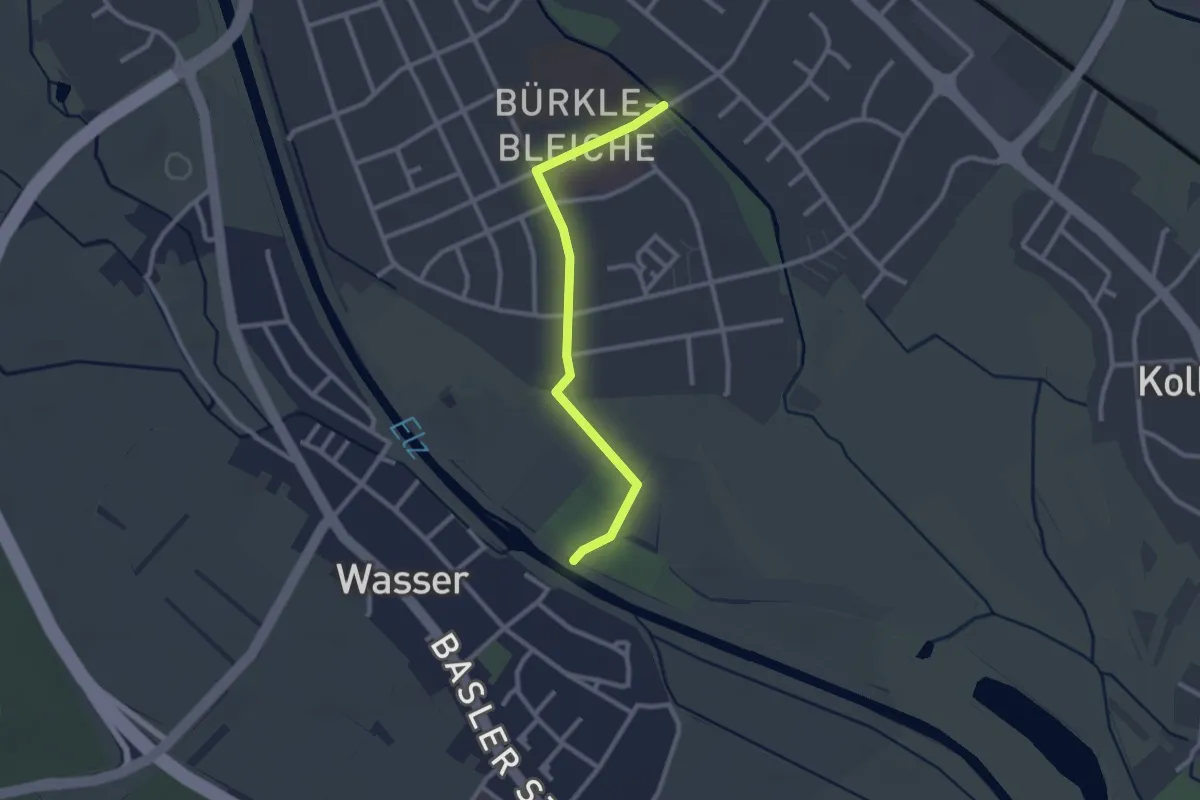
Easy · Trail
Emmendingen Bürkle-Bleiche - Wasser Elzbrücke
2.4 km · ↑ 0 m · 34 min
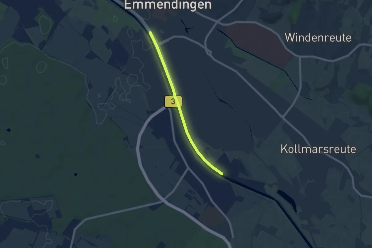
Easy · Trail
Emmendingen Festplatz - Wasser Elzbrücke
4.6 km · ↑ 8 m · 1 h 7 min
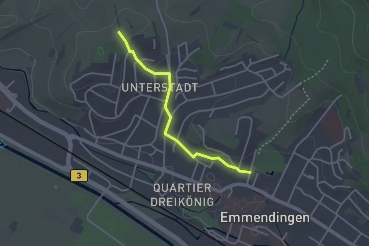
Easy · Trail
Emmendingen Stadtgarten - Kellenberg
2.6 km · ↑ 42 m · 42 min
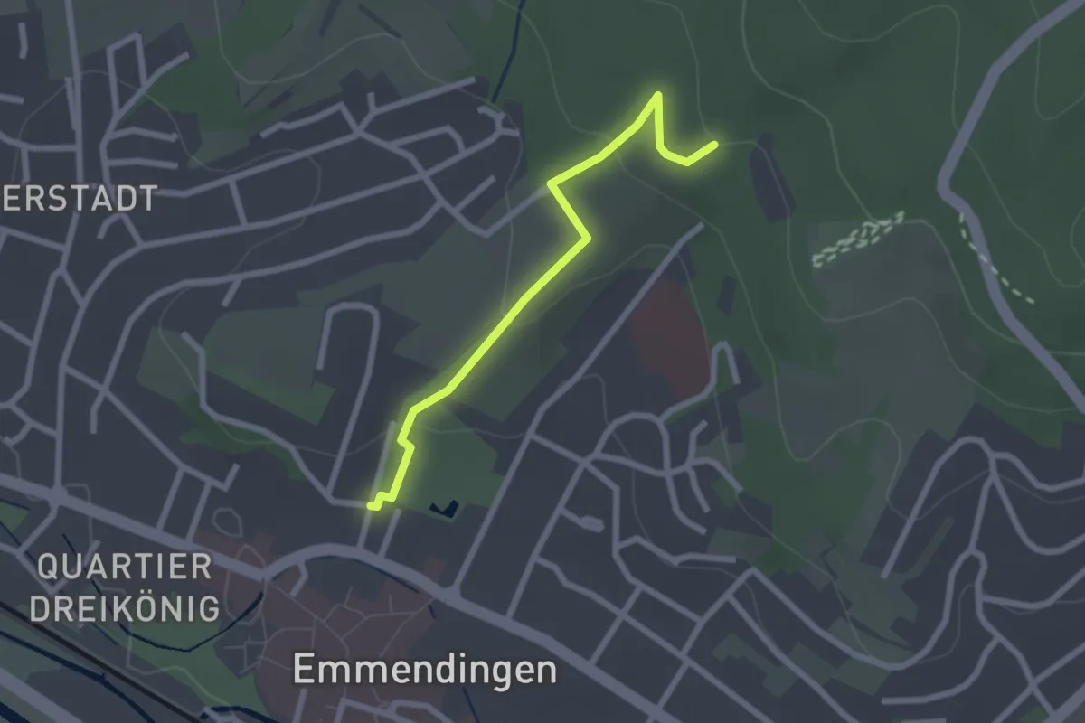
Easy · Trail
Emmendingen Stadtgarten - Schaukelwald
2.1 km · ↑ 67 m · 39 min
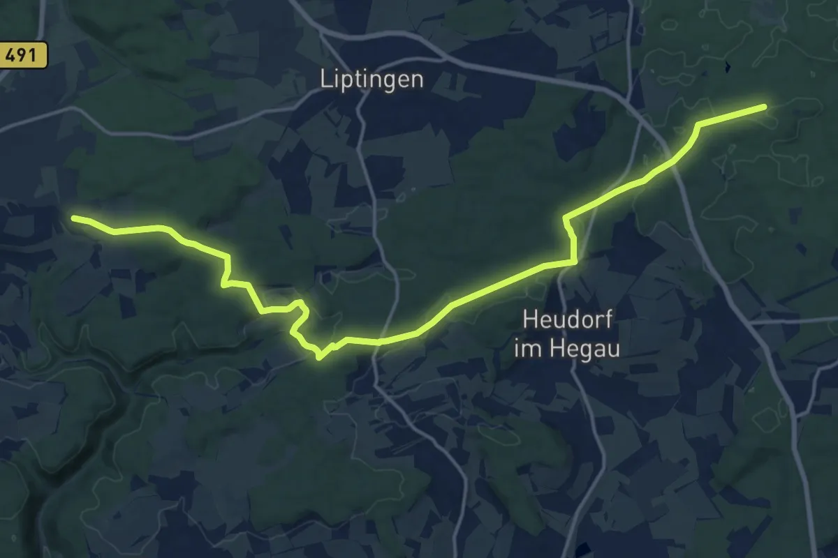
Demanding · Trail
Emmingen - Schindelwaldhütte HW9
18.7 km · ↑ 295 m · 5 h 3 min