Trails in Germany
36,847 hiking trails, each with its route, climb, walking time and grade.
All trails, page 133 of 768
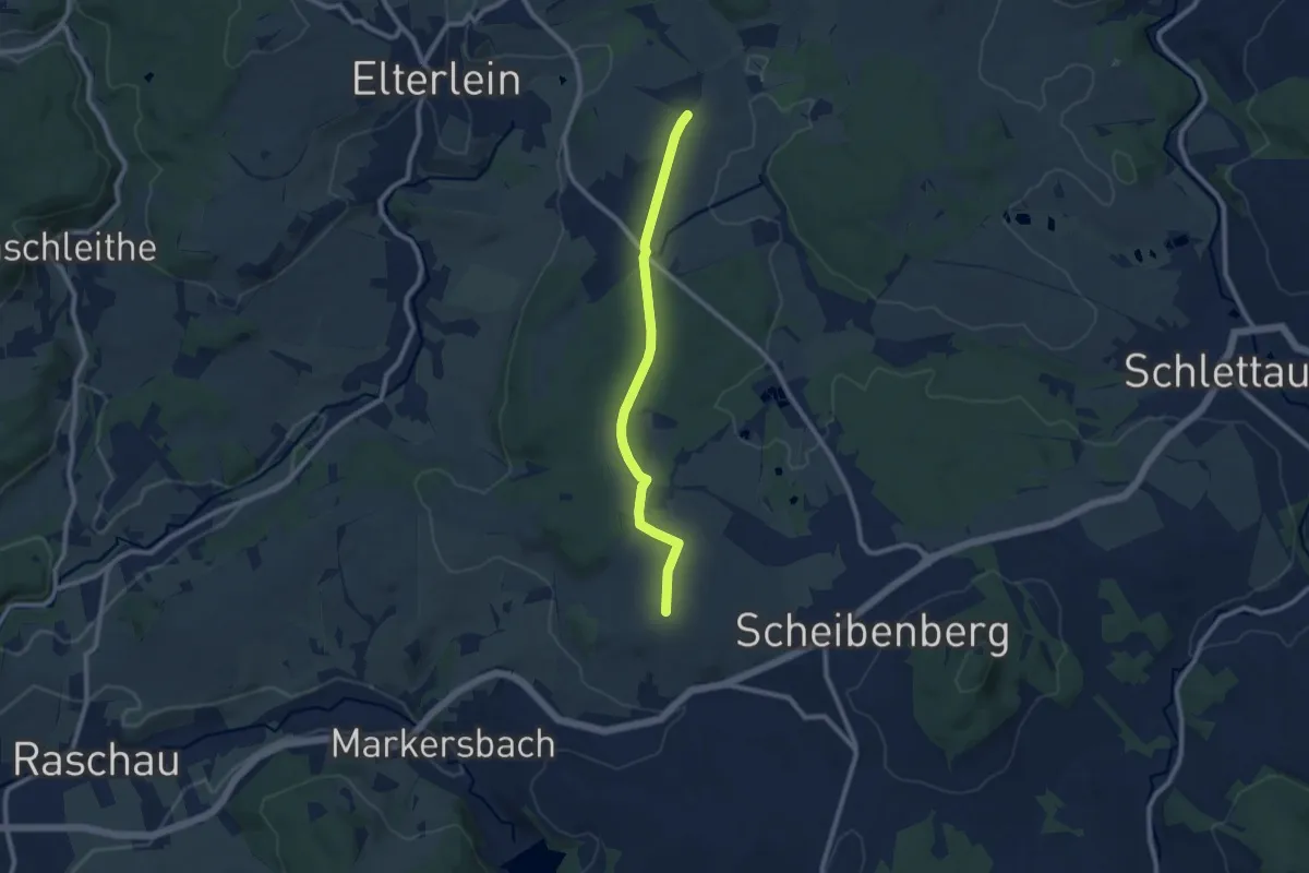
Medium · Trail
Emmler-Finkenburg
8.1 km · ↑ 66 m · 2 h 3 min
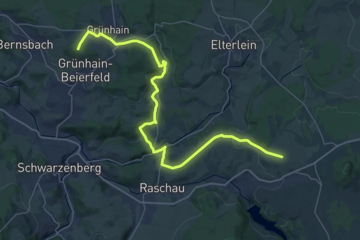
Demanding · Summit
Emmlerweg - Langenberg Waschleithe - Grünhain - Albertturm
28.7 km · ↑ 711 m · 8 h 19 min
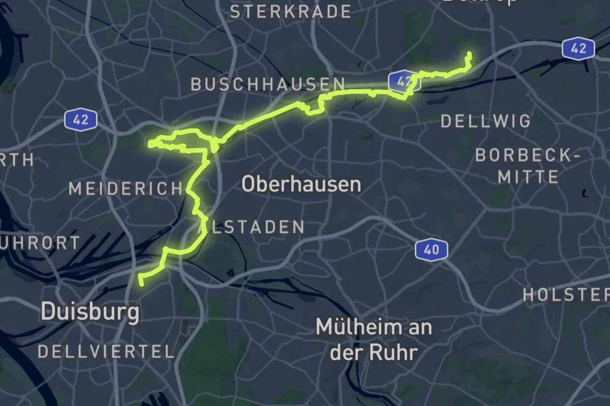
Demanding · Trail
Emscherparkweg XE
22.8 km · ↑ 35 m · 5 h 47 min
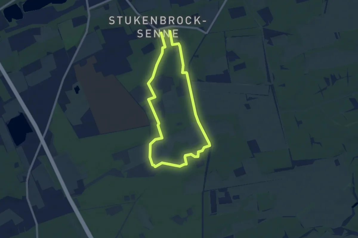
Easy · Trail
Ems-Erlebnisweg
4.8 km · ↑ 8 m · 1 h 14 min
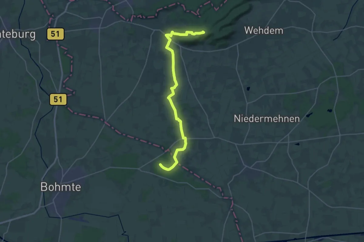
Demanding · Summit
Ems-Hase-Hunte-Else-Weg
22.5 km · ↑ 227 m · 5 h 48 min
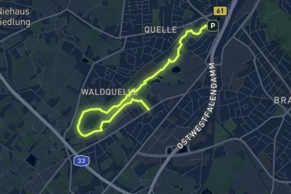
Medium · Trail
Ems-Lutter-Weg
9.6 km · ↑ 31 m · 2 h 20 min
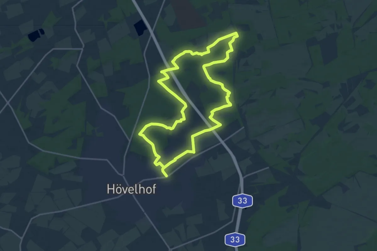
Medium · Trail
Emsquellen Wanderweg
13.8 km · ↑ 43 m · 3 h 33 min
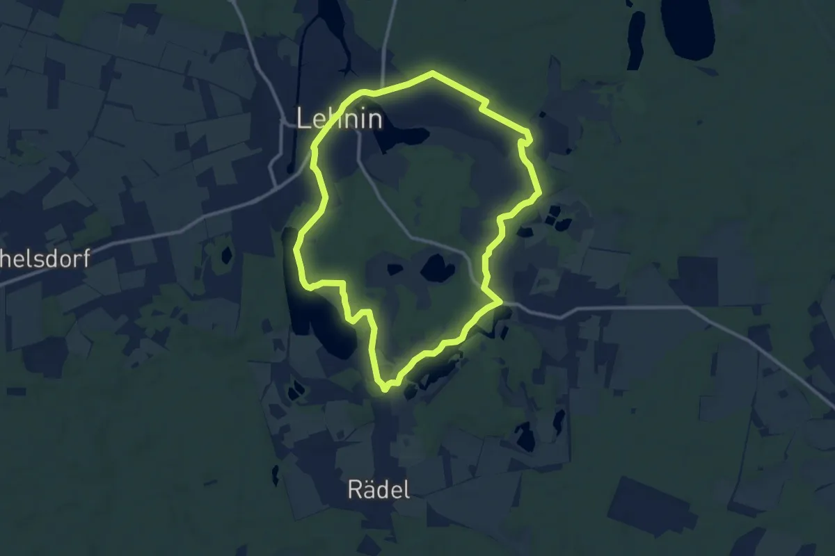
Medium · Trail
Emsterquellweg
9.7 km · ↑ 51 m · 2 h 32 min
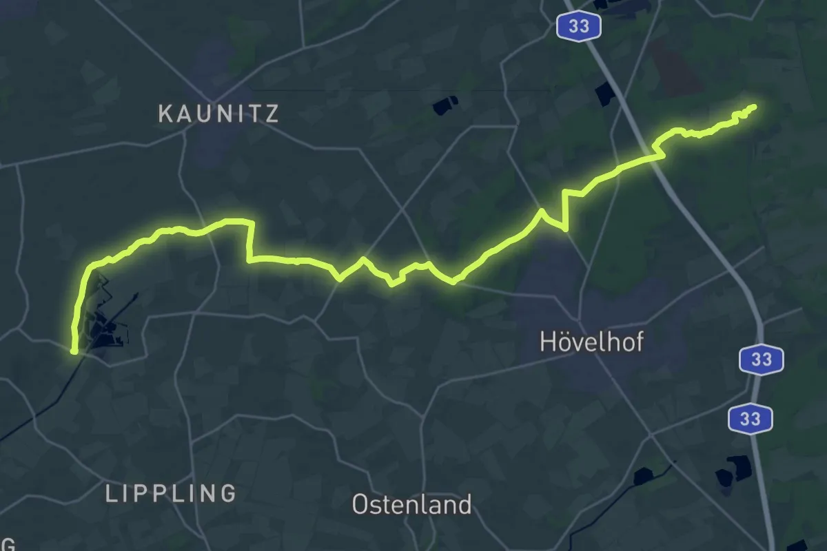
Medium · Trail
Emsweg
16.9 km · ↑ 9 m · 4 h 16 min
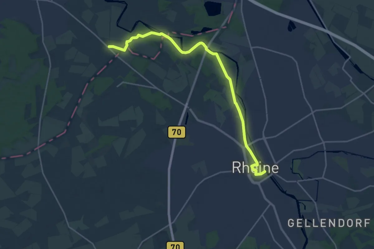
Medium · Trail
Emsweg
15.2 km · ↑ 49 m · 3 h 42 min
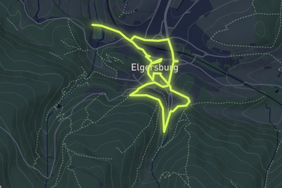
Medium · Trail
EMunchRundwanderweg
3.6 km · ↑ 139 m · 1 h 11 min
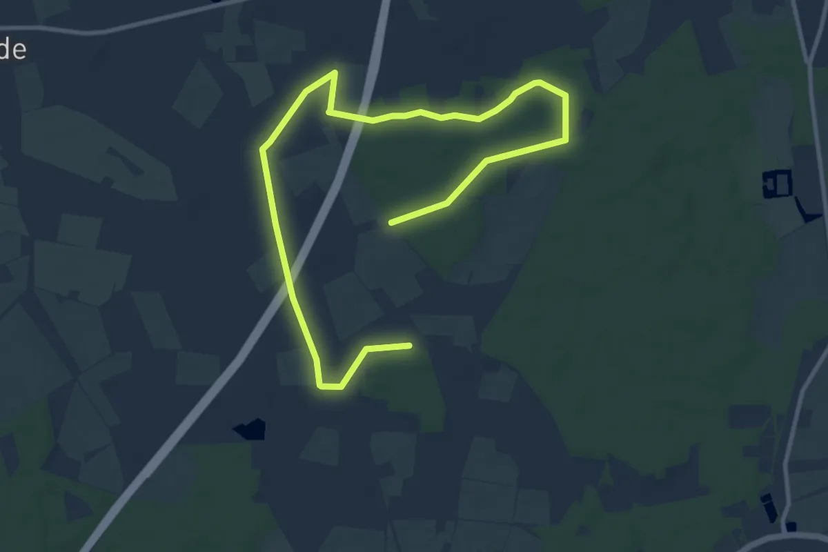
Easy · Trail
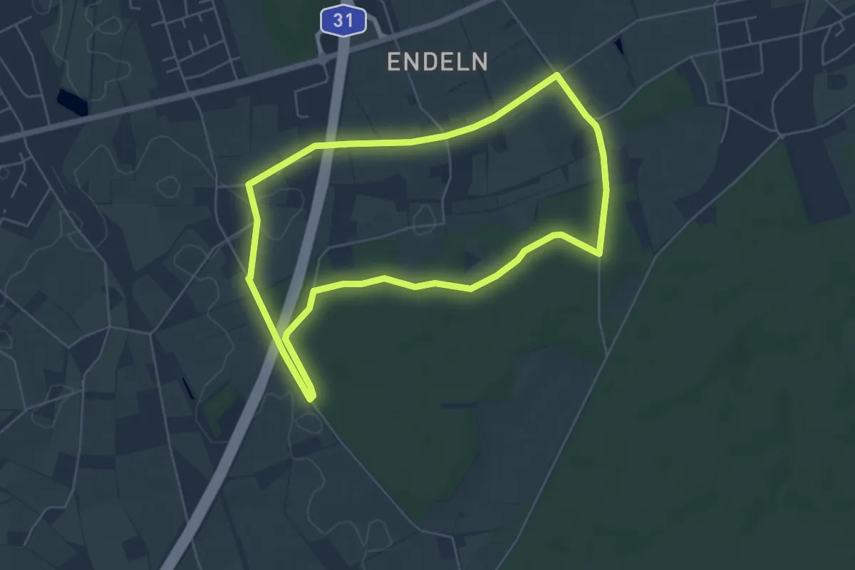
Endeln Rundweg A3
6.1 km · ↑ 18 m · 1 h 34 min
Easy · Trail
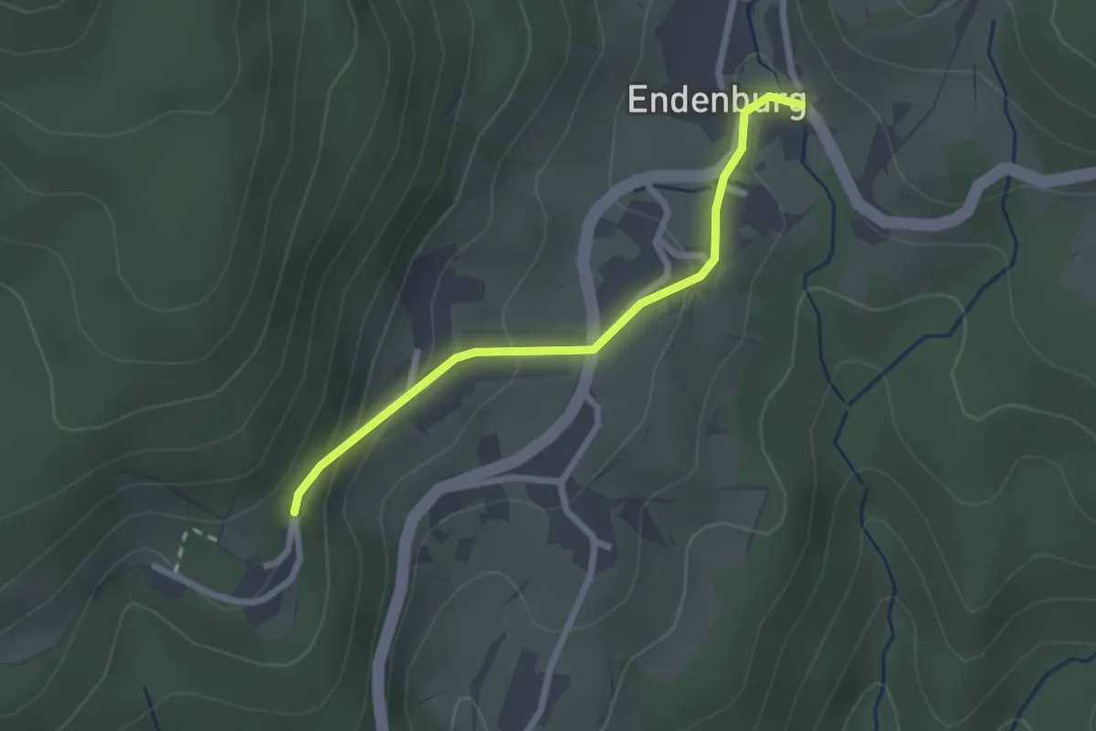
Endeln Rundweg A4
4.9 km · ↑ 13 m · 1 h 16 min
Easy · Trail
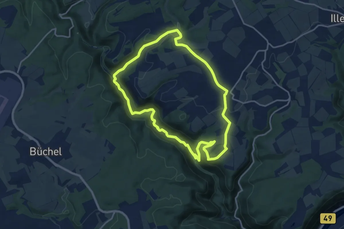
Endenburg Rathaus - Stalten
2.2 km · ↑ 107 m · 45 min
Medium · Trail
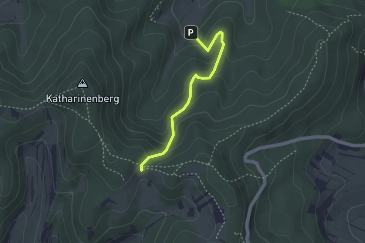
Endertmühlenweg
11.1 km · ↑ 315 m · 3 h 28 min
Easy · Trail
Endinger Eck - Riedmatten
2.7 km · ↑ 134 m · 55 min
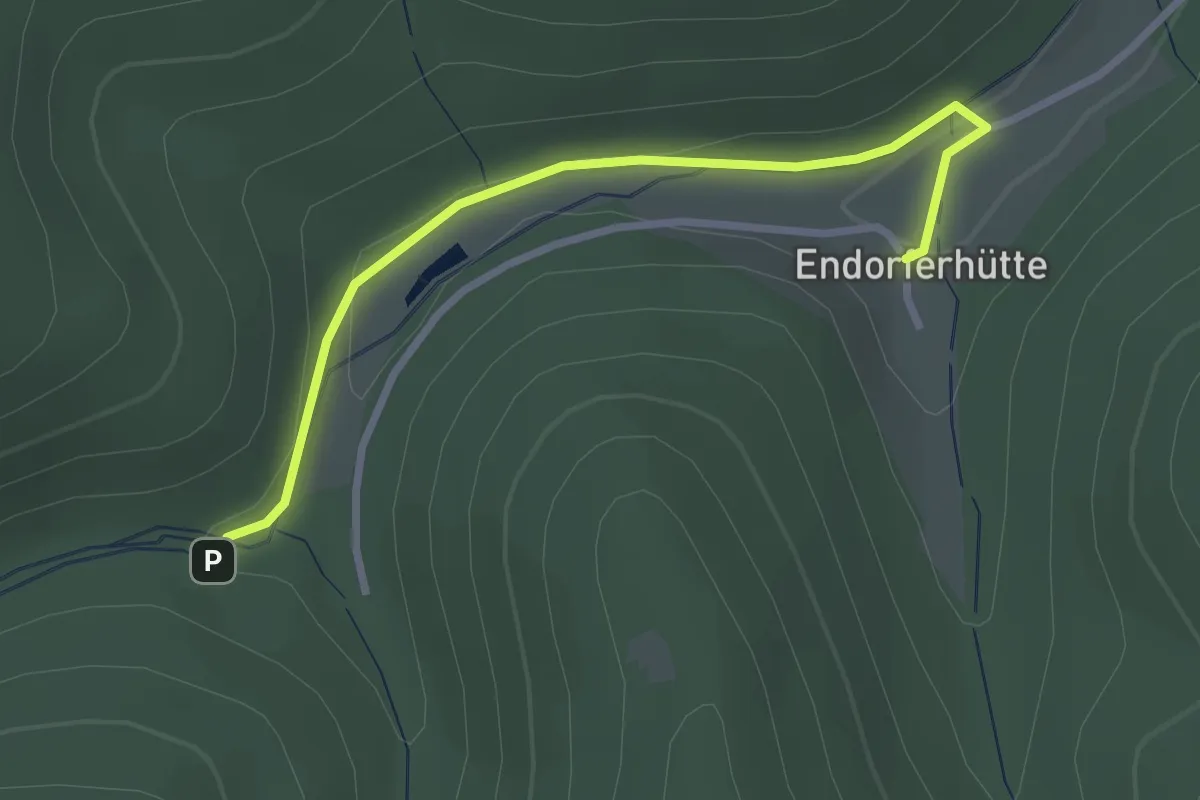
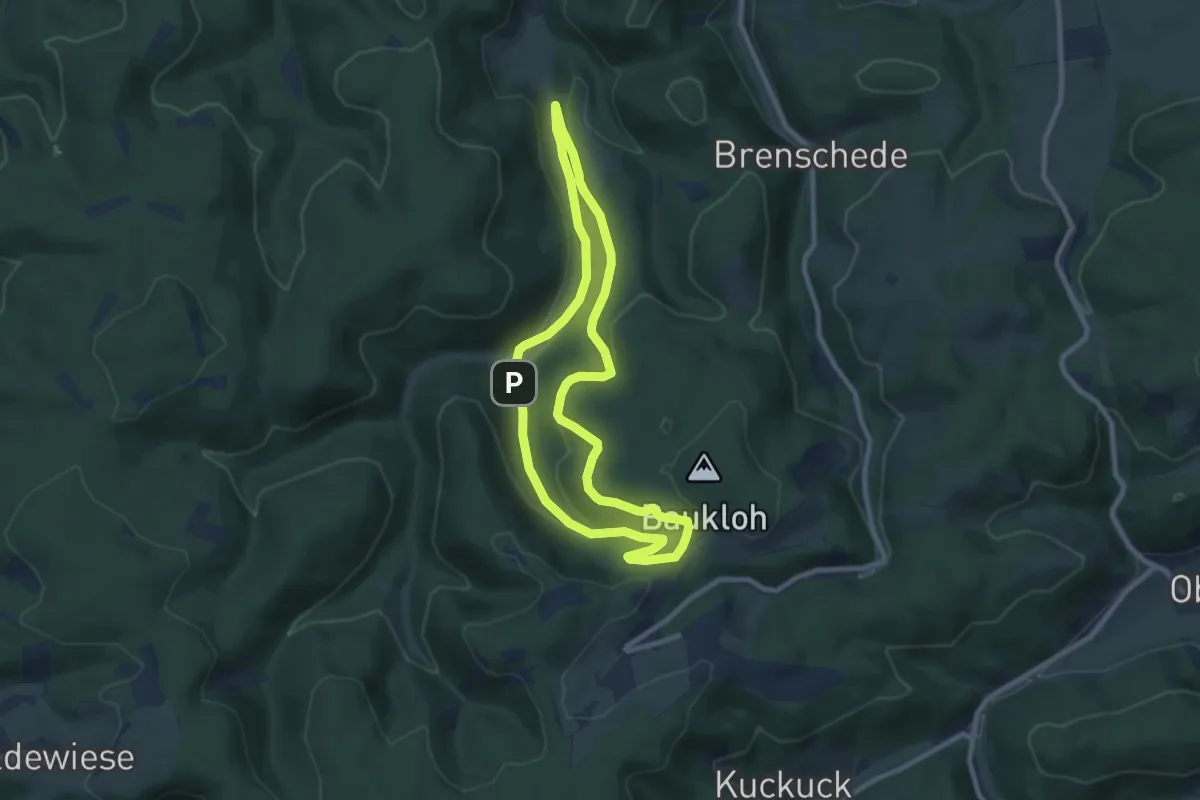
Easy · Trail
Endorferhütte Rundwanderweg A4
2.6 km · ↑ 48 m · 43 min
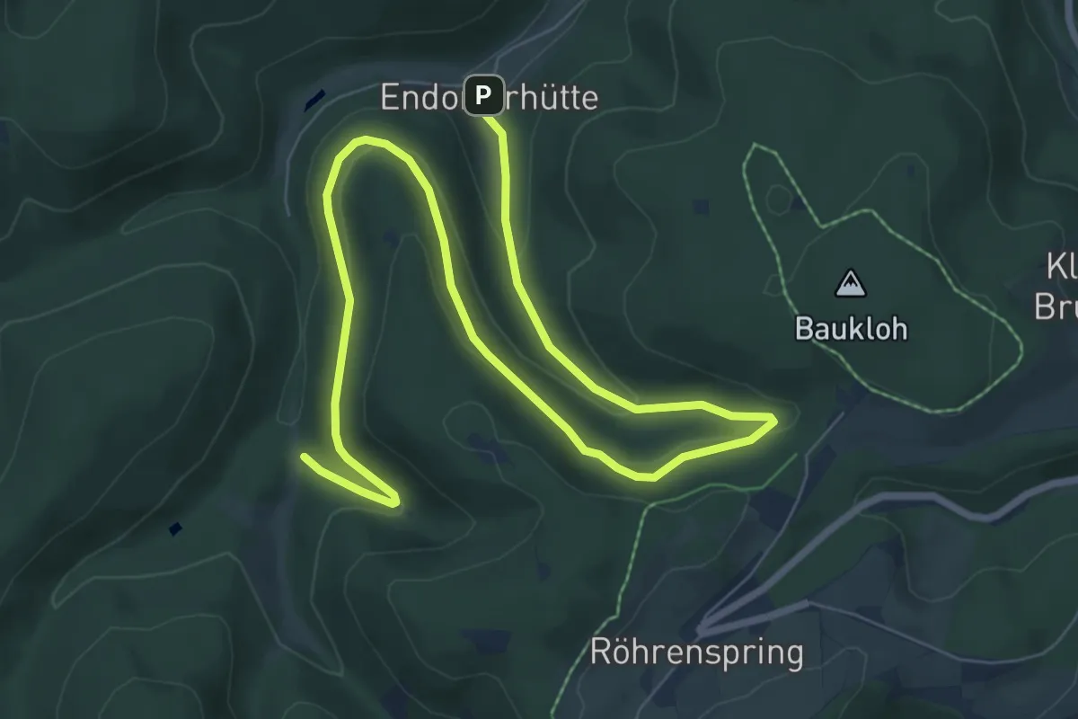
Easy · Trail
Endorferhütte Rundwanderweg A5
7.5 km · ↑ 233 m · 2 h 22 min
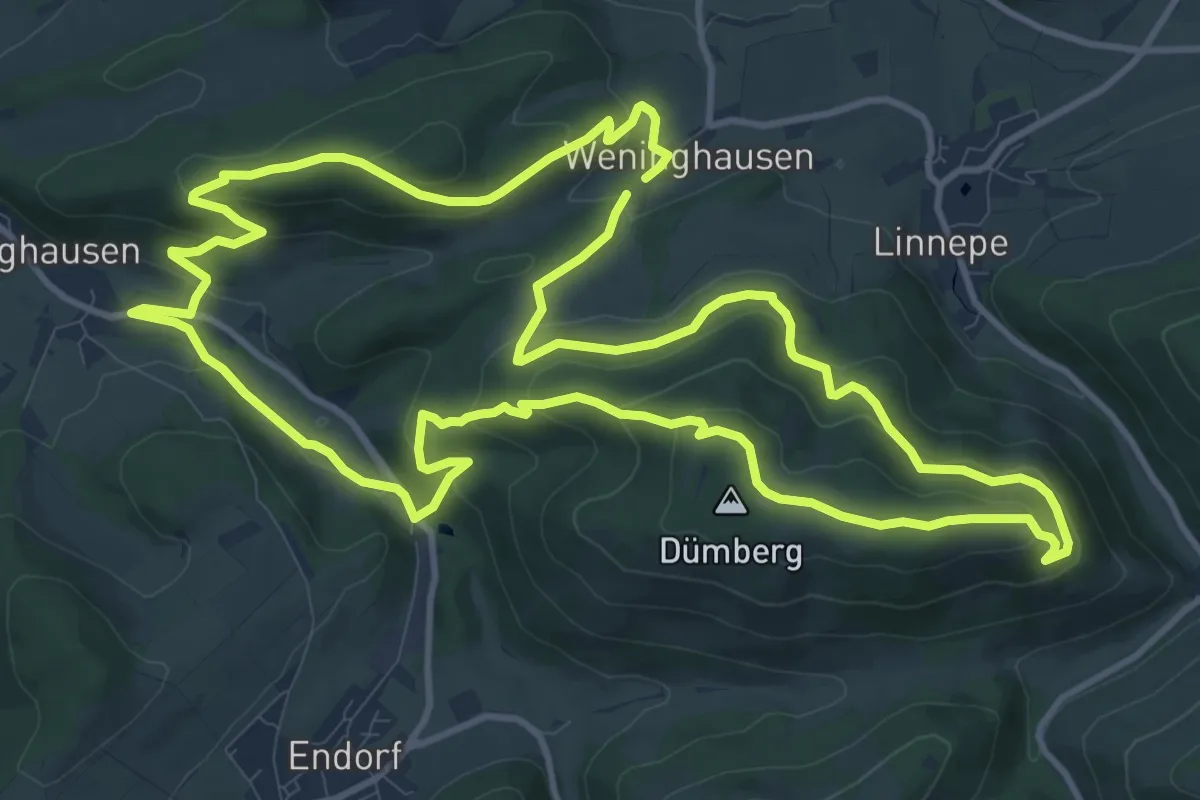
Medium · Trail
Endorferhütte Rundwanderweg A6
10.0 km · ↑ 335 m · 3 h 6 min
Medium · Summit
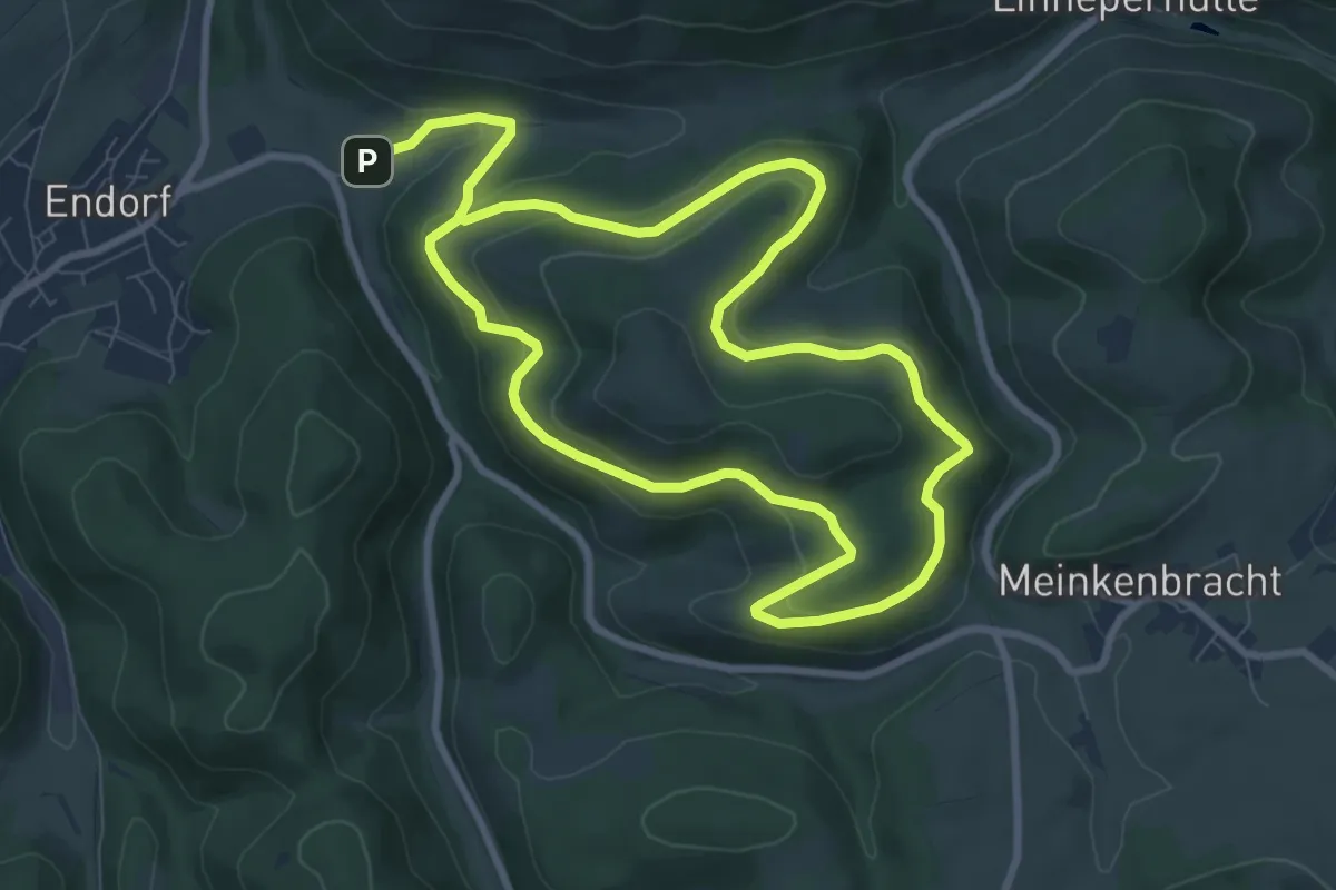
Endorf Rundweg E1
12.0 km · ↑ 471 m · 4 h 1 min
Medium · Trail
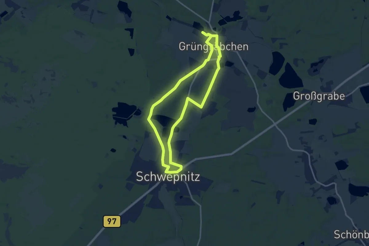
Endorf Rundweg E2
14.7 km · ↑ 603 m · 4 h 47 min
Medium · Trail
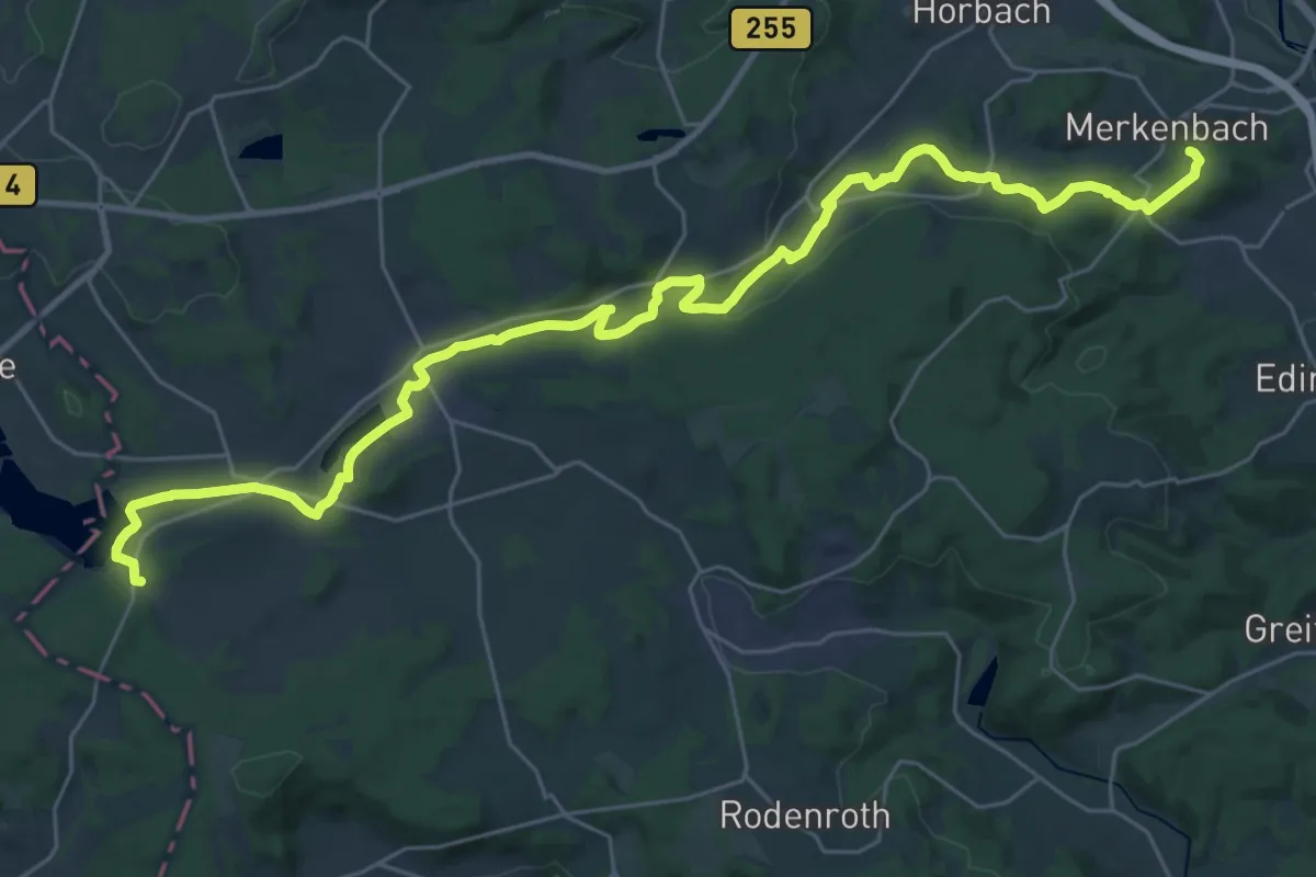
Energie-Entdeckerpfad
10.0 km · ↑ 26 m · 2 h 34 min
Demanding · Summit
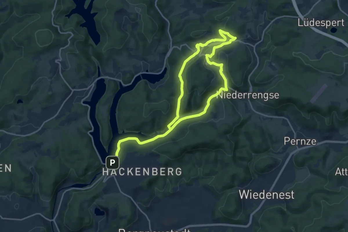
Energie-Lehrpfad
34.4 km · ↑ 523 m · 9 h 15 min
Demanding · Trail
Energieweg
19.8 km · ↑ 414 m · 5 h 35 min
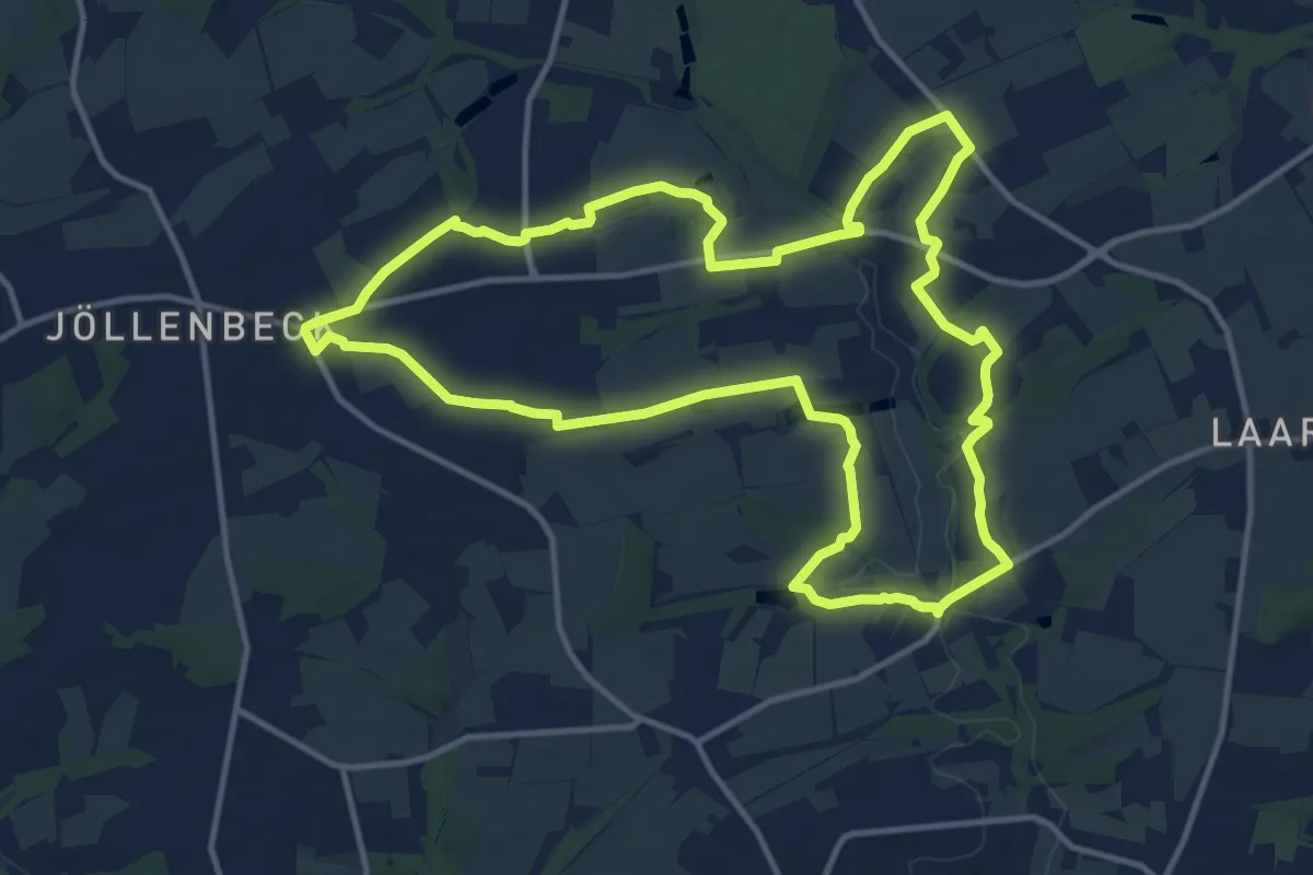
Medium · Trail
Energieweg
12.1 km · ↑ 96 m · 3 h 13 min
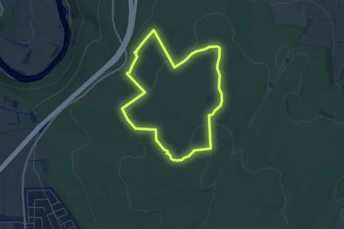
Easy · Trail
Energieweg Söhre
5.2 km · ↑ 93 m · 1 h 30 min
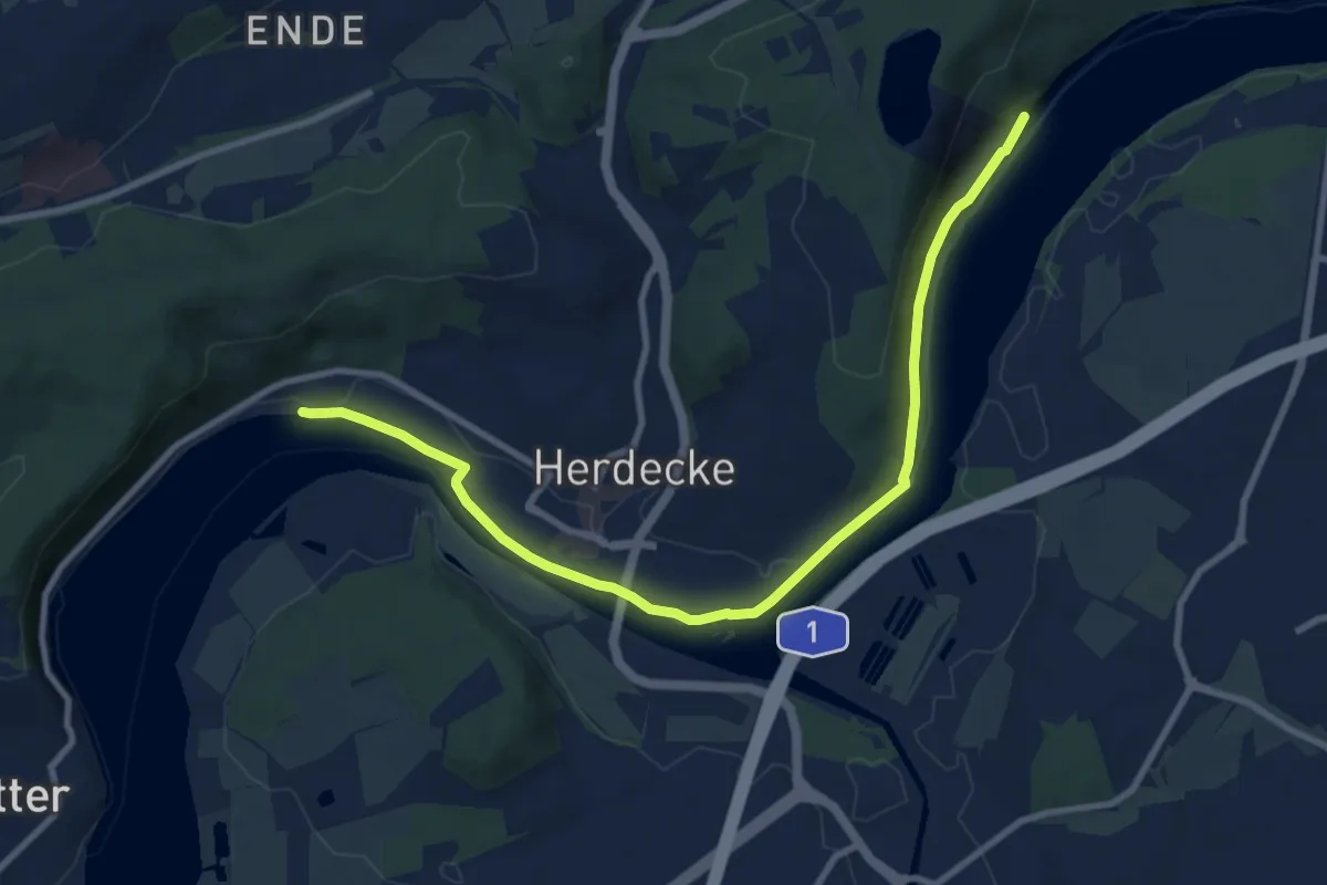
Medium · Trail
Energiewirtschaftlicher Wanderweg
9.4 km · ↑ 74 m · 2 h 23 min
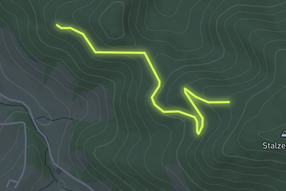
Easy · Trail
Engebuck - Grabenhofrank
3.4 km · ↑ 149 m · 1 h 7 min
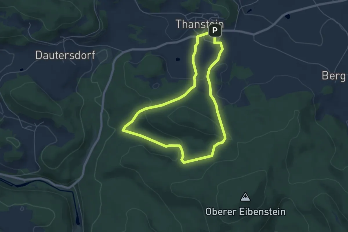
Easy · Trail
Engelbildweg T 7
4.9 km · ↑ 113 m · 1 h 29 min
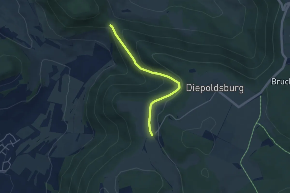
Easy · Trail
Engelhof - Sattelbogen
3.1 km · ↑ 158 m · 1 h 5 min
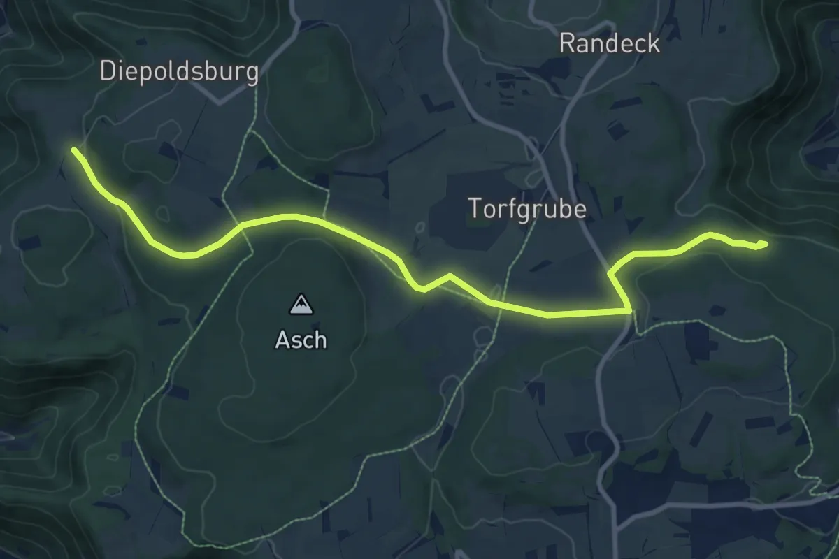
Medium · Trail
Engelhof - Torfgrube - Heimenstein
9.9 km · ↑ 215 m · 2 h 48 min
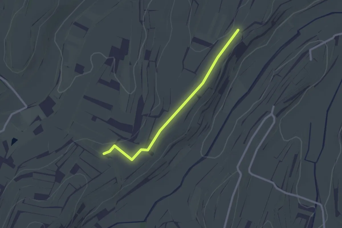
Easy · Trail
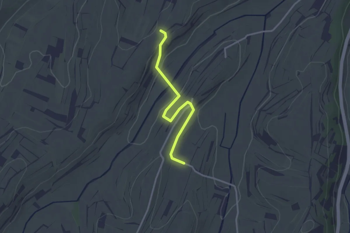
Engelsberg Wihlbach - Schlimberg
2.1 km · ↑ 13 m · 32 min
Easy · Trail
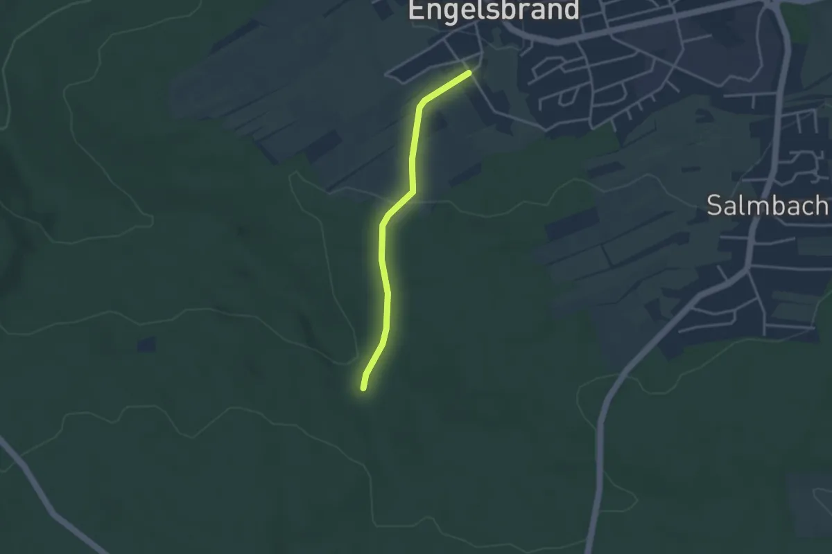
Engelsberg Wihlbach - Schmählin
2.5 km · ↑ 35 m · 40 min
Easy · Trail
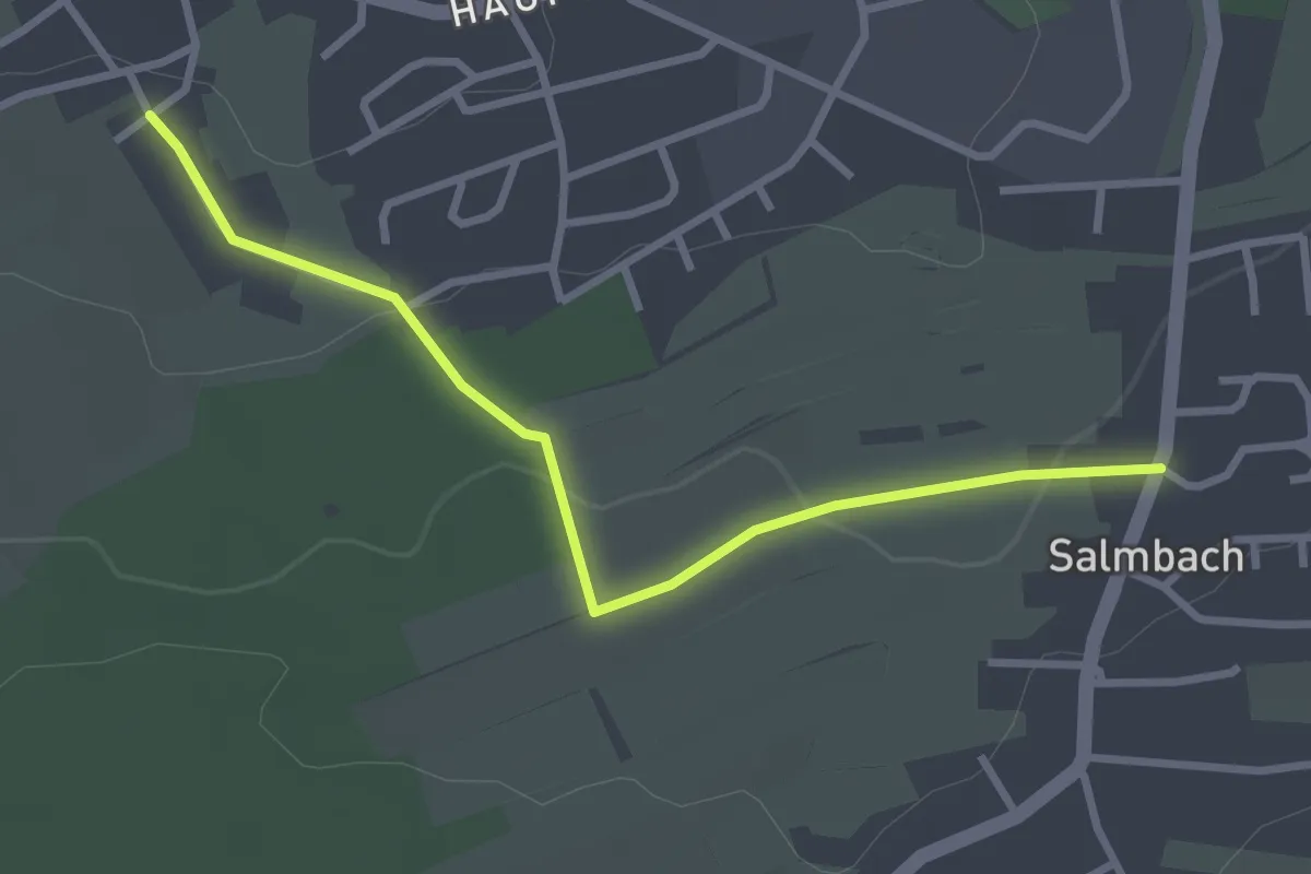
Engelsbrand Brennermiß - Glasbrunnen
2.7 km · ↑ 71 m · 48 min
Easy · Trail
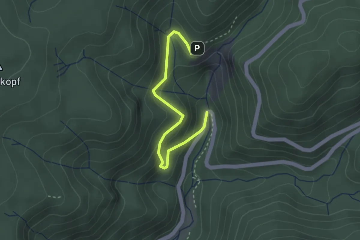
Engelsbrand Brennermiß - Salmbach
2.9 km · ↑ 71 m · 51 min
Easy · Trail
Engelskanzel - Wasserfälle Parkplatz
2.8 km · ↑ 198 m · 1 h 5 min
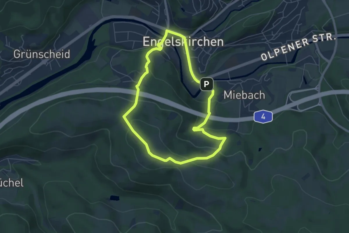
Easy · Summit
Engelskirchen Rundweg A2
4.8 km · ↑ 203 m · 1 h 38 min
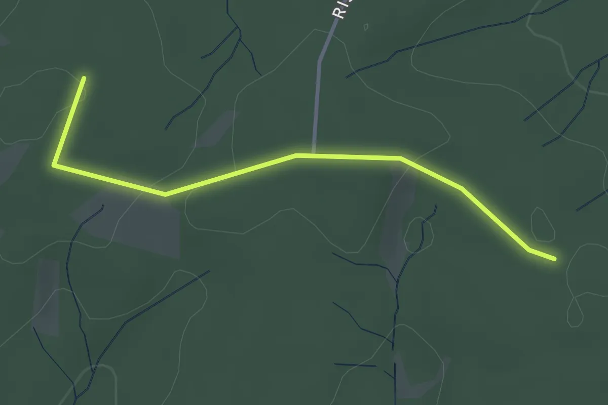
Easy · Trail
Engelslieth Rundweg A3
2.9 km · ↑ 38 m · 45 min
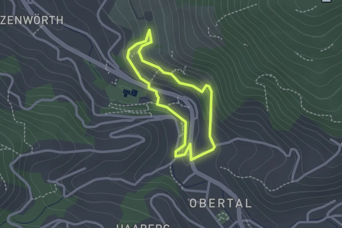
Medium · Trail
Engelssteig
1.5 km · ↑ 83 m · 33 min
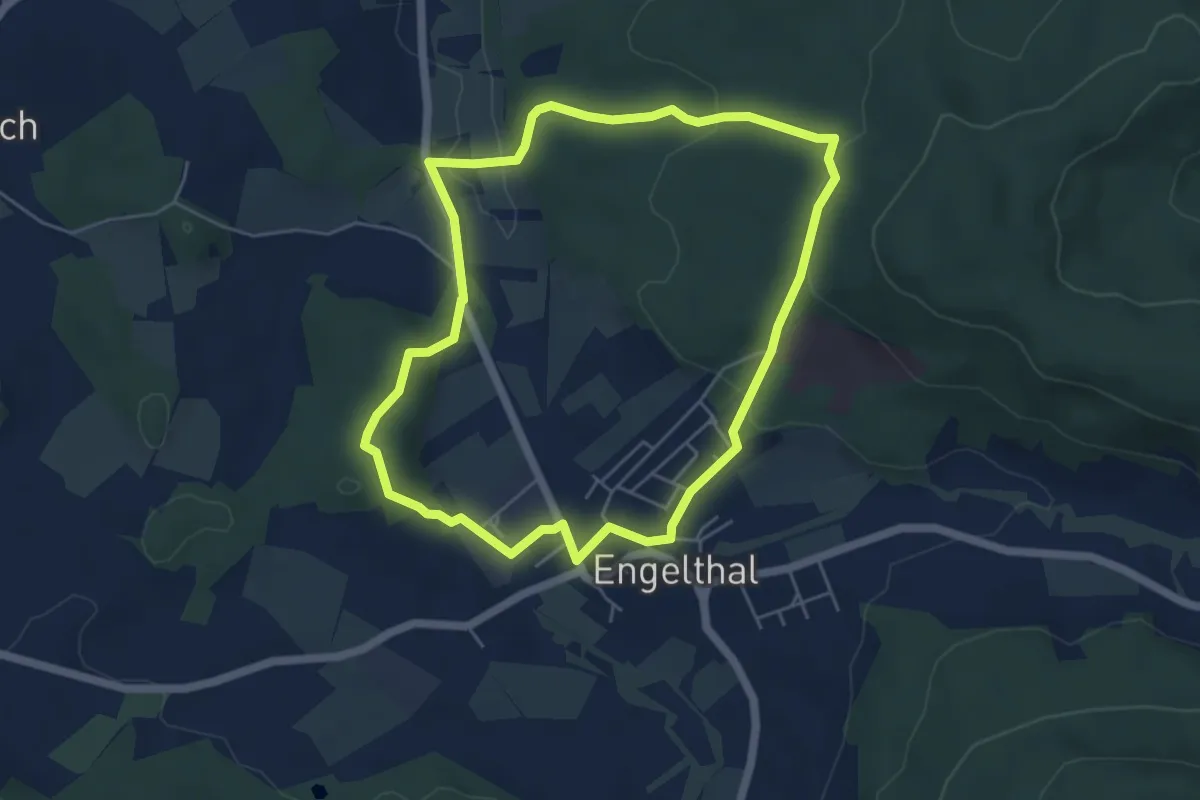
Easy · Trail
Engelthal -1-
4.8 km · ↑ 129 m · 1 h 29 min
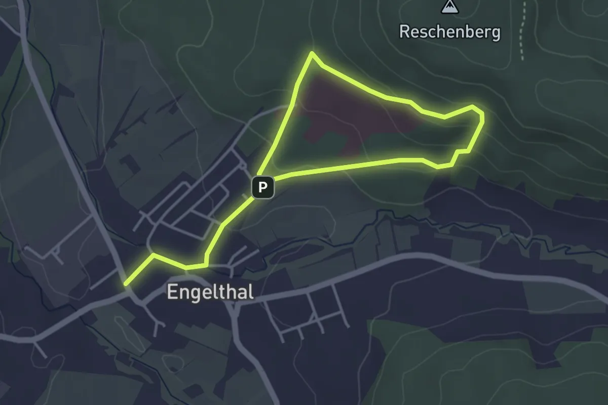
Easy · Trail
Engelthal -2-
2.7 km · ↑ 96 m · 54 min
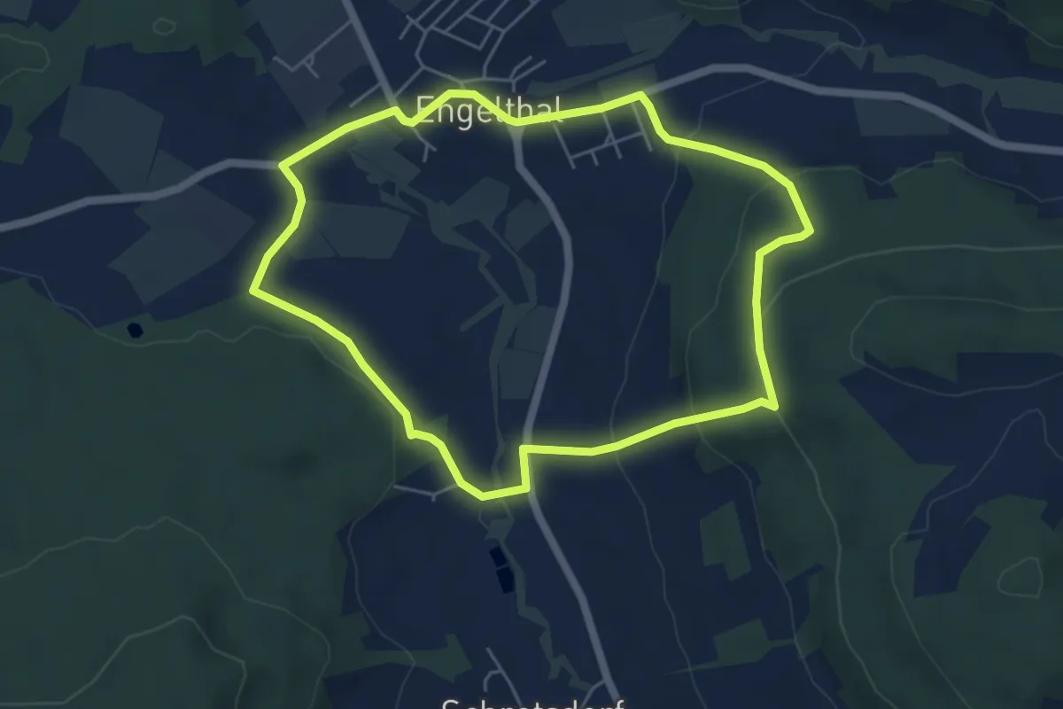
Easy · Trail
Engelthal -3-
4.9 km · ↑ 178 m · 1 h 36 min
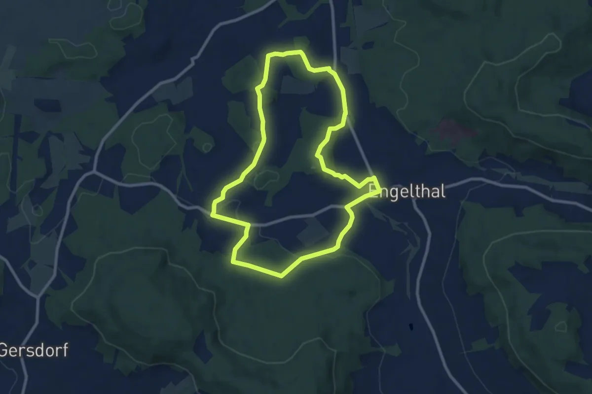
Easy · Trail
Engelthal -5-
7.4 km · ↑ 128 m · 2 h 8 min
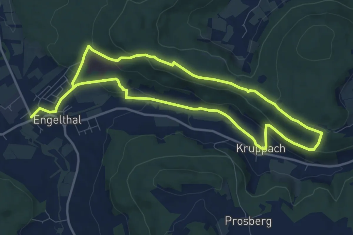
Easy · Trail
Engelthal -6-
7.6 km · ↑ 262 m · 2 h 28 min
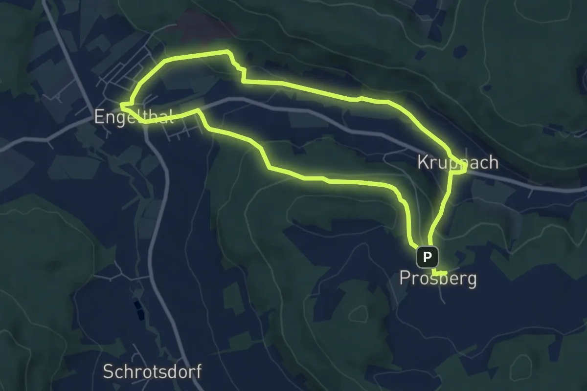
Easy · Trail
Engelthal -7-
6.6 km · ↑ 222 m · 2 h 7 min
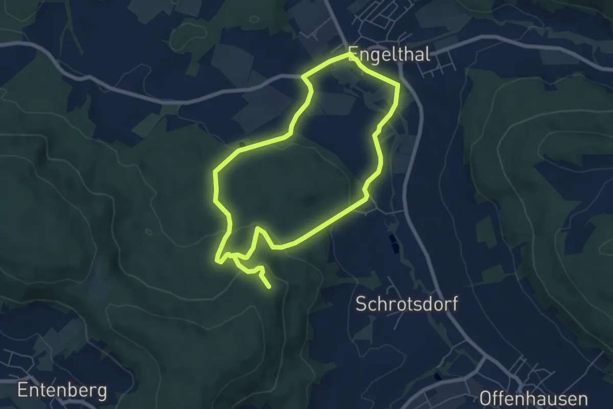
Medium · Trail
Engelthal -8 -
10.5 km · ↑ 289 m · 3 h 7 min
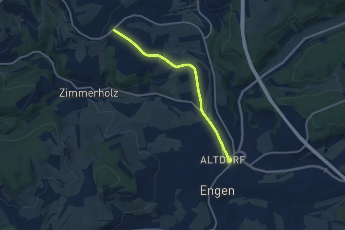
Easy · Trail
Engen Altdorf - Butzental
6.4 km · ↑ 163 m · 1 h 51 min
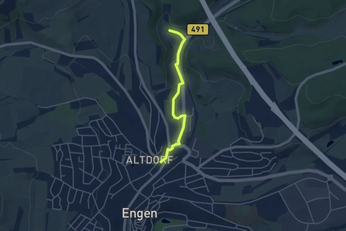
Easy · Trail
Engen Altdorf - Pfaffenwinkel
3.2 km · ↑ 31 m · 50 min