Trails in Germany
36,847 hiking trails, each with its route, climb, walking time and grade.
All trails, page 135 of 768
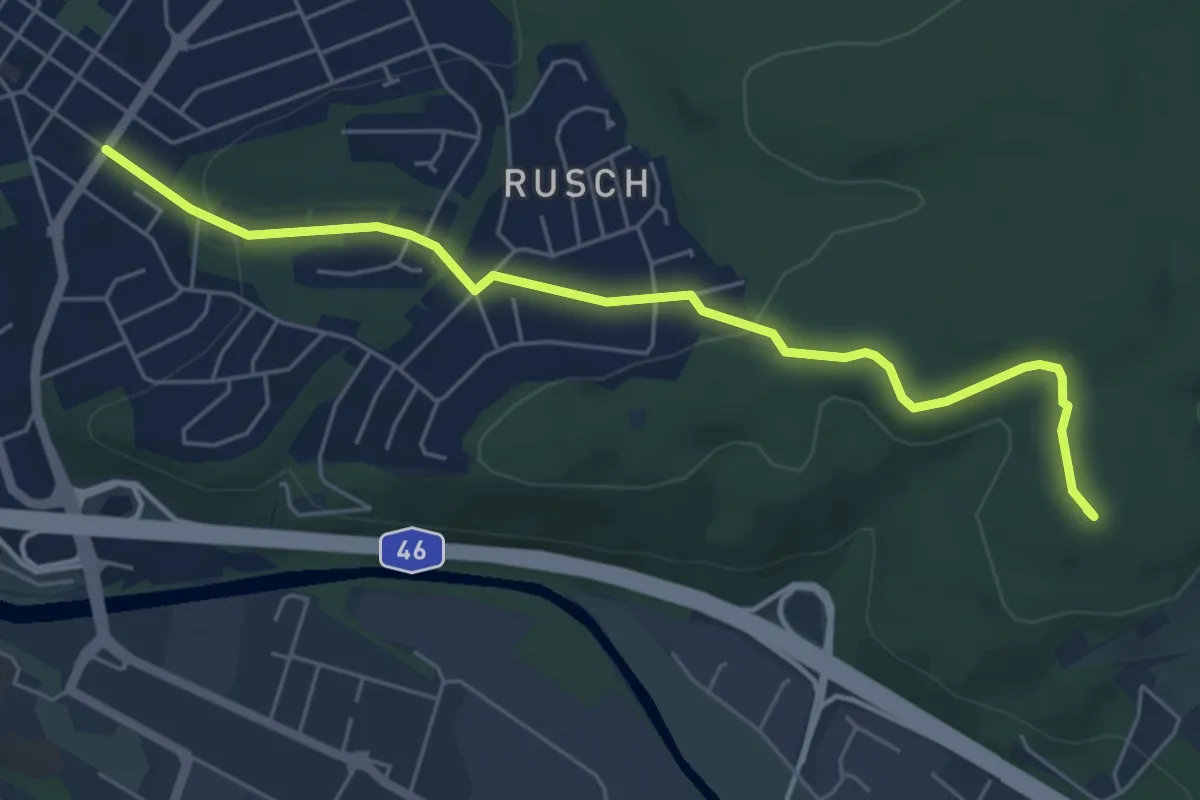
Easy · Summit
Entenpfad nach Bruchhausen hohles Dreieck
5.4 km · ↑ 122 m · 1 h 33 min
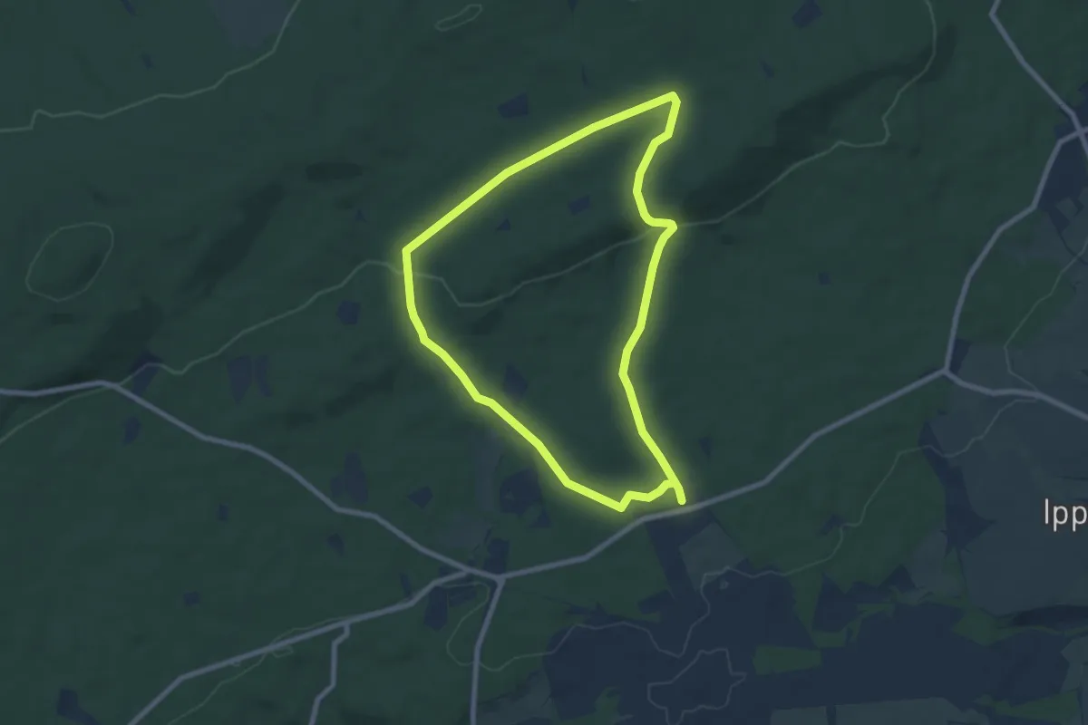
Easy · Trail
Entenpfuhl 2
6.8 km · ↑ 137 m · 2 h
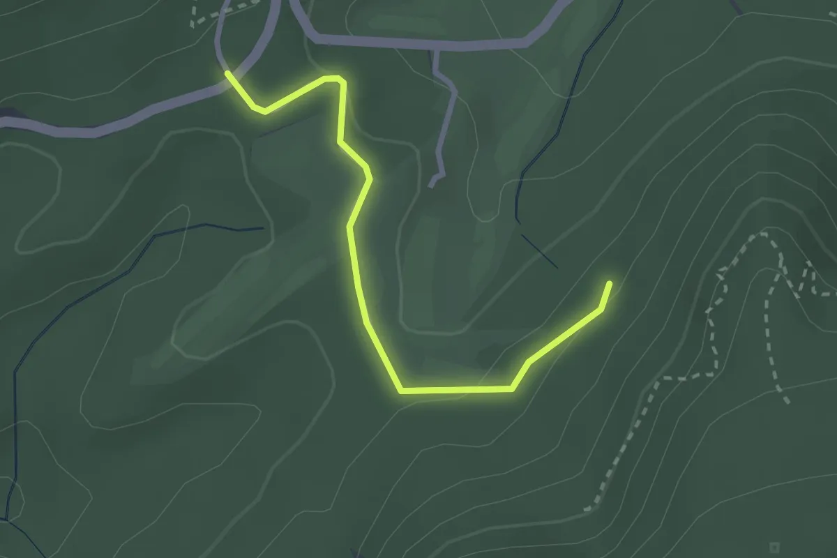
Easy · Trail
Entenstall - Hirschbrünnele
2.4 km · ↑ 54 m · 42 min
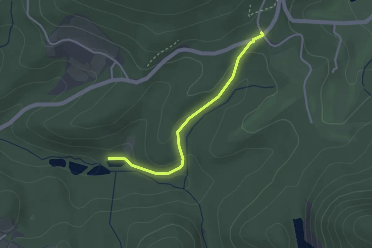
Easy · Trail
Entenstall - Teiche Grünbachtal
2.4 km · ↑ 78 m · 44 min
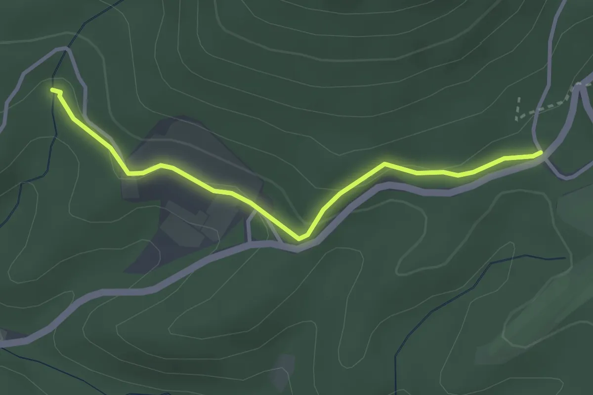
Easy · Trail
Entenstall - Unter dem Reitweg
2.9 km · ↑ 97 m · 53 min
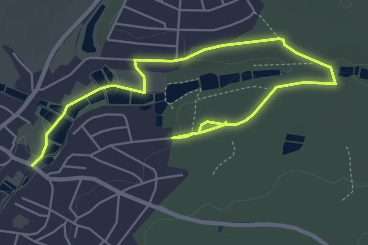
Easy · Trail
Entenweg
5.5 km · ↑ 79 m · 1 h 28 min
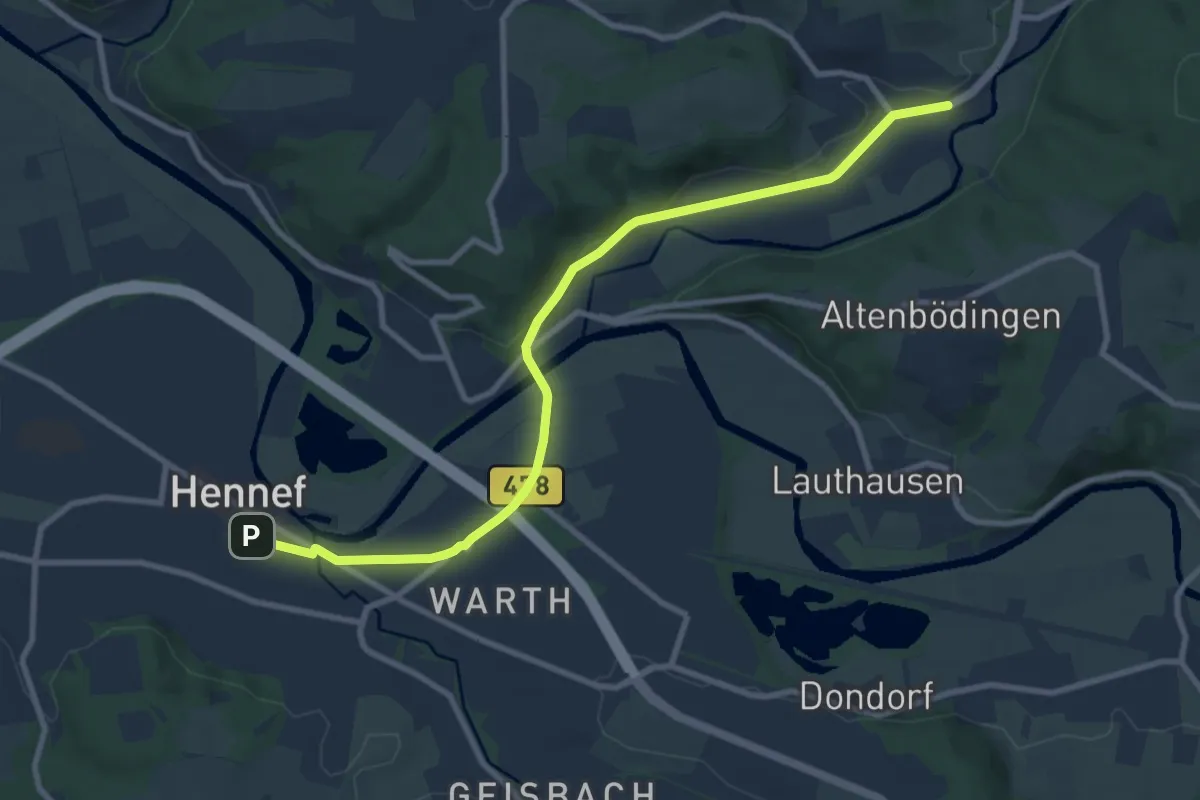
Medium · Trail
Entlang der alten Bahnlinie - Durchs Bröltal
9.1 km · ↑ 70 m · 2 h 18 min
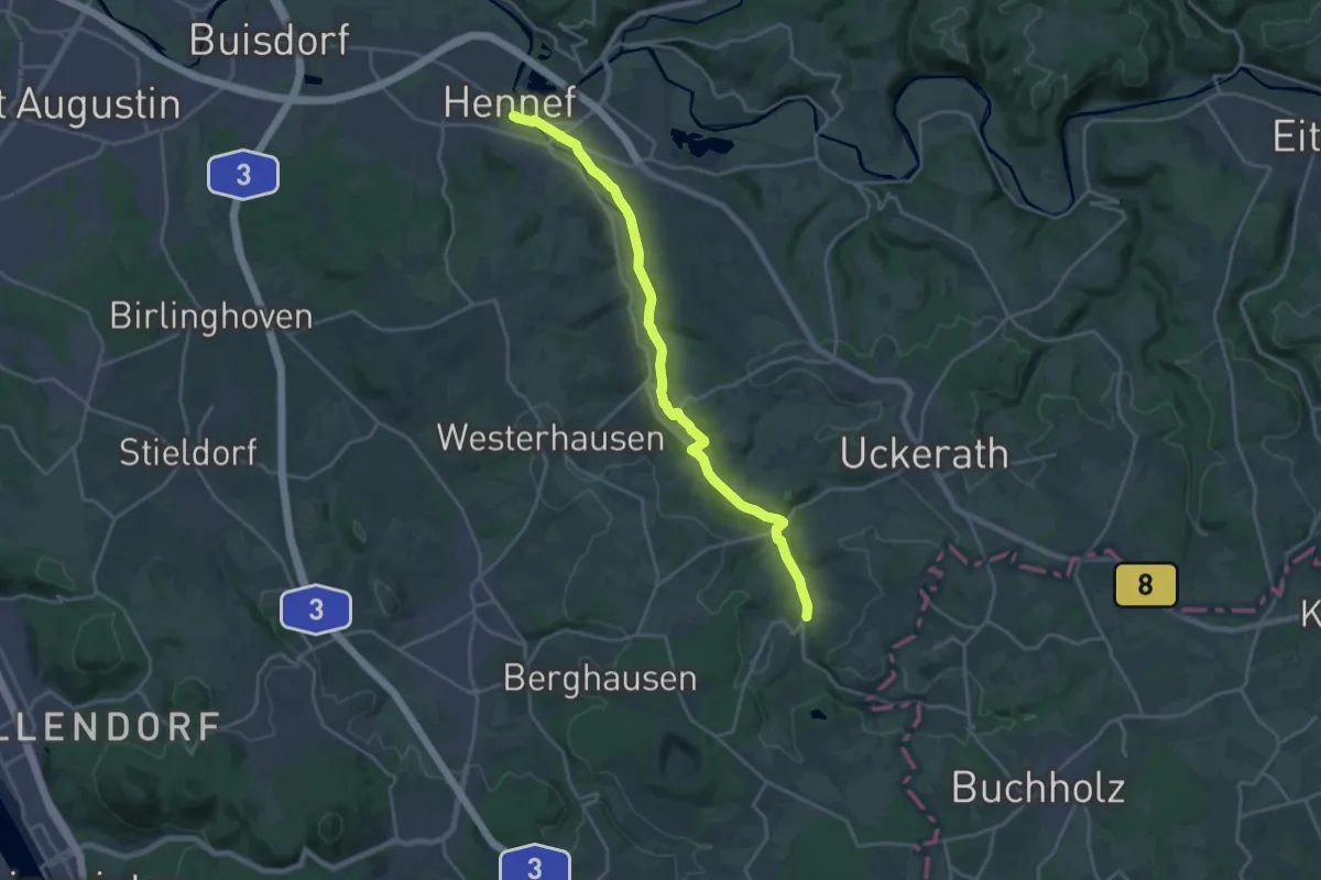
Demanding · Trail
Entlang der alten Bahnlinie - Durchs Hanftal
19.1 km · ↑ 128 m · 4 h 48 min
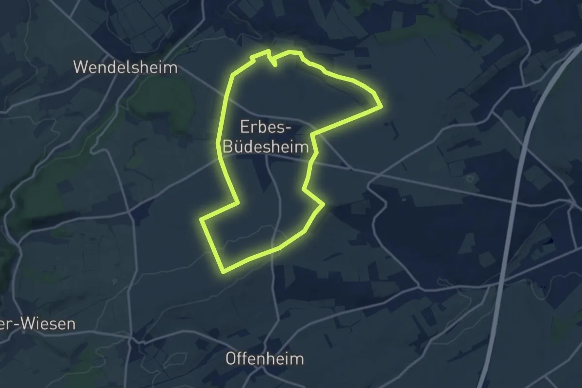
Medium · Trail
Entlang der Grünlandstreifen
11.0 km · ↑ 124 m · 3 h 1 min
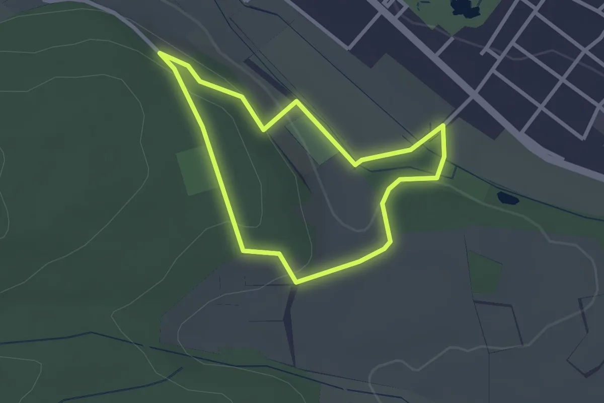
Easy · Trail
Entschleunigungsweg
2.1 km · ↑ 51 m · 38 min
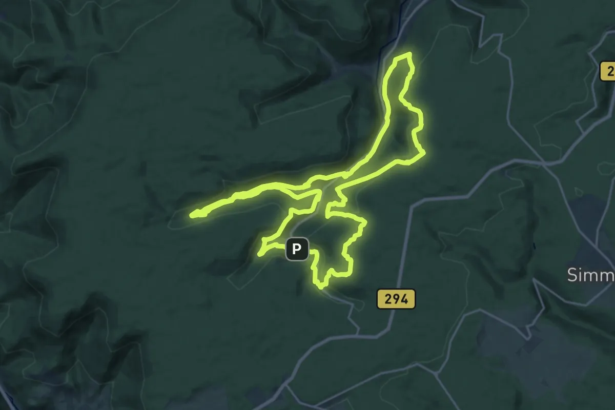
Demanding · Trail
Enzquellenpfad
19.5 km · ↑ 739 m · 6 h 28 min
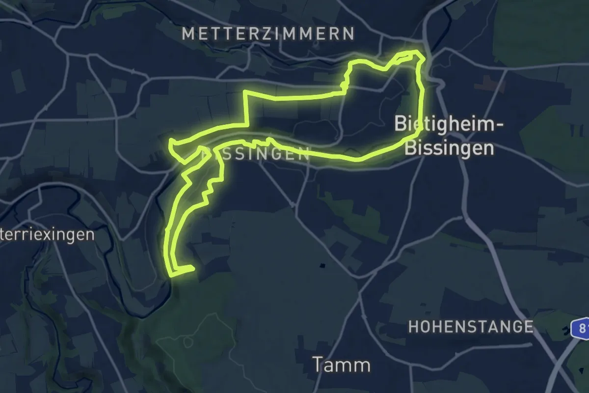
Medium · Trail
Enztal
15.4 km · ↑ 125 m · 4 h 8 min
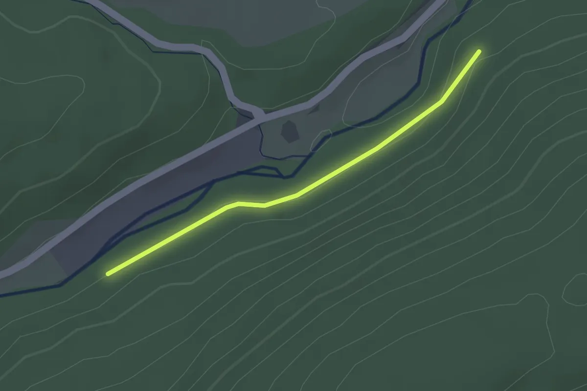
Easy · Trail
Enztraufweg - Kohlberg
2.2 km · ↑ 21 m · 33 min
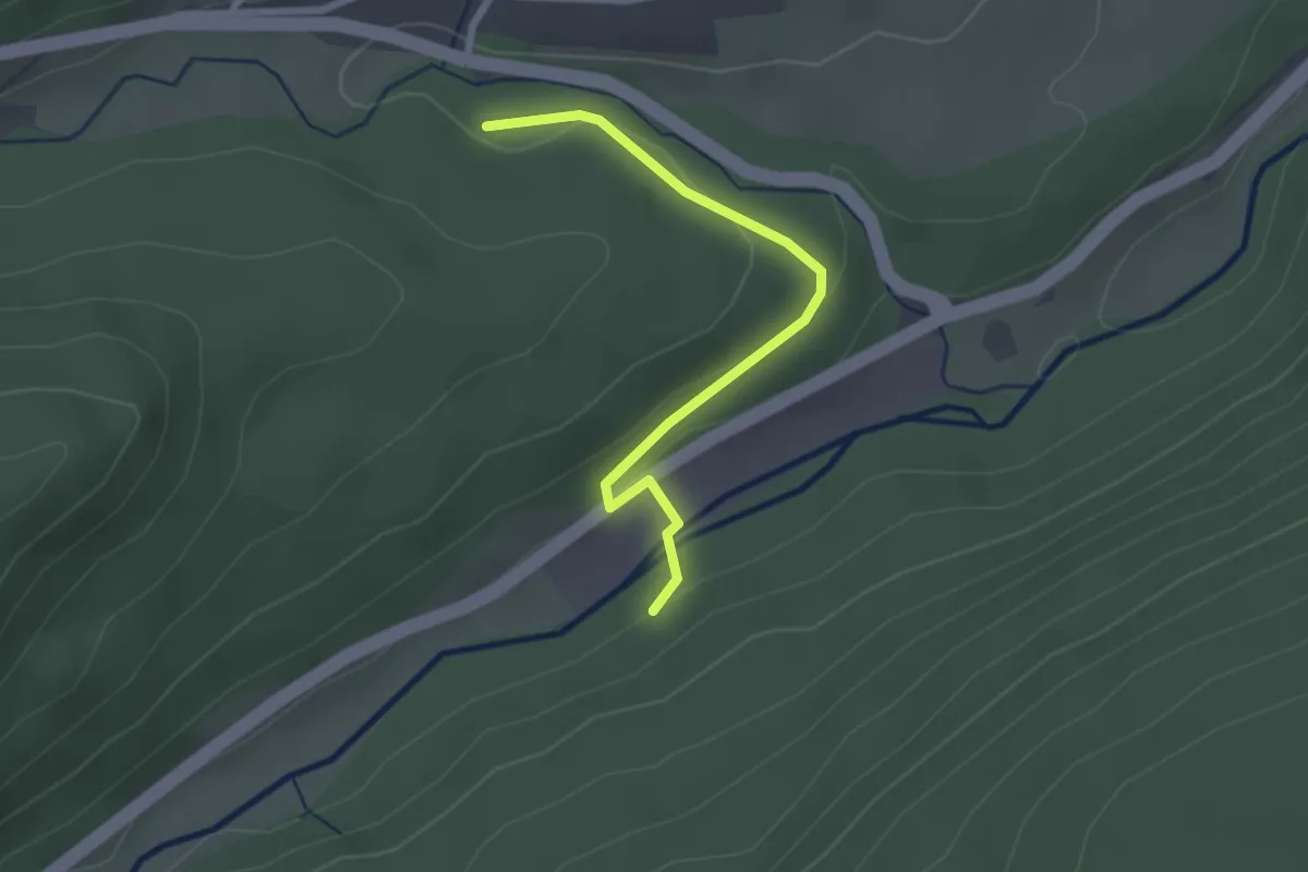
Easy · Trail
Enztraufweg - Sprollenwasenweg
2.4 km · ↑ 54 m · 40 min
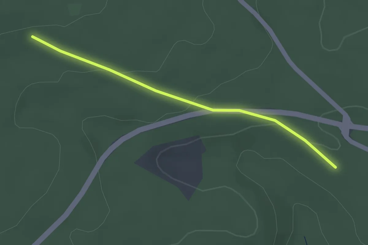
Easy · Trail
Enzwald - Simmersfelder Kreuz
2.5 km · ↑ 69 m · 45 min
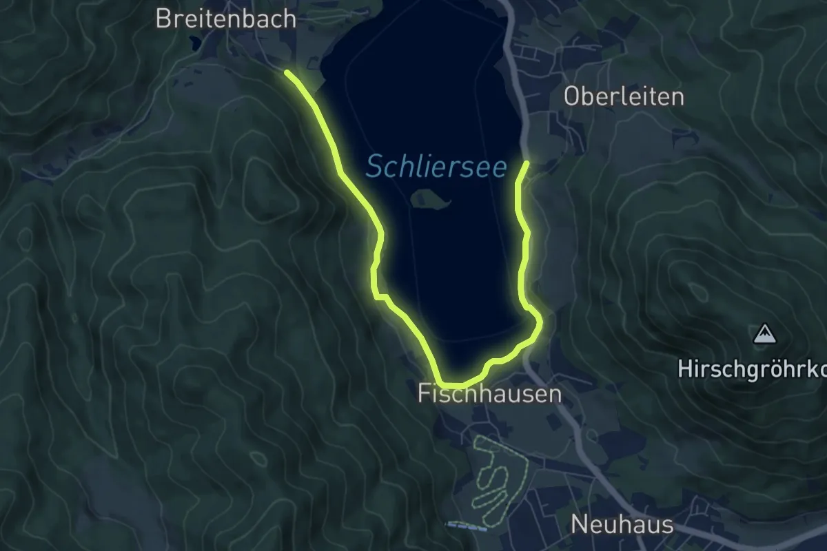
Medium · Trail
e-on bayern Trail - Schliersee Kurweg
8.2 km · ↑ 70 m · 2 h 6 min
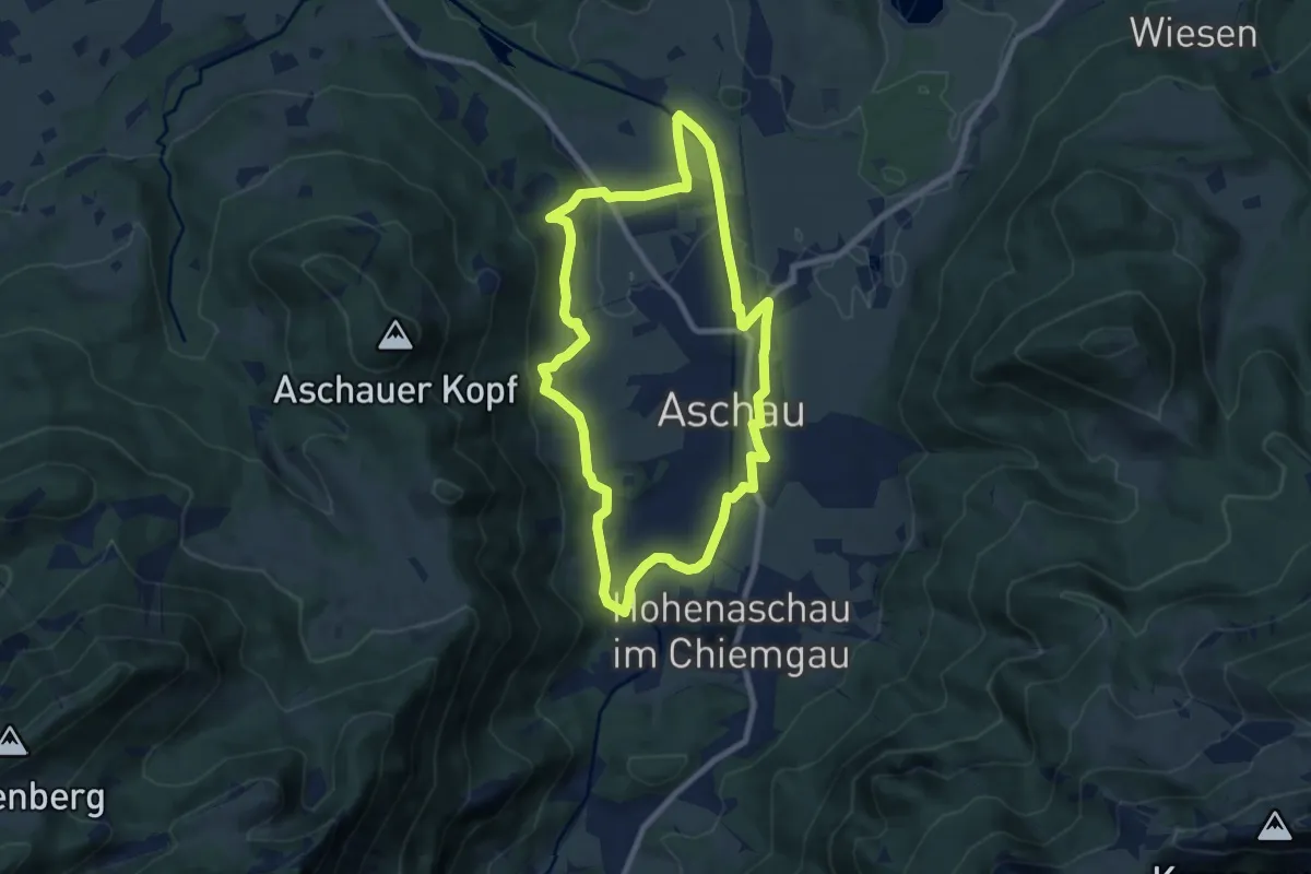
Easy · Trail
eon - Trail
7.9 km · ↑ 143 m · 2 h 17 min
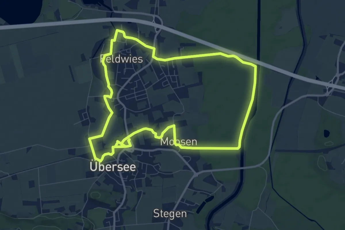
Demanding · Trail
eon - Trail
18.3 km · ↑ 32 m · 4 h 24 min
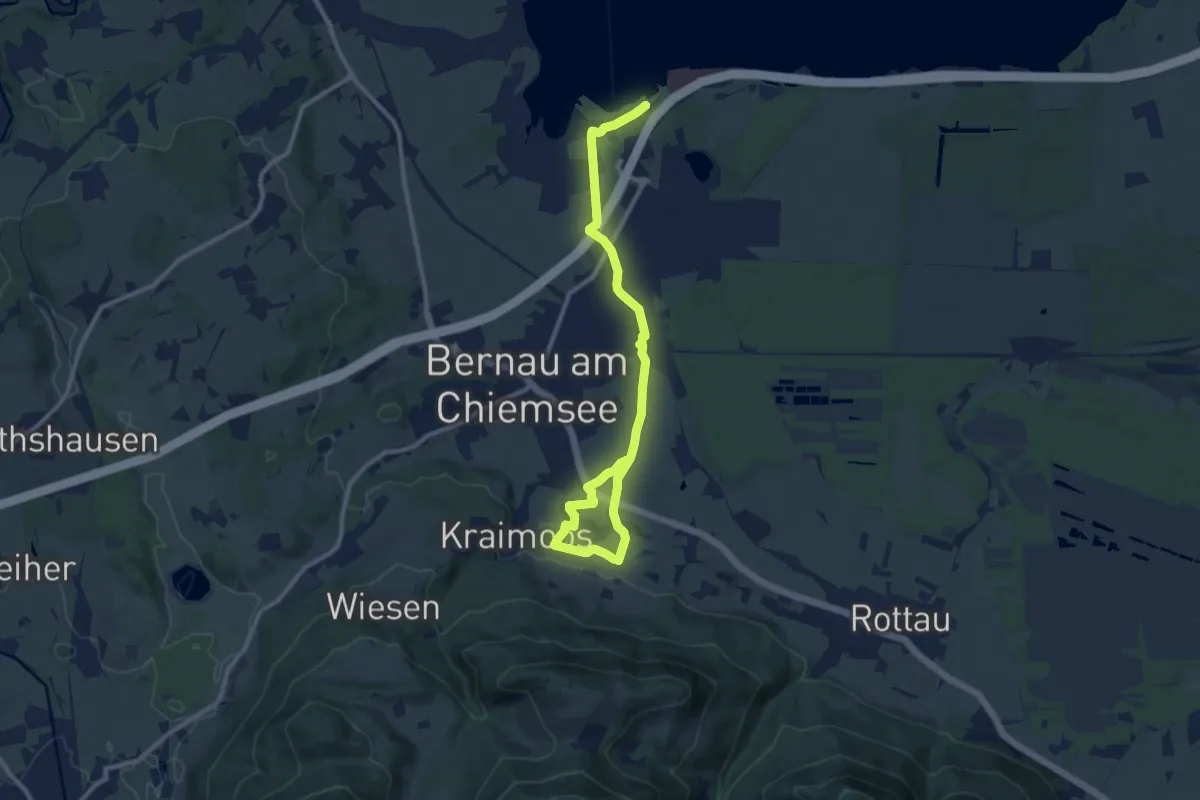
Medium · Trail
eon - Trail
12.1 km · ↑ 132 m · 3 h 9 min
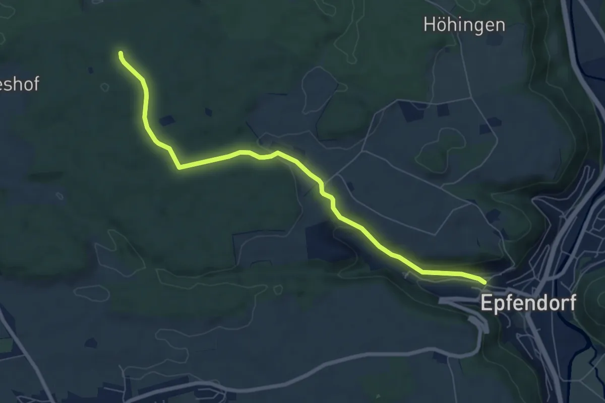
Easy · Trail
Epfendorf - Harzwaldhäuser
7.1 km · ↑ 146 m · 1 h 59 min
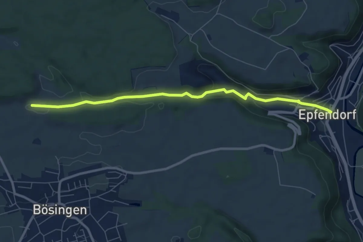
Easy · Trail
Epfendorf - Langental
6.8 km · ↑ 175 m · 1 h 59 min
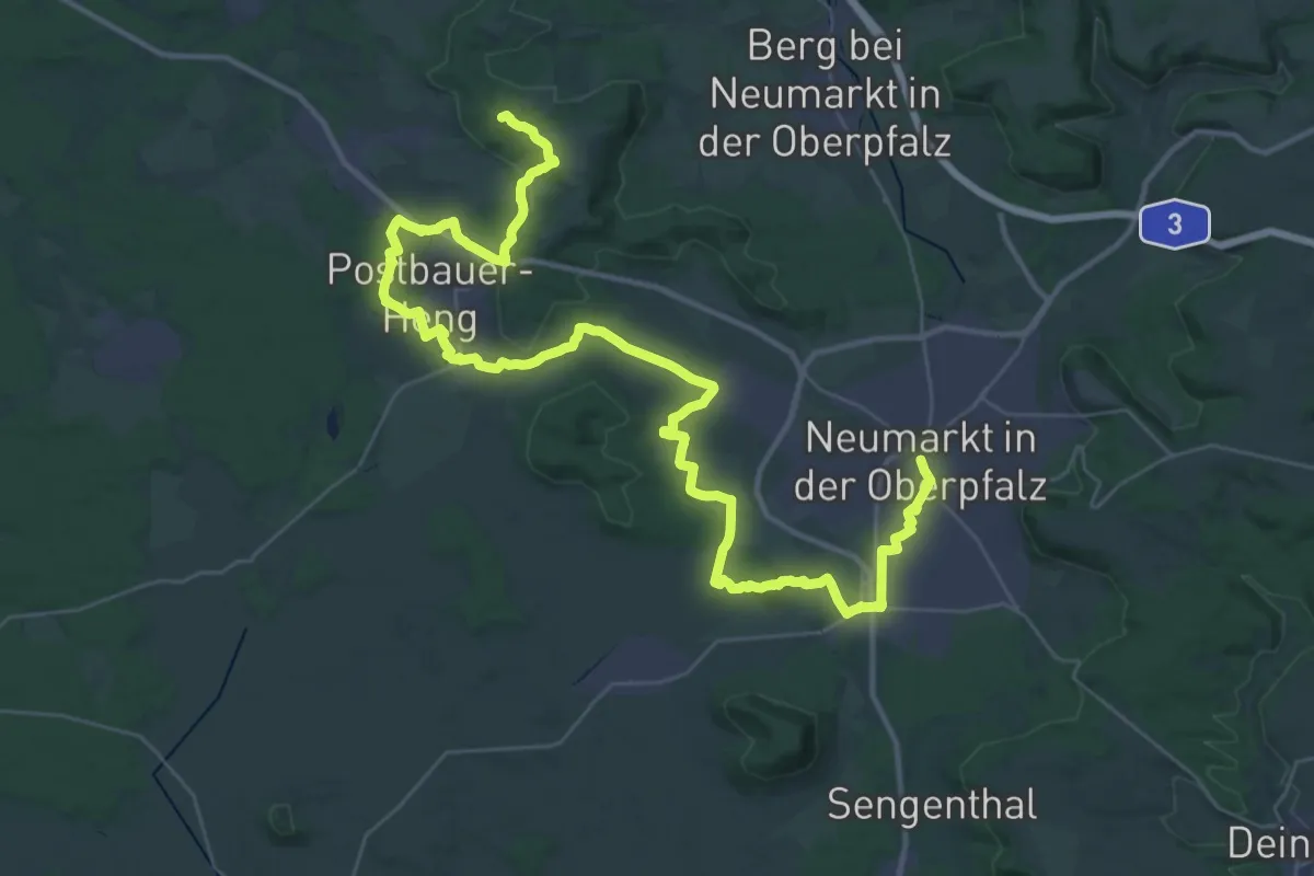
Demanding · Summit
Eppeleinsweg
48.5 km · ↑ 568 m · 12 h 41 min
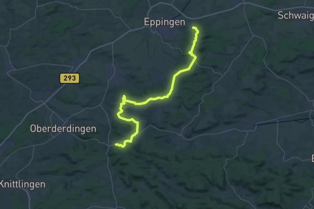
Demanding · Trail
Eppinger-Linien-Weg
18.1 km · ↑ 270 m · 5 h 8 min
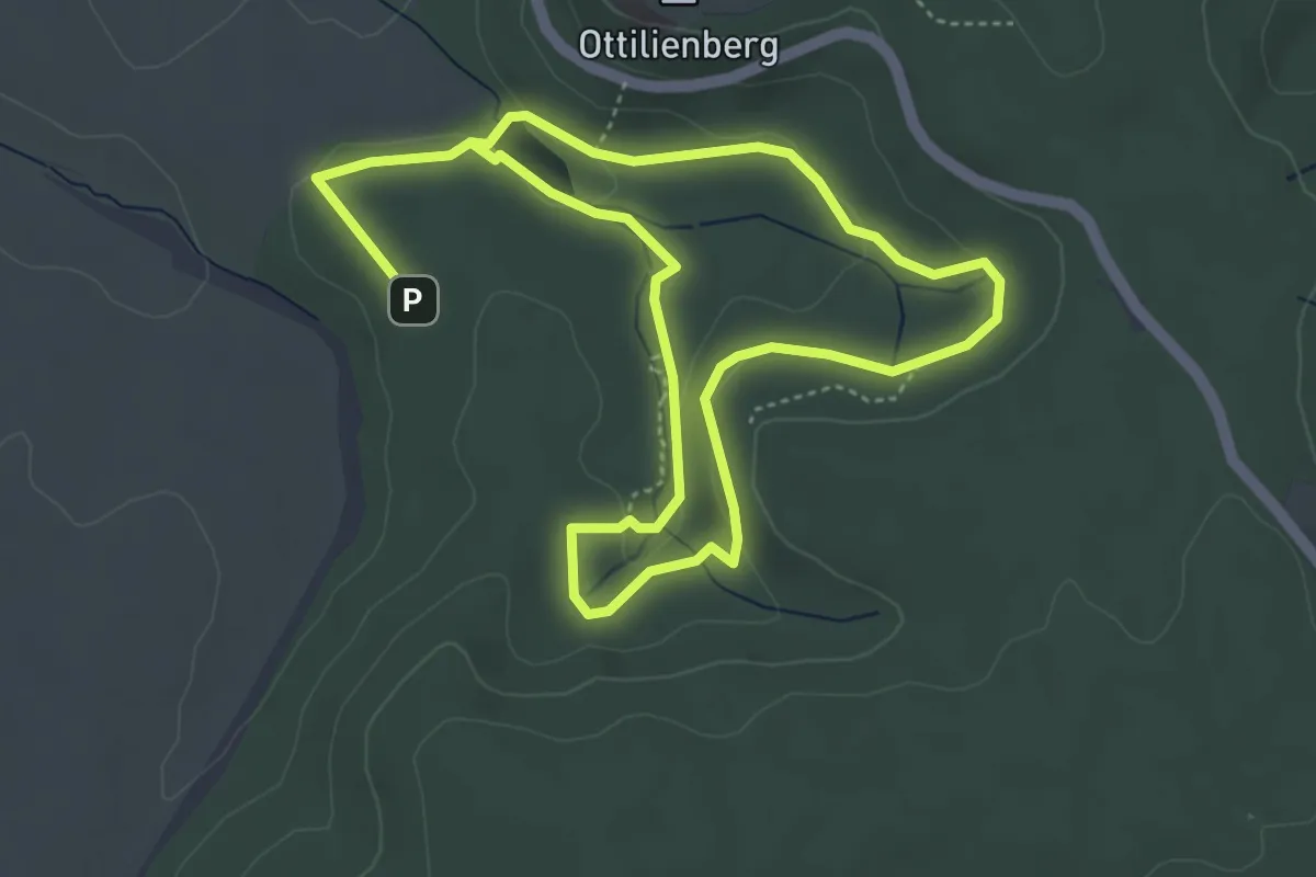
Easy · Trail
Eppinger Waldfühlpfad
7.9 km · ↑ 137 m · 2 h 10 min
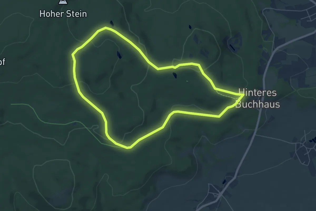
Easy · Trail
Epprechtsteinrunde
6.1 km · ↑ 147 m · 1 h 50 min
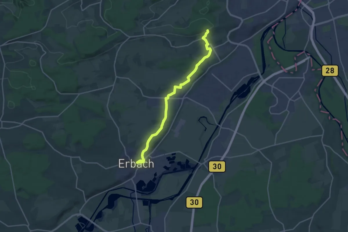
Medium · Trail
Erbach - Grimmelfingen
16.2 km · ↑ 317 m · 4 h 31 min
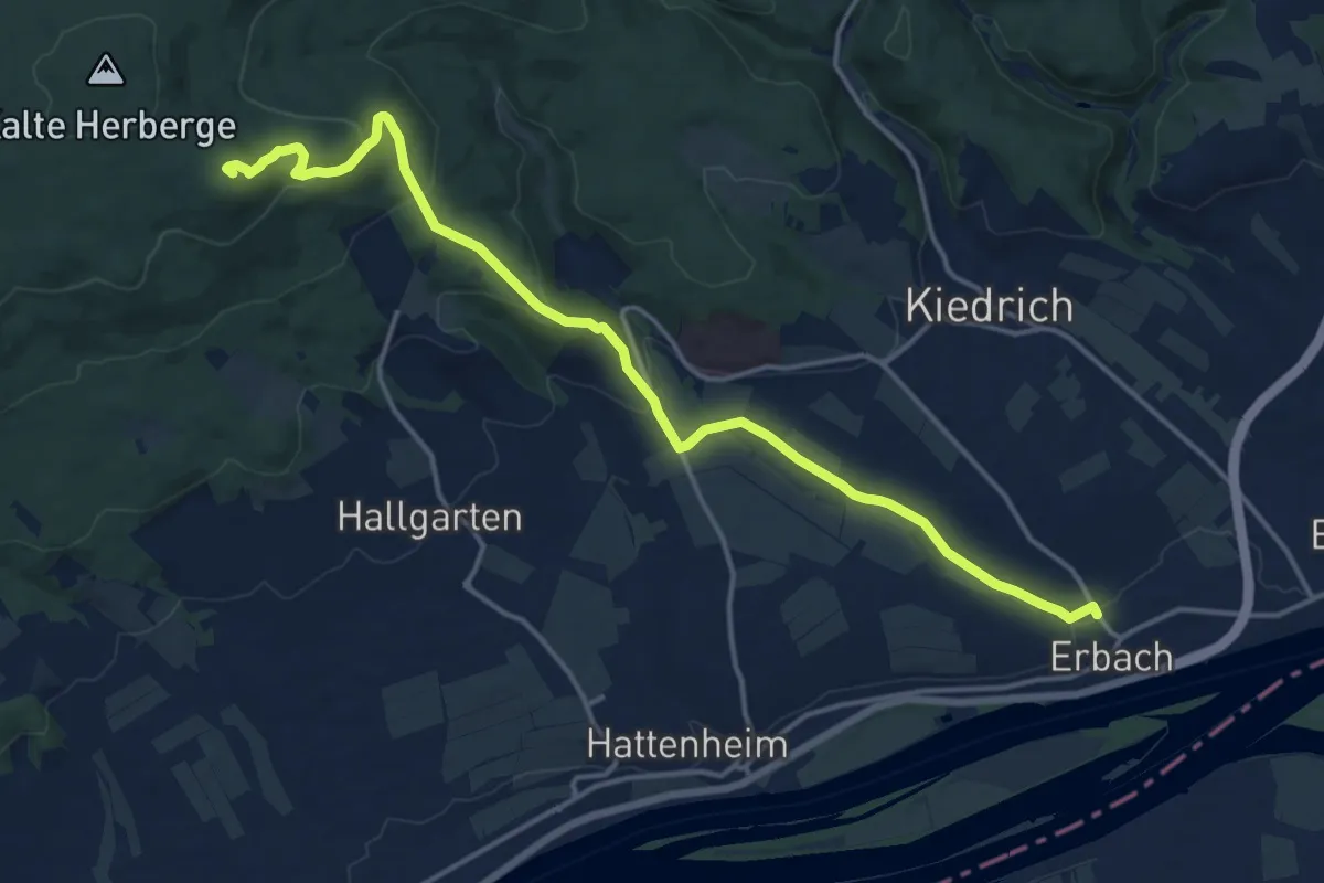
Medium · Summit
Erbach - Hallgarter Zange
15.9 km · ↑ 475 m · 4 h 47 min
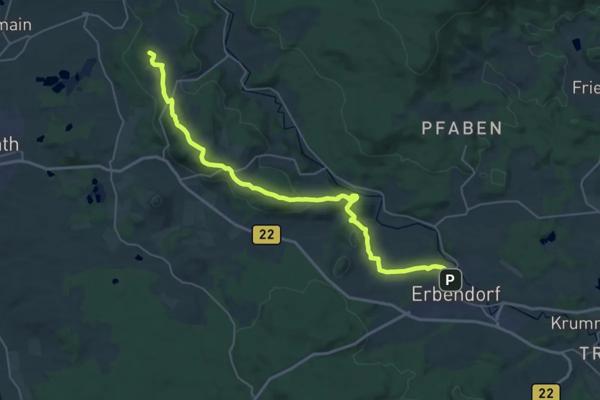
Demanding · Summit
Erbendorf - Armesberg
23.7 km · ↑ 626 m · 6 h 58 min
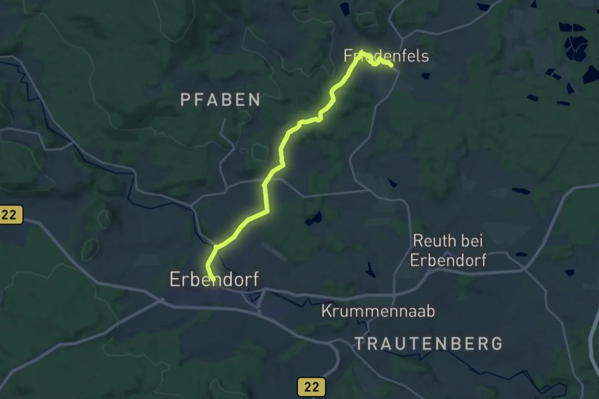
Medium · Trail
Erbendorf - Friedenfels
15.8 km · ↑ 332 m · 4 h 27 min
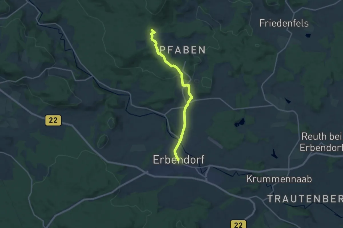
Medium · Trail
Erbendorf - Waldhaus
11.7 km · ↑ 346 m · 3 h 31 min
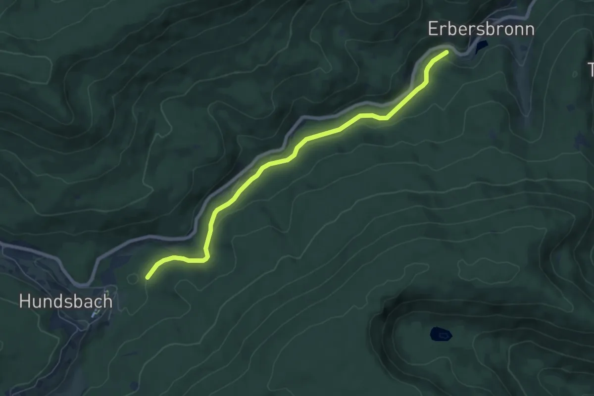
Easy · Trail
Erbersbronn Brücke - Schneidersplatz Nord
6.6 km · ↑ 105 m · 1 h 47 min
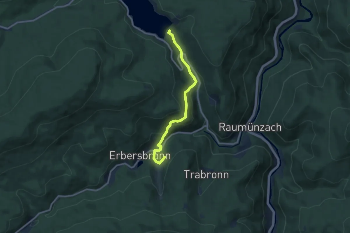
Easy · Trail
Erbersbronn Hugenloch - Grundablass
6.3 km · ↑ 304 m · 2 h 9 min
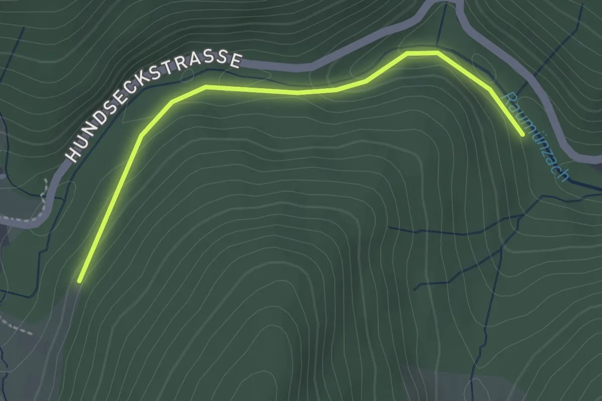
Easy · Trail
Erbersbronn Hugenloch - Raumünzach Kraftwerk
2.3 km · ↑ 75 m · 43 min
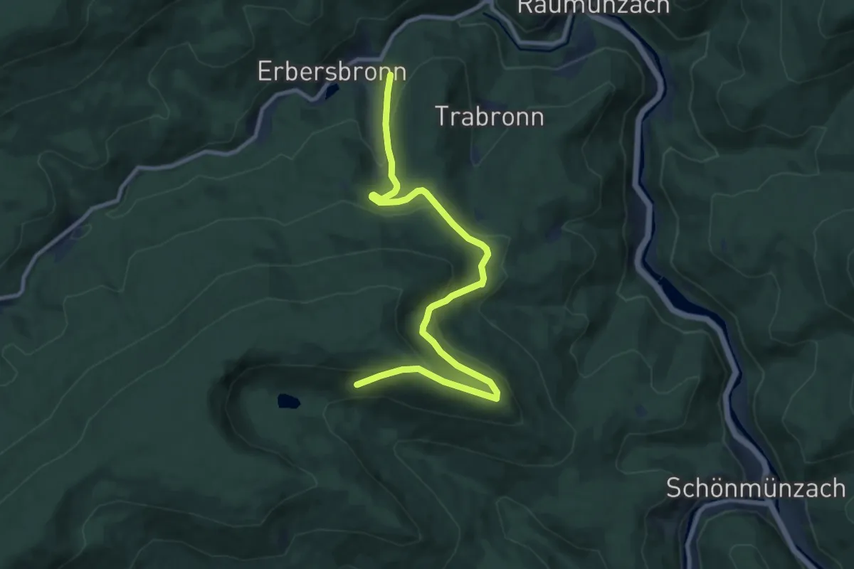
Medium · Trail
Erbersbronn Hugenloch - Schurm
9.7 km · ↑ 449 m · 3 h 16 min
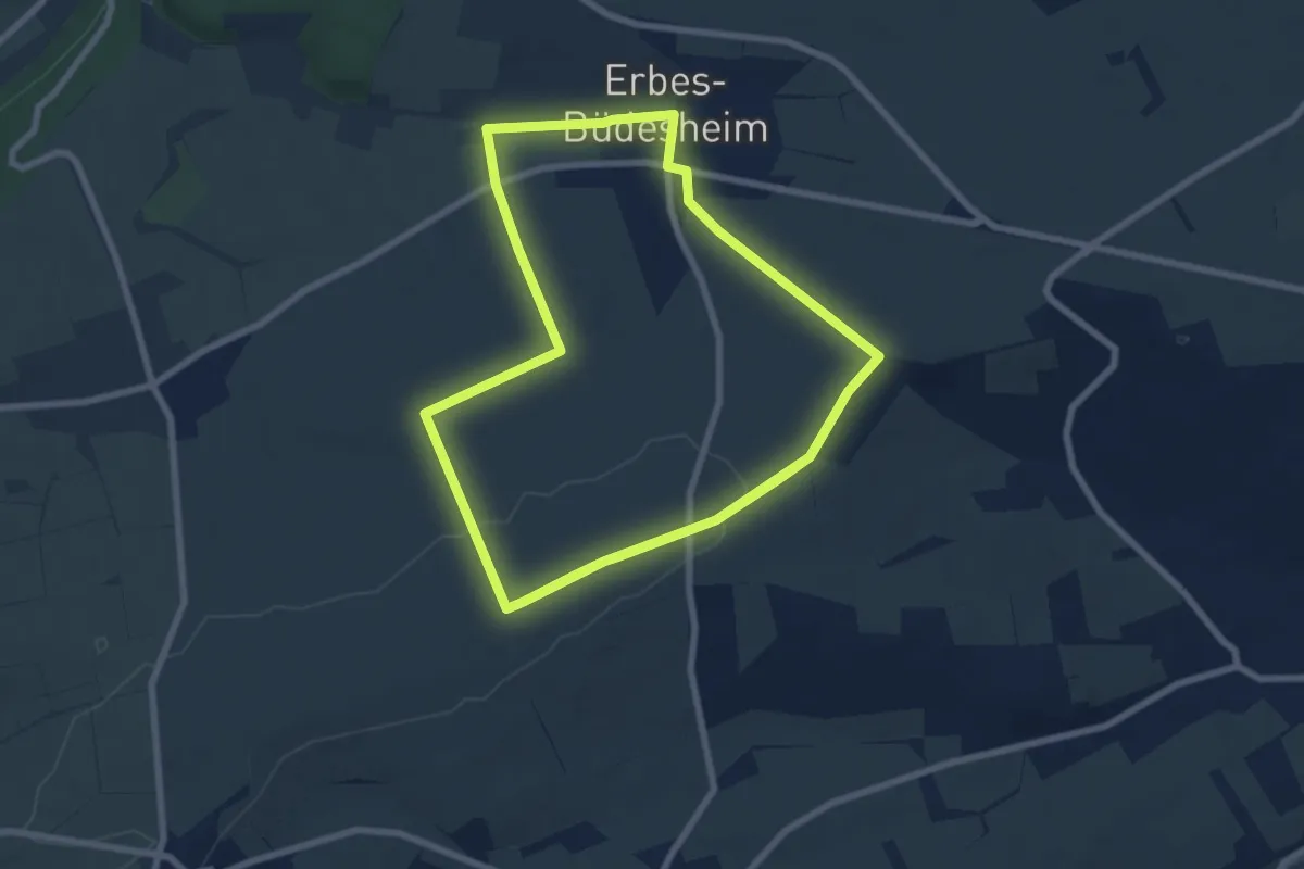
Medium · Trail
Erbes-Büdesheim
8.1 km · ↑ 73 m · 2 h 10 min
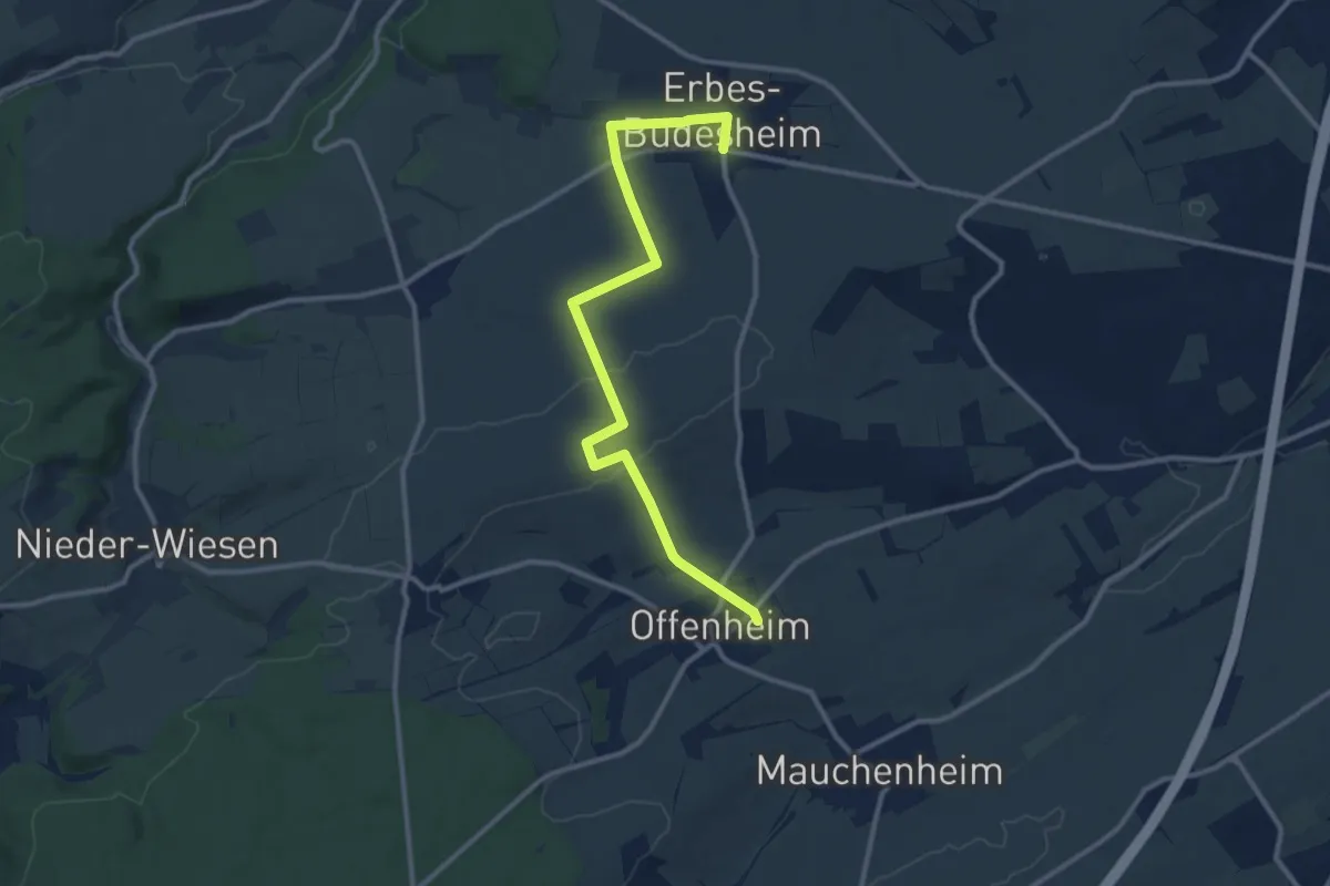
Medium · Trail
Erbes-Büdesheim - R14 Sioner Klosterberg
11.2 km · ↑ 145 m · 2 h 58 min
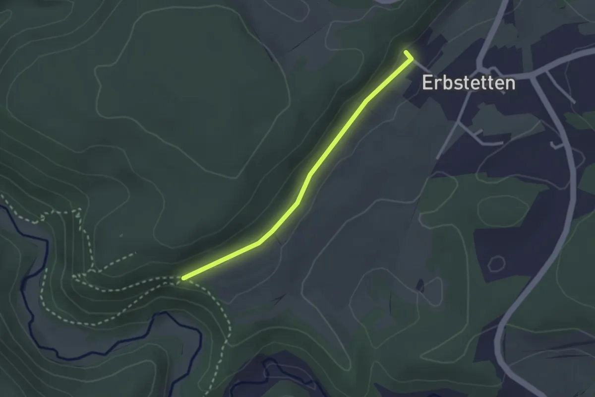
Easy · Trail
Erbstetten - Wartstein
2.3 km · ↑ 33 m · 37 min
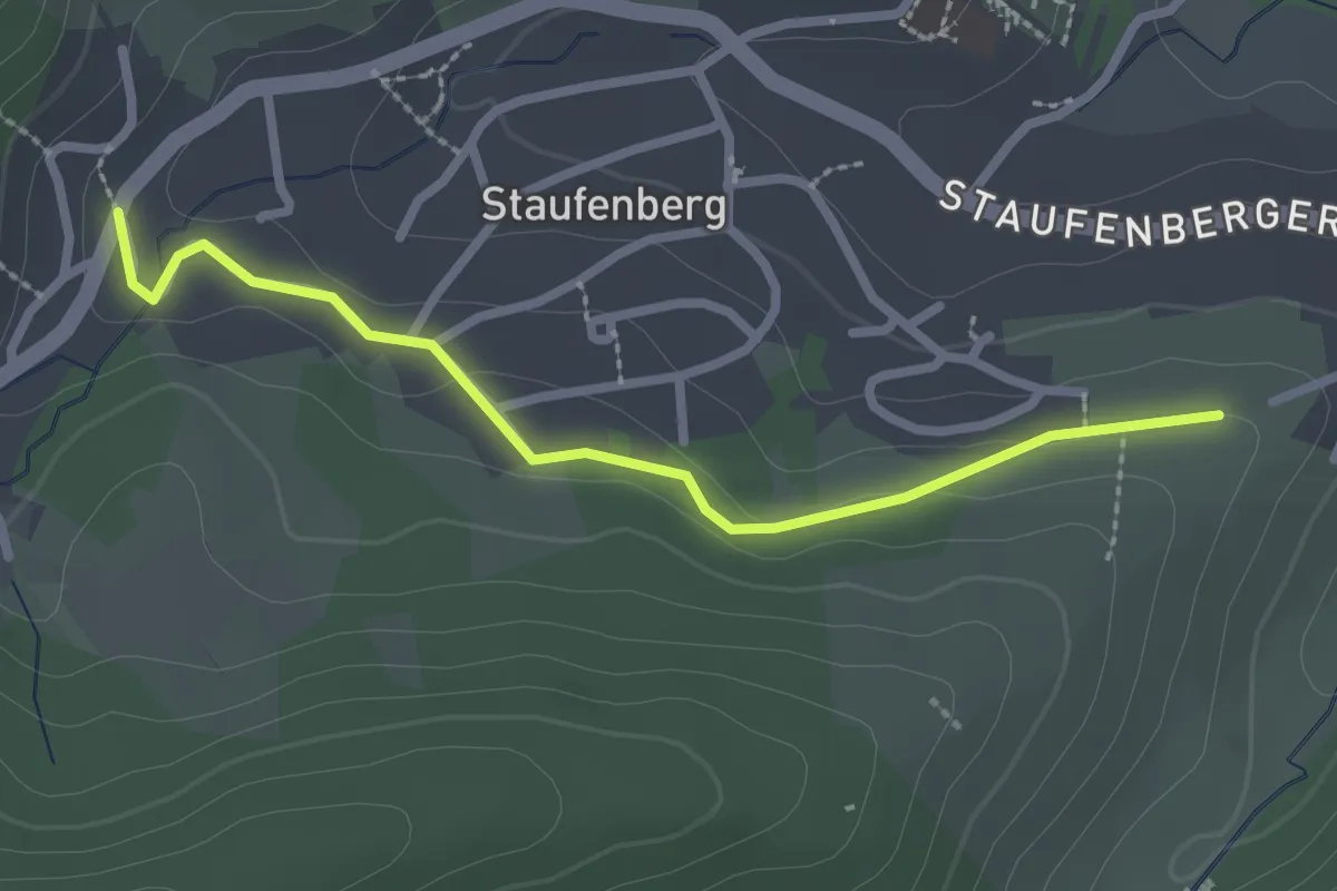
Easy · Trail
Erdbeerweg - Sternen
2.4 km · ↑ 48 m · 41 min
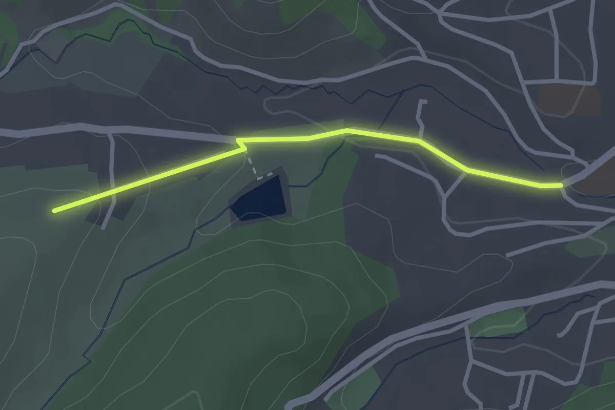
Easy · Trail
Erdbeerweg - Weinbergstraße
2.4 km · ↑ 77 m · 44 min
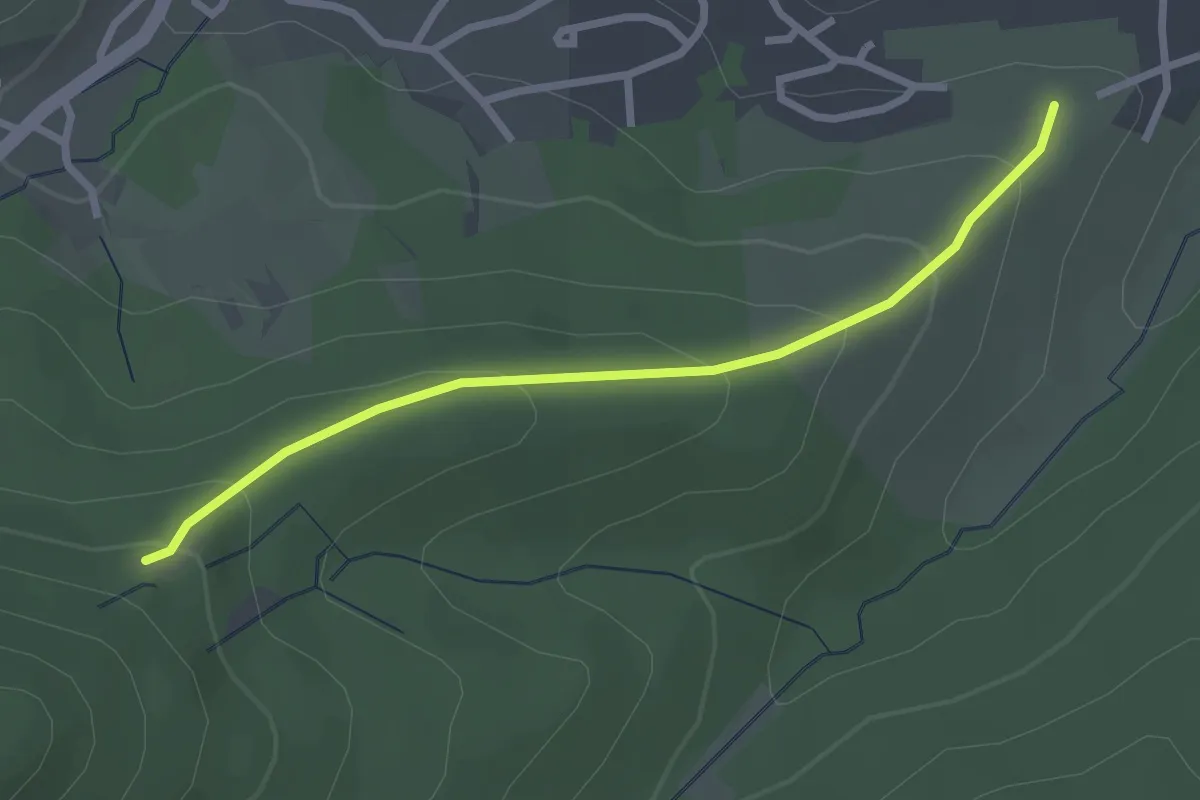
Easy · Trail
Erdbeerweg - Weise Stein
2.5 km · ↑ 128 m · 52 min
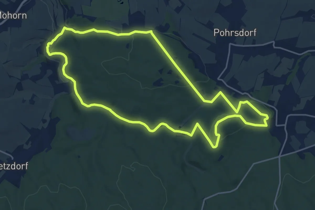
Medium · Summit
Erdgeschichte entdecken im Tharandter Wald
13.8 km · ↑ 252 m · 4 h
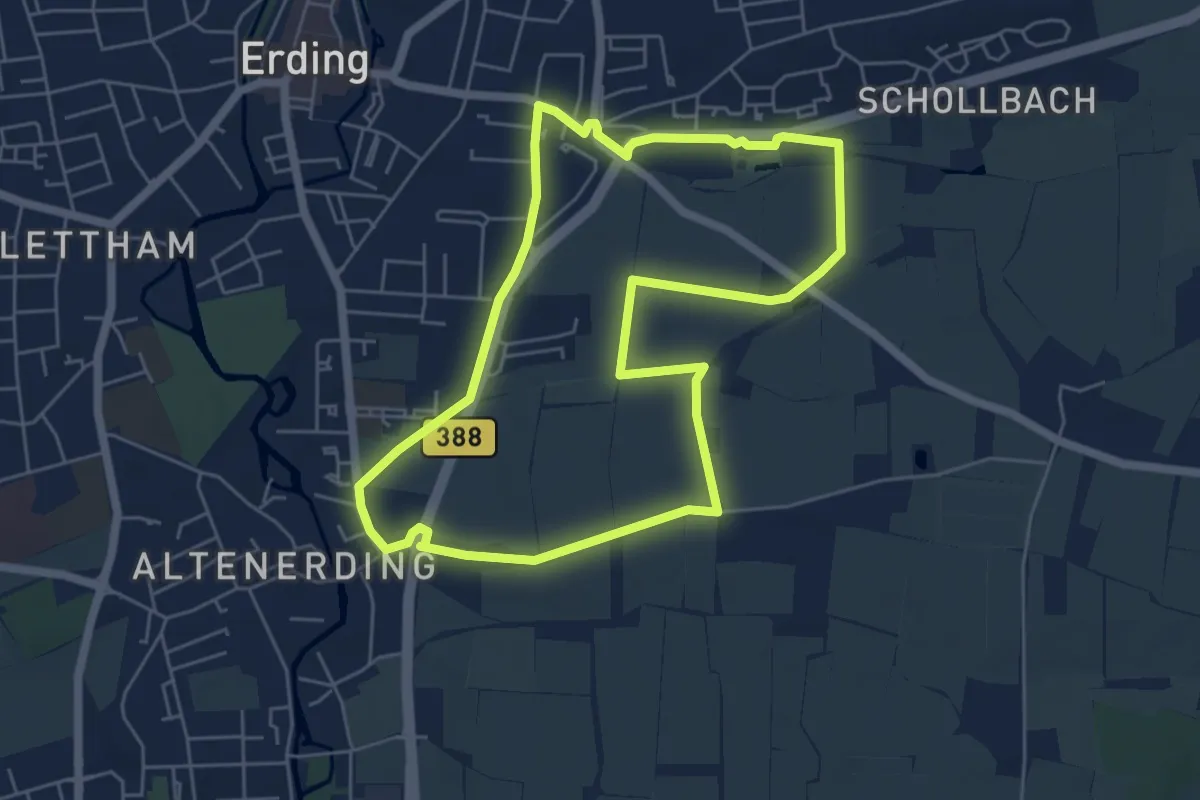
Easy · Summit
Erdings Türme
5.4 km · ↑ 18 m · 1 h 23 min
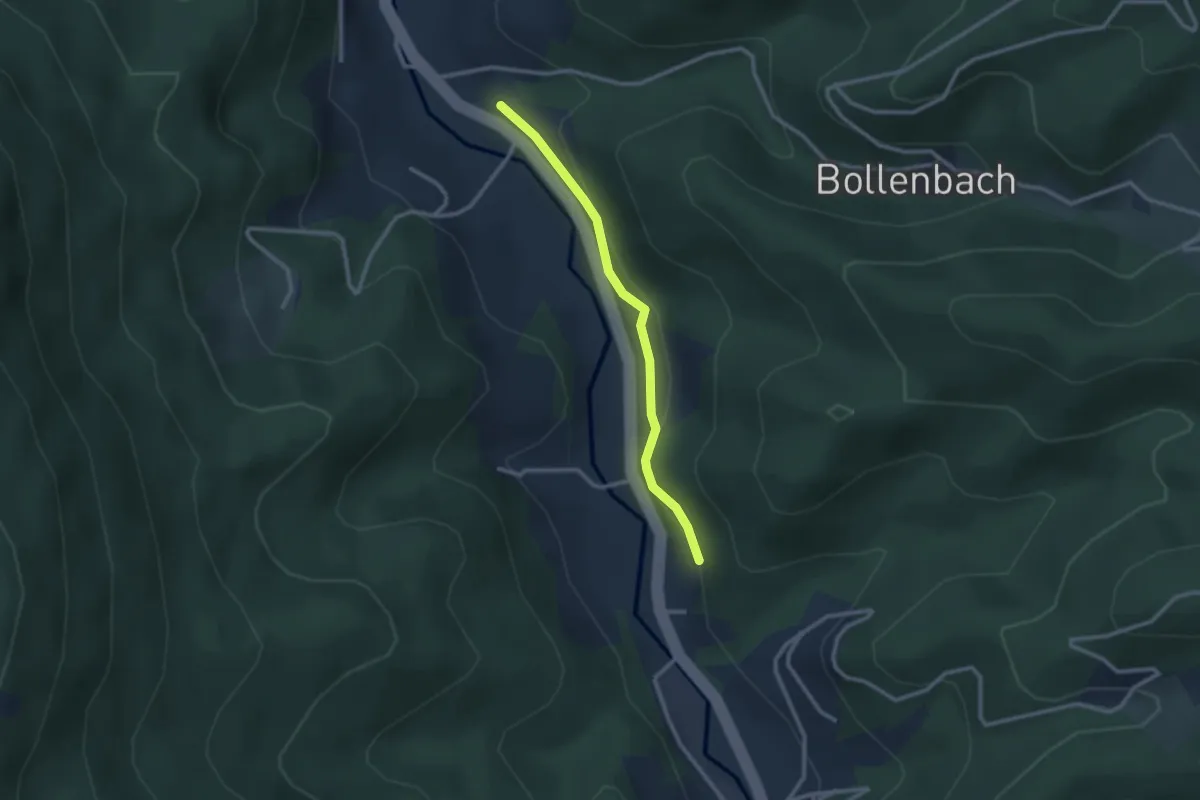
Easy · Trail
Erdrichshof - Hohbruck
2.3 km · ↑ 113 m · 47 min
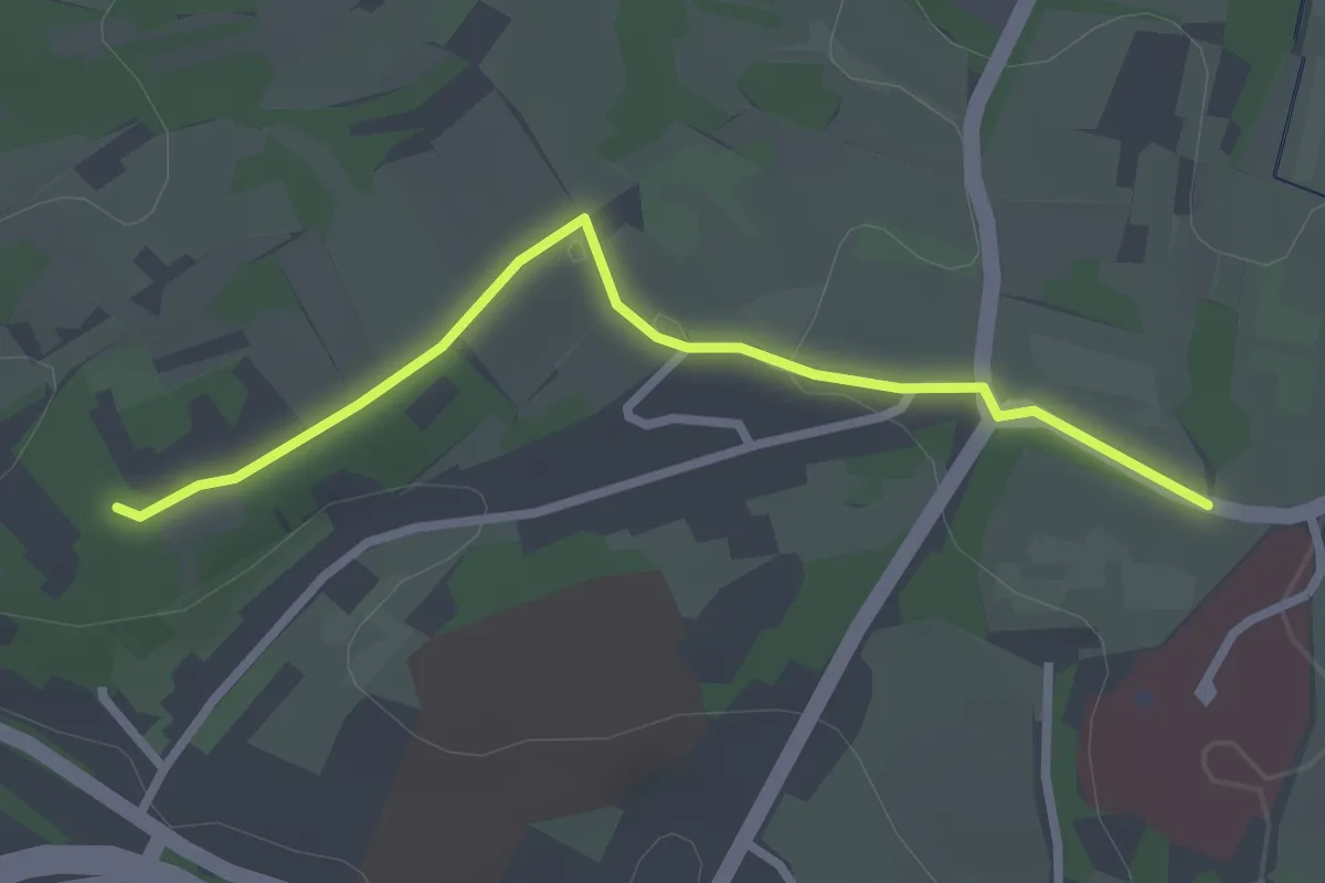
Easy · Trail
Erdweg - Römerweg
2.5 km · ↑ 22 m · 38 min
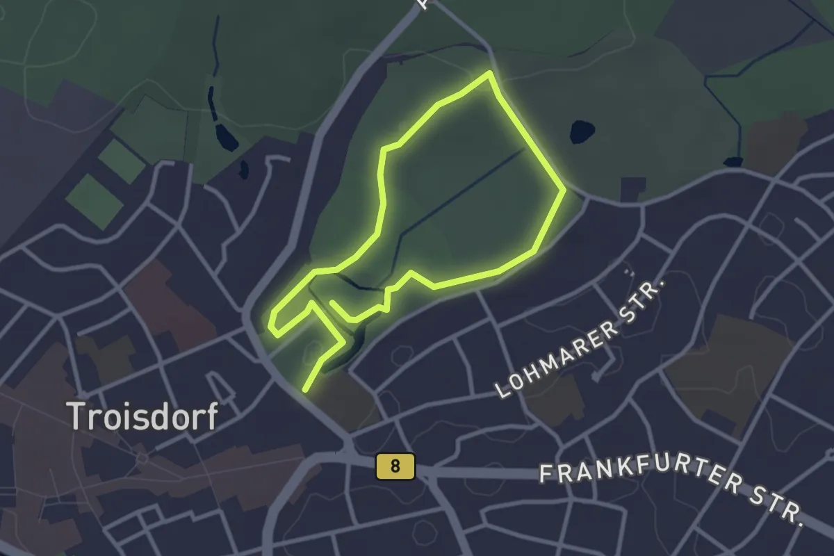
Easy · Trail
Erfahrungsfeld der Sinne
4.3 km · ↑ 34 m · 1 h 5 min
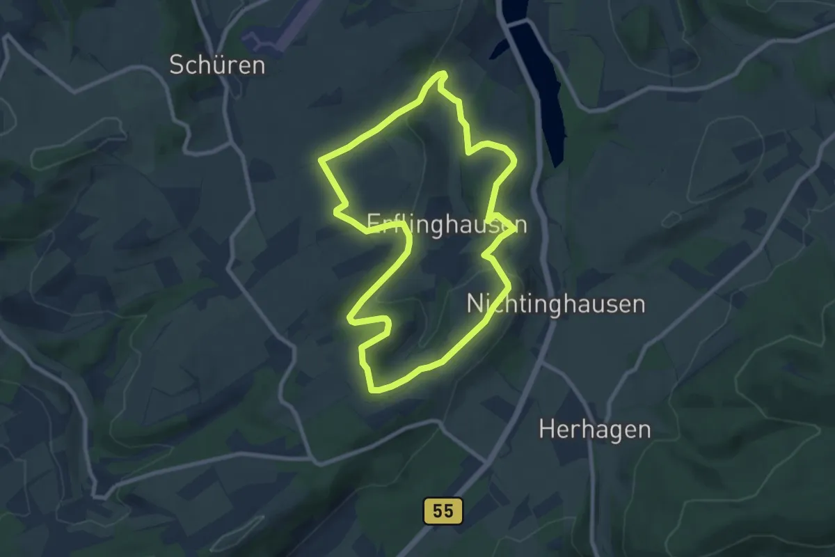
Easy · Trail
Erflinghausen 1
7.2 km · ↑ 188 m · 2 h 13 min
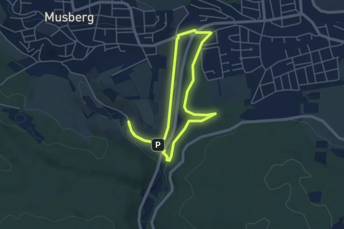
Easy · Trail
Erfrischende Spaziergänge LE1
3.6 km · ↑ 53 m · 1 h
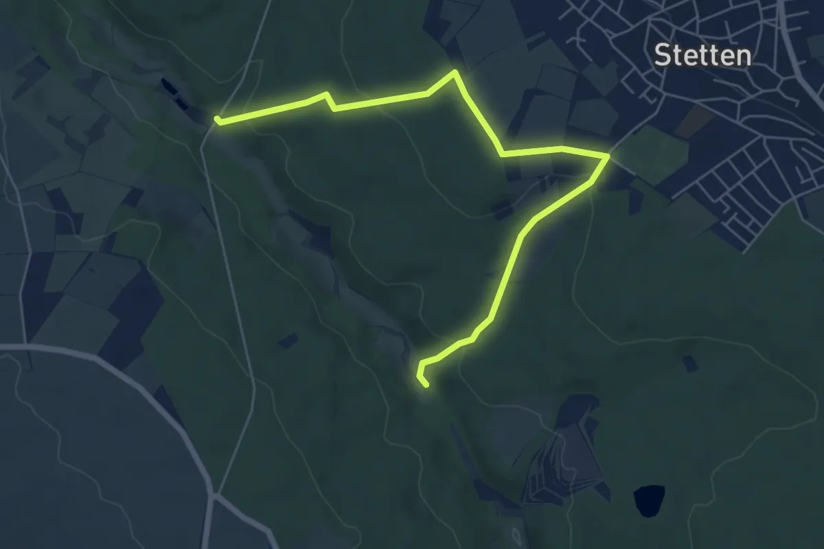
Easy · Trail
Erfrischende Spaziergänge LE10
3.2 km · ↑ 86 m · 59 min