Trails in Germany
36,847 hiking trails, each with its route, climb, walking time and grade.
All trails, page 136 of 768
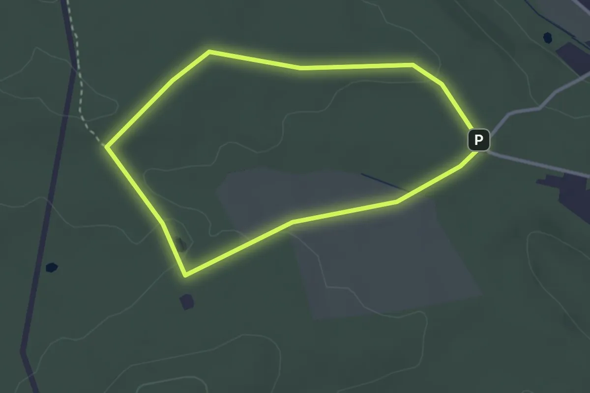
Easy · Trail
Erfrischende Spaziergänge LE12
2.5 km · ↑ 22 m · 41 min
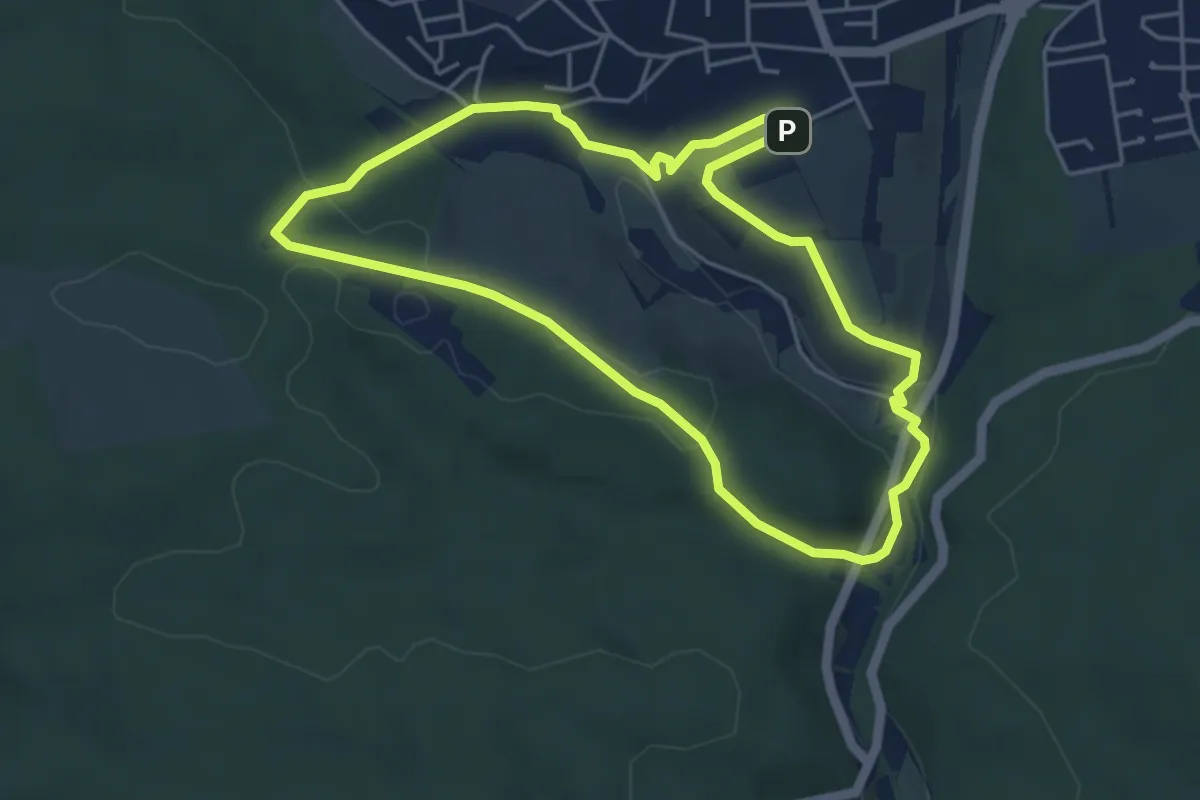
Easy · Summit
Erfrischende Spaziergänge LE2
4.4 km · ↑ 97 m · 1 h 18 min
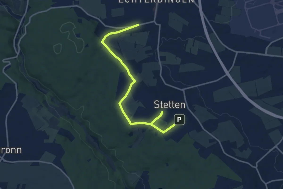
Medium · Trail
Erfrischende Spaziergänge LE6
9.9 km · ↑ 86 m · 2 h 31 min
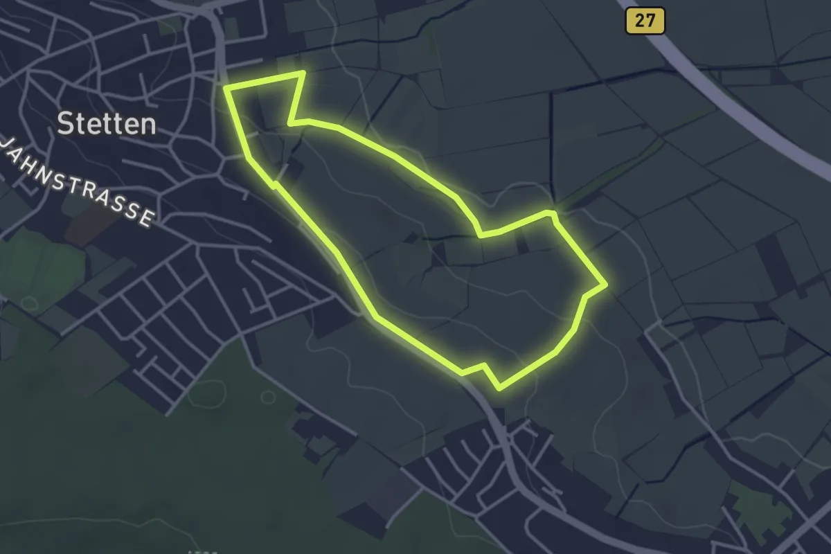
Easy · Trail
Erfrischende Spaziergänge LE7
3.1 km · ↑ 49 m · 53 min
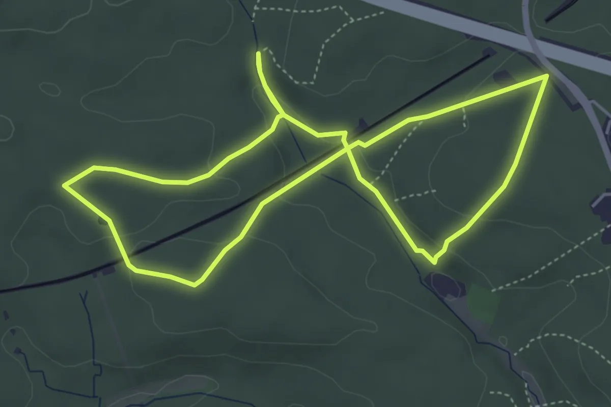
Easy · Trail
Erfrischende Spaziergänge LE 8
4.4 km · ↑ 82 m · 1 h 17 min
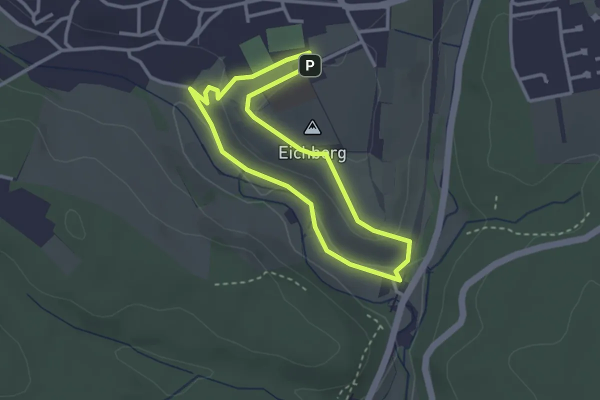
Easy · Summit
Erfrischende Spaziergänge LE9
2.3 km · ↑ 52 m · 41 min
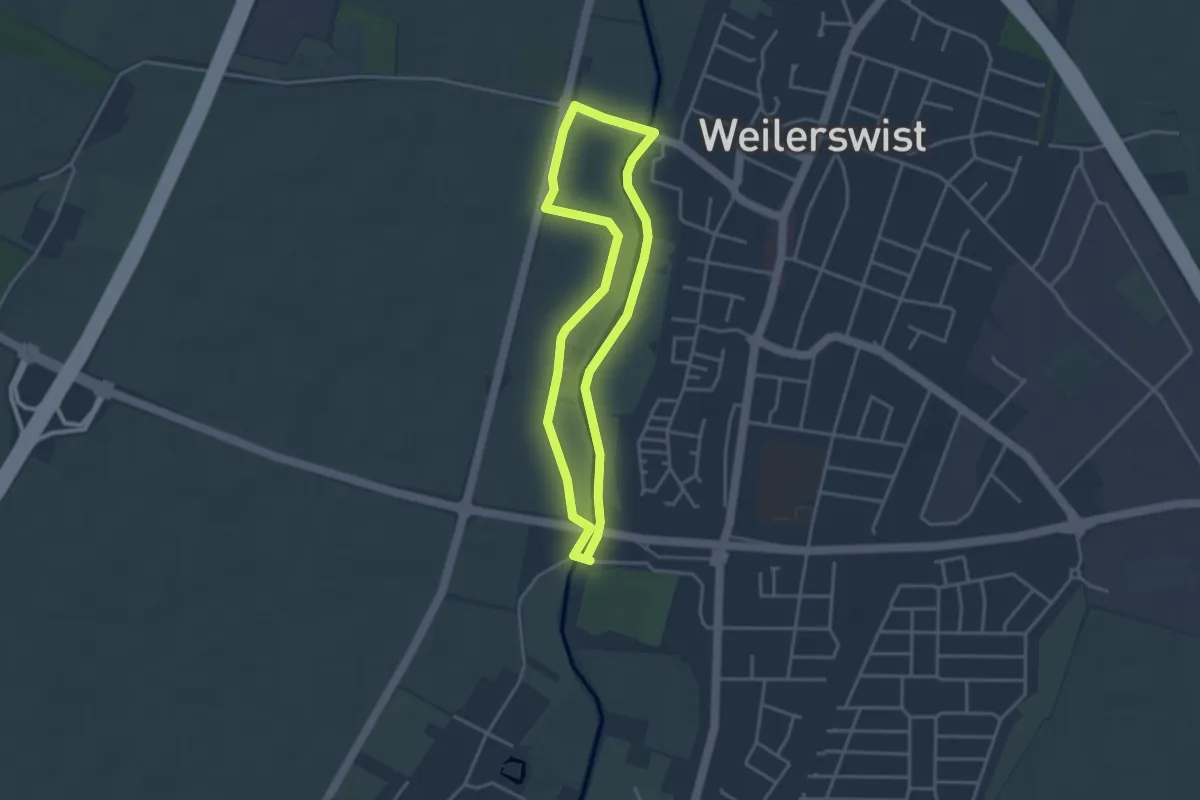
Easy · Trail
Erft-Tour
3.1 km · ↑ 0 m · 46 min
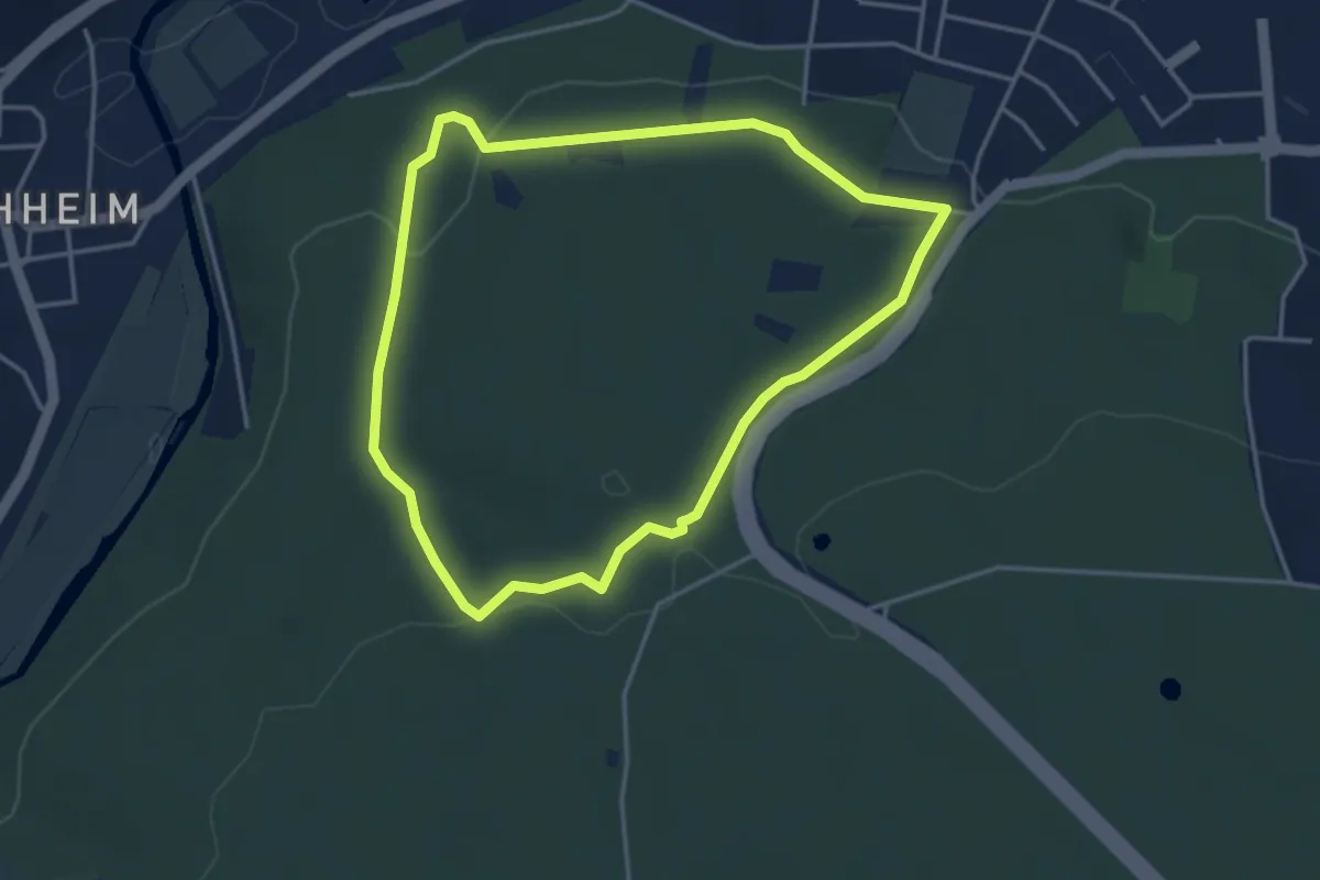
Easy · Trail
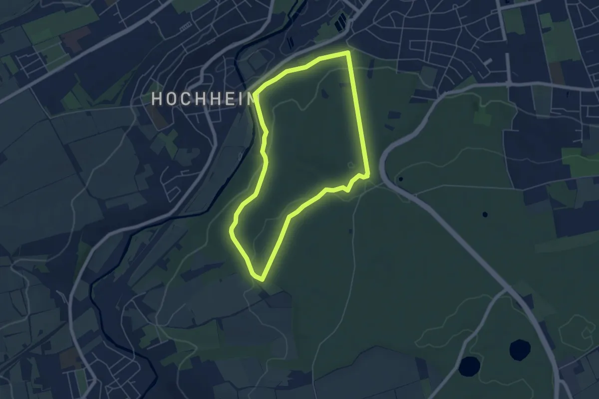
Erfurter Steigerwald: Gelbes Kreuz
3.4 km · ↑ 66 m · 1 h
Easy · Trail
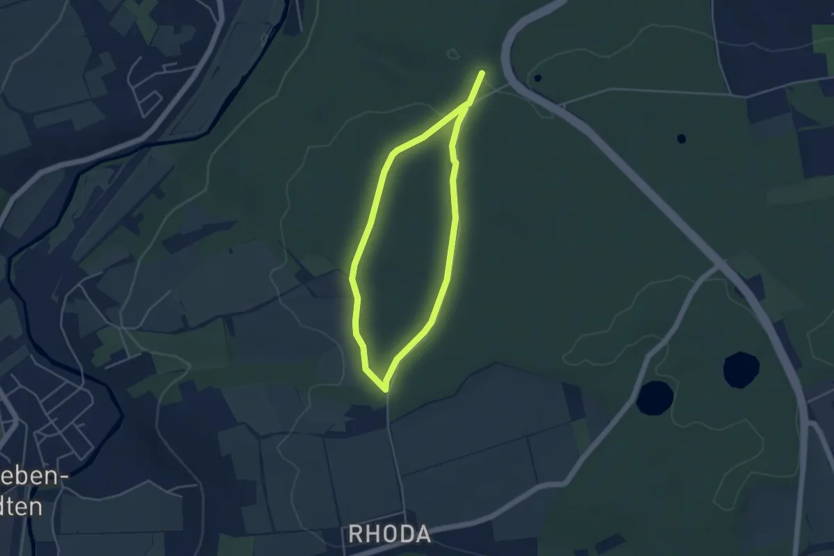
Erfurter Steigerwald: Grüner Balken
4.8 km · ↑ 102 m · 1 h 25 min
Easy · Trail
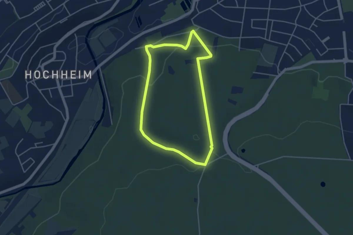
Erfurter Steigerwald: Grüner Schrägstrich
3.2 km · ↑ 40 m · 53 min
Easy · Trail
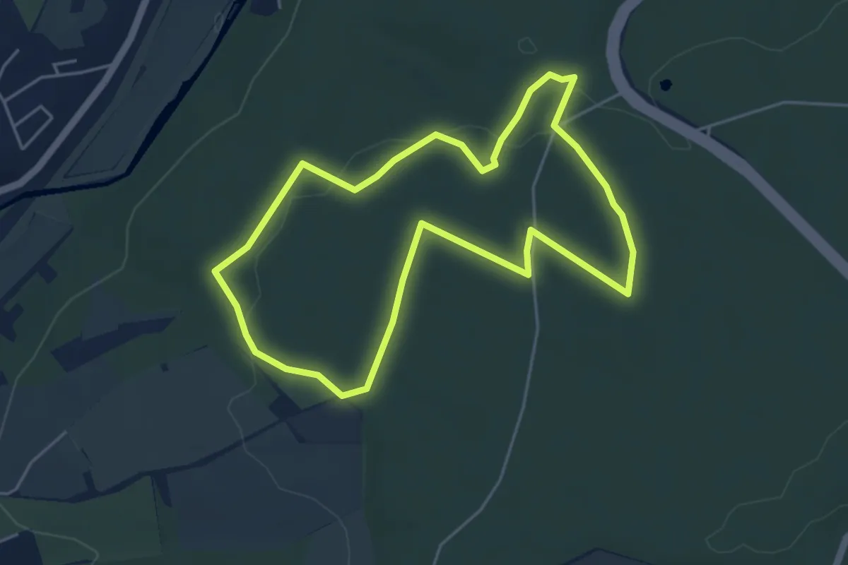
Erfurter Steigerwald: Naturlehrpfad 1
3.1 km · ↑ 102 m · 1 h
Easy · Trail
Erfurter Steigerwald: Naturlehrpfad 2
4.1 km · ↑ 50 m · 1 h 7 min
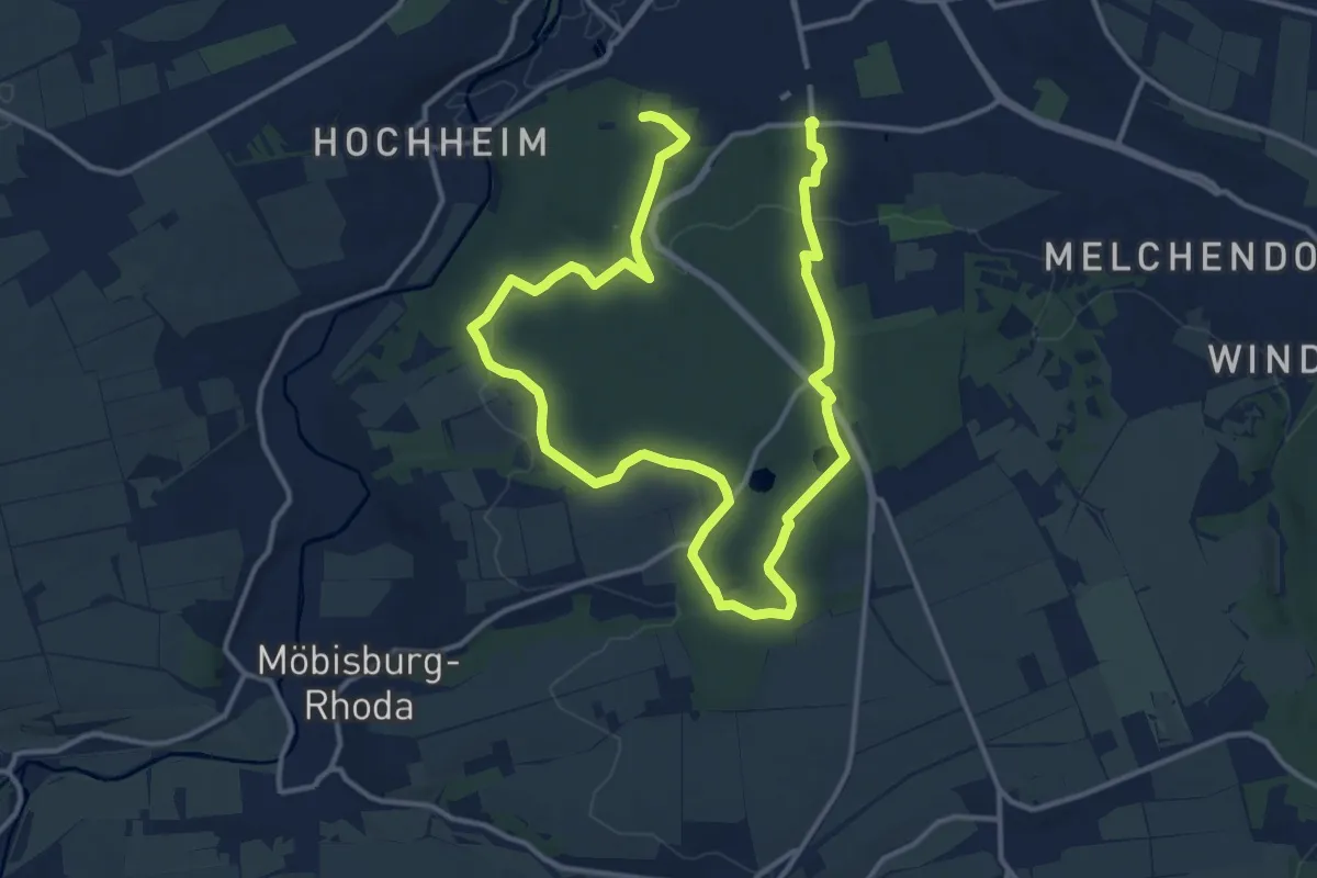
Demanding · Trail
Erfurter Steigerwald: Rotes Rad
20.5 km · ↑ 317 m · 5 h 31 min
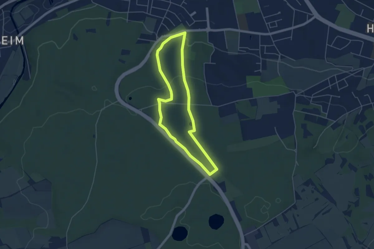
Easy · Trail
Erfurter Steigerwald: Rundwanderweg 4,5km
3.9 km · ↑ 99 m · 1 h 12 min
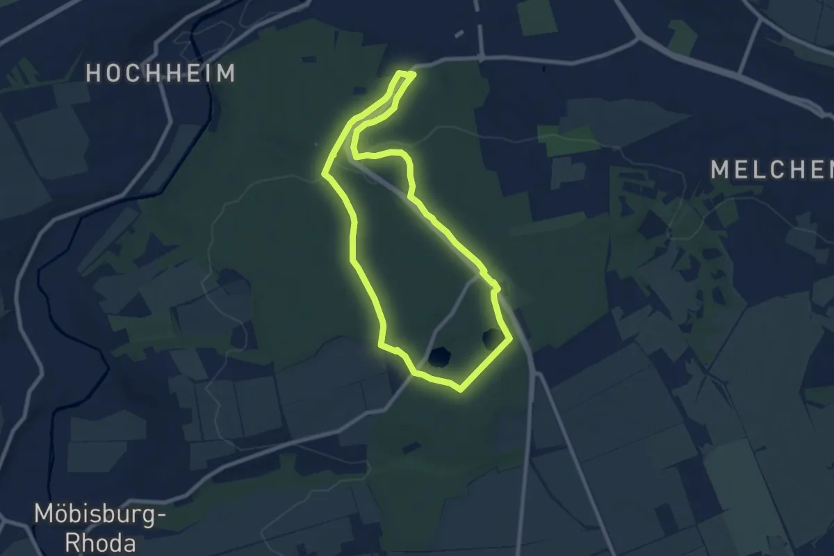
Easy · Trail
Erfurter Steigerwald: Rundwanderweg 5,5 km
6.7 km · ↑ 107 m · 1 h 54 min
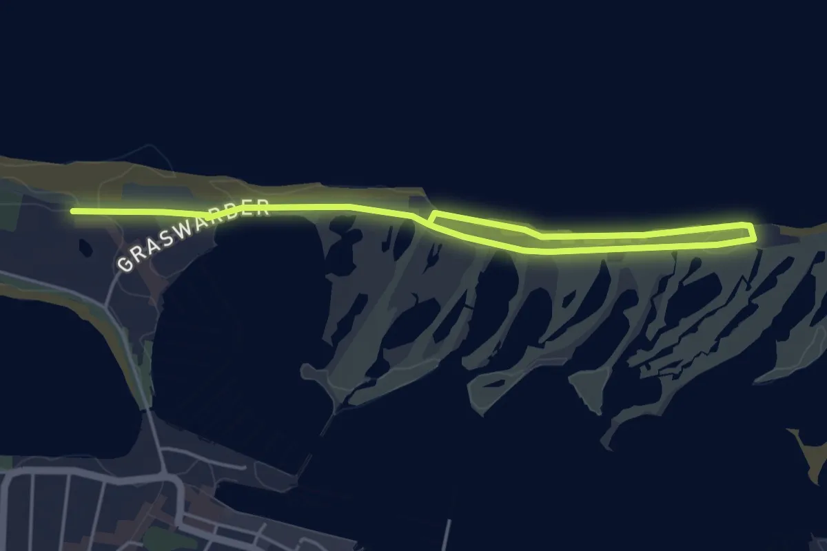
Easy · Trail
Ergänzung Graswarder
5.2 km · ↑ 0 m · 1 h 14 min
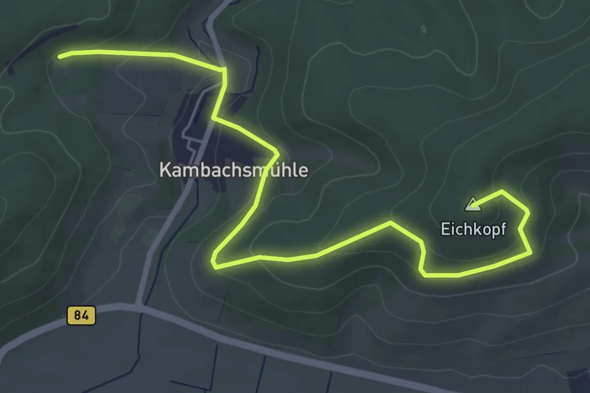
Easy · Summit
Ergänzungsweg 6
6.1 km · ↑ 194 m · 1 h 51 min
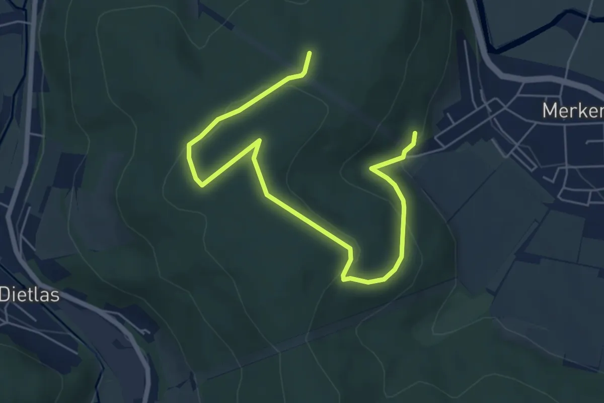
Easy · Trail
Ergänzungsweg 7
6.2 km · ↑ 143 m · 1 h 47 min
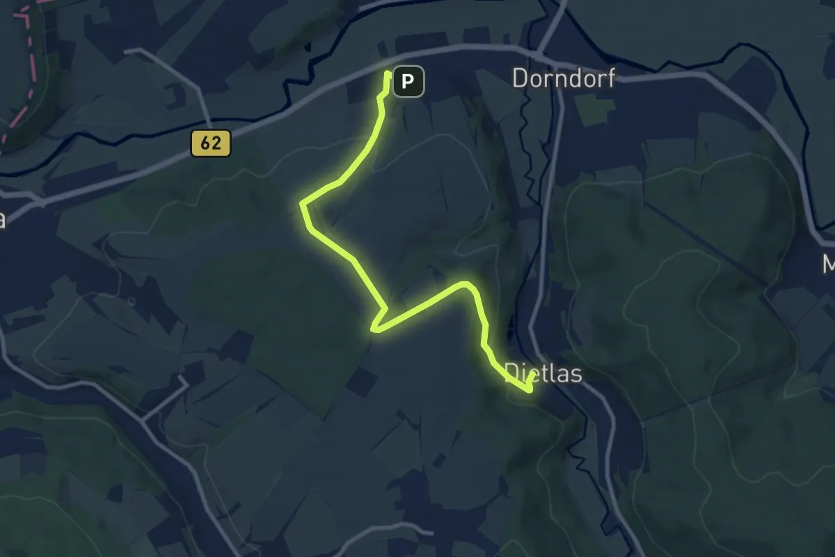
Medium · Trail
Ergänzungsweg 8
9.1 km · ↑ 281 m · 2 h 45 min
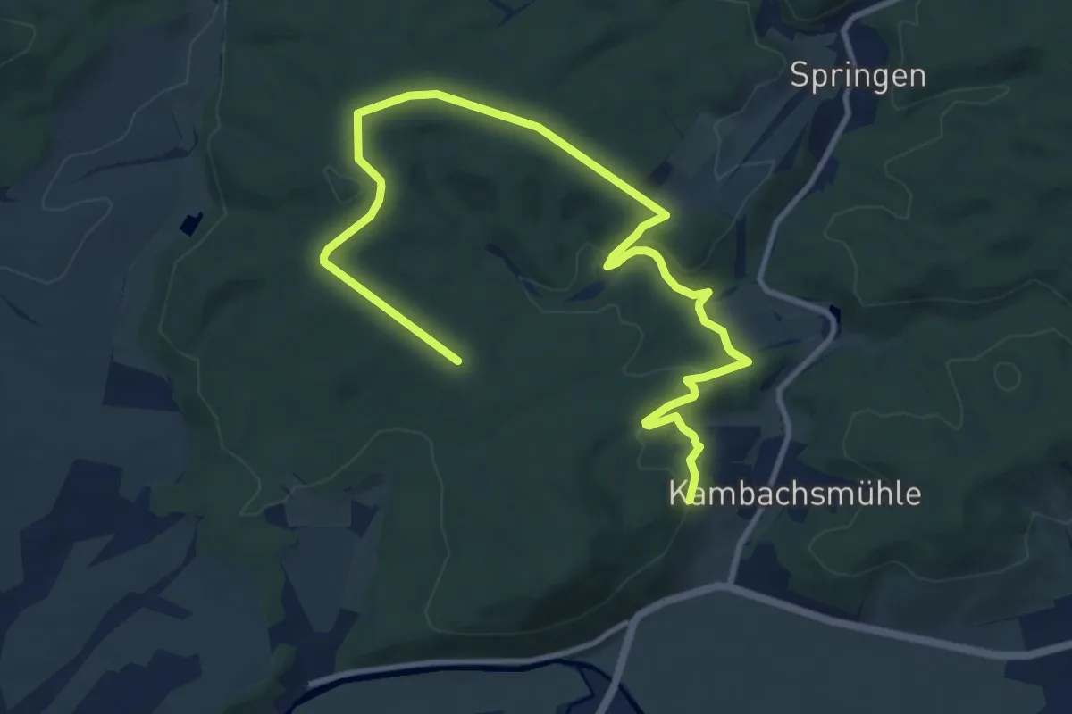
Medium · Trail
Ergänzungsweg 9
12.6 km · ↑ 251 m · 3 h 31 min
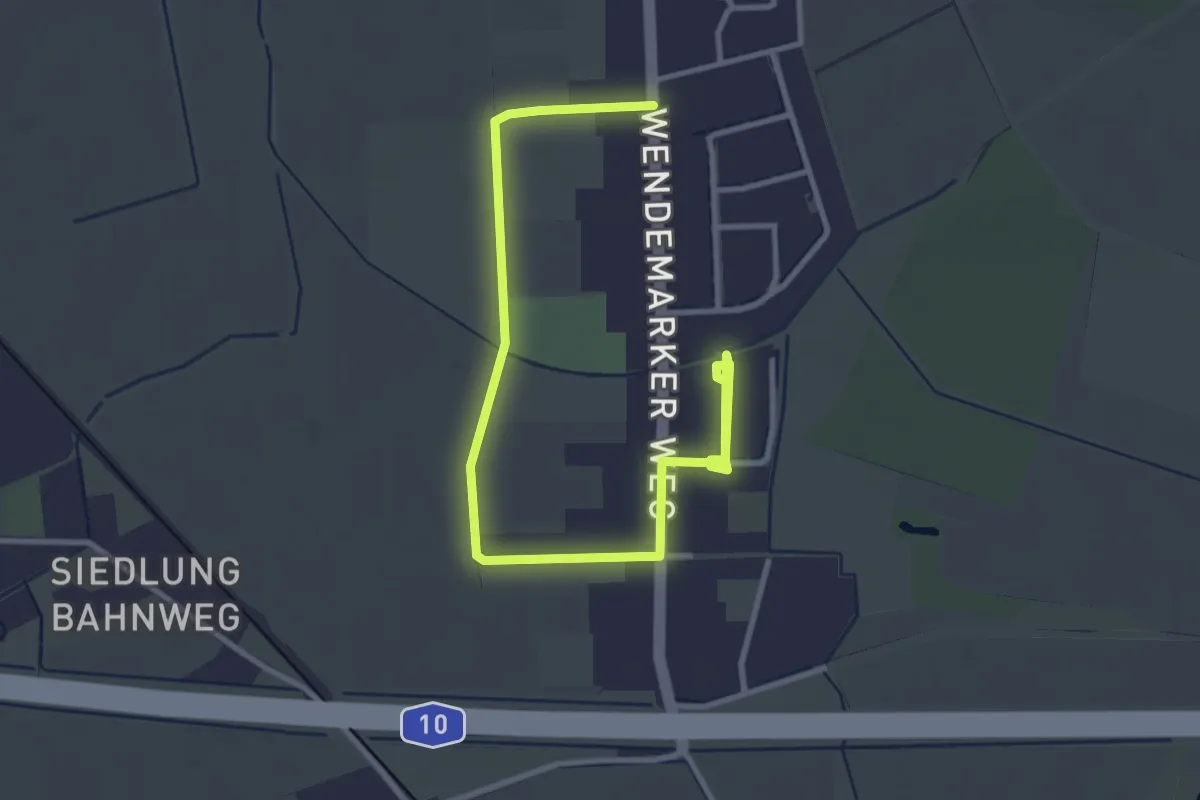
Easy · Trail
Ergänzung zum Rundweg um Bärenklau
3.9 km · ↑ 0 m · 55 min
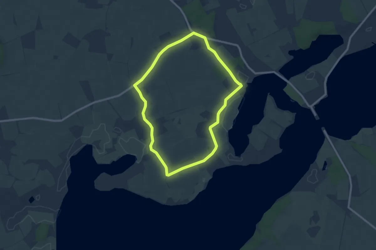
Easy · Trail
Erholungsort Ulsnis: Rundweg Dallacker, Gunneby
5.4 km · ↑ 22 m · 1 h 23 min
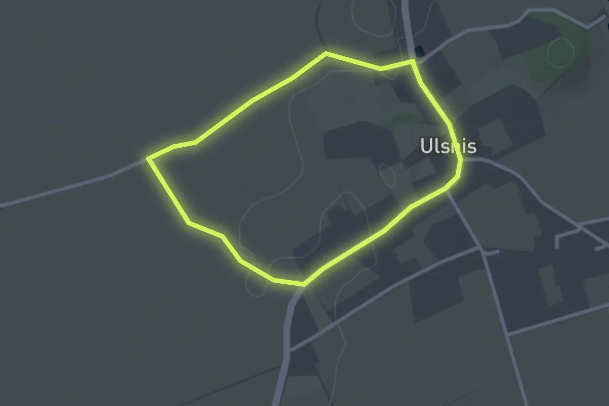
Easy · Trail
Erholungsort Ulsnis: Rundweg Gallberg
1.9 km · ↑ 8 m · 30 min
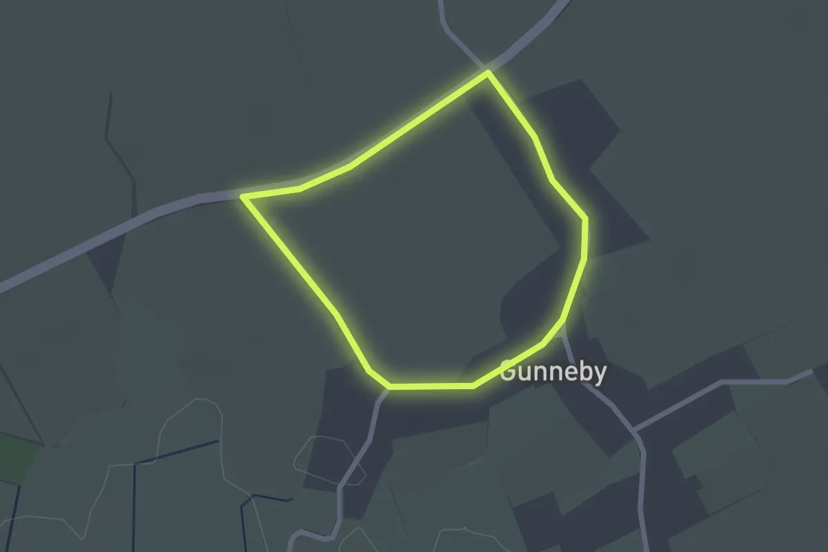
Easy · Trail
Erholungsort Ulsnis: Rundweg Gunneby
1.5 km · ↑ 0 m · 23 min
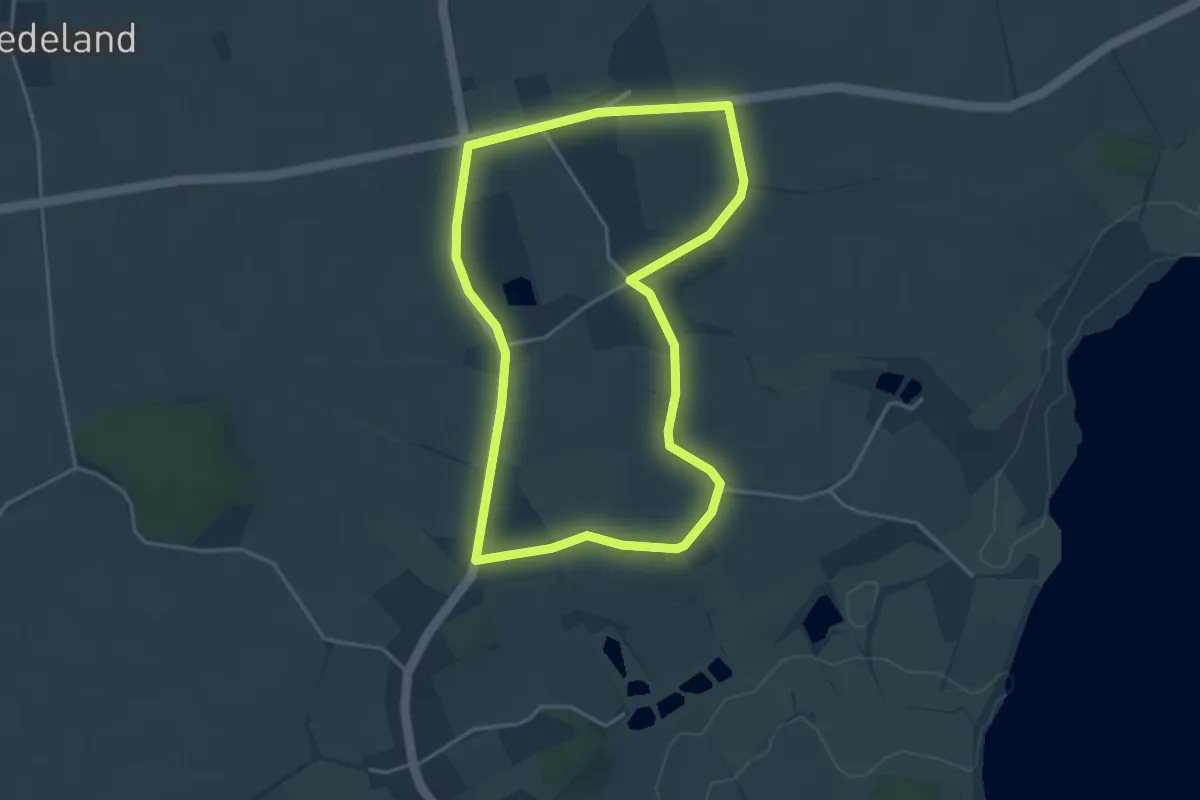
Easy · Trail
Erholungsort Ulsnis: Rundweg Hesselmühle, Kius
3.1 km · ↑ 9 m · 47 min
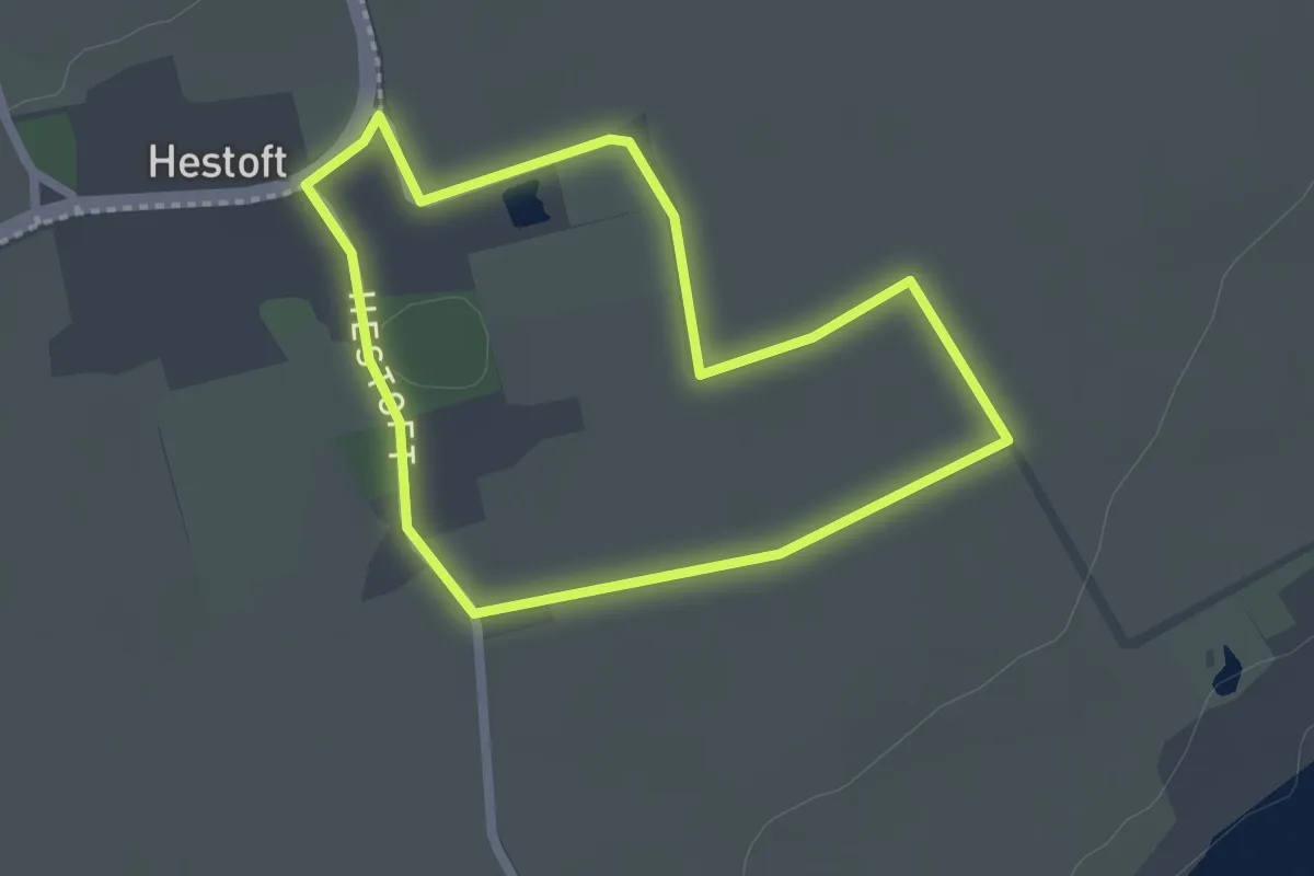
Easy · Trail
Erholungsort Ulsnis: Rundweg Hestoft
1.7 km · ↑ 0 m · 26 min
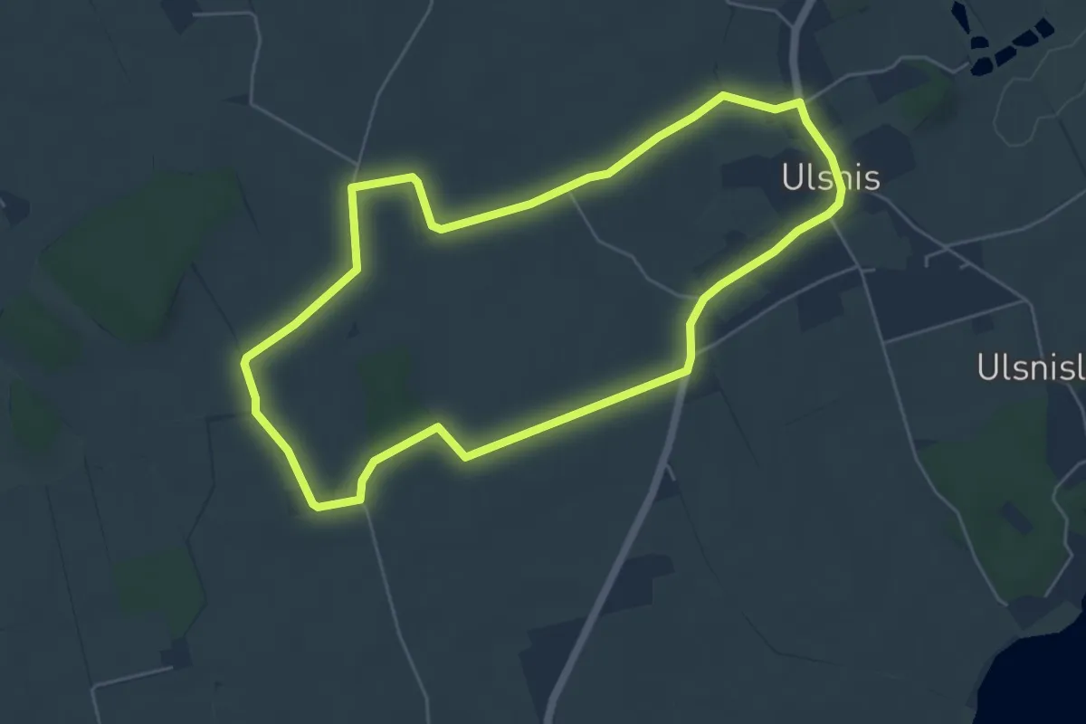
Easy · Trail
Erholungsort Ulsnis: Rundweg Hestoft-Nord
4.5 km · ↑ 13 m · 1 h 9 min
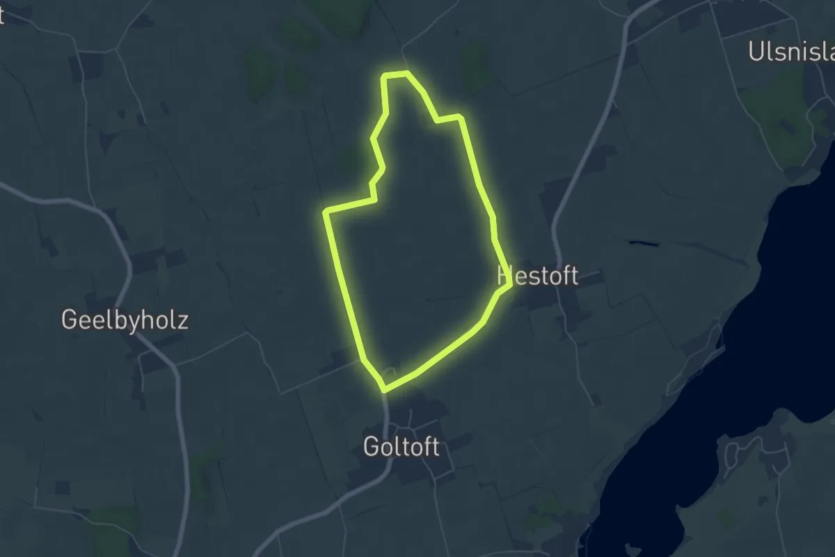
Easy · Trail
Erholungsort Ulsnis: Rundweg Hestoft-West
4.3 km · ↑ 9 m · 1 h 6 min
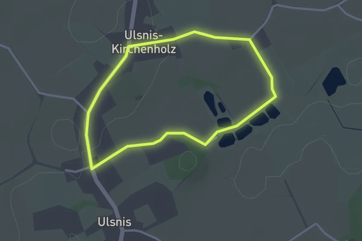
Easy · Trail
Erholungsort Ulsnis: Rundweg Kirche
1.9 km · ↑ 12 m · 30 min
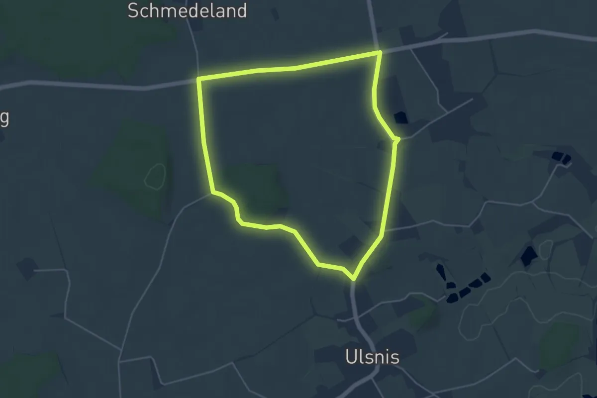
Easy · Trail
Erholungsort Ulsnis: Rundweg Kirchenholz
3.6 km · ↑ 14 m · 56 min
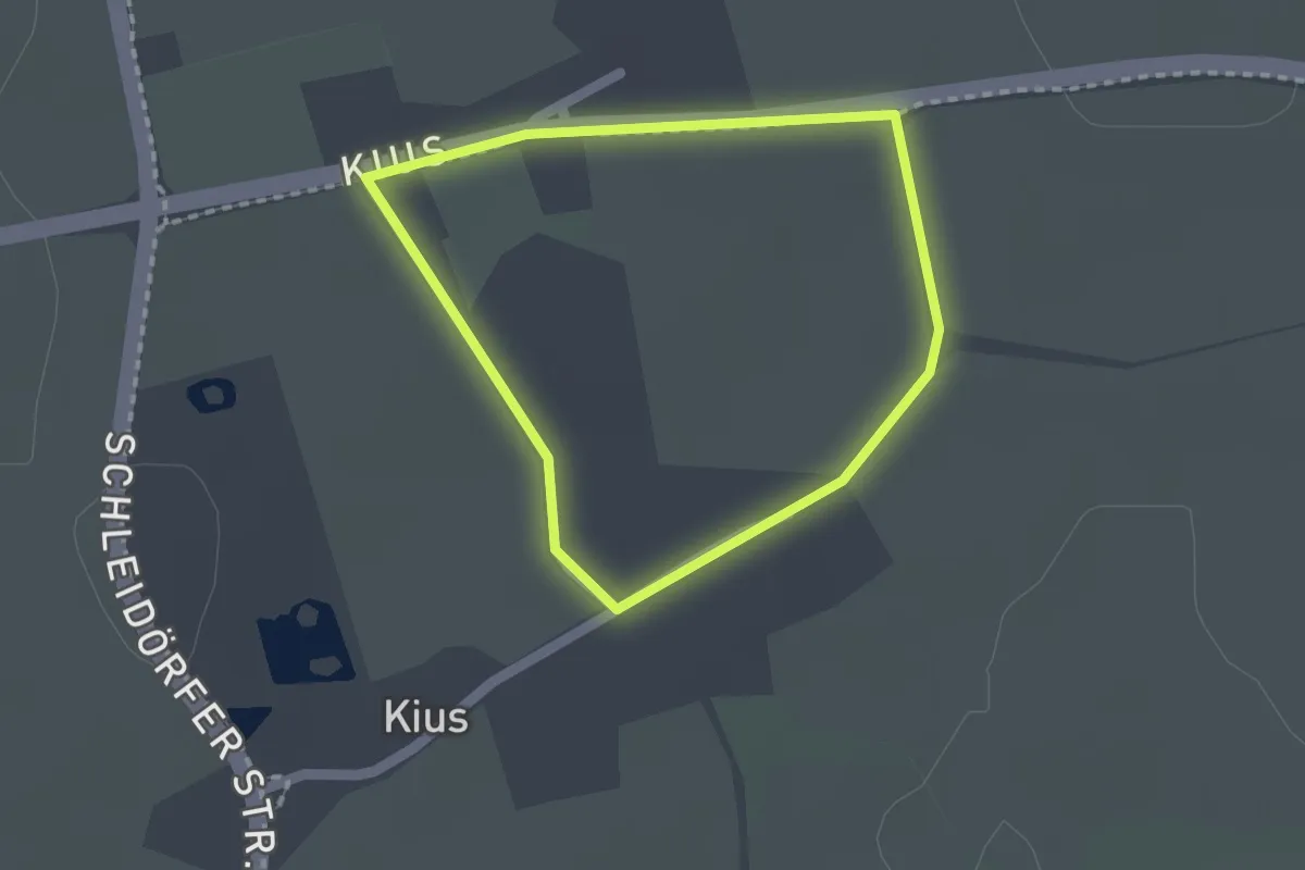
Easy · Trail
Erholungsort Ulsnis: Rundweg Kius-Nord
1.3 km · ↑ 0 m · 19 min
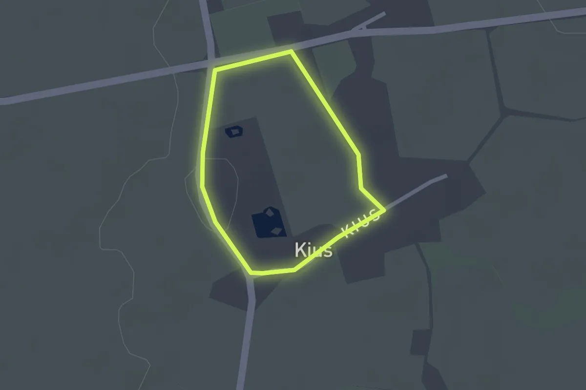
Easy · Trail
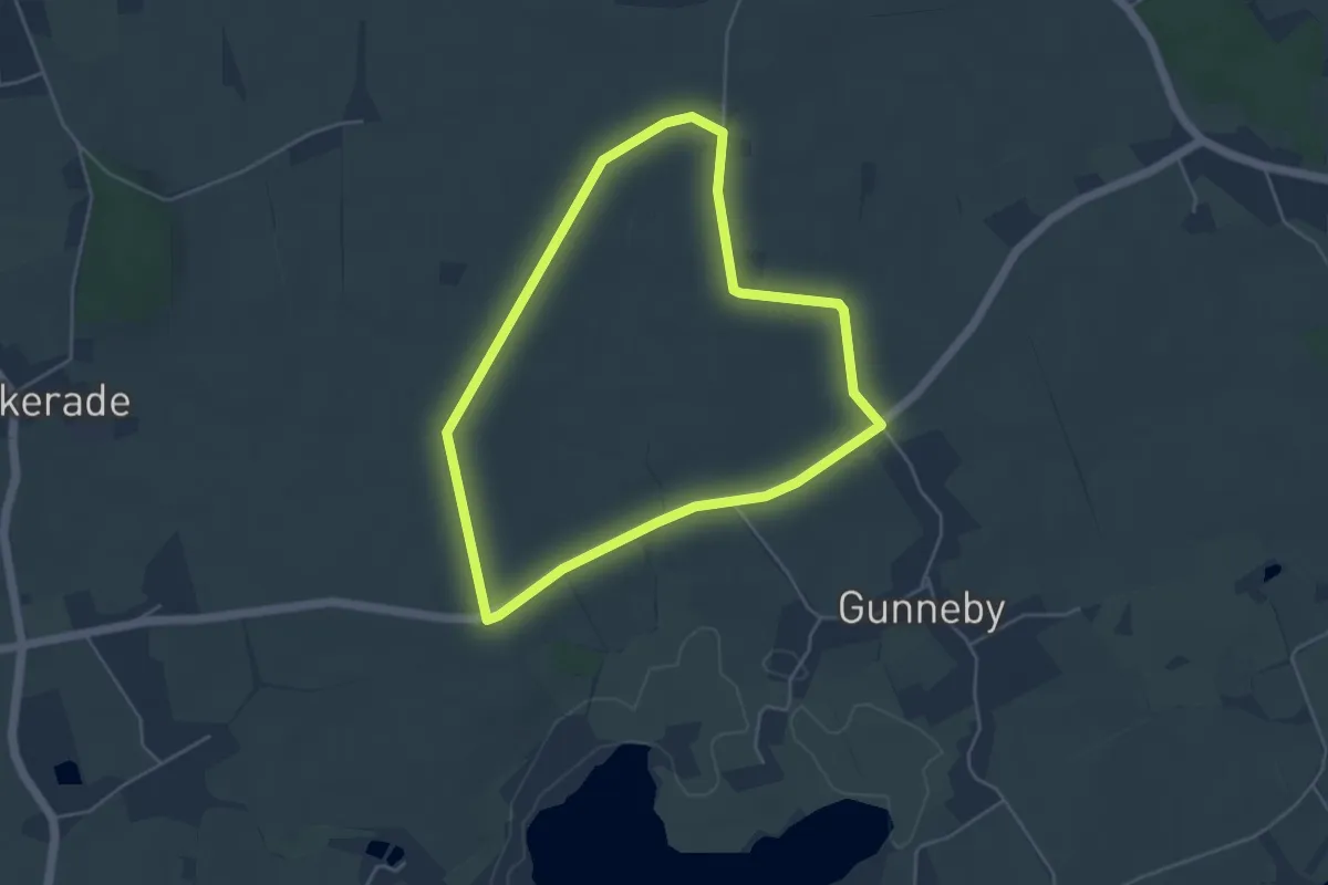
Erholungsort Ulsnis: Rundweg Kius-West
1.3 km · ↑ 0 m · 19 min
Easy · Trail
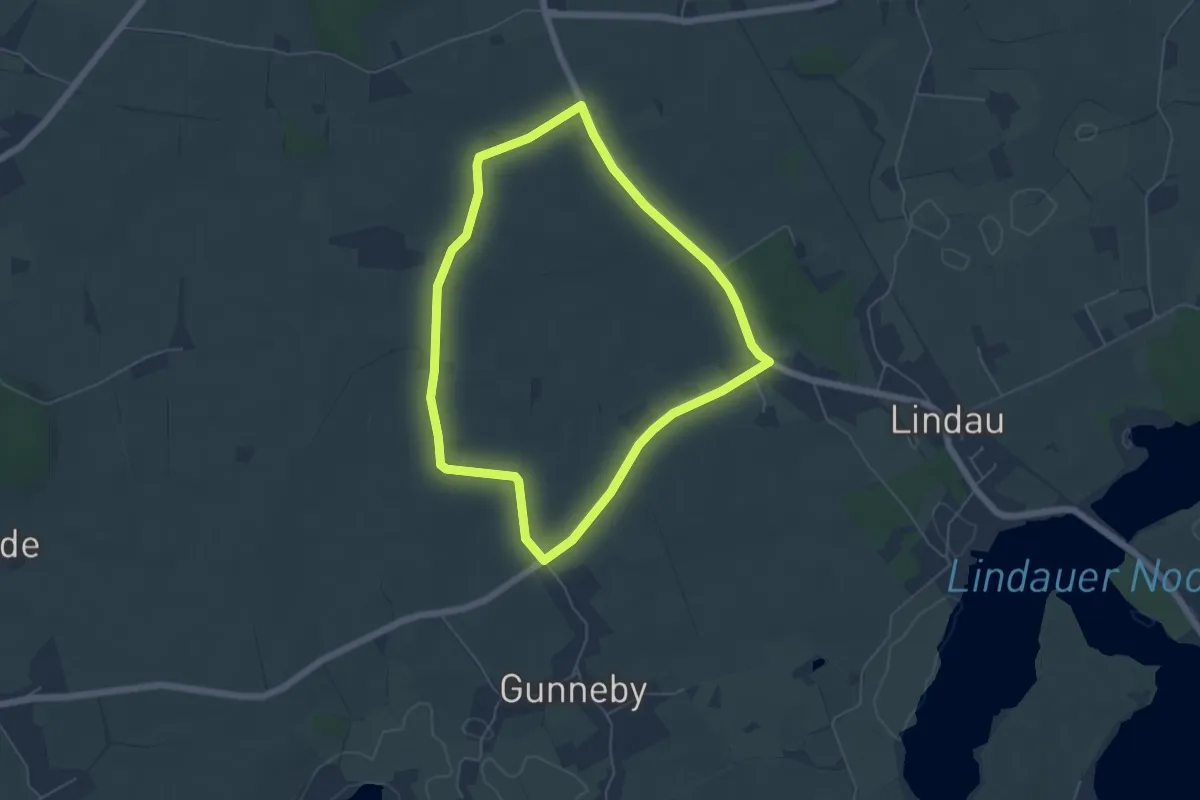
Erholungsort Ulsnis: Rundweg Knappersfeld
3.7 km · ↑ 13 m · 58 min
Easy · Trail
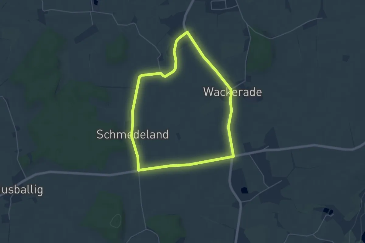
Erholungsort Ulsnis: Rundweg Knappersfeld
4.4 km · ↑ 17 m · 1 h 9 min
Easy · Trail
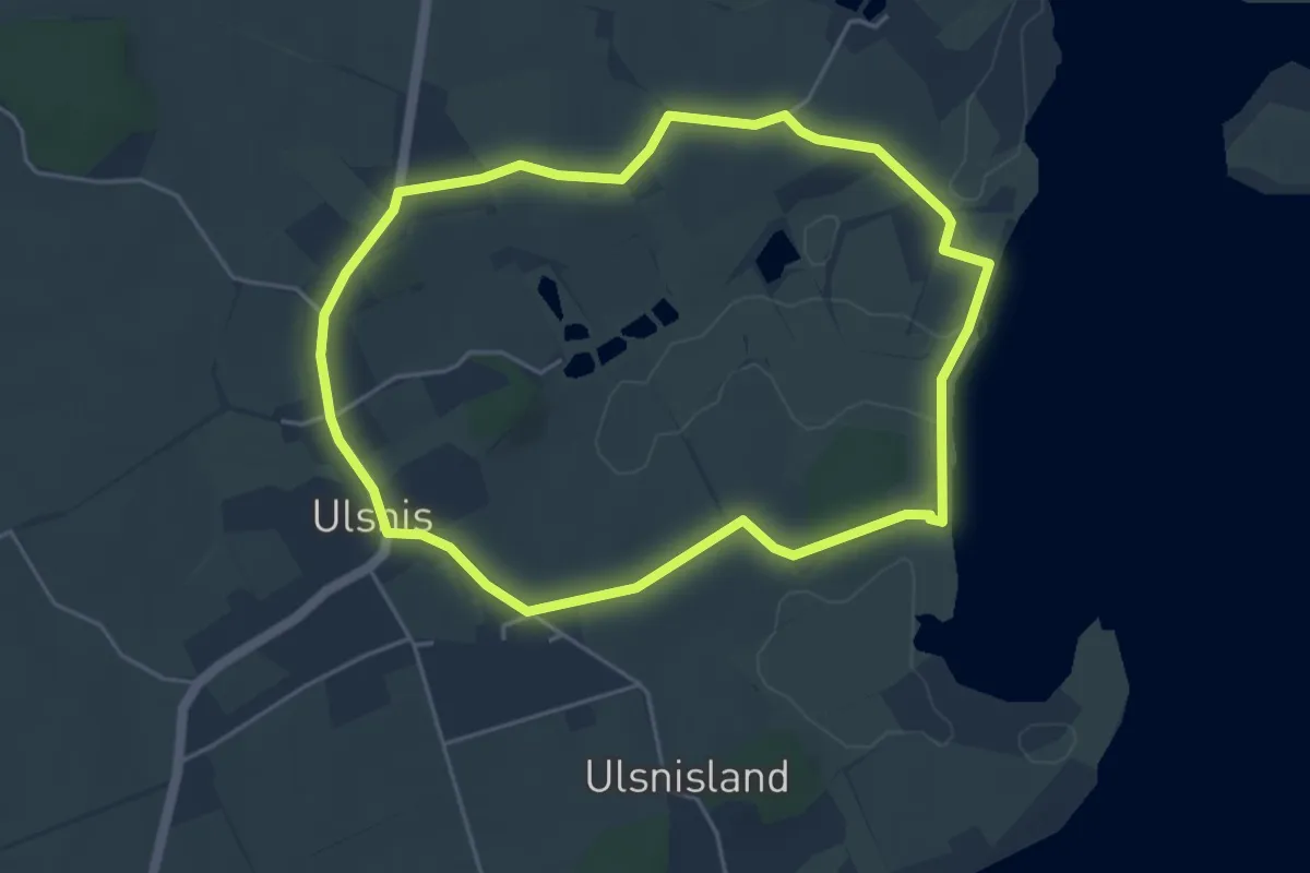
Erholungsort Ulsnis: Rundweg Schmedeland
3.9 km · ↑ 8 m · 1 h
Easy · Trail
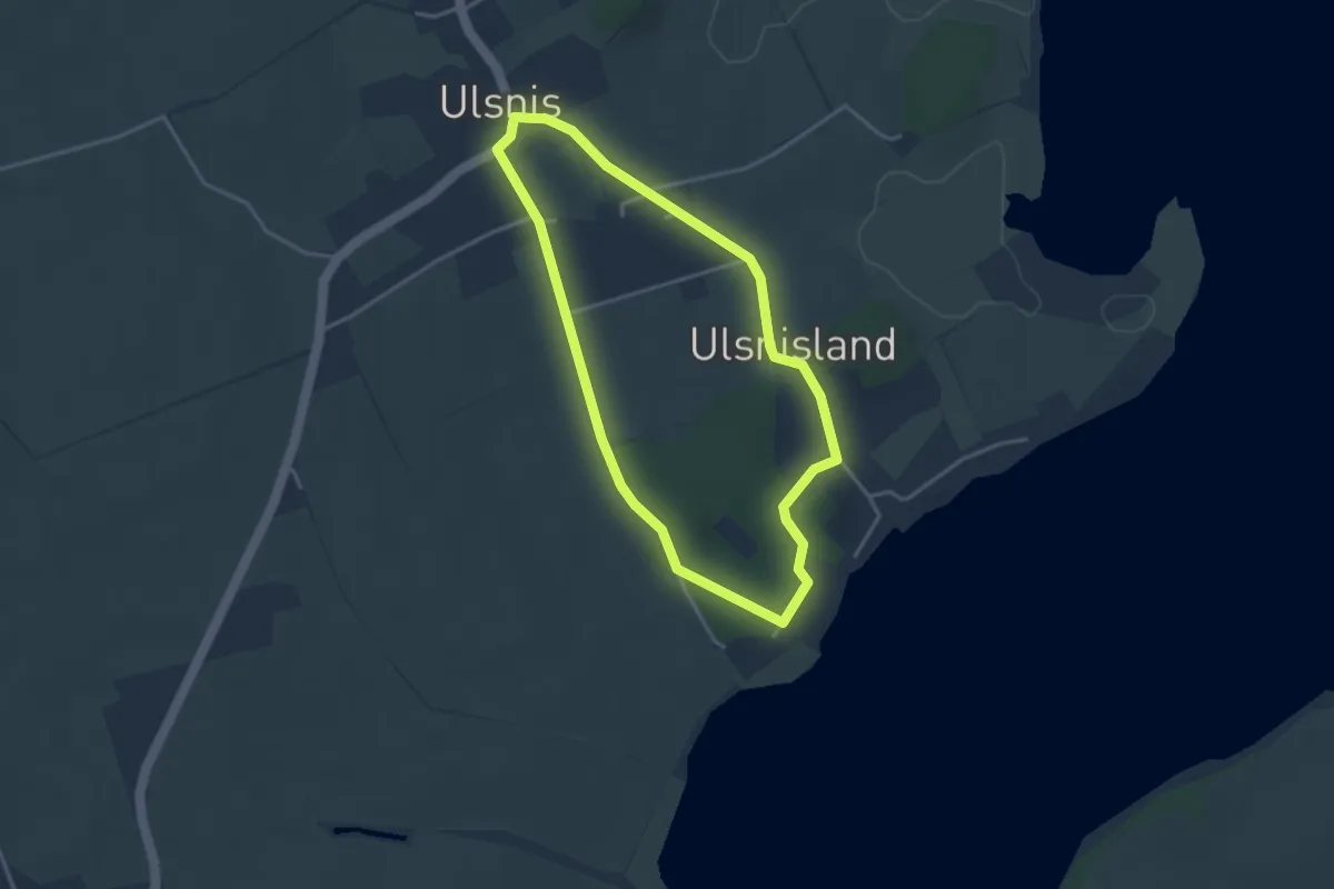
Erholungsort Ulsnis: Rundweg Stauertwedt
3.8 km · ↑ 21 m · 1 h
Easy · Trail
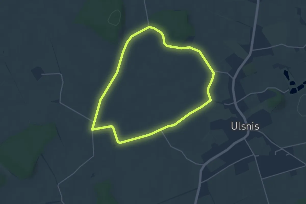
Erholungsort Ulsnis: Rundweg Süderholz
2.8 km · ↑ 9 m · 43 min
Easy · Trail
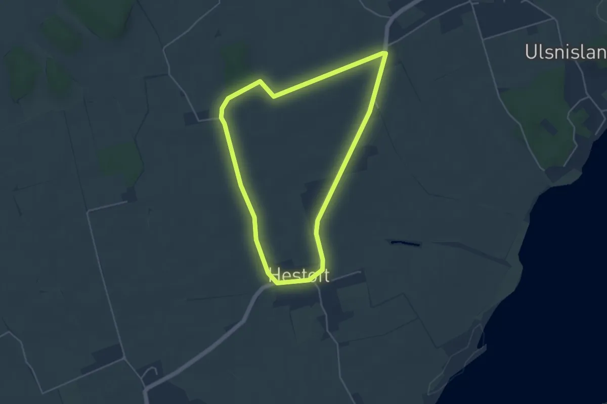
Erholungsort Ulsnis: Rundweg Ulsnisfeld
3.1 km · ↑ 8 m · 48 min
Easy · Trail
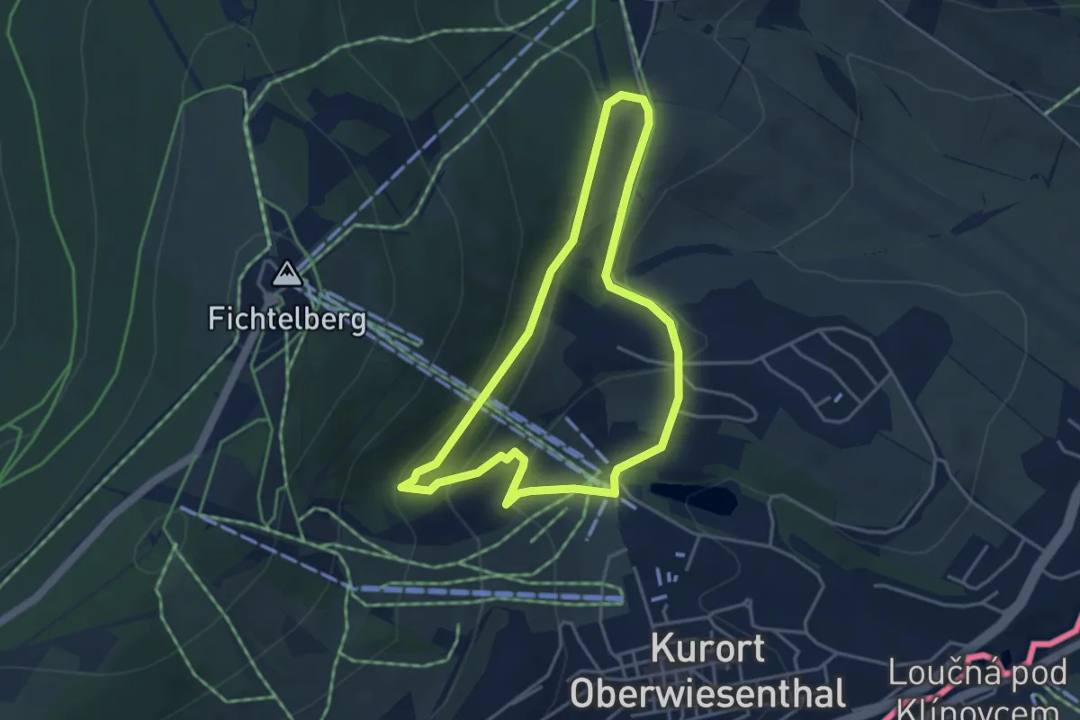
Erholungsort Ulsnis: Rundweg Ulsnishöh
3.4 km · ↑ 13 m · 53 min
Medium · Trail
Eric-Frenzel-Tour
3.4 km · ↑ 145 m · 1 h 11 min
Medium · Trail
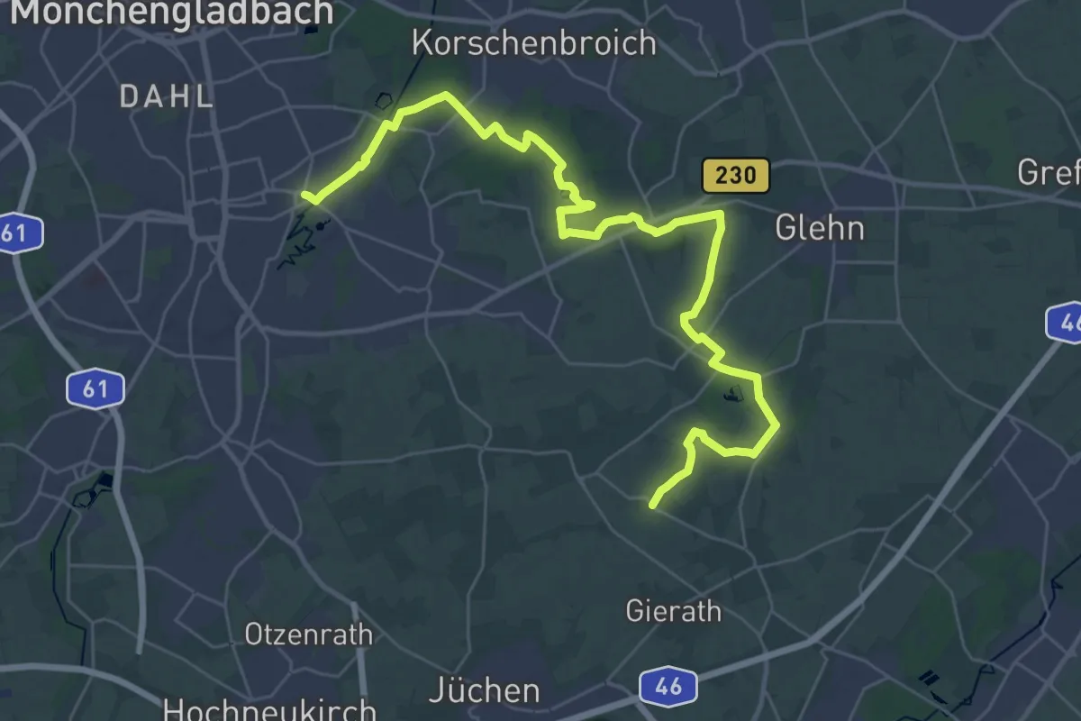
Erich-Kücke-Weg
17.5 km · ↑ 60 m · 4 h 31 min
Easy · Trail
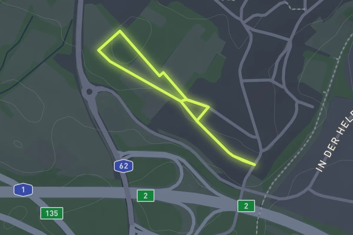
Erinnerungspfad Höckerlinie Otzenhausen
1.4 km · ↑ 10 m · 22 min
Easy · Trail
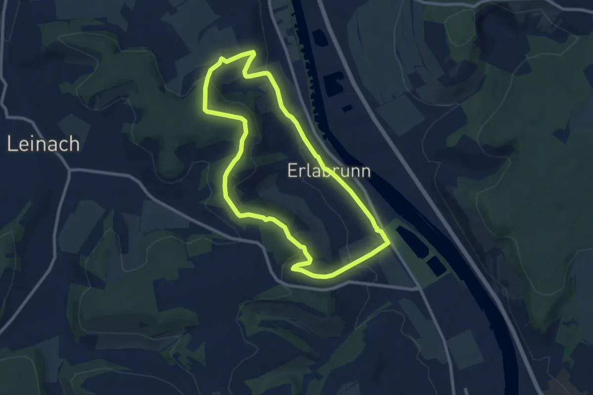
Erlabrunn E1
7.0 km · ↑ 182 m · 2 h 8 min
Easy · Trail
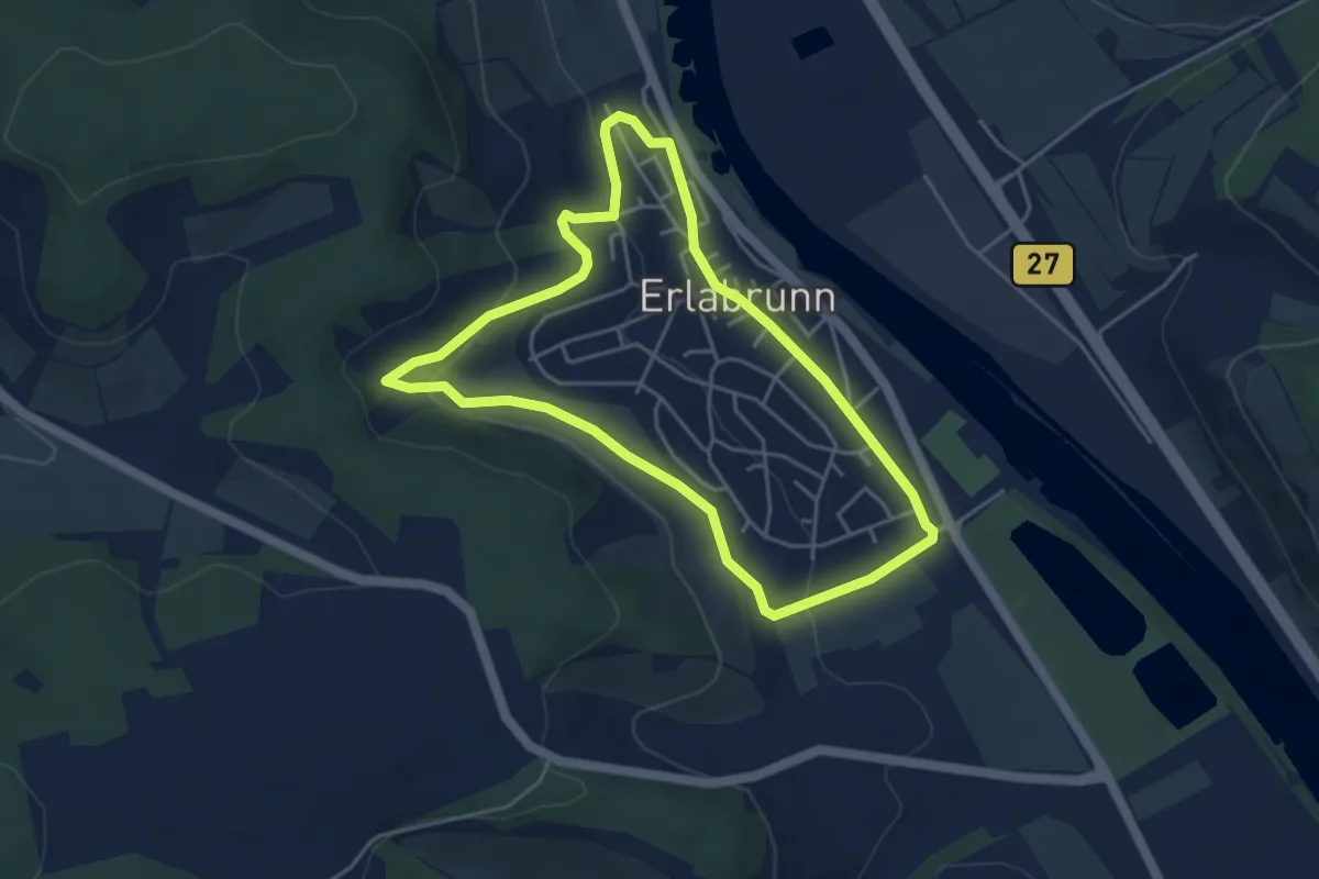
Erlabrunn E4
4.0 km · ↑ 115 m · 1 h 15 min
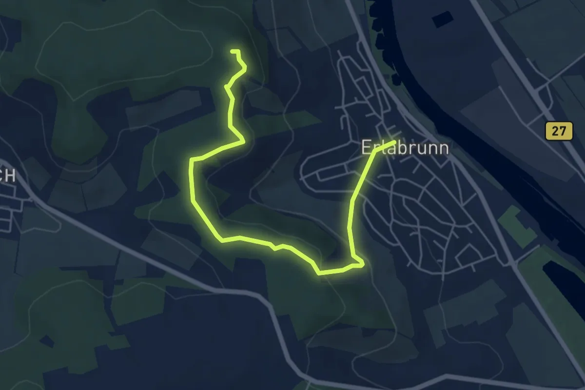
Easy · Trail
Erlabrunn E5
5.3 km · ↑ 193 m · 1 h 40 min
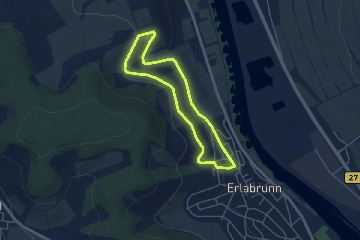
Easy · Trail
Erlabrunn E6
3.1 km · ↑ 71 m · 55 min
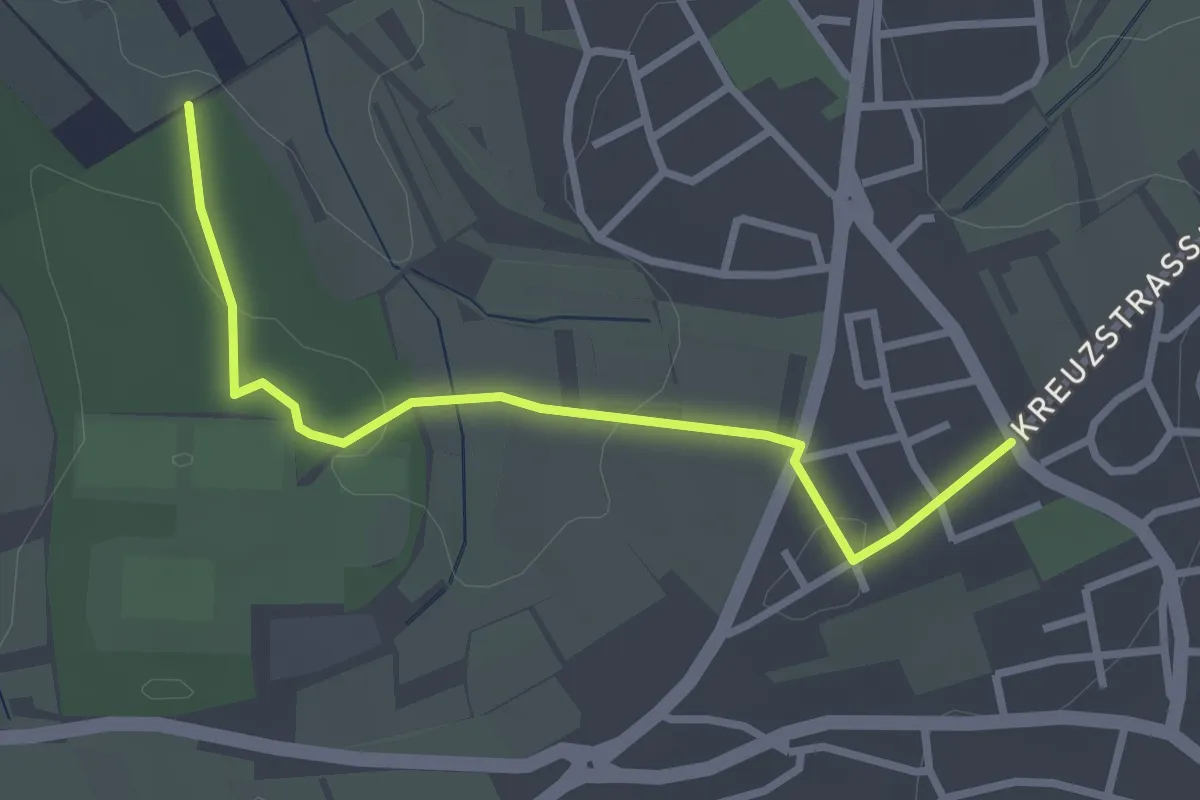
Easy · Trail
Erlach - Birkenfeld Kleine Höhe
2.8 km · ↑ 45 m · 45 min
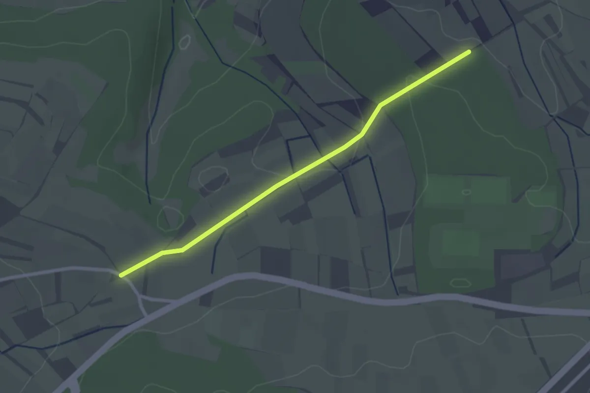
Easy · Trail
Erlach - Hägnach
2.4 km · ↑ 40 m · 39 min