Trails in Germany
36,852 hiking trails, each with its route, climb, walking time and grade.
All trails, page 137 of 768
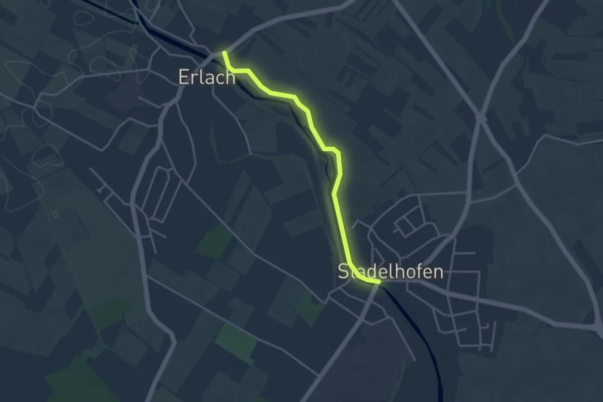
Easy · Trail
Erlach Schule - Stadelhofen Renchbrücke
3.0 km · ↑ 13 m · 45 min
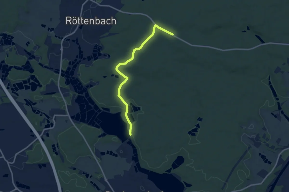
Easy · Trail
Erlangen 10 grün
7.6 km · ↑ 79 m · 1 h 58 min
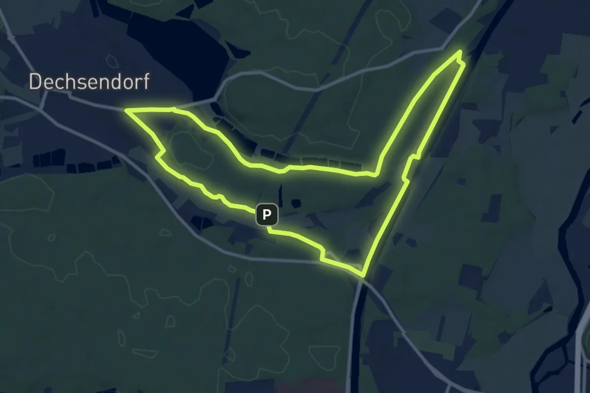
Medium · Trail
Erlangen 2 grün
8.5 km · ↑ 62 m · 2 h 15 min
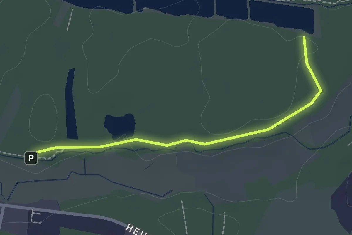
Easy · Trail
Erlangen 3 grün
2.1 km · ↑ 13 m · 31 min
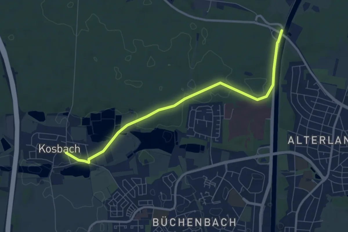
Easy · Trail
Erlangen 4 grün
7.5 km · ↑ 59 m · 1 h 53 min
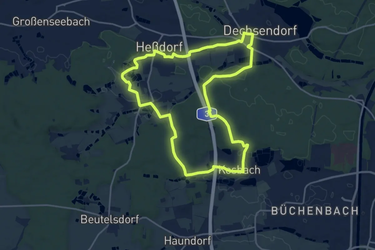
Medium · Trail
Erlangen 5 grün
12.8 km · ↑ 122 m · 3 h 28 min
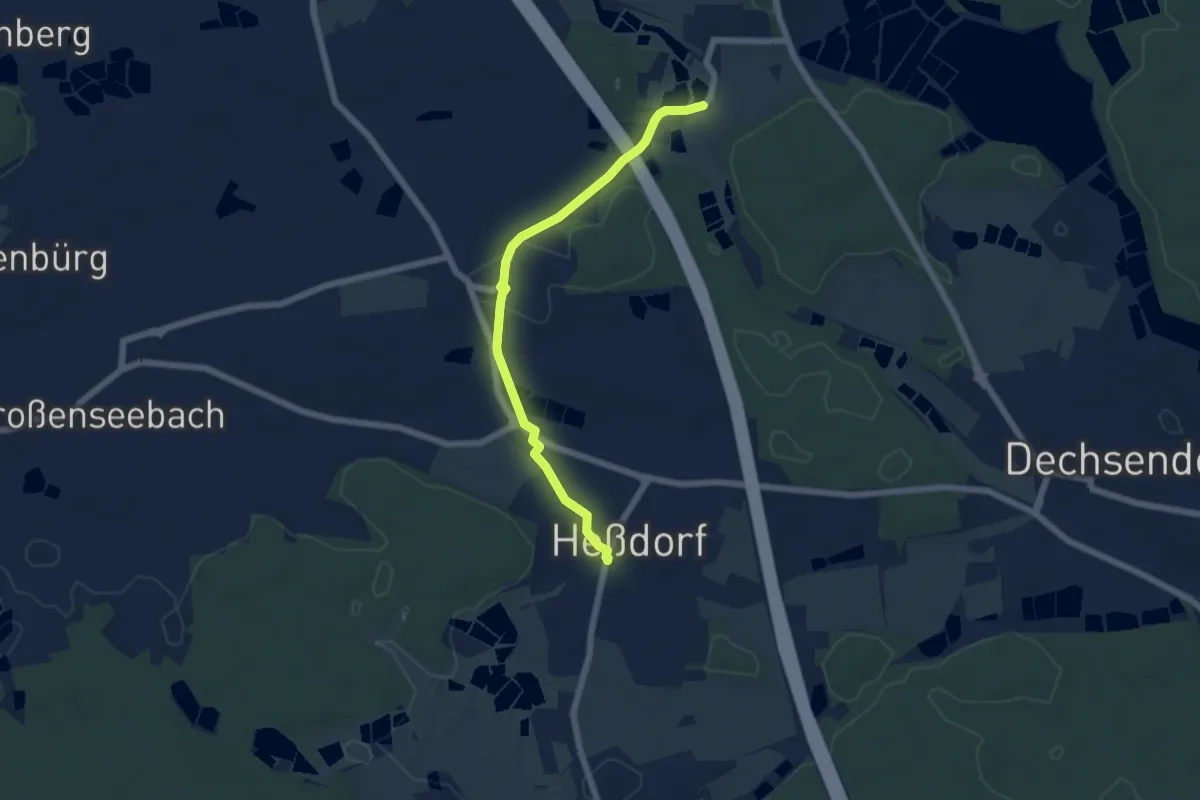
Easy · Trail
Erlangen 6 grün
5.5 km · ↑ 34 m · 1 h 23 min
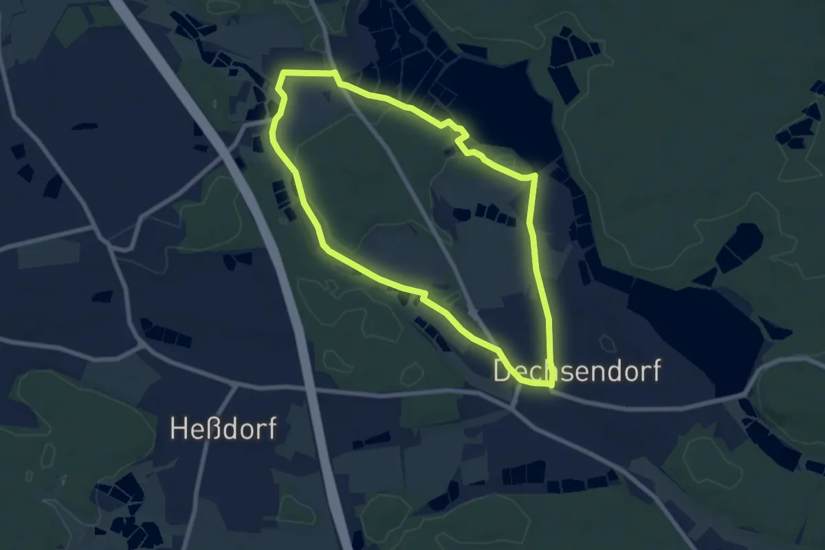
Easy · Trail
Erlangen 7 grün
6.2 km · ↑ 55 m · 1 h 41 min
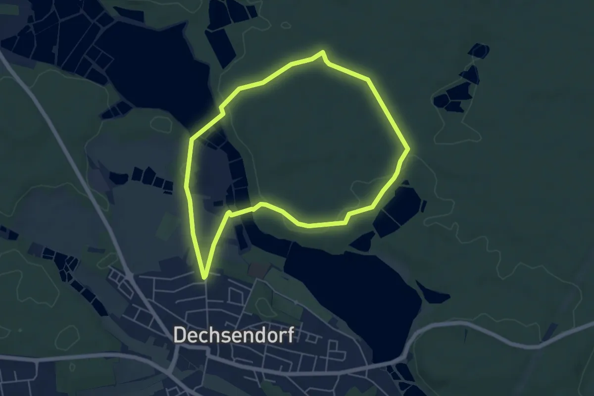
Easy · Trail
Erlangen 8 grün
4.7 km · ↑ 51 m · 1 h 16 min
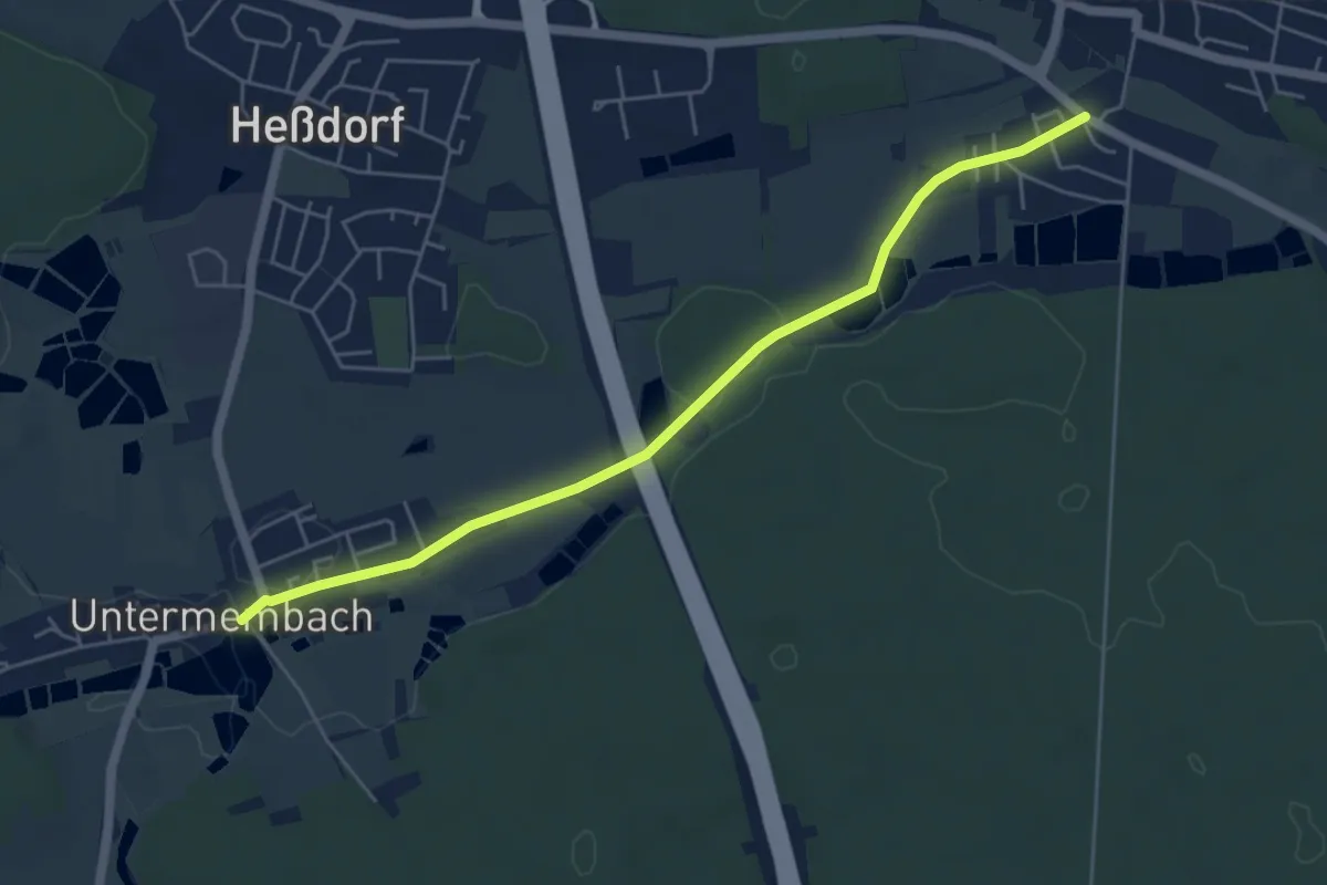
Easy · Trail
Erlangen 9 grün
5.1 km · ↑ 44 m · 1 h 18 min
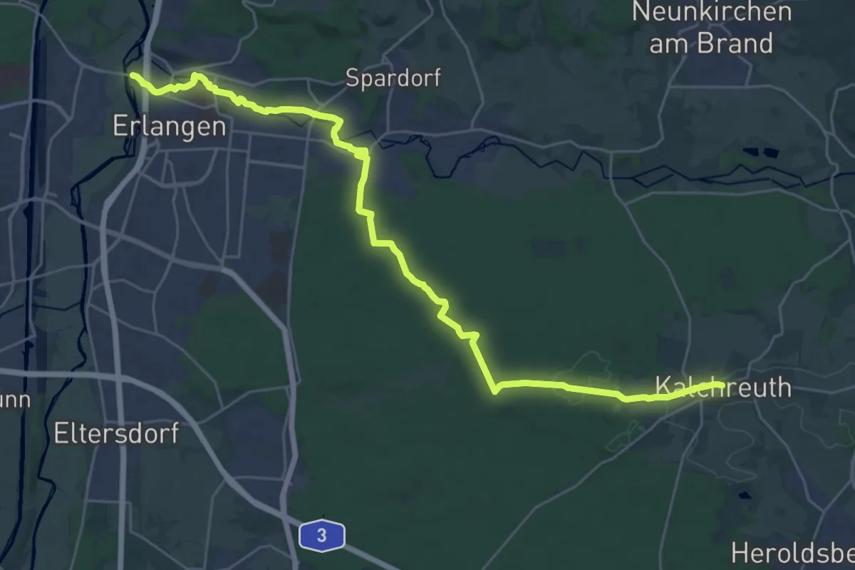
Demanding · Trail
Erlangen(Schlachthof)–Kalchreuth
29.7 km · ↑ 173 m · 7 h 23 min
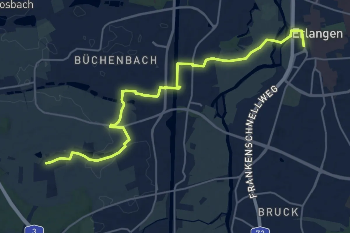
Medium · Trail
Erlangen-Steudach
13.9 km · ↑ 72 m · 3 h 26 min
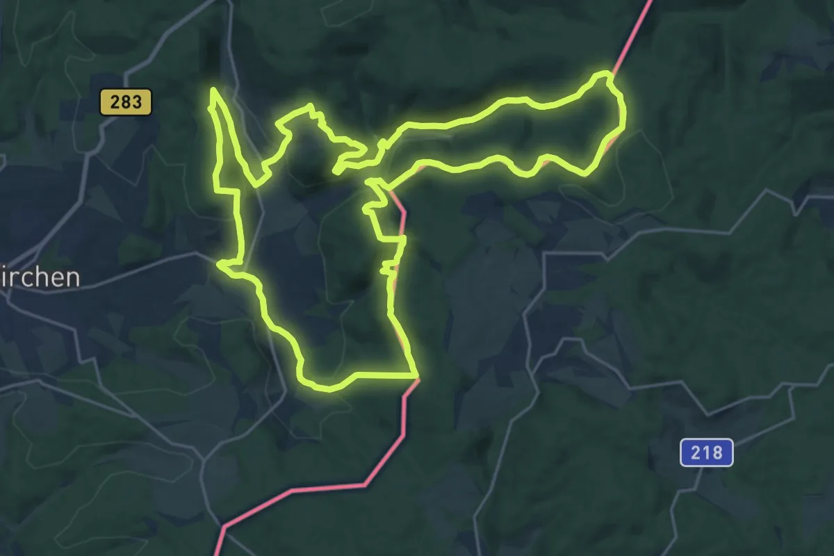
Demanding · Summit
Erlbacher Bergweg
21.7 km · ↑ 801 m · 7 h 10 min
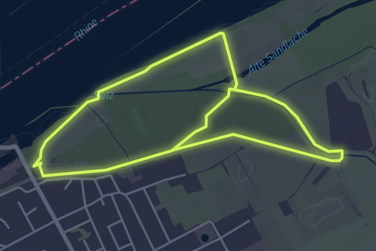
Easy · Trail
Erlebnis Jungaue
3.7 km · ↑ 9 m · 57 min
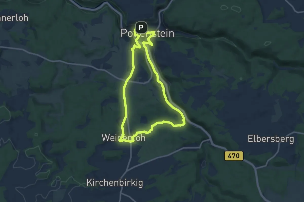
Easy · Trail
Erlebnismeile Pottenstein
7.5 km · ↑ 156 m · 2 h 13 min
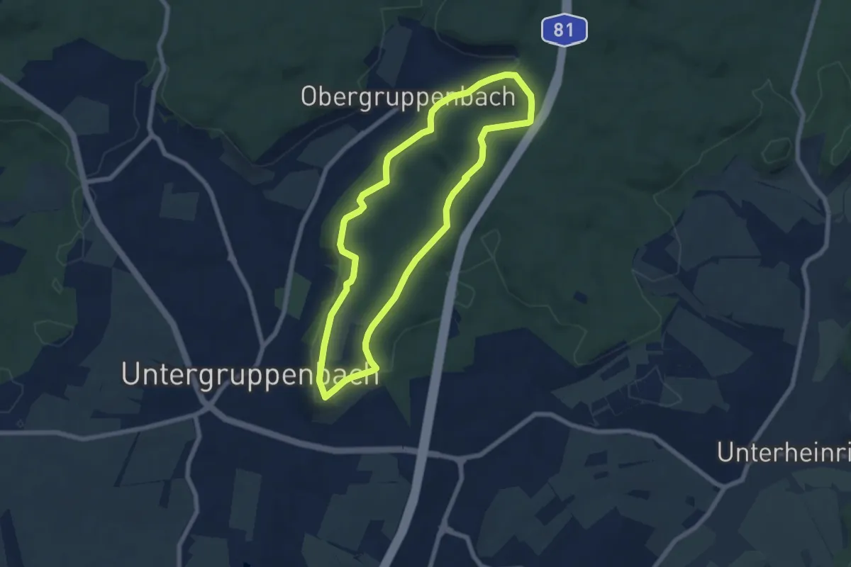
Easy · Trail
Erlebnispfad
5.7 km · ↑ 88 m · 1 h 38 min
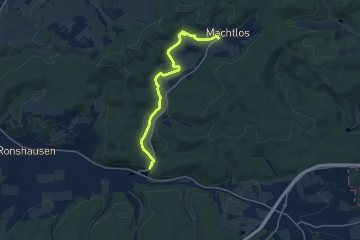
Medium · Trail
Erlebnispfad
9.2 km · ↑ 143 m · 2 h 28 min
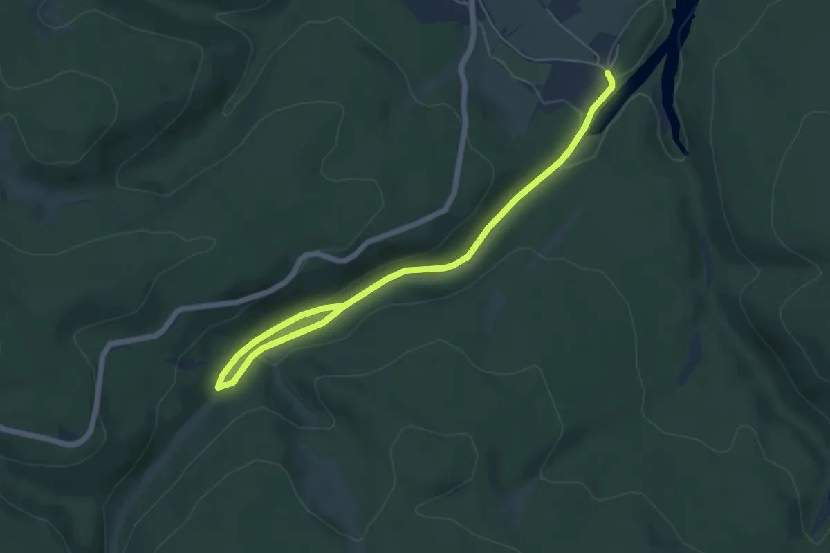
Easy · Trail
Erlebnispfad Apfelstädter Grund
5.9 km · ↑ 109 m · 1 h 38 min
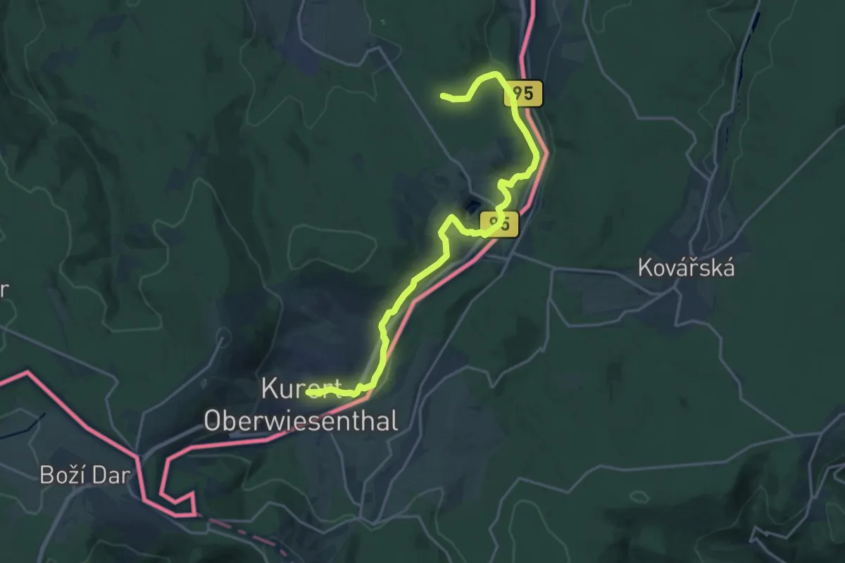
Demanding · Trail
Erlebnispfad Bimmelbahn
18.3 km · ↑ 299 m · 4 h 59 min
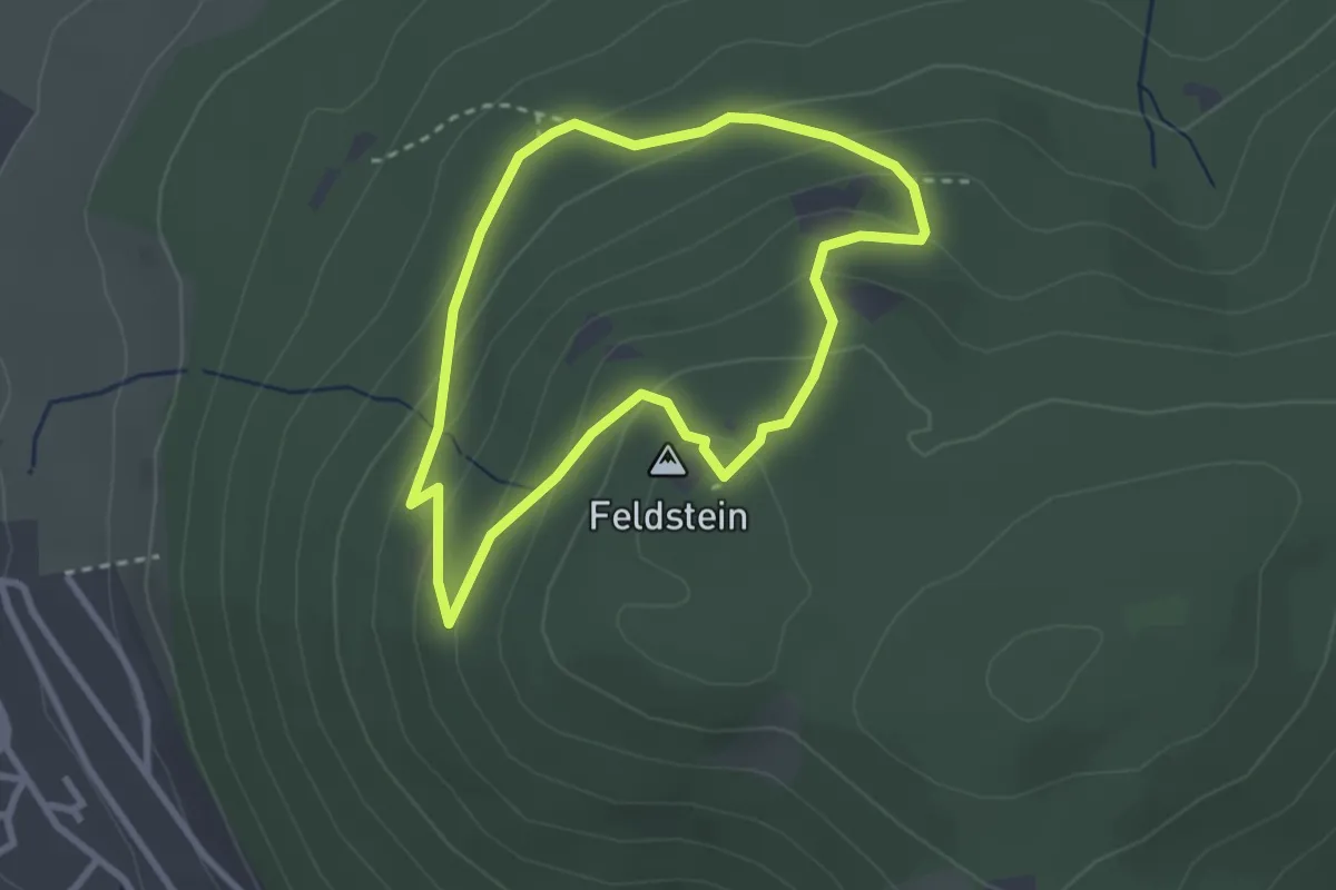
Easy · Summit
Erlebnispfad Bruchhauser Steine
2.3 km · ↑ 150 m · 54 min
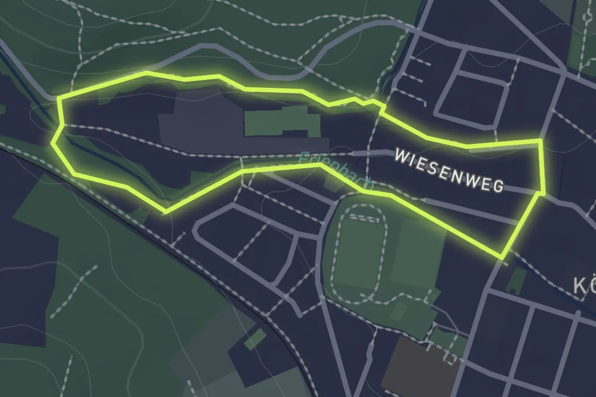
Easy · Trail
Erlebnispfad Erlenbach
2.0 km · ↑ 18 m · 32 min
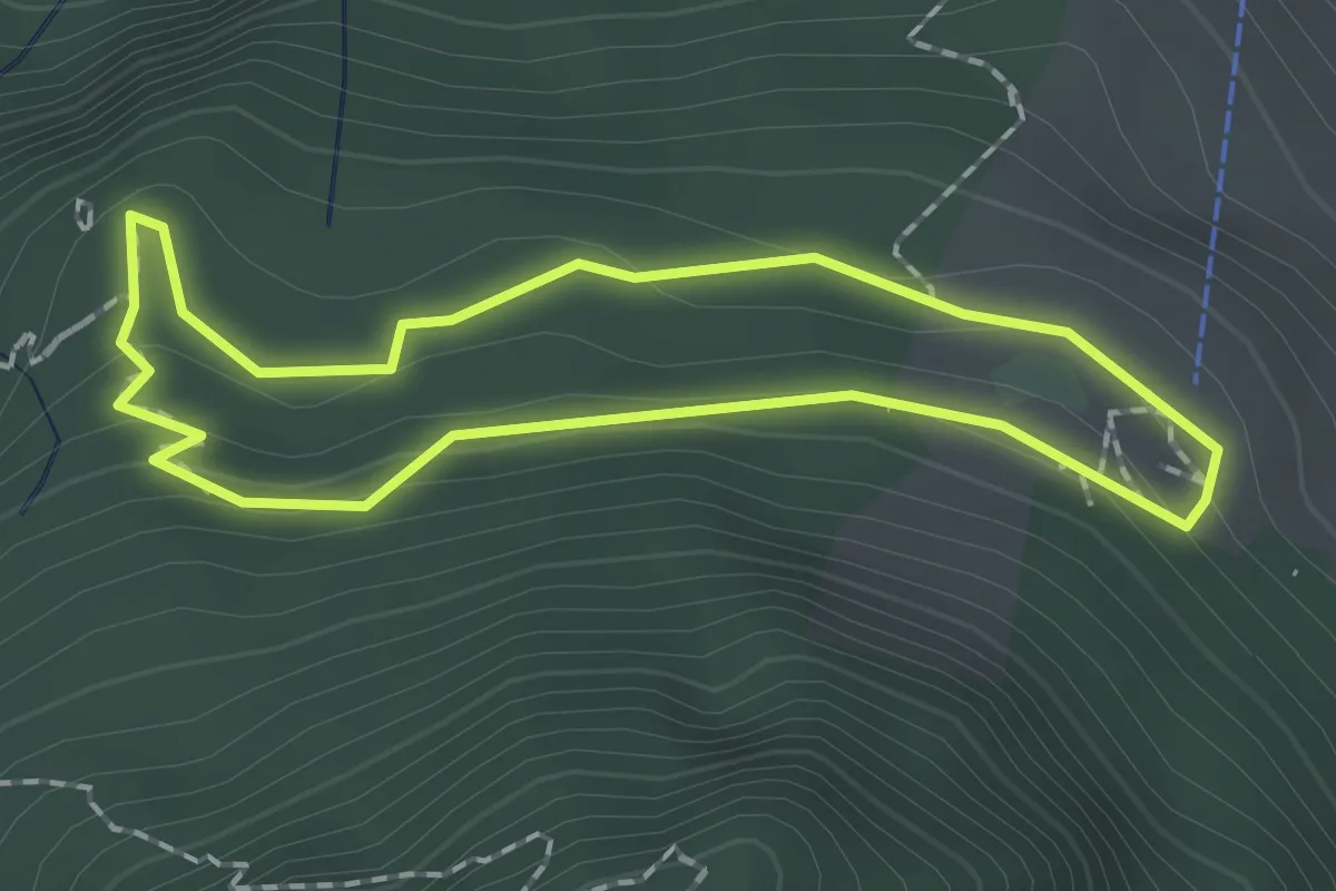
Easy · Summit
Erlebnispfad "Georg's Naturwelt"
1.6 km · ↑ 79 m · 34 min
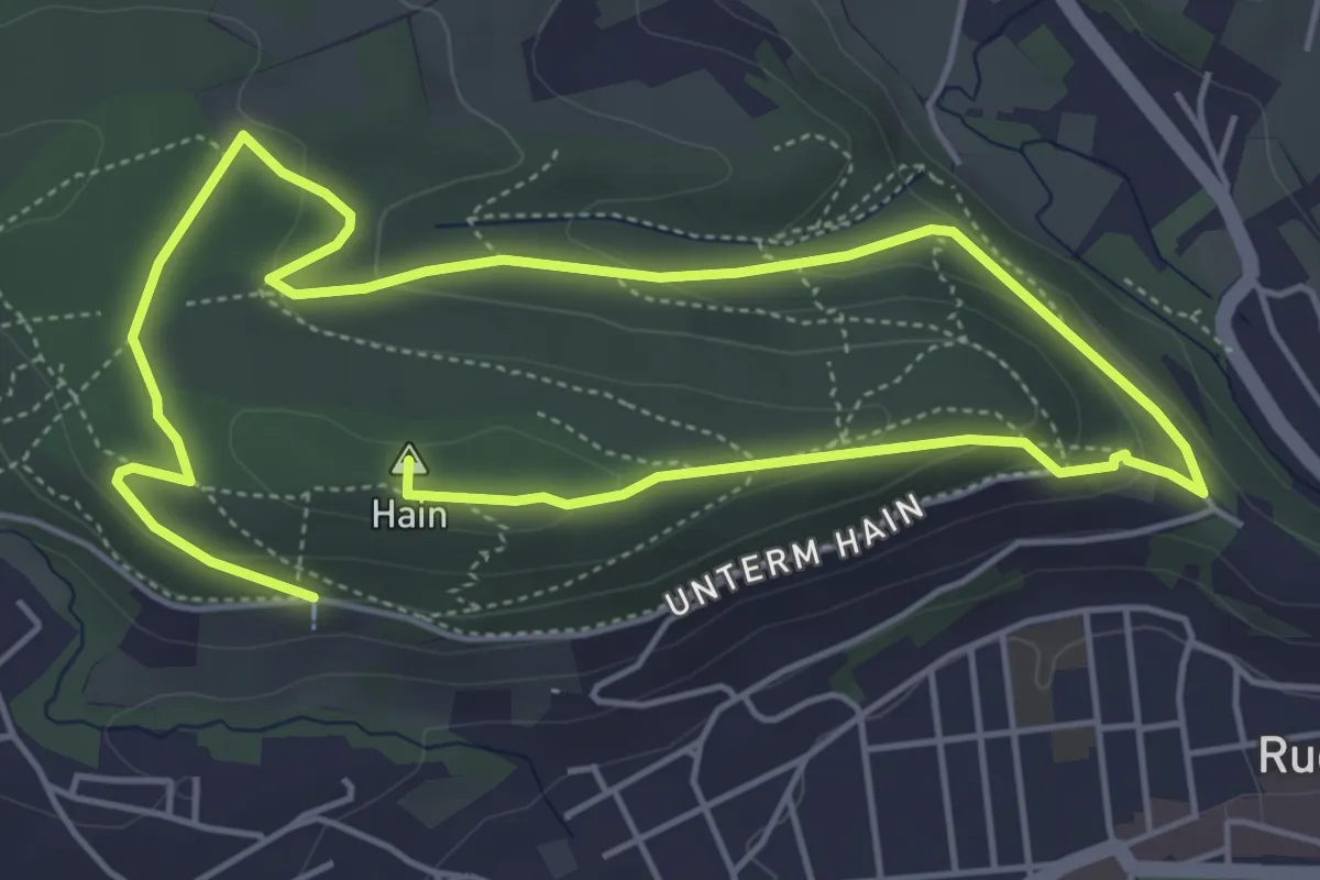
Easy · Summit
Erlebnispfad Hain
5.1 km · ↑ 181 m · 1 h 40 min
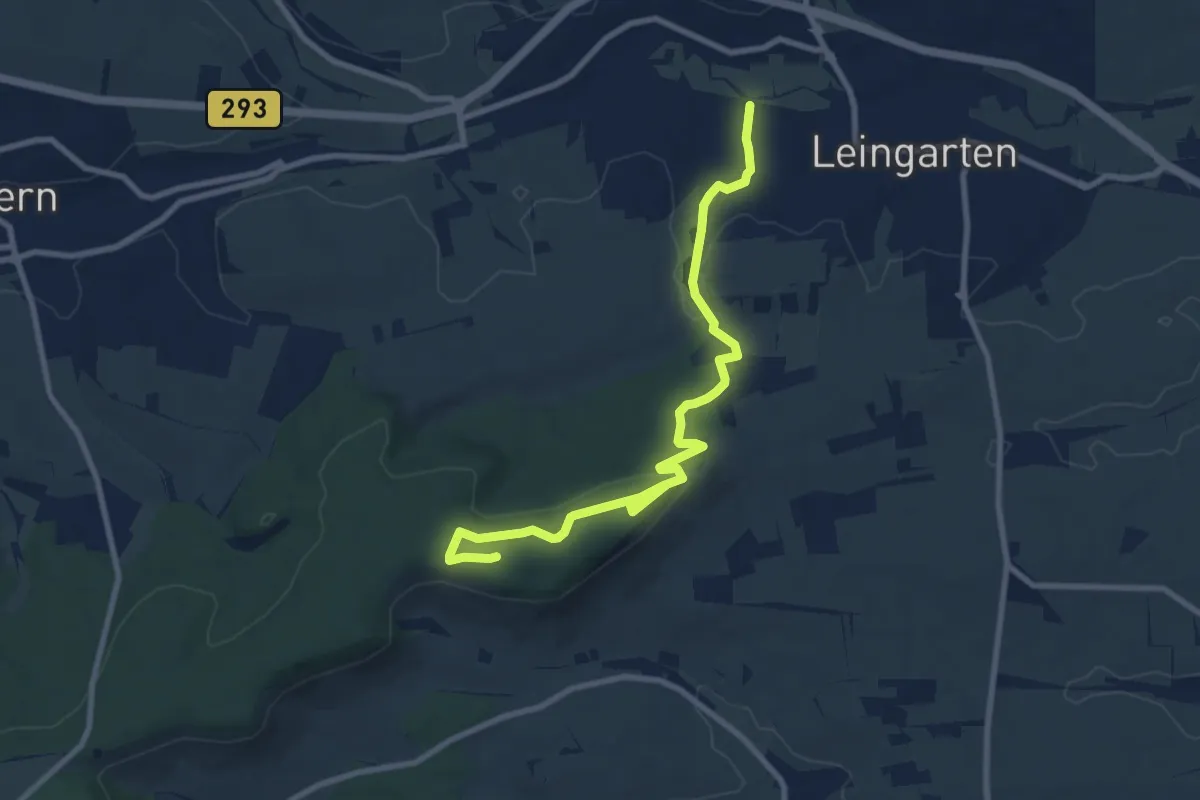
Medium · Summit
Erlebnispfad Heuchelberger Wald
9.6 km · ↑ 199 m · 2 h 42 min
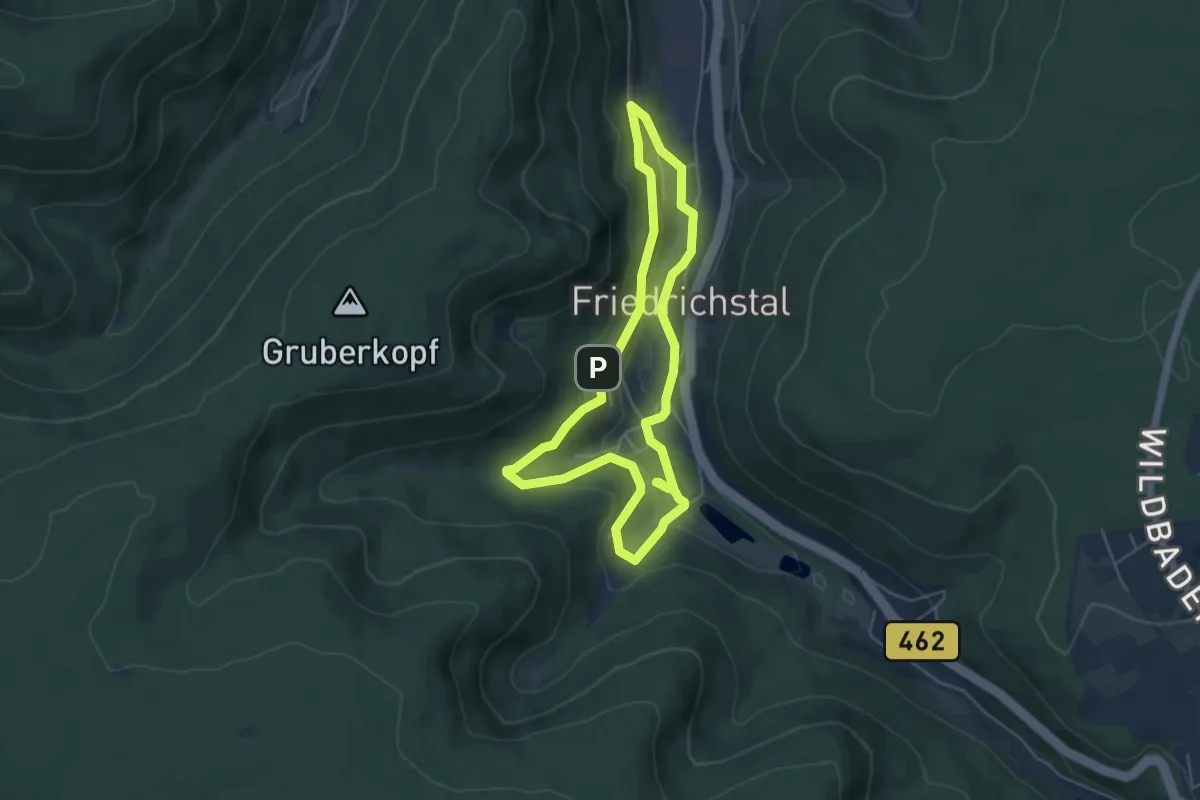
Easy · Trail
Erlebnispfad: Im Tal der Hämmer
4.5 km · ↑ 140 m · 1 h 26 min
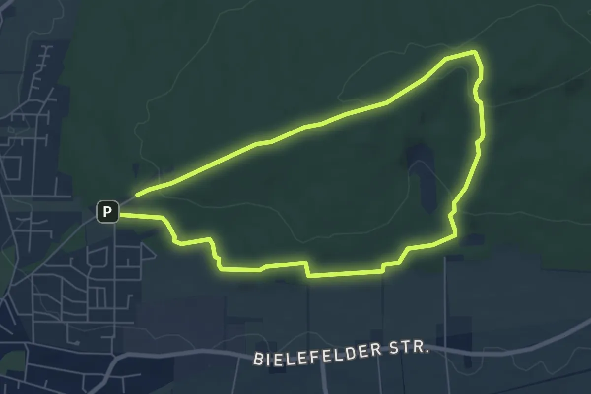
Easy · Summit
Erlebnispfad Kleiner Berg
4.9 km · ↑ 103 m · 1 h 26 min
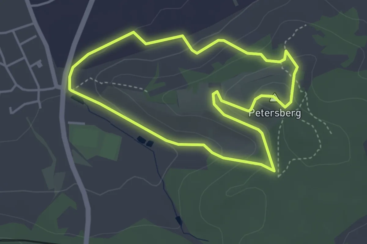
Easy · Summit
Erlebnispfad Petersberg
3.3 km · ↑ 117 m · 1 h 4 min
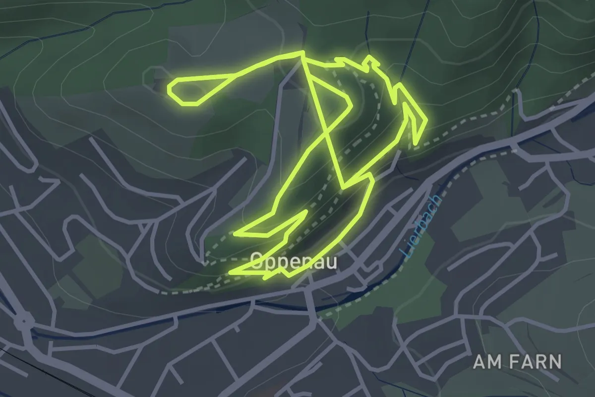
Easy · Trail
Erlebnispfad Rosi Rotkehlchen
3.4 km · ↑ 197 m · 1 h 15 min
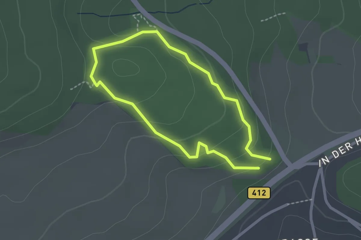
Easy · Trail
Erlebnispfad Steinrausch
1.6 km · ↑ 67 m · 32 min
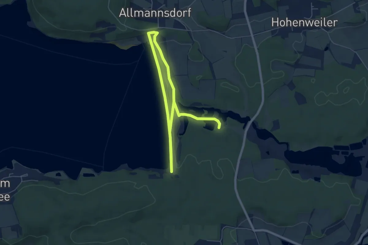
Easy · Trail
Erlebnispfad Weg der Wasserkraft
4.2 km · ↑ 57 m · 1 h 10 min
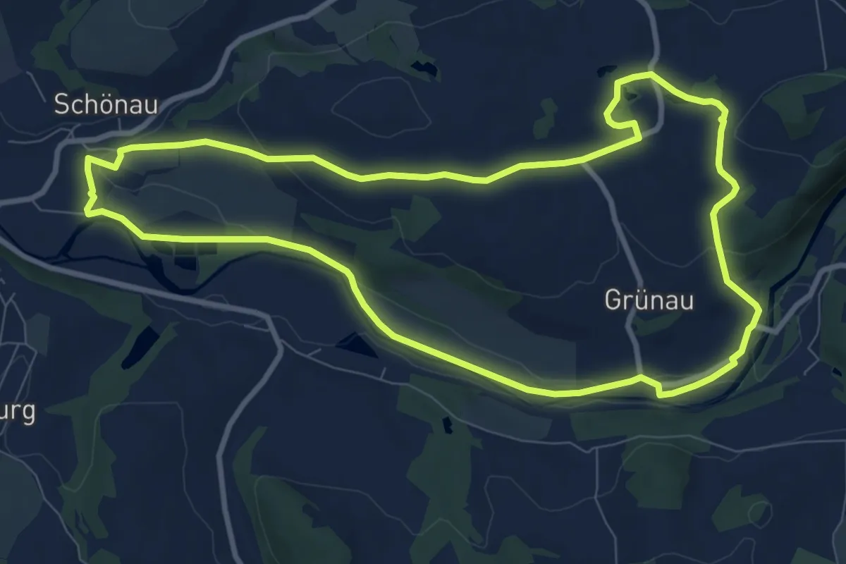
Medium · Trail
Erlebnispfad „Wildenfelser Zwischengebirge“
8.4 km · ↑ 118 m · 2 h 22 min
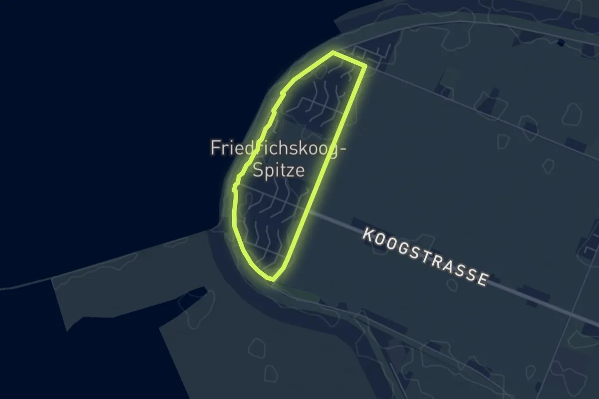
Easy · Trail
Erlebnisrundweg Friedrichskoog-Spitze
3.5 km · ↑ 0 m · 53 min
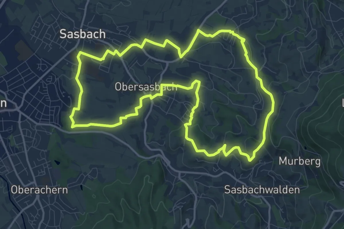
Medium · Trail
Erlebnis-Rundweg Obersasbach
11.4 km · ↑ 234 m · 3 h 21 min
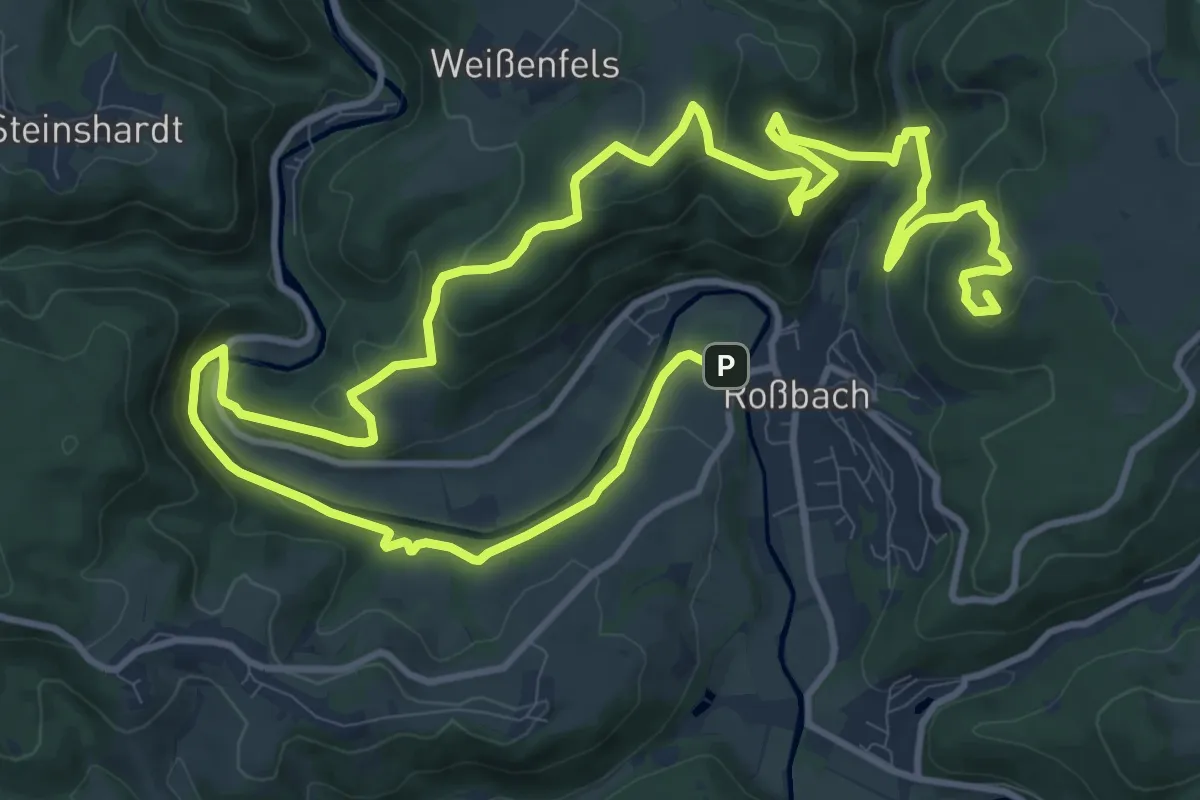
Medium · Summit
Erlebnisschleife Basaltbogen
11.6 km · ↑ 471 m · 3 h 55 min
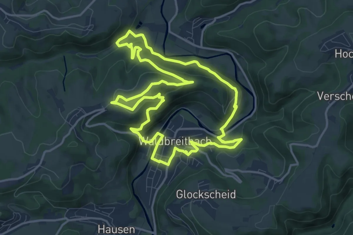
Medium · Trail
Erlebnisschleife Katzenschleif
9.6 km · ↑ 379 m · 3 h 14 min
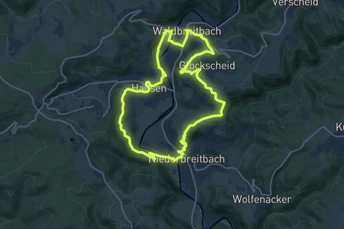
Medium · Summit
Erlebnisschleife Wiedblick-Tour
10.9 km · ↑ 357 m · 3 h 30 min
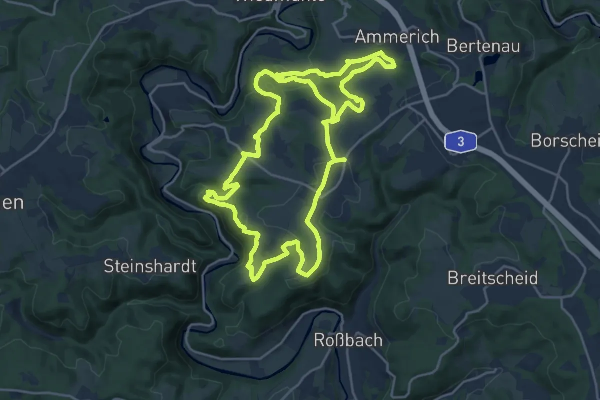
Medium · Trail
Erlebnistag Wandern
14.0 km · ↑ 329 m · 4 h 14 min
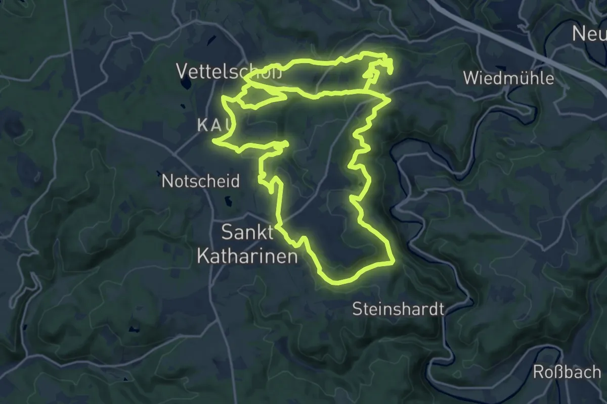
Demanding · Trail
Erlebnistag Wandern 2011
19.2 km · ↑ 493 m · 5 h 52 min
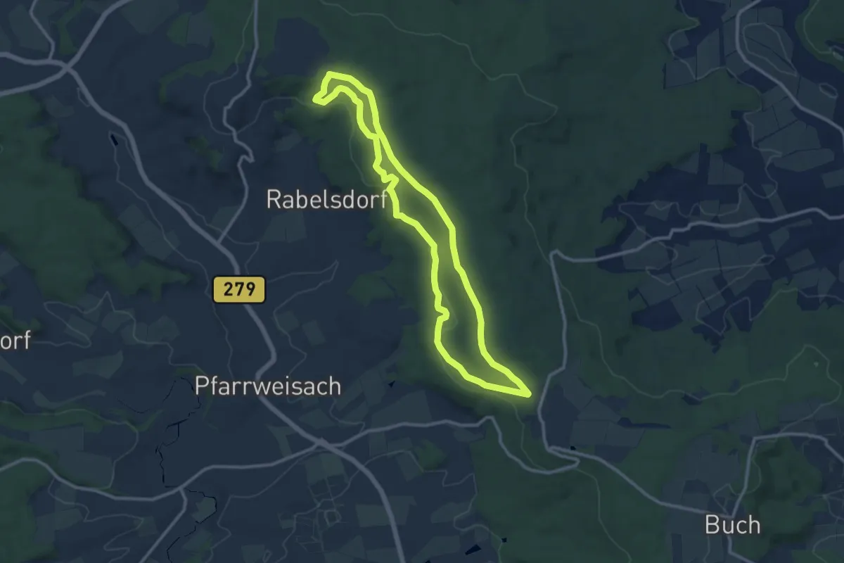
Medium · Trail
Erlebnistour am Burgen- und Schlösserwanderweg
9.6 km · ↑ 192 m · 2 h 49 min
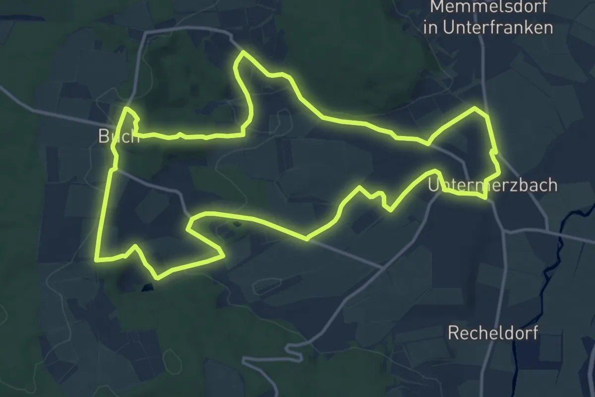
Medium · Trail
Erlebnistour "Auf den Spuren der Romantik"
12.2 km · ↑ 232 m · 3 h 33 min
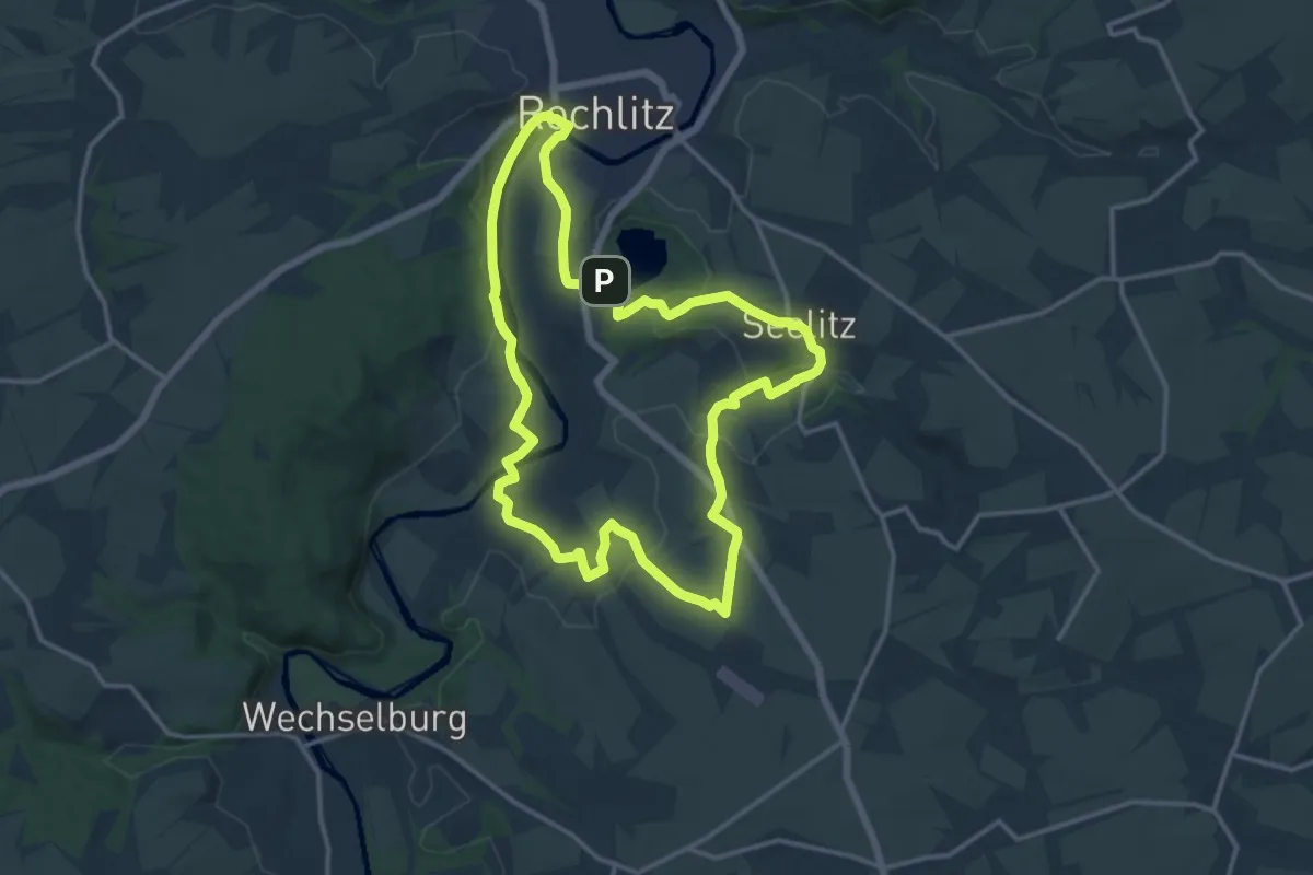
Medium · Trail
Erlebnistour Seelitz
12.8 km · ↑ 183 m · 3 h 36 min
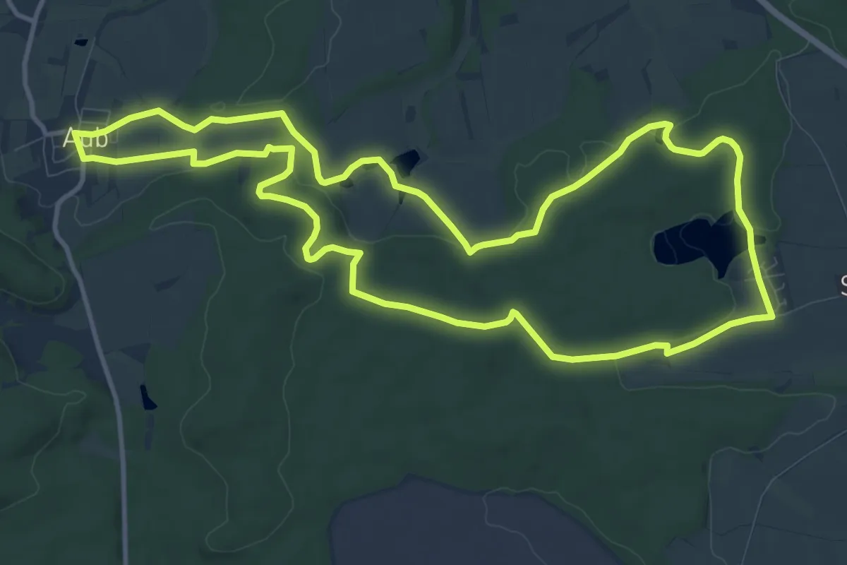
Medium · Trail
Erlebnistour "Wasserschloss und Reuthsee"
11.0 km · ↑ 145 m · 3 h 3 min
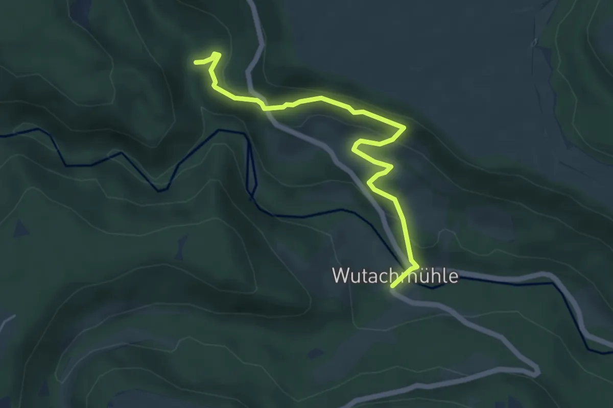
Easy · Trail
Erlebnistour Wutach
4.5 km · ↑ 193 m · 1 h 29 min
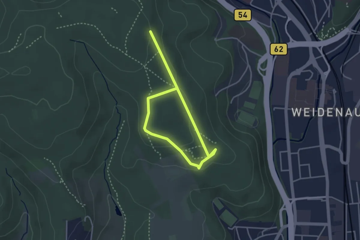
Easy · Trail
Erlebniswald Historischer Tiergarten Siegen
3.9 km · ↑ 84 m · 1 h 7 min
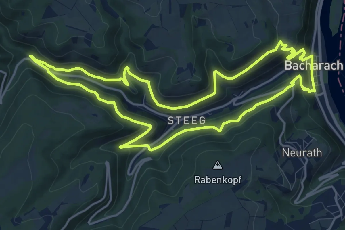
Medium · Trail
Erlebniswanderweg
10.8 km · ↑ 510 m · 3 h 50 min
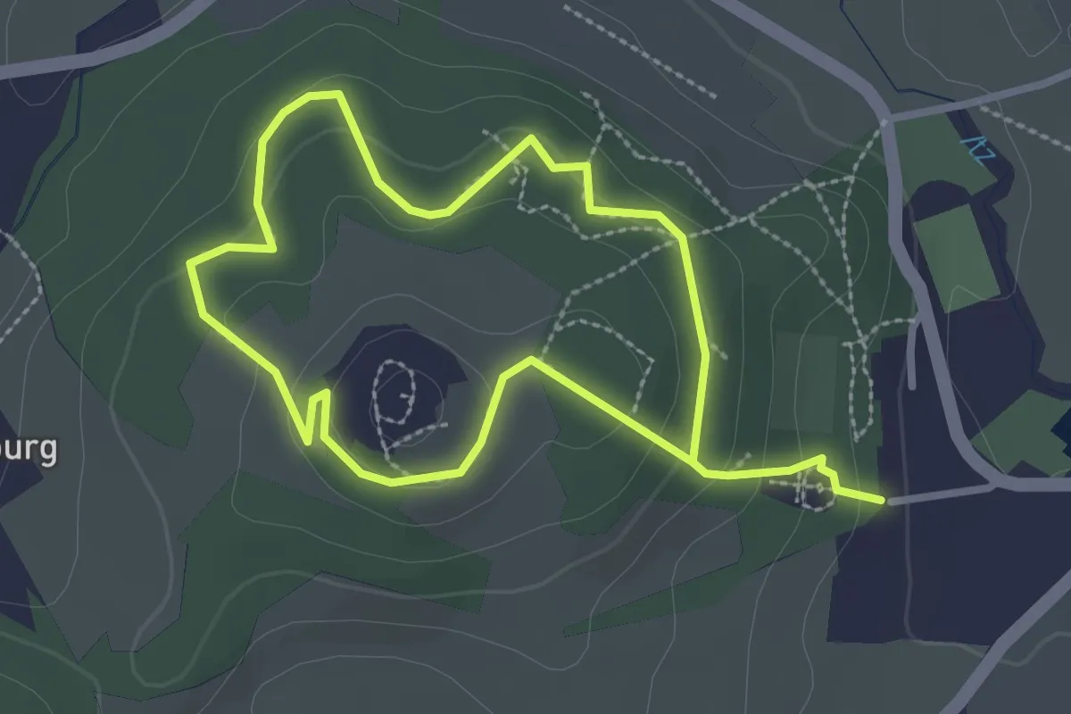
Medium · Trail
Erlebniswanderweg "Rund um die Schaumburg"
2.2 km · ↑ 105 m · 46 min
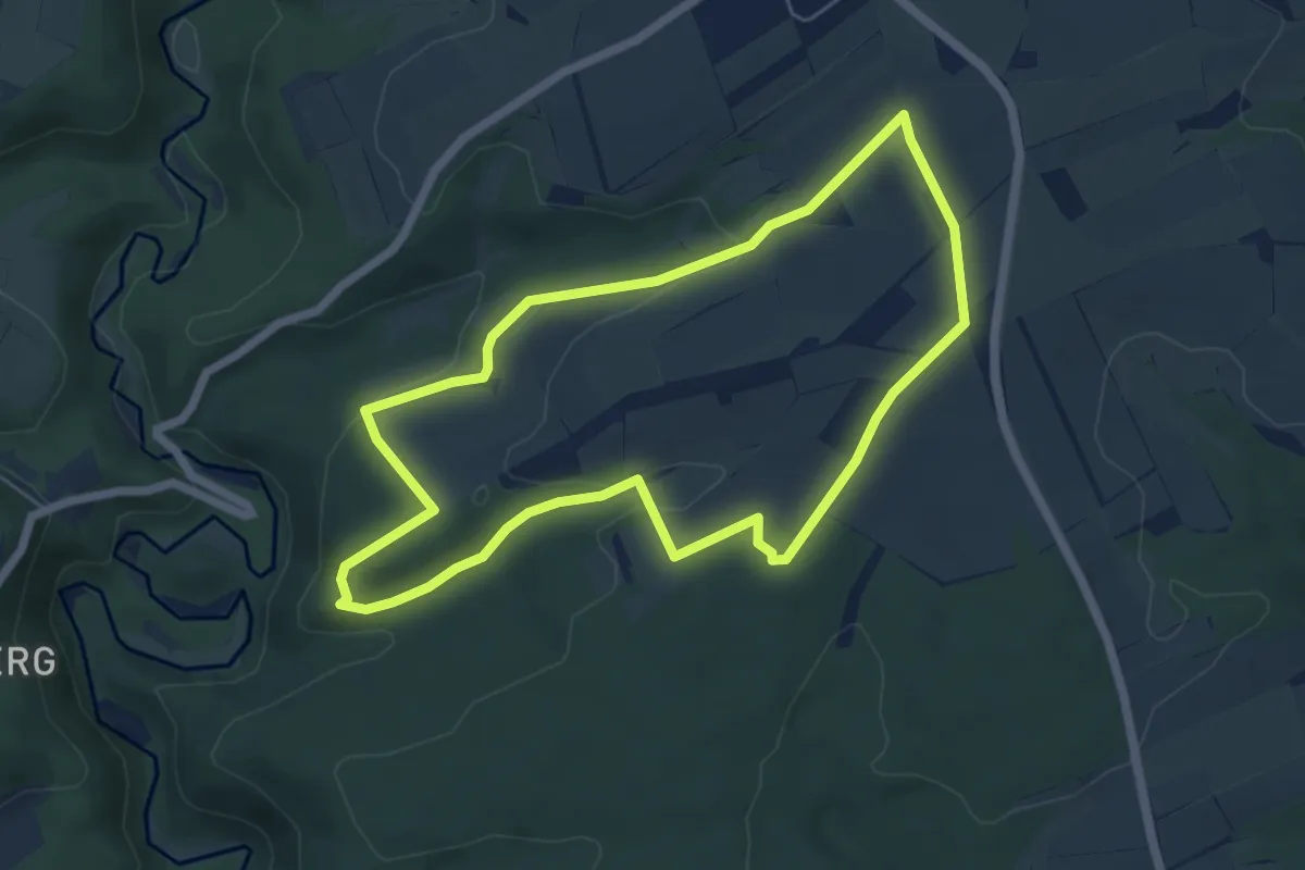
Easy · Trail
Erlebnisweg Achterhöhe
5.3 km · ↑ 103 m · 1 h 33 min
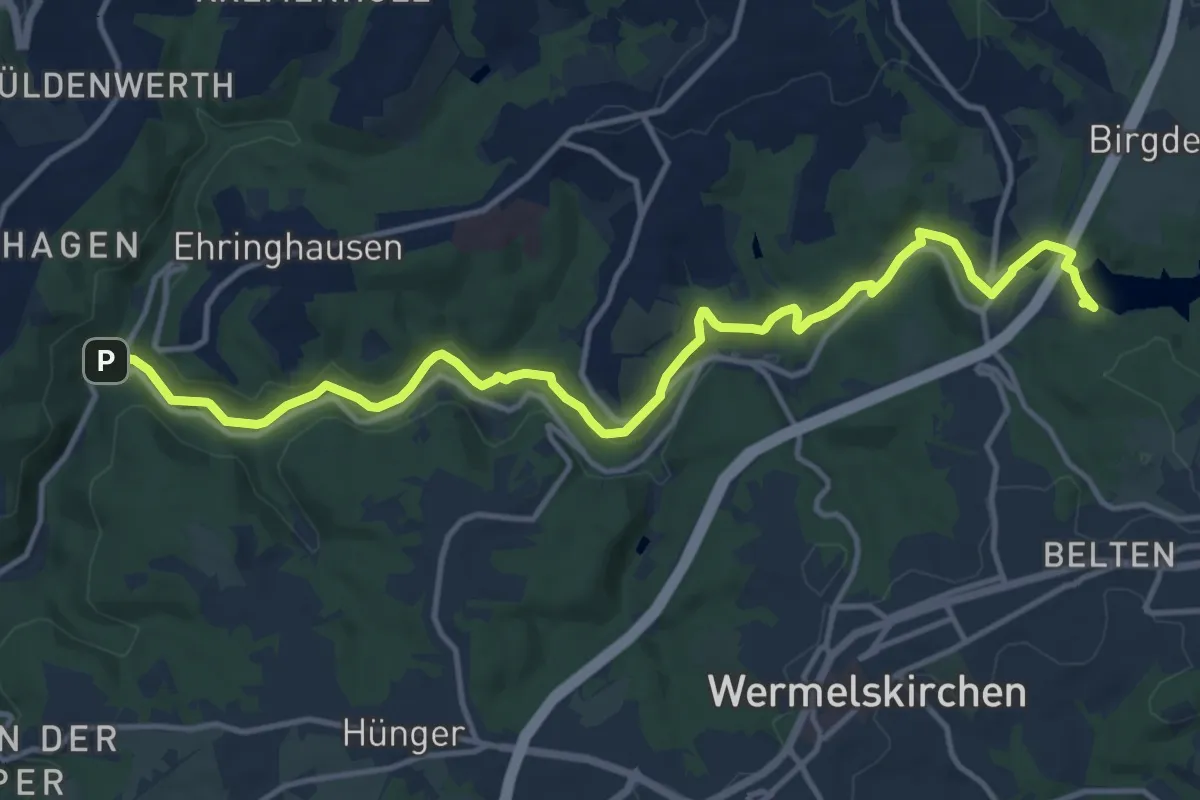
Medium · Trail
Erlebnisweg Eschbach
13.8 km · ↑ 258 m · 3 h 49 min